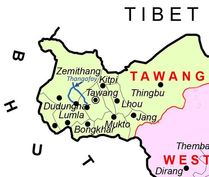
India (October-November 2019):
Trek from Kudung to Thongleng via Thangafay (2/2)
|
|
Return to my
mountaineering/trekking/travel webpage | Return
to main India Oct-Nov 2019 webpage
|
|
|
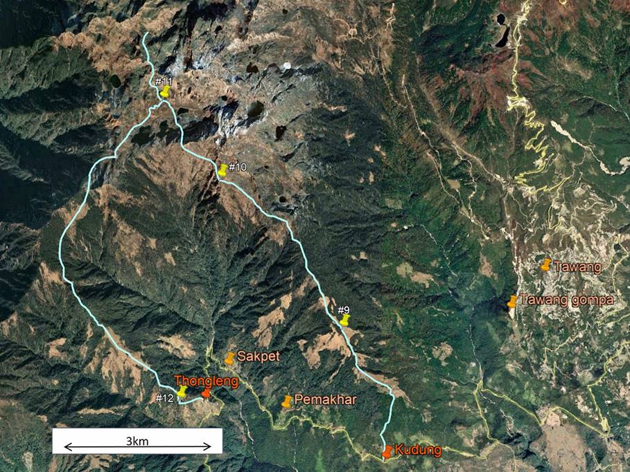
Reminder: The itinerary of this trek is drawn in
blue in both the map and the aerial image above. To see the aerial image in
more detail click
here
to download the trek-ap.kmz file and open this file
in Google Earth. The yellow pins (marked #9 to #12) point to the locations of
the 4 successive camps of this trek. The other pins indicate other locations
(two villages between Kudung and Thongleng,
the town of Tawang, and the gompa
of Tawang). Thangafay is
located at Camp #10.
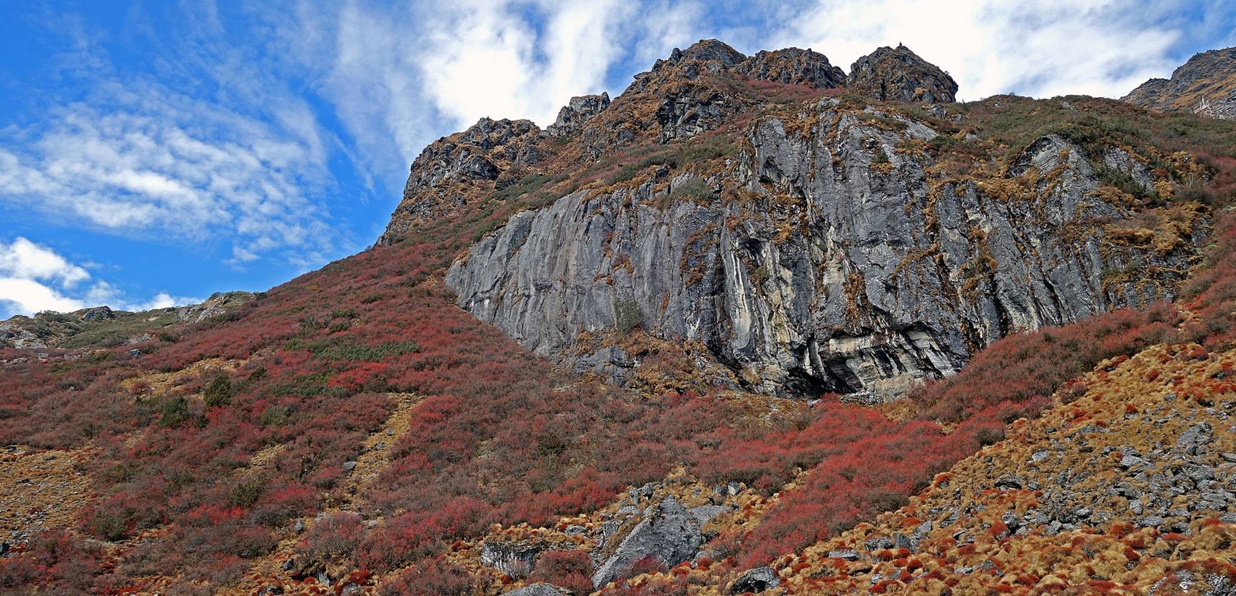
On our way to Thangafay
from Camp #9.
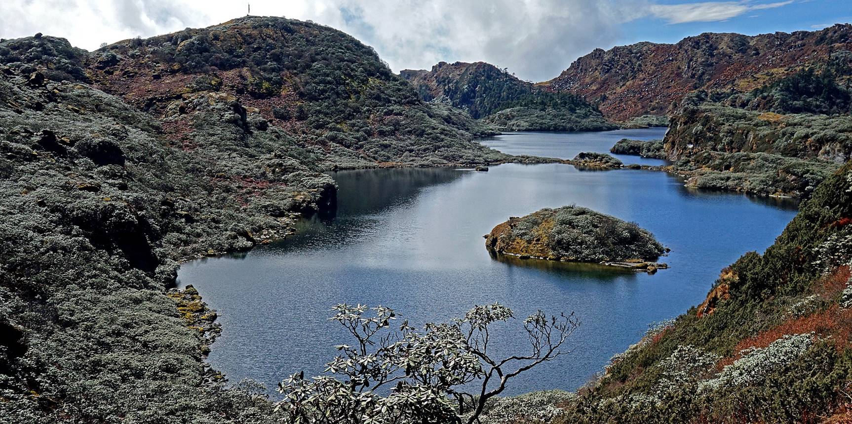
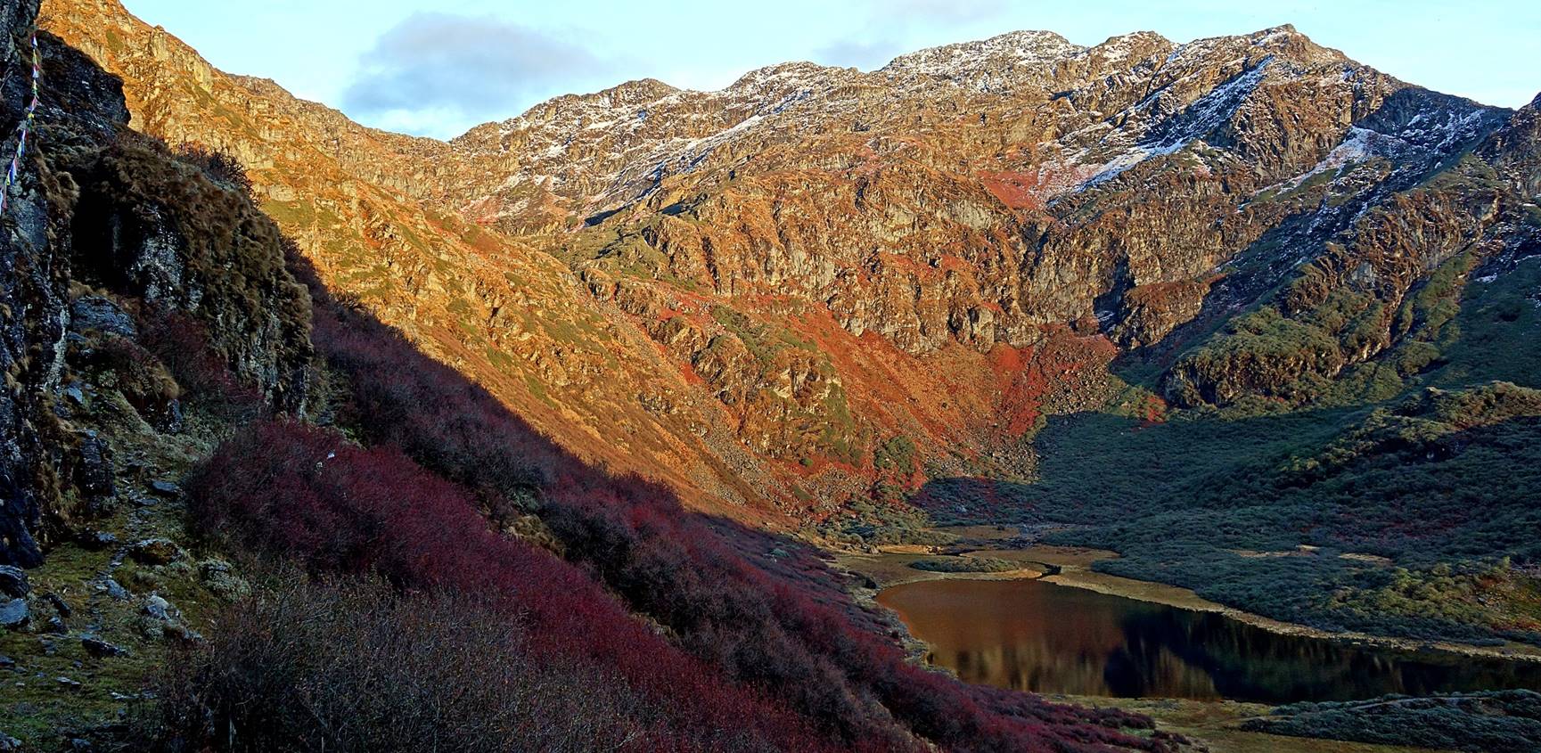
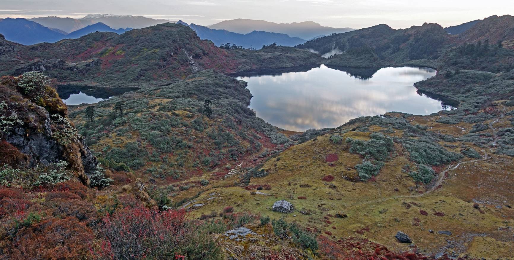
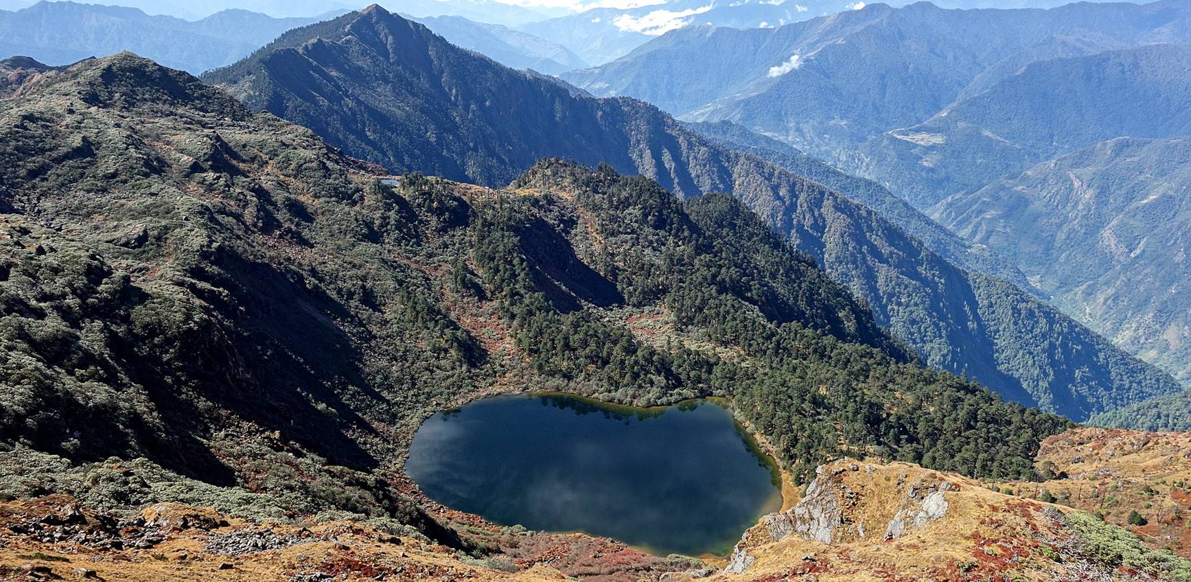
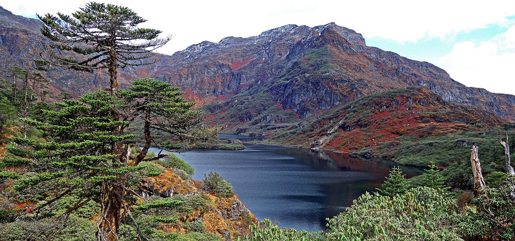
First glimpse over one the lakes at Thangafay.
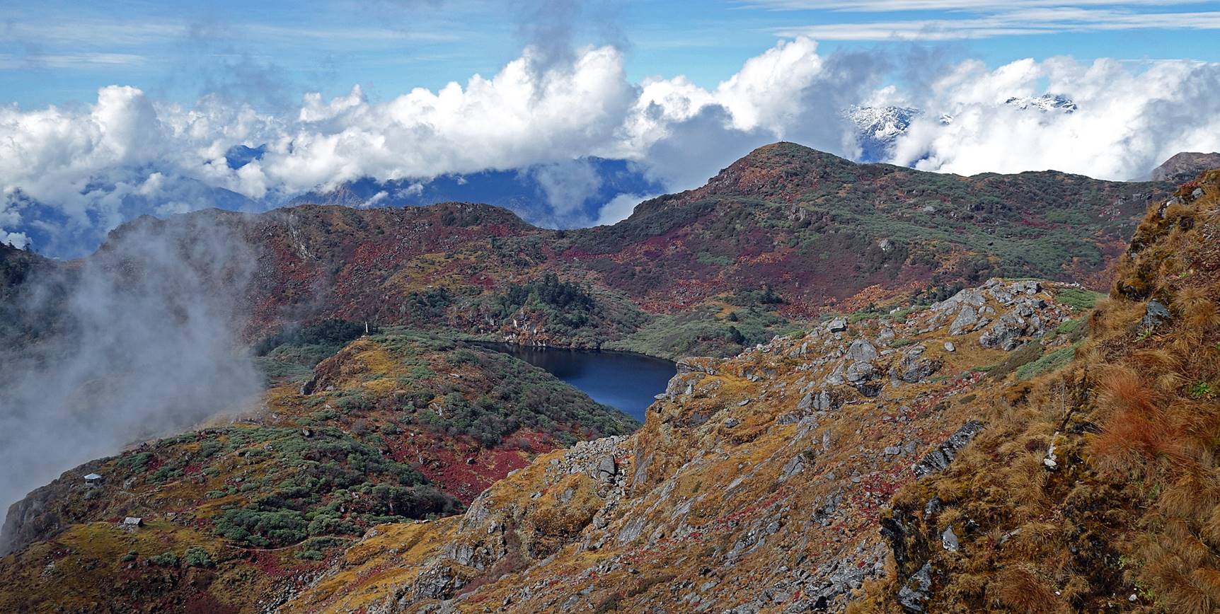
There are three lakes below the gompa of Thangafay. From west to
east, they are called Metchang, Barchang,
and Totchang. Met, Bar, and Tot mean lower, central,
and upper, respectively.
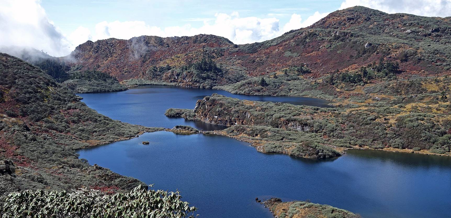
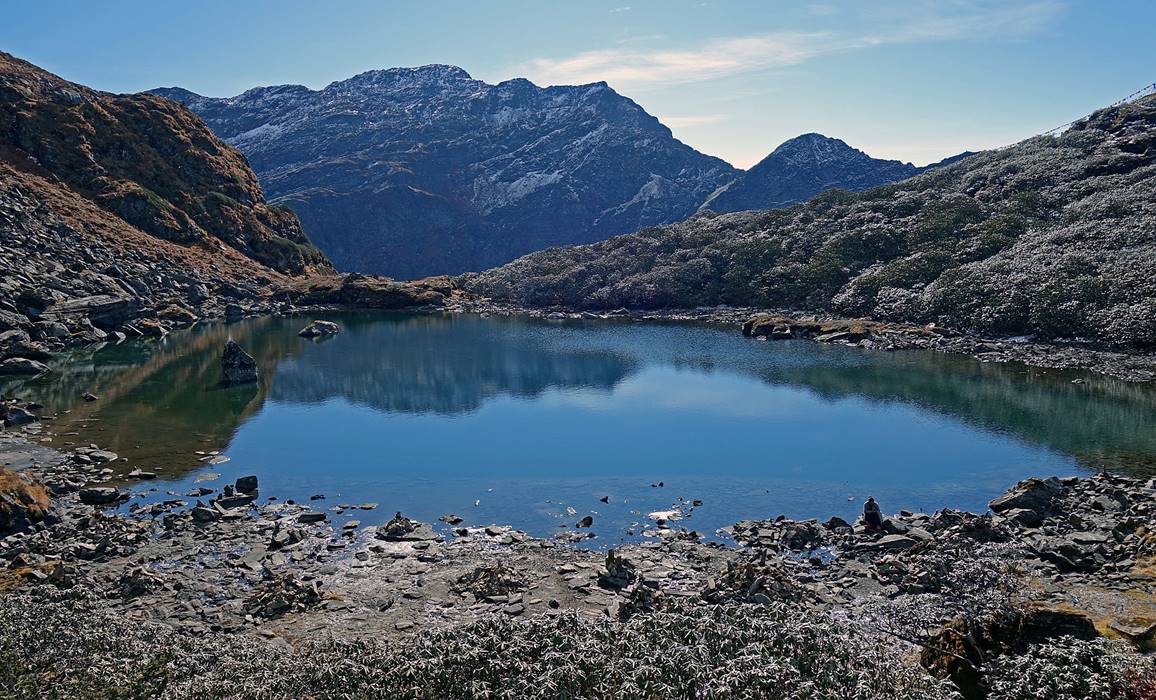
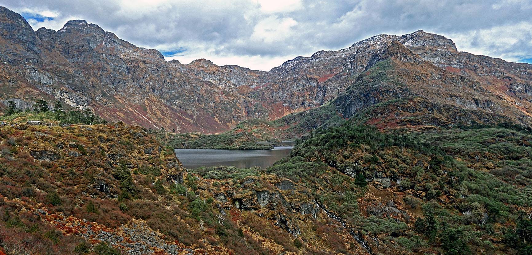
Views of Barchang
(in the front) and Metchang (in the back), as they
successively appeared while hiking toward the gompa.
The lakes are surrounded by rhododendrons whose green leaves tend to shine grey
when they reflect sunlight.
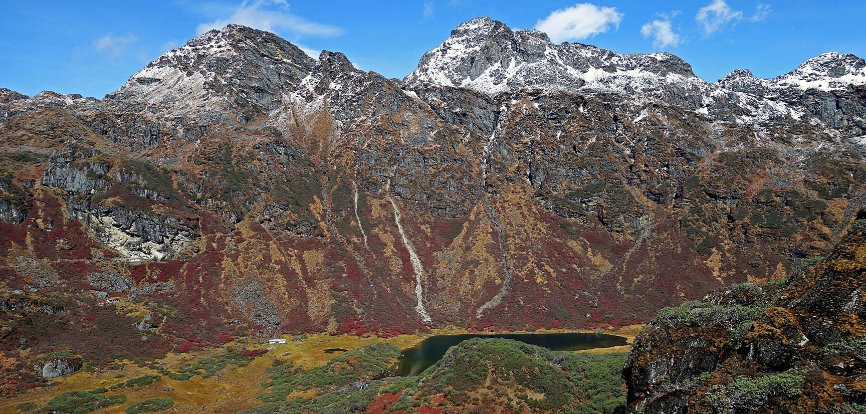
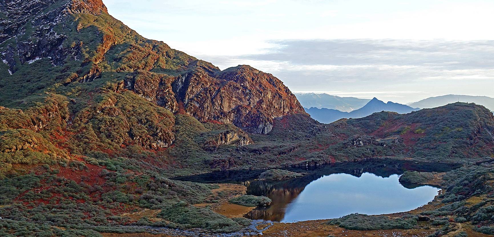
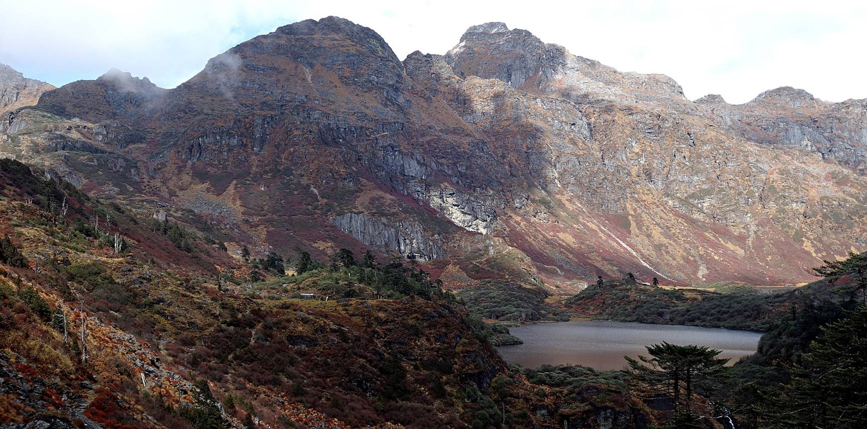
View of Totchang
and the mountain range behind it. The gompa is barely
visible at the base of the white rock cliff on the left side of the photo.
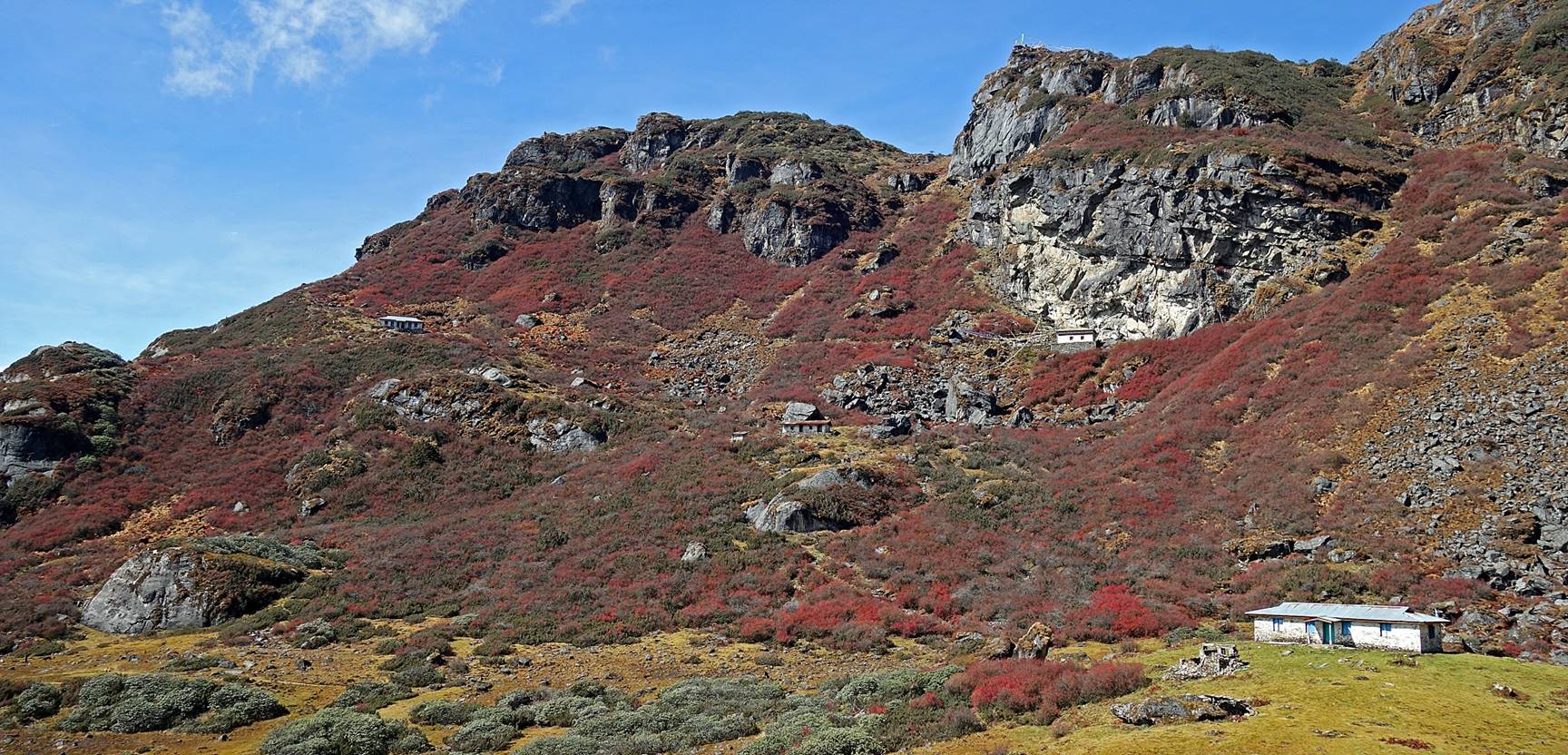
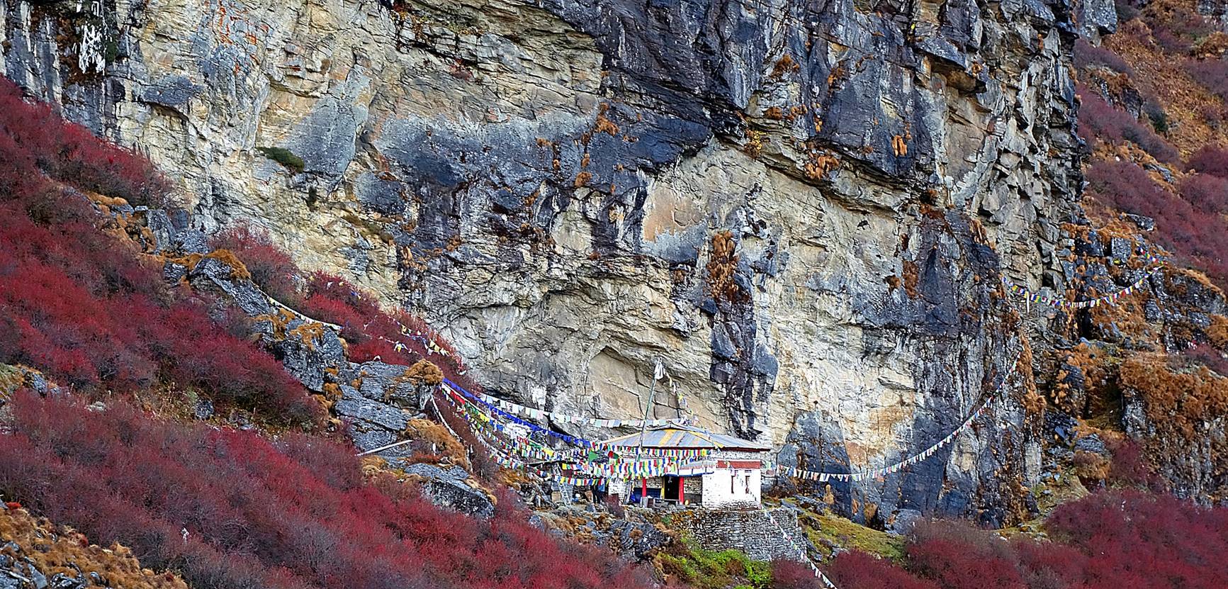
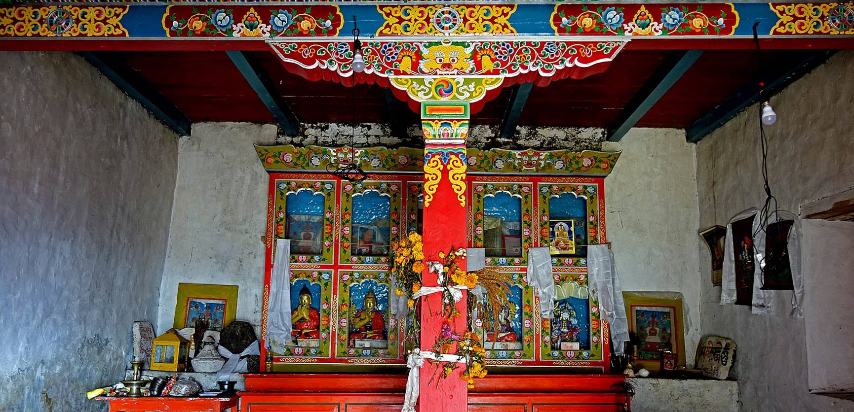
The gompa and
the pilgrim housing facilities at Thangafay. The gompa stands below the white rock cliff on the right of the
photo. The three housing facilities are aligned along a diagonal of the photo.
We set our Camp #11 (our third camp on this trek, elevation: 4000m) just behind
the gompa in a cavity of the rock cliff.
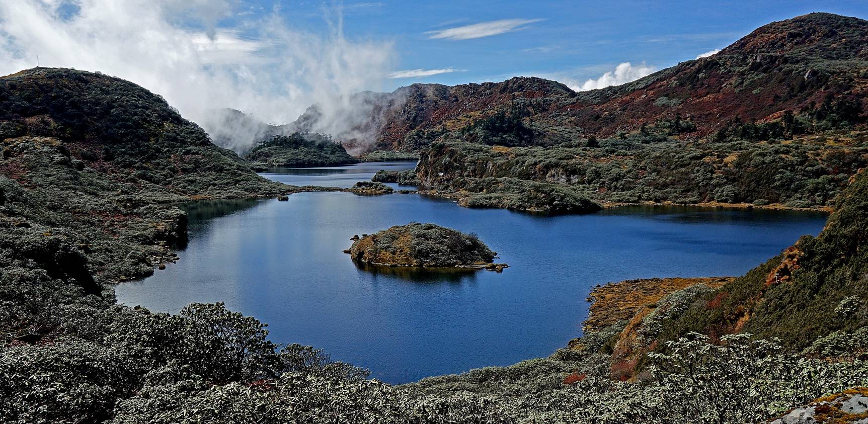
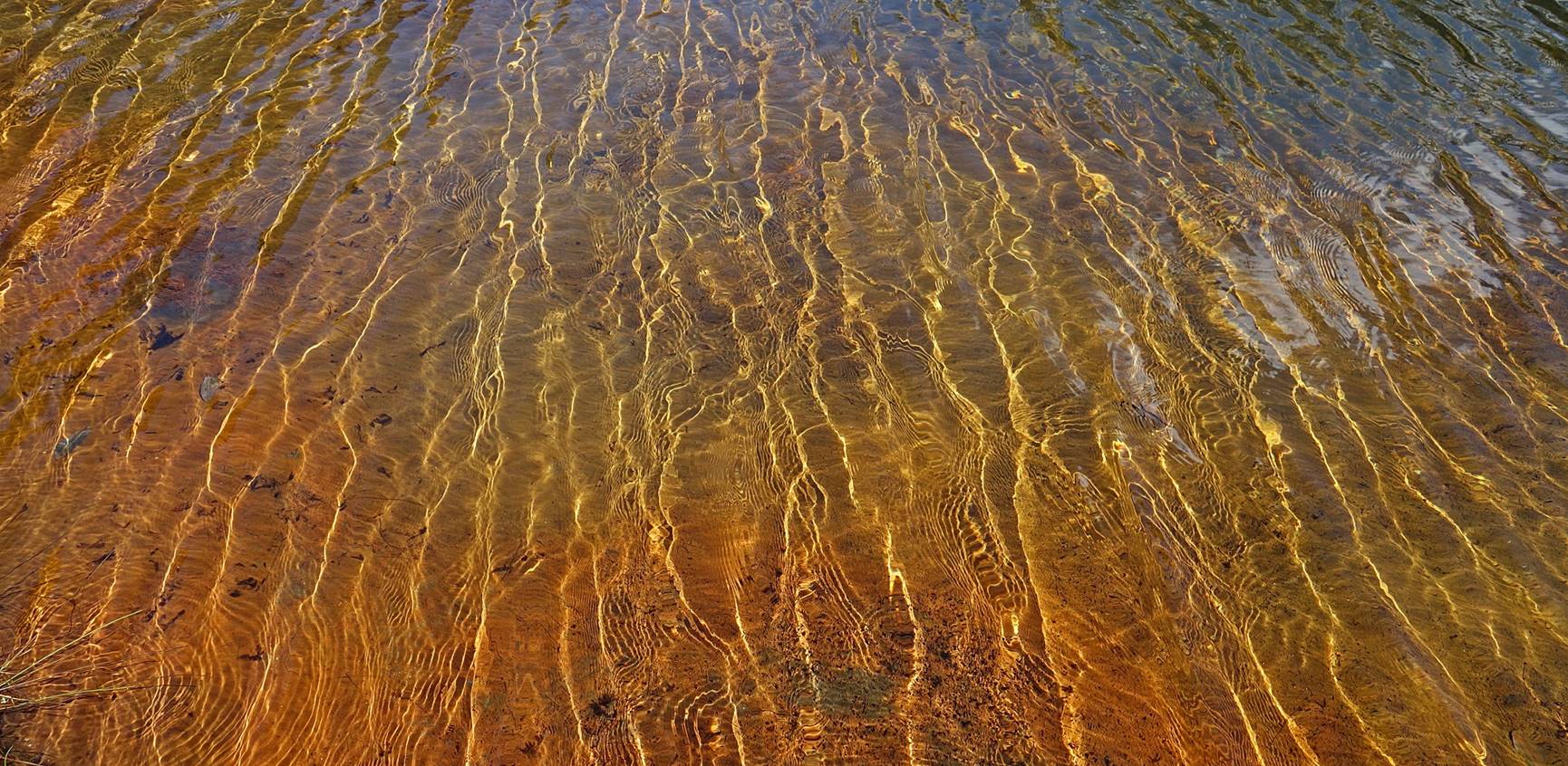
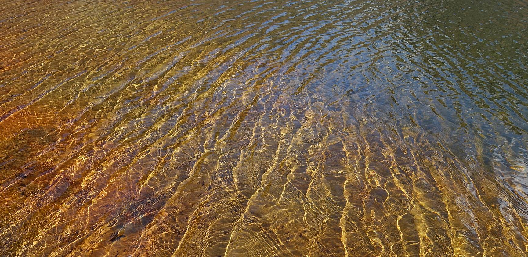
On the shore of Totchang.
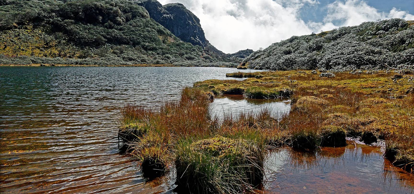
Light play in the water of Totchang.
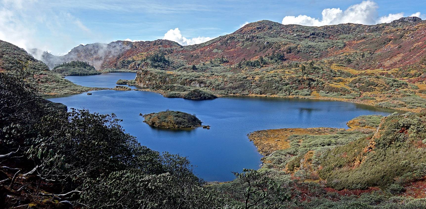
Barchang (first photo) and Metchang
(second photo) seen from the gompa.
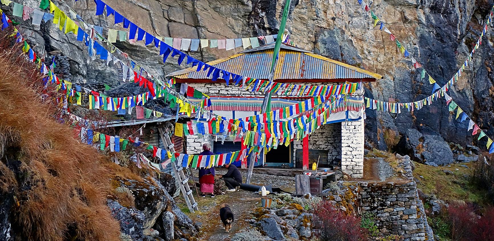
Views of the gompa.
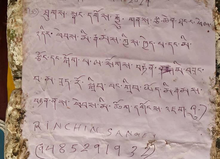
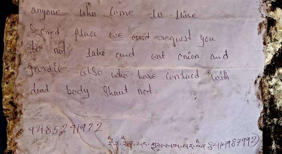
Sign (written in both English and
Tibetan-script Monpa language) posted on the outside
walls of the gompa. It approximately reads: ″Anyone
who come to this sacred place we request you do not take and cut onion and
garlic. Also who have contact with dead body should not.″
|
|
|
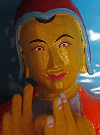
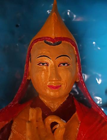
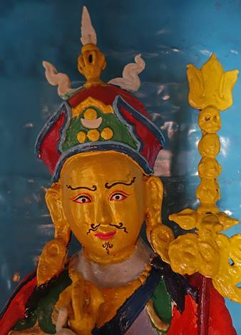
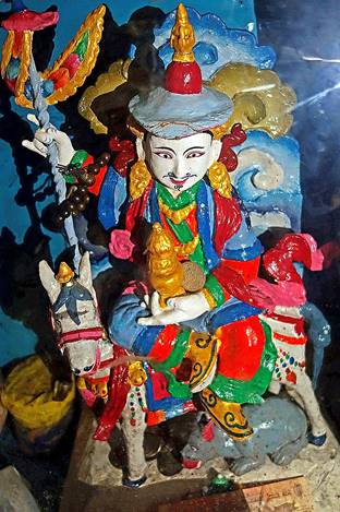
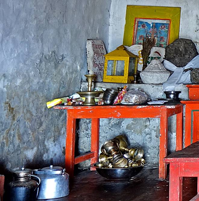
Inside the gompa.
The name of the main god worshiped here is Ginsangey Wangpu, who is represented on a horse in the rightmost
statue below. This god is also the main god worshipped by the inhabitants of
the villages of Thongleng and Sakpet,
who share the property of the site of Thangafay.
|
|
|
|
|
|
Successive views of the three lakes from
the gompa between late afternoon and dusk.
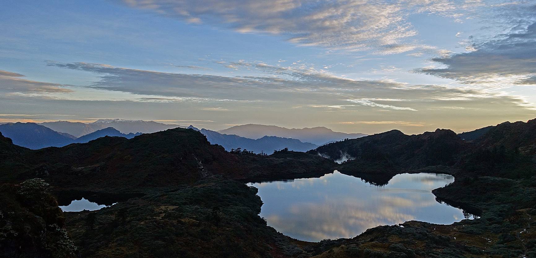
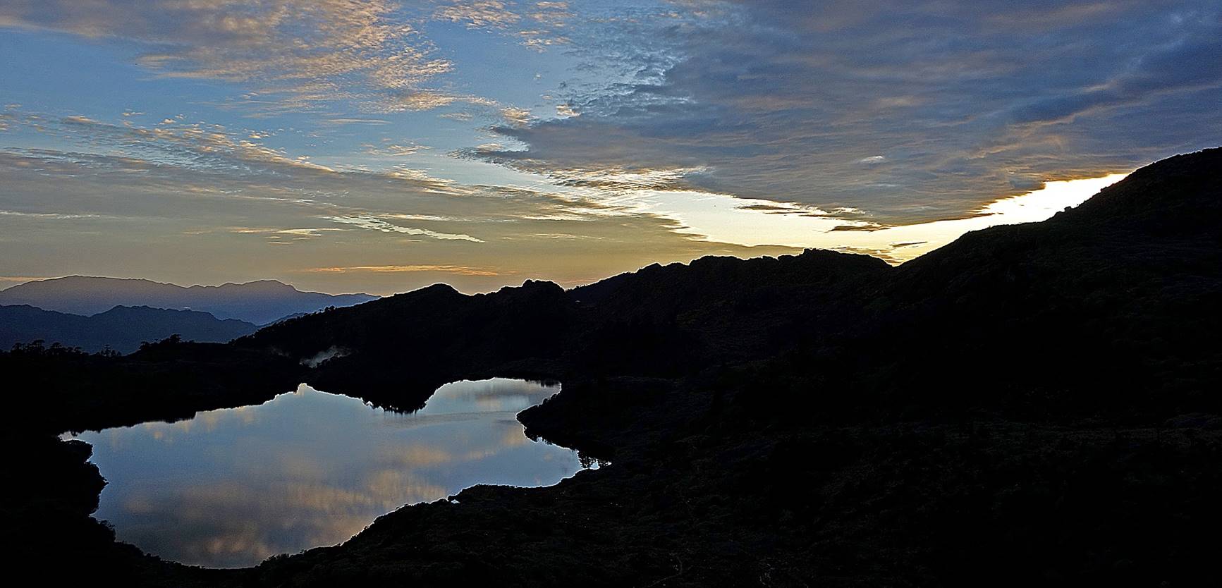
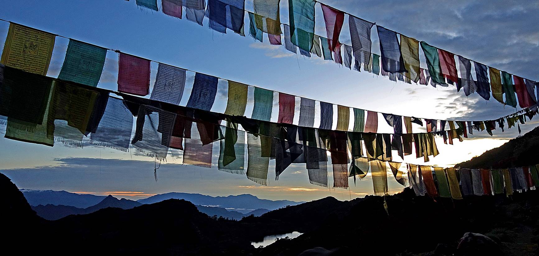
Other views at dusk.
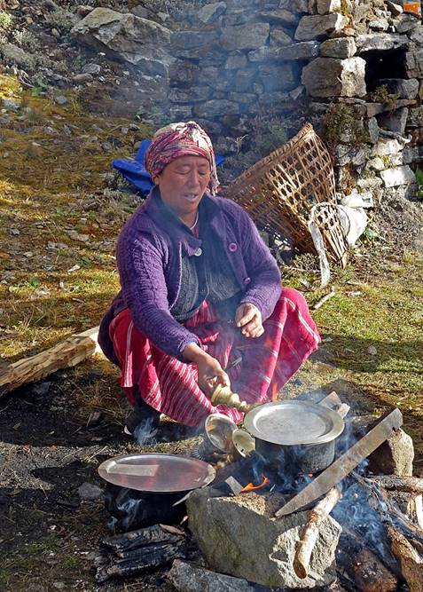
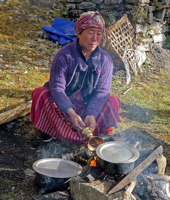
The ″old lady″ cleaning
butter lamps that she used during a morning puja. She melts and removes butter
by heating up the cups.
|
|
|
|
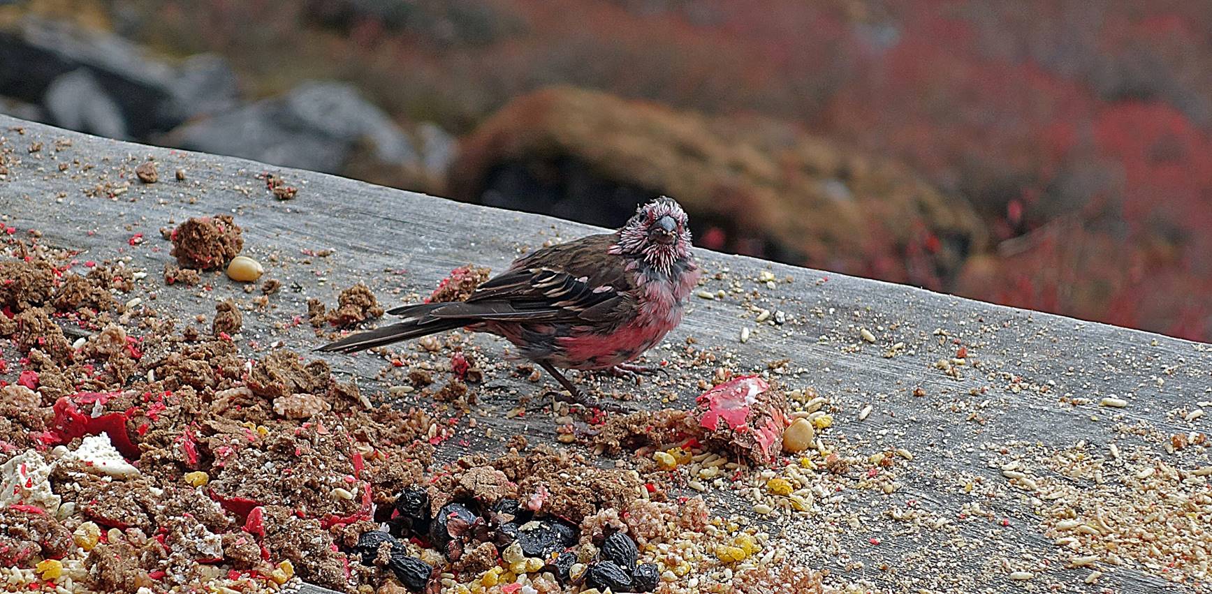
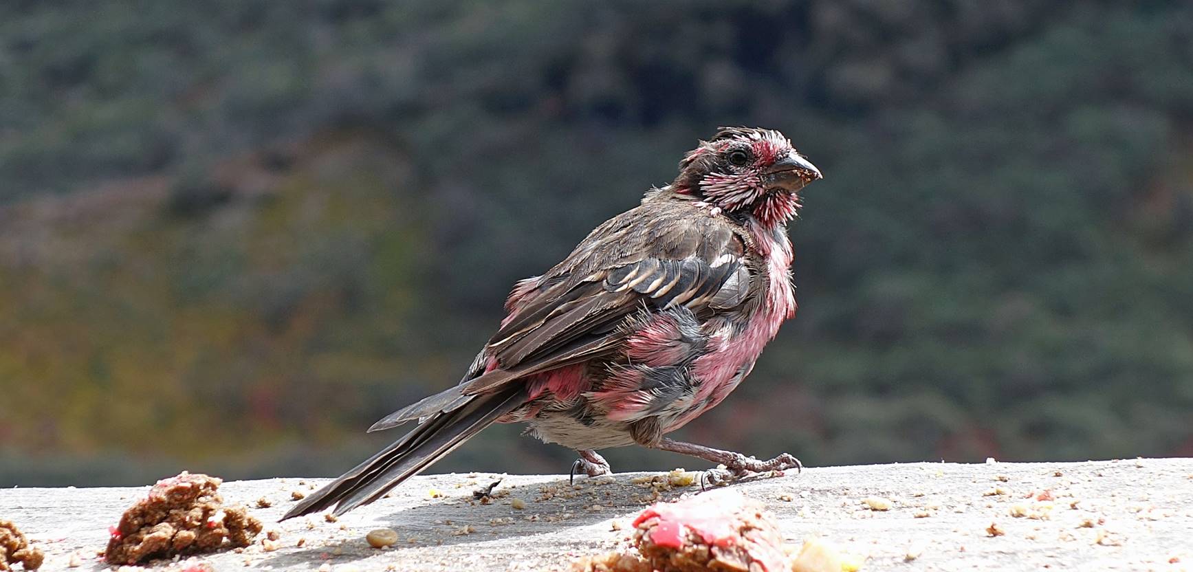
Bird enjoying the morning sun and food
remains (of which it seems to have taken the colors!).
In the morning, before heading down
toward Thongleng, Lobsang, Sonam Dawa, and I hiked above the
gompa toward the north and reached a ridge that gave
us great views over mountain ranges north of Tawang.
Successive views over the gompa, Totchang, and Barchang during the initial part of the ascent. Our tents
under the cliff are visible in the first photo.

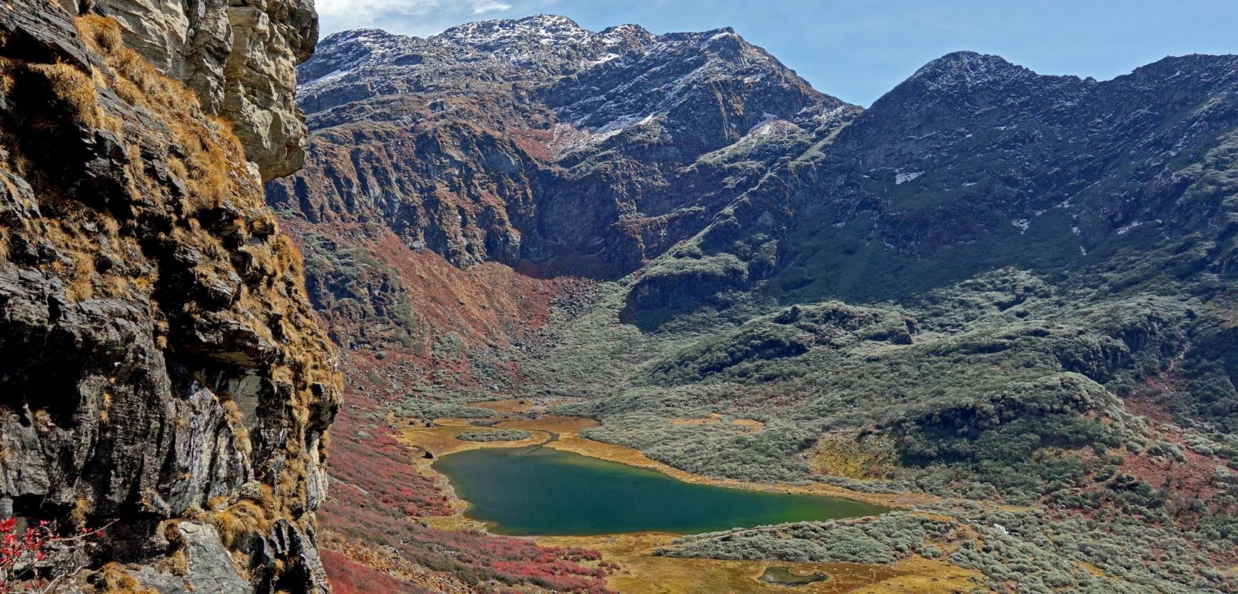
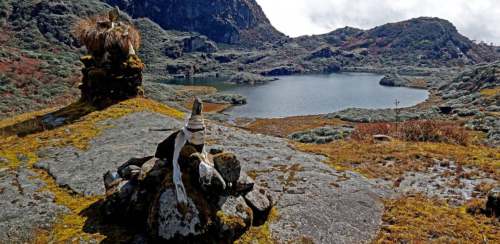
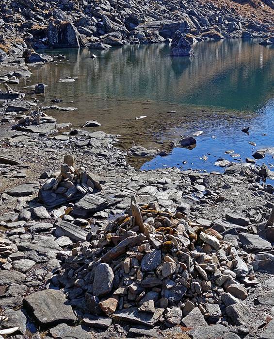
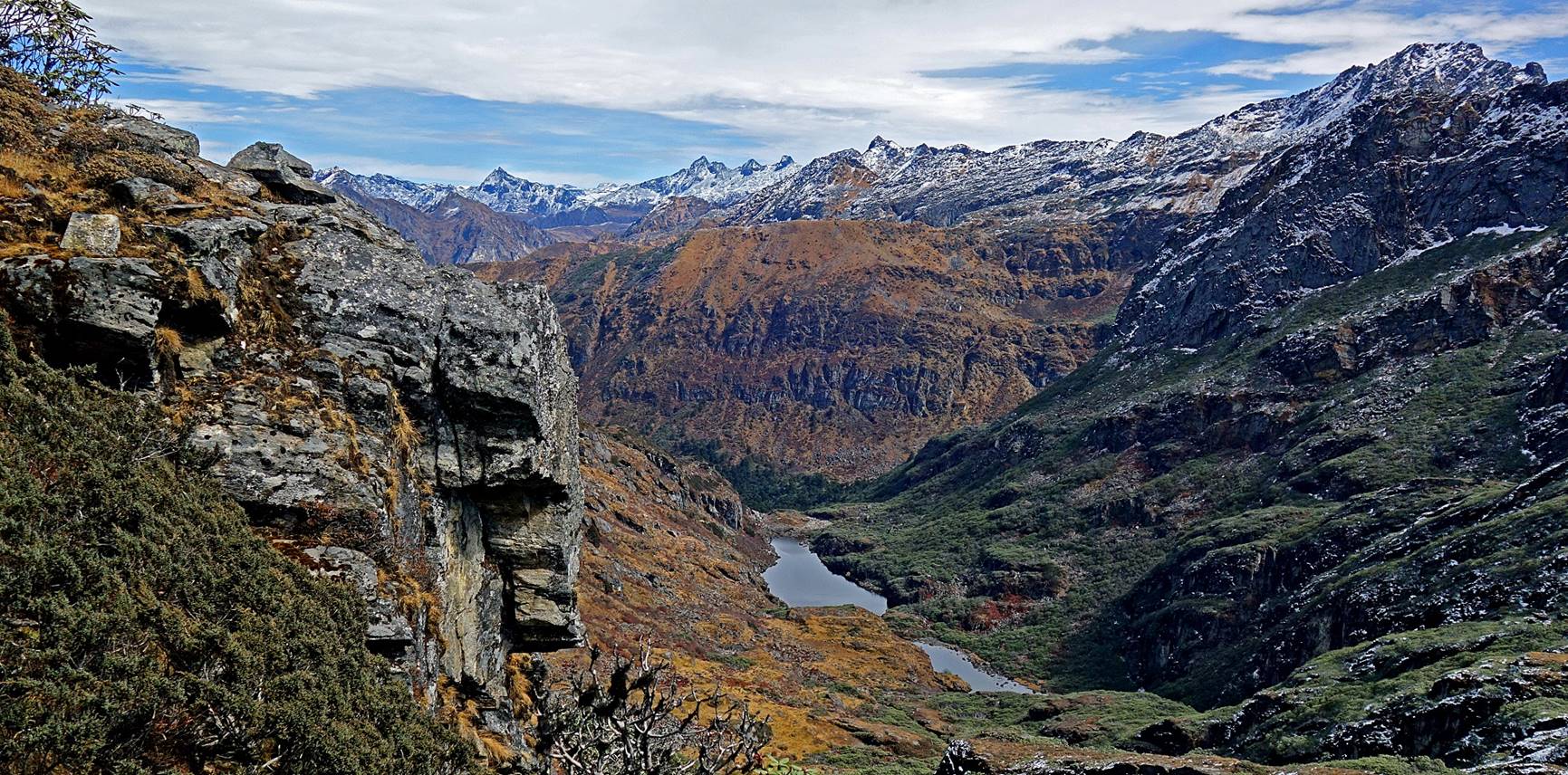
We soon reached another lake, not as
beautiful as the three lakes below, but perhaps more important religiously. The
large number of stacks of rocks indicates that it is a primary destination for
pilgrims to make offerings. The name of the lake, Plarchang,
stands for ″Lake of the Gods″.
|
|
|
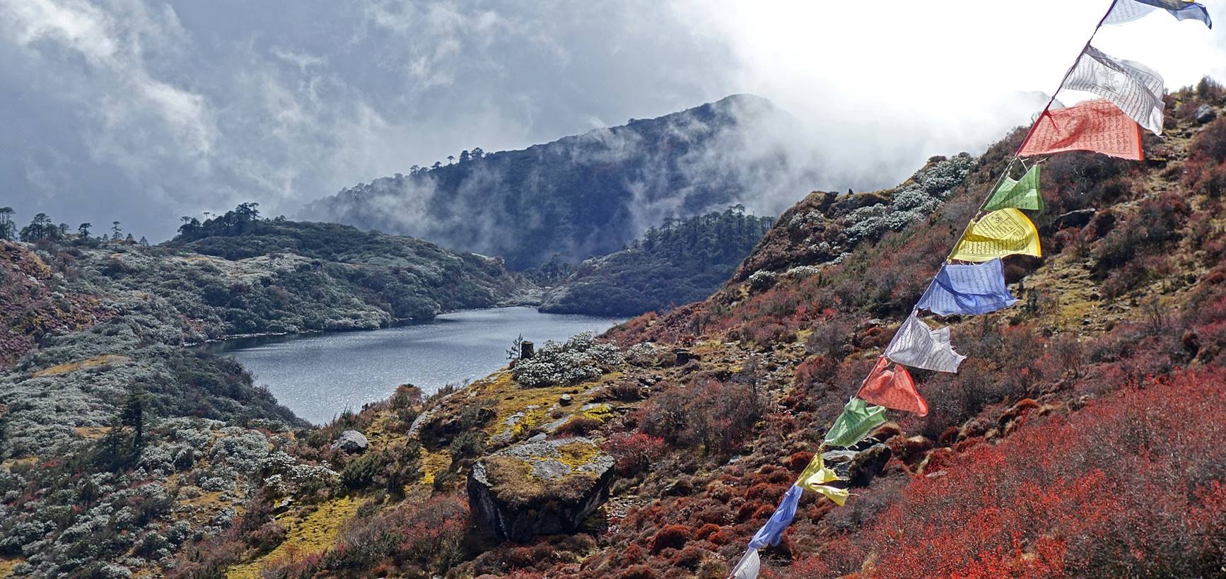
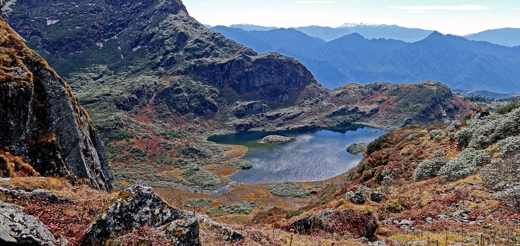
More lakes further up.
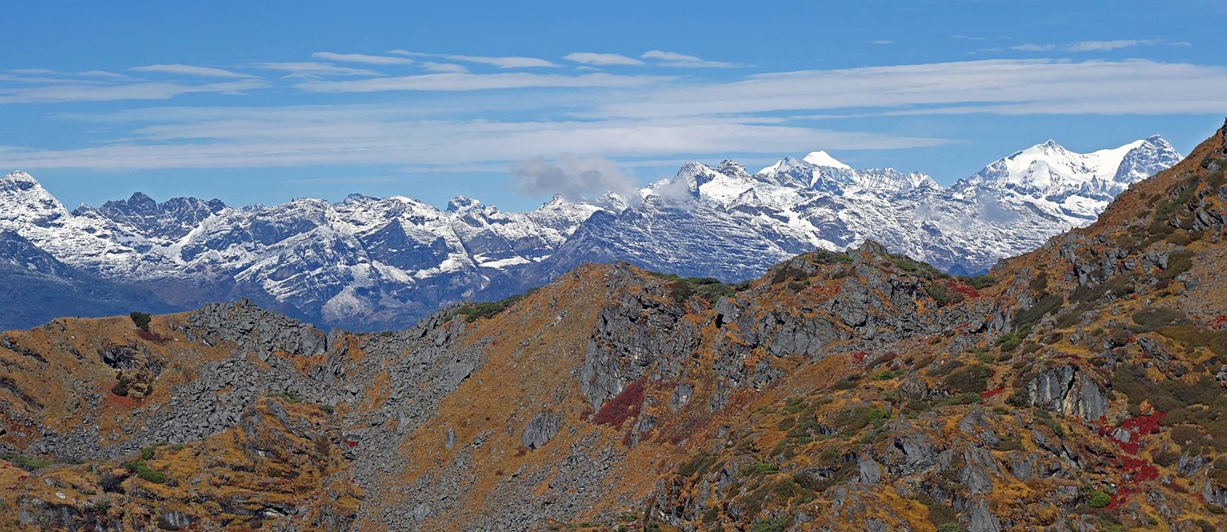
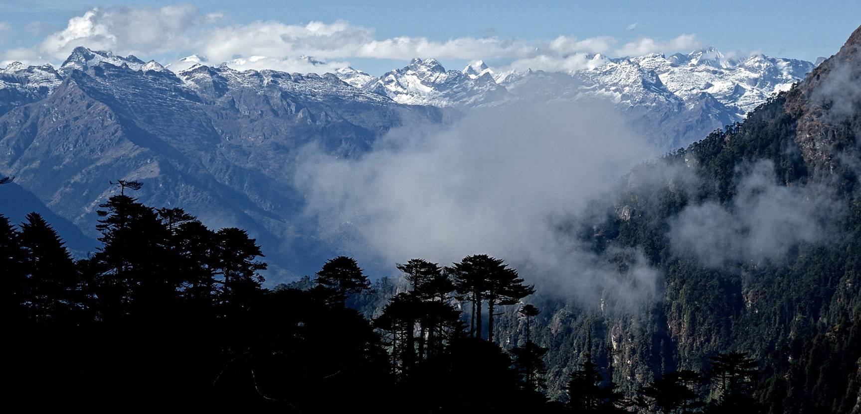
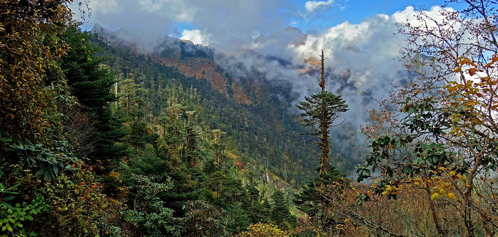
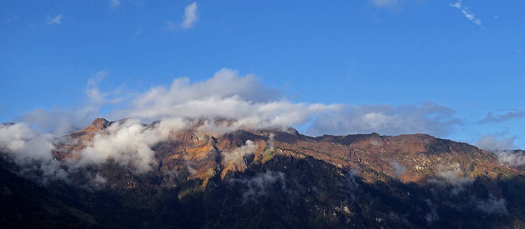
View over a mountain range that, I
believe, is located on the border between Arunachal Pradesh and Bhutan, to the
west of the town of Zemithang.
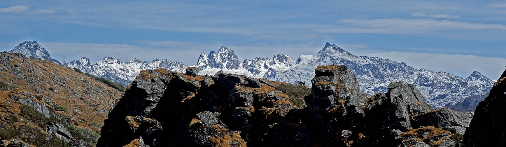
Two views of a mountain range located to
the north of the town of Tawang.
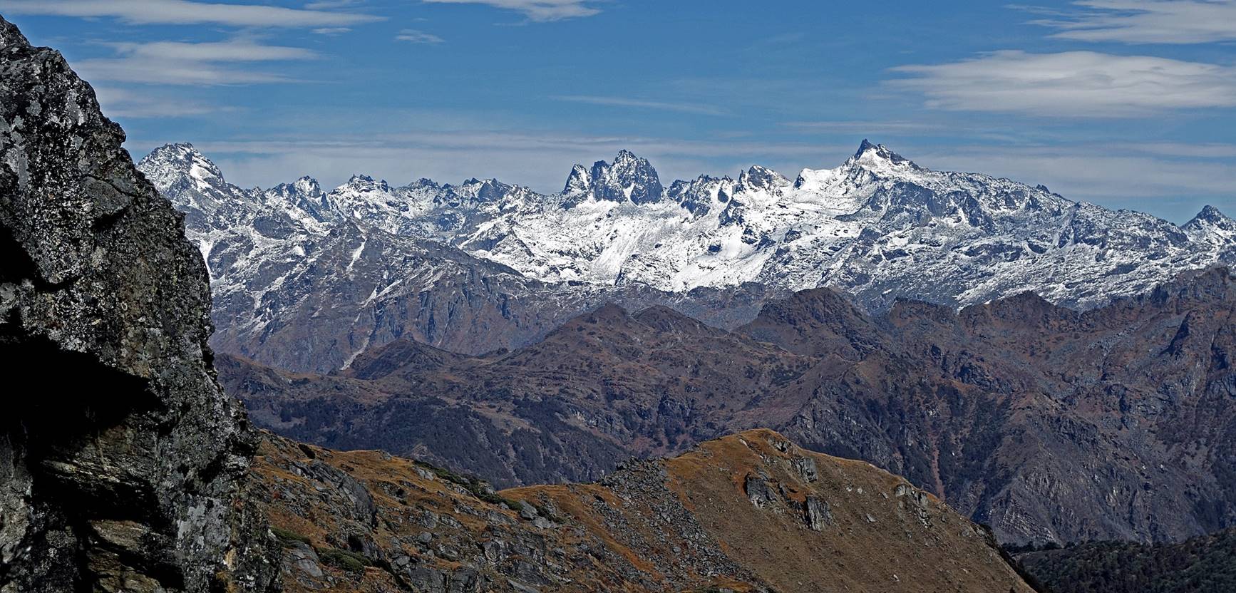
View from the northernmost ridge reached
during our side-hike from the gompa. We then returned
to Thangafay.
After returning to Thangafay
we packed our bags and headed toward Thongleng.
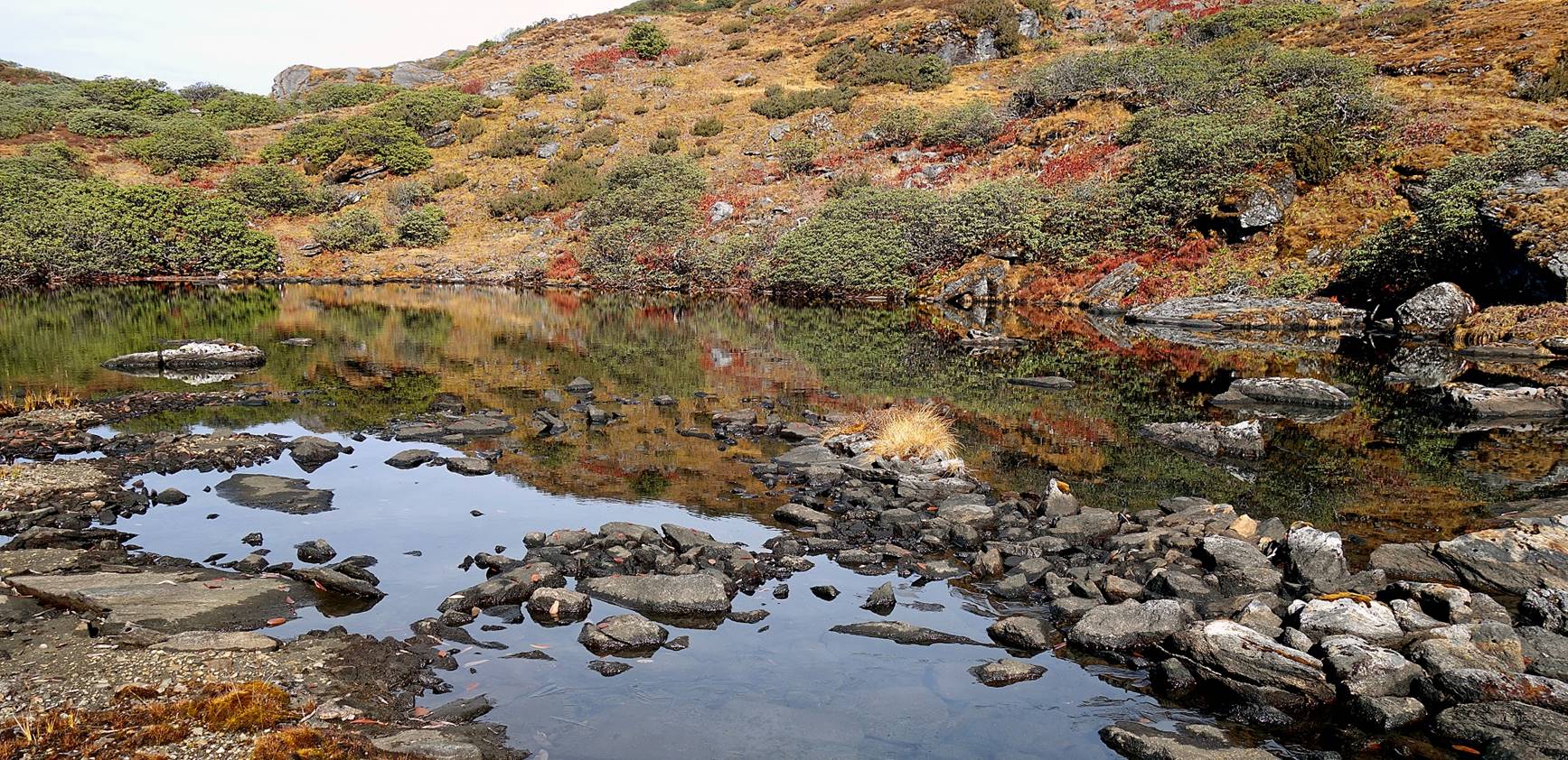
Along the way we initially saw the Metchang lake, the lower lake of Thangafay, under new viewpoints.
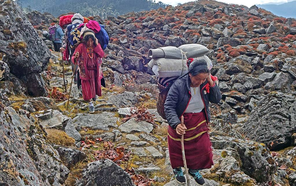
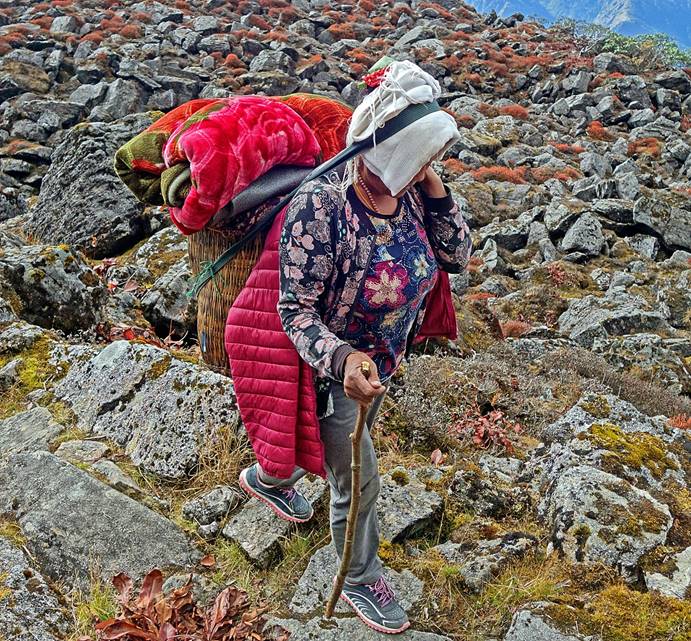
After crossing a small pass, we met some
heavily loaded pilgrims heading to Thangafay.
|
|
|
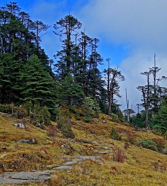
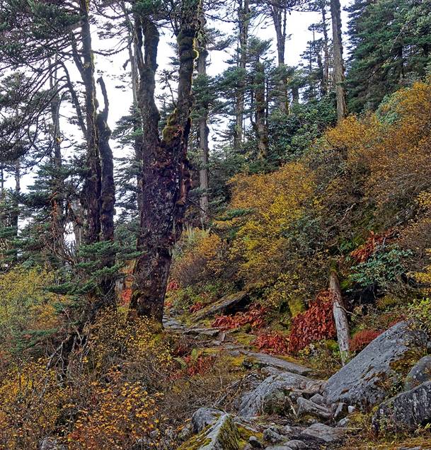
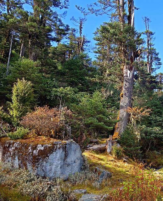
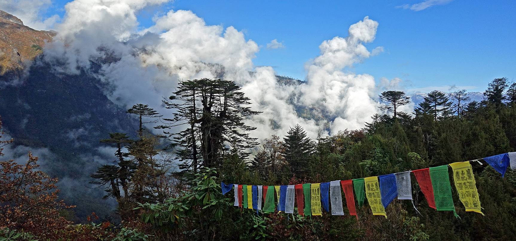
We then traversed a beautiful conifer
forest.
|
|
|
|
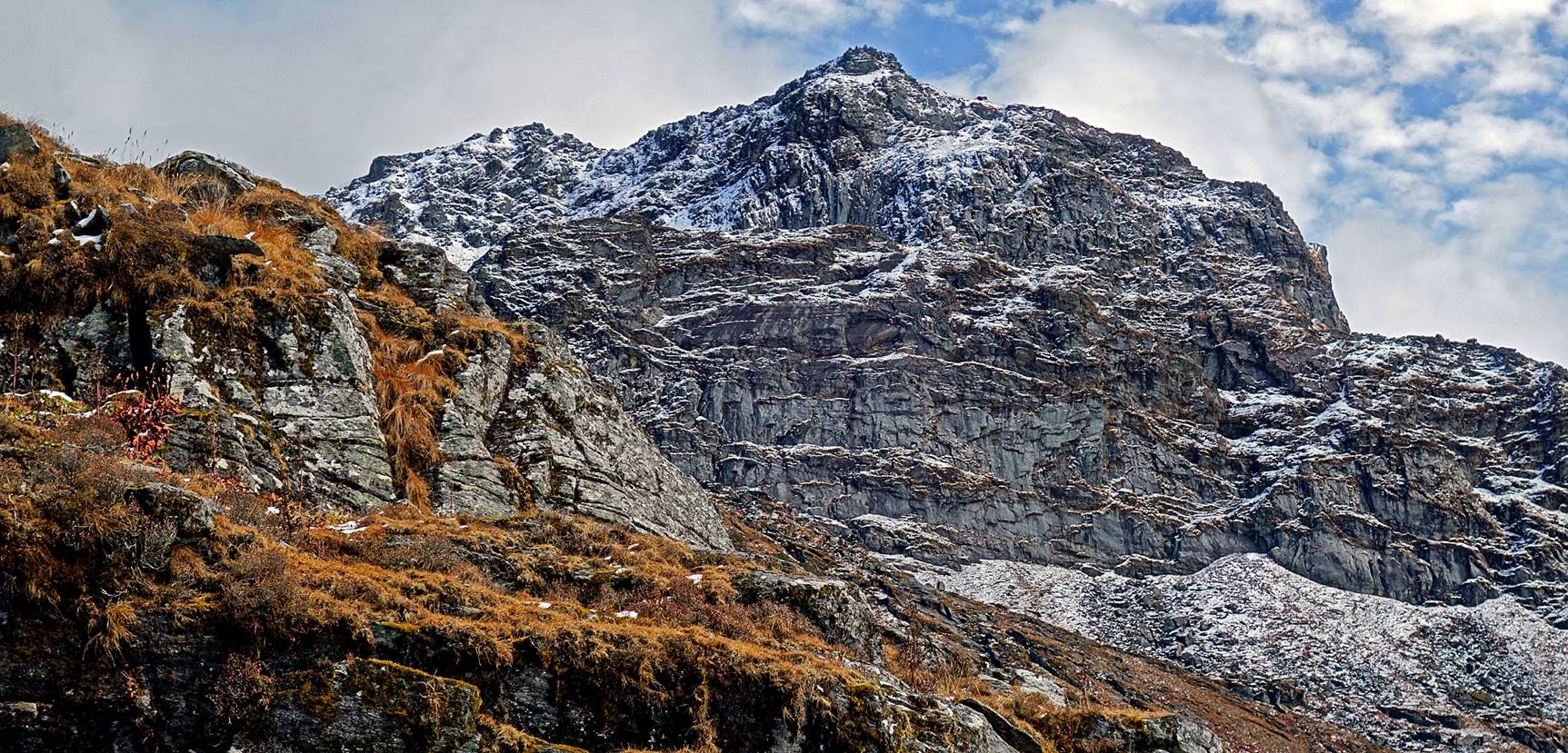
Great view over the upper portion of the
ridge that we had climbed during the previous two days.
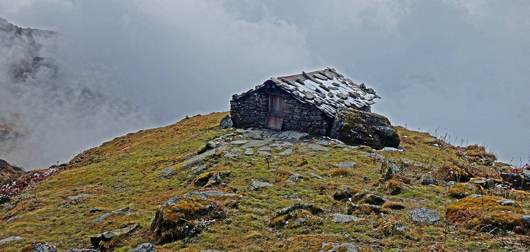
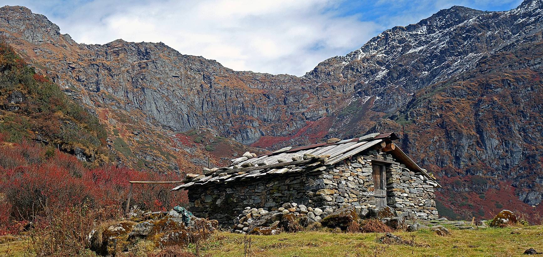
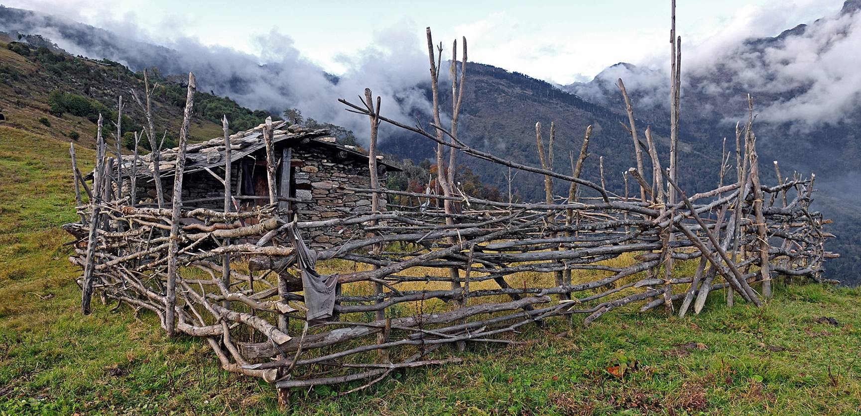
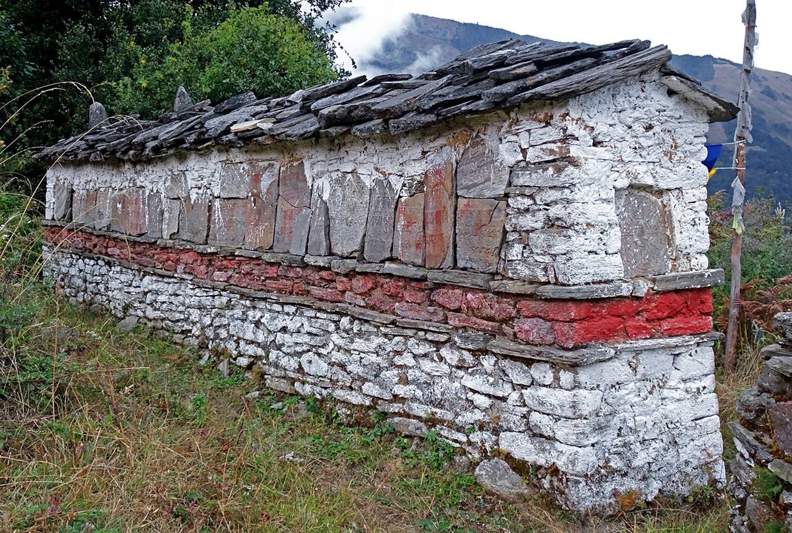
Stone hut.
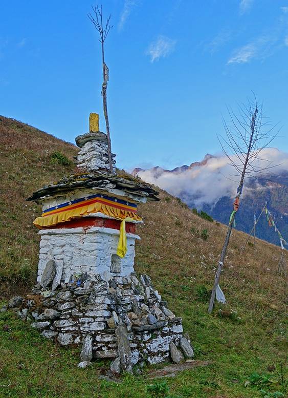
Small stupa and mani wall further down.
|
|
|
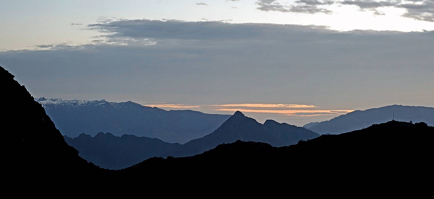
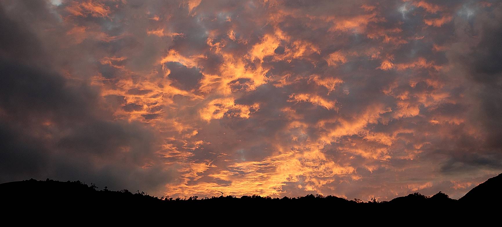
Spectacular sunset.
As it quickly became very dark we set
our last camp of the trek (Camp #12, elevation: 2545m) near a gompa, about an hour walk from the village of Thongleng.
The gompa on
the following morning.
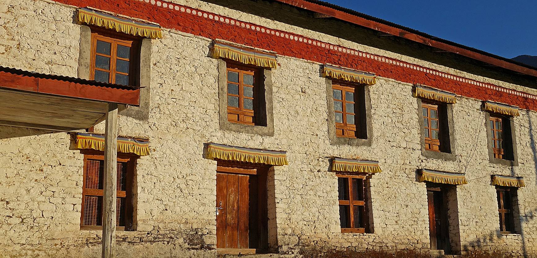
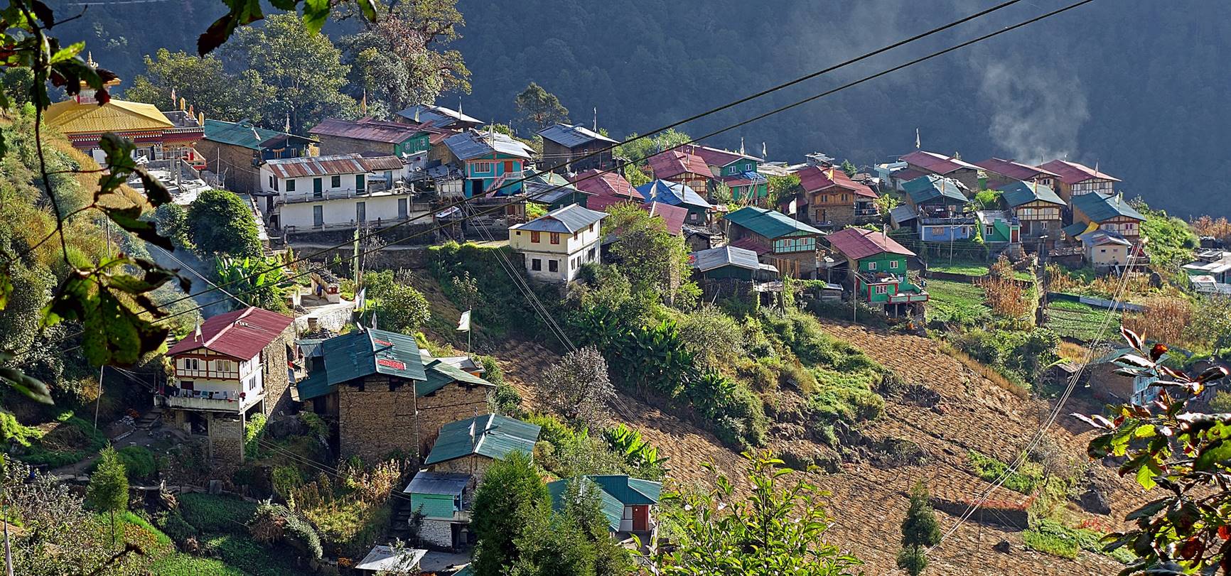
Reaching the village of Thongleng. The
14th Dalai Lama spent one night in the village′s gompa
(visible in the top left corner of the photo) in 1959 after escaping from Tibet,
on his way to Tawang.
Someone brought Lobsang′s
car that had been left in the Kudung village at the
start of the trek. Lobsang then drove Sonam Dawa and me to the village
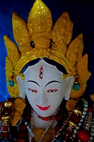
of Lumla, which boasts a 30m statue of the White Tara
goddess (see here).
Following this short visit we drove back to Tawang.
![]()
Return to my
mountaineering/trekking/travel webpage | Return
to main India Oct-Nov 2019 webpage