Ascent
of Gunung Merapi, Central Java, Indonesia (October 28, 2015)

Return to my
mountaineering/trekking/travel webpage
|
|
|
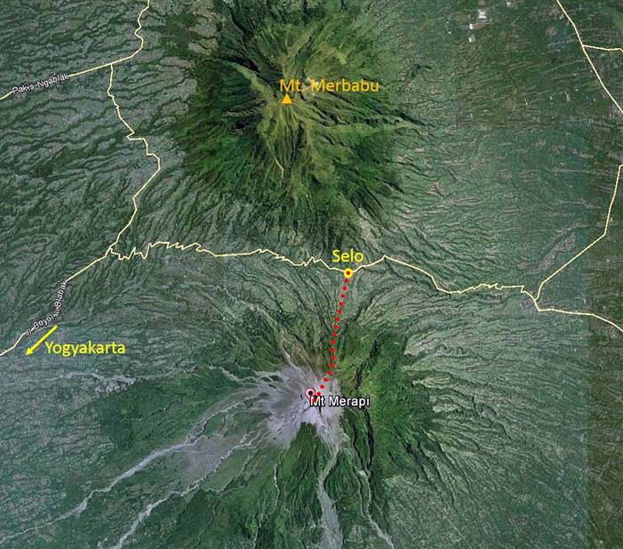
Gunung (Mount) Merapi, located about 30 km
north of Yogyakarta in Central Java, is the most active volcano in Indonesia.
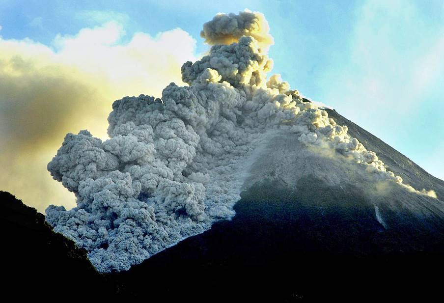
The most recent major eruptions happened in October-November 2010 (photo
above). They claimed 353 lives, displaced 350,000 people, caused major disruption
of air traffic, and covered Candi Borobudur (located 28km south-west of the
volcano) with volcanic ash.
Nevertheless, Merapi
(2911m) is frequently climbed, especially during the dry July-September months.
The climb starts from the village of Selo located at an elevation of about
1500m between two volcanos, Merapi to the south and Merbabu
(3142m) to north. The path is a bit steep, but straightforward. The typical
schedule is to climb during the night to reach the rim of the crater before
sunrise and descend in the morning.
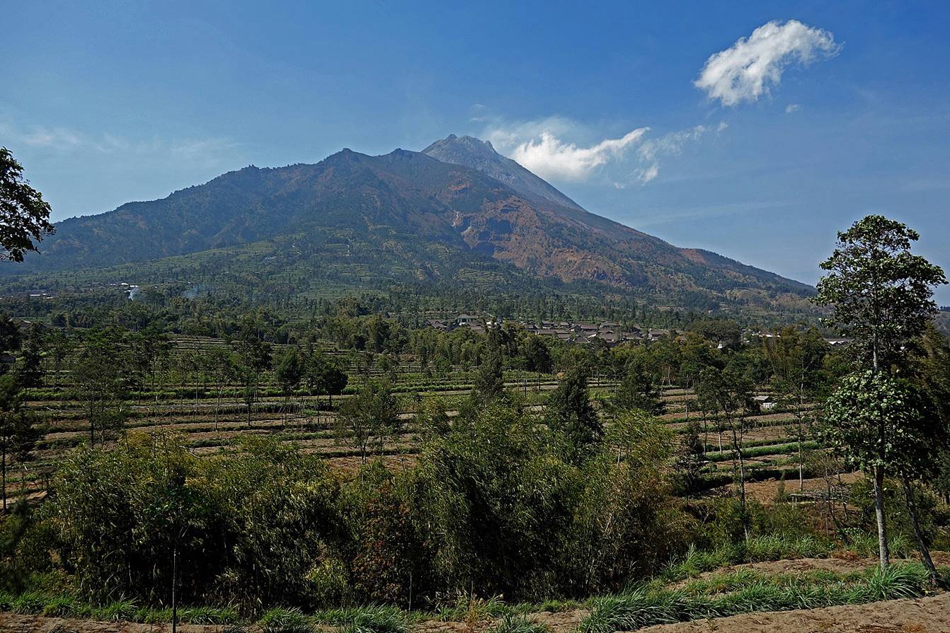
Merapi seen from the road upon reaching
Selo coming from Yogyakarta.
Since I climbed at night, the following
photos begin at the top of Merapi.
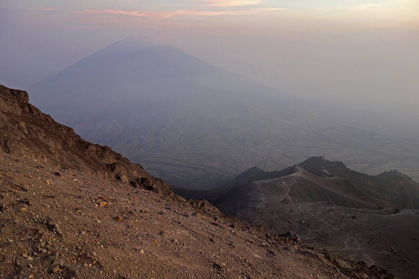
Reaching the summit of Merapi just
before sunrise, with Gunung Merbabu
in the background.
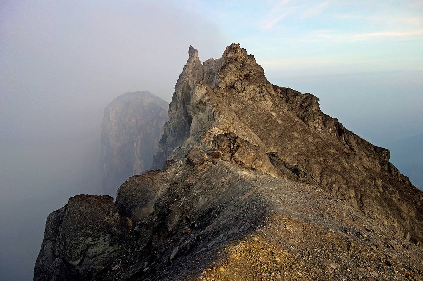
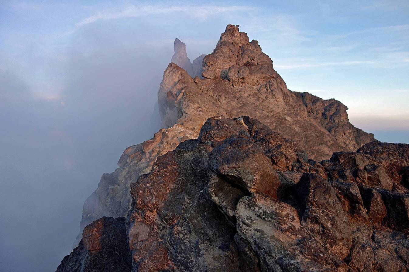
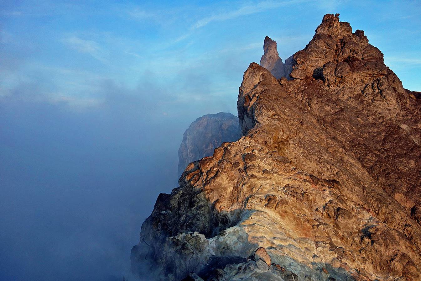
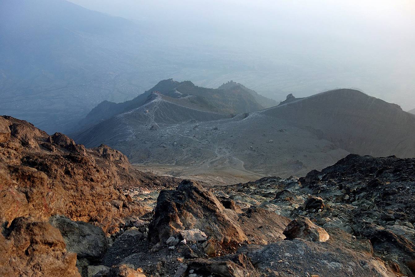
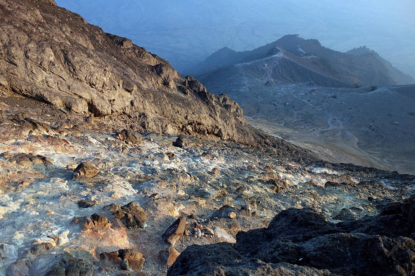
Successive views at the rim of the
crater during sunrise, with fumes coming up from vents inside the crater.
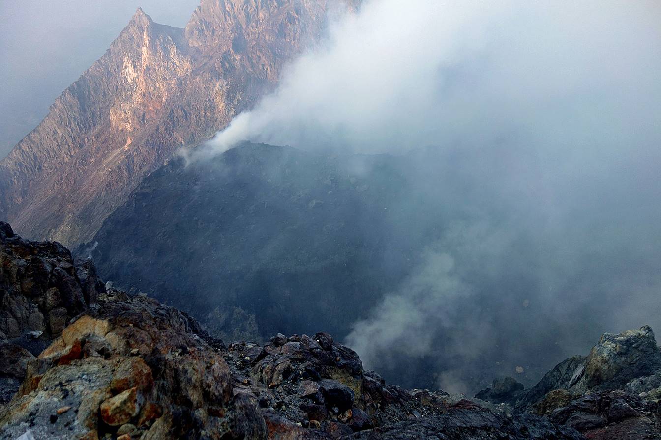
A look into the crater.
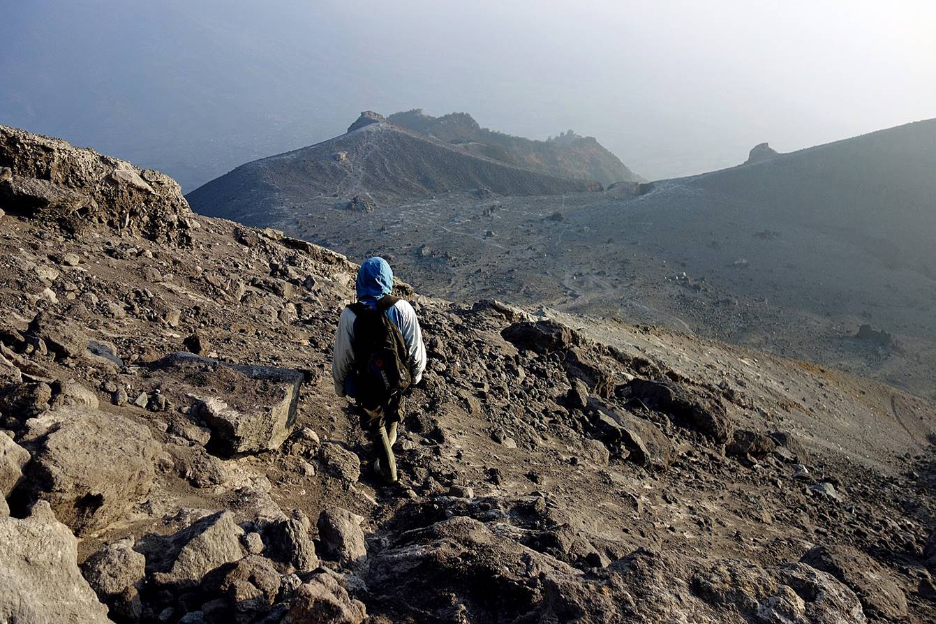
Start of the descent.
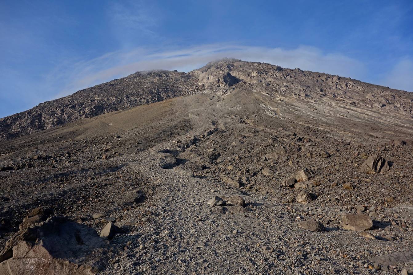
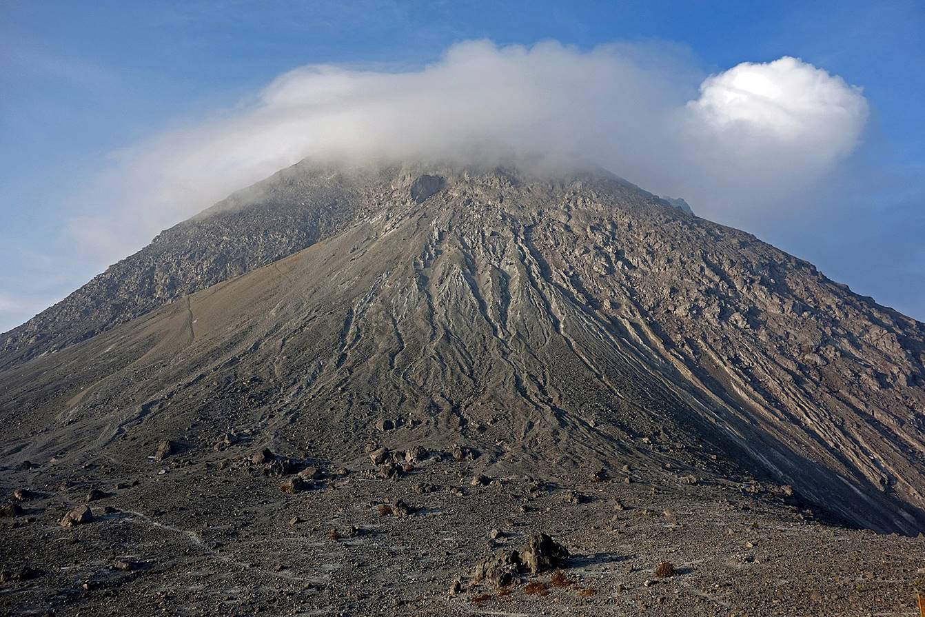
The upper cone of the volcano.
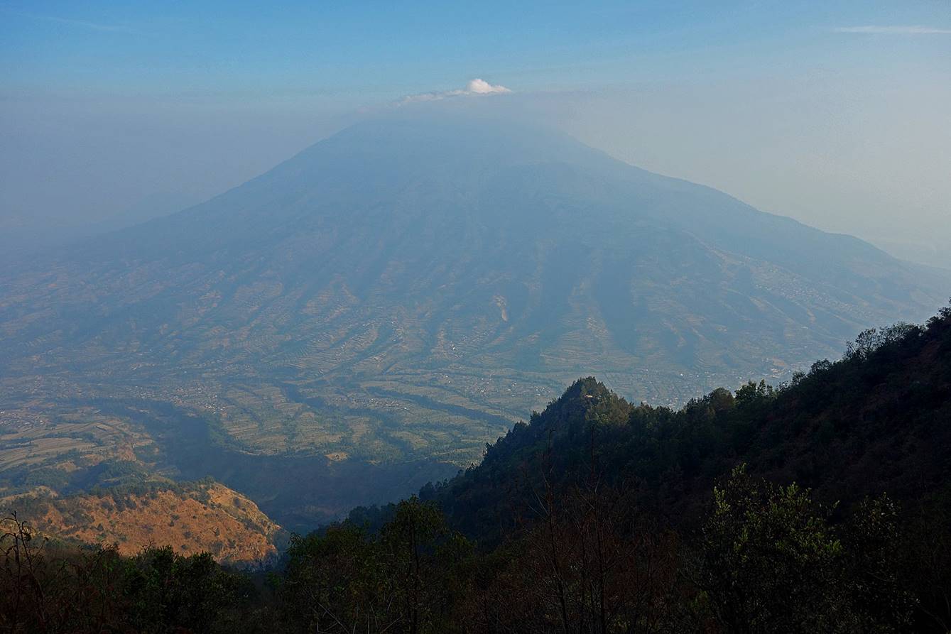
View of Merbabu,
with the village of Selo at the bottom. Here, the haze is mostly due to fires
started by local farmers.
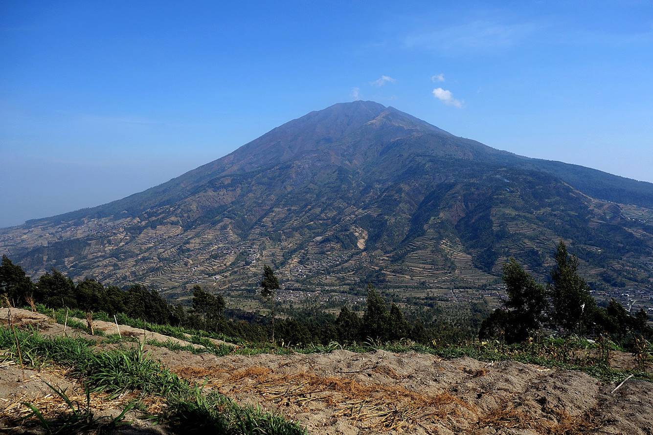
Another view of Merbabu
with less haze, closer from Selo.
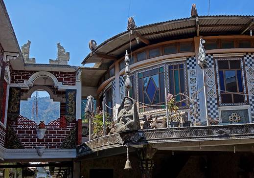
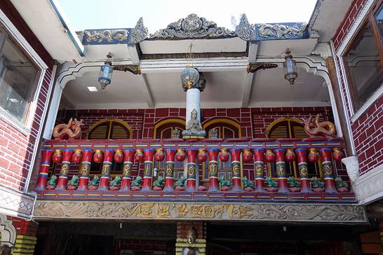
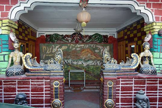
Nicely decorated house in Selo (the
headquarter of the local guide association?).
|
|
|
|
![]()