Japan (March 29 - April 8, 2017): Hiking in Yakushima
![]()
Maps.
|
|
|
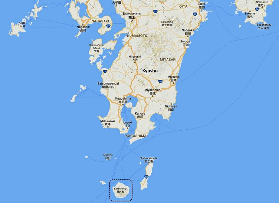
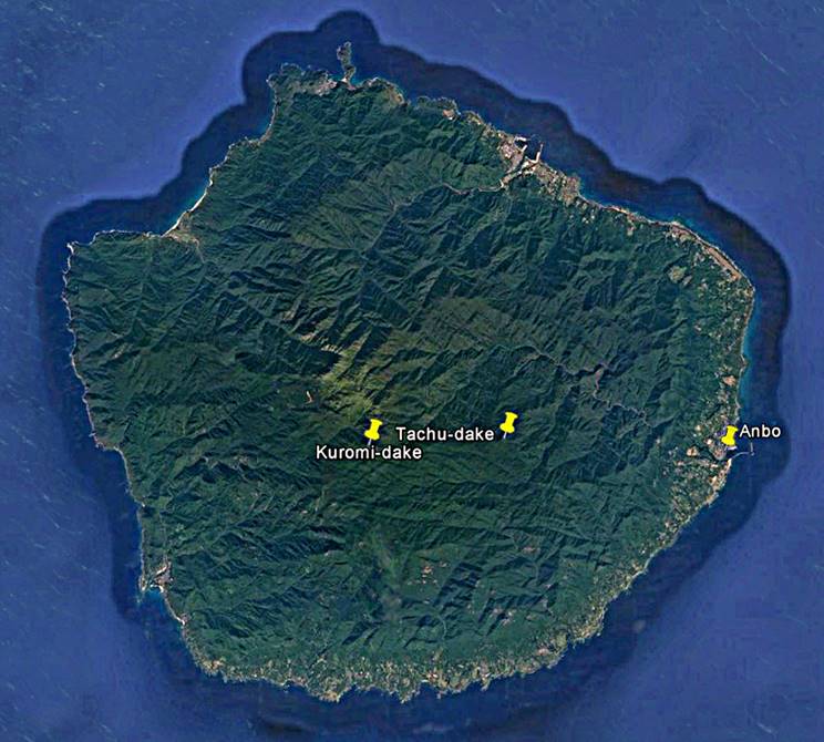

The start of the climb of
Tachu-dake is marked with a green dot. The start of
the climb of Kuromi-dake and Koban-dake is marked with a brown dot. The yellow dot marks the
location of the Hananoego marsh (花之江河). Average hiking times
between small white dots are given along the various sections of the trails.
On this trip I spent three days in Yakushima, from March 30 to April 2. I set my ″base
camp″ at the friendly Manmaru guesthouse in the small town of Anbo on the east coast of the island. I did two hikes, one
to climb Tachu-dake (1497m) and another one to climb Kuromi-dake (1831m) and Koban-dake
(1711m). See maps above. For these two hikes I used the services of Jennifer Lue, an
American guide based in Yakushima. In addition to
being an excellent guide Jenny is also a 5 Dan in Kendo.
Yakushima is renowned for being the wettest place
in Japan and one of the wettest in the world. It is even more famous for its
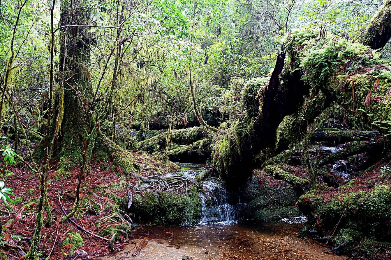
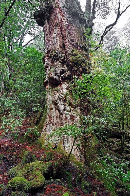
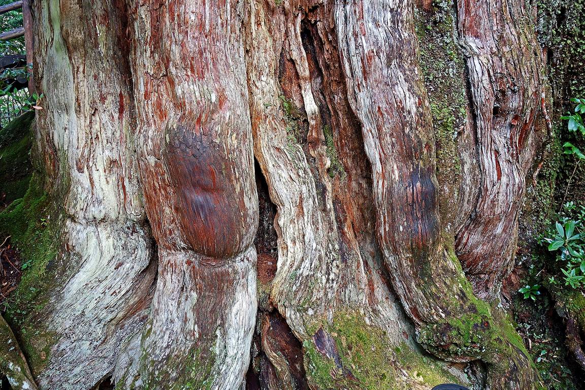
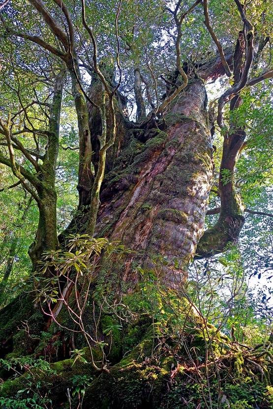
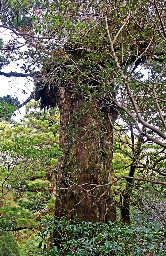
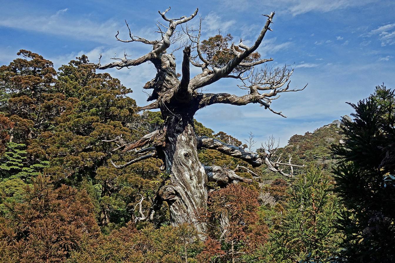
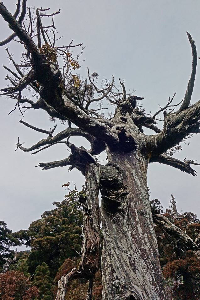
mystic mossy forests and its yakusugis, Japanese
cedars aged 1000 years or more. Many of the yakusugis
are so special that they have been given nicknames by local people. On both
counts I haven′t been disappointed: it rained a lot throughout my first
hiking day and I saw magnificent forests and yakusugis
on both hikes.
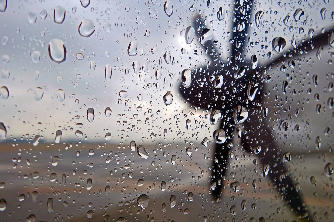
On board of the morning plane headed to Yakushima from Kagoshima. The weather turned so bad in Yakushima that, after trying to land there three times, the
pilot decided to return to Kagoshima...
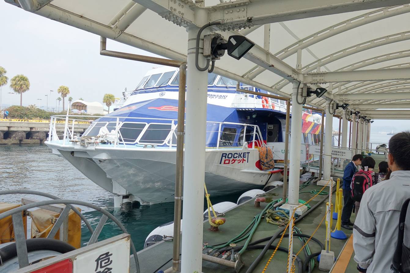
...so, instead, I took an afternoon
ferry to the island.
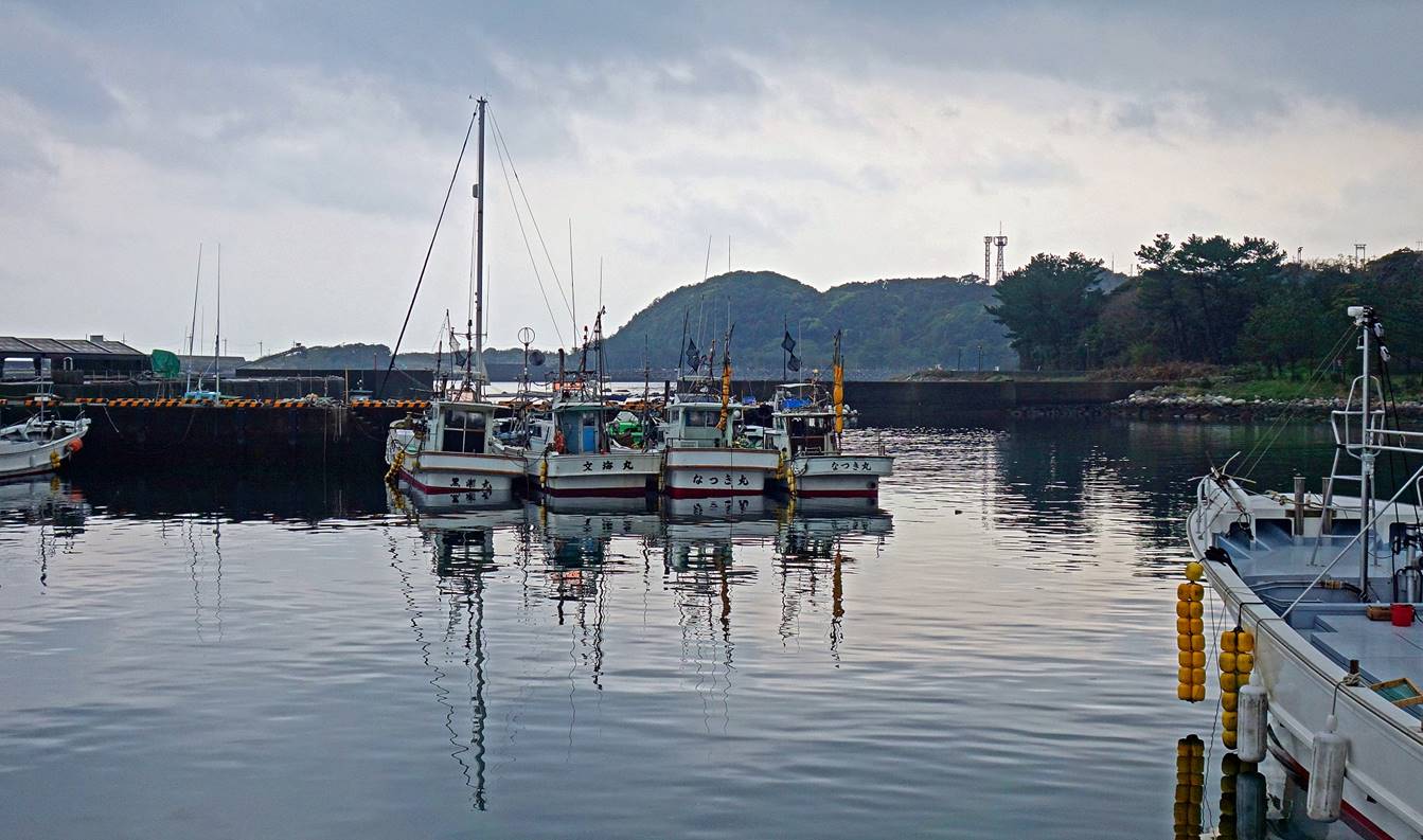
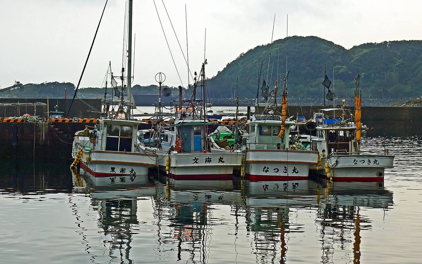
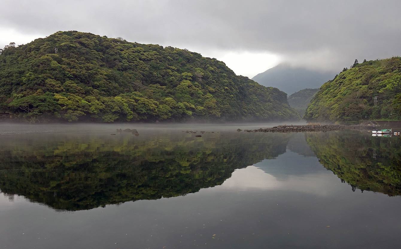
Fishing boats in the port of Anbo.
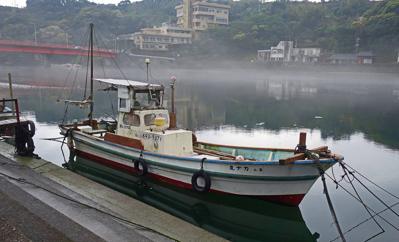
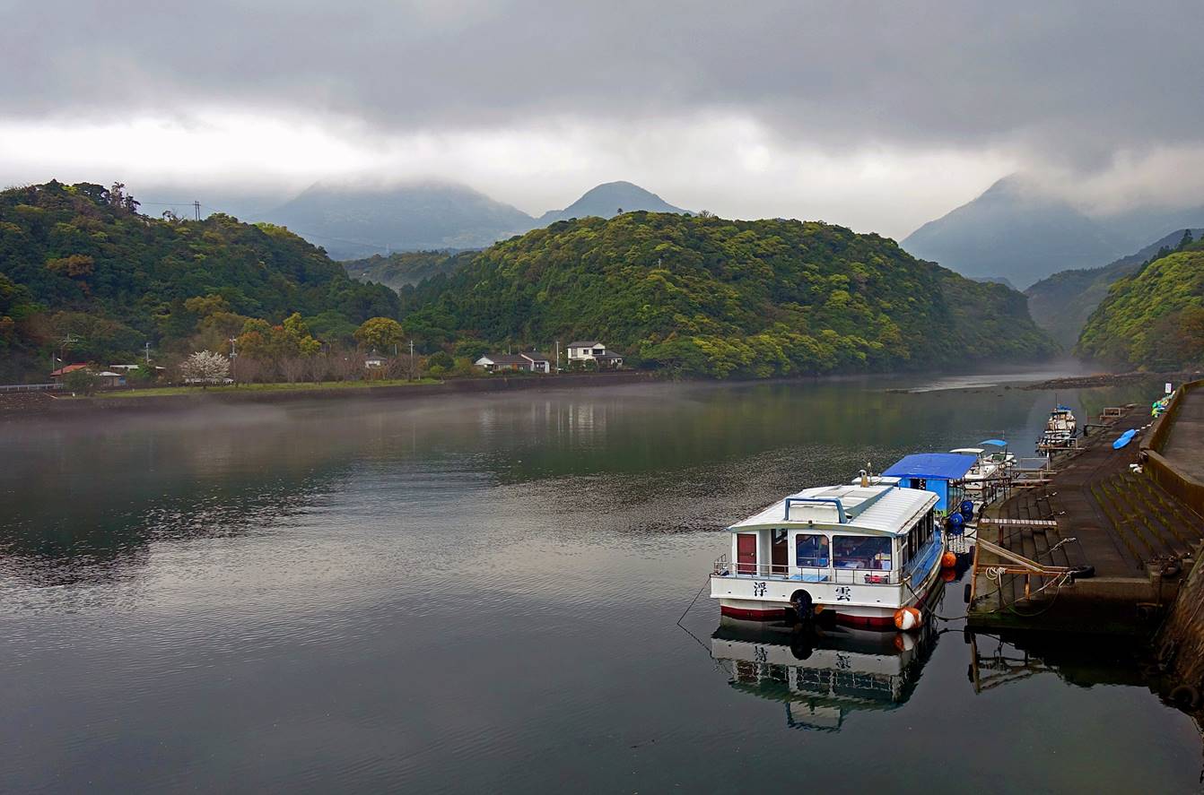
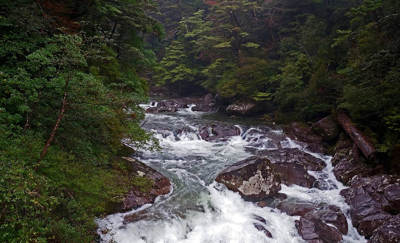
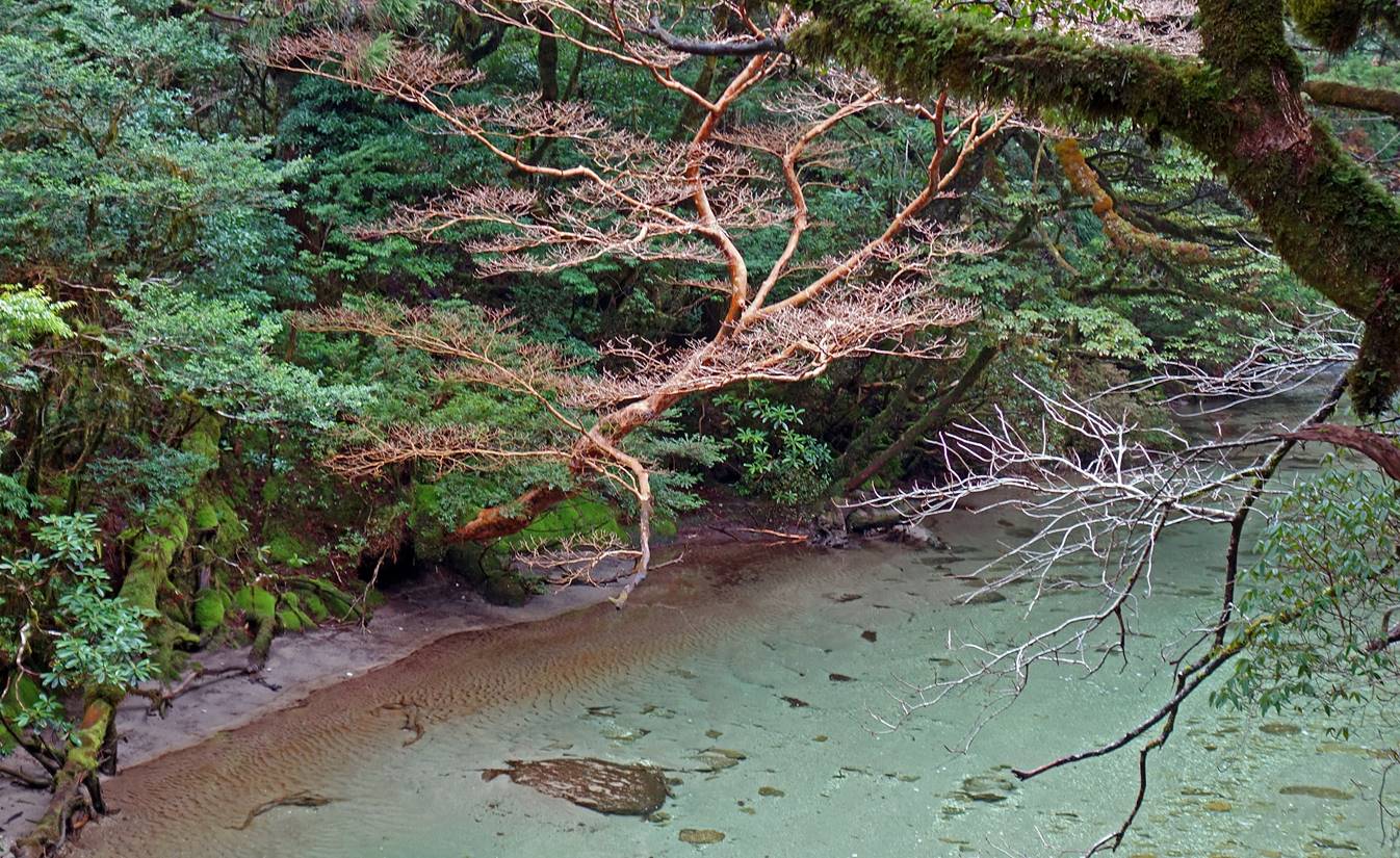
River of Anbo.
As one would expect in such a wet
mountainous island, Yakushima has many waterfalls.
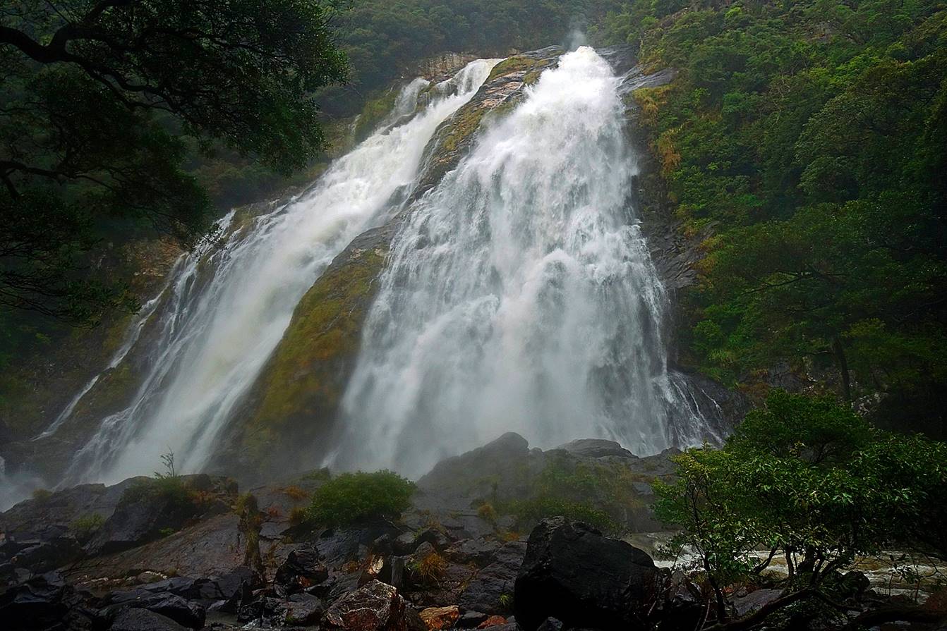
These two are particularly impressive, especially on rainy days, and are
accessible by road:
- Senpiro-no-taki.
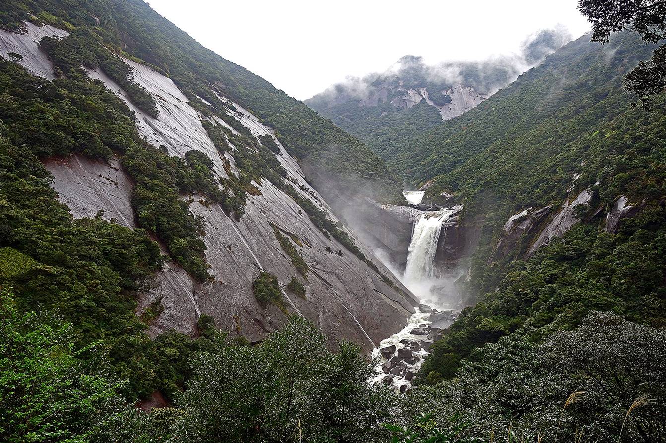
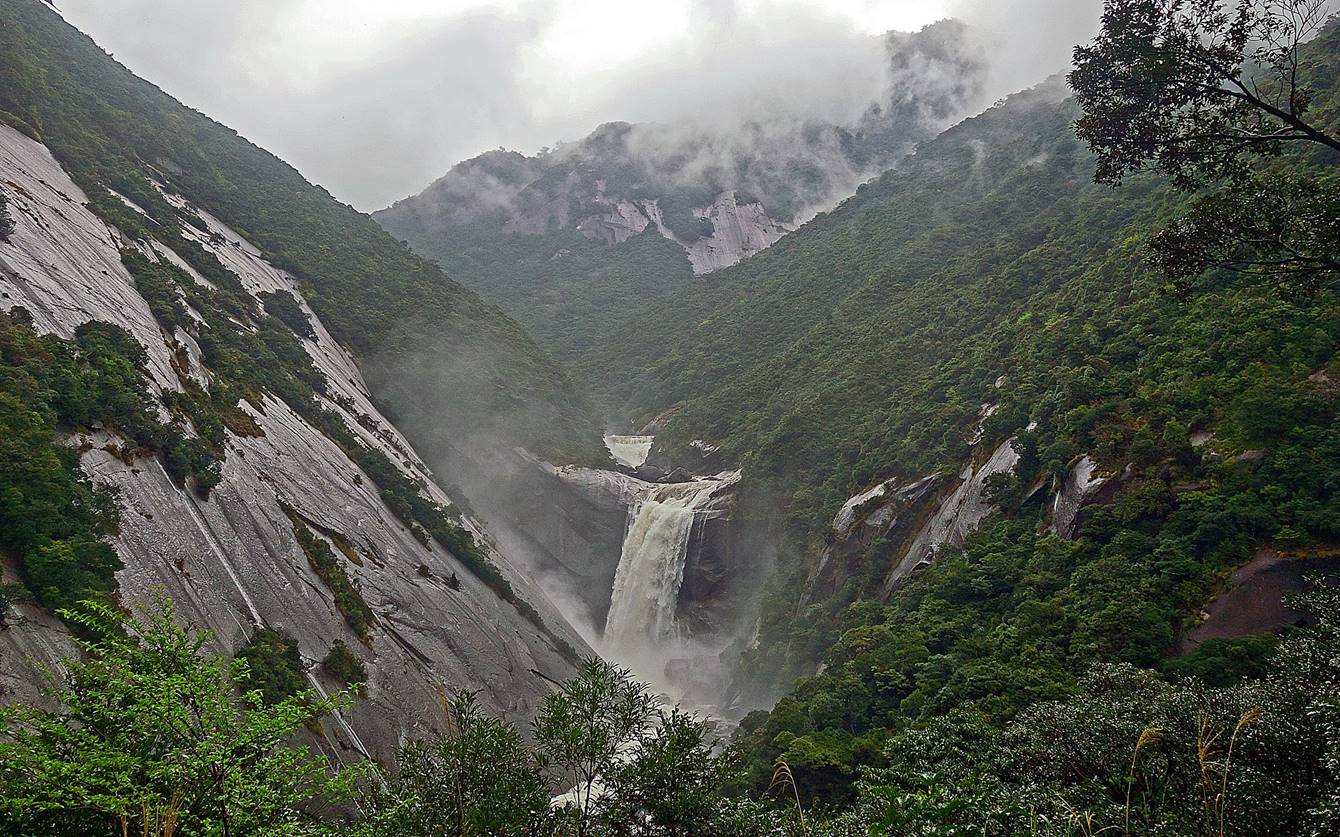
- Oko-no-taki (88m high).
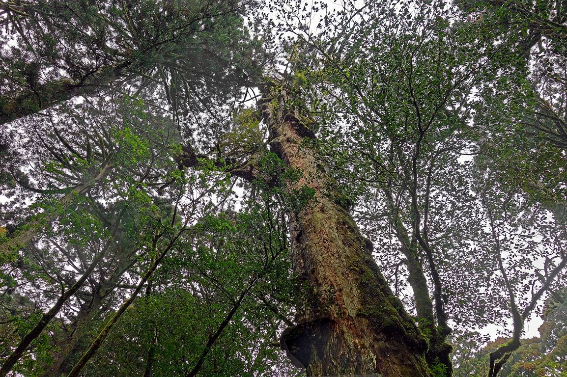
Climb of Tachu-dake,
1497m (March 31):
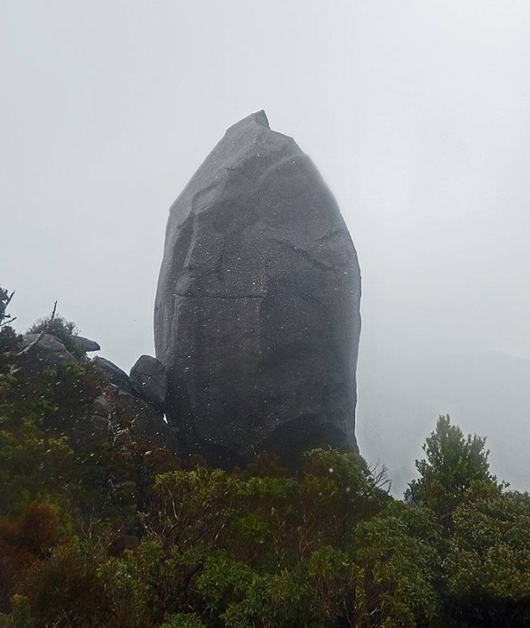
Tachu-dake is famous for the big granite monolith
that stands on its summit. On good weather, this monolith is visible from far
away, including from Anbo. The climb is not very
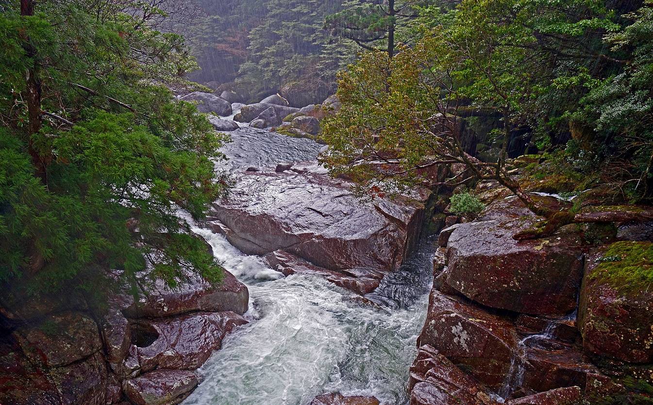
long, but occasionally steep. It crosses some spectacular rivers and passes by
giant yakusugis before reaching the less densely
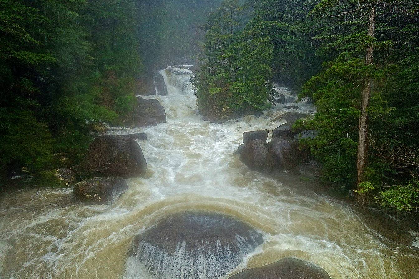
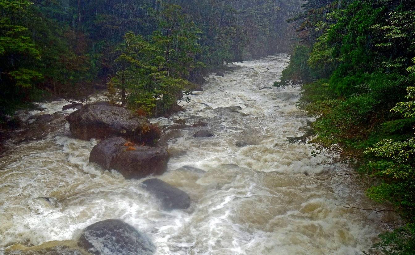
forested summit area. Unfortunately, on that day it rained heavily without
interruption from start to finish and with some heavy wind near the summit. The
rivers were impressive, but the views were limited and taking pictures was
almost impossible.
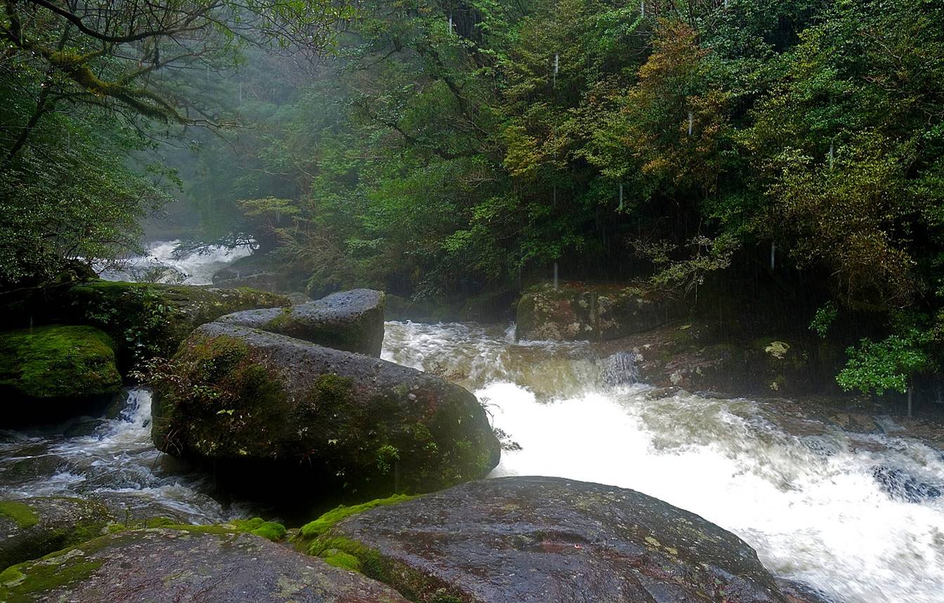
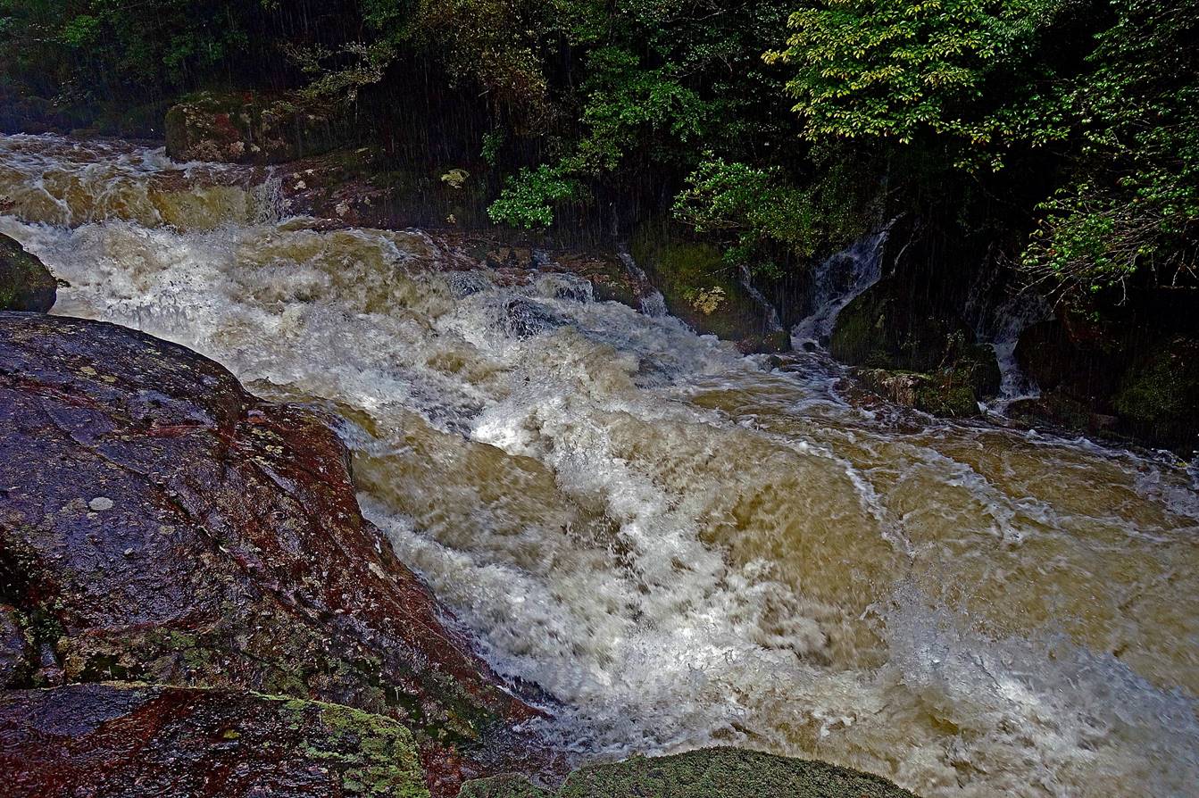
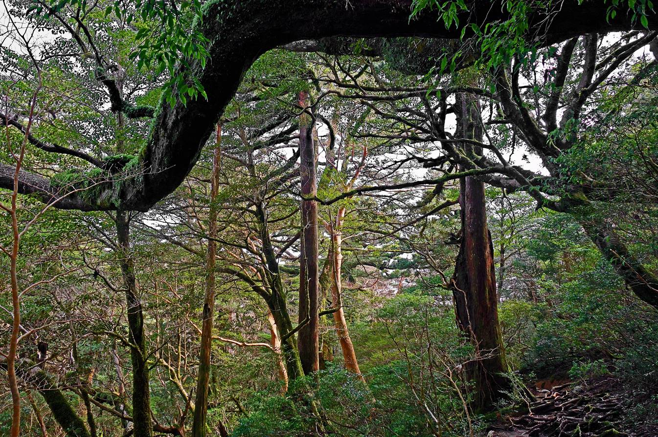
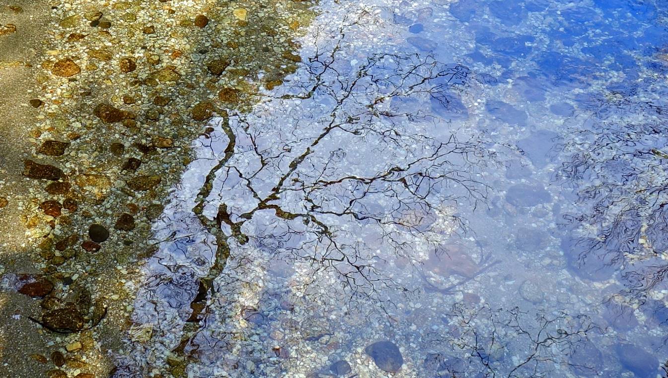
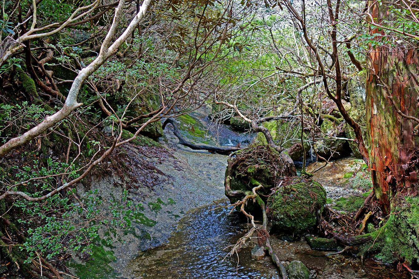
Rivers on the way up.
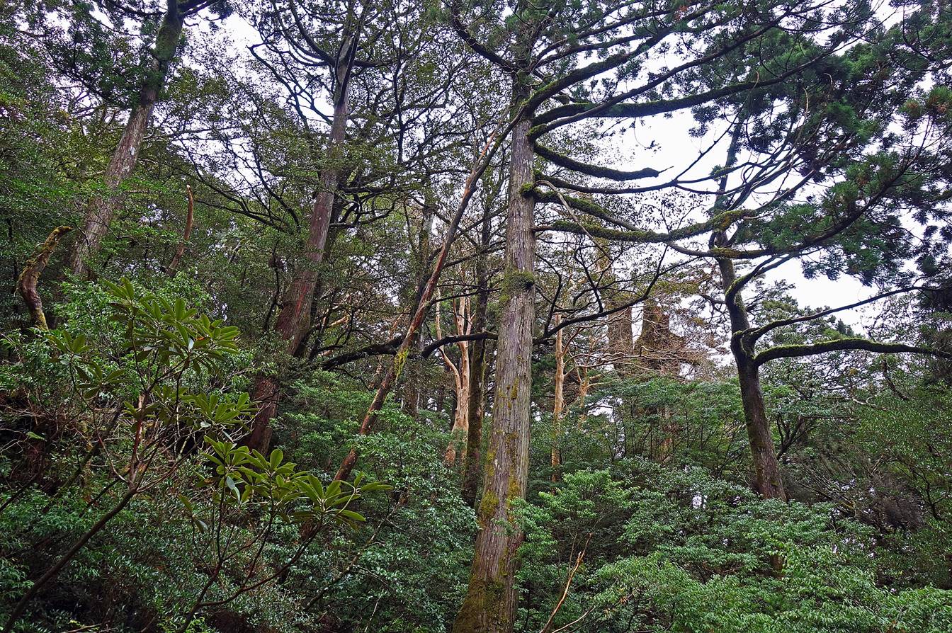
The mossy atmospheric beauty of the
forest.
Giant yakusugi.
|
|
|
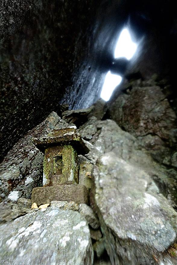
Left: the 40m-high monolith standing at
the top of Tachu-dake. Right: an ancient small shrine
under the monolith that is regularly visited by local pilgrims.
|
|
|
After a full day of rain, the rivers on
the way back were even more impressive than on the way up.
Climb of Kuromi-dake,
1831m, and Koban-dake, 1711m (April 1):
On this climb the weather was much
friendlier than on Tachu-dake, cloudy without rain in
the morning and partially sunny in the afternoon. The summit of Kuromi-dake offers a 360dg view over many peaks of the
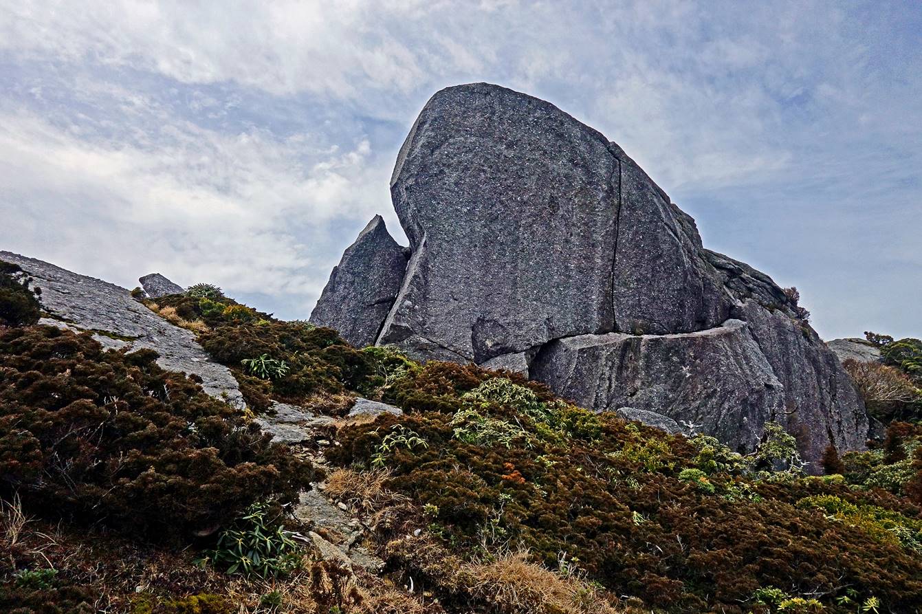
island. The summit of Koban-dake is famous for its
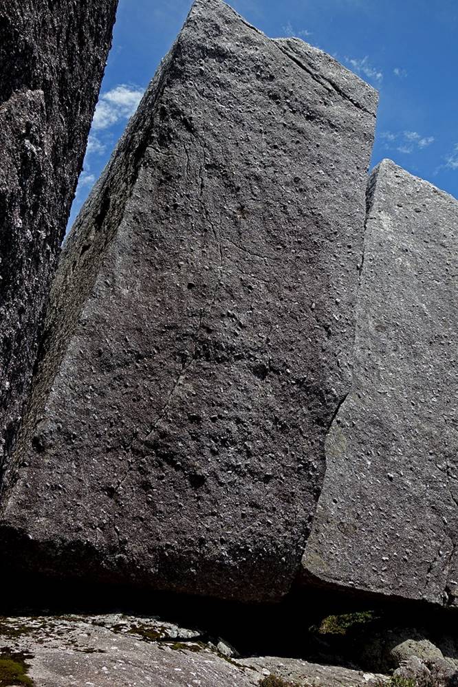
huge arrangement of granite boulders collectively nicknamed the Tofu Rock, as
it looks like a sliced piece of tofu.
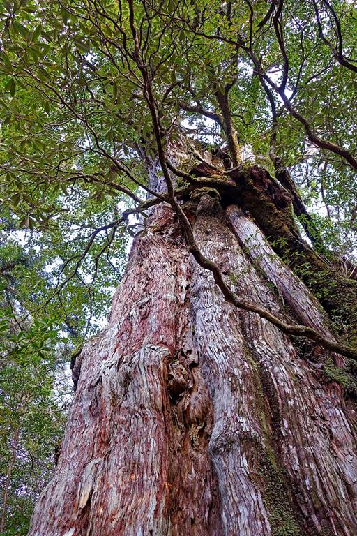
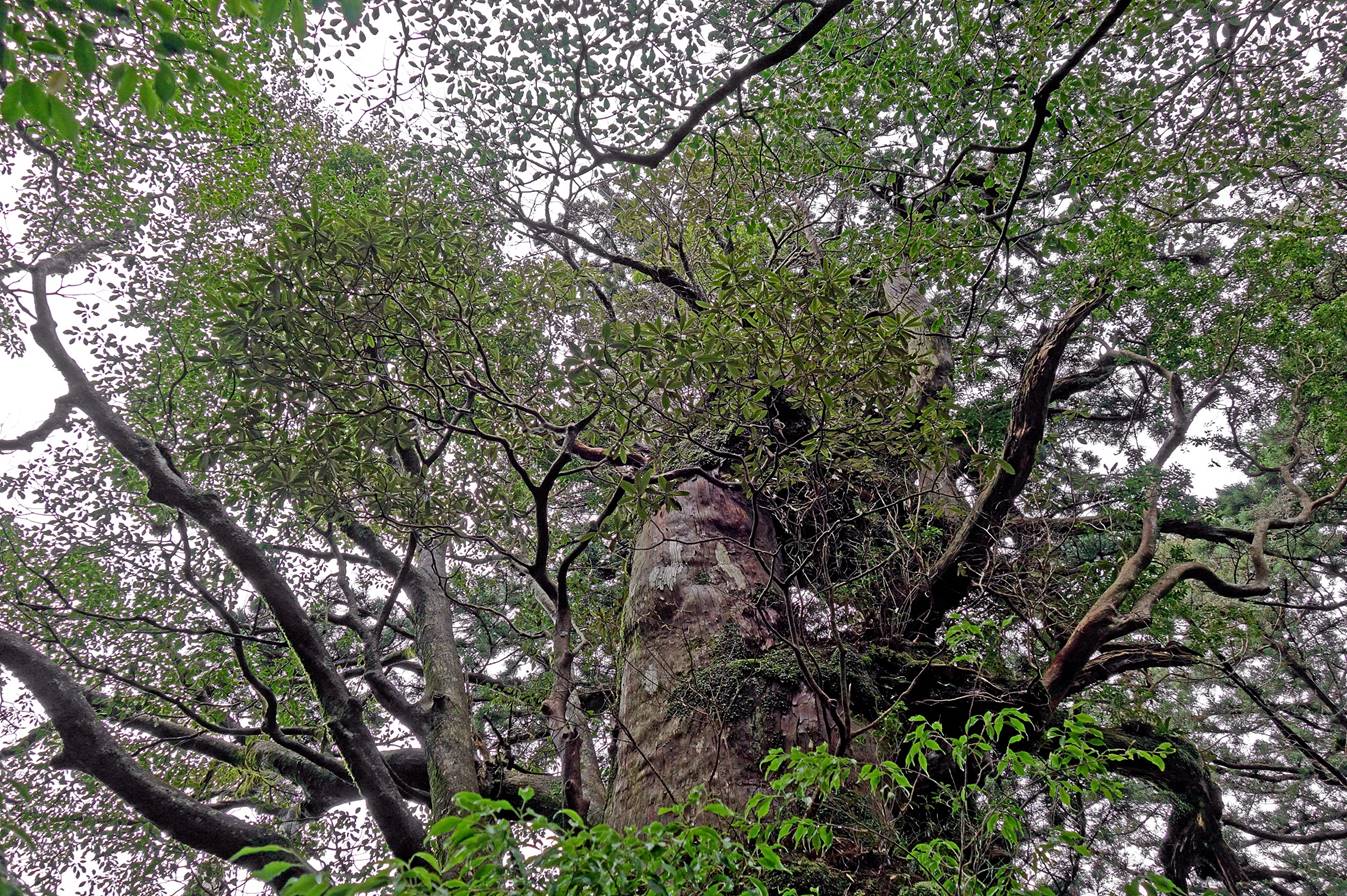
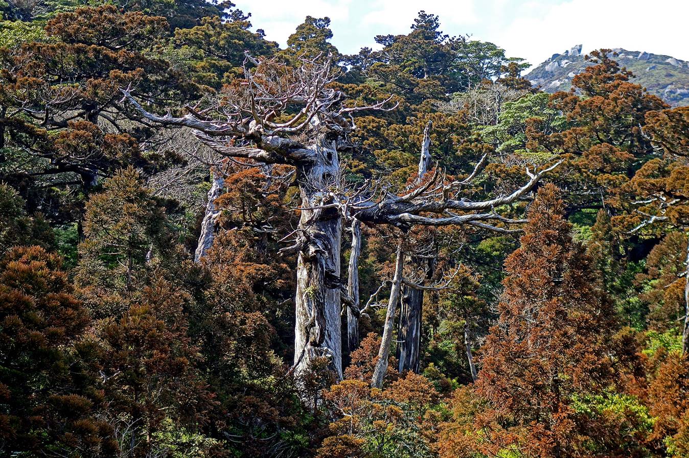
A yakusugi, named
Kingen, estimated to be 3000 years old, located on
the side of the road soon before reaching the Yodogawa (Yodo
river) entry of the climbing trail. See the topographic
map at the top of the page.
|
|
|
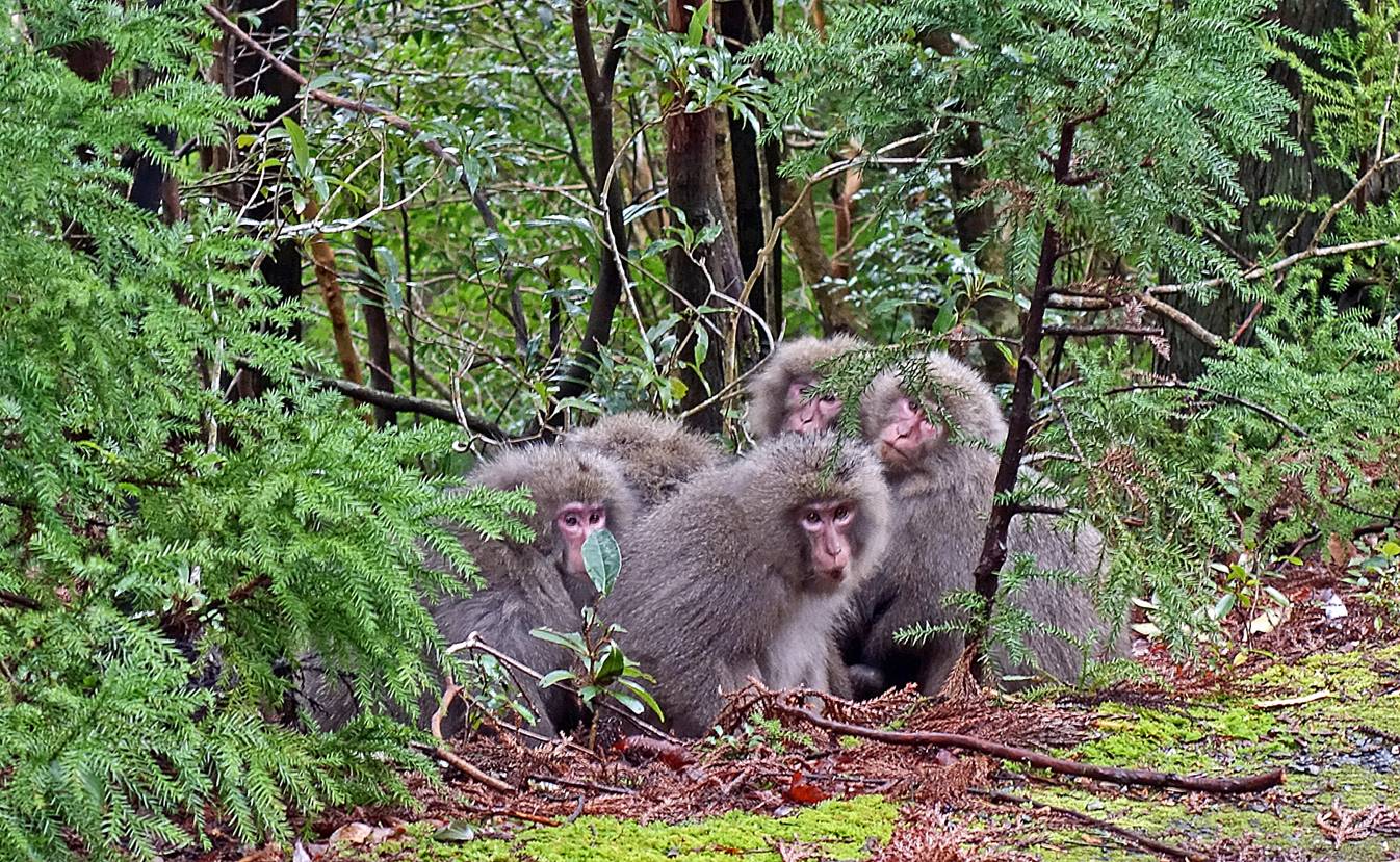
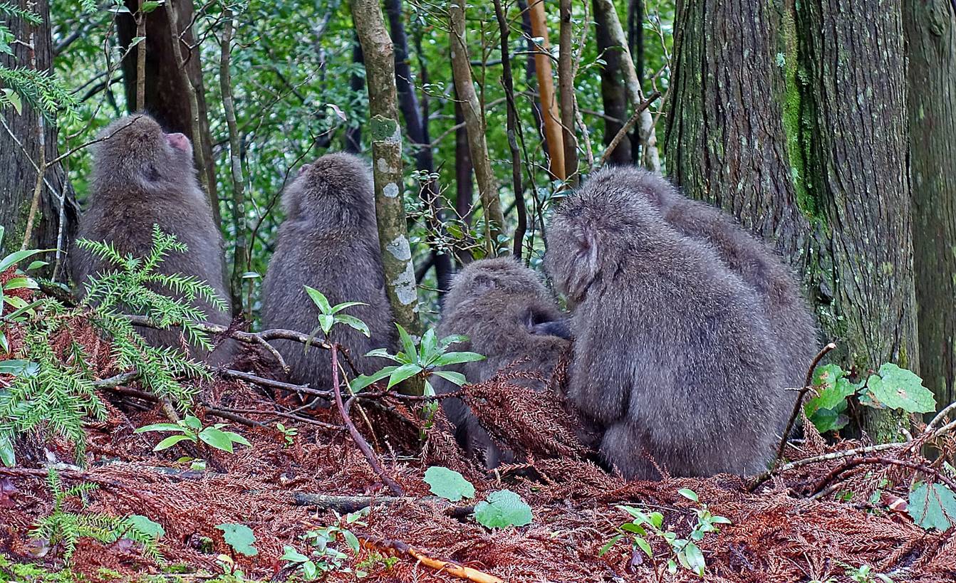
Yakushima macaques near the start of the hike.

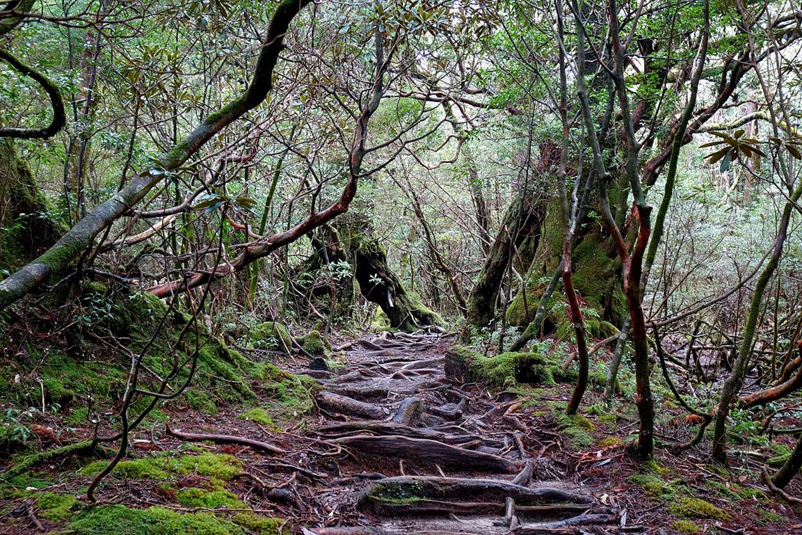
In the forest
at the beginning of the hike.
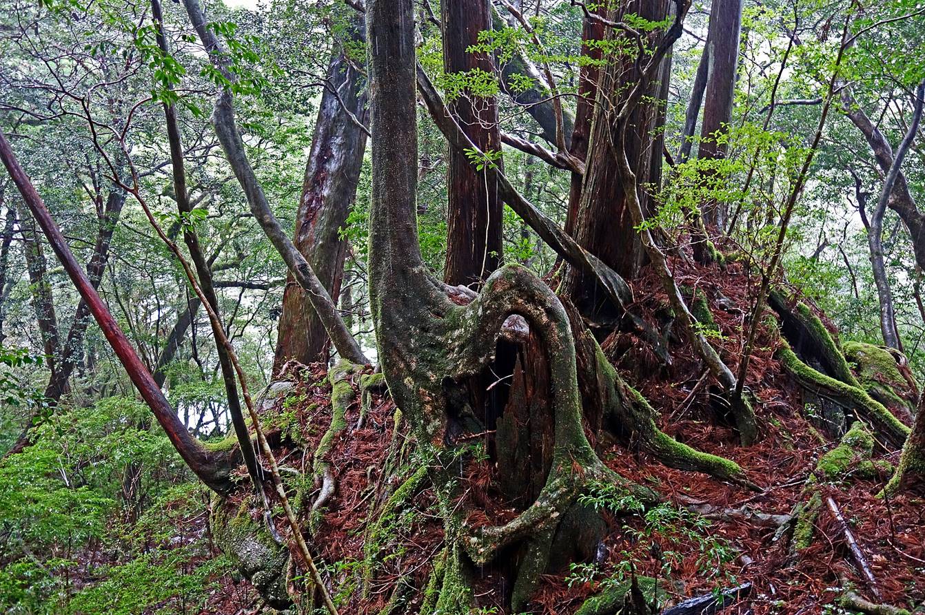
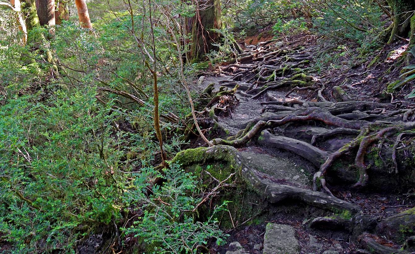
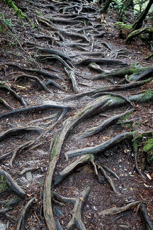
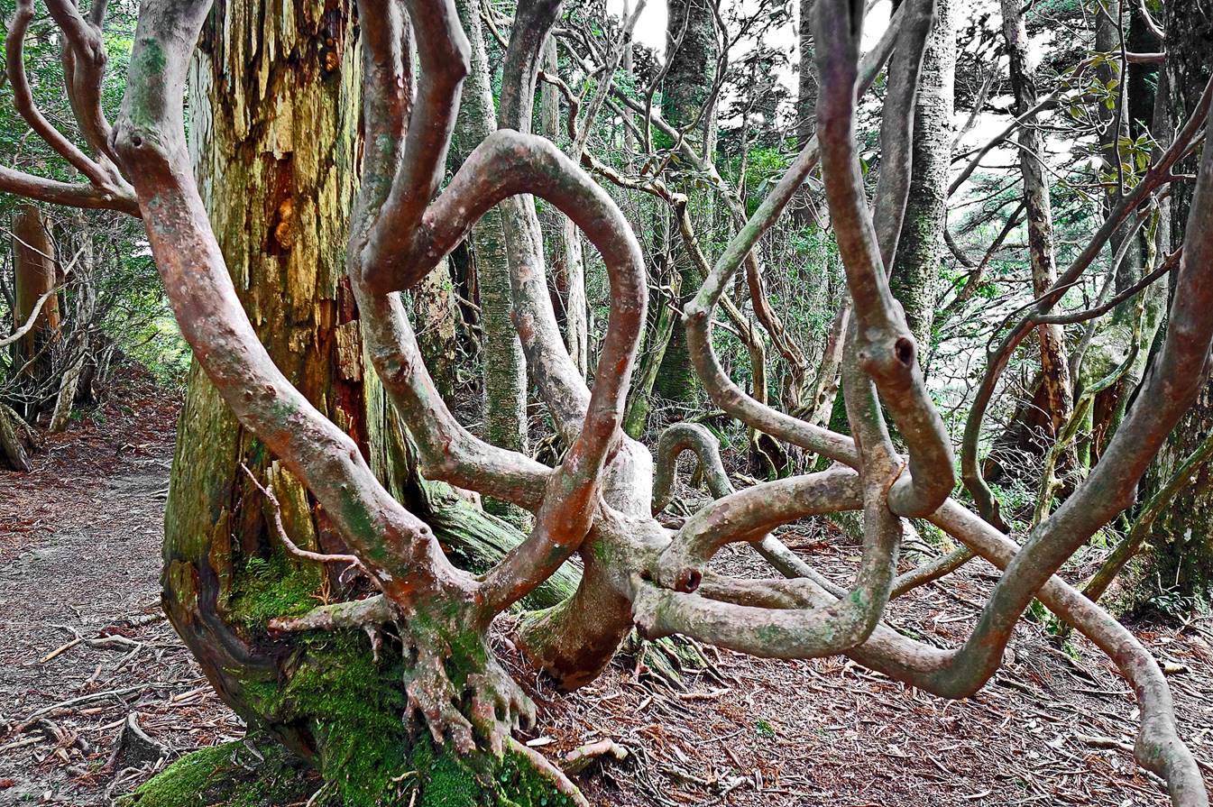
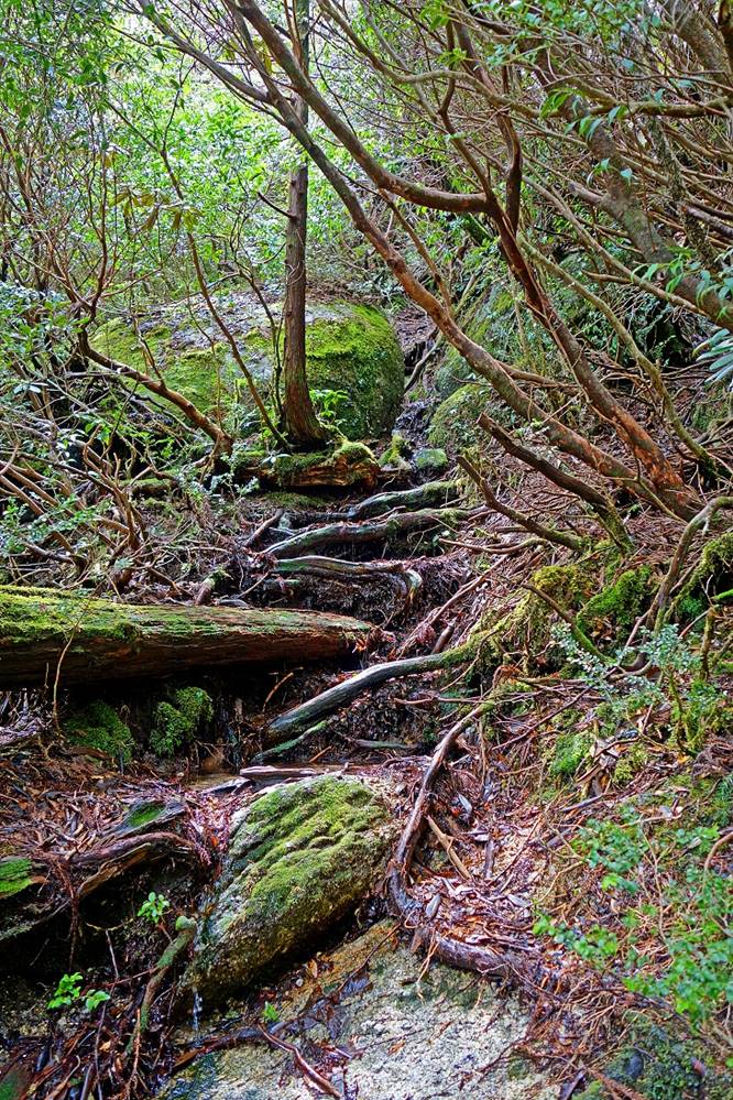
Gnarled tree
roots on the trail.
|
|
|
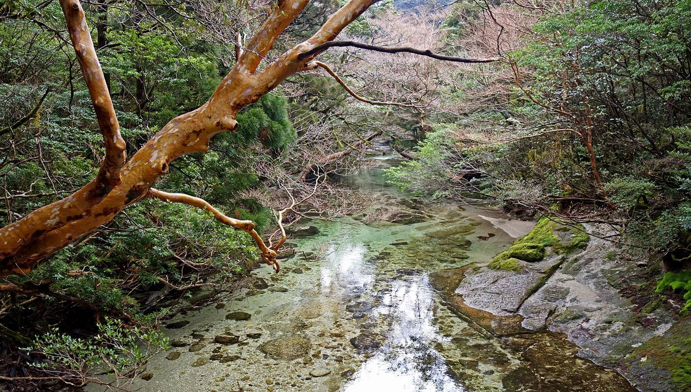
The crystal-clear Yodo
river crossed immediately after passing the hut located
about 50min from the trailhead.
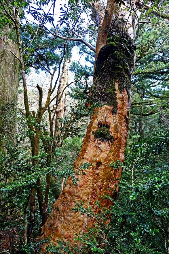
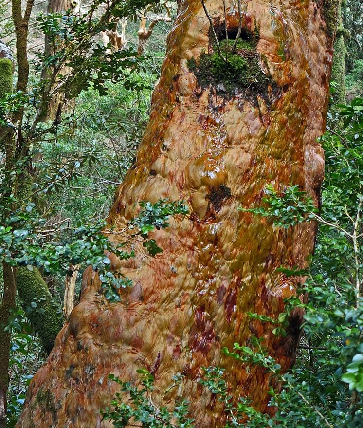
Tree with a bright yellow-redish bark.
|
|
|
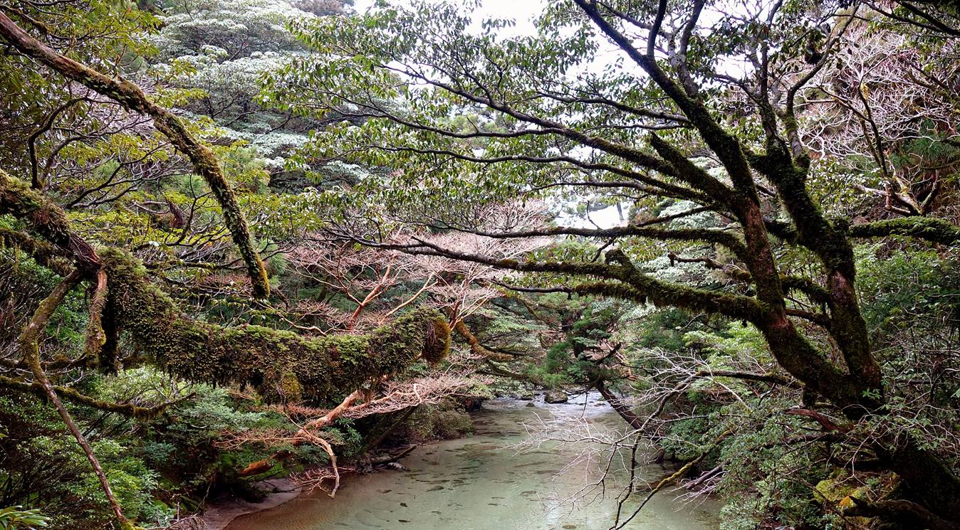
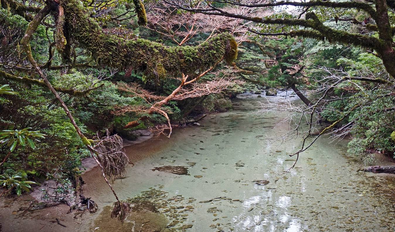
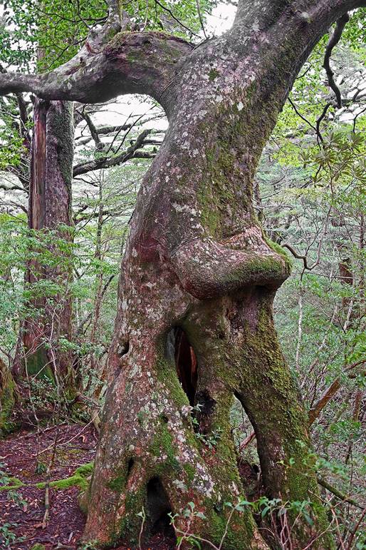
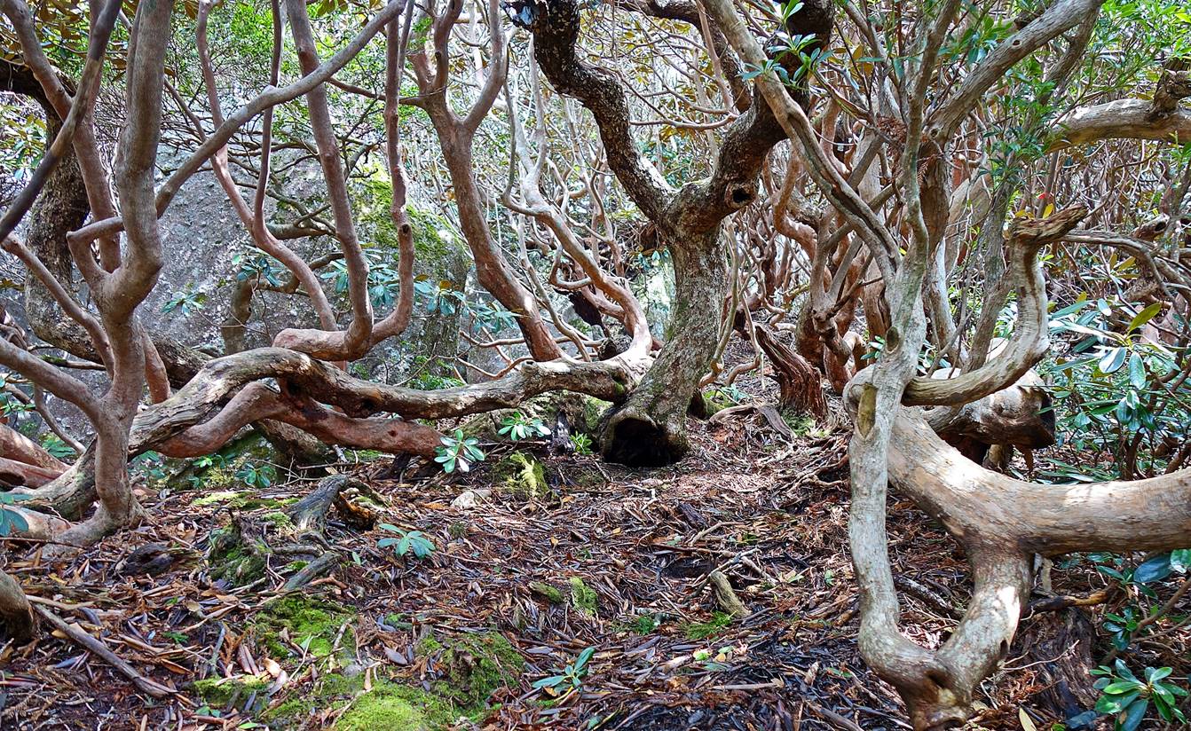
Some amazingly shaped trees along the
way.
|
|
|
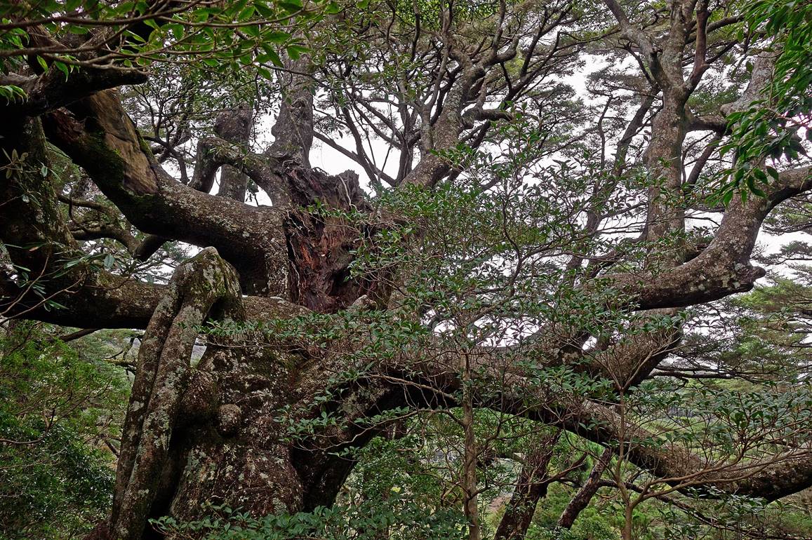
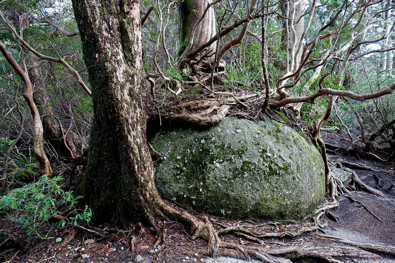
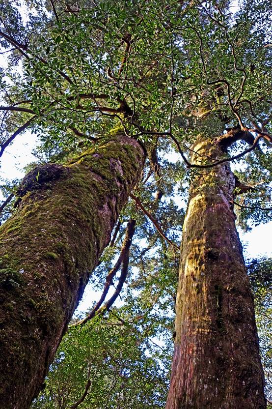
Intermixing of trees and rock.
Towering yakusugis.

|
|
|
|
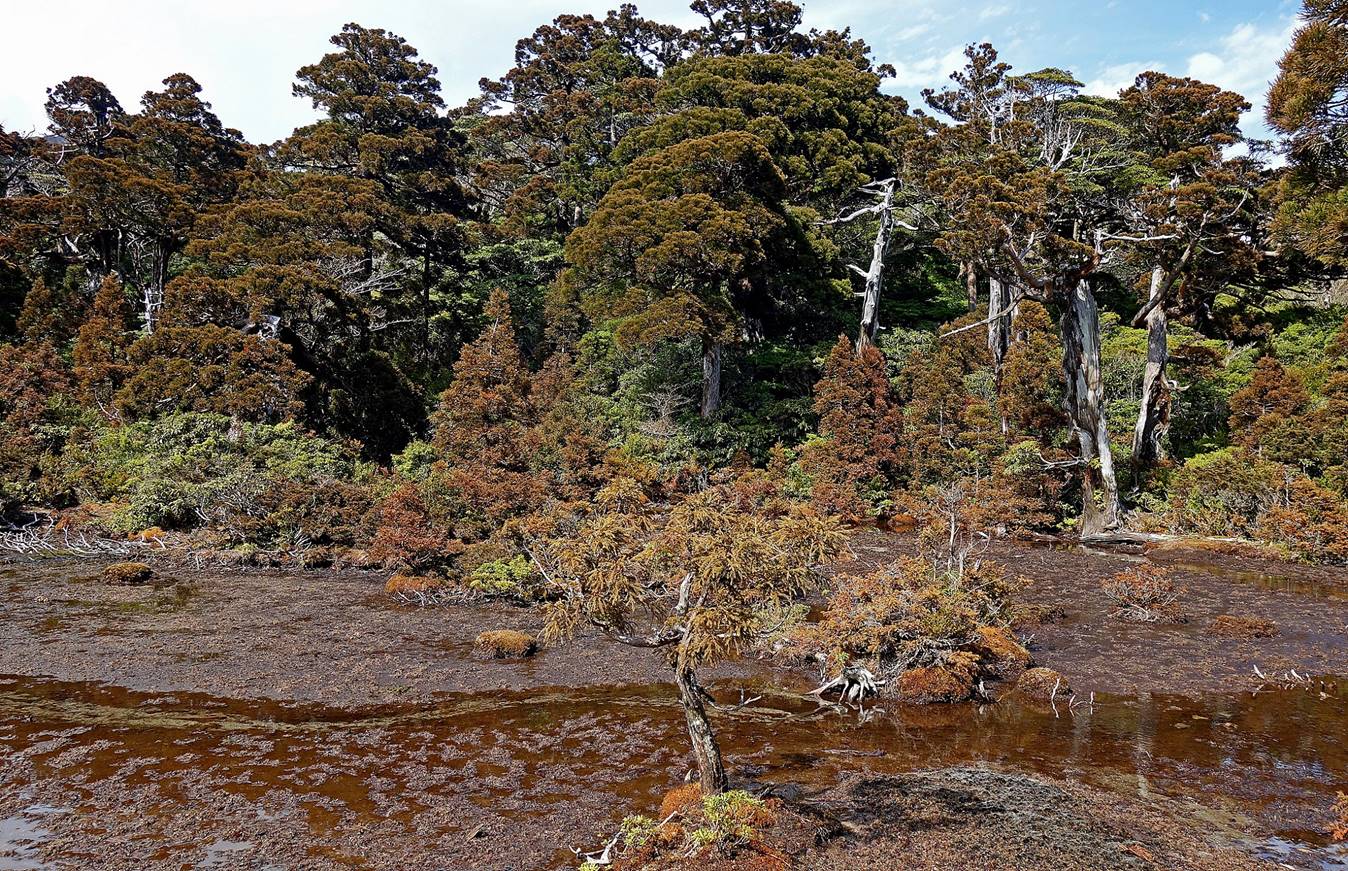
Kohananoego peat marsh (marked 小花之江河 in the topographic map at
the top of the page). The Tofu
Rock at the summit of Koban-dake is visible in the
first photo below.
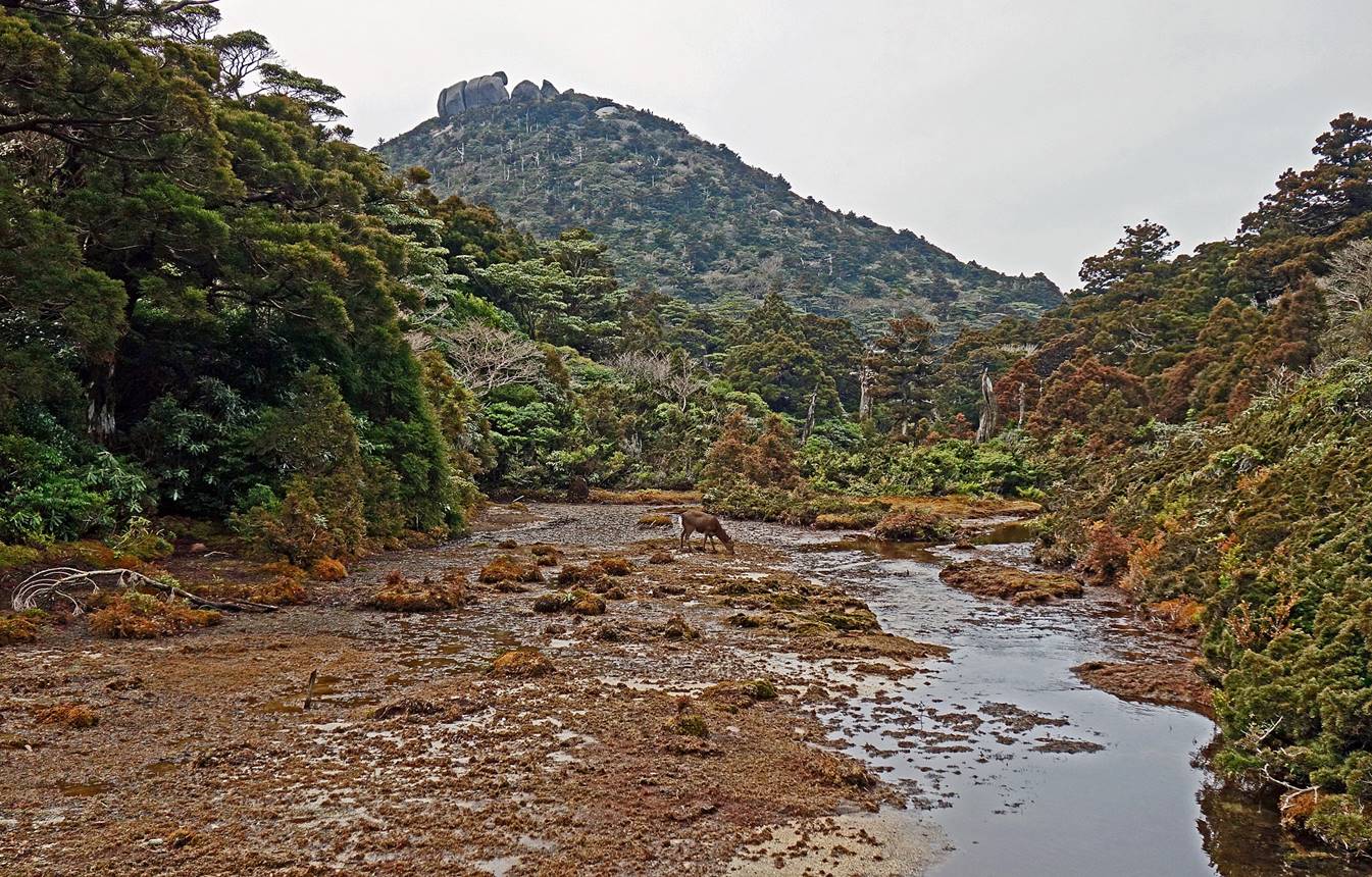
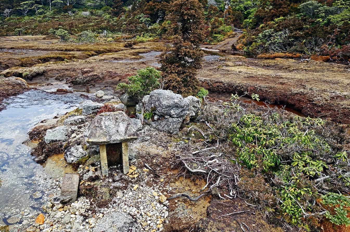
Hananoego peat marsh (marked 花之江河 in the topographic map) crossed shortly after leaving Kohananoego.


|
|
|

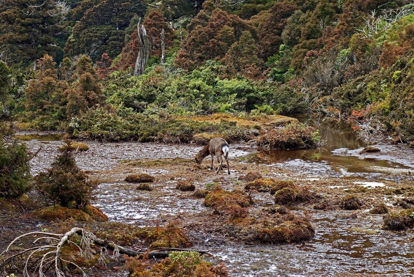
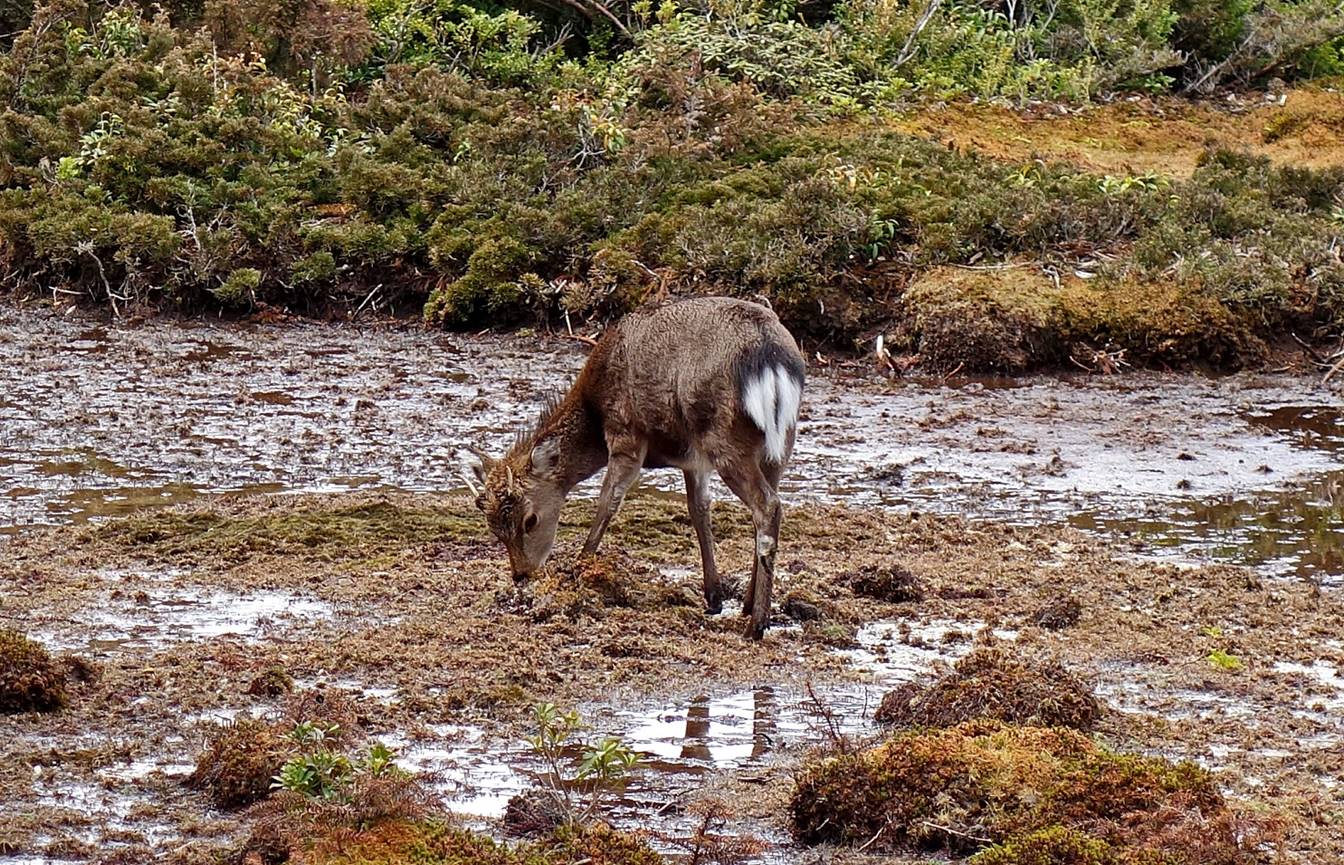
Small ancient shrine in the marsh.
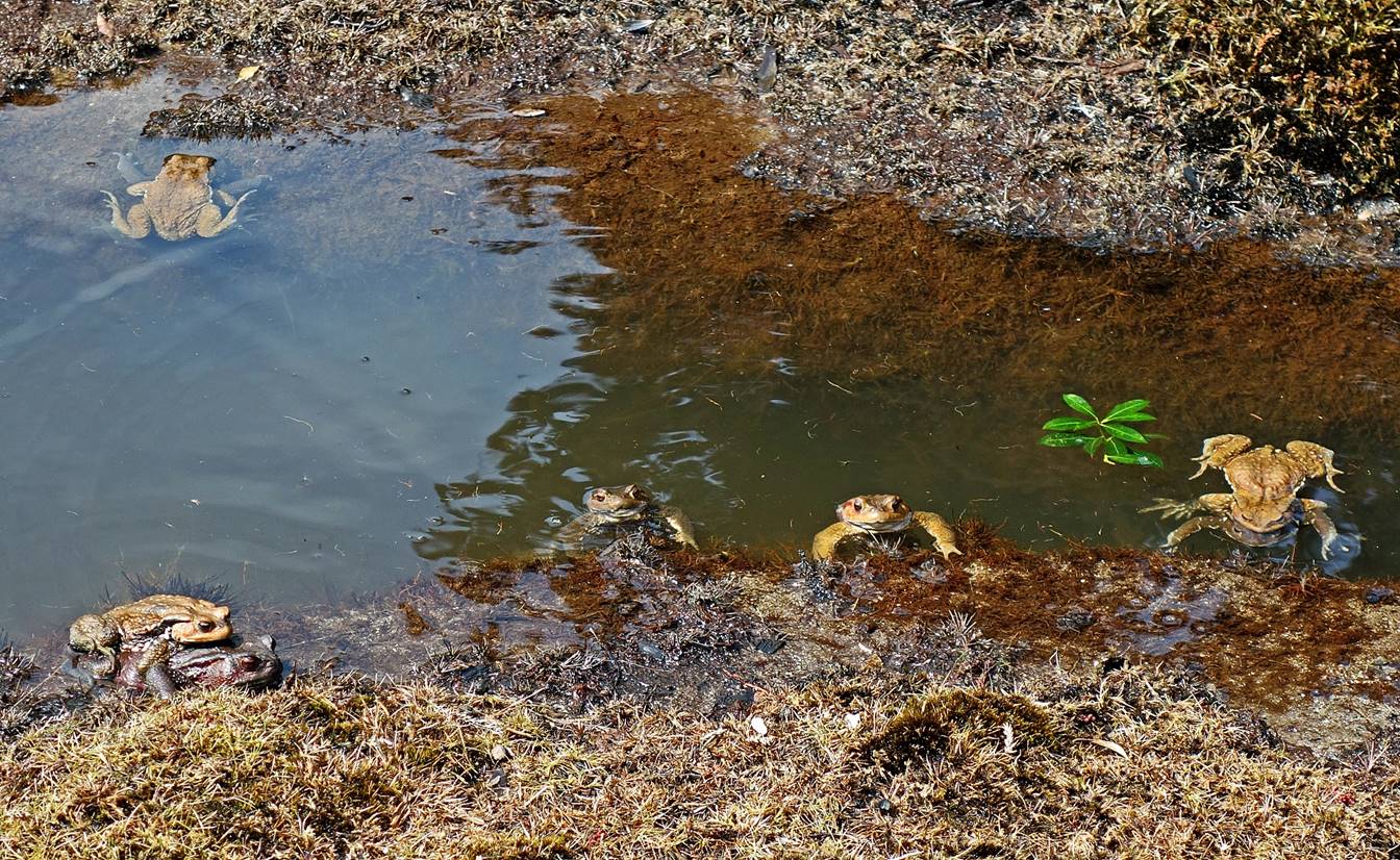
It was mating season for the toads in
the marsh!
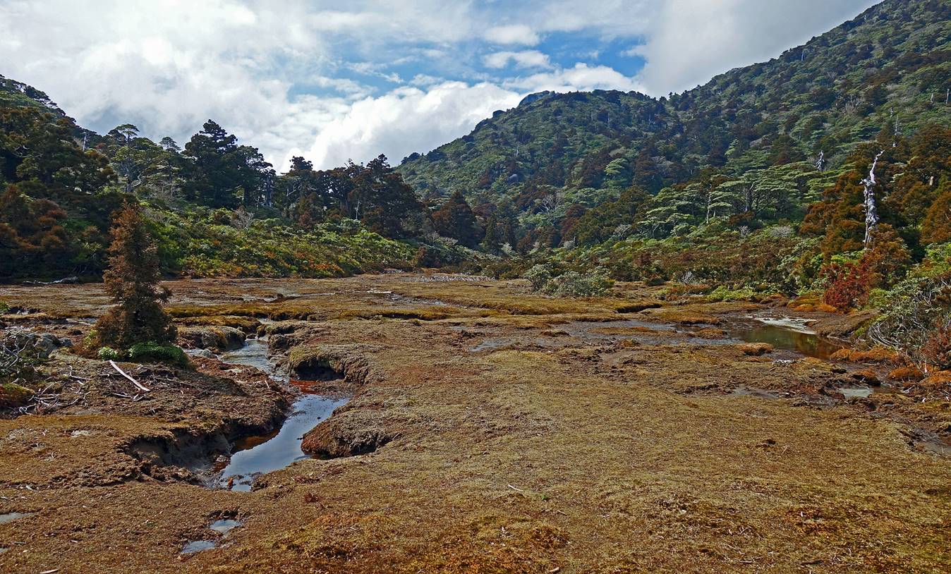
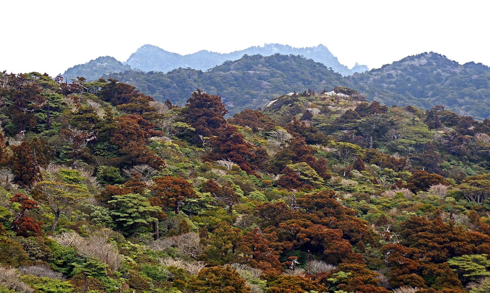
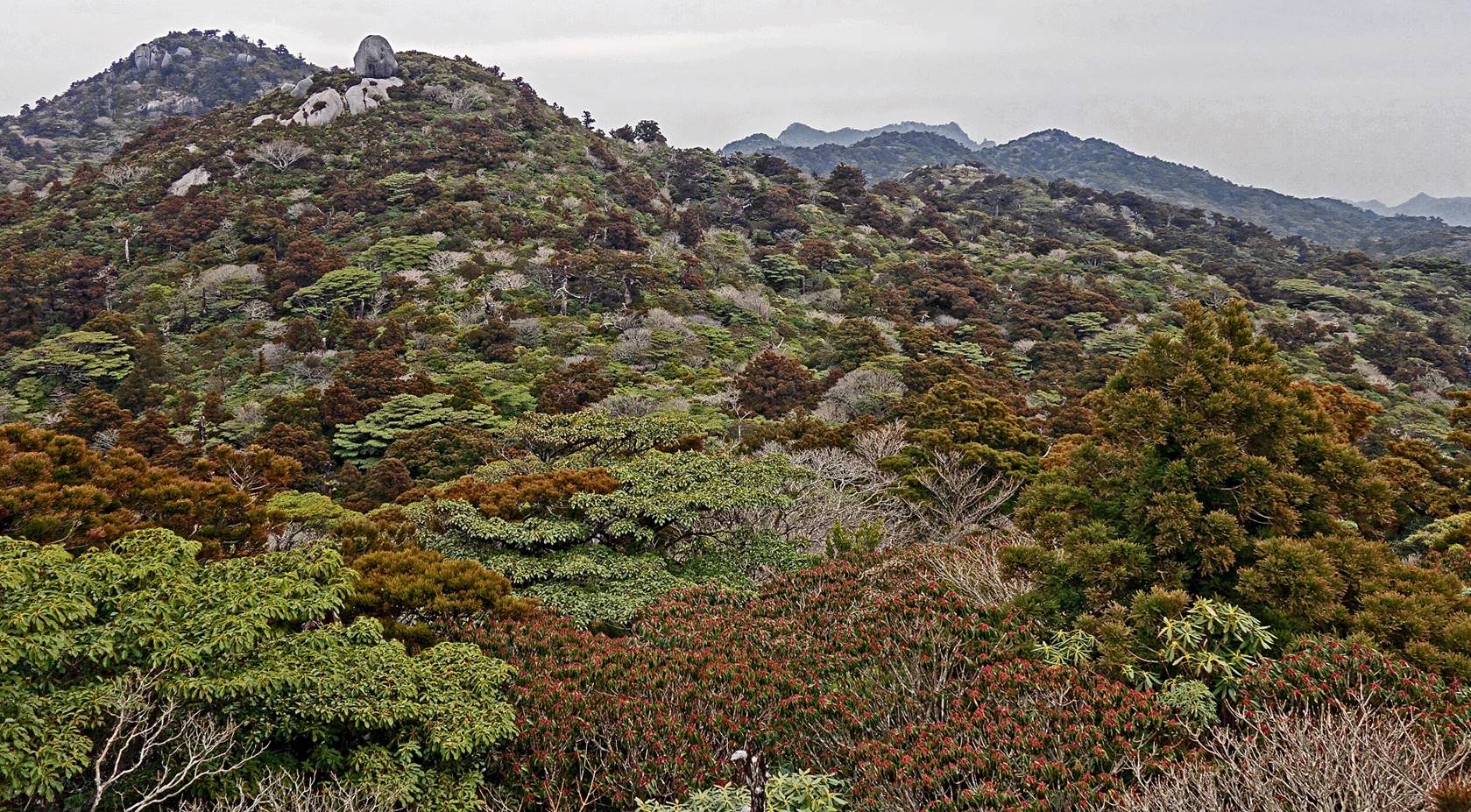
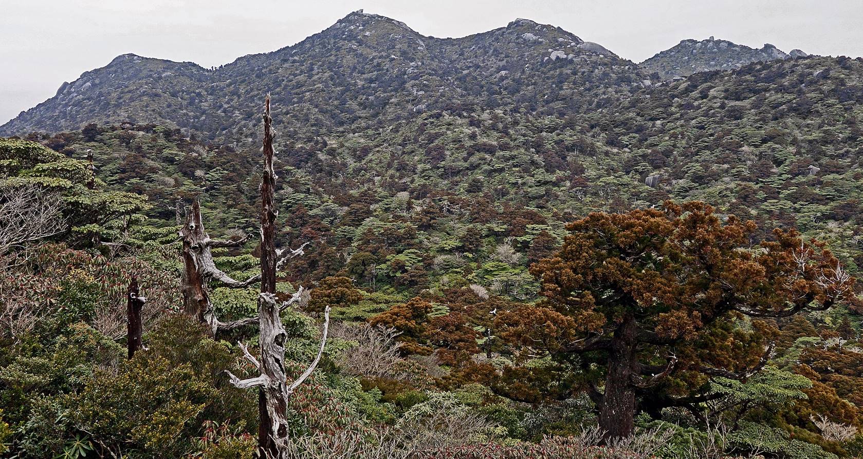
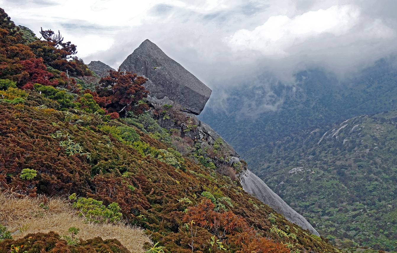
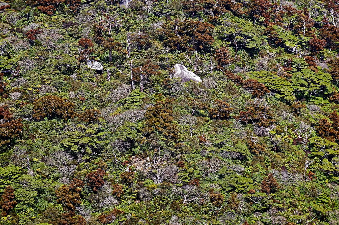
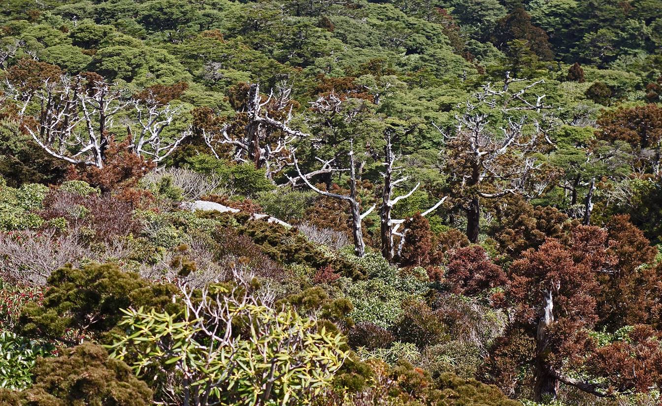
Scenery above tree line: a spectacular
patchwork of greys, greens, and browns. The granite monolith at the top of Tachu-dake is visible in the far background on the
right-hand side of the second photo below.

Boulders below the top of Kuromi-dake.
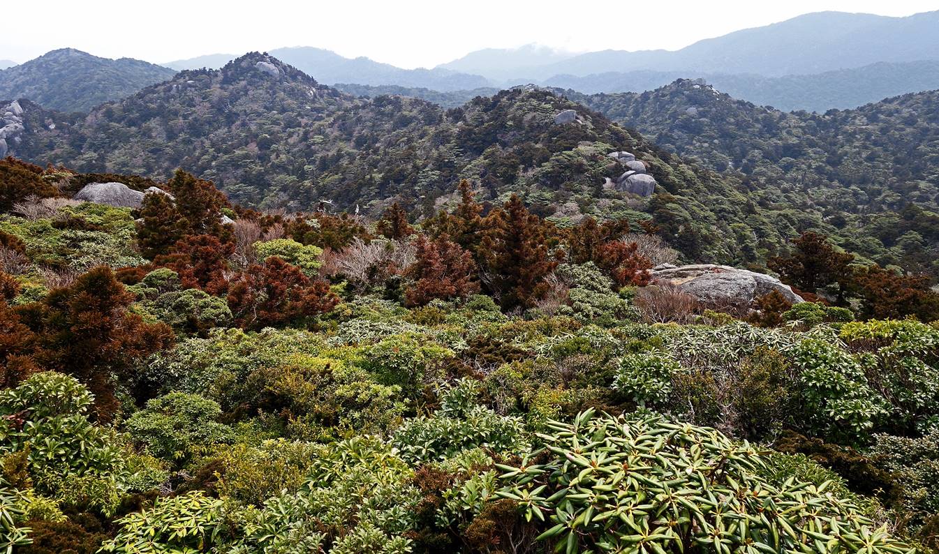
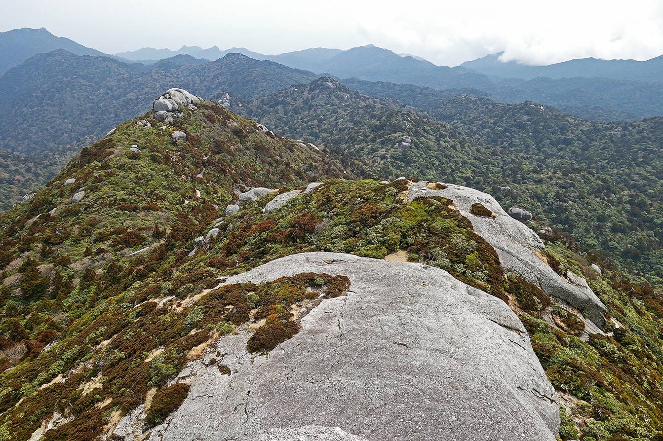
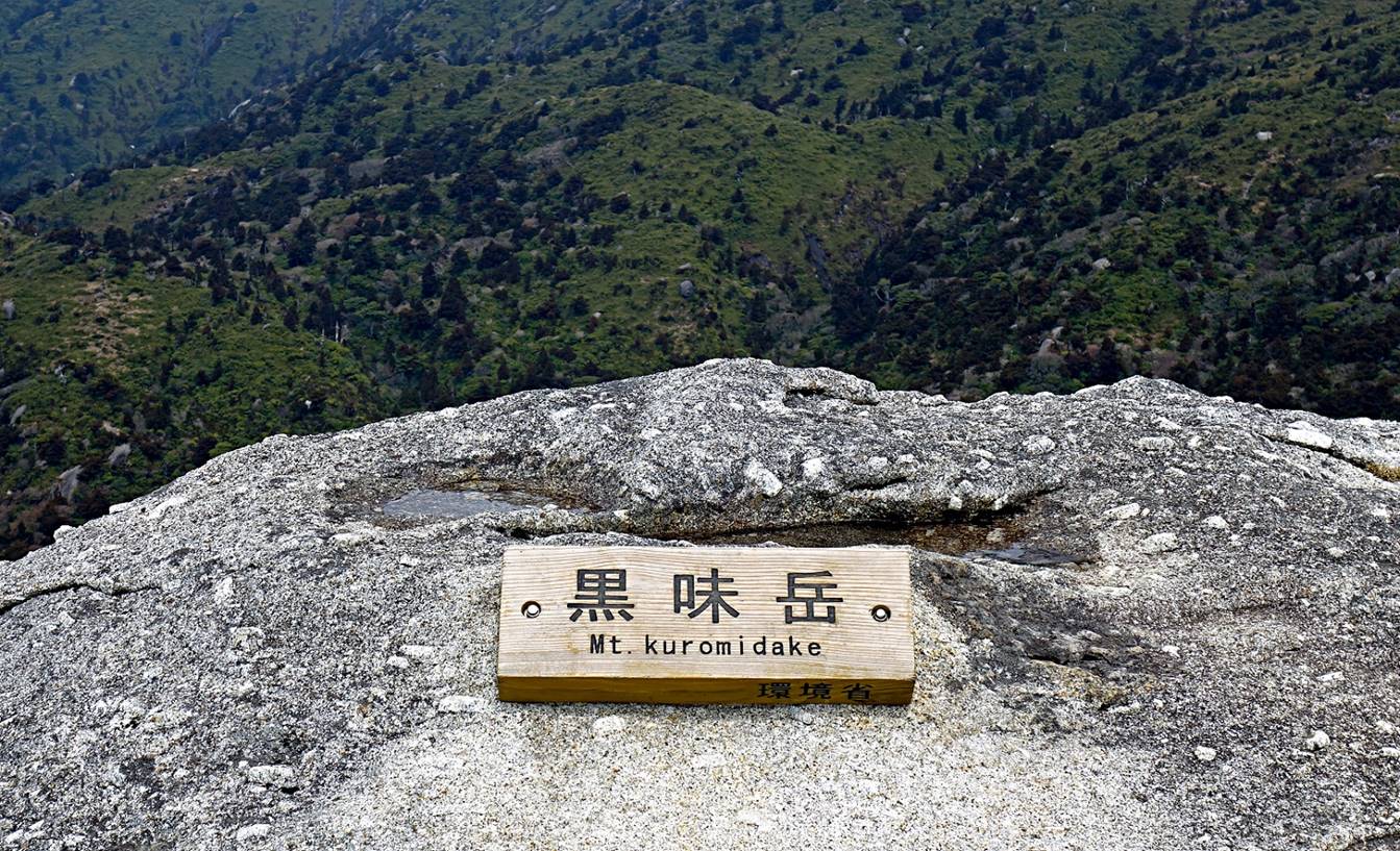
Sign marking the summit.
Views from the summit:
- Toward the north, with Miyaroura-dake (1935m) visible in the background.
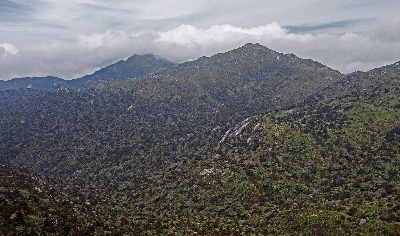
- Toward the east.

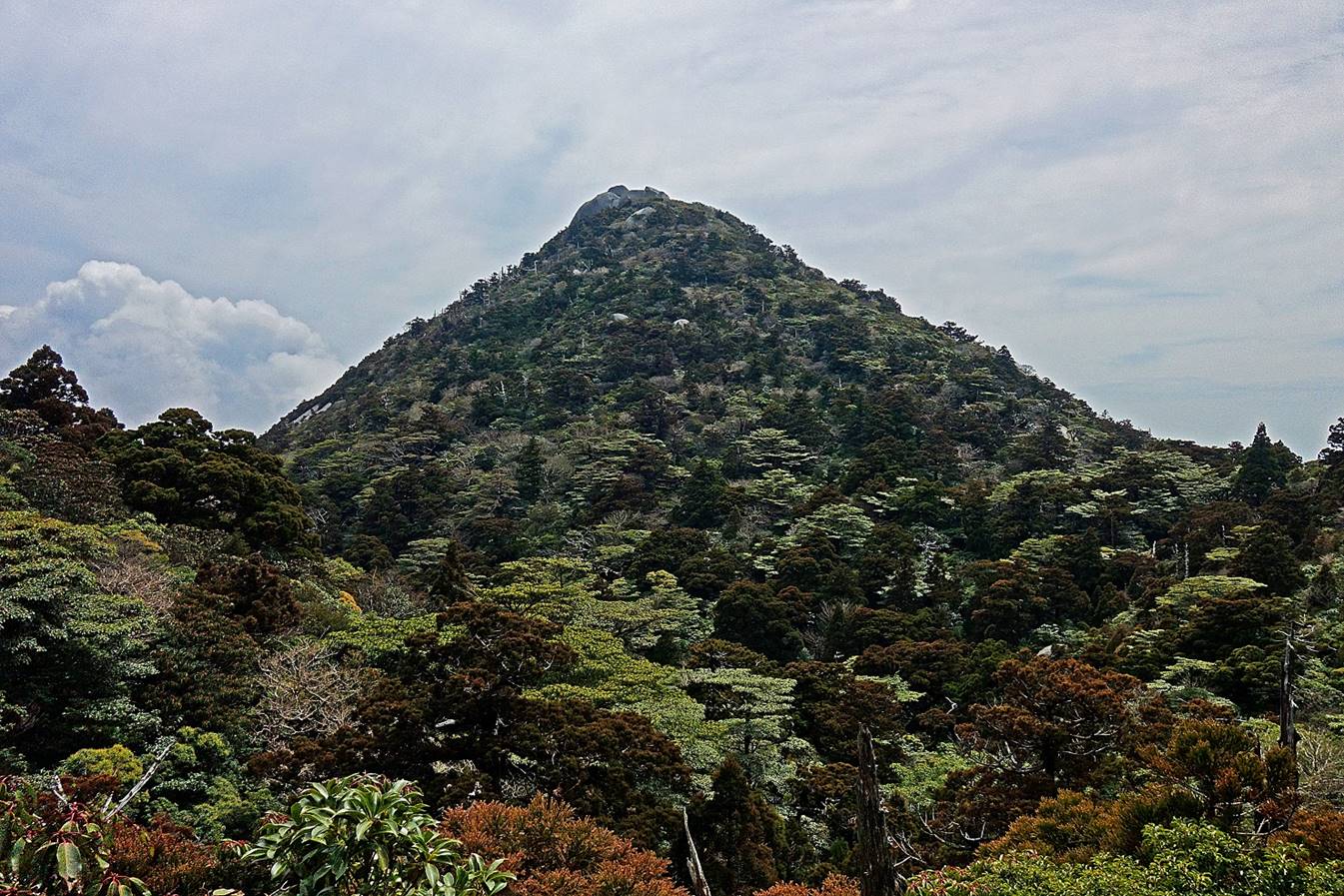
To climb Koban-dake,
we returned to Hananoego marsh. This is Koban-dake seen from Hananoego.
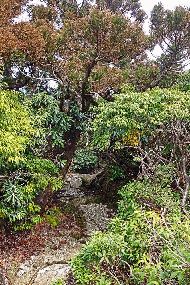
In the forest along the ″trail″
to Koban-dake.
|
|
|

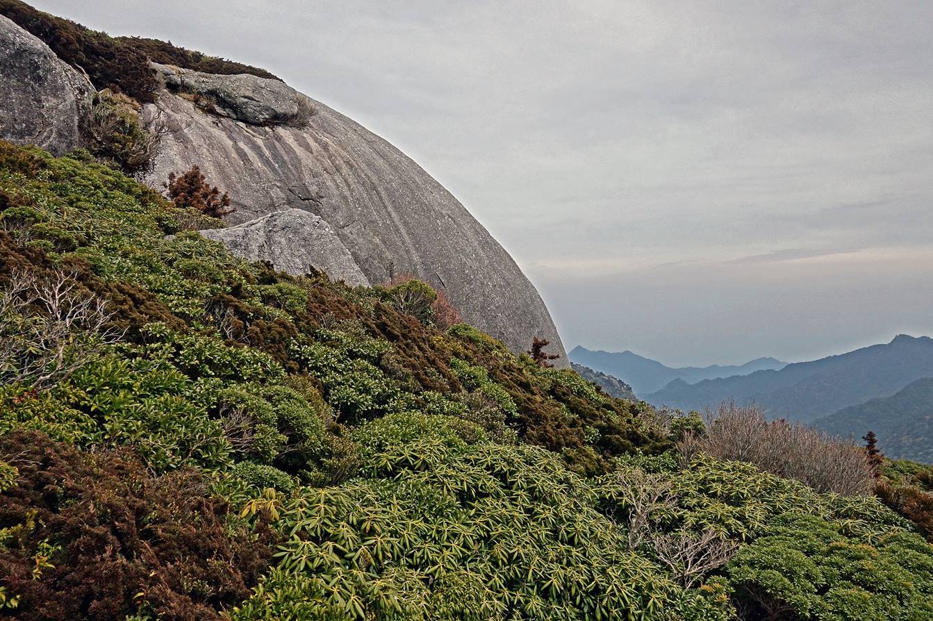
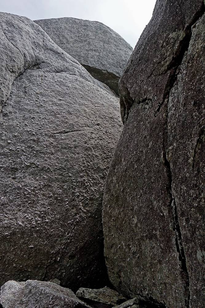
Forest surrounding the summit of Koban-dake.
Granite boulders forming the Tofu Rock
at the top of Koban-dake.
|
|
|
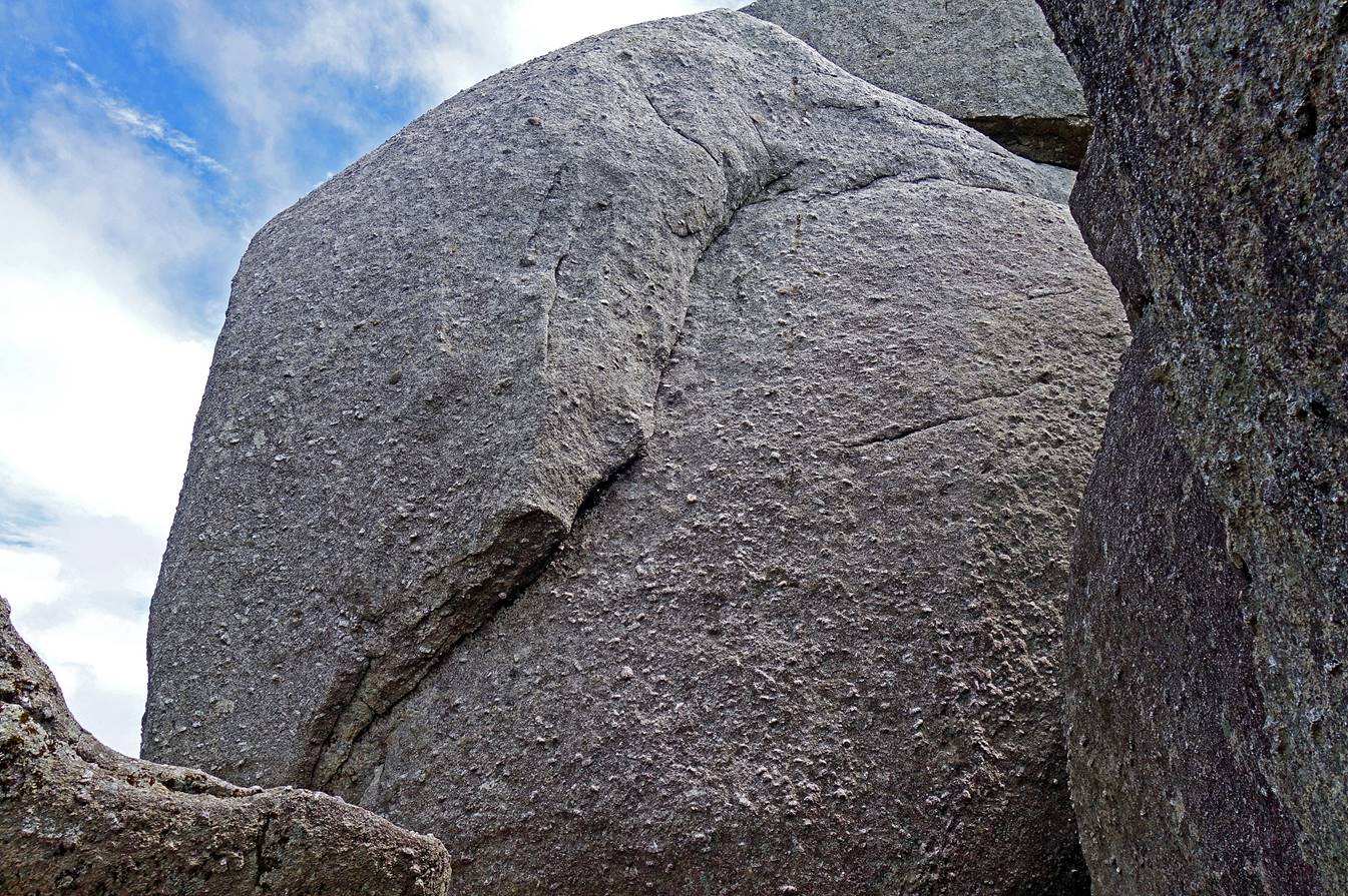
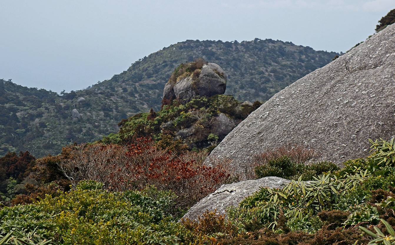
View of the Tofu Rock from a location
slightly below Hananoego. A sliced piece of tofu? Or
a sliced loaf of French bread?

![]()