Morocco (February 2020): (3/3) Days 5, 6, and 7 of trek
![]()
Return to main Morocco 2020 webpage
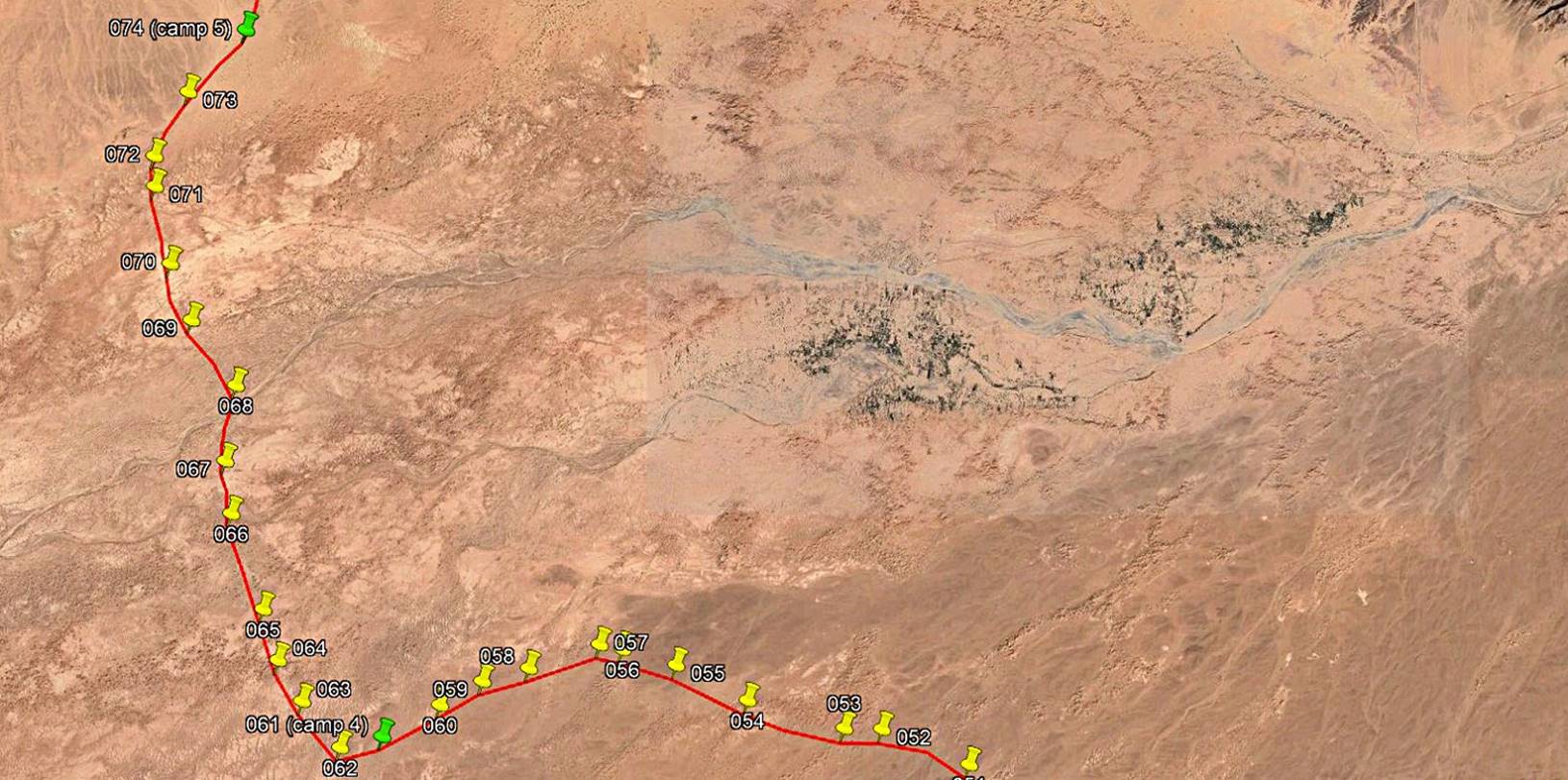
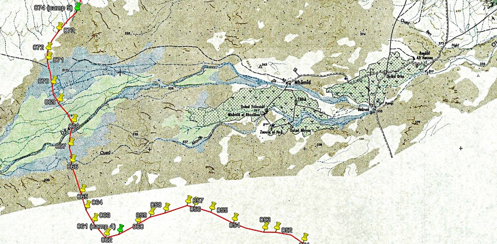
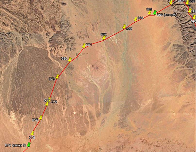
Day 5 of trek (from waypoint 061 to waypoint
074, 17km):
Path
followed on Day 5 (red line).
[Reminder: To access the GPS-recorded
waypoints first click here
to download the morocco-2020.kmz file and then open this file in Google Earth.]
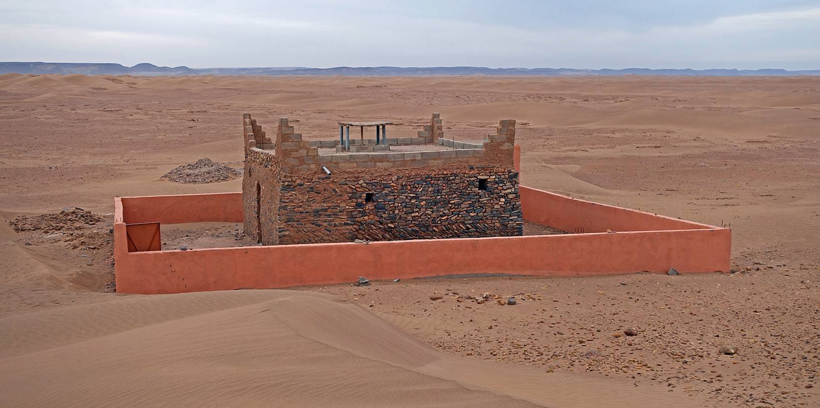
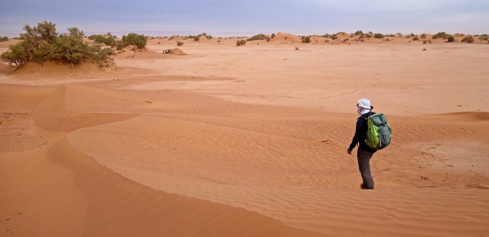
A short distance
after leaving camp 4 we passed by a marabout, a small shrine containing the
grave of Sidi Naji, a
Muslim holy man (and a member of an important family of south Morocco). It is
the site of an annual pilgrimage.
|
|
|
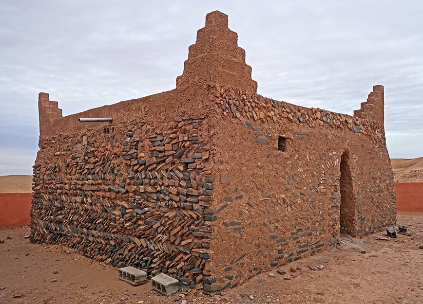
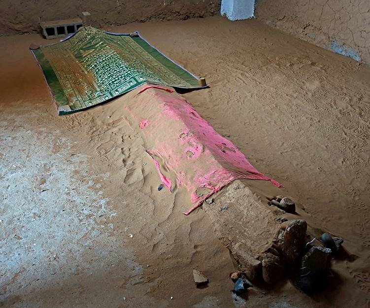
Adobe
remains of an older village (perhaps a former caravan stop), next to the
marabout.
Individual
graves between the village remains and the marabout.
After
stopping at the marabout we made a 90dg turn and headed north toward Oued Draa.
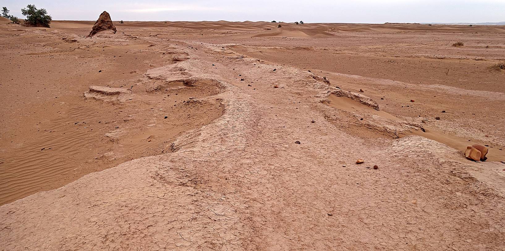
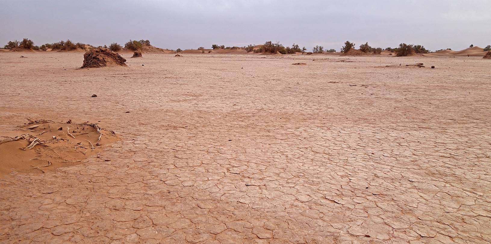
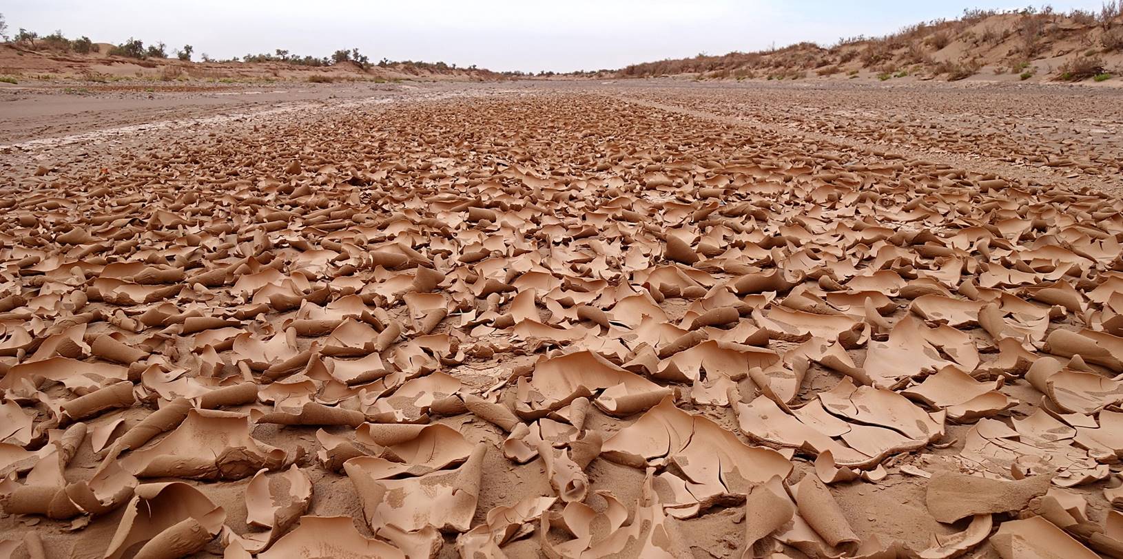
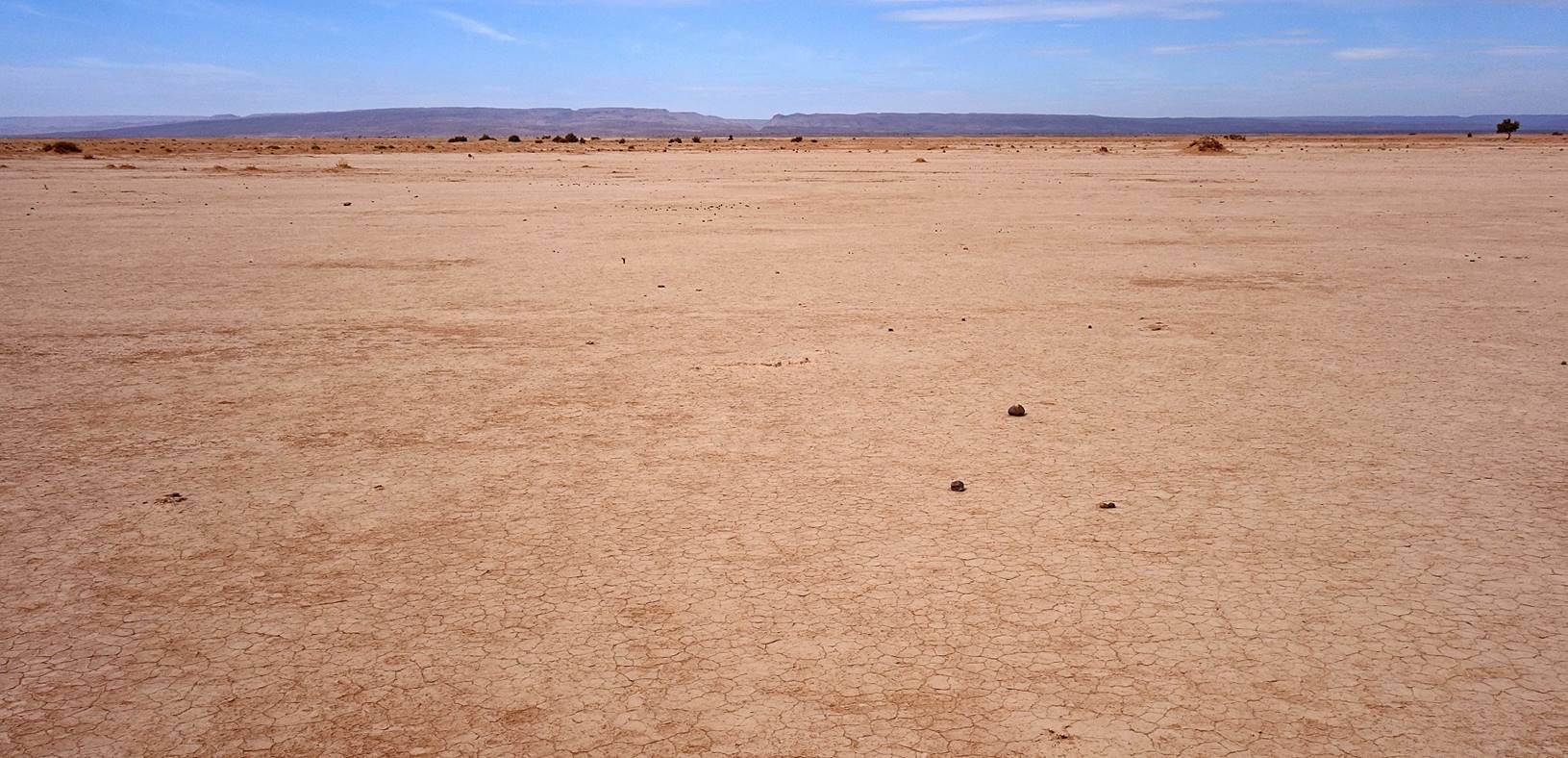
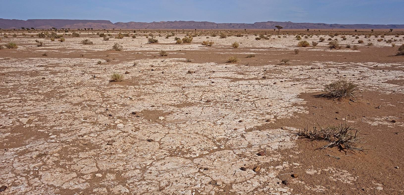
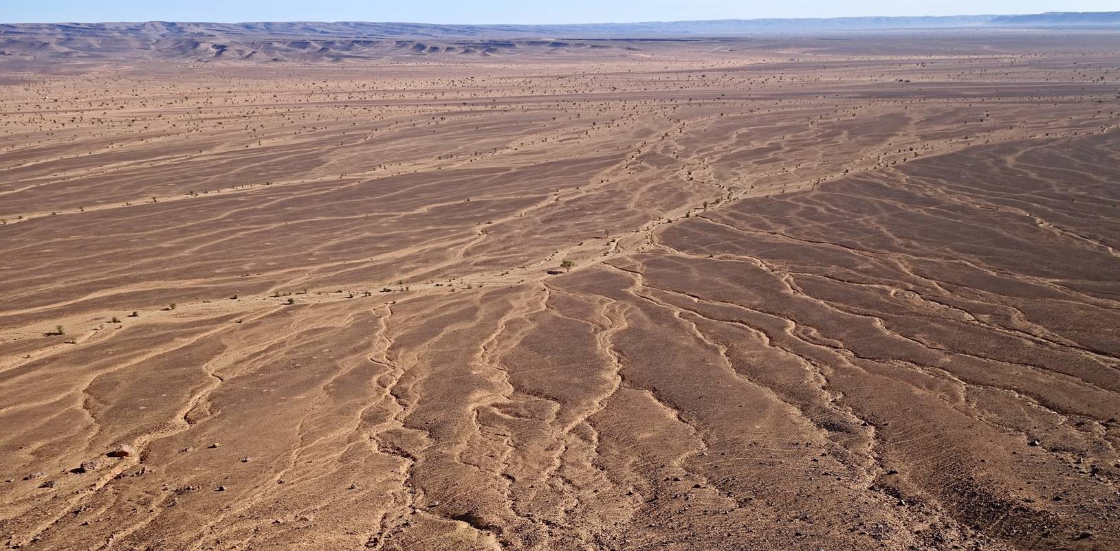
Features
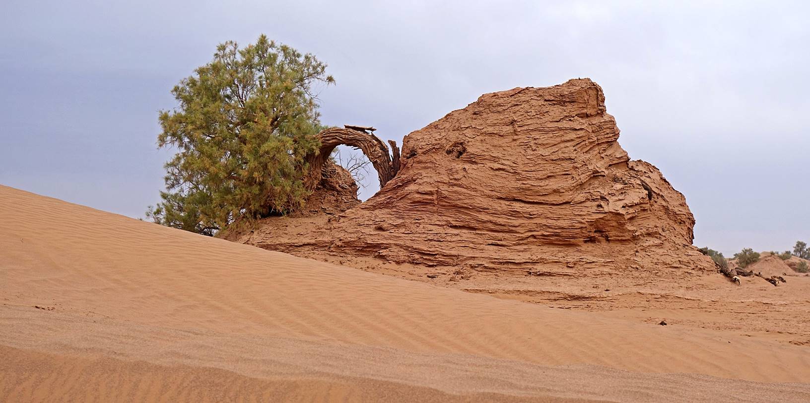
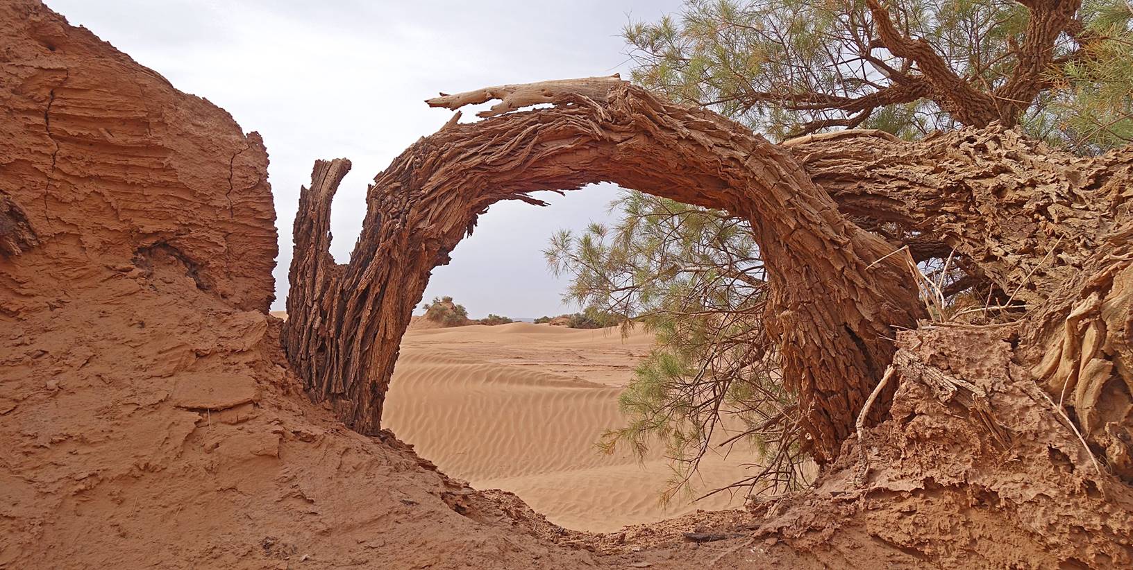
created by the erosion of dried mud.
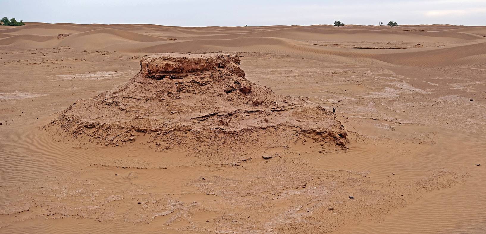
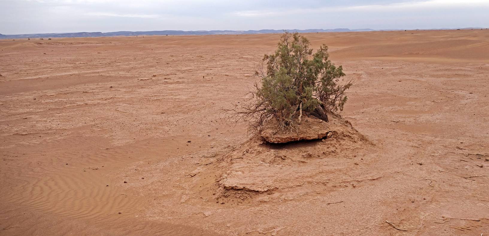
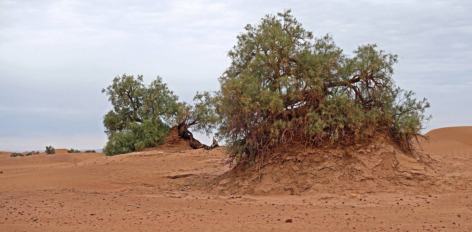
Tamarind
mounds.
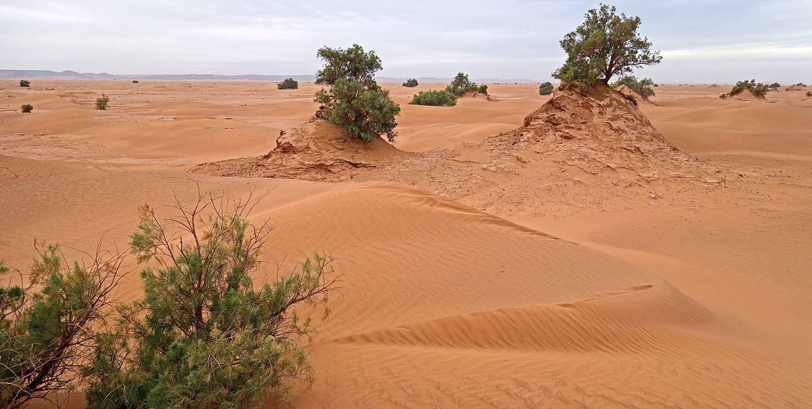
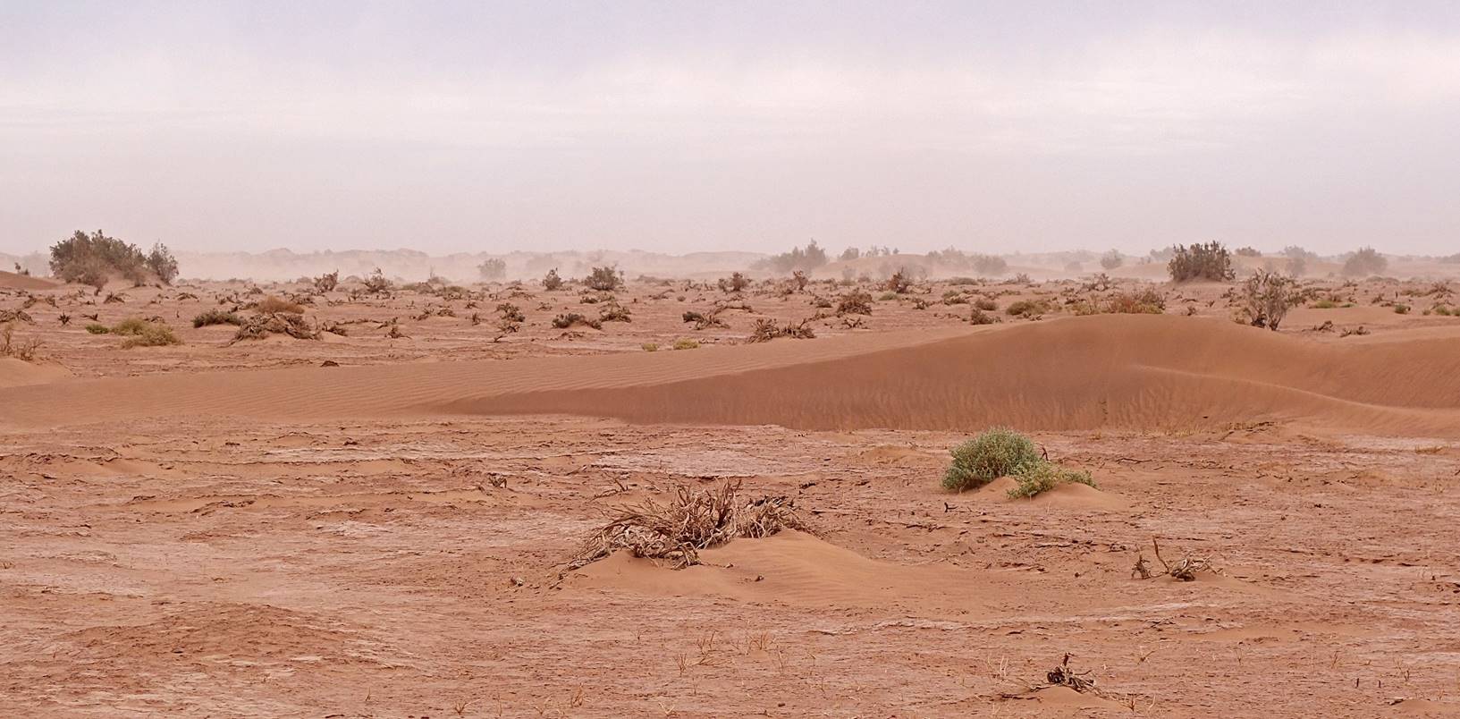
As
we approached the Draa riverbed, we saw more and more
traces of old floods.
Haze
caused by the wind over the dry and dusty riverbed of Oued
Draa.
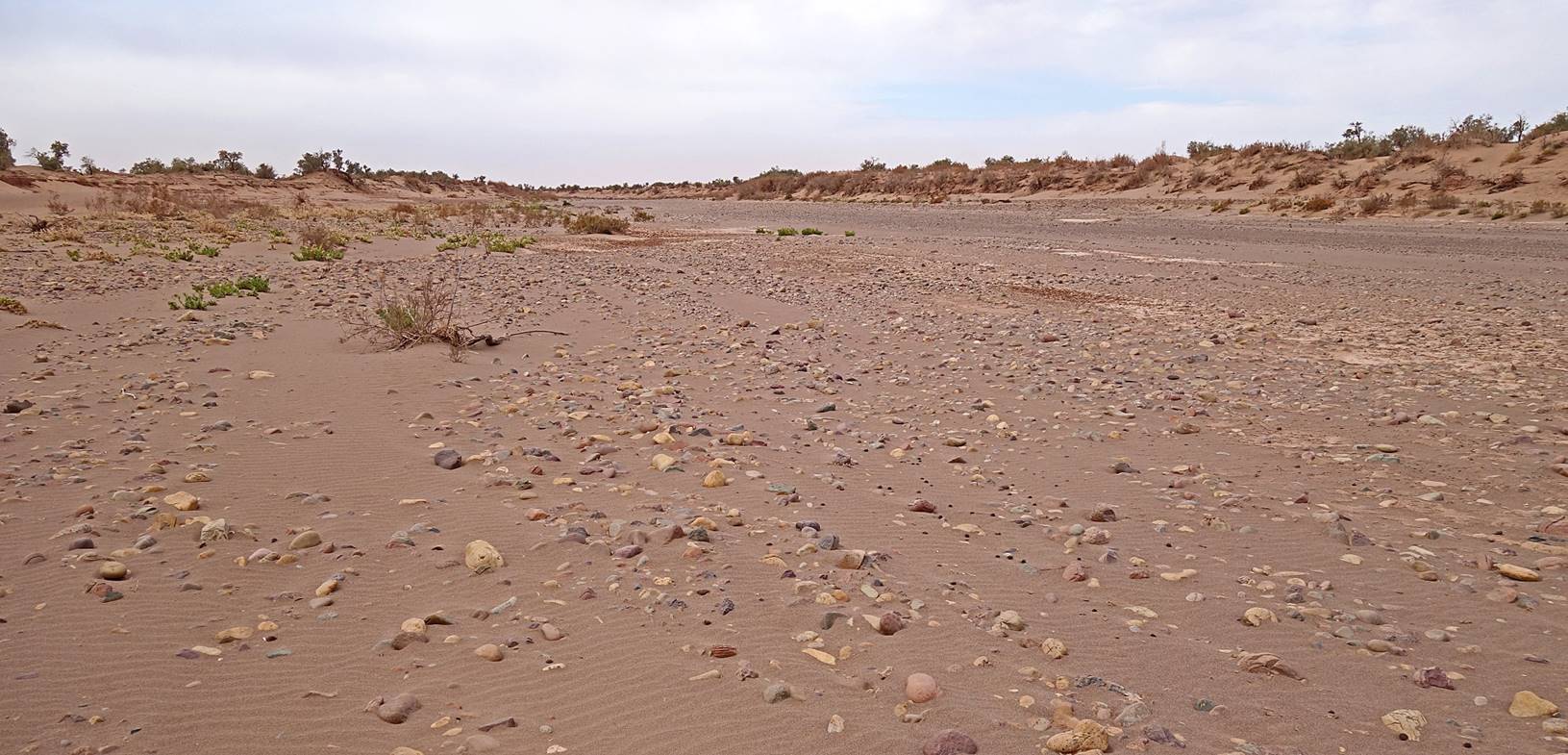
The
Draa riverbed.
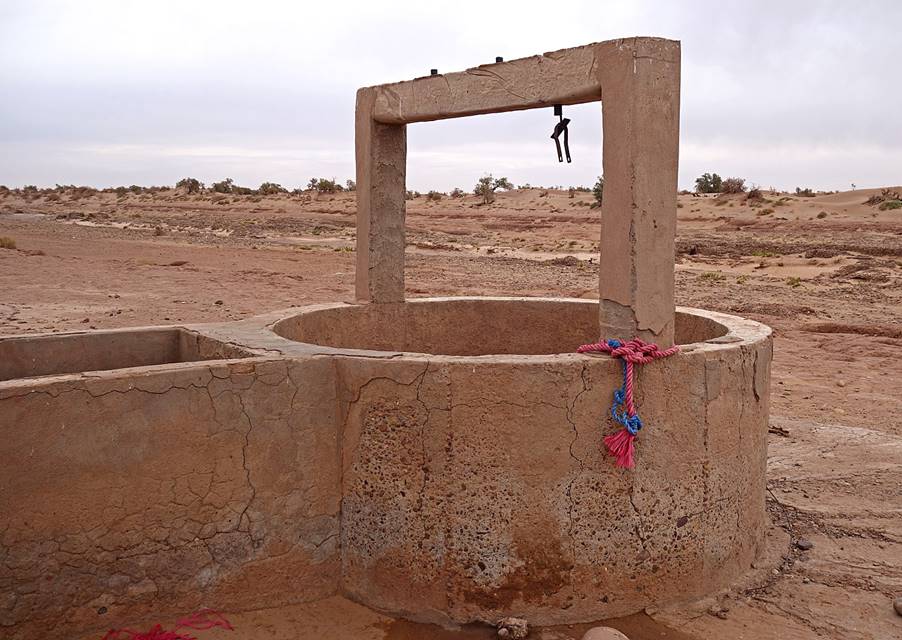
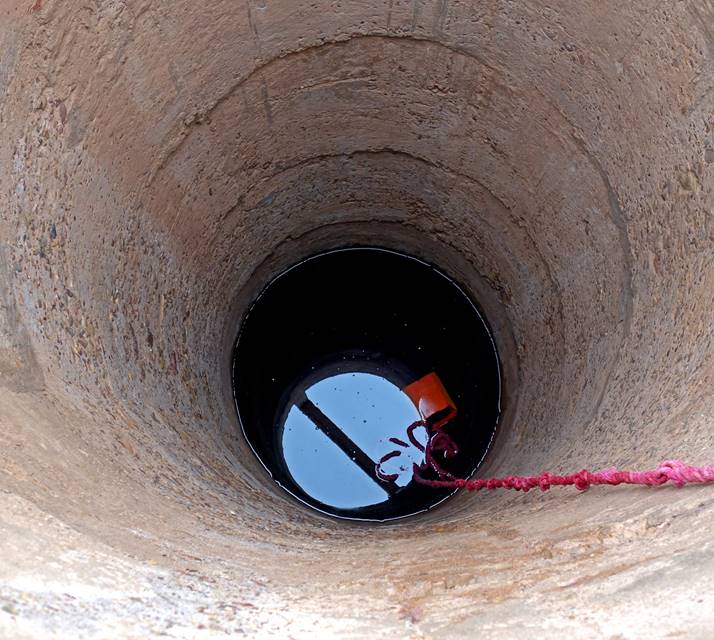
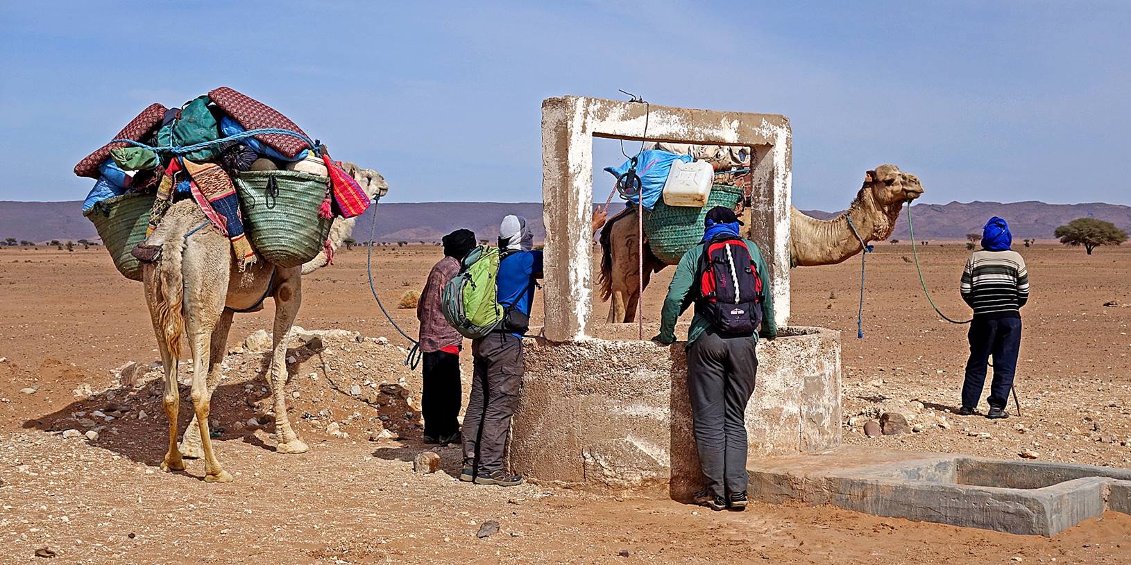
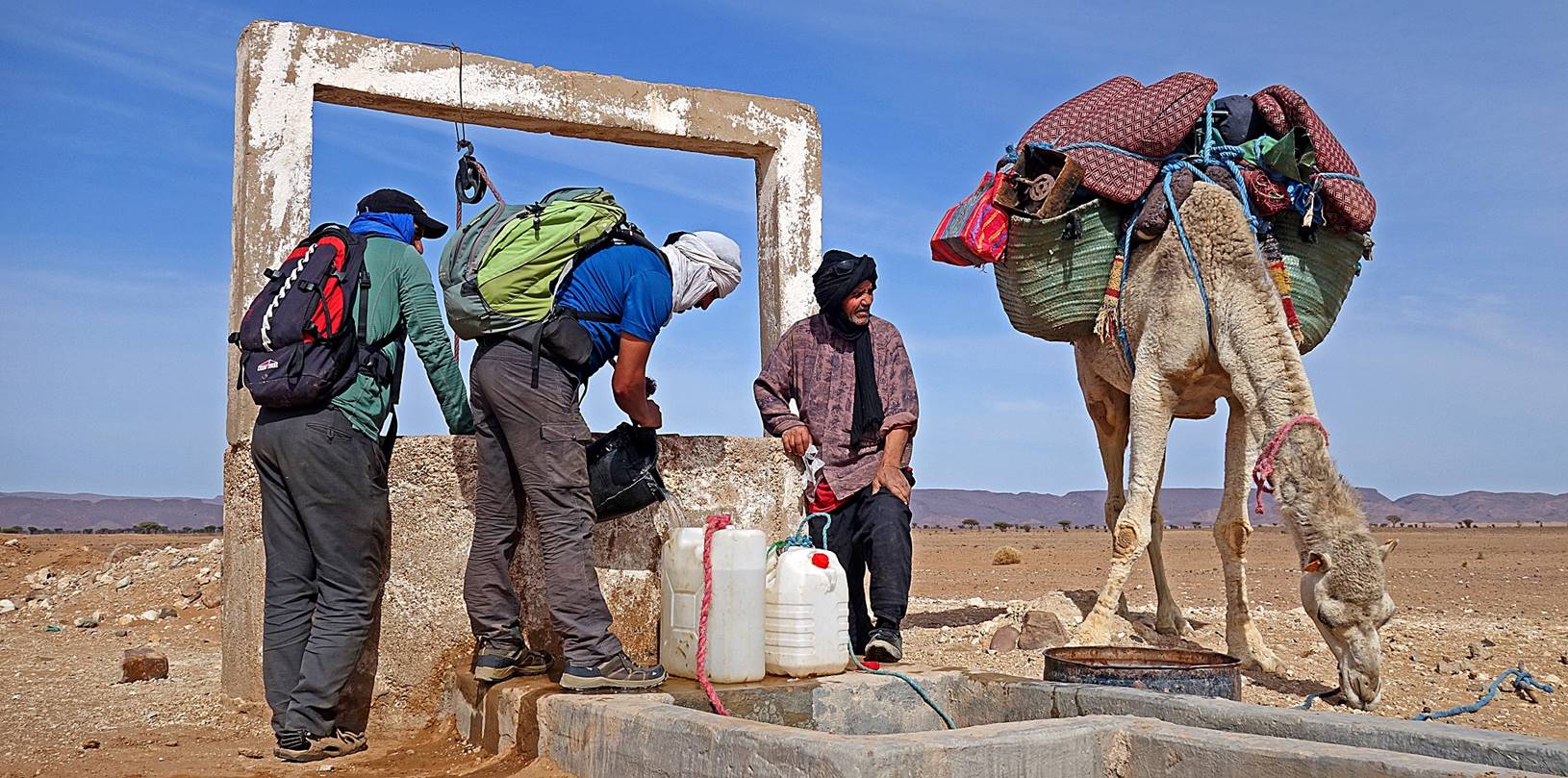
Bourbra well, on the bank of Oued Draa. Nowadays most wells in
the area, including this one, are made of concrete.
|
|
|
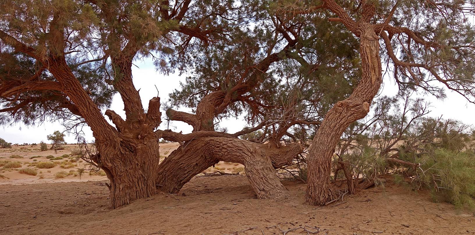
We
set our large tent for lunch a short distance from the well, beside a large
tamarind tree.
After lunch we continued
heading toward the north, in the direction of the mountain range visible in the
photo below. Along the way we saw more traces of past floods.
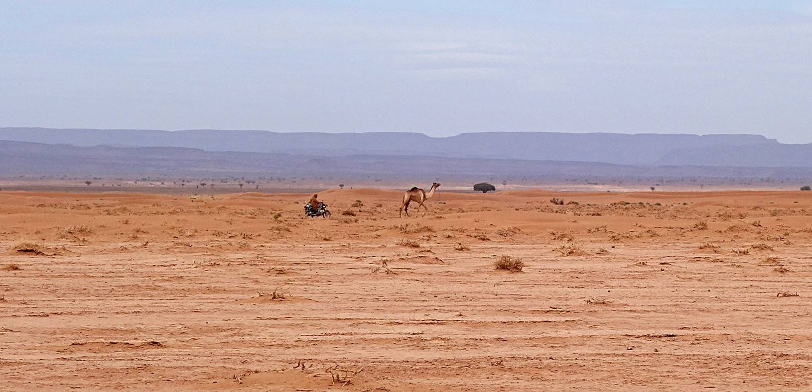
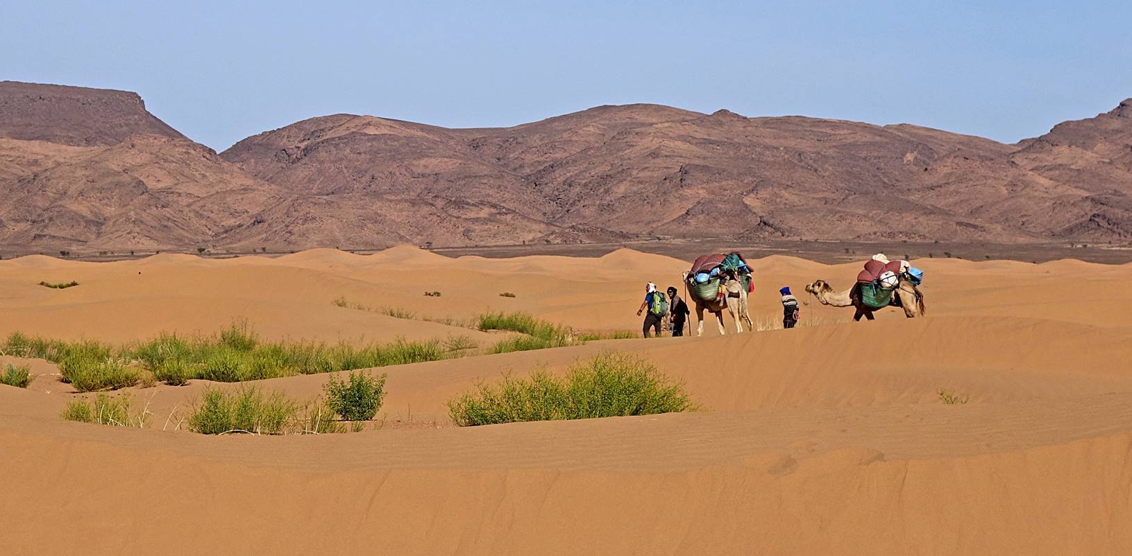
Herder
on a motorcycle driving a dromedary back to its flock!
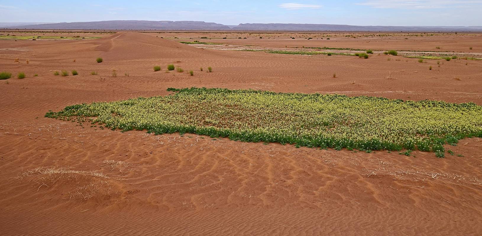
First and only
patches of green grass and yellow flowers encountered during the trek. There
were many bees, suggesting that there was some open water nearby.
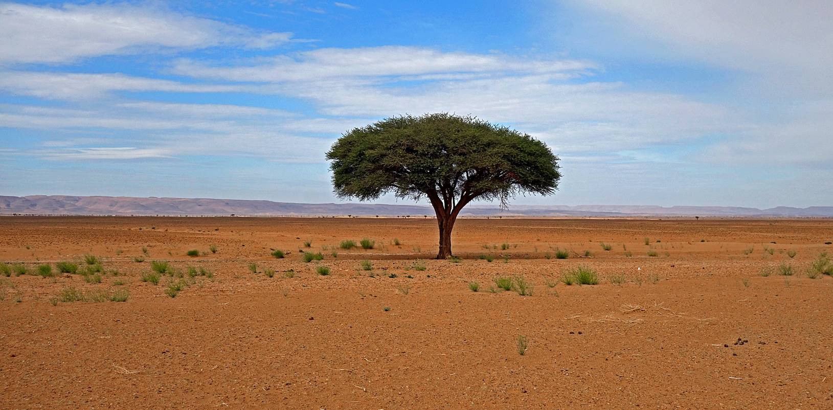
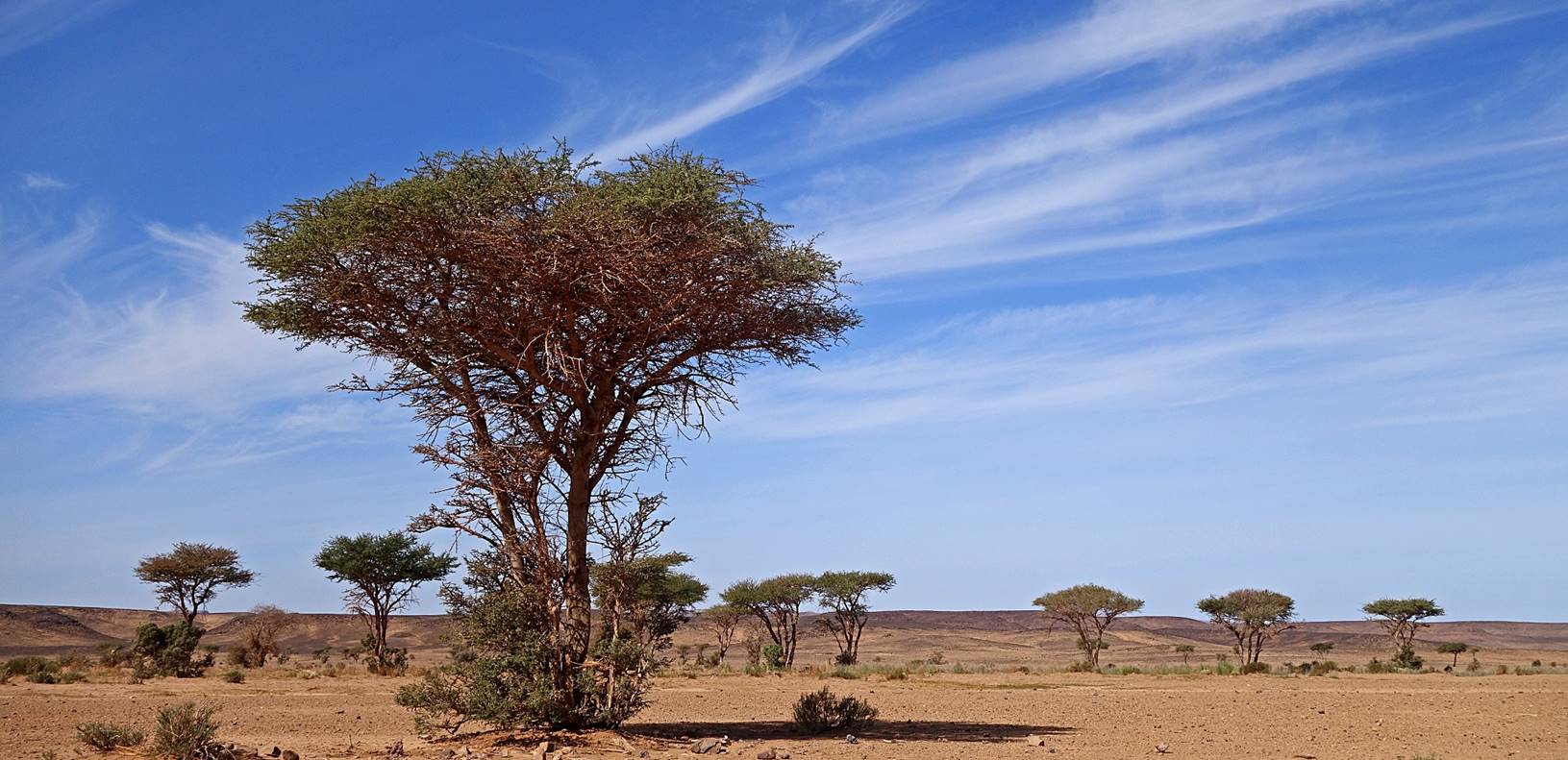
Isolated
acacia tree.
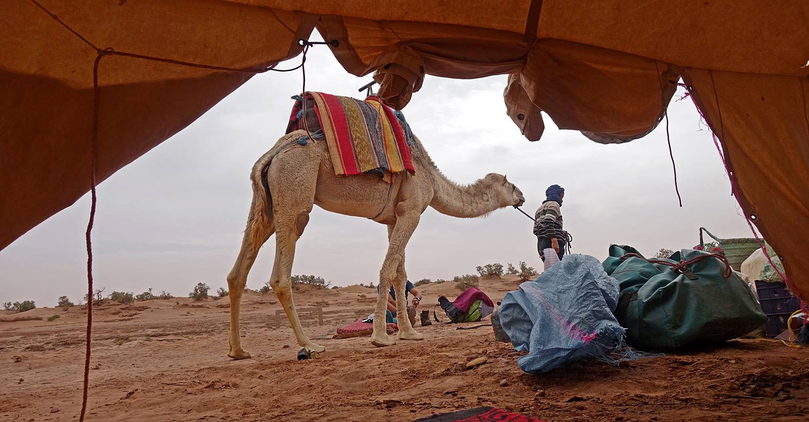
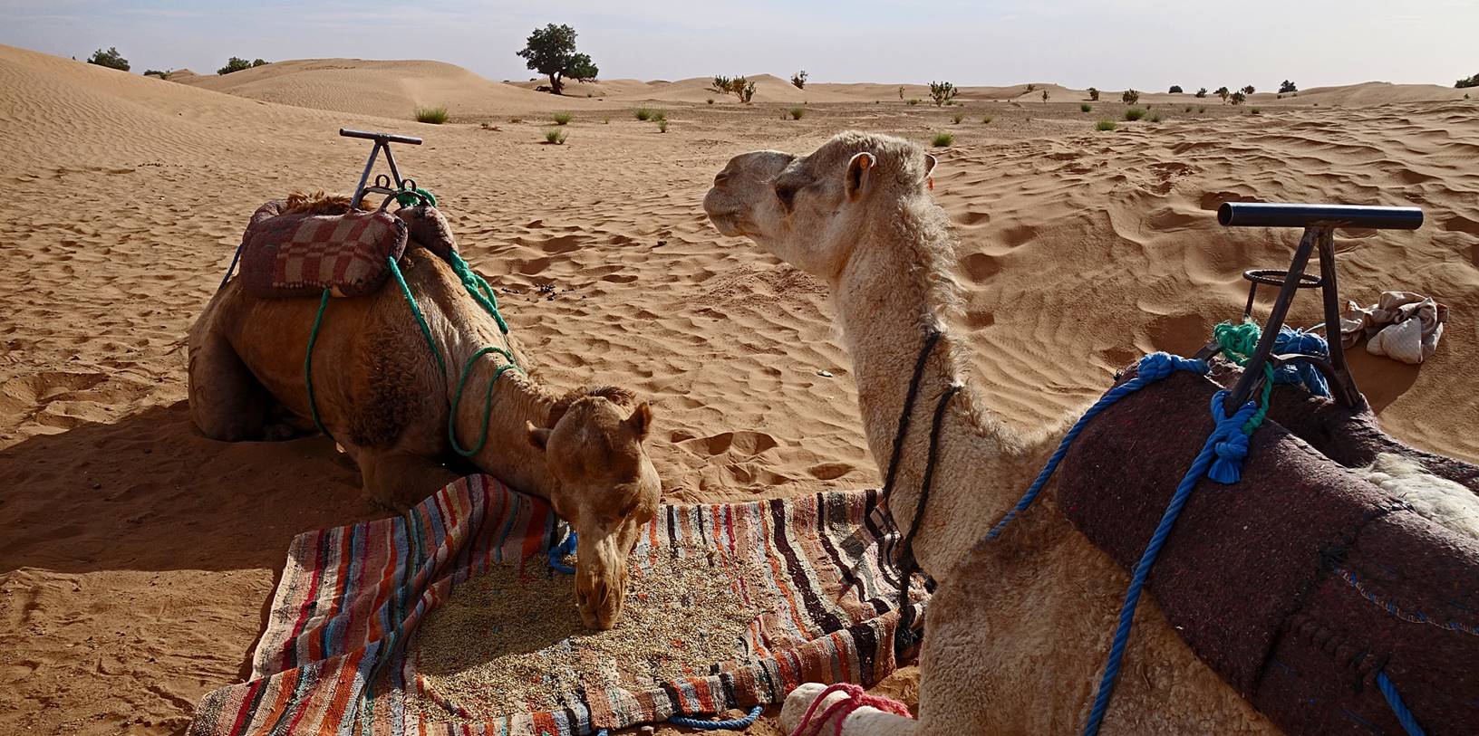
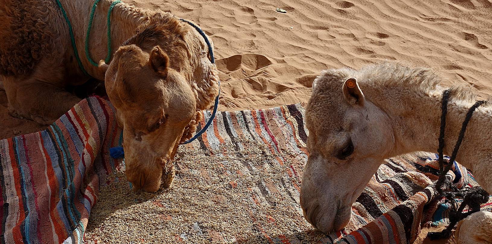
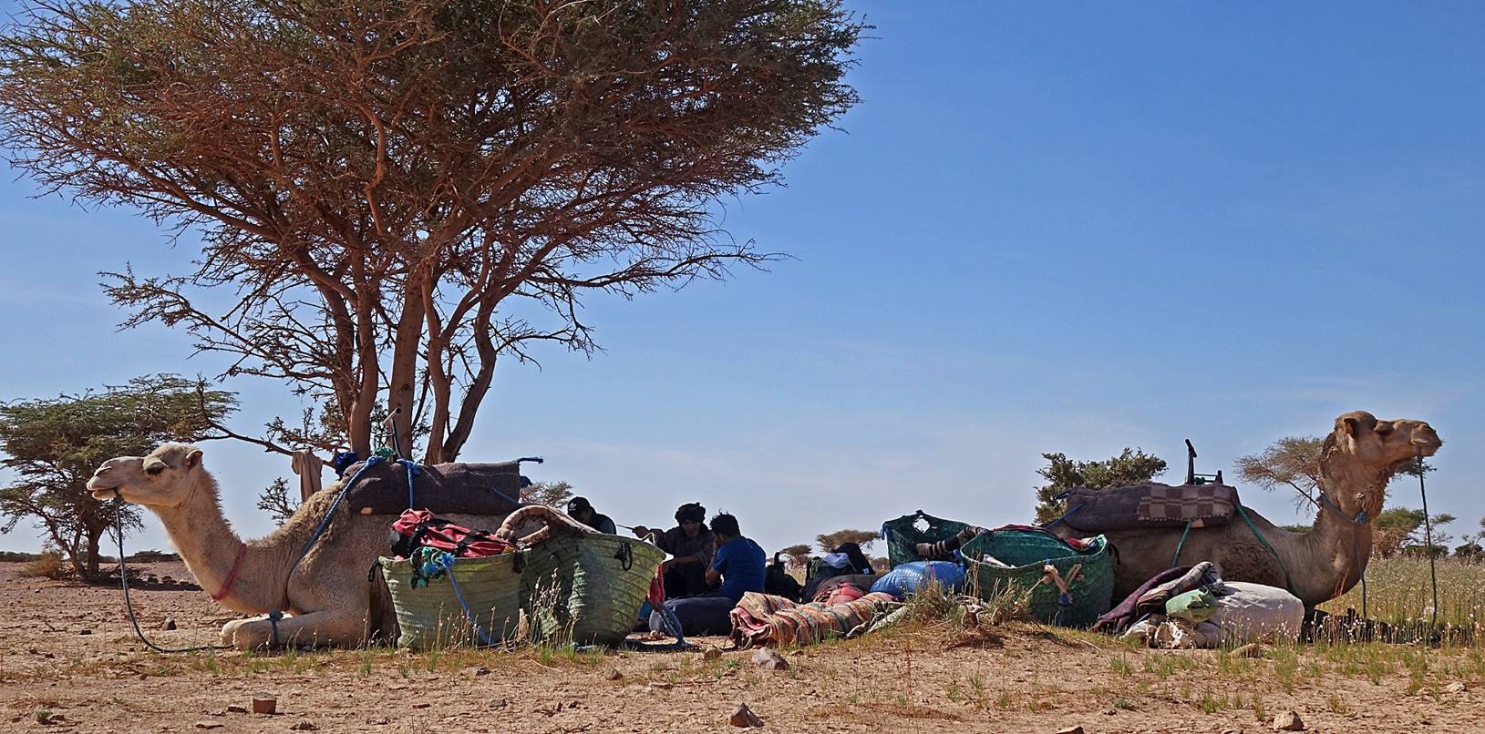
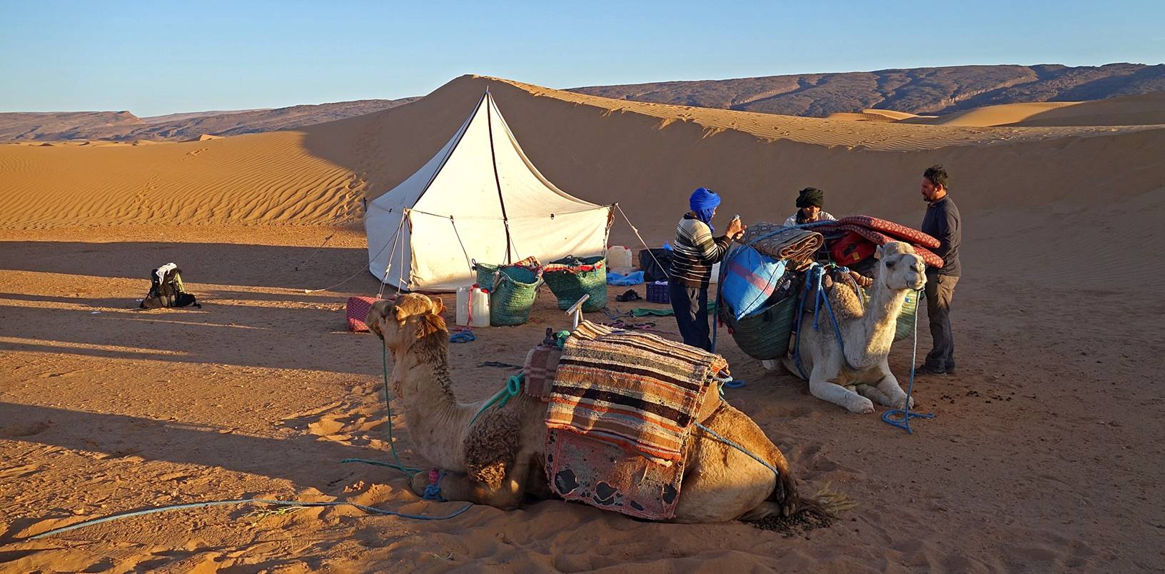
Feeding
the dromedaries at camp 5.
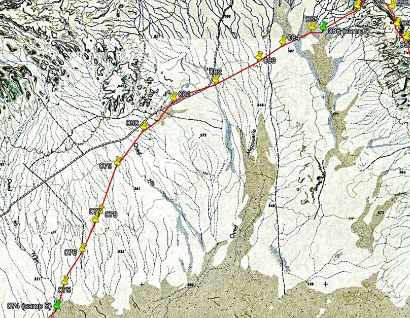
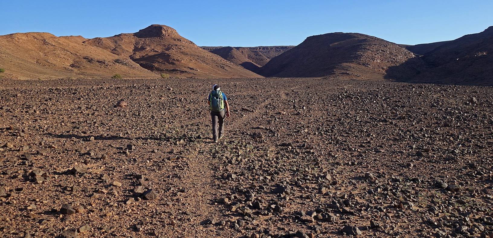
Day 6 of trek (from waypoint 074 to waypoint
086, 23km):
Path
followed on Day 6 (red line).
|
|
|
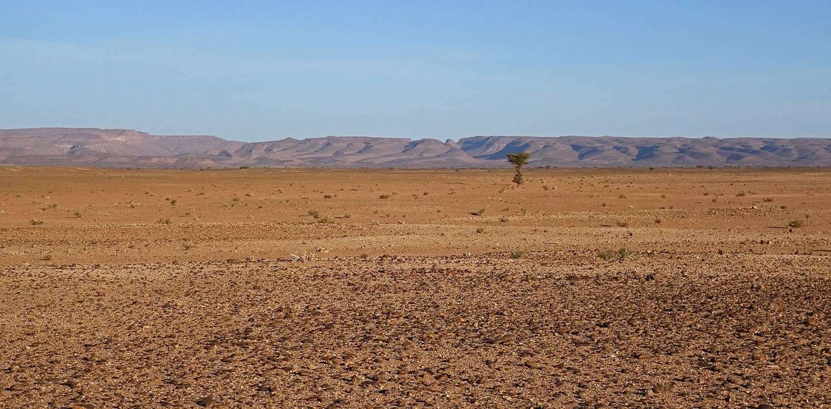
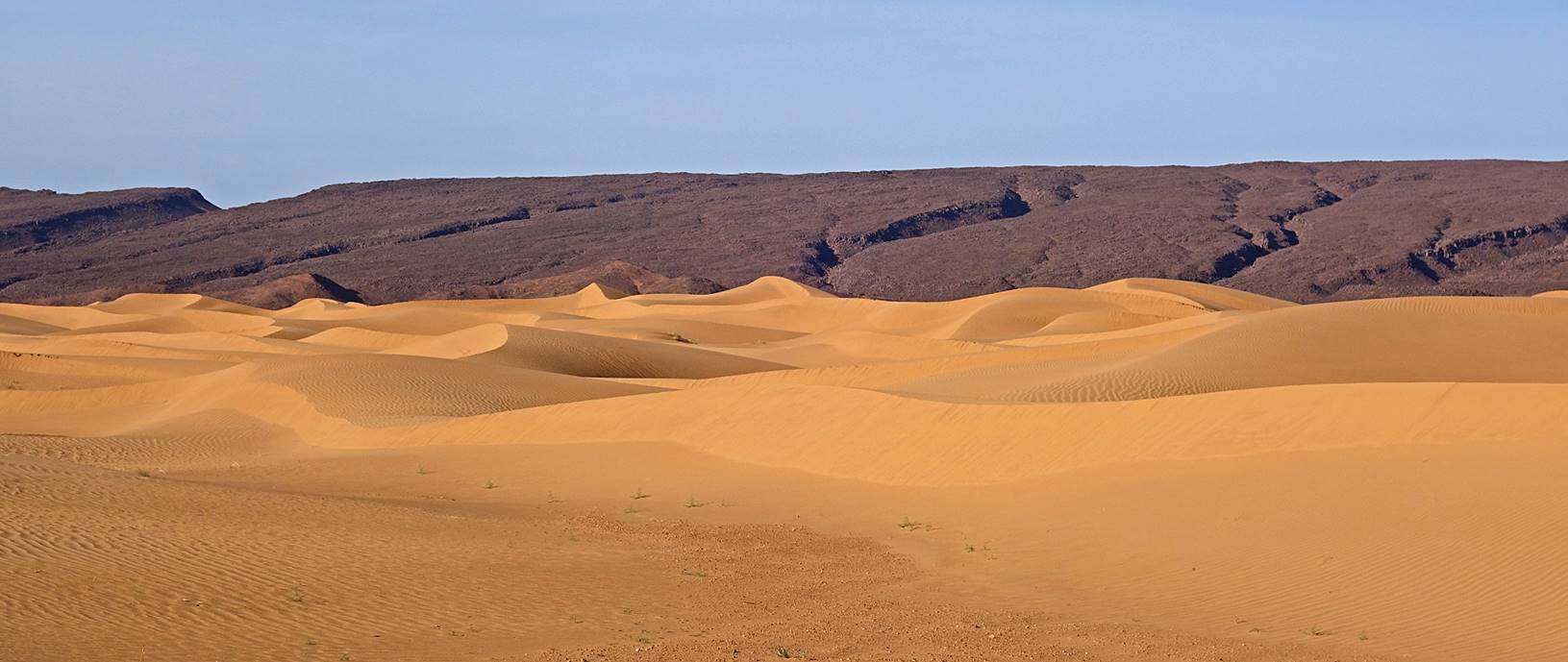
For the entire day we
headed northwest toward a mountain range called Jbel Bani (see the main Morocco 2020 page
for a note about the name ″Jbel Bani″). The terrain was uniformly flat, except at the
end of the day when we entered a relatively narrow, but extremely beautiful
band of sand dunes.

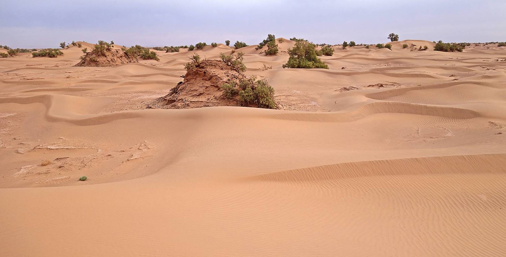
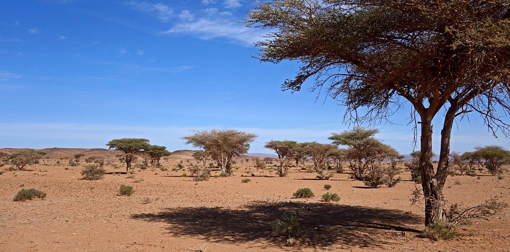
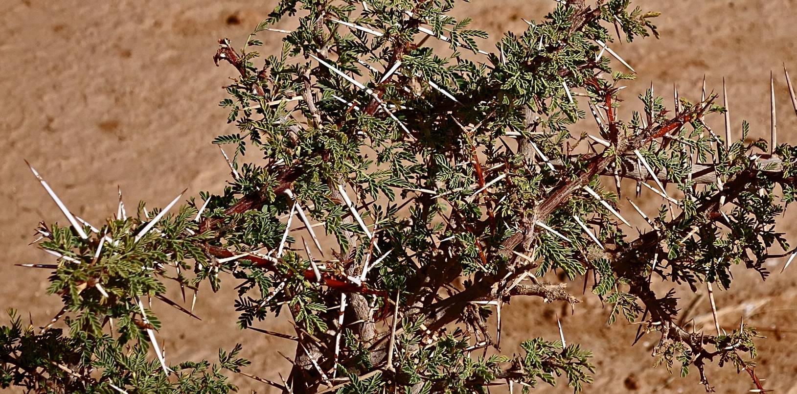
Groups
of acacias along the way.
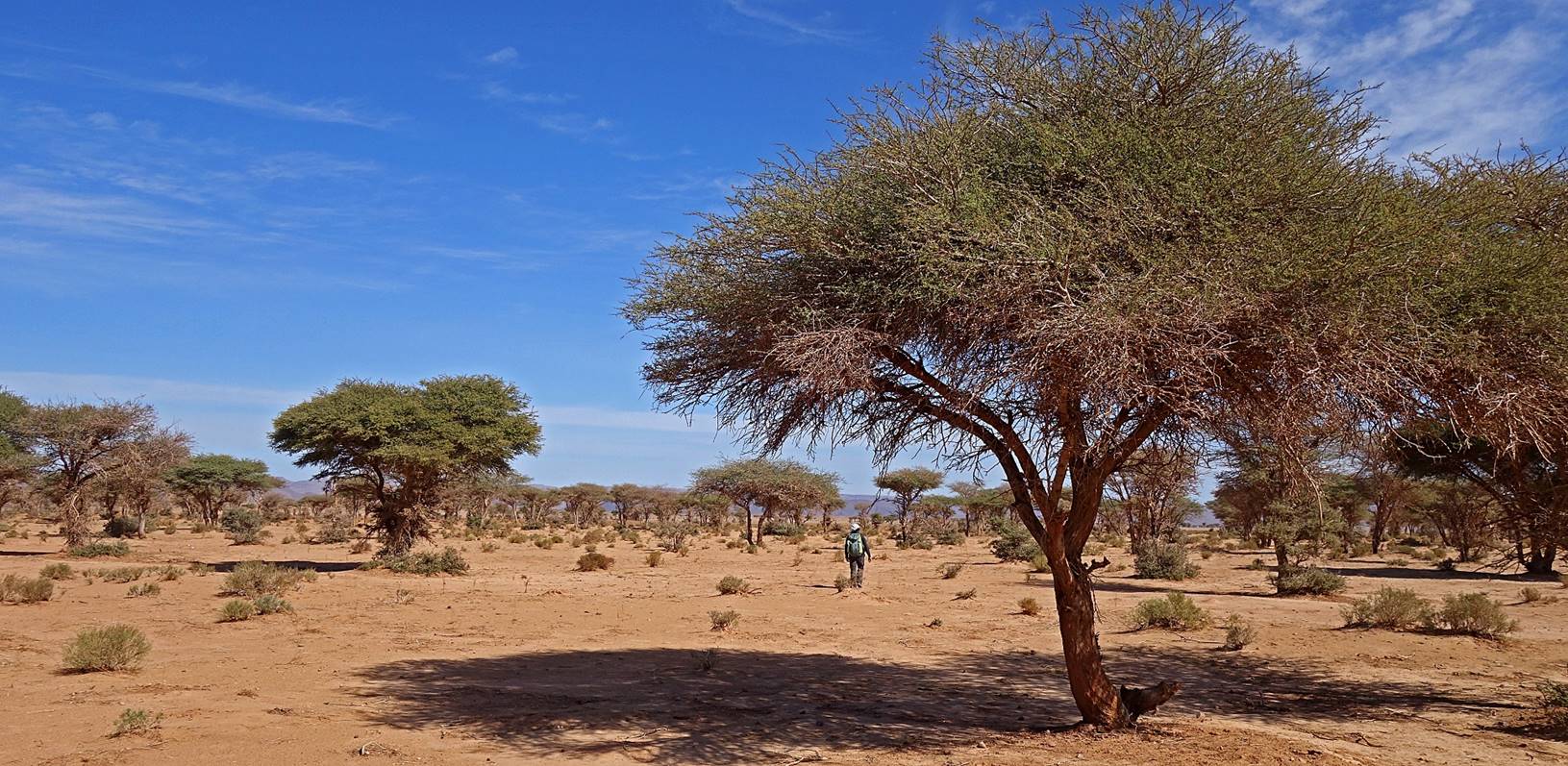
Lunch
stop in the shade of an acacia.
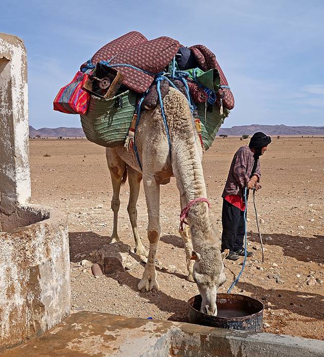
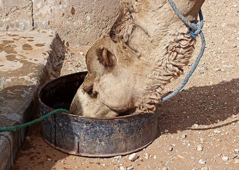
Last
well before the mountain.
|
|
|
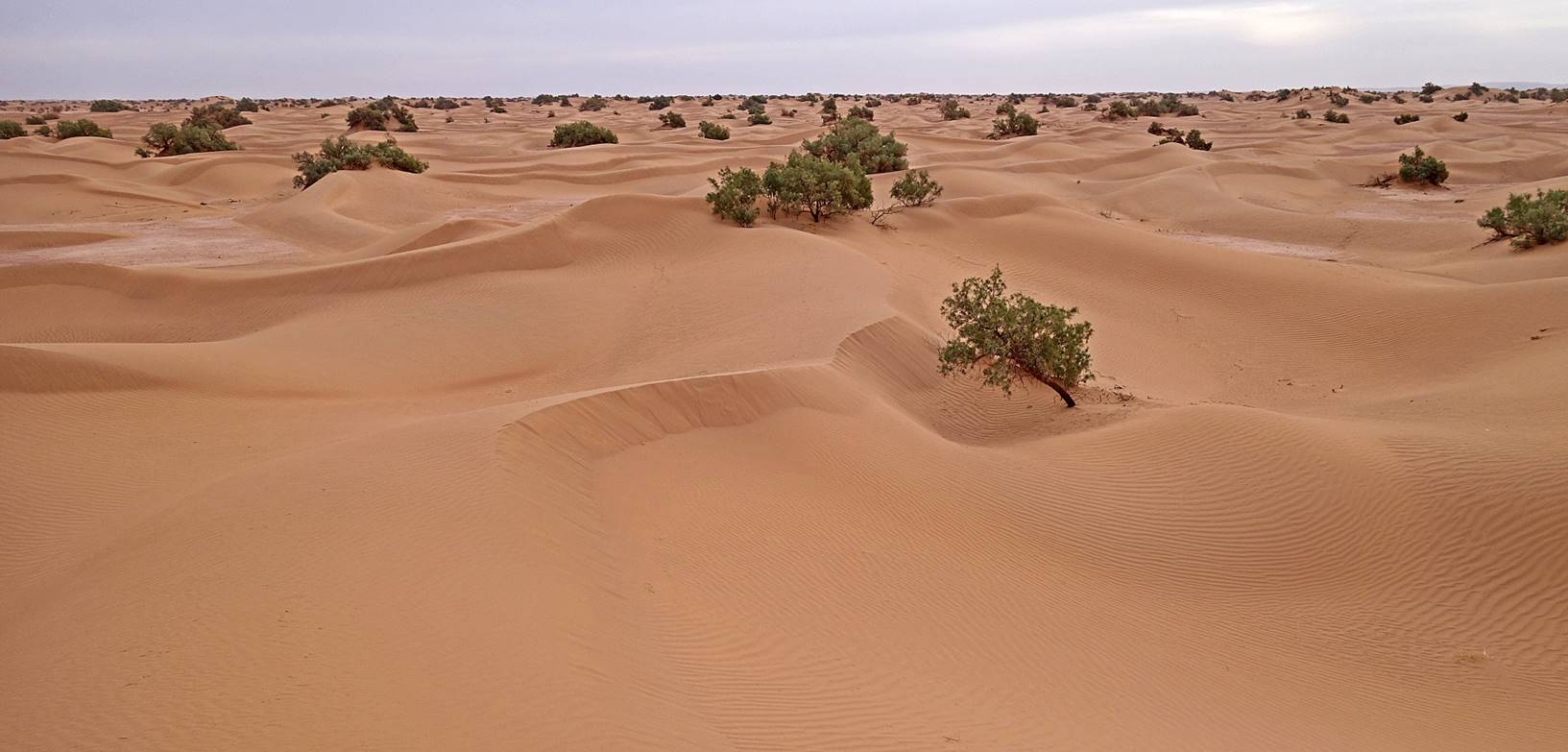
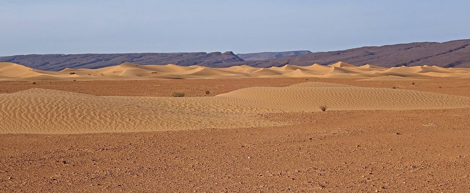
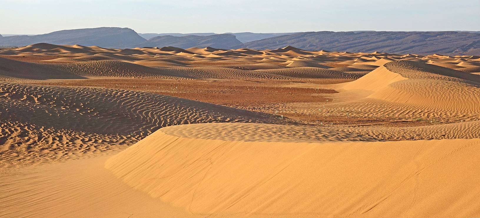
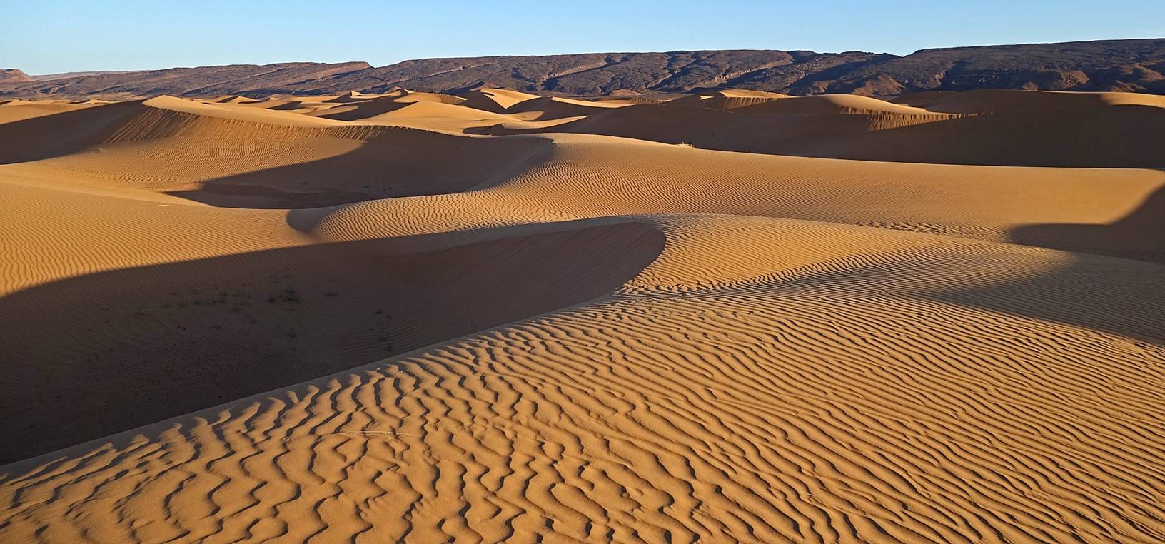
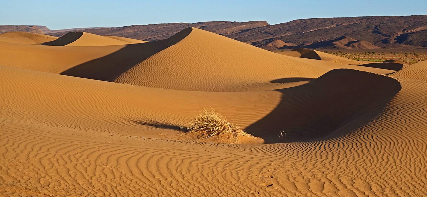
Reaching
the band of sand dunes below Jbel Bani.
The juxtaposition of
the dark golden color of the sand at this location with the almost black
mountain backdrop created some of the most stunning views in the entire trek.
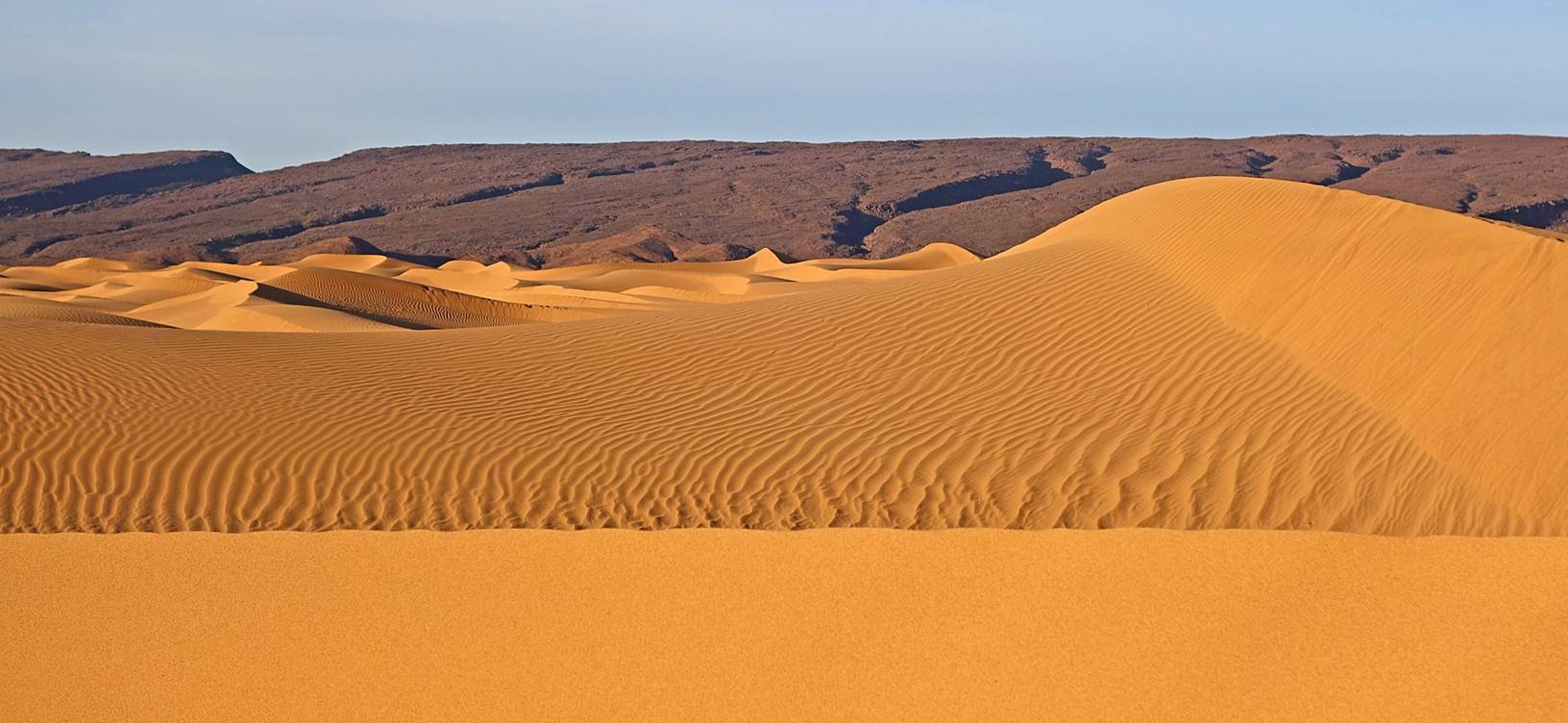
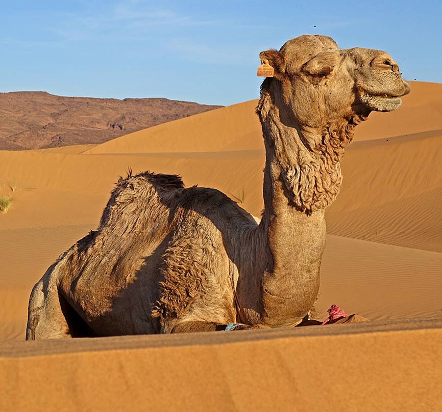
One
of our dromedaries enjoying the evening sunlight, at our camp 6.
|
|
|
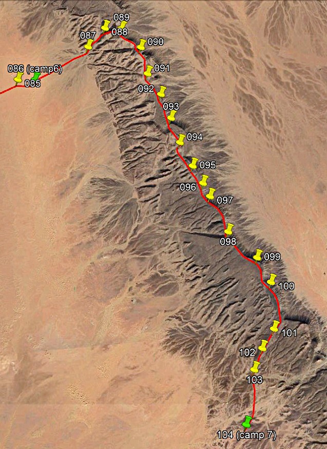
Day 7 of trek (from waypoint 086 to waypoint
104, 21km):
Path
followed on Day 7 (red line).
|
|
|
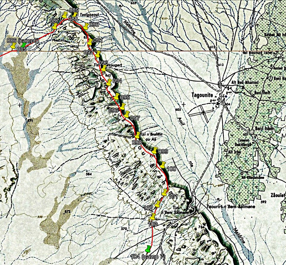
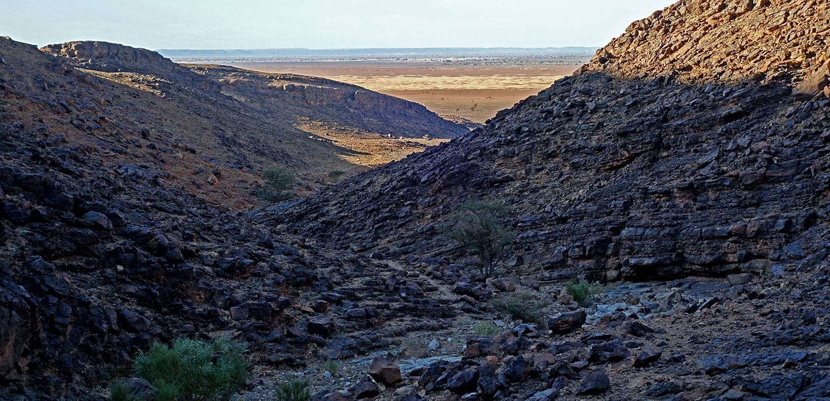
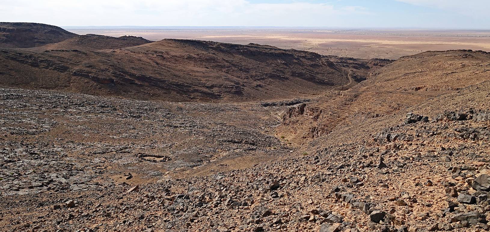
On this last day of
trek Oumar and I ascended Jbel
Bani along a trail leading to Tizi
Tazigzaout (mountain pass) and then followed the
crest of the elongated mountain range toward the southeast. Meanwhile, Bada et al. took a more direct path to our last camp at
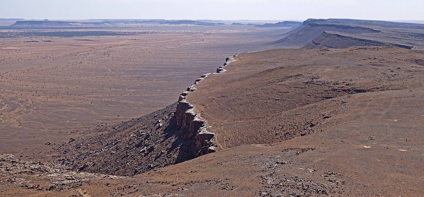
waypoint 104. The crest of Jbel Bani
culminates at 879m, about 300m above our camp 6, offering gorgeous views over
the plains on the two sides of the range. It is bordered on its northeastern
side by a steep rocky escarpment and on its southwestern side by much gentler
slopes.
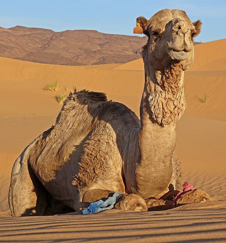
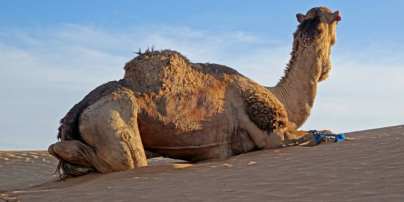
One of our
dromedaries on a dune at dawn at camp 6.
Loading
the dromedaries at camp 6 for the last day of trek.
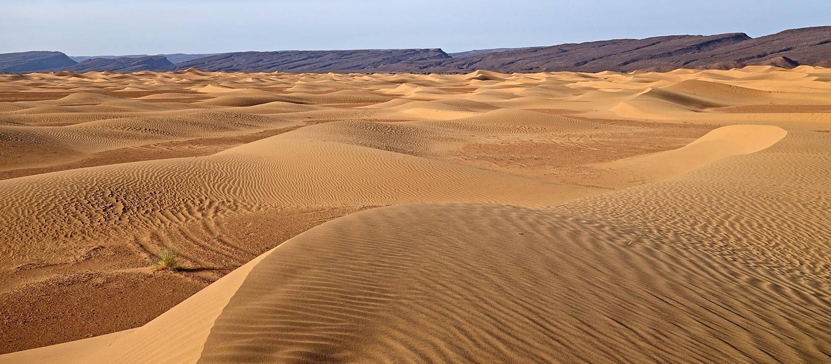
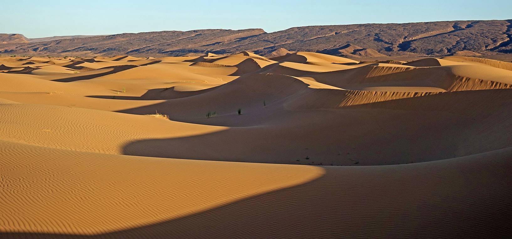
Beautiful
morning light on the dunes between our camp and the mountain.
Reaching
the base of Jbel Bani along
a trail leading to Tizi Tazigzaout.
Looking
back toward the south during the ascent.
Looking
up toward Tizi Tazigzaout.
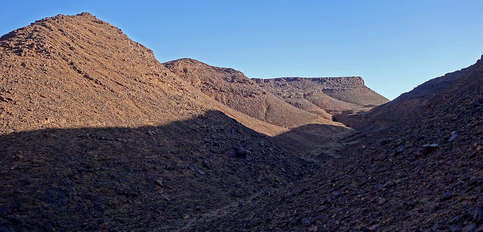
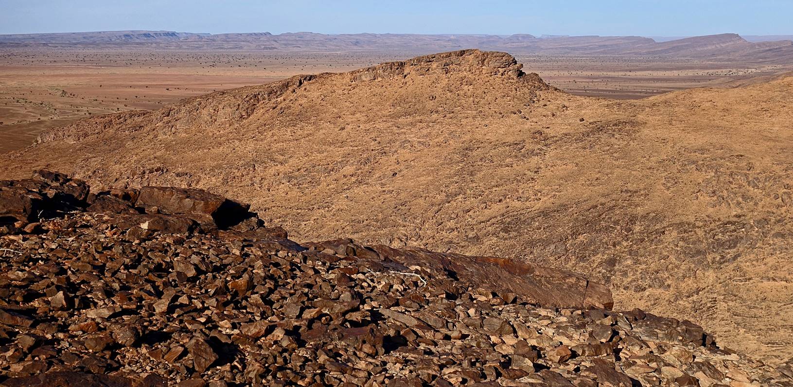
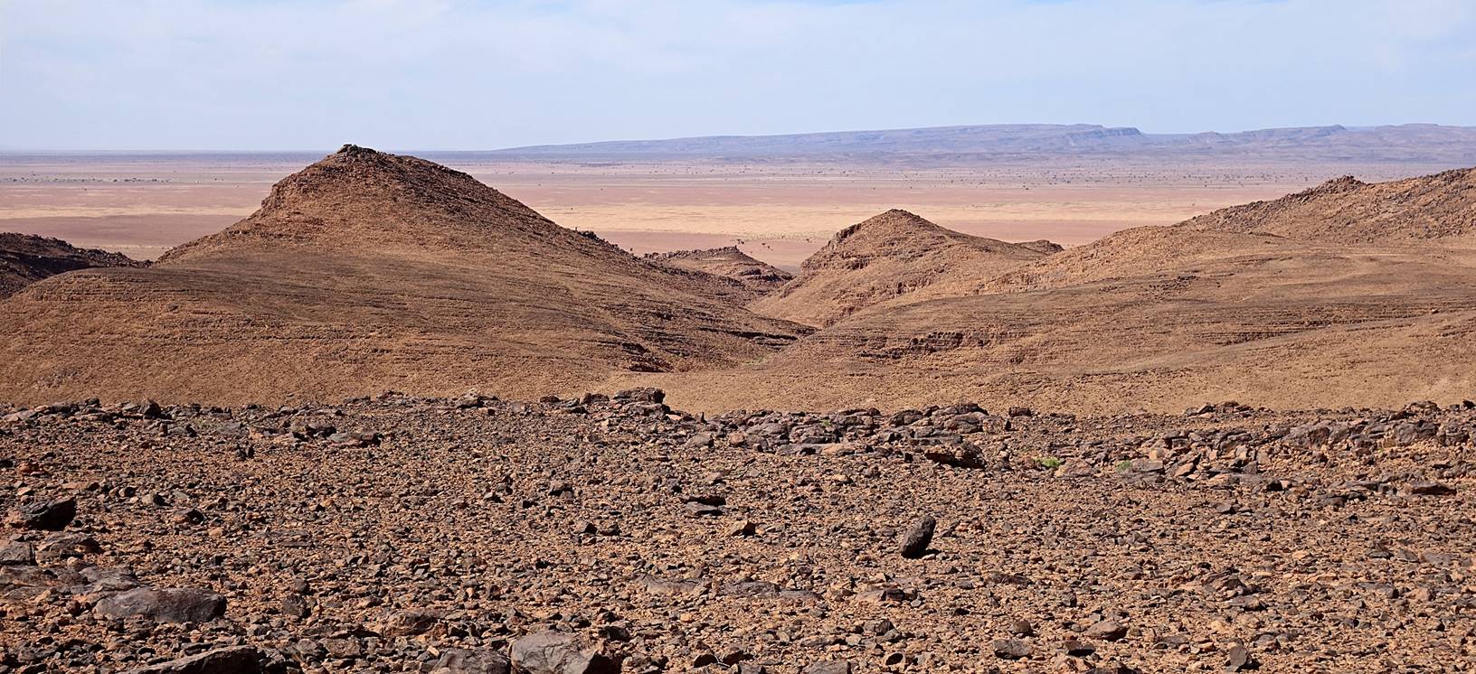
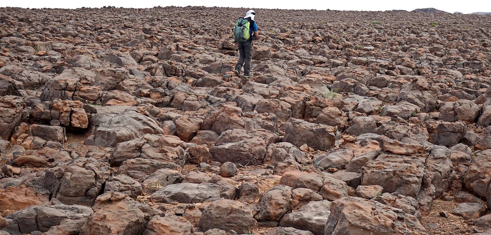
Reaching
the crest of the mountain. Jbel Bani
is definitively a huge stack of sunburned rocks.
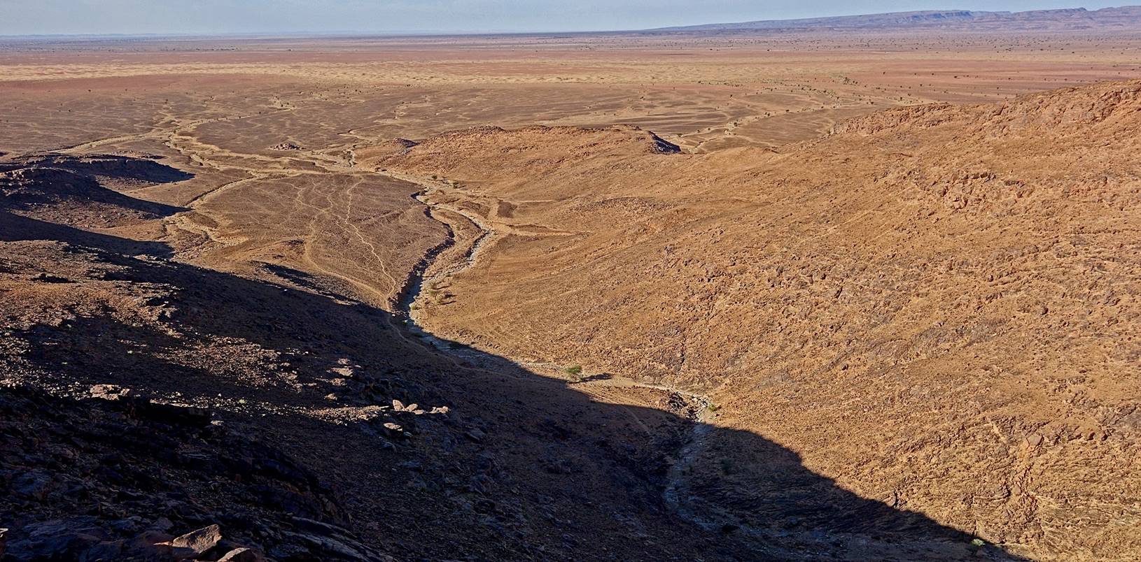
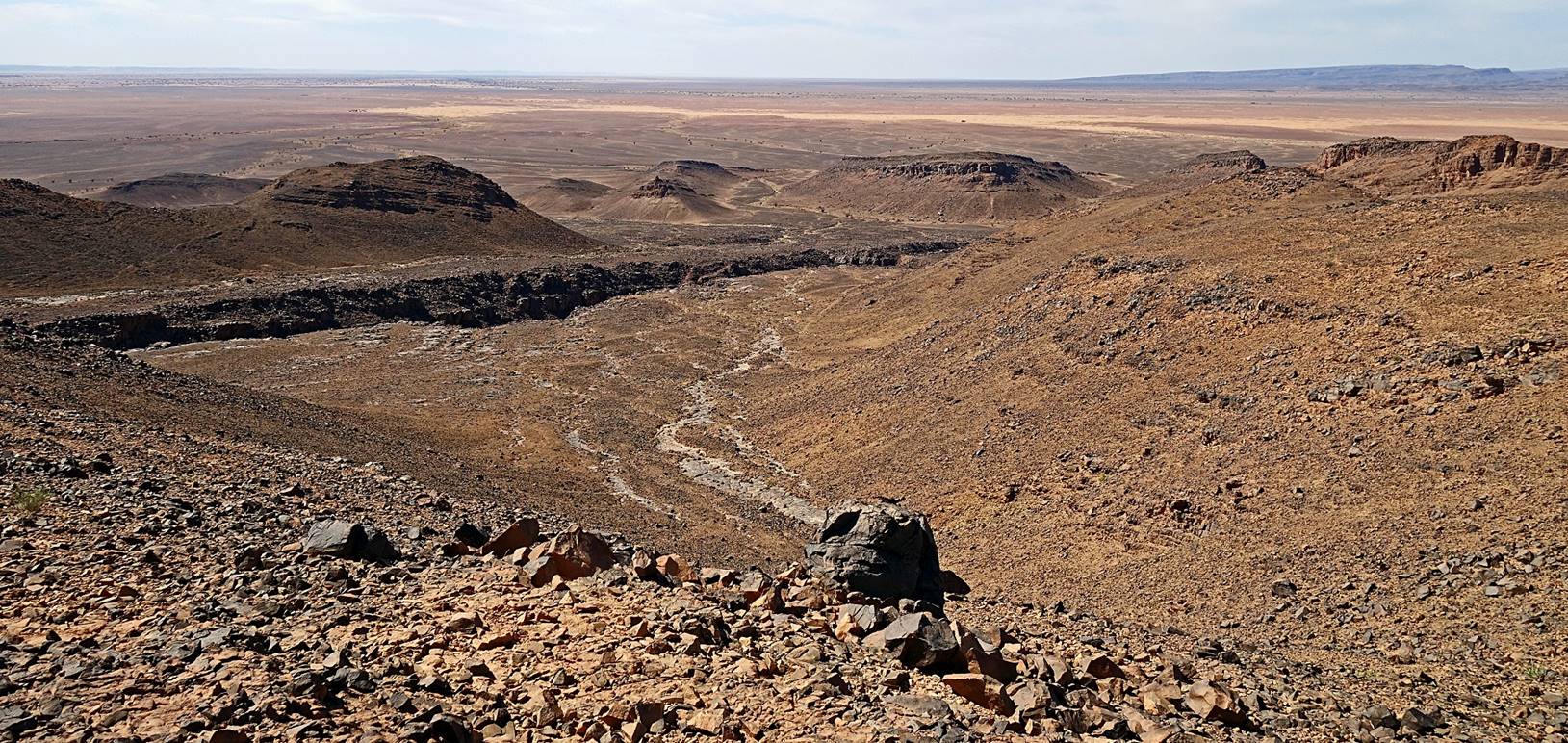
View
toward the southwest from the crest. The long yellow band of dunes where we had
set our camp 6 is clearly visible in the upper part of the photo.
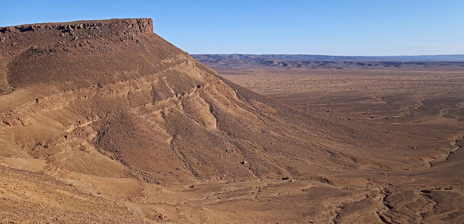
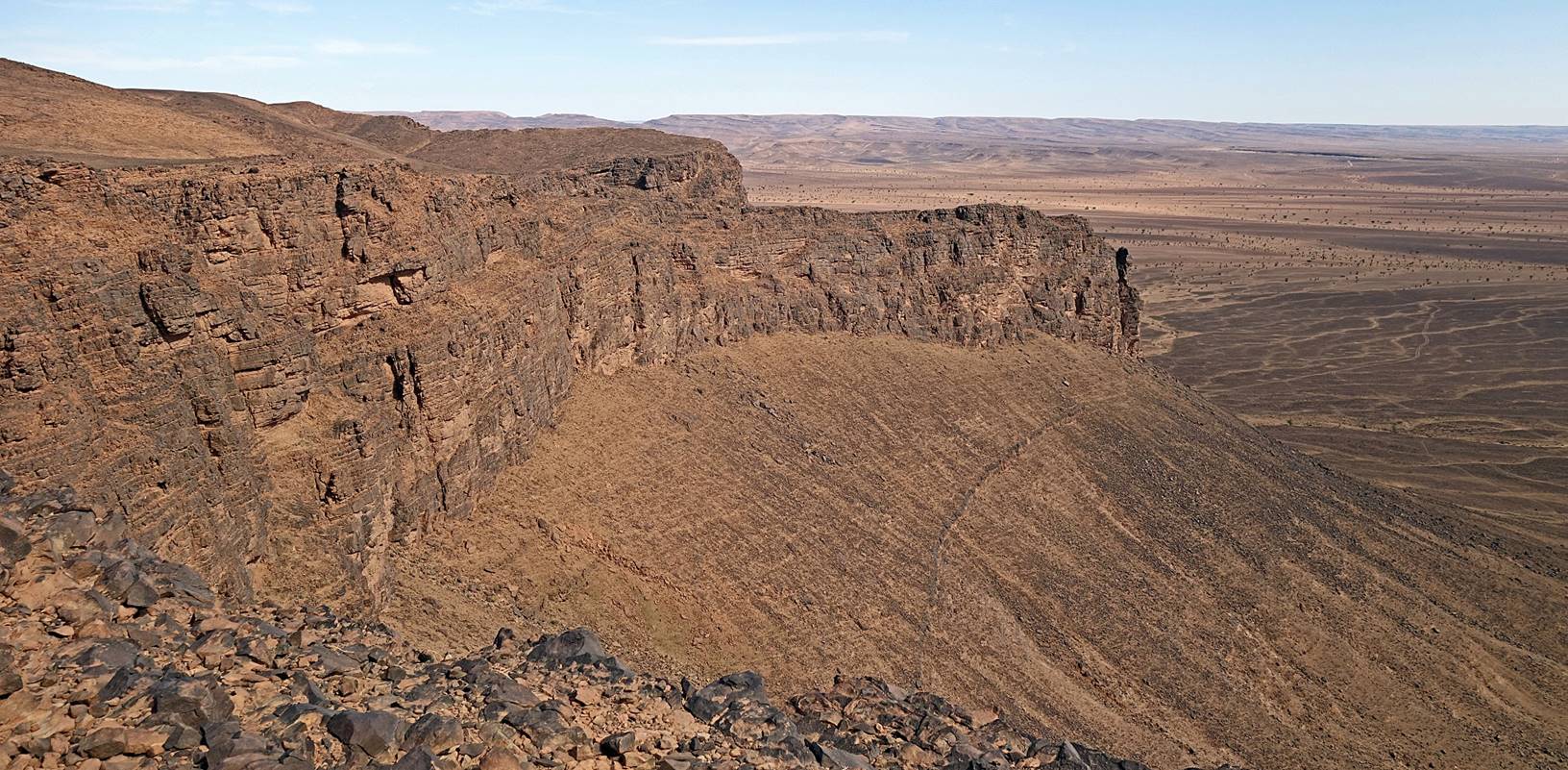
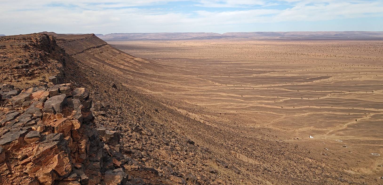
View
toward the north, with the escarpment of Jbel Bani on the left and the plain on the northeastern side of the
mountain on the right.
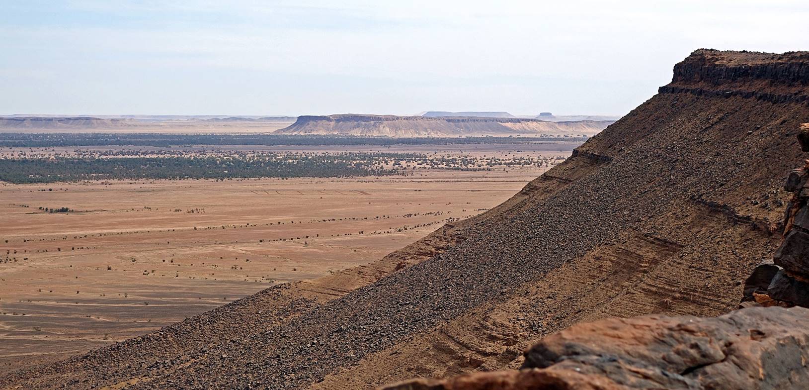
View
toward the east, with Tagounite in the background on
the center-left of the photo.
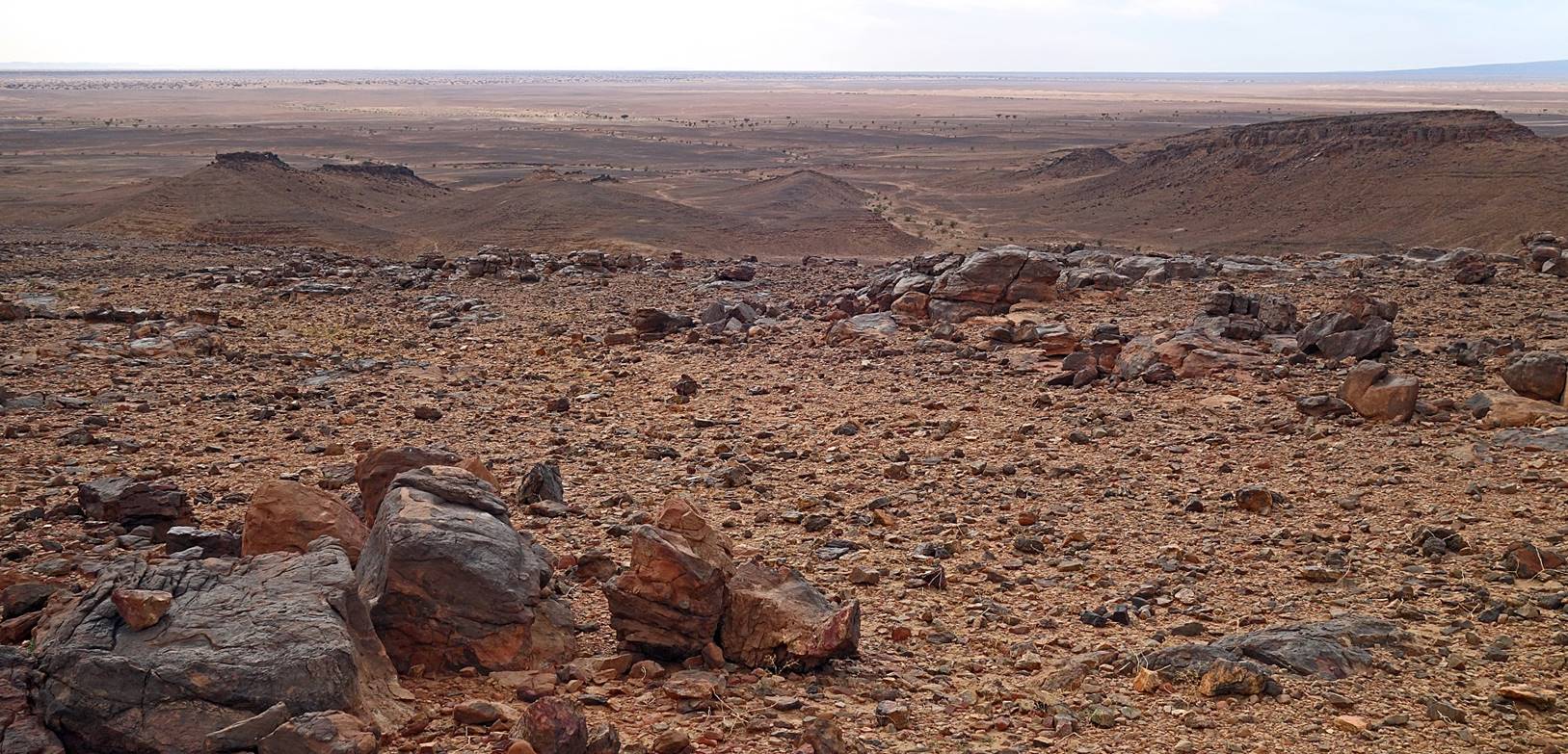
The
plain on the northeastern side of Jbel Bani.
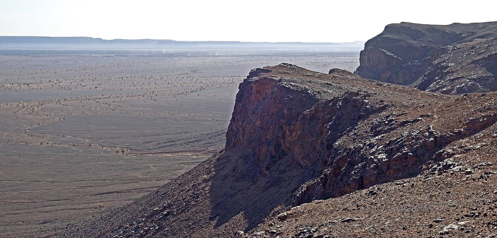
The
steep escarpment on the northeastern side of Jbel Bani seen from above.
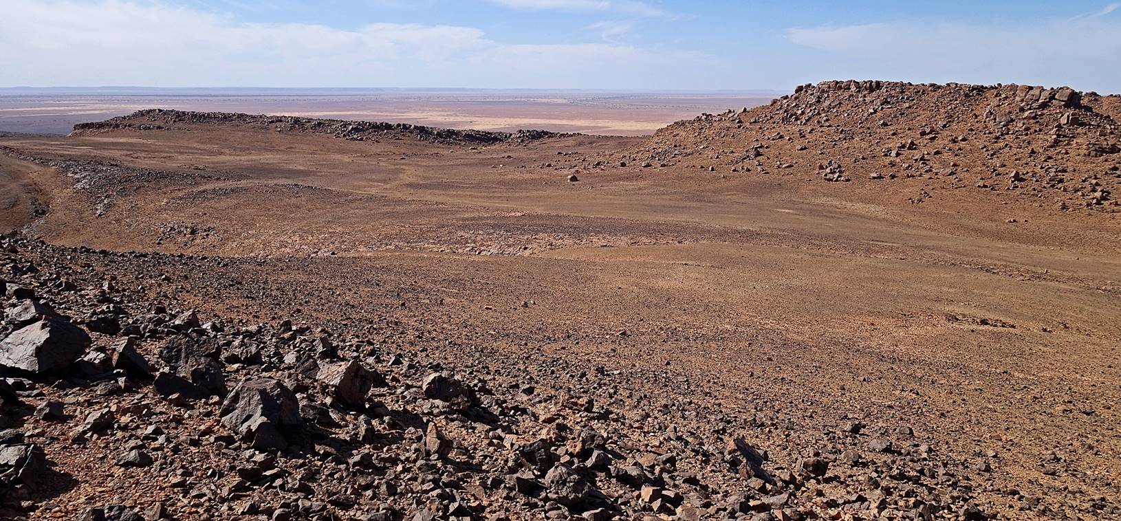
Flat areas on top of Jbel Bani. Remains of abandoned
shepherd settlements are visible on the second photo below.
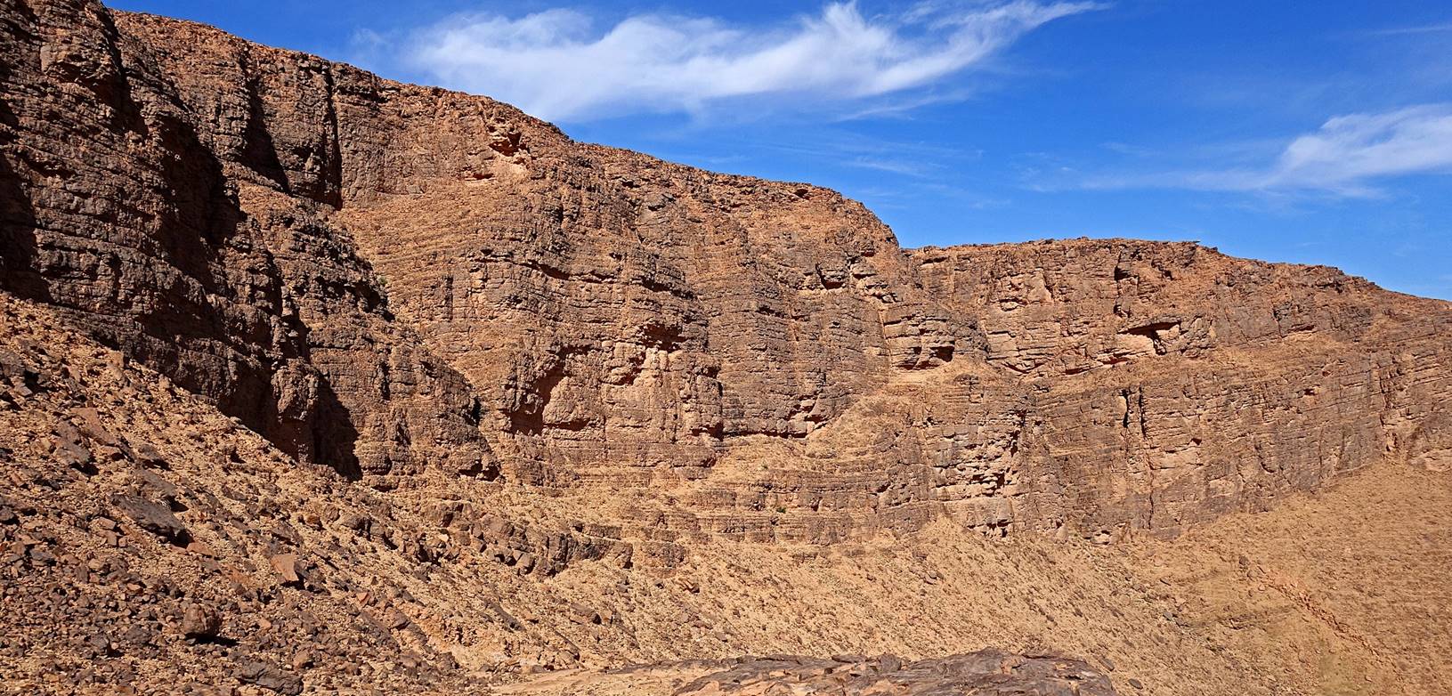
Other
views of the northeastern escarpment of Jbel Bani.
View
toward the southwest.
View
toward the north.
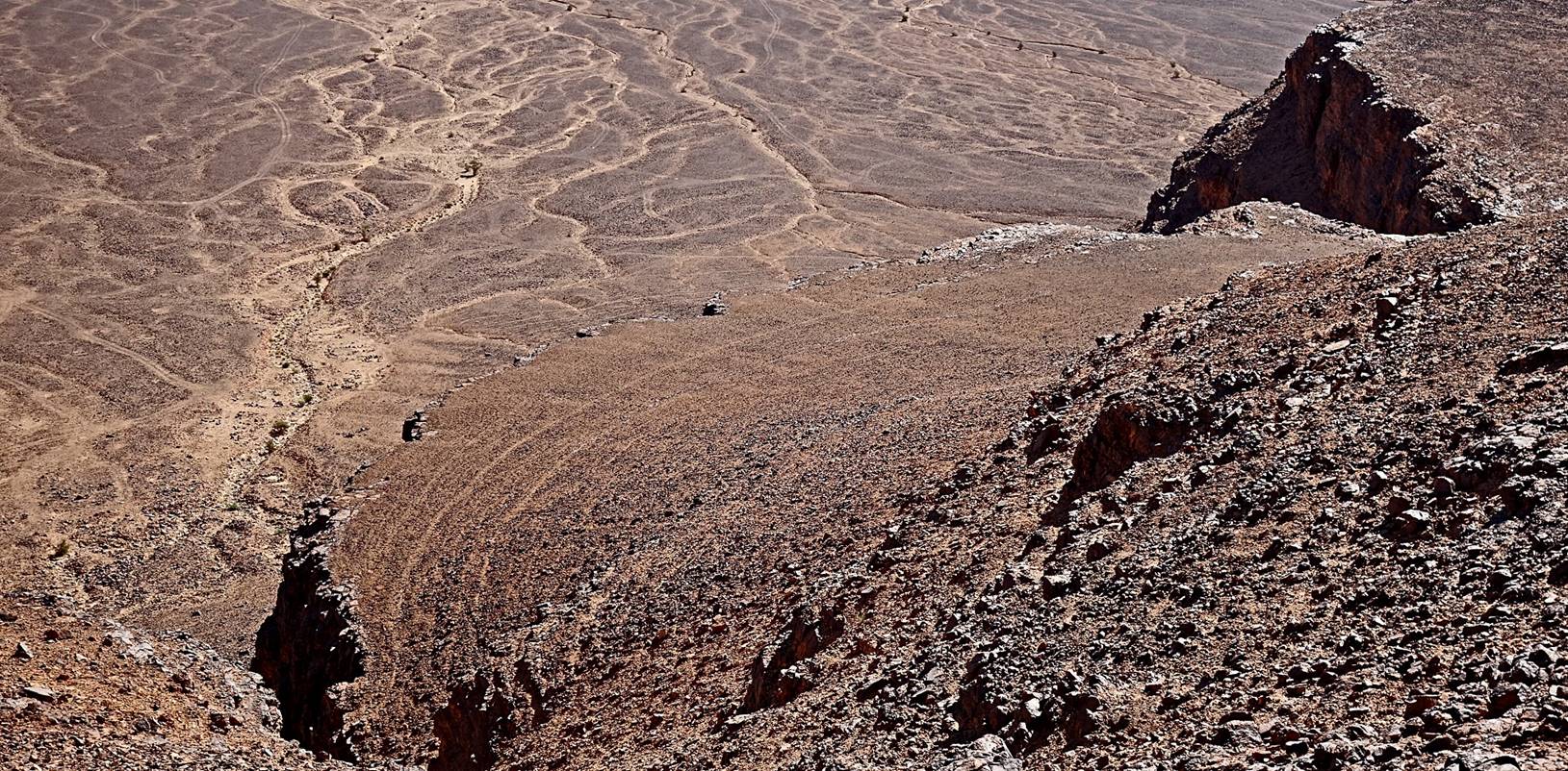
View
toward the southeast from a location near waypoints 100. Jbel
Magag (see Day 1
of trek) stands in the background in the middle of the photo.
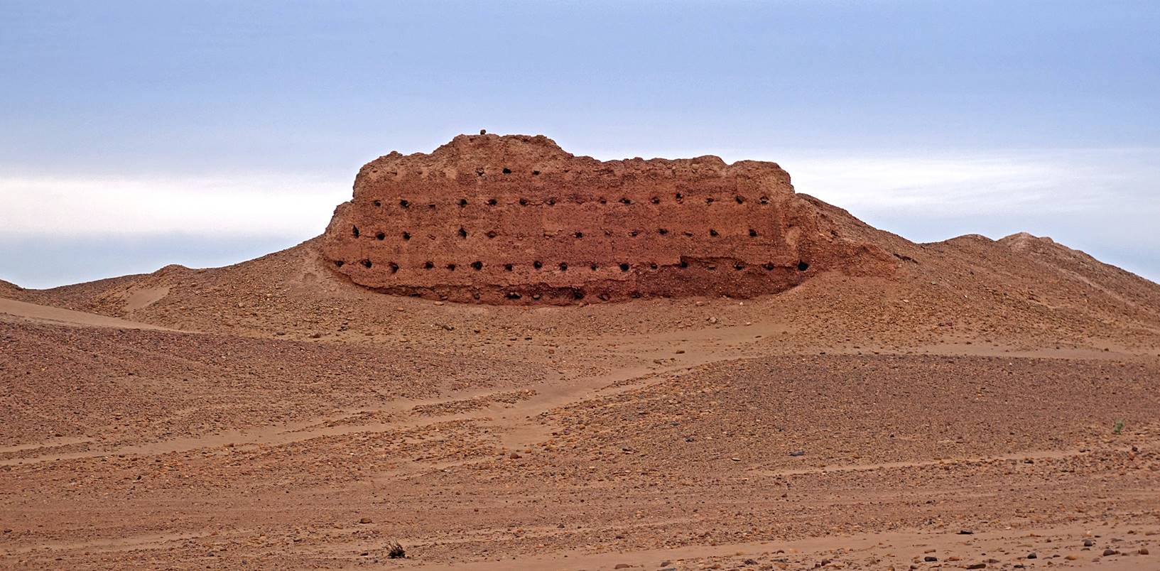
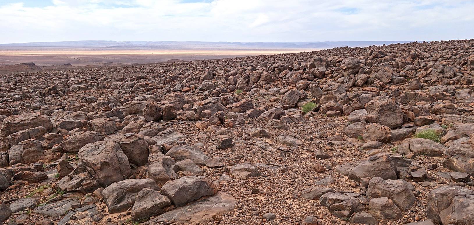
Past
waypoint 100 we entered an unearthly area covered by large pink rocks.
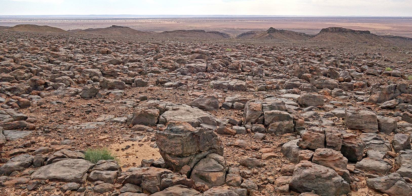
Last view over the
southern plain, just before our descent. Bada et al.
had already set our camp 7 close to the N9 road between Tagounite
and M′Hamid.
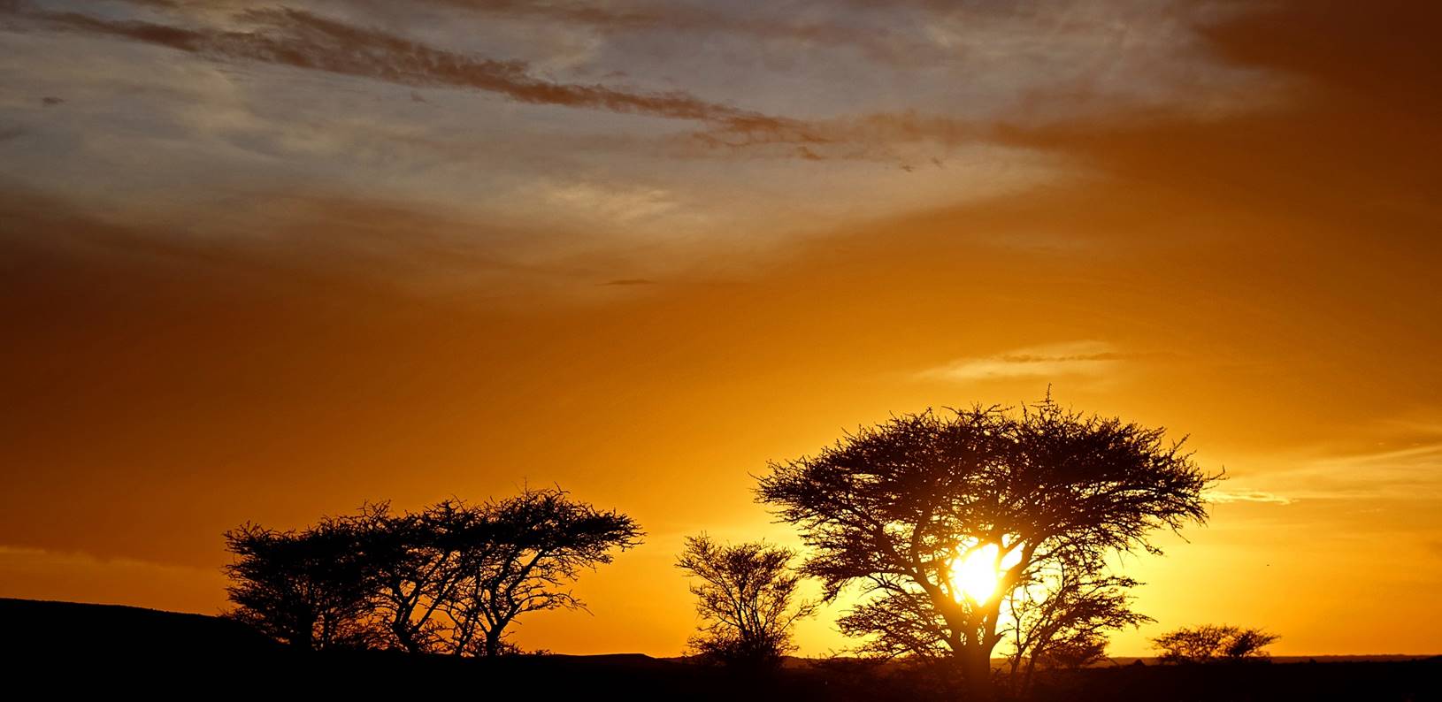
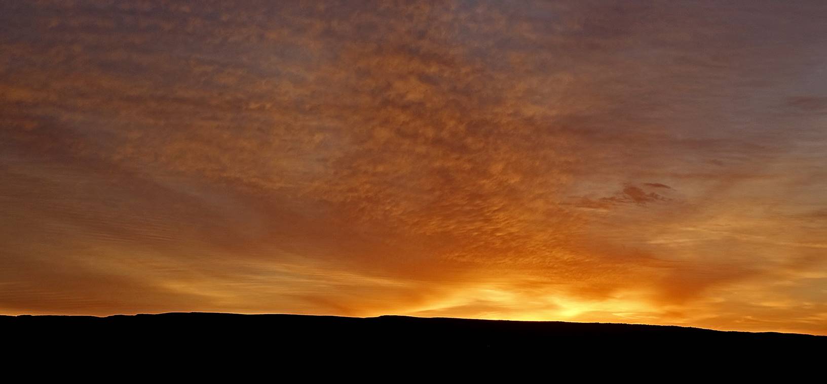
In
the evening, for the first time during this trek, there were dark clouds in the
sky...
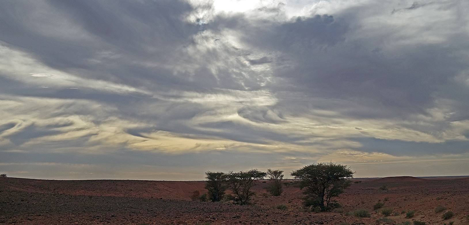
..but thanks to them we had our most beautiful sunset of the
trip...
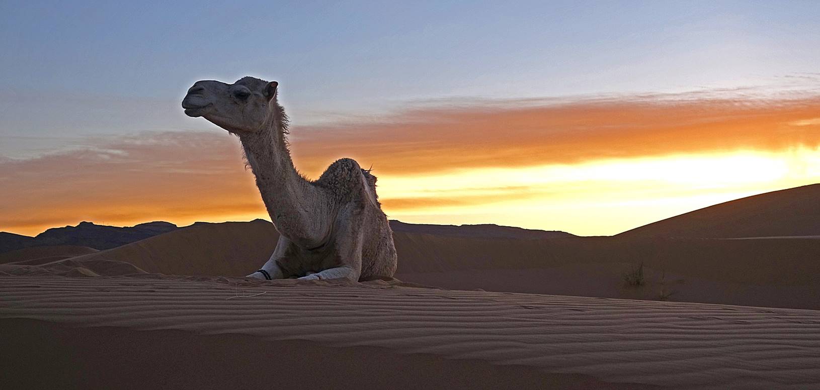
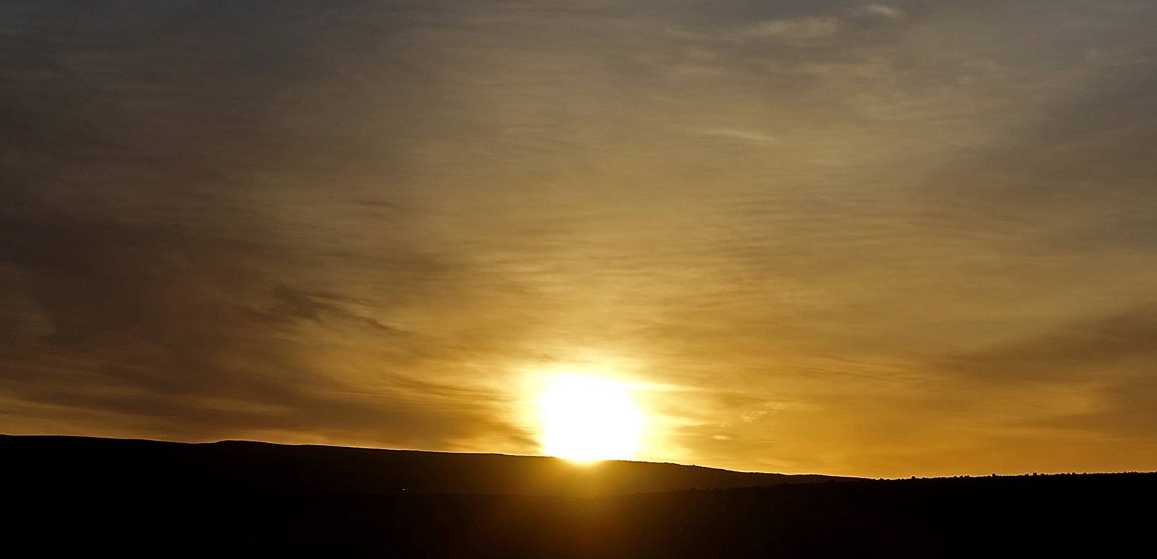
...and
on the next morning our most beautiful sunrise.
![]()
Return to main Morocco 2020 webpage