A Tour of Northern Humla, Nepal (September-October 2014)
Stage 3: Karching Kharka to Takchhe and Tibetan Plateau through Nying La (5448m)
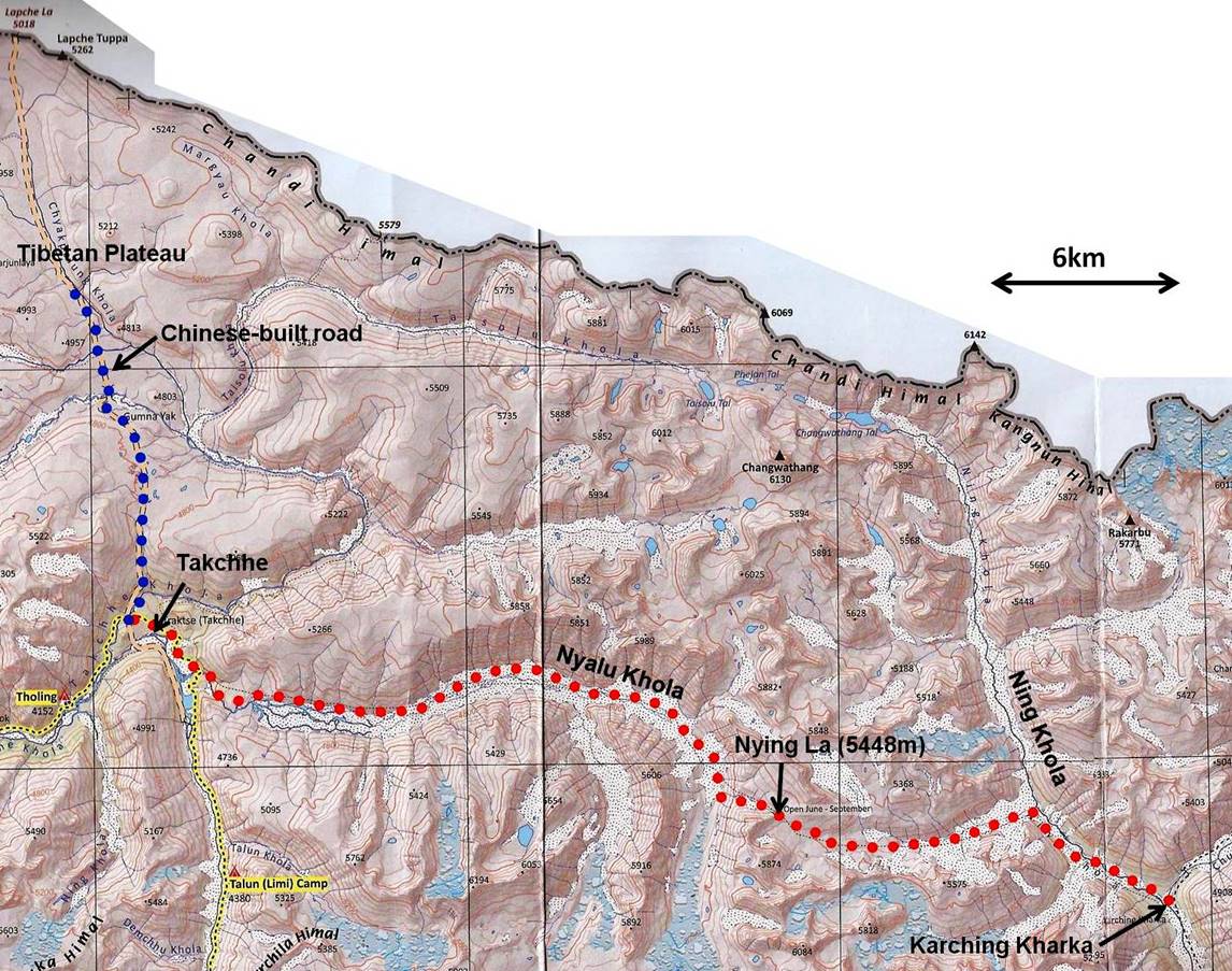
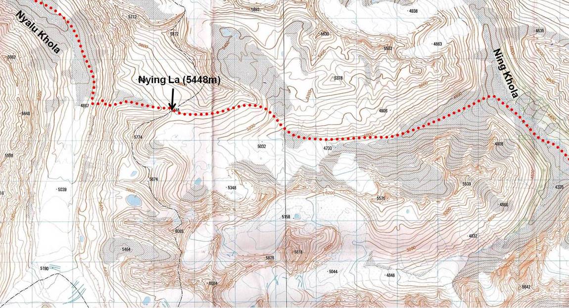
Topographic map of Nying La area (each square is 1x1km). The approximate path is shown in red dotted line.
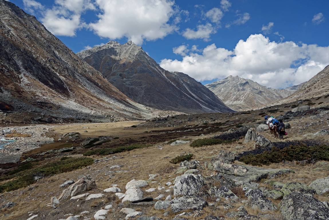
At Karching Kharka we switched from the Chuwa Khola valley to the Ning Khola valley.
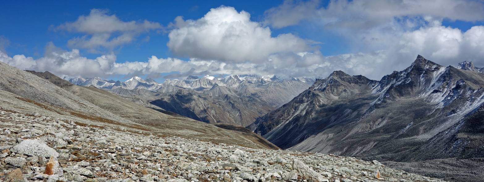
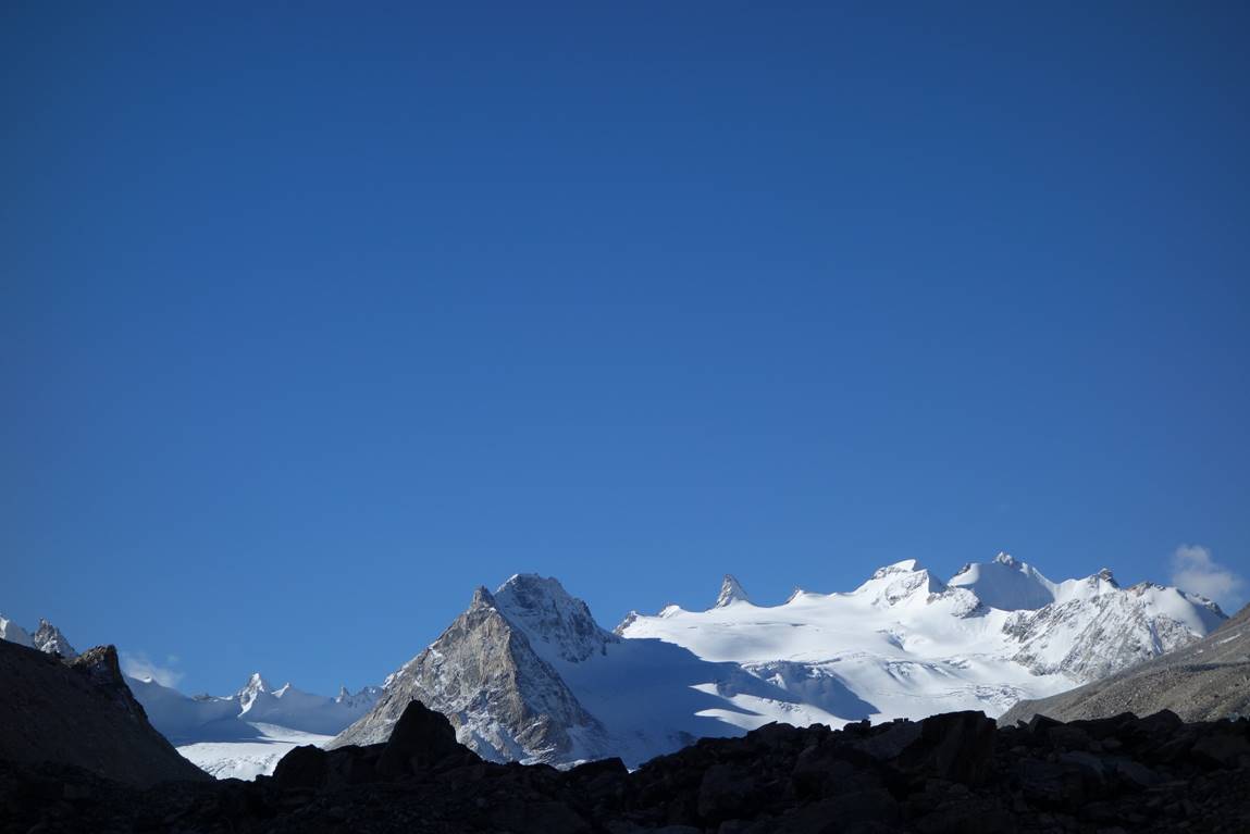
Views along the Ning Khola valley. The third picture is our last view of that valley just before turning left (East) into a side valley to start our ascent toward Nying La.
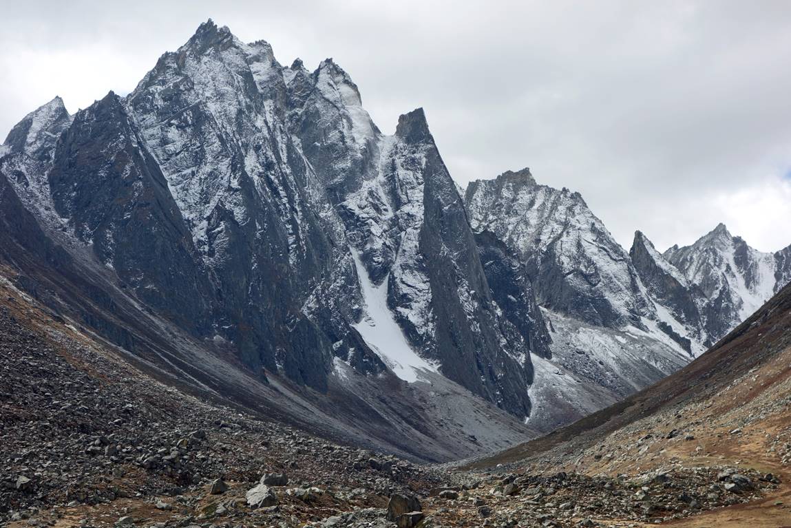
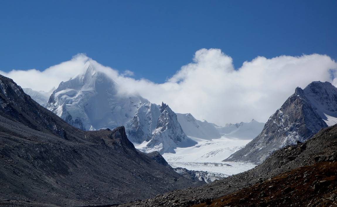
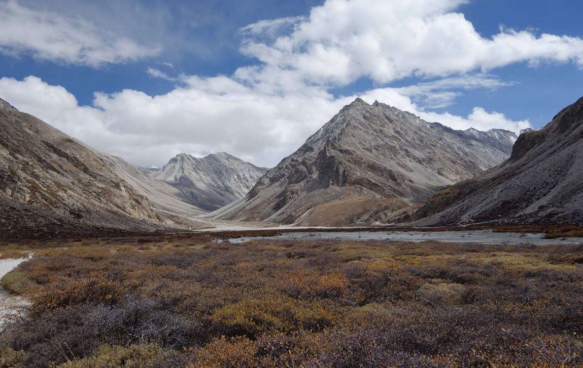
The side valley leading to Nying La.
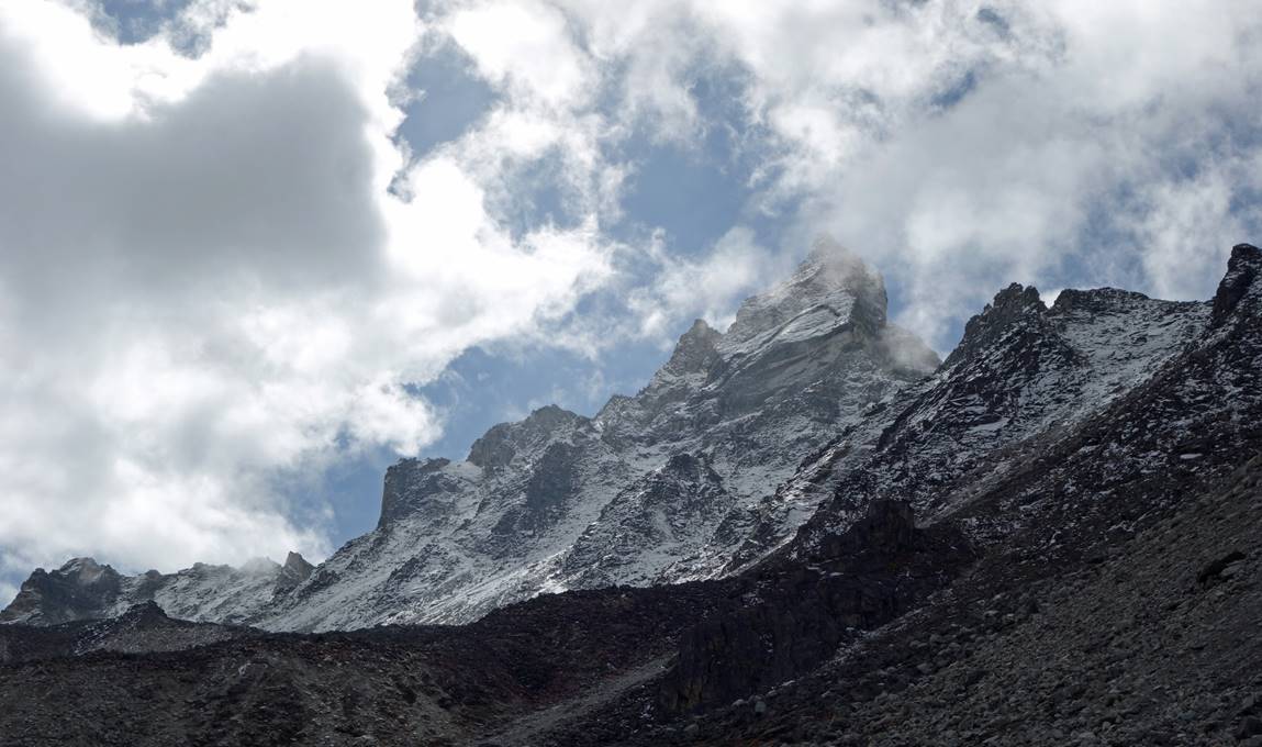
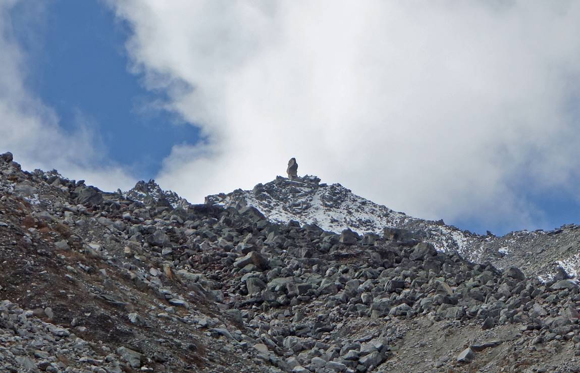
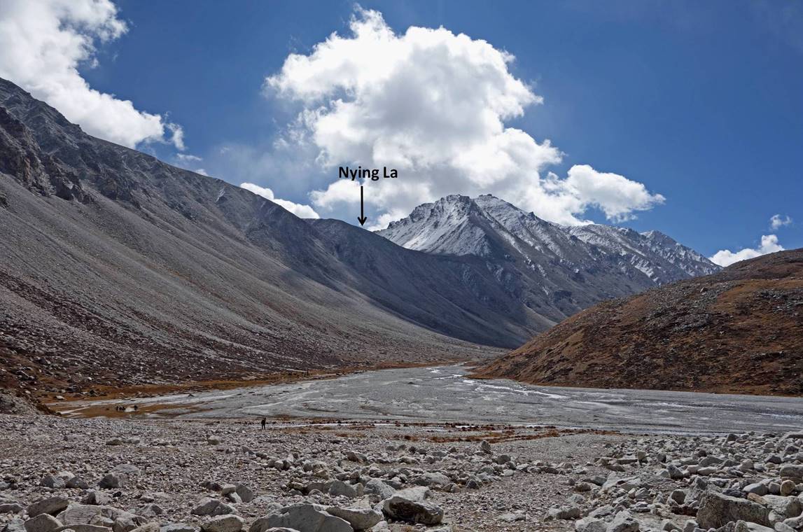
Soon an intriguing rock pointing upward became visible on the left-side ridge of the valley. In fact, for the locals this is a sacred rock considered to have the shape of a heart. The word for ″heart″ in Tibetan language is ″nying″, hence the name, Nying La, of the pass.
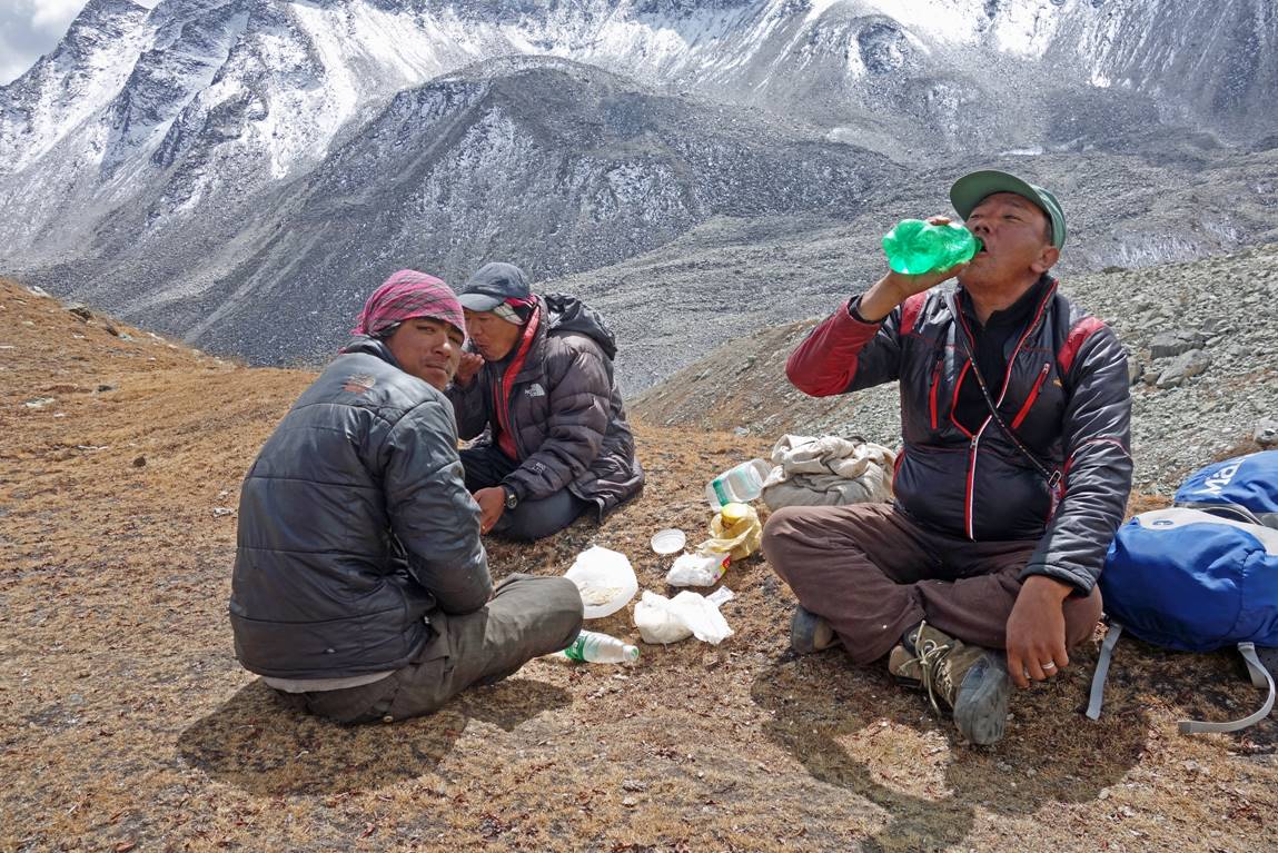
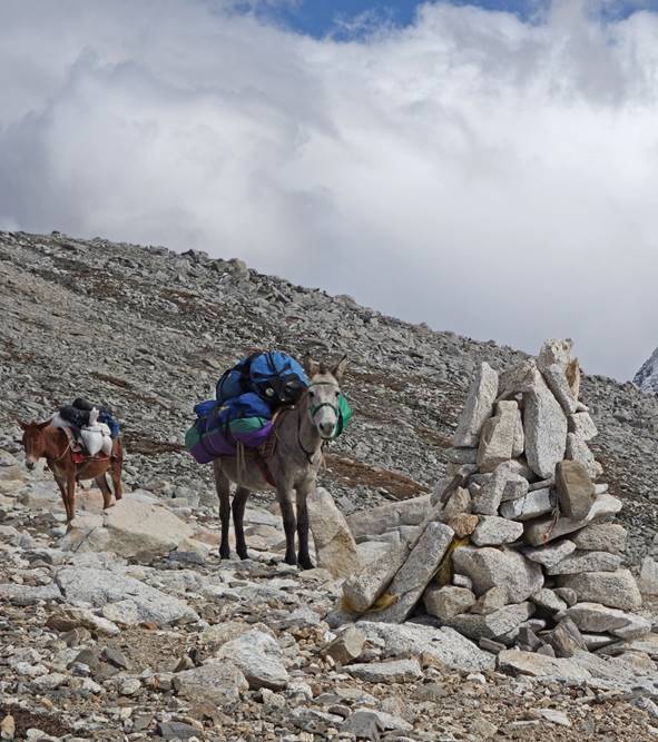
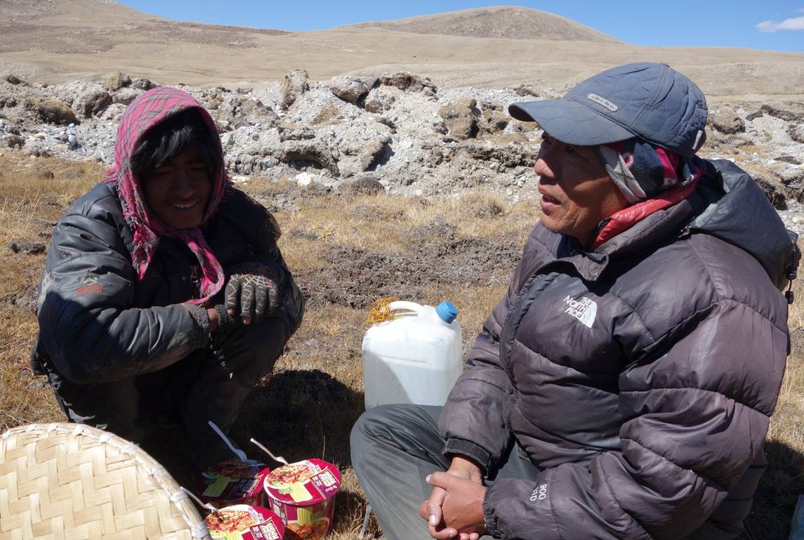
Quick lunch on our way up.
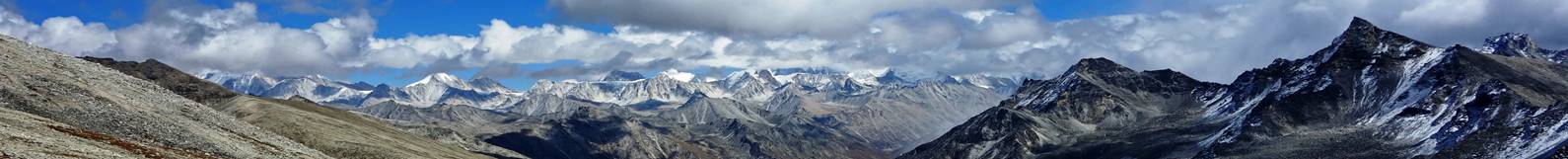
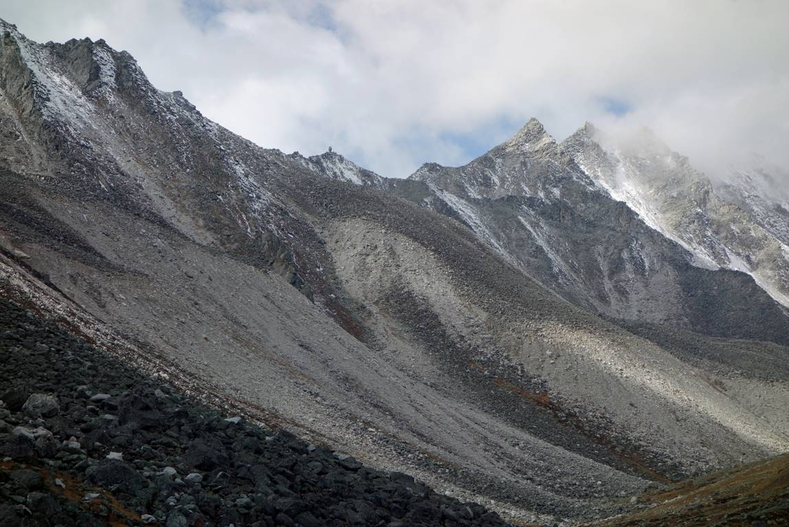
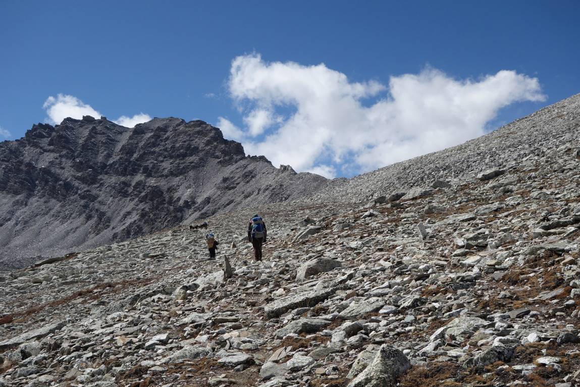
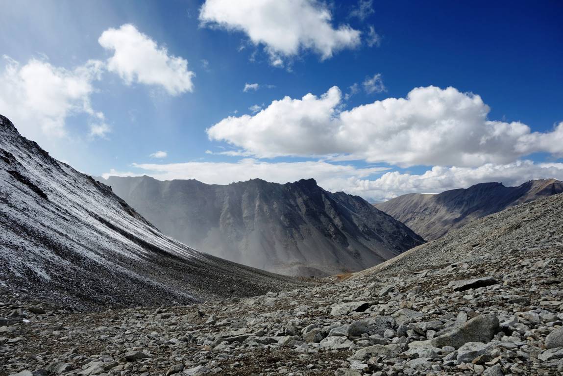
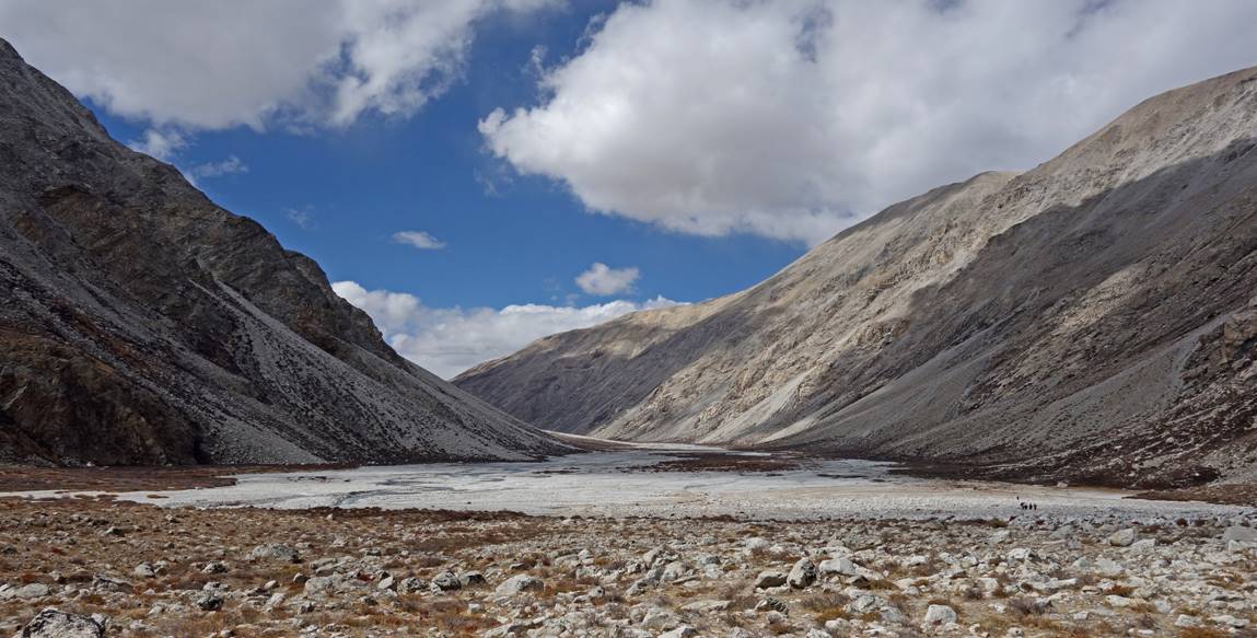
View of the mountain ranges toward the East during the ascent.
Traverse before the last push up.
Just under the pass.
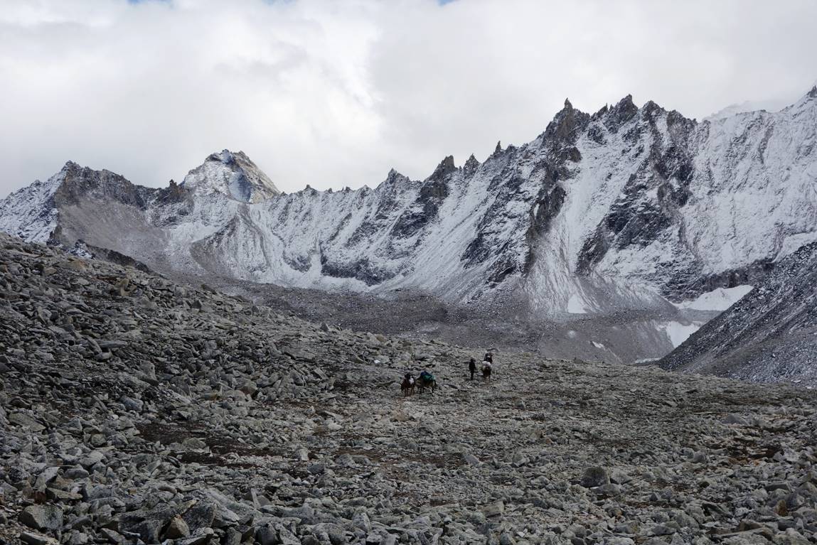
At Nying La (5448m). During the ascent one of our mules developed some altitude sickness and became increasingly weaker. Fortunately, she recovered quickly as we descended toward Nyalu Khola.
|
|
|
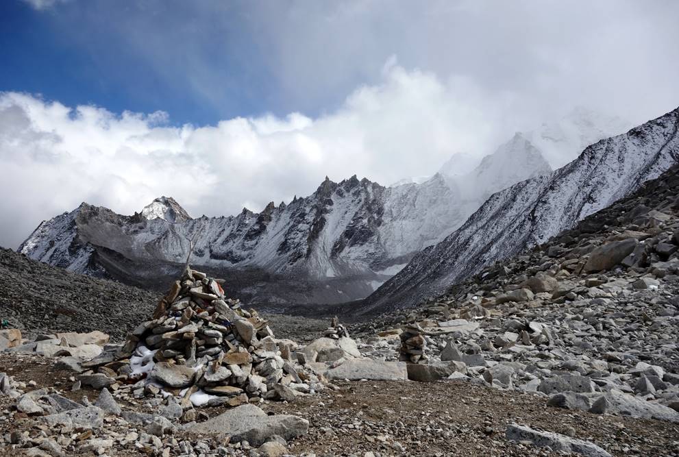
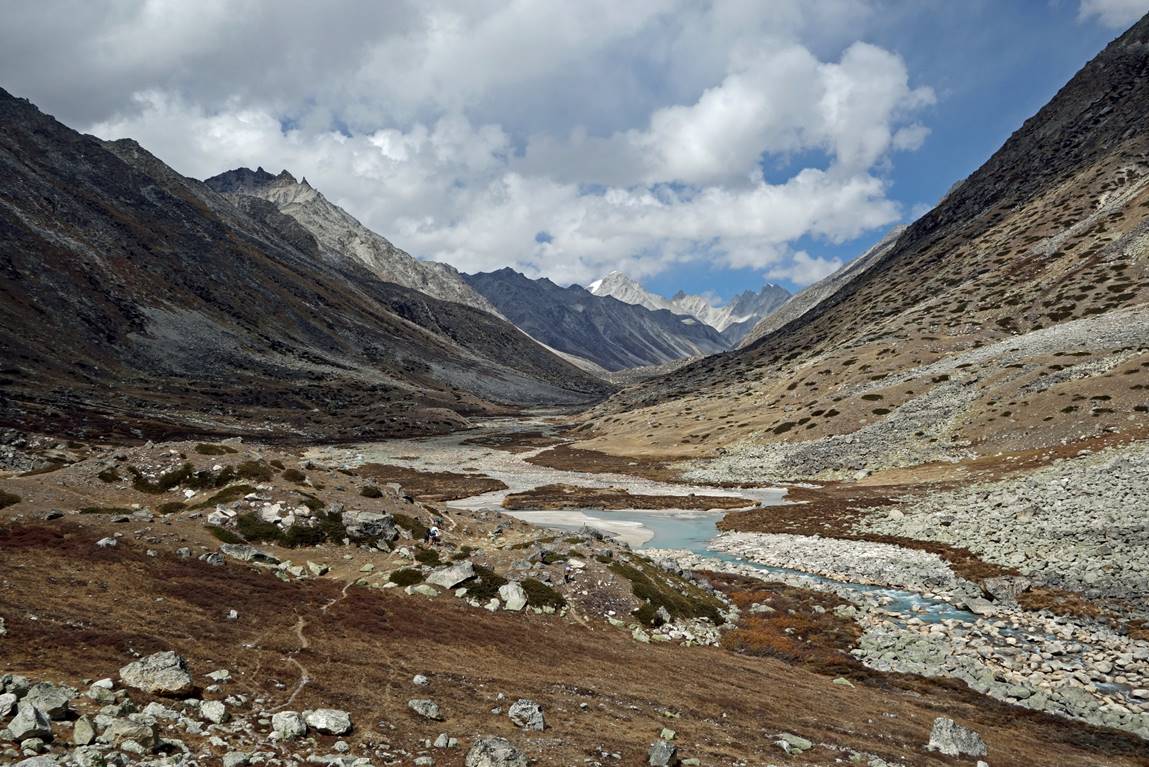
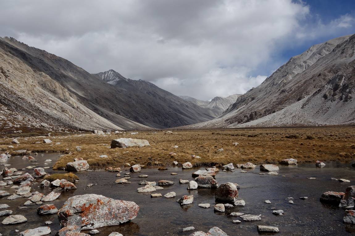
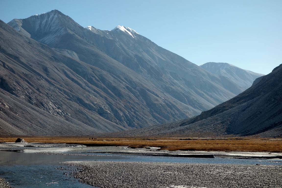
The descent into the valley of Nyalu Khola.
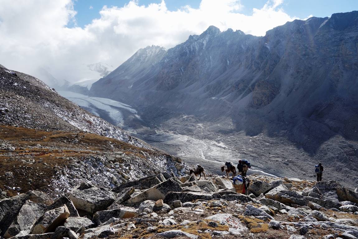
The Nyalu Lek mountain range (the source of the Nyalu Khola), with its 6265m peak visible in the second photo.
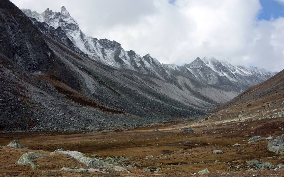
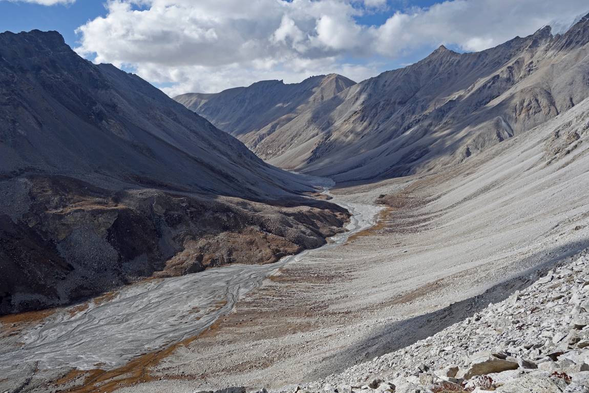
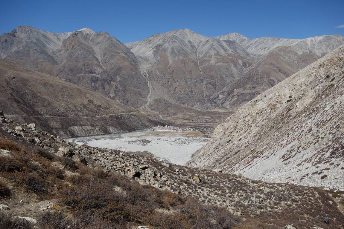
Successive views of the Nyalu Khola valley on our way to Takchhe.

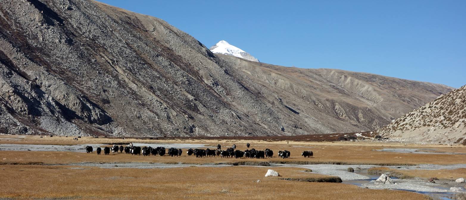
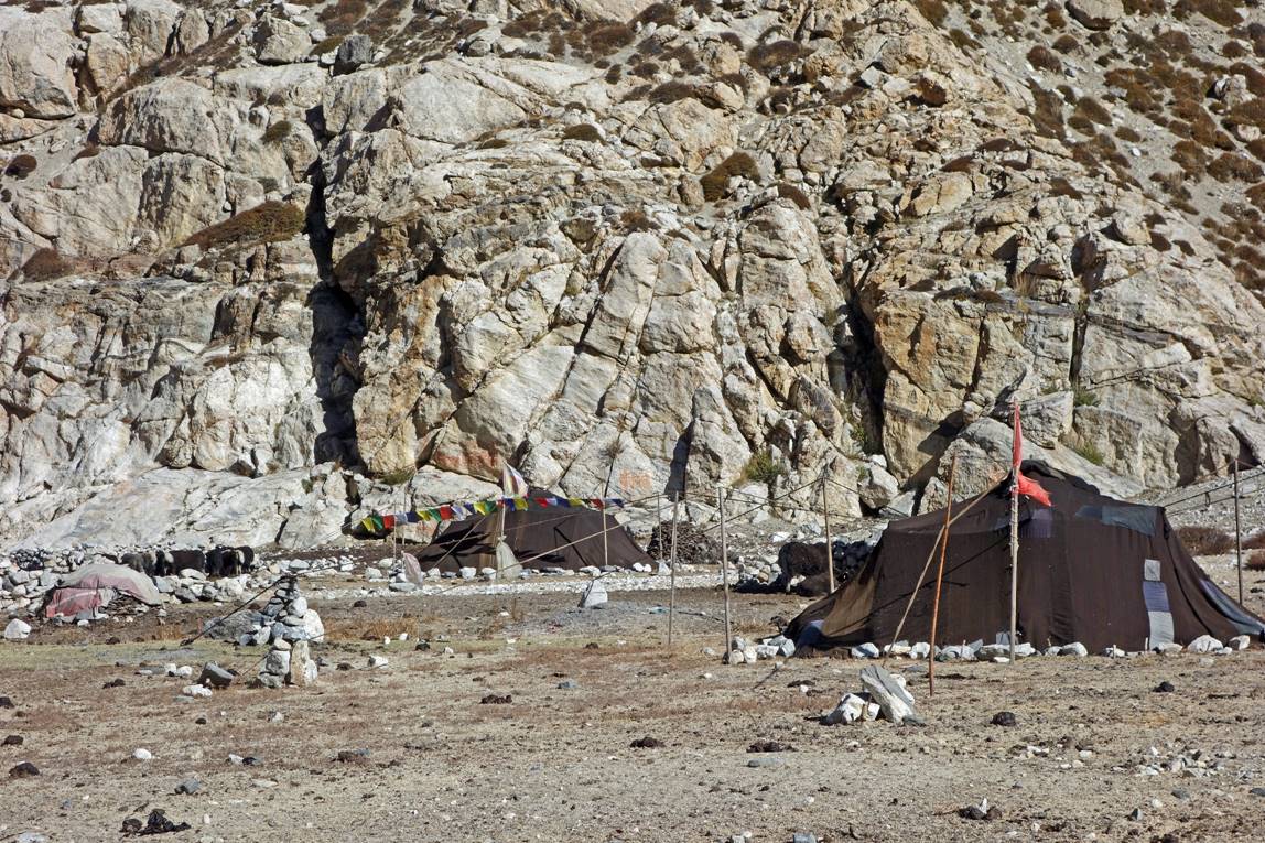
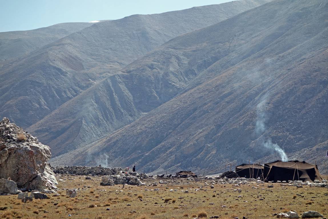
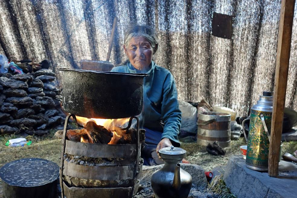
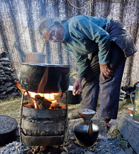
Yaks and herder camps in the lower part of the valley. The tents are made with yak hair. They look dark on the outside, but the yak fabric provides much light inside (as shown in other photos below).
Cheese drying in the sun.
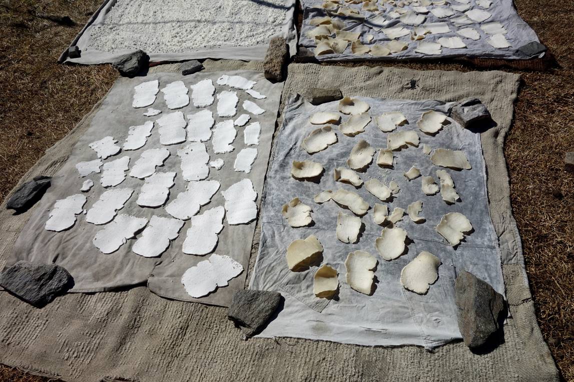
Inside a tent.
|
|
|
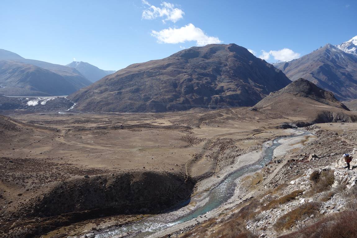
Arriving at Takchhe. At the intersection of several valleys Takchhe feels like a dusty pit. Nobody seems to live there, except a few semi-nomadic herders.
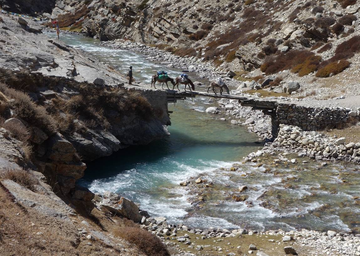
Kalu and his three mules crossing a bridge over the Takchhe Khola.
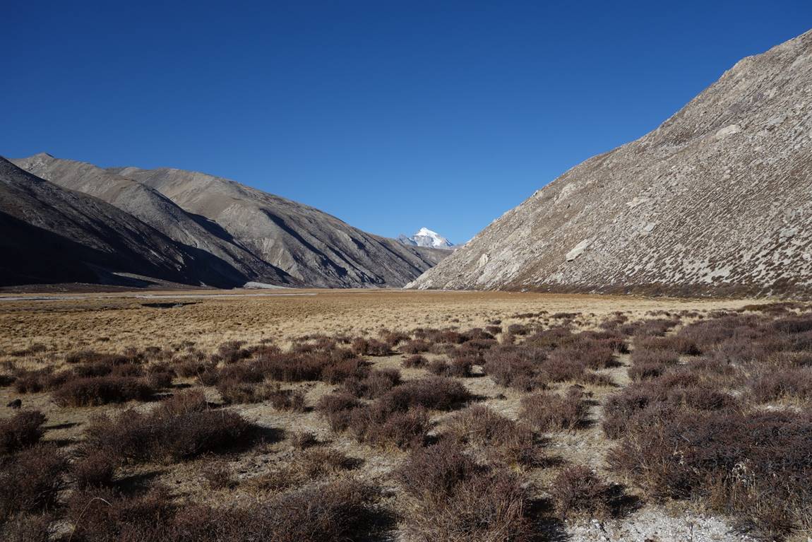
From Takchhe we climbed onto the Tibetan plateau with the goal to reach the Tibetan border and see Mount Kailash.
On the Tibetan plateau.
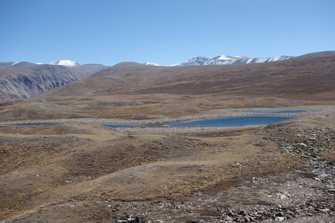

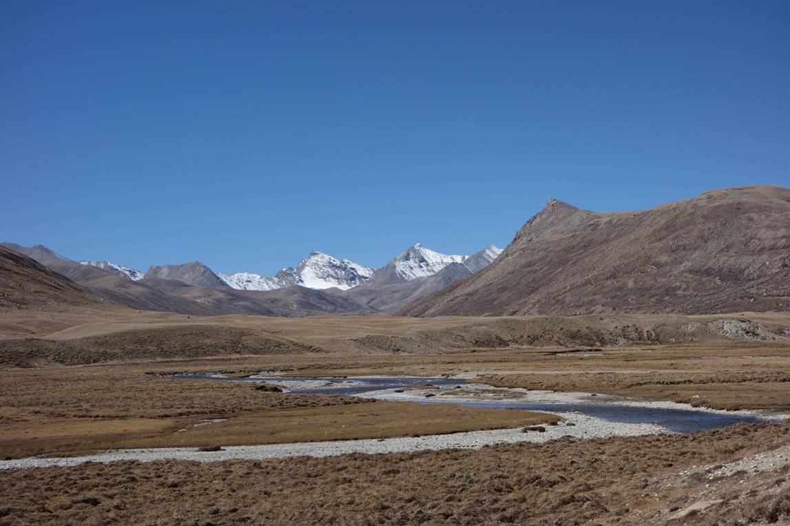
Despite being only 800m higher than Takchhe, the plateau (~4900m) was surprisingly much colder, even in the midday sun.
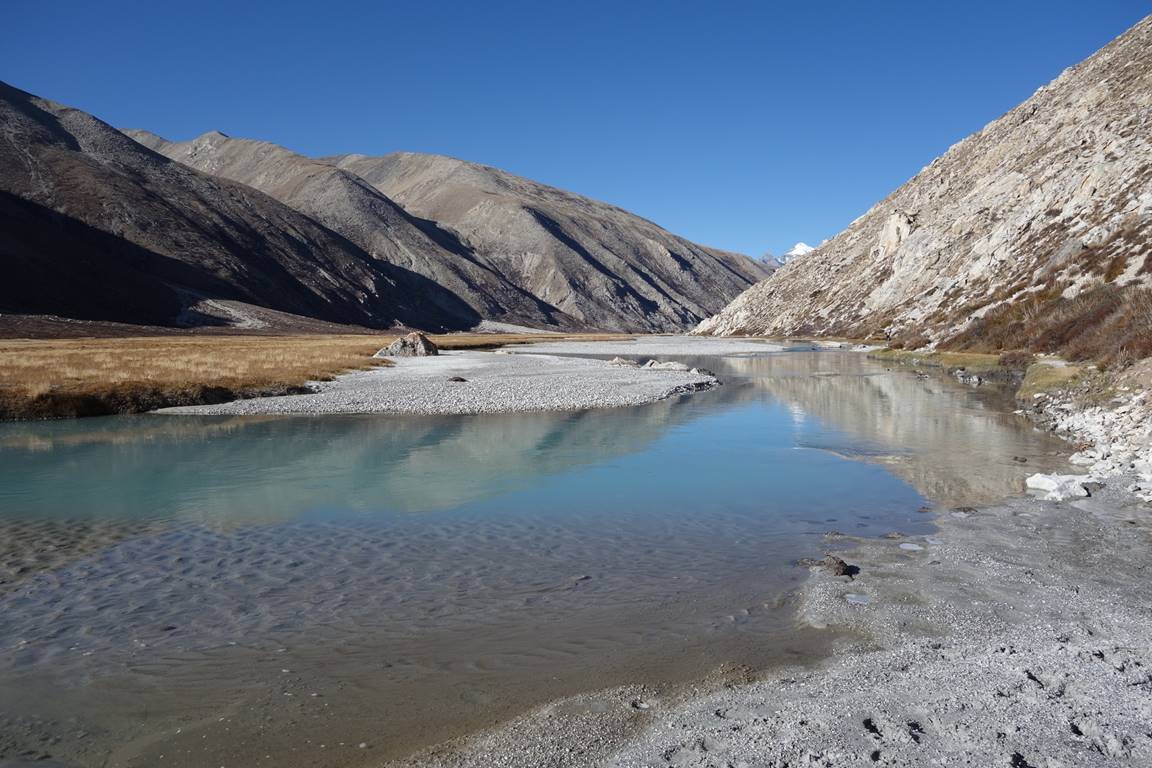
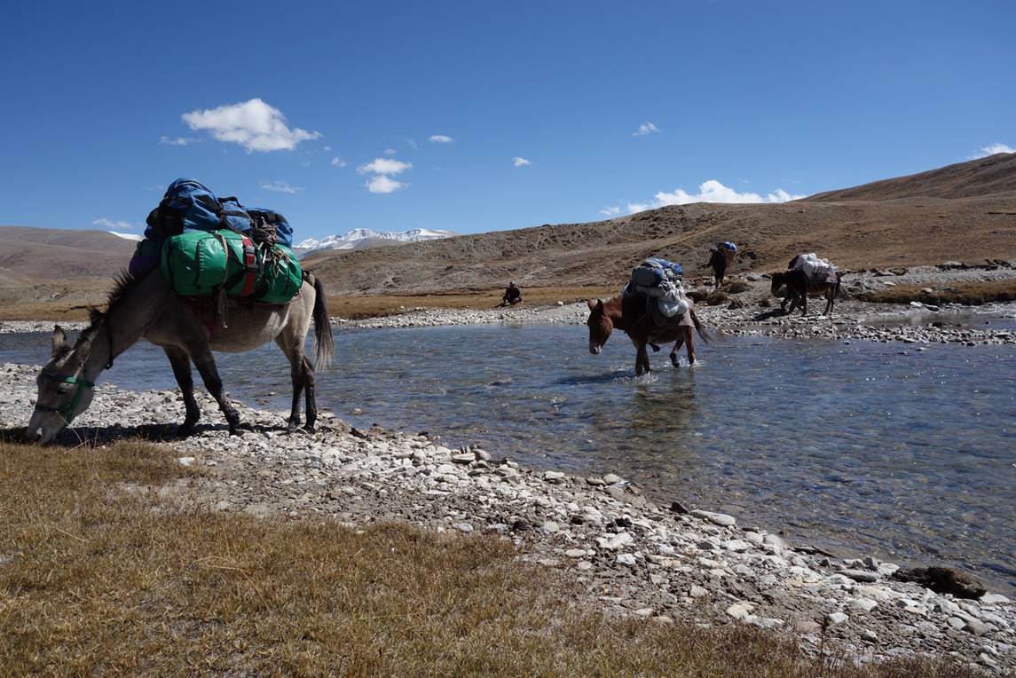
We had to ford a couple of rather shallow, but very cold rivers.
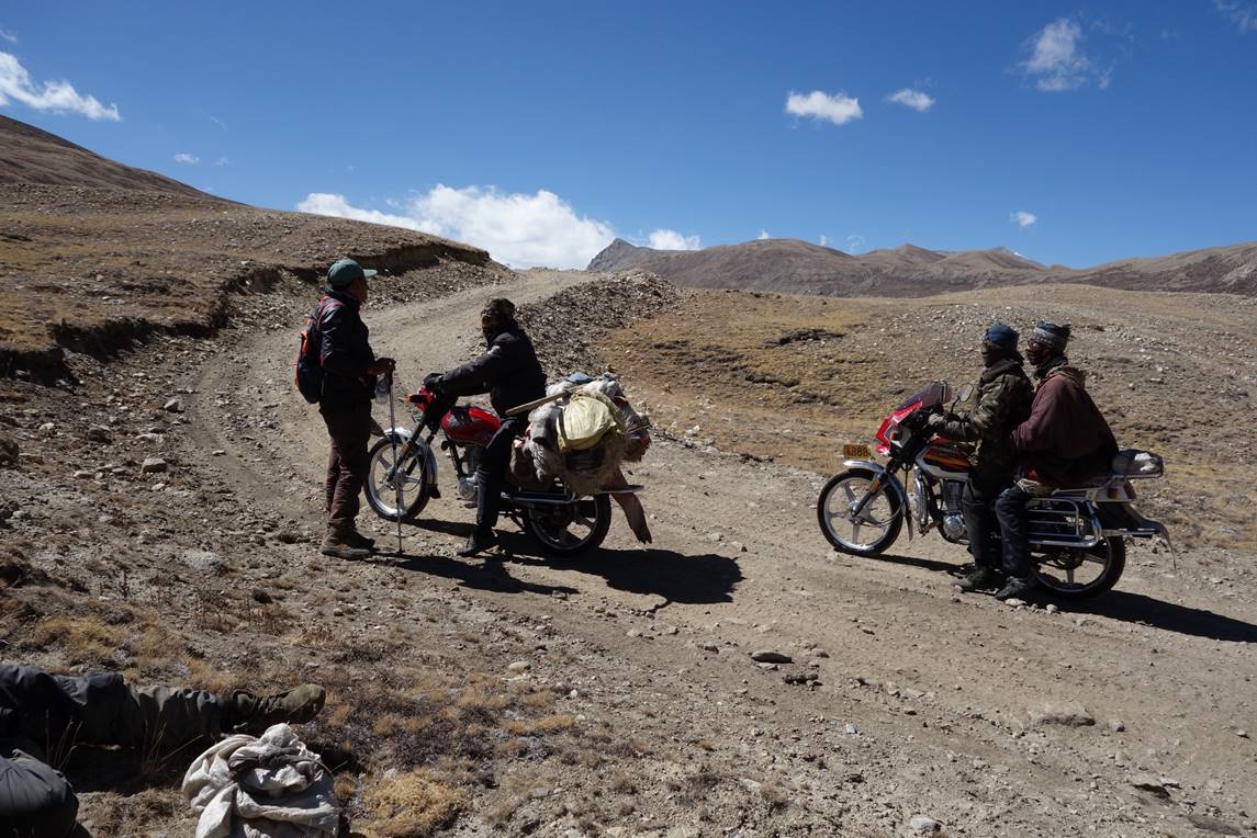
Along the Chinese-made road (that may eventually connect the Tibetan border at Lapche La to Simikot), we saw no traffic, except three Tibetans riding these motorcycles.
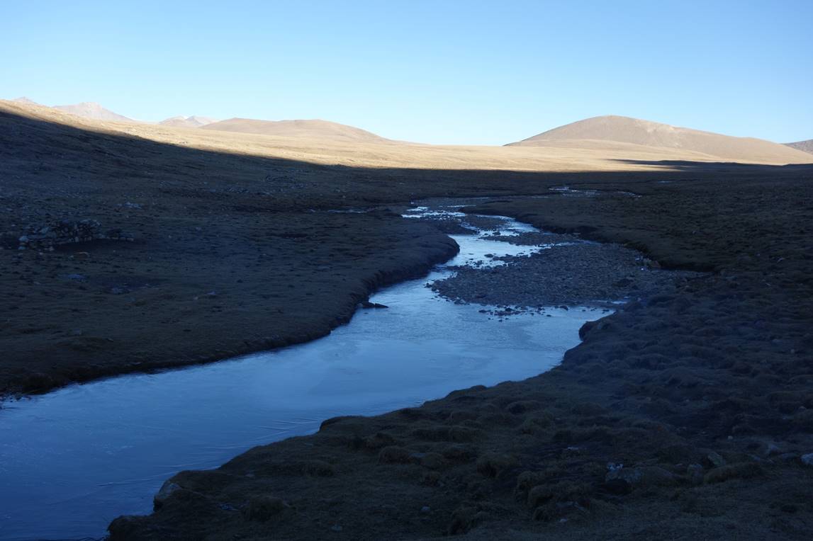
We eventually set our camp near the river in the picture below. My goal was to reach the border on the following day and return to this camp for a second night, and to return to Takchhe on the next day. However, the first night was extremely cold (-20C in my tent). We were not well equipped for this kind of temperature and I was concerned that any problem could turn into a major issue. So, in the morning we decided to return to Takchhe. Two days later a group of trekkers, who were then camping at about the same place, got caught in a snowstorm that started during the night. They were not strong enough to return to Takchhe in the thick layer of snow. Fortunately, a local member of their support team was able to reach Tholing near Takchhe, where he contacted Simikot. The trekkers were then evacuated by helicopter.