Traverse of Central and Eastern Nepal
(2011)
Leg 16: From Tumlingtar
to Khang La and Tharpu (May 9-19)
![]()
From Tumlingtar (500m) we trekked
directly to to the village of Dobhan (775m) on the Tamur river (just below
Taplejung), through the small town of Chainpur and across the Milke Danda (pass
at 3000m). We then followed the Tamur river through the villages of Sinwa and
Chirwa. In Hellok, we switched to the Simbua Khola that we followed up to
Torongdin and then Tseram (3870m). From Tseram, we went to Khang La (5054m) at
the border with Sikkim/India, and back. That was the end point of my traverse
of Nepal. But three more days of trekking were needed to reach the road at
Tharpu (1340m). From Tharpu a car drove us to Birtamod.
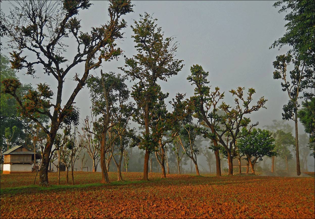
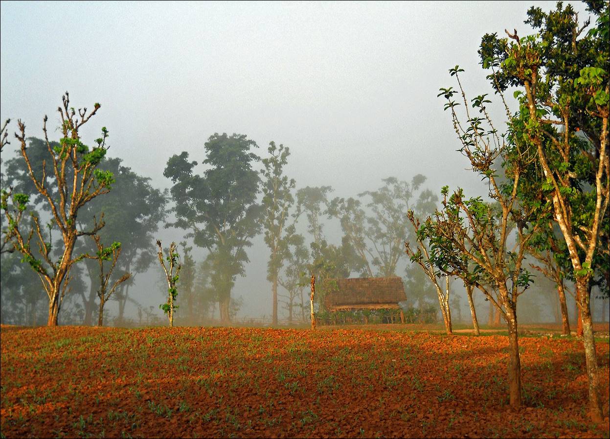
Because of its low elevation and the
presence of the Arun river, the region around
Tumlingtar is often foggy in the morning (I had the same experience in the
spring of 2008 at the beginning of my trip to
Makalu). These are two photos taken upon leaving
Tumlingtar in the early morning.
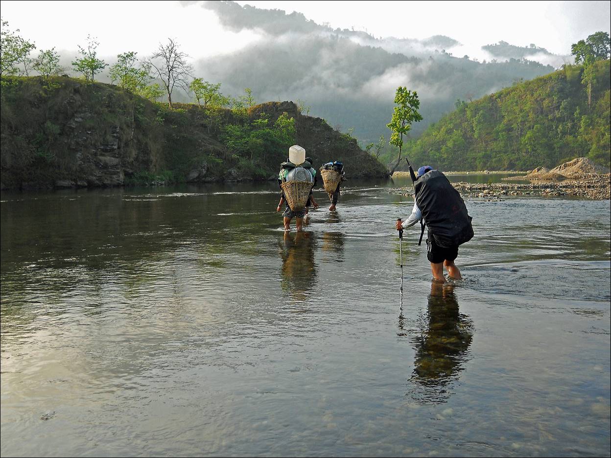
Fording the Sabha Khola (an affluent
of the Arun river) soon after leaving Tumlingtar.
Across a small village on our way to Chainpur.
|
|
|

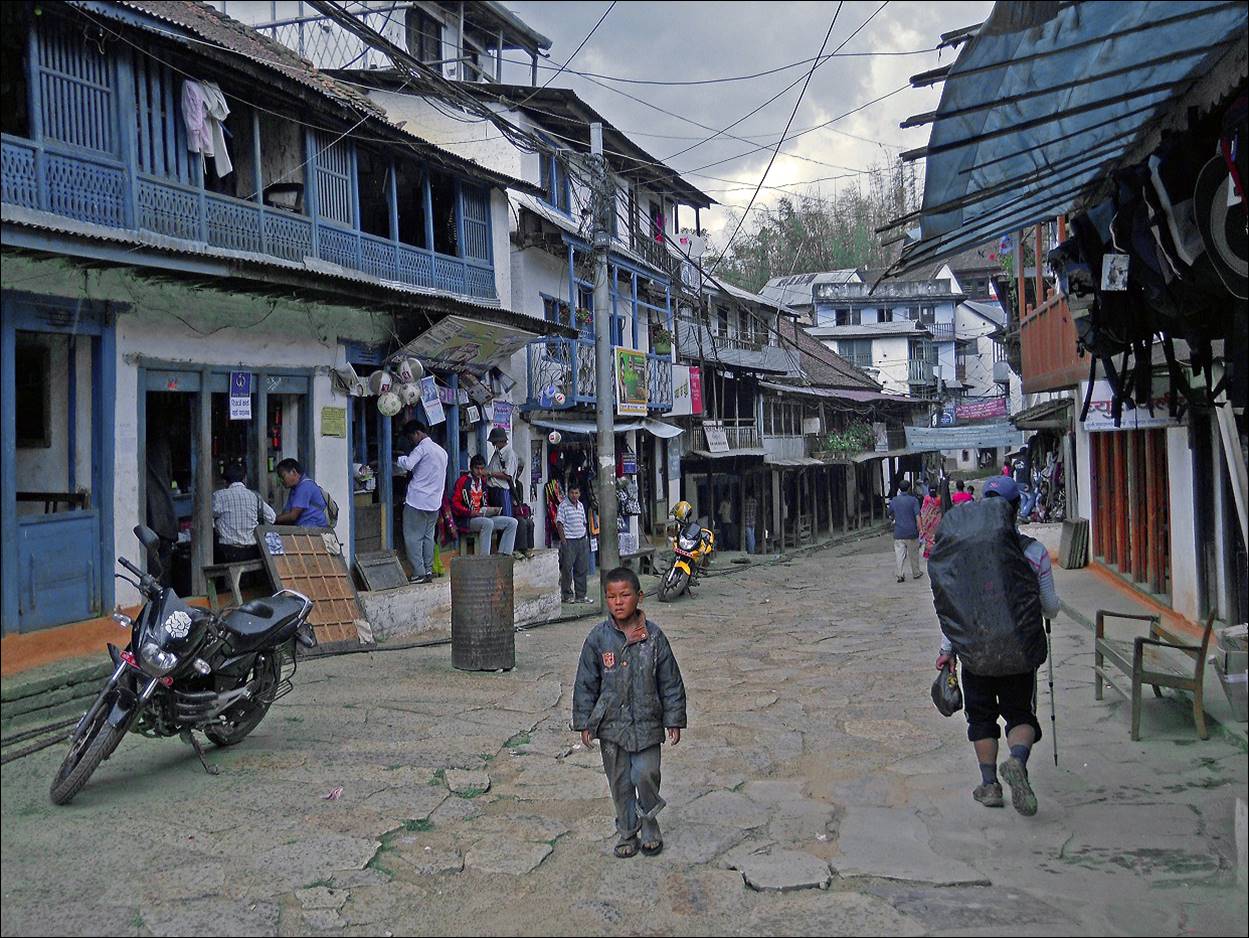
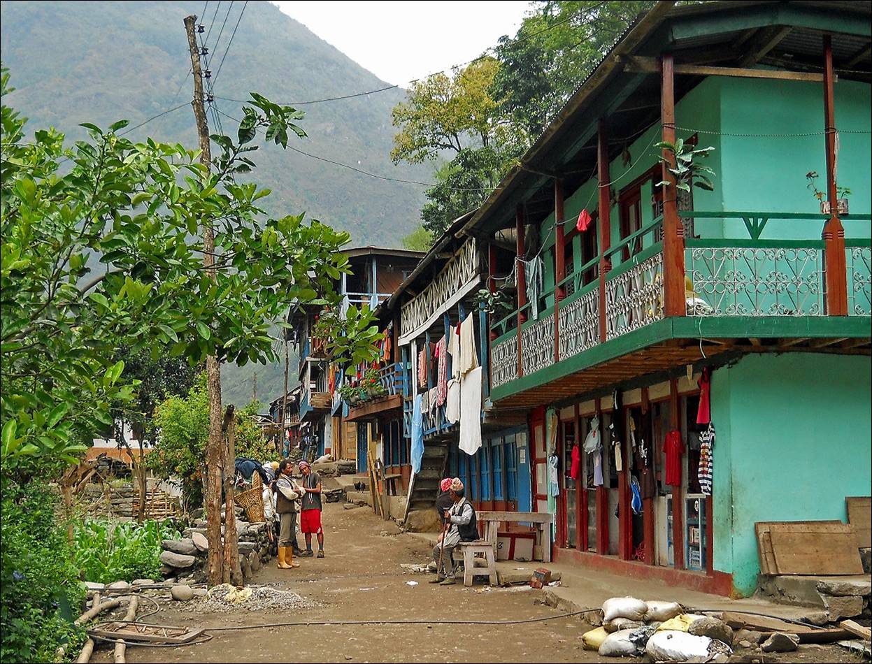
Main street of Chainpur. Note the excellent
street pavement. Chainpur is a very nice small town with many traditional
houses and artisans.
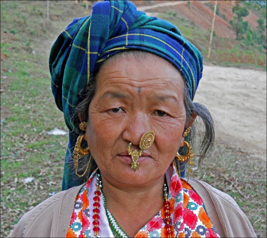
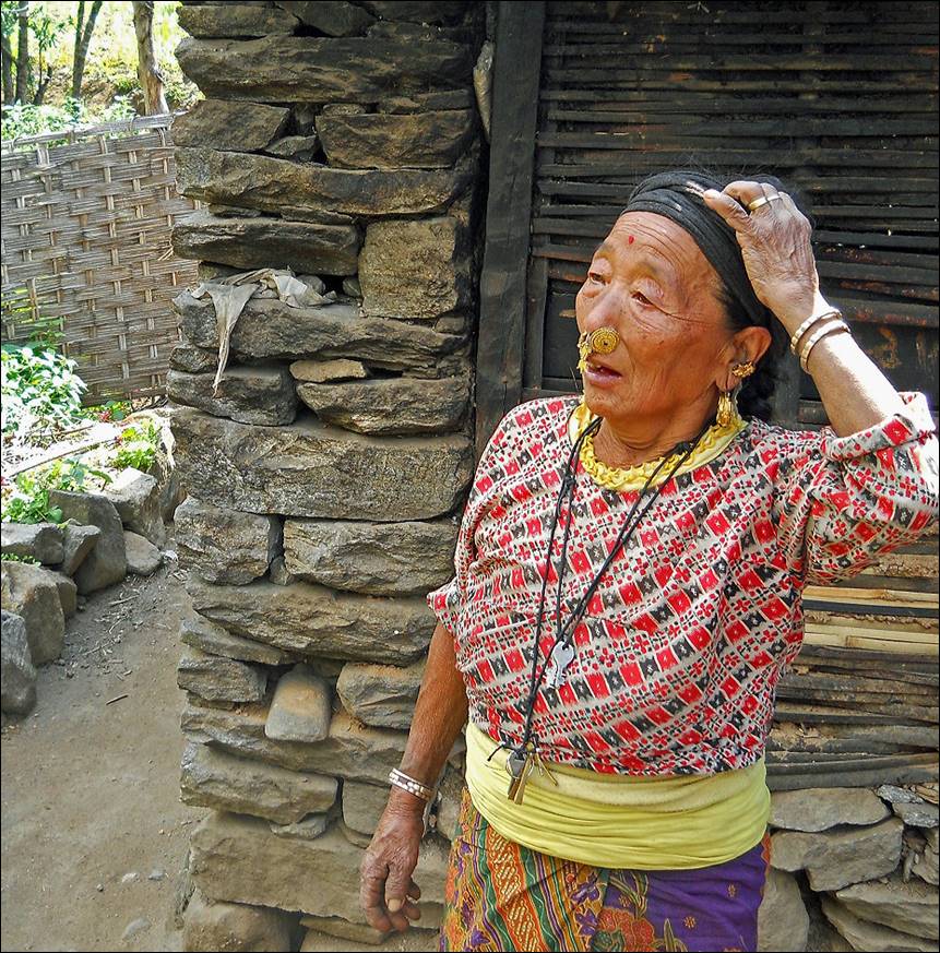
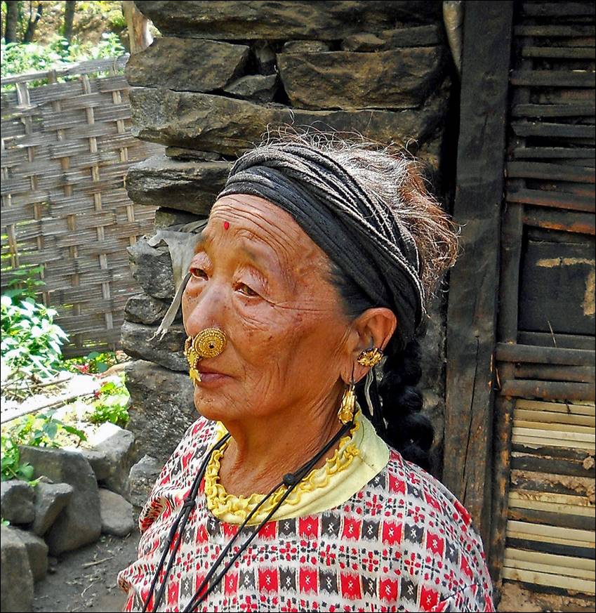
Two Limbu women near Chainpur. They carry a lot of gold!
|
|
|
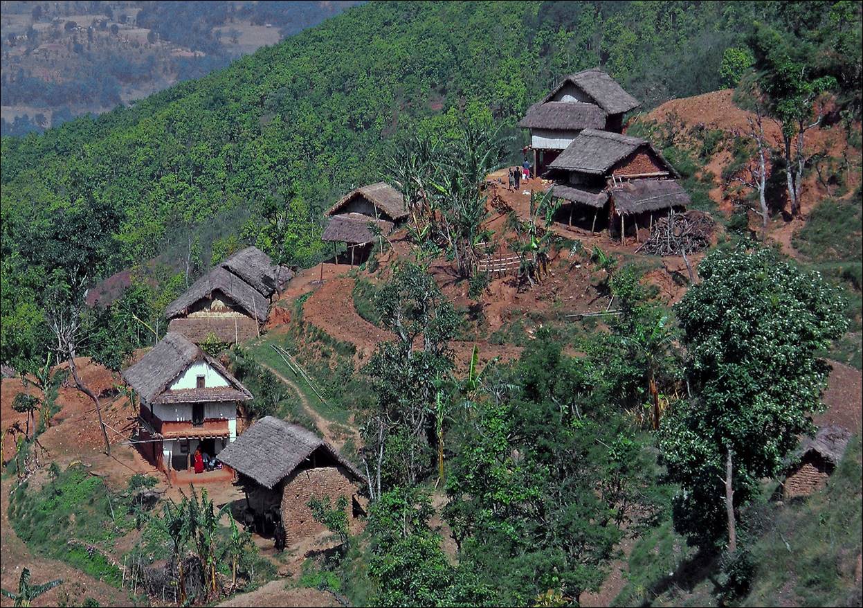
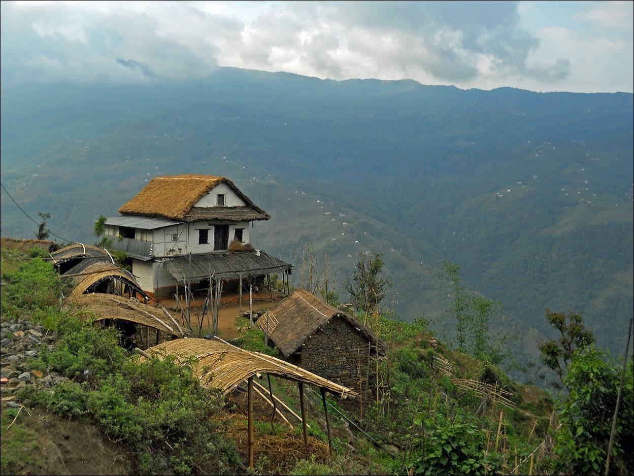
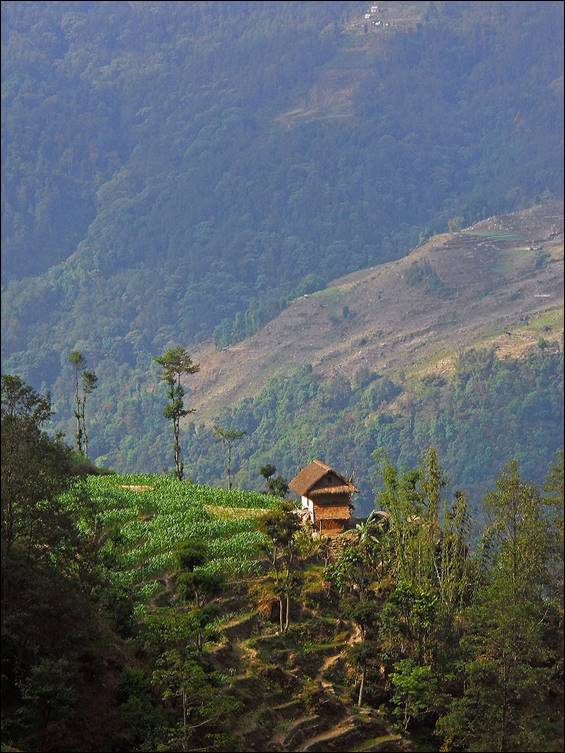
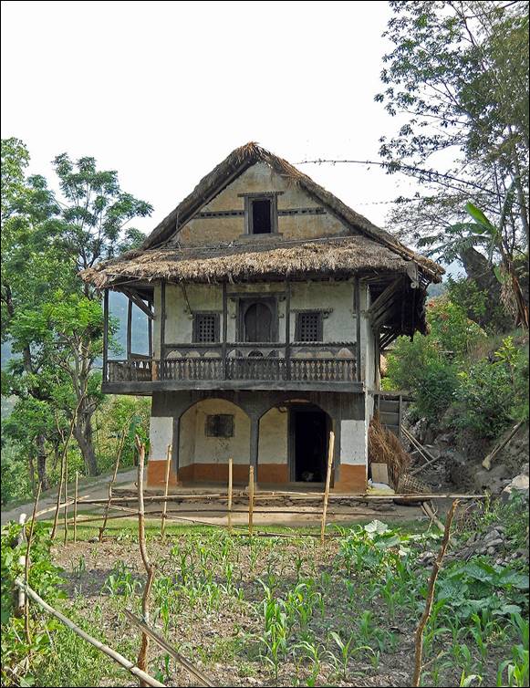
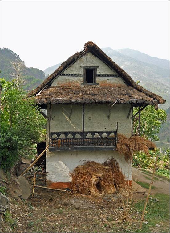
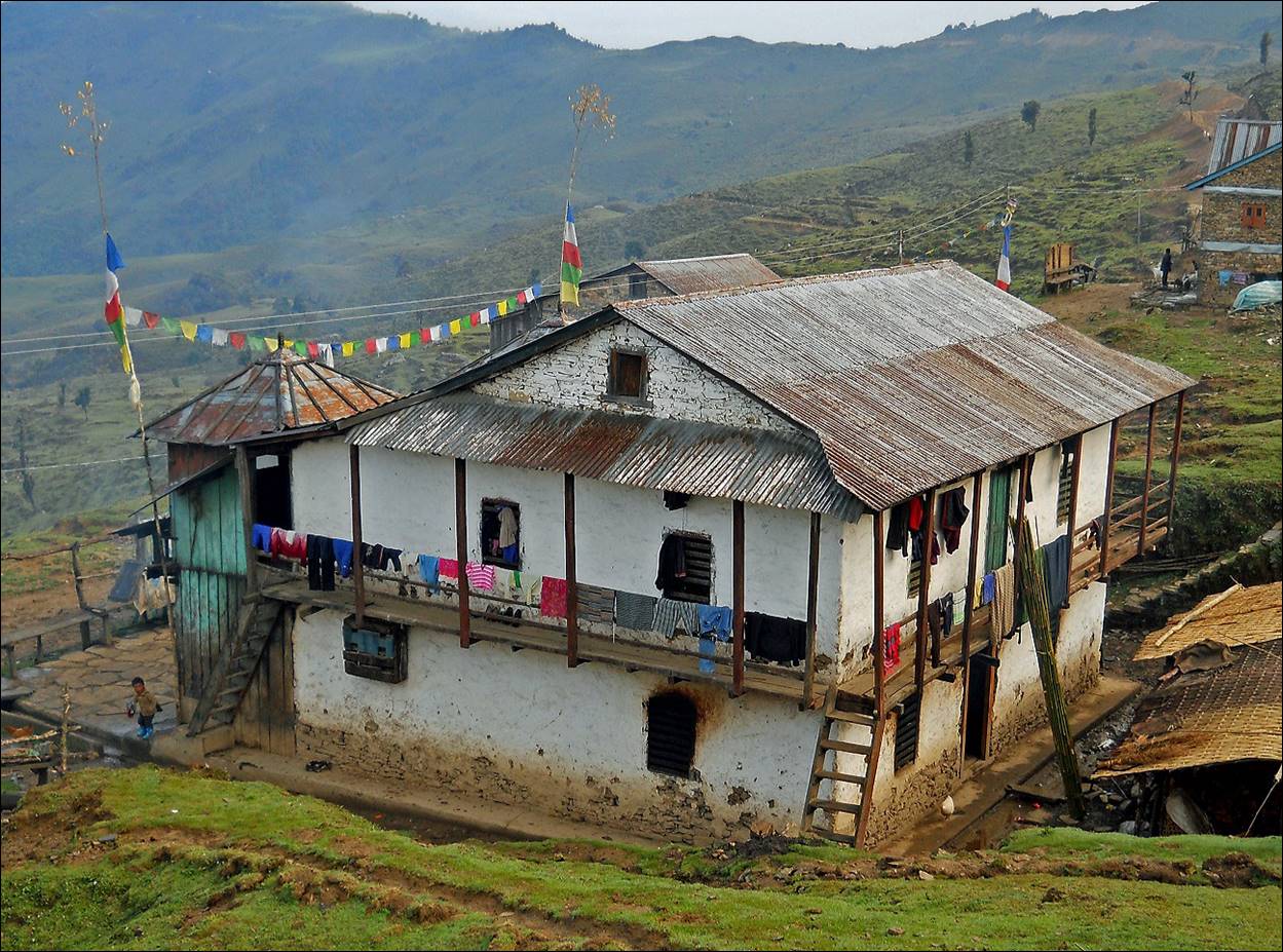
Typical houses along the way.
|
|
|
|
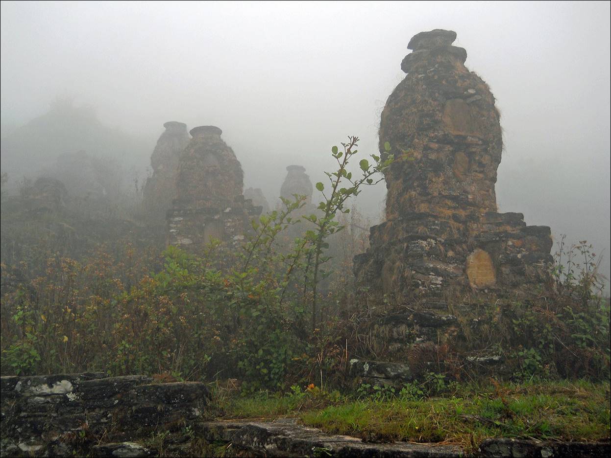
Cimetery in the mist in a village below Milke
Danda.
We crossed Milke Danda at a 3000m pass, where there is a
settlement used by Tibetan traders.
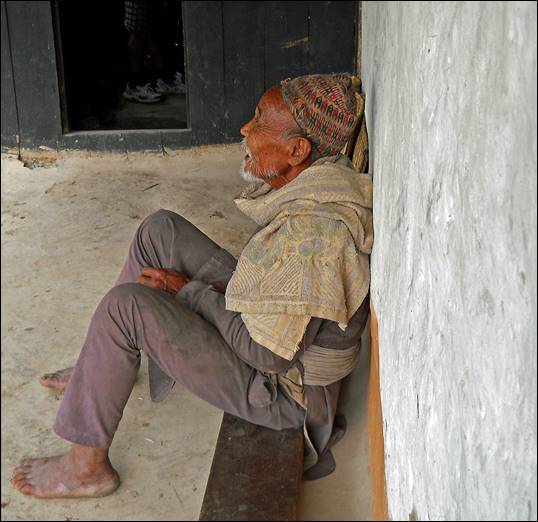
The 5-star lodge where we spent the night at the
pass, and its owner.
|
|
|
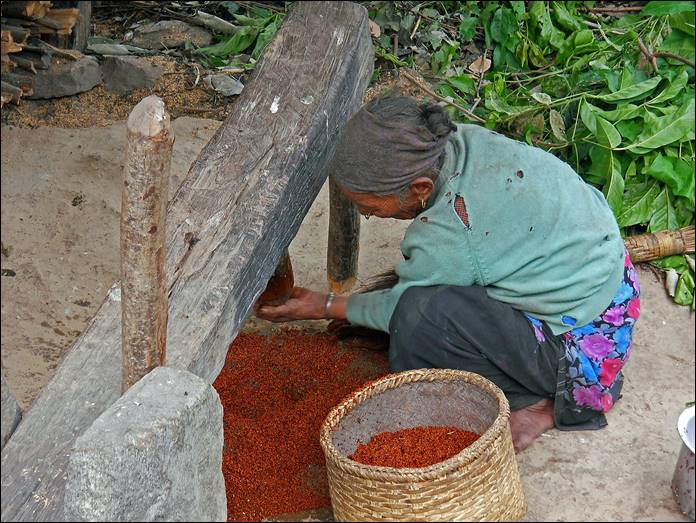
Man and woman crushing millet (used to prepare a local beer) along
the Tamur river before Sinwa. Rest after work.

|
|
|
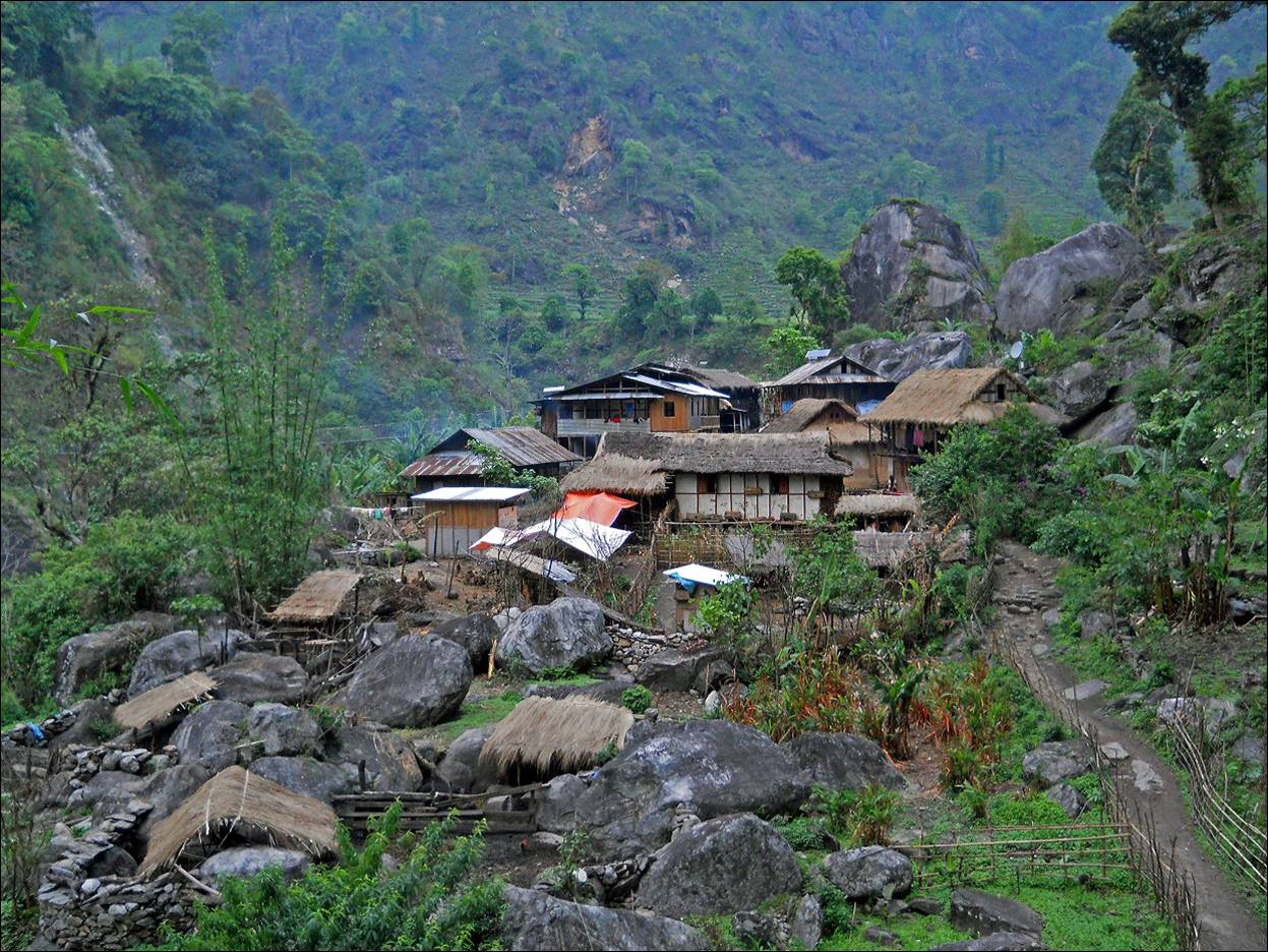
Village along the Tamur river.
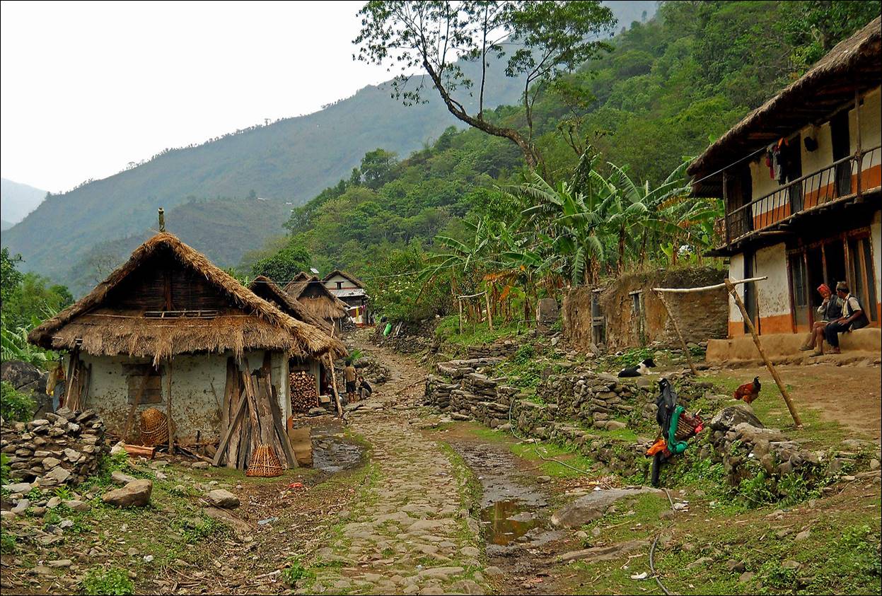
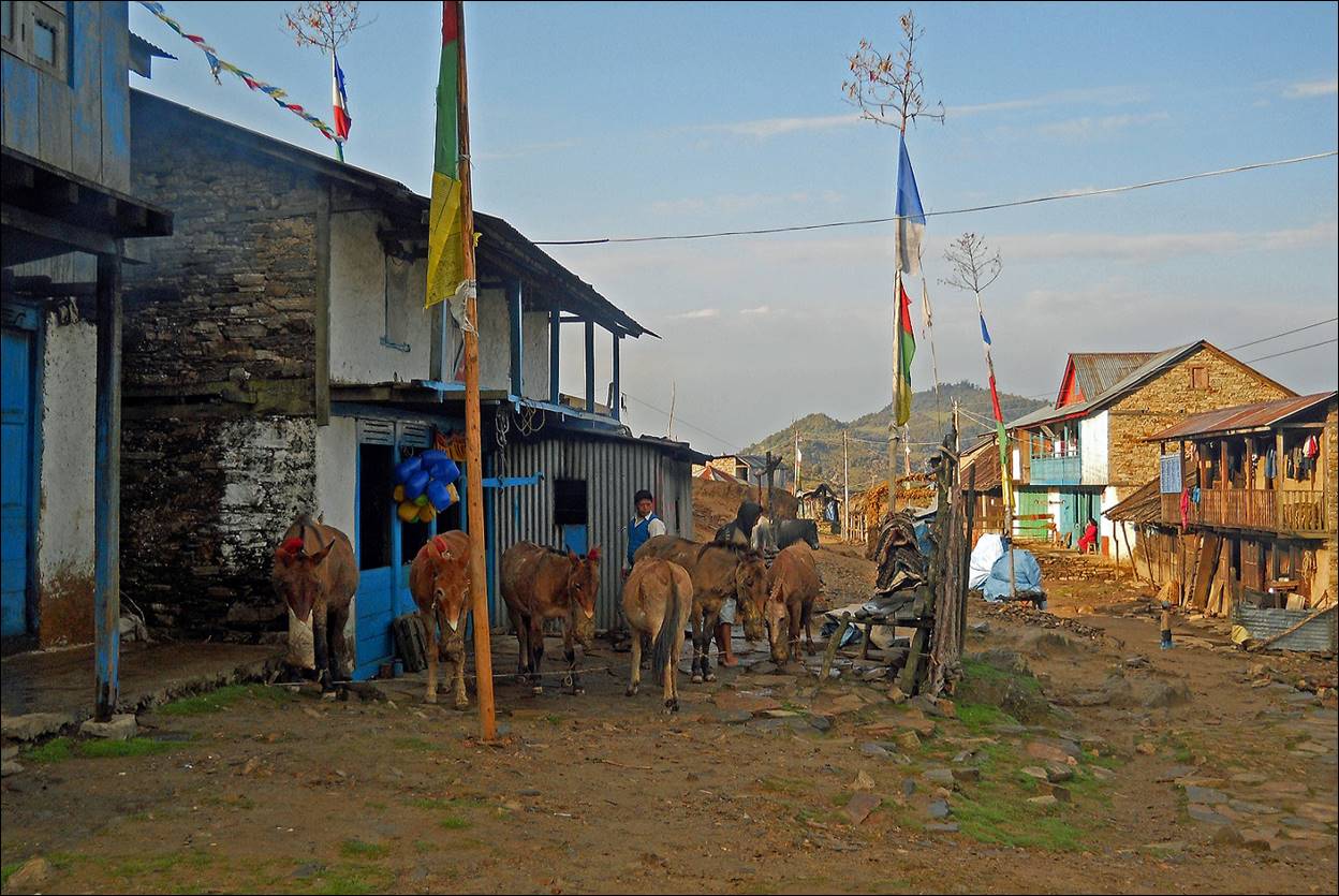
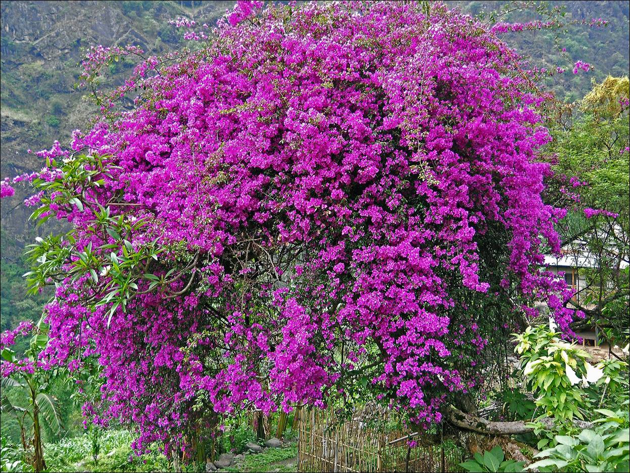
Bazaar village of Sinwa.
Large bougainvillea in Sinwa.
Village of Chirwa, as it suddenly appears after a turn of the
trail.
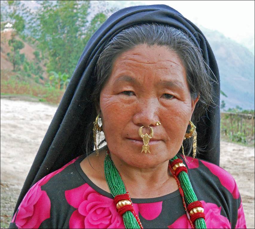
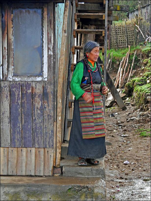
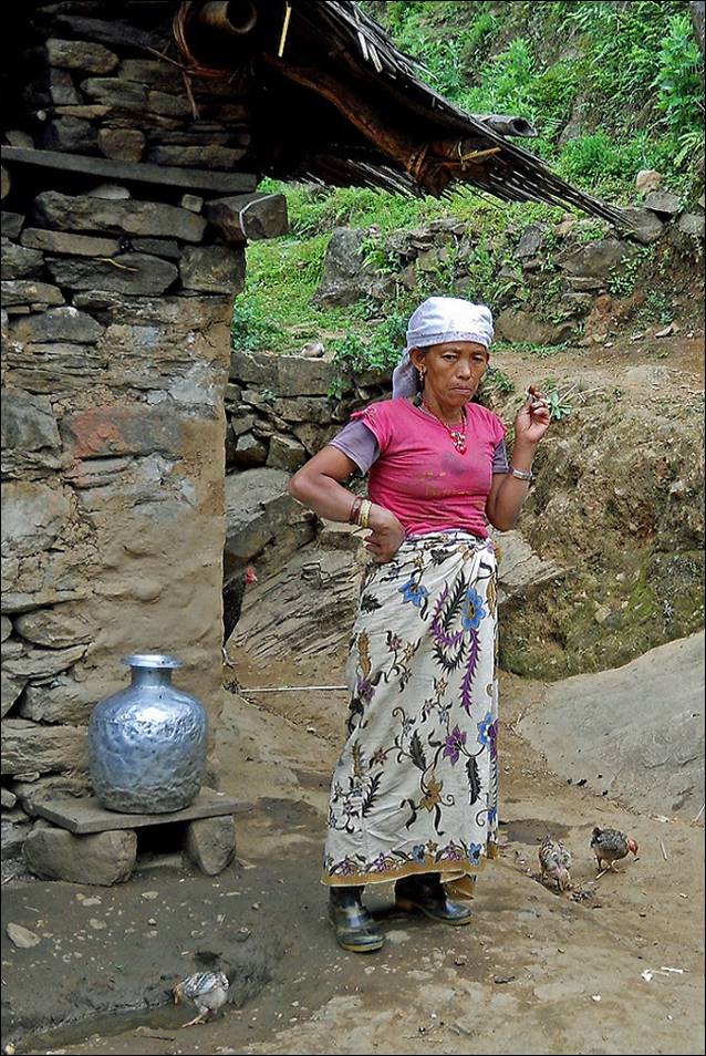
Limbu woman near Hellok.
|
|
|
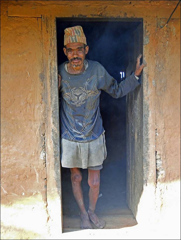
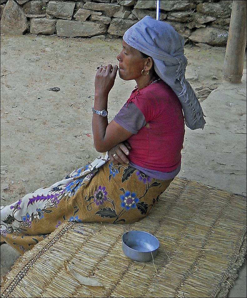
Smoking woman.
|
|
|
Near Hellok
three rivers (Yangma, Ghunsa, and Simbua) joined to form the Tamur river. We started following the Simbua Khola that takes its
source from the Yalung glacier at the foot of Kanchenjunga. We followed Simbua
Khola up to Tseram. This photo of Simbua Khola was taken from Hellok.

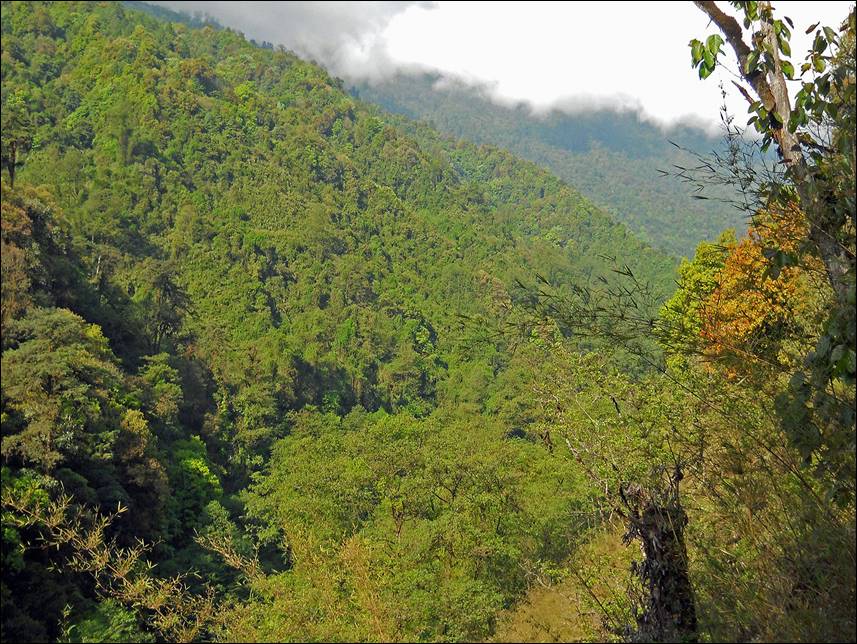
Between Hellok and Torongdin the trail along Simbua Khola
traverses dense forests. The narrow trail is sometimes difficult to follow.
|
|
|

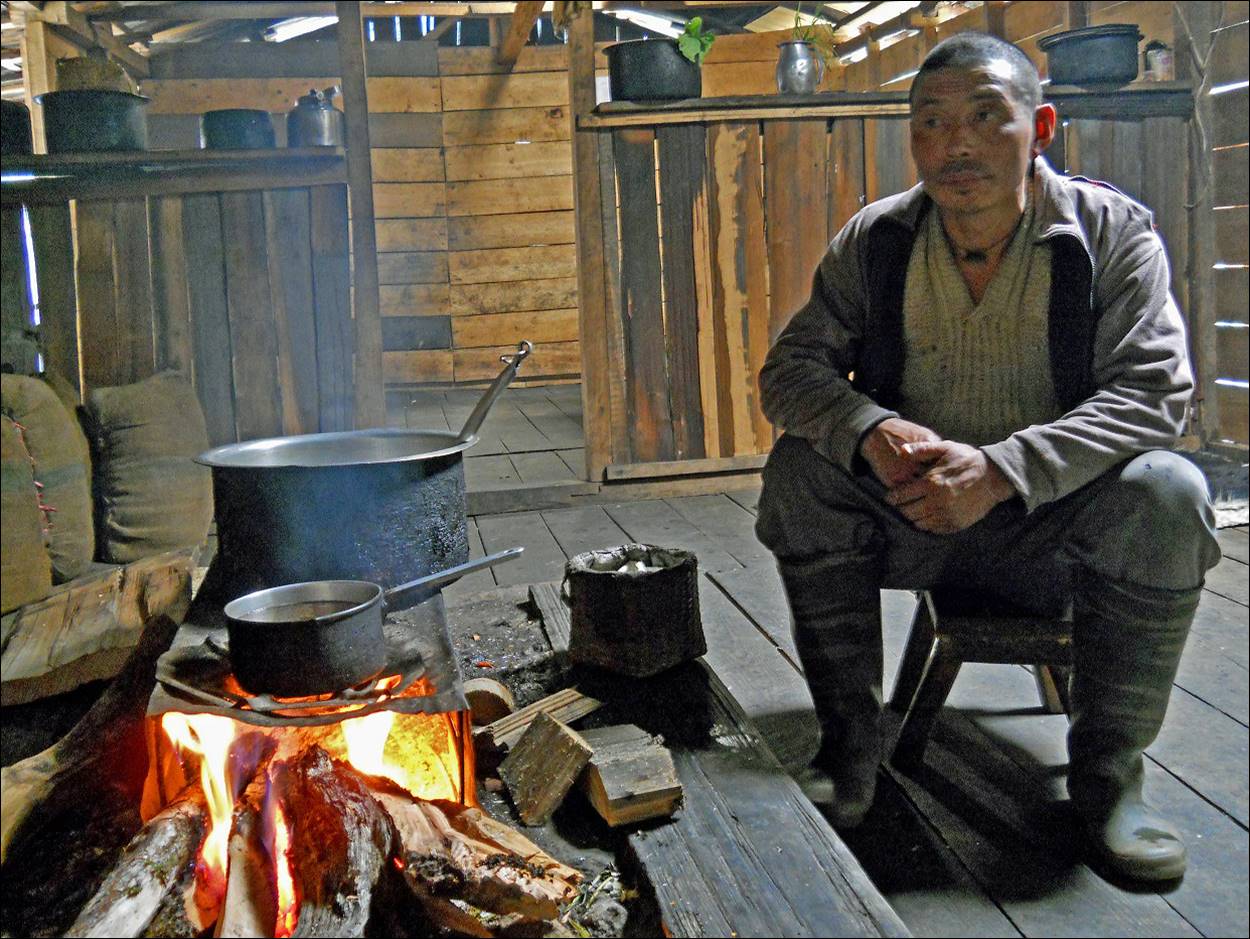
In a teahouse in Torongdin.
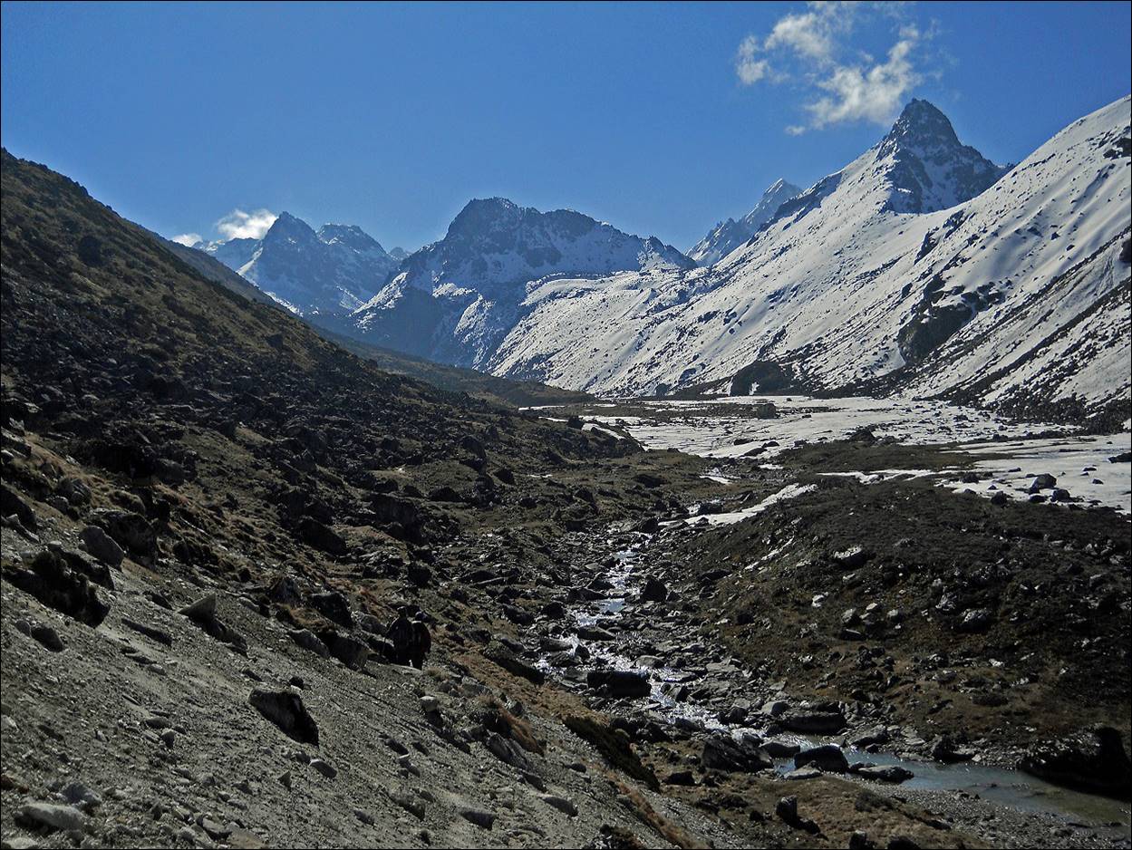
The valley of Simbua Khola between Torongdin
and Tseram.

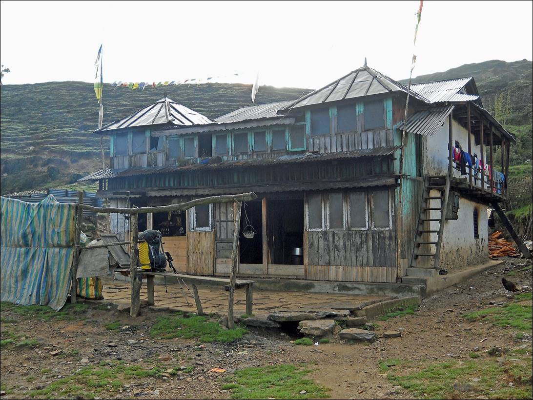
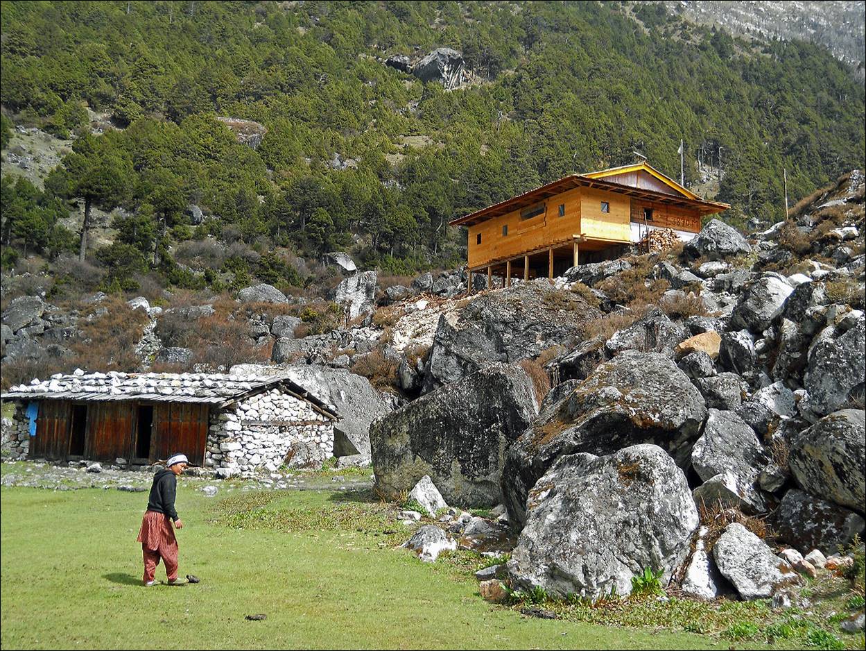
Lodge in Tseram (most trekkers and climbers stop there on their
way to and from Kangchenjunga) .
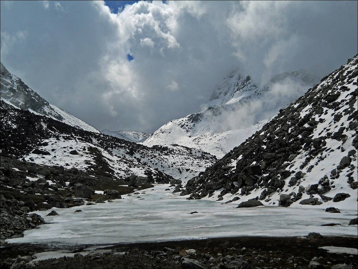
On our way to Zhang La.
Zhang La (in background) at the border with India, the end point
of my traverse of Nepal.
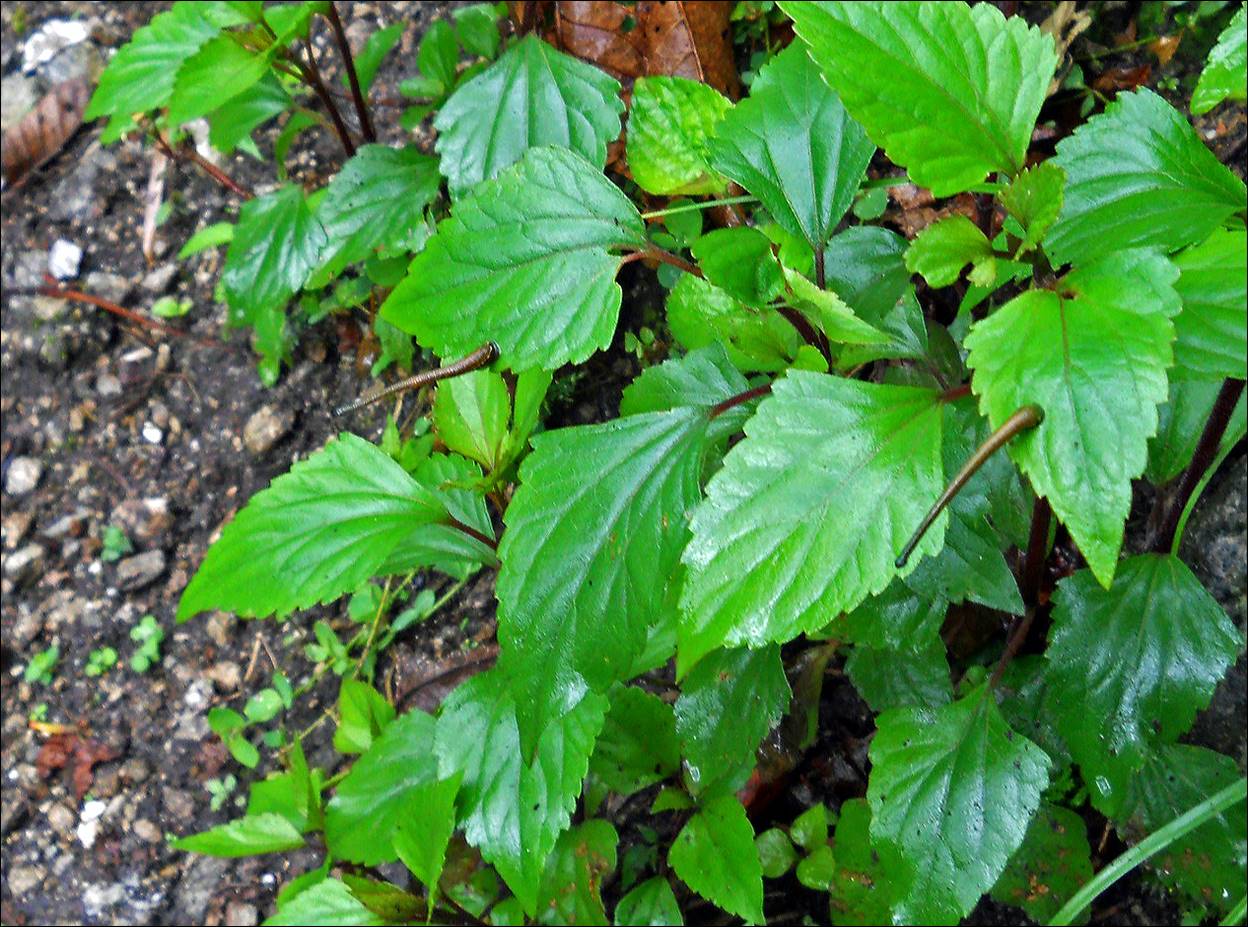
Leeches along the trail on our way down from Torongdin to
Yamphudin. It had rained much on that day and leeches were out in large number.
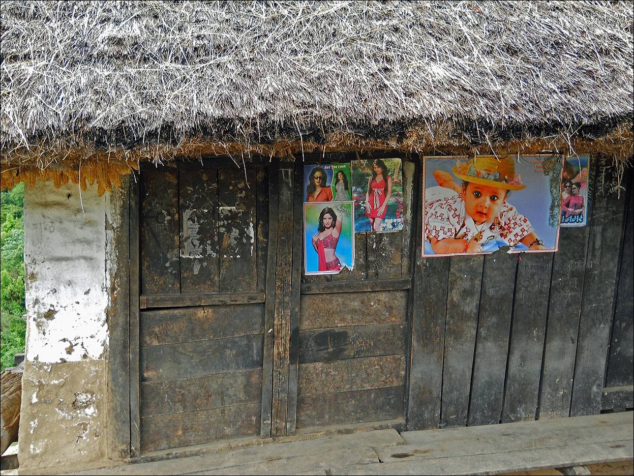
Posters on a local house.
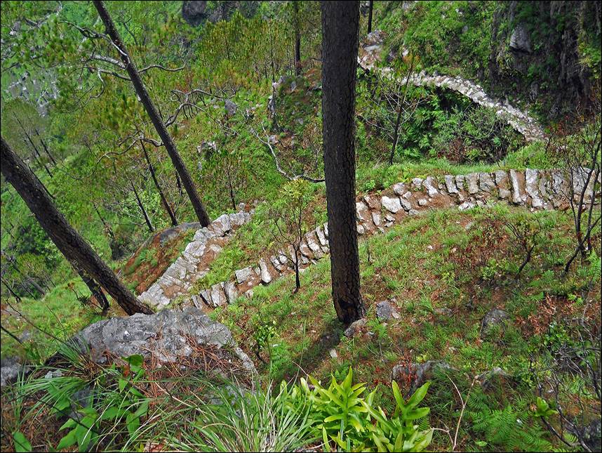
An amazing trail on our way down to Khabeli Khola
before reaching Tharpu.
|
|
|
|
|
|
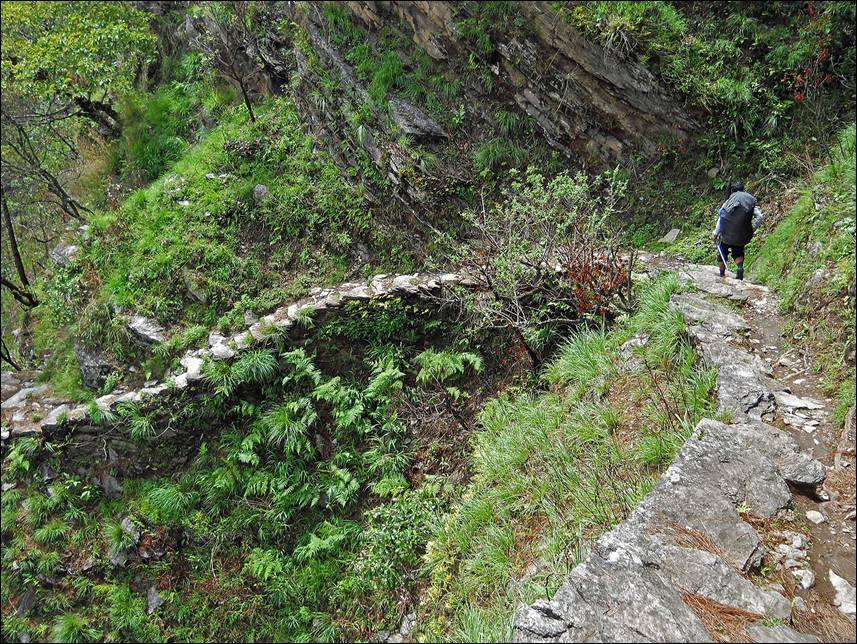

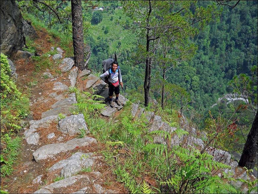
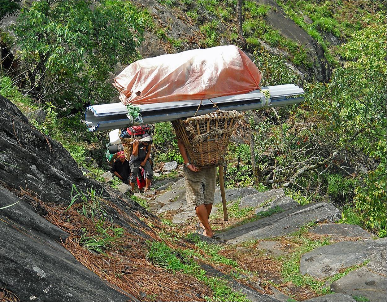
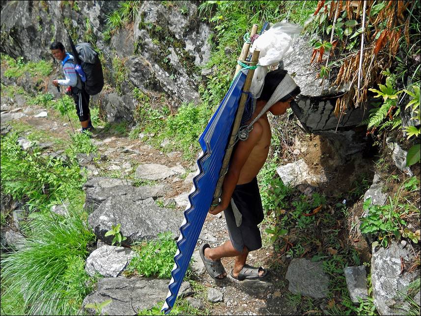
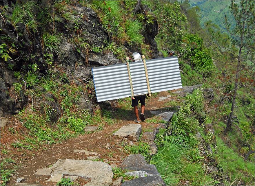
Porters along this trail. Note how the
porter in the second and third photos had to maneuver its wide load around a rock
protrusion. (Even Pemba seemed impressed by the performance!)
|
|
|
Lapa Apa, Thsering, Kabirajhaba, and Pemba at the
very end of the trek in Tharpu.

![]()
Return to Traverse
of Nepal main page