A Traverse of Nepal
(September 16 - November 12, 2008, and April 28 - May 19, 2011)
![]()
Return to my
mountaineering-trekking-travel webpage
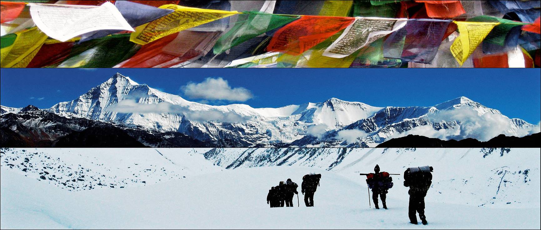
In the fall of 2008 and
spring 2011, I did a traverse of Nepal entirely on foot, between its Western
and Eastern borders with India. This traverse started in a small village near Baitadi and ended at Khang La
(pass) near the settlement of Tseram at the foot of
Kanchenjunga. The first part in 2008 (traverse of Western Nepal) ended in Arughat, a small town located at the foot of Manaslu, about 100km from Kathmandu. The second part in 2011
(traverse of Central and Eastern Nepal) started from this same town.
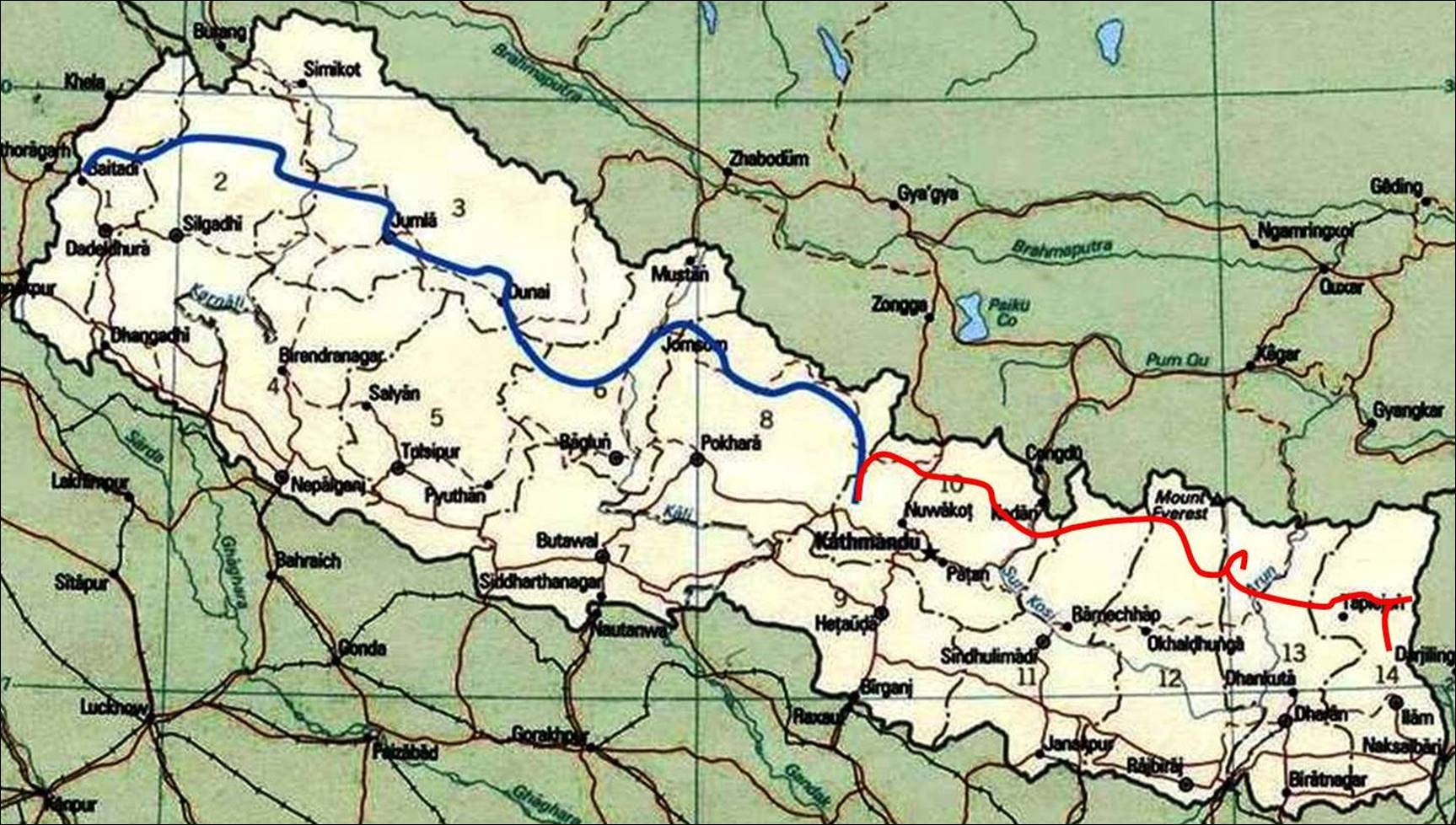
The approximate itinerary
is shown on the map below, in blue for the first part and in red for the second
part. Each part lasted approximately 2 months, exactly 56 consecutive days for
the first part and 53 for the second. On average, each day involved 7 hours of
actual walking or climbing (this time does not include rest stops). In total,
the traverse is about 2,200 km in horizontal length and 100km in cumulated
elevation gain. The itinerary crosses about 45 passes. This was an awesome
trip, full of contrasts, among people with different Buddhist and Hindu
cultures, from low to high elevation, from very hot (and humid) to freezing
cold temperatures, from jungle to desert-like regions, from rarely visited
areas, like the far West of Nepal, to over-trekked areas, like the Annapurna
and Everest base camp circuits.
Links at the bottom of this page give more
detailed information and numerous photos about each leg of the traverse.
|
|
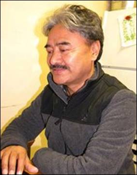
Ang Karma Sherpa,
the owner and managing director of Windhorse Trekking, helped me set up the itinerary
for this trek and arranged the permits and logistics. His intimate knowledge of Nepal and his mountaineering
expertise were invaluable. He had previously helped organizing several
mountain expeditions in which I had participated (Cho Oyu
in 2001 and 2002 and Kyajo Ri
in 2006). |
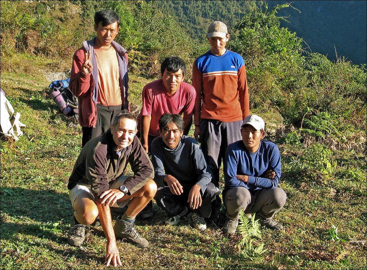
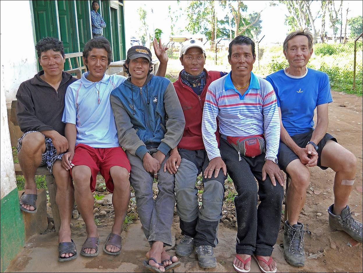
For
each of the two parts of the trek I was supported by a team of 5 Sherpas (selected by Ang Karma),
all from the same area of Solu-Khumbu. These two
teams worked very hard to help me achieve the traverse. It is clear that
without them I would not have been able to complete the traverse.
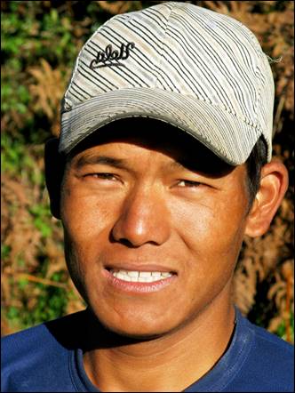
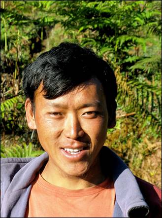
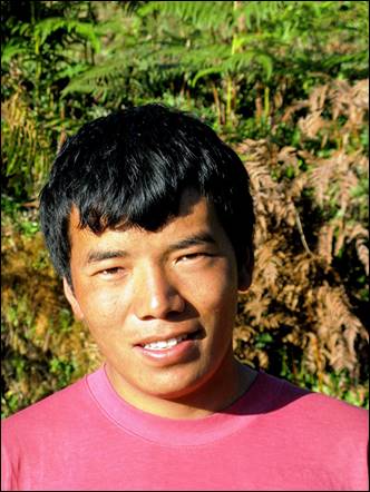
There
were 3 Sonam in the first team! Sonam
(1), on the left below, was the leader. were the other
members. Sonam(2) and Nawang left in Beni to return to Kathmandu.
|
|
|
|
|
|
|
Sonam
(1) |
Pasang |
Sonam (2) |
Sonam (3) |
Nawang |
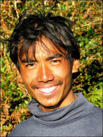
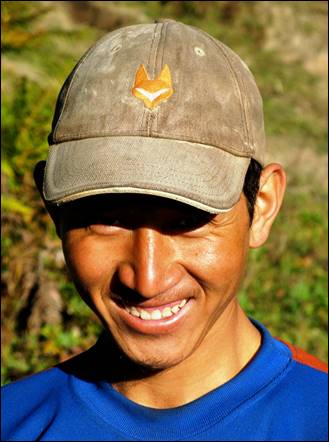
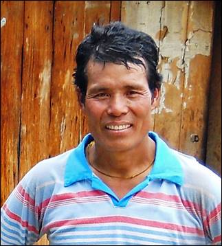
Pemba Lama, on the left below, was the leader of
the second team. Apa Lapa, Tshering, Kabirajhaba, and Kame
were the other members.
|
|
|
|
|
|
|
Pemba Lama |
Apa Lapa
|
Tshering |
Kabirajhaba |
Kame |
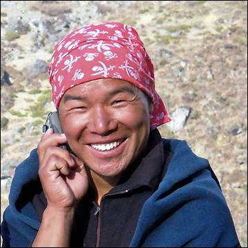
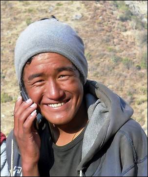
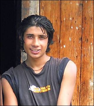
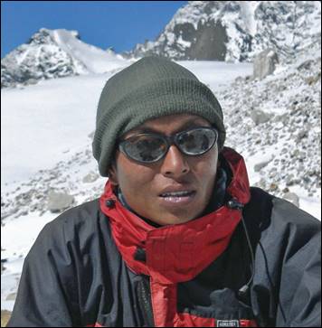
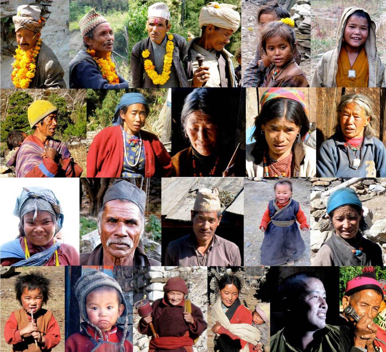
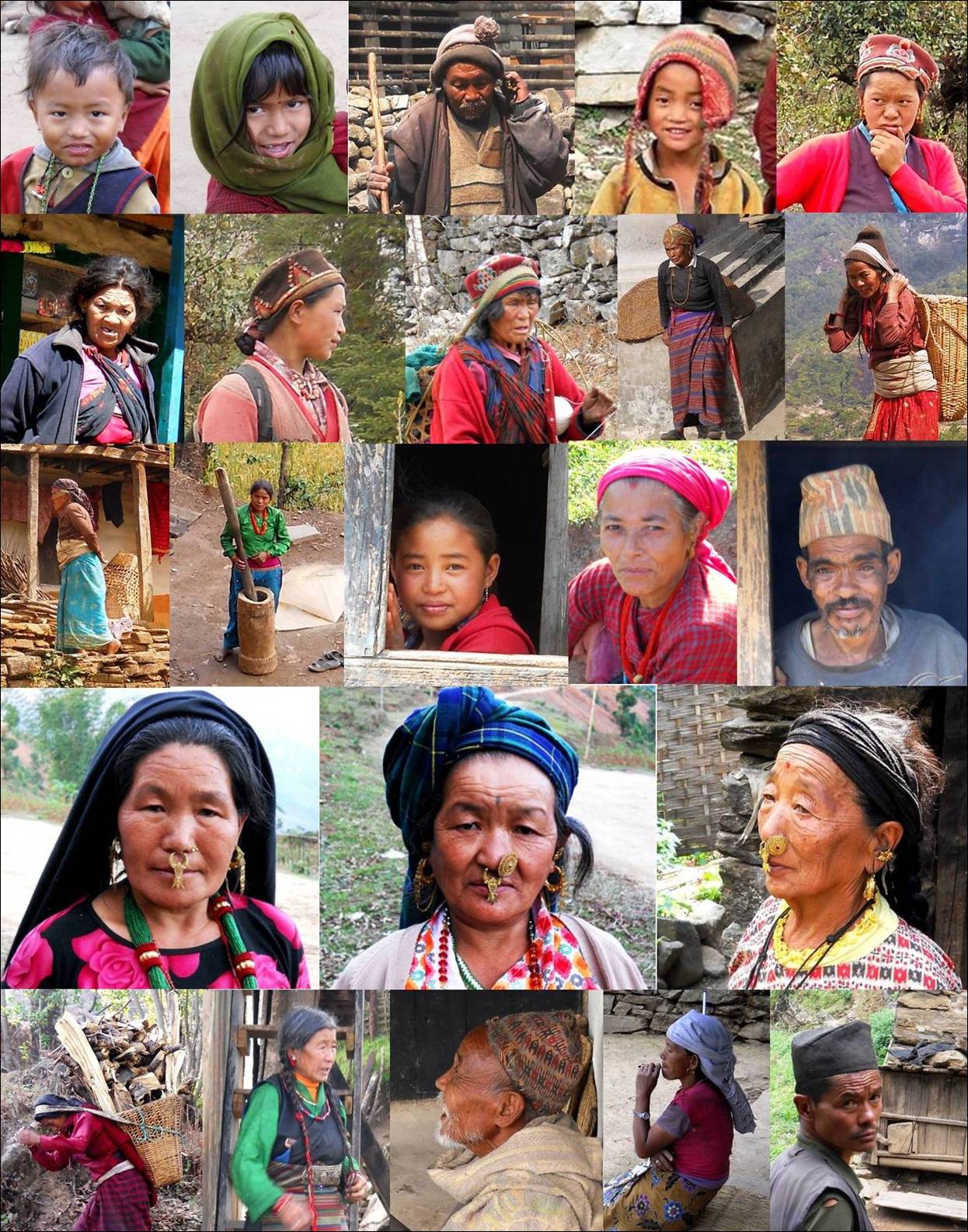
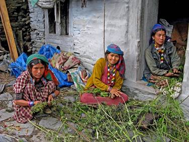
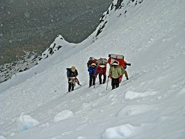
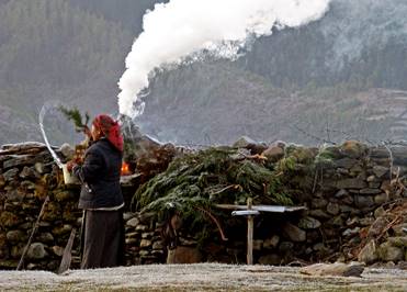
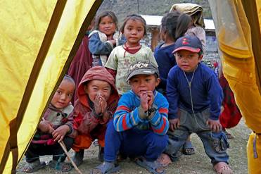
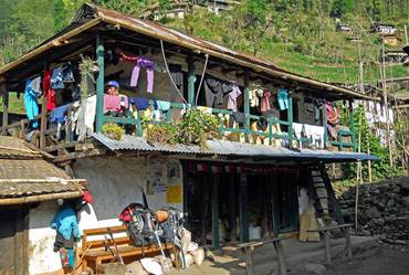
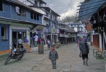
Some
of the Nepali people we encountered during this traverse:
- First part:
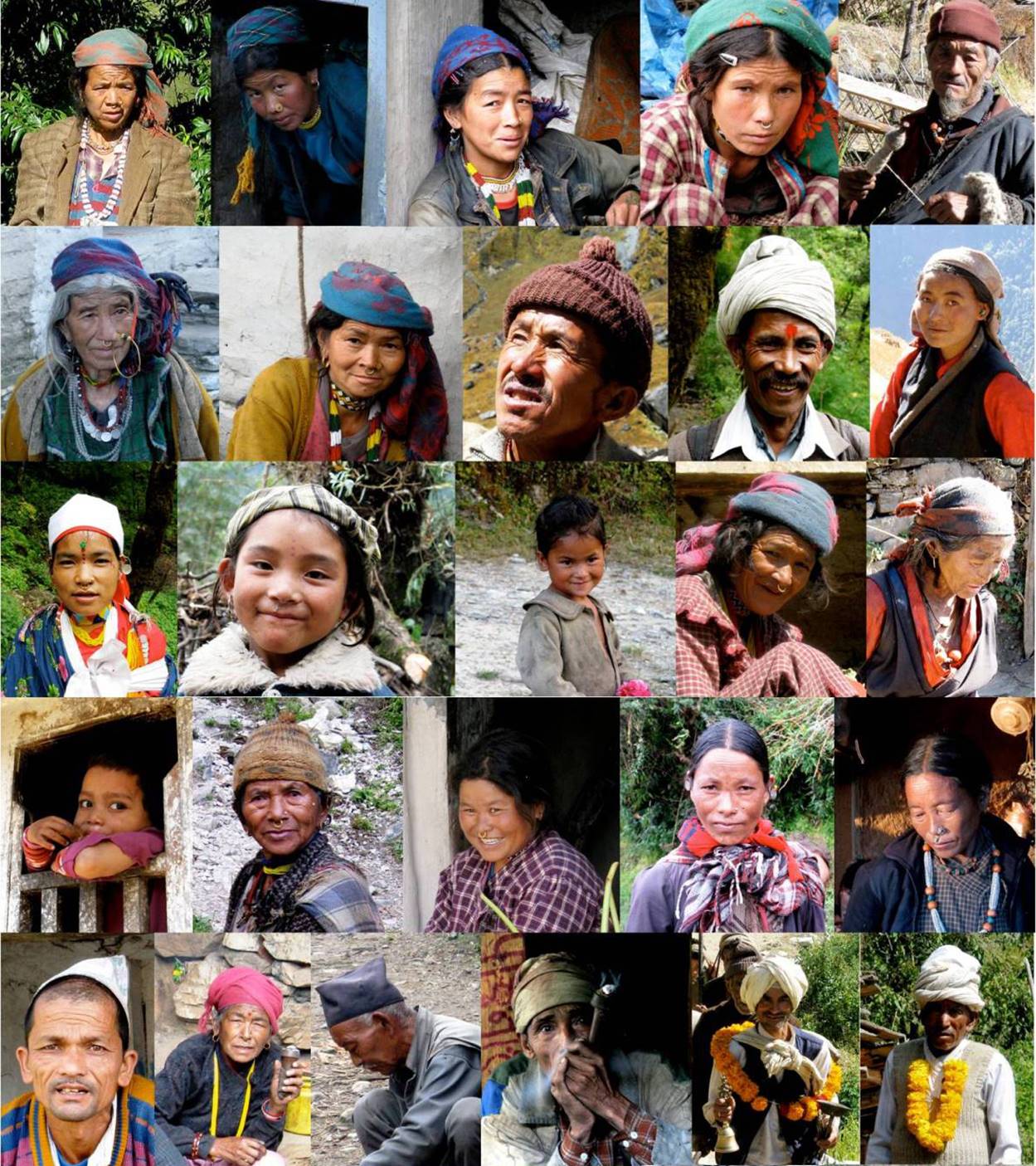
- Second part:
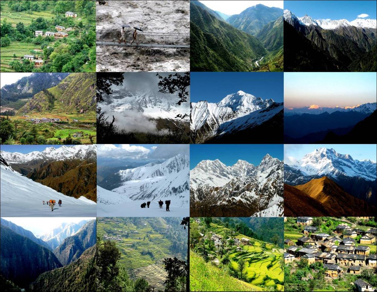
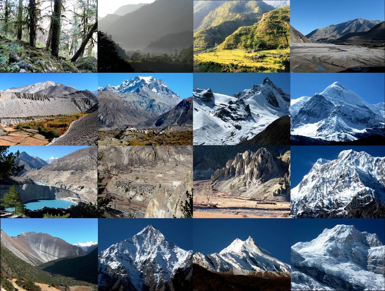
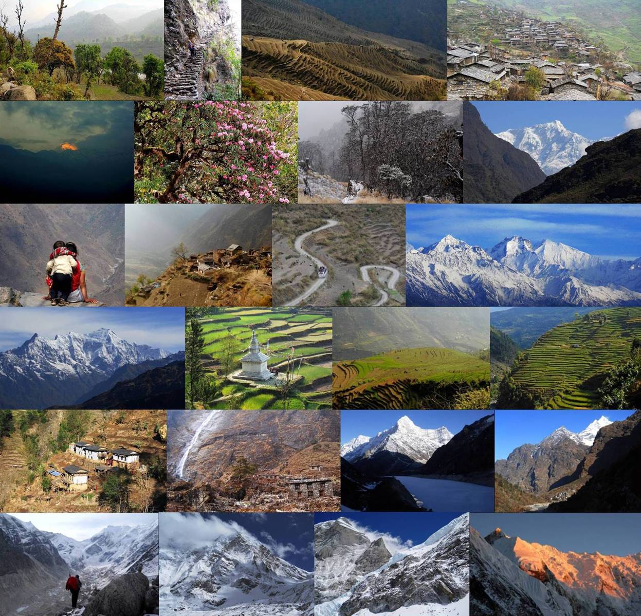
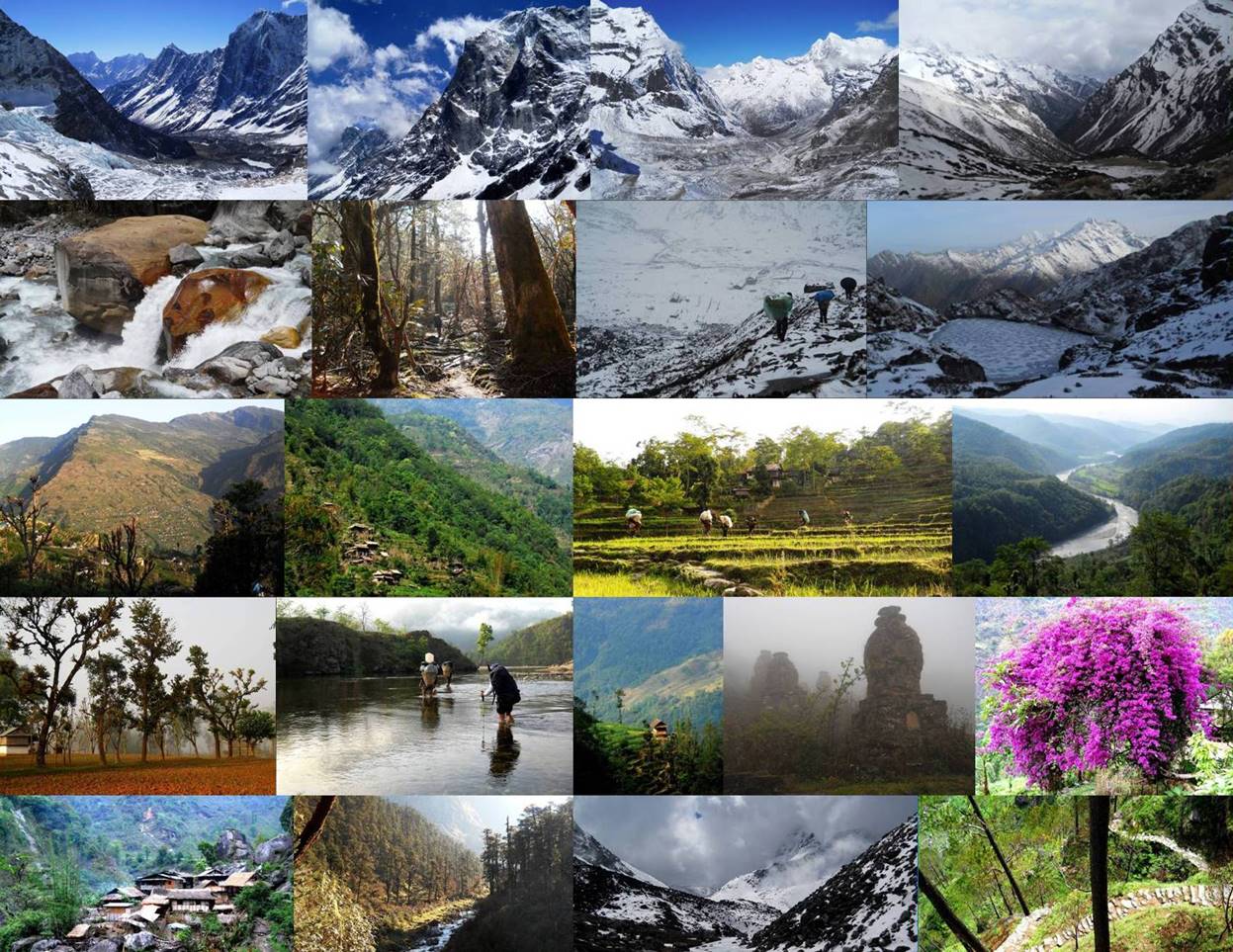
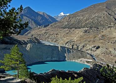
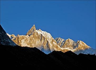
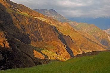
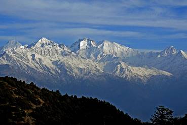
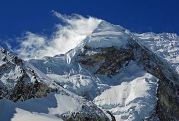
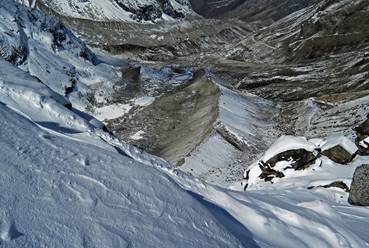
Sceneries
(in chronological order from top to bottom and left to right):
- First part:
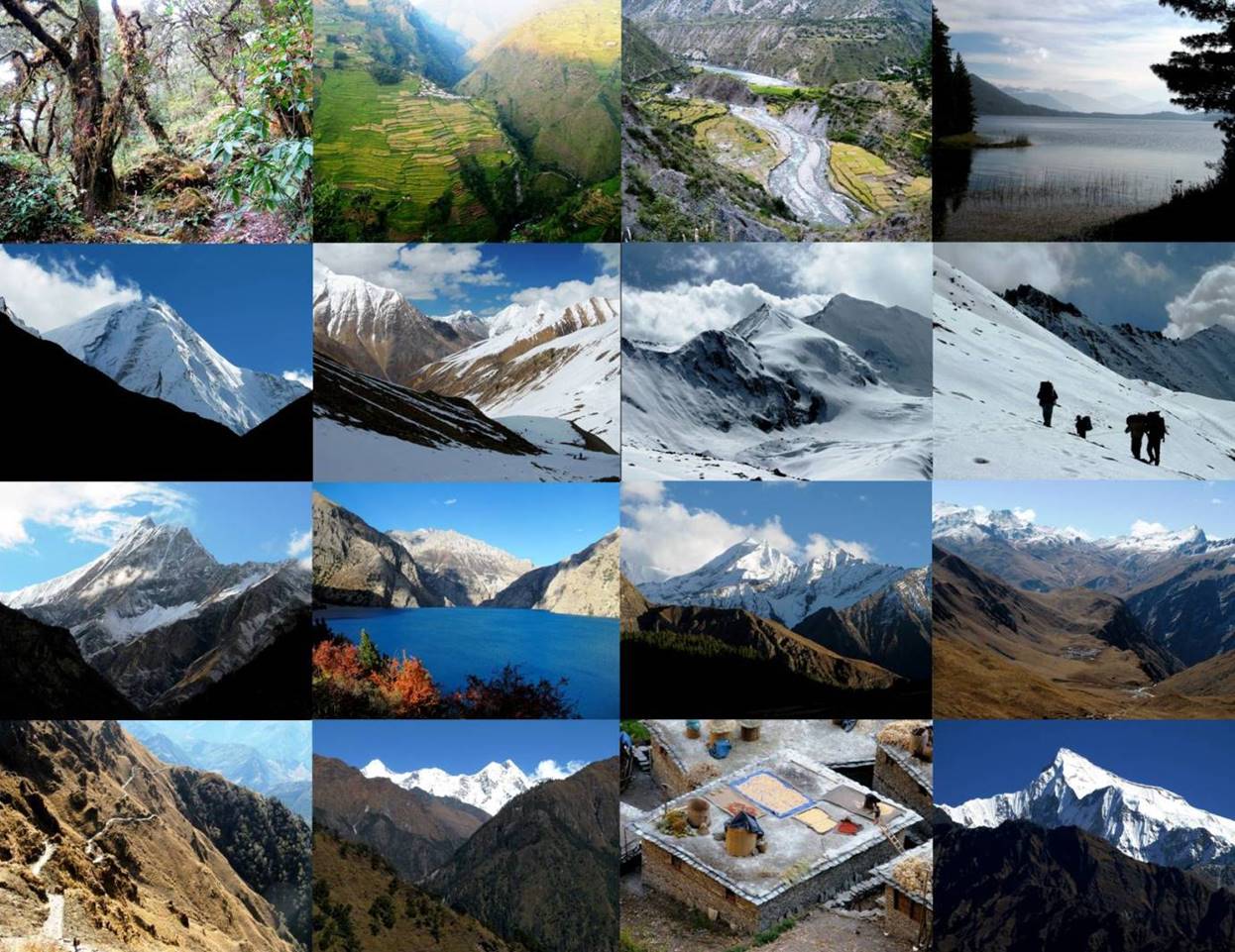
- Second part:
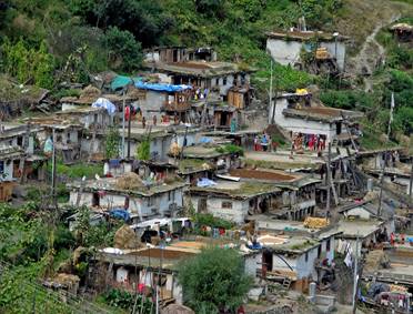
One
fascinating aspect of Nepal is that, outside the Kathmandu valley, the
low-elevation south (Terai), and the main trekking
areas, most of the country has barely changed for decades, even centuries. Many
people ignore what is going on outside their immediate environment, not only in
other countries, but even in Kathmandu. Many still have never seen a car. This does
not mean that Nepal is a primitive country. In fact, its culture is ancient,
refined, coherent, and highly developed. In most villages, houses are neat, and
harmoniously designed and built. Throughout most of Nepal, trails are numerous
and incredibly well engineered to handle heavy rains (unlike some recent,
brutally bulldozed roads, for example in eastern Langtang).
Although people are poor by many standards, they have organized their life in
accordance to their environments, cultures, and needs, without undue
inequalities among them. They are extremely welcoming, supportive of each
other, and amazingly gentle with children. The kindness of the Nepali people
was for me a great source of comfort during the entire traverse.
I
hope that the information and photos in the pages pointed by the following
links reflect the great harmony and beauty that still prevail across most of
Nepal (despite a number of acute growing problems).
Click on the
following links to see photos of the various legs of the traverse.
PART 1 (Traverse of
Western Nepal, 2008):
|
|
|
|
|

|
|
|
|
|

PART 2 (Traverse of
Central and Eastern Nepal, 2011):
|
|
|
|
|

|
|
|
|
|
![]()