Pakistan (Summer 1970)
![]()
Return to my
mountaineering-trekking-travel page
[Page created in July 2015,
revised in July 2020.]
In the summer of 1970,
with one of my brothers and a friend, I drove from France to Pakistan with a
Renault 4L. We entered
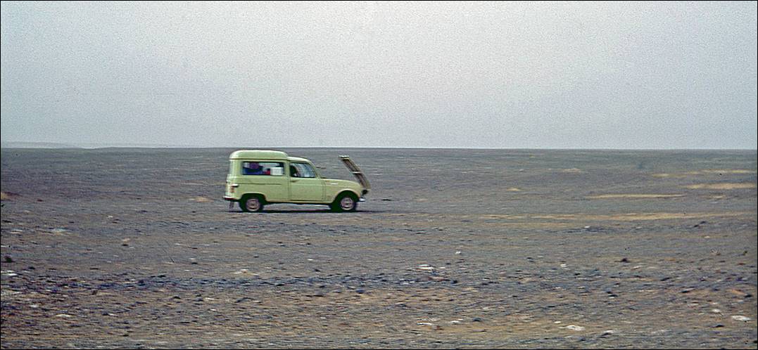
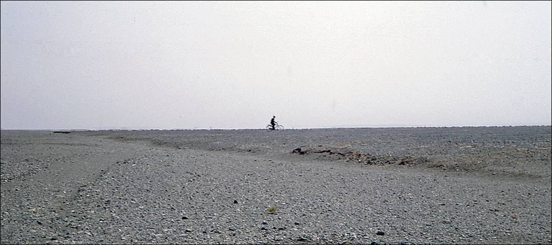
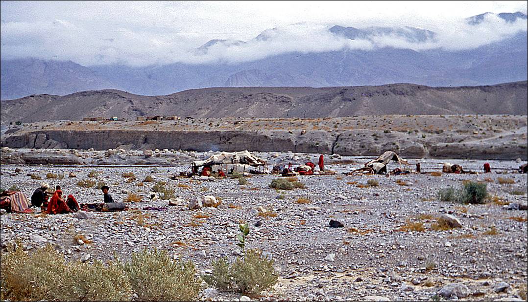
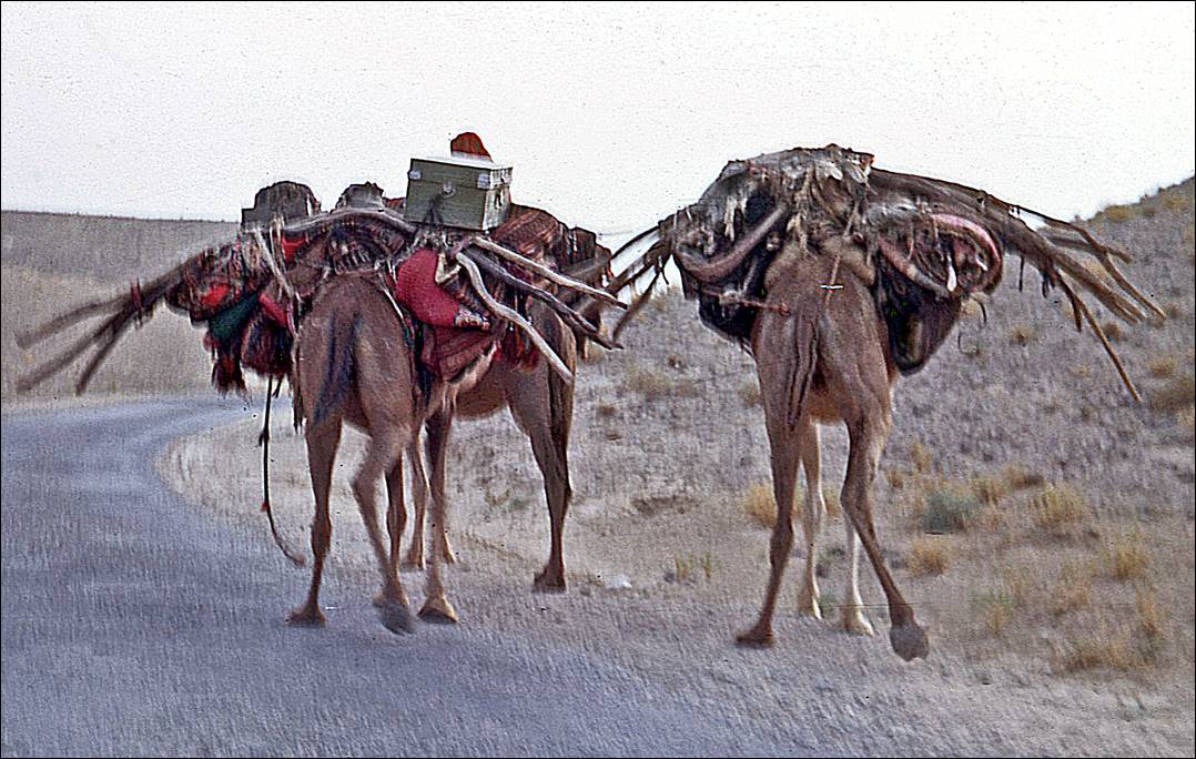
Scenes from the Baluchistan desert:
Our Renault 4L trying to cool
down in the desert′s heat.
An improbable cyclist
Nomad camp and camels
along the road.
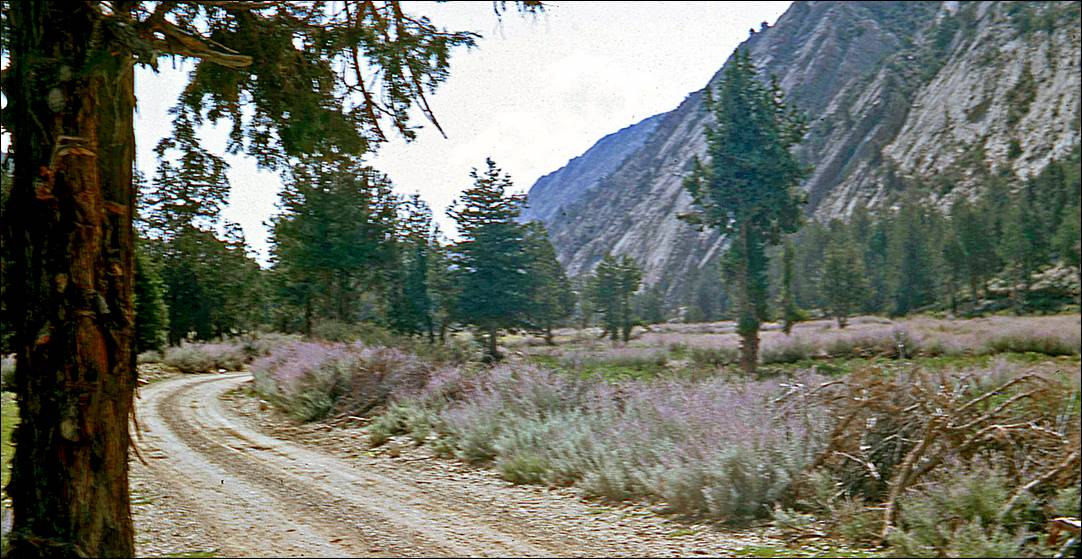
Landscapes in the region around Quetta:
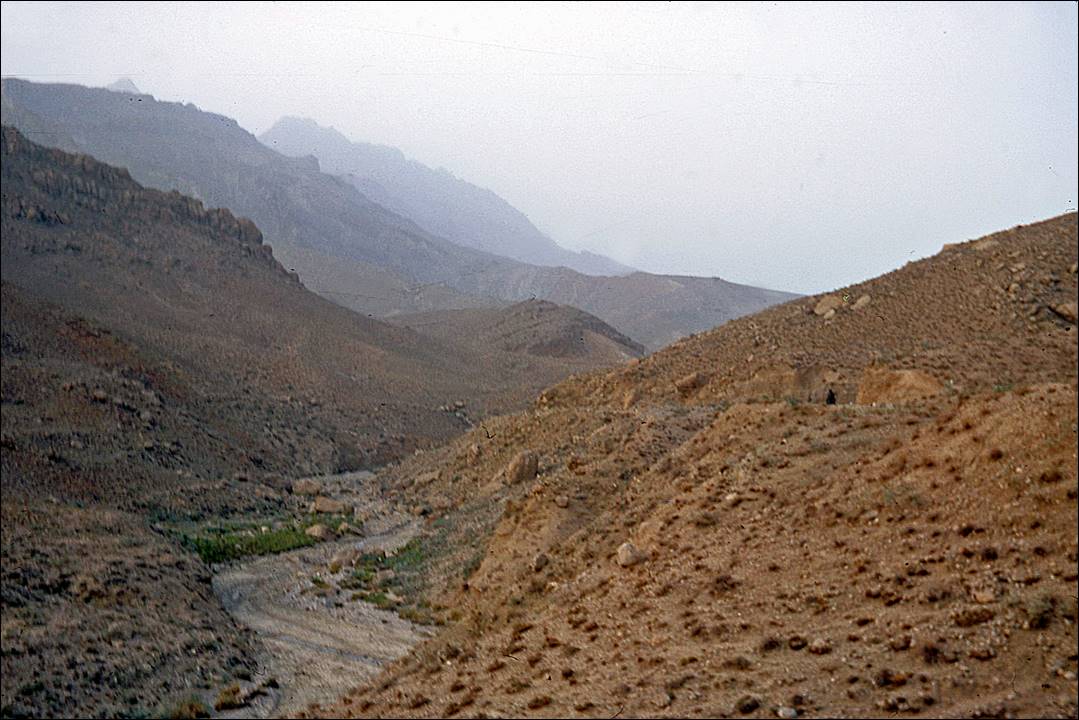
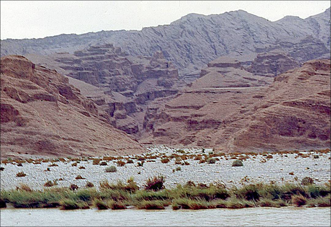
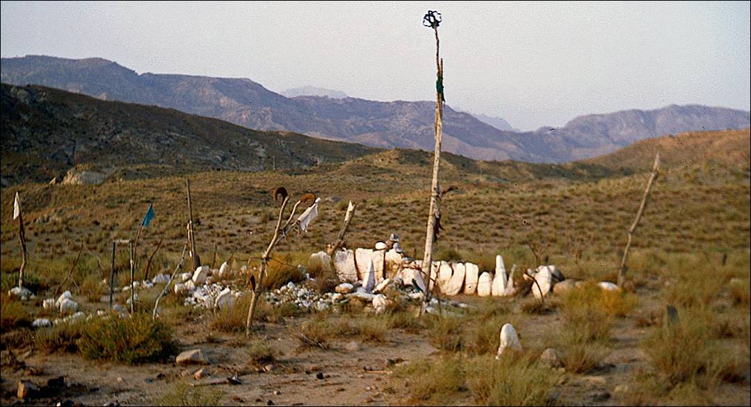
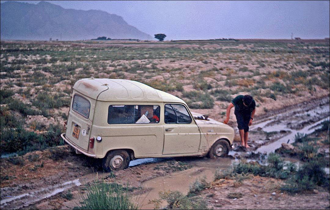
In and around the Sulaiman
mountains:
Graves.
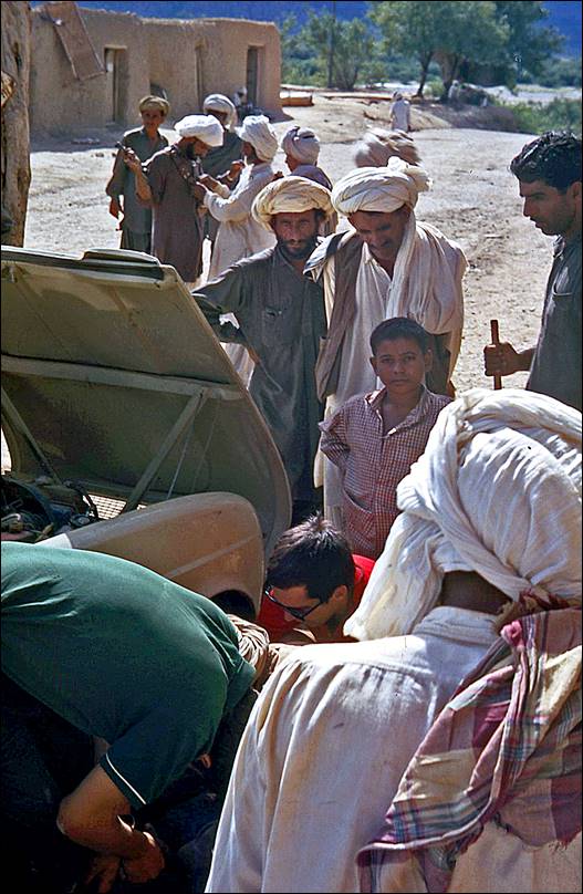
Our car stuck in the mud.
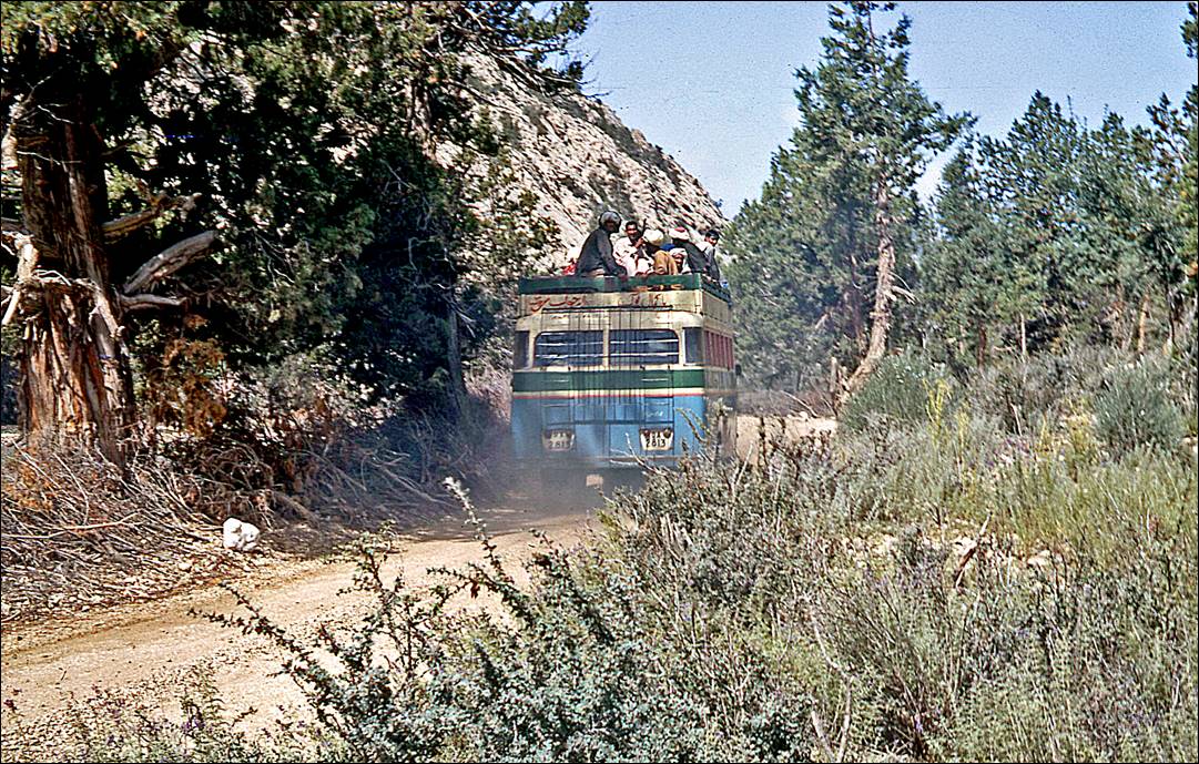
Bus on a dusty road.
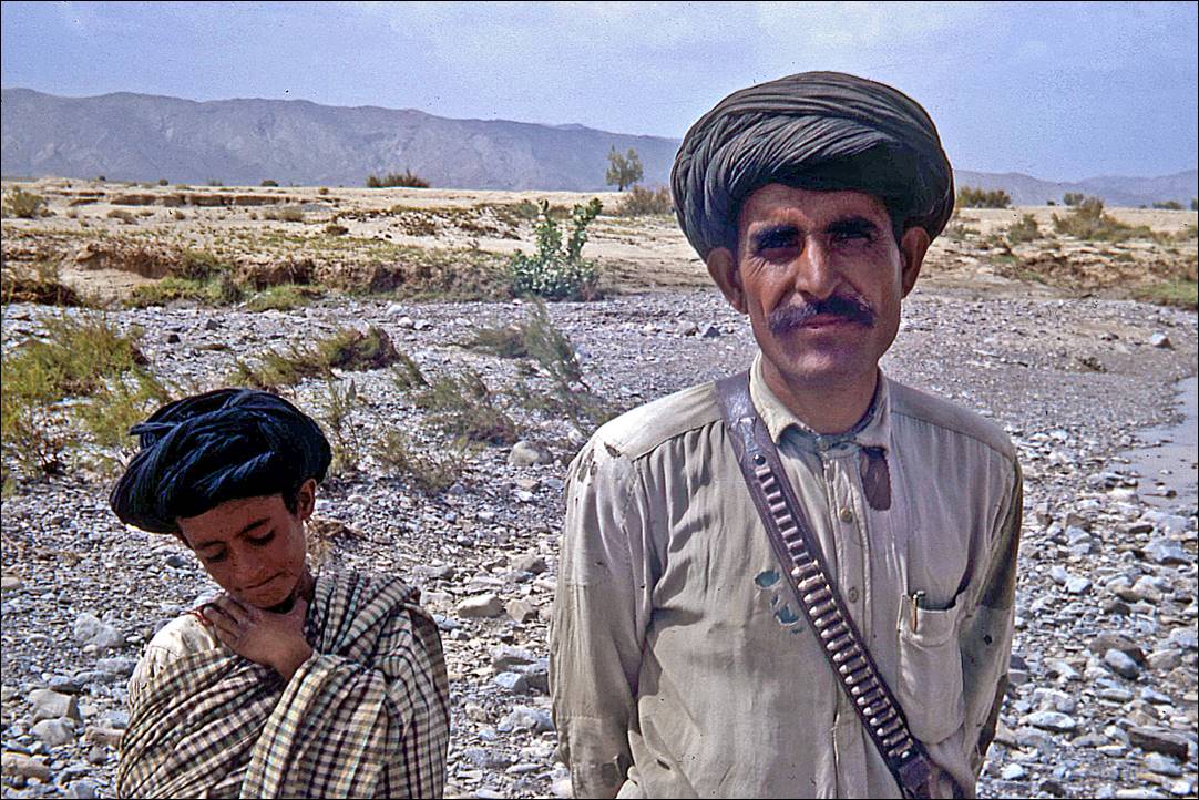
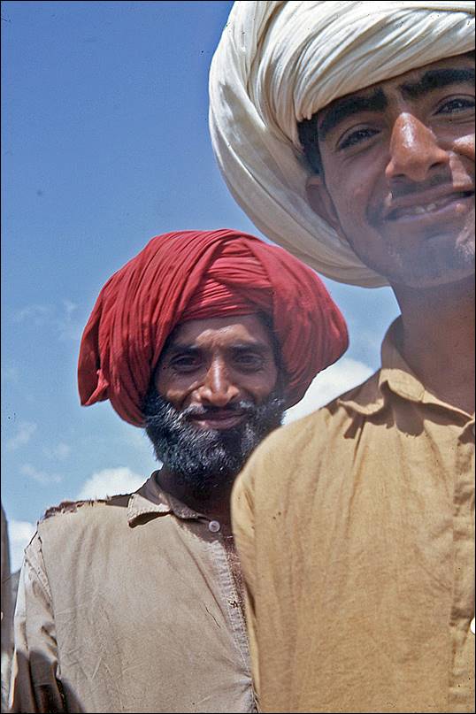
Father and son.
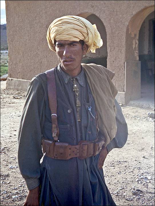
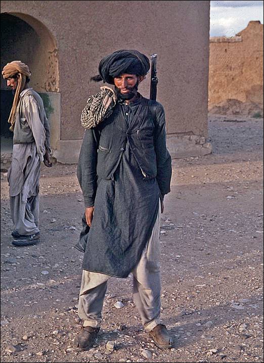
In
1970, parts of the Sulaiman mountains
were controlled by local militia. Entering some villages at night was not
allowed. Despite some appearances, local people were generally quite friendly,
but some of their ″playing macho″ games might no longer be
appreciated today.
|
|
|
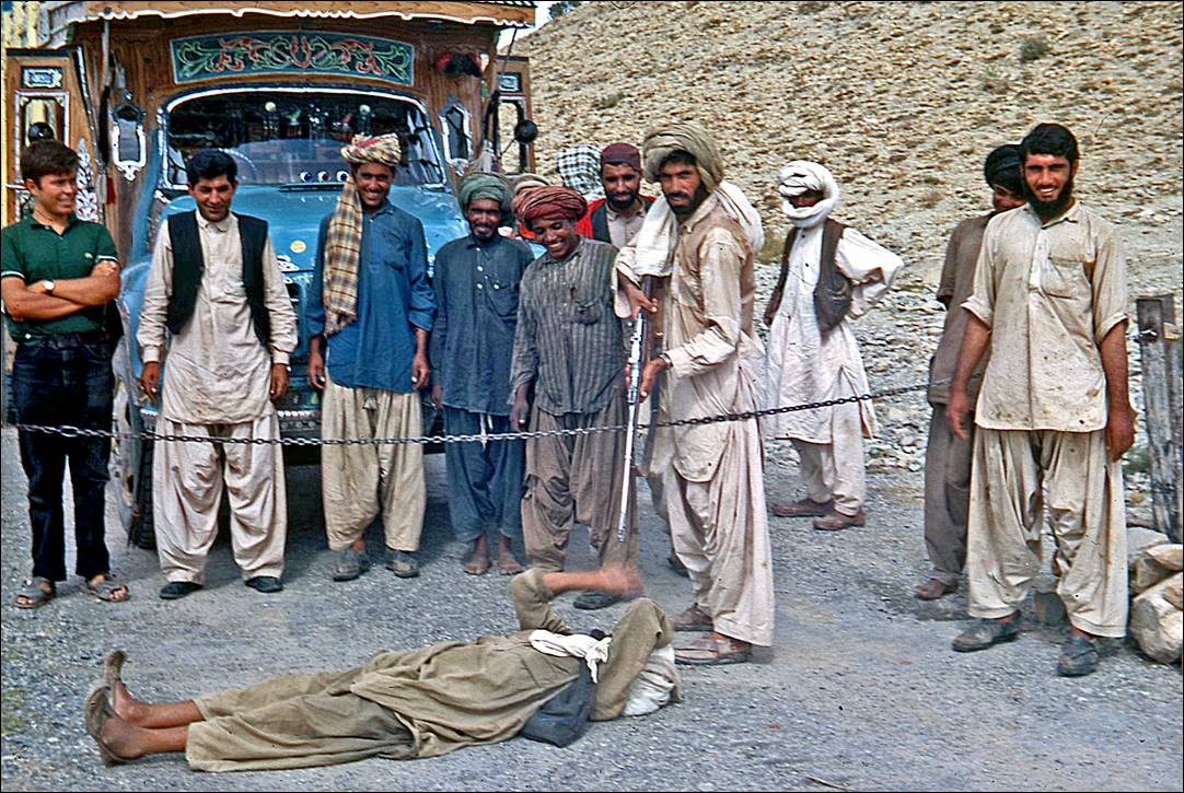
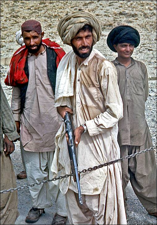
Militia men in a village
where we spent one night.
|
|
|
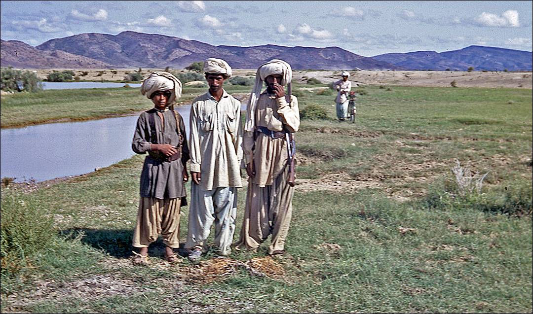
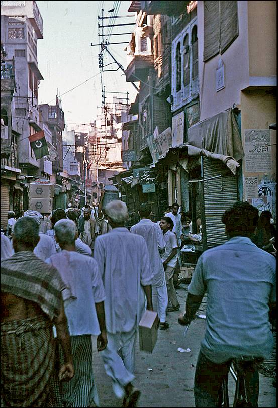
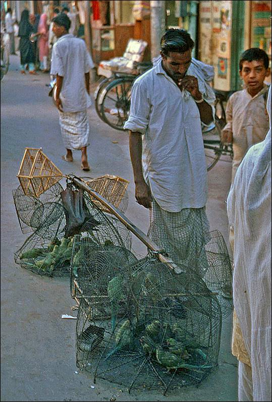
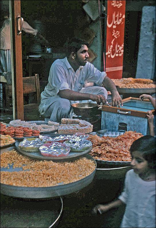
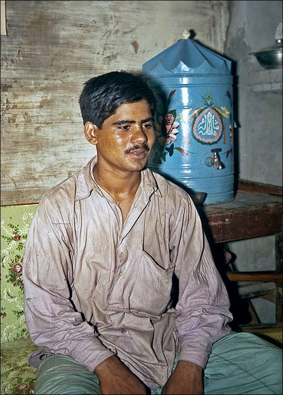
In the wide central Pakistani plain (Indus river), between the
Sulaiman mountains and Lahore:
People encountered along
the way.
|
|
|
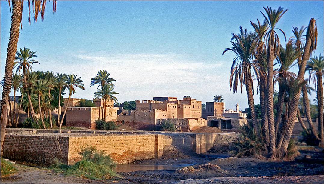
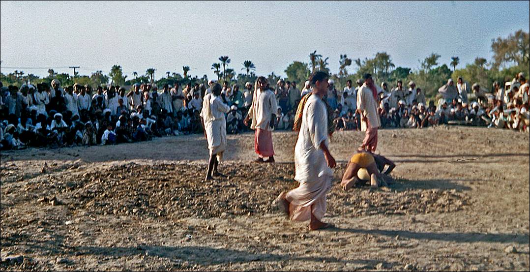
Village near the Indus.
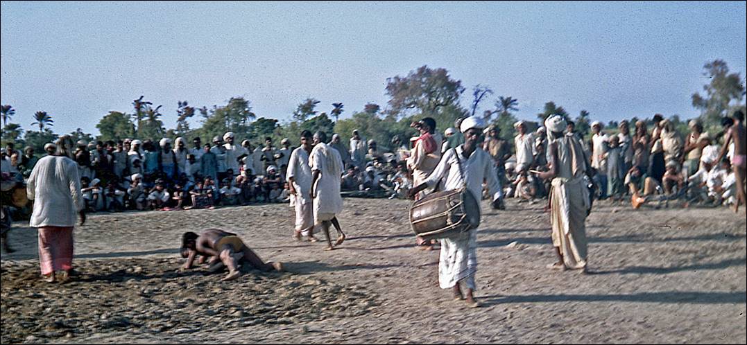
Local wrestling
competition.
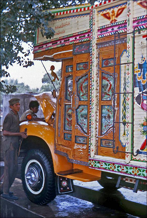
One of the many decorated
lorries transporting goods throughout Pakistan.
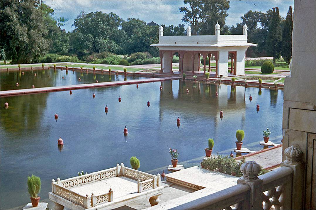
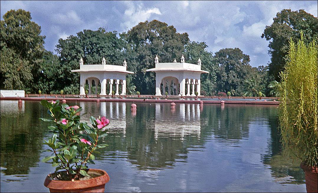
Lahore:
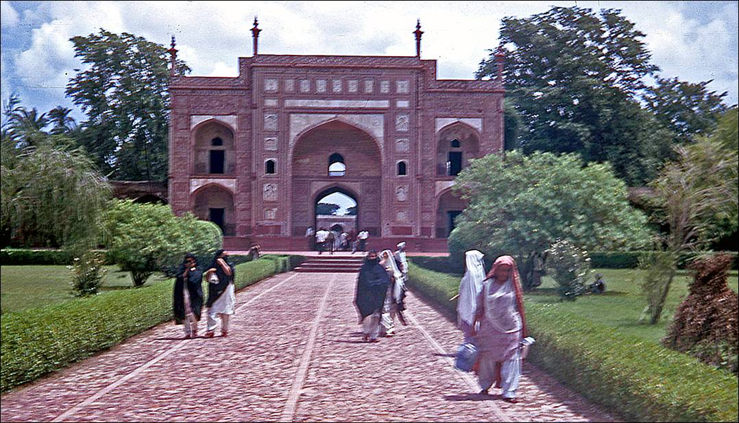
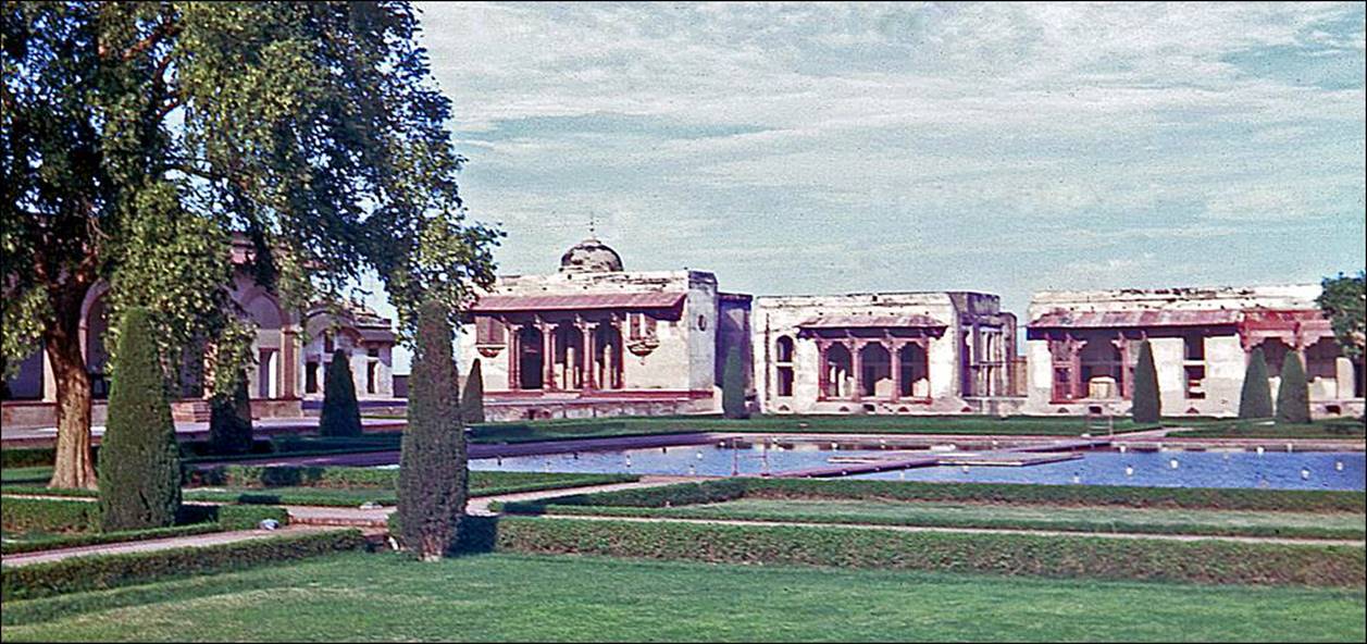
Shalimar Gardens. Created
in 1641-42 during the reign (1628 to 1658) of Mughal Emperor Shah Jahan, they
are located some 5km east of Lahore′s Walled City, also called the Old
City. [The same Shah Jahan
also commissioned the construction of the Taj Mahal in the Indian city of
Agra.]
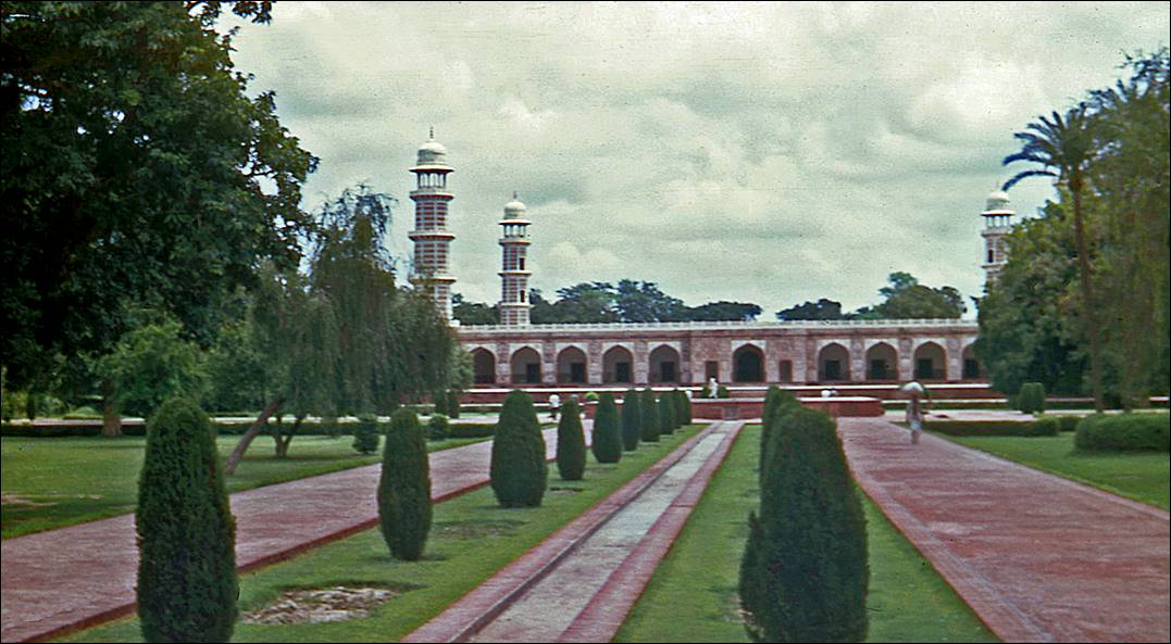
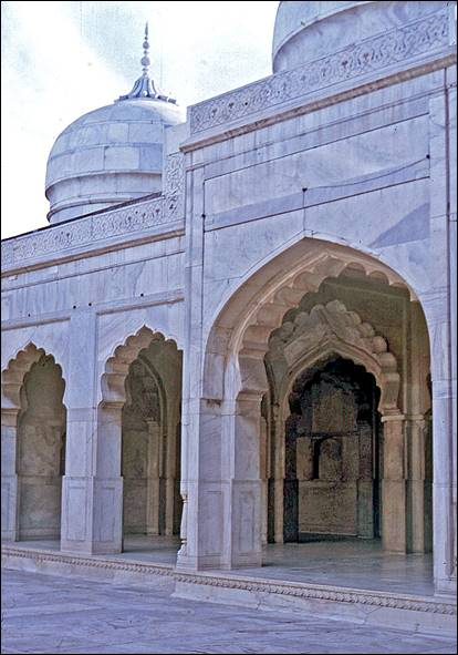
Tomb
of Jahangir (17th century). Build for the Mughal Emperor Jahangir, who reigned
from 1605 until 1627, it is located 4km north of the Walled City across the
Ravi river. Jahangir was the father of the Shah Jahan.
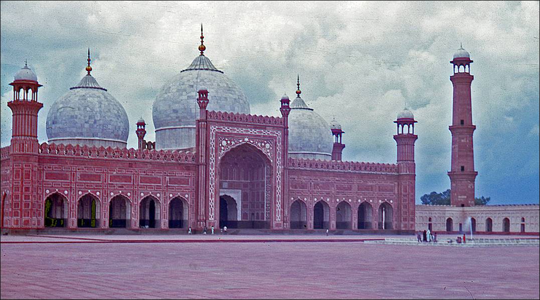
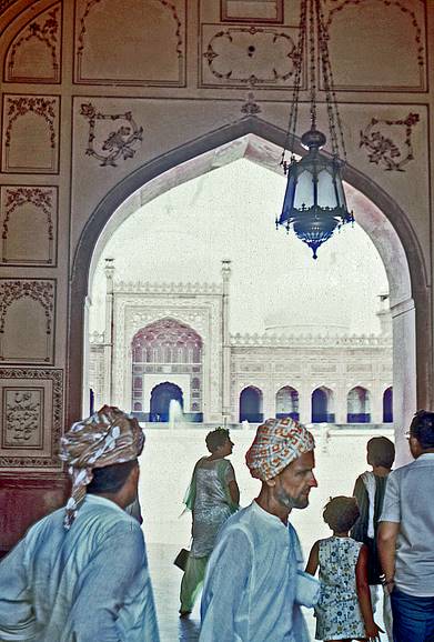
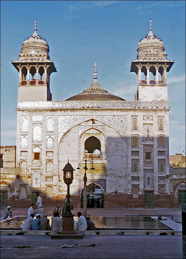
Badshahi mosque. It was built in
1671-1673 by Mughal Emperor Aurangzeb, a son of Shah Jahan, who reigned for 49
years from 1658 until 1707. It is adjacent to Lahore′s Walled City.
|
|
|
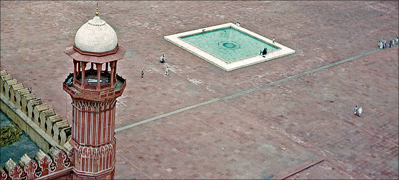
View
over the main entrance (red building) of the Badshahi
mosque compound, the Hazuri Bagh
Baradari (see next photo), the massive Alamgiri gate, and the Lahore Fort, from one of the
minarets of the Badshahi mosque. The white building
partially visible on the left of the photo is the Samadhi of Maharaja Ranjit Singh. The three white domes on the right side of
the photo are those of the Moti mosque (Moti Masjid), built in the 1630s by Emperor Shah Jahan and
located inside the fort.
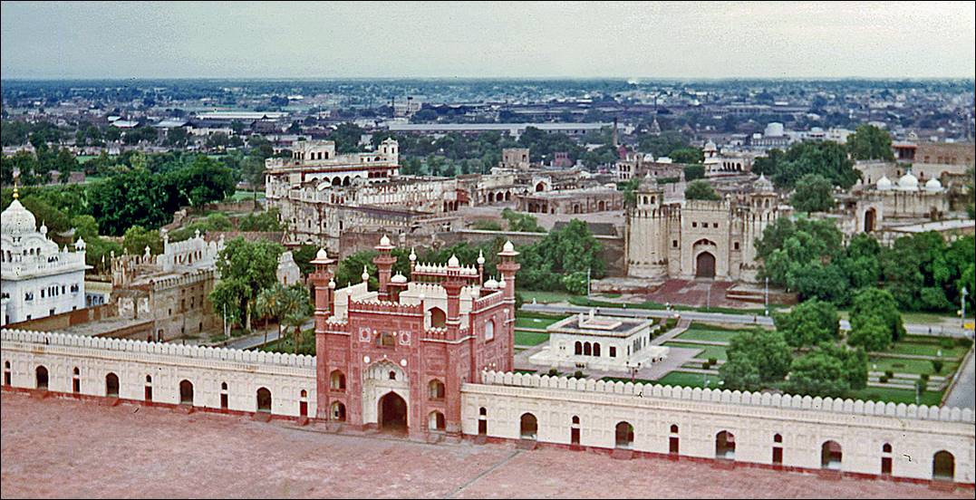
The
Hazuri Bagh Baradari (pavilion with 12 doors) and, behind it, the Alamgiri gate, the main entrance of the Lahore Fort. The Hazuri Bagh Baradari
was built in 1813 by Maharaja Singh, the leader of the Sikh Empire in the early
19th century. The Alamgiri gate was built in 1674 by
Mughal Emperor Aurangzeb.
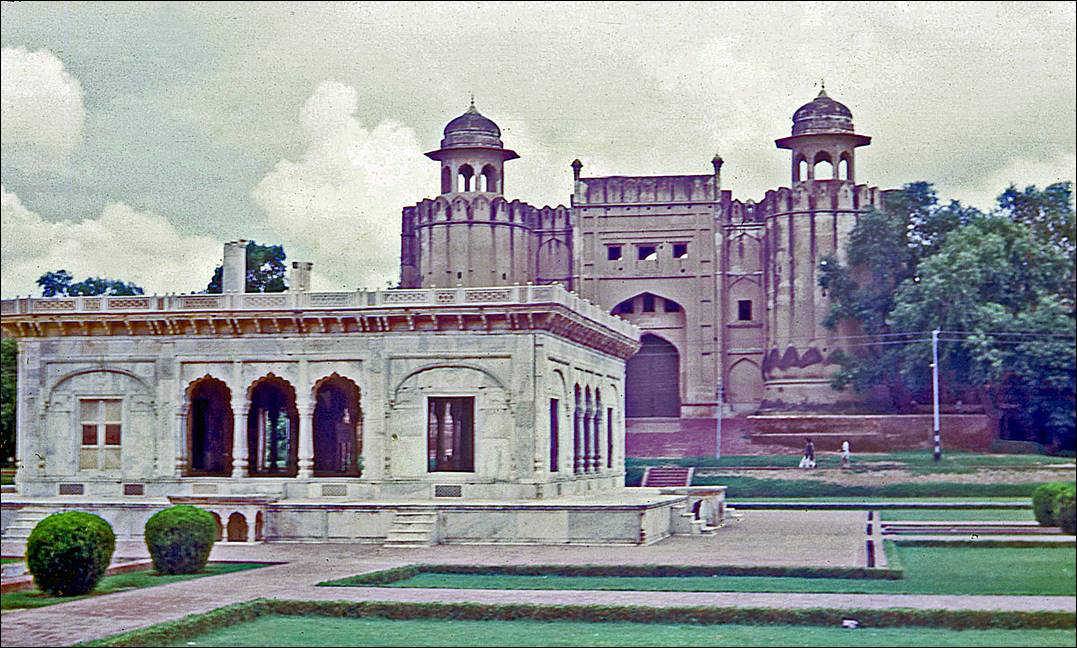
Inside the fort compound:
the Moti Masjid (left) and the Jahangir′s
quadrangle (right).
|
|
|
Wazir
Khan mosque. This mosque was commissioned by Emperor
Shah Jahan and was completed during his reign in 1641. It is located inside the
Walled City. It is renowned for its elaborate decorations.
Partial view of the
General Post office, located south of the Walled City. It was built in 1887 to
commemorate the 50th anniversary of Queen Victoria′s reign.
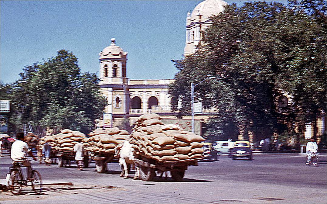
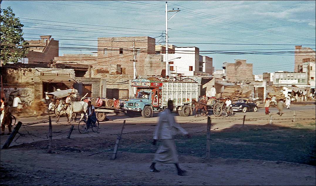
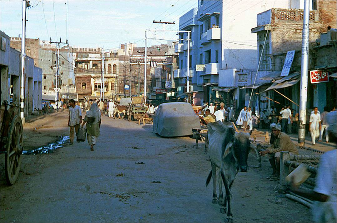
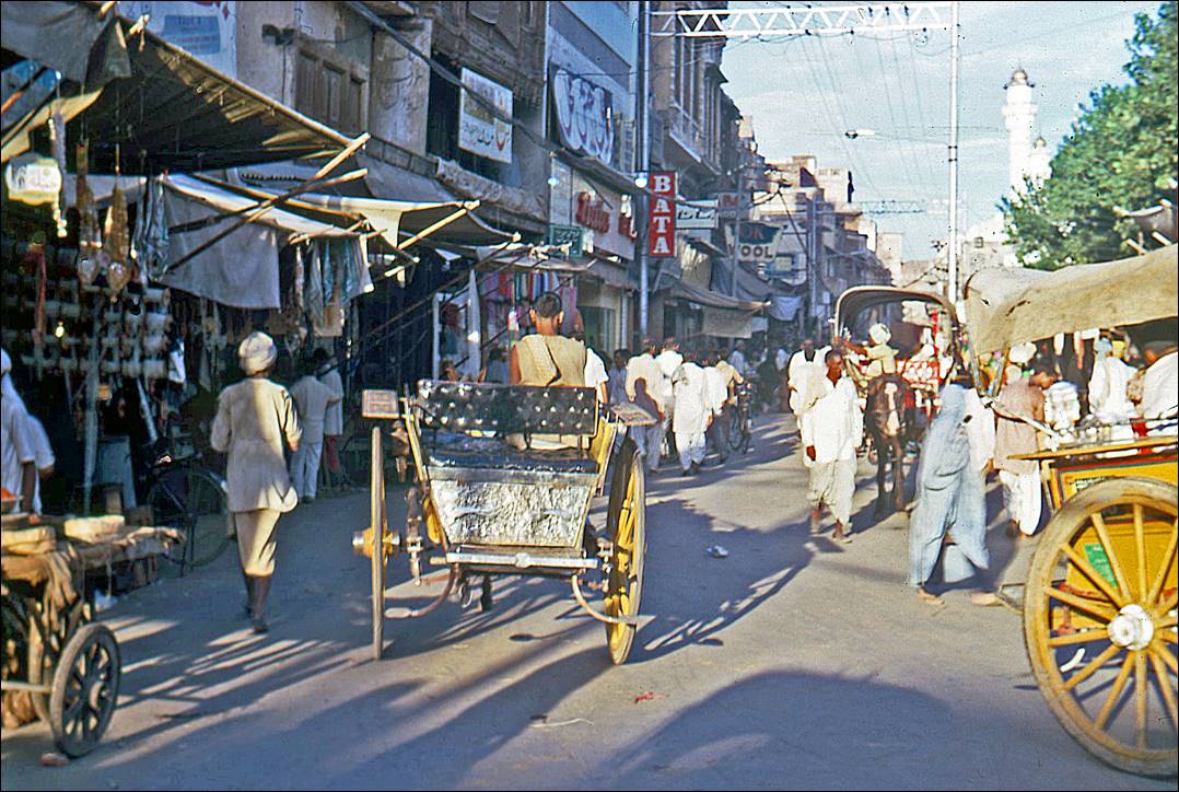
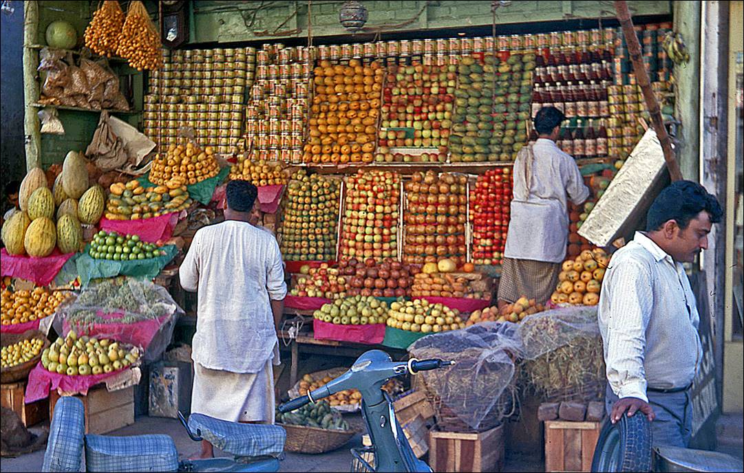
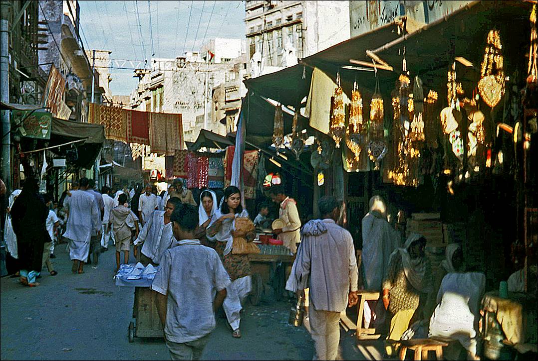
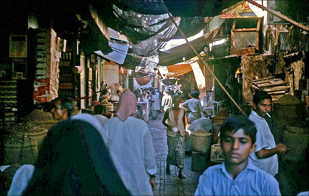
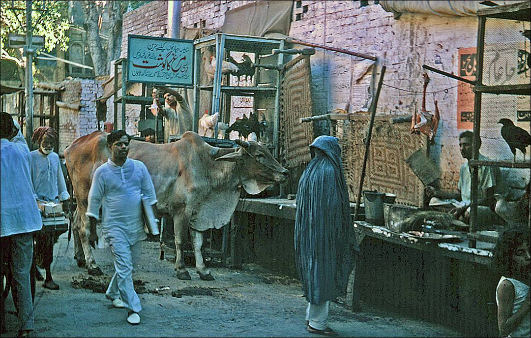
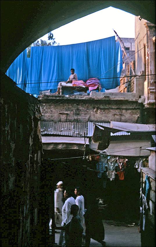
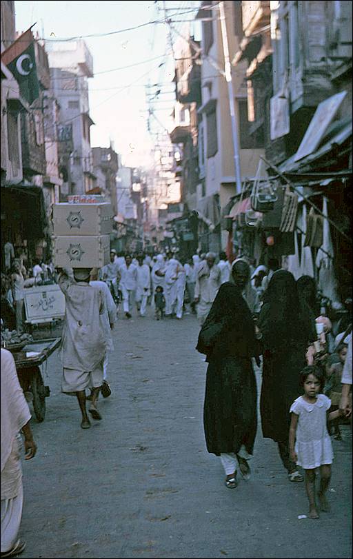
Streets of Lahore, most
of them inside the Walled City.
|
|
|
|
|
|
|
|
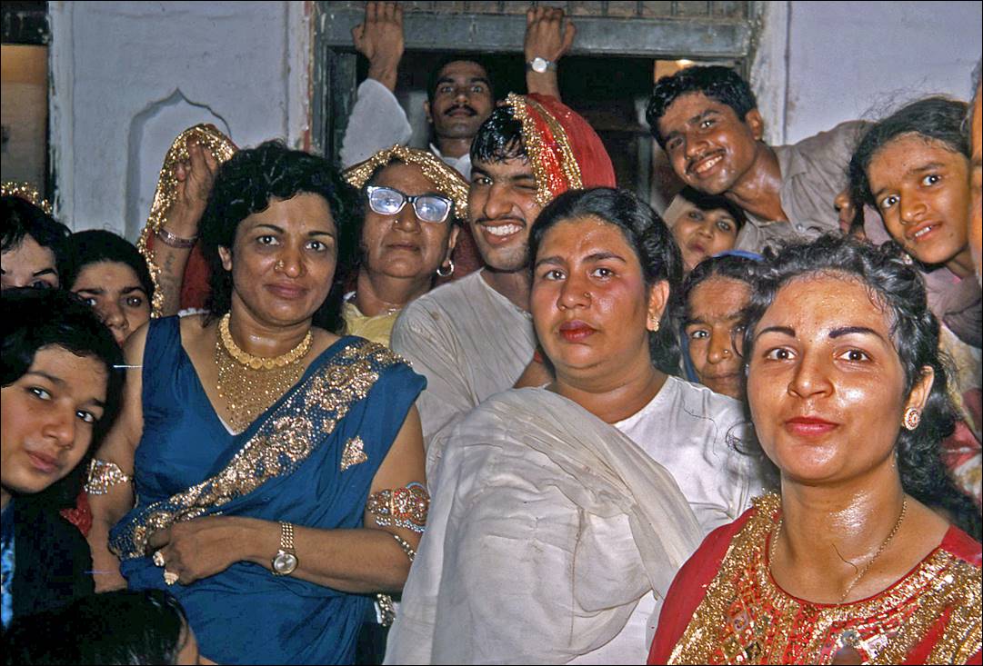
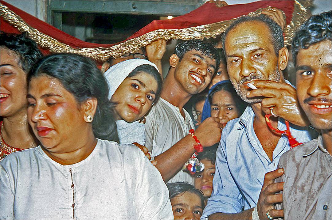
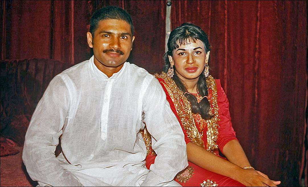
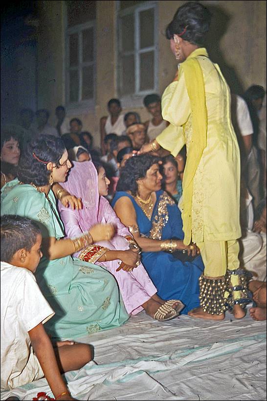
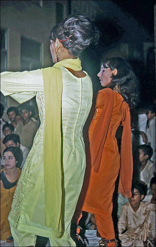
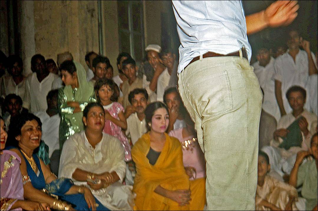
Wedding in the Walled
City. At first I was asked not to take pictures, but soon after I was invited
to attend part of the celebration.
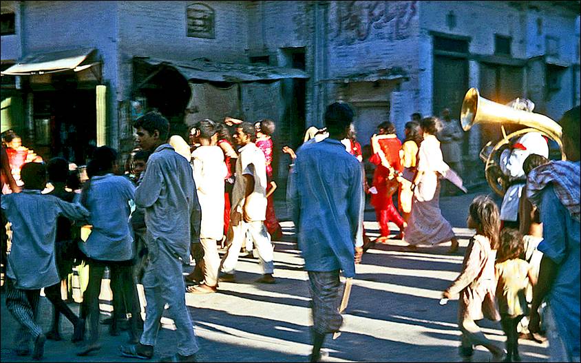
- Street parade before
the wedding.
|
|
|

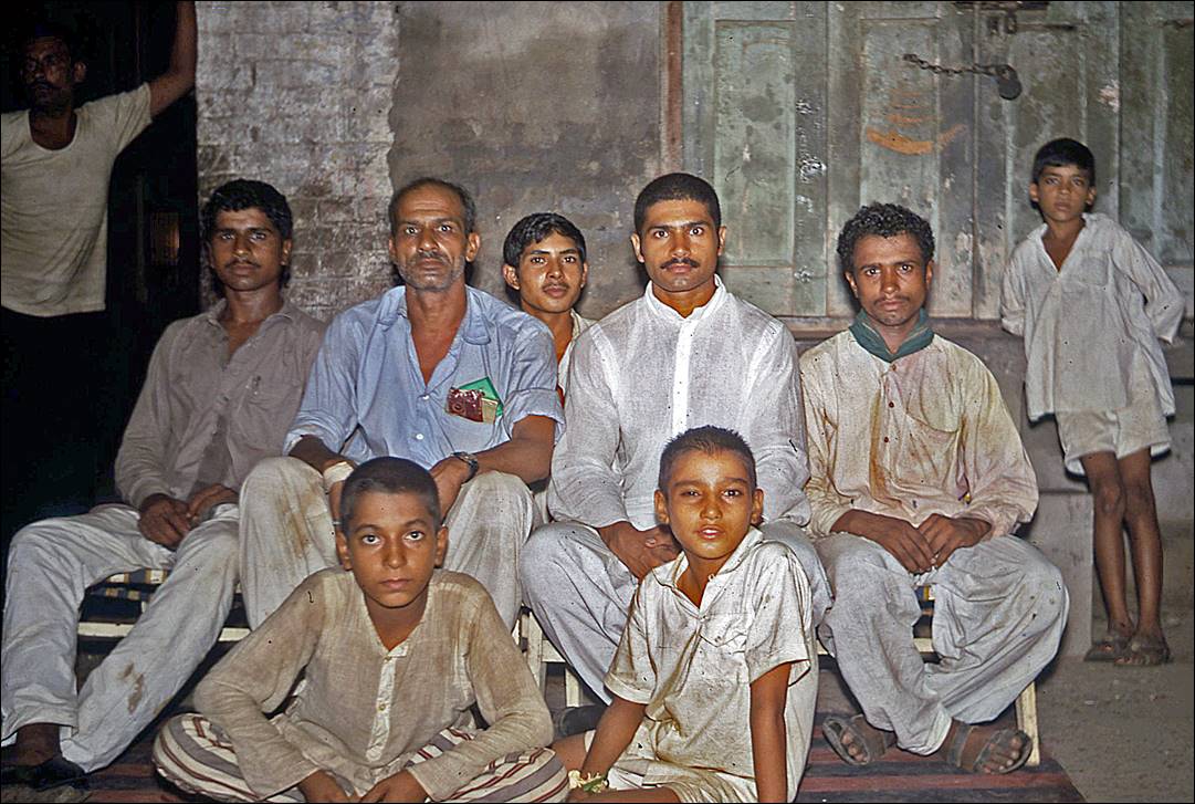
- Family, friends, and groom (the man dressed in
white at the center of the first photo).
- Music and dance in the streets.

|
|
|
- Me giving a demonstration! But few people in the
audience looked really excited.
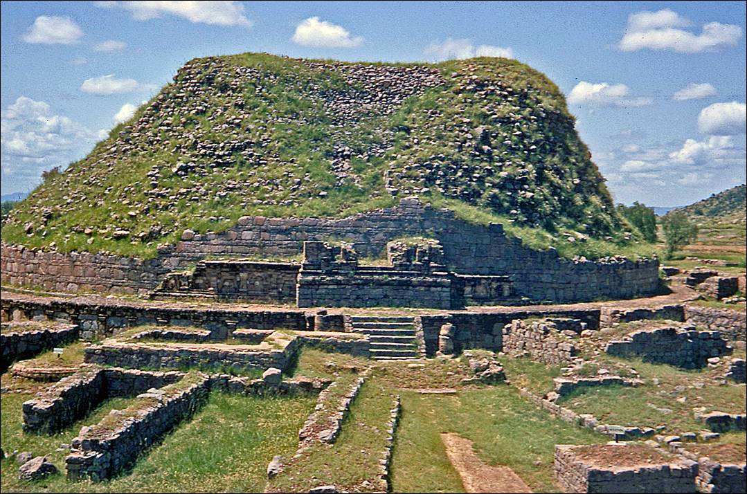
Greco-Buddhist ruins in Taxila:
Located some 30kms
northwest of Islamabad and Rawalpindi, this site is part of the old Gandhara region, which is famous for its Greco-Buddhist art
developed during the Kushan Empire (1st to 5th
century). The Gandhara region covered the northwest of
Pakistan and the northeast of Afghanistan.
- Double-Headed Eagle shrine (so-called due to the
bird sculptures in the arches on both sides of the stairs).
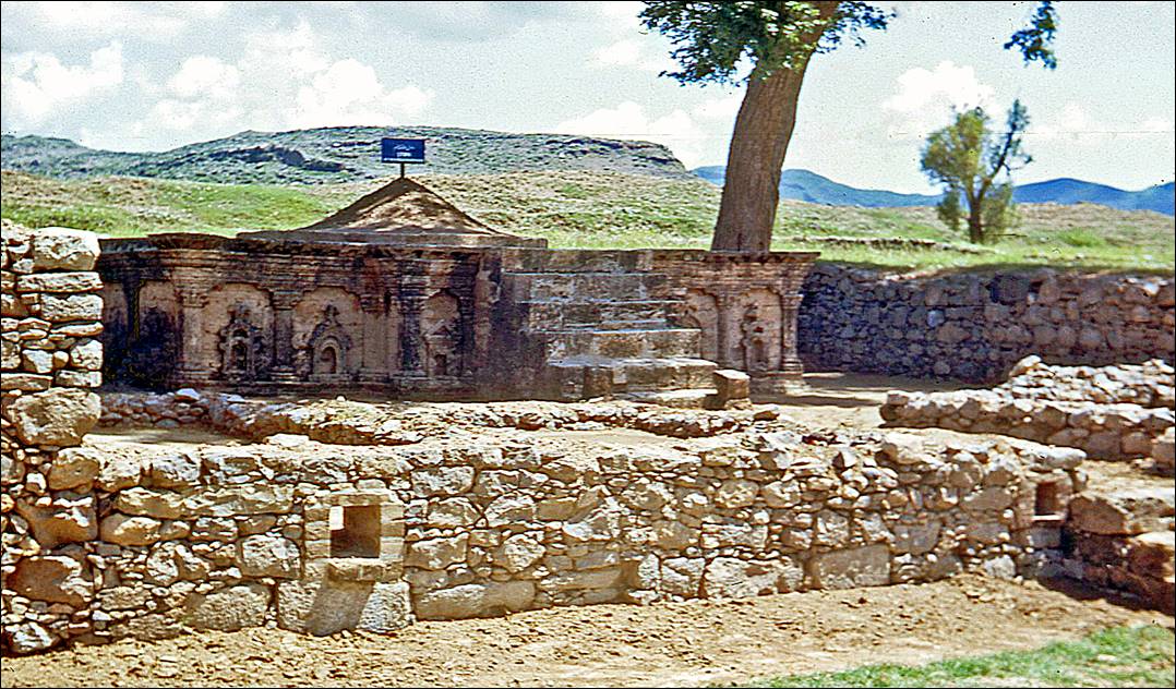
- Dharmarajika stupa.
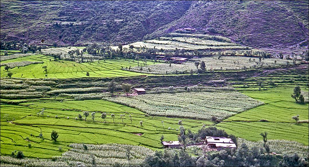
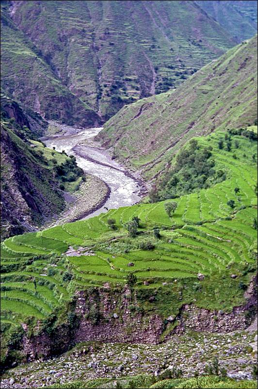
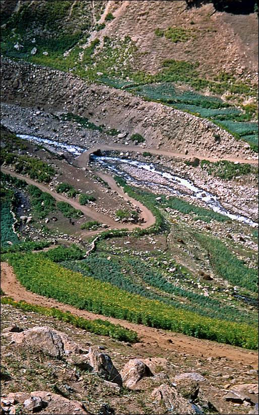
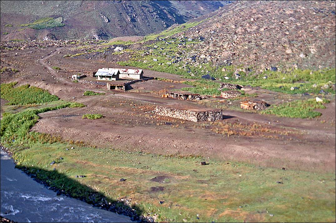
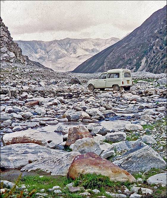
In the northern mountains, into the Kaghan
Valley up to Babusar Pass:
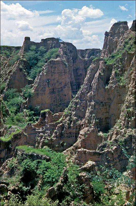
Rice fields and hoodoos in the lower part of the
valley.
|
|
|
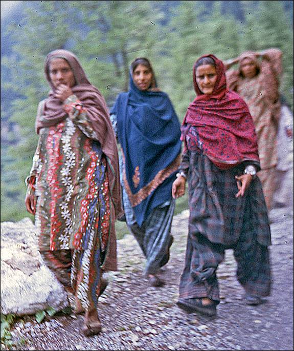
People encountered along the way.
|
|
|
|
|
|

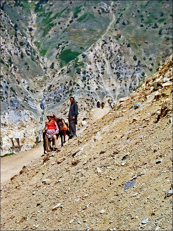
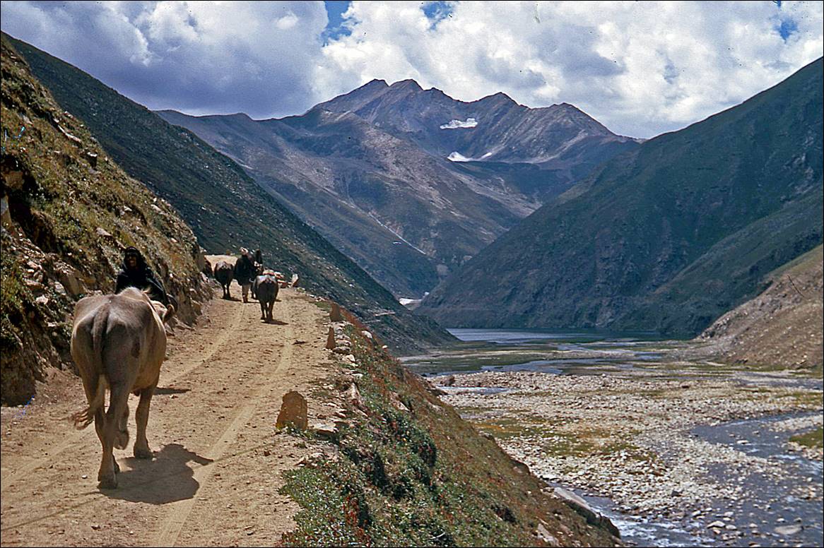
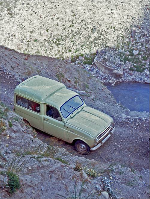
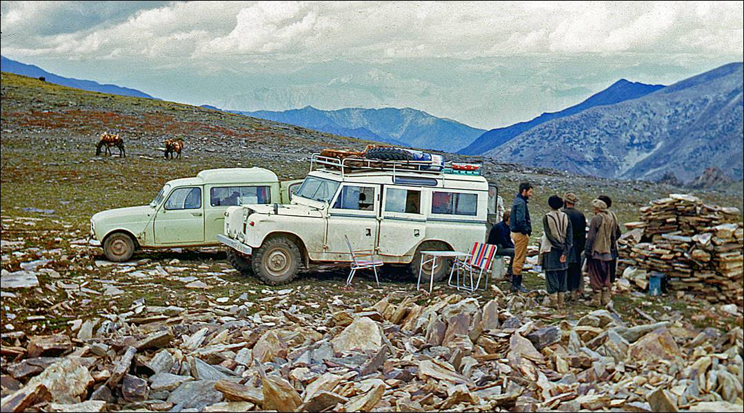
Higher up in the valley.
There we met two Swiss who drove a Land Rover. They were much better equipped than
us to deal with the hazards of the mountain road and they graciously accepted
to team up with us. At that stage we did not know yet that we would very much
need their help later.
|
|
|

|
|
|


|
|
|
|
|
|
At Babusar Pass (4175m),
in the afternoon. We spent the night there, sleeping in our cars.
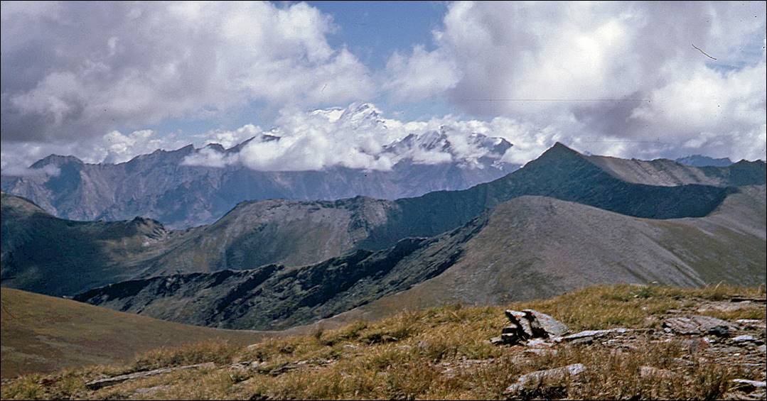
Babusar Pass on the next morning,
after a major night storm that had cleared the air. Nanga Parbat (8126m) is
visible in the background.
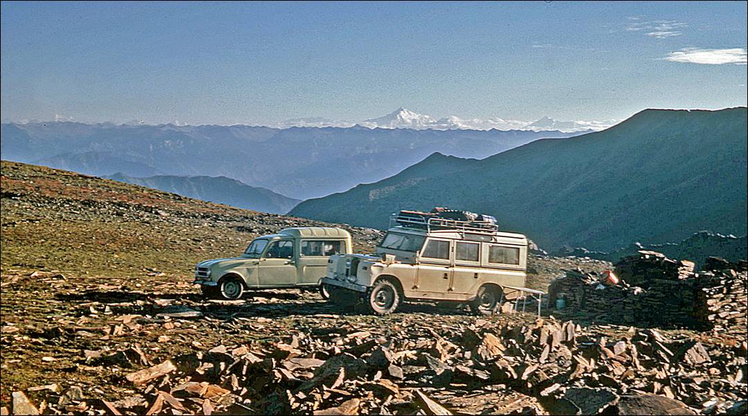
Another view of Nanga Parbat from the pass.
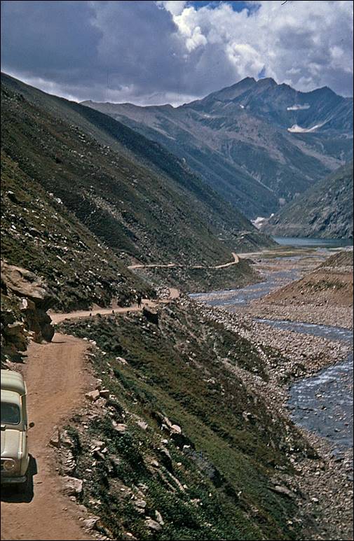
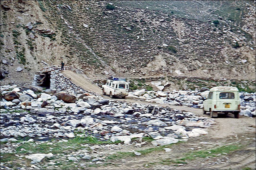
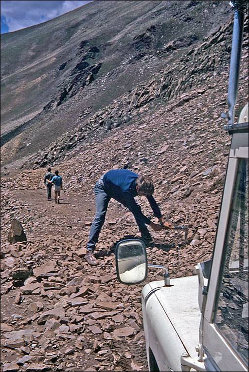
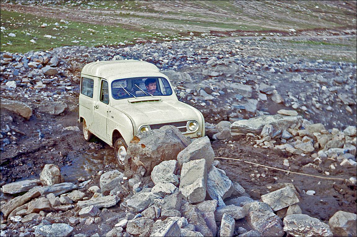
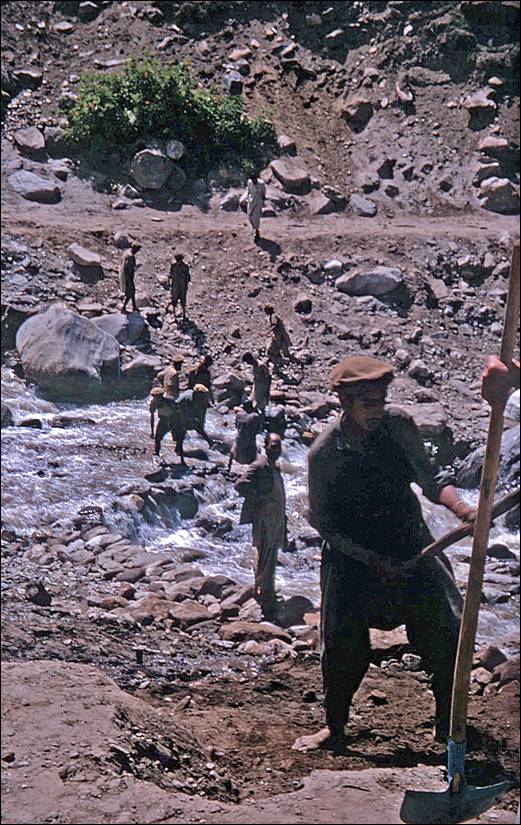
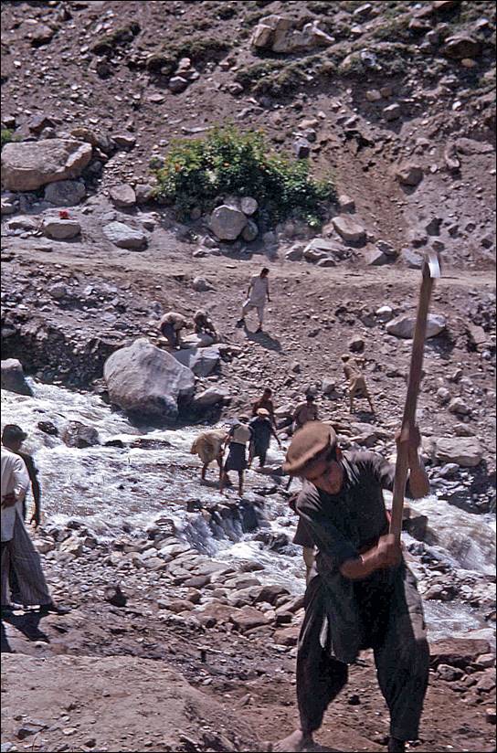
Returning from Babusar Pass. The storm of the previous night had caused serious
damages to the road. Fortunately, the hoist of the Land-Rover made it possible to
haul our Renault 4L across rocky streams. We also received help from local
people, who were already fixing the road damages.
|
|
|
|
|
|
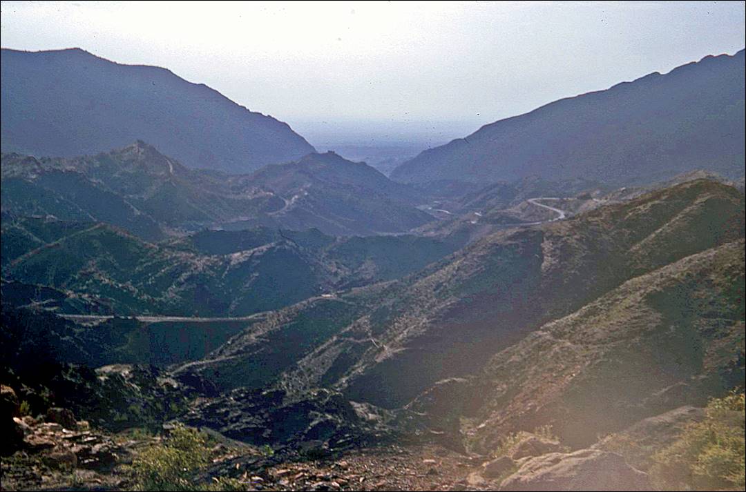
On the road to Khyber Pass:
After returning from Babusar
Pass we drove to Peshawar and from there to Afghanistan (see here)
via the famous Khyber Pass.
View toward Peshawar from the road climbing to
Khyber Pass. Peshawar is in the low-elevation plain in the middle of the photo.
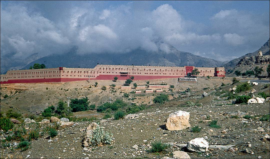
Shagai Fort
located below Khyber Pass, some 25km west of Peshawar. It was built in 1927 by
the British military to monitor the pass.
![]()