Black and
White Volcanoes of Harrat Khaybar
![]()
Return to my
mountaineering-trekking-travel webpage
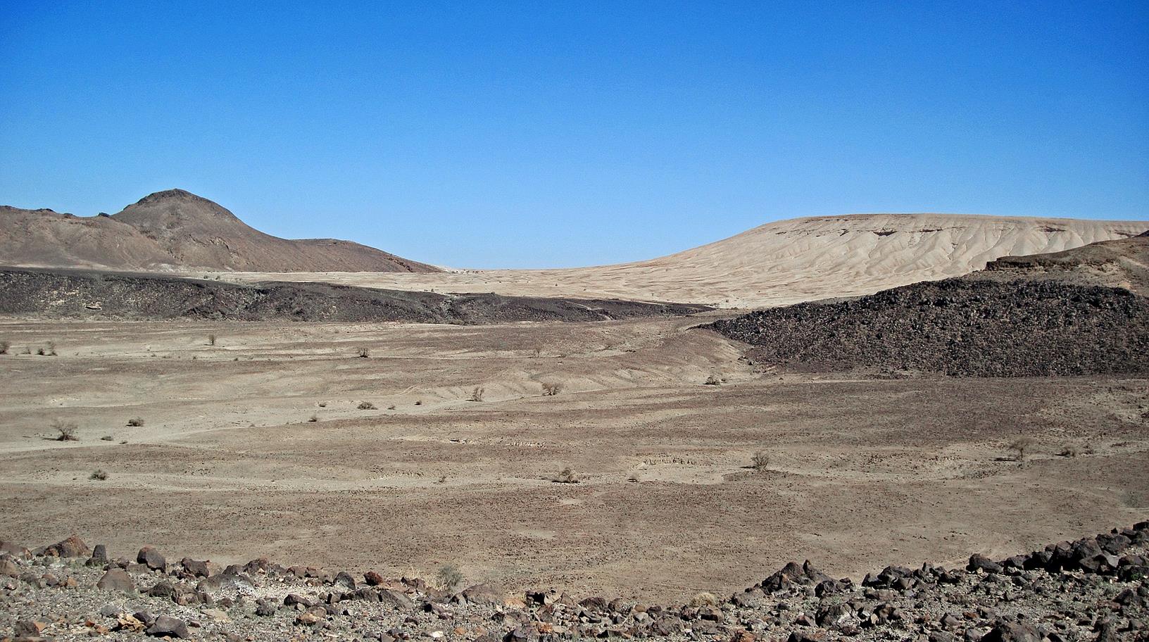
Everyone knows that Saudi
Arabia has huge sand deserts and oil fields. Fewer people know that western
Saudi Arabia has many volcanoes and extensive lava fields (called ″harrats″). The eruption of 1256 AD produced a lava
flow (visible on Google satellite images) that came within a few kilometers of
the holy city of Al Madinah. In April-July 2009, moderate-size earthquakes in Harrat Al-Shaqah, caused by
magmatic intrusion, resulted in the evacuation of more than 20,000 people from
the town of Al-Ais and surrounding villages in
northwestern Saudi Arabia.
Harrat Khaybar
lies about 130 km north of Al Madinah and covers an area of approximately
14,000 square km. The most recent eruption occurred between 600 and 700 AD.
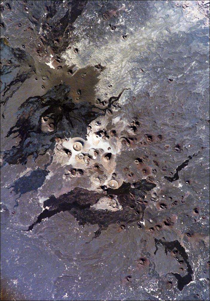
This fascinating harrat contains many volcanoes, some
black, others white (made of silica-rich lava, called comendite),
as shown in these NASA satellite images (north points roughly upward in these
images).
|
|
|

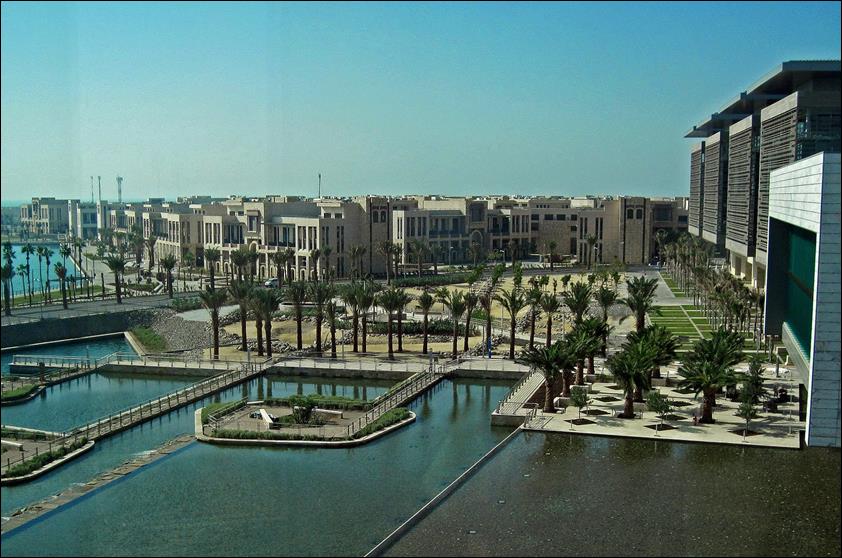
In February 2010, during a
visit to the King Abdullah University of Science and Technology (http://www.kaust.edu.sa/), I had the chance
to make a short excursion to Harrat Khaybar with Sigurjon Jonsson, a professor in Geophysics at KAUST.
Two pictures from KAUST.
|
|
|

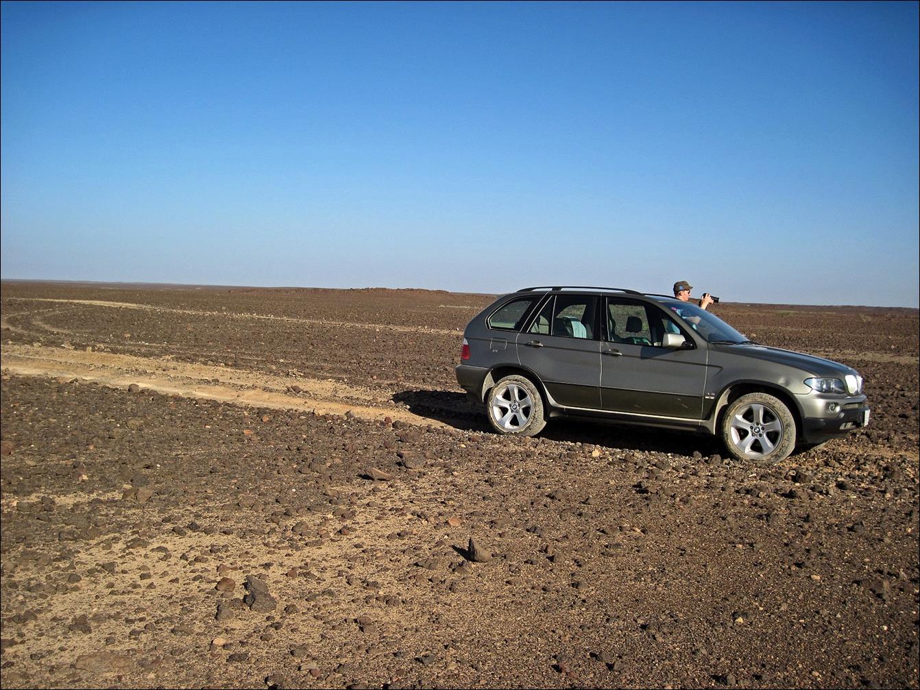
We drove from KAUST to the
small town of Ath Thamad
located on the main road north of Al Madinah. At the northern end of the town,
just before a gas station, we turned right (east) toward the volcanoes. The
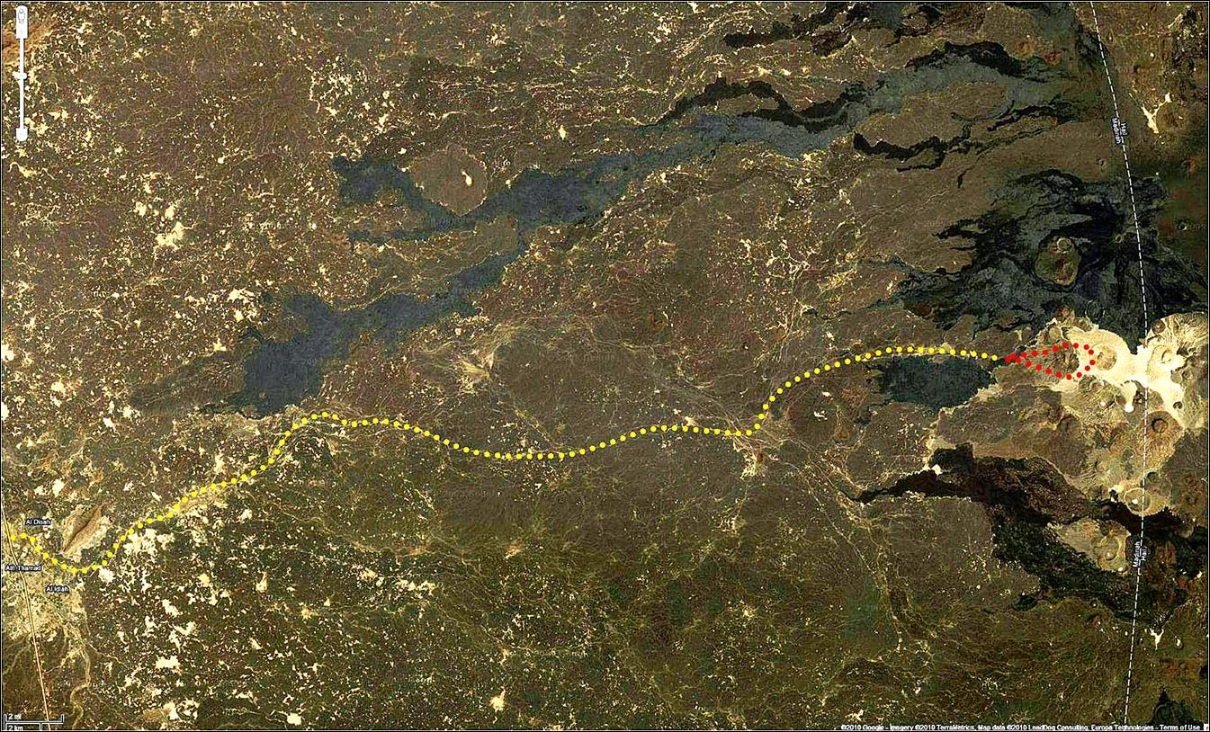
following Google images (at three different scales) show our itinerary by car
(yellow dots) and on foot (red dots). We used a GPS to navigate toward the
volcano and back. The terrain was quite rough and Sigurjon‛s
car (a 4x4 BMW SUV) was barely up to the task.
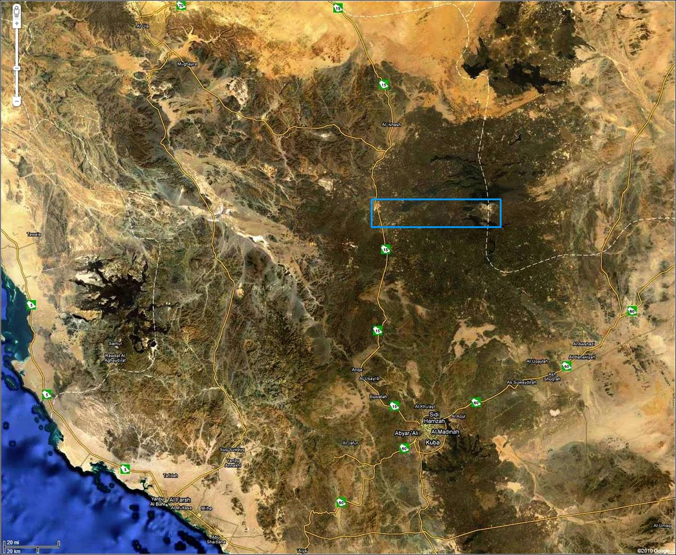
Region traversed to reach Harrat Khaybar from the main road
north of Al Madinah (blue rectangle).
Itinerary from the small
town of Ath Thamad, first by
car (yellow dots) and then on foot (red dots).
 _
_

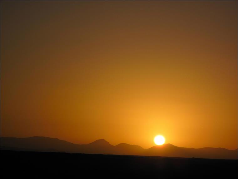
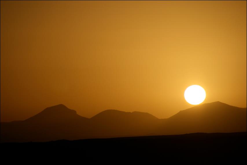
Harrat Khaybar
skyline at sunrise.
|
|
|
Along a road track toward
the volcanoes.
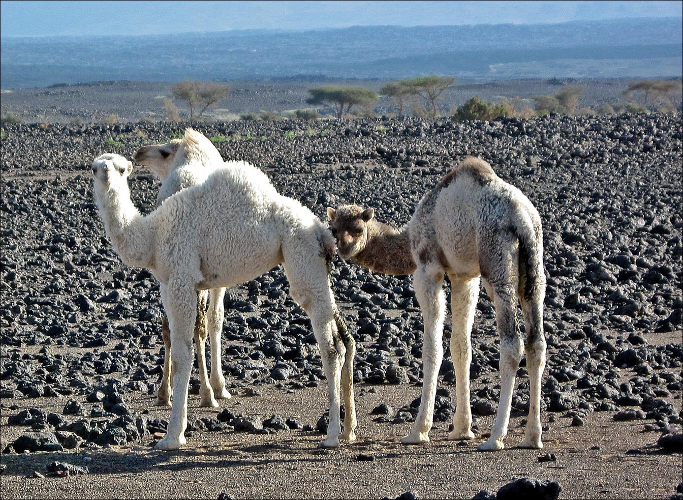
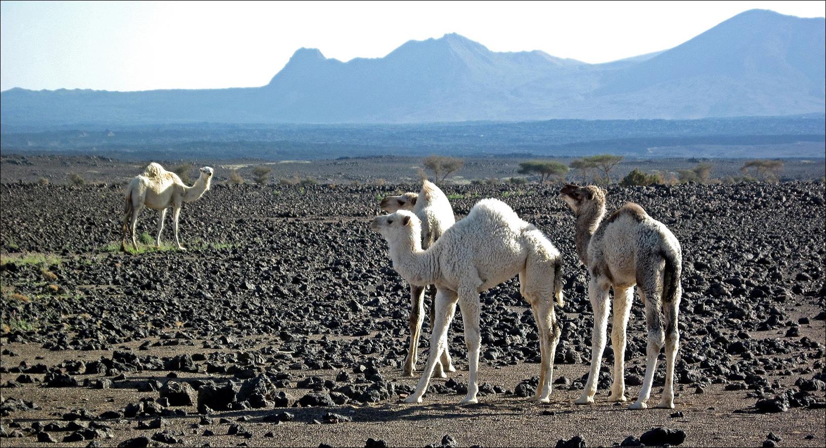
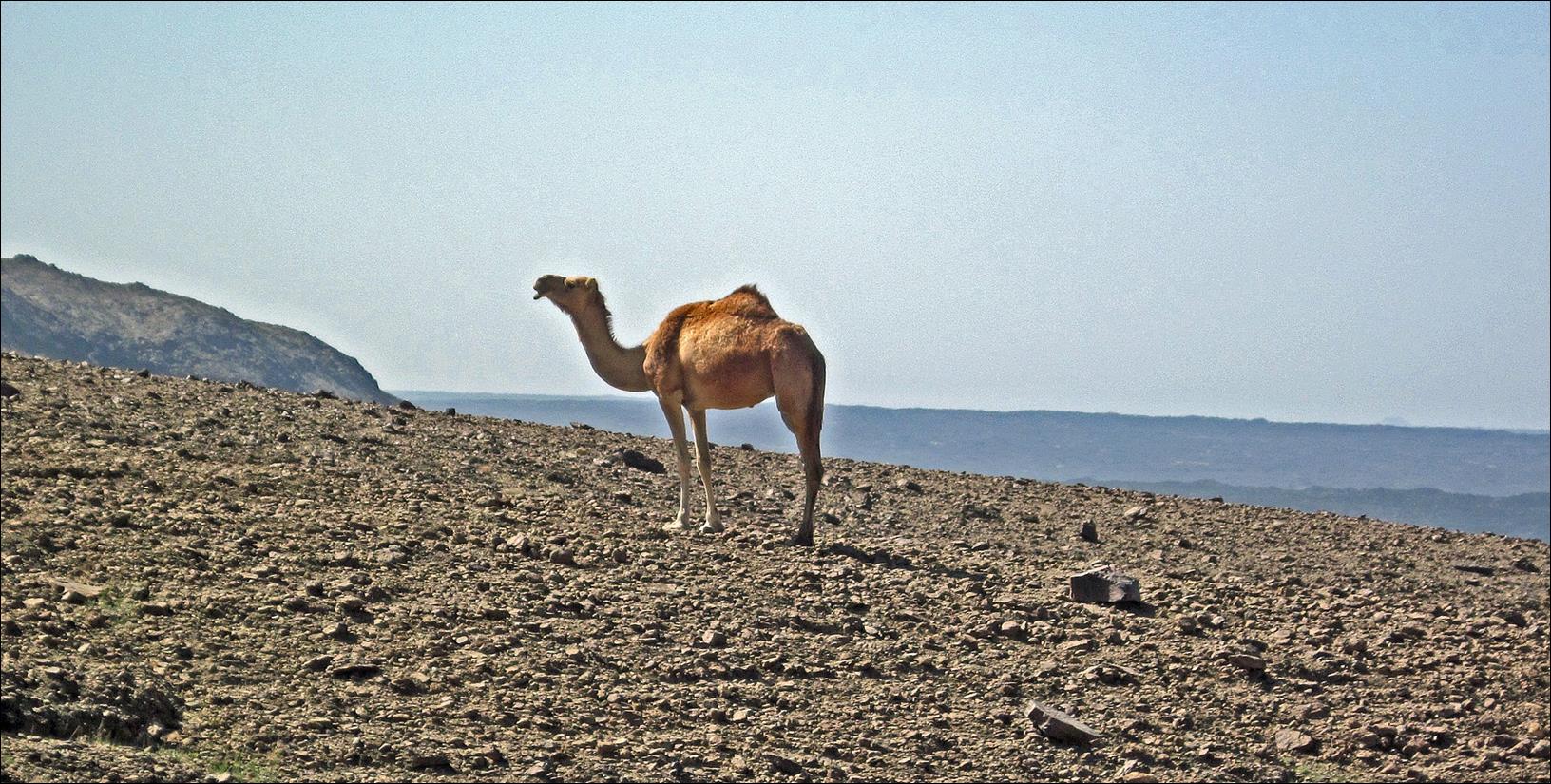
Young white camels along
the way.
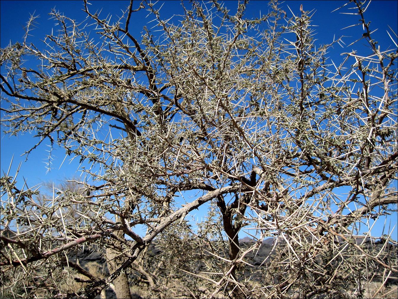
A typical thorny tree in
the area.
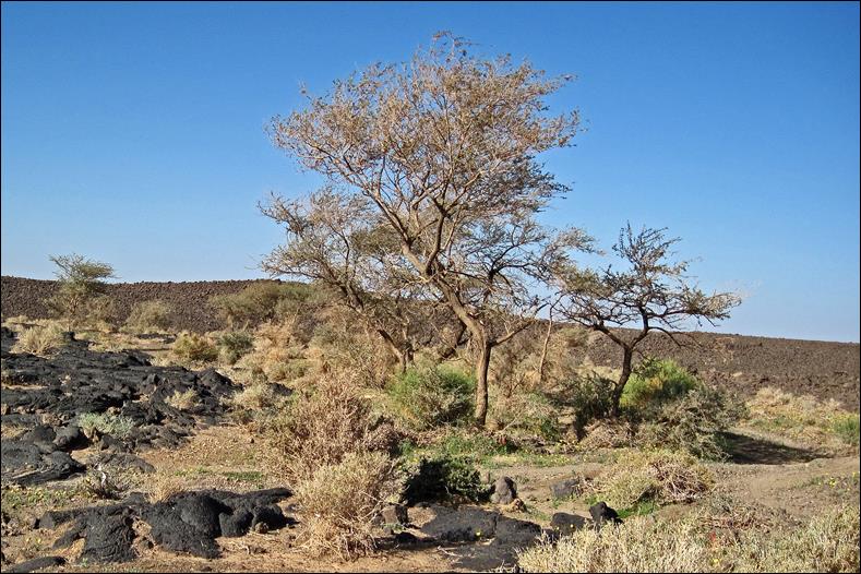
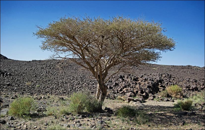
Other trees.
|
|
|
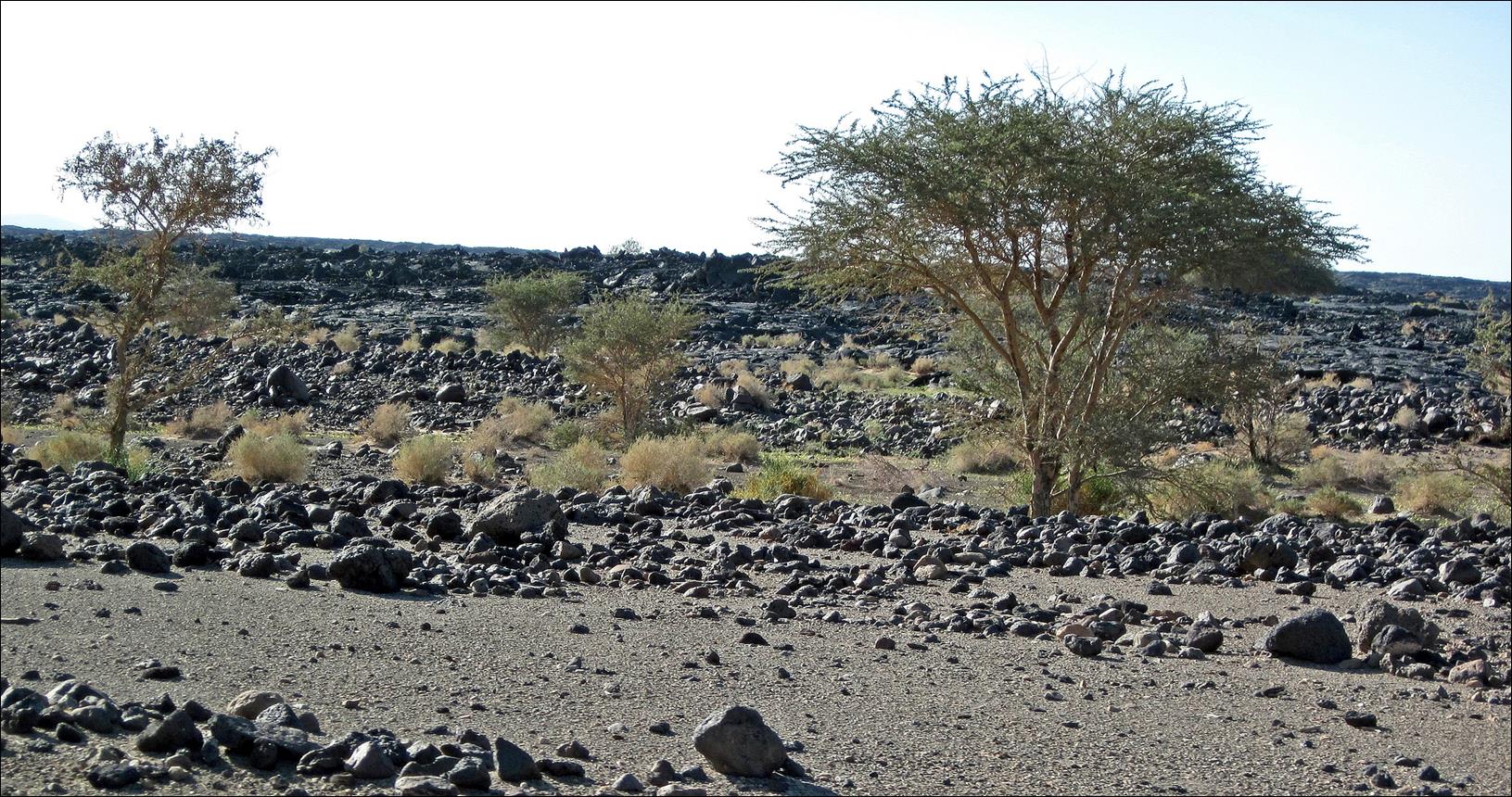
Landscapes on our way
toward the volcanoes.
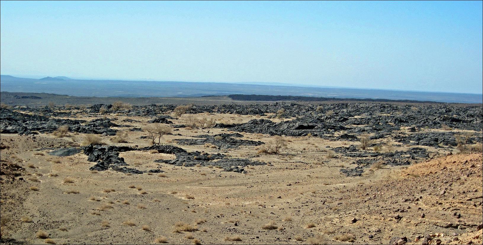
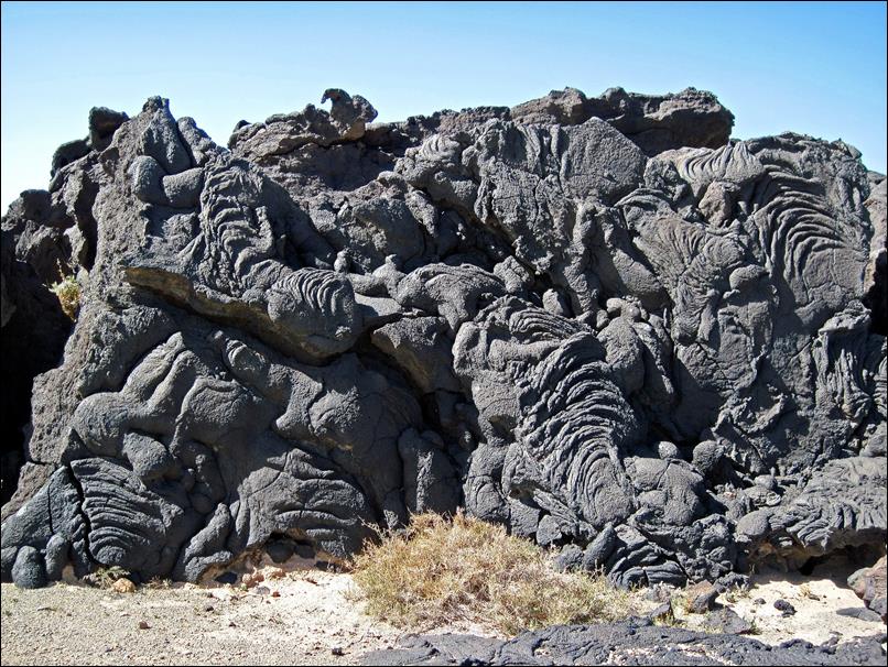
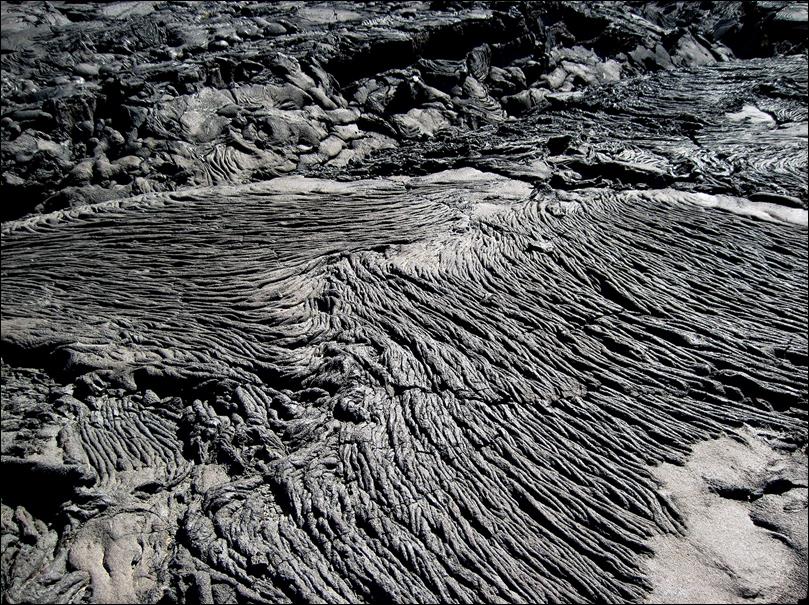
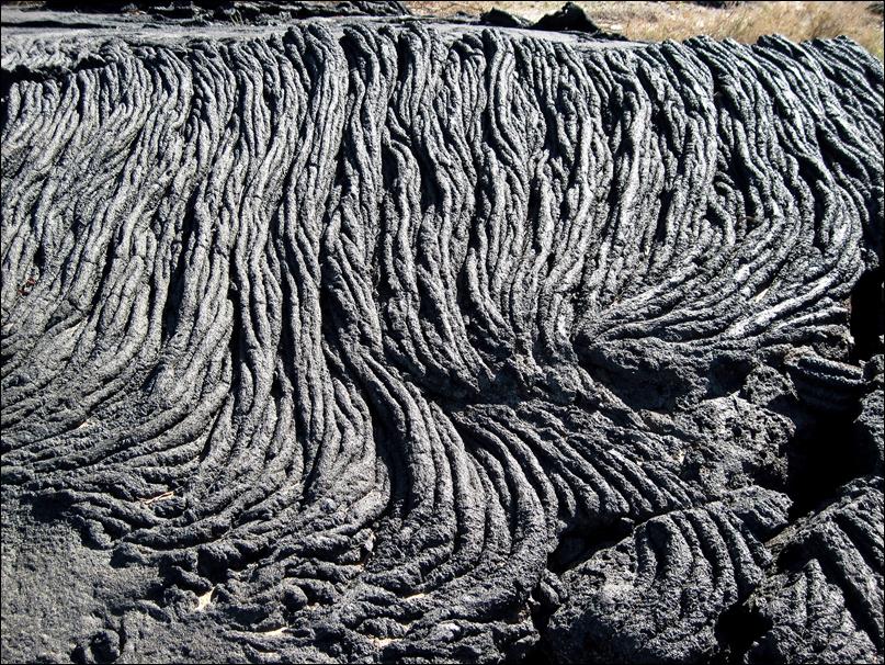
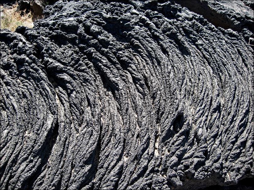
Hiking through lava fields
before reaching the volcanoes.


Lava patterns.
|
|
|
|
|
|
More camels higher up
close to the volcanoes.

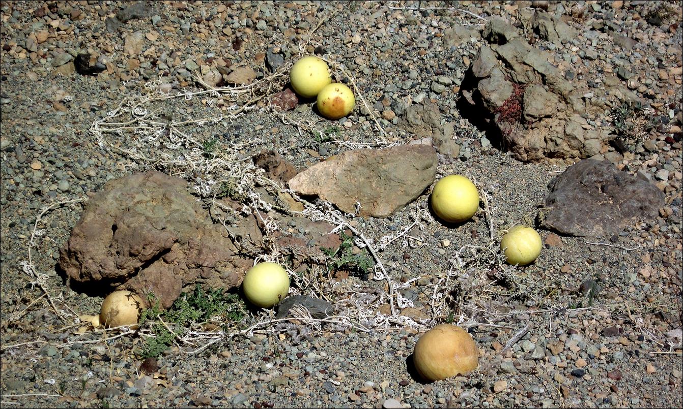
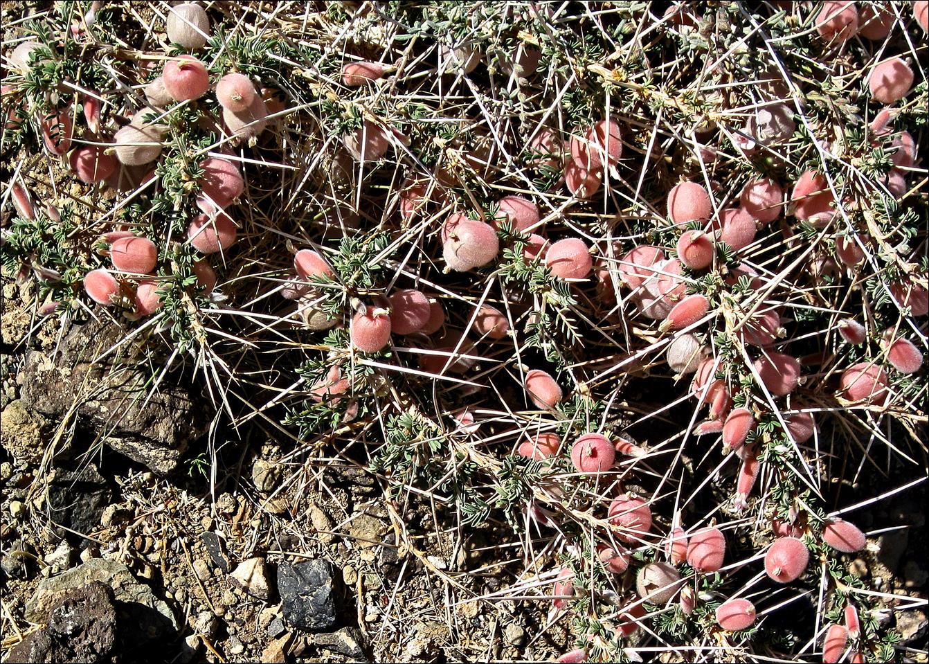
The ground around the
volcanoes is almost void of any vegetation, except for a few plants like these
gourds (first photo below) and thorny shrubs with bulb-shaped flowers (second
photo).
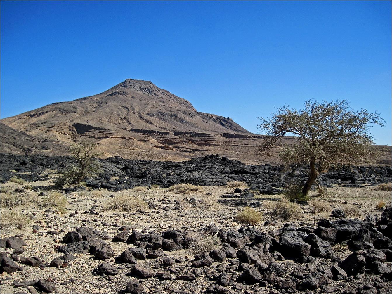
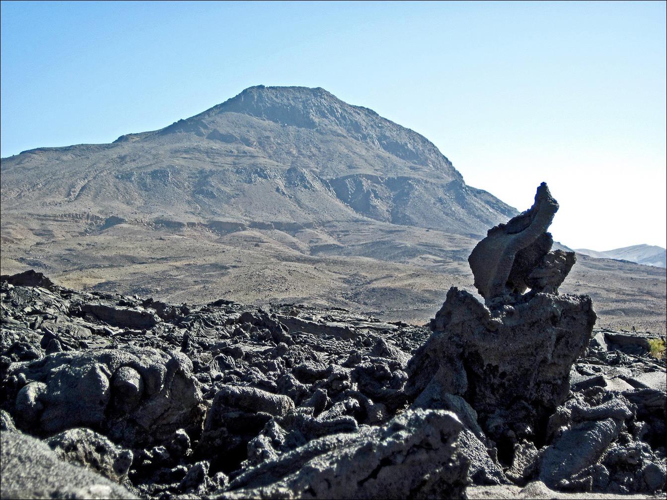
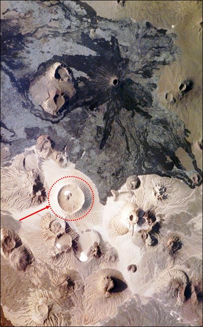
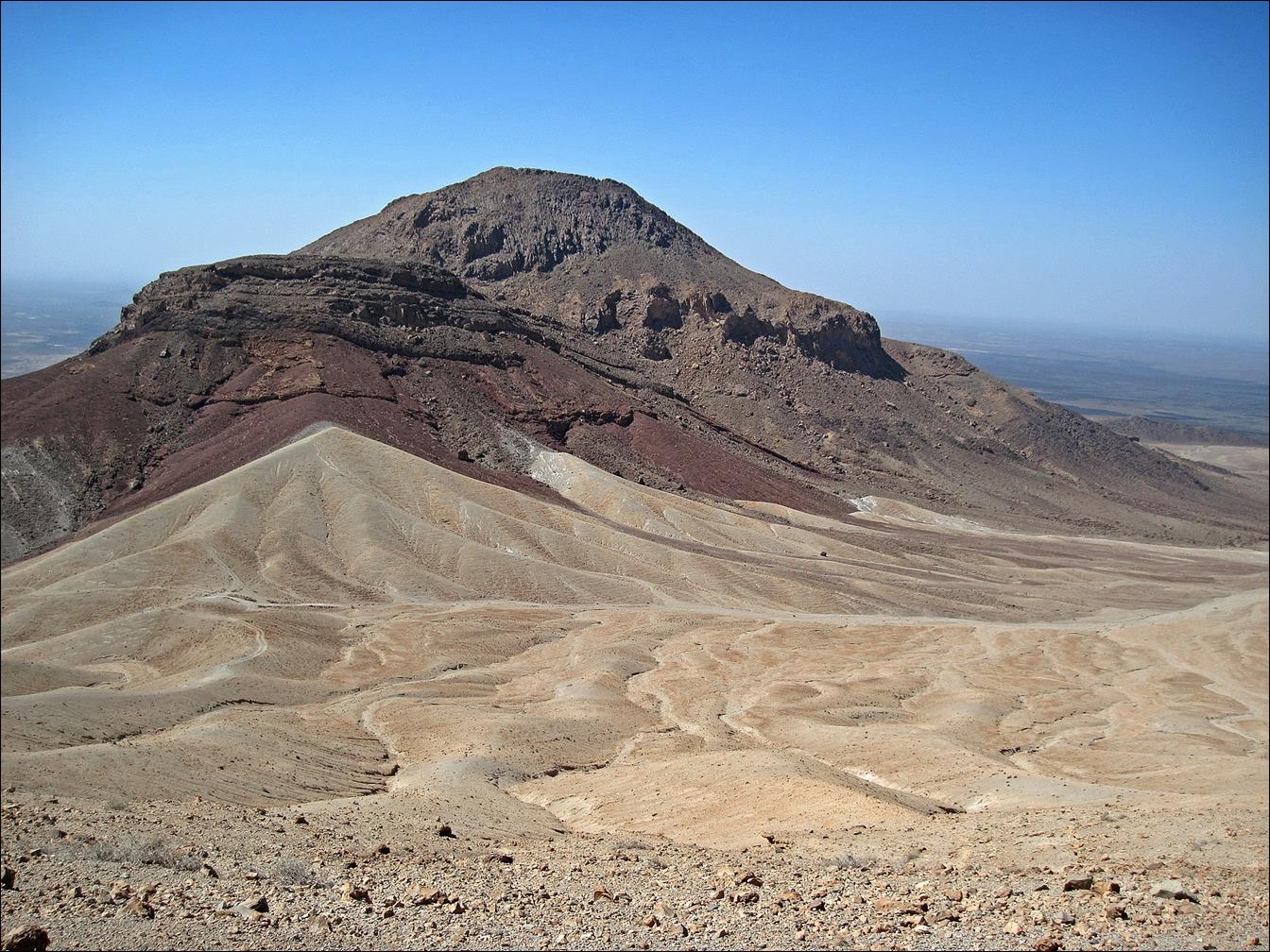
Jabal Bayda
(which translates to ″white mountain″) seen from the south. It is
the white cone with an almost perfectly circular crater in the NASA satellite
image reproduced below. Its elevation is 1913 m.
|
|
|

Sigurjon ascending Jabal Bayda.
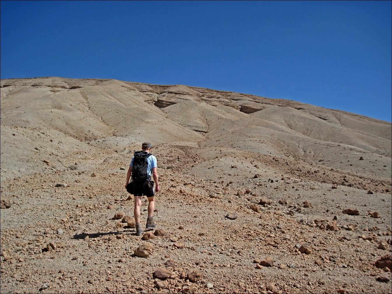
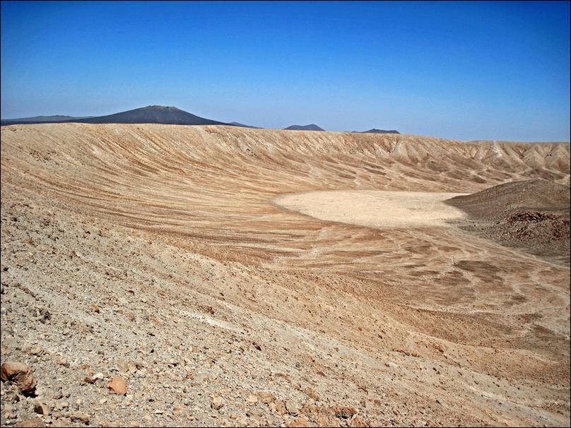
The crater of Jabal Bayda (~1.5 km in
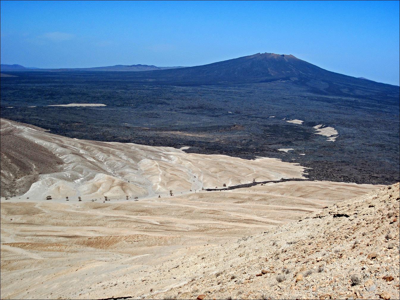
diameter). The black volcano in the background of the bottom-left photo is Jabal Qidr (2022 m). It lies to
the north of Jabal Bayda.
The volcano in the background of the bottom-right photo is Jabal
Abyad (2093 m), another white volcano, the highest
volcano in Harrat Khaybar. Bayda and Abyad are respectively
the feminine and masculine forms of ‛white‛.

|
|
|
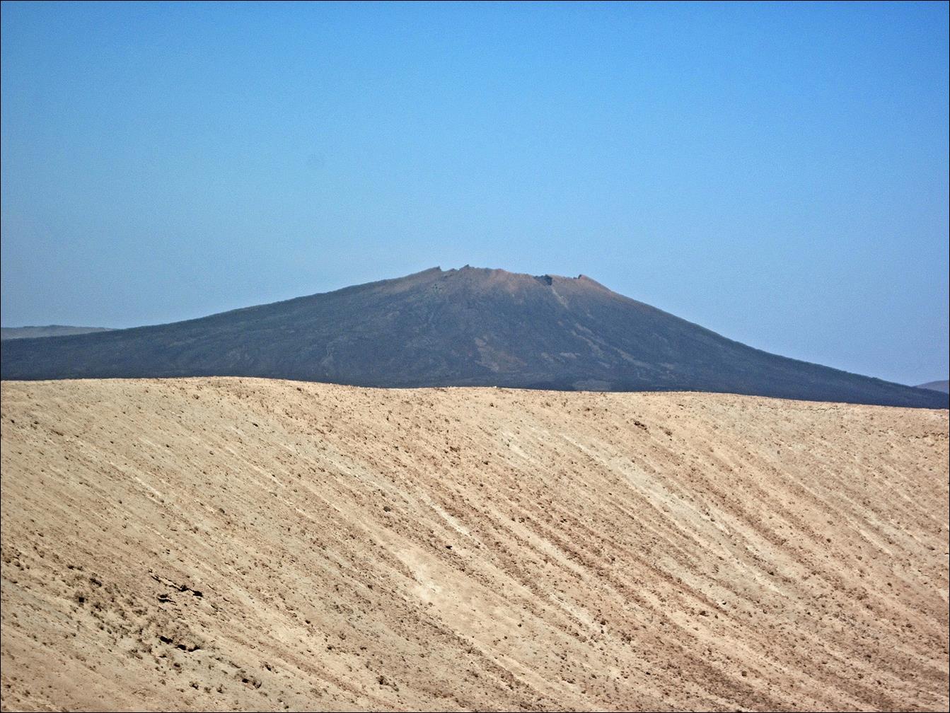
The rim of Jabal Bayda‛s crater in the
forefront and Jabal Qidr
behind.
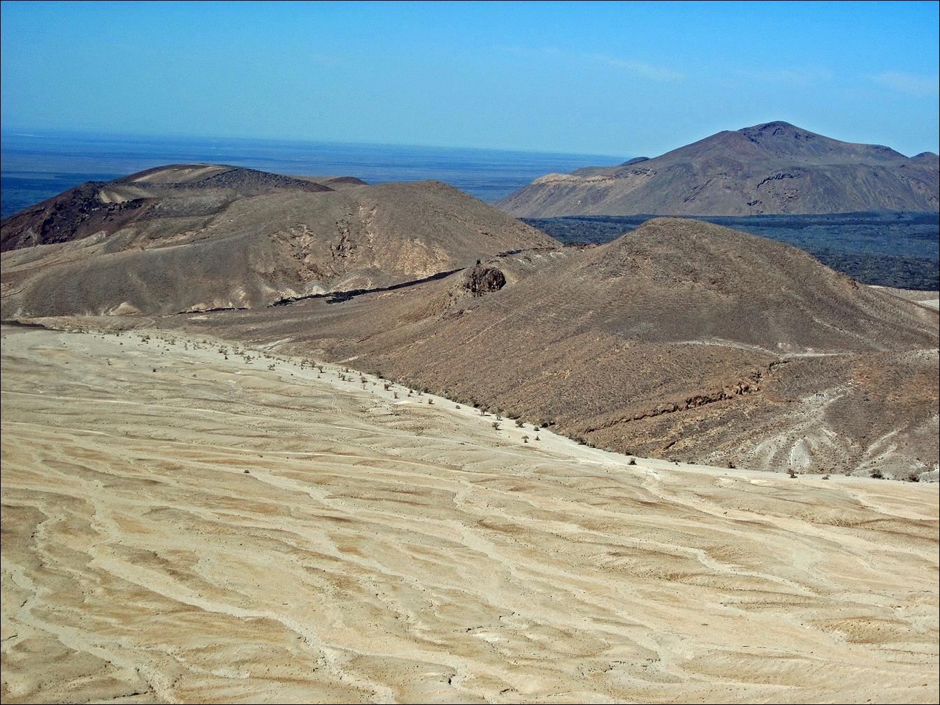
A smaller volcano west of Jabal Bayda.
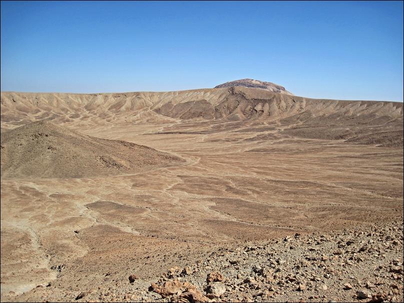
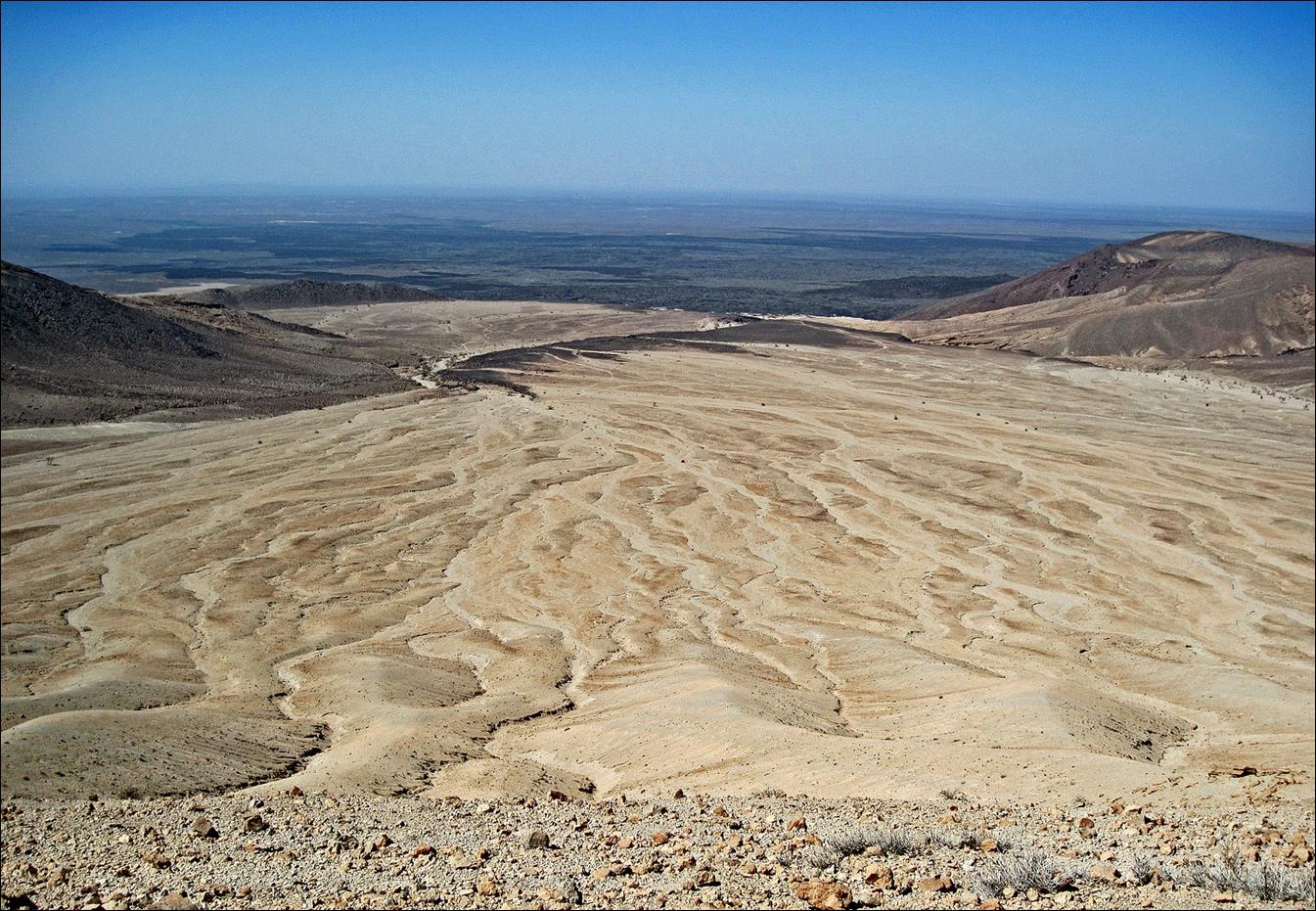
View from the rim of Jabal Bayda‛s crater,
toward the west and the north-west.
Jabal Qidr
and its huge black lava field, seen from the rim of Jabal
Bayda‛s crater (view toward the north).
Two views of Jabal Bayda from its western side,
while returning to the car.

On our way back to the
car. Thanks to our GPS we went straight back to it.

![]()