Tajikistan (2017): Shakhdara valley (east of Shavoz
village)
![]()
Back
to main Tajikistan 2017 webpage
Immediately after returning from the
trek in Badimdara and Rostovdara
valleys (see here),
we spent one day traveling by car in the upper Shakhdara
valley. On the way we did an excursion to Durumkul lake in the Durumdara side-valley.
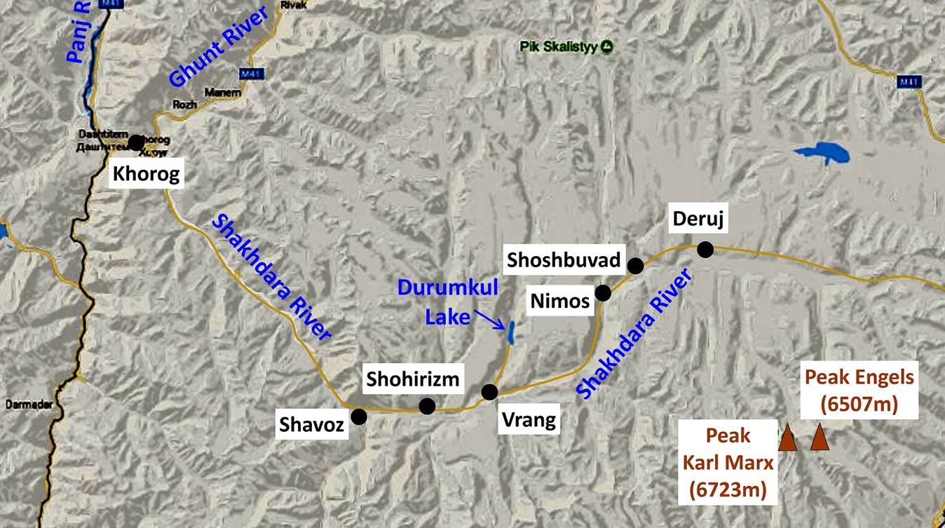
Map:
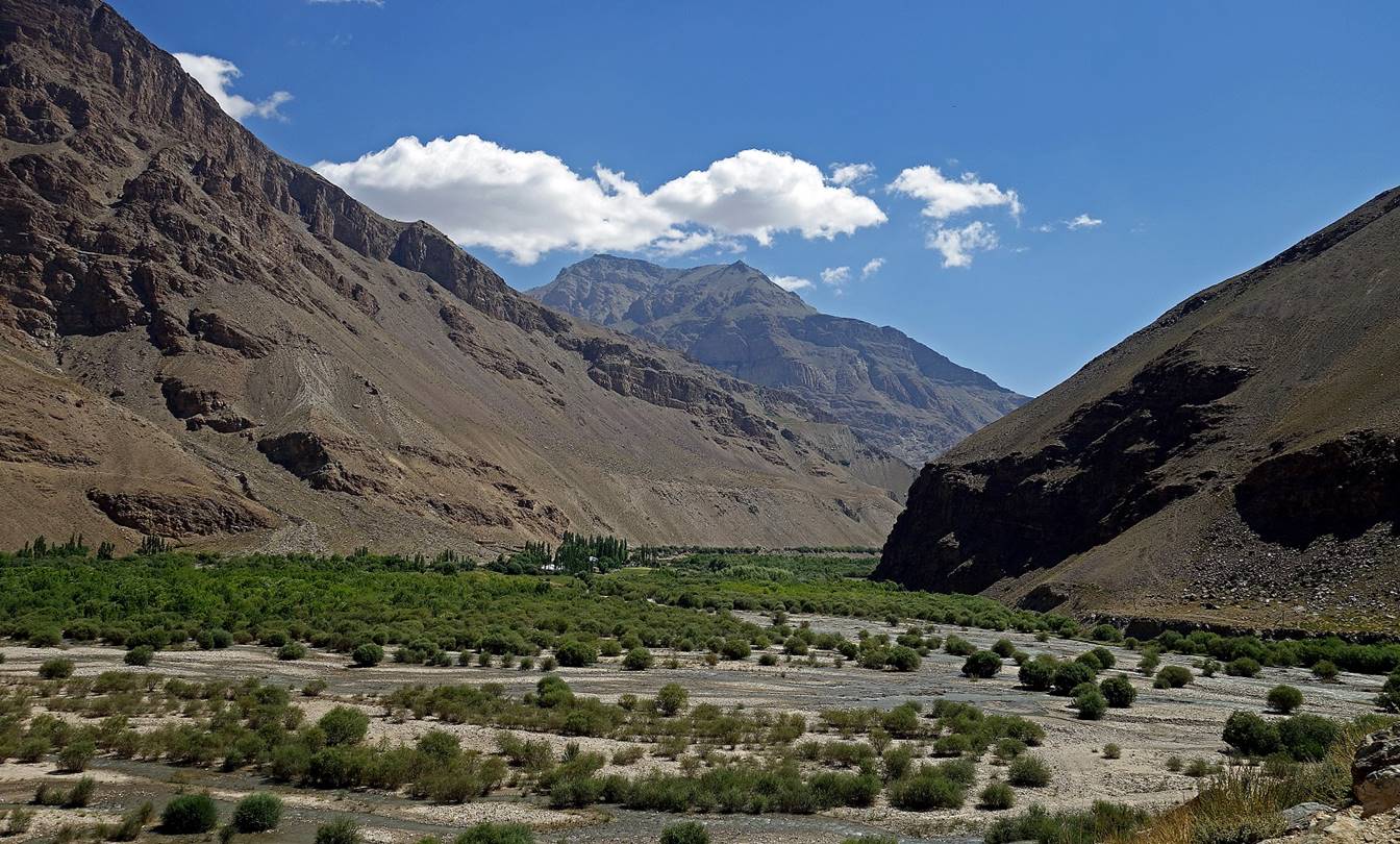
The Shakhdara valley
seen from the village of Shavoz at the entrance of
the Badomdara valley.
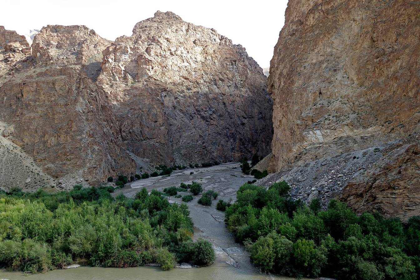
Narrow side canyon further up in
the Shakhdara valley past the village
of Shohirizm.
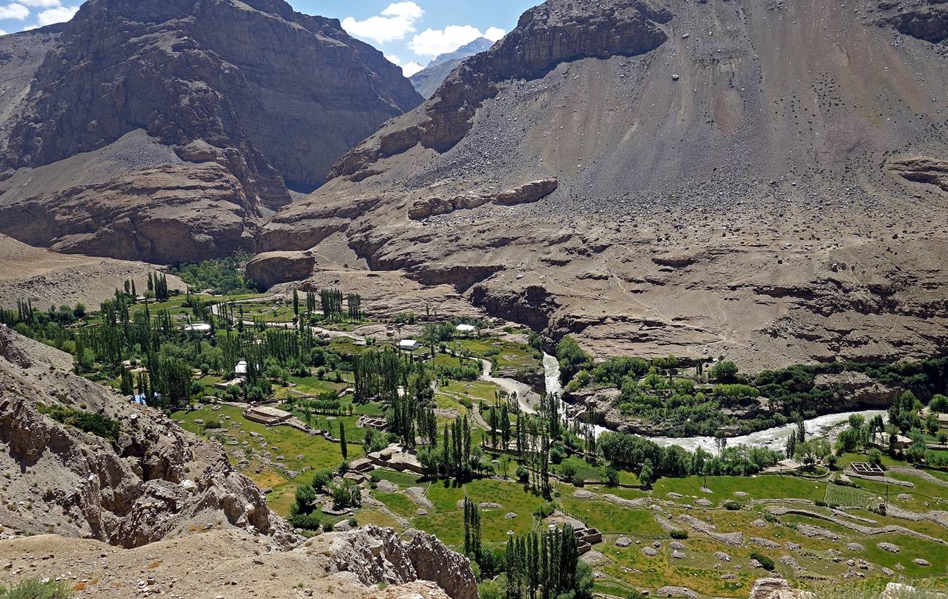
Village of Vrang seen from the ″road″ toward Durumkul
lake.
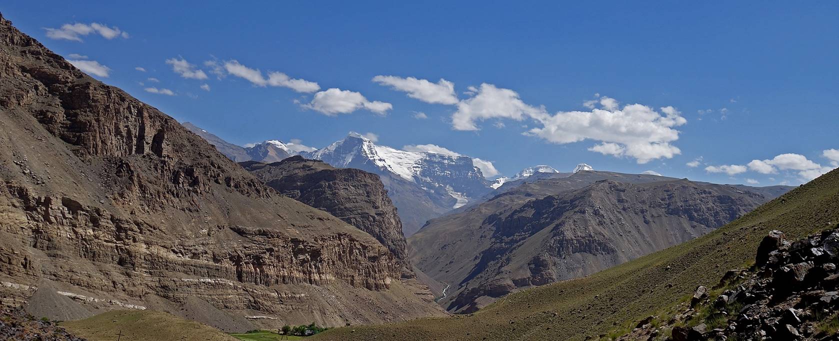
View of high summits in
the Shakhdara range (south of the Shakhdara
valley) from further up along the track to Durumkul lake.
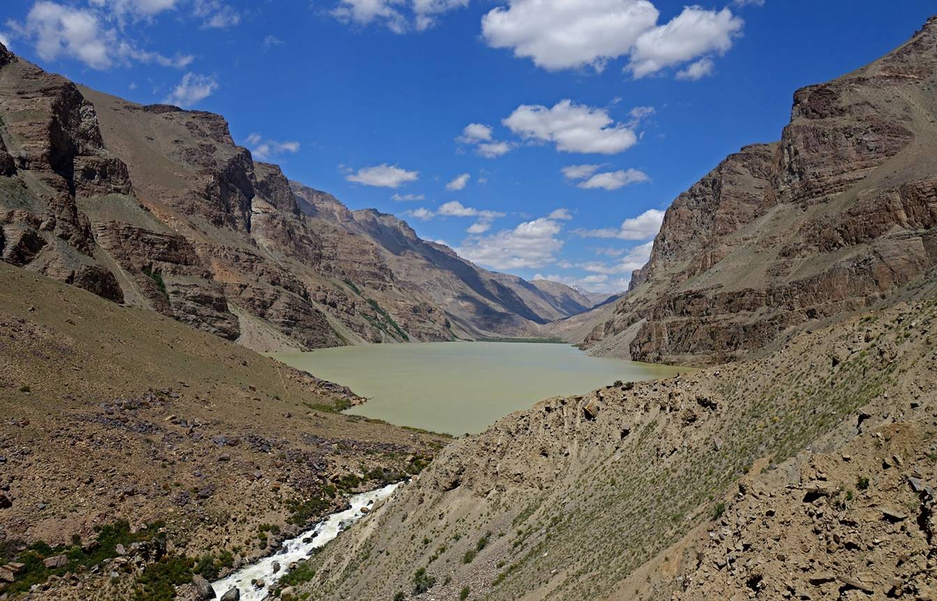
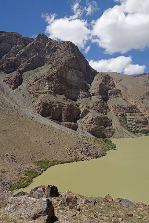
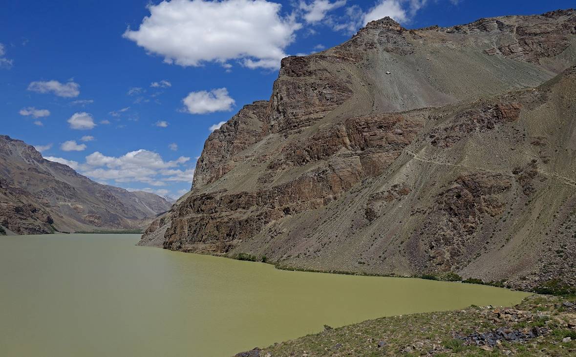
The track toward Durumkul lake was not drivable up to the
lake. An additional one-hour hike was needed to reach the lake. The lake had a
strange greenish color due to large amounts of melting snow in the surrounding
mountains. Had we completed the trek between Rivak
and Vrang as planned (see here), we would have reached this lake from the north along the overlooking
trail visible on the right of three of the photos below.
|
|
|
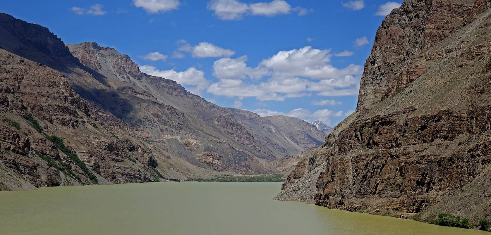
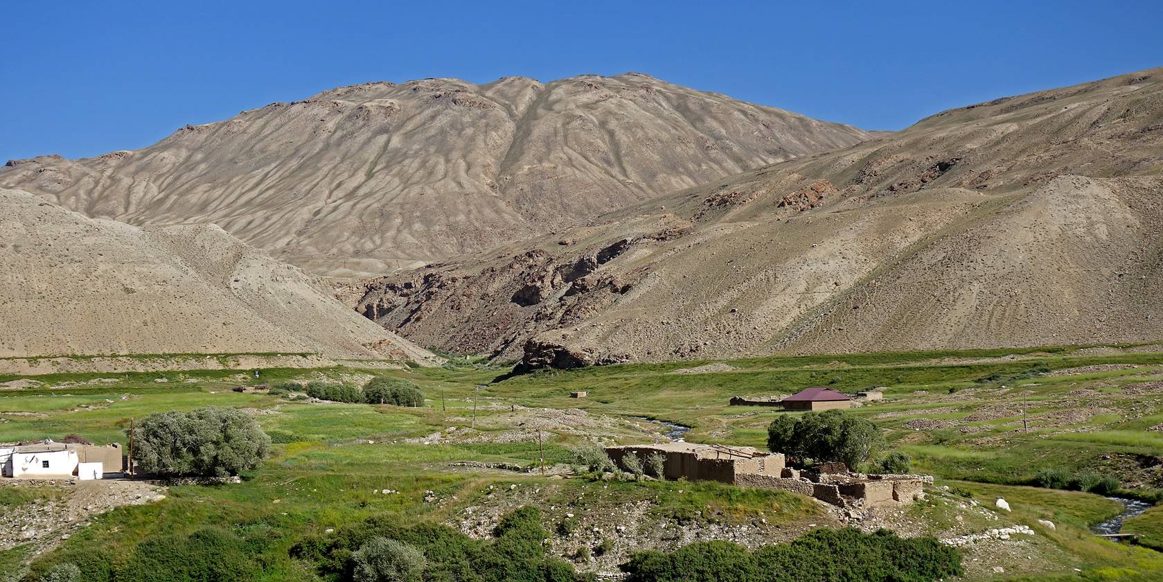
Shakhdara valley between Vrang and Shoshbuvad.
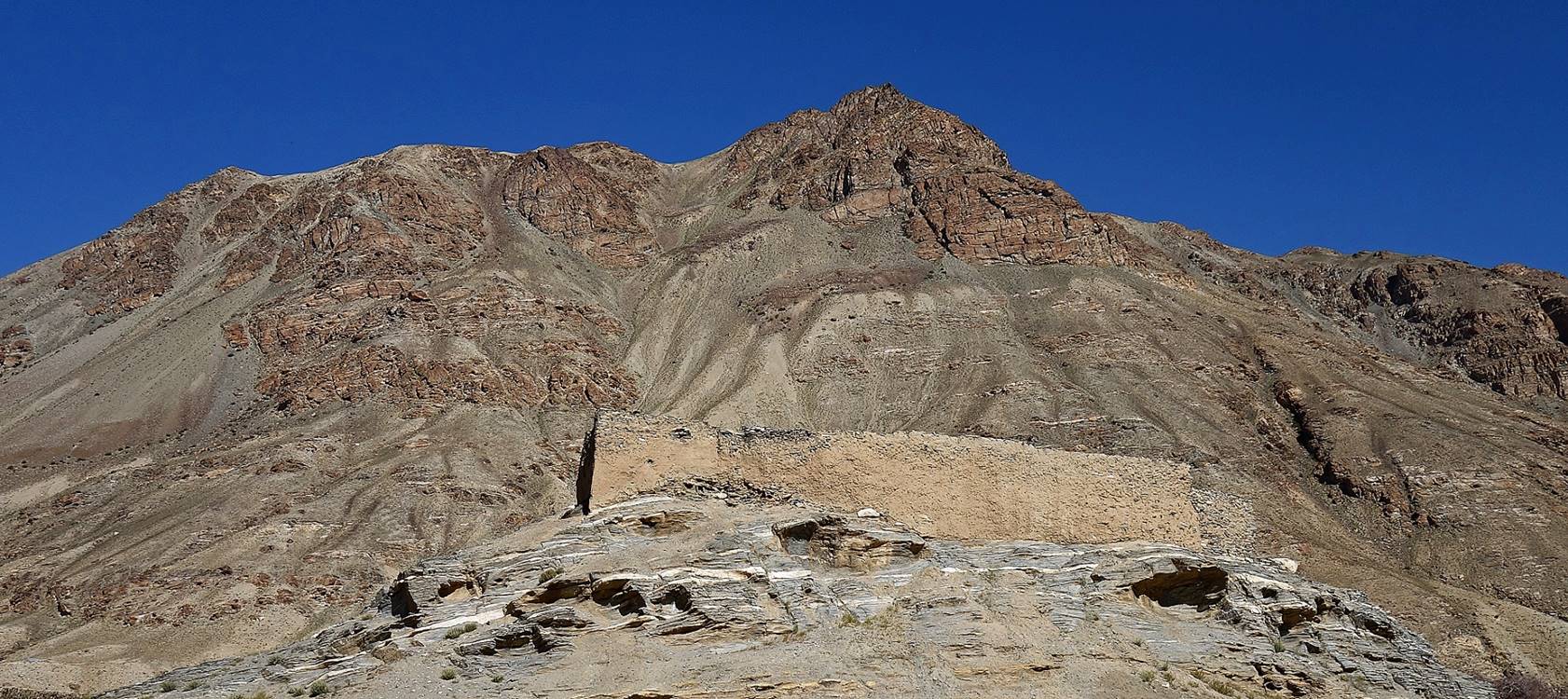
Small mud and stone fortress (dating probably from the 2nd-3rd century
AD during the late Kuchan empire) built on top of a hill in the
village of Shoshbuvad.
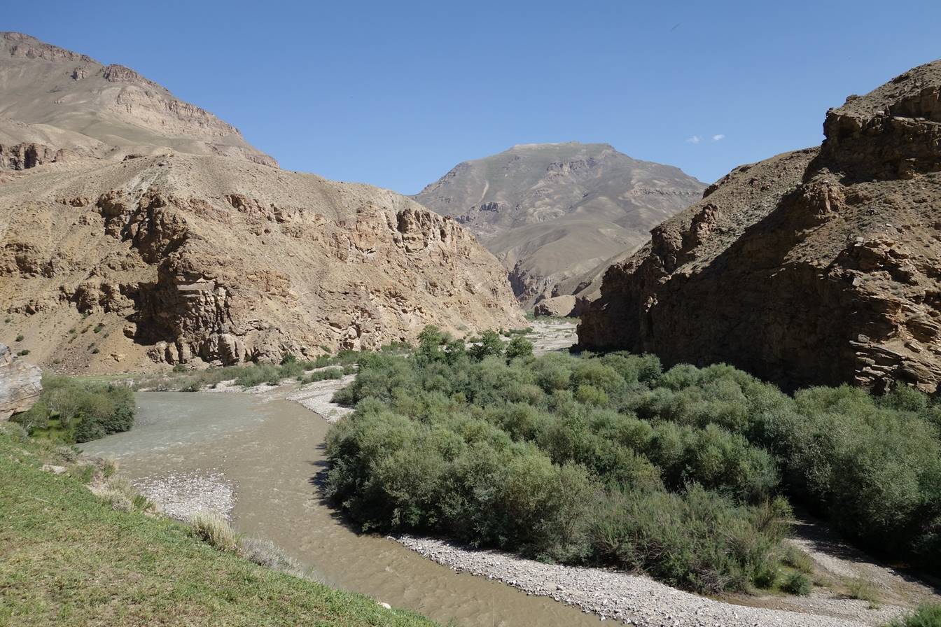
Shakhdara valley beyond the
village of Shoshbuvad.
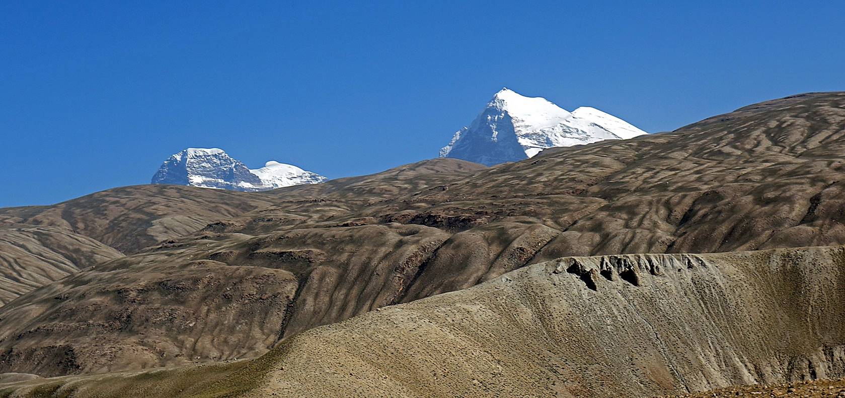
A glimpse of the tips of Engels (left) and Karl Marx (right) peaks,
the two highest peaks of the Shakhdara range, soon
before reaching the fortress of Deruj.
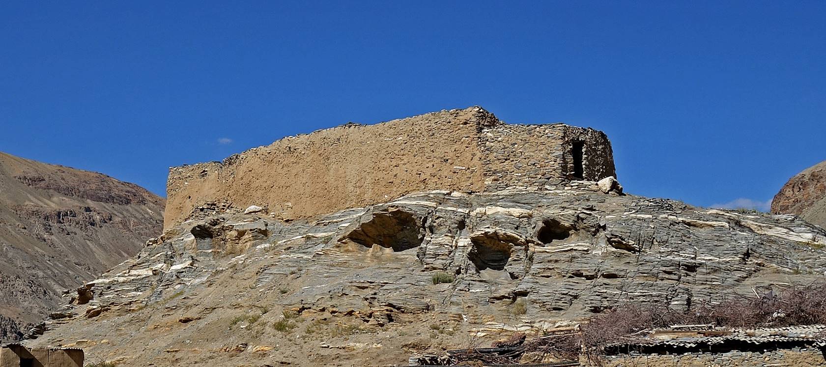
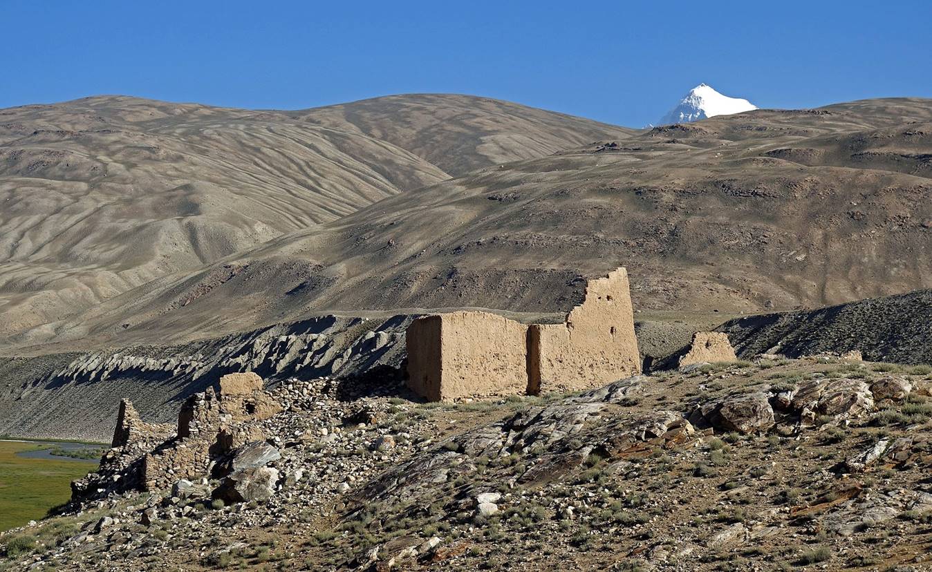
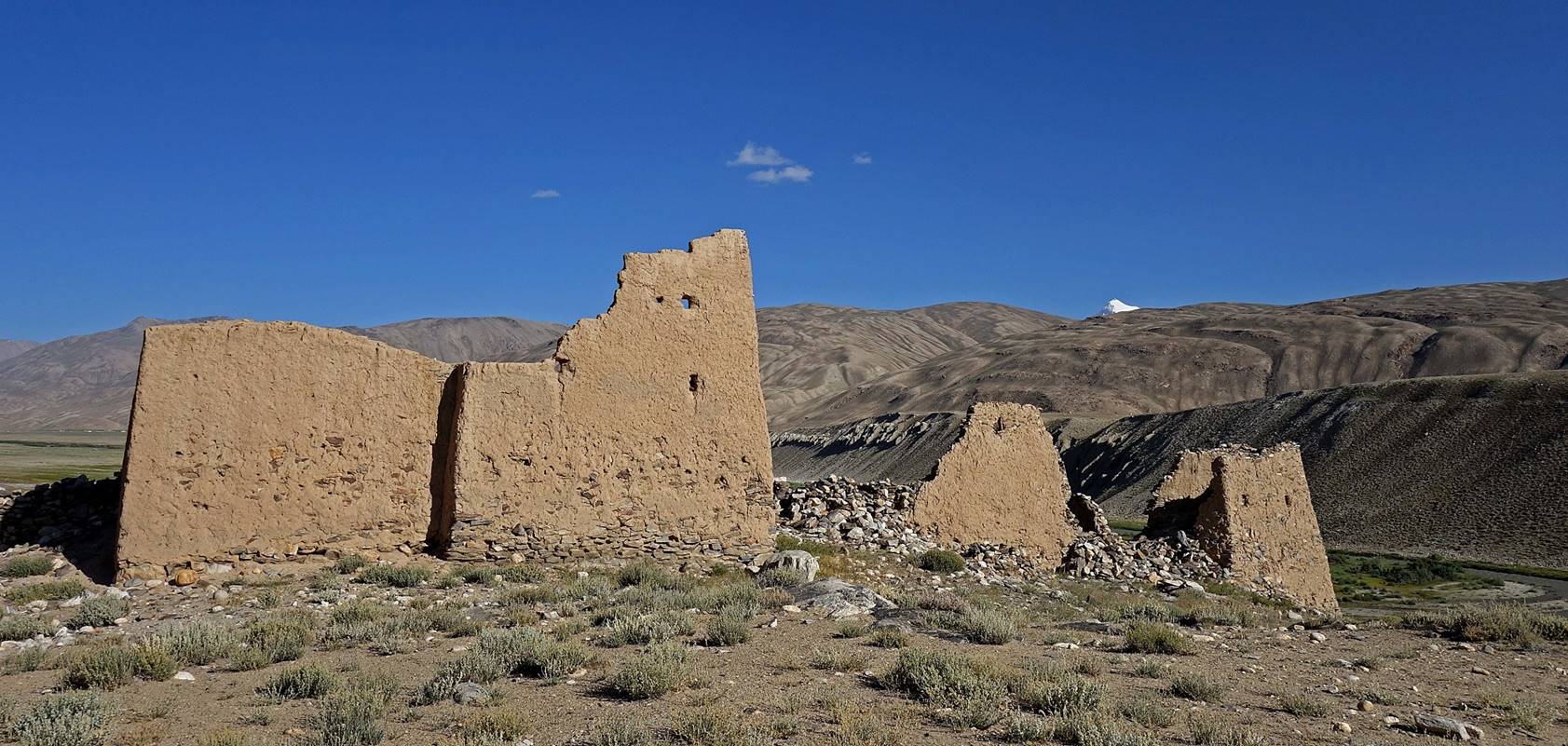
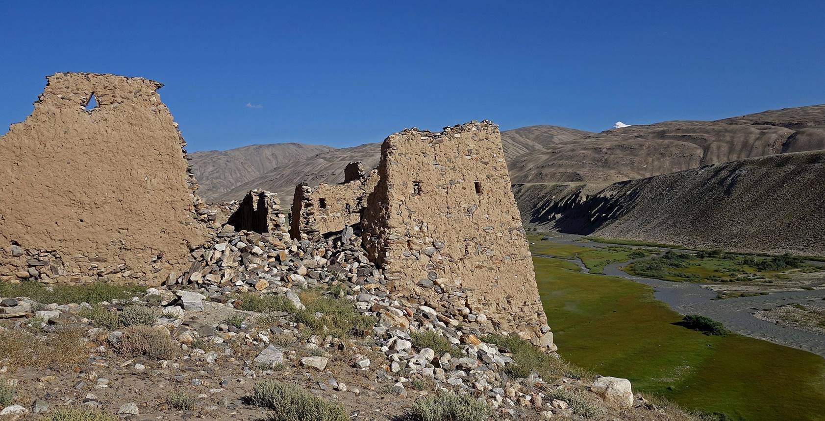
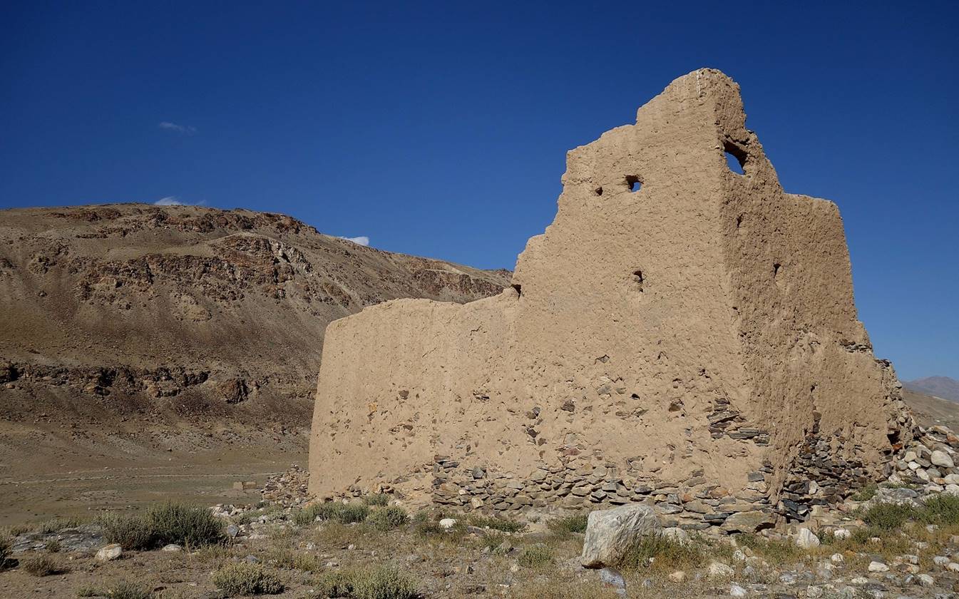
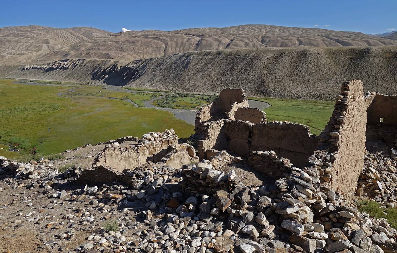
Remains of the fortress of Deruj dating from the 2nd-3rd century AD during the late Kuchan empire.
After visiting the Deruj fortress we returned to Khorog,
where we spent one night before heading toward the Wakhan
valley.
![]()
Back
to main Tajikistan 2017 webpage