Day 3 in the Cottonwood Mountains, Death Valley NP,
California, March 2022
![]()
Return
to main Death Valley 2022 trip webpage
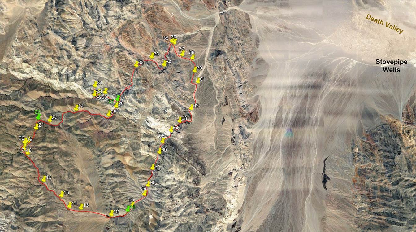
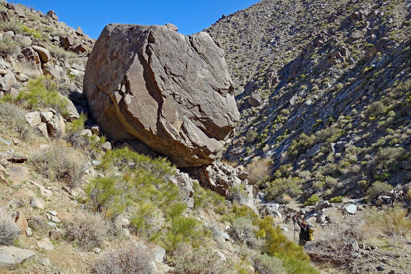
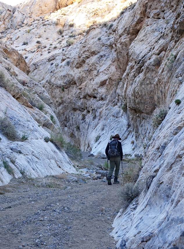
On Day 3 we hiked Dead Horse Canyon down to its junction with Marble
Canyon at waypoint 27, where we set our 3rd camp. Then we hiked up a portion of
Marble Canyon and one of its tributaries (waypoints 28-31) and returned to the
camp. Marble Canyon, itself a tributary of Cottonwood Canyon, is a long canyon
with several impressive narrows. In the early 20th century, it was used to
access a gold mining area, known as Gold Belt, located some 9km west of
waypoint 26.
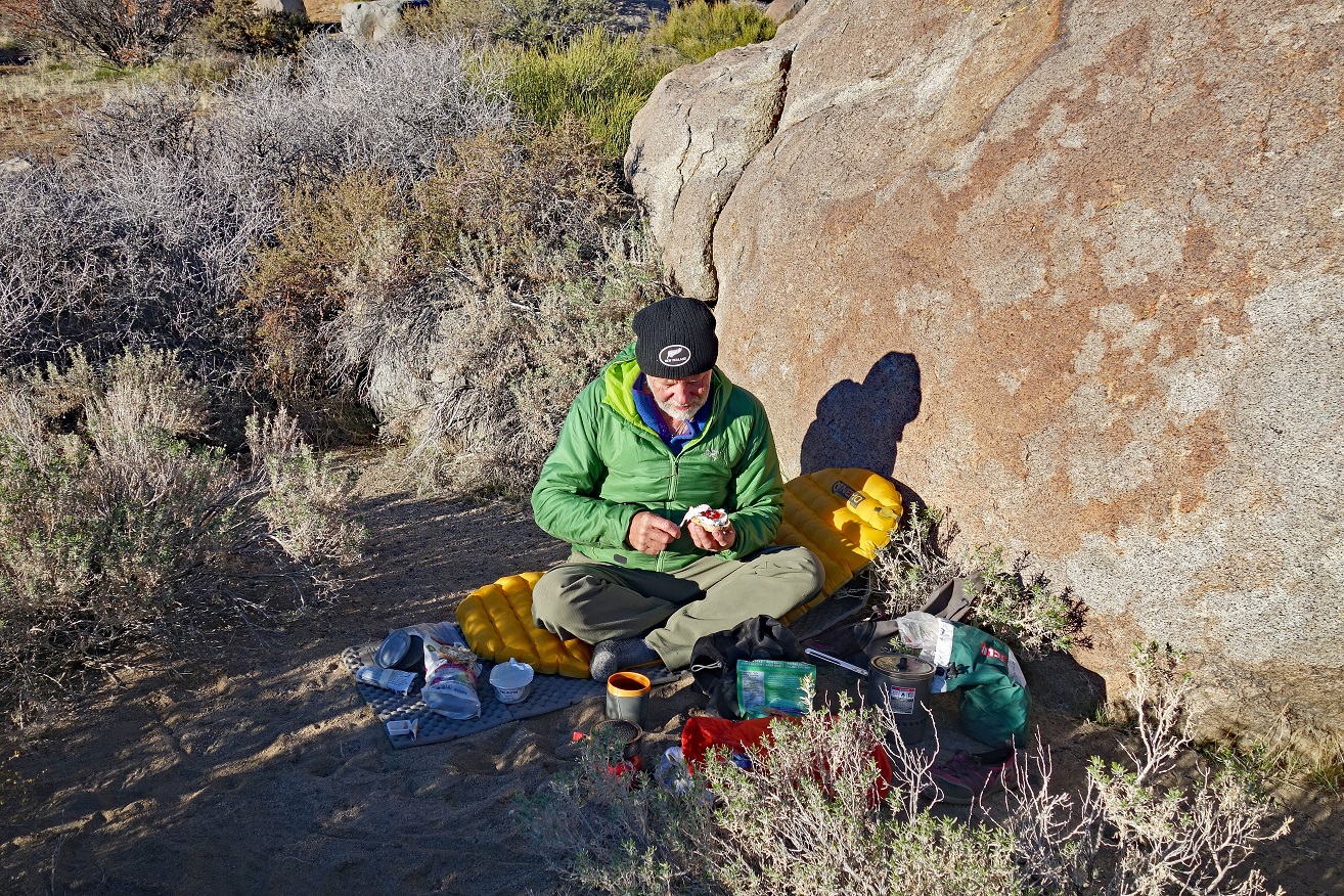
SP working on his
breakfast at our 2nd camp (waypoint 22), after a rather cold night: muffin,
cream cheese, and jam, along with tea.
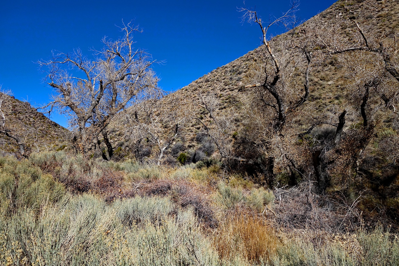
Hills above our camp.
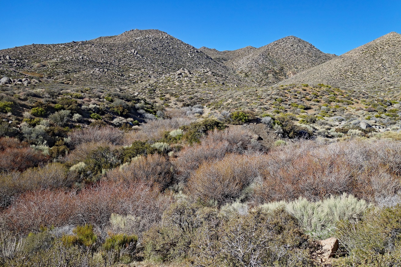
Dead Horse Canyon
seen from our 2nd camp.
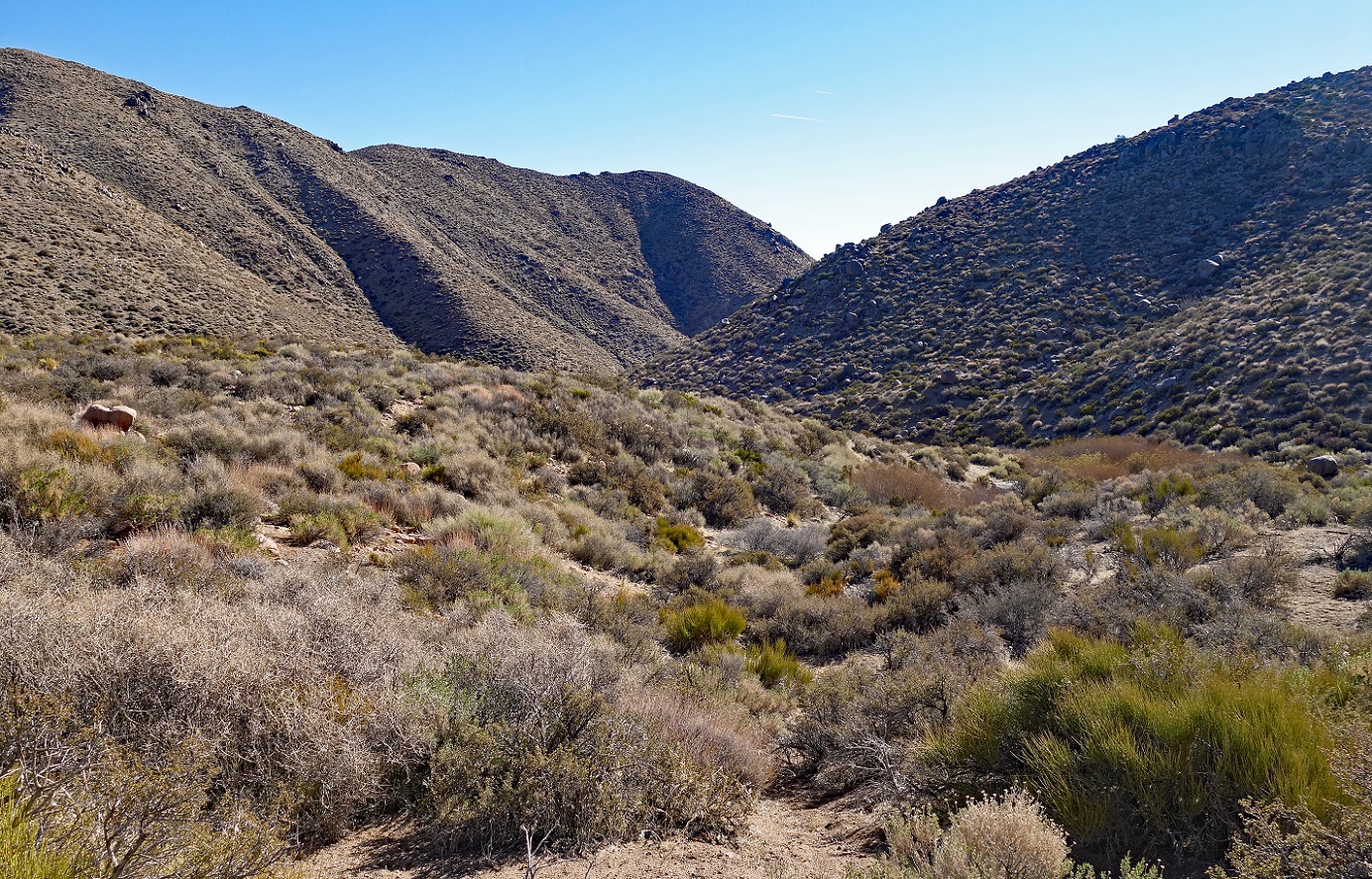
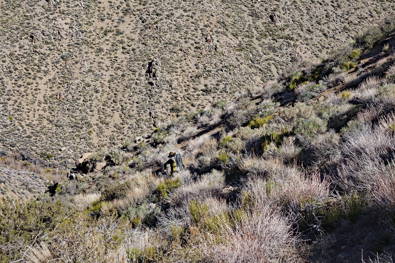
SP starting his
descent into Dead Horse Canyon.

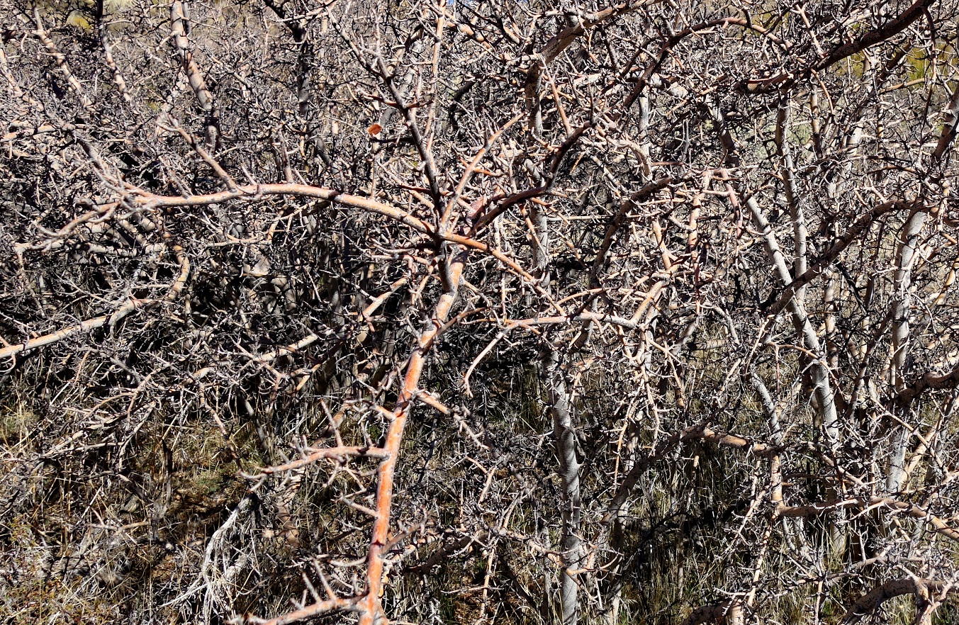
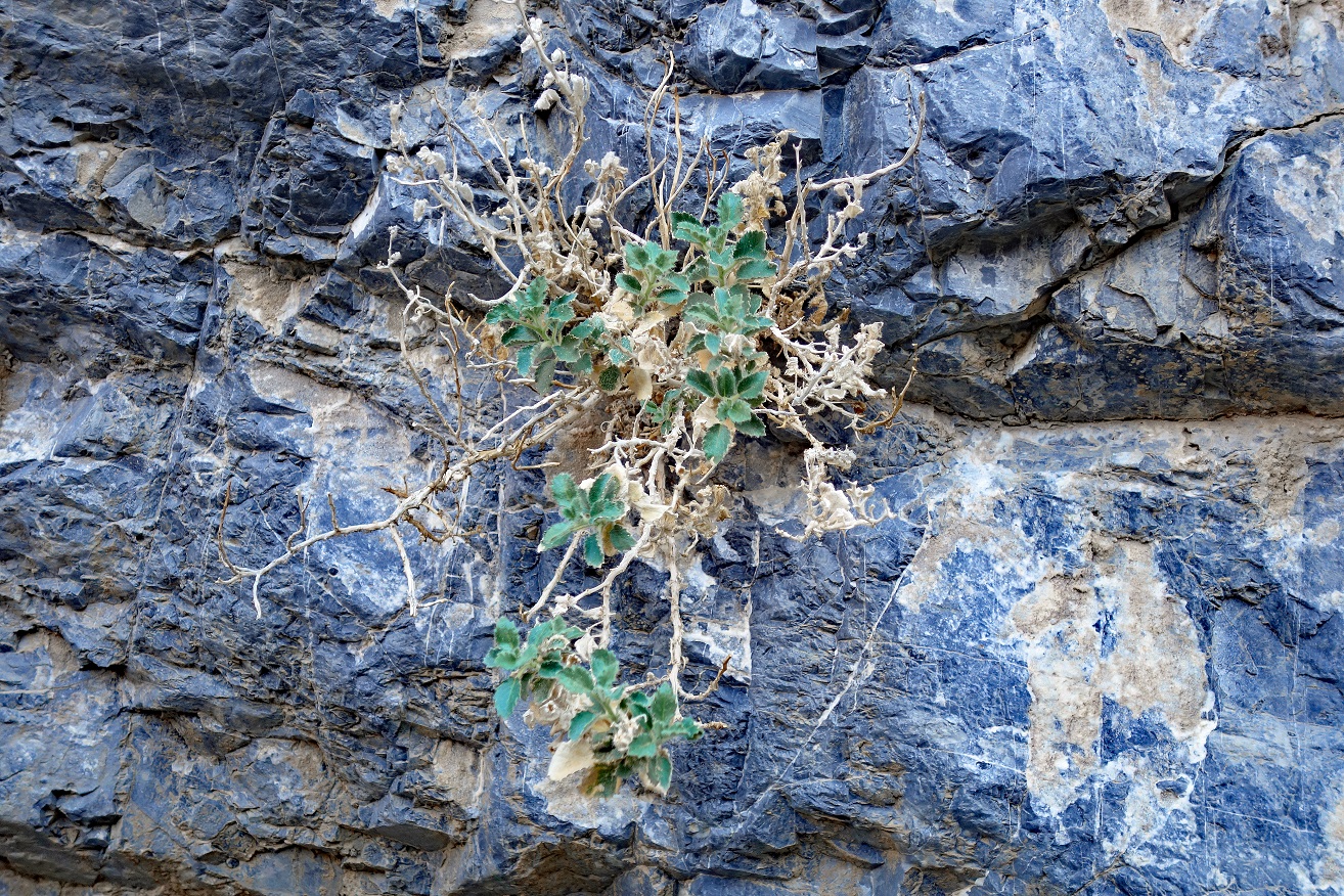
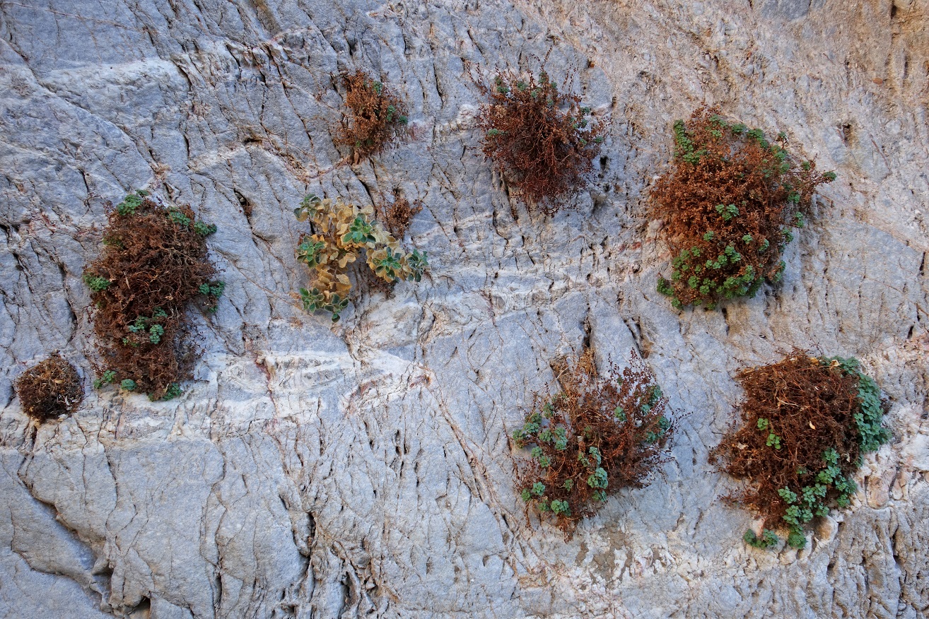
Hard shrubs in Dead
Horse Canyon.
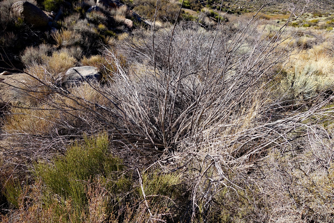
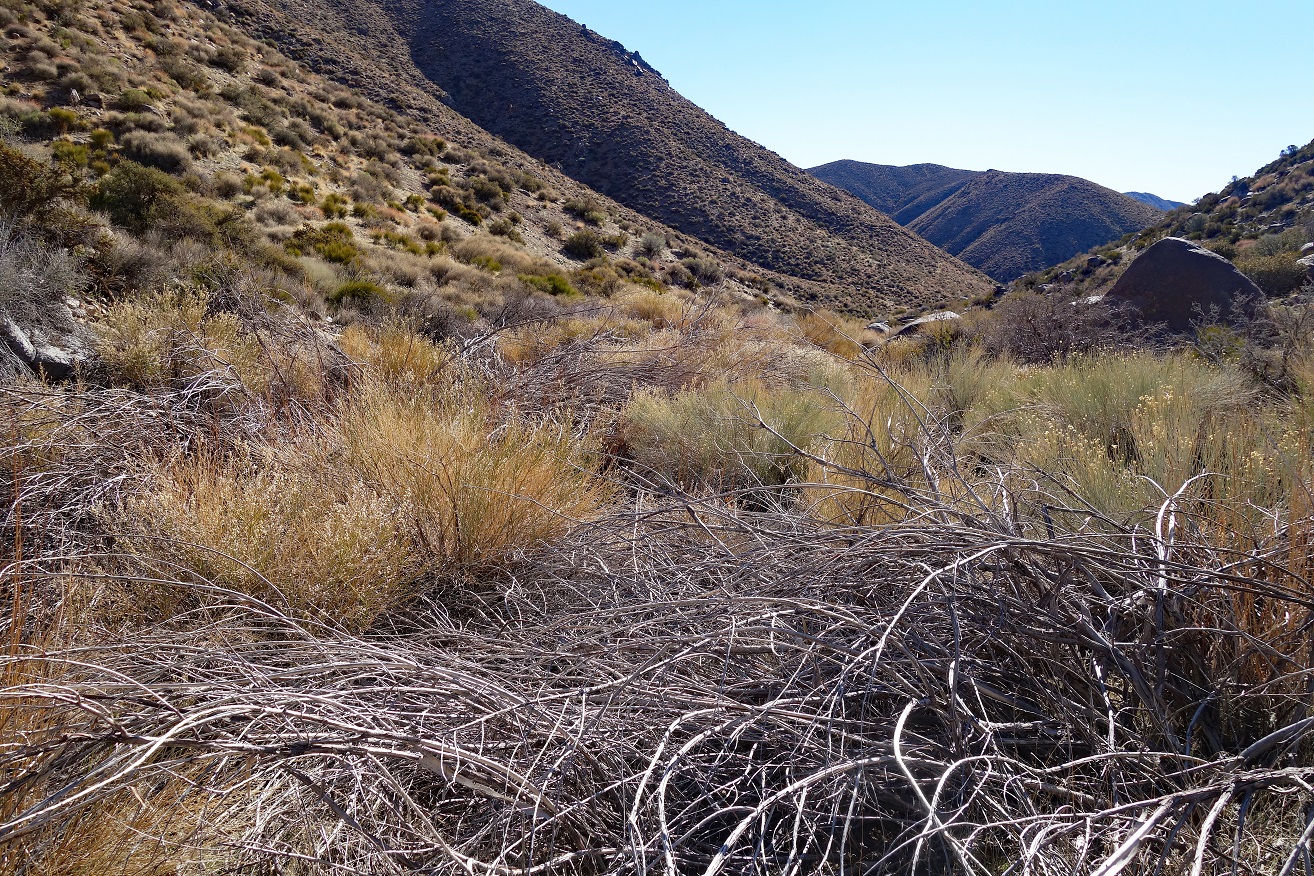
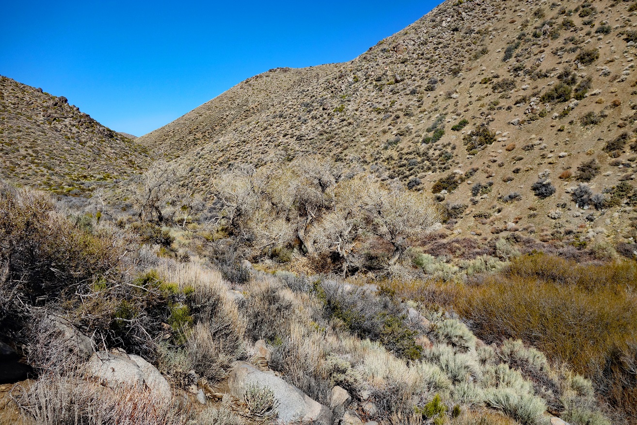
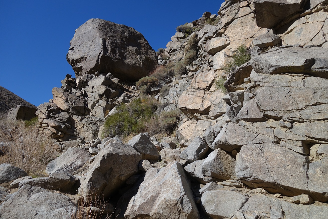
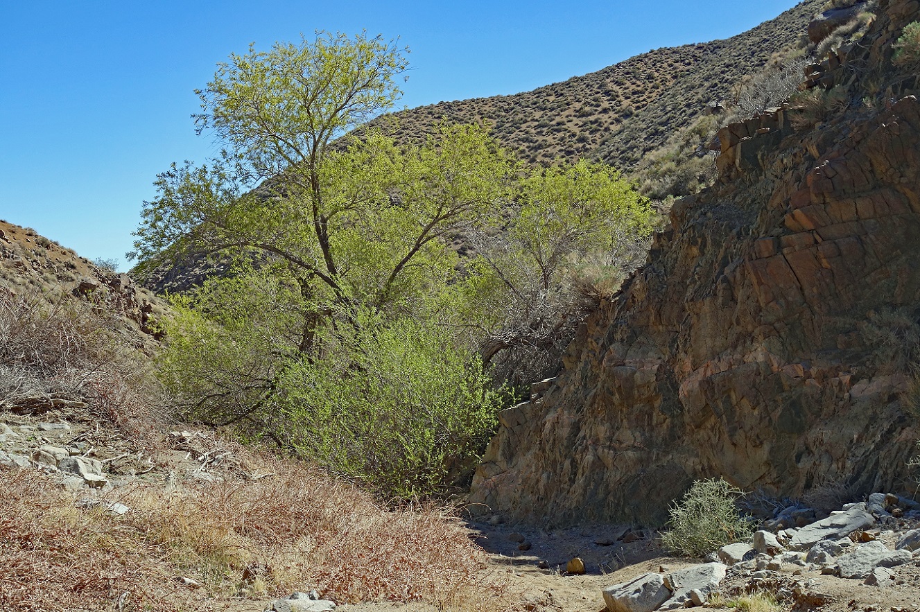
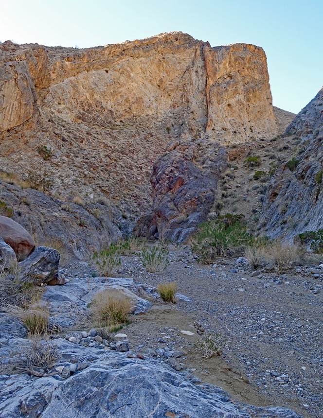
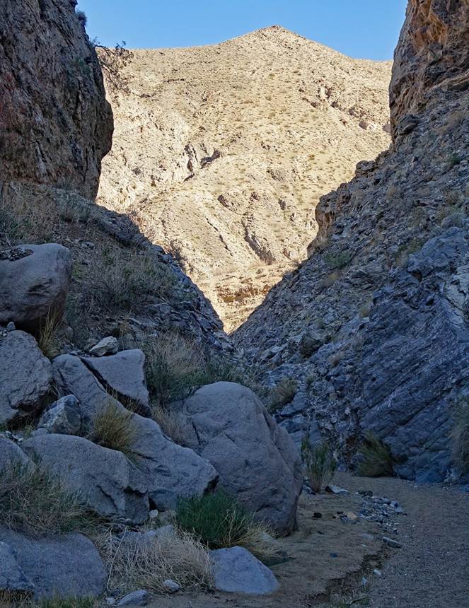
More views during the
descent of Dead Horse Canyon.
Small frozen
waterfall.
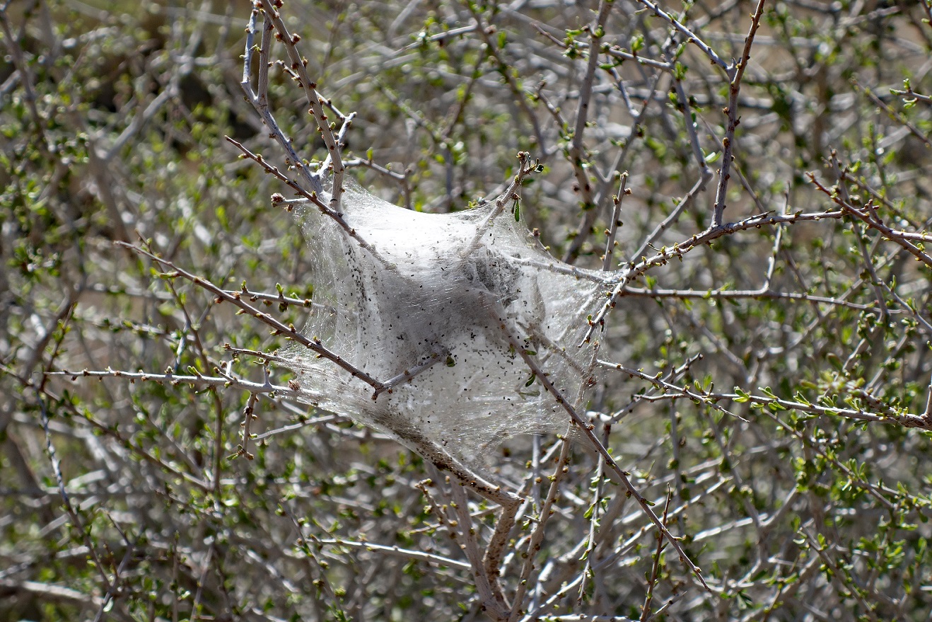
Nest of western tent
caterpillar larvae.
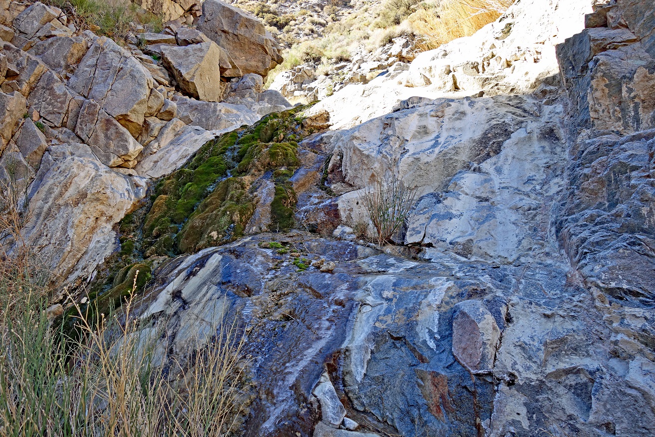
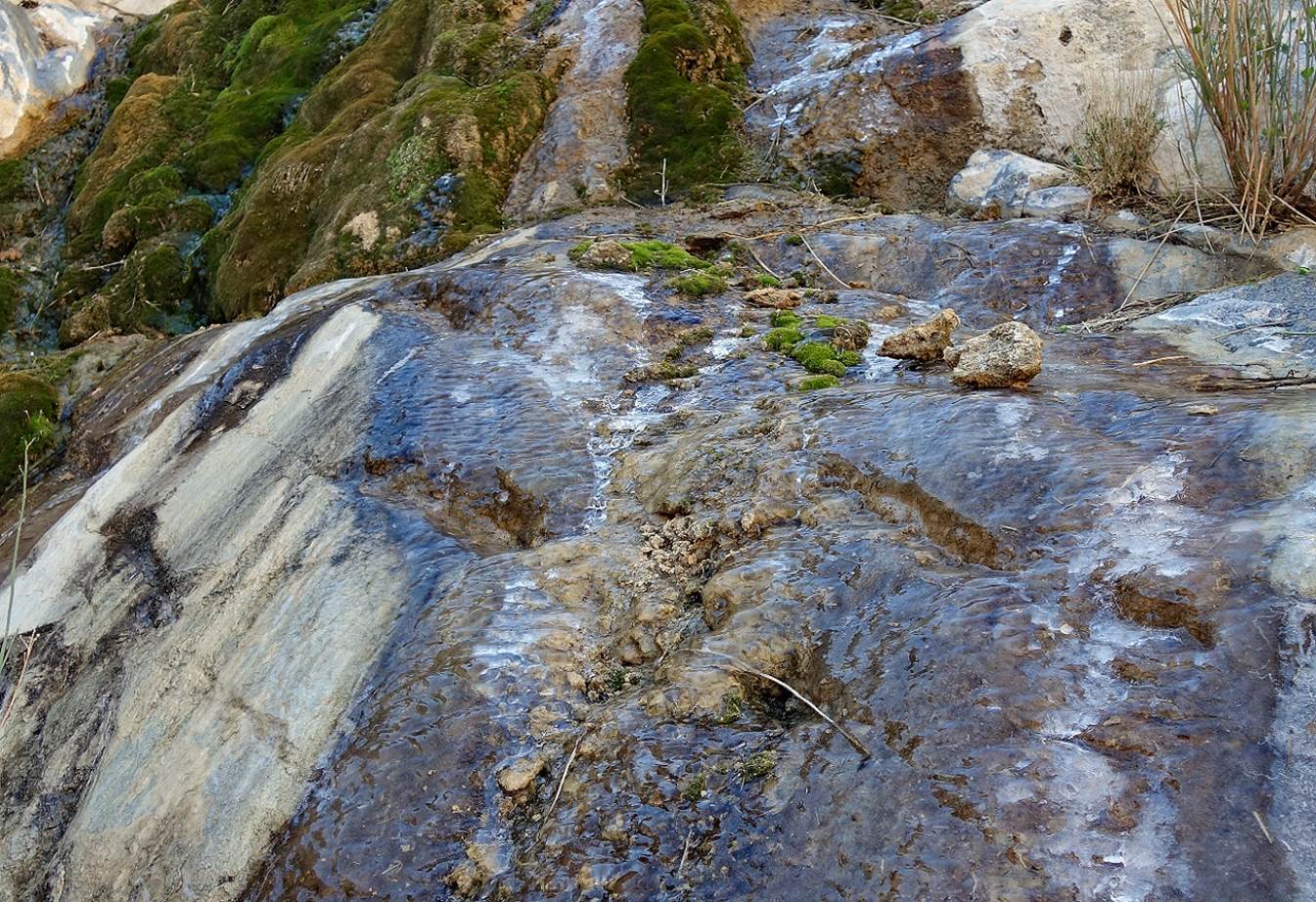
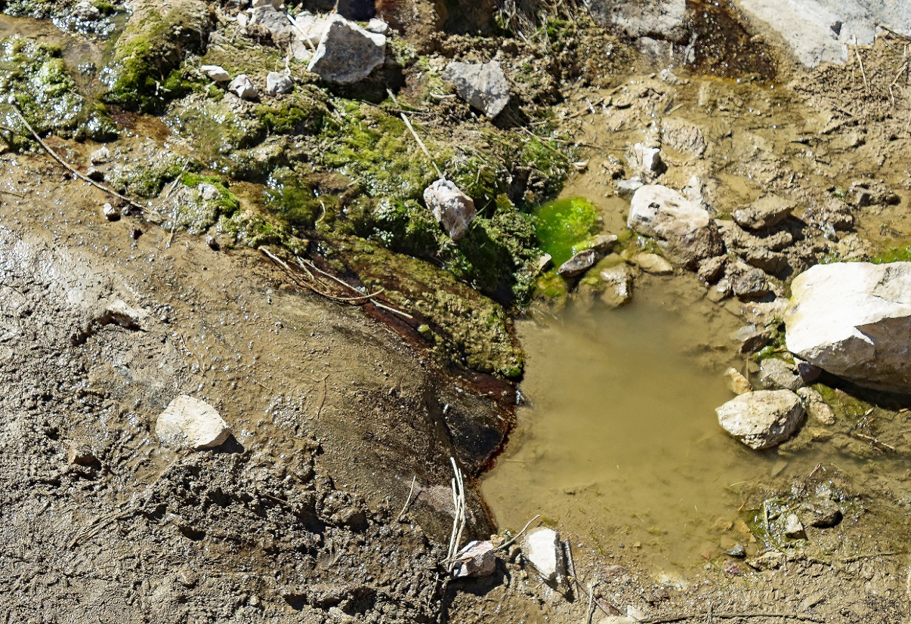
Water at waypoint 26,
where we refilled all our bottles. We had to do with the water we found, not
with the water we would have liked to find.
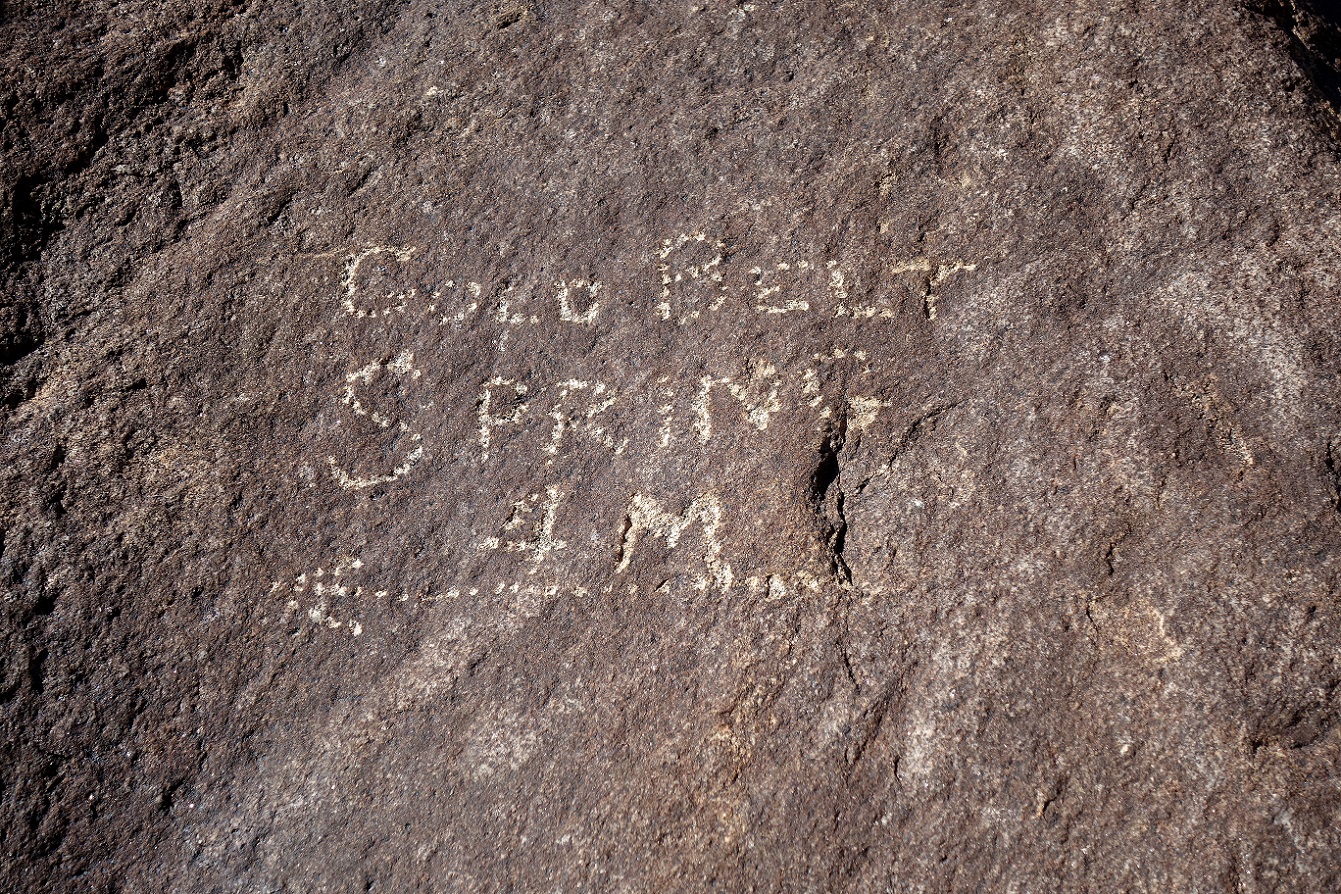
Sign engraved on a
rock in Marble Canyon near waypoint 27, dating from the early 20th century
mining era.
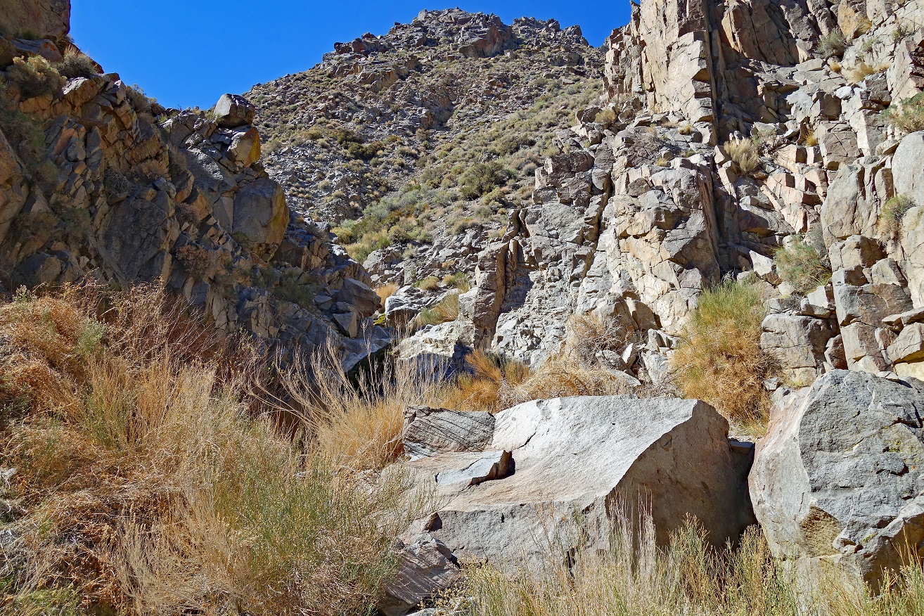
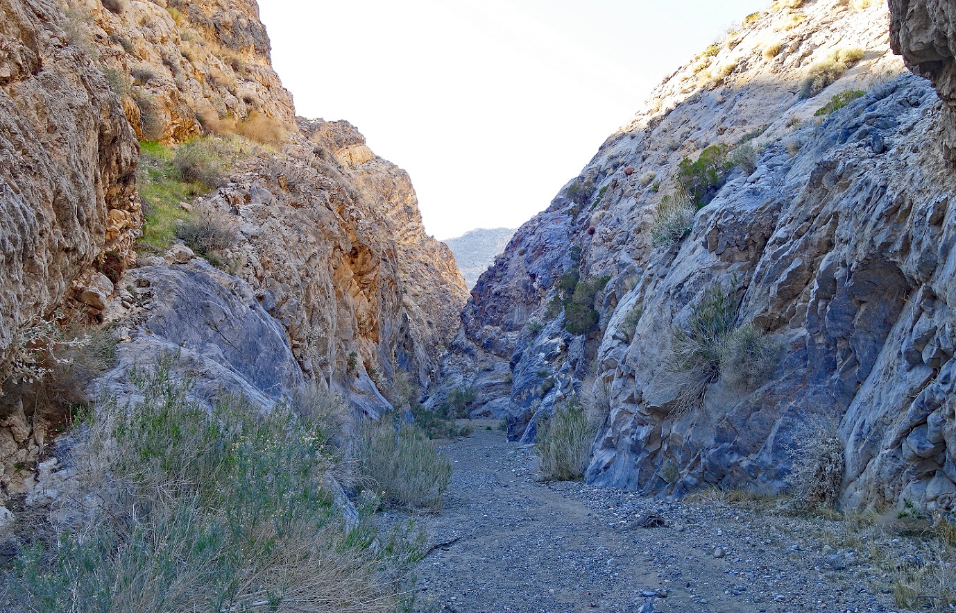
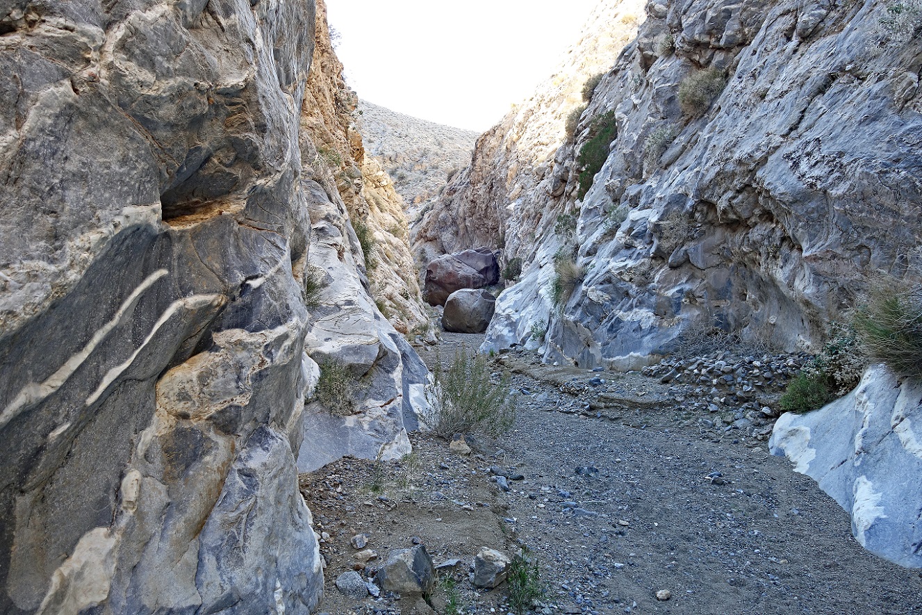
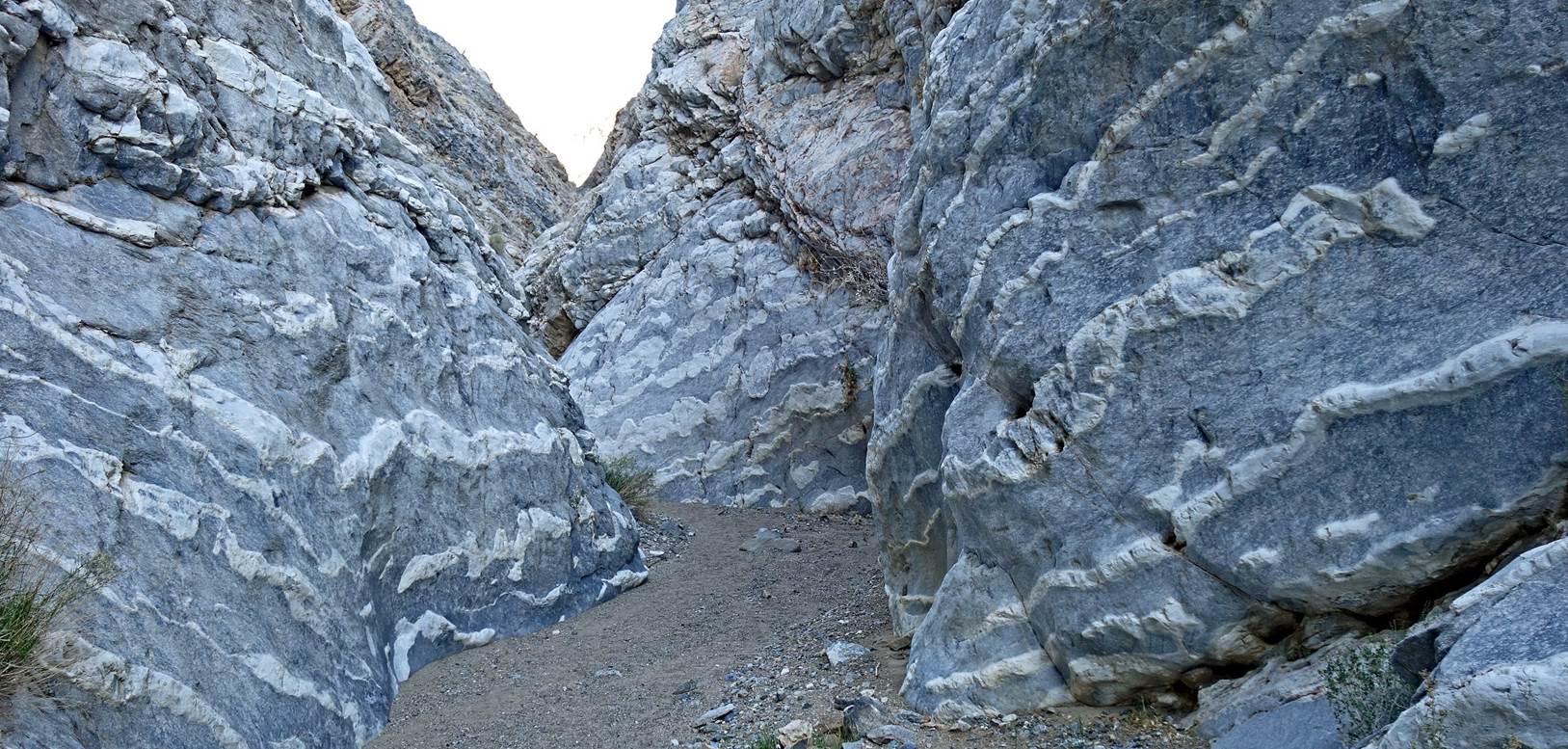
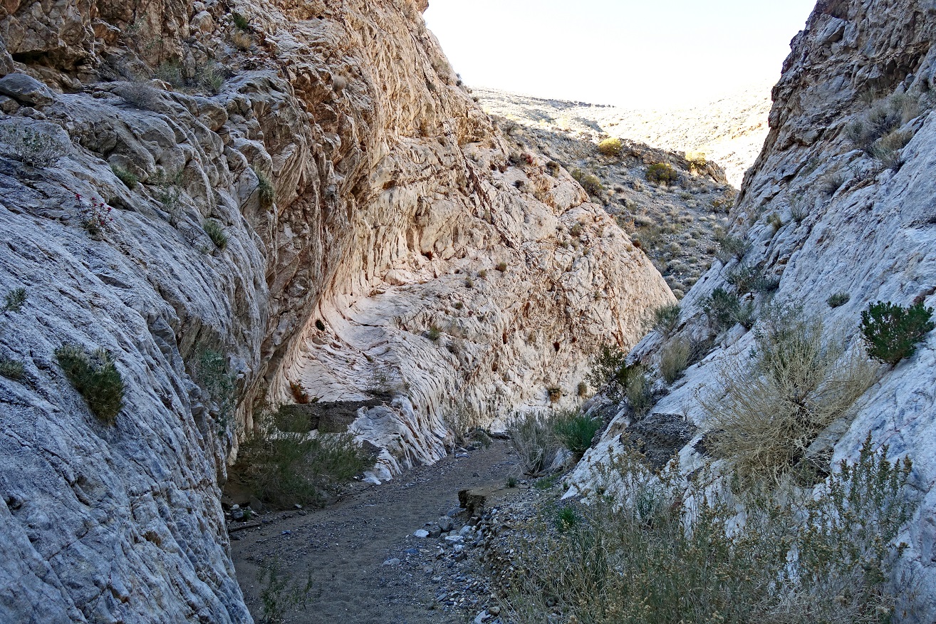
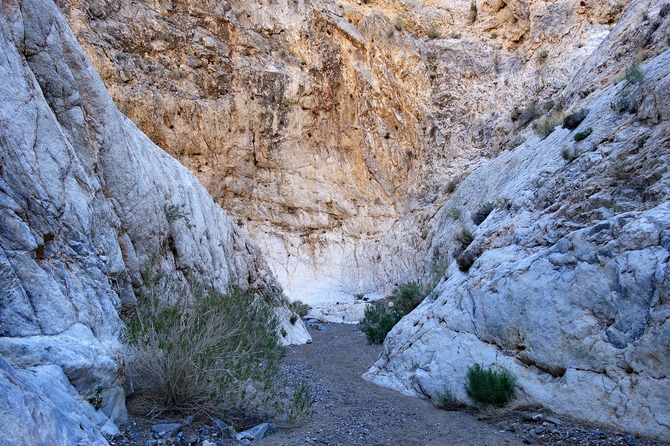
Views of the narrows
of Marble Canyon above waypoint 27.
|
|
|
|
|
|

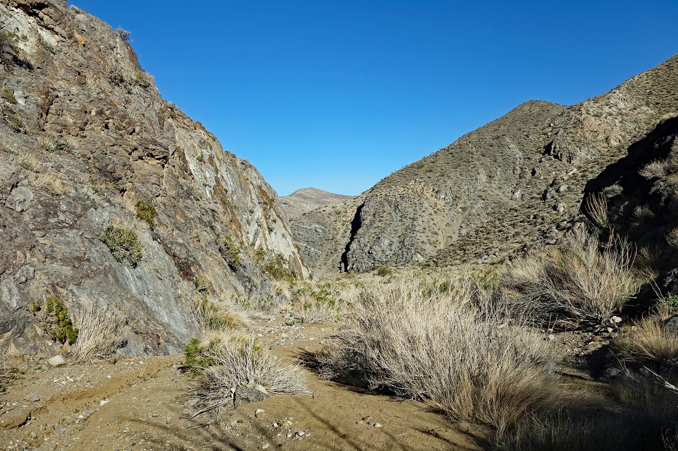
Marble Canyon seen
from waypoint 30.
![]()