Four-Day Hike in the Cottonwood Mountains, Death Valley
National Park,
California, United States, March 2022
![]()
Return
to main United States webpage | Return to my
mountaineering/trekking/travel webpage
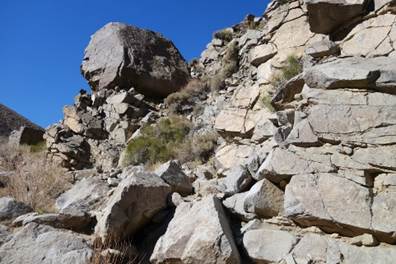
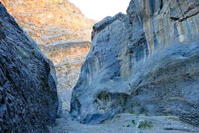
This set of pages
shows photos taken during a 4-day hike in the Cottonwood Mountains in the Death
Valley NP in March 2022 and photos taken at some other locations easily reached
by car on the southeastern side of the Sierra Nevada. Click here
to see photos from my previous trip to Death Valley in 2007.
I did the 4-day hike
in the Cottonwood Mountains with SP Parker, the legendary mountain guide from
Bishop and also the owner of the Sierra Mountain
Center. SP is a long-time friend. During the past 25 years I did multiple
technical ascents with him in the Sierra Nevada (including the East Buttress
of Mt. Whitney, Fishhook Arete of Mt. Russell, Third Pillar of Mt. Dana, and
Sun Ribbon Arete on Temple Crag) and in Chilean Patagonia. We also did
several ski traverses of the Sierra Nevada together.
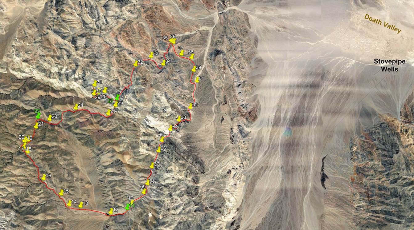
The itinerary of the
hike is the red line shown in a satellite image below, based on my recorded GPS
waypoints. To access these waypoints download the death-valley-wp-2022.kmz file
from here
and then open this file in Google Earth. The successive waypoints are numbered
01 (start of the trek) to 39 (the last waypoint before closing the loop). The
waypoints with green icons are the locations where we spent the three nights.
Between waypoints 01 and 12 we followed Cottonwood Canyon upward. Between
waypoints 14 and 17, we hiked up another canyon that does not seem to have an
established name. Then, between 17 and 22 we crossed a ridge between the
no-name canyon and the upper part of Dead Horse Canyon. From 22 to 27, we
followed Dead Horse Canyon downward to reach Marble Canyon at 27. From 27, we
did a short side-trip into a portion of Marble canyon above the junction with
Dead Horse Canyon and into a smaller canyon. From 27 down to 35 we followed the
lower portion of Marble Canyon downward. Then we left Marble Canyon and crossed
a few ridges to return to 01, where SP had parked his vehicle. The overall
itinerary is roughly 47km in length.
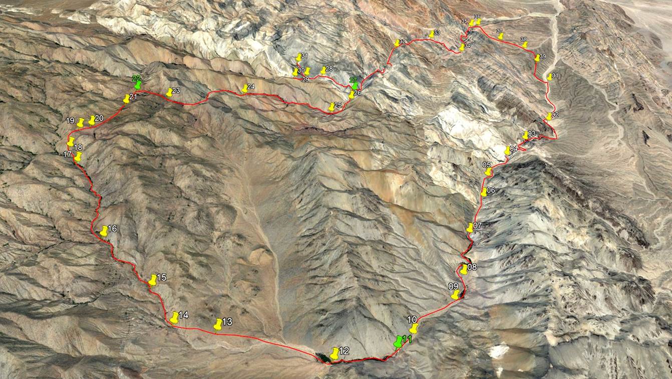
A perspective view of
the itinerary.
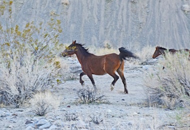
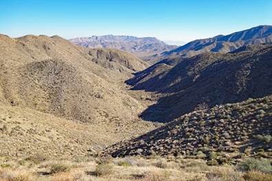
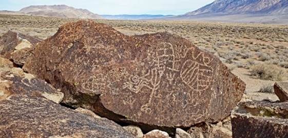
Pictures of from the
hike in the Cottonwood Mountains (click on the captions or pictures to access
the corresponding pages):
|
|
|
|
|
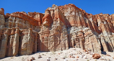
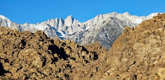
Pictures from other
locations southeast of the Sierra Nevada (click on the captions or pictures to
access the corresponding pages):
|
|
|
|
![]()
Return
to main United States webpage | Return to my
mountaineering/trekking/travel webpage