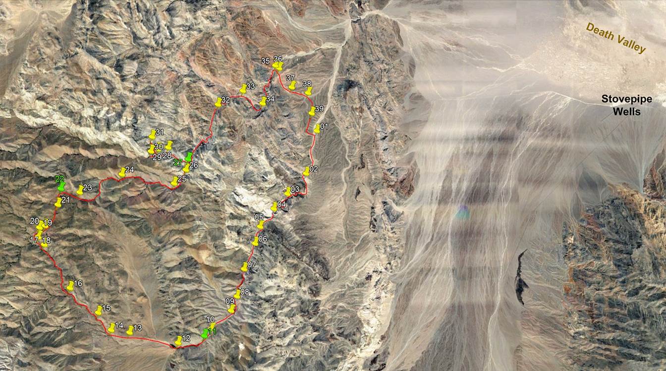
Day 4 in the Cottonwood Mountains, Death Valley NP,
California, March 2022
![]()
Return
to main Death Valley 2022 trip webpage
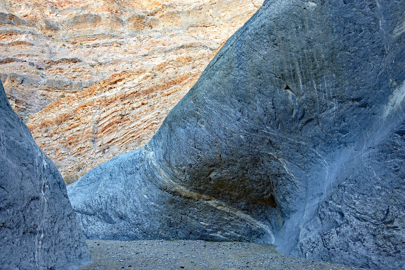
On Day 4 we hiked Marble Canyon down to waypoint 35, through a series of
spectacular narrows. At waypoint 35, instead of hiking further down to the
junction of Marble Canyon and Cottonwood Canyon (and then returning to waypoint
01 along Cottonwood Canyon), we crossed a few ridges via waypoints 36-39.
During most of this crossing we followed a faded old Indian trail that was
probably centuries old.
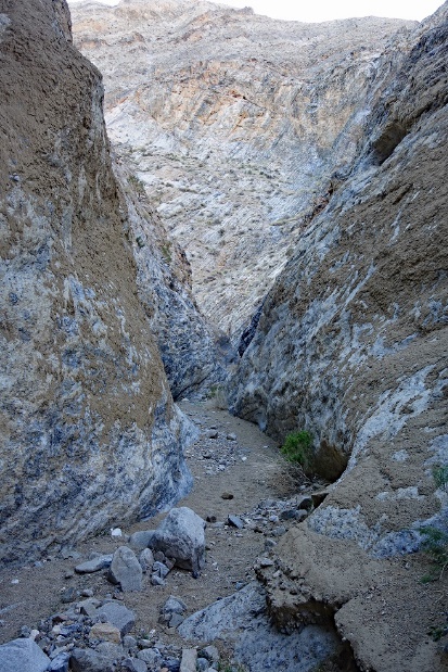
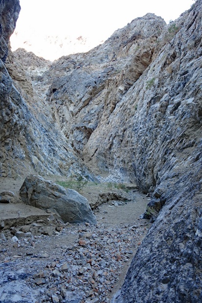
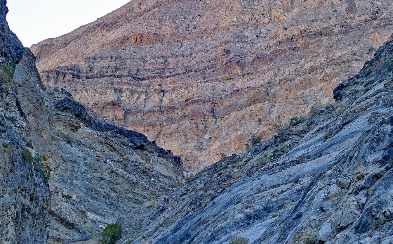
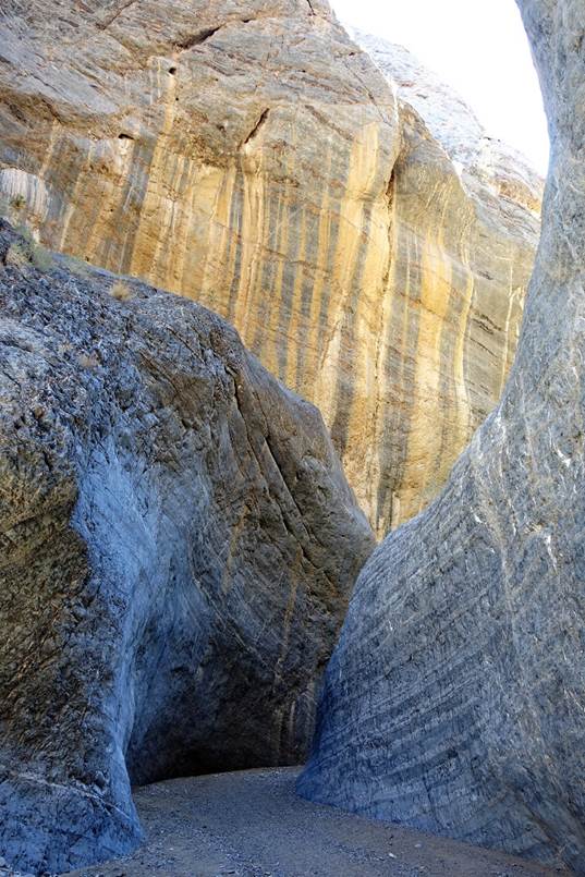
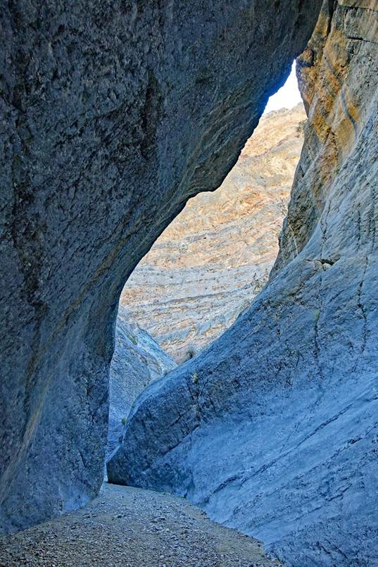
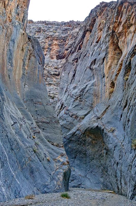
Successive views during the descent of Marble Canyon.
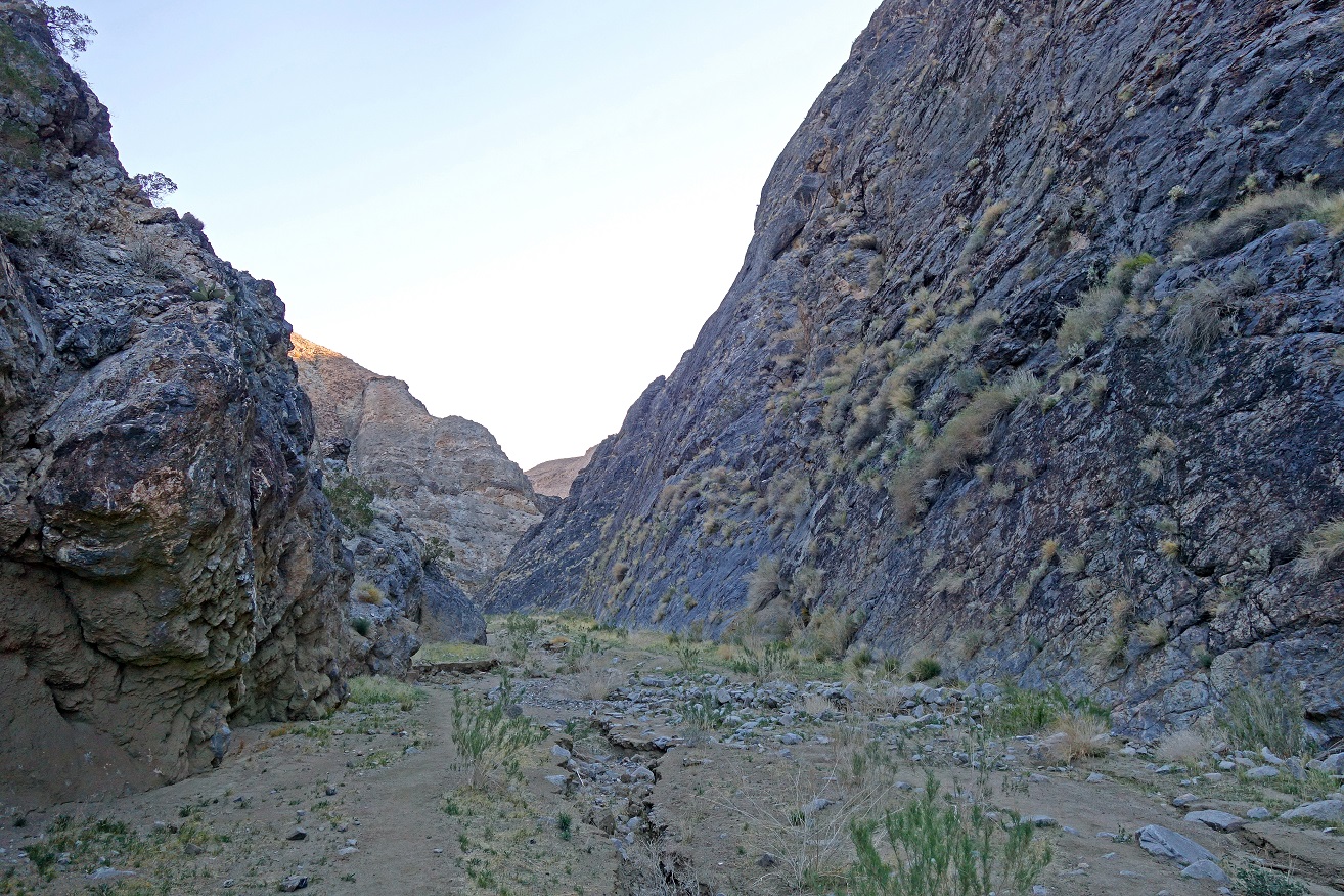
Note the height of
the dry mud stuck to the canyon walls in the left photo. Better not be there
during one of the rare heavy rains.
|
|
|
|
|
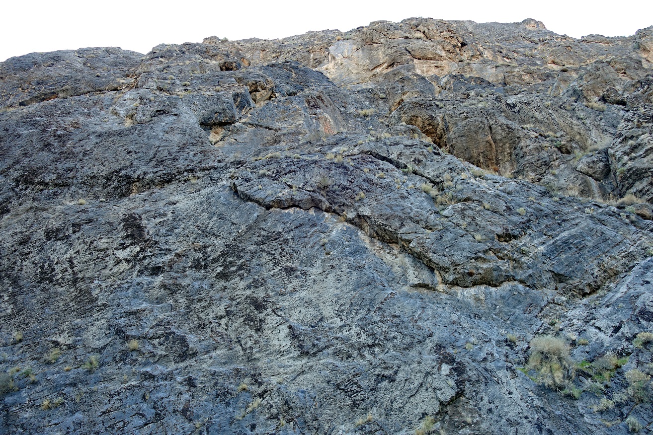
Side canyon.
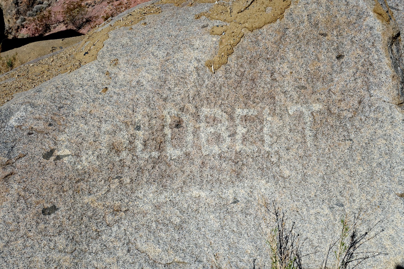
Sign engraved on a
rock dating from the early 20th century mining era, showing the way to Gold
Belt.
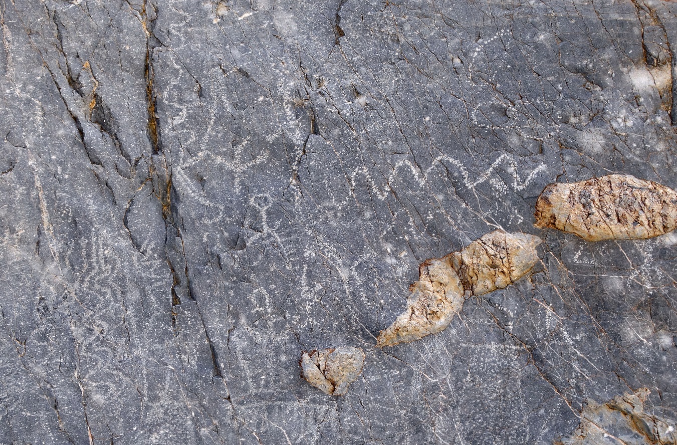
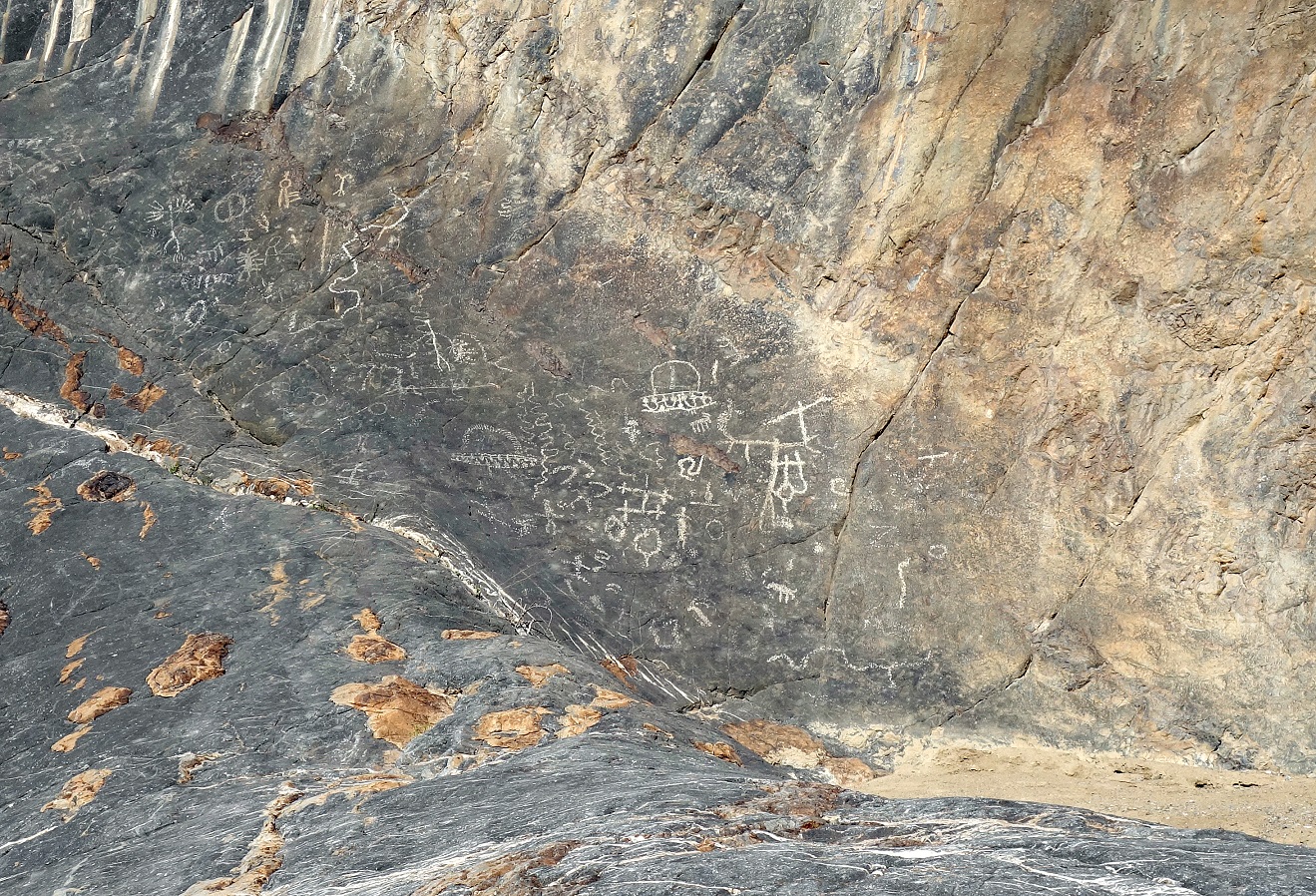
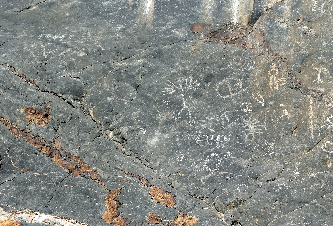
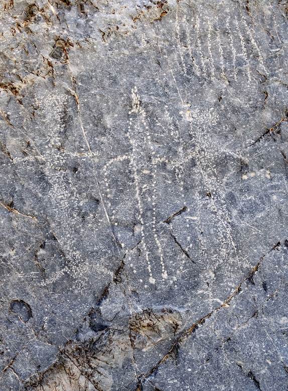
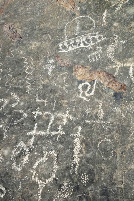
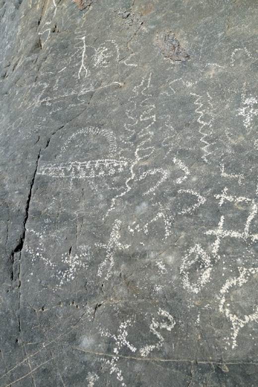
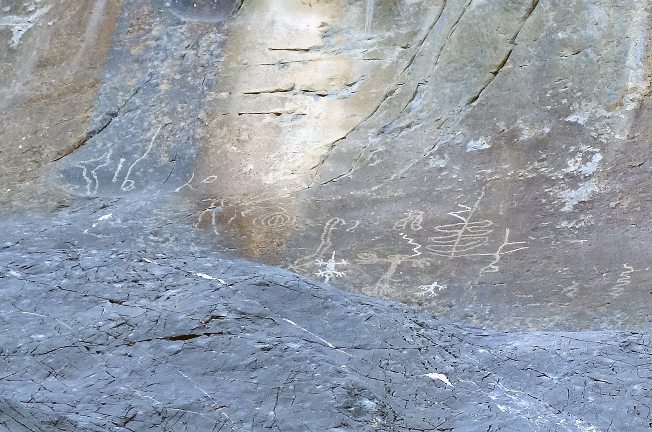
Ancient Indian (Shoshone-Paiute) petroglyphs in Marble Canyon.
|
|
|
|
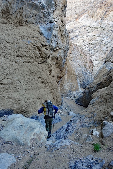
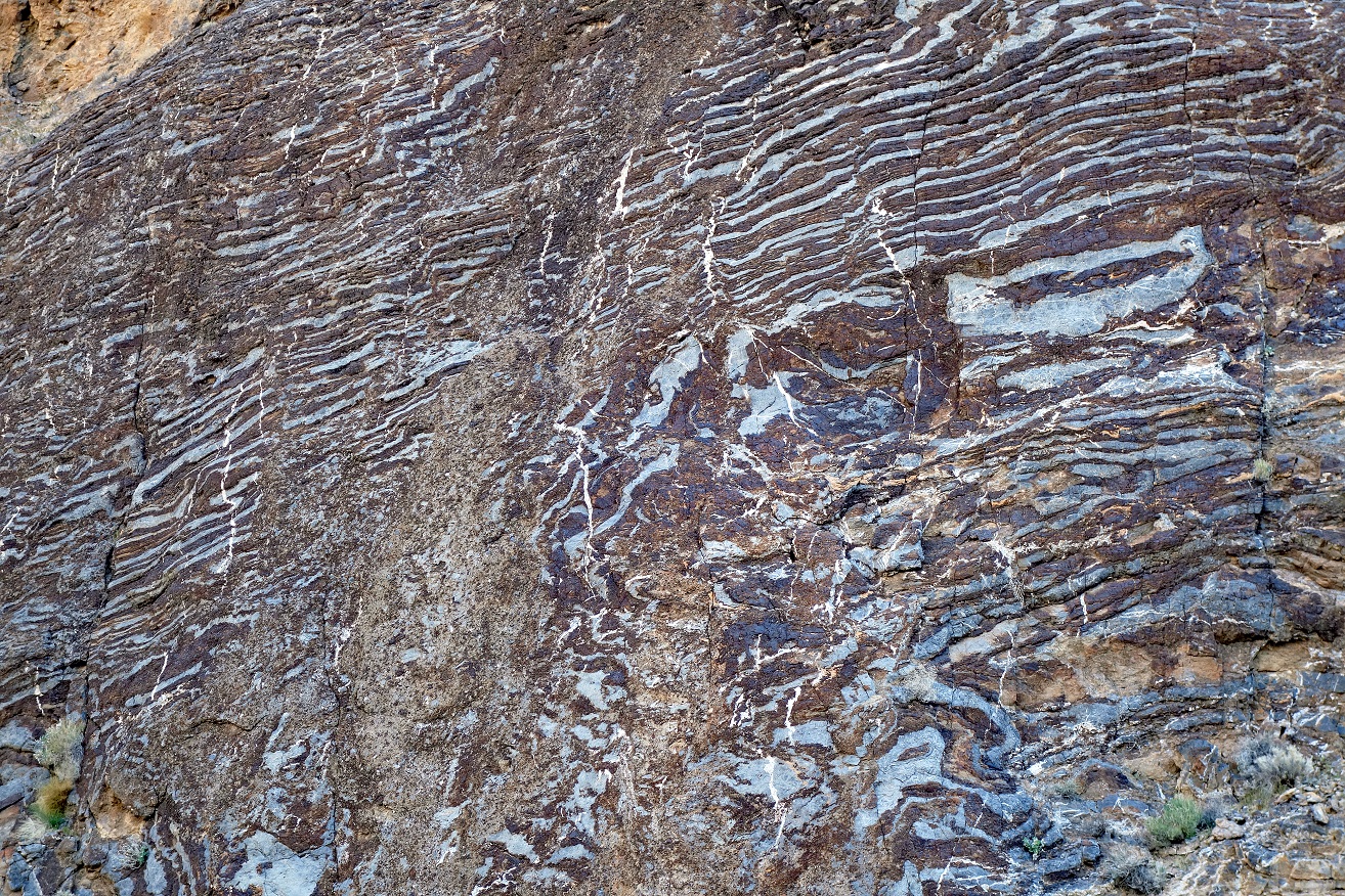
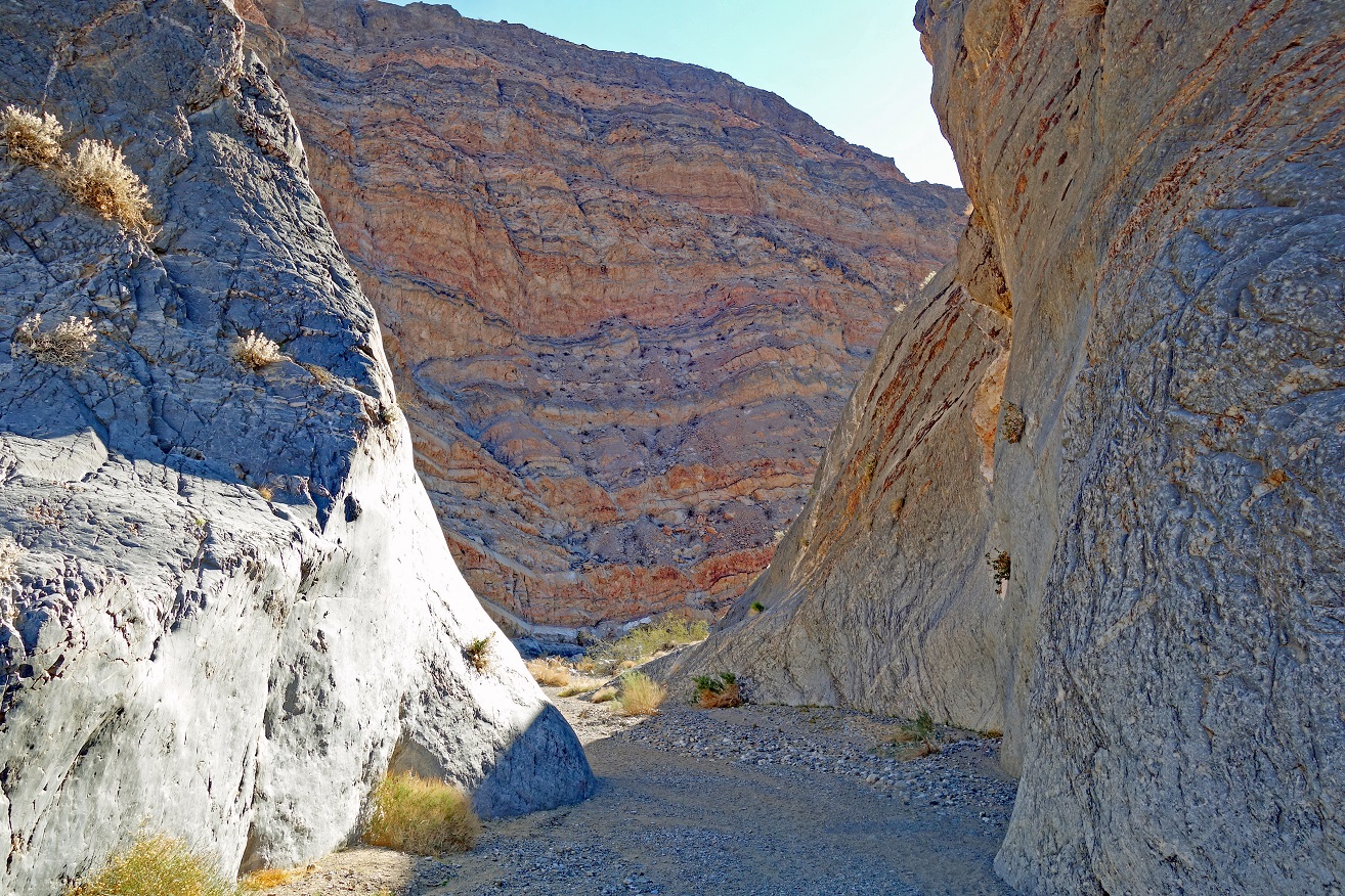
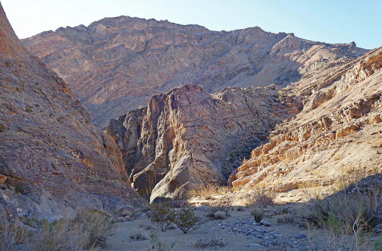
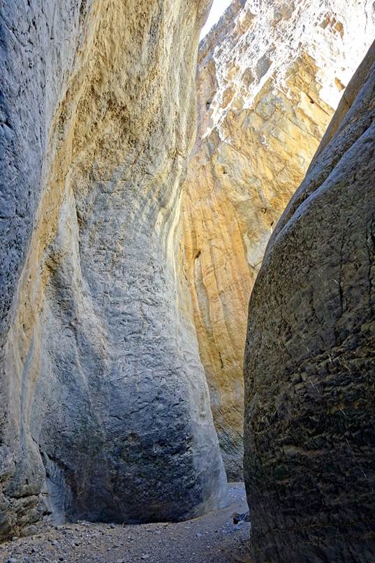
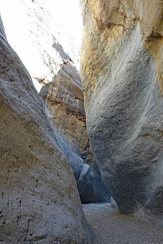
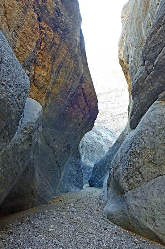
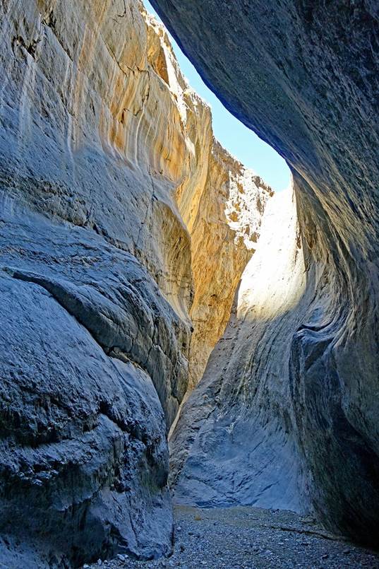
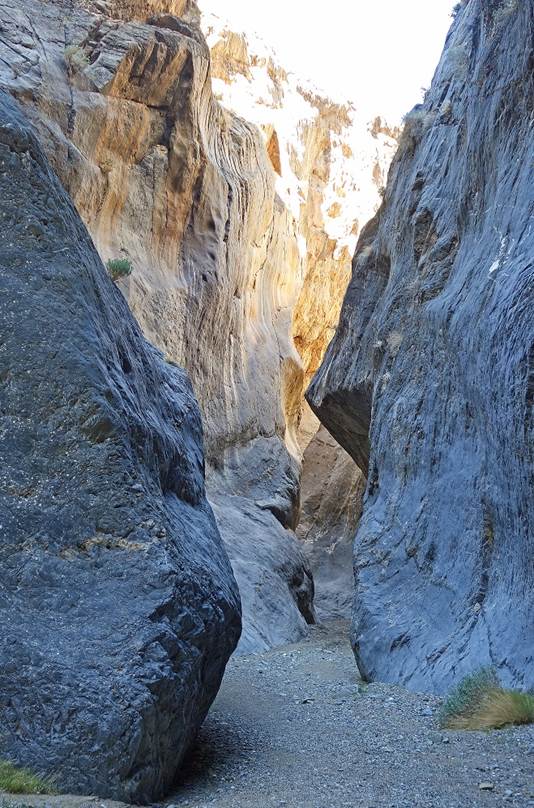
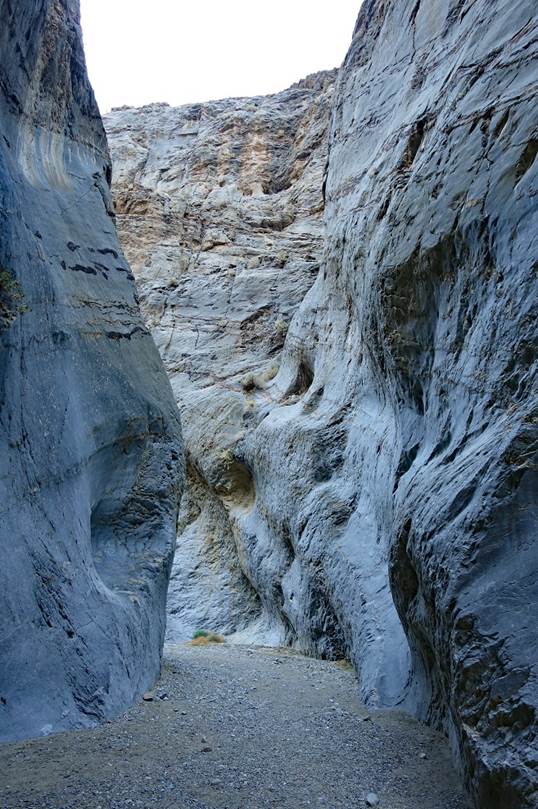
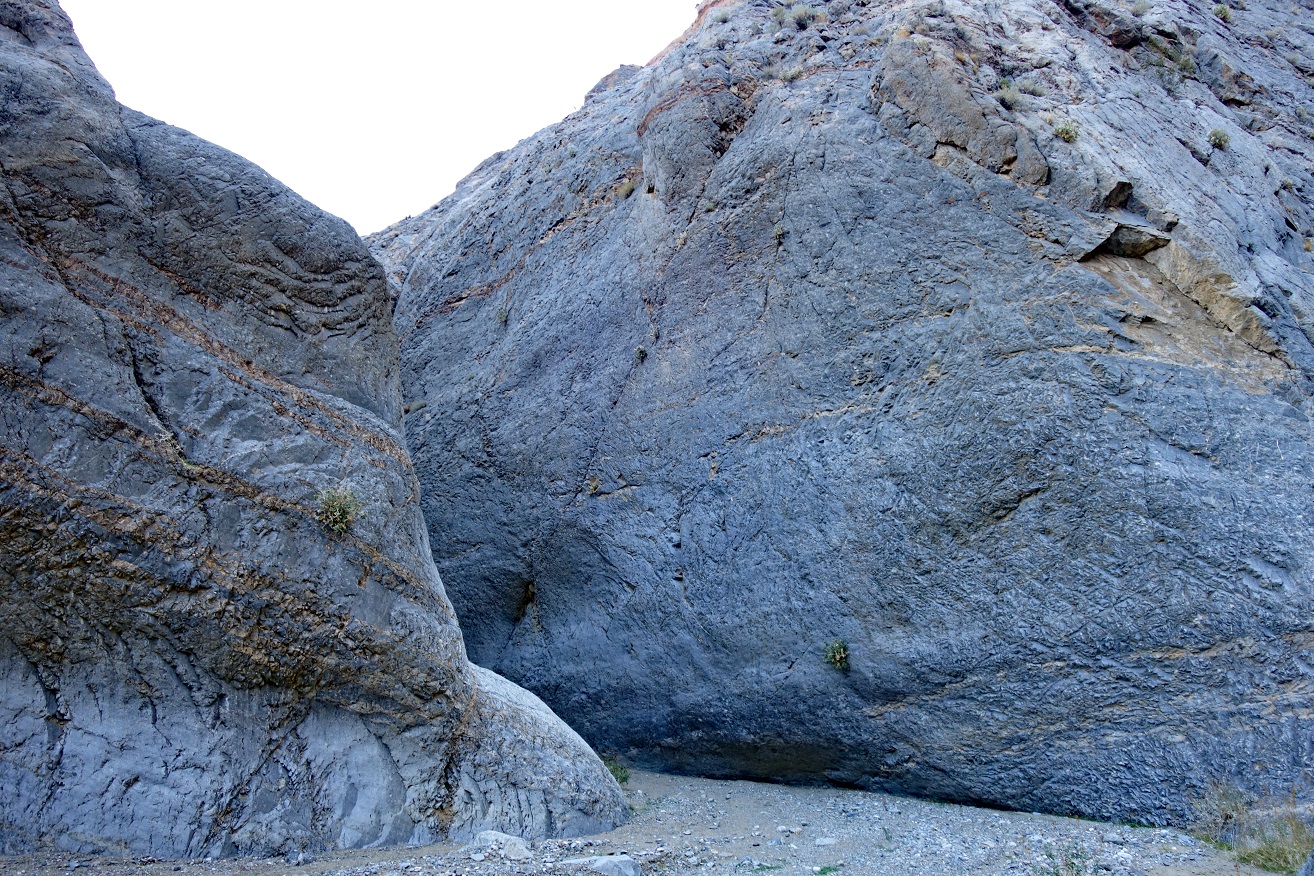
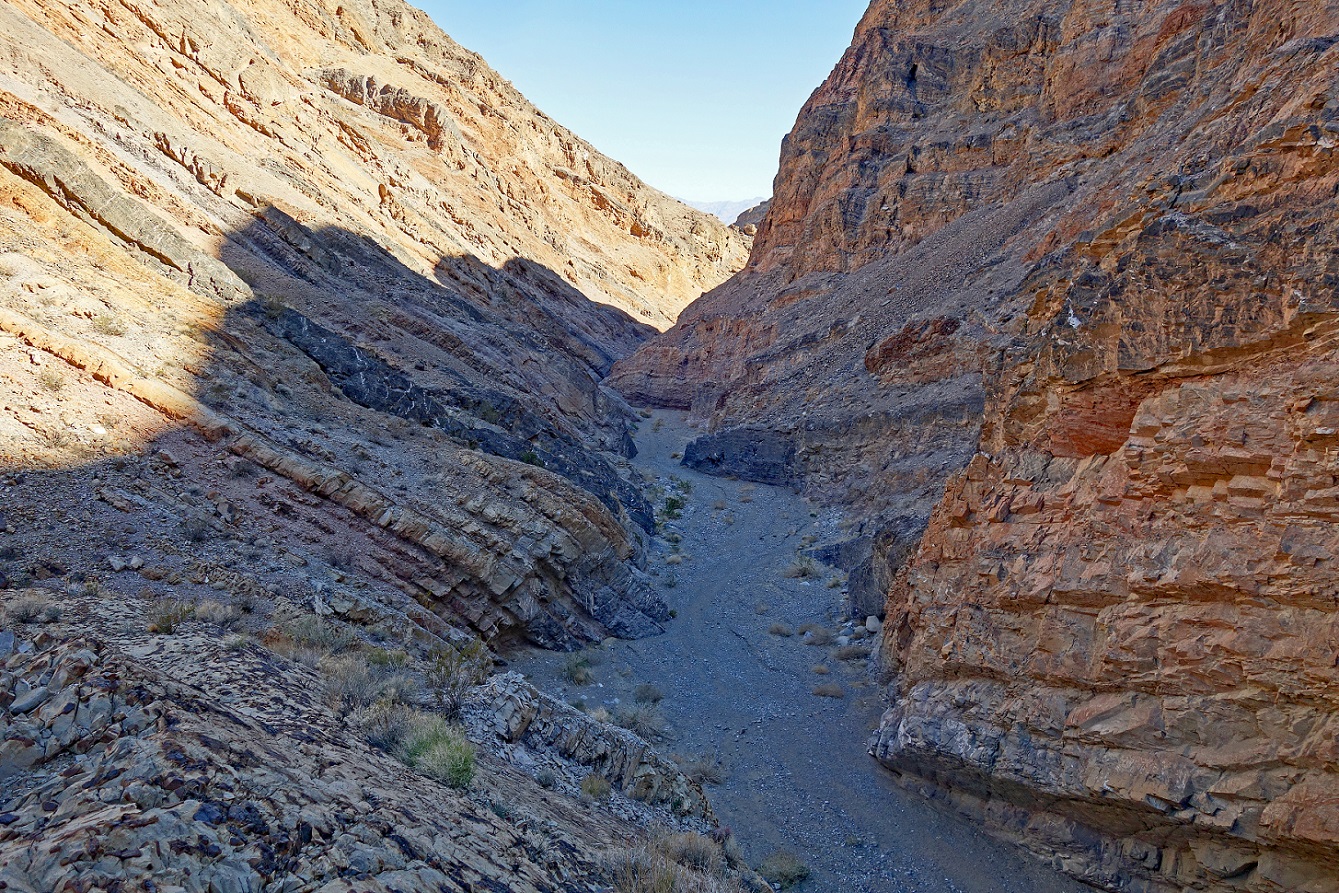
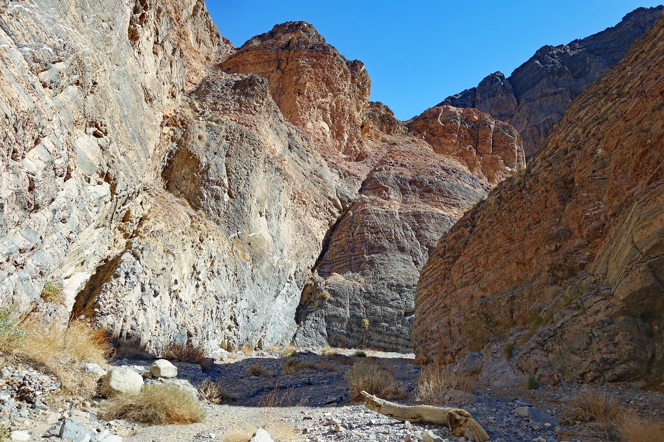
Entrance of the most
spectacular stretch of Marble Canyon narrows.
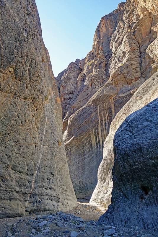
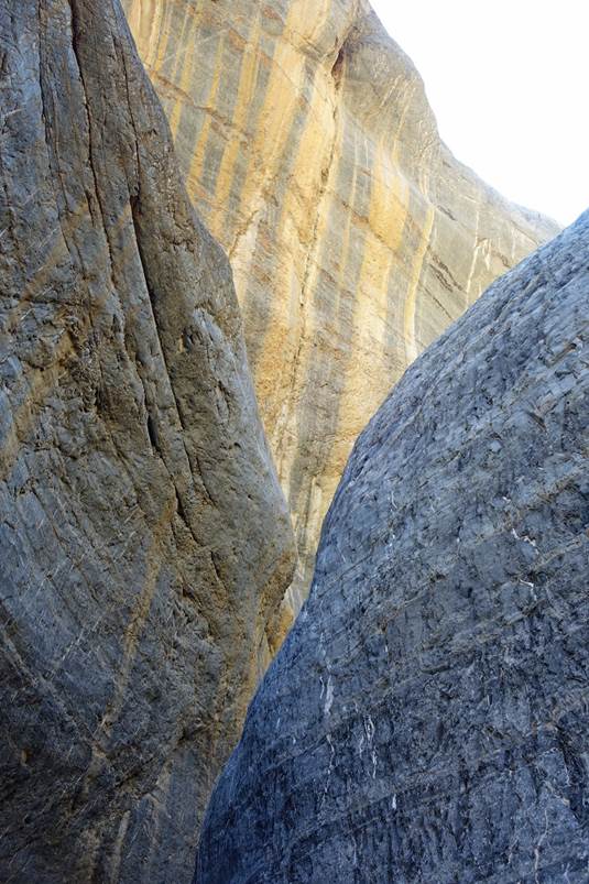
In the narrows.
|
|
|
|
|
|
|
|

|
|
|
|
|
|
|
|
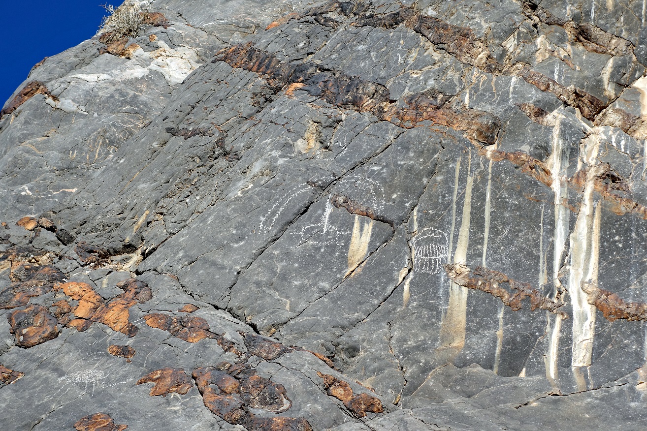
More Shoshone-Paiute
ancient petroglyphs.
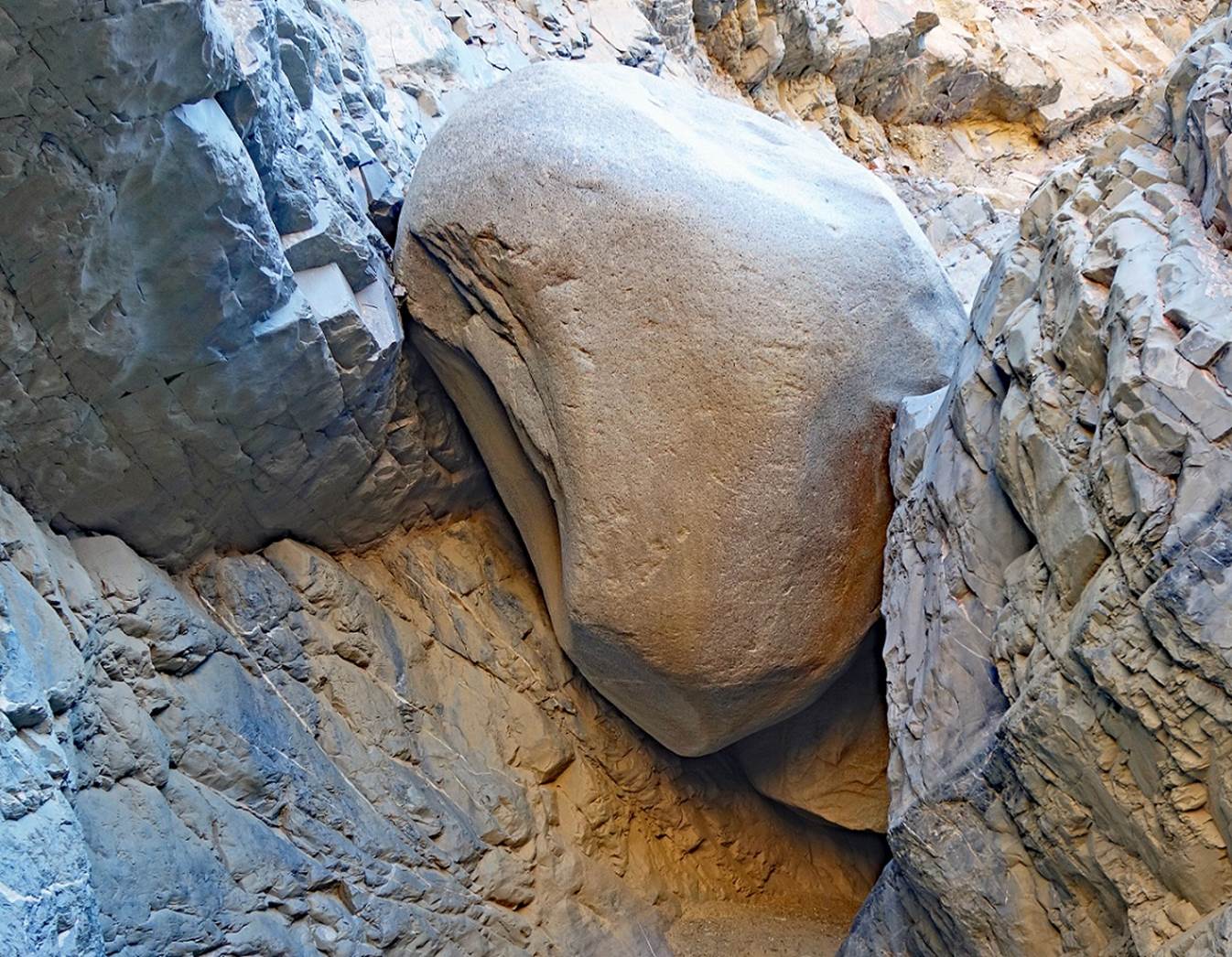
Side canyon.
Huge boulder coined
into Marble Canyon.
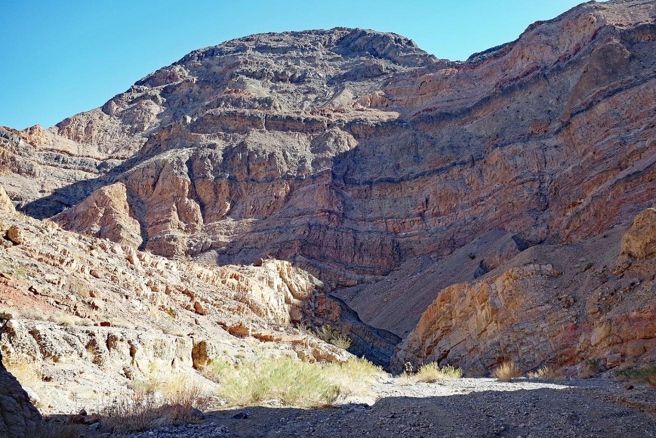
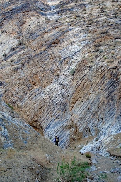
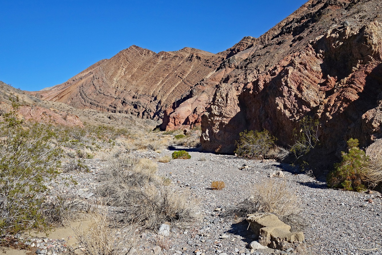
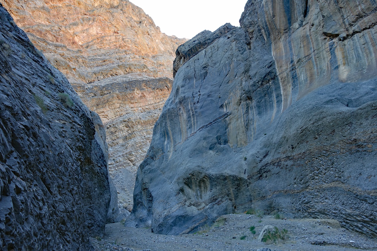
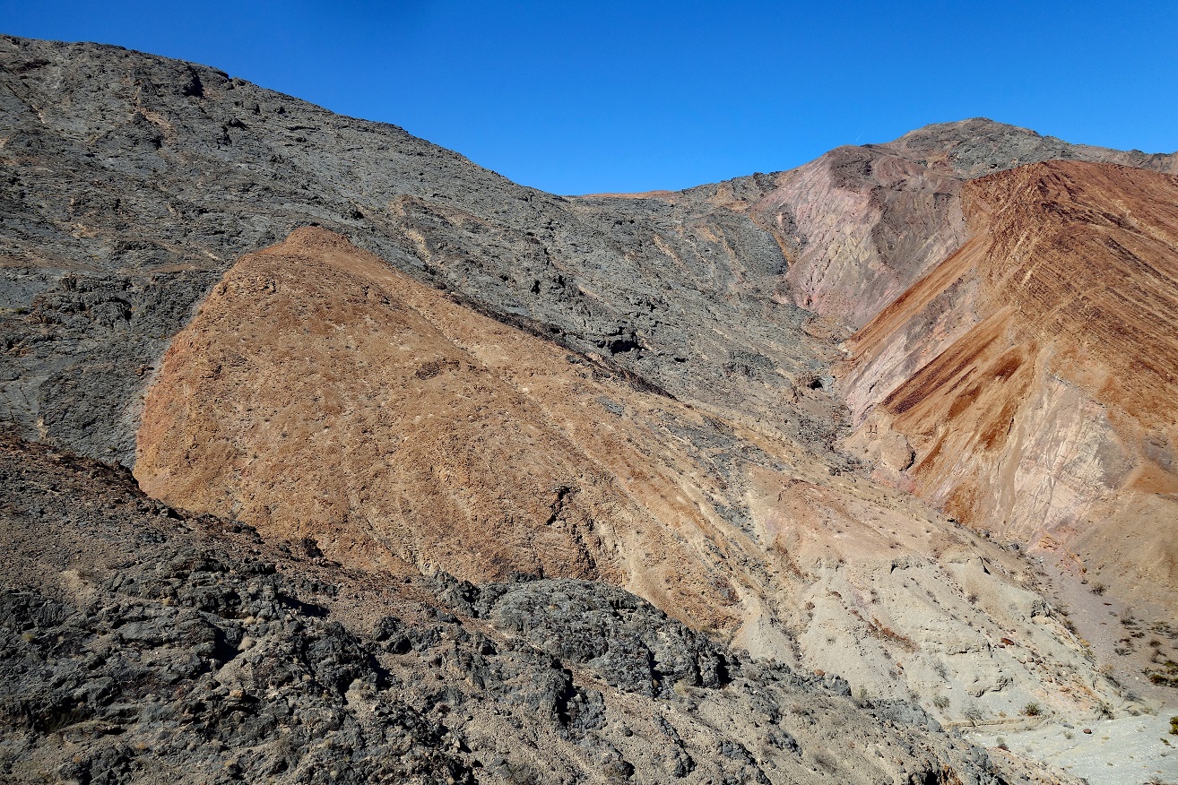
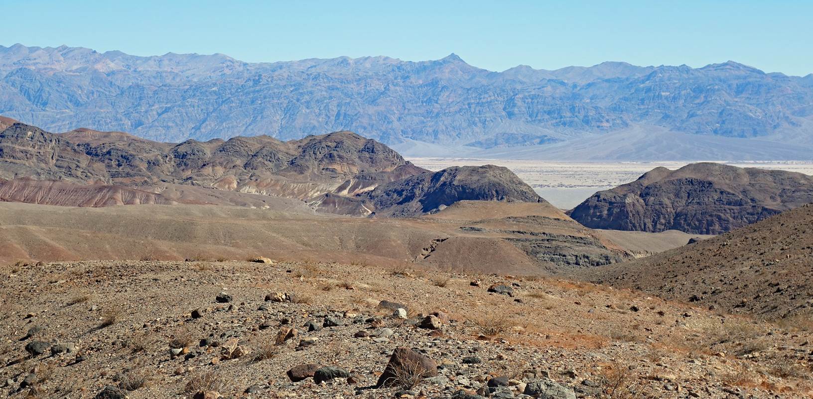
Views from waypoints
35 and 36.
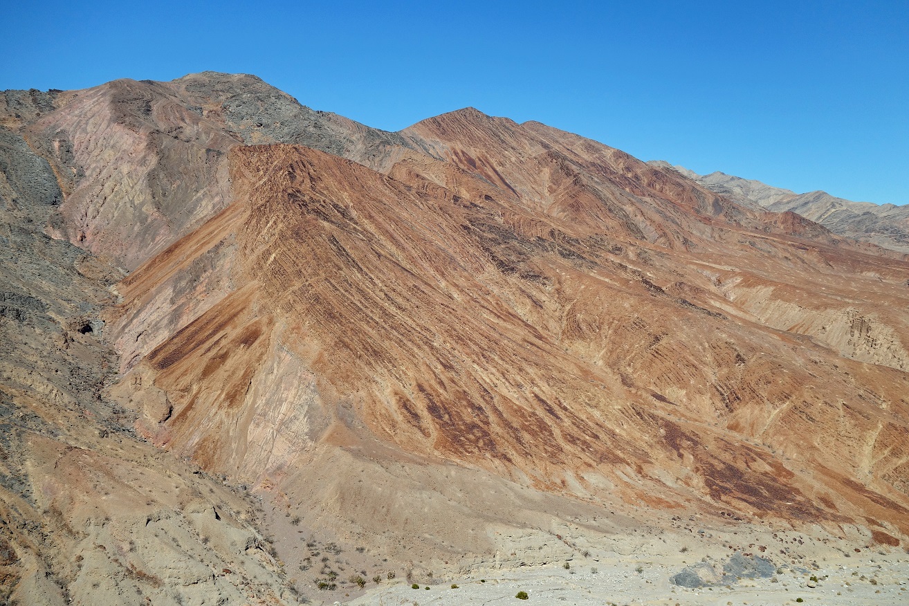
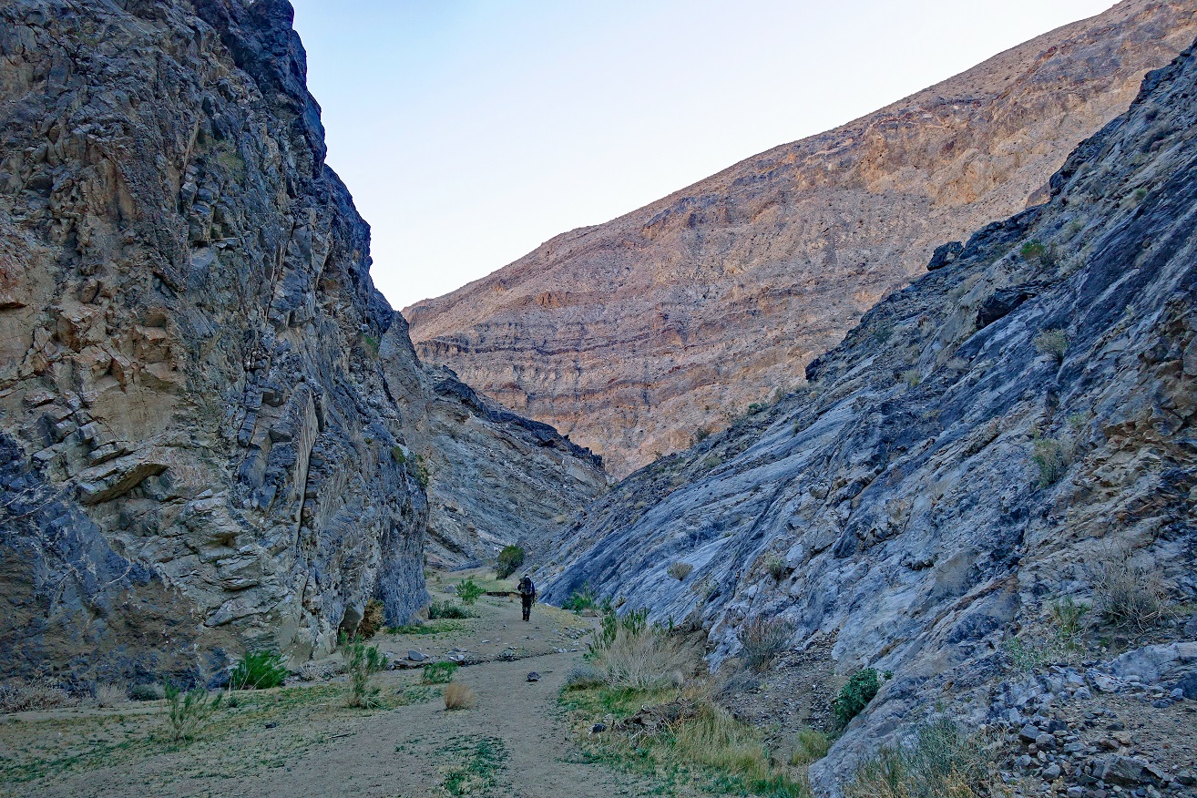
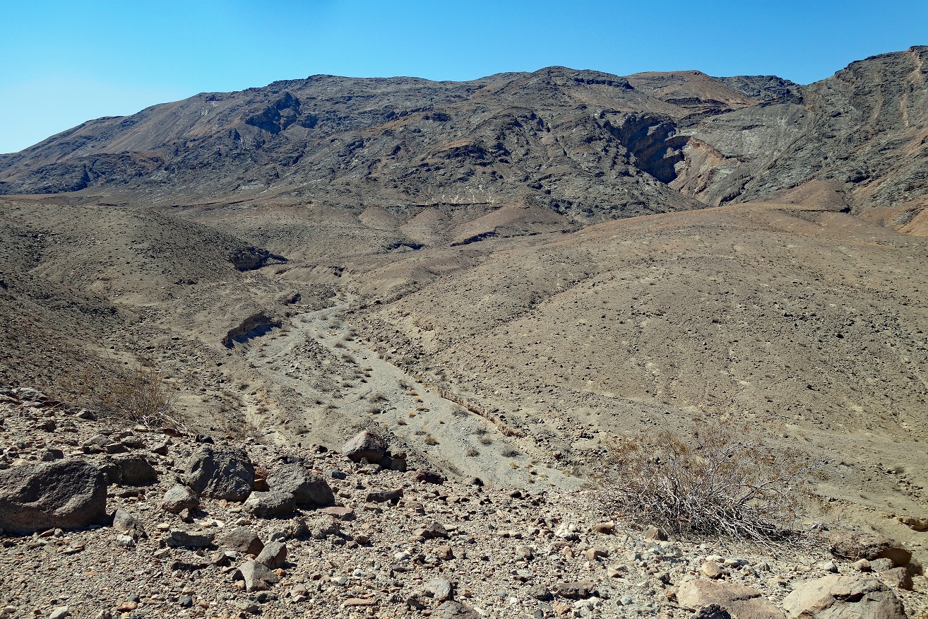
Successive views
during the crossing between waypoints 35 and 01.
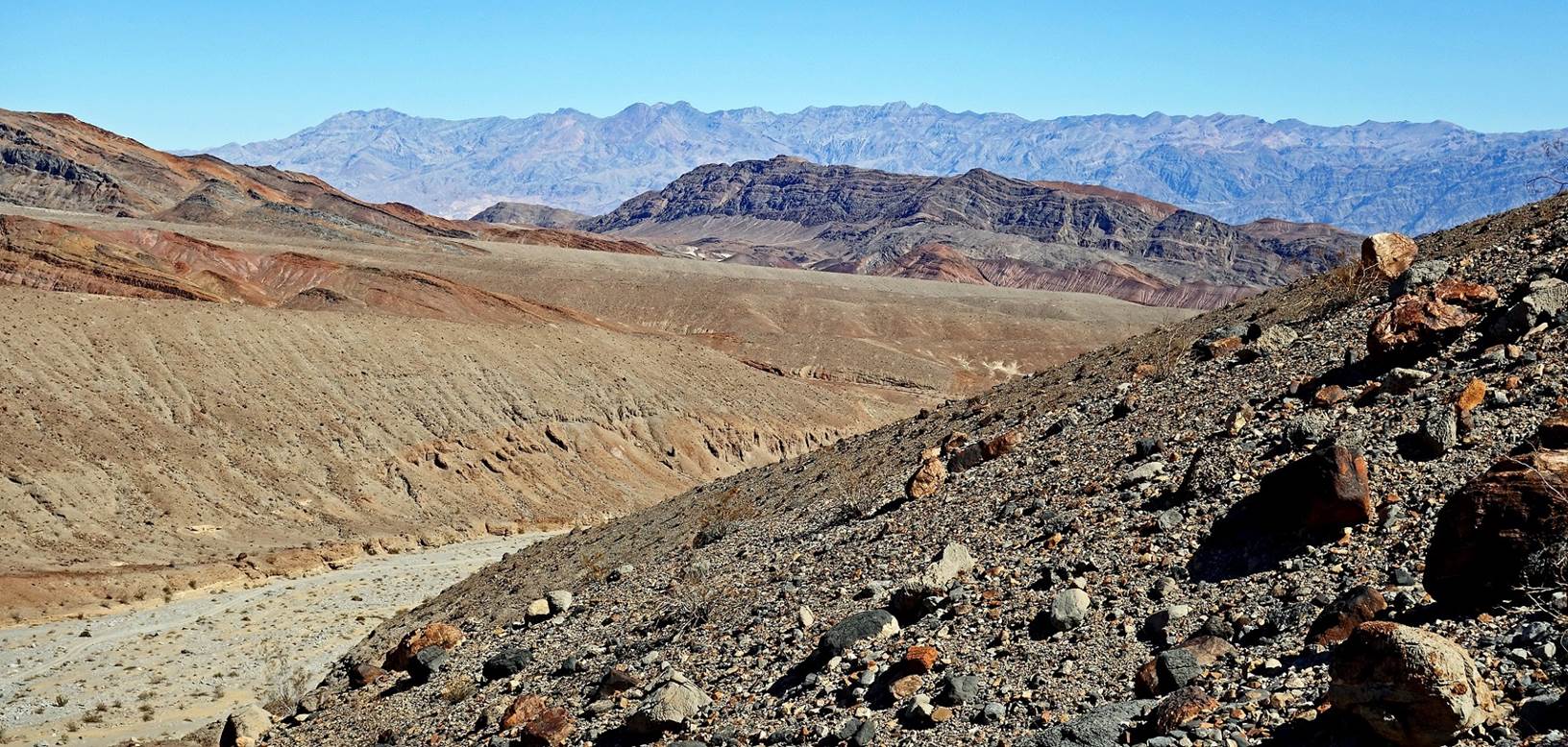
In the photo below,
Death Valley is visible on the right. The mountains in the background form the
Amargosa Range.

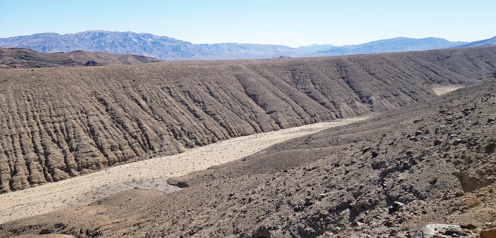
Reaching Cottonwood
Canyon. SP΄s vehicle is visible at the bottom-left of the photo on the
opposite side of the canyon (waypoint 01).
![]()