Morocco (May-June 2016): 3. From Ijoukak
to Amegrhas
![]()
Return to main Morocco 2016 webpage
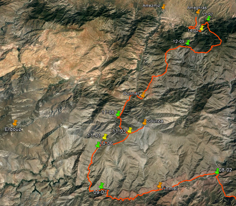
Topographic
and Google Earth maps of this section of the trek. Click here and here to see the complete full-resolution 100K
topographic maps ″Tizi-n-Test″ and ″Amezmiz″ that cover this
section of the trek. Click here
(.kmz file) to access all the waypoints and
placemarks in Google Earth. (Reminder: the green dots/markers are campsites.)
|
|
|

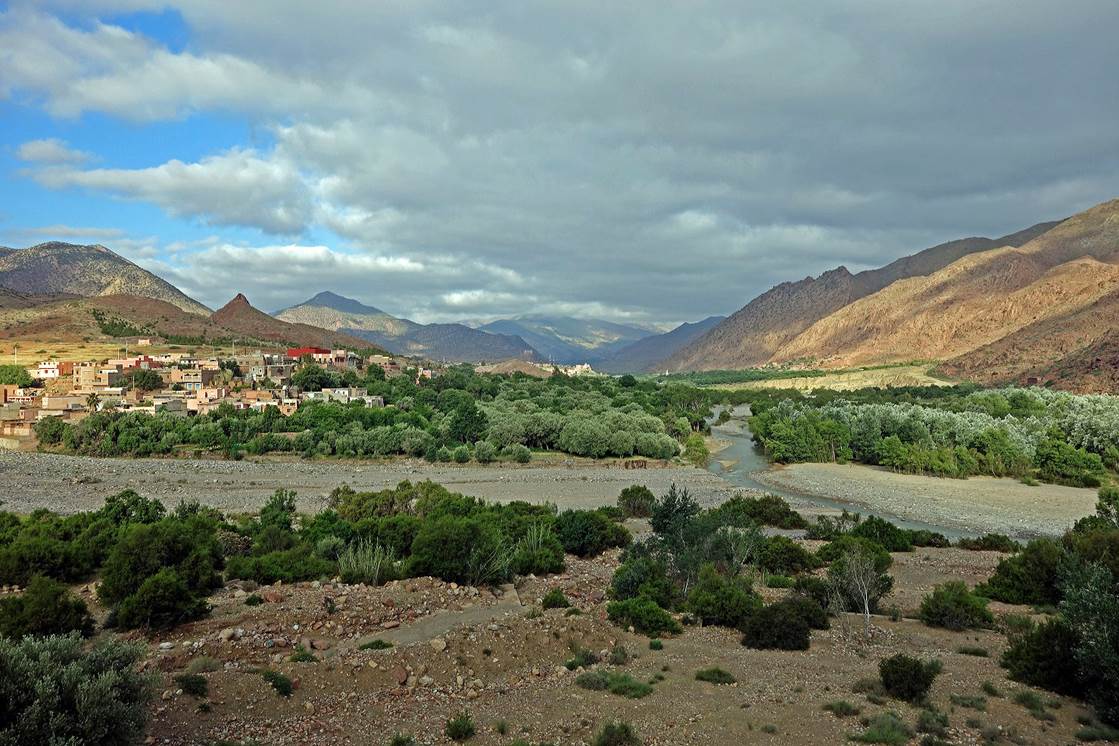
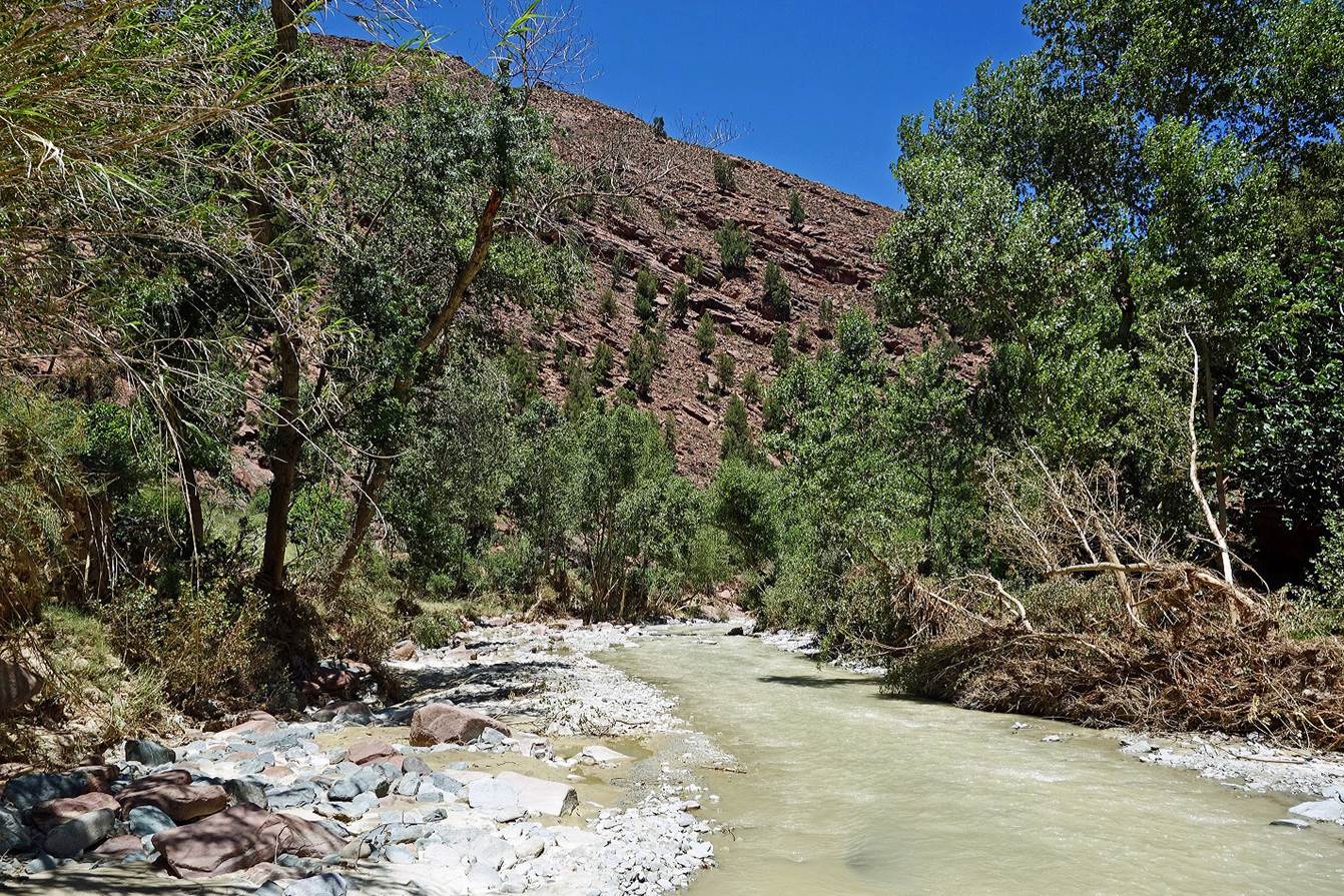
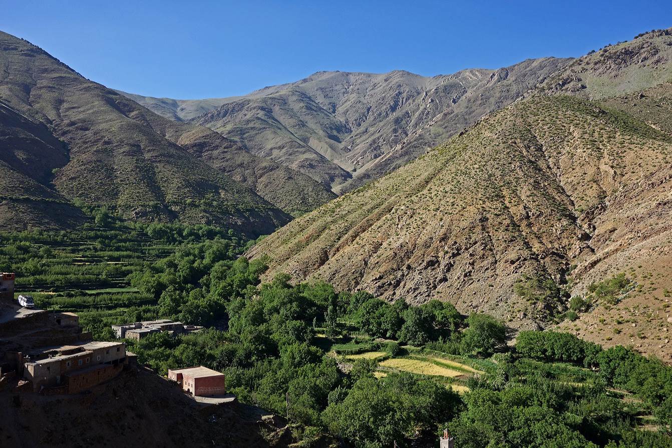
From
Ijoukak, we first crossed Oued-n-Nfis
(on a precarious bridge with many holes). We then headed west, hiking along the
northern bank of the river to avoid the busy road on its southern side.
|
|
|

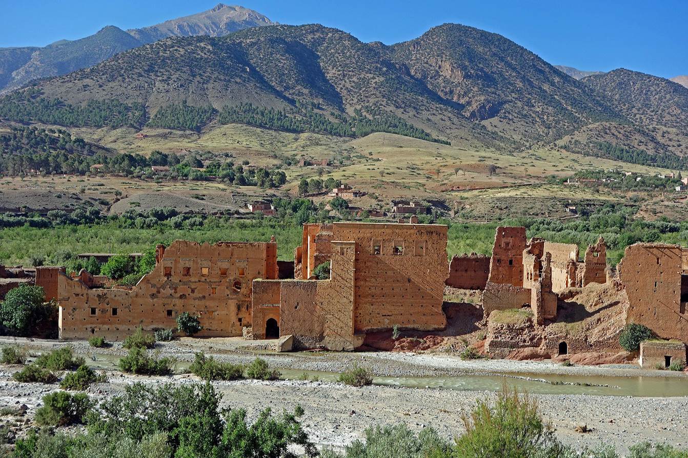
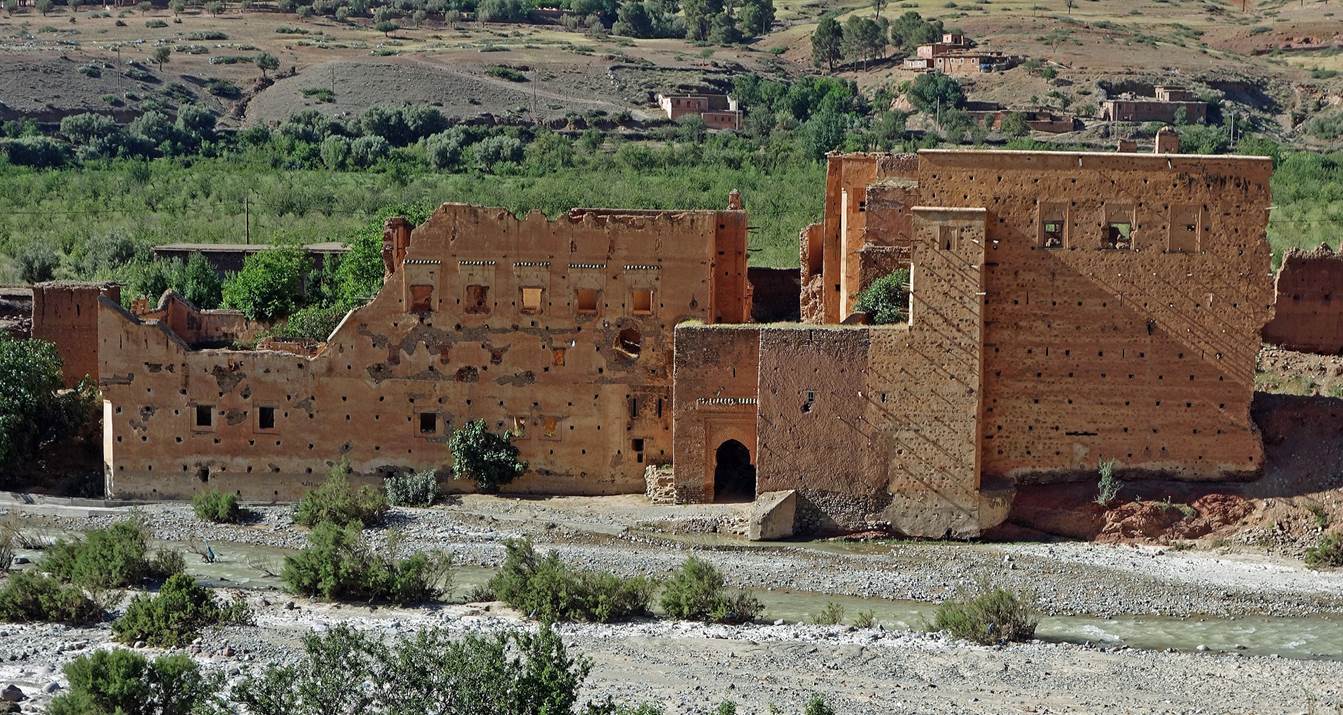
Ruins
of an old palace on the river side.
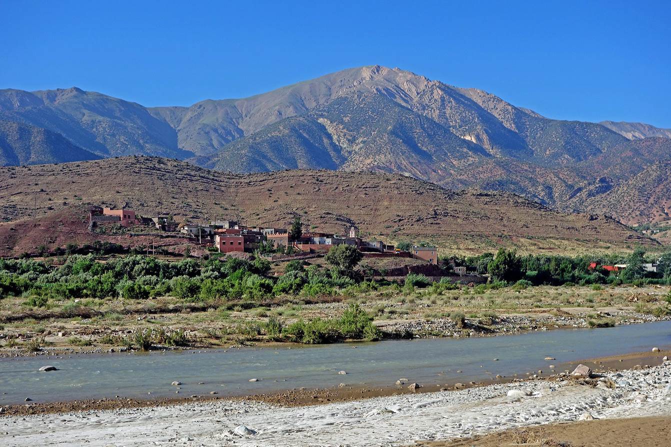
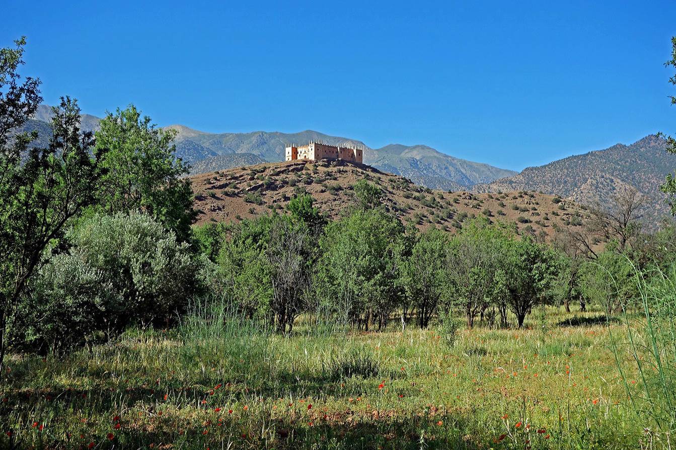
Kasbah
Agadir-n-Gouf.
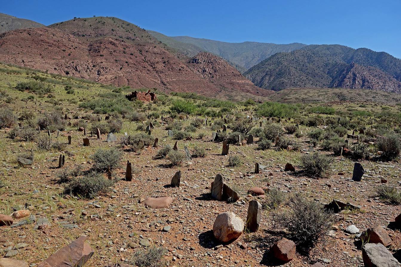
Typical Muslim cemetery.
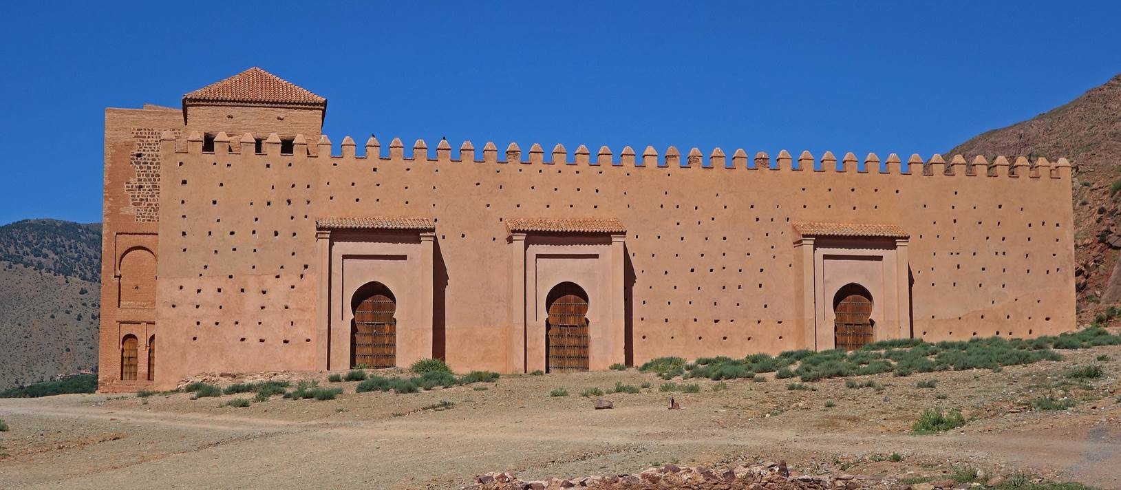
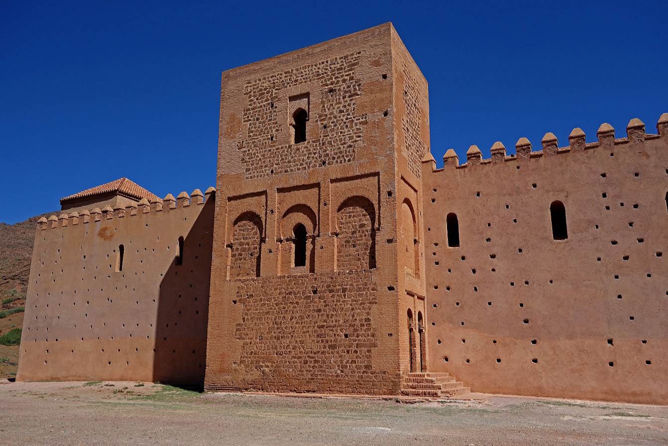
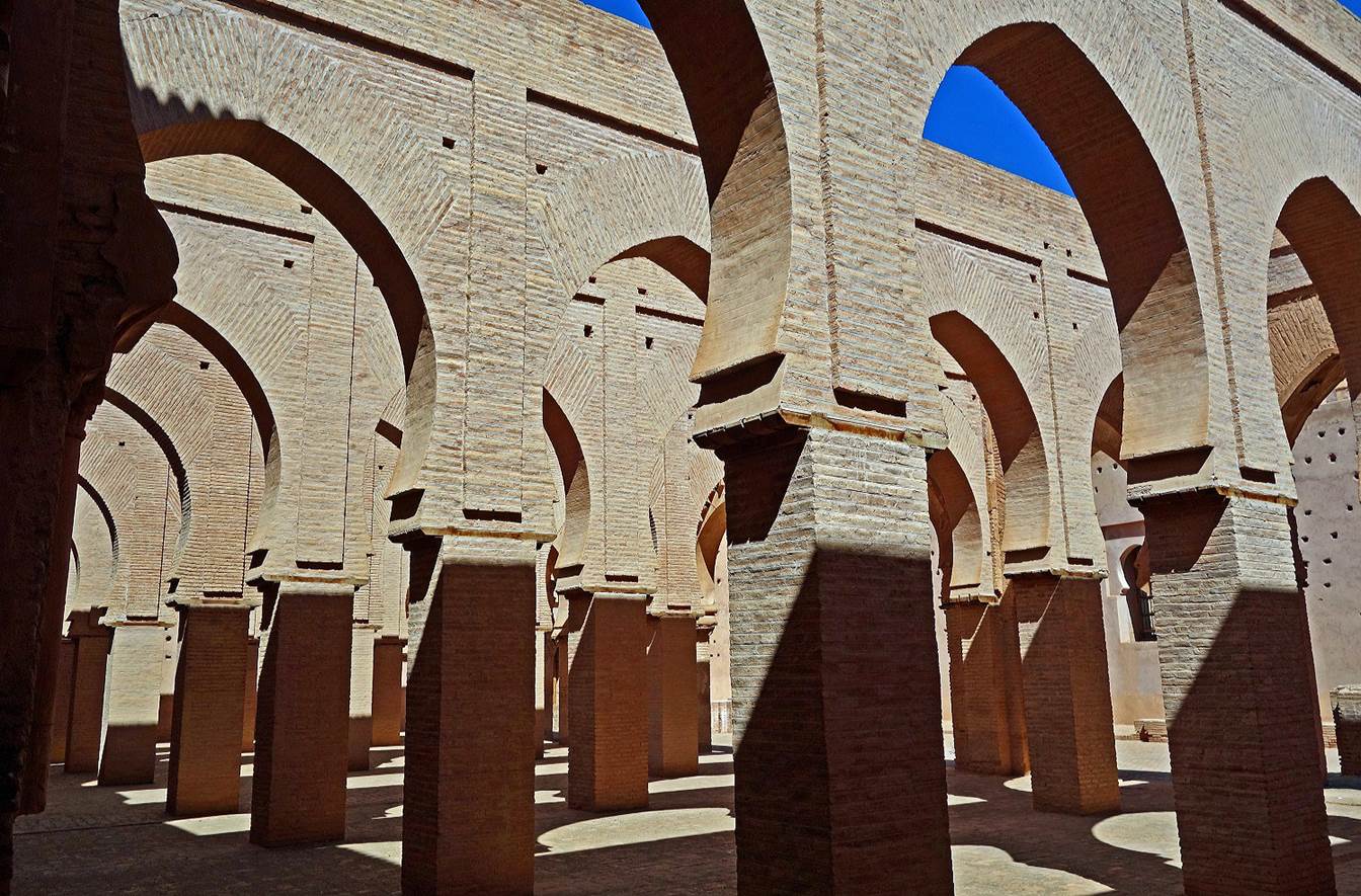
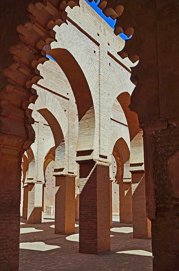
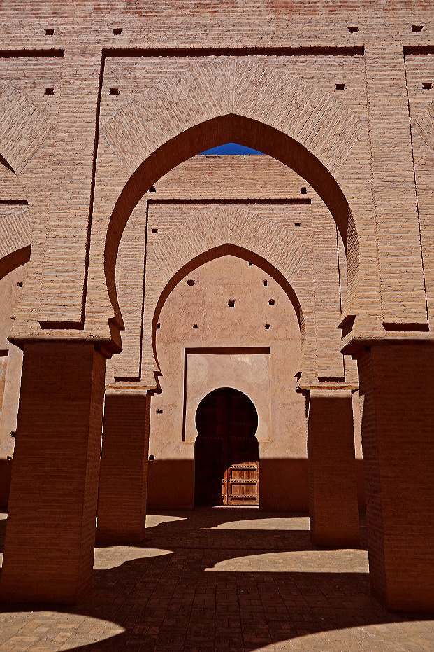
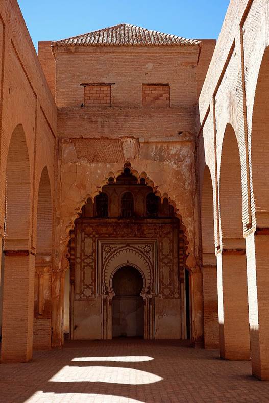
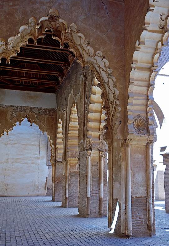
The
Tinmel (also spelled Tin Mal) mosque built in the
12th century. It has been partially renovated, but it is still roofless.
|
|
|
|
|
|
|
|
|
|
|

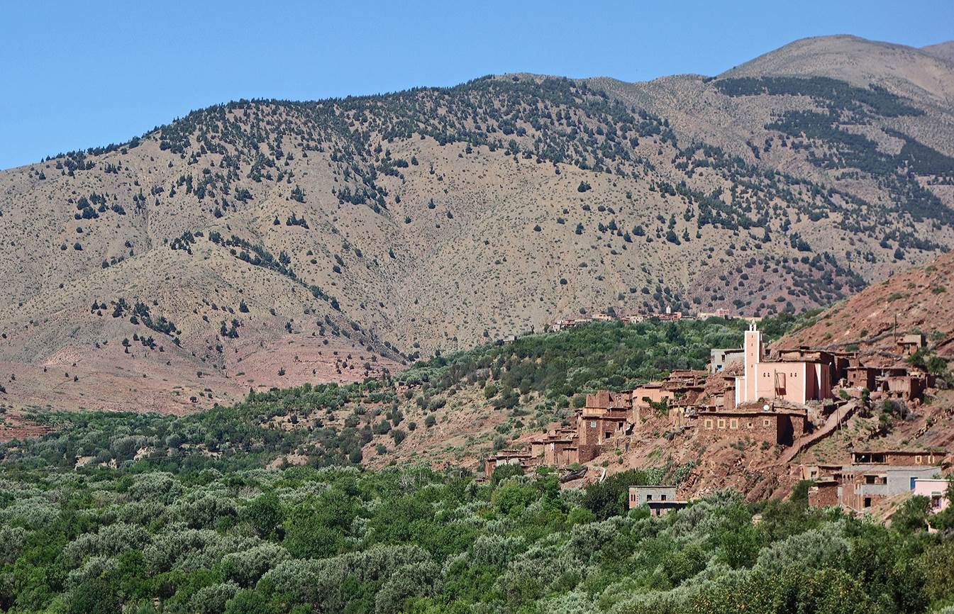
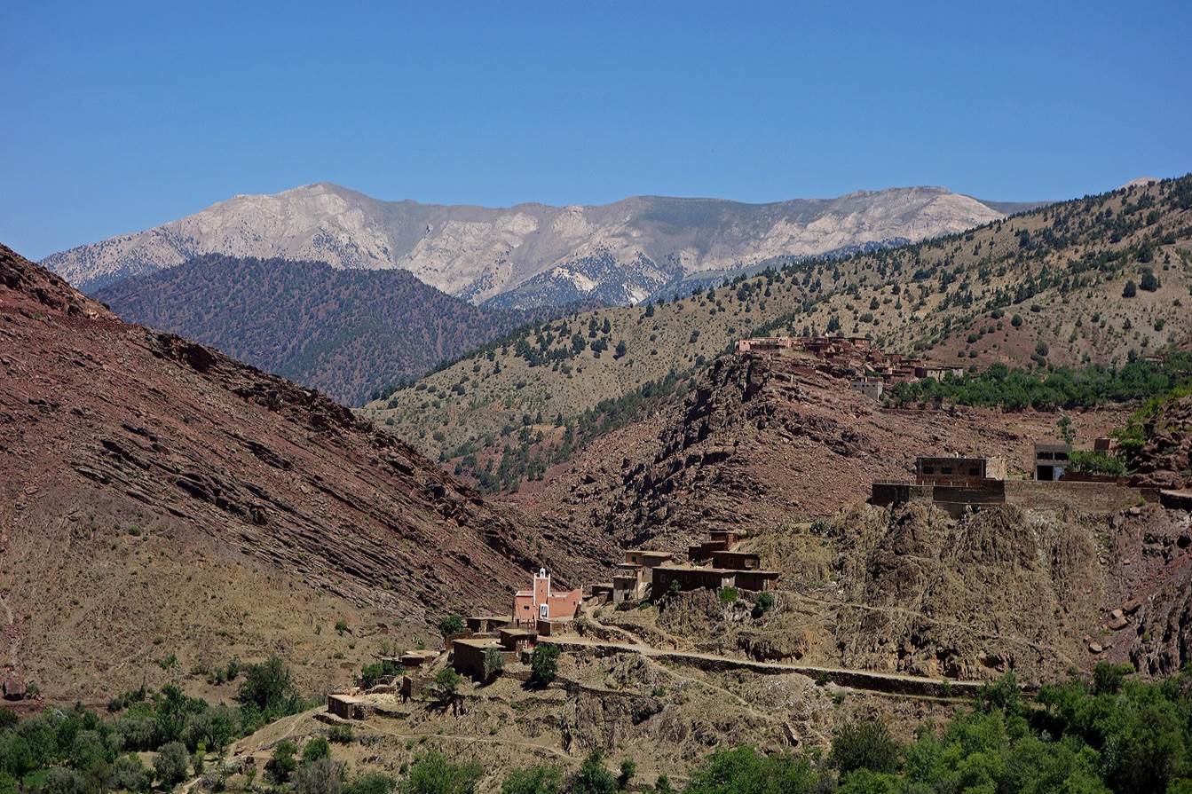
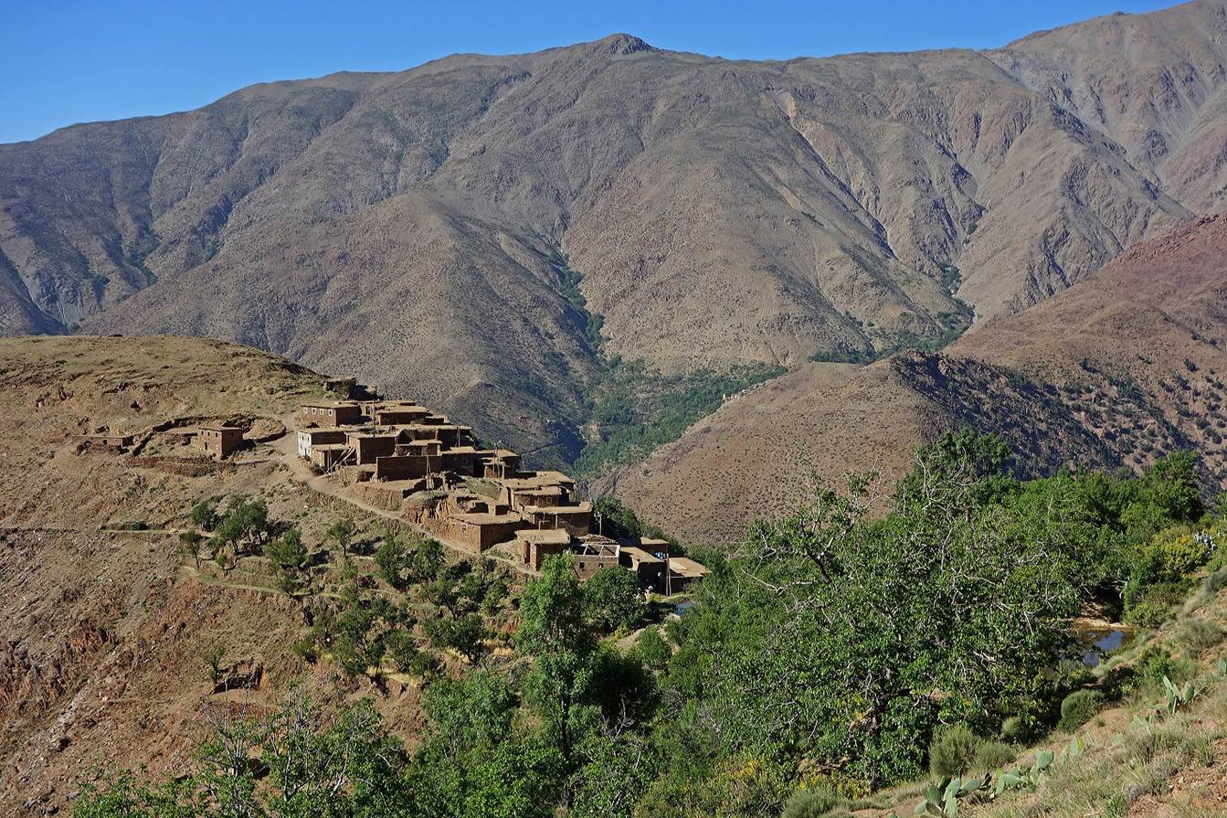
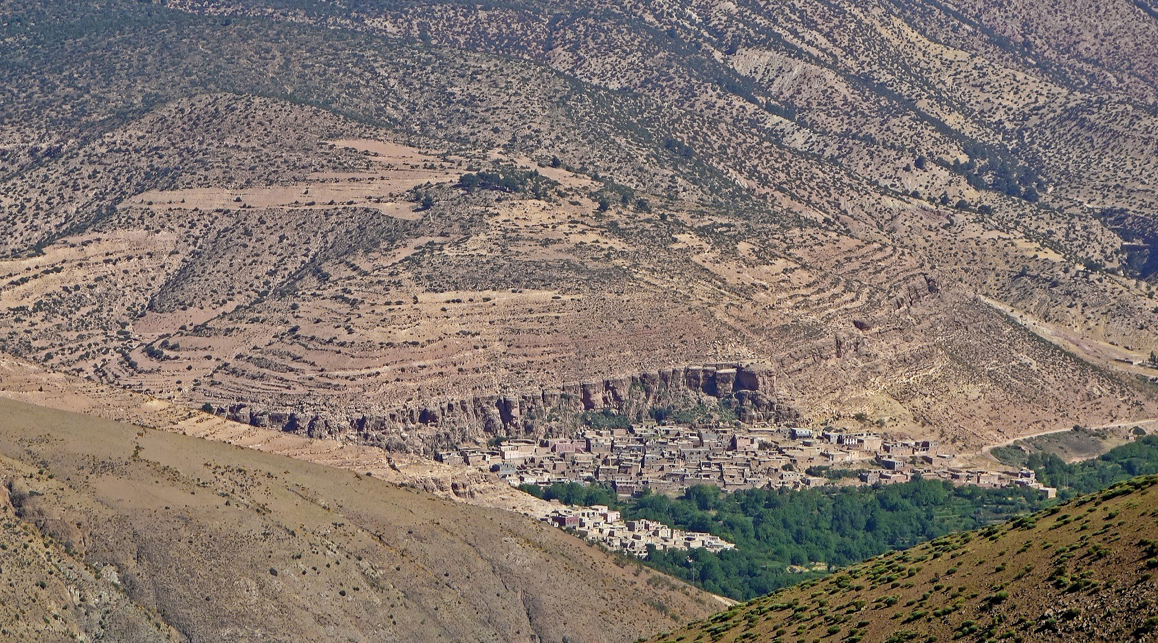
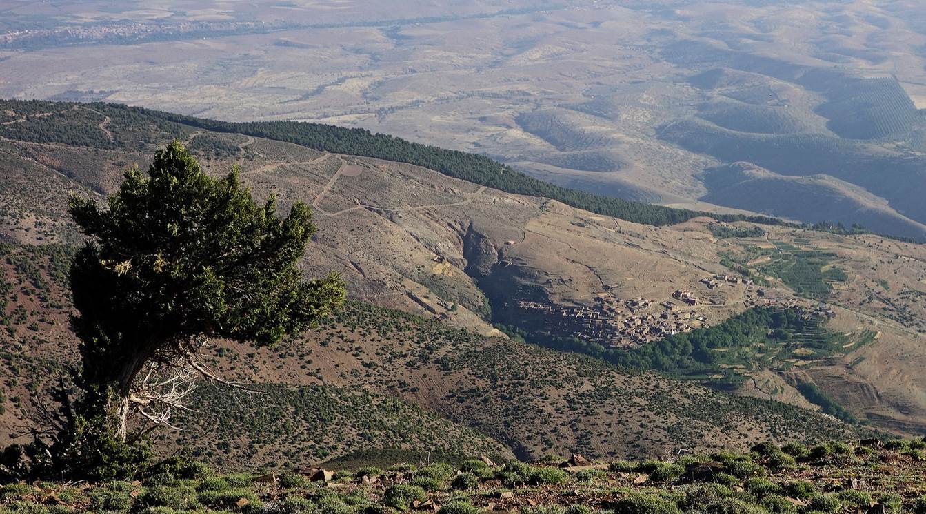
Village
of Aghane located west of the Tinmel
mosque, surrounded by olive trees. After this village, we left the valley of
Oued-n-Nfis (on the left) and headed into the valley
on the right (Assif-n-Ougdemt).
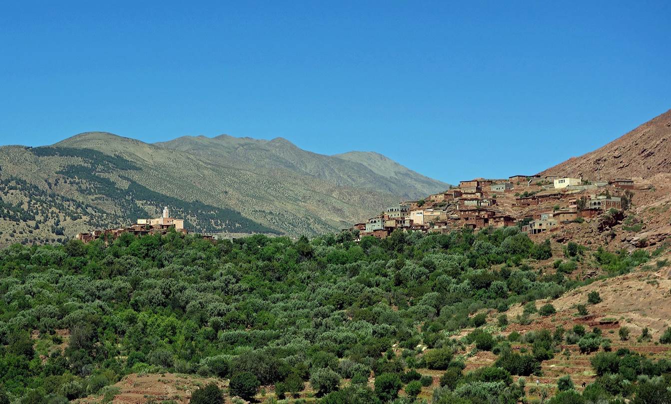
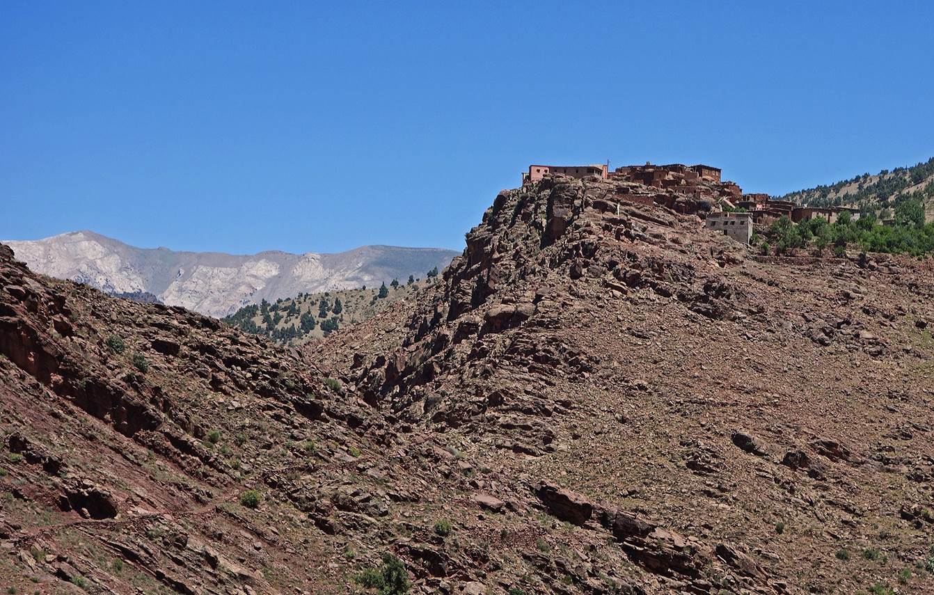
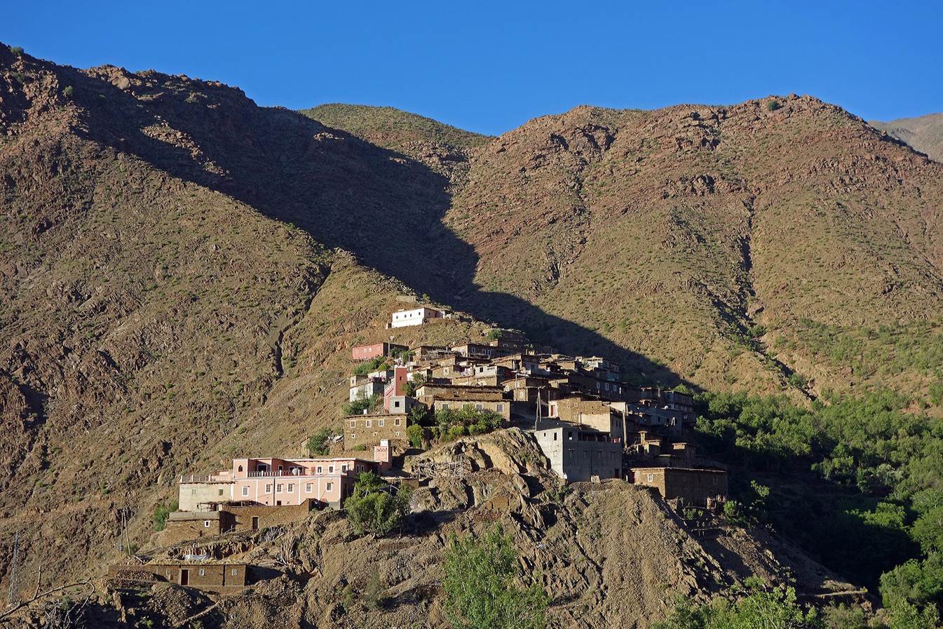
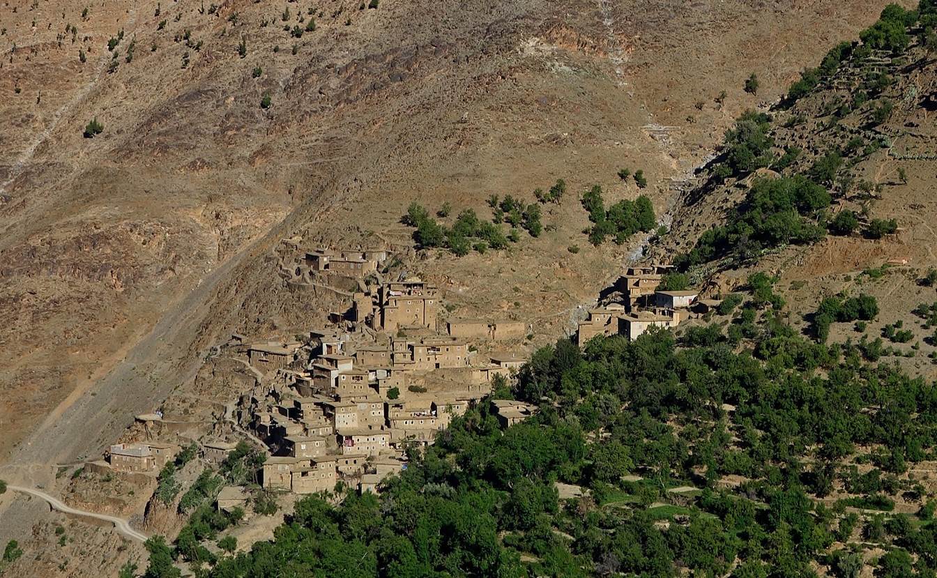
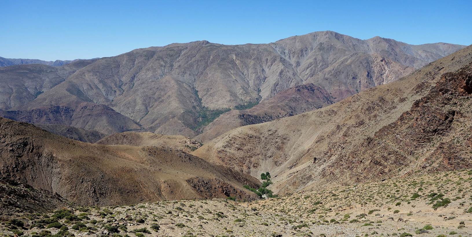
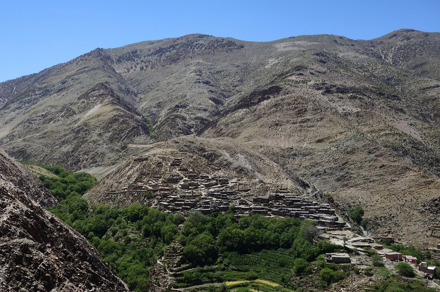
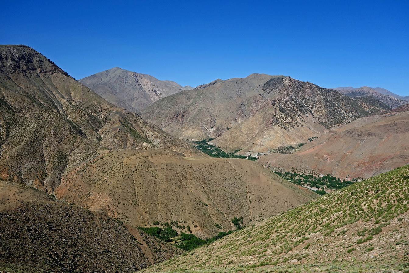
Other
villages at the entrance of the Assif-n-Ougdemt
valley.
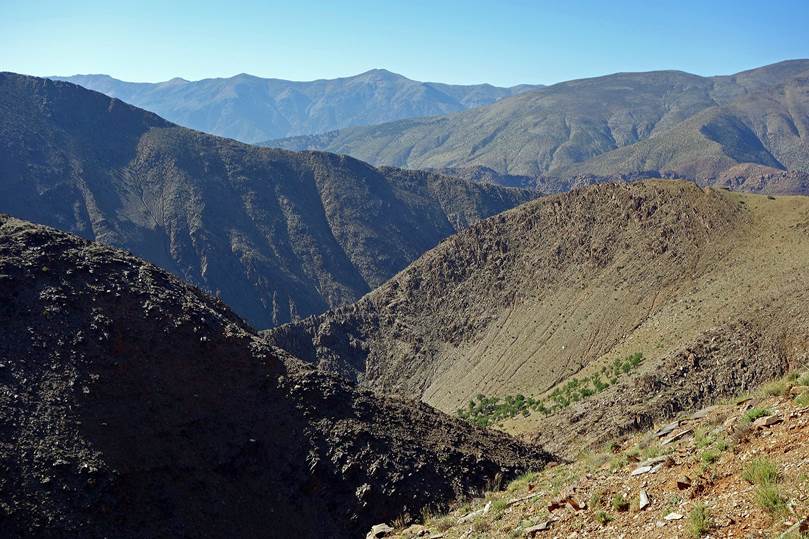
Up to the village of Ighil we followed the riverbed of Assif-n-Ougdemt. Absence of trail and recent flood damages (fallen
trees) made the hike quite strenuous.
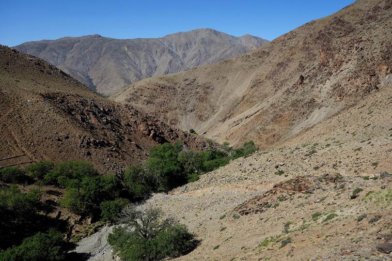
We
set a camp a short distance after the village of Ighil
(WP 09-07). On the next morning we followed Assif-n-Ougdemt
for a couple of kilometers more before heading north toward Tizi-n-Oudiff. We passed by several pretty villages.
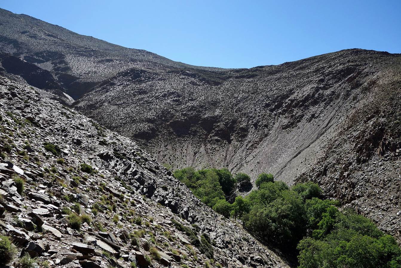
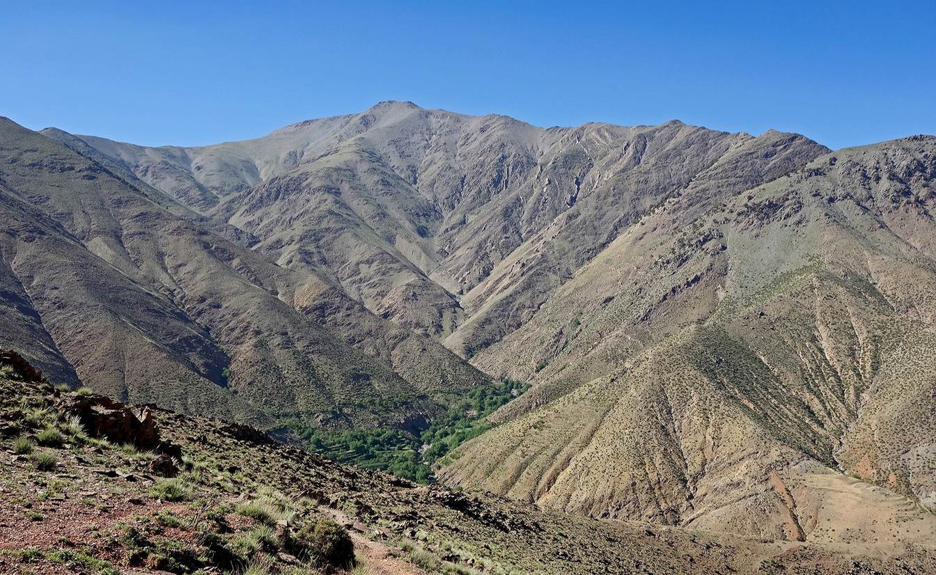
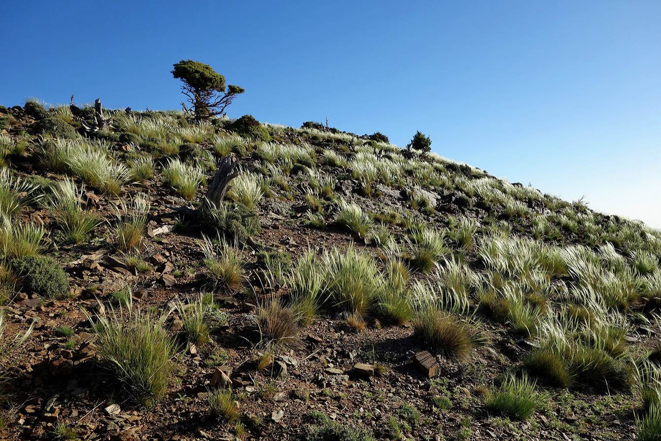
Higher
up in the narrow valley leading to Tizi-n-Ouddif.
|
|
|
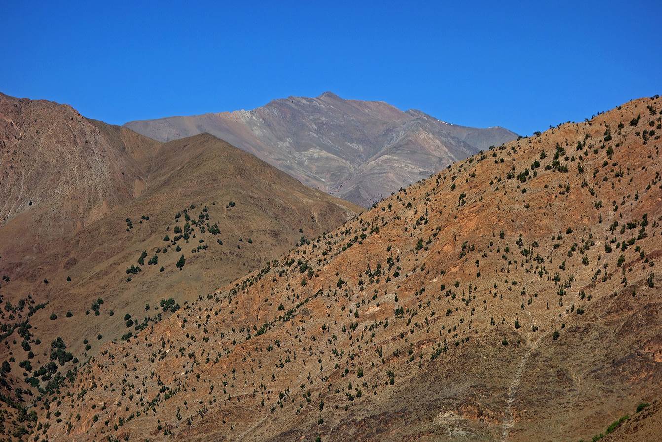
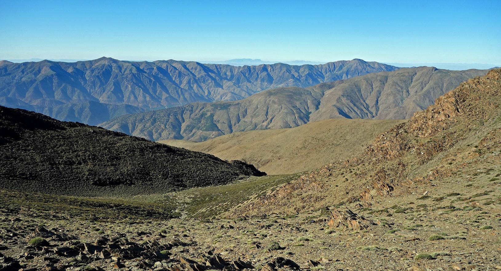
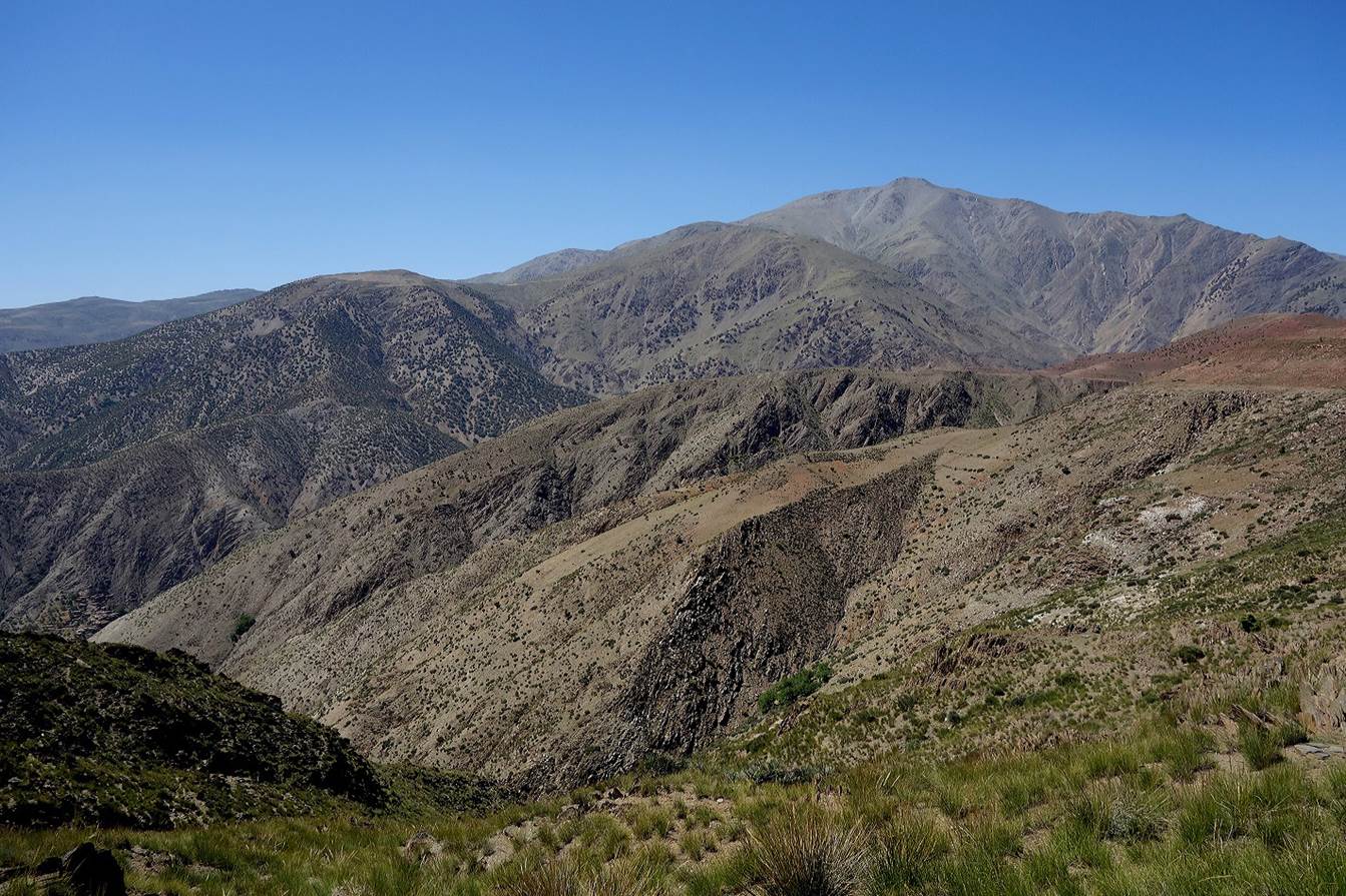
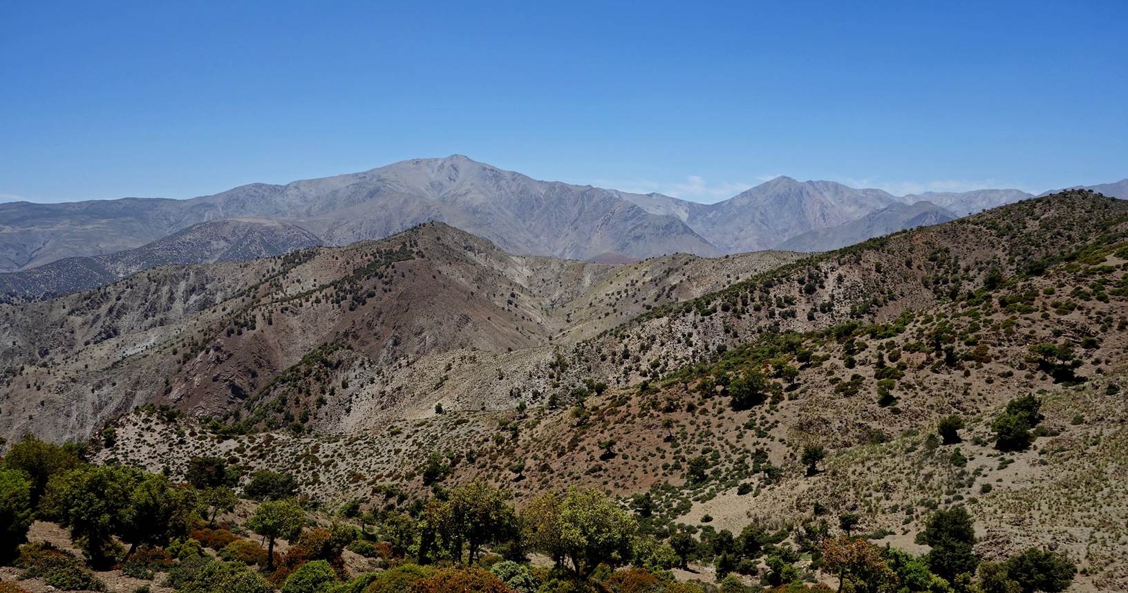
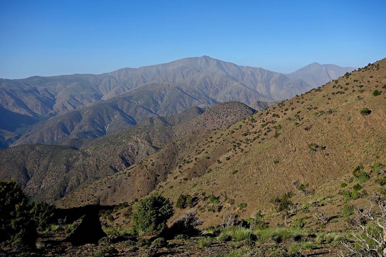
View
of Jebel Erdouz (3579m) located further west.
Intense
sunlight reflection on shiny stones.
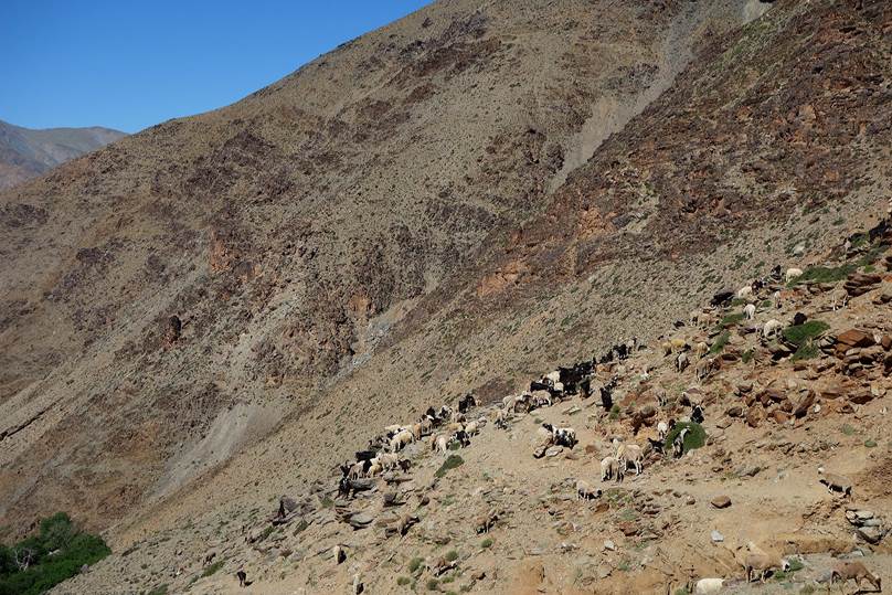
Azib,
sheep and goats.
|
|
|
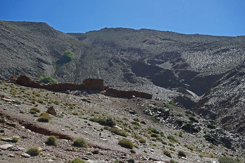
We
set up camp on a small terrace (WP 10-06), just below Tizi-n-Ouddif.
|
|
|
On
the next morning we reached Tizi-n-Ouddif (WP 11-01)
at 2741m. Here is a view from the pass toward the north over the Assif-n-Anougal valley.
While
the mule went directly to the village of Tizga in the
valley (WP 11-08), Oumar and I ascended Jebel Gourza.
We first hiked along the ridge connecting Tizi-n-Ouddif
to Tizi-n-Imitl. Both the Gourza
summit and Tizi-n-Imitl are visible in this photo.
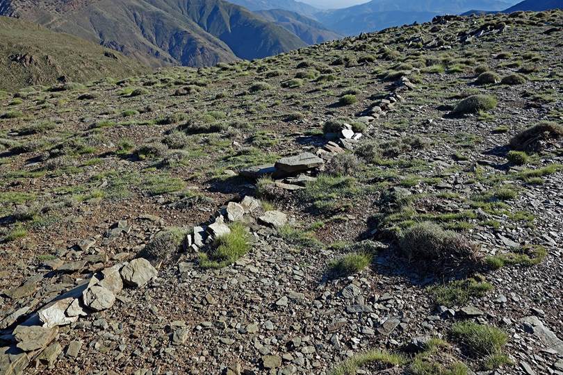
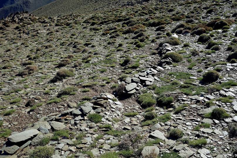
Along
the way we saw several such low stone walls with a small opening in the middle.
These are traps aimed at capturing rabbits.
|
|
|
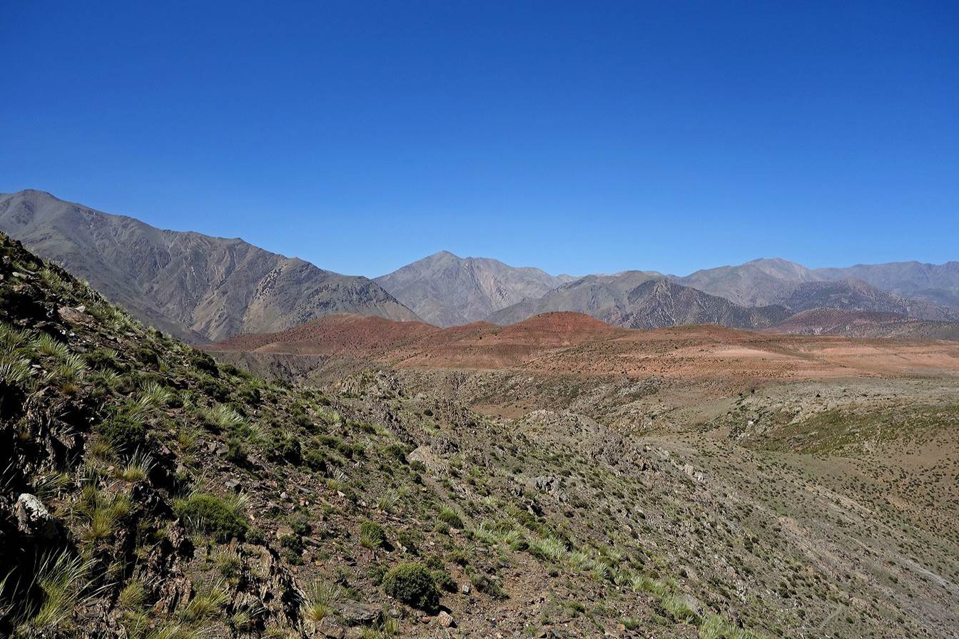
View
from the ridge toward the north-west.
View
toward the north with Adra Tadafelt in the
background.
Reaching
Tizi-n-Imitl (2855m, WP 11-03).
Looking
back toward Tizi-n-Ouddif and Tizi-n-Imitl during the ascent of Jebel Gourza.
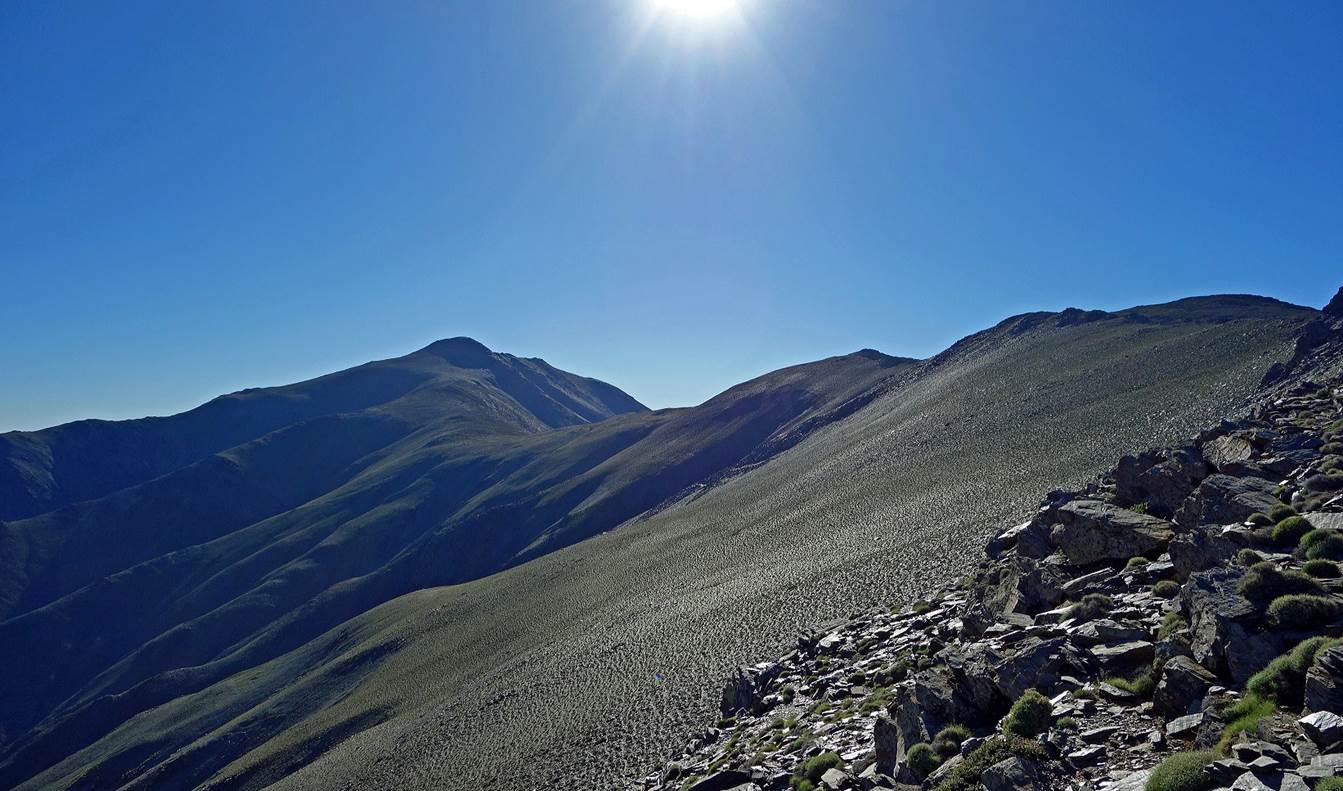
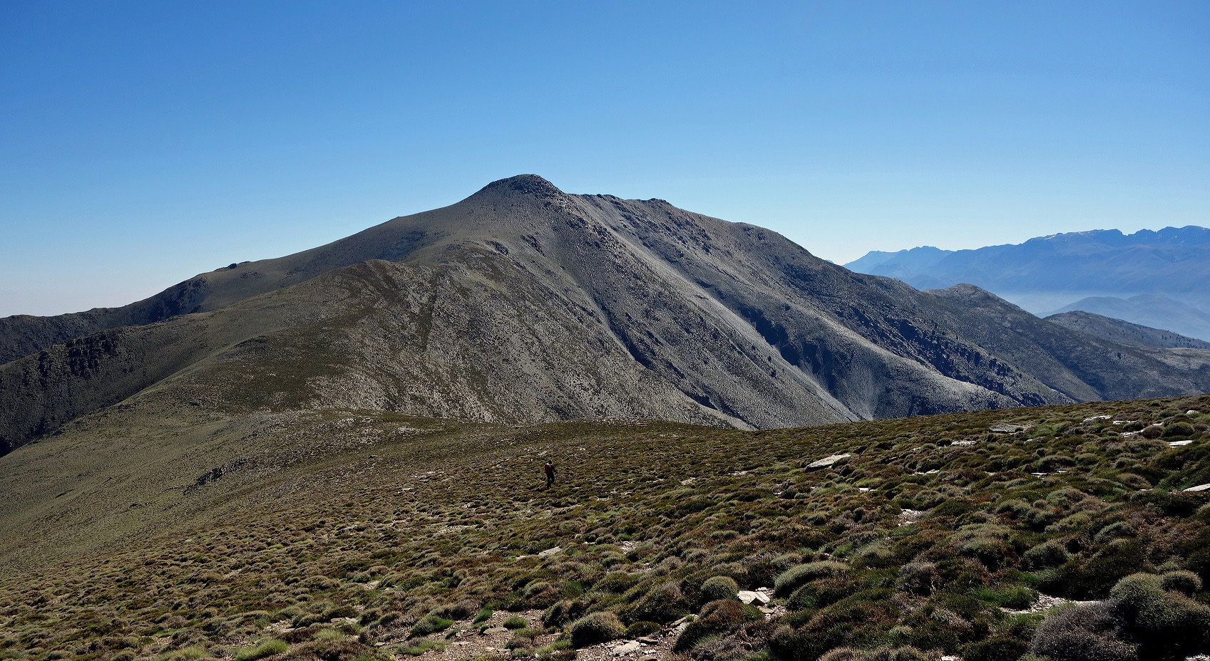
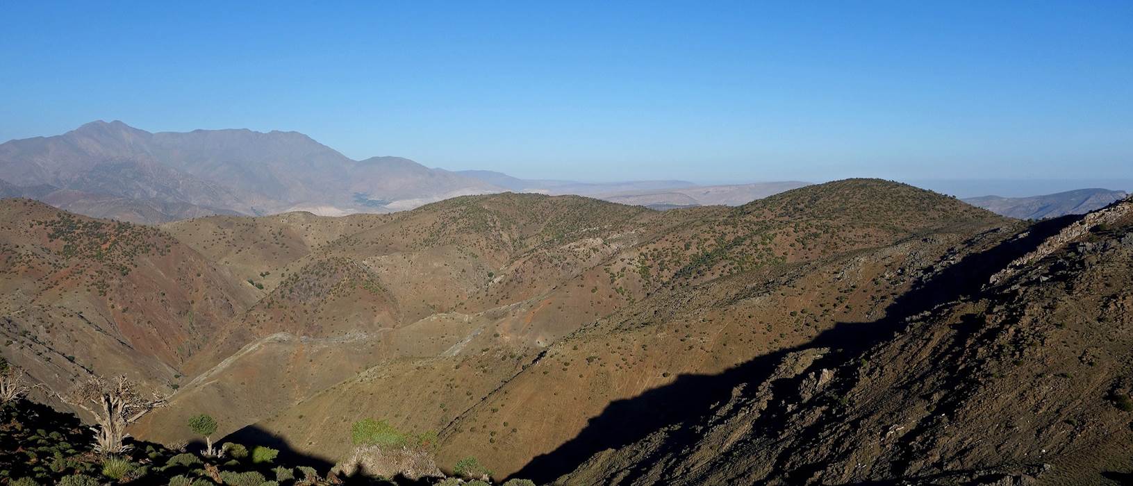
The
Gourza summit (3280m) offers an impressive 360dg
panorama over the surrounding mountains:
-
toward the north-east (Adrar-n-Oukaimeden),
-
toward the east (Ouanoukrim),
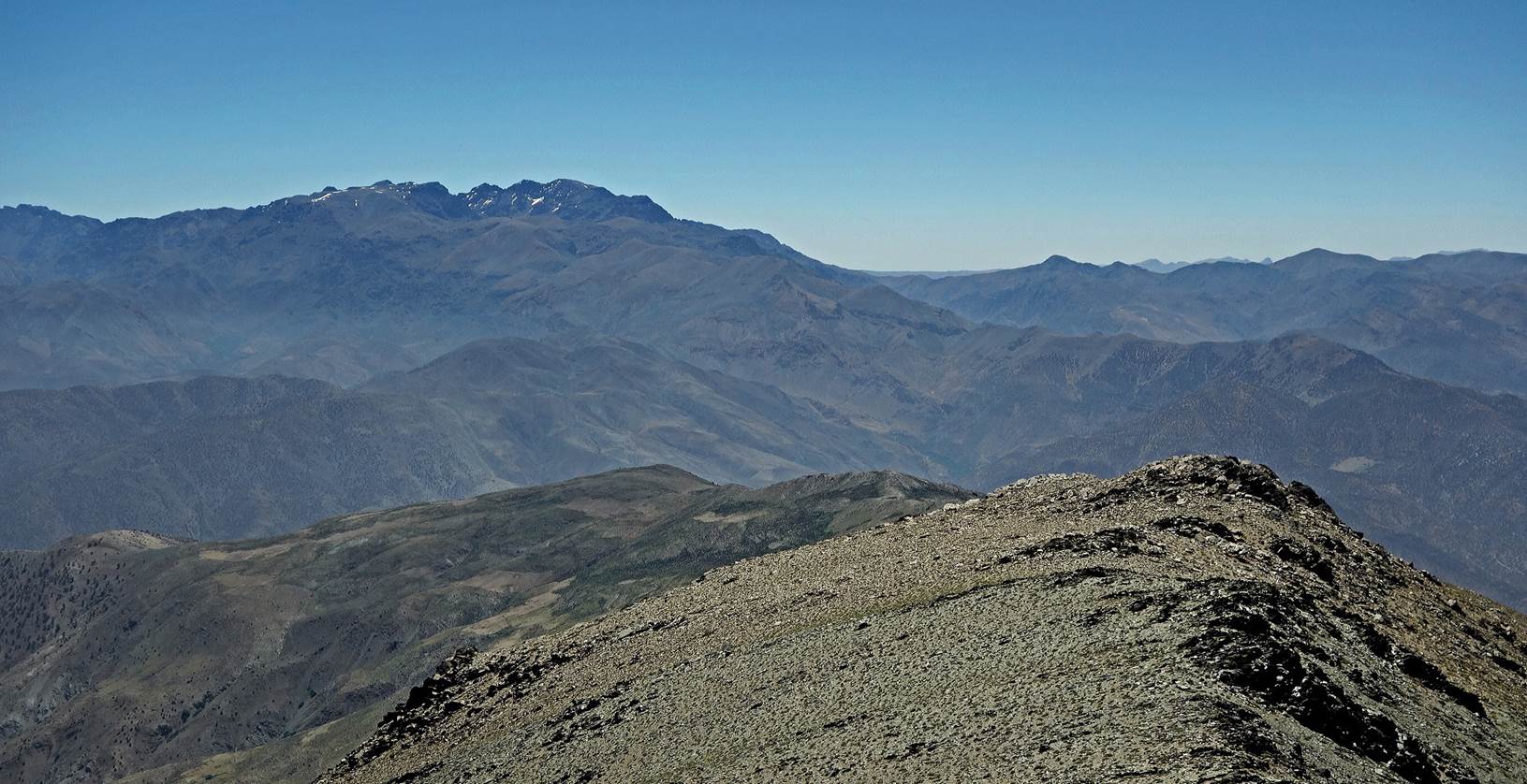
-
toward the south (Adrar Tadafelt),
-
toward the north-west (valley of Assif-n-Anougal),
-
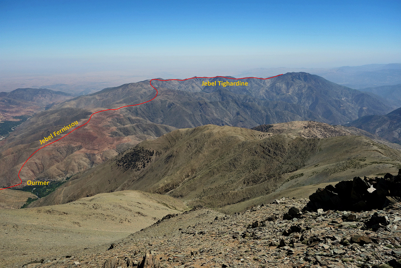
and toward the north (Jebels Fernissou and Tighardine). This last view gave us a preview of the
itinerary that we will follow during the next couple of days (see next
annotated photo).
From
the summit we returned to Tizi-n-Imitl and then
started our descent into the valley of Assif-n-Anougal.
View
of Tizi-n-Ouddif during the descent.
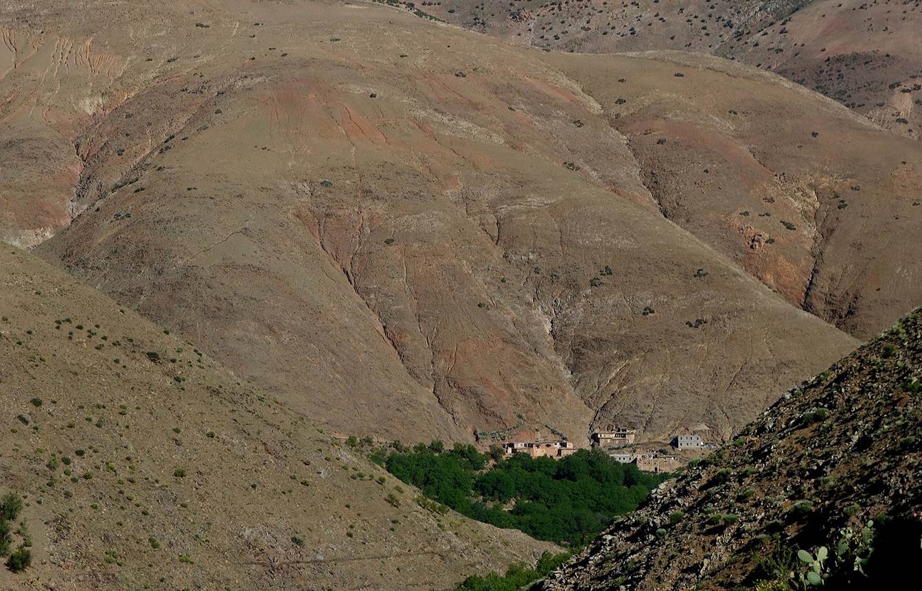
Small
village above a waterfall.
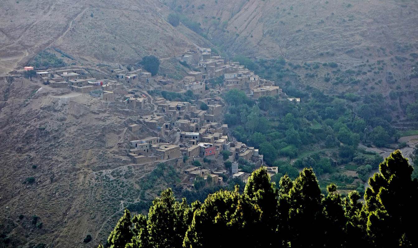
Reaching
the village named Tizga on the topographic map and
called Taska by local people, below which we set a camp (WP 11-08) under large
walnut trees.
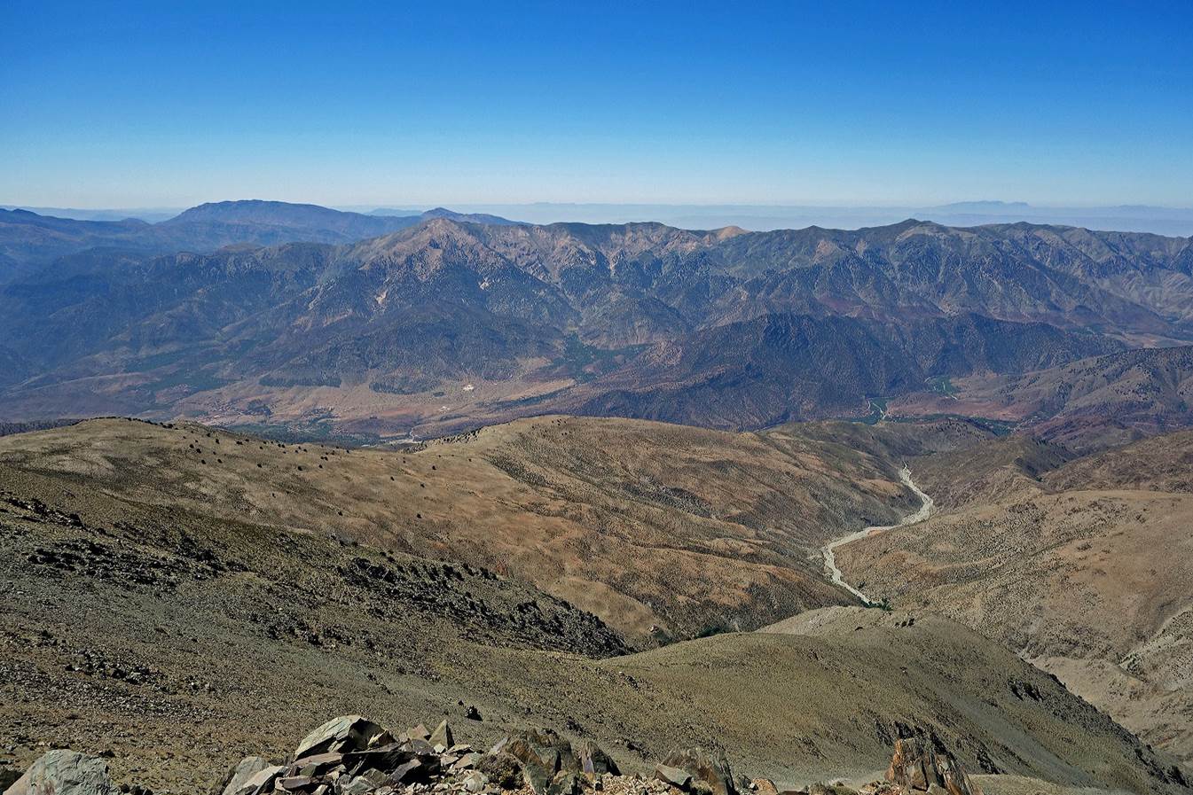
On
the next day we hiked down the valley of Assif-n-Anougal
for about 5km and then shifted into a smaller side-valley toward the village of
Ourmer.
Looking back toward the
valley of Assif-n-Anougal soon after entering the
valley of Ourmer.
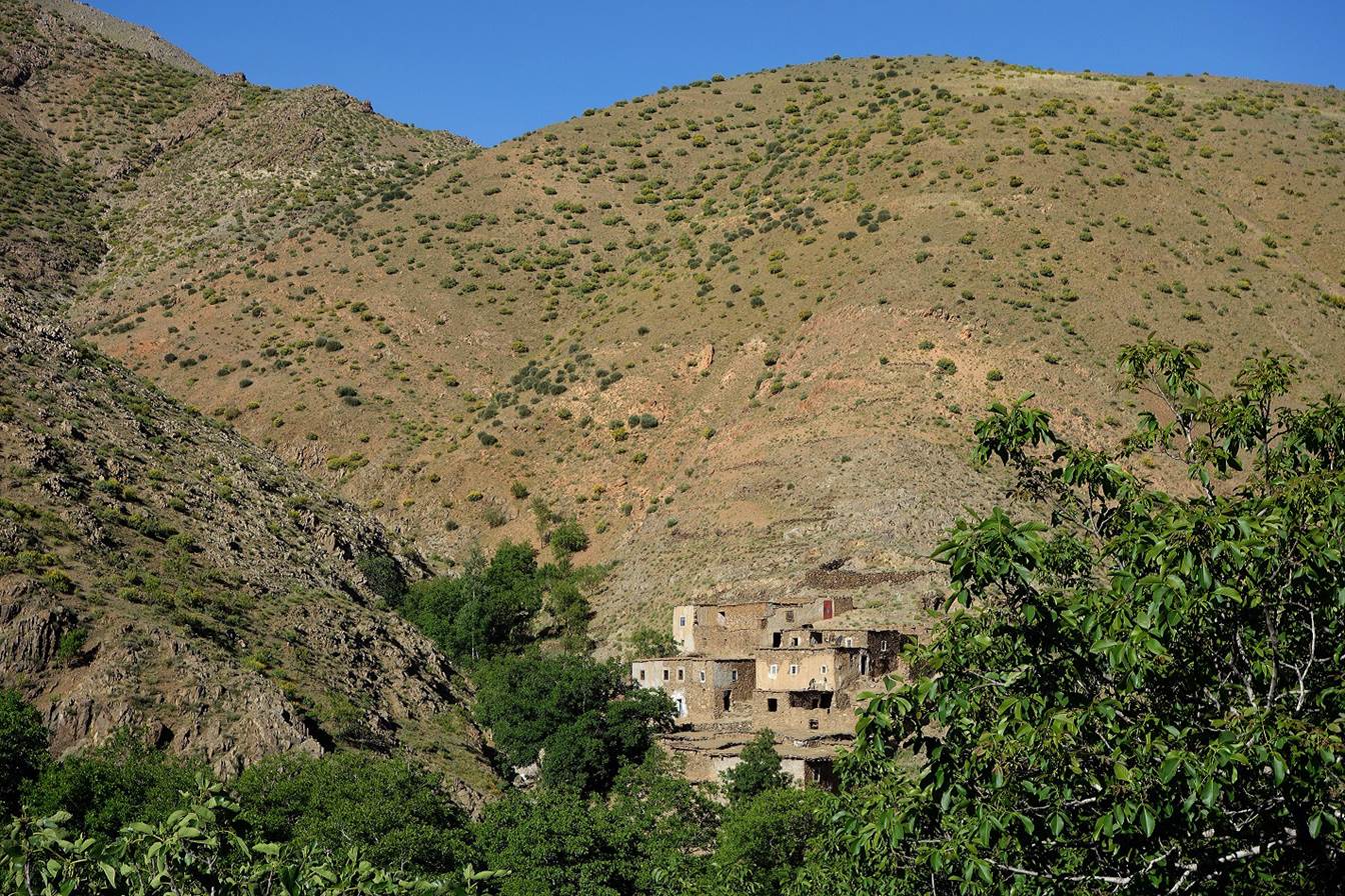
Small
hamlet in the valley of Ourmer.
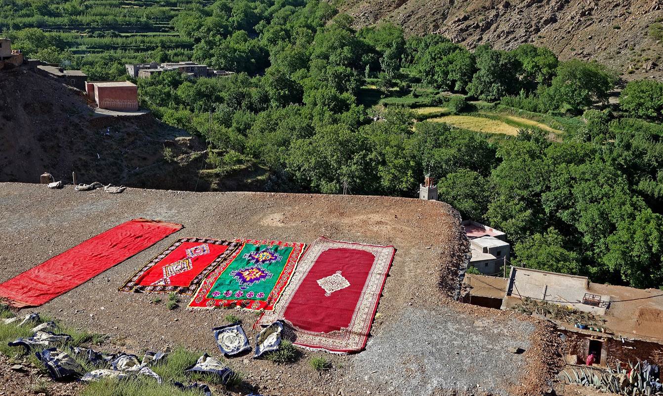
Carpets
drying on a roof in the village of Ourmer.
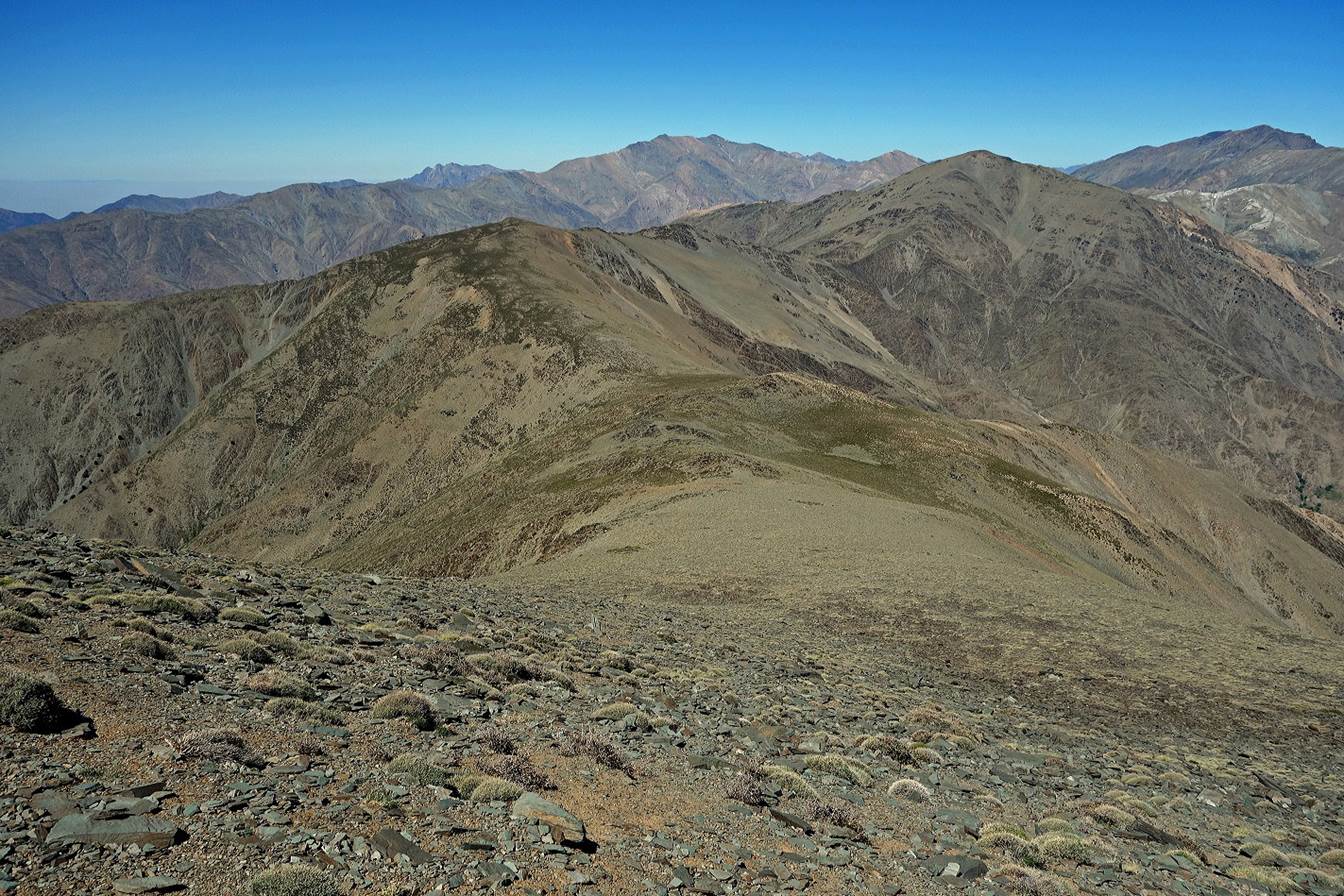
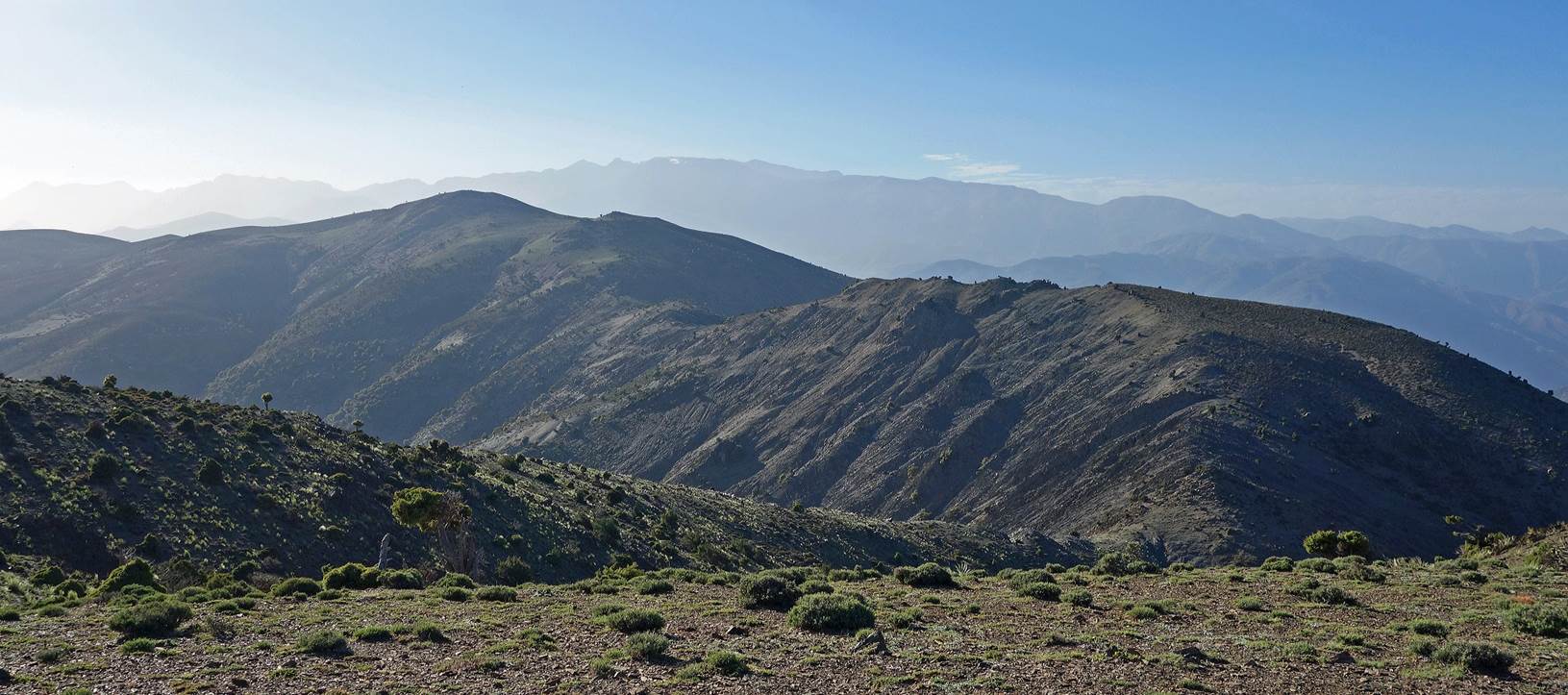
Jebel Gourza seen from Ourmer.
In
Ourmer we started the ascent of Jebel Fernissou. This is a view of the peaks dominating the green
valleys of Assif-n-Anougal
and Ourmer.
Another
view of Jebel Gourza from higher up on Jebel
Fernissou.
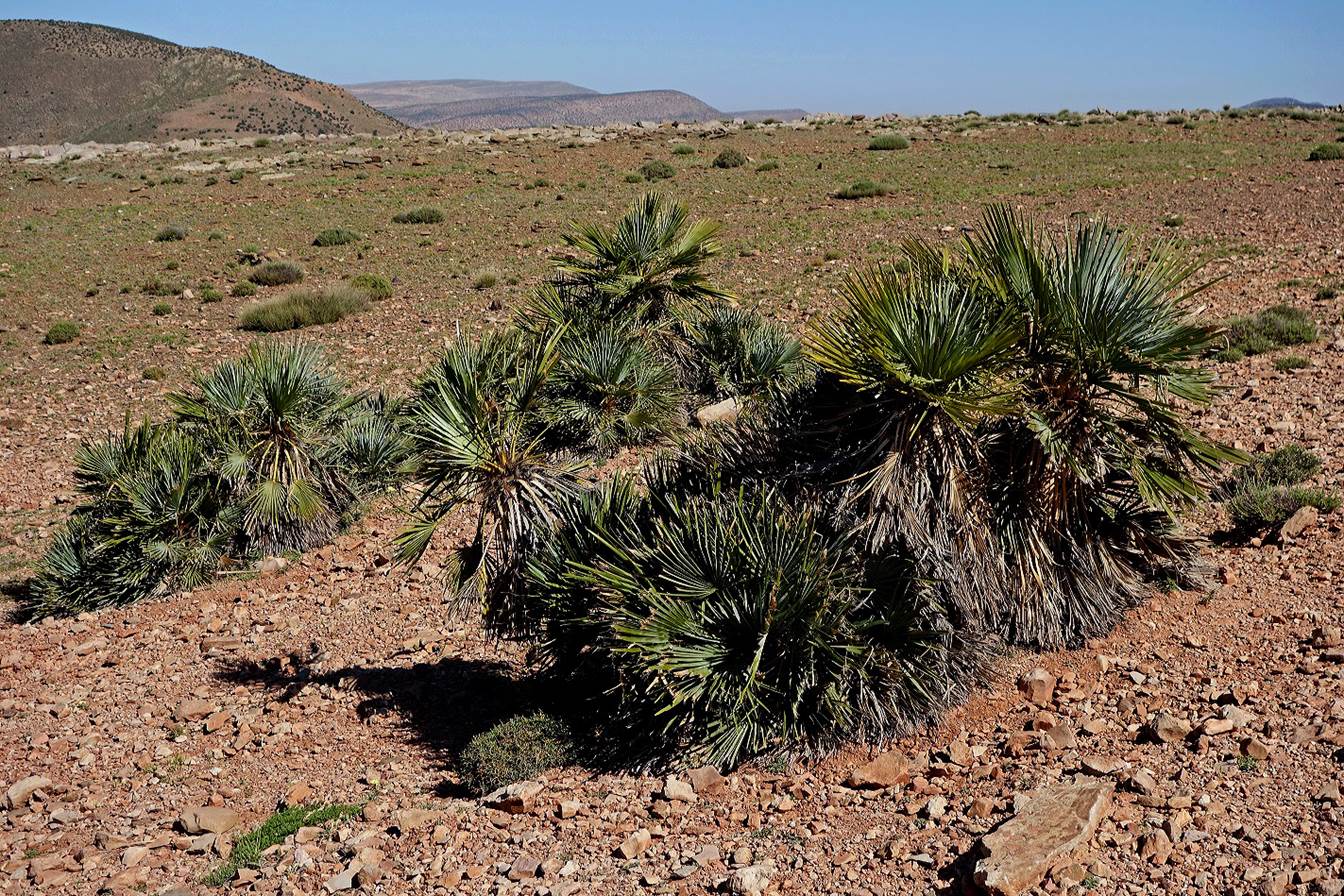
Dwarf
palm trees along the way.
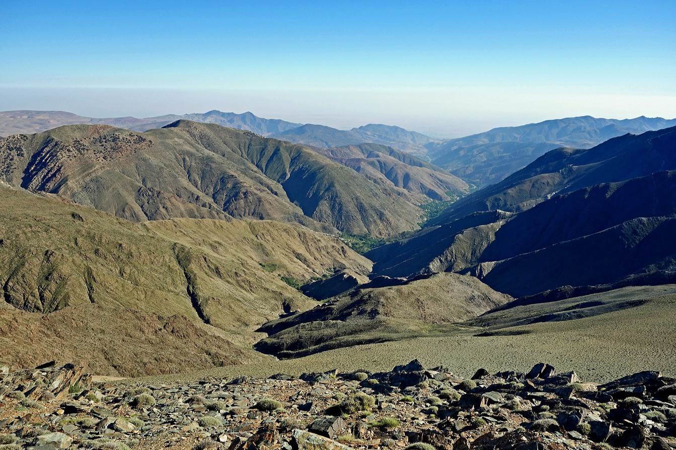
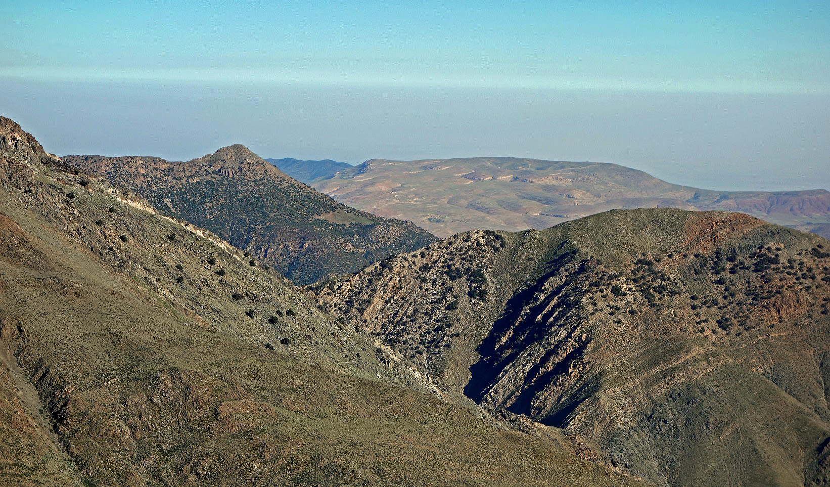
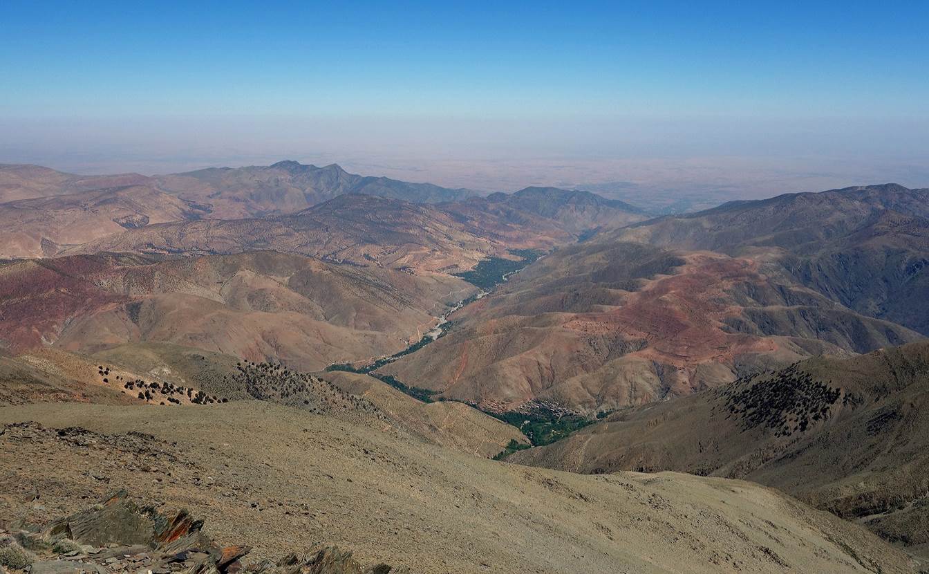
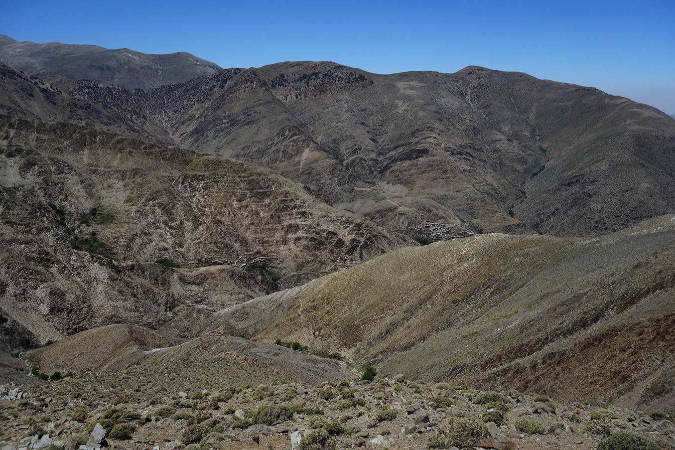
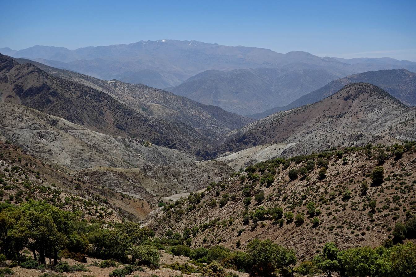
View
over the large village of Imi-n-Tala (in the valley
of Assif-n-Anougal),
from the ridge of Jebel Fernissou.
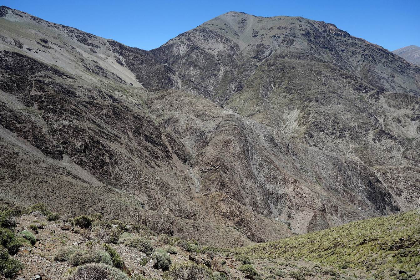
Yet
another view of Jebel Gourza.
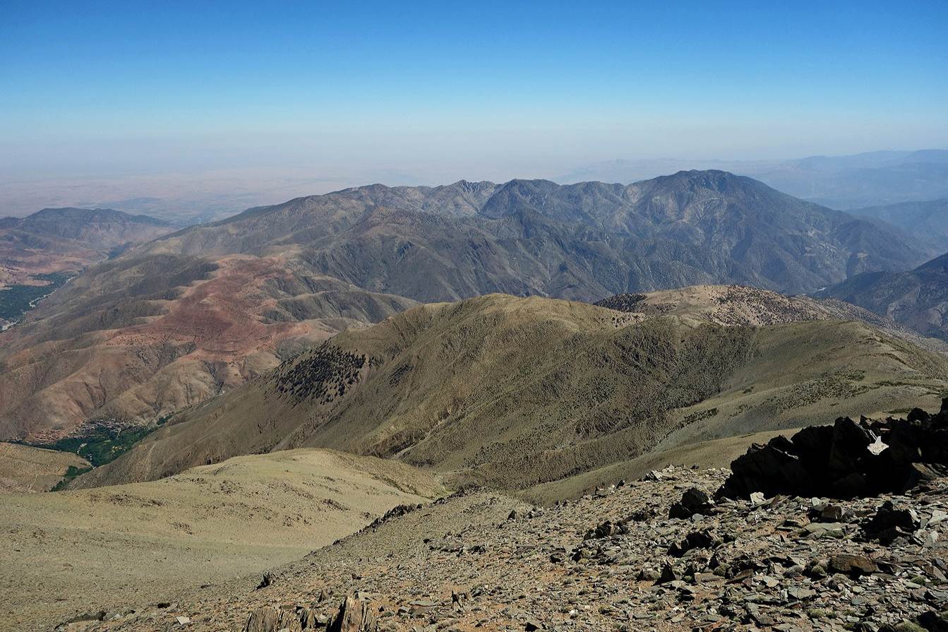
Looking
back toward red Jebel Fernissou as we were switching
toward Jebel Tighardine.
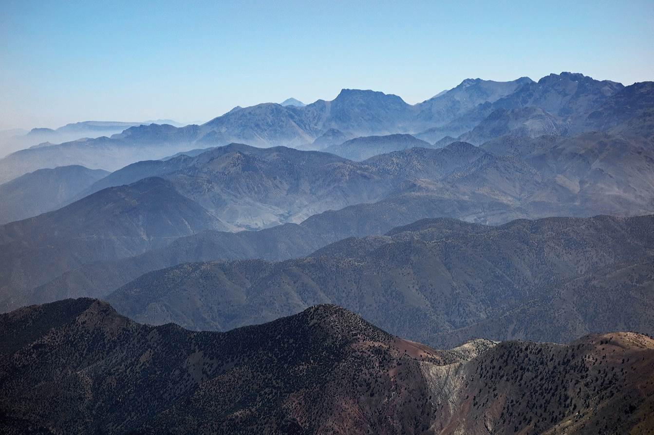
View
toward Ouanoukrim.
Jebel
Gourza (center-left) and Tizi-n-Ouddif (center-right) in the background.
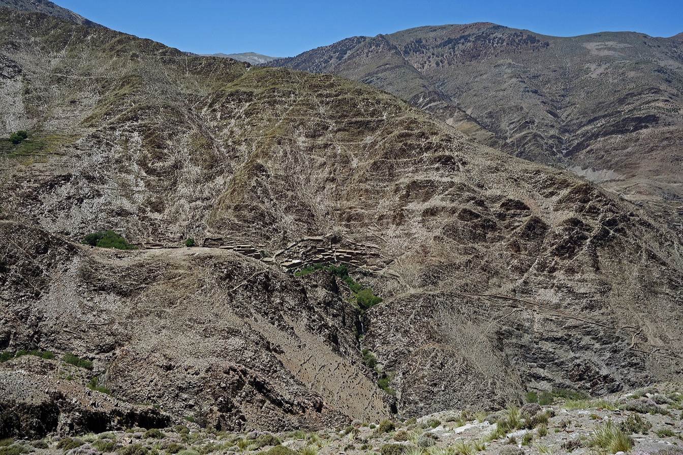
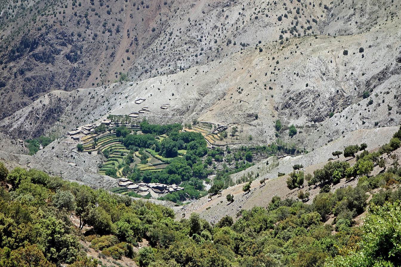
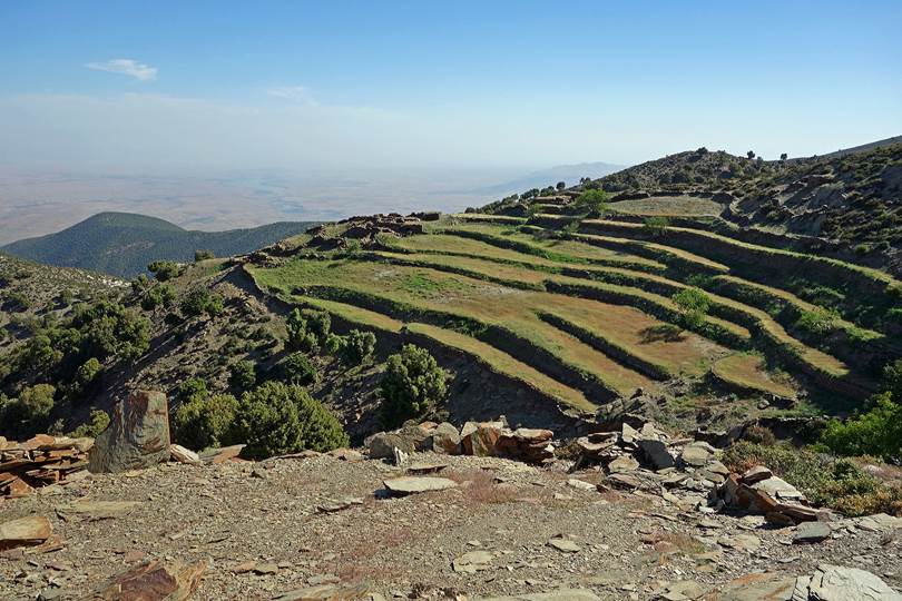
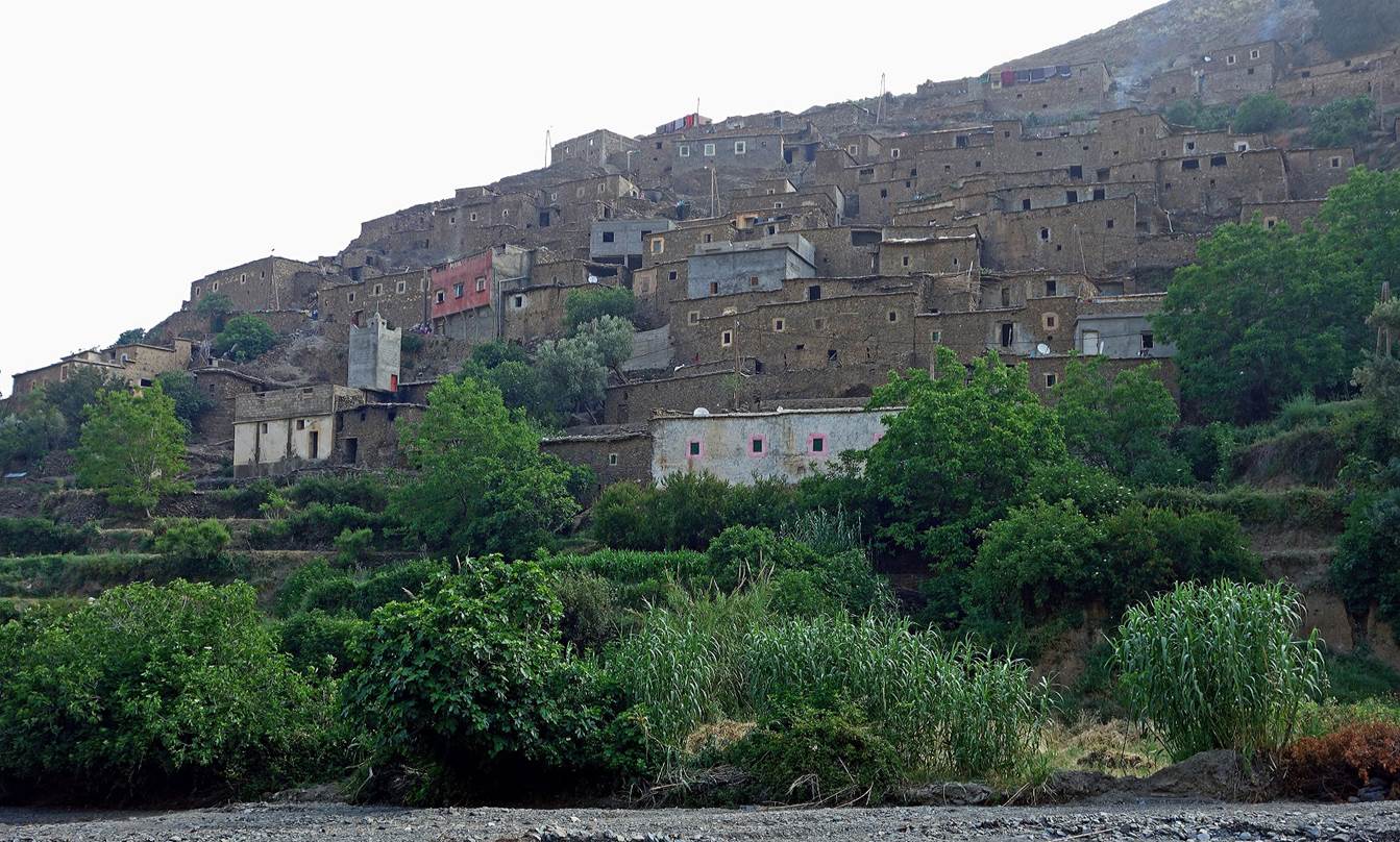
Pretty village and its terraced fields nested in a small
circular bowl.
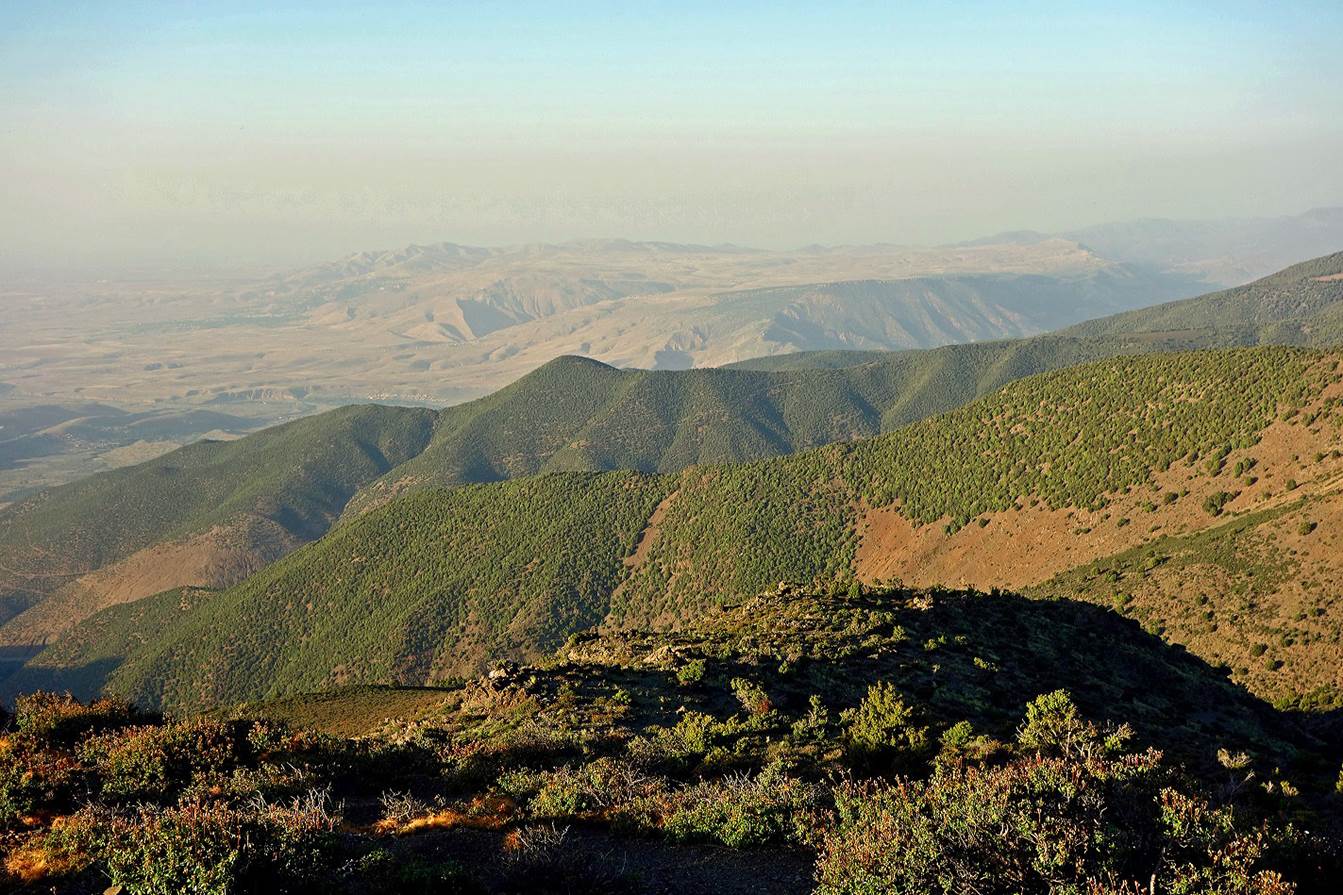
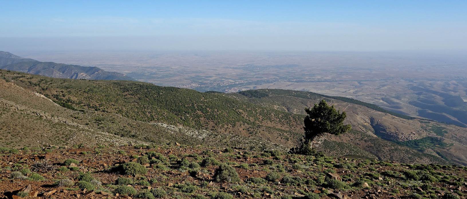
Evening view over the much greener northern slope of Jebel
Tighardine, with the northern plain of Marrakesh in the background.
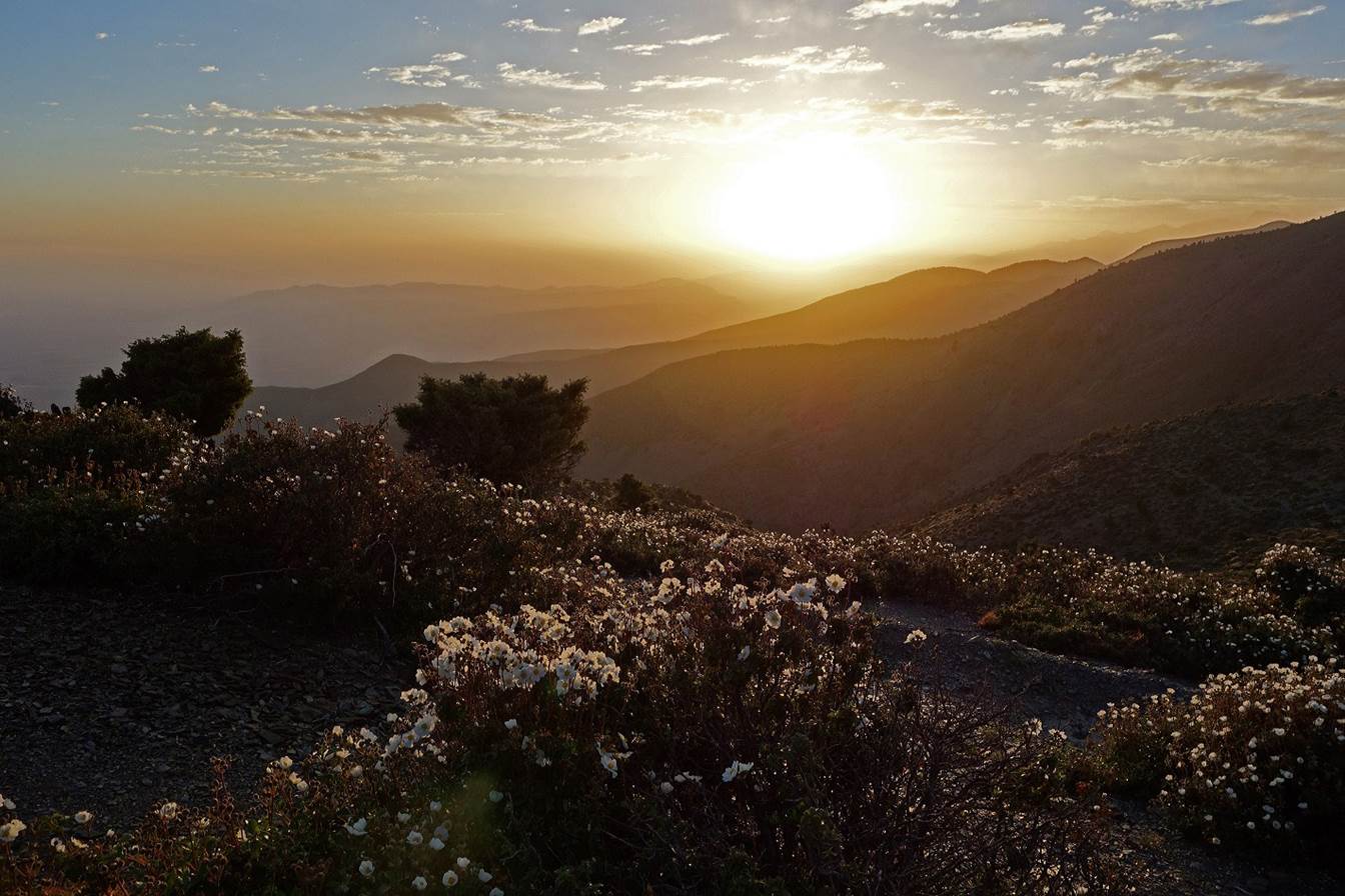
Sunrise seen from my tent at our campsite on Jebel Tighardine
(WP 12-09).
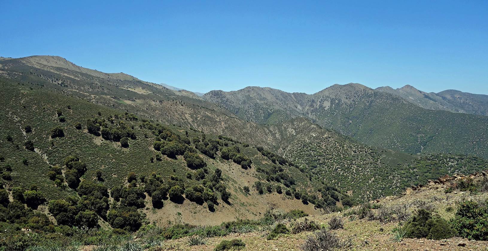
On
the ridge of Jebel Tighardine.
Looking
back (toward the west) at a portion of the ridge that we had hiked on the
previous day.
Now,
looking forward (toward the west), there is more to go!
View
over the northern plain.
Last
picture of Jebel Gourza and Tizi-n-Ouddif.
We
finally started our descent from Jebel Tighardine
toward Ameghras.
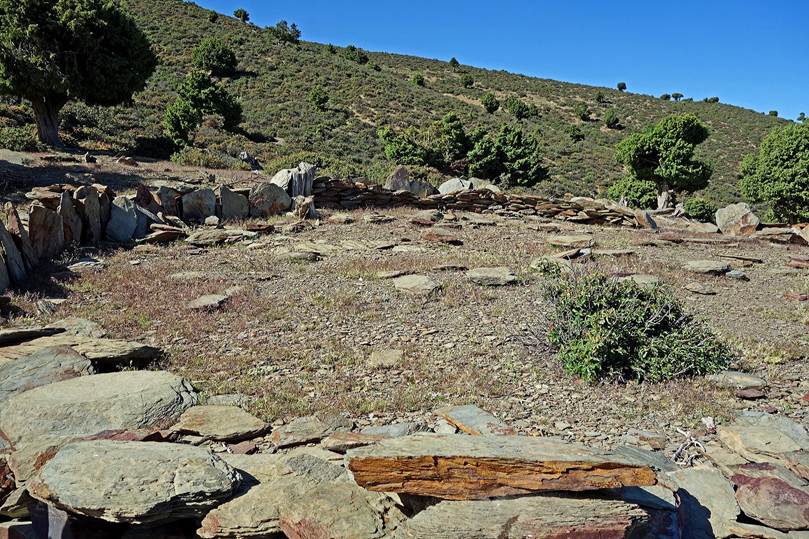
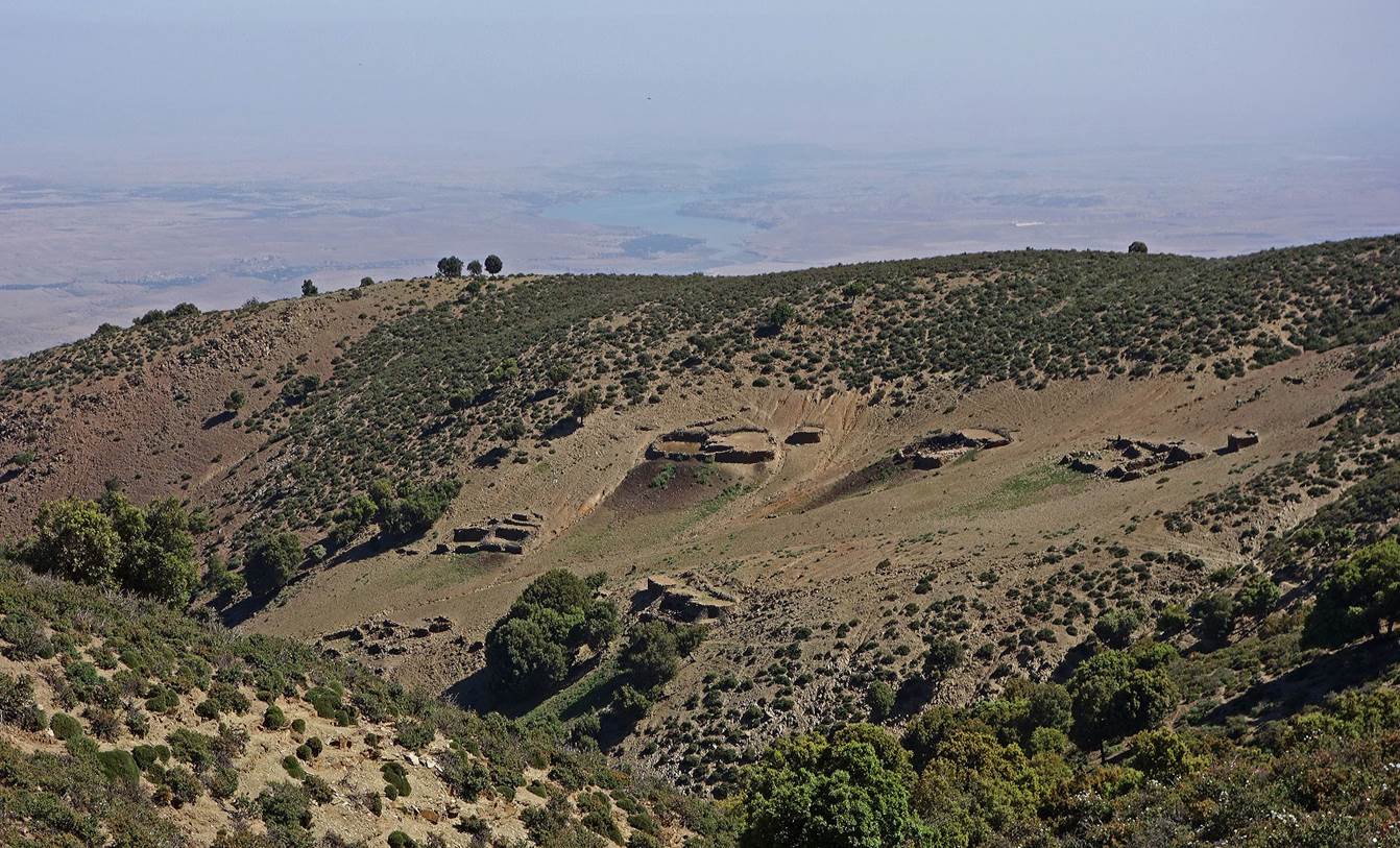
Azibs, terraced fields, and unusual circular platform. The
latter is probably used for ceremonials with ancient (pre-islamist) Berber
roots.
|
|
|
More azibs further down.
Looking
back at the ridge of Jebel Tighardine. Our previous camp
(WP 12-09) was located besides the small dark green patch (pine trees) below a
rocky cone on the far right of the picture.
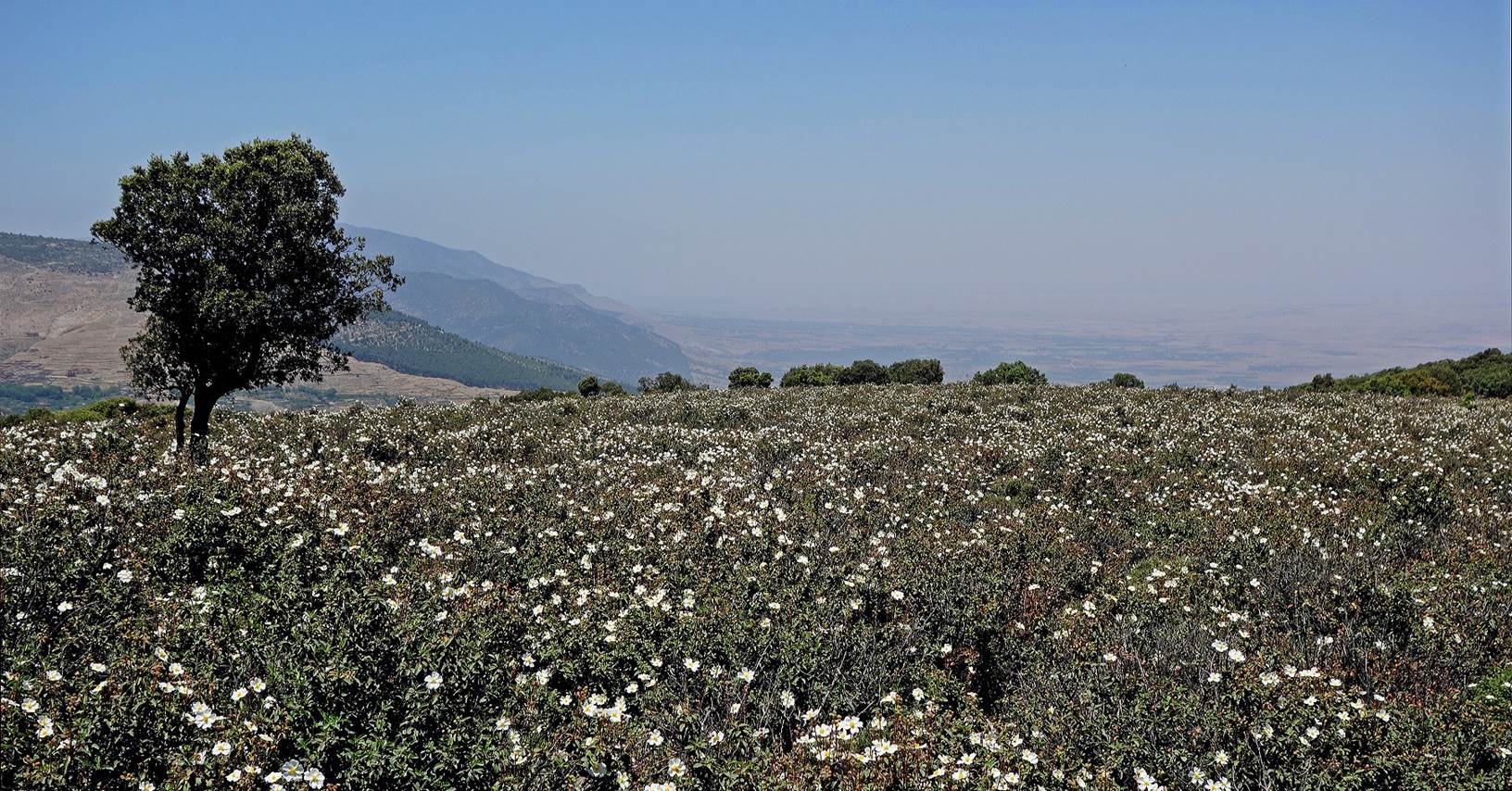
Field
of white flowers.
Looking
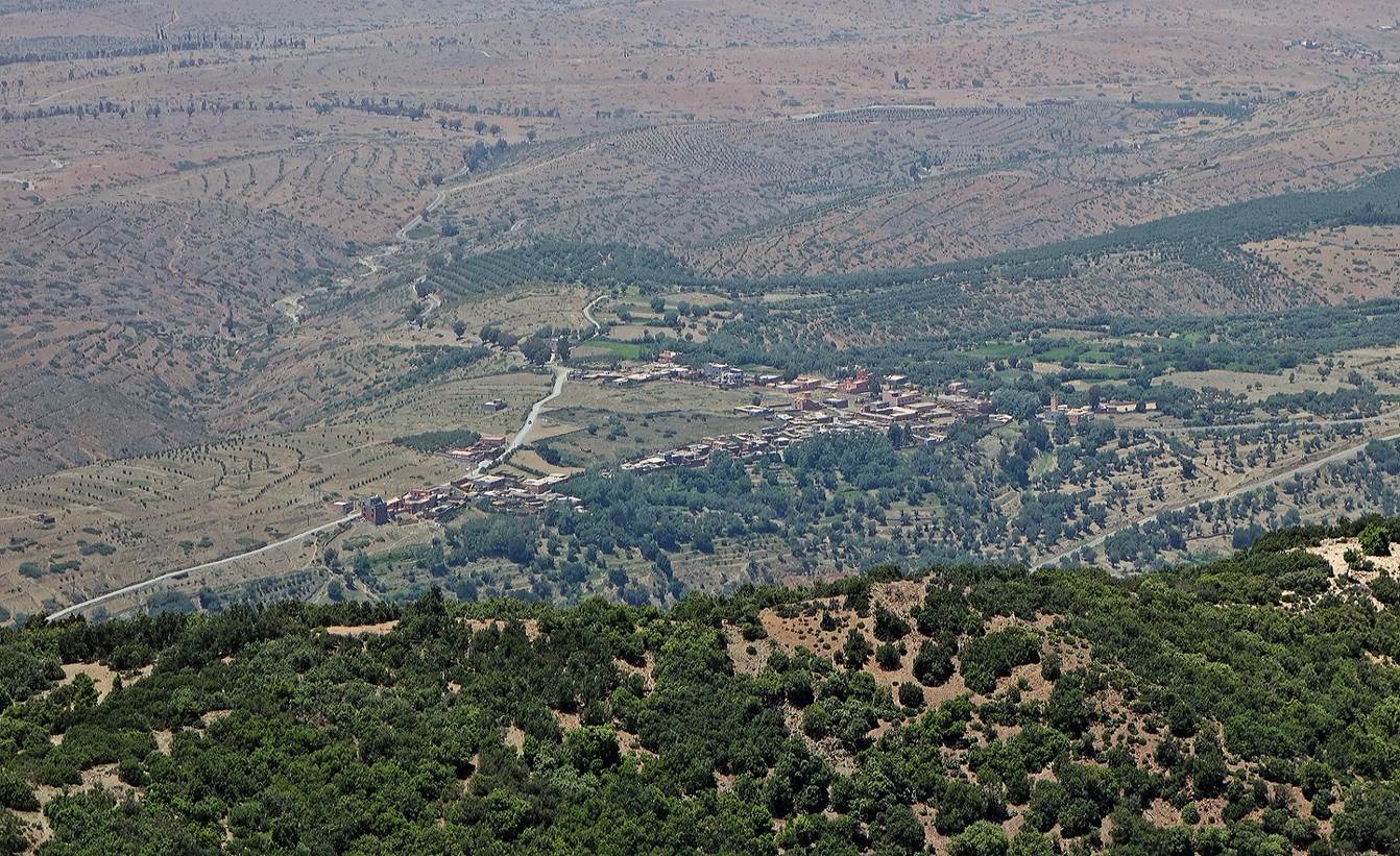
down toward the first villages in the northern plain.
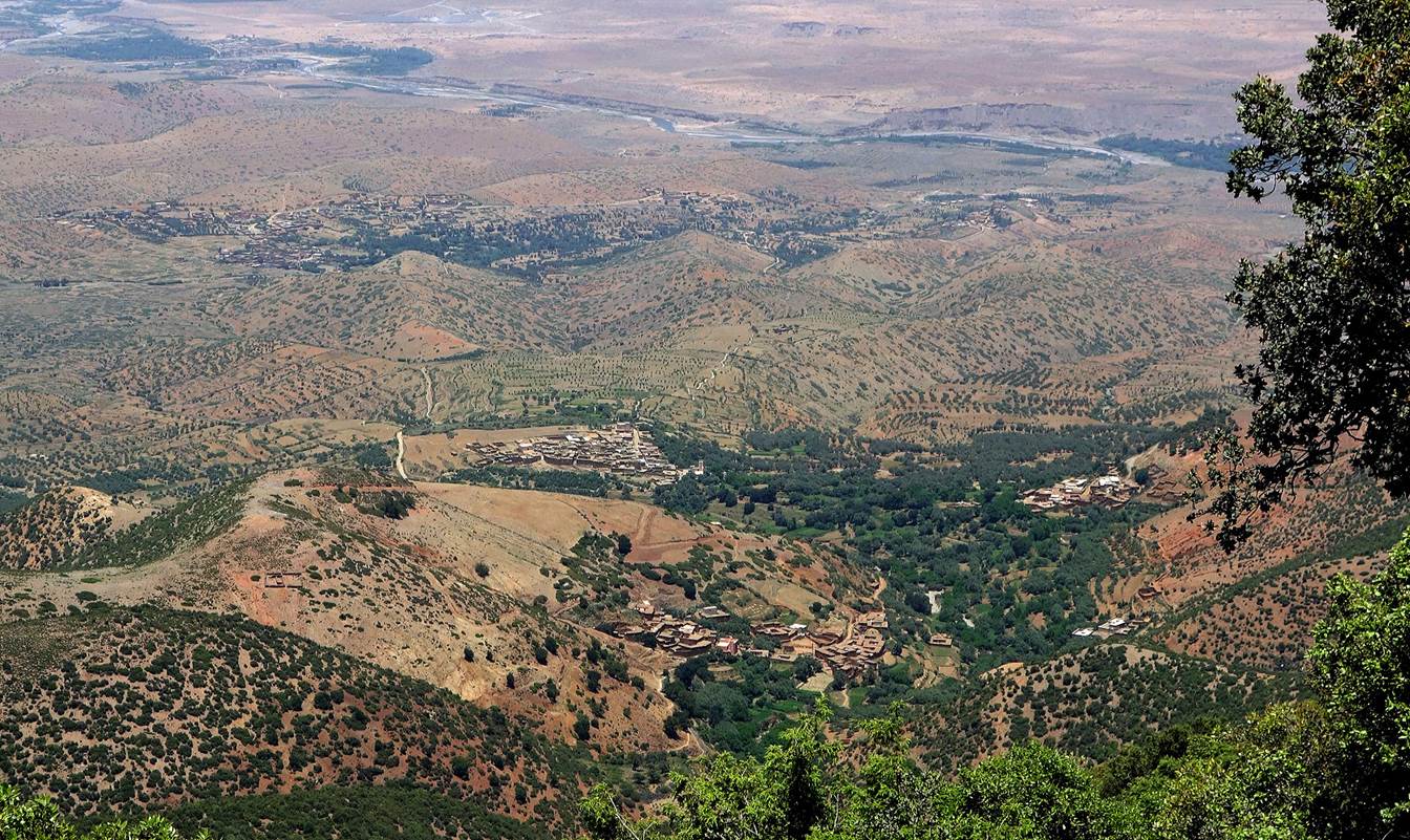
Here
is Ameghras, the terminus of our trek.
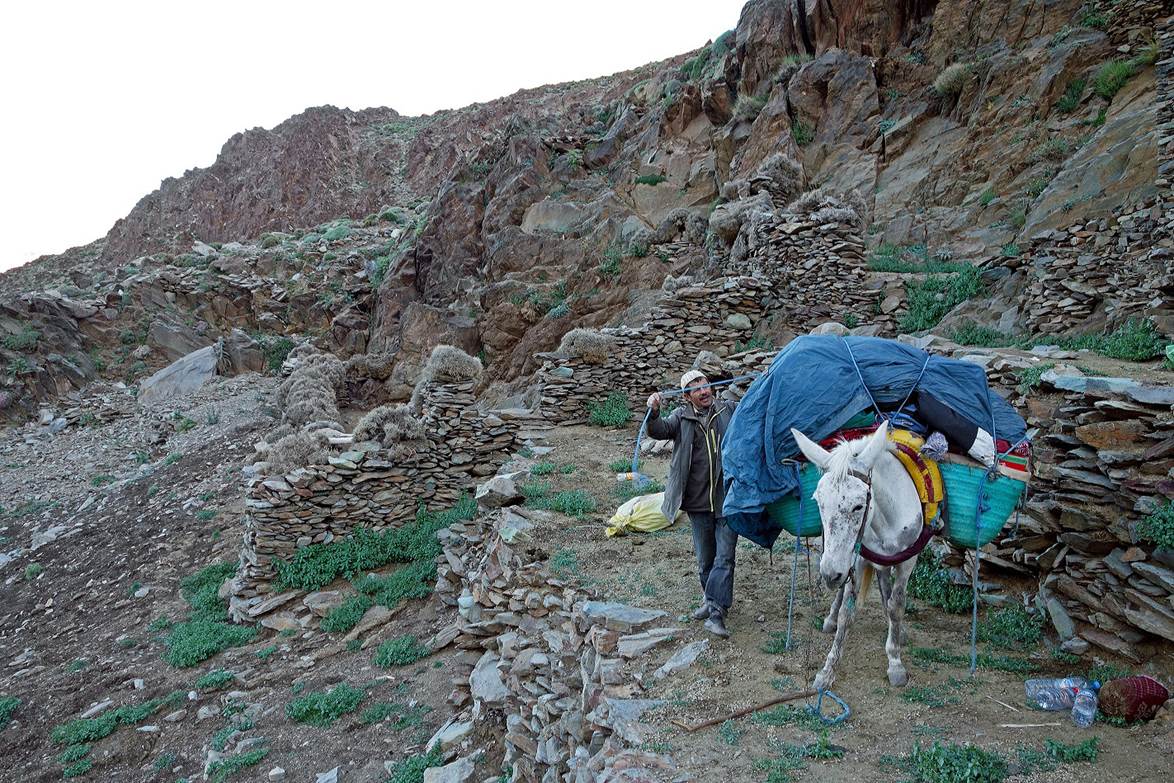
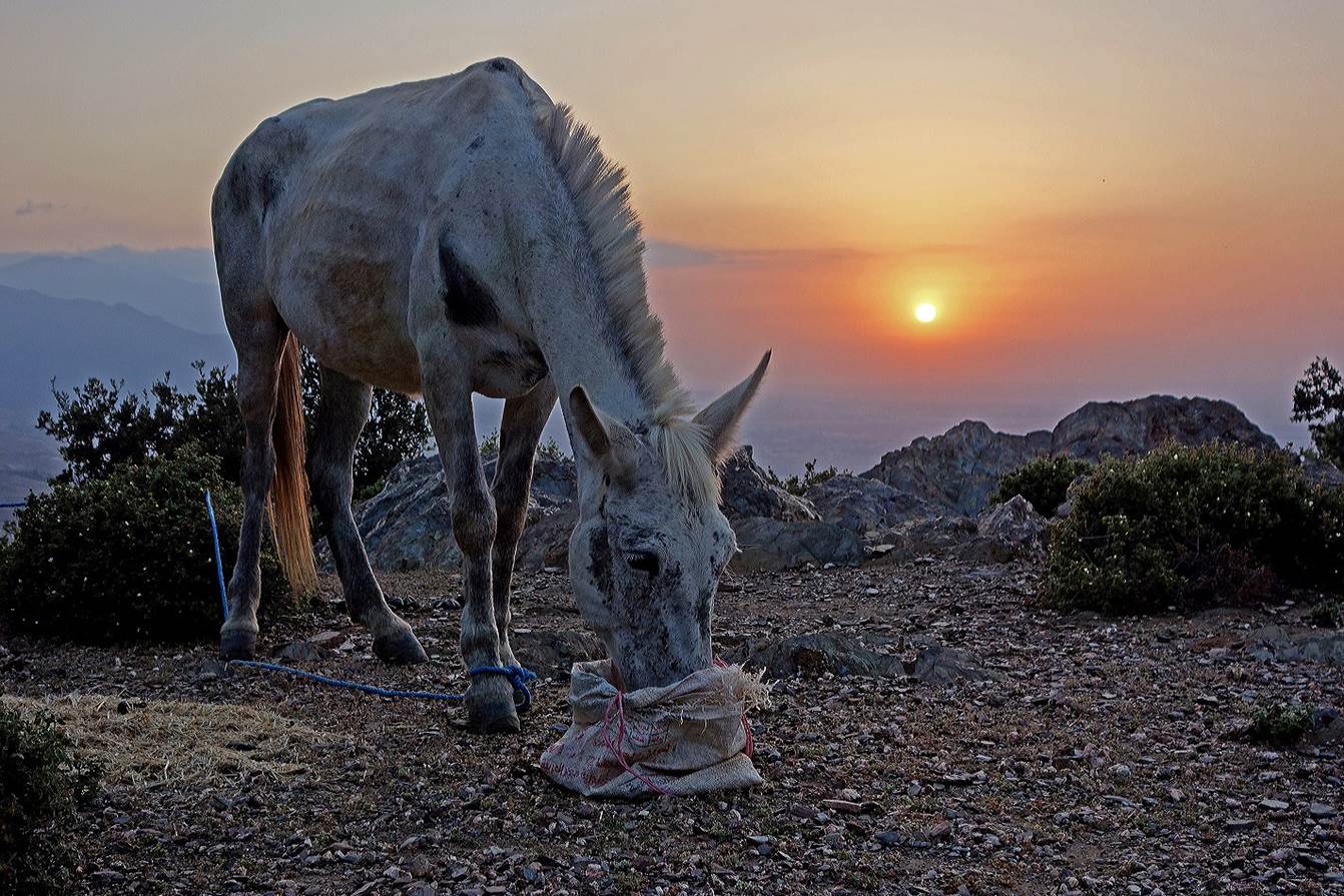
We
set of final camp (WP 13-07) on a ridge above the plain. Here is Mohamed‛s
mule at sunset.
We
were close to Ameghras, but we had plenty of time.
So, we walked along a convoluted path in and around the valley of Assif-n-Tizgui. Here, is a view of the village of Tizgui (WP 14-02).
Another
view of the village from the other side of the valley.
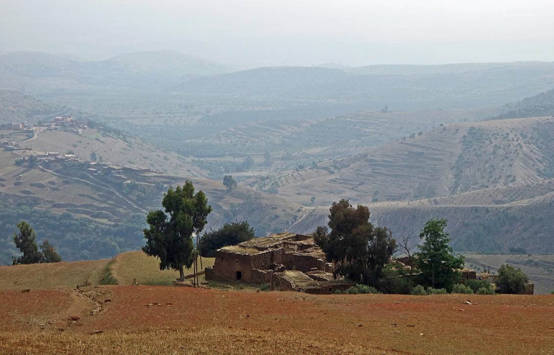
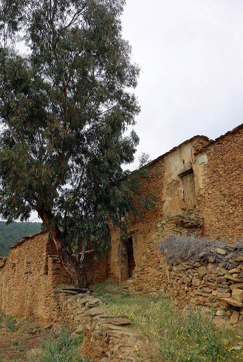
Old
isolated and abandoned house above the valley.
|
|
|
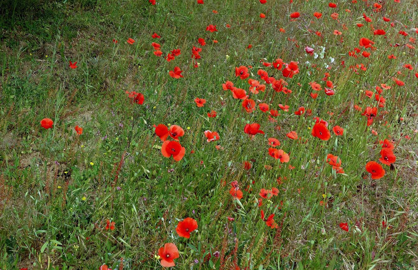
Small
field of red poppies before reaching Ameghras.
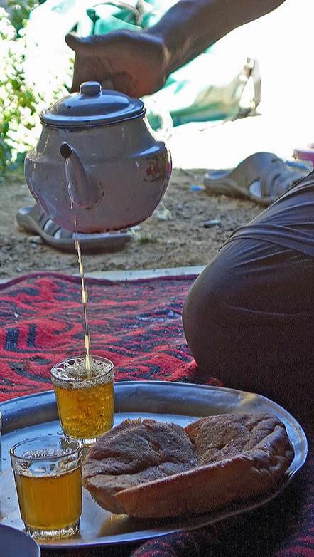
We arrived in Amghras
in the early afternoon. After a pleasant lunch on the terrace of the gite ″Chez
Rachid″ we said goodbye to Mohamed, who returned to his home village
located slightly up in the valley. Oumar and I spent the night at the gite and
drove to Marrakesh on the next day.
![]()