Japan (March 29 - April 8, 2017): Three day-hikes in
Kyushu
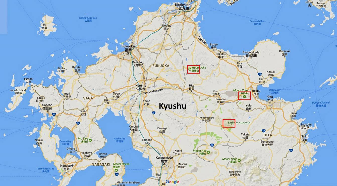
![]()
Location of the hikes (red boxes).
Around Mimata-san
in the Kuju mountain range (April 4):
The Kuju
mountain range lies within the Aso-Kuju National
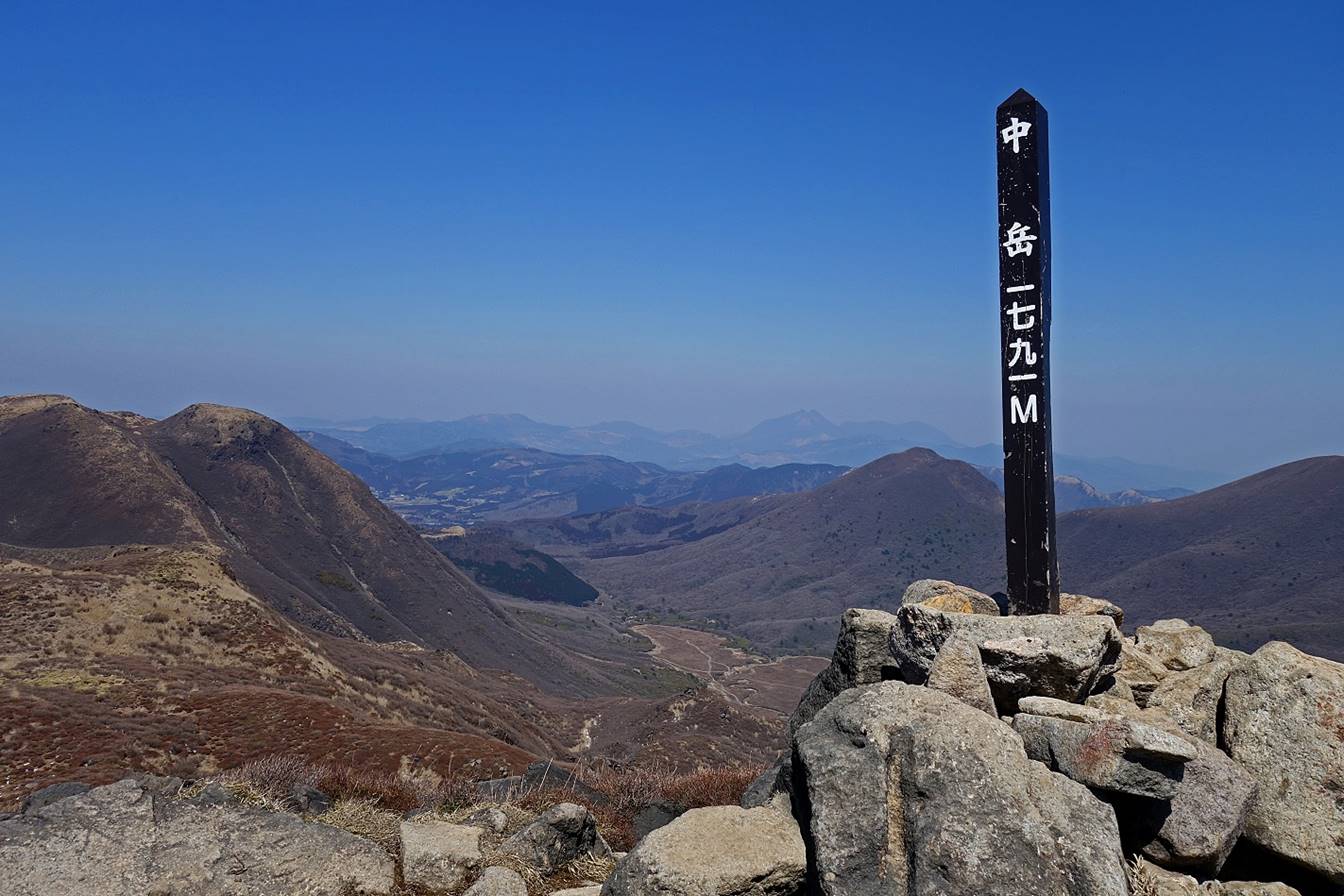
Park, north of Aso-san. It consists of several volcanoes, including the highest
summit in Kyushu, Naka-dake (1791m). This hike is a
loop with a start and finish at the Kuju Kanko hotel
near Road 11, 2km southwest of the Chojabaru NP
visitor center. It also includes a small side-trip to climb Naka-dake. I did the loop in the clockwise direction. As it was
too early in the season to see the wild azaleas of this region in bloom, the
most interesting views were in the valley on the eastern side of Hossho-san, the only active volcano in the range, and along
the ridge leading to the summit of Naka-dake. The
weather was excellent during the entire day.
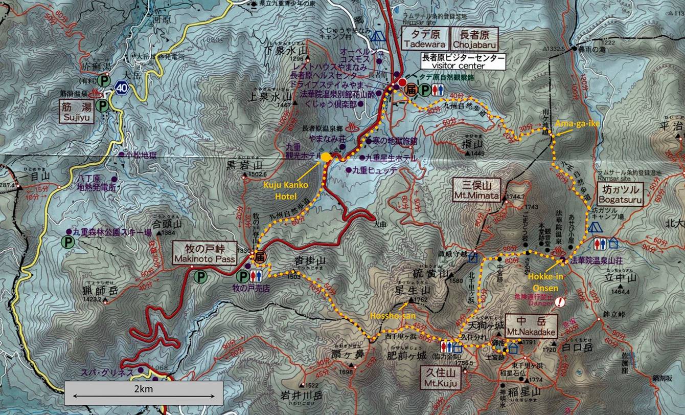
Map of Kuju
mountain range. The itinerary of the hike is shown in orange dotted line.
View from the
road before reaching Makinoto pass (coming from
Kumamoto).
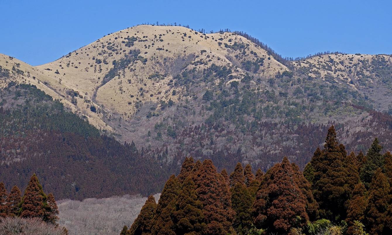
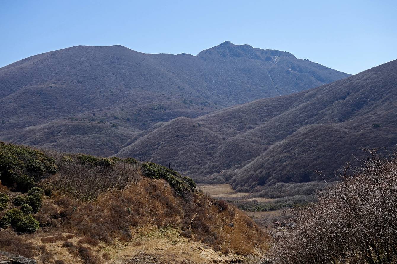
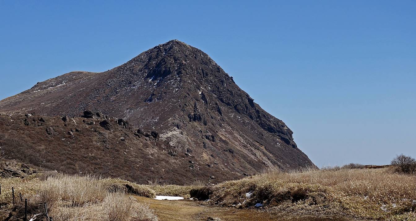
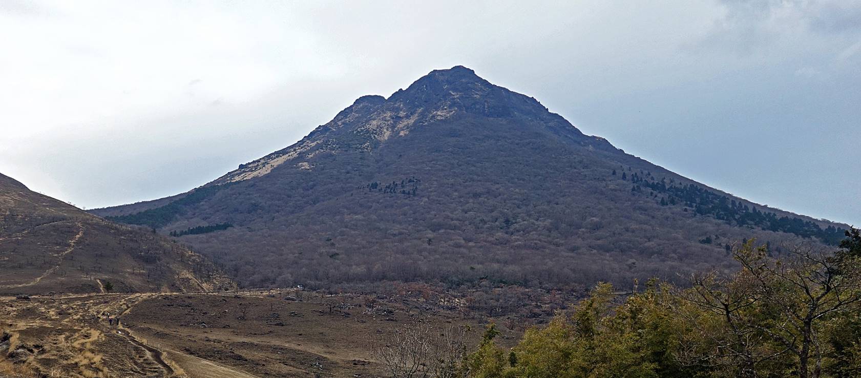
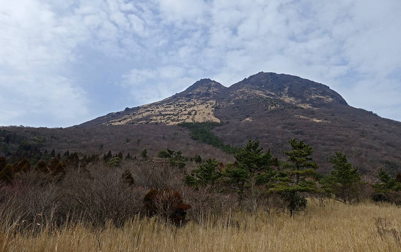
View of Mimata-san
from the Kuju Kanko hotel in the afternoon of the eve
of the hike. Some snow had fallen on the previous day, but most of it had
already melted.
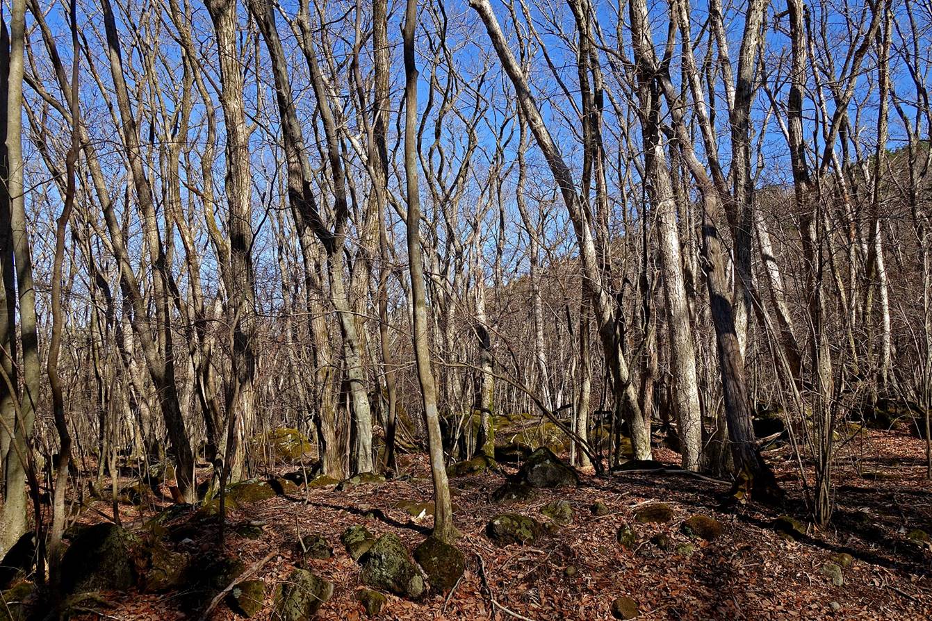
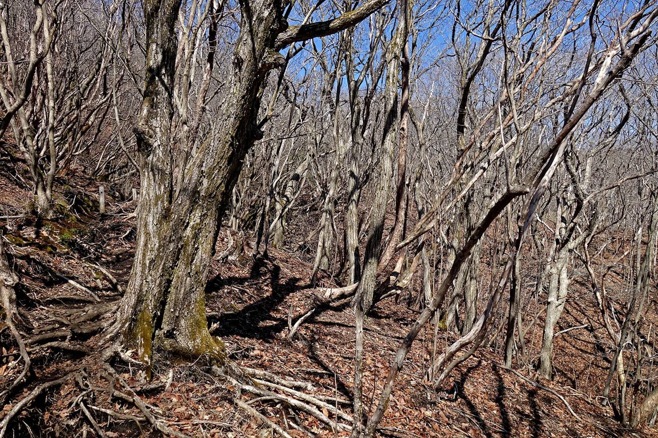
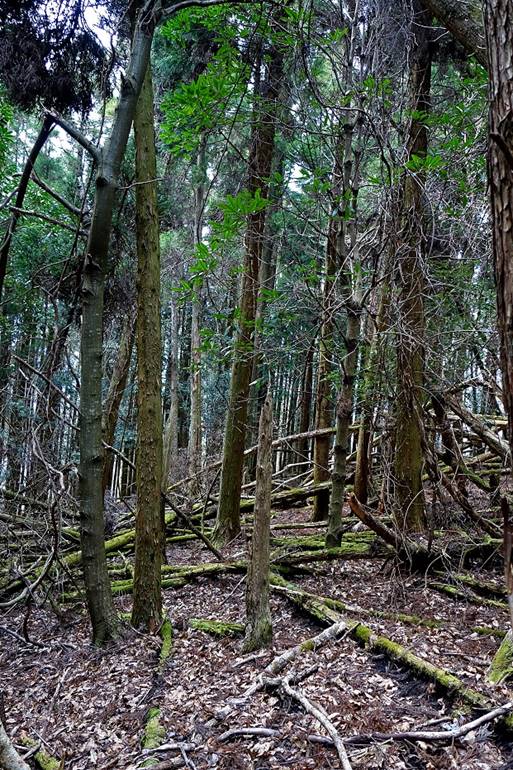
In the forest above Chojabaru
at the beginning of the hike.
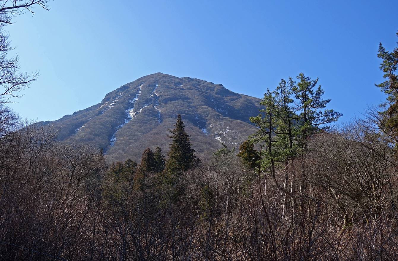
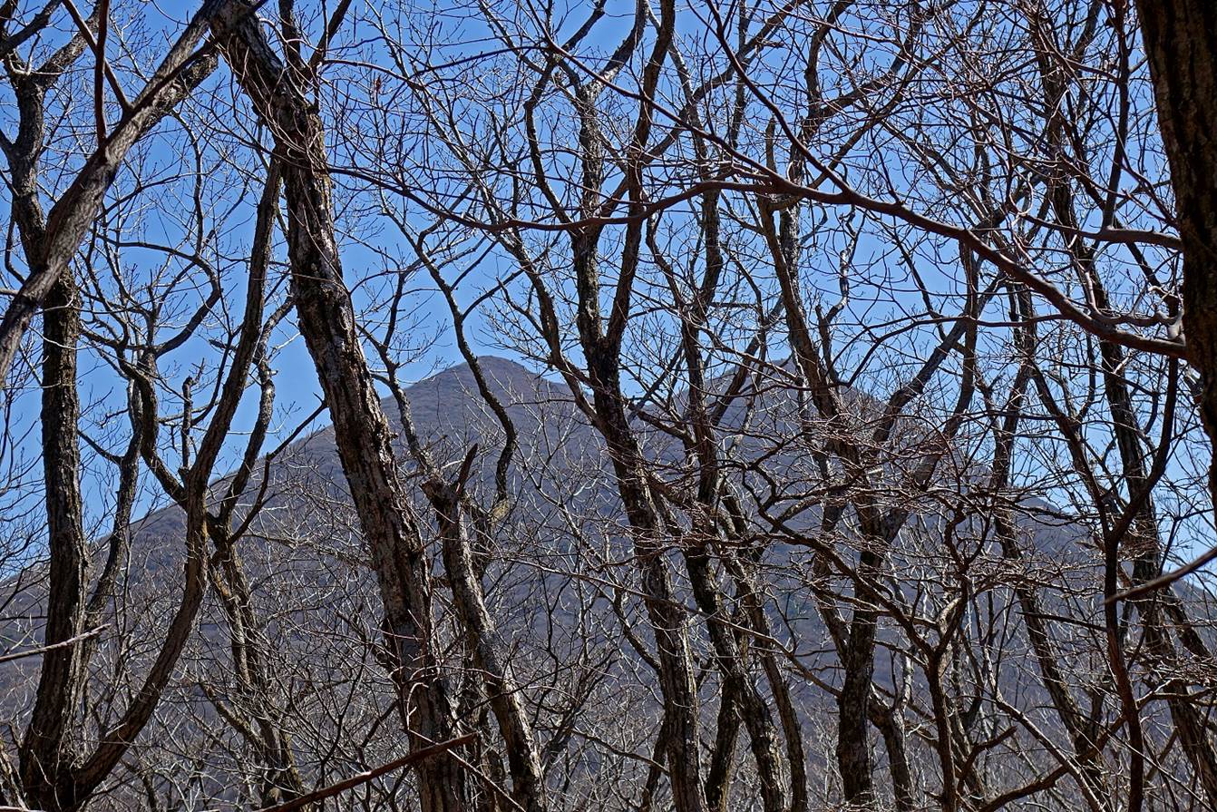
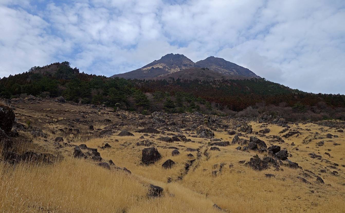
Mimata-san seen from the north.
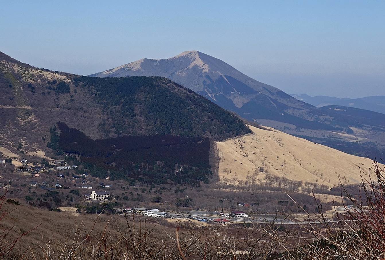
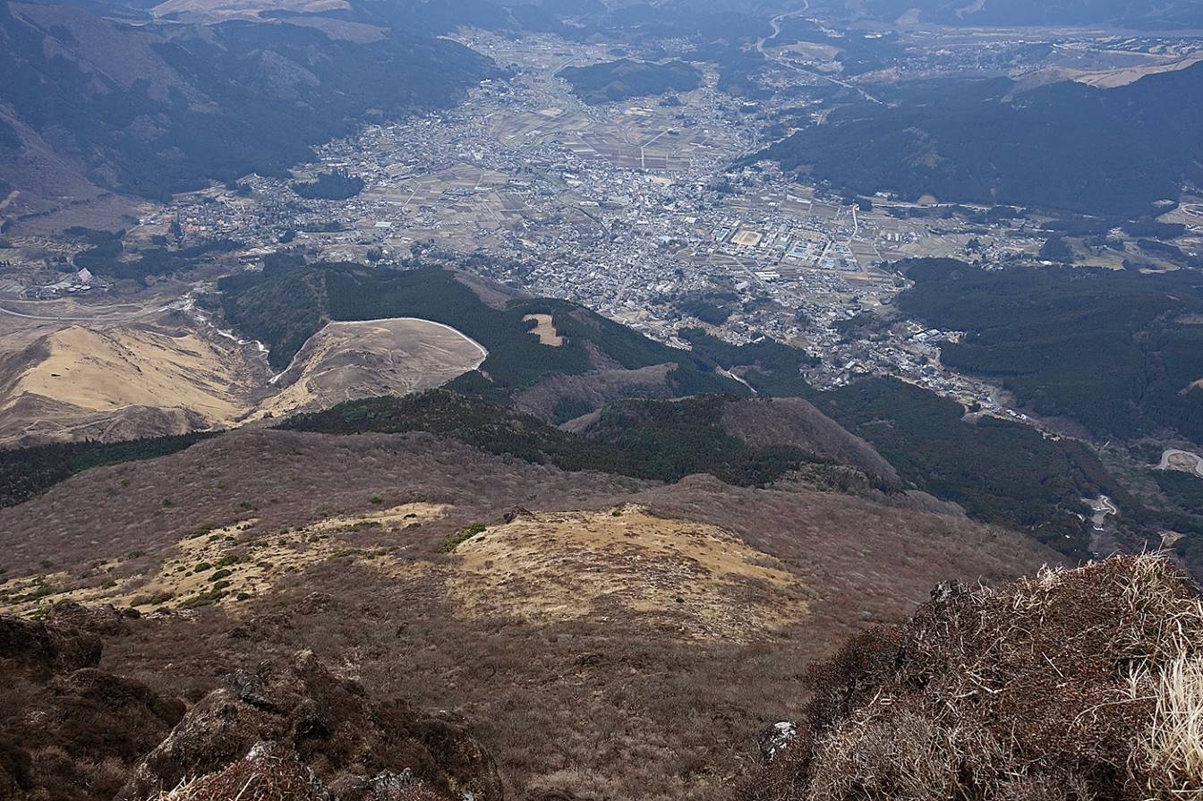
Looking down toward Chojabaru.
Most of the large buildings on the left are hotels with onsen
facilities.
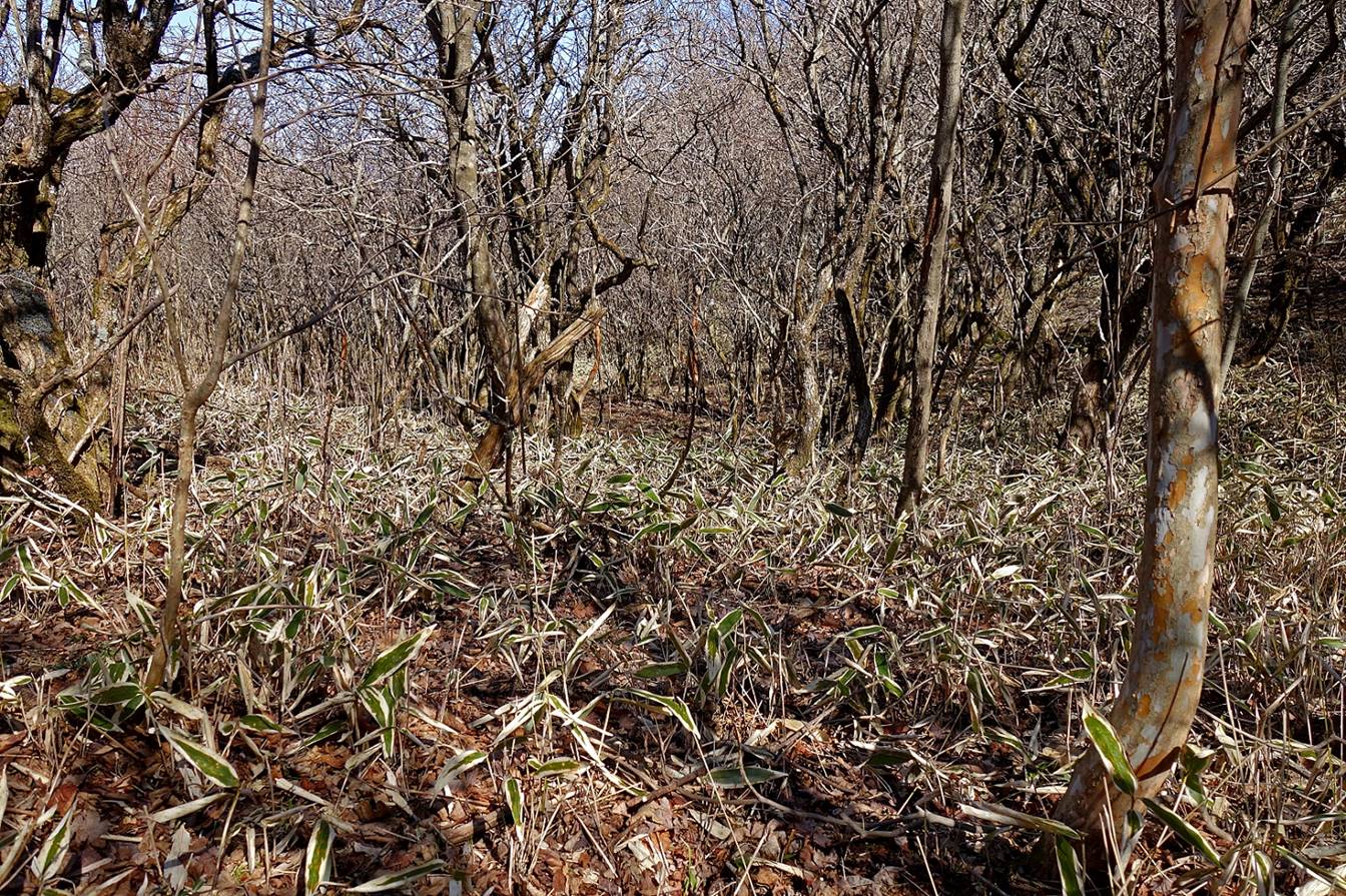
Dwarf bamboo.
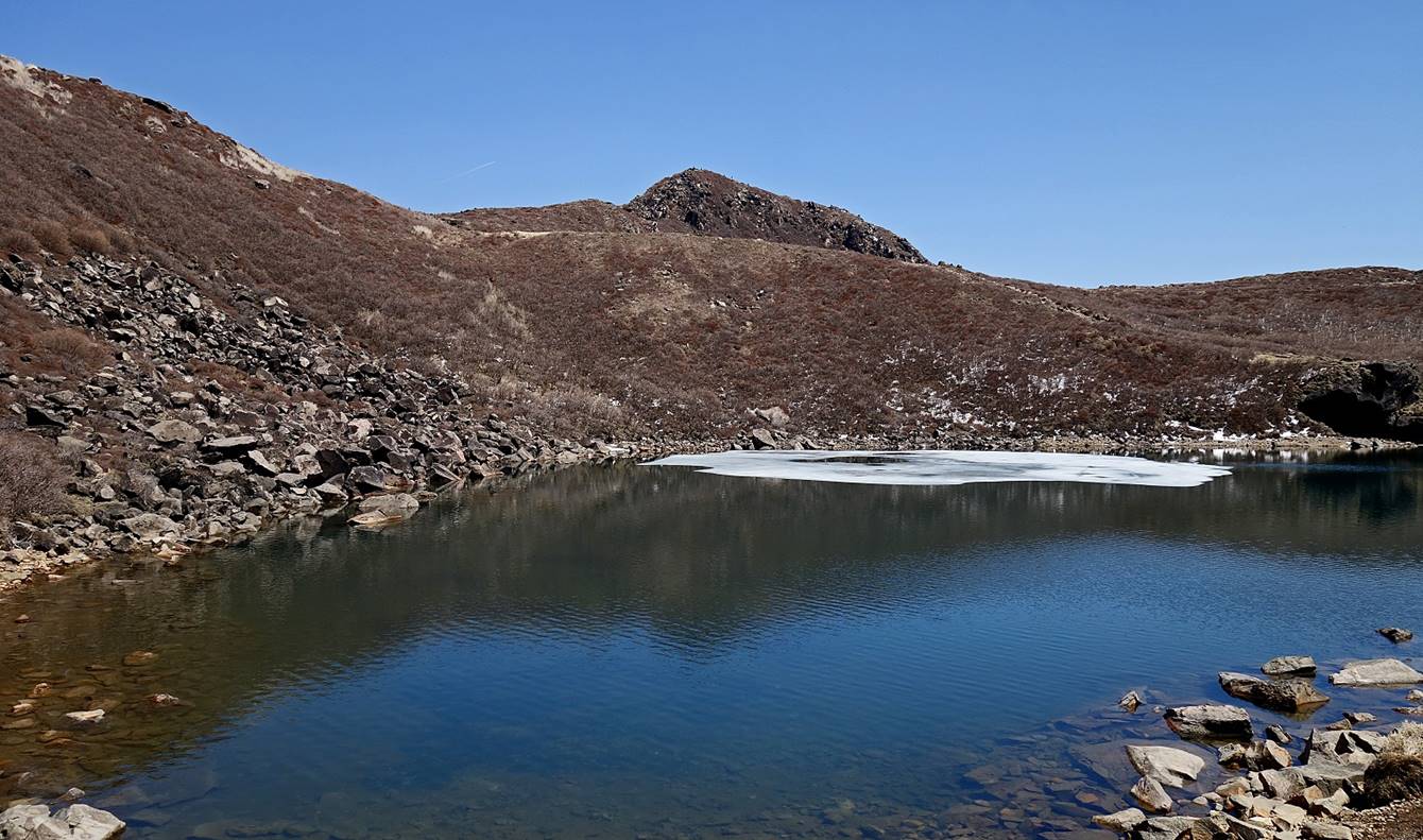
Reaching the marshland of Ama-ga-ike.
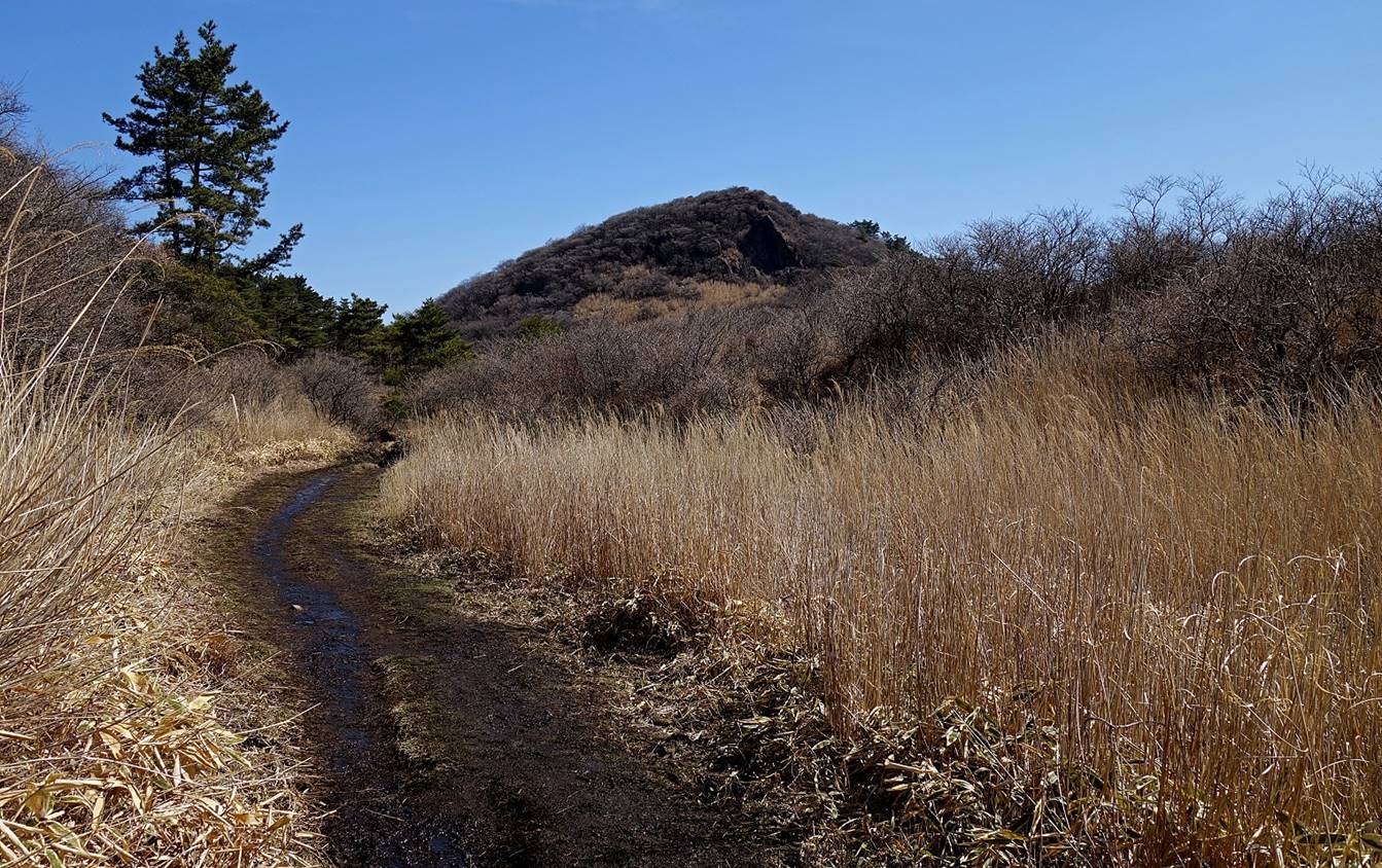
Mimata-san seen from Ama-ga-ike.
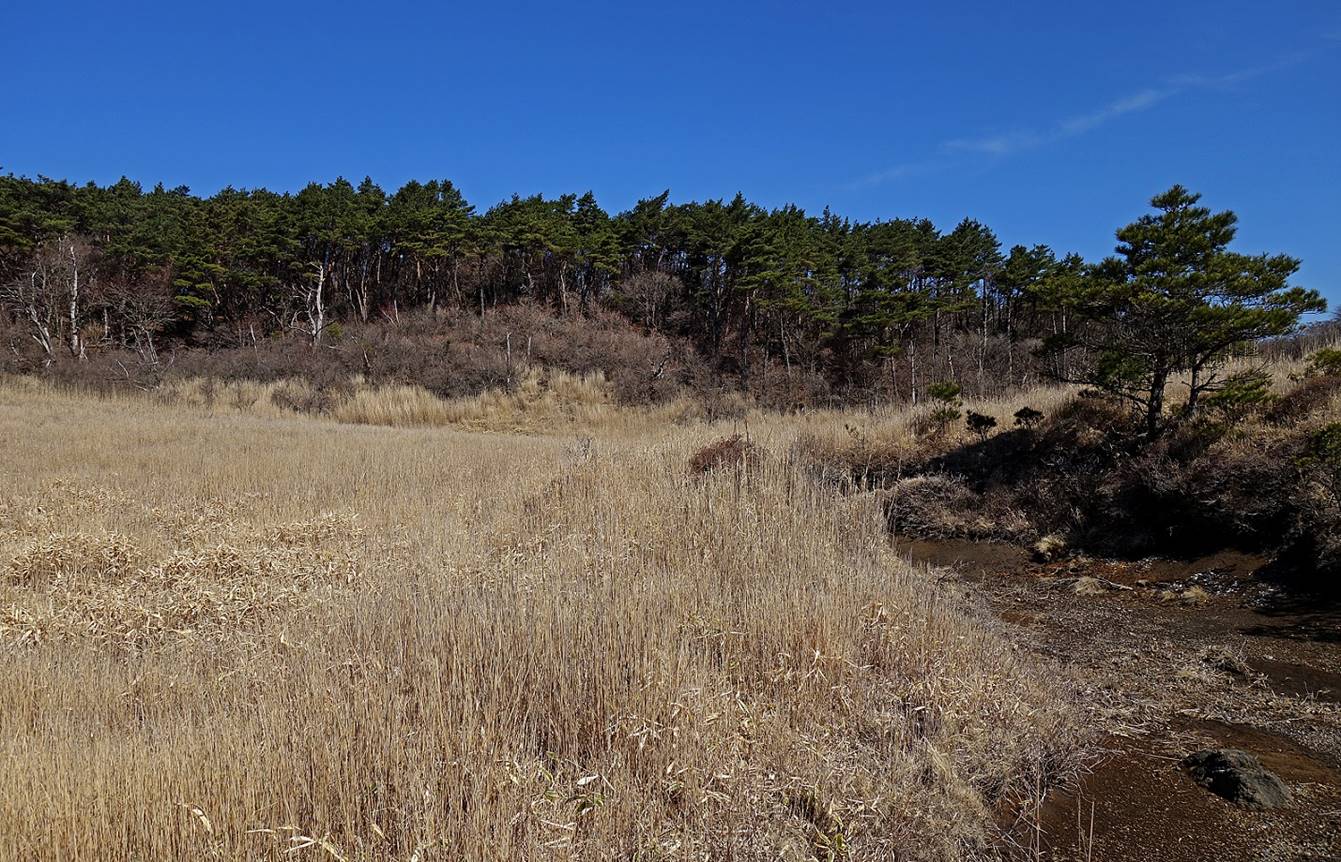
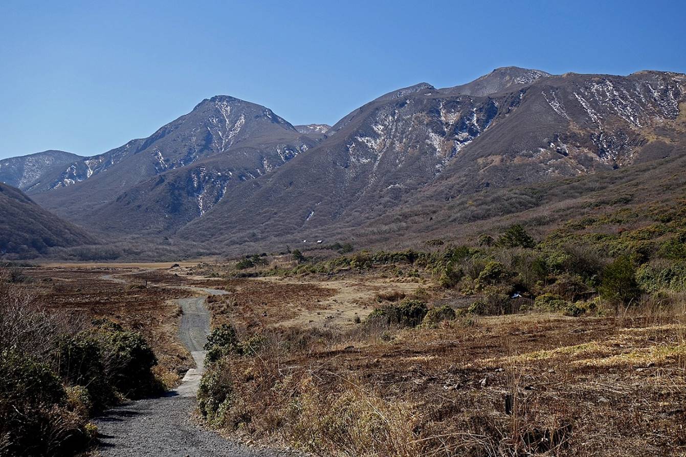
View over the valley of Bogatsuru from a turn of the trail soon after leaving the Ama-ga-ike marshland. The campsite marked on the map is
visible on the right of the photo.
Views during the descent into the valley
of Bogatsuru.
In the valley of Bogatsuru.
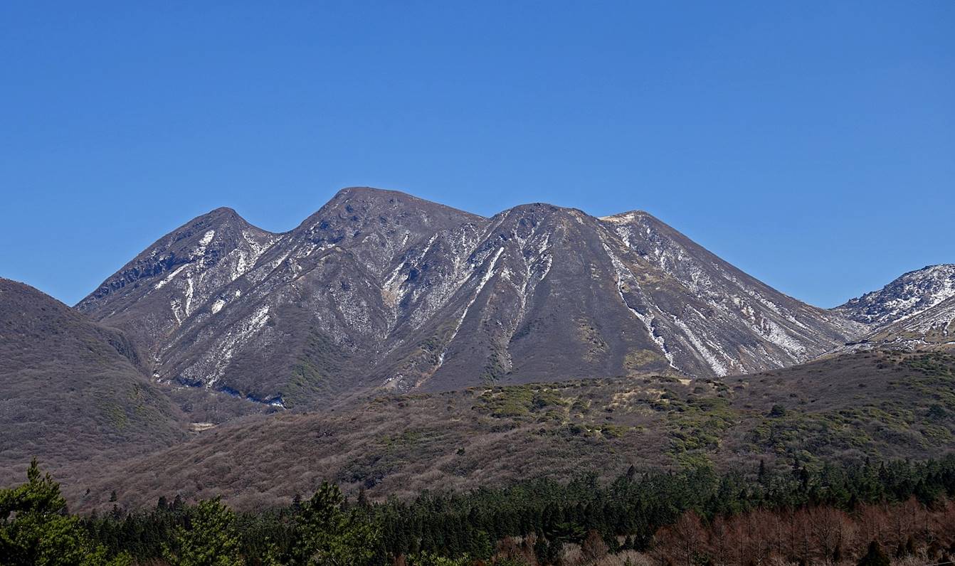
The peak at the center-left of the photo is Naka-dake.
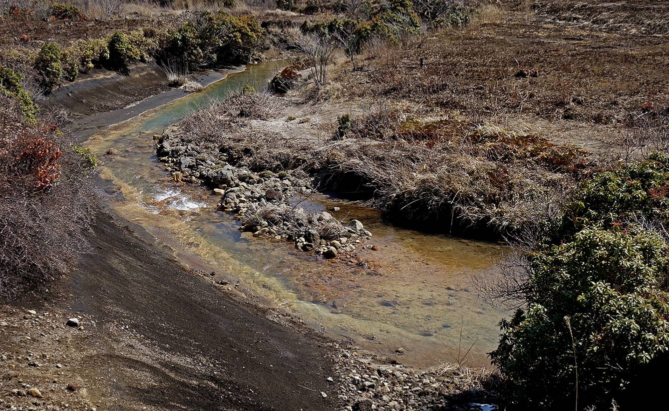
River in the valley of Bogatsuru.
Mimata-san seen from the valley.
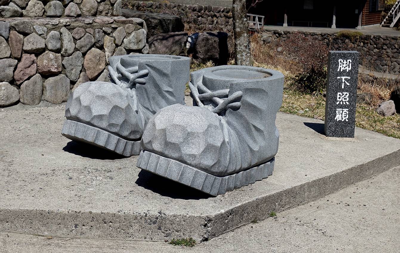
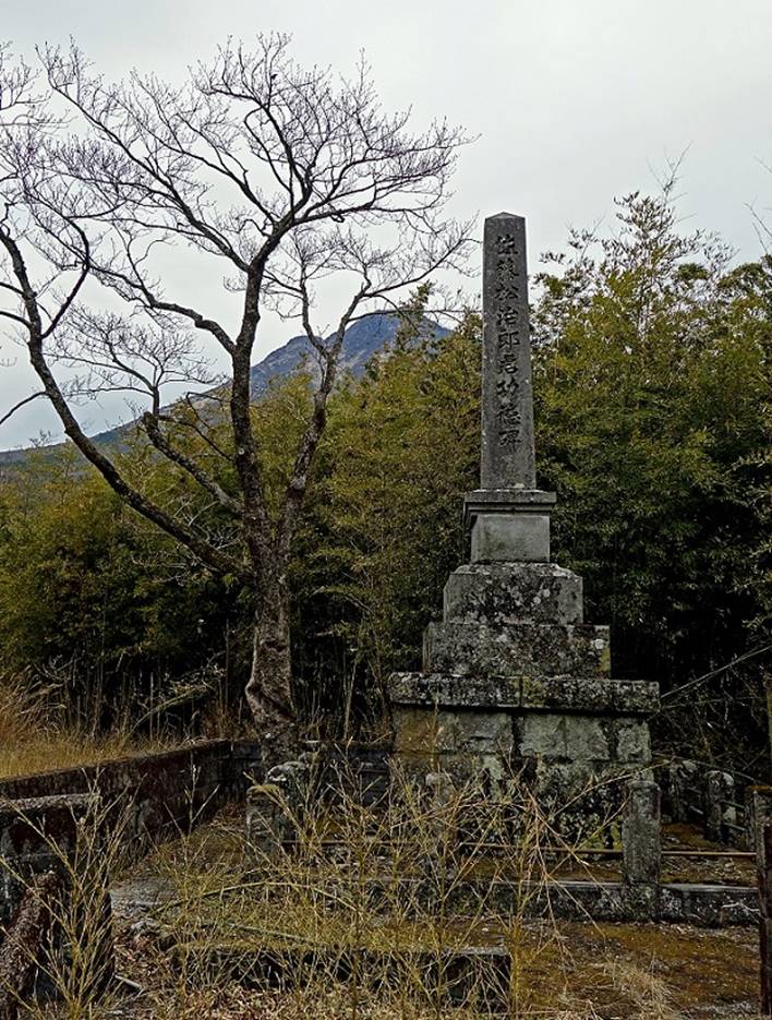
″Monument″ that seems to
celebrate hiking at the Hokke-in onsen.
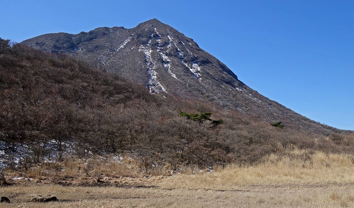
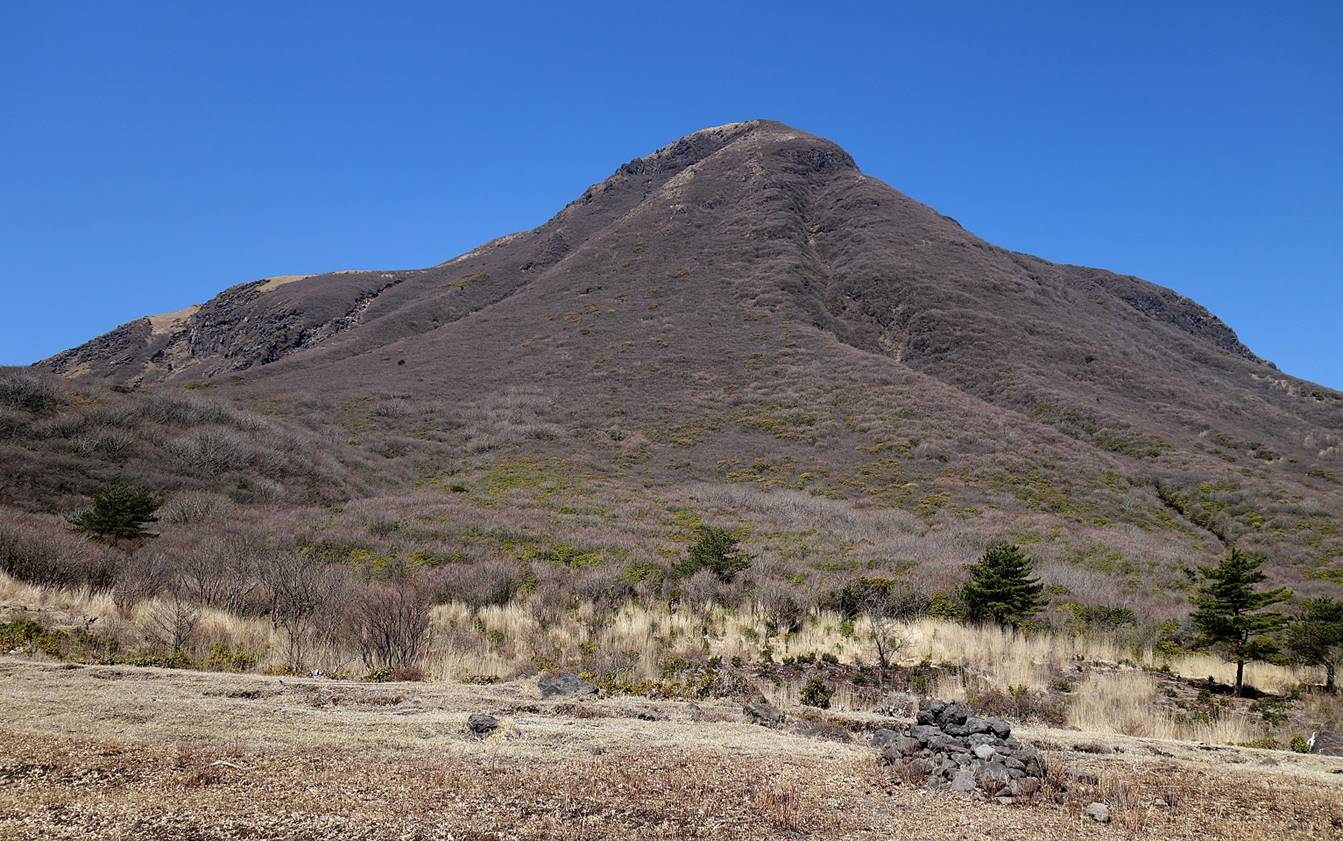
View of Taisen-san
(1786m) located on the eastern side of the valley of Bogatsuru,
during the ascent above the Hokke-in onsen.
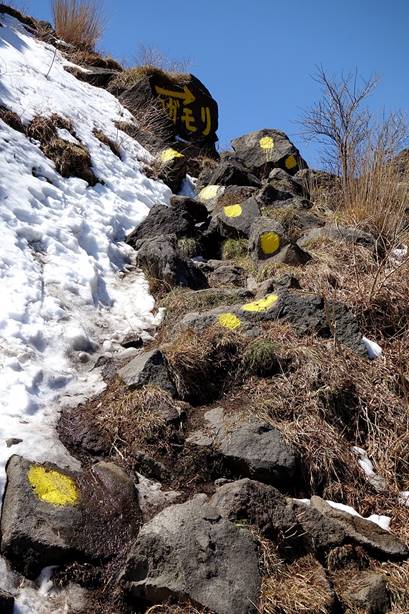
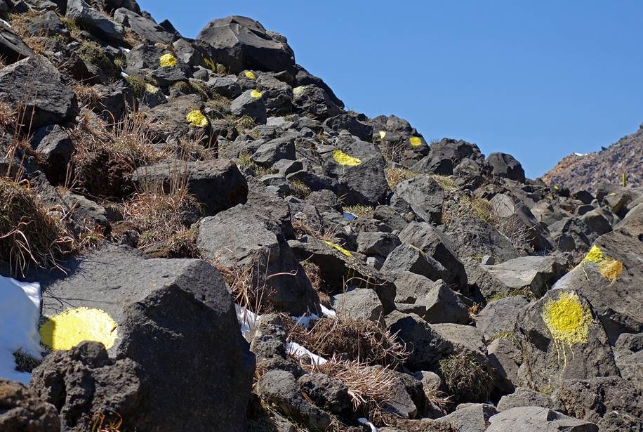
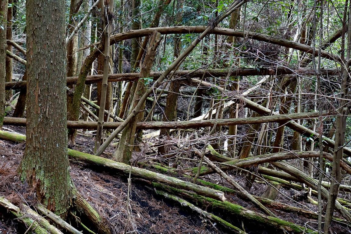
A section of the trail that is clearly
over-marked (moreover, with ugly markers). In fact, almost everywhere else the
markings, if any, were just fine and not that conspicuous.
|
|
|
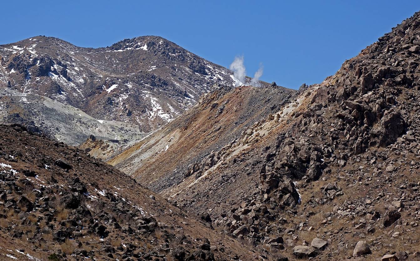
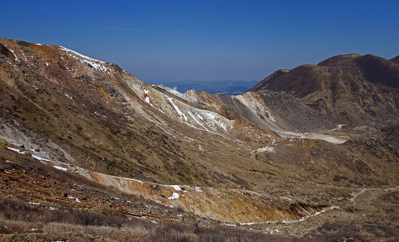
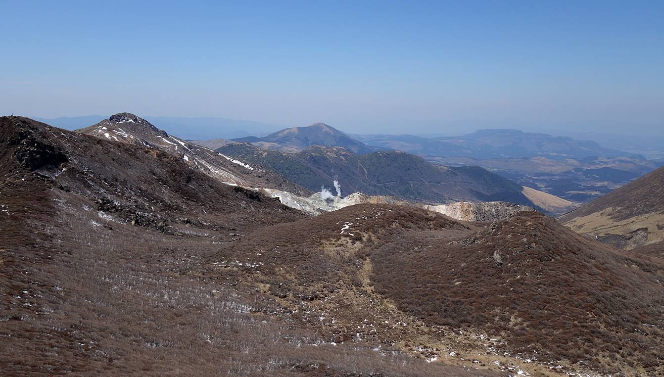
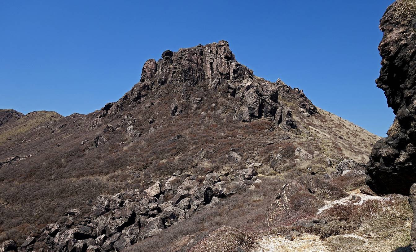
Reaching the valley east of Hissho-san.
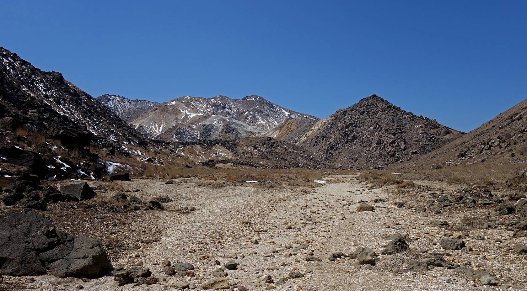
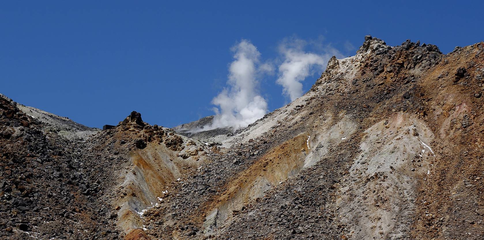
Steam vents on Hissho-san.
Successive views from the ridge leading
to Naka-dake:
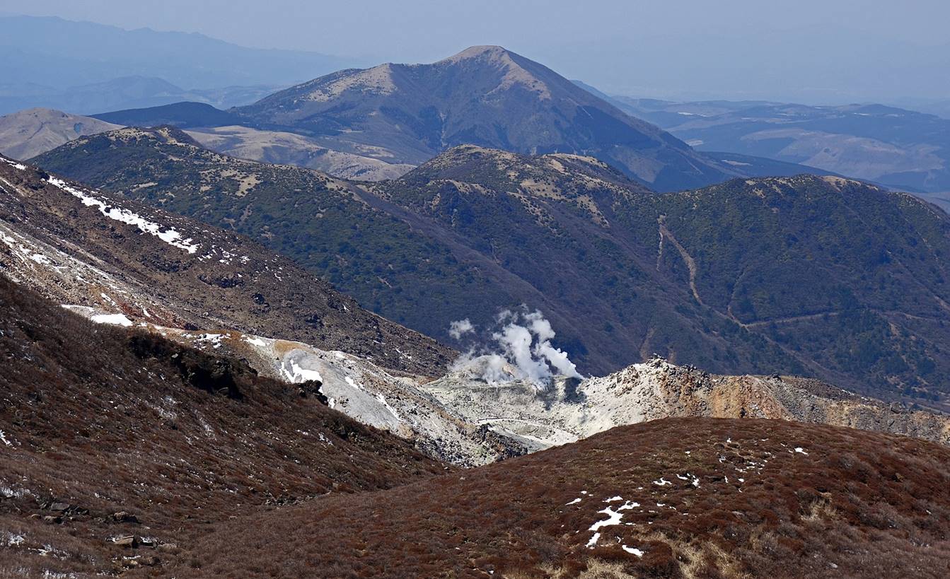
- Toward Mimata-san.
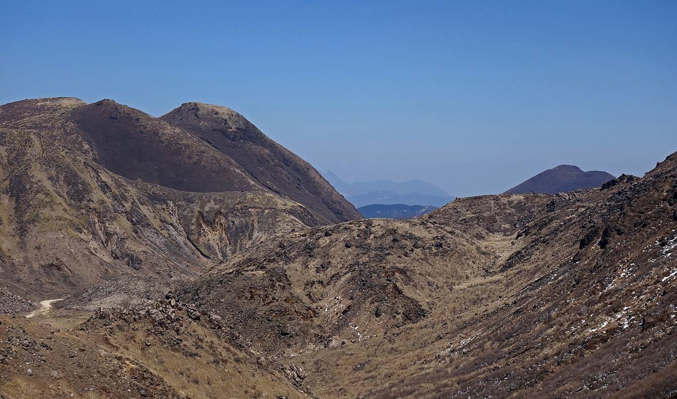
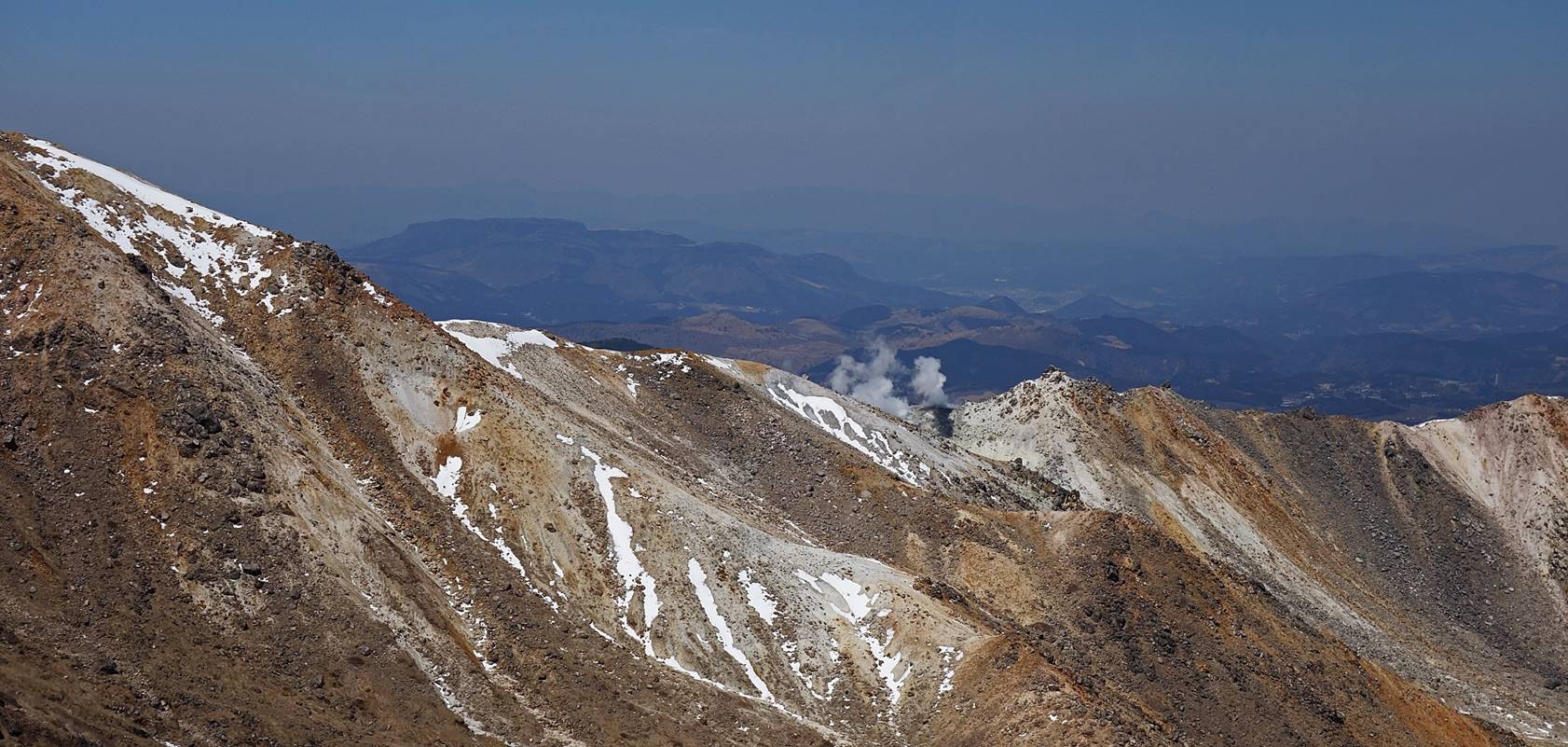
- Toward Hissho-san.
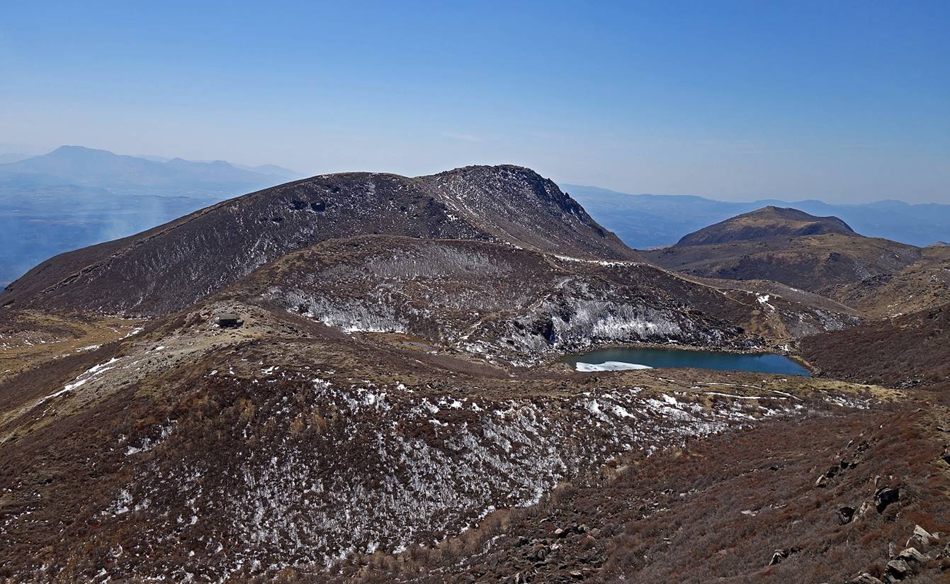
Small lake below Naka-dake (seen in the middle of the photo).
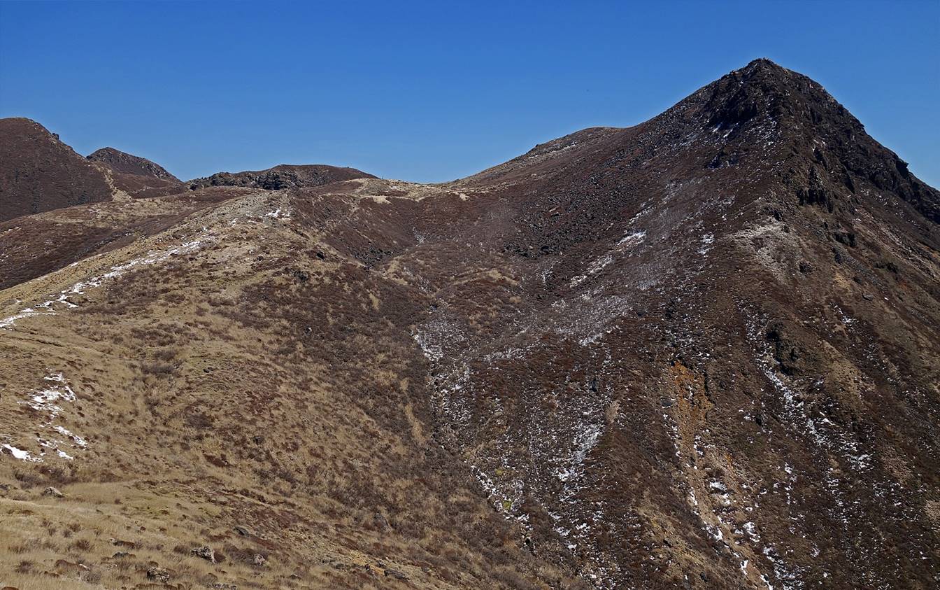
Final section of the ridge leading to
Naka-dake.
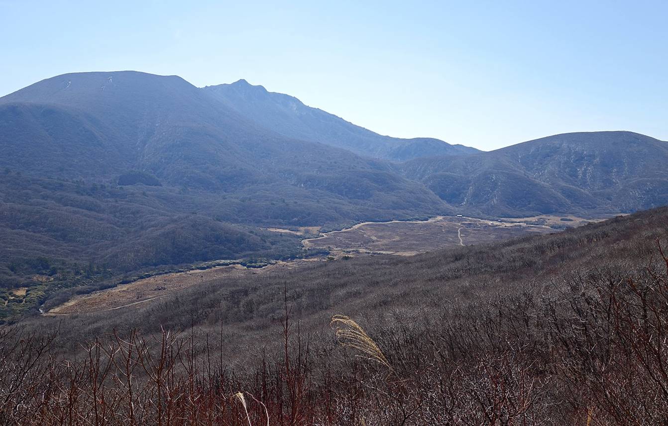
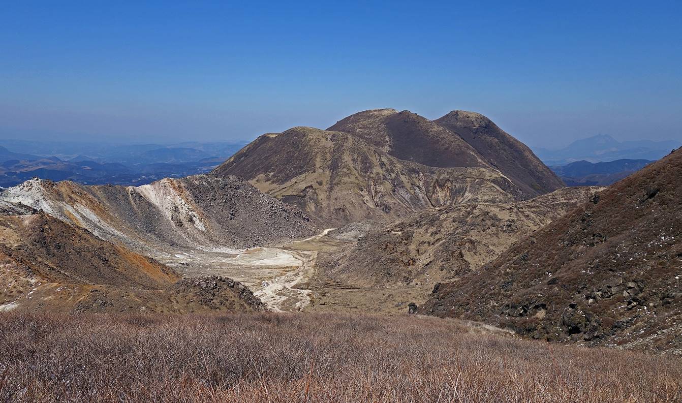
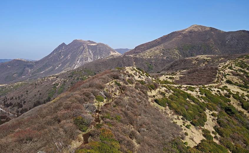
Views from the summit:
- Toward the north, with the valley of Bogatsuru at the center and Mimata-san
on the left.
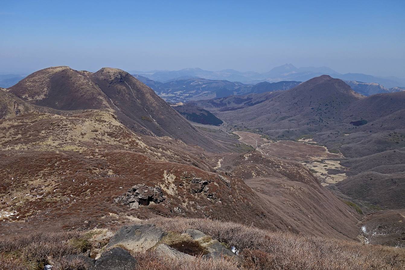
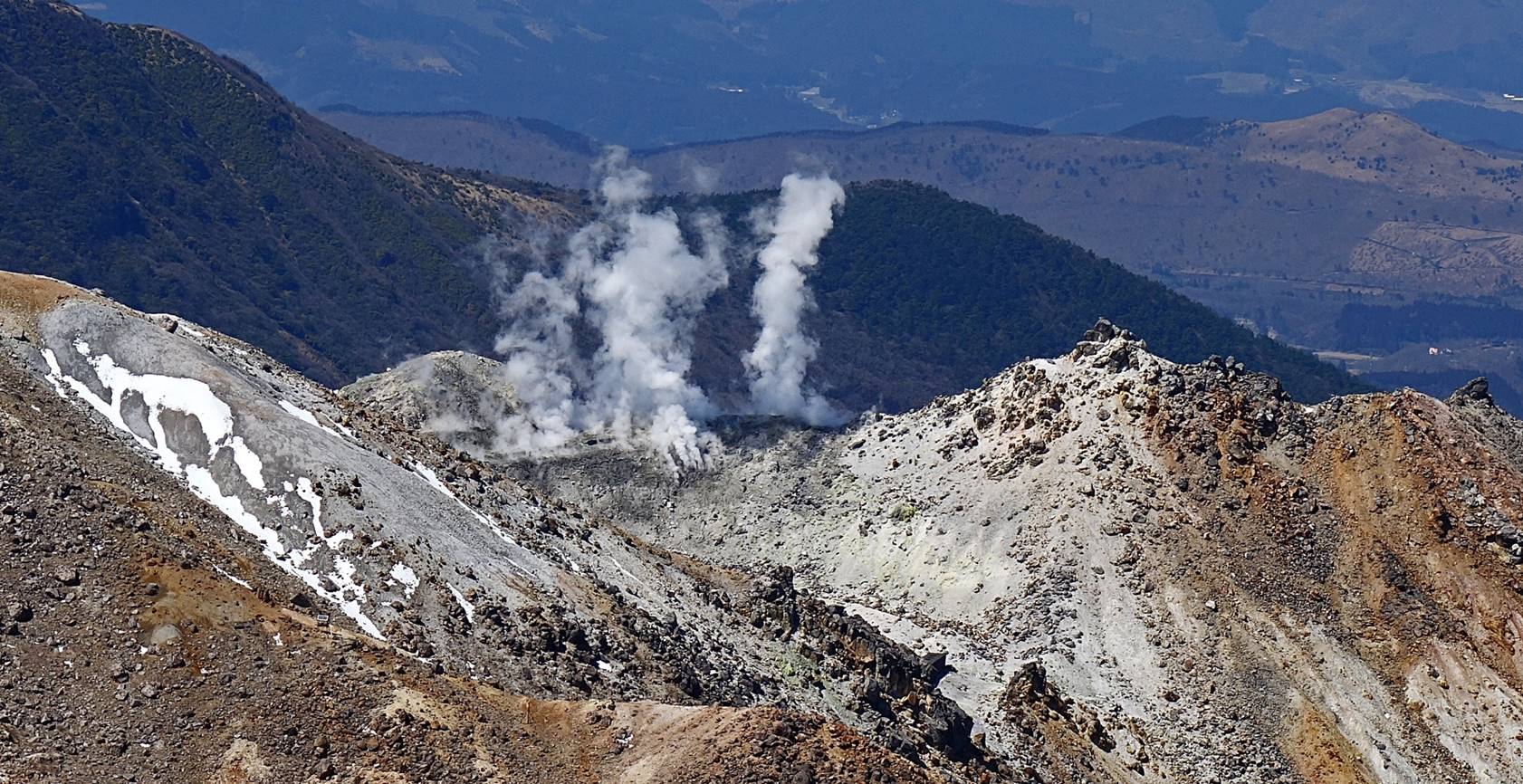
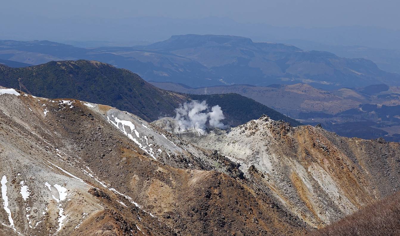
- Toward Hissho-san.
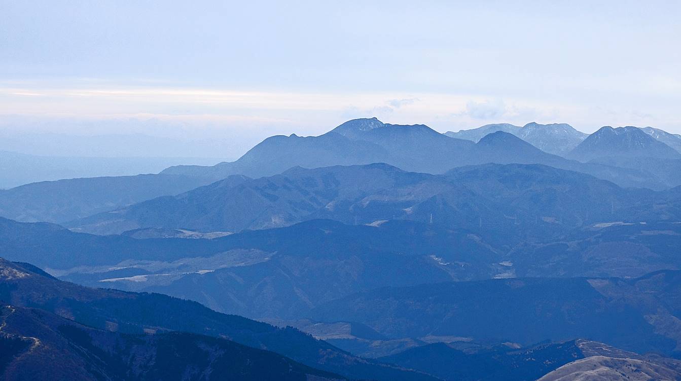
- Toward the southwest, with Kuju-san (1786m) at the center.
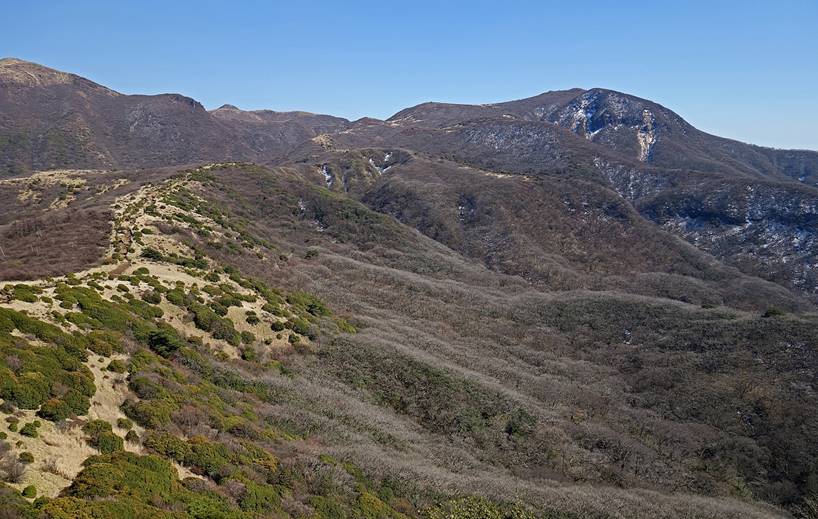
Views of Kuju-san
during the descent toward Makinoto pass (see map).
Naka-dake is the second peak from the left in the
first photo below.
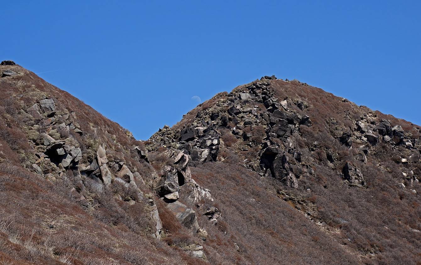
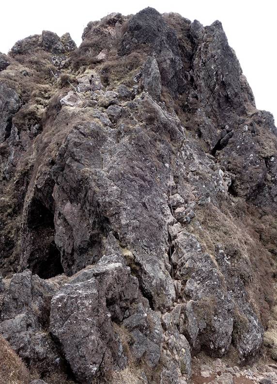
Rocky summit along the way.
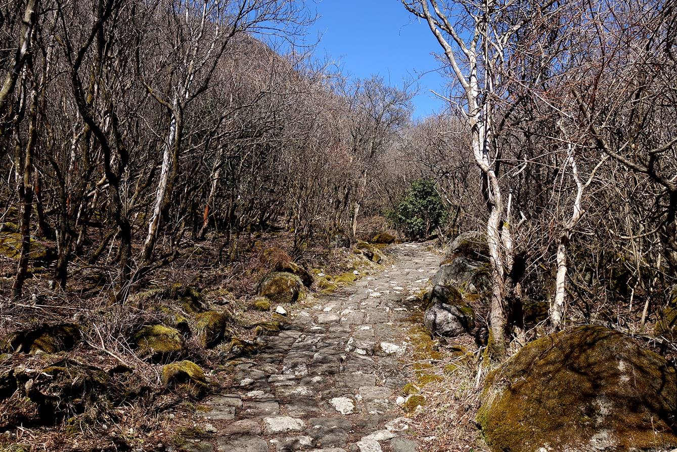
Views of the trail above Makinoto pass, with Mimata-san on
the left of the photo on the left and Kuju-san on the
right in the photo on the right.
|
|
|
Last view of Mimata-san
before reaching Makinoto pass.
Mountain summit on the western side of Makinoto pass.
View of Mimata-san
in the late afternoon from the finish of the hike. The snow that had fallen two
days earlier had completely melted.
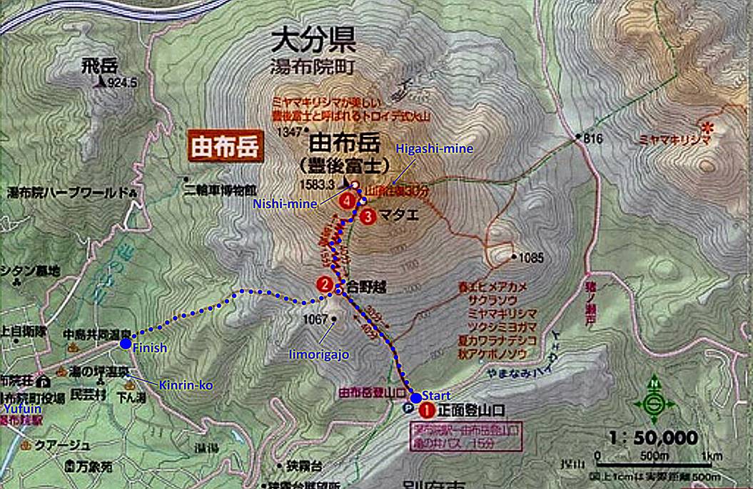
Ascent of Yufu-dake (April 5):
Yufu-dake is a large dormant volcano dominating
the onsen town of Yufuin.
Located 24km northeast of the Kuju mountain range, it
is also part of the Aso-Kuju National Park. The
itinerary of the hike is shown in blue dotted line in the map below, with a
start on the southern side of the volcano and a finish on the eastern outskirts
of Yufuin, near a small lake (Kinrin-ko).
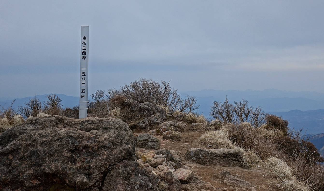
At 1494m, there is a saddle between two summits, Nishi-mine on the west and
Higashi-mine on the east. At 1583.3m (Japanese are always very precise),
Nishi-mine is a bit higher and offers greater views over Yufuin.
Although the elevation gain from the
start to Nishi-mine is slightly over 800m, this is a relatively short hike that
took me less than 4 hours total. I did it on a cloudy and somewhat hazy
afternoon, but with no rain. Nevertheless, I had great views from the summit.
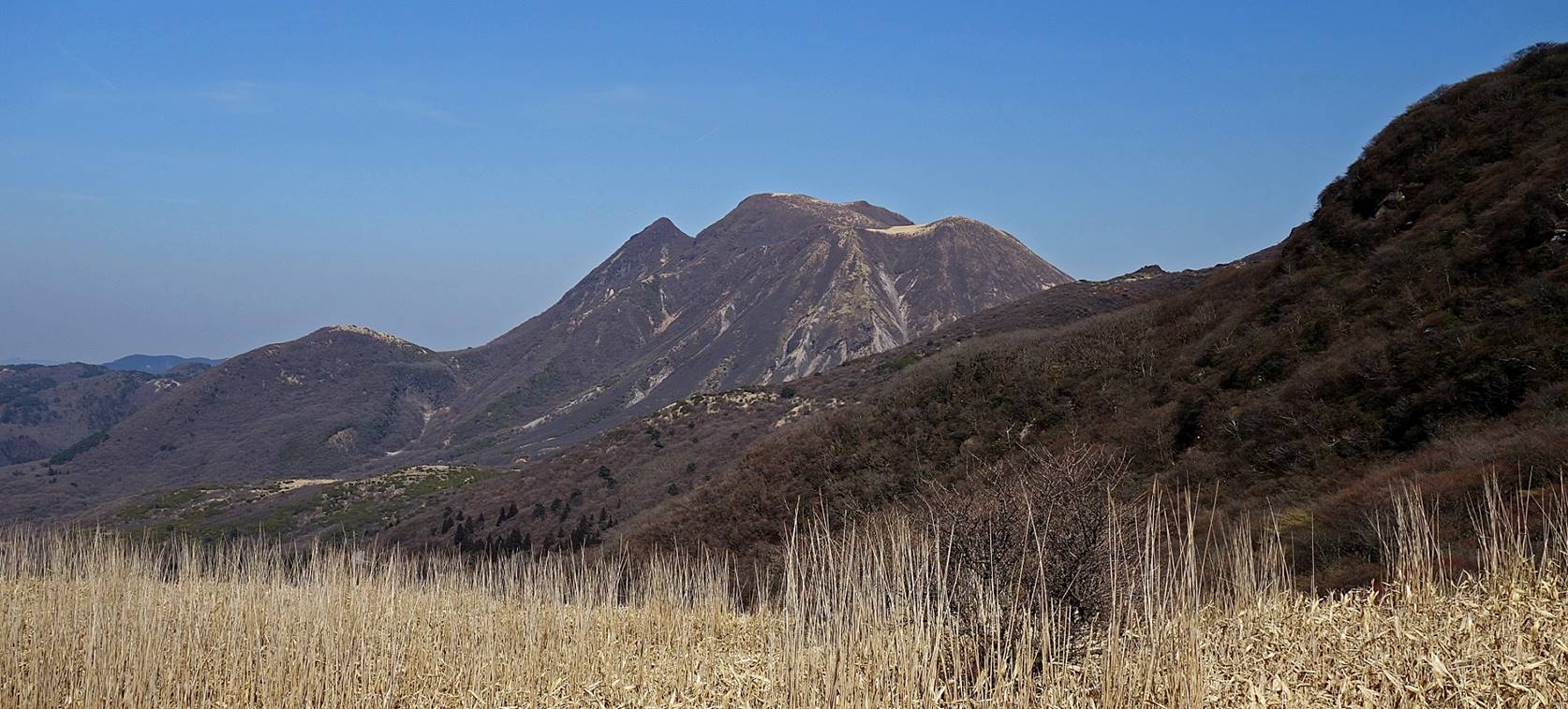
View of Yufu-dake
from the start (a place called Yufu-tozan-guchi).
Left: stele at the start of the hike.
Right: along the trail in the lower part of the ascent.
|
|
|
At that time of the year (early April),
the trail up to the junction north of Iimorigajo (a
smaller volcano) was not very interesting. However, above this junction it
started offering spectacular views, especially over Yufuin.

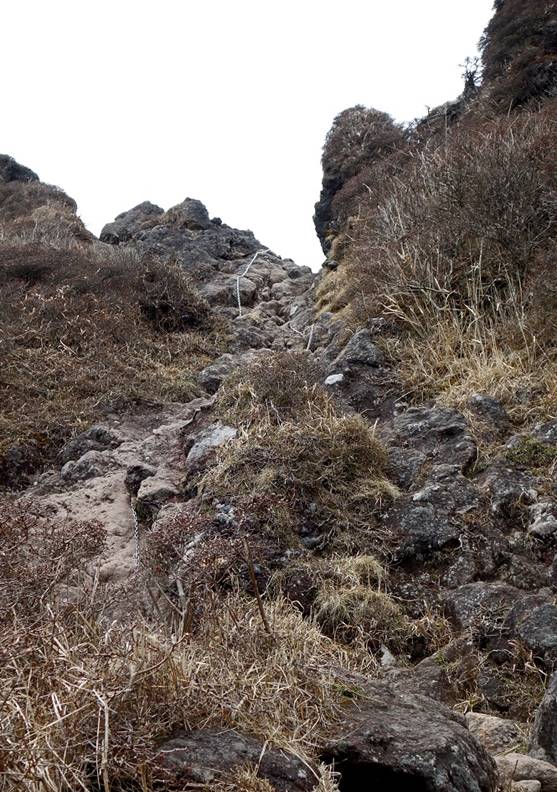
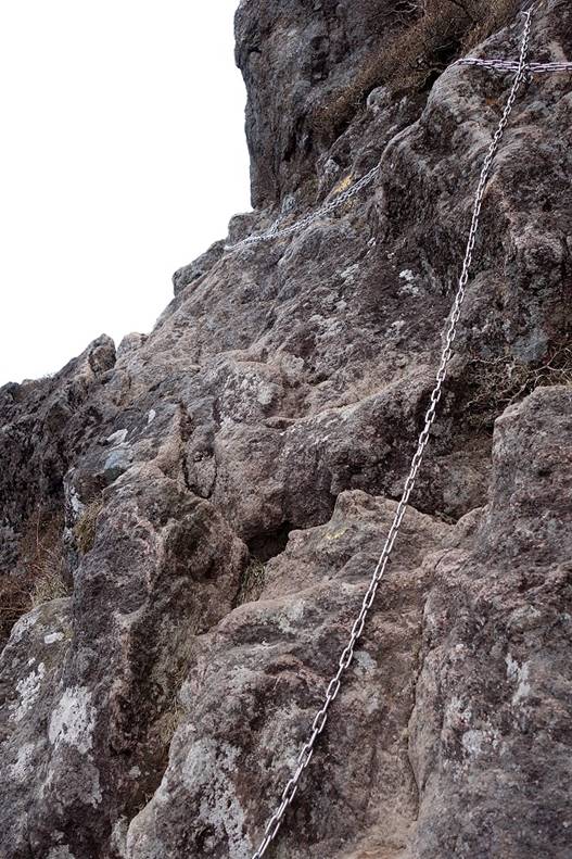
Above the saddle between the two
summits, the path toward Nishi-mine gets rocky with some steep sections
(equipped with chains).
|
|
|
|
View over Higashi-mine (the other
summit) and the trail leading to it.

At Nishi-mine.
The views from Nishi-mine would have
certainly been better on a sunny day, but despite the haze they were still
quite impressive:
- Toward Yufuin.
- Toward the northeast, with the Beppu Bay visible on the right.

- Toward the south, with the Kuju mountain range visible in the
background.
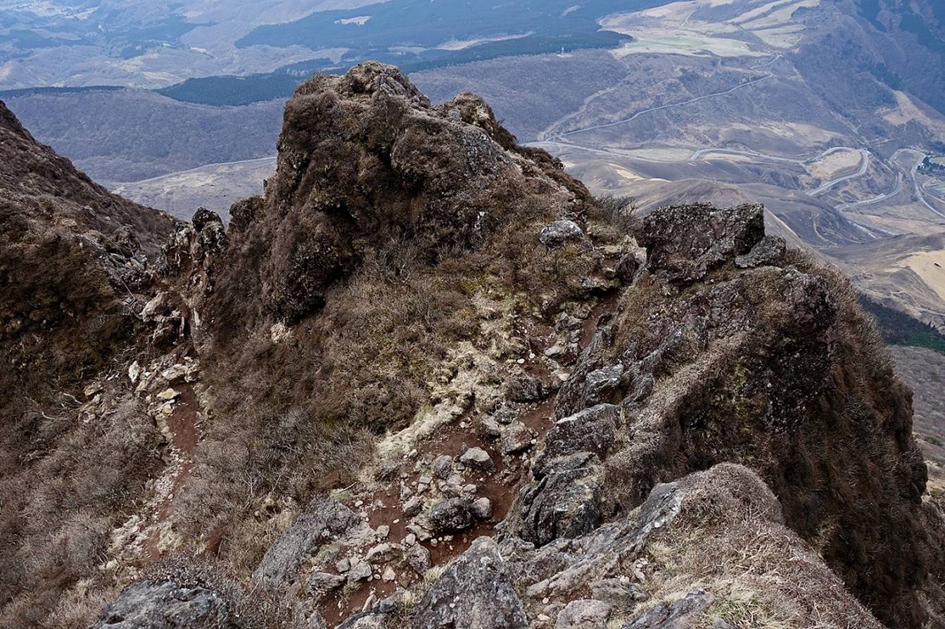
Views of Yuku-dake
near the end of the descent toward Yufuin.
Before reaching Yufuin
the trail crosses a forest that looked as a battle field, probably the result
of recent typhoons.
|
|
|
Picturesque torii
gate of the Tenso-jinja shrine at the southern tip of
the Kinrin-ko lake, a short
walk from the finish of the hike.
|
|
|


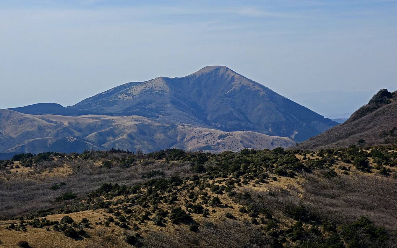
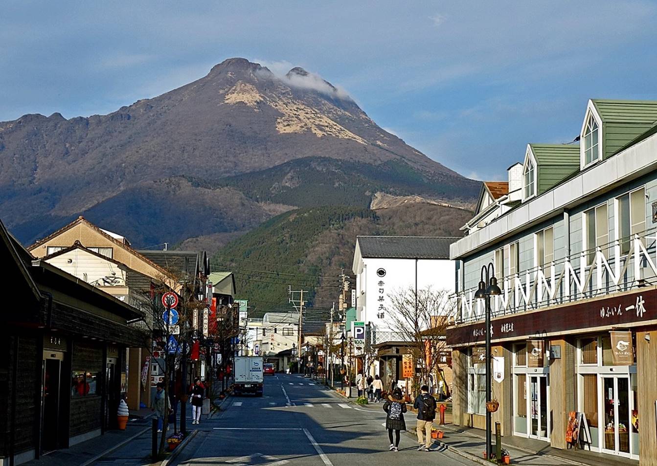
Yufu-dake seen from Yufuin′s
main street later in the afternoon.
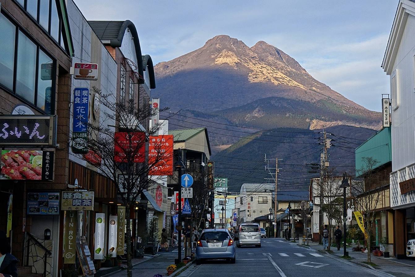
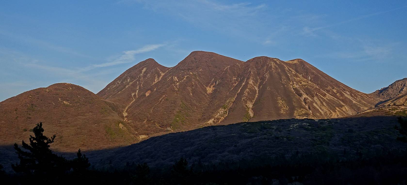
Yufu-dake seen on the next morning from the
southwest (from the balcony of my ryokan).
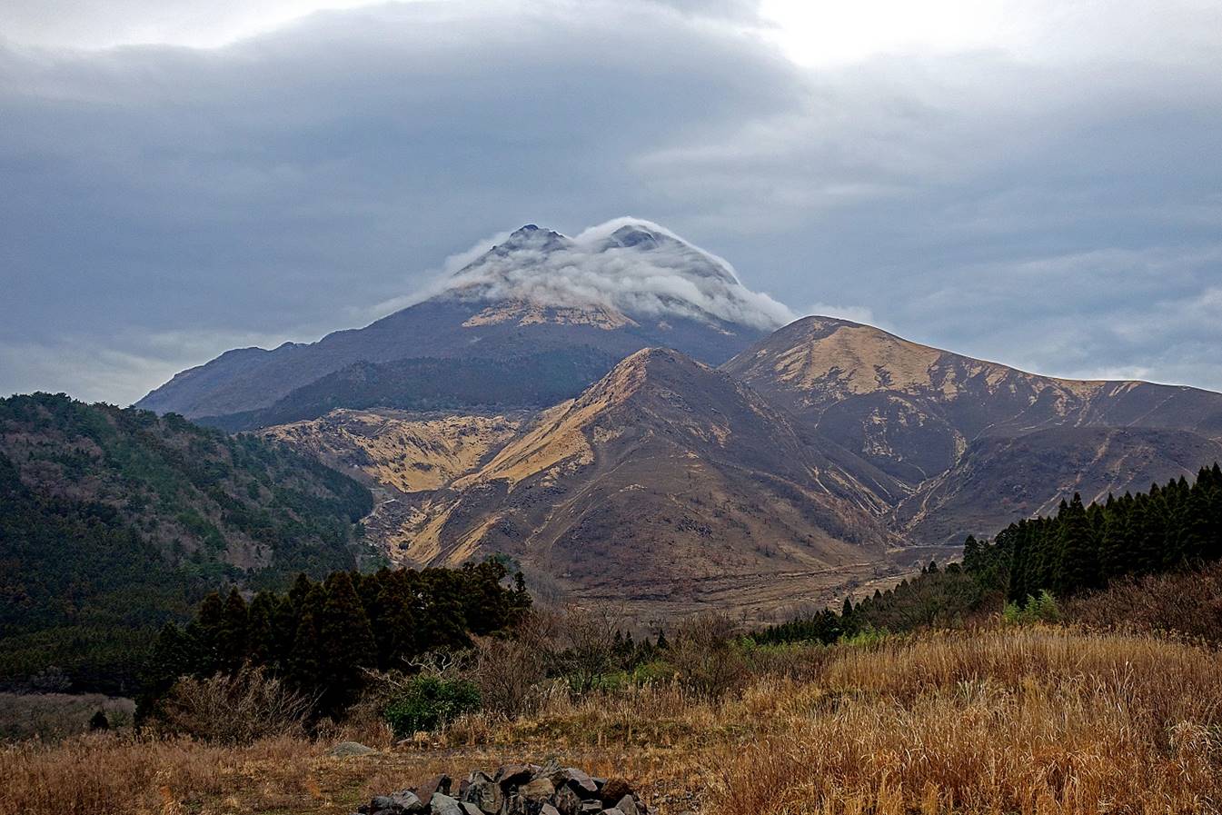
Ancient pilgrimage paths of Hiko-san (April
7):
Hiko-san is a sacred mountain for Shugendo, a religion that evolved in the 7th century by
combining Buddhist, Shinto, and Taoist beliefs and doctrines. A number of
shrines of different sizes are scattered in the mountain and connected by
ancient paths and stairways. An impressive stone path/stairway starting at a
large tori gate, Kane-no-tori, leads to the main Hiko-san
shrine, Hohei-den. Other shrines are smaller, but
often located in picturesque settings. The stone stairway leading to Takasumi-jinja is also quite beautiful. The Hiko mountain includes three
peaks, Minami-dake, Naka-dake,
and Kita-dake.
I did the loop marked in blue dotted
line in the map below, in the counterclockwise direction, with a start and
finish at the Kane-no-tori gate (located near the bus stop from the Hiko railway station). This is a truly wonderful hike.
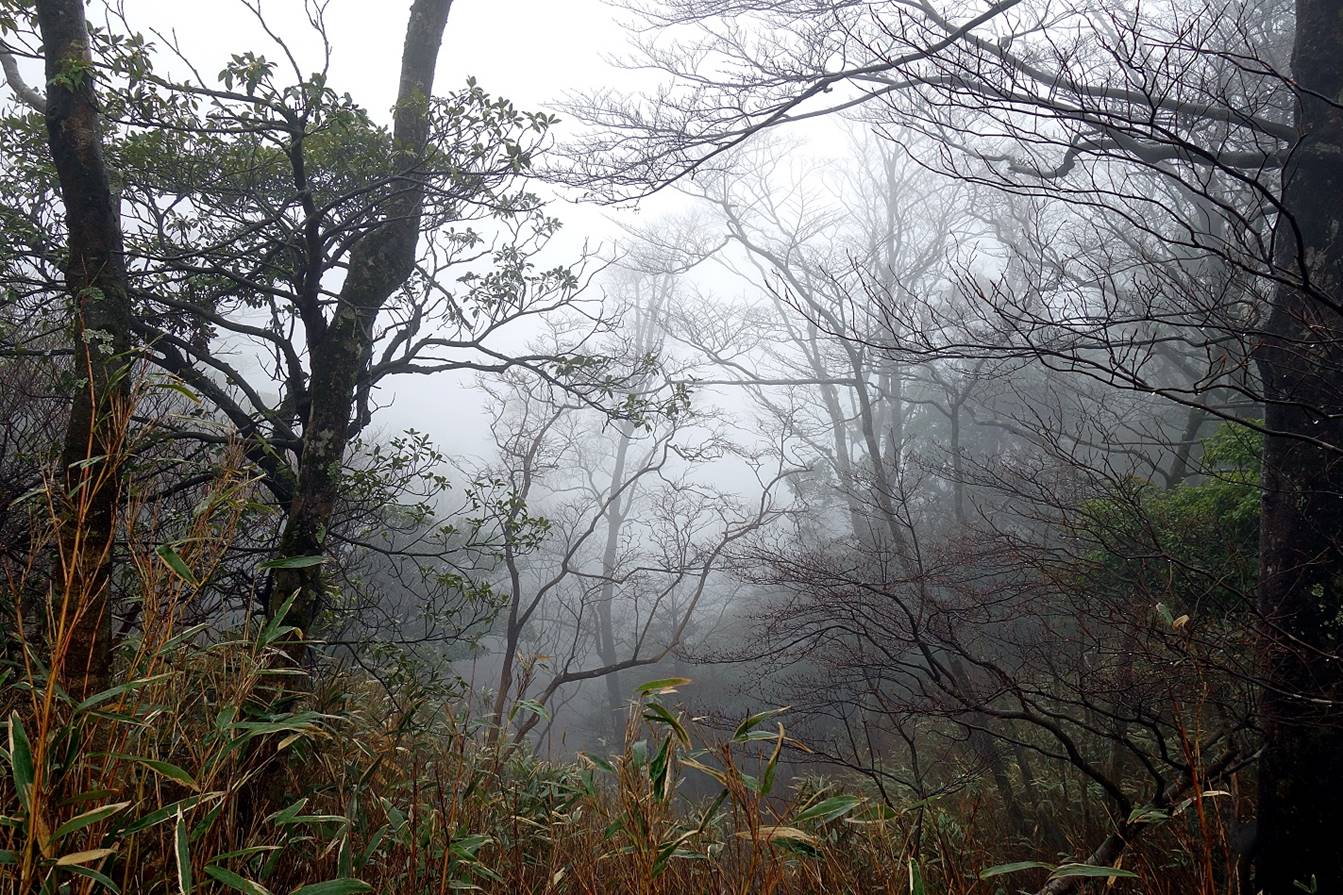
Unfortunately, the weather was bad all day with rain most of the time. After
passing Naka-dake heavy rain and steep slippery
terrain forced me to store my camera in my backpack until I reached Takasumi-jinja. I am sure that I missed great views along
the way.
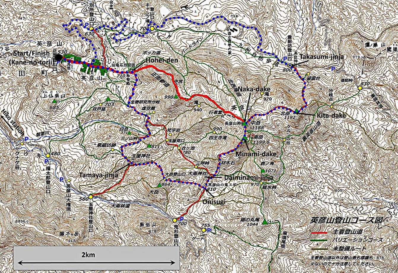
Map of Hiko-san.
The itinerary of the hike is shown in blue dotted line.
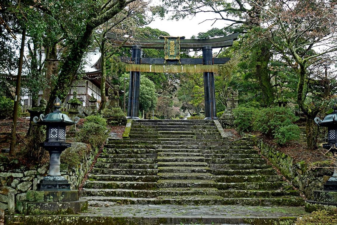
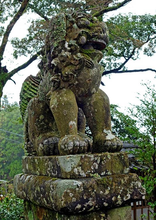
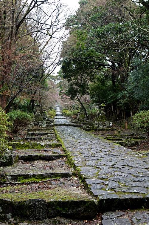
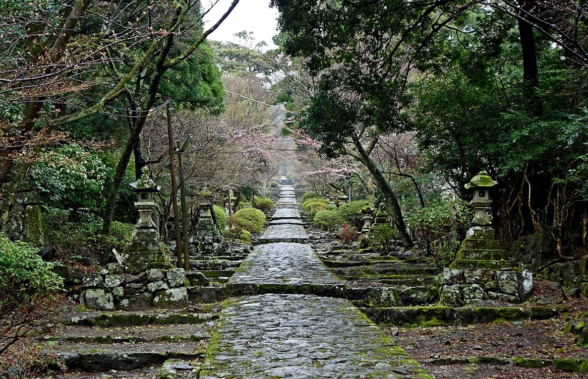
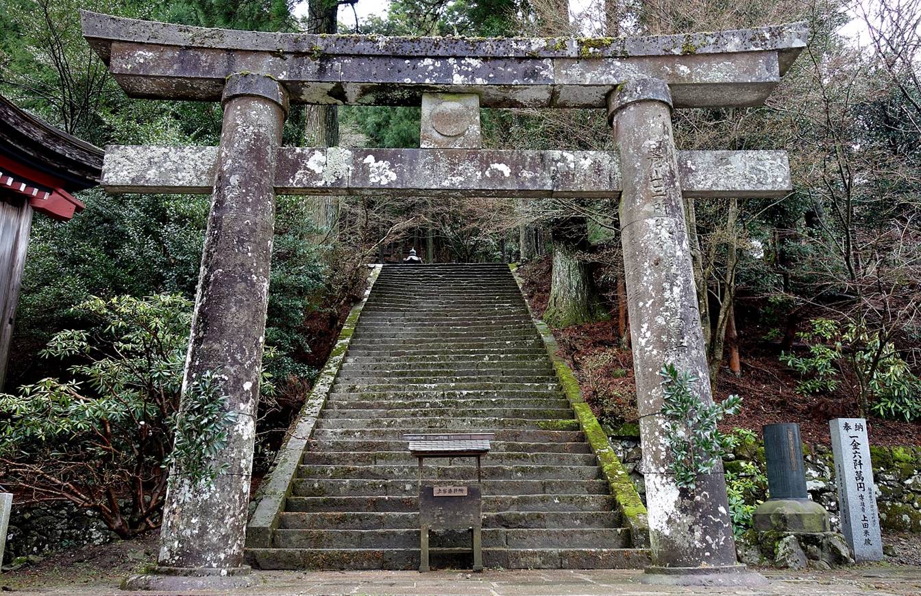
Left: Kane-no-torii,
the bronze torii gate built in 1637 that marks the
start of a long stone path and stairway leading to Hohei-den,
the main shrine of Hiko-san. Right: one of the two
lions guarding the gate.
|
|
|
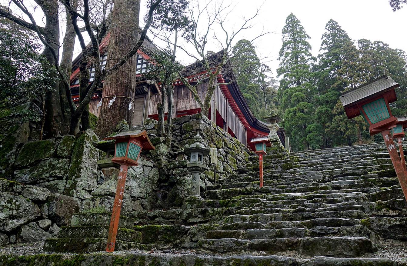
Stone path bordered by ancient stone
lanterns leading to the second gate, about half-way between the first gate and Hohei-den.
|
|
|
Second torii
gate.

Stairs lined with ancient and new
lanterns between the second torii gate and Hohei-den.

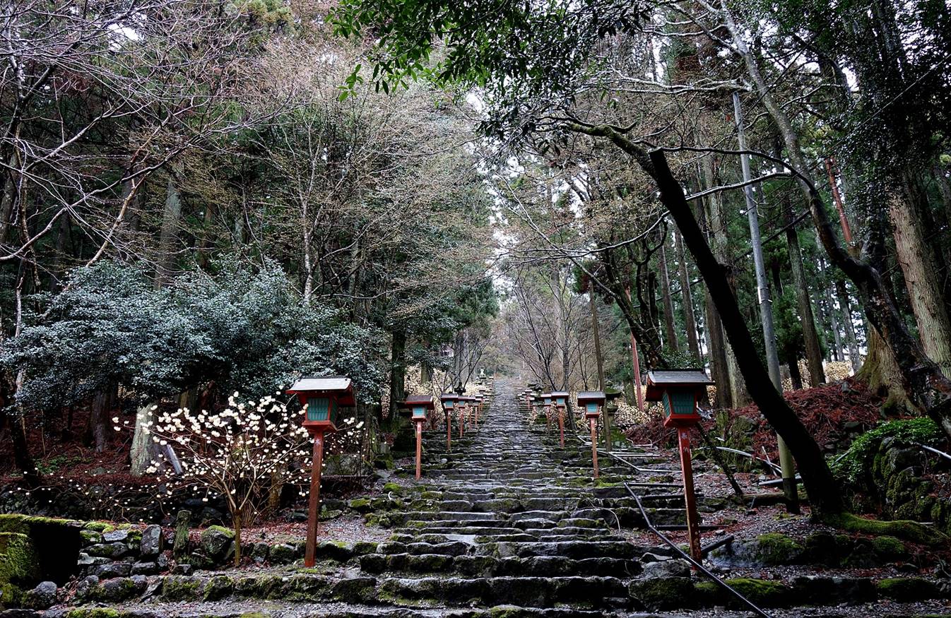
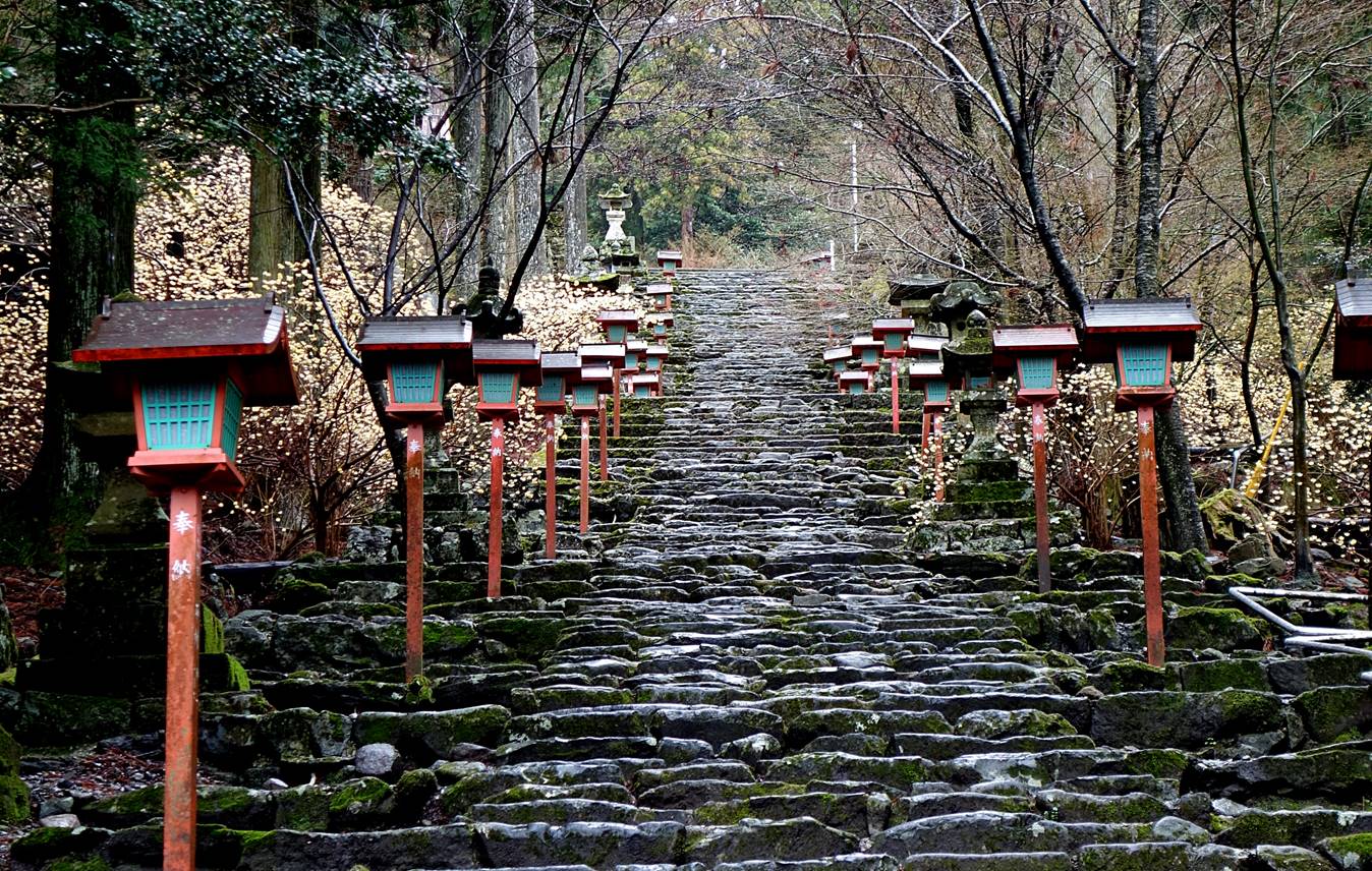
Entrance of a small shrine on the side
of the long stairway just before reaching Hohei-den.

Last push before reaching Hohei-den.
Main building of Hohei-den.
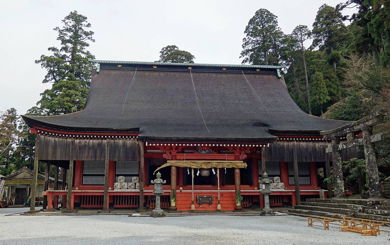

Purification fountain (chozuya) and bell tower (shoro).
|
|
|

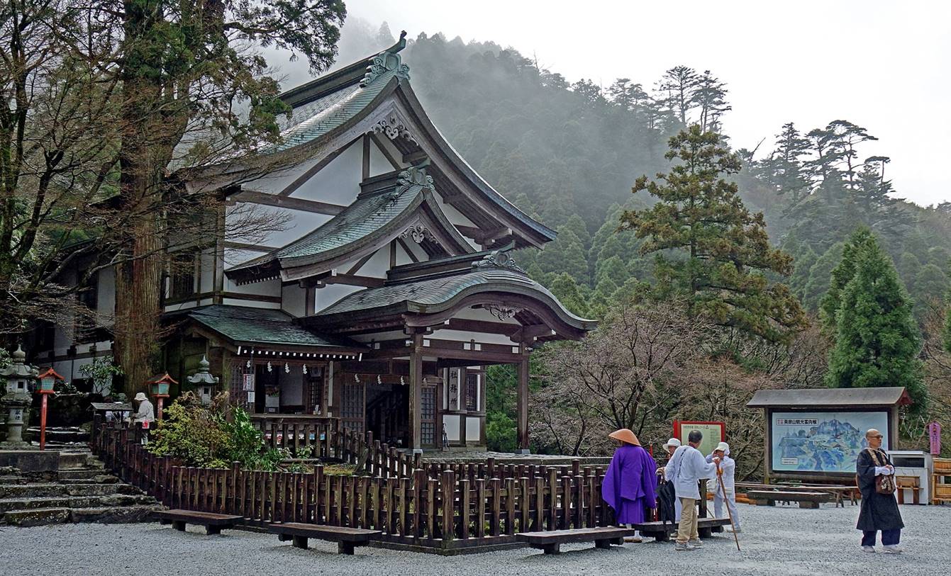
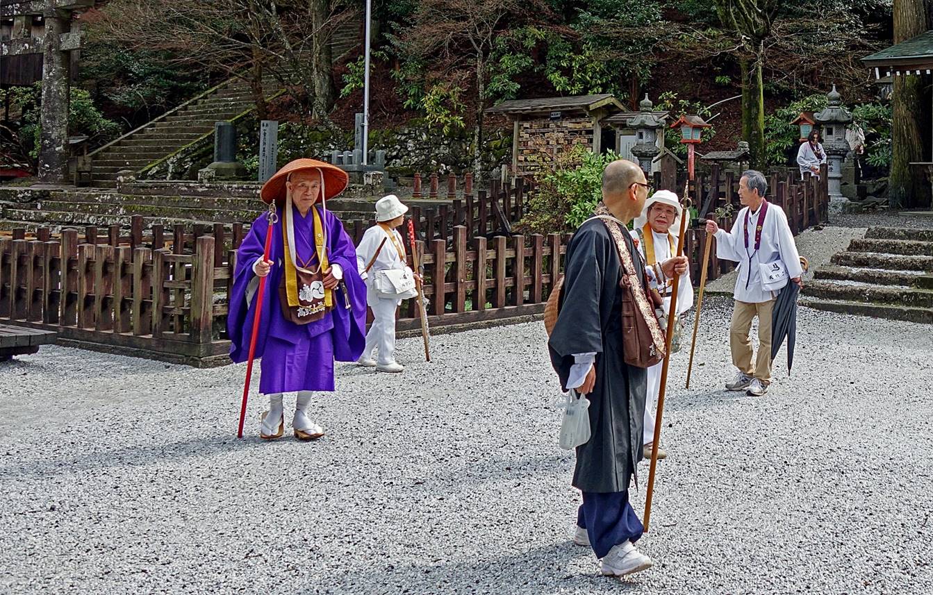
Another building with pilgrims. The
clothes and walking stick of one of the pilgrims are typical of the Yamabushi priests of the Shugendo
sect.
Torii gate marking the entrance of the
direct path to Naka-dake (shown in thick red line in
the map posted above).
Instead, I took a smaller path heading
south from Hohei-den toward Tamaya-jinja
(another shrine).

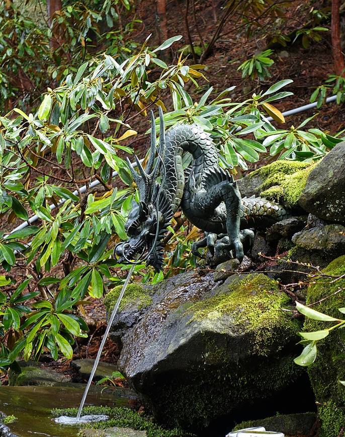
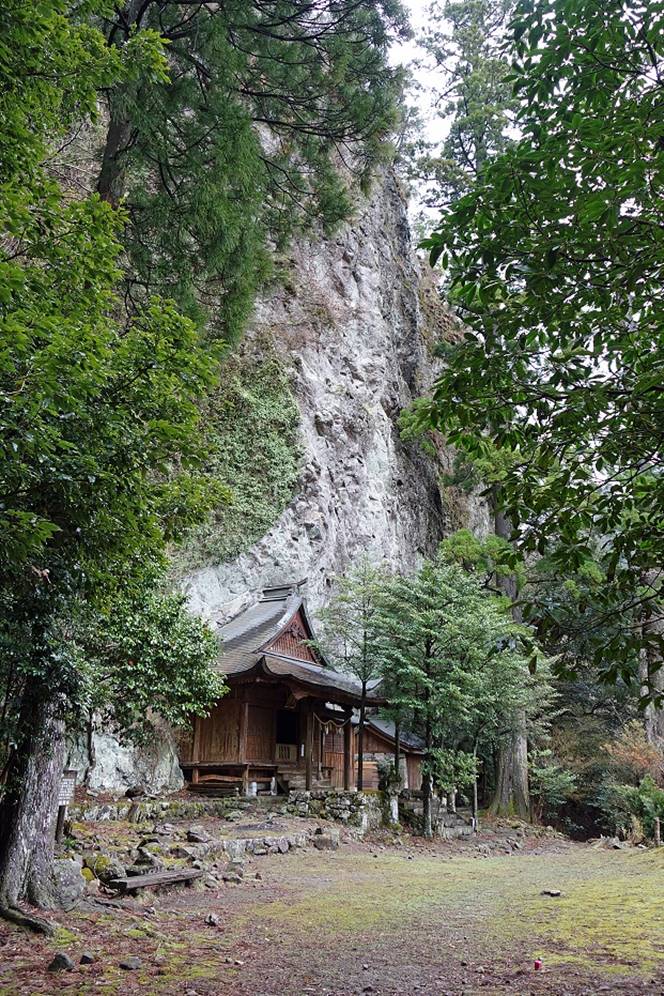
Left: Tamaya-jinja,
a pretty small shrine set at the base of a cliff. Right: A small pool of sacred
water filled by droplets dripping from a grotto located on the right of the
shrine.
|
|
|

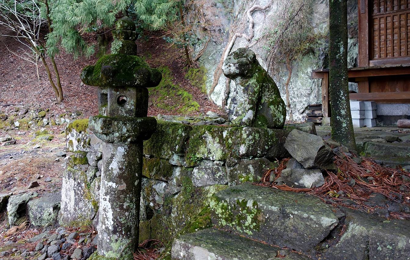
Old lantern and lion statue guarding the
entrance of the shrine.
View from the shrine over the forest.
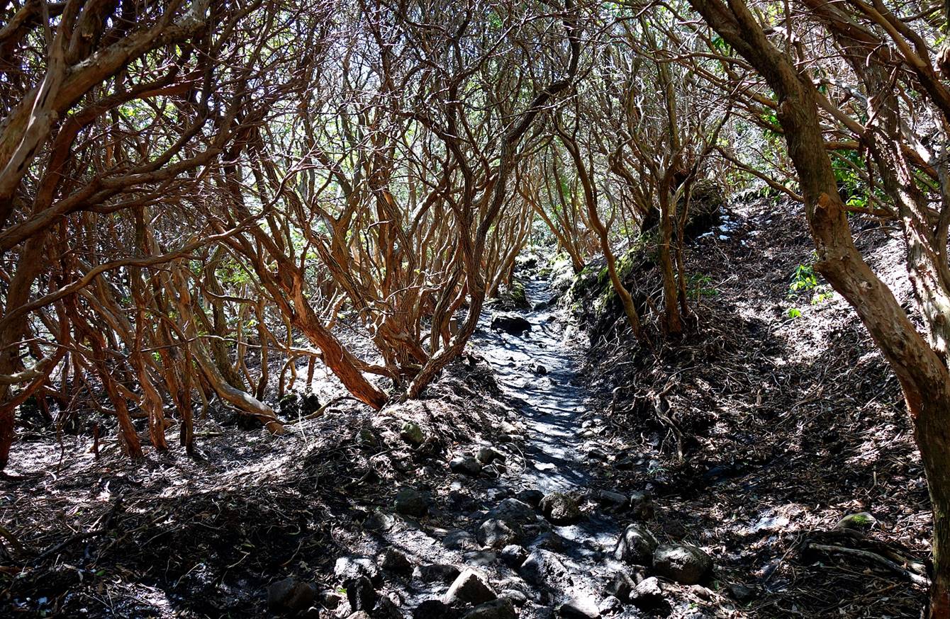
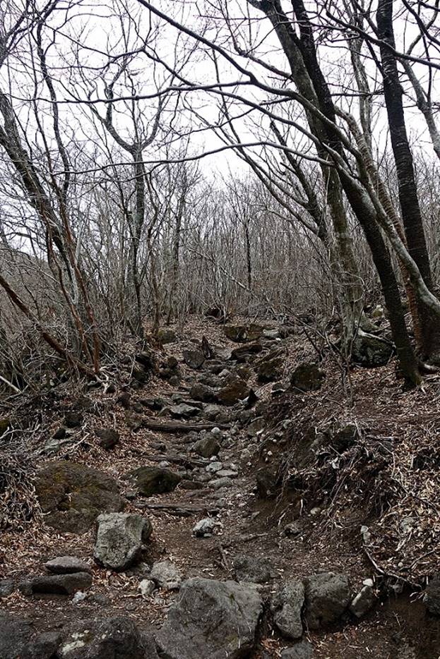
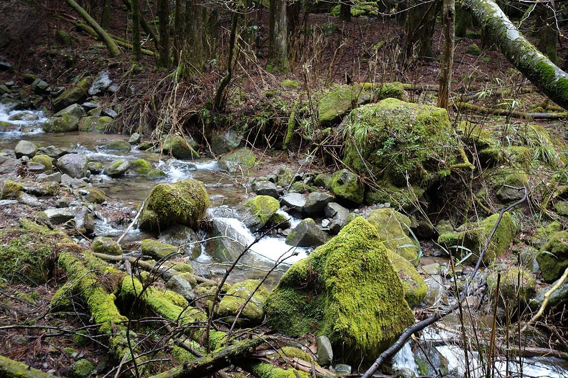
Along the trail between Tamaya-jinja and Onisugi.
|
|
|
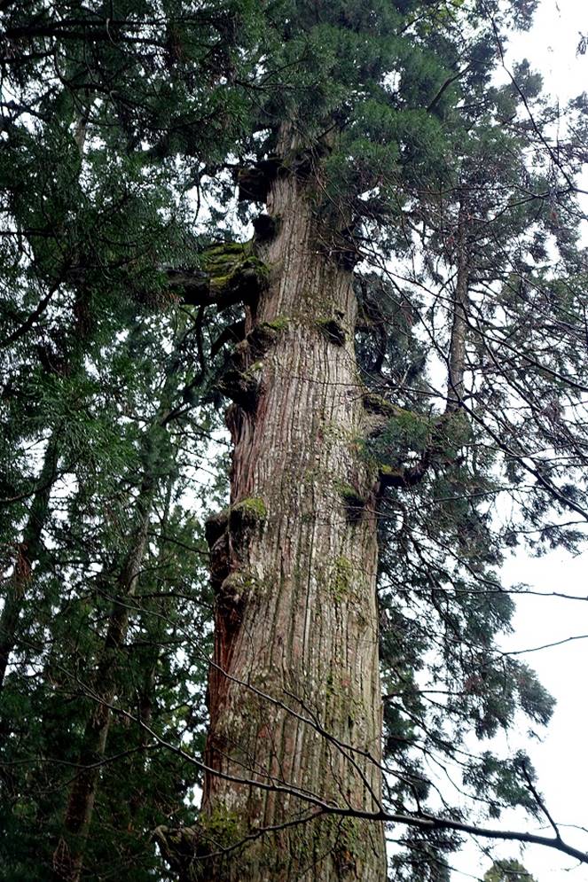
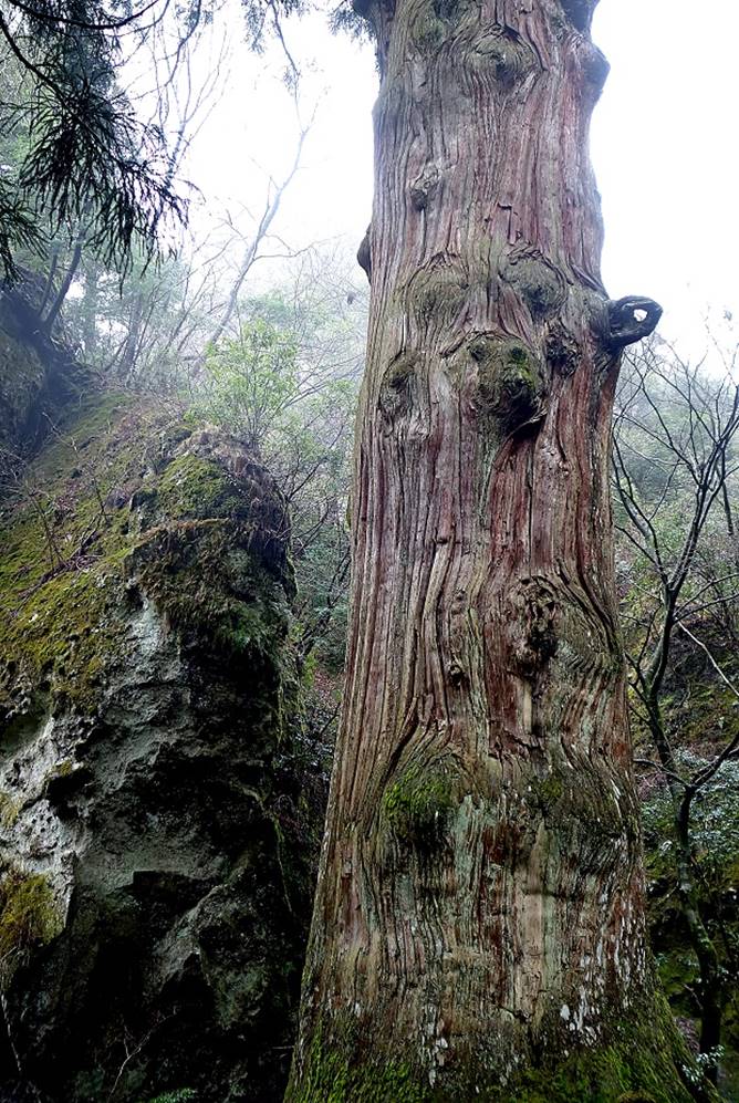
Onisugi, a Japanese cedar that has been growing
since the 8th century. It is 38m high and 12.4m in circumference at the base.
It has been selected as a ″National Natural Treasure″ of Japan.
|
|
|
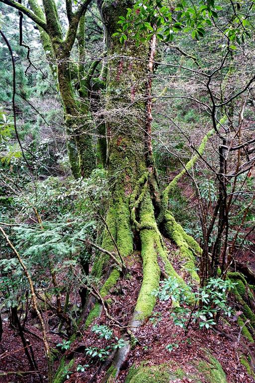
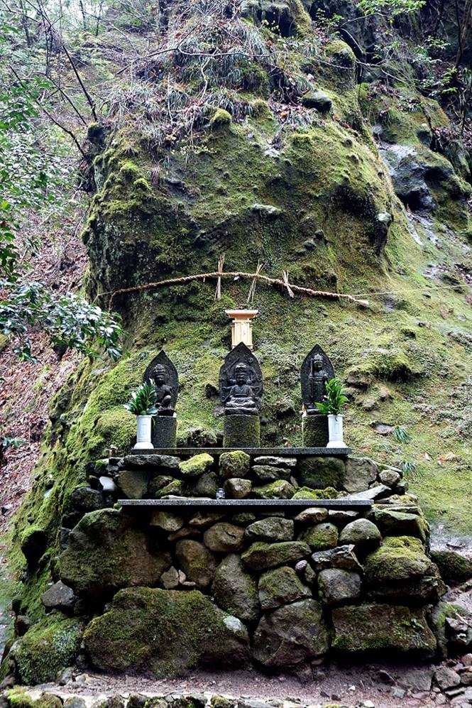
Left: Small shrine near Onisugi. Right: Daiminami-jinja,
another shrine built on a precarious slope below a cliff, 200m from the main
trail.
|
|
|
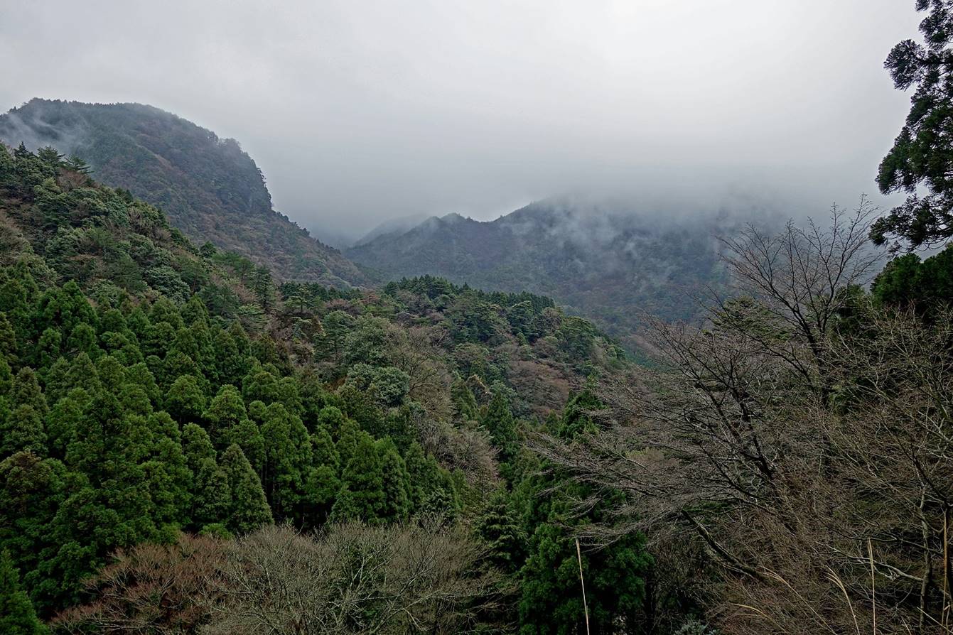
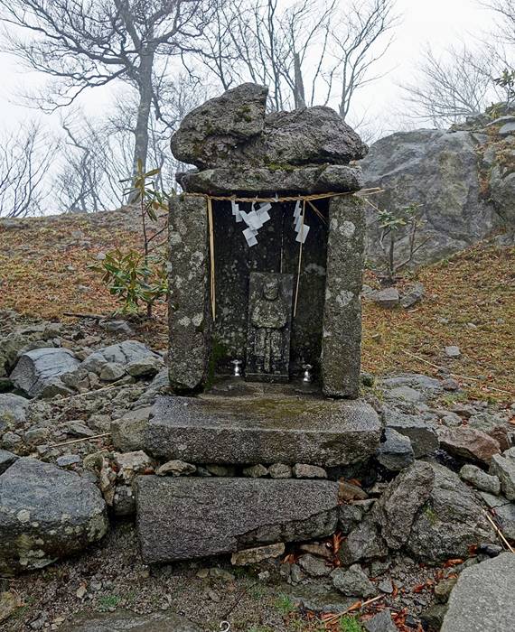
In the mist below Naka-dake.
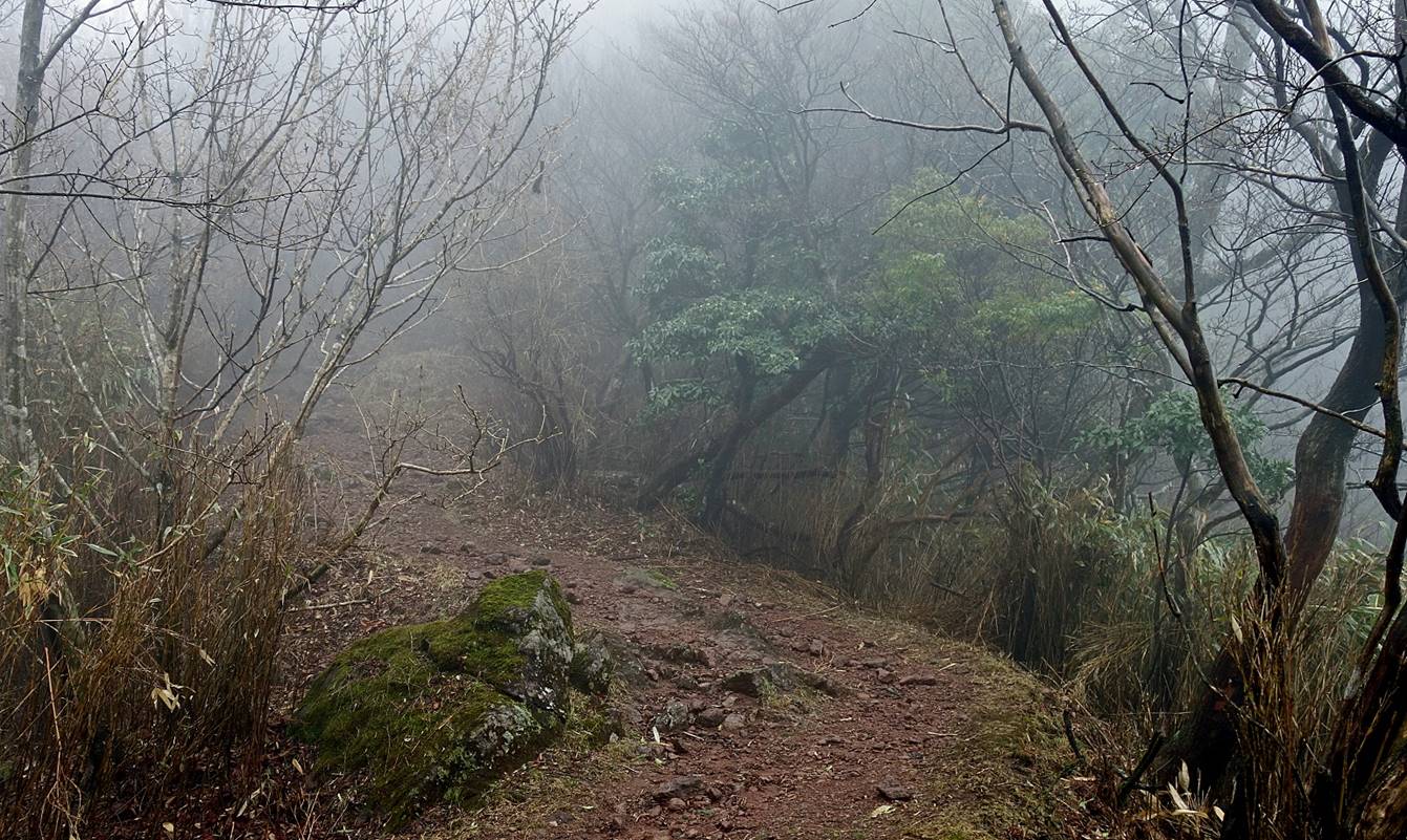
Two small shrines near the summit of
Naka-dake.
|
|
|

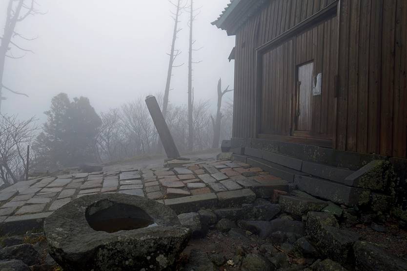
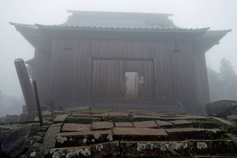
Upper shrine of Hiko-san
(first built in 740 and reconstructed in 1845) sitting on top of Naka-dake.
|
|
|
The heaviest rain of the day started
pouring down just as I left the summit of Naka-dake,
and lasted for several hours. Despite my rain gear, by the time I reached the
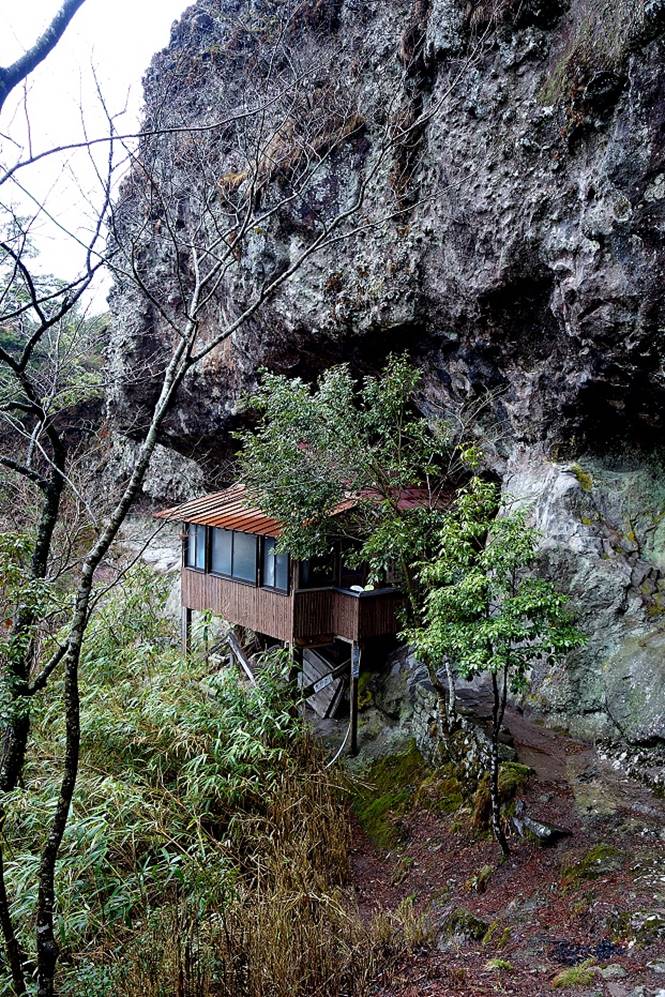
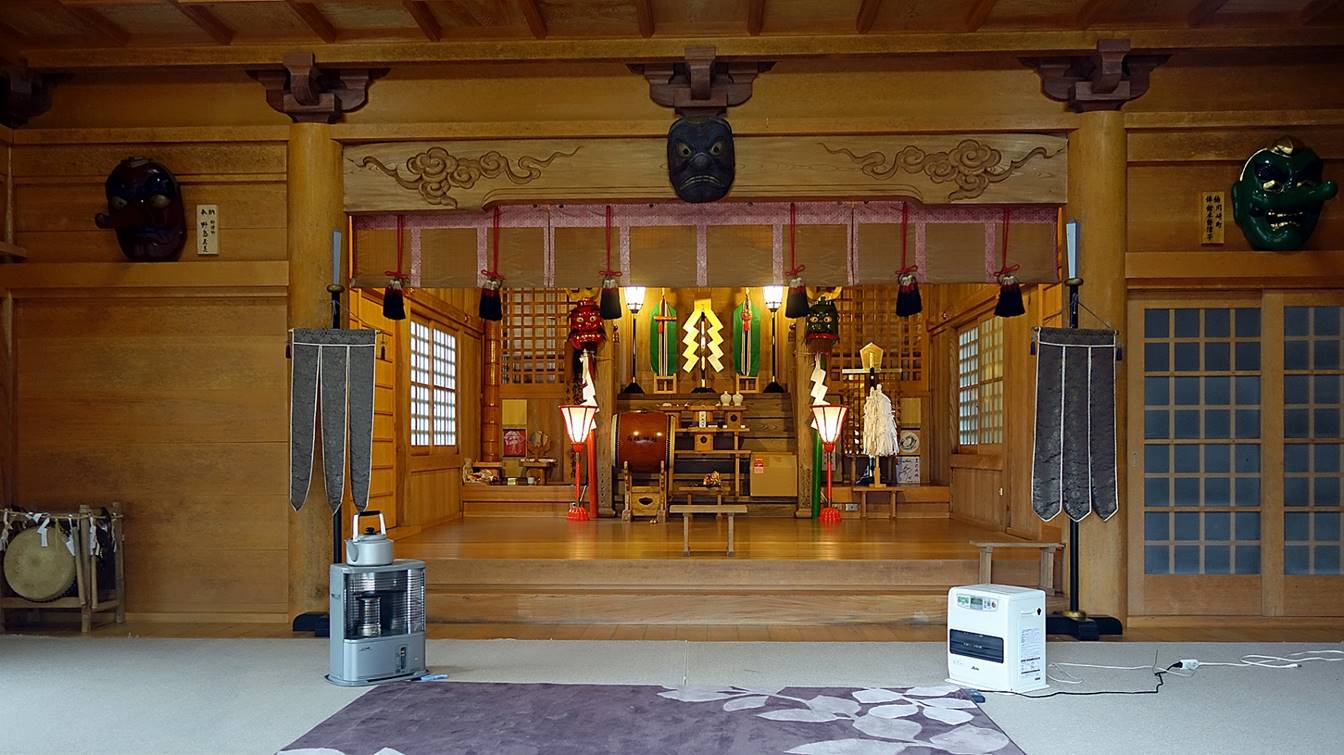
next shrine, Takasumi-jinja, I was soaked to the
bone. Fortunately, the room inside the shrine was surprisingly modern and dry
(thanks to electrical heating/drying equipment). In fact, the style of the room
was at odds with everything else I have seen on Hikko-san.
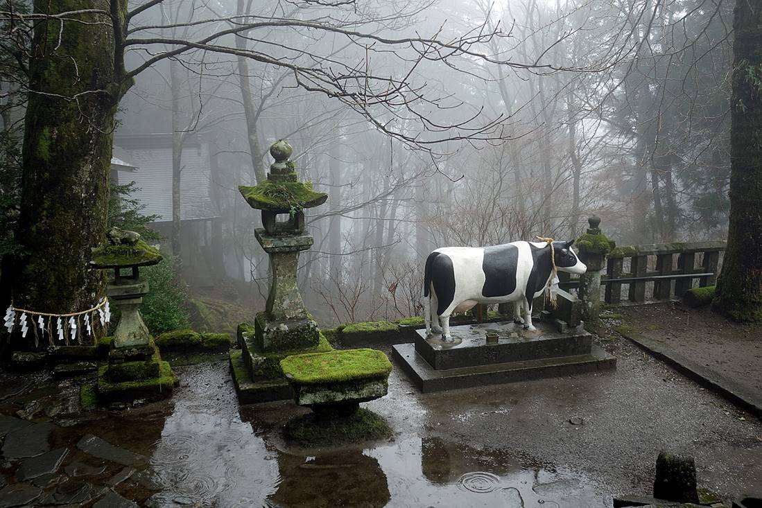
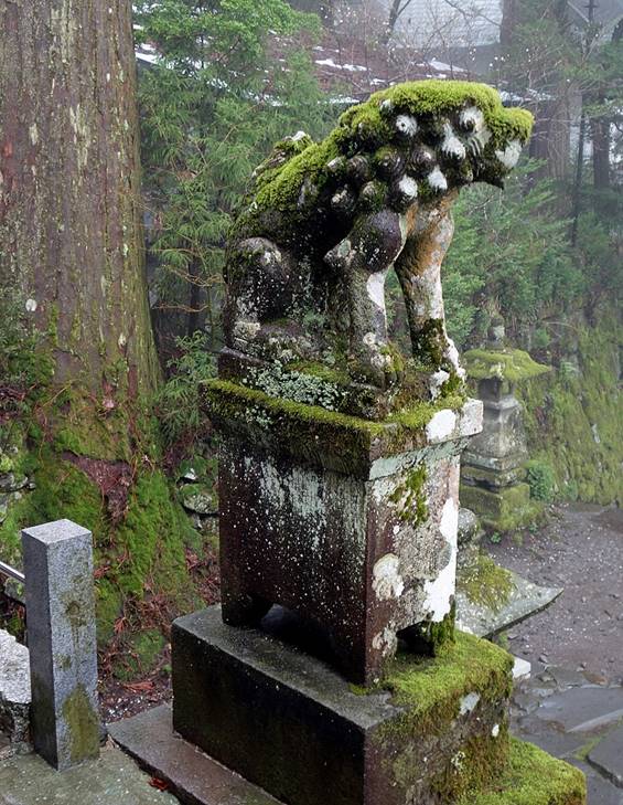
Lanterns, cow, and lion below Takasumi-jinja.
|
|
|
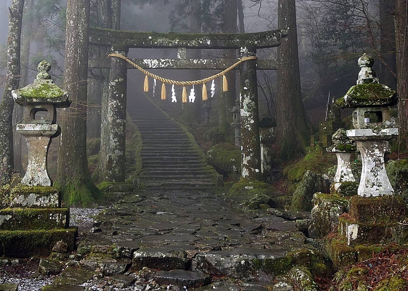
The stairway leading to Takasumi-jinja.

The torii gate marking
the entrance of the stairway leading to Takasumi-jinja.
![]()