Morocco (February 2020): (2/3) Days 2, 3, and 4 of trek
![]()
Return to main Morocco 2020 webpage
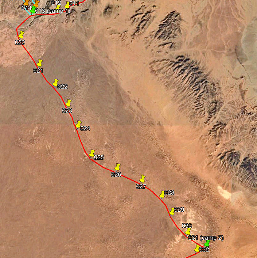
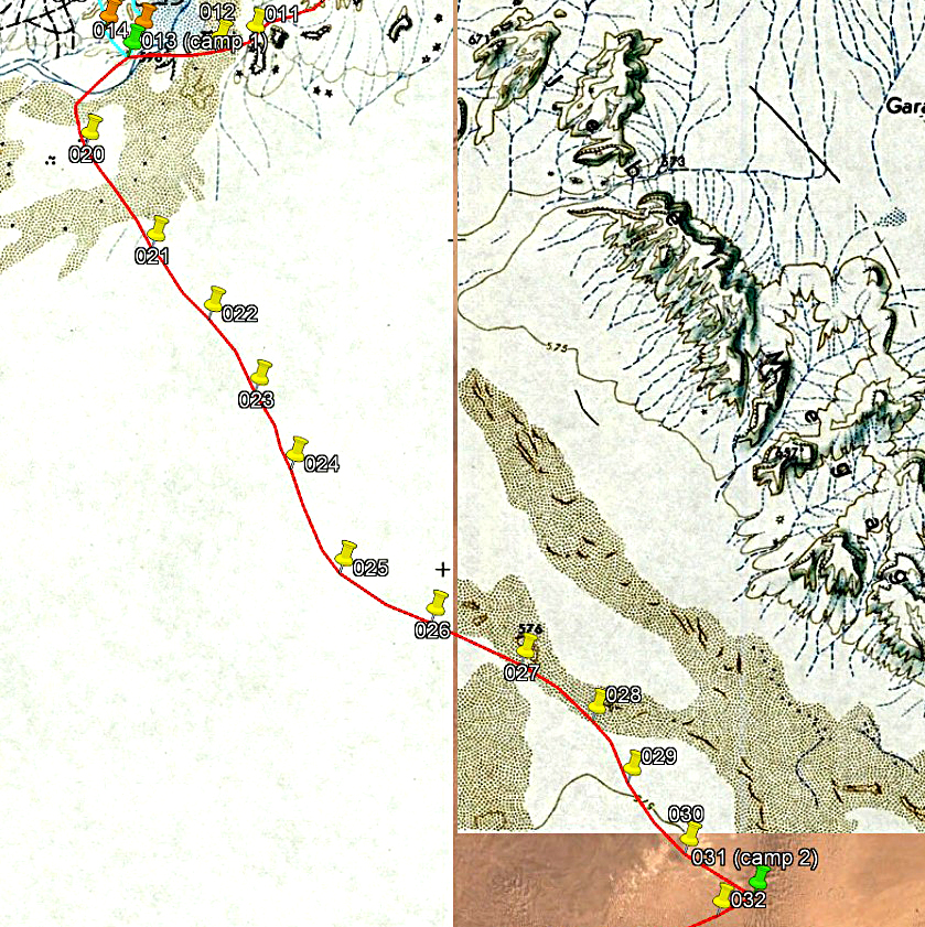
Day 2 of trek (from waypoint 013 to waypoint
031, 17.5km):
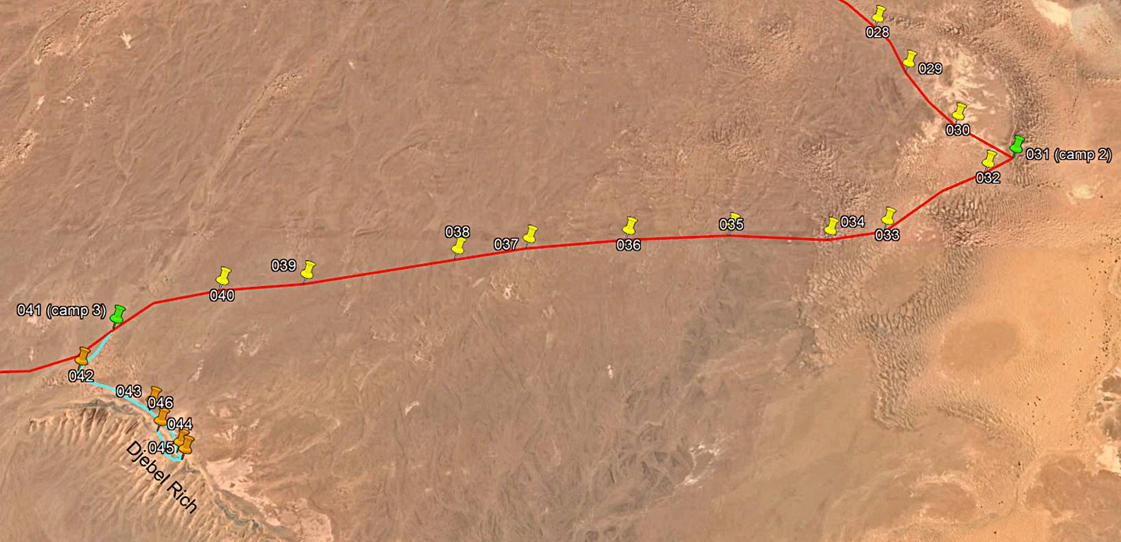
Path
followed on Day 2 (red line).
[Reminder: To access the GPS-recorded
waypoints first click here
to download the morocco-2020.kmz file and then open this file in Google Earth.]
|
|
|
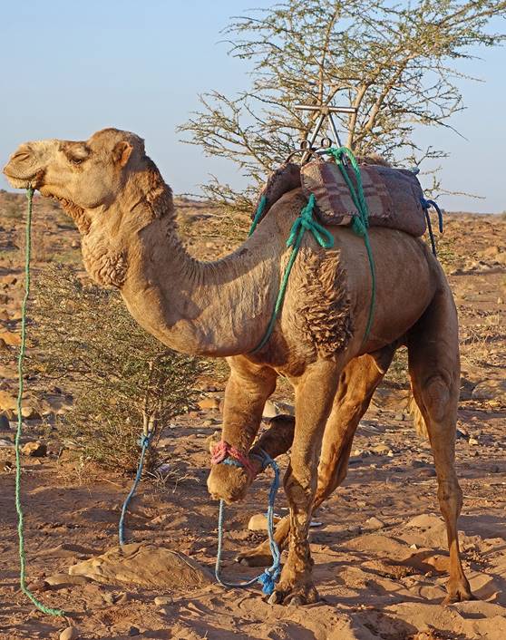
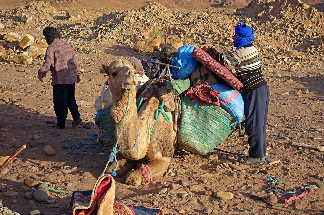
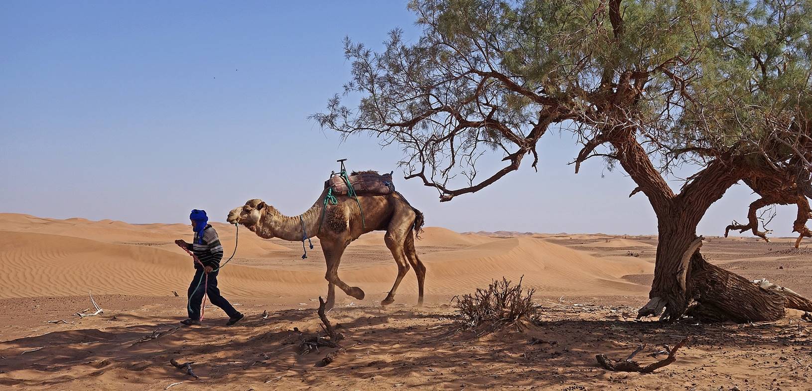
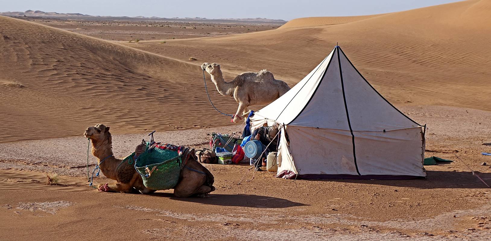
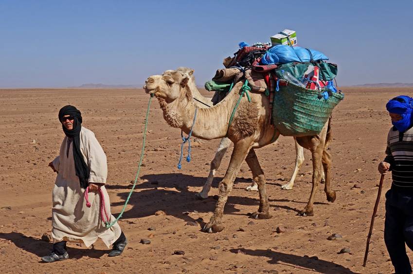
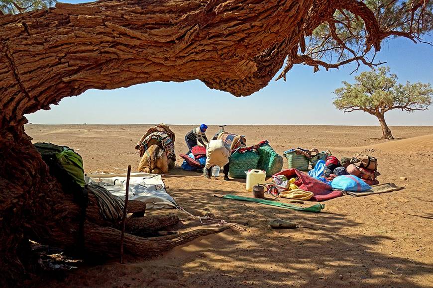
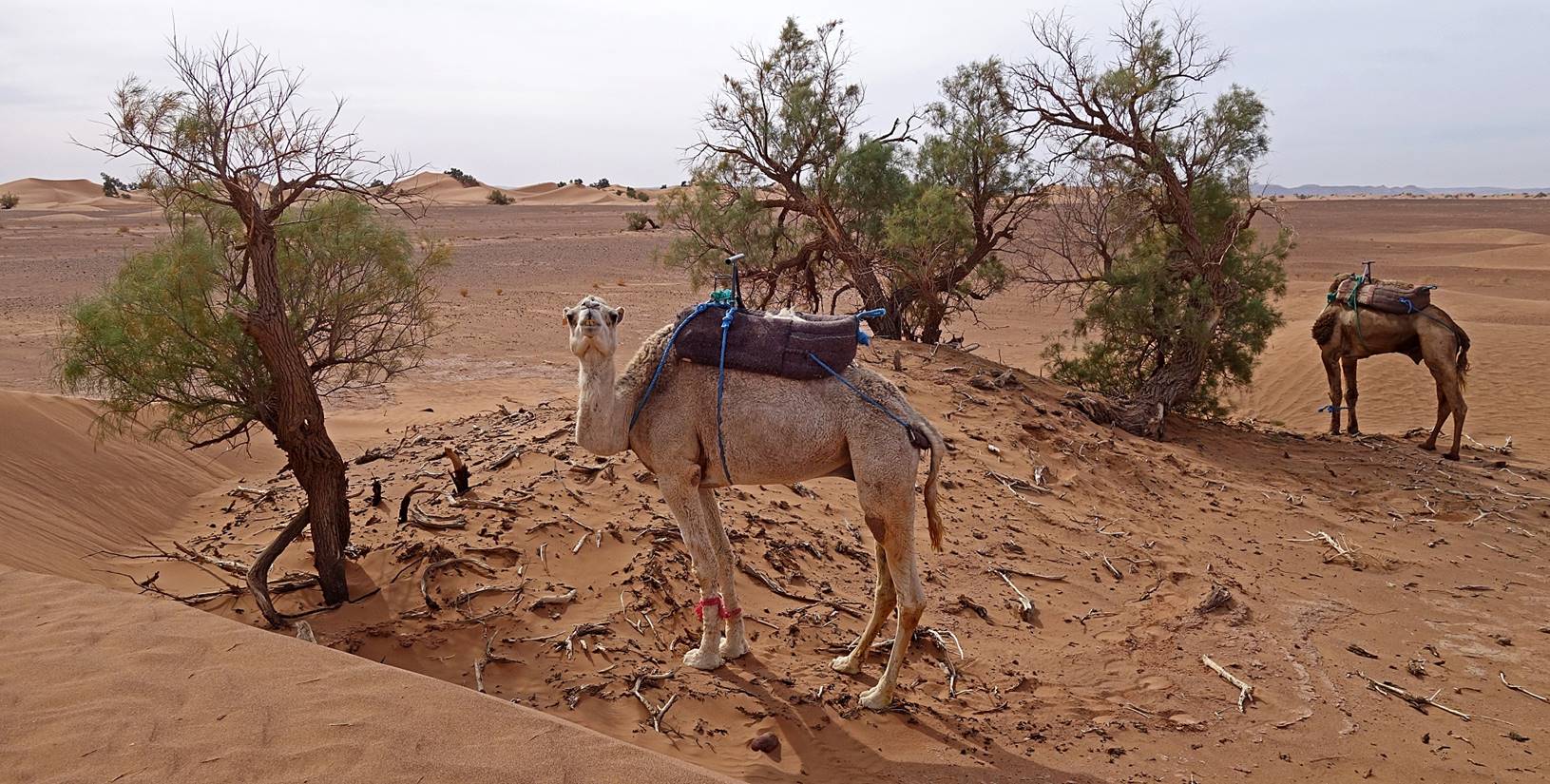
Left: One of our
dromedaries enjoying the morning sun at camp 1. Right: Bada
and Hada loading that same dromedary.
[Bada and Hada were very careful that the dromedaries would not run
away during lunch stops and at camps, as it would then be almost impossible to
retrieve them. One of their techniques was to bend and strap with a rope one or
two of the front knees (as in the photos below). Another was to attach together
the lower parts of the front legs with a short rope. In addition, at night they
tethered the dromedaries to a metallic stake driven deep into the ground.]
|
|
|
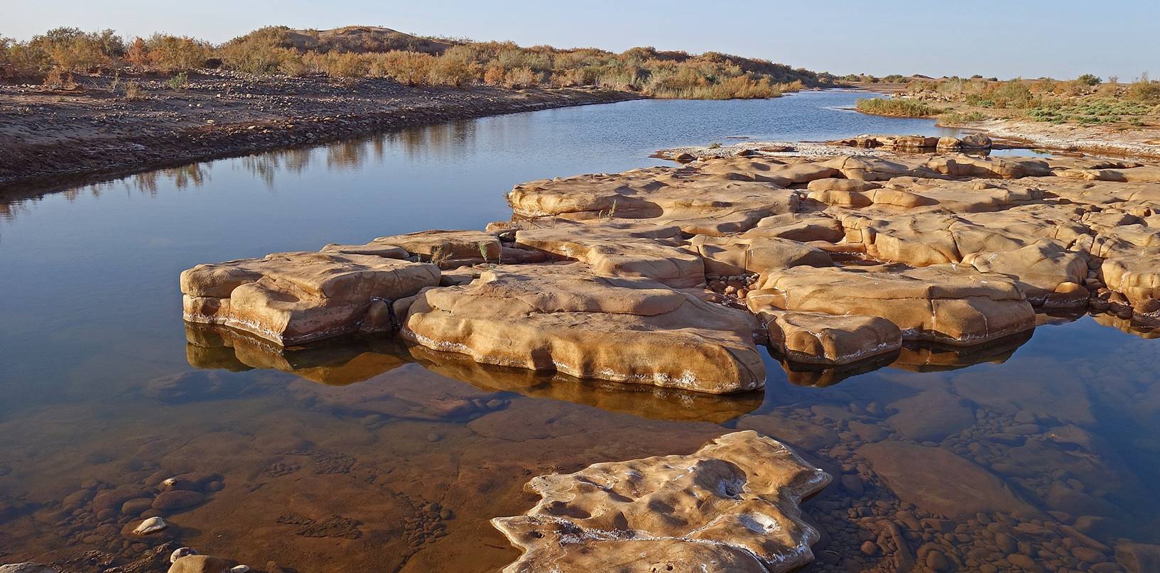
Throughout
most of this Day 2 we headed south. We first crossed the riverbed of Oued Draa in reverse.
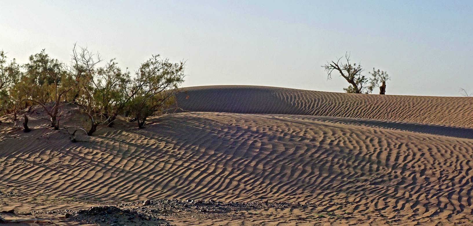
Shadow
pattern in the sand in the early morning.
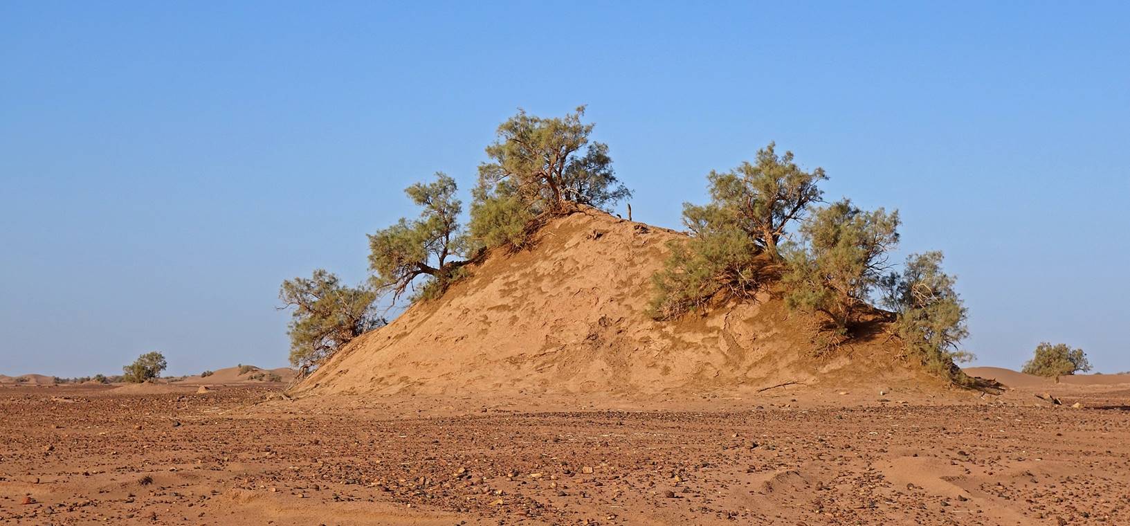
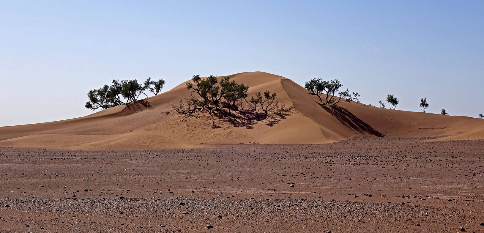
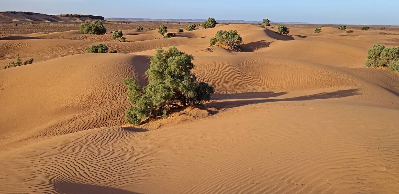
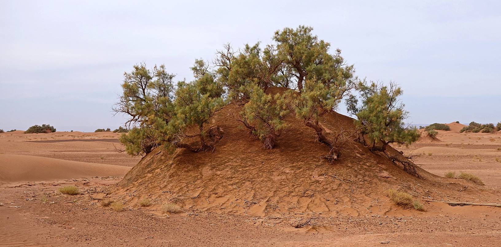
Mound of sand created
by tamarind trees. As a tamarind tree grows bigger, it retains more and more
sand brought by the wind. The tree and the mound keep growing together, until
the roots of the tree are not long enough to reach the underlying ground. Then
the tree dies and the mound is progressively blown away by the wind. In the
photo below, several mounds may have merged over time to form a bigger one.
[These tamarind mounds are similar to
those I saw during a desert trip near Kerman in southern Iran. See here.]
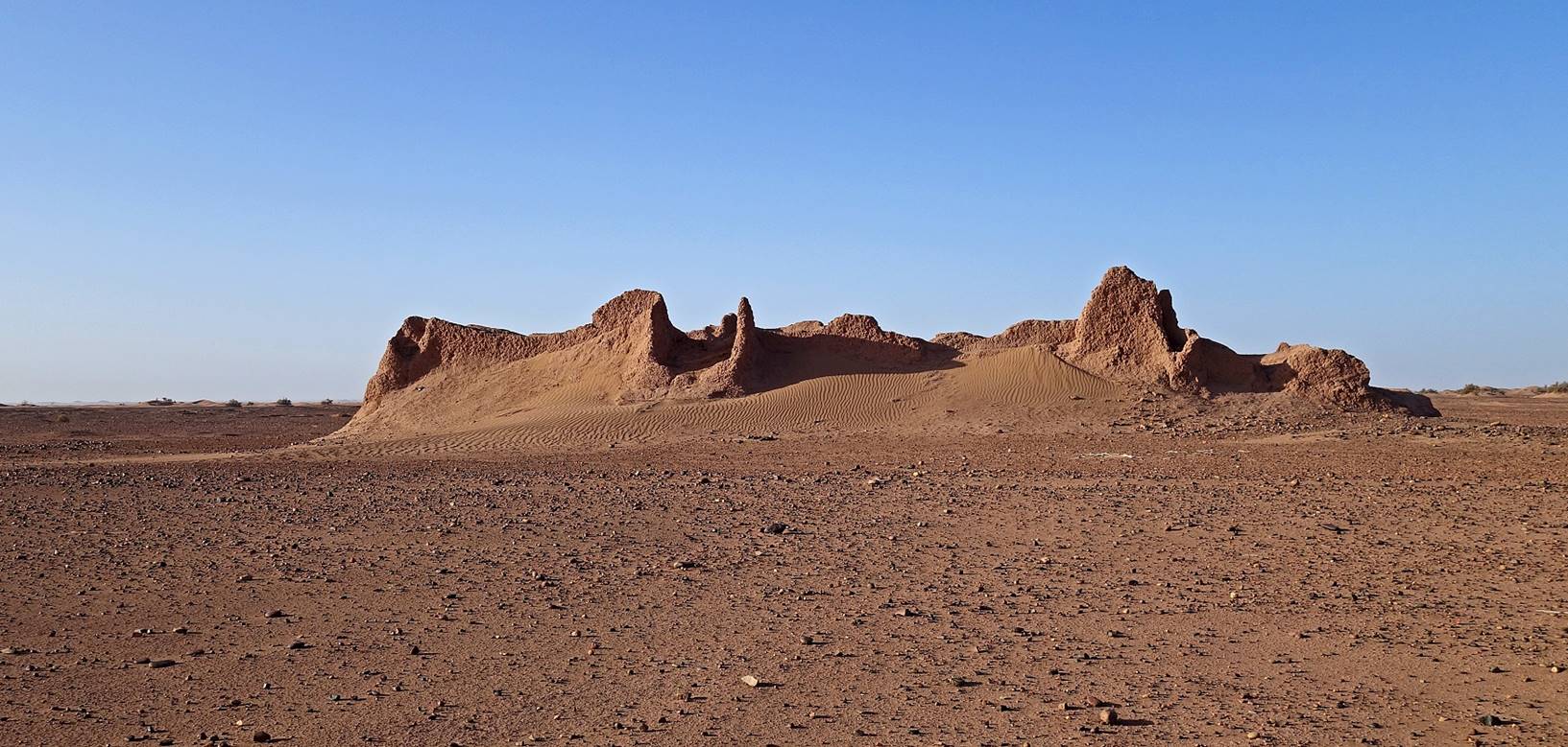
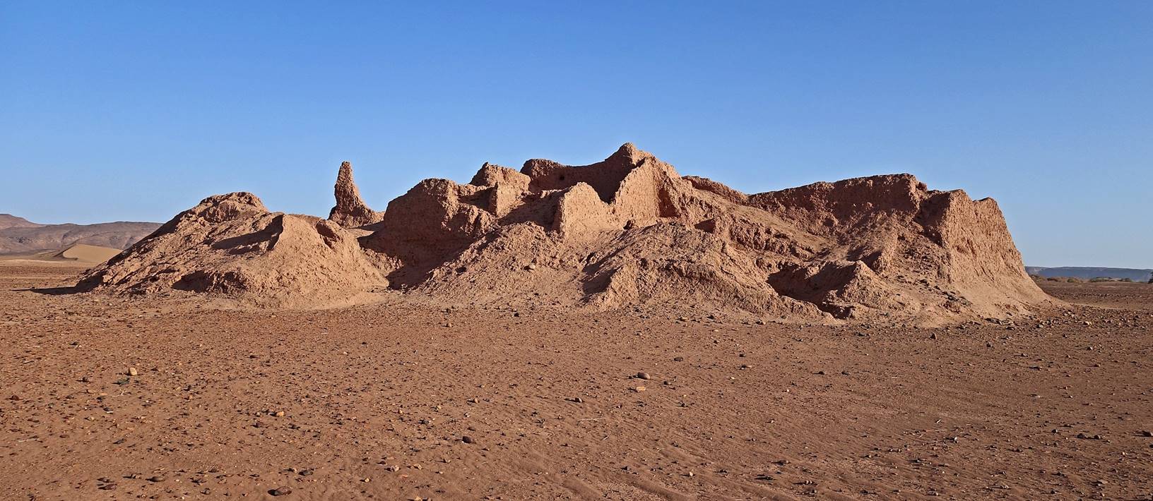
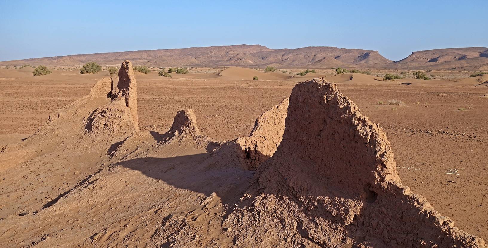
Soon we reached the
decaying ruin of a large adobe building (waypoint 020). Bada
told us that a long time ago the area had been home to several Jewish villages,
but that one summer many people died of a mosquito-borne disease due to the
proximity of Oued Draa,
causing the surviving population to move elsewhere. The structure (perhaps a
granary) shown in the three photos below was probably bigger and stronger than
the surrounding houses and therefore have stood up longer.
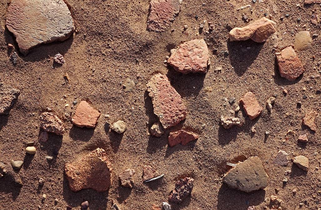
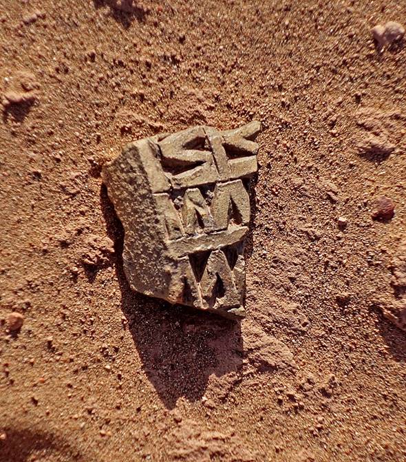
Broken
pottery on the ground in the area around the building.
|
|
|
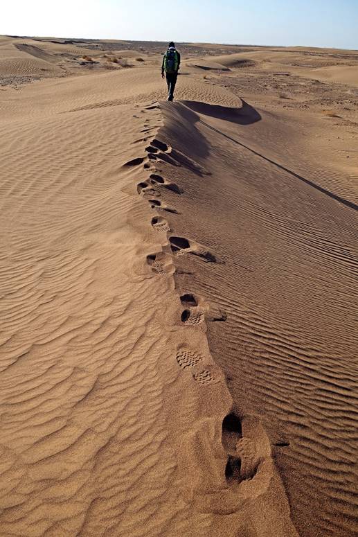
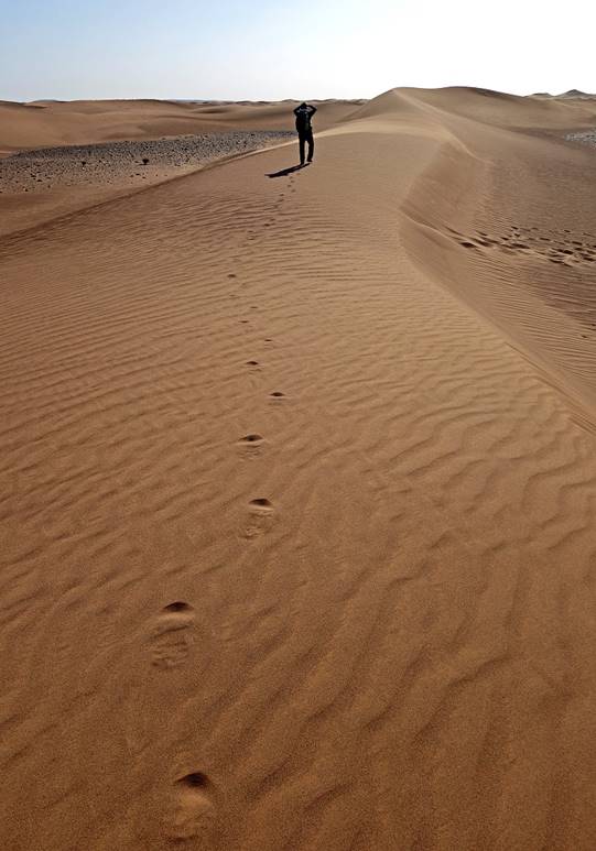
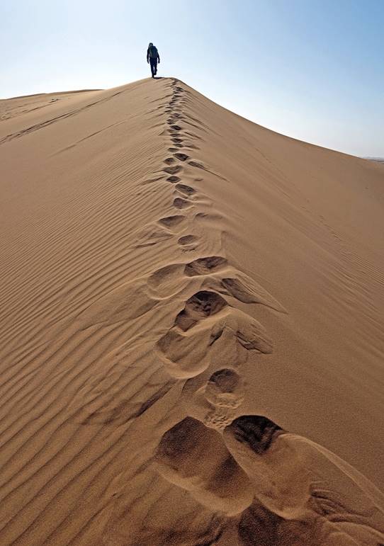
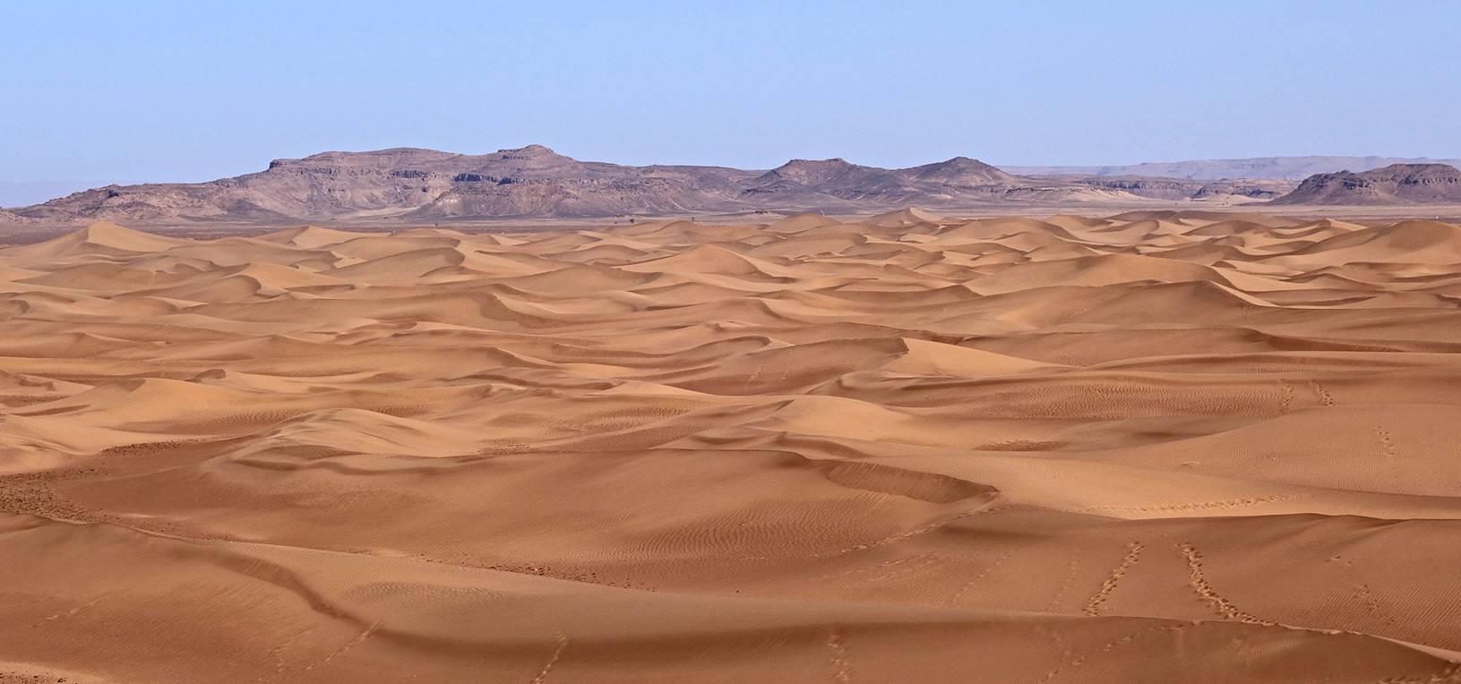
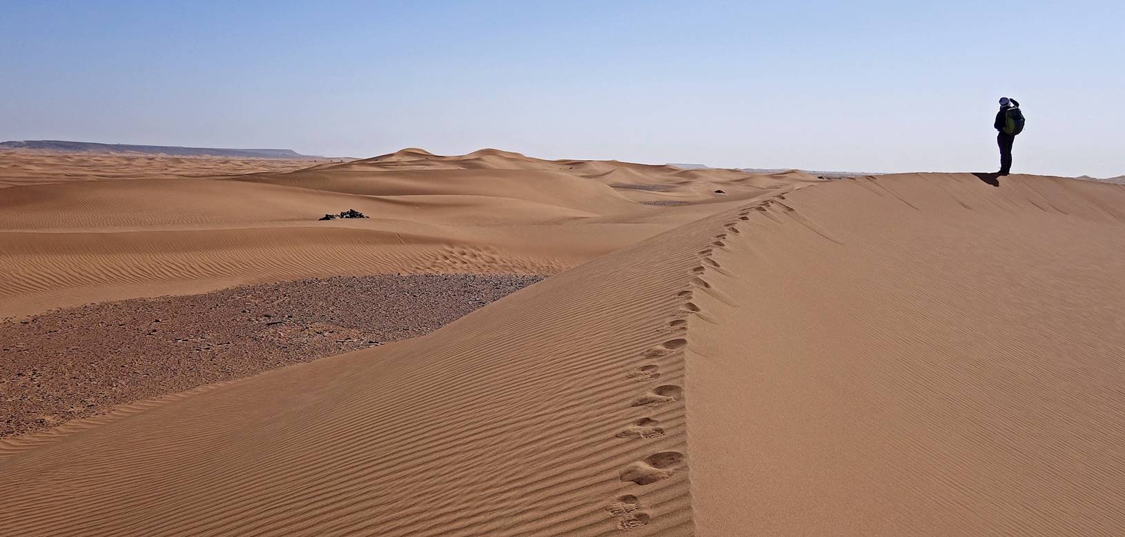
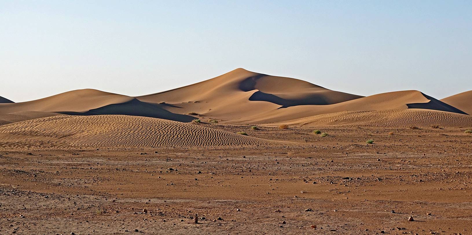
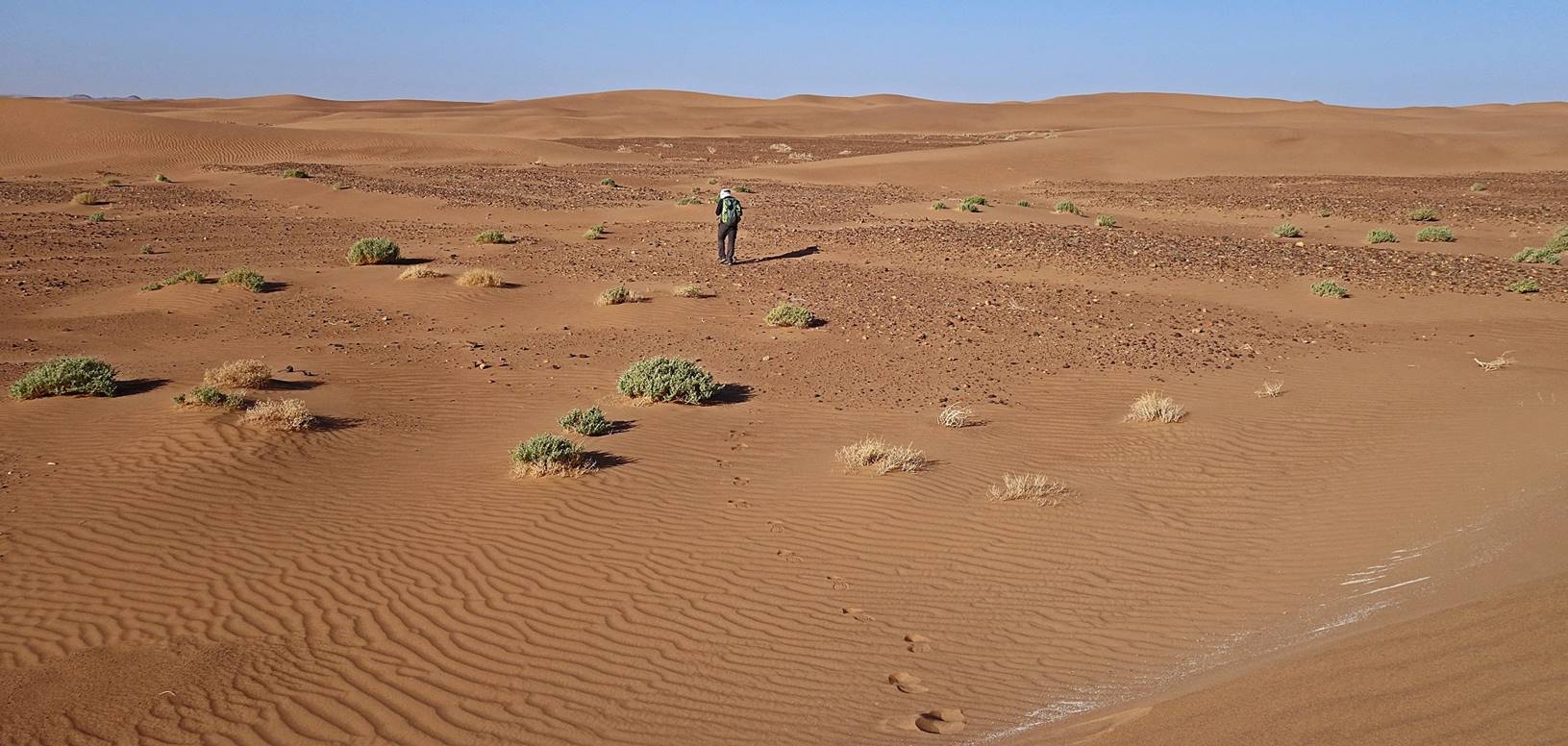
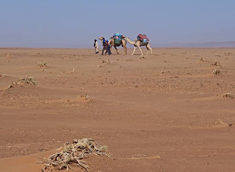
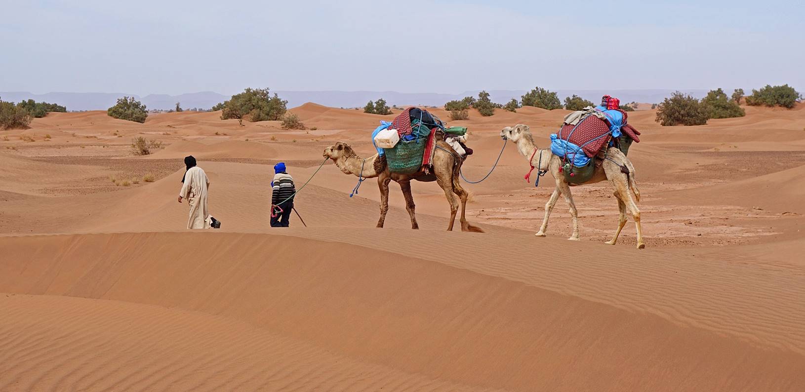
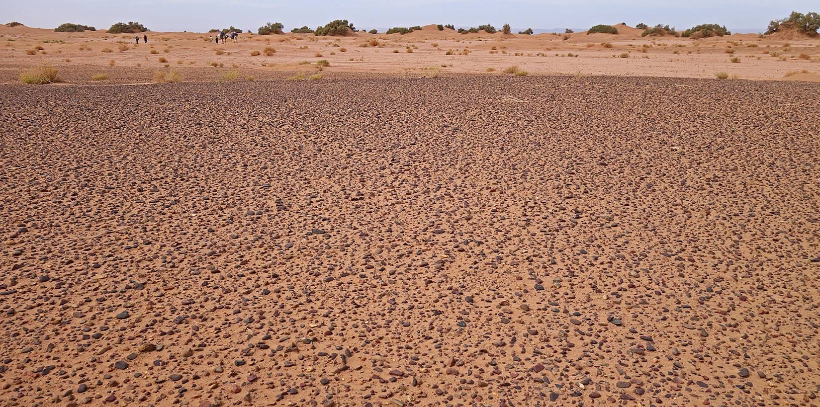
Oumar and I later
traversed an impressive area of high dunes (erg). As it is difficult for
heavily loaded dromedaries to cross such dunes, which often have a steep side, Bada, Hada, and Mohamed took the
dromedaries along an easier route (and went much faster than us).
|
|
|
|
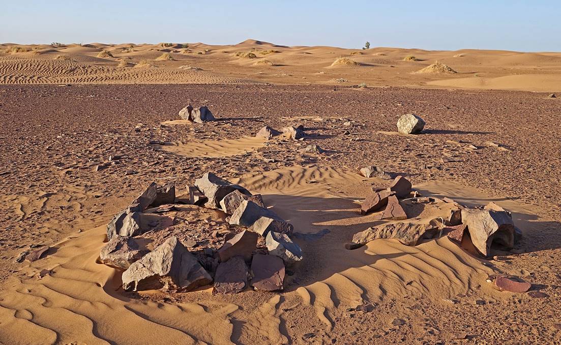
Burial
tumuli between dunes, where stones are available.
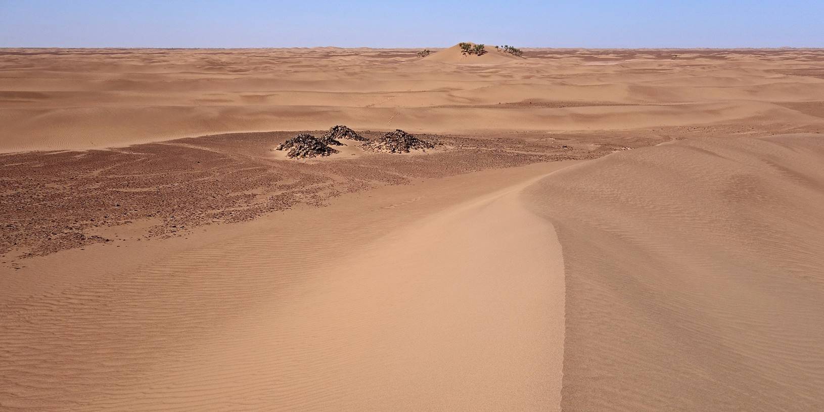
A
necropolis of tumuli.
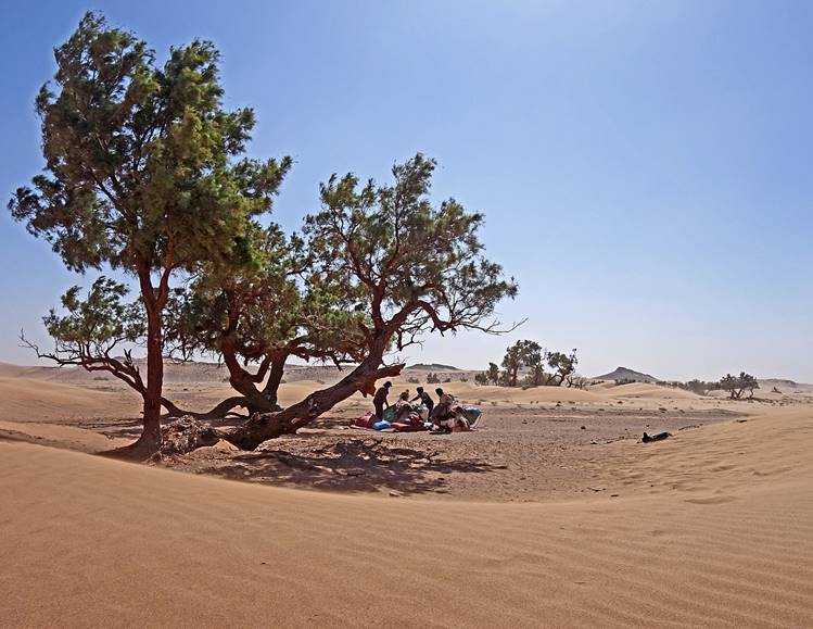
We eventually
retrieved Bada et al., where they had stopped for
lunch and had already pitched our large tent (waypoint 027). They had been
joined by two men from Magag, who came on a
motorcycle (!) and left us after lunch.
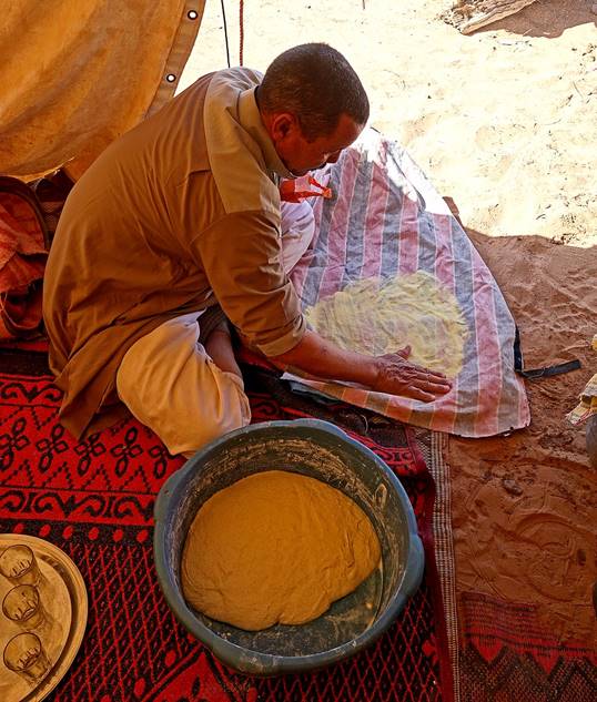
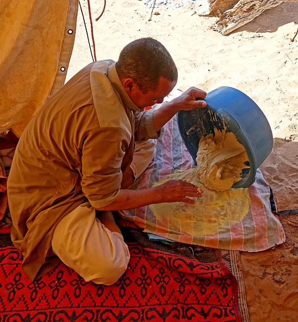
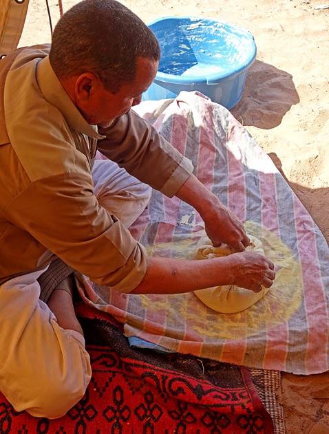
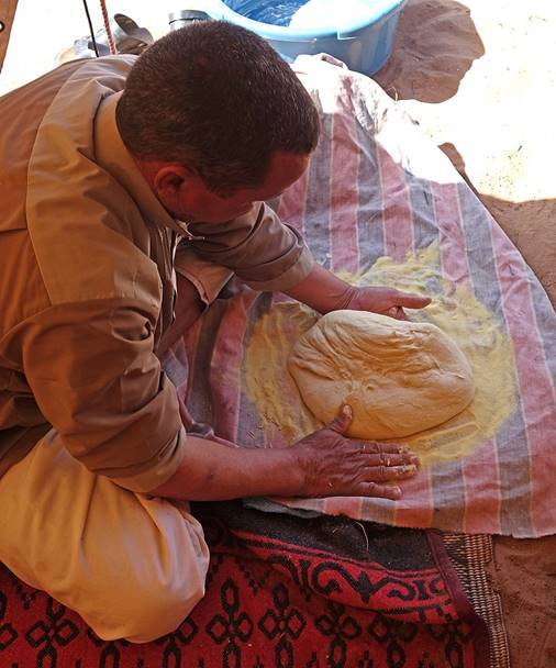
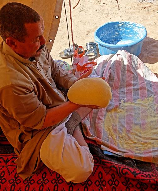
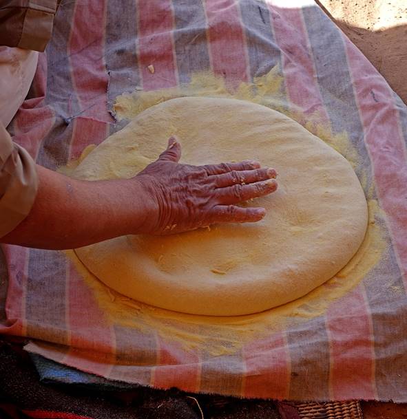
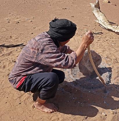
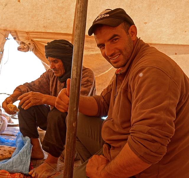
Making bread in the
desert:
- First the dough
(already prepared when I arrived) is flattened upon a thin layer of flour and
shaped into a disk.
|
|
|
|
|
|
|
|
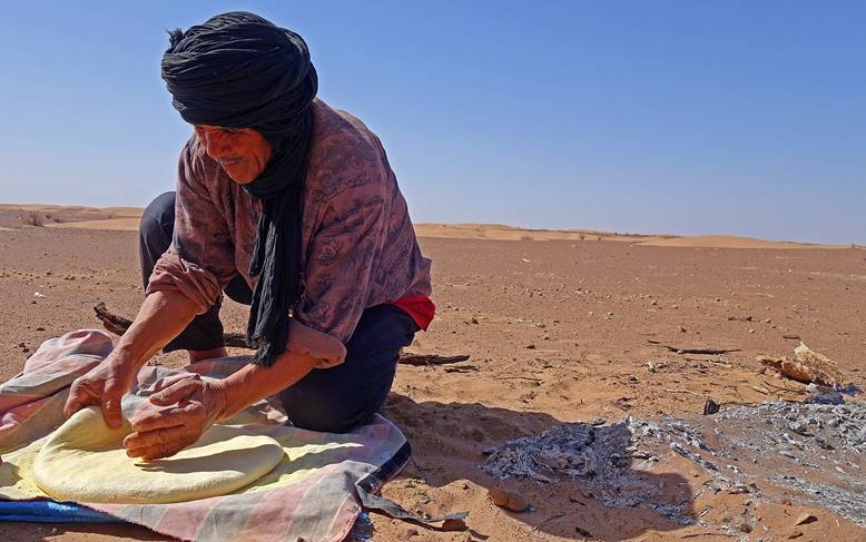
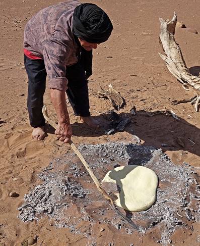
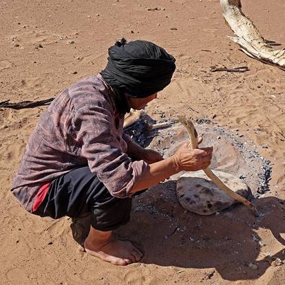
- Then the disk of
dough is delicately moved and buried into a mixture of hot ashes and sand. Due
to lack of wood, the ashes were made by burning small dead tamarind branches
and quickly mixing them with sand to retain their heat longer.
|
|
|
|
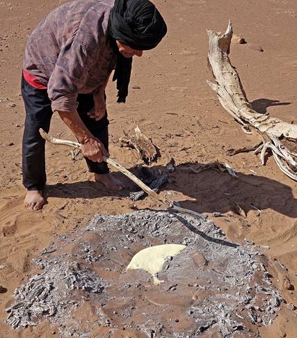
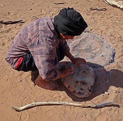
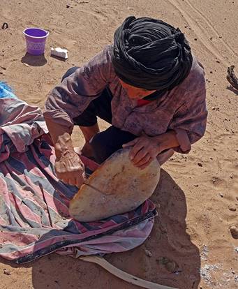
-
After a surprisingly short amount of time the cooked bread is recovered and
cleaned with a knife, ready to eat.
|
|
|
|
|
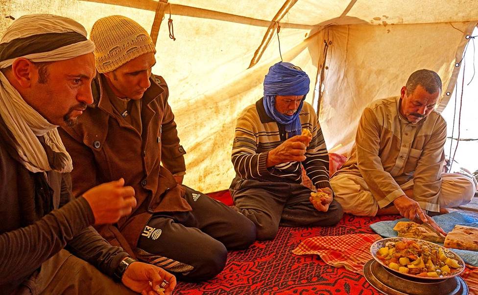
Enjoying
the bread during lunch in the tent.
|
|
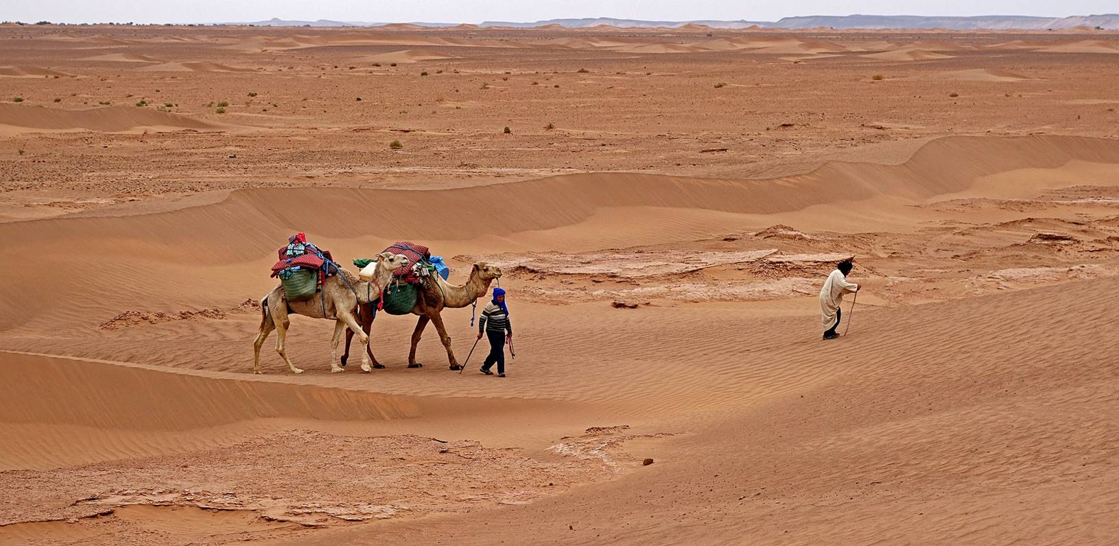
|
Hada gathering the dromedaries after lunch
before moving to camp 2.
Dromedaries
are definitively useful, but they can also be quite nasty and make load
rumbling roars.
|
|
|
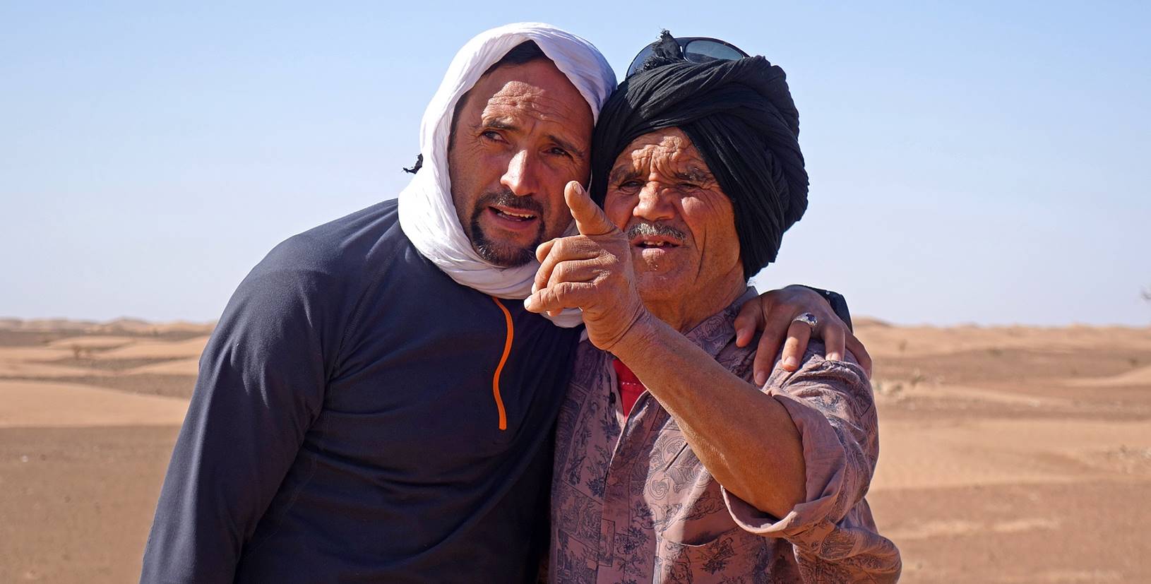
Bada telling Oumar
how he plans to reach camp 2. Not an easy task in a landscape where distinctive
features are rare.
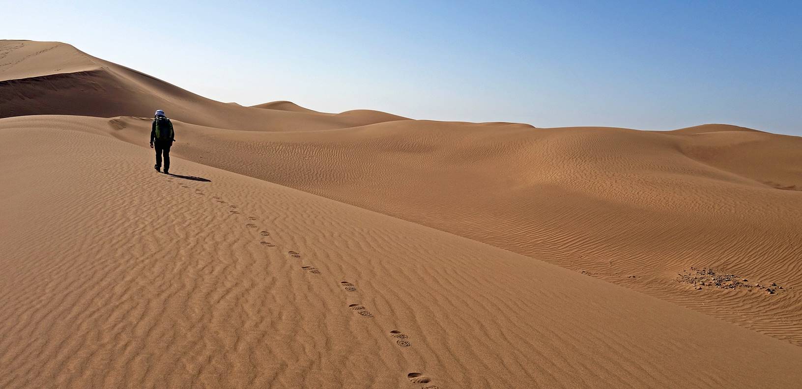
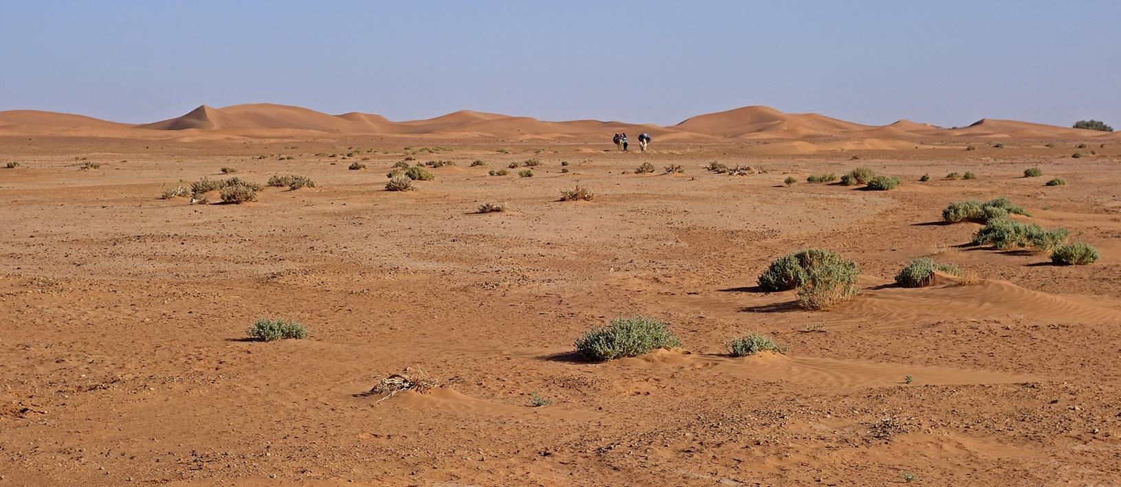
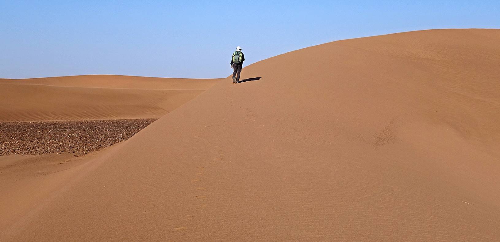
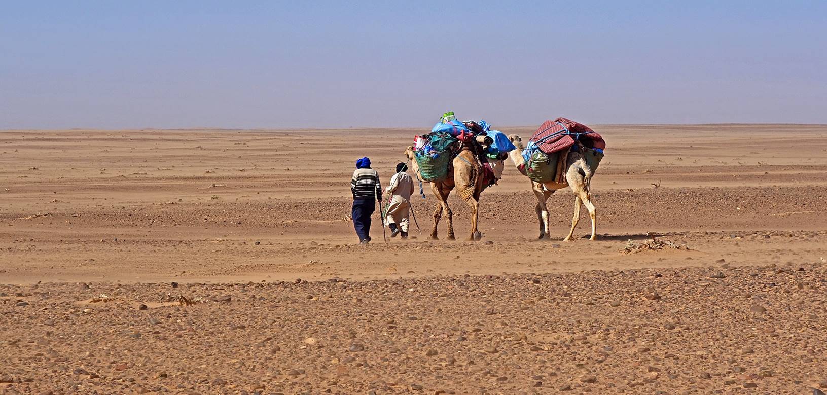
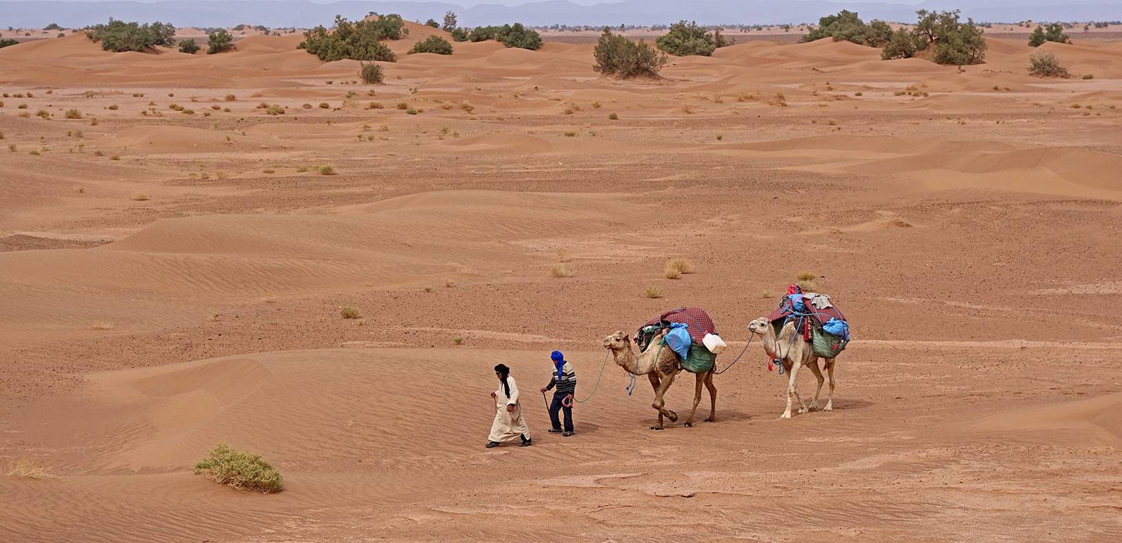
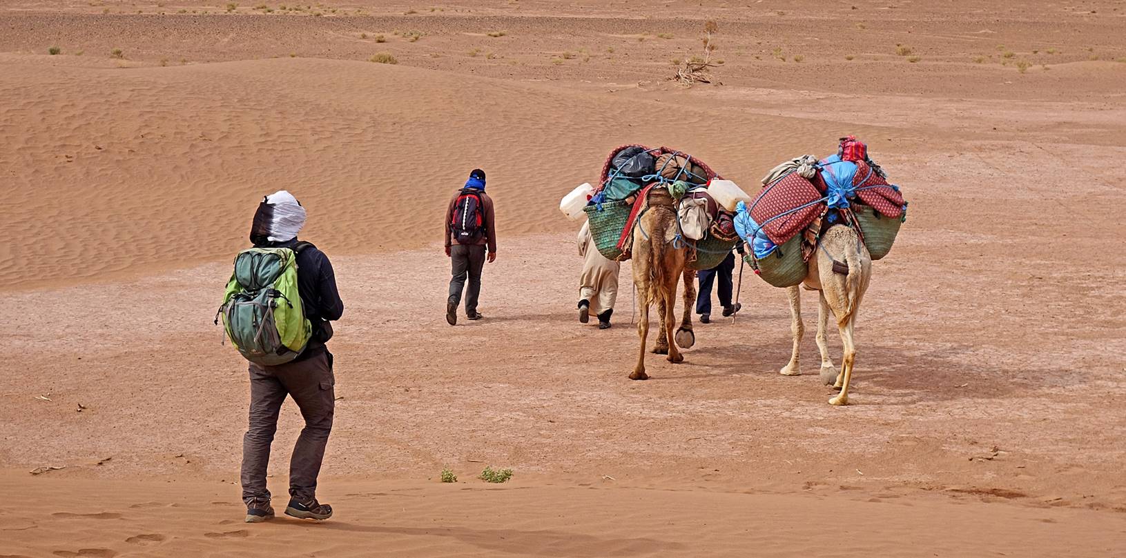
On
the move toward camp 2.
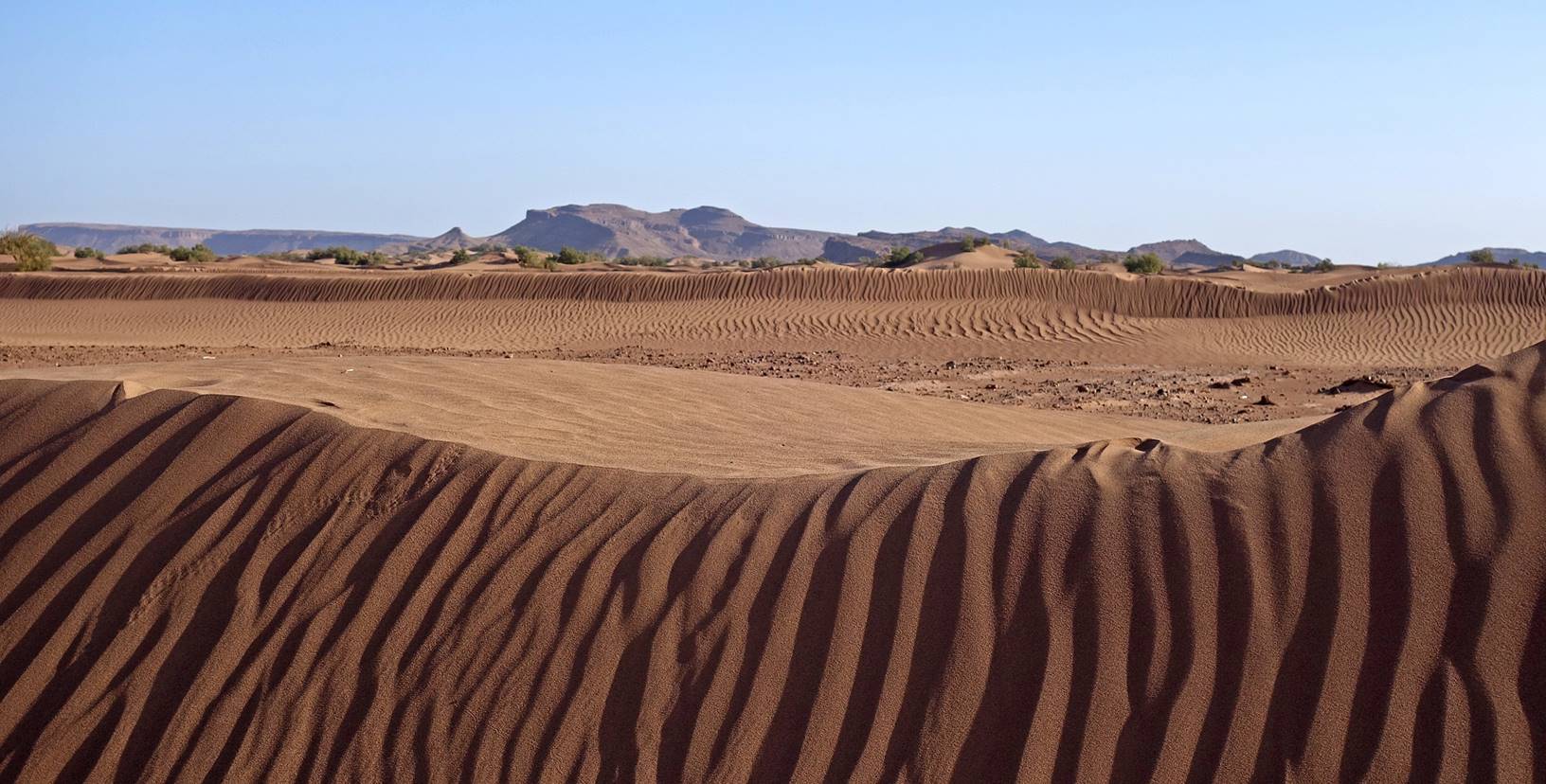
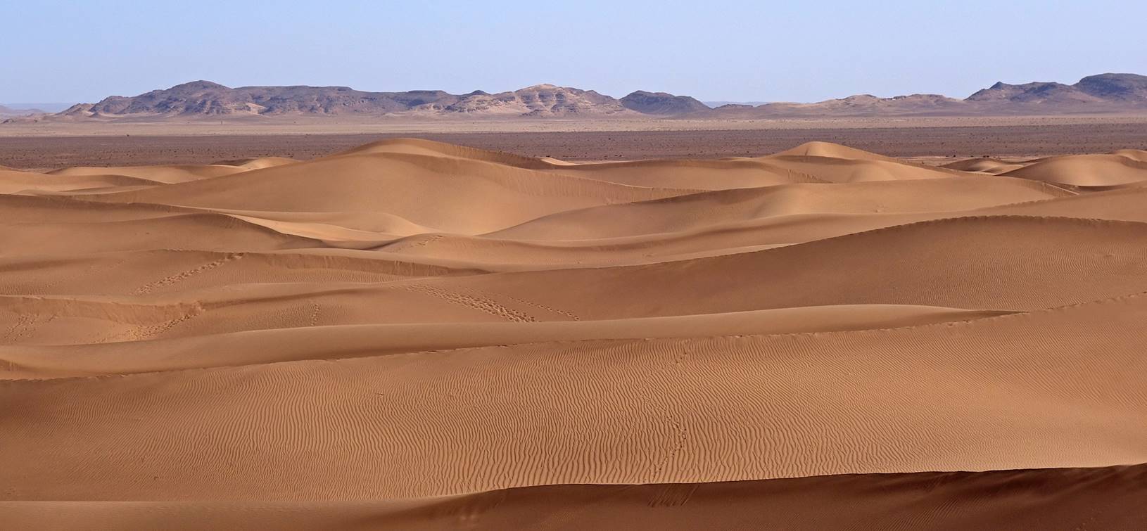
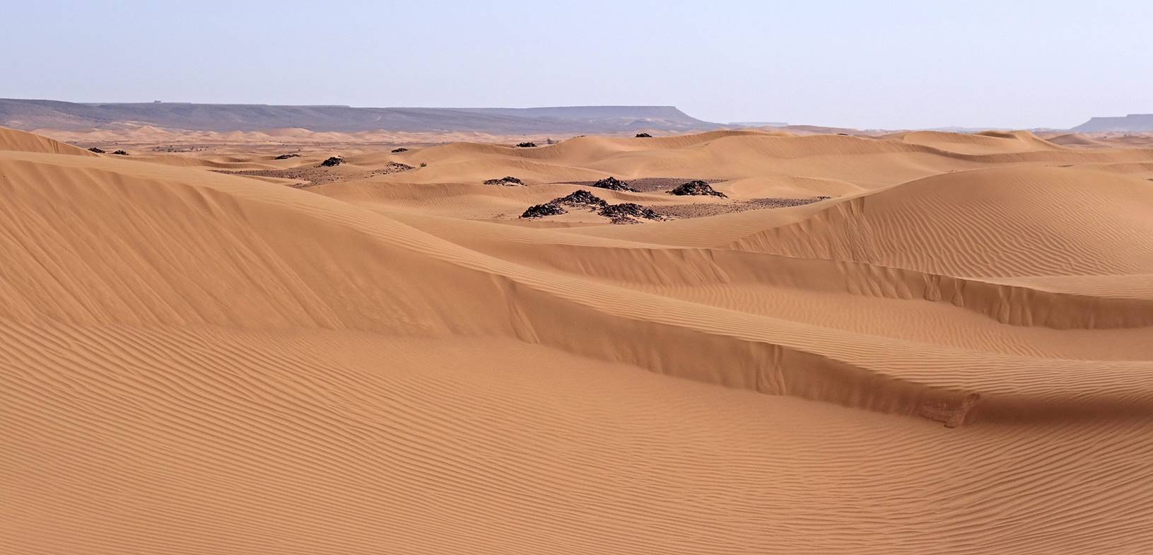
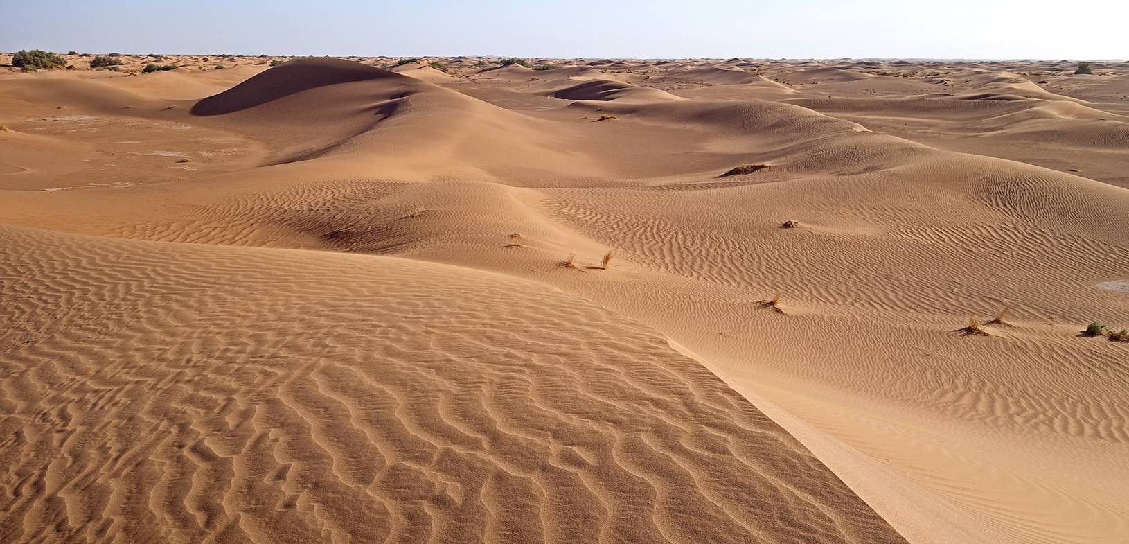
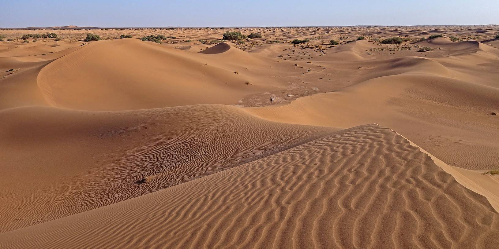
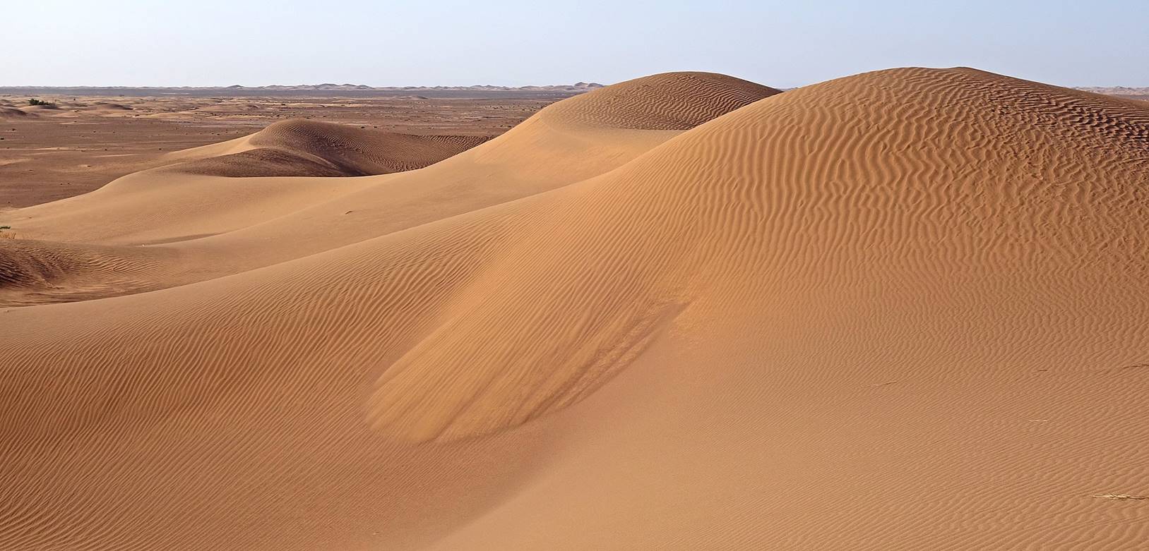
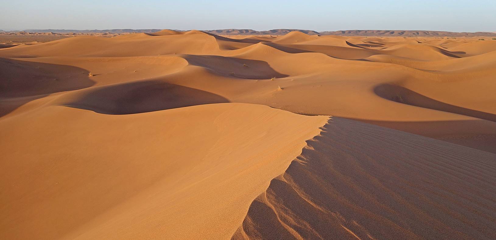
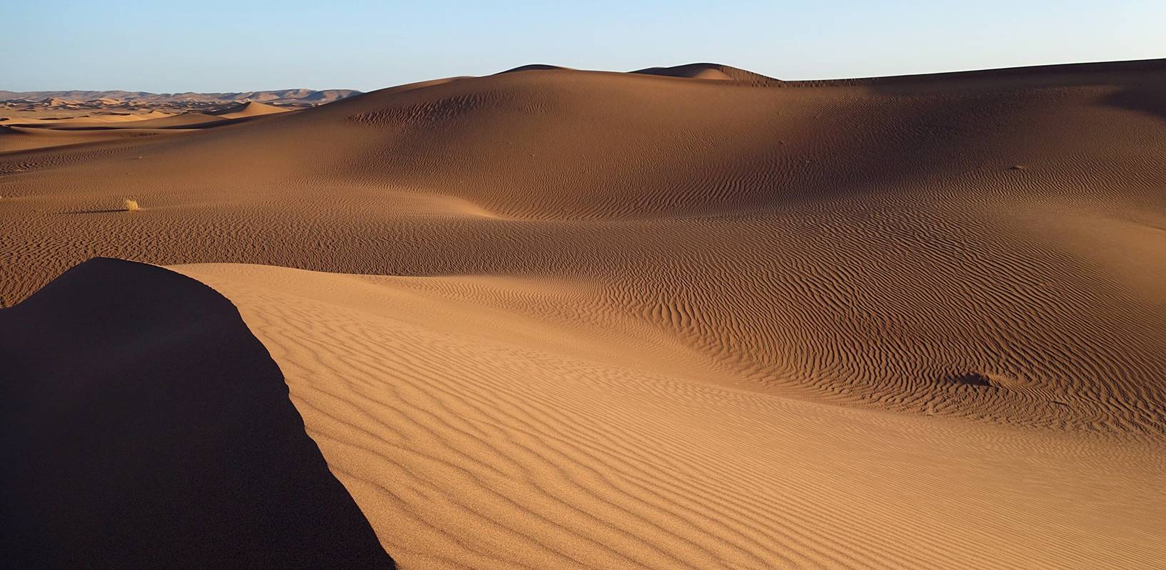
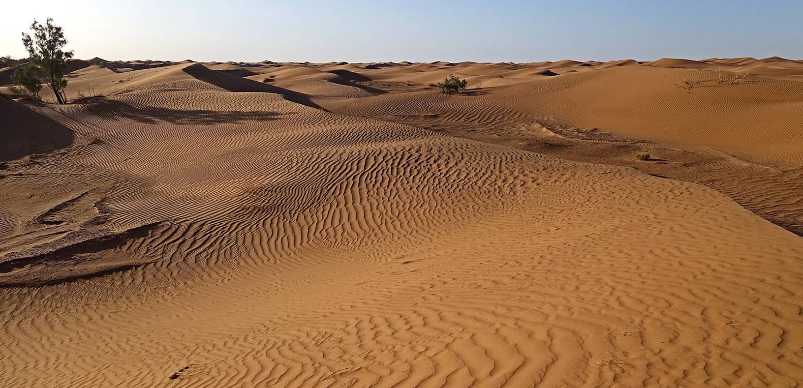
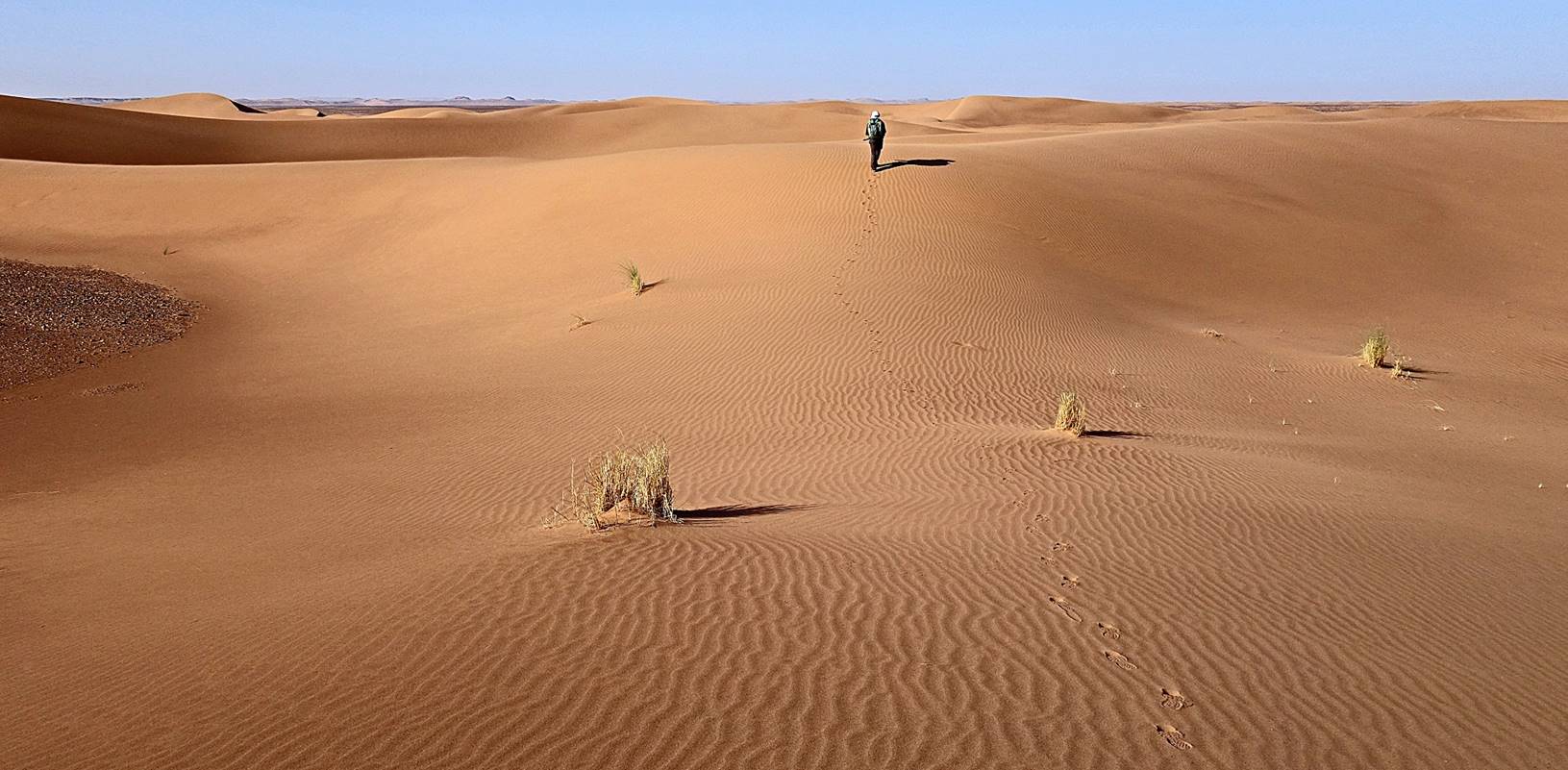
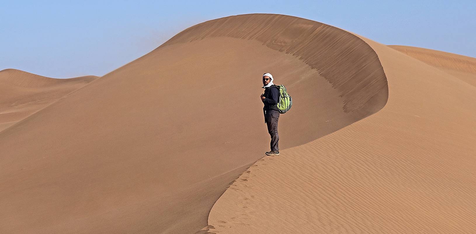
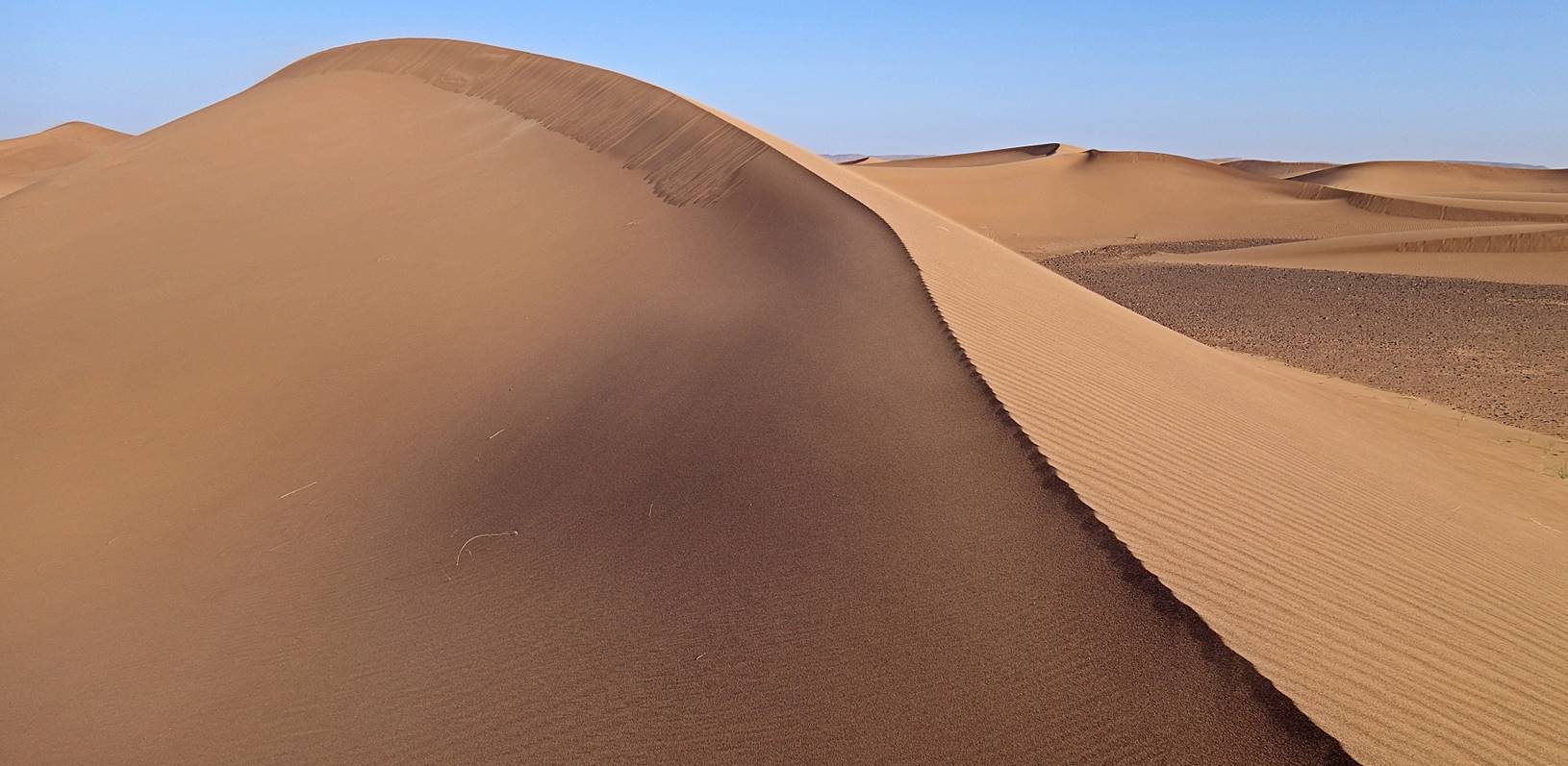
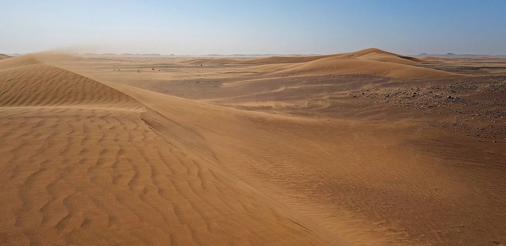
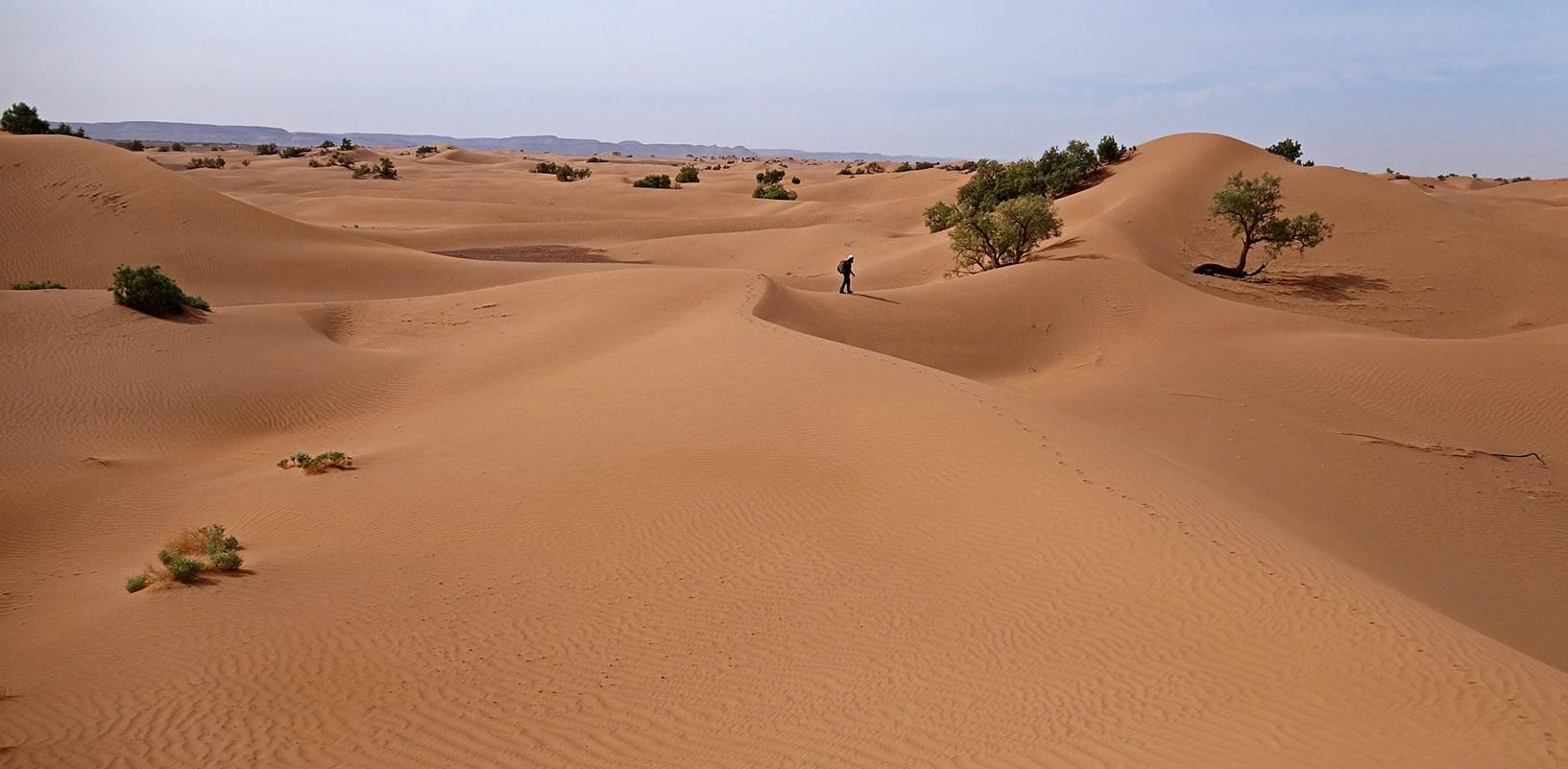
Entering
another field of extremely beautiful dunes.
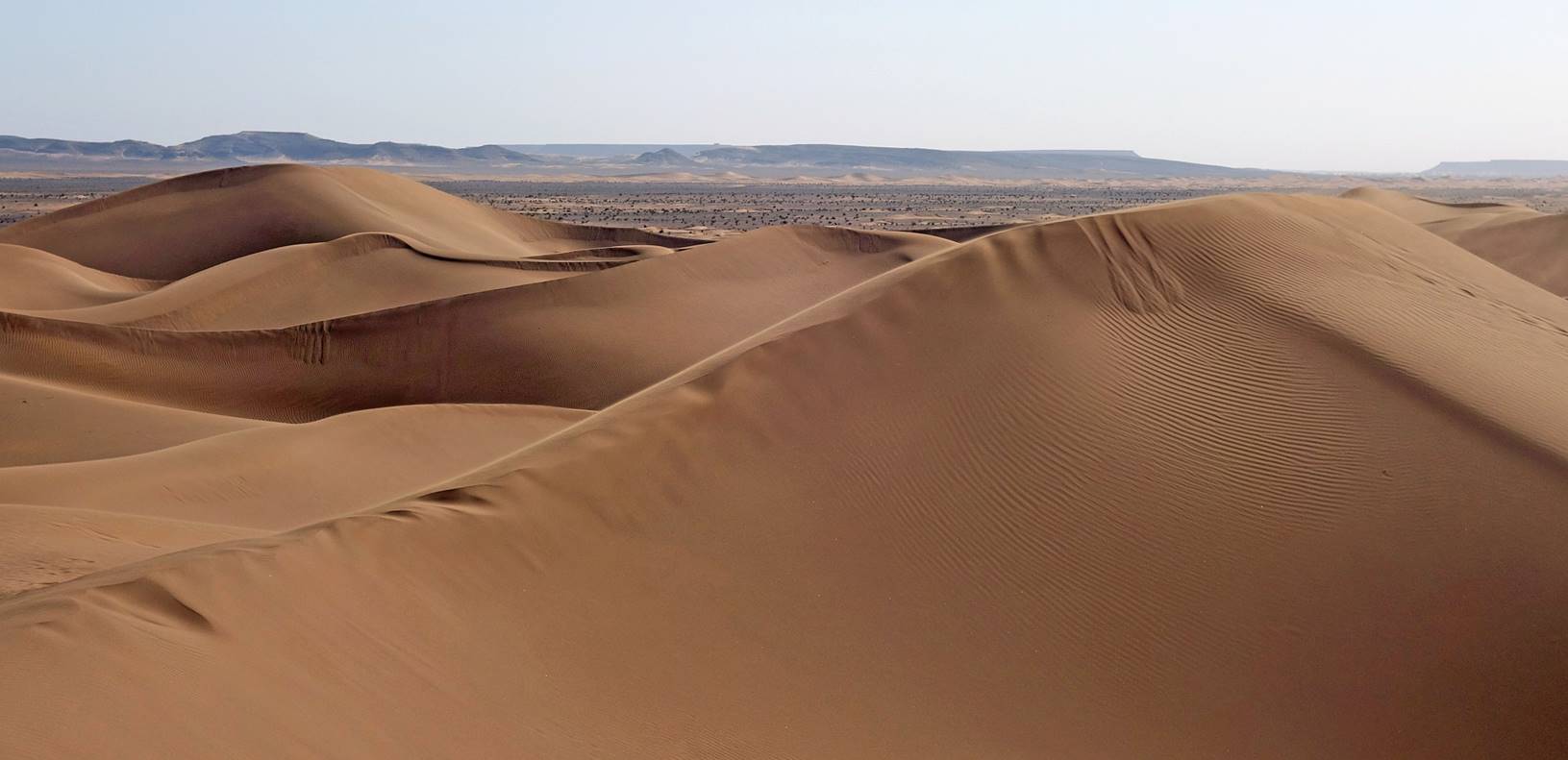
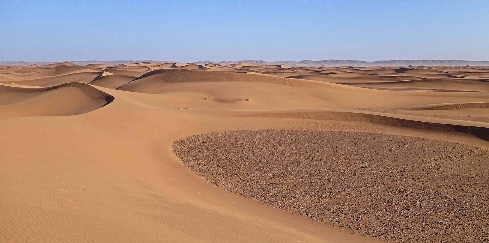
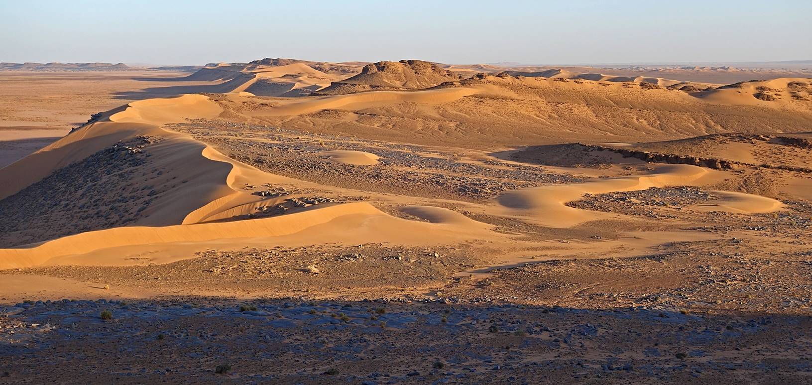
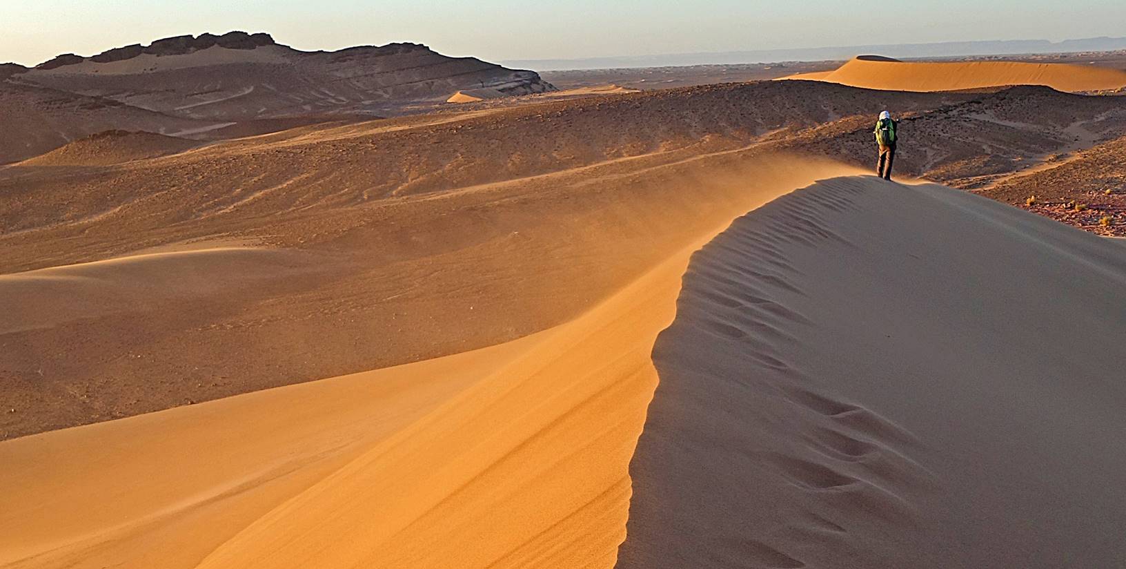
We eventually set our
camp in a gorgeous location at waypoint 031, well protected by dunes on all
sides, some 8km from the border with Algeria. The following two photos were
taken from a high dune south of the camp.
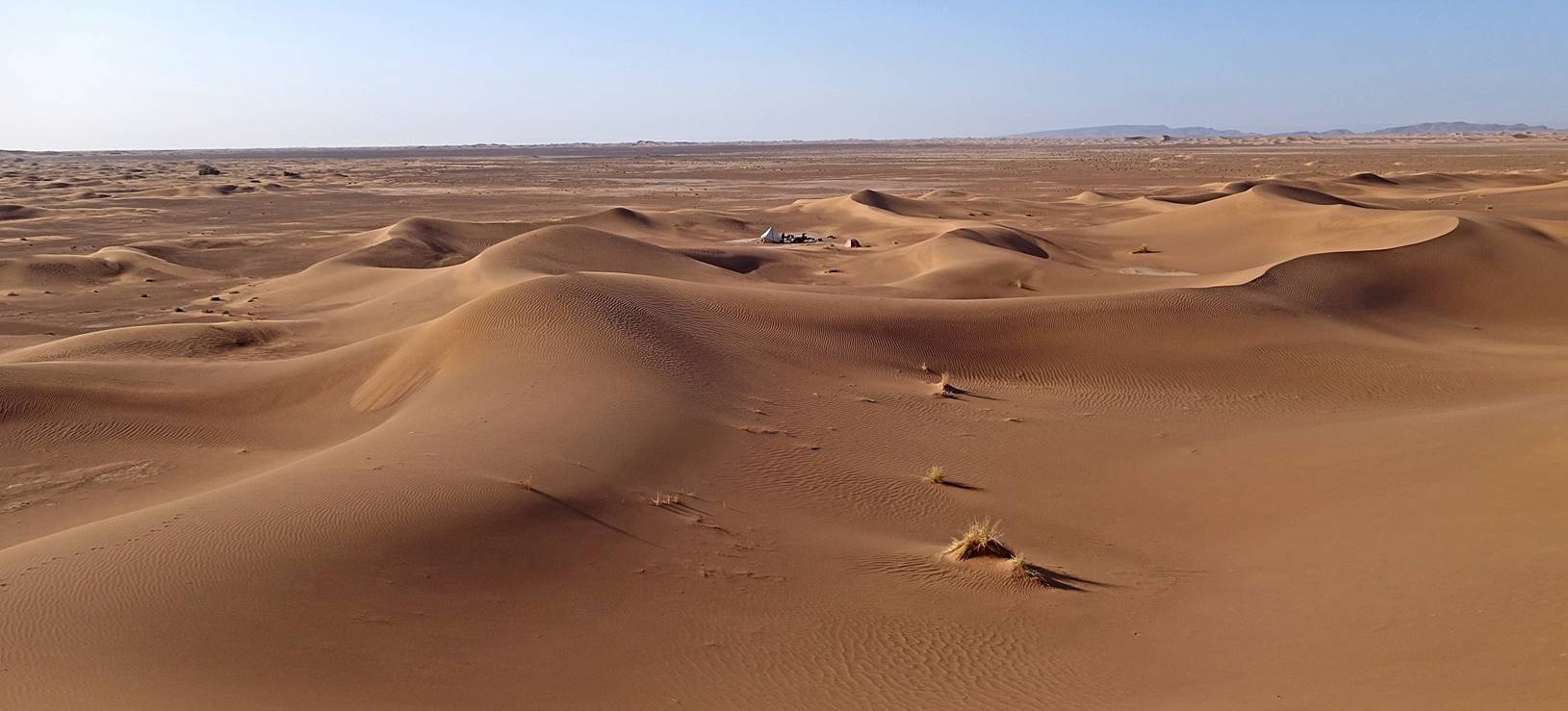
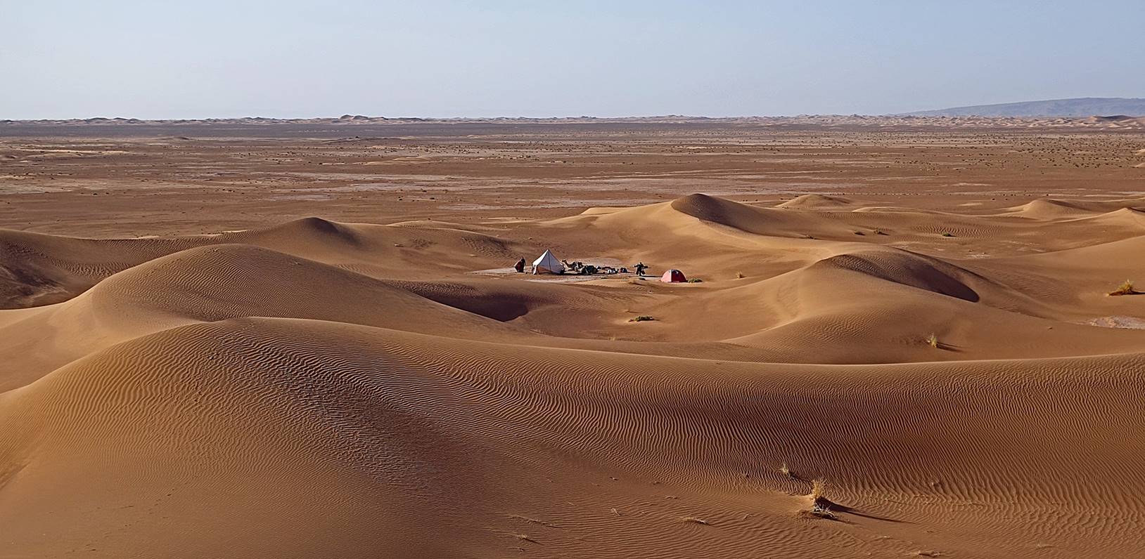
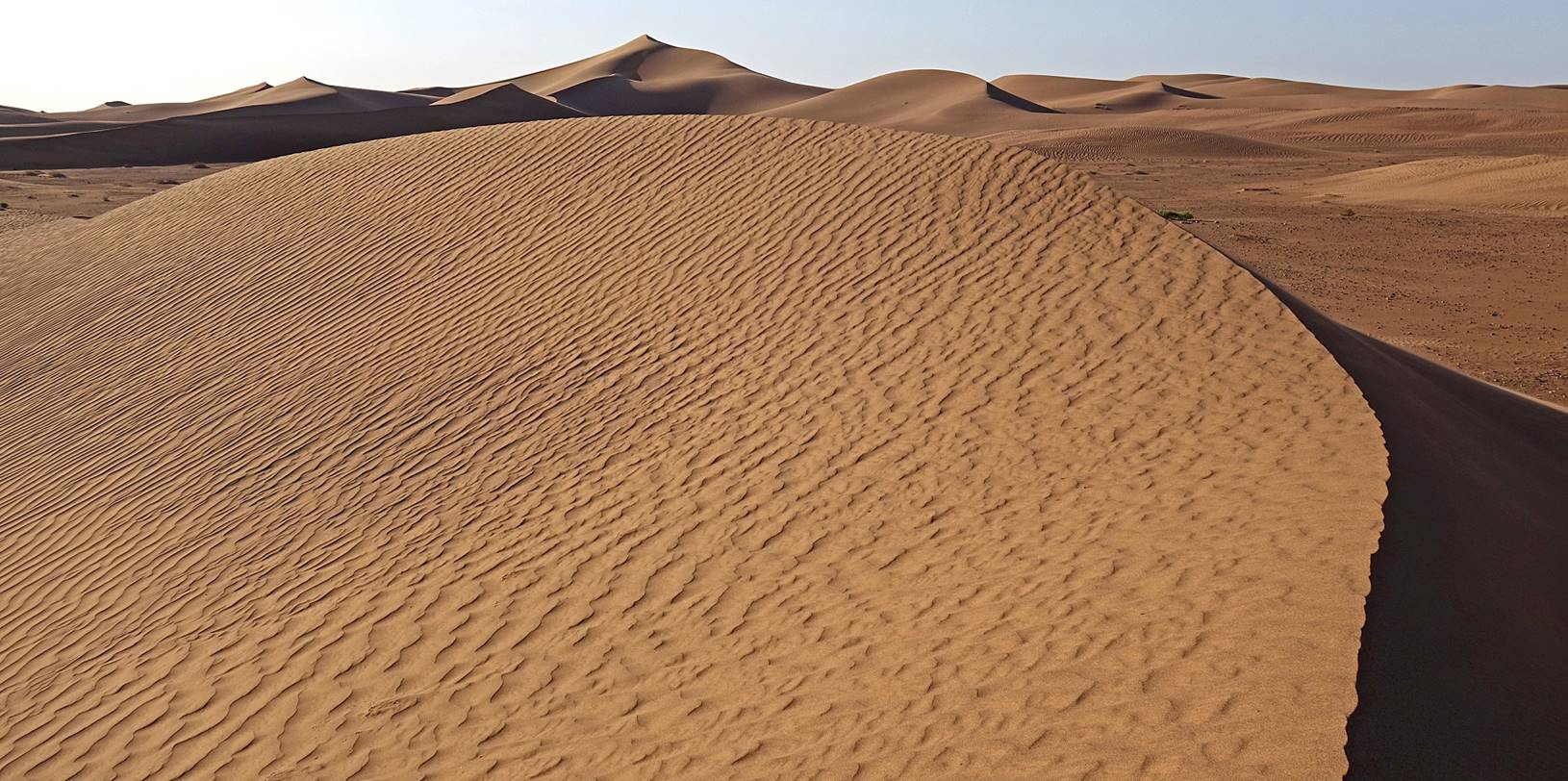
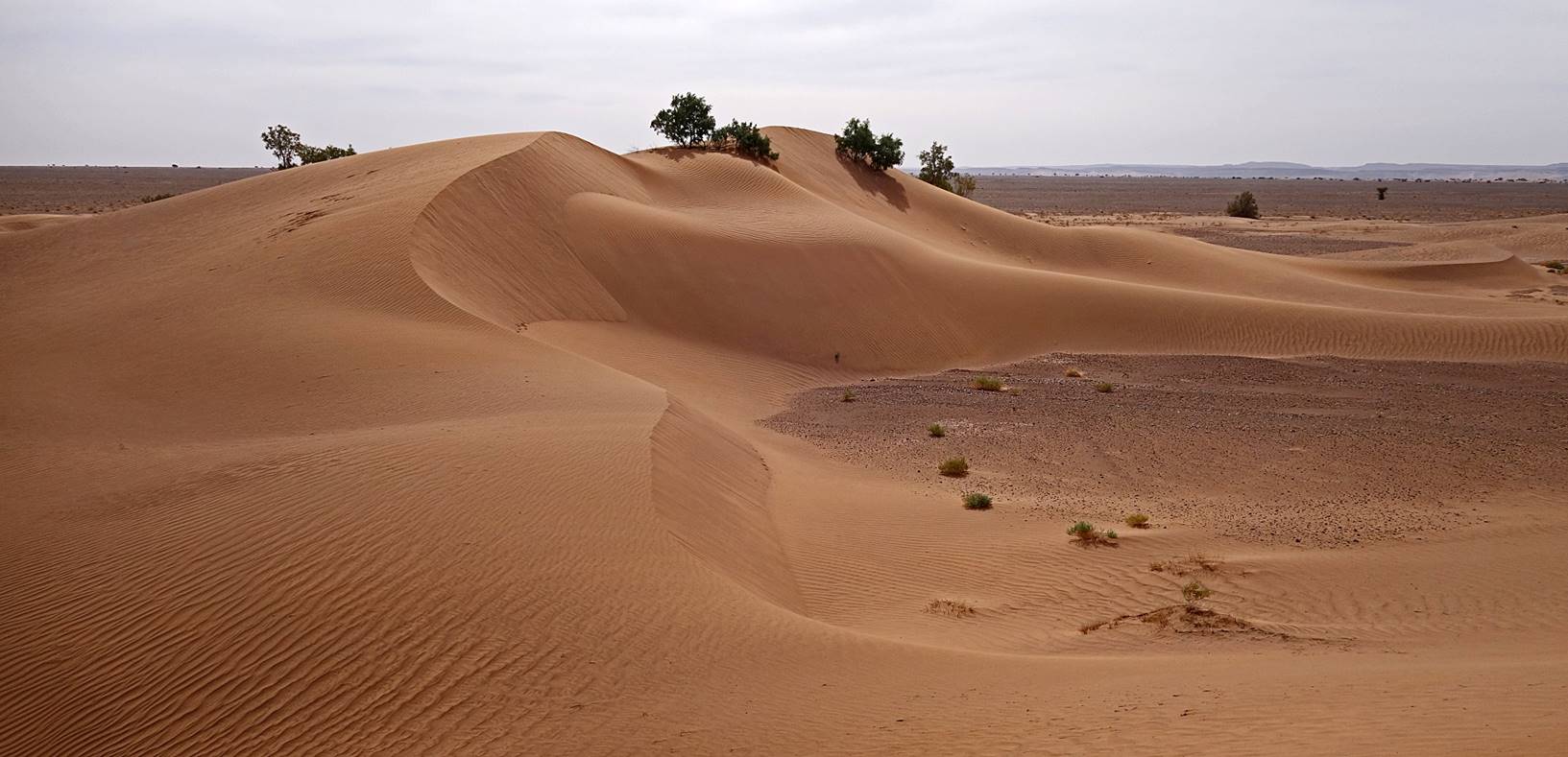
Dunes
around the camp.
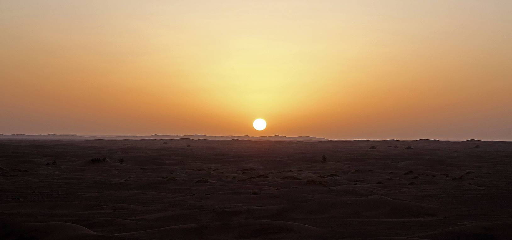
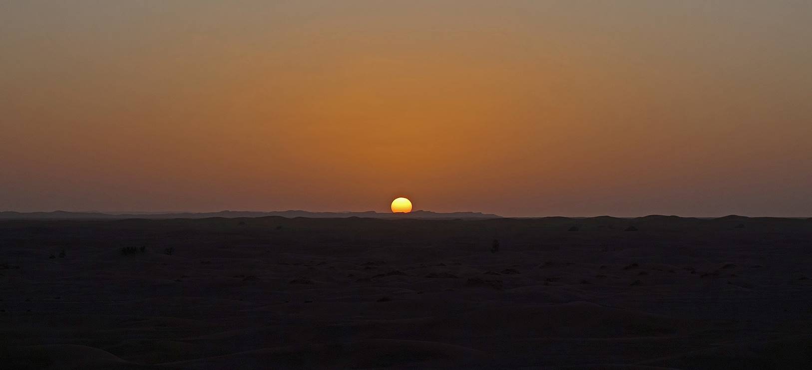
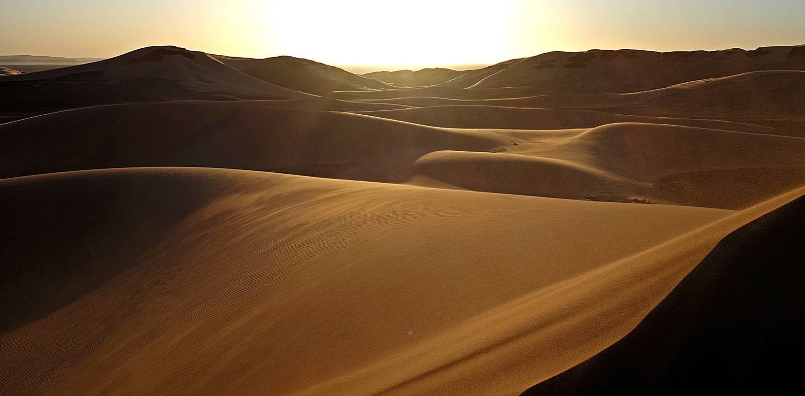
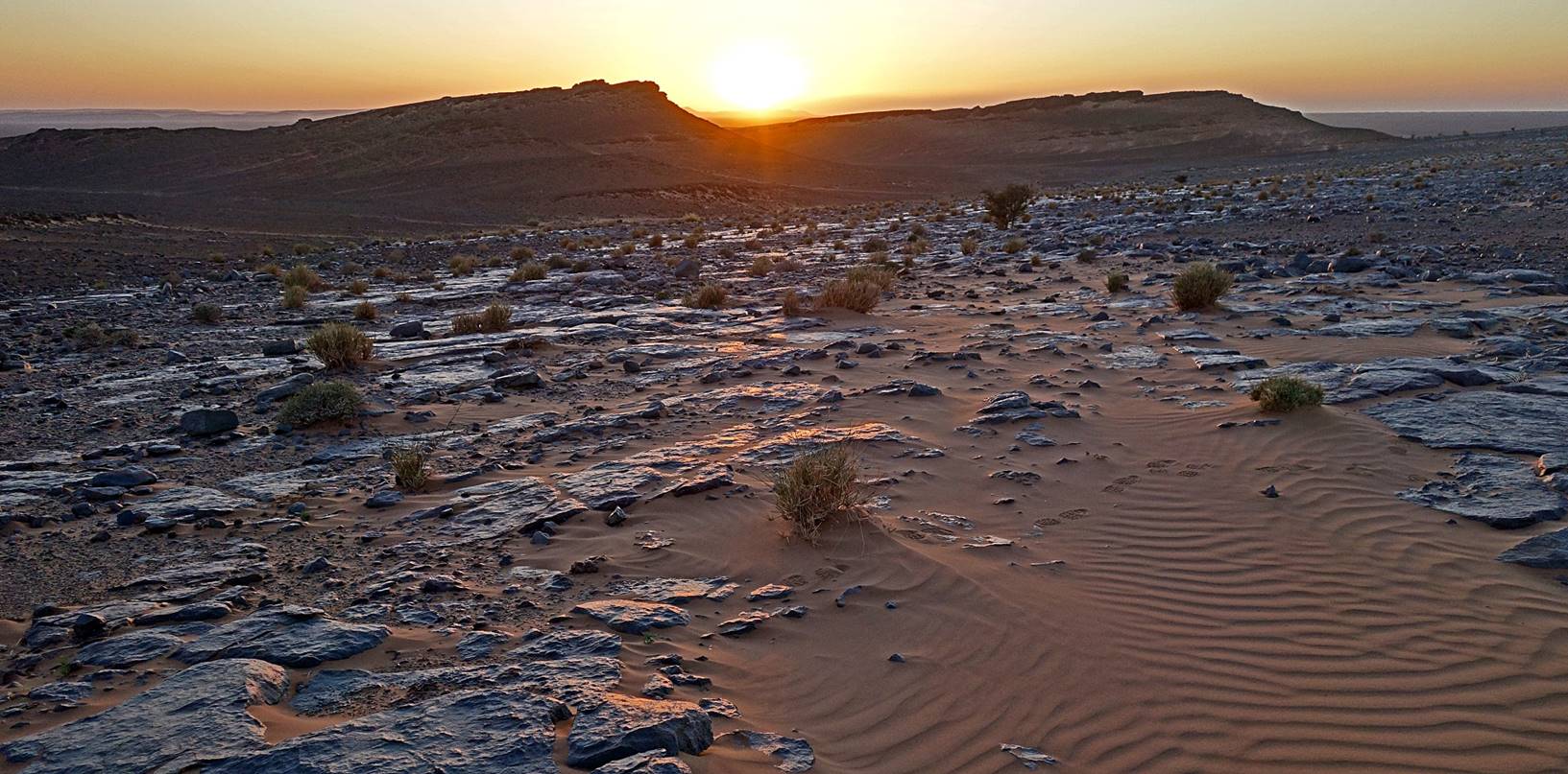
Sunset
seen from the top of a dune.
Day 3 of trek (from waypoint 031 to waypoint
041, plus side-trip via waypoints 042 to 046, 23km):
Path
followed on Day 3 (red line for the main path between waypoints 031 and 041,
light blue line for the side-trip south of camp 3).
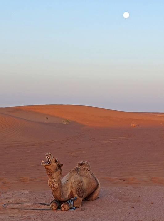
Early
morning with full moon at camp 2.
|
|
|
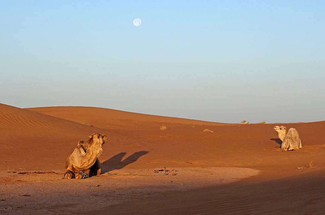
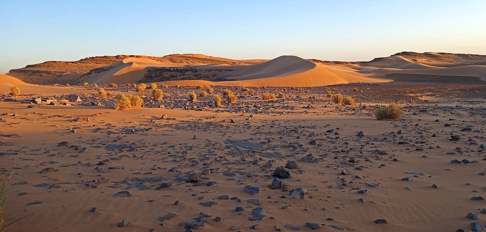
Dunes
lit by the rising sun around the camp.
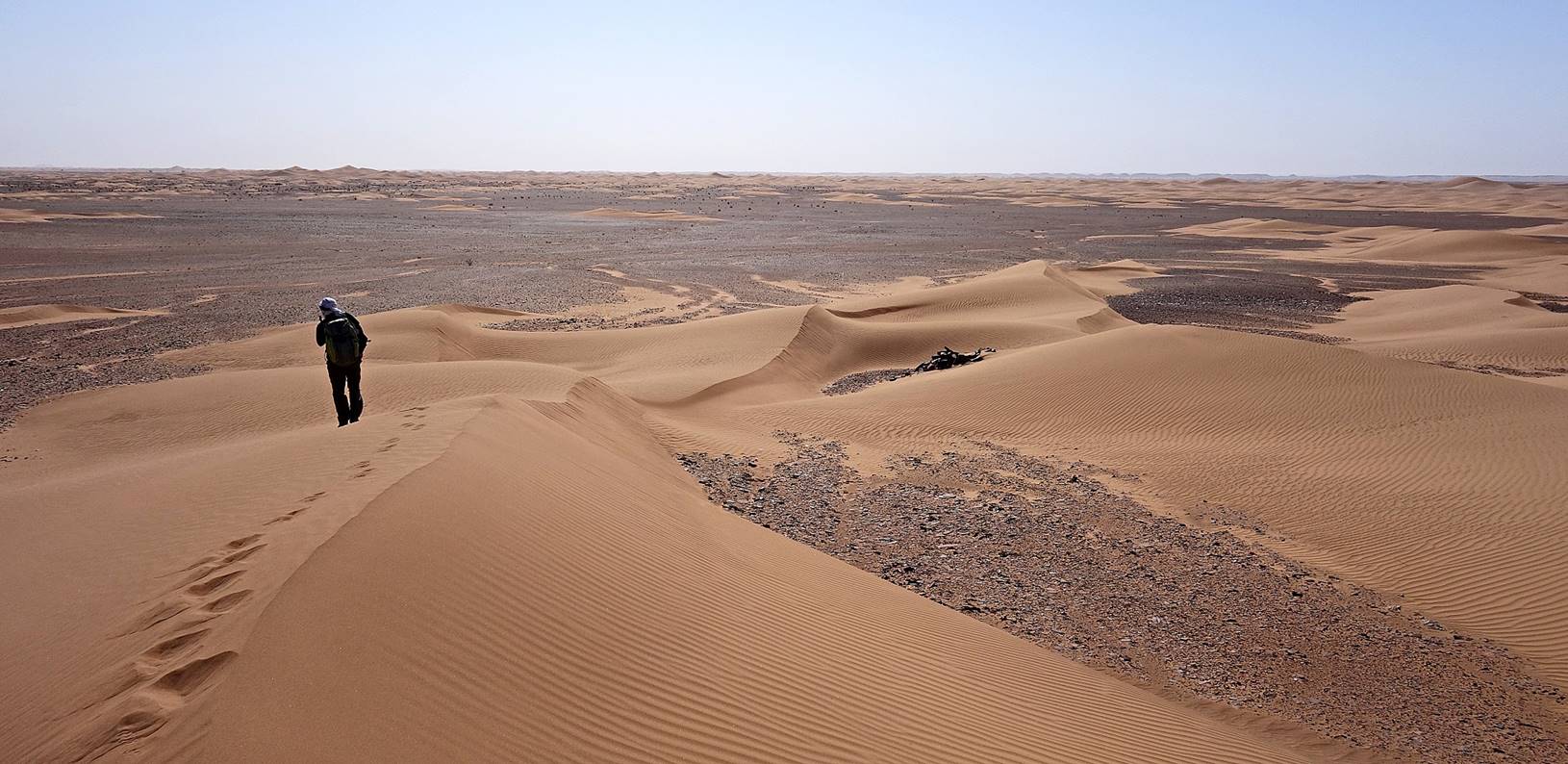
Again, for most of
this day Oumar and I followed a path different from
the one of the dromedaries. For the entire day we headed due west.
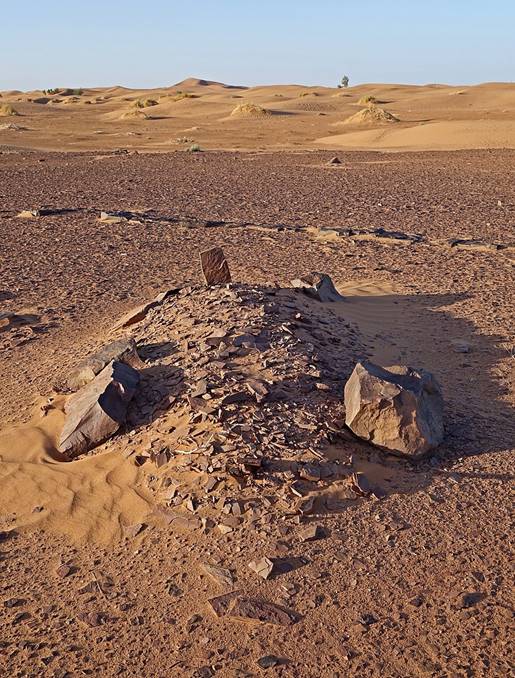
Soon
after leaving the camp we passed by these small individual graves, probably
more recent that the tumuli that we had seen before.
|
|
|
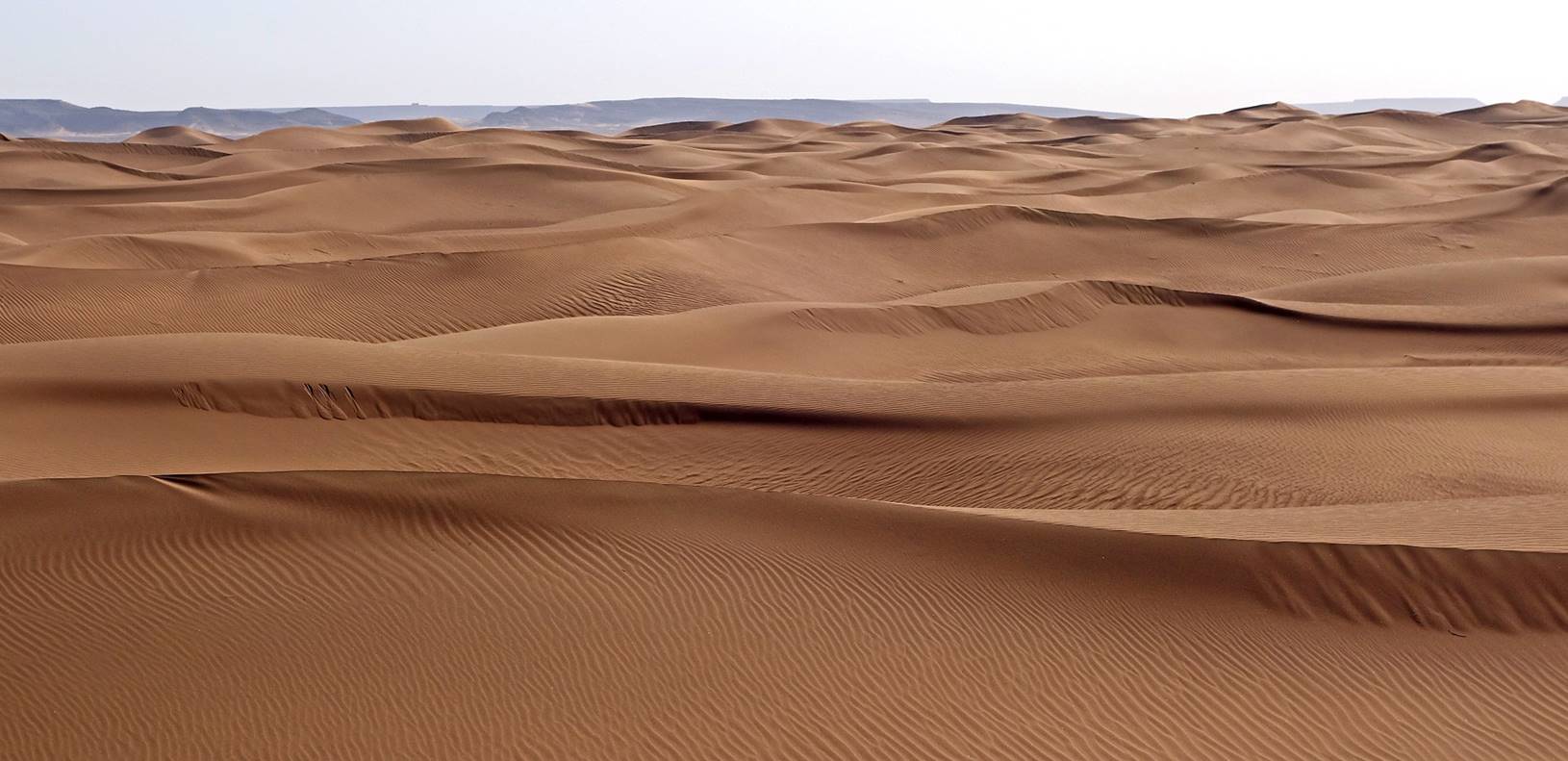
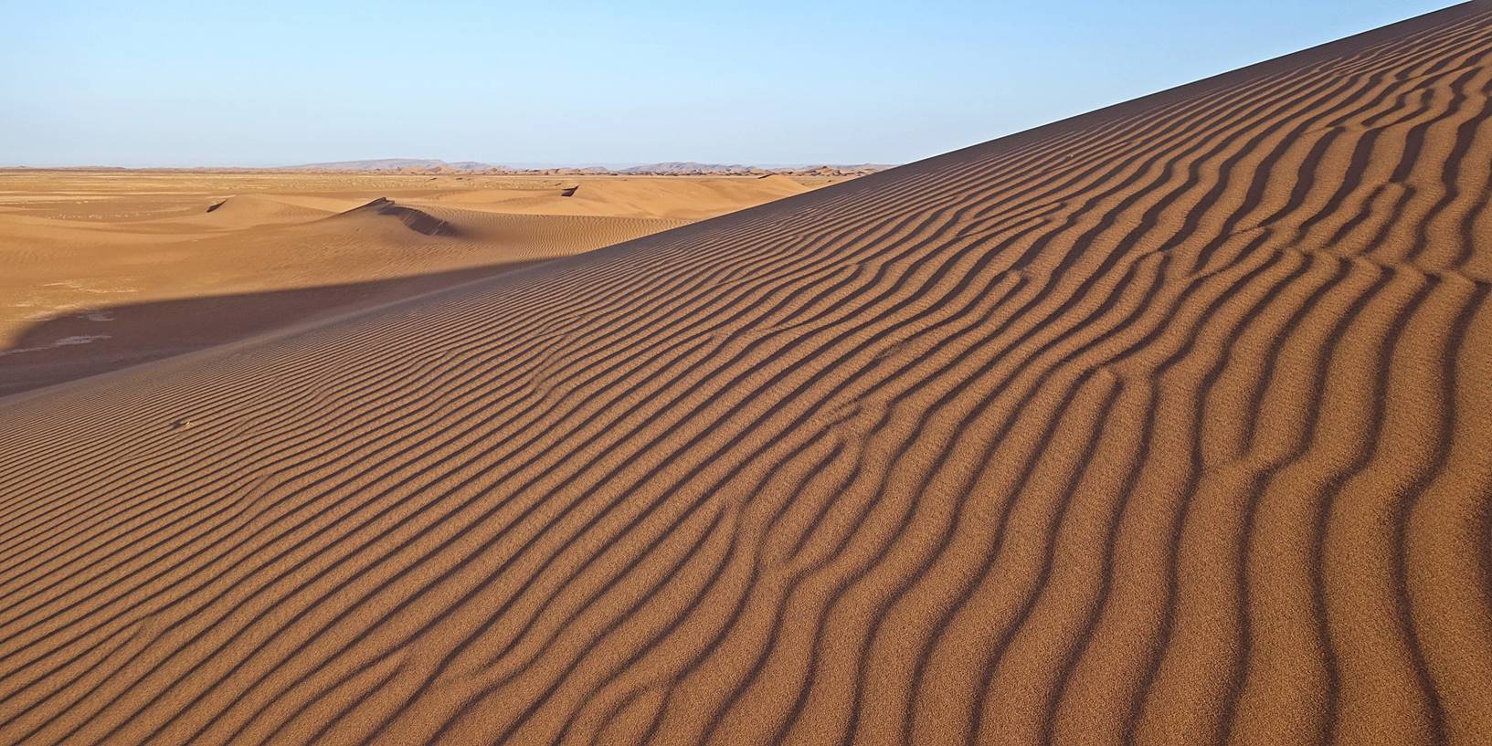
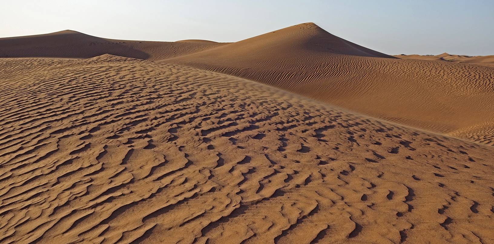
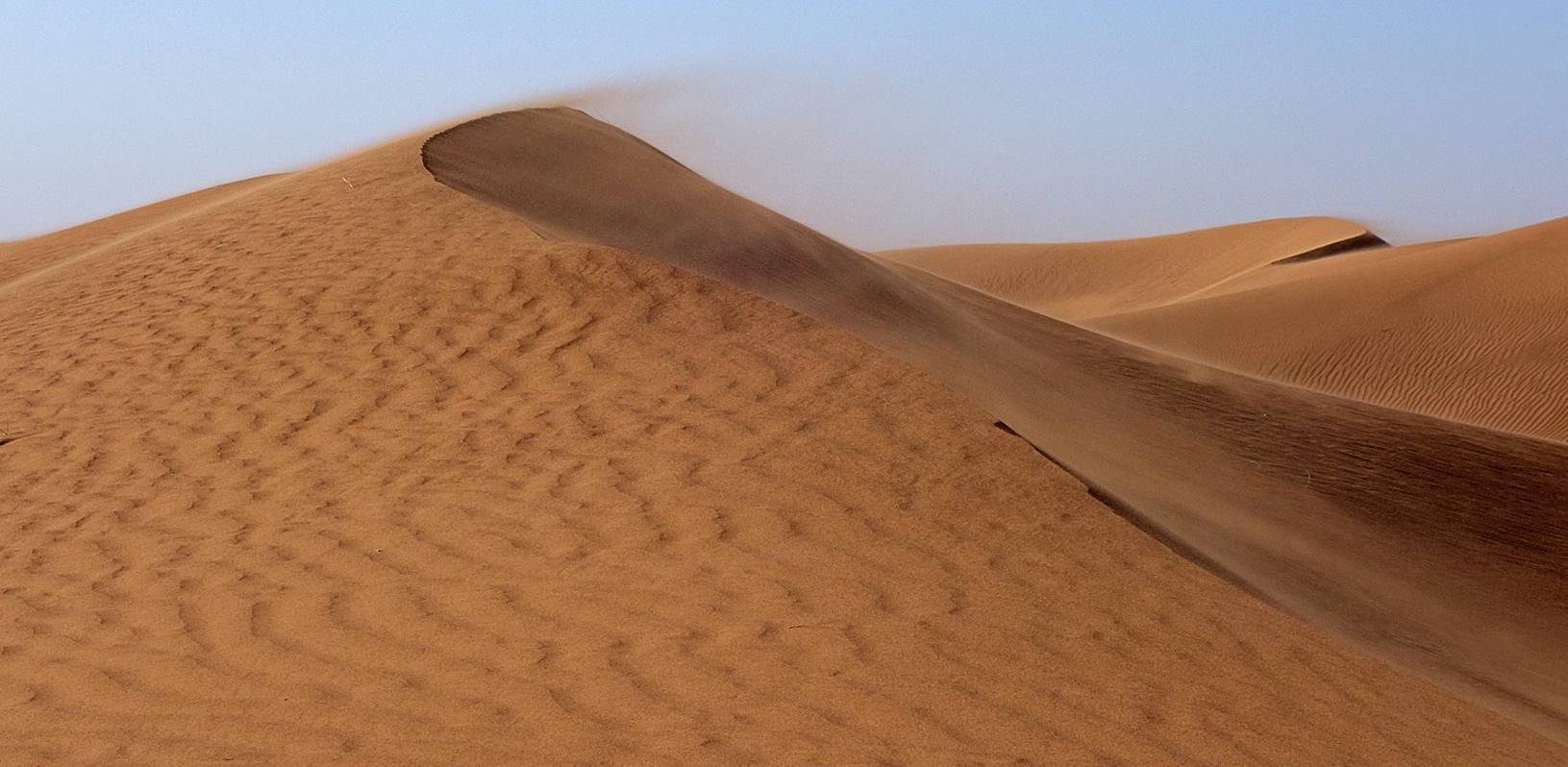
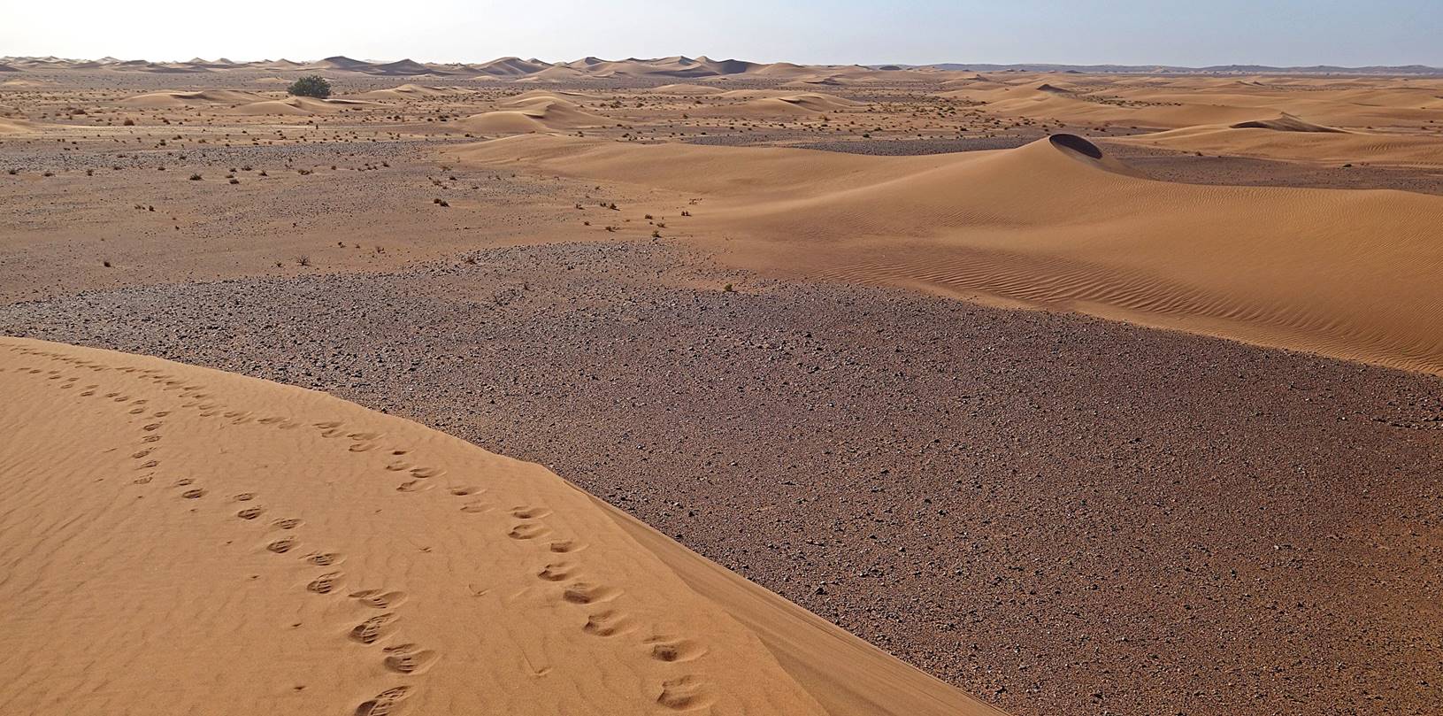
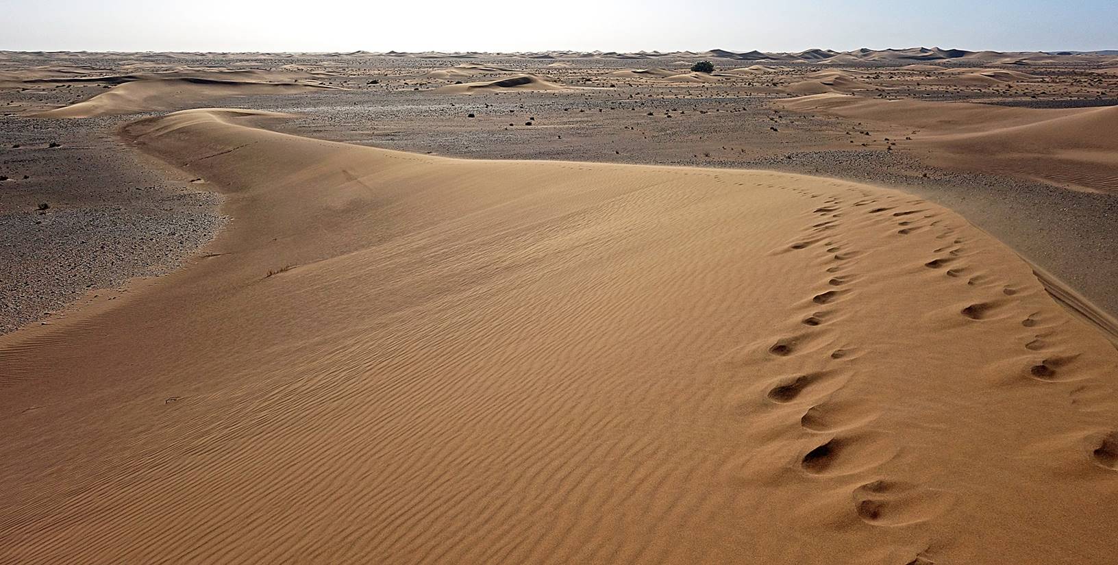
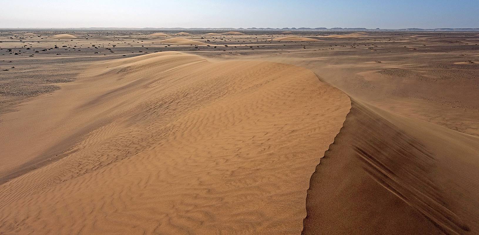
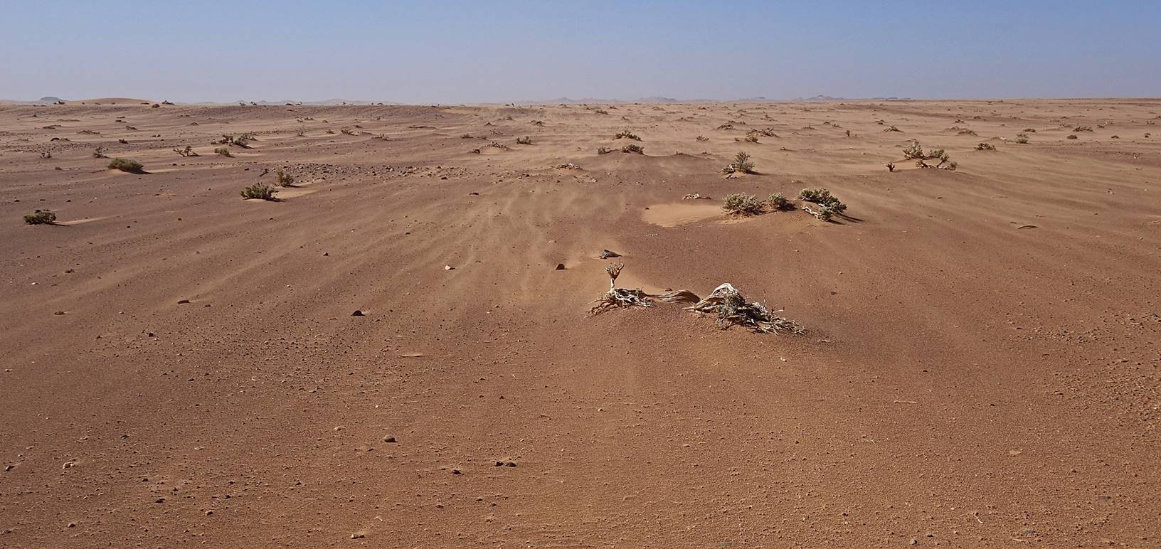
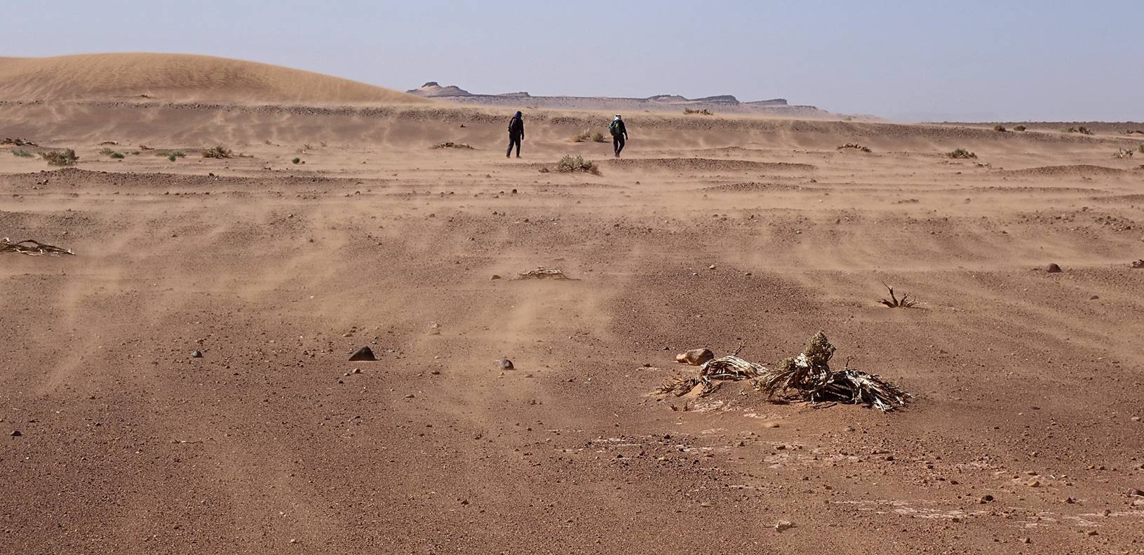
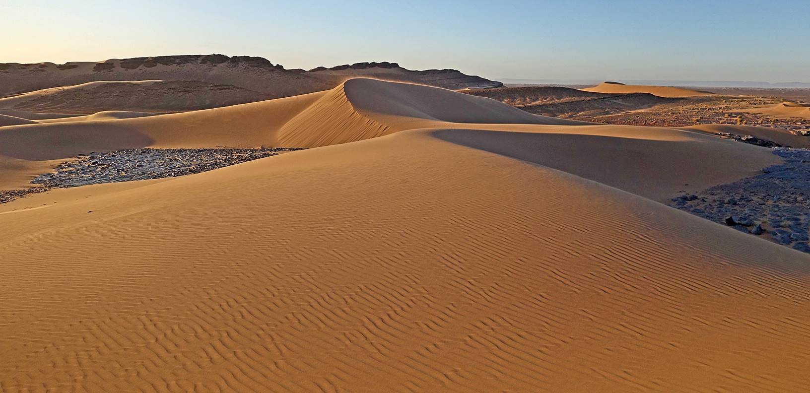
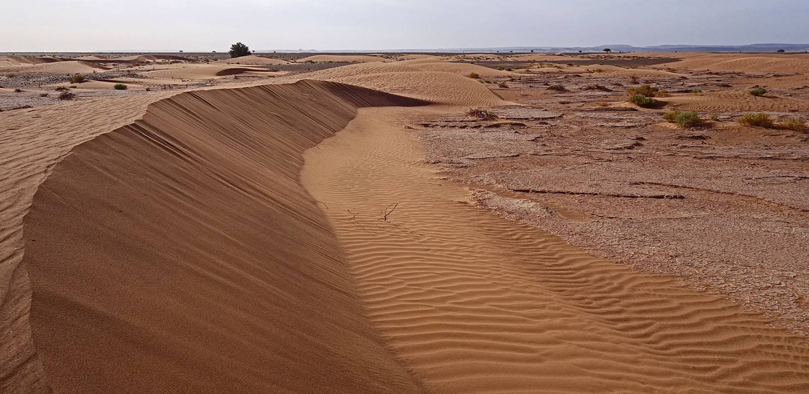
Still
more dunes.
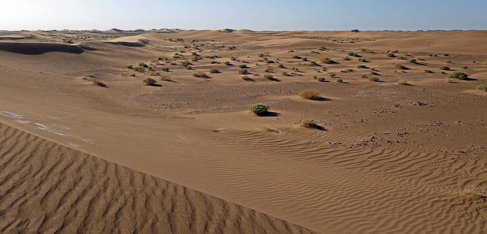
Later
in the morning the wind started picking up, as can be seen in some of the
pictures.
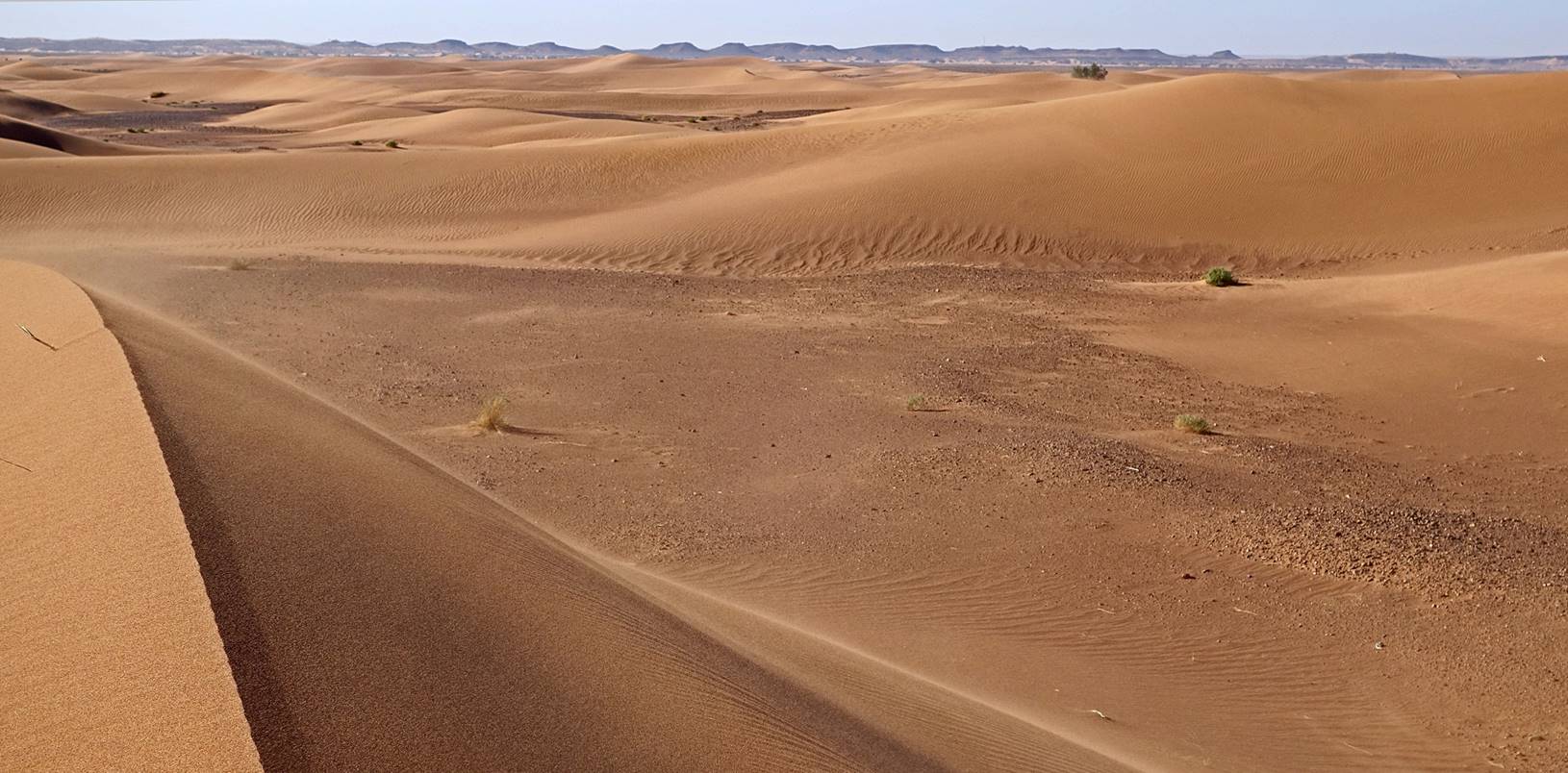
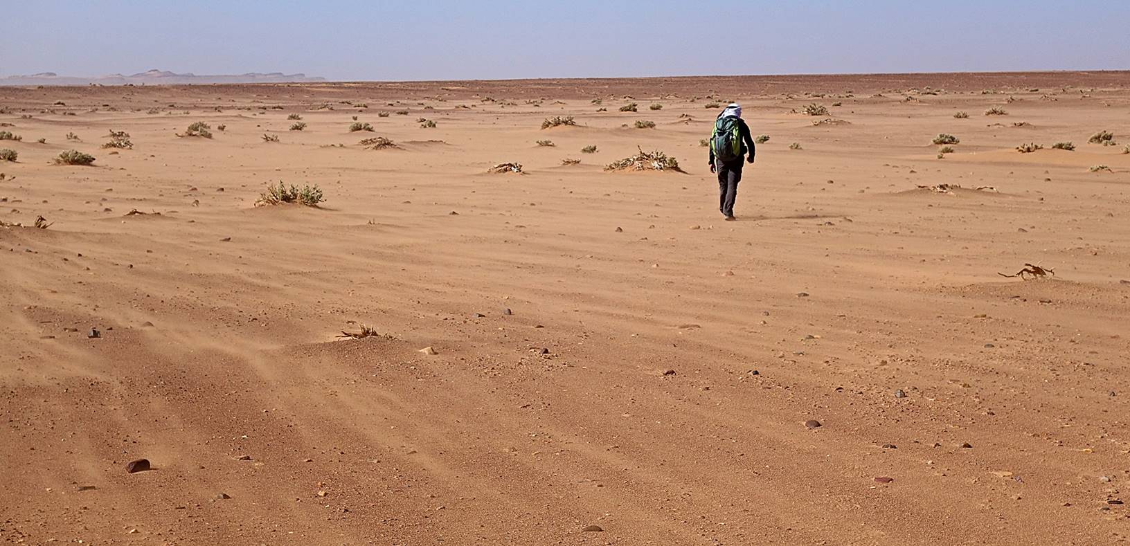
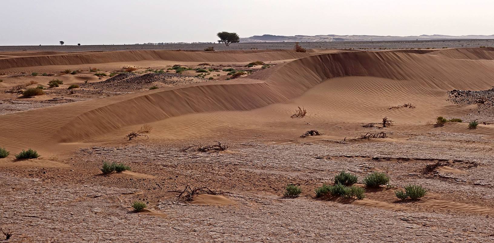
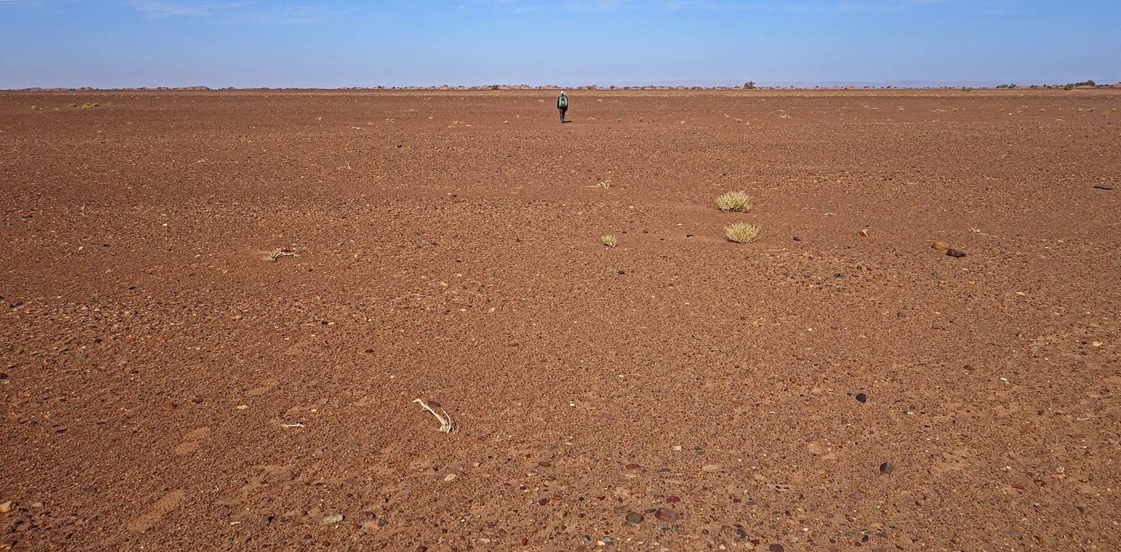
We
later walked out of the dune area and entered a bleak flat land (hamada) where the wind blew even stronger, but fortunately
into our back.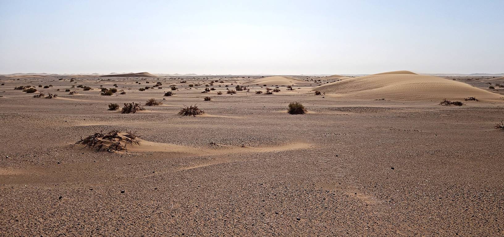
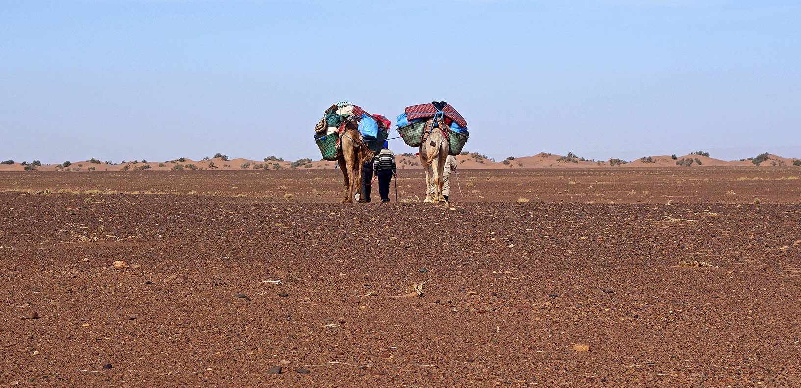
Soon
our path intersected that of the dromedaries and we all walked together to camp
3.
|
|
|
Reaching
the Ras Rich well.
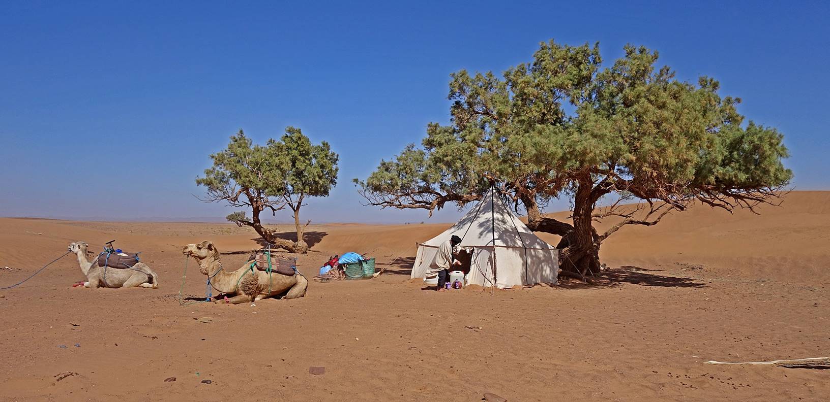
We
set our camp 3 near the well, next to a couple of tamarind trees.
|
|
|
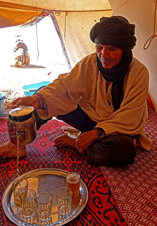
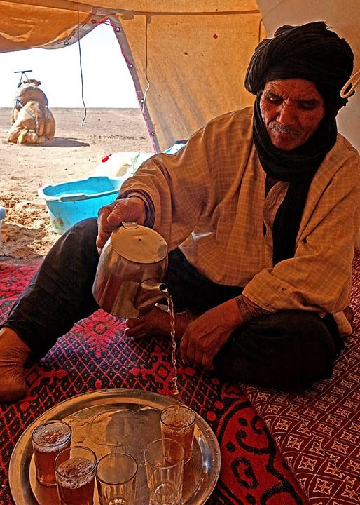
Bada serving tea in the large tent.
|
|
|
|
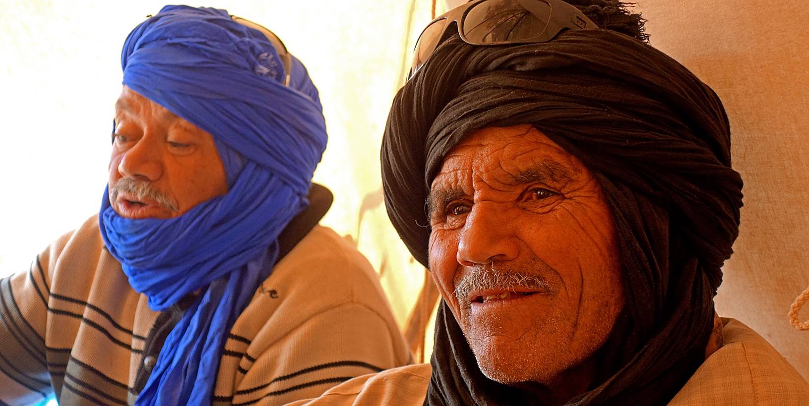
Hada and Bada in
the tent.
Late in the
afternoon, I climbed with Oumar the modest Jbel Rich south of the camp. Some 140m higher than the
camp, the flat top of Jbel Rich boasts beautiful
dunes, most of them on the edge of the surrounding escarpment. The late
afternoon and evening colors were particularly beautiful.
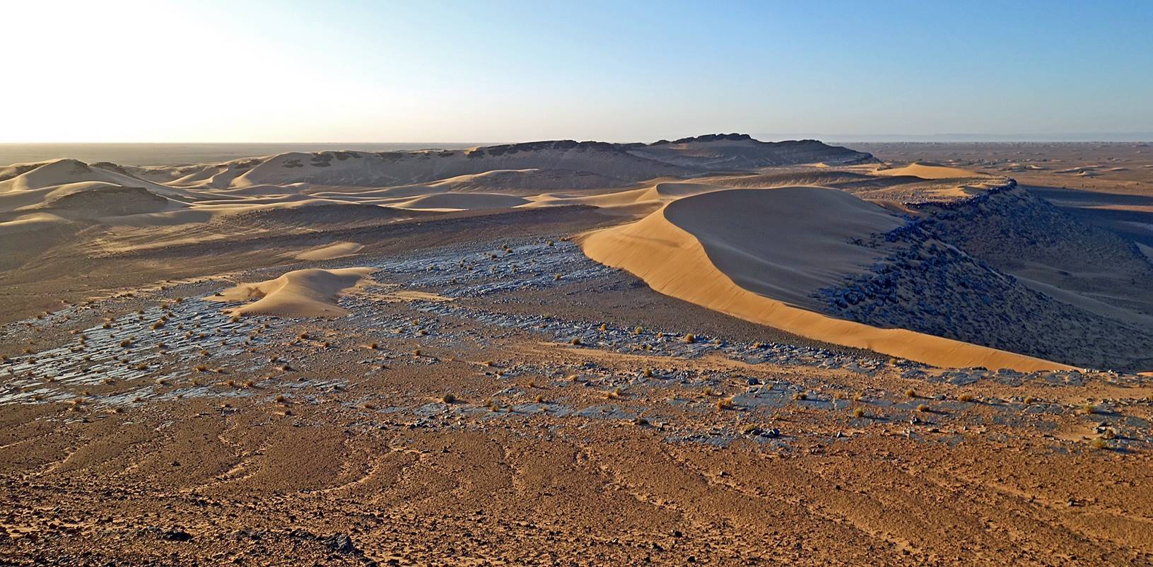
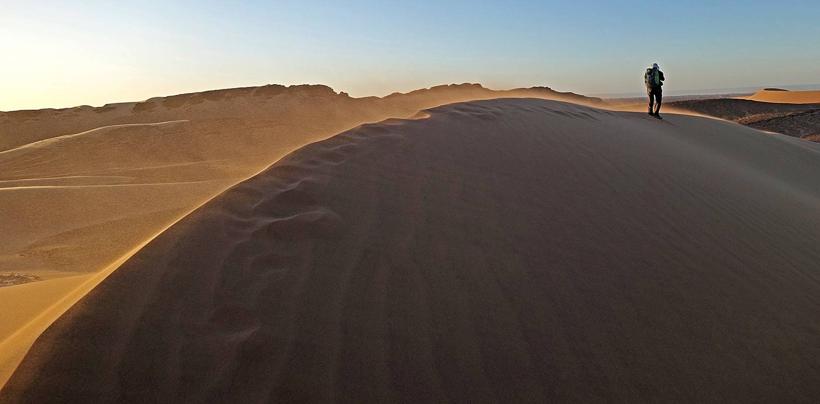
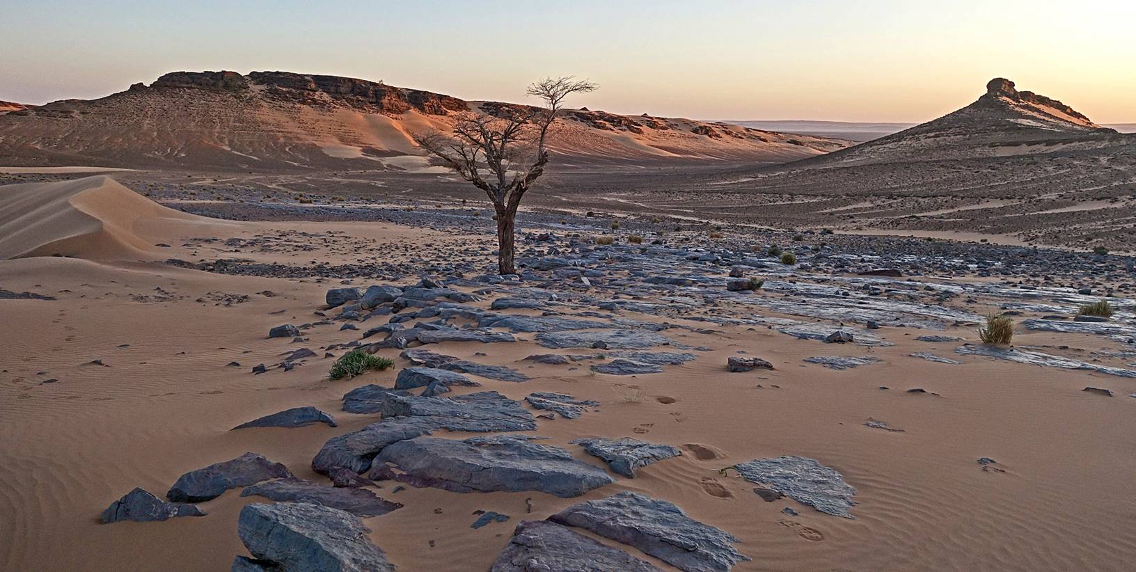
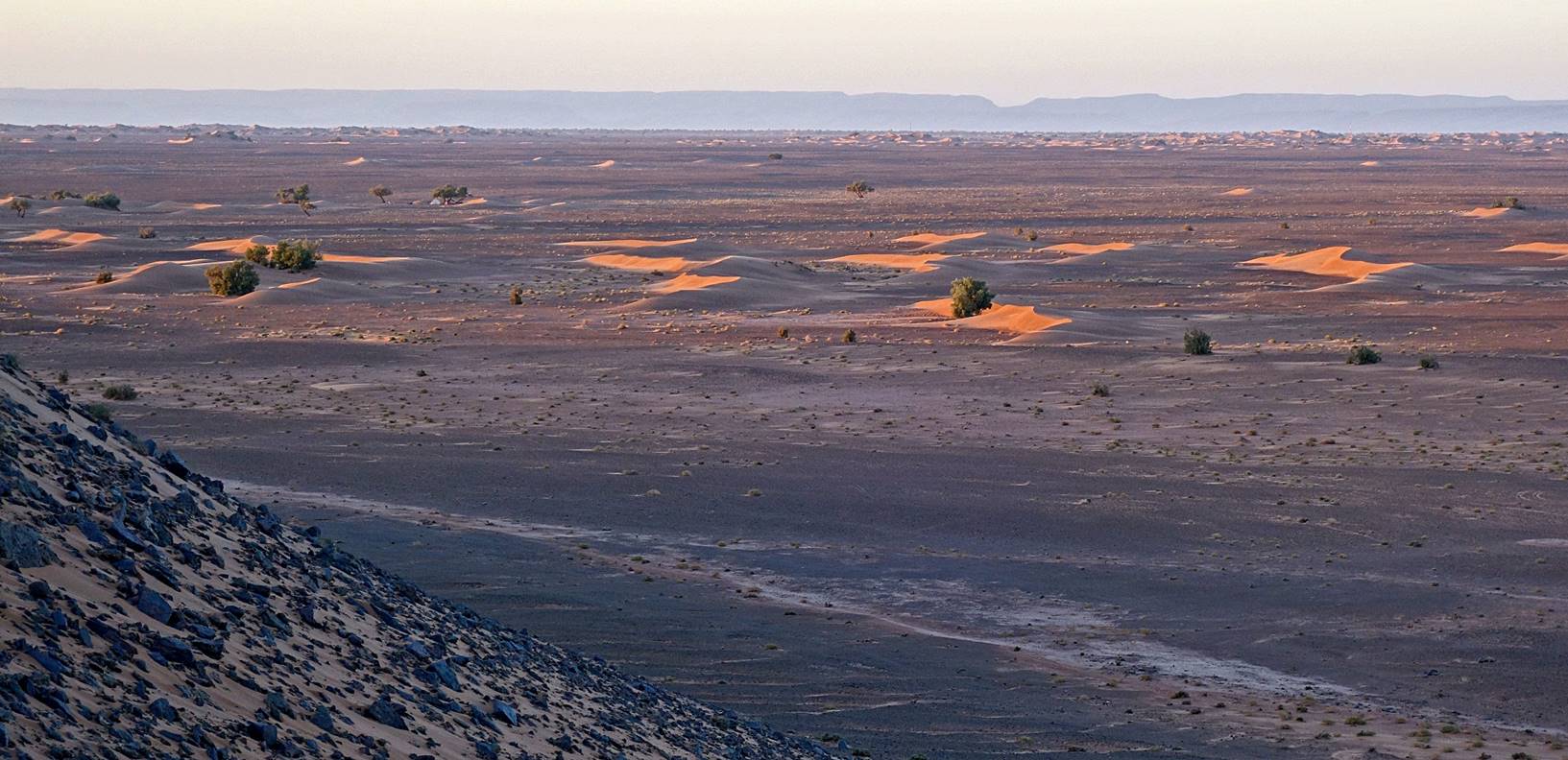
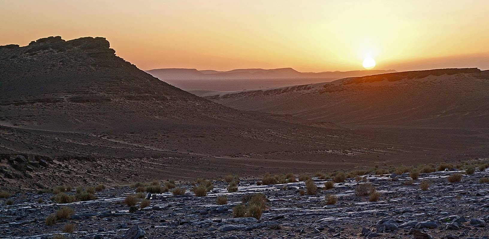
View
toward the north from Jbel Rich just before sunset.
Sunset
seen from the top of Jbel Rich.
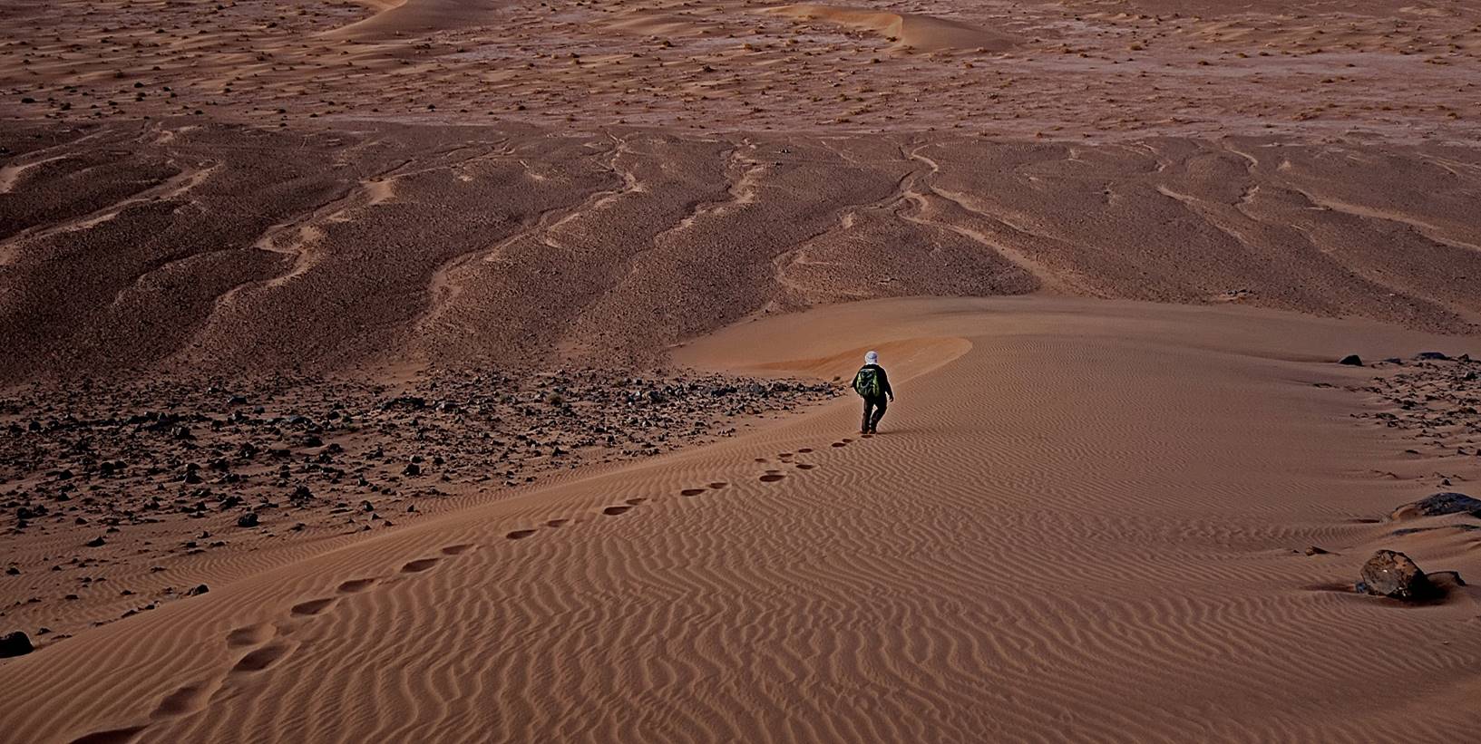
Oumar descending from Jebel Rich at dusk.
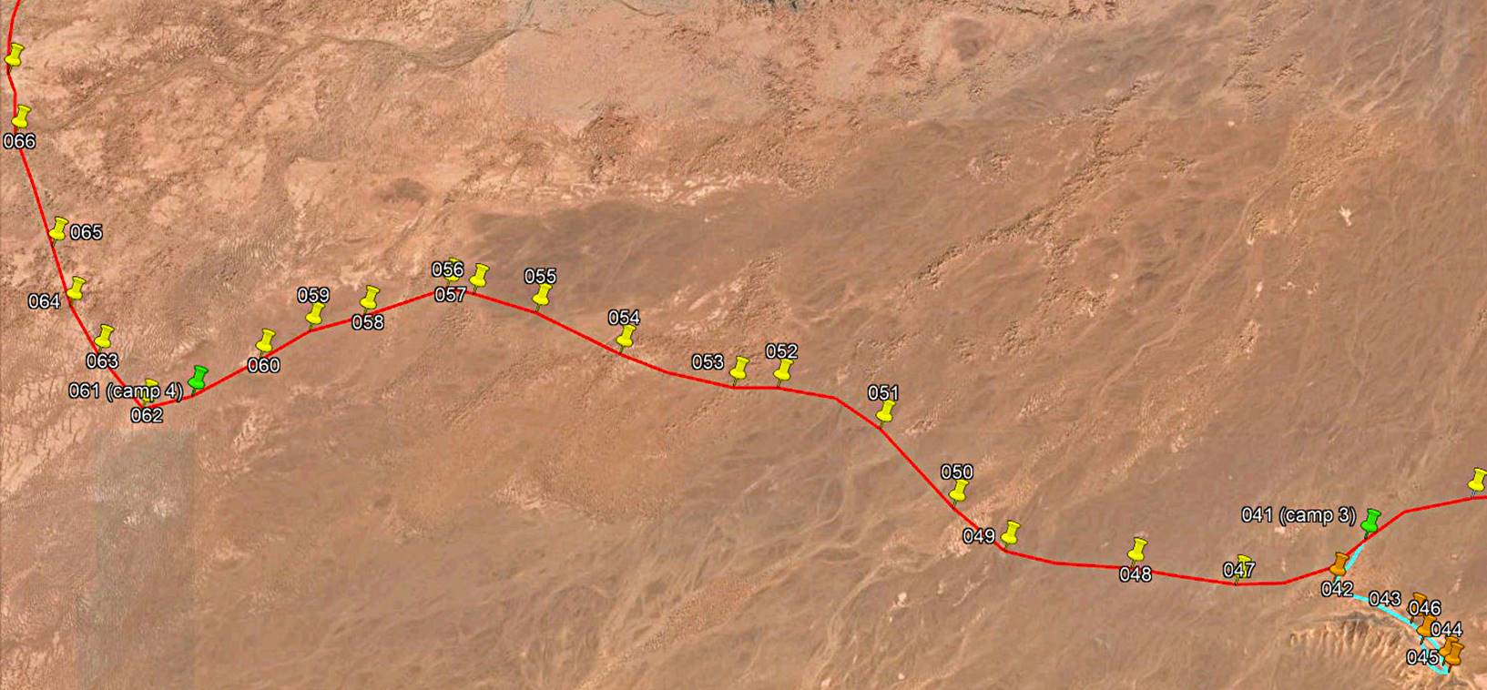
Day 4 of trek (from waypoint 041 to waypoint
061, 23km):
Path
followed on Day 4 (red line).
This day was similar
to the previous one. We moved further toward the west and traversed a series of
dune and hard flat sections. Unlike on the previous days, we moved all together
most of the time.
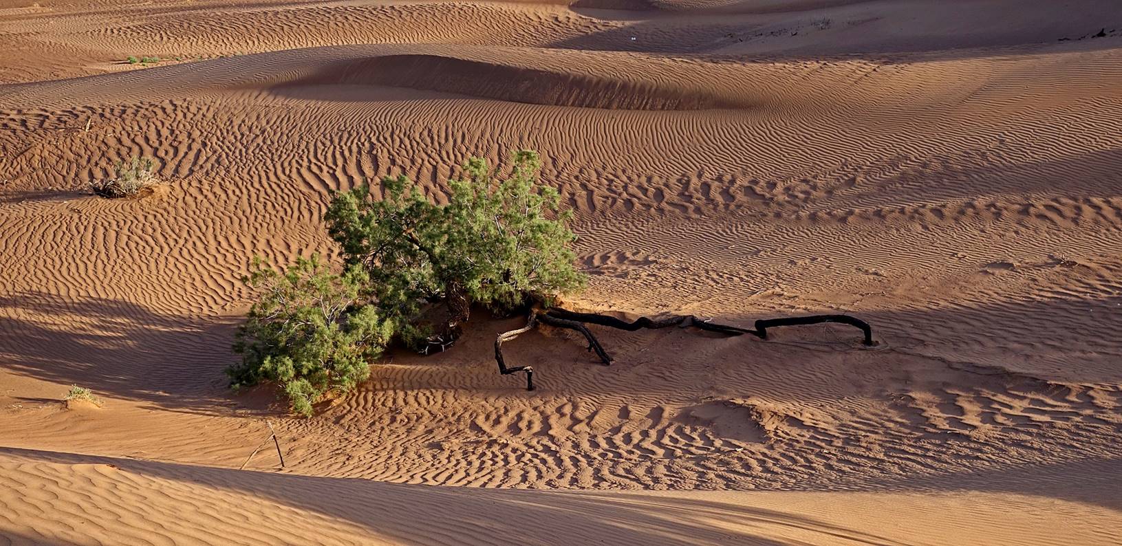
Tamarind
with long roots.
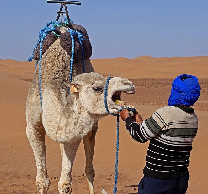
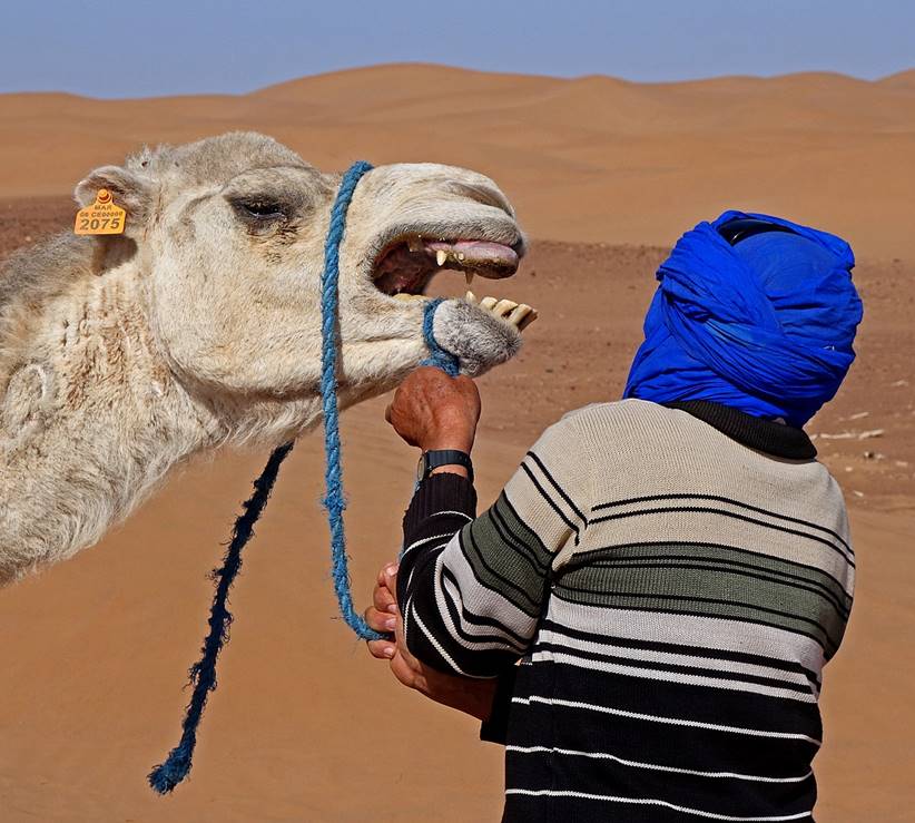
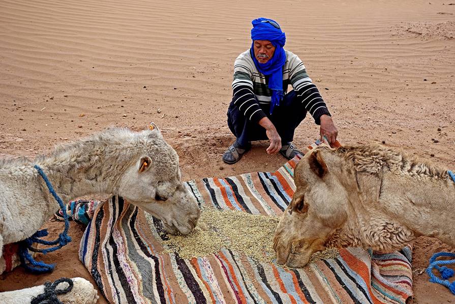
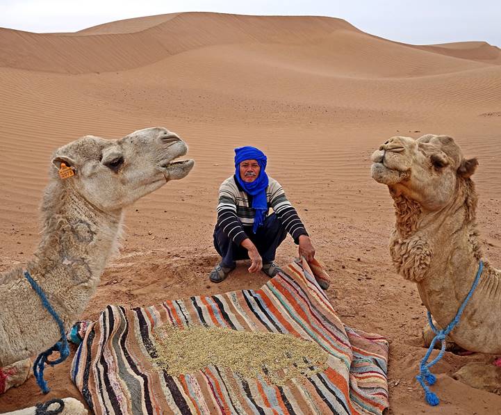
Hada feeding the dromedaries with
nutritious grains at camp 4. Because of their long necks, dromedaries need to
lift their heads to swallow food.
|
|
|
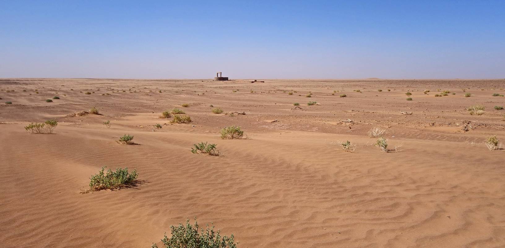
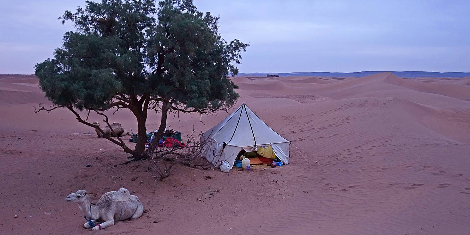
Our camp 4 at dusk,
again next to a tamarind tree. The small building visible in the background
(above the tent) is a Moroccan military fort. (The border with Algeria is about
13km south roughly on the crest of the dark mountain range in the far
background.)
![]()
Return to main Morocco 2020 webpage