Morocco (May 2023): Days 1-4 of traverse
![]()
Return
to main Morocco-2023 page | Return to my
mountaineering/trekking/travel webpage
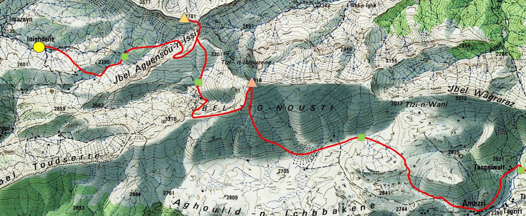
[The green squares in the map show the locations of
the successive camps.]
Day 1:
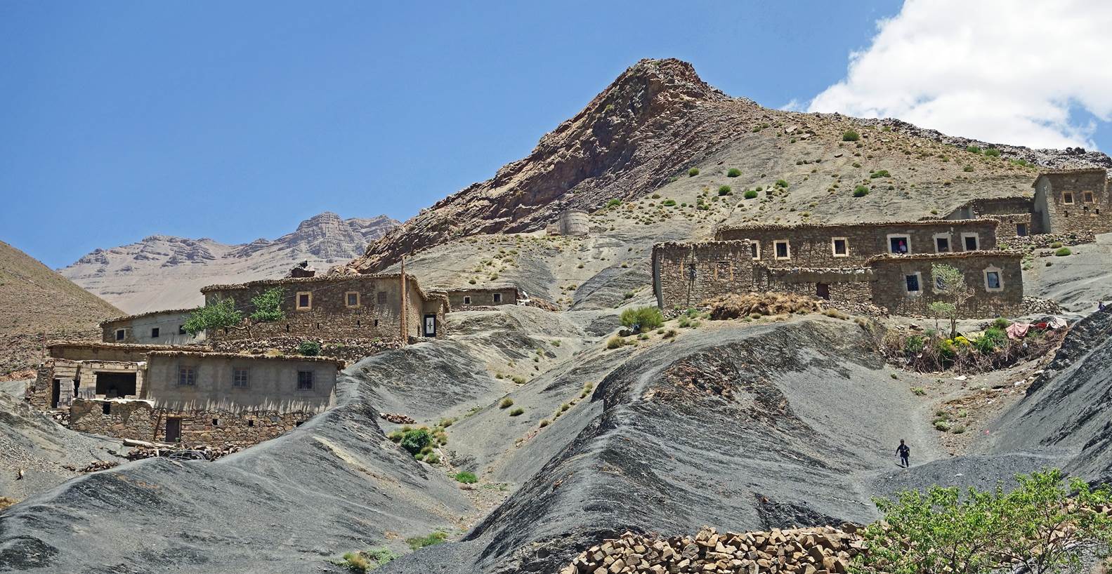
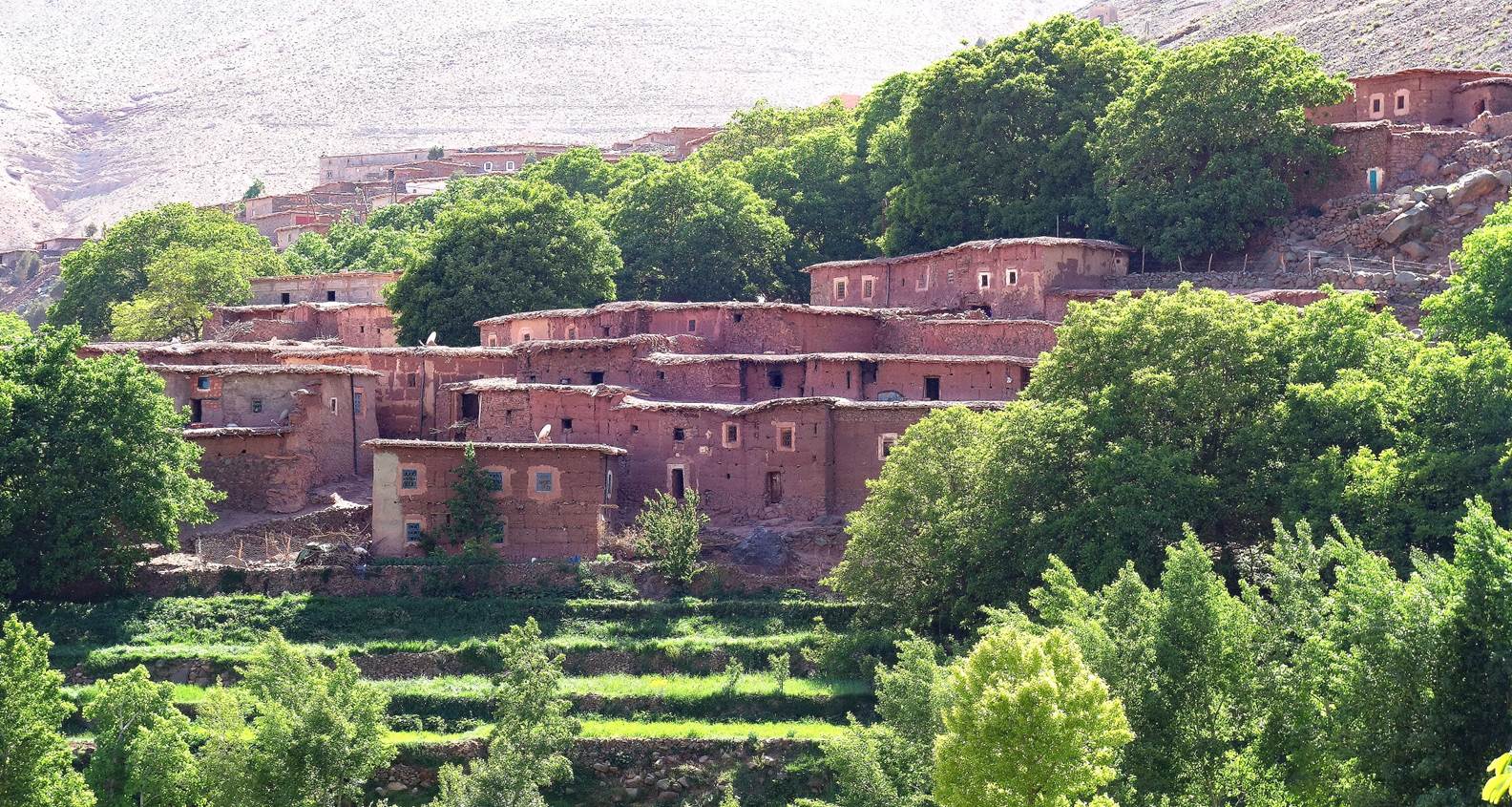
Houses in Inighdene,
the start of the traverse.
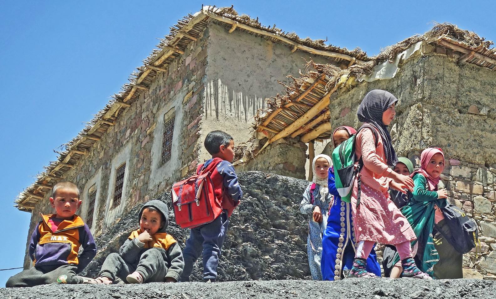
Children in Inighdene.
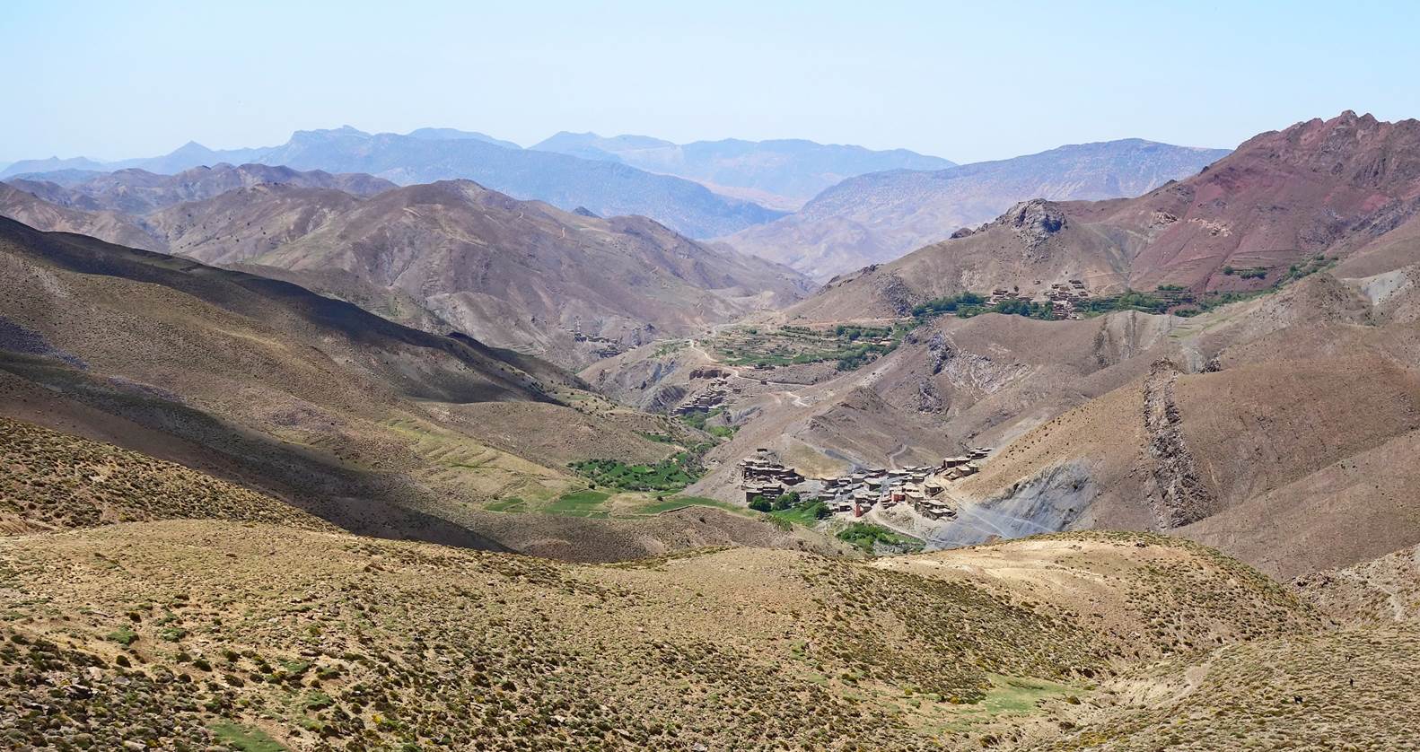
View over Inighdene (village at the
bottom of the photo) and its valley.
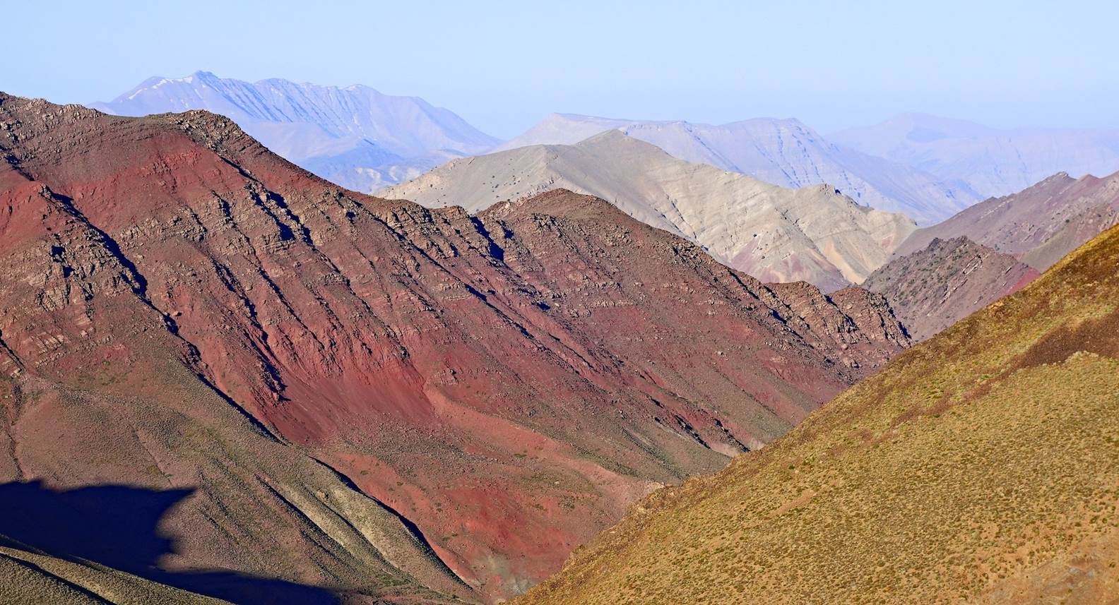
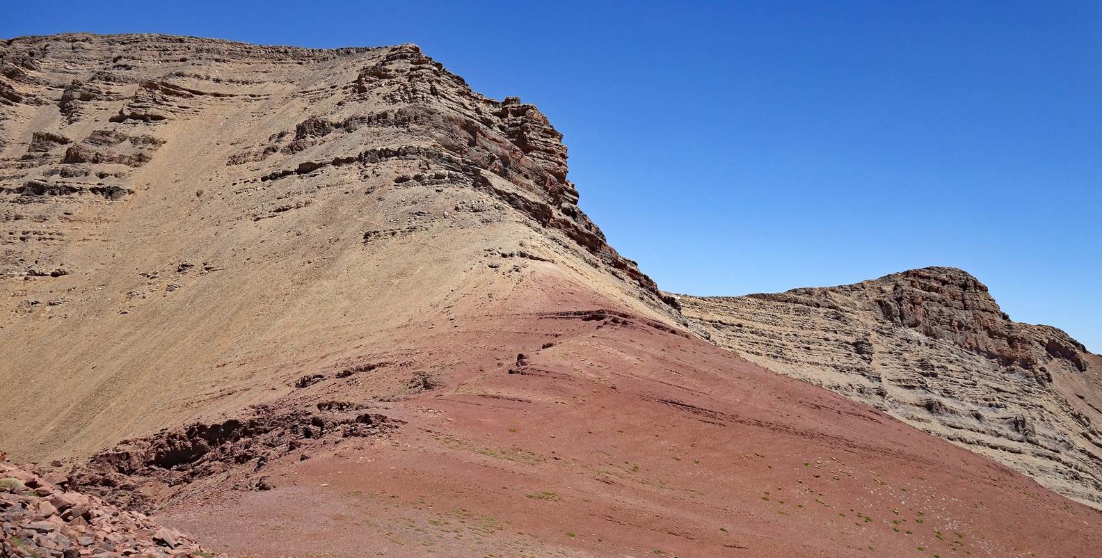
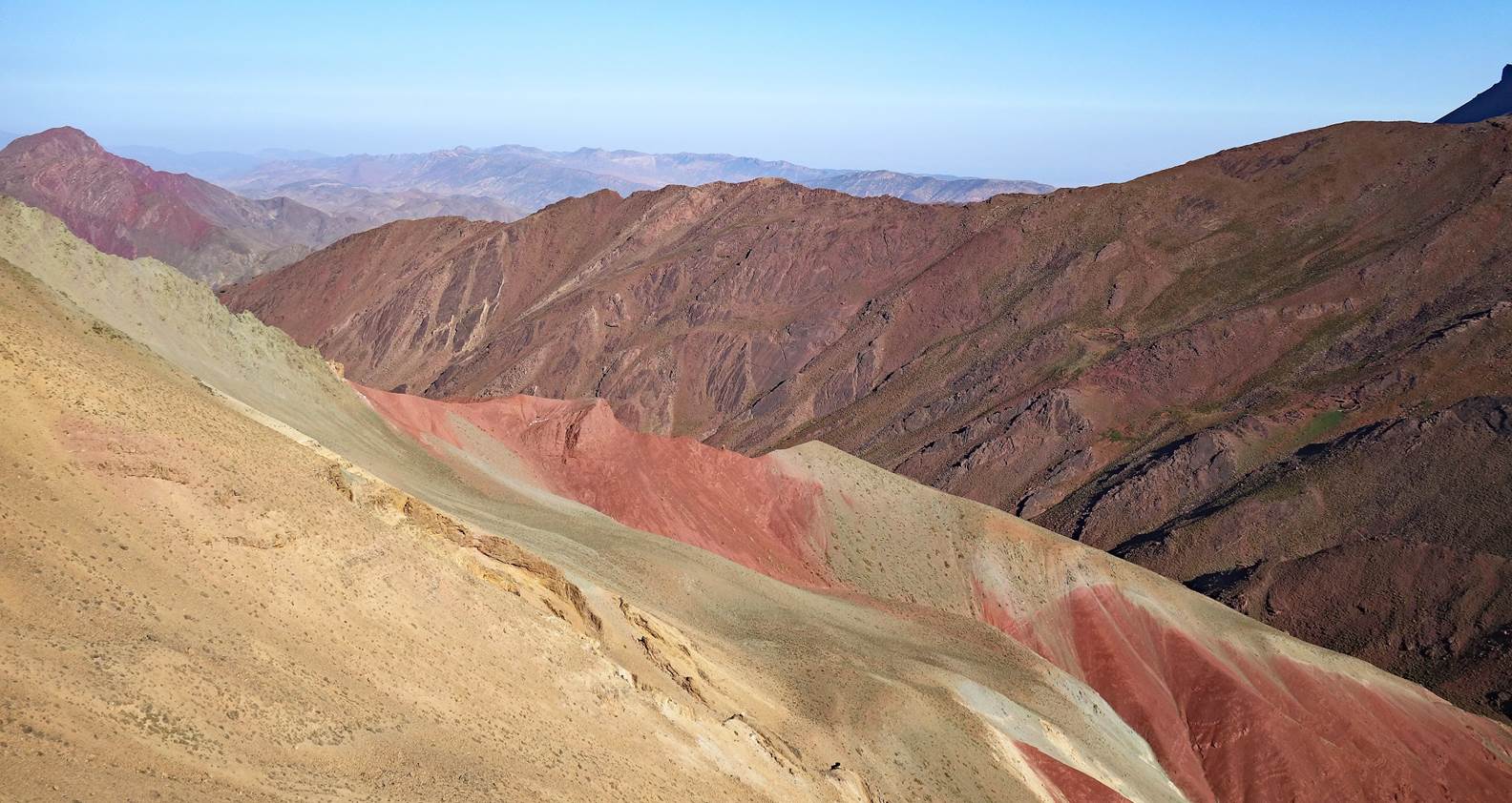
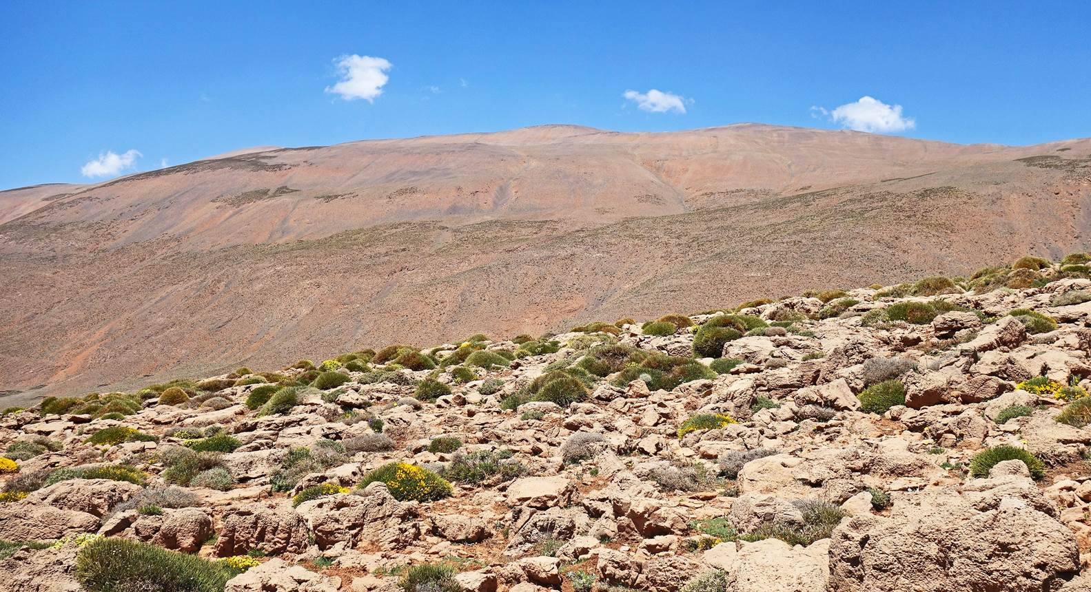
Colorful ridges along the trail.
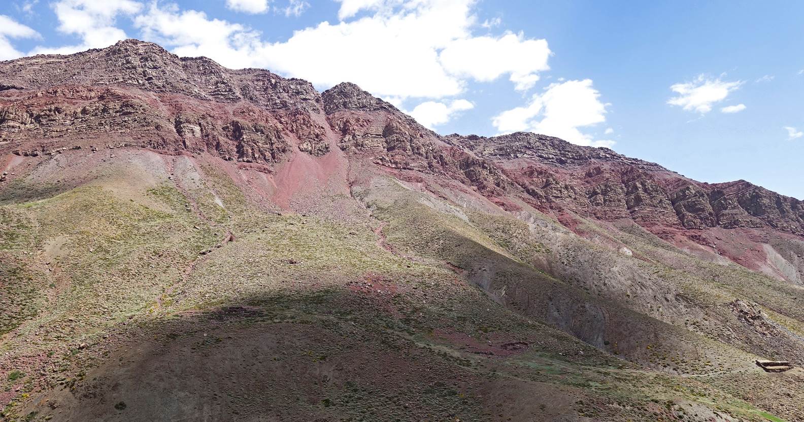
Southern ridge of Jebel Rat seen from
our first camp set up at waypoint 5.
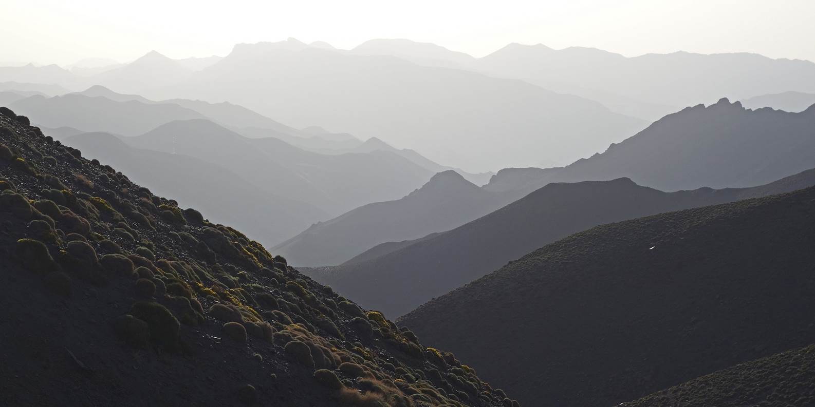
Layers of mountain silhouettes seen
from our camp in the late evening.
Day 2:
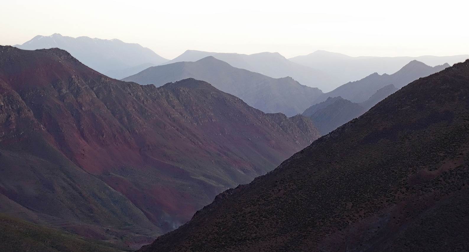
The same mountains as above seen in the
morning light.
Morning sun at our camp at waypoint 5.
On that day
Brahim and Zaid went directly to our second camp, while Chimmi (at the center
of the above photo) and I took a longer route to climb Jebel Rat. Chimmi had joined
us just for the first two days of this trip to climb Jebel Rat with me. Thirteen
years ago, in 2010, we had already done a traverse of the eastern ridge of the Mgoun
range together. See here.
Brahim and
Zaid leaving our camp.
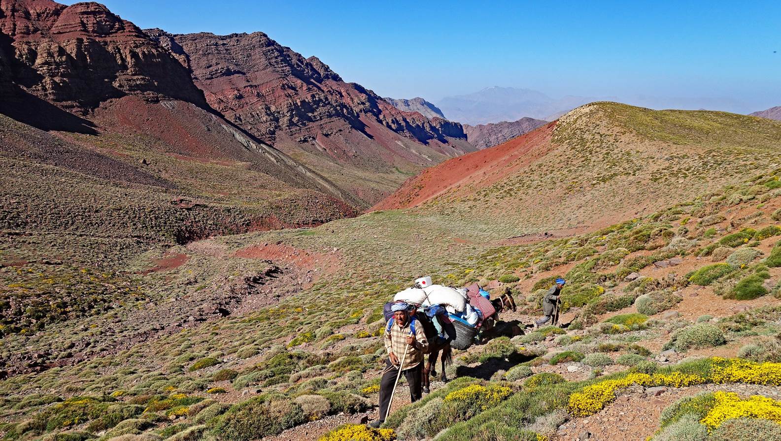
Azib (sheepfold) along the way.
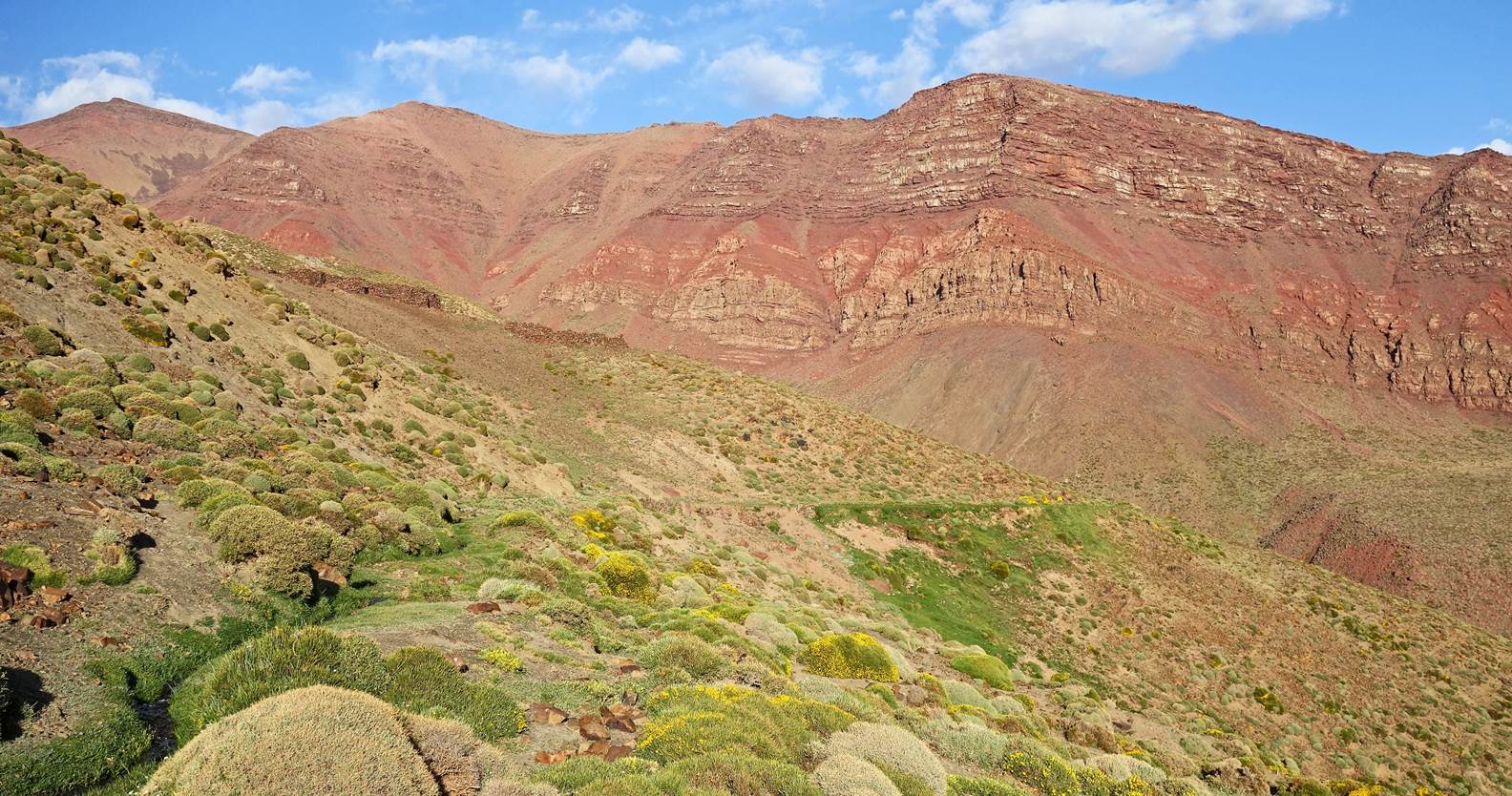
Successive views of the southern ridge
of Jebel Rat.
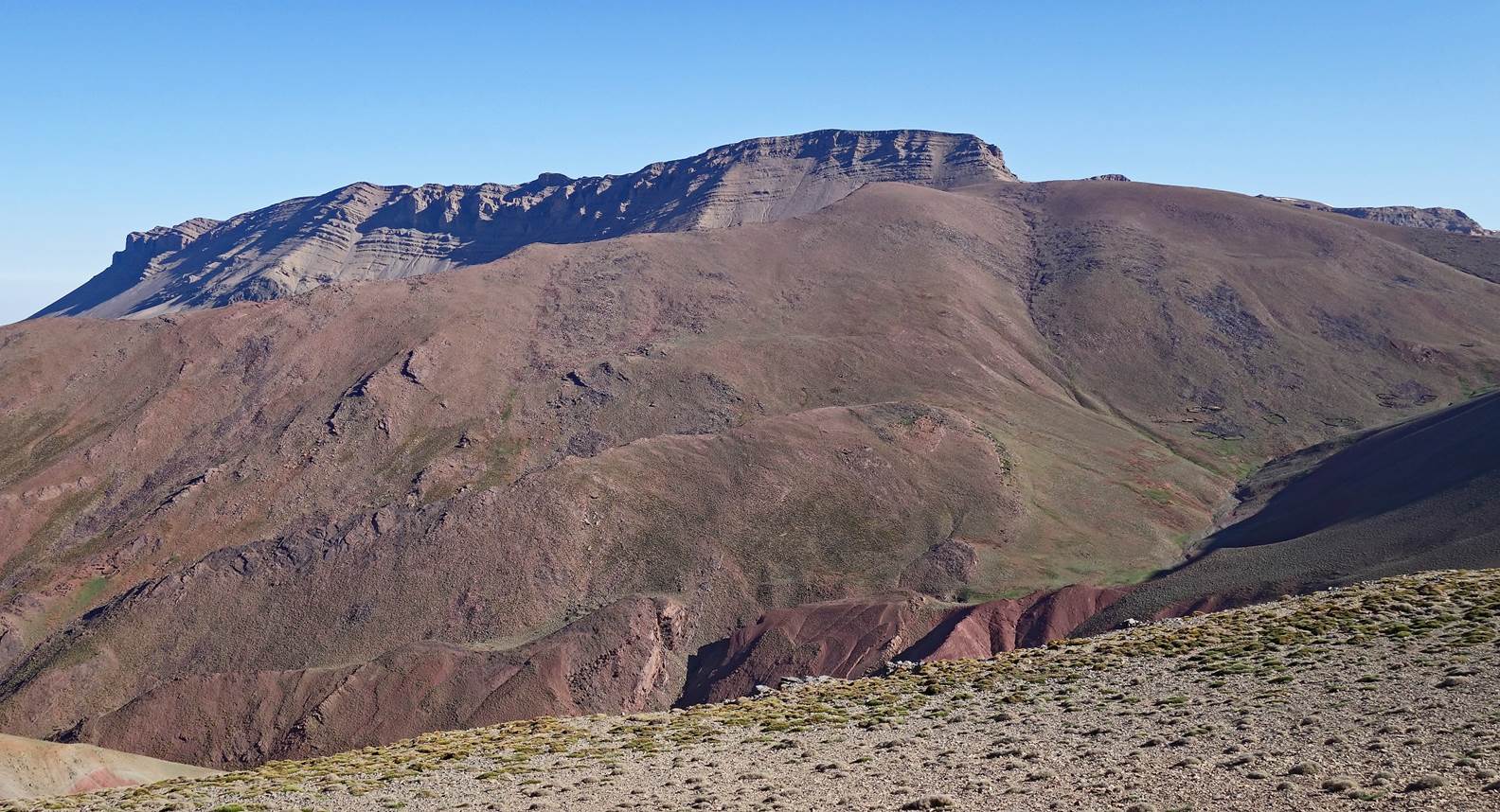
The summit of Jebel Rat is at the
center-right of the following picture.
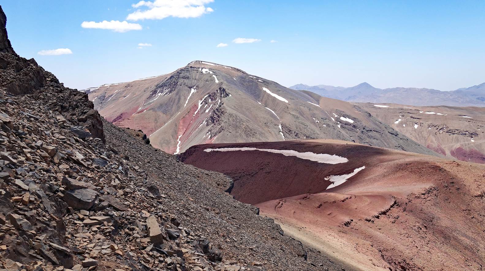
View of the summit of Tig-Nousti that I
will climb on the next day with Brahim.
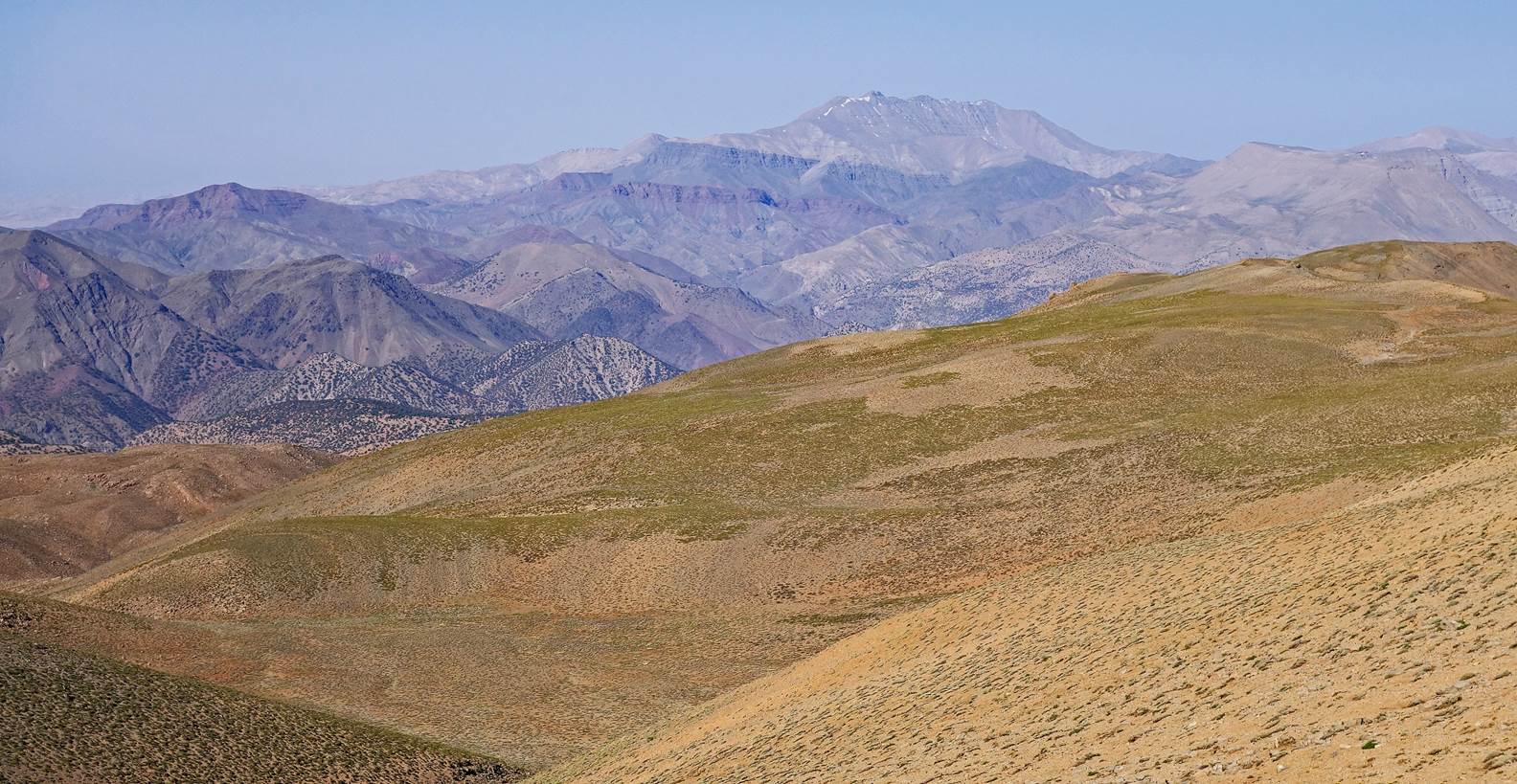
View over the valley northwest of Jebel
Rat, with the Mgoun range (with snow patches) visible in the background on the
right.
The last steep stretch of the ascent of
Jebel Rat (with the ascent path shown in yellow in the following picture).

Another view of Jebel Tig-Nousti during
the ascent.
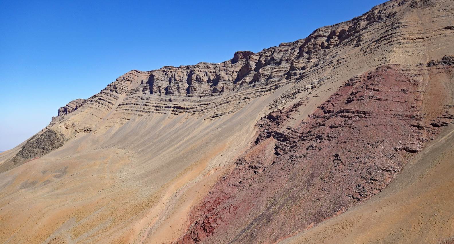
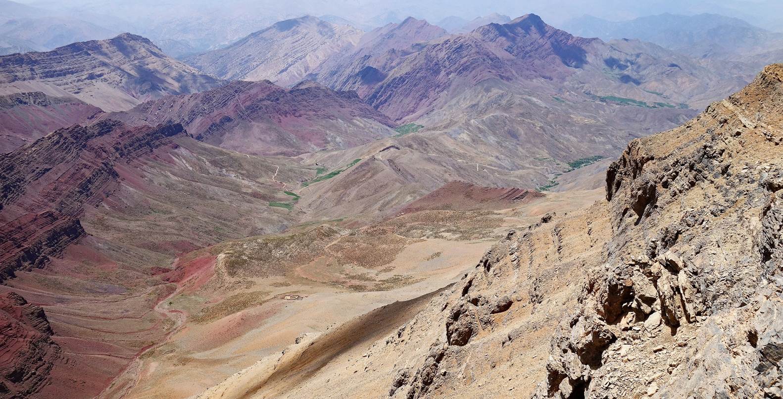
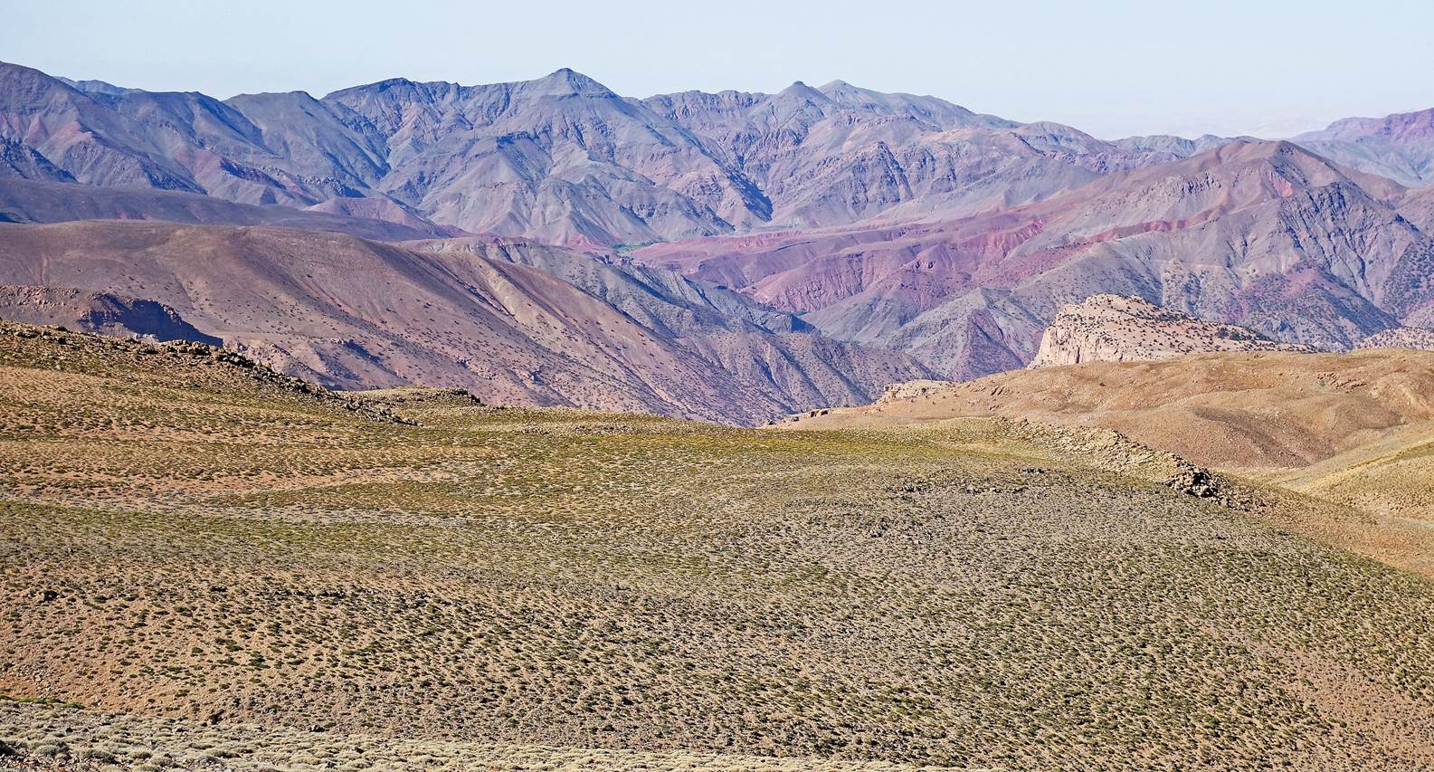
View over the valley southwest of Jebel
Rat, with Jebel Anghomar visible in the far
background at the center-left of the photo.
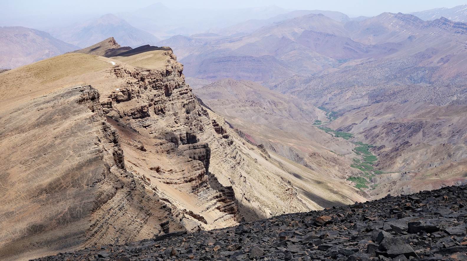
View toward the north from the southern
ridge of Jebel Rat. The ridge on the left is the eastern ridge of Jebel Rat.
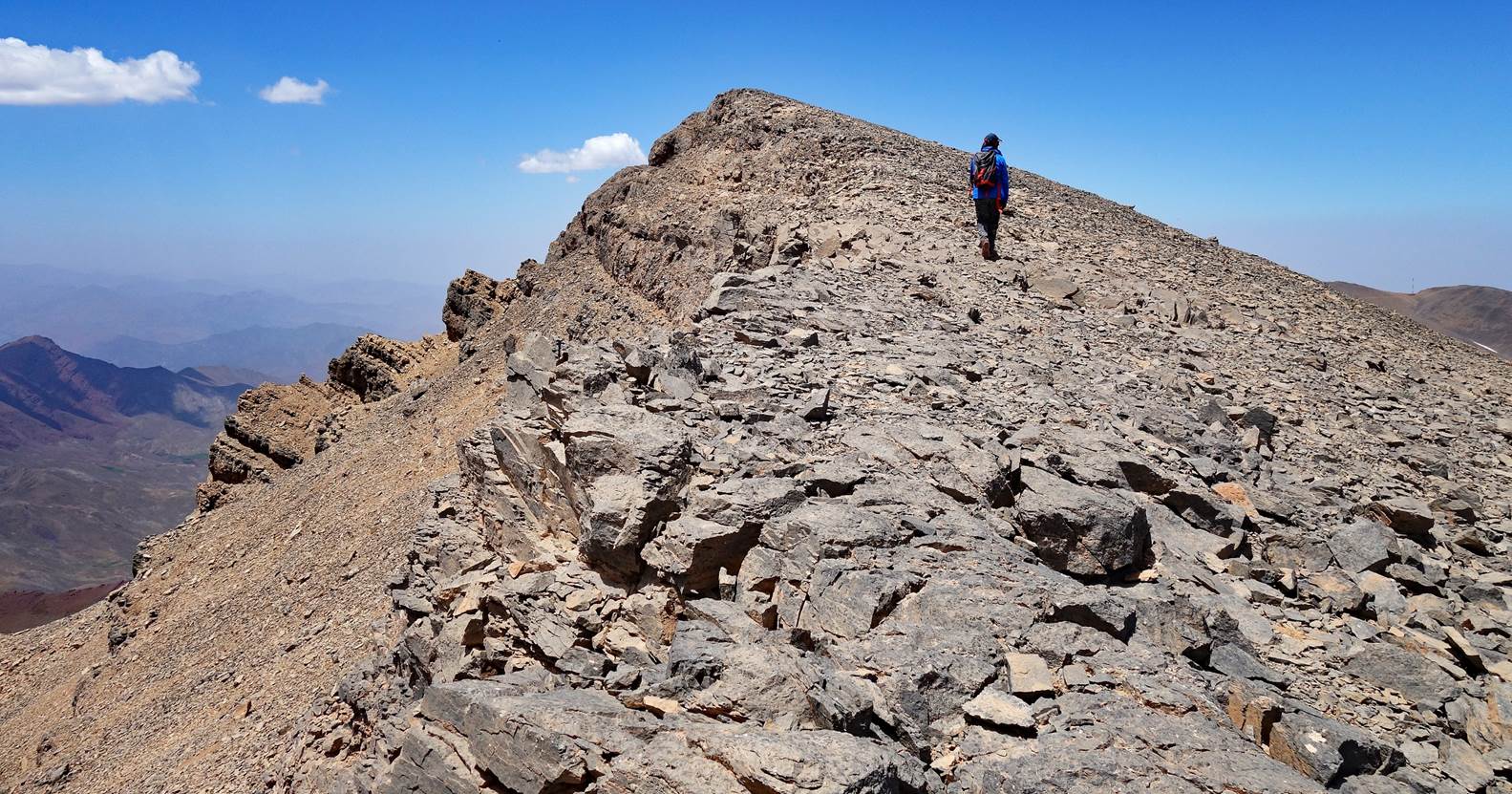
Chimmi on the southern ridge of Jebel
Rat hiking toward the summit.
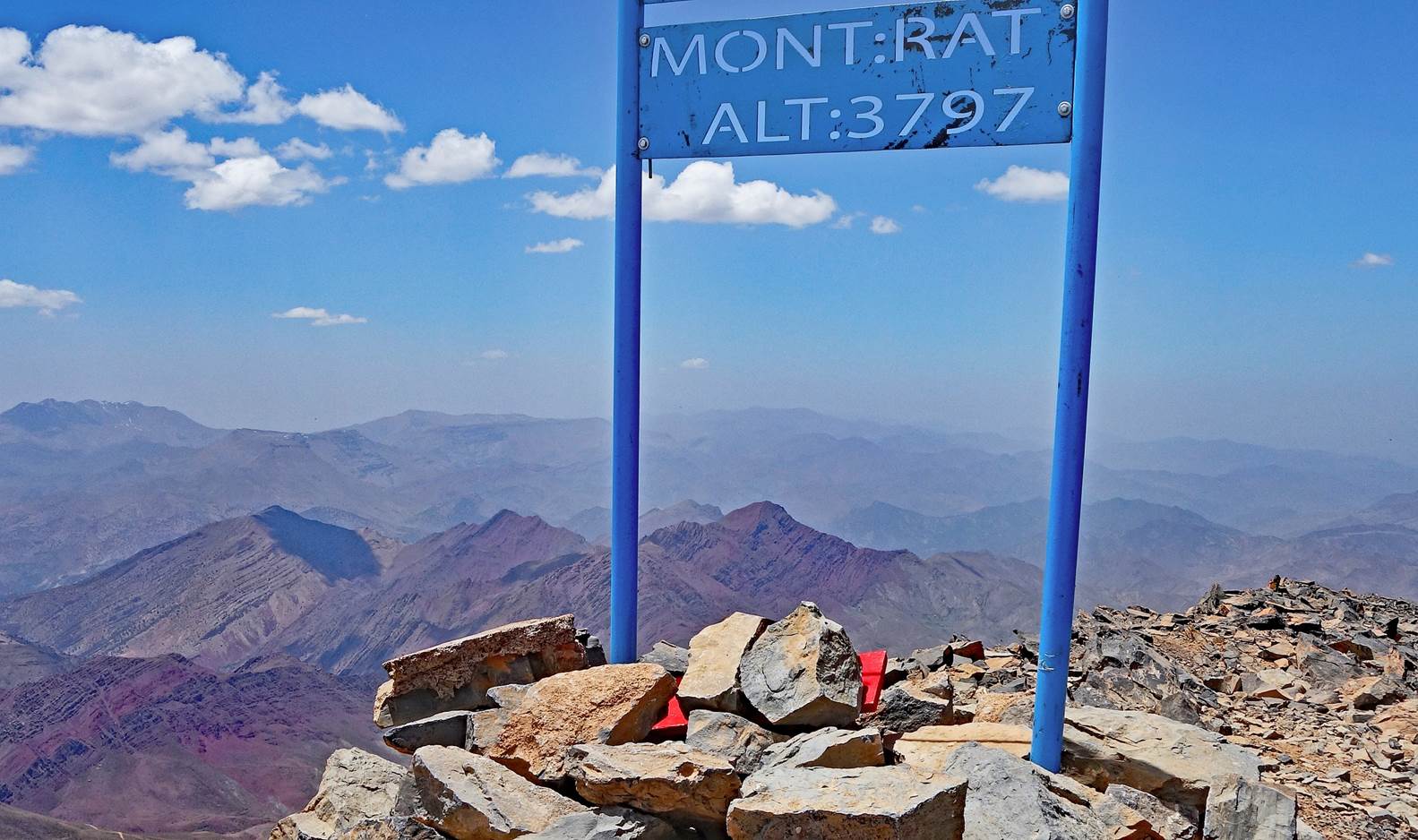
Marker at the summit. The elevation given
by the marker, 3797m, is slightly greater than the 3781m in the topographic map.
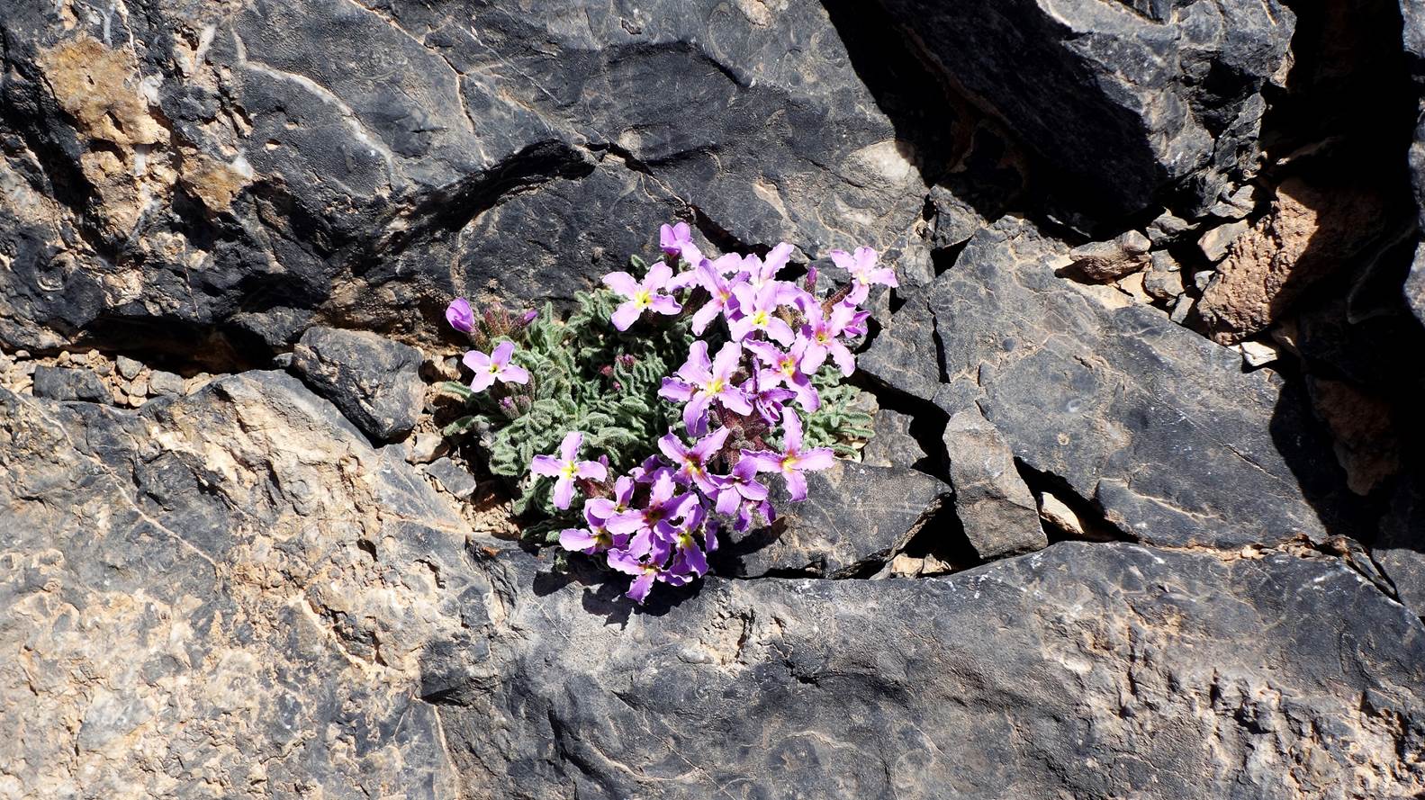
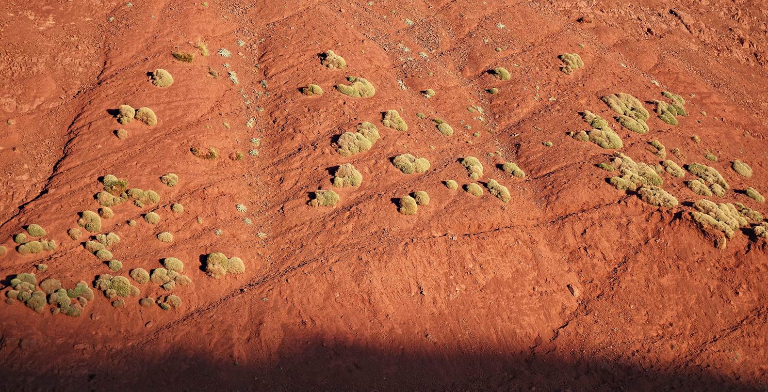
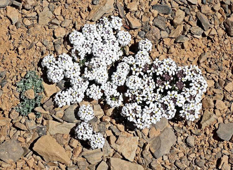
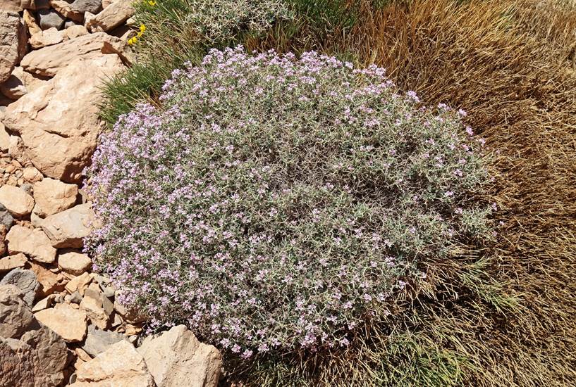
High altitude flower that grows among
rocks at the summit.
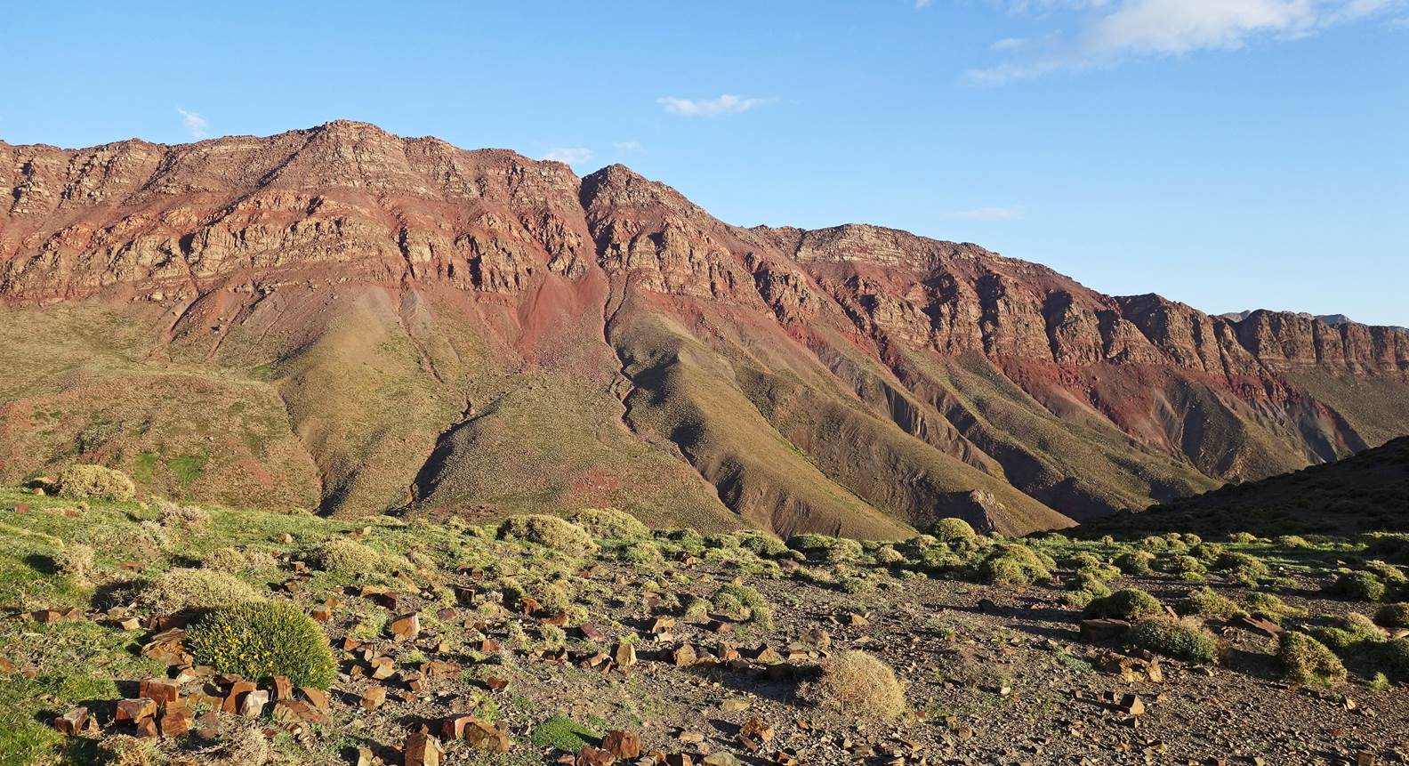
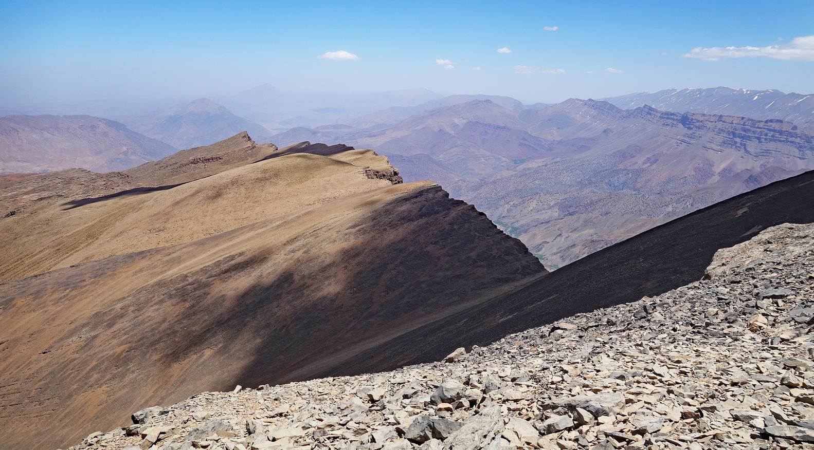
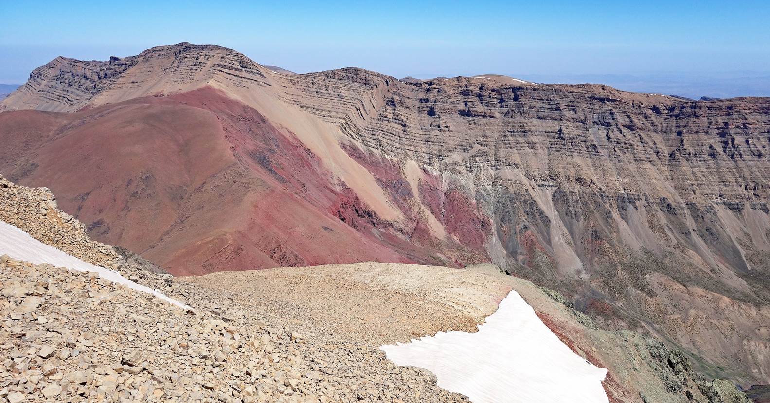
View of the southern ridge of Jebel Rat
toward the west, with Jebel Azourki barely visible in the far center-left
background.
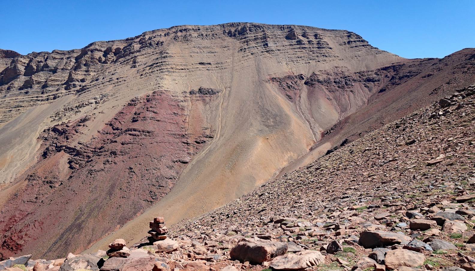
Another view of the valley southwest of
the Jebel Rat, here seen from the summit.
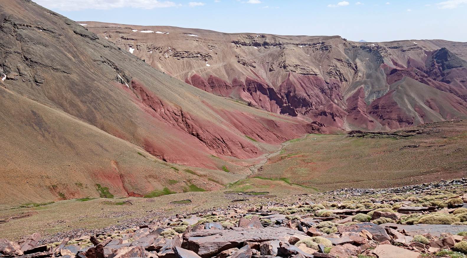
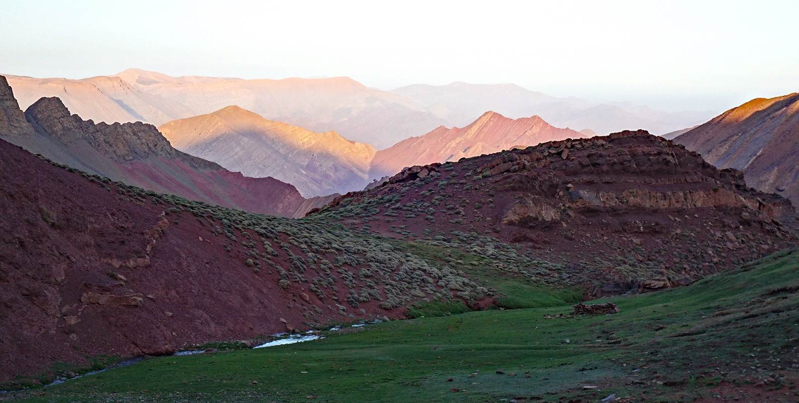
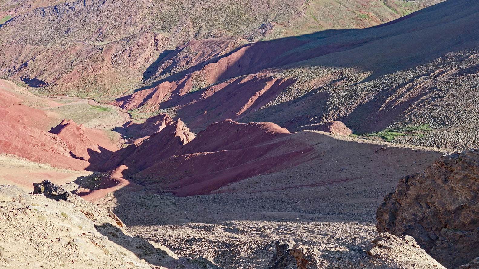
Colorful slopes seen during the descent
of Jebel Rat. The white dot at the bottom of the grass area is our tent set up at
waypoint 18 by Brahim and Zaid.
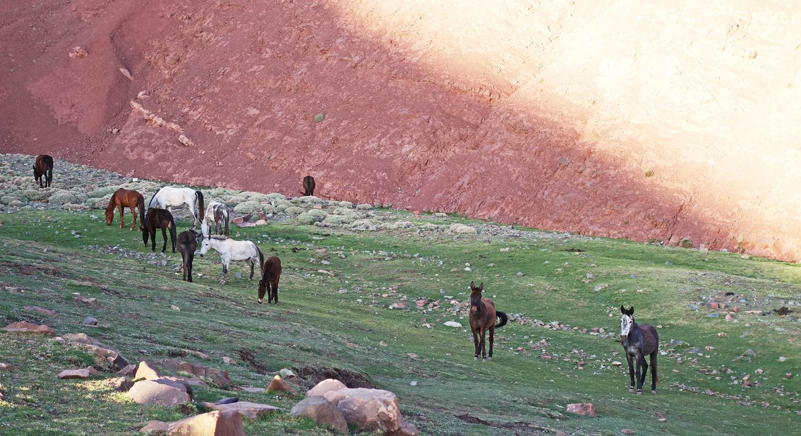
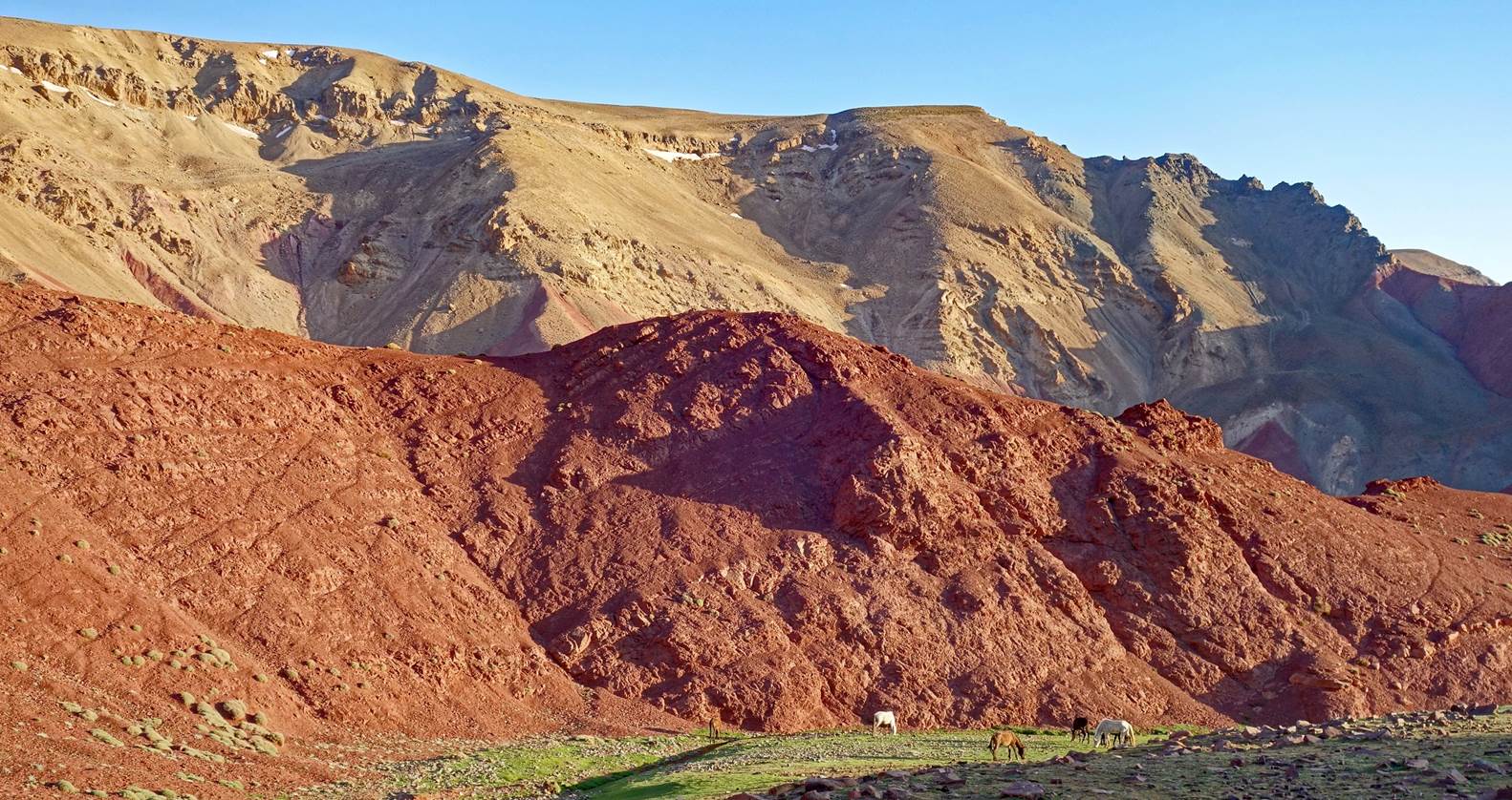
Horses and colorful slopes seen from
our camp in the evening.
Day 3:
On that day, Chimmi left us early as
planned. Zaid went straight to our third camp, while Brahim and I did the ascent
of the rounded summit of Jebel Tig-Nousti.
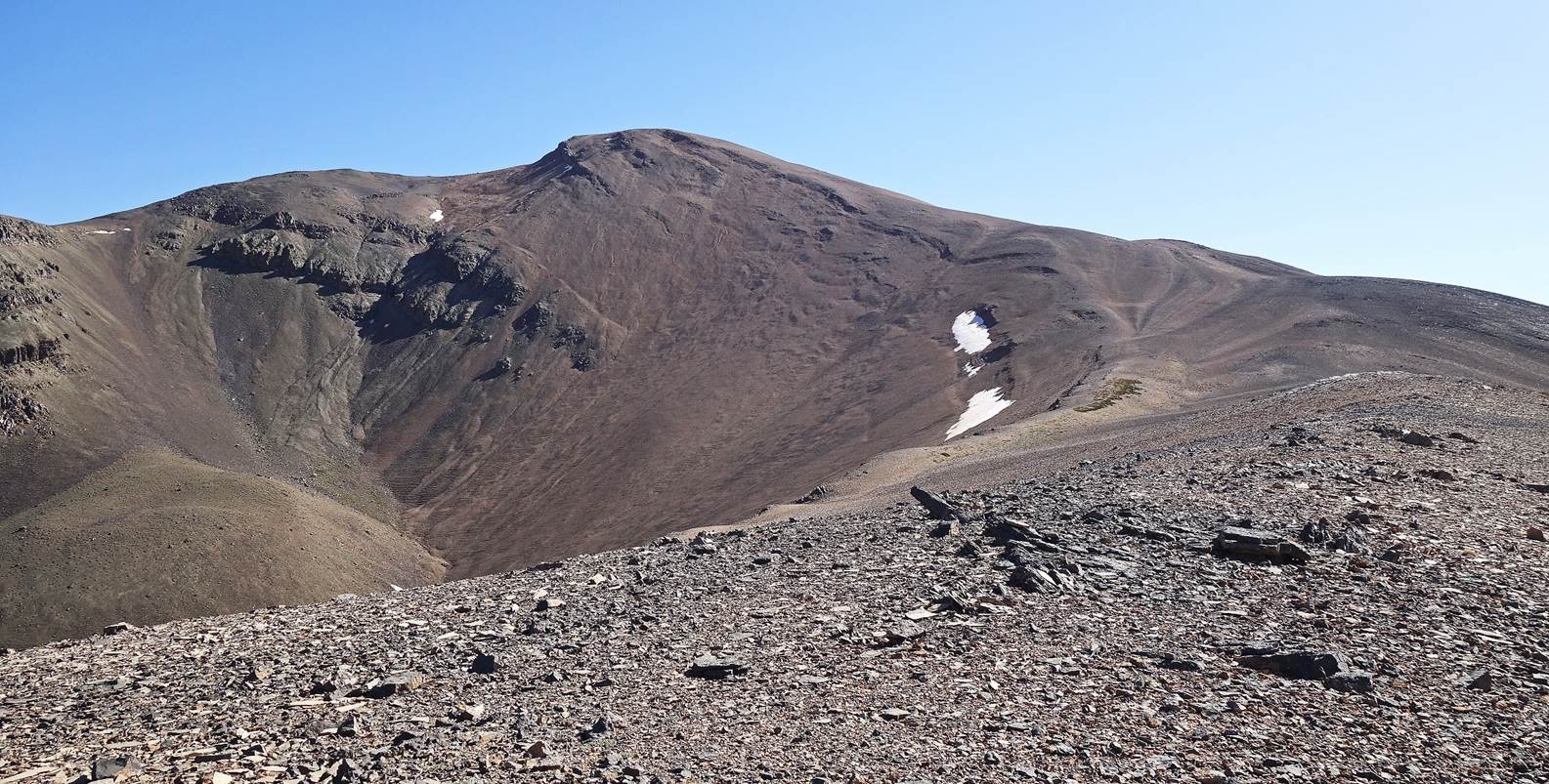
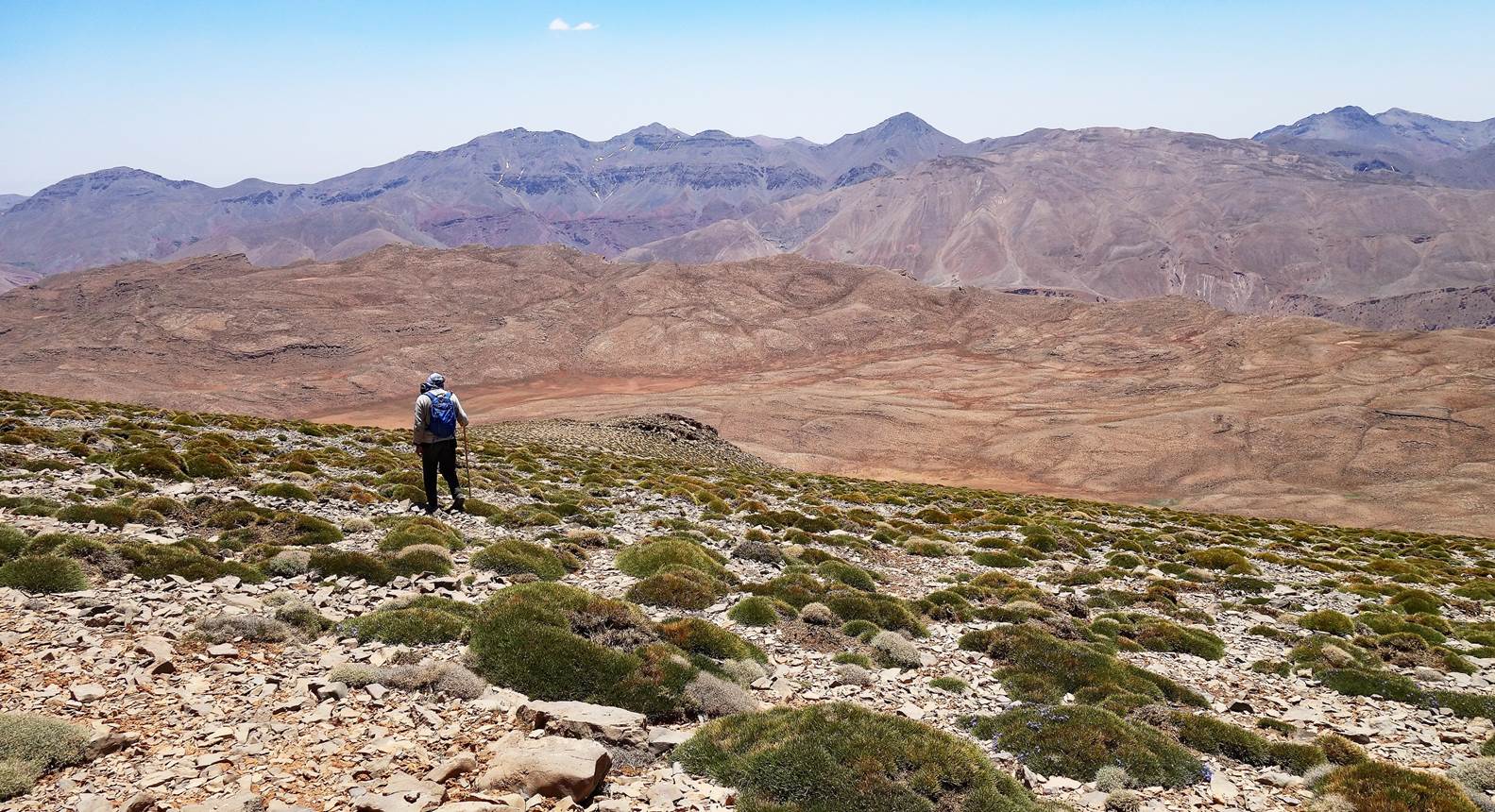
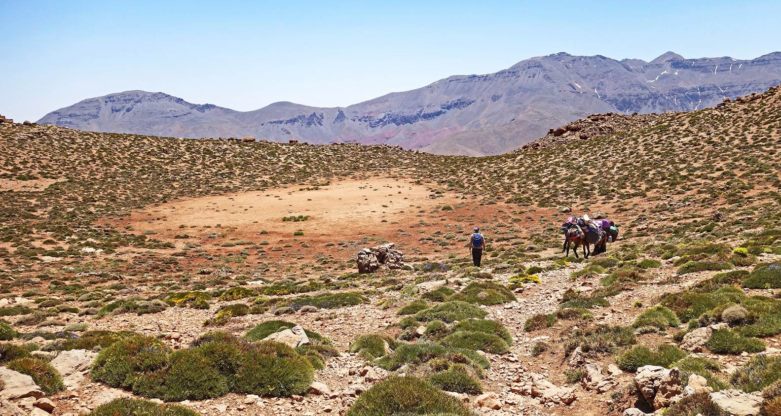
Early morning view from the second camp.
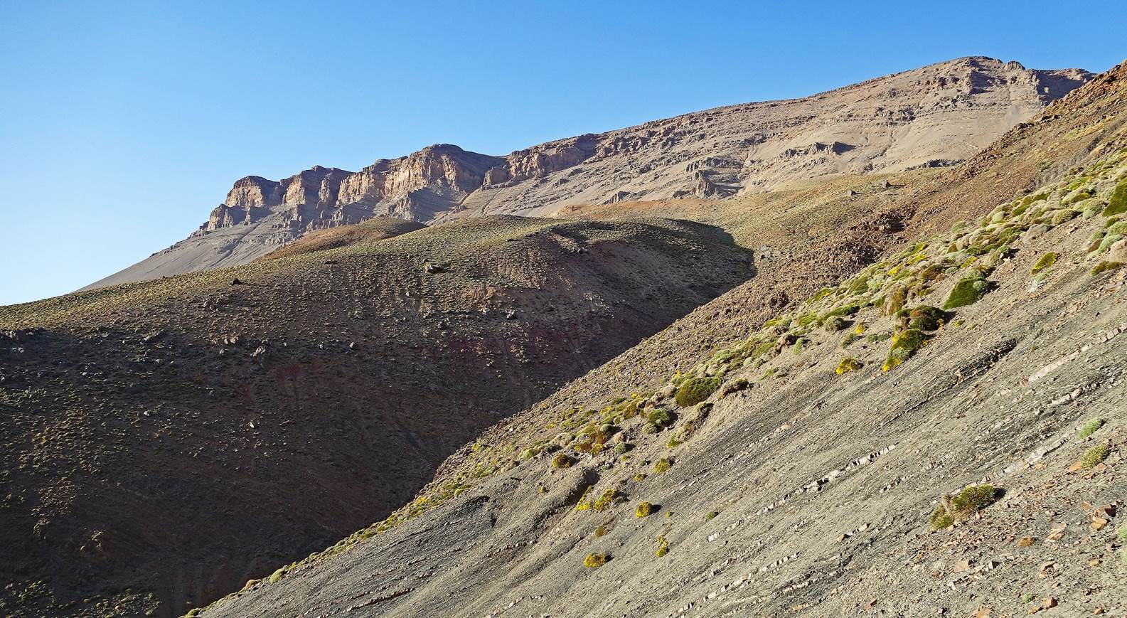
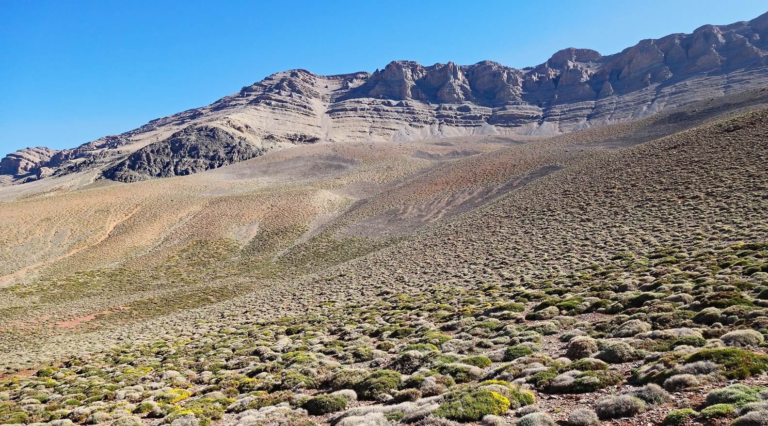
View of the ridge that we will first
climb to reach Tig-Nousti. (The ascent path is visible in the photo.)
Colorful landscapes seen while climbing
the ridge.
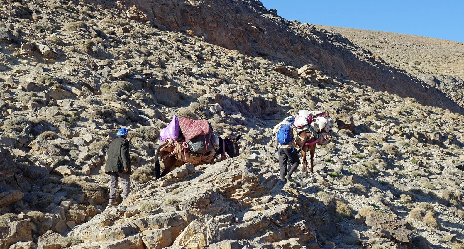
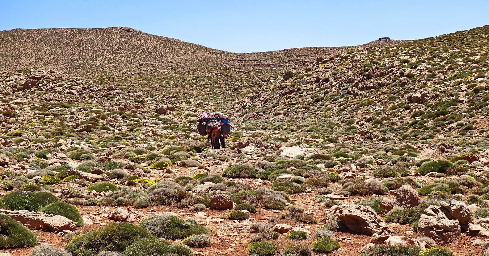
Brahim, Zaid, and the two mules
reaching the ridge, before Brahim and I head to the top of Tig-Nousti and Zaid
continues straight to the third camp.
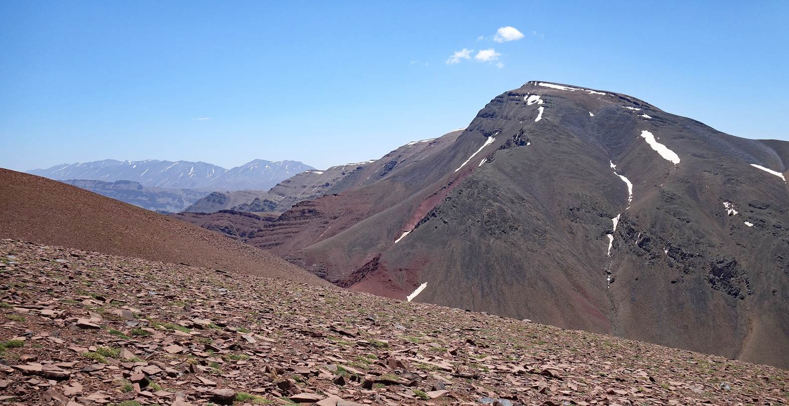
View of Jebel Rat from the ridge.
Jebel Anghomar seen while ascending
Tig-Nousti
View toward the south during the
ascent.
The gentle but long final ridge leading
to the summit of Tig-Nousti.
Brahim at the summit of Jebel Tig
Nousti (3819m), marked by a mere stack of rocks.
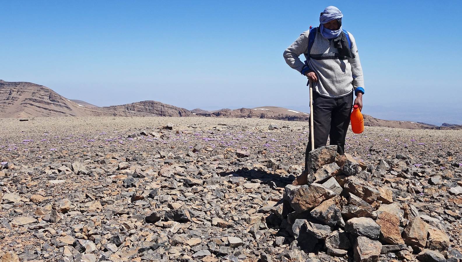
The summit may not be impressive, but
the views from it are truly spectacular:
- View the southern (left) and eastern (right)
ridges of Jebel Rat,
- View toward the north, with the
eastern ridge of Jebel Rat on the left.
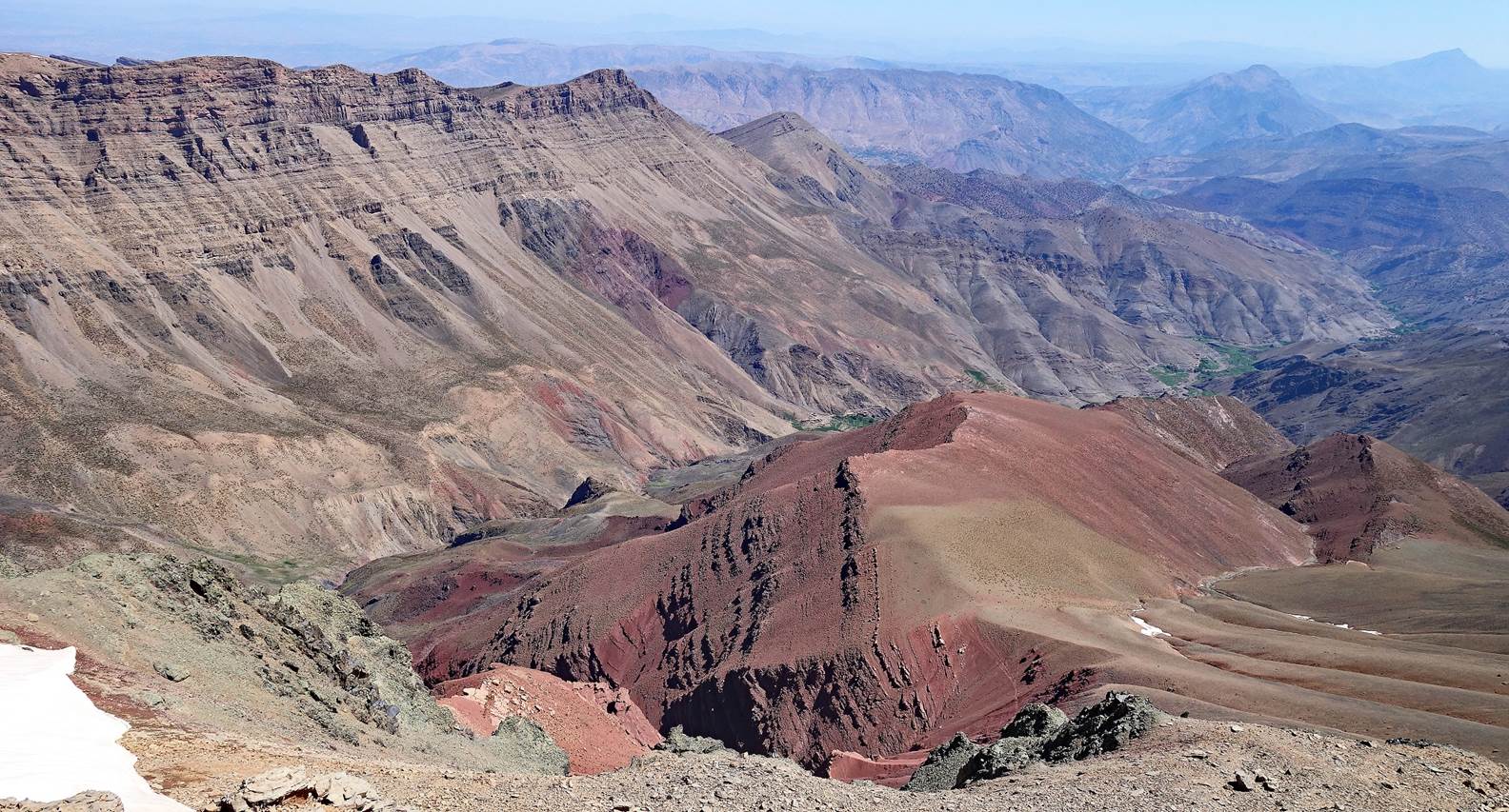
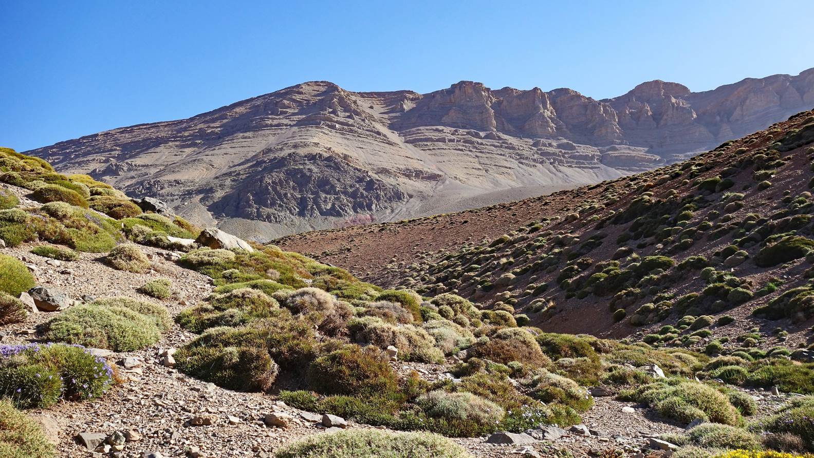
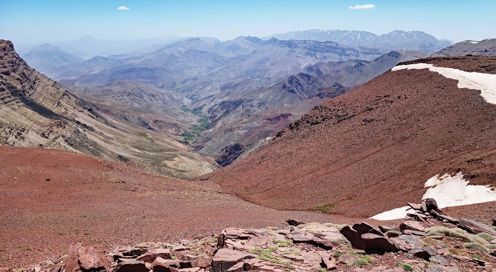
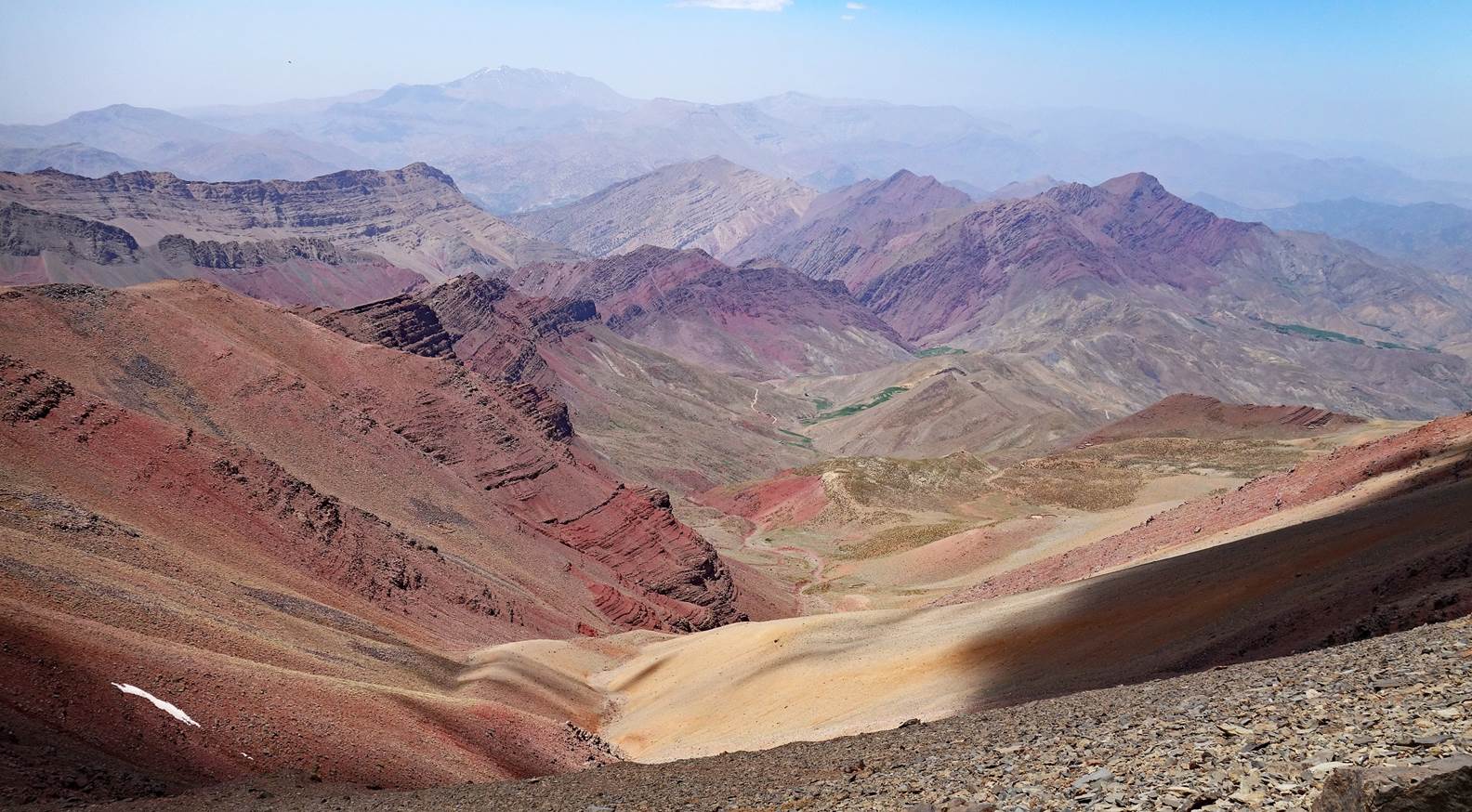
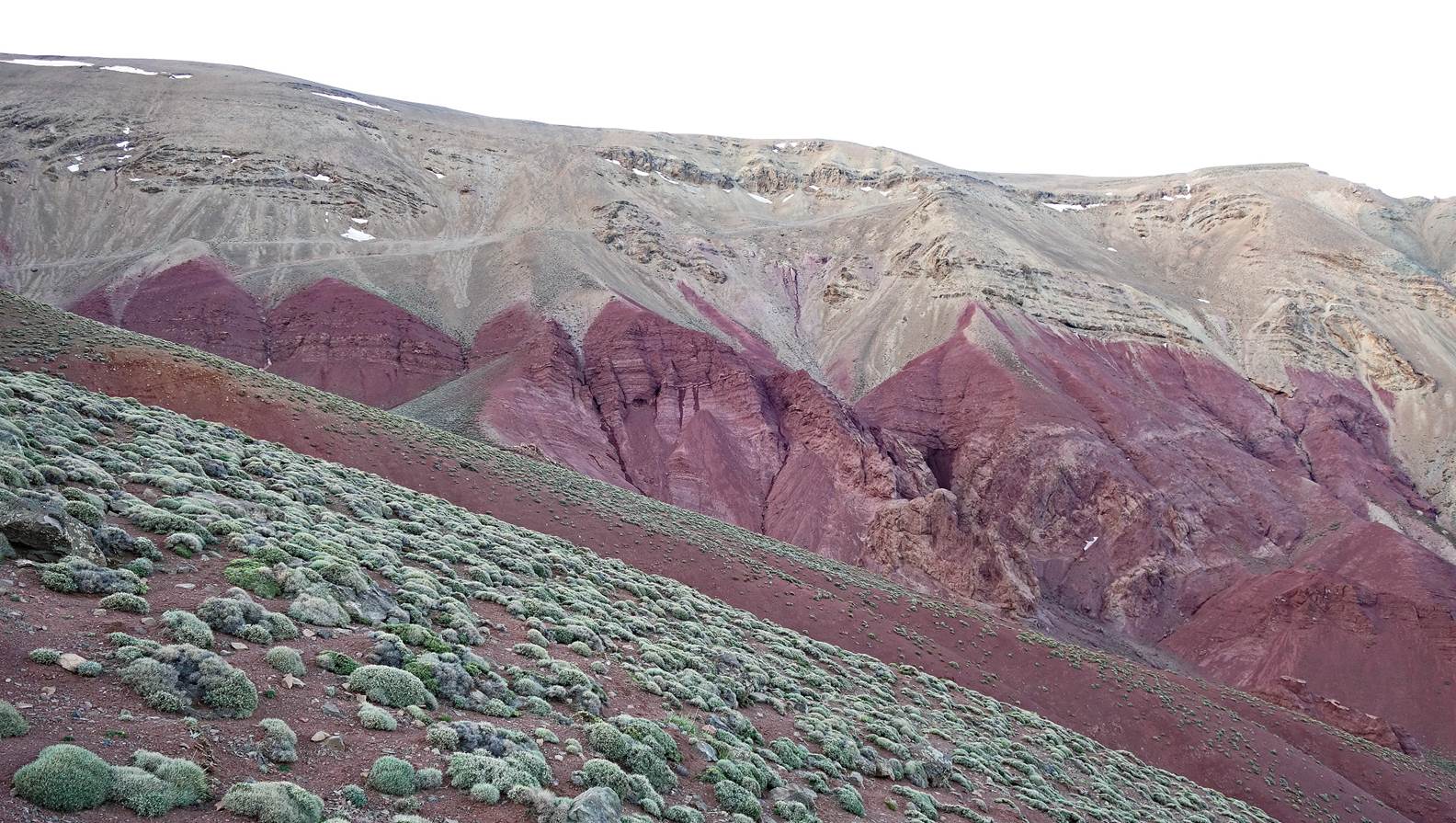
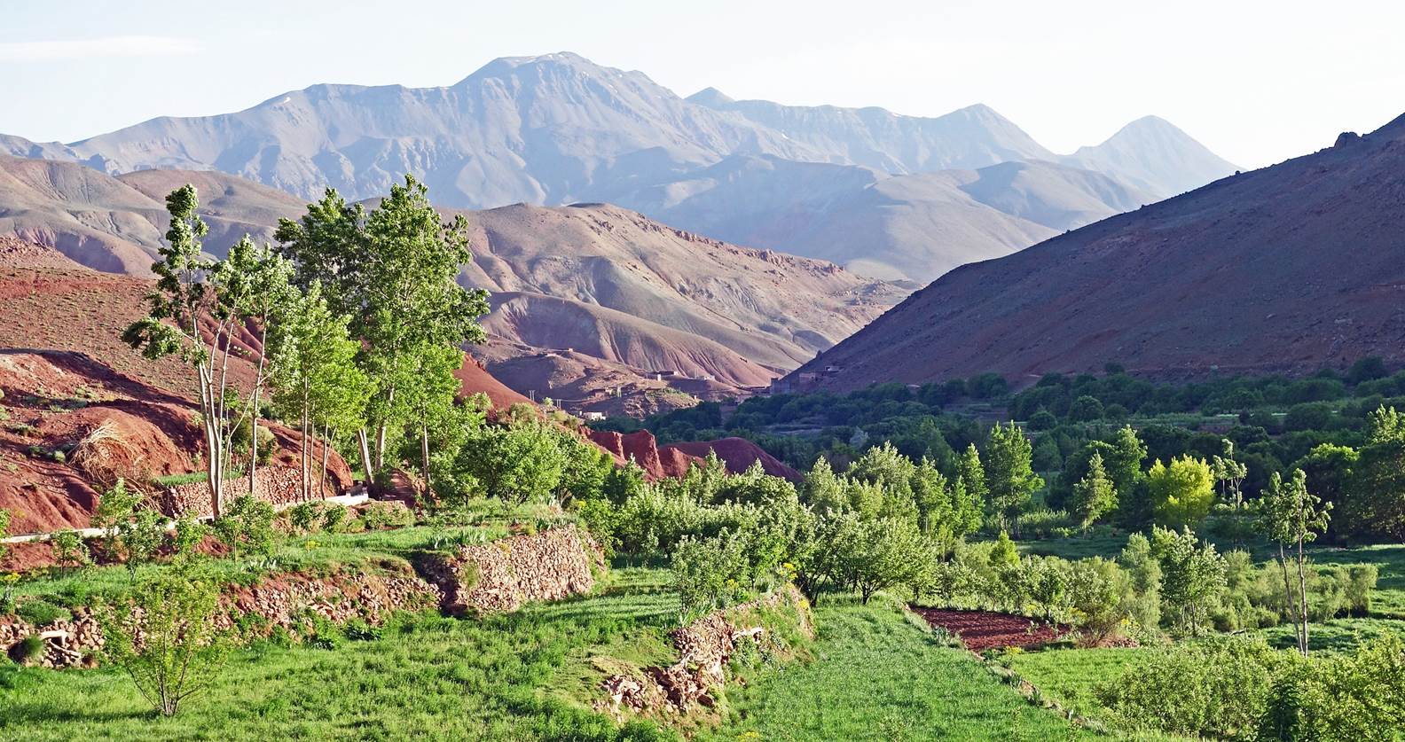
Descent
from Tig-Nousti, with the Aghoulid-n-Ichbbakene range (redish area) visible in
the middleground.
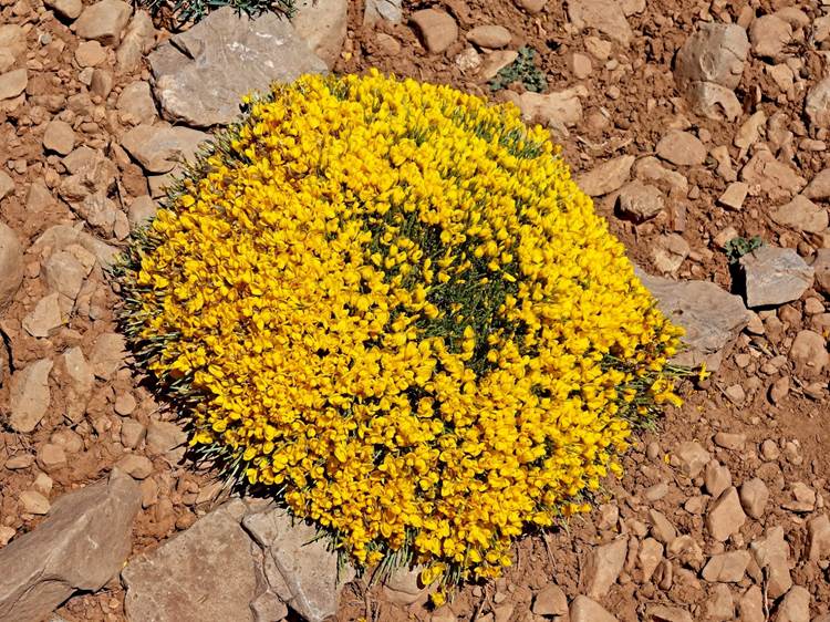
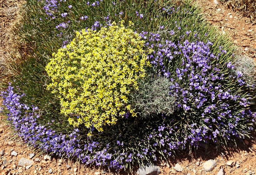
Flowers seen during the descent.
|
|
|
|
|
|
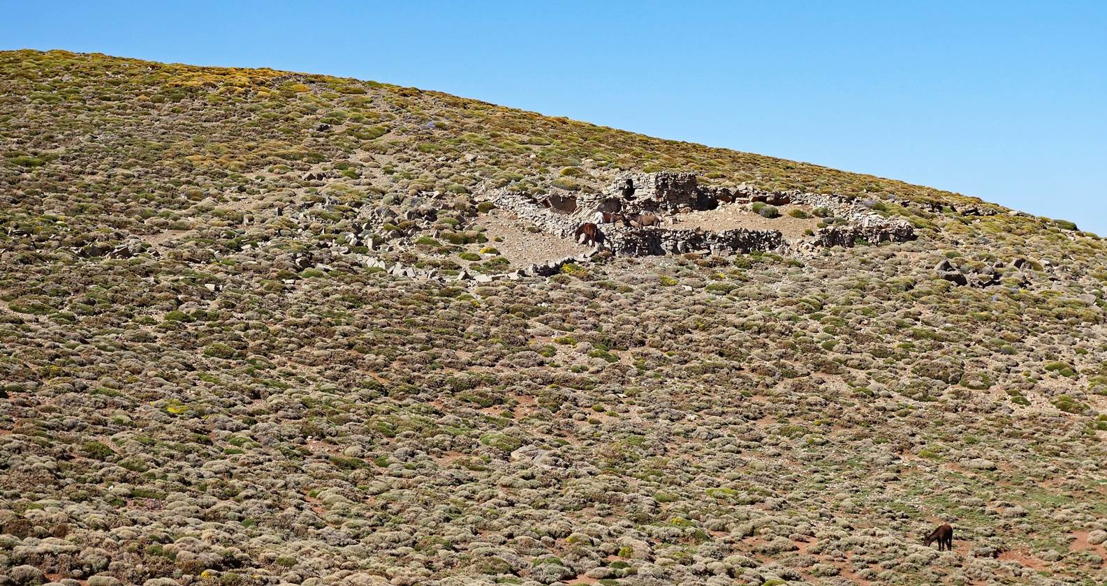
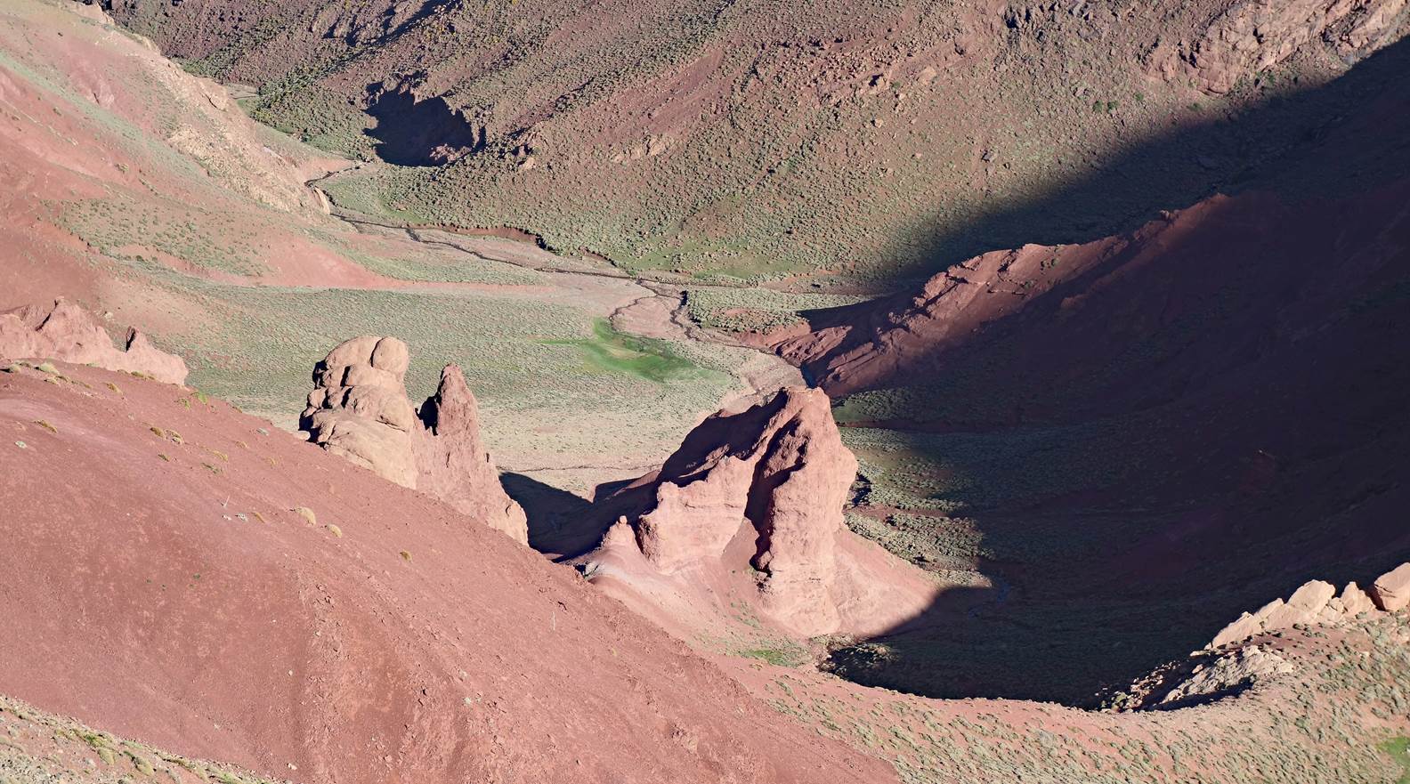
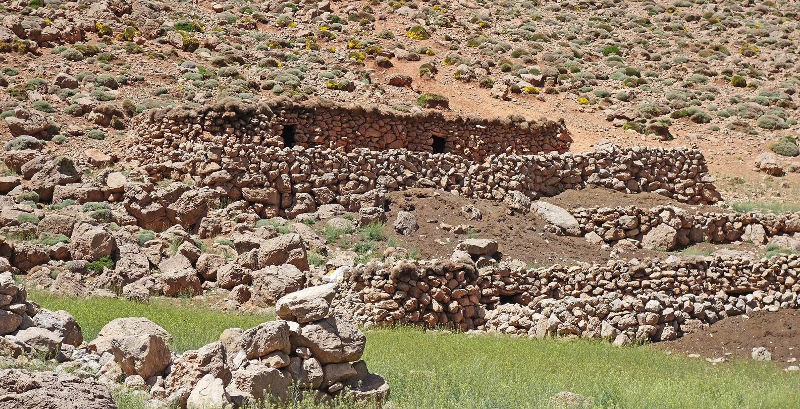
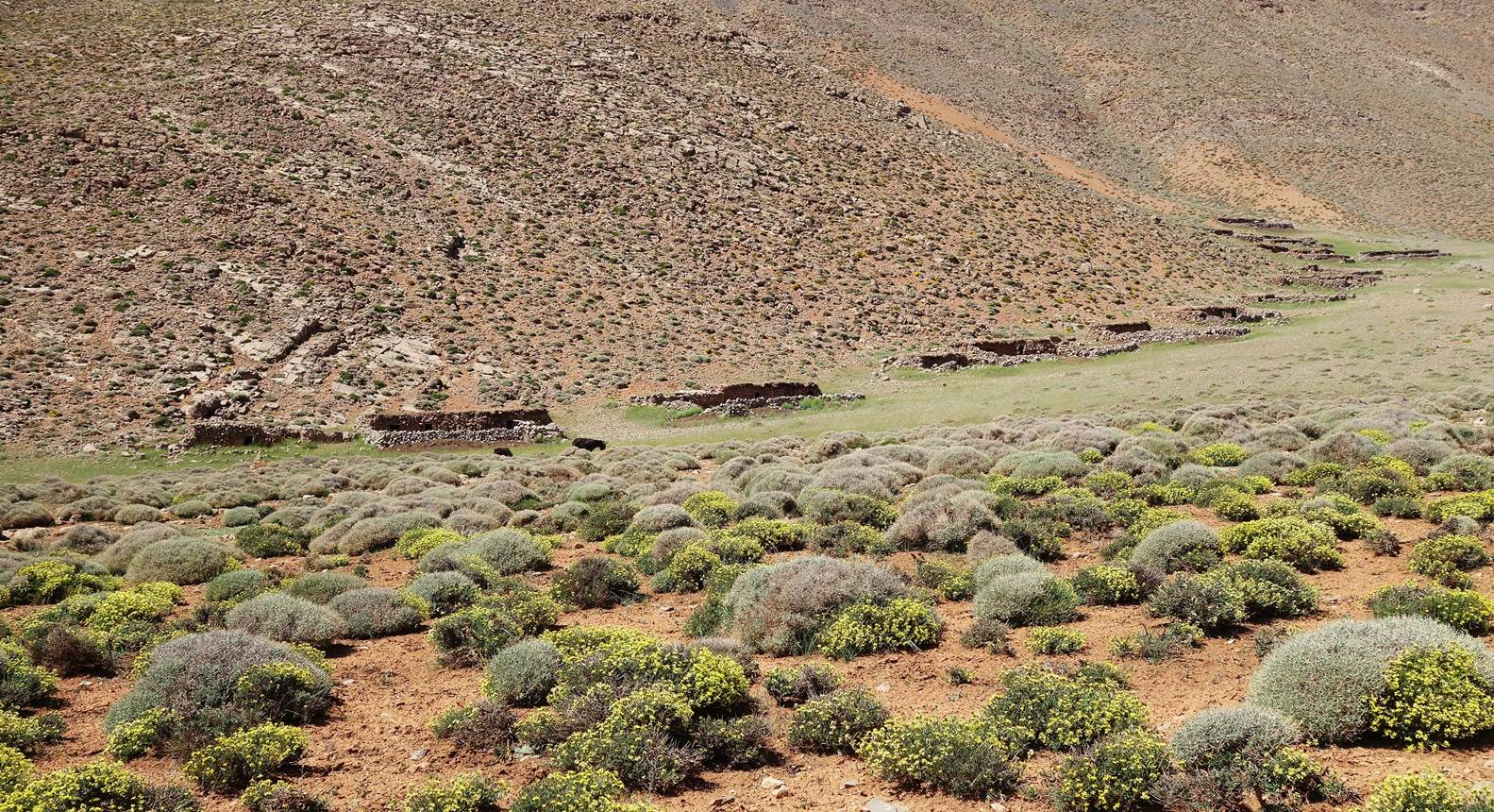
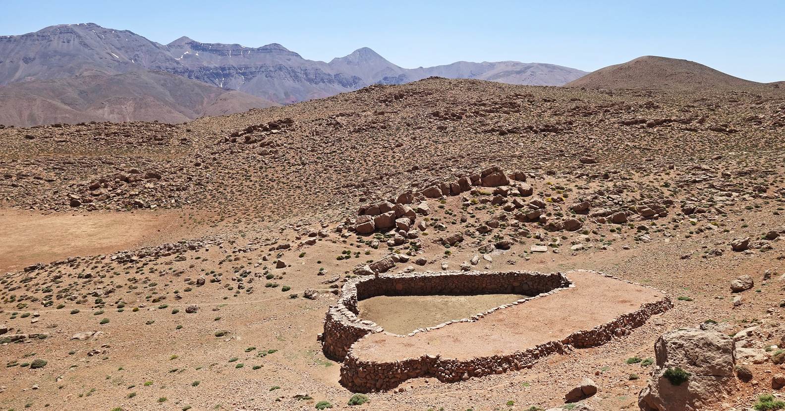
Azibs (sheepfolds) on
the plateau between Jebel Tig-Nousti and the Aghoulid-n-Ichbbakene range.
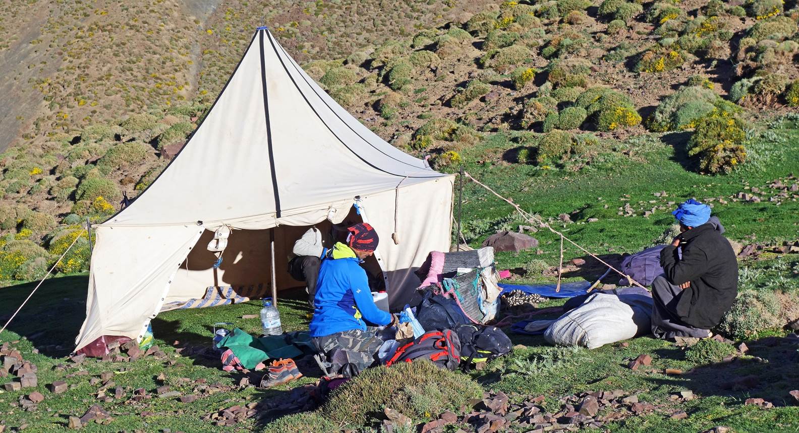
Reaching our third camp set up by Zaid at
waypoint 34.
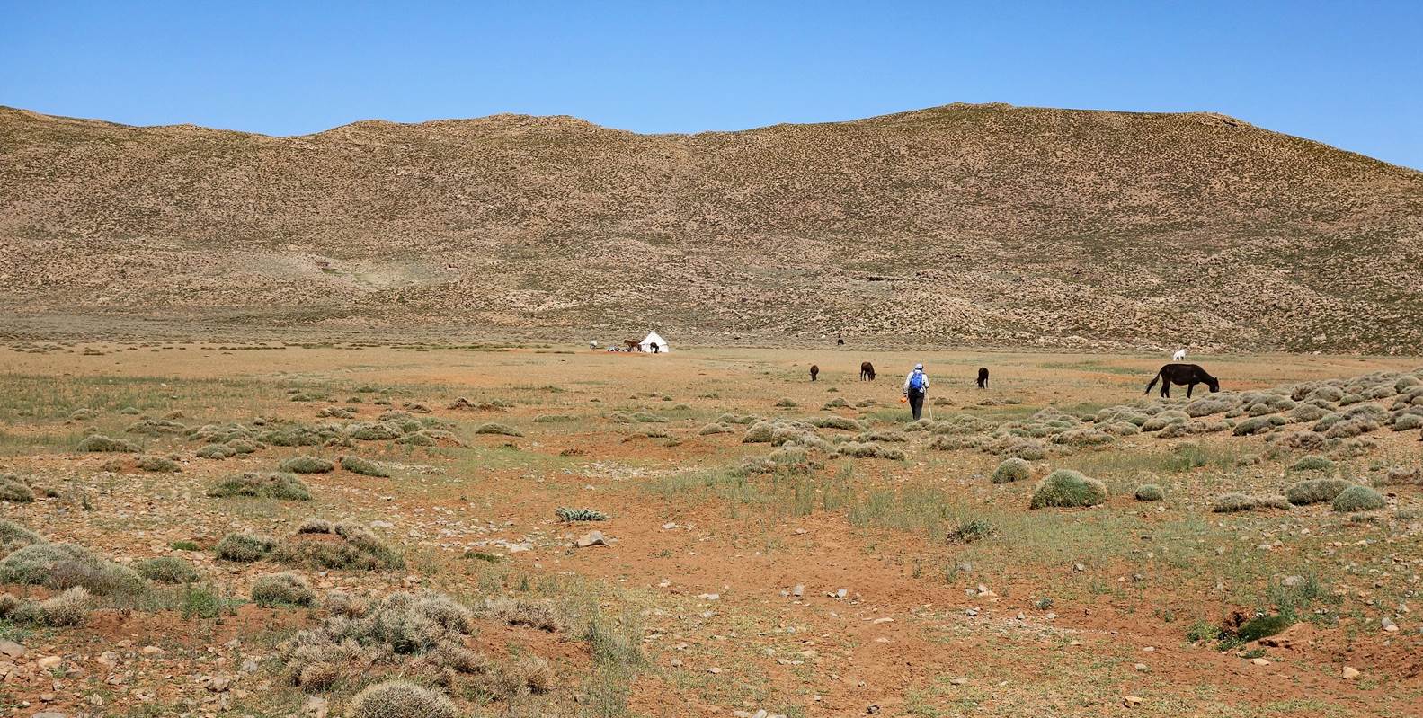
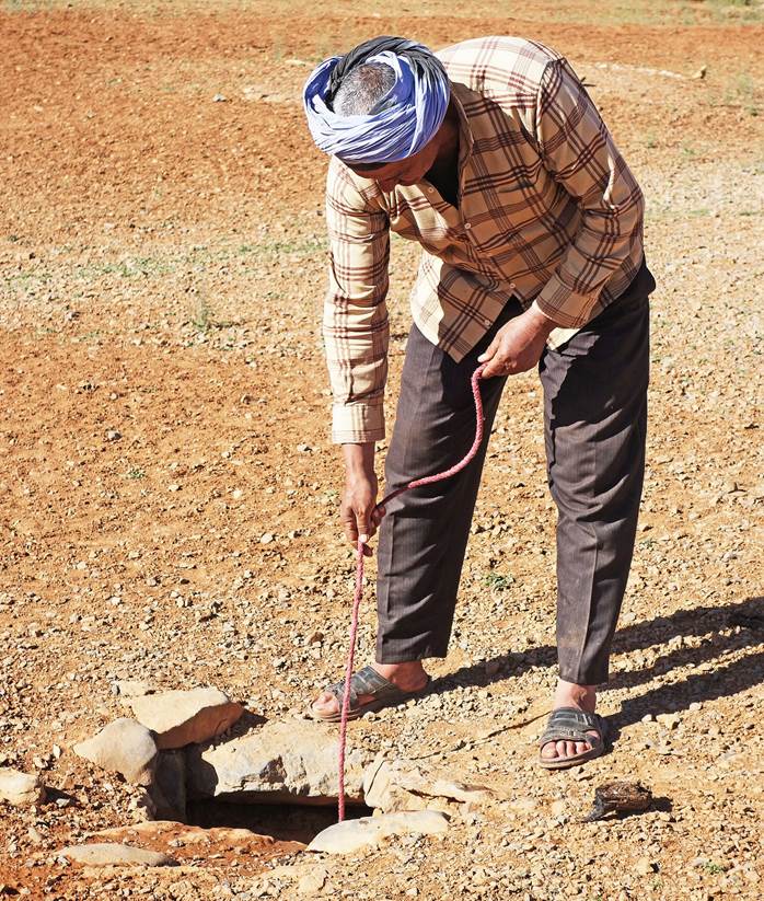
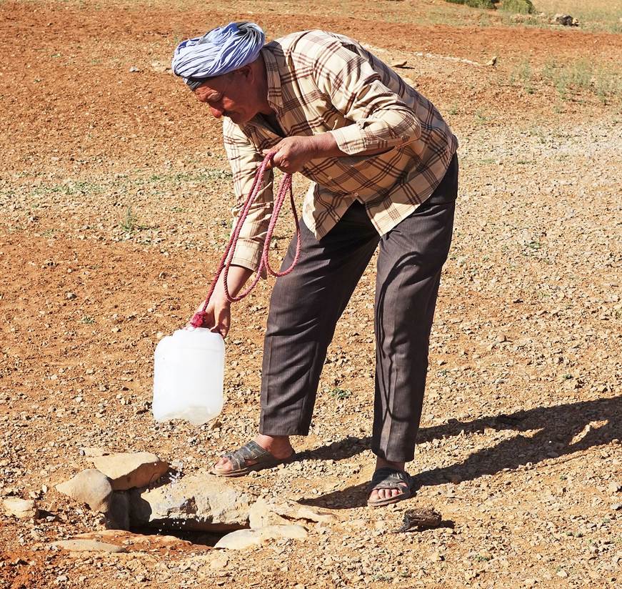
The flat area around our tent is popular with herders later in the
summer. All around the tent there were many open wells then used to water sheep,
goats, and horses, as well as humans. Better to be careful at night when there
is an urgent call of nature!
|
|
|
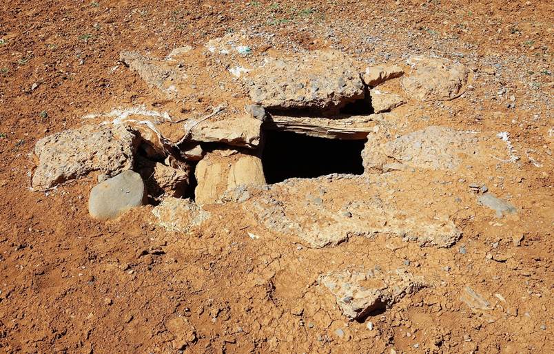
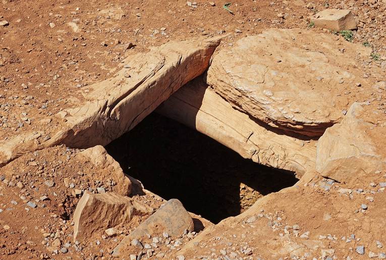
Brahim
drawing water from a well.
|
|
|
Day 4:
Leaving our third camp.
Looking back at Tig Nousti.
Unusually (but beautifully) shaped
azib.
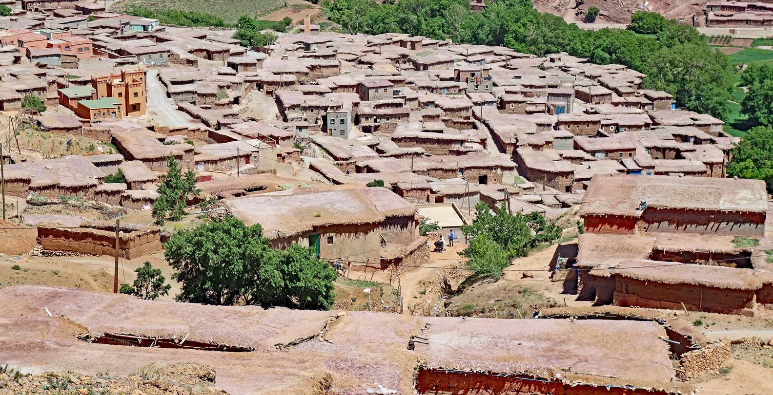
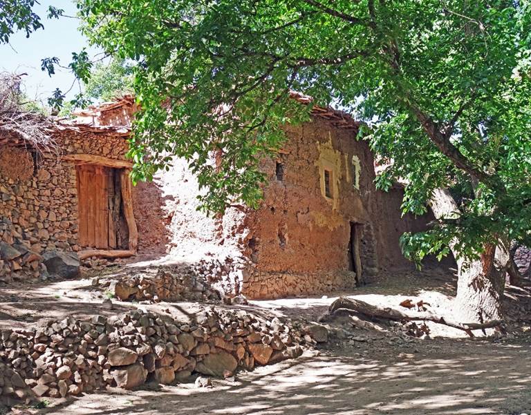
The roof landscape of the village of
Amezri.
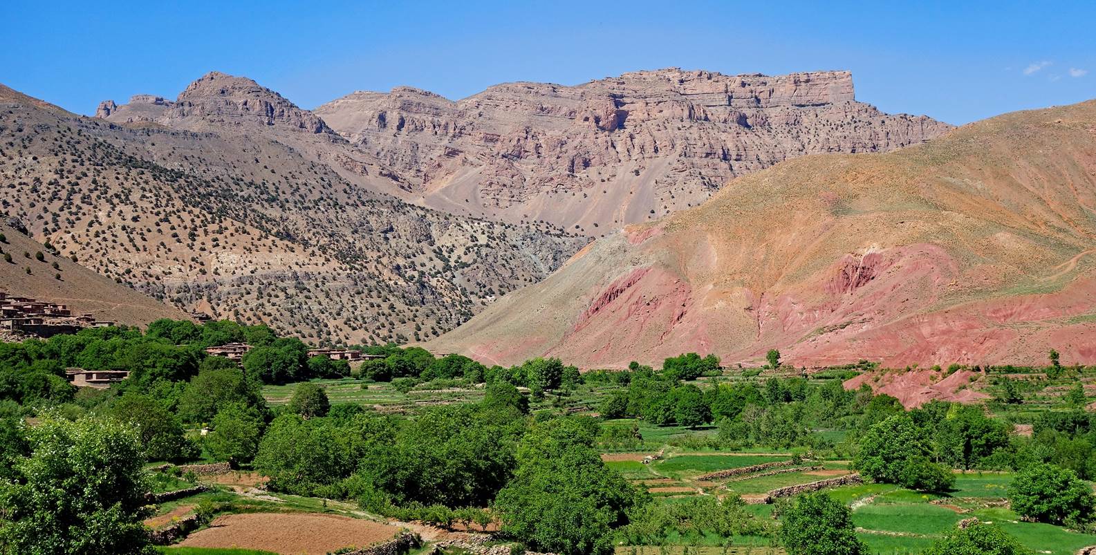
The upper Tessaout valley with high
cliffs marking the beginning of the Mgoun range in the background.
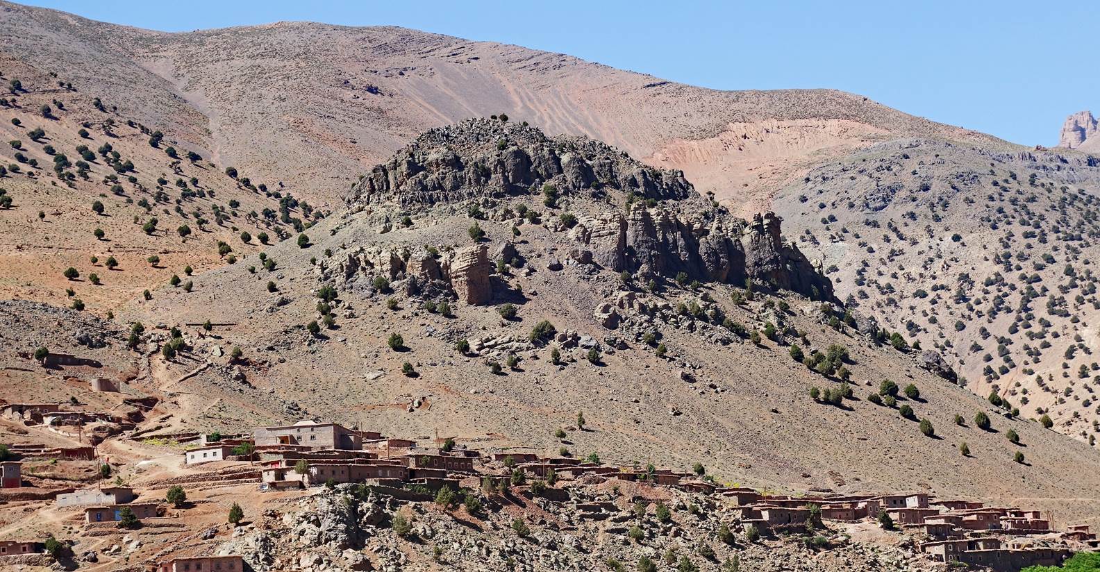
Part of the village of Tasgaiwalt crown by rock column formations. We set up our
fourth camp at waypoint 41 on the left side of the Tessaout river, opposite
this village.
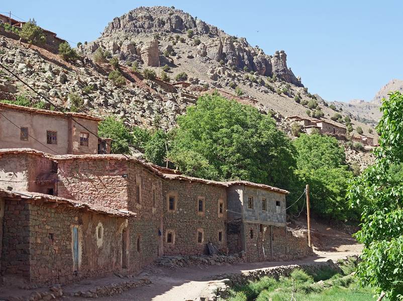
Houses in Tasgaiwalt.
|
|
|
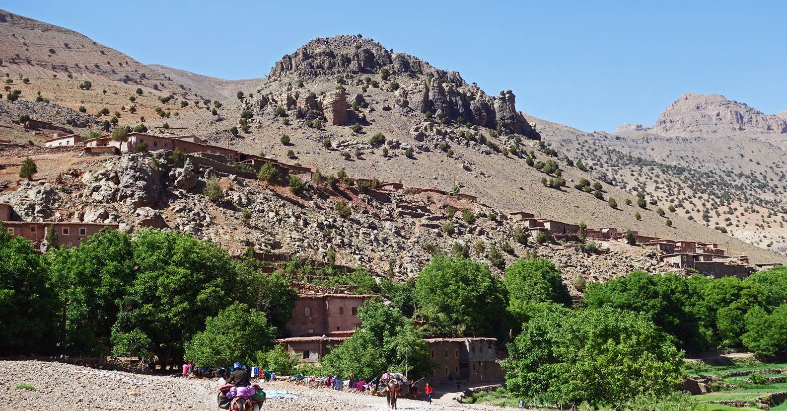
Part of Tasgaiwalt seen from our fourth
camp.
View toward the south from our camp in
the evening.
![]()
Return
to main Morocco-2023 page| Return to my
mountaineering/trekking/travel webpage