Morocco (May 2023): Days 5-7 of traverse
![]()
Return
to main Morocco-2023 page | Return to my
mountaineering/trekking/travel webpage
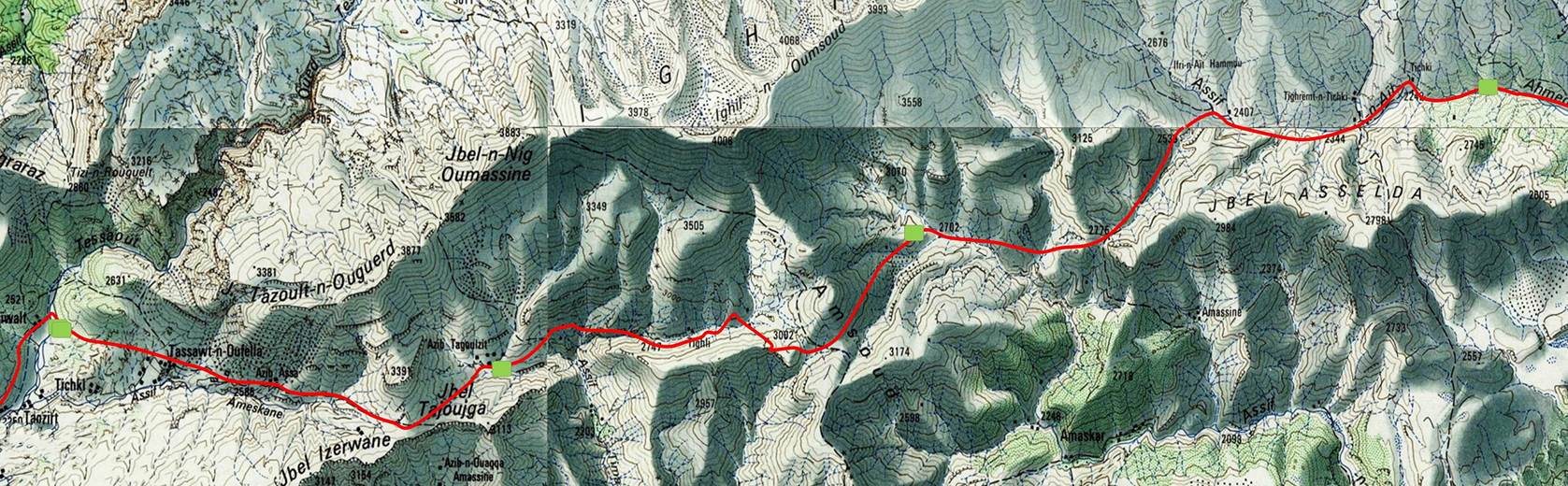
[The green squares in the map show the locations of
the successive camps.]
Day 5:
Morning views toward the south from our
fourth camp.
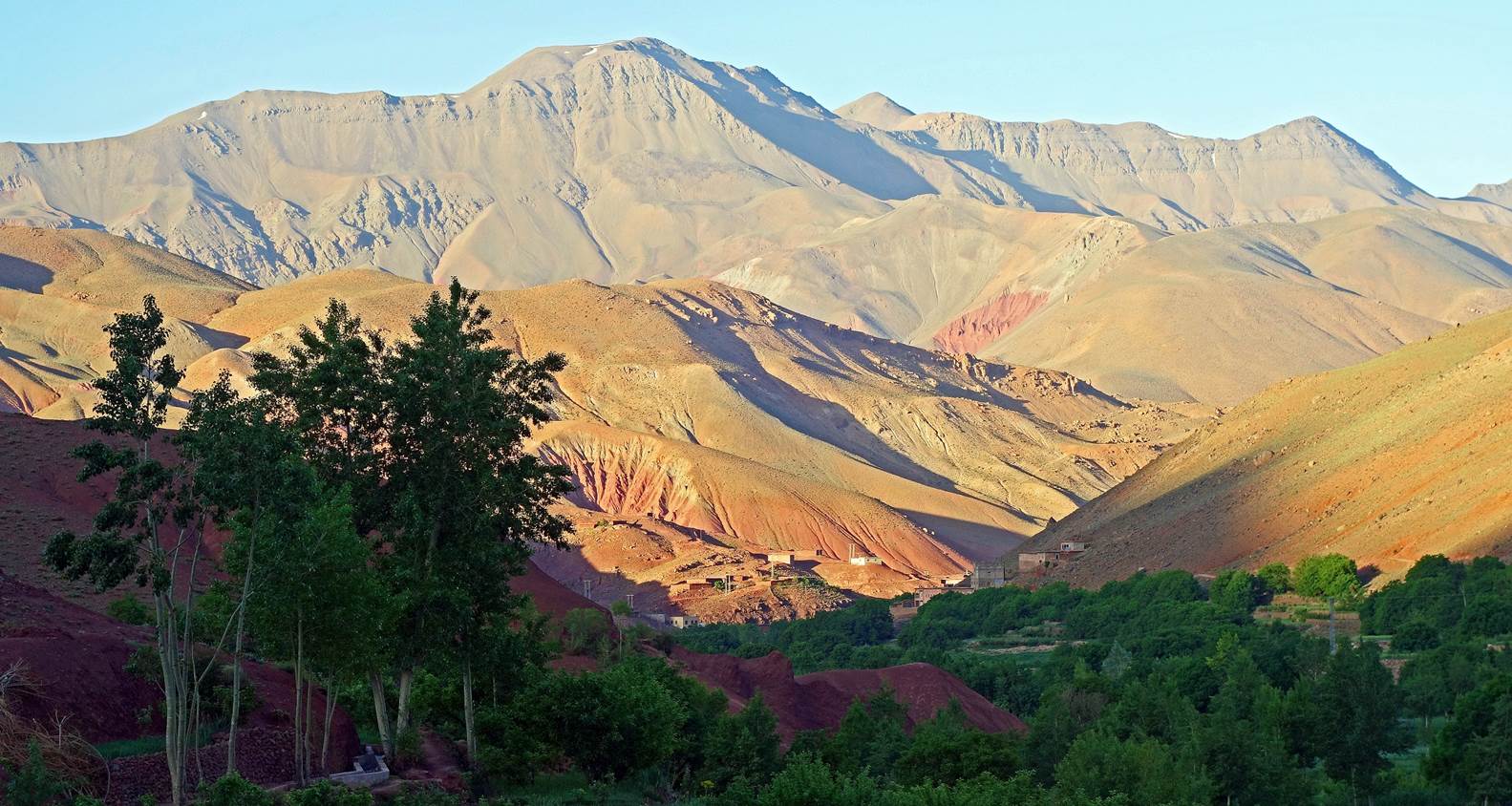
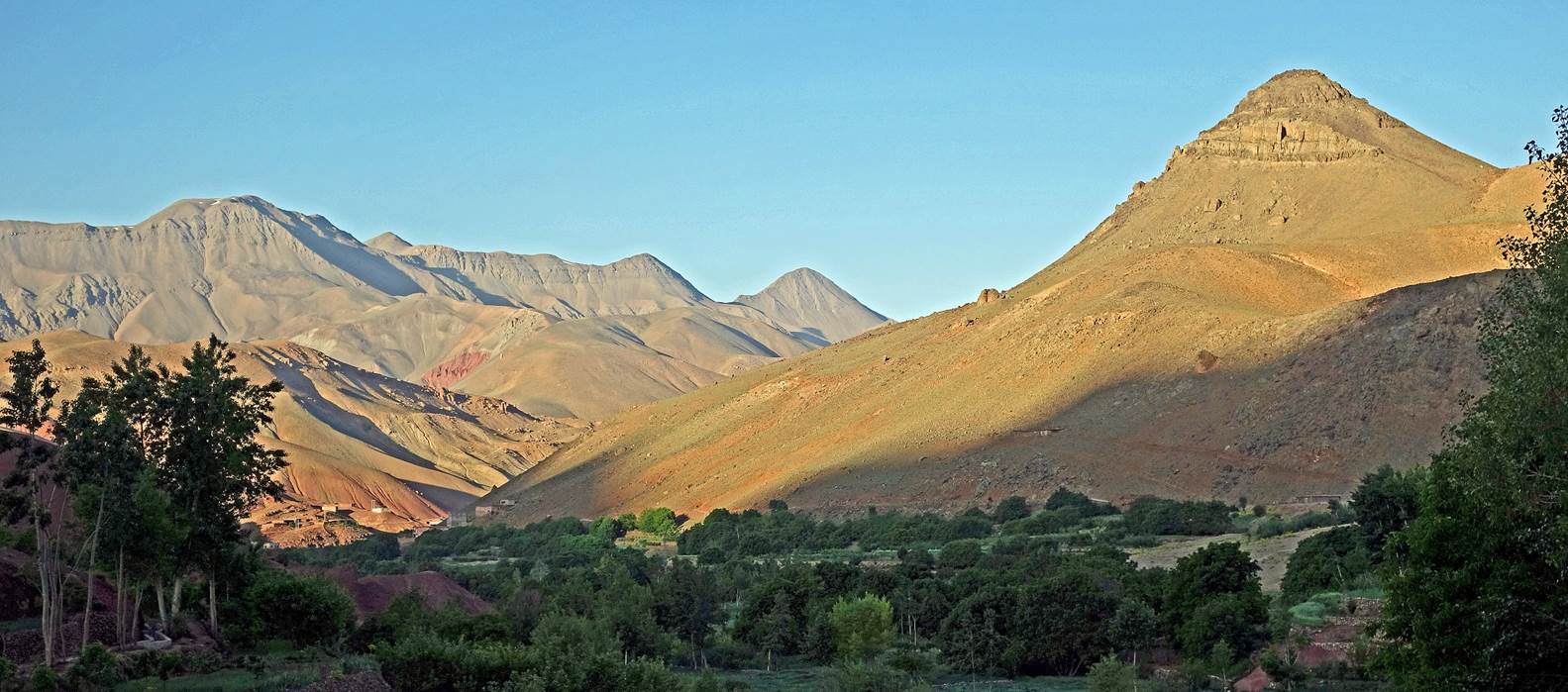
View toward the north from the camp.
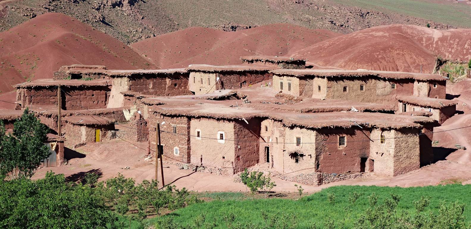
Upper part of the village of
Tasgaiwalt lit by the morning sun.
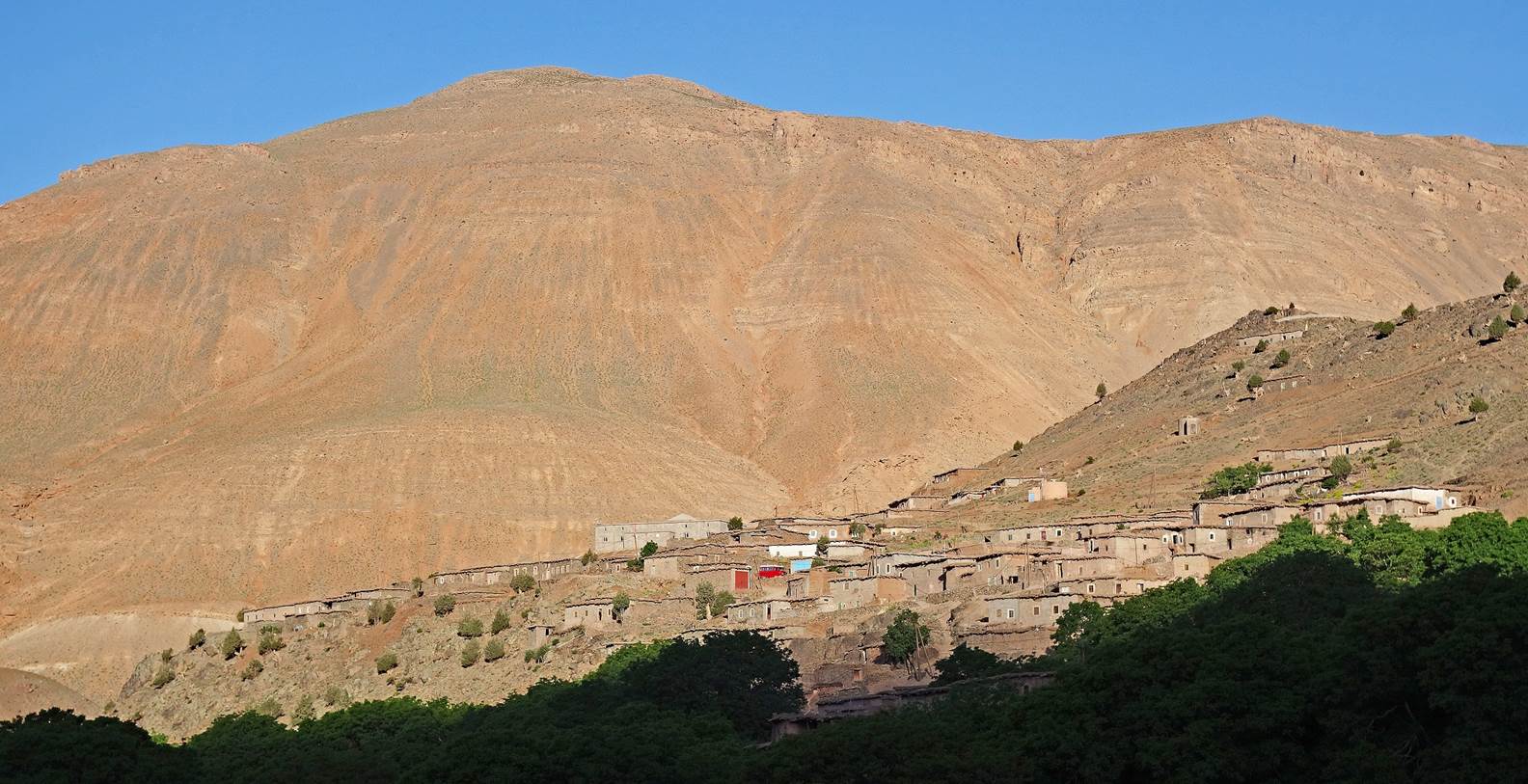
Two successive views of the lower part
of the village of Tasgaiwalt.
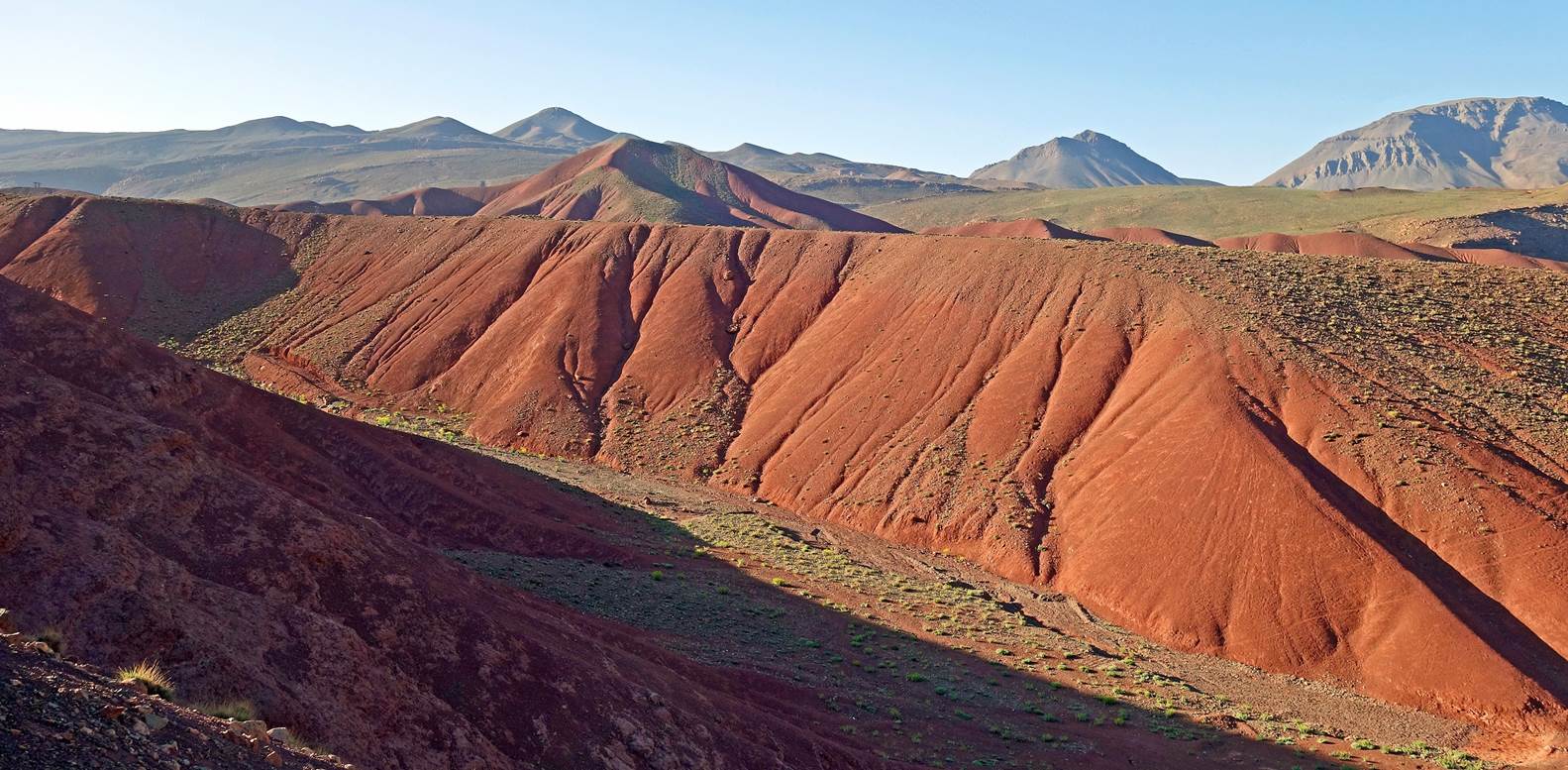
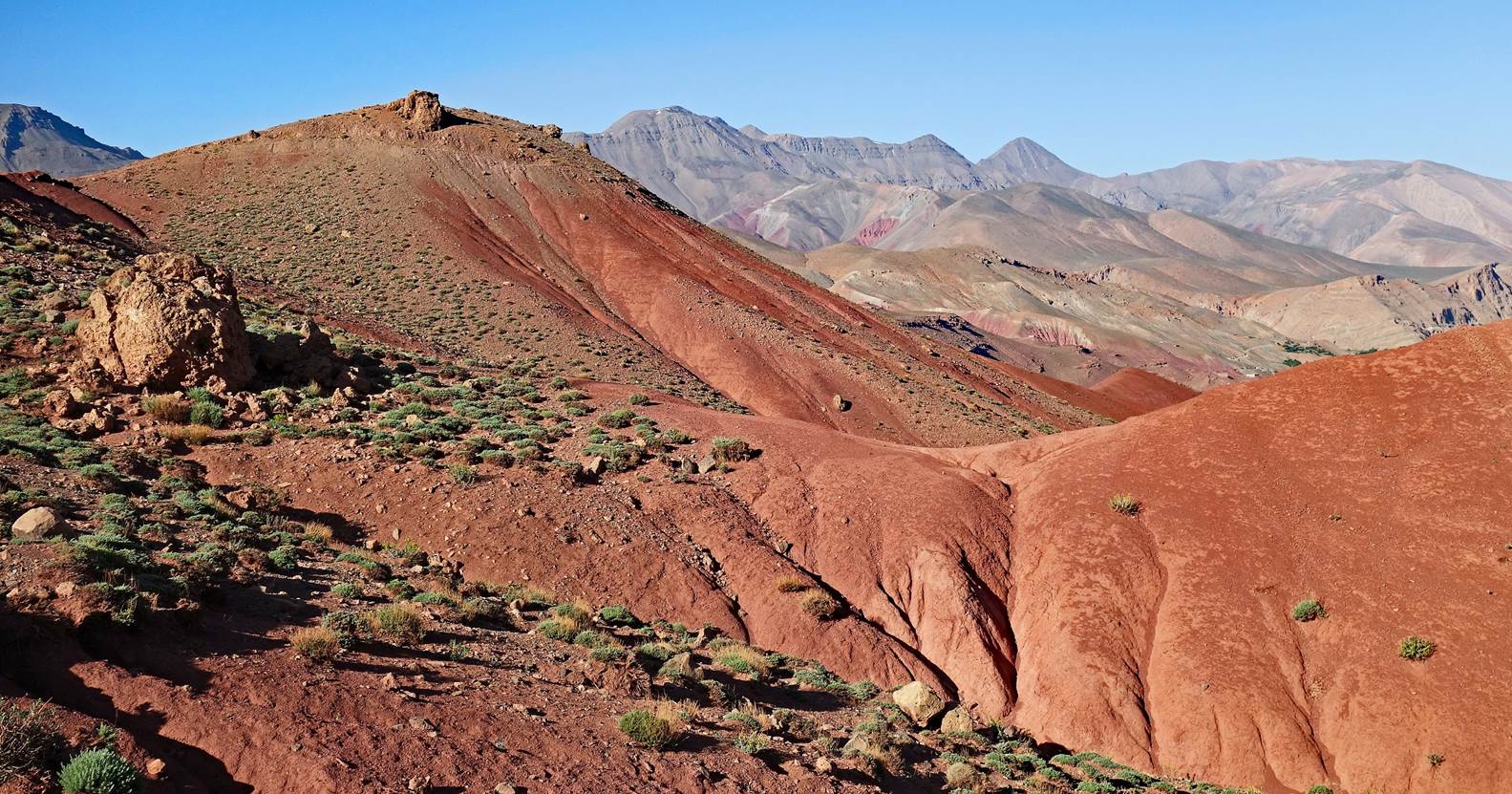
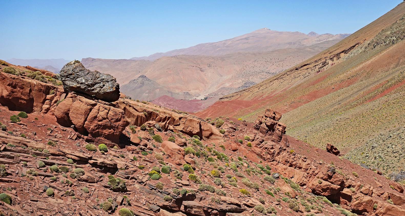
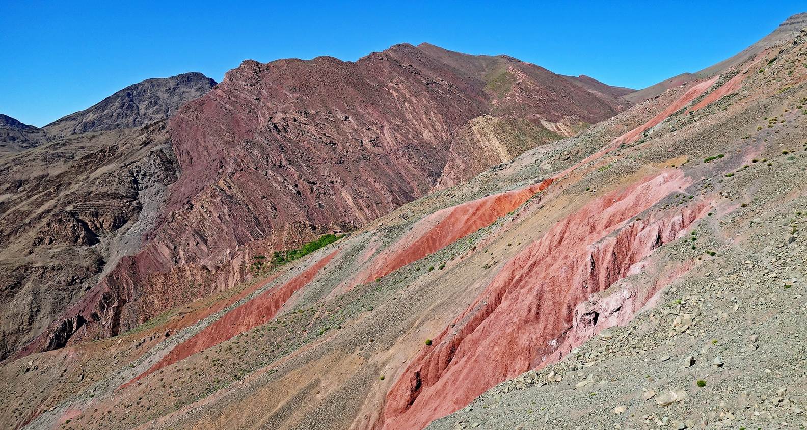
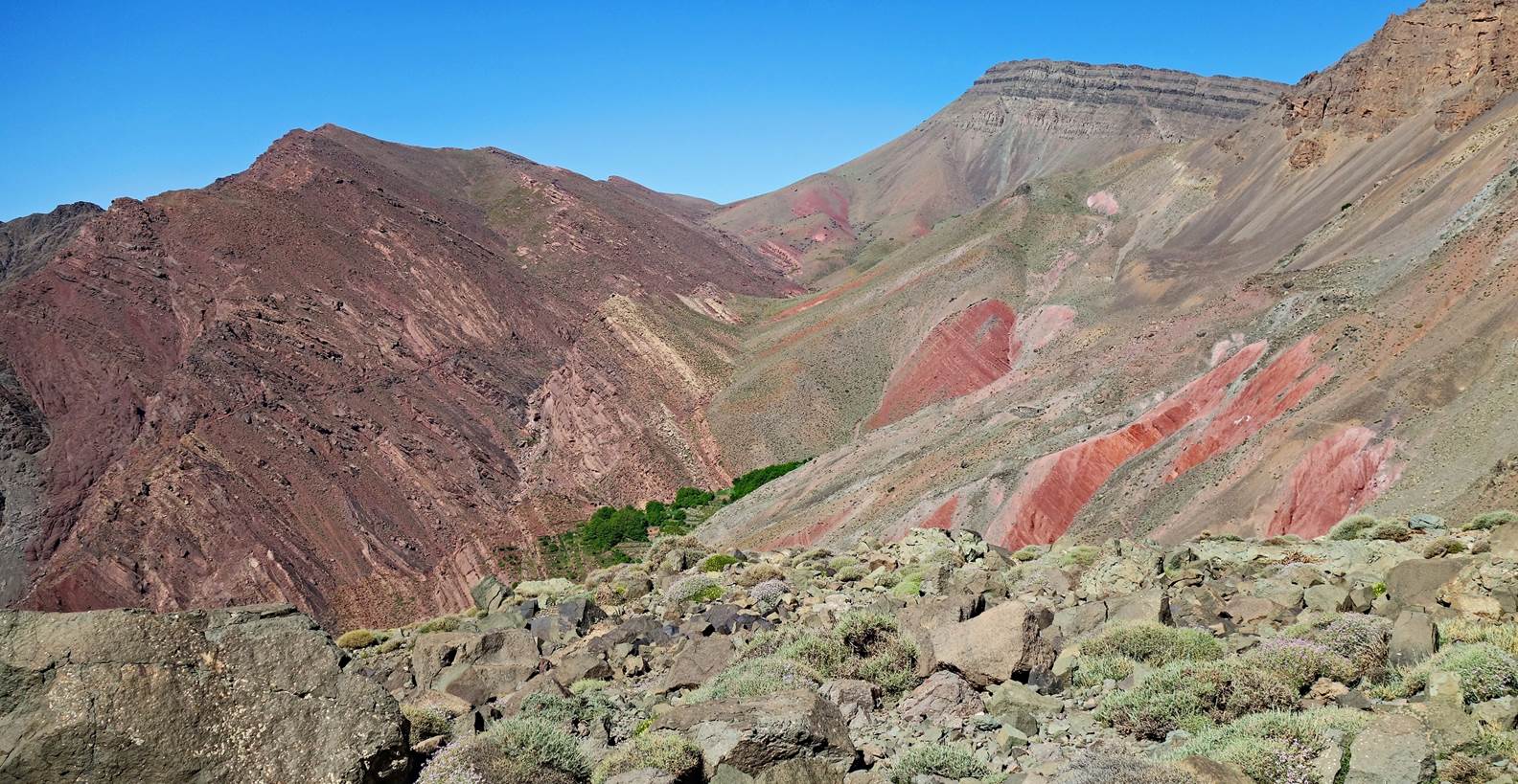
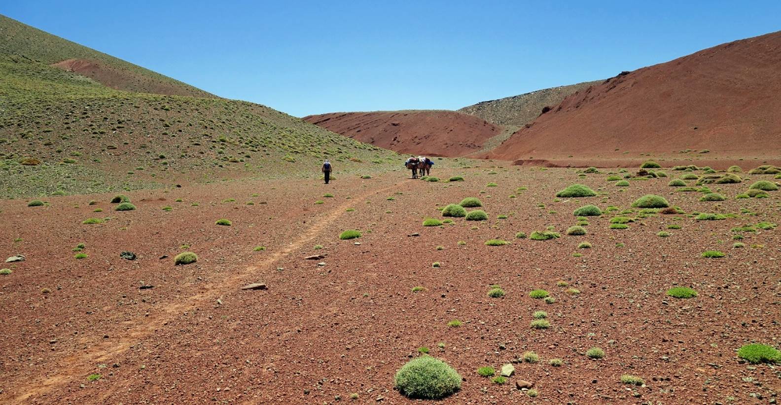
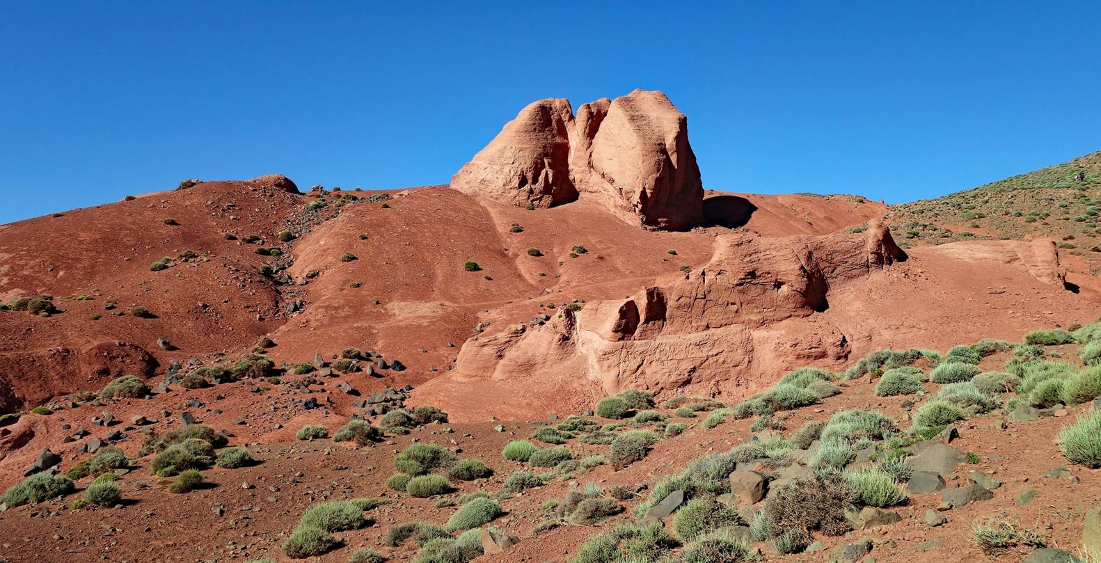
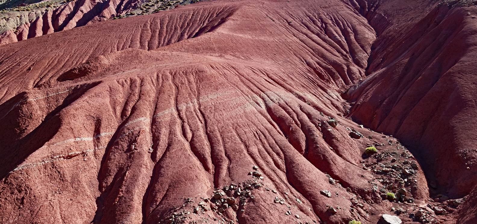
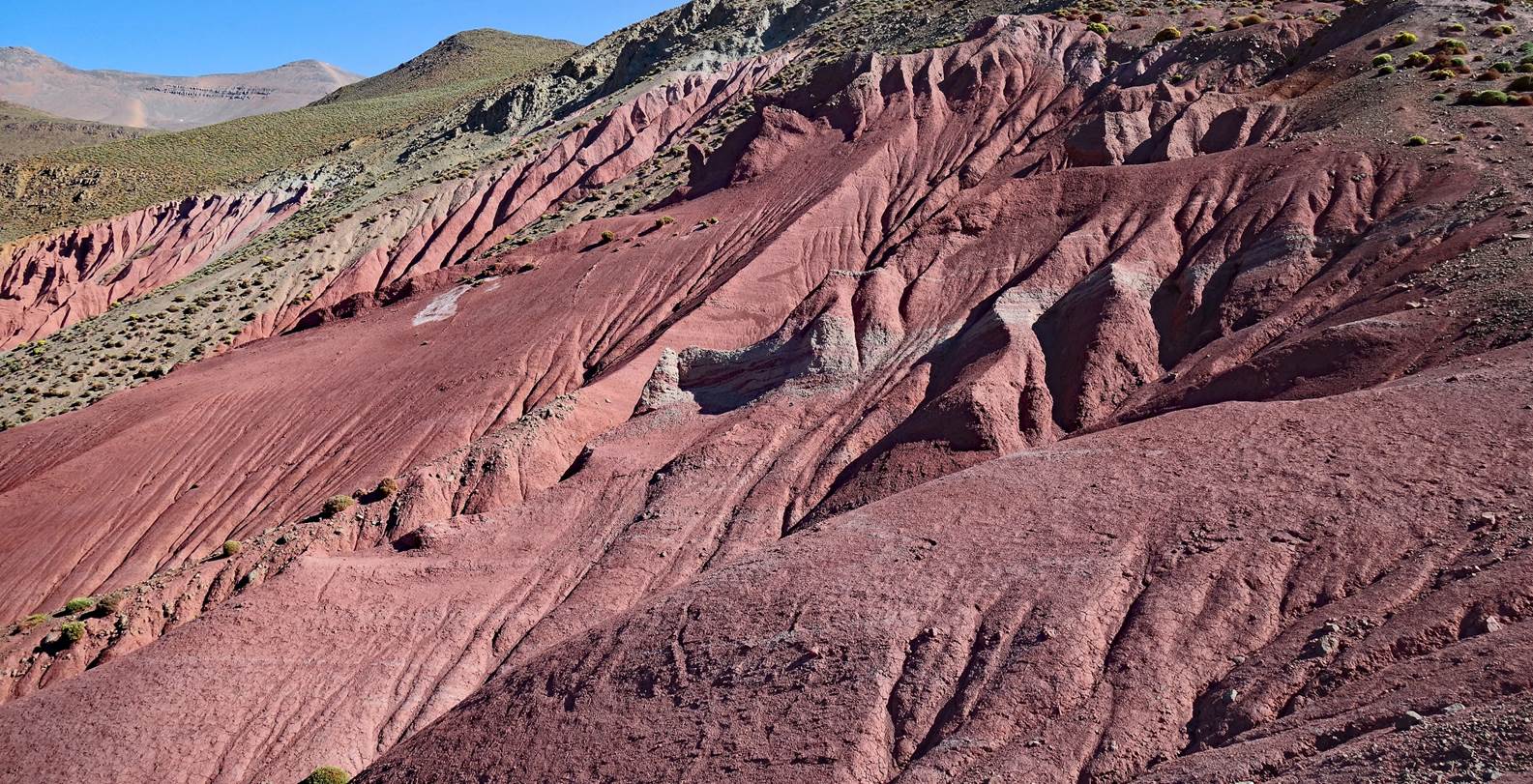
Crossing a red earth area at the
beginning of the fifth hiking day.
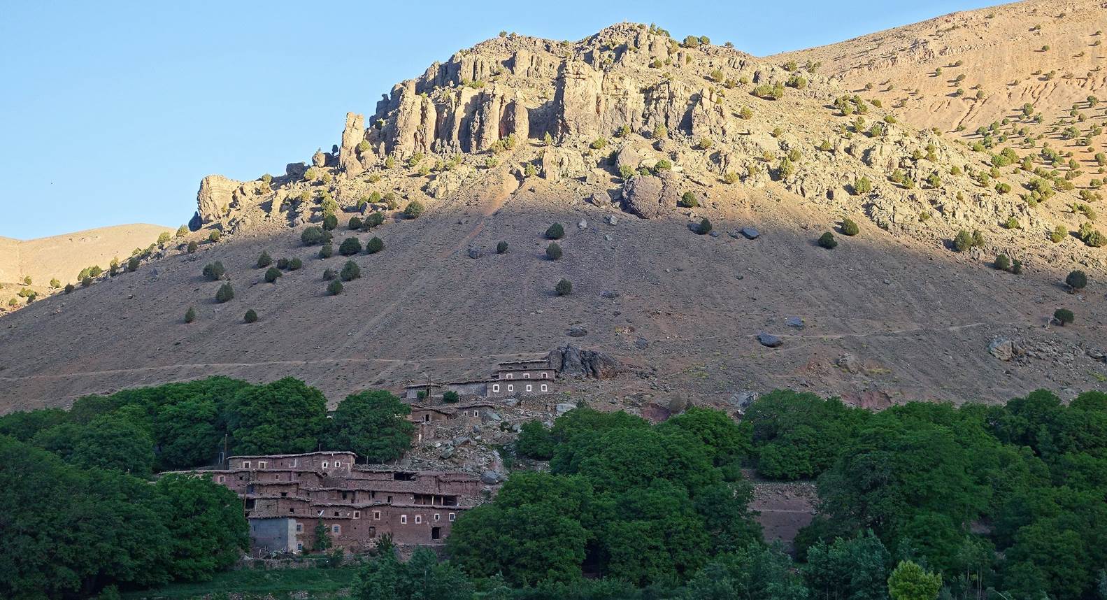
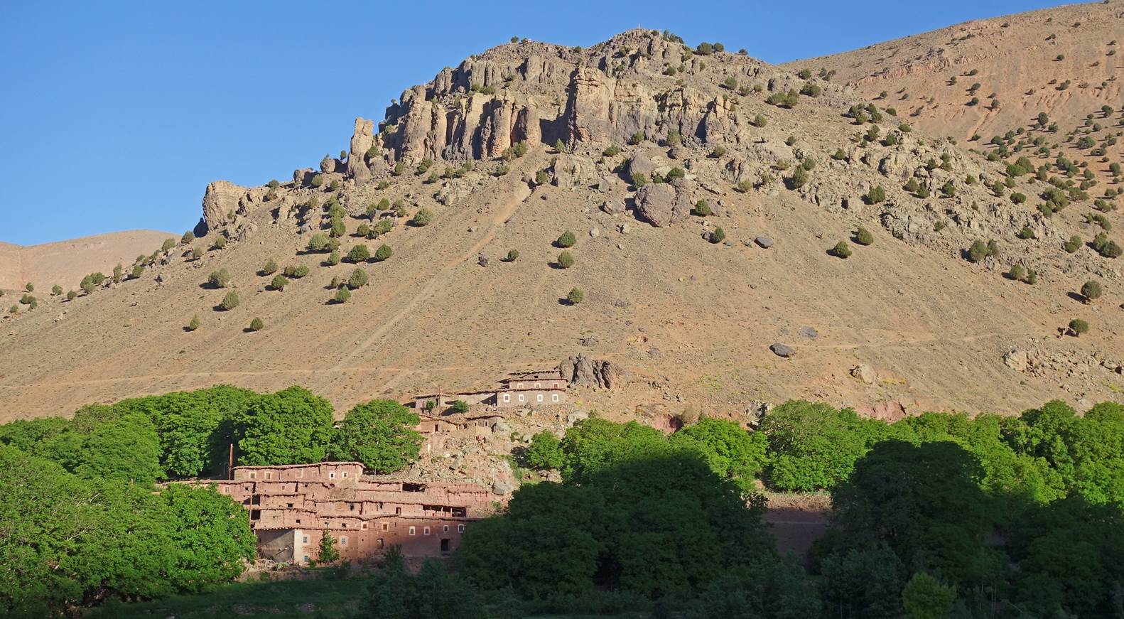
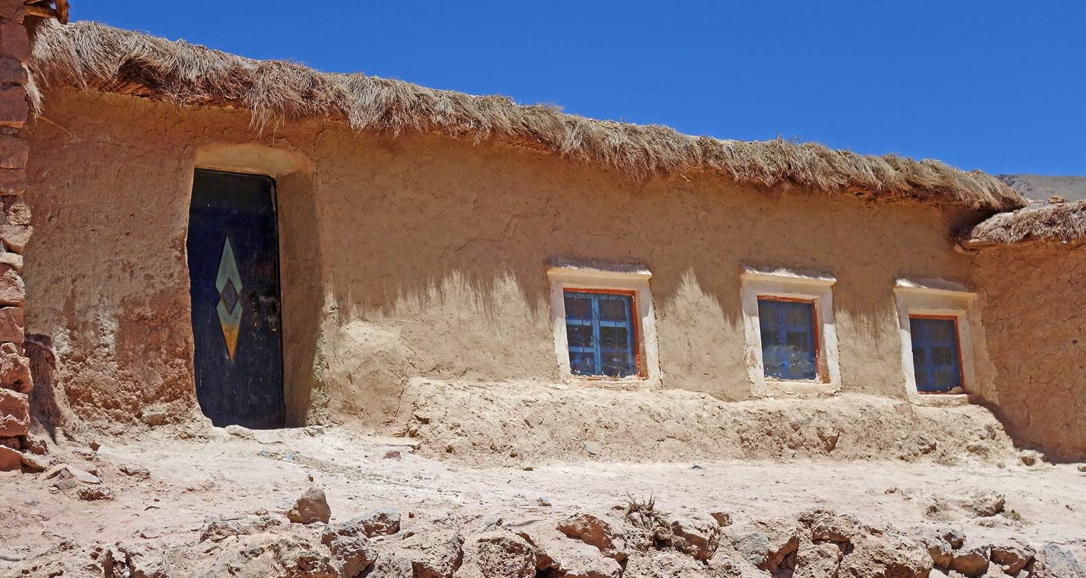
Houses in Tassawt-n-Oufella.
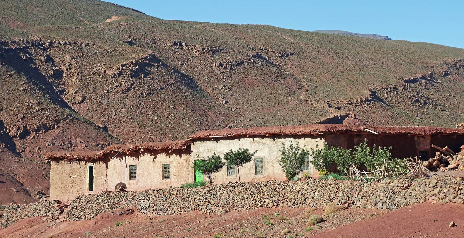
Azibs.
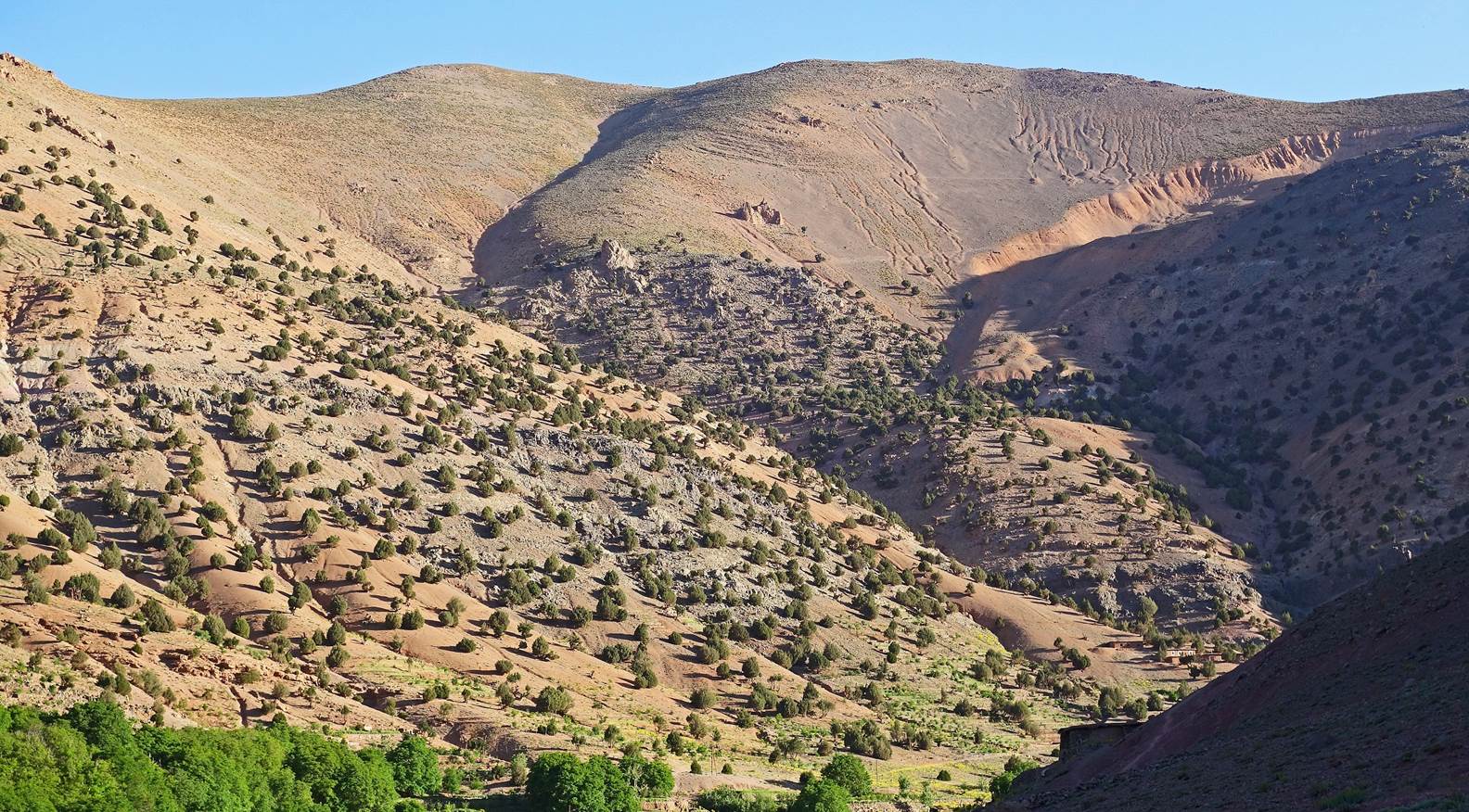
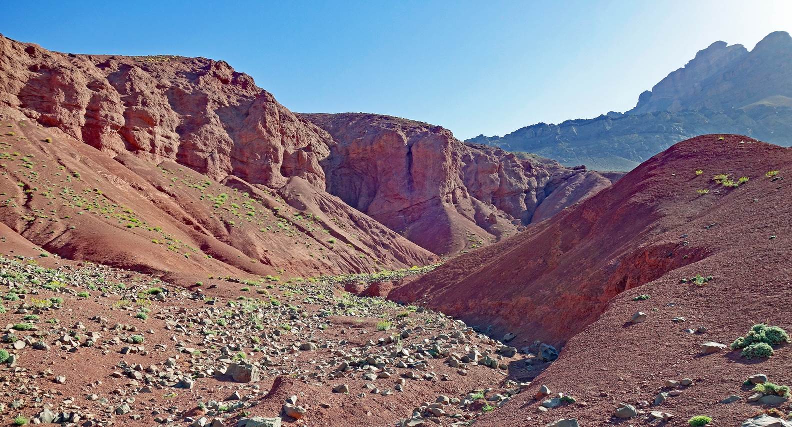
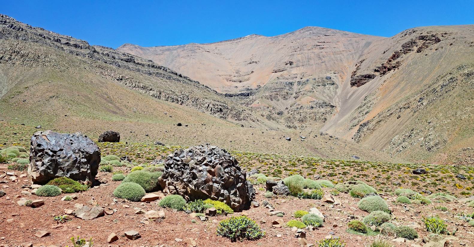
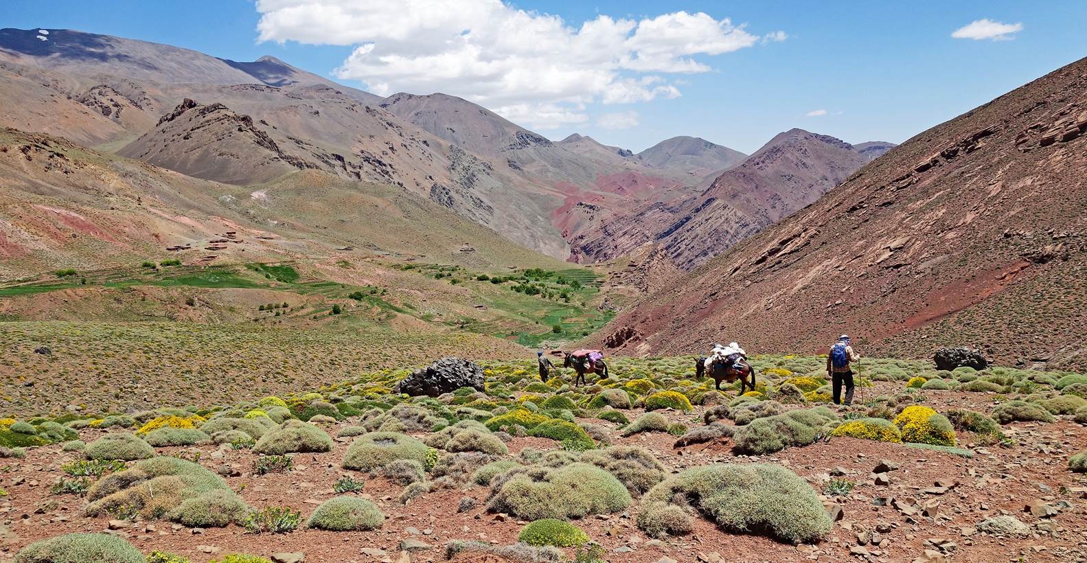
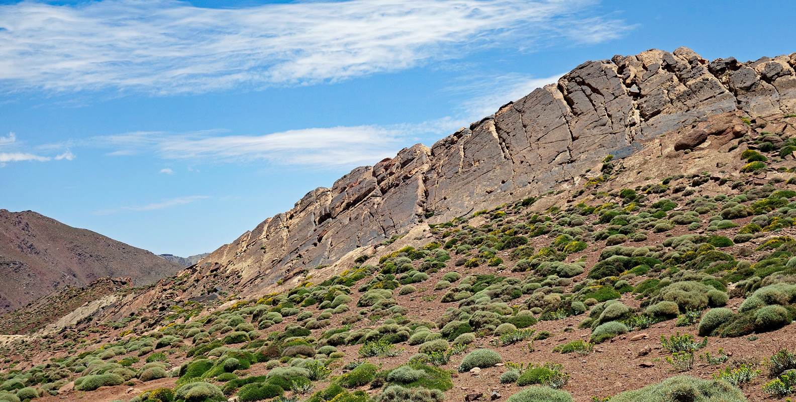
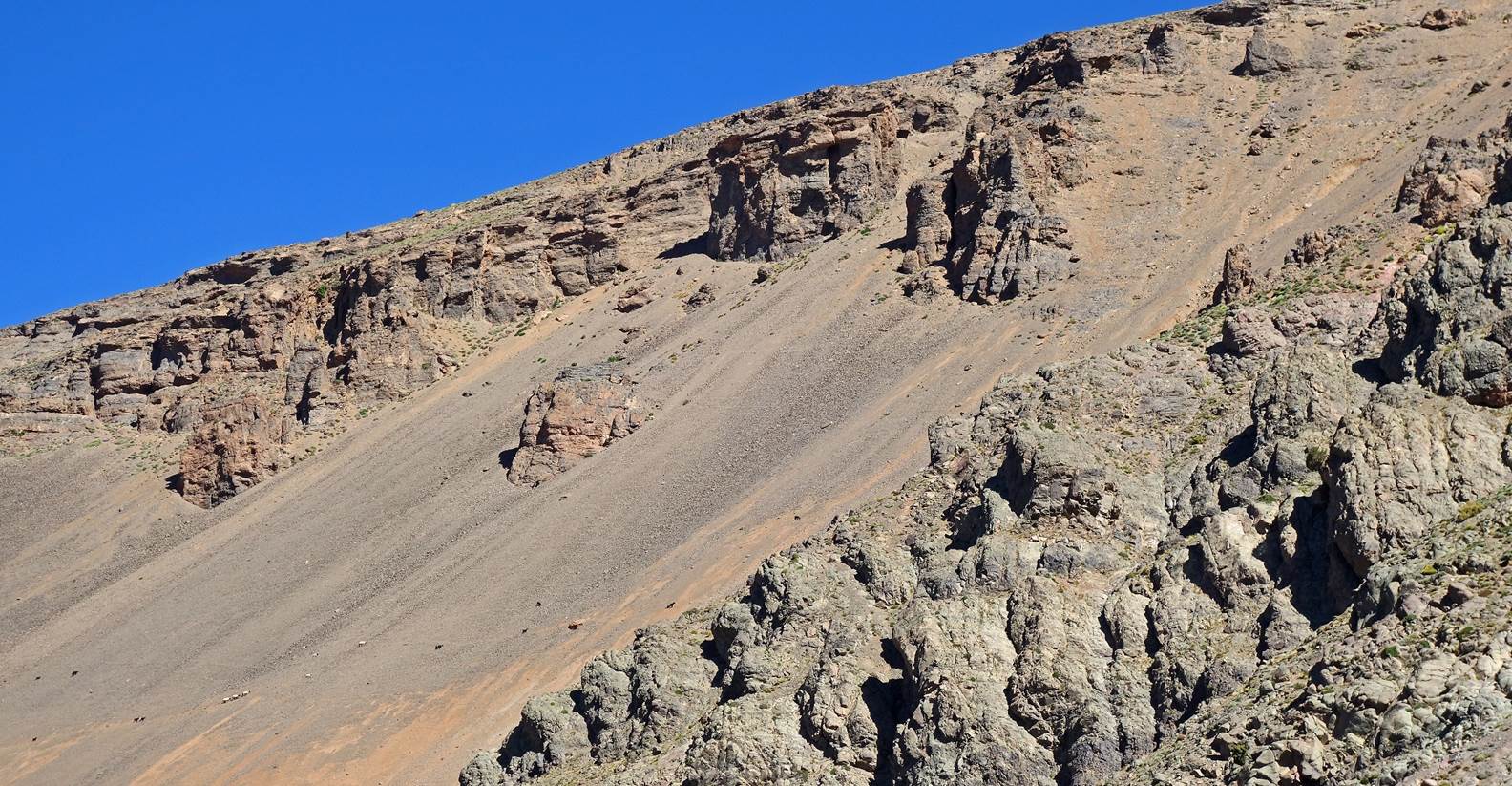
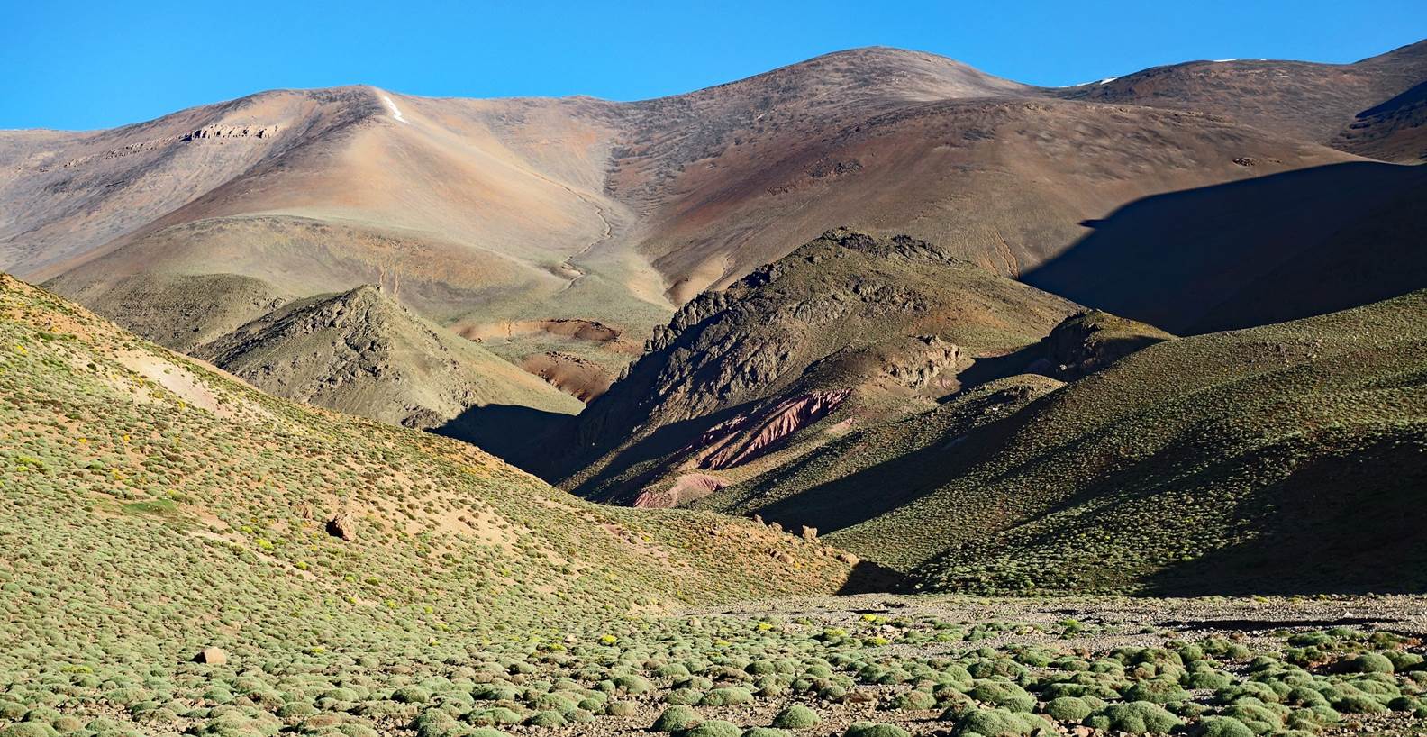
Successive dry rocky landscapes along
the way.
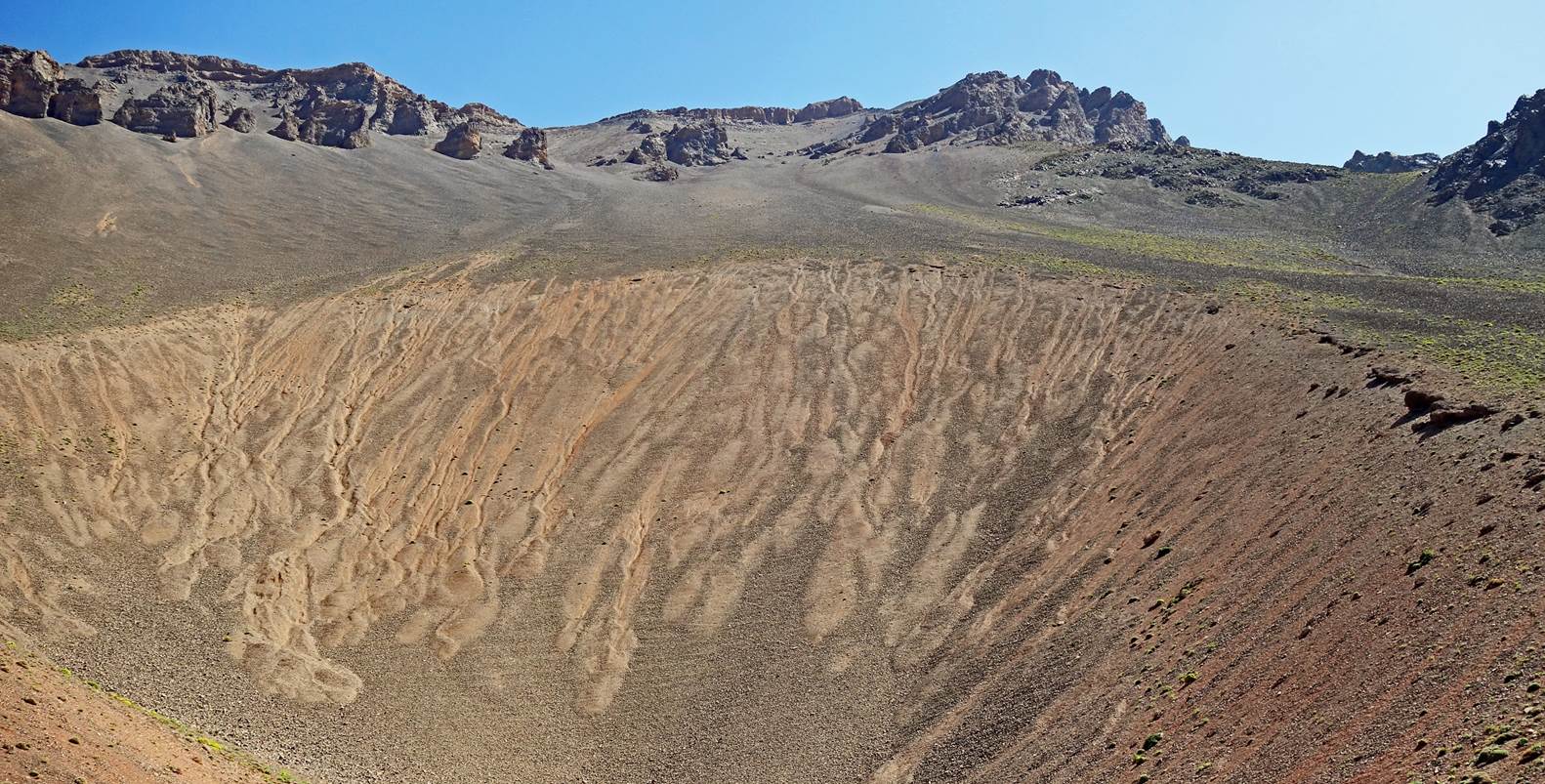
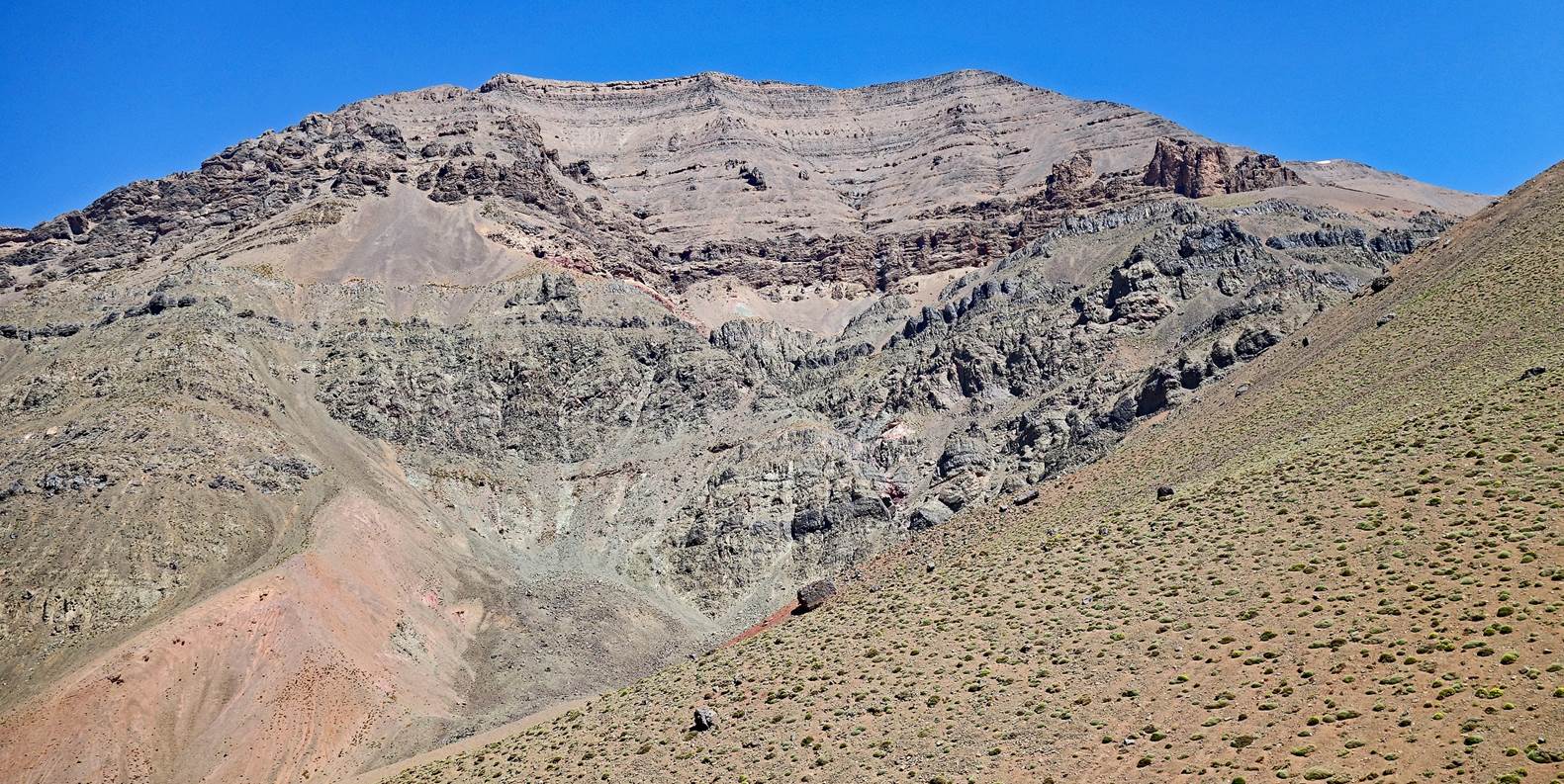
Rocky sections of the Mgoun range.
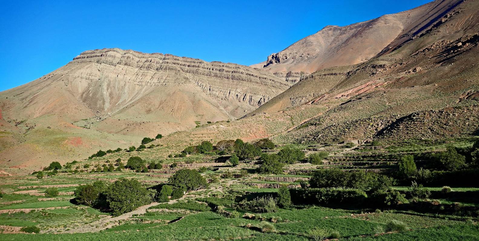
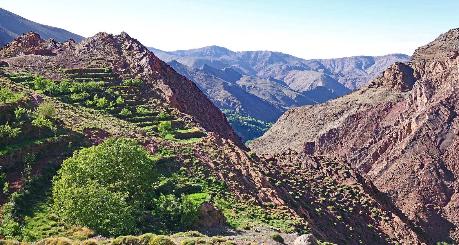
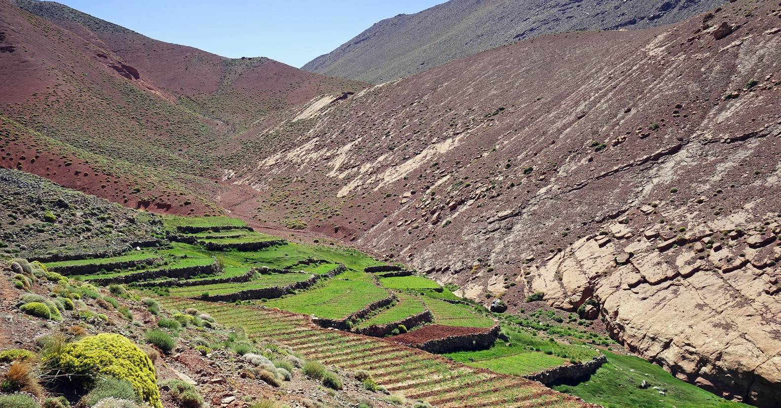
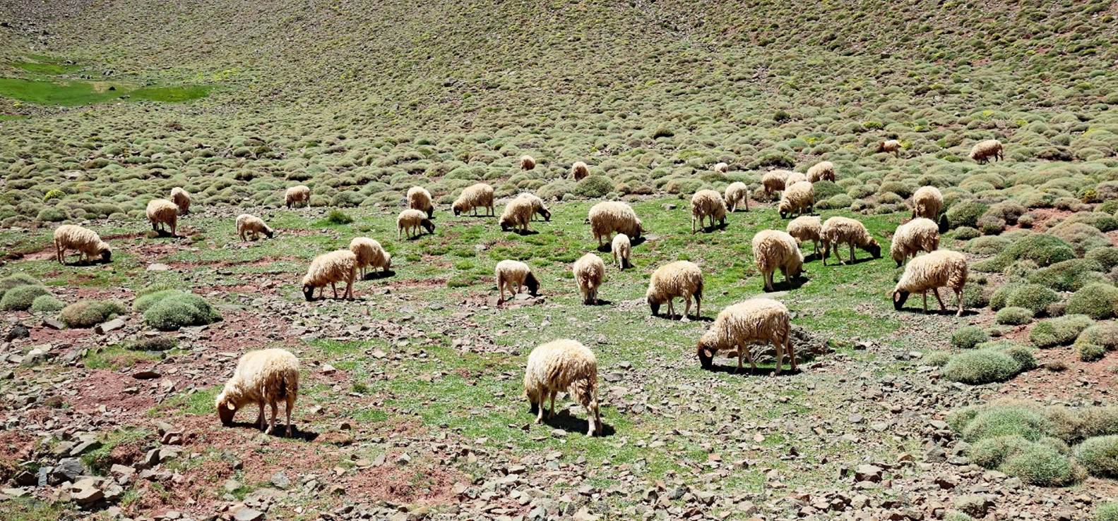
Reaching a greener area with terraces
of barley fields at Azib Tagoulzit.
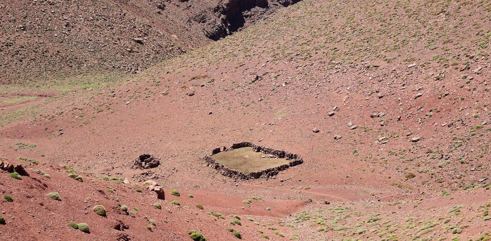
Sheepfolds at Azib Tagoulzit.
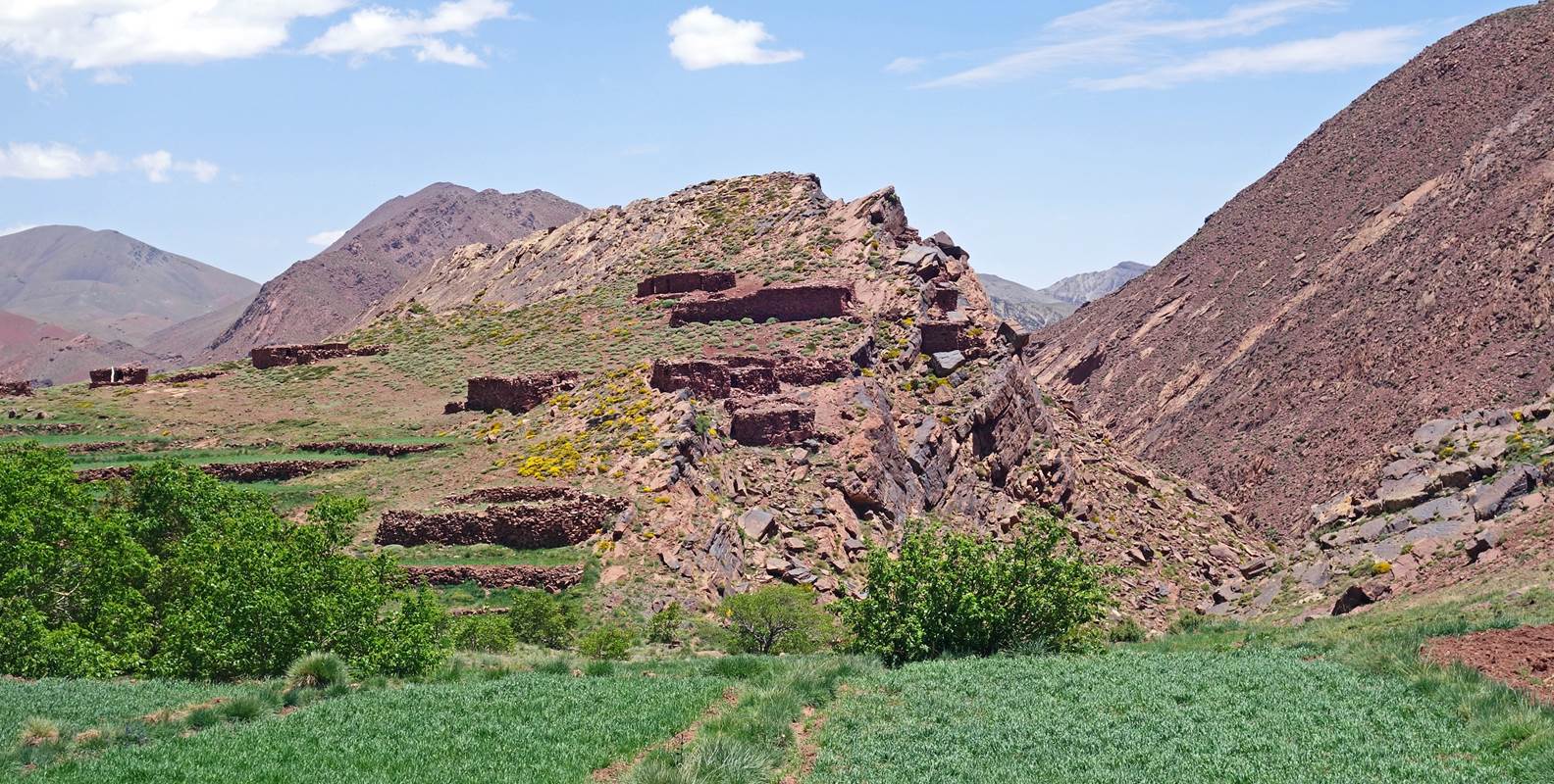
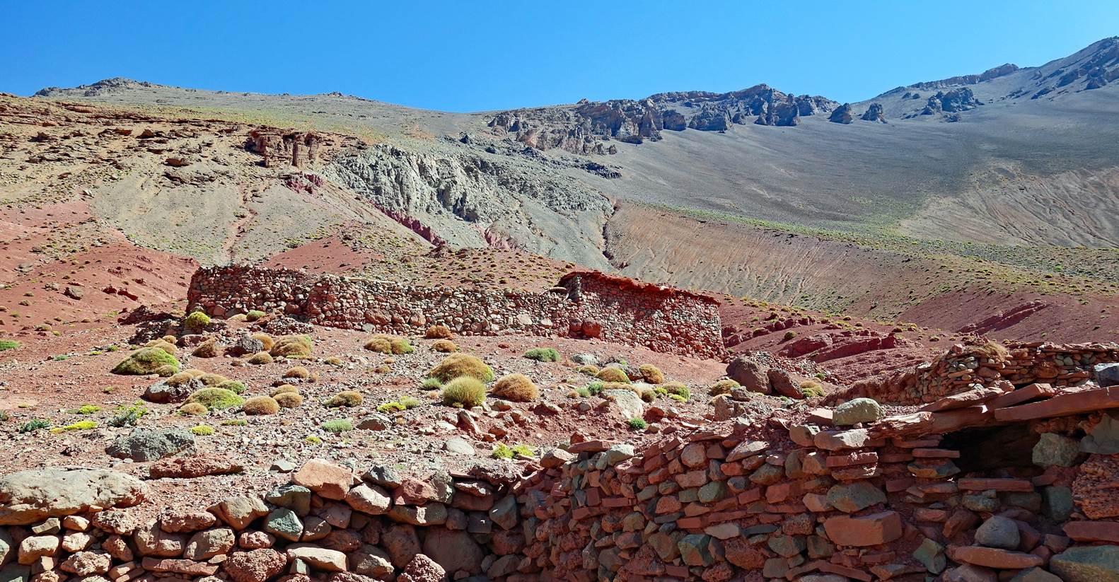
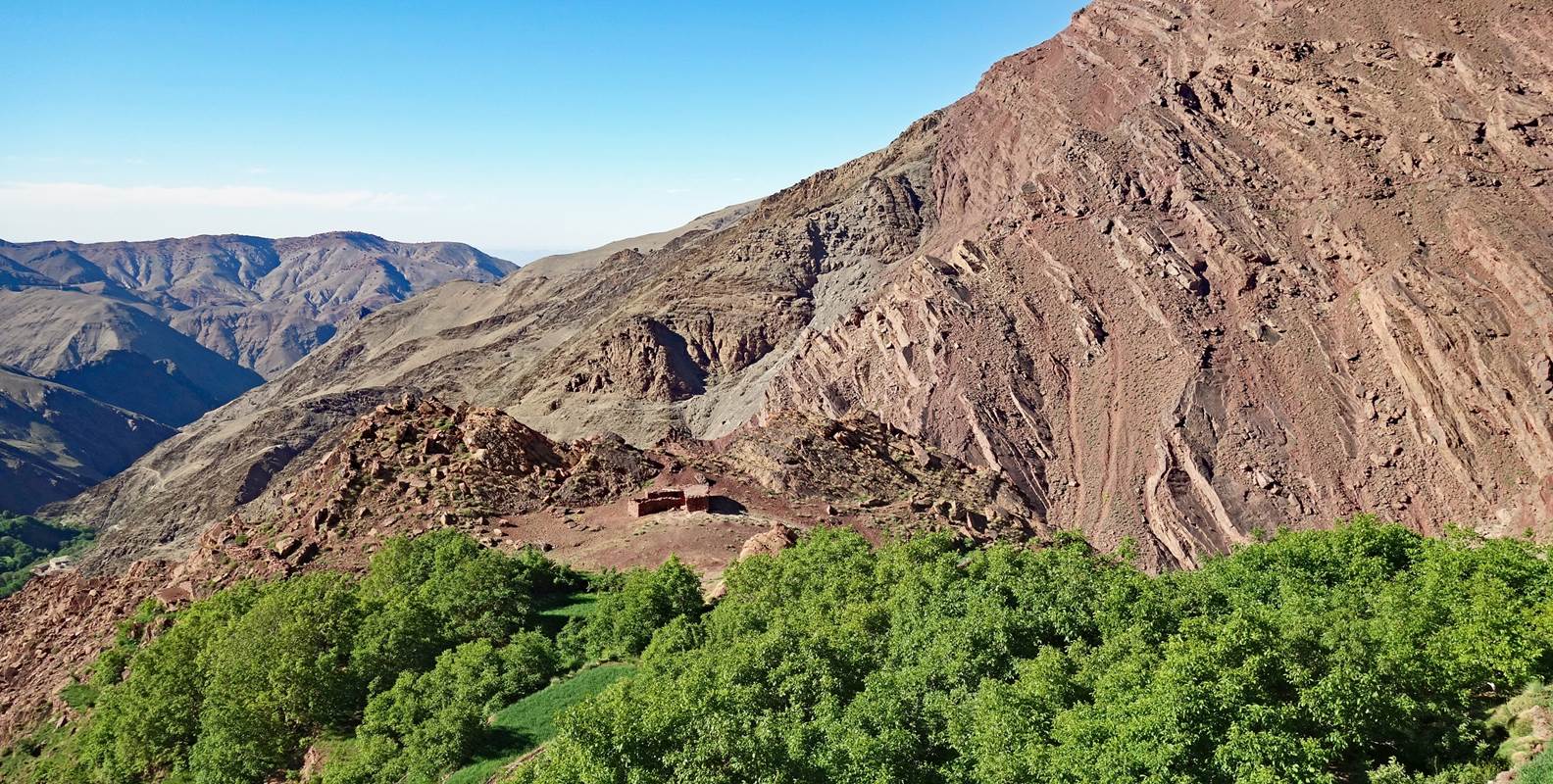
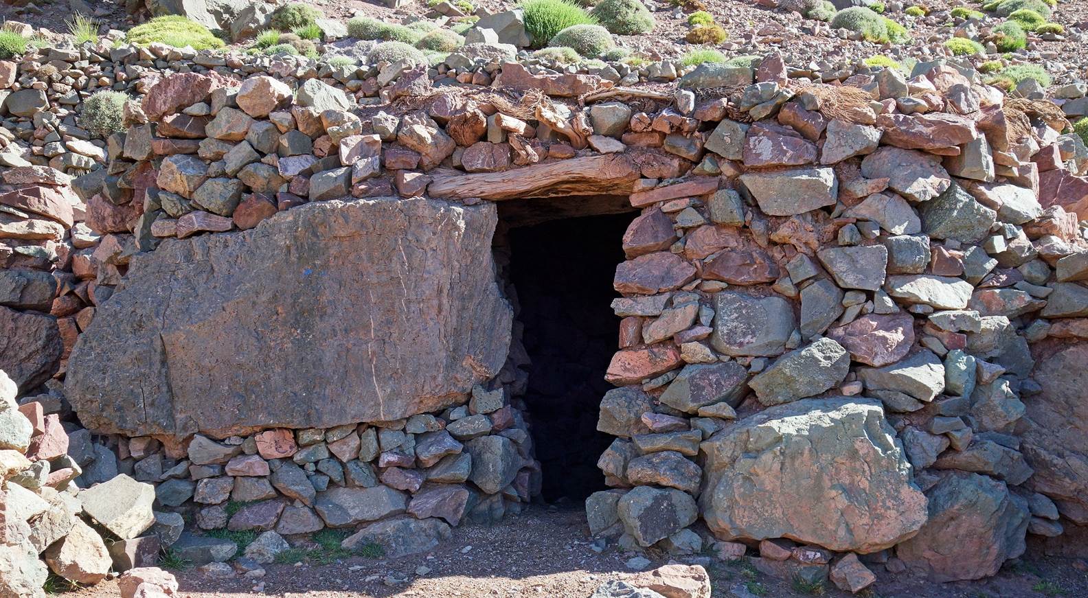
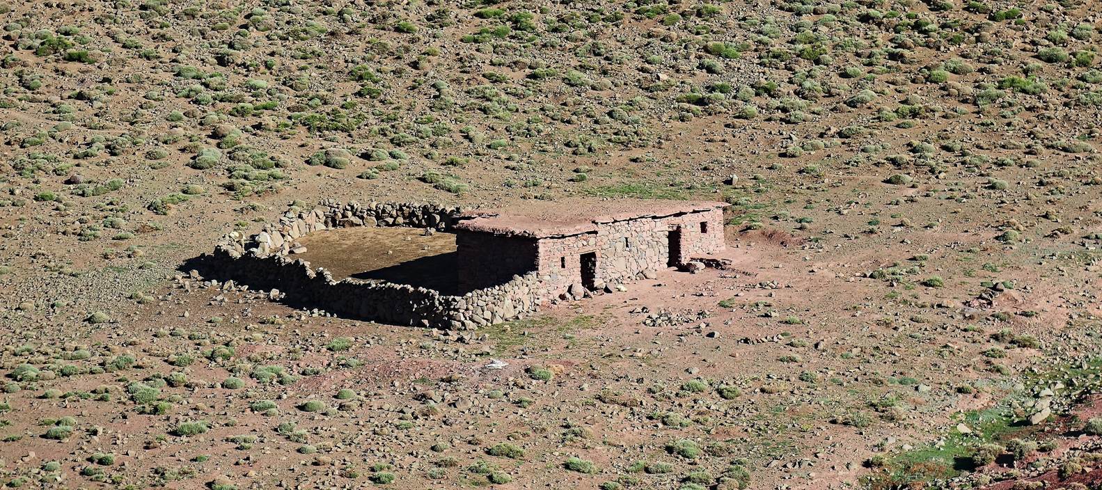
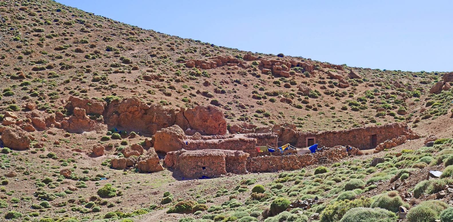
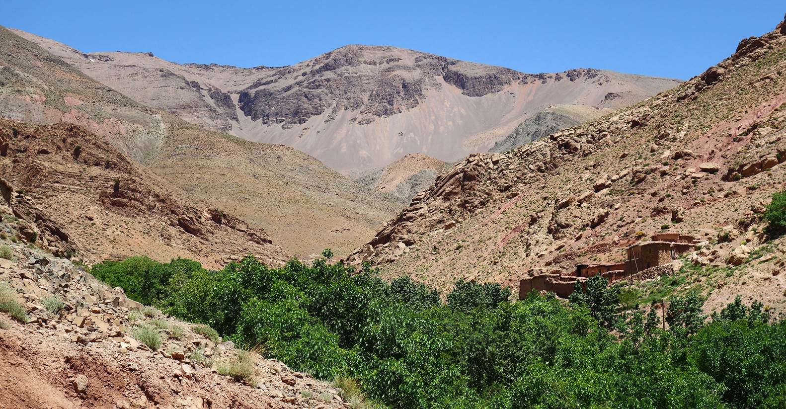
We set up our fifth camp at waypoint
50, next to these (mostly ruined) azibs under the small cliff shown in the
second photo below.
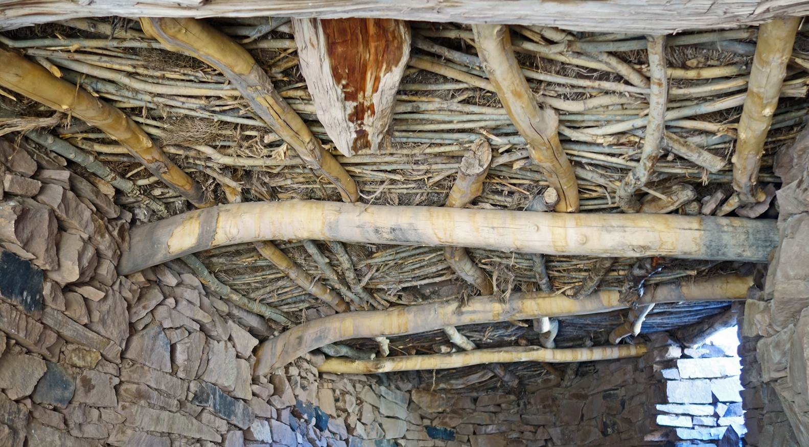
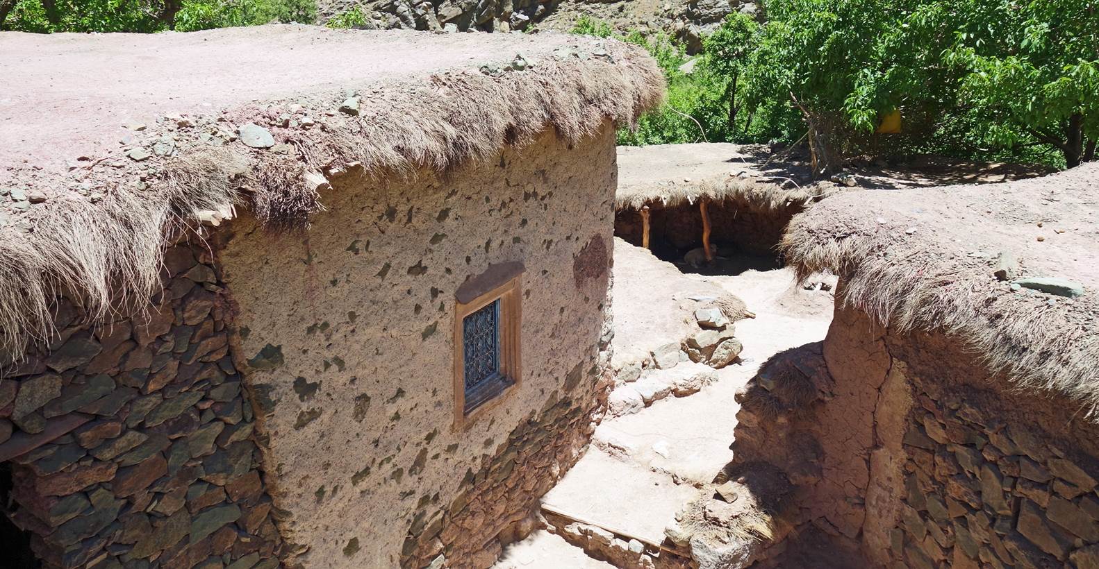
Ceiling in a herder house.
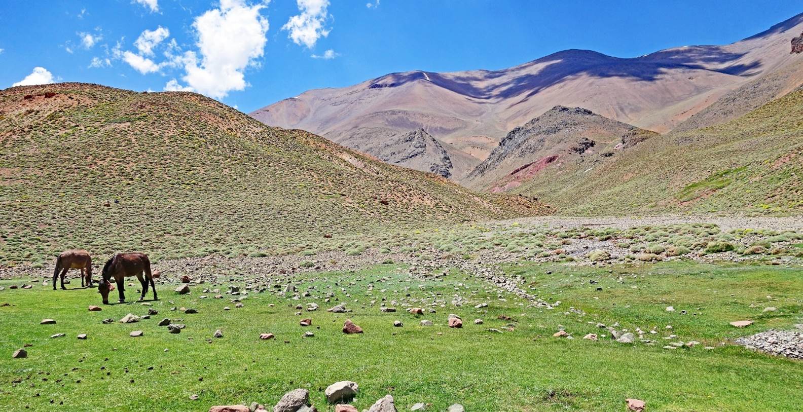
Day 6:
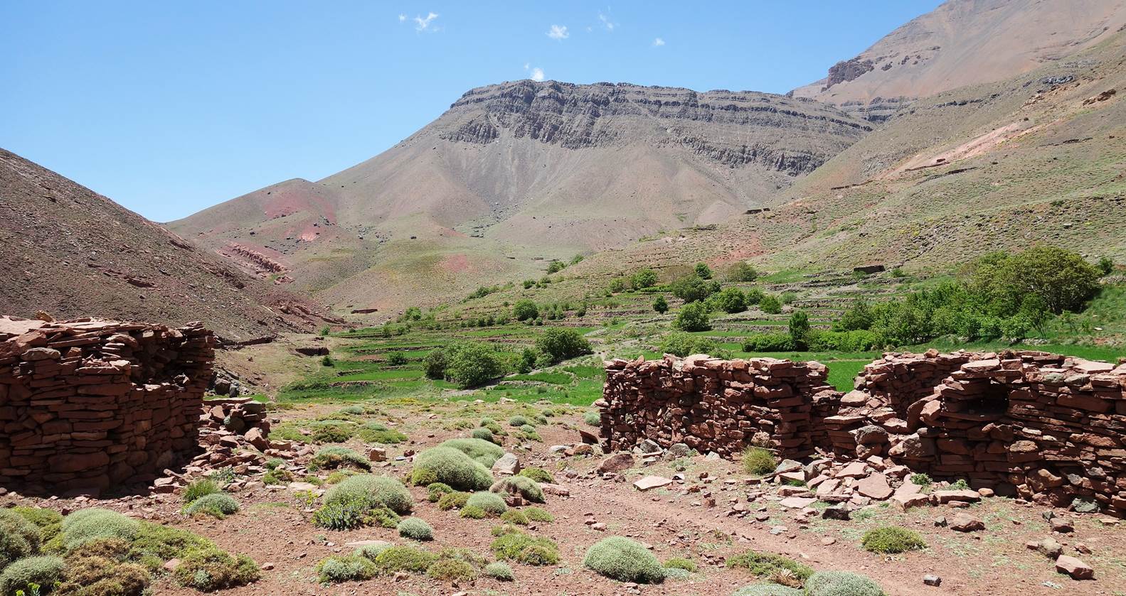
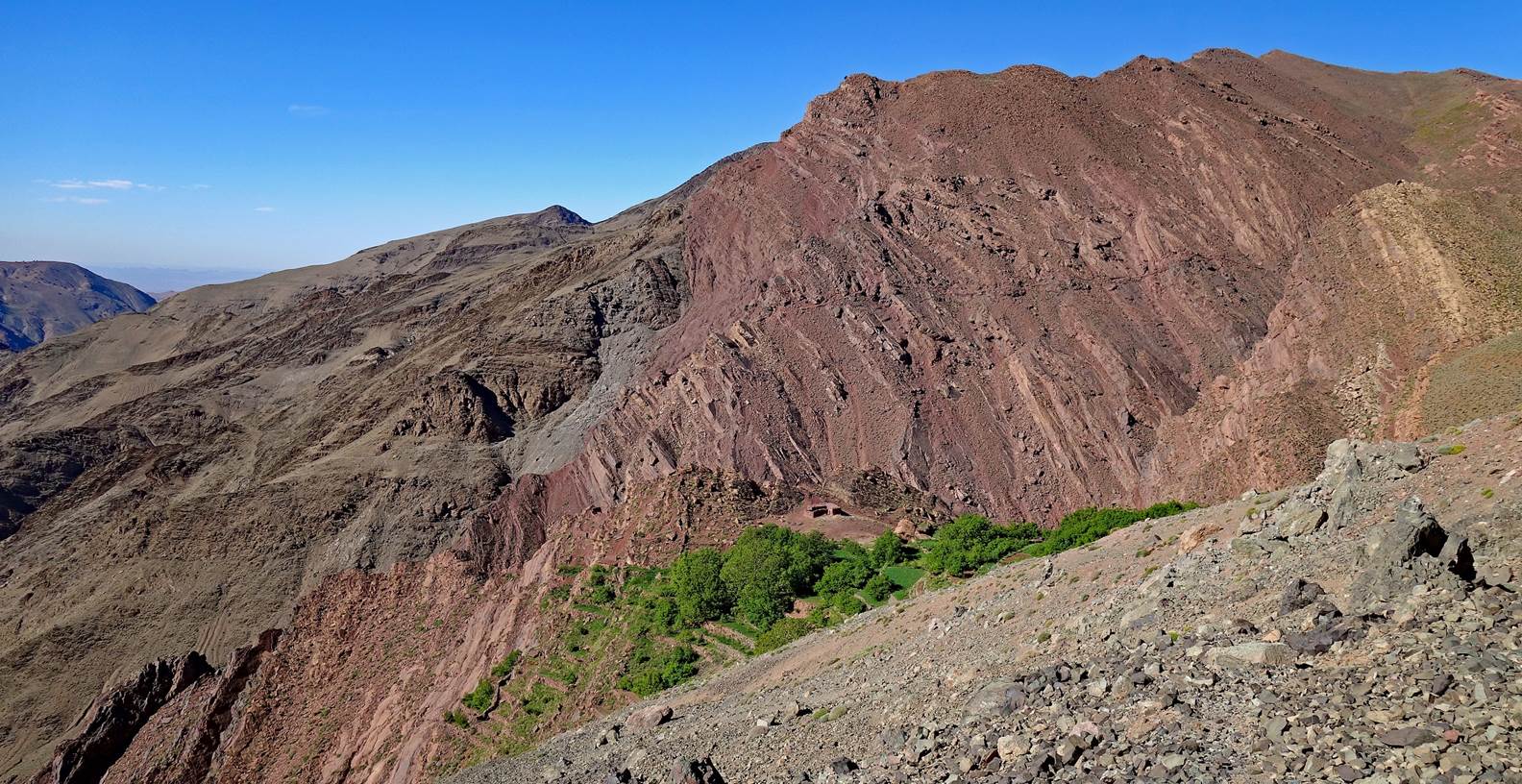
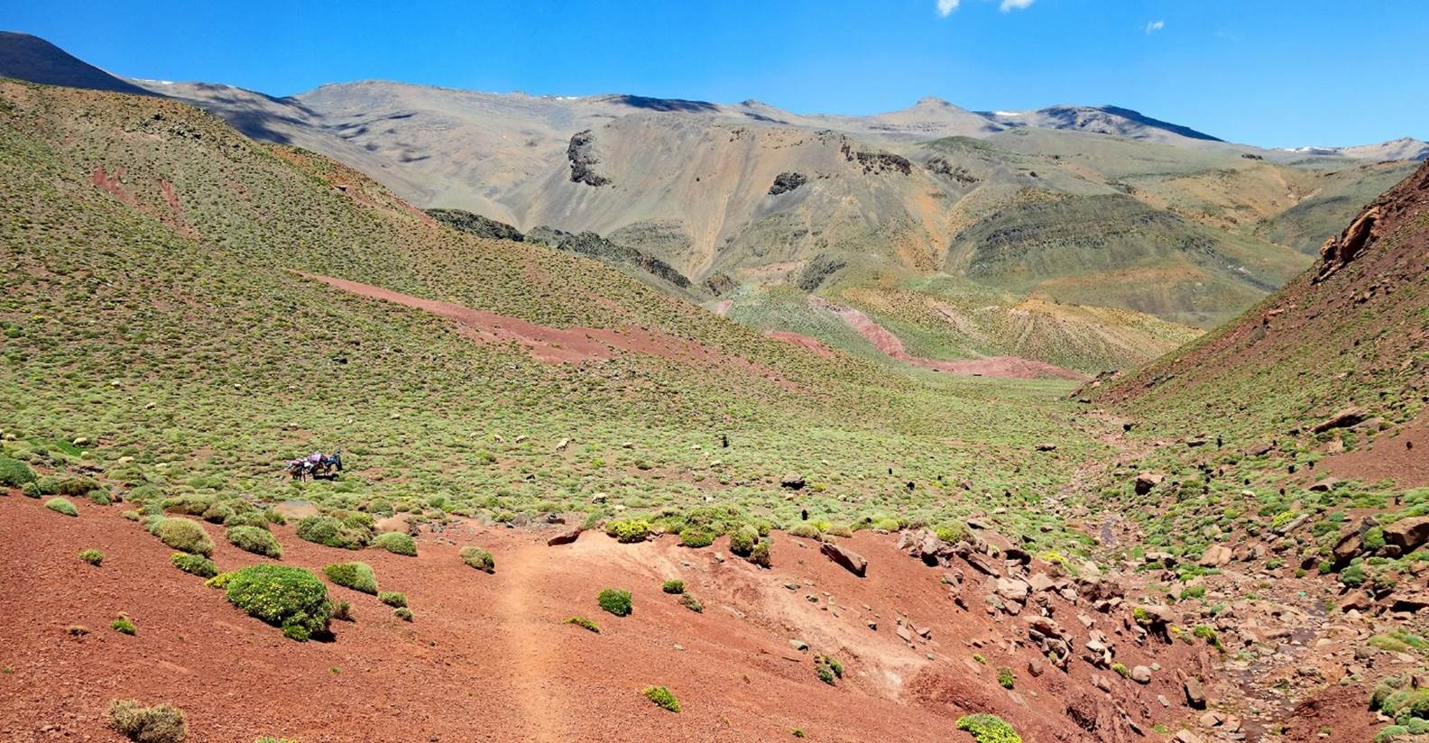
Terraced fields seen from our fifth
camp.
View of the terrain ahead (toward the
east) seen from our fifth camp.
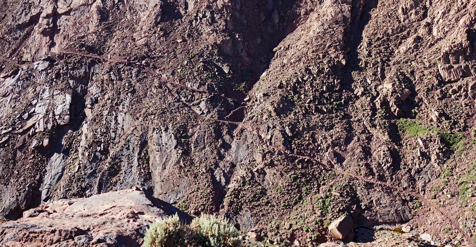
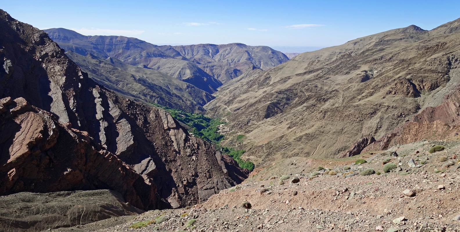
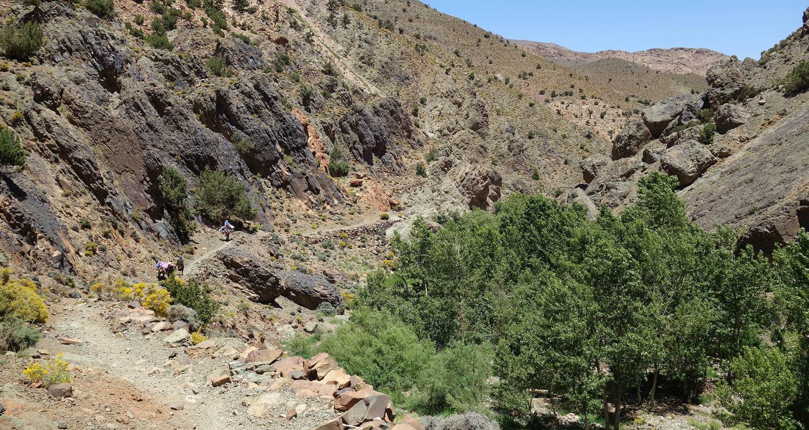
Impressive trail in one of the canyons toward
the south.
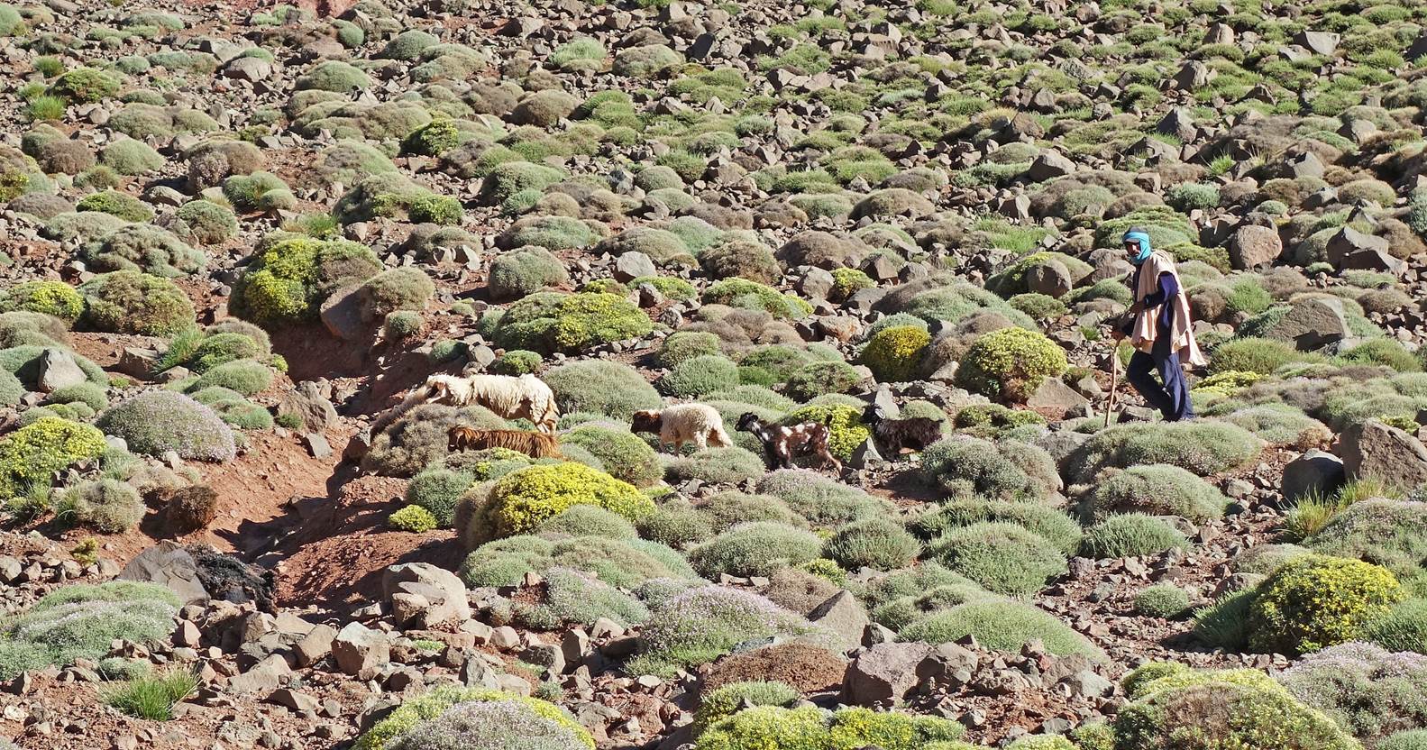
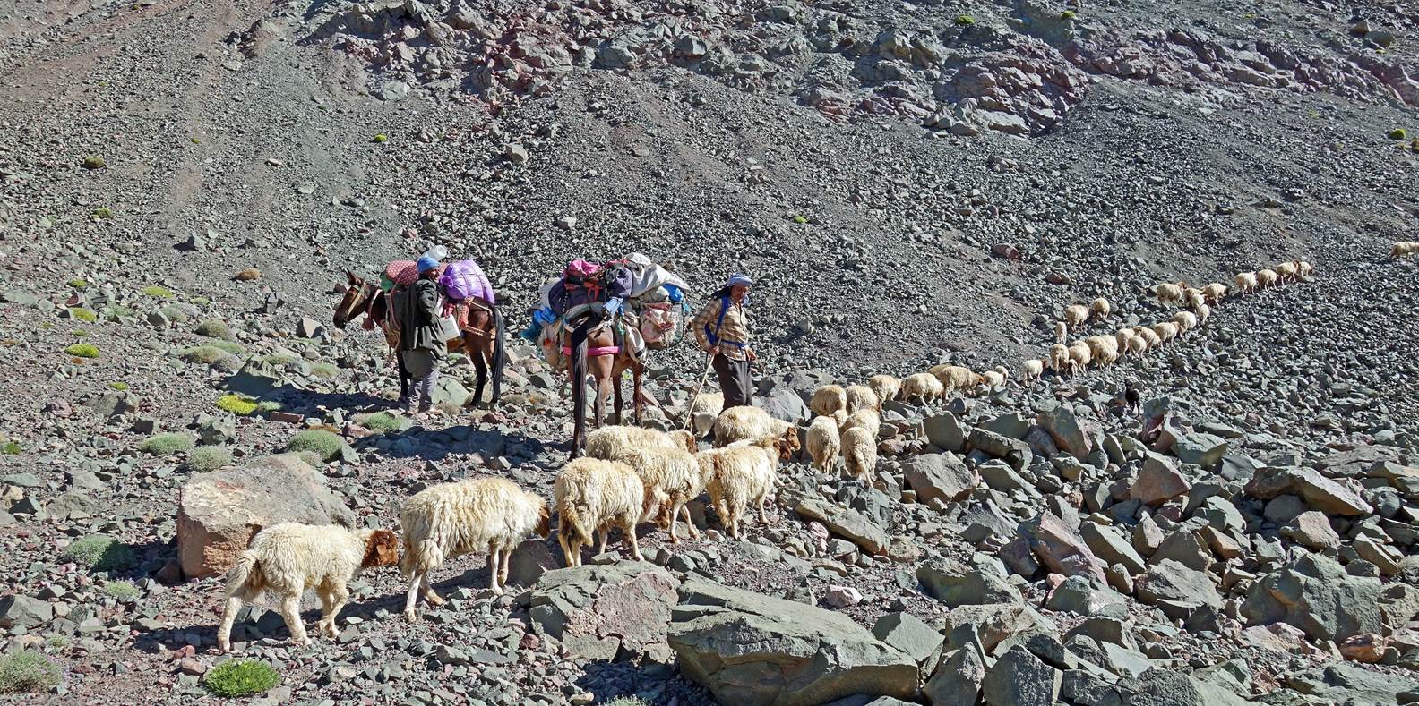
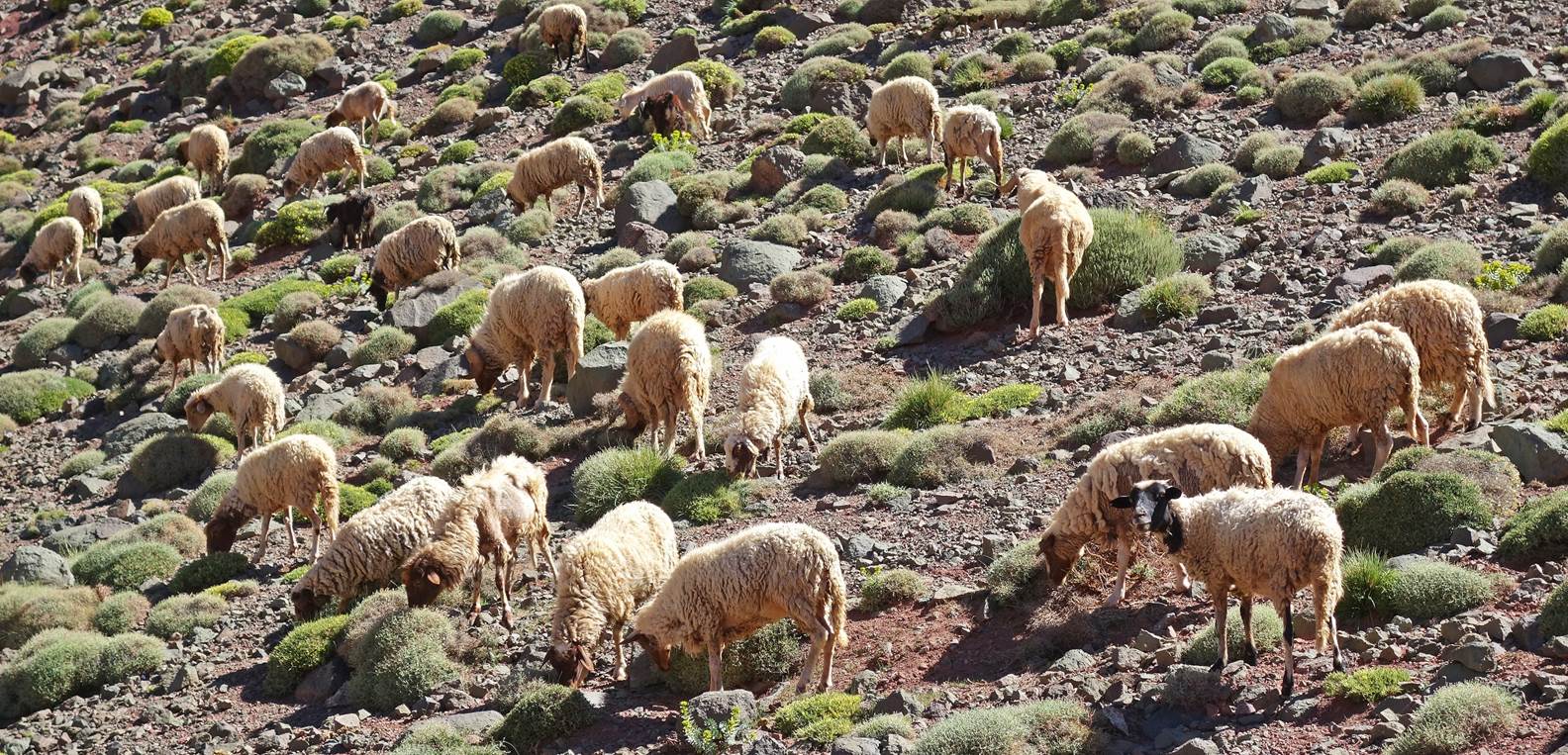
Herder along the way.
Successive landscapes, water sources,
azibs, and fields seen along the path of this sixth hiking day.
|
|
|
Ighil-n-Oumsoud
(4068m), the highest summit in the Mgoun range seen from waypoint 58.
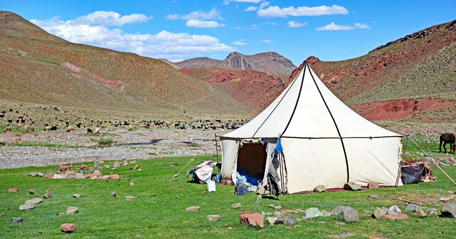
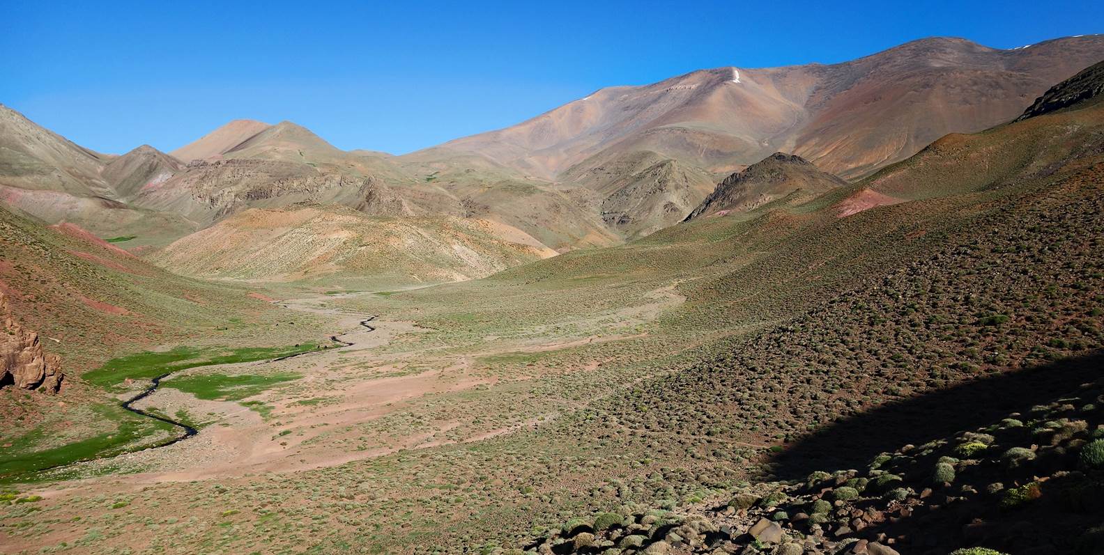
Our
sixth camp established near a river at waypoint 63.
Day 7:
Morning view of the Mgoun range from
our sixth camp.
The site of our camp (green area on the
left) and the Mgoun range seen at the beginning of this seventh hiking day.
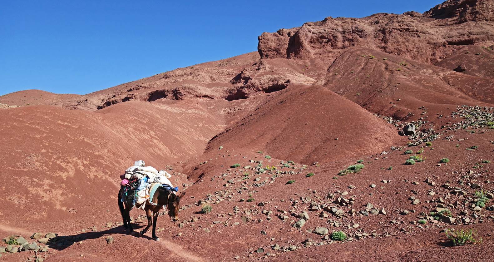
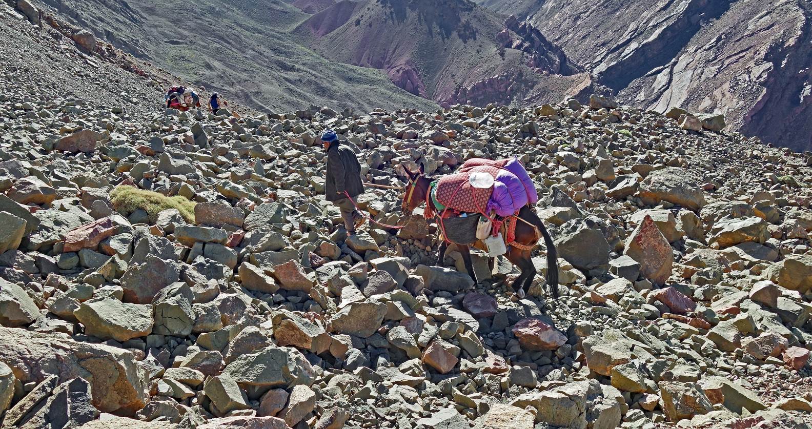
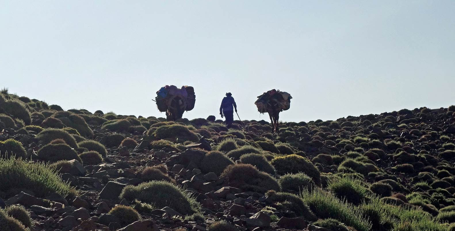
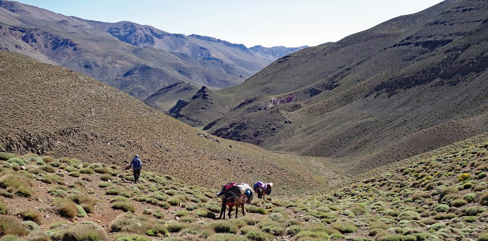
Brahim and
the two mules against the sunlight at a small pass.
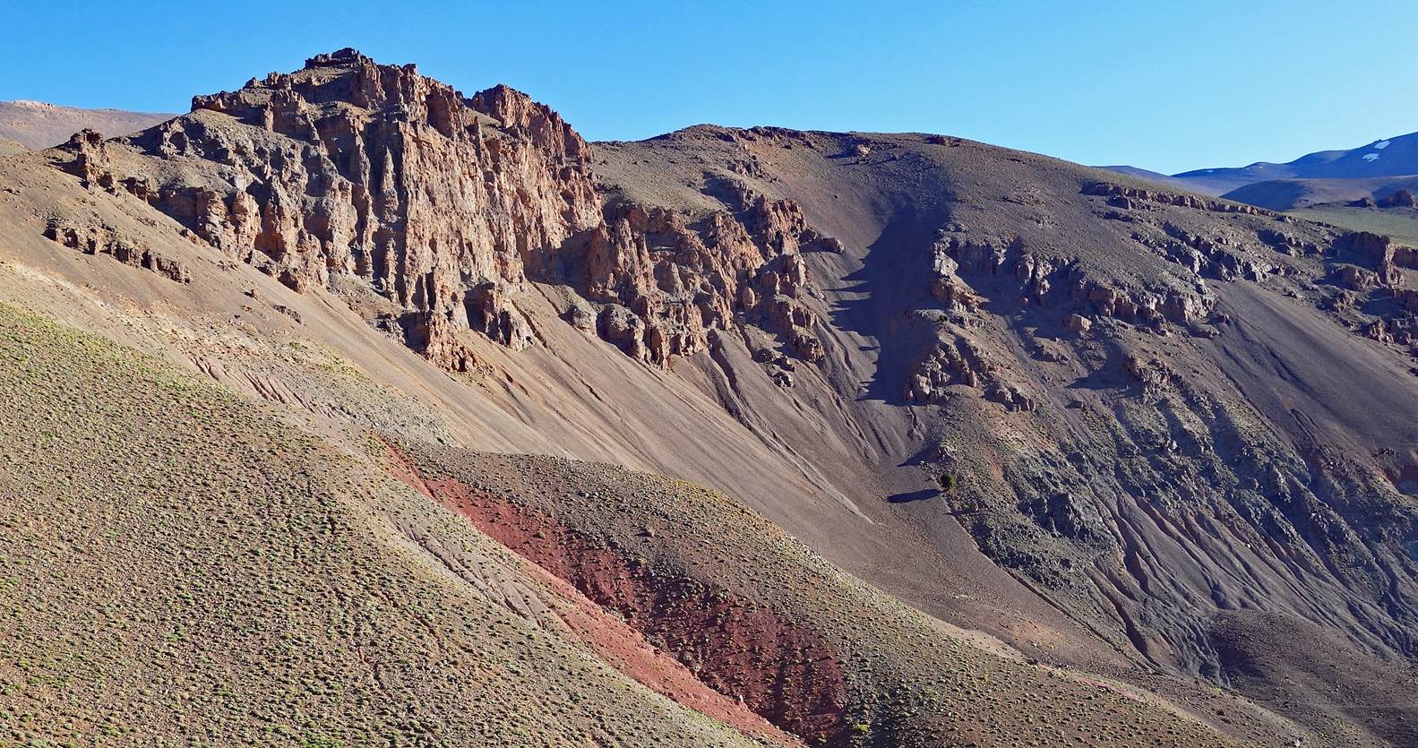
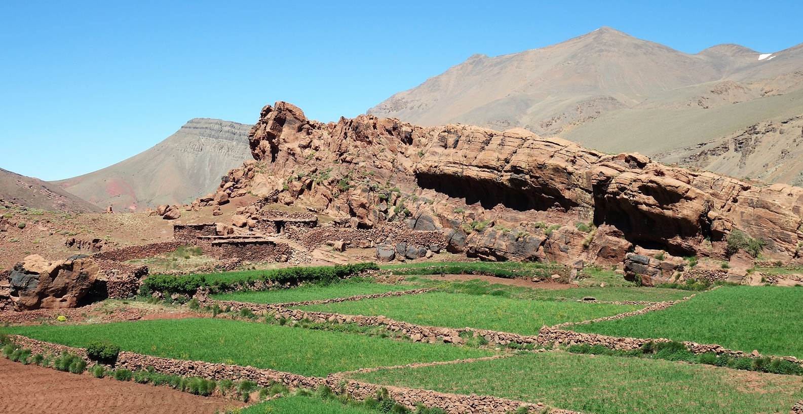
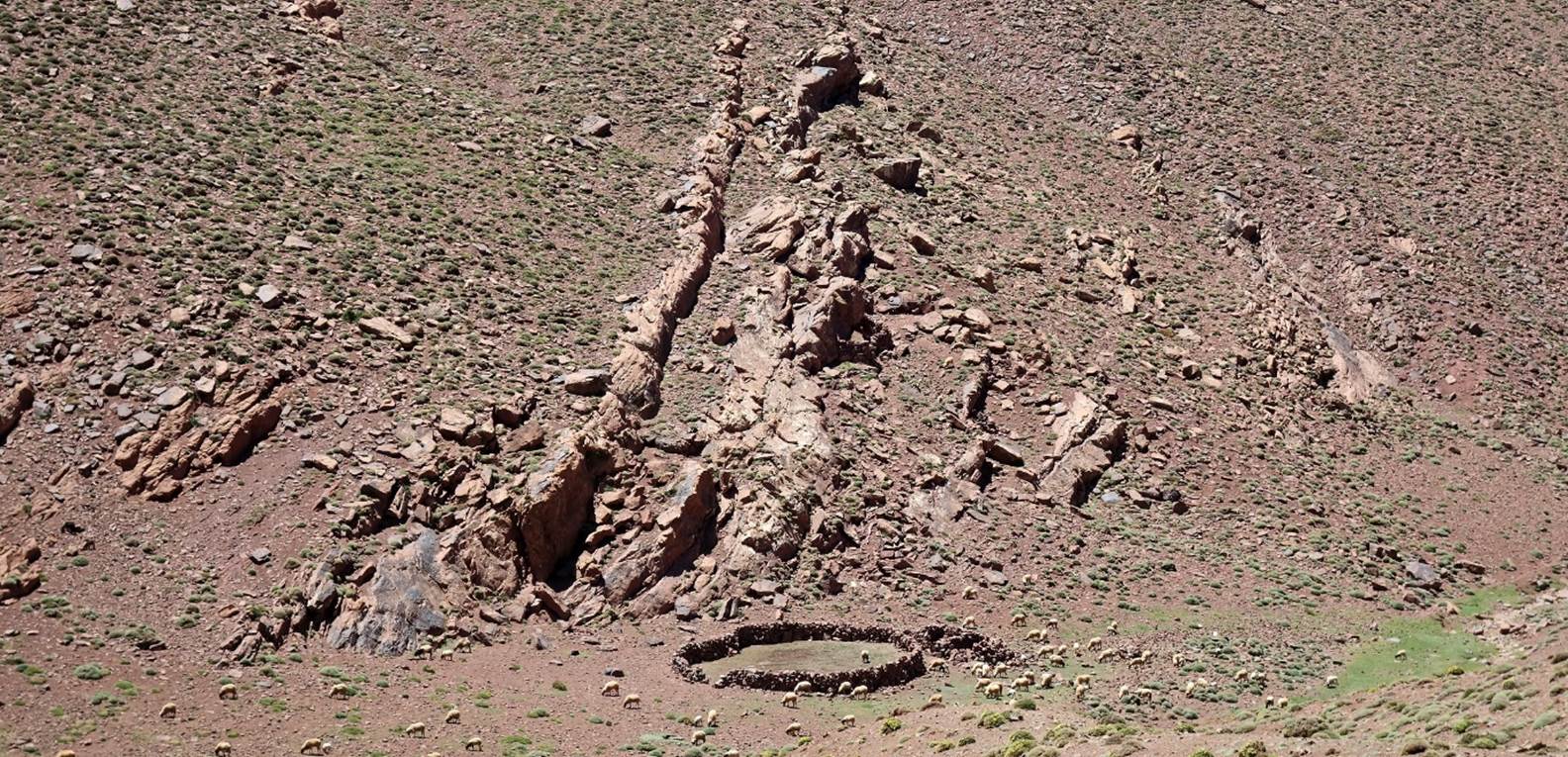
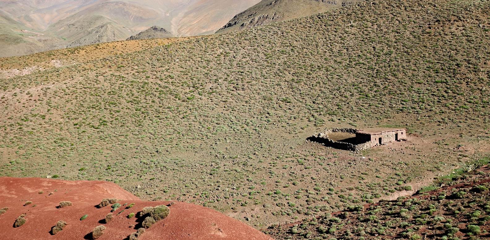
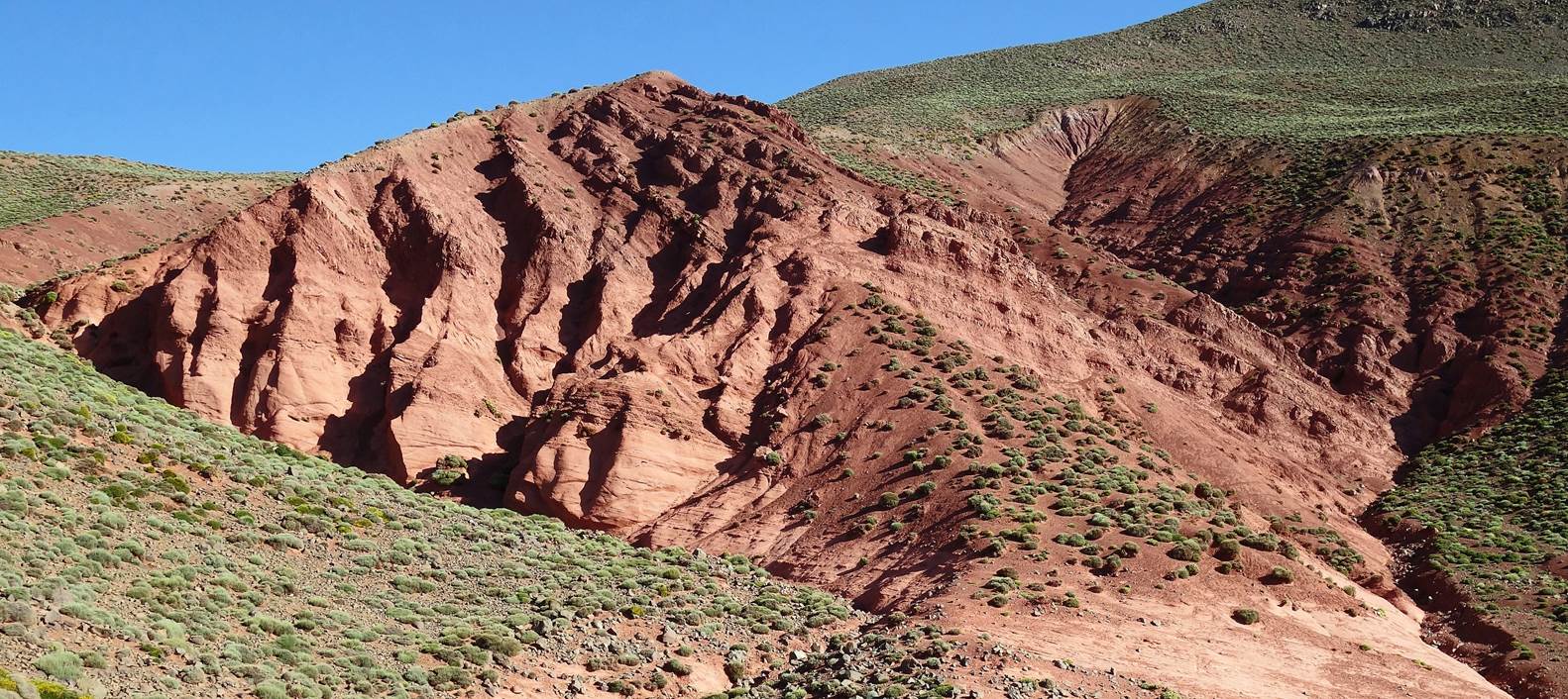
Azib unusually well built.
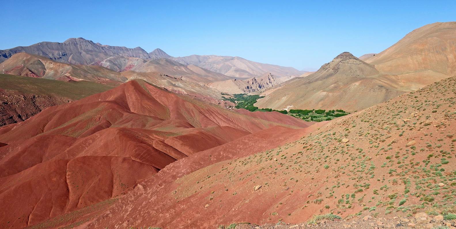
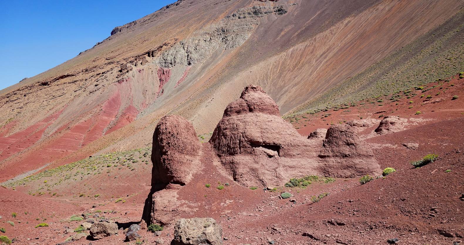
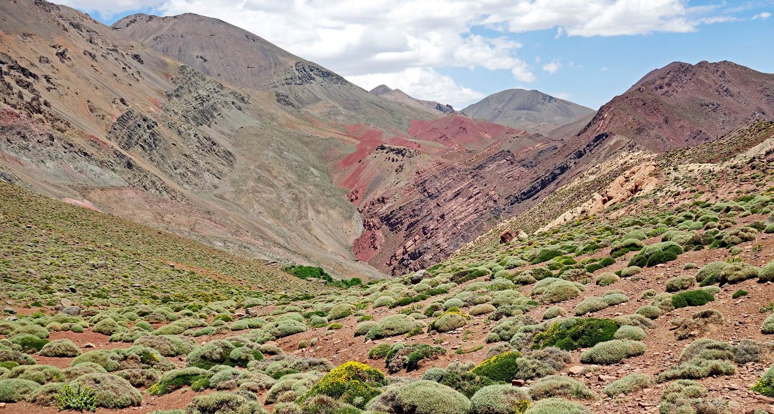
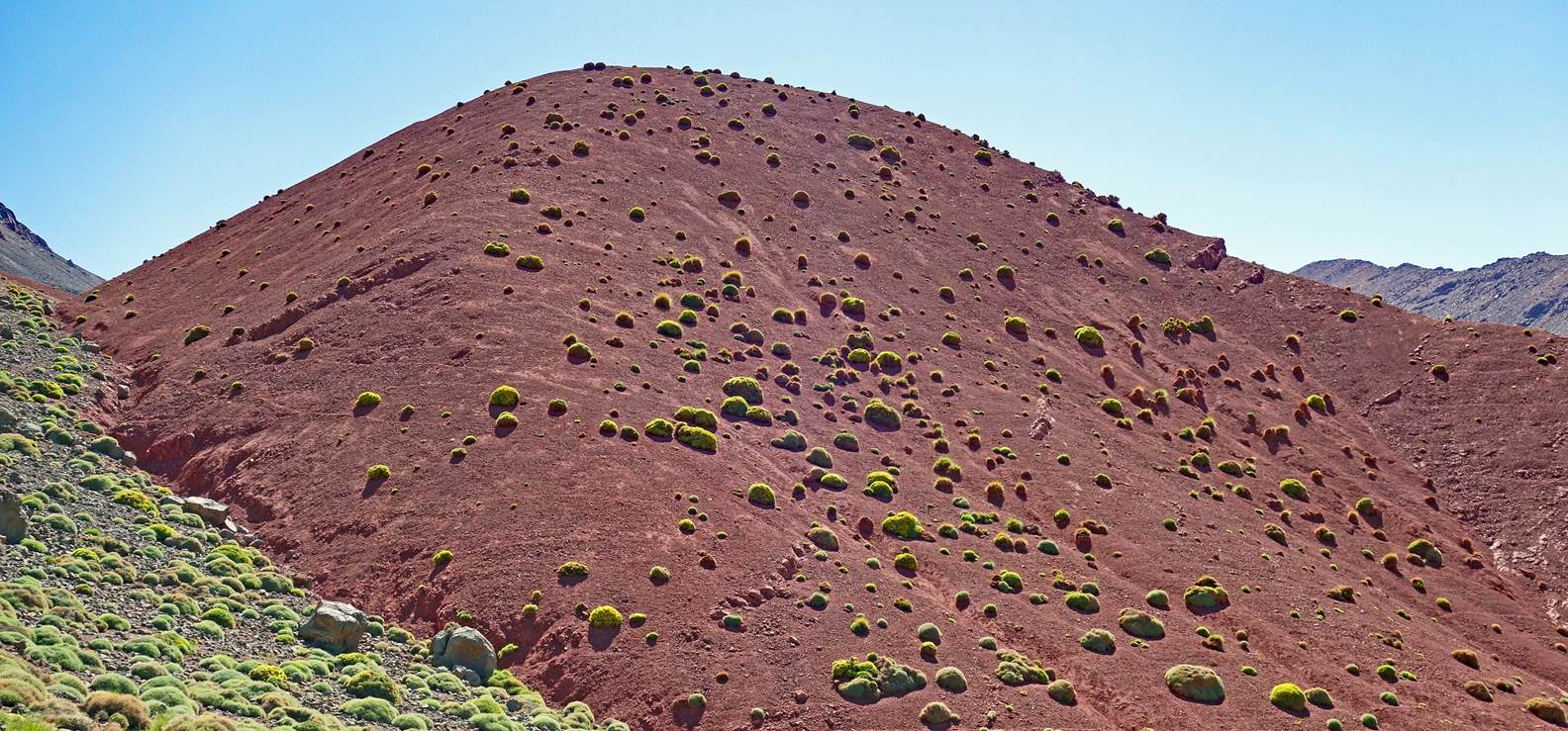
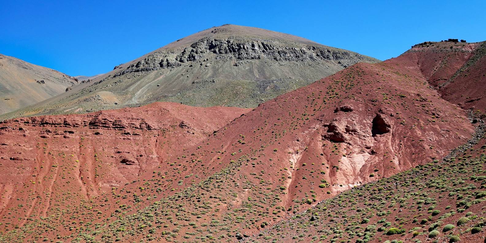
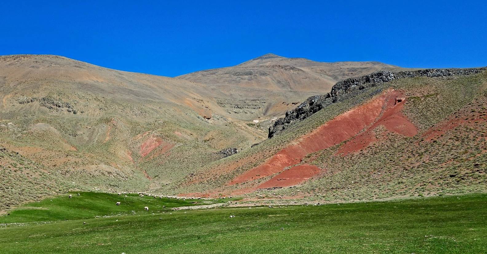
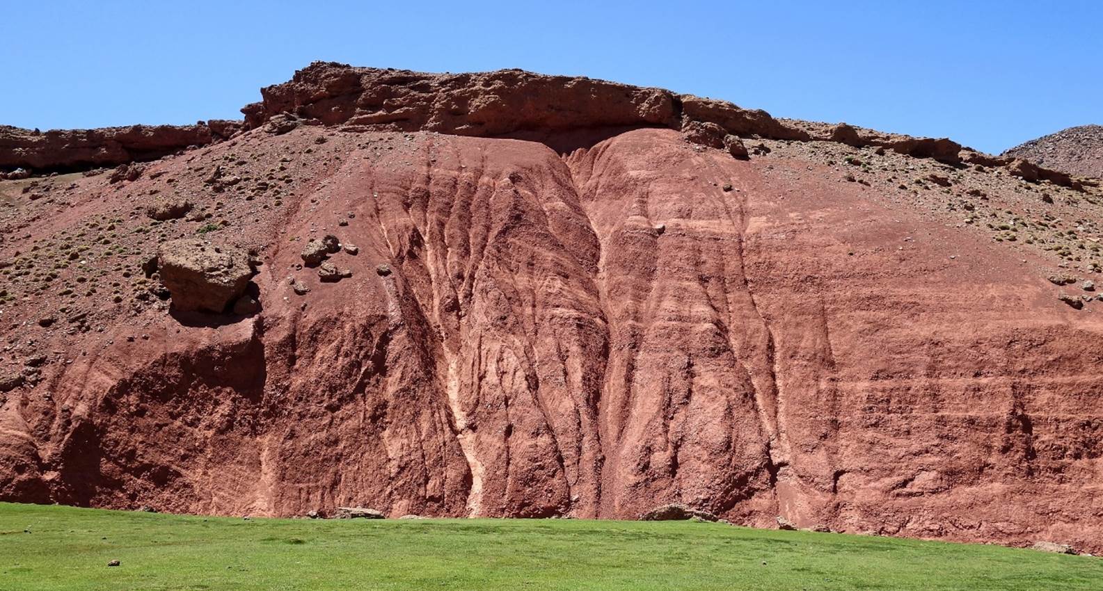
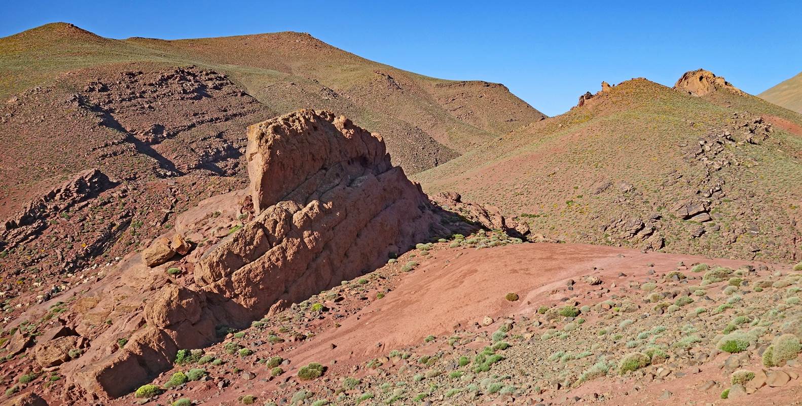
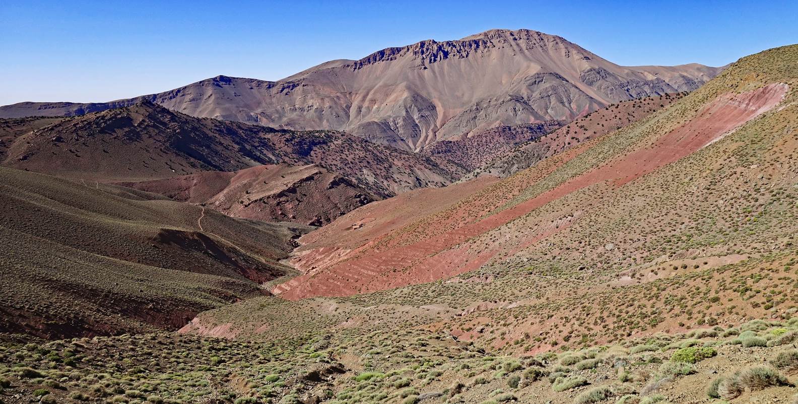
Red earth and rock formations.
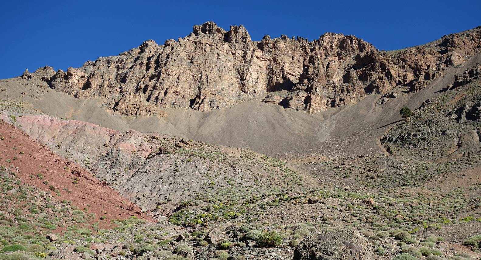
Jebel Aklim
(3432m). Past this point, for the rest of the day we followed a path in the
relatively narrow valley of the n-Ait Ahmed river that flows between the Mgoun
range to the north and the smaller Jebel Asselda to the south.
Start of the descent into the valley of
the n-Ait Ahmed river.
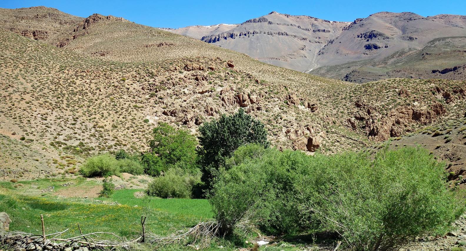
At one point
the bottom of the valley turned greener than anything we had seen so far. As there
was no good trail across the shrubs and trees, this section was especially
difficult for the loaded mules. The unvegetated slopes on both sides of the
valley were often too steep to be a practical alternative.
|
|
|
House in the hamlet of Tichki.
A few more houses further down in the
valley,
The trail then became wide and
well-maintained.
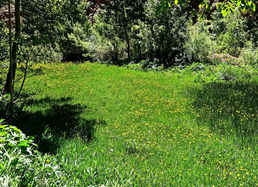
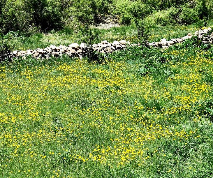
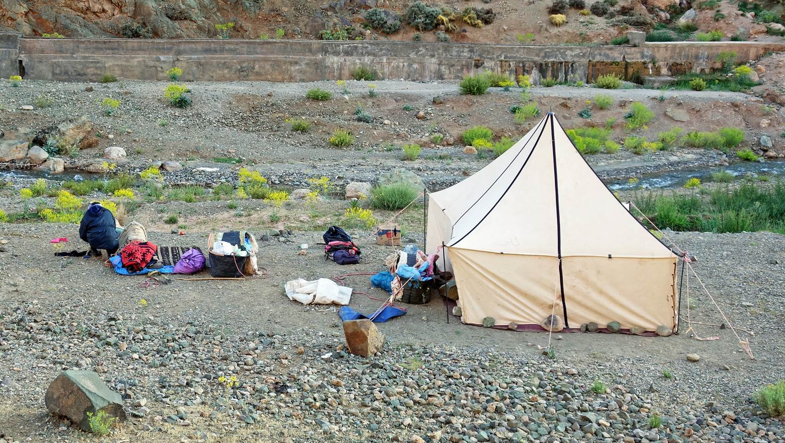
We set up
our seventh camp by the river at waypoint 79 near a concrete canal that brings
clear water to the village of Ameskar a little further.
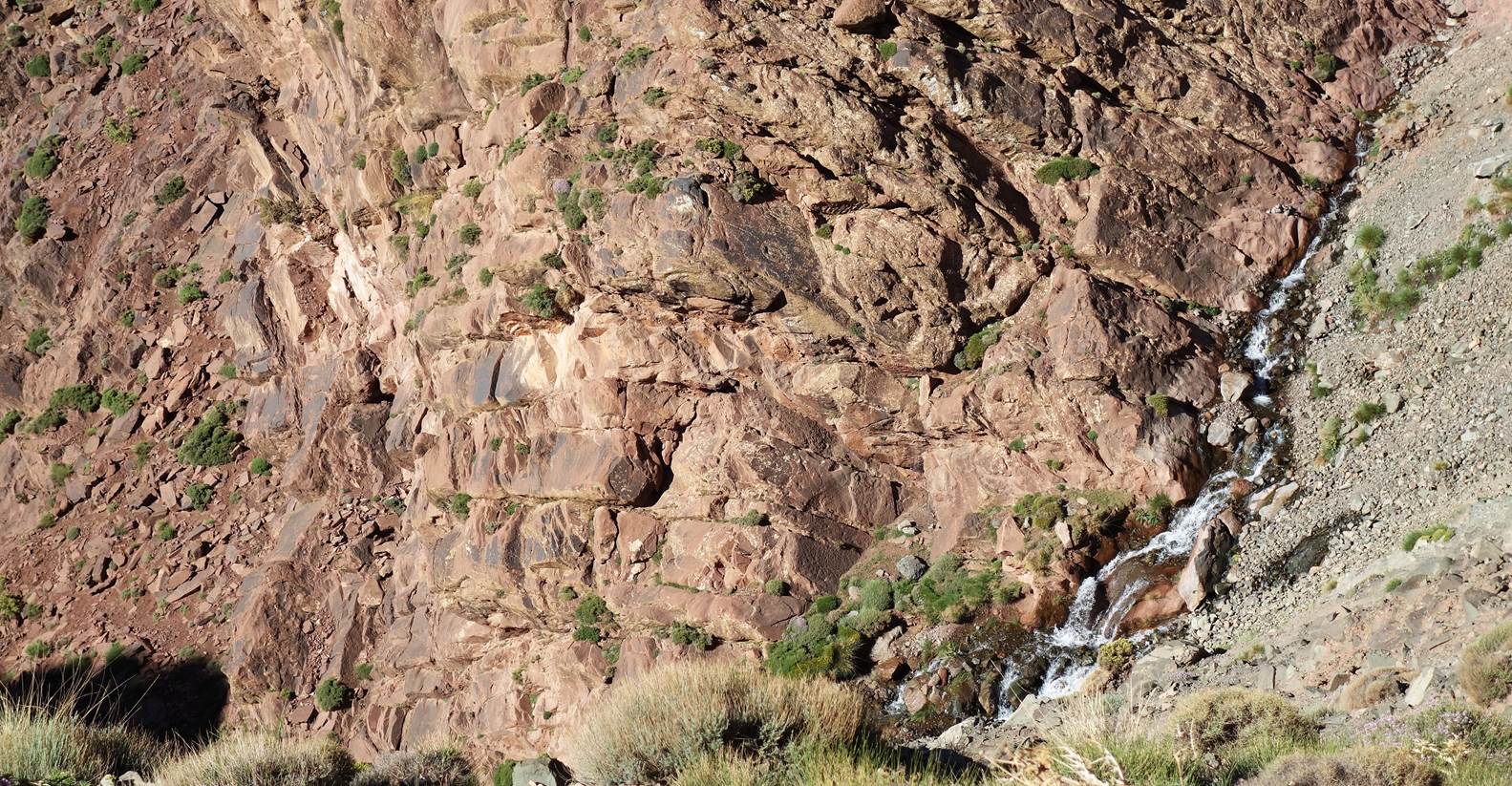
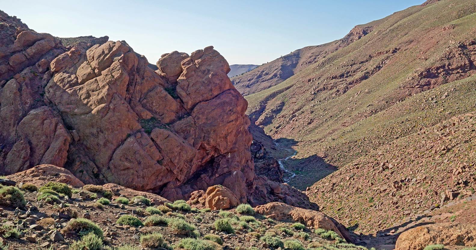
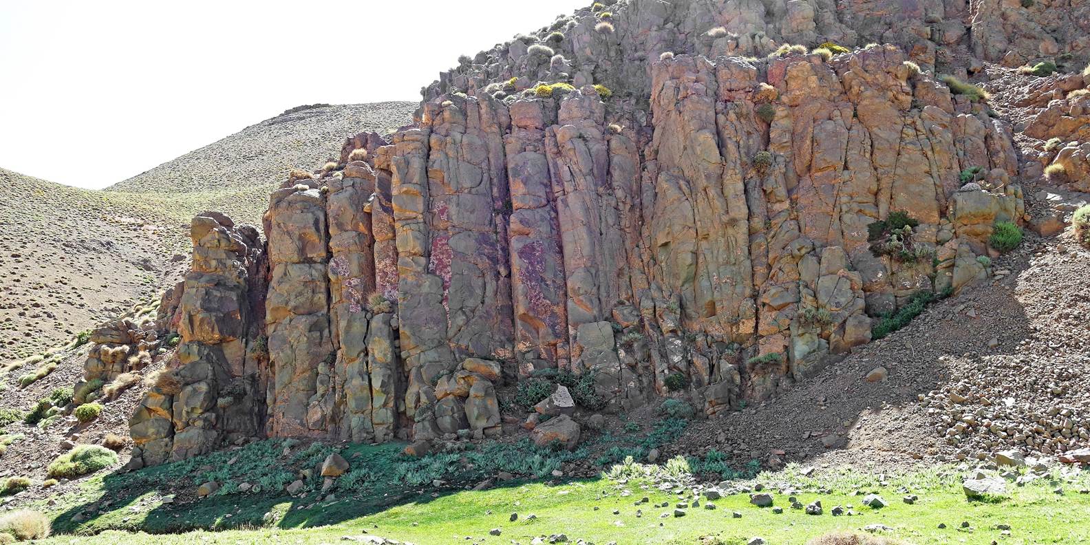
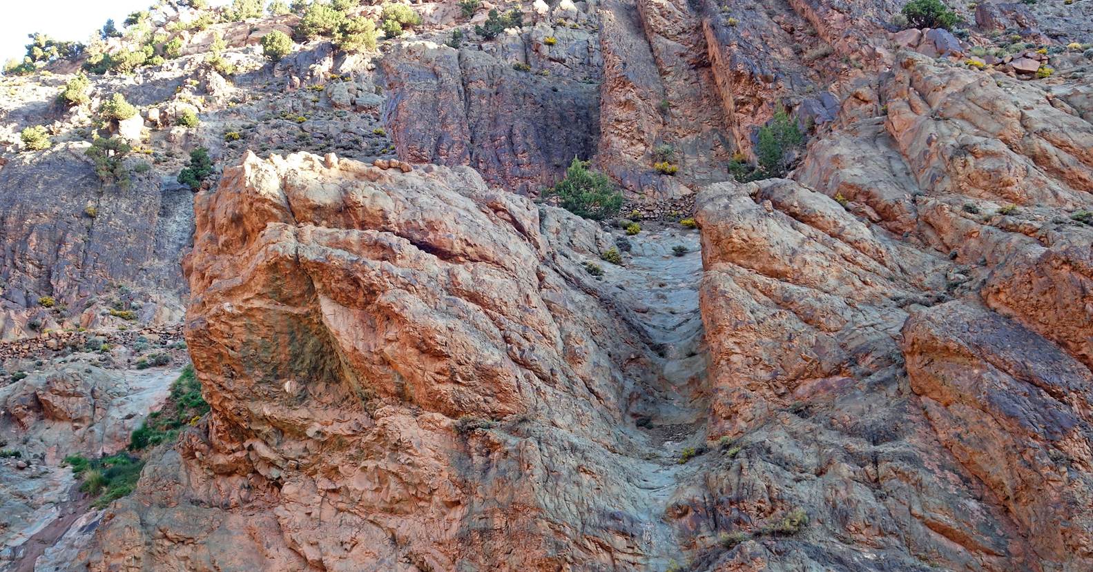
Impressive rock cliff facing our camp across the river.
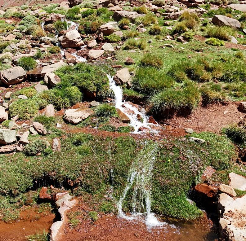
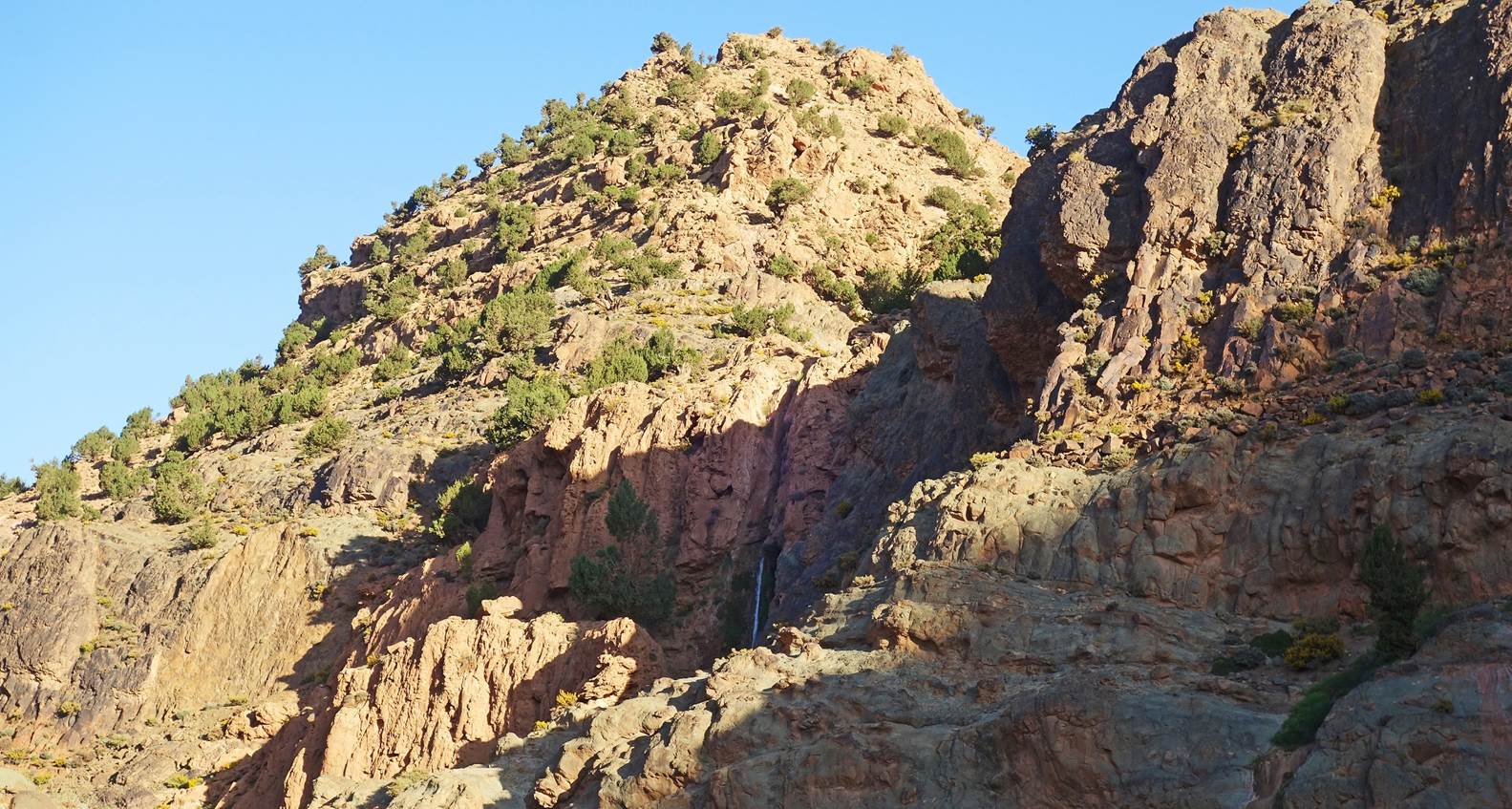
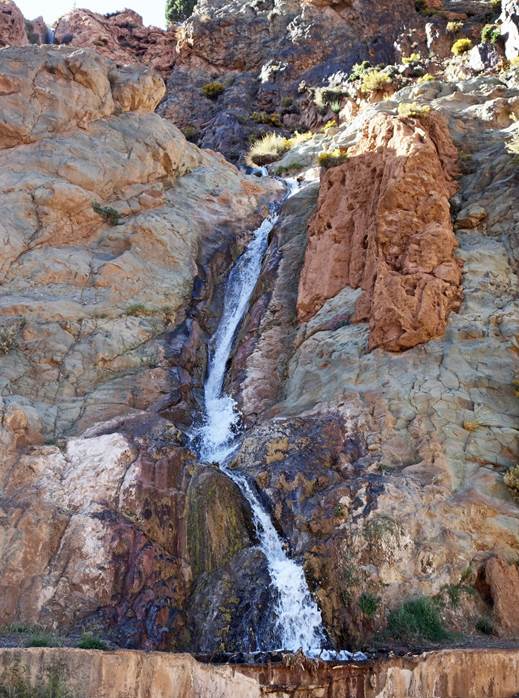
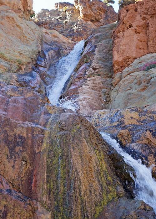
Tiered waterfall near our camp.
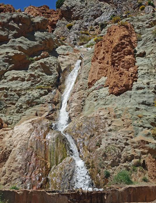
Bottom section of the waterfall seen at different times of the afternoon
and evening. It directly feeds the canal to Ameskar.
|
|
|
|
![]()
Return
to main Morocco-2023 page| Return to my
mountaineering/trekking/travel webpage