Morocco, January-February 2026: Days 1 to 6 of the trek
![]()
Back
to main Morocco 2026 page | Back to my
mountaineering/trekking/travel webpage
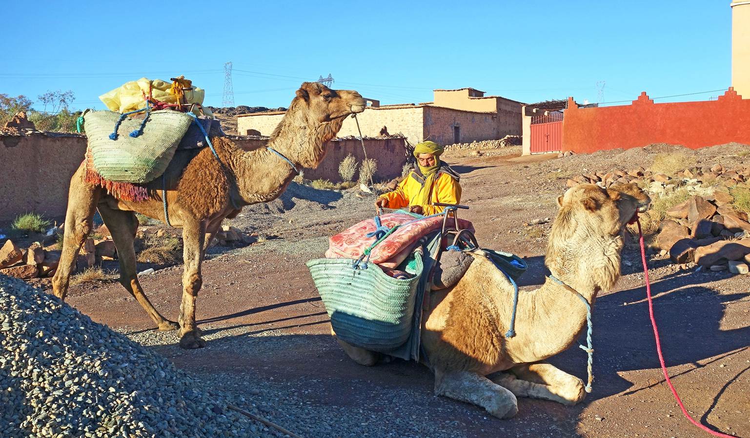
Day 1:
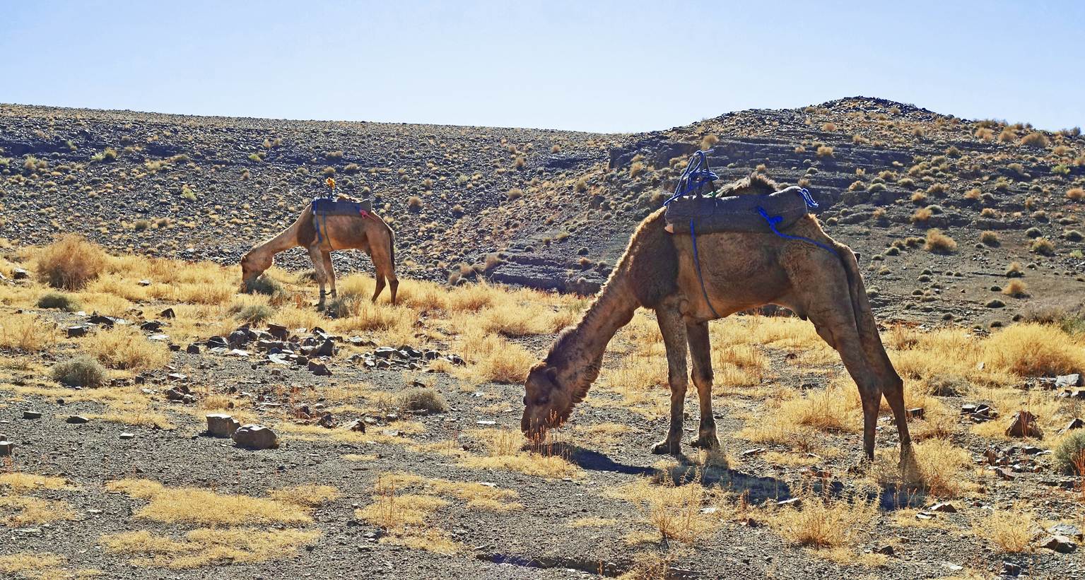
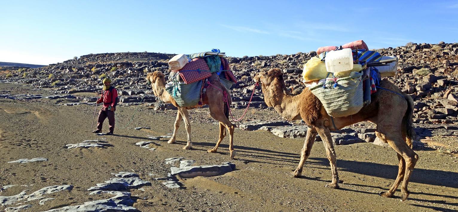
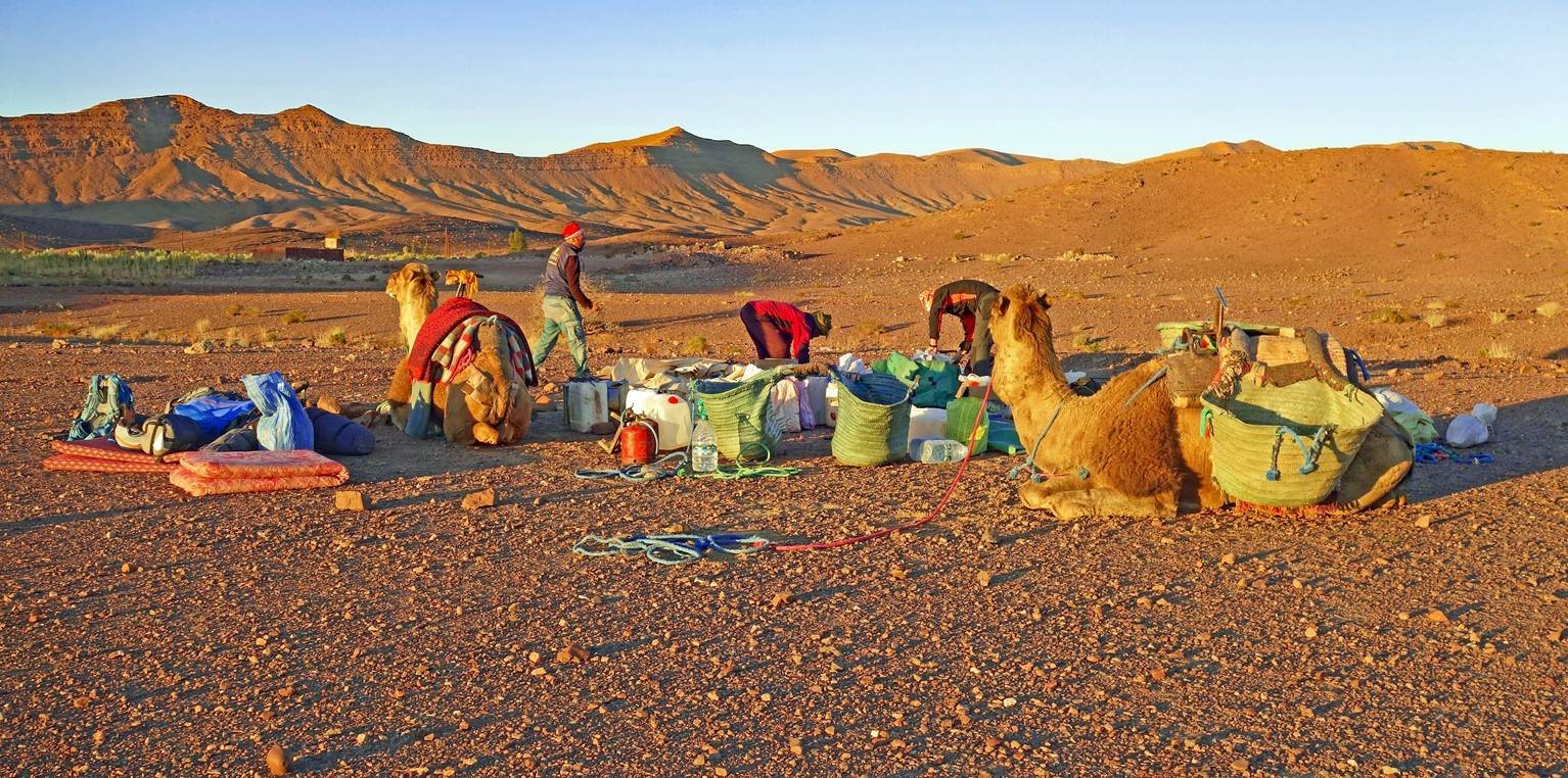
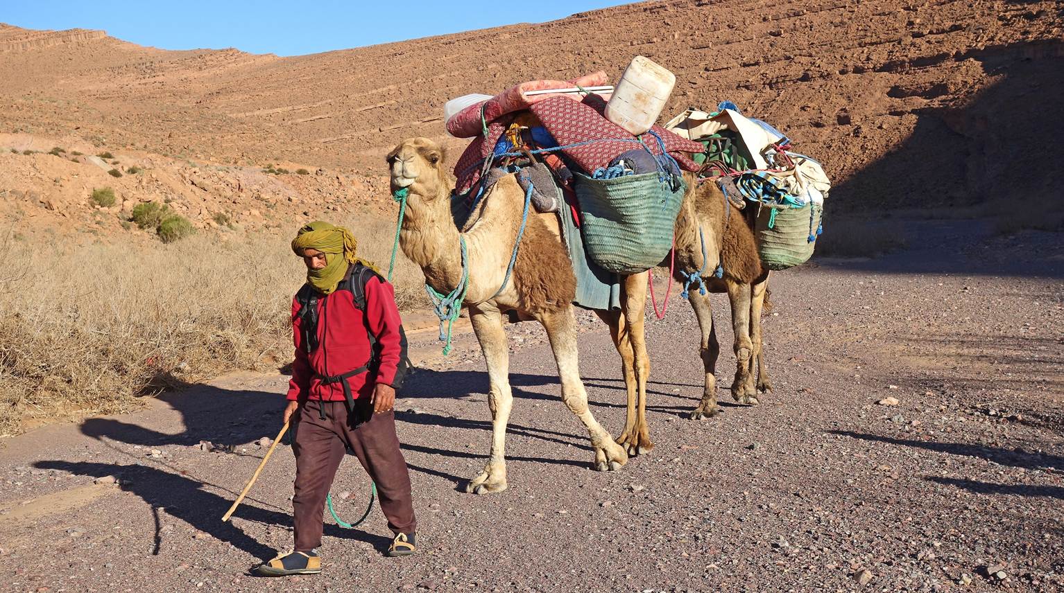
Loading the camels at the start of the
trek in Ait Saoun. The
camels and Ahmed, the camel driver, had arrived the day before, brought by a
truck from the Mhamid region in northern Sahara.
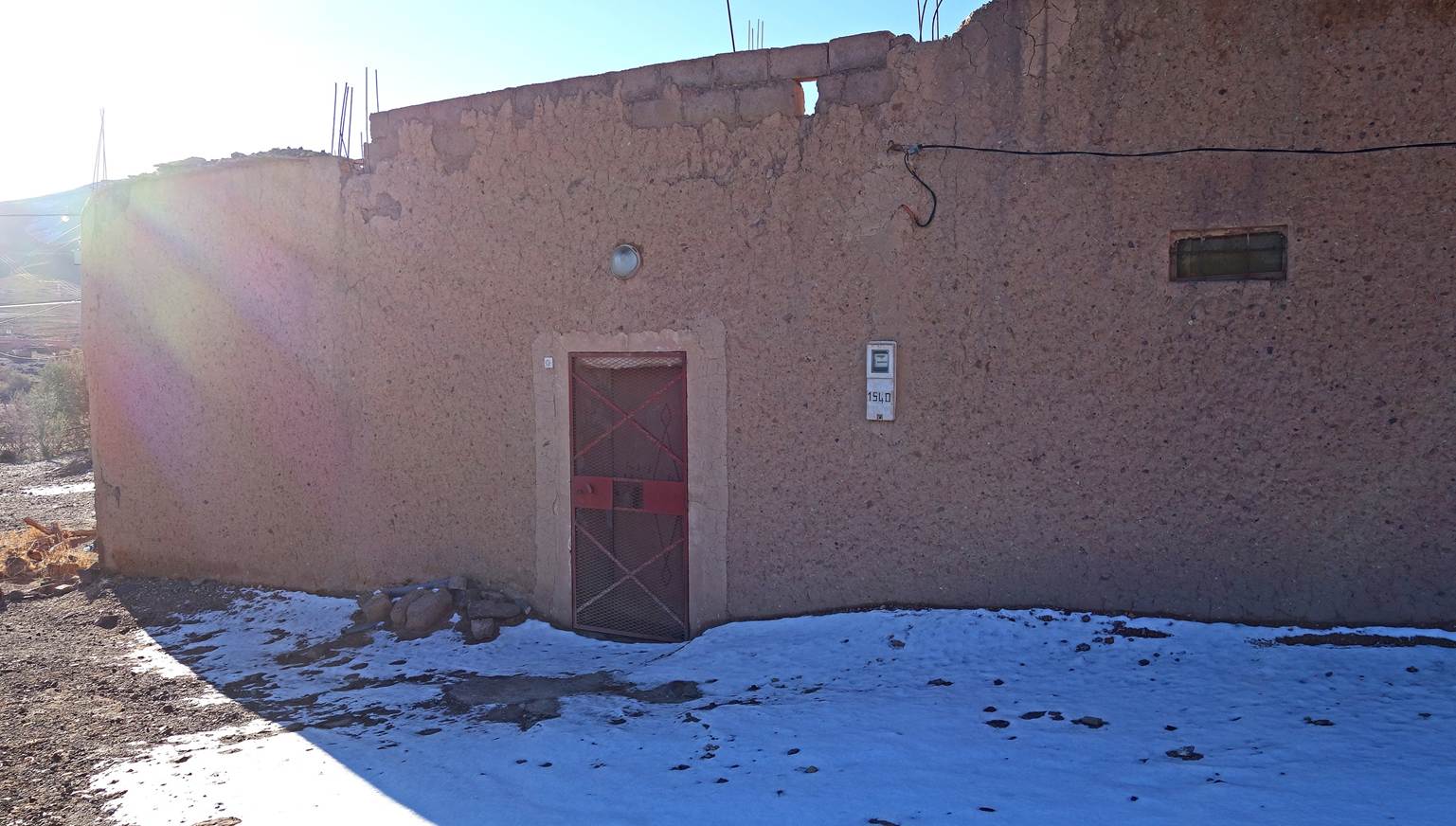
Remnants of snow that fell the previous
day in Ait Saoun.
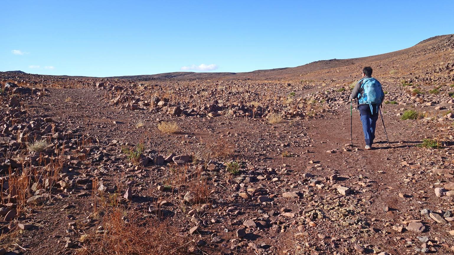
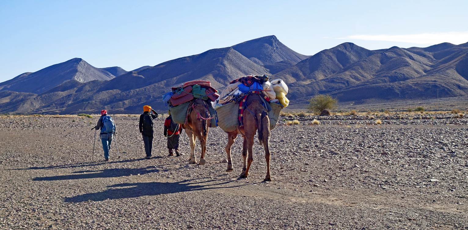
Beginning of the day hike.
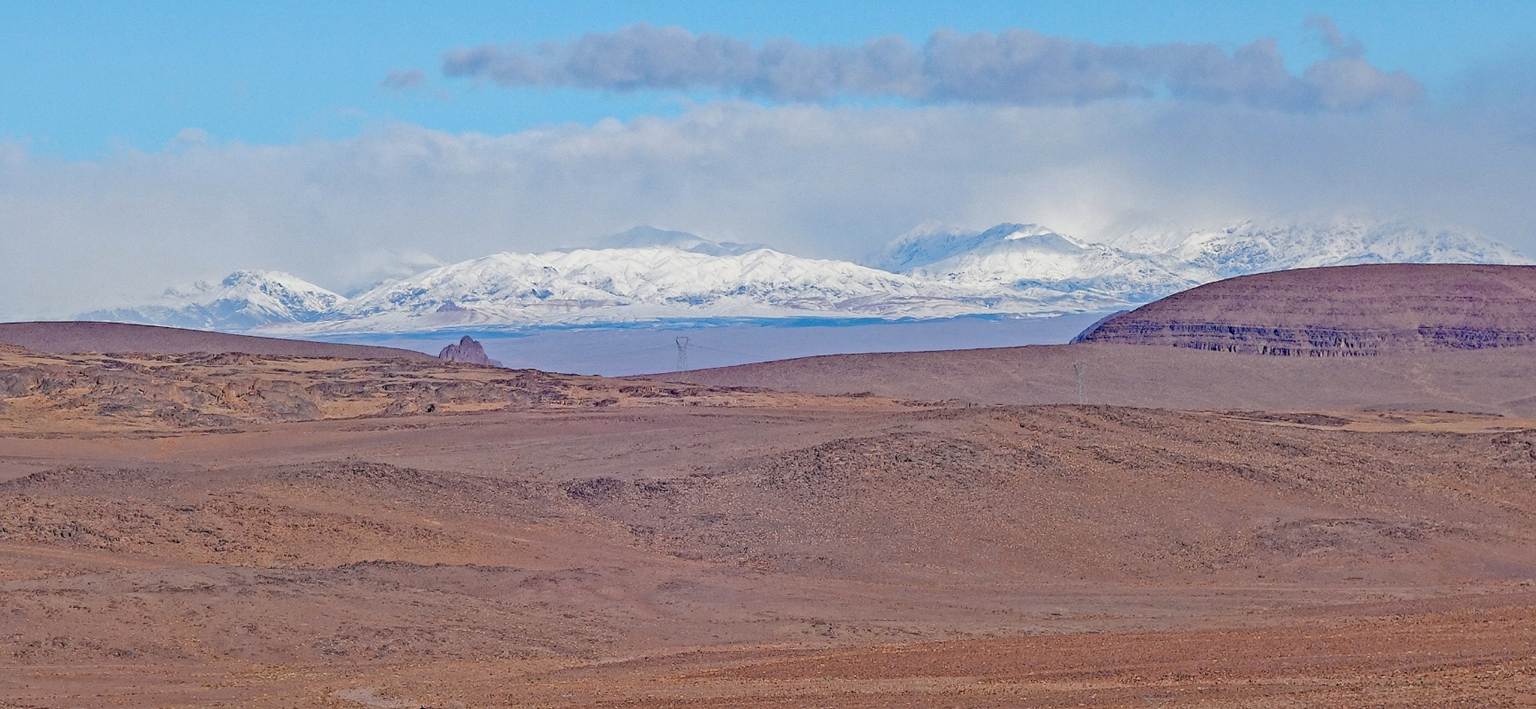
Looking back toward the snowy central
Atlas mountain range.
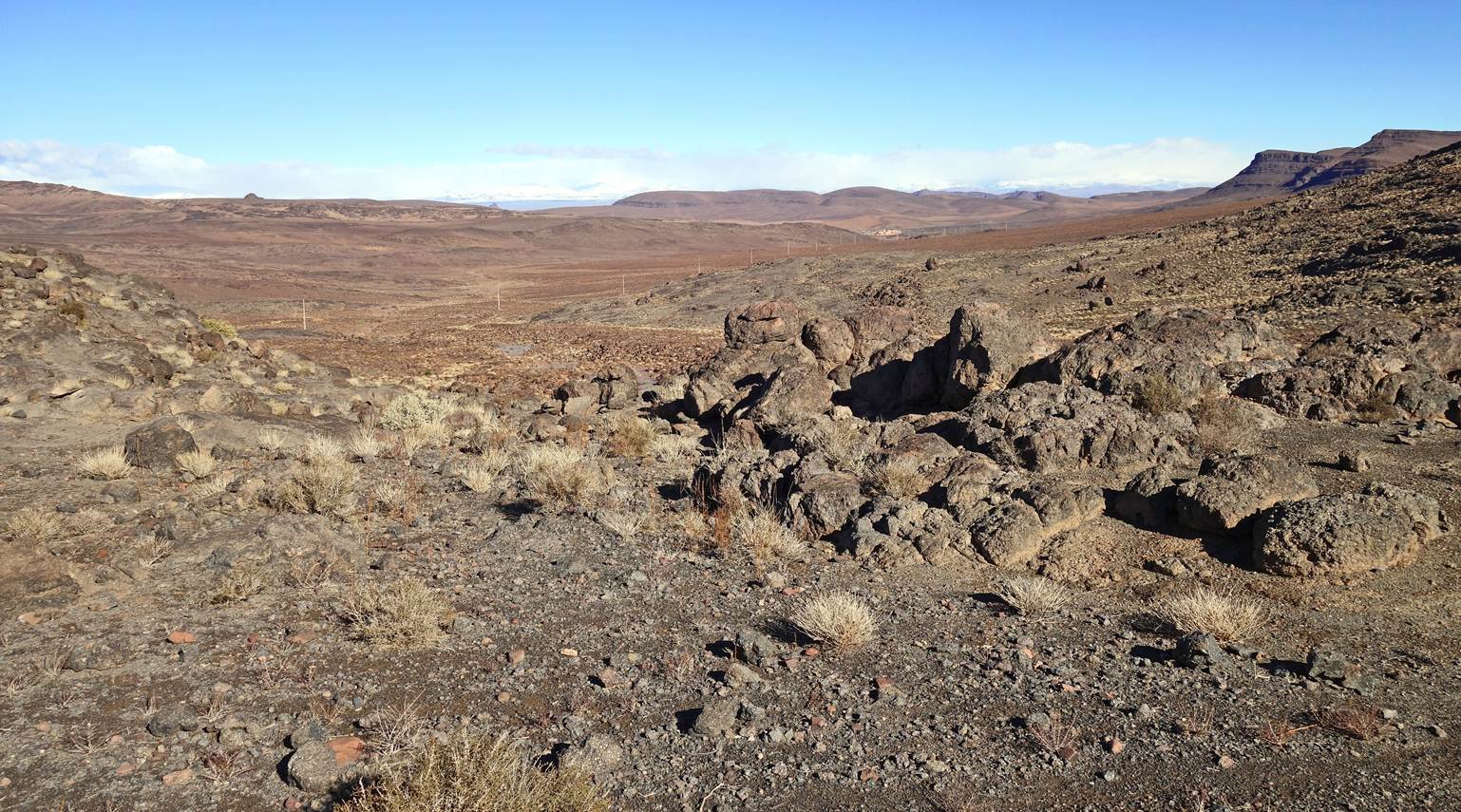
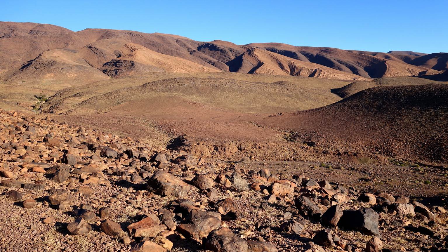
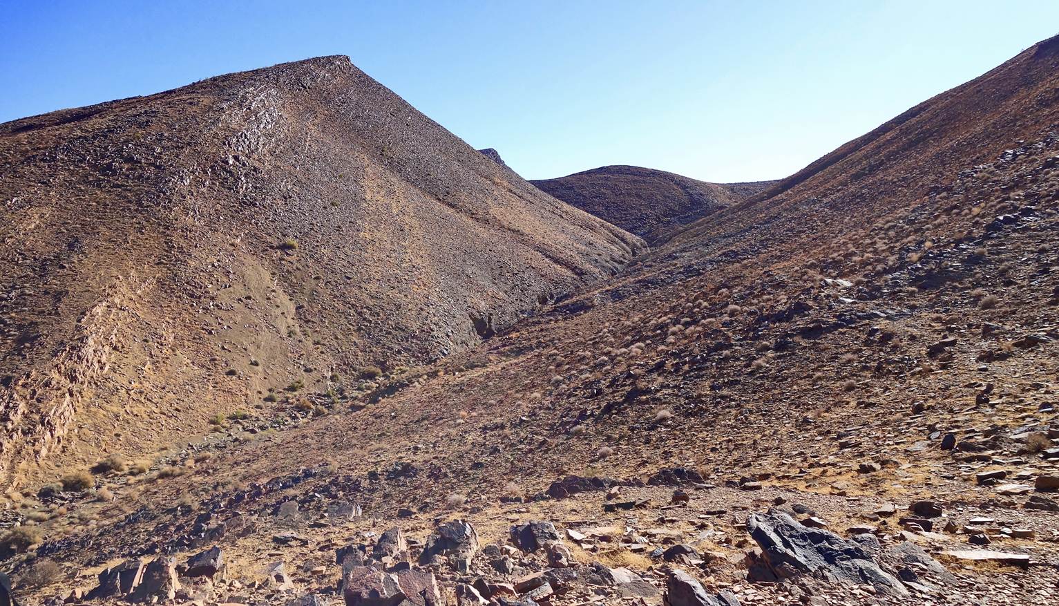
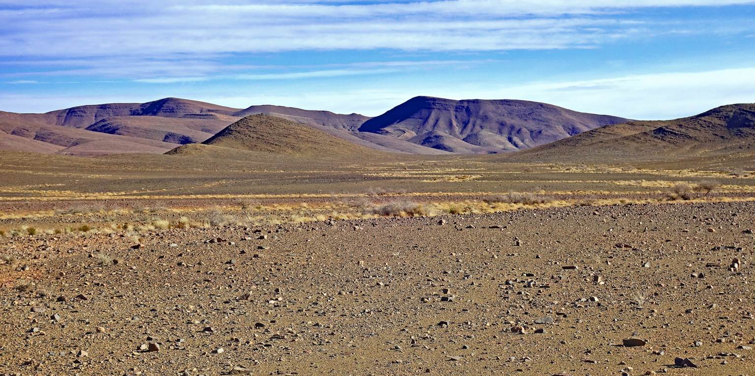
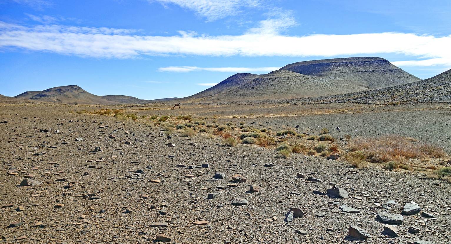
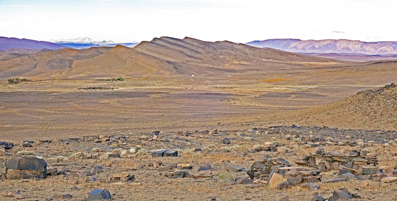
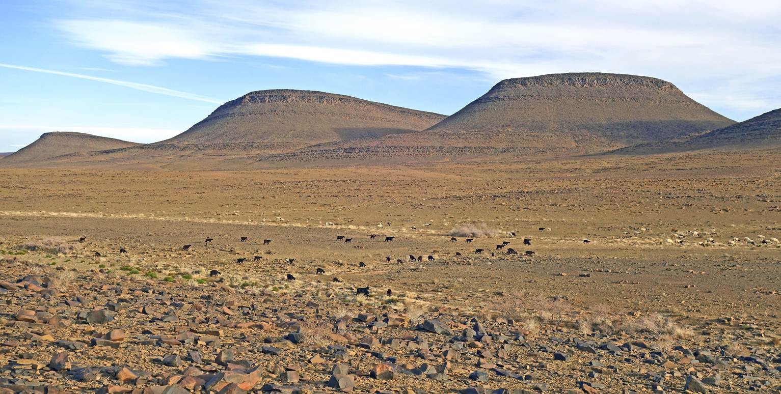
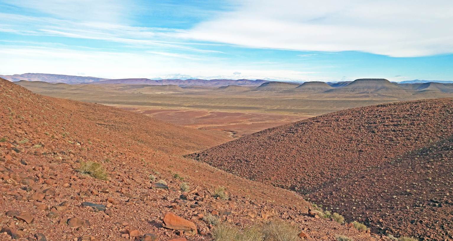
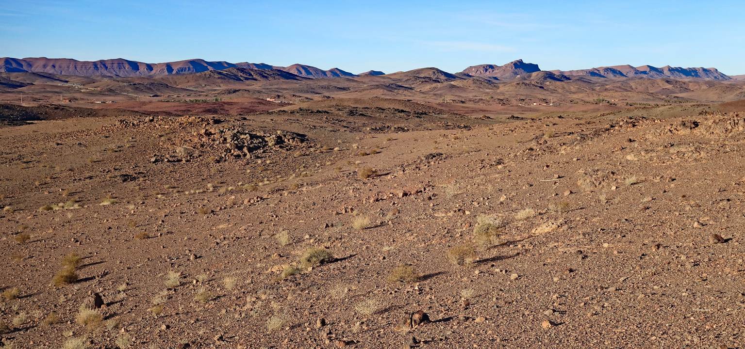
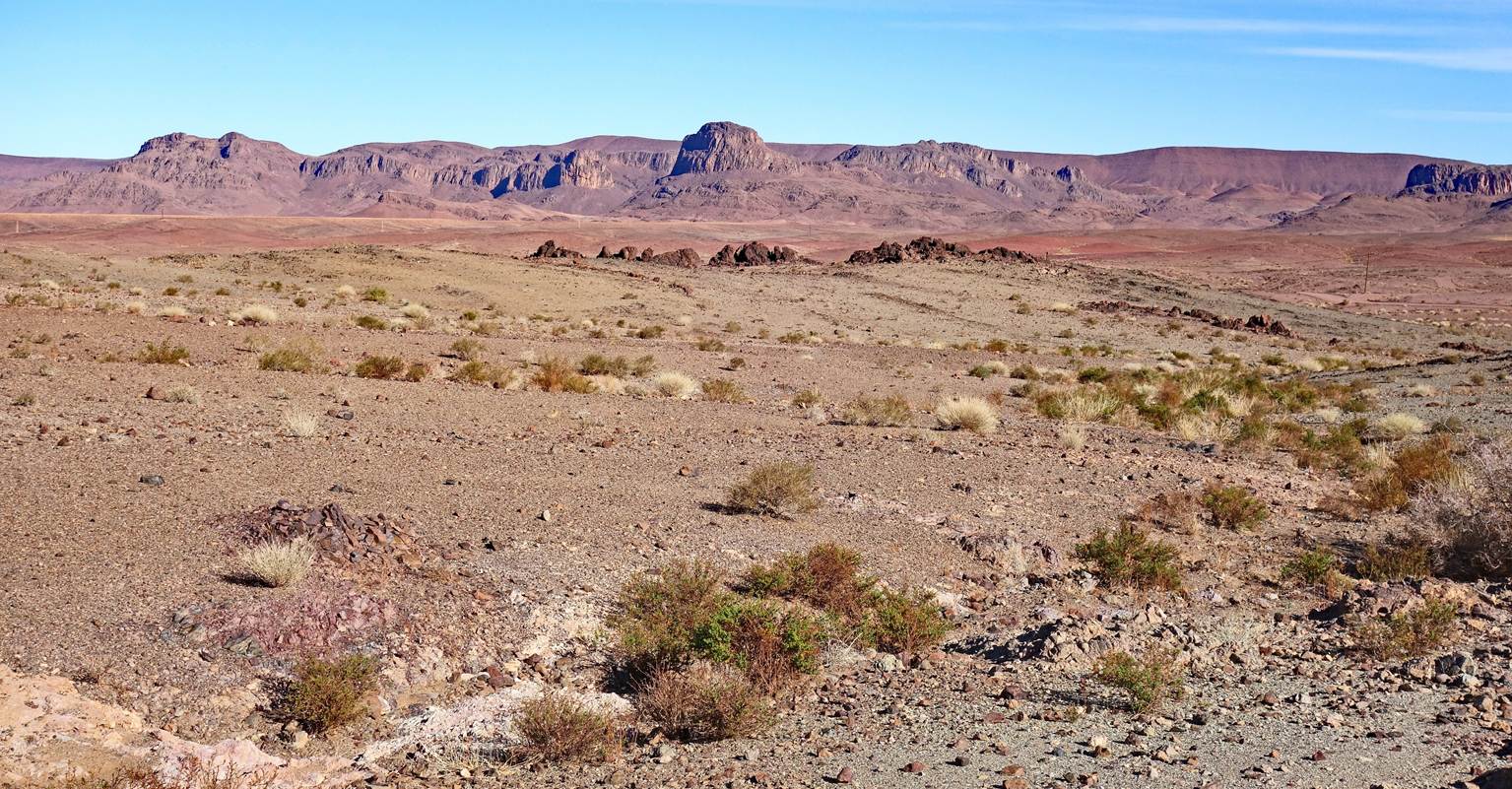
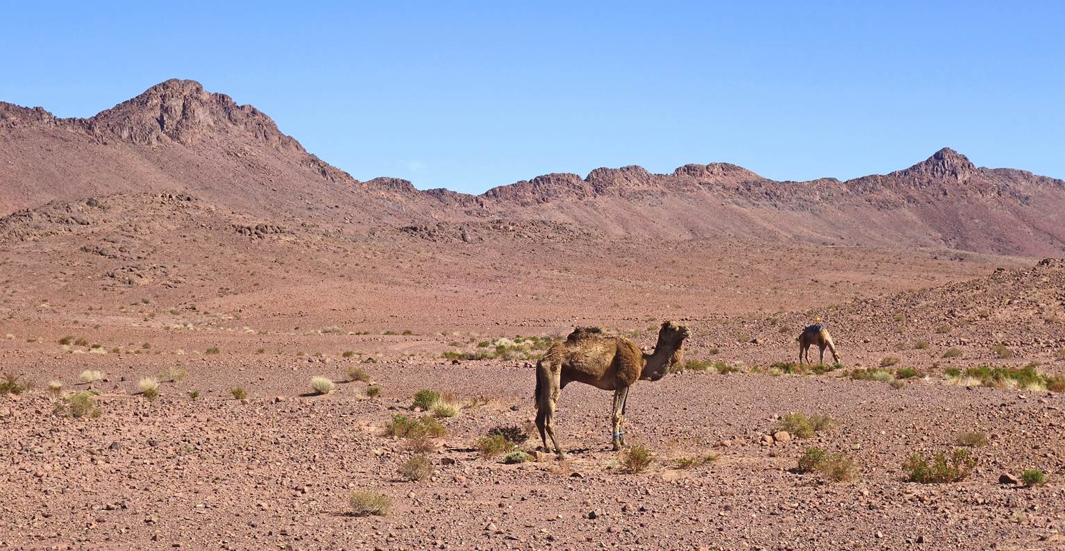
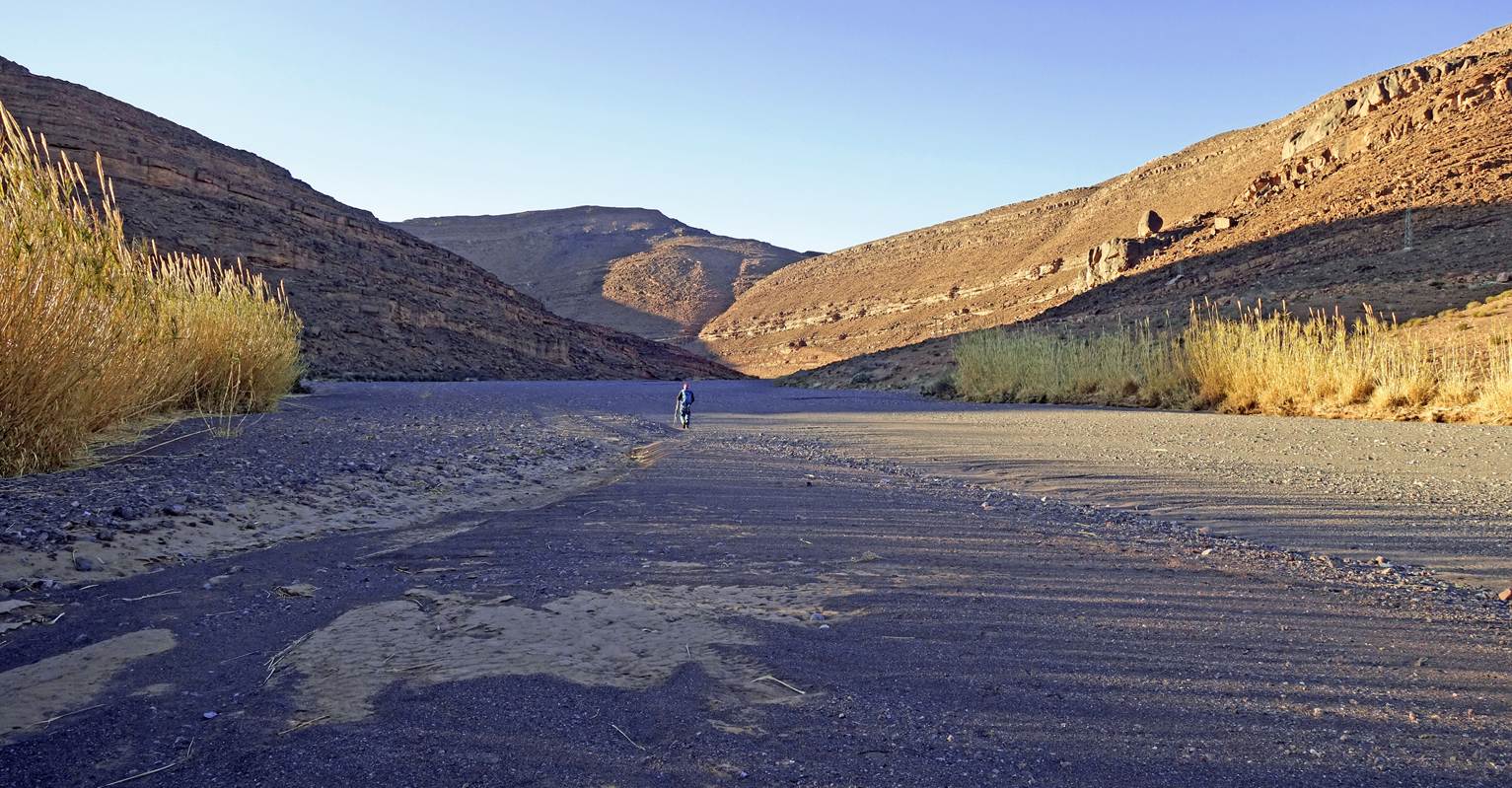
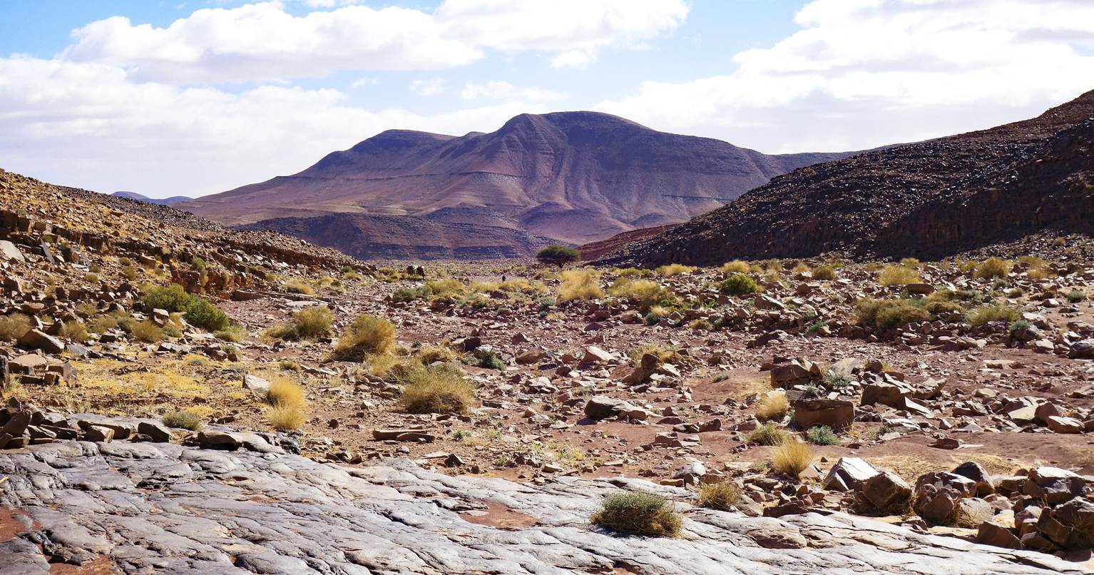
Views during the hike.
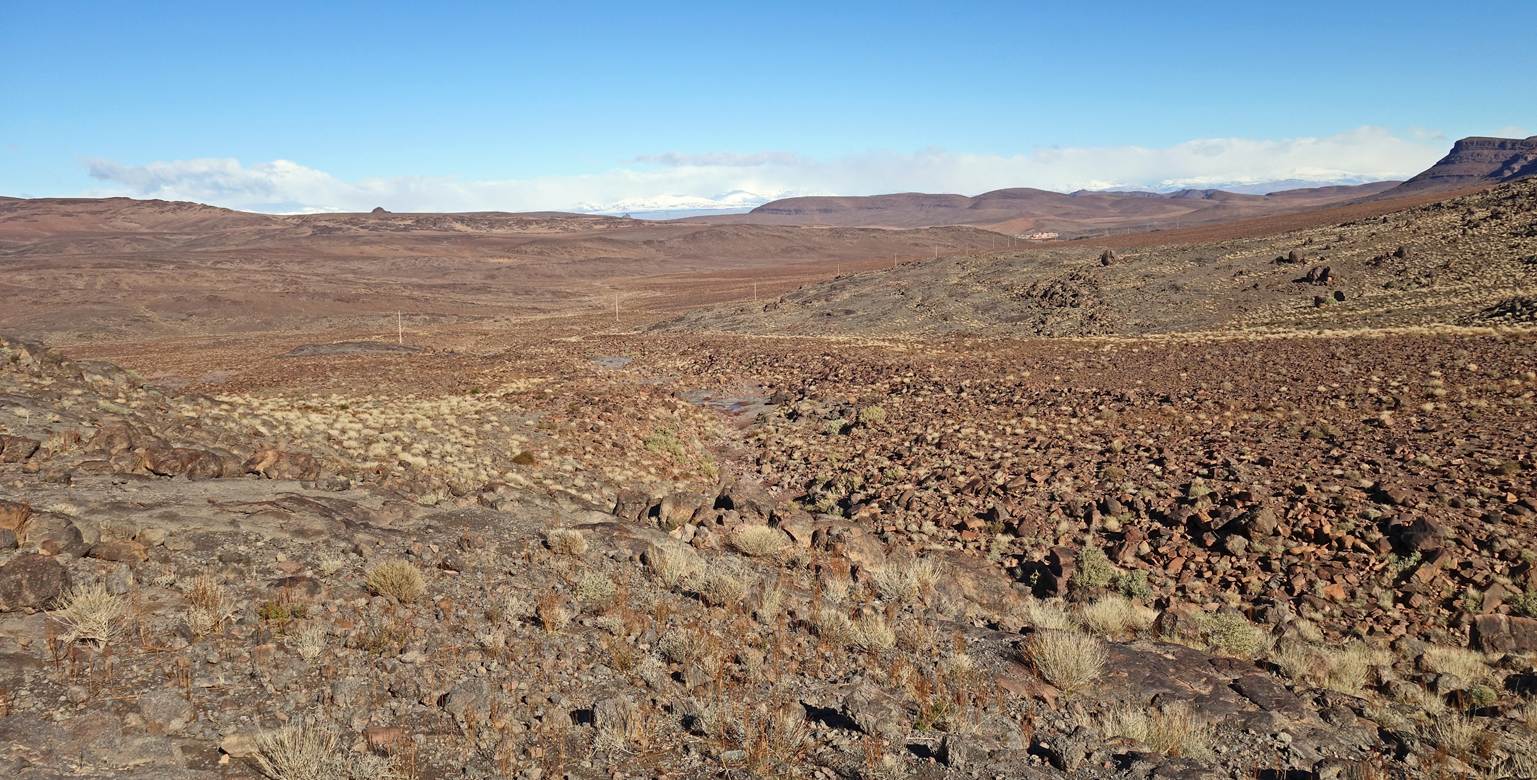
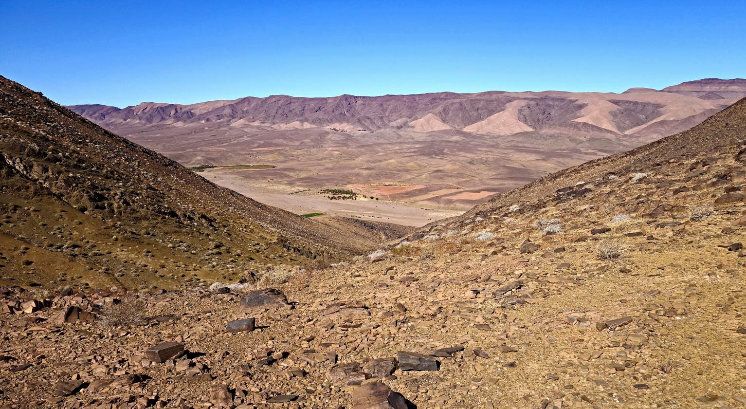
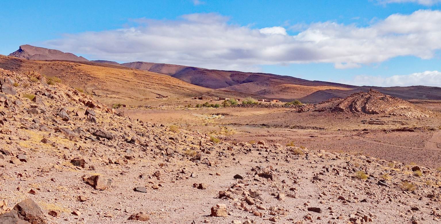
Viewpoint looking south during the
descent toward our first camp (waypoint 04), the small palm grove visible at
the bottom of the photo.
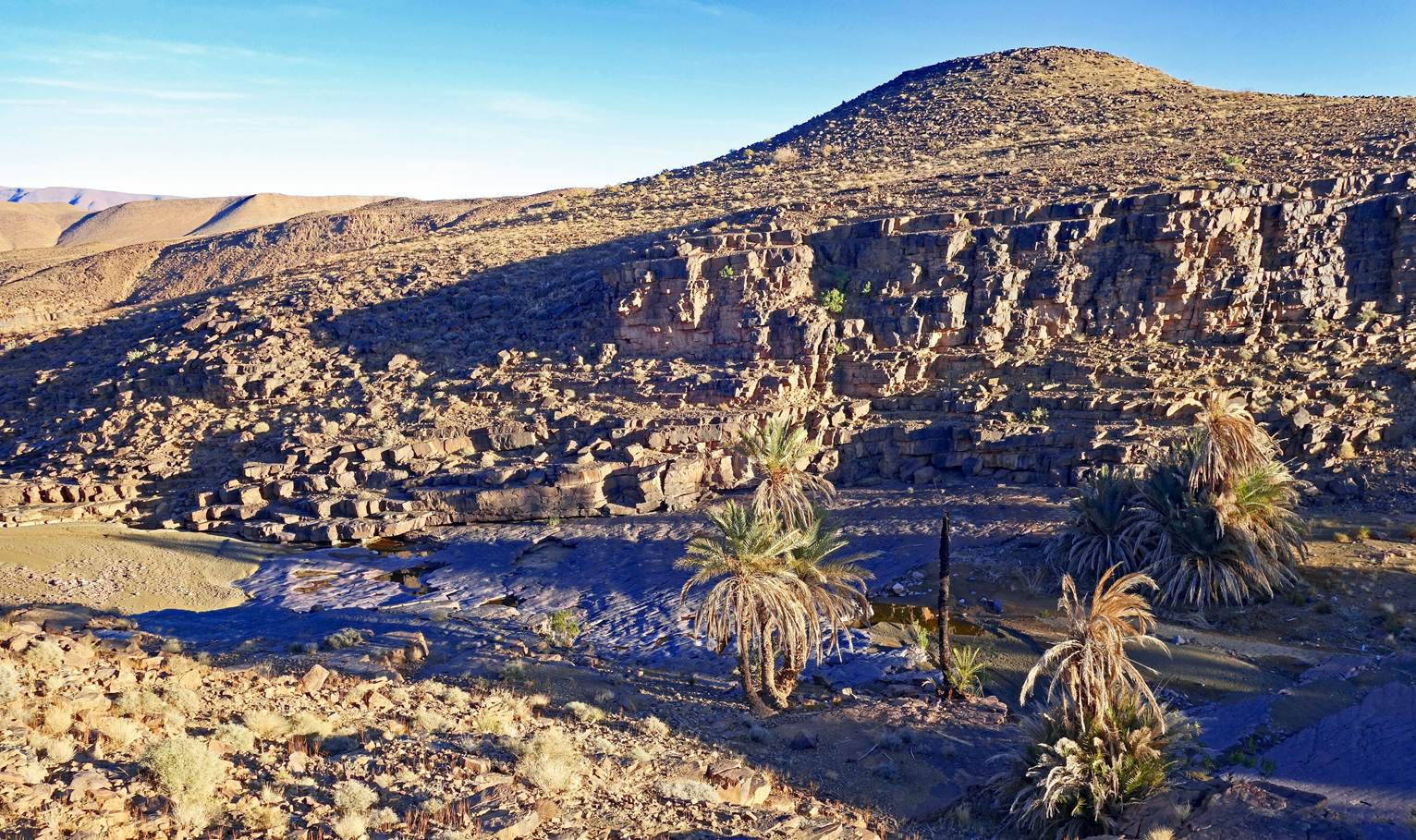
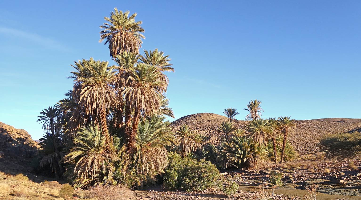
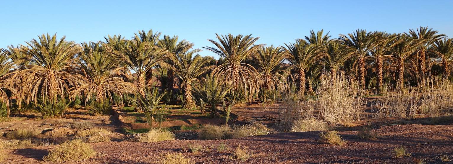
Views of the natural palm grove where we
set up our first camp (waypoint 04). This place is called Timoula.

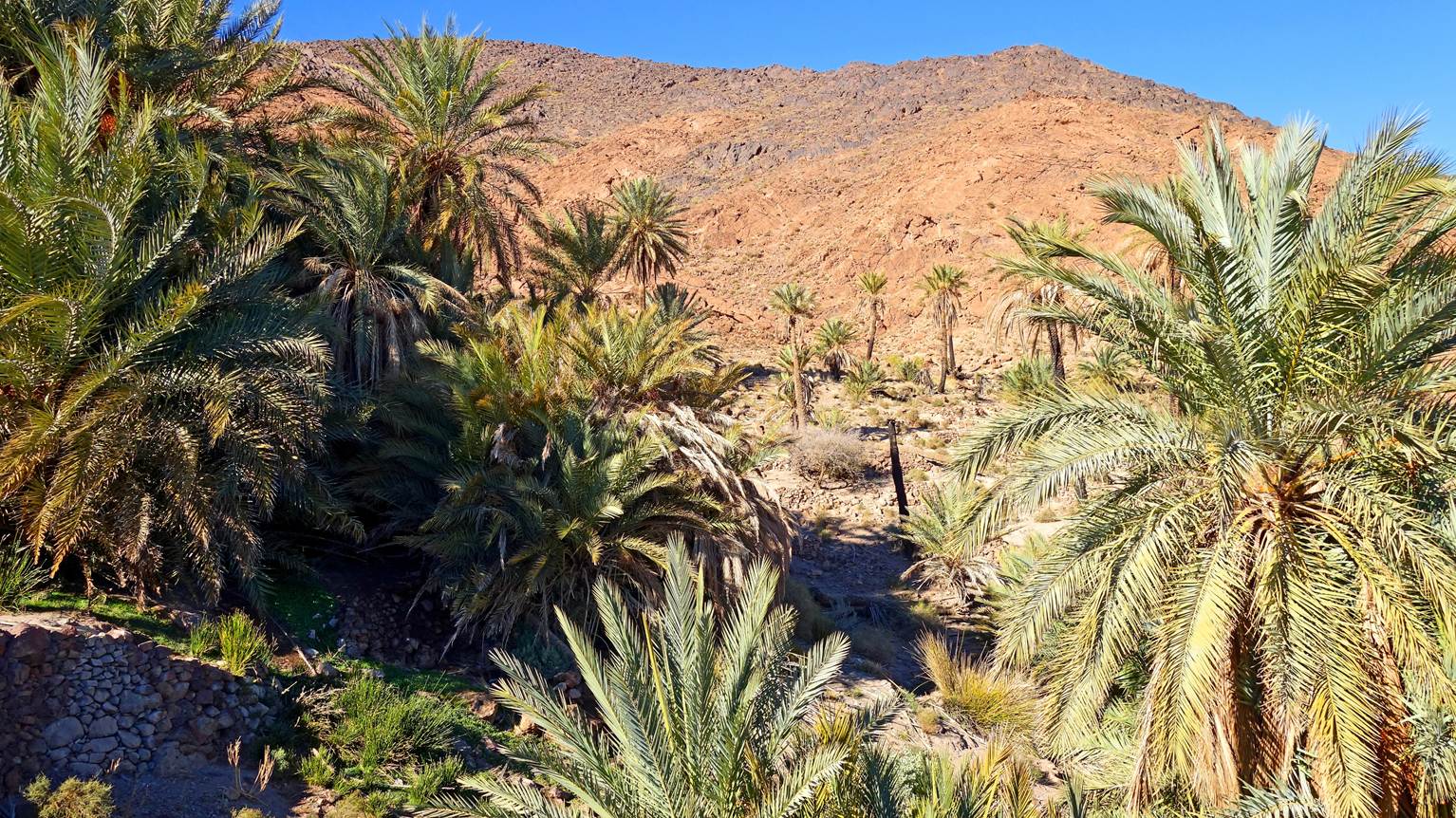
Our camels resting and eating in the
palm grove.
Our campsite in the palm grove.
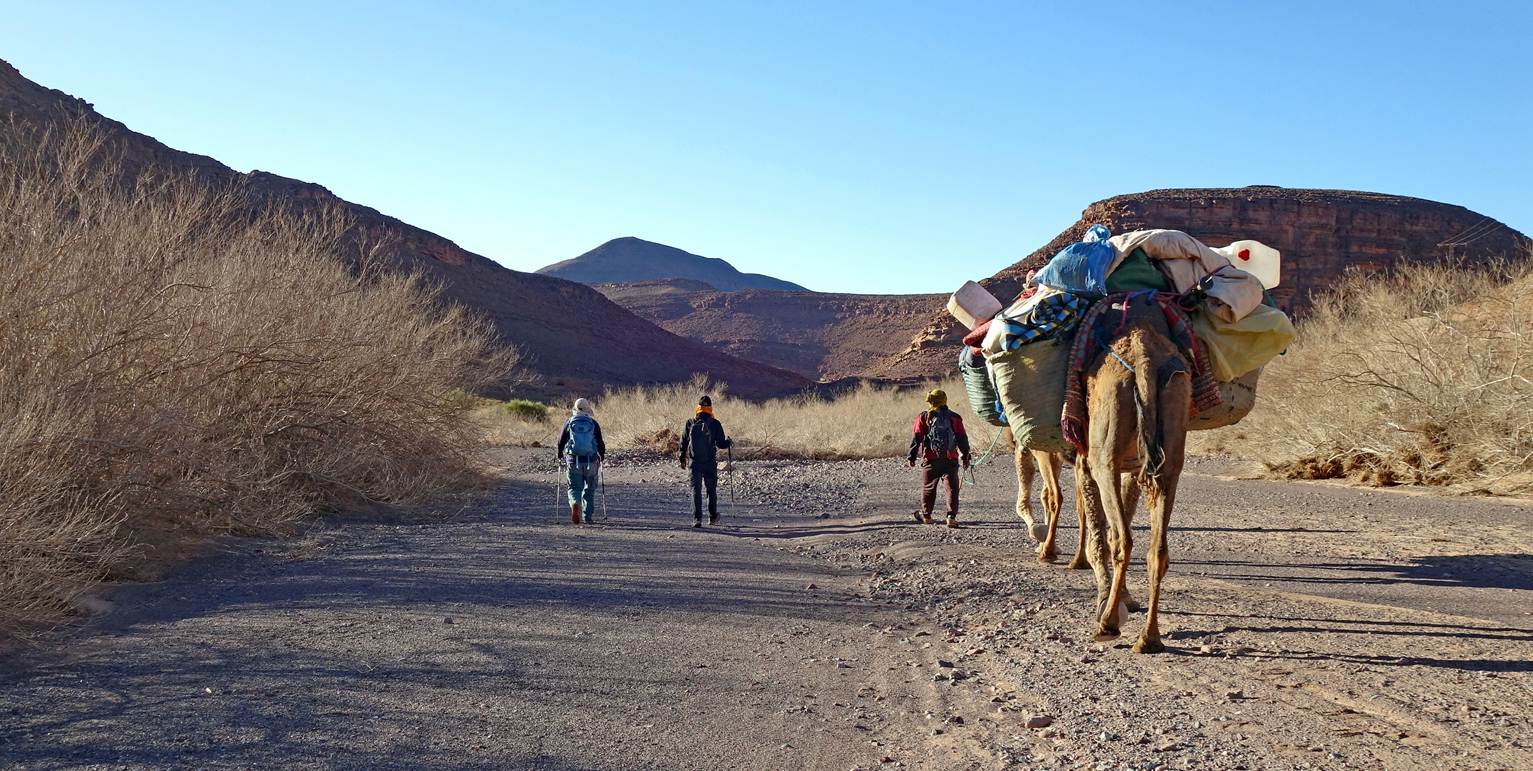
Day 2:
Looking back toward the palm grove soon
after leaving the camp.
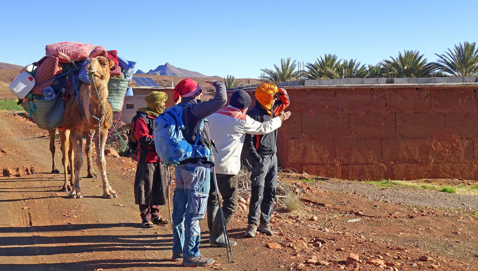
Asking directions from a local farmer at
waypoint 06.
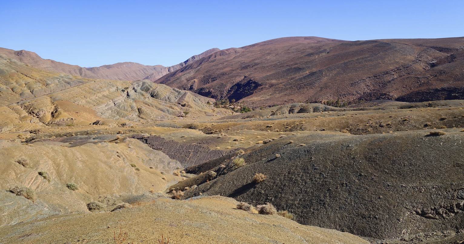
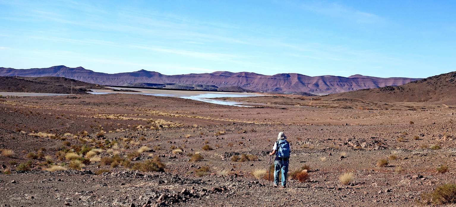
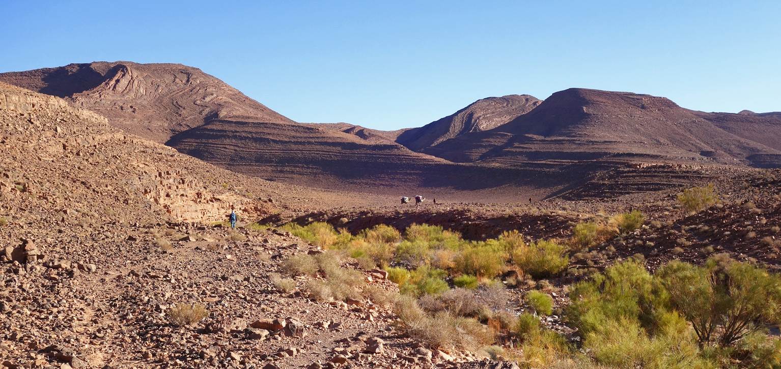
Looking back across the valley we had
traversed earlier. The Timoula palm grove is visible
on the opposite side of the valley.
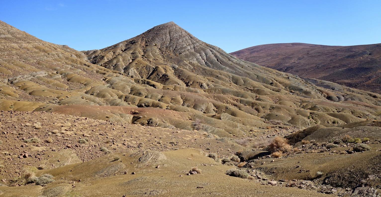
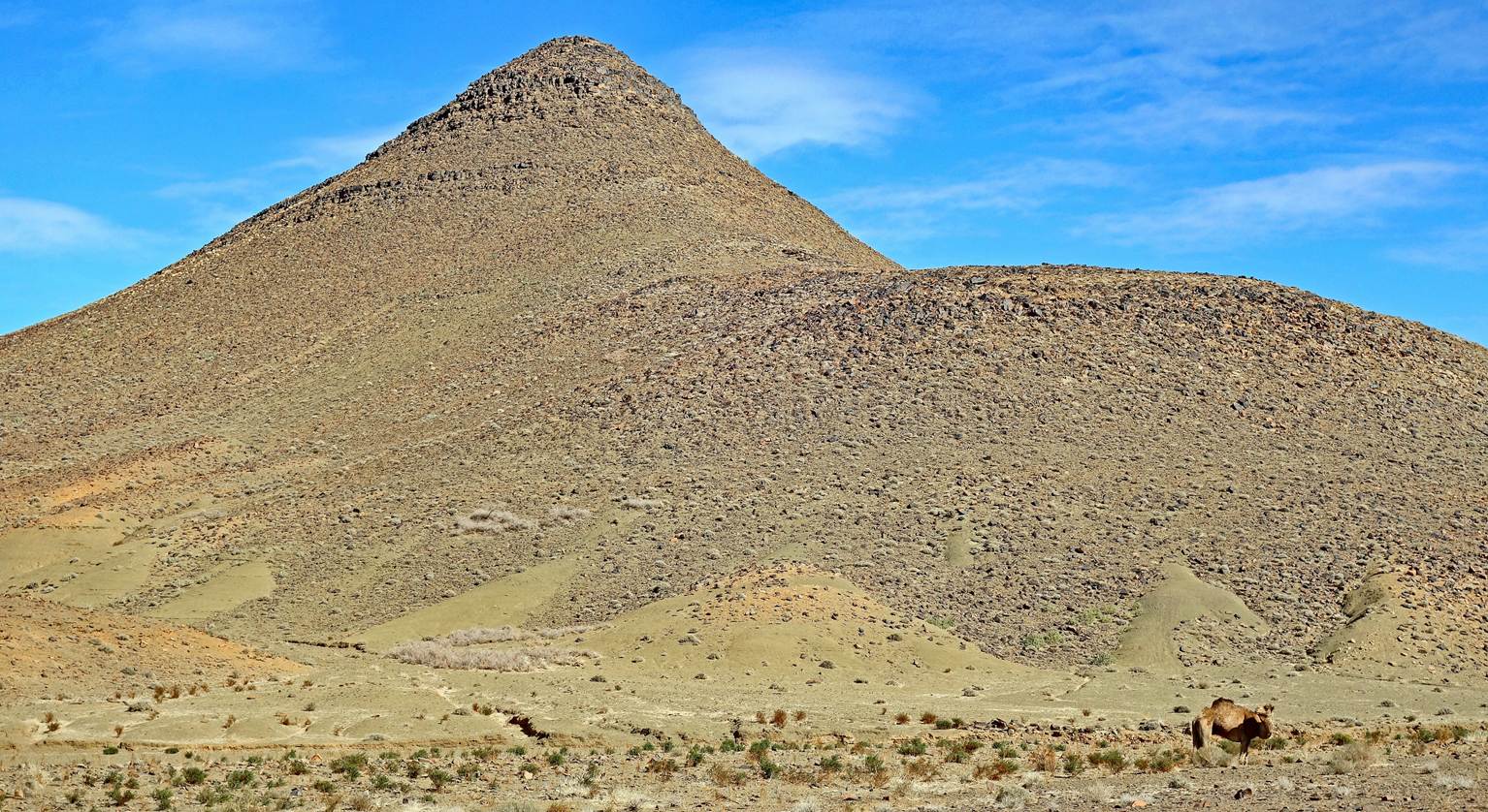
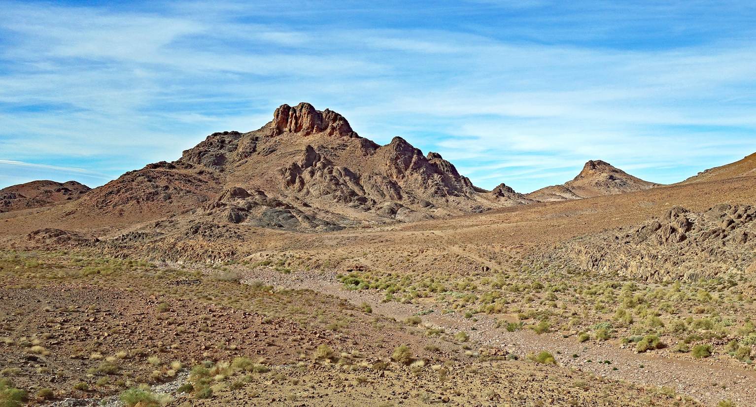
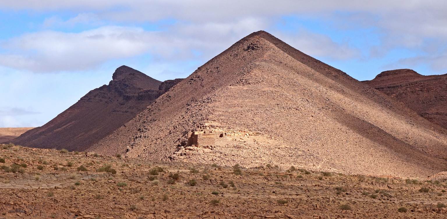
Nice little conical peak.
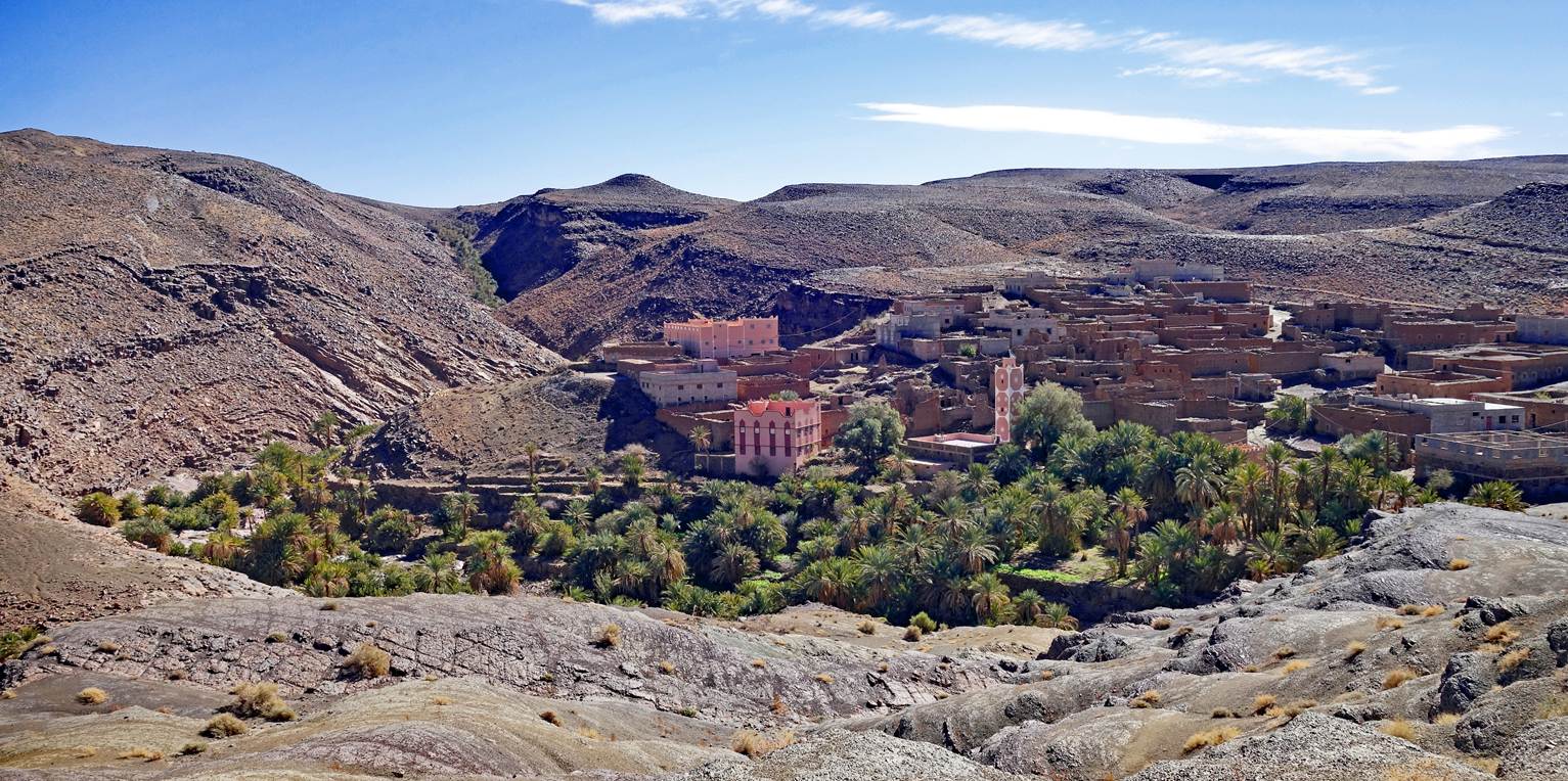
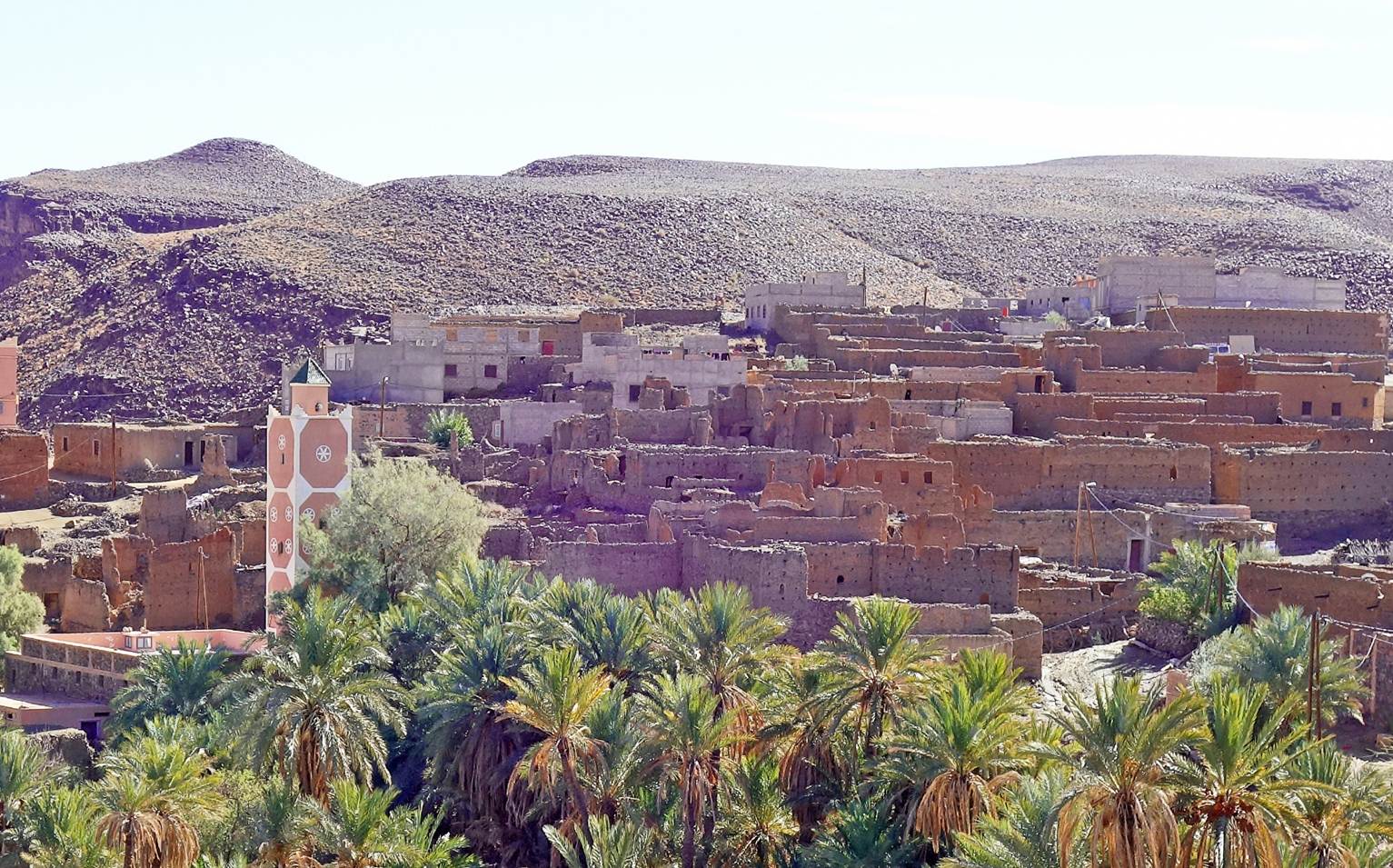
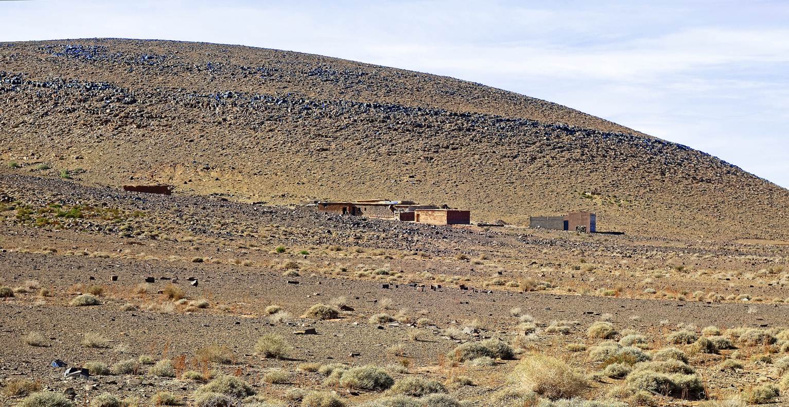
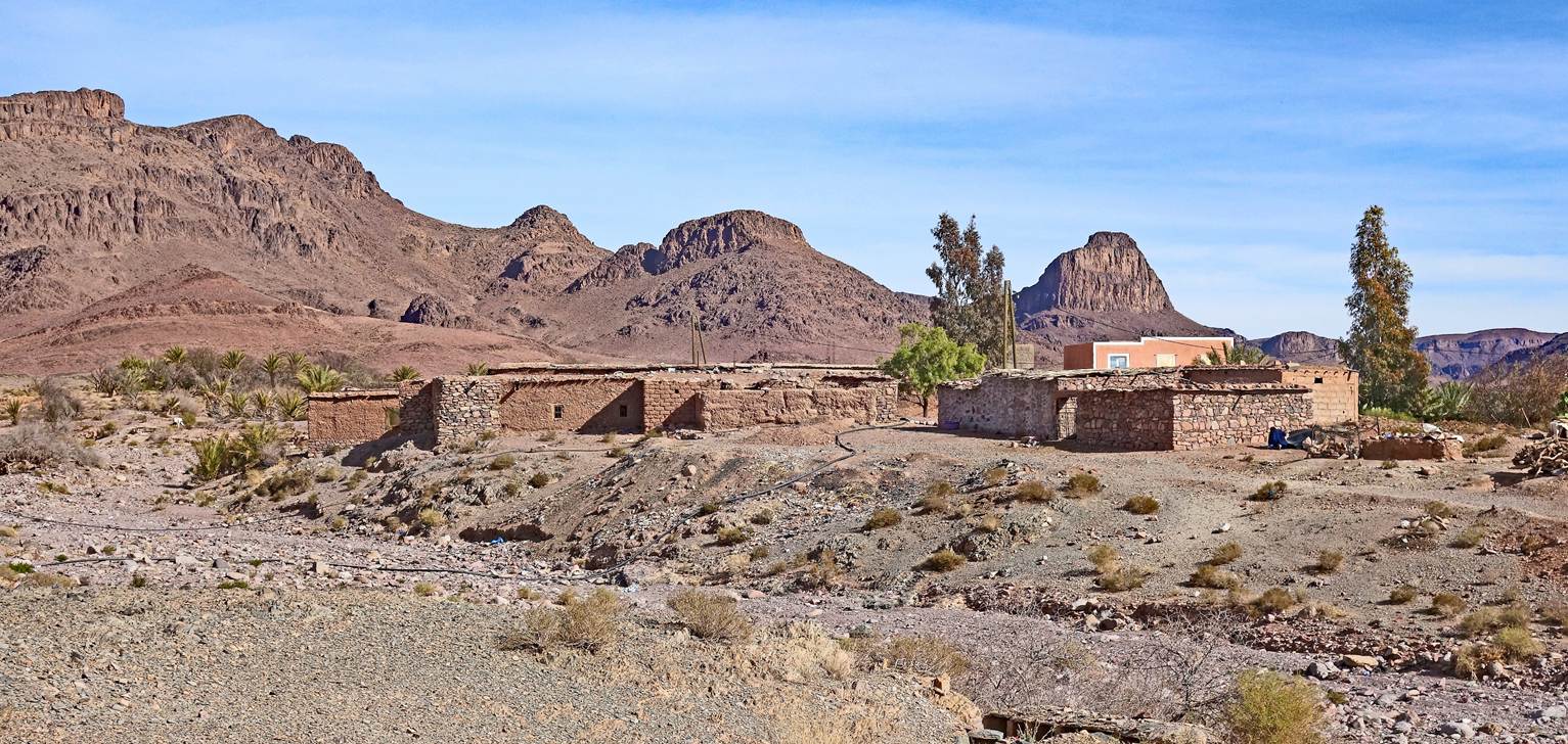
Village of Zaouiat
Aynass (waypoint 10). It mixes traditional mud-brick
(adobe) houses and large, modern houses made of prefabricated concrete blocks.
The latter generally belong to people who have made their fortunes working in
major Moroccan cities or abroad.
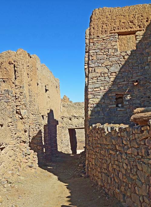
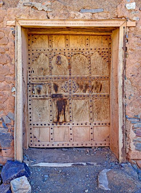
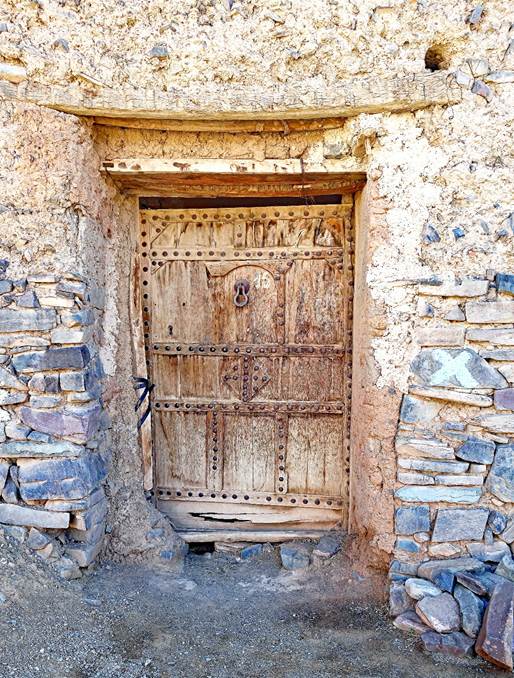
Alley and doors in Zaouiat
Aynass.
|
|
|
|
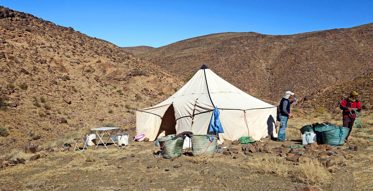
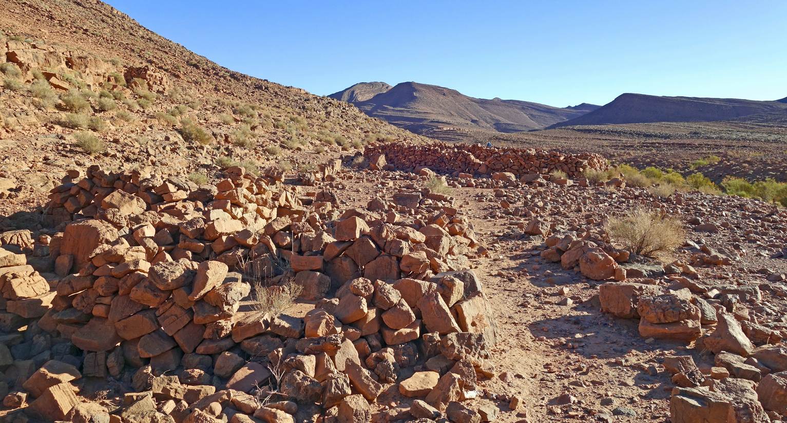
Our second camp (waypoint 11) near Zaouiat Aynass.
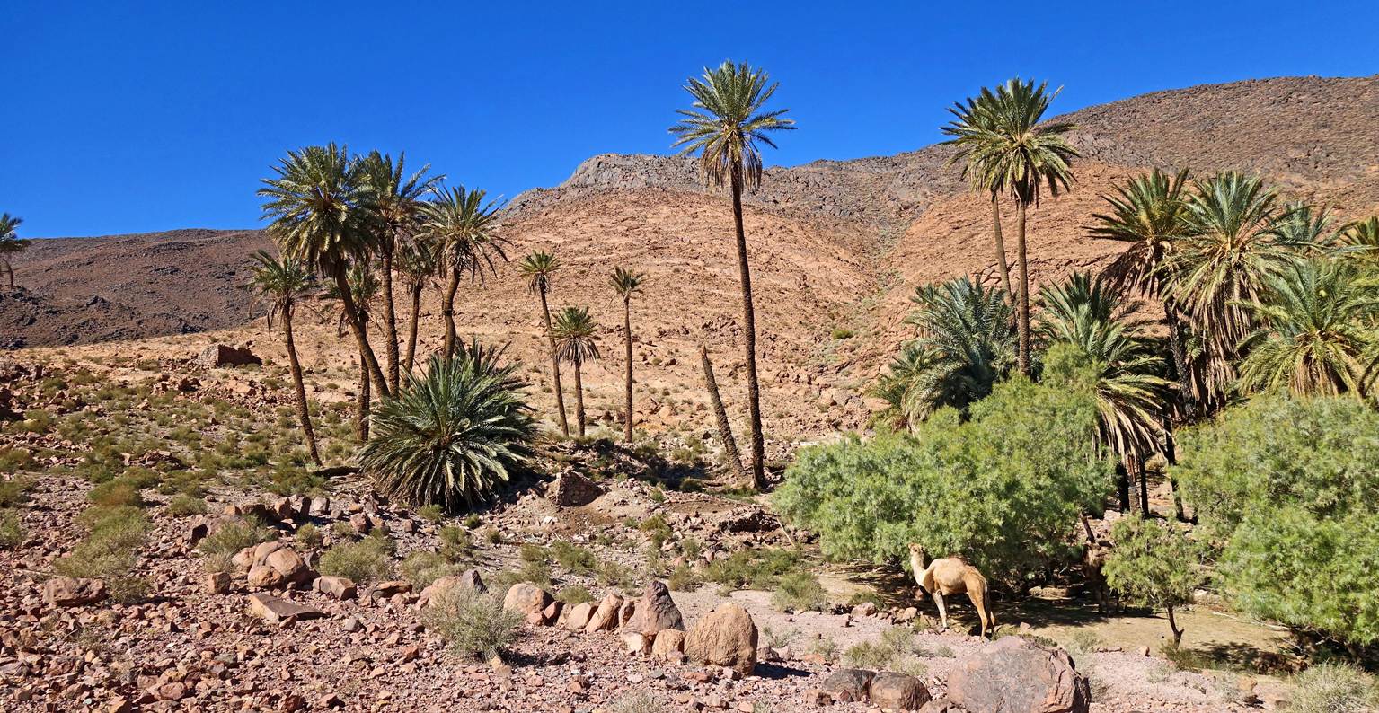
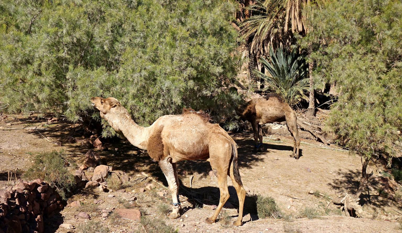
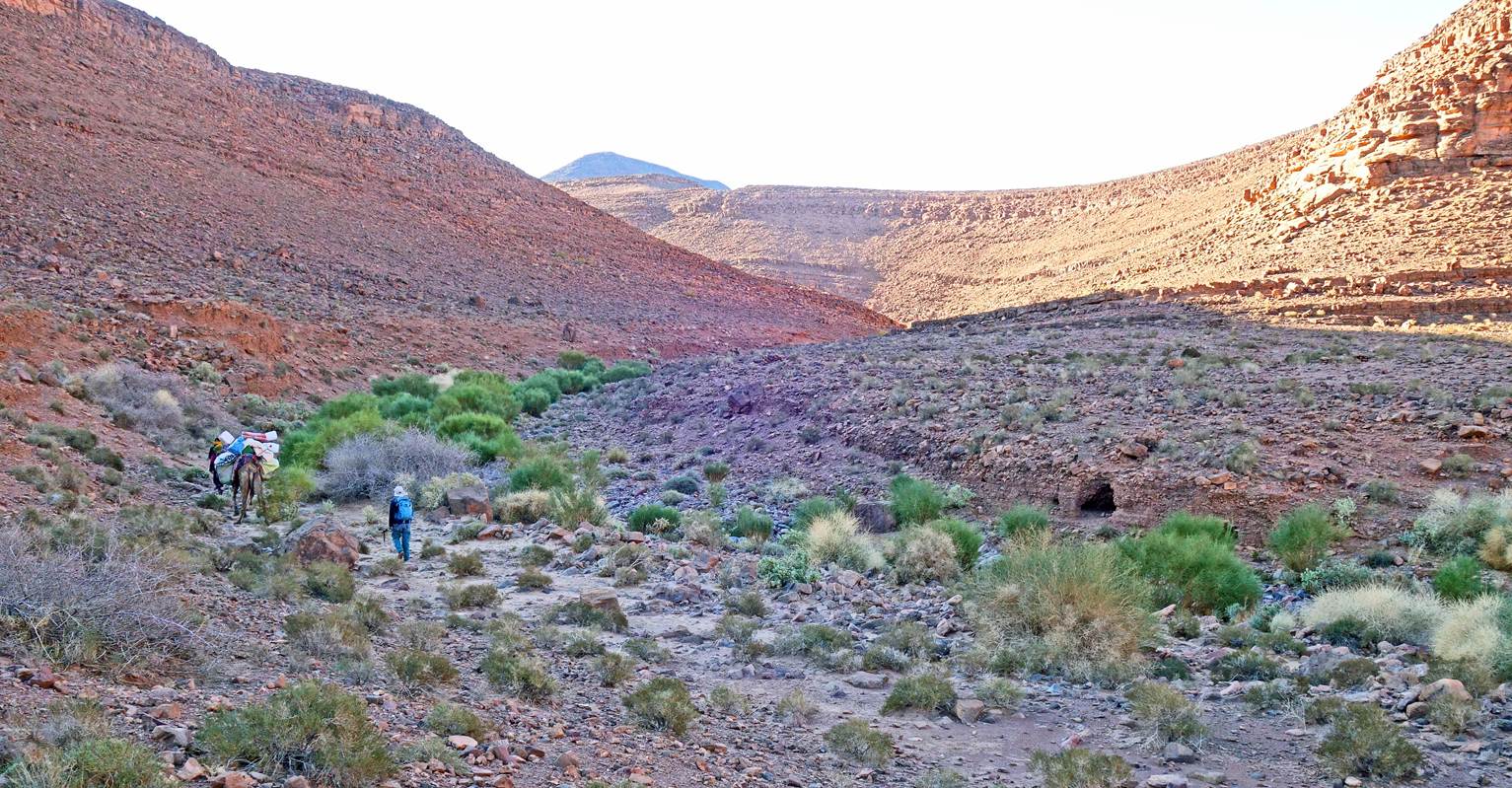
Day 3:
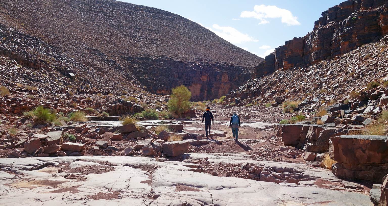
Natural palm grove in an oued (ephemeral watercourse), seen soon after leaving the
camp.
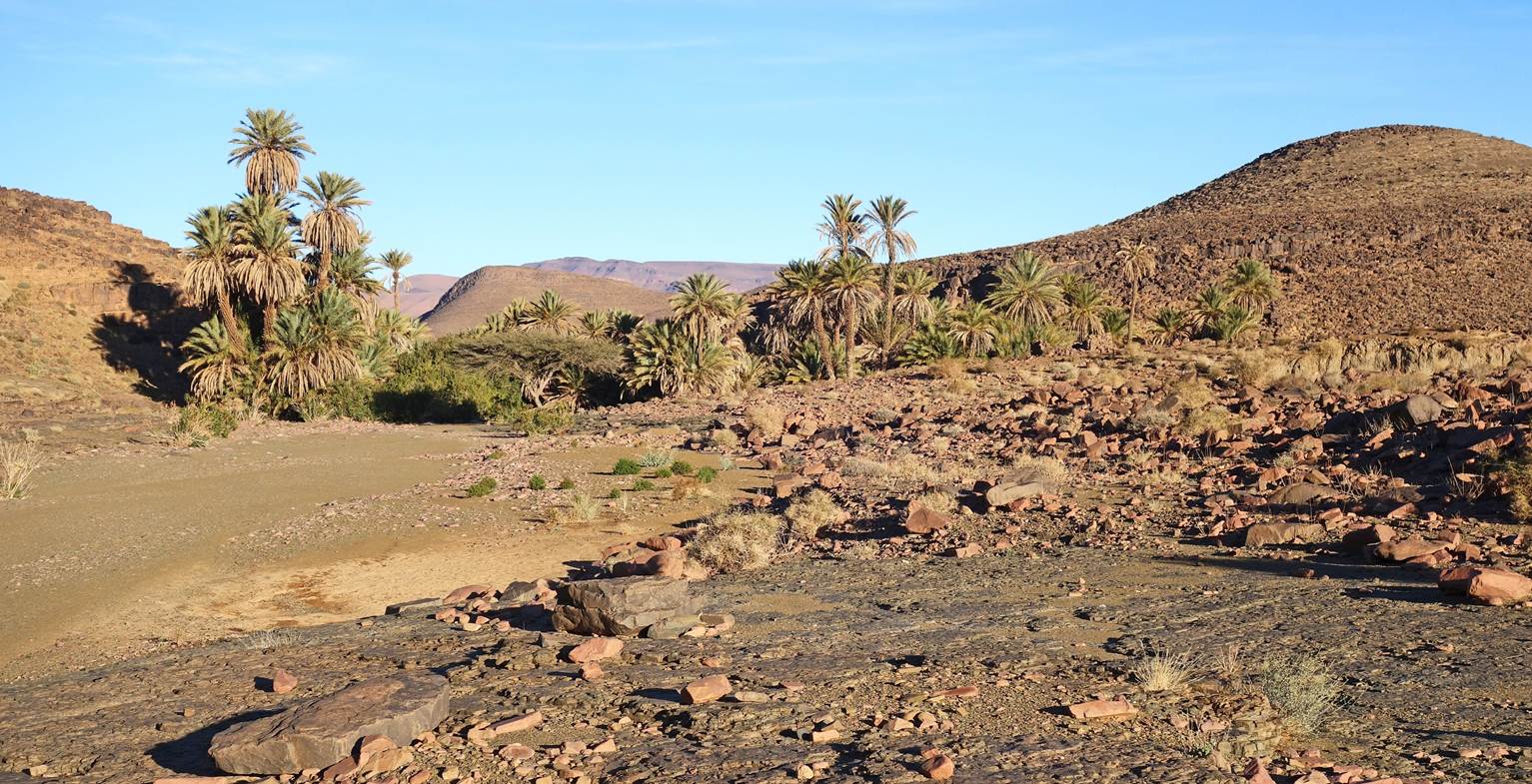
The same oued
beyond the palm grove.
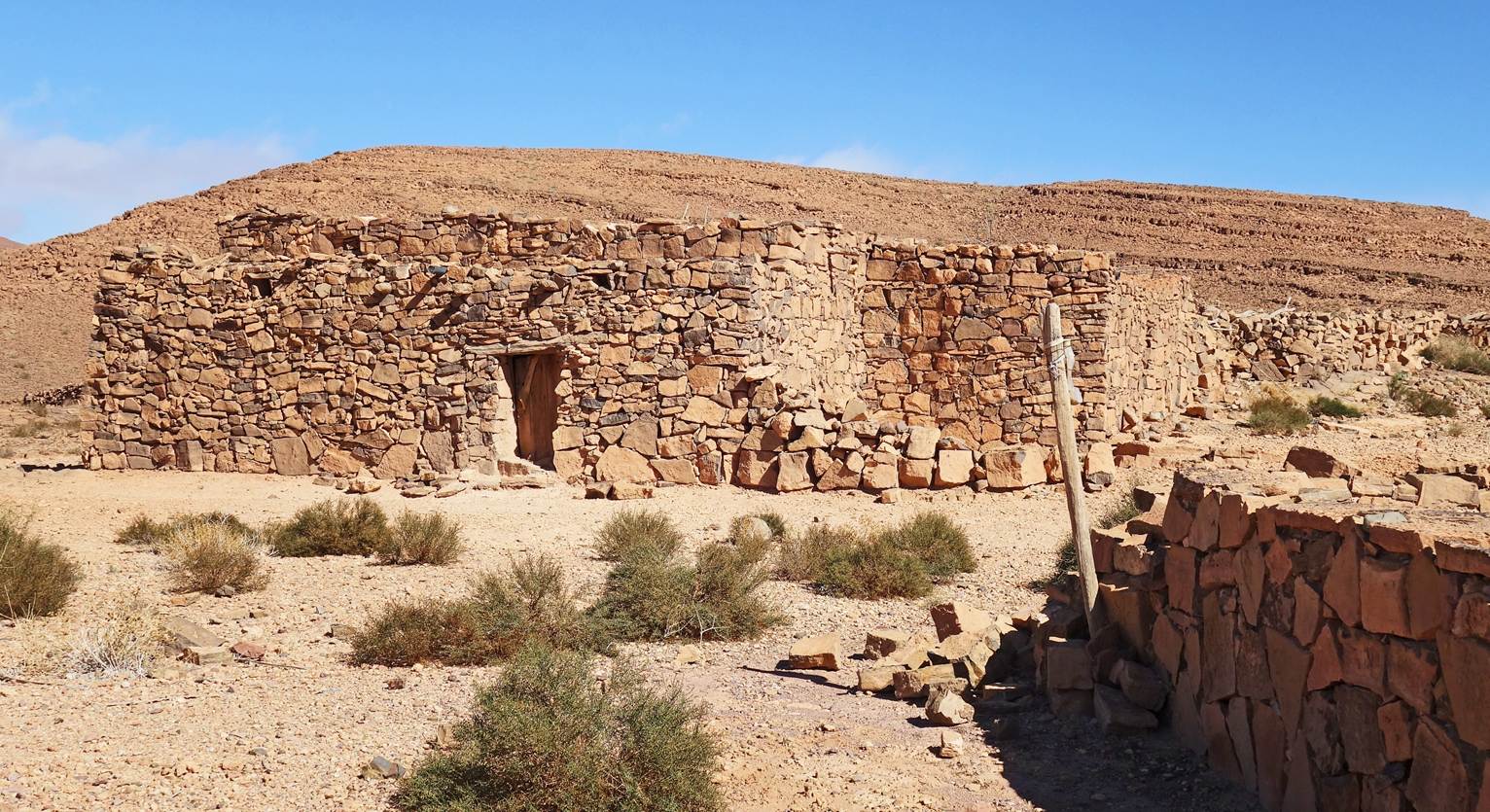
Shepherd's houses.
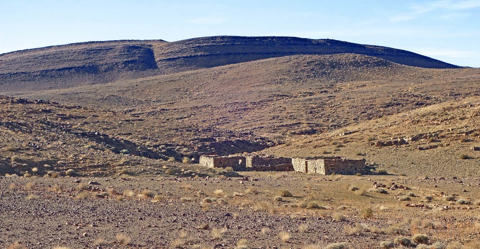
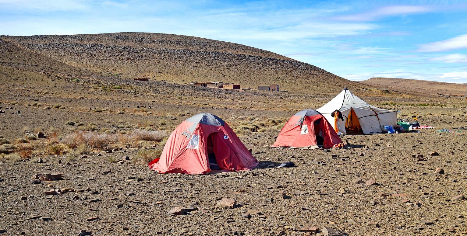
Our third camp (waypoint 19) near
shepherd's houses (also pictured in the above photo).
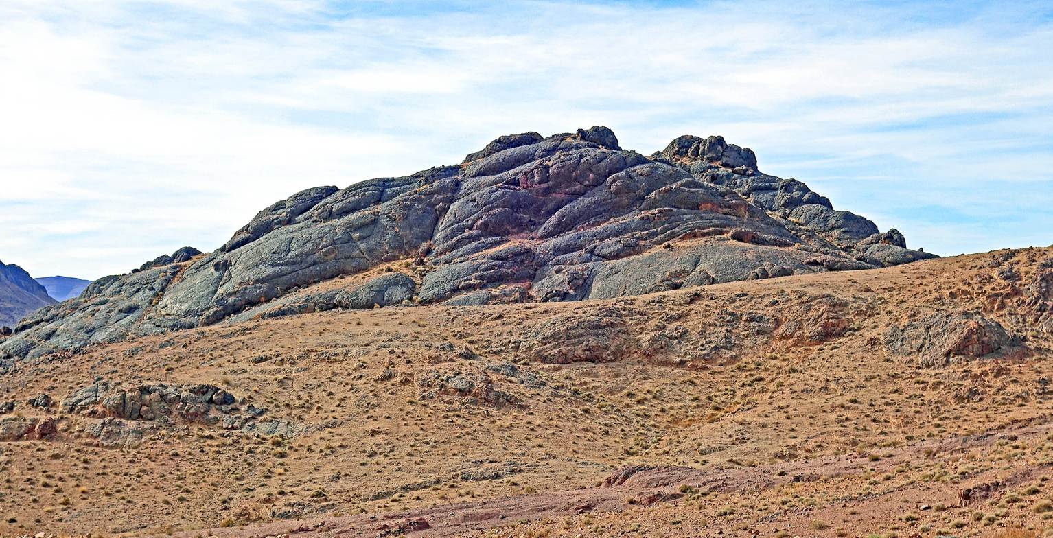
Small conical peak overlooking our
campsite.
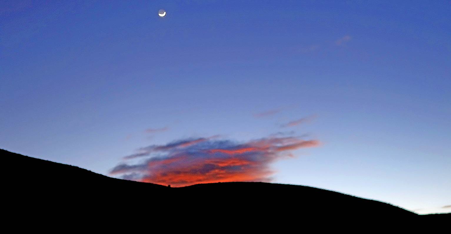
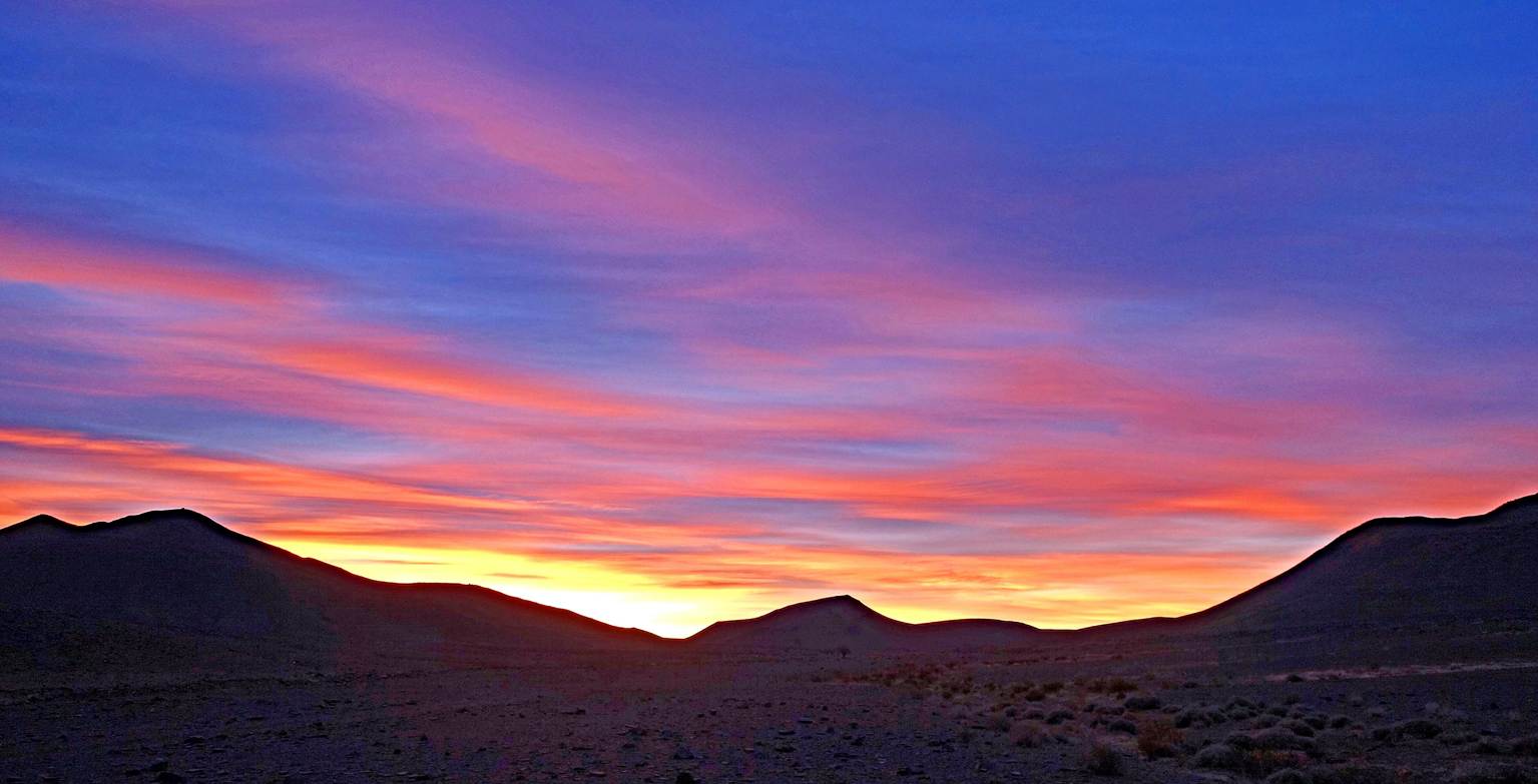
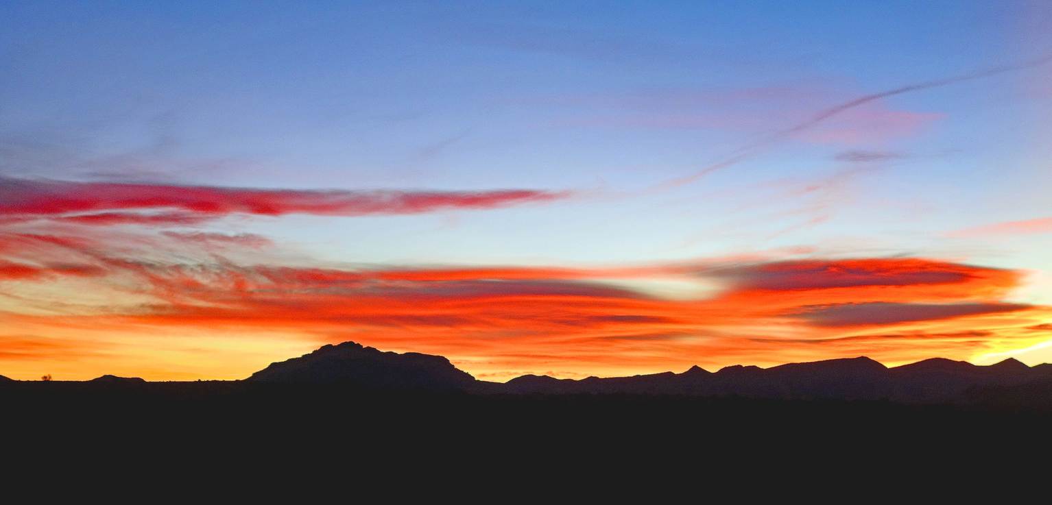
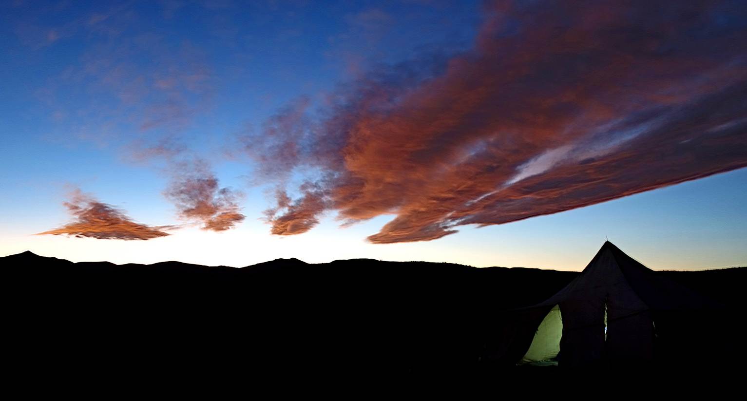
Sunset colors.
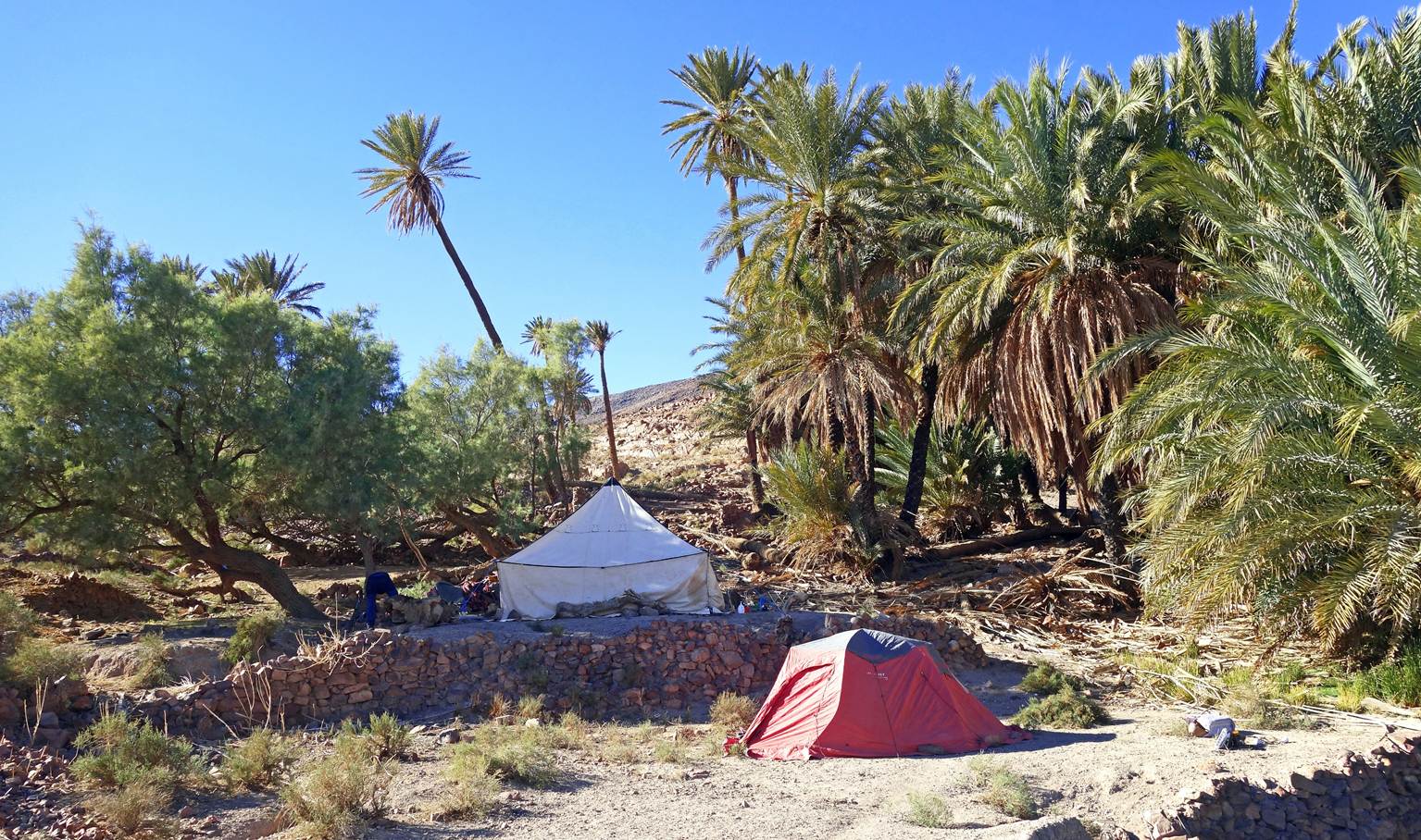
Day 4:
Sunrise colors.
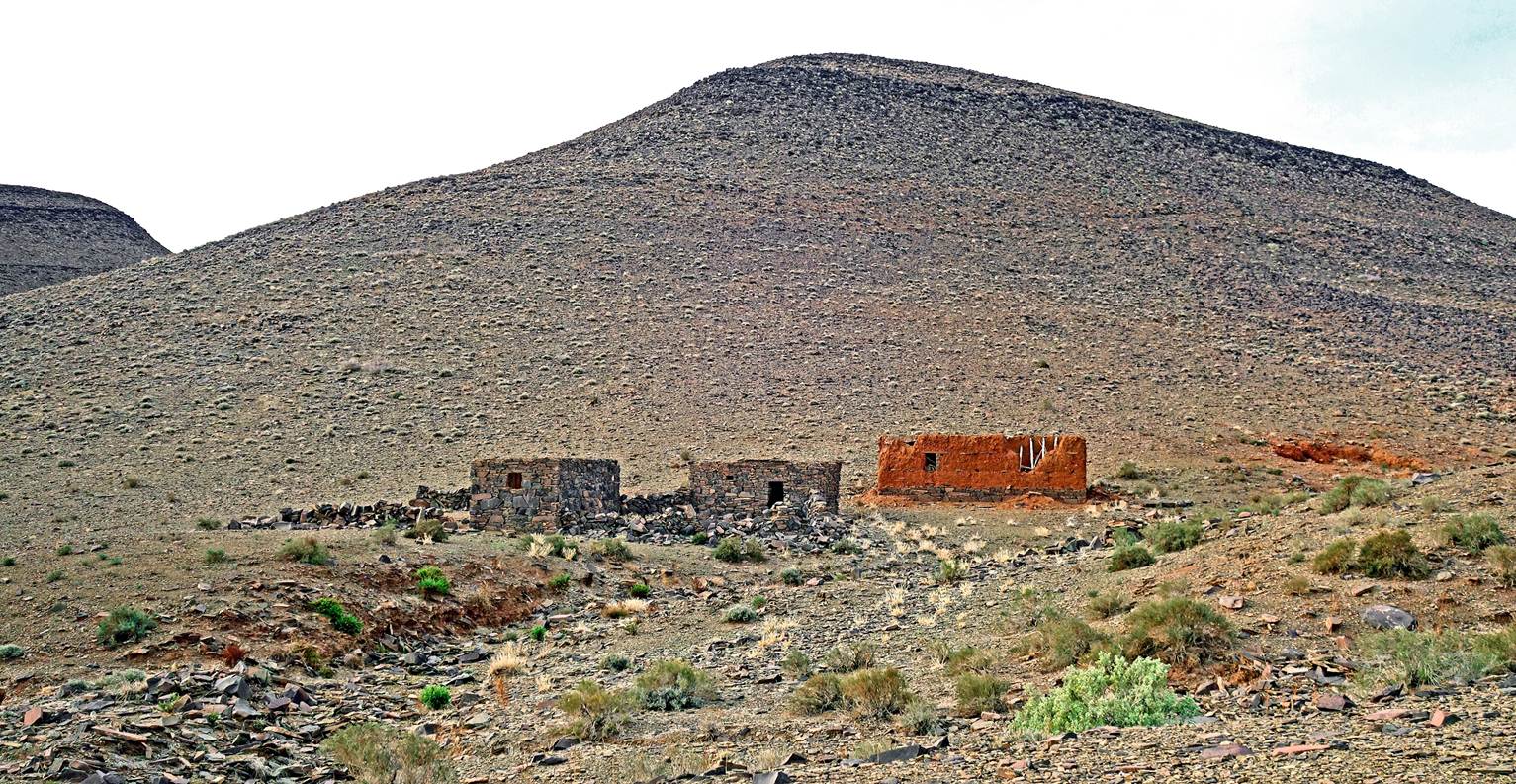
Empty shepherd's houses.
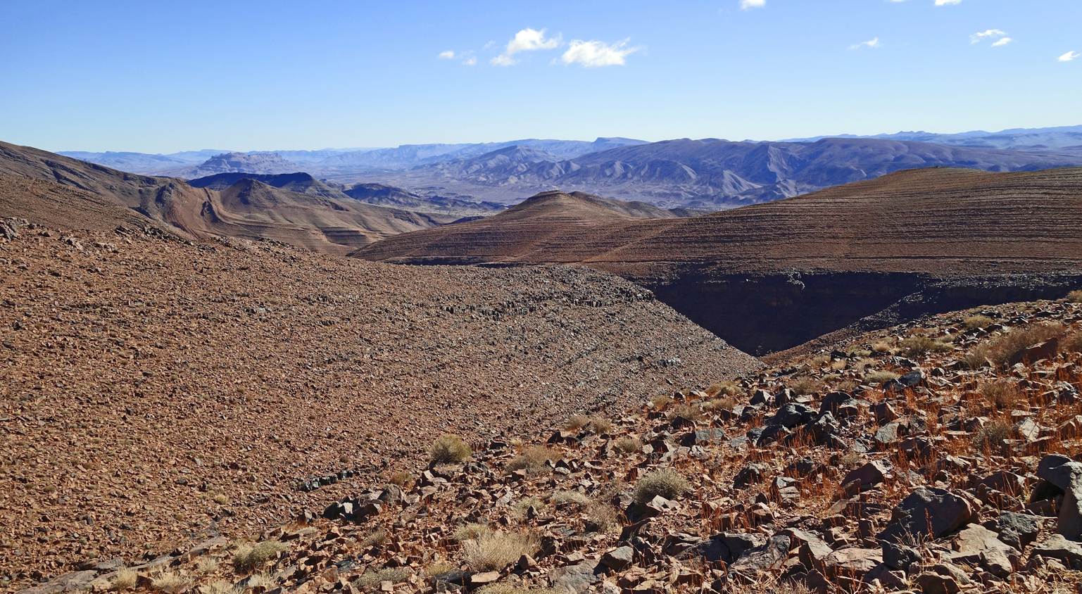
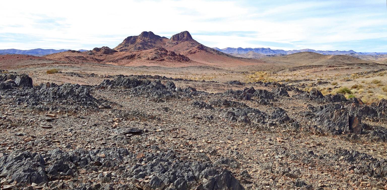
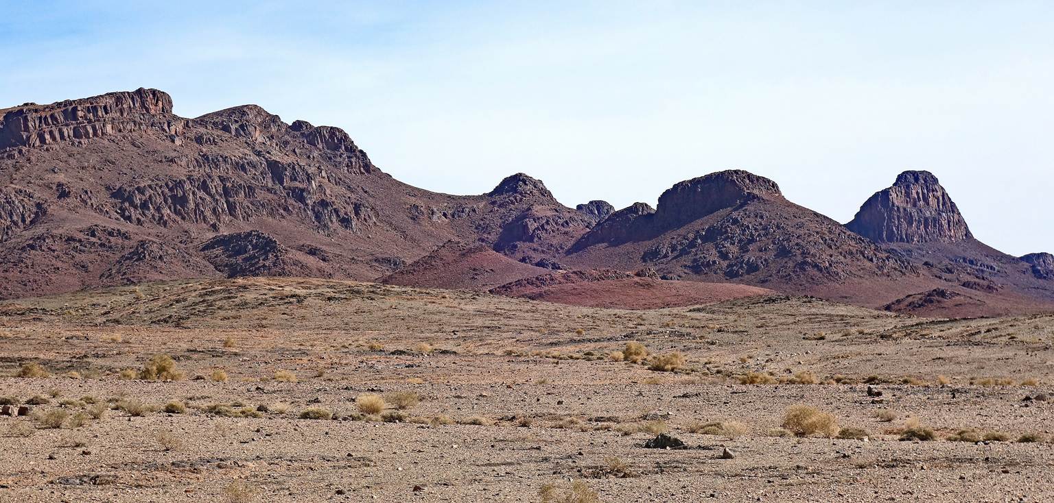
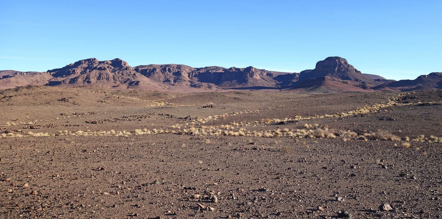
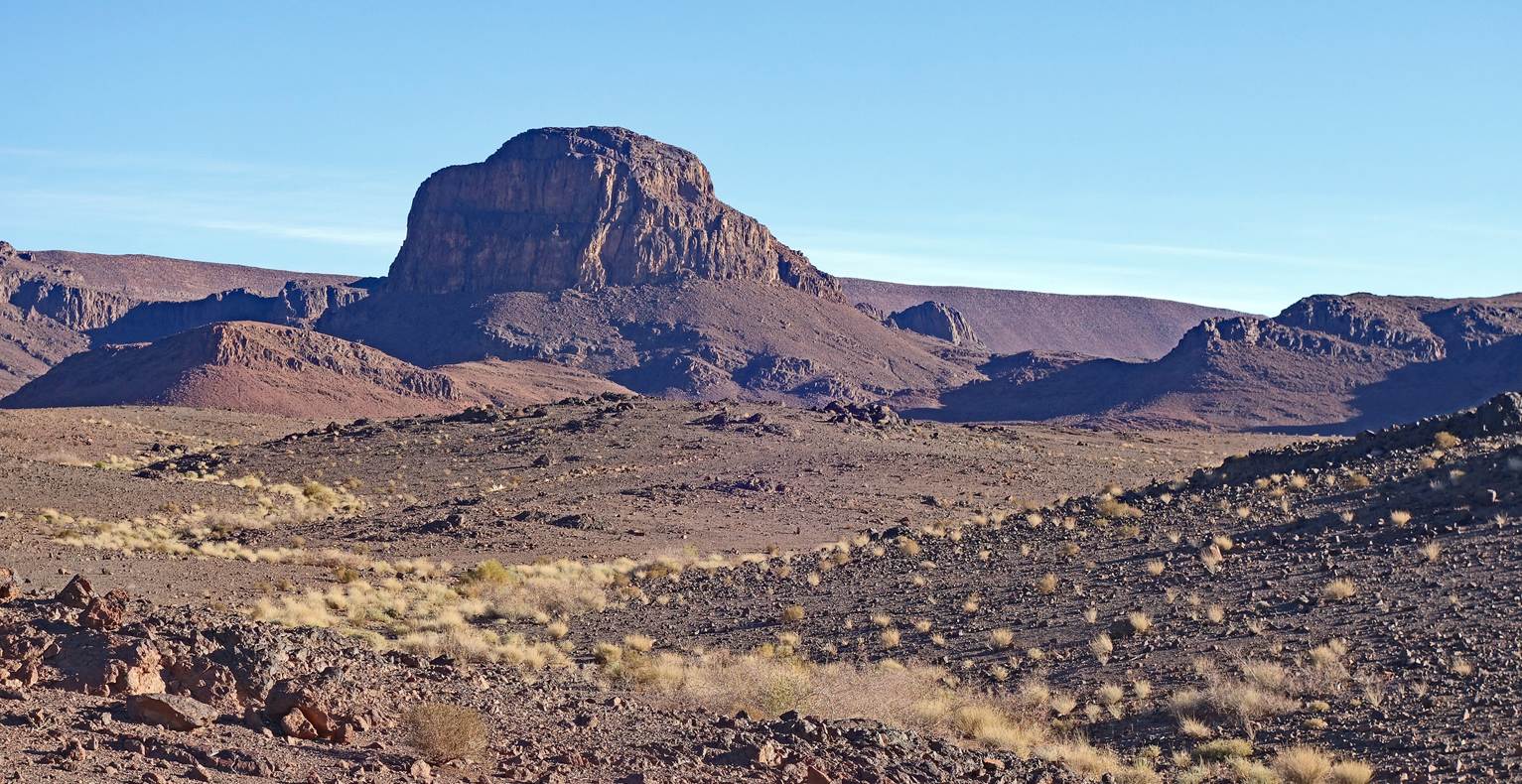
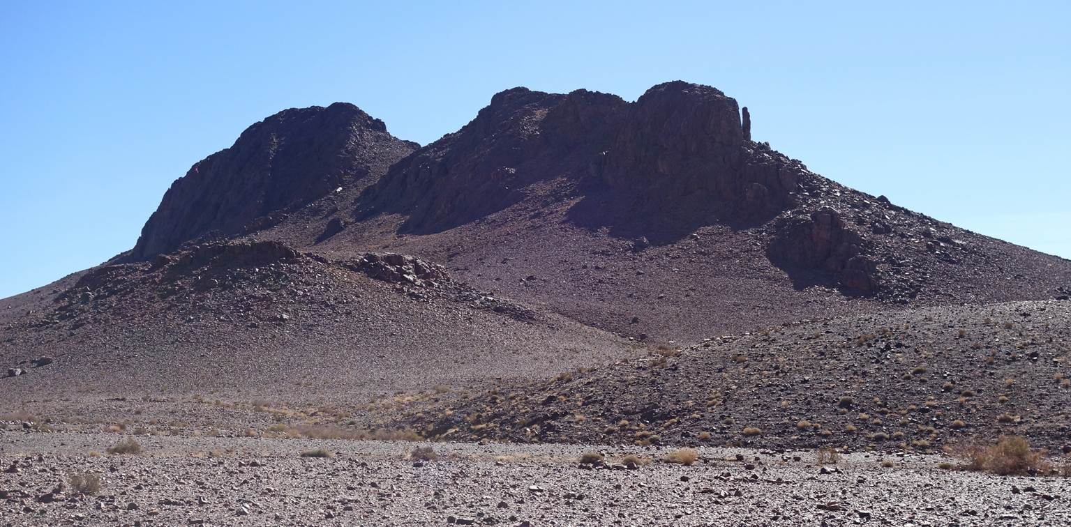
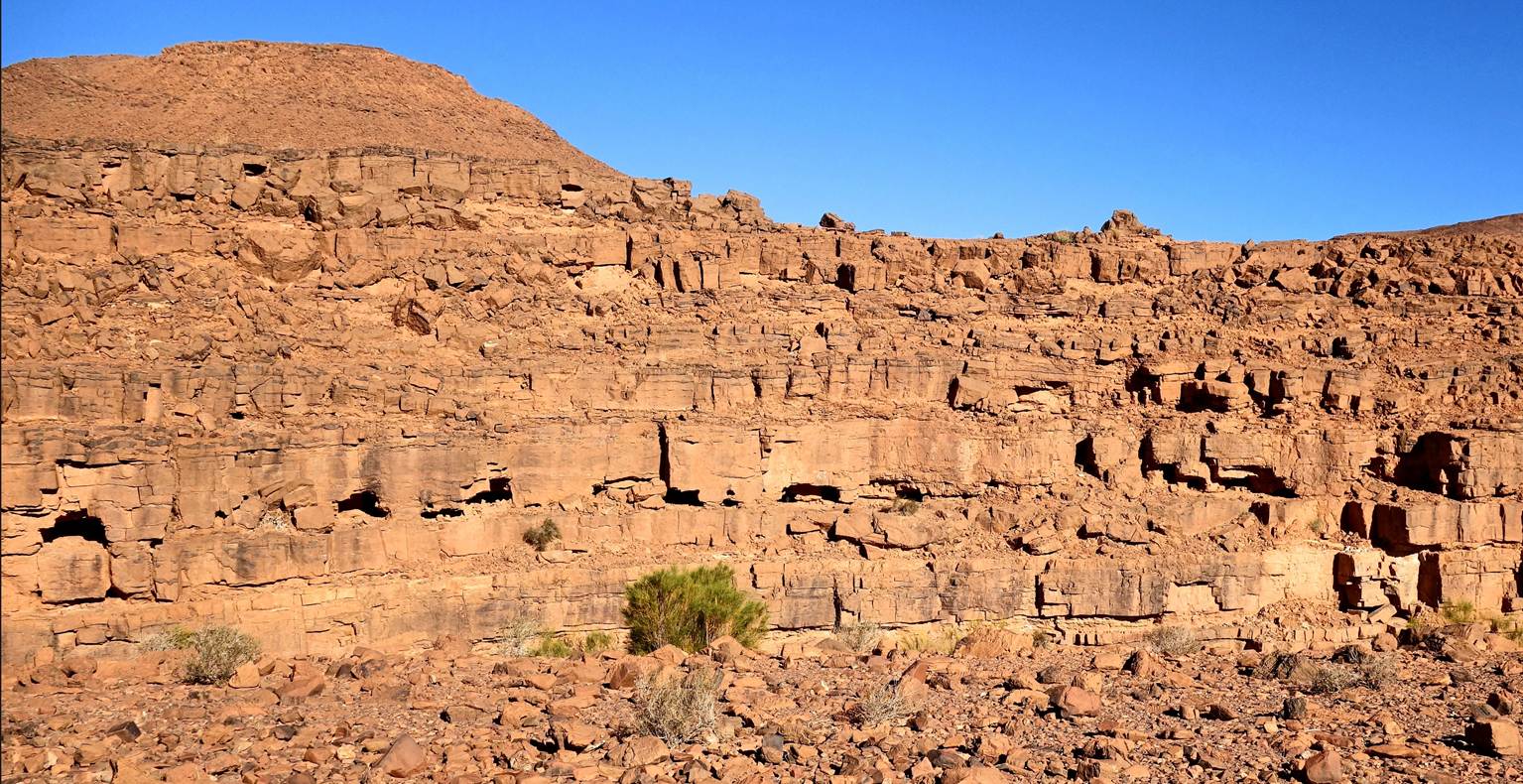
Successive rock formations.
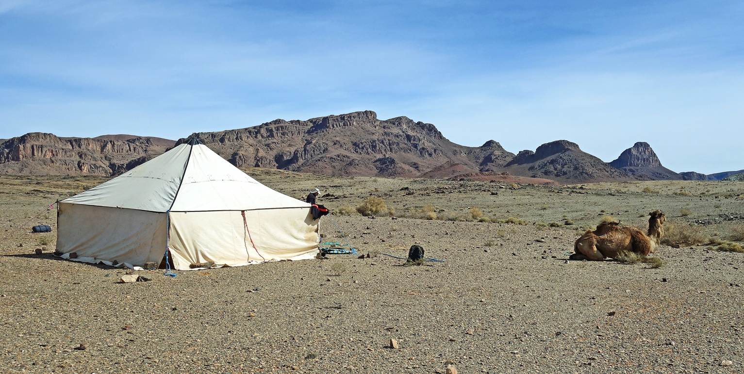
Our fourth camp (waypoint 29).
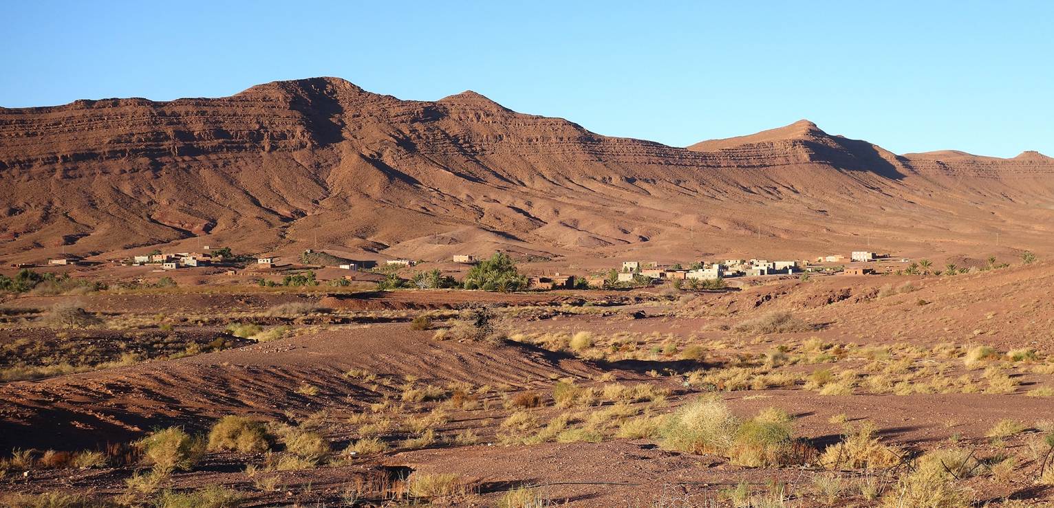
Village near our camp.
Sunset colors.
Day 5:
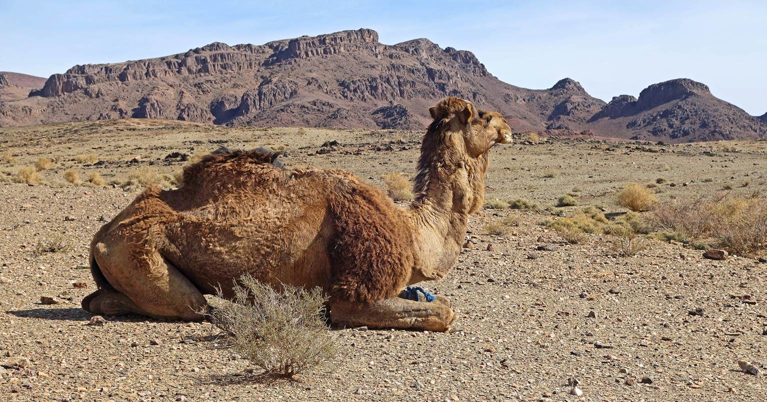
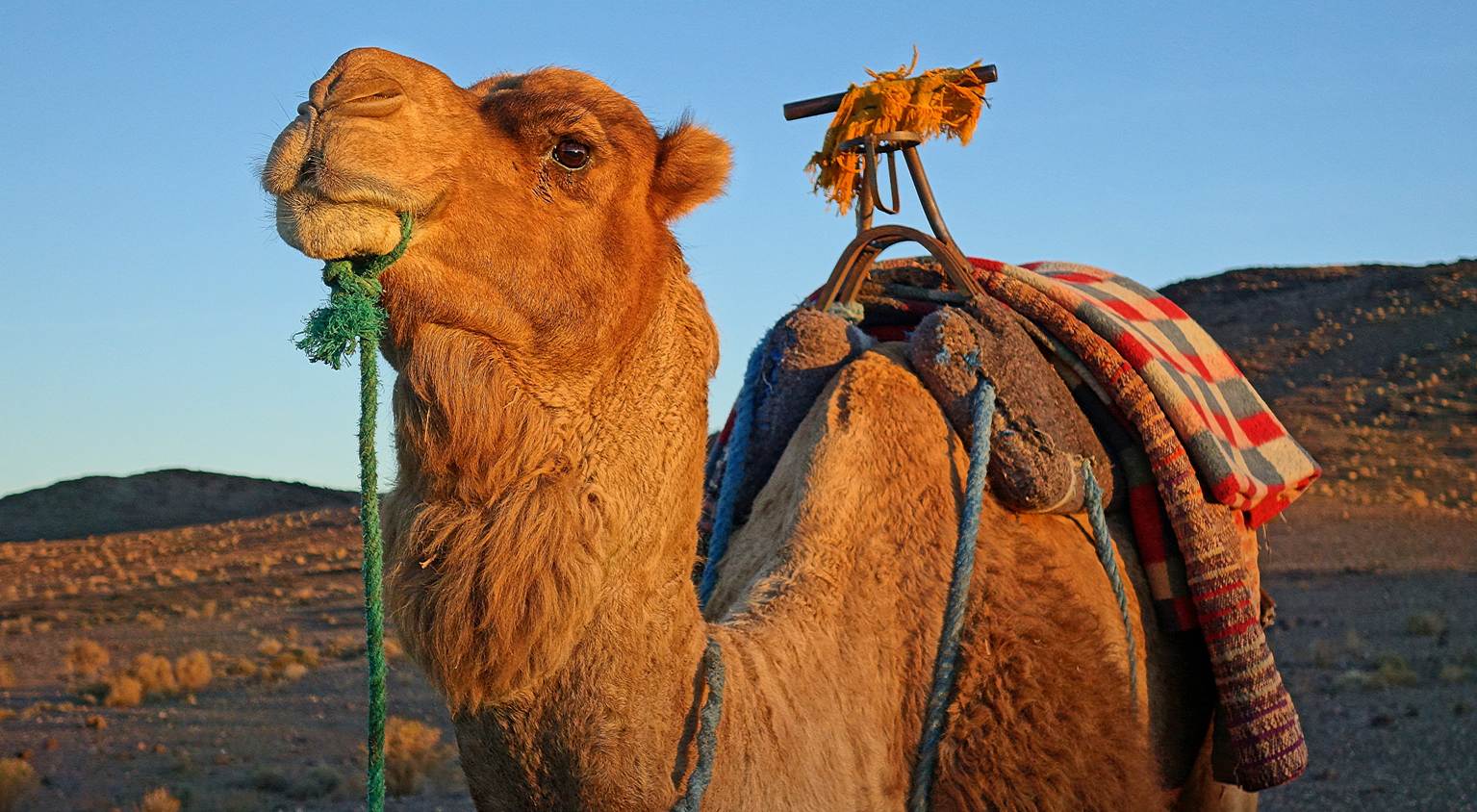
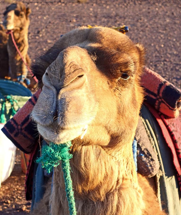
Our beautiful camel at sunrise.
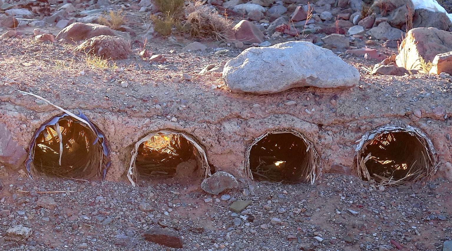
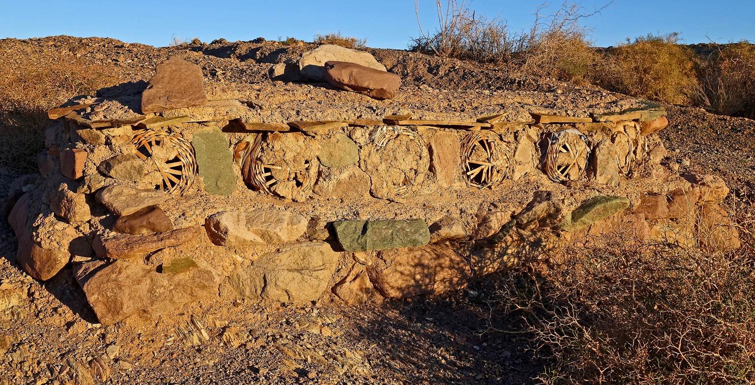
Unusual traditional beehives (two photos
below). They consist of reed cylinders placed directly on the ground and covered
of dry mud and stones. Swarms are placed inside these cylinders without
artificial frames to hold the honeycombs. Both ends of the cylinders are then
sealed with reeds and mud, leaving small holes to allow the bees to exit and
reenter. These hives are called, rather inelegantly, ″hive tombs″. For
various reasons, few of them remain in Morocco. Those pictured below may no
longer be in use.
Unexpected sight of a water reservoir,
probably built for the consumption of the nearby Bleida
mines (mainly producing copper).
Old village of Bleida
(located 2.5km east of the mines),
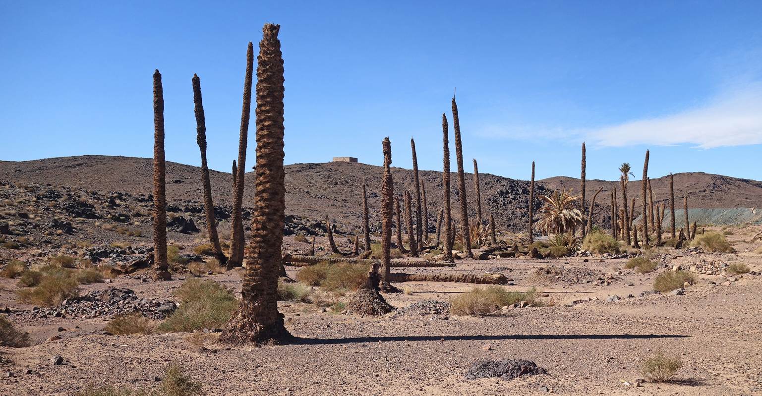
Dead palm grove. Is this due to climate
change or the impact of nearby mining?
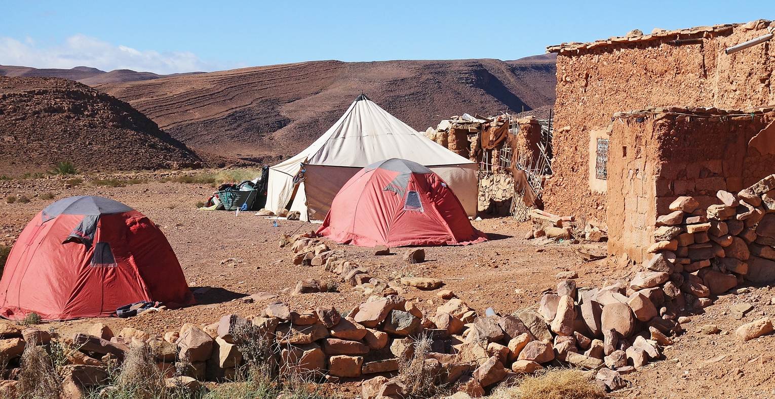
Our fifth camp (waypoint 37), a short
distance north of the village of Douar Smara.
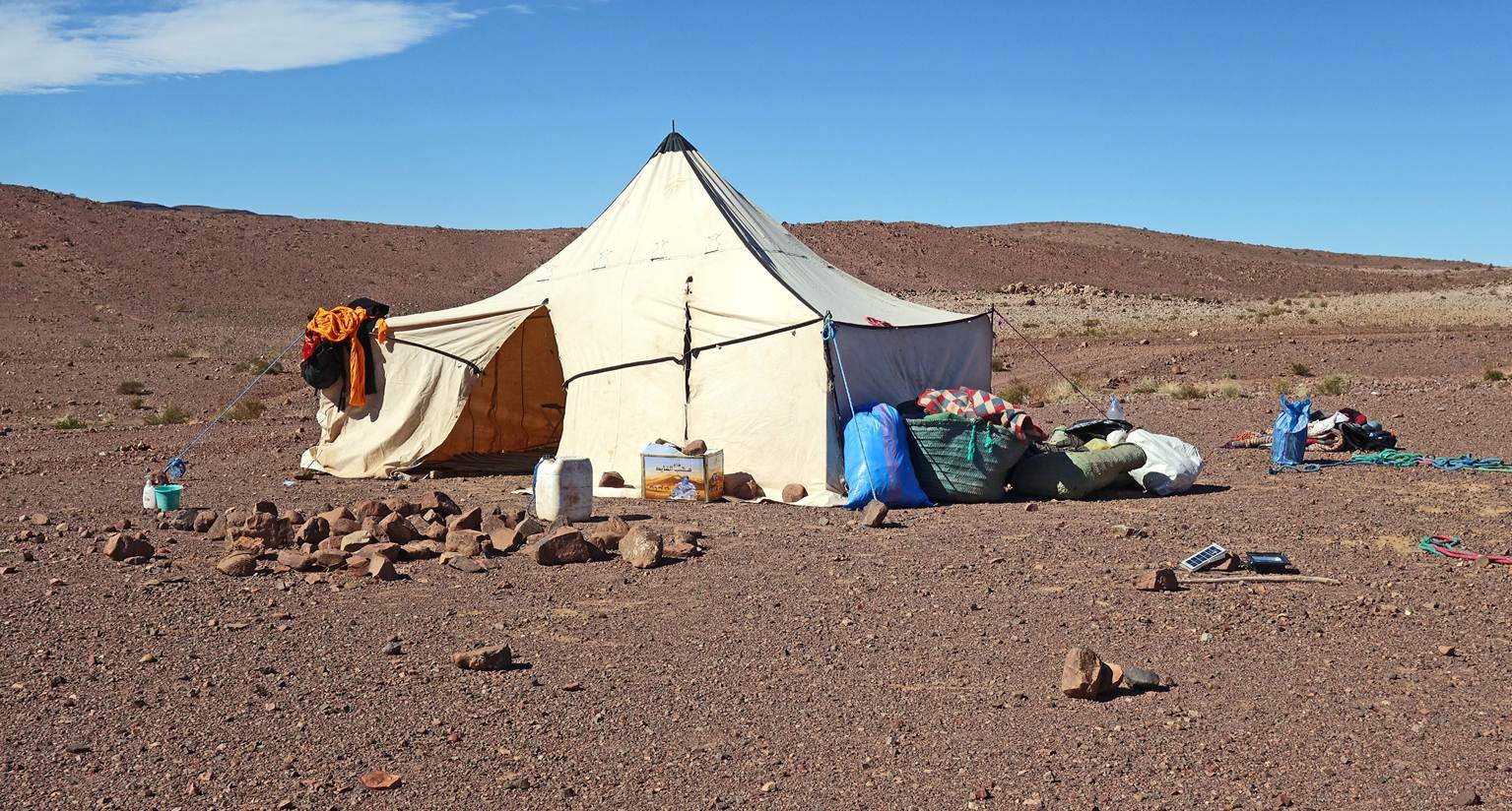
Inside our tent.
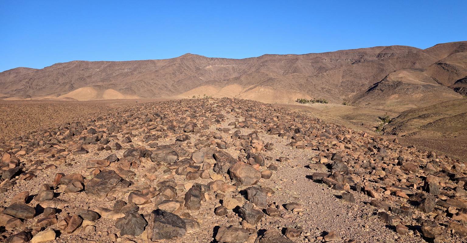
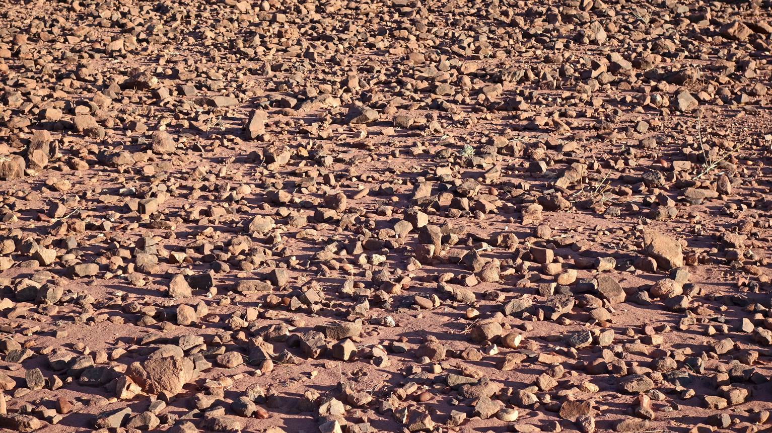
Typical ground pattern, when the sun is
low on the horizon and each stone casts a long shadow.
Sunset colors.
Day 6:
Packing the camp.
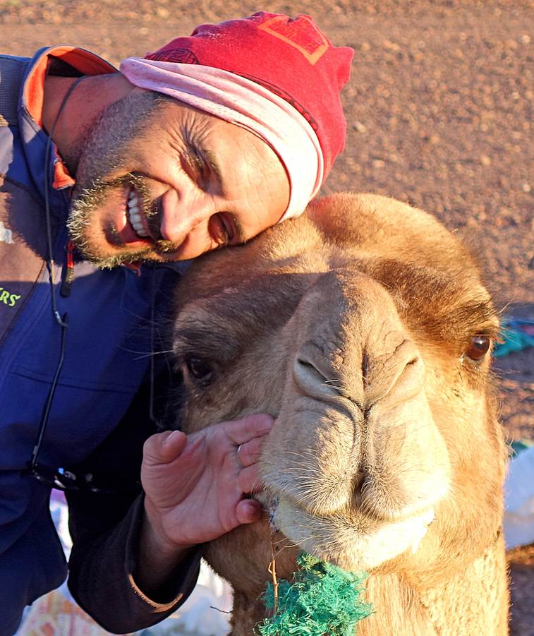
Oumar and the friendly camel.
|
|
|
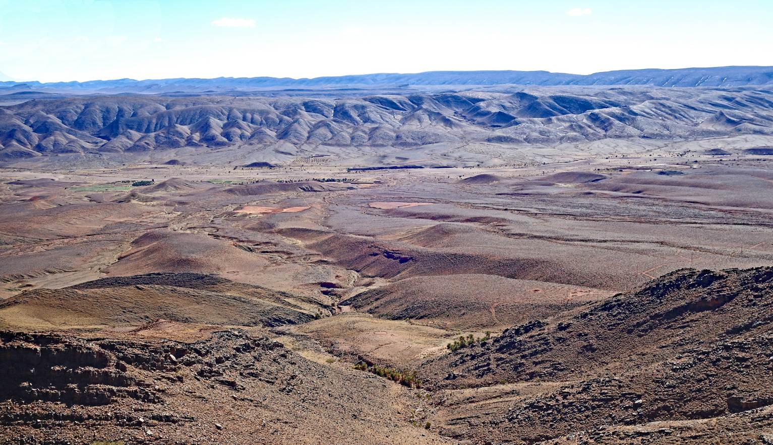
Cultivated palm grove of the village
Douar Smara (waypoint 38).
Village of Douar Smara.
Rudimentary nomadic shelters dotting the
trail.
Cliff with many caves.
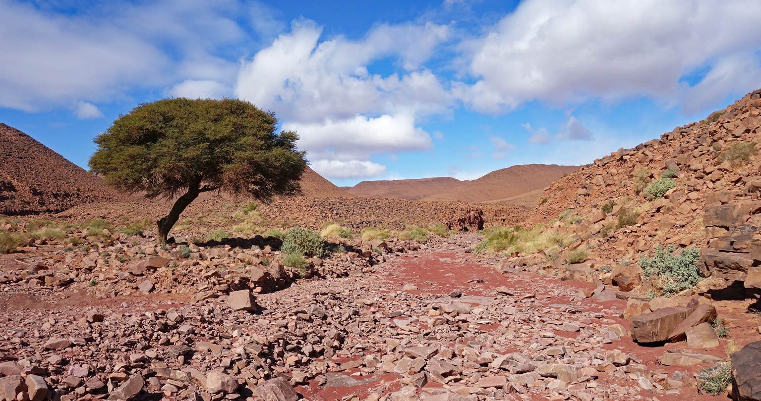
Solitary acacia tree.
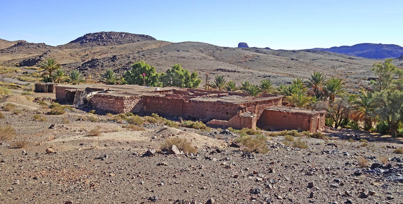
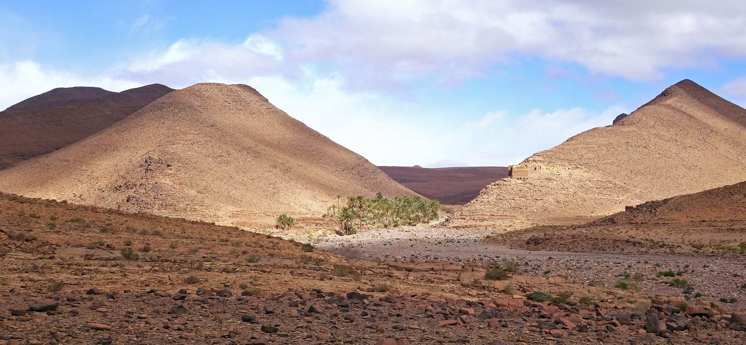
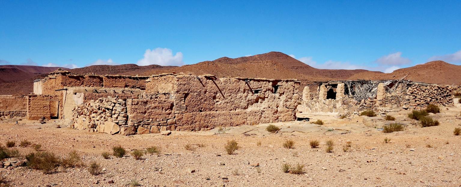
Old building (that appeared to be
abandoned) above a palm grove (two photos below).
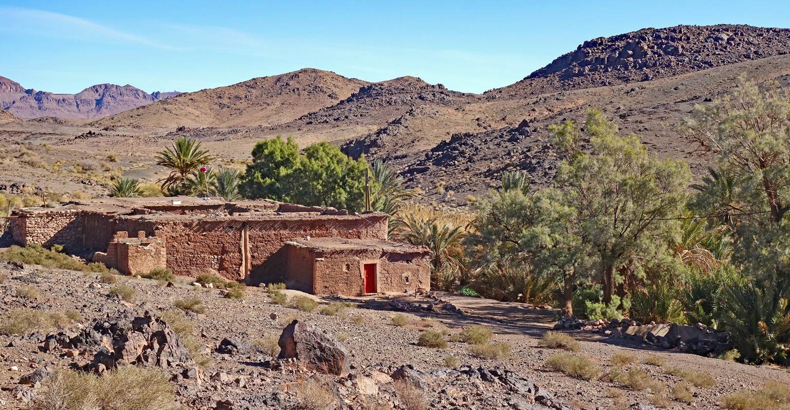
Reaching the small village where we set
up our sixth camp.
Houses in the village. (The village was
abandoned, but the palm grove next to it was still maintained.)
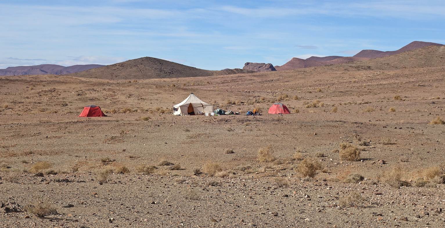
Our sixth camp (waypoint 44).
![]()
Back
to main Morocco 2026 page | Back to my
mountaineering/trekking/travel webpage