Morocco,
January-February 2026: Days 7 to 13 of the trek ![]()
Back
to main Morocco 2026 page | Back to my
mountaineering/trekking/travel webpage
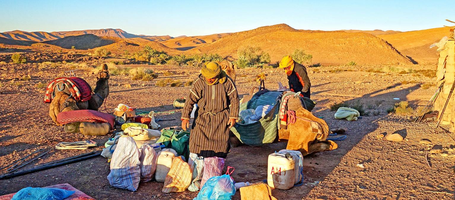
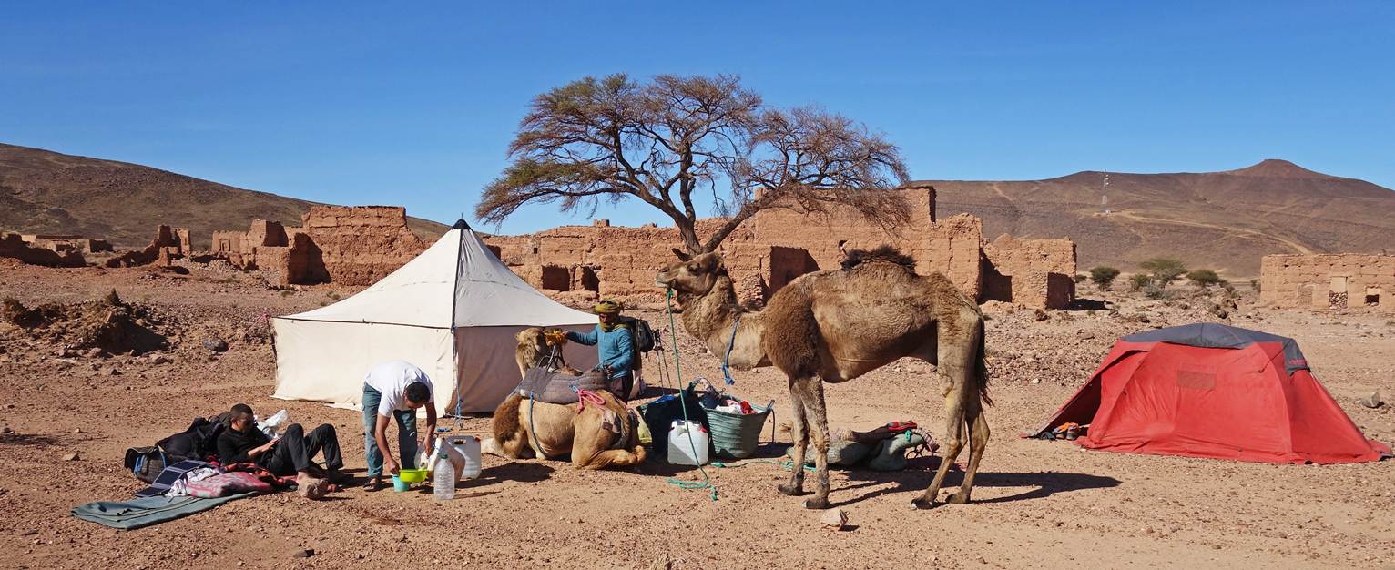
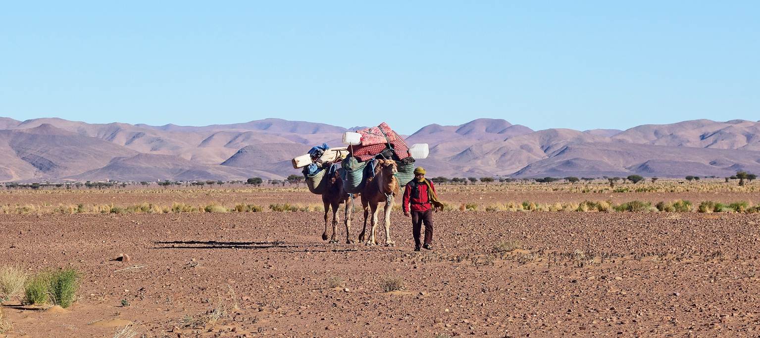
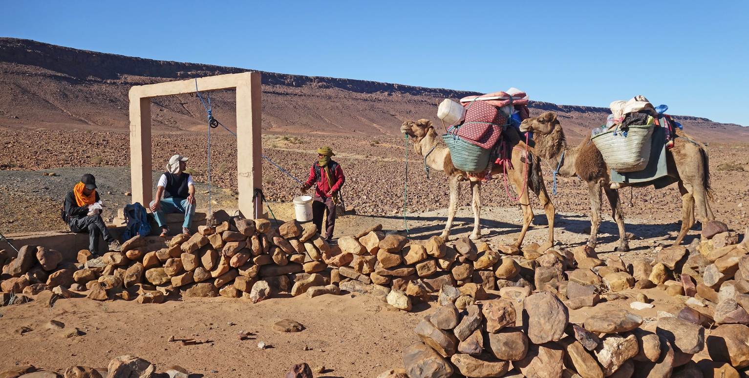
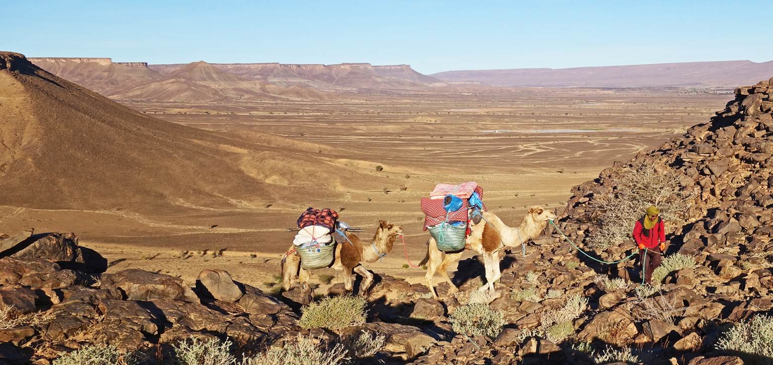
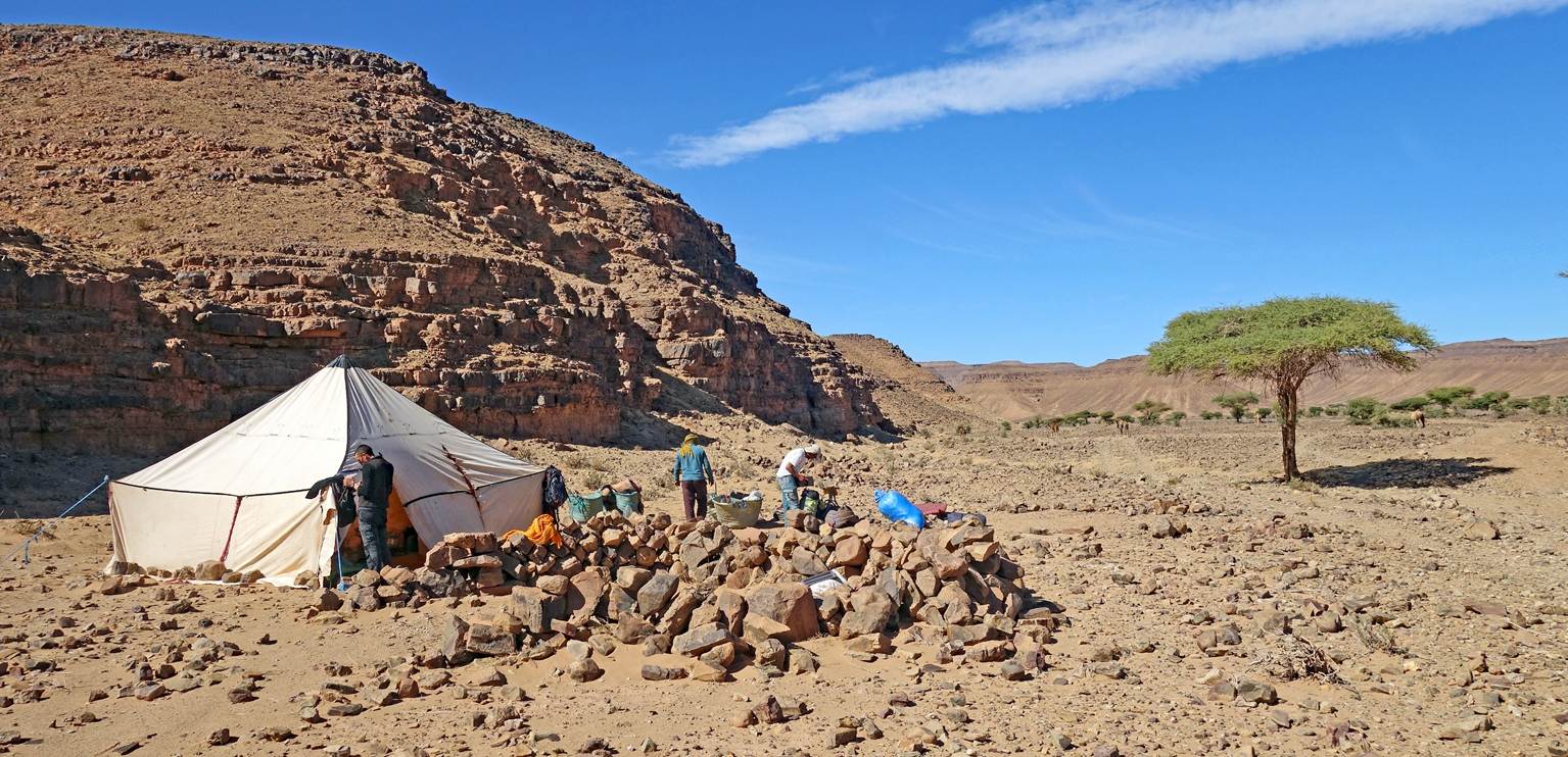
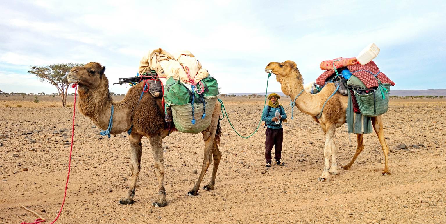
Day 7:
Mohamed and Ahmed finishing to pack our
camp.
Oumar hiking near nomadic shelters.
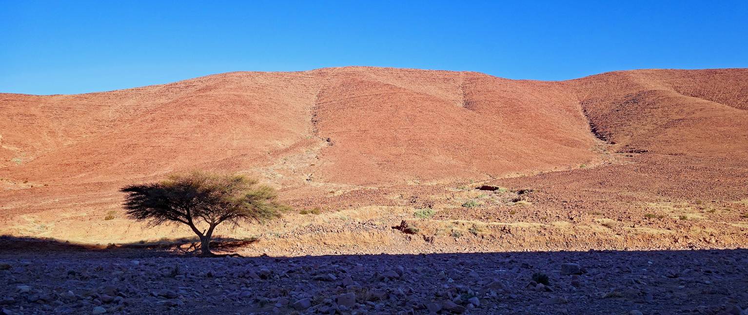
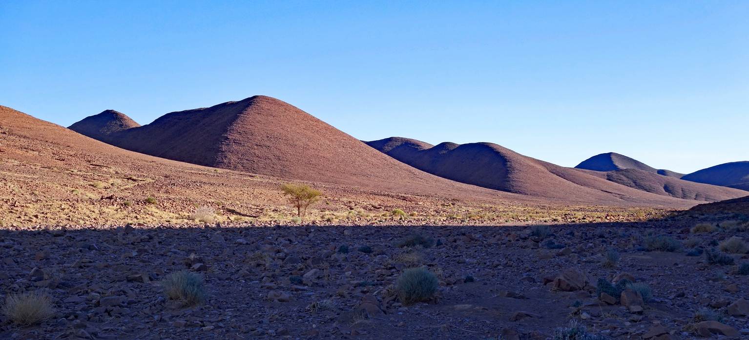
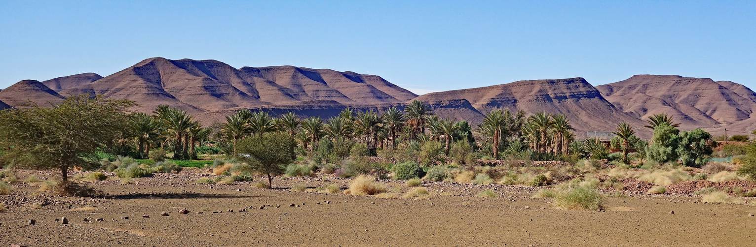
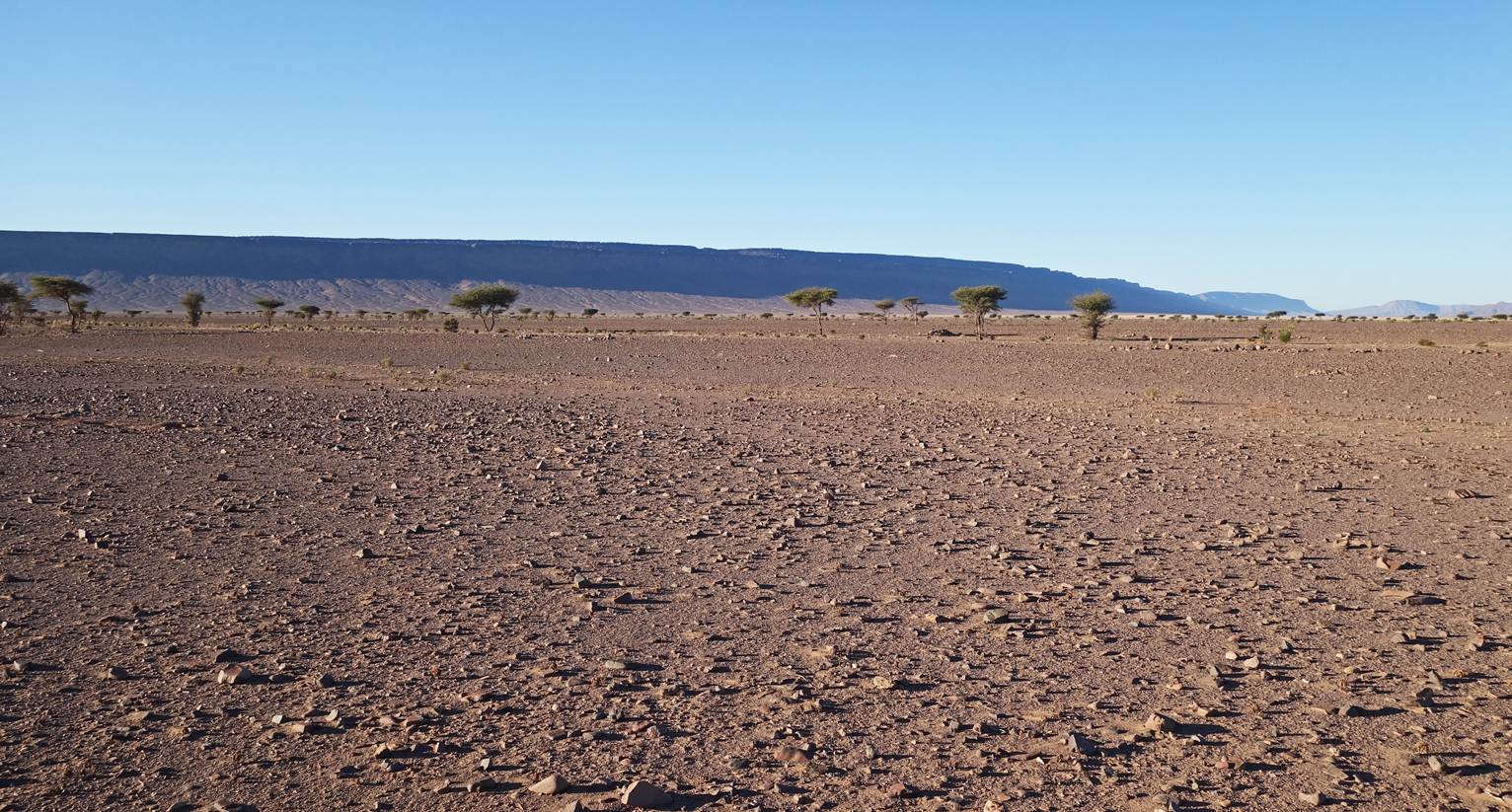
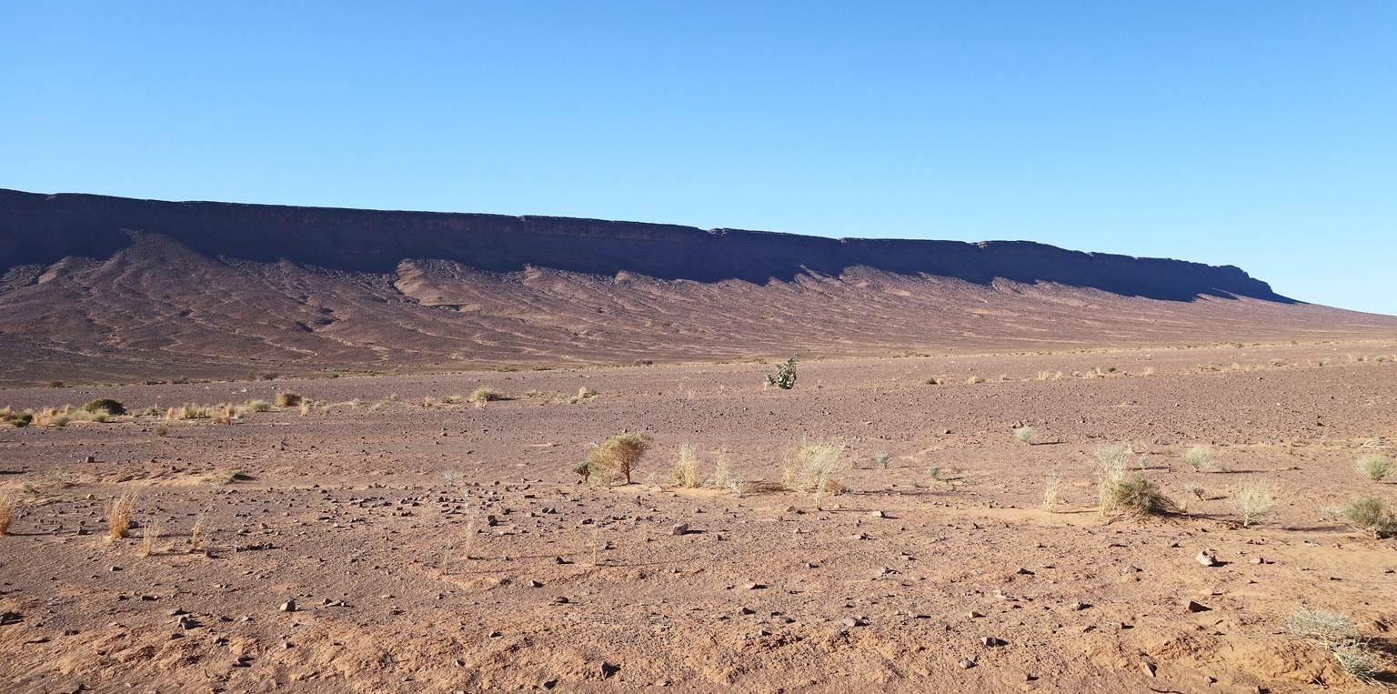
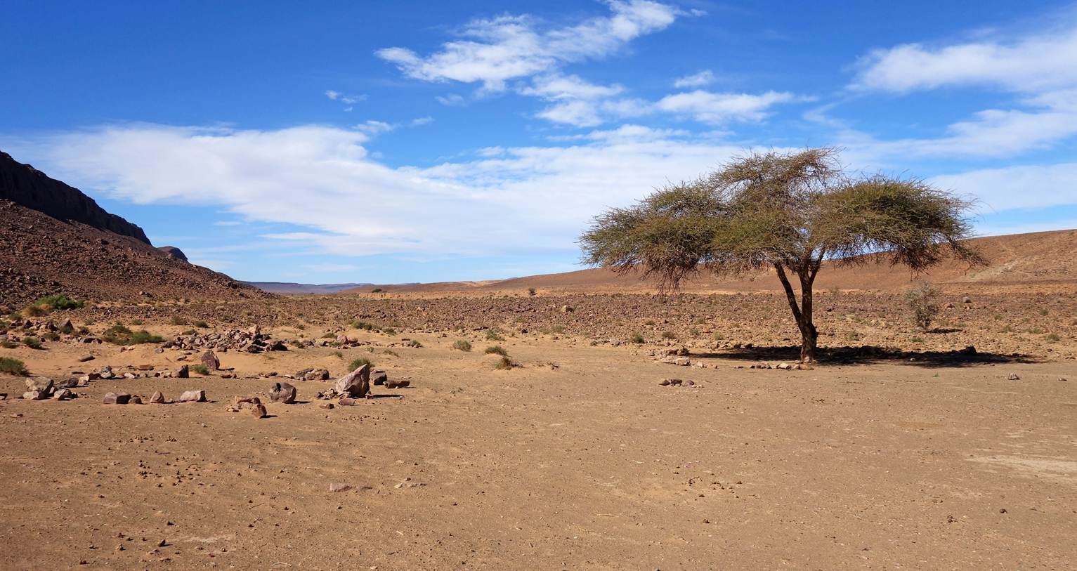
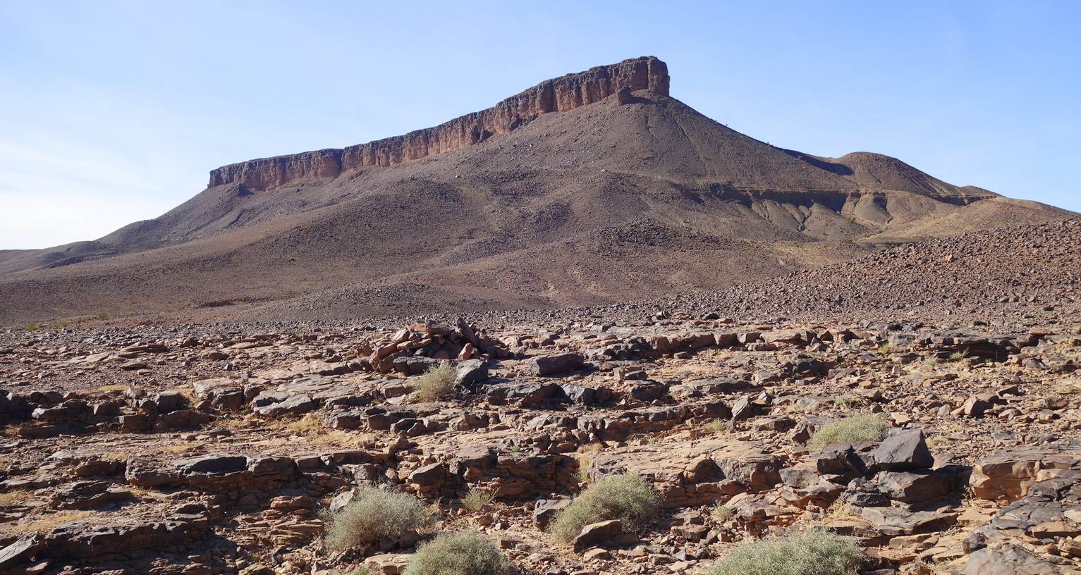
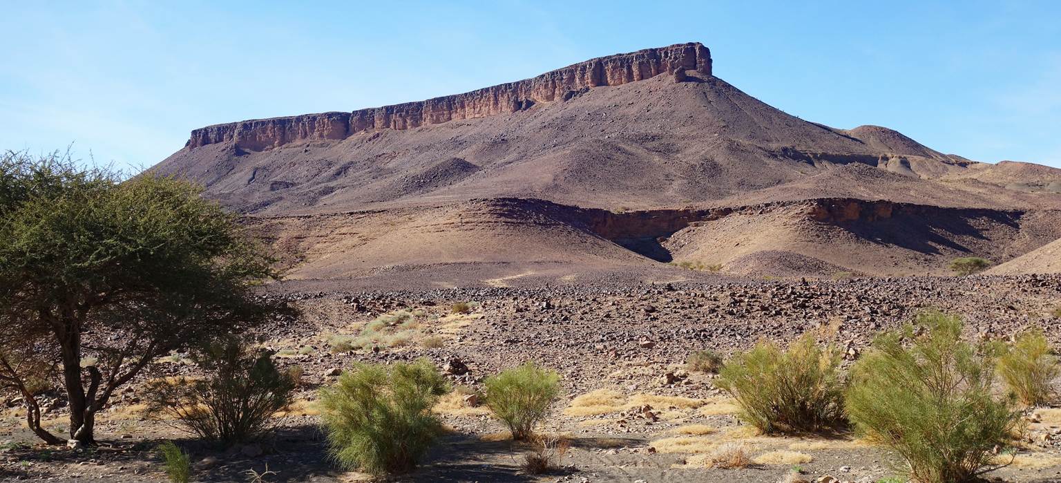
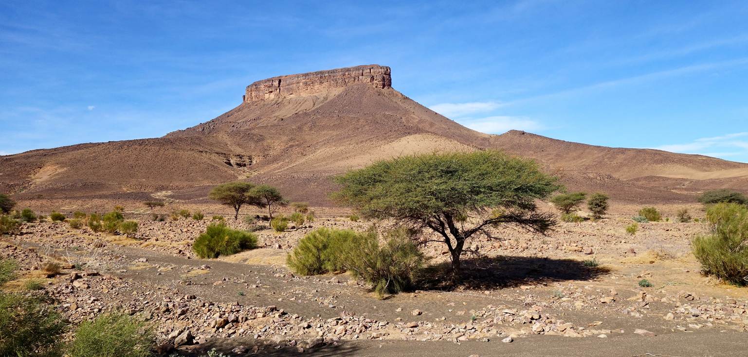
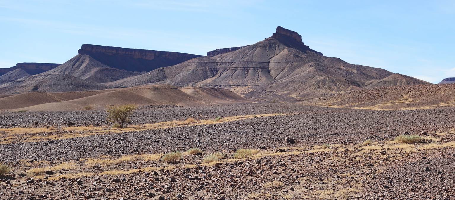
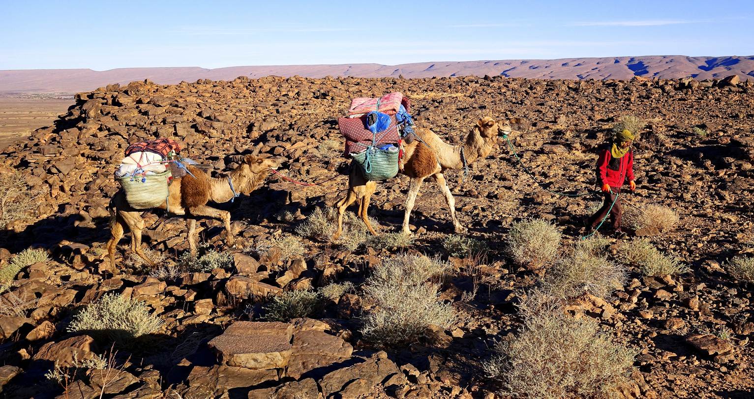
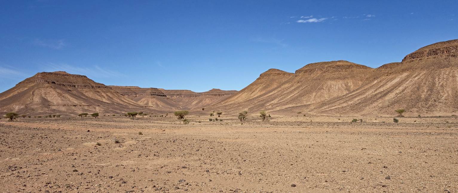
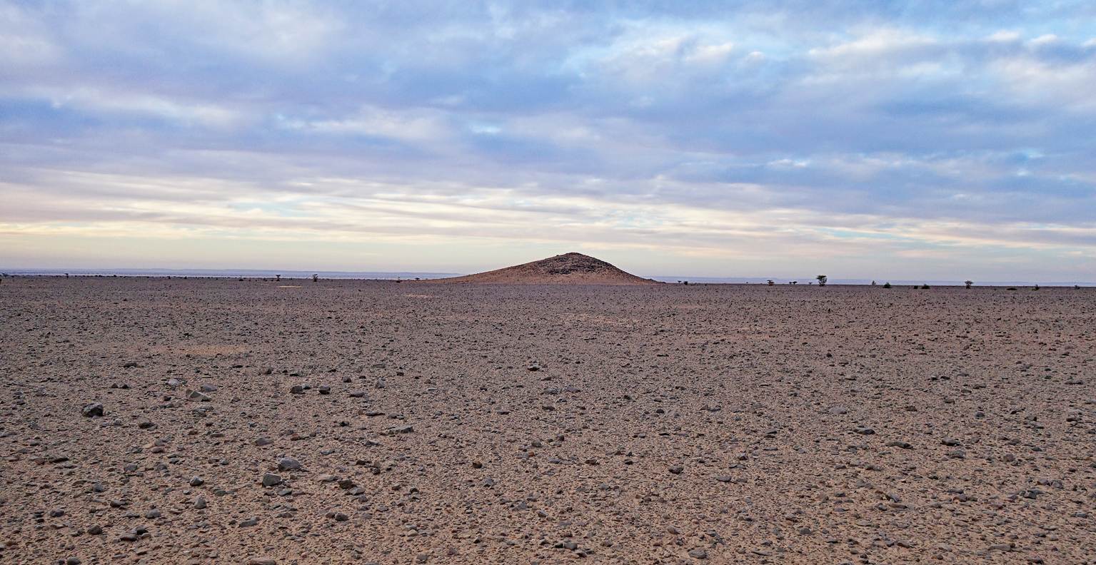
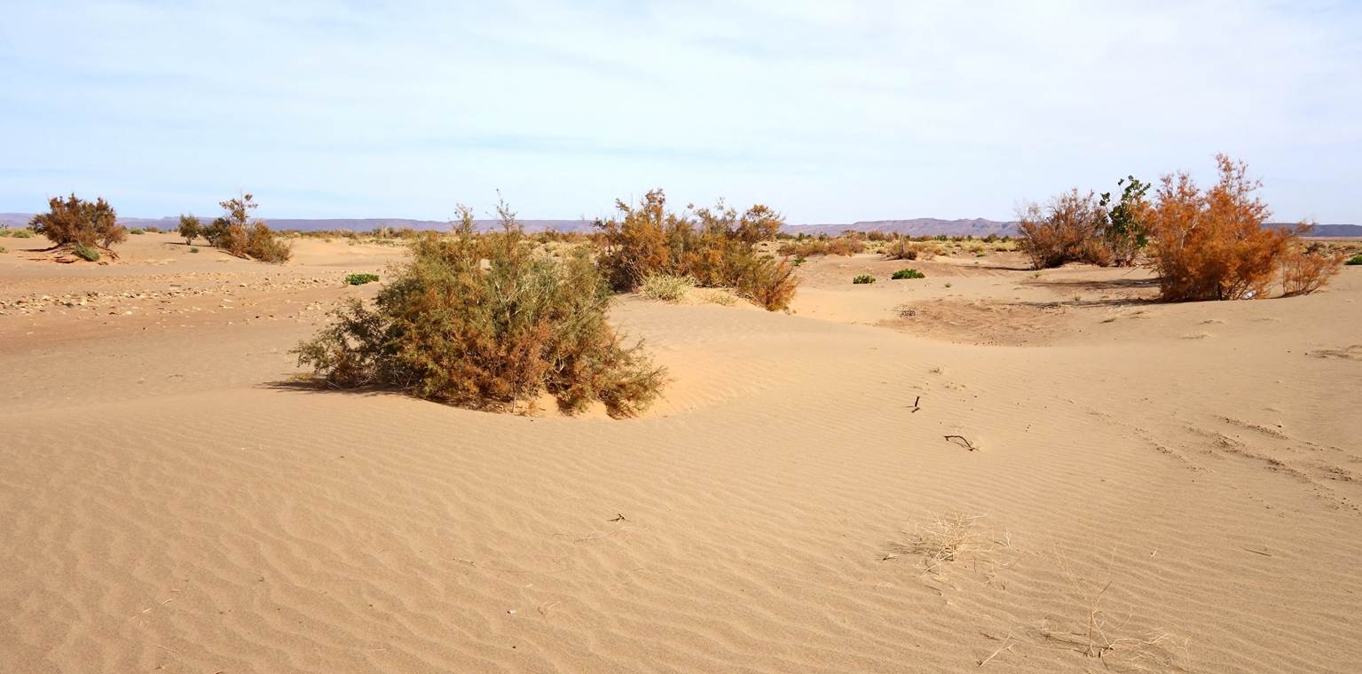
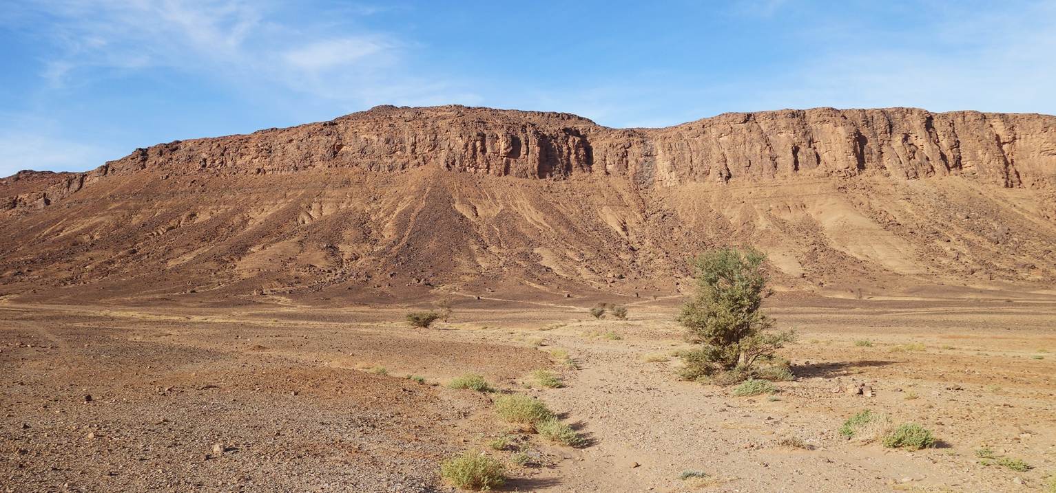
In the plain between waypoints 46 and 47
(four photos below)
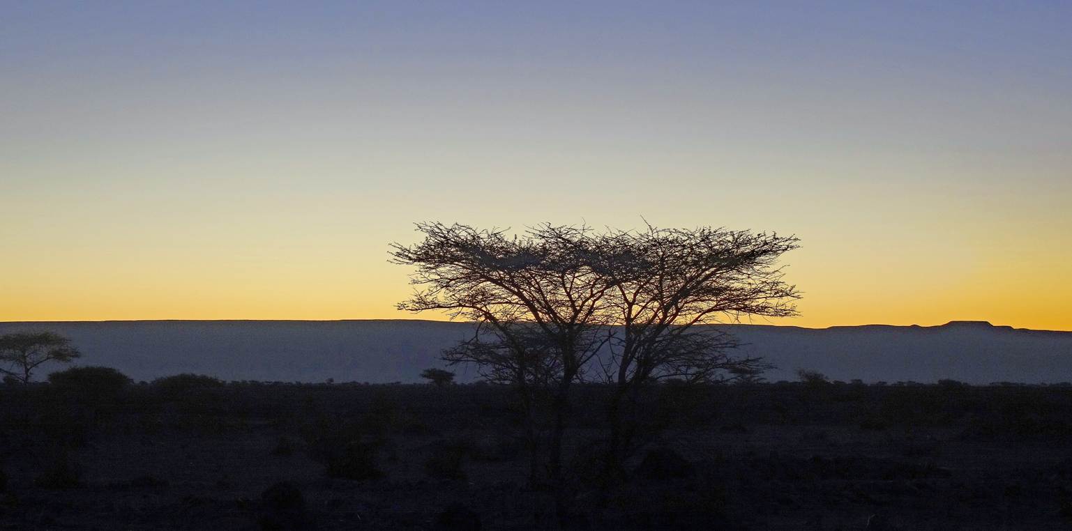
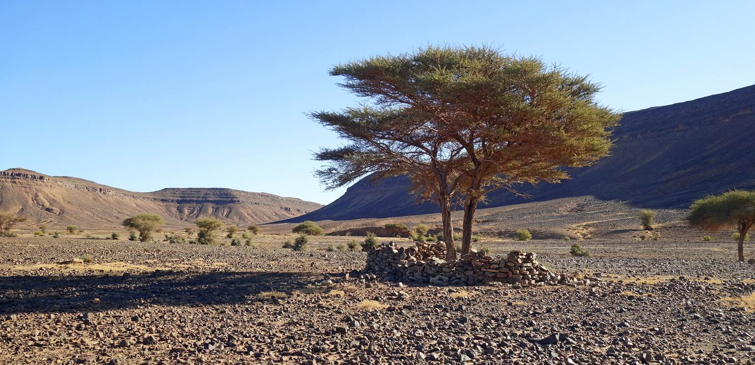
Grave.
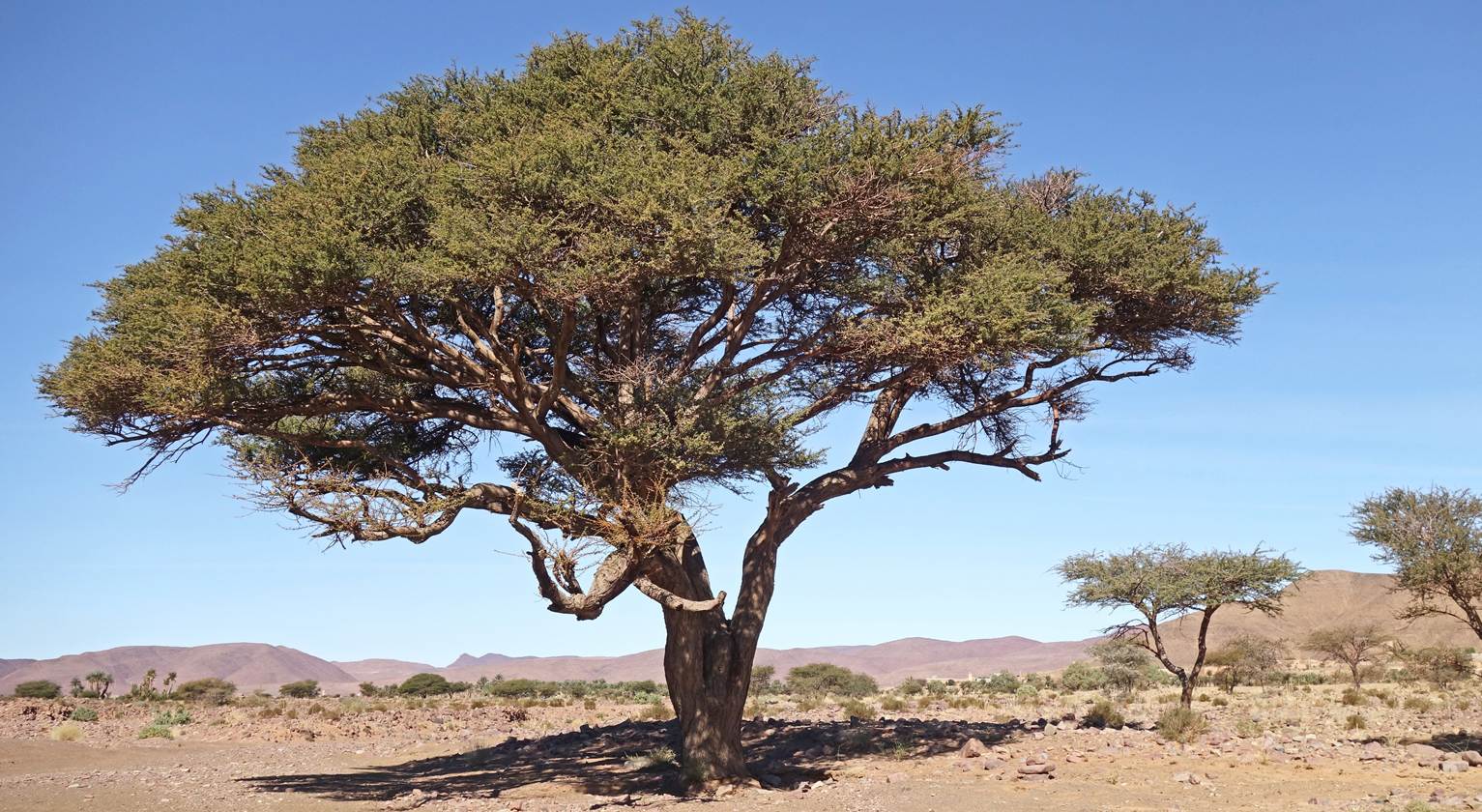
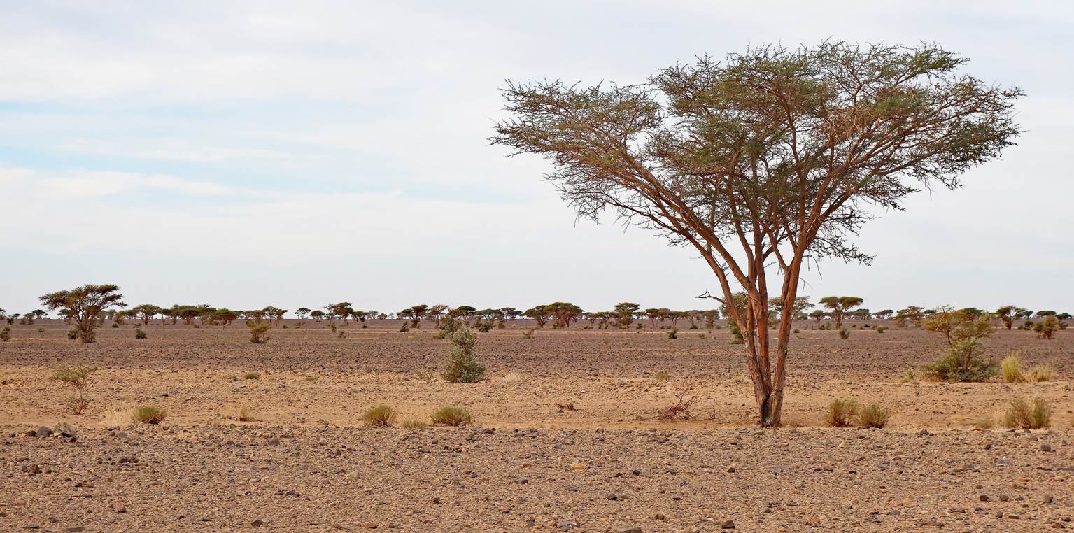
Acacia tree.
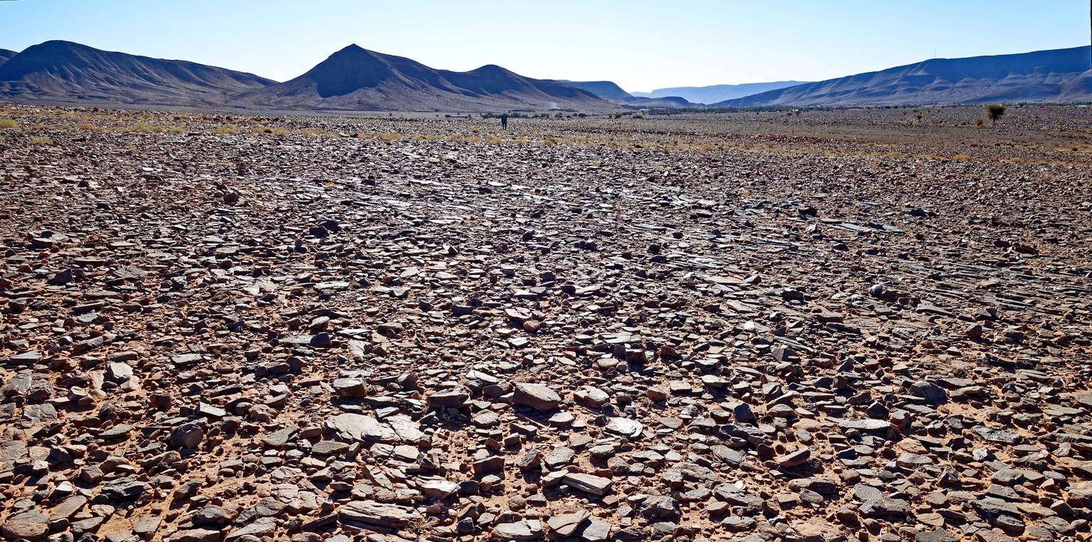
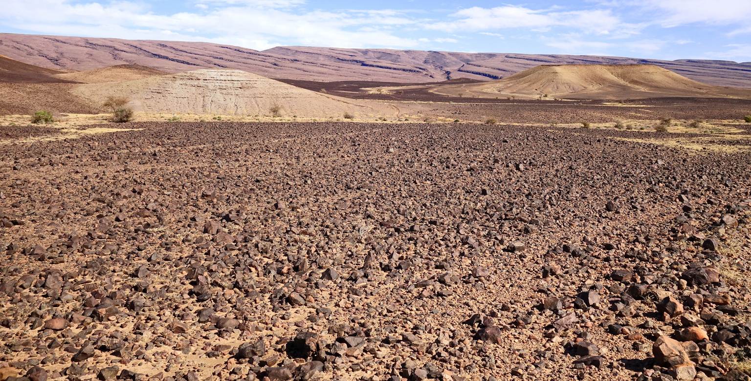
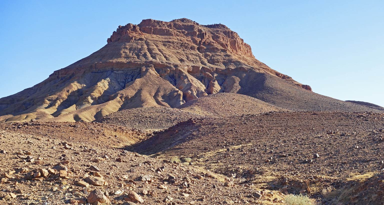
Long stone field before reaching
waypoint 48.
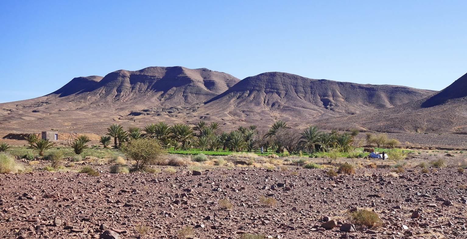
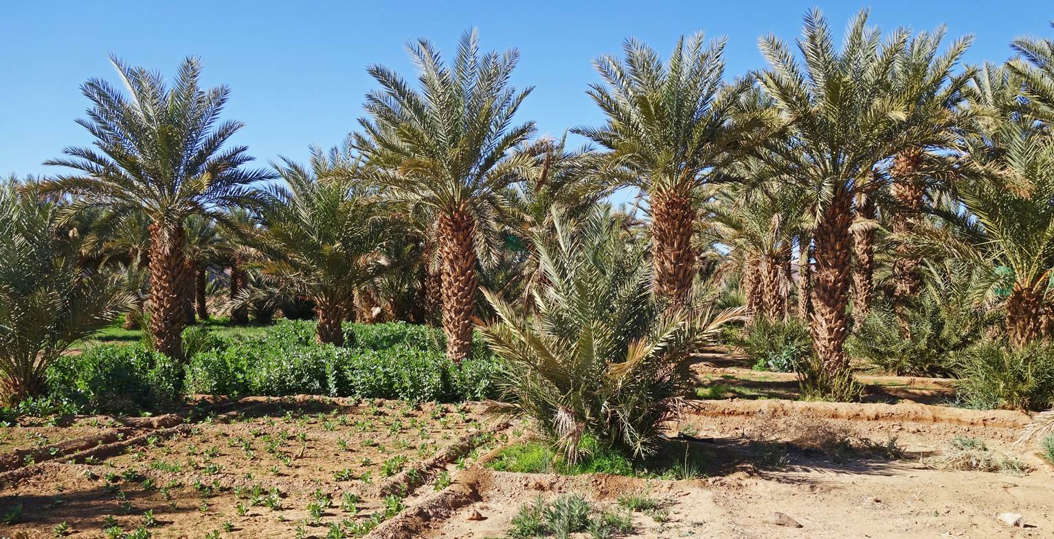
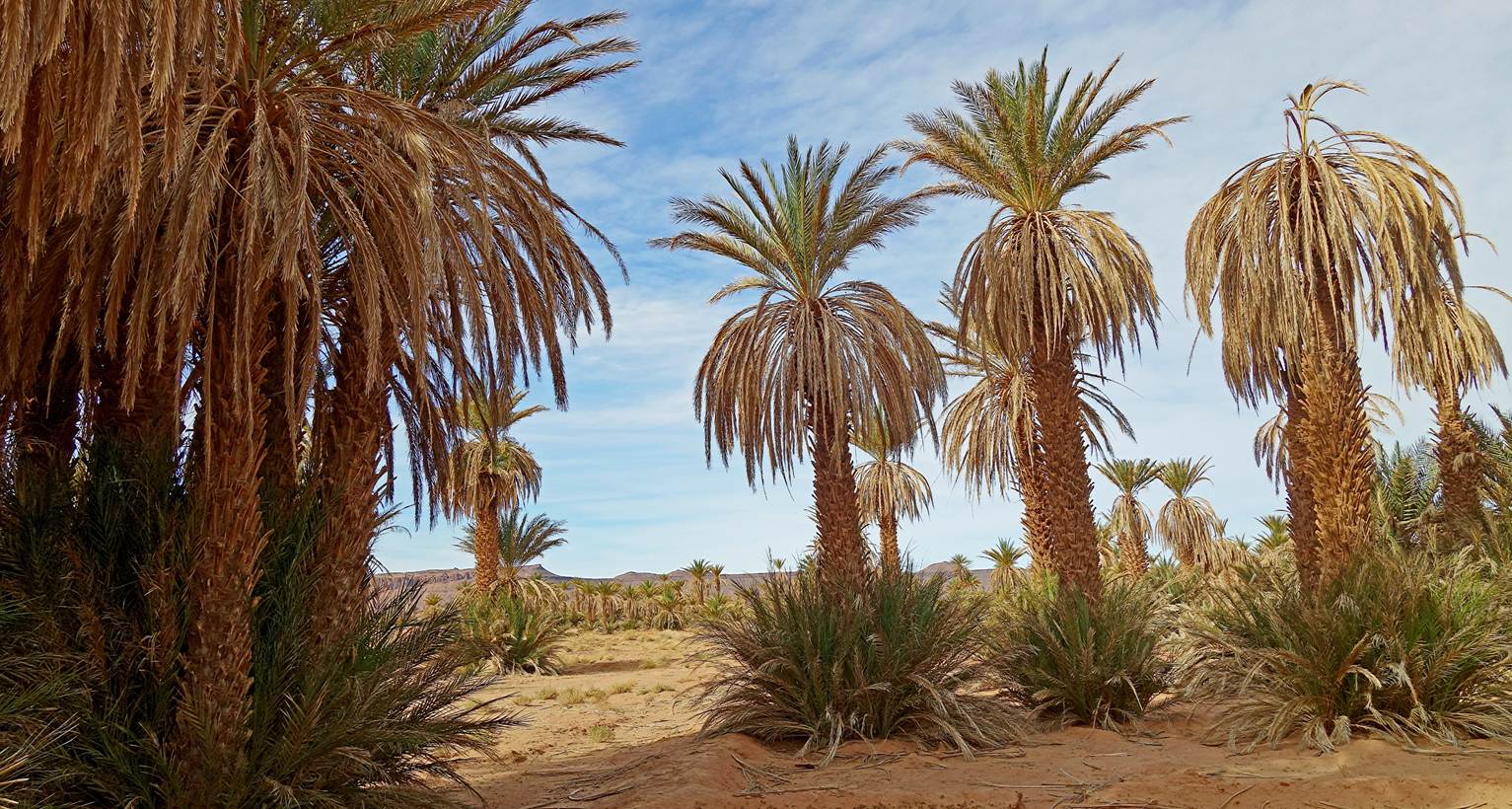
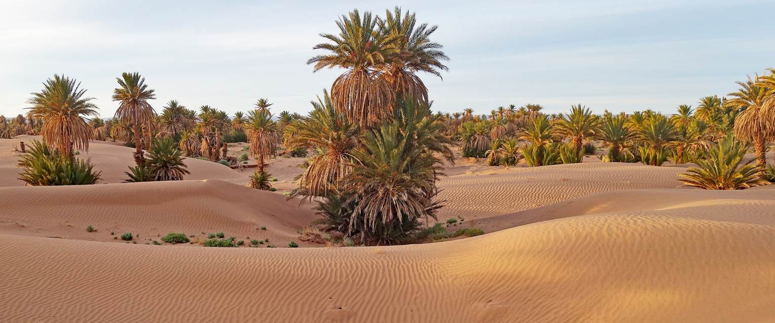
Cultivated palm grove near waypoint 48.
Another cultivated palm grove near
waypoint 49.
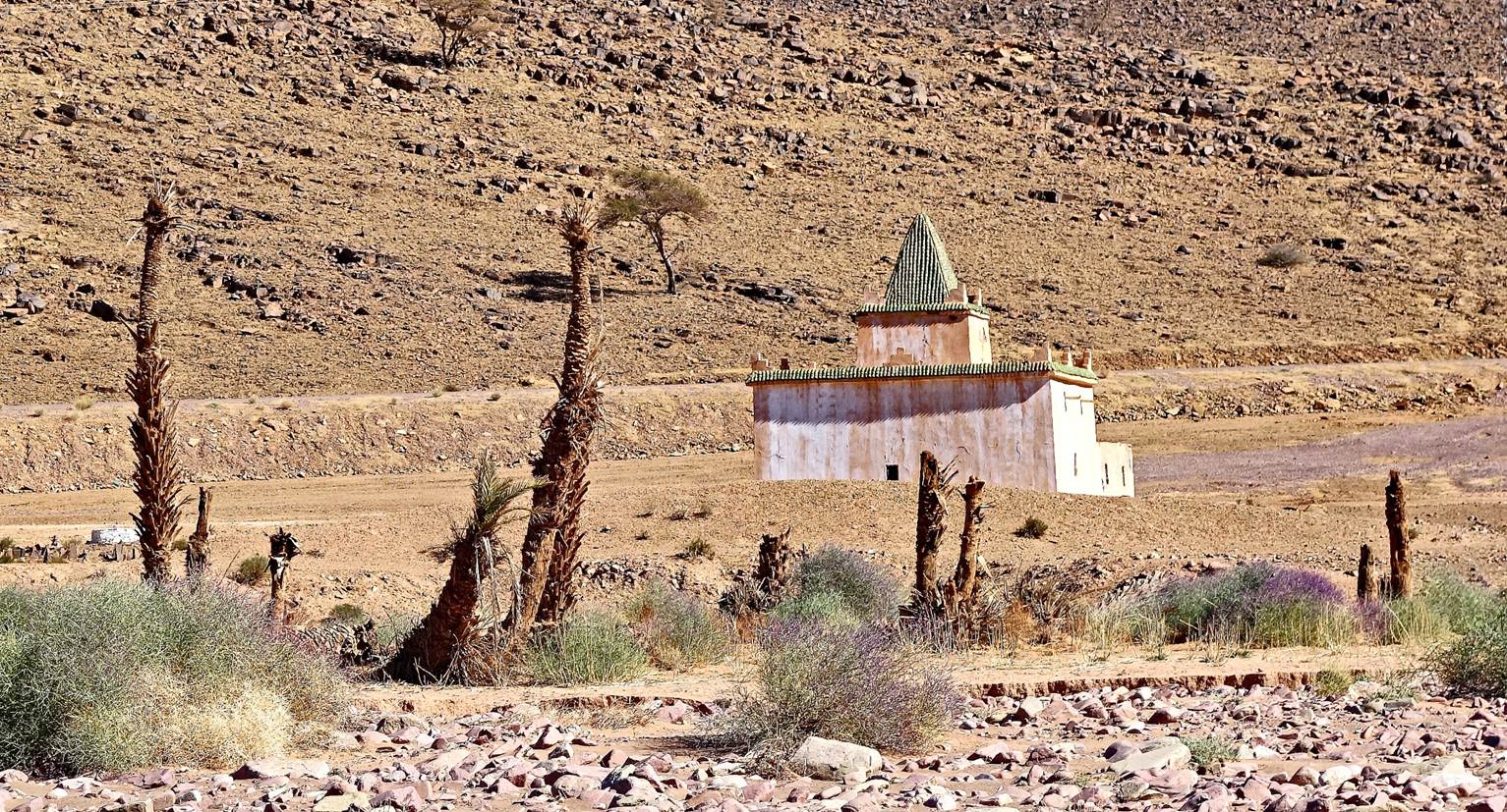
Marabout (tomb of a saint or wise man)
along the way.
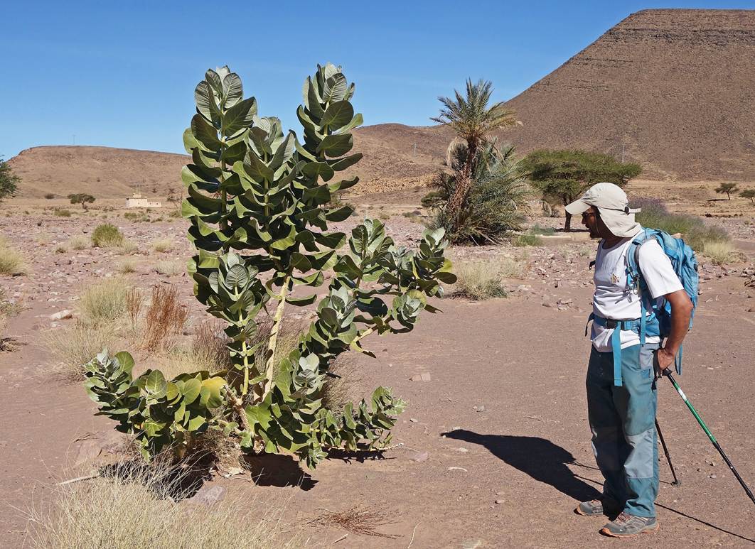
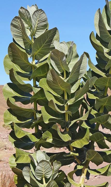
Shrub called calotropis procera. Its
fruits are globes named ″apples of Sodom″, whose skin contains a
toxic sap.
|
|
|
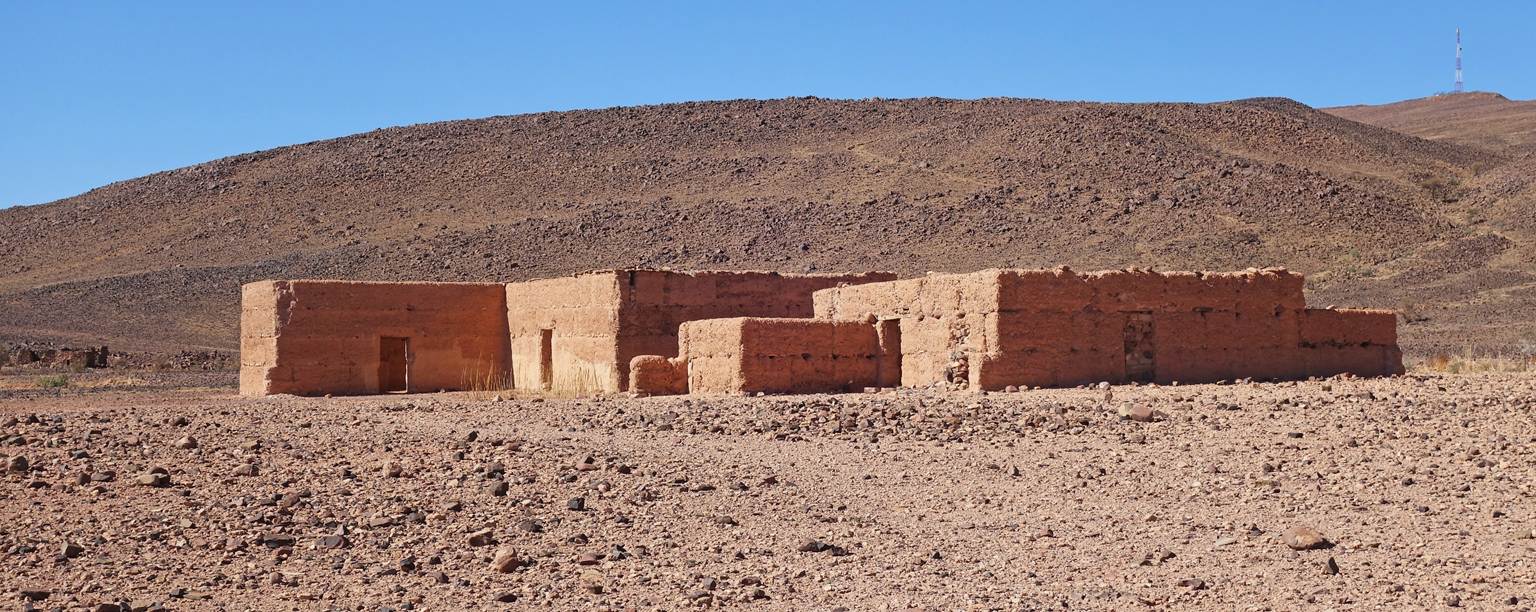
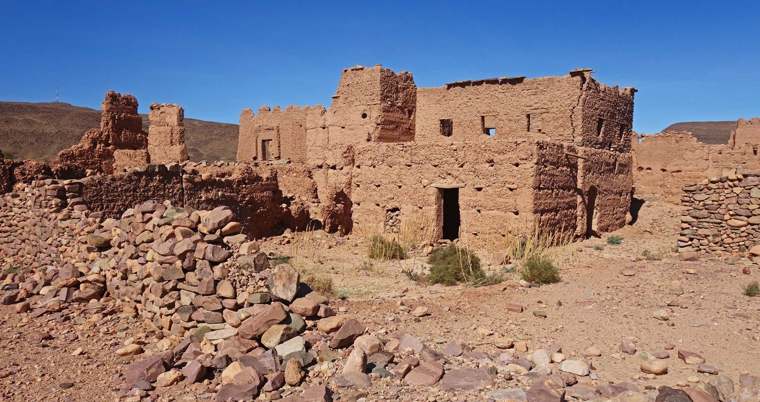
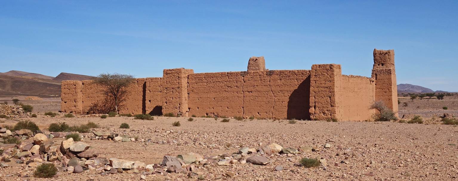
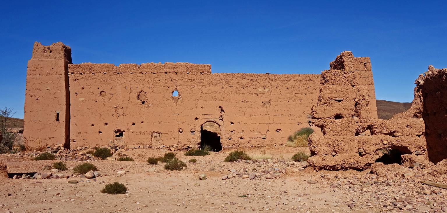
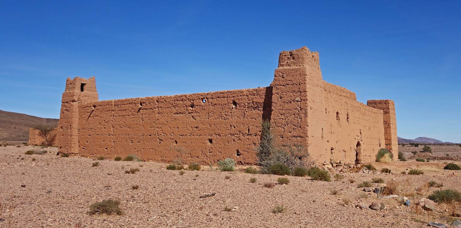
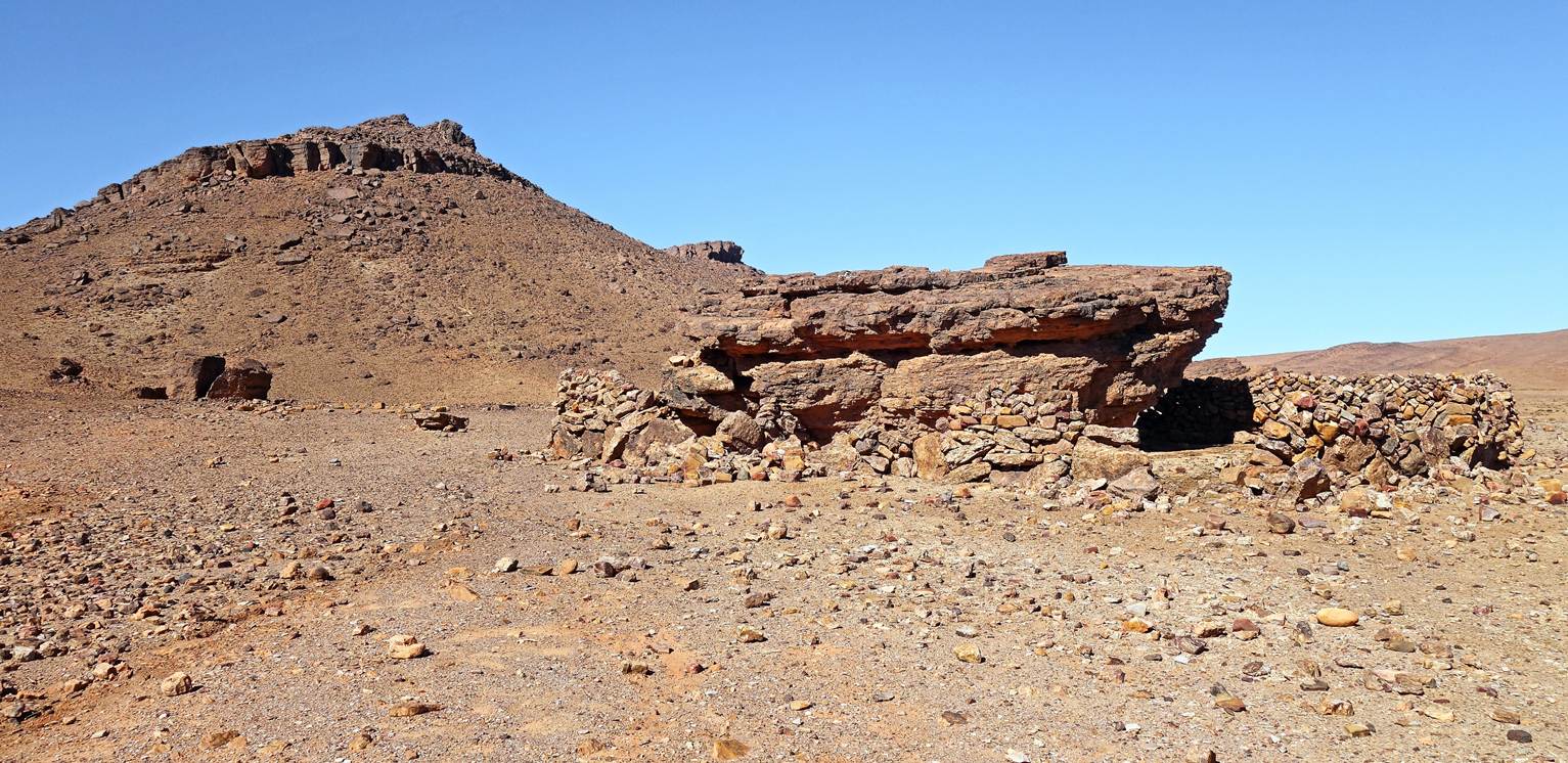
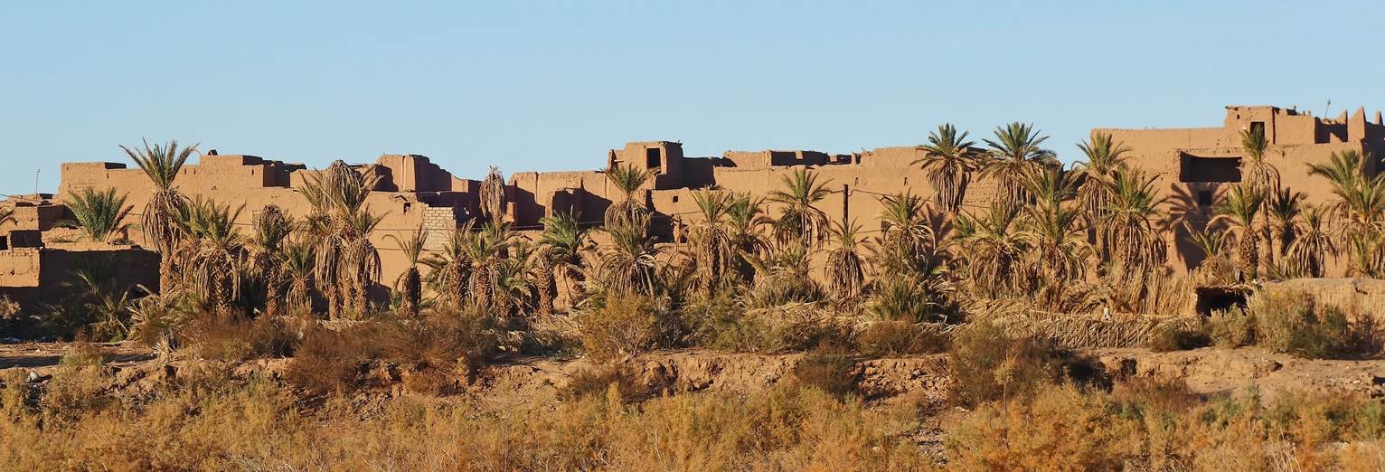
Buildings in the abandoned village of
Bou Rbia, where we set our seventh camp (waypoint 51). Unlike the abandoned
village of our previous camp, here the buildings are large and imposing. Why
did people leave: better prospects elsewhere, a lack of water, or something
else?
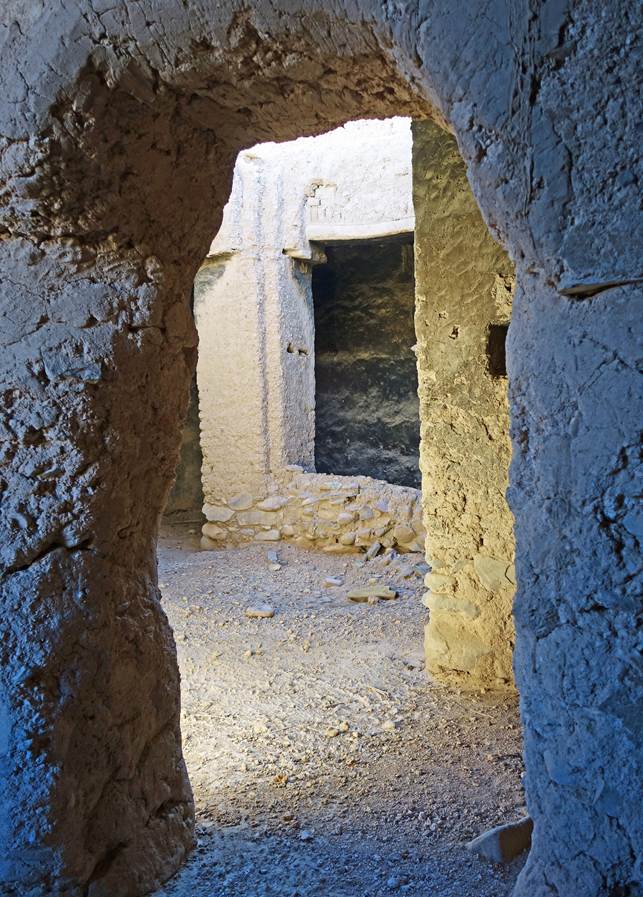
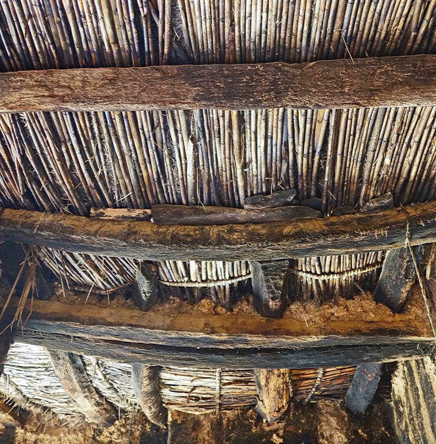
Left: Inside a house. Right:
Well-preserved ceiling, made of reeds and palm trunks.
|
|
|
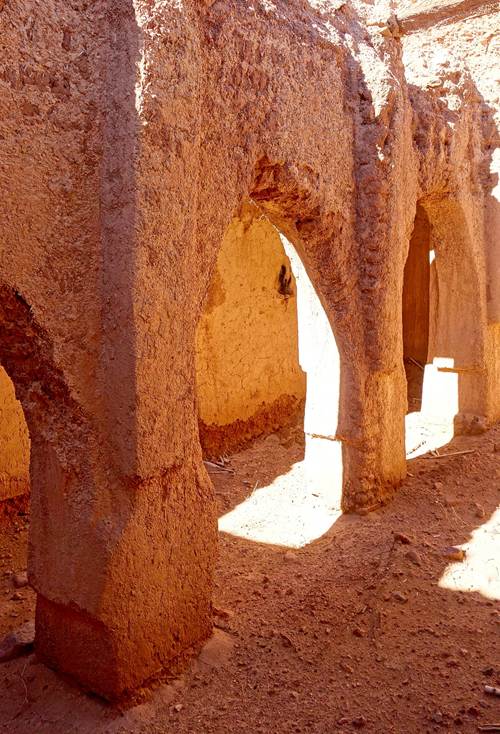
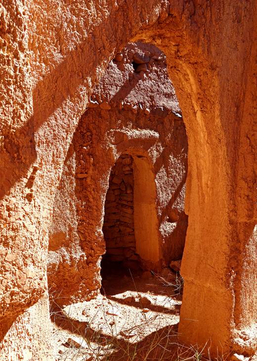
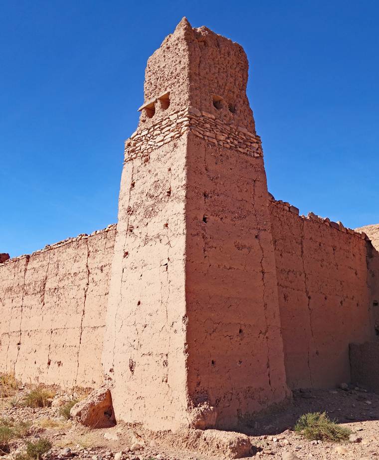
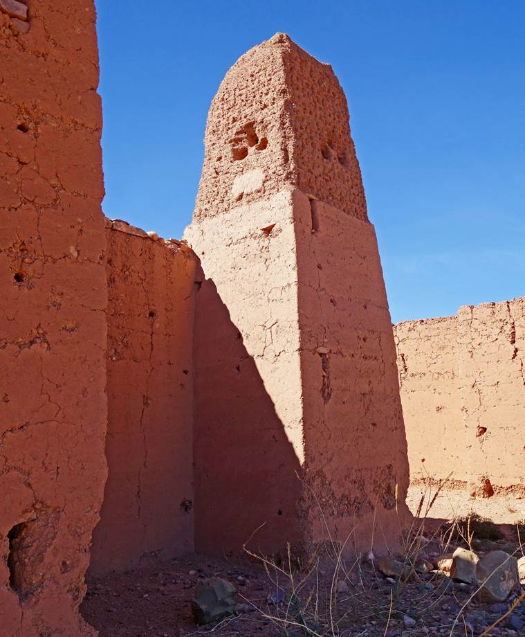
Mosque of the former village: interior
arches, mihrab (prayer niche) seen from the interior, and outer wall of the
mihrab.
|
|
|
|
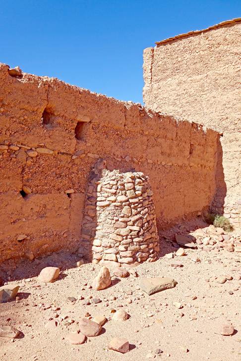
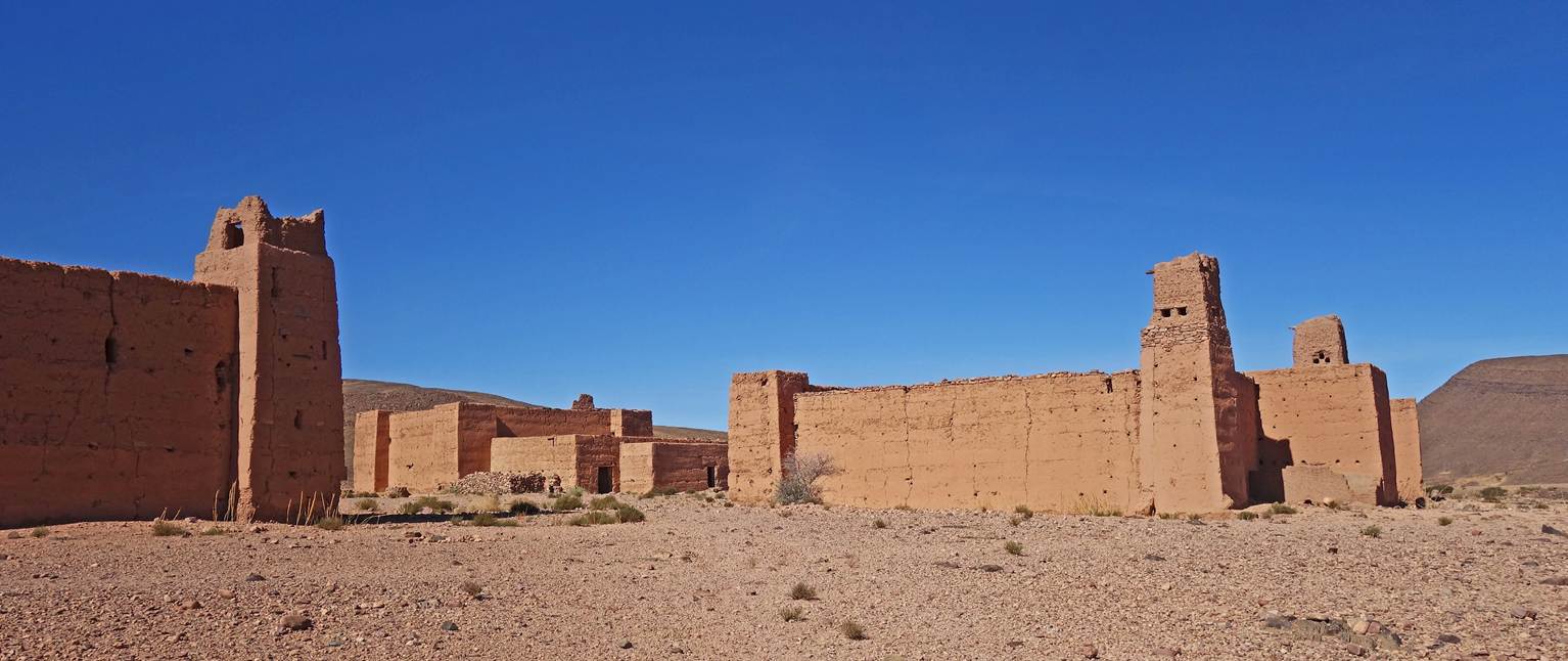
Kasbah, fortified buildings used as
residences and granaries.
|
|
|
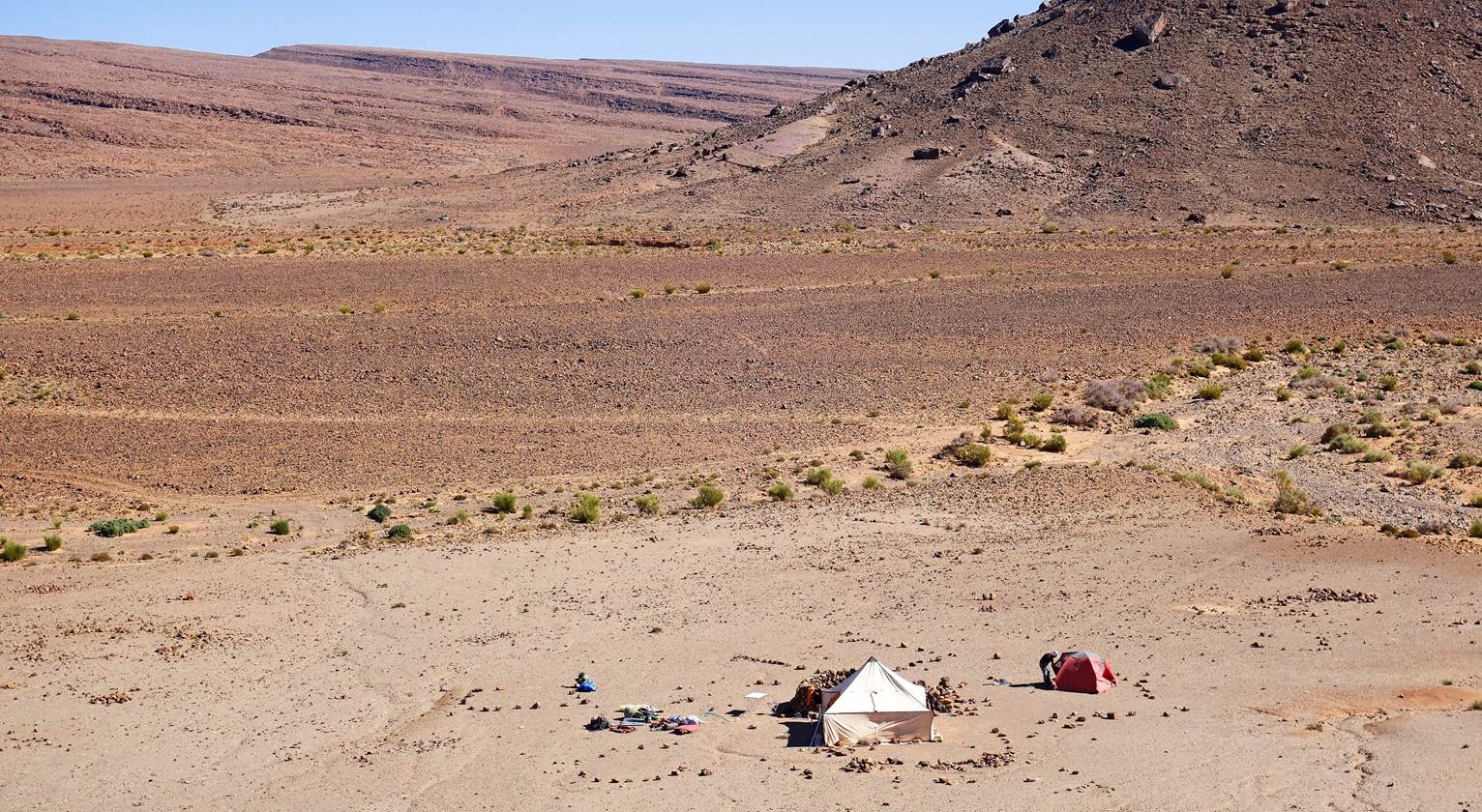
Our seventh camp, set up next to the Bou
Rbia village, on its southern side (waypoint 51).
Day 8:
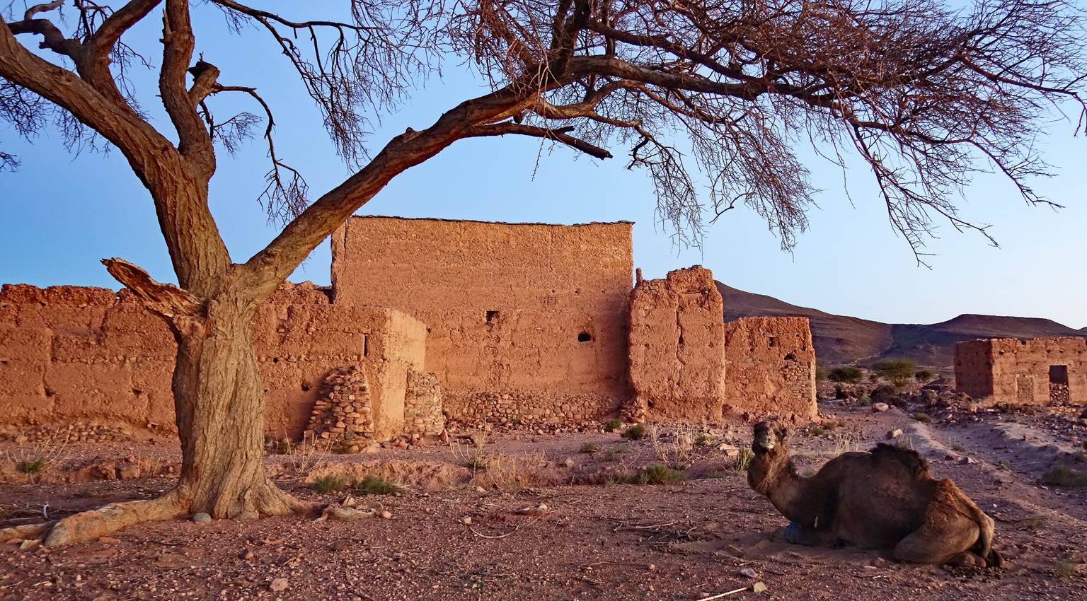
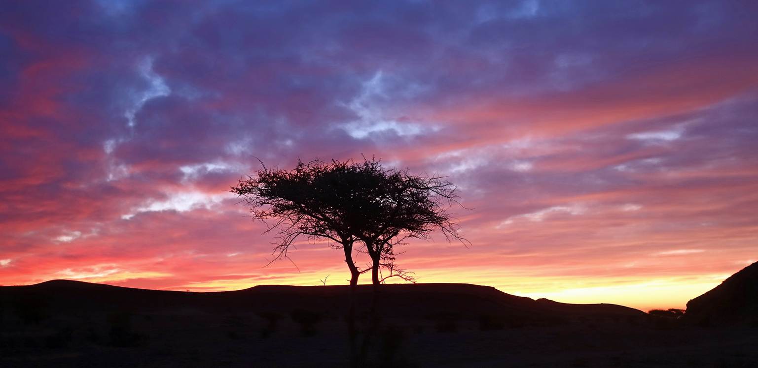
An acacia tree backlit before sunrise.
One of our camels and buildings of Bou
Rbia next to our seventh camp just before sunrise.
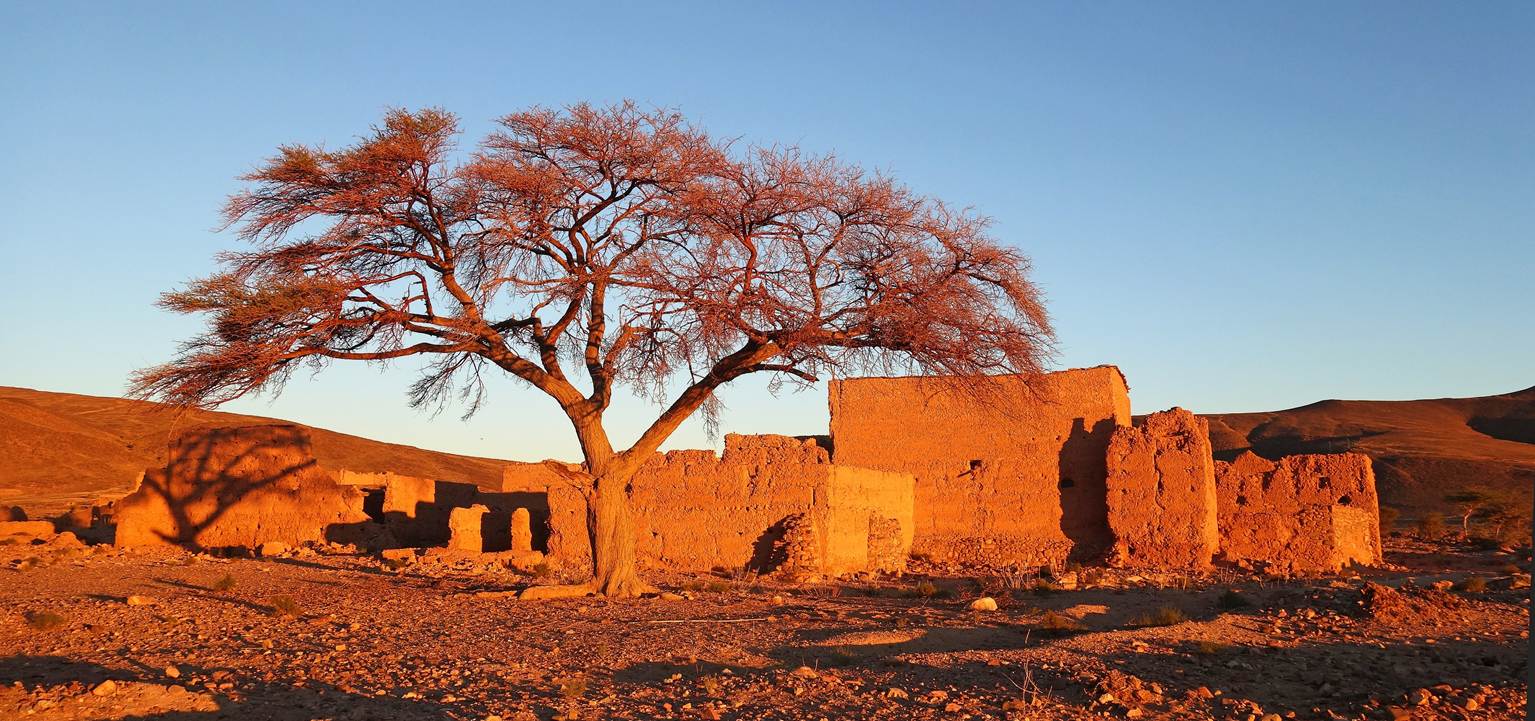
The same buildings illuminated at
sunrise.
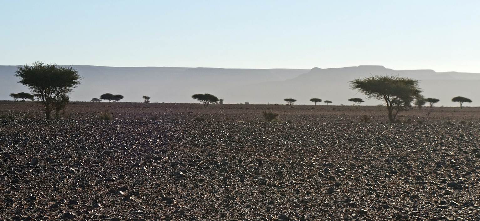
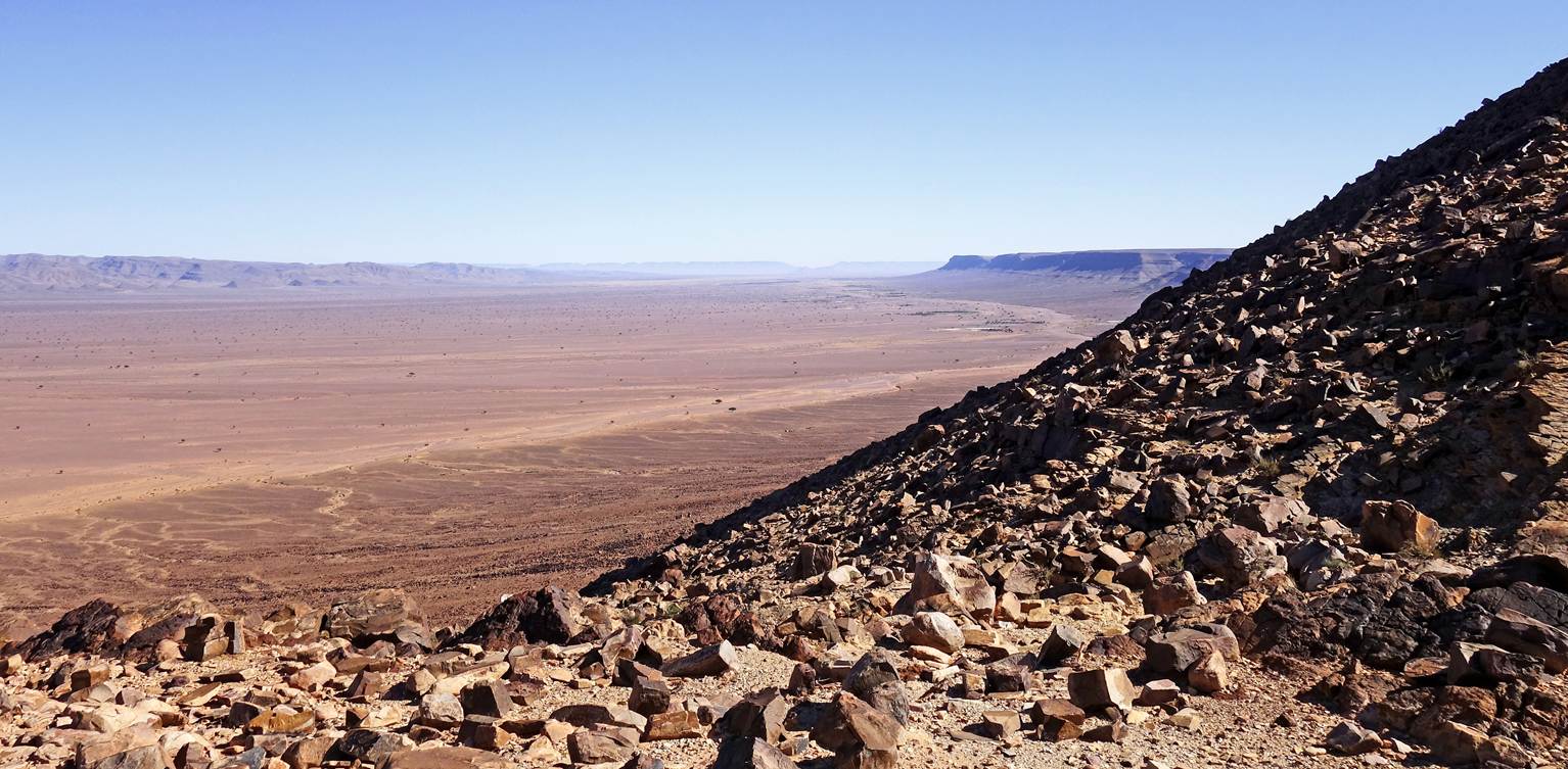
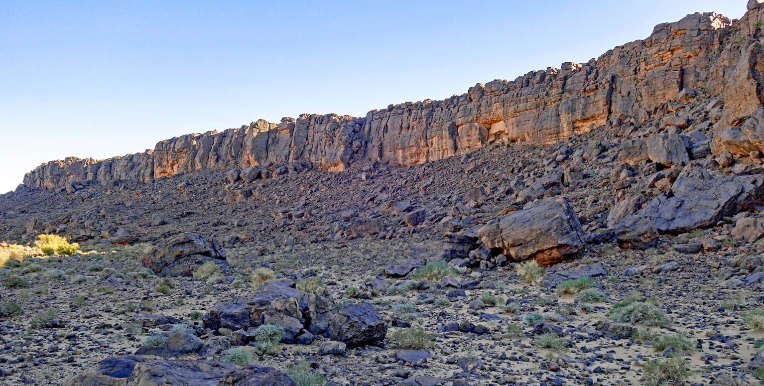
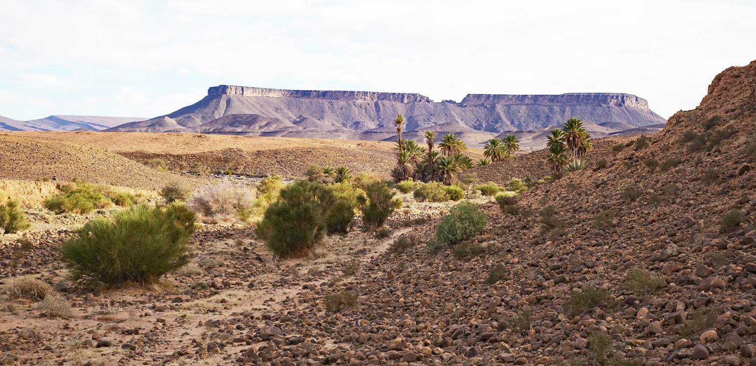
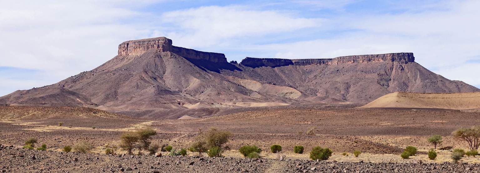
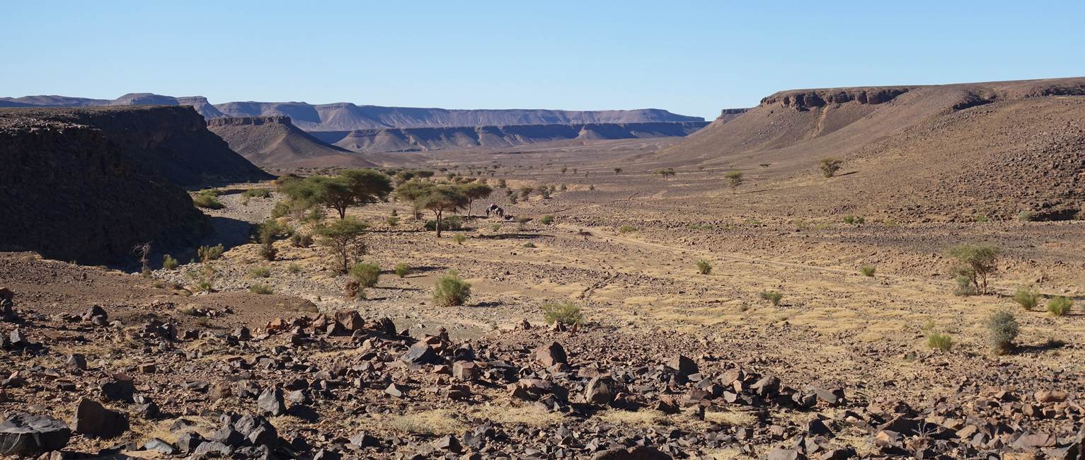
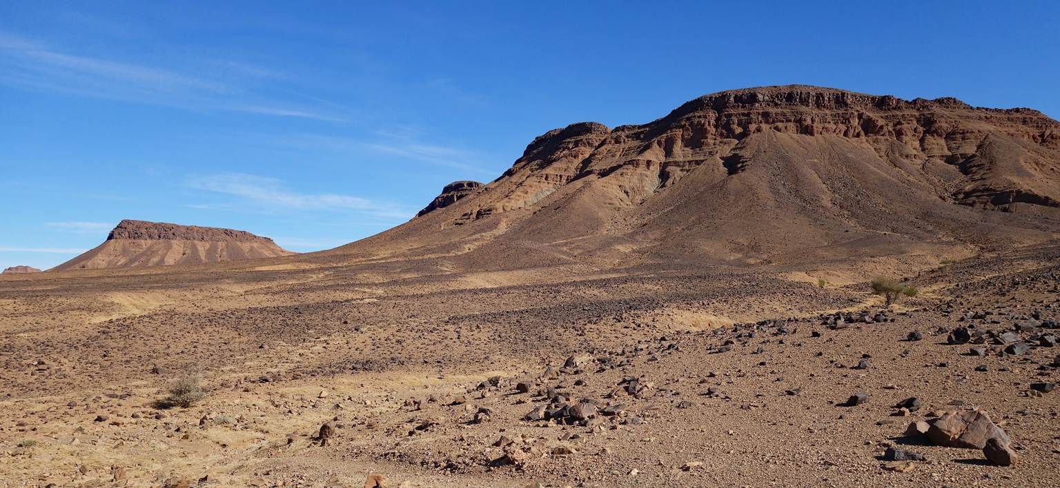
After leaving our campsite, we crossed
an 8km-wide plain between waypoints 51 and 52. On the other side of this plain
rises Jebel Bani, a long, narrow subrange of the Anti-Atlas, beyond which lies
the Sahara. On the rest of the day and the next two days we will hike along the
Jebel Bani toward the east.
Five successive photos of the plain,
taken in different directions, each with Jebel Bani in the background.
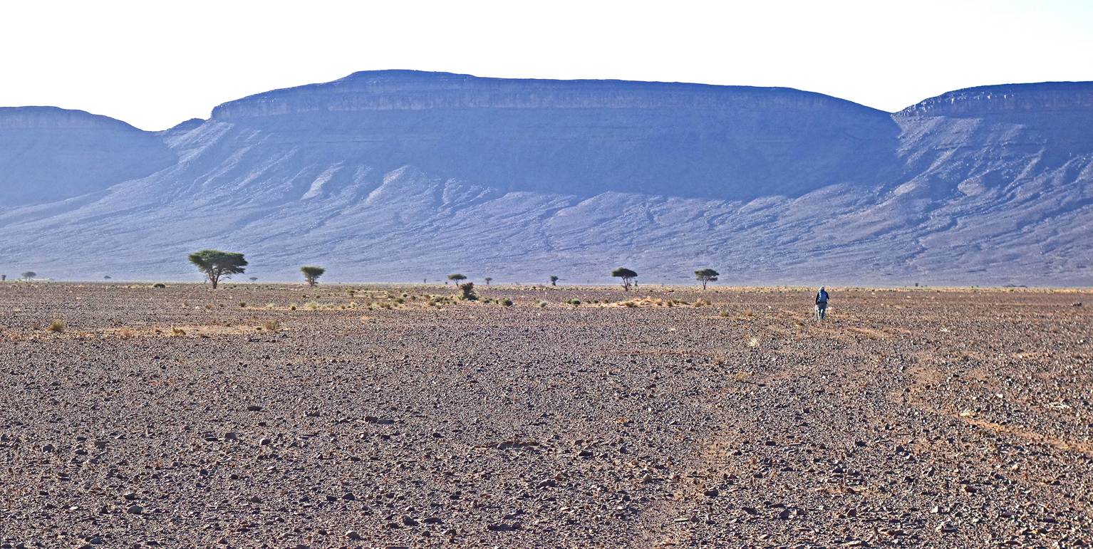
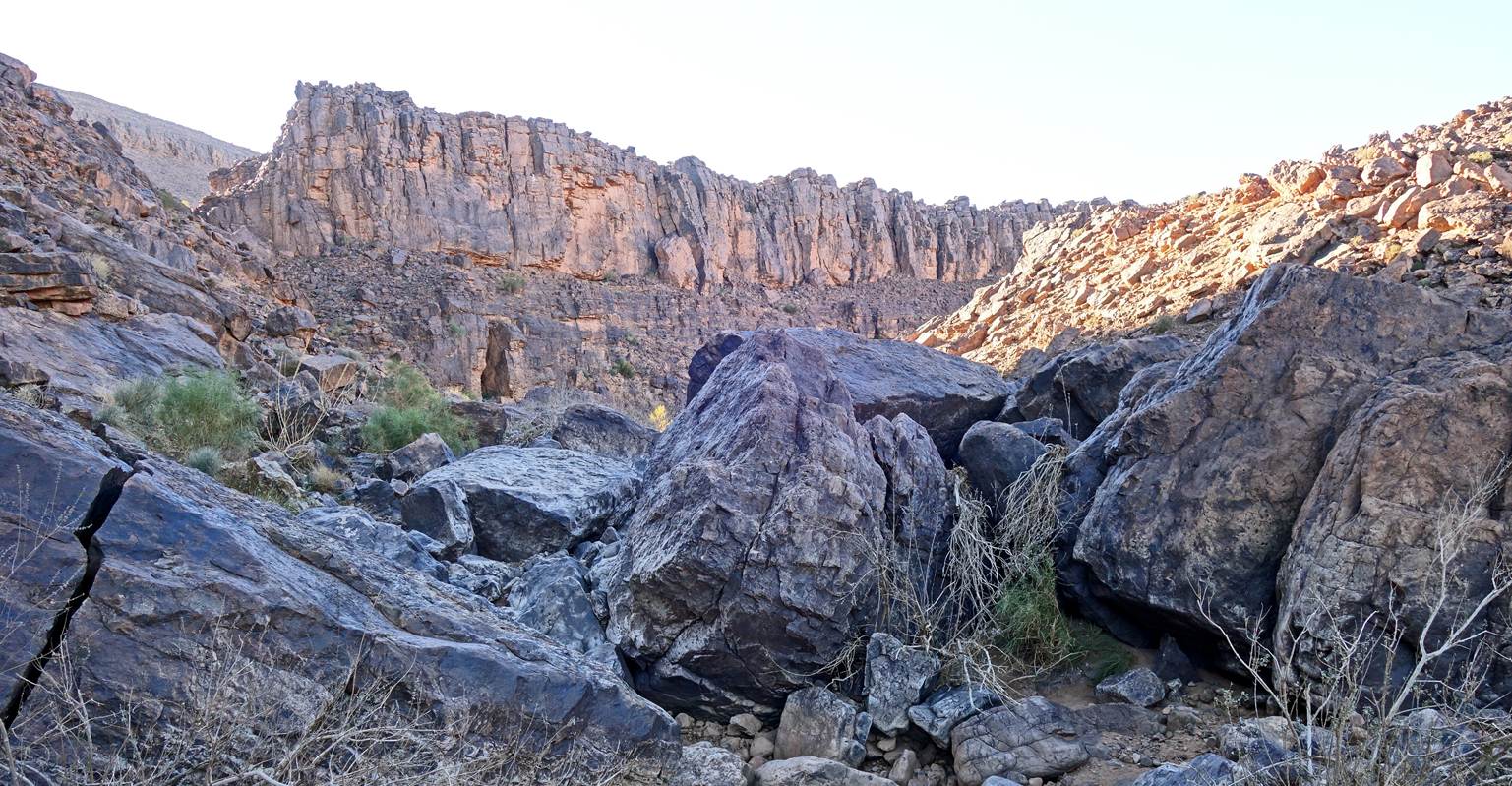
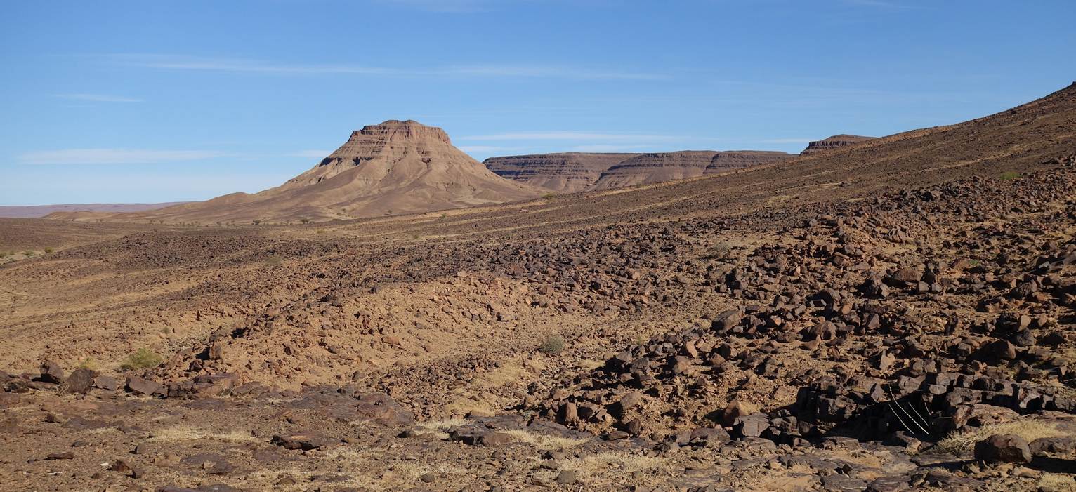
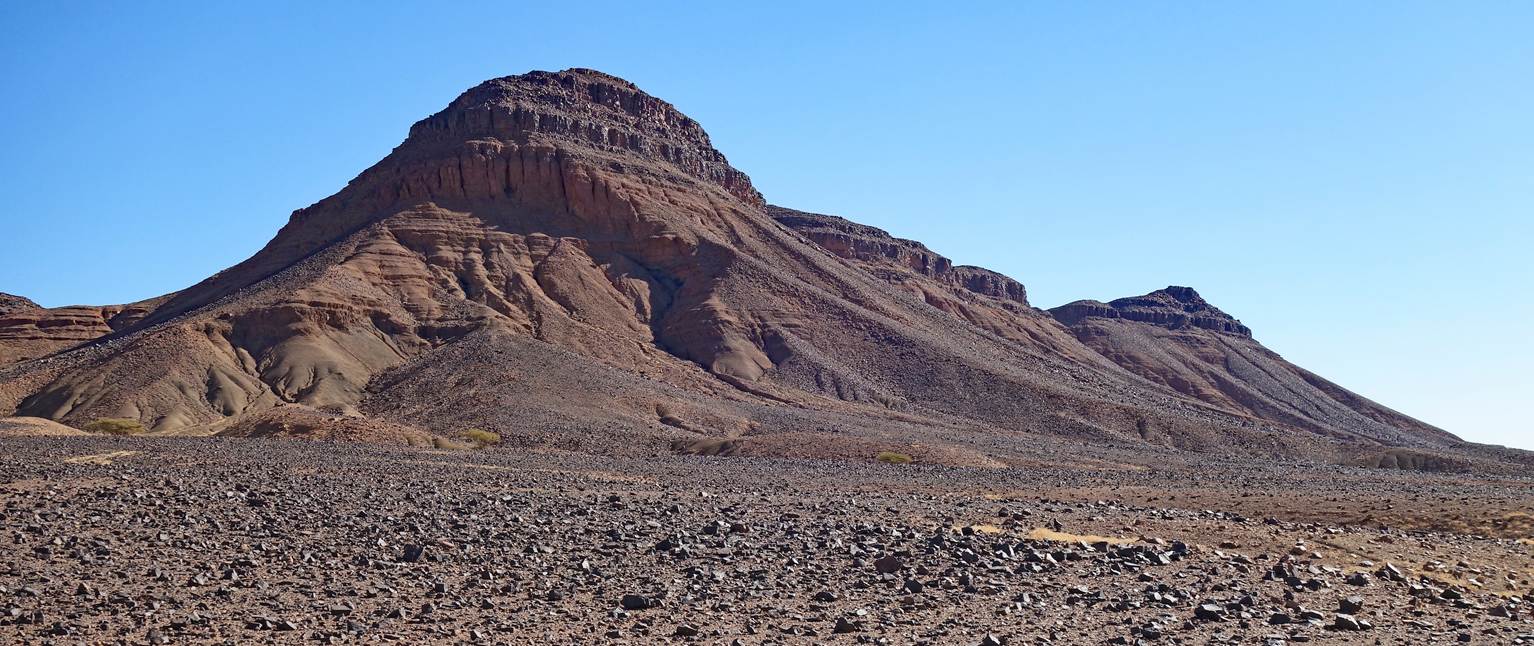
We climbed Jebel Bani to reach the gap
visible on the left of the photo below.
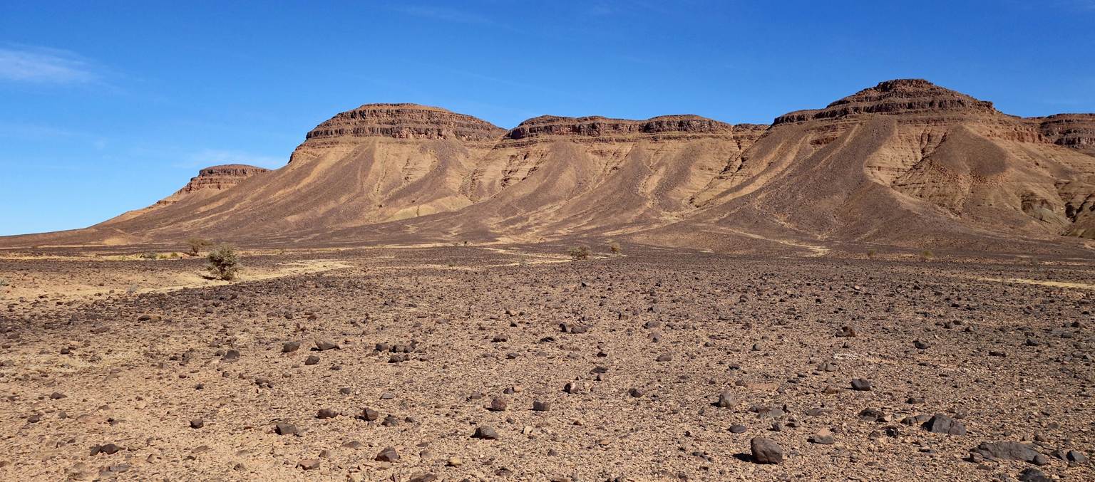
Another picture of the plain, taken here
looking north, with Bou Rbia in the far background.
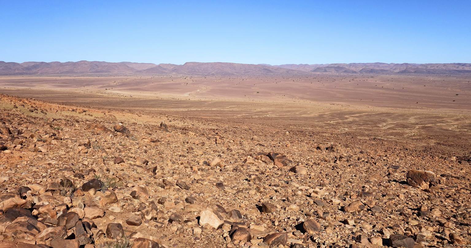
View over the plain toward the north
from waypoint 52, at the start of the ascent of Jebel Bani.
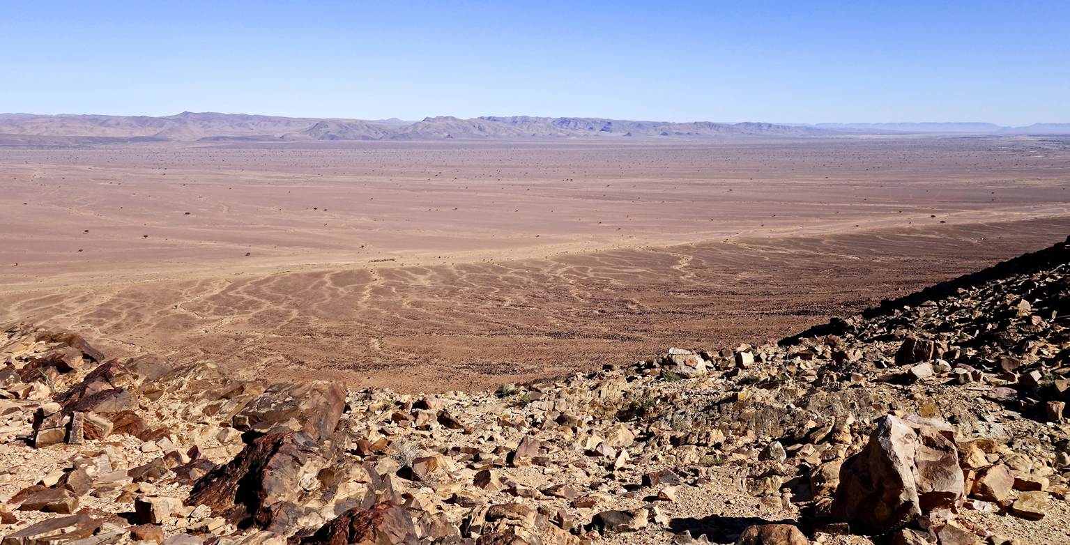
Views over the plain toward the north
and the east from the ridge of Jebel Bani at waypoint 53.
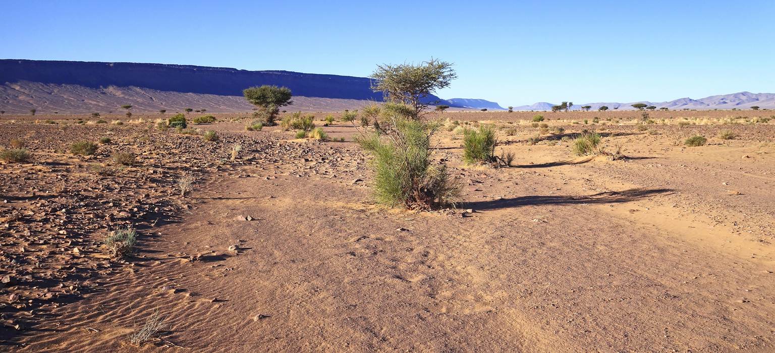
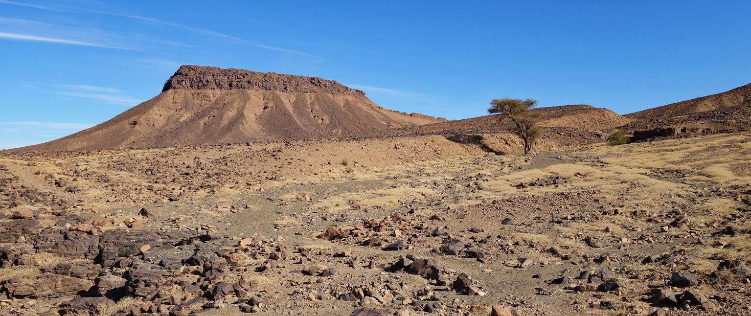
More or less flat terrain on top of
Jebel Bani.
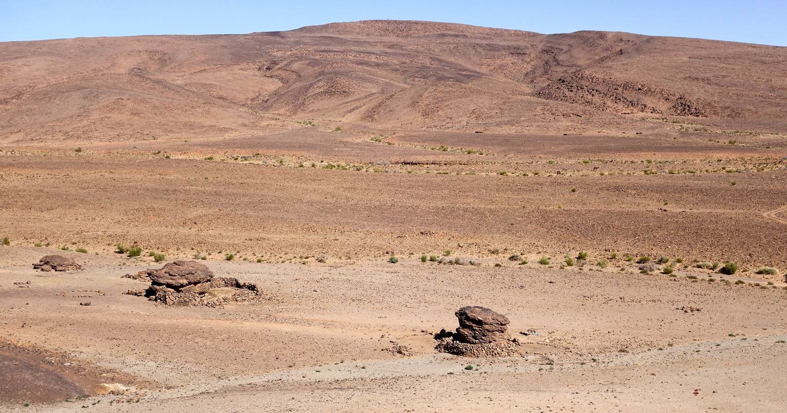
A sheepfold around a large rock
formation just before reaching our eighth campsite.
Our eighth campsite (waypoint 55), seen
from the top of a small hill. The arrangements of the stones on the ground and
the presence of nearby sheepfolds indicate the site is occasionally used as a
camp by nomads.
Sheepfolds seen from the same hill.
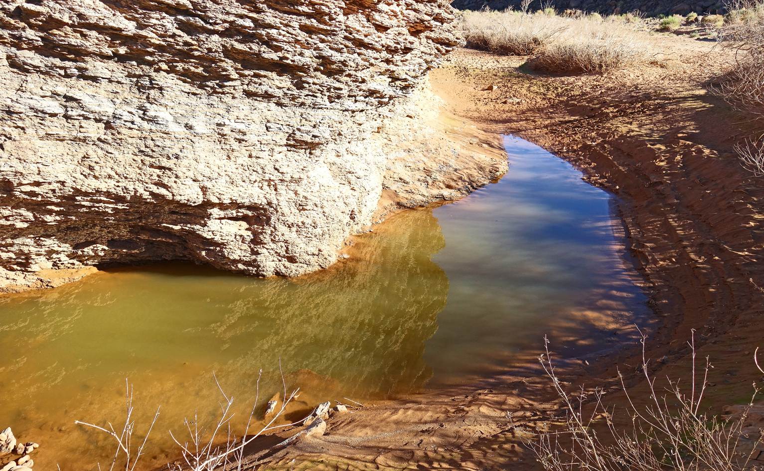
Pool of water near the camp.
Rock formations near the camp.
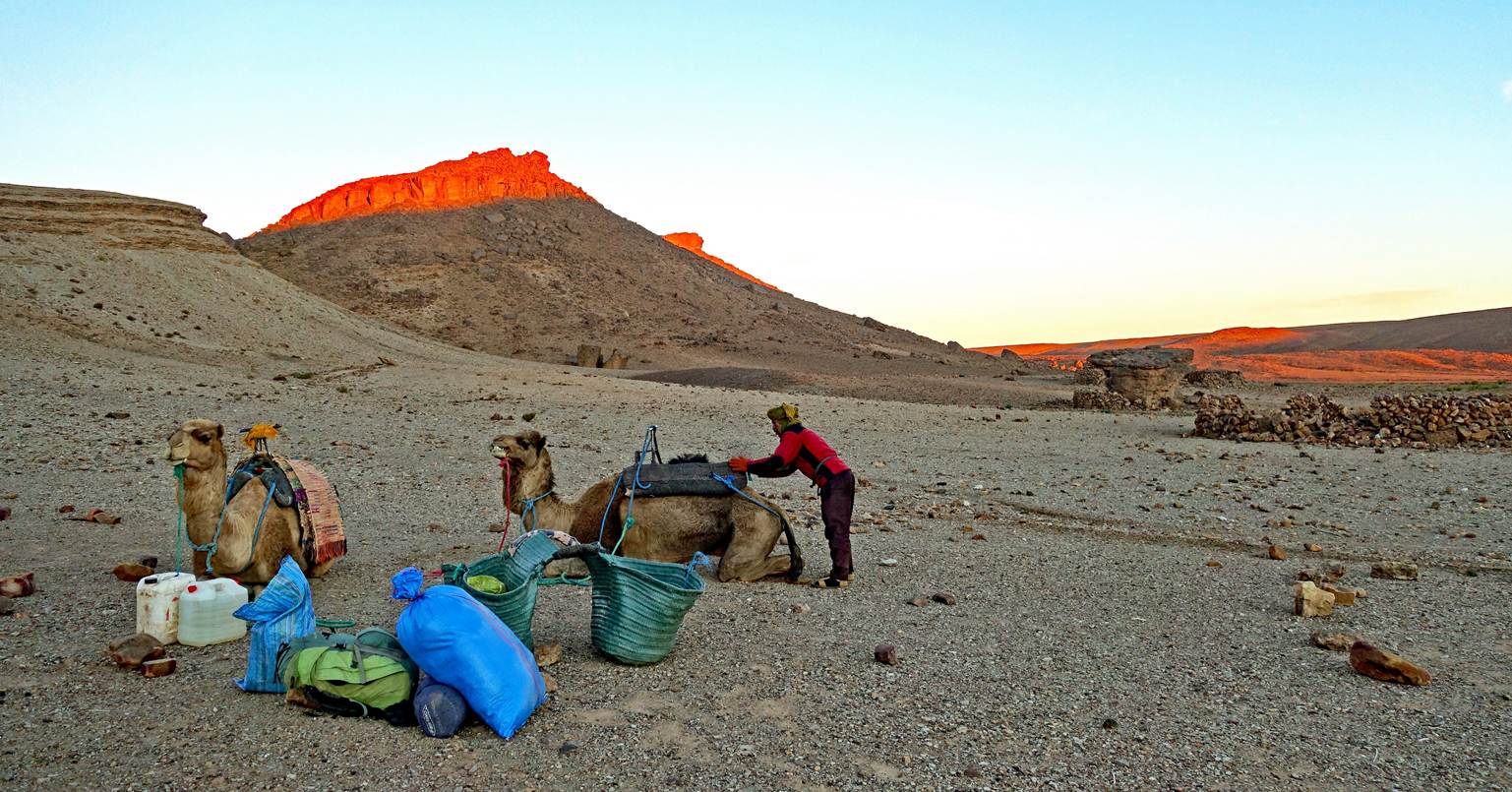
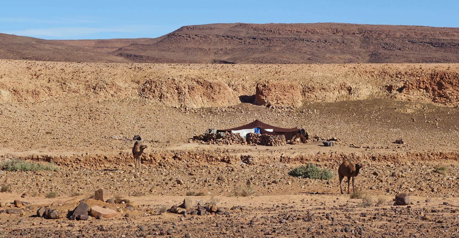
Day 9:
Ahmed starting to load the camels at
sunrise.
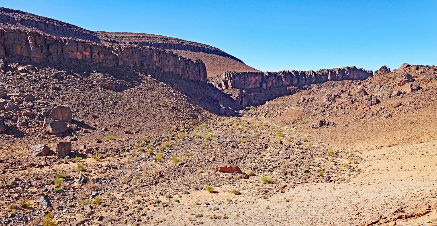
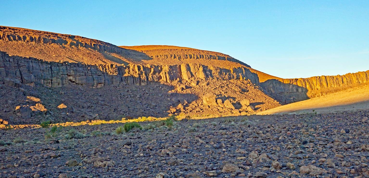
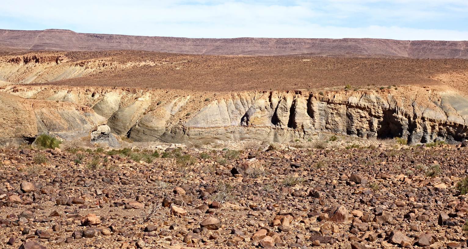
Sunrise over the surrounding cliffs.
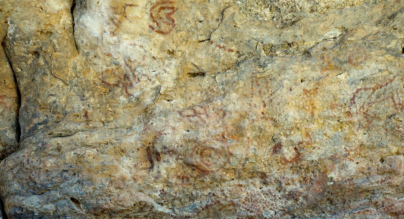
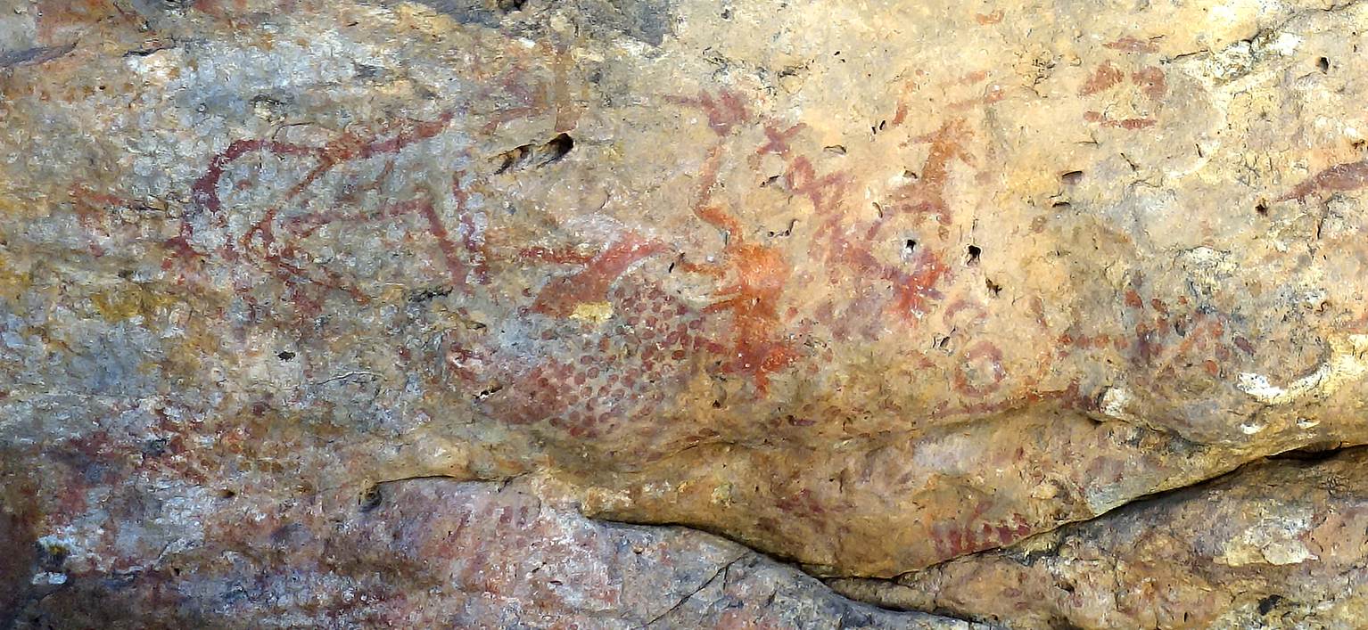
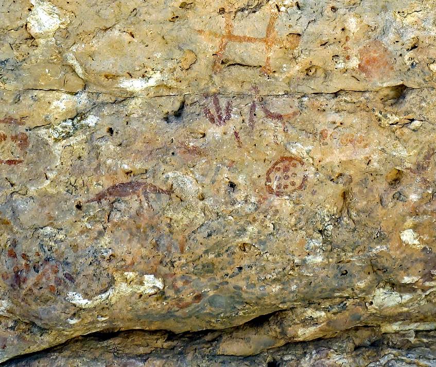
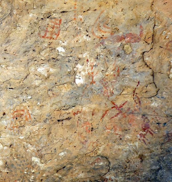
Ancient pictograms in a large rock
cavity.
|
|
|
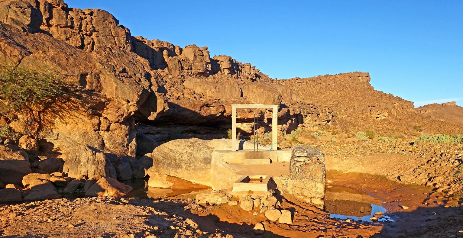
Well.
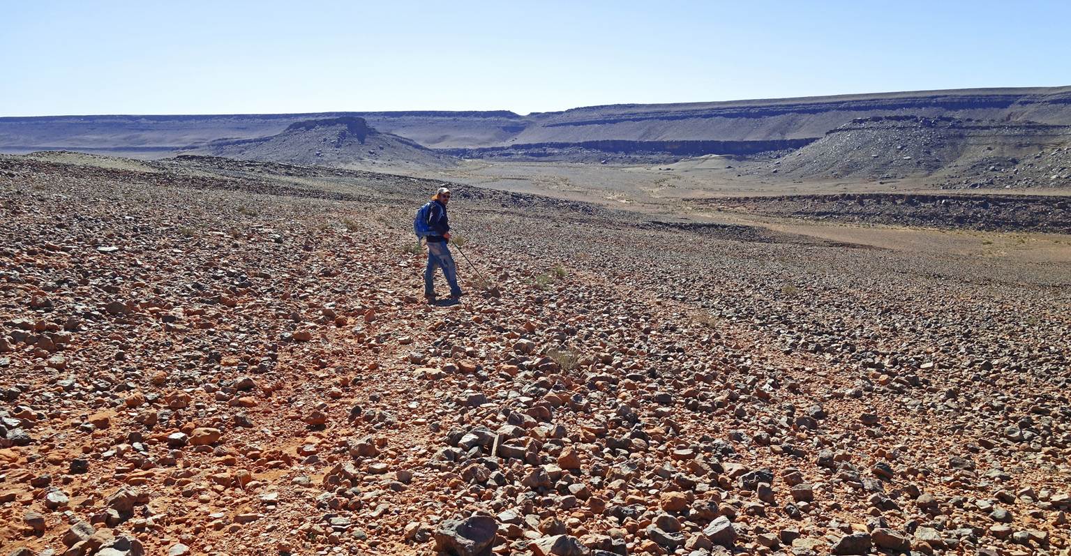
Hiking on the flat top of Jebel Bani.
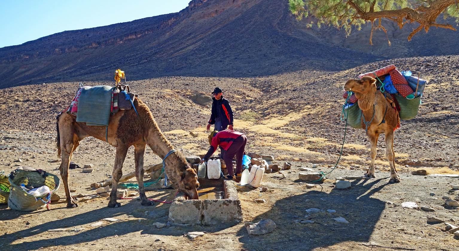
Filing water at another well (waypoint
59).
Nomadic camp.
Acacia tree at an occasional nomadic
campsite.
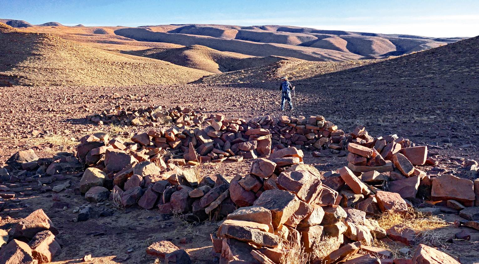
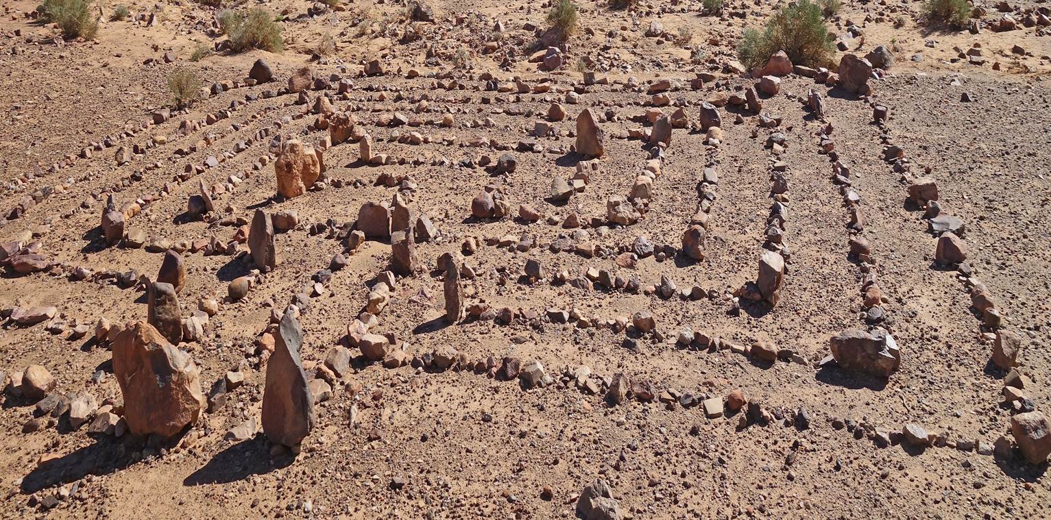
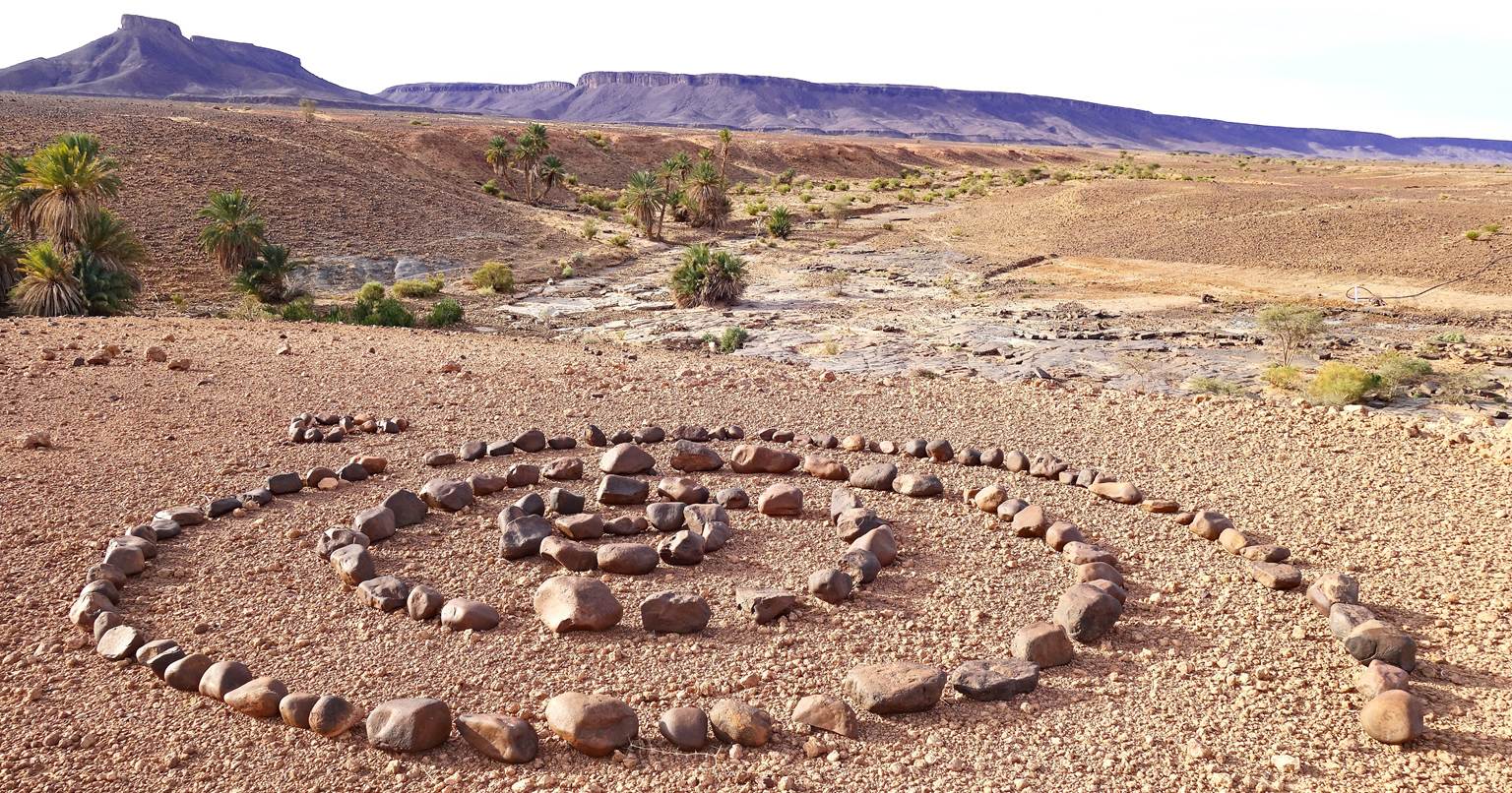
An intriguing geometric arrangement of
stones at the campsite. What is its purpose: artistic, religious, a playground,
a pastime, something else?
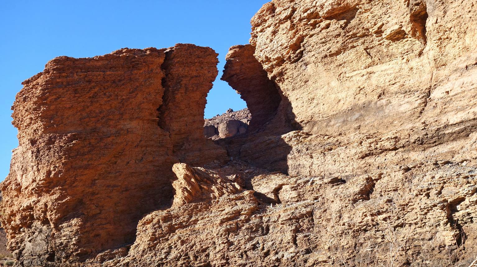
Small canyon carved into the flat top of
Jebel Bani.
Water resurgence with high salt content,
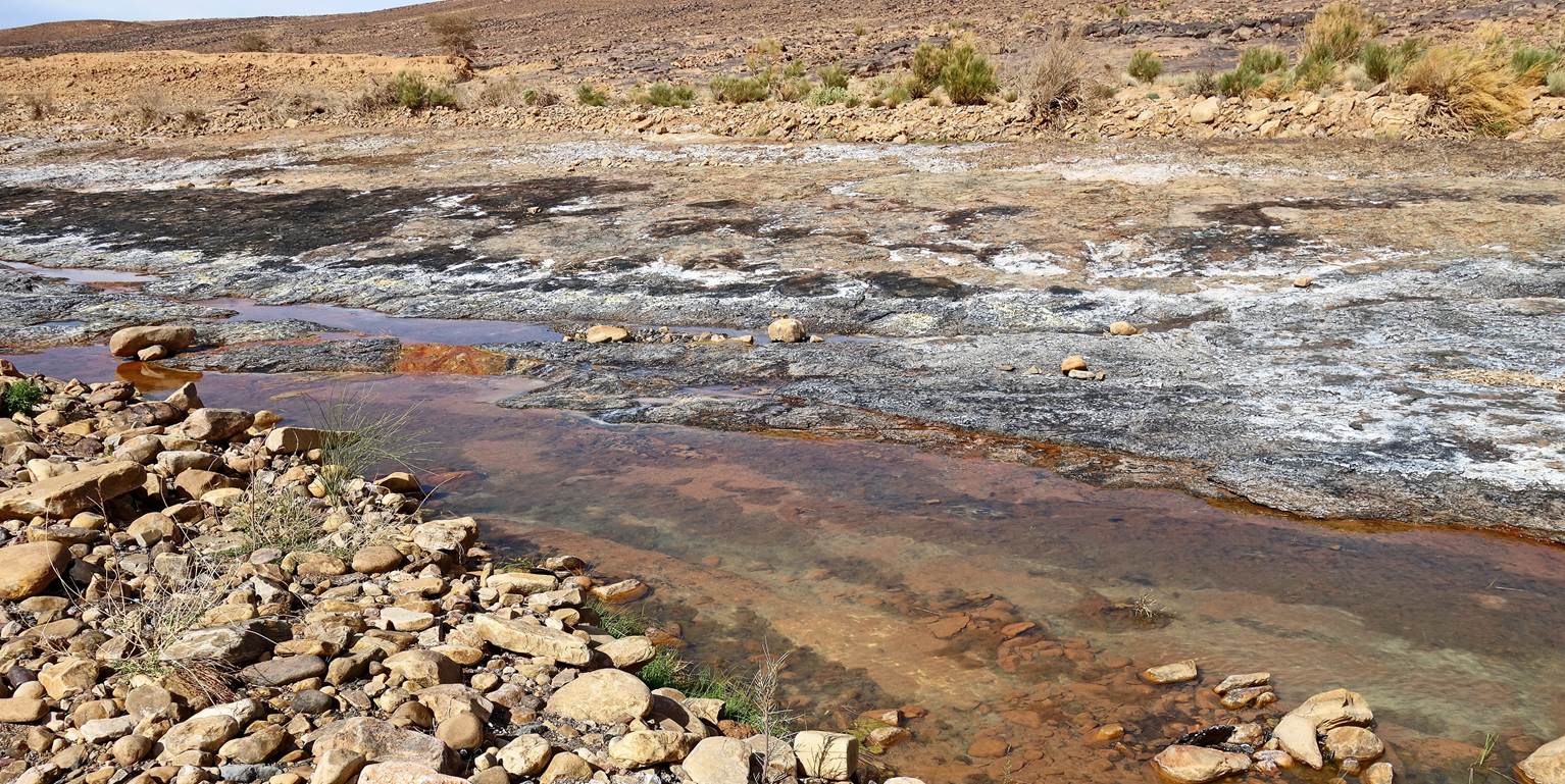
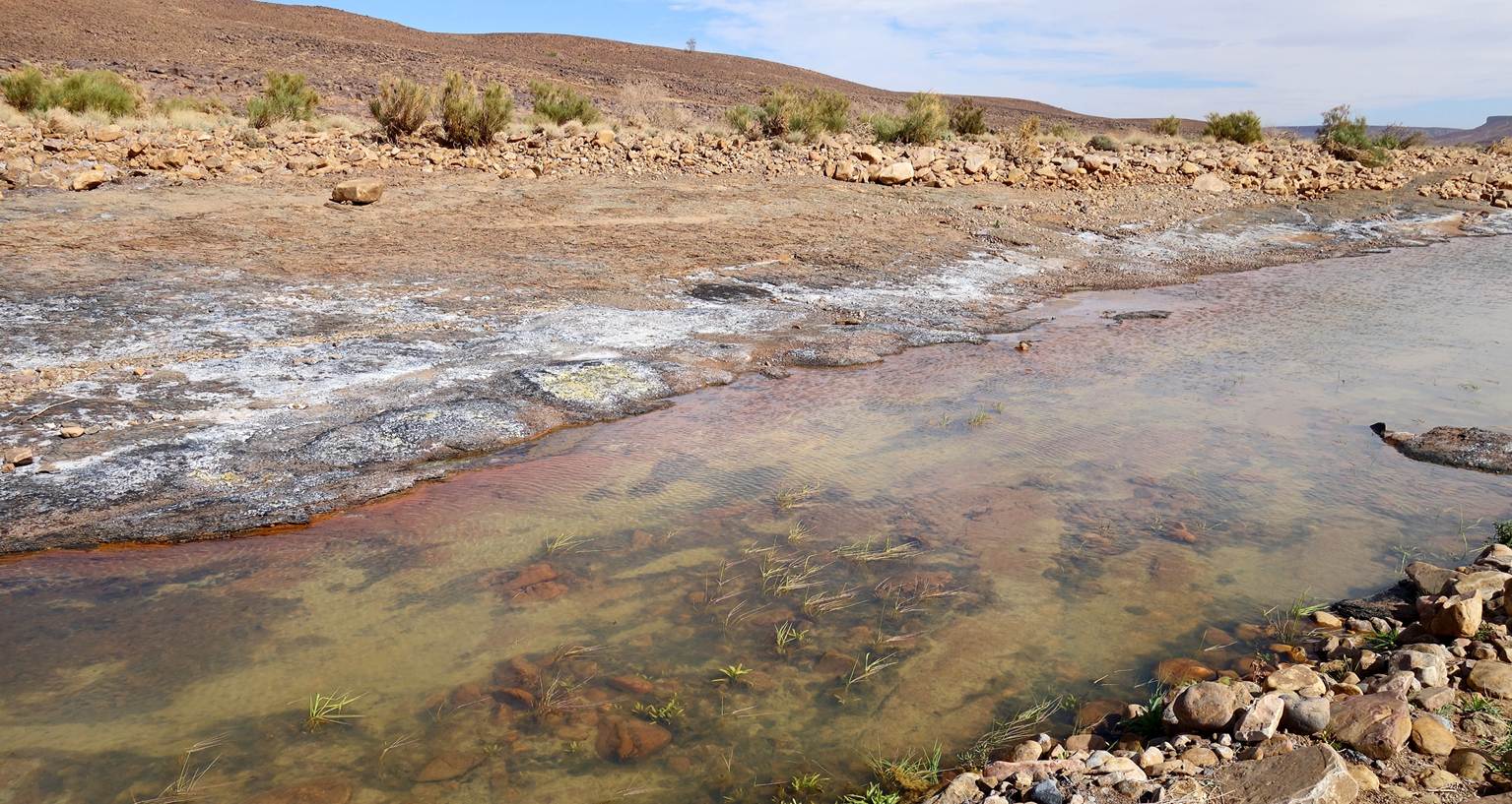
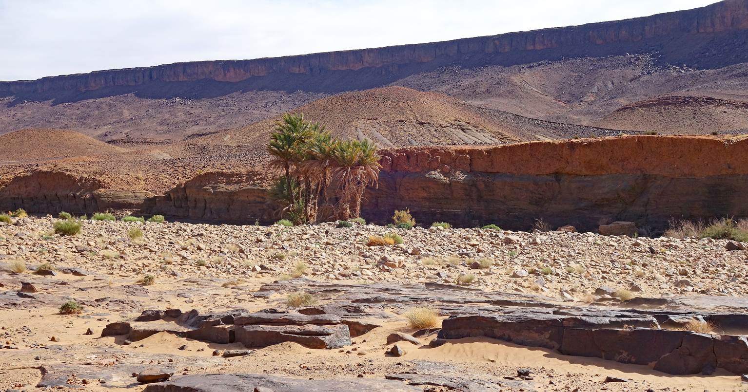

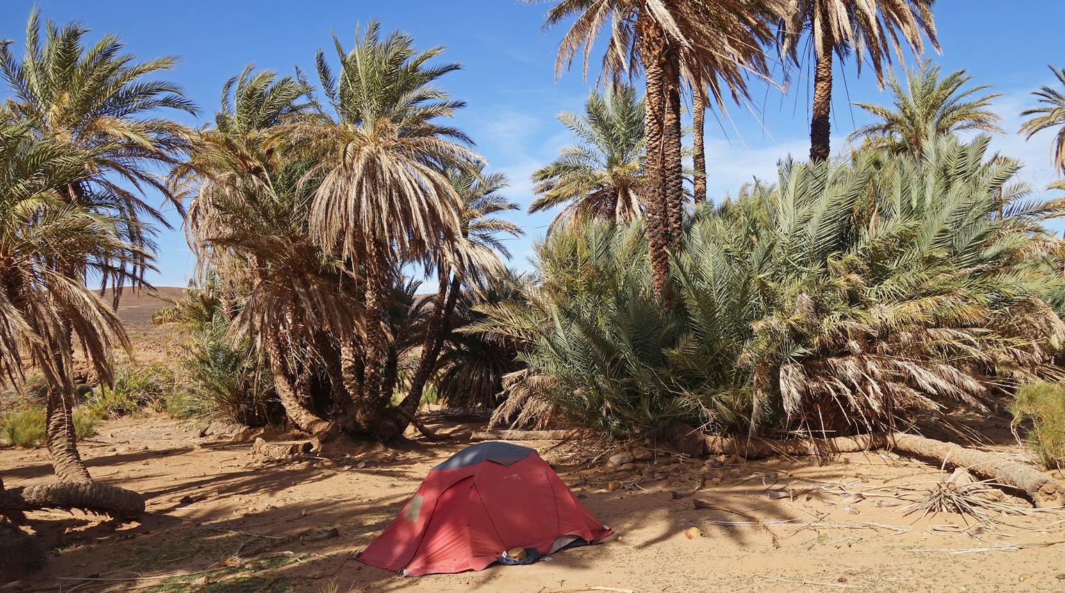
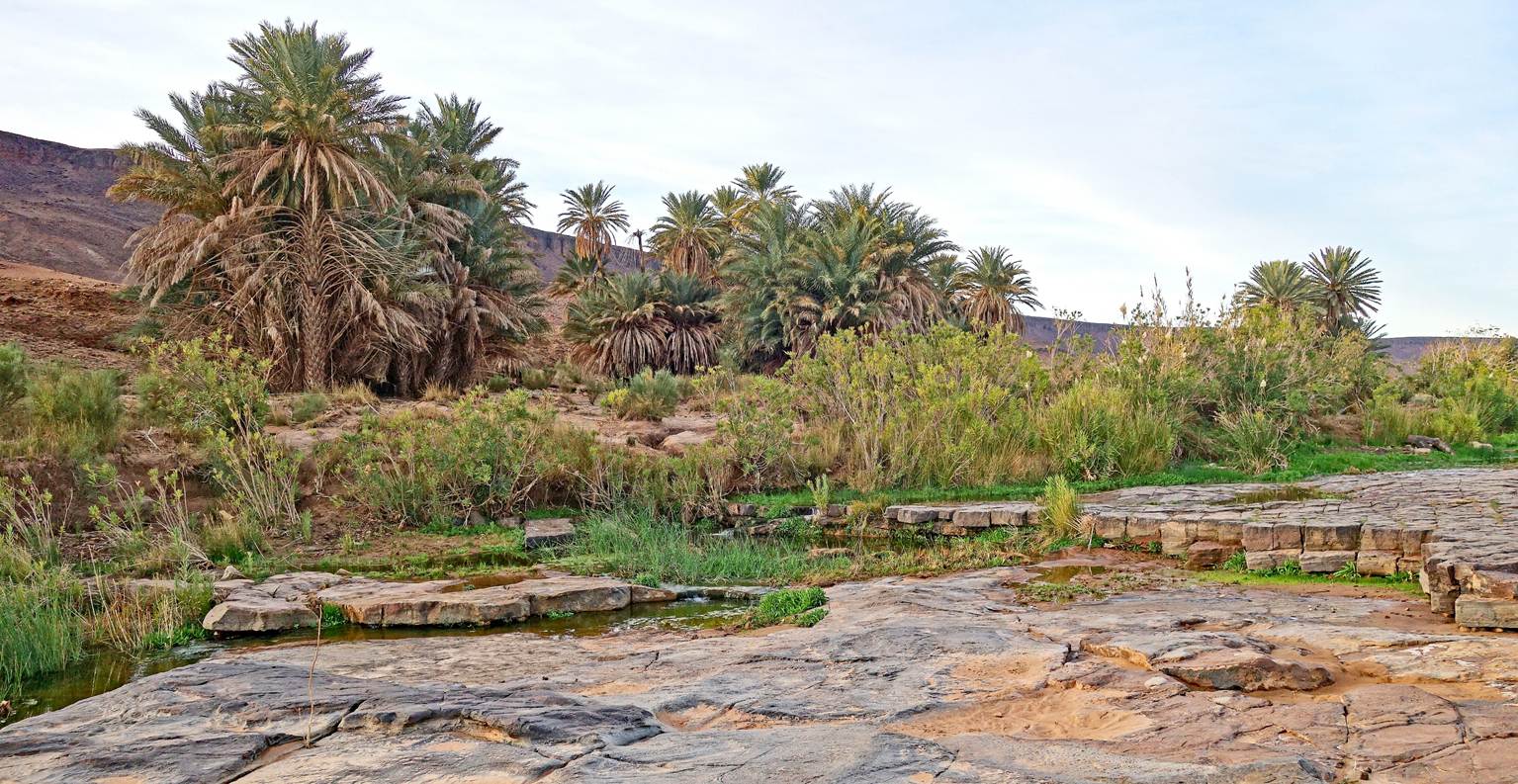
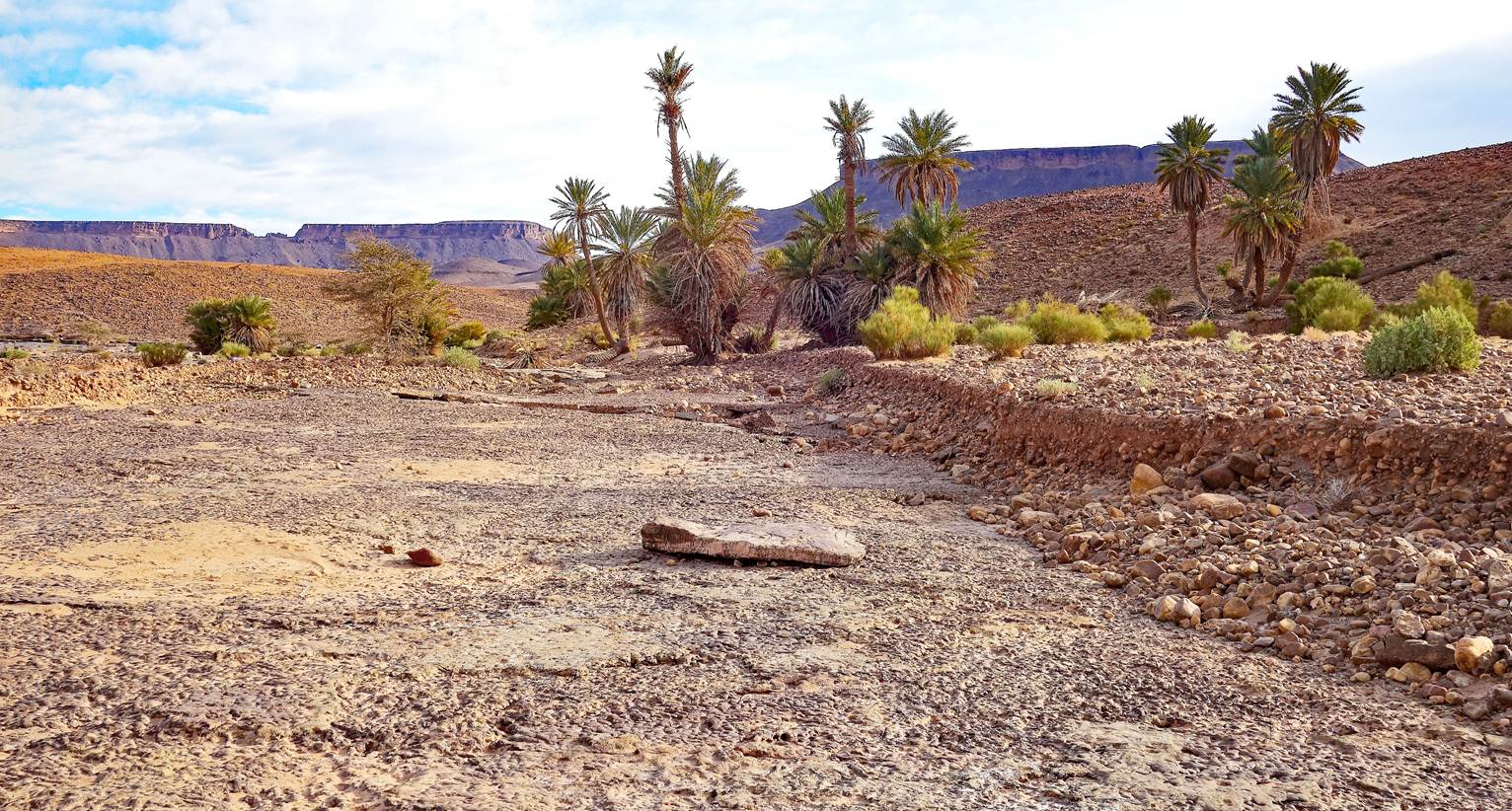
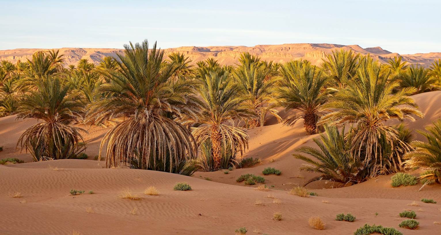
Natural palm grove where we established
our ninth camp.
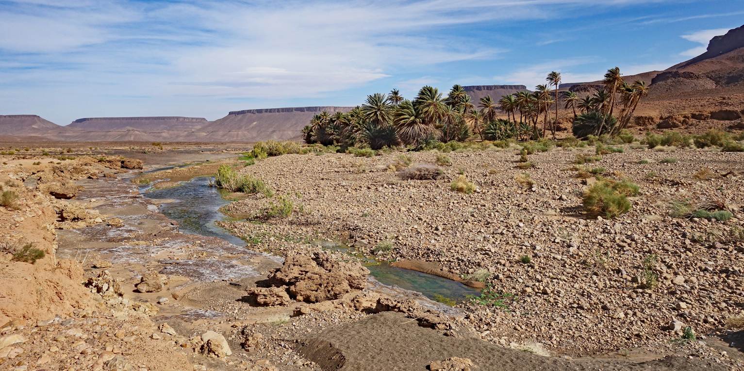
My tent in the palm grove (waypoint 63).
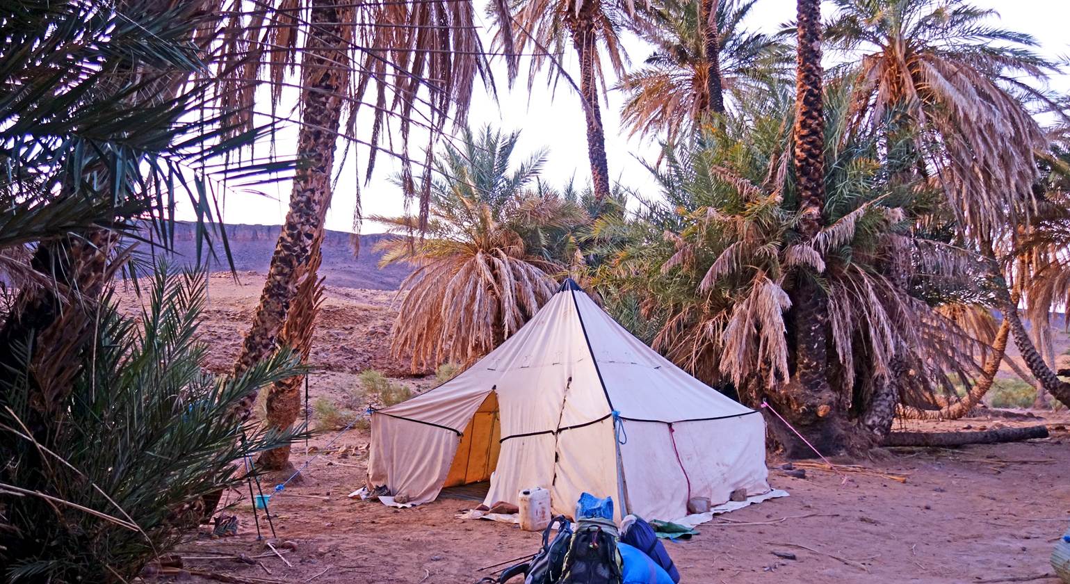
Day 10:
Our large tent at the ninth campsite in
the early morning.
One of our camels before sunrise.

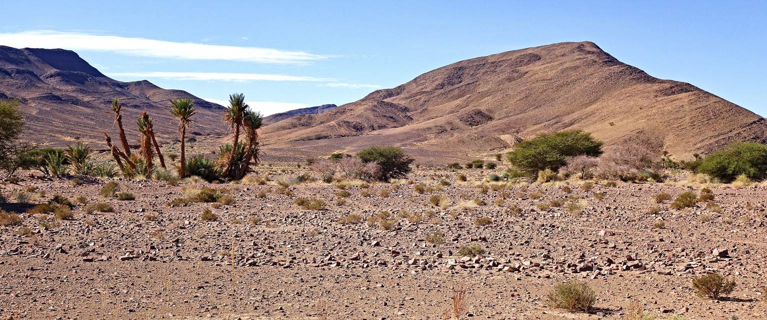
Flat-topped mountains seen from the palm
grove at the start of the hiking day.
Looking back toward the palm grove.
Rocky terrain, but easy to walk through.
Passing
by another palm grove as we approached the flat-topped mountains.
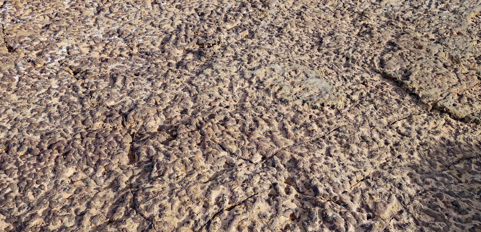
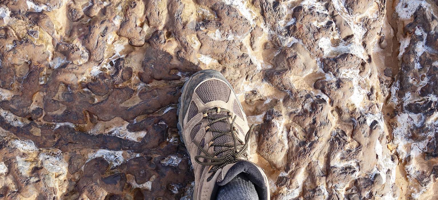
Rocky ground with an unusual pattern.
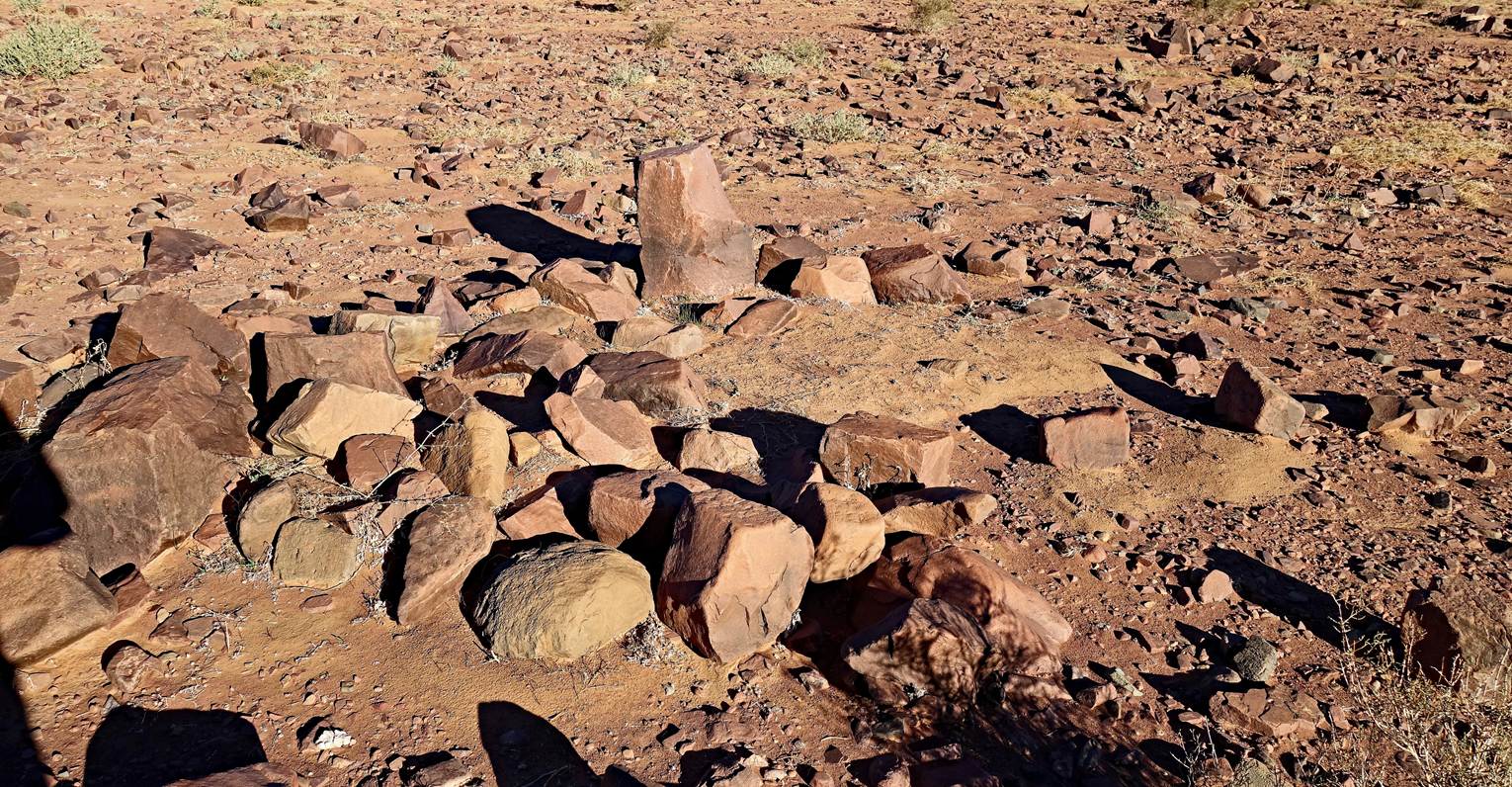
Another intriguing geometric arrangement
of stones.
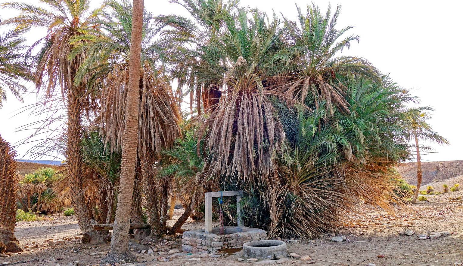
Well in a small palm grove.
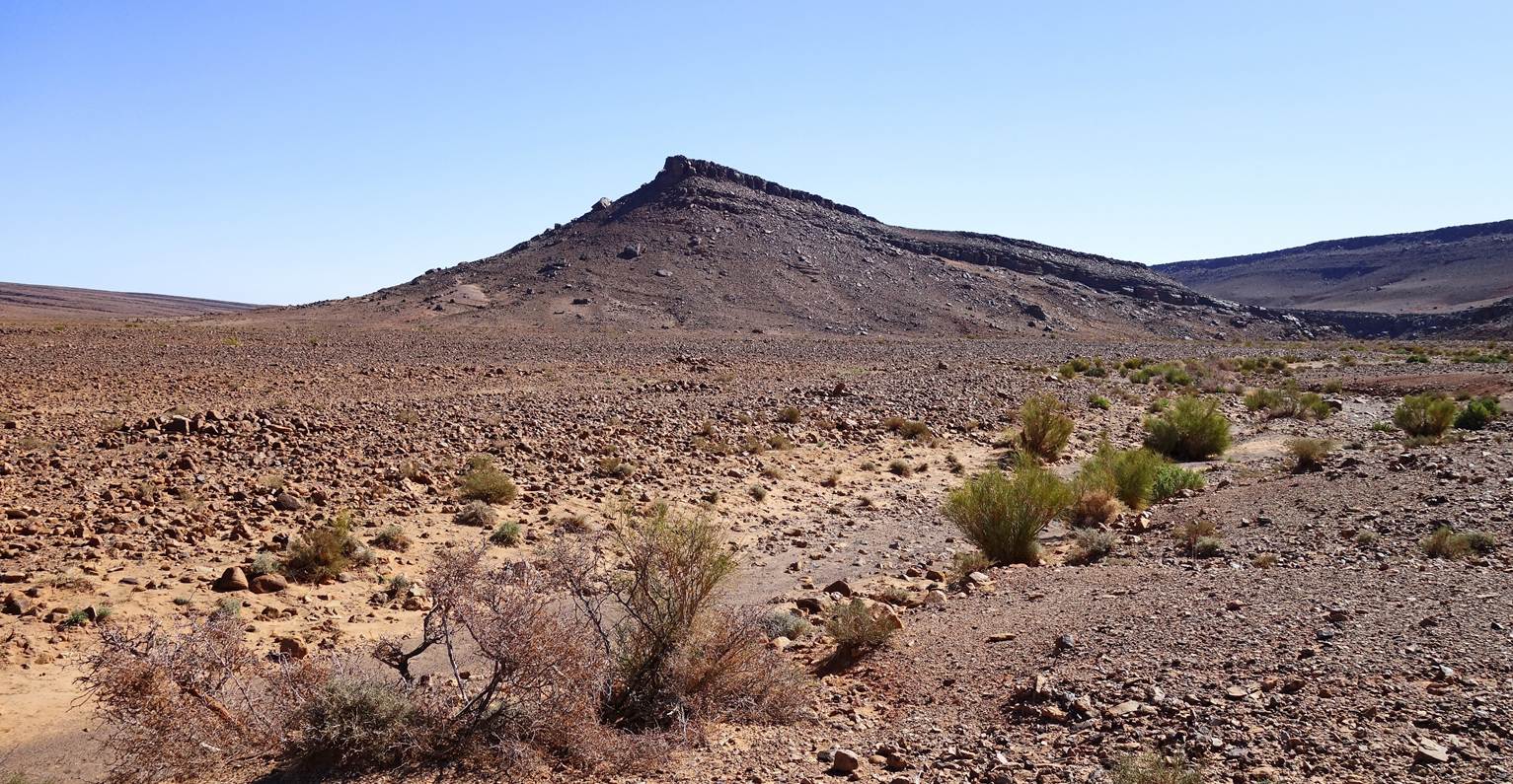
Reaching the flat-topped
mountains.

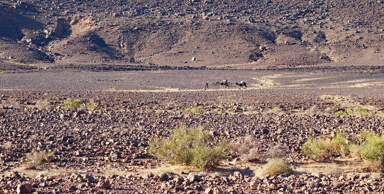
Ahmed, Mohamed and our two camels can be
seen on the trail, slightly above the middle of the photo, much ahead of Oumar
and me.
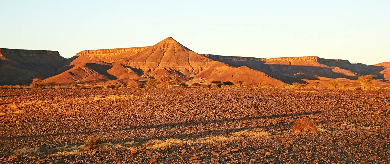
Day 11:
Mountains lit by the rising sun, seen
from our 10th campsite (waypoint 72).
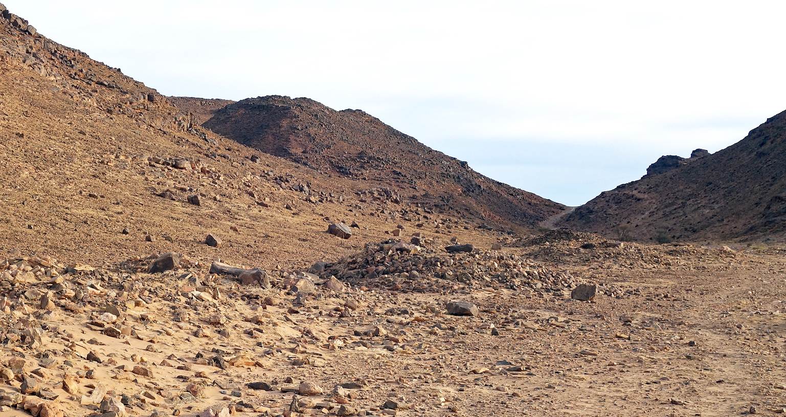
Crossing a small, but rocky pass at
waypoint 74.
Break at a well.
Our main tent at the eleventh campsite
(waypoint 79).
Day 12
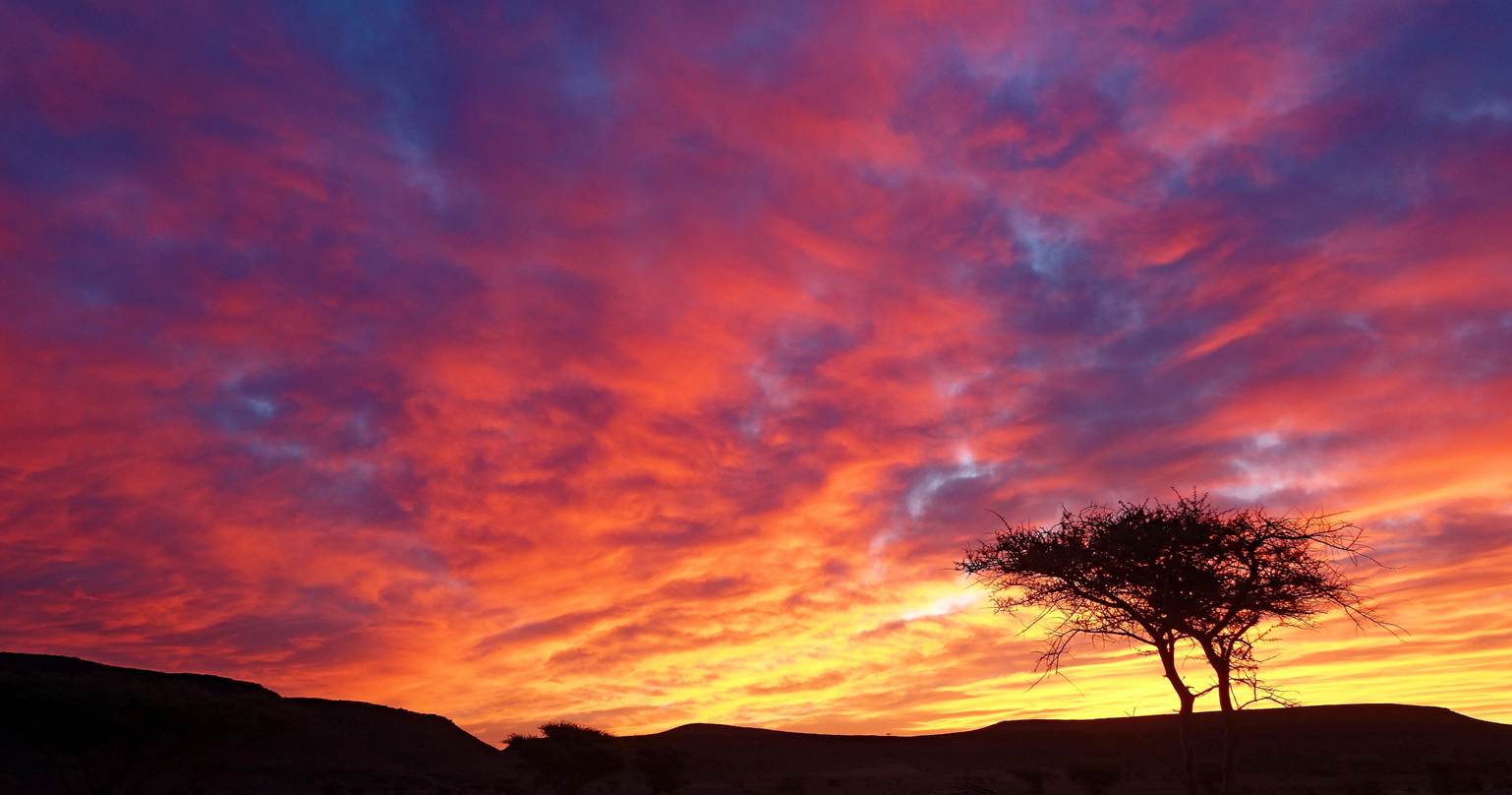
Sunrise colors.
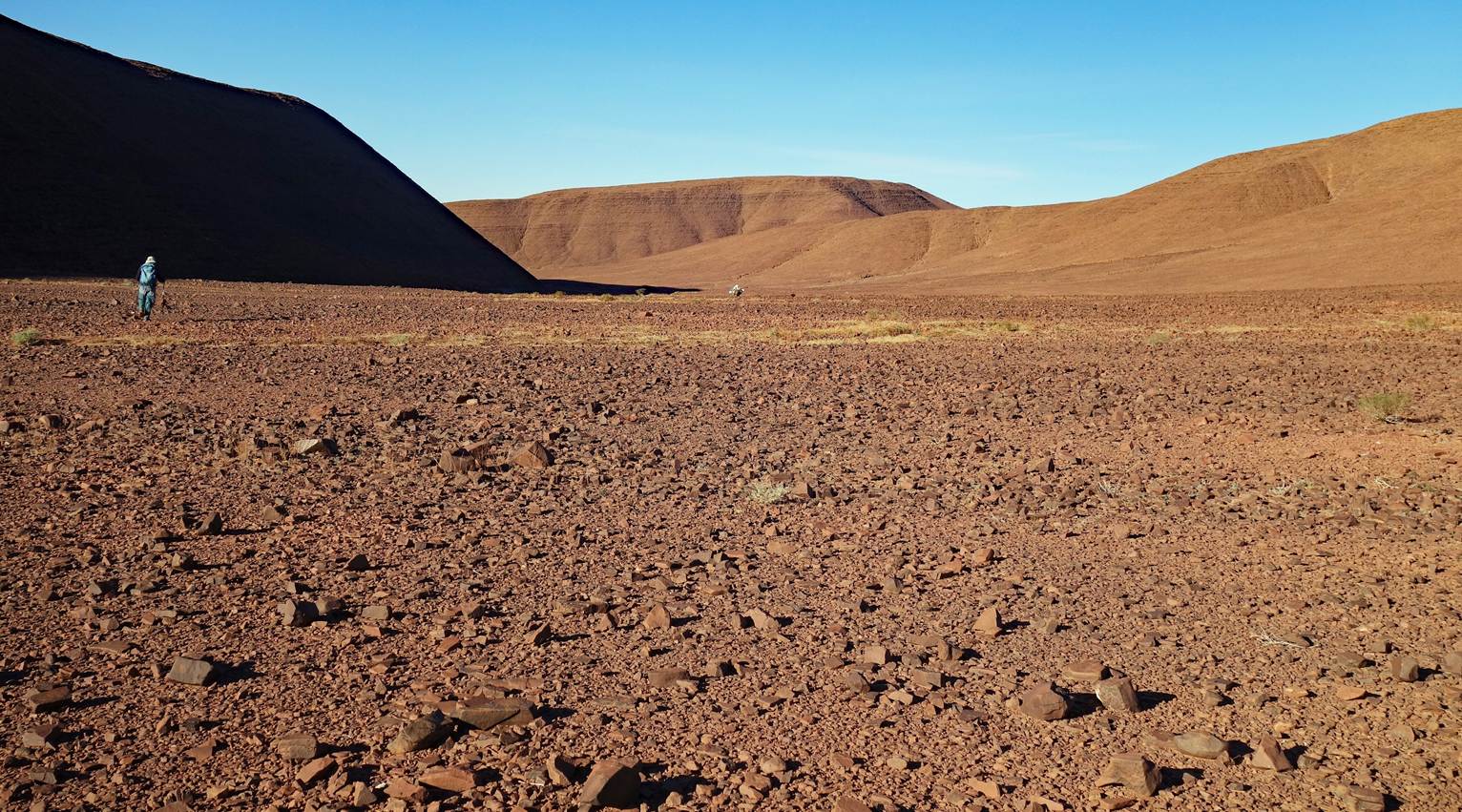
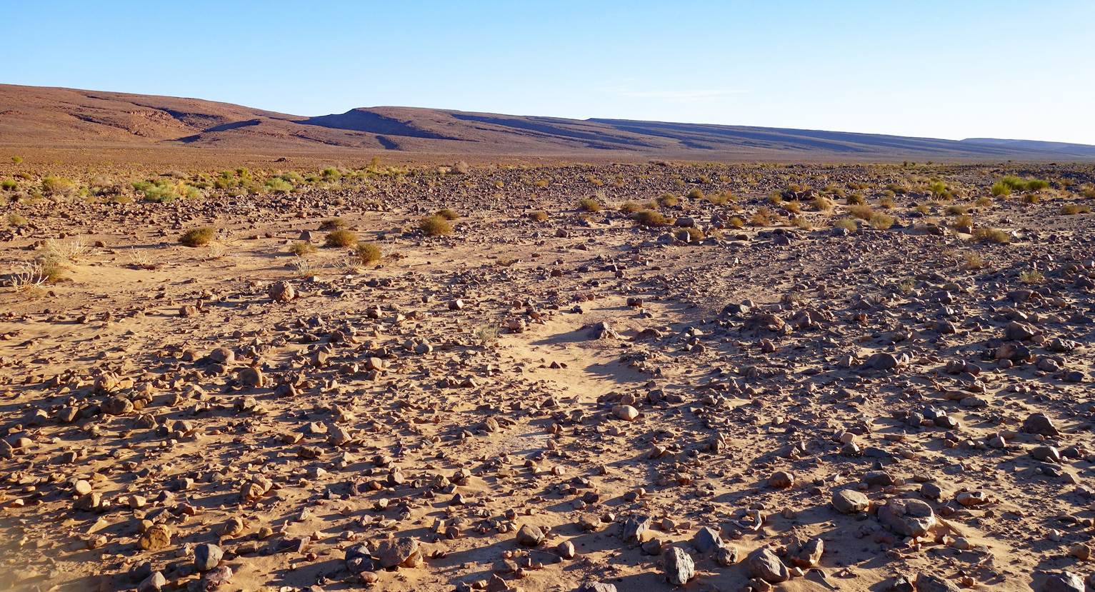
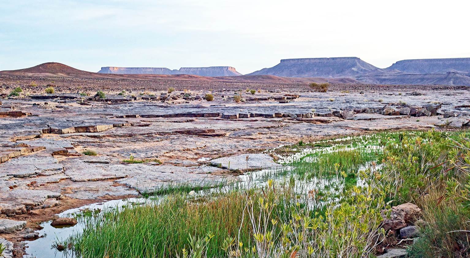
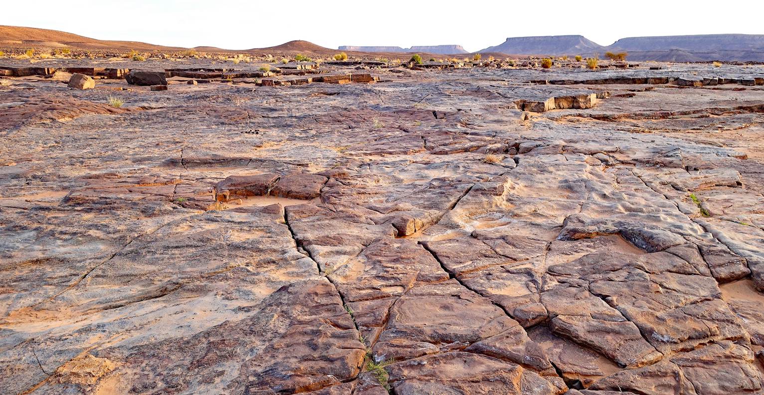
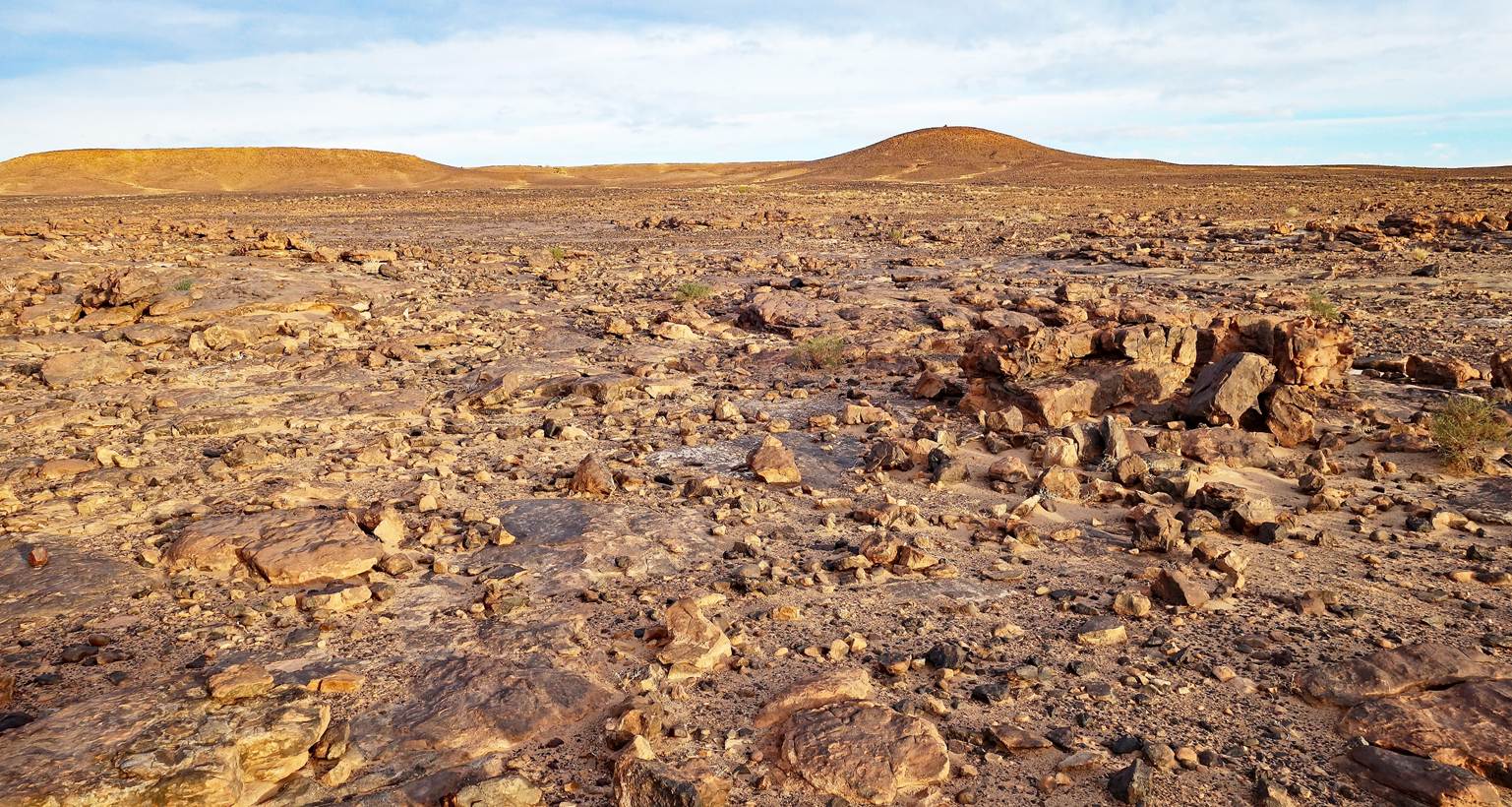
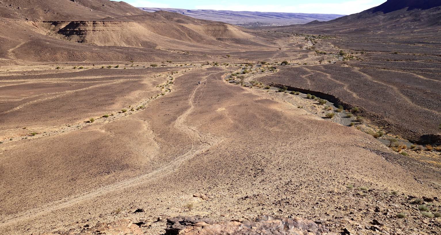
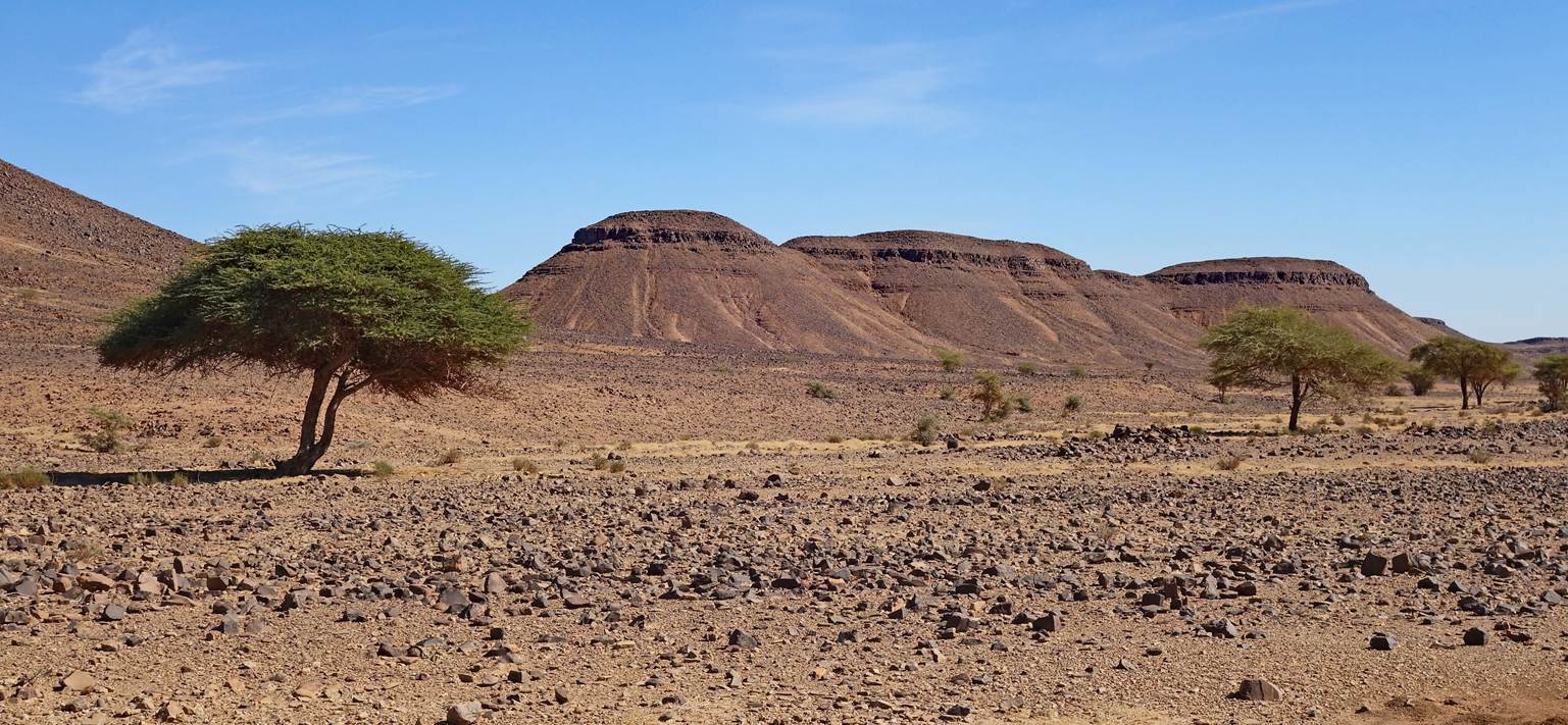
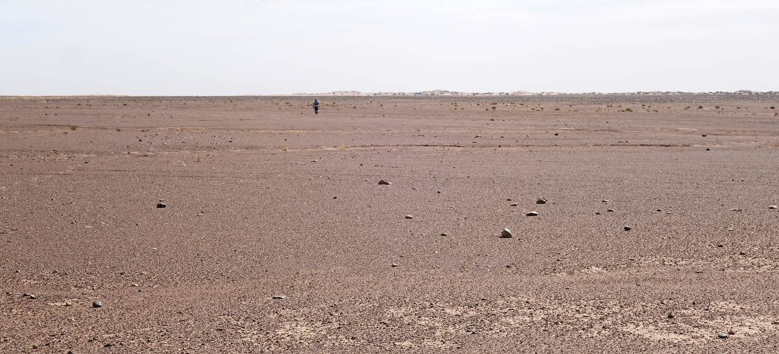
That day, we left Jebel Bani. We
traversed a long, flat, rocky, monotonous expanse at the northern edge of the
Sahara. Only toward the end of the hike, we crossed two sand dune areas. We
spent our twelfth night in a permanent camp, one of many such camps in this
part of Morocco. The area around Mhamid (south of the camp) attracts many
tourists with quad bikes, buggies, and motorcycles. Fortunately, we hardly saw
any, but we could hear their incessant noise coming from the vicinity of
Mhamid. We also were the only guests at the permanent camp.
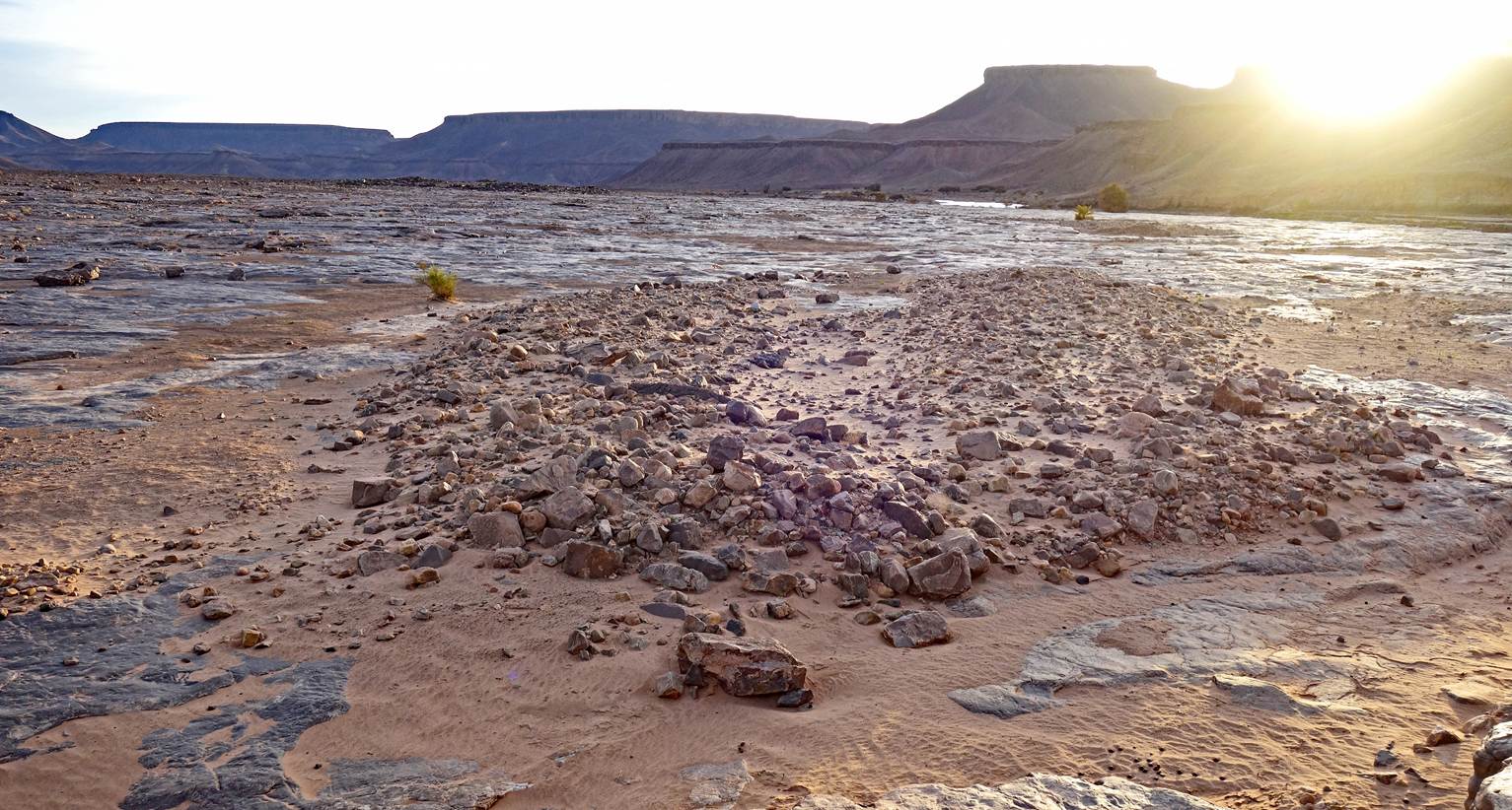
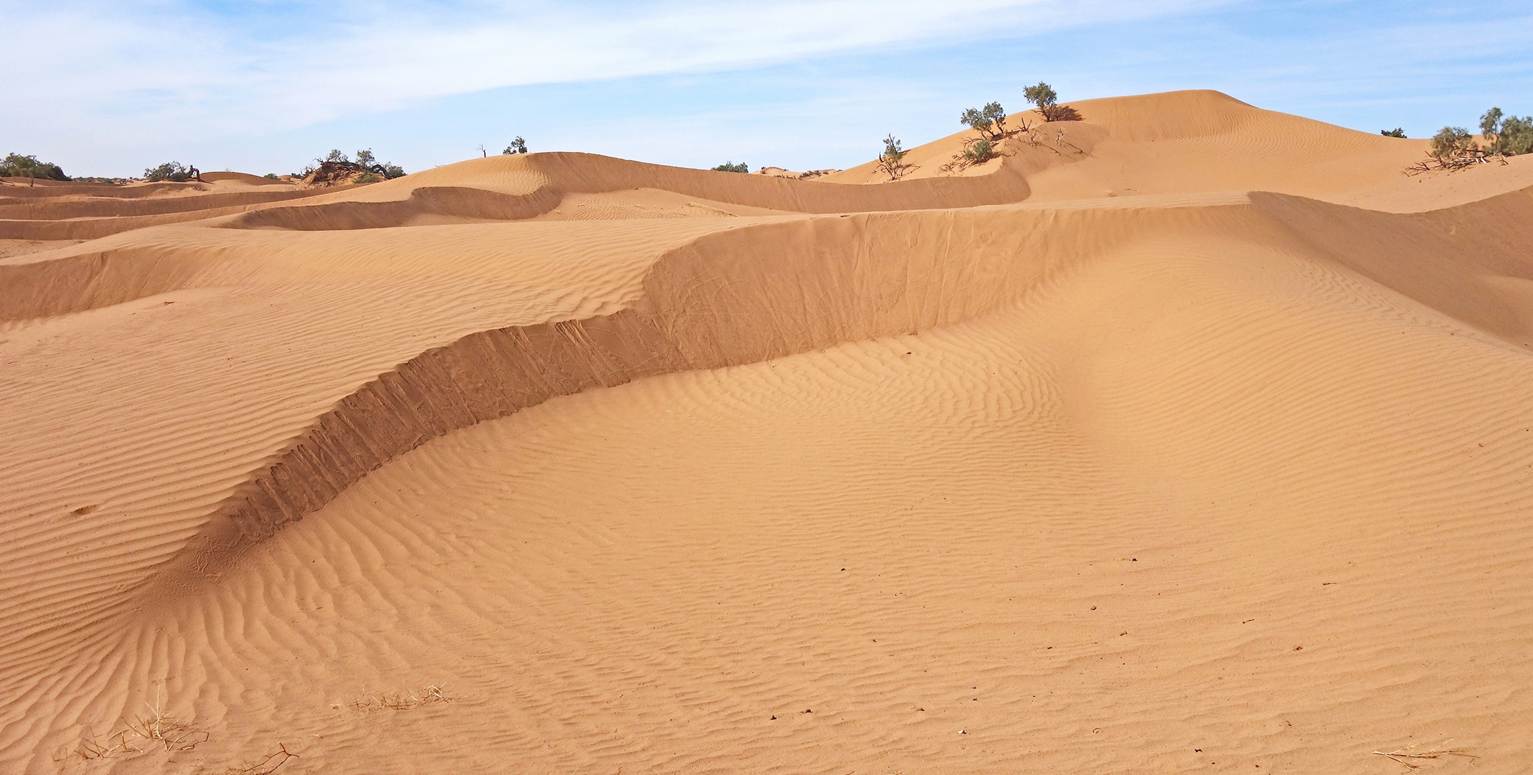
Tumulus (ancient grave).
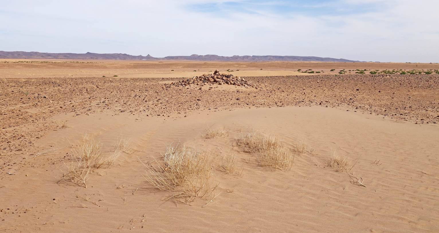
Last set of dunes before reaching the
permanent campsite at waypoint 92.
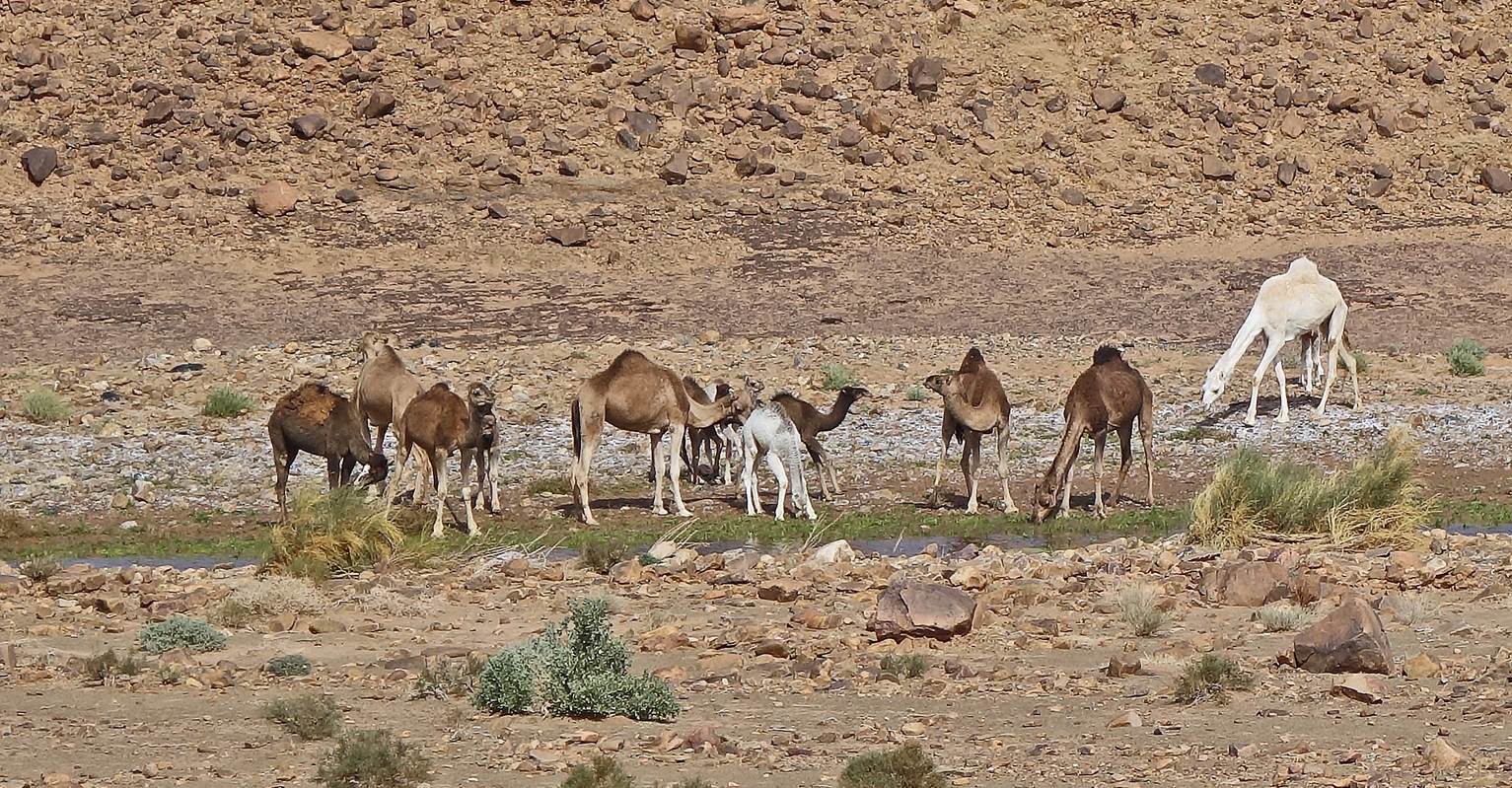
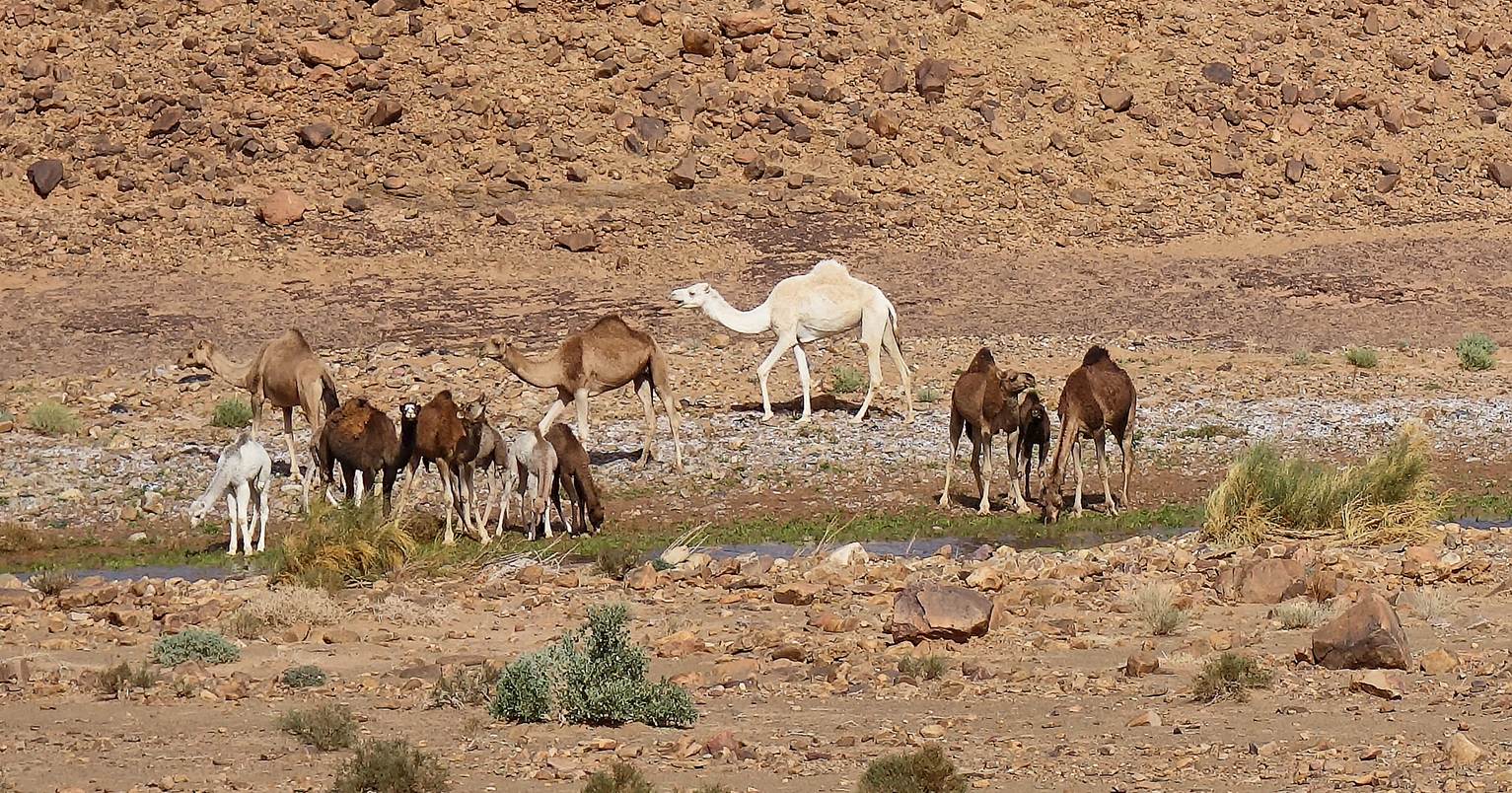
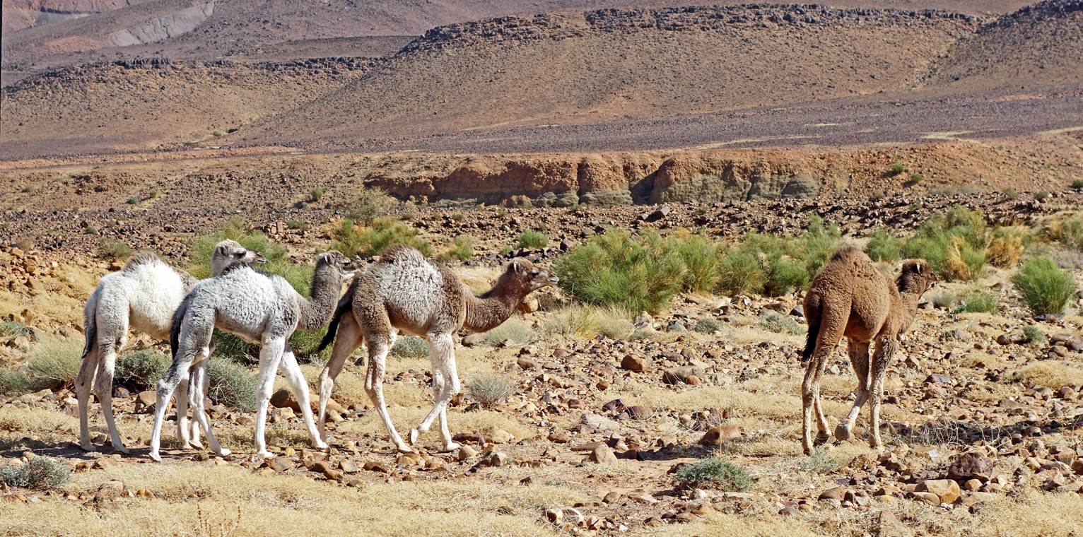
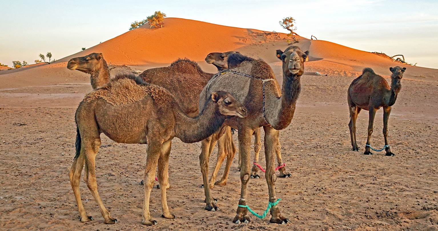
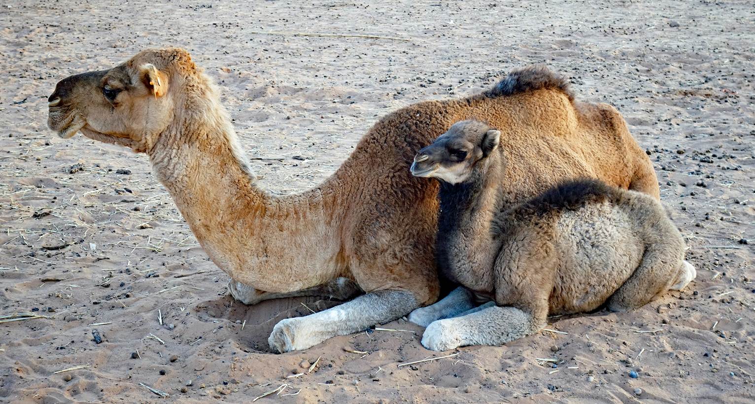
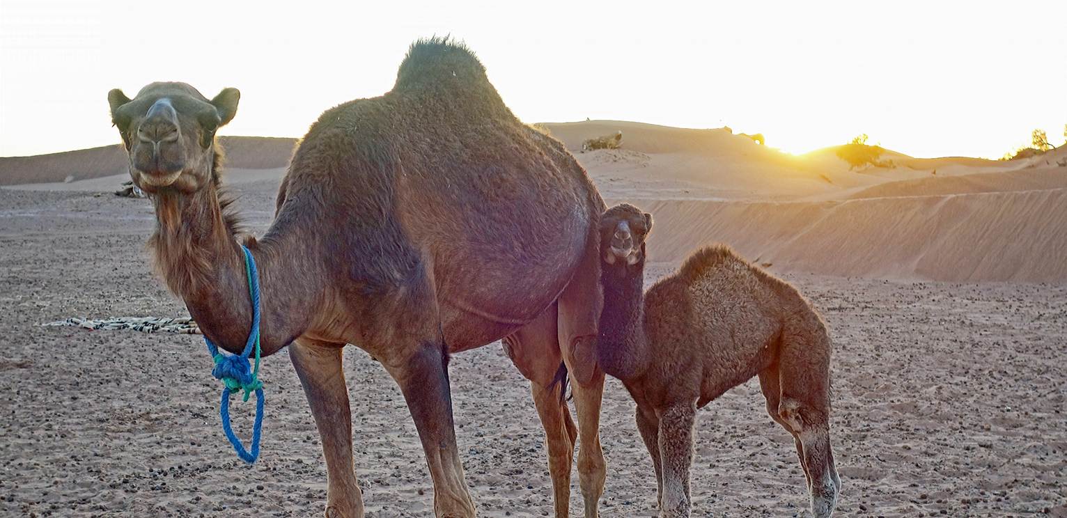
Next to the campsite was a camel farm.
So, several female camels were roaming around with their young.
Day 13
On the morning of the 13th day, our two
camels were returned to their owner near Mhamid. A car arranged by Oumar drove
back Ahmed (a hired camel driver) to his home north of Tagounite. Another 4WD
vehicle brought Mohamed and the camping/cooking gear to our final campsite (at
waypoint 98). The same vehicle left Oumar and me along the way at the waypoint
93, which was the starting point of our last hiking day.
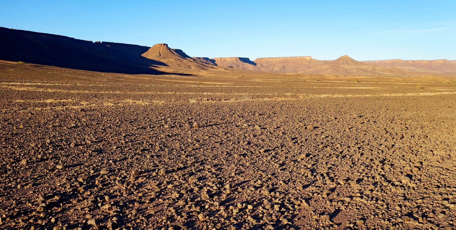
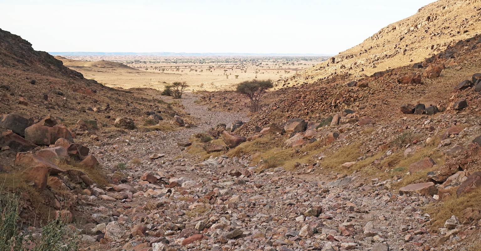
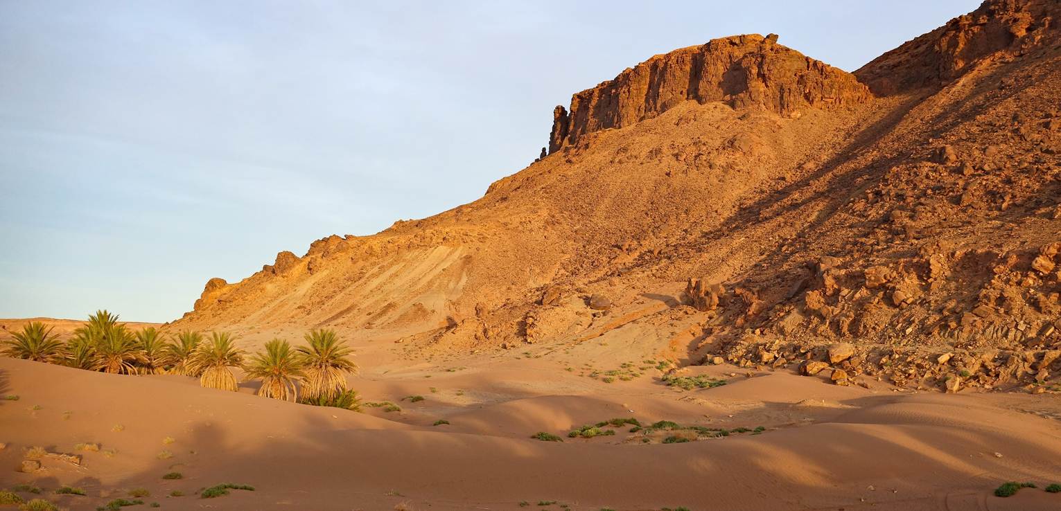
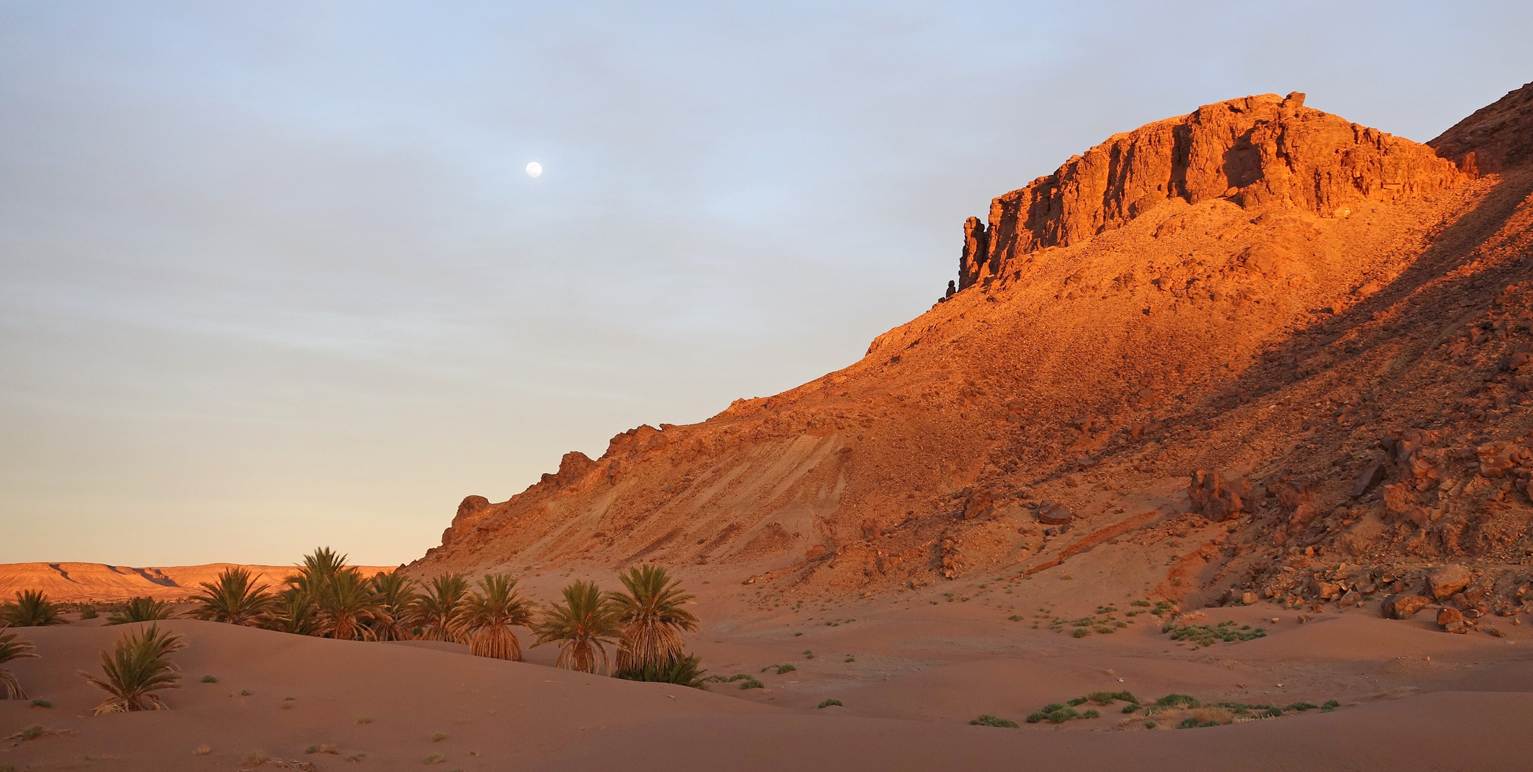
View of the pass crossed shortly after
waypoint 93. At waypoint 94, this pass is located near the eastern end of Jebel
Bani. Its Berber name means ″pass of the tumuli″, because its
southern slope is dotted with numerous tumuli (ancient graves).
View toward the Sahara from the pass.
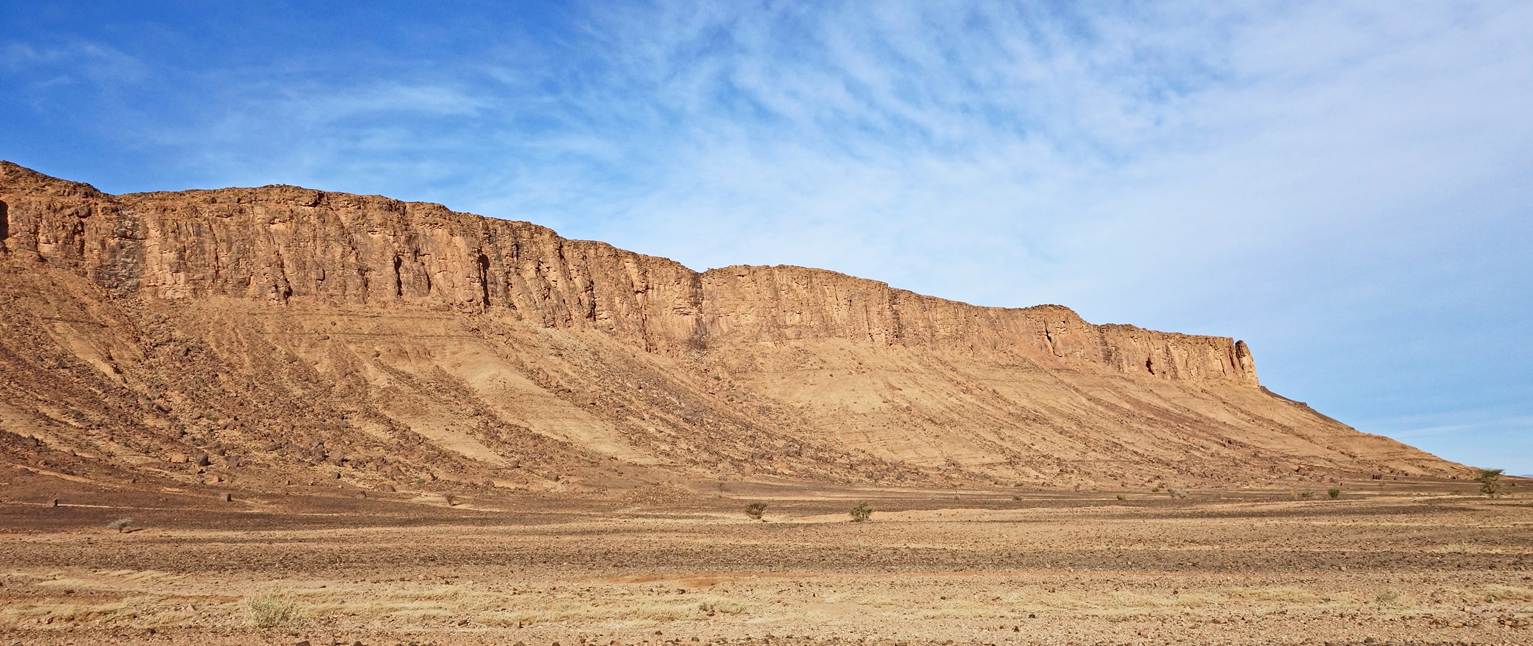
Views from the north of the section of
Jebel Bani west of the pass.
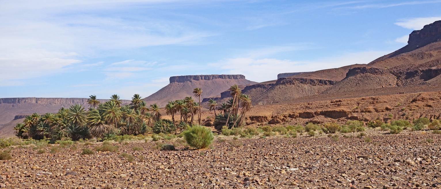
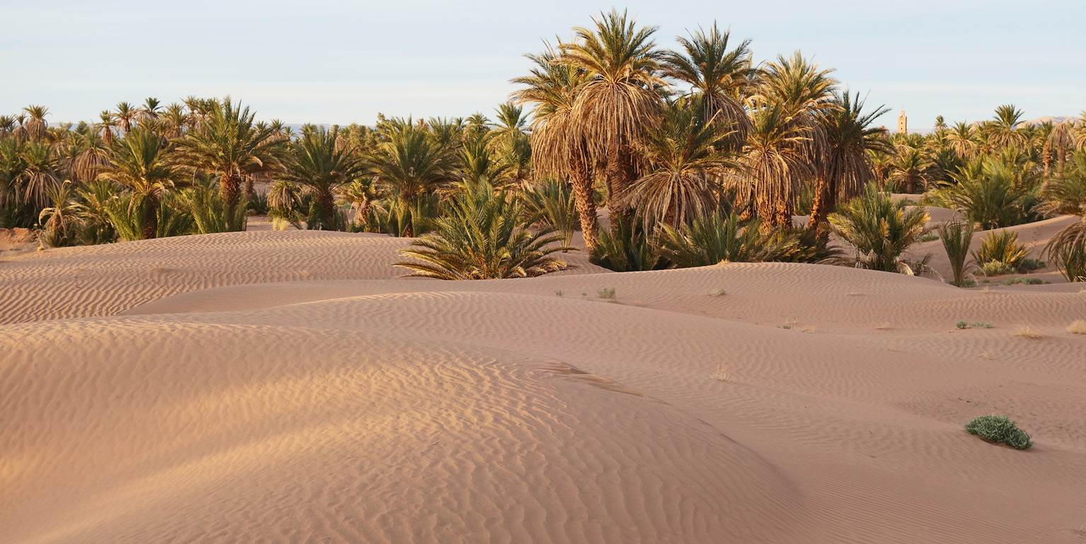
Portion of a palm grove at waypoint 95,
south of the village of Zaouia Sidi Saleh.
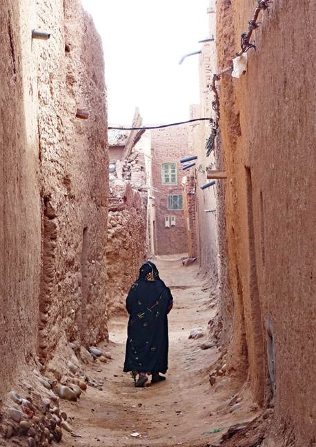
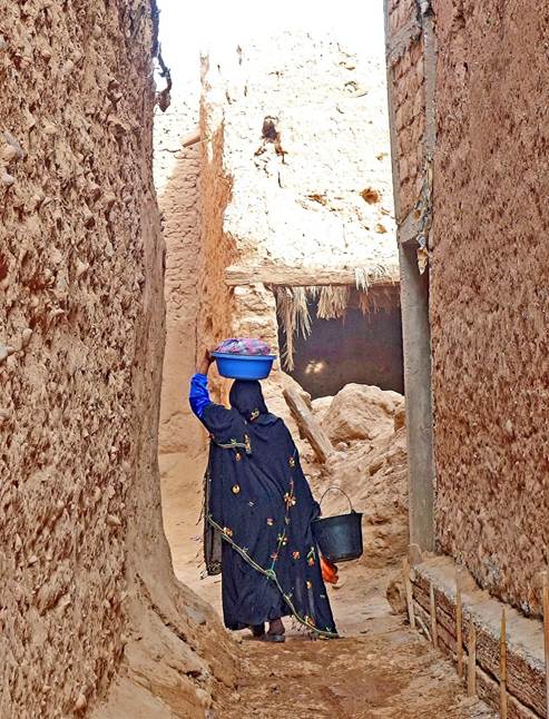
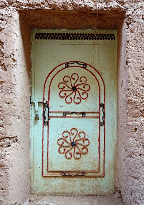
Village of Zaouia Sidi Saleh. It is a
large compact group of adobe houses.
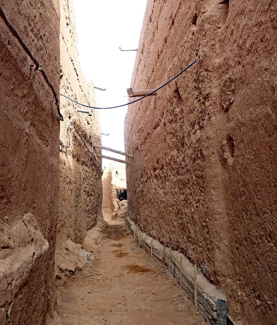
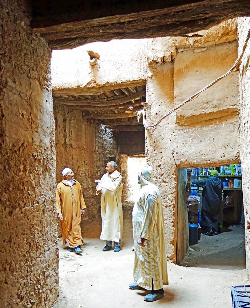
In the narrow alleys of Zaouia Sidi
Saleh.
|
|
|
|
|
|
|
|
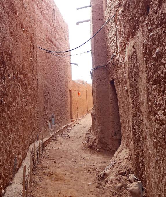
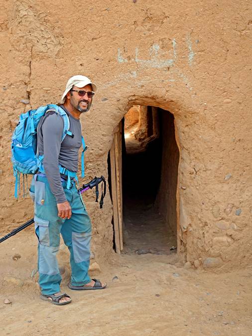
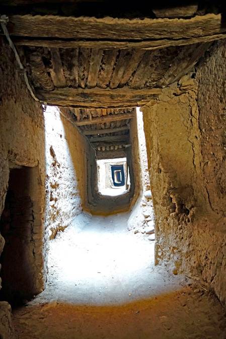
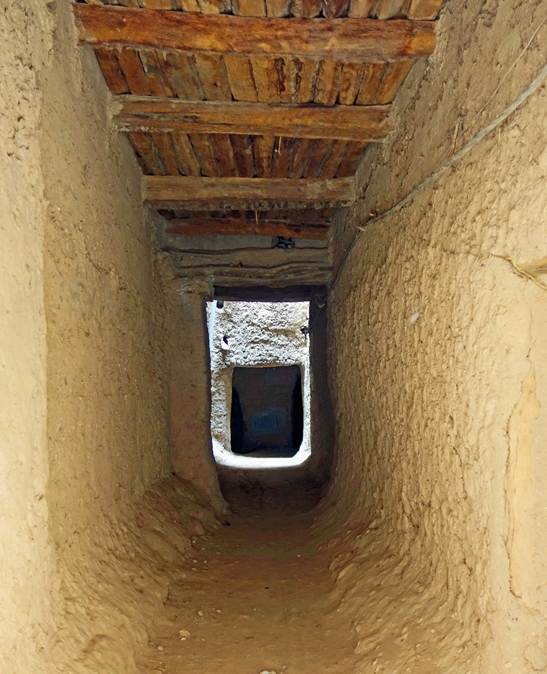
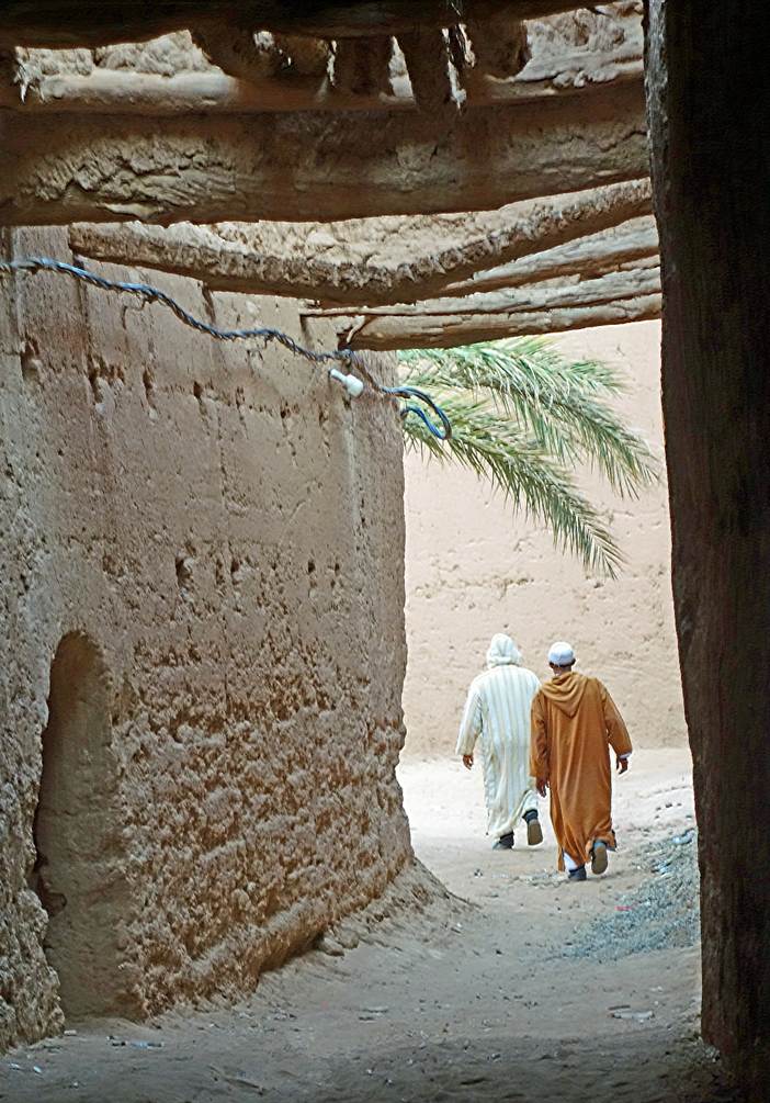
Zaouia Sidi Saleh also includes several
long, poorly lit alleys covered by buildings. Left: Oumar at the entrance to
one of these alleys. Center and right: Inside covered alleys.
|
|
|
|
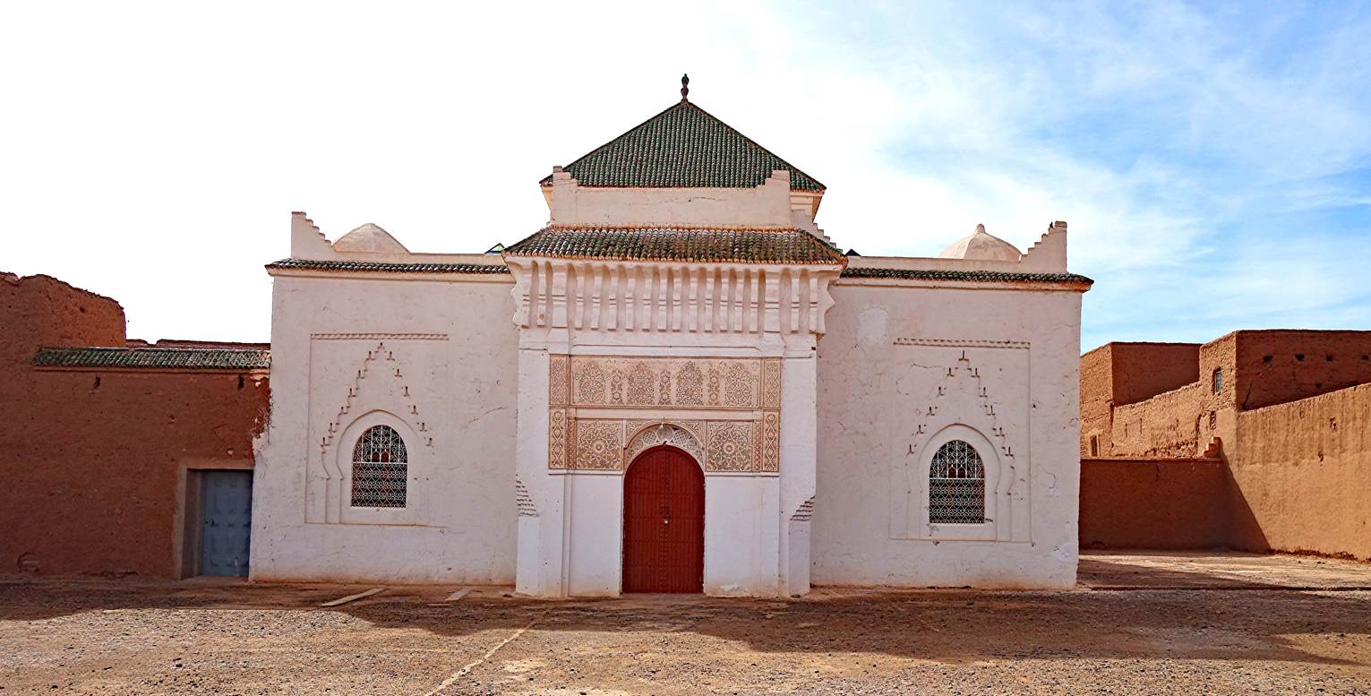
The Zaouia (a mausoleum) of Sidi Saleh,
which gave its name to the village (waypoint 96).
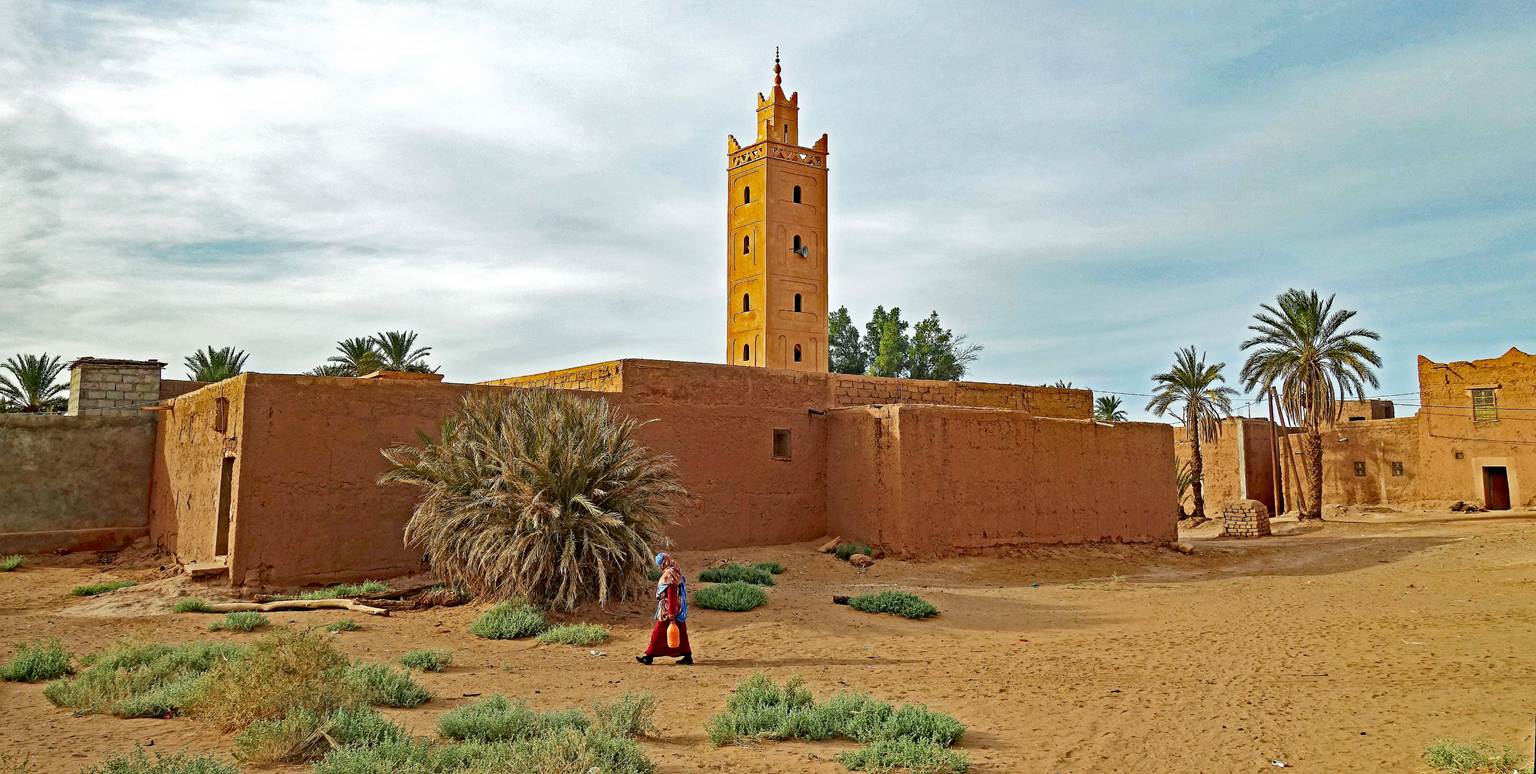
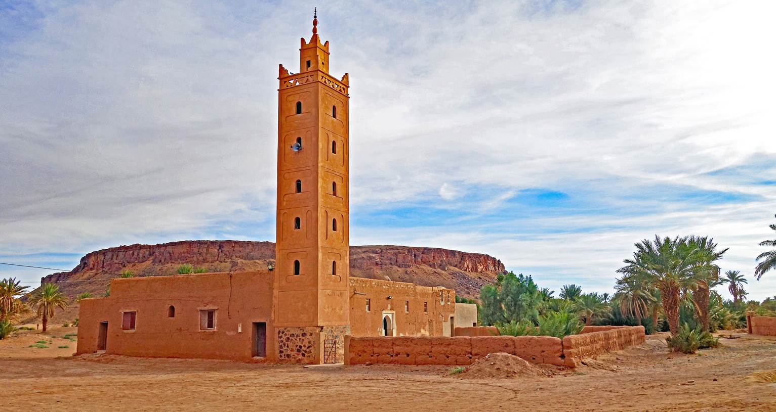
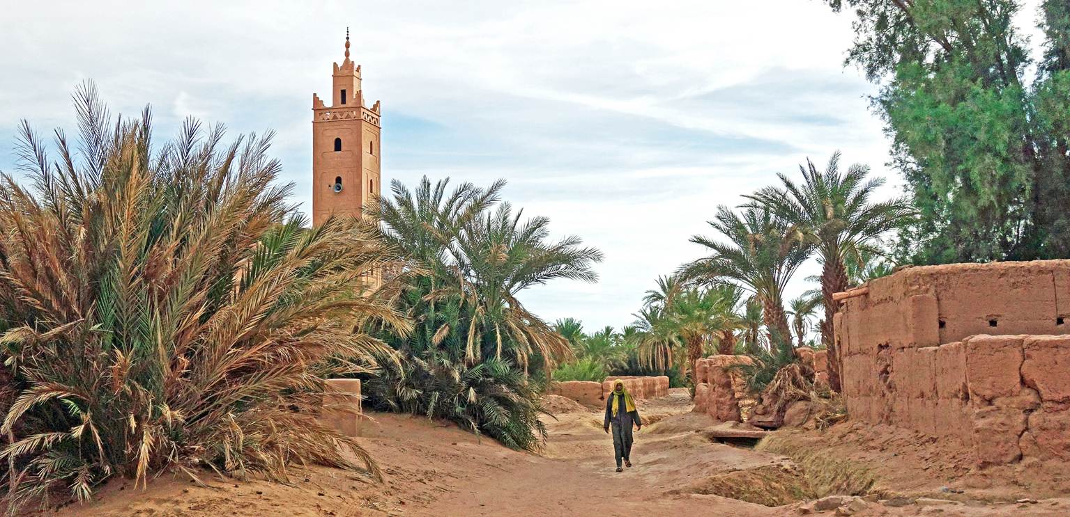
Mosque of the village of Tiraf (waypoint
97).
Covered alleys in Tiraf.
|
|
|
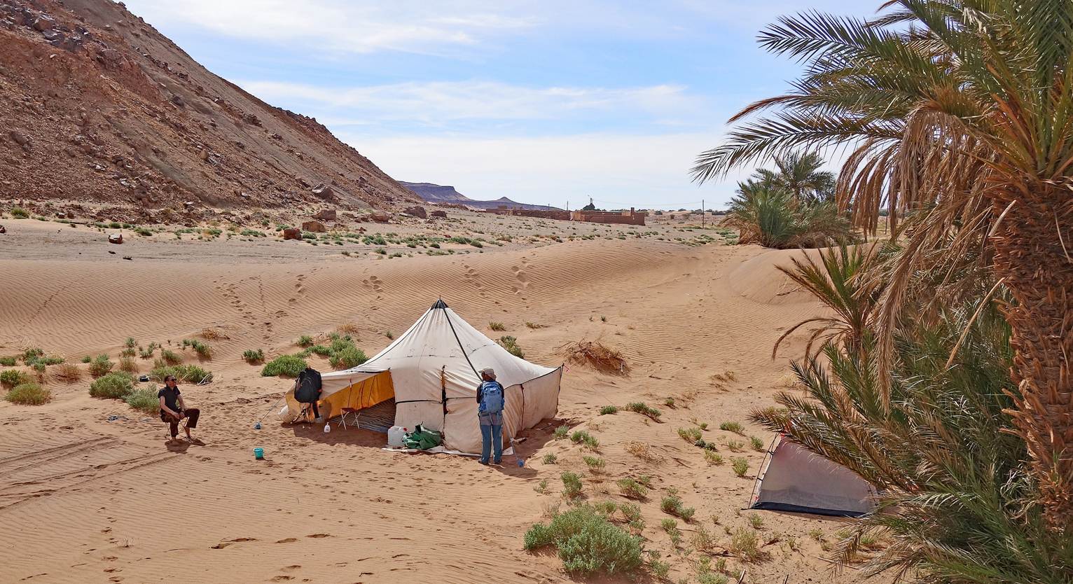
Our last camp, at waypoint 98.
Views of the palm grove around our camp
in the late afternoon.
Views of the cliff on the eastern side
of our camp.
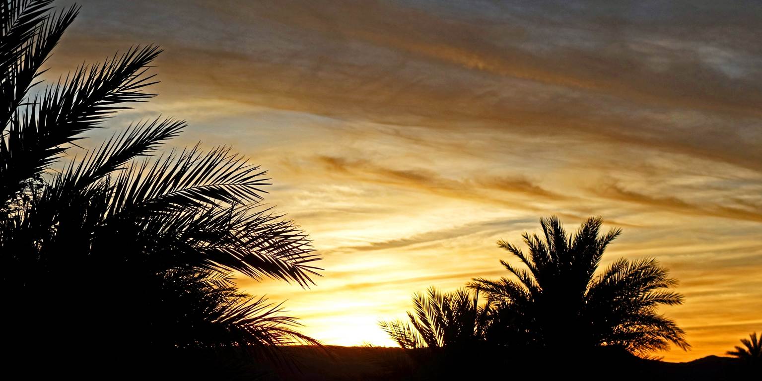
Sunset seen from our last camp.
![]()
Back
to main Morocco 2026 page | Back to my
mountaineering/trekking/travel webpage