India (October-November 2019):
Trek from Thembang to Jang via Tse La (1/3)
|
|
Return to my
mountaineering/trekking/travel webpage | Return
to main India Oct-Nov 2019 webpage
|
|
|
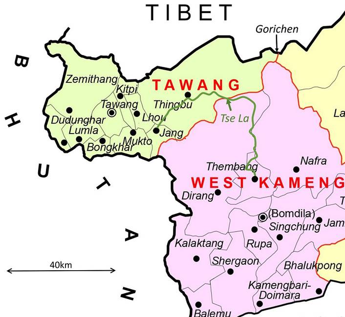
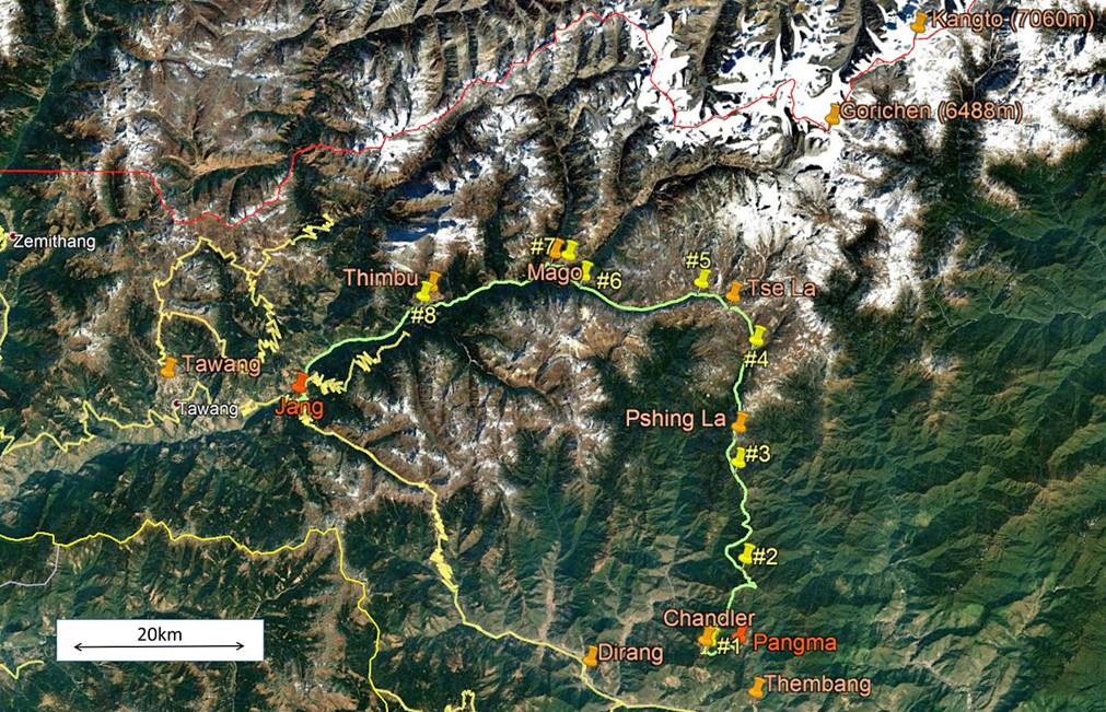
The itinerary of this trek is drawn in
green line in both the map and the aerial image above. To see the aerial image
in more detail click here
to download the trek-ap.kmz file and open this file
in Google Earth. The trek starts in Pangma, a hamlet
located 5km north of Thembang and ends in Jang (red
pins). The yellow pins (marked #1 to #8) point to the locations of the 8
successive camps of this trek. The other pins indicate the positions of various
towns, villages, passes, and peaks.
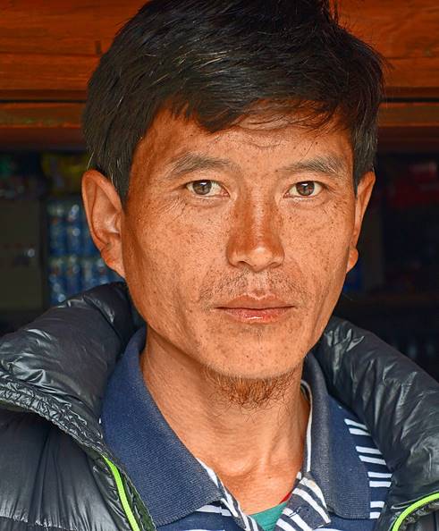
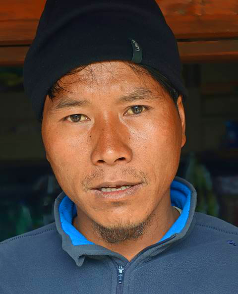
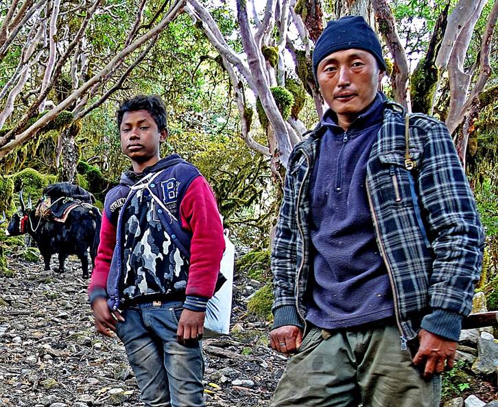
For this trek I was accompanied by three
Dirang Monpas from the Thembang area: Bodong, Tsering Wangchu, and Dawa Sonam (yakman).
This team had been arranged by Lobsang Phuntsok (Tawang Tour and Travel) through
leaders of the Thembang village, as more than half of
the trek lies in the large Thembang′s territory.
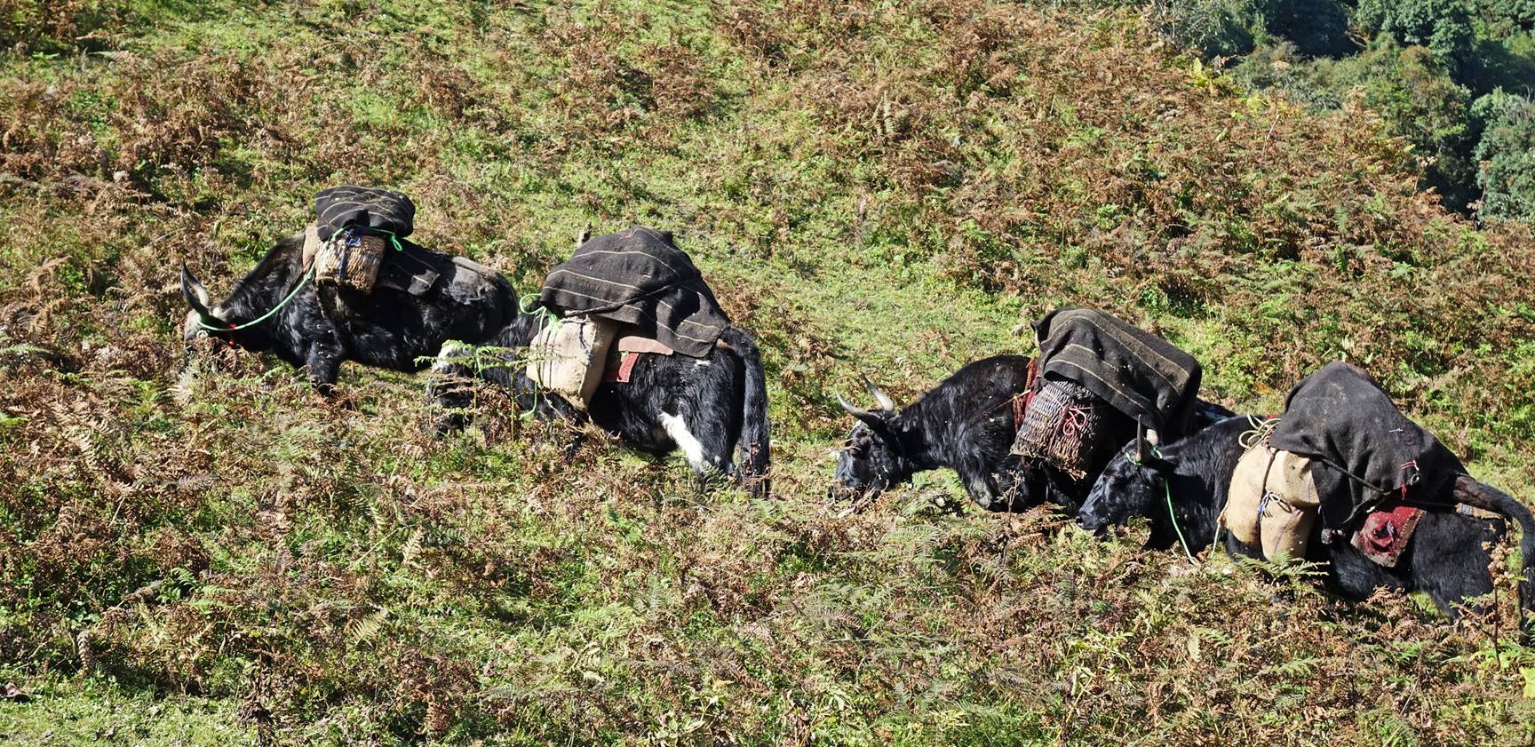
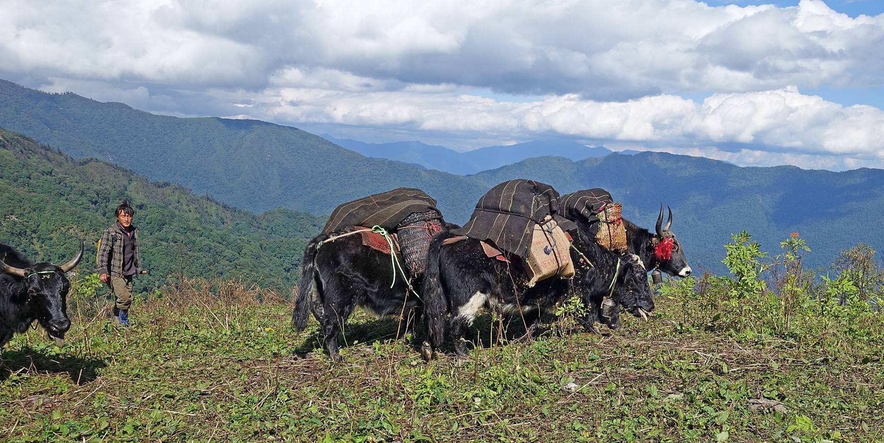
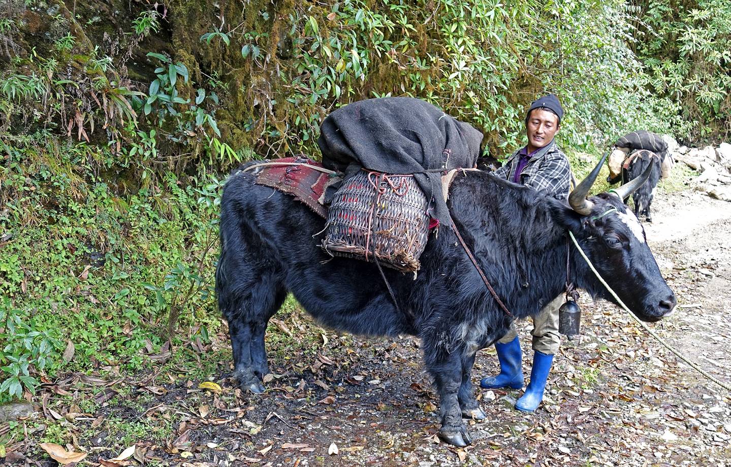
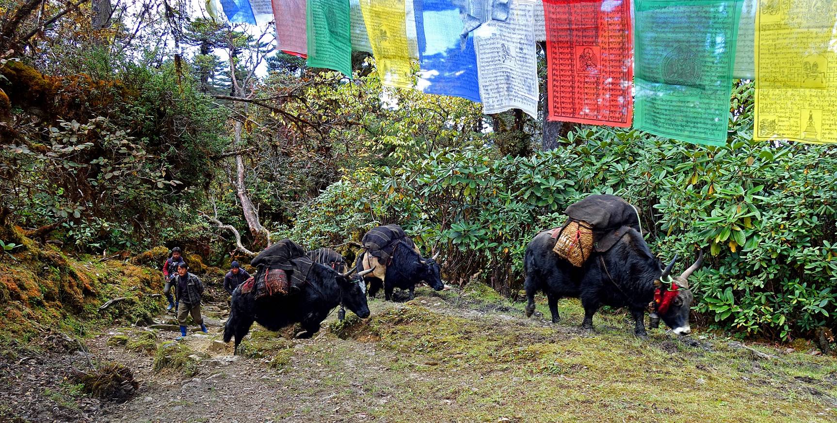
Our loads were carried by 4 yaks.
|
Bodong |
Tsering Wangchu |
Dawa Sonam
(with a boy who joined us until camp #4) |
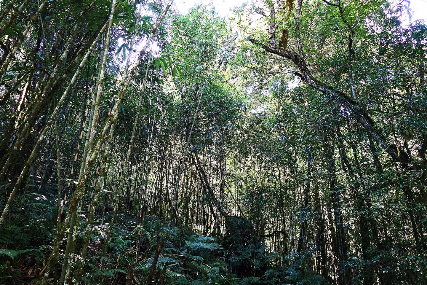
At the start of the trek (hamlet of Pangma, elevation: 2100m) the dense subtropical forest had been
cleared to allow animal grazing. However, as we climbed toward the village of
Chandler (see aerial map at the top of this page), the forest became quickly
denser, with bamboos, taller trees, and even leeches. As yaks could not stay
for long at the relatively low elevation of Pangma, our
4 yaks had been brought from Chandler in the morning just for a few hours in
order to carry the loads to higher grounds.
The 4 yaks reaching Camp #1 (elevation:
2870m), just below Chandler village.
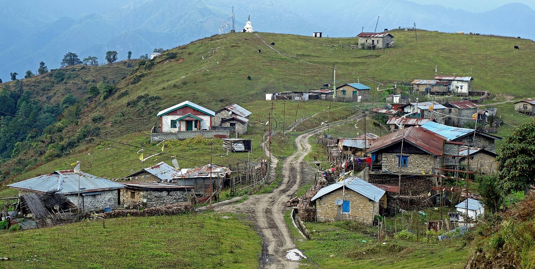
The village of Chandler seen from its
small gompa. As many similar villages in the region,
it is a village of brokpas (yak/dzomo
rearers). Before the monsoon season, most of its people
and their animals move to pastures higher in the mountain. At the end of the monsson season they return to the village where they spend
the colder winter months. Due to climate change, there is an increasing number
of yak hydrids, like dzos
(males) and dzomos (females), that
are more heat-resistant and, for the females, produce more milk.
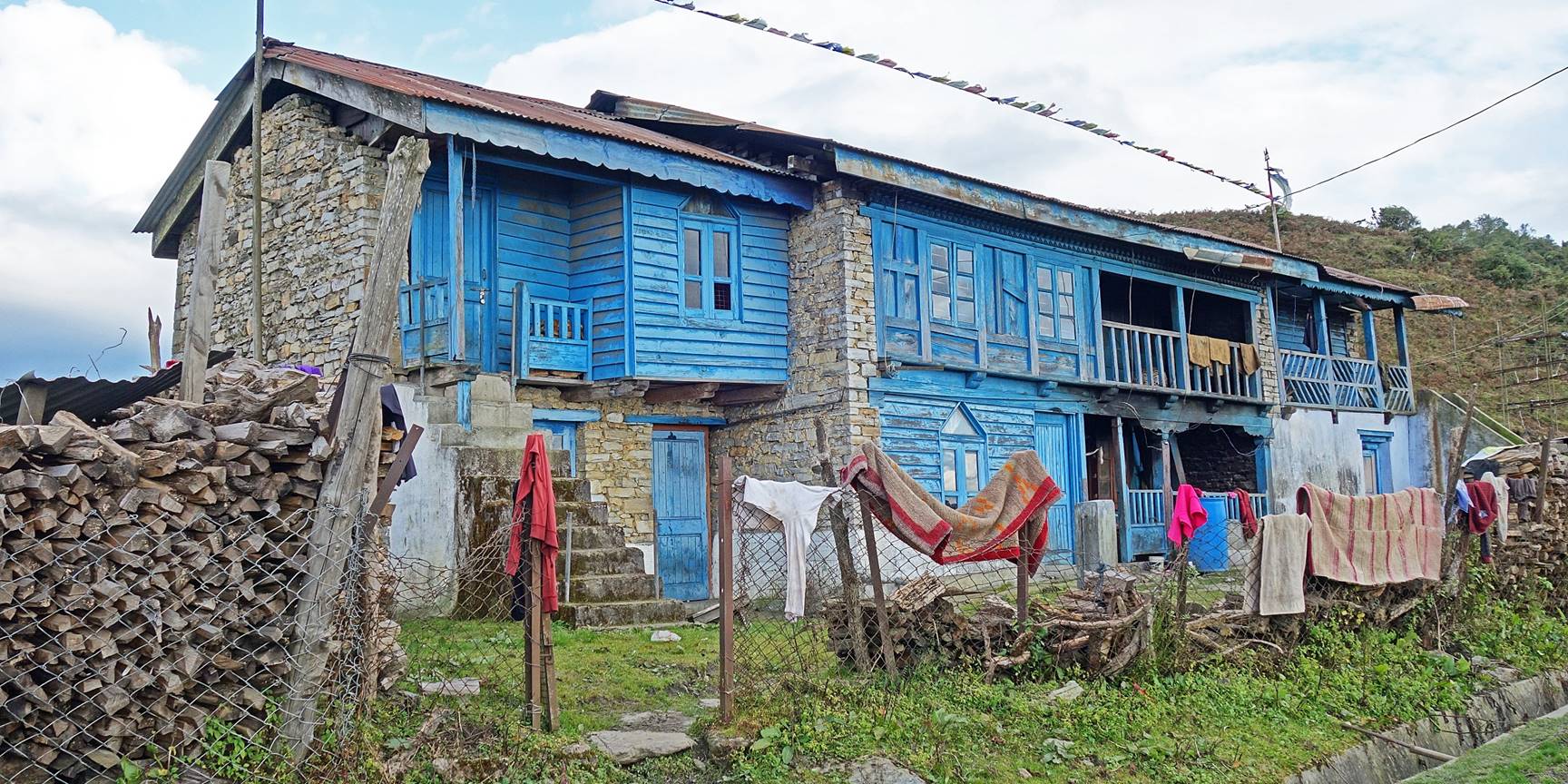
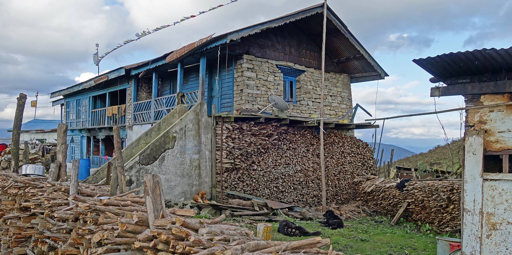
Typical Monpa house made of stones and wood (and sometimes bamboo)
in Chandler, with large quantities of wood already stored for the winter.
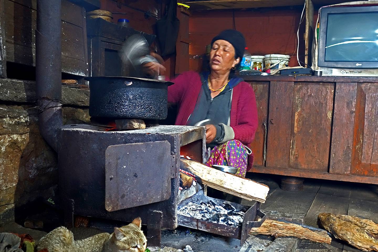
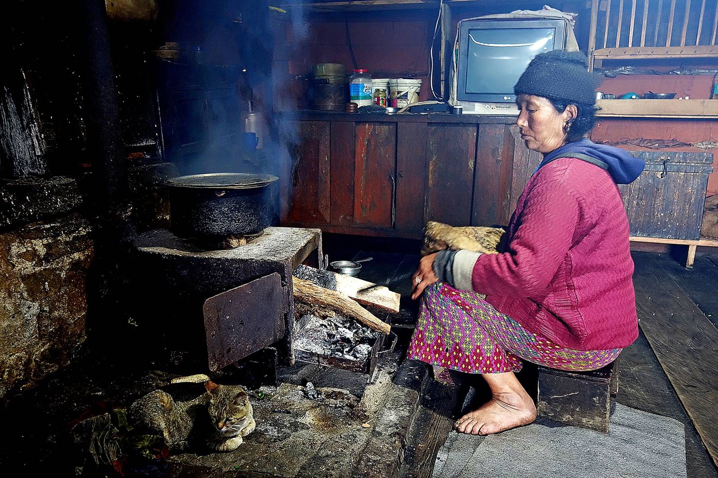
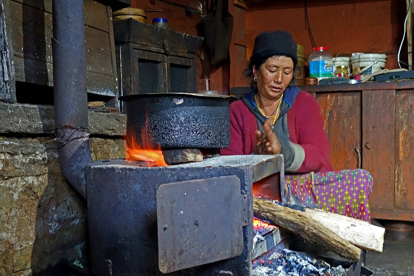
Monpa woman preparing Tibetan tea (a mix of
tea, yak butter, and salt).
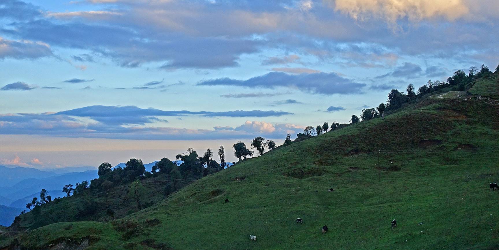
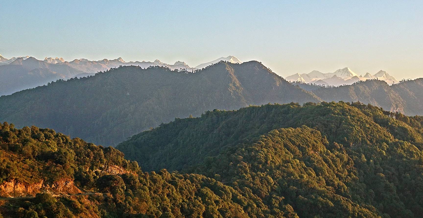
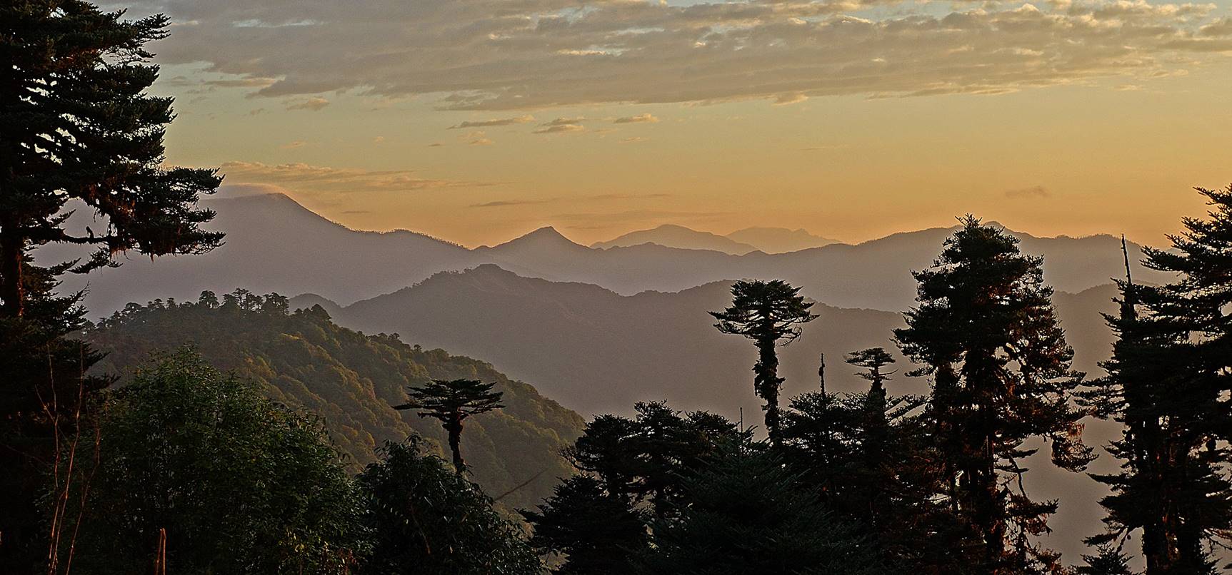
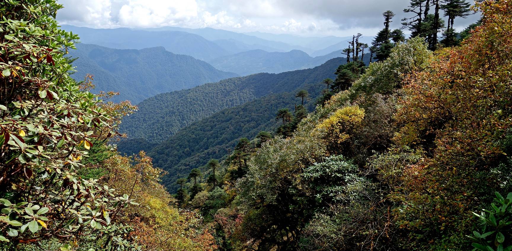
Successive views from my tent during
sunrise. The highest peak at the center of the third photo below is the main Gorichen peak (6488m), whereas the highest peak on the
right is Kangto (7060m). Unfortunately, due to cloudy
weather during most of the trek, I will rarely see these two peaks again.
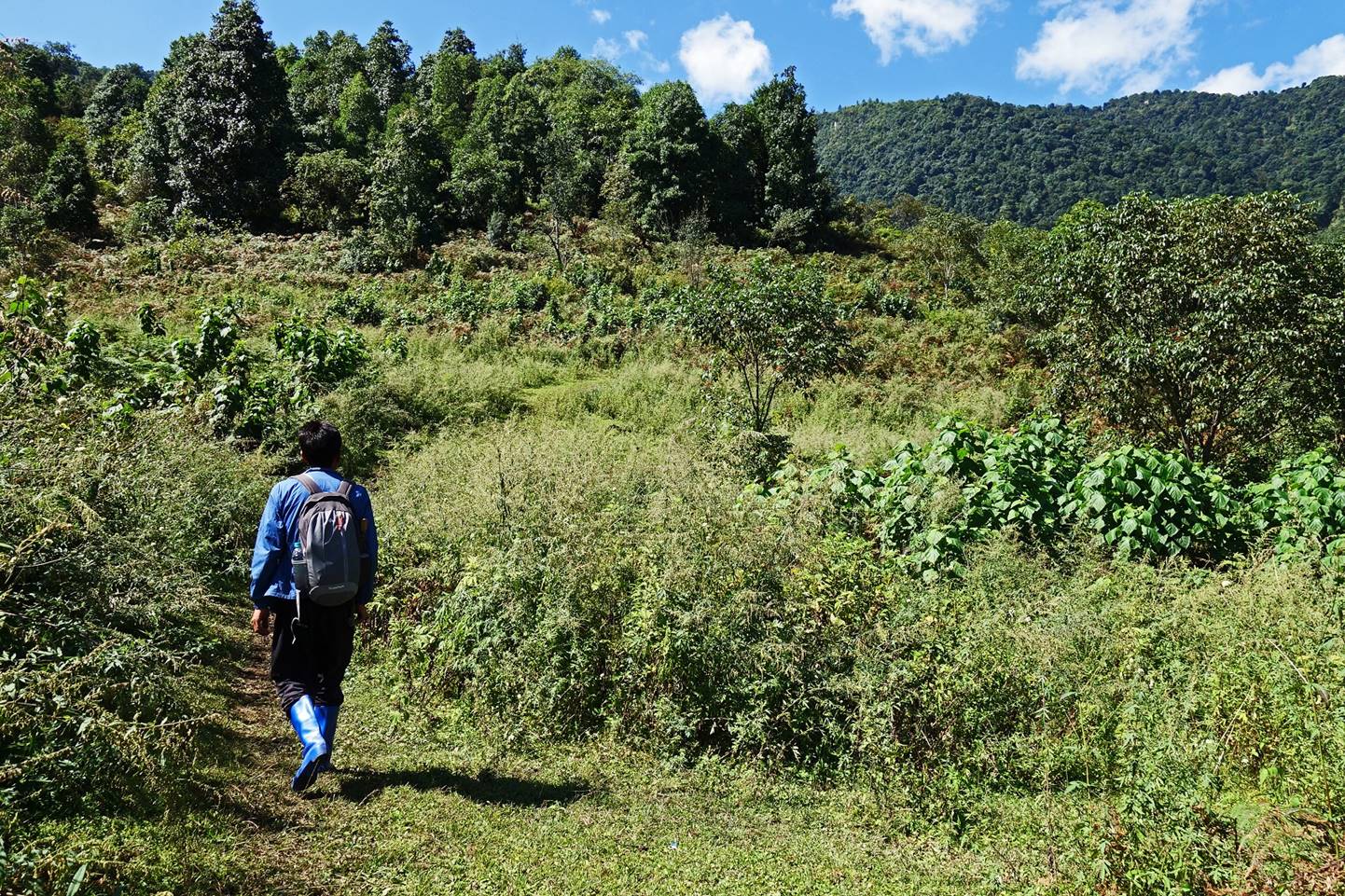
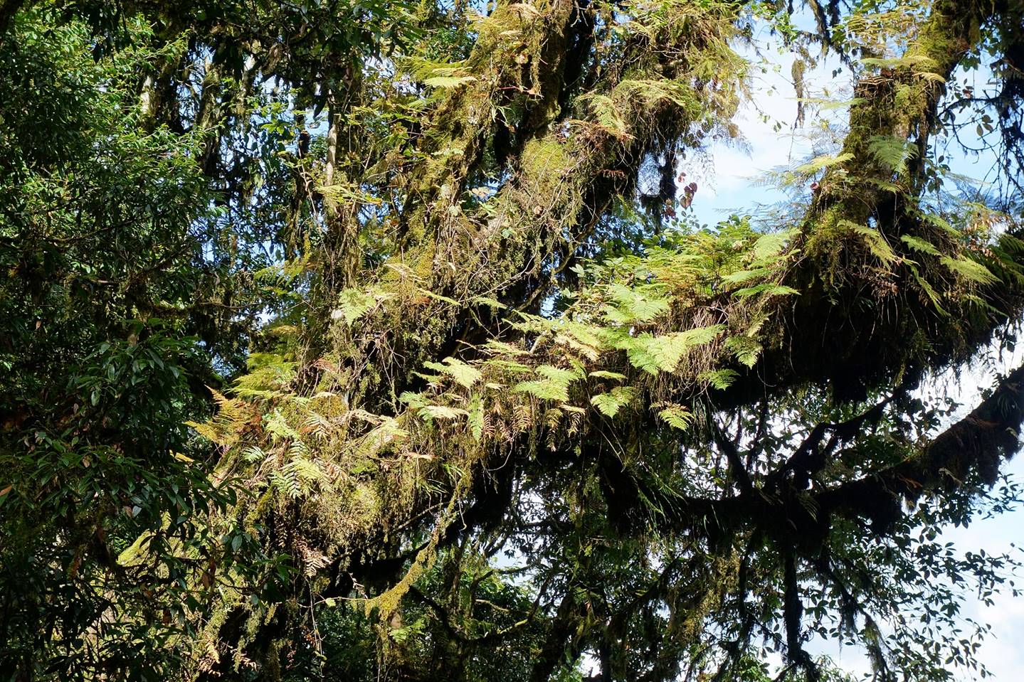
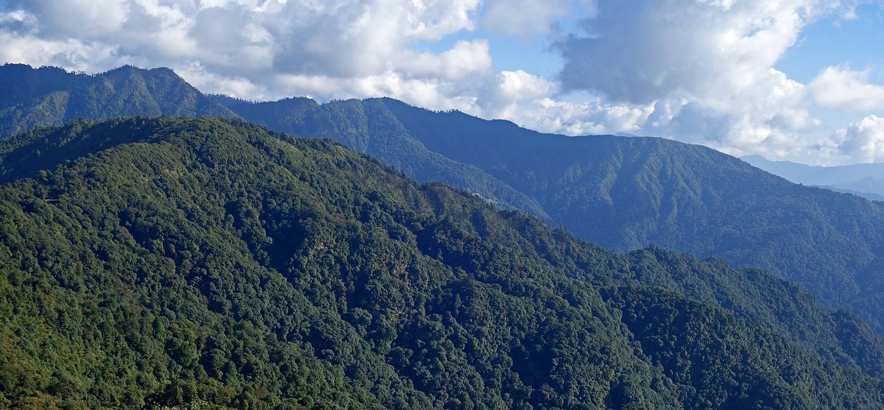
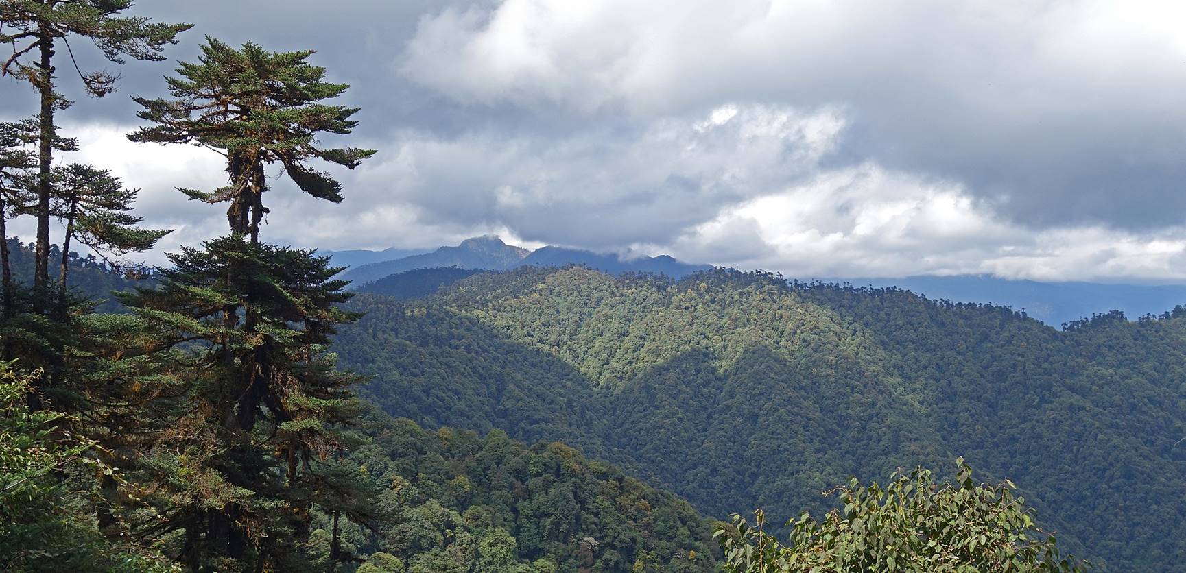
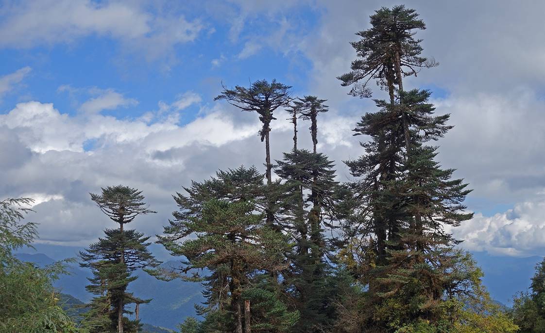
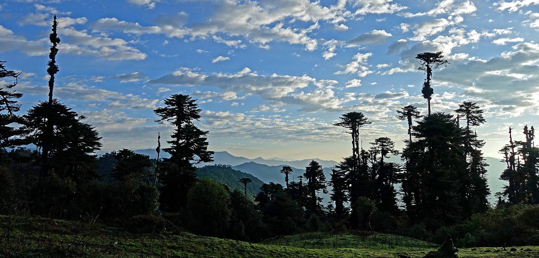
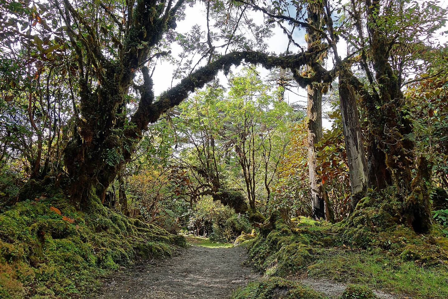
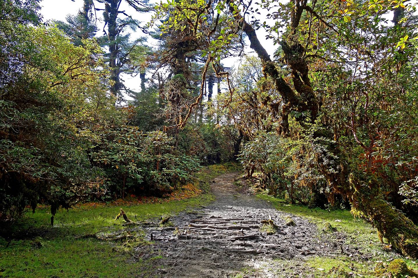
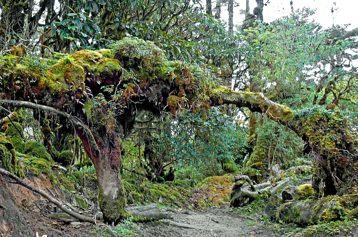
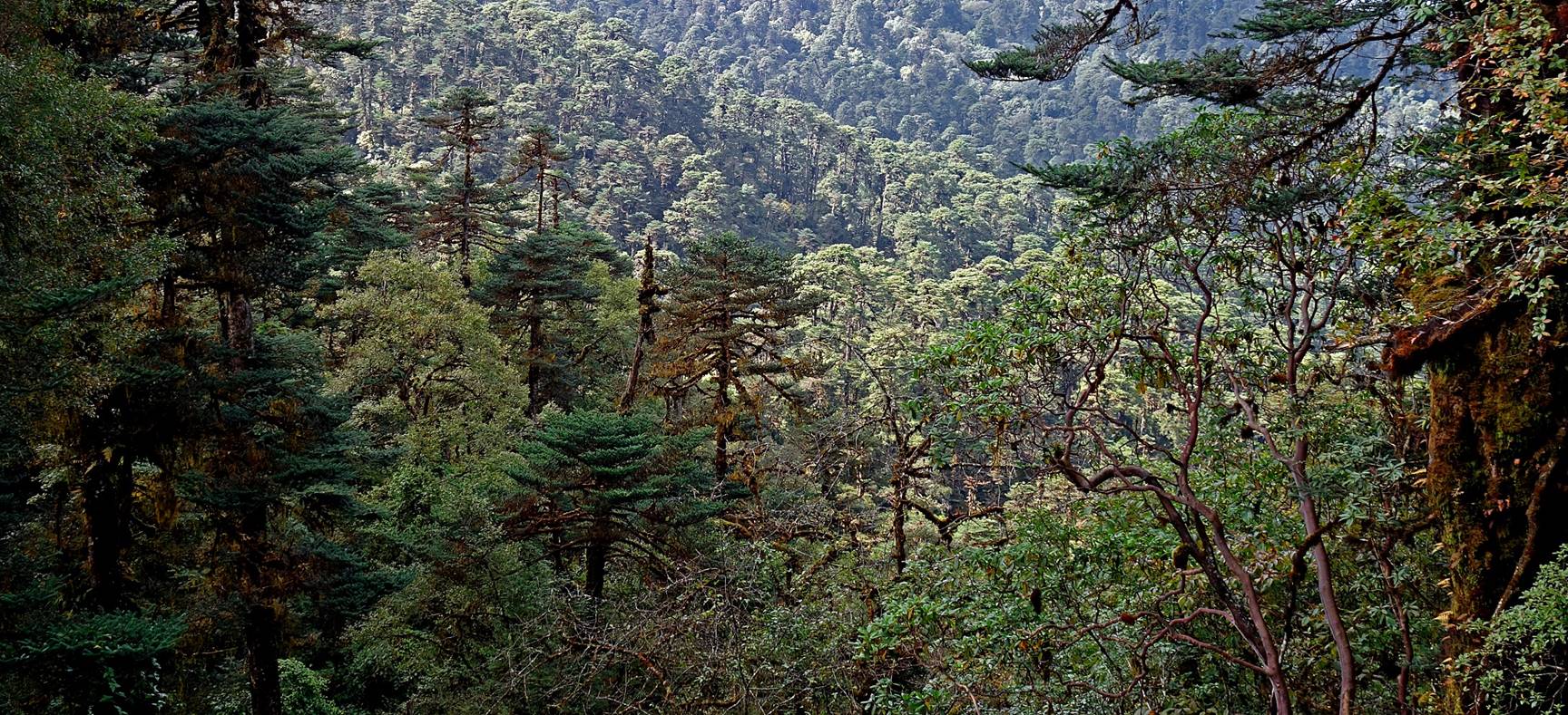
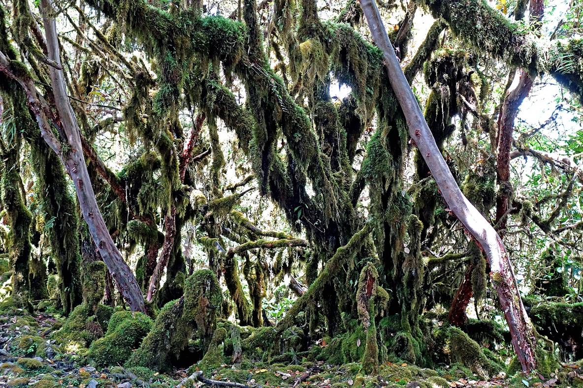
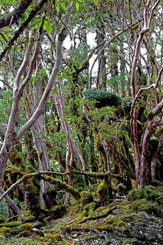
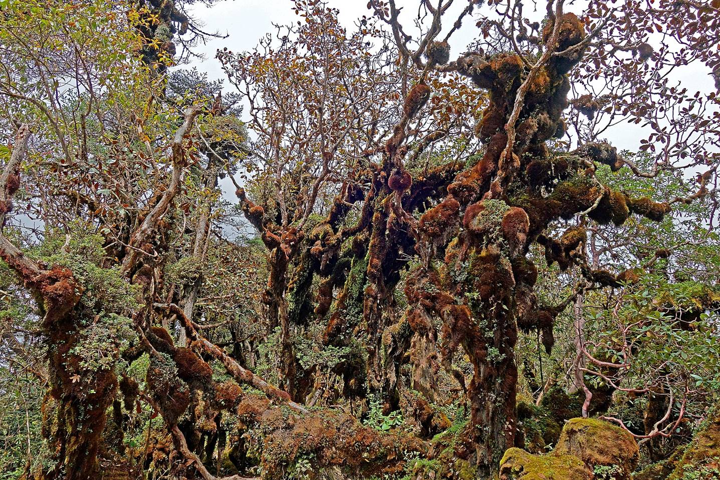
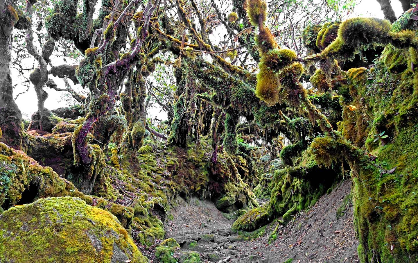
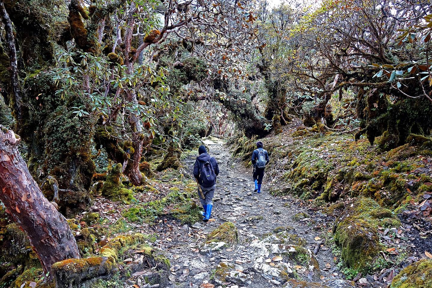
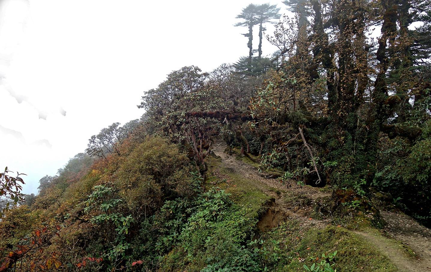
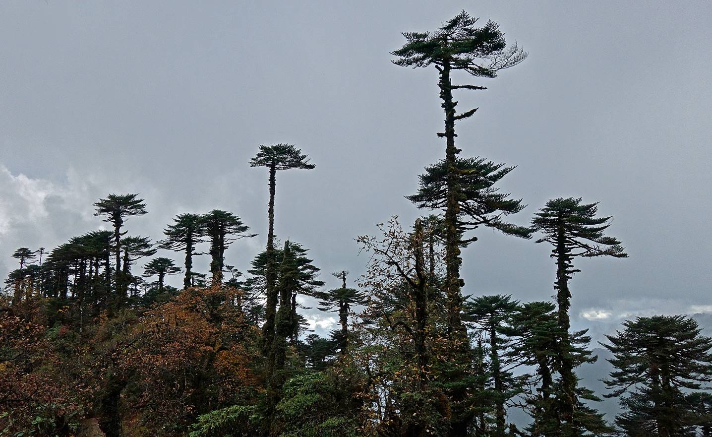
Between Camps #1 and #2 we followed an
old road that had been built after the Chinese invasion of 1962, largely on the
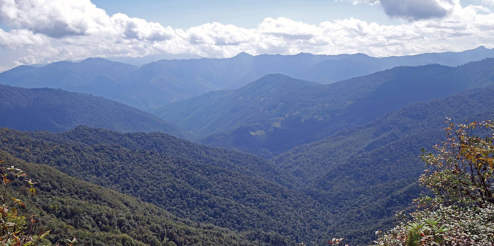
crest of a mountain ridge. Initially the surrounding landscape was a bit boring
with views over dense and uniform forests, but later it became more interesting
thanks to oddly shaped trees.
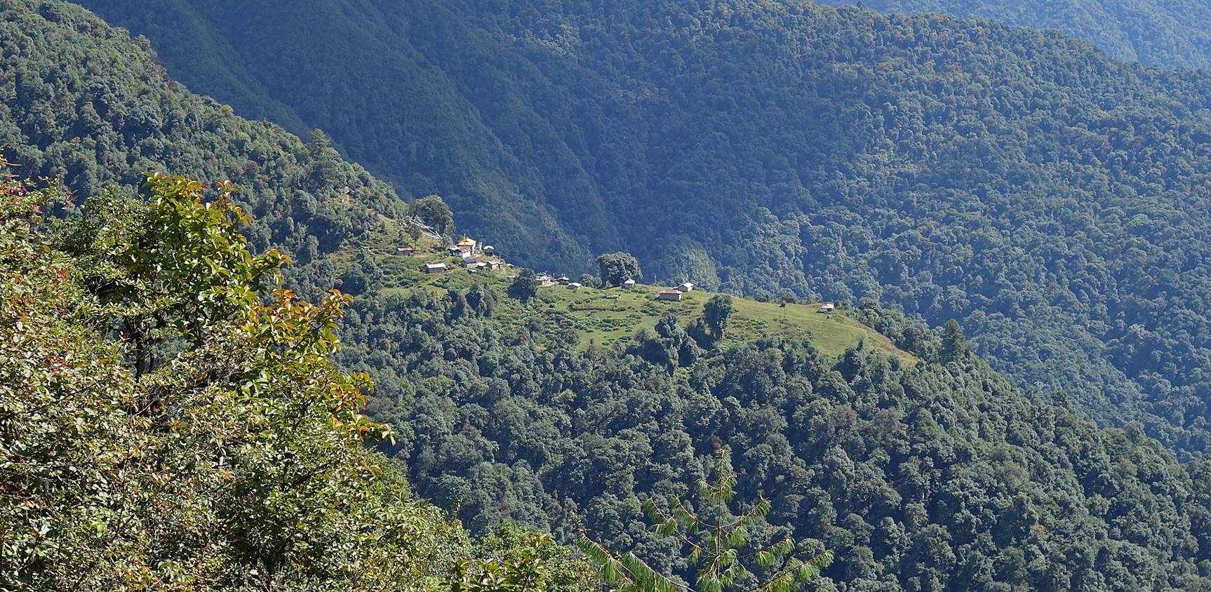
View over a hamlet built on a small spur
stemming from our ridge.
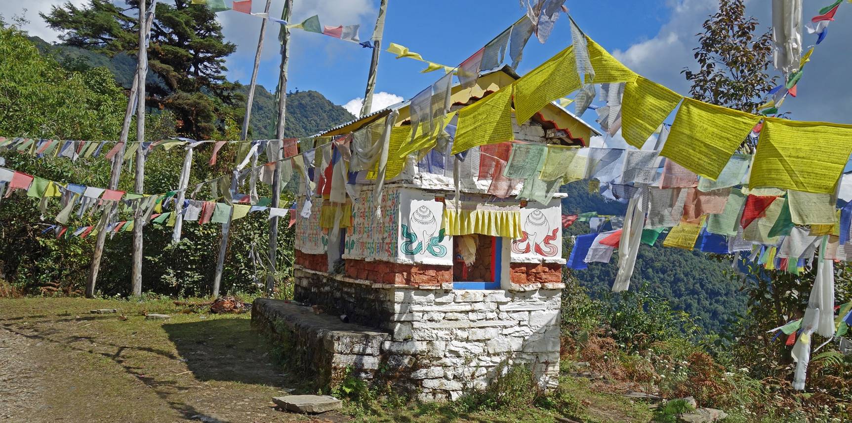
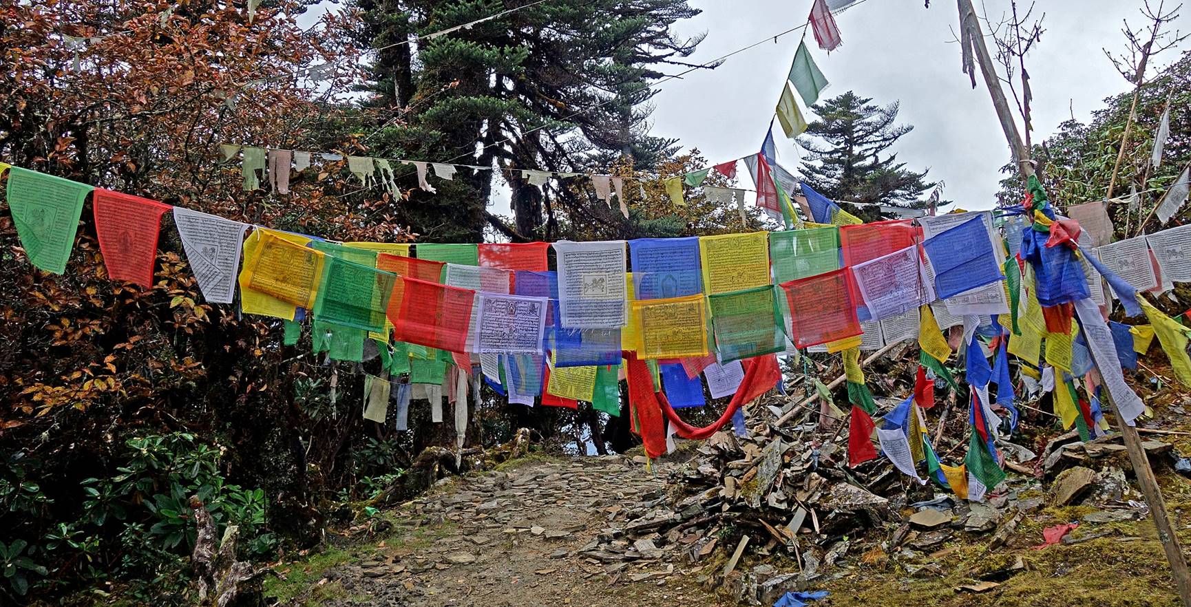
Typical Mani wall in Monpa
territory. Its style is very different from the Mani walls of Nepal and Ladakh, which are made of pebbles, rocks, and/or plates
carved with short mantras.
Dawa Sonam
rebalancing the load on one of his yaks.
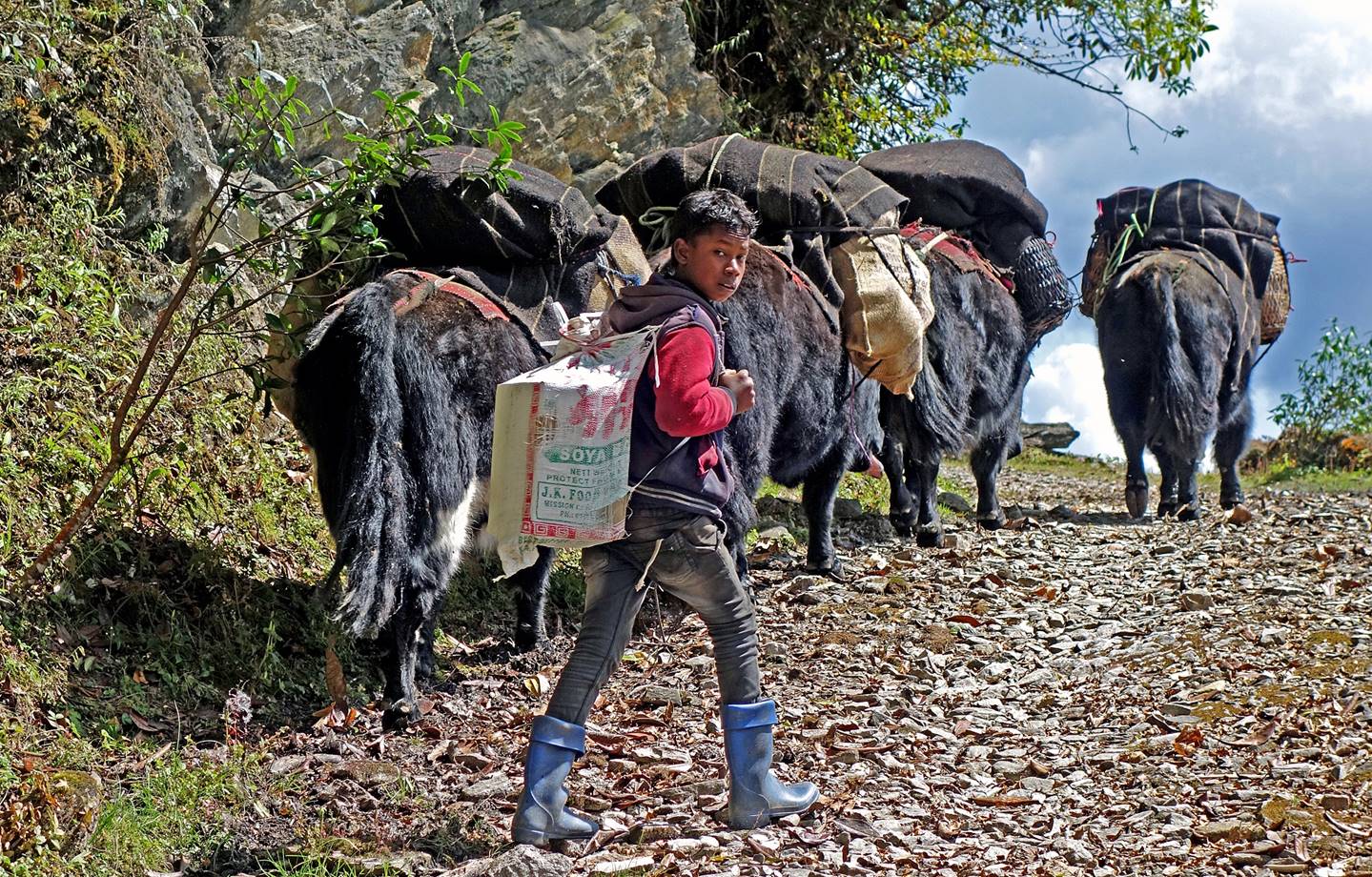
For the first 4 days of the trek a boy
had joined us. He was the son of a yak owner and was going to Potak (a yak pasture where we will set our Camp #4) to
bring back home his father′s yaks for the winter season.
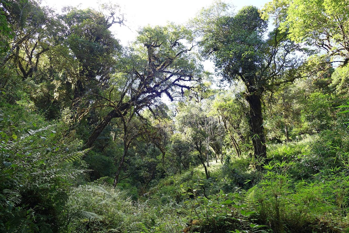
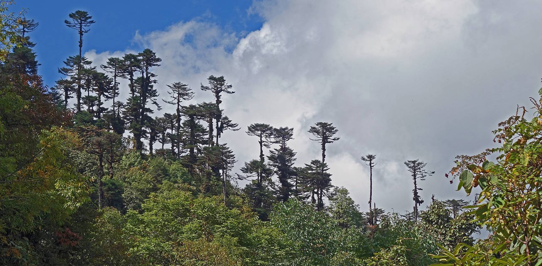
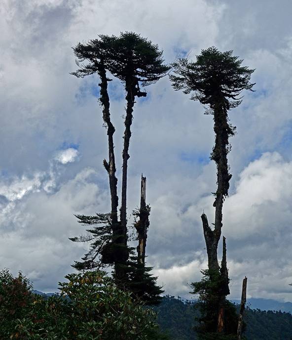
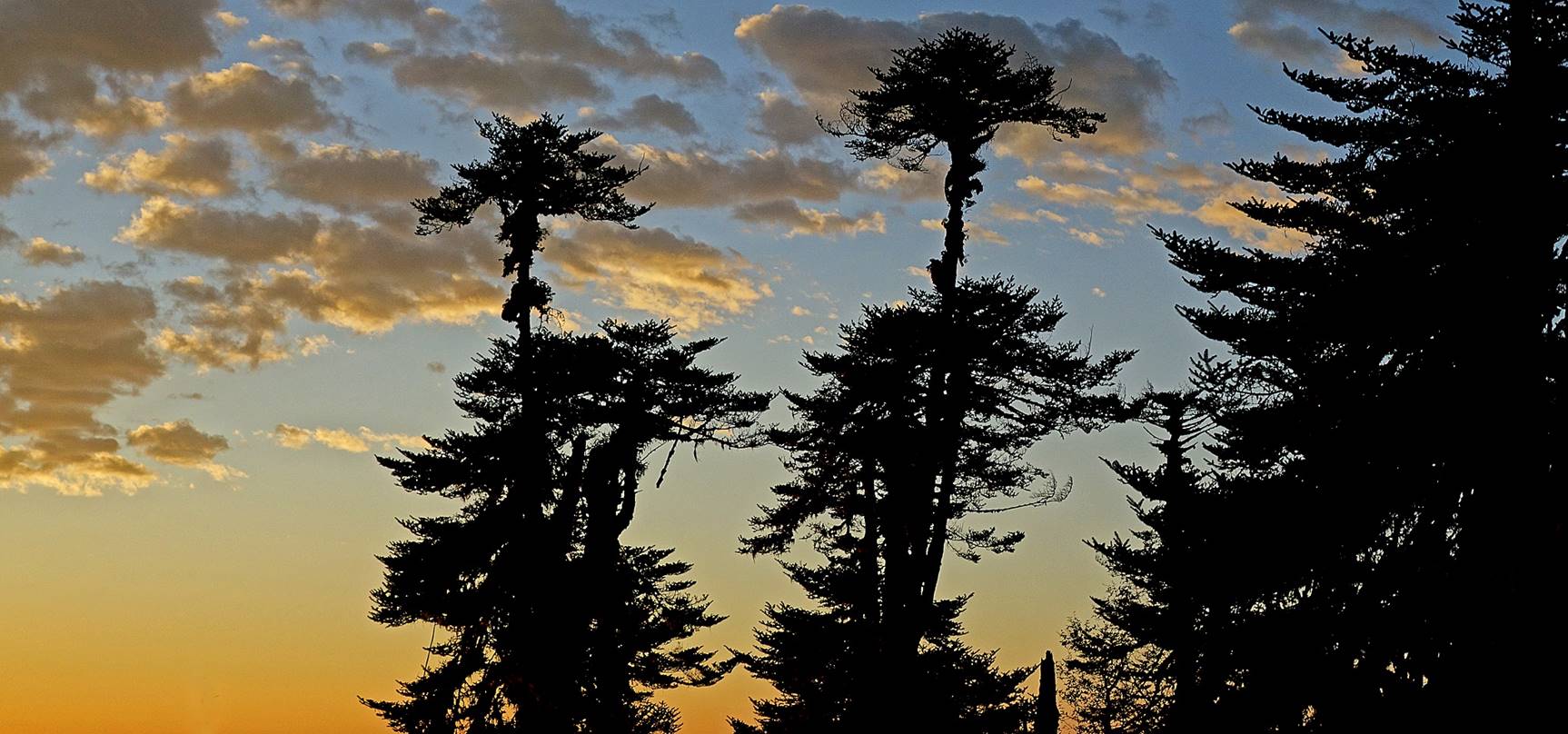
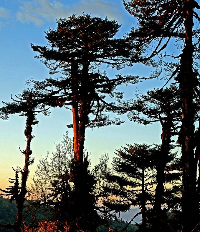
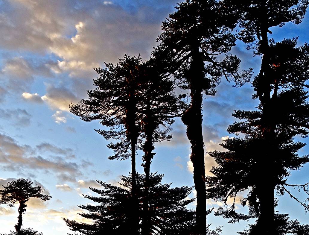
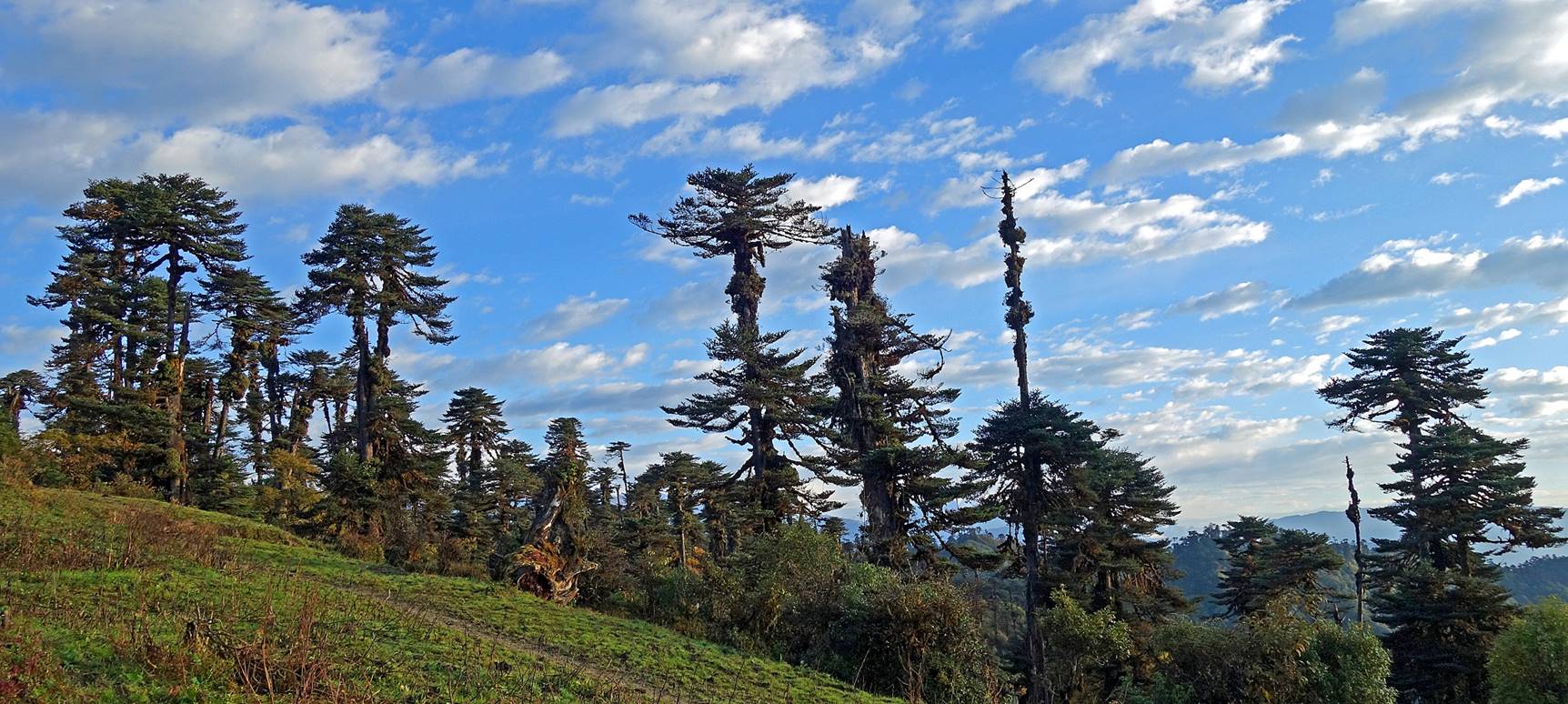
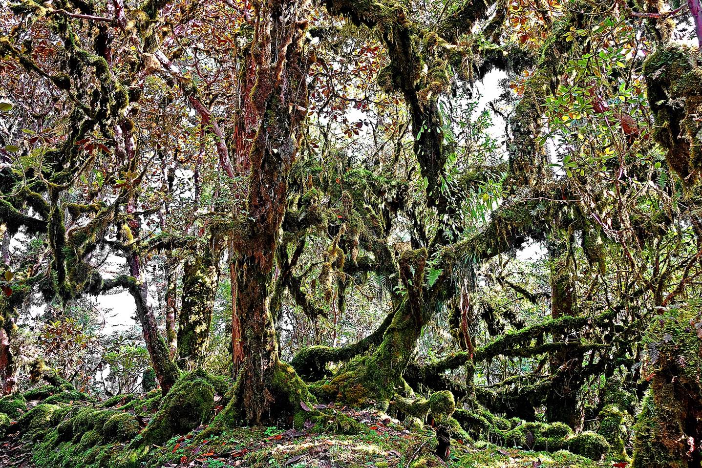
Interestingly shaped trees, with long
trunks and few clusters of branches.
|
|
|
We reached a place called Thungri (elevation: 3200m), where we met the first army
post of the trek and had to wait until the next morning before getting the
permission to go forward. We set our Camp #2 there.
Beautiful sunrise at Camp #2.
|
|
|
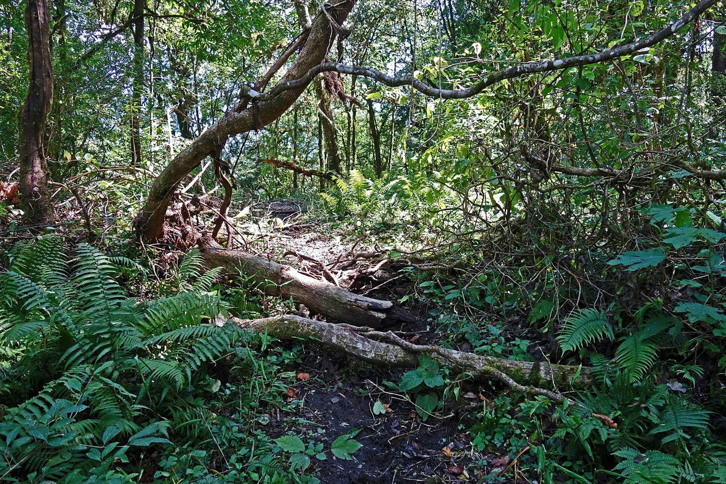
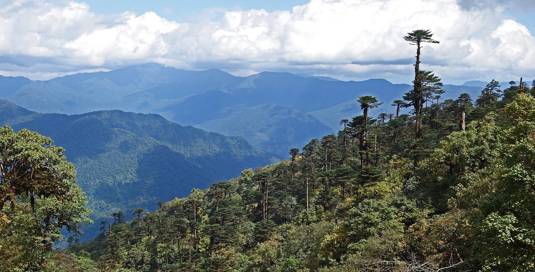
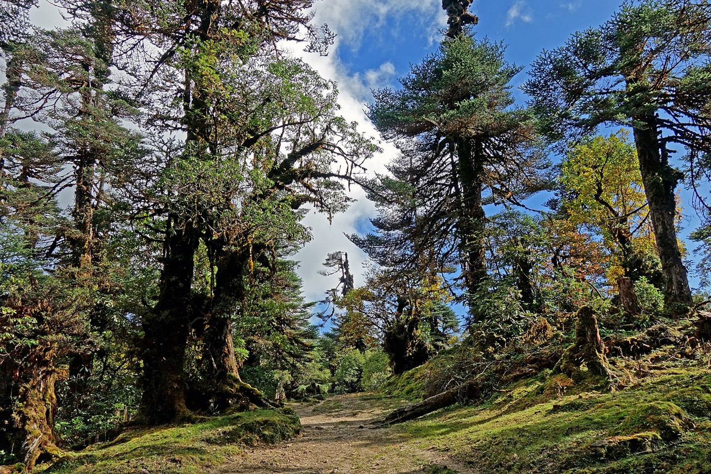
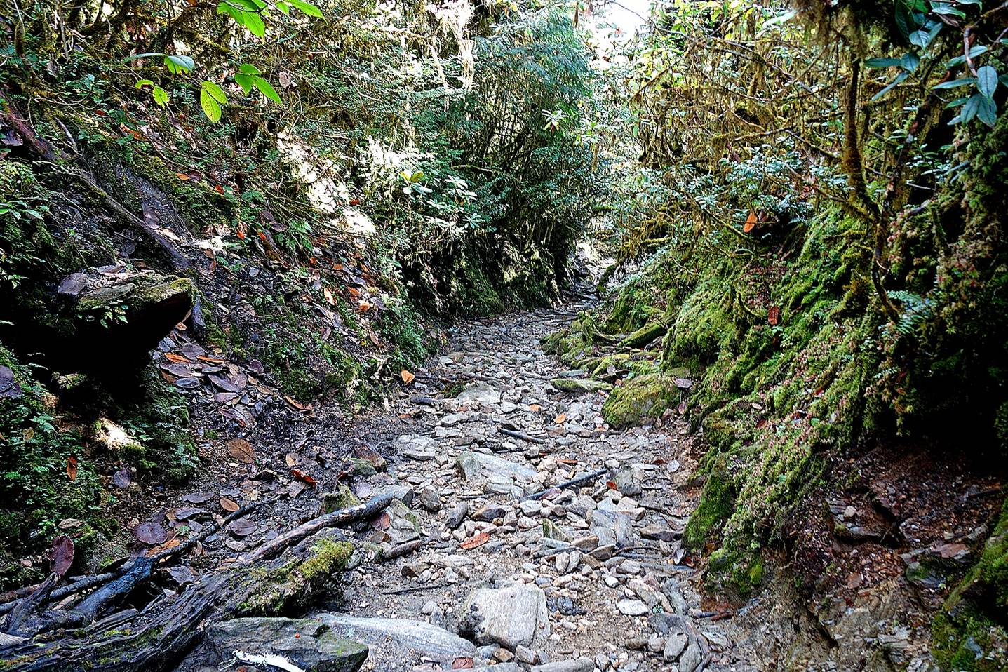
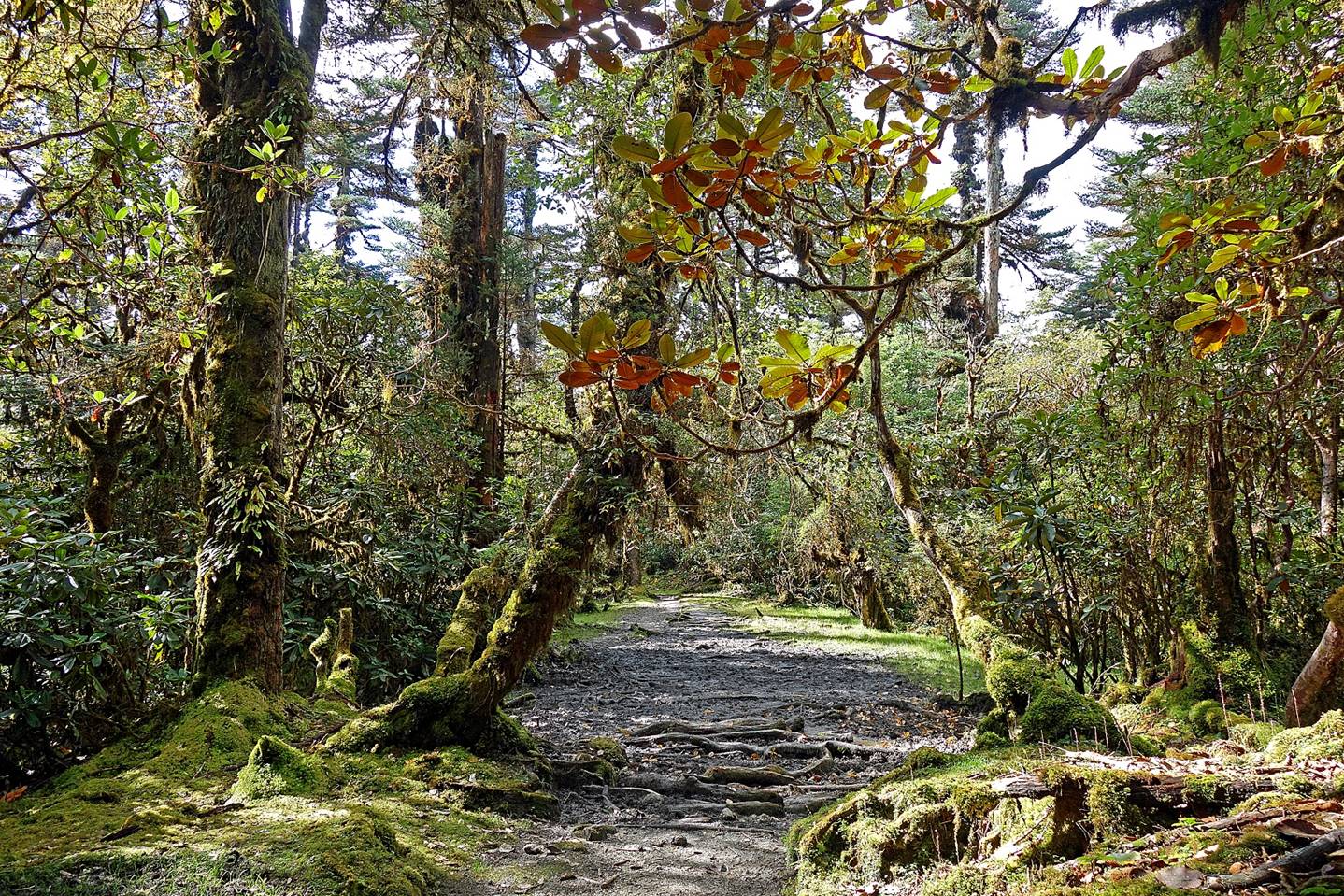
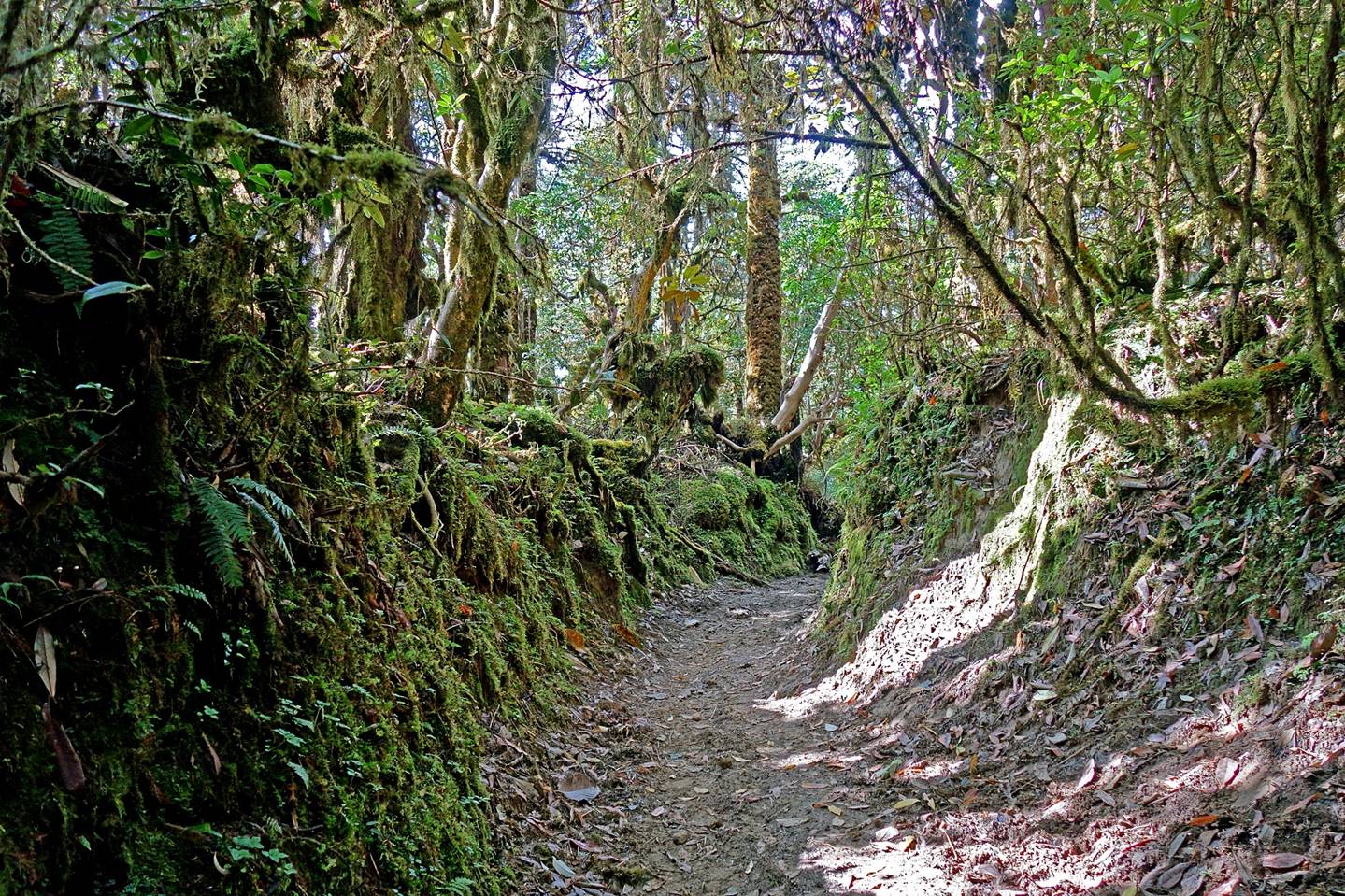
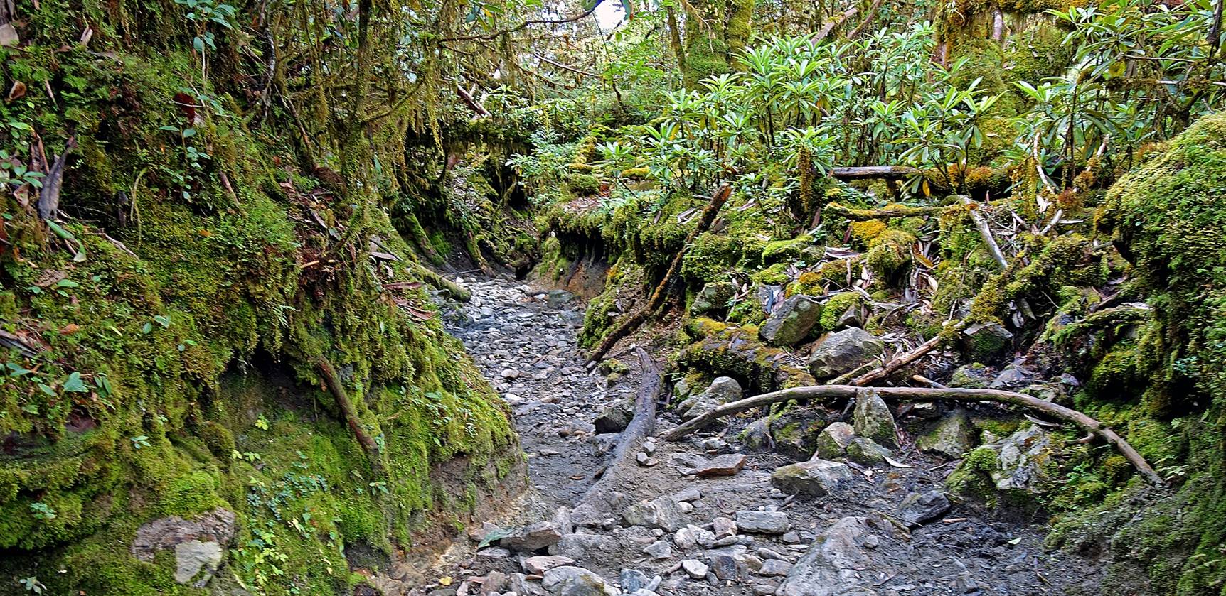
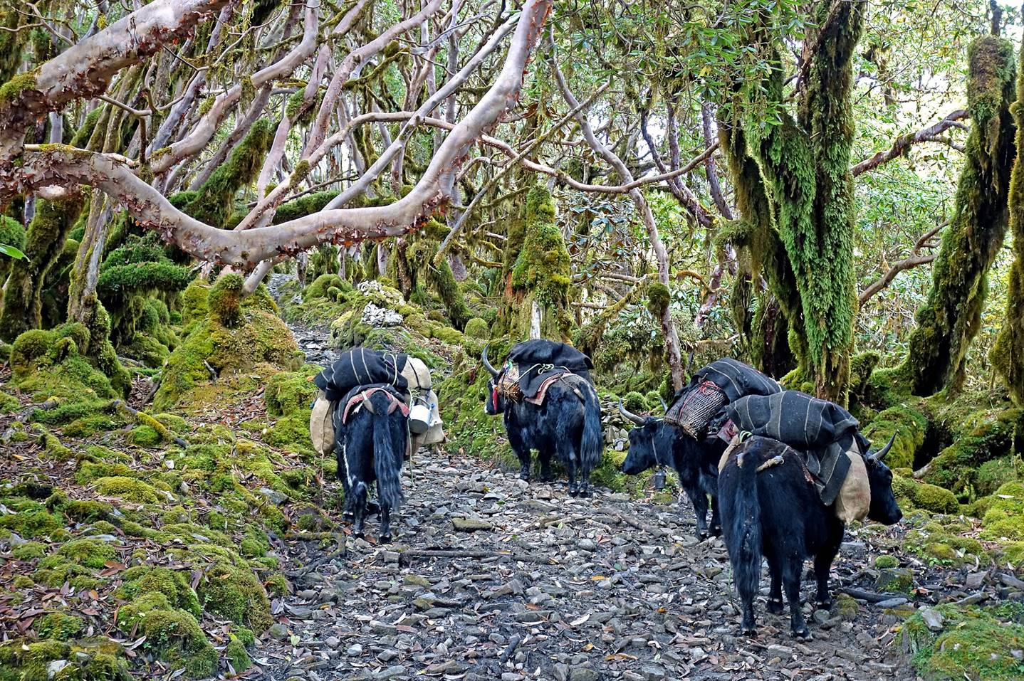
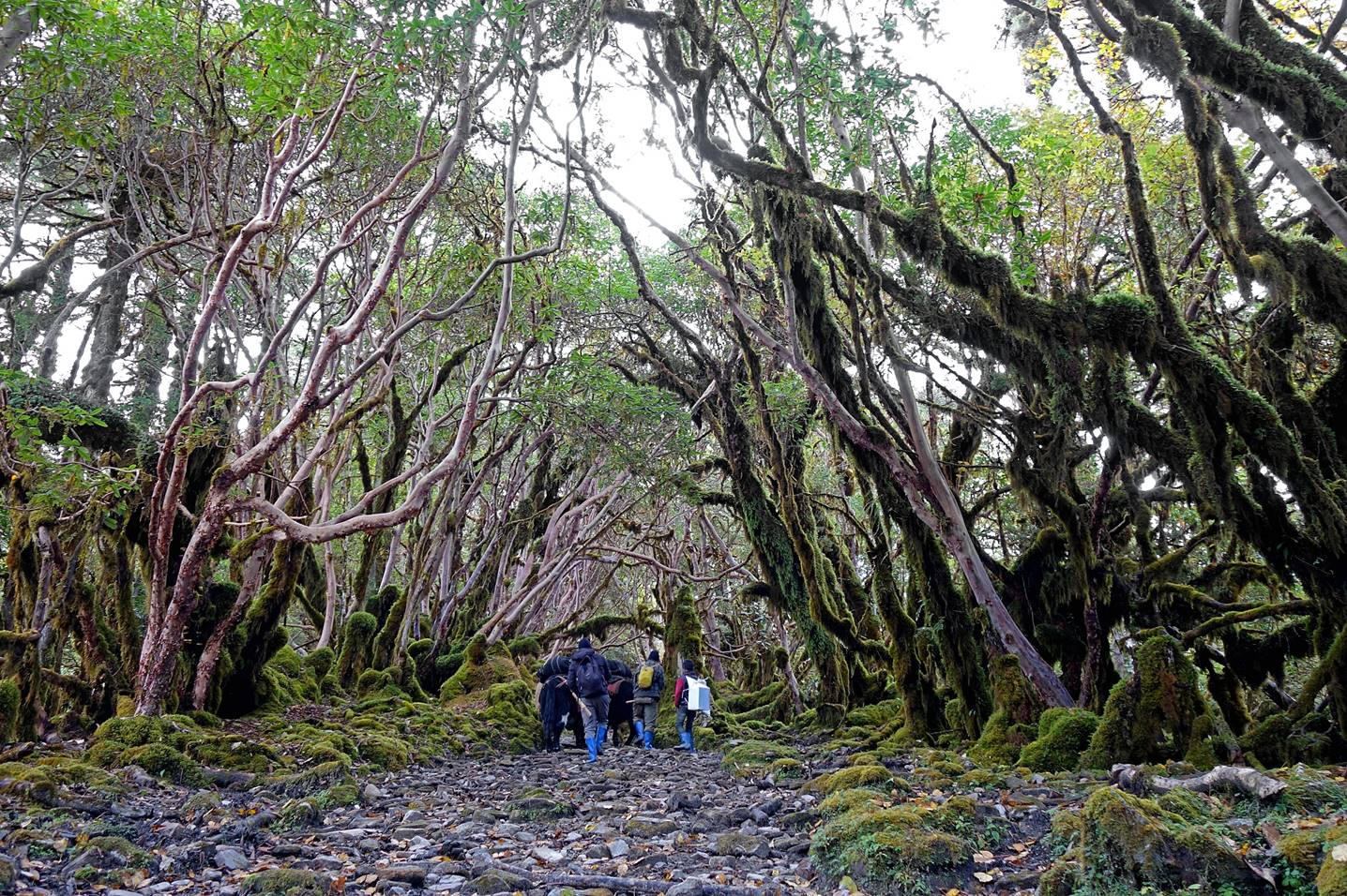
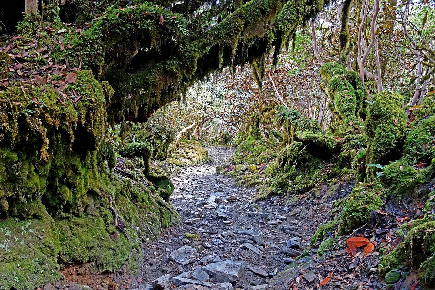
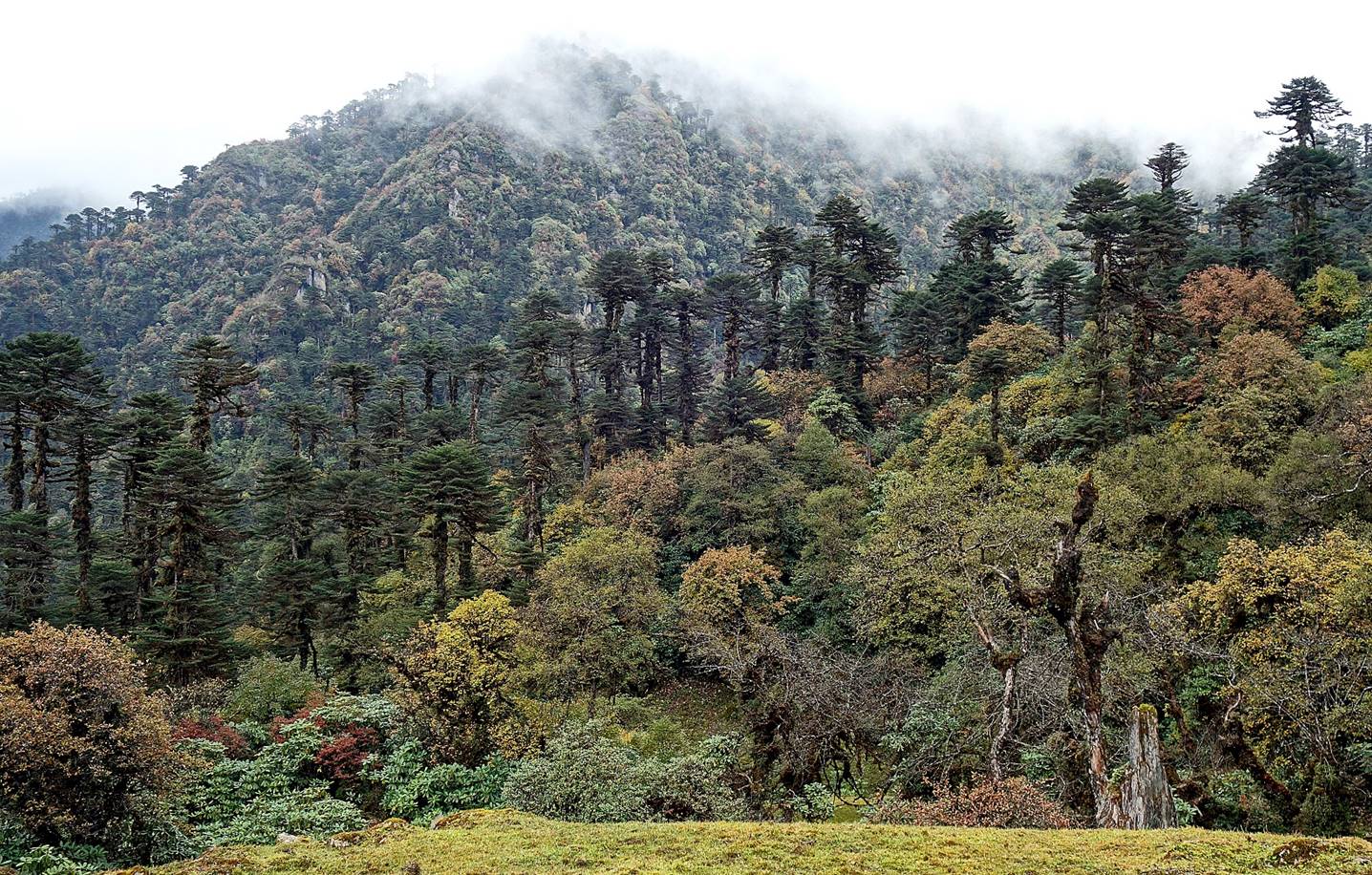
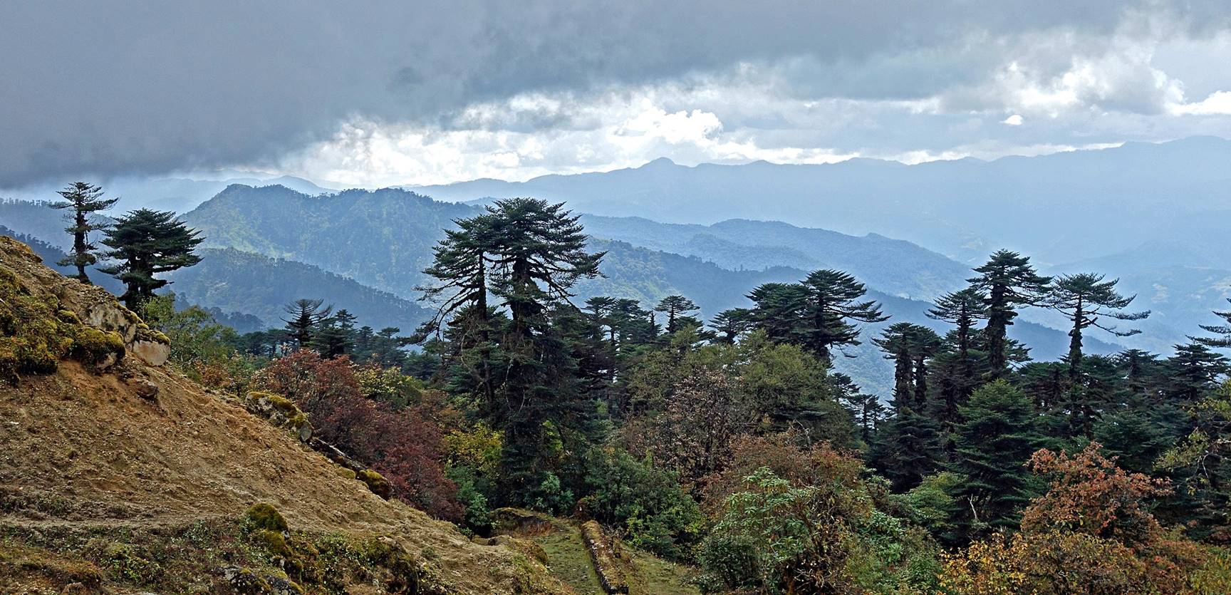
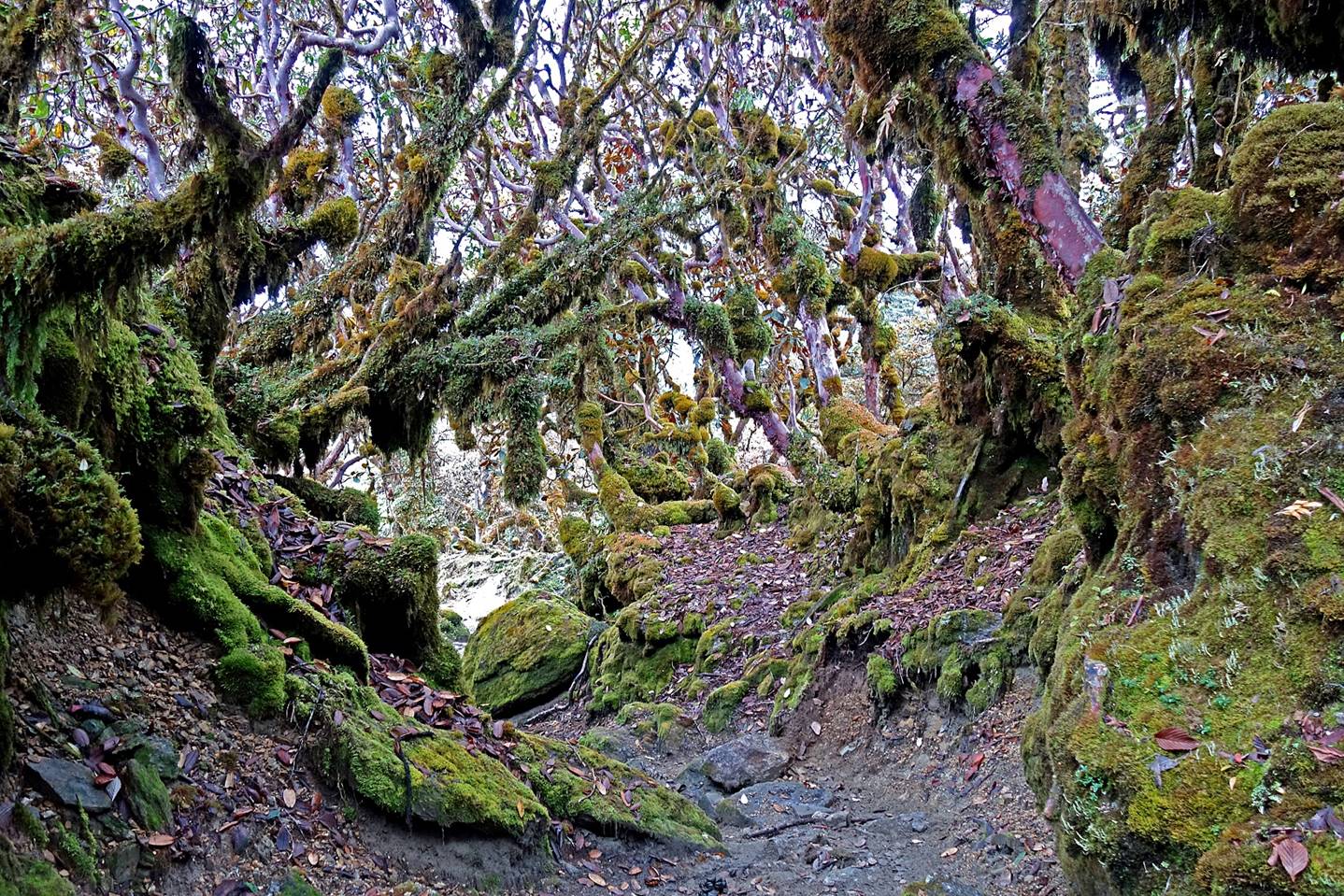
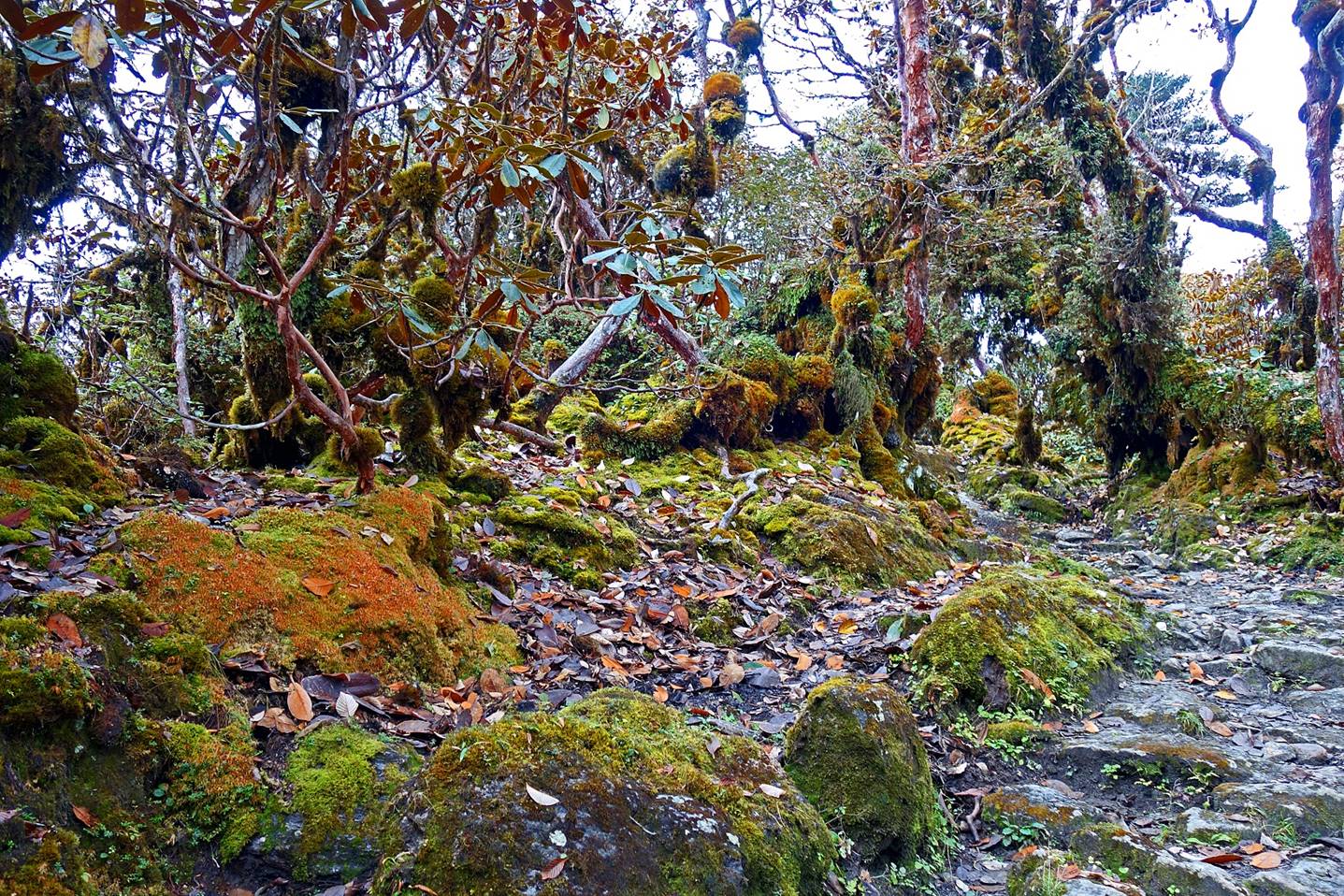
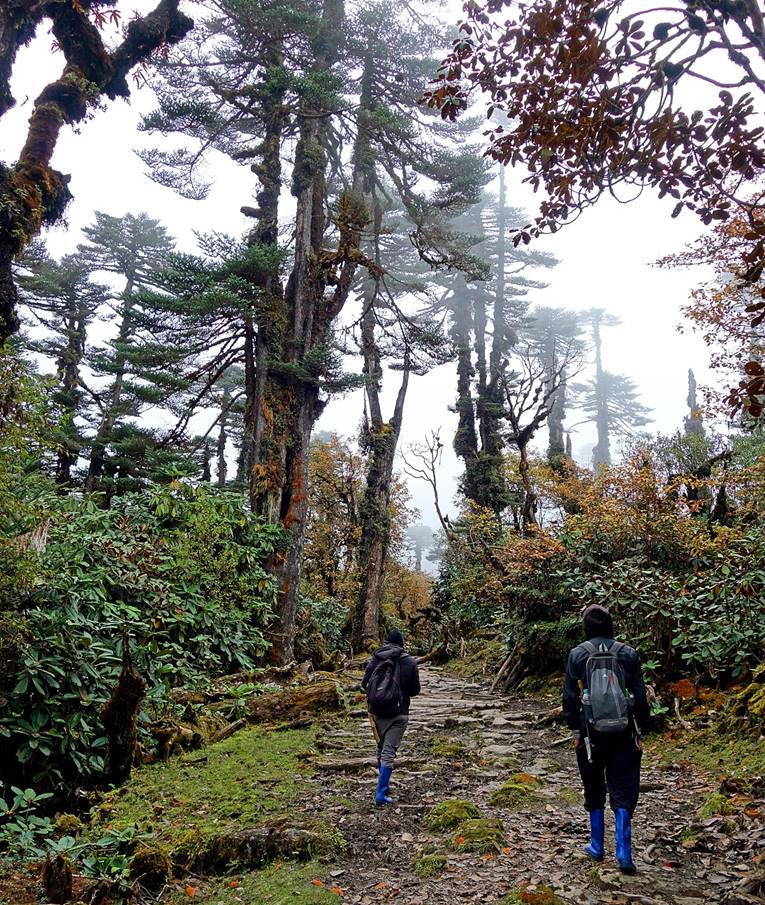
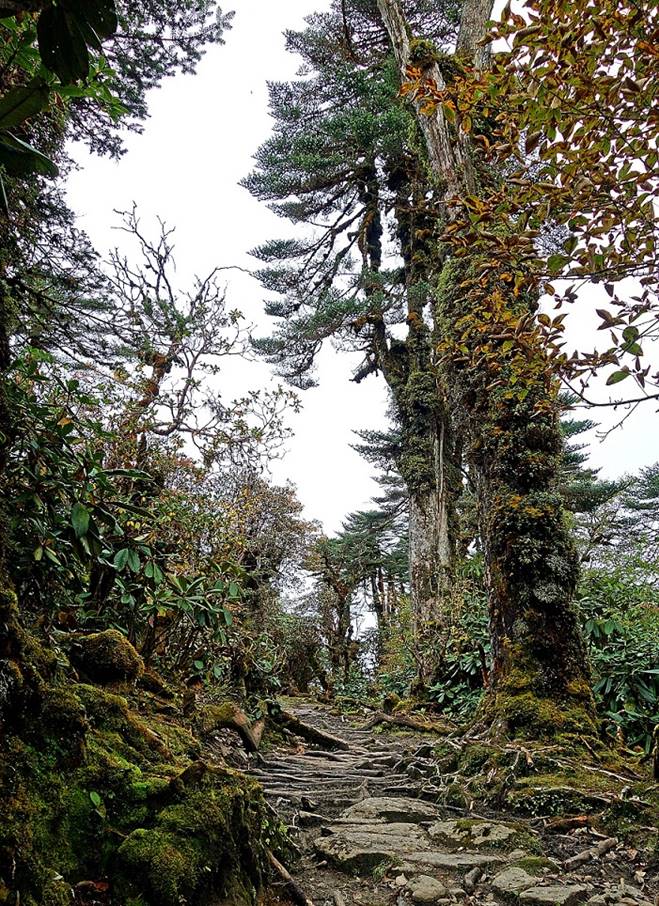
Beyond Camp #2 and until Camp #4, the
trail is used to move cattle between villages and higher-elevation pastures. It
is well maintained despite the fact that it often lies in ditches dug by water
during heavy rain. Between Camps #2 and #3 it mostly follows the crest of a
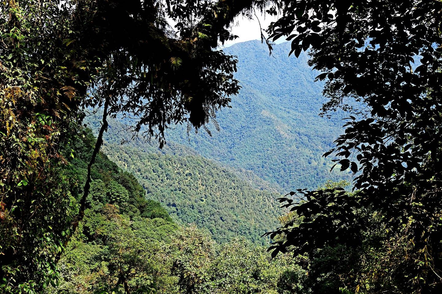
ridge (with the valley of the Sangti river
occasionally visible on its western side). The traversed forests are stunningly
beautiful.
|
|
|
Machete
|
|
|
Just when we reached our Camp #3
(elevation: 3730m) it started raining and we got wet for the first time of the
trek.
To directly access the
other two pages covering this trek, click on the following links:
- Thembang-to-Jang trek via Tse La
(2/3)
- Thembang-to-Jang trek via Tse La
(3/3)
![]()
Return to my
mountaineering/trekking/travel webpage | Return
to main India Oct-Nov 2019 webpage