India (October-November 2019):
Trek from Thembang
to Jang via Tse La (2/3)
|
|
Return to my
mountaineering/trekking/travel webpage | Return
to main India Oct-Nov 2019 webpage
|
|
|
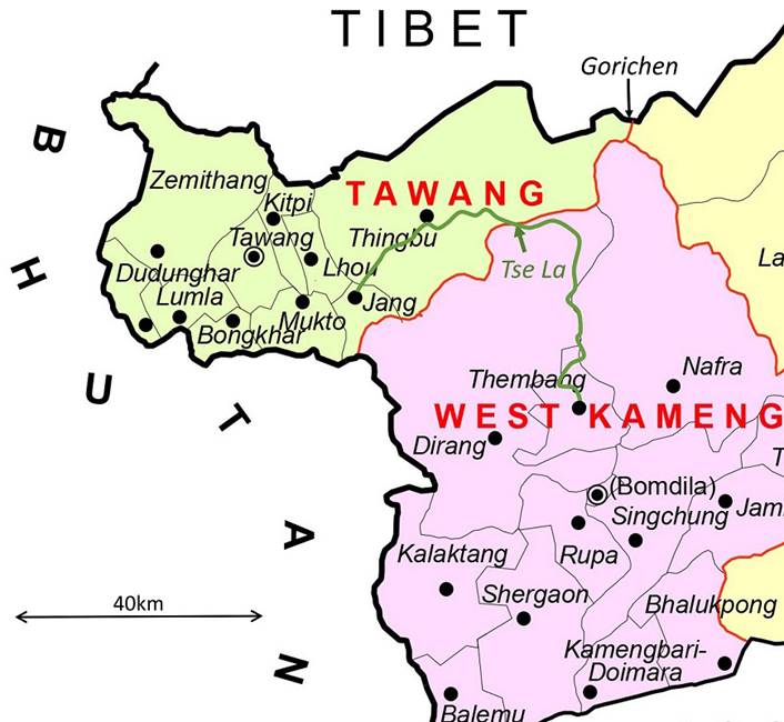
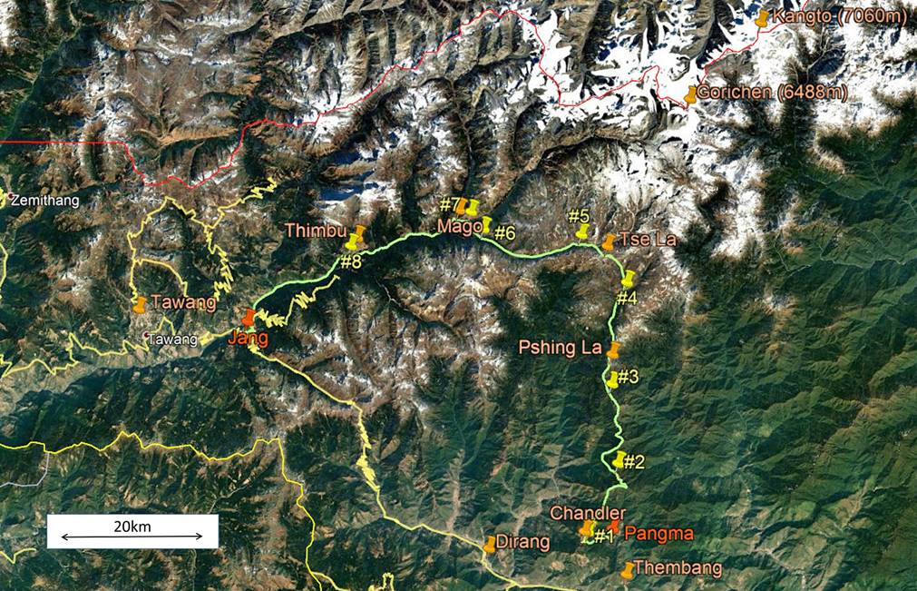
Reminder: The itinerary
of this trek is drawn in green in both the map and the aerial image above. To
see the aerial image in more detail click here to download the trek-ap.kmz
file and open this file in Google Earth. The trek starts in Pangma,
a hamlet located 5km north of Thembang and ends in Jang
(red pins). The yellow pins (marked #1 to #8) point to the locations of the 8
successive camps of this trek. The other pins indicate the positions of various
towns, villages, passes, and peaks.
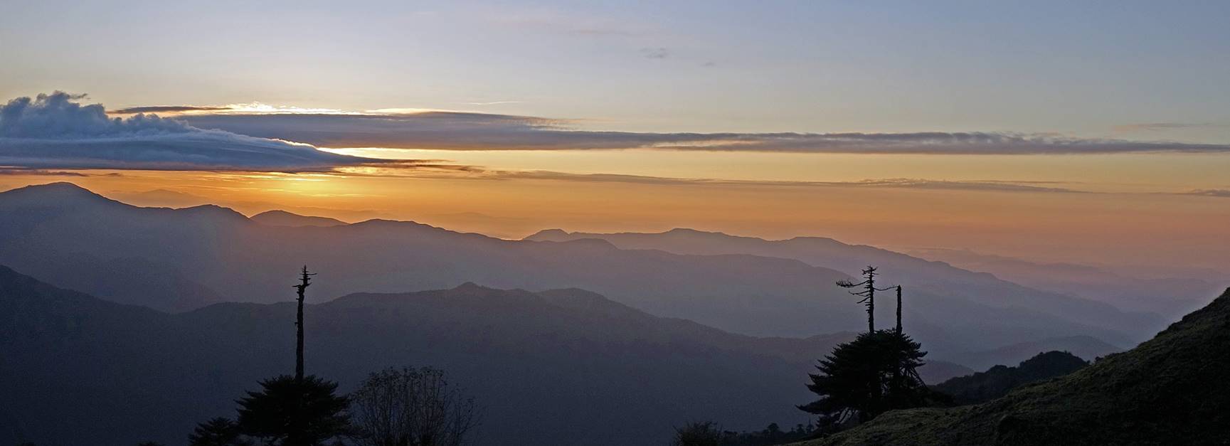
Sunrise seen from Camp #3 (elevation
3730m).
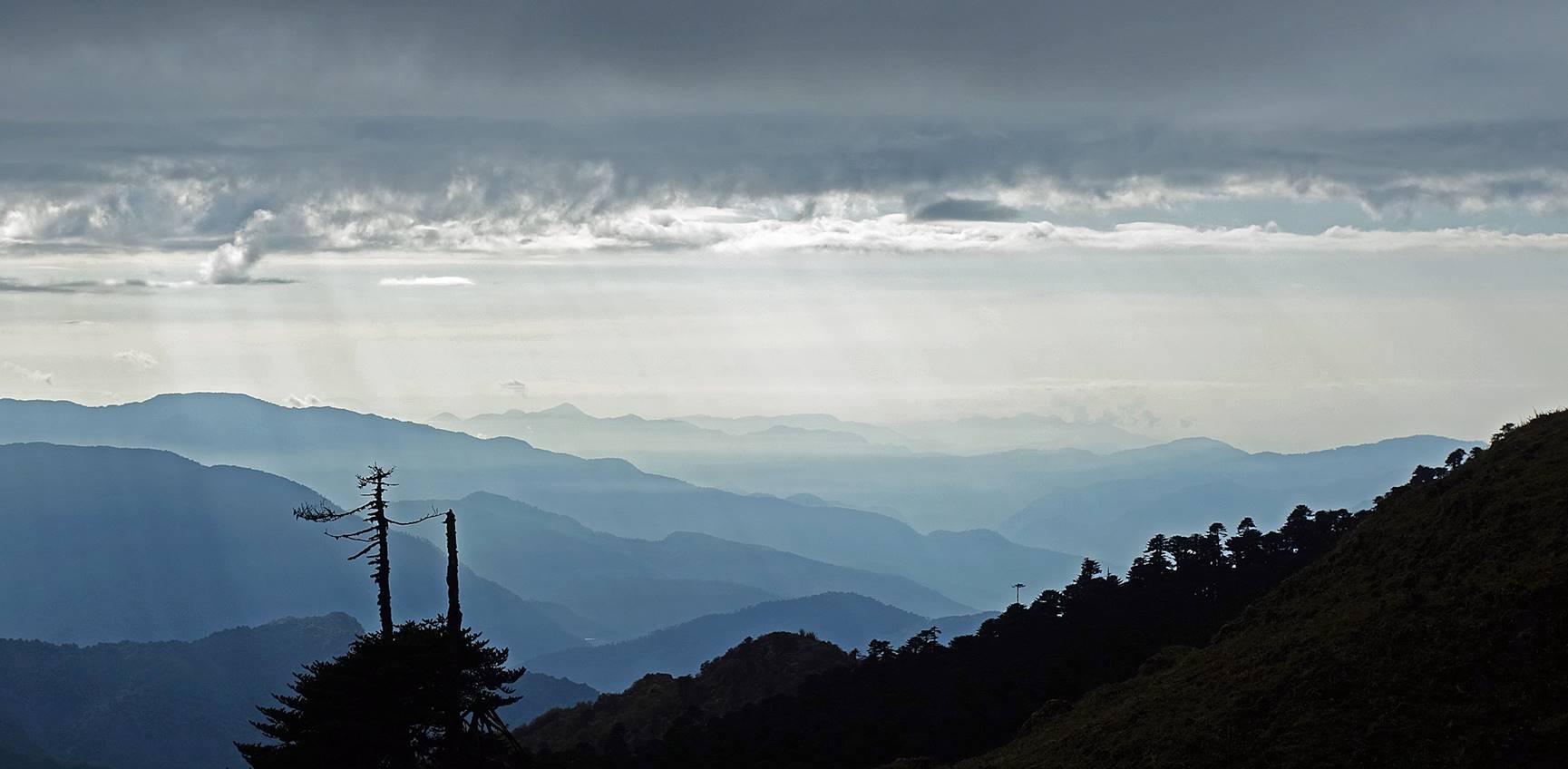
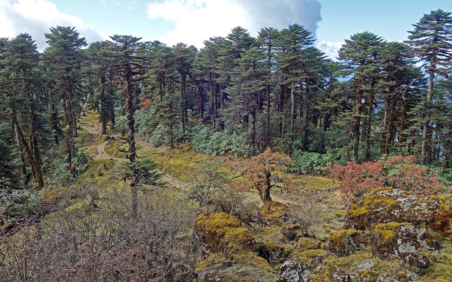
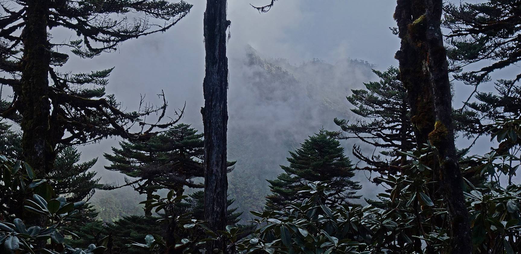
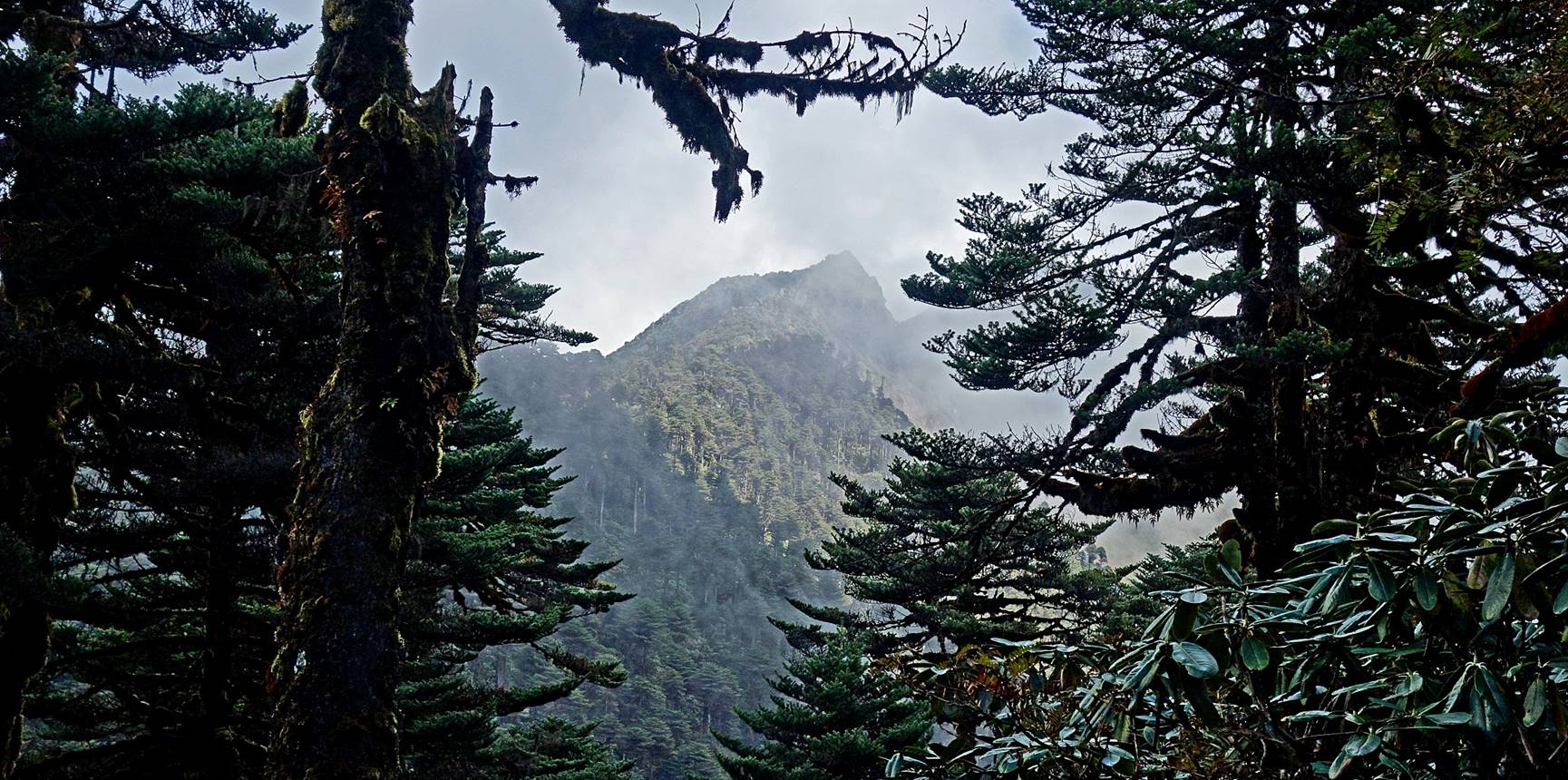
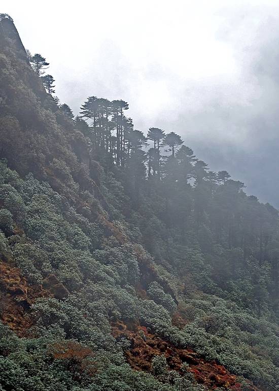
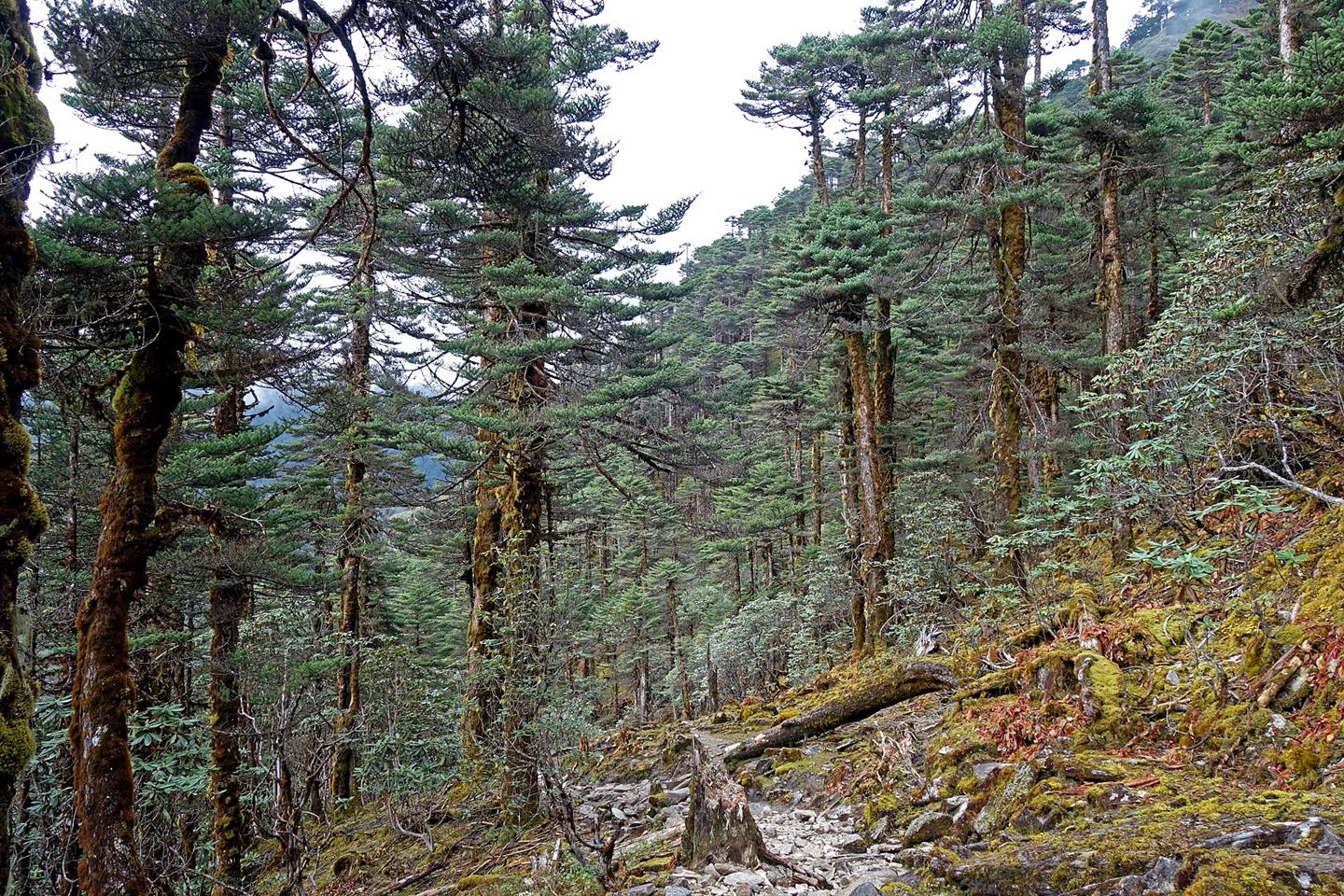
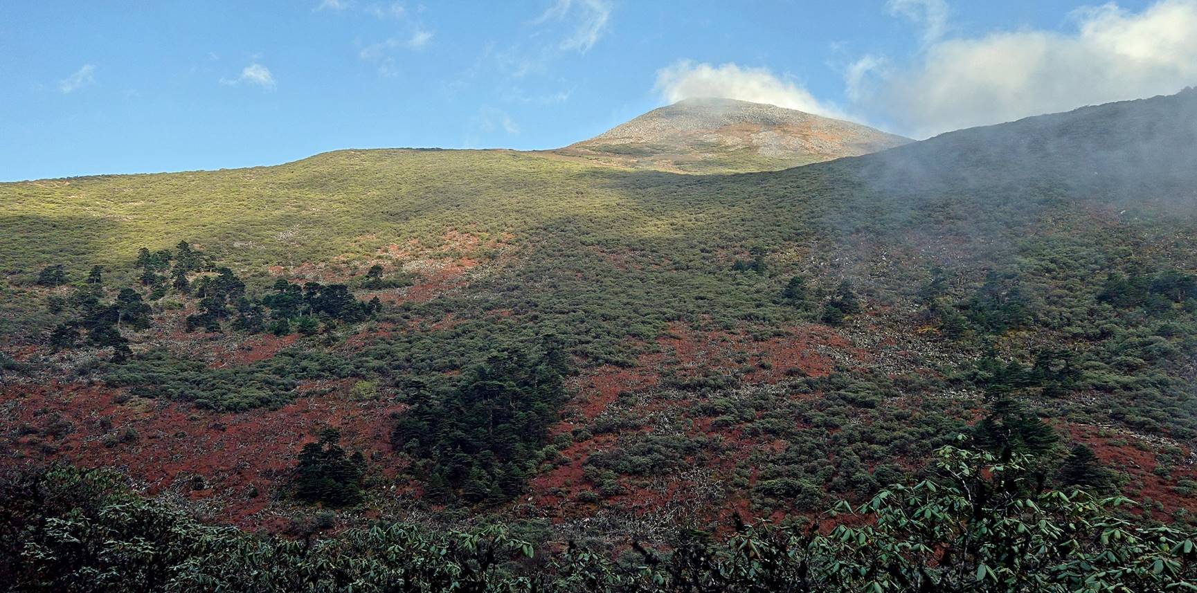
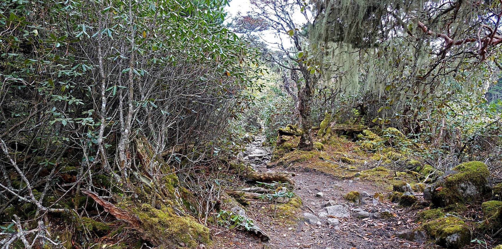
For most of the 4th trekking day we stayed
in the mist, except in the early morning and late afternoon. We initially
continued to hike along the ridge followed on the previous day, until we
crossed Pshing La (a 3950m pass). After this pass we
descended in the upper valley of the Sangti river. We crossed this river near an army post and then
followed the right bank of this river uphill until we reached Potak (a summer pasture) where we set our camp #4. Soon
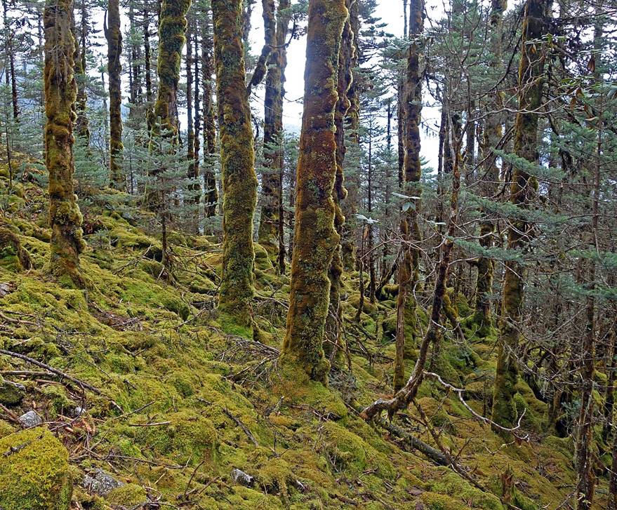
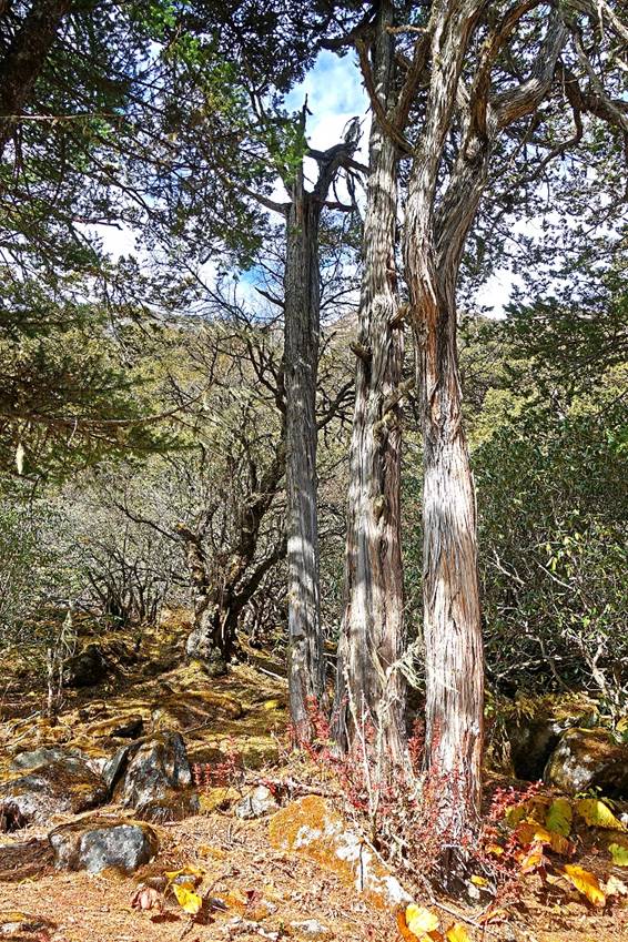
after crossing the Sangti river,
the forest gave place to a more alpine type of landscape with short vegetation.
|
|
|
|
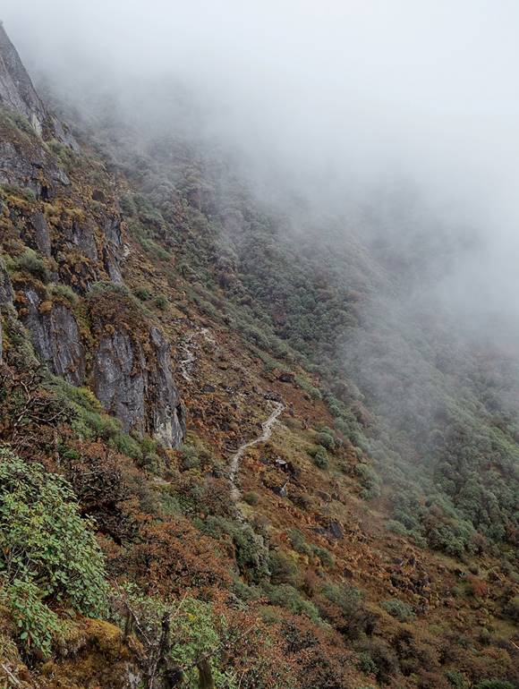
Reaching Pshing
La (3950m)
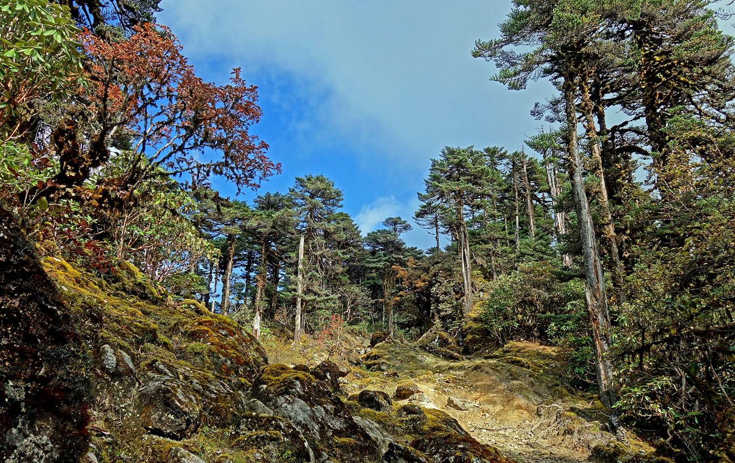
Start of the descent from Phsing La.
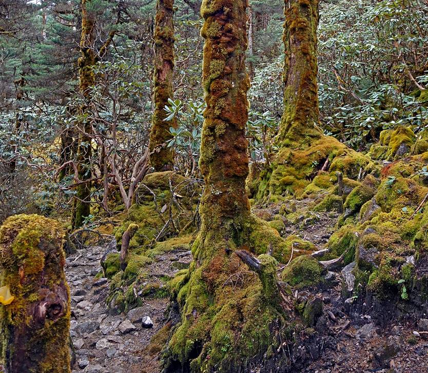
Forest lower down before reaching and
crossing the Sangti river.
|
|
|
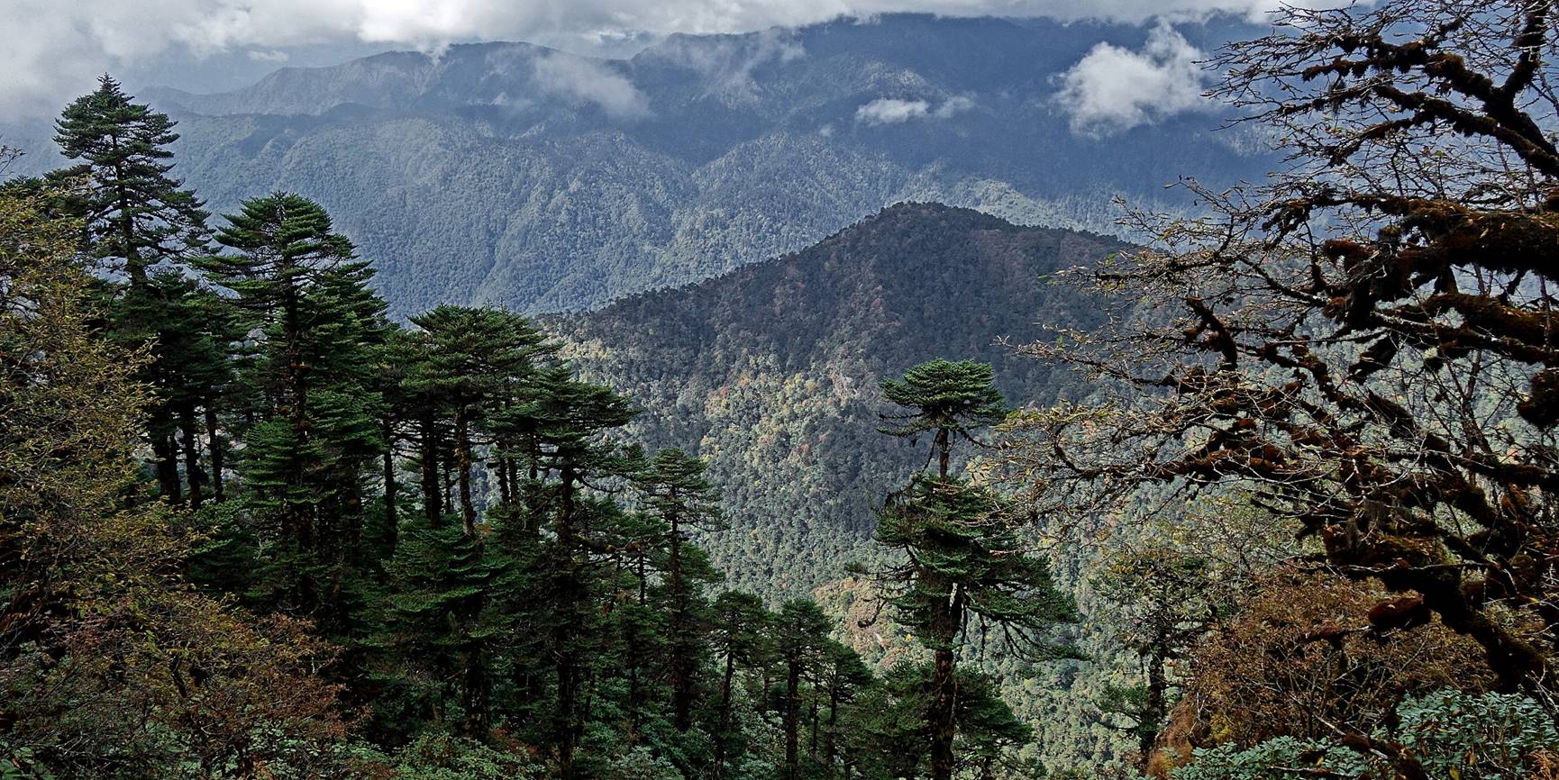
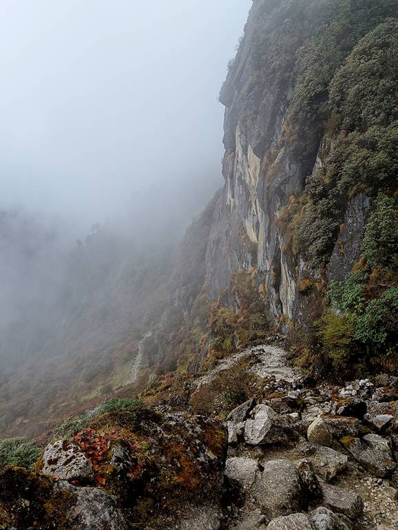
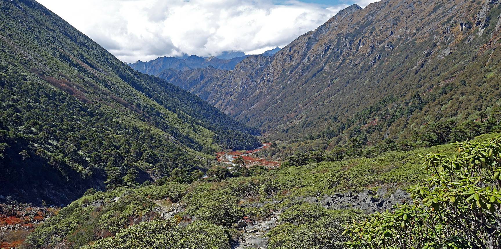
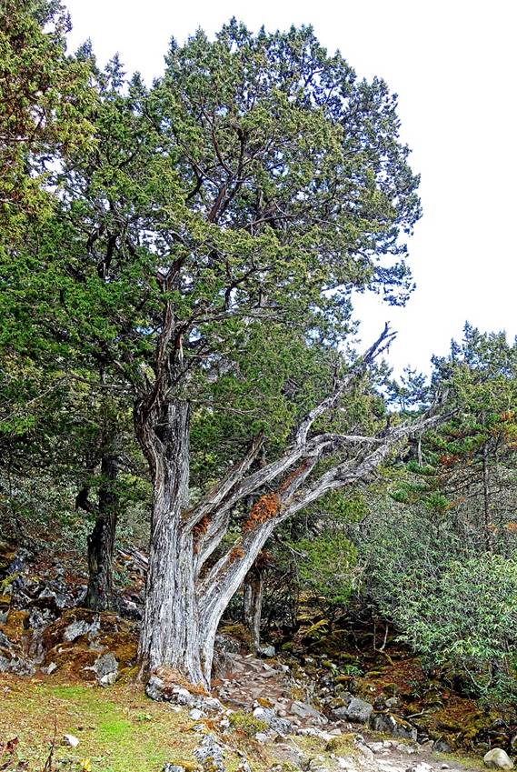
After crossing the Sangti
river, the trail went up again and the forest was
quickly replaced by shrubs and then just grass.

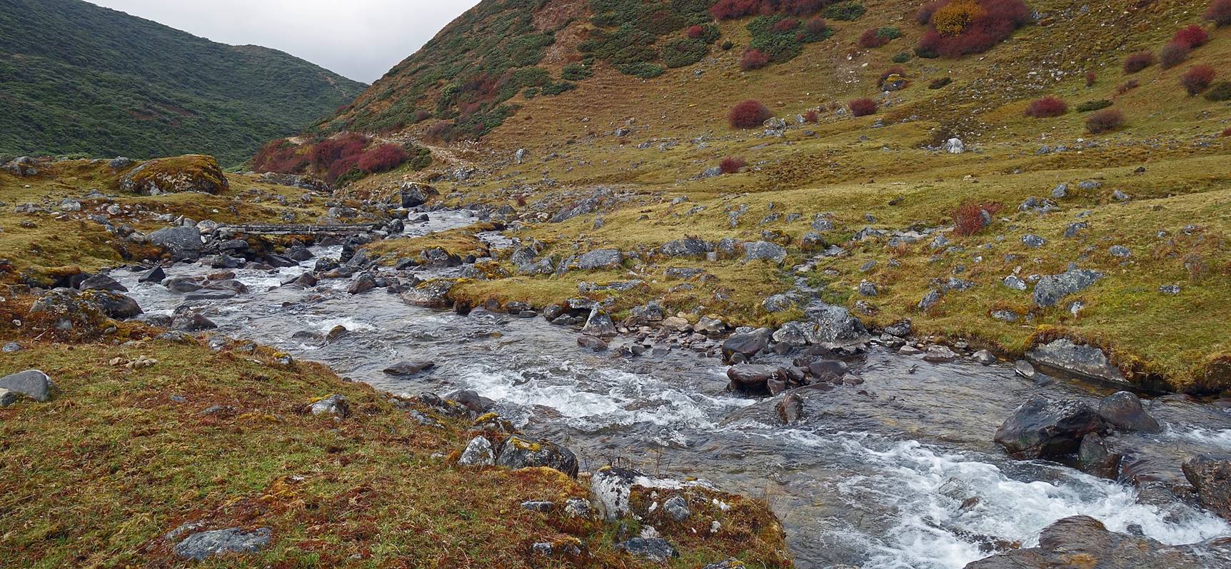
Upper part of the Sangti
river.
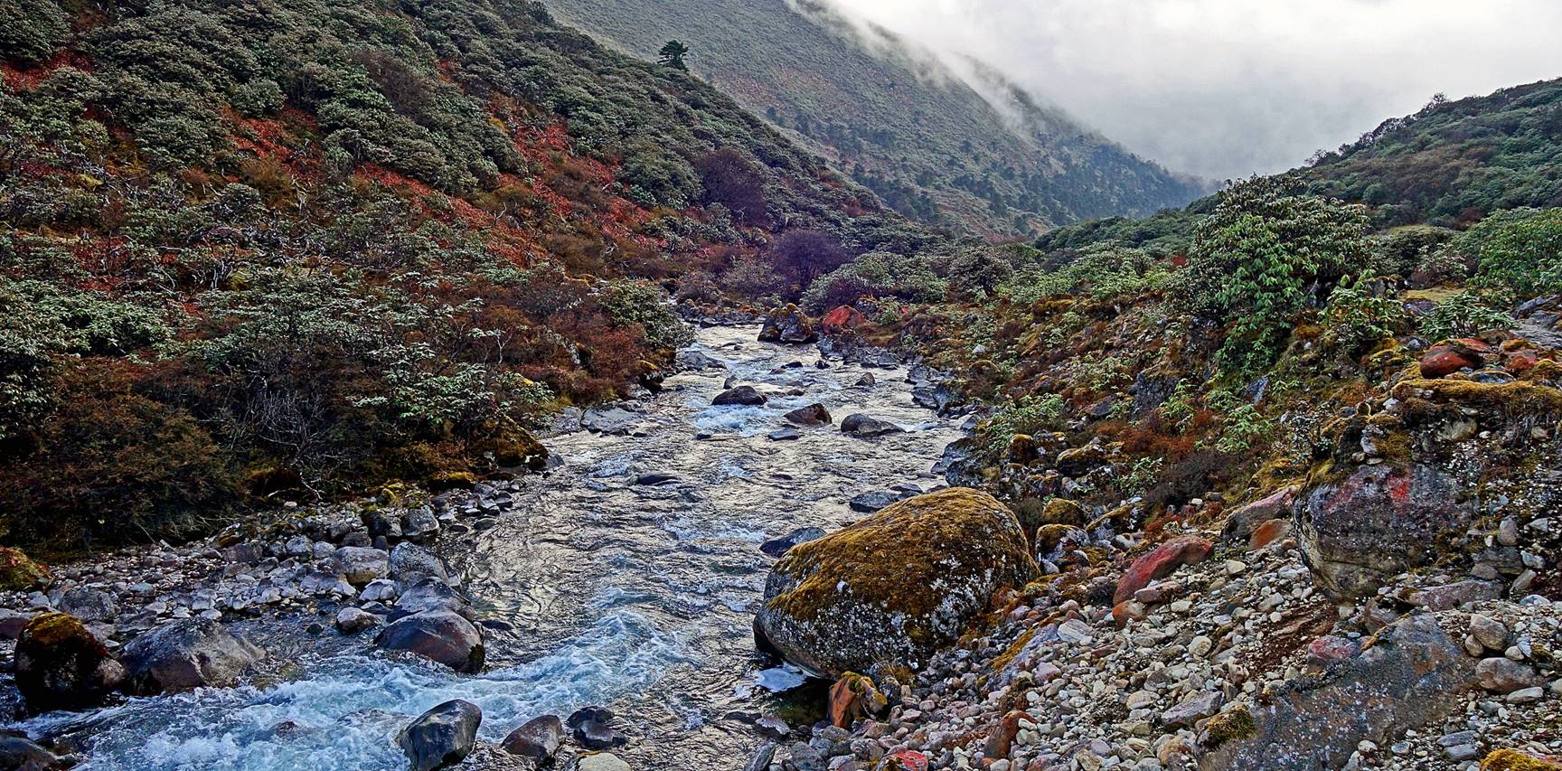
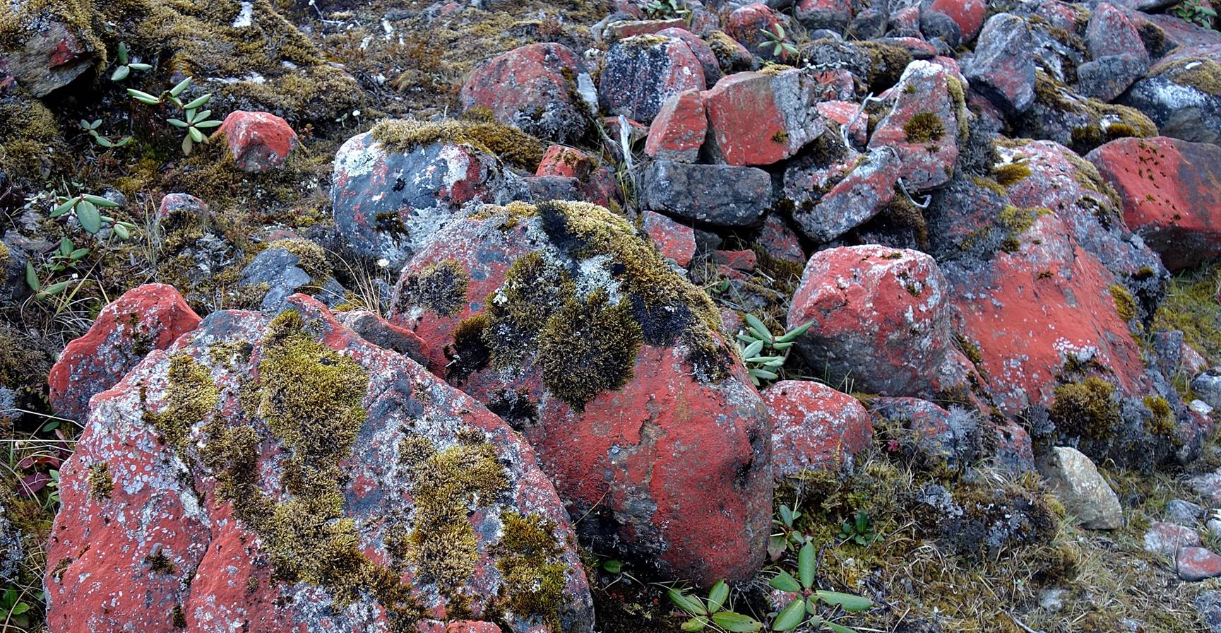
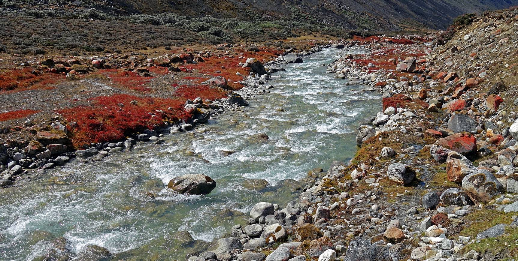
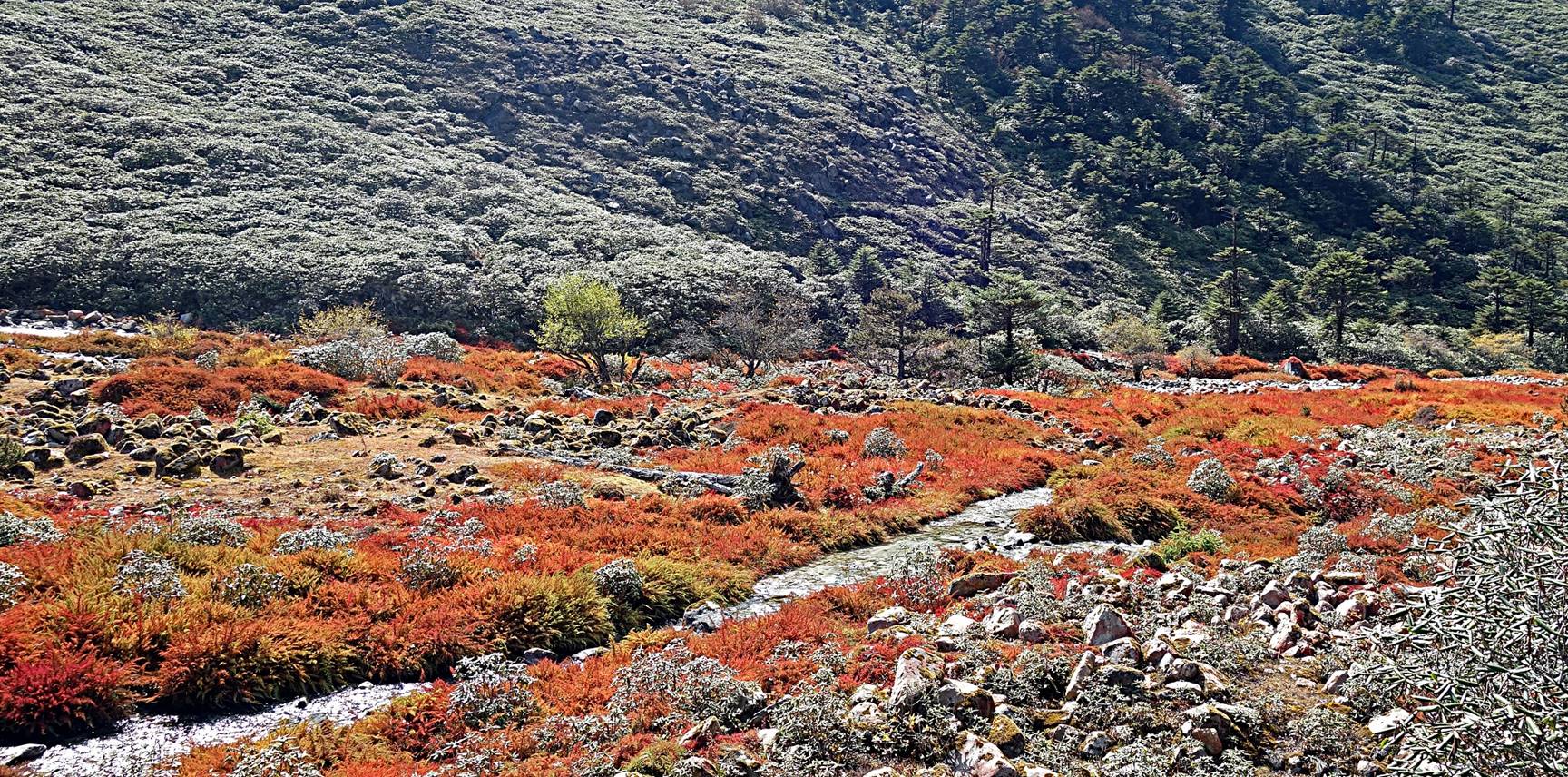
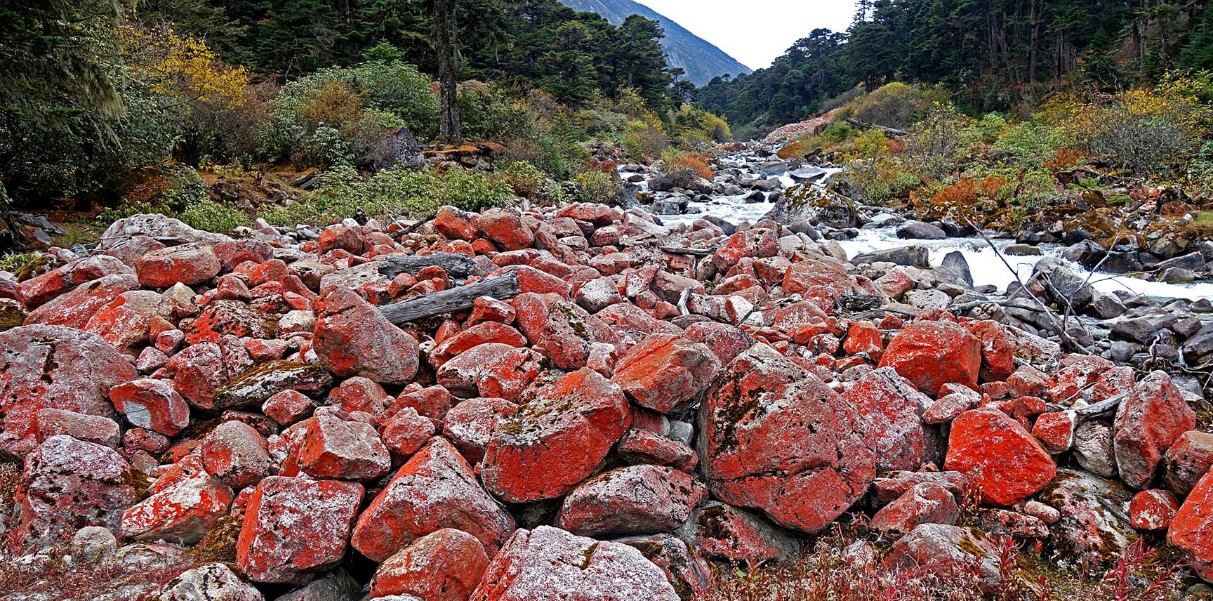
Large pebbles covered by red lichen
along the Sangti river.
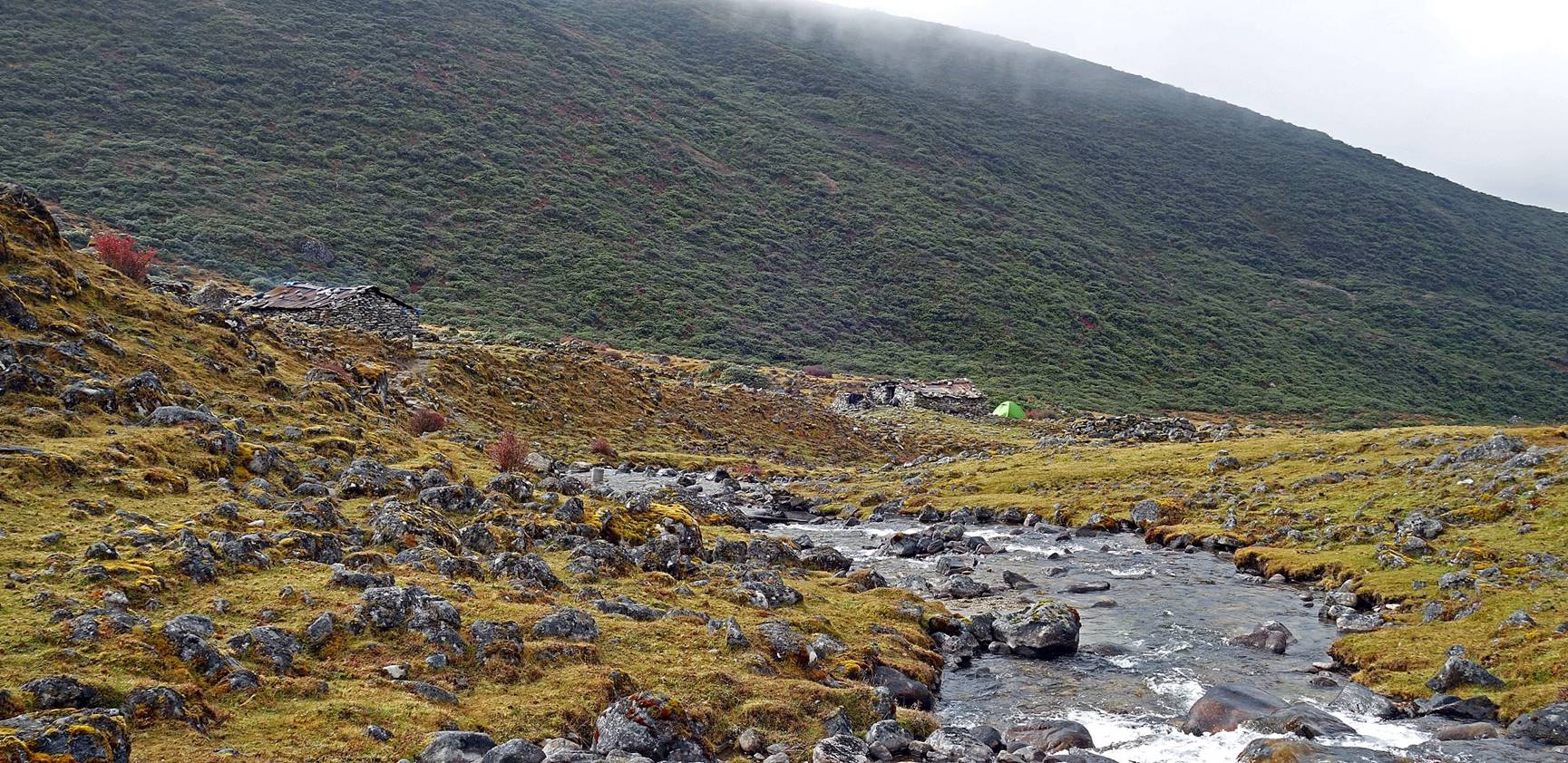
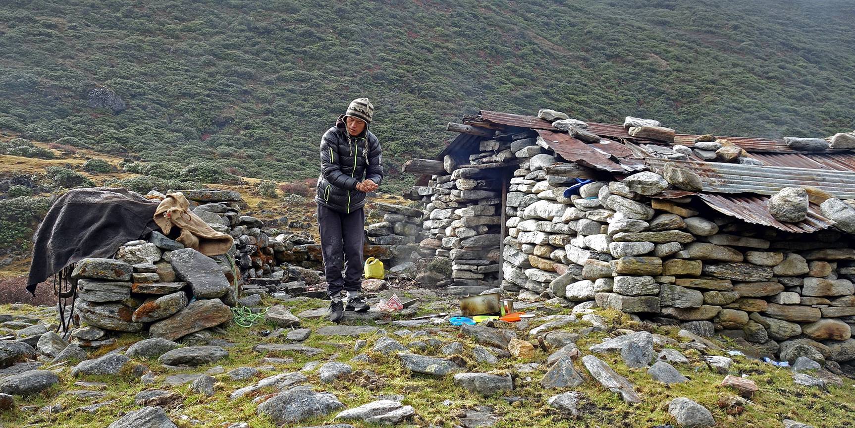
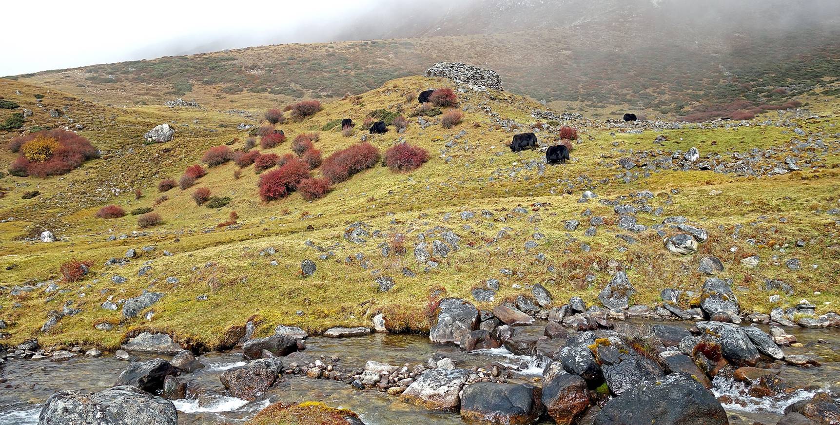
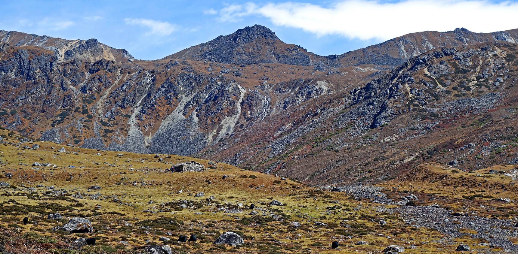
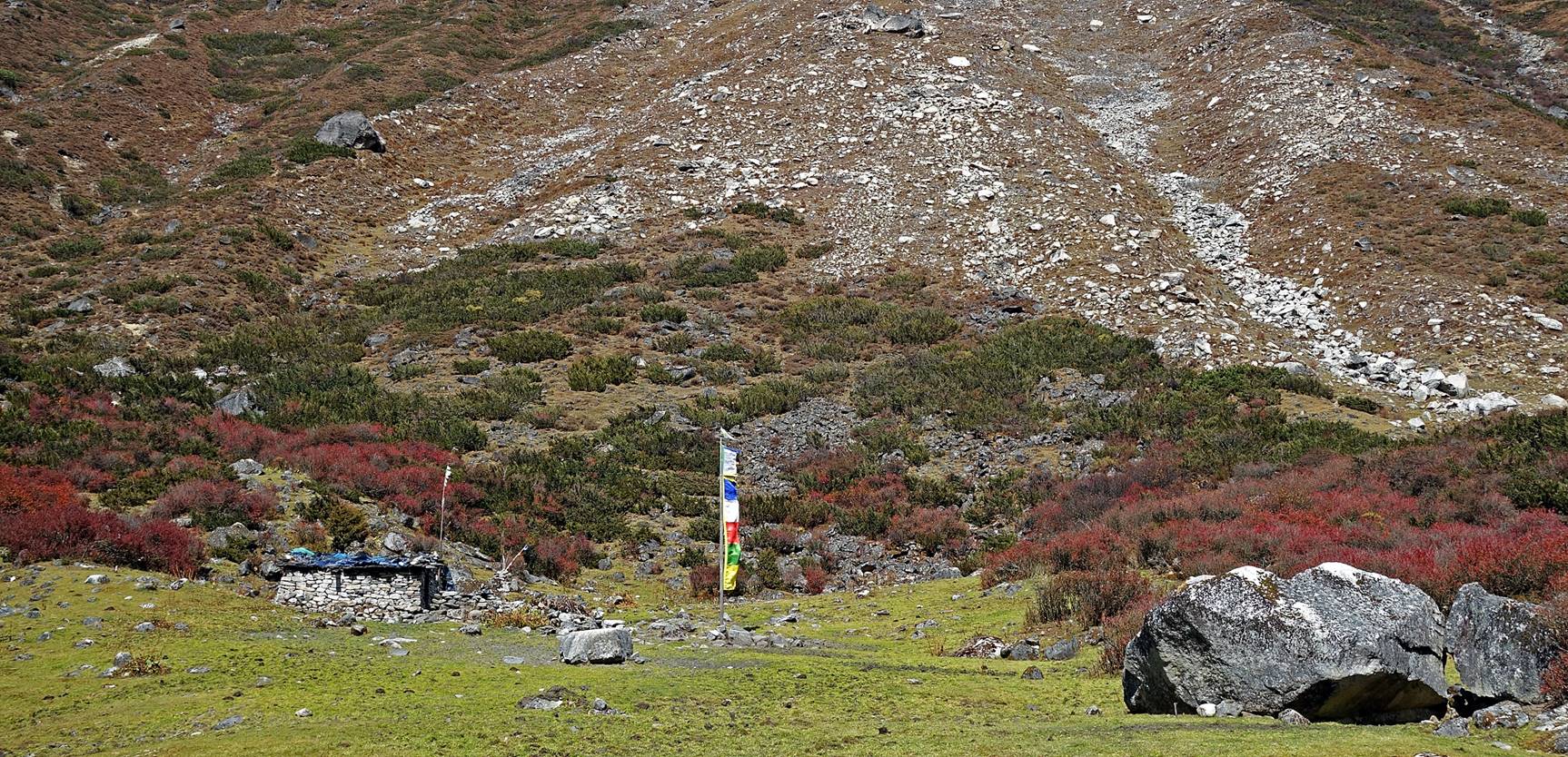
Our Camp #4 at Potak
(4150m). The area is dotted with brokpas huts. As
most huts were vacant at this time of the year and the pasture lies on the
territory of the Thembang village, Bodong decided to use one as our kitchen.
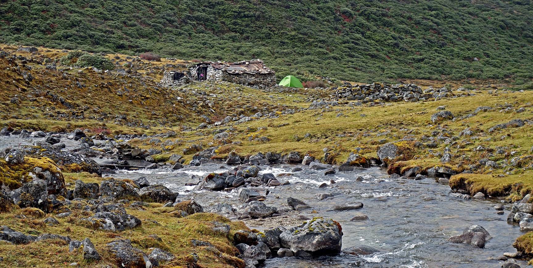
Landscape
around the camp.
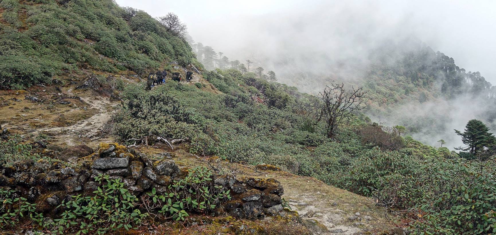
Leaving Potak
toward Tse La.
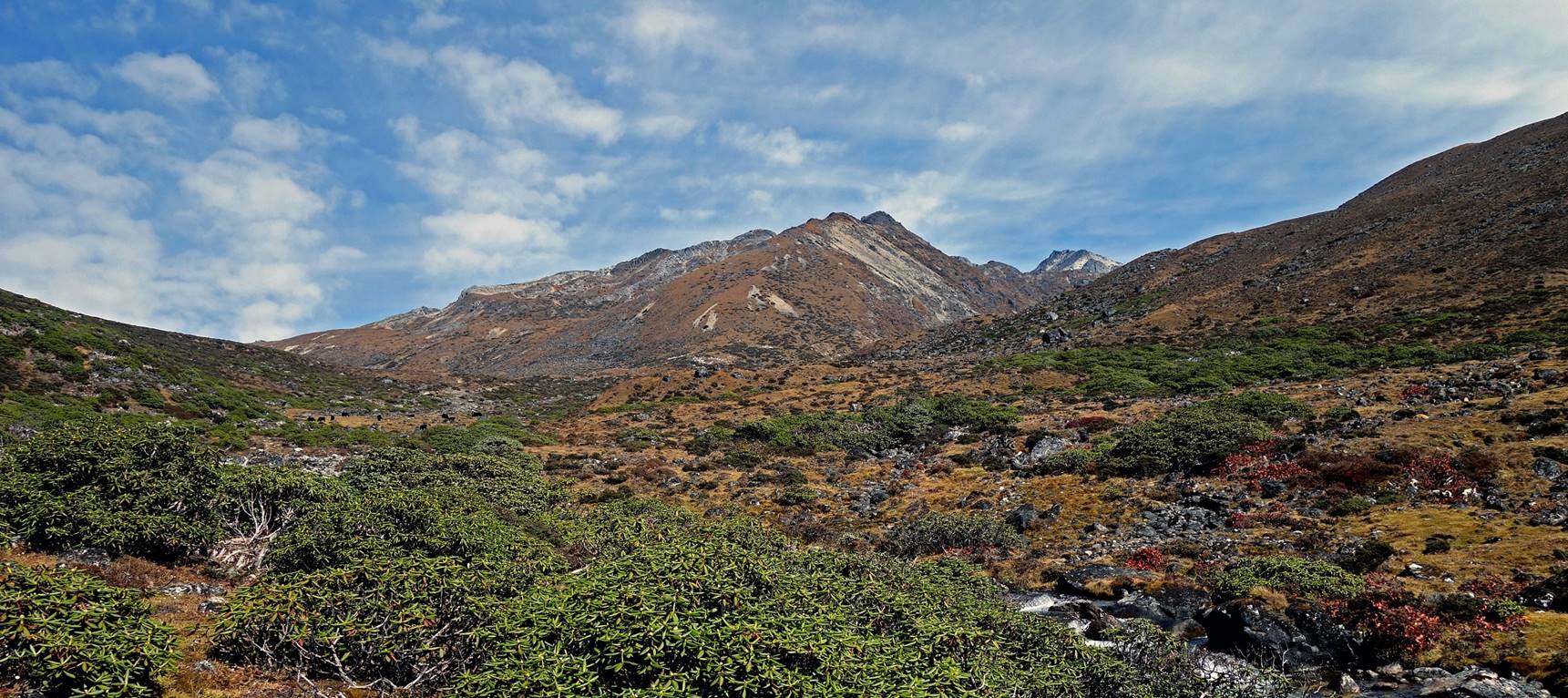
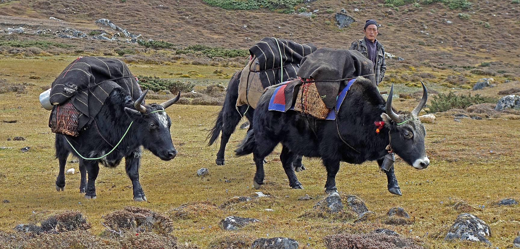
Another pasture with a few yaks
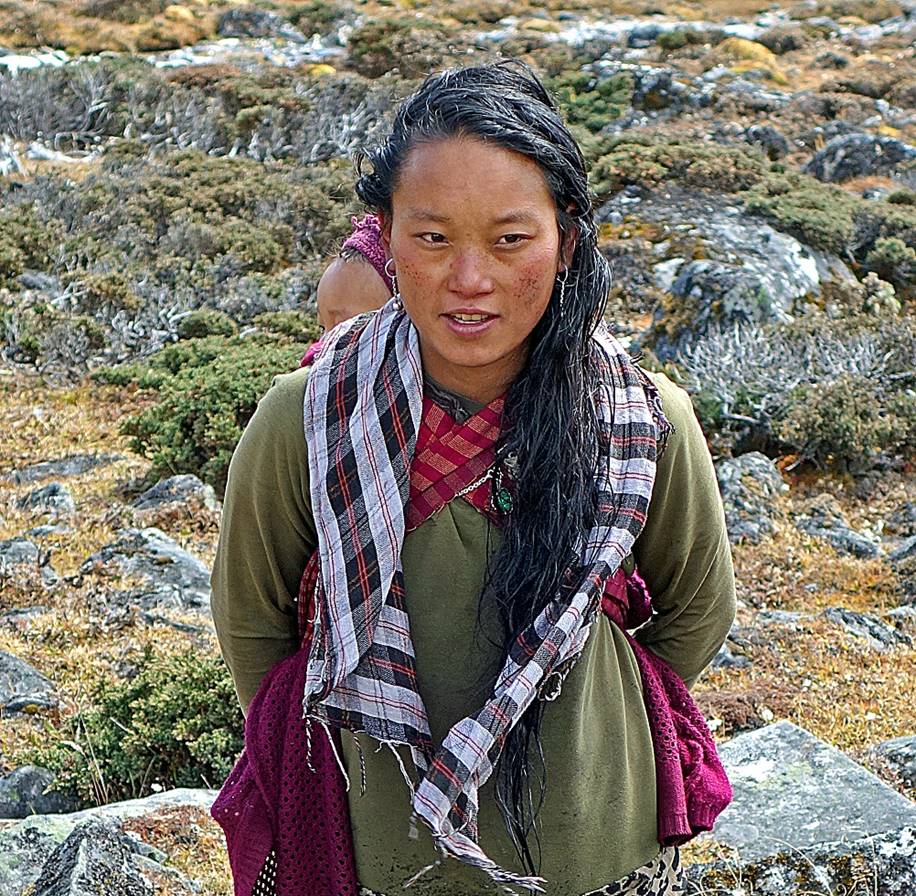
remaining.
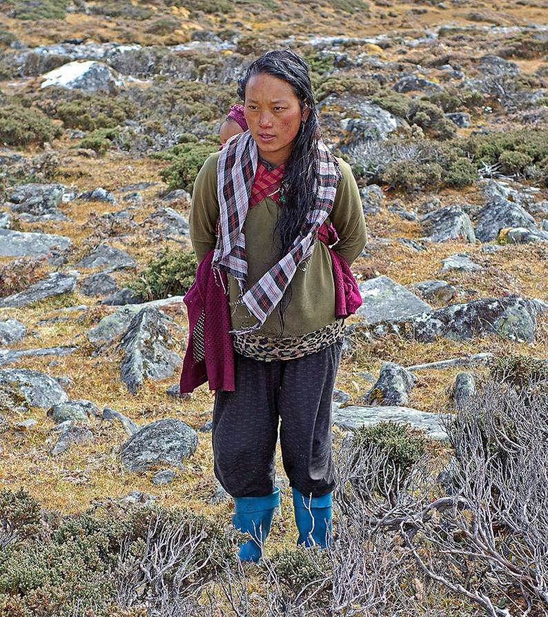
Woman at this pasture.
|
|
|
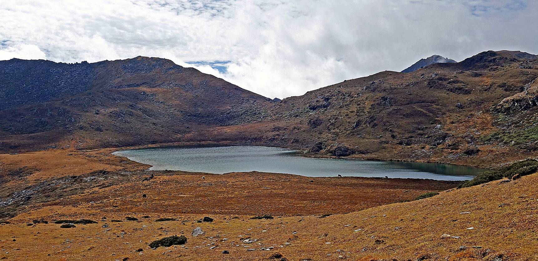
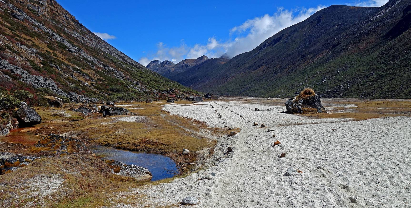
Small lake below Tse
La.
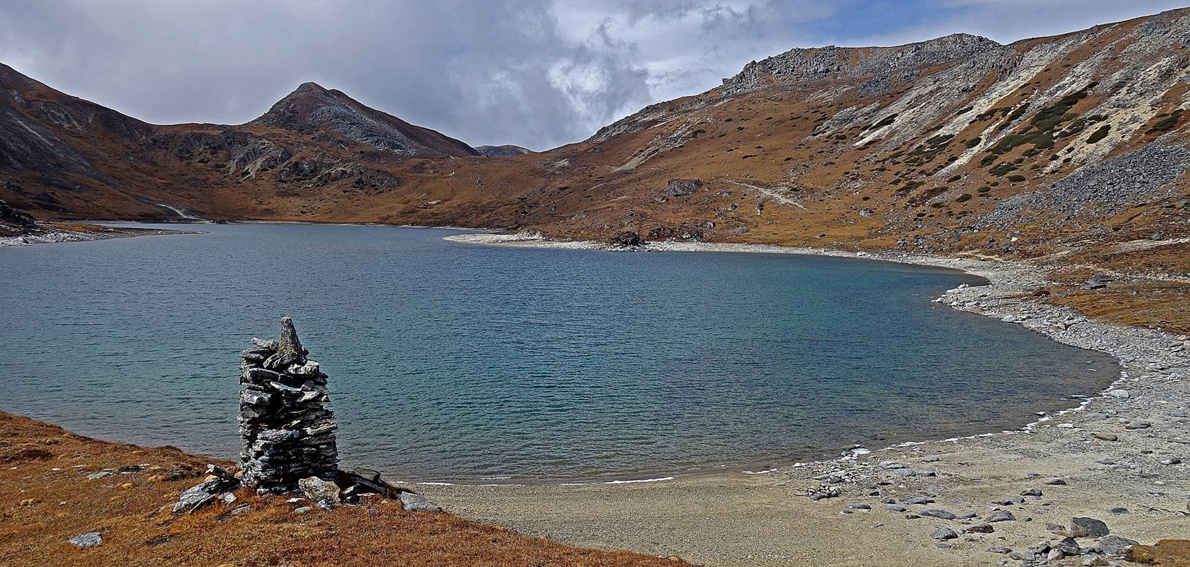
A bigger lake just below Tse La. The pass is visible at the center of the photo.
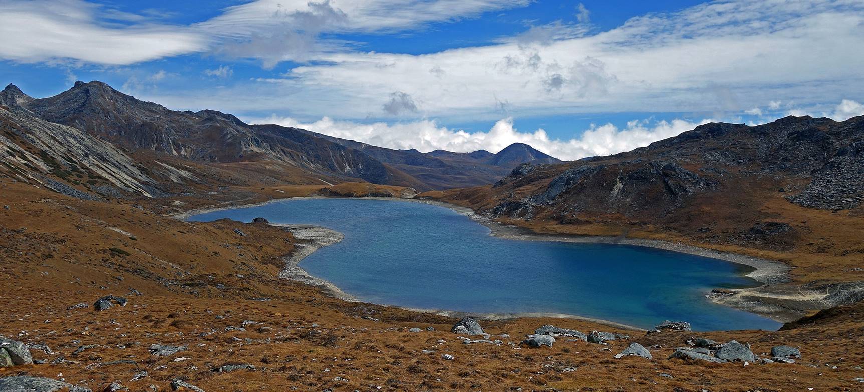
The same lake seen from the pass.
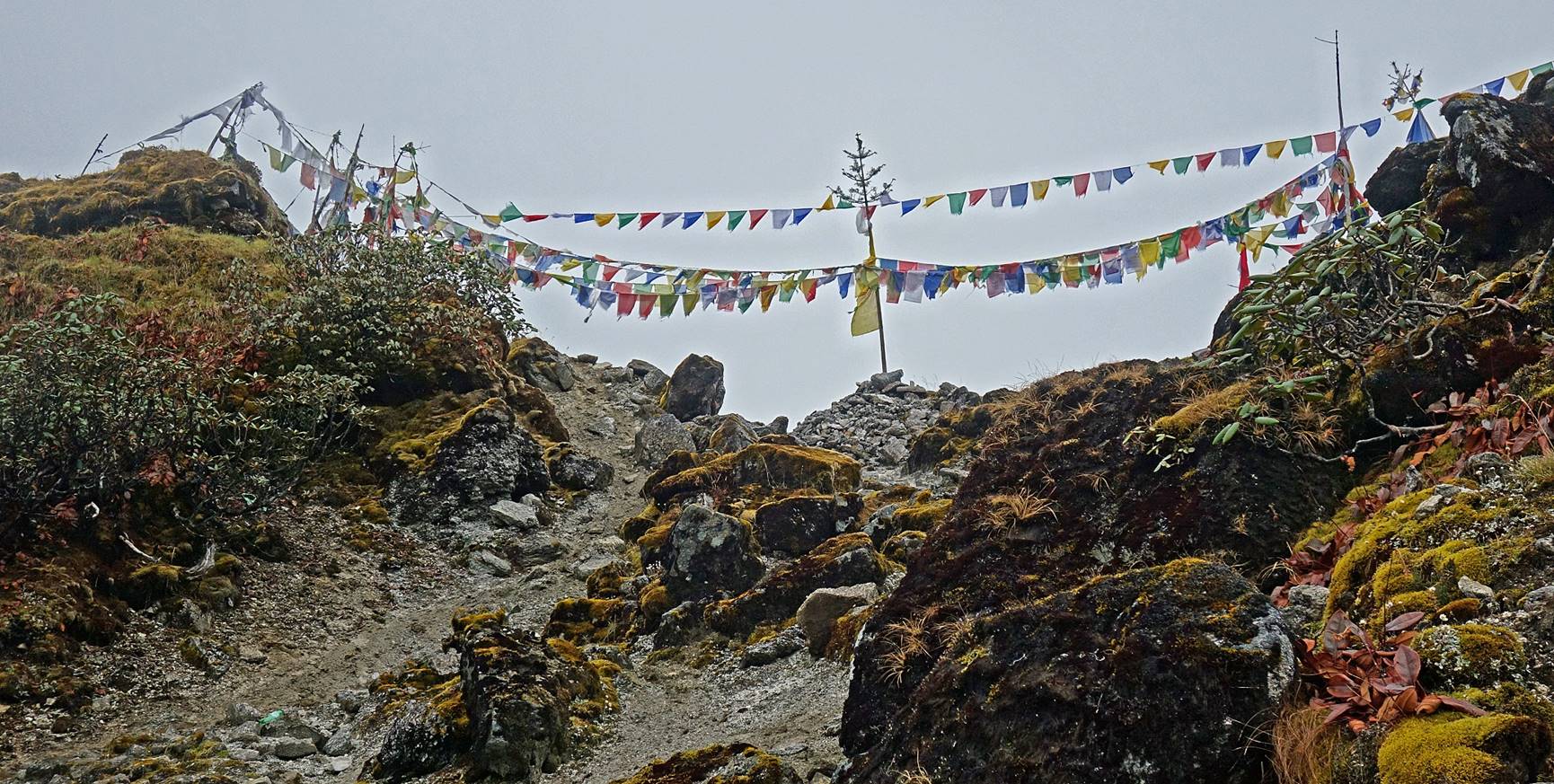
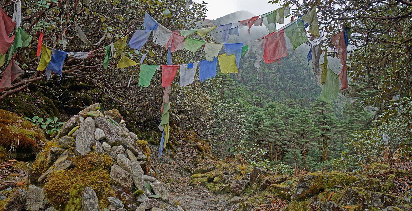
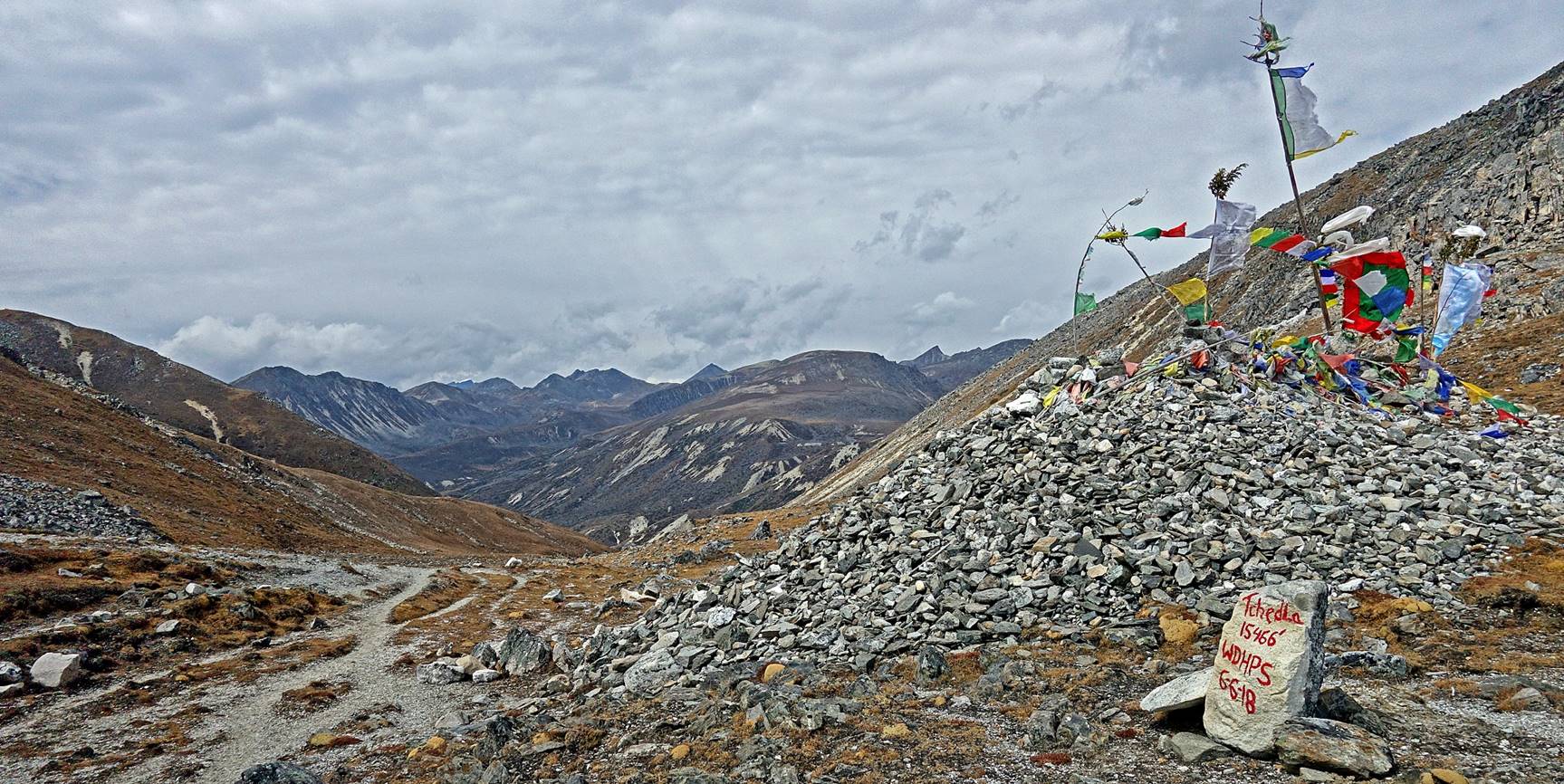
Payer flags and stack of stones at Tse La (elevation: 4712m).
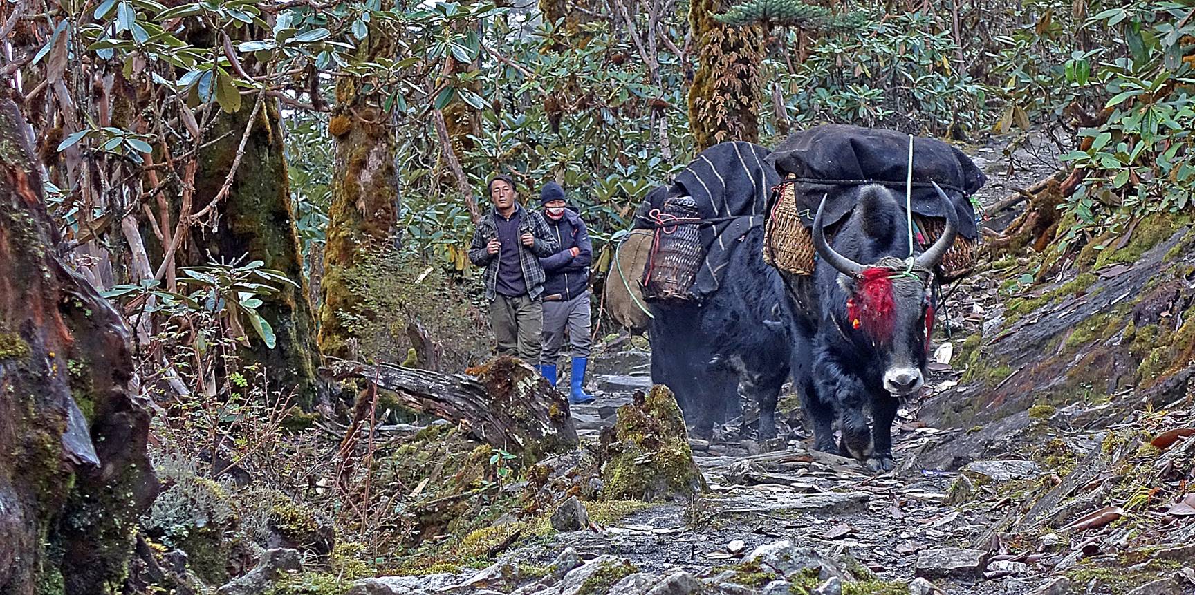
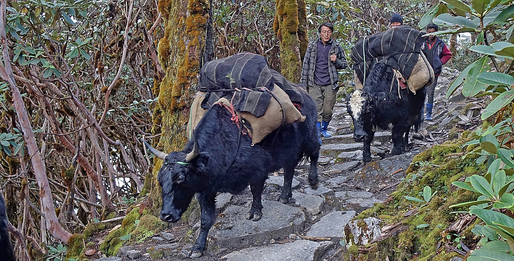
During the descent from Tse La. Note the kind of machete (broad blade knife locally
called khoyup) pending from the waists of Tsering Wangchu and Dawa Sonam in the second photo
below. Most Monpa men routinely carry khoyups.

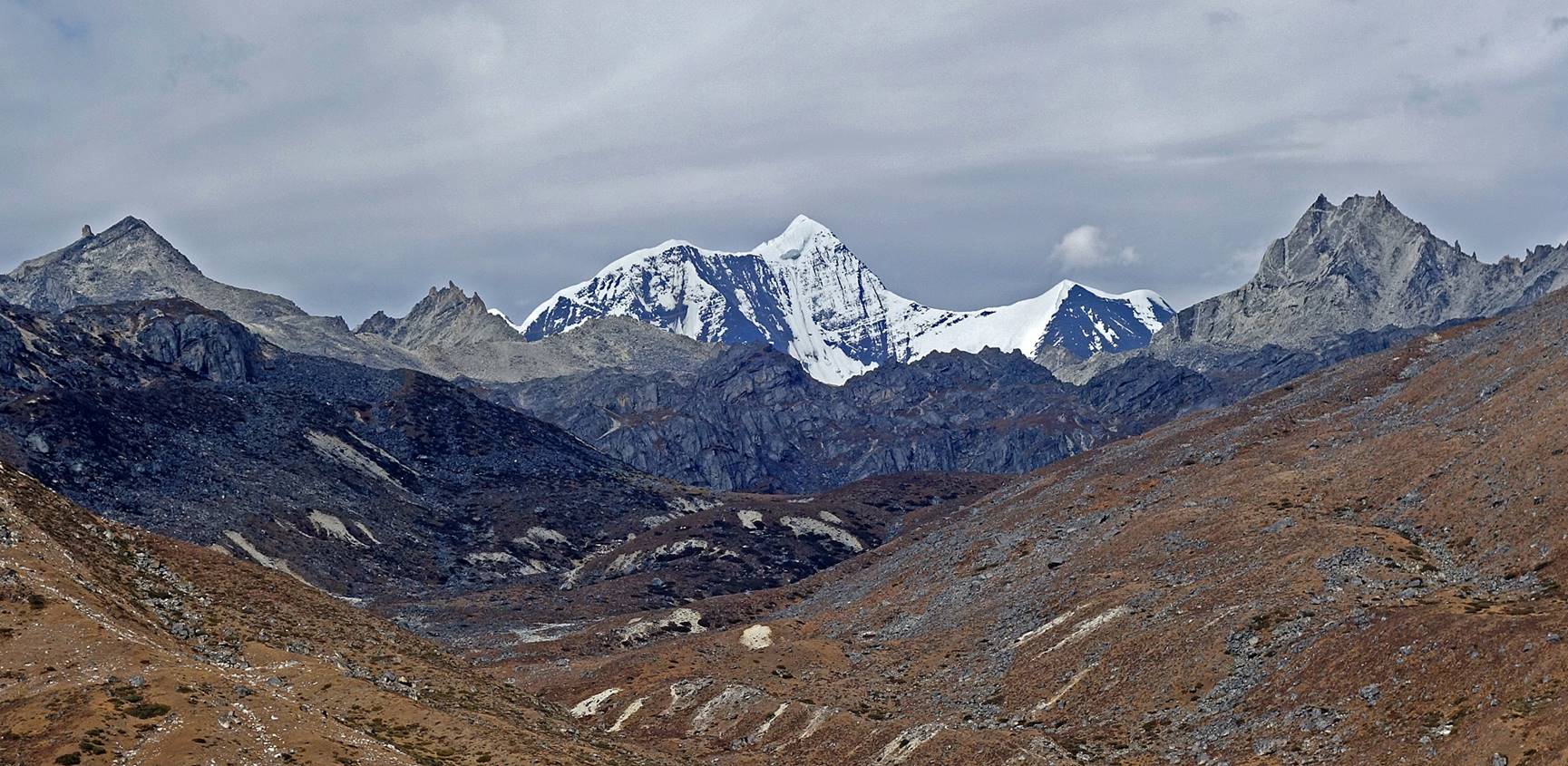
View (toward the northeast) over the
valley of the Gorjo river.
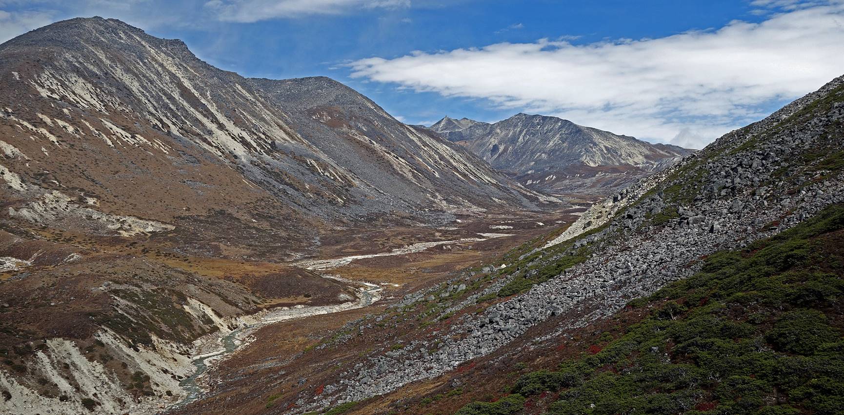
Finally, a view of Mt. Gorichen (6488m).
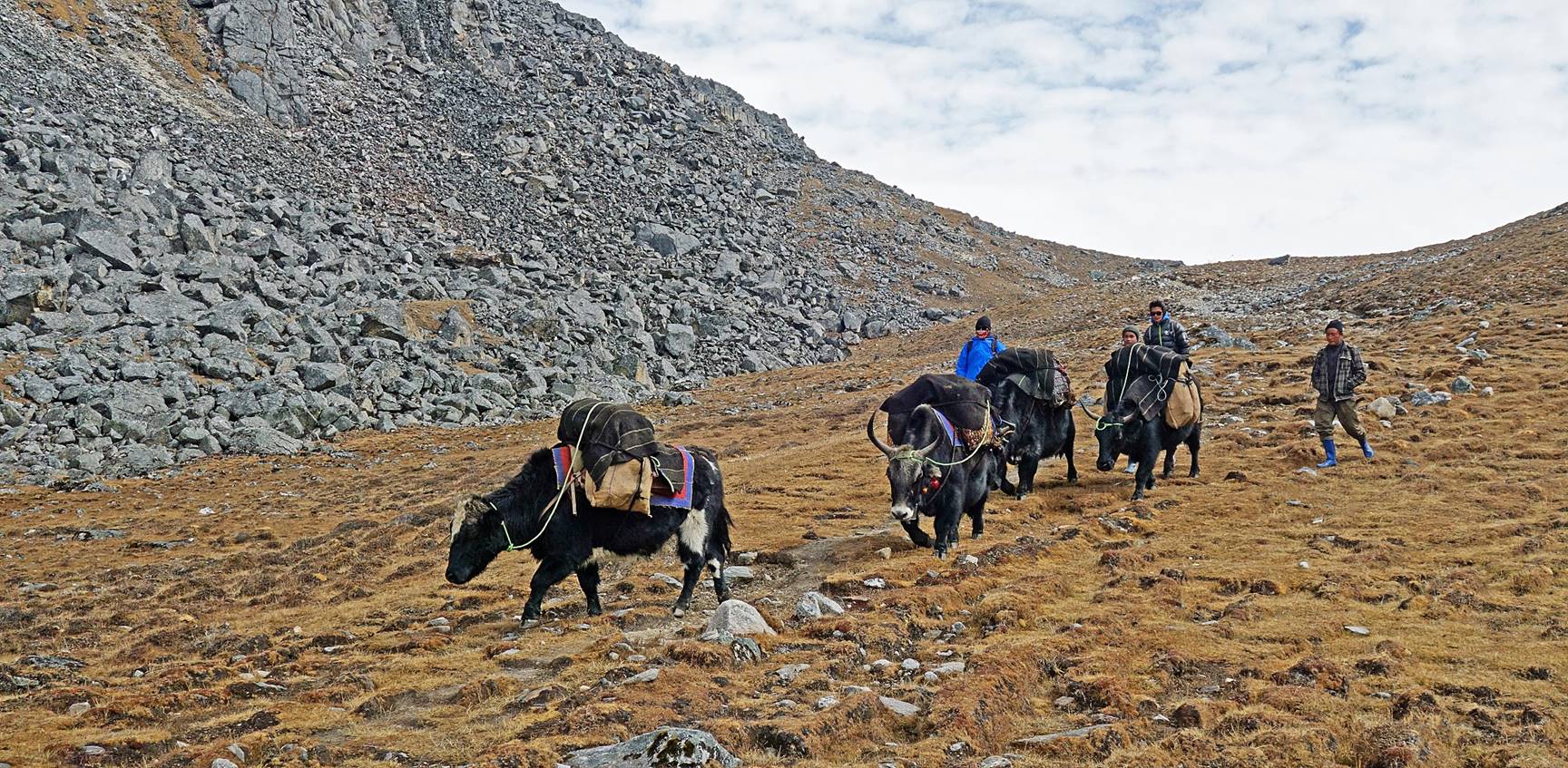
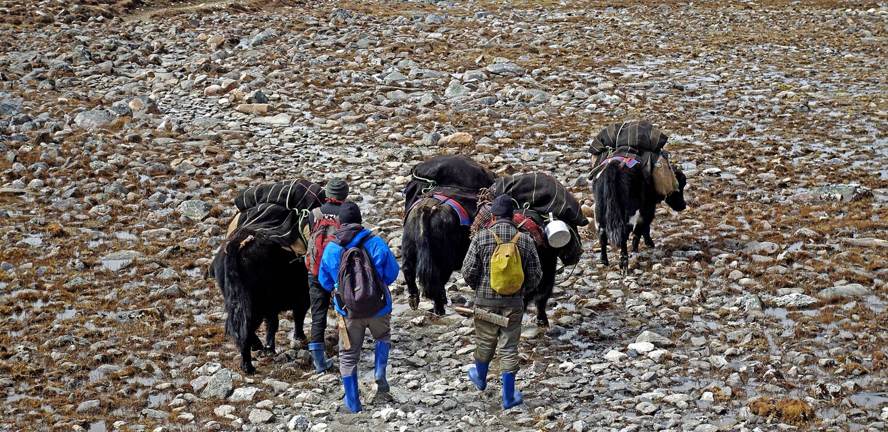
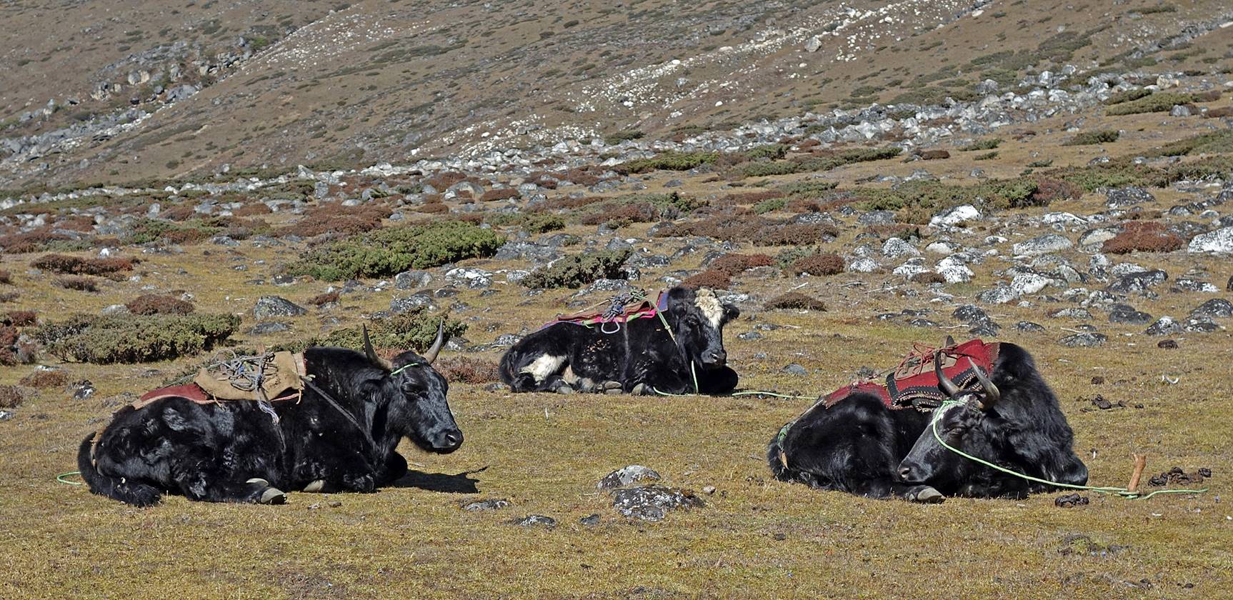
Reaching Camp #5, at a place called Laap (elevation: 4282m).
Our yaks resting at Camp #5.
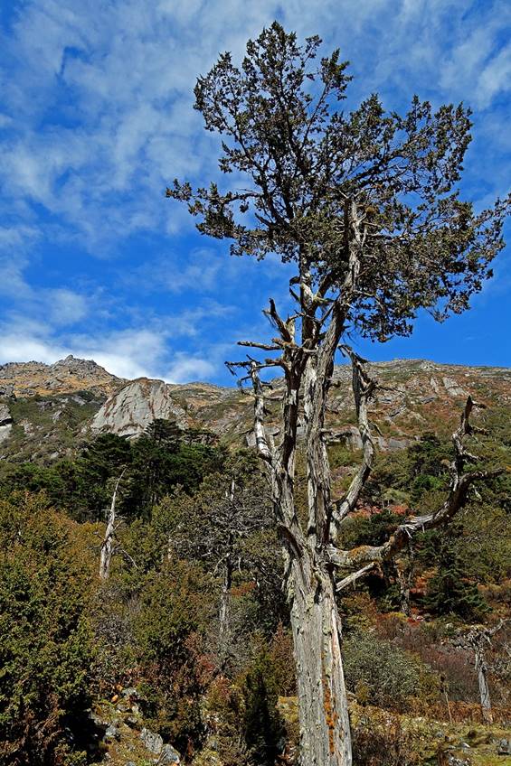
Photos taken during the descent along
the Gorjo river.


|
|
|
|
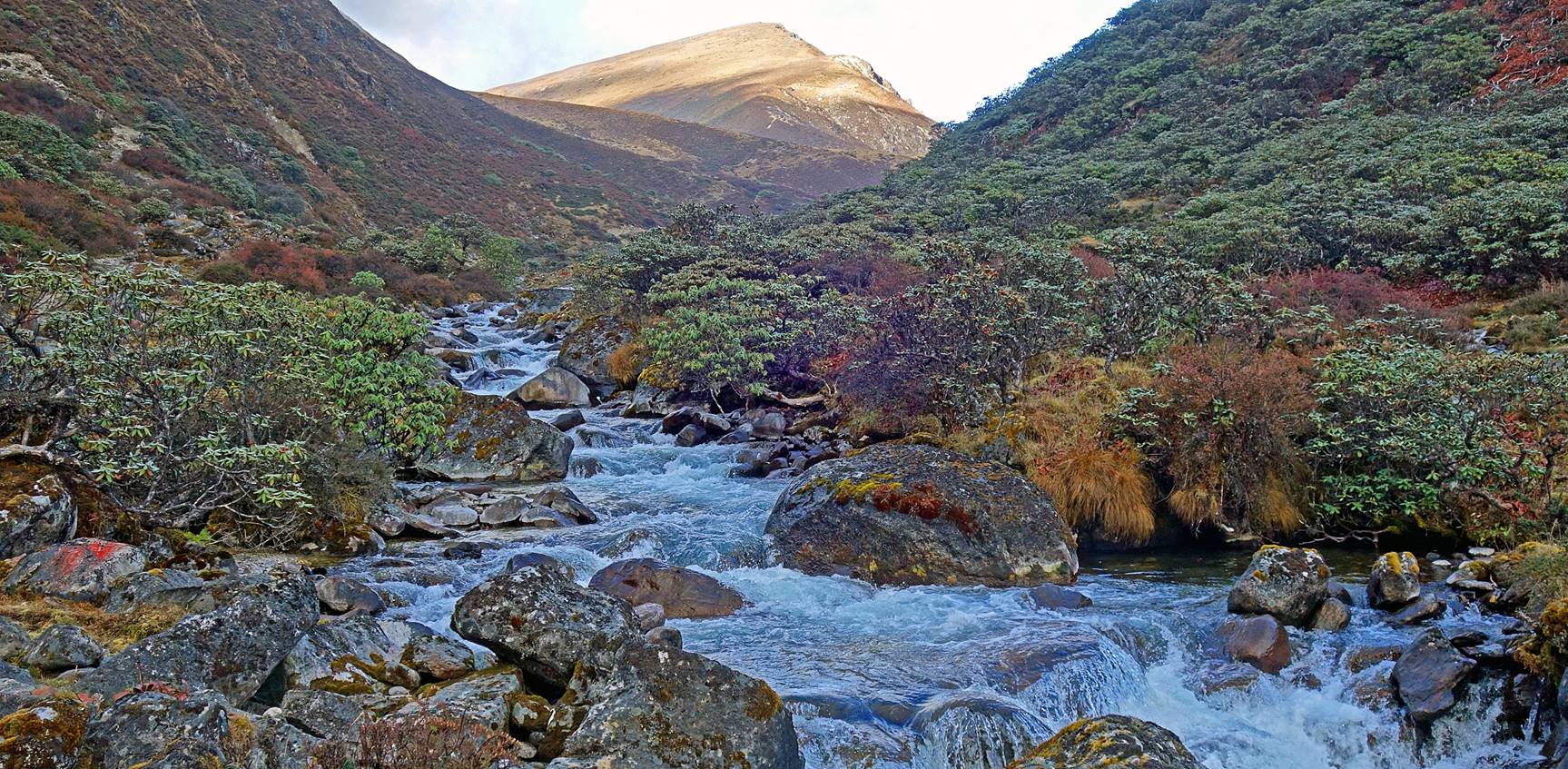
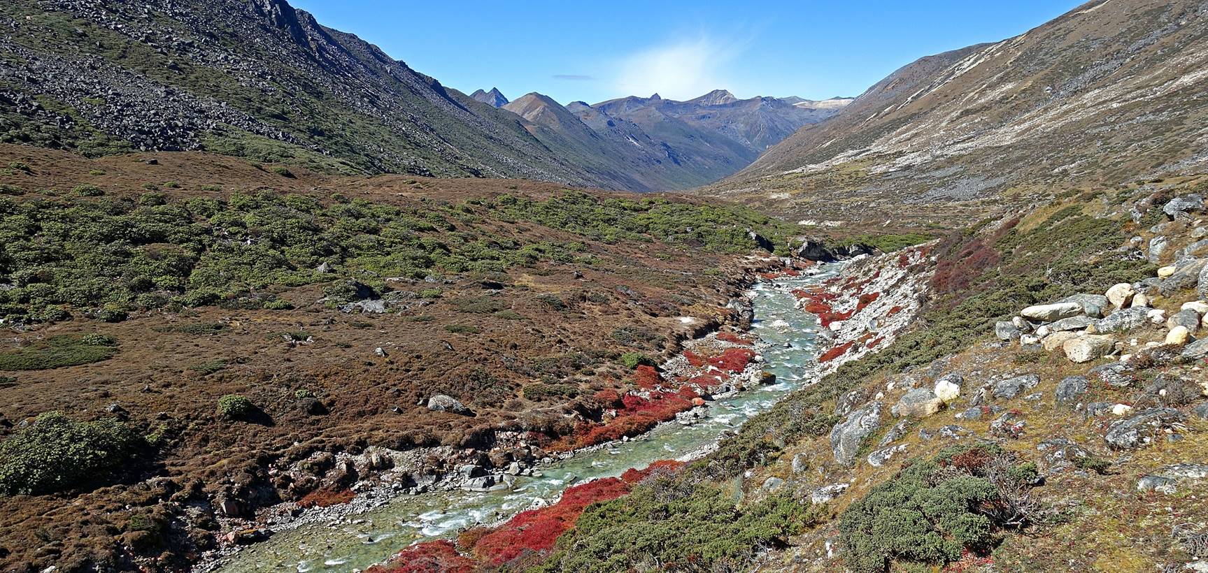
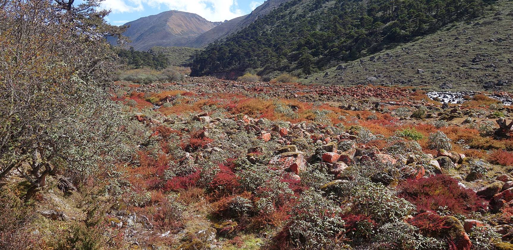
We set Camp #6 (elevation: 3810m) close
to the Gorjo river, below Chera
La, a pass that we will to cross on the next morning to reach the valley of the
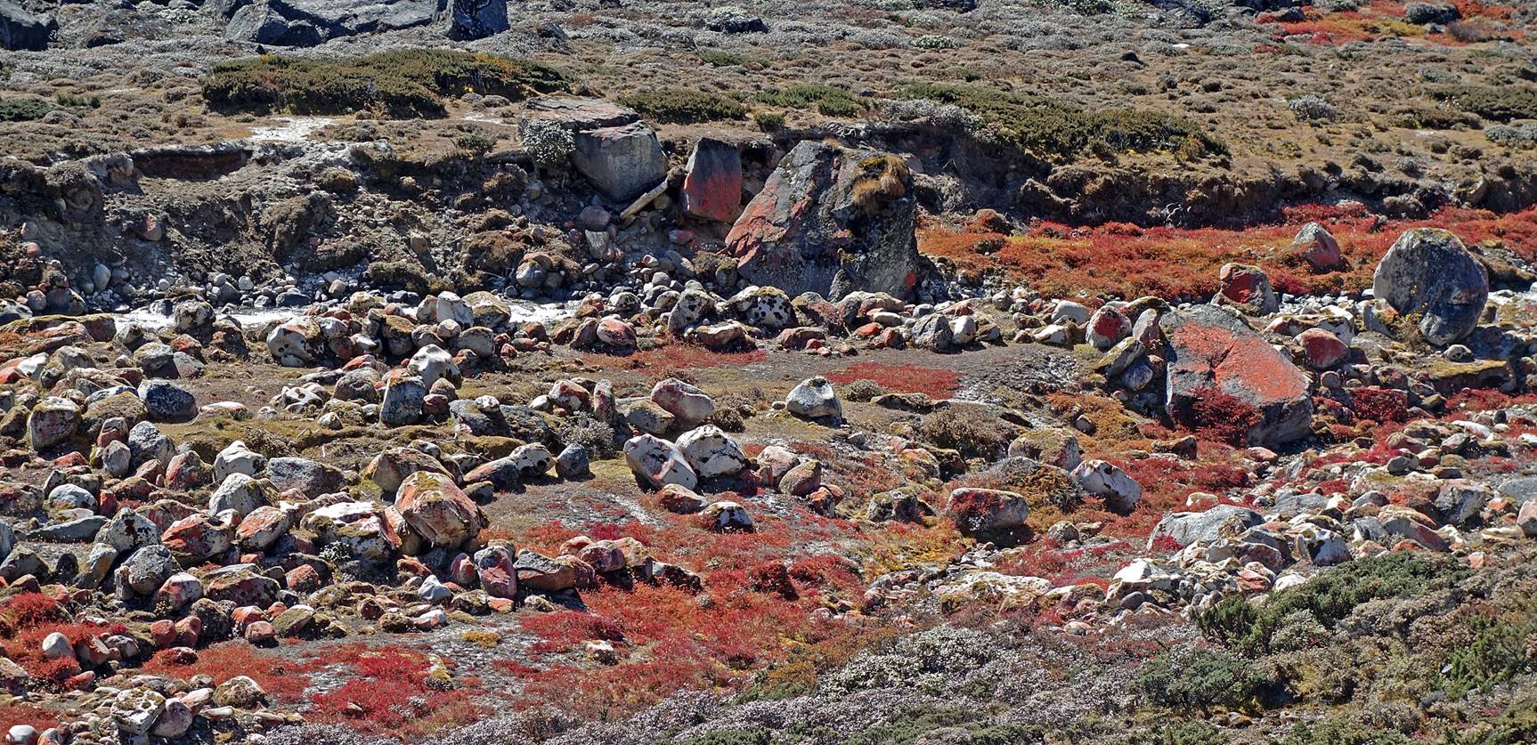
Dungma river and then the village of Mago. Rocks along the river were covered by strikingly red
lichen.
To directly access the
two other pages covering this trek, click on the following links:
- Thembang-to-Jang trek via Tse La
(1/3)
- Thembang-to-Jang trek via Tse La
(3/3)
![]()
Return to my
mountaineering/trekking/travel webpage | Return
to main India Oct-Nov 2019 webpage