Too Much Snow
in Khumbu (October 2013)
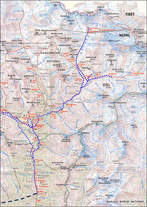
![]()
Map (the itinerary is shown in blue
dotted line):
|
My initial plan was to do the classical ′′Three
Passes′′ trek (crossing Kongma La, Cho
La, and Renjo La), plus the ascents of Chhukung Ri and Gokyo Ri. This
was supposed to be an easy, straightforward trek, which must not be confused
with the much more demanding ′′Three
Cols′′ trek (Sherpani Col, West
Col, and Amphu Lapsta).
But 4 days into the trek, upon reaching Dingboche,
snow started falling and did not stop for almost 3 days. There was then too
much snow to cross any of the 3 passes and I did not have enough time to
wait. Instead, I followed more traveled trails where yaks were tracing good
tracks in the deep snow. This led me to Kala Patthar,
which I climbed for the 3rd time (first in 1979,
next in 1996).
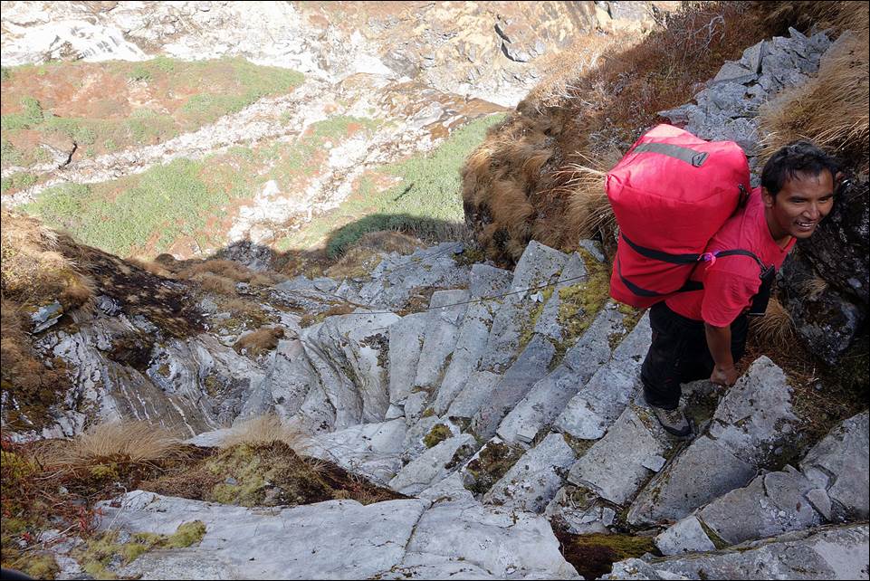
On my way back to Lukla, I crossed Kongde Ridge
from Thame to Phakding. This relatively little traveled ridge offers
spectacular views over the Khumbu valley and many of its surrounding peaks. A nice consequence of the long snow fall was that
the mountains were particularly beautiful for several days. (Click on the map on the right to get a larger
version of it in a separate tab.) |
|
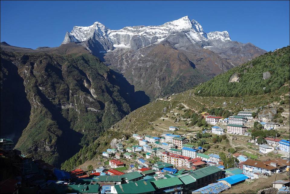
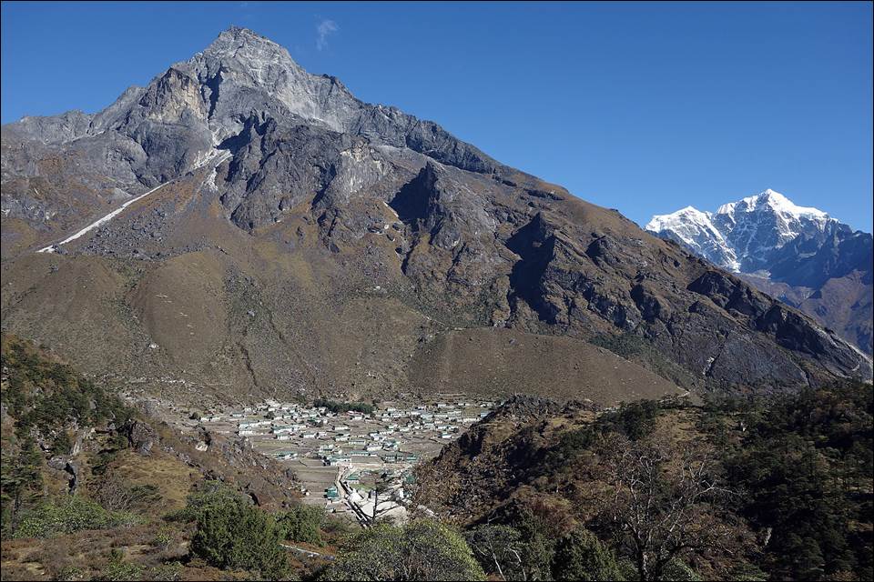
Partial
View of Namche Bazar with Kongde Ri (6168m) in the background.
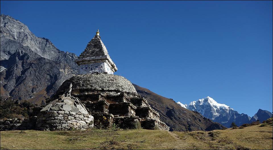
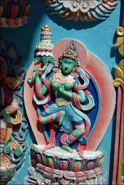
Chorten
above Namche Bazar.
View
of Lhotse (8516m) from the ridge above Namche Bazar. (More photos of Lhotse.)
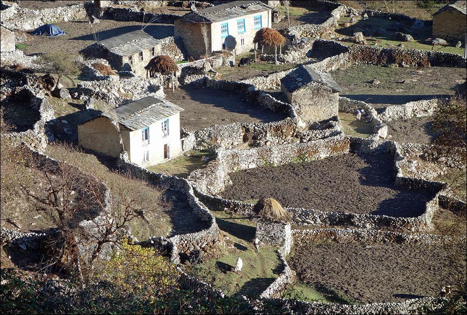
Village
of Khumjung.
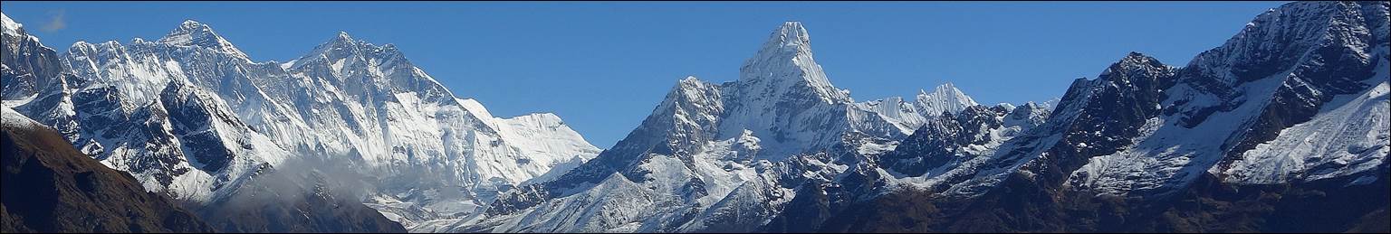
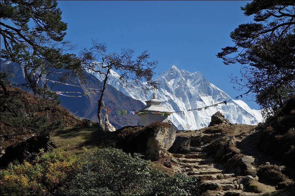
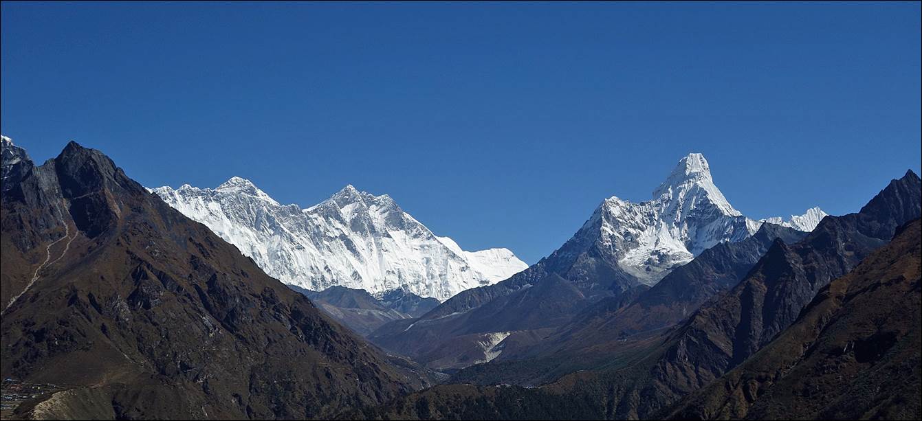
View
of Everest, Lhotse, and Ama Dablam (from left to
right) from the trail between Namche Bazar and Tengboche.
(More photos of Everest,
of Lhotse,
and of Ama
Dablam.)
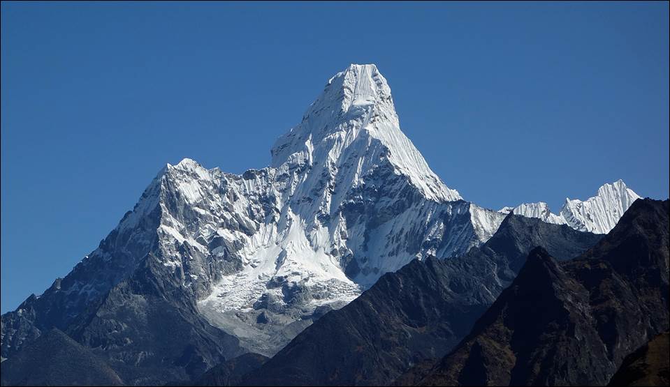
Ama
Dablam (6812m).
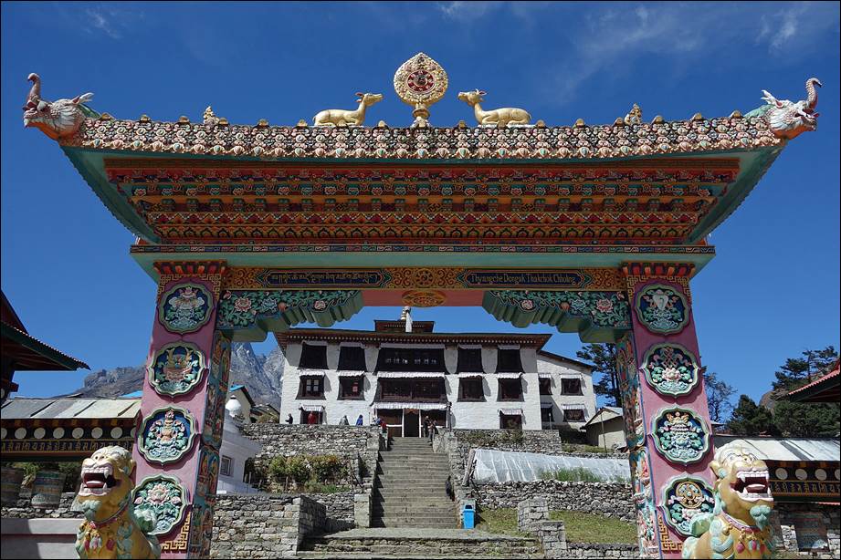
Gompa
of Tengboche
|
|
|
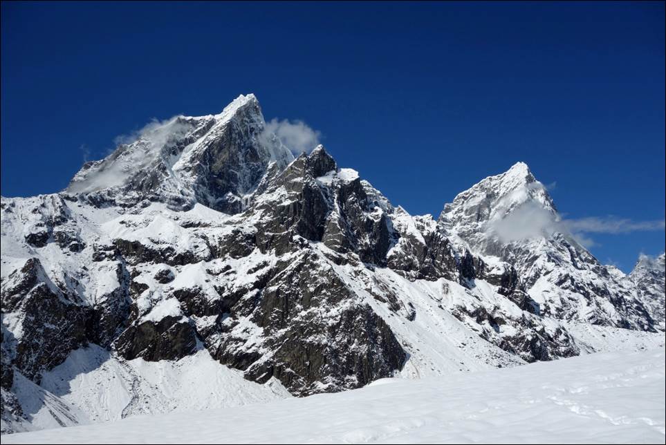
Taboche (6542m) on the left and
Cholatse (6440m) soon before the snow fall. (More photos of Tabuche and Cholatse.)
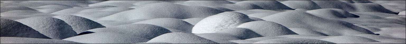
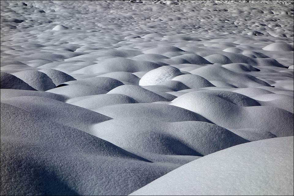
Snow
dunes near Chhukung after the snow fall.
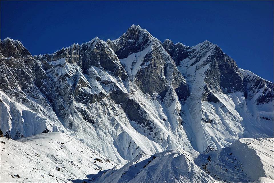
Fabulous
Lhotse seen from Chhukung. (More photos of Lhotse.)
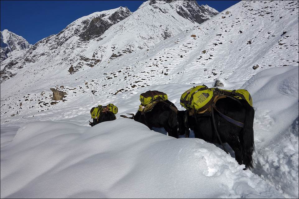
Yaks
tracing their way into the snow below Chhukung.
Ama
Dablam seen from between Chhukung
and Dengboche. (More photos of Ama
Dablam.)
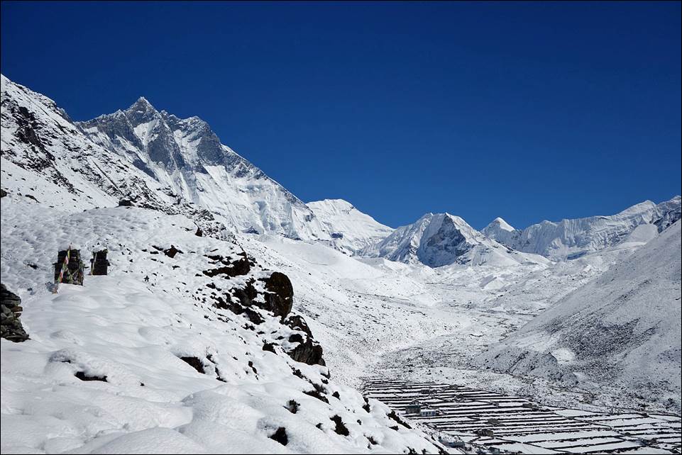
Lhotse
(left), Island Peak (center) and the Dingboche
terrasses.
Taboche and Cholatse
after the snow fall. (More photos of Tabuche and Cholatse.)
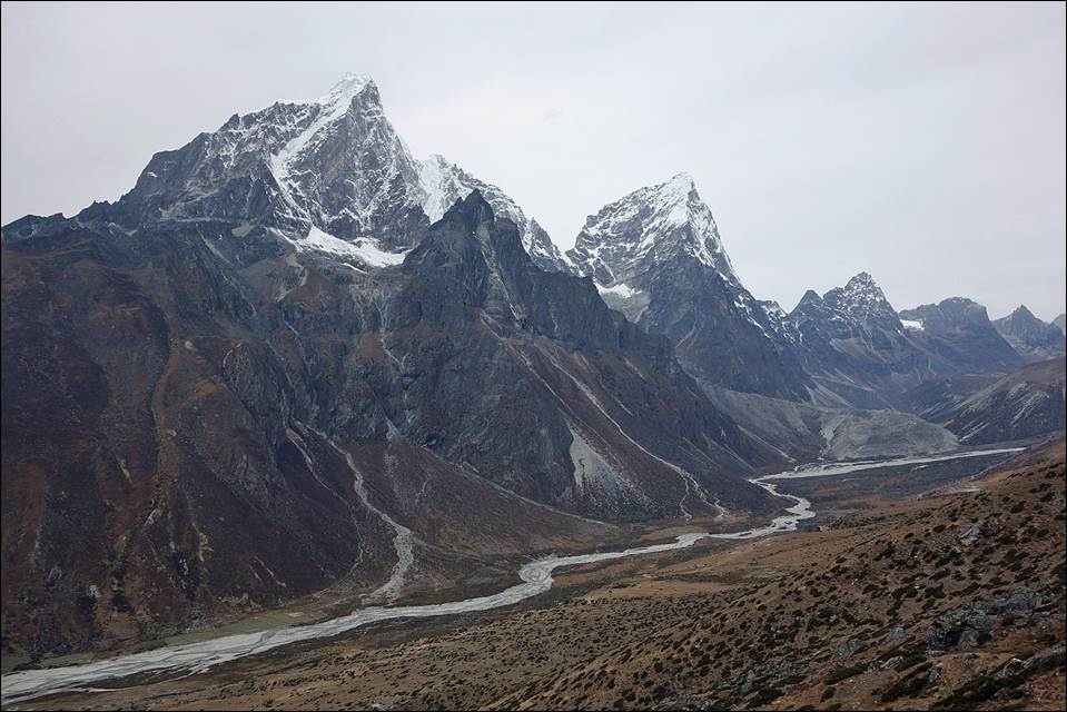
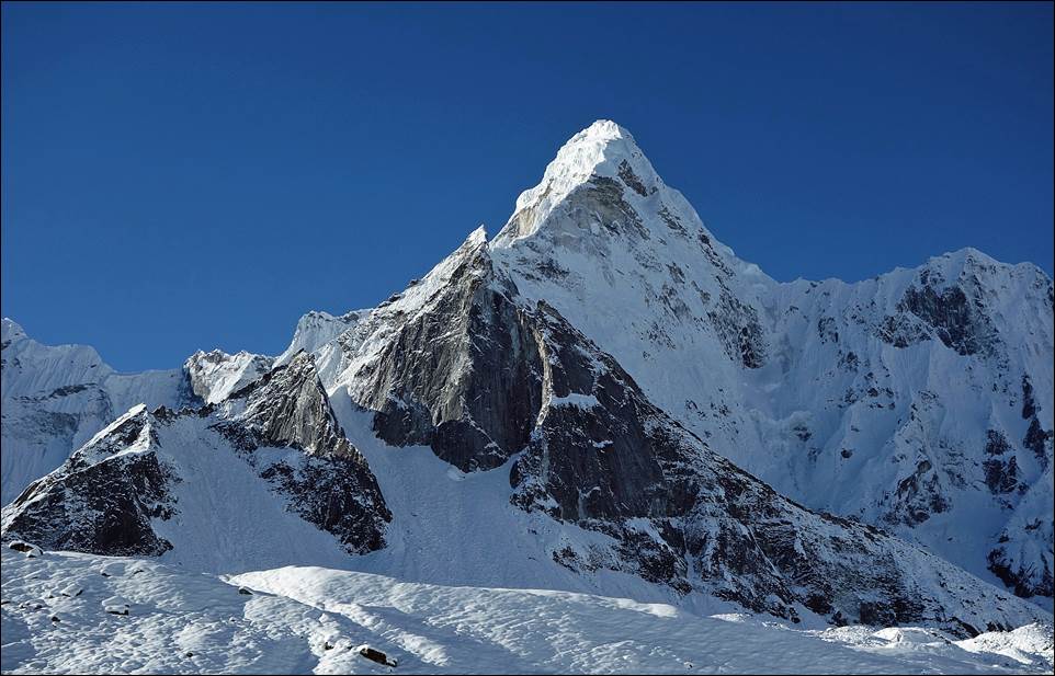
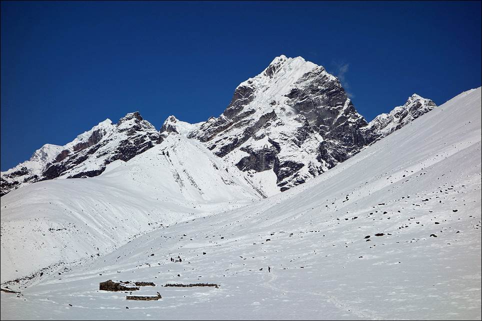
Peak
Lobuche (6119m).
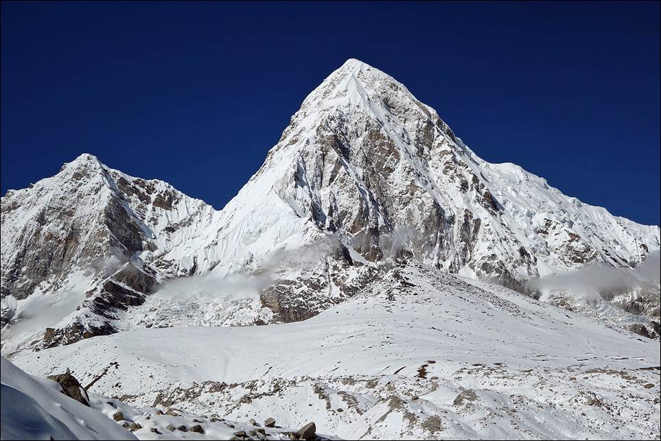
Pumori (7161m). (More photos of Pumori.) The small hill below Pumori is Kala Patthar (5643m)!
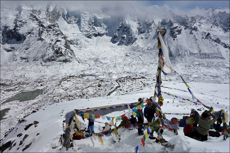
At
the top of Kala Patthar.
During
the descent from the settlement of Lobuche toward Pheriche.
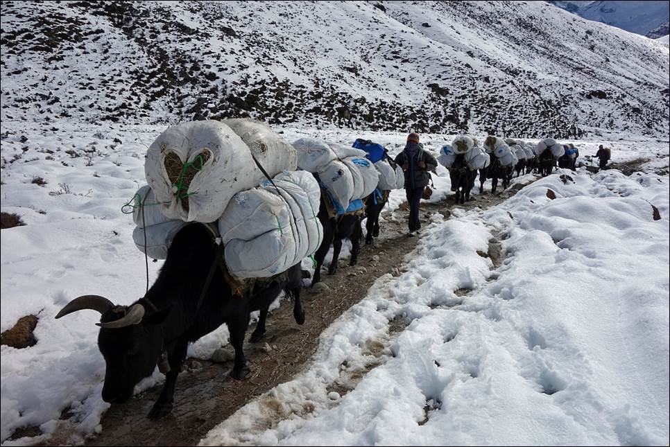
During
our descent we crossed many yaks carrying hay for other yaks at higher
elevation.
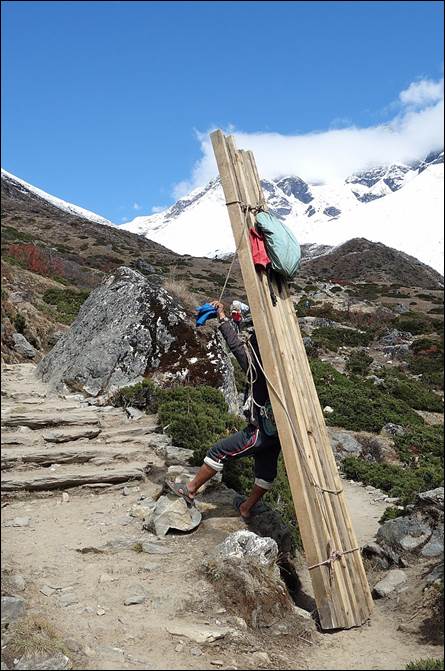
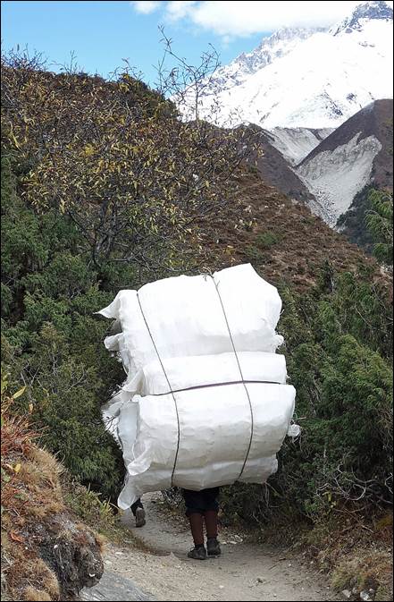
Porters
near Namche Bazar on the way back.
|
|
|
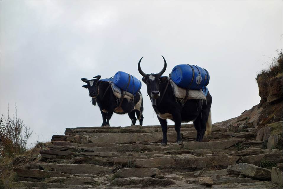
Intimidating
yaks along the way.
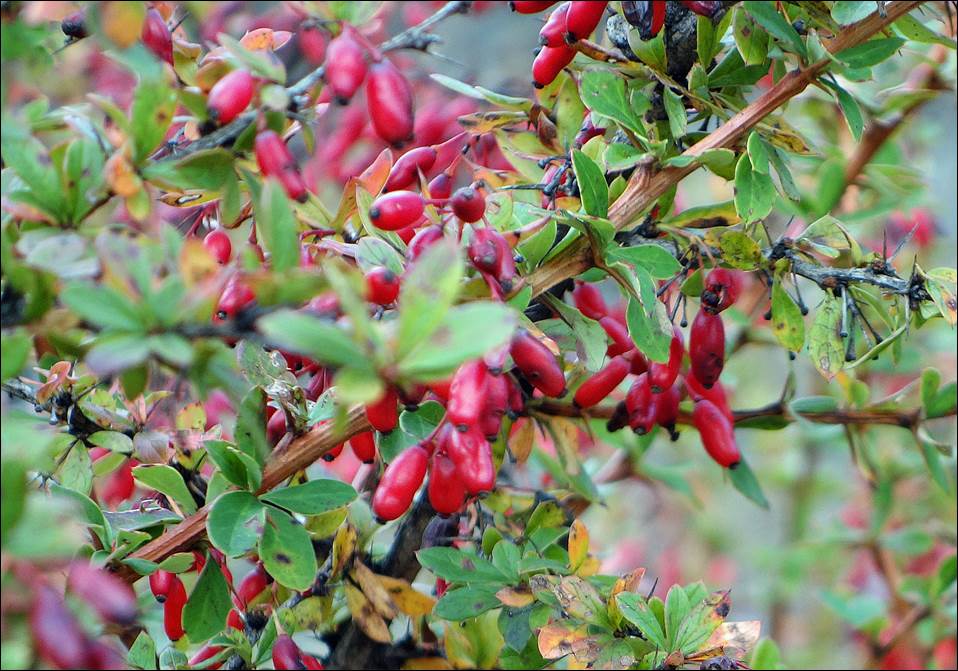
Sea
buckthorn berries.
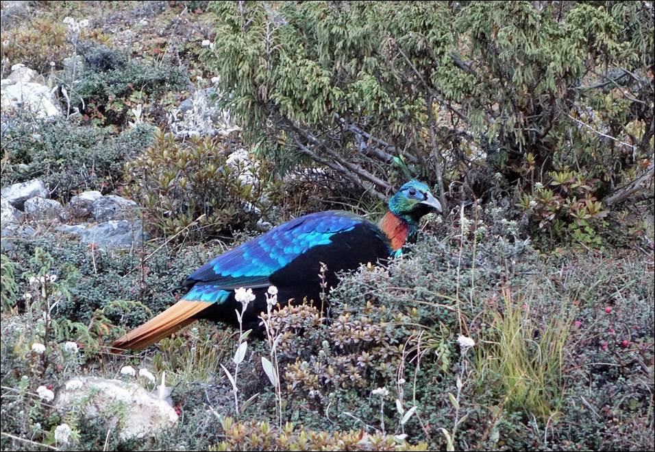
Impeyen pheasant, the national
bird of Nepal.
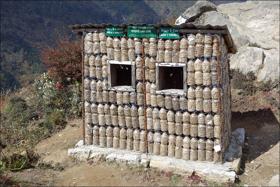
Motivating
recycling by example.
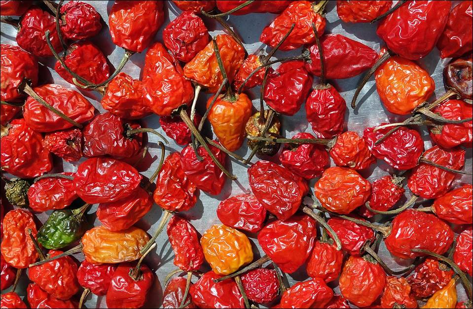
Shiny
red peppers.
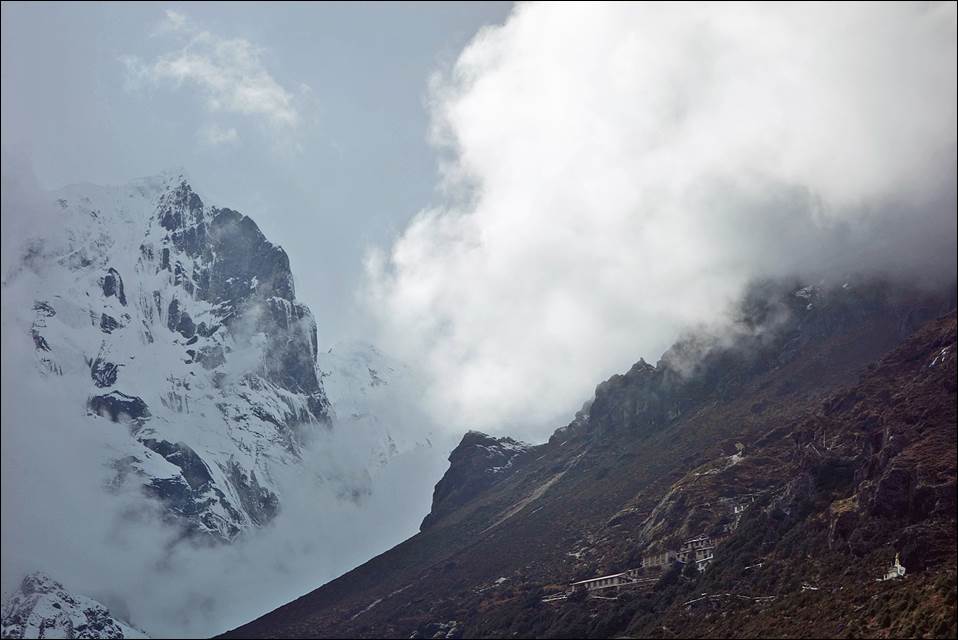
Thyangmoche (6500m) on the
left and Thame gompa on the right.
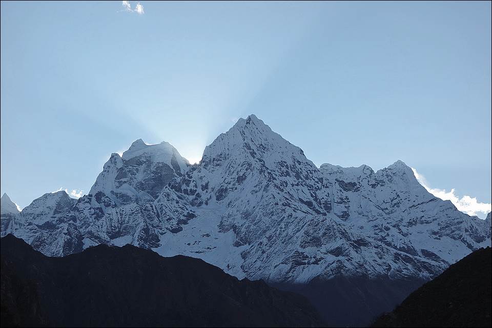
Sunrise
behind Thamserku (6608m) seen from Thame. (More photos of Thamserku.)
Small
village of Pare before ascending Kongde Ridge.
A
steep (and icy) section of the climb to Kondge Ridge, with my guide-porter Gyangjo Lama.
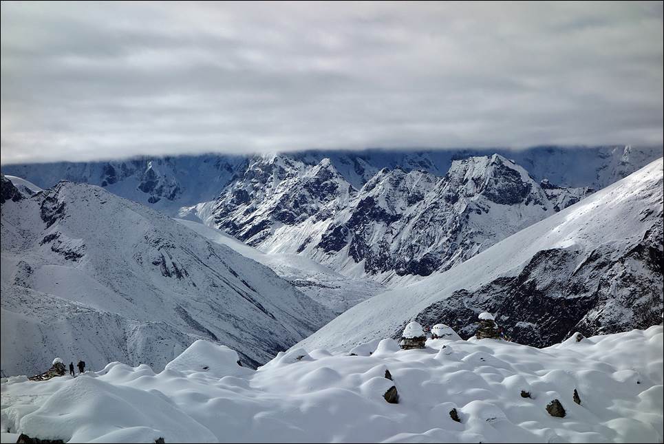
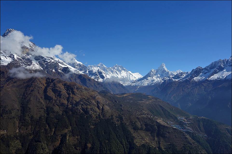
View
from Kongde Ridge over Namche Bazar and Khumbu peaks.
![]()