Taplejung to Jiri via Lumba Samba Pass, Sherpani and West Cols, and Amphu
Lapsta
(October-November 2012)
Back
to my mountaineering-trekking-travel webpage
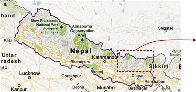
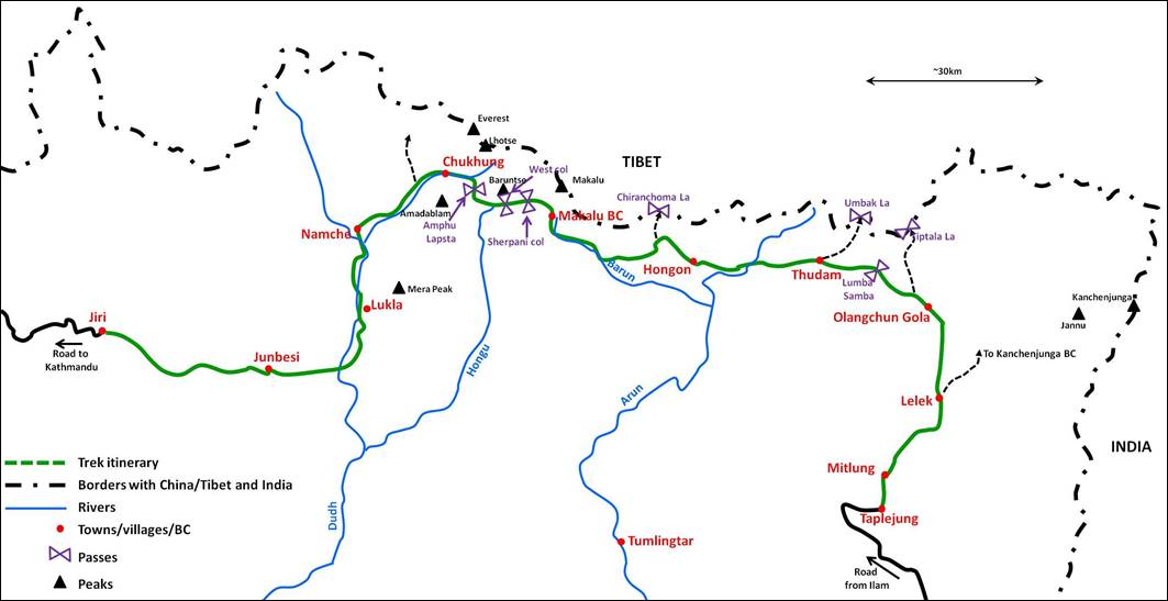
The itinerary
of this one-month trek (see green line in map below) is rather unusual. In some
way, it is the concatenation of three distinct treks:
―
A remote trek - from Taplejung to Makalu
BC - across a rarely visited part of Eastern Nepal. Trails (when they exist)
are often poorly maintained and occasionally difficult. The itinerary
alternates between densely vegetated areas at low elevation and snow-covered
terrain above 4000m. It crosses Lumba Samba pass
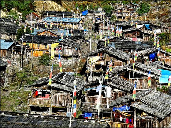
(5159m). It traverses a few isolated villages, such as Olangchun
Gola and Tudham. We met no other trekkers on this
section, except between Taplejung and Lelek, where the trail coincides with the Kanchenjunga BC
trekking trail.
―
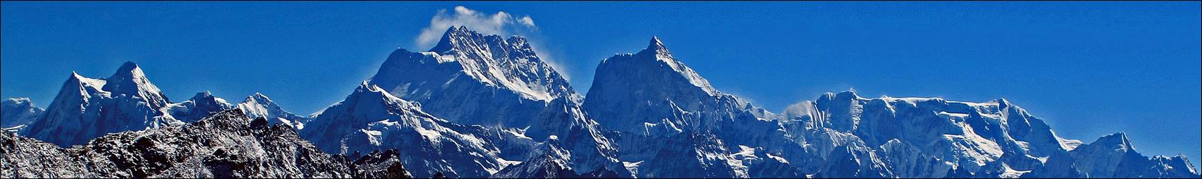
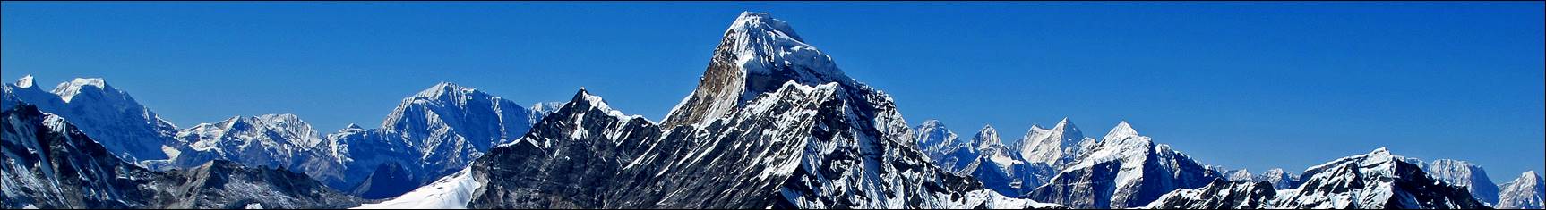
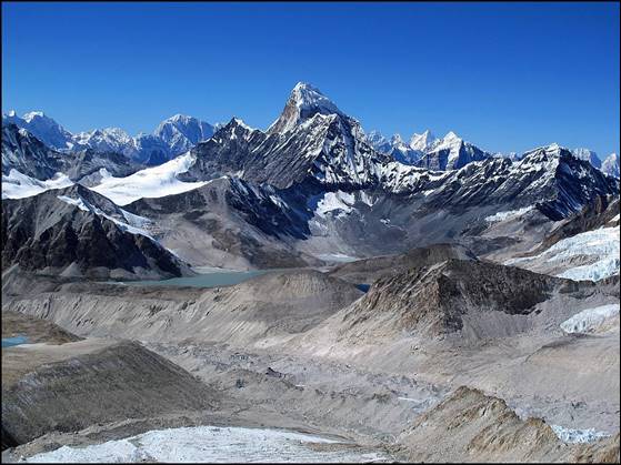
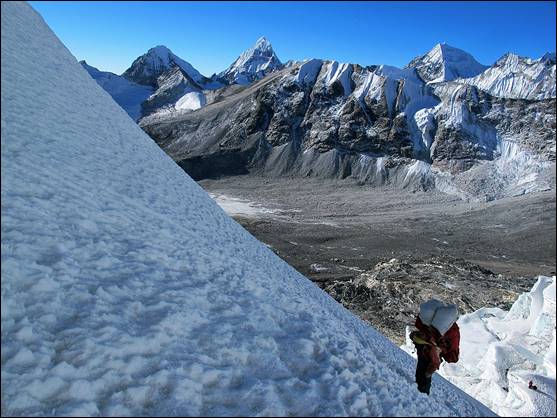
A more technical trek - from Makalu BC to Namche
- across three high-altitude passes: Sherpani Col
(6146m), West Col (6143m), and Amphu Lapsta (5845m). The crossing of these passes requires ropes
and is of moderate technical difficulty. The Hongu
basin between West Col and Amphu Lapsta
is an isolated area of glaciers and moraines surrounded by high peaks and steep
ridges. This section offers close views of several major peaks: Makalu, Baruntse, Ama Dablam,
Lhotse...
―
A traditional trek - from Namche to Jiri
- along the old approach route followed by Everest expeditions from the 1950's
through the beginning of the 70's, before the opening of the Lukla airport. The well-maintained trails run between 1500m
and 3800m across many Sherpa villages. They are traveled mostly by locals and
they offer a more authentic view of the Sherpa way of life than the over-trekked
trails above Lukla.
Map. The itinerary is shown in green line
on the right.
|
|
|
As for all my
previous trips to Nepal since 2001, the logistics was arranged by Ang Karma
Sherpa′s Windhorse Trekking. Matt Scott
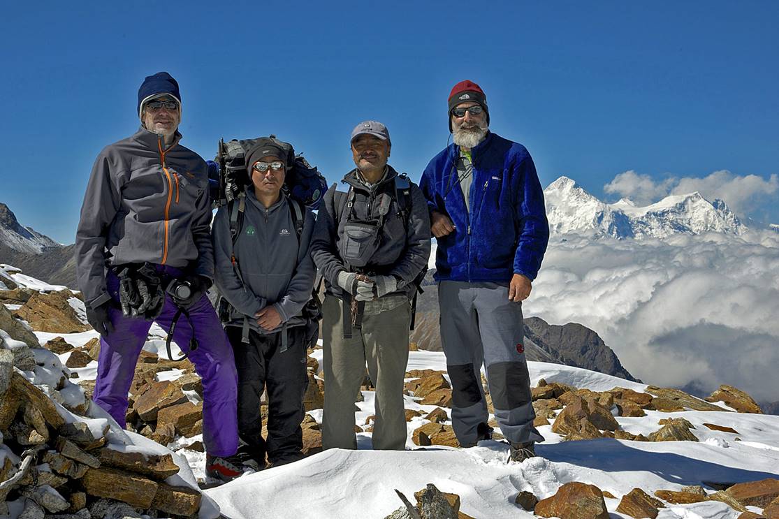
from Stanford, Kai Zinn from Caltech, and Ang Karma
Sherpa himself (the first Sherpa to summit Mt. Everest from the Tibetan side,
in 1985) also joined the trip. We were supported by Nyima
Gyaltshen, Lhakpa, and a
team of porters. Nyima Gyaltshen,
who had previously been on several 8000m-peak expeditions and who had summited
both Kanchenjunga and Makalu, was our lead climber. Lapka,
a native of the village of Chepuwa between Hongon and the Arun river, was our trail guide between Olangchun
Gola and Makalu BC. Unfortunately, both Matt (following a fall that seriously
injured his left shoulder) and Kai (due to a family emergency) were forced to
leave the trip unexpectedly in Yangla Kharka (below Makalu BC). Several porters returned to
Kathmandu from Yangla Kharka
as well. The rest of the group traveled together to Namche
through the 3 Cols. I did the final stage of the trek from Namche
to Jiri with Lhakpa alone. The other members of the
group returned to Kathmandu, either by flying from Lukla,
or after visiting their families in Solu.
|
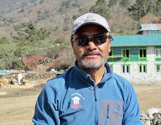
Ang Karma |
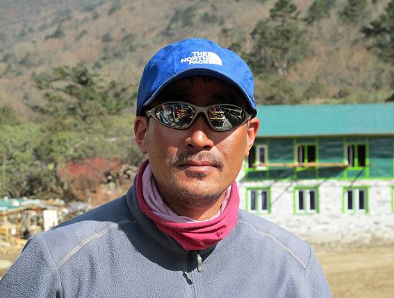
Nyima Gyaltshen |
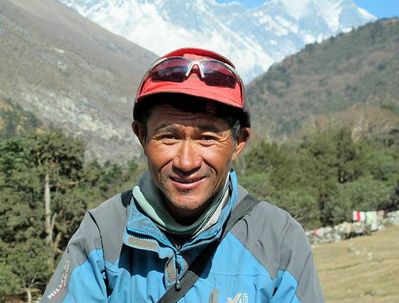
Lhakpa |
|
|
|
|
|
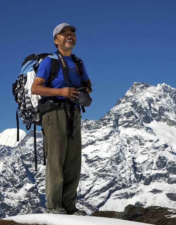
Ang Karma again (Matt Scott photo) |
Kai, Nyima Gyaltshen,
Ang Karma, and Matt (Matt
Scott photo) |
|
|
|
|
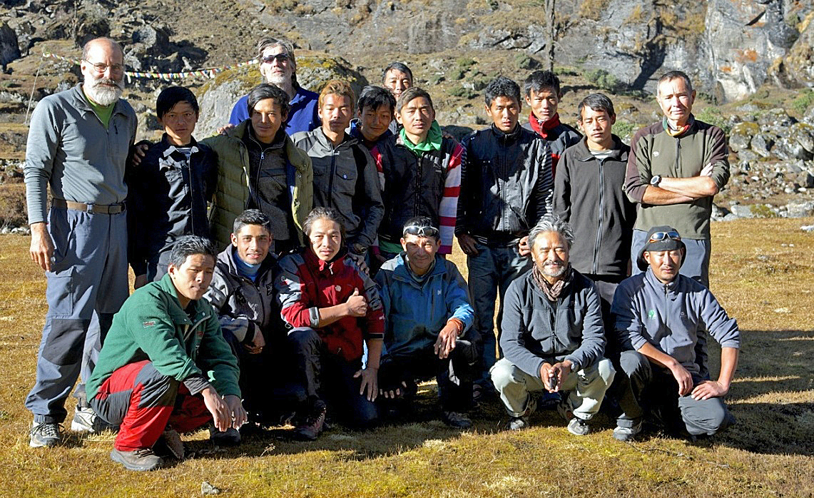
The entire group in Yangla Kharka. (Matt Scott photo) |
|
|
Click the links below to access
photos of the successive parts of the trek:
|
1.
Taplejung to Olangchun Gola
(4 days) |
(1 day) |
(3 days) |
|
|
|
|
|
(3 days) |
(5 days) |
6.
Yangla Kharka to Sherpani Col High Camp (4 days) |
|
|
|
|
|
7.
Crossing
of Sherpani and West Cols (1 day) |
8.
Hongu basin to Namche across Amphu Lapsta (3 days) |
(5 days) |
|
|
|
|

![]()