Morocco (April 2022): Loop #1
![]()
Return
to main Morocco-2022 page | Return to my
mountaineering/trekking/travel webpage
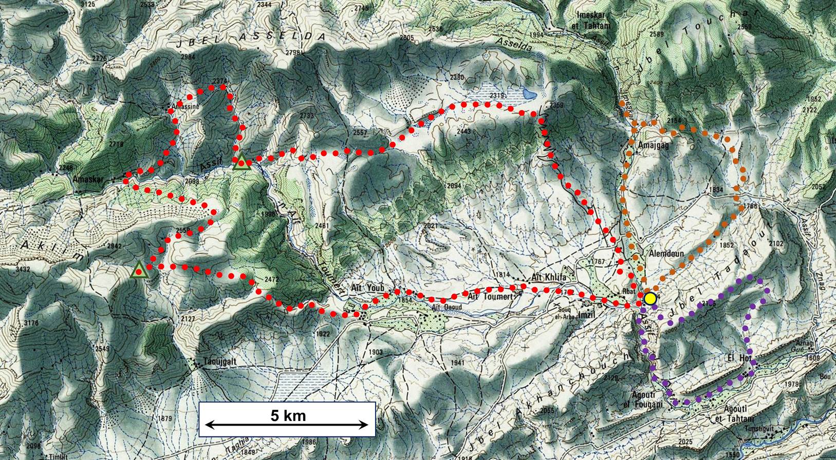
The itinerary of this loop is shown in
brown dotted line in the map. It was done in the counterclockwise direction.
The photos below are in chronological order.
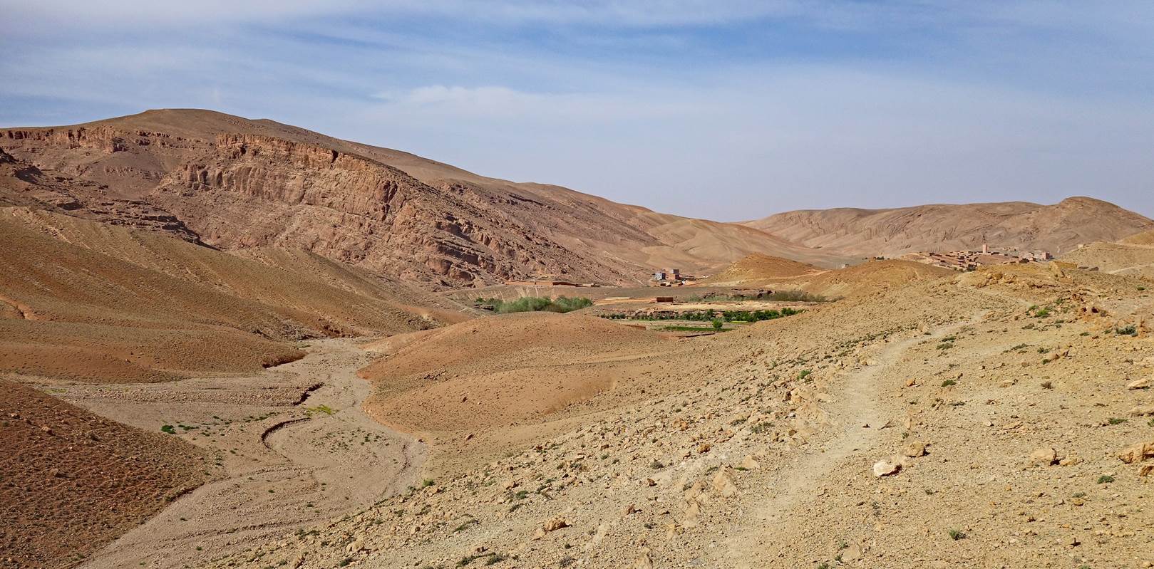
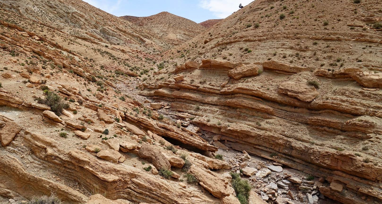
Looking back toward the lodge soon after leaving. The rock cliff on the
left stands the beginning of the gorge of the Assif el Qadi, north of the village of Agouti el
Fouqani.
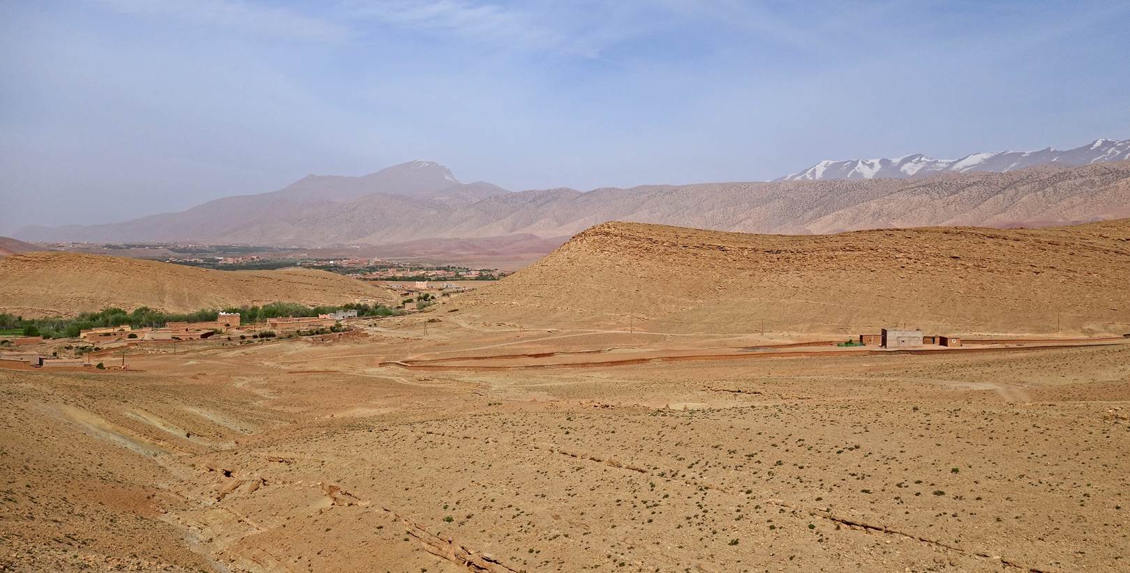
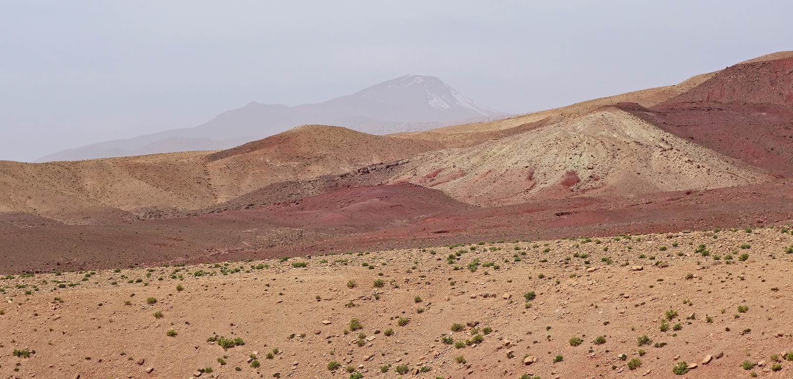
View of Jebel Tadaout south of our hike.
Jebel Aklim seen in the far background
(center-left). The air was loaded with dust brought by winds blowing from the
Sahara.
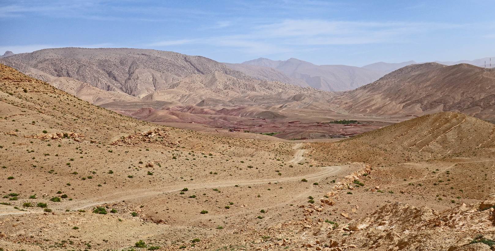
View toward the northeast from the small pass at 1786m (marked on the
map).
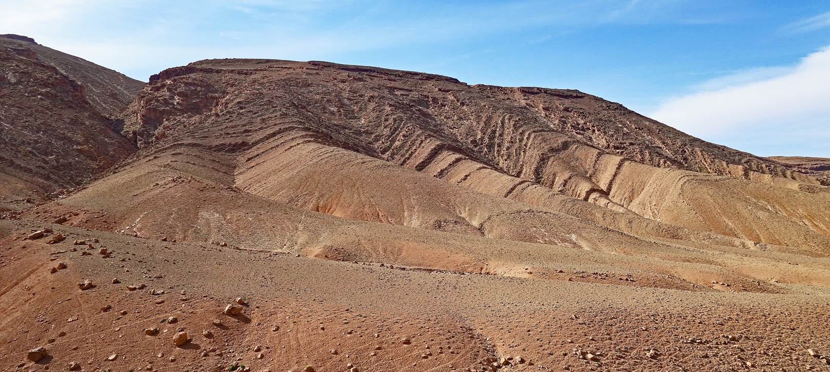
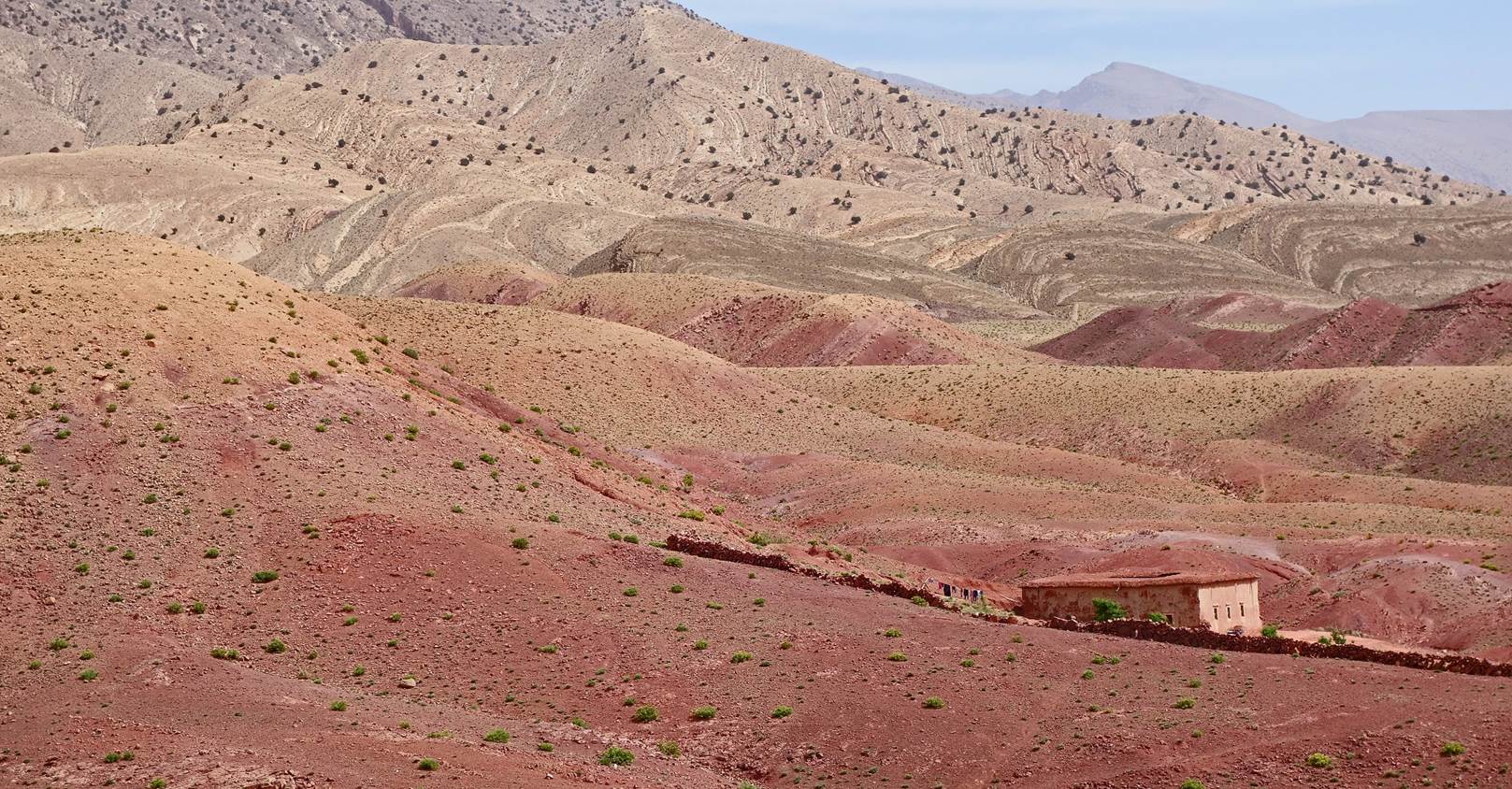
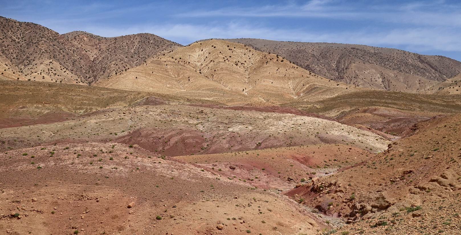
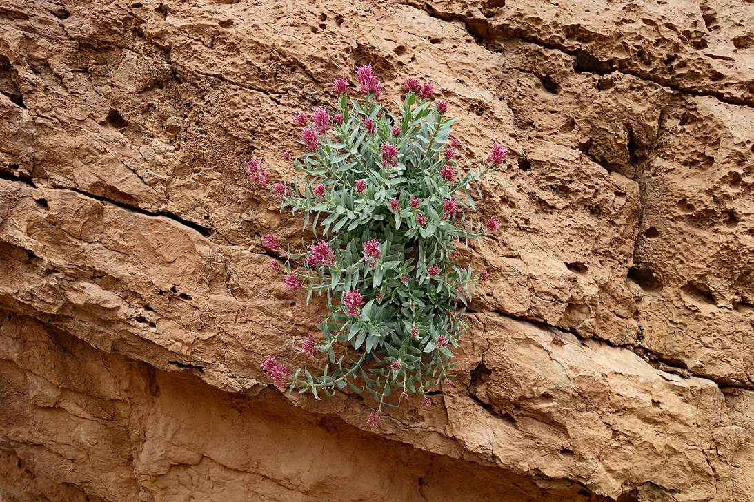
In the red lands.
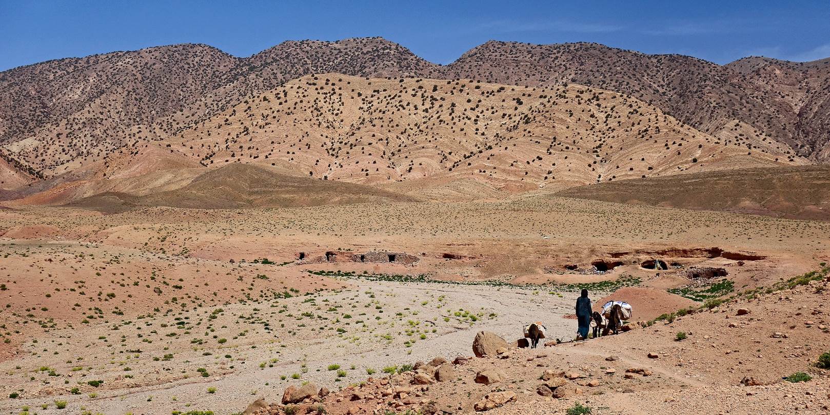
Nomad returning to her camp with her loaded donkeys.
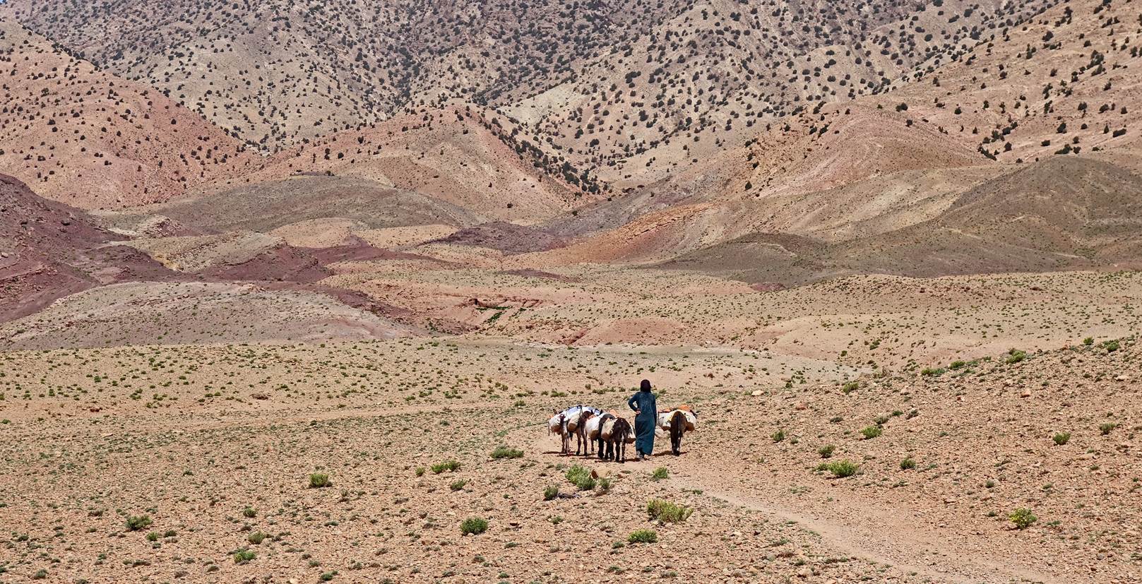
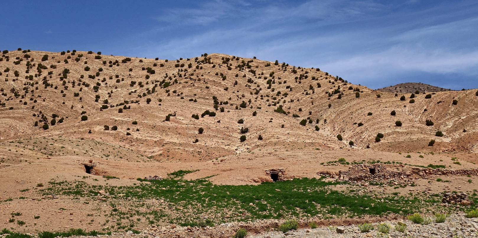
The nomad camp is a collection of old man-made caves that remain
relatively cool during the warmer months. Most of the nomads come from further south
(in particular, from Jebel Sahro), where they spend
the winter. They stop at places like this one on their way to higher pastures in
the Atlas mountains, where they stay during the summer.
More nomad caves.
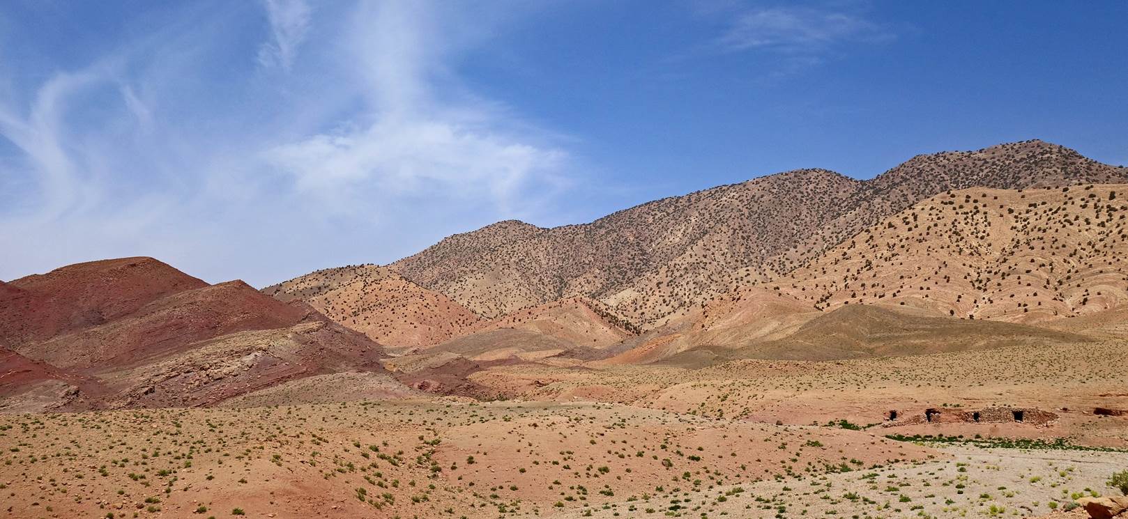
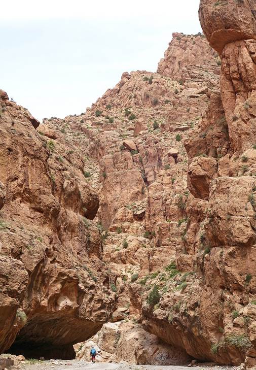
Further along the loop.
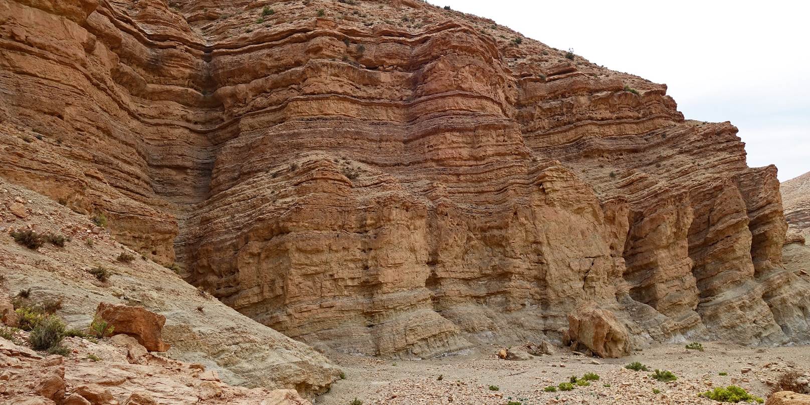
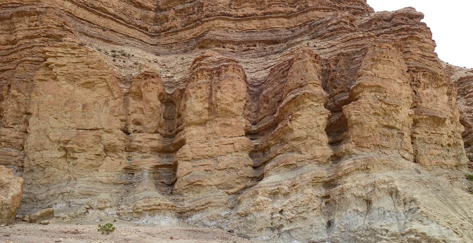
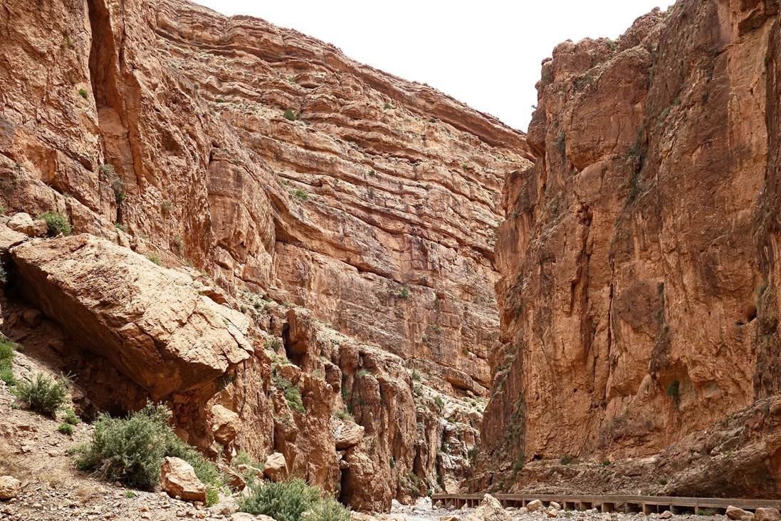
Impressive cliff soon before reaching the Assif
Imeskar (river), near the village of Amajgag.
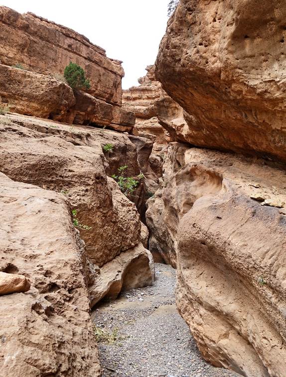
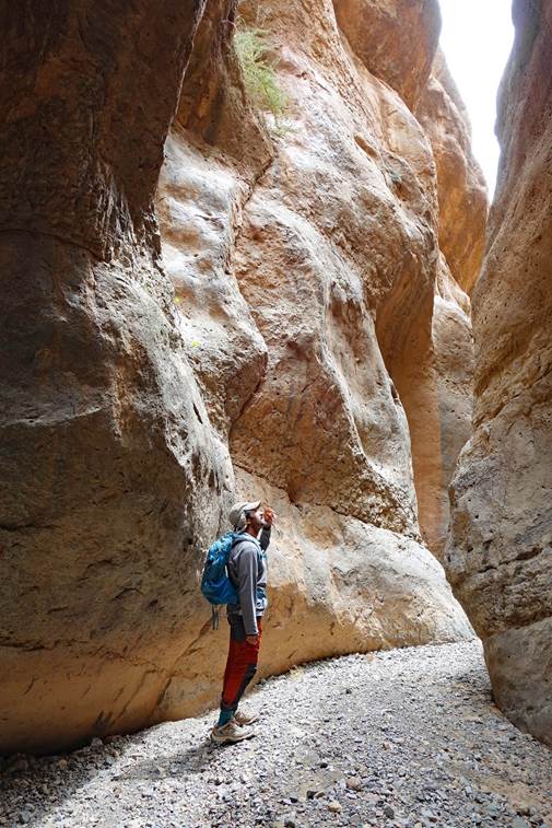
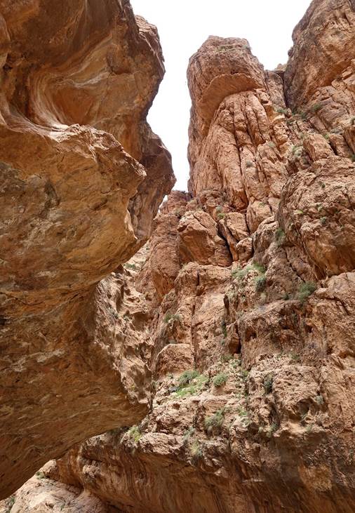
Short section of narrows of the Assif Imeskar north of Amajgag.
|
|
|
|
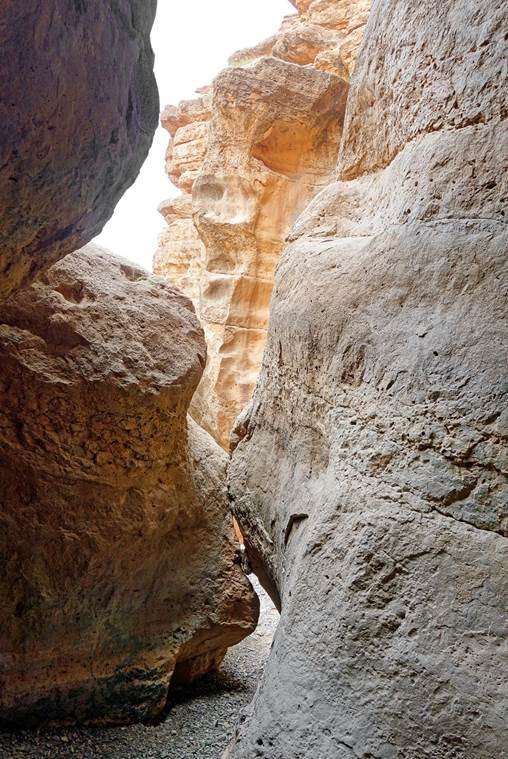
Gorge of the Assif Imeskar
beyond the narrows. In October 2003, I had already hiked down this spectacular
gorge, coming from the north (see here).
|
|
|
|
|
|
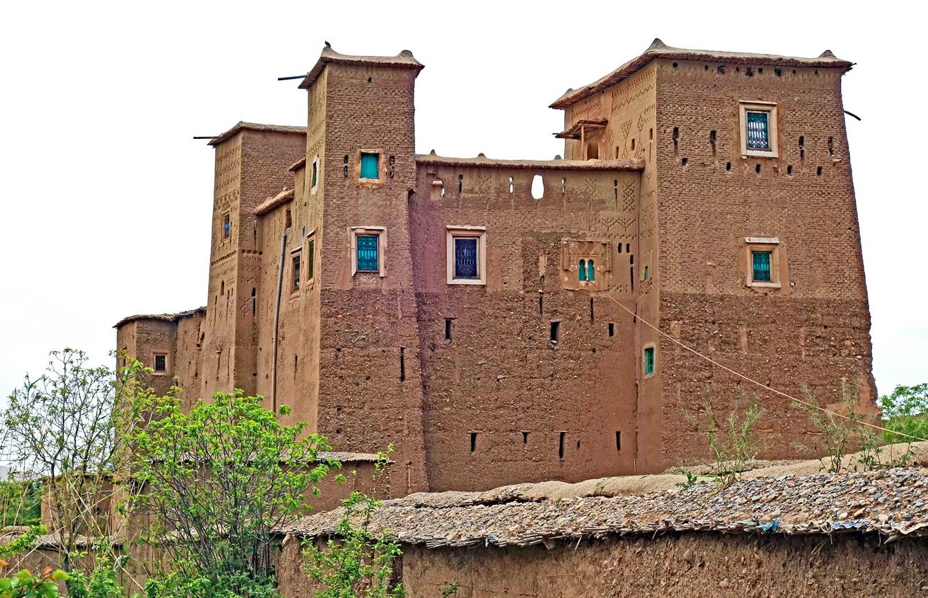
Kasbah in the village of Amajgag.
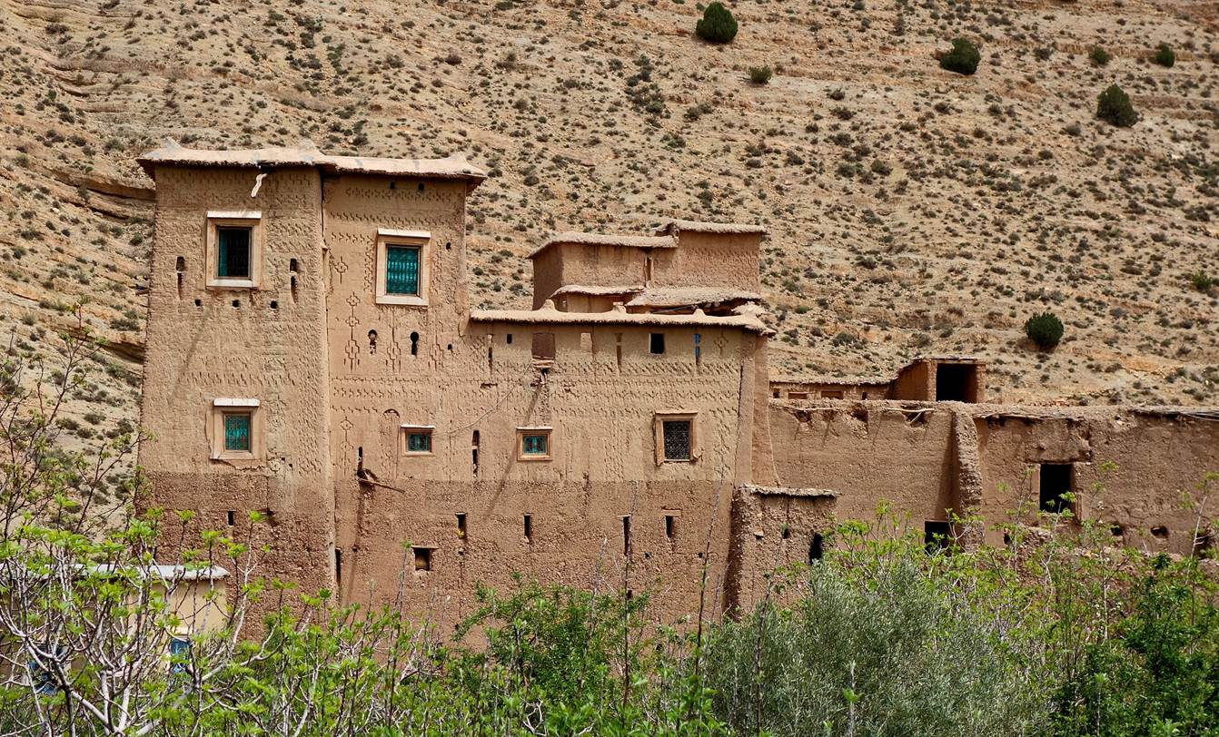
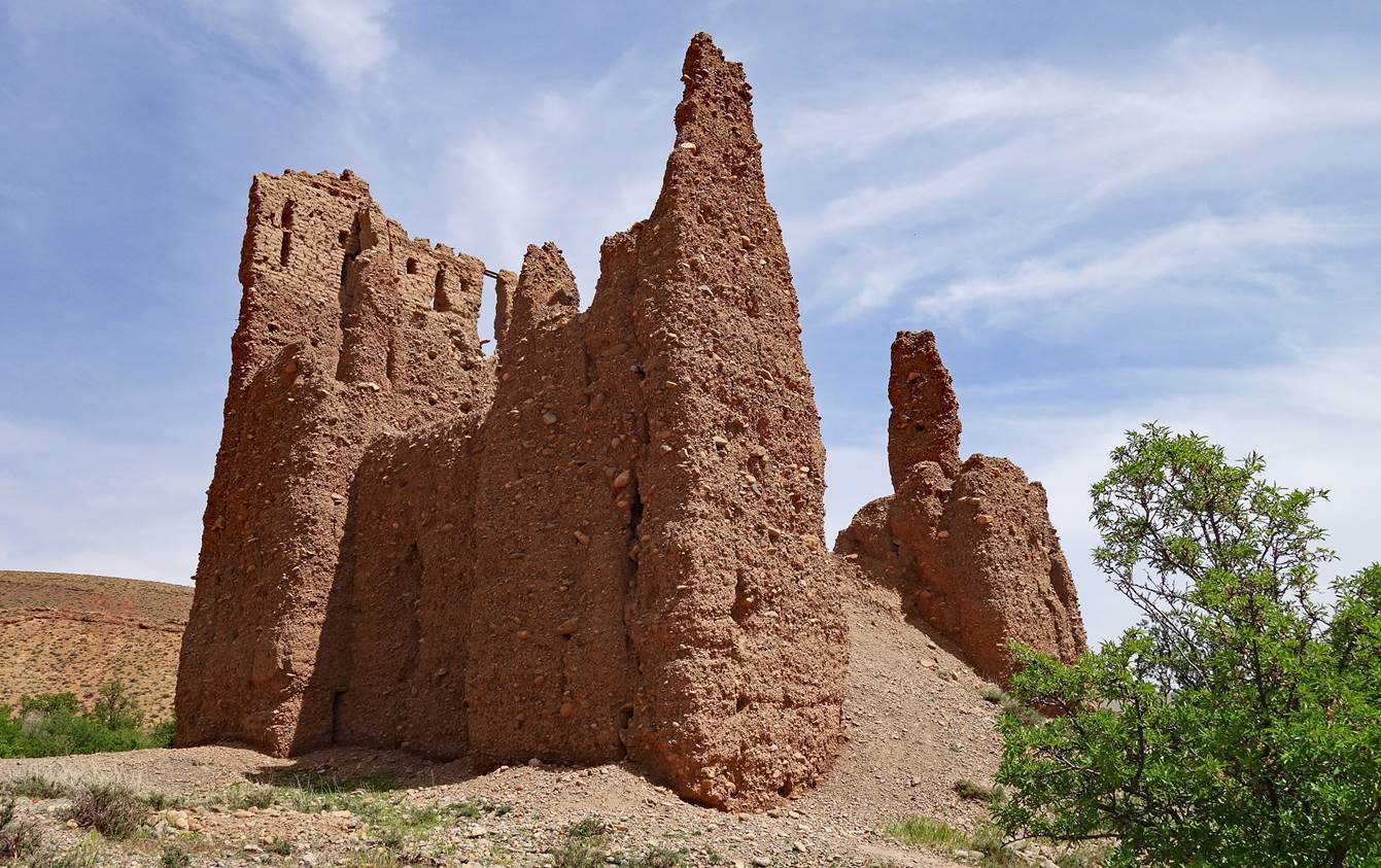
Former granary south of Amajgag.
![]()
Return
to main Morocco-2022 page | Return to my
mountaineering/trekking/travel webpage