Morocco (April 2022): Loop #2
![]()
Return
to main Morocco-2022 page | Return to my
mountaineering/trekking/travel webpage
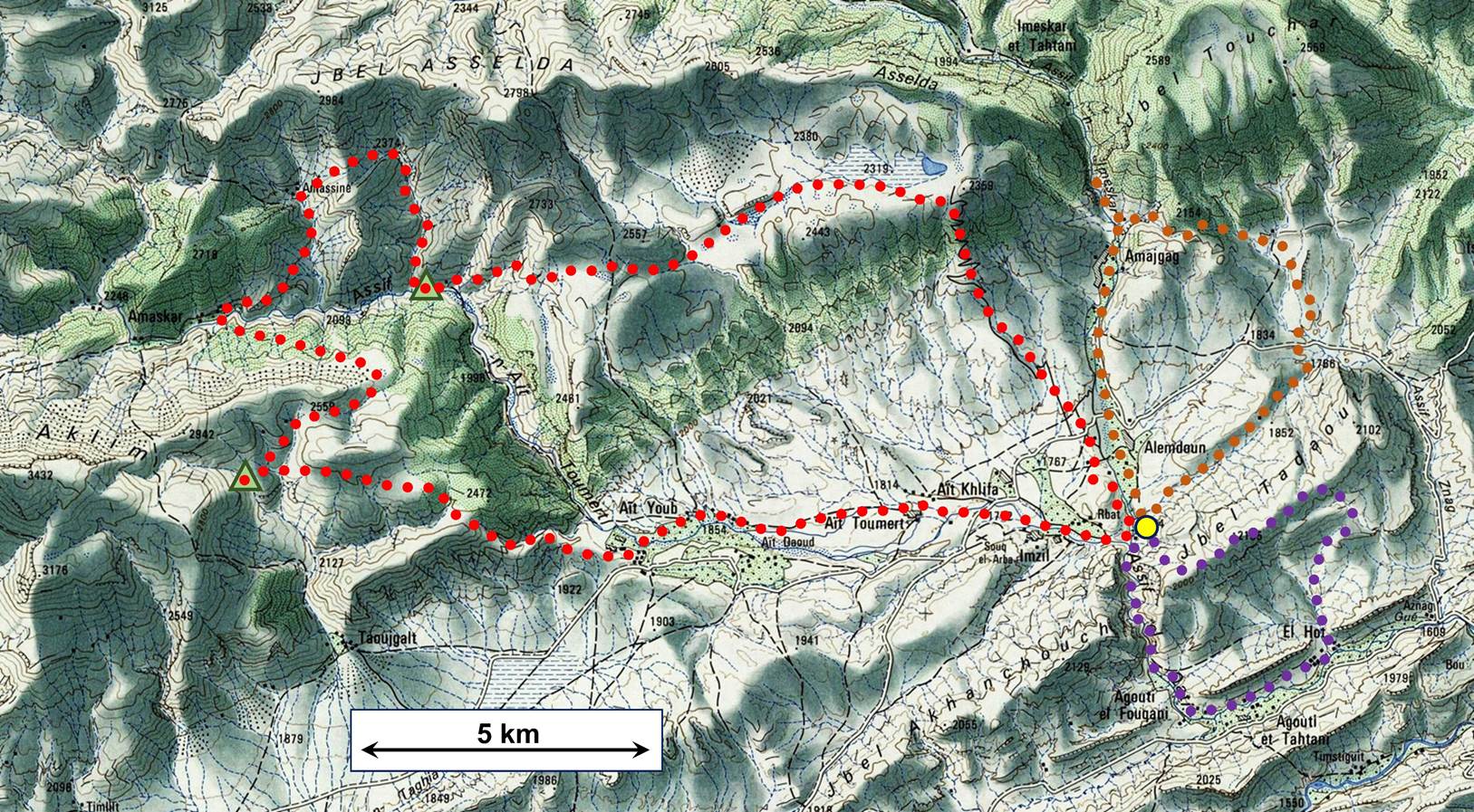
The itinerary of this loop is shown in purple dotted line in the
map. It was done in the clockwise direction. The photos below are in
chronological order.
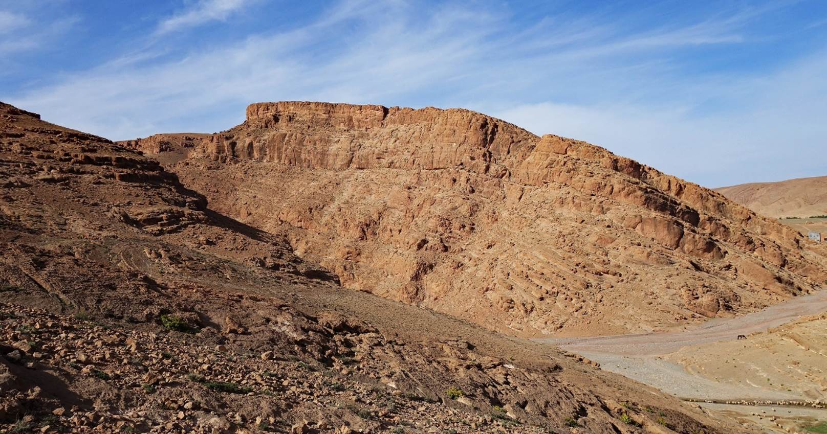
The rock cliff at the entrance of the gorge of the Assif
el Qadi, north of the village of Agouti
el Fouqani, seen during the
ascent of Jebel Tadaout.
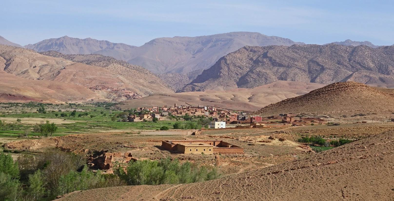
View toward the north, with the village of Alemdoun
at the center of the photo and the V-shaped breach marking the Assif Imeskar gorge further
behind the village.
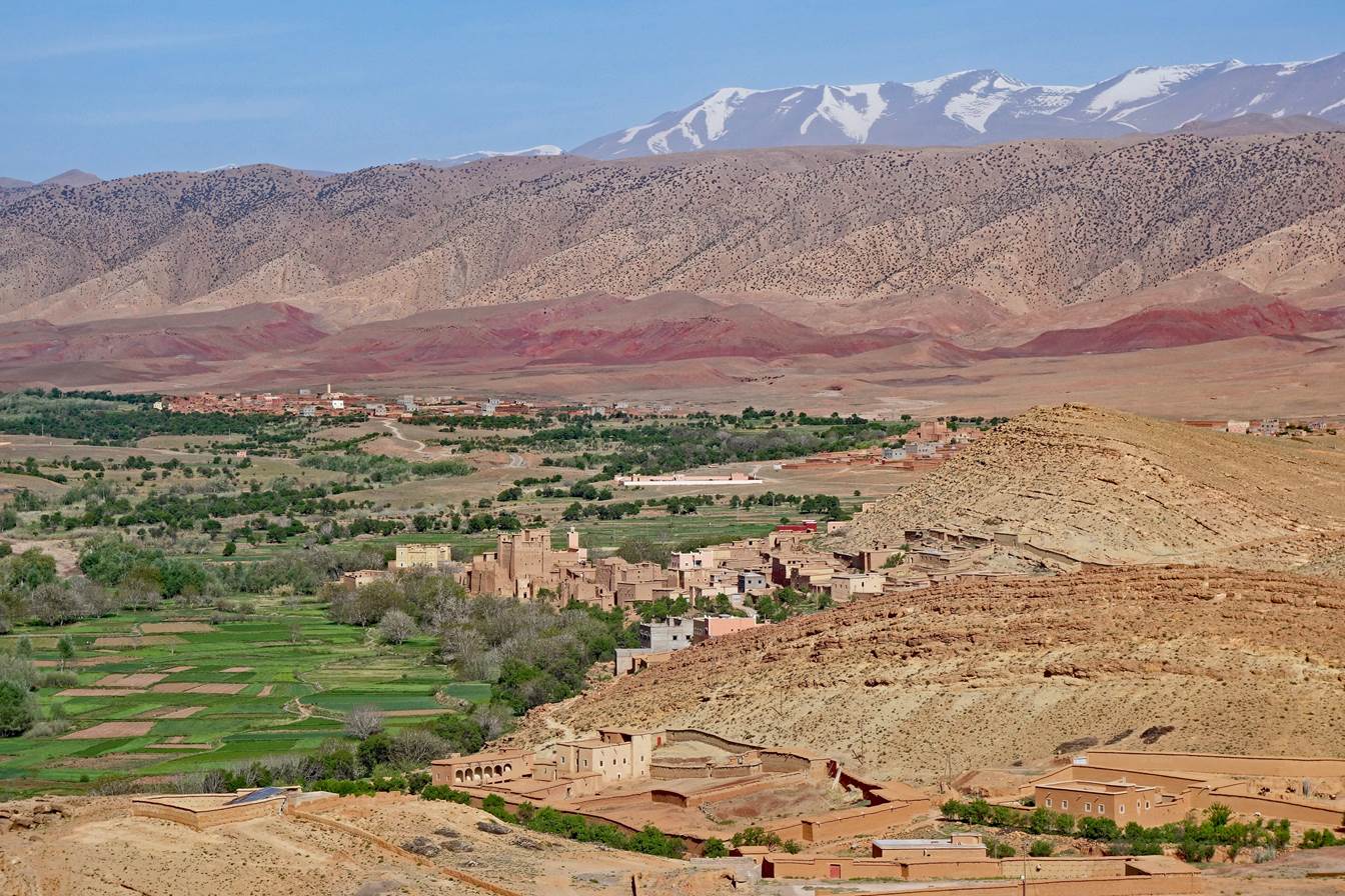
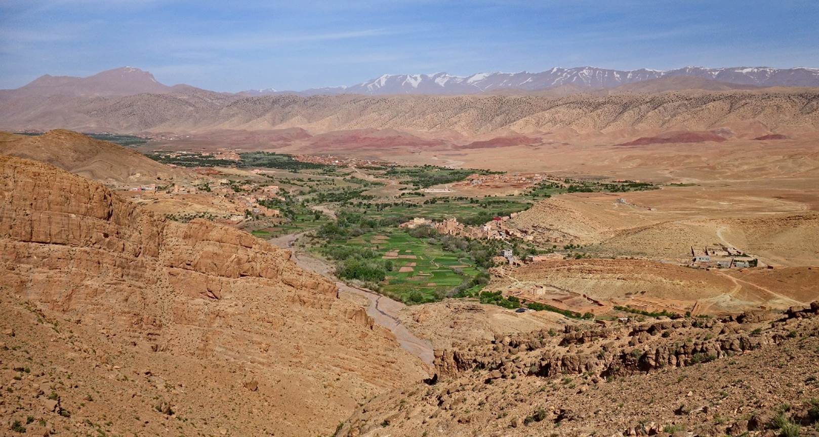
View of the village of Rbat, with its prominent
kasbah, and the snowy Mgoun massif in the background.
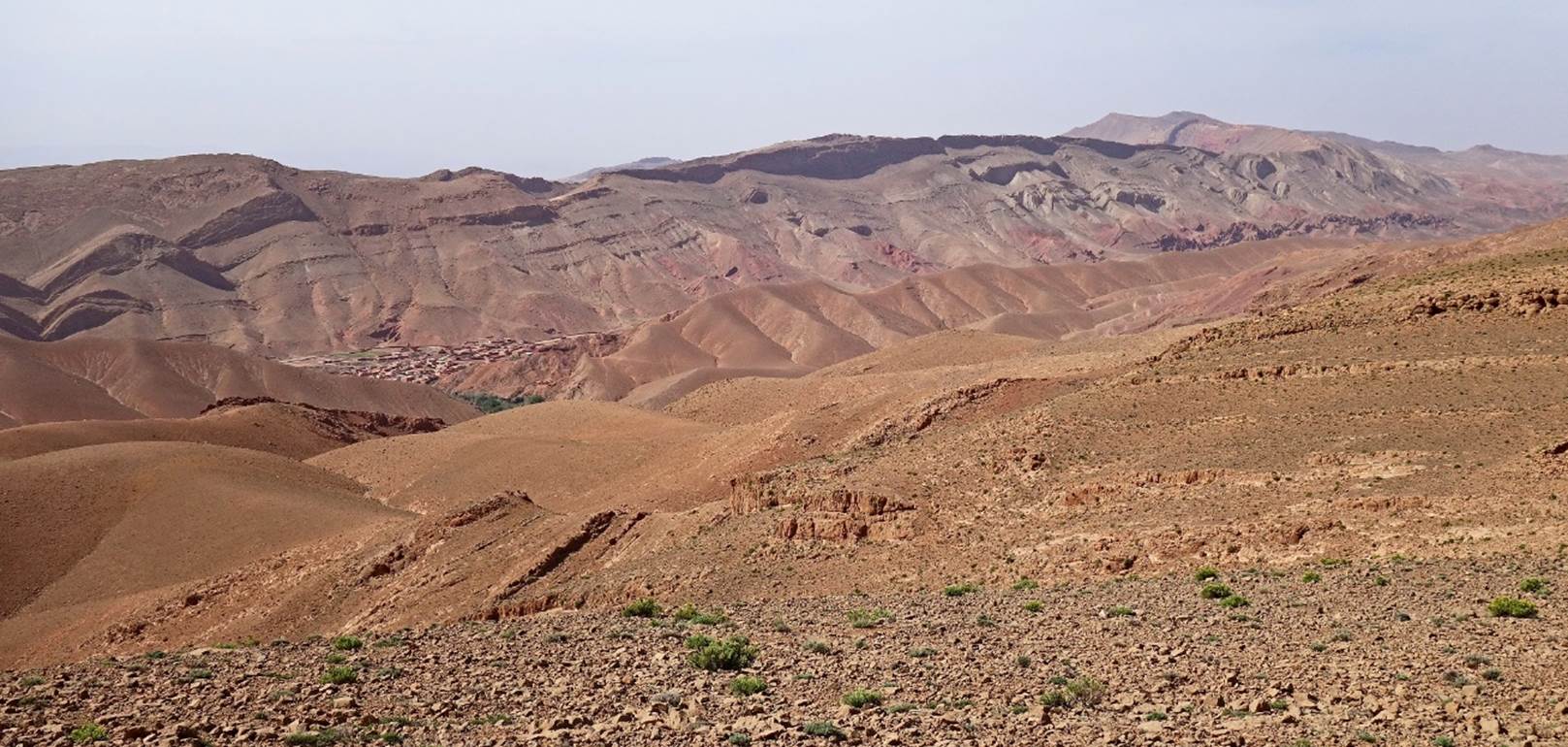
Another view from a higher location on Jebel Tadaout,
with Jebel Aklim on the left in the background.
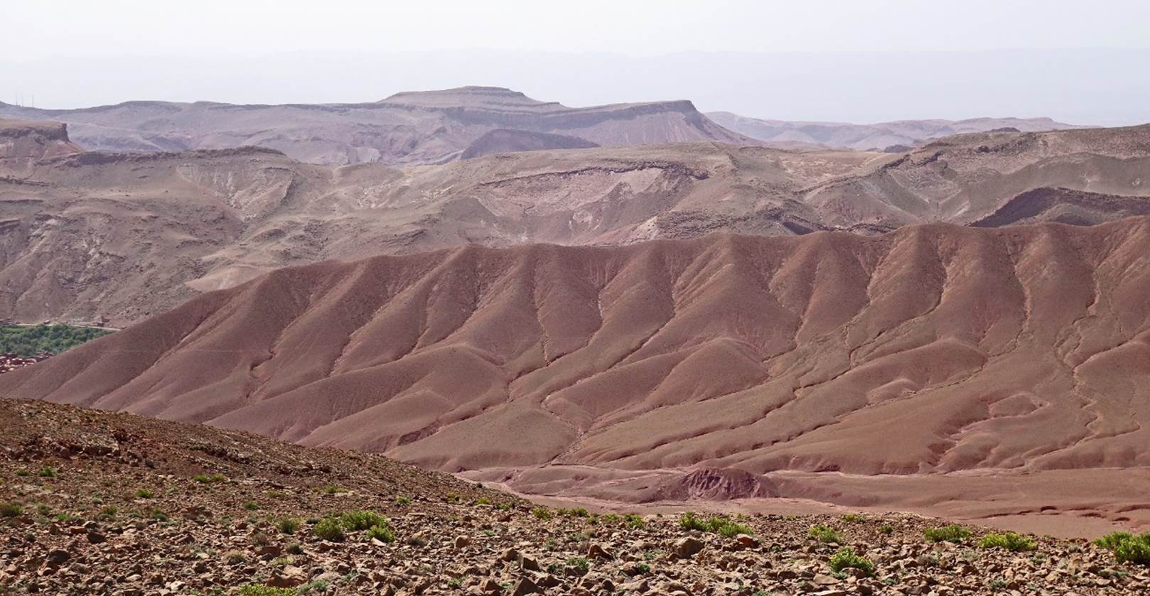
View toward the south from the summit ridge of Jebel Tadaout,
with the village of Agouti el Fouqaqi
partially visible on the left of the photo.
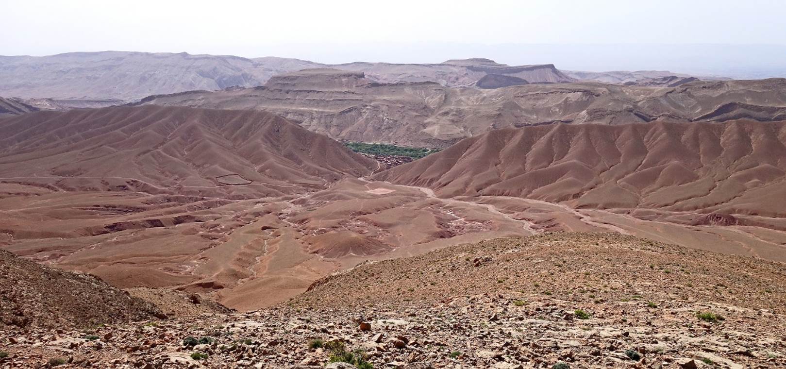
Another view toward the south from the ridge of Jebel Tadaout.
Village of El Hot (partially visible) seen from the summit of Jebel Tadaout.
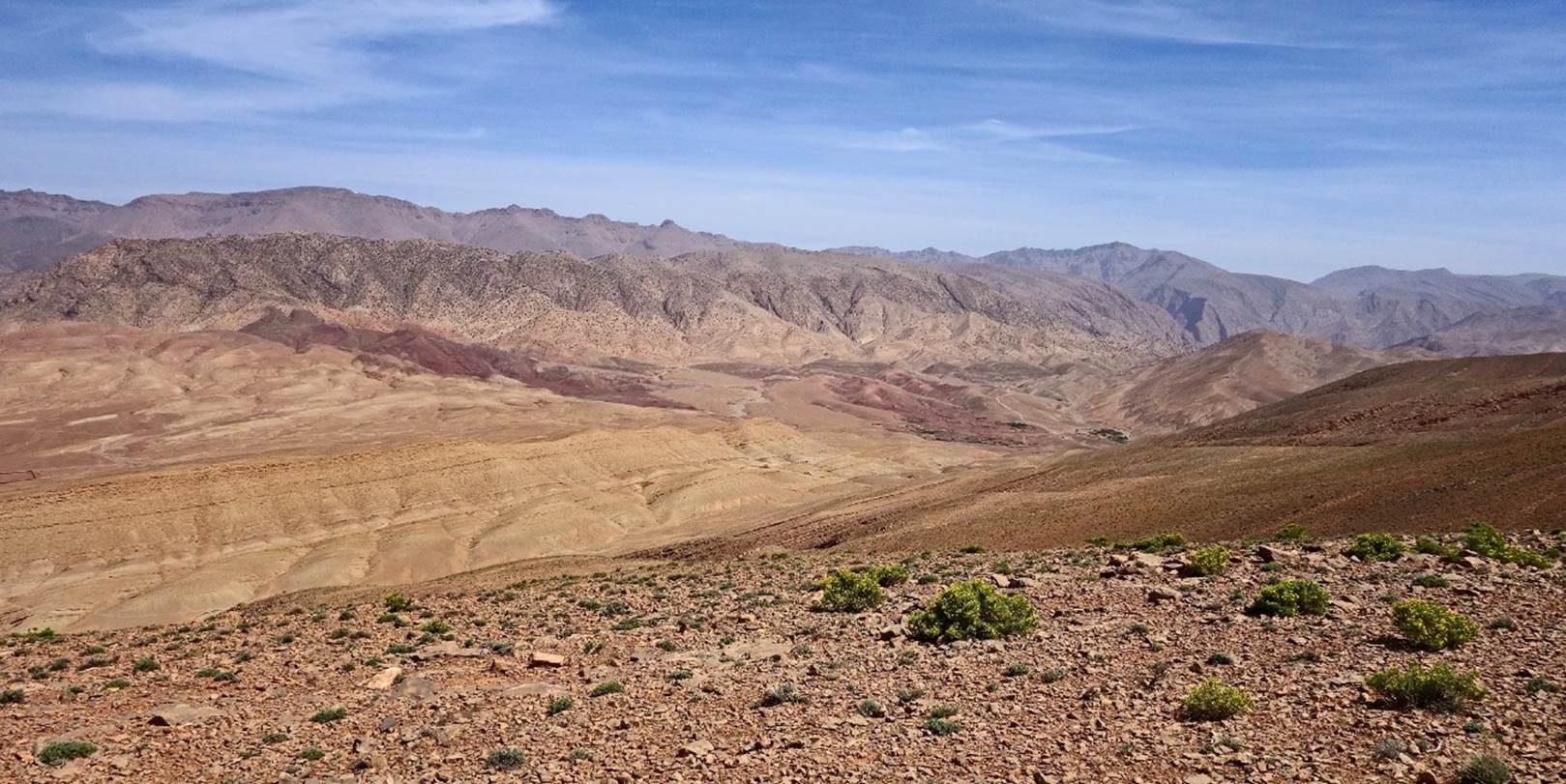
View toward the north over the red lands travelled during the first half
of the first loop.
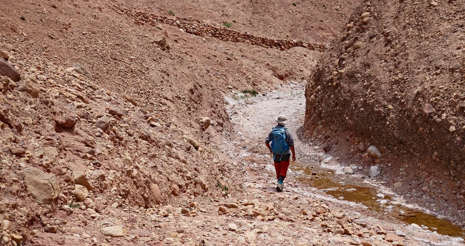
Oumar during the
descent toward El Hot. Little water, but lot of salt, in the stream.
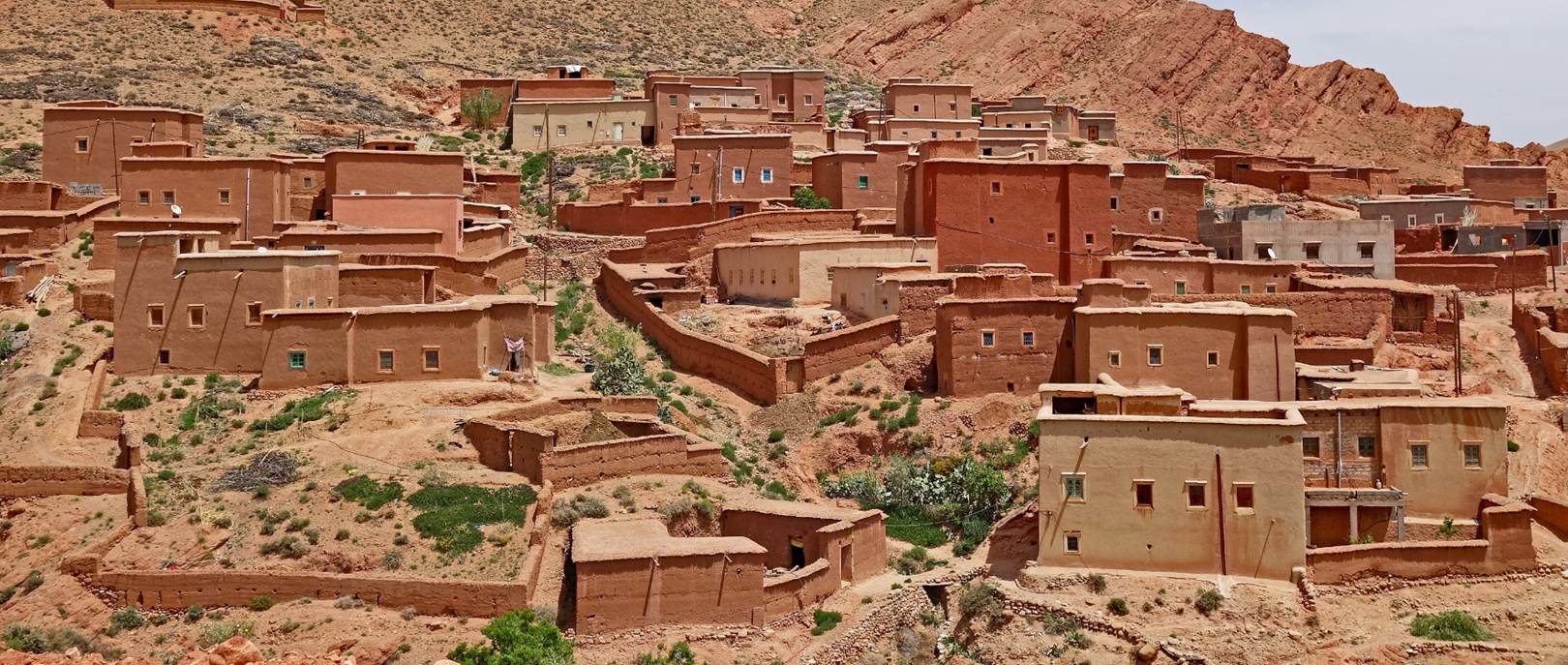
Houses in the village of El Hot.
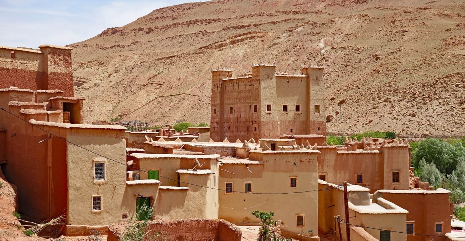
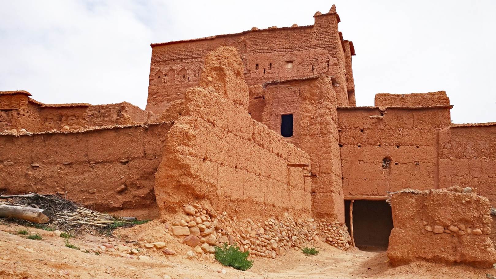
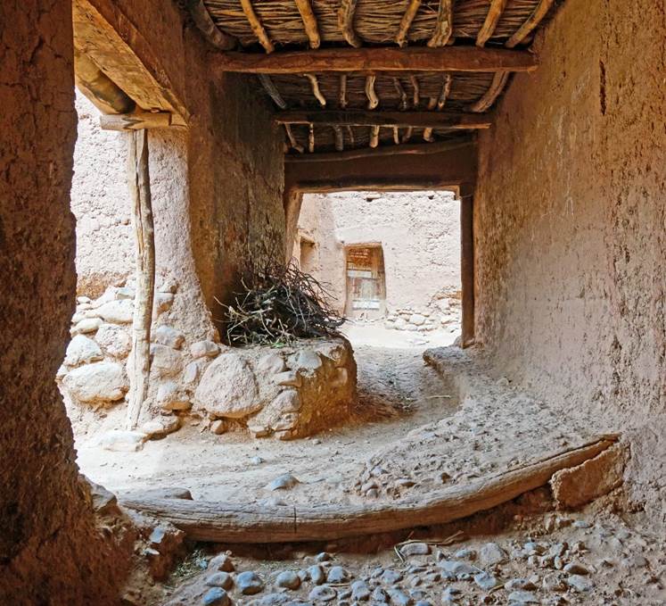
Kasbah in El Hot.
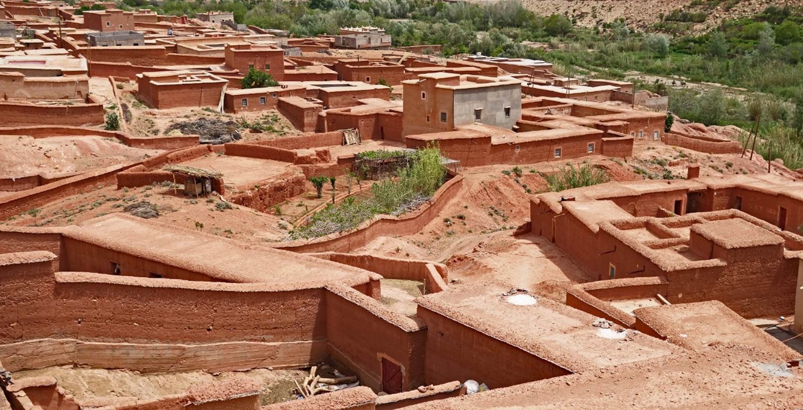
Field below El Hot. The contrast between the bare land above El Hot and the
lush green, well-irrigated fields below the village is striking.
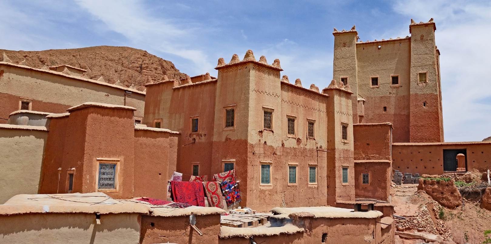
Houses in the village of Agouti el Fouqaqi.
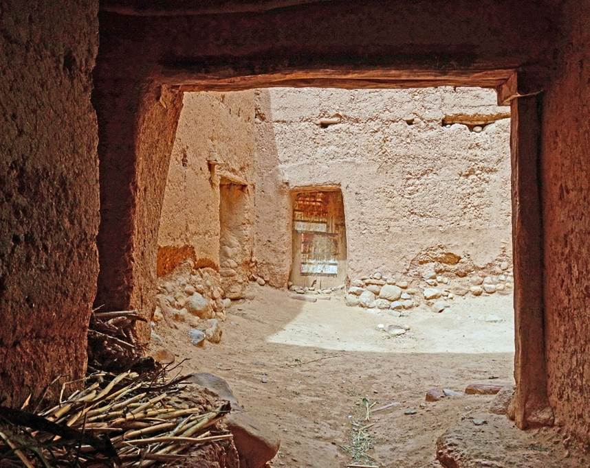
Kasbah in the village.
|
|
|
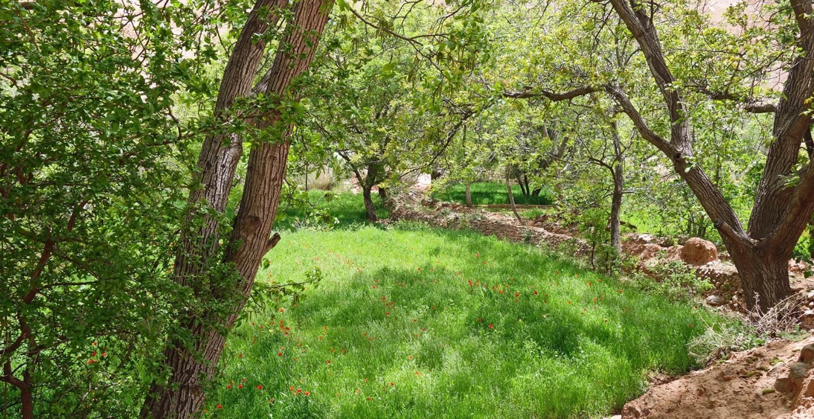
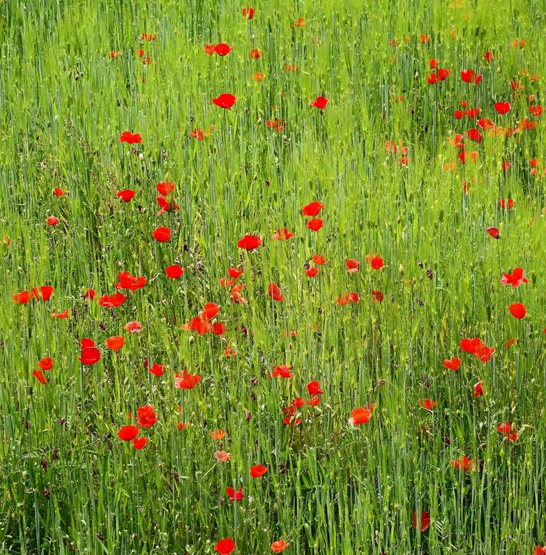
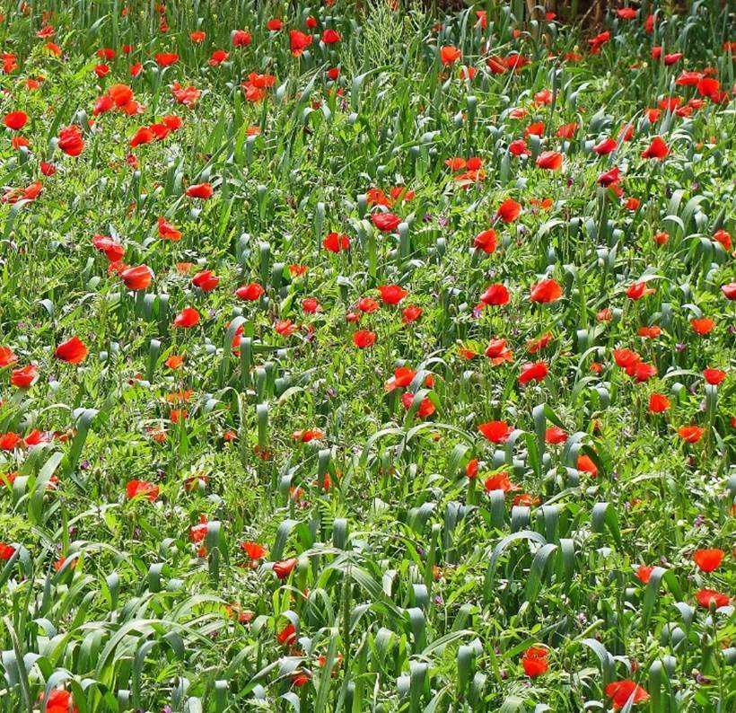
Fields with red poppys outside Agouti el Fouqaqi.
|
|
|
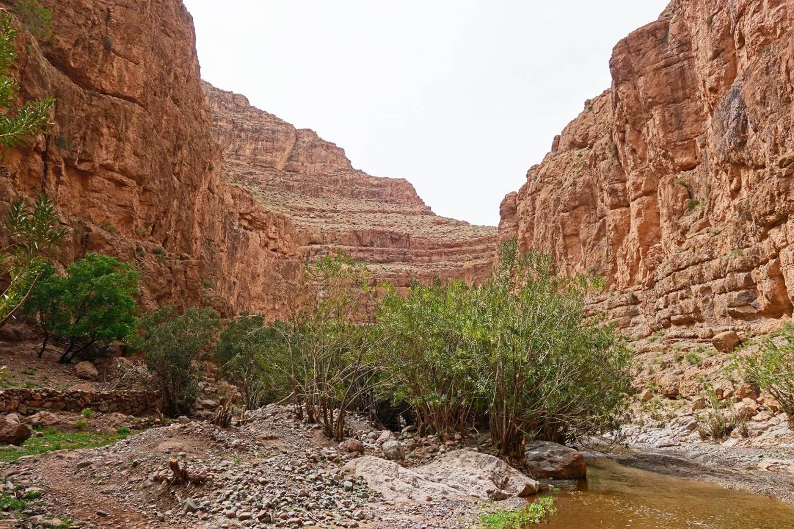
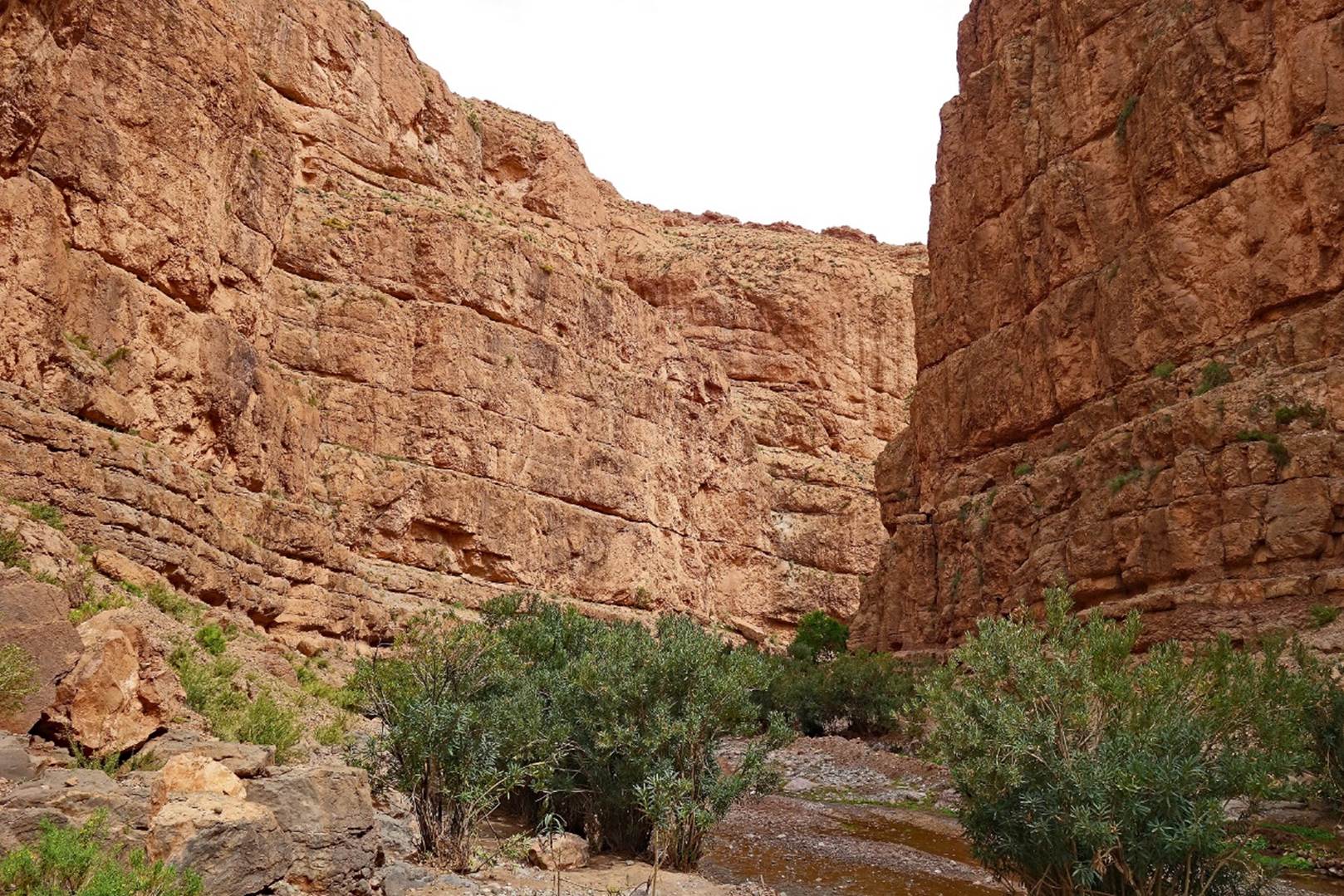
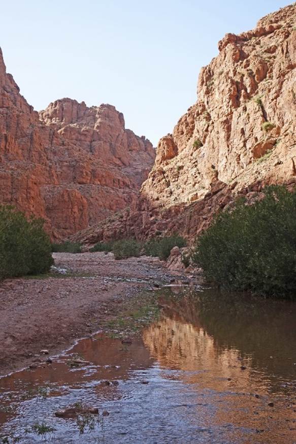
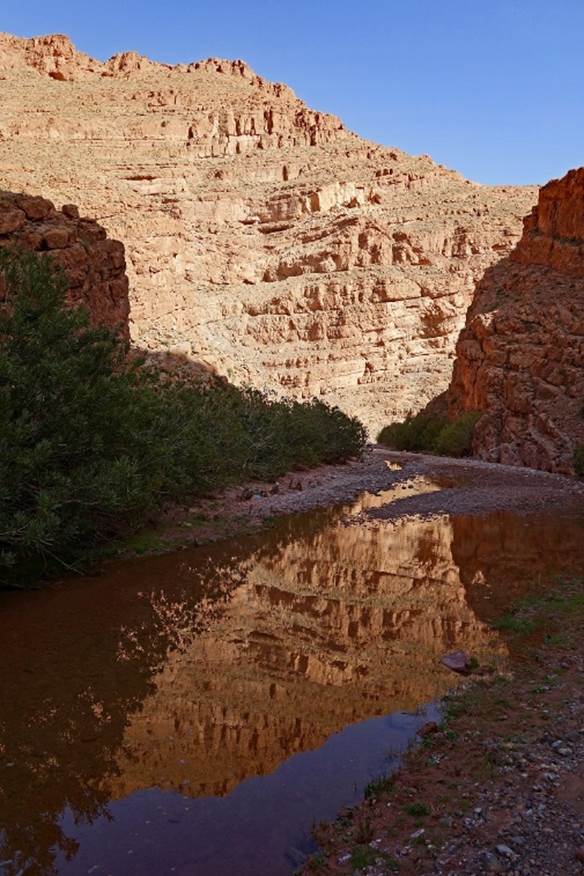
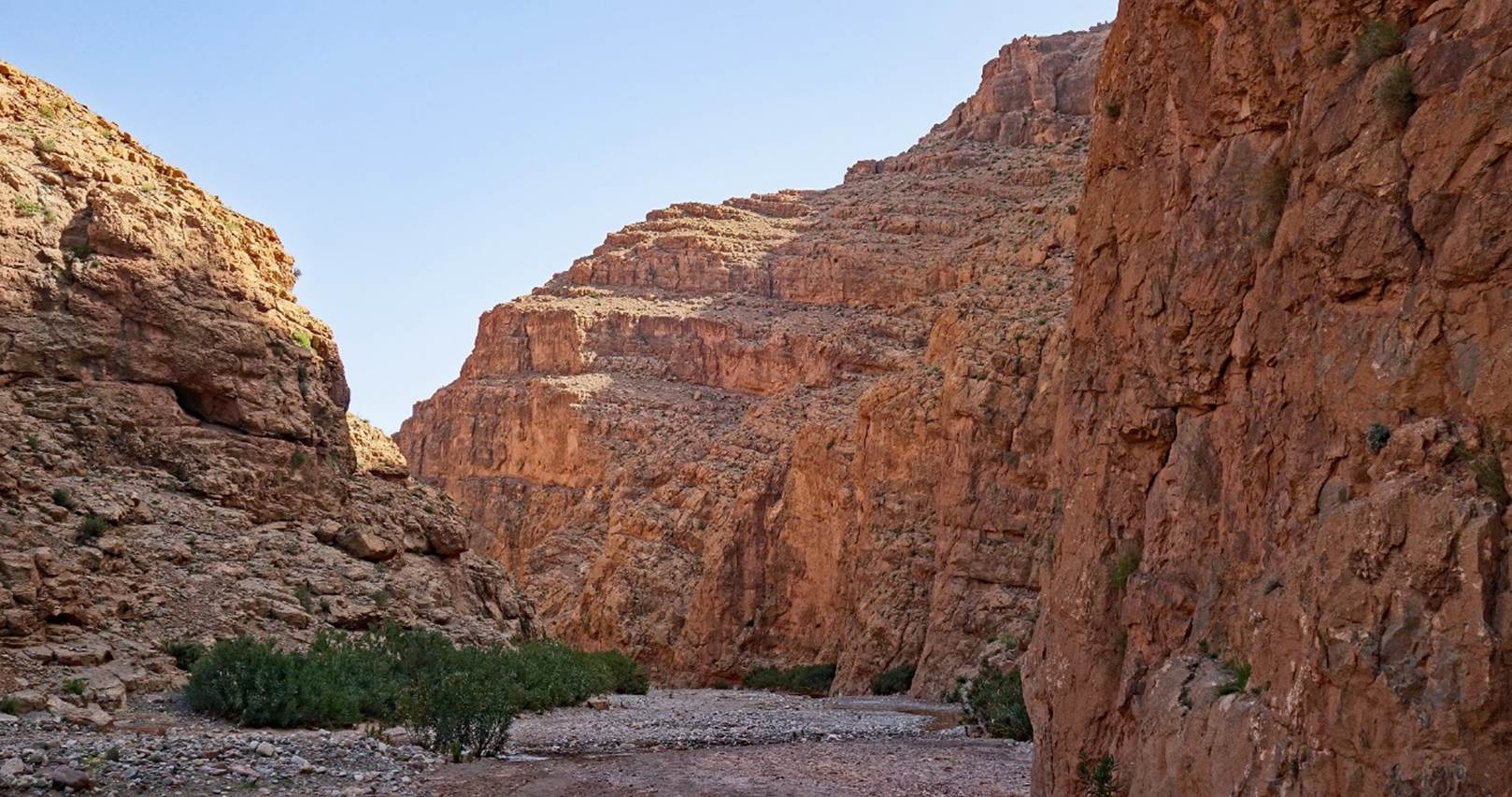
Gorge of the Assif el
Qadi (also called the Agouti gorge) leading back to the lodge.
|
|
|
![]()
Return
to main Morocco-2022 page | Return to my
mountaineering/trekking/travel webpage