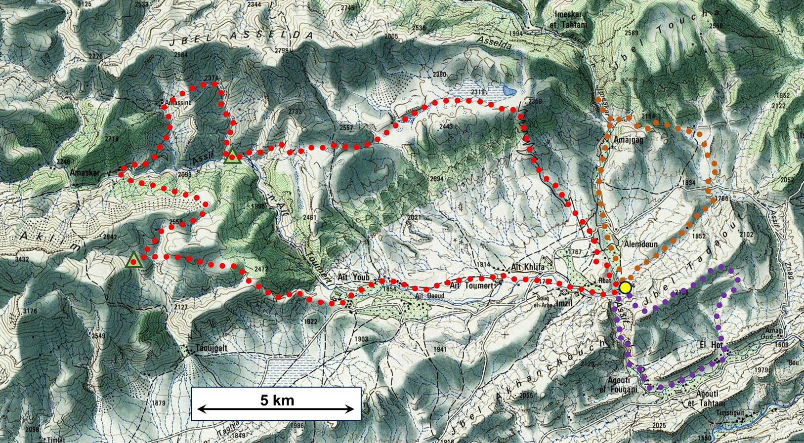
Morocco (April 2022): Loop #3
![]()
Return
to main Morocco-2022 page | Return to my
mountaineering/trekking/travel webpage
 :
:
The itinerary of this three-day loop is
shown in red dotted line in the map. It was done in the clockwise direction.
The photos below are in chronological order. The two green triangles indicate
the locations of our intermediate camps.
Day 1:
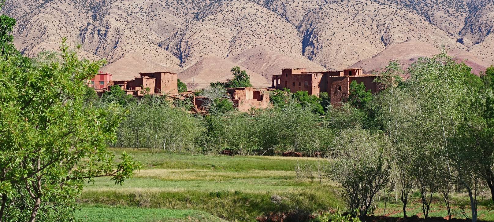
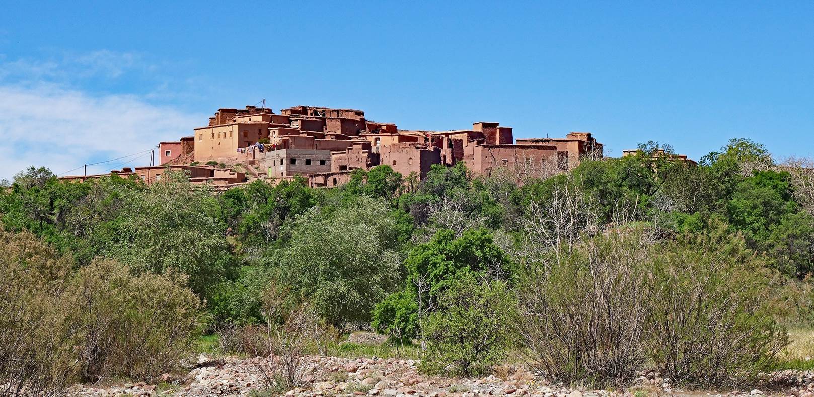
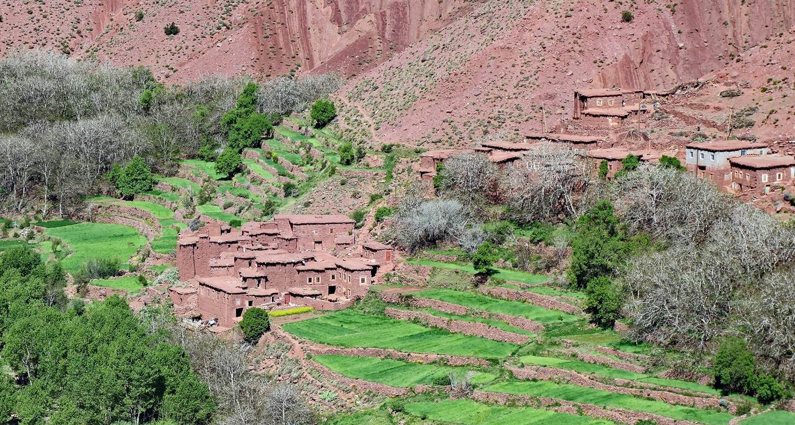
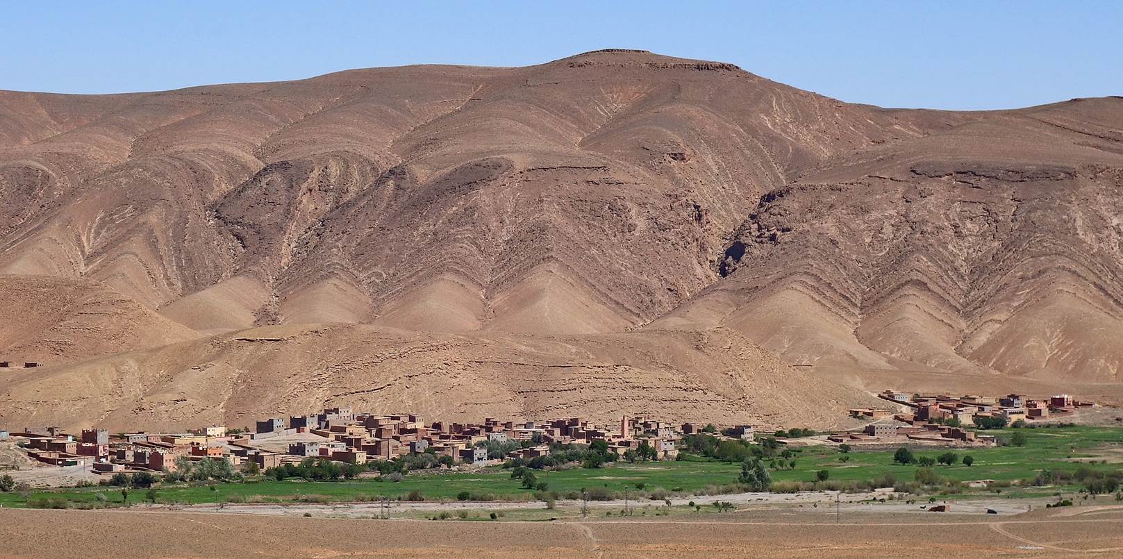
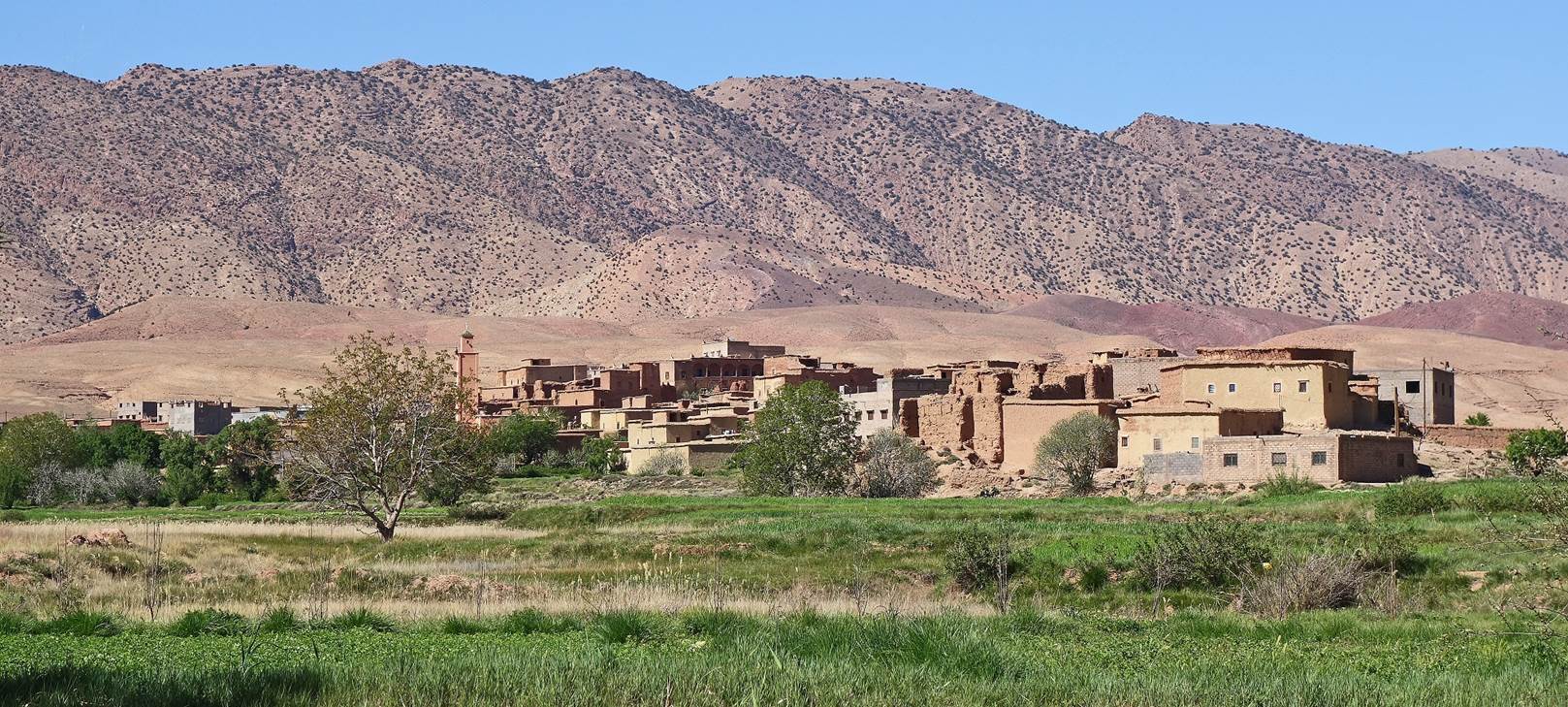
Partial view of the village of of Ait Khlifa, from a distance.
Jebel Aklim seen from the village of Azilal (next to the village of Ait
Toumert, but not marked on the map).
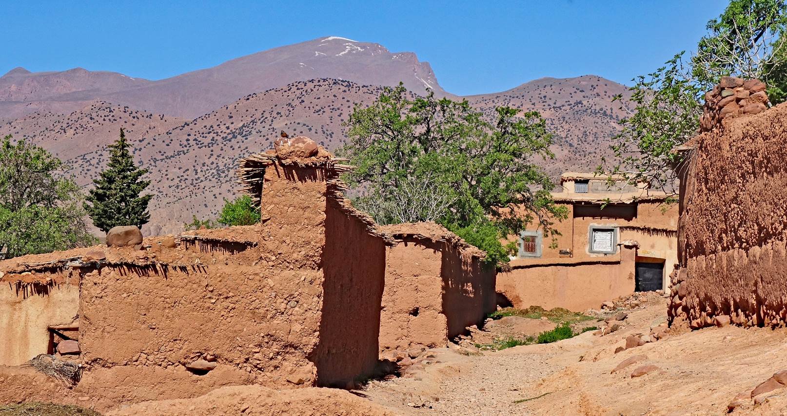
Houses along the way.
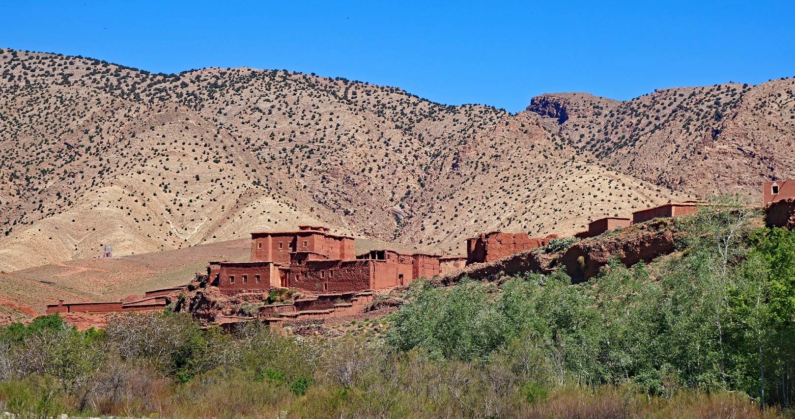
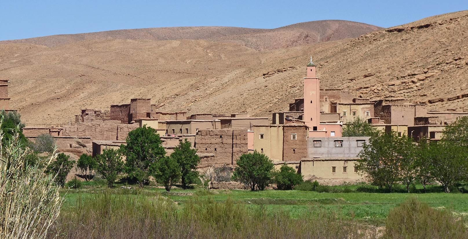
Village of Ait Youb.
Houses in Ait Youb.
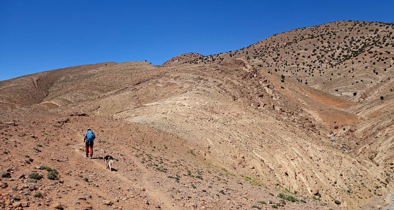
Oumar leading the
way above Ait Youb, with a friendly
dog that came from nowhere and stayed with us during the entire three-day loop.
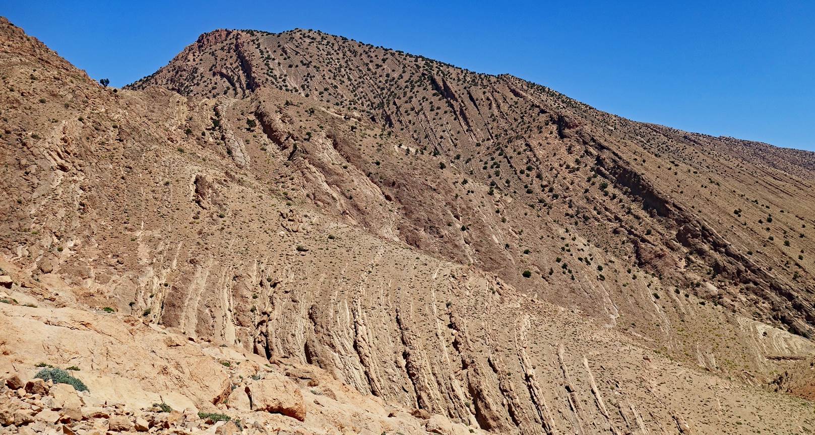
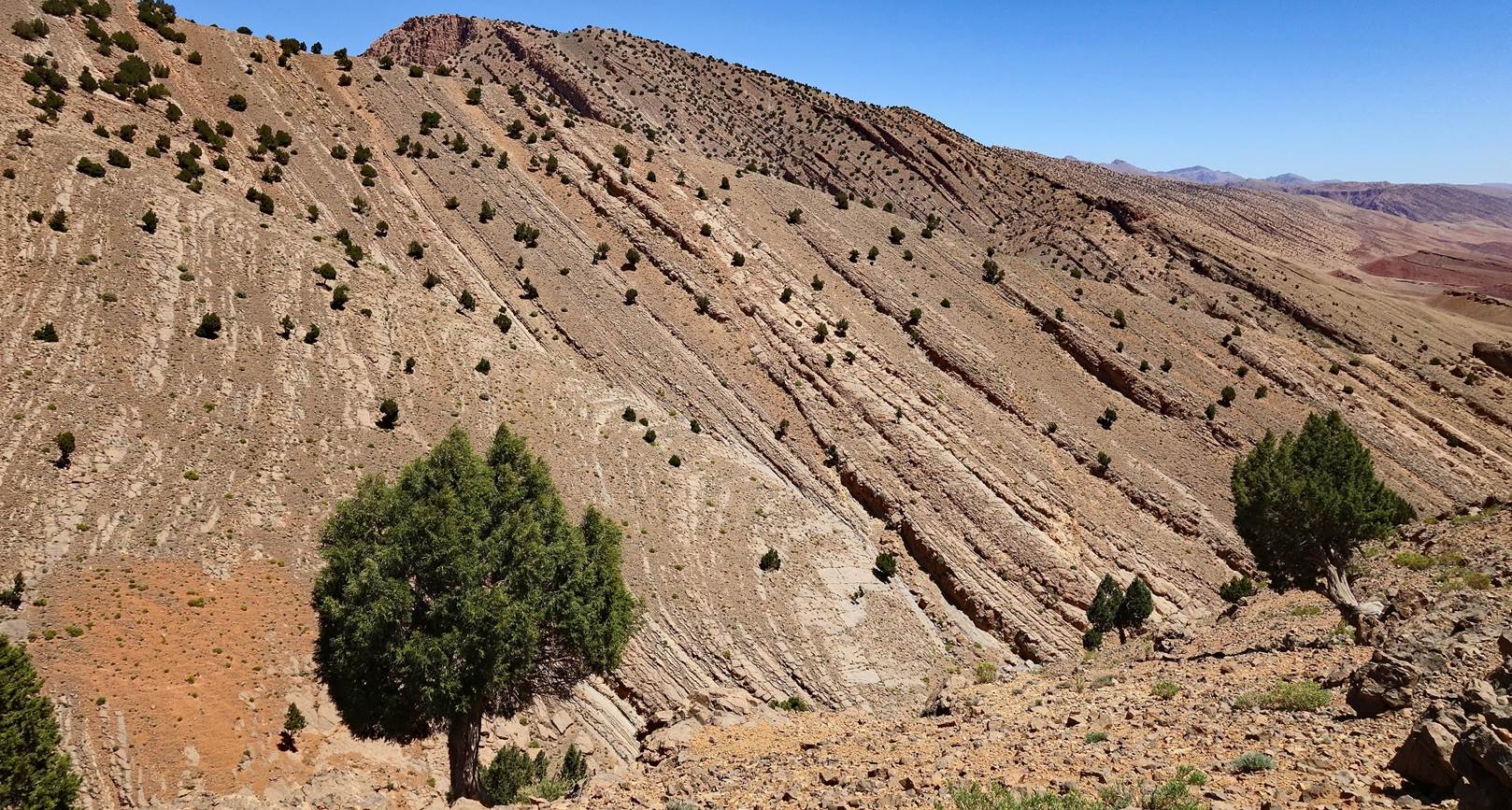
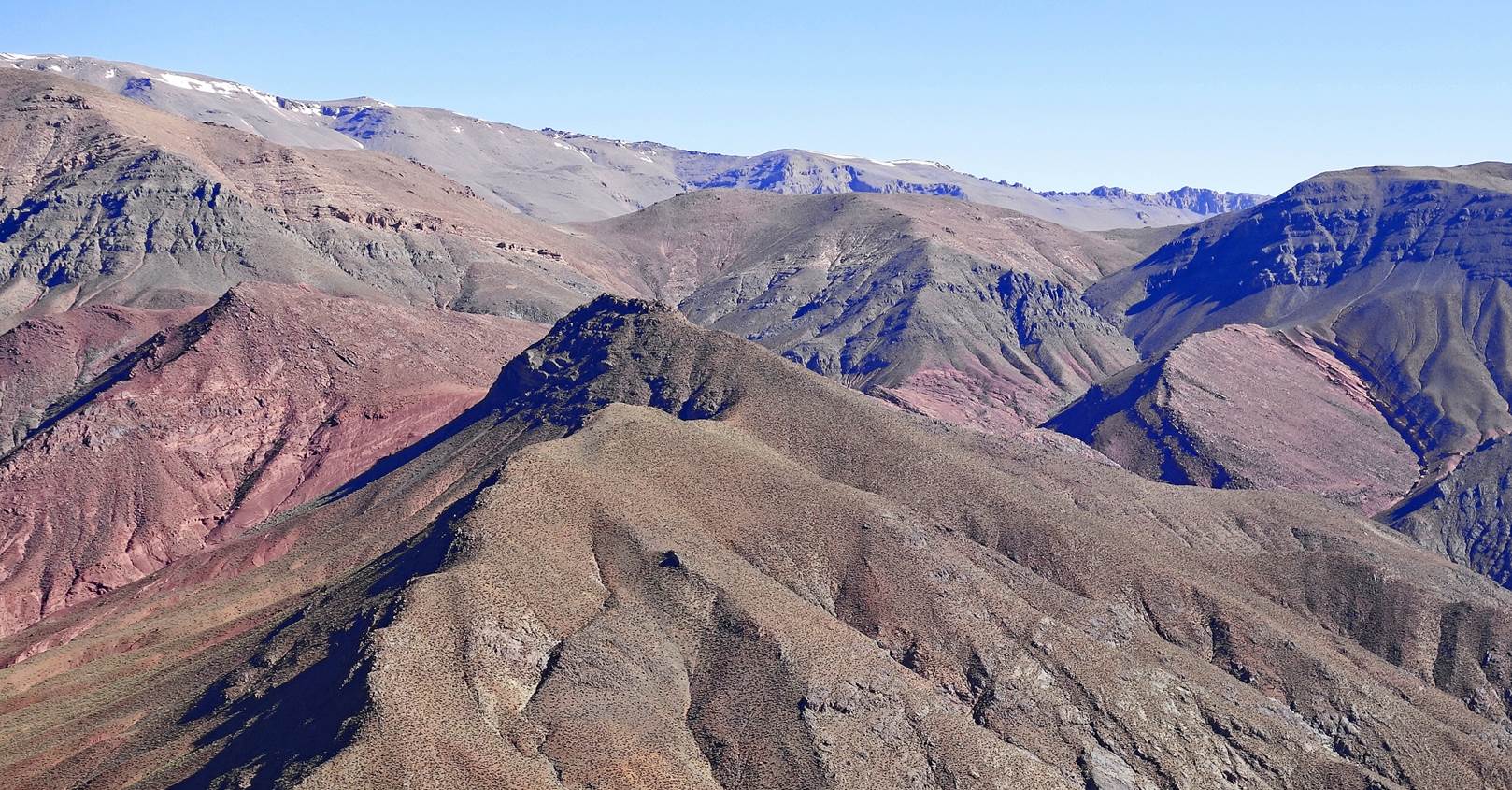
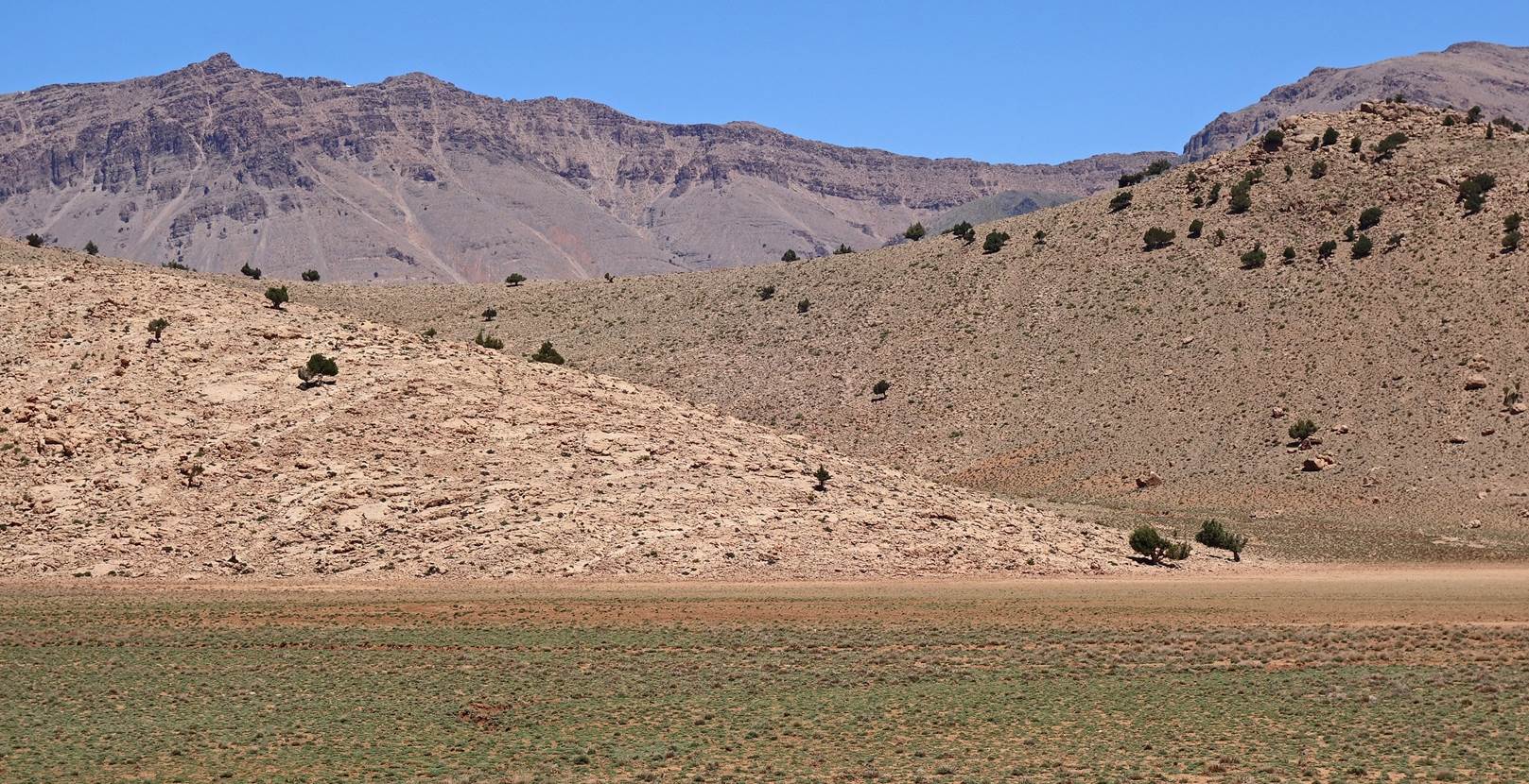
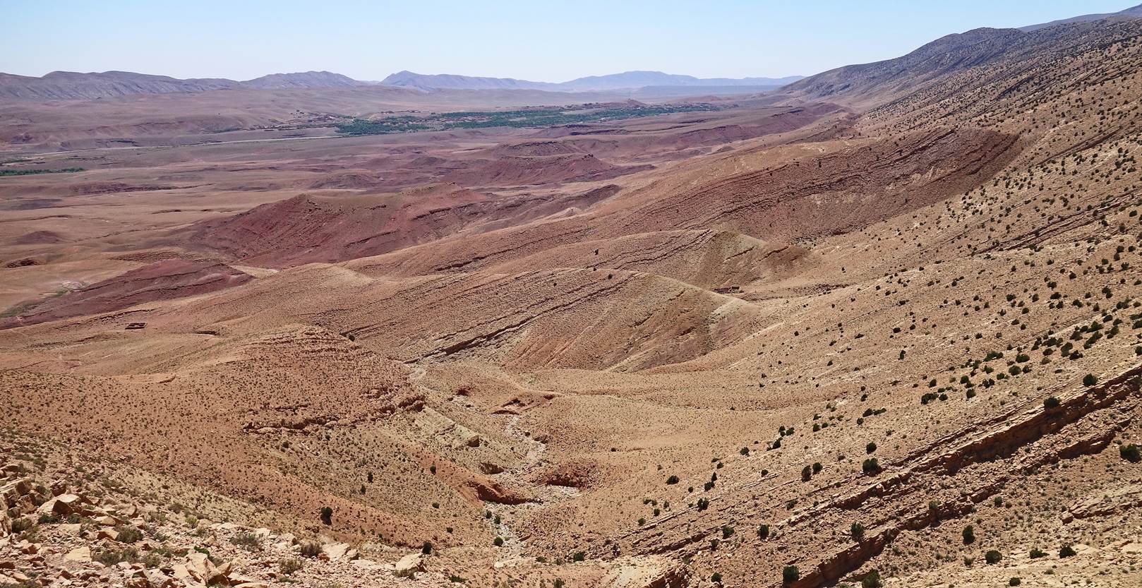
Layered hilly terrain.
Looking back toward the east, with Alemdoun in
the very far background.
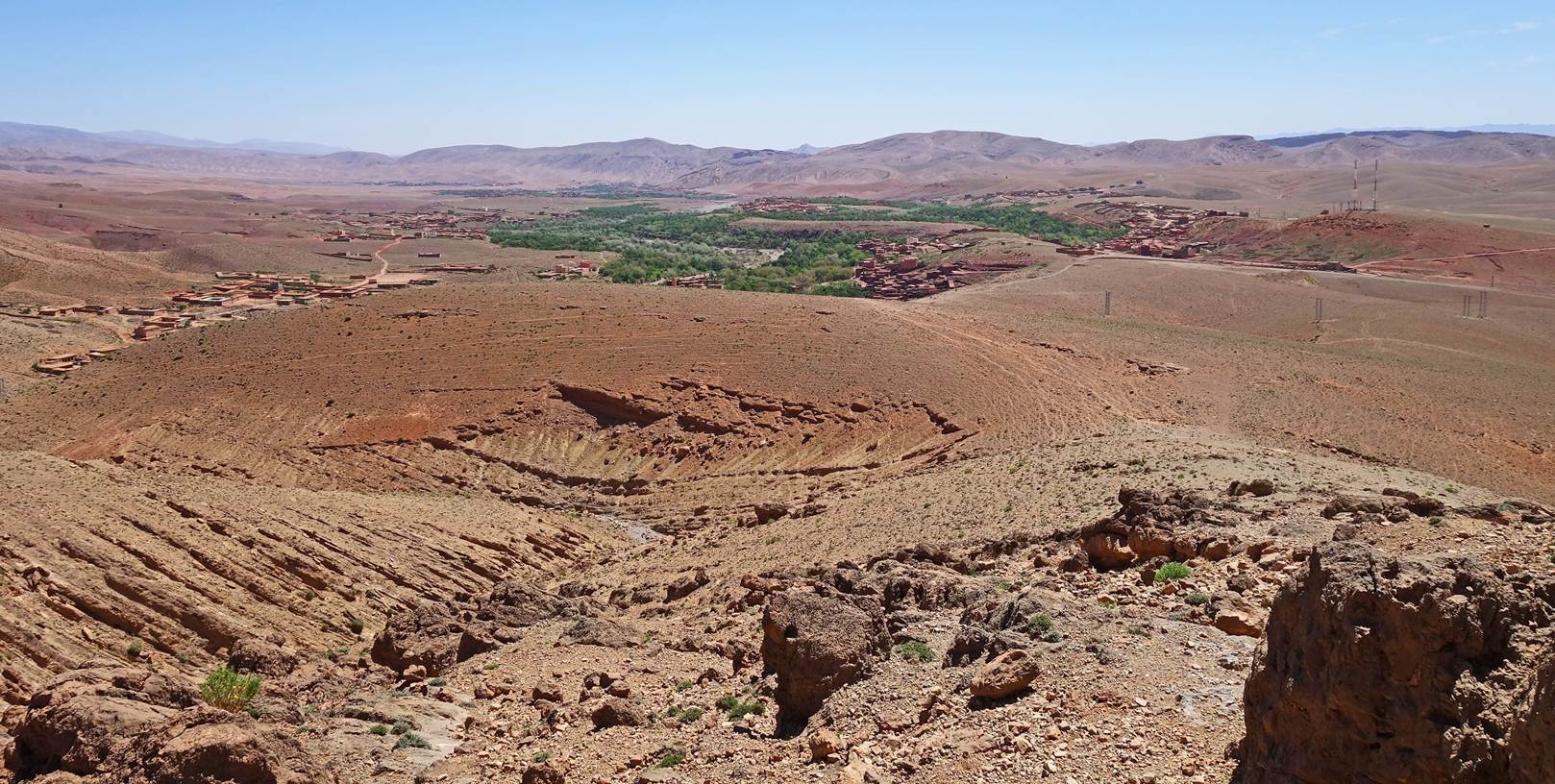
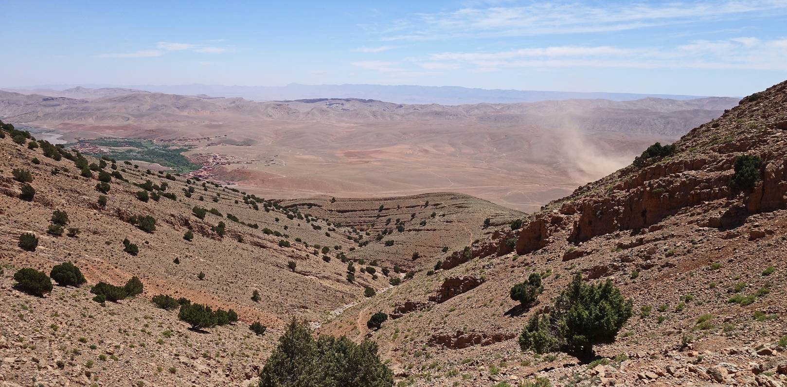
View toward the south, with wind picking up some dust.
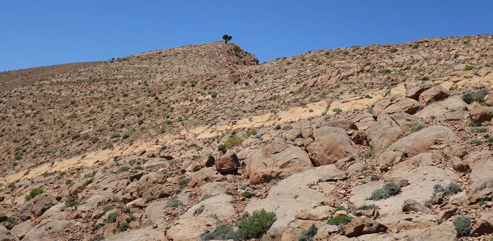
Lonely tree in a rocky terrain.
More layered terrain.
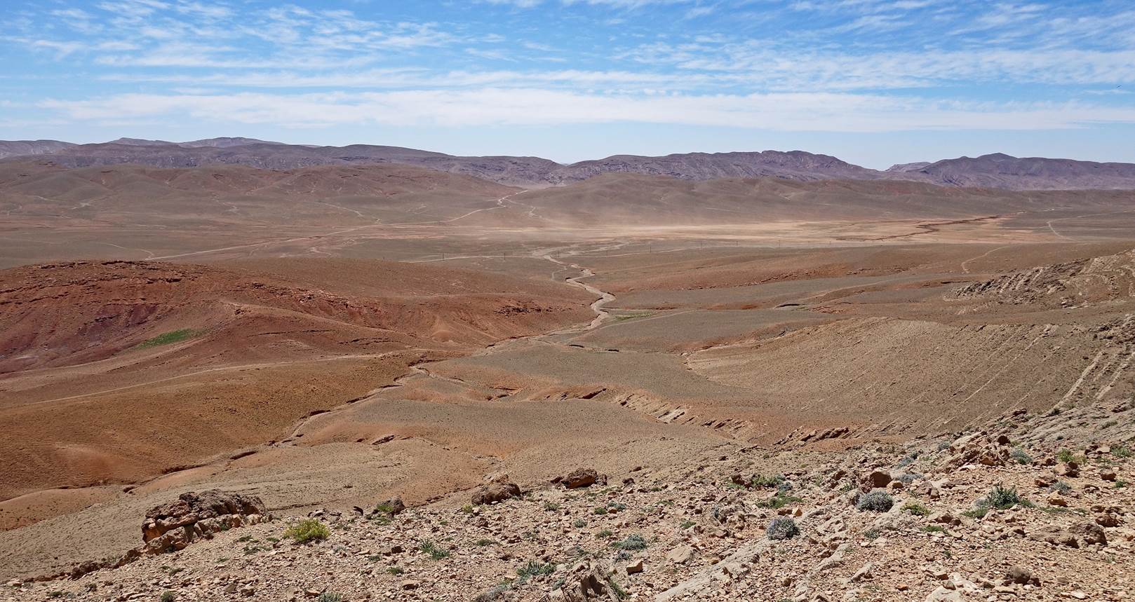
Stronger wind picking up more dust in the valley.
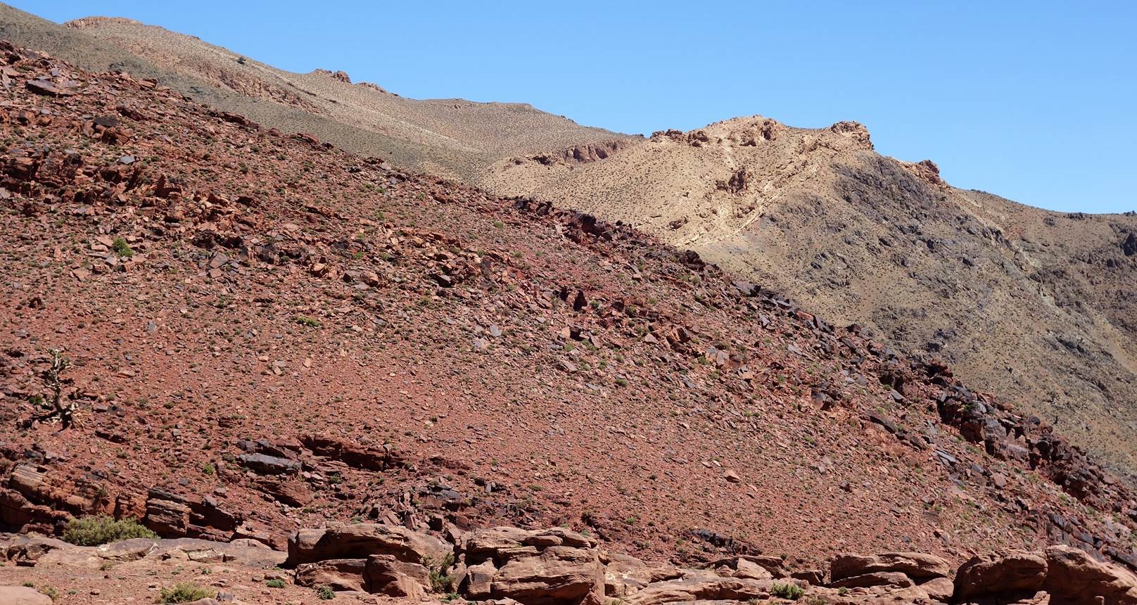
Jebel Aklim seen from a kind of small plateau.
Another view toward the valley before reaching our camp.
- Day
2:
Beautiful sunrise at our first camp.
Terrain with low vegetation near our camp.
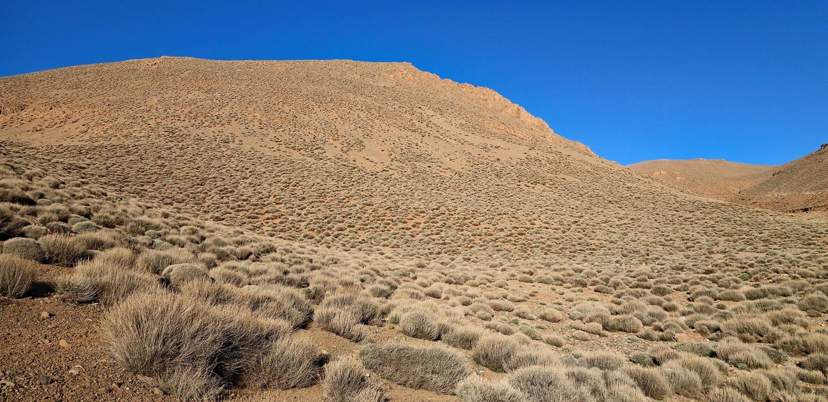
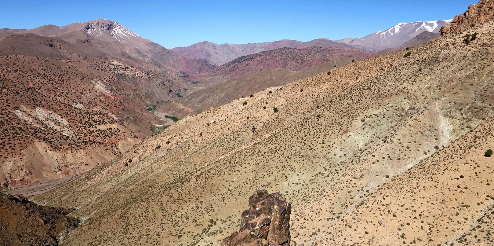
Looking south as we were closer to crossing the eastern shoulder of Jebel
Aklim.
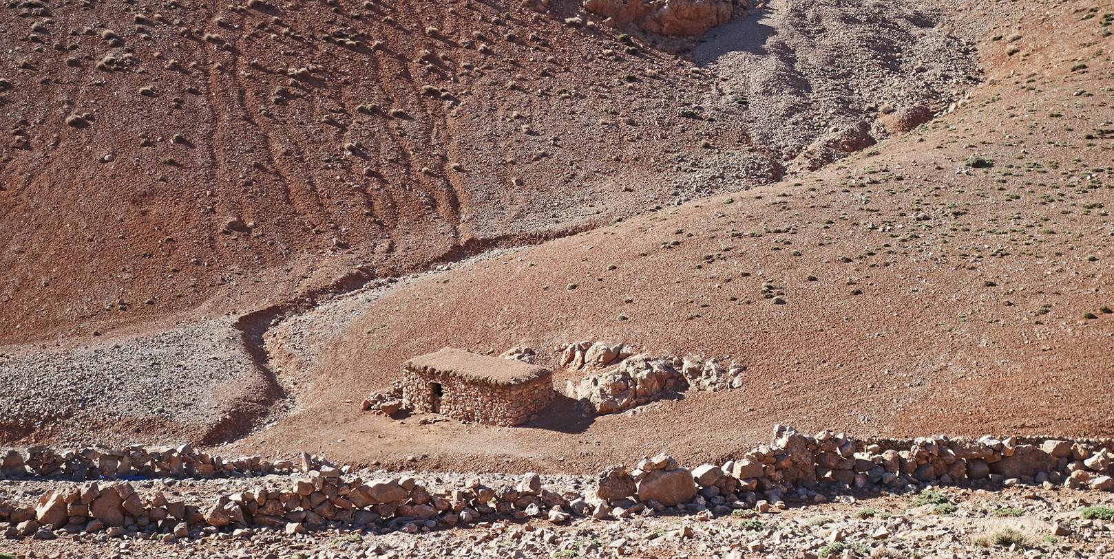
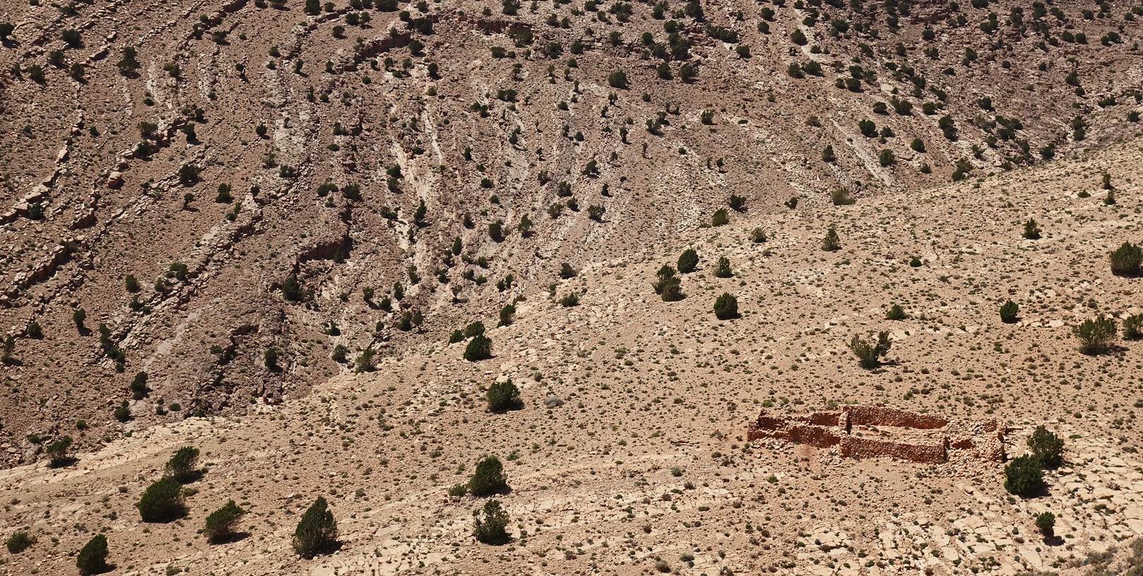
Isolated and empty azib (shepherd’s house).
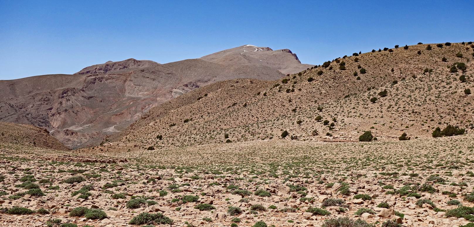
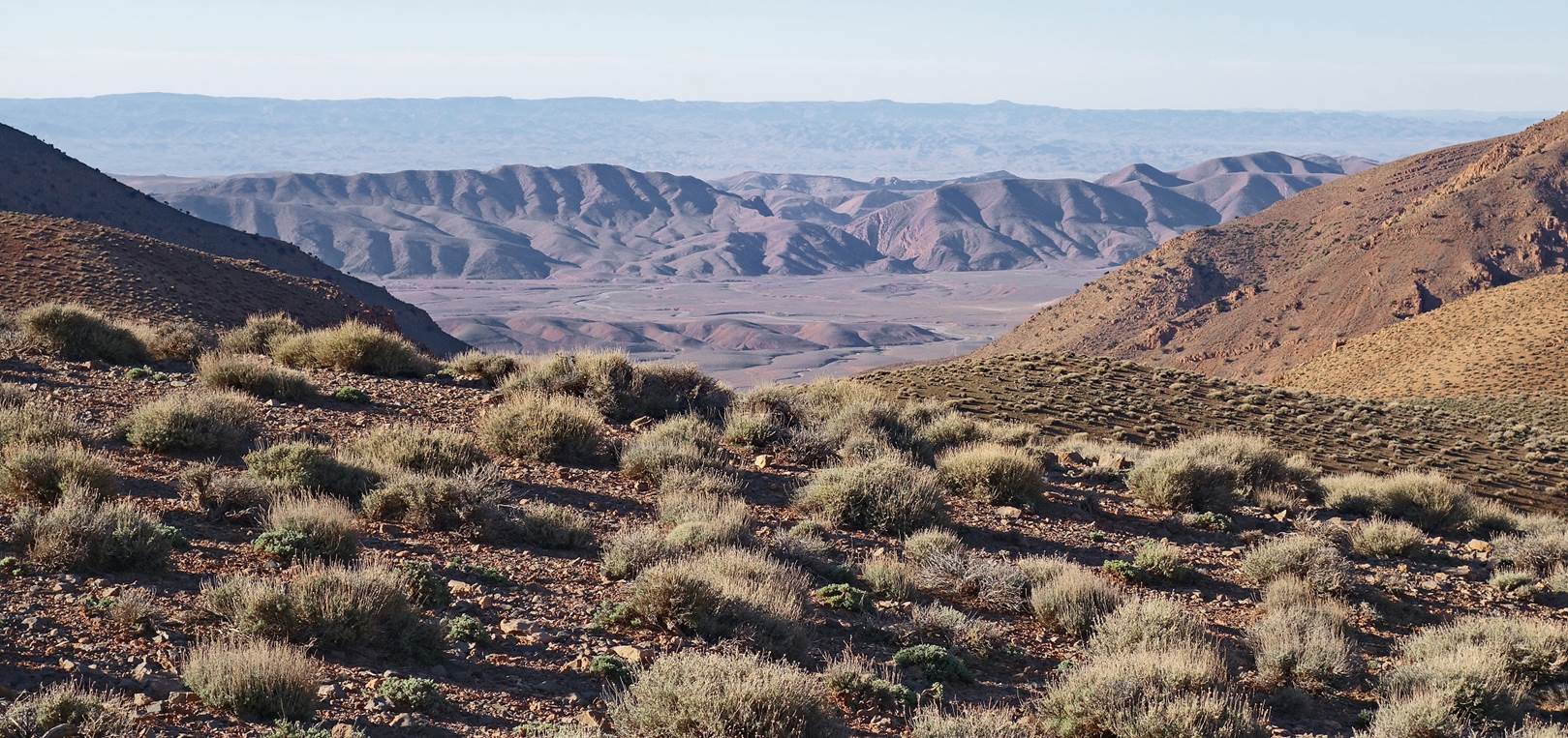
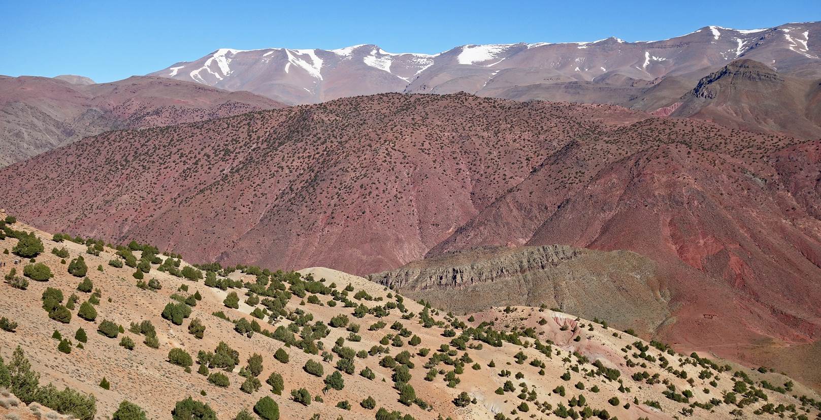
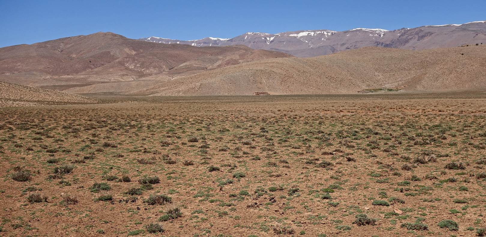
Views from the eastern shoulder of Jebel Aklim,
with the Mgoun range in the background and Jebel Asselda in-between.
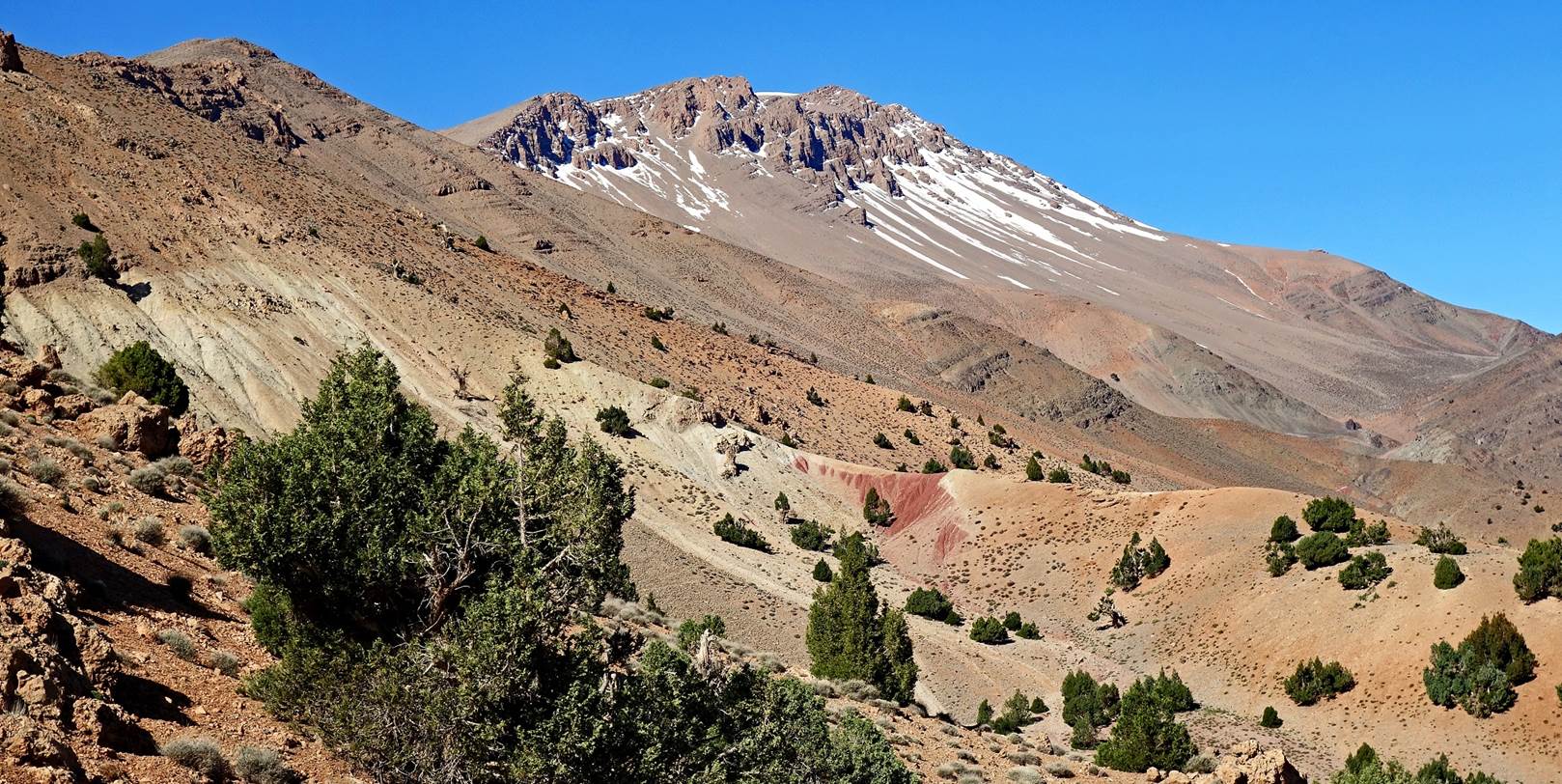
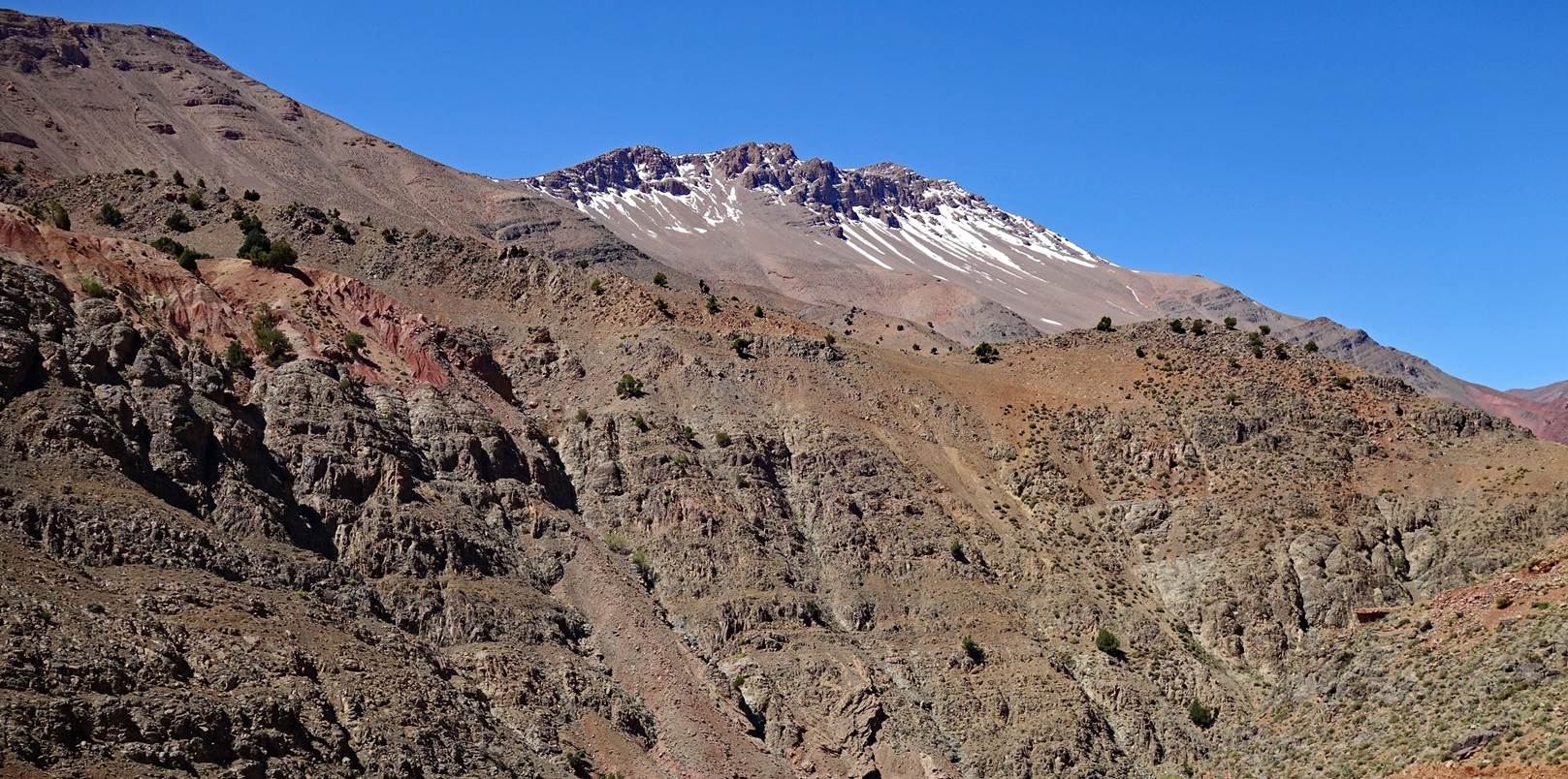
The north face of Jebel Aklim seen during our
descent toward the village of Amaskar.
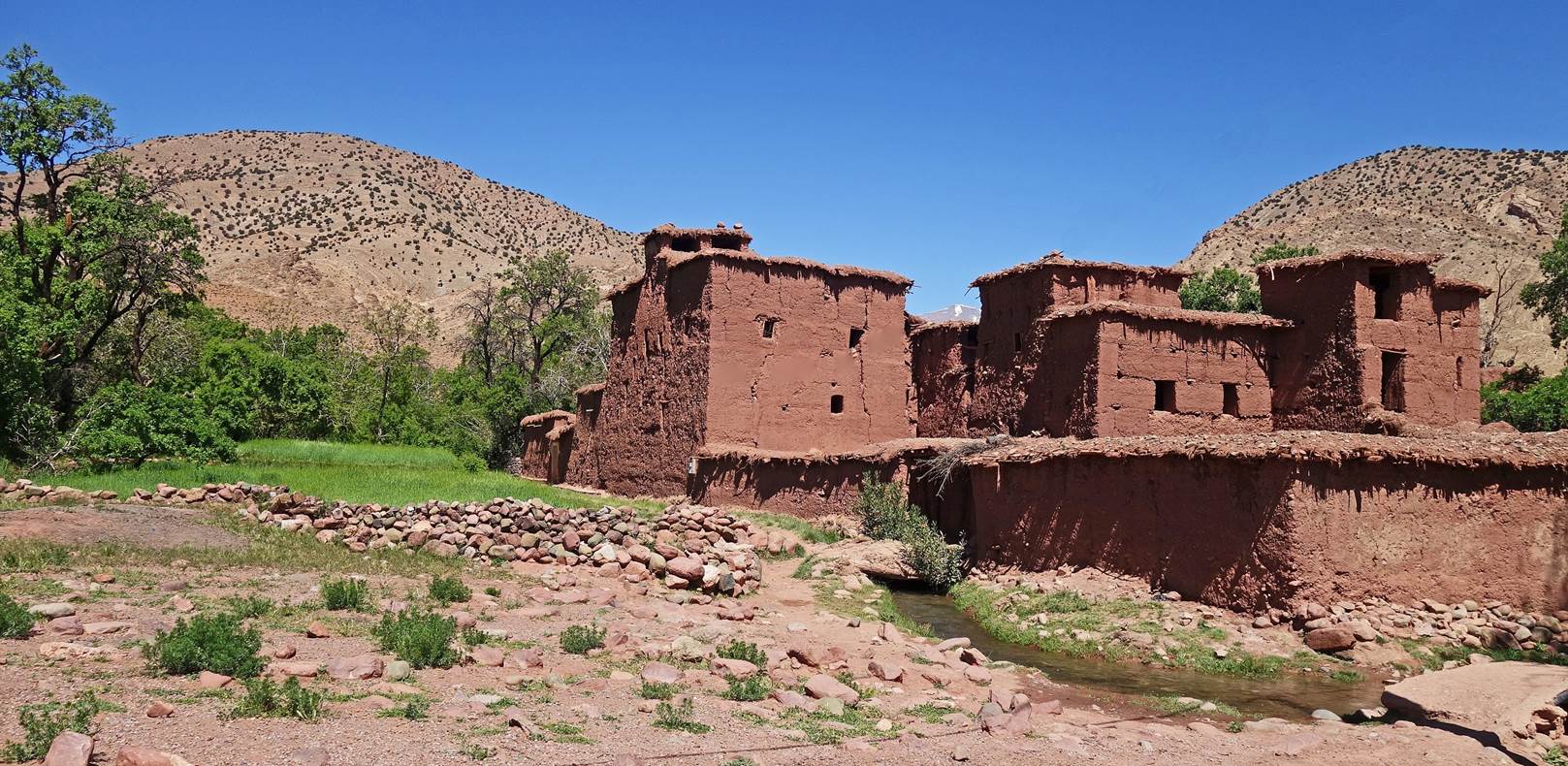
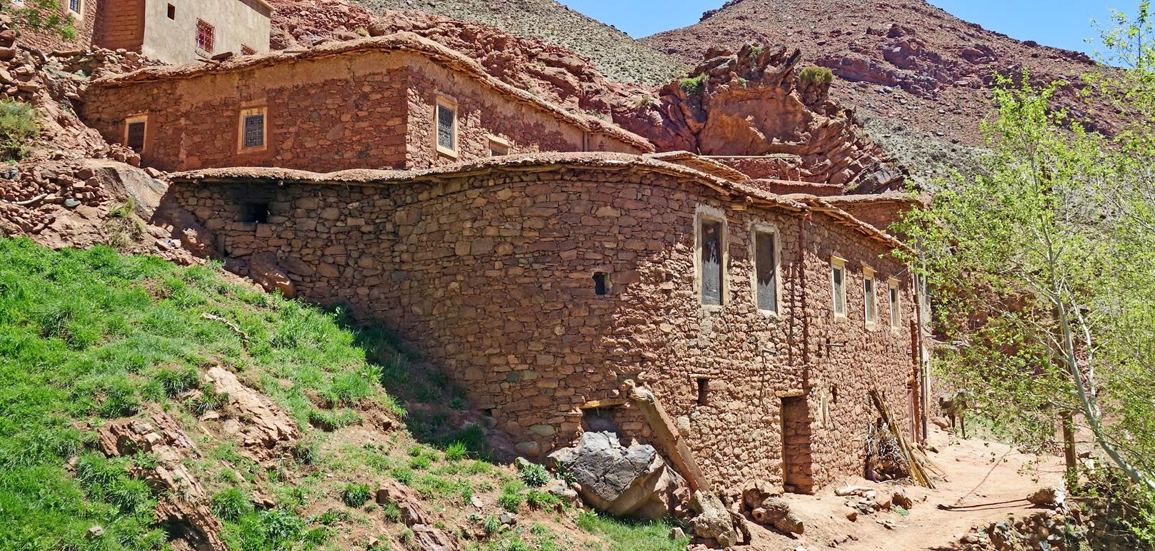
Houses in Amaskar.
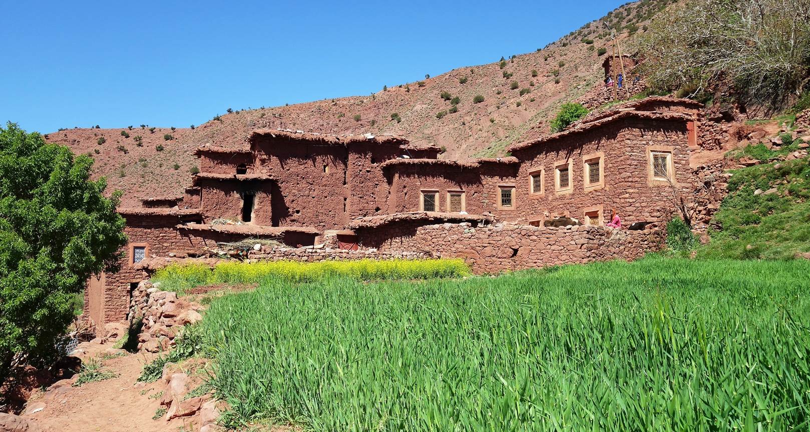
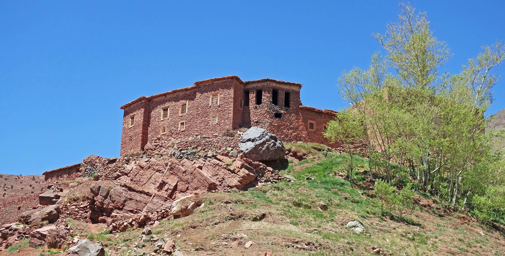
Kasbah/granary (left) and alley (right) in Amaskar.
|
|
|
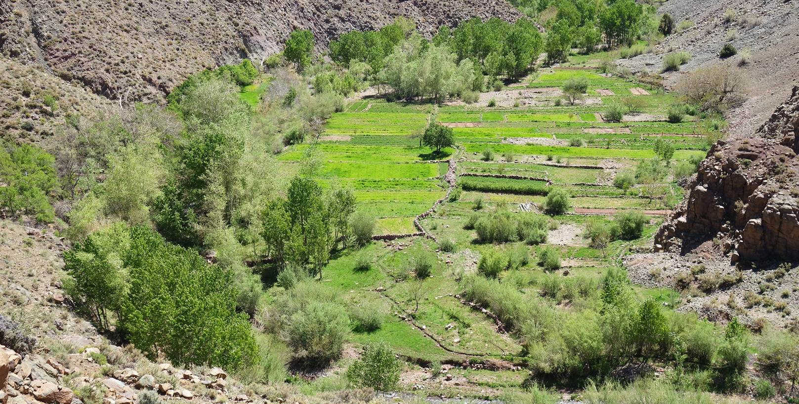
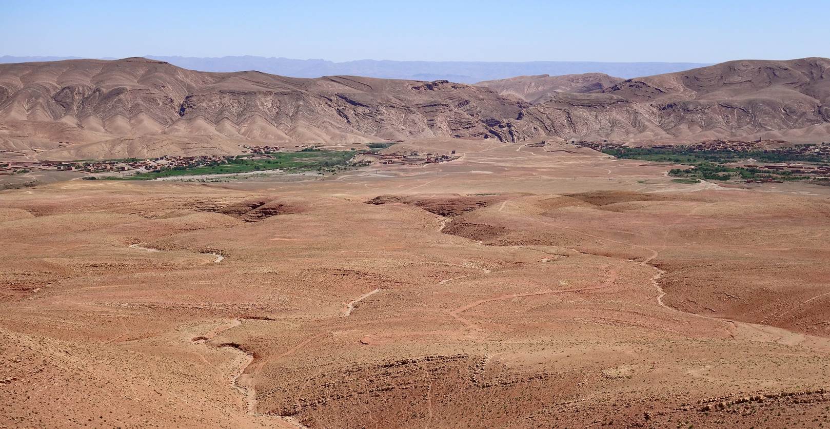
Fields in the narrow valley below Amaskar.
Another view of the north face of Jebel Aklim,
after leaving Amaskar.
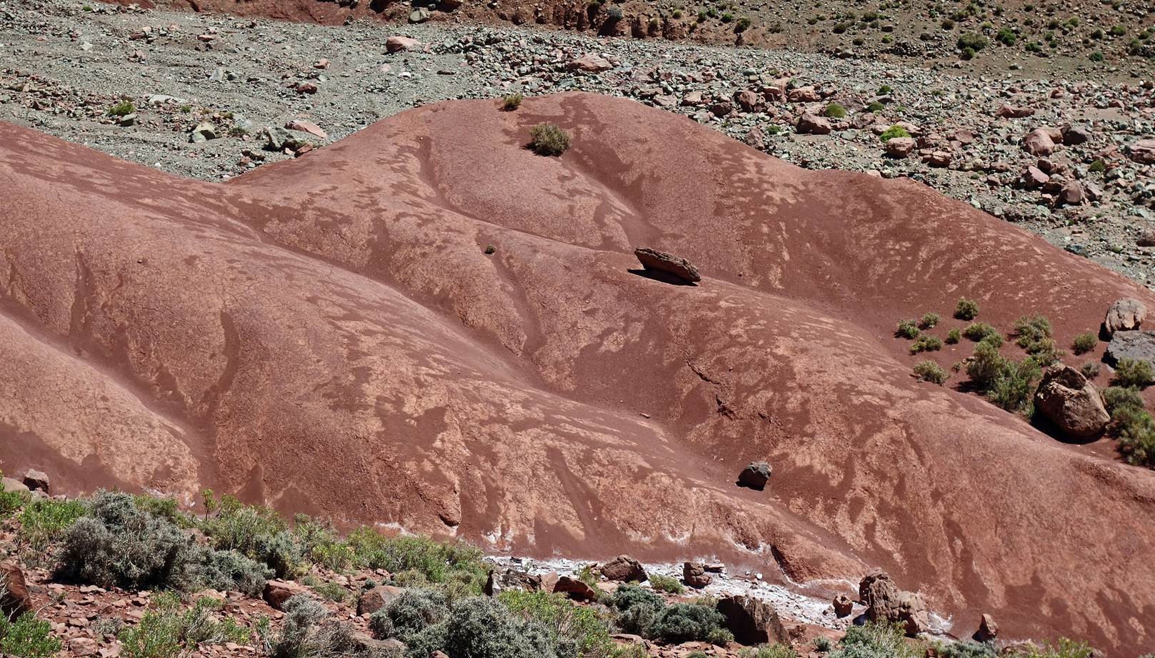
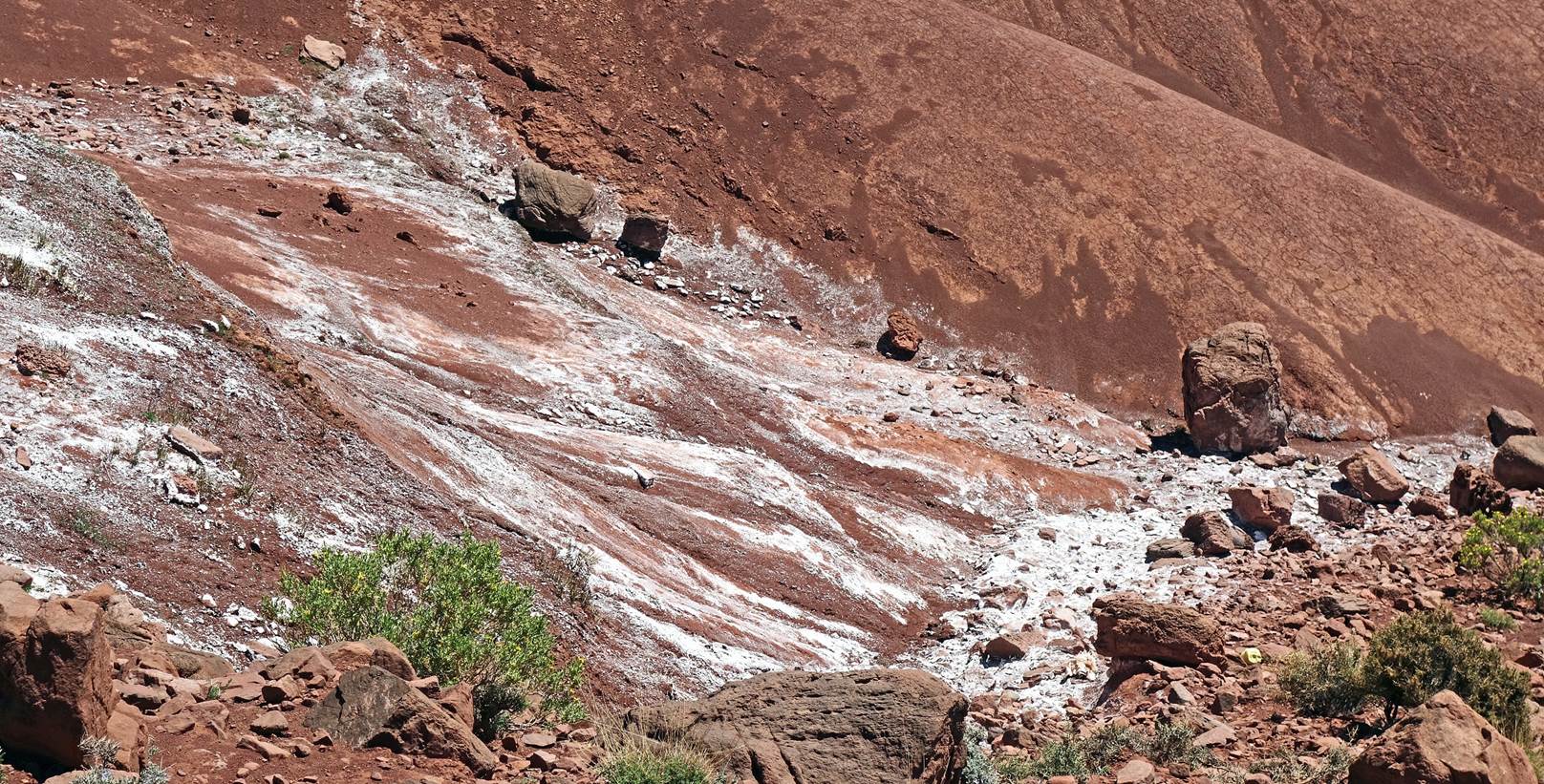
Read earth and salt deposits.
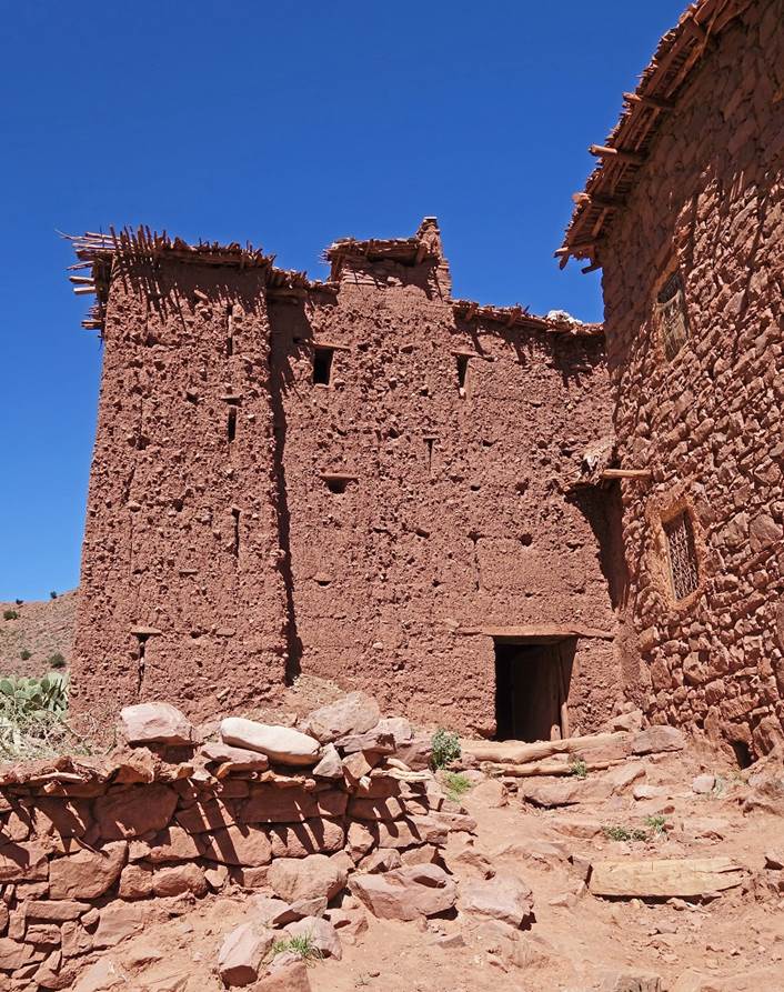
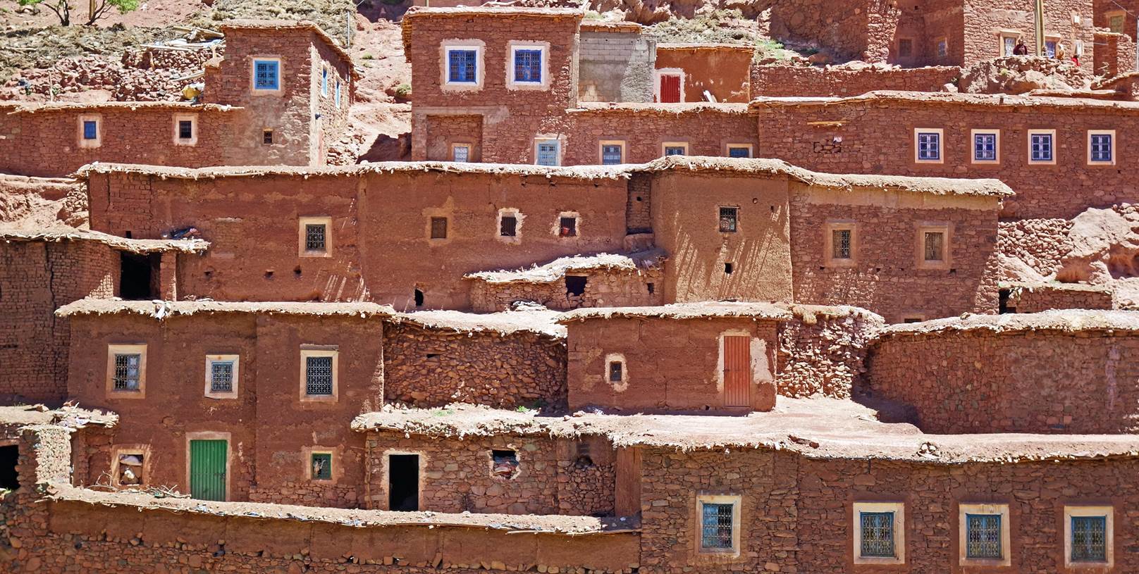
Large houses in the tinyl village of Amassine.
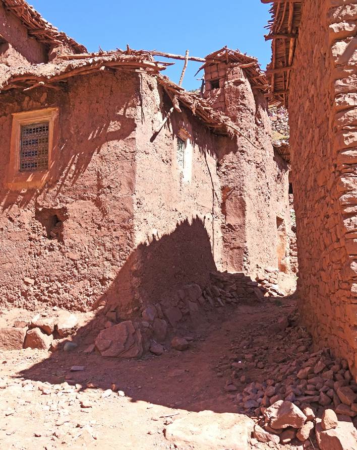
Other houses in Amassine
Azibs.
View toward the south.
Dry, rocky, but colorful land.
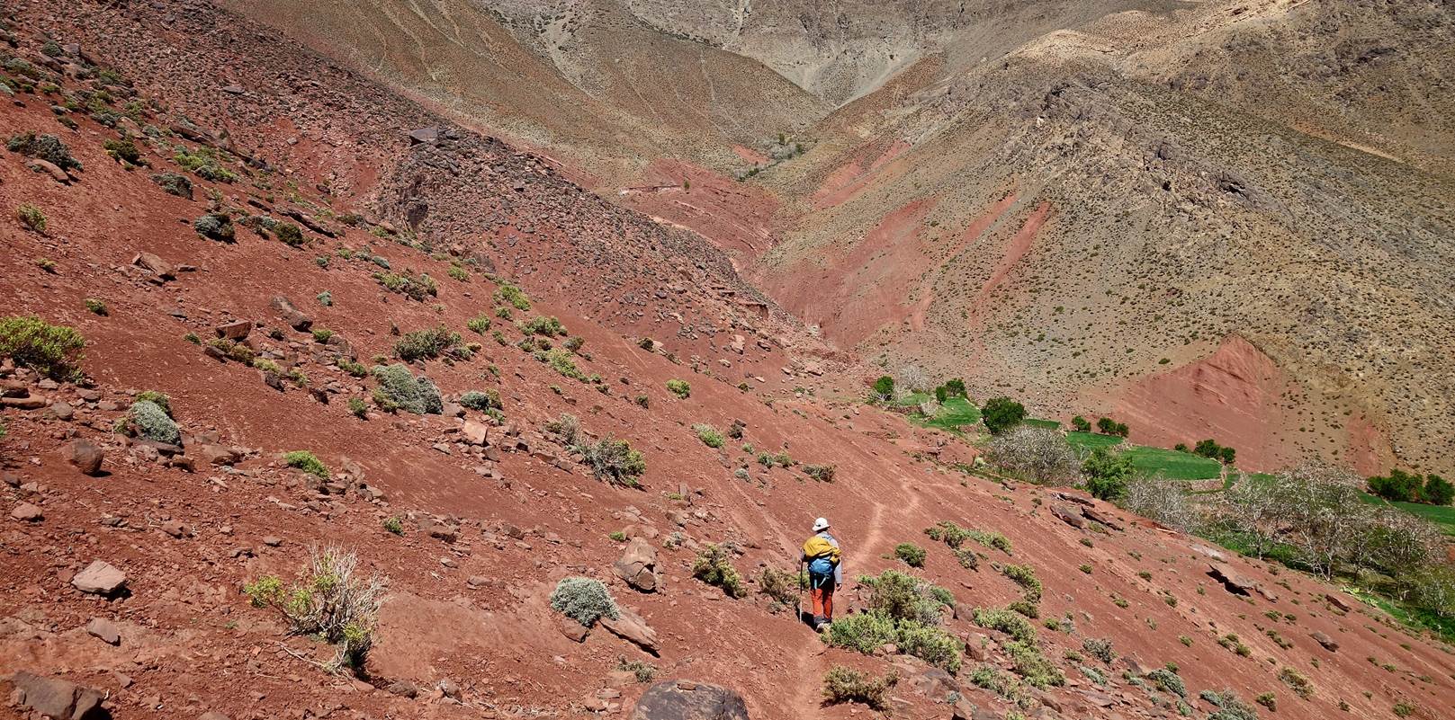
Oumar during the
descent toward the point marked at 2374m on the map.
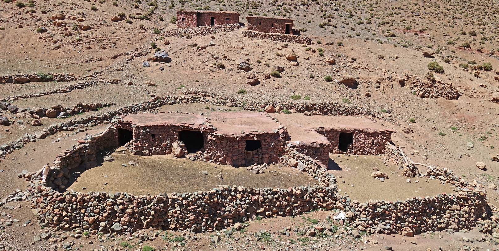
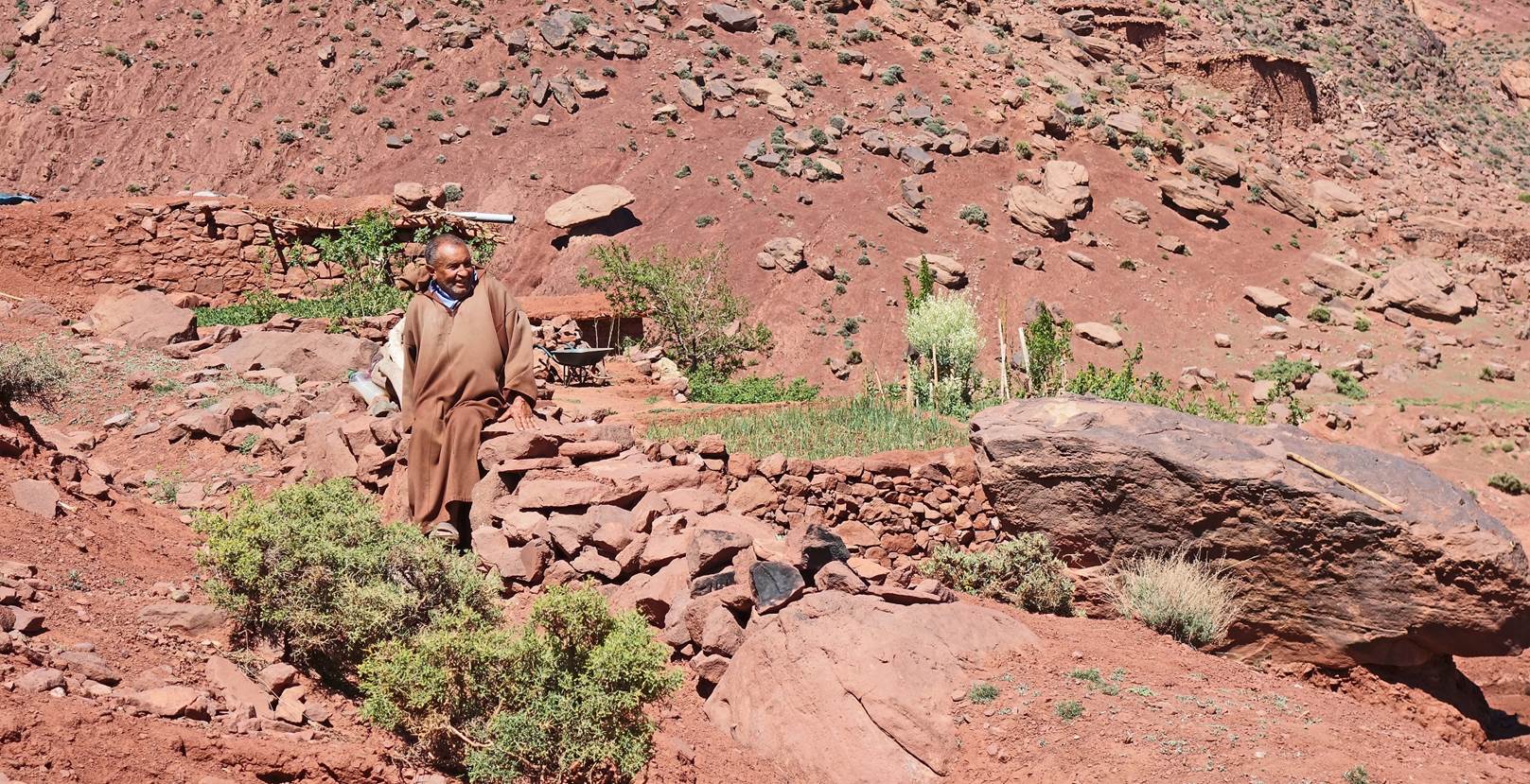
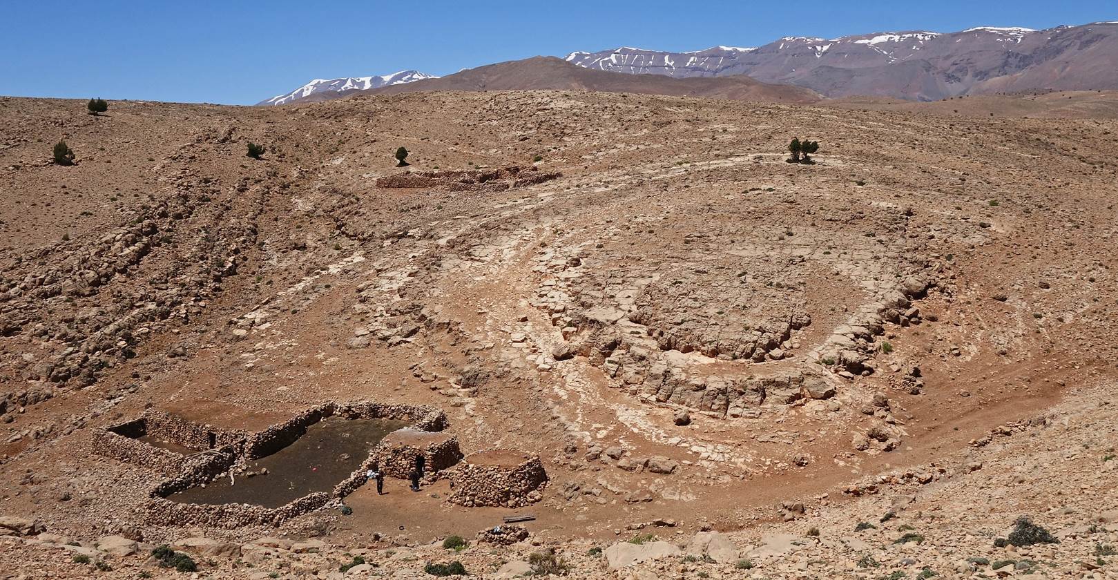
Houses at the 2374m point. Three families live here.
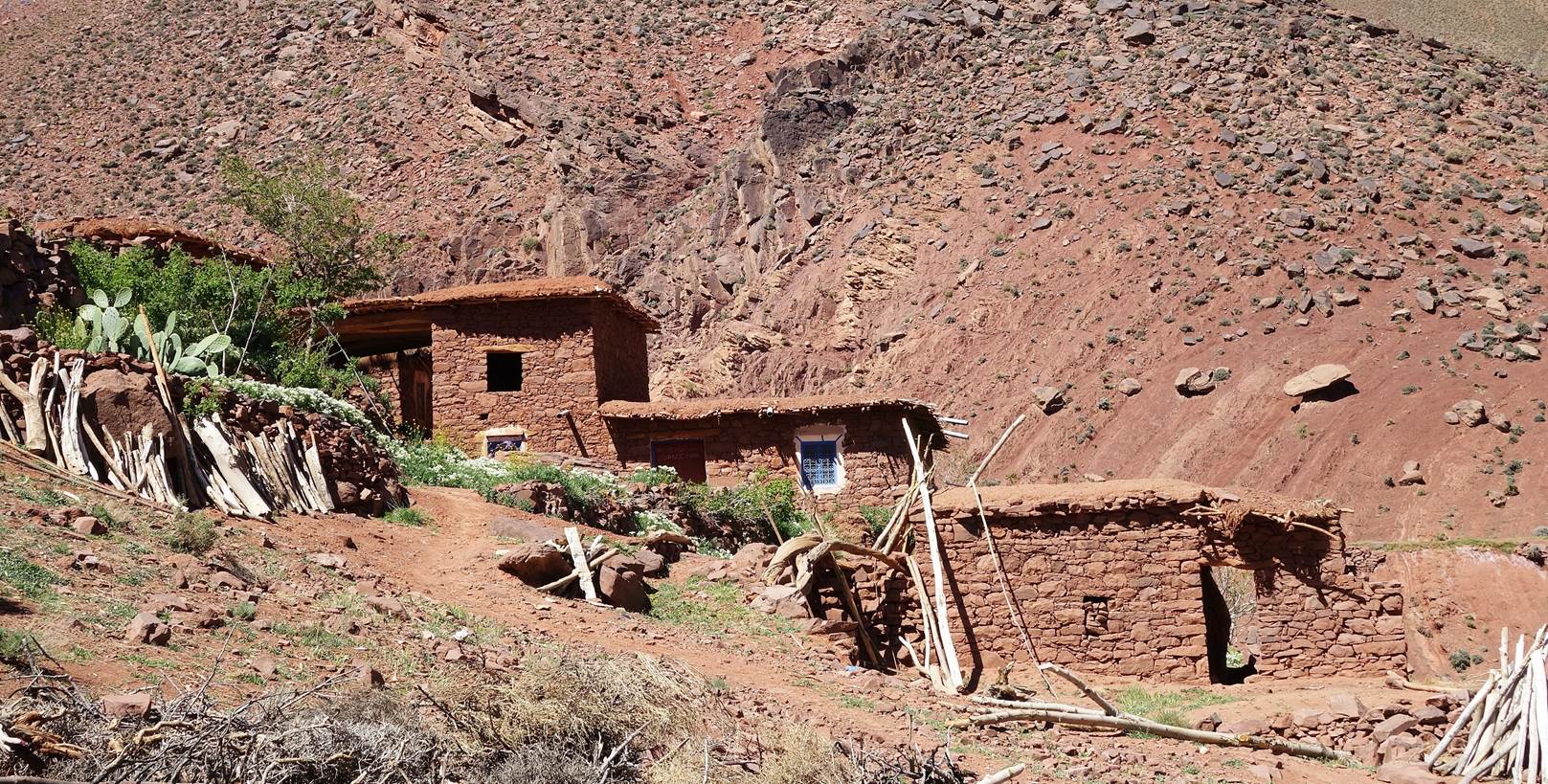
One of the local residents.
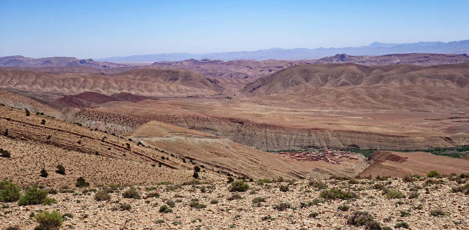
Descent toward the valley of the Assif Ait Toumert, where we set our
second camp.
- Day
3:
Another great morning...
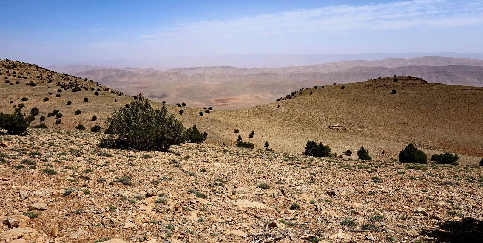
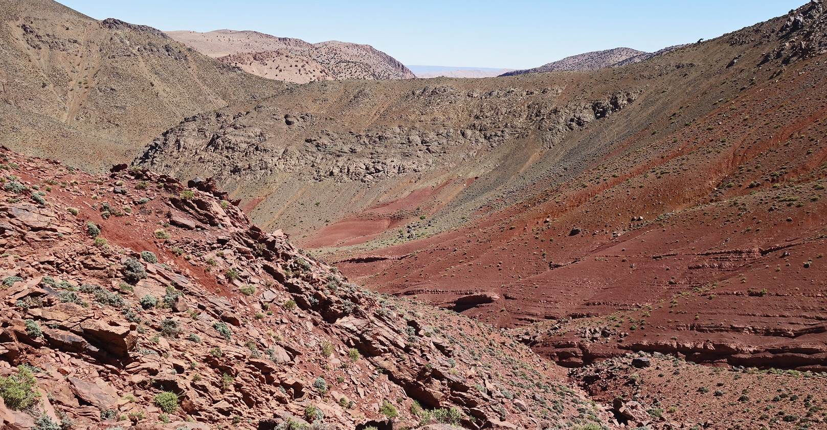
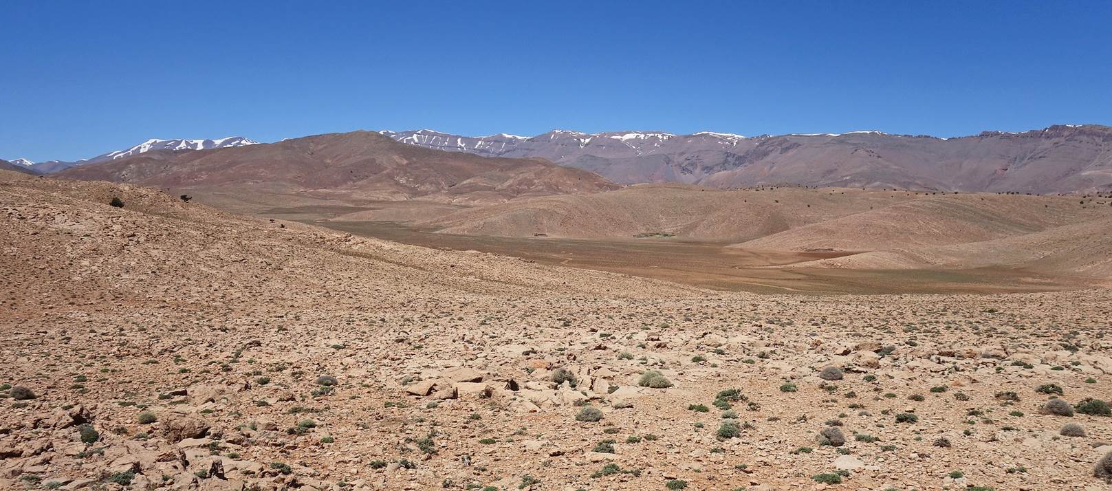
...followed by another climb, leading to this view
over the valley of the Assif Ait Toumert and Jebel Aklim.
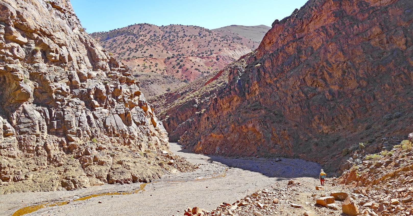
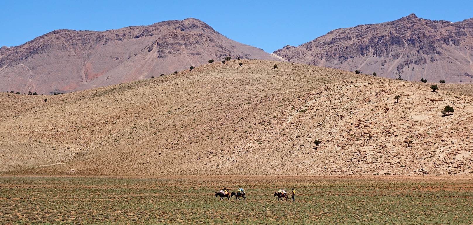
Nomad trails on rocky terrain.
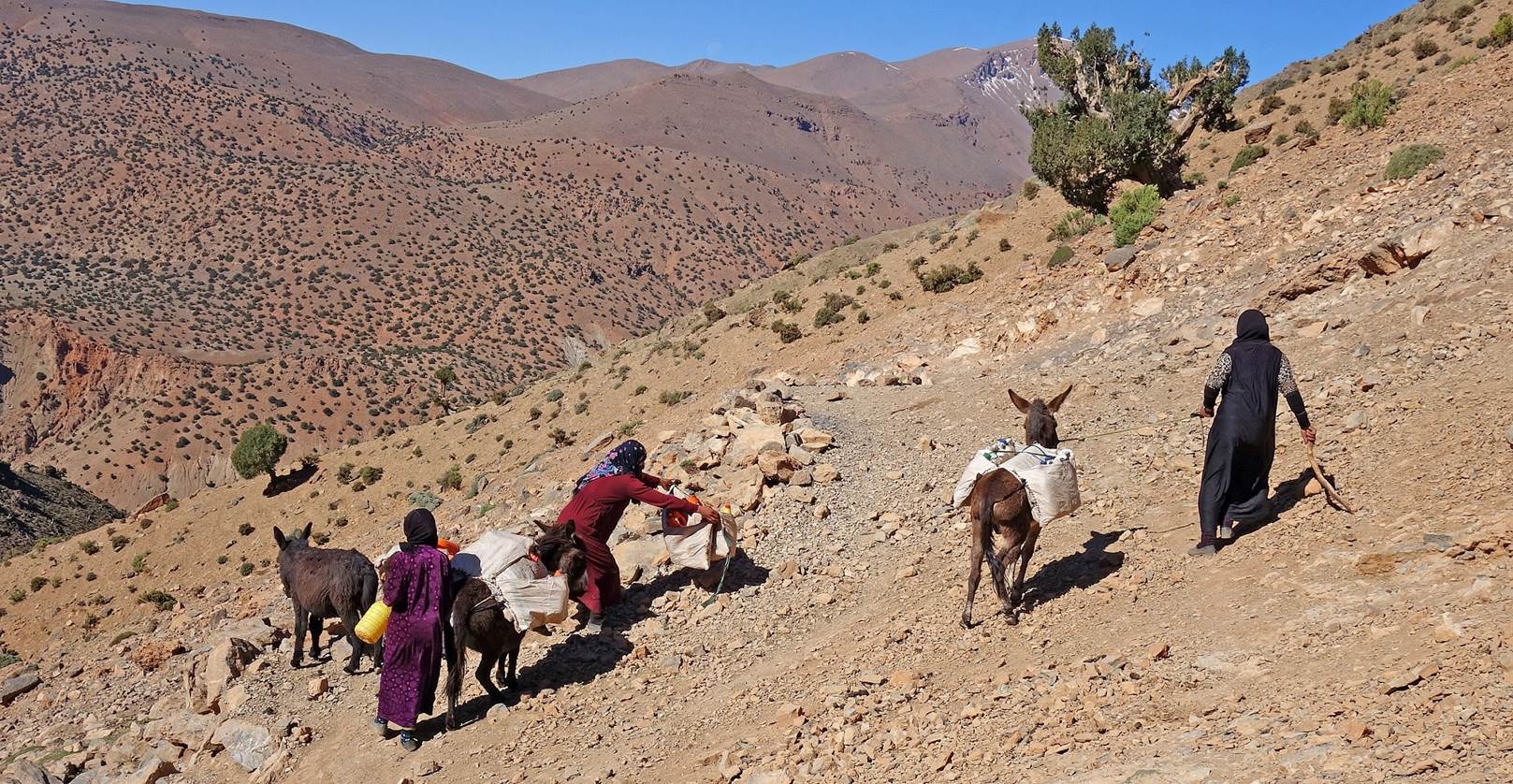
An improbable spring of good water in a land of rocks.
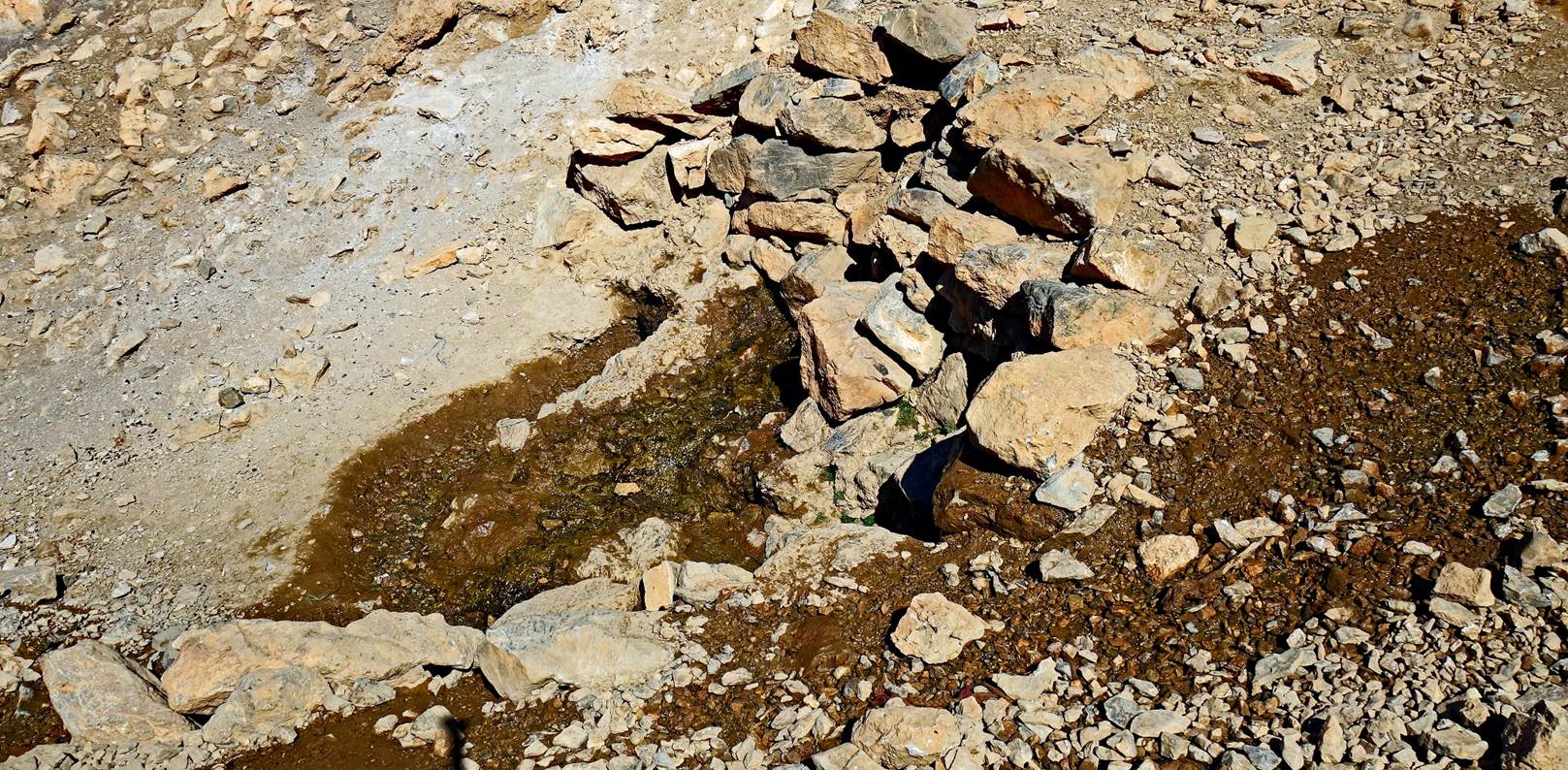
Nomads arriving at the spring to fill bottles of water and bring them
back to their camp.
The spring (at the center of the photo) seen from a distance.
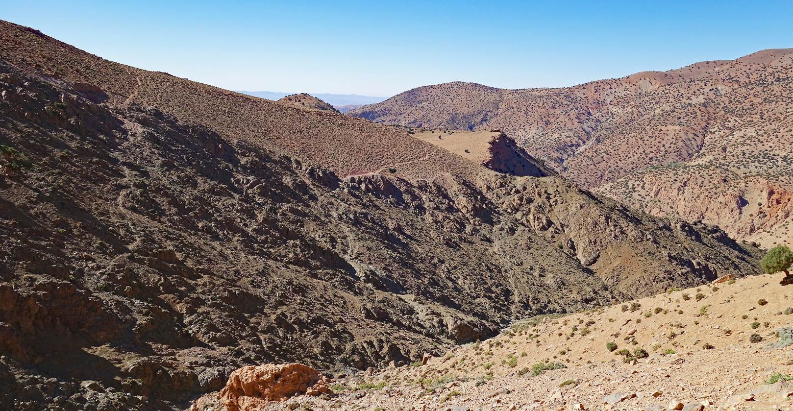
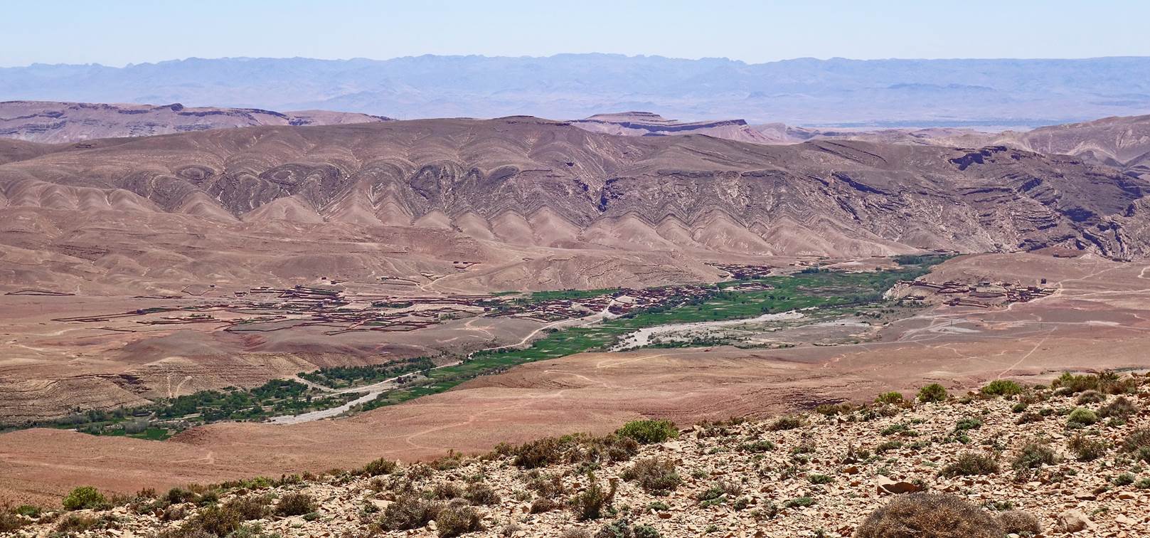
Yet another view over the valley of the Assif Ait Toumert and Jebel Aklim, with a portion of the Mgoun
range visible on the right.
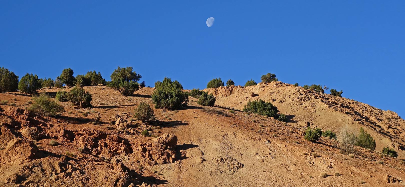
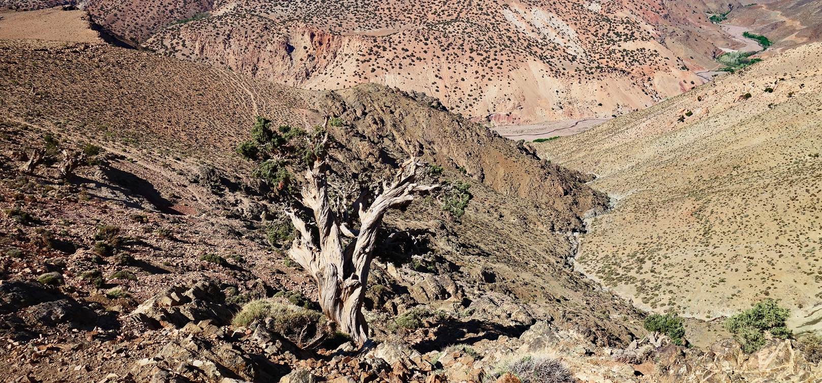
Old Juniper tree.
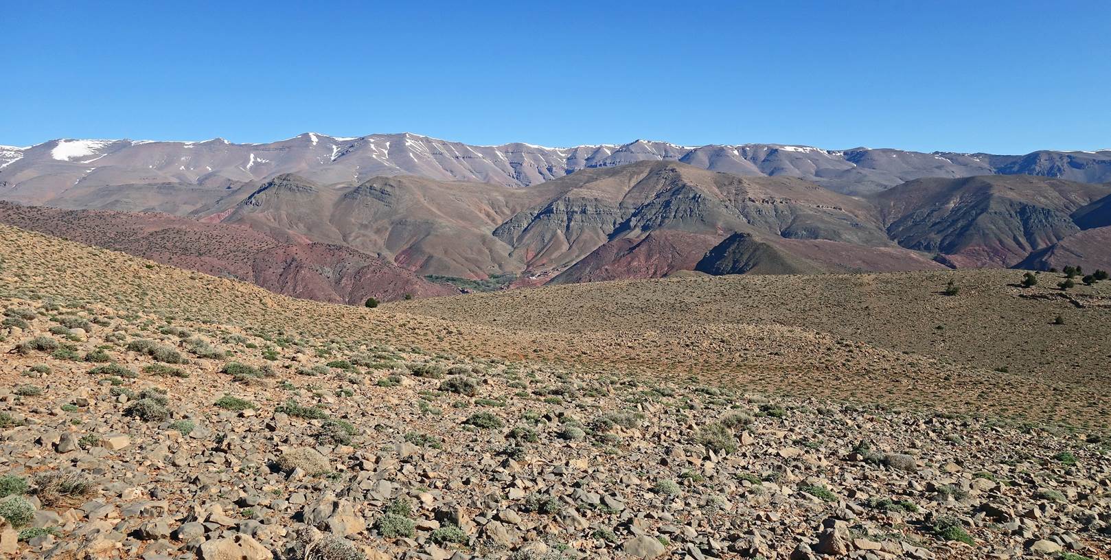
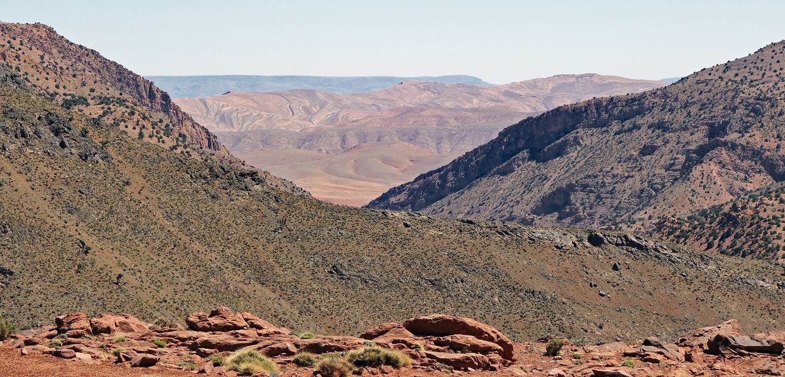
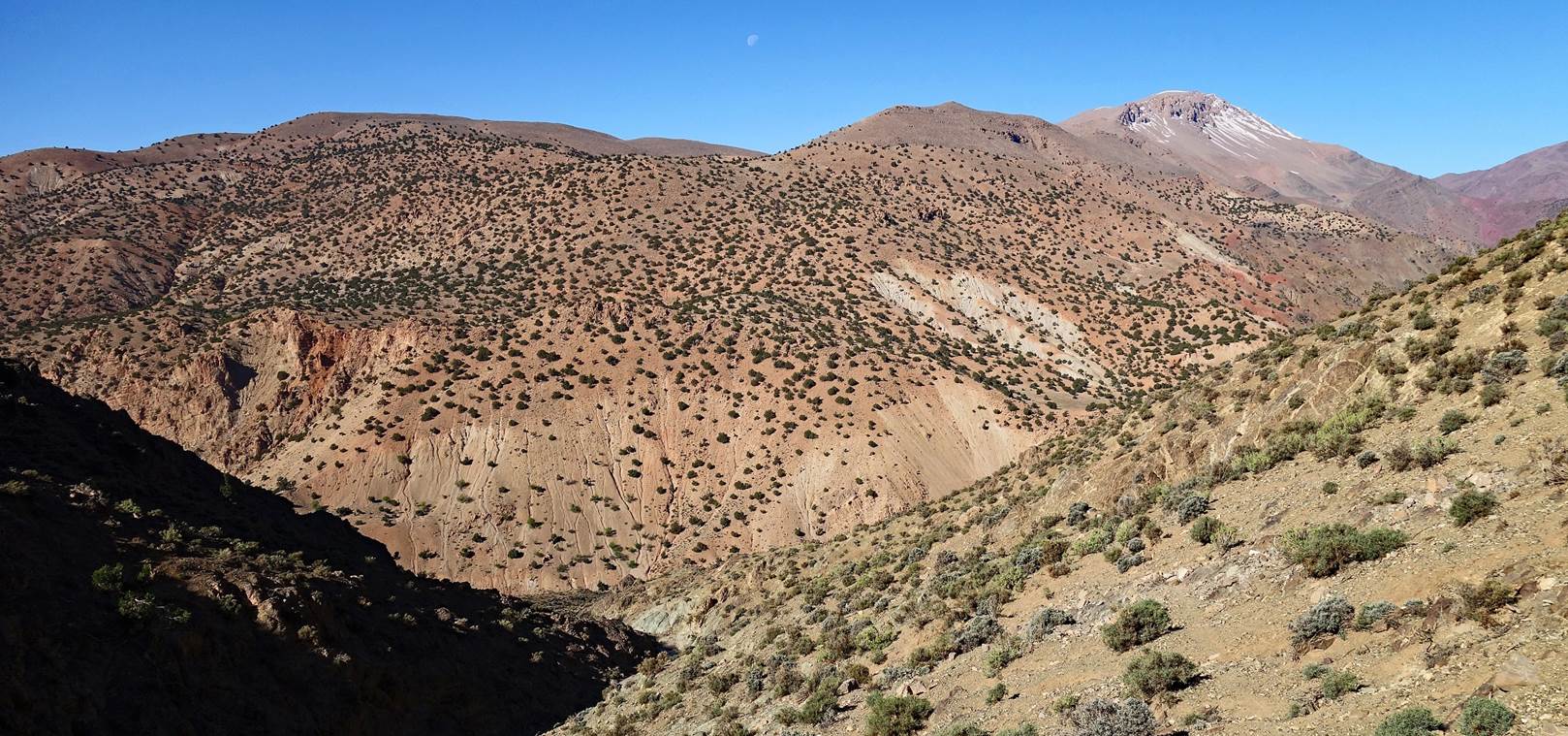
View toward the southeast, roughly from the midpoint between the points at
2557m and 2443m marked in the map.
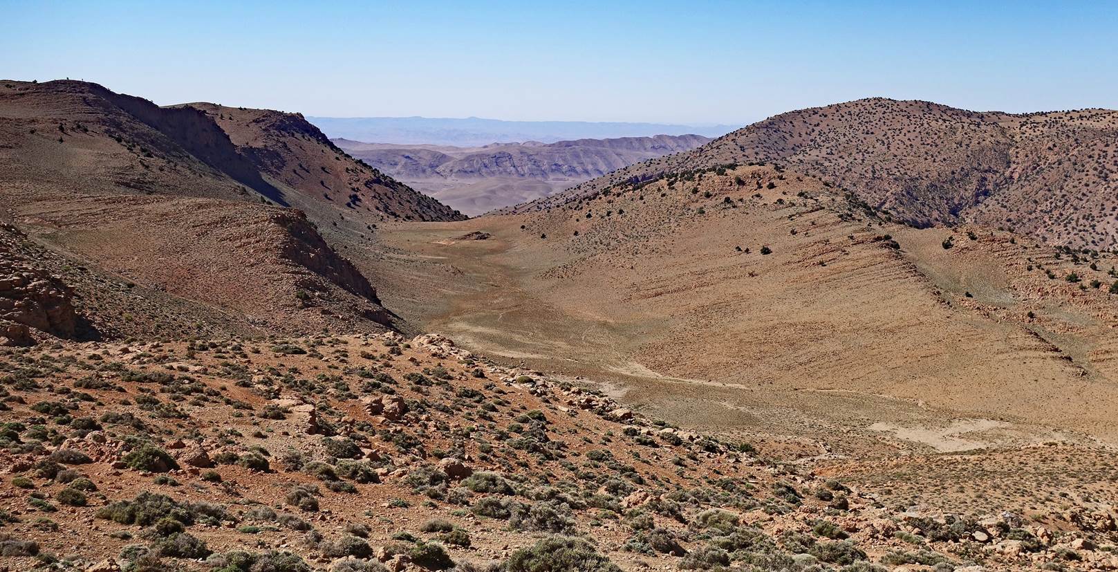
One of several dry lakes in the gap between the two parallel ridges of Jebel
Asselda.
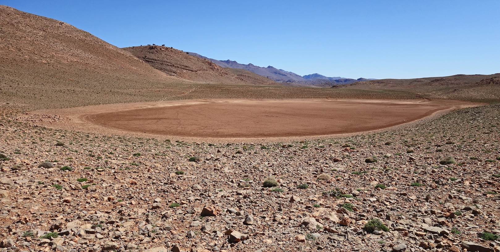
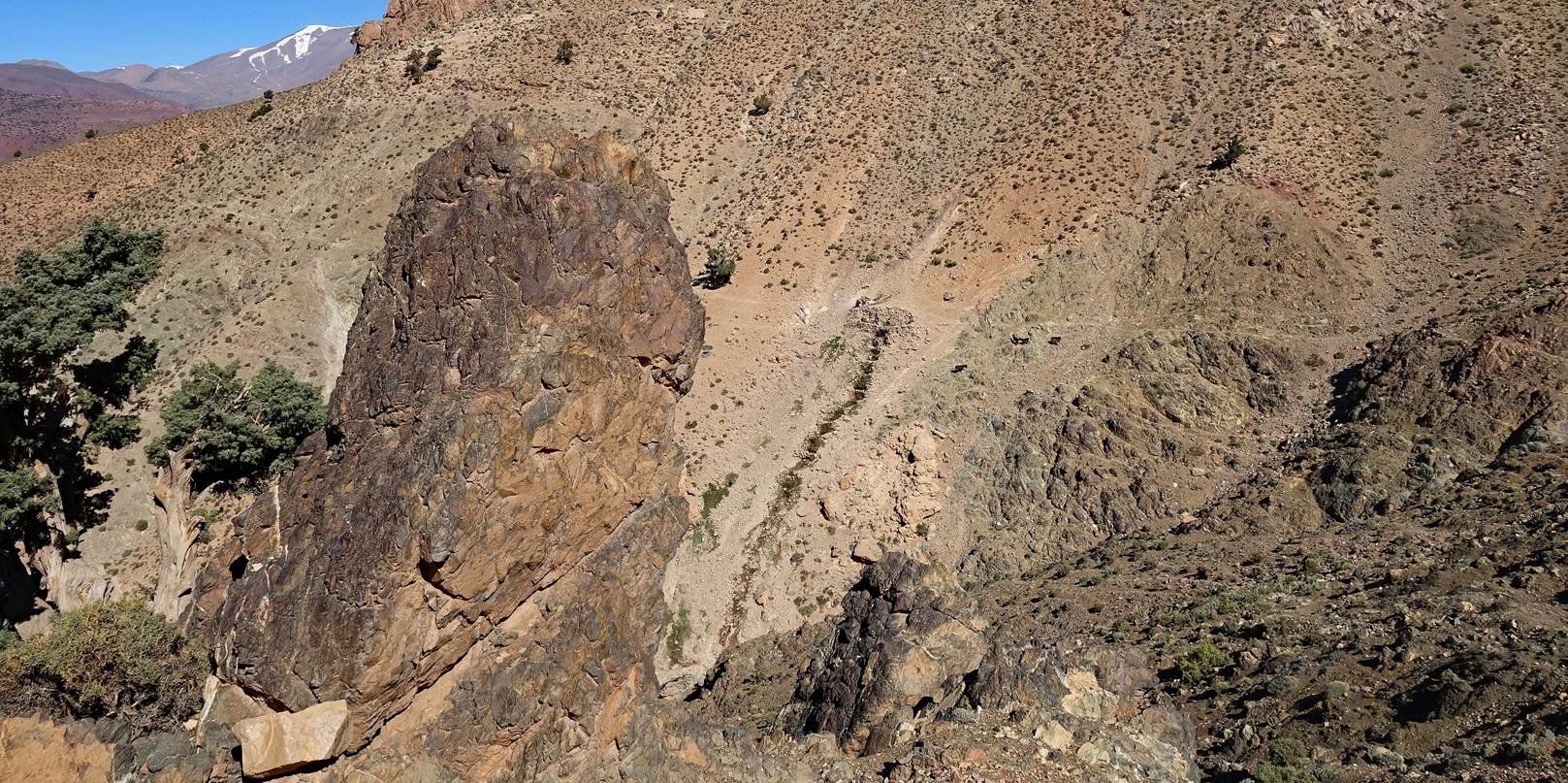
In the flat gap between the two ridges of Jebel Asselda.
Azibs next to an unusual
rock formation, roughly at the place where we crossed the southern ridge of
Jebel Asselda, before our descent toward Alemdoun.
View over the village of Amajgag from the ridge.
View toward Alemdoun from the ridge.
Azib seen during
the descent.
Valley west of Alemdoun.
Getting closer to Alemdoun on the left and Rbat and Imzil on the right.
Passing by Alemdoun before reaching the lodge.
![]()
Return
to main Morocco-2022 page | Return to my
mountaineering/trekking/travel webpage