Nepal (October
2023): An Unplanned Mini-Trek South of Simikot
3. From the crossing of Humla Karnali Nadi to Mune Lagna
![]()
Return
to main Nepal 2023 webpage | Return to my
mountaineering/trekking/travel webpage
Click here to see the map of the trekking route (yellow dotted
line) in a separate window.
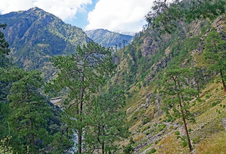
Left: After
crossing the Humla Karnali Nadi, it was truly refreshing to hike on an ancient
well-built Nepalese trail. Right: Getting close to the confluence of the
Iguldwa Khola and the Humla Karnali Nadi.
|
|
|

Small
settlement and woman along the trail.
|
|
|


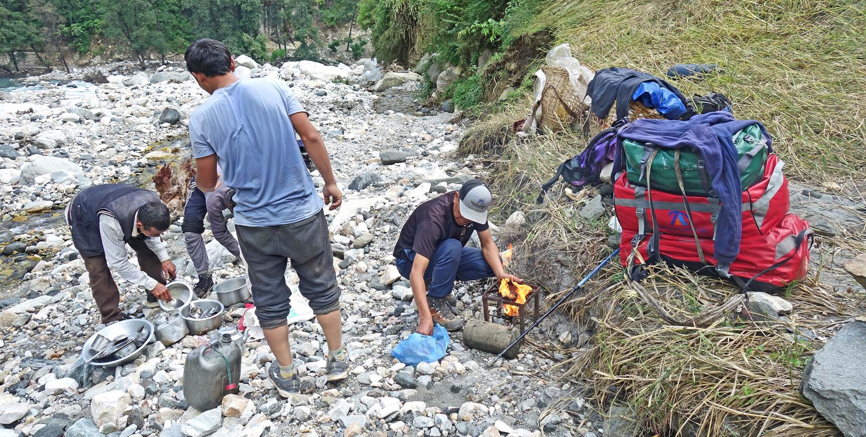
Lunch break in
the riverbed of the Iguldwa Khola, at the elevation of 1773m.
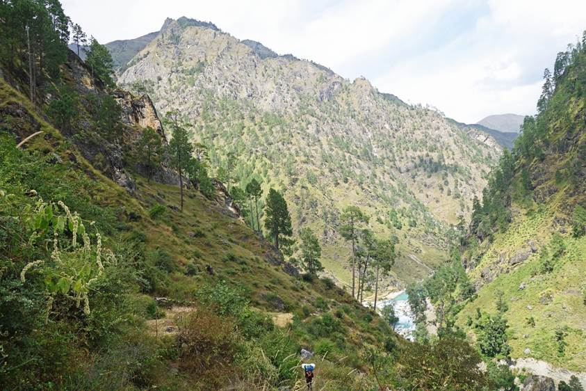
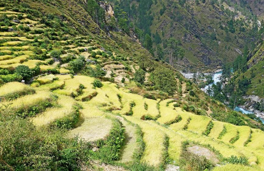
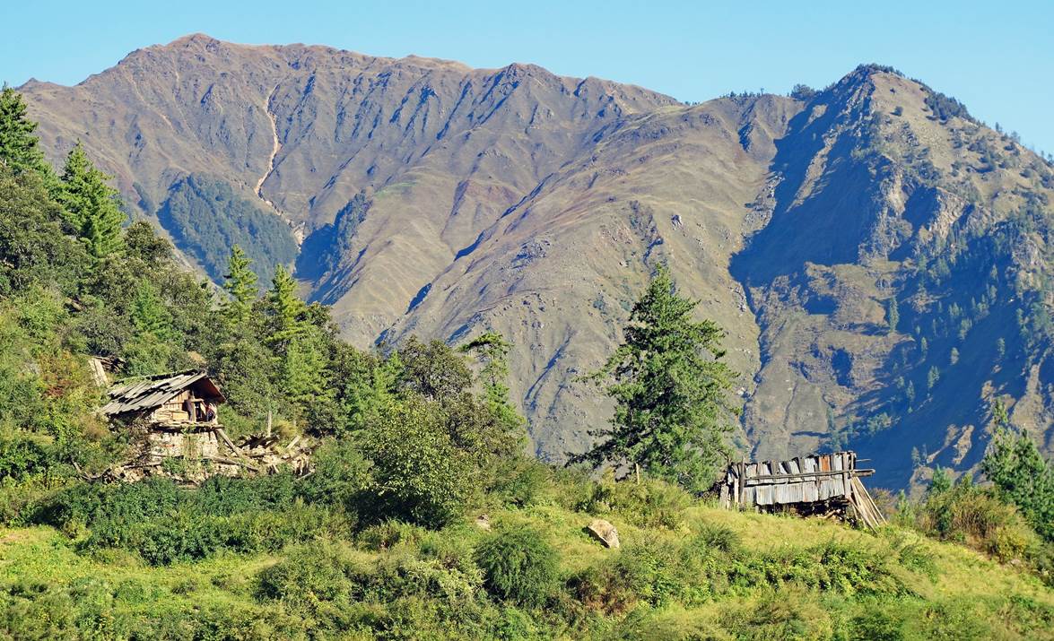
Left: After
lunch we began the almost 2000m ascent to Mune Lagna (3712m), which we reached
on the next day, after a night spent above the village of Rip. Right: Terraced
barley fields shortly before reaching Rip.
|
|
|
Houses in the
village of Rip.
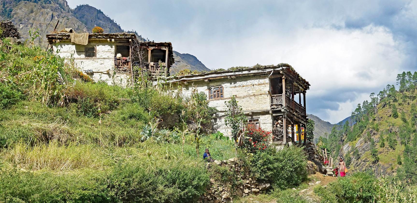
Man in Rip
threshing barley with a flail (to separate grains from husks) on the roof of
his house, with support from his family.
|
|
|


Two women of
Rip.
|
|
|


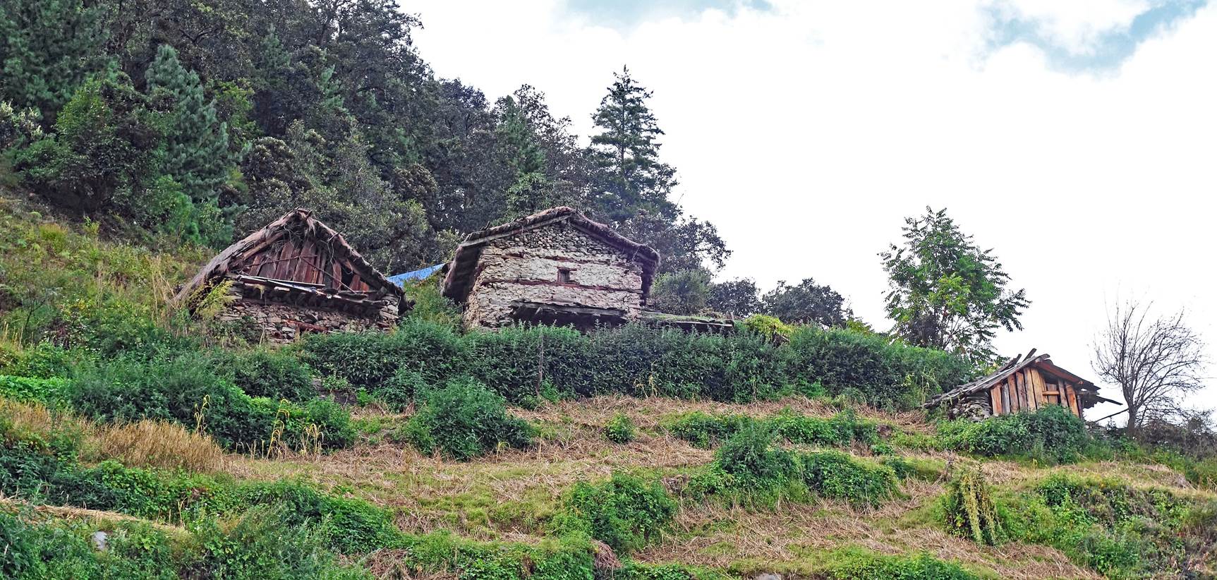
Beyond Rip, we
continued climbing to reach the village's upper farmlands.
Upper
farmlands of Rip where we set up our camp (at 2398m).
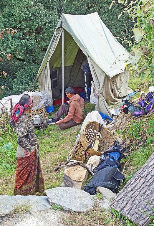
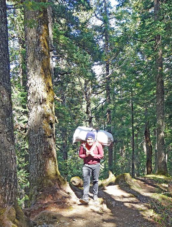
At our camp,
with the heavy tent rented in Simikot visible in the picture on the left. Right
photo: Dawa (center) drinking with a local man and a porter (Dharma Lama).
|
|
|

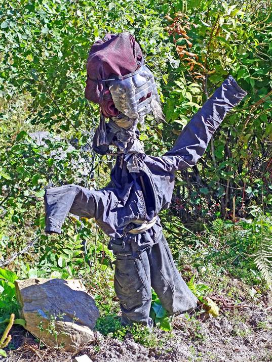
Left: Another
view of Rip's upper farmlands. Right: Scarecrow in a field.
|
|
|
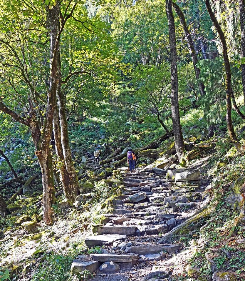
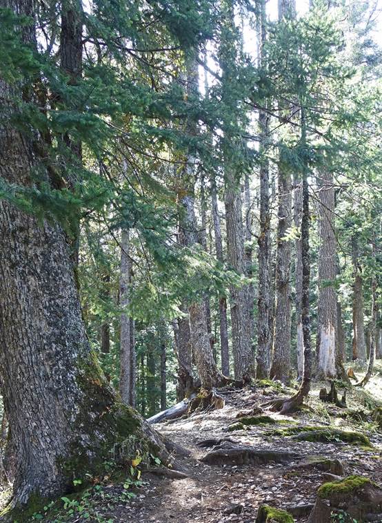
Beautifully
built trail in the woods above the farmlands.
|
|
|

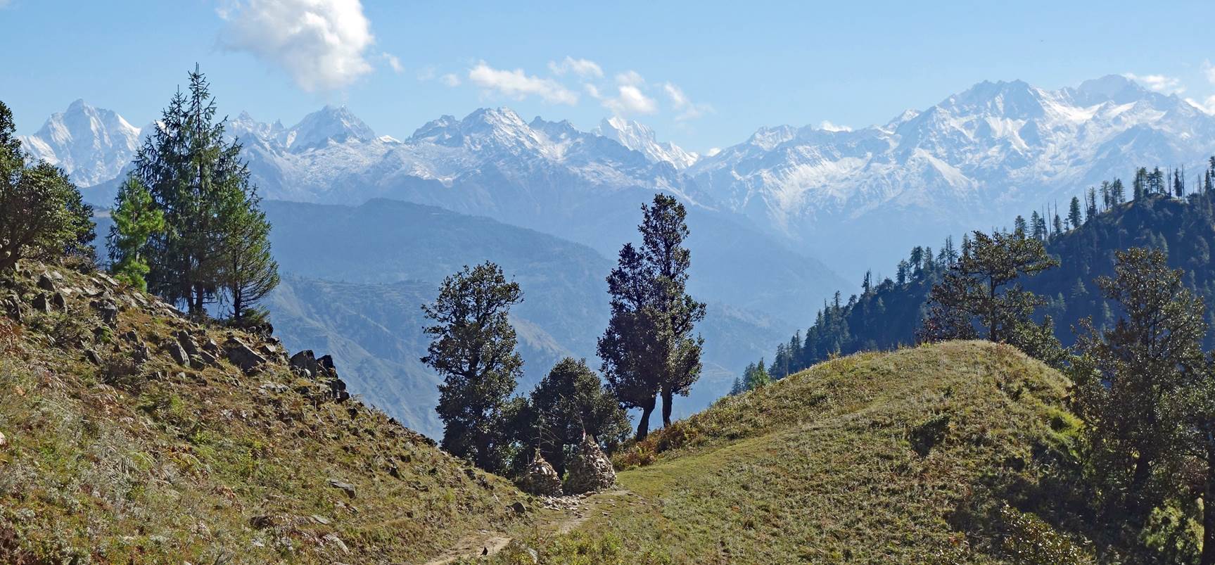
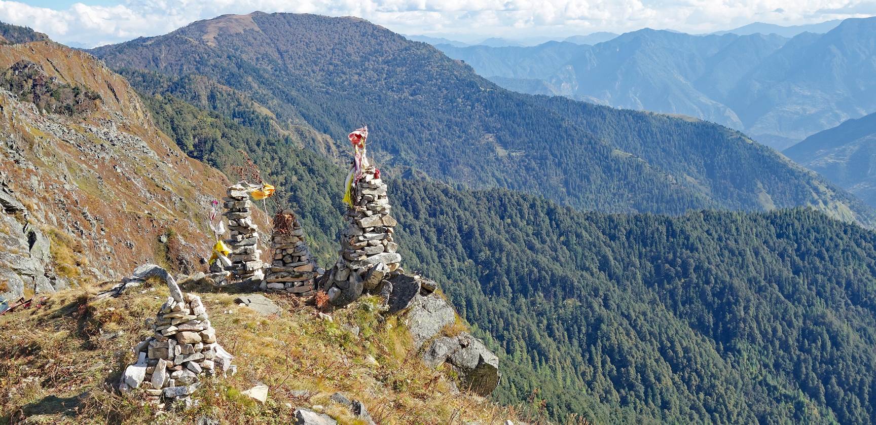
Crossing a
shoulder (2903m) marked by two large piles of stones.
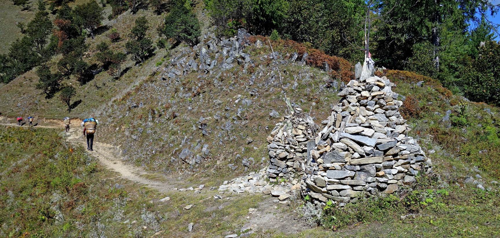
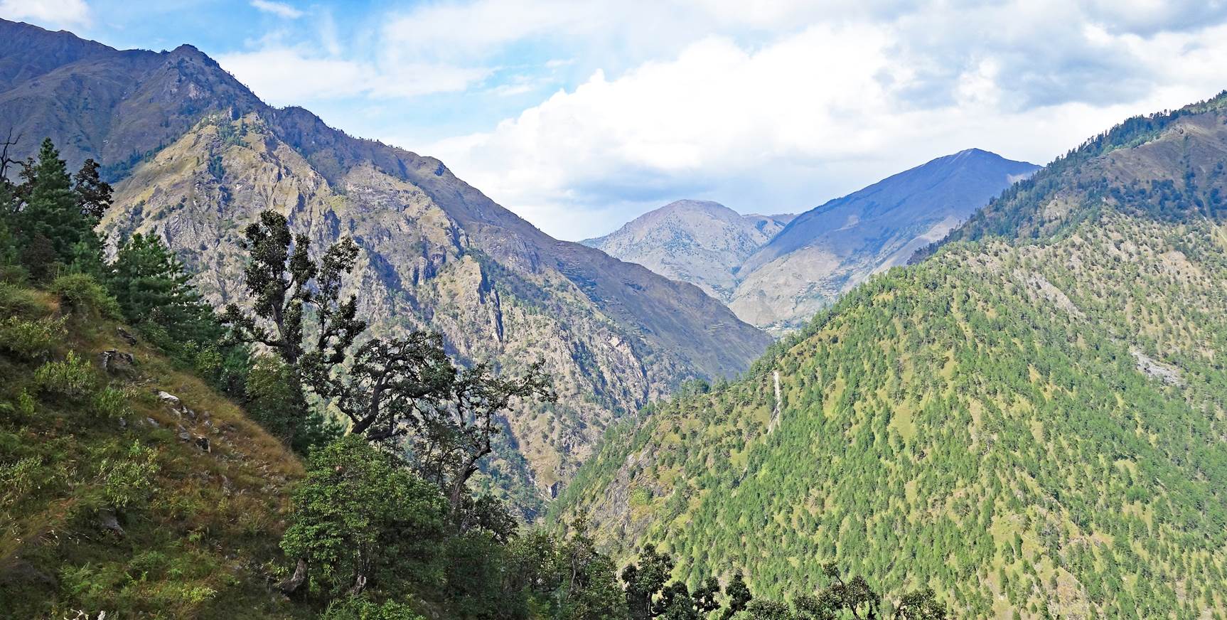
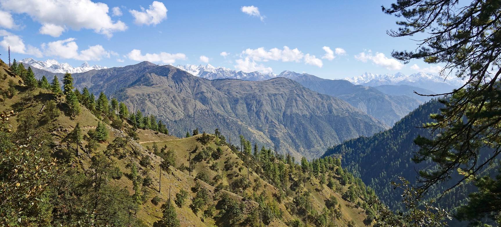
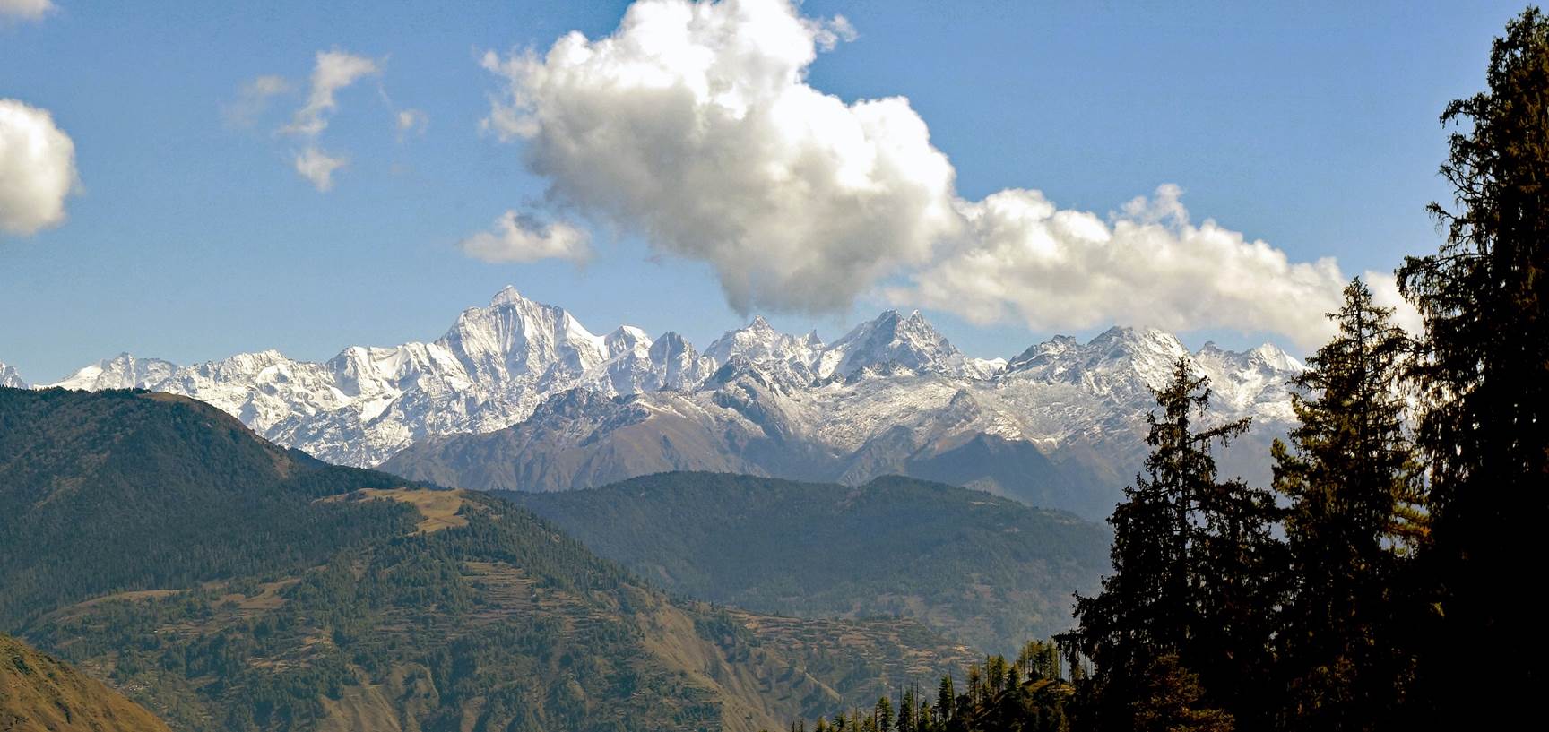
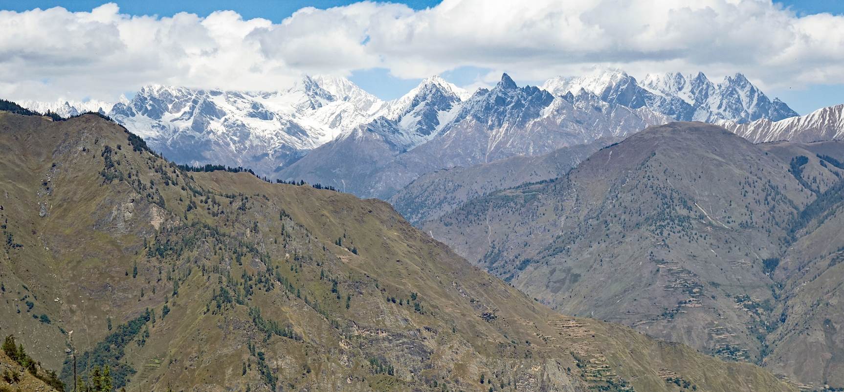
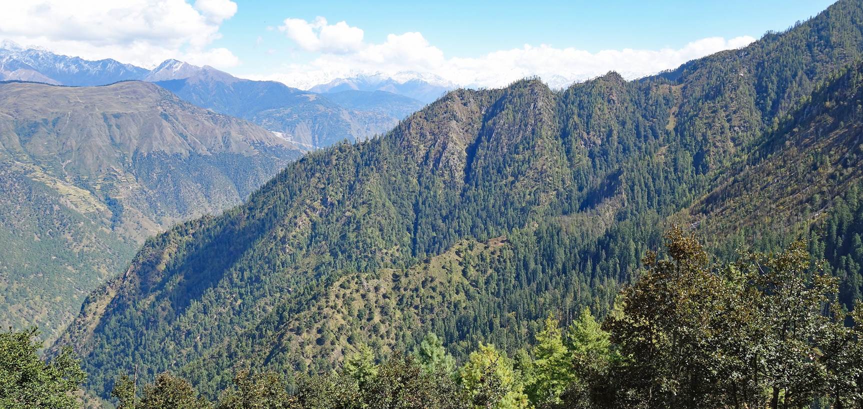
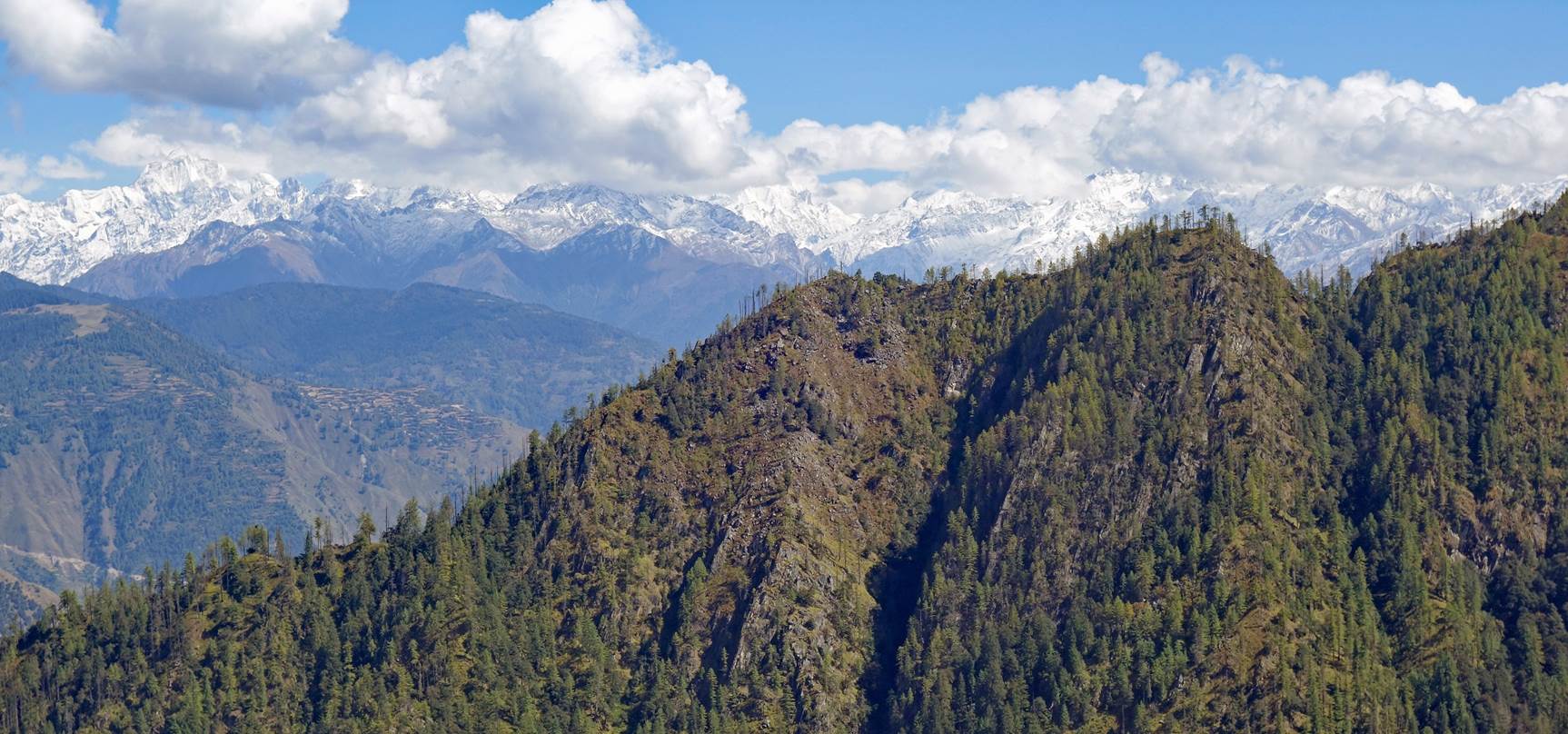
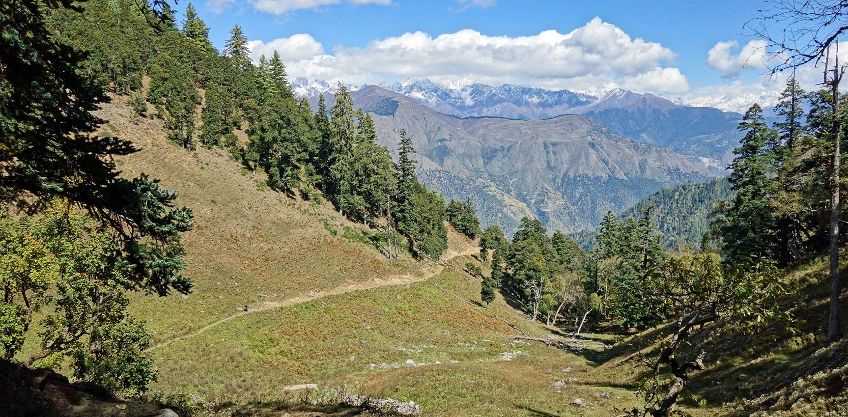
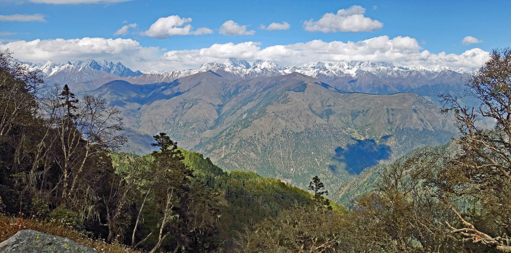
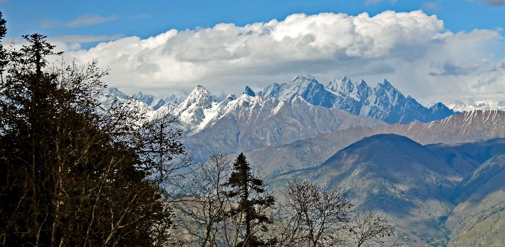
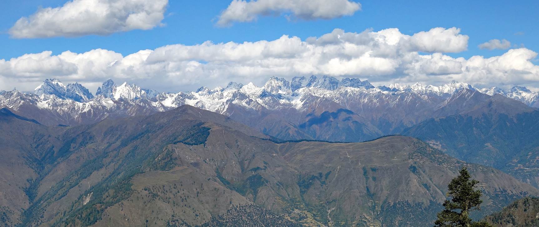
Between the
shoulder and Mune Lagna we enjoyed spectacular northward and northeastward
views of high mountain ranges, most located in the north of the Humla and Mugu
districts.
In the forest
below Mune Lagna.
|
|
|
|

Rock piles at
Mune Lagna (3712m).
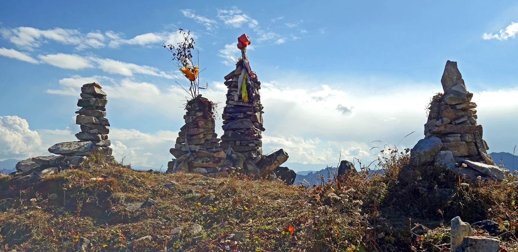
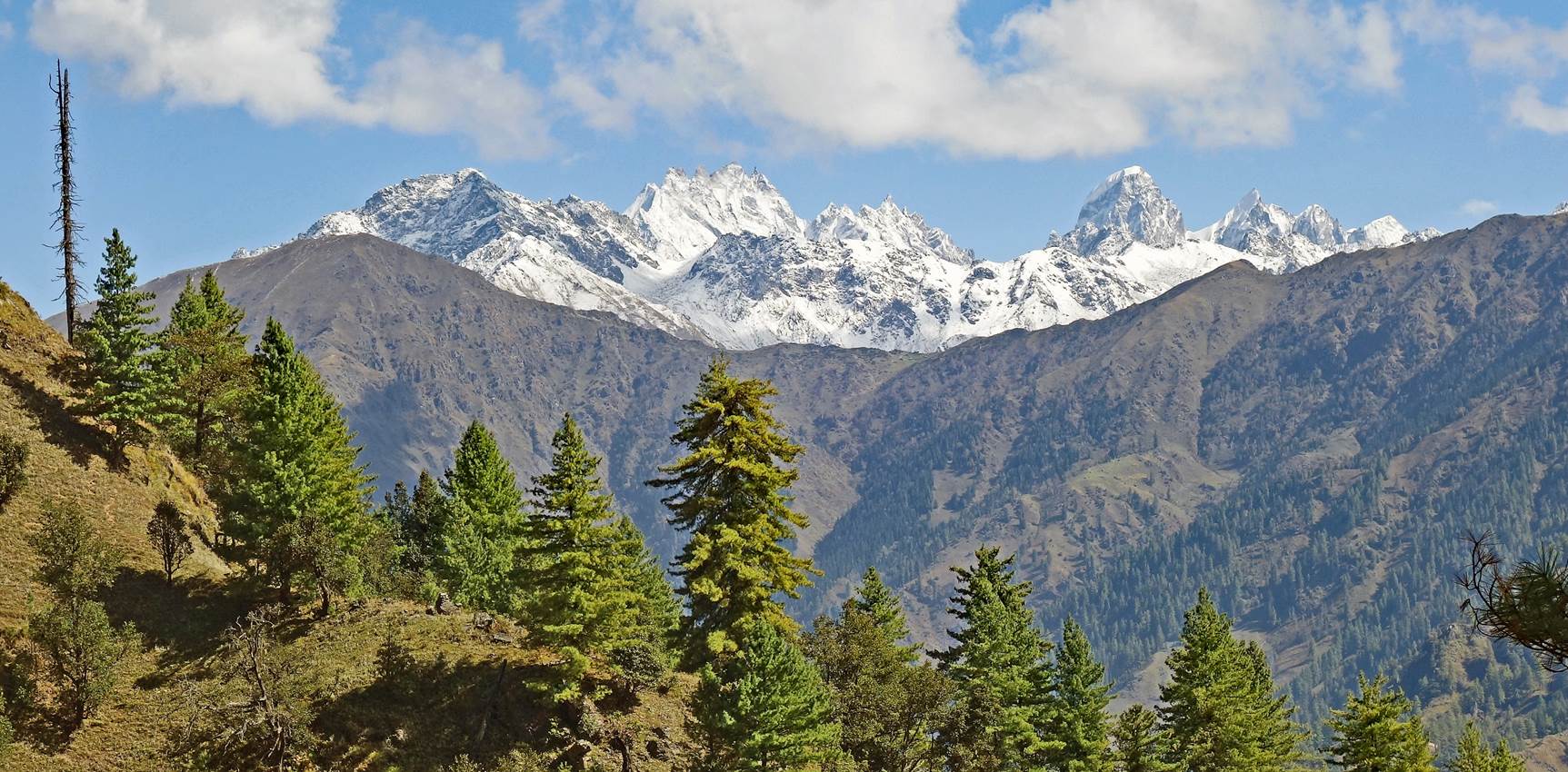
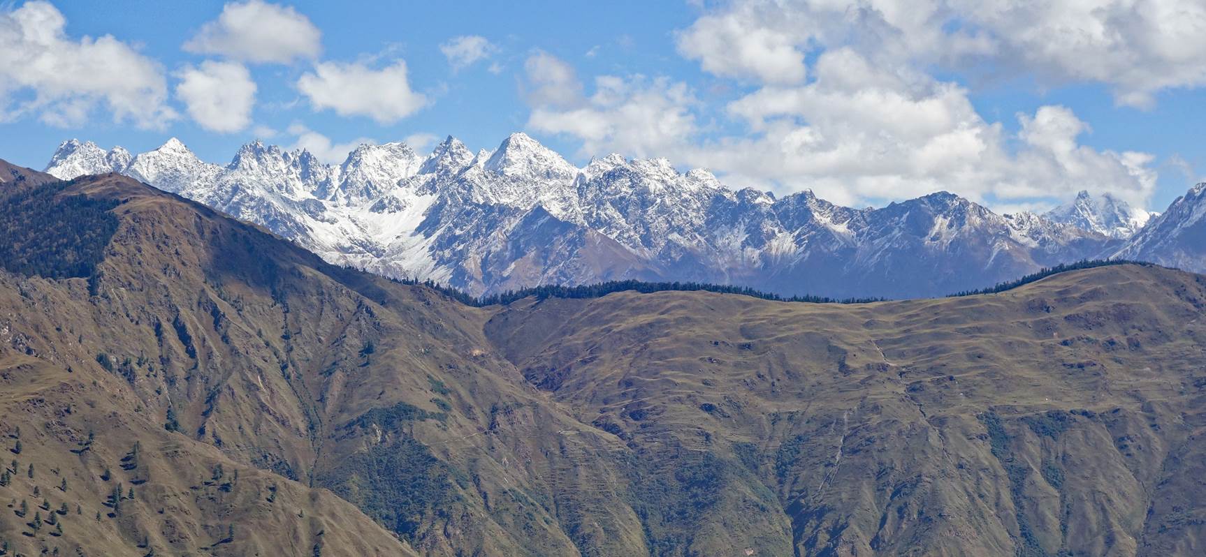
Views to the
north and northeast from Mune Lagna.
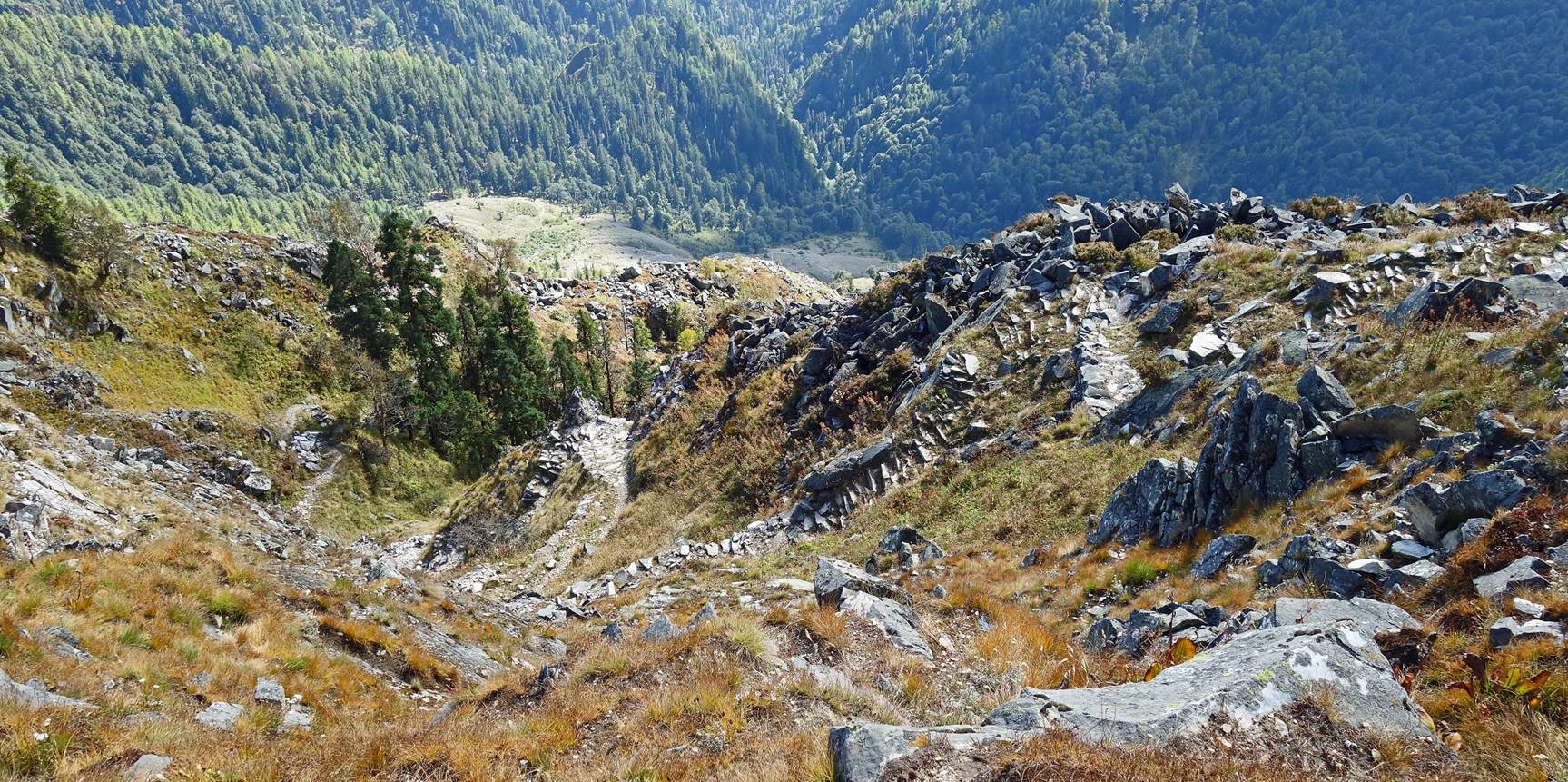
South side of
Mune Lagna. The descent is very steep, but the carefully built stone path with
many switchbacks is impressive.
![]()
Return to main Nepal 2023 webpage | Return to my mountaineering/trekking/travel webpage