Tabant-Mgoun-Imejdag-Taghia-Oussikis (June 15-21, 2008)
![]()
Return to my
mountaineering-trekking-travel webpage
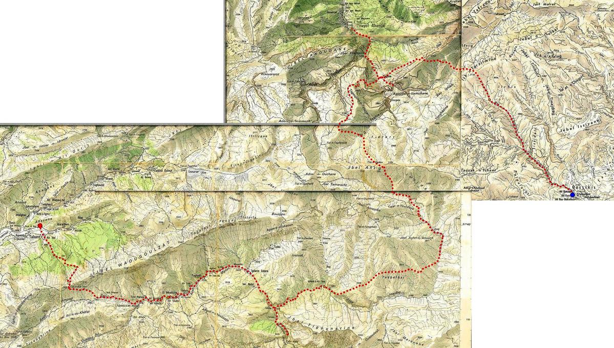
The
itinerary of this trek is shown in dotted red lines in the map below. The
larger red and blue dots mark, respectively, the start of the trek (Tabant, in the Ait Bouguemez valley) and its finish (Oussikis).
Click here for a high-resolution topographic map.
Click on the links below to see pictures of
the various sections of this trek:
|
|
|
![]()