Trek from Kidmang
to Kiangdam, Changtang
region, Ladakh, India (August 2024)
Part 1/2: Kidmang
to Nyima Gompa
|
|
Return to main
India 2024 travel page | Return to my
mountaineering/trekking/travel webpage
Map and GPS waypoints:
|
|
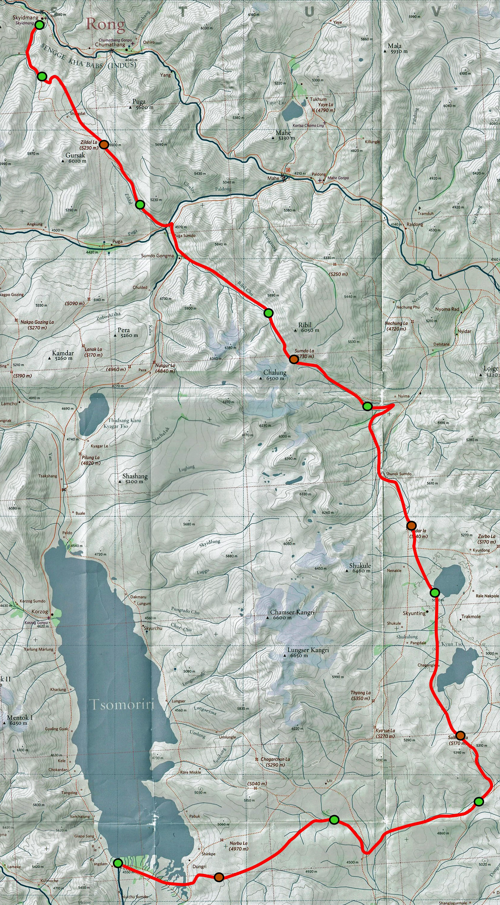
Left: Red-line route of the trek drawn on a
portion of the 1:150,000 South Ladakh & Zanskar map, Editions Olizane, Switzerland. (Click on this map to see a larger
version of it in a different window). The green dots mark the locations of
our successive campsites; the brown dots mark the locations of the five
successive passes. The red-line route is based on GPS waypoints I
recorded during the trek. To access these waypoints, click here, download
the ladakh-2024.kmz file, and open this file in Google Earth. The waypoints
with green icons are night camp locations and those with brown icons are the
locations the passes crossed during the trek. The remaining waypoints, all
with yellow icons, are intermediate locations. |
Acclimatization day in Kidmang
Nurboo, Stanzin, and Tundup drove to the village of Kidmang from Leh, the start of the trek, where Tse-Wong joined us with his horses, coming from his village
(Puga). We spent two nights and a full day in Skidmang to allow me to better
acclimatize to the new elevation.
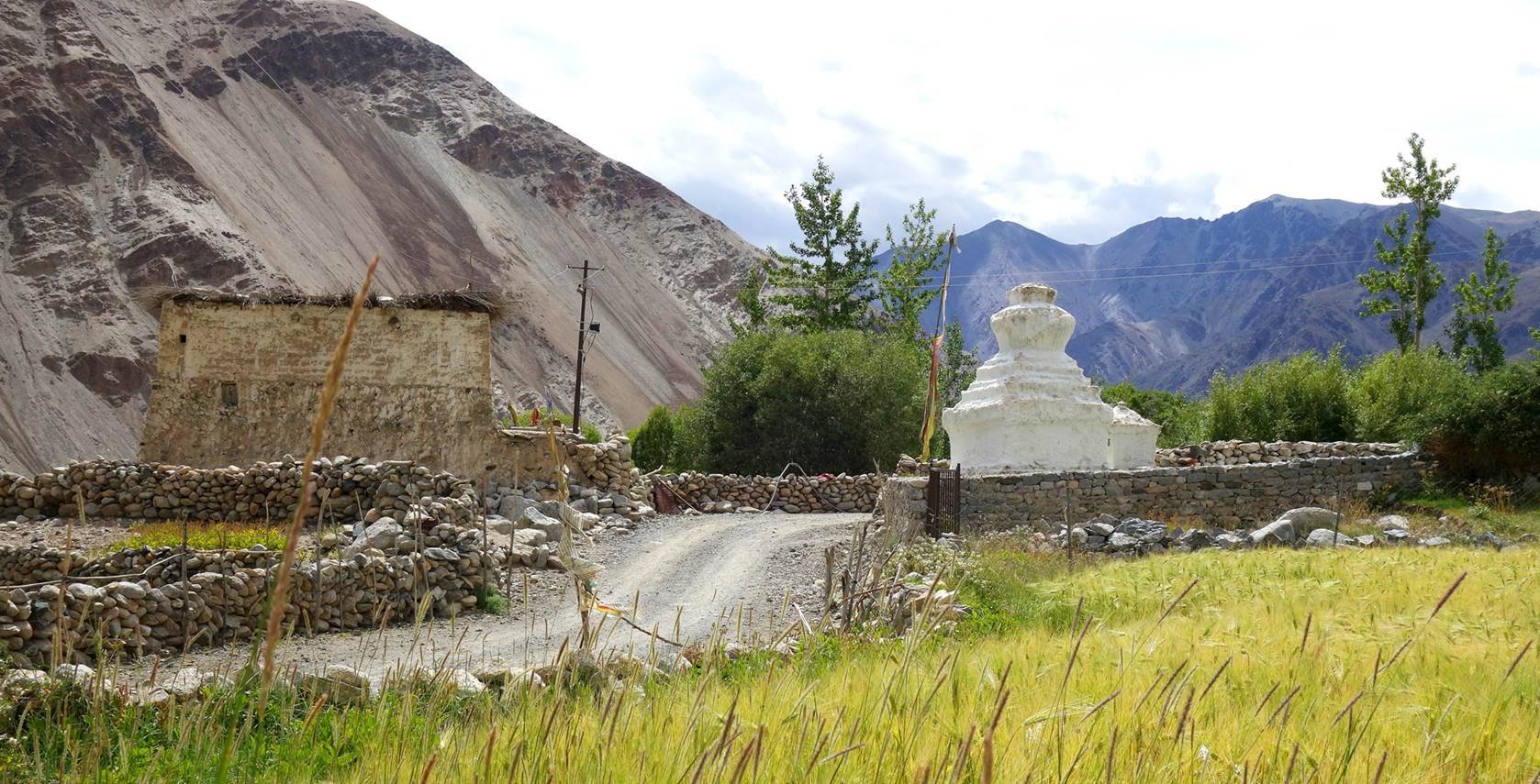
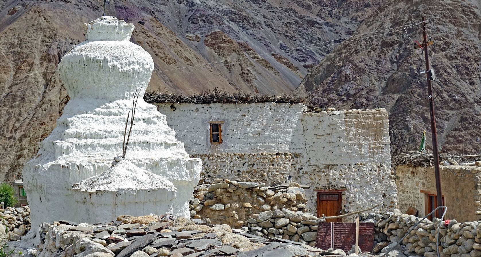
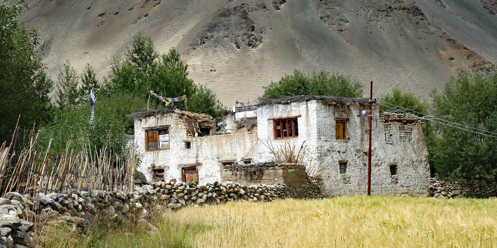
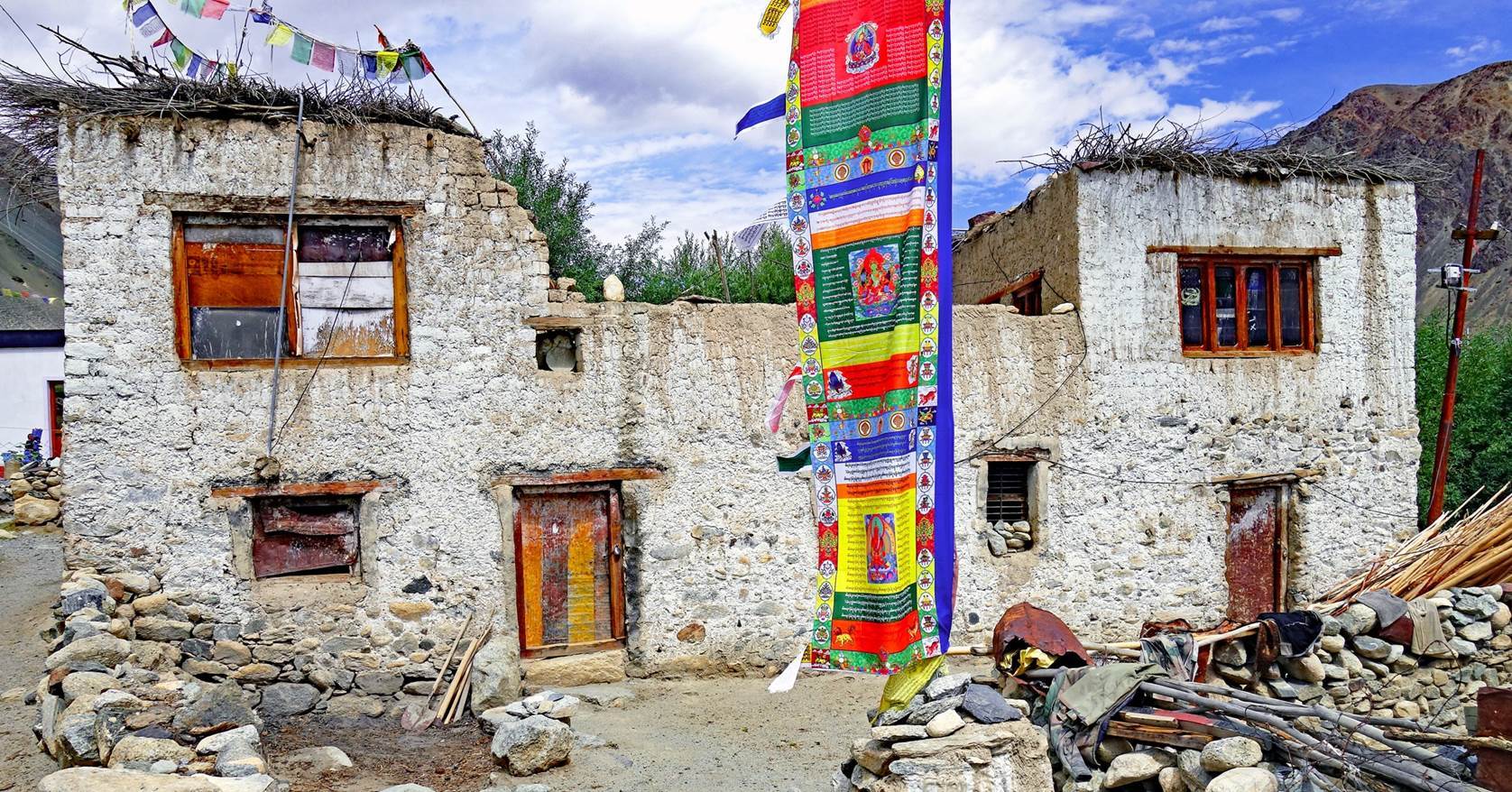
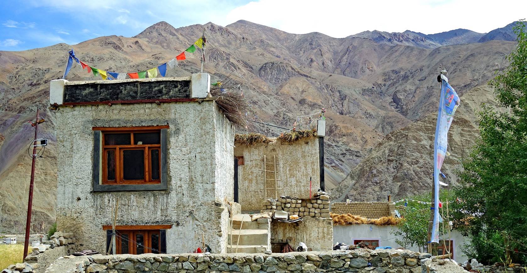
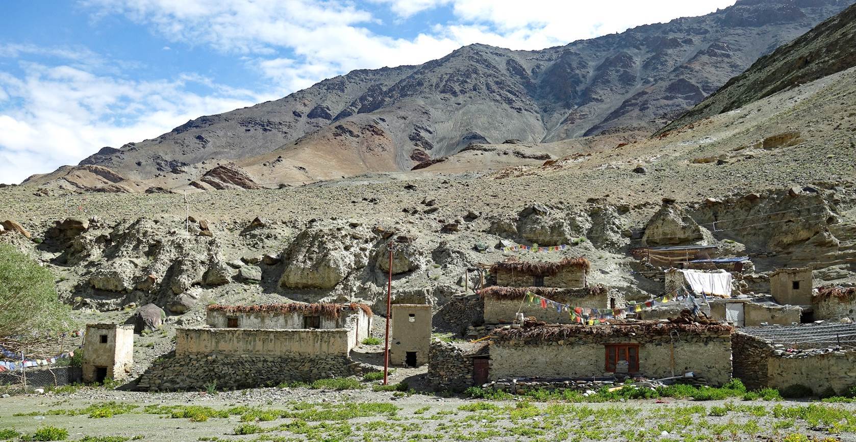
Traditional
houses in Kidmang.
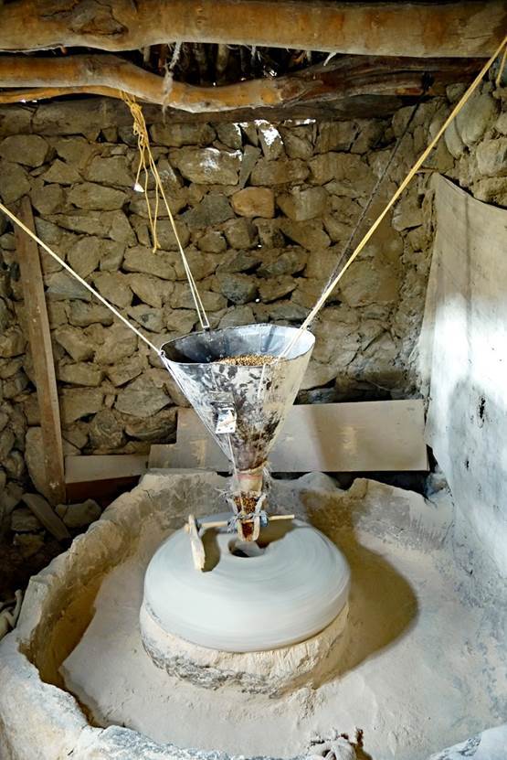
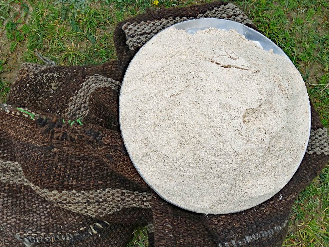
Left: Water
mill used to make tsampa from barley grains. Right: Tsampa made by the mill.
|
|
|
The small
village of Kidmang has two gompas! An old one and a
new one. The new one is larger, but not interesting. The old one, said to be
900 years old, boasts remarkable wall paintings. Below are photos of the old
gompa.
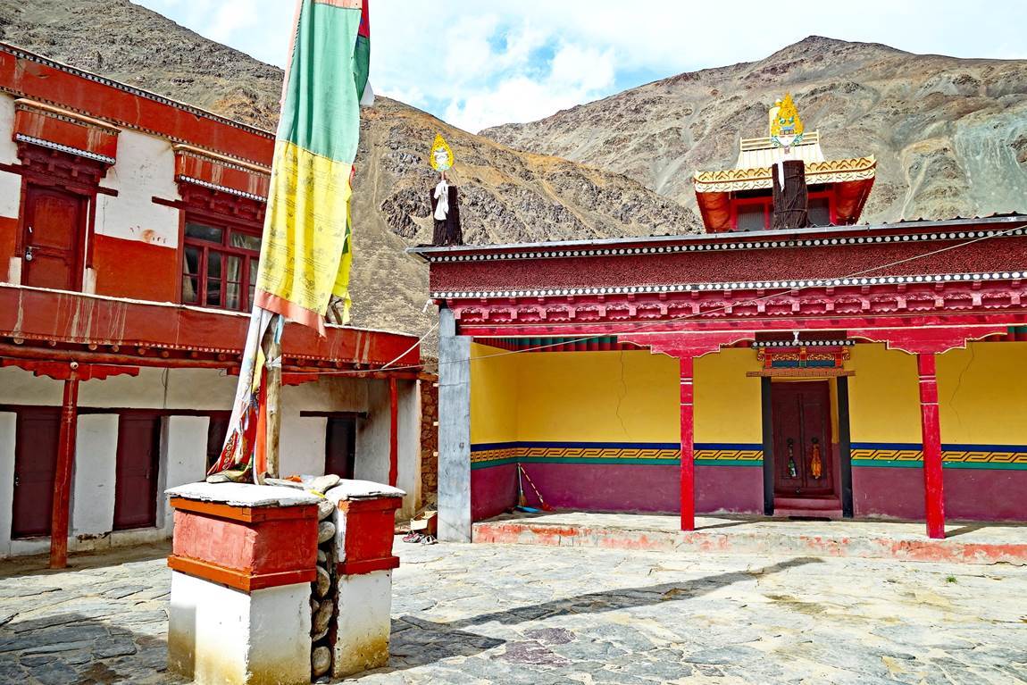
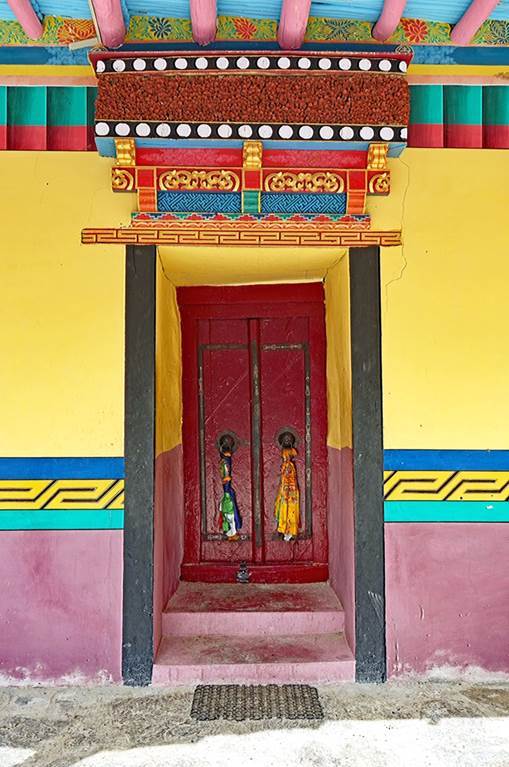
- Inner
courtyard (left) and entrance door of the prayer room (right).
|
|
|
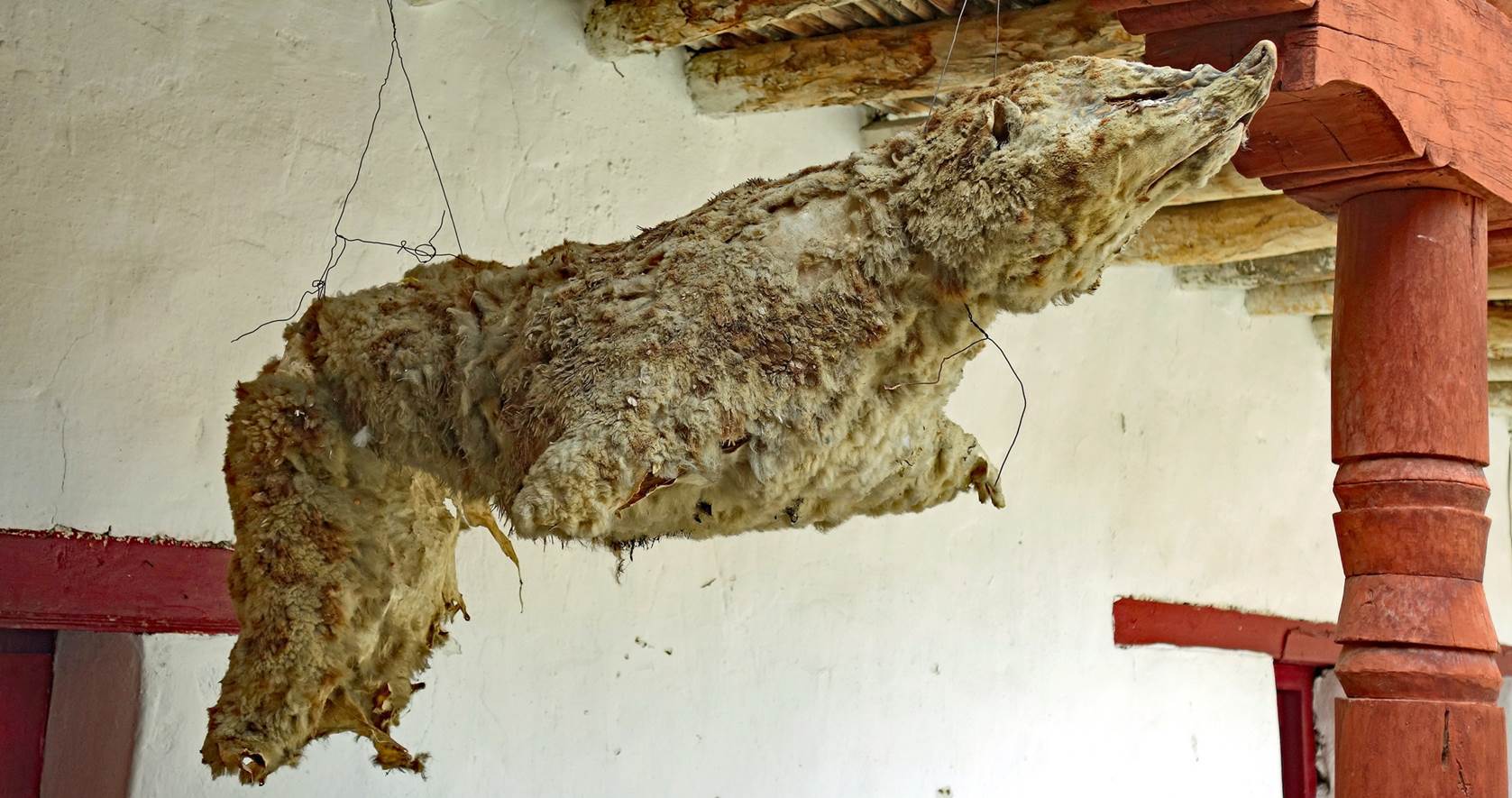
Remains of a
snow leopard hanging strangely on one side of the courtyard.
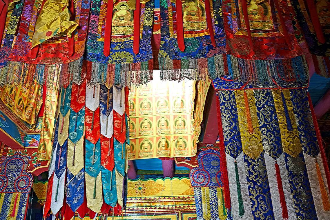
The small square-shaped
interior of the prayer room is filled with hanging silk brocades and various
religious objects and relics.
|
|
|
|
|
|
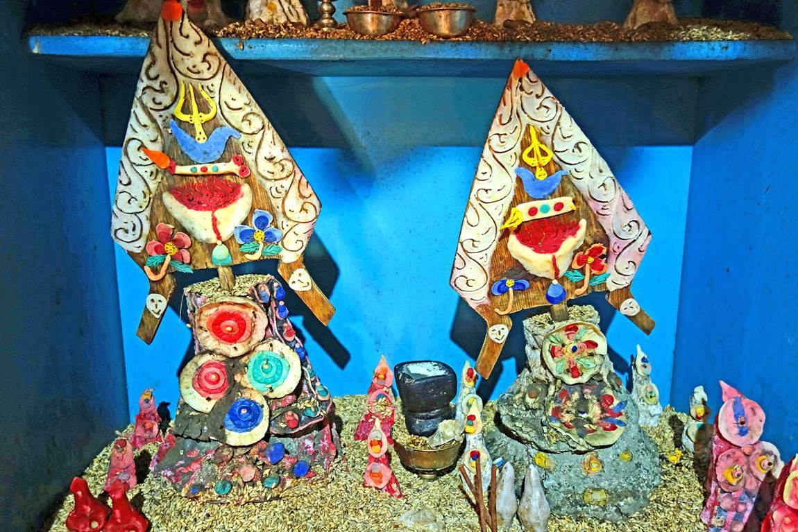

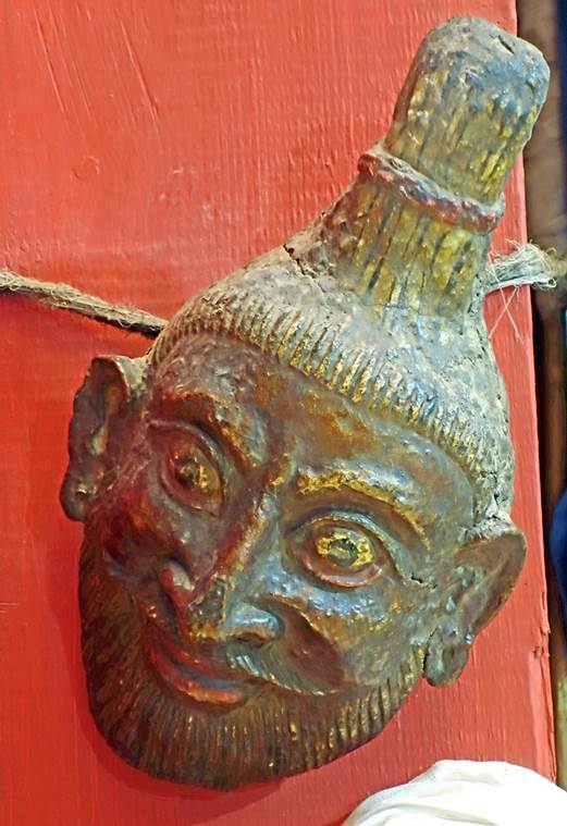
[Left: Sculptures, called
torma, made mostly of flour and butter and used as offerings in Tibetan
Buddhism. Right: Old puja drum.]
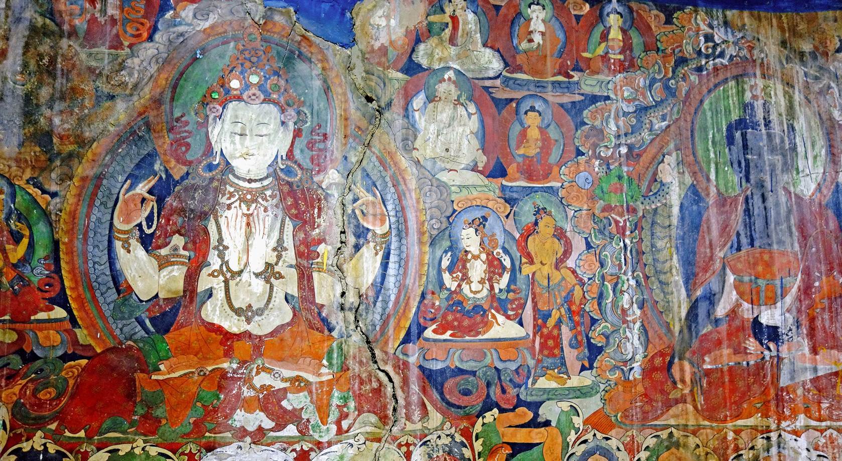
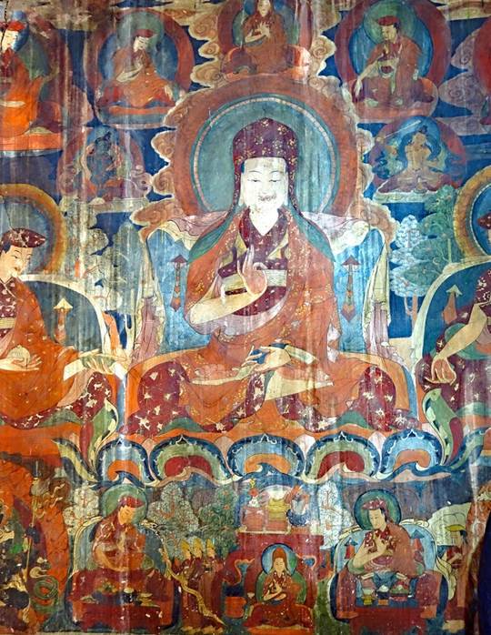
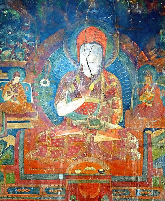
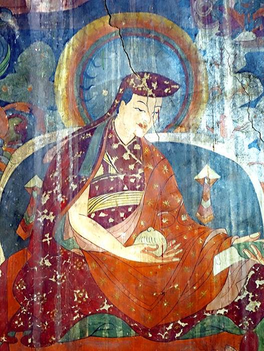
But the real attraction lies
in the ancient wall paintings.
|
|
|
|
Our camp in Kidmang, slighly
above the village, next to a small creek of reasonably clean water.

Day 1 of trek: Kidmang
to Kidmang Doksa
The word ″doksa″ is used to call a temporary settlement where cattle are taken for summer months.
This first day of trekking was short and felt like another
acclimatization day.
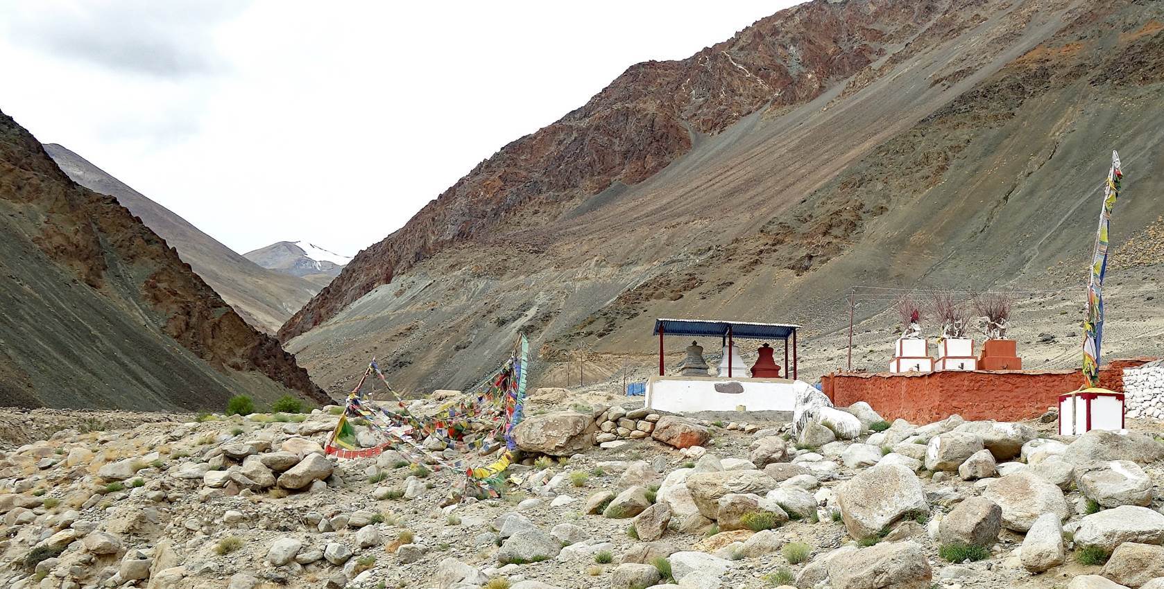
Chortens and prayer flags at the start of the trek above our camp in Kidmang.
Looking back toward the Indus valley. The red building is the large new
gompa of Kidmang.
View of Kidmang and its small reservoir.
Further up, with Nurboo walking ahead of me.
Nurboo next to a
former ″wolf trap″.
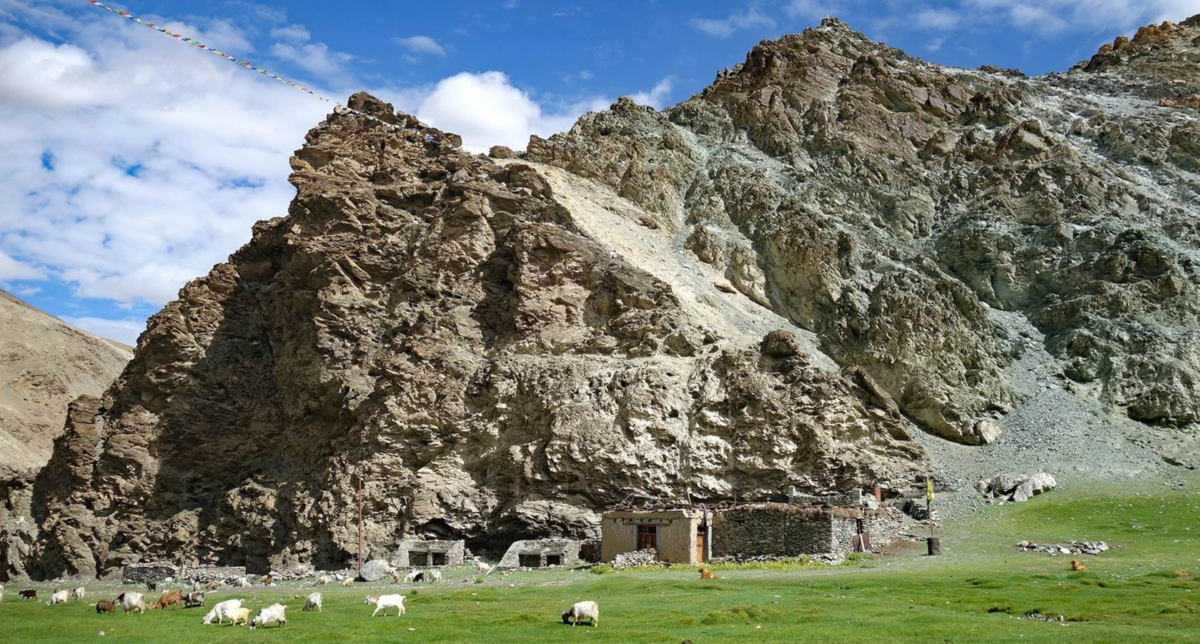
Sheepfolds at Kidmang Doksa.
We set our camp above these shepherd houses, near a clean spring.
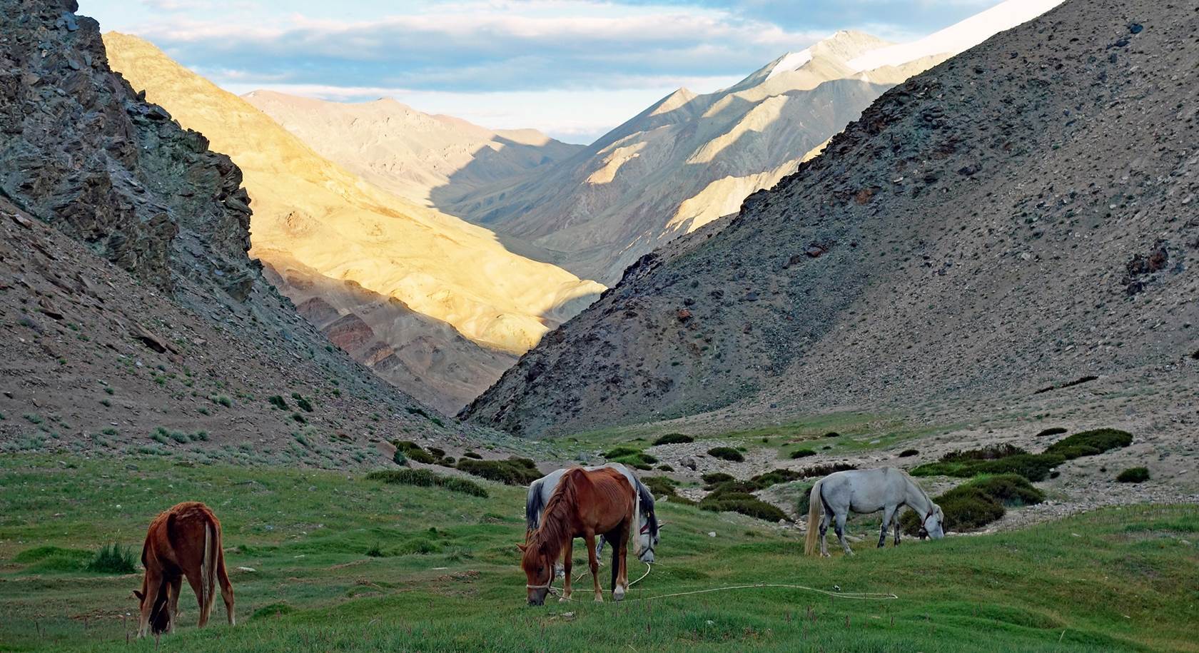
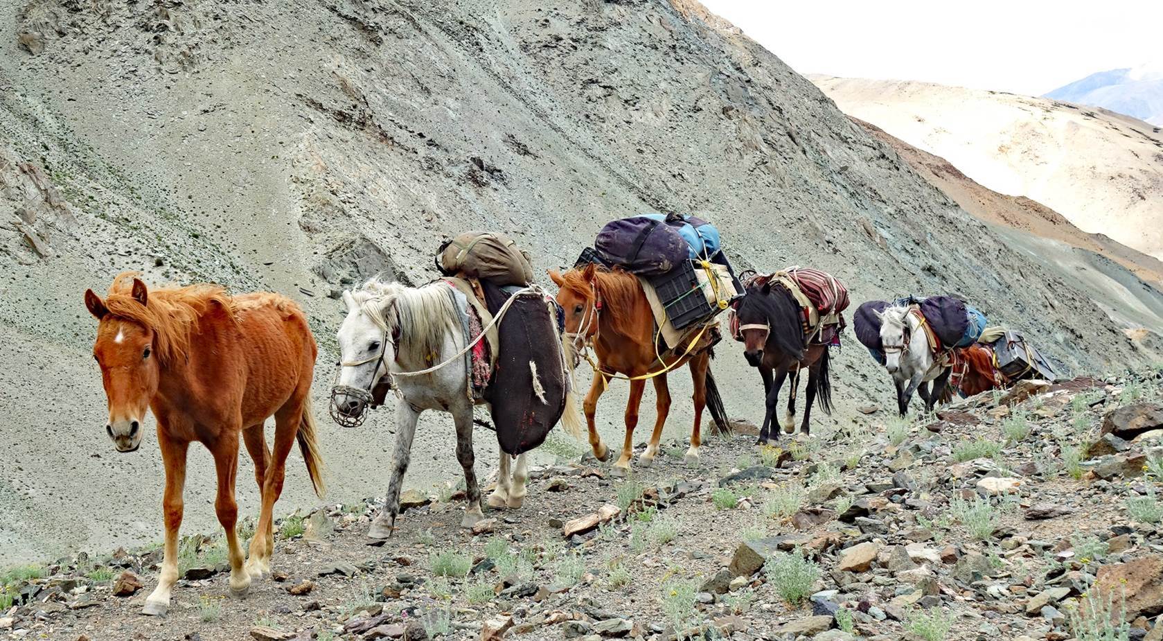
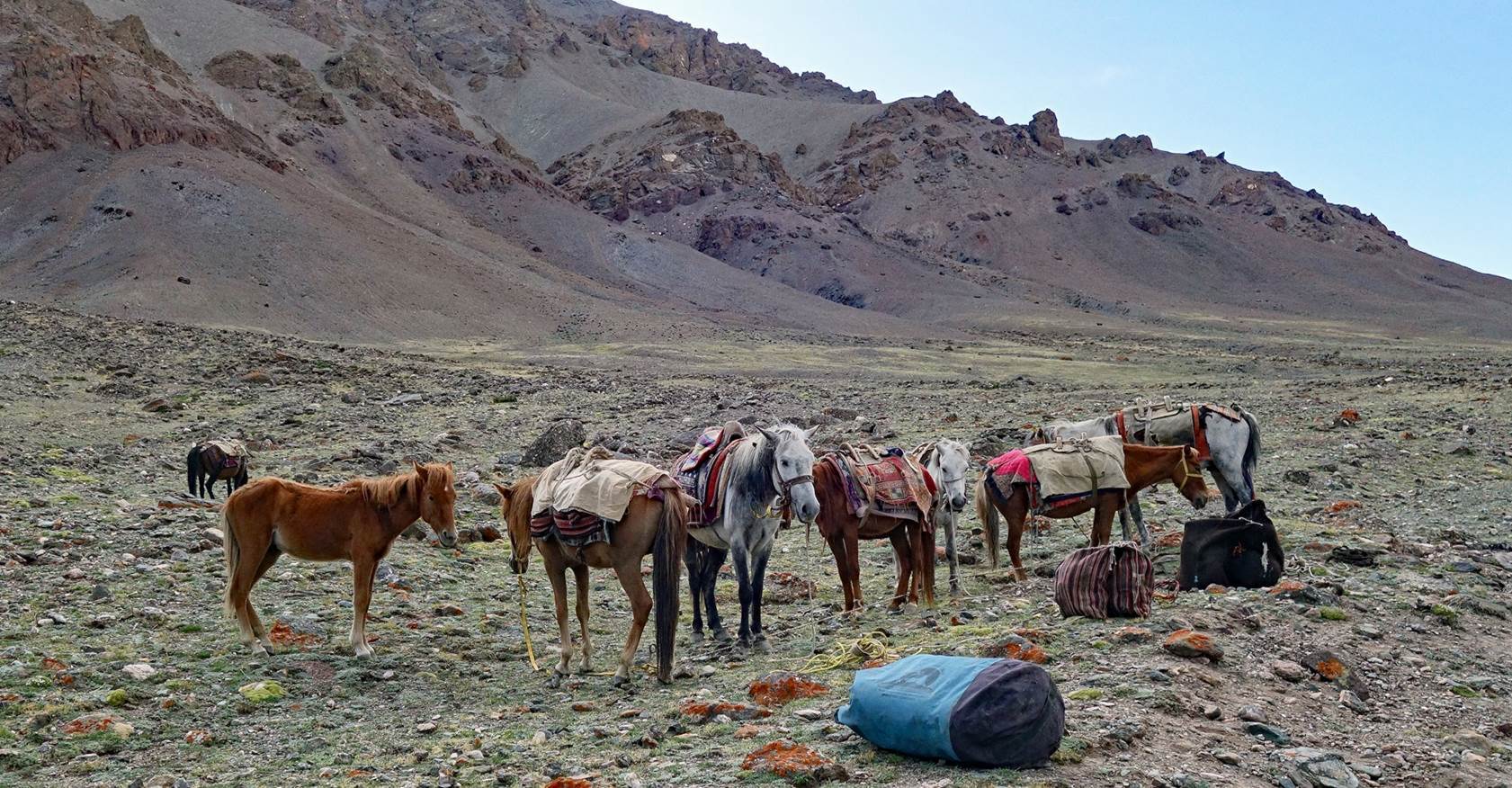
Tse-Wong unloading the horses.
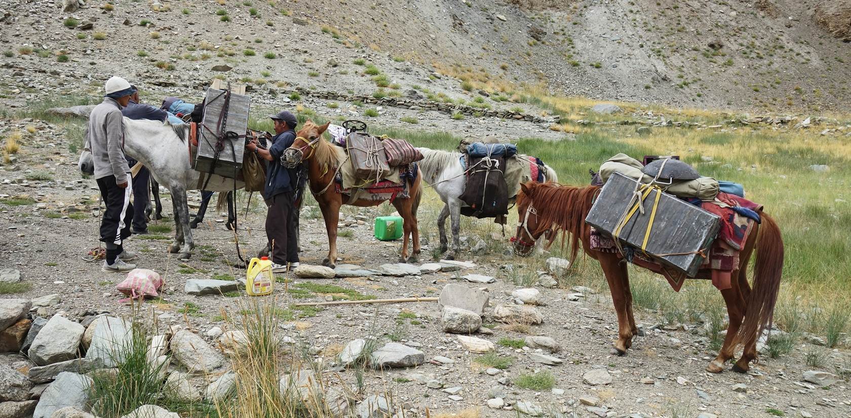
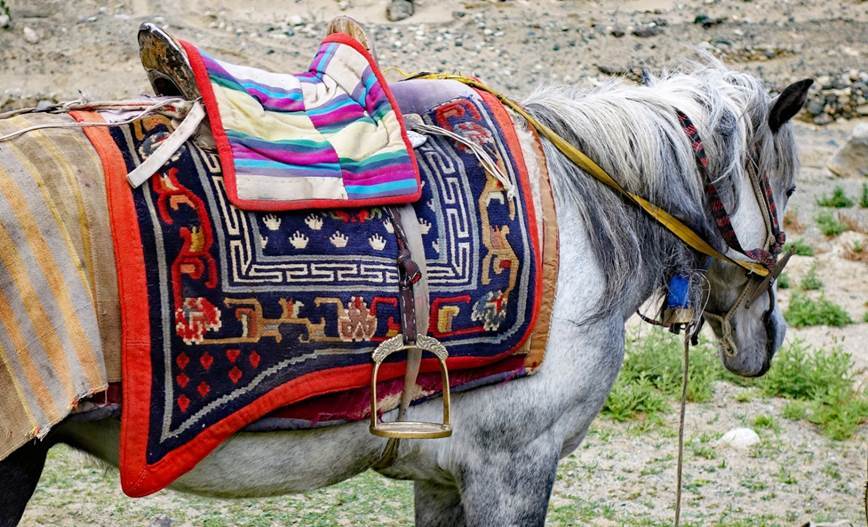
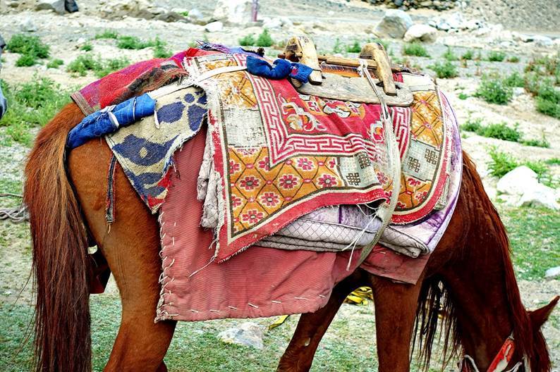
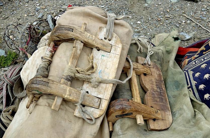
Beautiful Tibetan-style rug
and wooden saddles used on Tse-Wong's horses.
|
|
|
|
|
|

Day 2 of trek: Kidmang
Doksa to Puga Sumdo, across Zildal
La (5230m)
The word ″sumdo″ designates a place at the junction of two
rivers. Puga is the name of the nearby village, where Tse-Wong
resides.
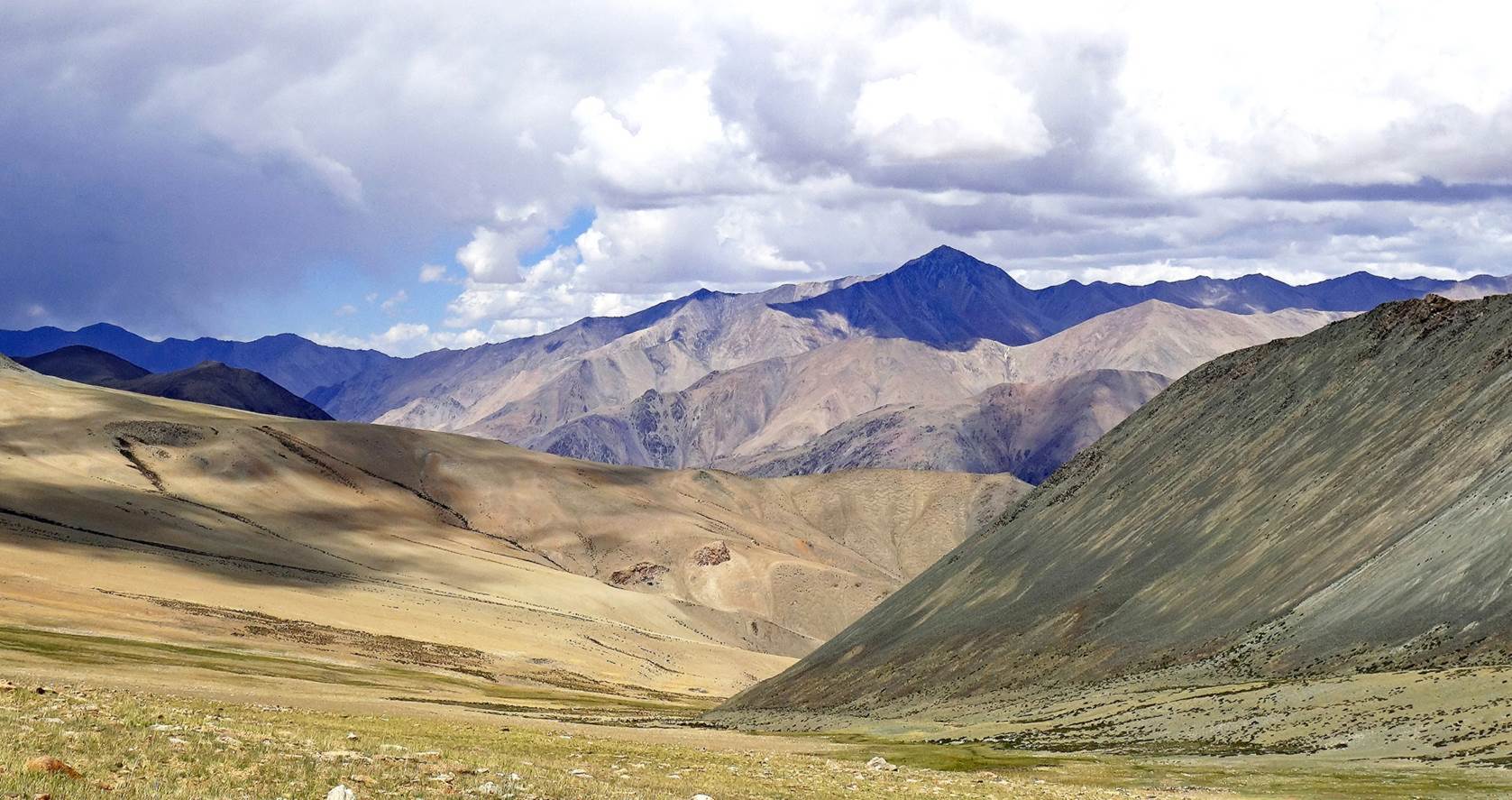
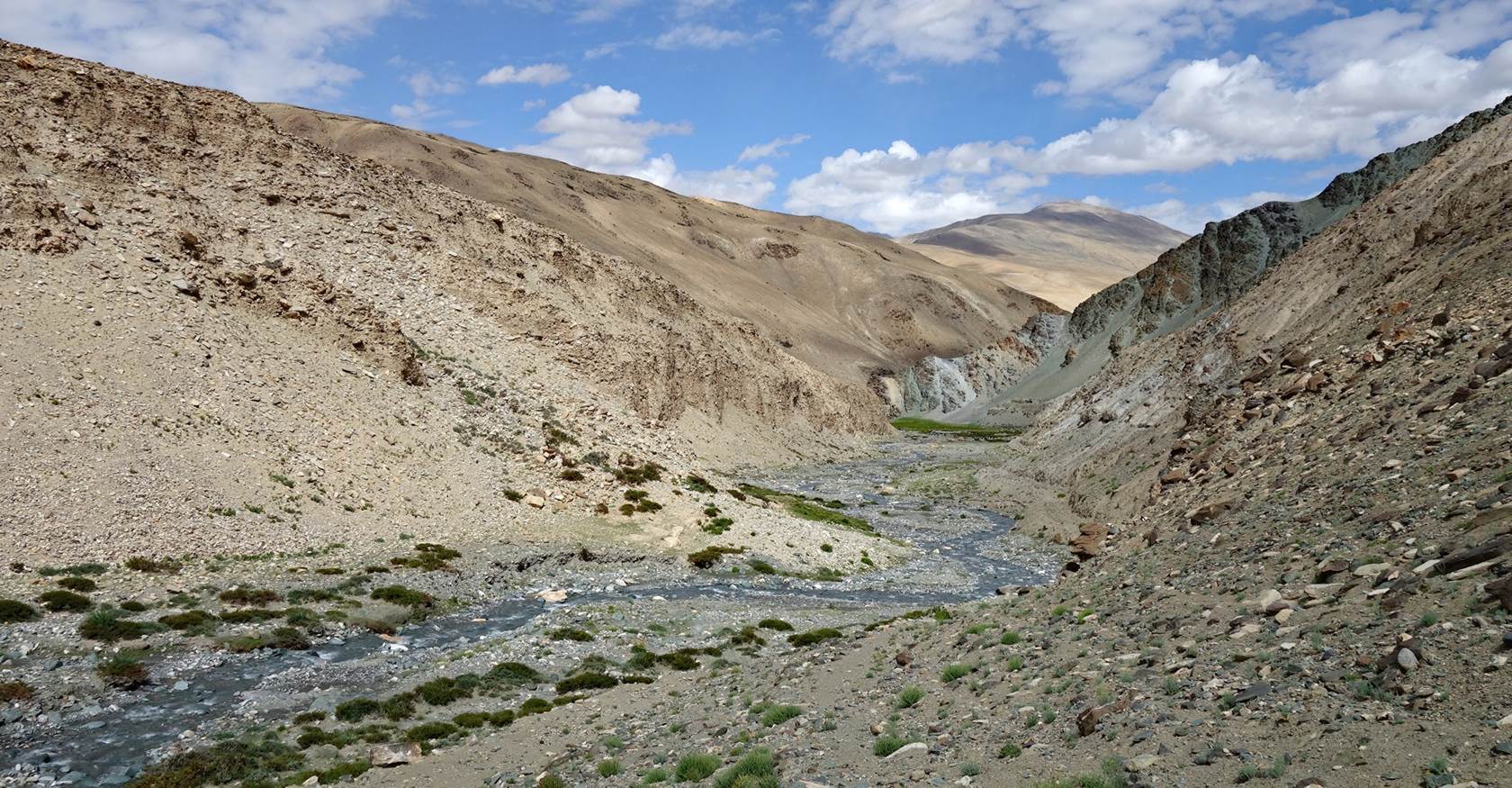
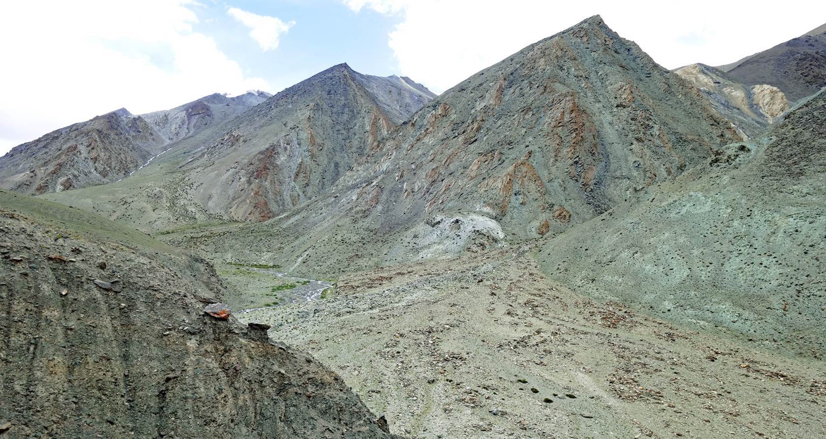
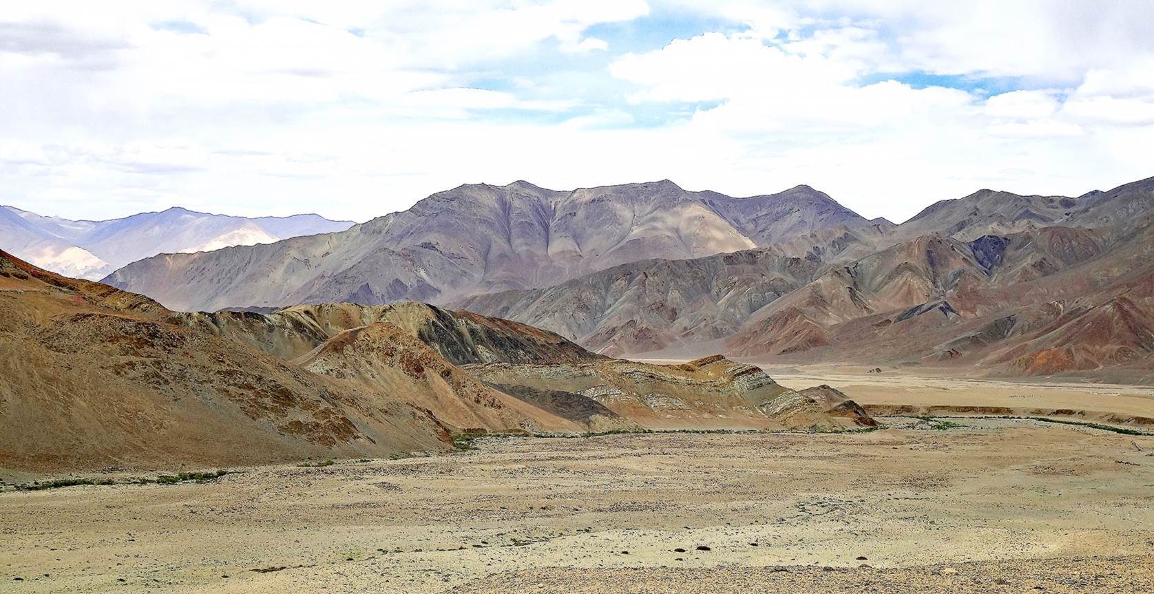
This was a much longer day, The following photos
show successive views above our camp until we reached a ridge shoulder and
changed direction.
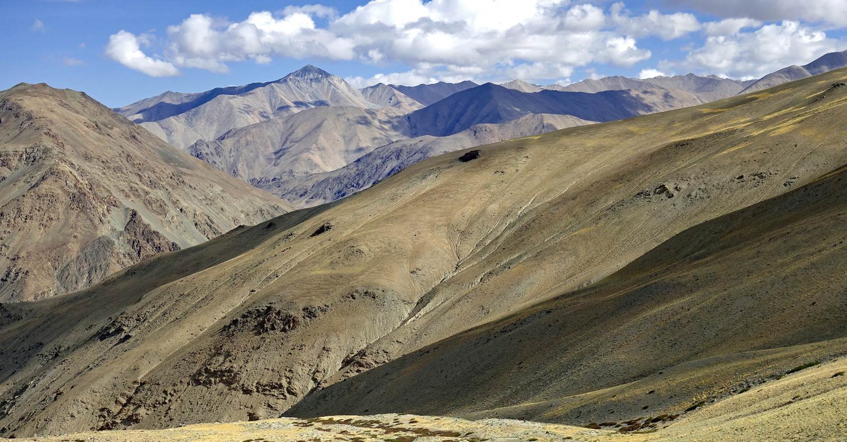
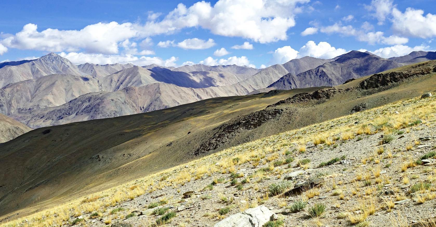
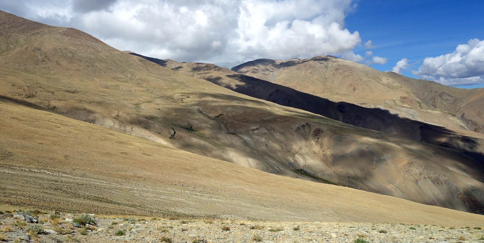
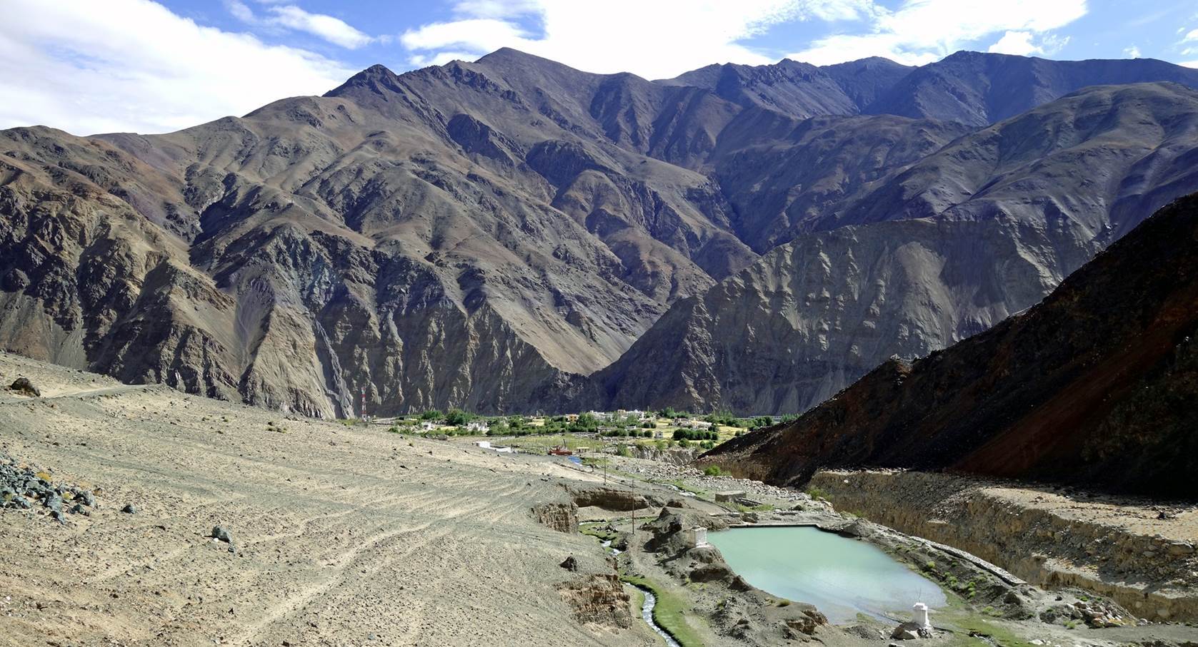
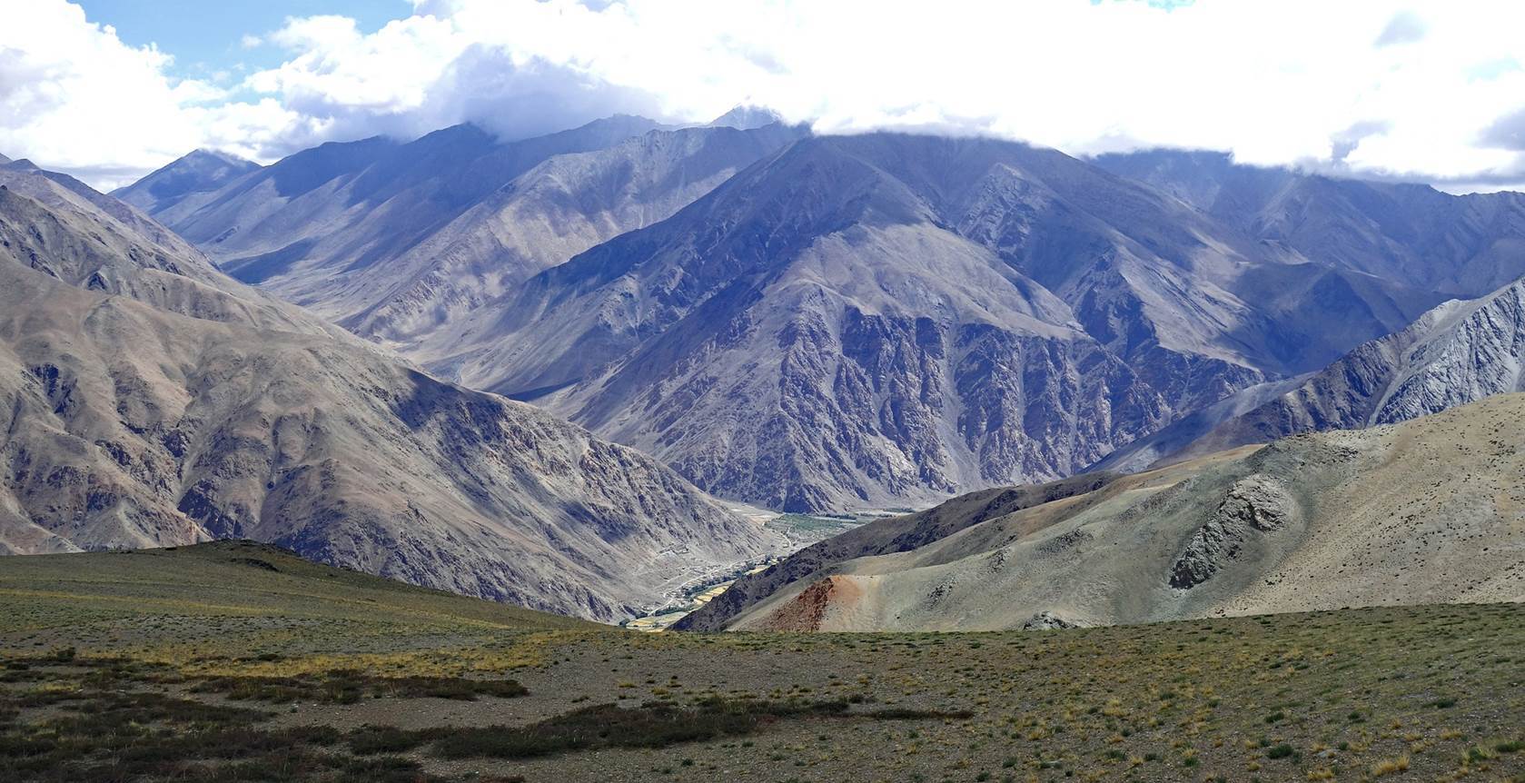
View from the ridge shoulder
(roughly at GPS waypoint 06) over the village of Chumathang at the bottom of
the valley.
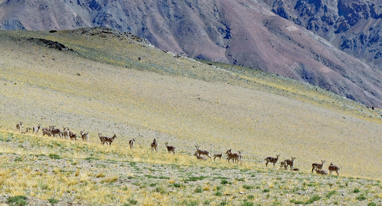
Flock of blue sheep (bharal).
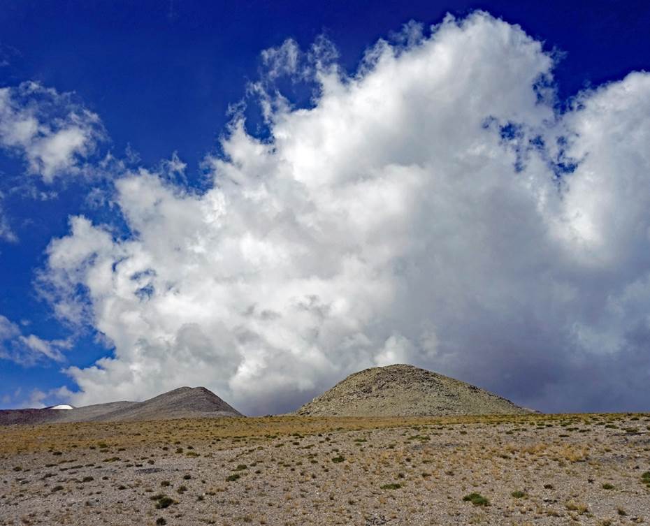
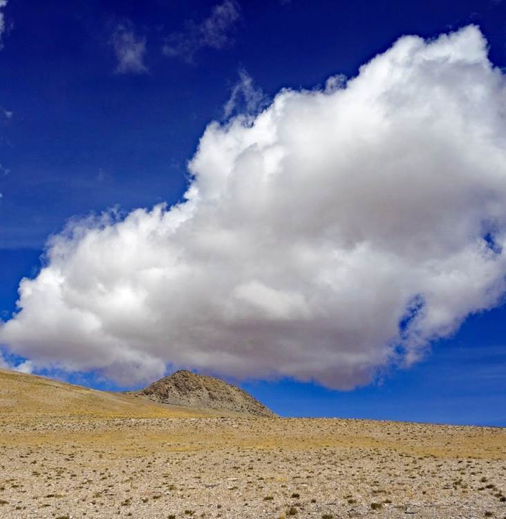
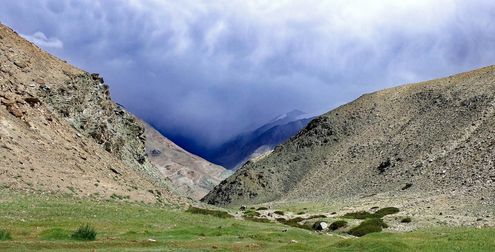
Cloud play above hills.
|
|
|
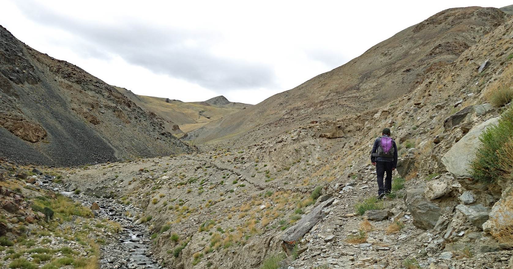
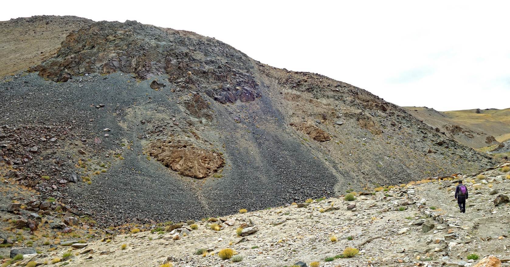
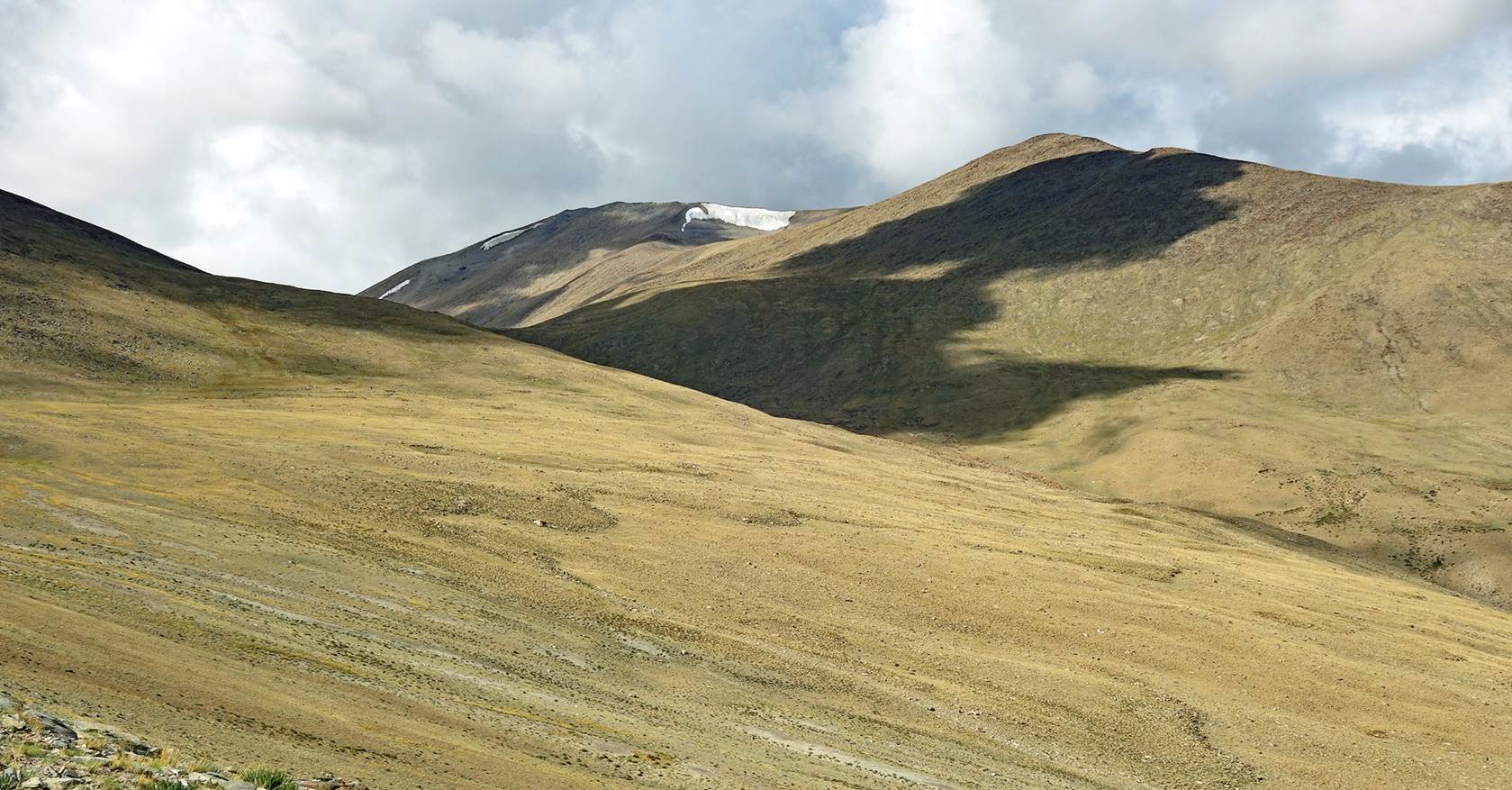
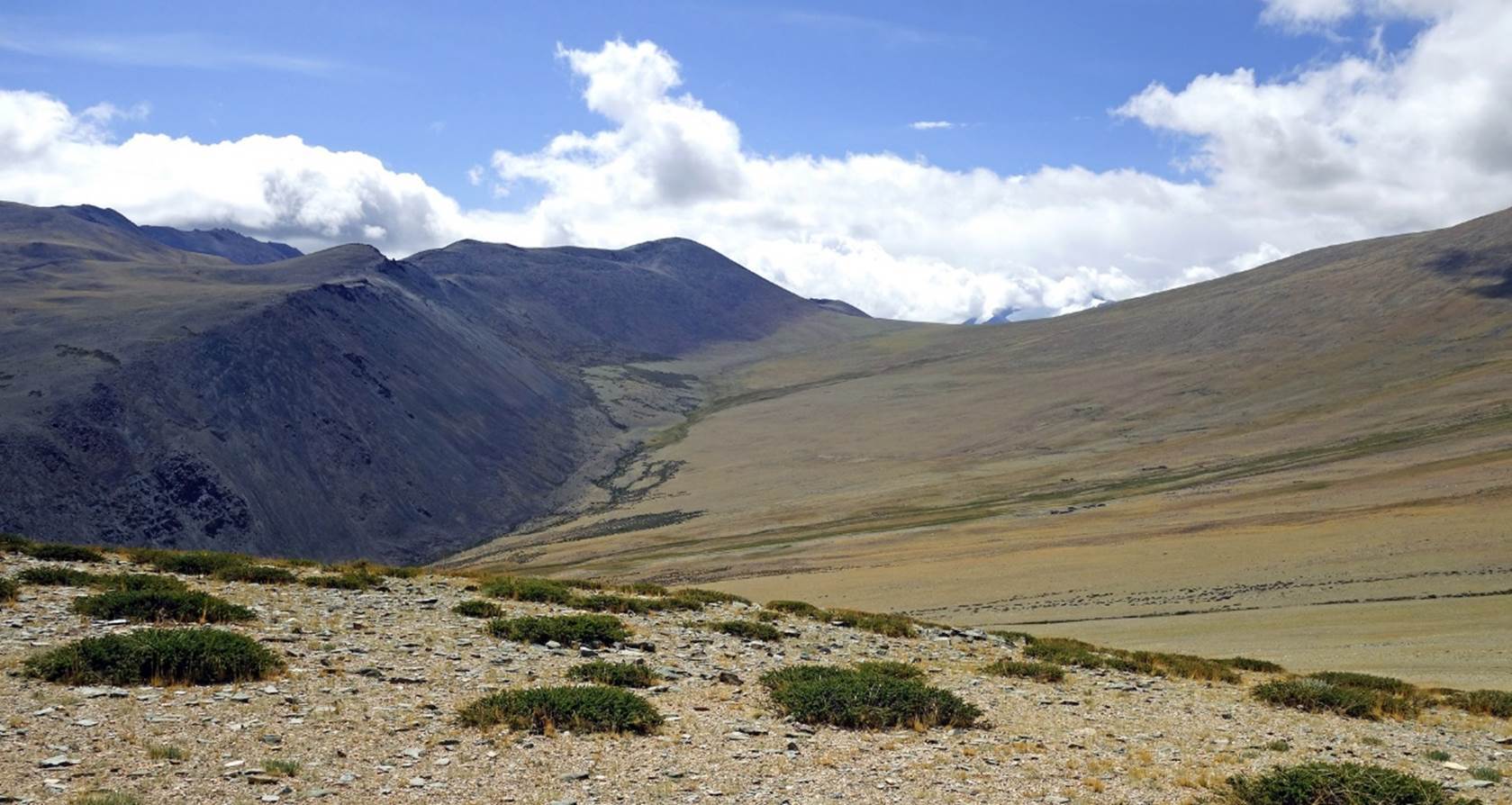
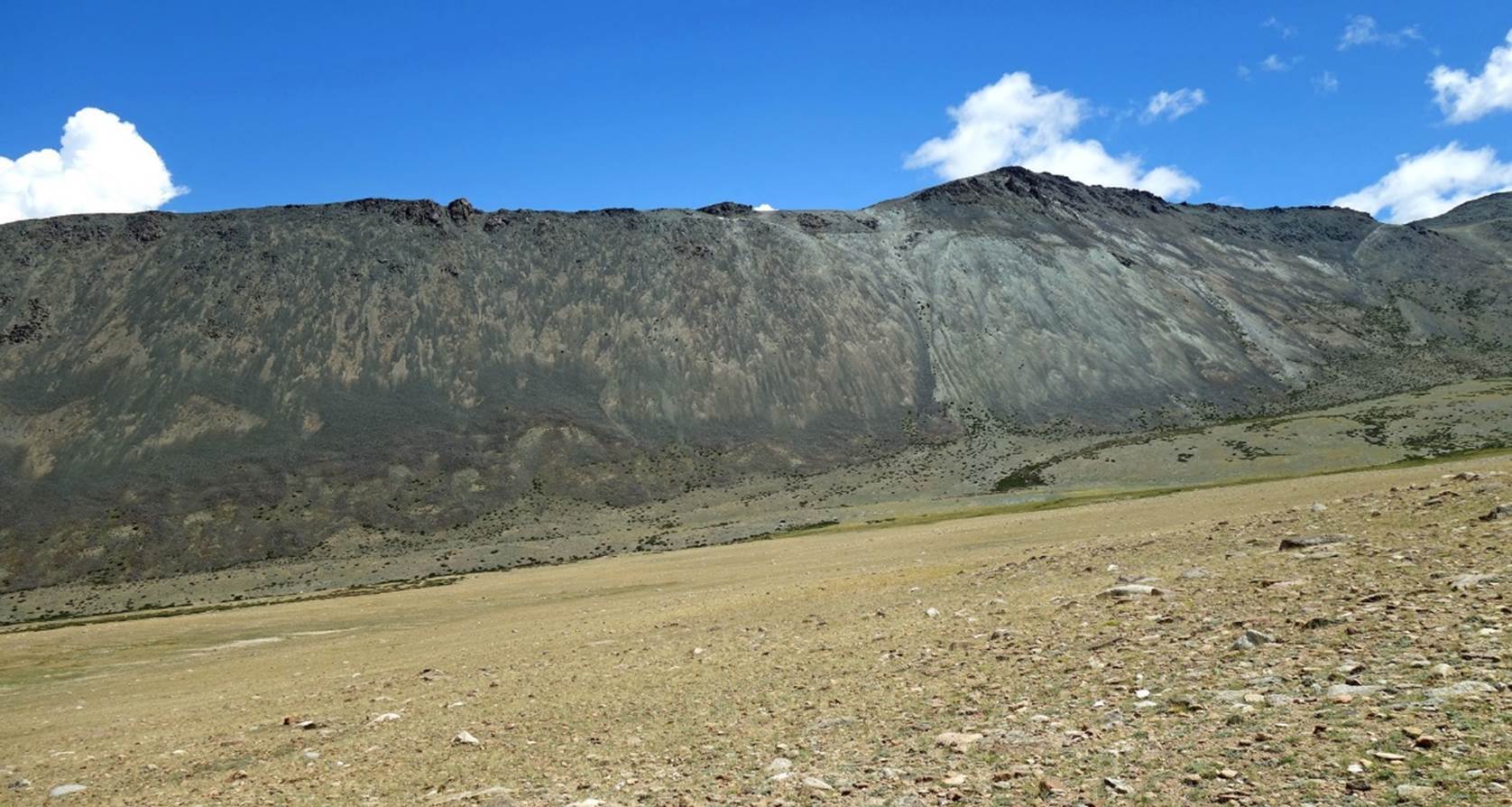
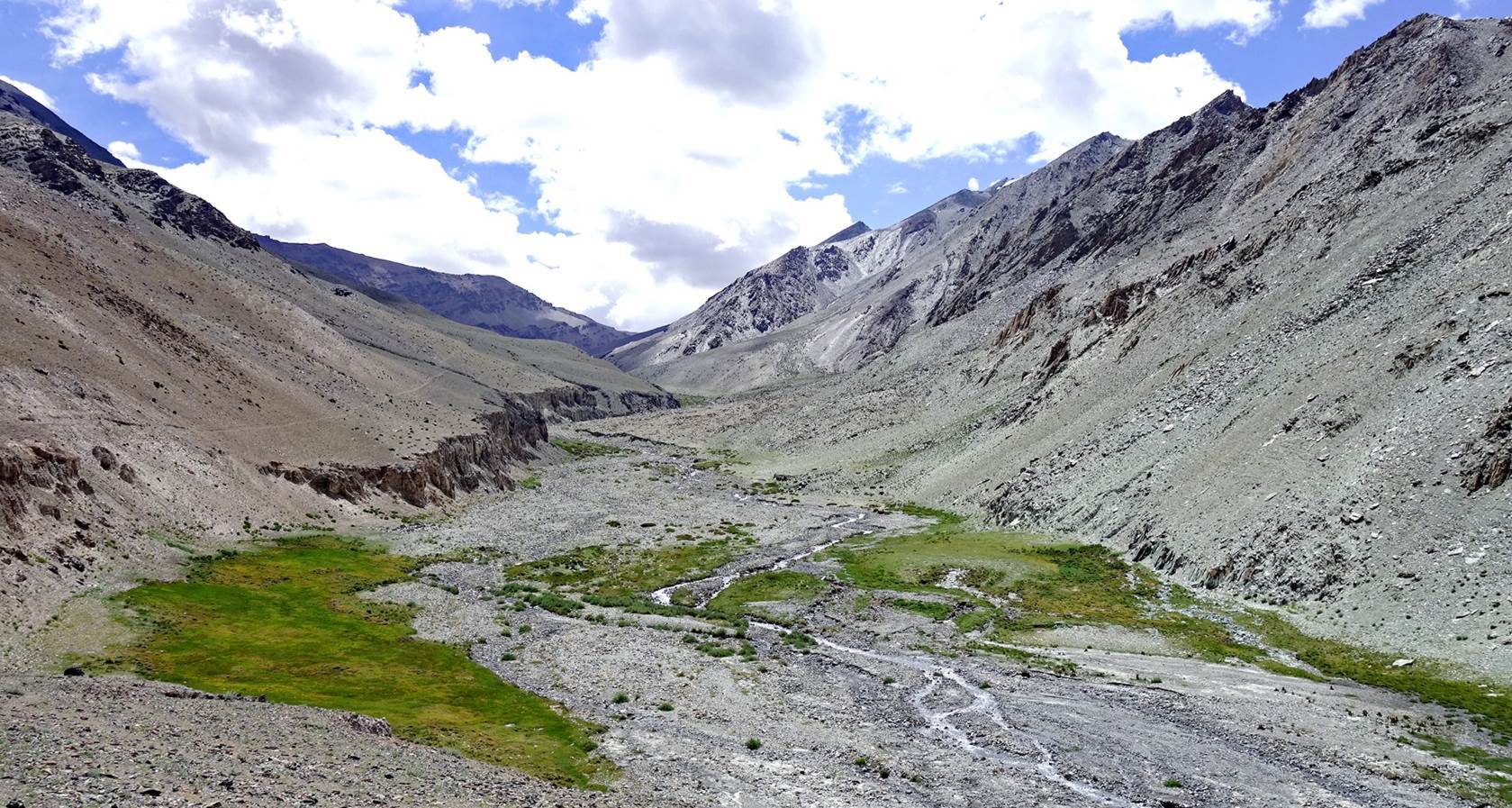
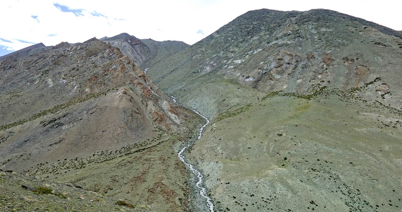
Long valley leading to Zildal La. Our route will pass by sheepfolds that are
barely visible halfway up the hillside to the right of the first photo below.
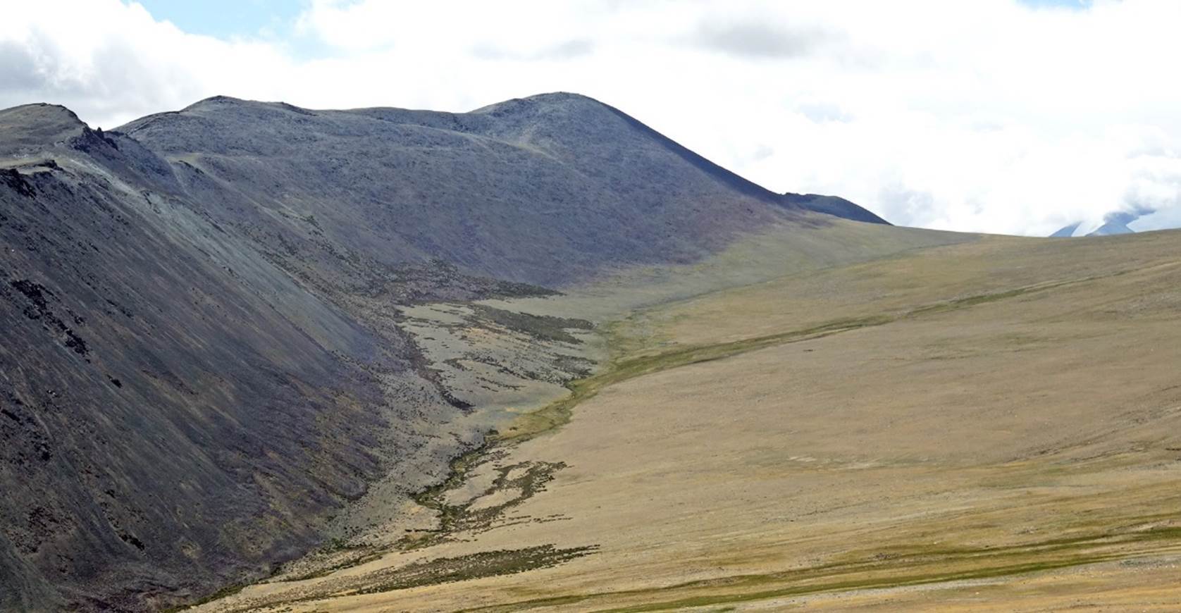
Sheepfolds along the way.
Further up toward Zildal La.
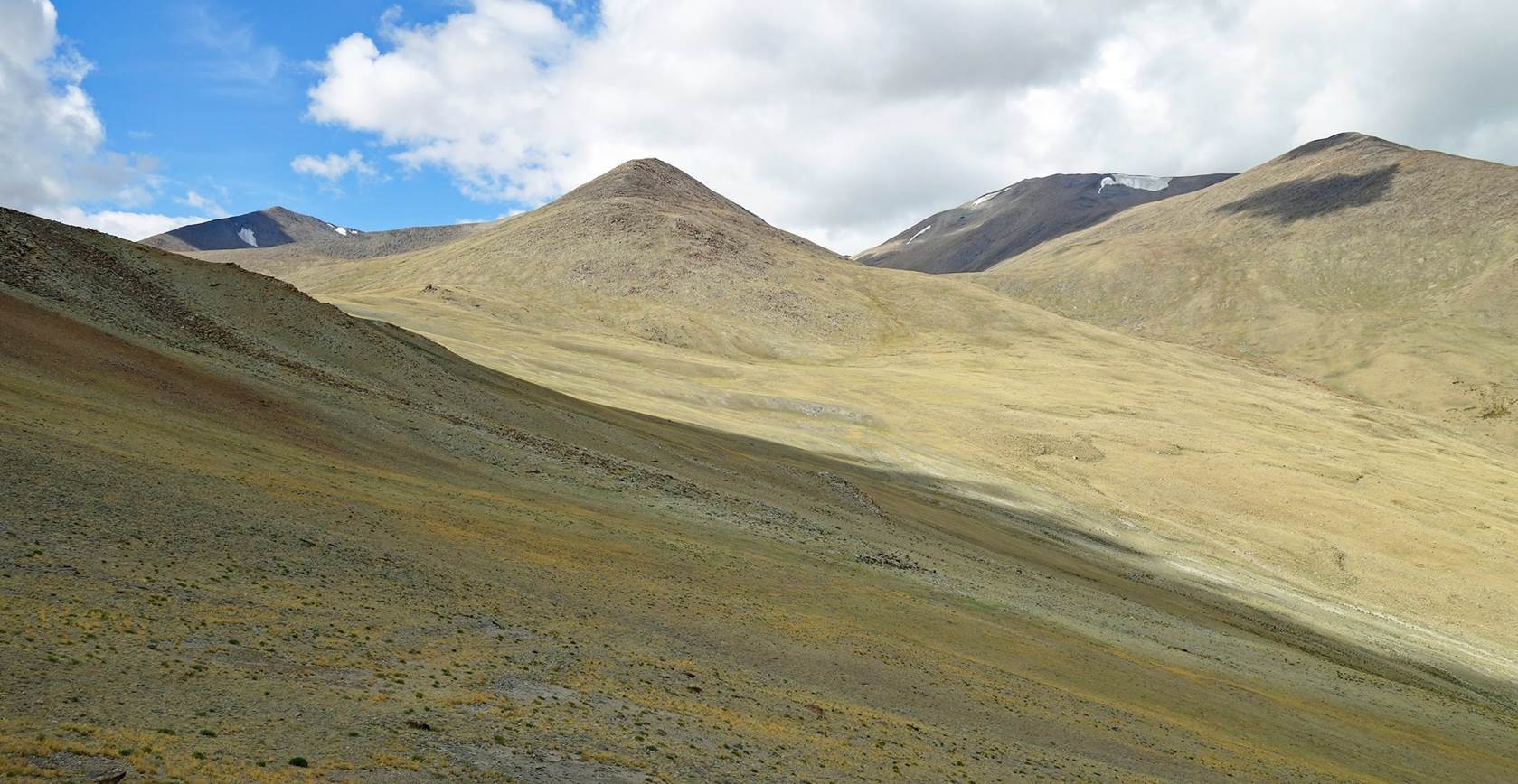
At Zildal La:
- Looking back toward the
valley.
- Looking in the direction of
Puga Sumdo.
Nurboo begins the descent from
the pass.
During the descent we were soon
caught in a heavy rain shower, with a litte sleet. Partial sunshine came back
after we set our camp a short distance above the village of Puga. The two
photos below show views from our camp, with ever-changing clouds.
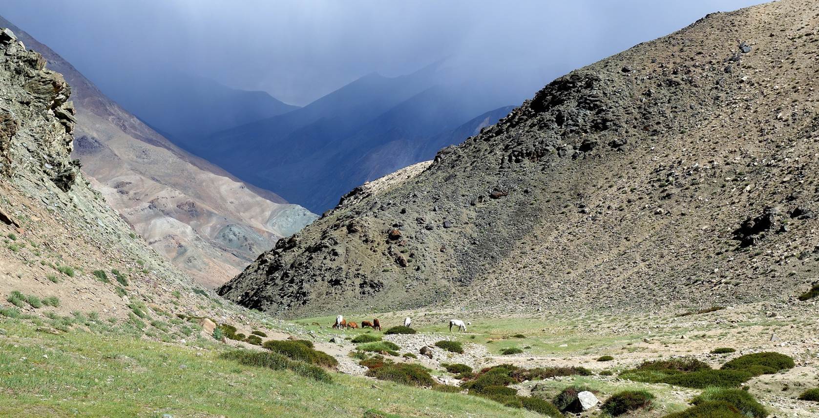
Day 3 of trek: Puga Sumdo to Rebel La ″base camp″
Yet another
view from our camp, in the early morning.
Mani walls on
slopes above the village of Puga. They seem to have been built to protect the
village.
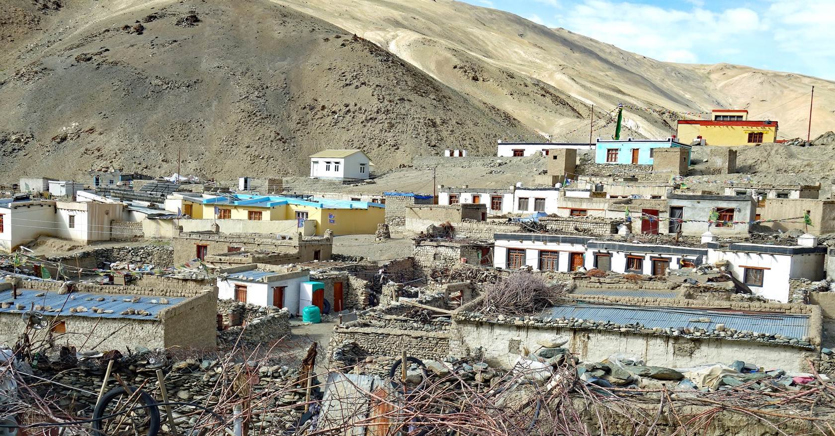
Village of
Puga, inhabited by Changpa people. (Some of the
newest houses have been provided by the Indian government.)

More
traditional houses on the other side of the river at the beginning of the trail
ascending Rebel La (named Sumdo La in the Olizane map).
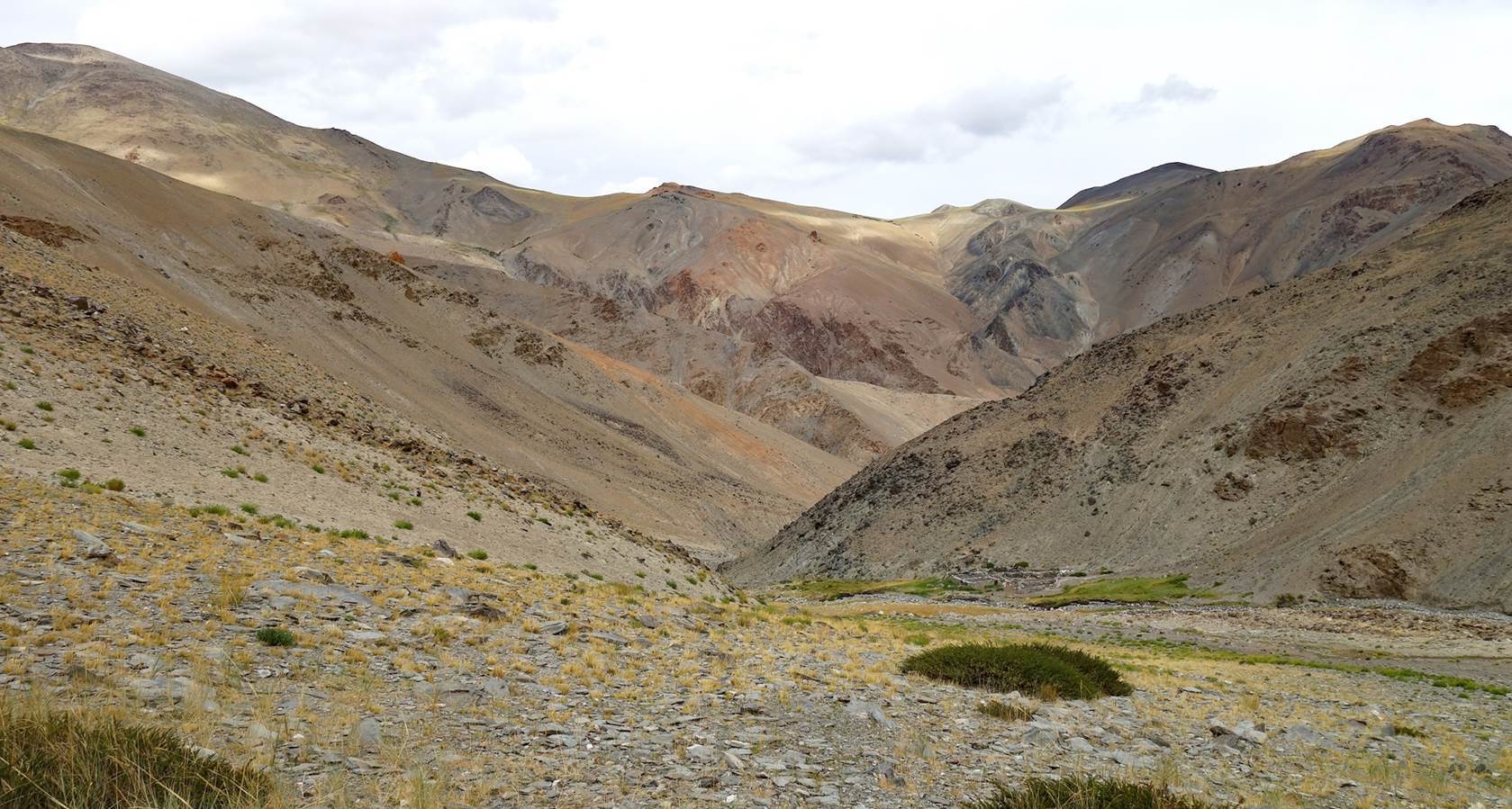
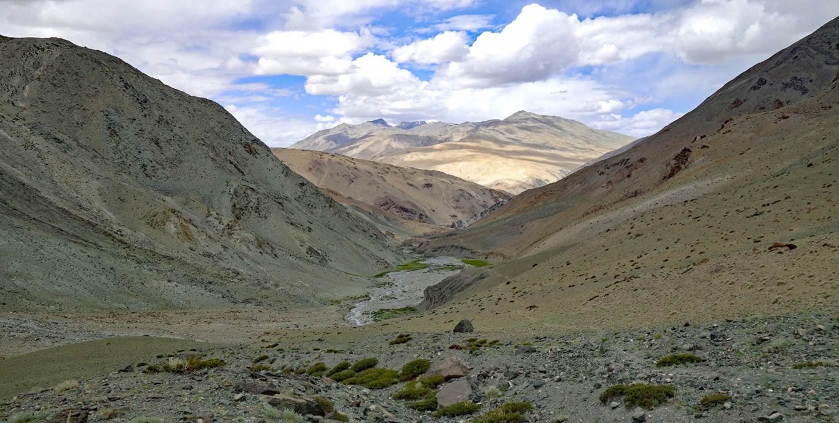
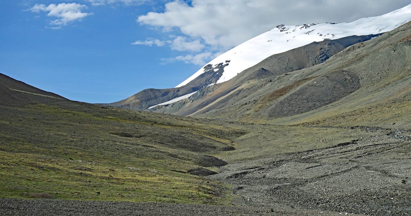
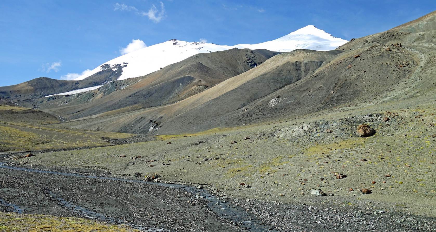
Successive
views along the ascending trail.
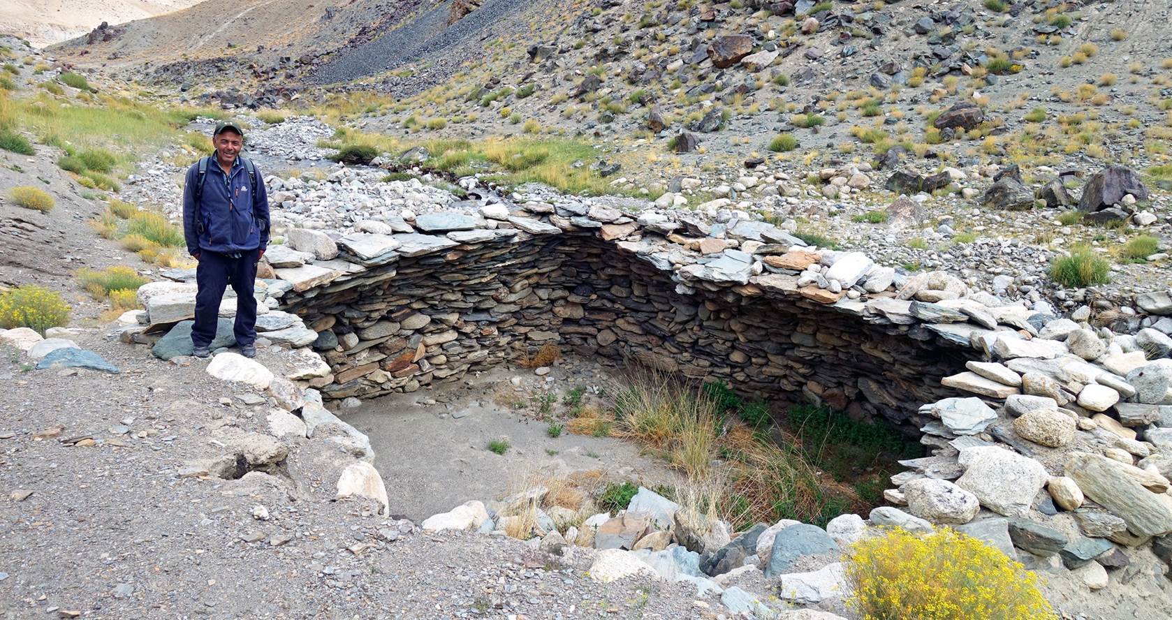
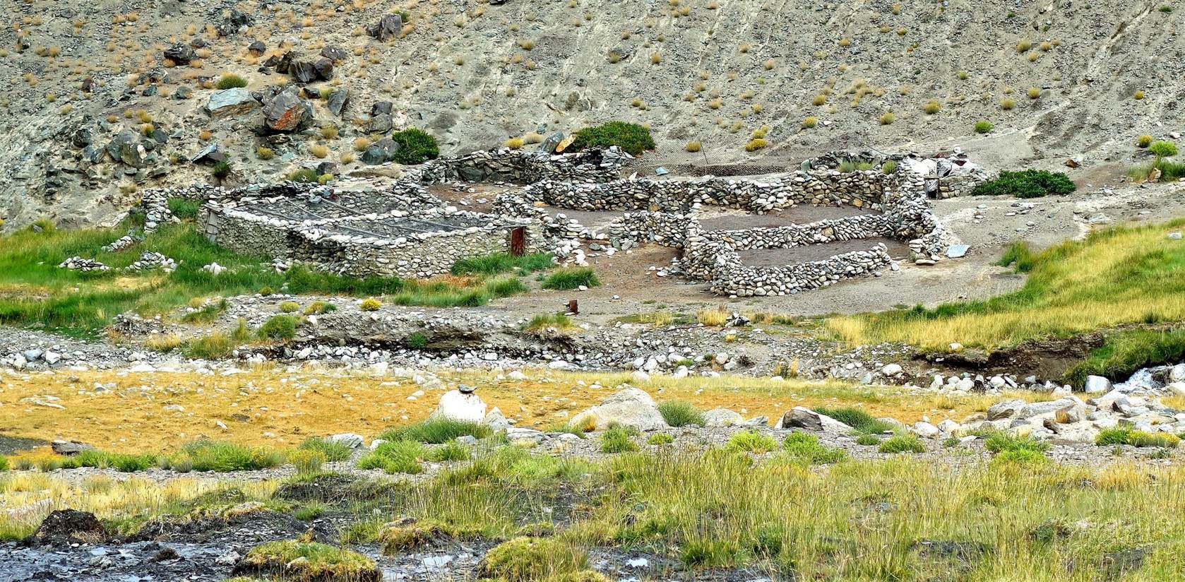
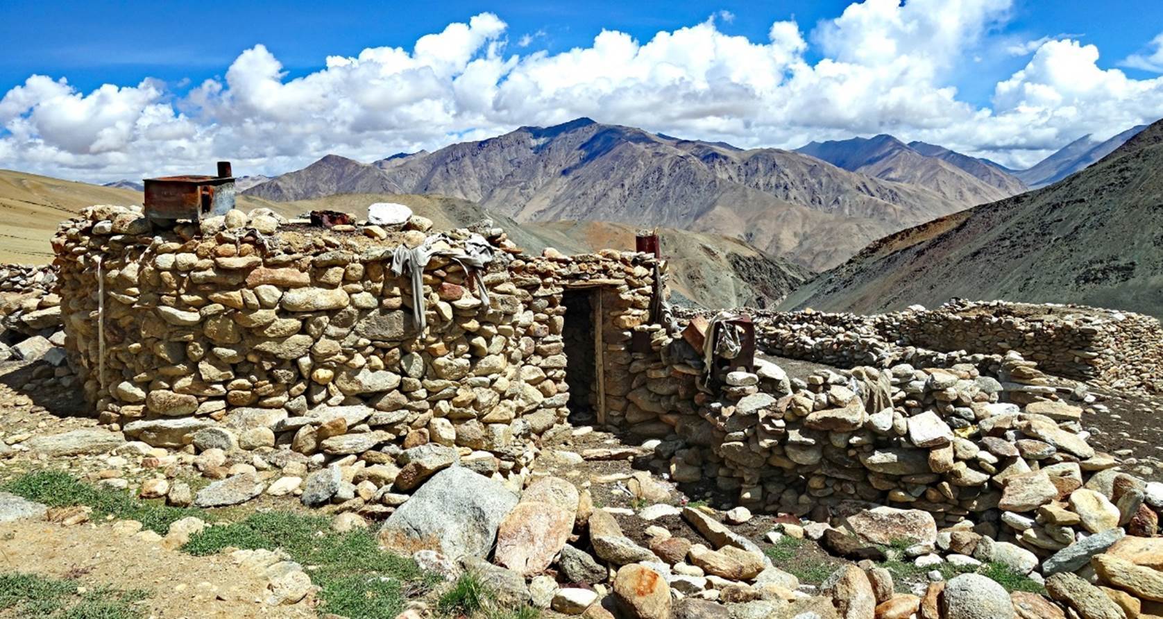
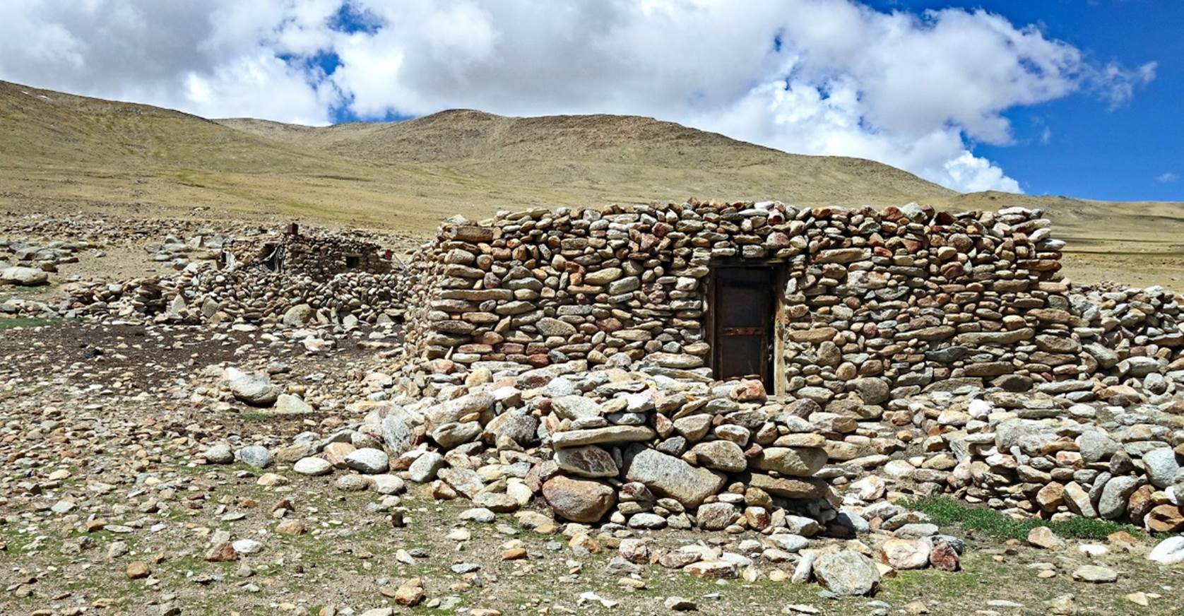
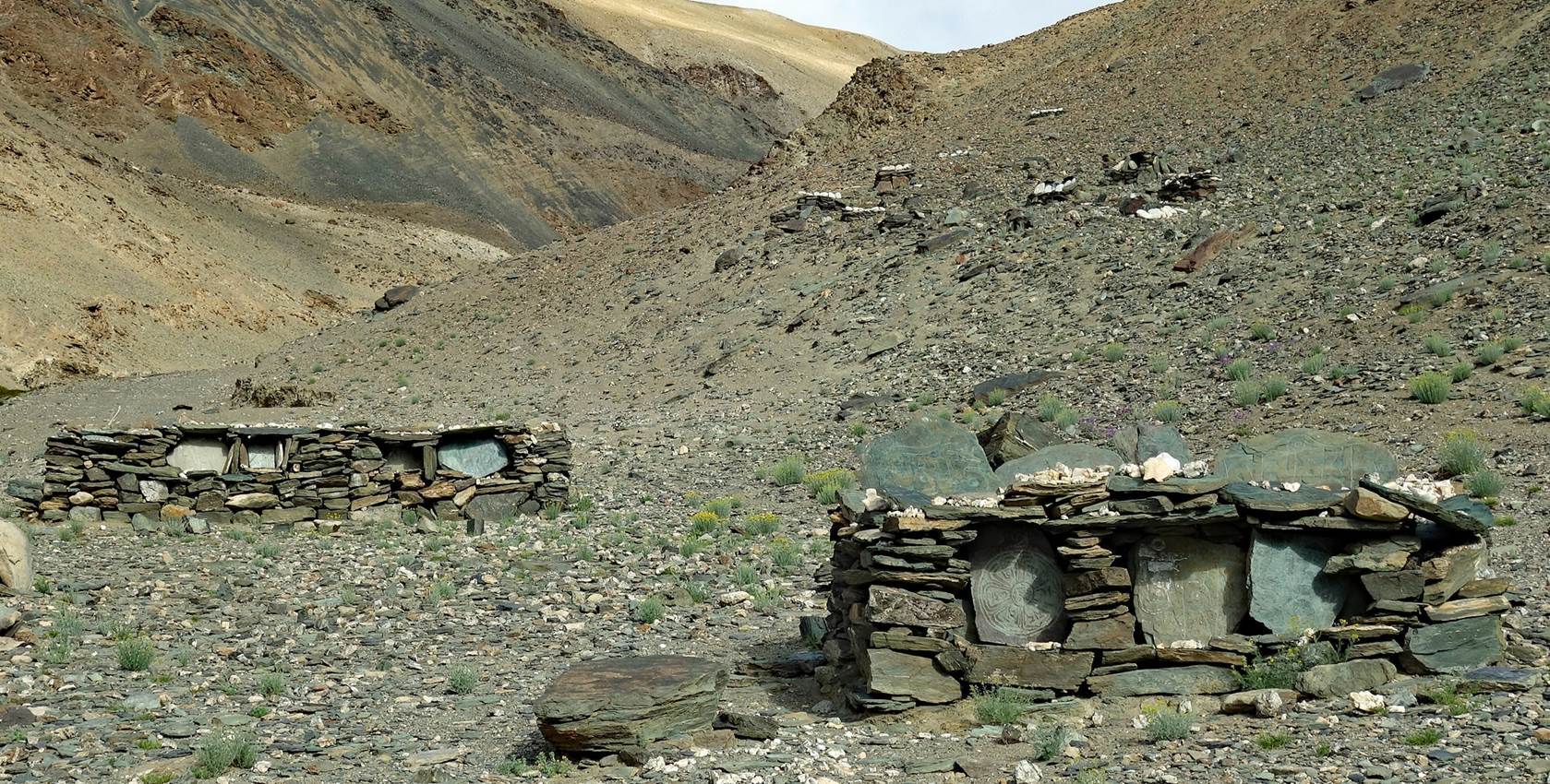
Sheep folds
built with stones and dry dung ″cakes″.

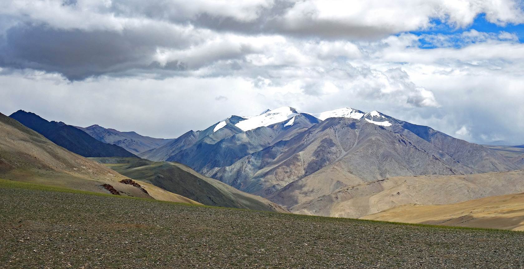
Day 4 of trek: Rebel La ″base
camp″ to Nyima Gompa, across Rebel La (5730m)
Early
morning at our camp below Rebel La, well above 5000m.
Start of
the final push toward Rebel La from the camp.
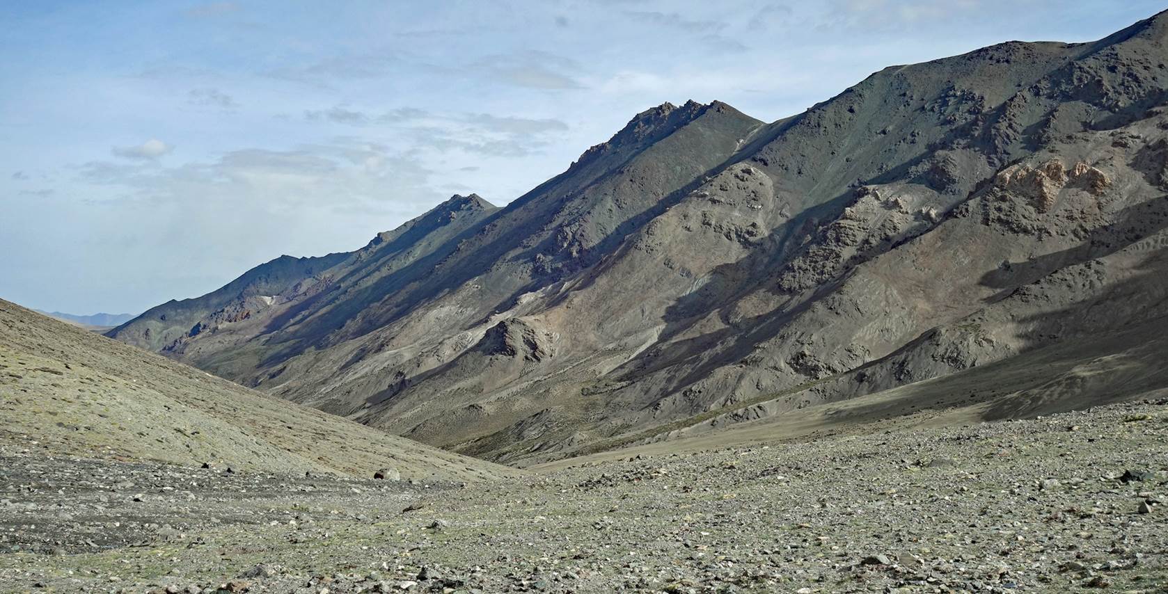
Successive views
before reaching the pass.

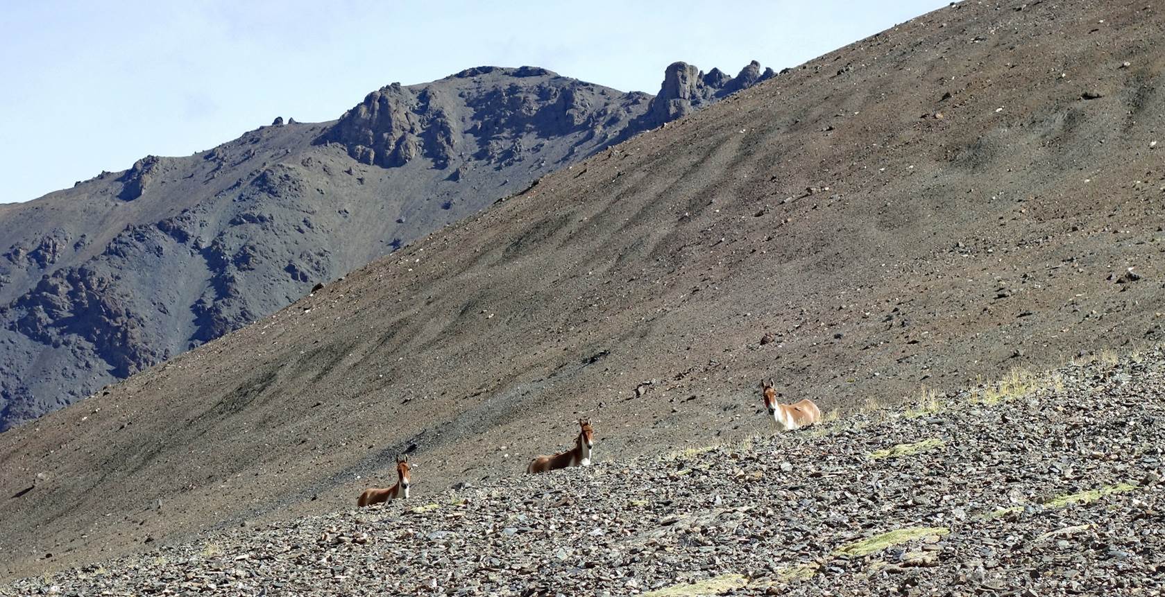
[Curious,
but careful, kiangs (wild Tibetan asses) seen along the way.]
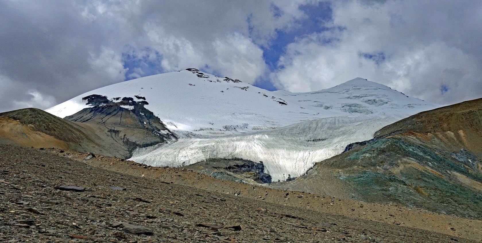
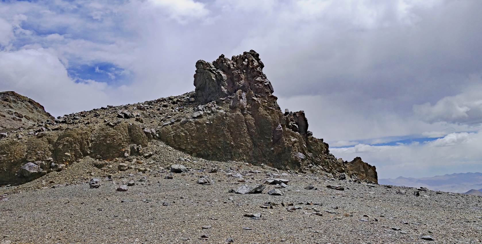
Rock
formation at Rebel La.
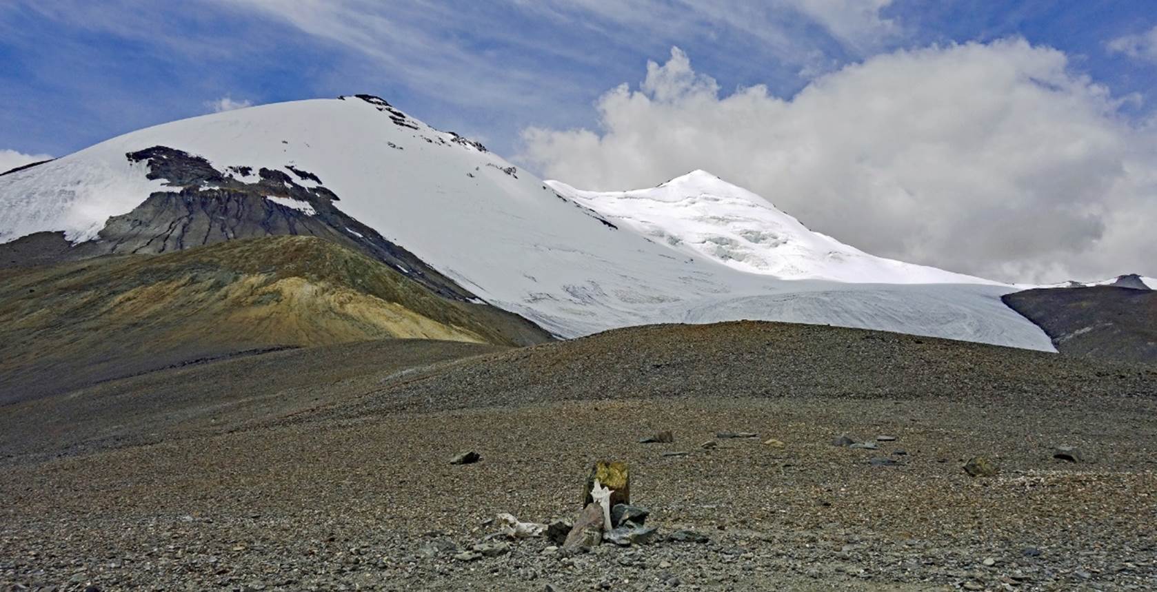
Views of
Rebel La.
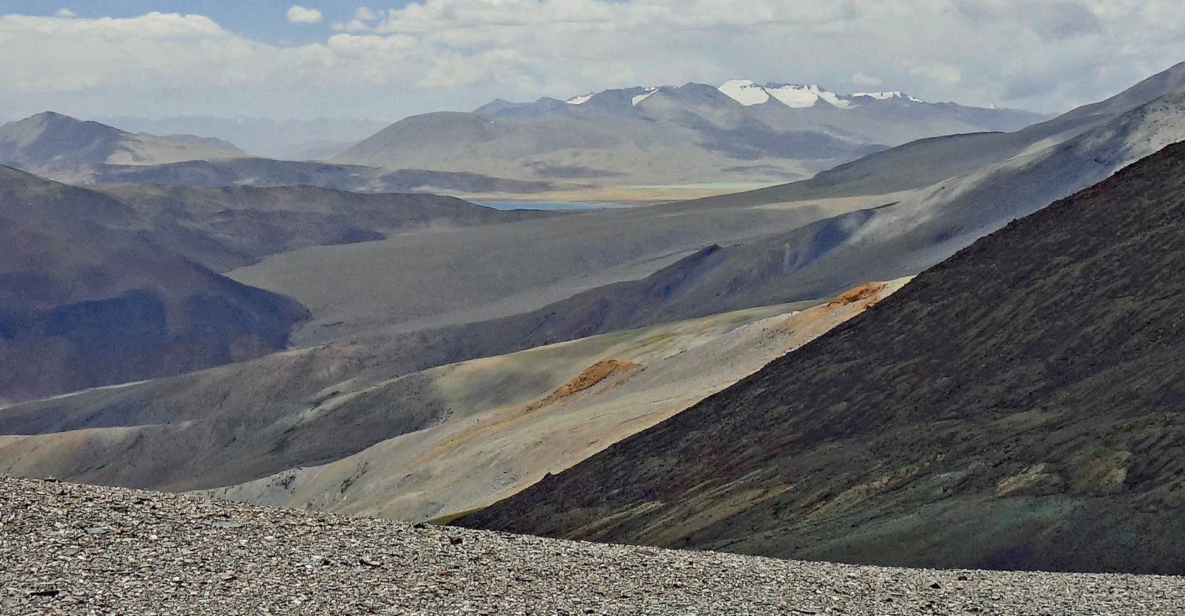
Looking
forward (toward the south) from Rebel La, with the first (northernmost) of the
two Kyun Tso (lakes) visible at the center of the photo.
Close-up
centered on the lake.
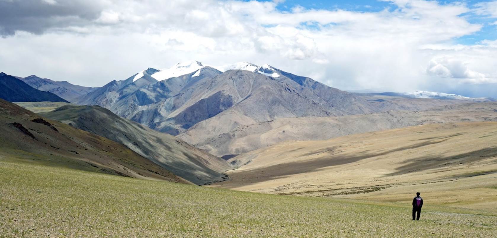
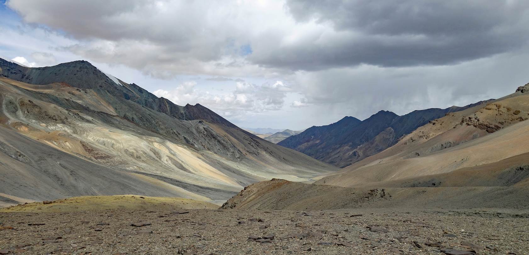
Stanzin and Nurboo begin their descent from Rebel La.
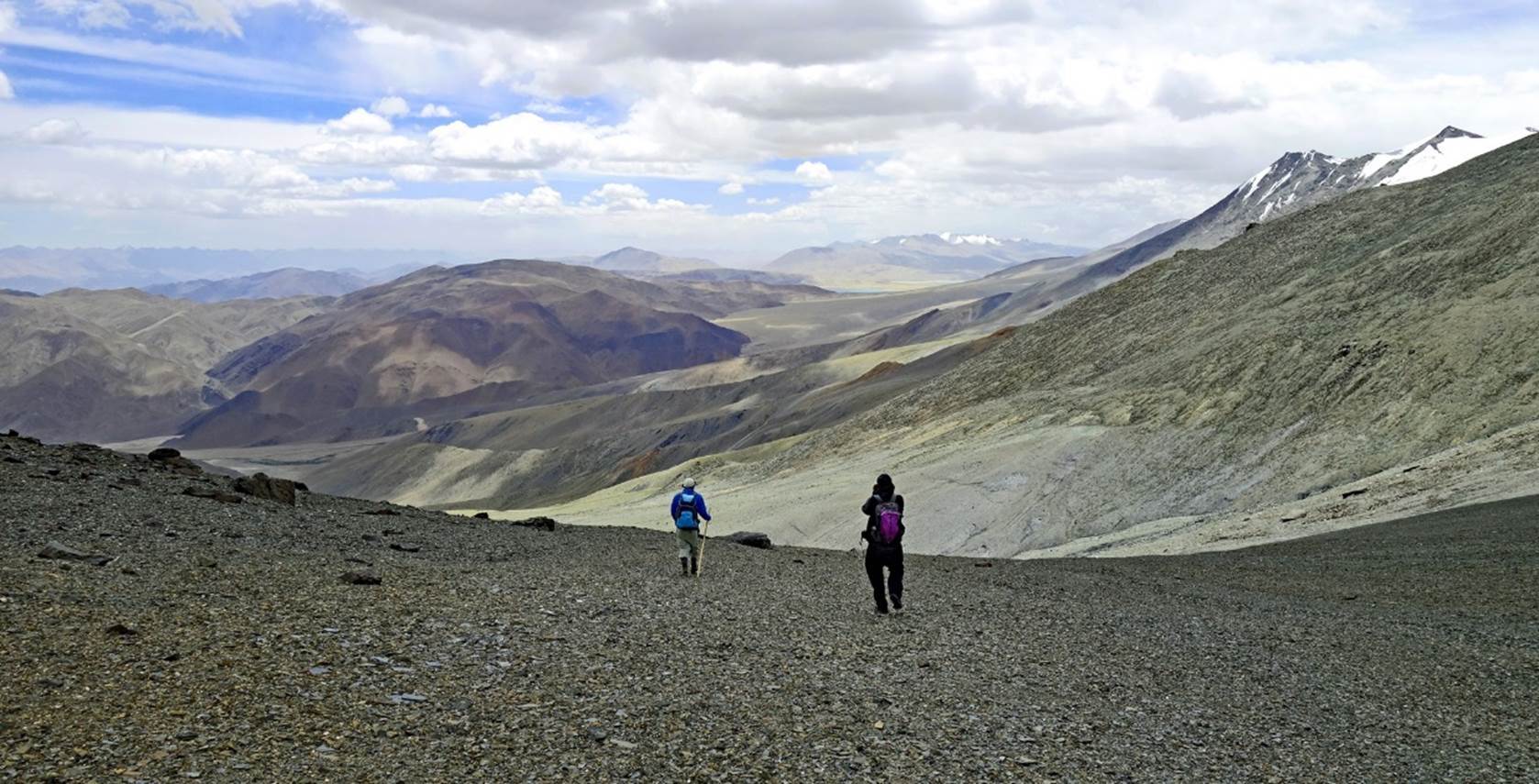
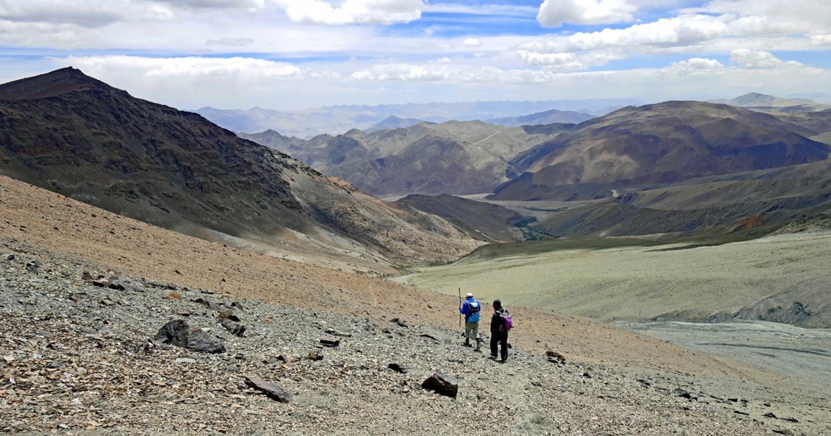
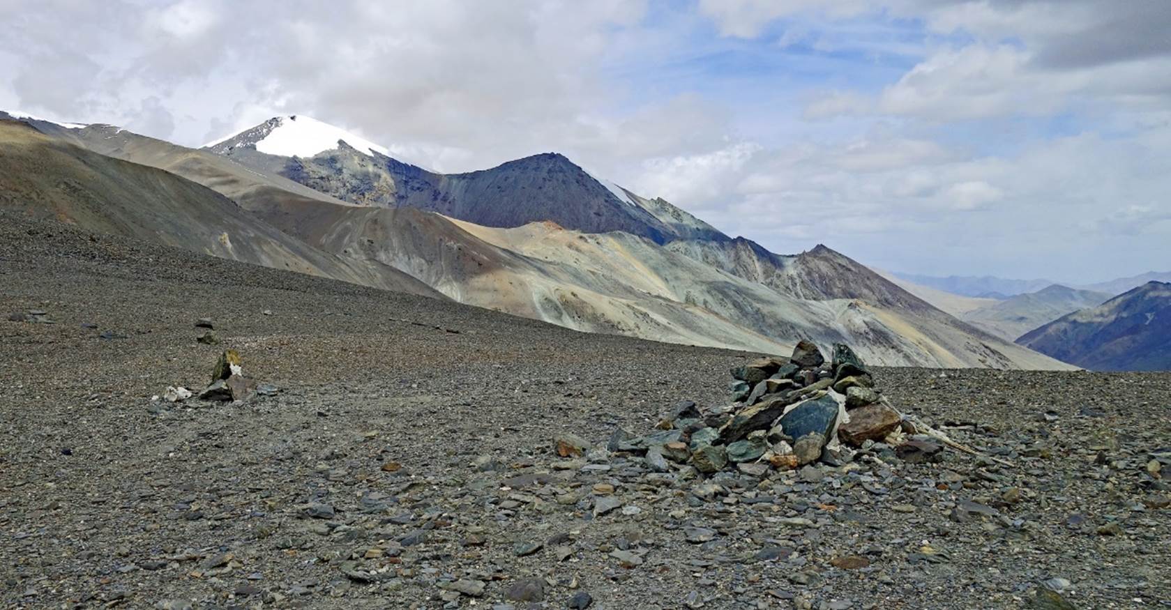
Views
during the descent.
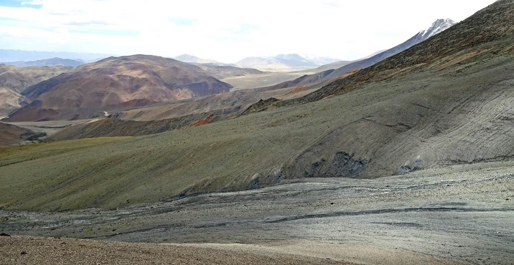

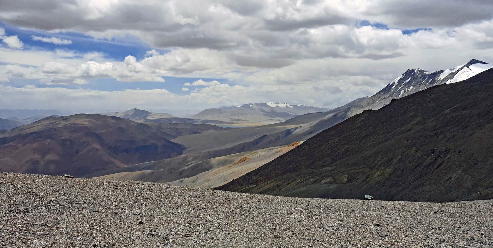
[Looking back
toward Rebel La. The pass, which is hidden by a hump in this photo, is located immediately
to the left of the distinctive rock formation.]
[View
toward the east from the last ridge before reaching our camp site.]
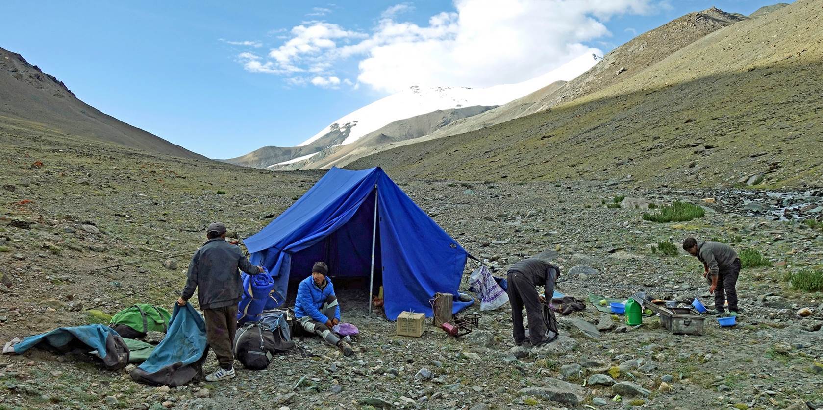
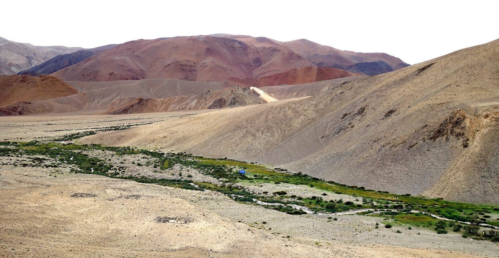
Our camp
near Niyama Gompa. The big blue tent had already been set up by Tundup and Tse-Wong. The small
gompa is barely visible (in white) on the left of the photo. Nurboo and I will stop by it on the next morning.
|
|
Return to main
India 2024 travel page | Return to my
mountaineering/trekking/travel webpage