Trek from Kidmang
to Kiangdam, Changtang
region, Ladakh, India (August 2024)
Part 2/2: Nyima Gompa to Kiangdam
|
|
Return to main
India 2024 travel page | Return to my
mountaineering/trekking/travel webpage
Map and GPS waypoints:
|
|
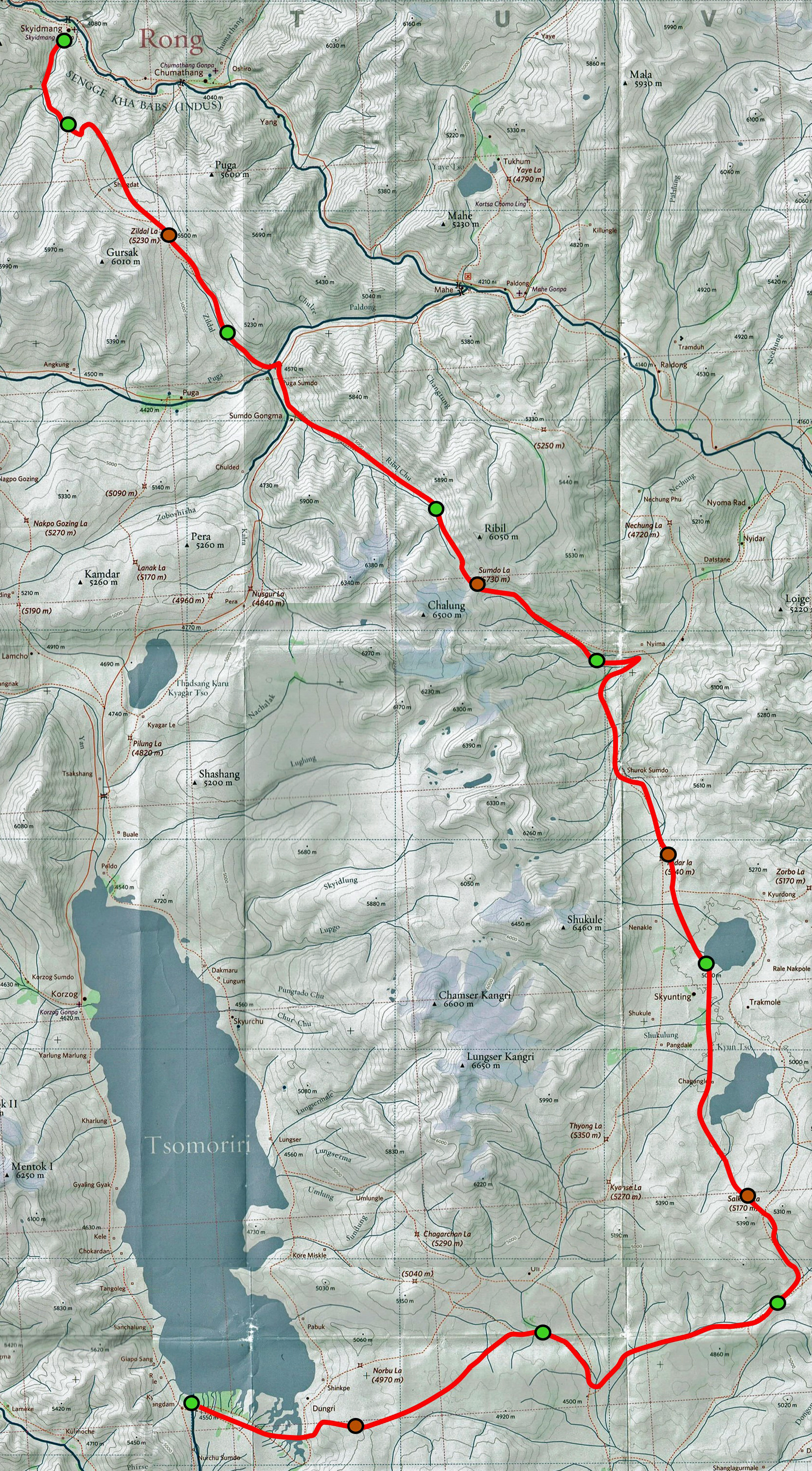
Left: Red-line route of the trek drawn on a portion of the 1:150,000
South Ladakh & Zanskar map, Editions Olizane,
Switzerland. (Click on this map to see a larger version of it in a different
window). The green dots mark the locations of our successive campsites; the
brown dots mark the locations of the five successive passes. The red-line route is based on GPS waypoints I recorded during the
trek. To access these waypoints, click here download
the ladakh-2024.kmz file, and open this file in Google Earth. The waypoints
with green icons are night camp locations and those with brown icons are the
locations the passes crossed during the trek. The remaining waypoints, all
with yellow icons, are intermediate locations. |
Day 5 of trek: Nyima Gompa to northern Kyun Tso, across Nidar
La (5140m)
Note: On days
5 and 6 of the trek, we passed two lakes. I do not know their exact names, so I
use the name Kyun Tso (″tso″ means lake) shown
on the Olizane map and call them northern Kyun Tso
and southern Kuyn Tso, respectively.
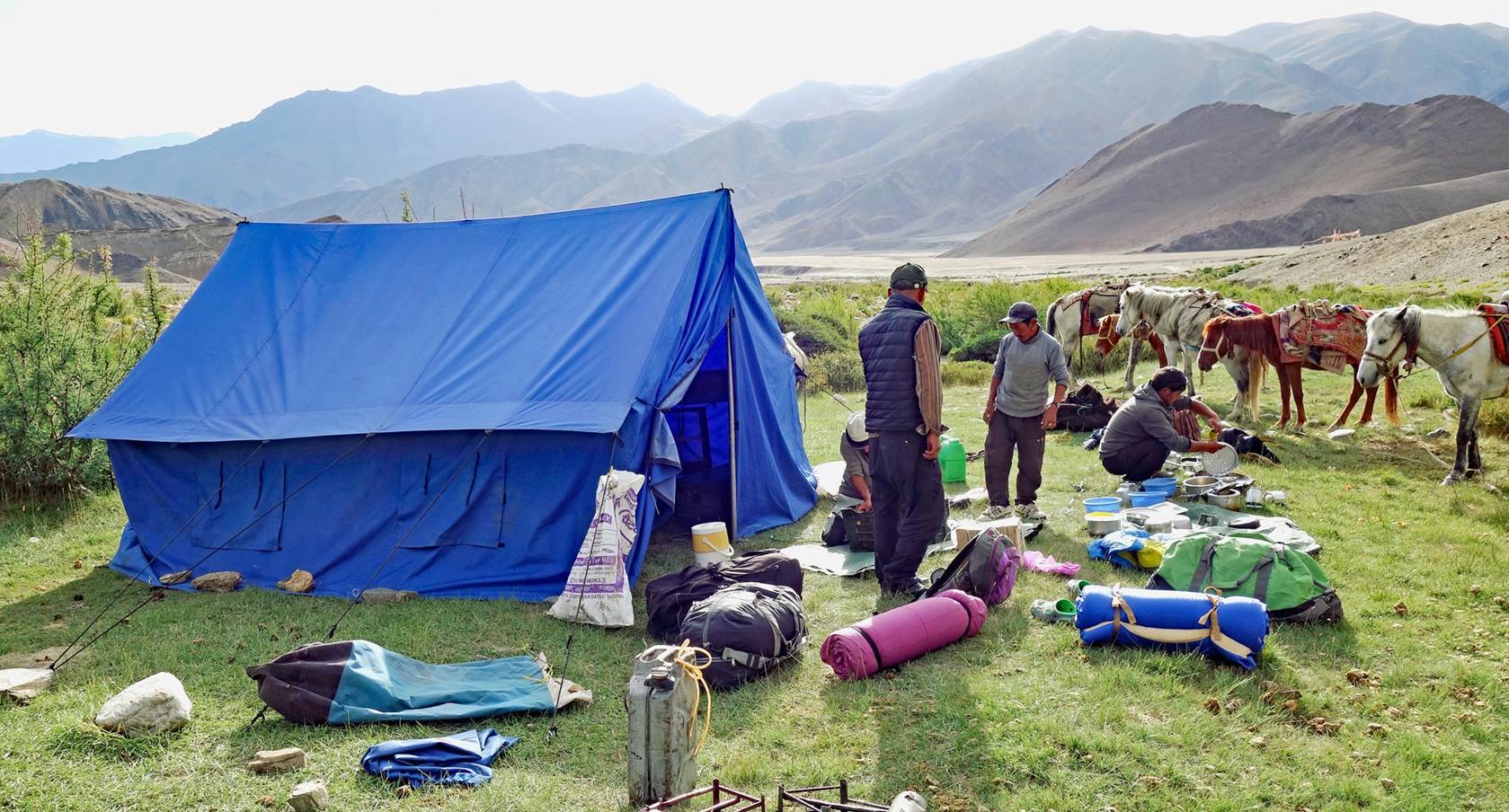
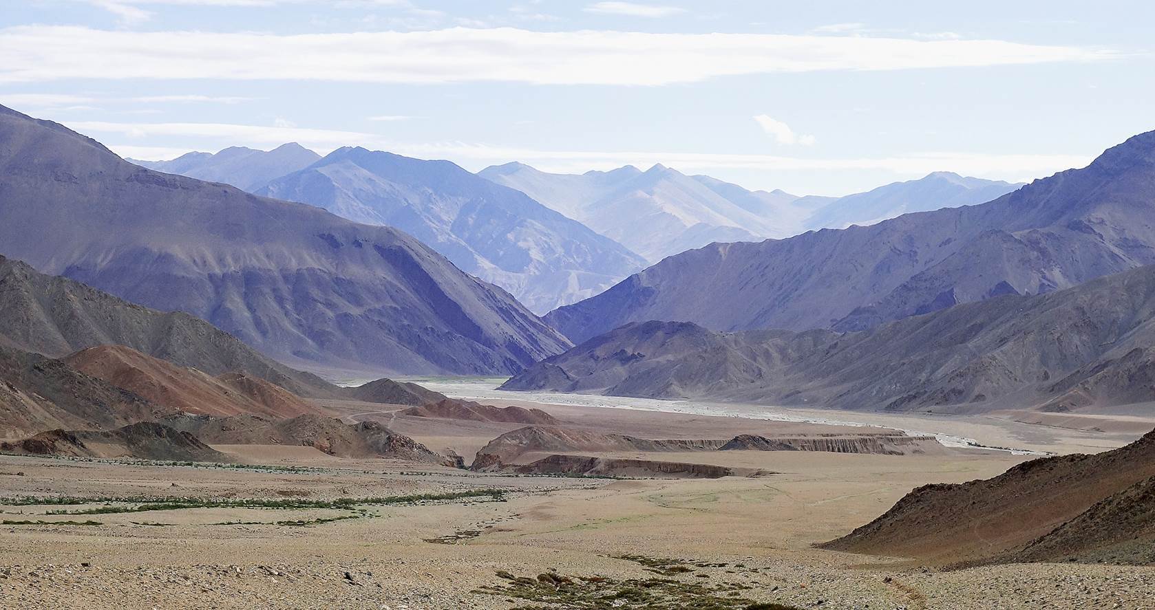
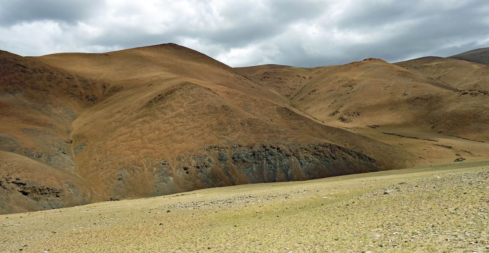
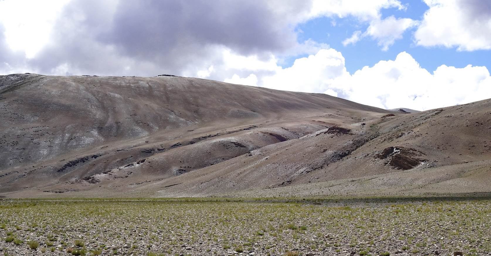
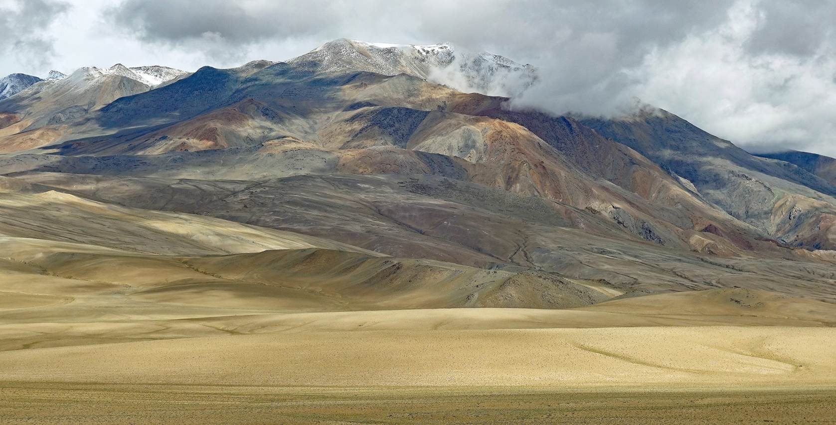
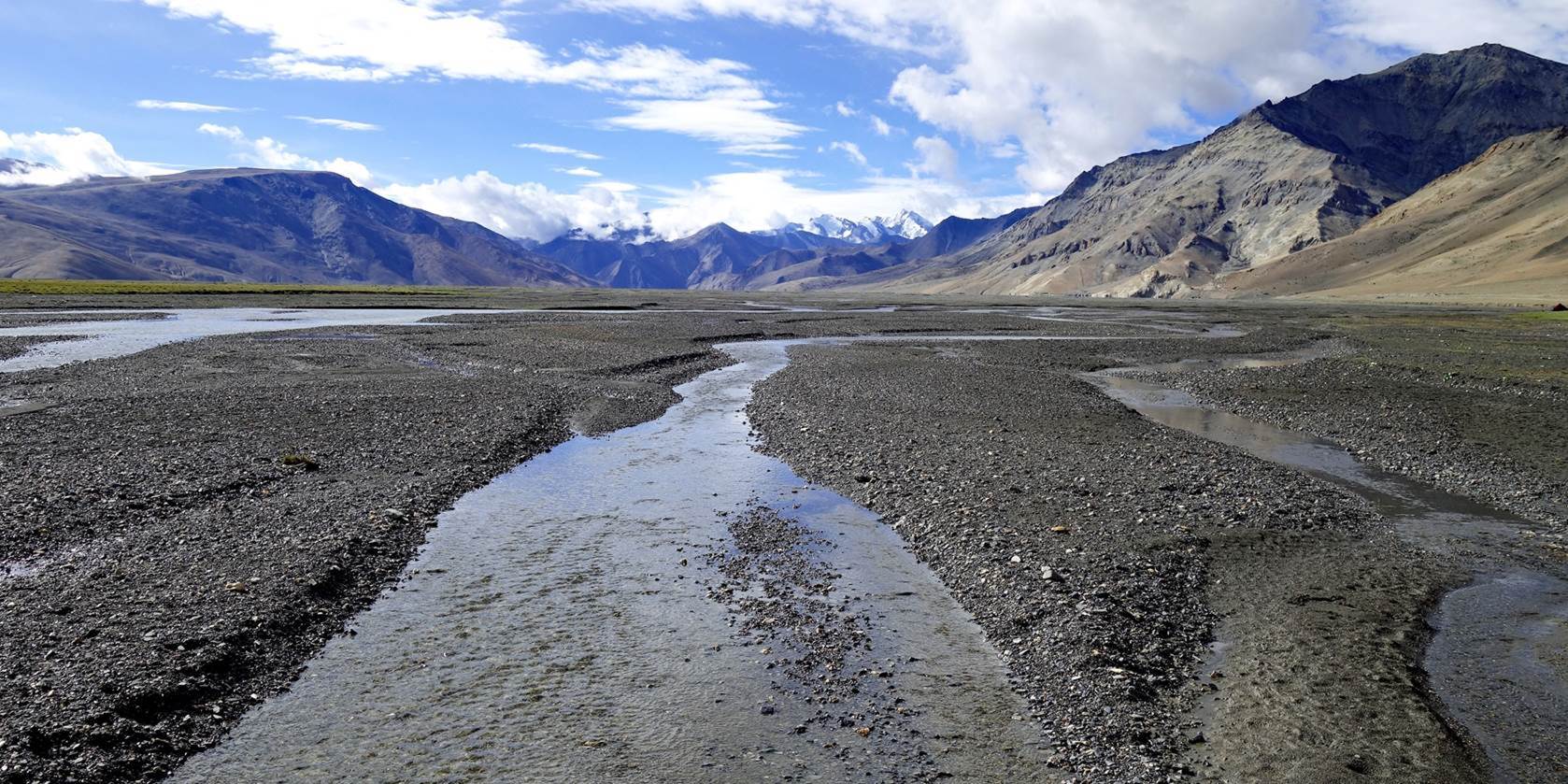
View toward
the north from our camp on a sunny morning.
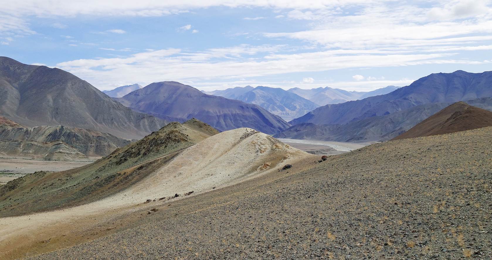
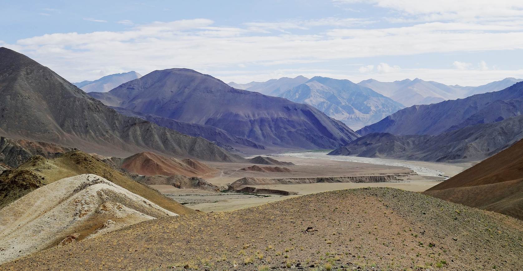
Views of the
camp.
|
|
|
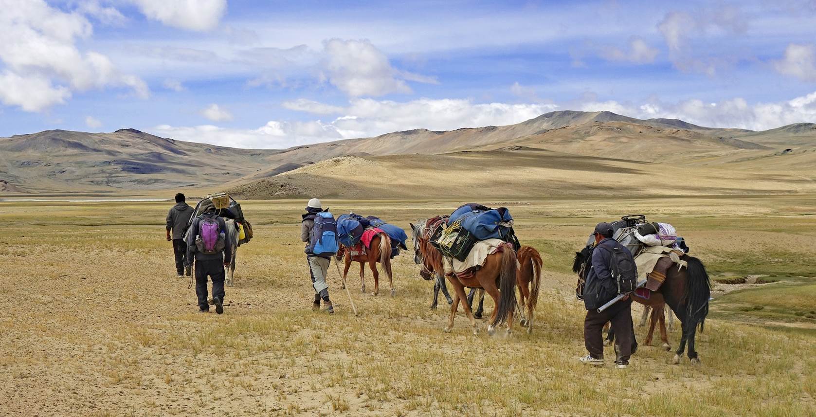
Nurboo and I took
a small detour to stop by the Niyma Gompa near our
camp. View toward our camp as we left the camp toward the gompa.
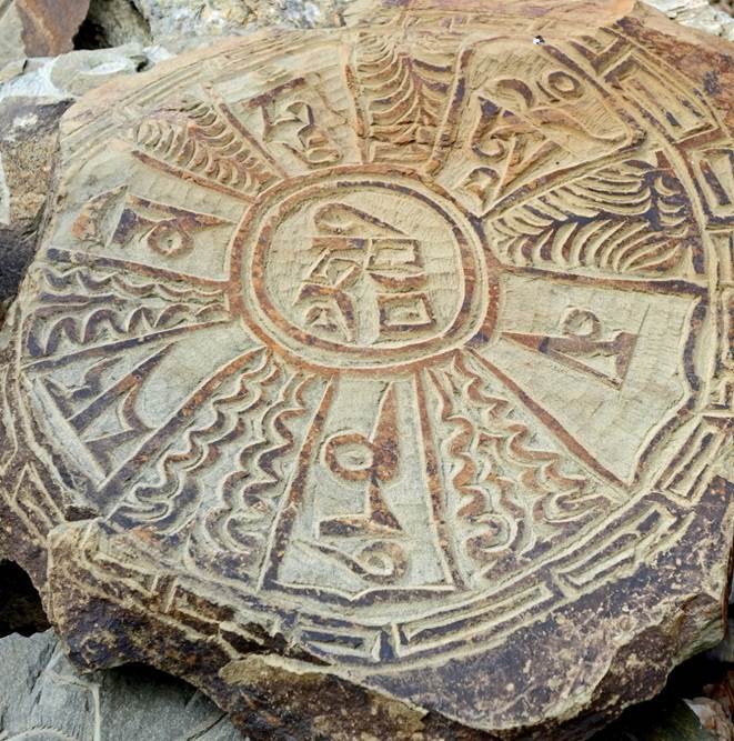
Views of
Nyima Gompa. Despite is remote location, the gompa is not abandoned. Its
structures are well maintained and the prayer room was (unfortunately) locked.

Views toward
the east after leaving the gompa.
Looking back
toward Rebel La, with its distinctive rock formation visible at the center of
the photo.
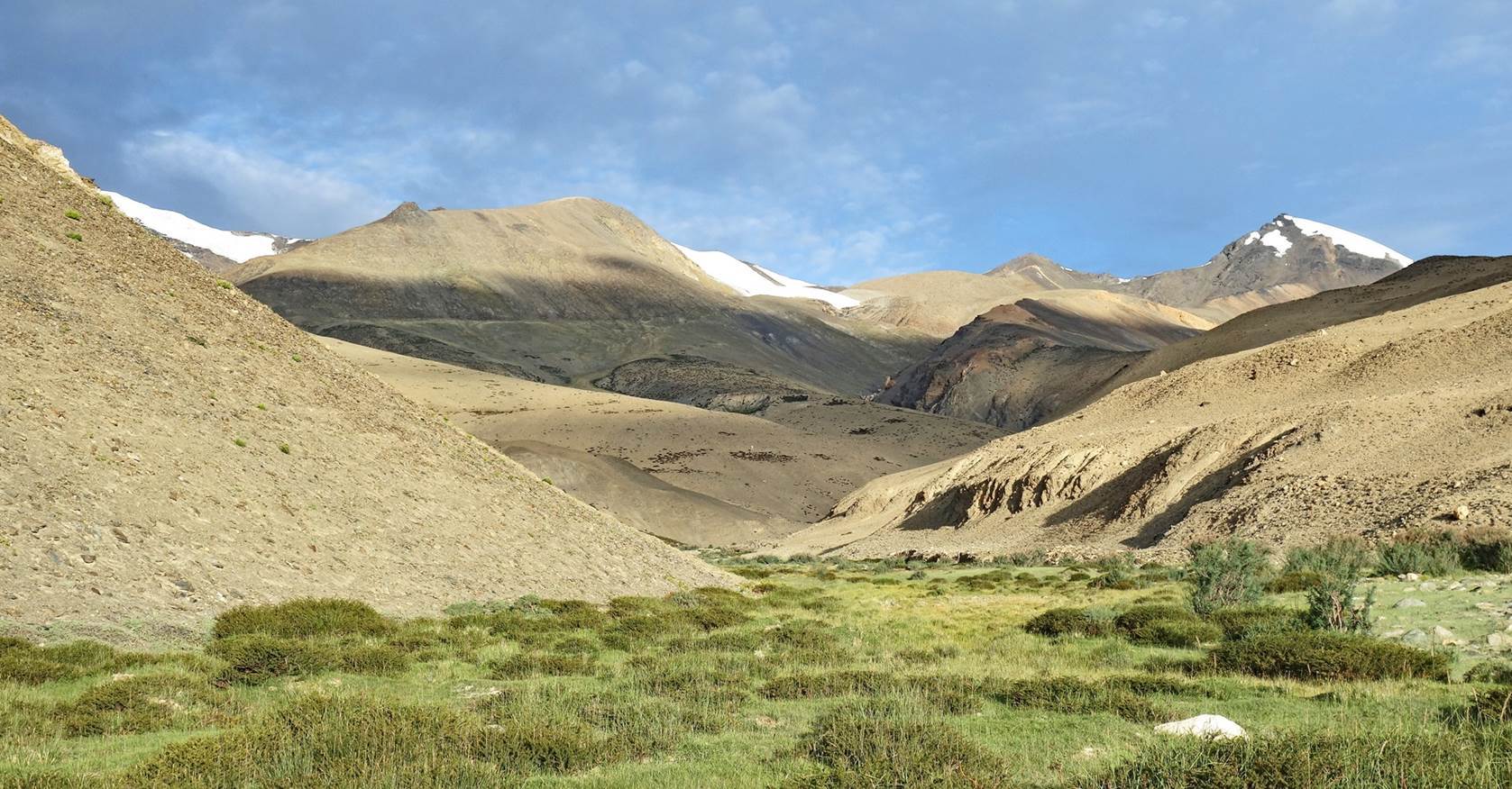
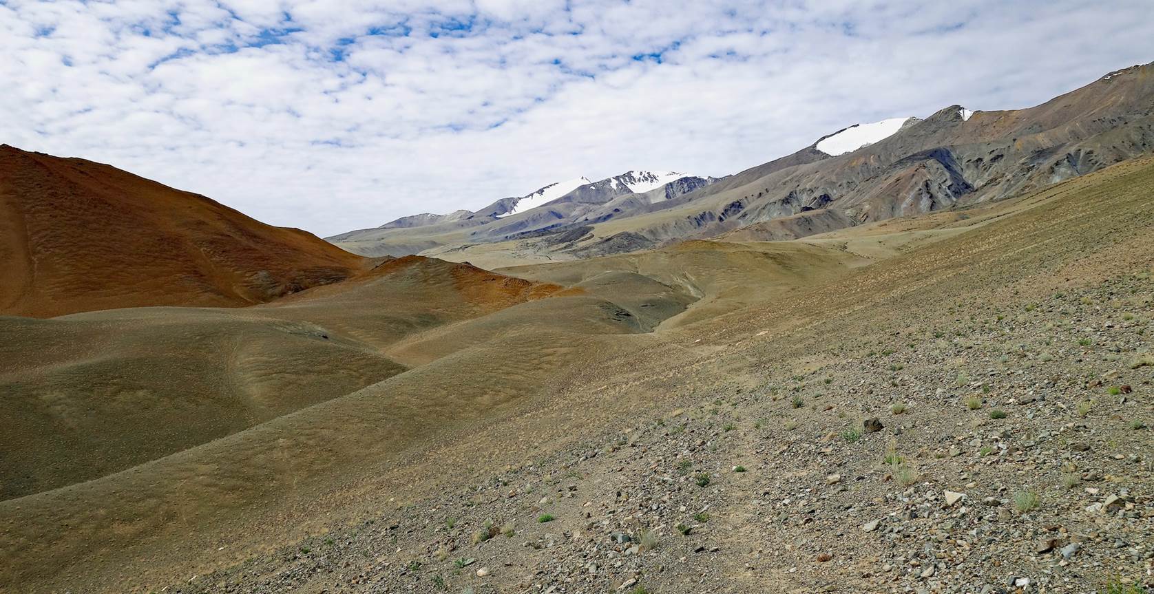
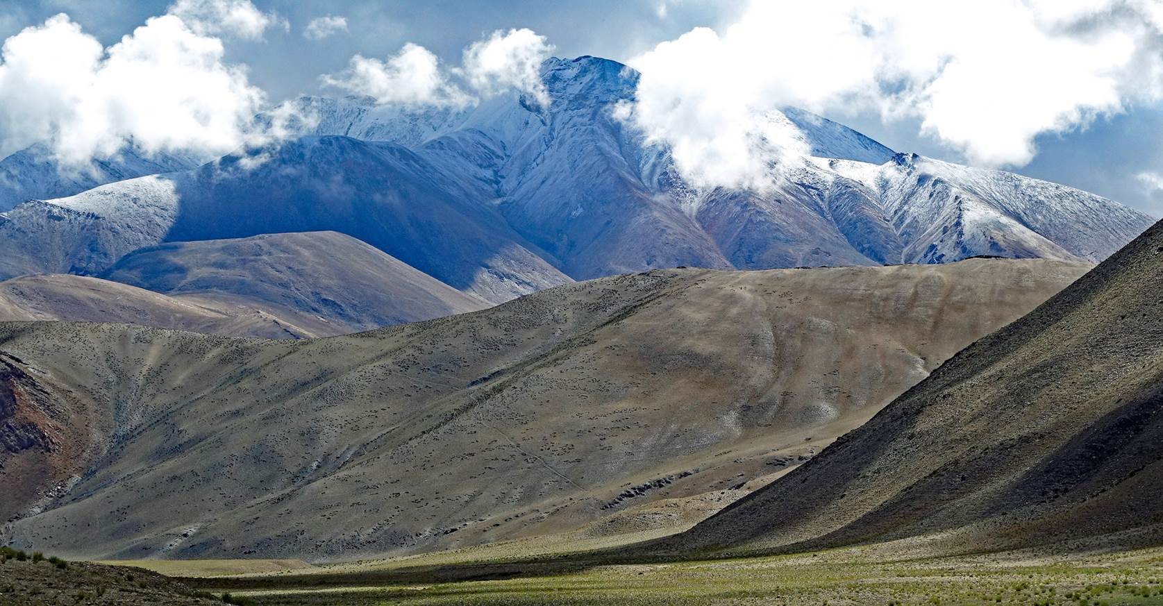
More views
on our way to Nidar La.
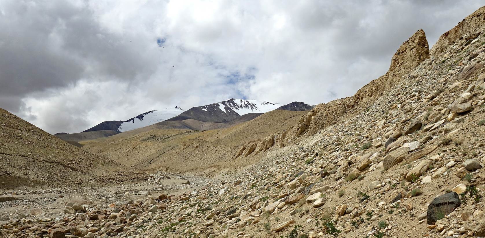
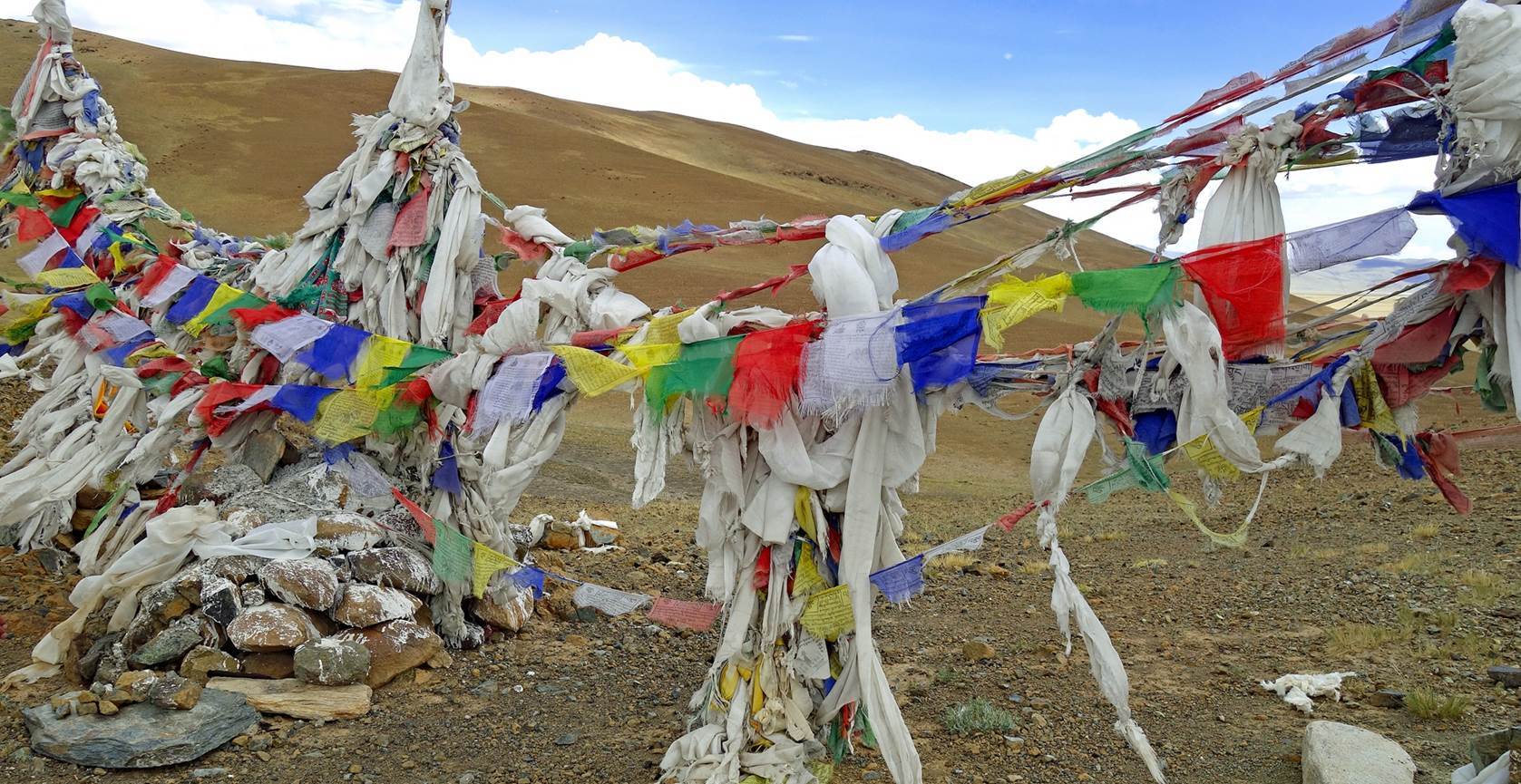
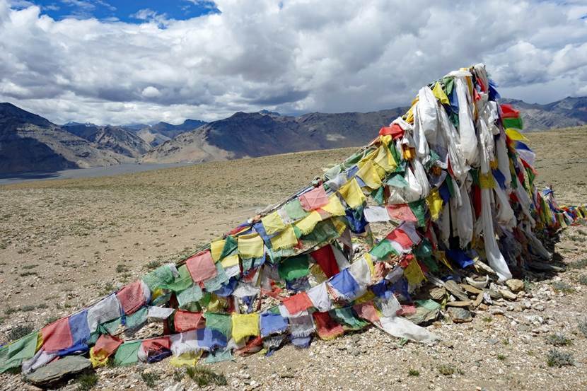
Prayer flags at Nidar La.
Beginning of
the descent from Nidar La.
Getting
closer to northern Kyun Tso.
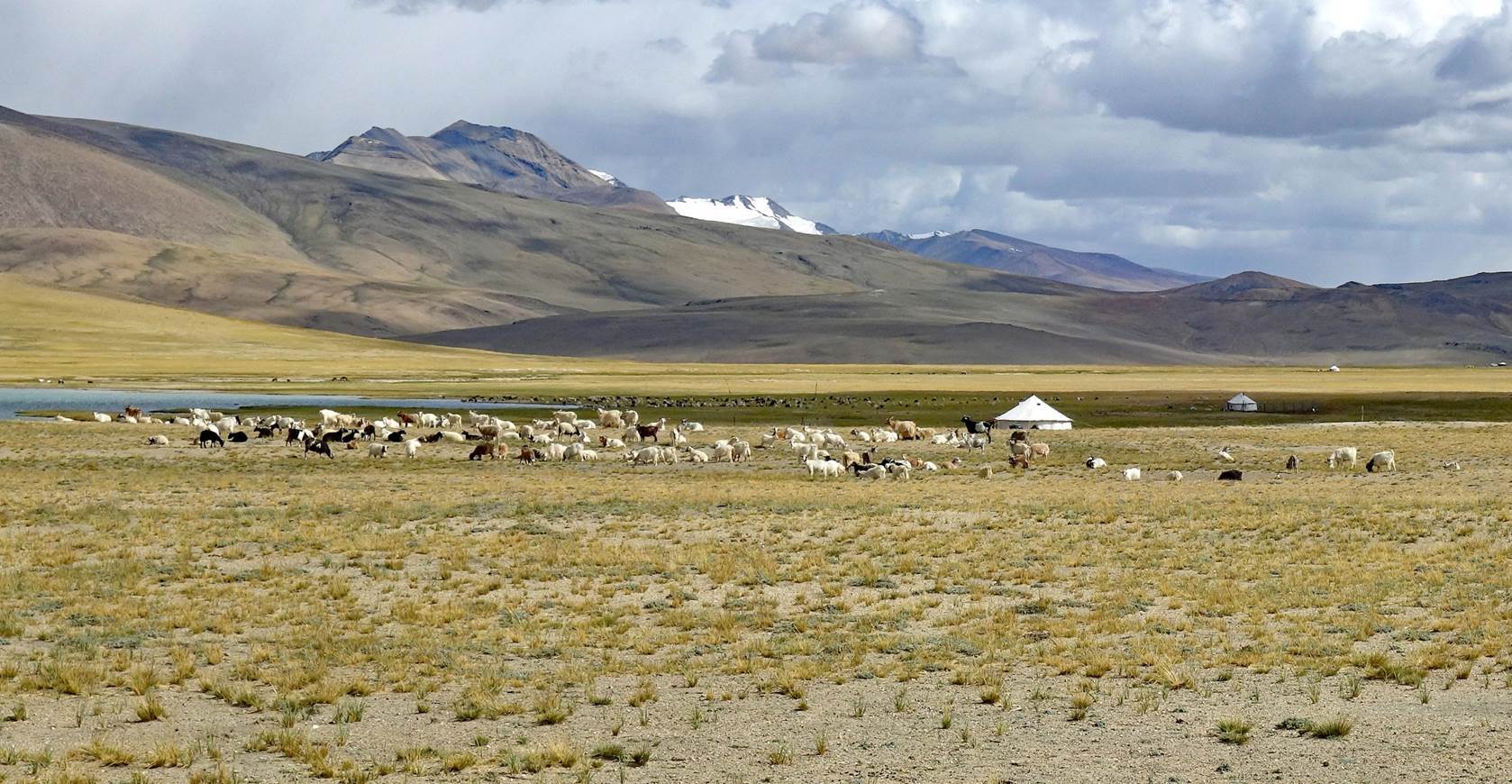
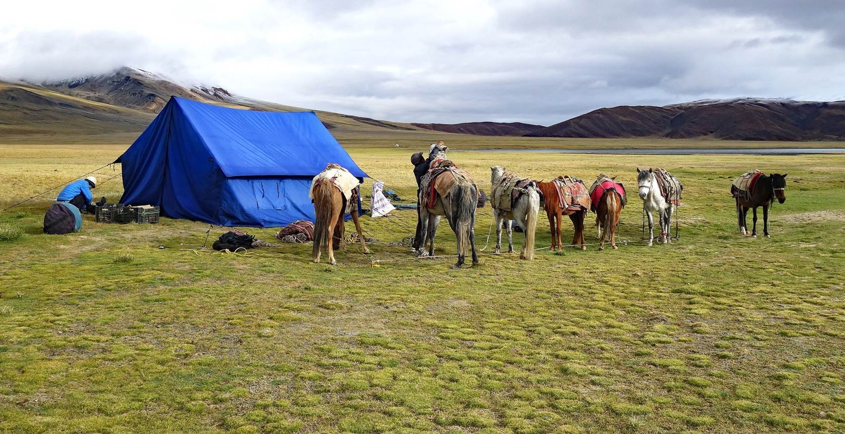
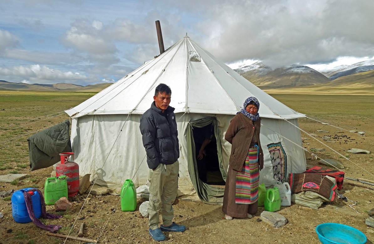
Changpa shepherd
camps on the western shore of northern Kyun Tso.
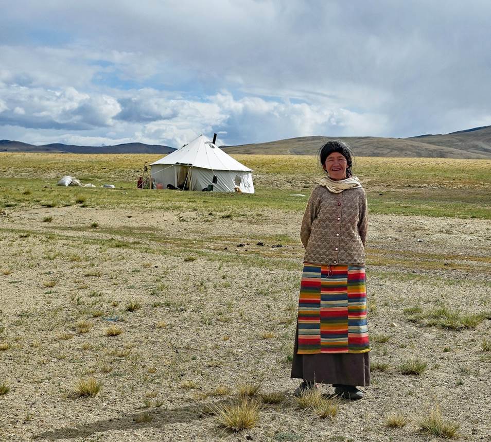
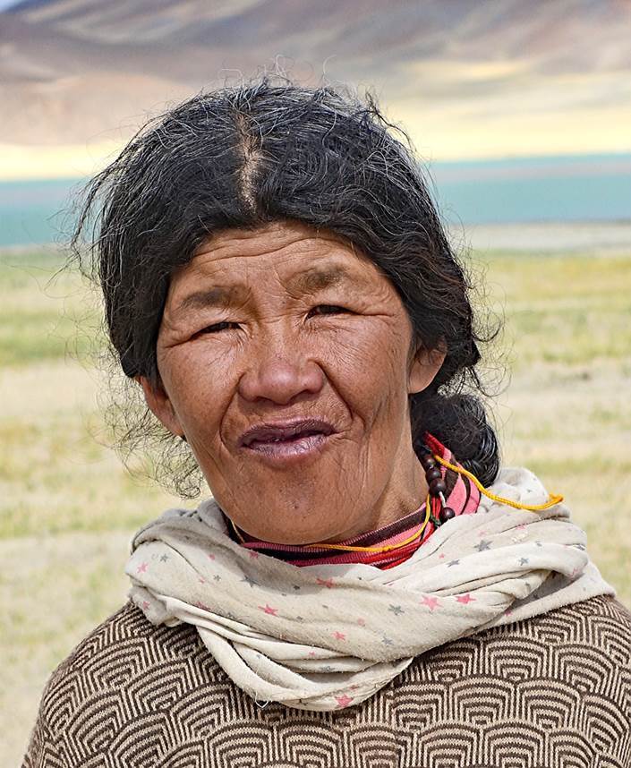
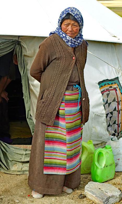
Friendly
woman next to her camp.
|
|
|
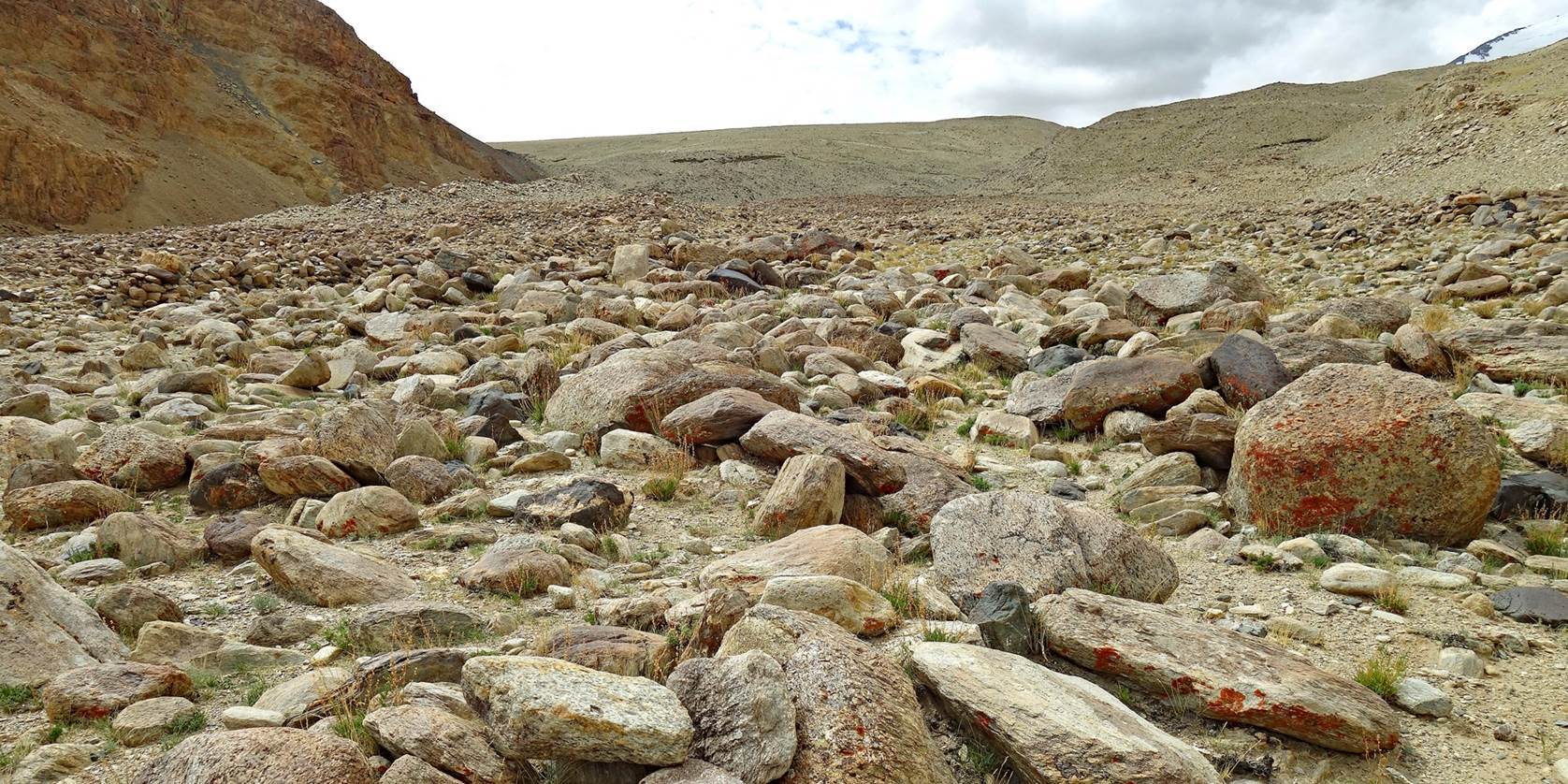
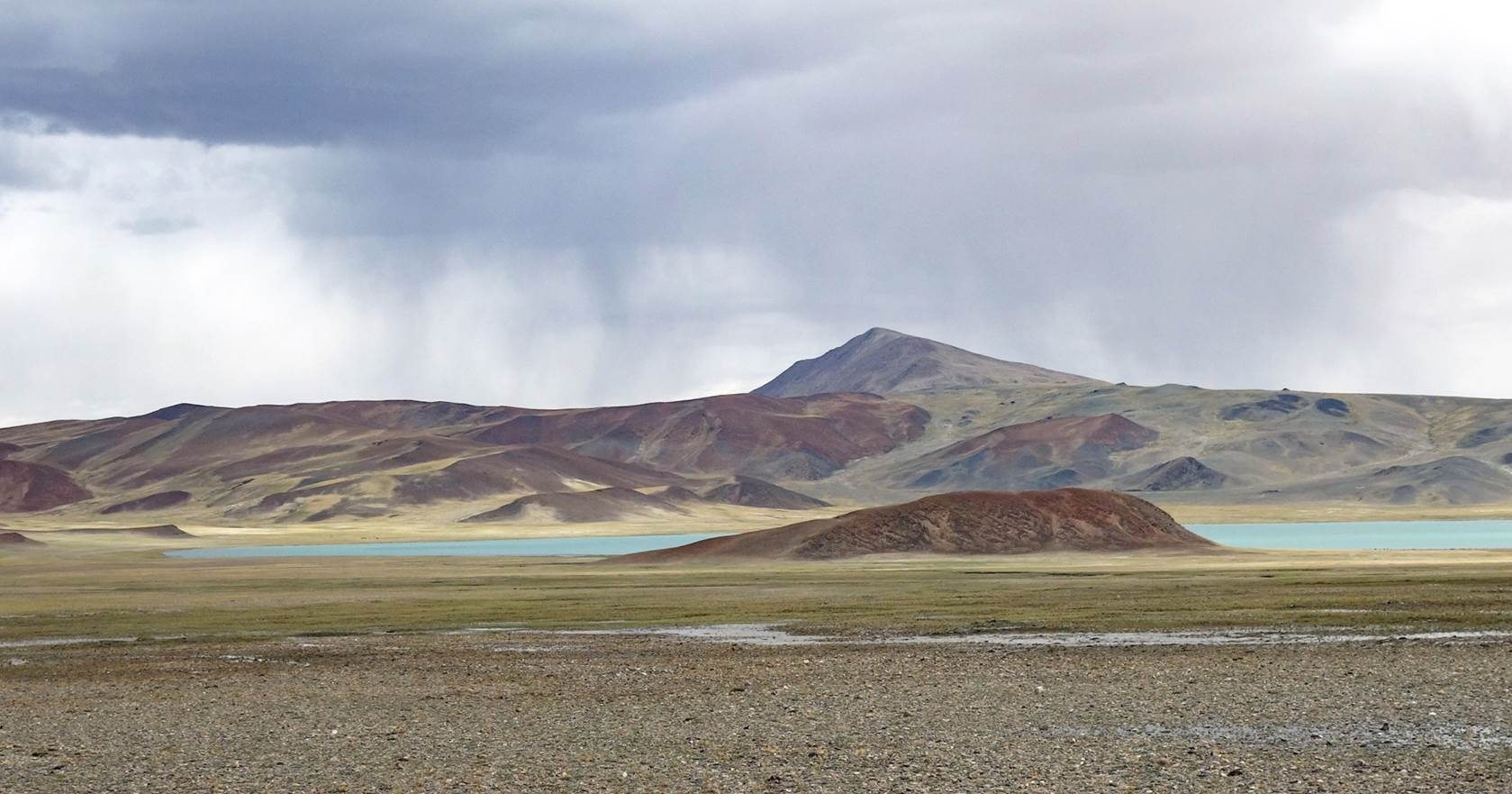
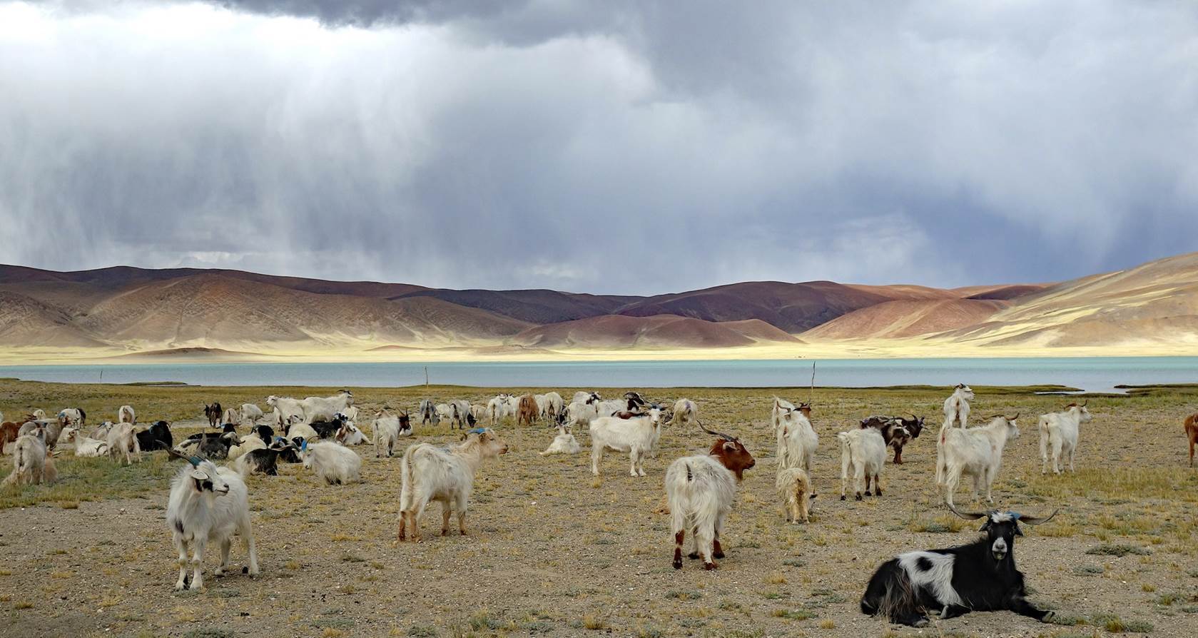
Sheep on the
shore of northern Kyun Tso.

Other photos
taken from the shore of northern Kyun Tso.
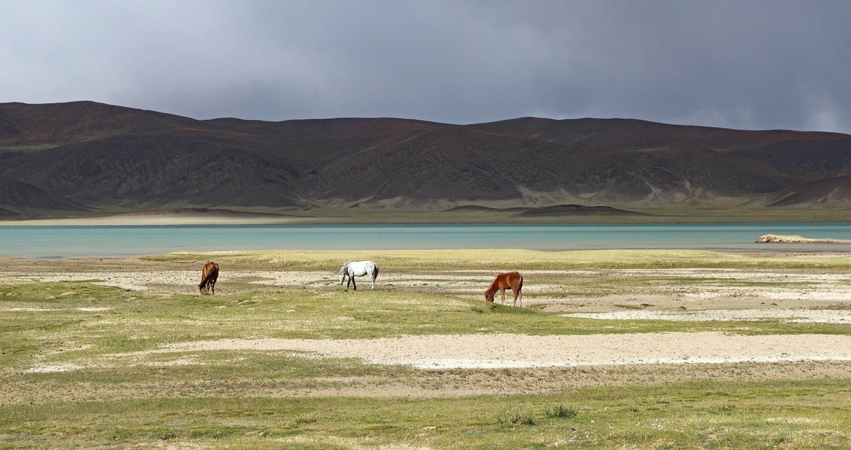
Day 6 of trek: Northern Kyun Tso to campsite below Salkom La, across Salkom La (5170m)
Our camp on
the western shore of northern Kyun Tso.
Another
shepherd camp.
|
|
|
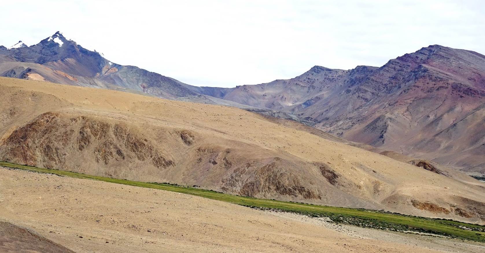
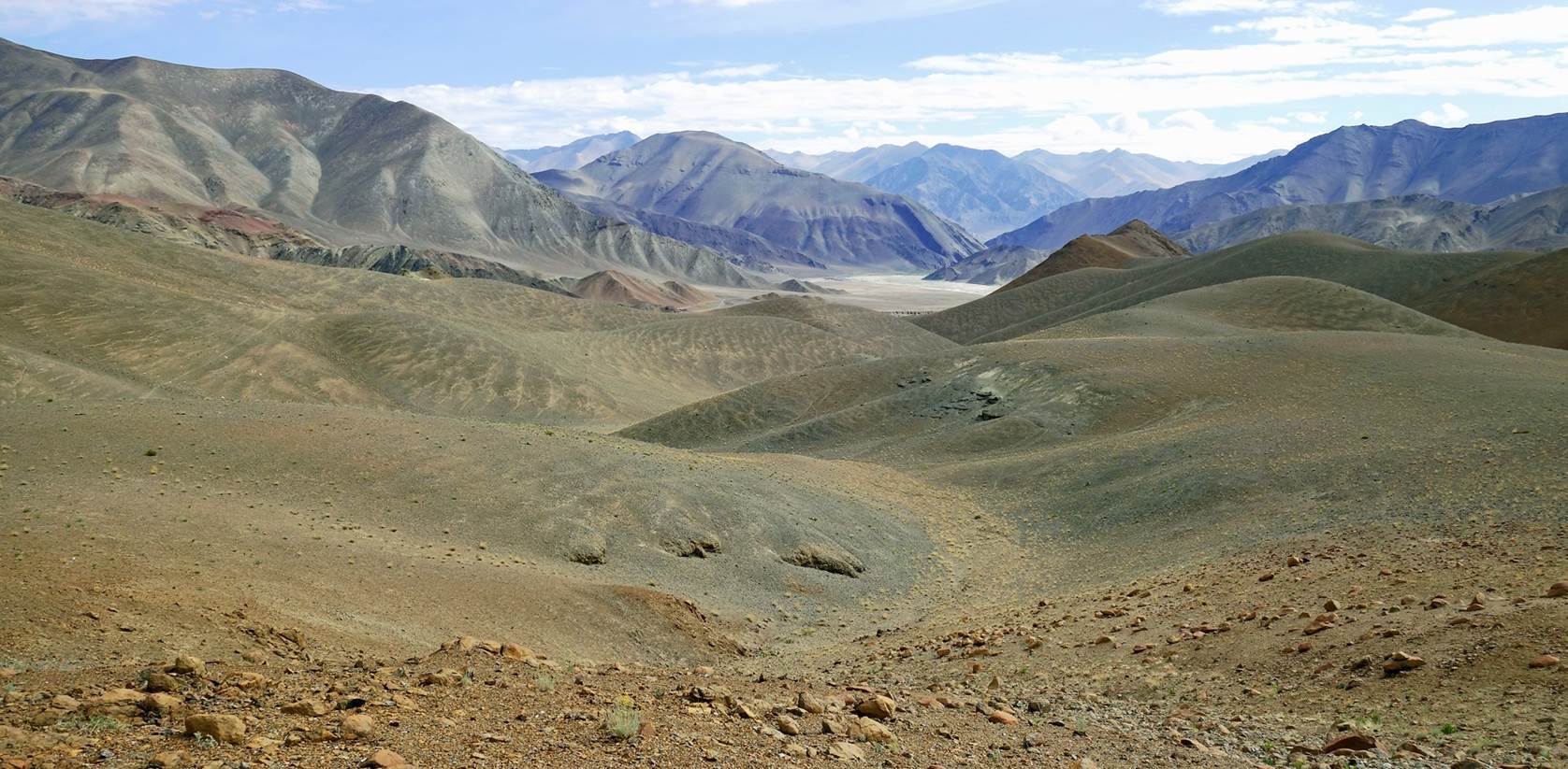
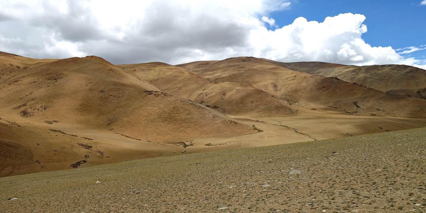
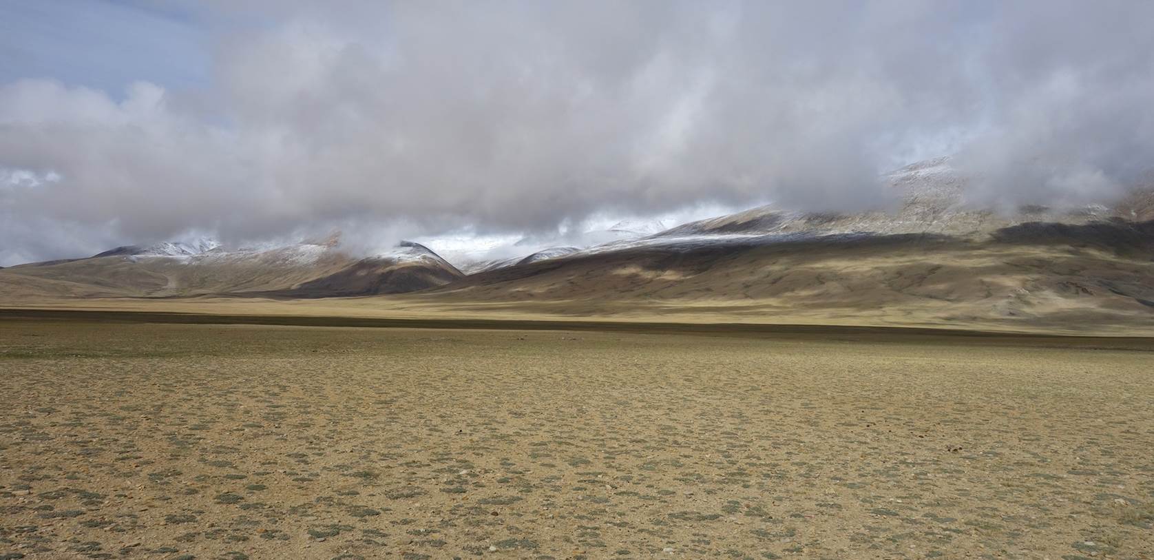
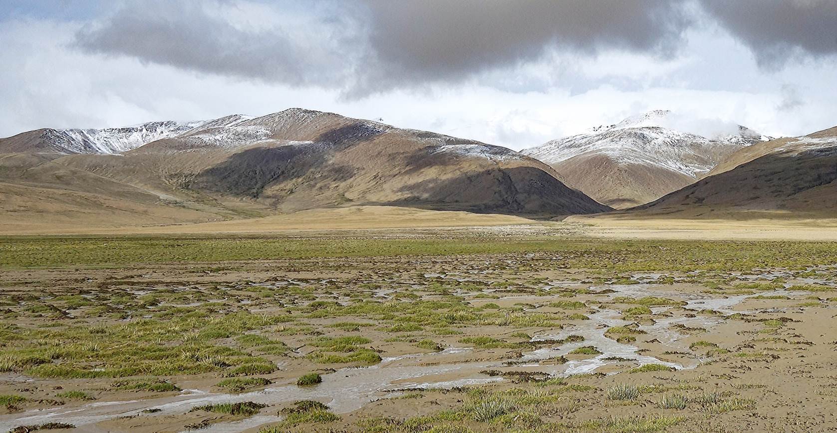
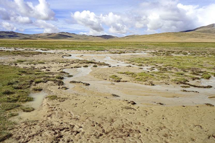
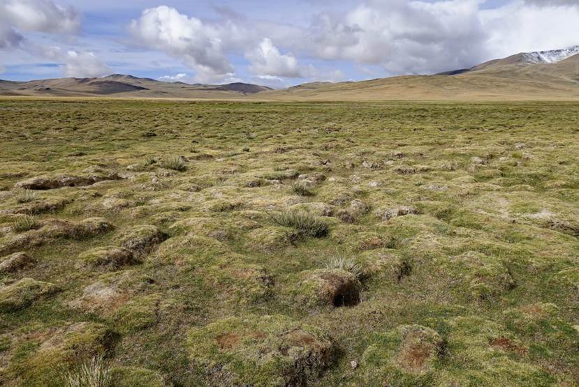
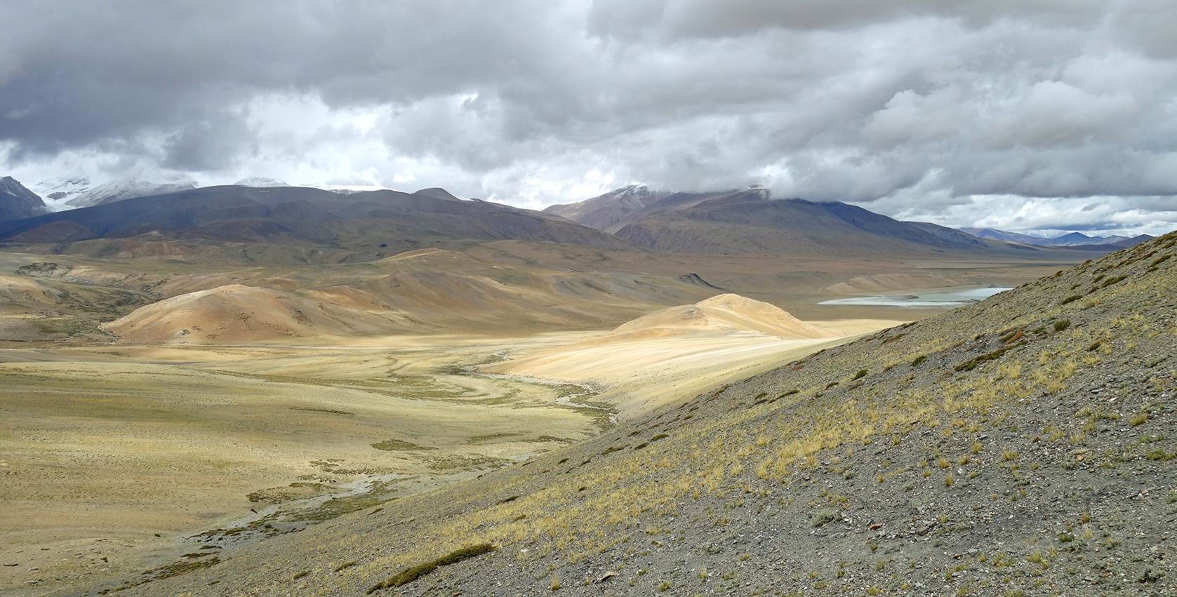
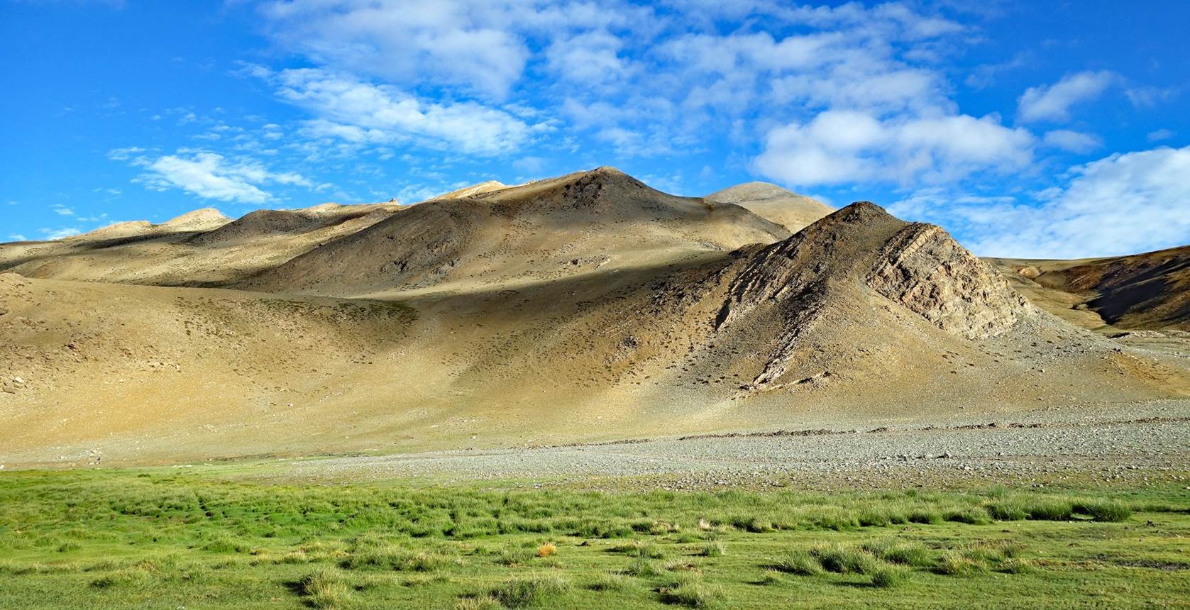
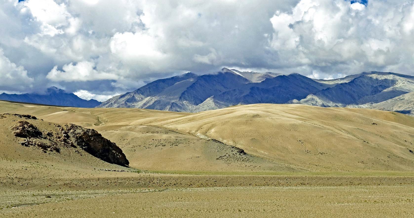
Landscape
and terrain between northern and southern Kyun Tso.

|
|
|
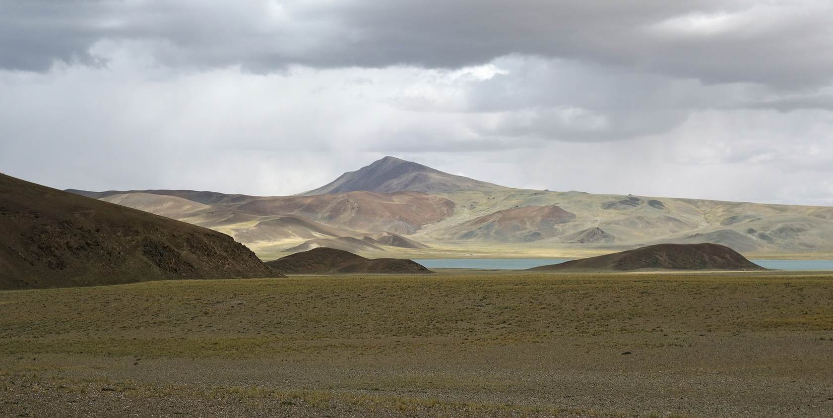
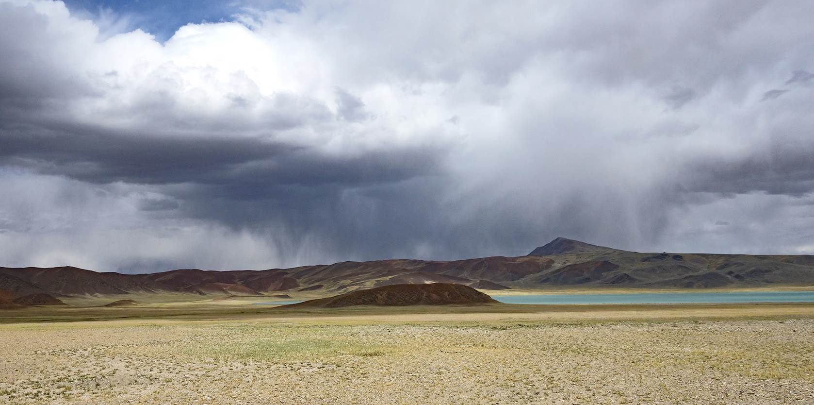
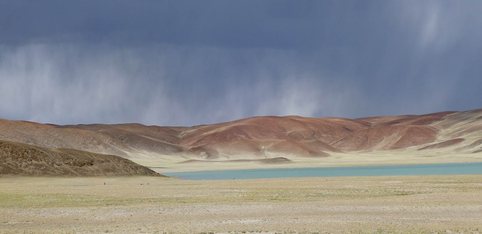
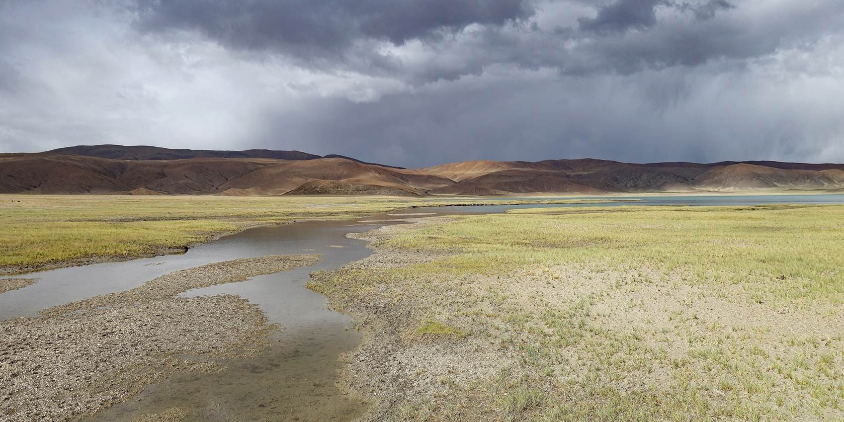
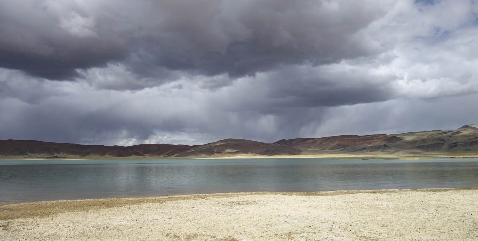
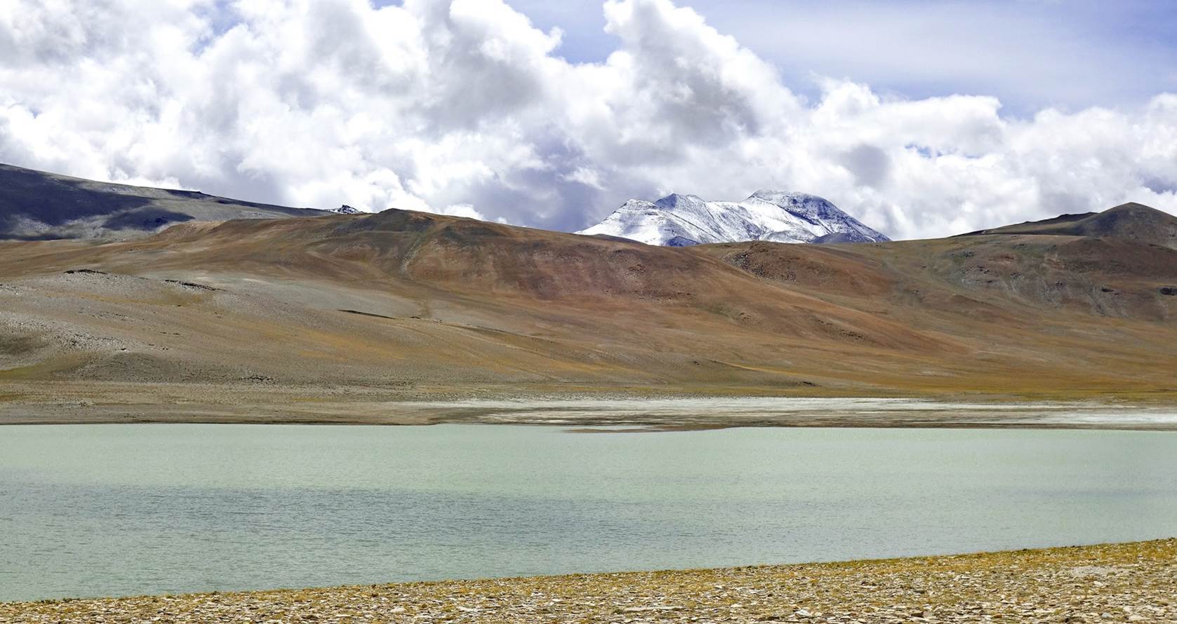
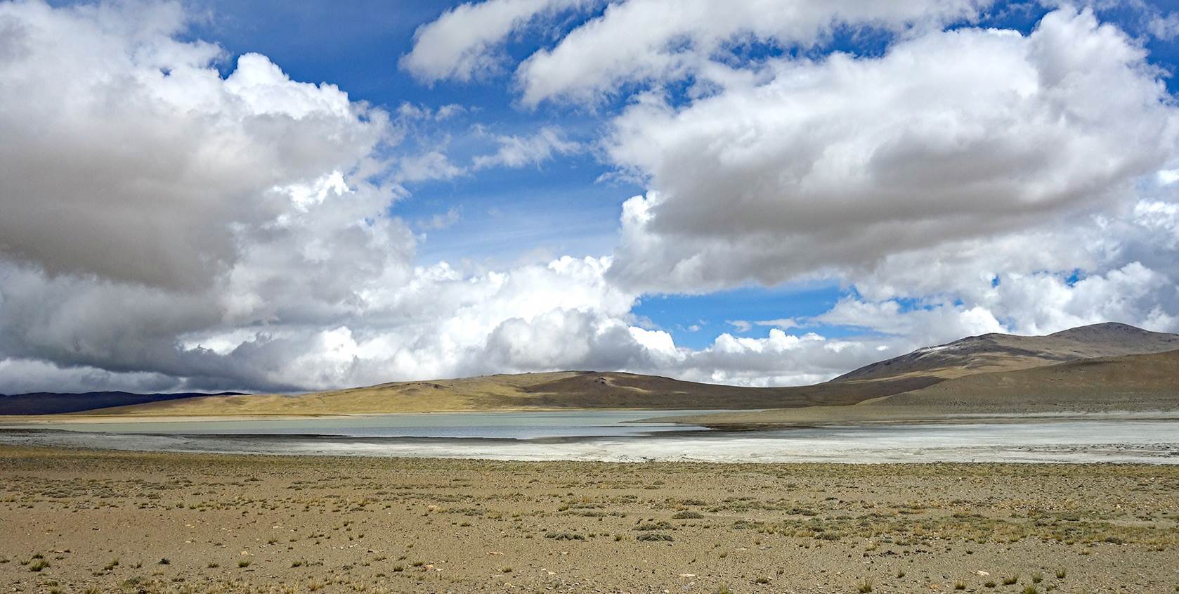
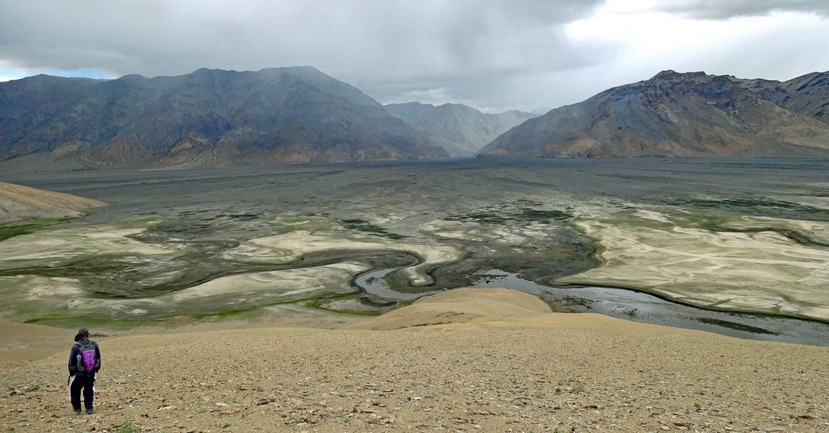
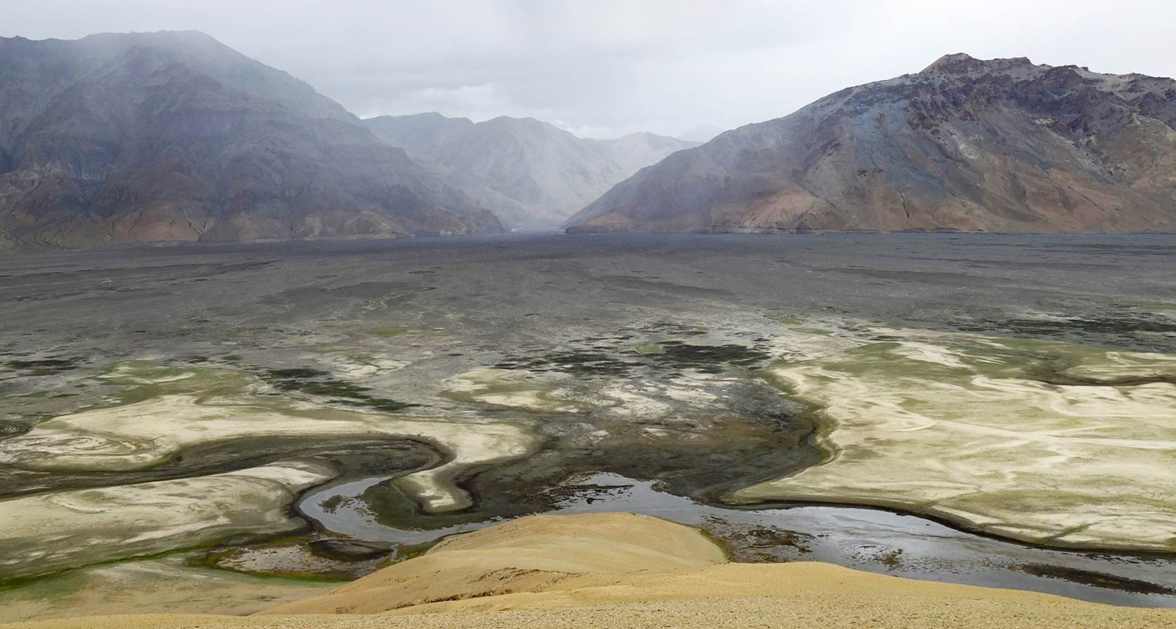
Approaching southern
Kyun Tso. The water in and around this second lake has a high salt content. For
that reason, there is no shepherd camp around it.
Closer views
of southern Kyun Tso.

Beginning of
the ascent of Salkom La.
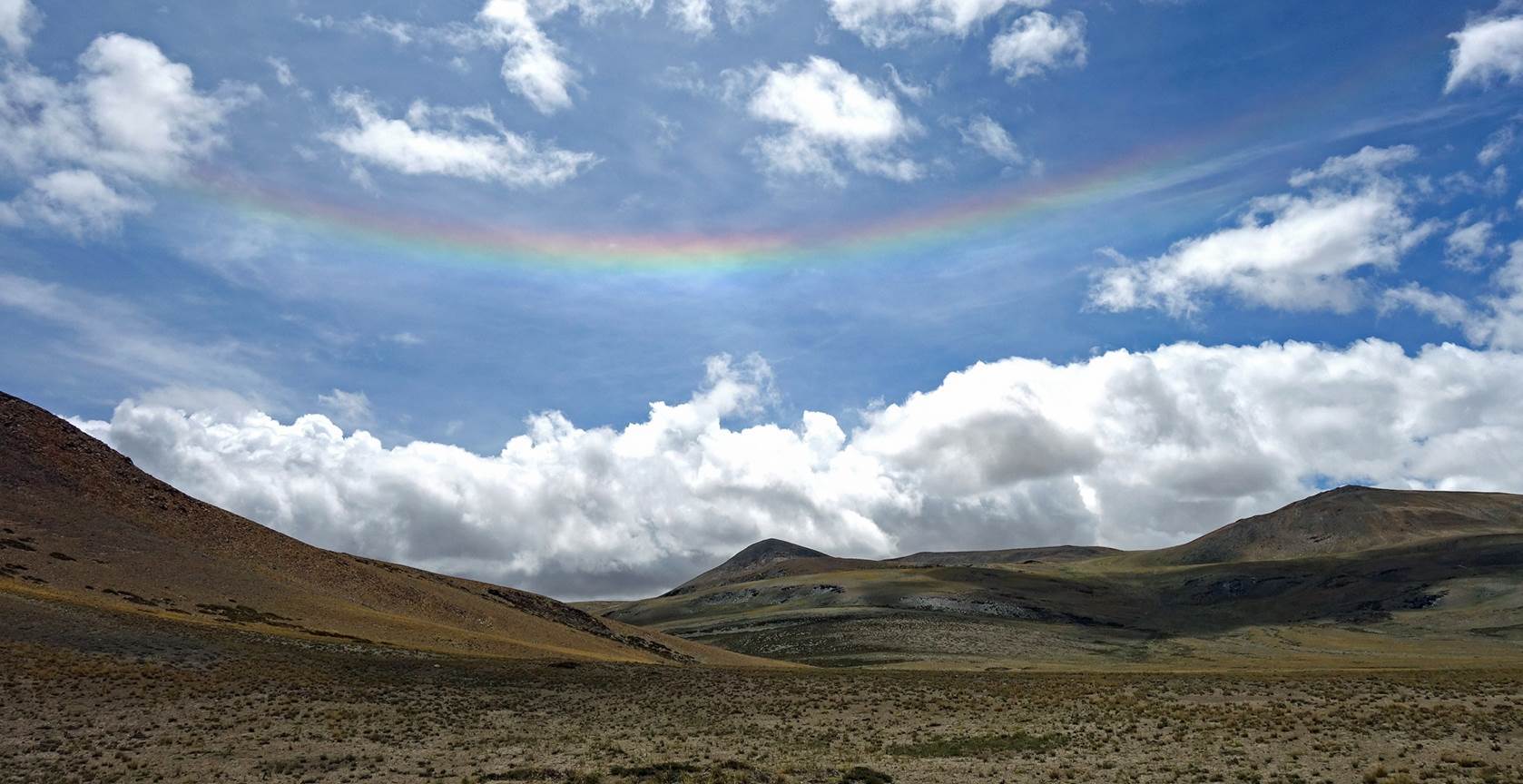
A smiling
rainbow.
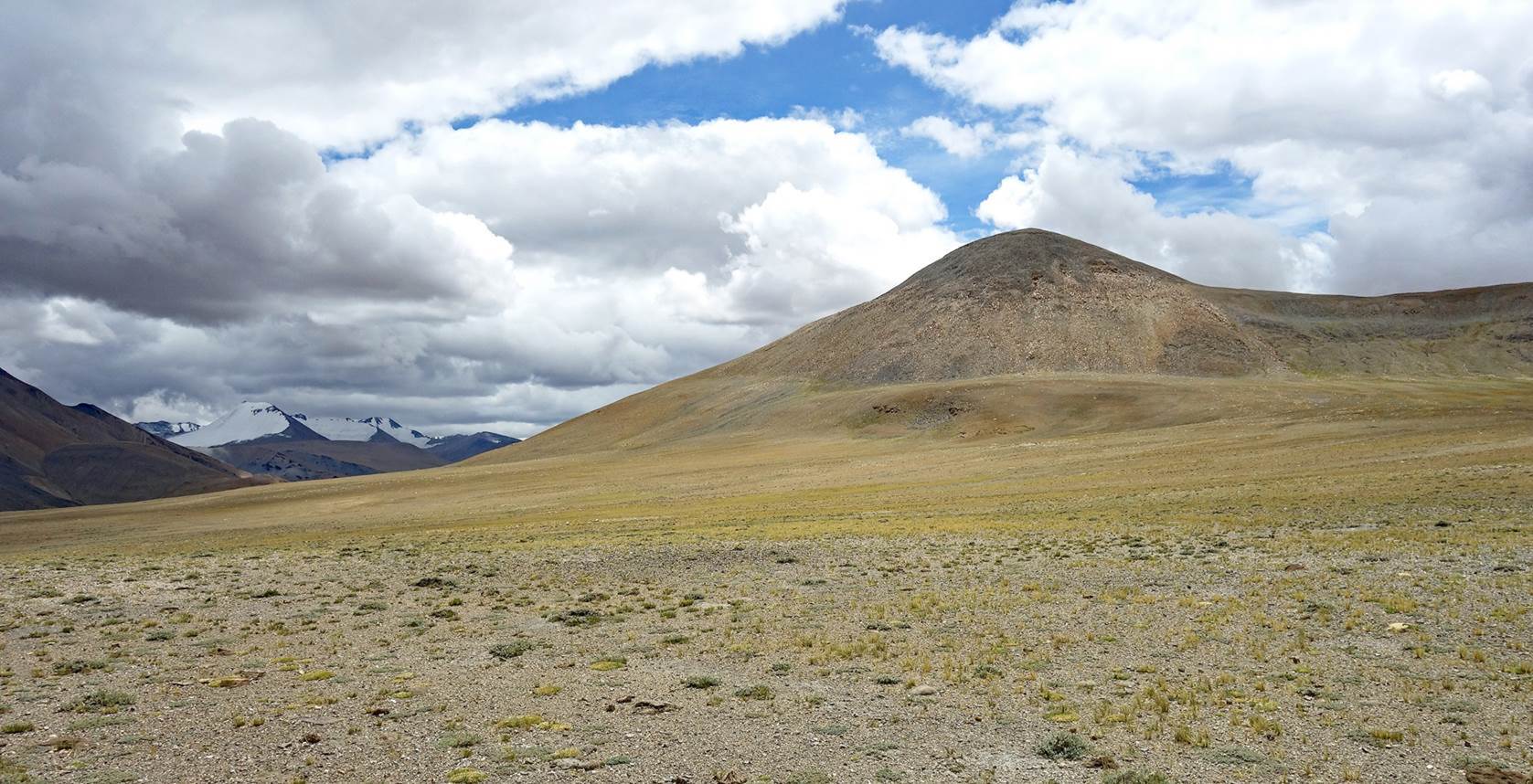
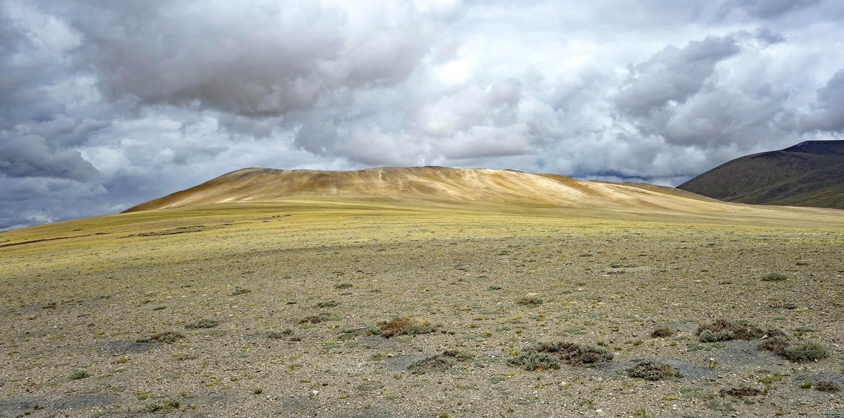
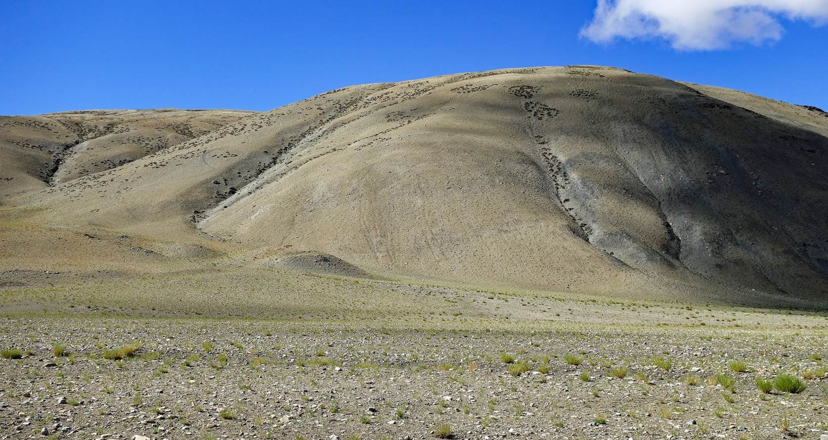
More views
during the ascent of Salkom La.
View of the
wide Salkom La.
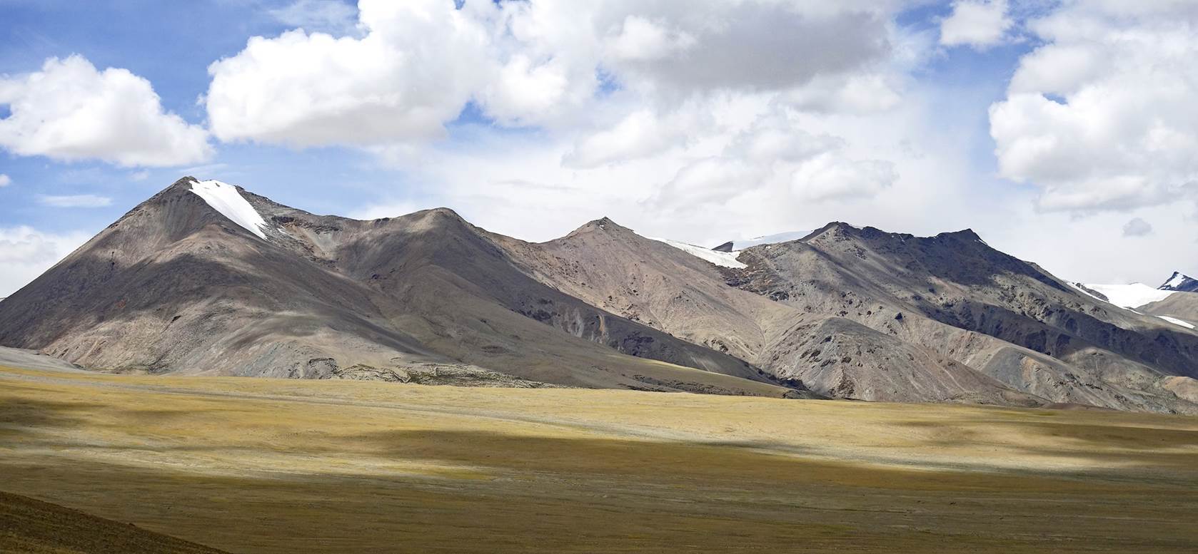
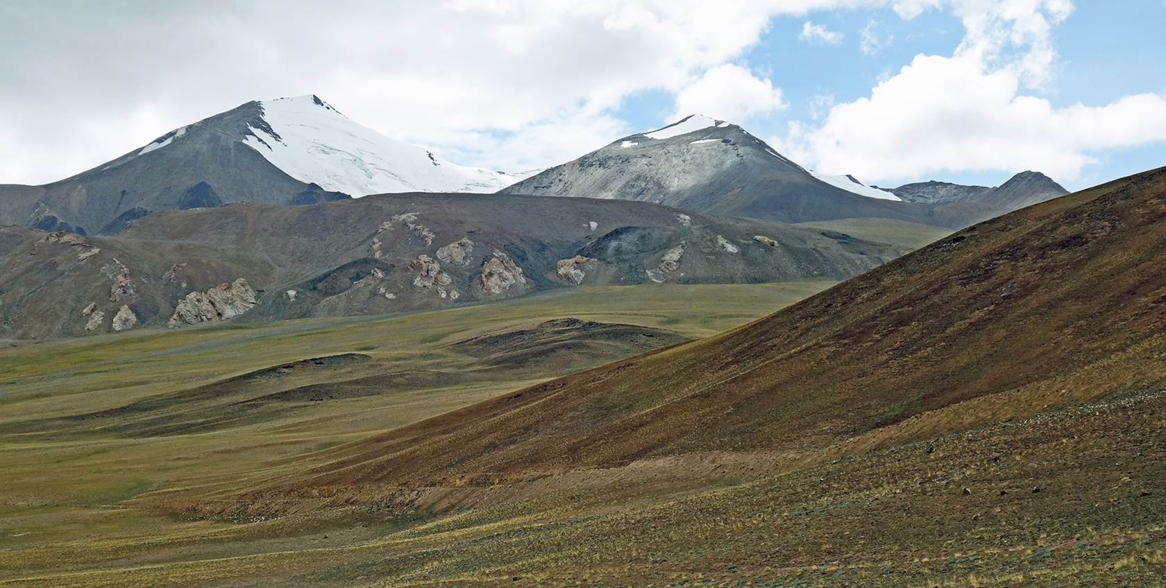
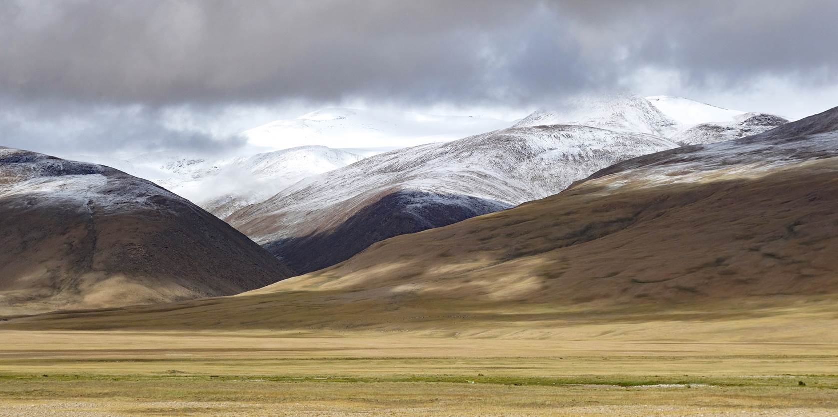
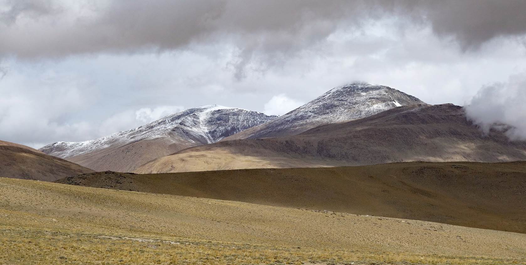
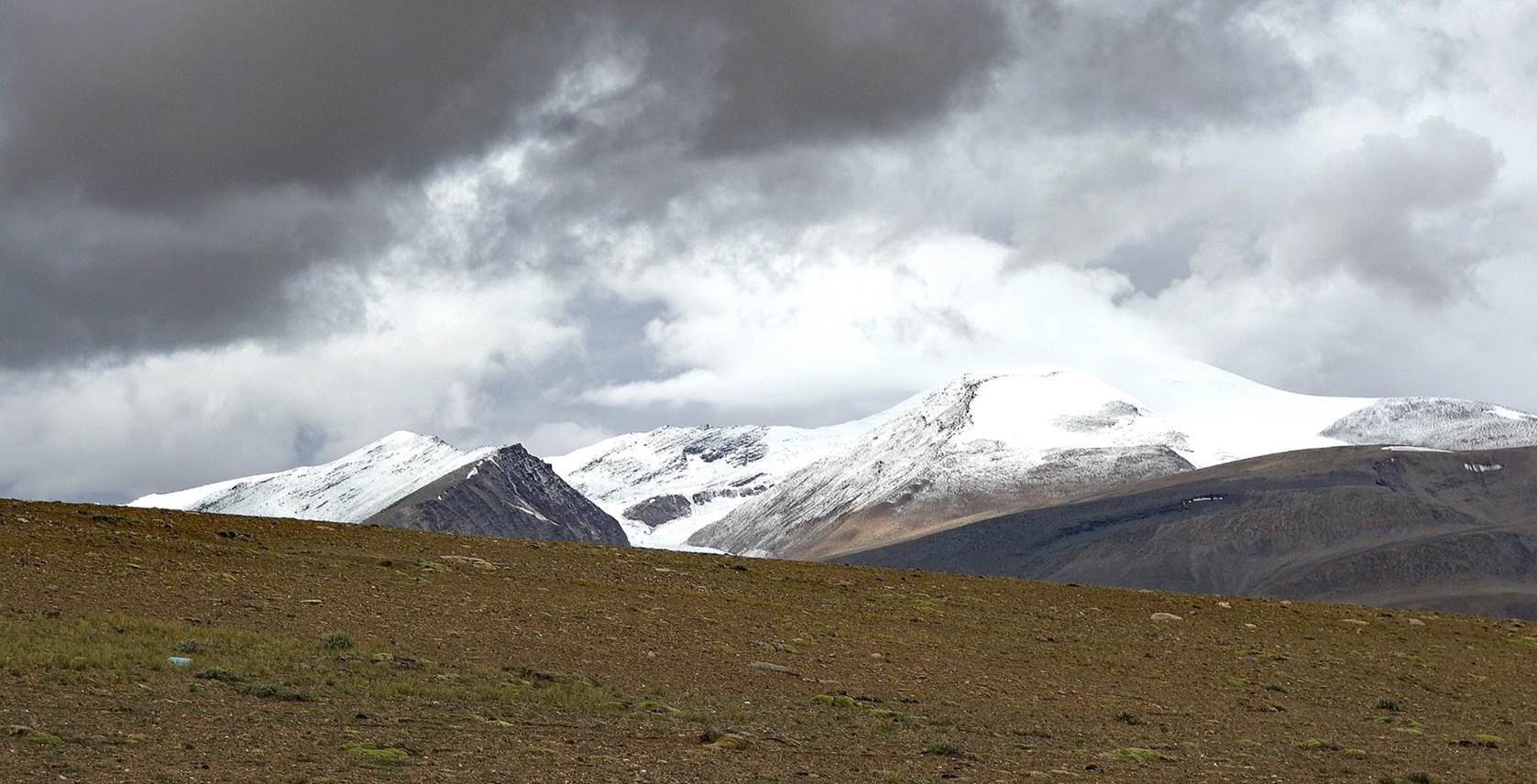
Mountain
range on the other side of Salkom La.
Shortly
after crossing Salkom La, we reached a place where
work was underway to build a new military road linking Ladakh to the Tibetan
border, causing ugly damage to the natural environment. We had no other
alternative than to cross it to reach our next campsite.
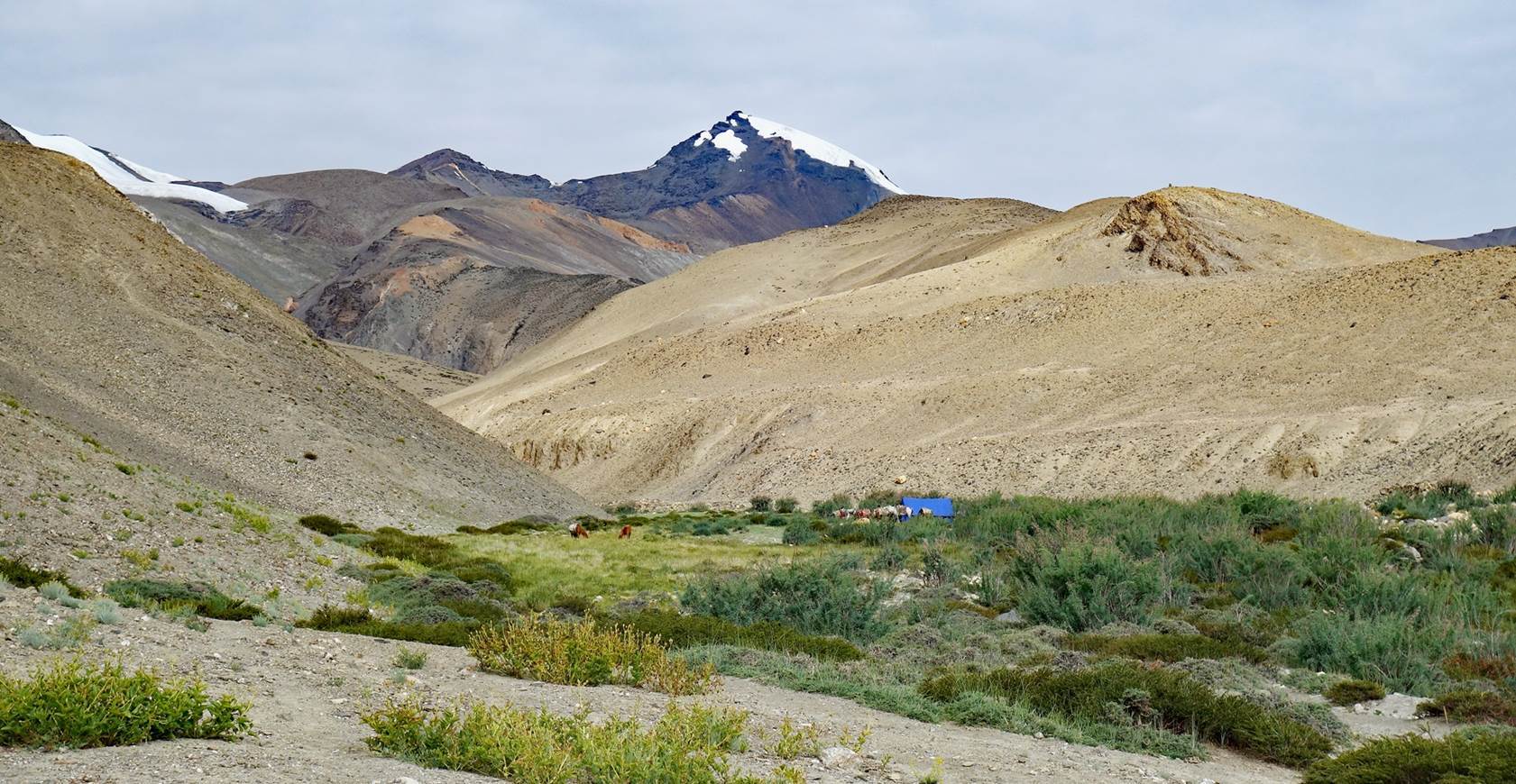
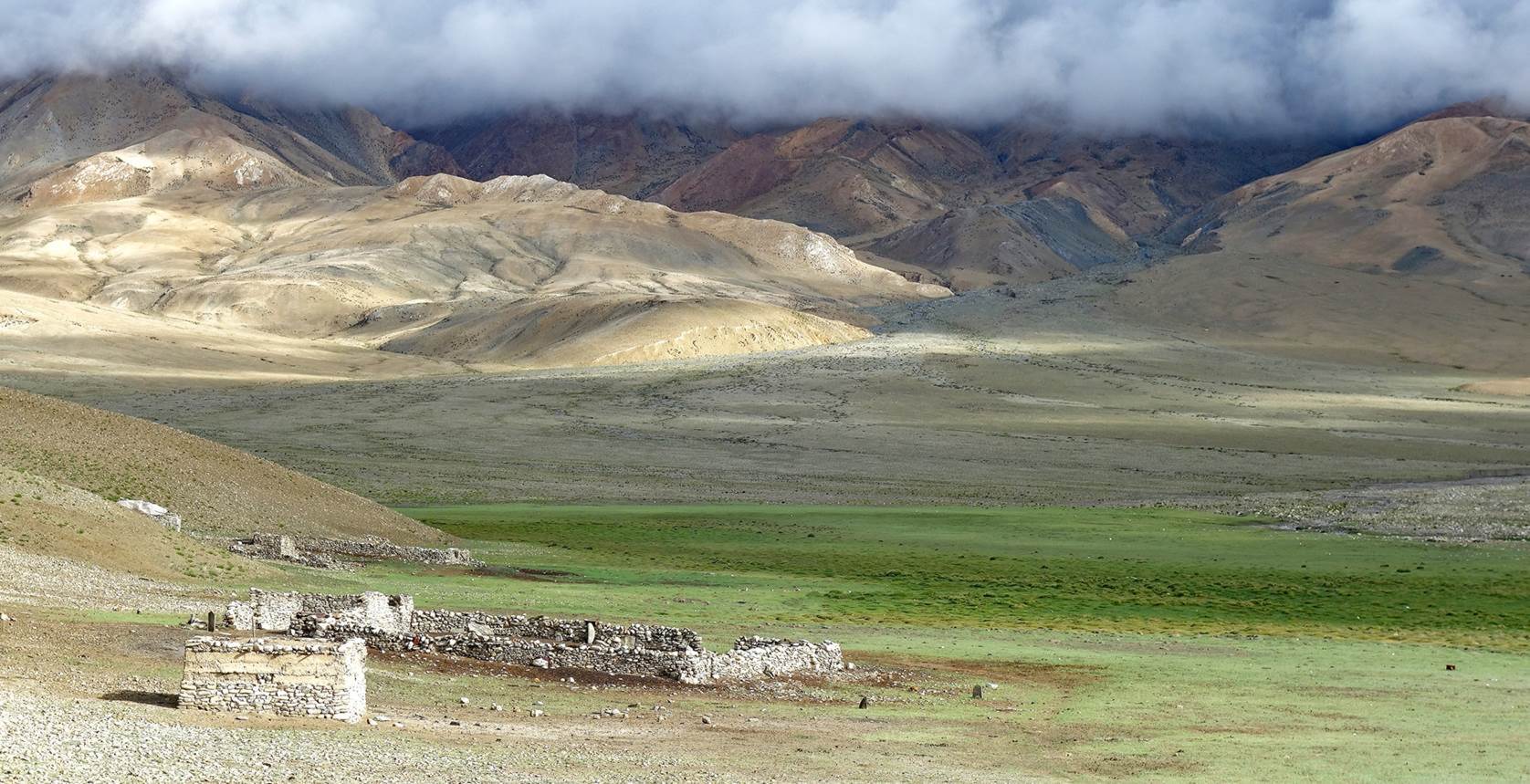
Day 7 of trek: Campsite below Salkom La to the abandoned Umia
village
View from
our camp below Salkom La.
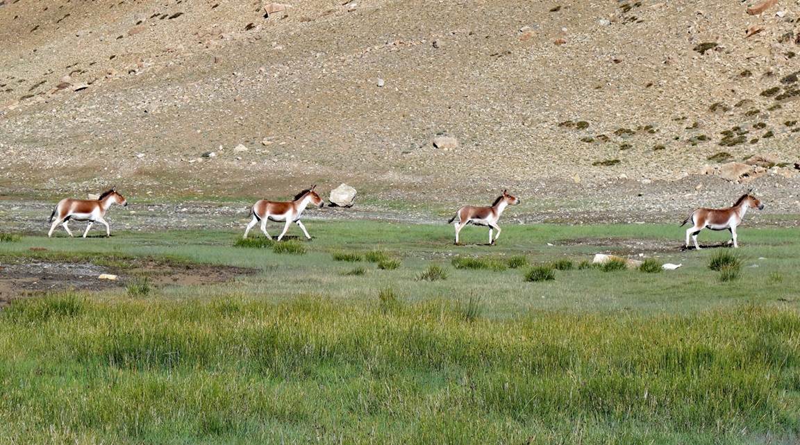
Kiangs near
our camp.
|
|
|
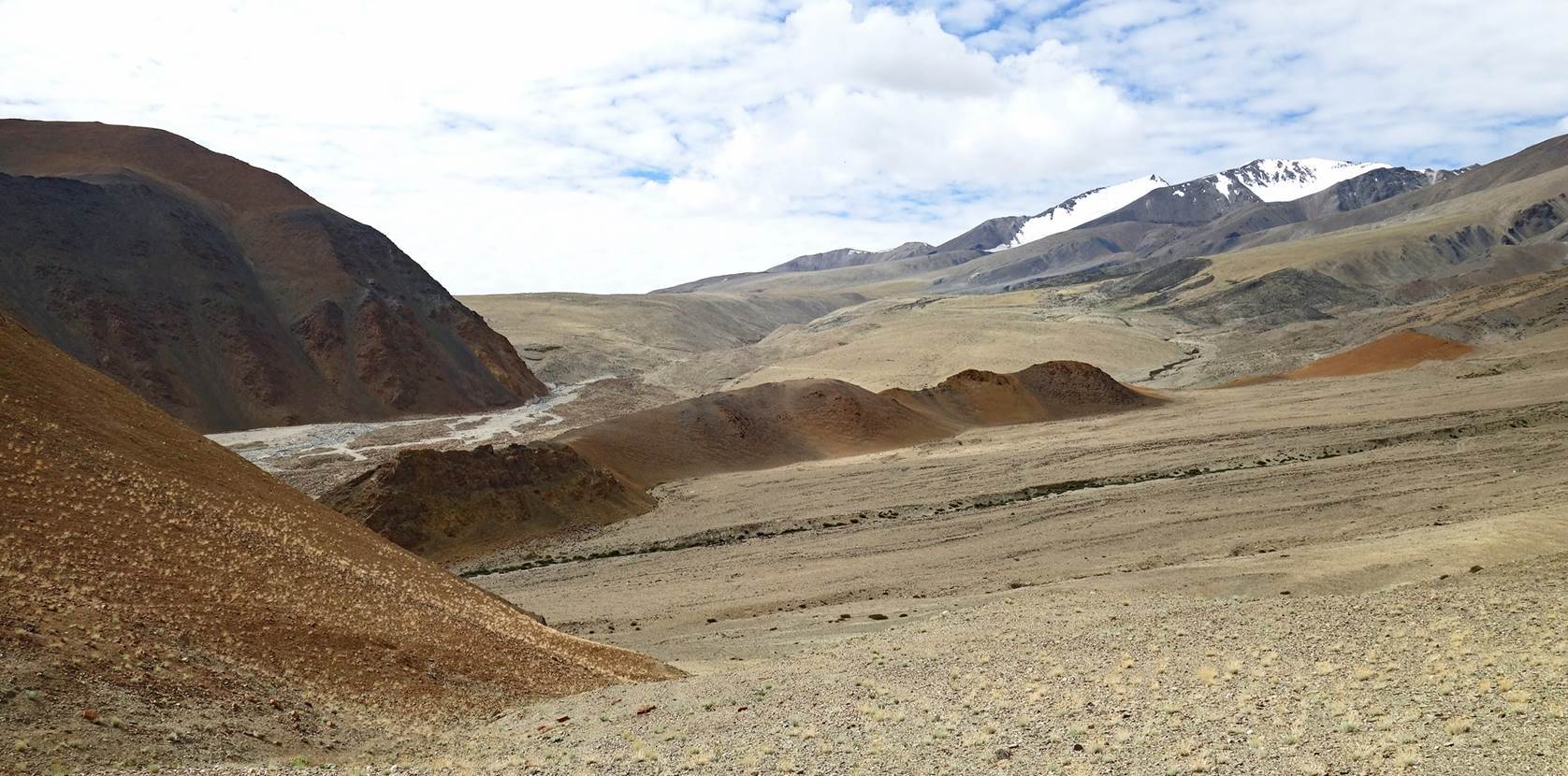
Successive
landscapes on our way to our campsite at Umia
village.
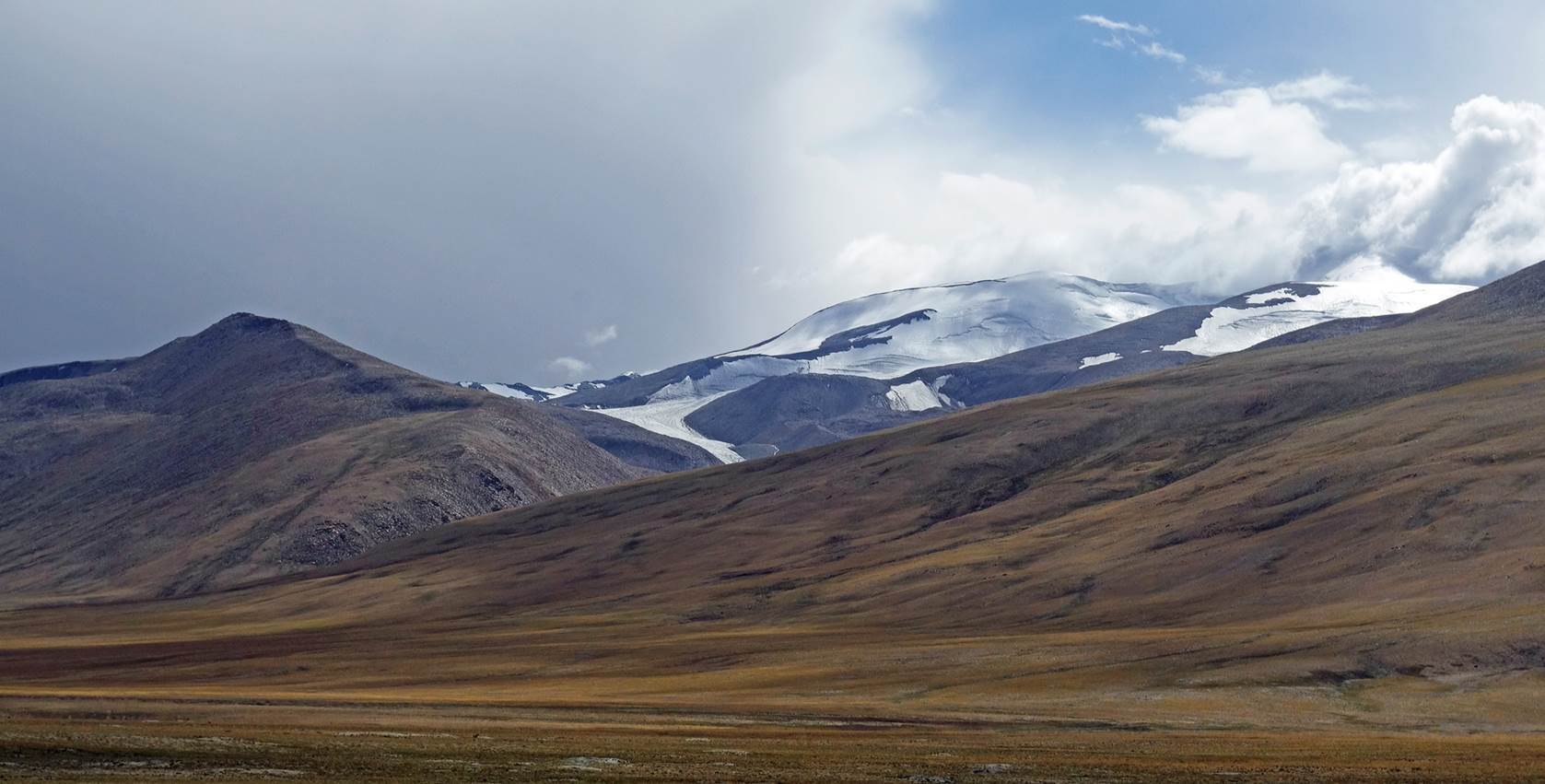
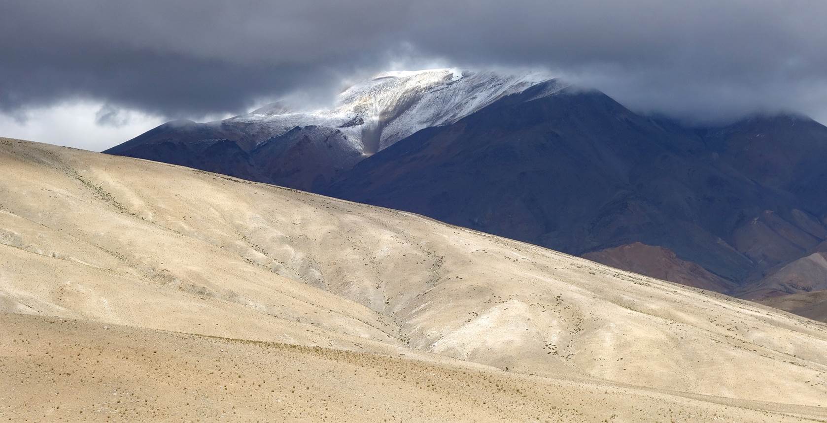
[Two photos
above: Mount Handlung (6160m).]

|
|
|
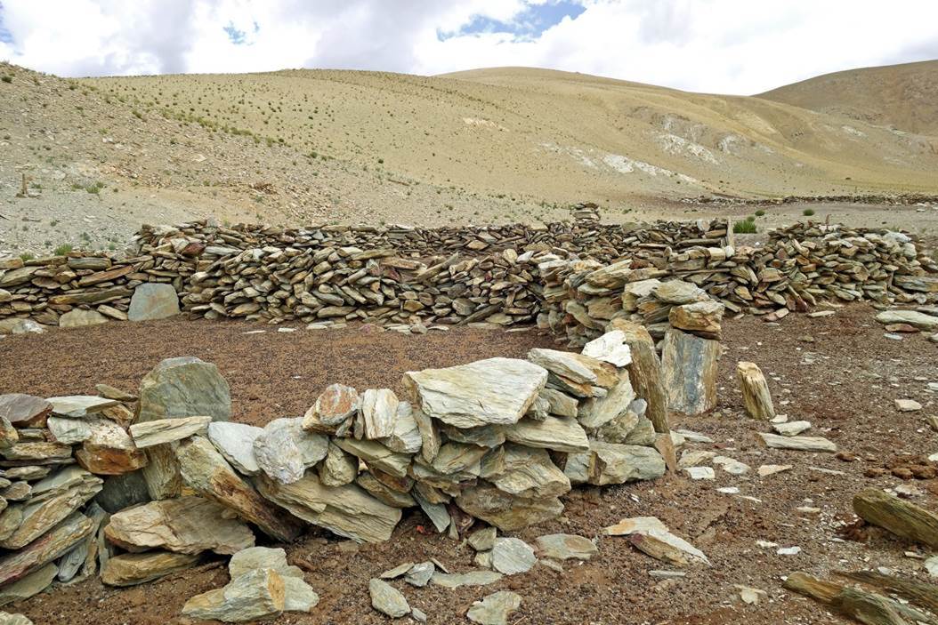
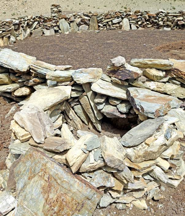
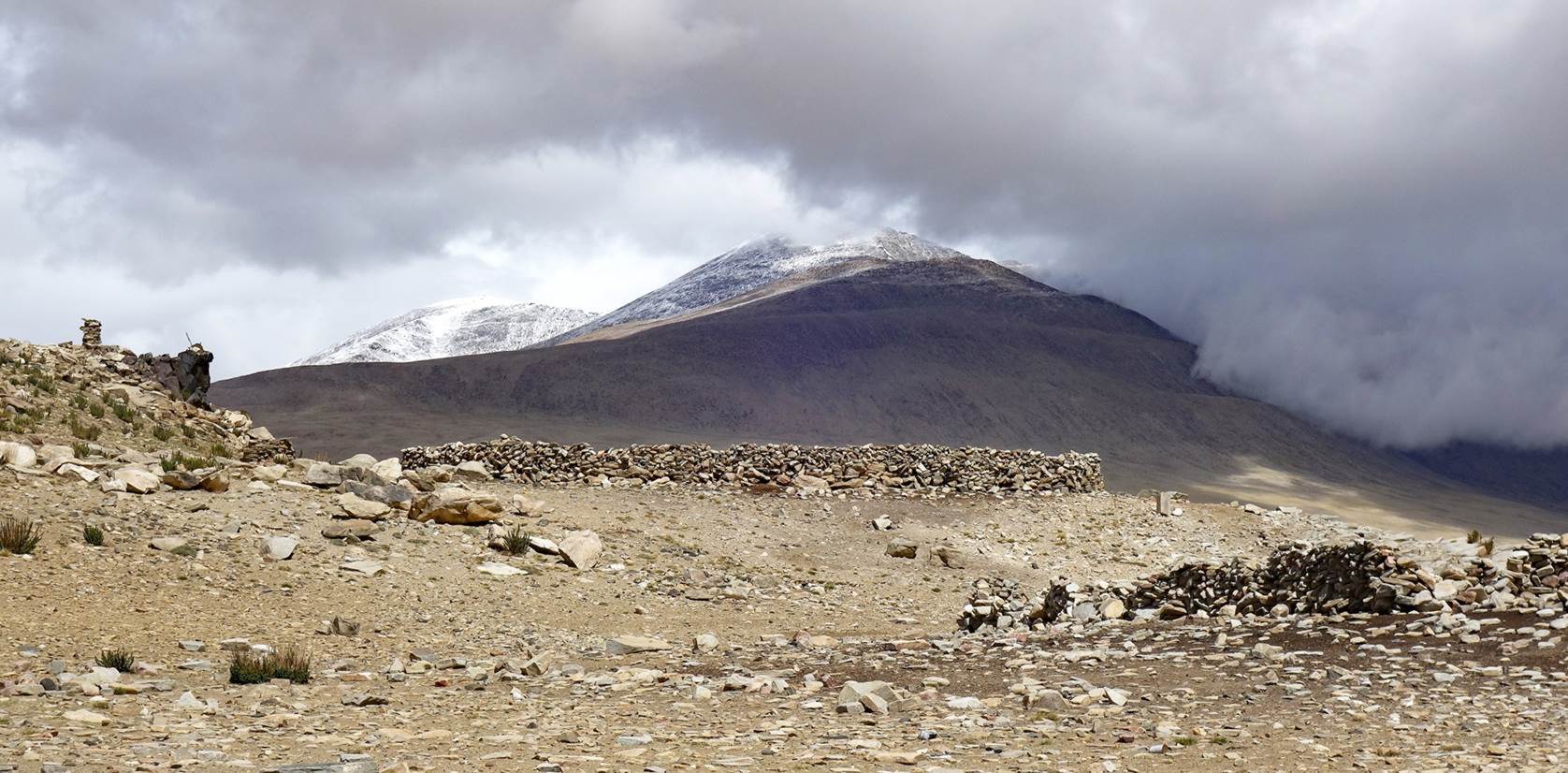
[Stone sheepfolds.
The small enclosure in the photo on the right is used to individually house
baby sheep.]
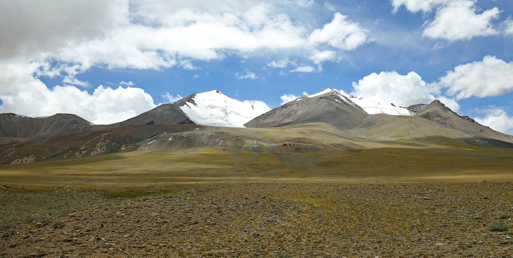
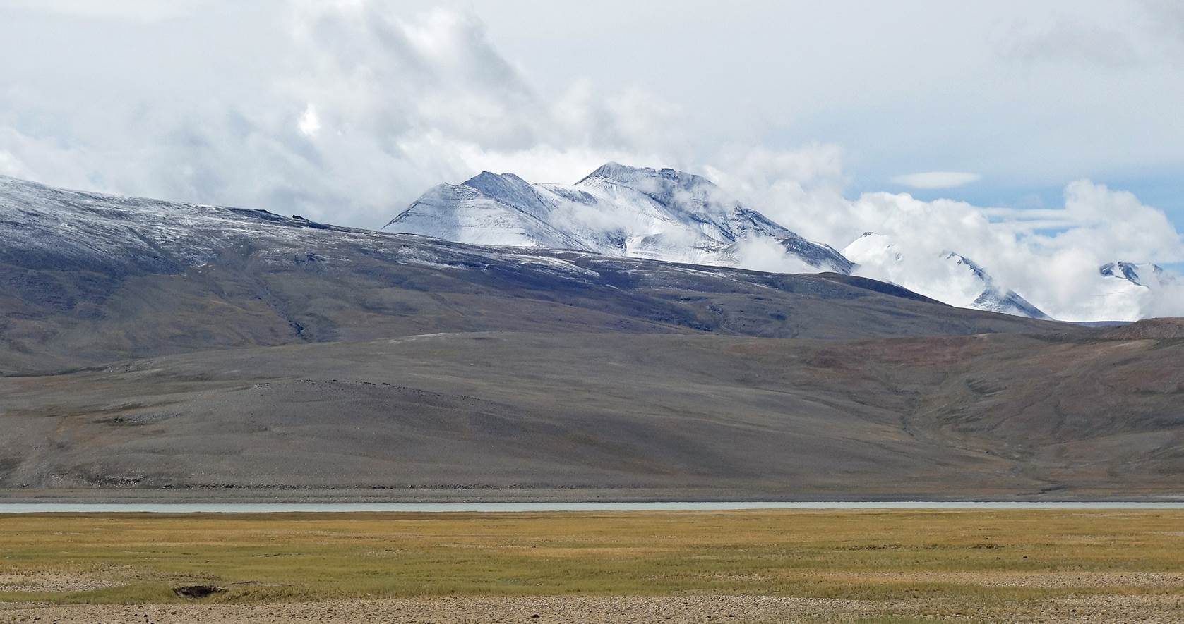
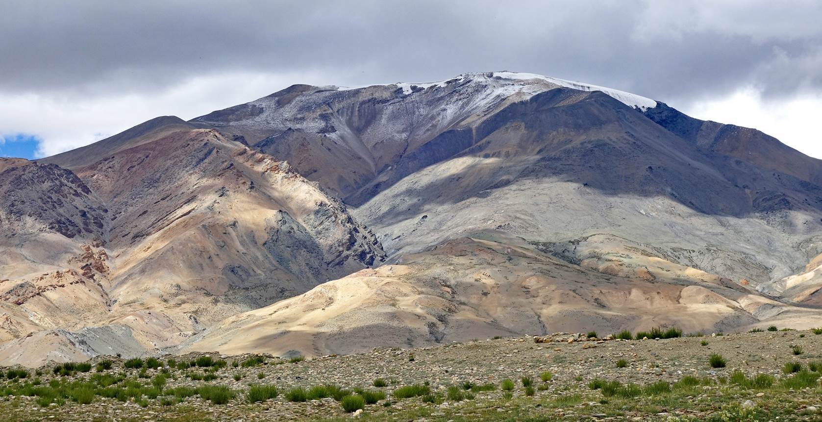
6220m peak
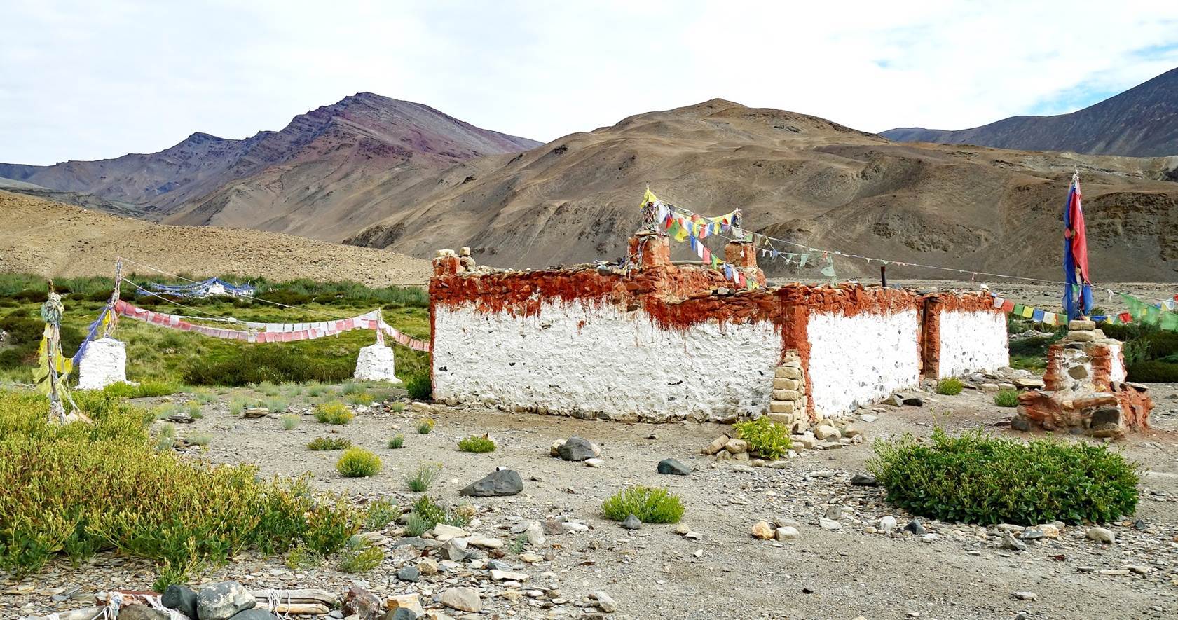
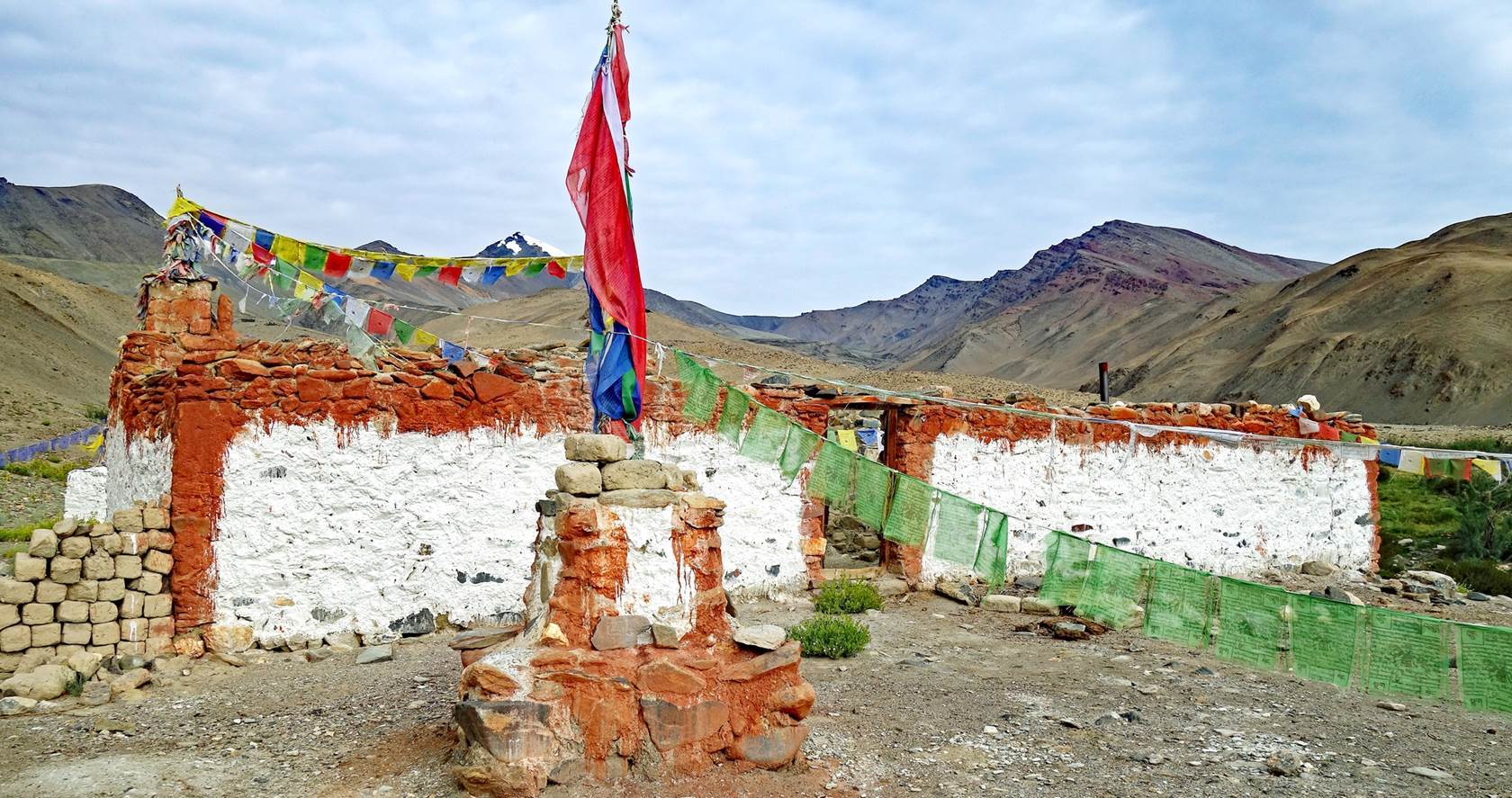
seen from our camp at Umia village.
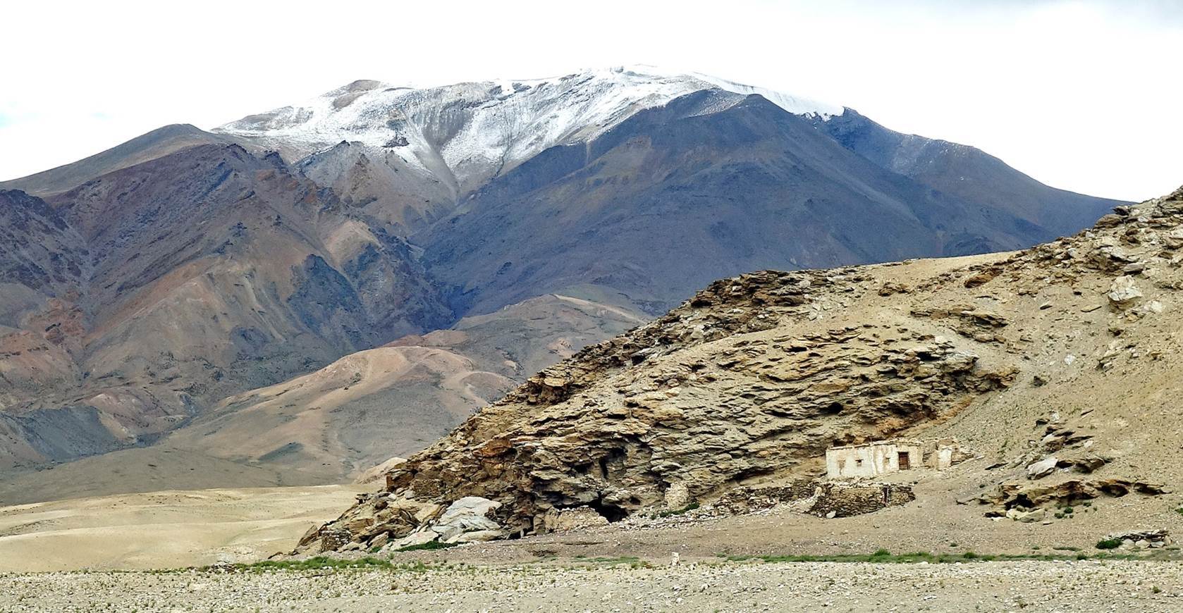
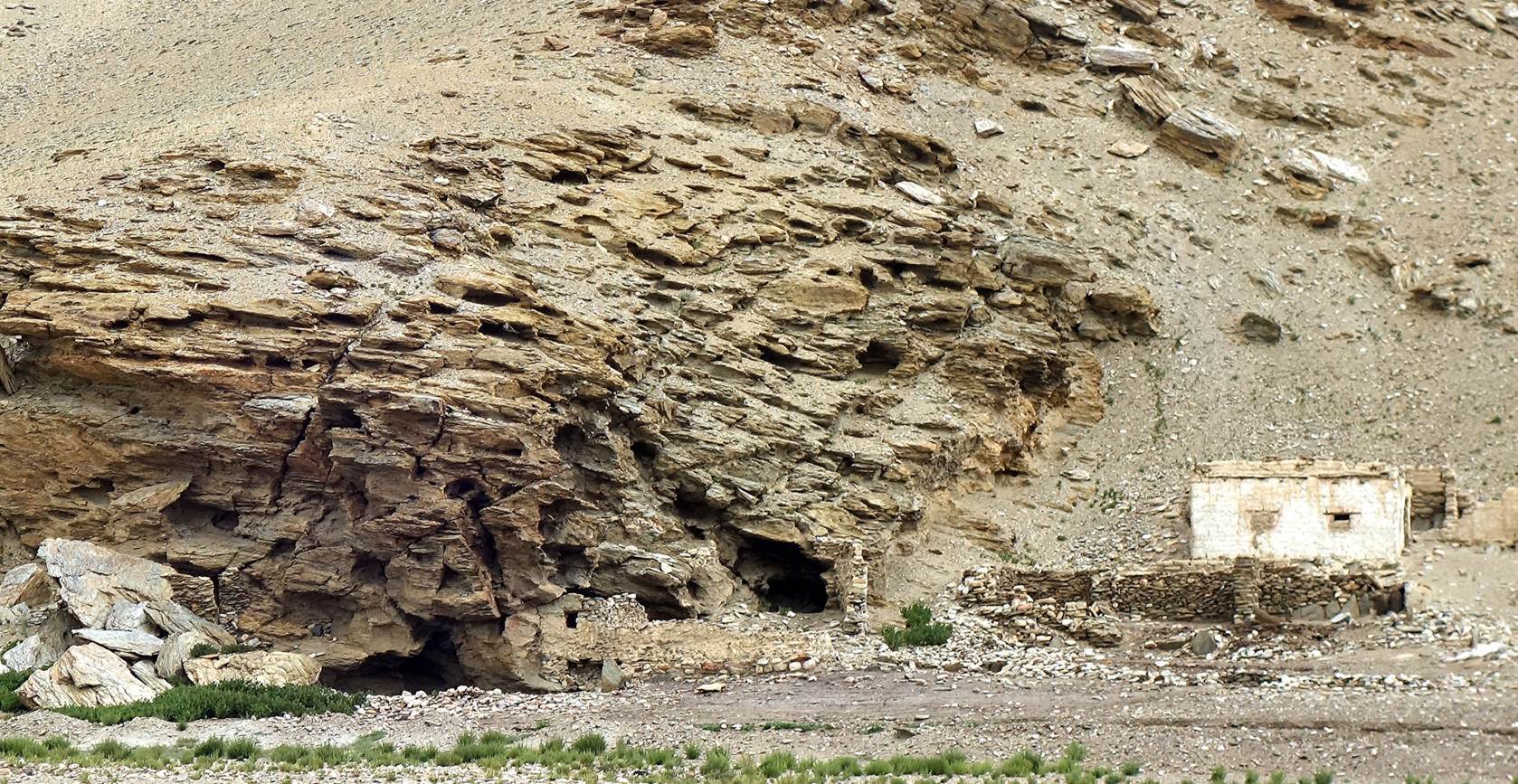
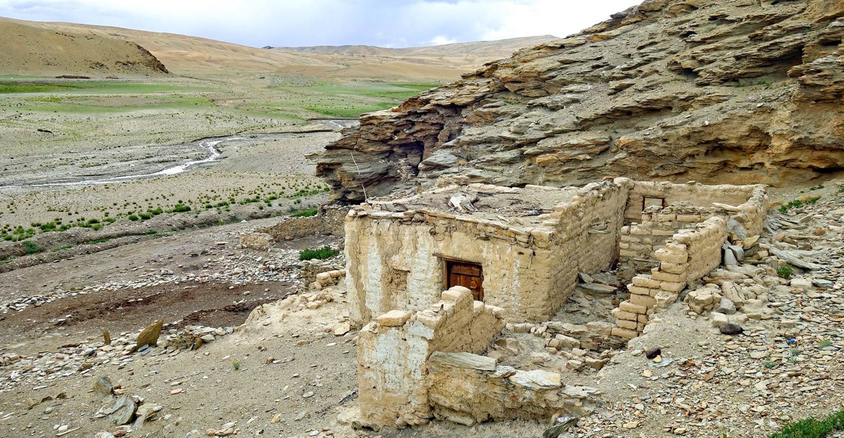
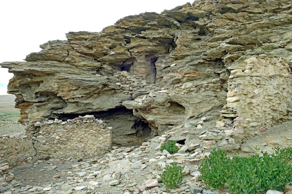
Nothing of
interest remains of the village of Umia, apart from
this ruined gompa built next to a small cliff pierced with caves, some of which
could have been used by monks for meditation.
|
|
|
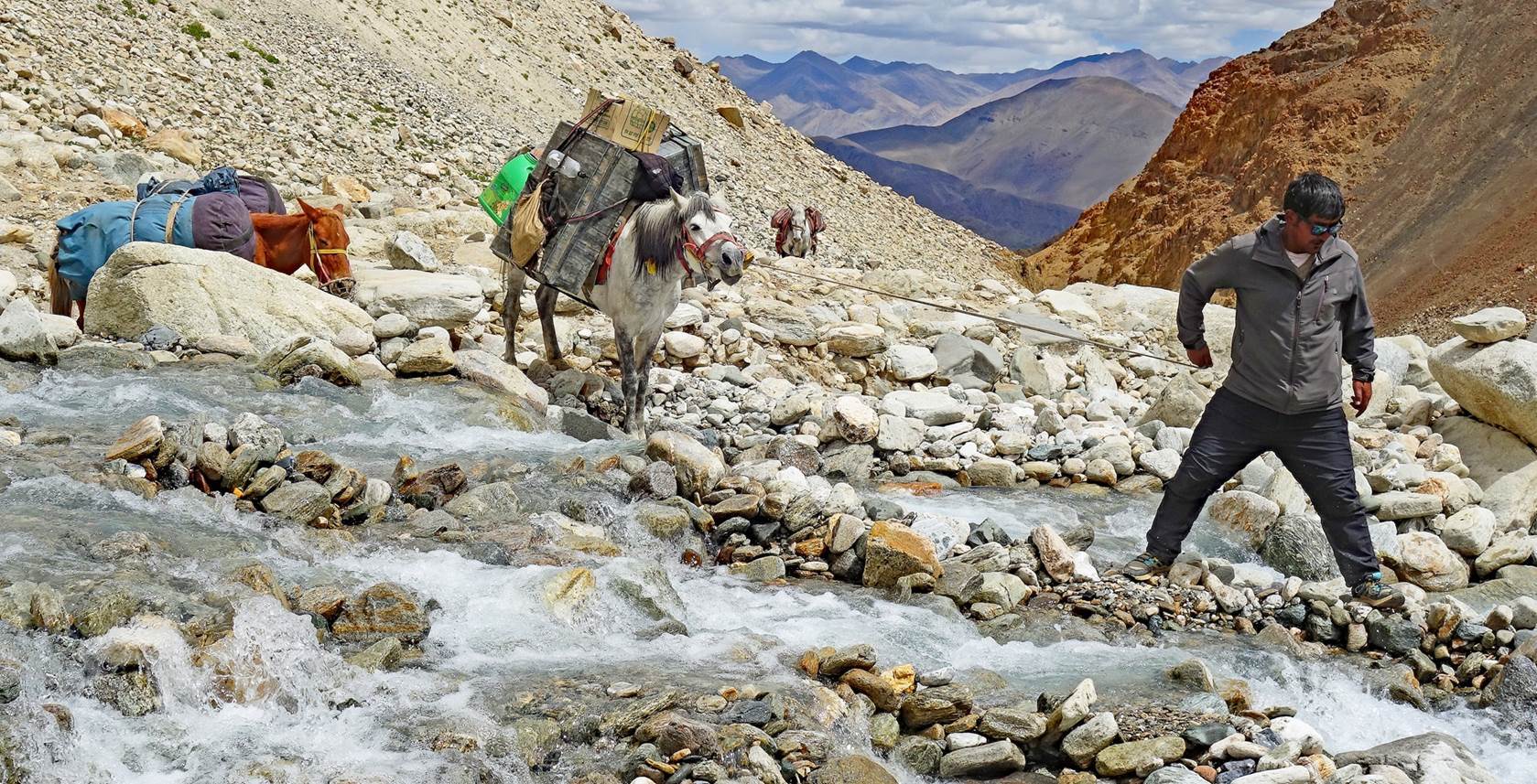
Day 9 of trek: Umia
village to Kiangdam, across Norbu La (4970m)
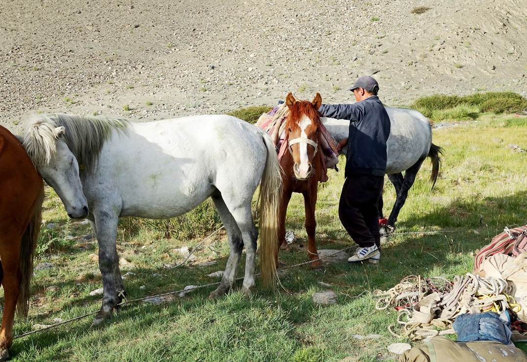
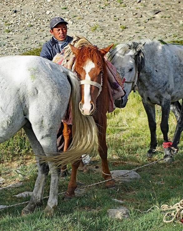
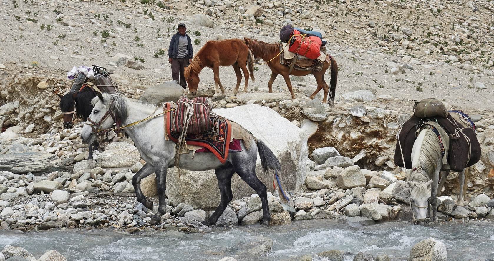
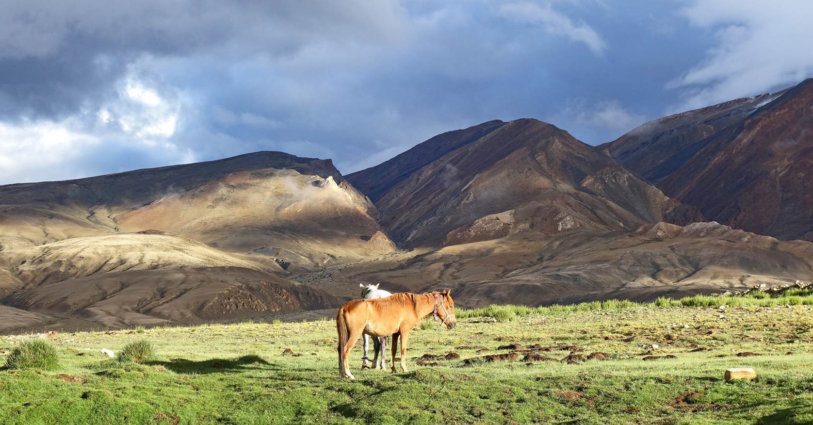
Two of our horses
enjoying the morning sun at our campsite.
Sheepfold
seen soon after leaving our campsite.
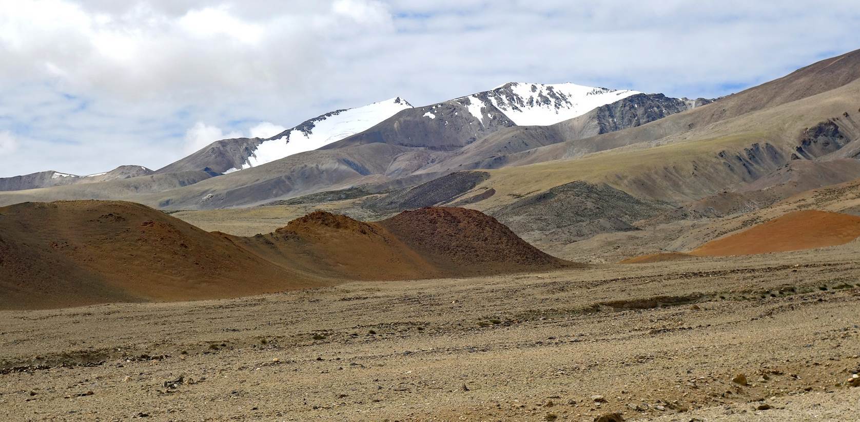
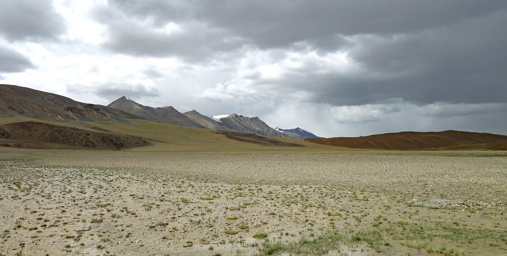
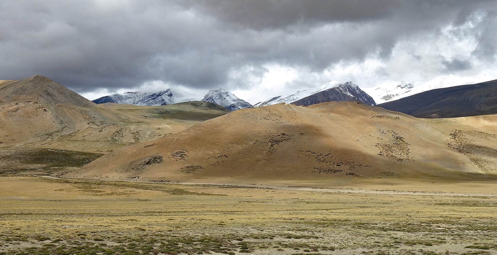
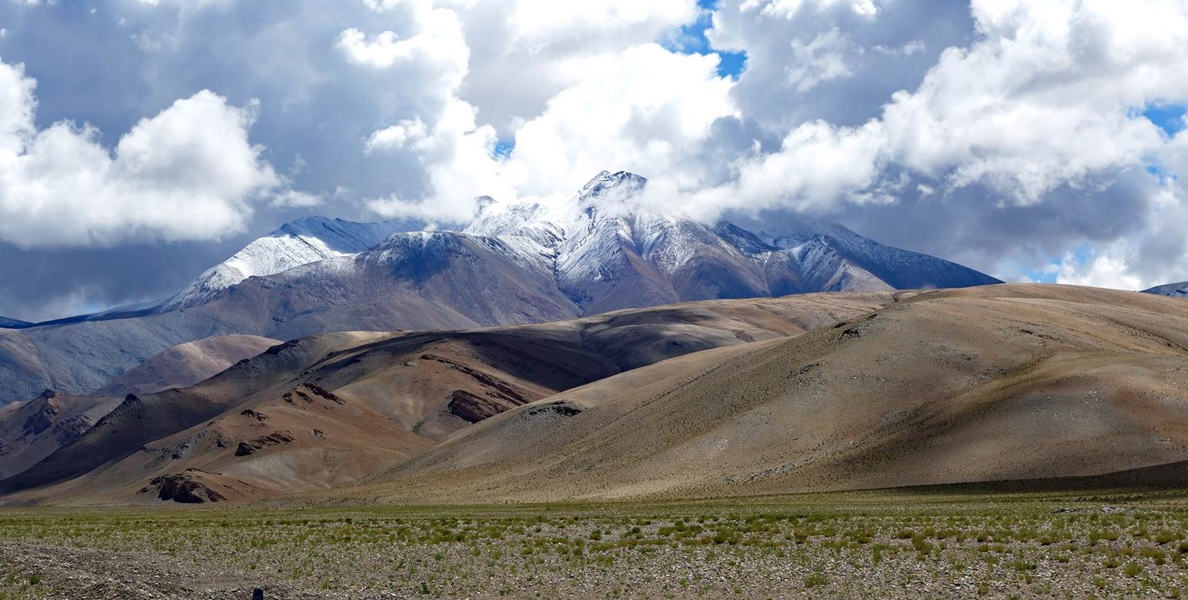
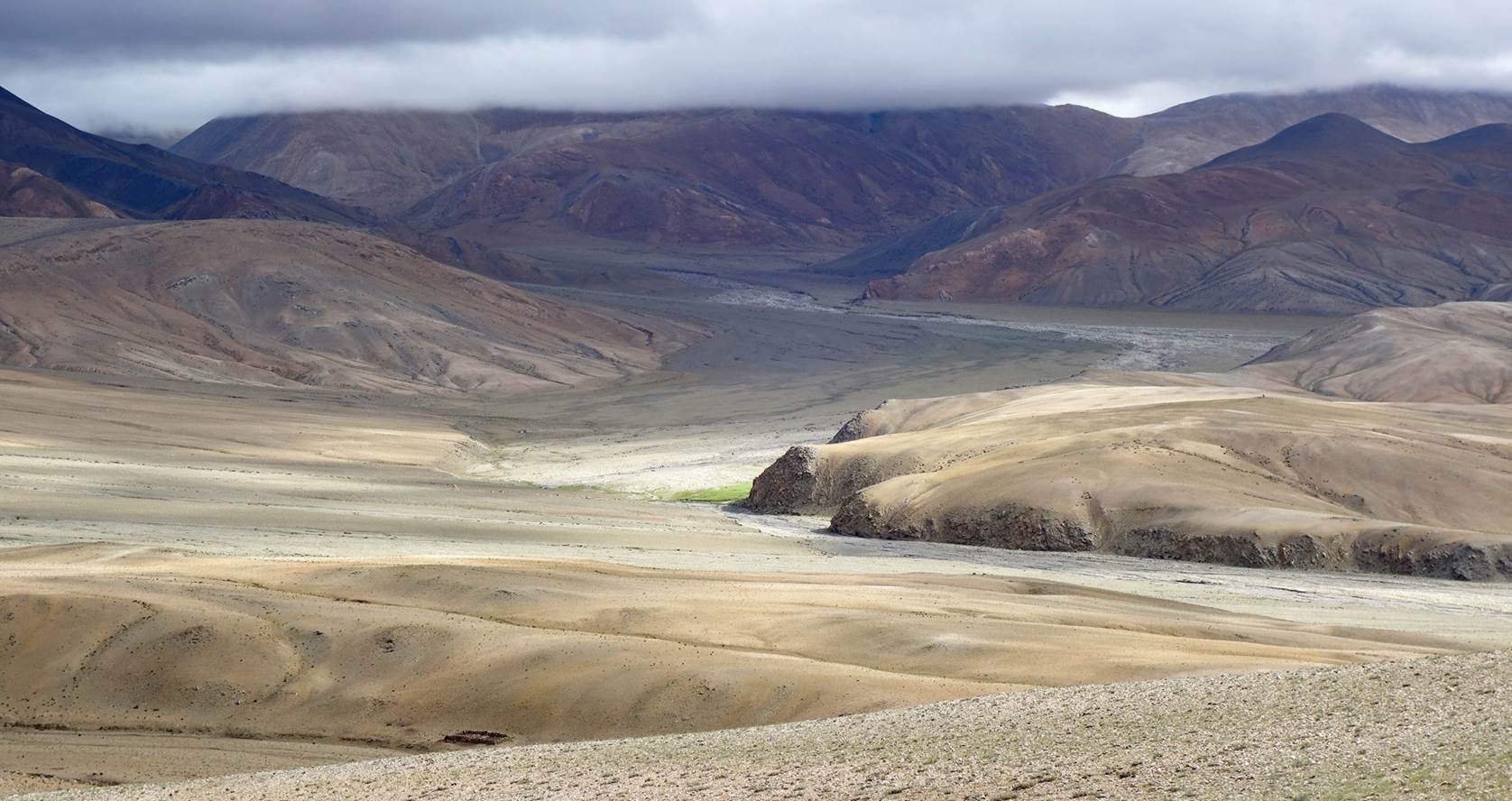
Stunning
landscapes seen on our way to Norbu La.

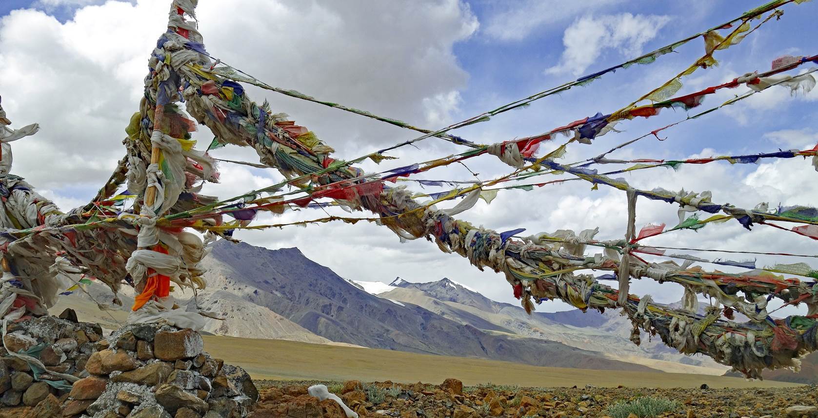
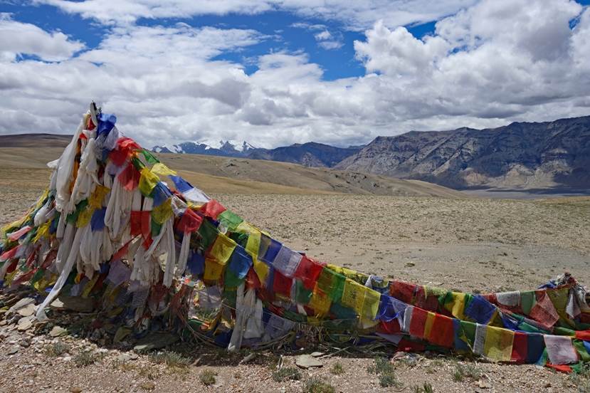
Prayer flags
at Norbu La. (Norbu La is not really a pass. It is more the edge of a plateau,
beyond which there is a steep descent toward Kiangdam.)
|
|
|
The plateau
seen from the prayer flags.
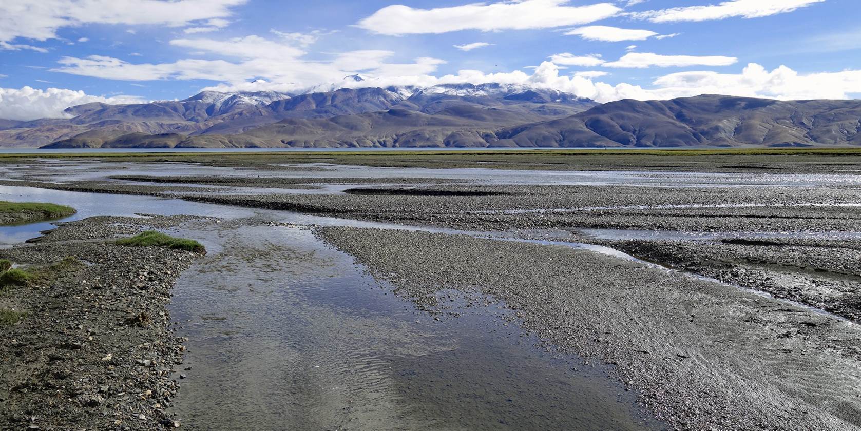
Spectacular
views of Kiangdam and Tso Moriri
from the edge of the plateau and during the descent.
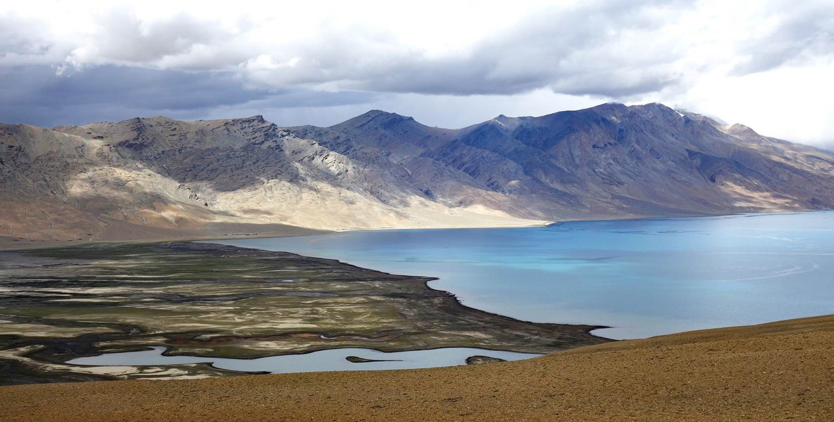
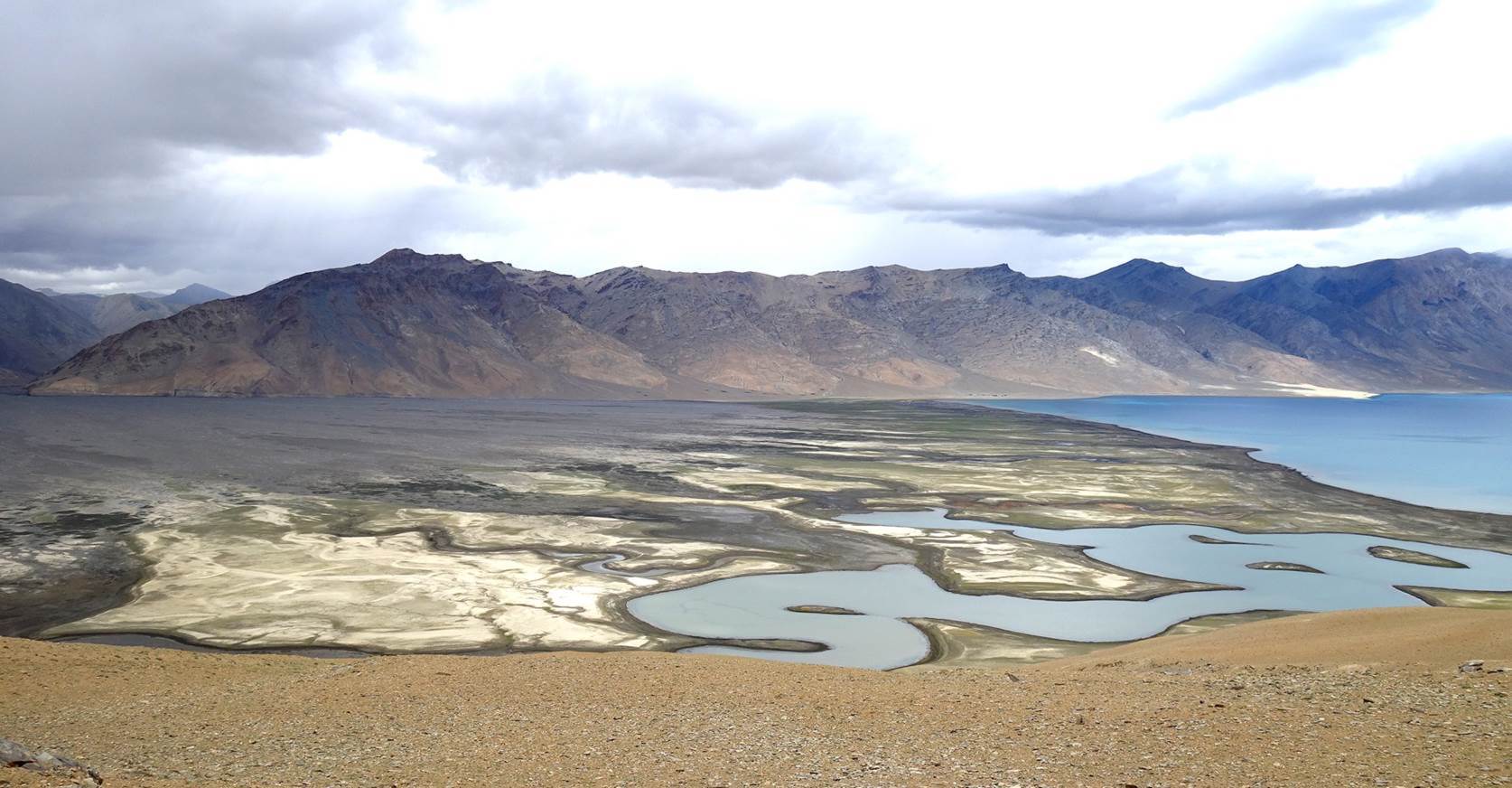
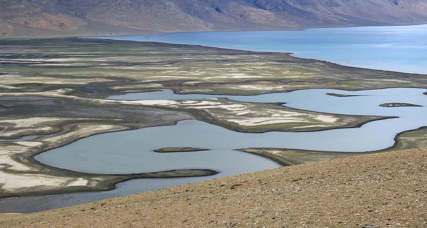
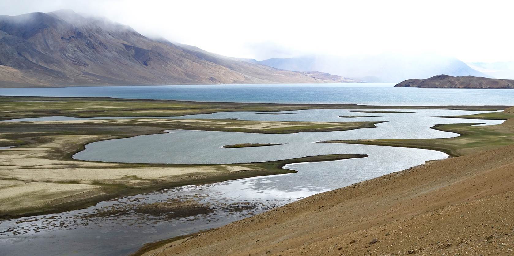
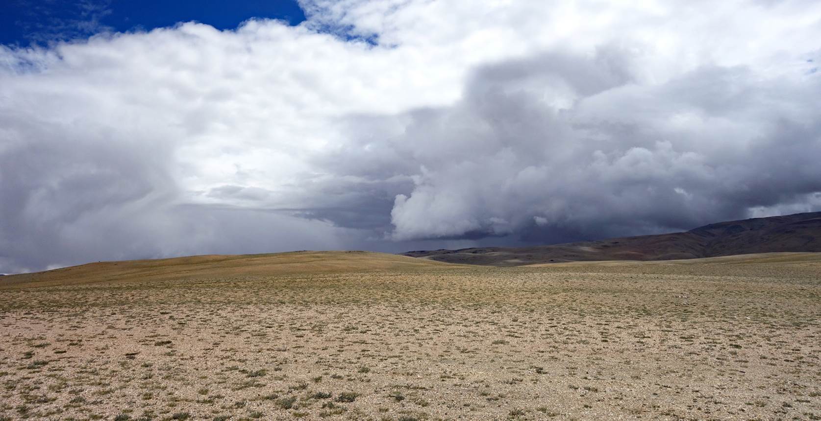
Past this
point it rained almost continuously until we reached our campsite on the
opposite side of the flat area.
Last morning.
Views of
mountain peaks on the east side of Tso Moriri from
our campsite.
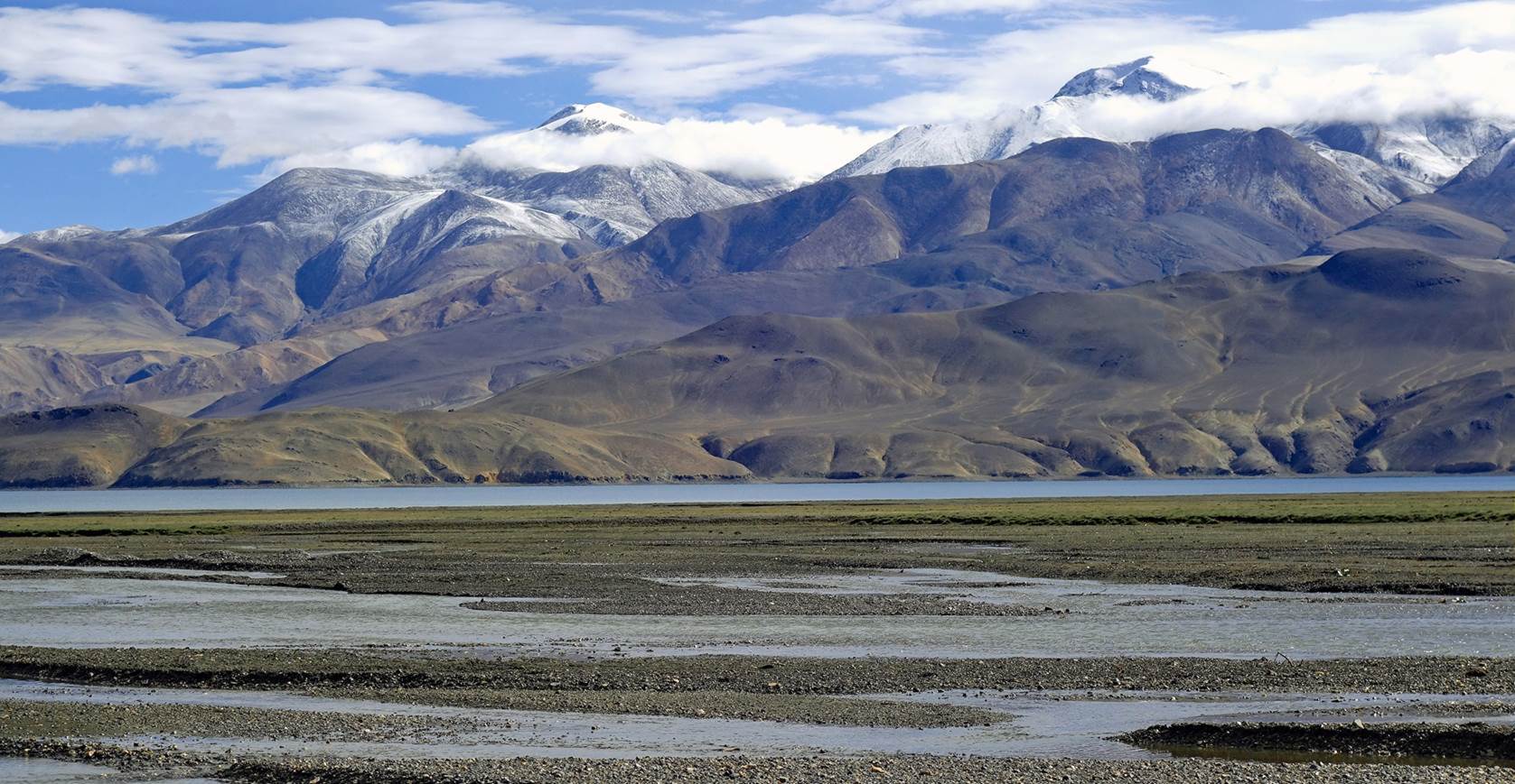
View toward
the south from our campsite.
Our horses
enjoying the morning sun now seem to feel like they are on vacation after a job
well done.

A car sent
by Sonam Dawa took Nurboo, Stanzin,
Tundup, and me back to Leh. Tse-Wong
returned to his village (Puga) with his horses, riding one of them.
|
|
Return to main
India 2024 travel page | Return to my
mountaineering/trekking/travel webpage