India (October-November 2019):
Trek from Kudung to Thongleng via Thangafay (1/2)
|
|
Return to my
mountaineering/trekking/travel webpage | Return
to main India Oct-Nov 2019 webpage
|
|
|
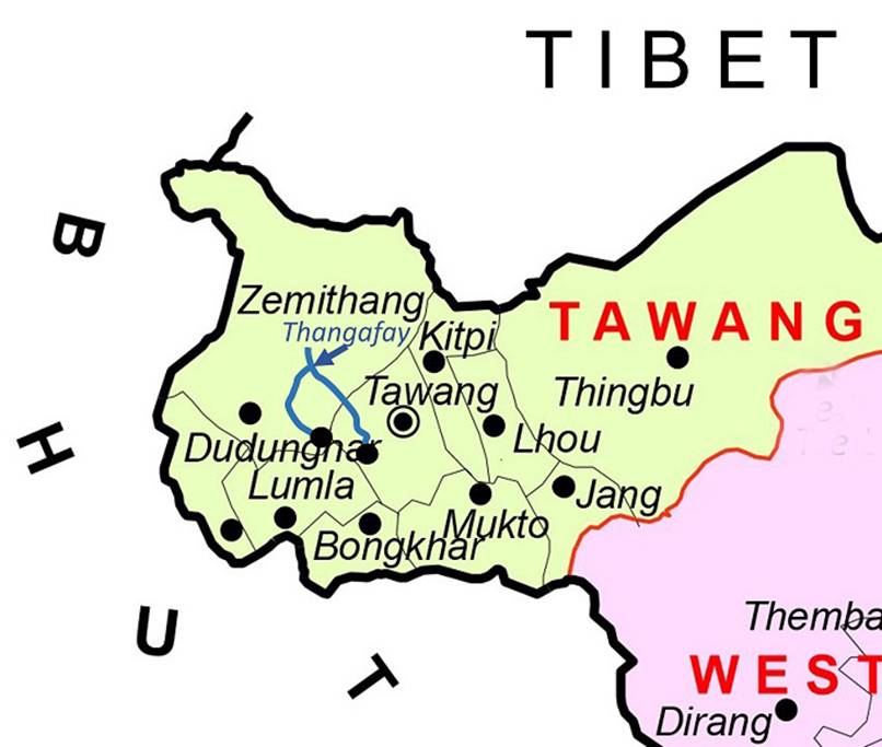
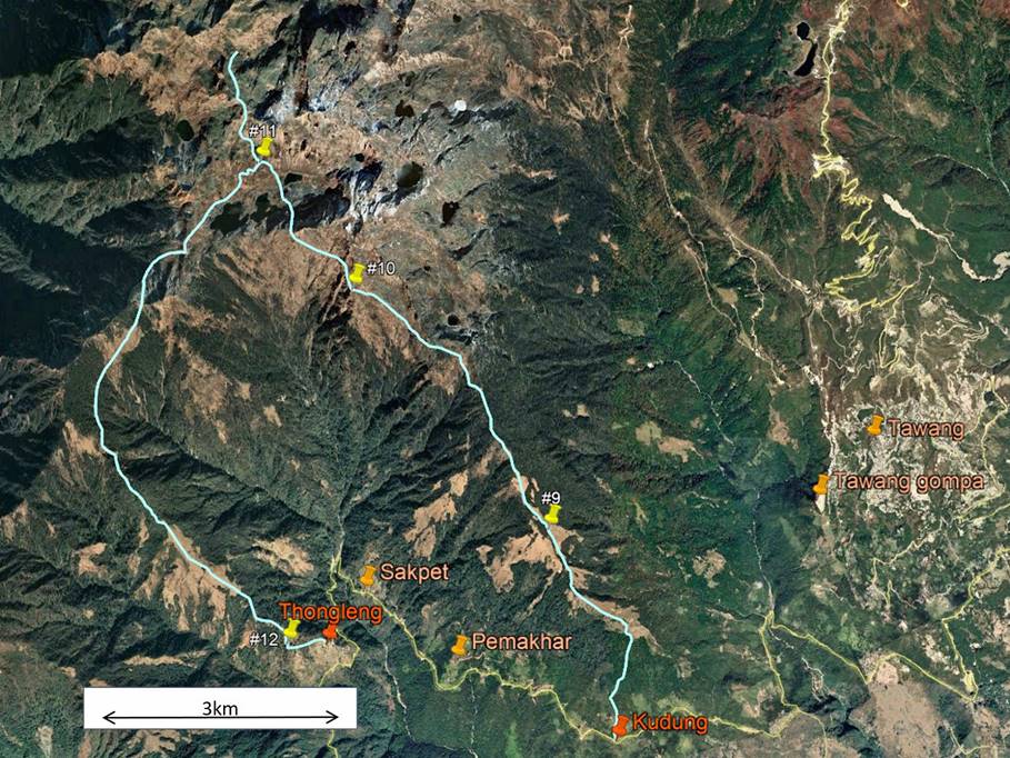
The itinerary of this relatively short
trek is drawn in blue line in both the map and the aerial image above. To see
the aerial image in more detail click here
to download the trek-ap.kmz file and open this file
in Google Earth. The yellow pins (marked #9 to #12) point to the locations of
the 4 successive camps of this trek. The other pins indicate other locations
(two villages between Kudung and Thongleng,
the town of Tawang, and the gompa
of Tawang). Thangafay is
located at Camp #10. The ascent path to Thangafay
follows a ridge with a steep escarpment on its western side. The descent path
also follows a ridge, but a gentler one. Thangafay is
an important Monpa pilgrimage site surrounded by
magnificent lakes. The itinerary traverses territories of the 4 villages marked
on the map: Kudung, Pemakhar,
Sakpet, and Thonglang.
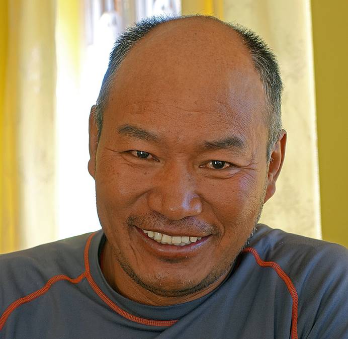
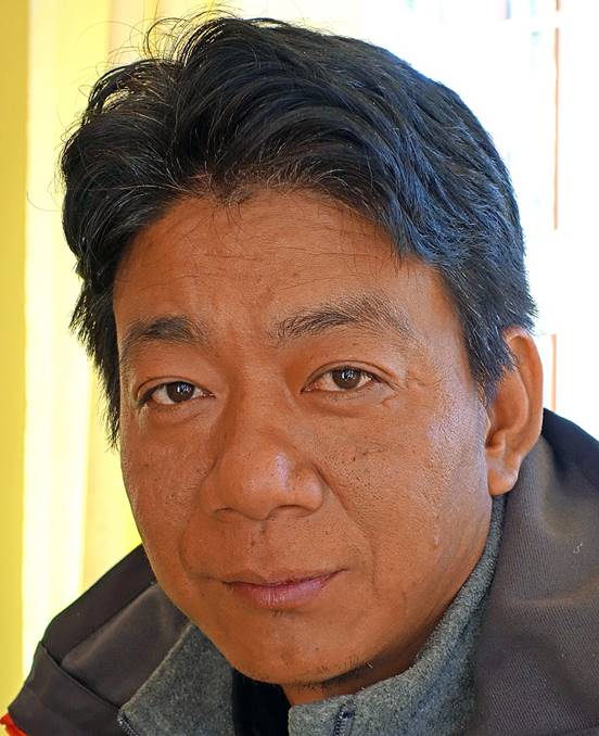
Both Sonam Dawa and Lobsang (see main
page of this trip) joined me on this trek. Lobsang,
who was born in the village of Pemakhar, has
relatives in all the 4 villages mentioned above.
|
Sonam Dawa |
Lobsang |
Lobsang had hired a team of porters from his
own village, Pemakhar, but a baby was born there a
couple of days before our trek. Local people strongly believed that it would
impure for any of the inhabitants of this village to go in the mountain,
especially to the sacred grounds of Thangafay, so
soon after the birth and that it could bring bad karma to the baby. So, on
short notice, Lobsang had to find porters from the
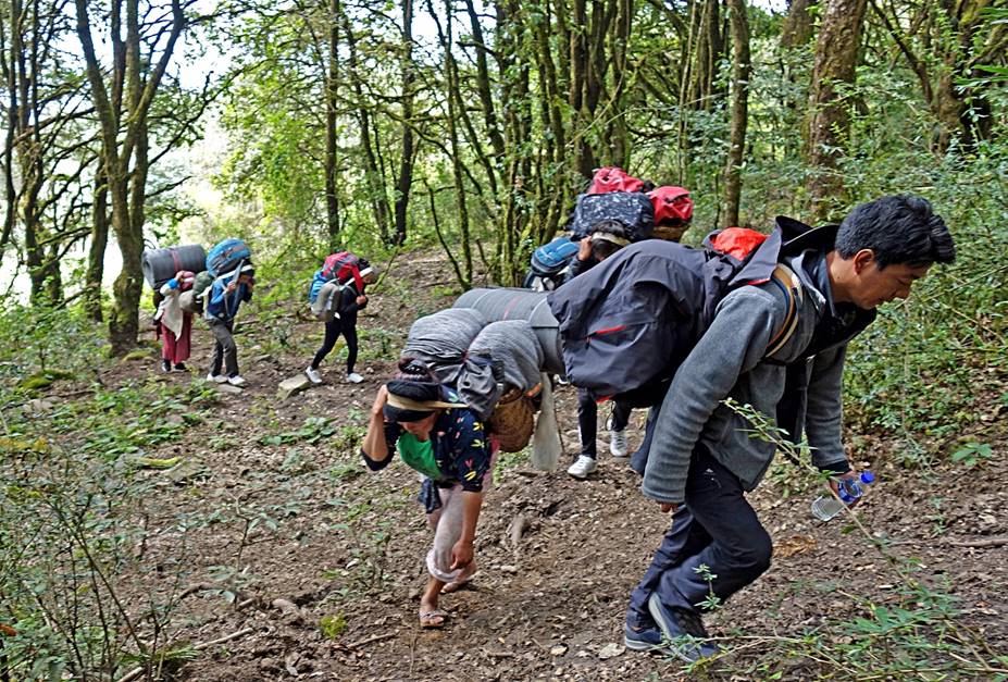
other three villages. Our porters consisted of four women and two young men.
Clearly, they were not professional porters, but they seemed genuinely happy to
be together and participate in the trek.
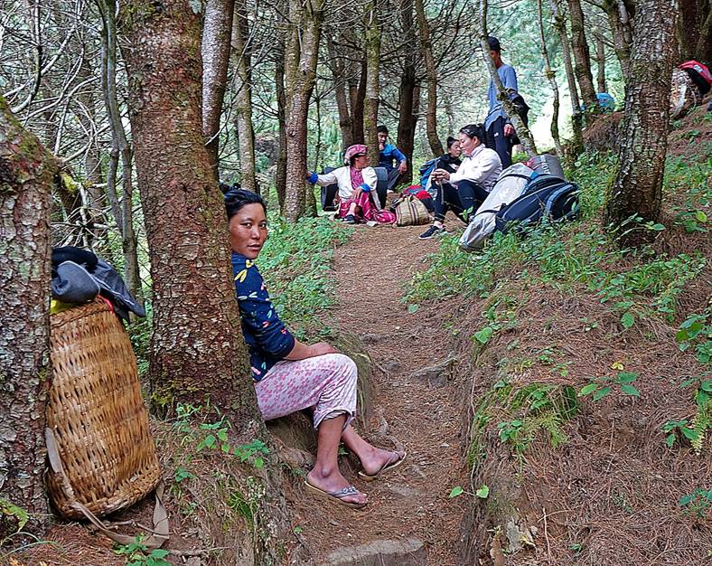
The 6 porters at a rest stop (with Sonam Dawa behind them).
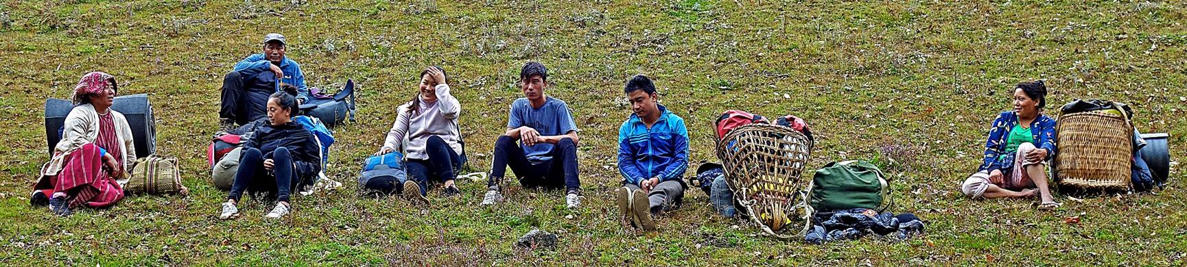
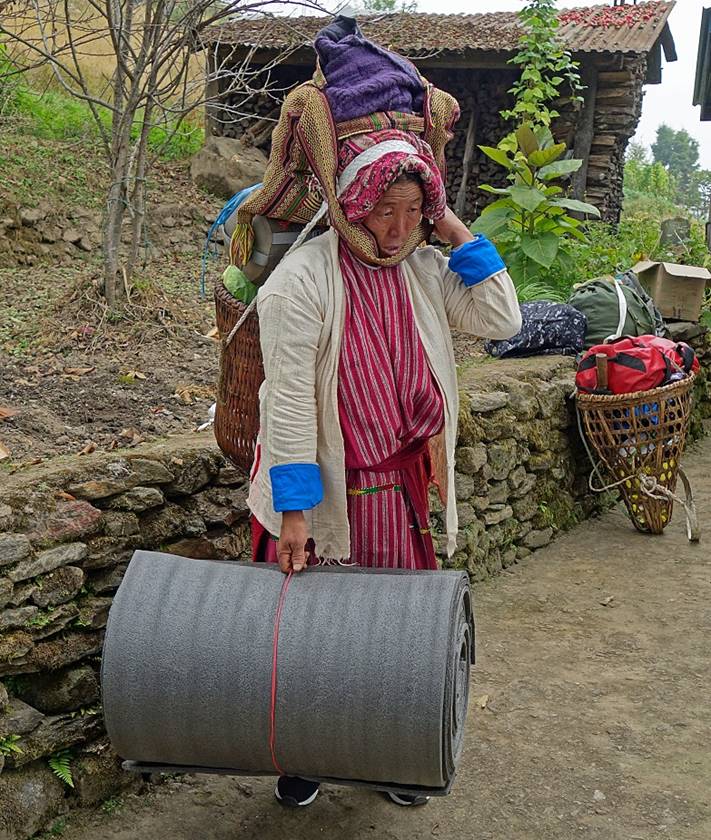
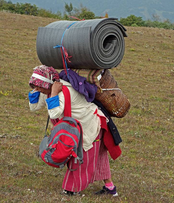
The lady in traditional Monpa dress on the left of the photo was clearly older than
the other porters. I felt embarrassed by the huge loads that she carried (see
the two photos below). Lobsang told me that she had
spent her entire life dealing with yaks and going up and down to/from brokpa huts (yak herder huts) above her village (Sakpet). She was indeed very strong and also highly
respected by the younger members of the group. At Thangafay
she was making sure that no one in the group would transgress the traditional
rules that govern this sacred pilgrimage site. (Perhaps this was the very
reason why she was one of our porters.)
|
|
|
The trek
starts from the road connectingTawang to Lumla, just below the village of Kudung.
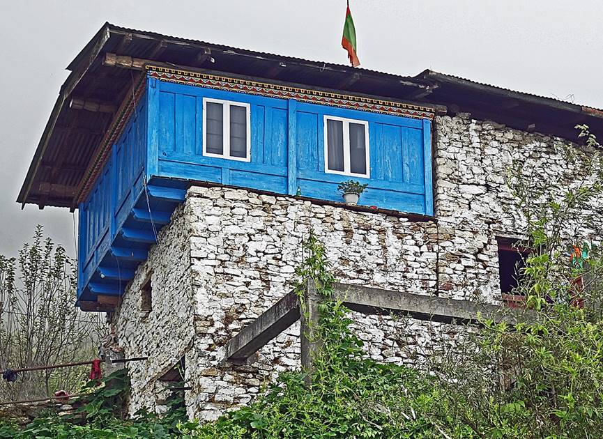
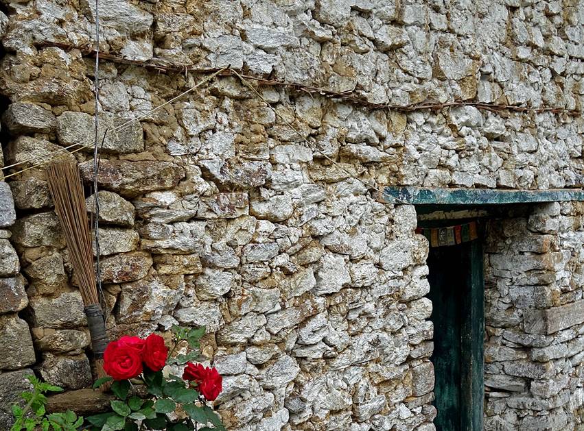
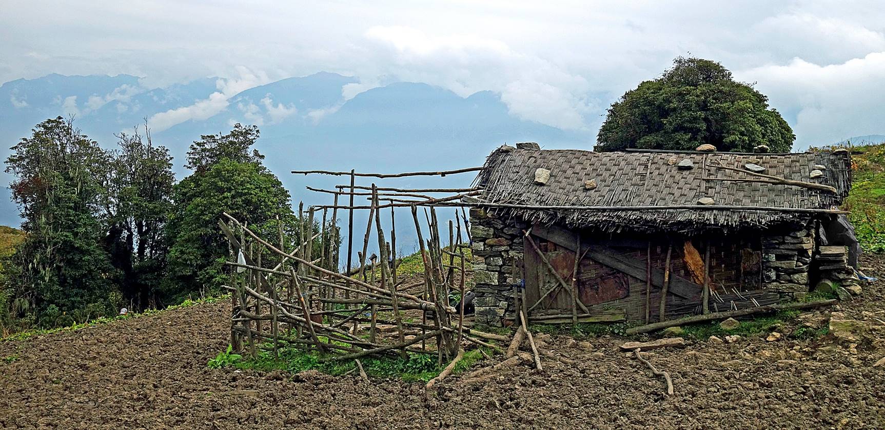
In Kudung (elevation: 2500m):
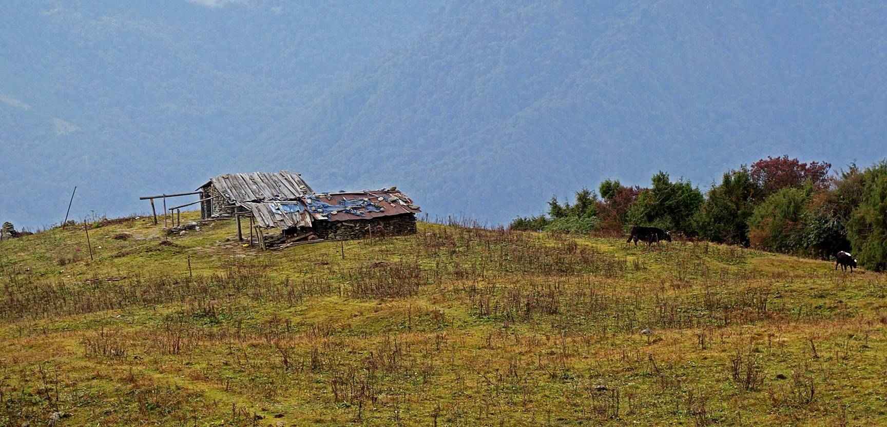
- Traditional
Monpa house made of stones and wood.
|
|
|
- Mani wall (left) and small
water-powered prayer wheel (right).
|
|
|
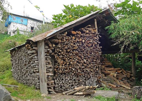
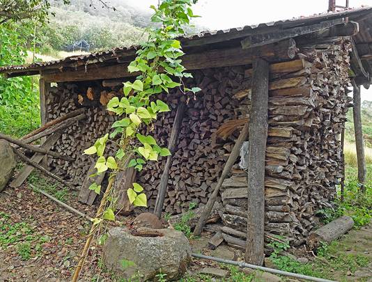
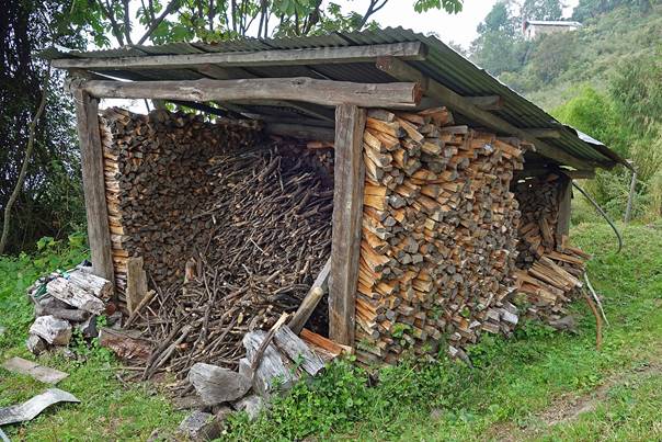
- Wood storage for the winter.
|
|
|
|
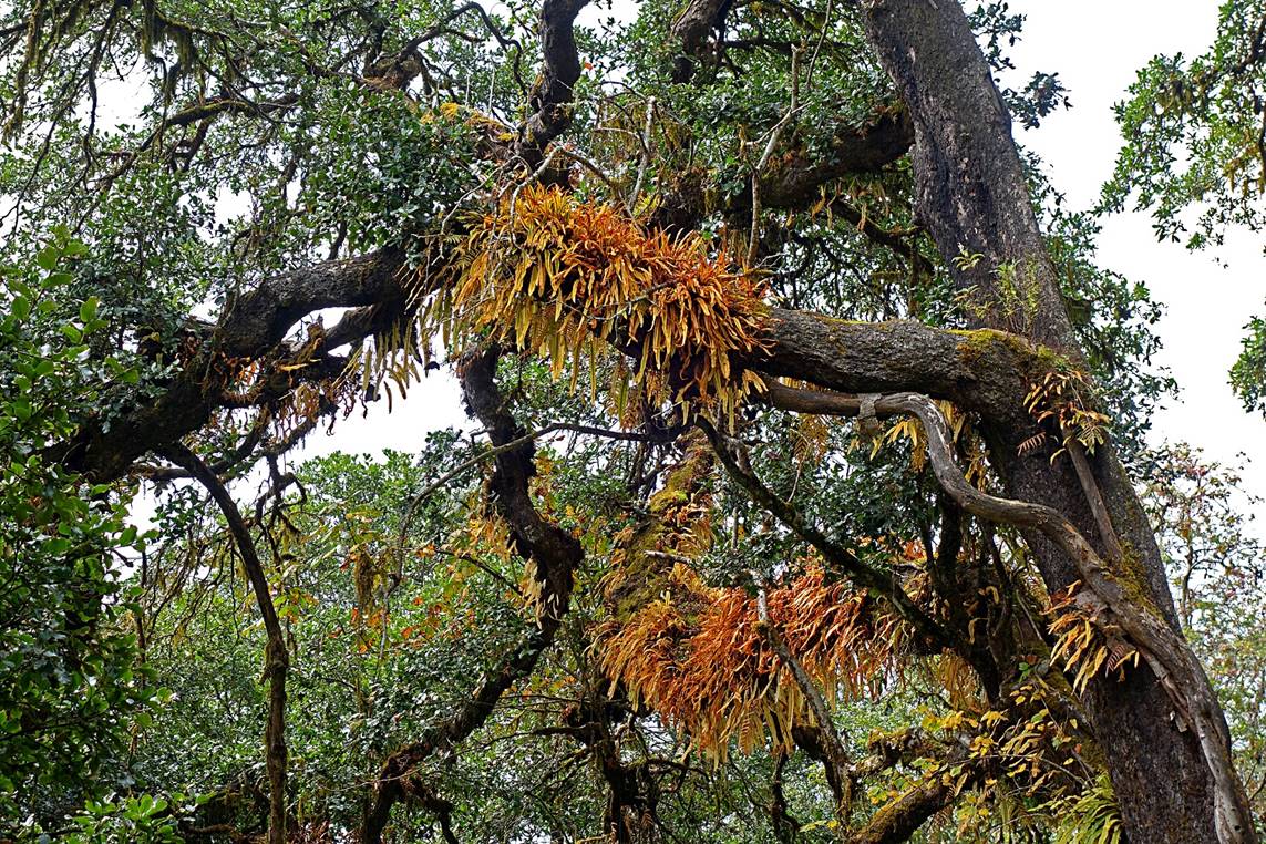
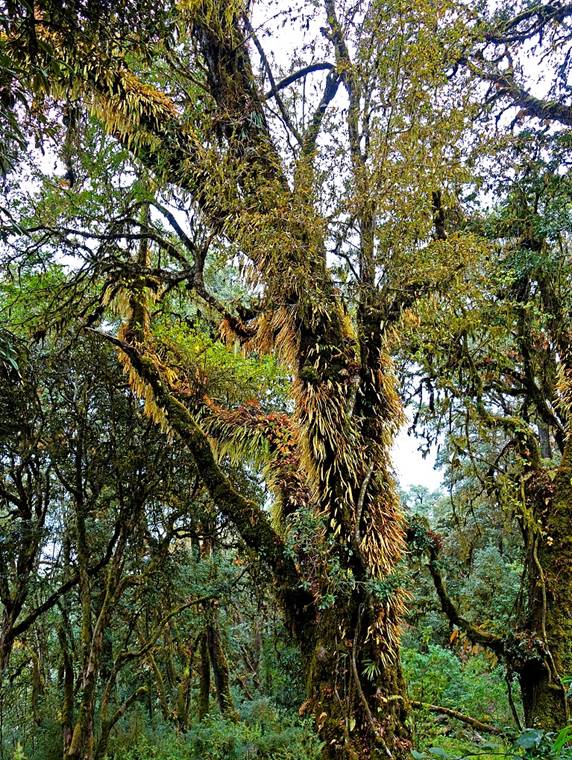
For a couple of hours we climbed in a
dense forest.
|
|
|
|
|
|
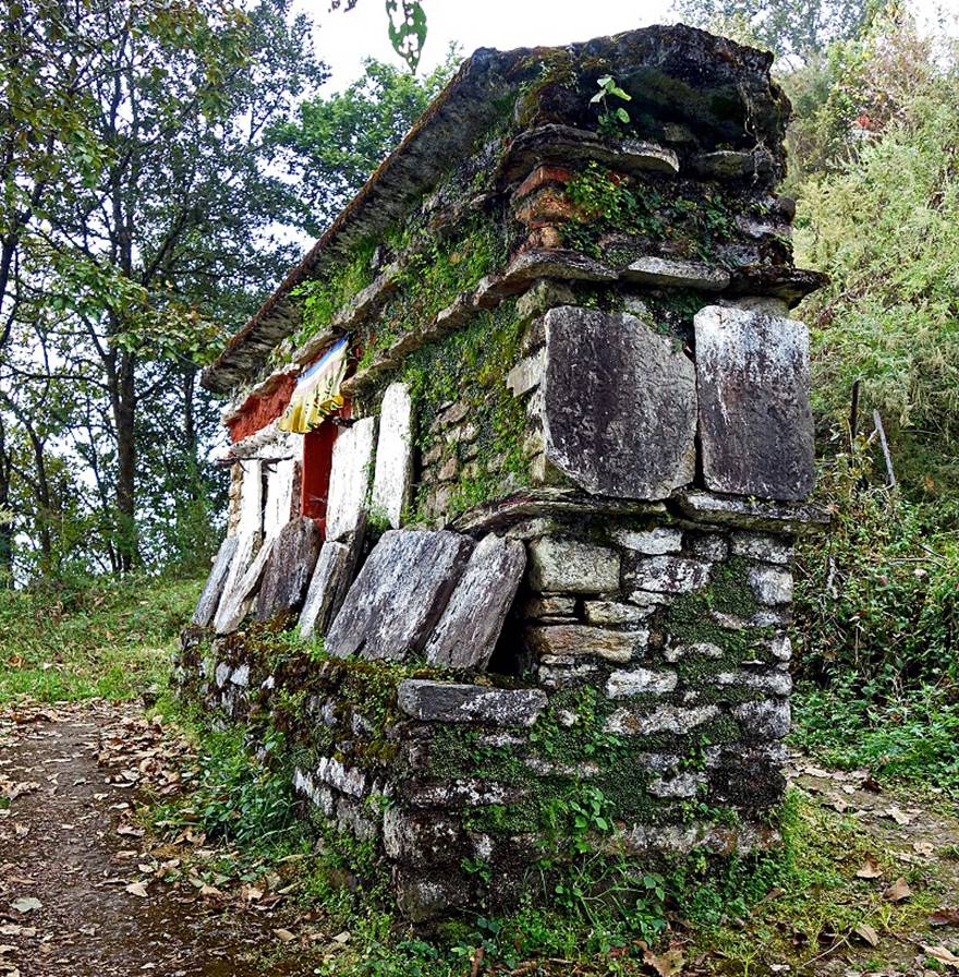
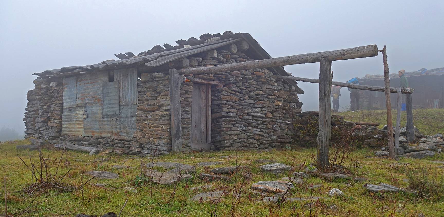
First (empty) brokpa
hut along the way, with stone walls and bamboo roof.
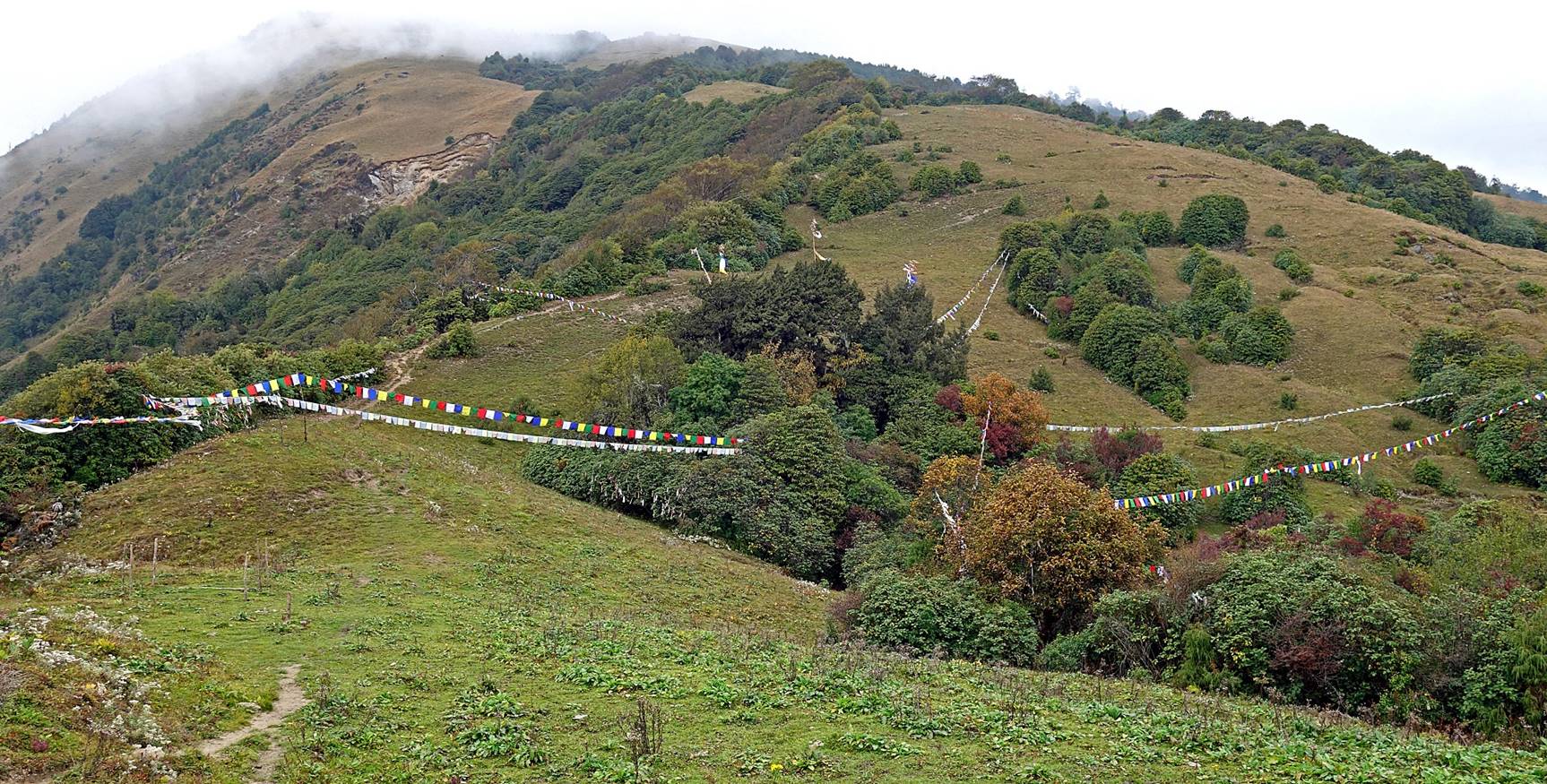
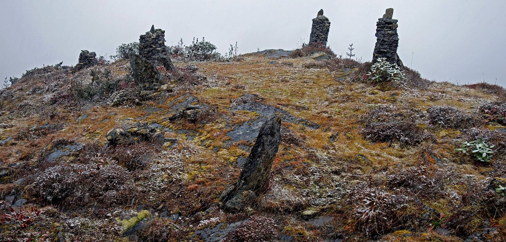
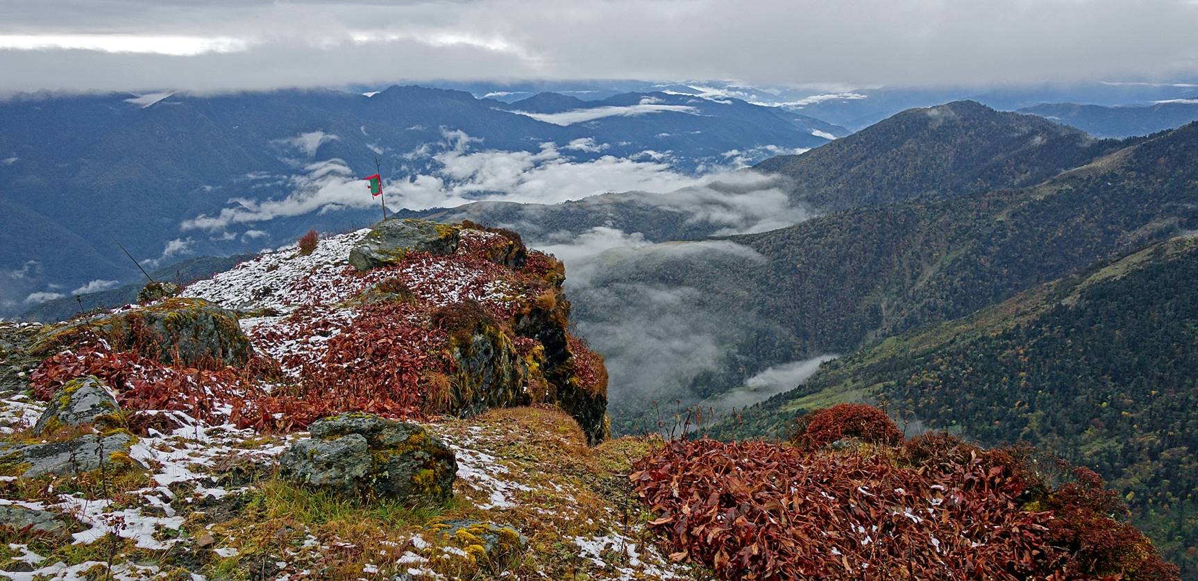
Area ″protected″ by prayer
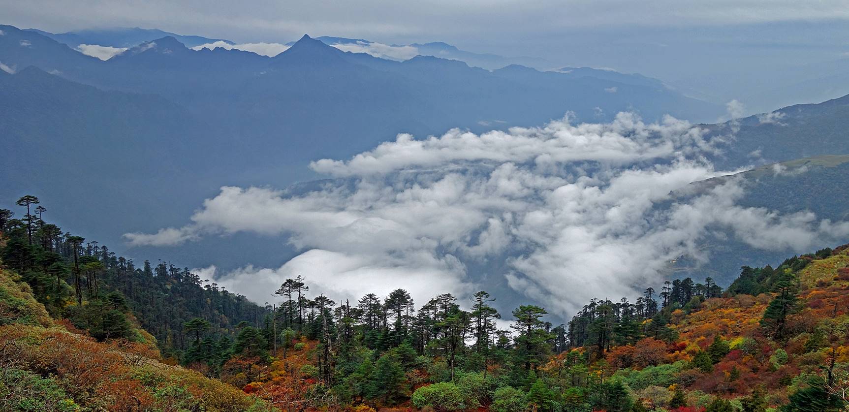
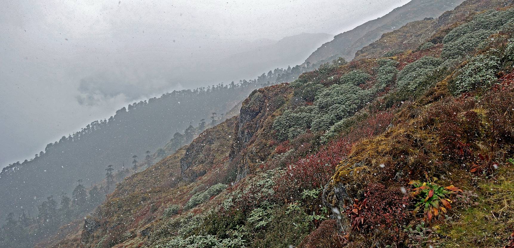
flags. The photo shows clearly the ridge that we were following upward, with a
relatively steep slope to the left (west) and a gentler one to the right. Unfortunately,
the first two days of the trek were cloudy, with limited visibility.
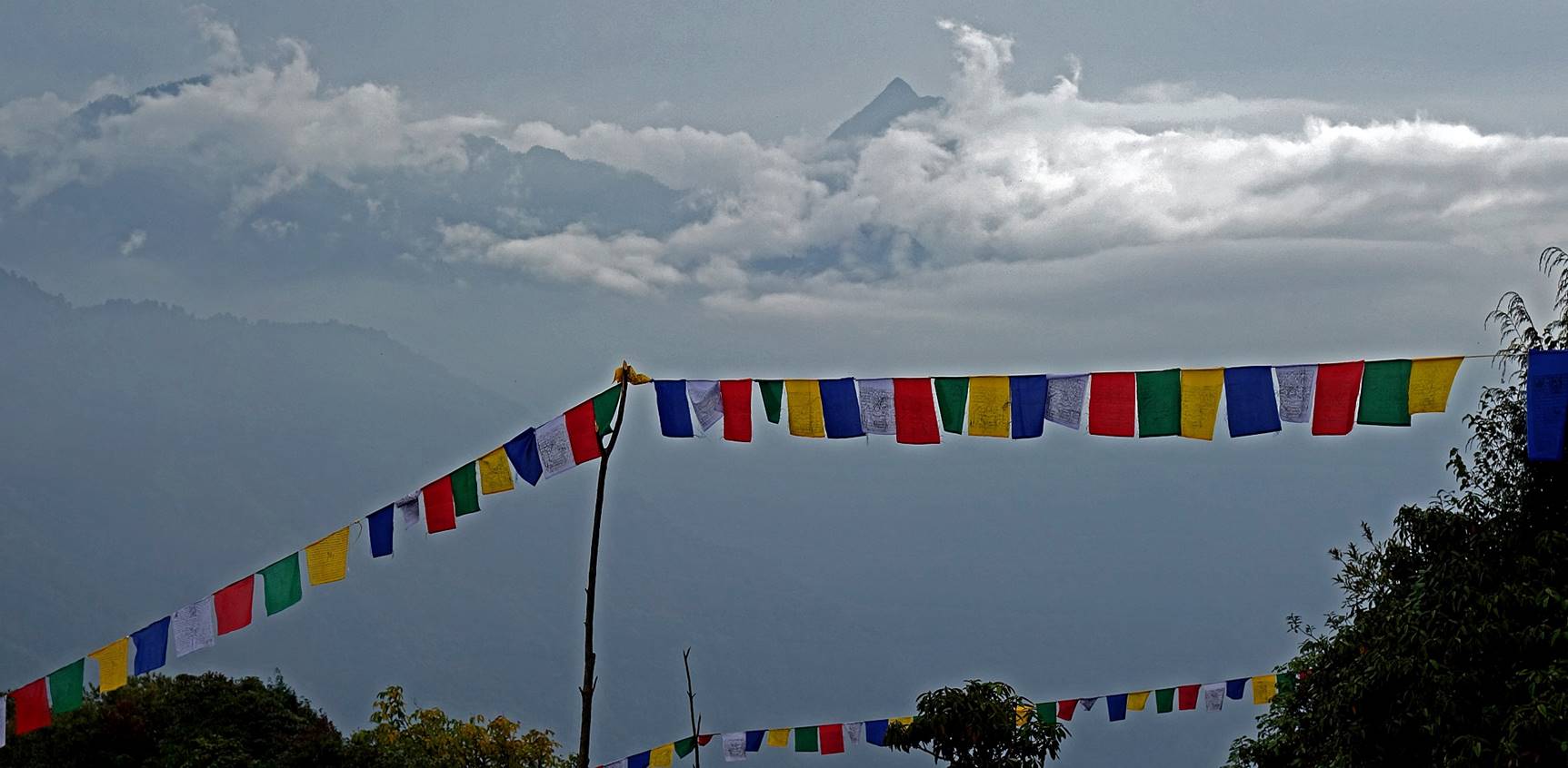
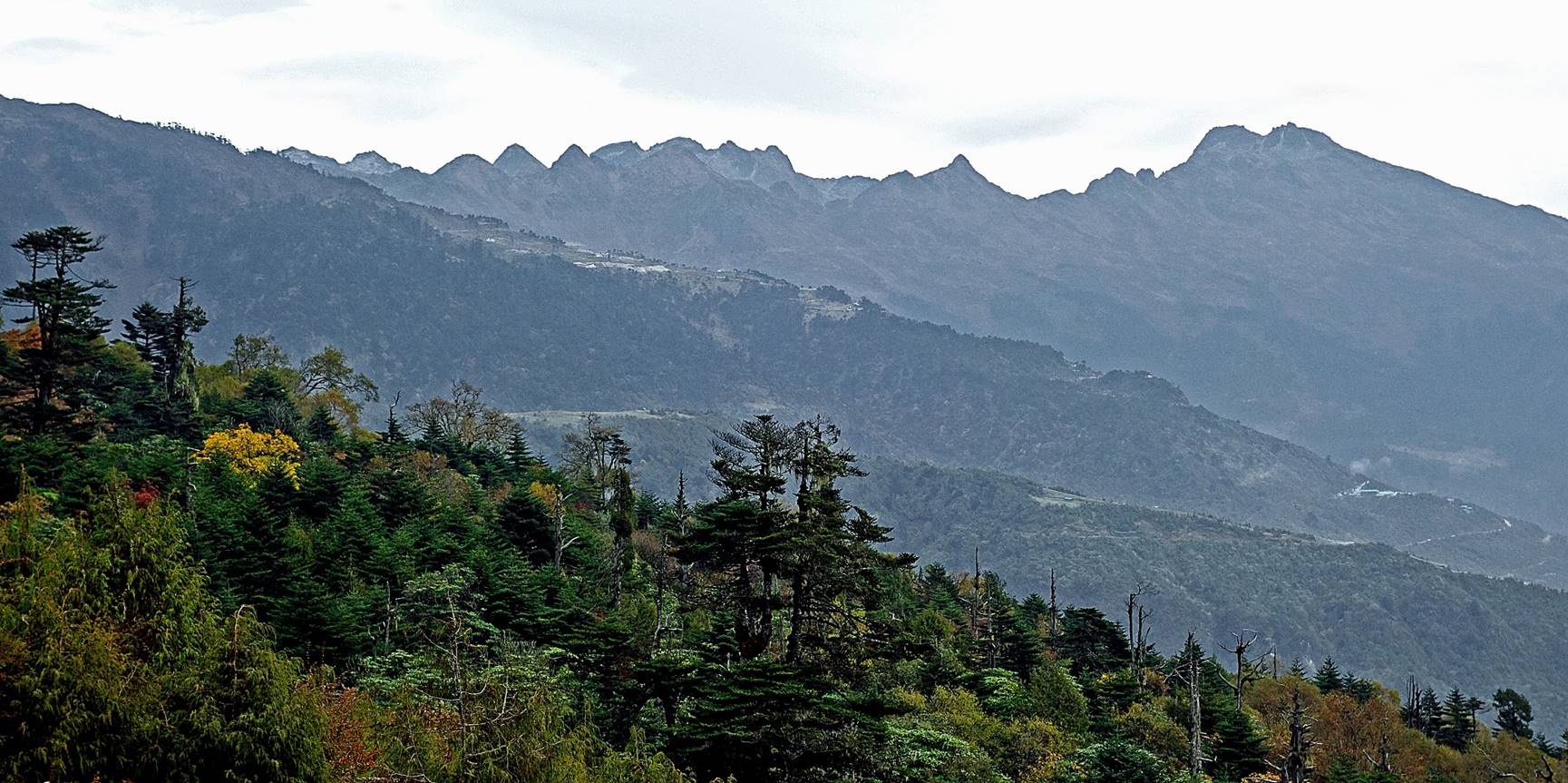
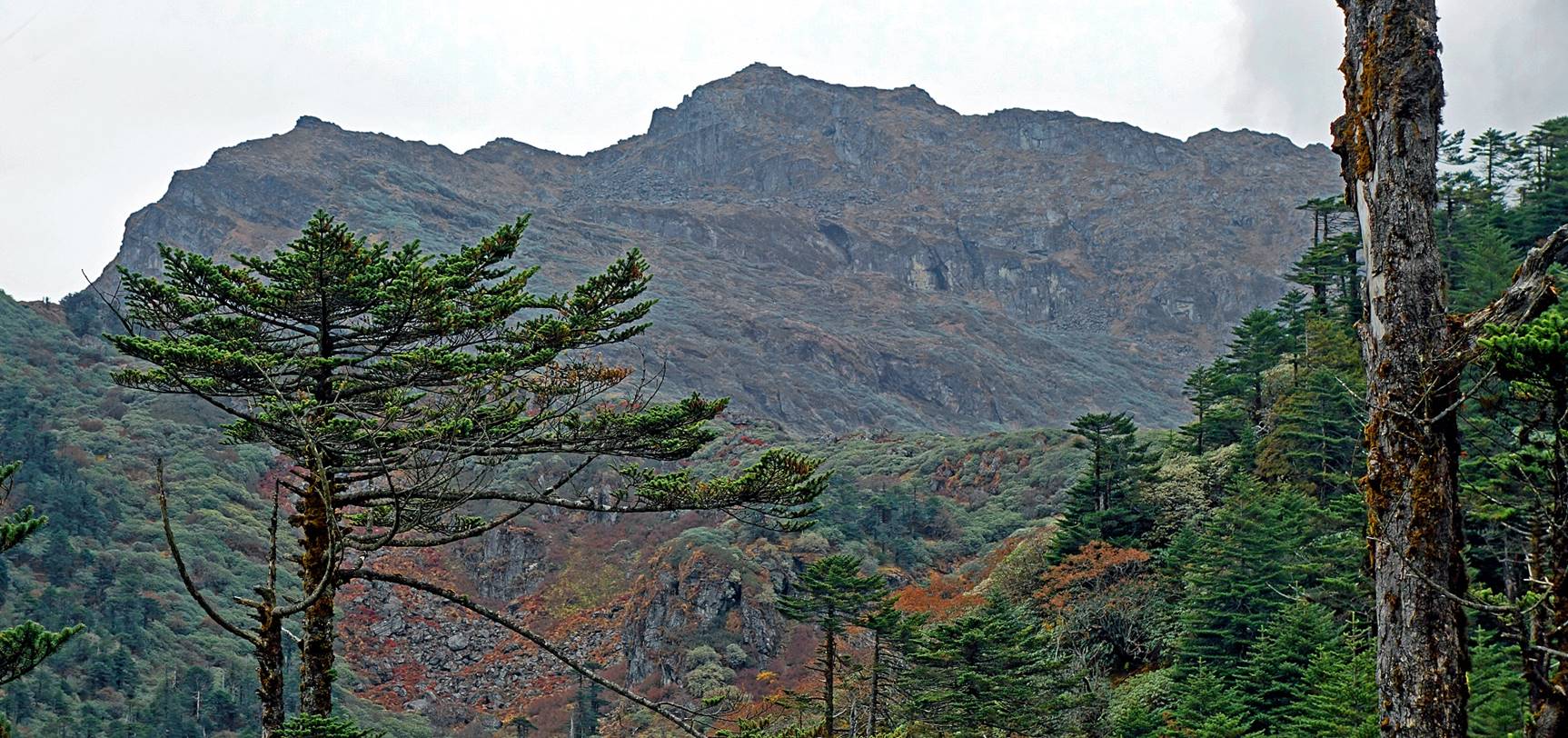
View toward the southwest, with the
sharp Chongchong Ma peak (4270m) visible above the
clouds. This peak is worshipped by all Monpas.
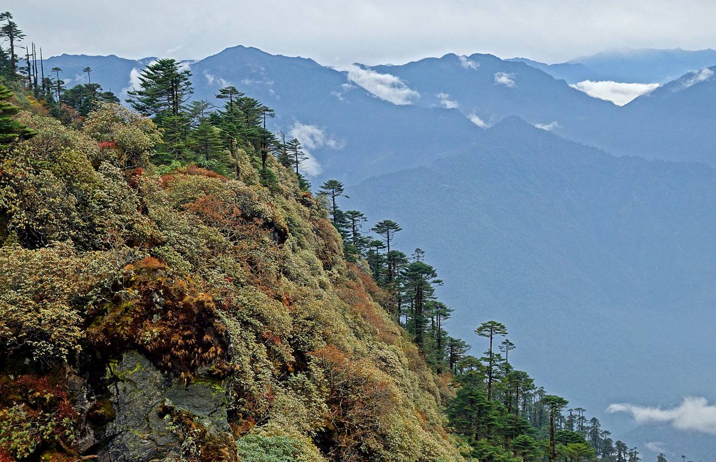
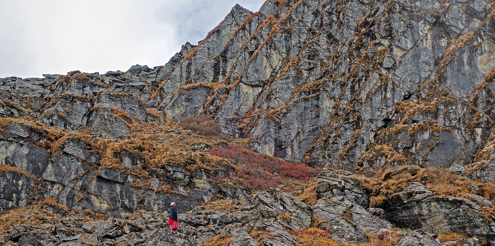
View over the escarpment on the west of
the ridge that we were following, with a portion of the village of Kudung visible in the top left corner of the photo.
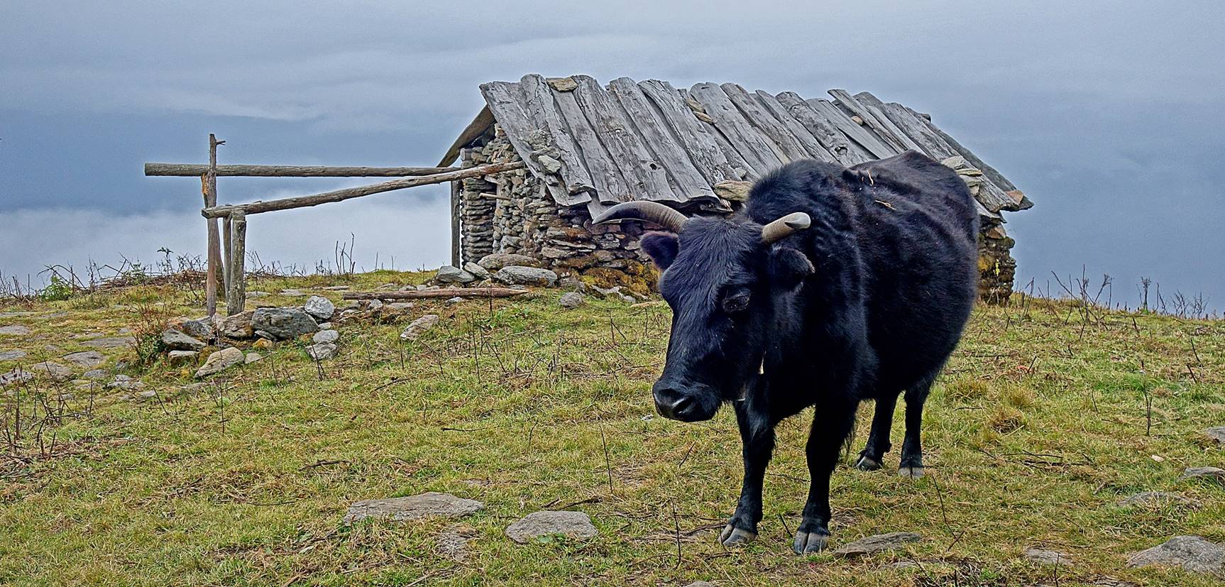
We set our first camp of this trek (Camp
#9 in the aerial map at the top of this page, elevation: 3460m) above a couple
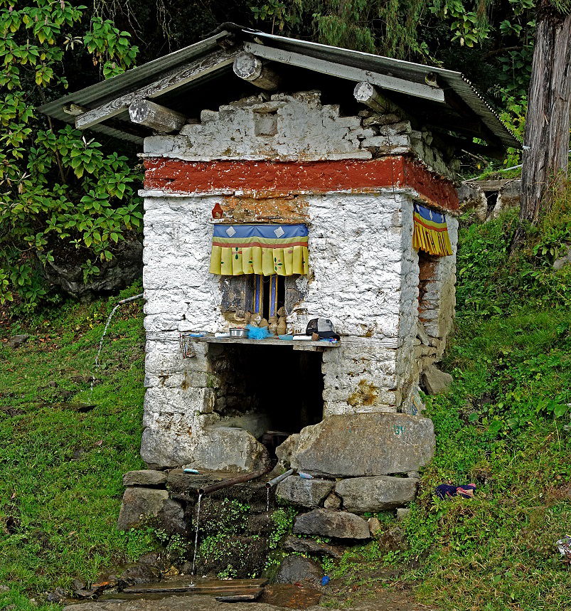
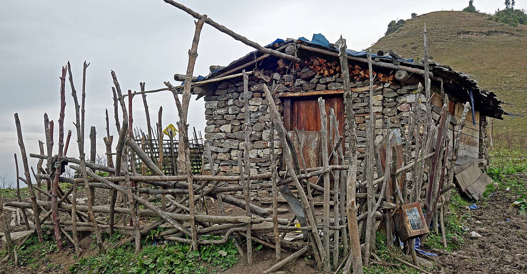
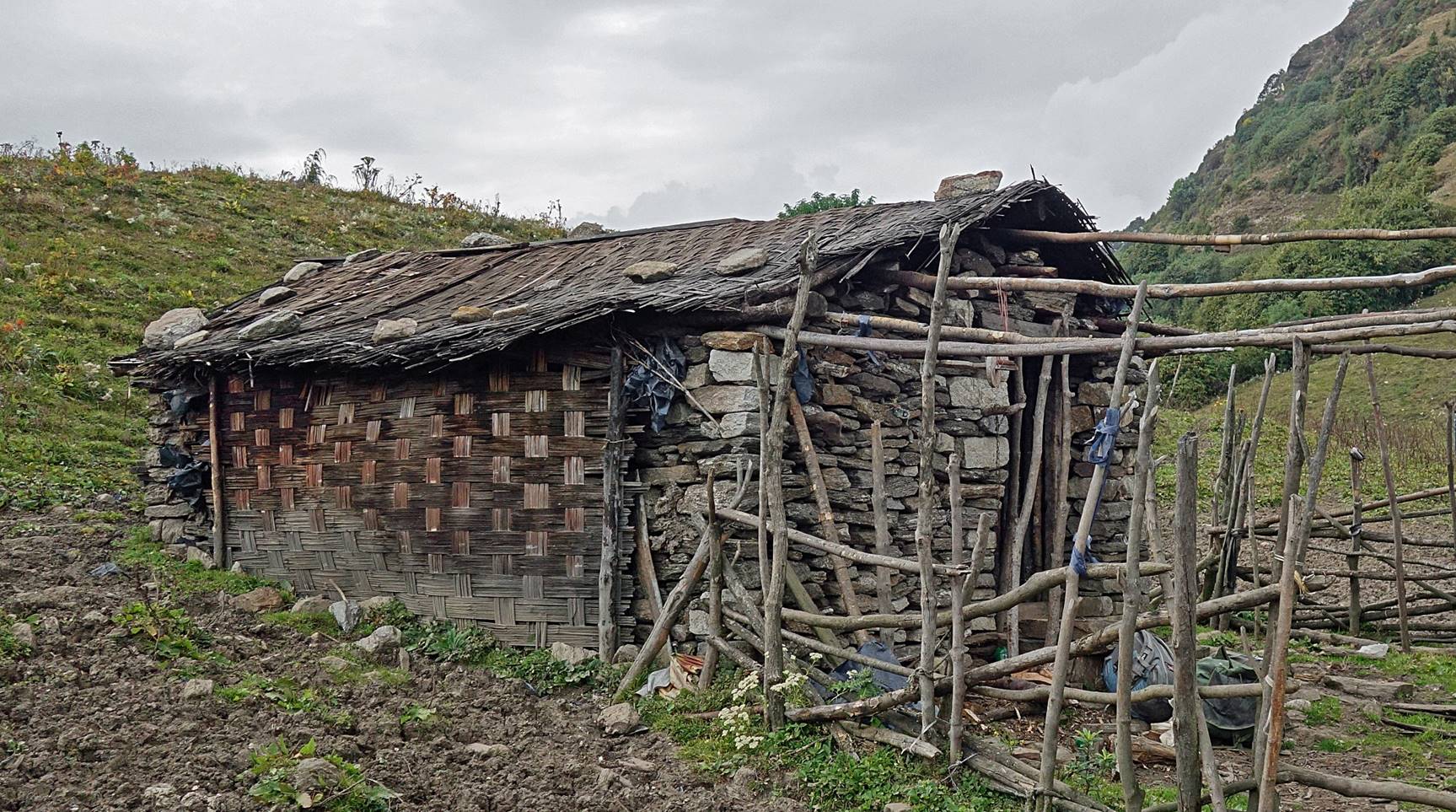
of brokpa stone houses. A brokpa
was living in one of them.
A dzomo. Both dzo (males) and dzomo (females)
are hybrids of yaks and cattle. They have shorter hairs and are more
heat-resistant than yaks. Dzomo are also more
productive in terms of milk. Unlike dzomo, dzo are sterile.
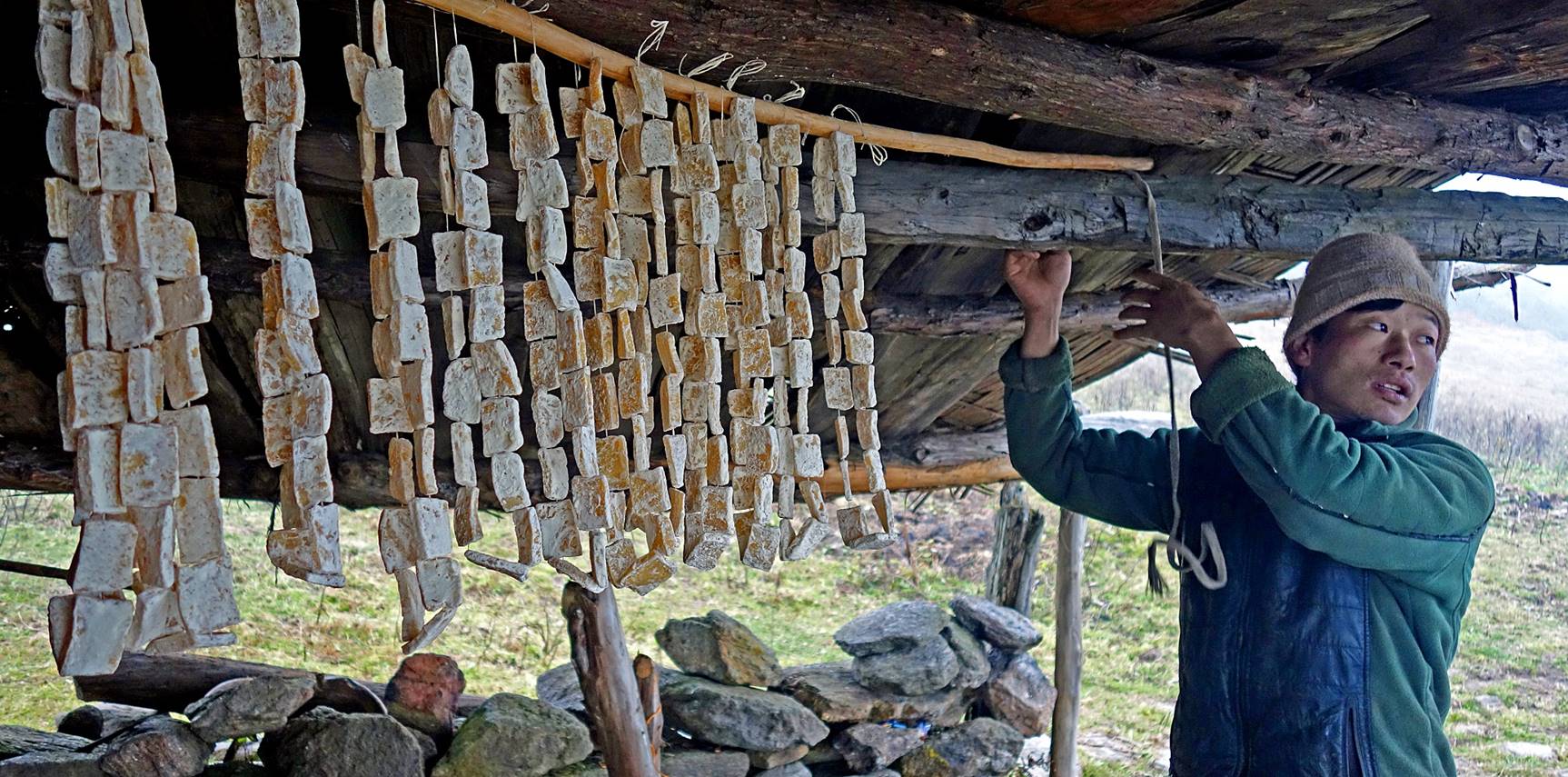
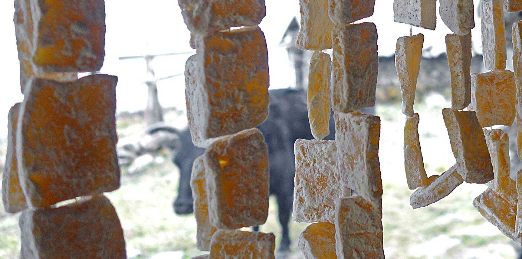
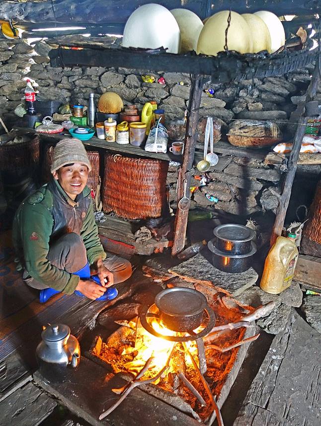
The brokpa
showing us one type of cheese cut into small pieces drying on threads.
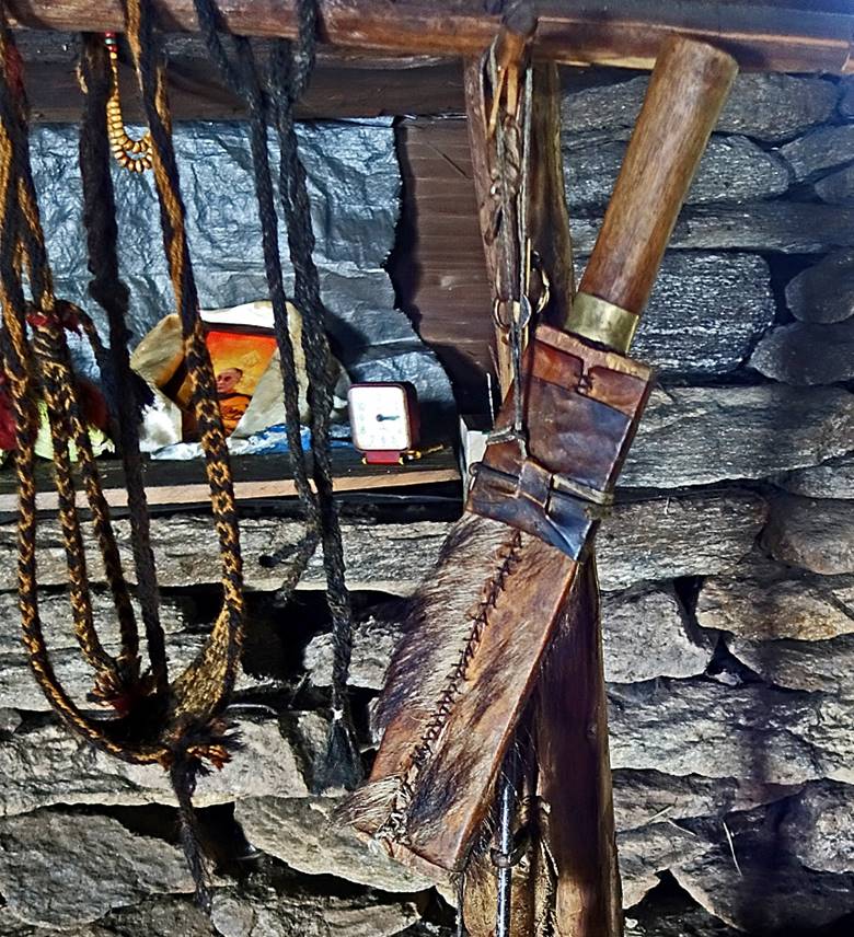
Inside the brokpa
house. Note the large cheese balls drying above the fireplace and the khoyup (the traditional broad blade knife carried by the Monpa men) in the photo on the right. Note also the photo
of the Dalai Lama laid in a khata (white scarf) on
the shelf, on the left of the clock.
|
|
|
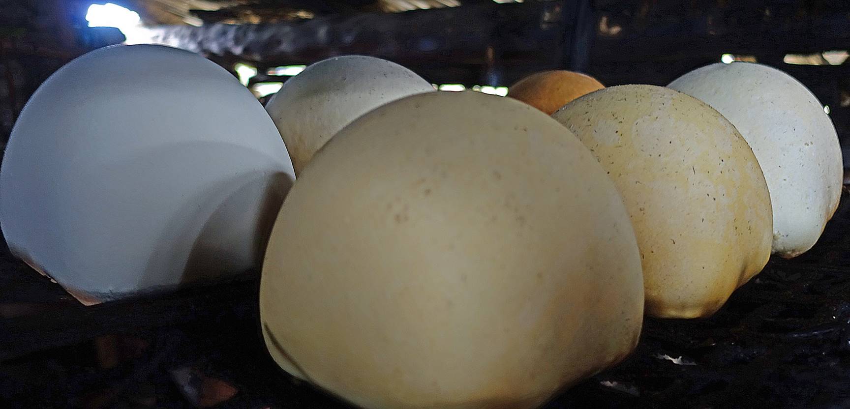
Close view at the cheese balls. Their
different colors indicate different stages of maturity.
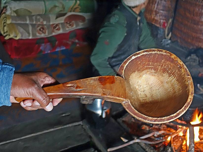
The brokpas
are also renowned as expert craftsmen, who make most of the items they need
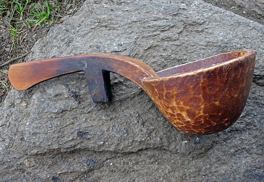
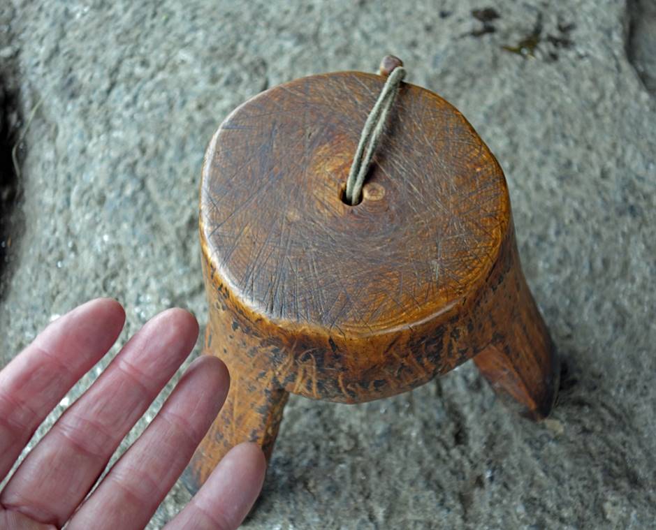
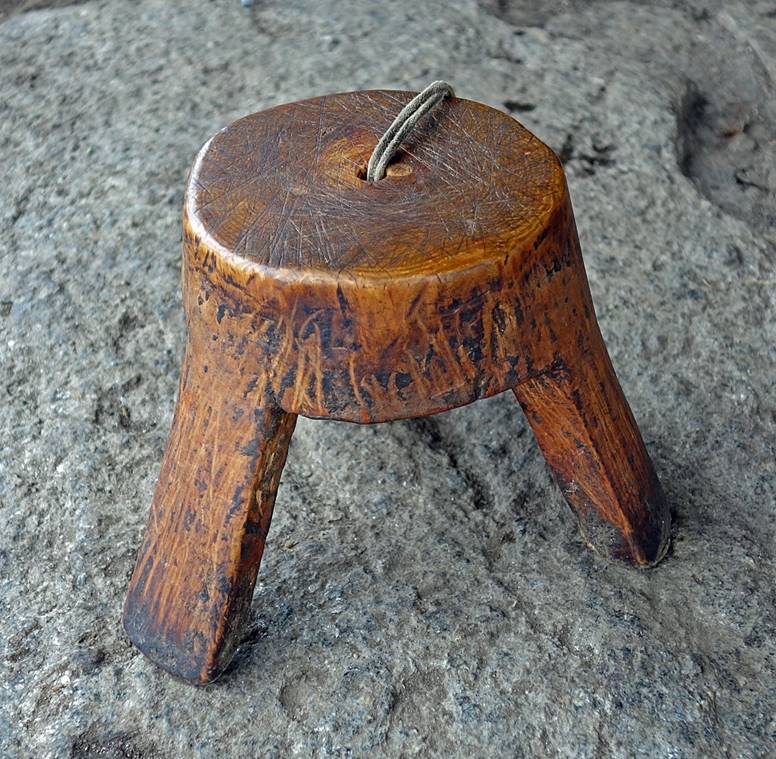
themselves. Below are a ladle used to handle milk products and a tiny stool
used while milking dzomo. Each of these two objects
was carved out of a single block of wood.
|
|
|
|
|
|
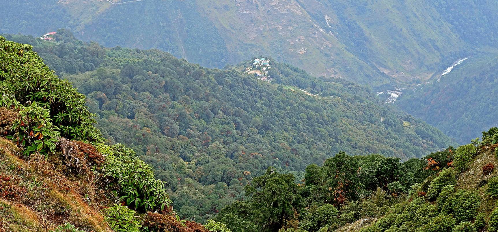
View from our camp toward the northeast.
Roads and houses above the town of Tawang are visible
on a ridge.
Leaving Camp #9.
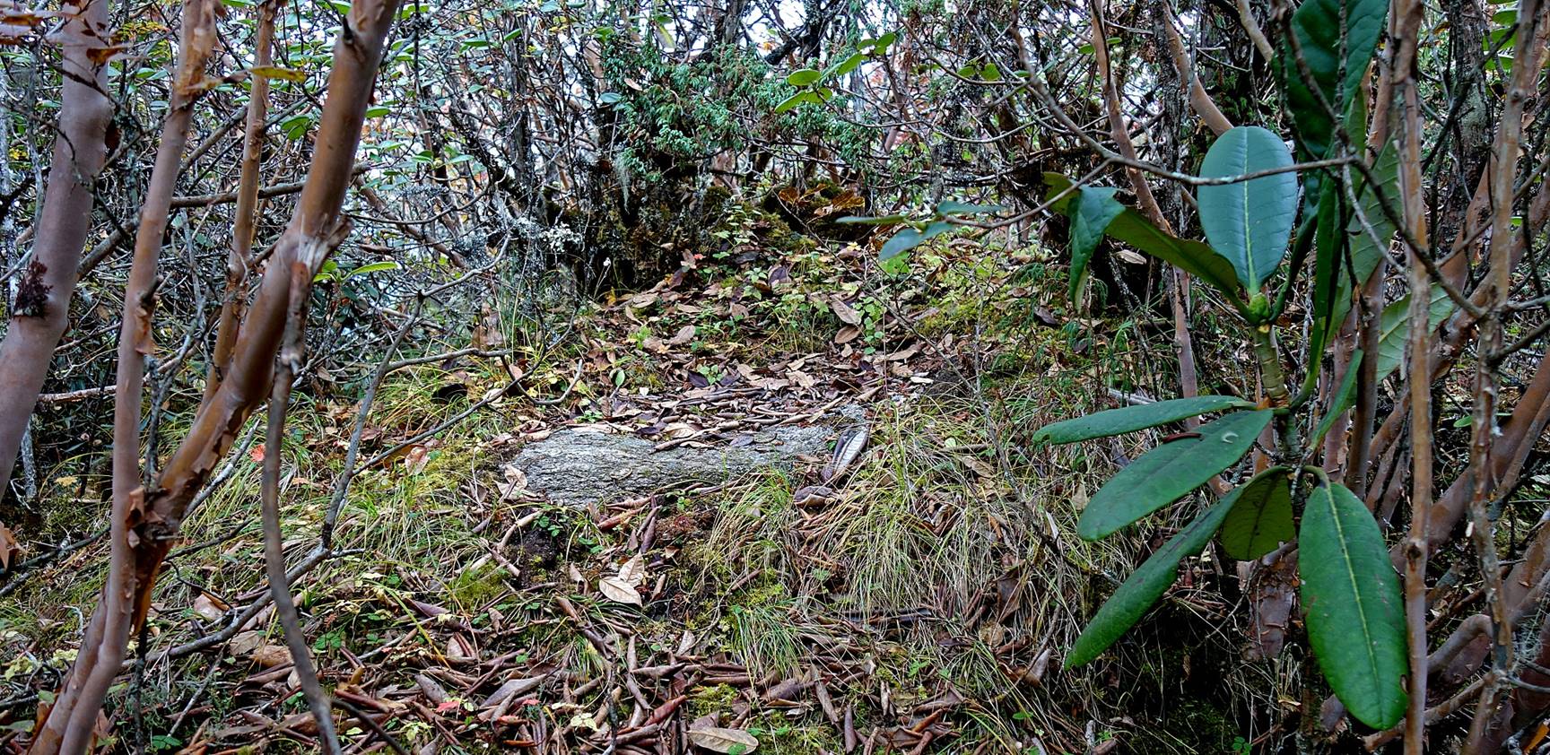
I was told by Lobsang
that this stone slab is the former place where, a few decades ago, the
inhabitants of the village of Pemakhar disposed of their dead people according
to a Tibetan Buddhist ritual. A deceased person was brought here and chopped
into 108 pieces left to the birds to eat. This ritual is no longer practiced,
but I heard that, instead, the 108 pieces are now thrown into a river. Out of
respect, the stone slab is still regularly cleaned by the villagers to remove
moss and vegetation.
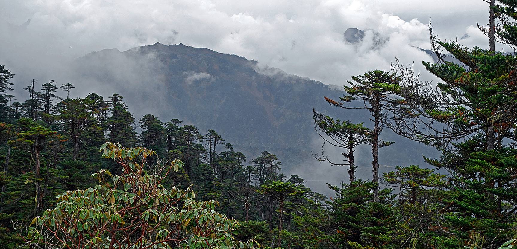
Another view toward the southwest from
the ridge, with the Chonchong Ma peak visible on the
right of the photo.
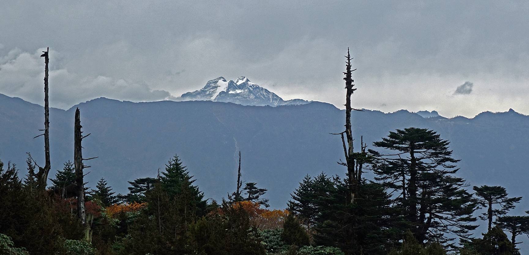
A rare view of the Gorichen peak (6488m), which stands on the border of
Arunachal Pradesh with Tibet.
Lobsang and Sonam Dawa hiking in the mist.
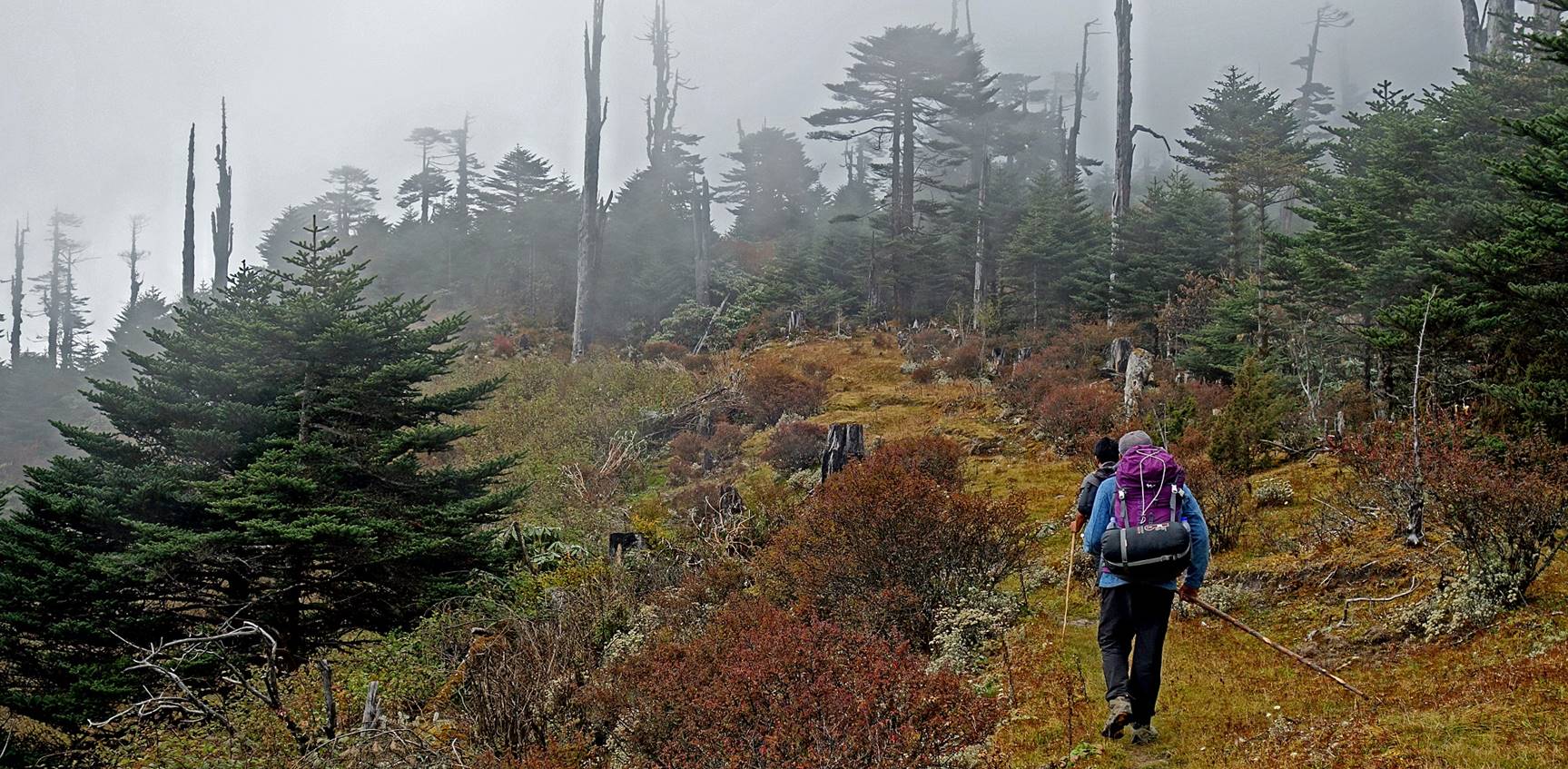
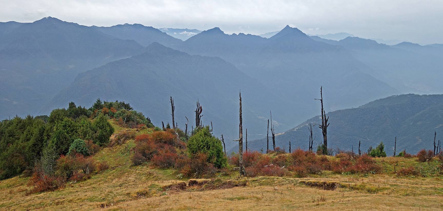
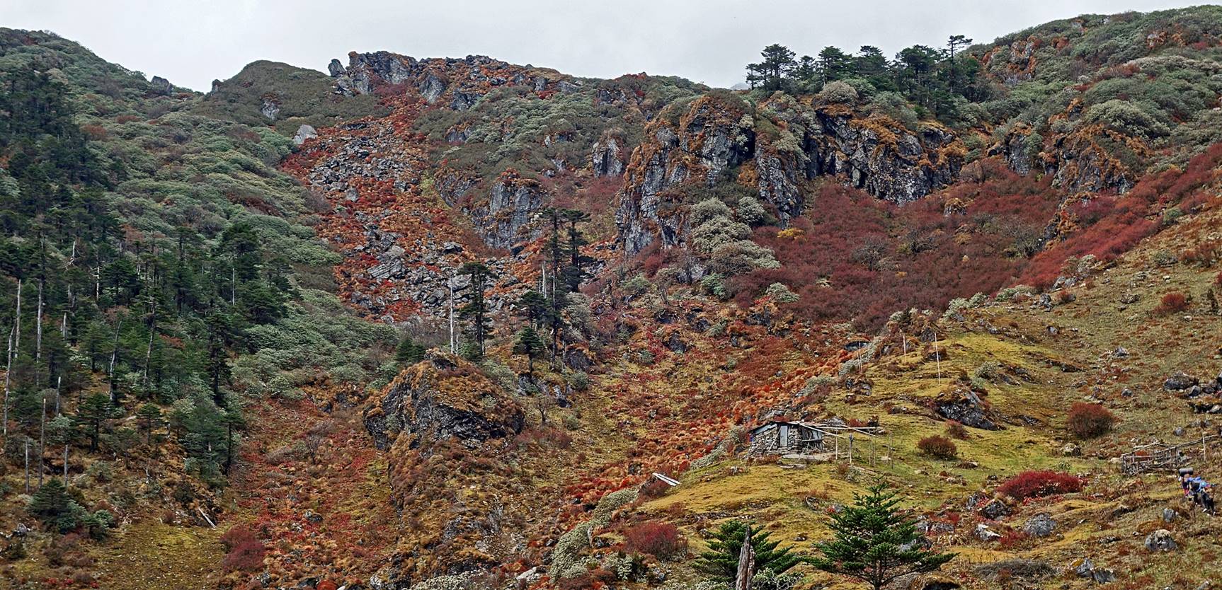
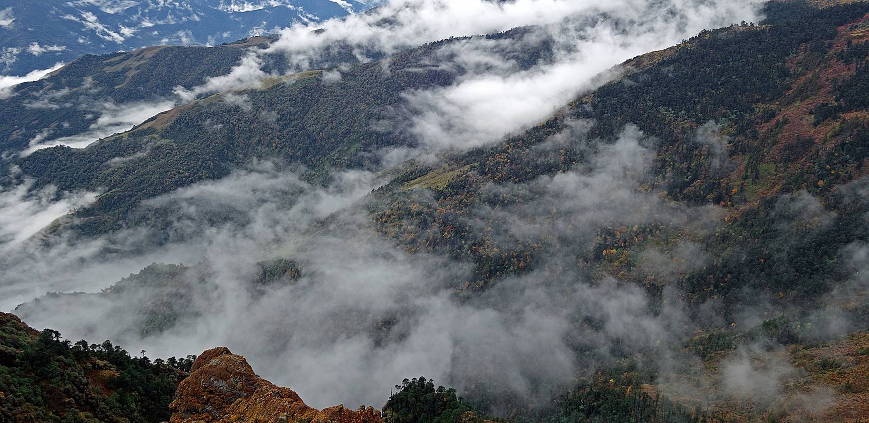
As we climbed further up along the
ridge, the landscape became much steeper in all directions.
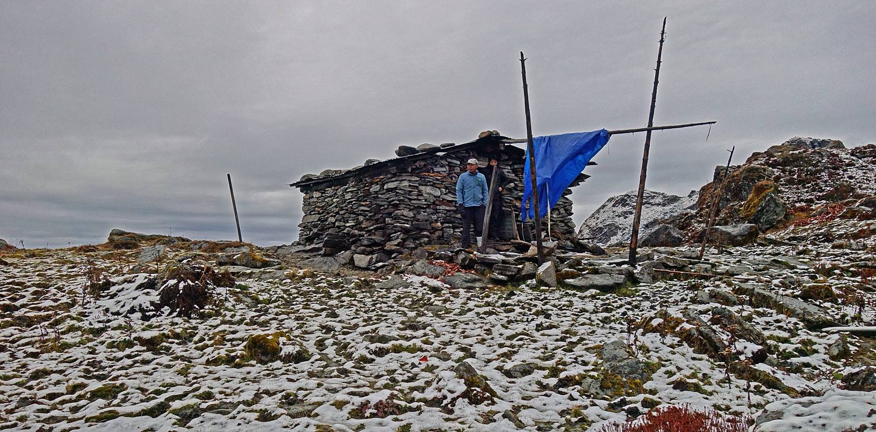
Another stone house in a beautiful
setting, where we stopped for lunch.
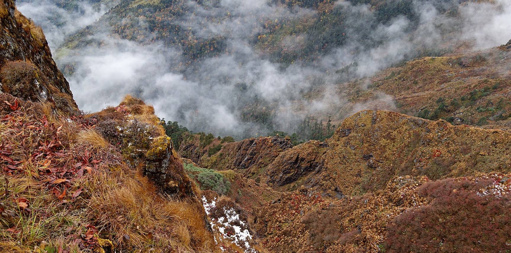
Views from the stone house toward the
southwest (first photo) and the south (second photo). The second photo below
shows the steepness of the escarpment on the west side of the ridge.
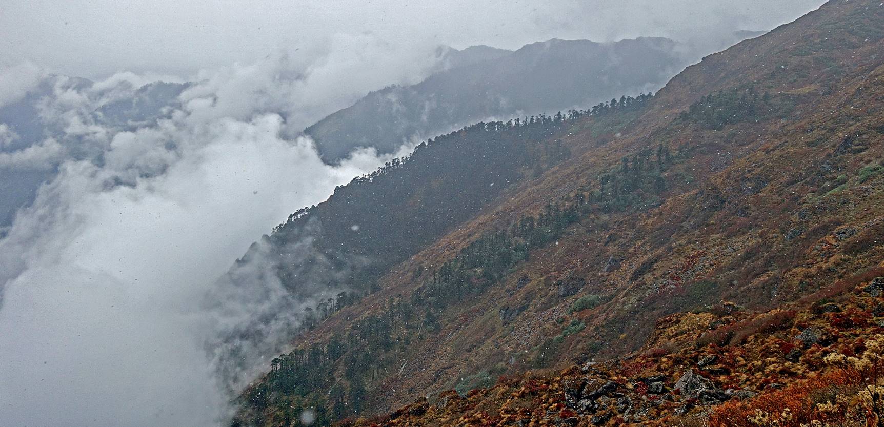
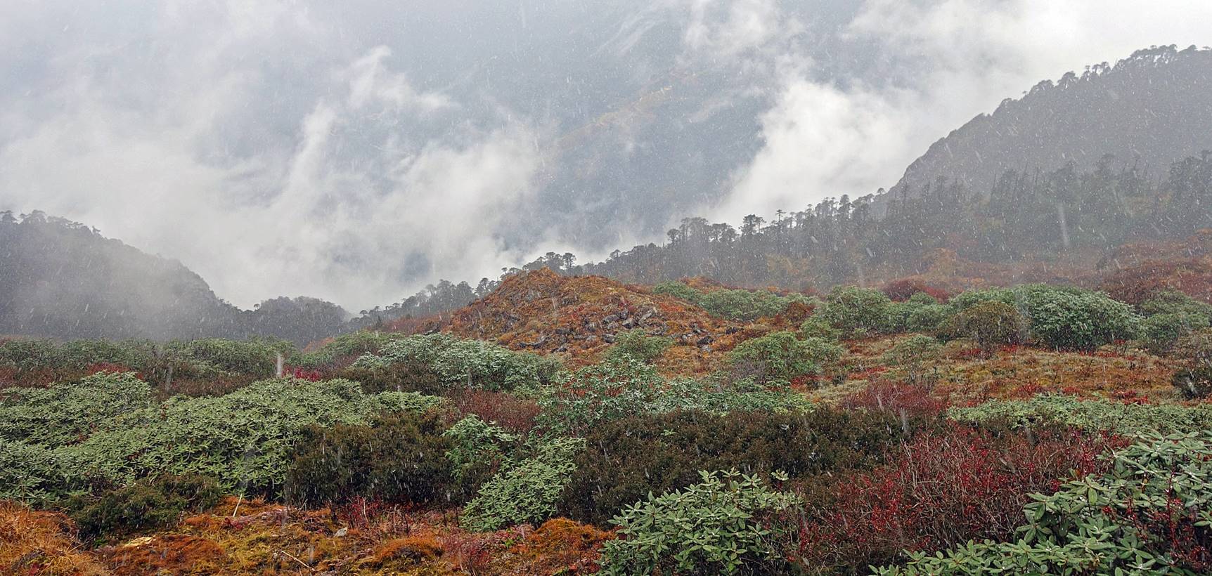
Soon after leaving the stone house after
our lunch, it started snowing. The snow fall lasted until the next morning, but
it did not stick much to the ground thanks to the mild temperatures.
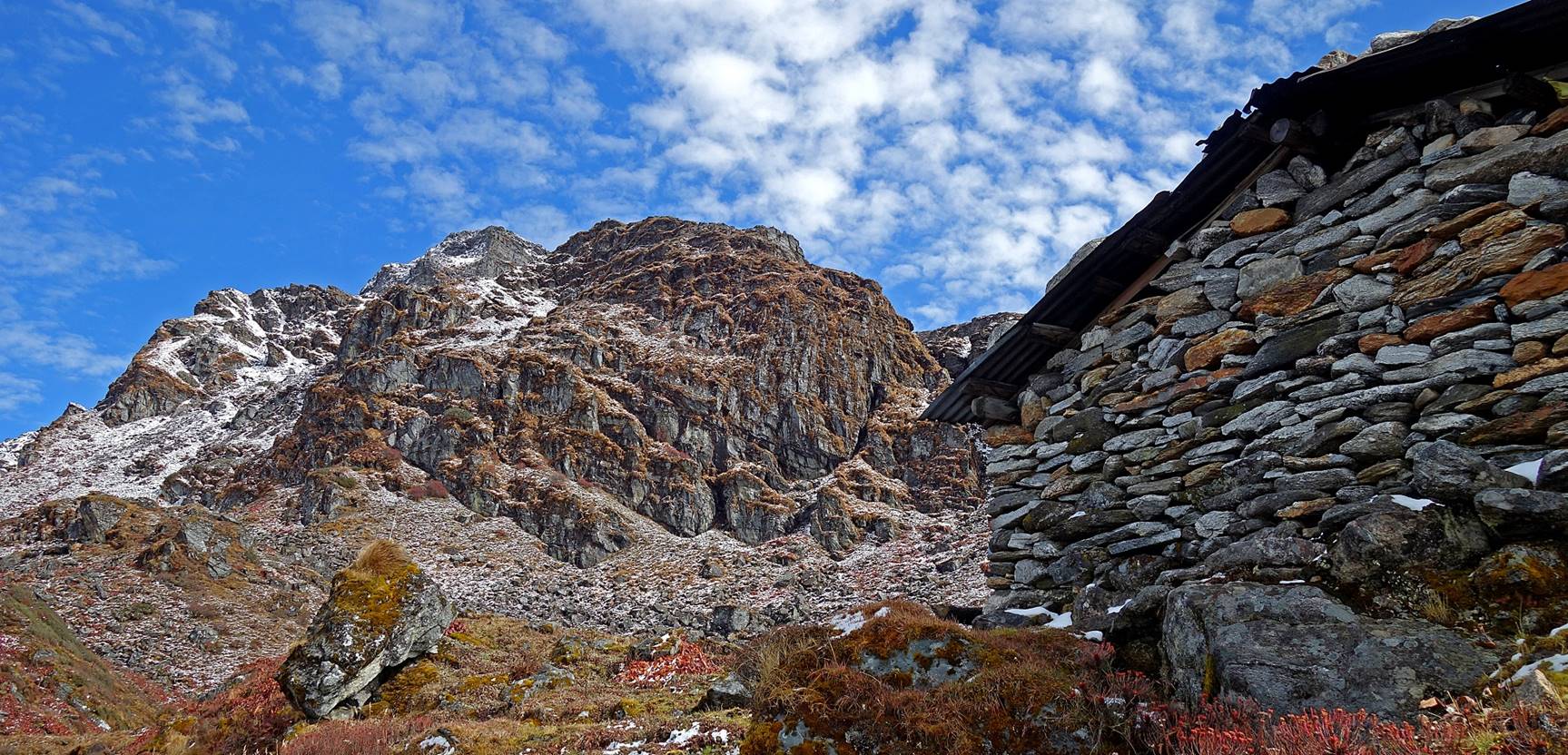
At Camp #10 (2nd camp of the trek,
elevation: 4010m) on the next morning. Although the weather was still looking
bad, the sky slowly cleared up and most of the day ended up sunny.
View from the camp toward the north.
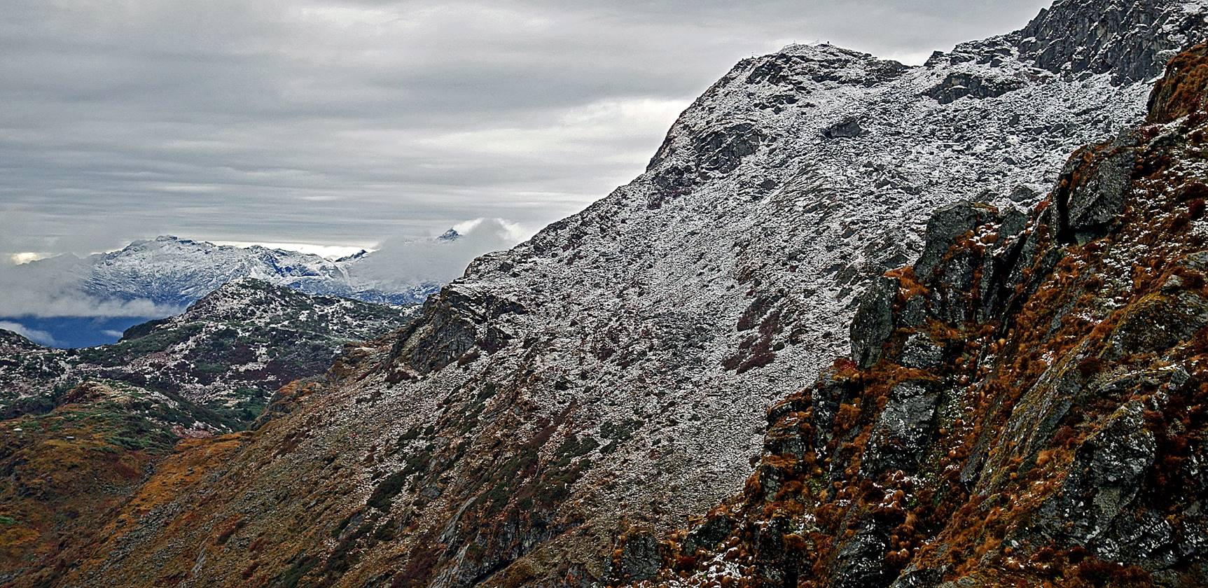
Views toward the west over the
escarpment.
View toward the east, with the sky
brightening up.
The ″old lady″ looking for
aromatic plants above the camp, to perform a sang puja
(cleansing smoke practice) before leaving the camp.
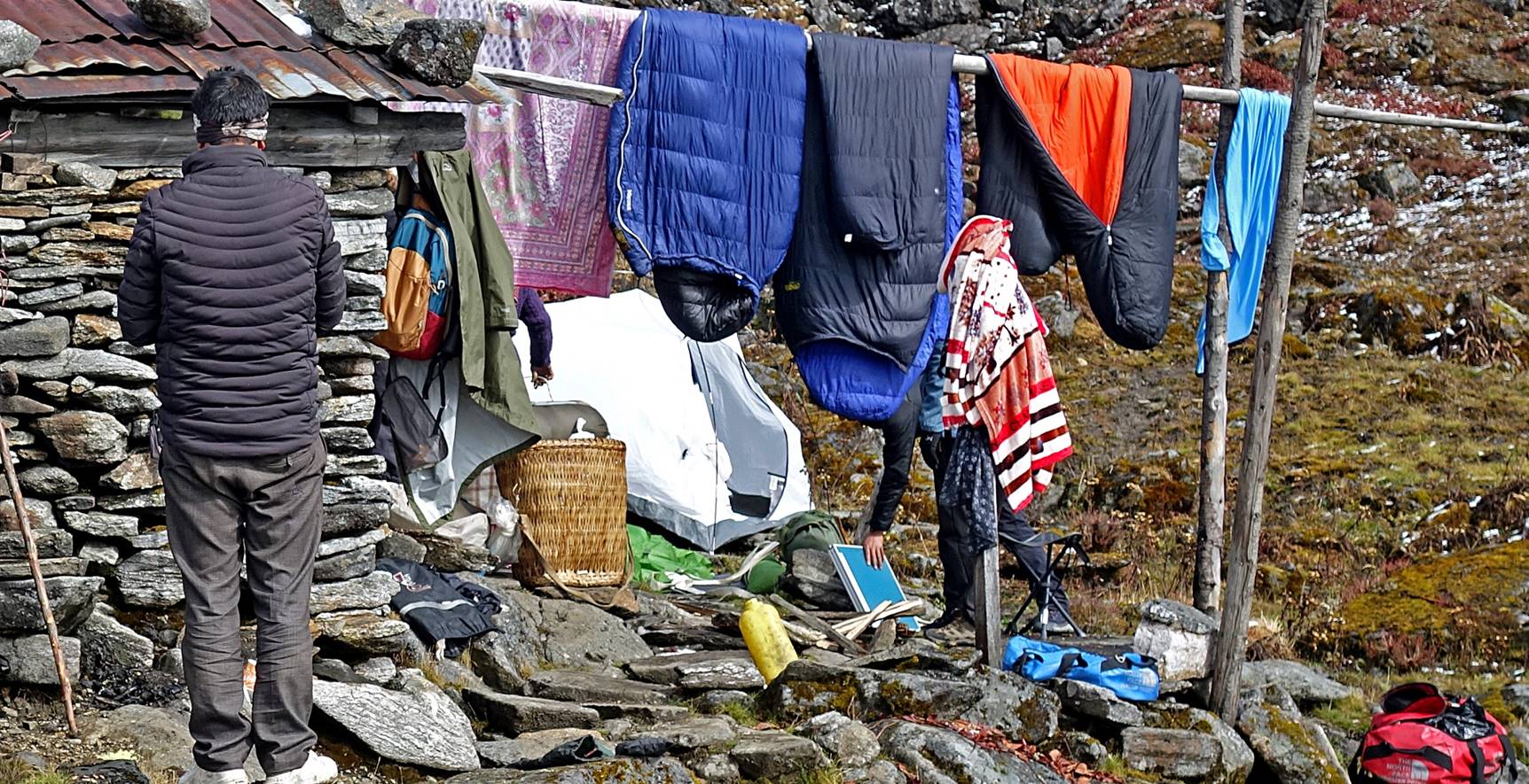
Our tents, sleeping bags, and other
clothes drying in the sun before leaving the camp.
Click here to directly access the page covering the
second part of this trek.
![]()
Return to my
mountaineering/trekking/travel webpage | Return
to main India Oct-Nov 2019 webpage