Death Valley National Park and around, April 2023
![]()
Return to main
United States webpage | Return to my
mountaineering/trekking/travel webpage
This page shows photos that I took on a short trip to Death Valley
National Park and other locations near the park (Red Rock Canyon, Alabama
Hills, and Trona Pinnacles). To see photos from previous trips to Death Valley
NP click here
(November 2007) and here
(March 2022).
Photos from Death Valley NP:
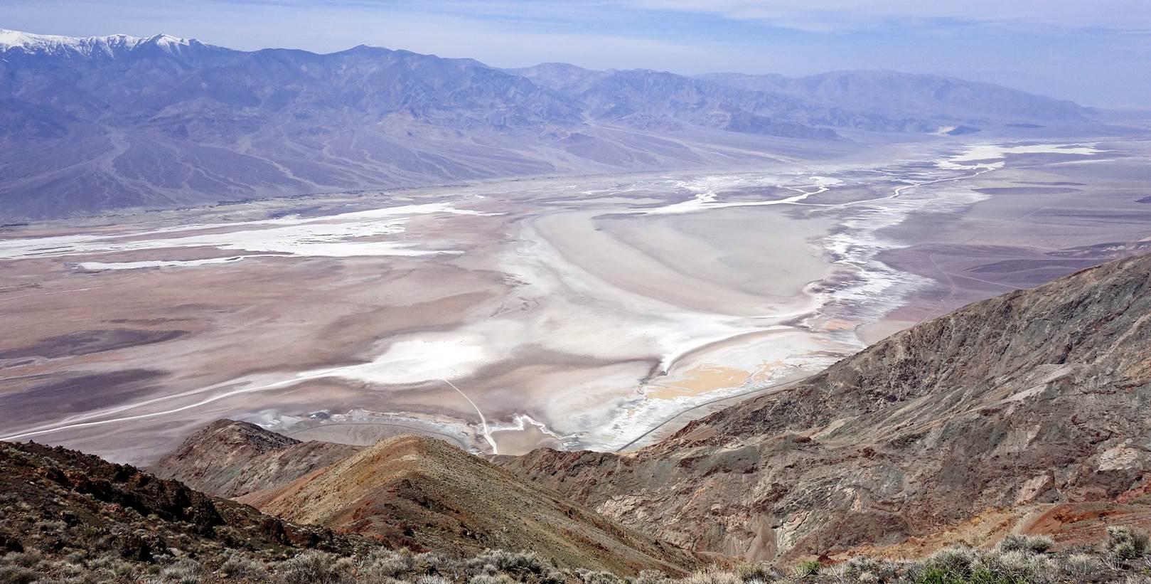
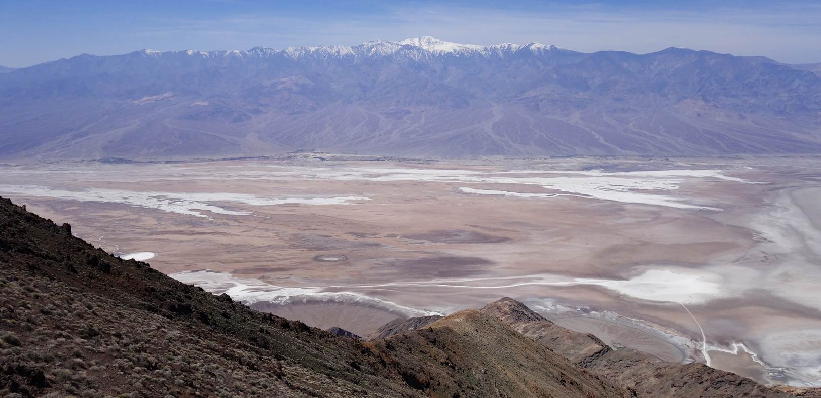
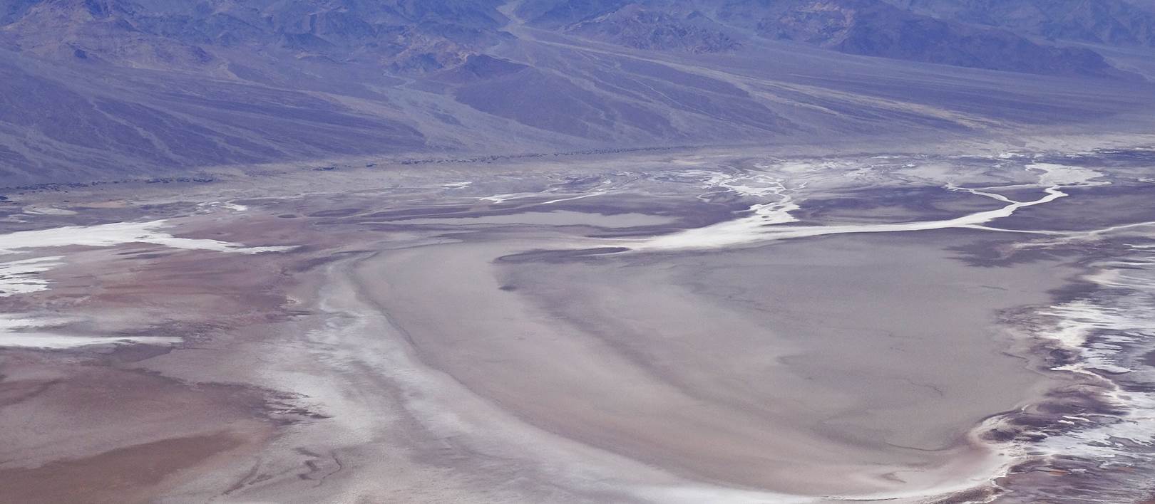
- Views over Death Valley from the Dantes overlook (el. 1739m). Below,
the bed of the valley is at sea level.
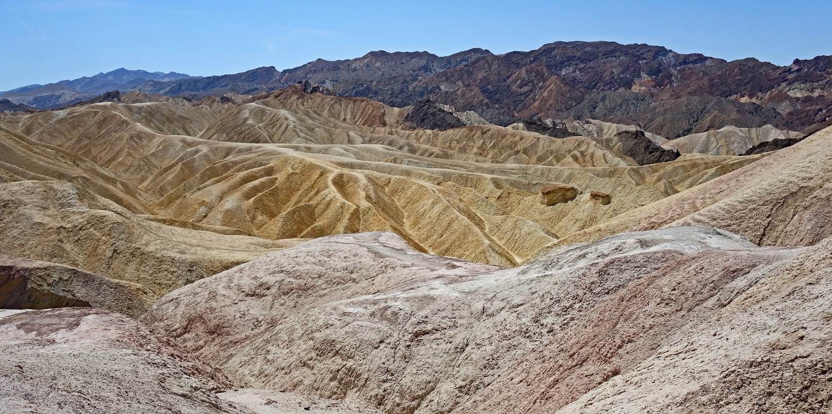
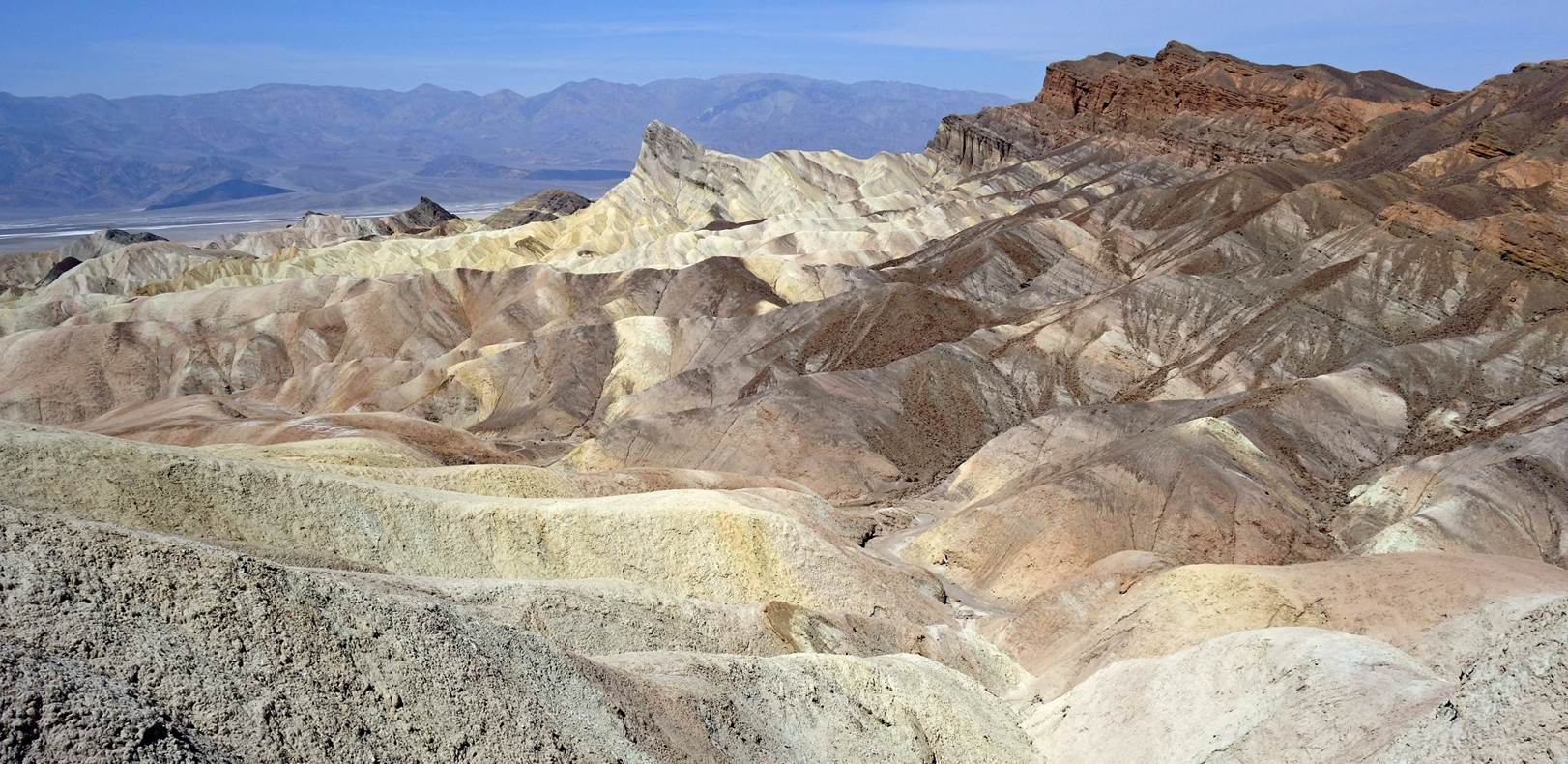
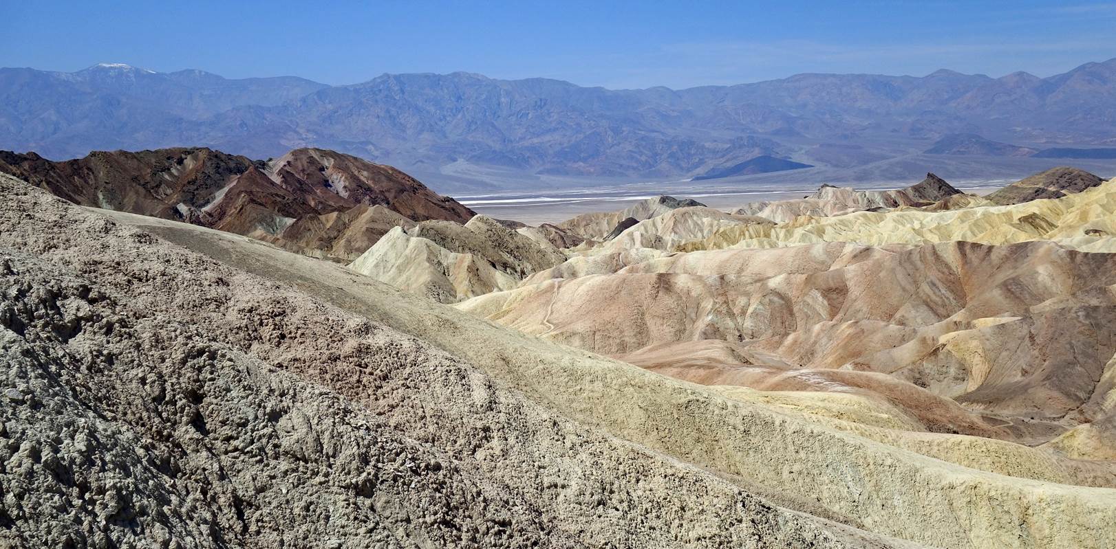
- Views from Zabriskie Point.
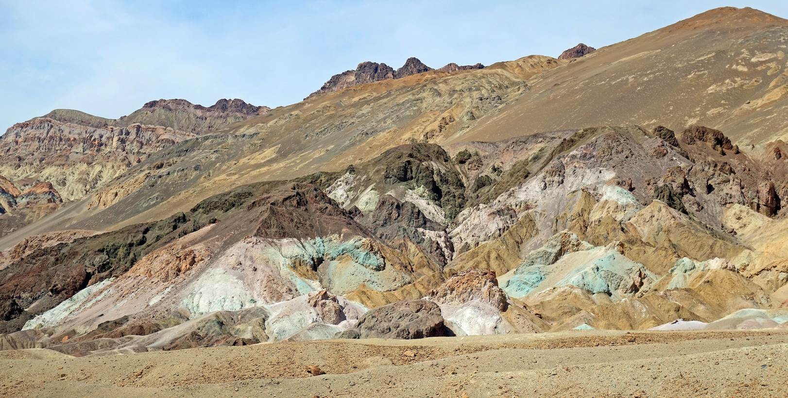
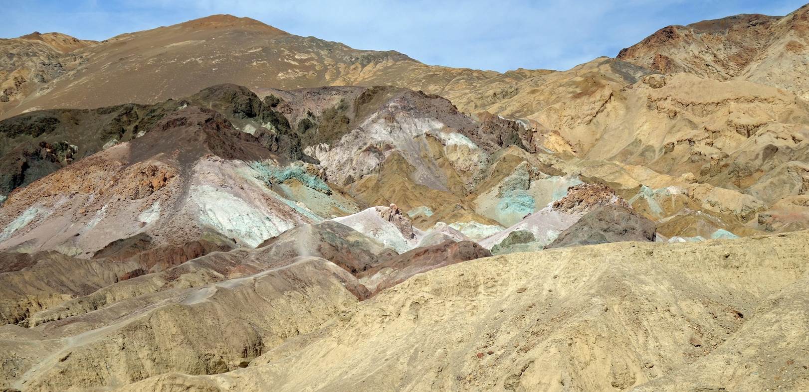
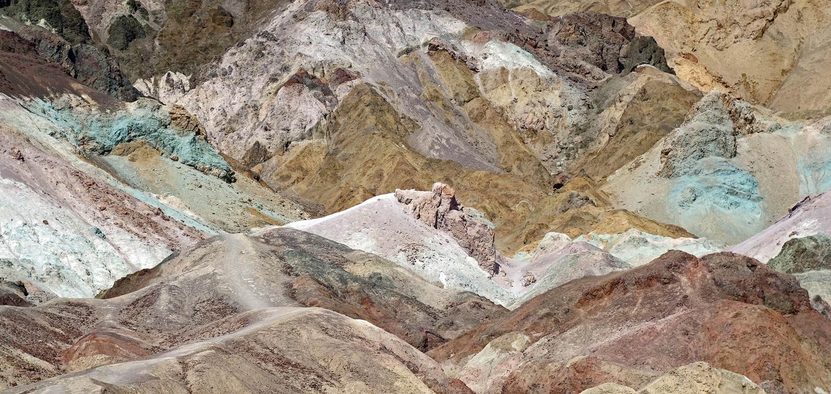
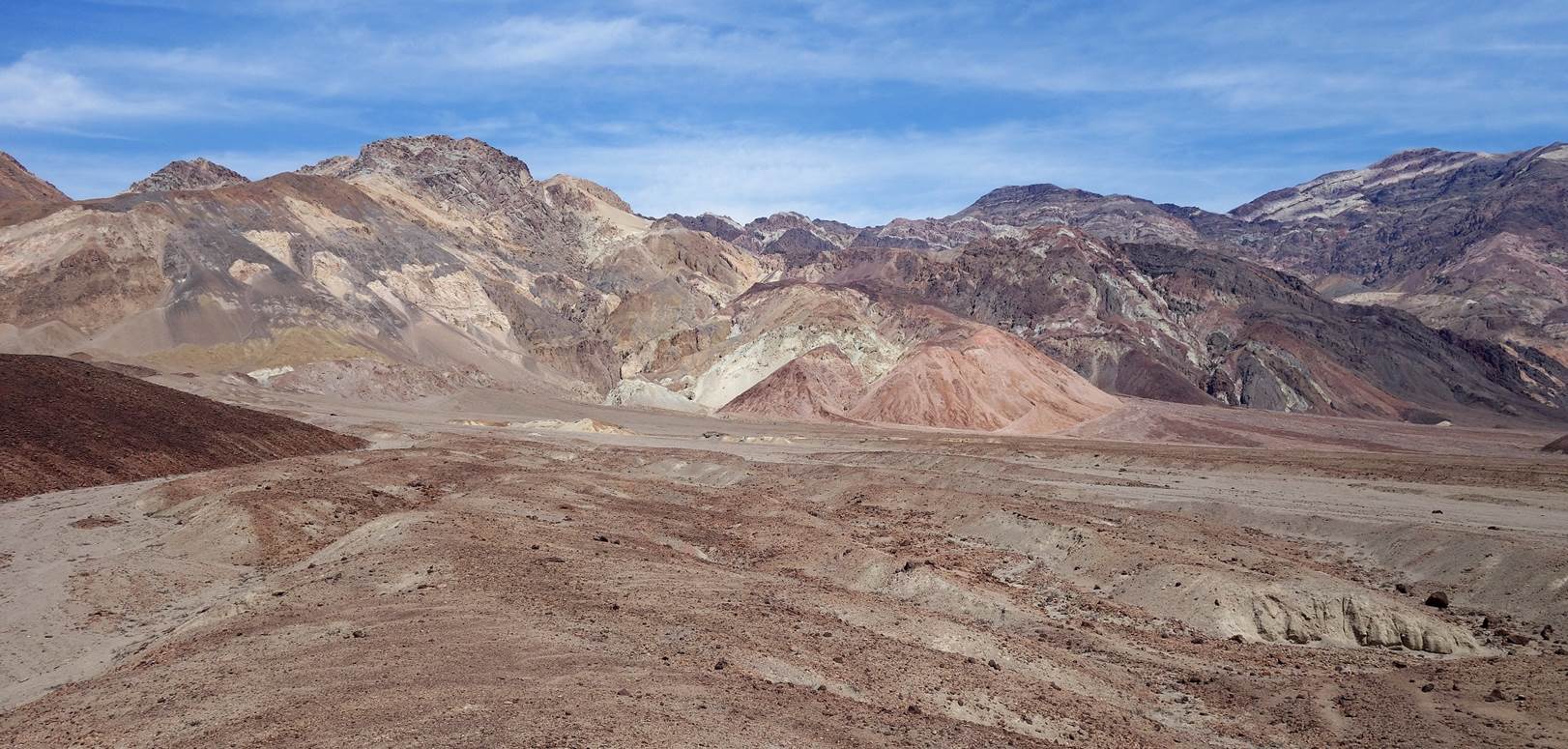
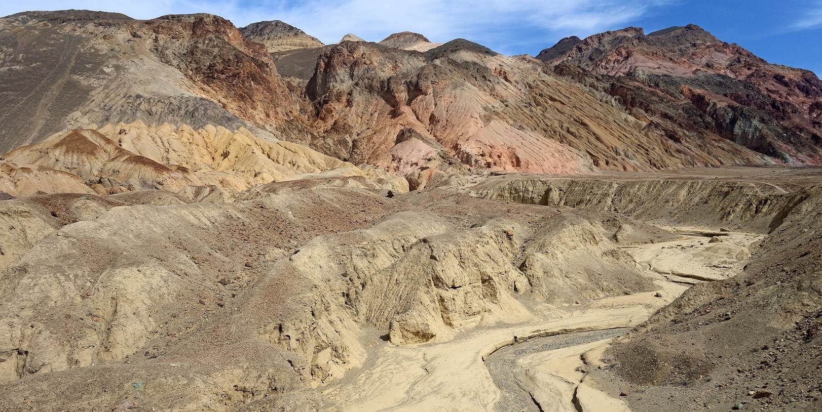
- Artists Palette.
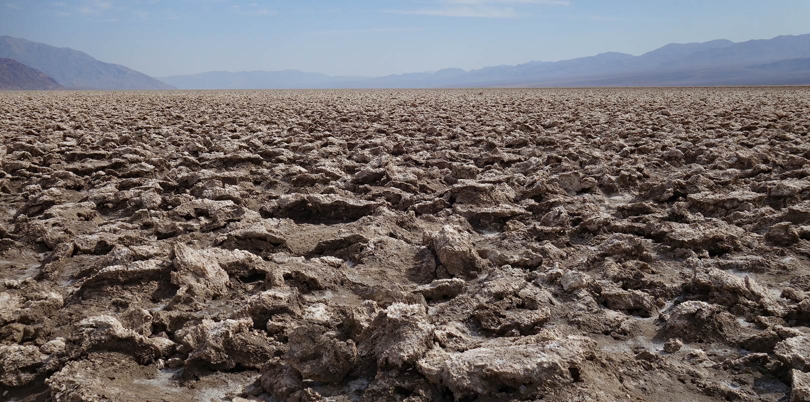
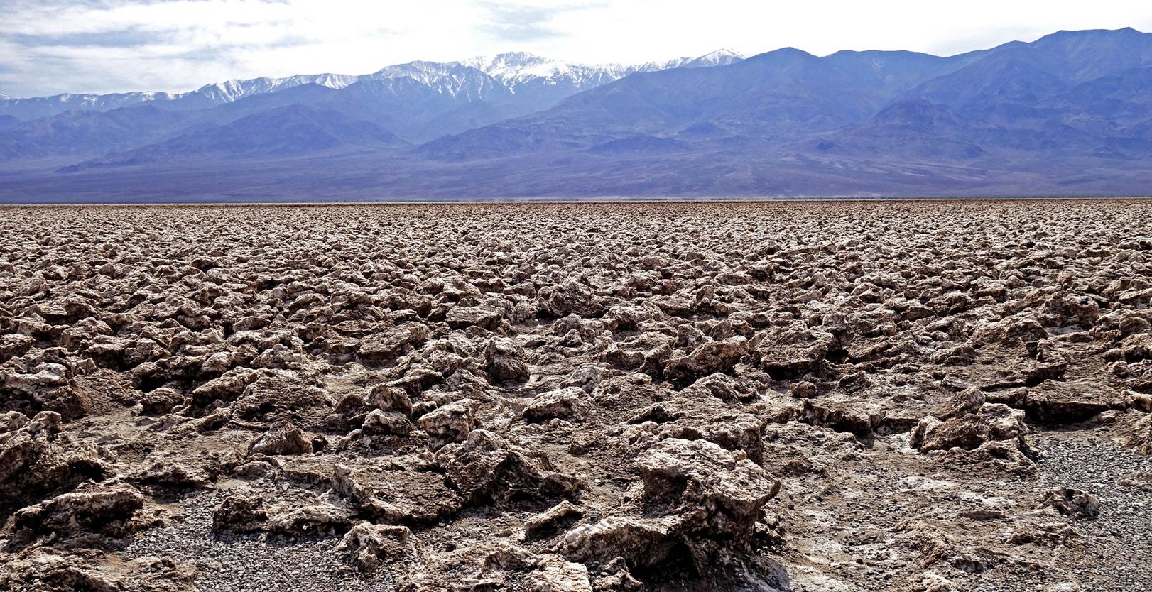
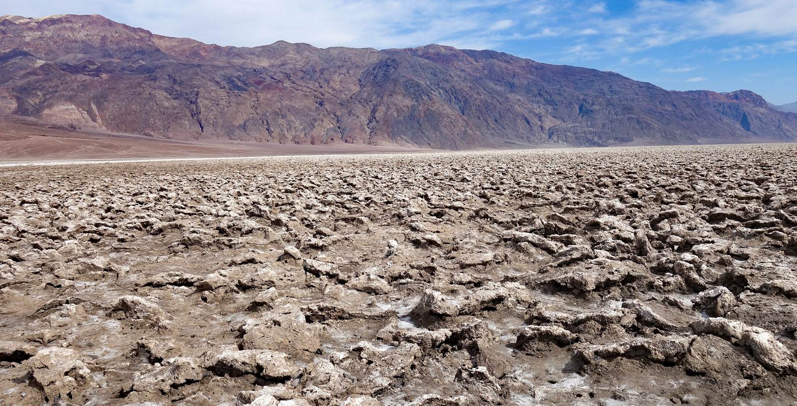
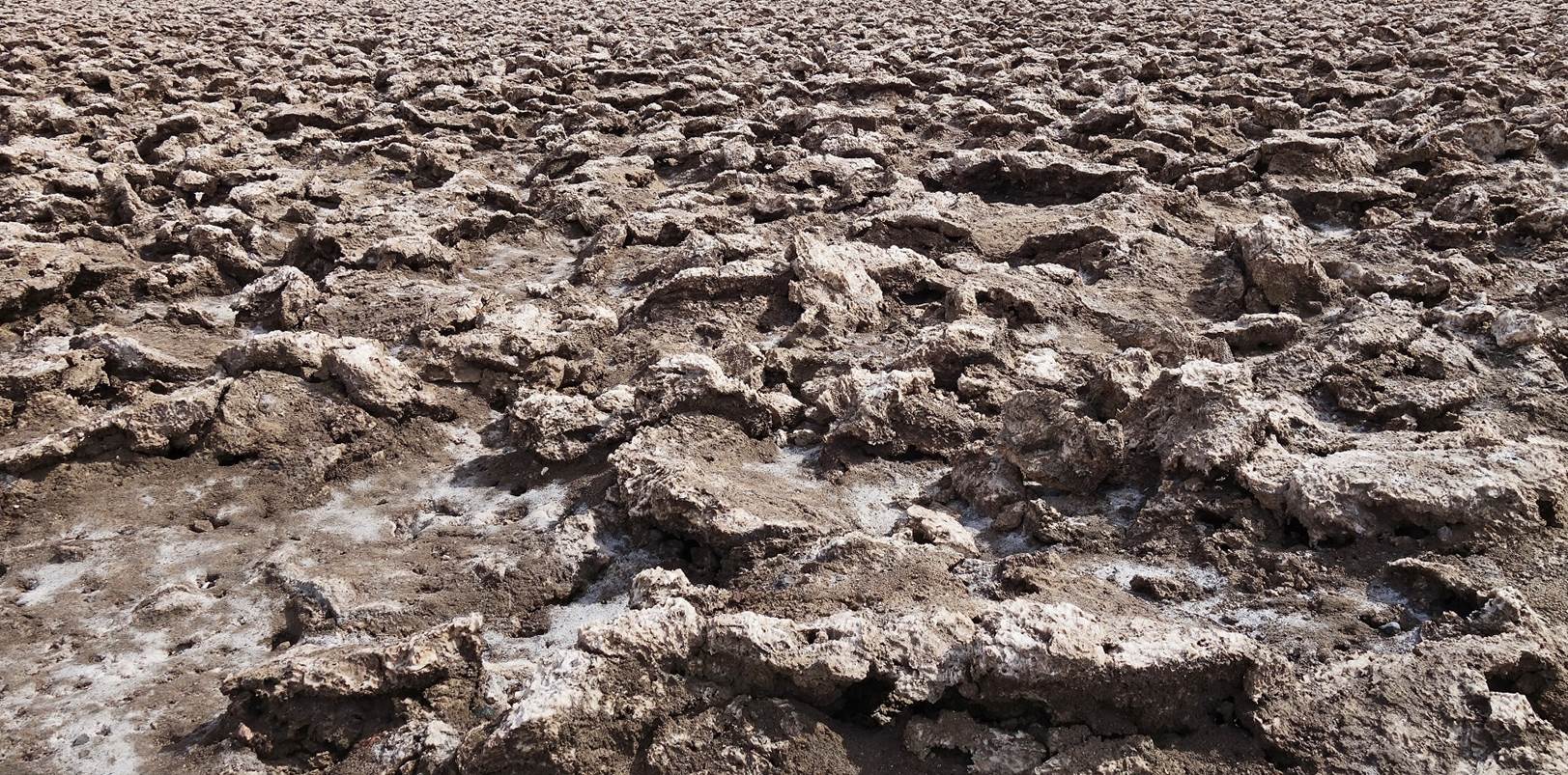
- Devils Golf Course.
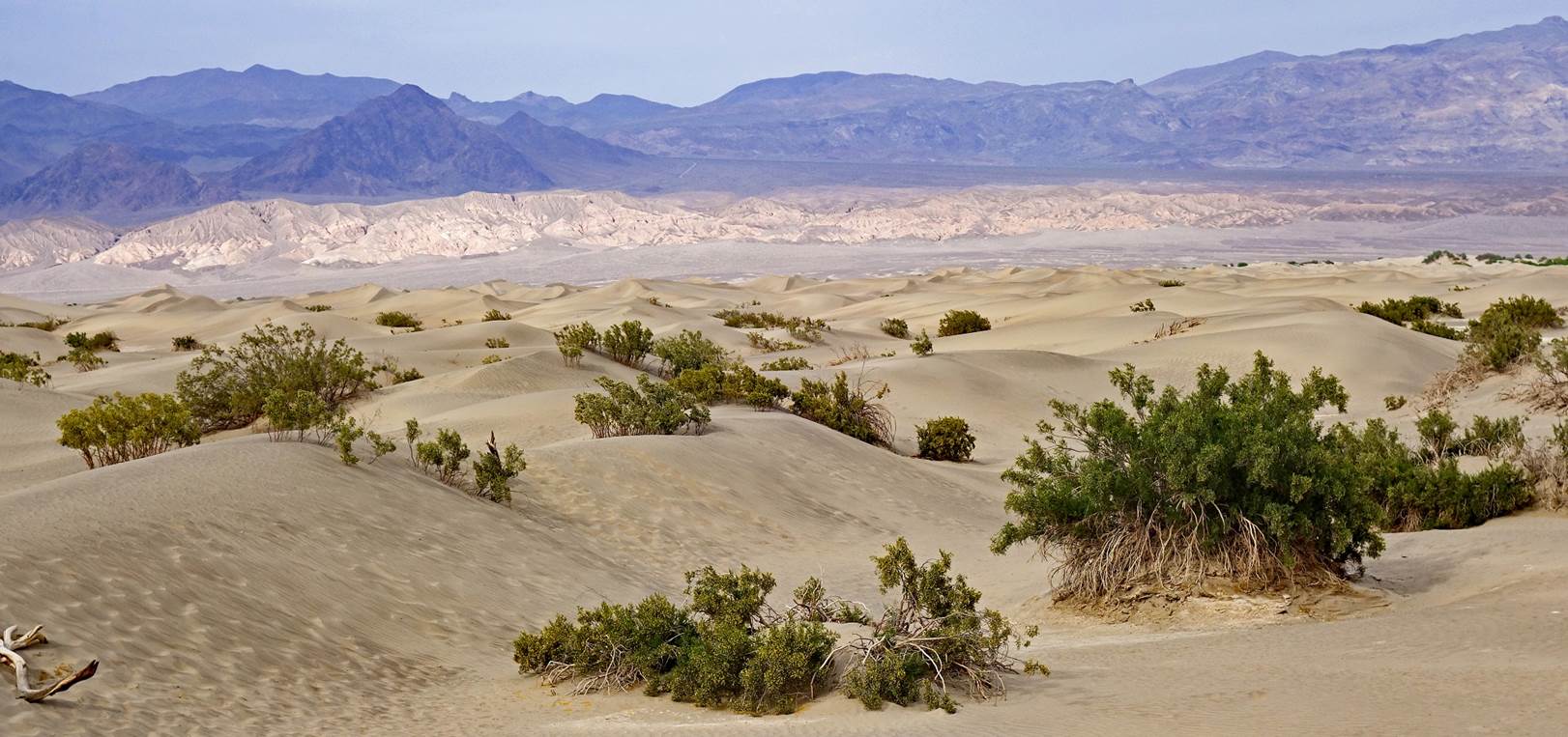
- Mesquite Flat Sand Dunes.
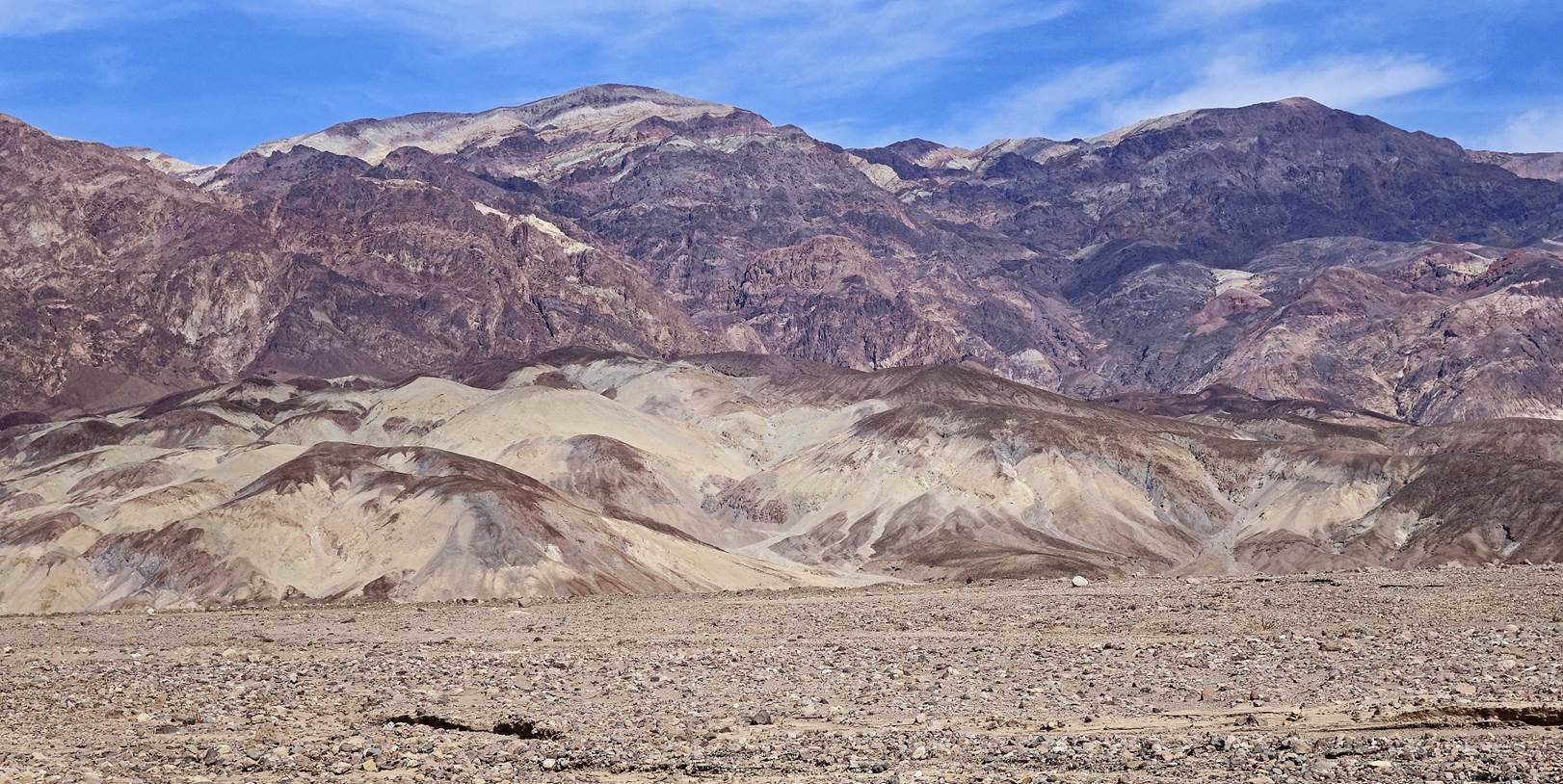
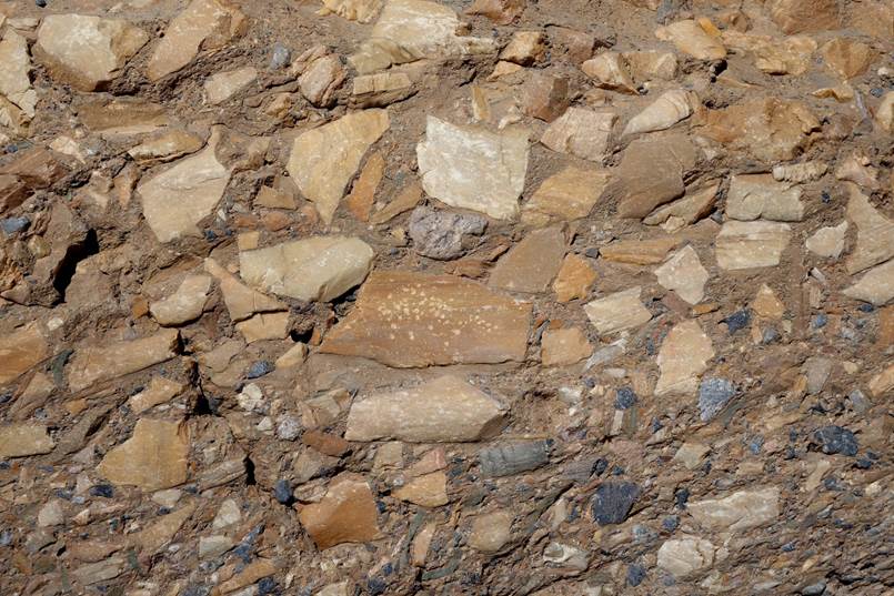
- Other views from Death Valley.
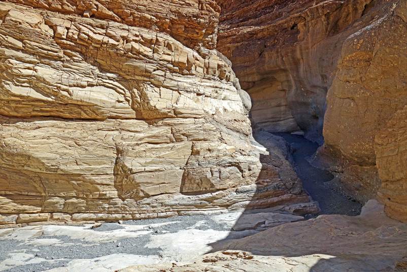
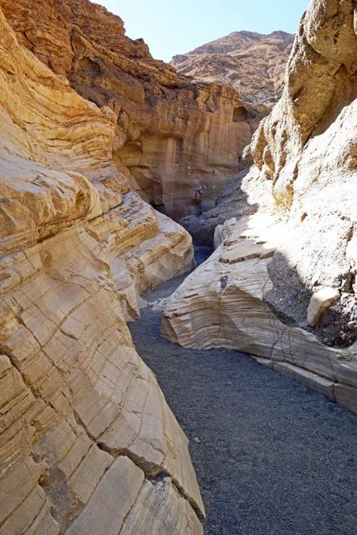
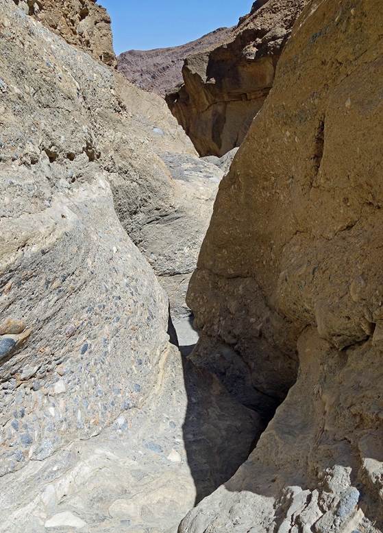
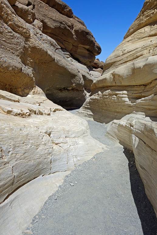
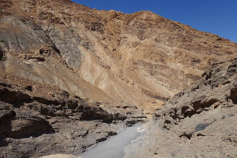
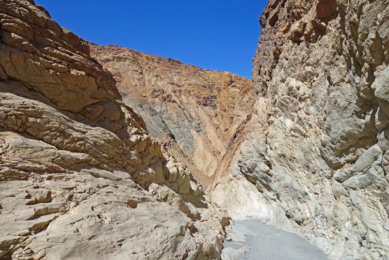
- Mosaic Canyon.
|
|
|
|
|
|
|
|
|
|
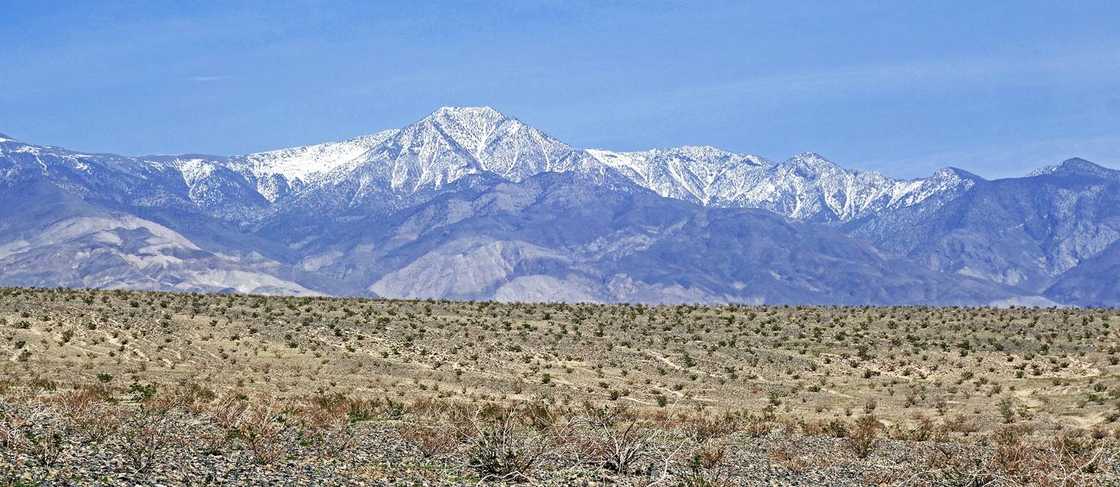
- View of Telescope Peak from Panamint Valley (also part of Death Valley
NP). At 3366m this peak is the highest point within Death Valley NP.
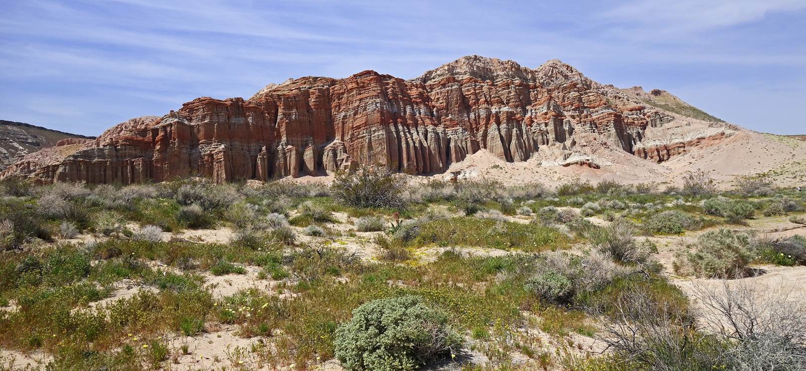
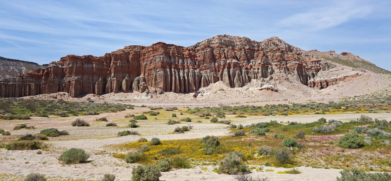
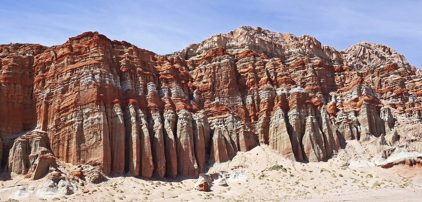
Photos from Red Rock Canyon State Park:
This park is located 25 miles northeast of the town
of Mojave on Highway 14.
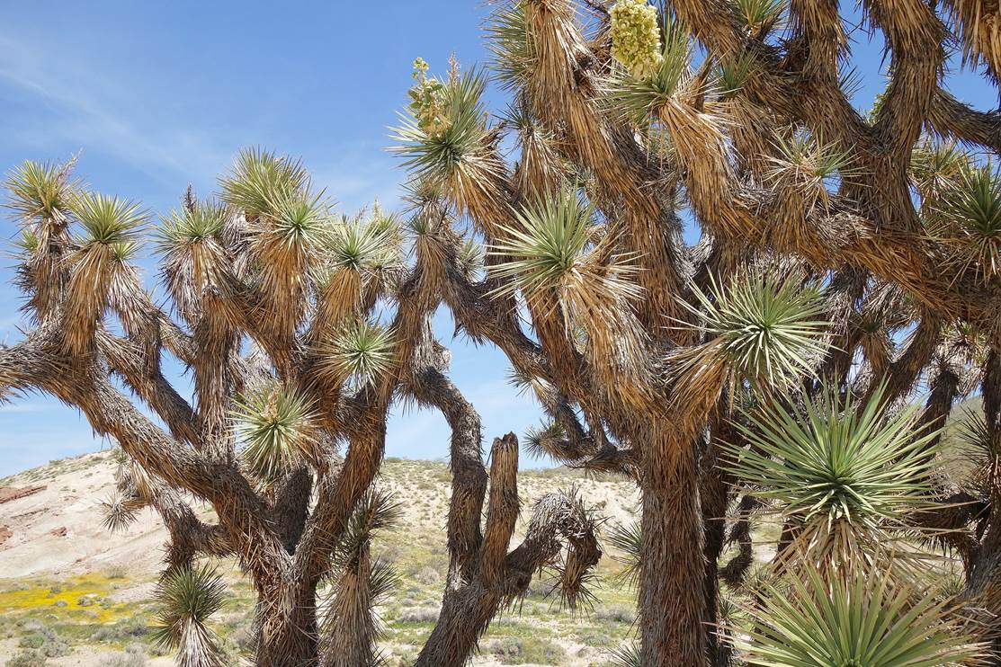
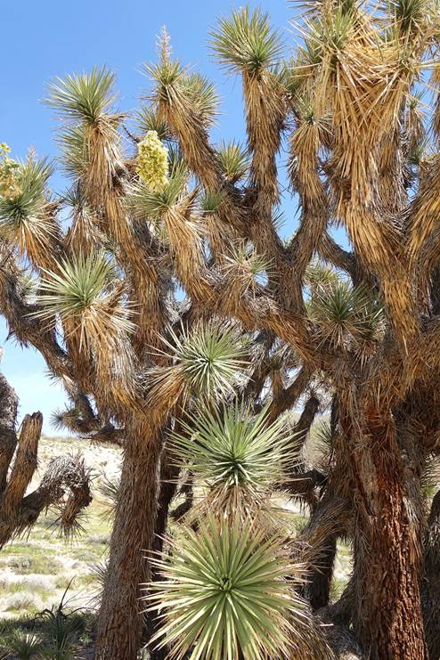
Joshua trees in Red Rock Canyon SP.
|
|
|
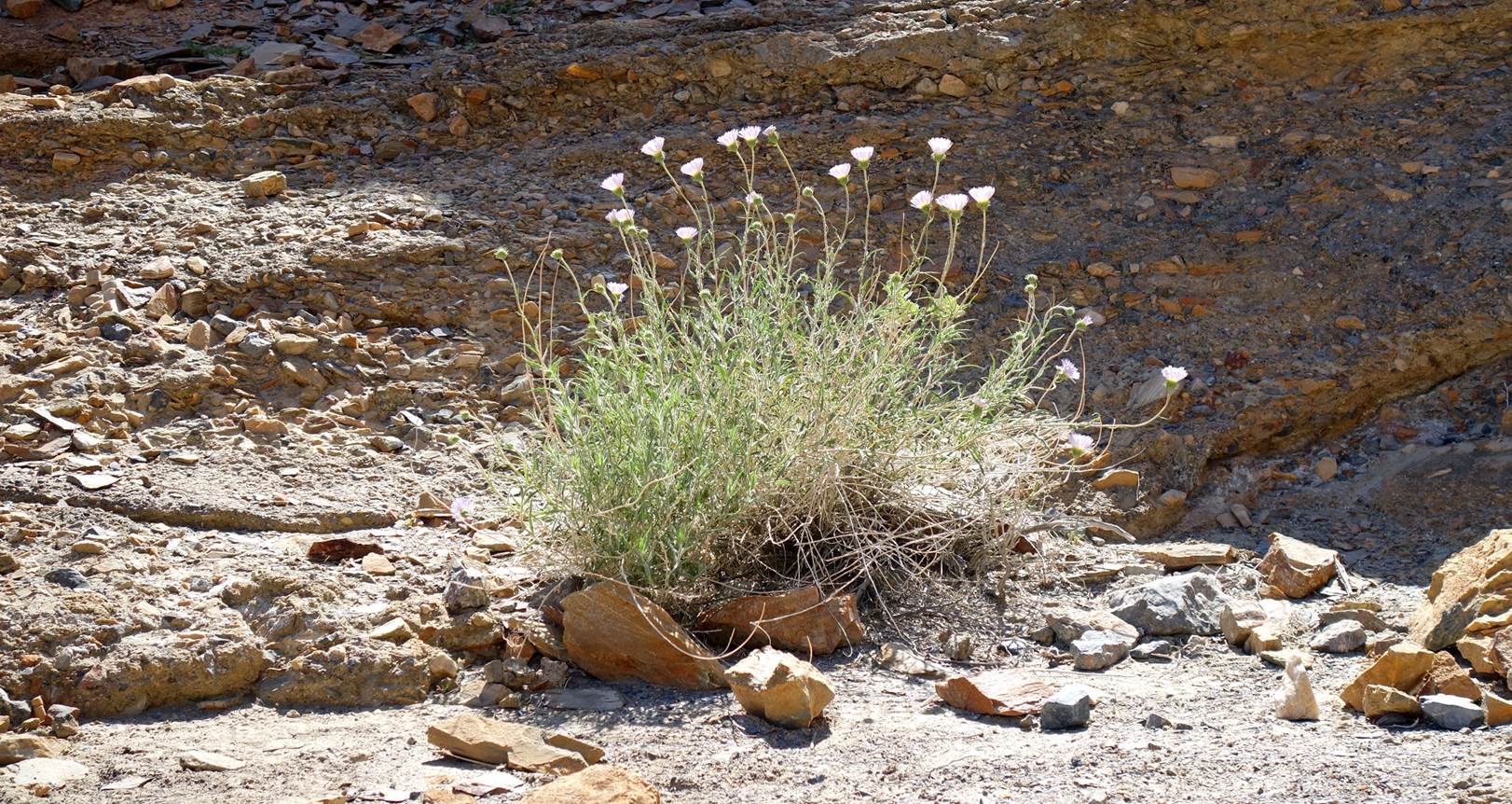
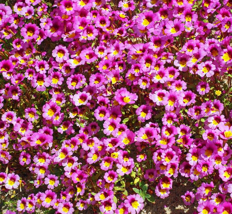
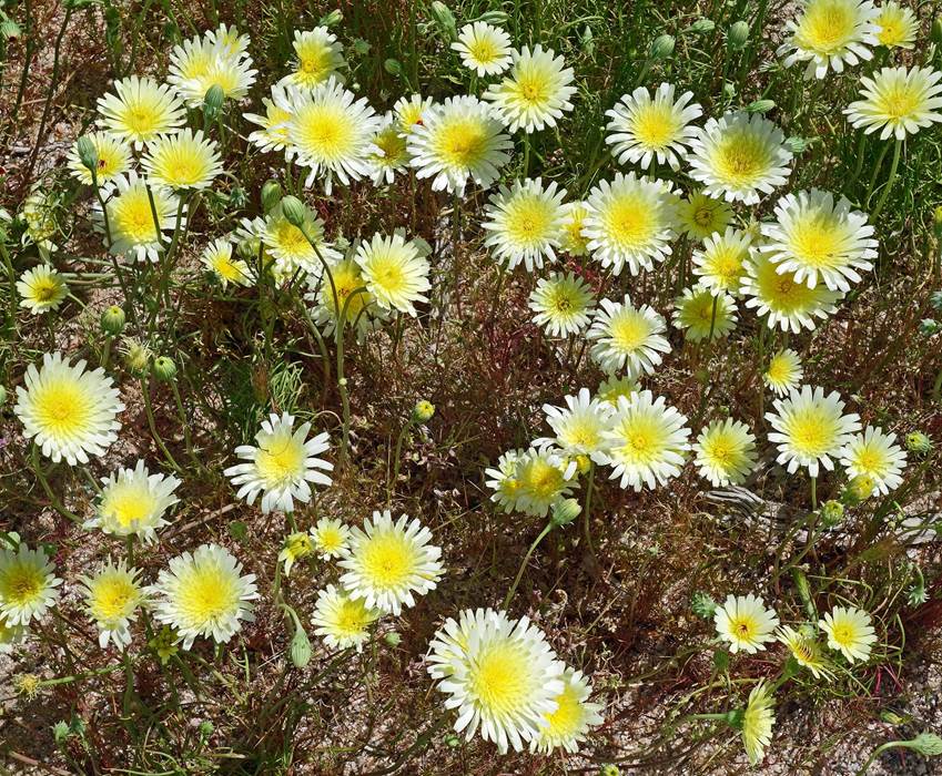
Monkey flowers (left) and Dandelion flowers (right) in Red Rock Canyon
SP.
|
|
|
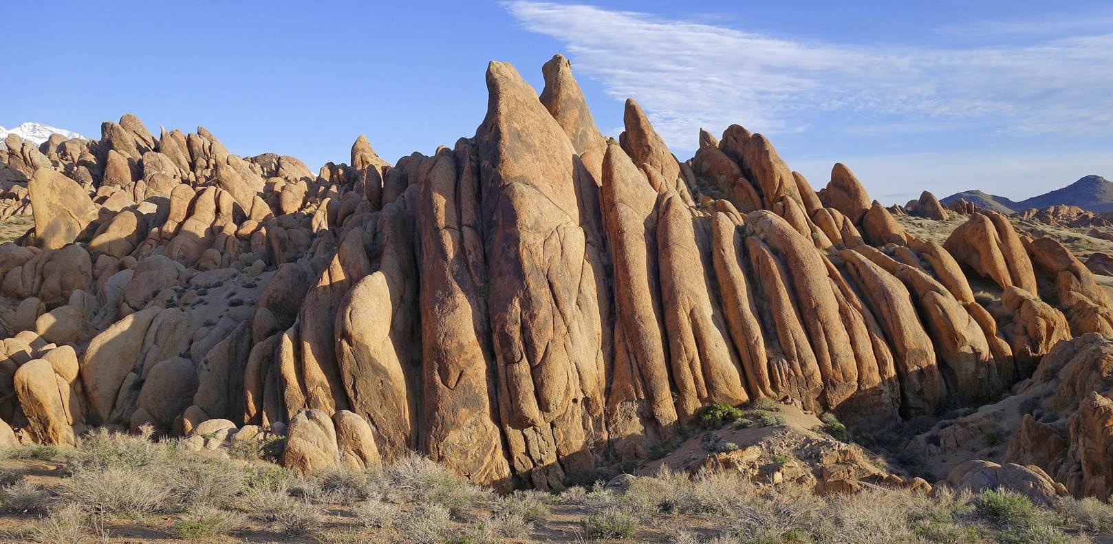
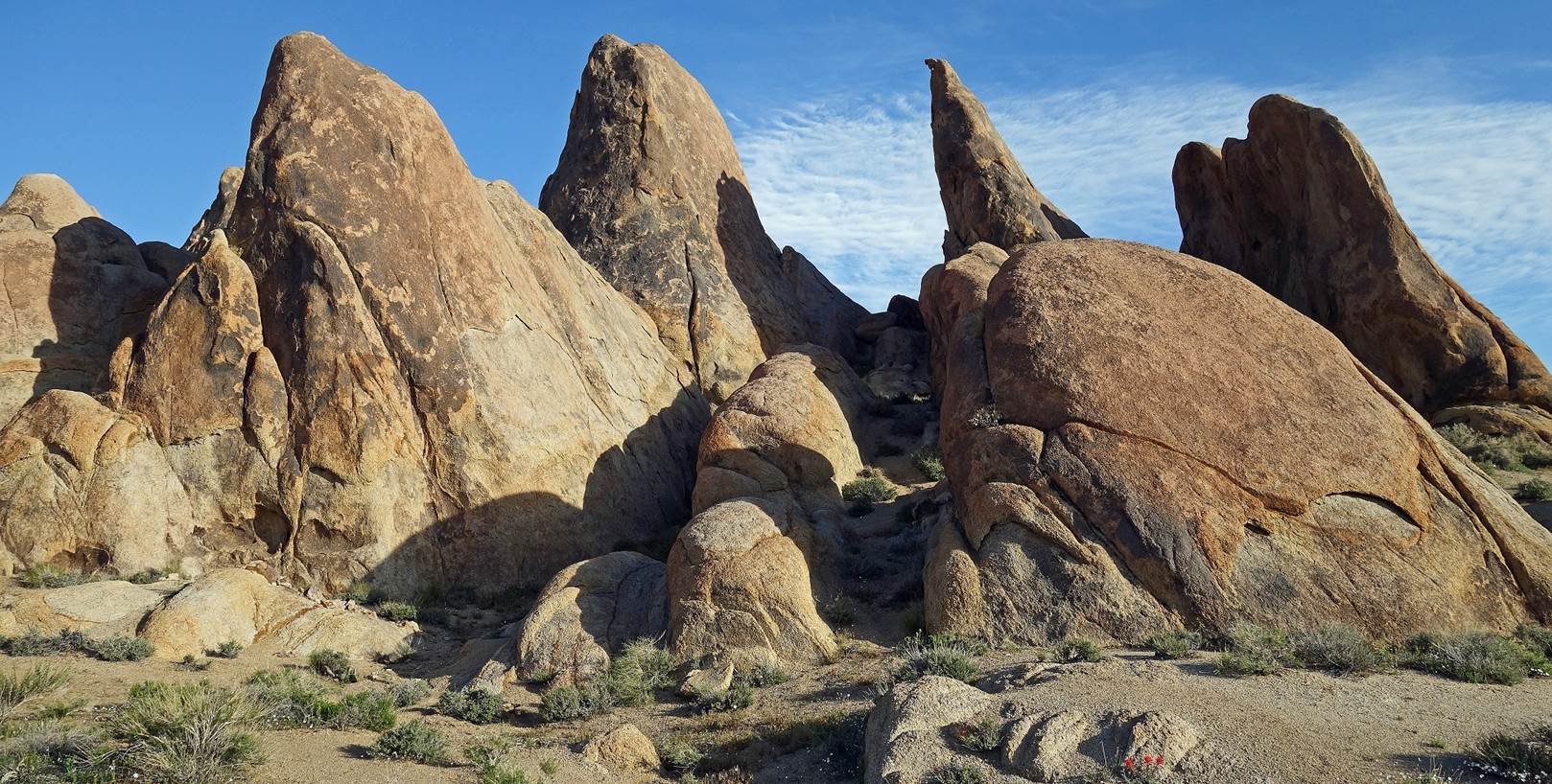
Photos from the Alabama Hills:
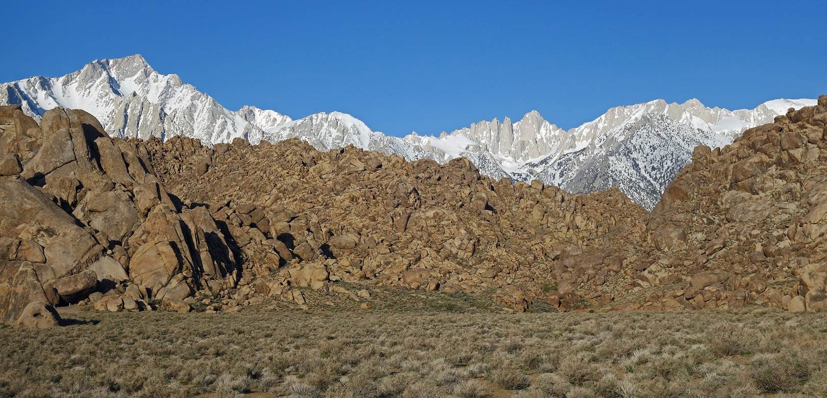
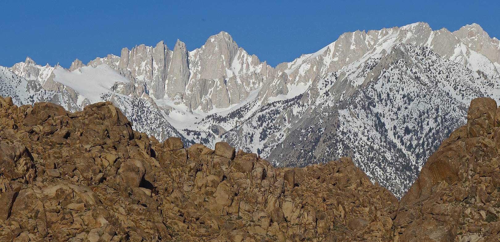
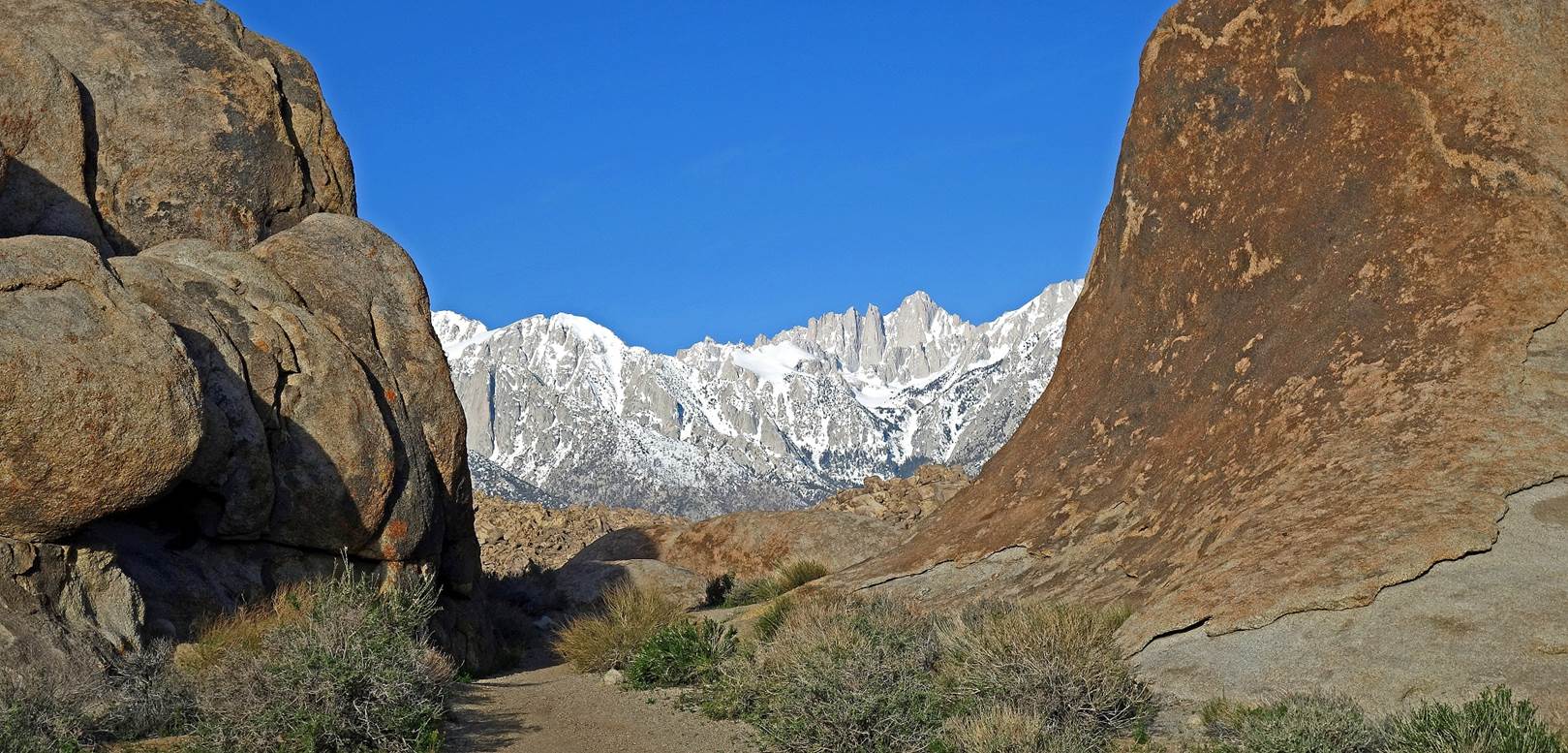
The Alabama Hills is an area combining eroded hills and rounded rocks. It
is located at the base of the Sierra Nevada, west of the small town of Lone
Pine. Mount Whitney (el. 4421m), the highest peak within the 48 contiguous
states of the United States, is visible in the three photos below. It stands at
the center-right of the first photo.
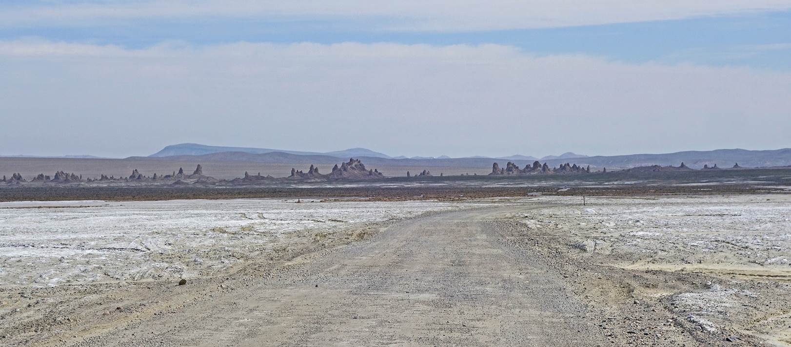
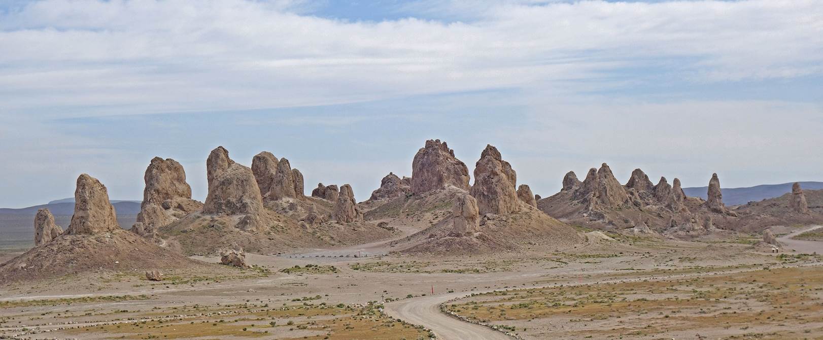
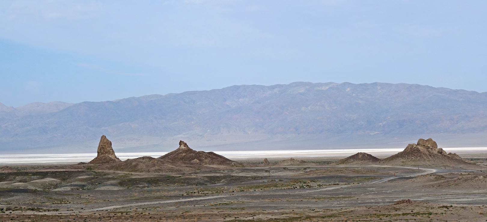
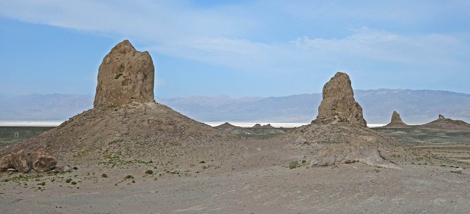
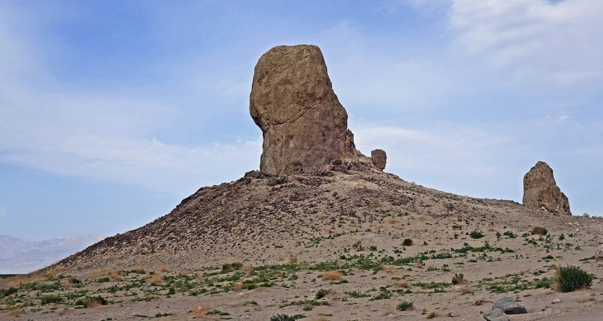
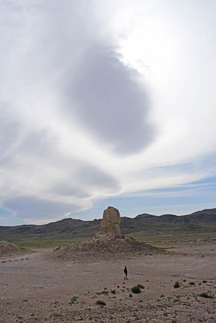
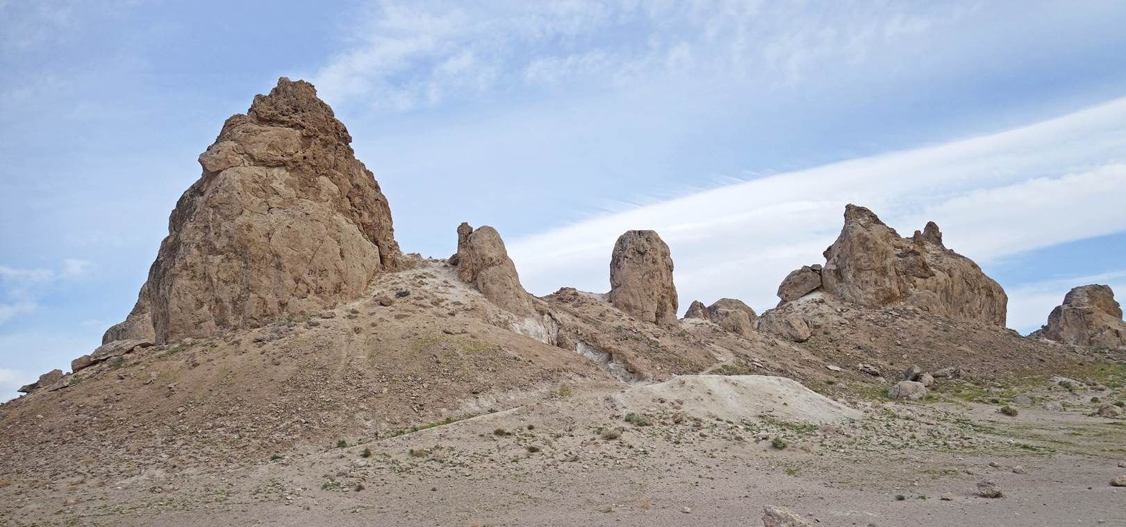
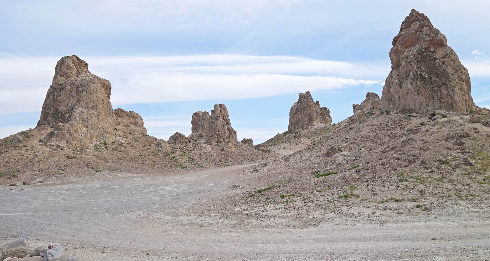
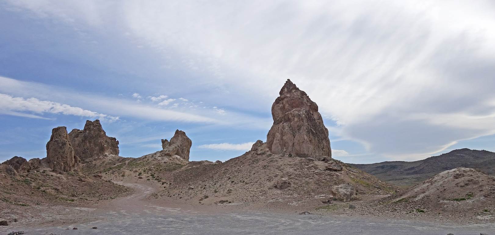
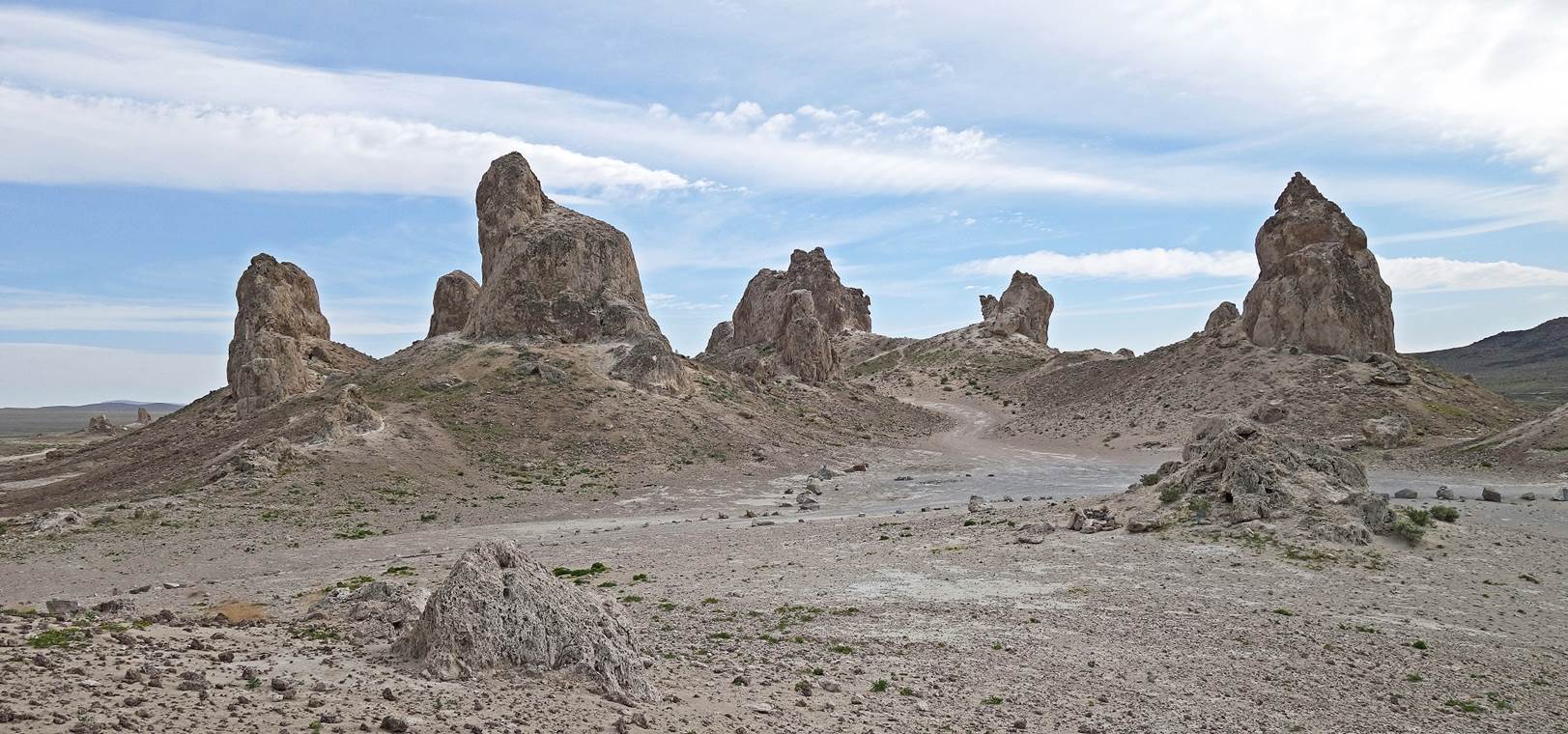
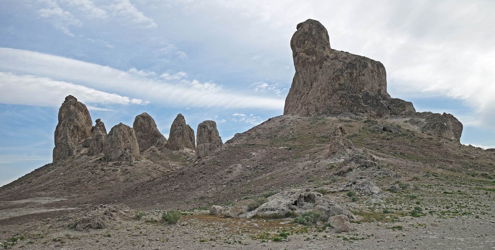
Photos from the Trona Pinnacles:
The Trona Pinnacles form an unusual landscape of several
hundred tufa (calcium carbonate) spires rising above the dry section of the
Searles Lake basin, some reaching 40 meters in height. They are located a short
distance south of the town of Trona.
|
|
|
![]()
Return
to main United States webpage | Return to my
mountaineering/trekking/travel webpage