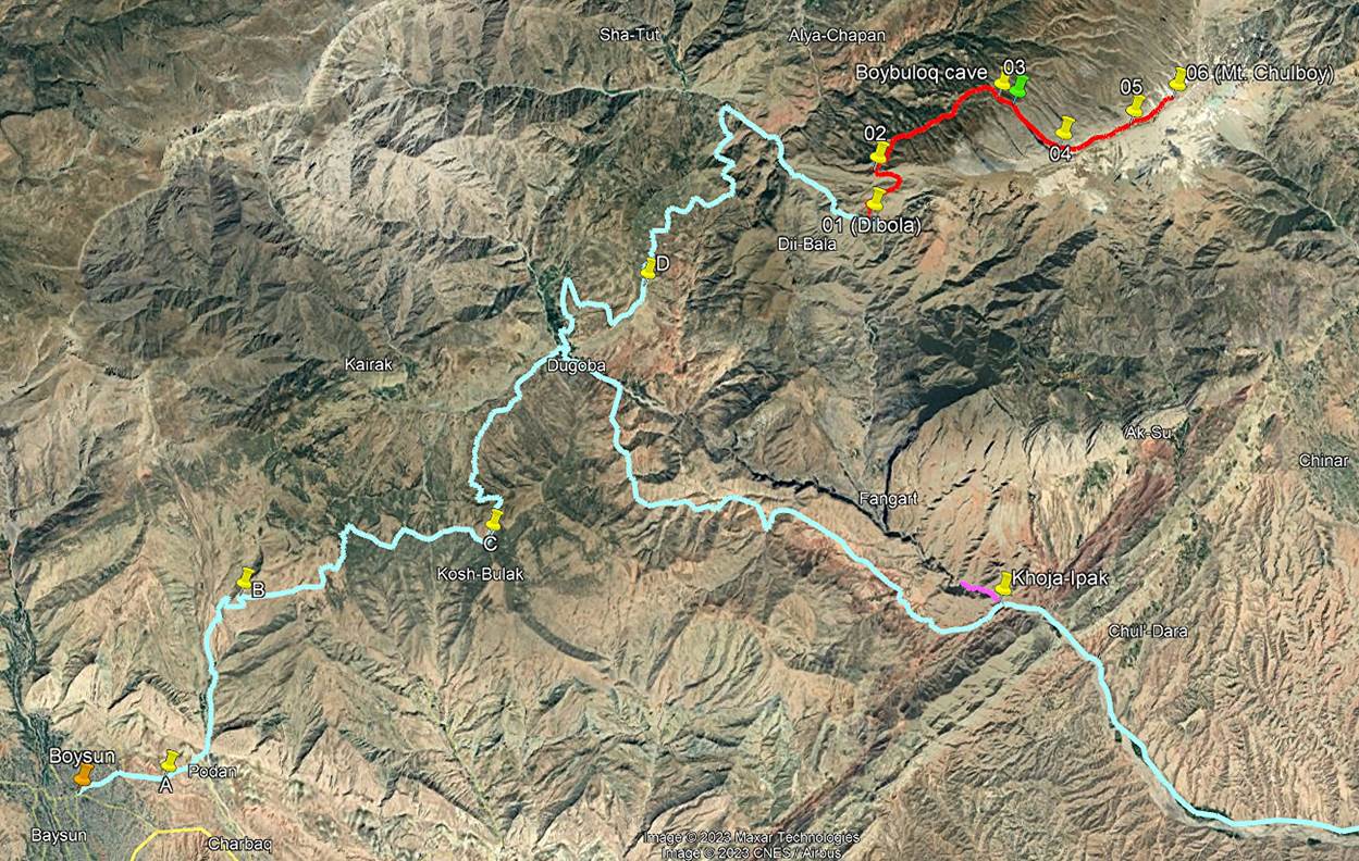
Uzbekistan (August 2023):
Boysun to Dibola and Ascent
of Mt. Chulboy (3812m)
![]()
Return to my
mountaineering/trekking/travel website | Return
to main Uzbekistan 2023 page
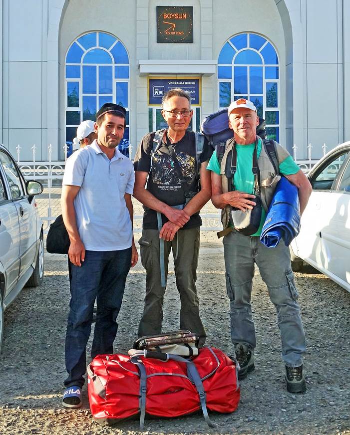
Boris and I
took a night train from Tashkent to Boysun, where we
were met by Lutfulo. After buying a few things in the
street bazaar of Boysun, we drove to the mountain
village of Dibola, a 50km drive that took us 5 hours
due to the poor conditions of the road, especially as we were getting closer to
Dibola.
Boysun:
Early arrival
at the modern railway station of Boysun. From left to
right: Lutfilo, me, and Boris.
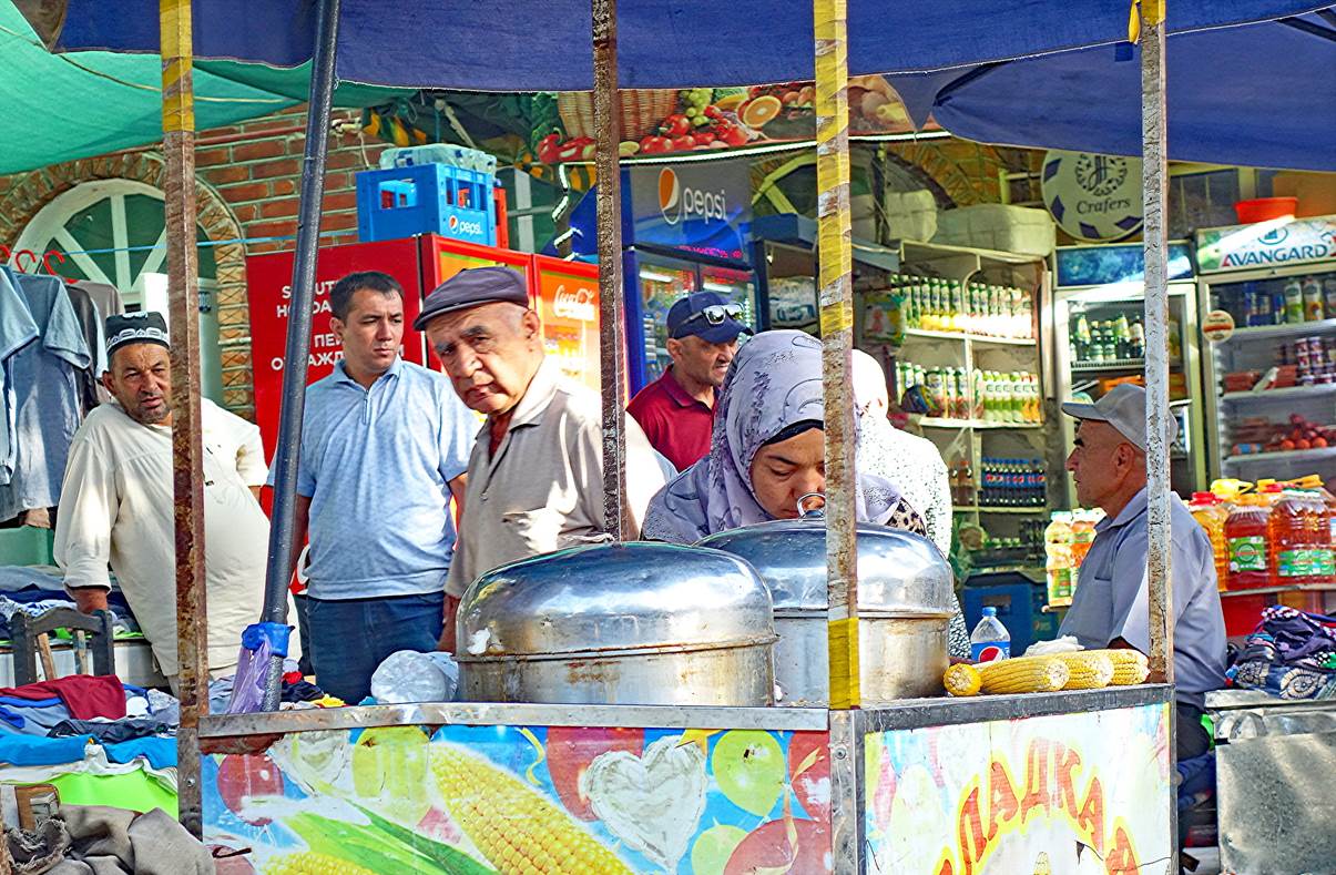
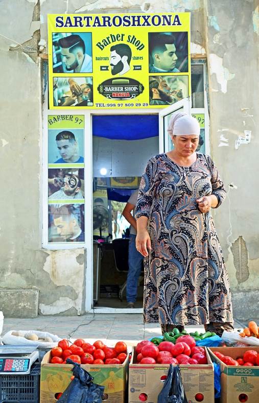
Scenes along
the street bazaar of Boysun.
|
|
|
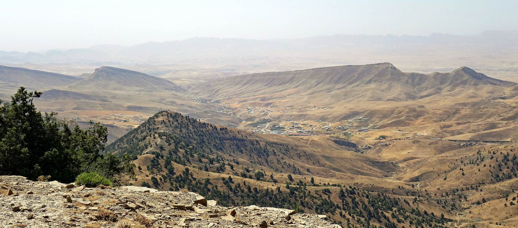
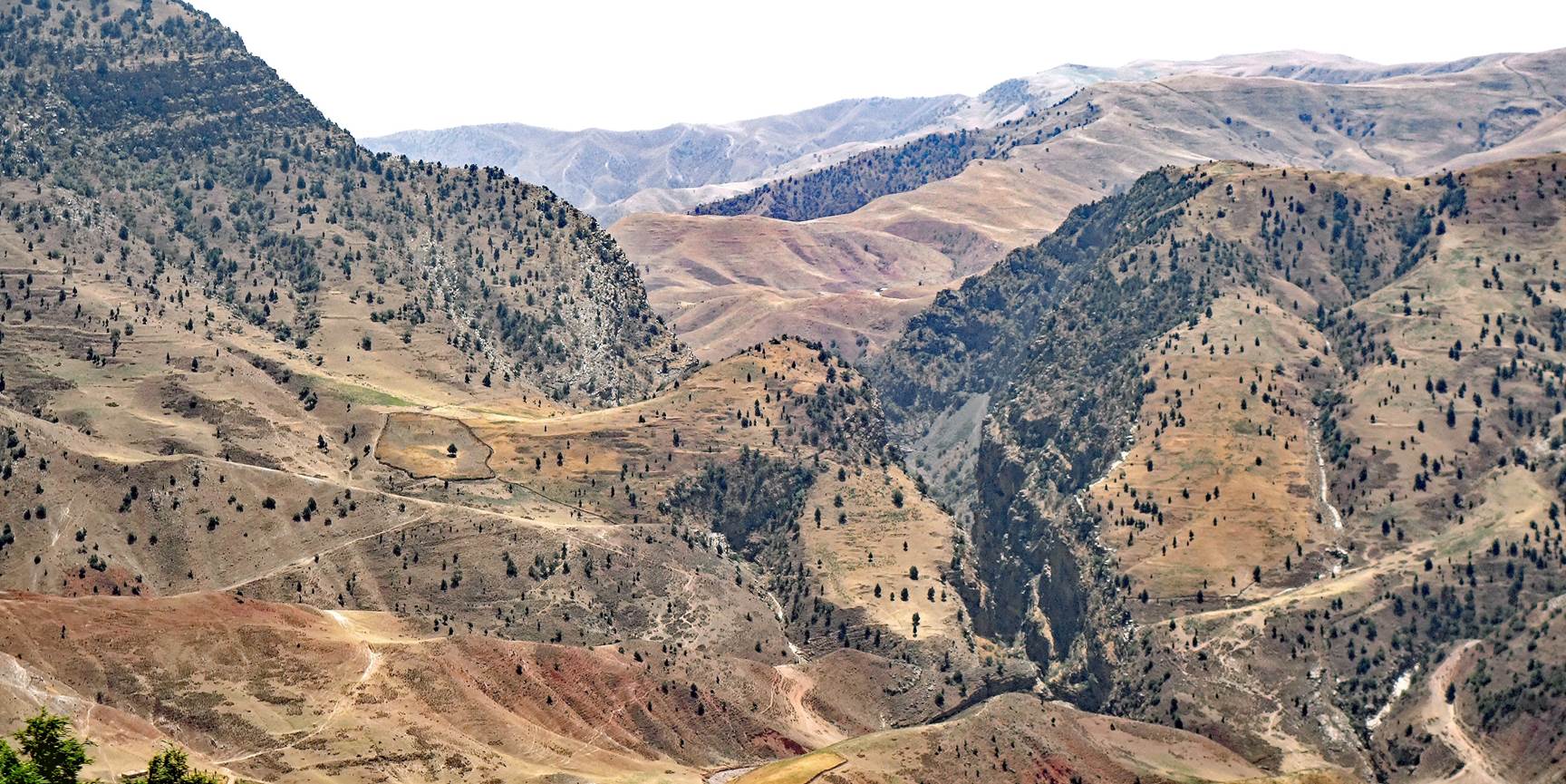
Drive to Dibola:
Successive
landscapes along the way.
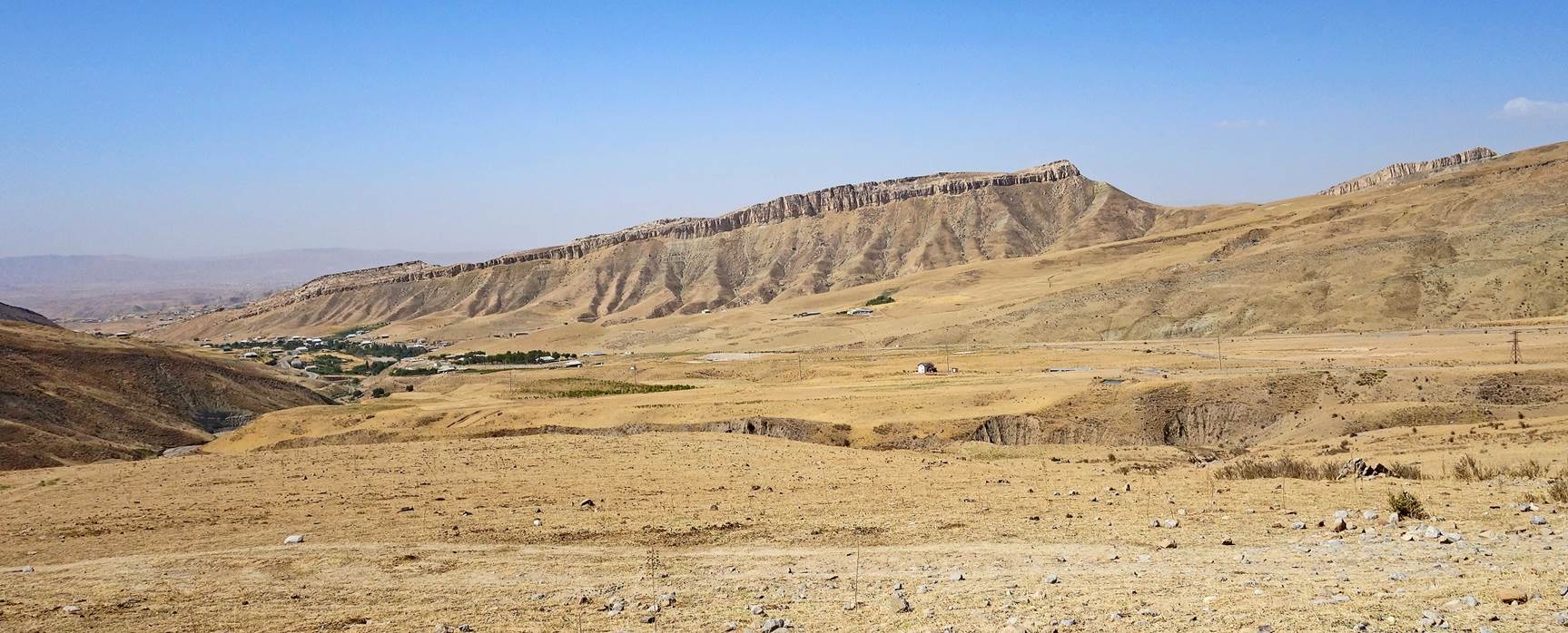
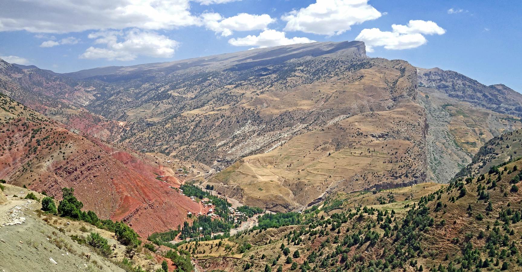
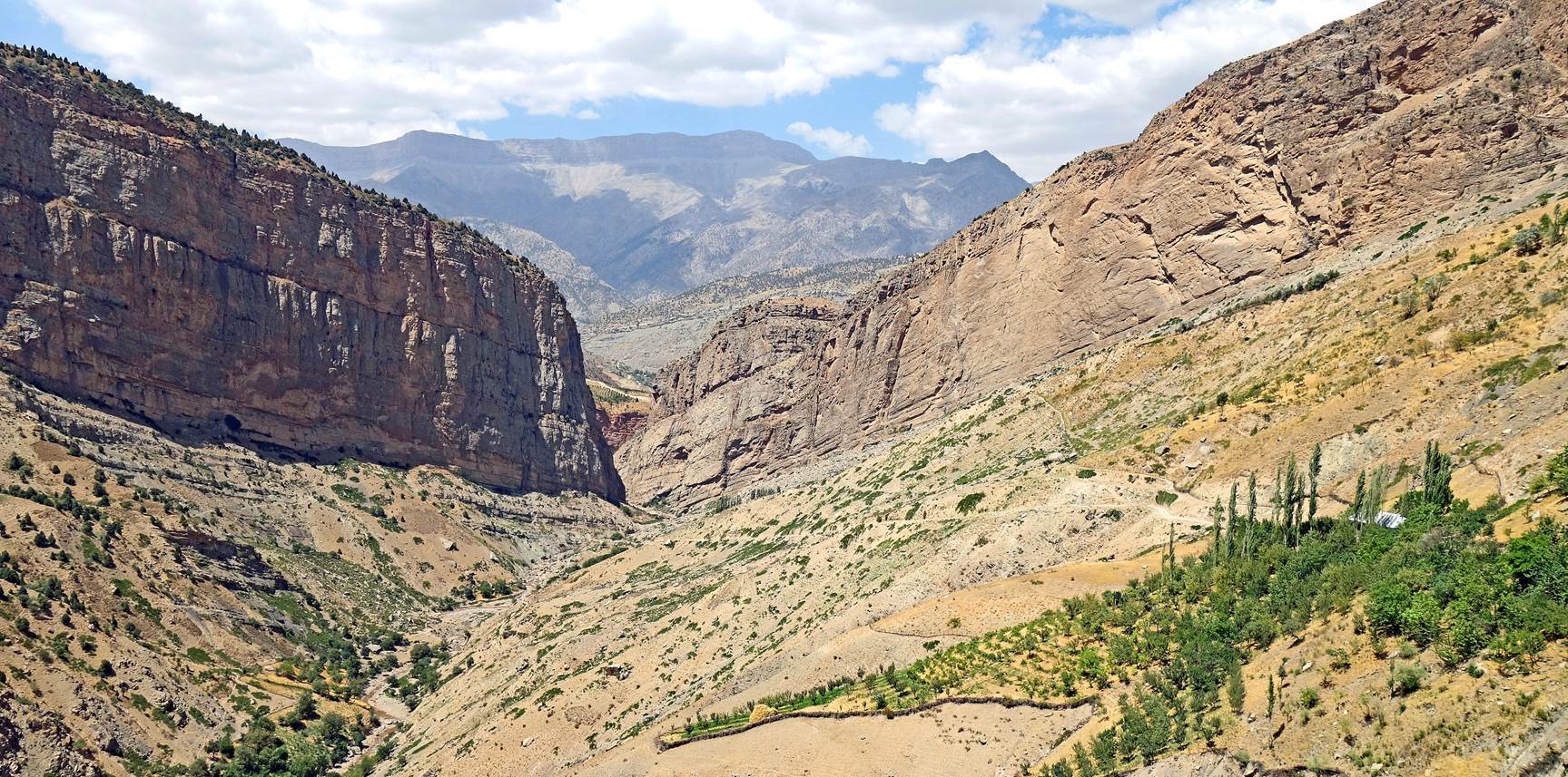
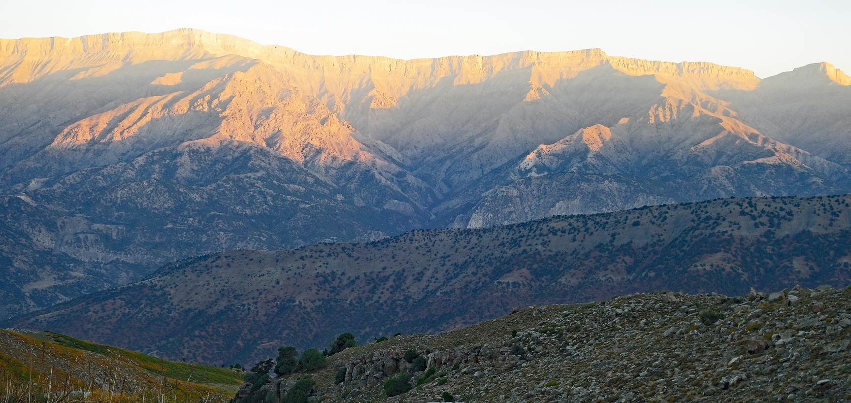
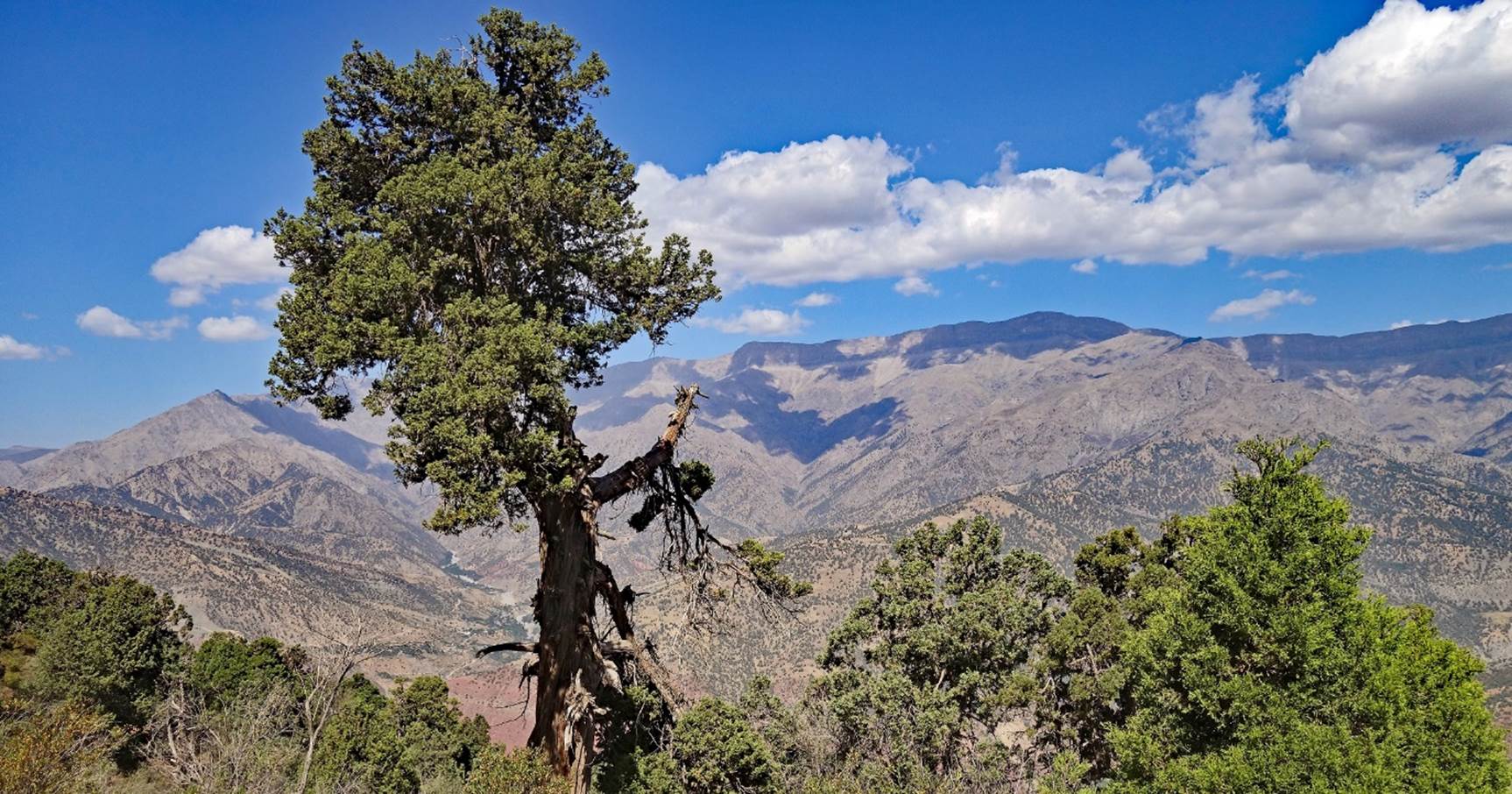
View of the Chulboy
ridge along which we will soo start to hike. Mt. Chulboy is in the far
background.
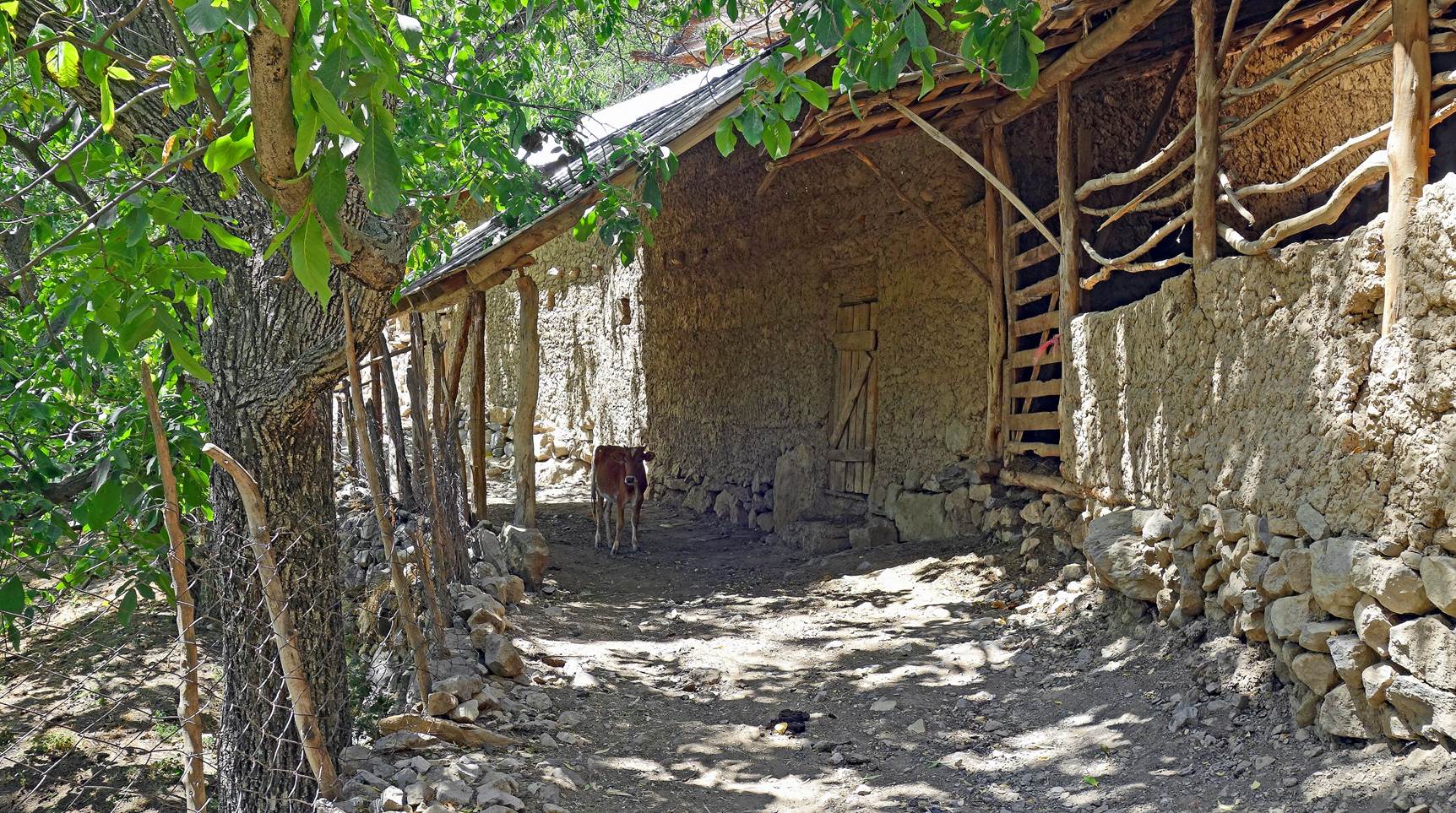
Houses in the last
village before reaching Dibola.

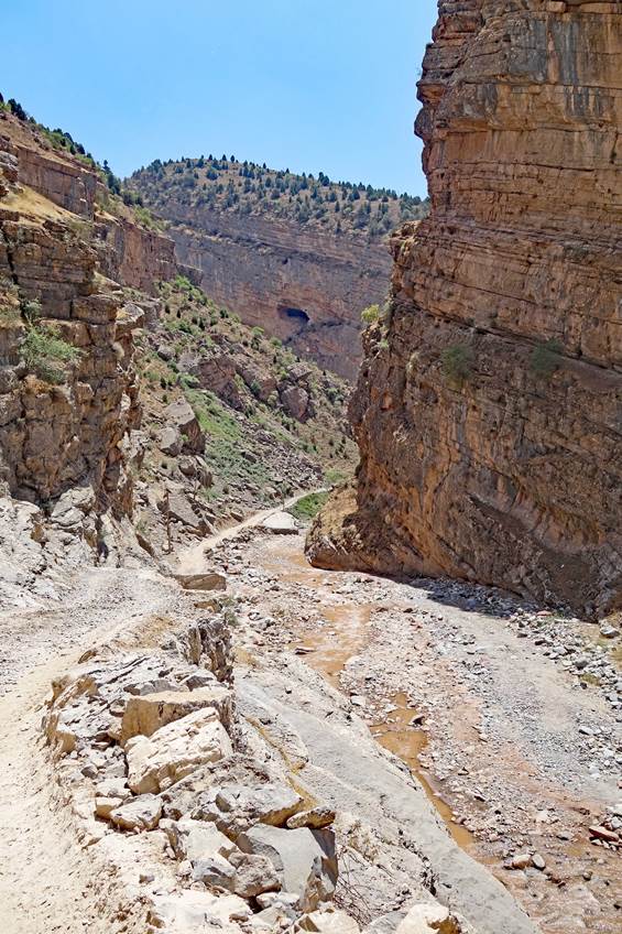
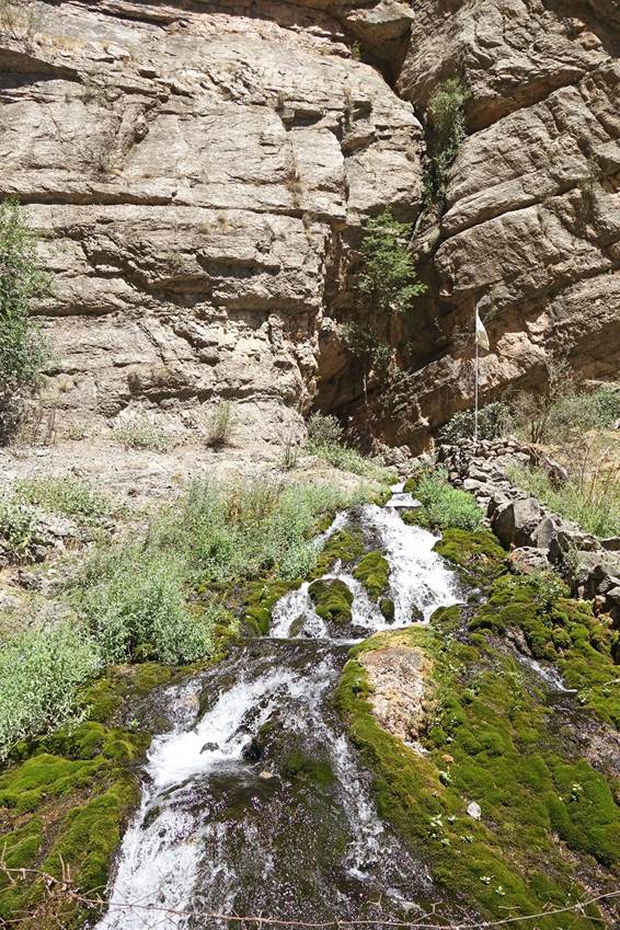
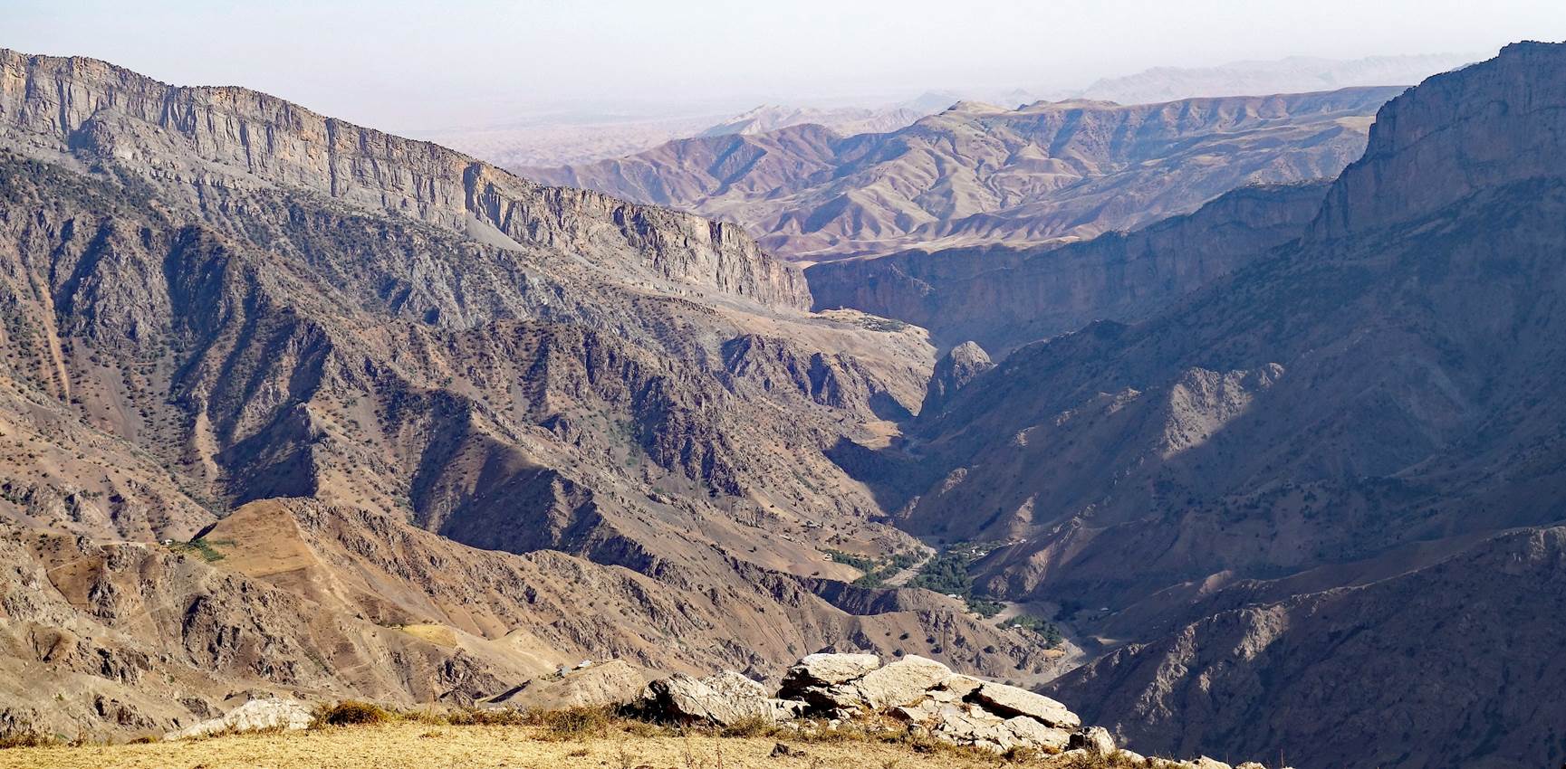
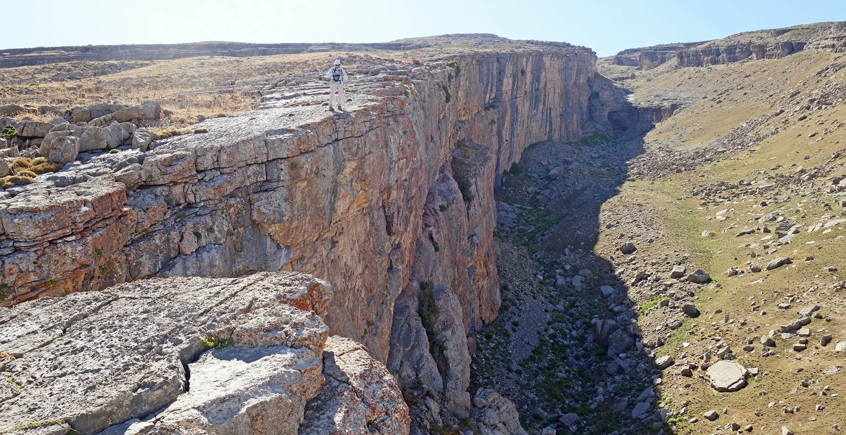
Upper canyon of the Kurganchasai river before reaching Dibola. I was told
that the spring in the right photo flows from the Boybuloq cave (see further
down).
|
|
|
|
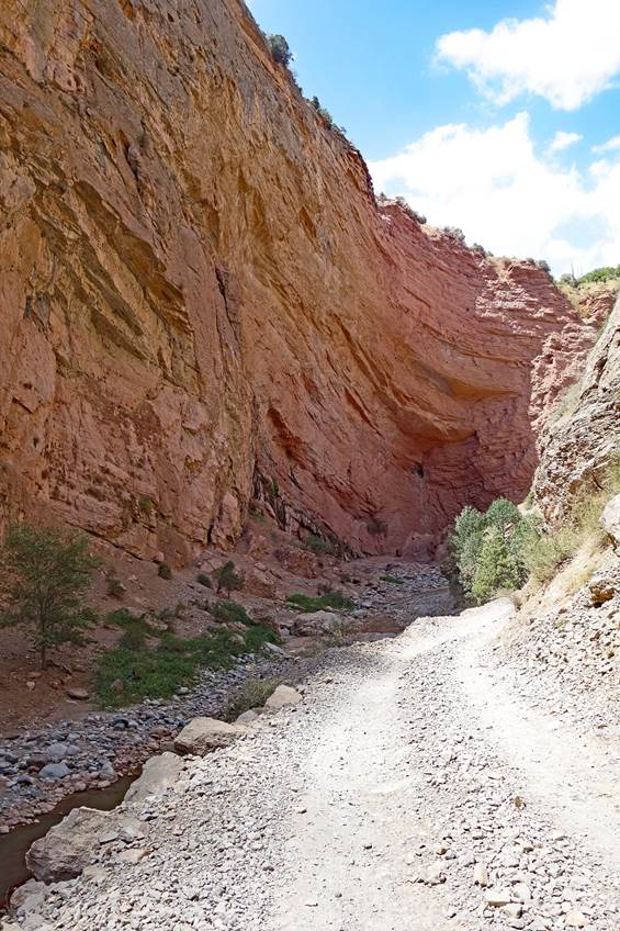
View of the
previous canyon from Dibola.
Cliff above the Kurganchasai river opposite to Dibola.
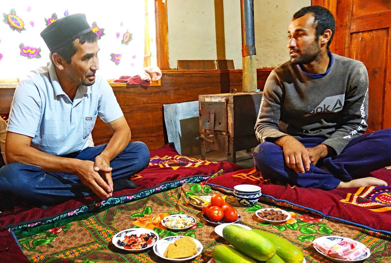
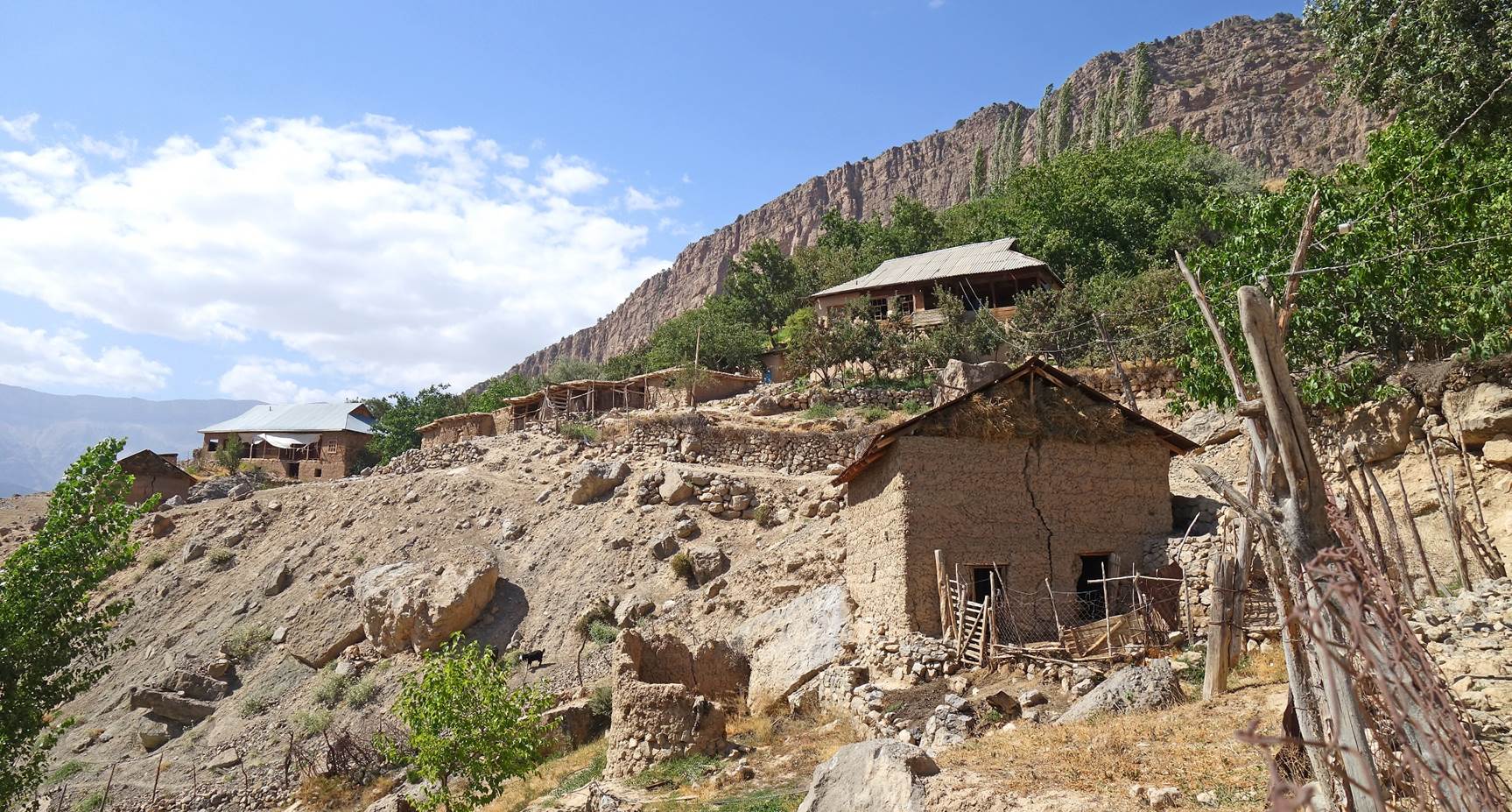
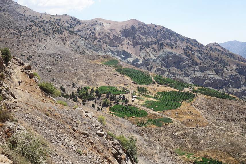
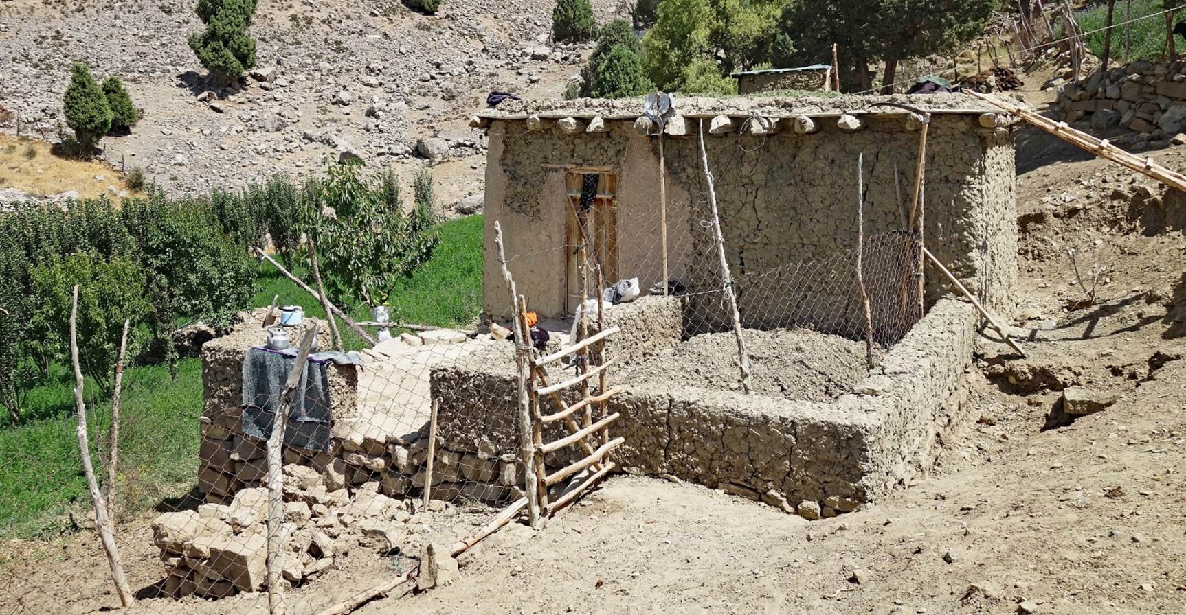
In Dibola:
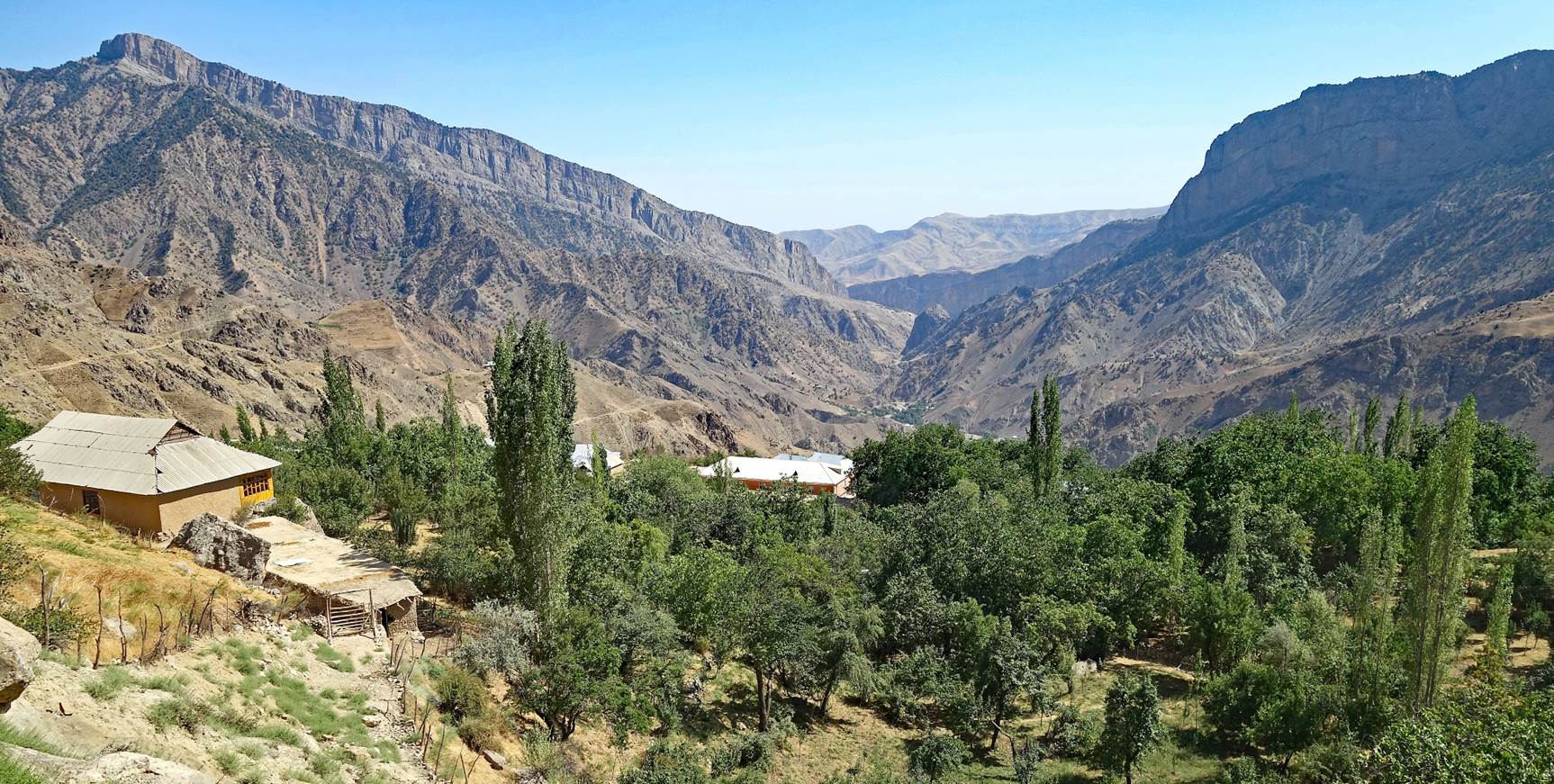
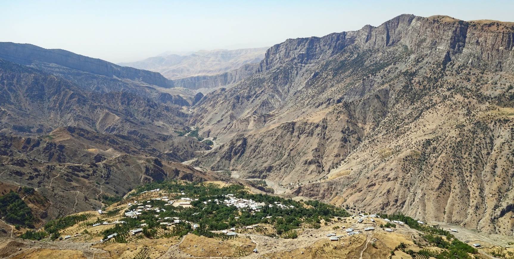
View over a
portion of Dibola and the valley of the Kurganchasai river
south of Dibola. The village has around 1200 inhabitants, of Tajik origin, who
speak a language close to Farsi (Persian).
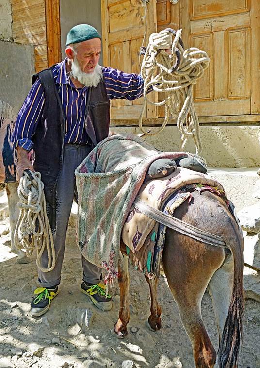
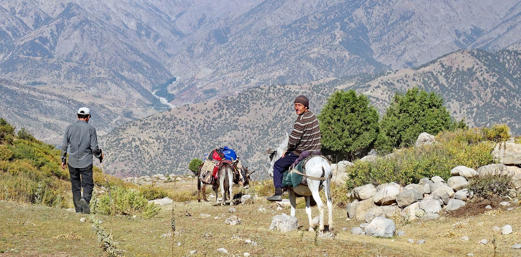
Lutfilo in discussion
with a member of the family that will provide us with donkeys to carry our
loads to the camp that we will set at GPS waypoint 03. This camp is
occasionally used by speleologists to explore the Boybuloq
cave, the deepest cave in Central Asia (1,430m deep and 15,212m long),
located in the Chulboy ridge.
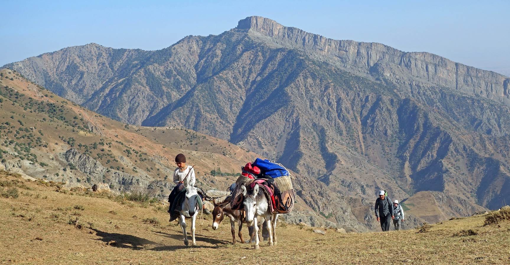
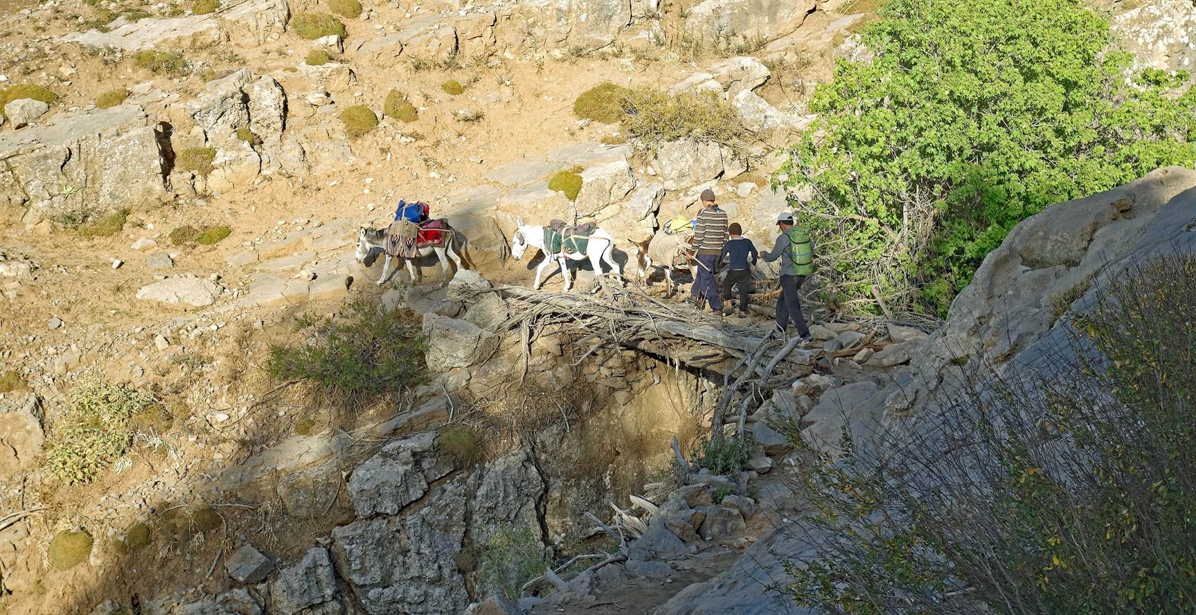
The head of the family
(Mr. Ismatullo Khoji Bobo) loading donkeys with our bags and food (GPS waypoint 01).
|
|
|
|
Ascent to camp (waypoint 03):
Some
approximate elevations:
- Boysun: 1217m.
- Waypoint 01
(Dibola): 1708m.
- Waypoint
02: 2257m.
- Waypoint
03: 2700m.
- Waypoint
06: 3812m.
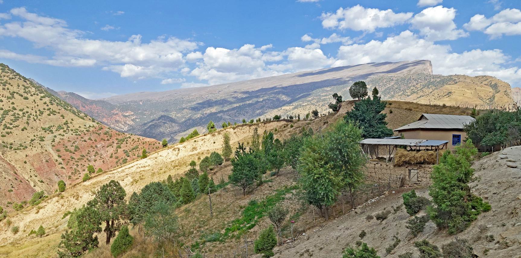
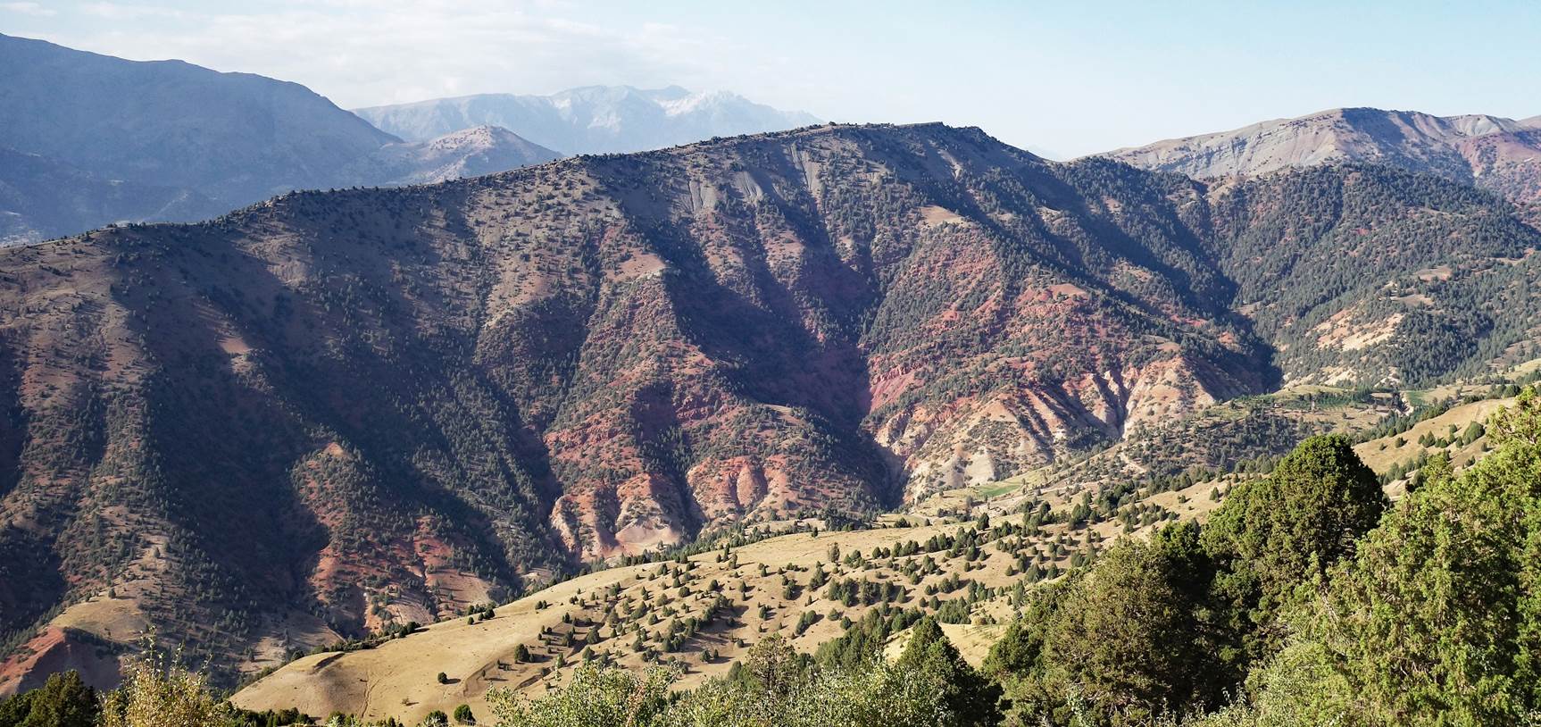
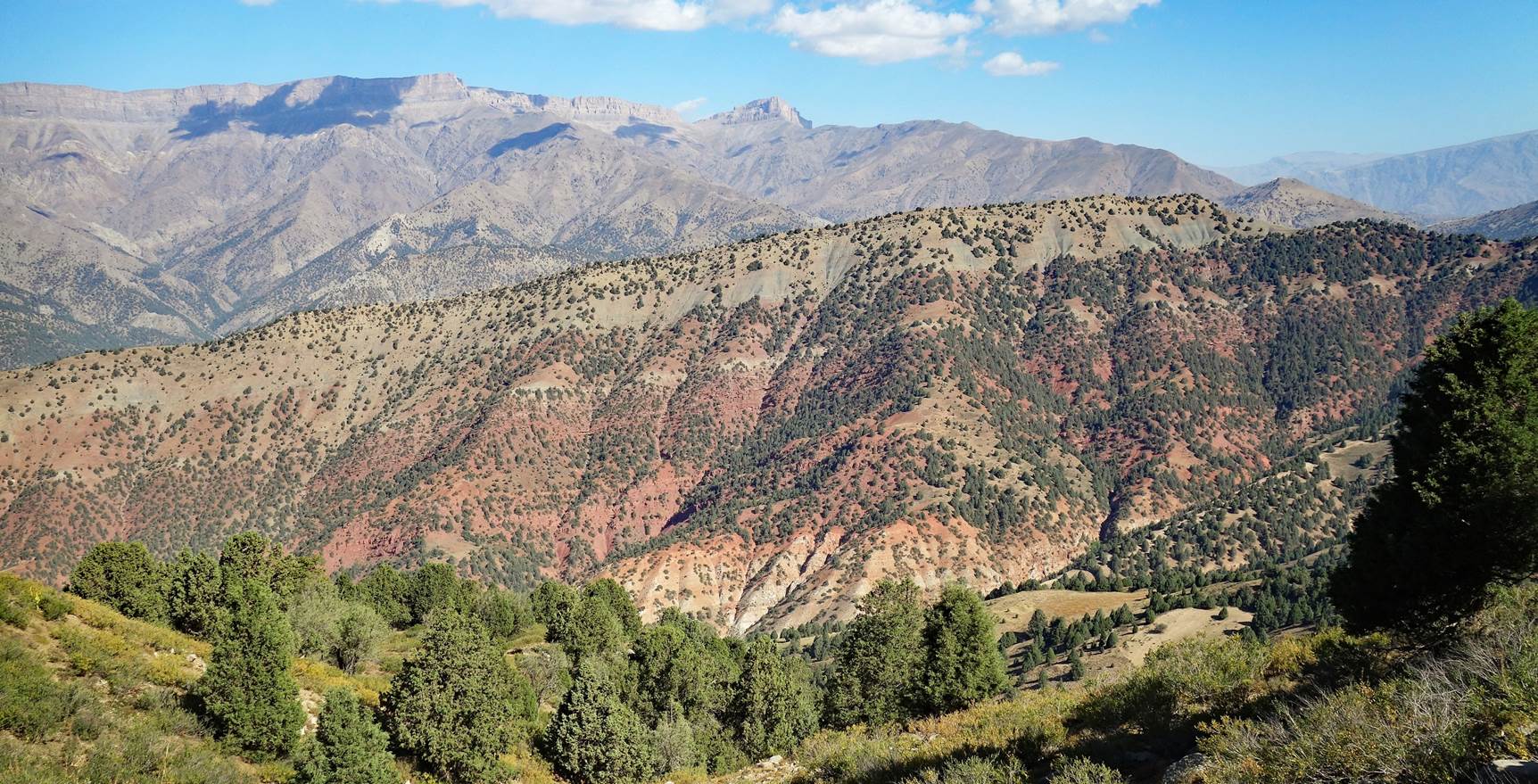
Leaving Dibola.
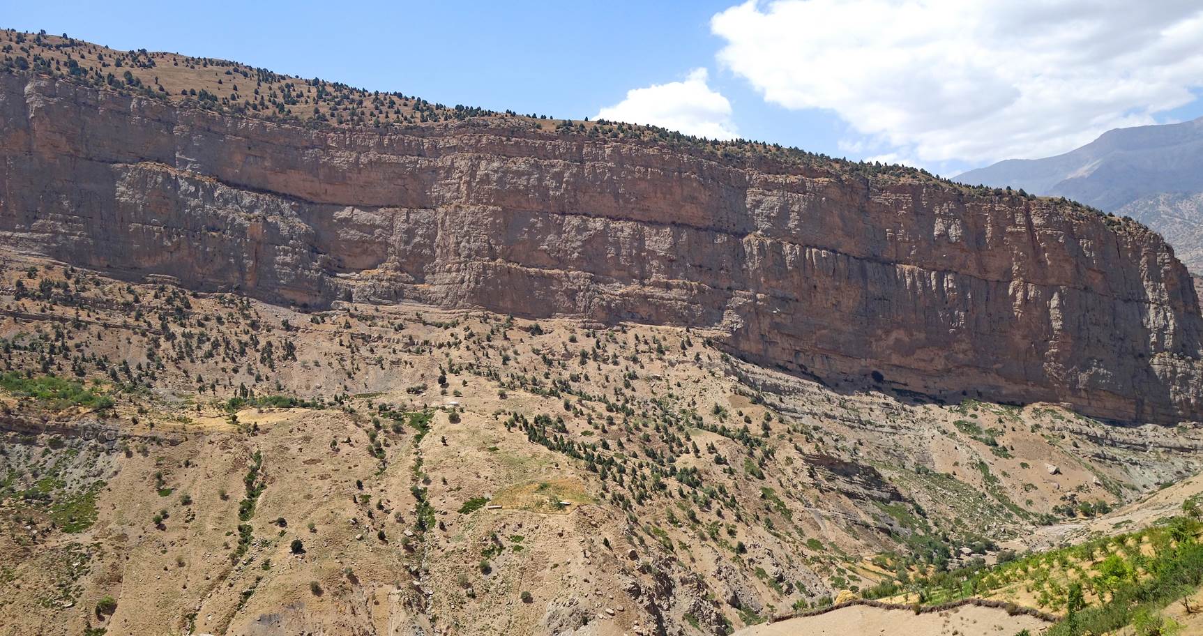
Below of the huge cliff
of the long Chulboy escarpment.
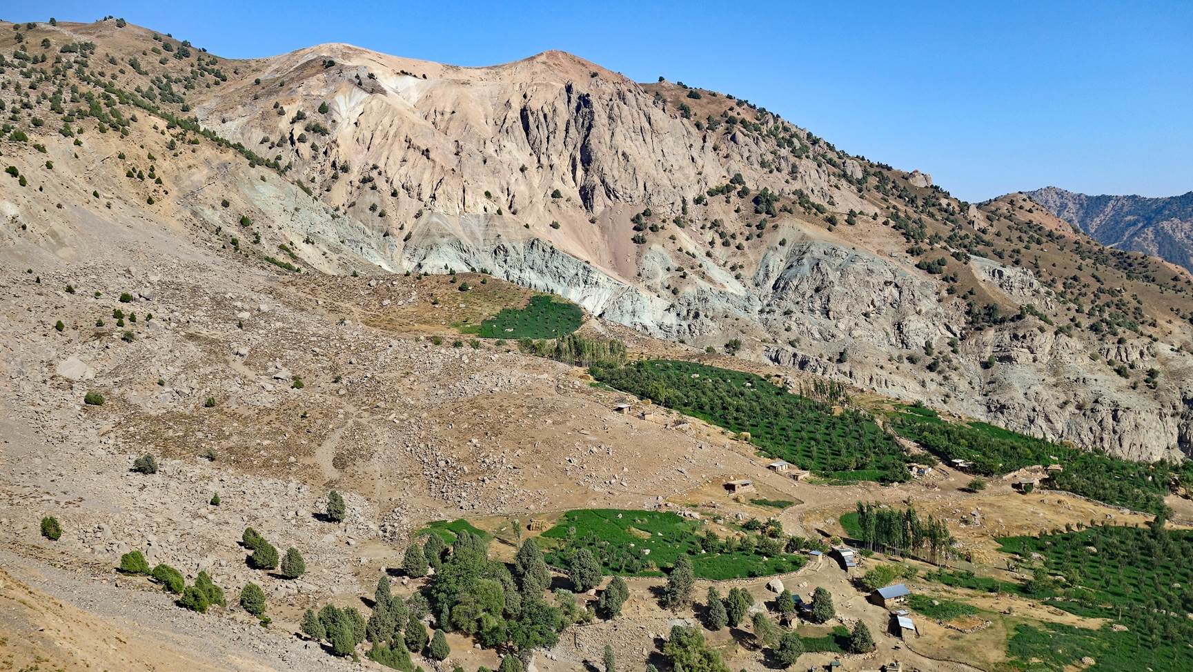
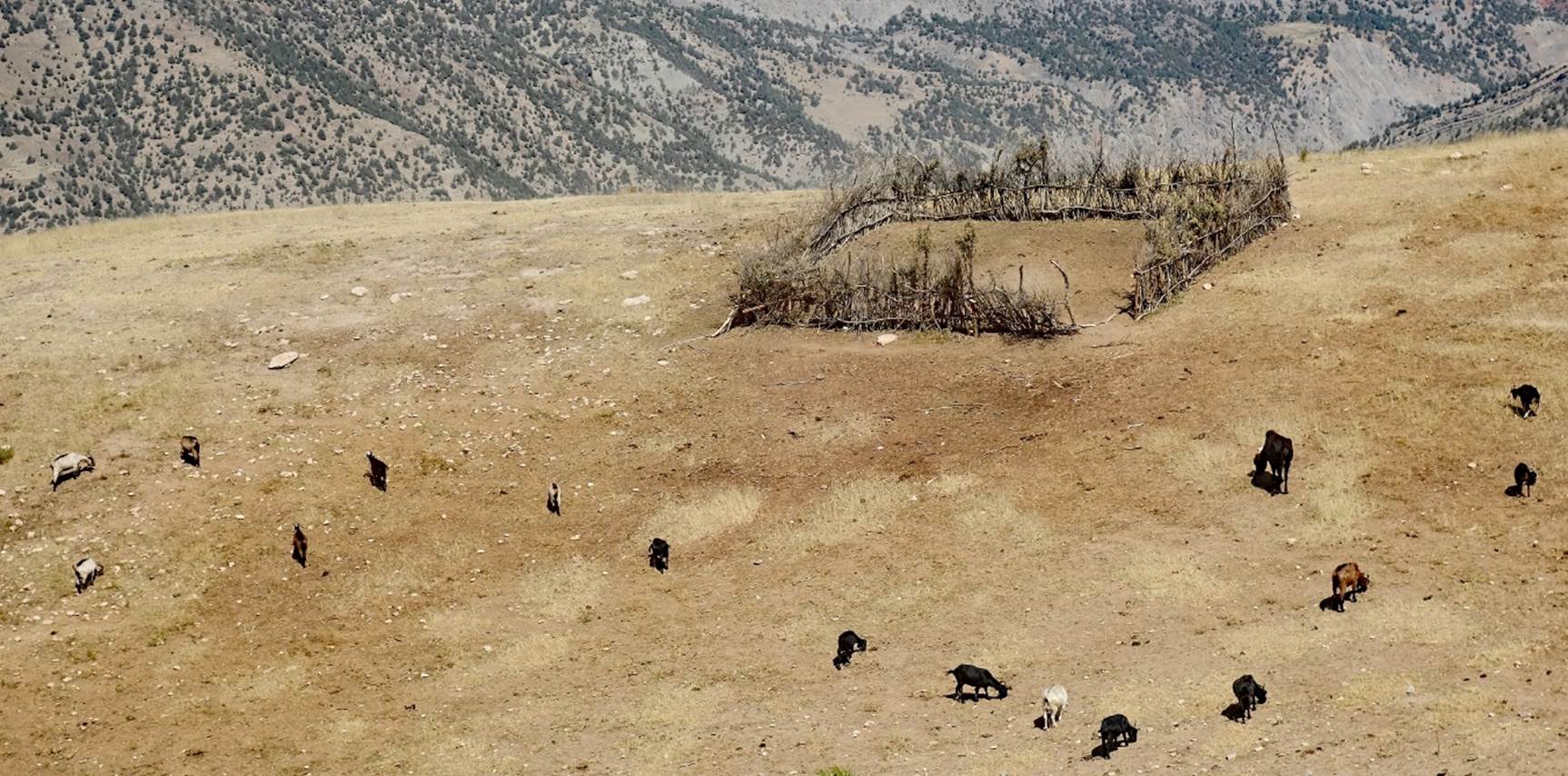
View over the upper
farmlands of the Dibola people, where they grow apple trees.
Ascent of the Chulboy
escarpment. The trail was small, but quite good.
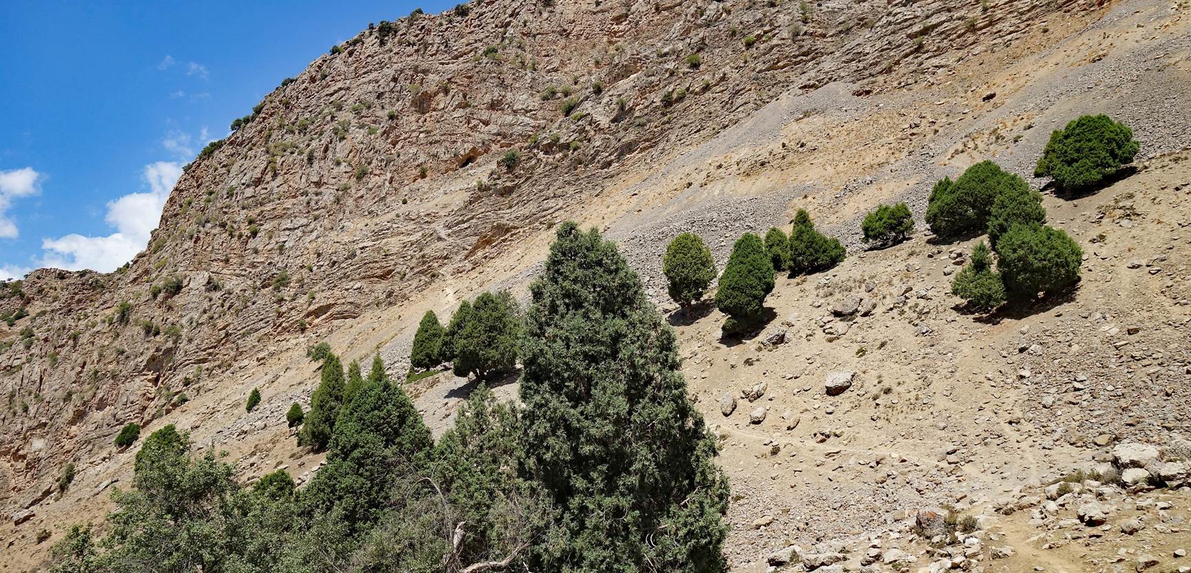
Reaching the ridge of
the escarpment at a small breach (GPS waypoint 02).
Valley of the
Kurganchasai river south of Dibola, seen from the ridge of the escarpment near
the breach.
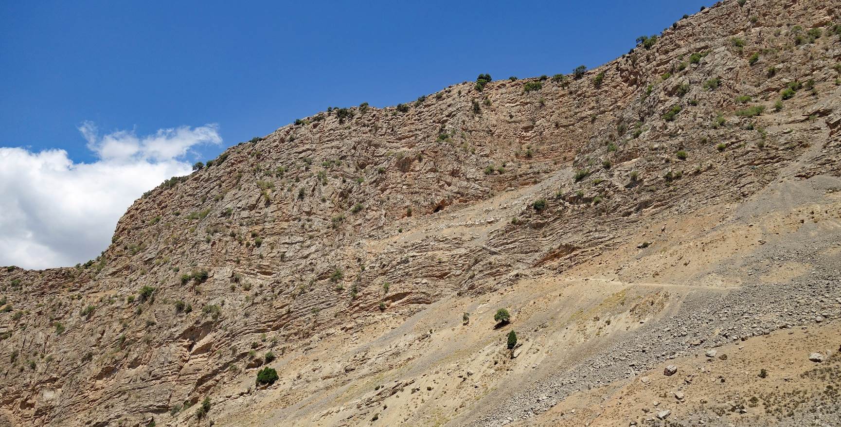
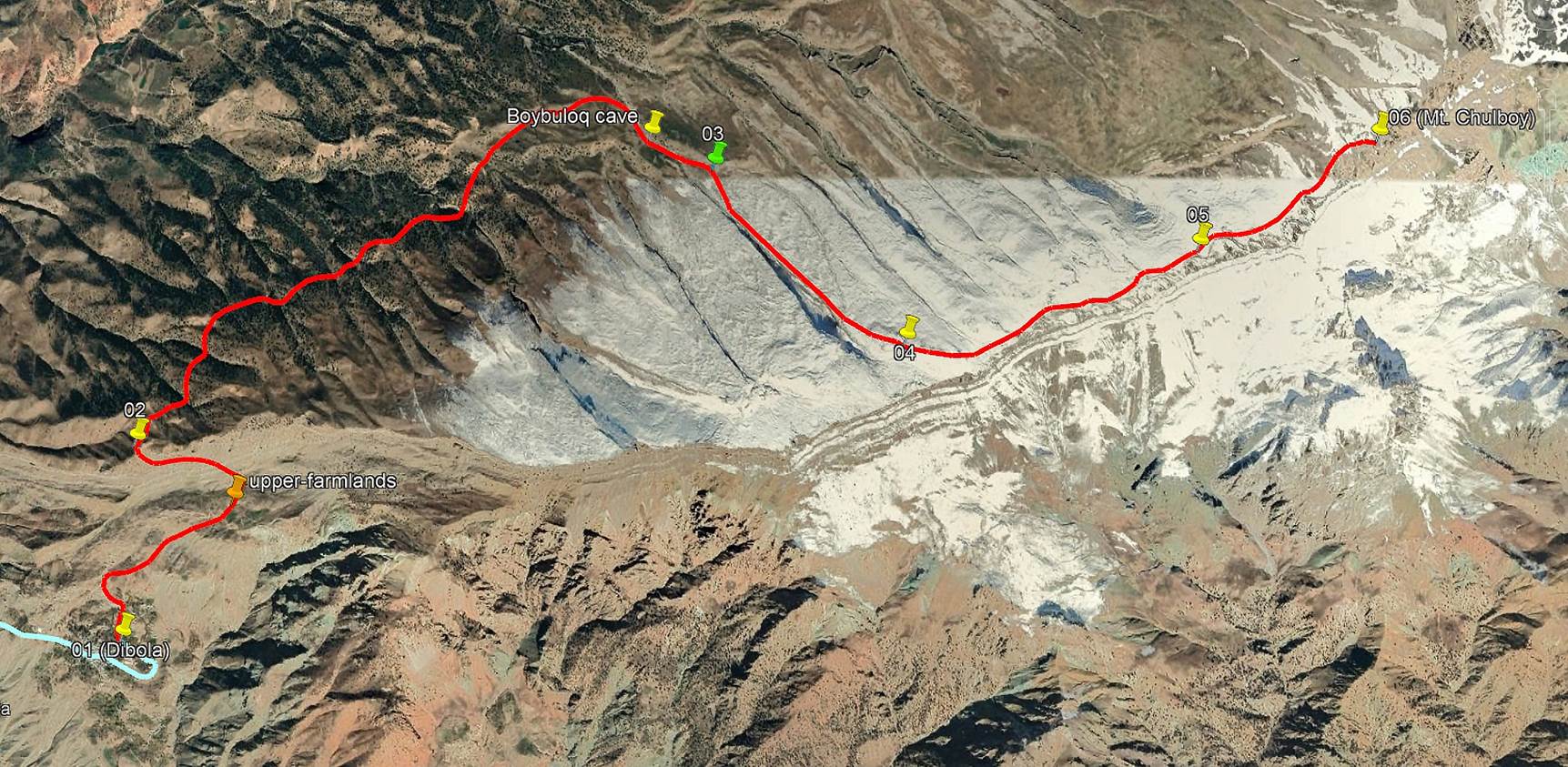
From there we hiked up
the Chilboy ridge to GPS waypoint 03. We stayed at a safe distance north of the
escarpment, mostly on gently sloped, slighly wooded terrain. (The aerial view
from Google Earth, shown below, shows snow on the ridge, but of course there
was none in August.)
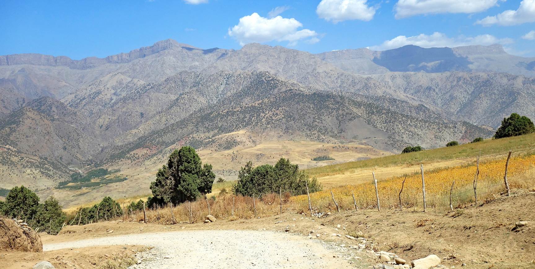
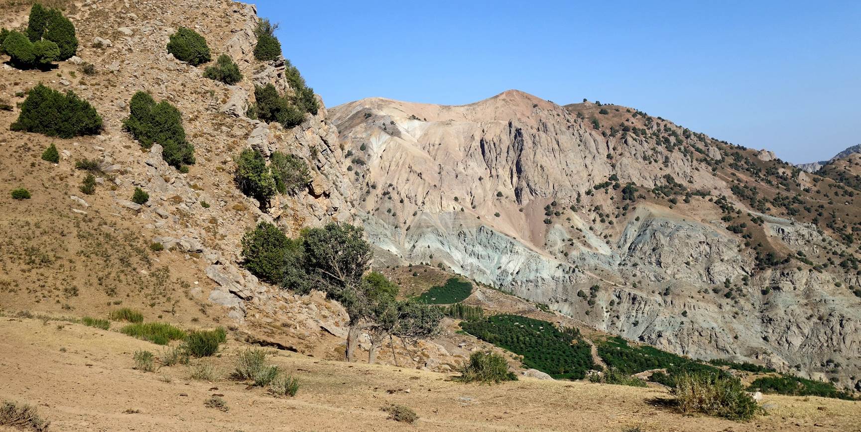
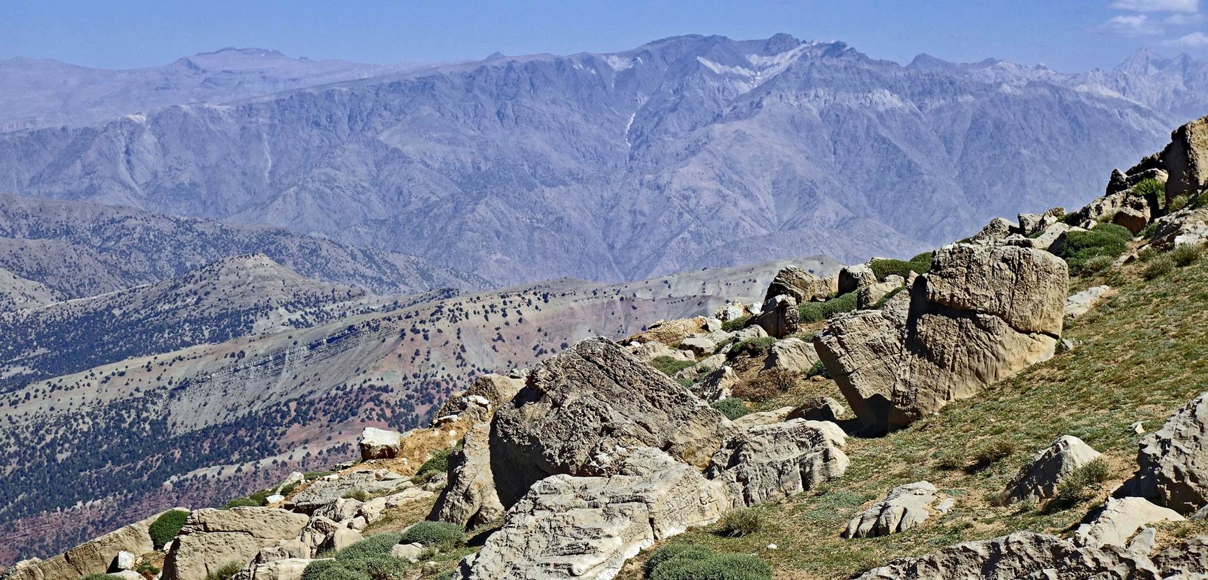
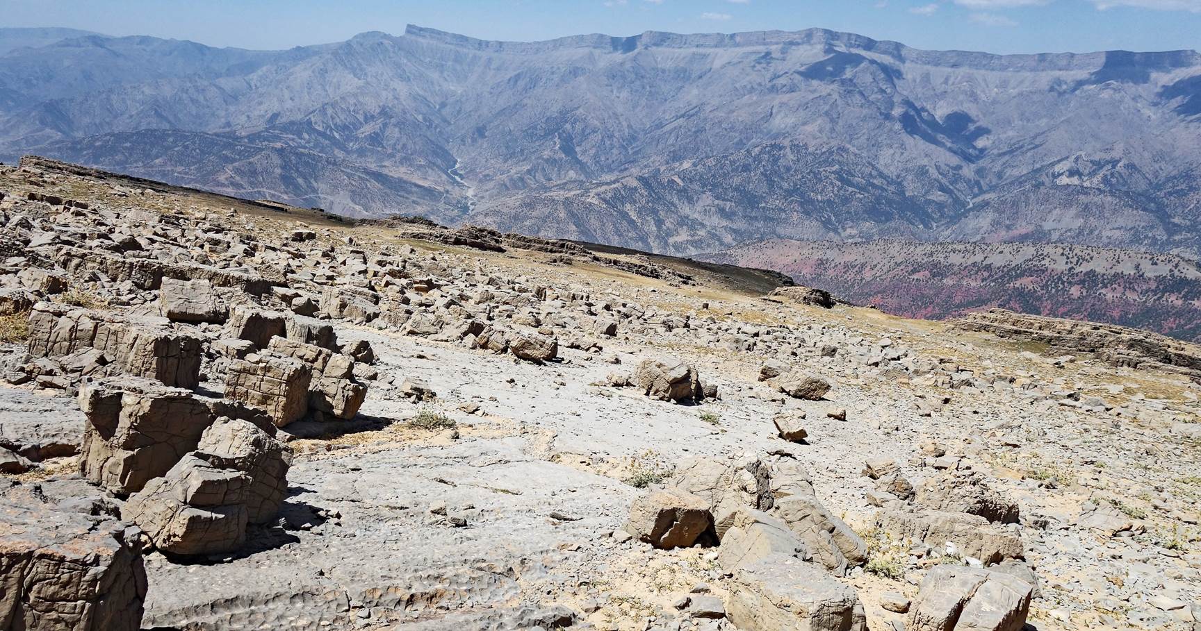
View toward the north,
with a 4000+m peak in the far background.
We reached the camp at
waypoint 03 at night. A Russian speleologist expedition was already there to
explore the Boybuloq cave. They friendly helped us in the dark to find good
spots for our two tents.
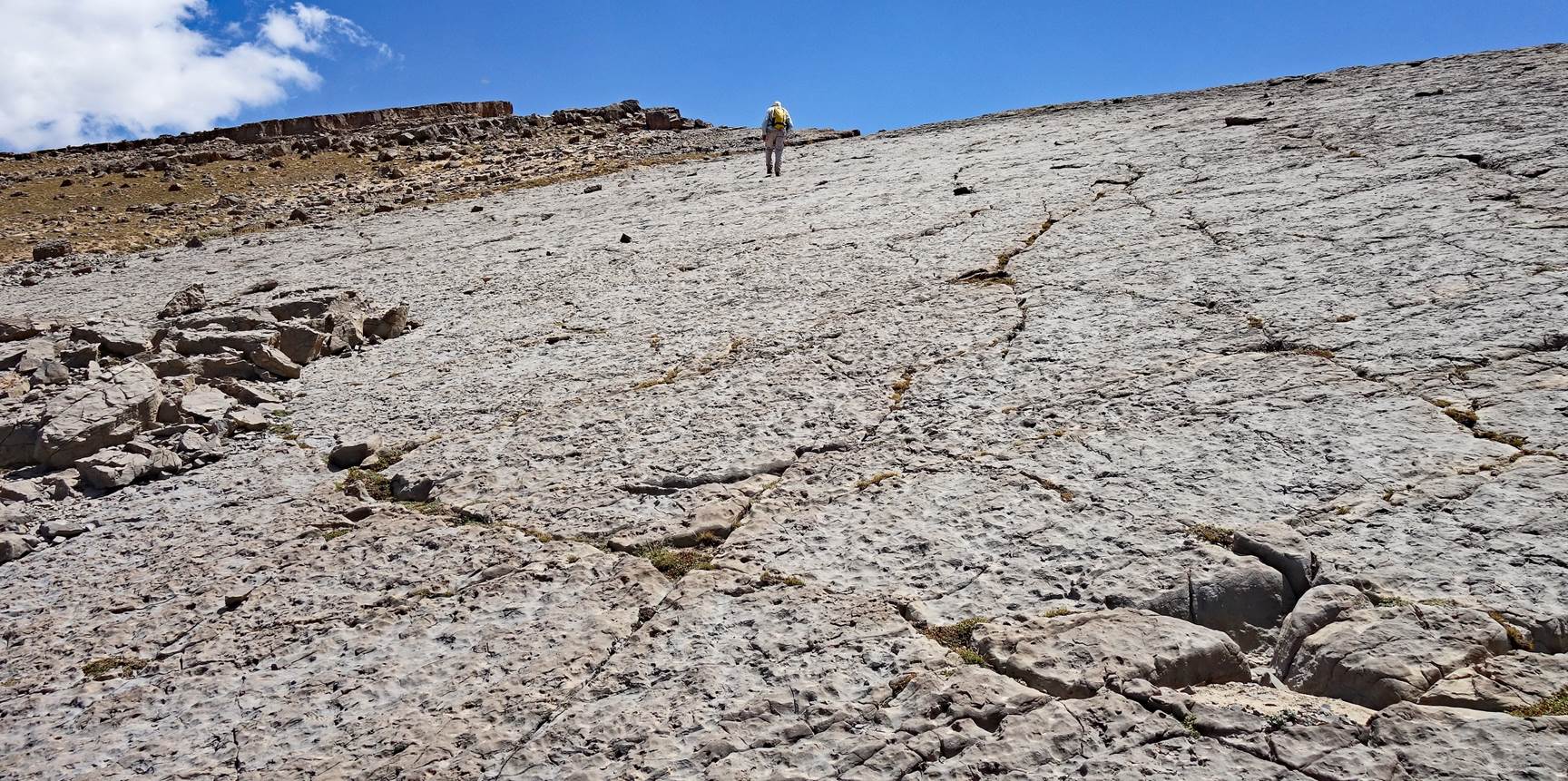
Camp to Mt. Chulboy
and back:
On that day Boris and I climbed Mt. Chulboy and returned to camp. From the camp, we first
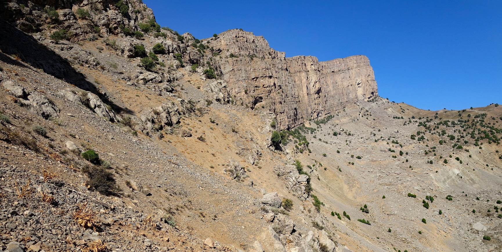
headed southeast toward the ridge of the Chulboy escarpment.
We then more or less followed this ridge up to Mt. Chulboy,
moving through successive spectacular viewpoints.
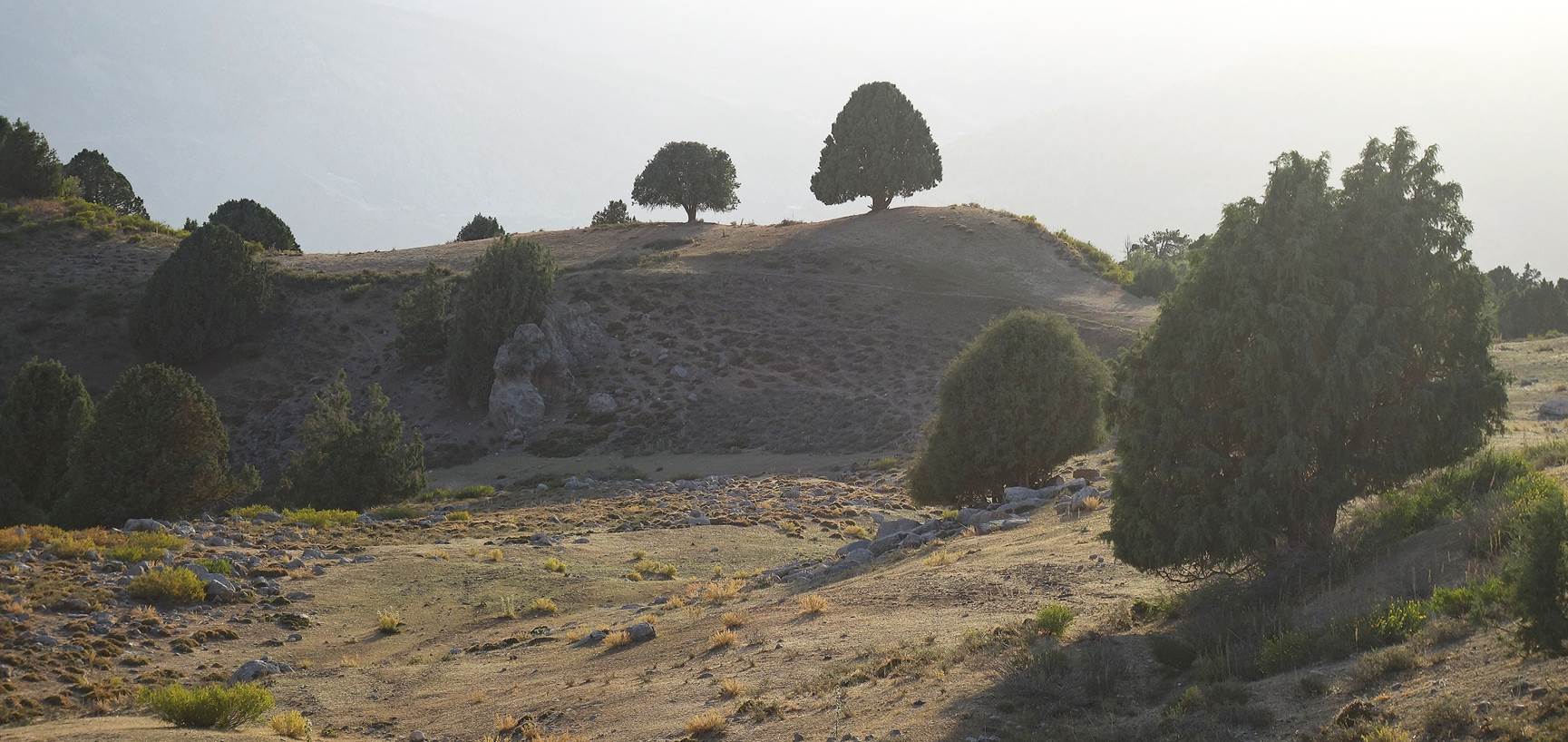
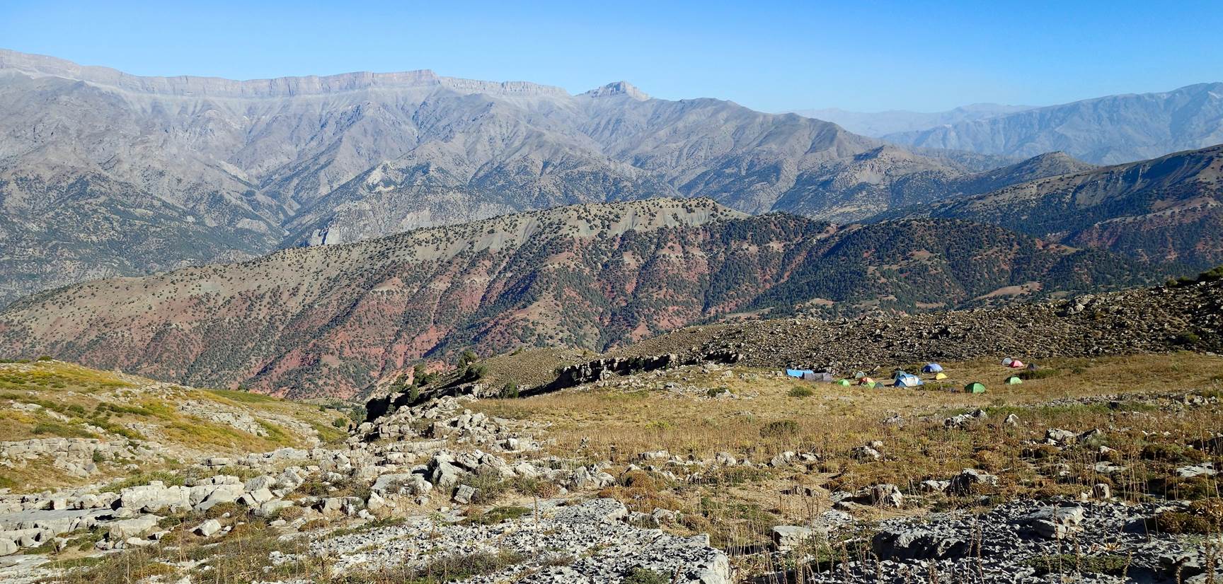
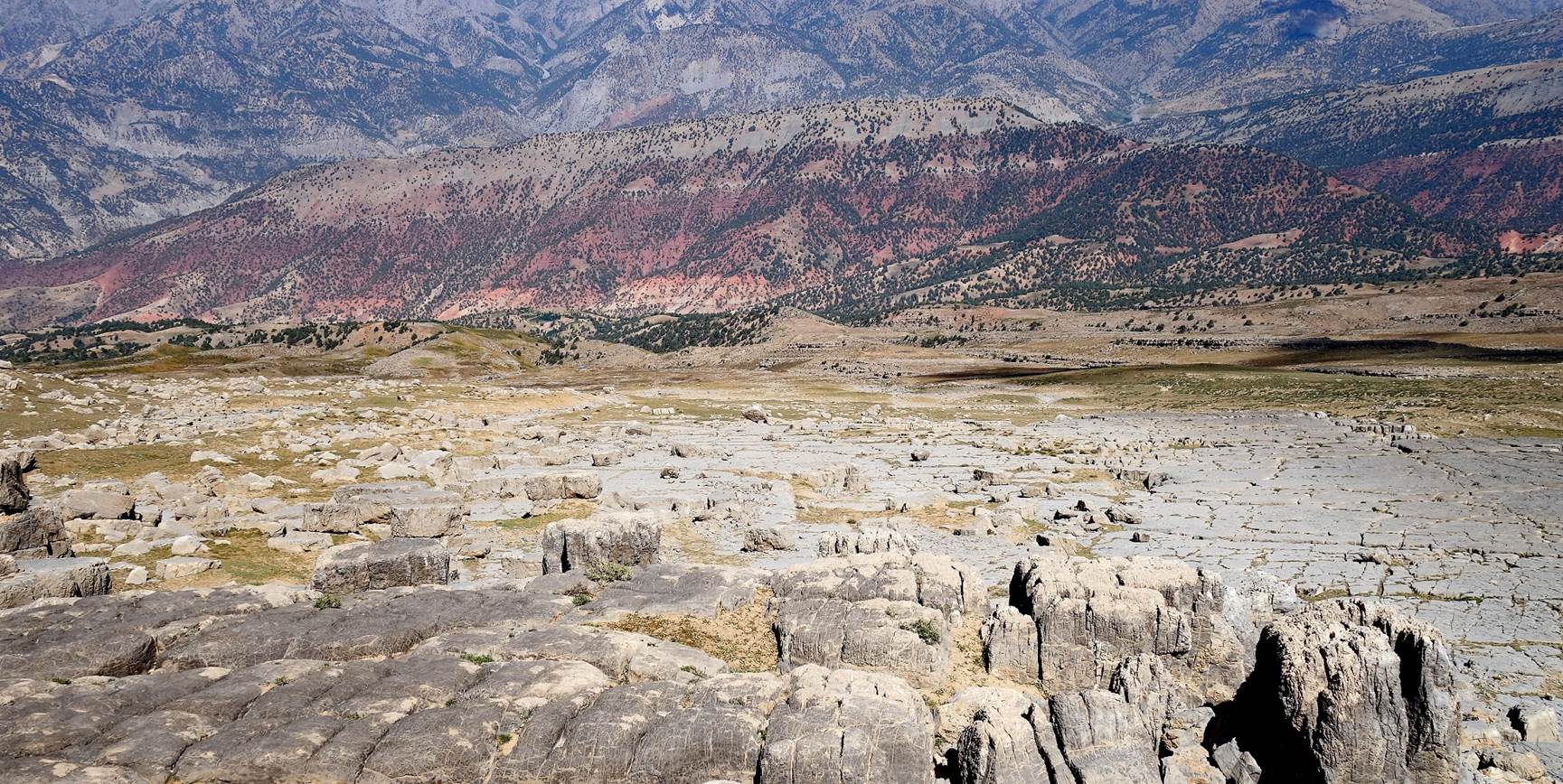
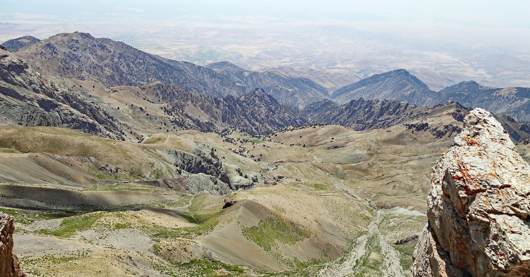
View from the camp in the early morning.
A portion of the 60km-long Boysun ridge is visible in
the photo.
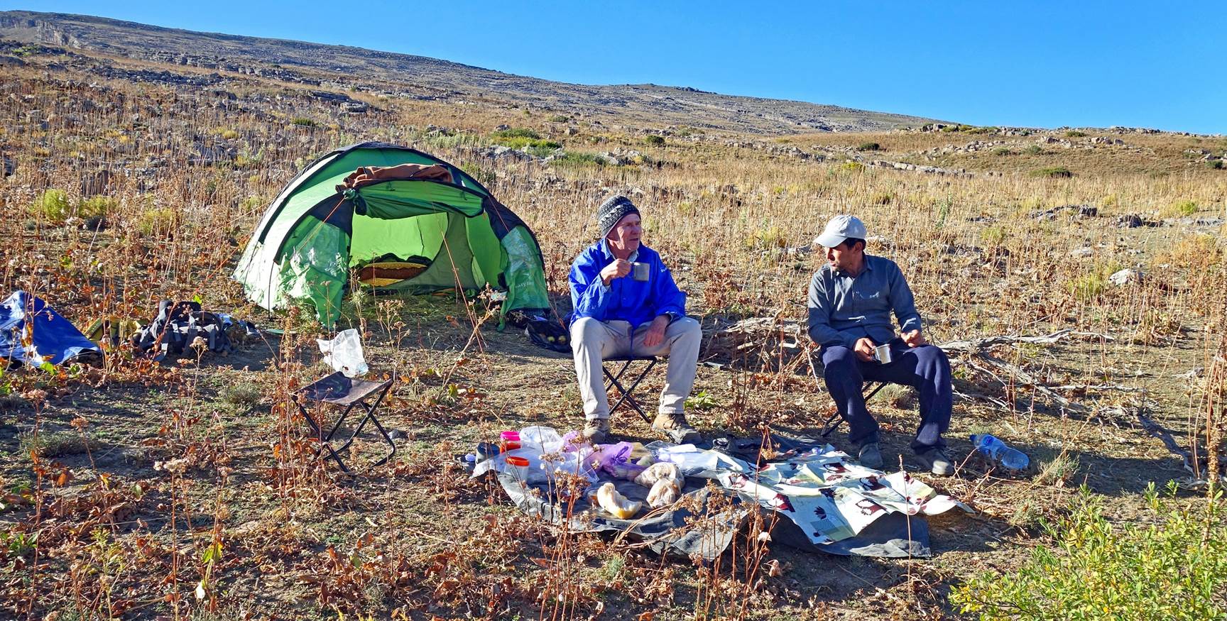
Boris and Lutfilo
enjoying breakfast in the sun.
Leaving the camp,
where our two tents mixed with the speleologist tents.
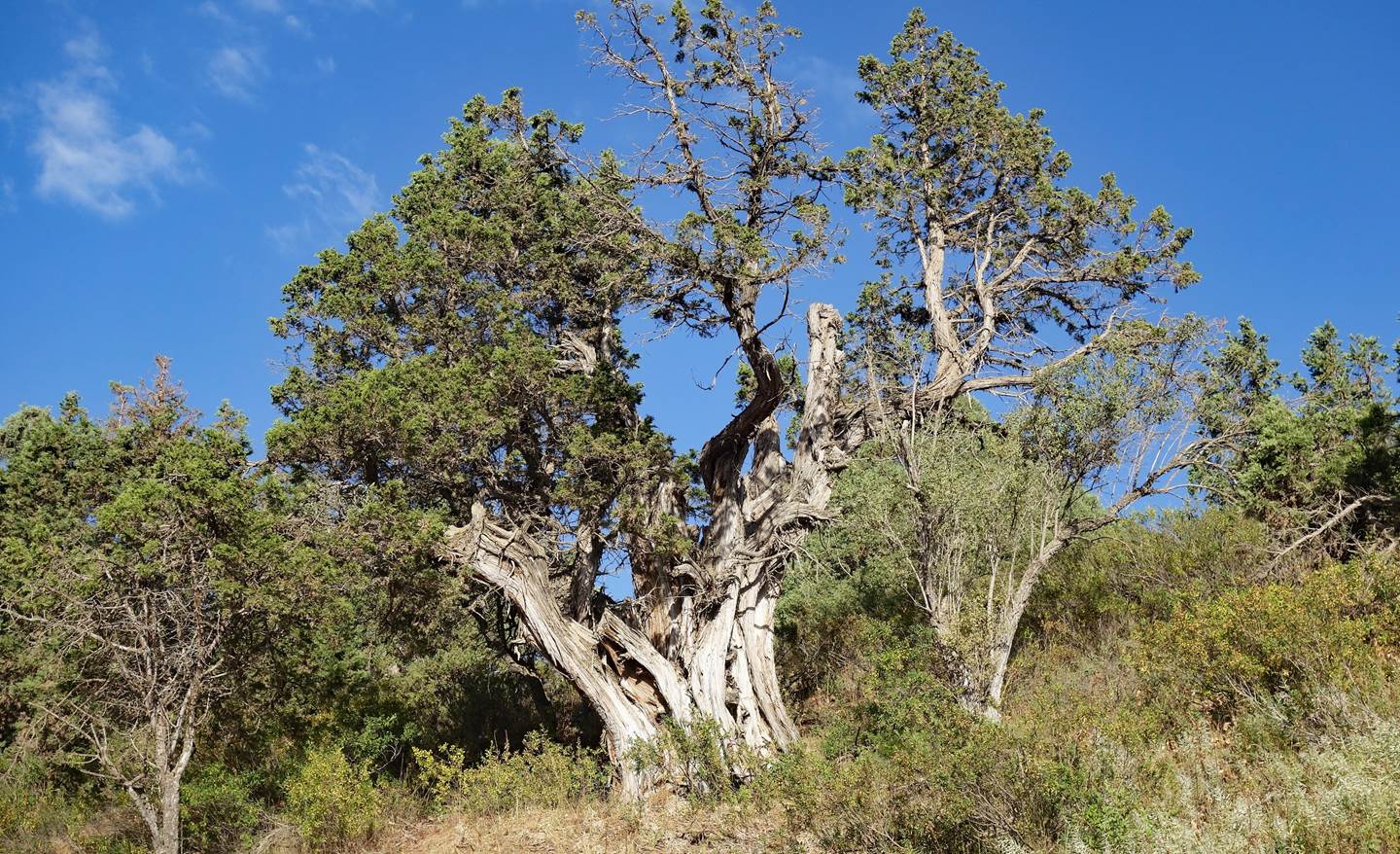
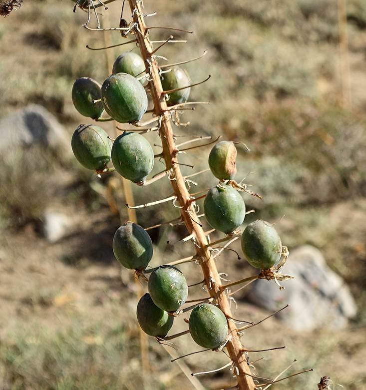
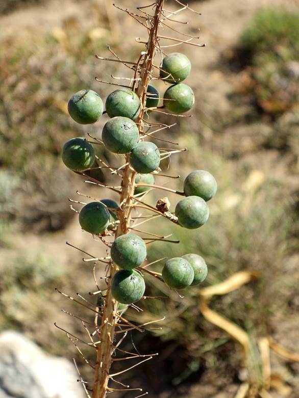
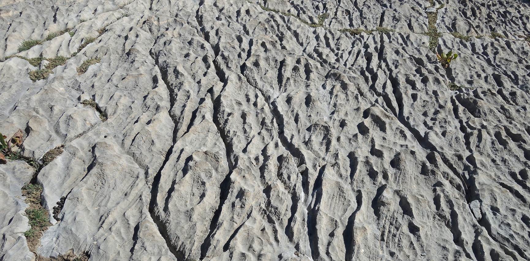
Ubiquitous plants along the way.
|
|
|
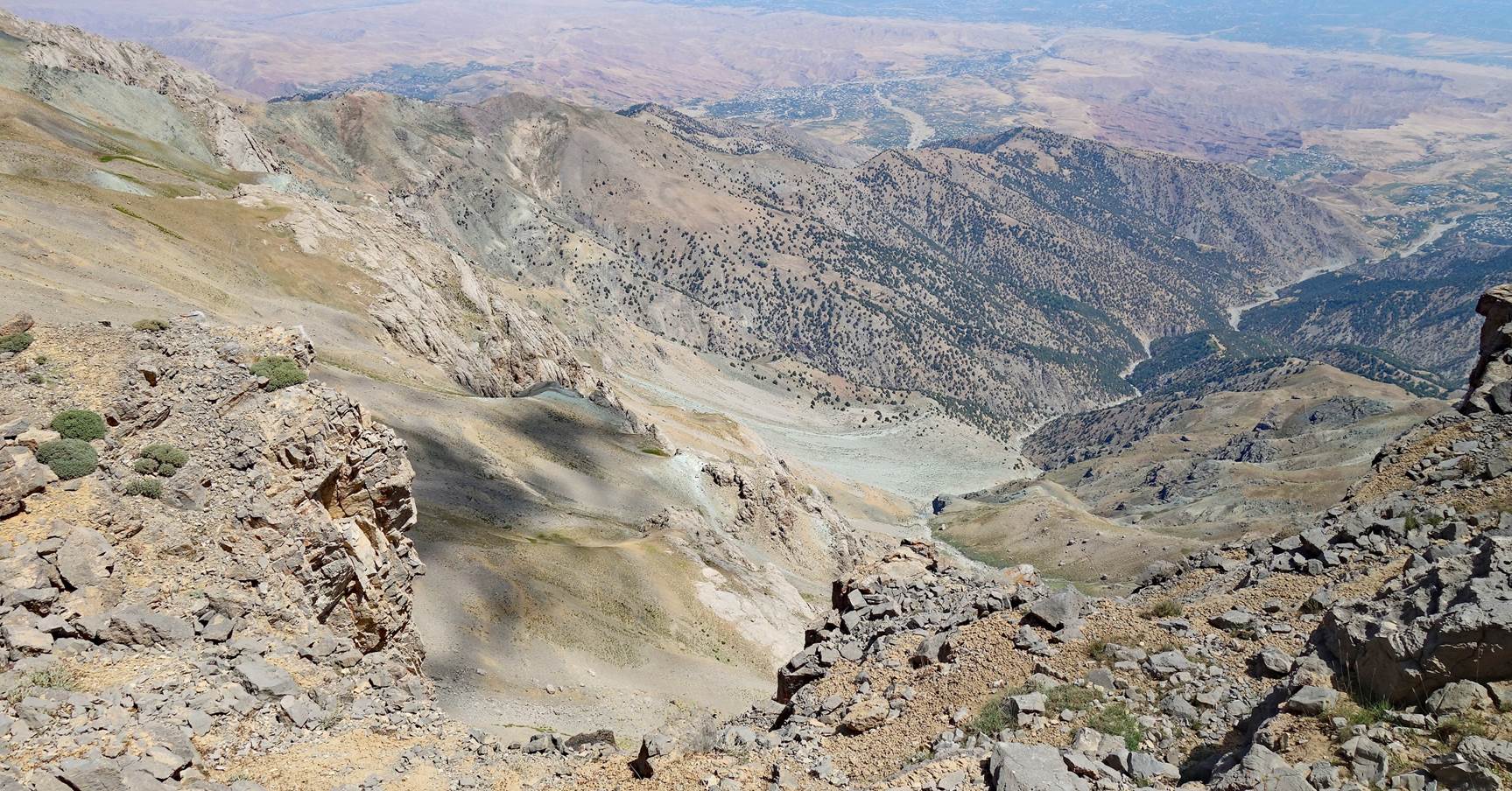
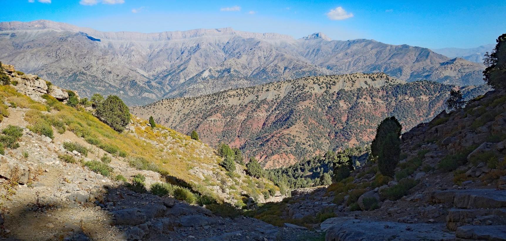
We first hiked toward the southeast
along a small canyon on our right, in the direction of the ridge of the Chulboy escarpment. (This canyon is visible in the above
Google Earth aerial image between waypoints 03 and 04.)
Looking back
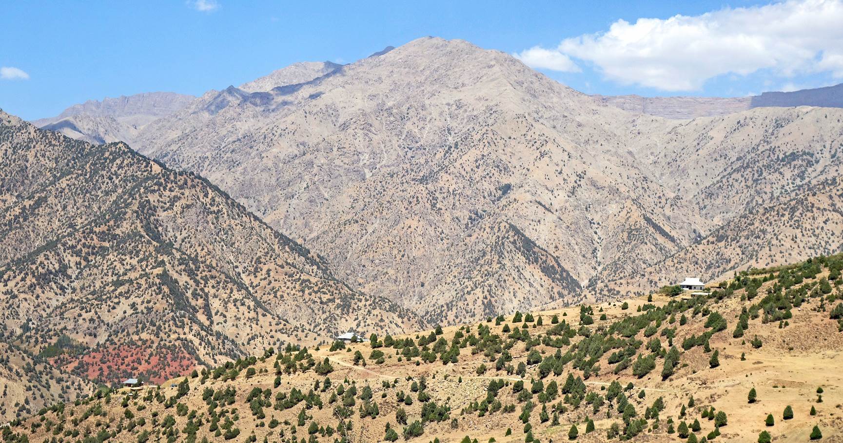
toward our camp (barely visible on the right).

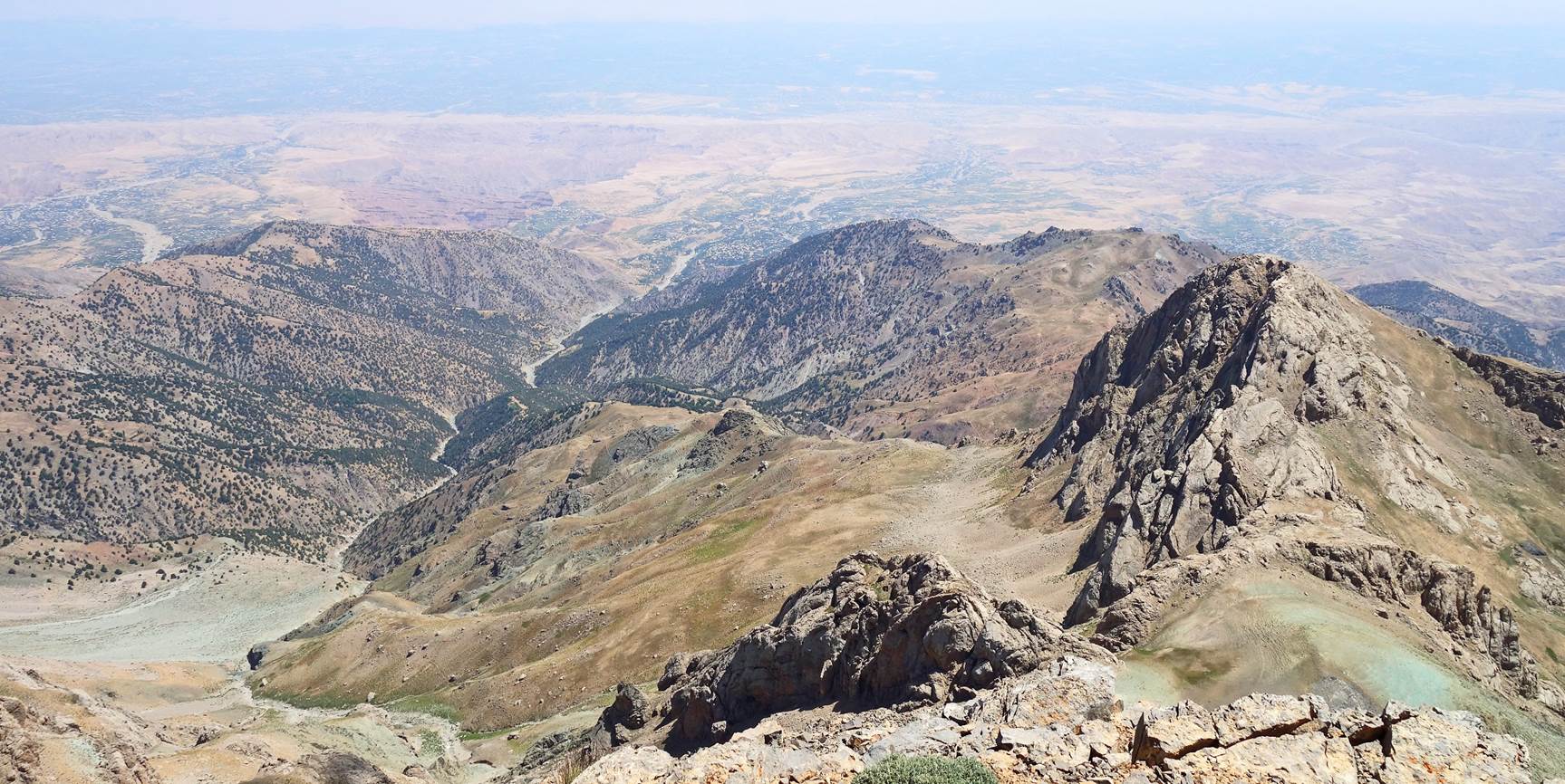
High peaks
north of the Chulboy ridge.
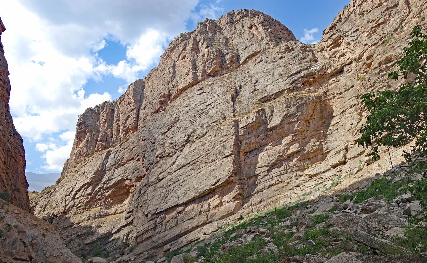
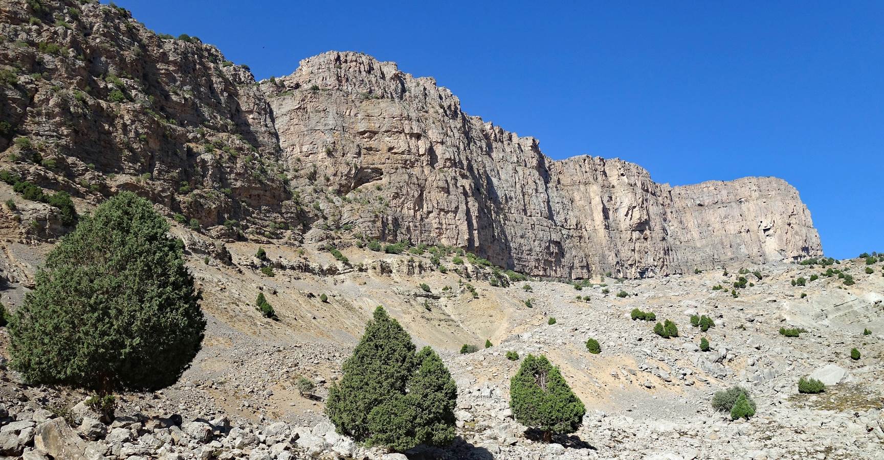
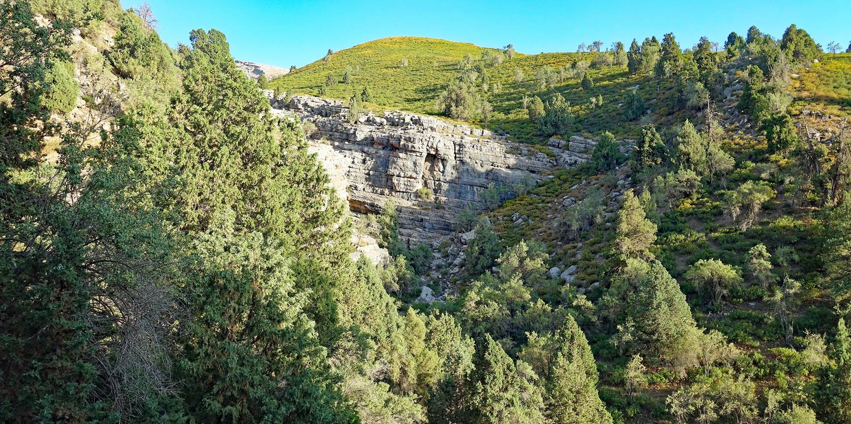
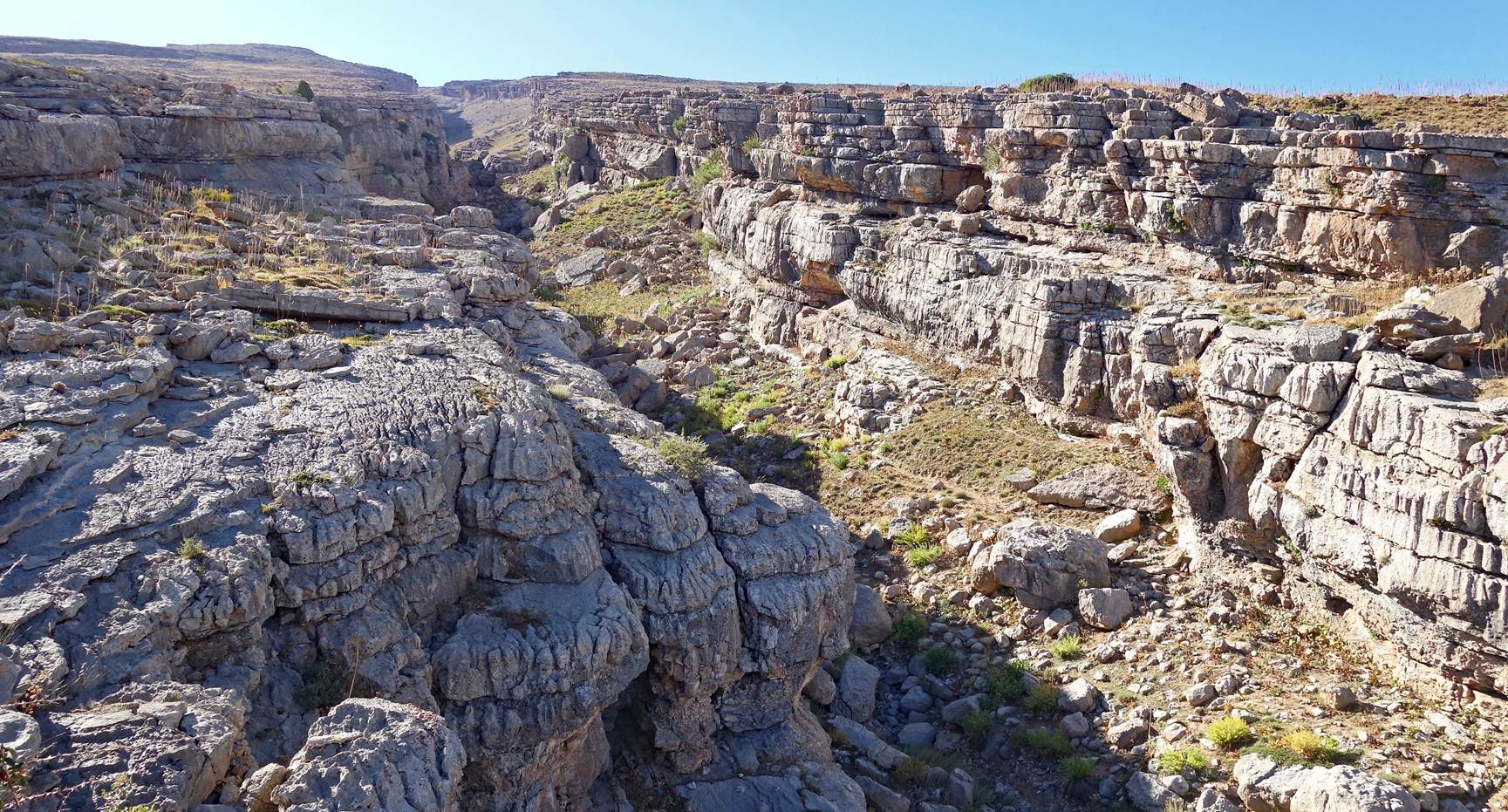
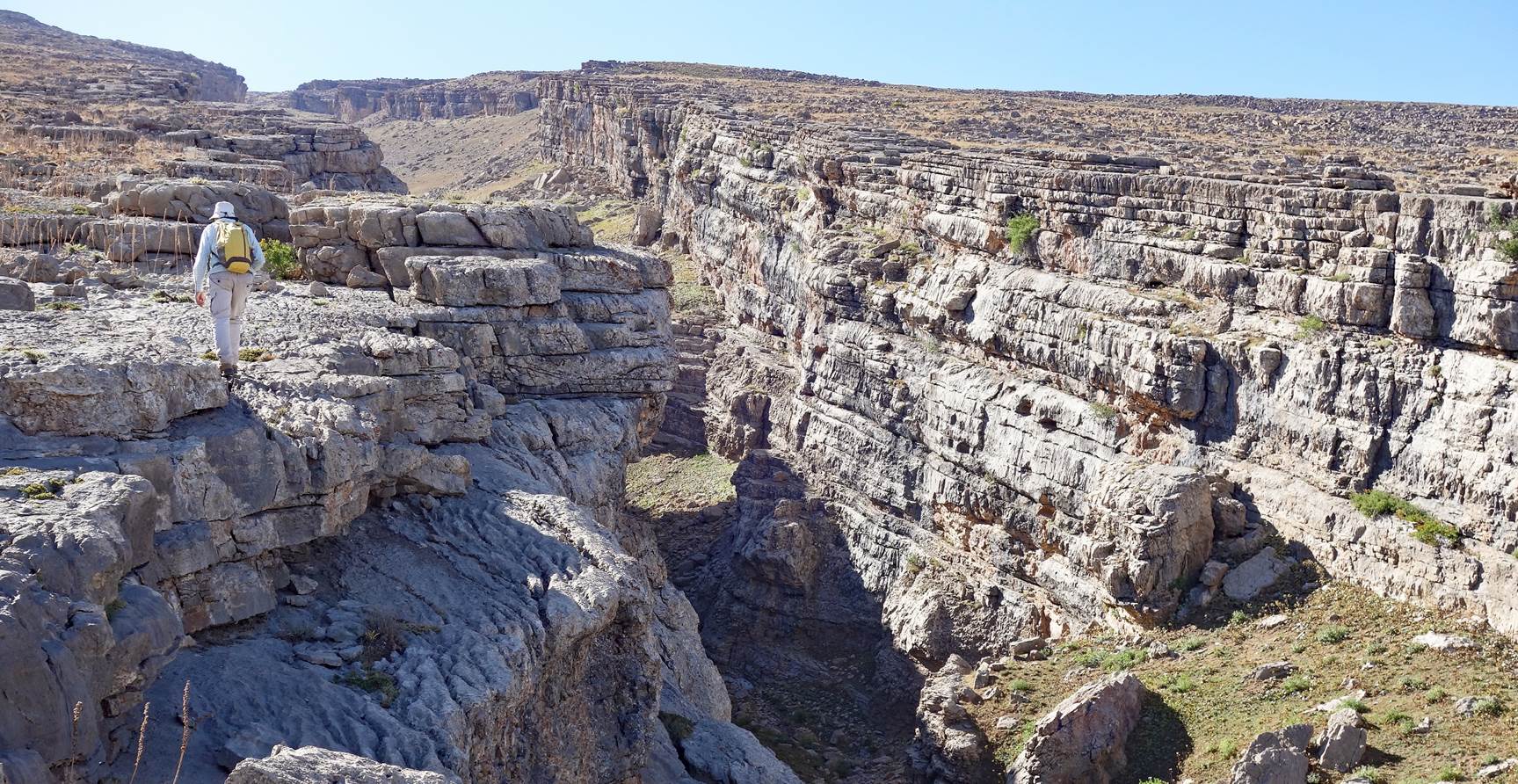
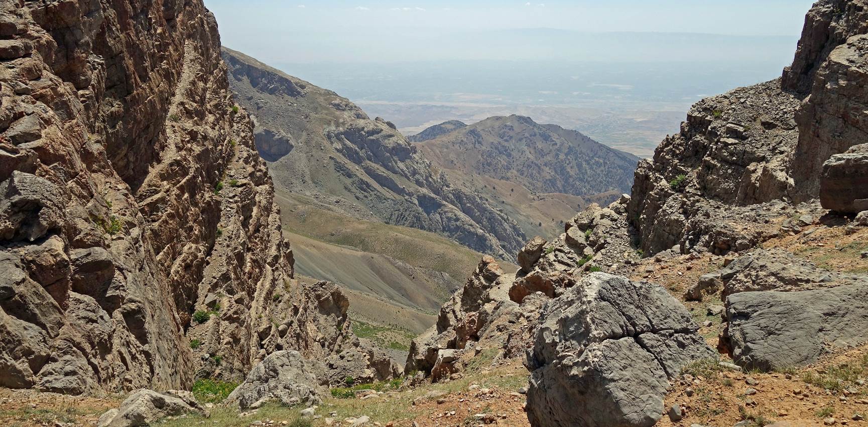
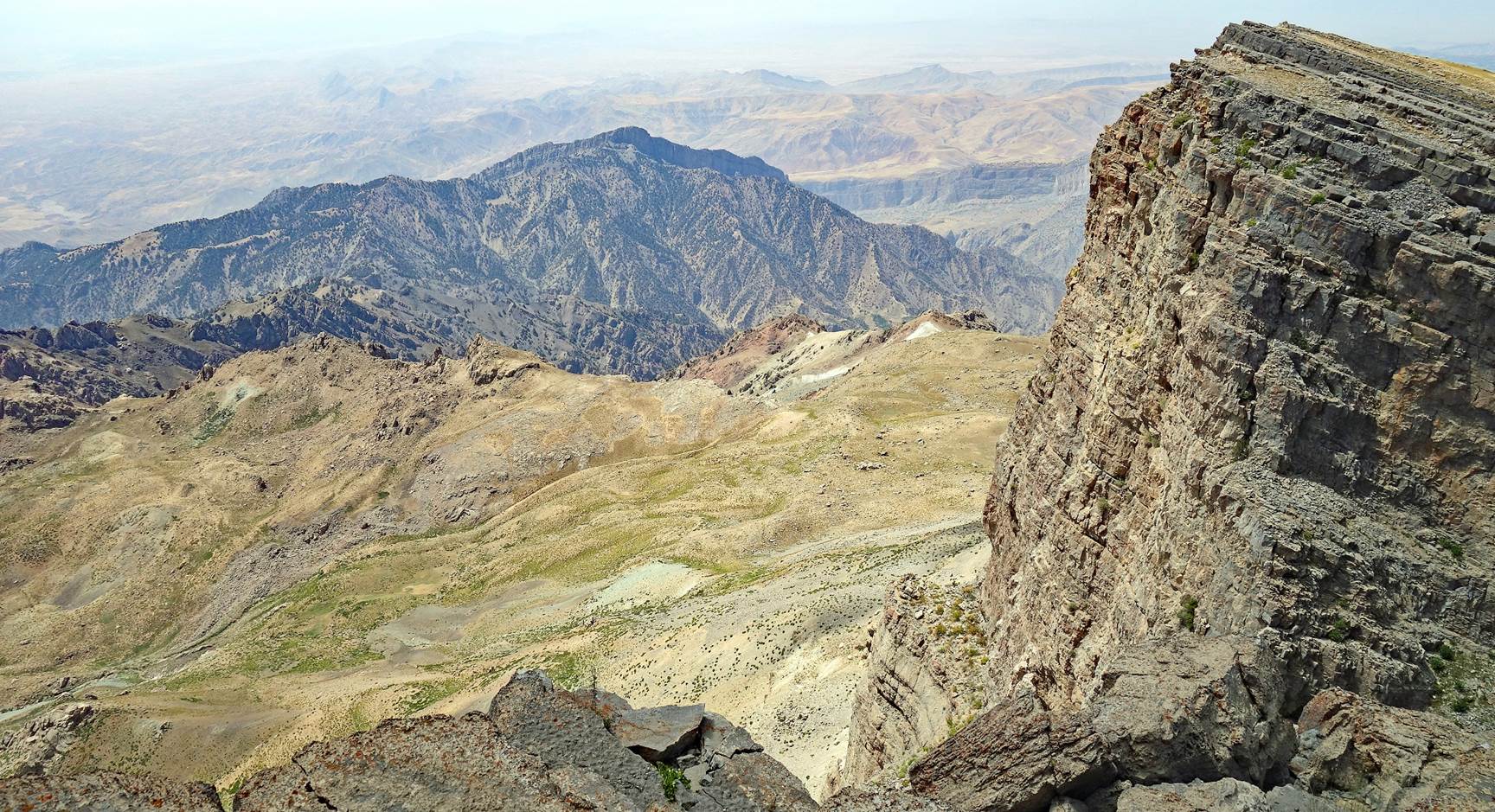
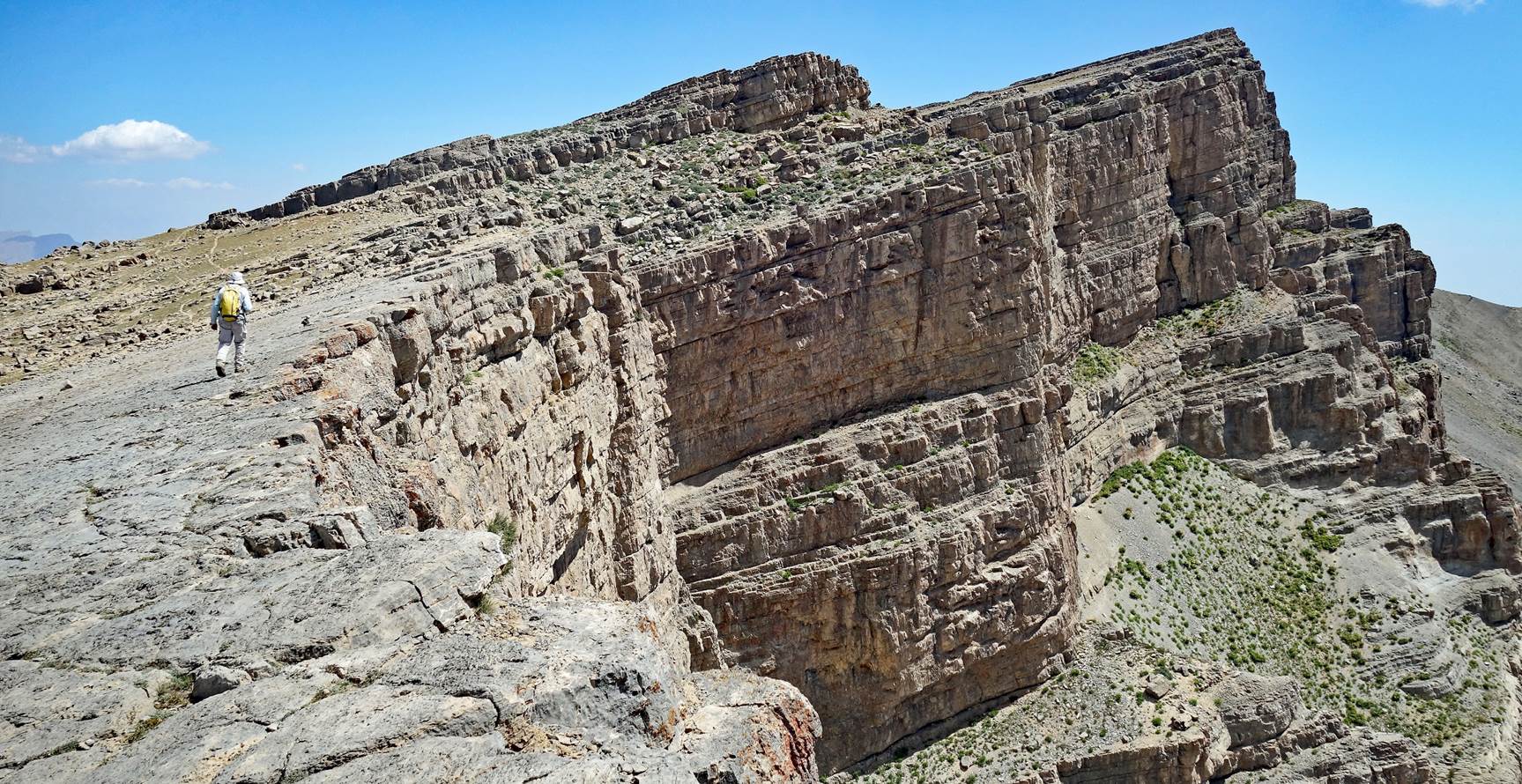
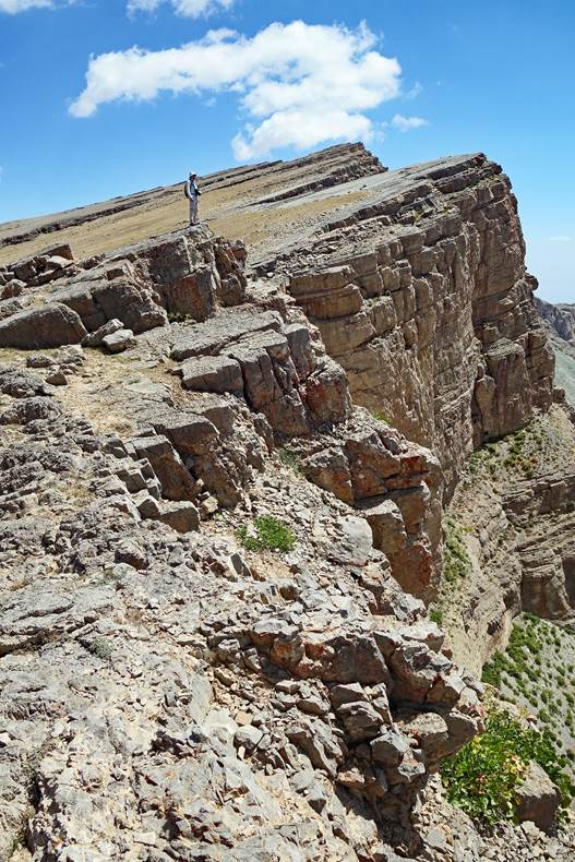
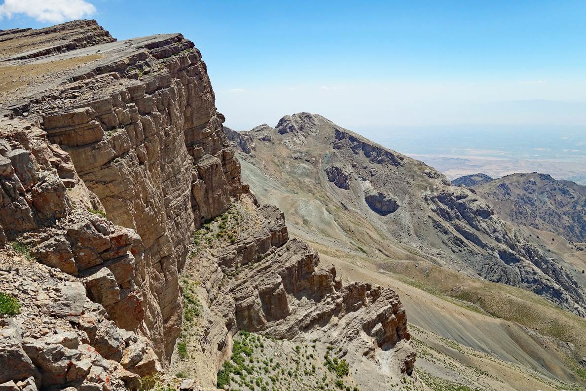
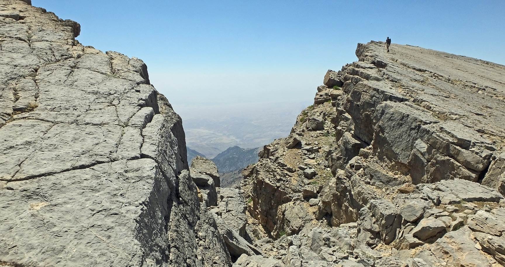
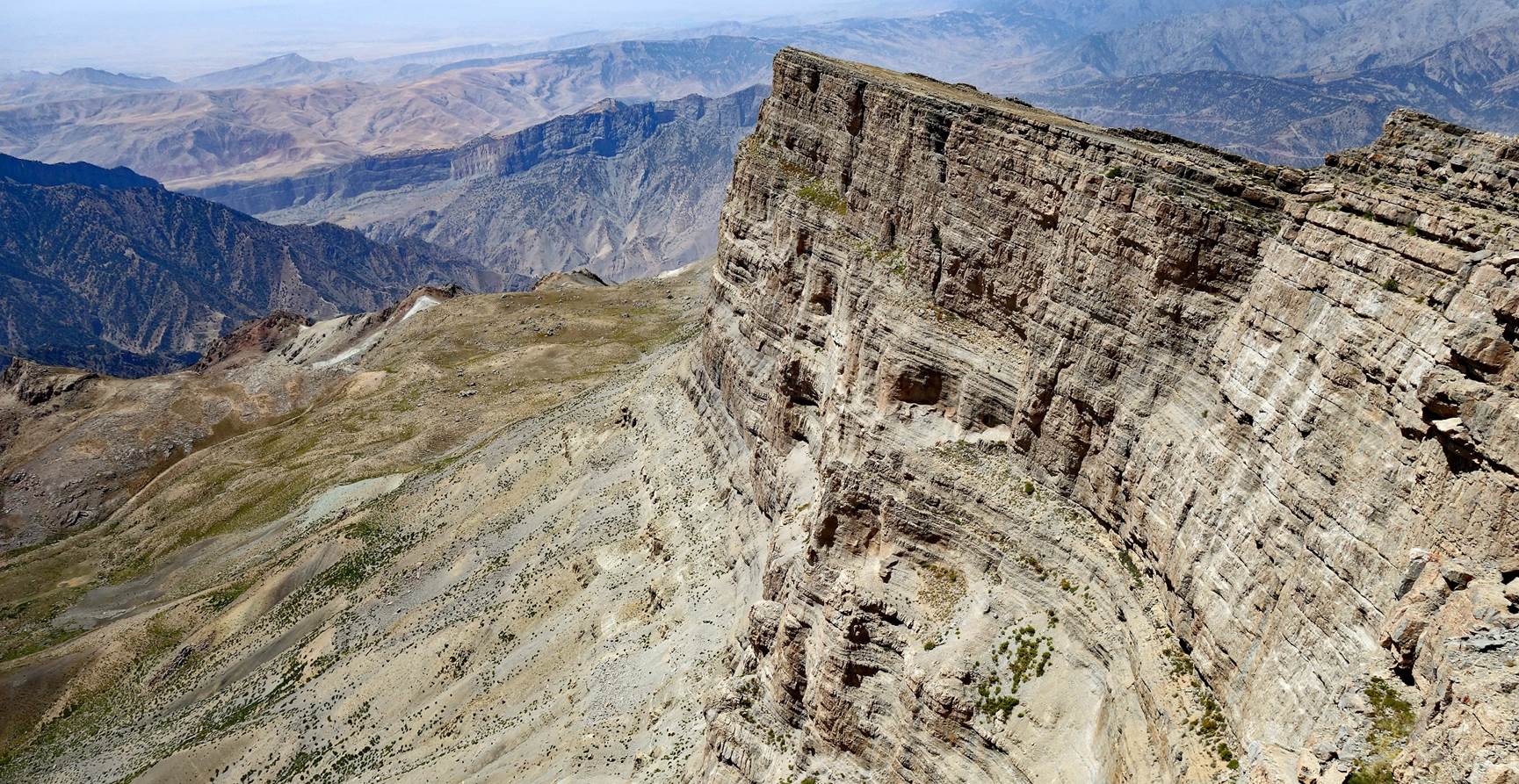
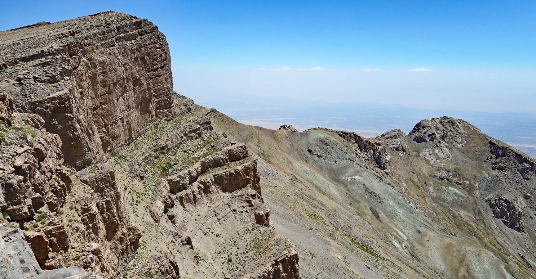
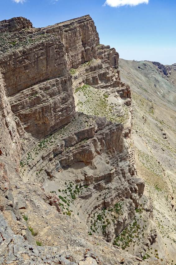
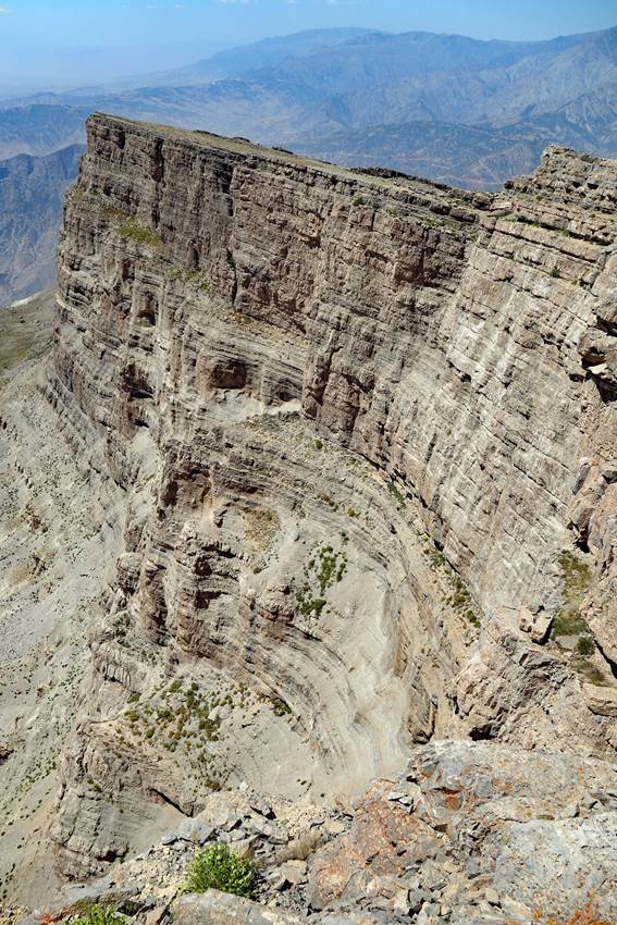
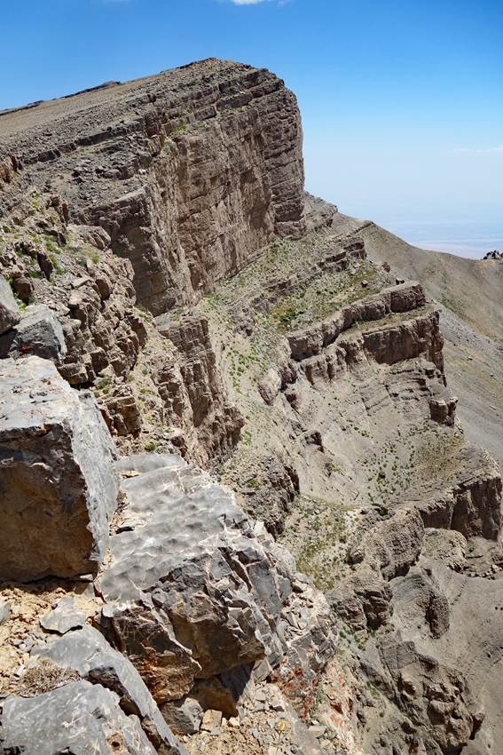
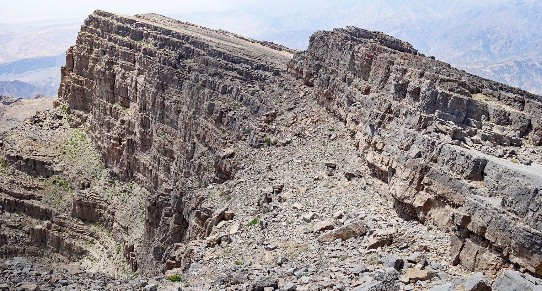
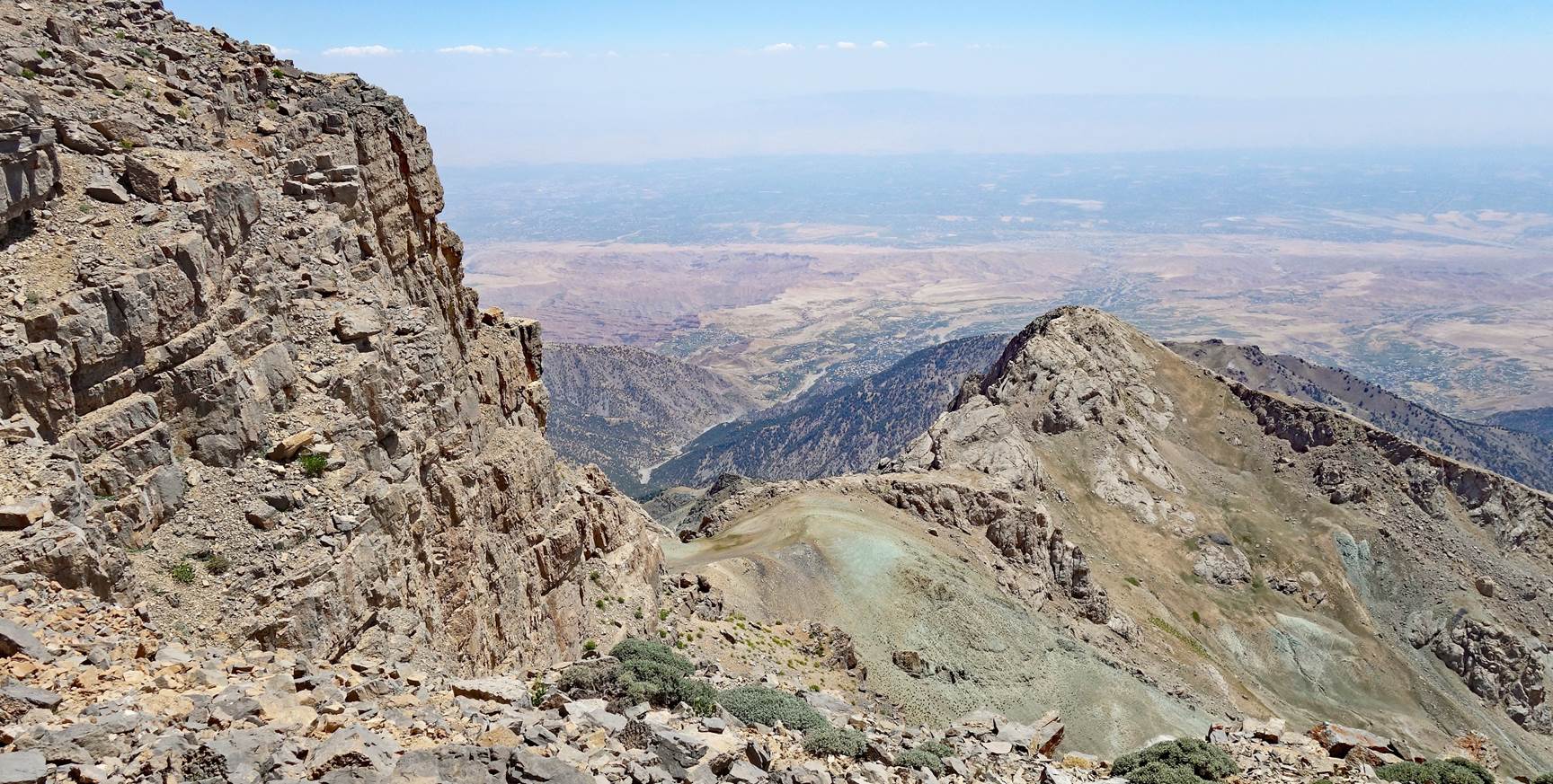
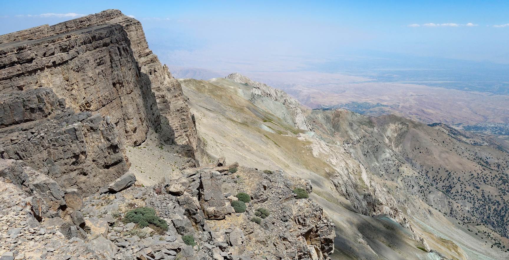
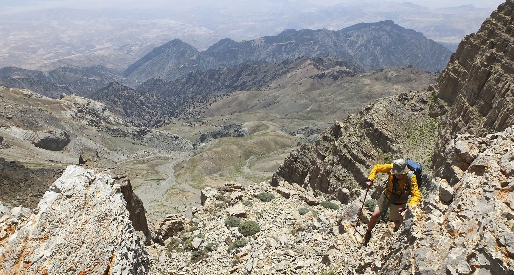
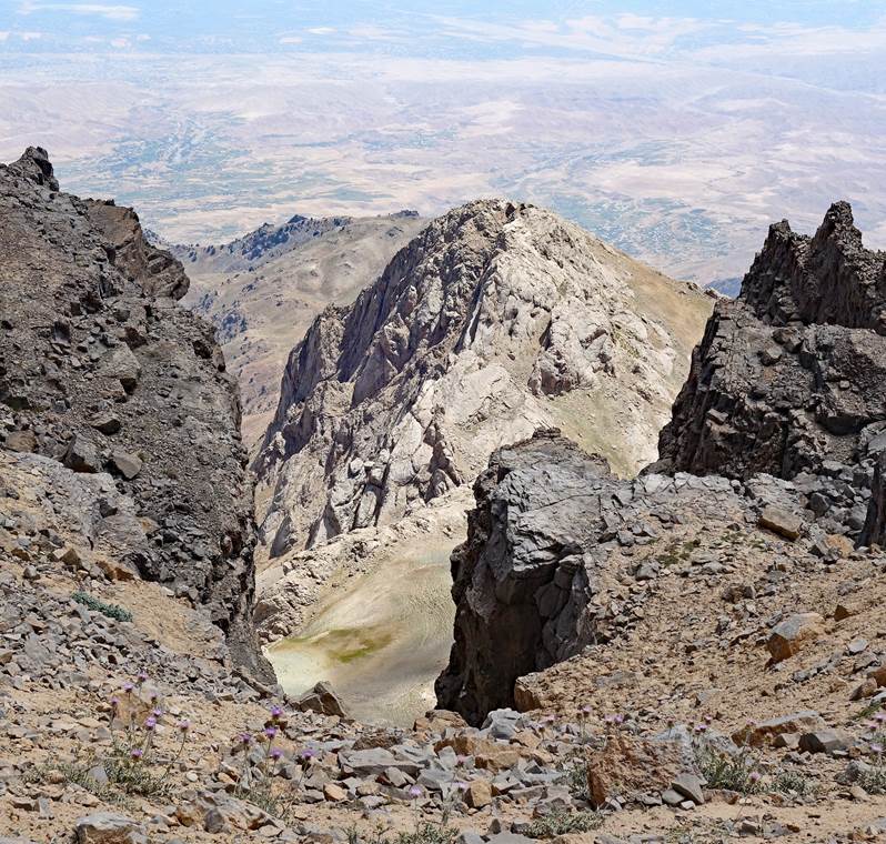
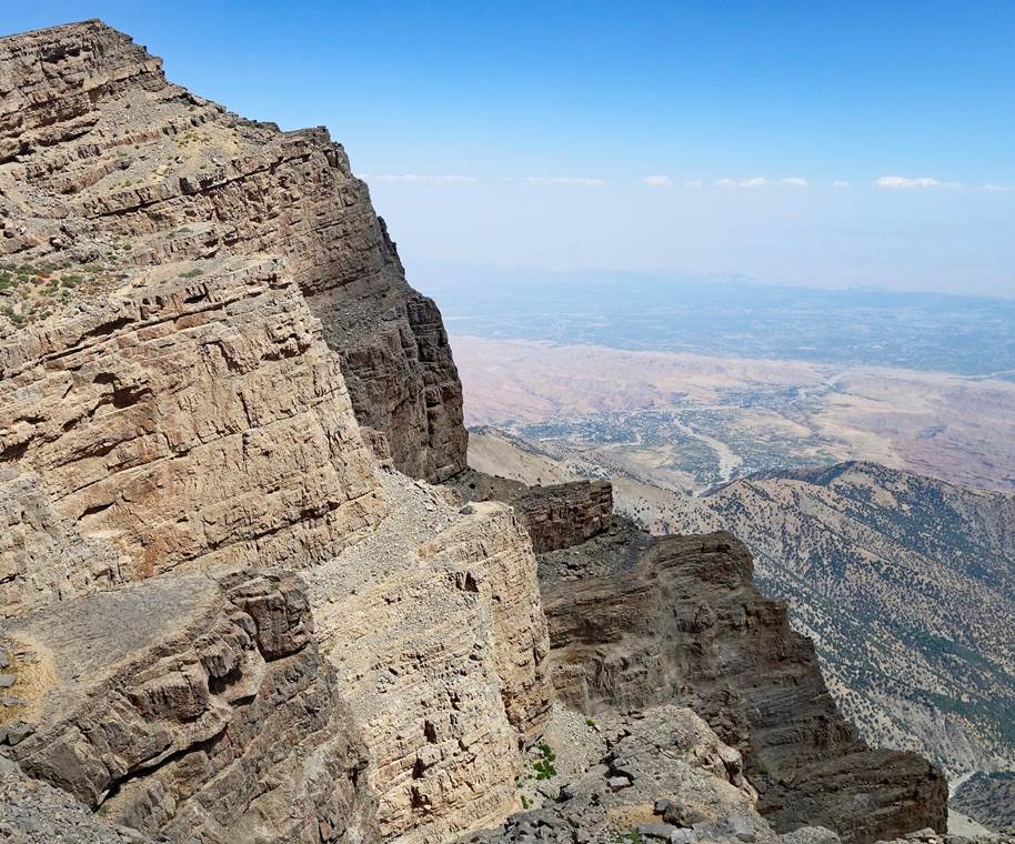
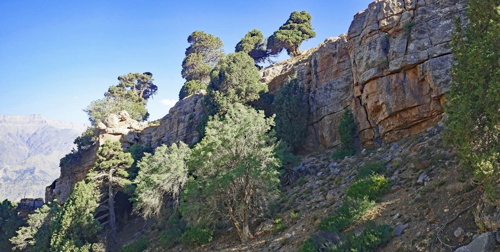
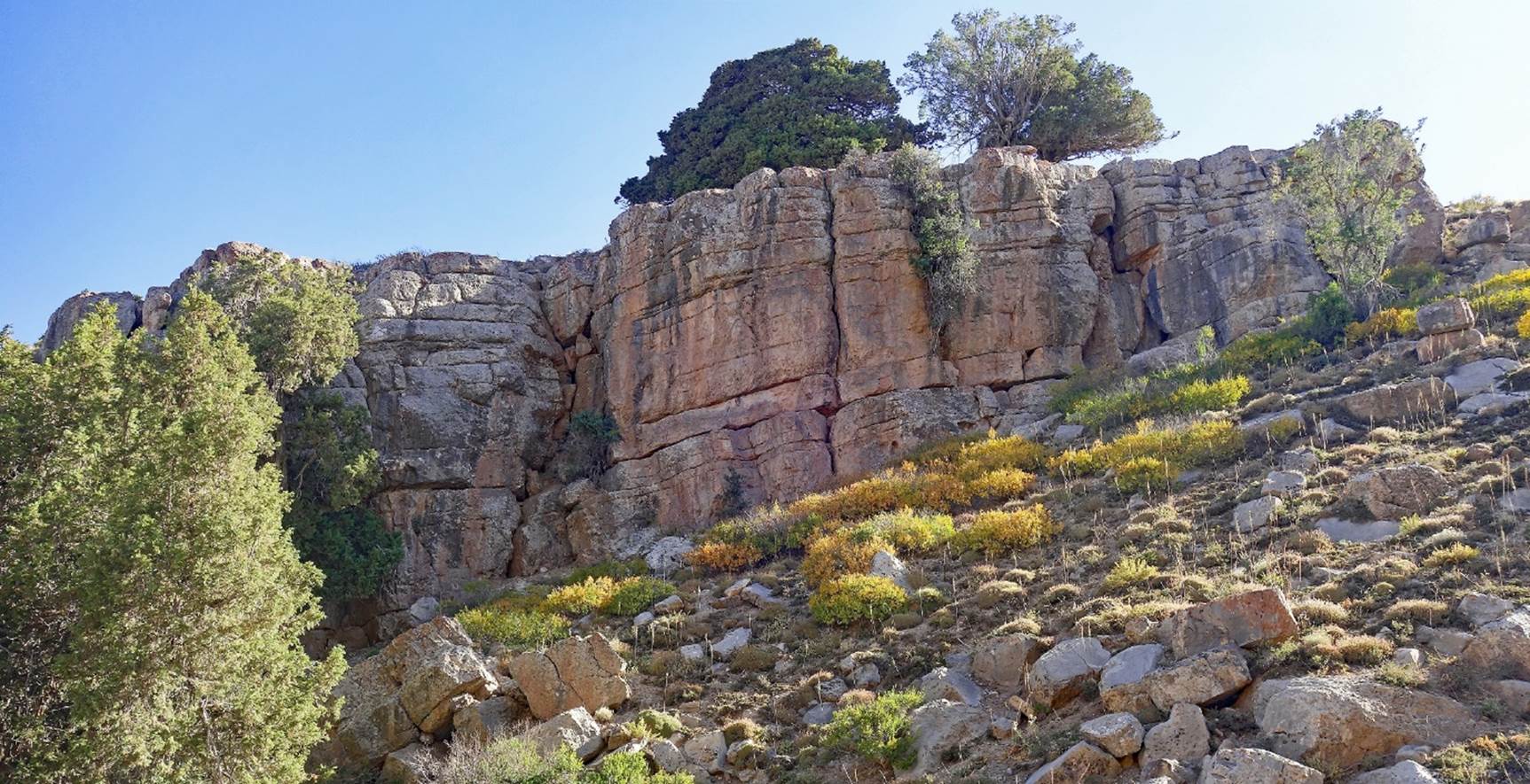
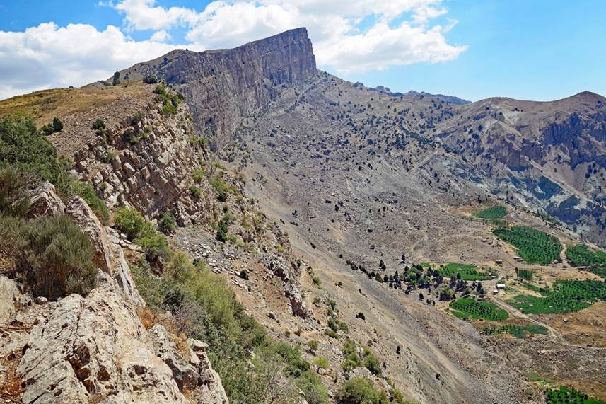
Reaching the Chulboy escarpment.
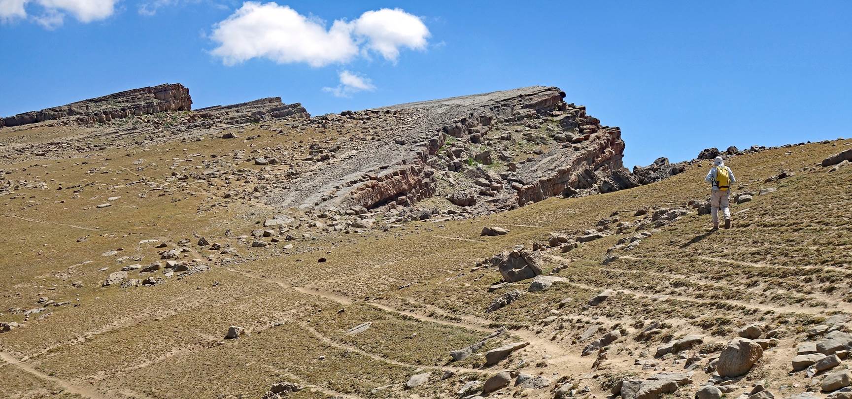
Some of the
viewpoints along the escarpment on our way to Mt. Chulboy.

|
|
|
[Photo taken
by Boris Karpov.]
|
|
|
|
[Photo taken
by Boris Karpov.]
|
|
|
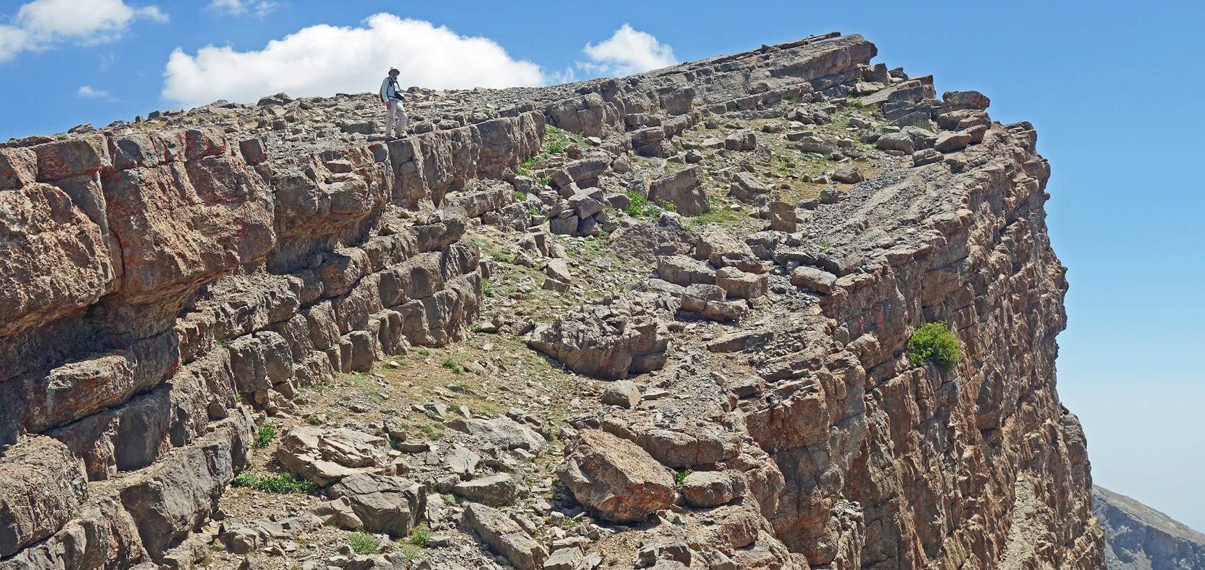
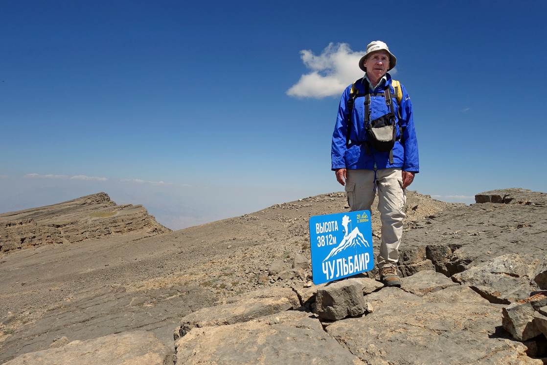
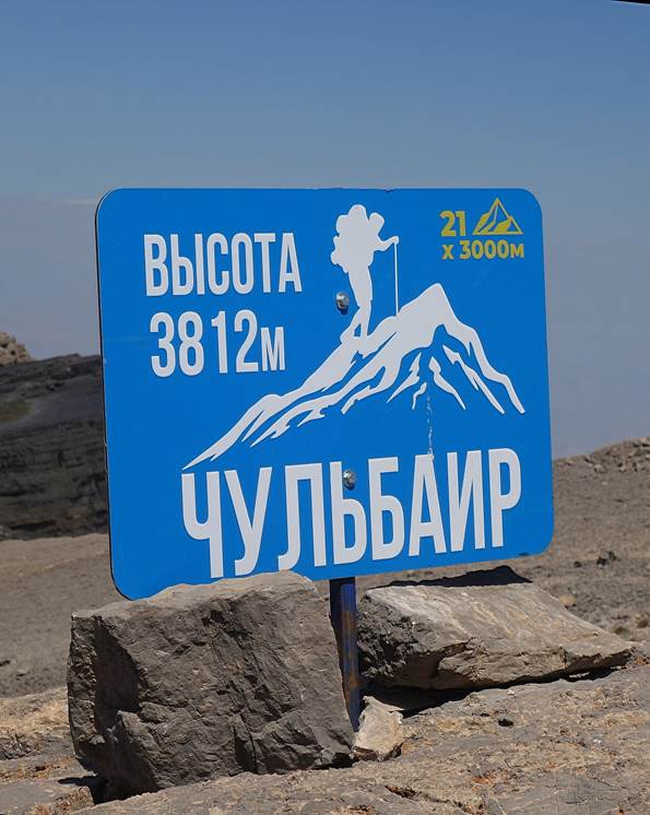
Boris standing next to the signpost marking Mt. Chulboy
(3812m). (It seemed that there was a slightly higher summit further east along
the ridge. But it was relatively late in the afternoon, so we decided to return
to our camp from here.)
|
|
|
Return to Dibola:
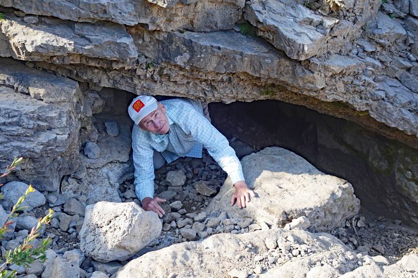
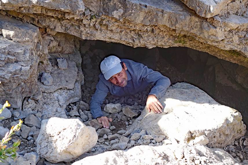
Boris and Lutfilo
at the main entrance of the Boybuloq cave, a short
distance below our camp. From this unassuming entrance, it is hard to imagine
that the cave is the deepest in Central Asia.
|
|
|
Dibola and the valley
of the Kurganchasai river south of the village.
|
|
|
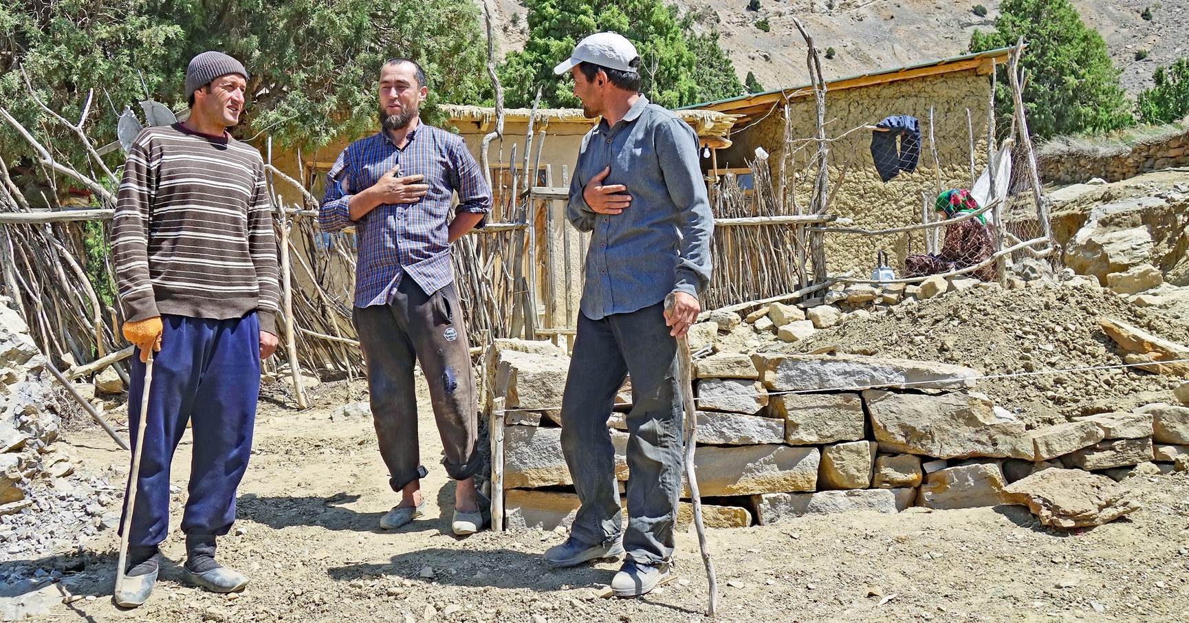
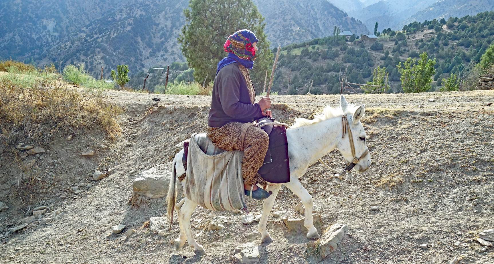
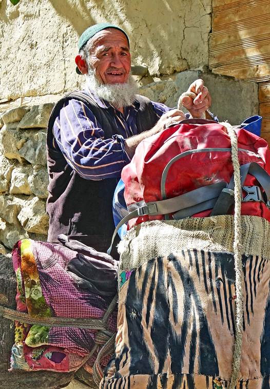
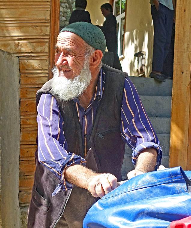
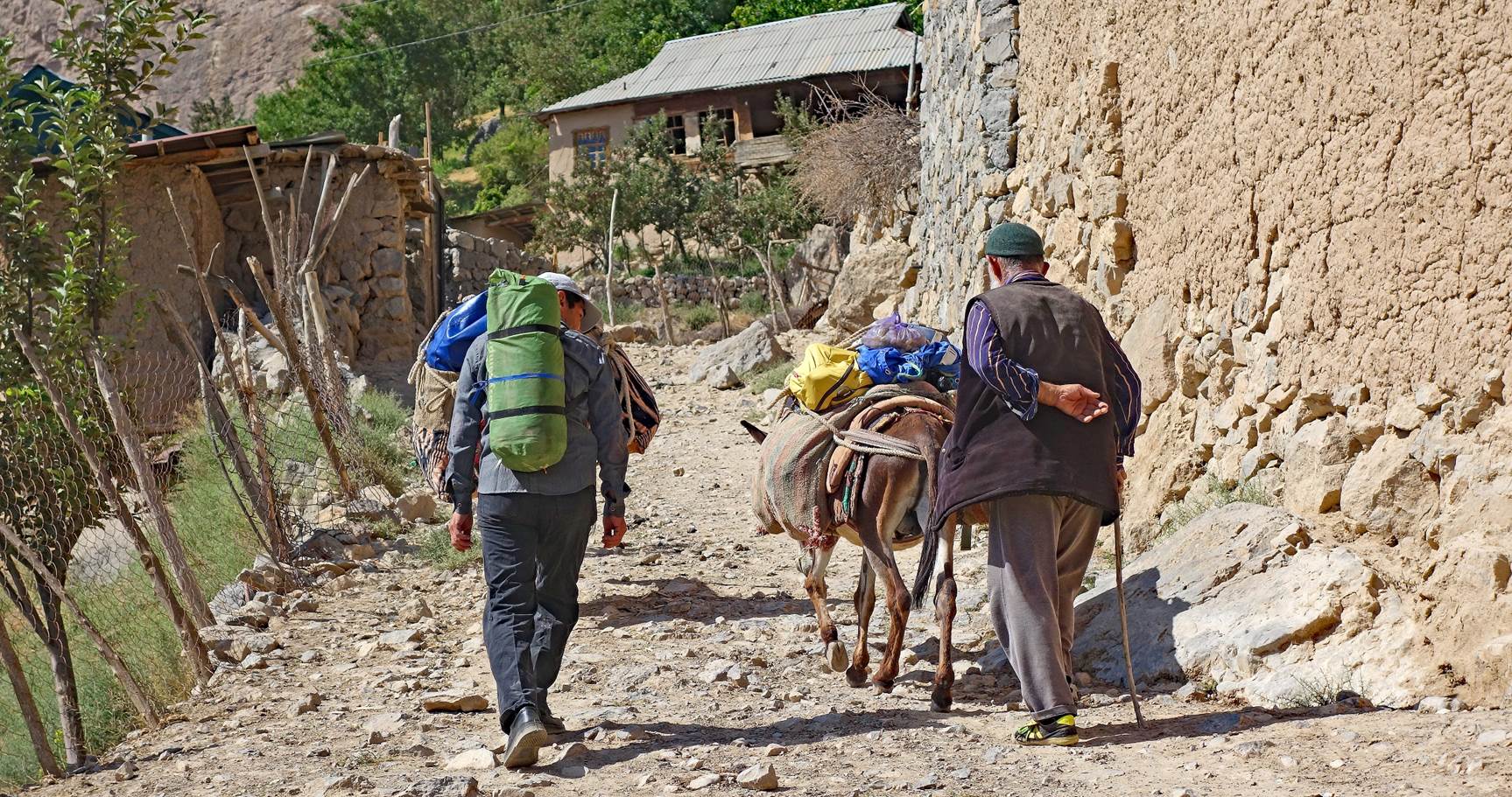
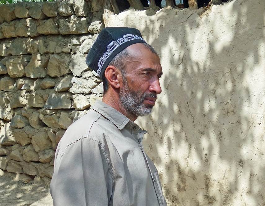
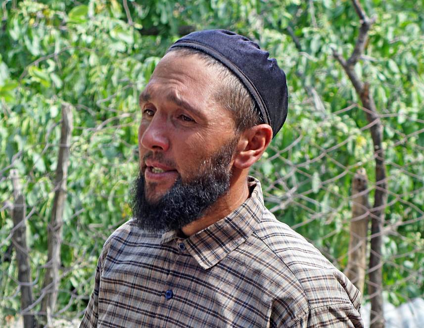
Men in Dibola.
|
|
|
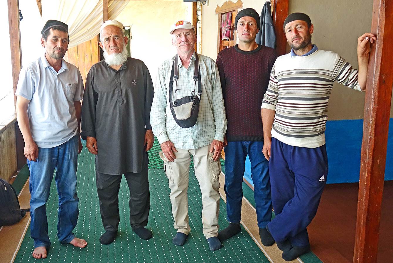
Last photo in Dibola,
with Mr. Ismatullo Khoji Bobo and his two sons who provided us with donkeys. Luffilo
is first on the left and Boris is at the center.
In the afternoon, we drove to Khodja-Ipak, where we spent a night and, on the next morning, did
a hike into the gorge of the Kurganchasai river. See here.
![]()
Return to my mountaineering/trekking/travel website | Return to main Uzbekistan 2023 page