Uzbekistan (August 2023):
Six-Day Hike between Bakhcha
and Tatar (Part 2)
![]()
Return to my
mountaineering/trekking/travel website | Return
to main Uzbekistan 2023 page
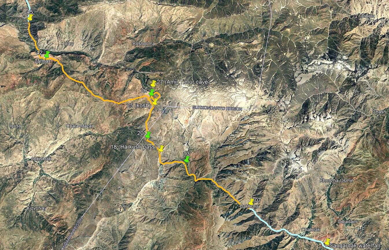
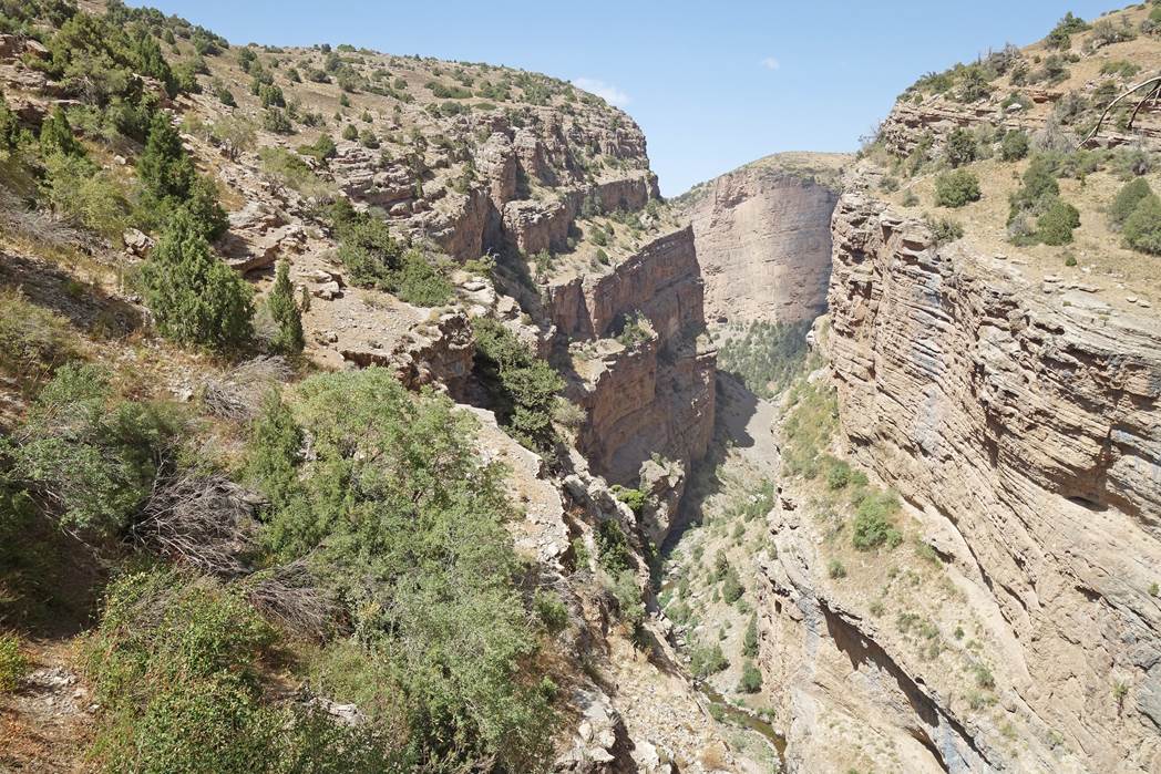
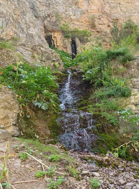
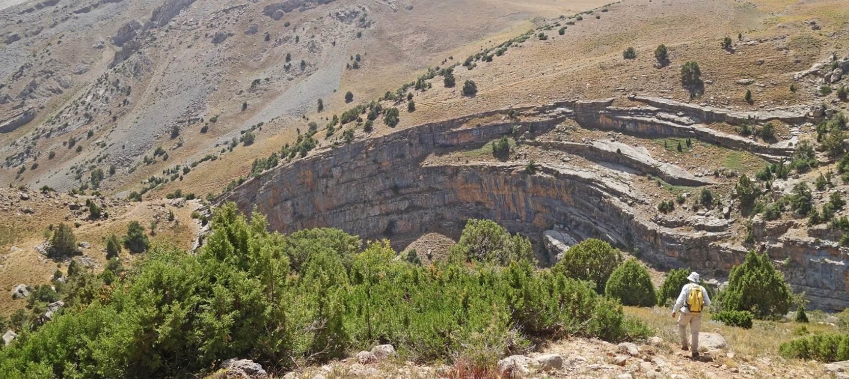
Roundtrip to Amir Timur Cave:
Immediately after setting up our tents at
waypoint 26, Boris and I did a round trip to the Amir Timur Cave, located near
the floor of the canyon of the Kolasoy river, north of our camp.
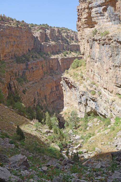
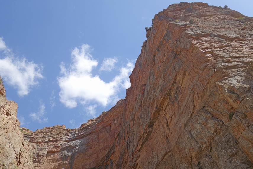
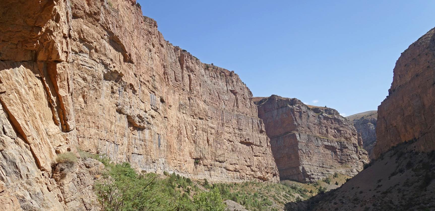
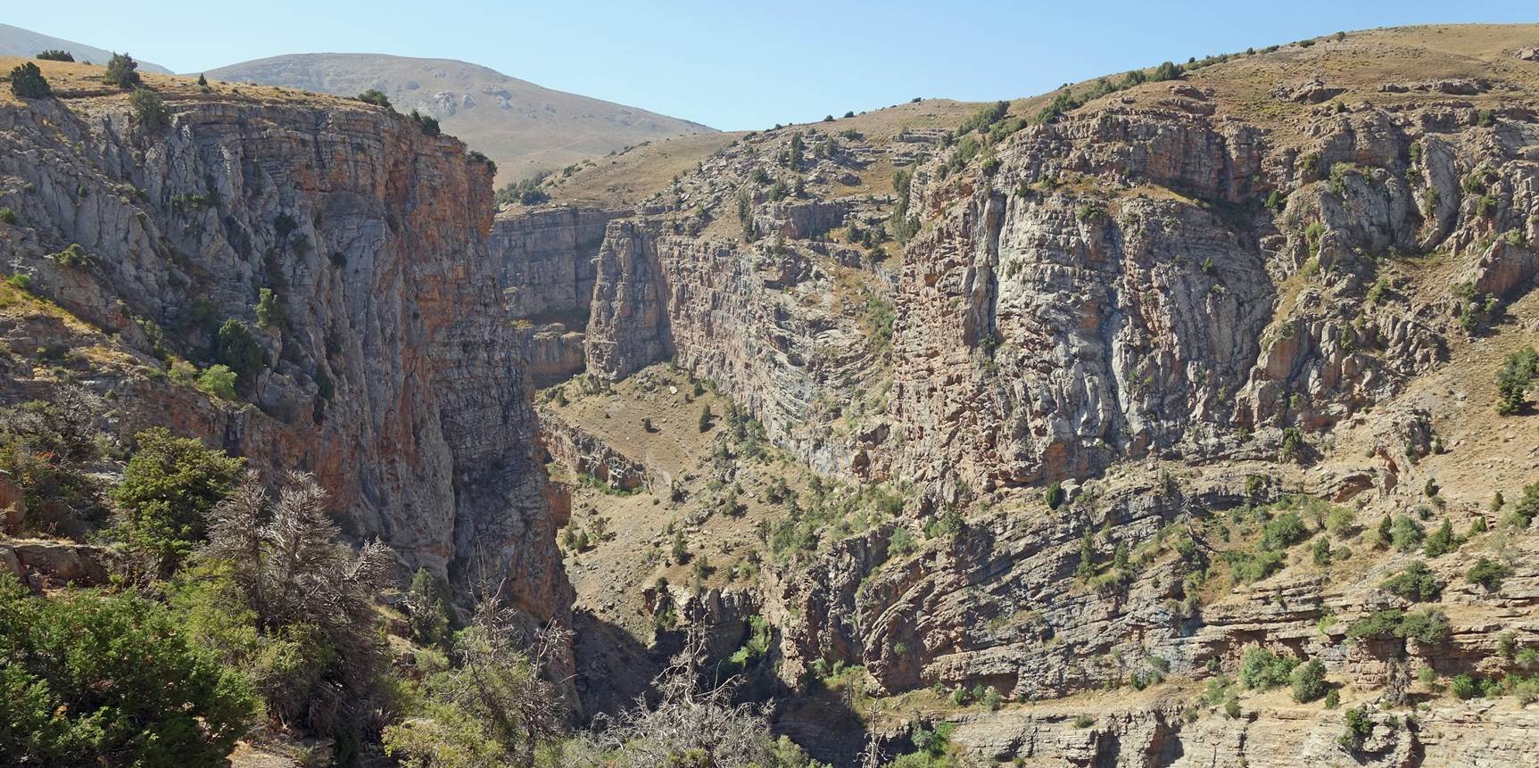
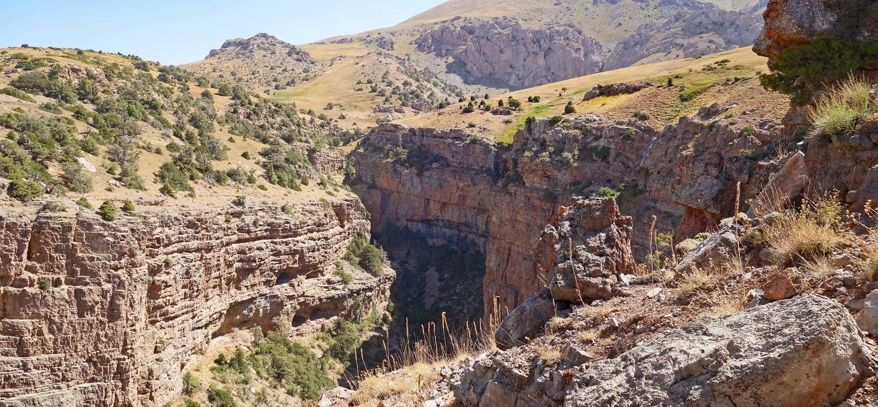
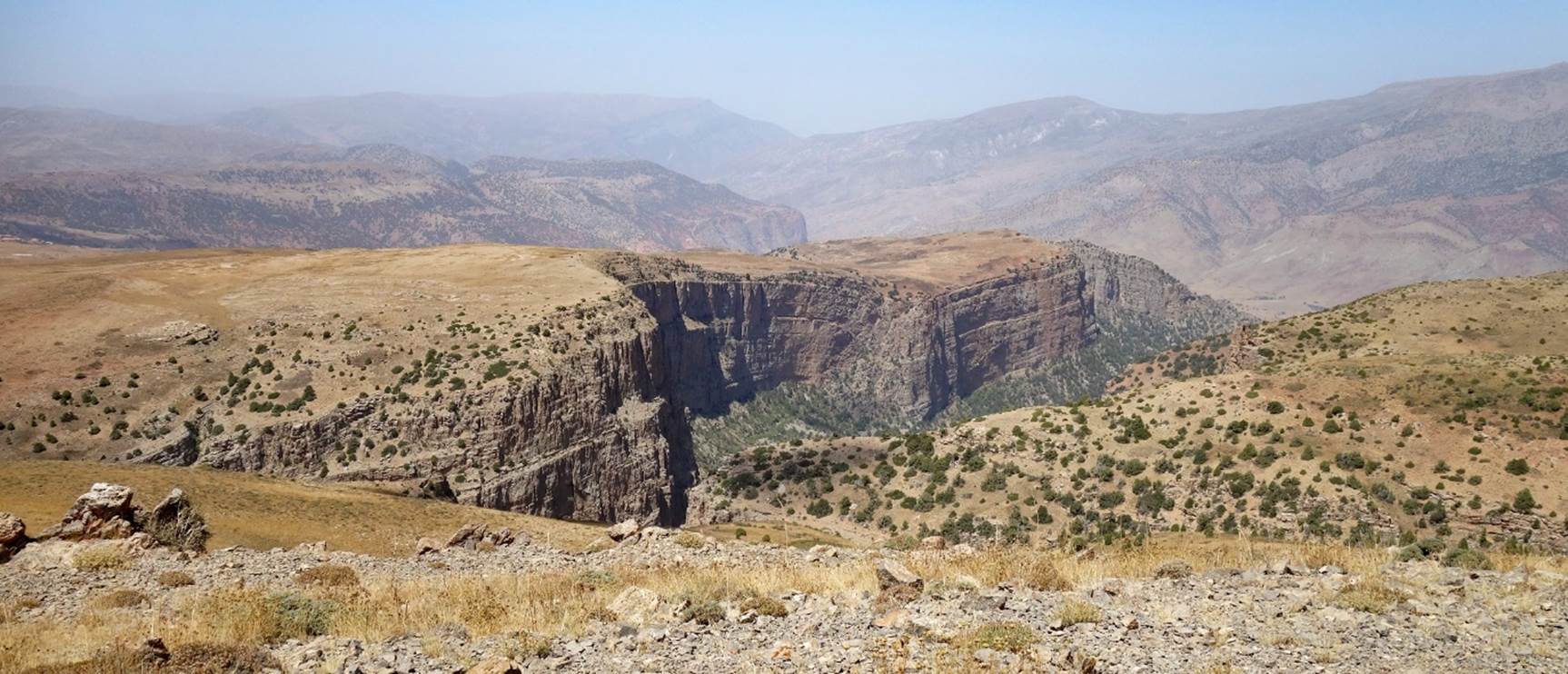
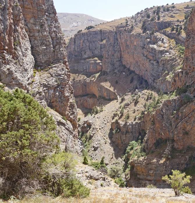
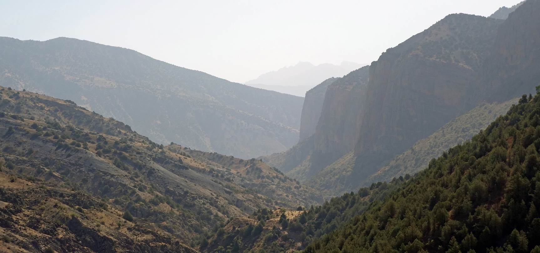
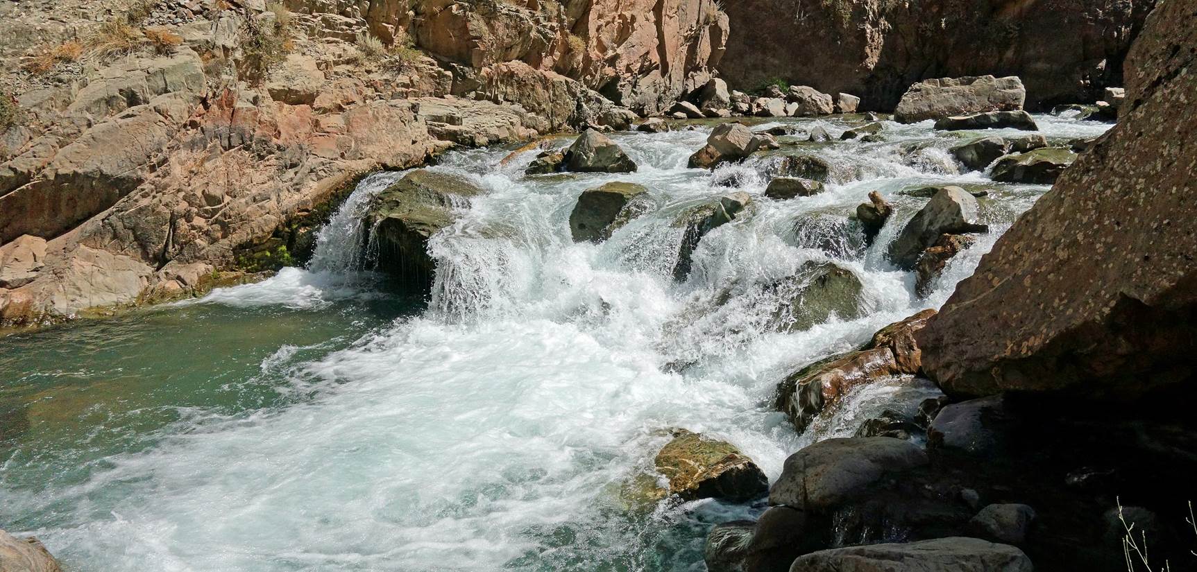
Descent into the spectacular canyon from
the camp.
|
|
|
|
|
|
|
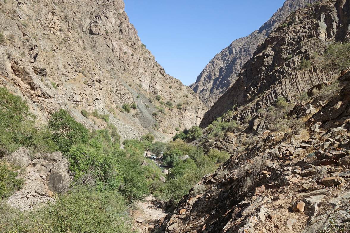
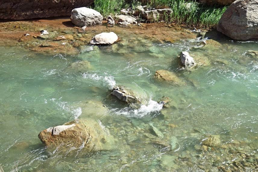
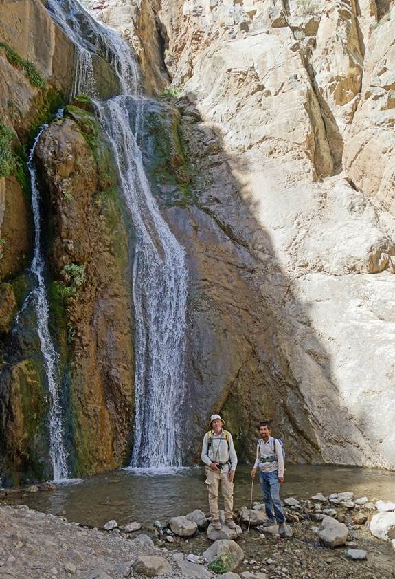
River crossings in the canyon.
|
|
|

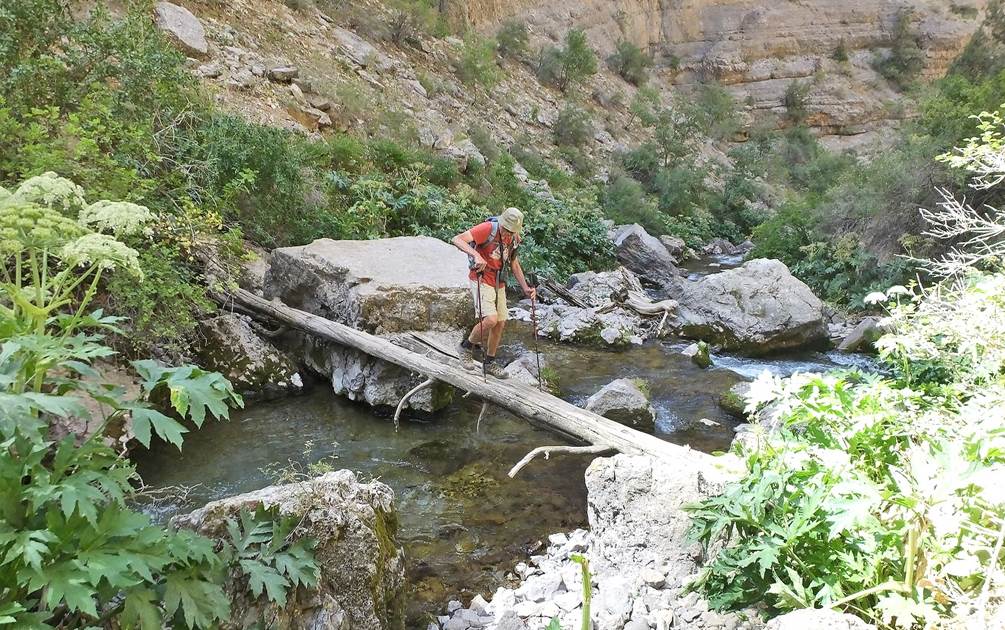
[Photo taken
by Boris Karpov.]
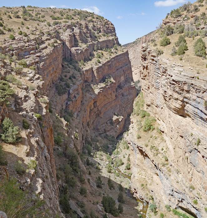
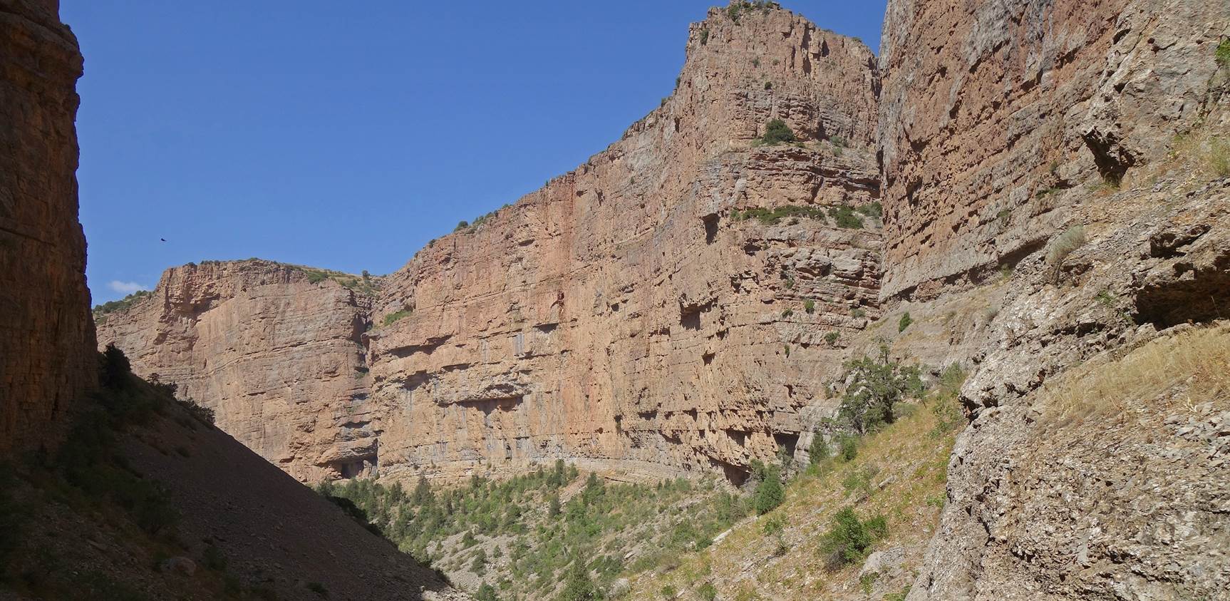
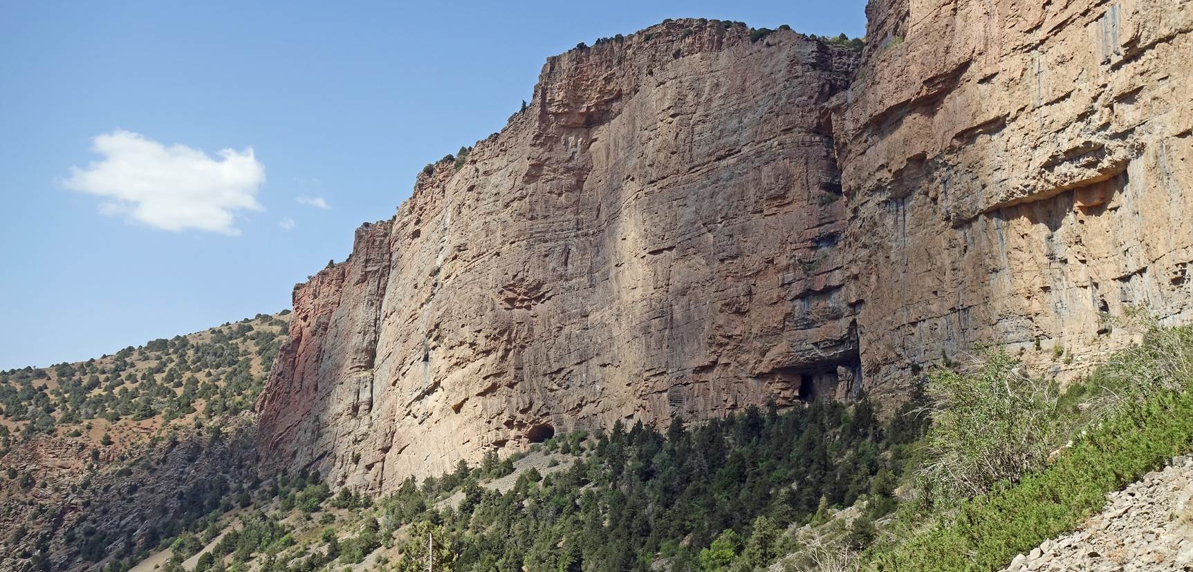
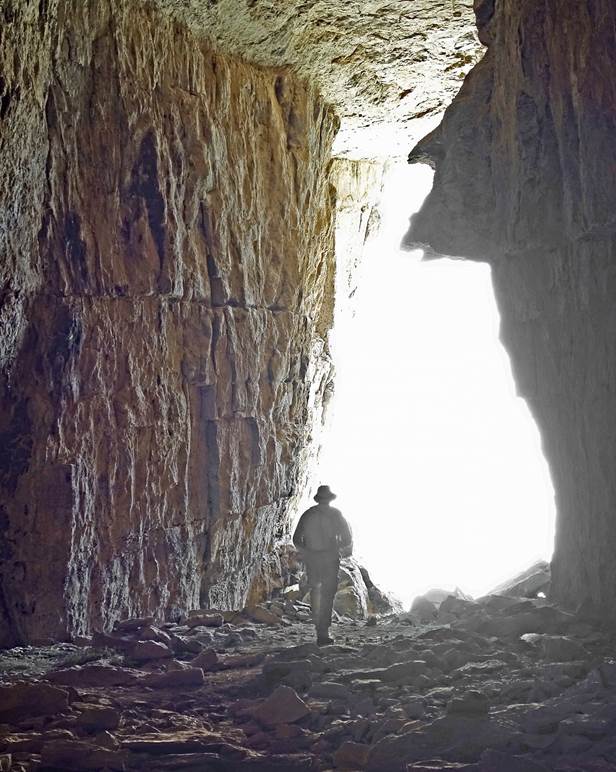
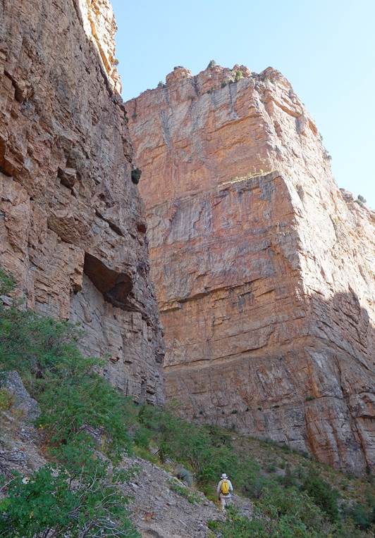
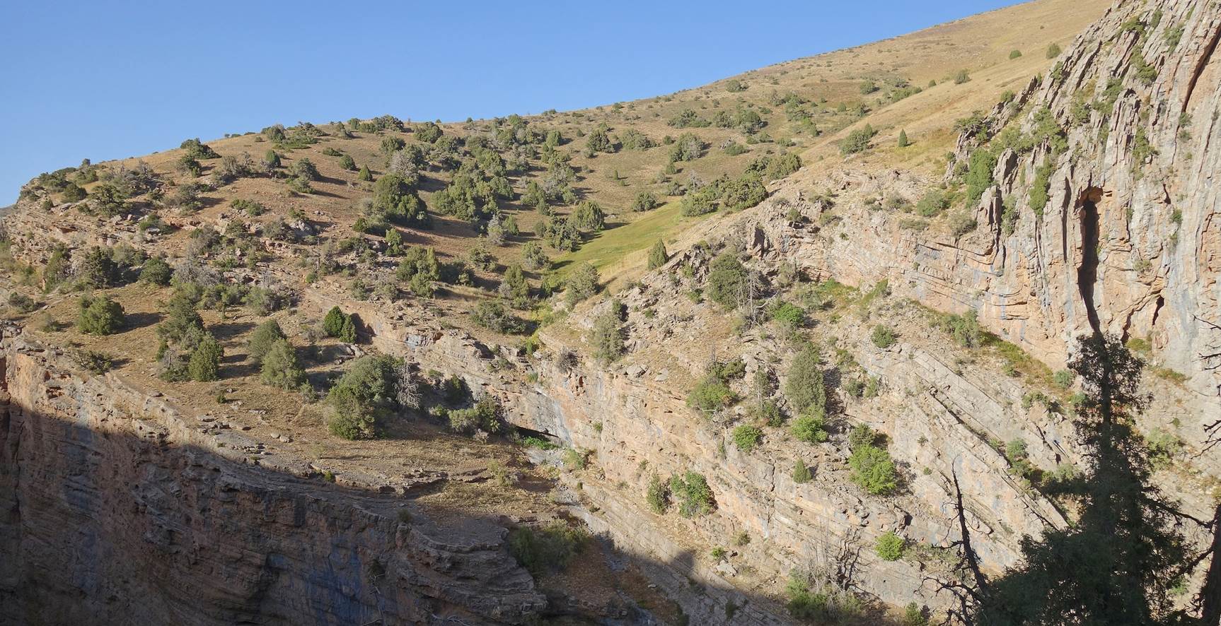
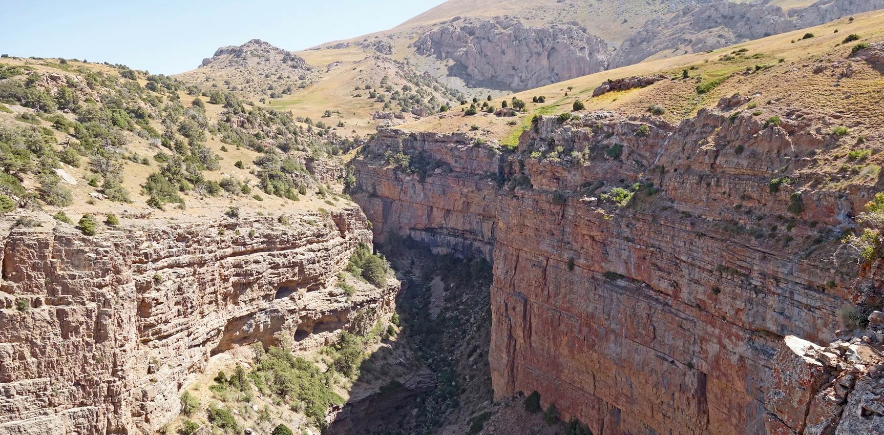
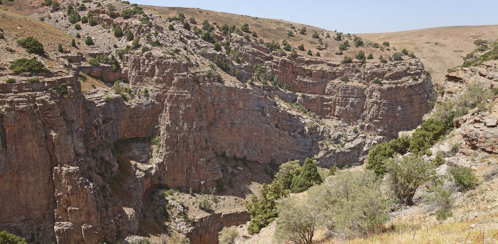
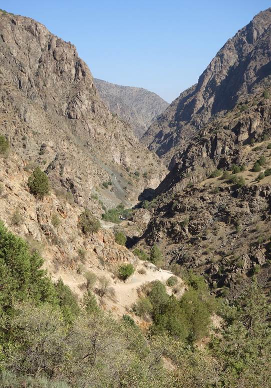
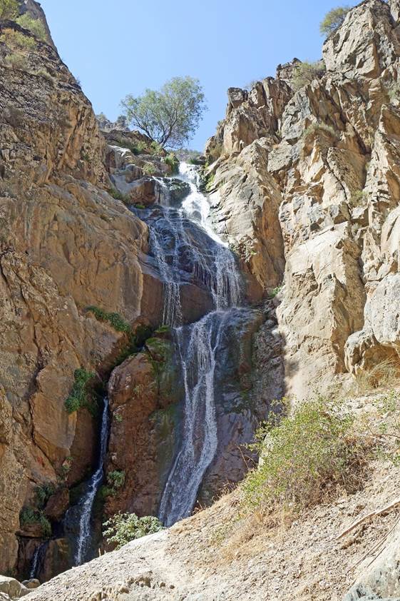
In the canyon, heading up toward Timur
Cave (located at the base of a cliff on the east side of the canyon).
|
|
|

[Photo taken
by Boris Karpov.]
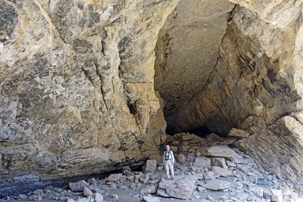
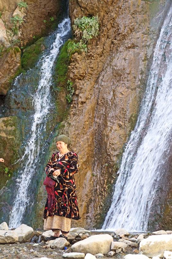
There are two caves, with three
entrances, close to one another. One cave is a relatively short, arc-shaped
natural tunnel that connects two entrances. The other cave, the true Timur Cave,
has a single entrance. The first section of the cave is a relatively large
corridor, easy to navigate. Beyond that, it requires entering narrow bowels,
where appropriate skills and equipment are needed. Excavations have shown that
the cave had been inhabited in the Stone Age and during the Greek-Bactrian
period (4th and 3rd centuries BCE). The legend says that young Amir Timur (14th
century) found refuge in the cave prior to a military campaign.
|
|
|

|
|
|
|

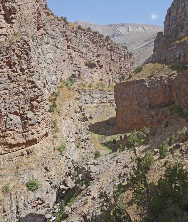
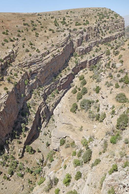
Return to our camp.
|
|
|
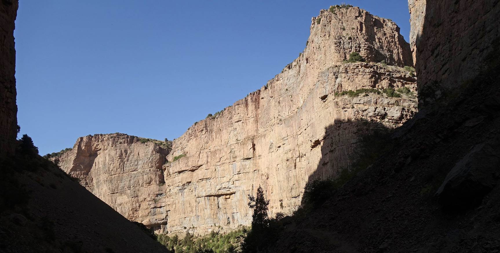
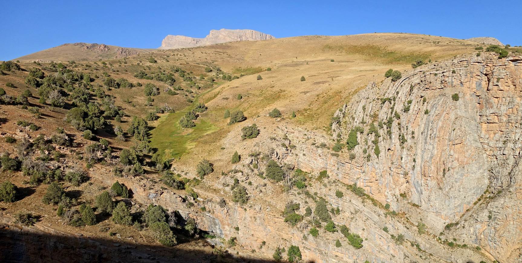
Two views over the eastern side of the
canyon, while we were climbing back to our camp.
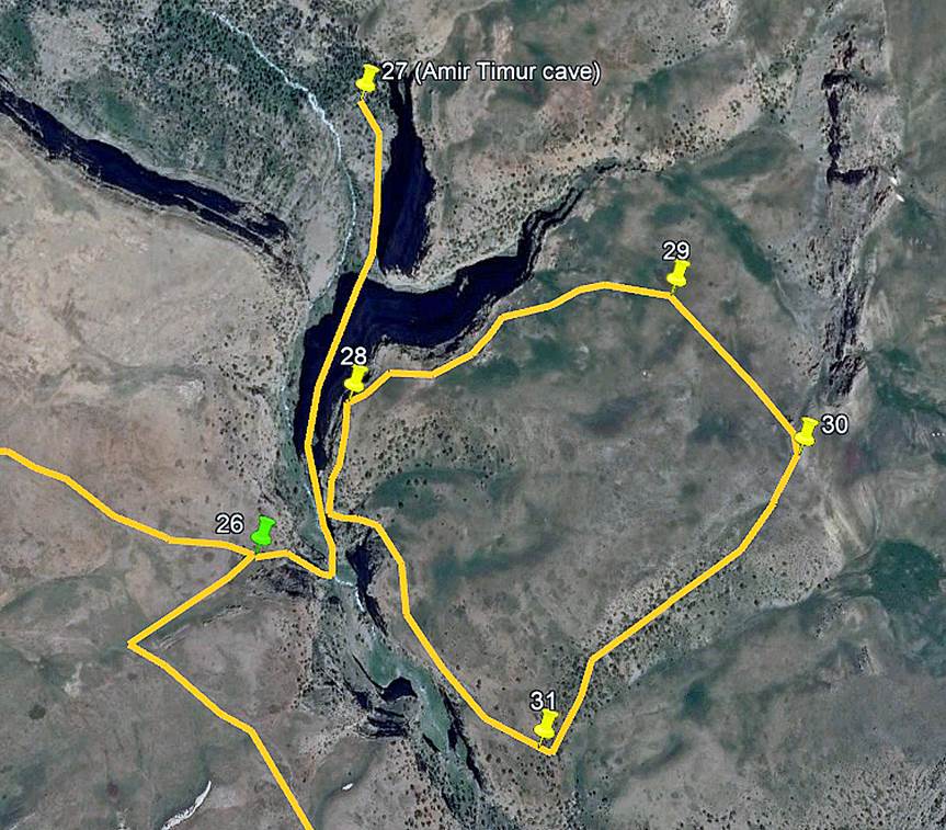
Side-trip (loop) on the eastern side of the
Kulasoy canyon:
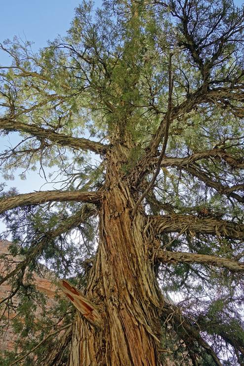
Left: Boris and Lutfilo eating breakfast
at the camp. Right: Beautiful tree next to our camp.
|
|
|

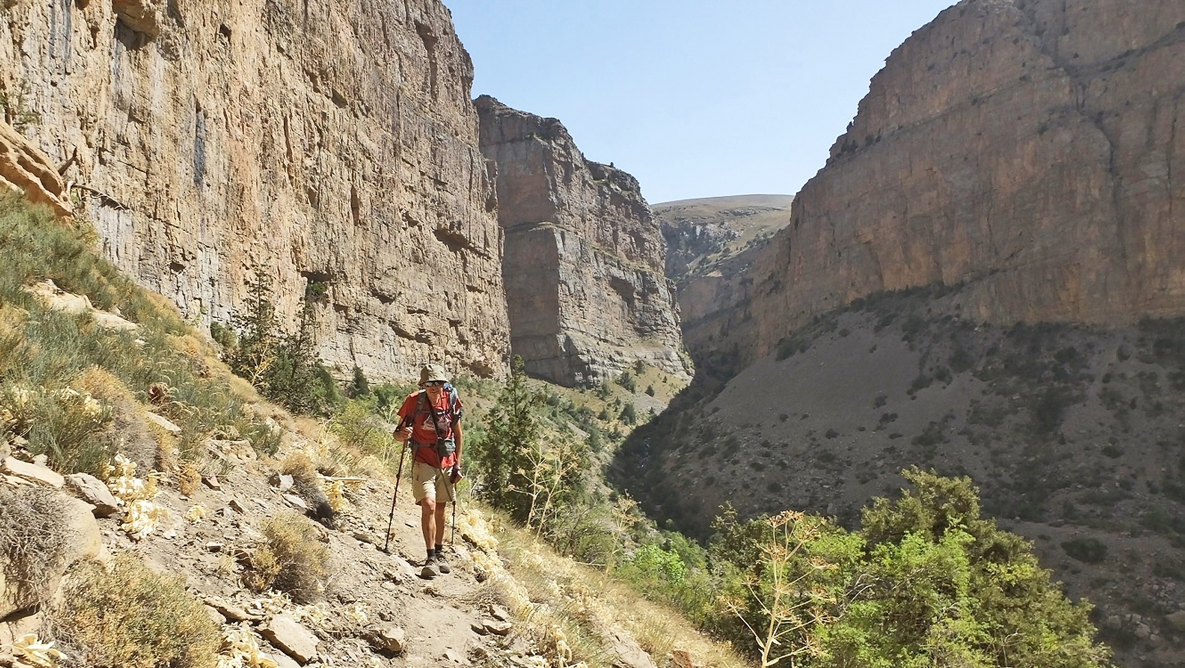
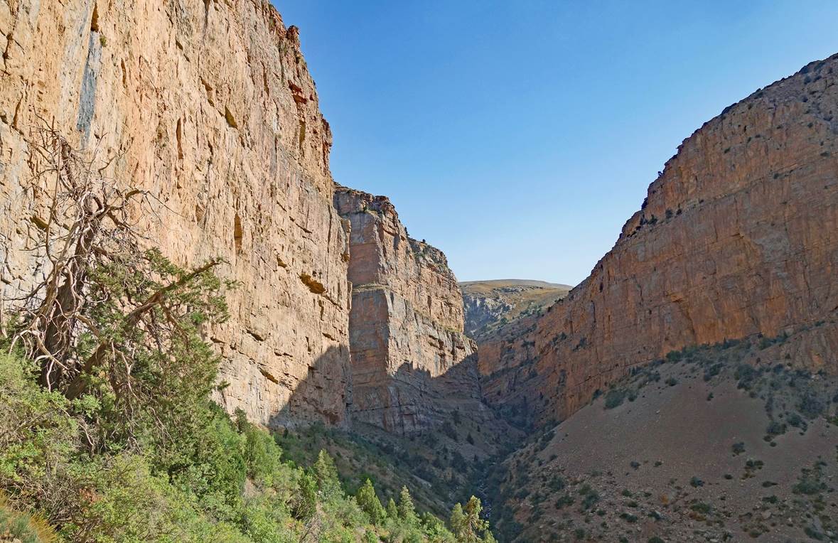
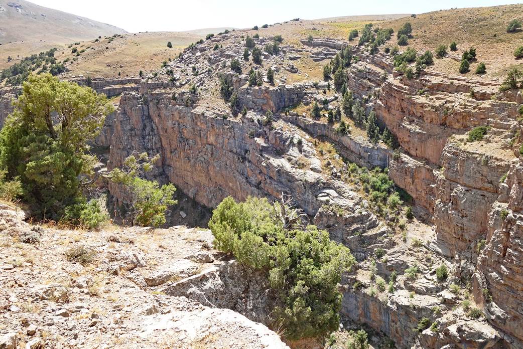
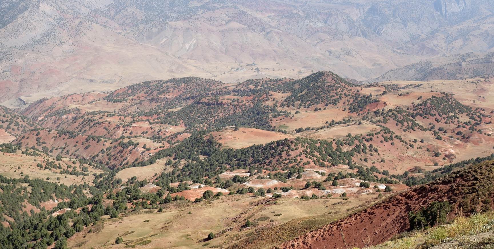
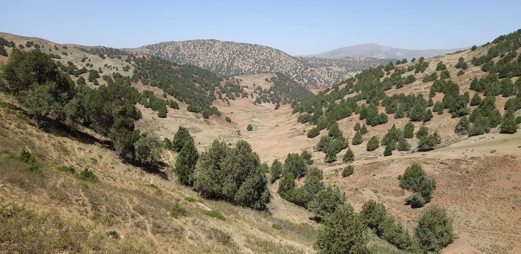
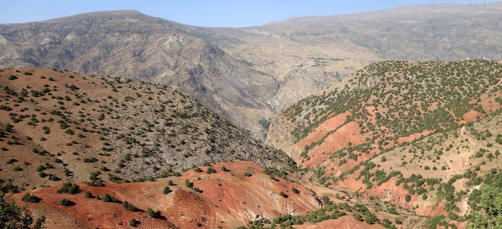
On this day, Boris and I did a loop-shaped
hike on the eastern side of the Kolasoy canyon (see aerial view above).
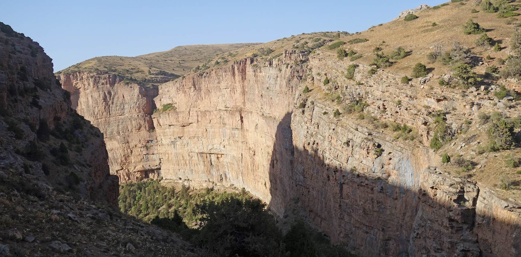
View during the ascent of the eastern
side of the canyon.
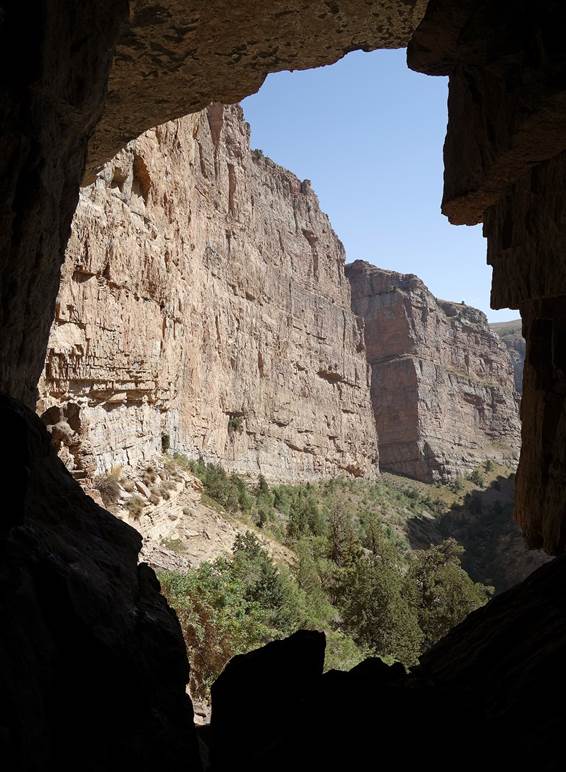
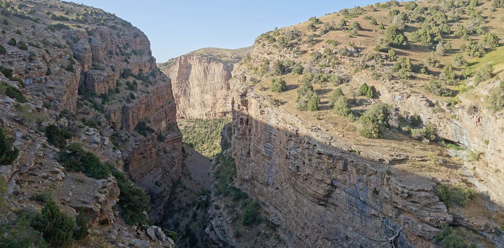
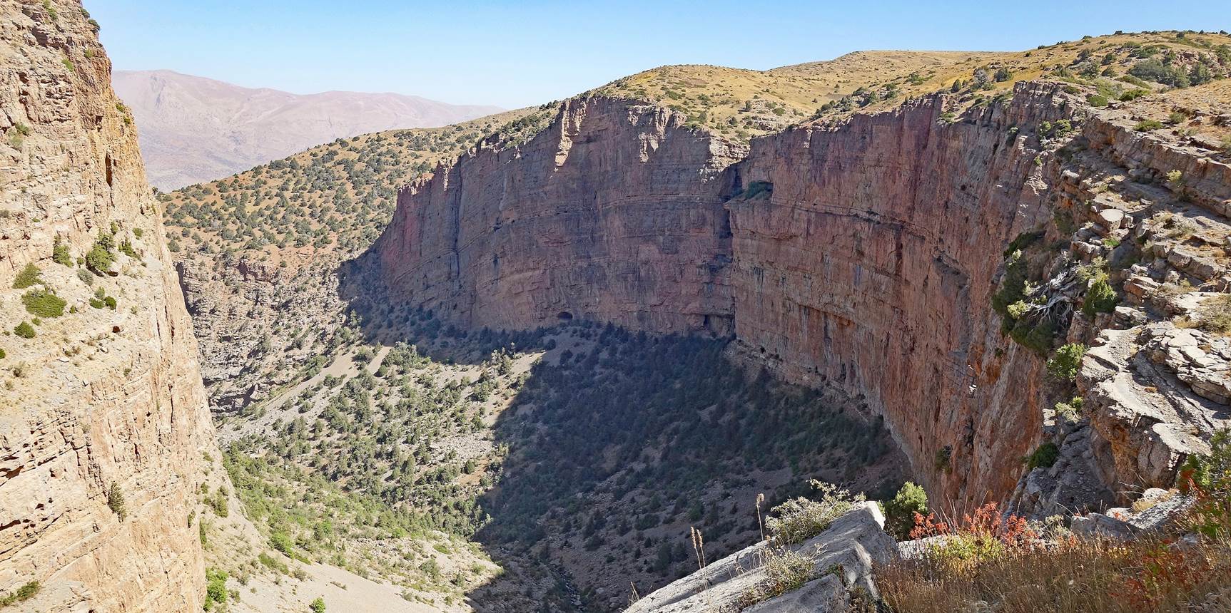
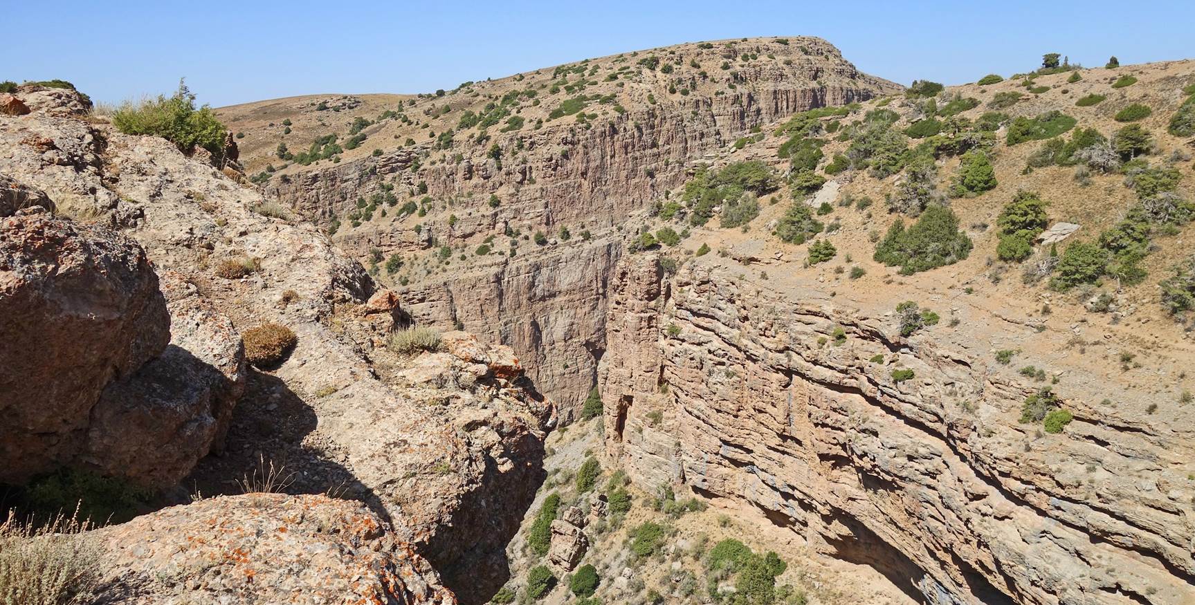
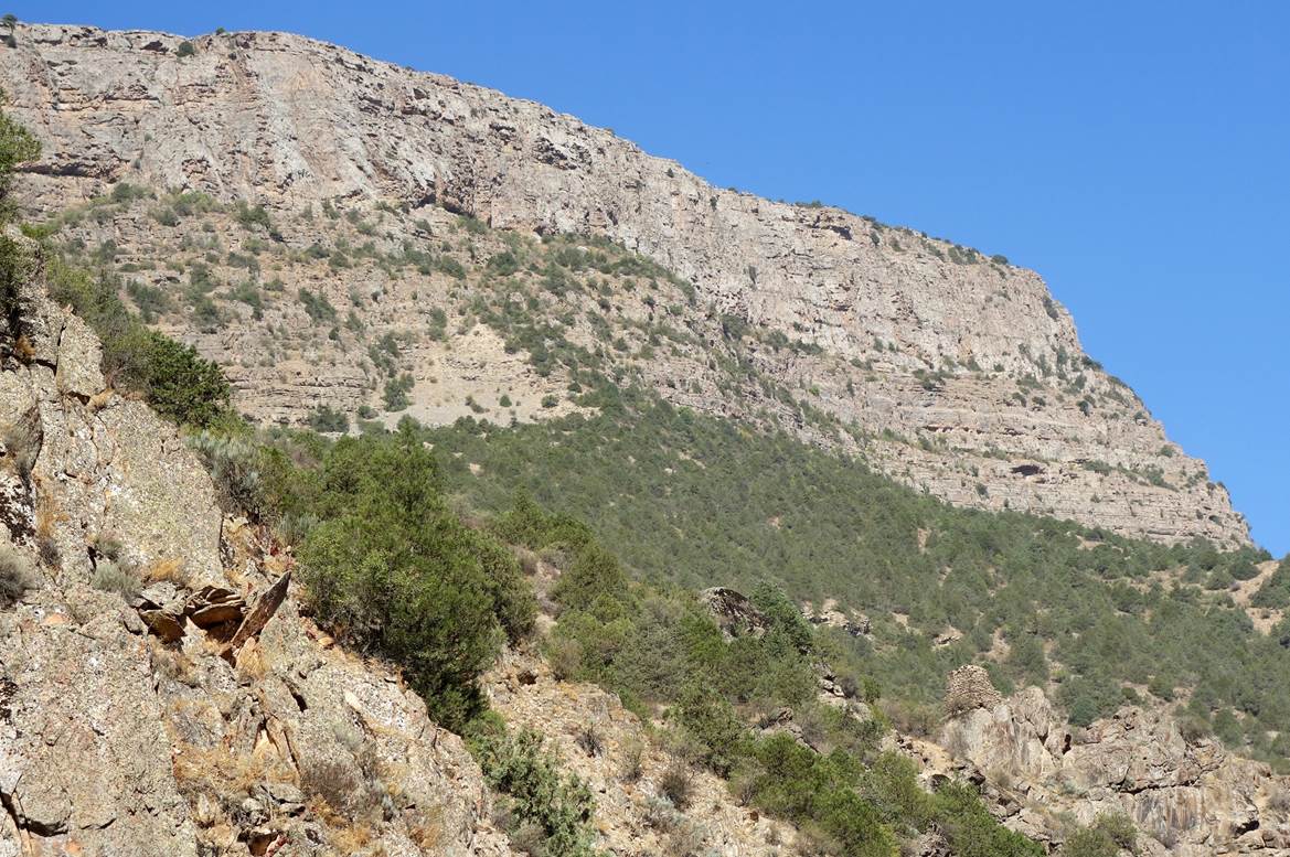
View from waypoint 28. Entrances of the
caves are visible at the base of the cliff, near the center of the photo.
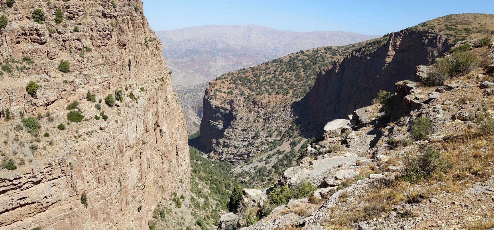
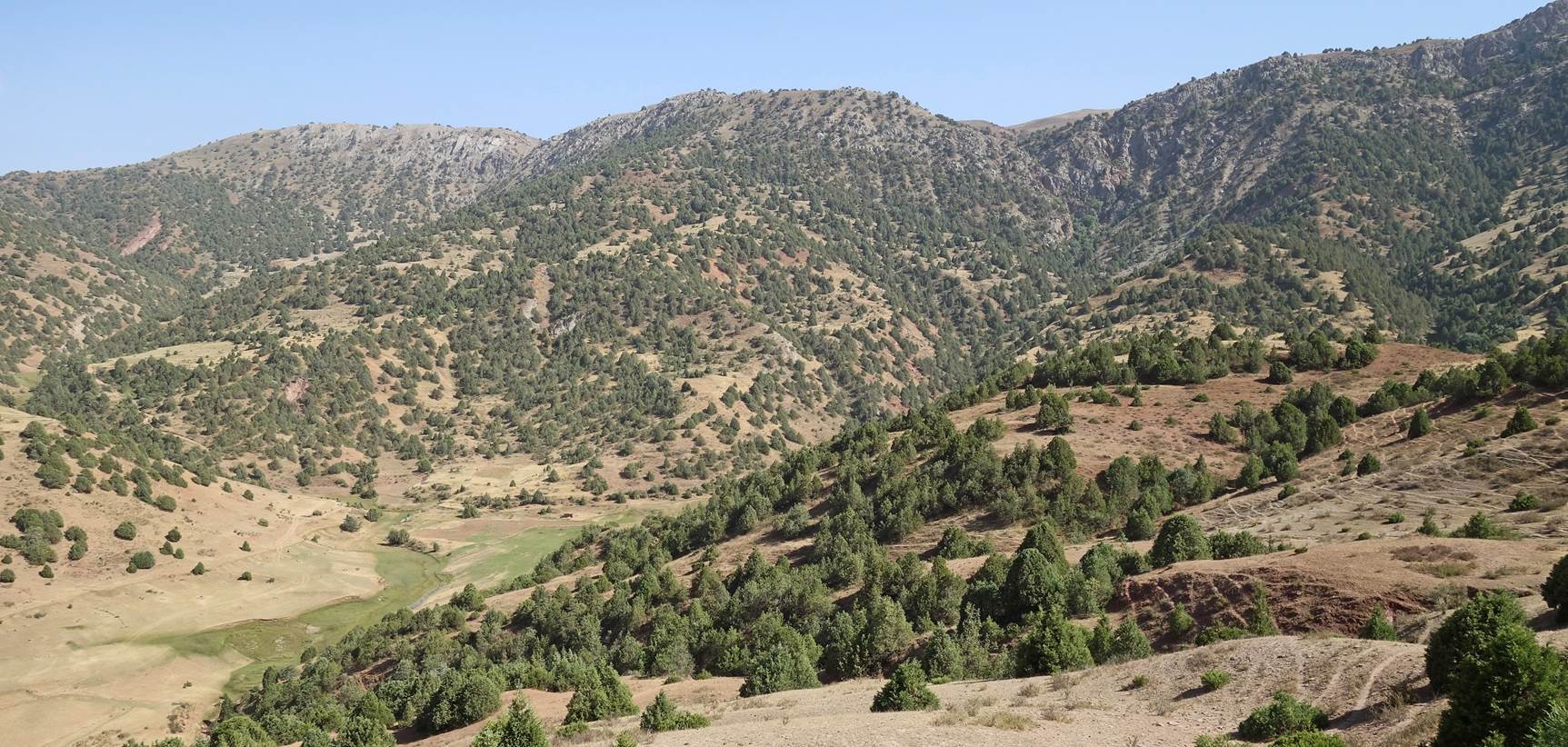
Views toward the north from the rim of
the side canyon between waypoints 28 and 29.
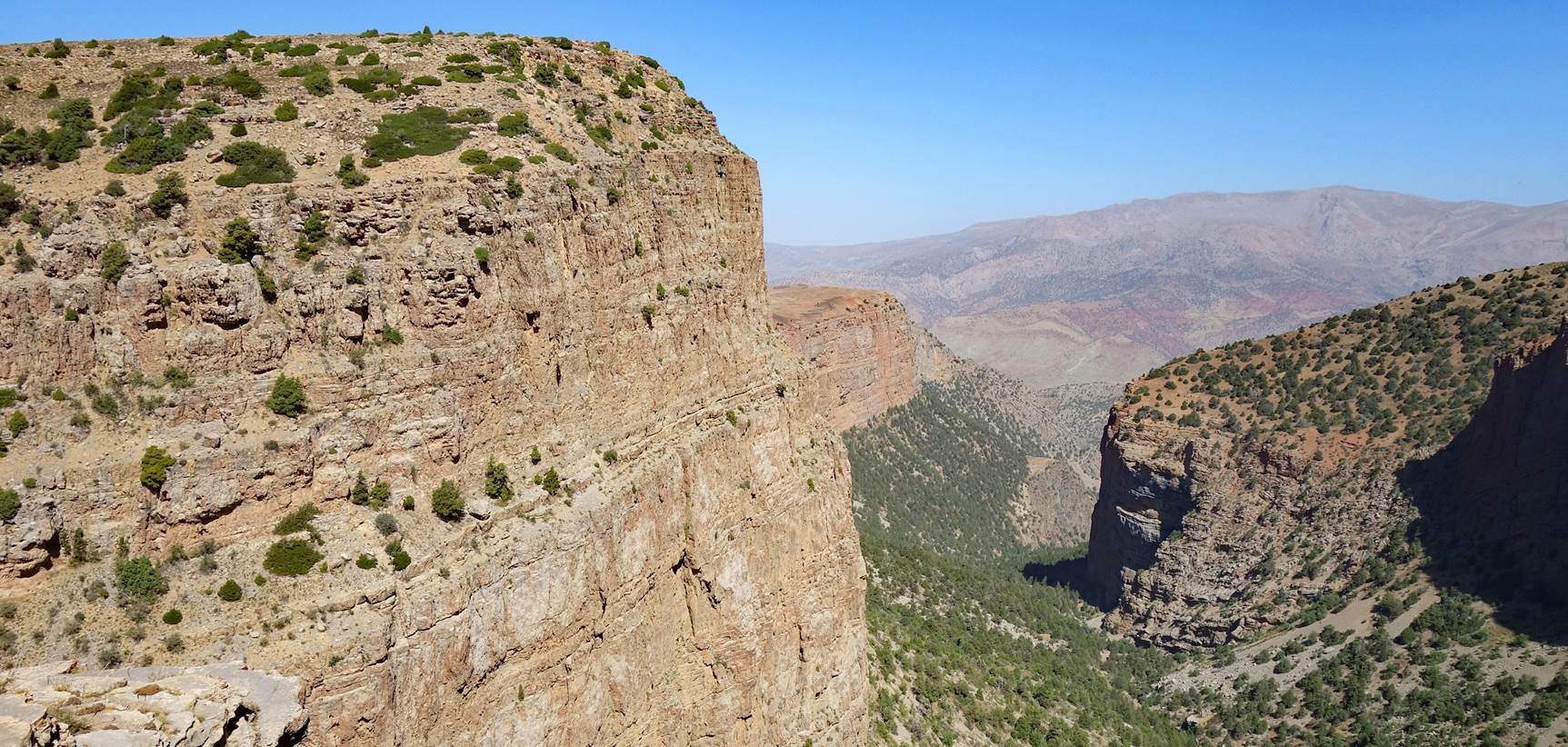
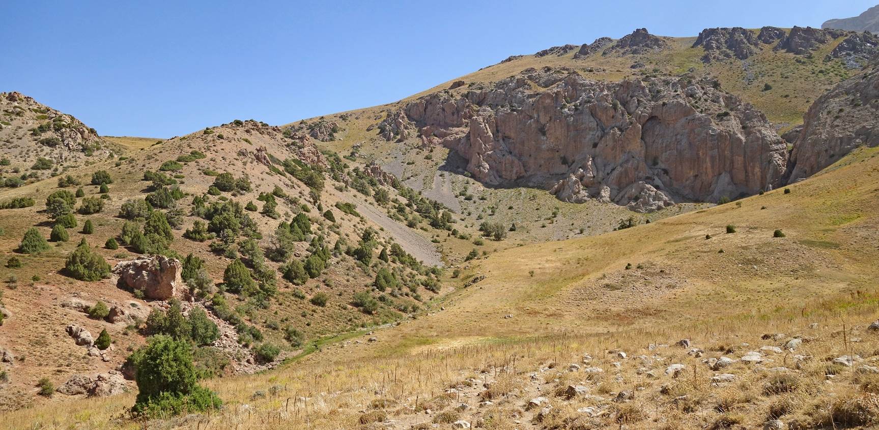
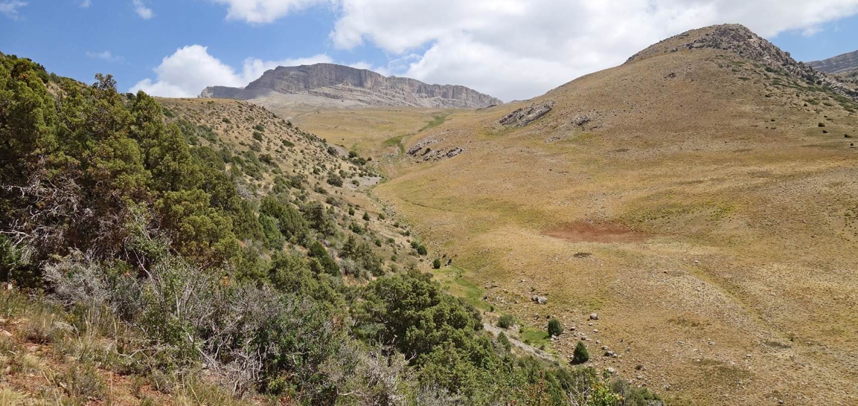
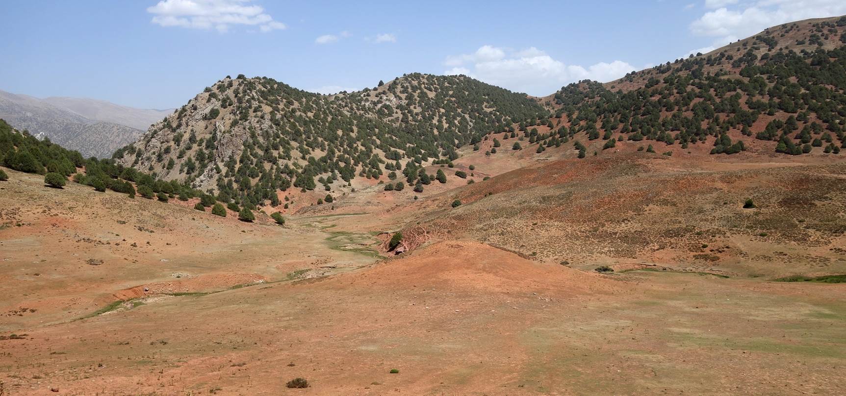
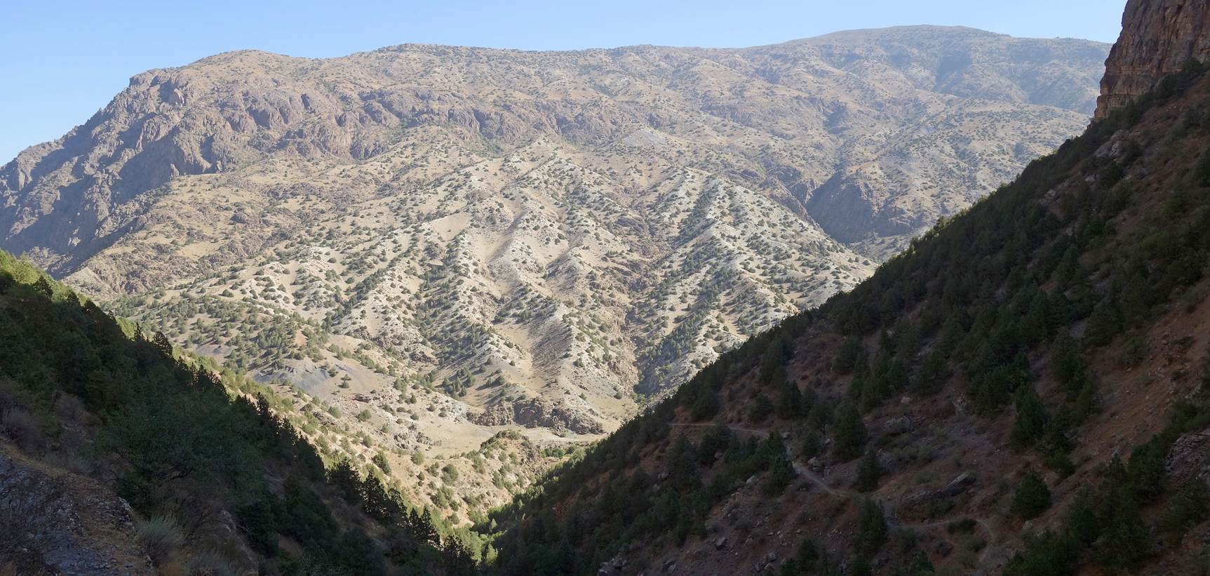
Views of the side canyon.
End of the side canyon.
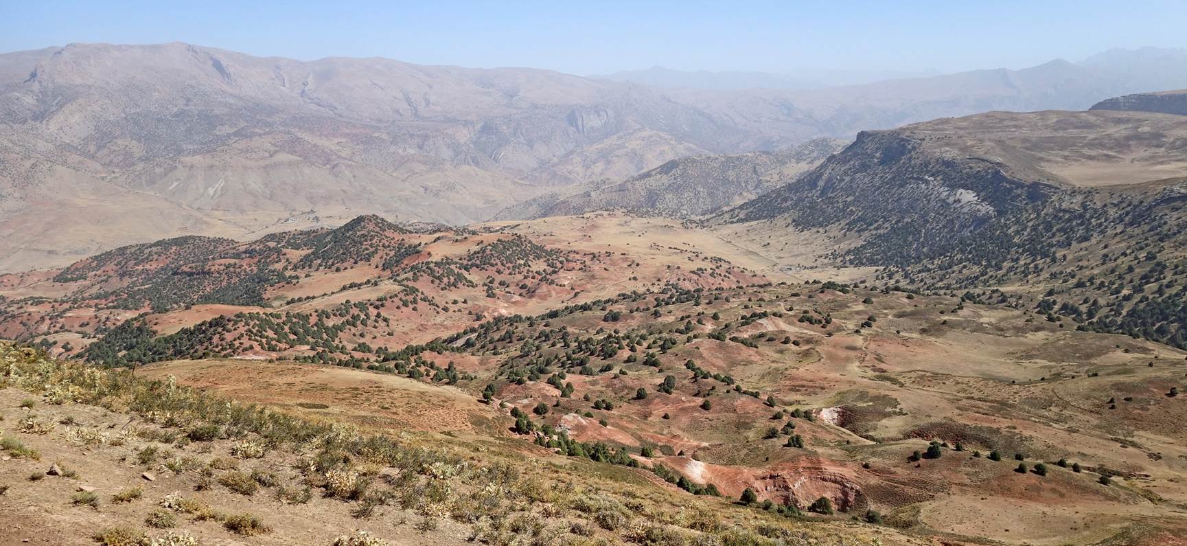
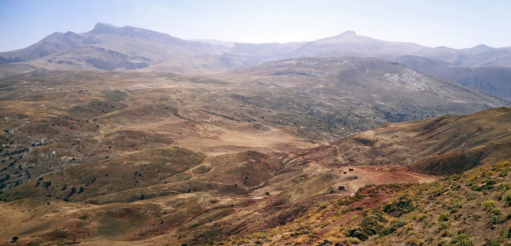
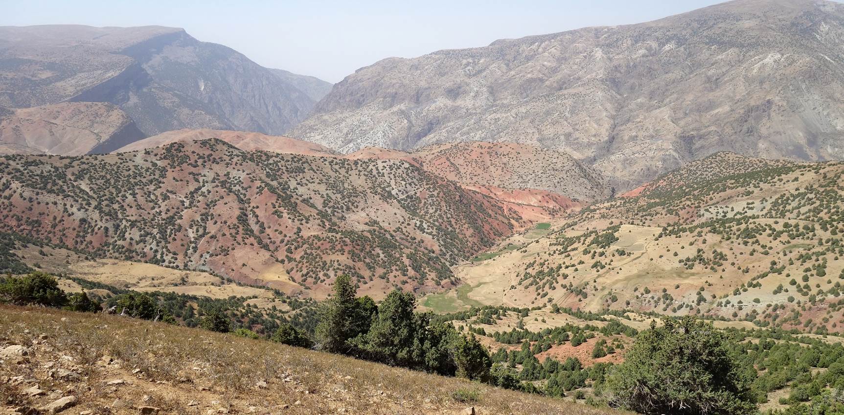
Gorgeous view toward the northwest from
a the top of a small hill (waypoint 30).
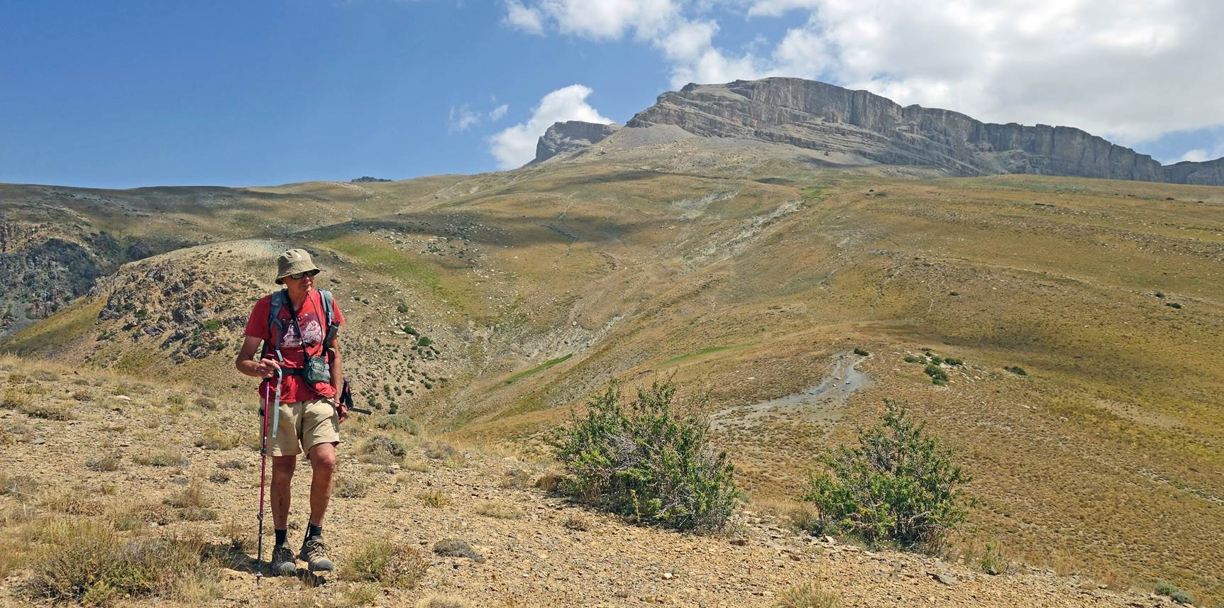
Descent from the small hill, with the
western cliffs of Mt. Khoja-Akhcha-Burun (3855m) visible in the background.
[Photo taken
by Boris Karpov.]
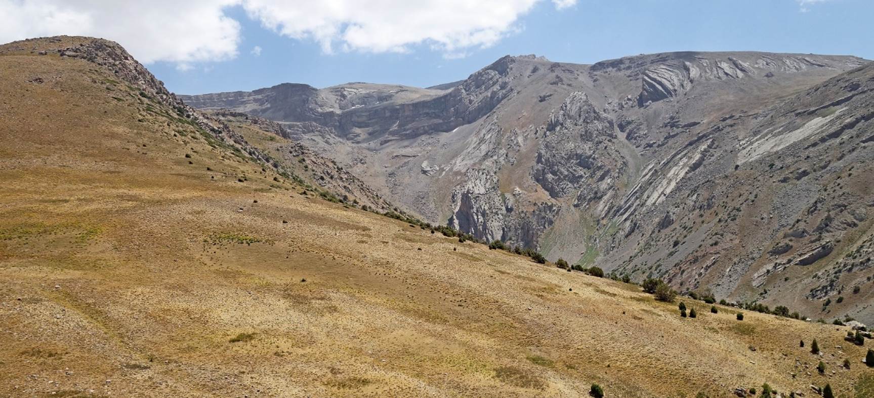
Between waypoints 30 and 31:
- Here, Mt.
Khoja-Akhcha-Burun is still
visible at the center-left of the photo.
- In this photo, Mt.
Chimbay (3798m) is visible at the center-right of the photo.
Views beyond waypoint 31.
|
|
|

|
|
|
Hiking from waypoint 26 to Zarmas:
On the fifth hiking day, we returned to
the plateau from our camp and we headed west.
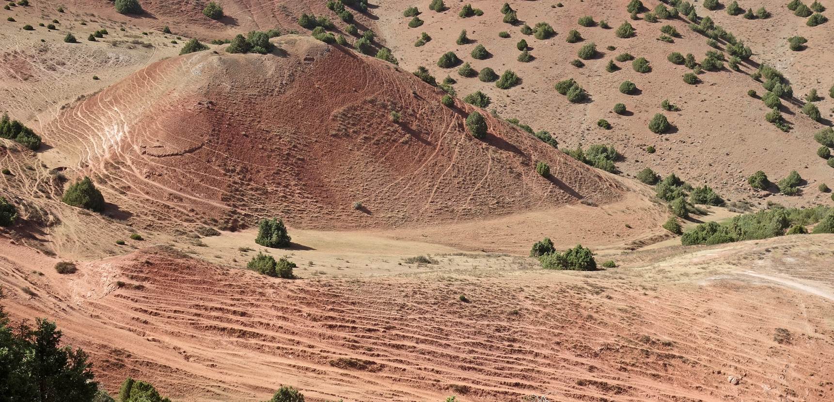
We soon traversed a large red land area.
Looking back toward the east, with Mt. Khoja-Akhcha-Burun
(3855m) and Mt. Chimbay (3798m) still visible in the far background.
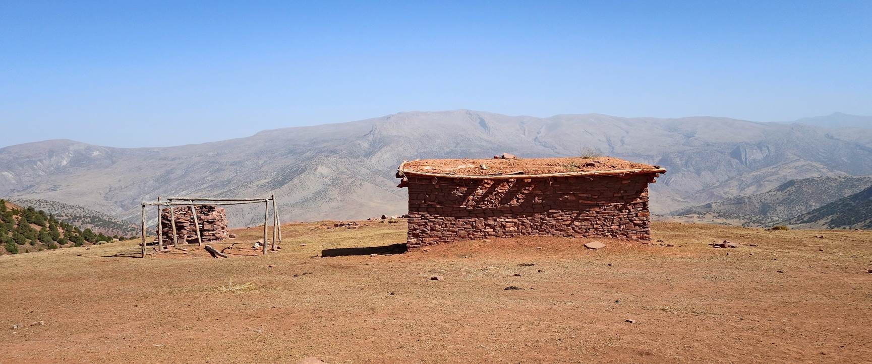
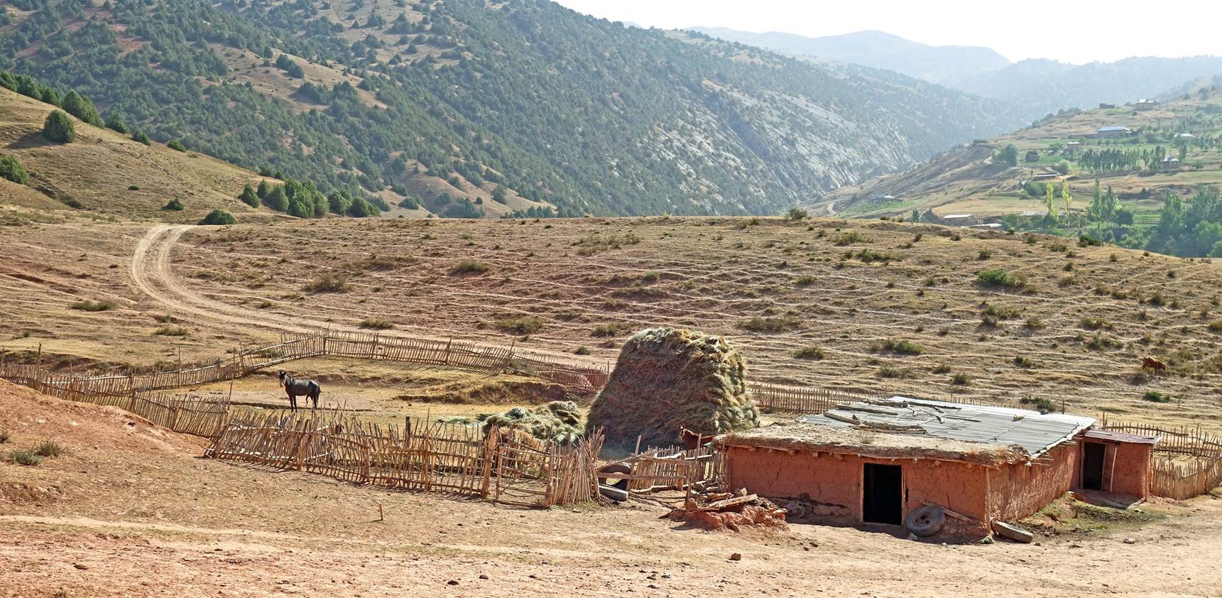
House below a pass (waypoint 34)
appropriately named Kyzylgaza (as it means ˝red place˝).
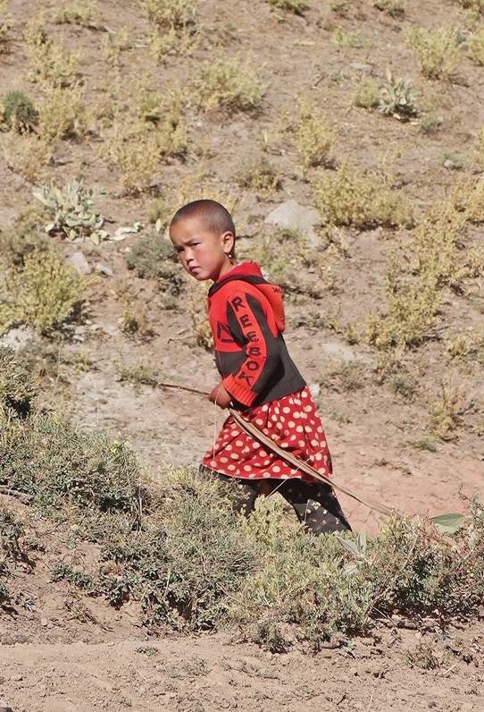
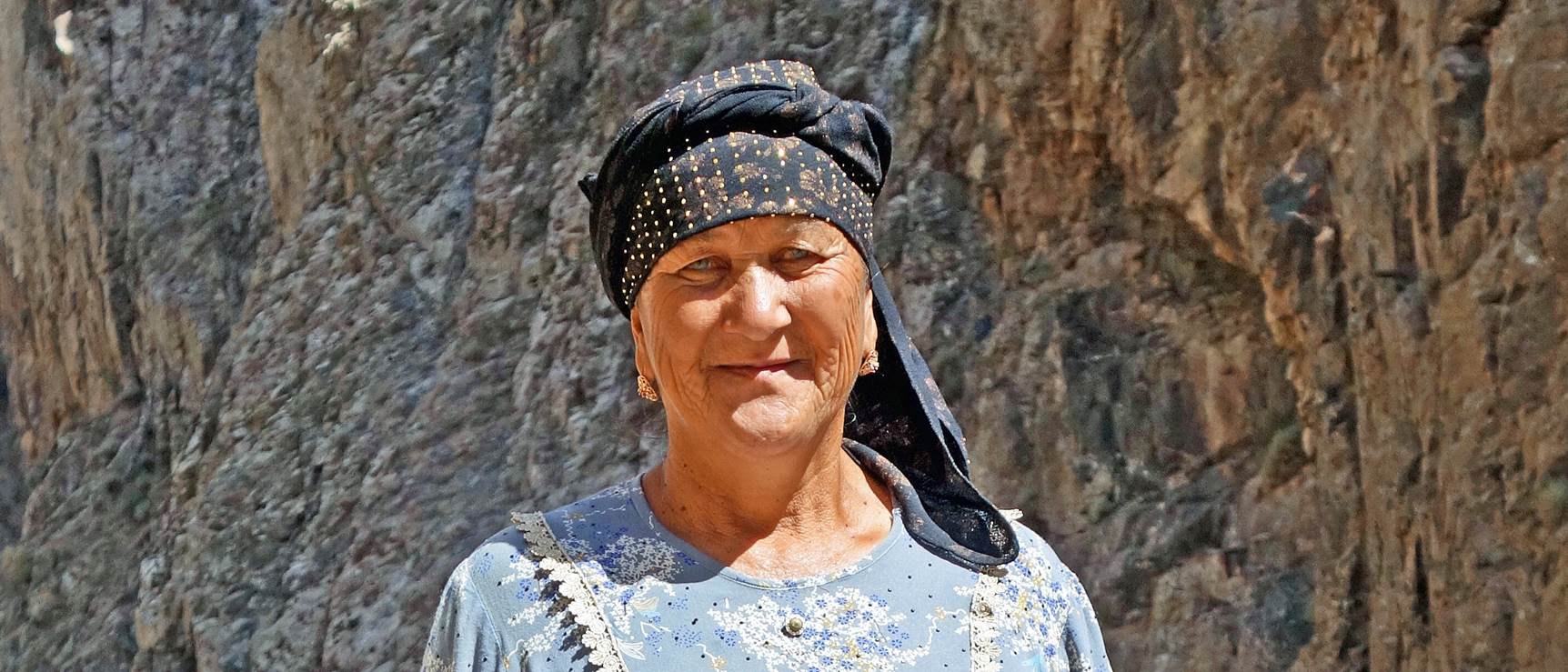
Mother and daughter below Kyzylgaza
pass.
|
|
|

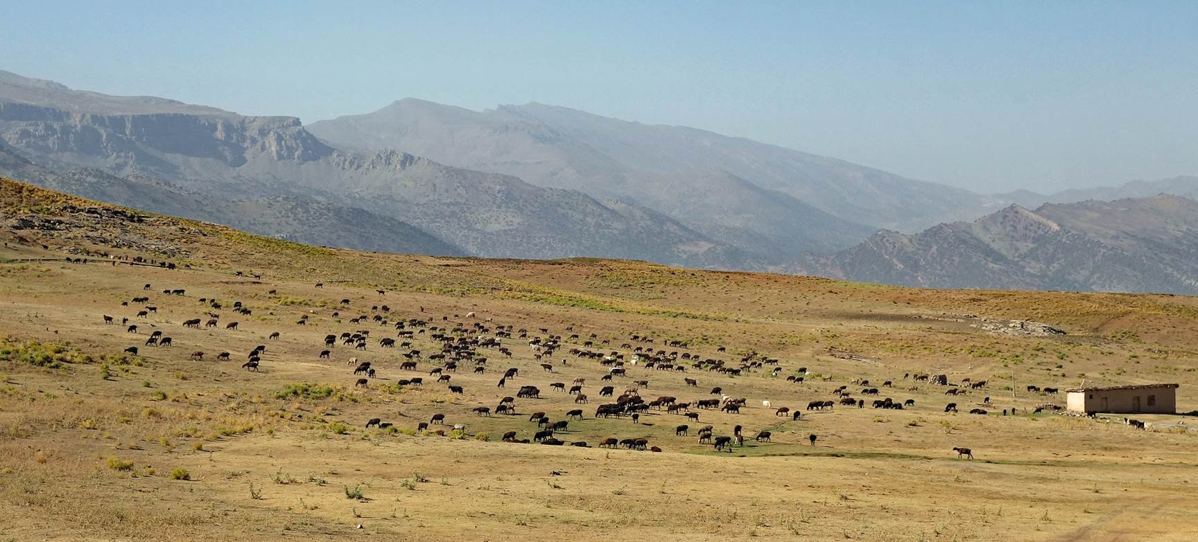
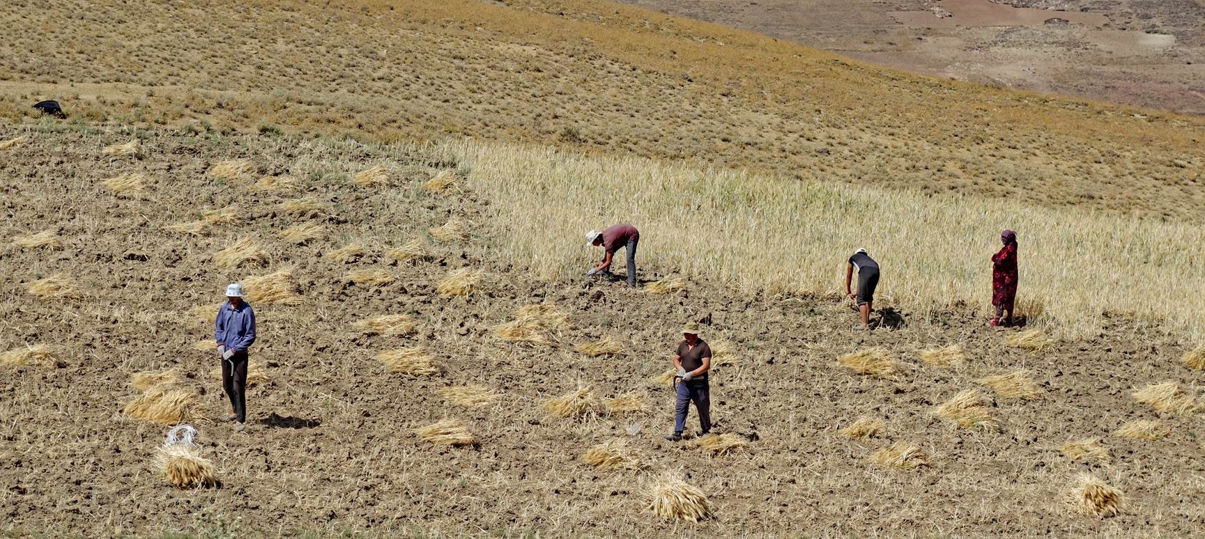
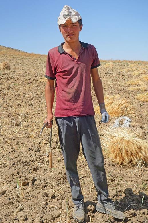
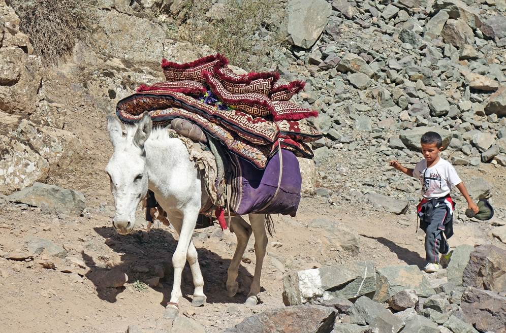
Men collecting hay in a field beyond
Kyzylgaza pass.
|
|
|

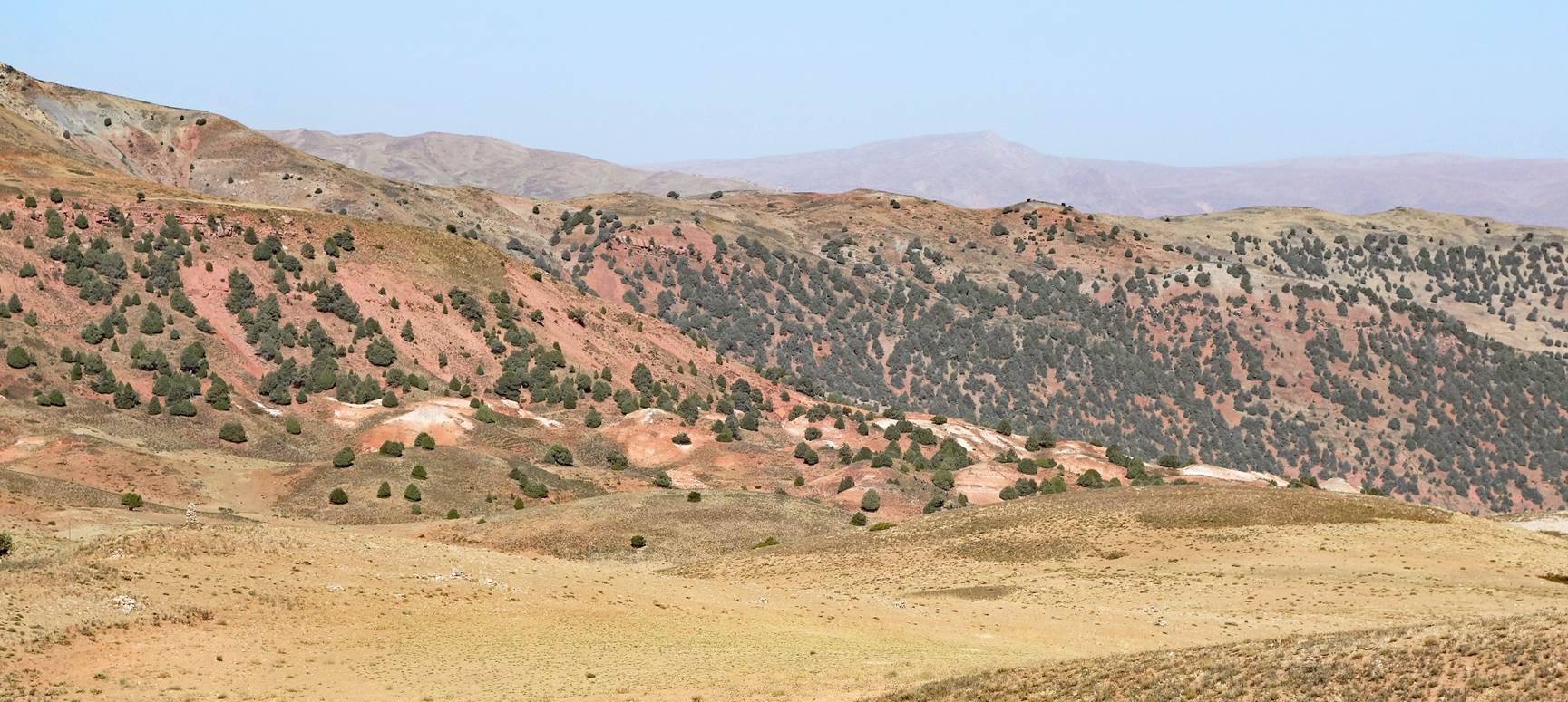
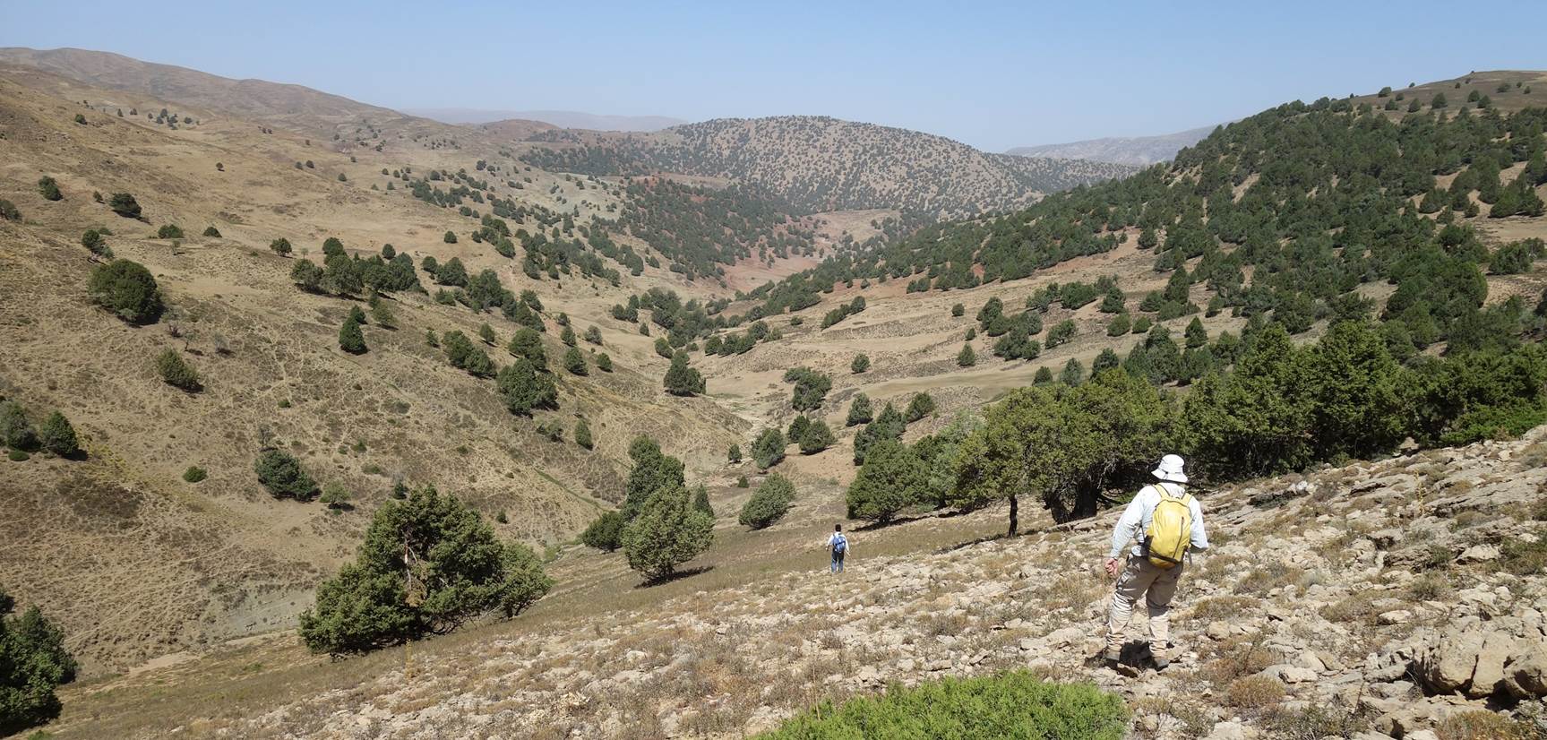
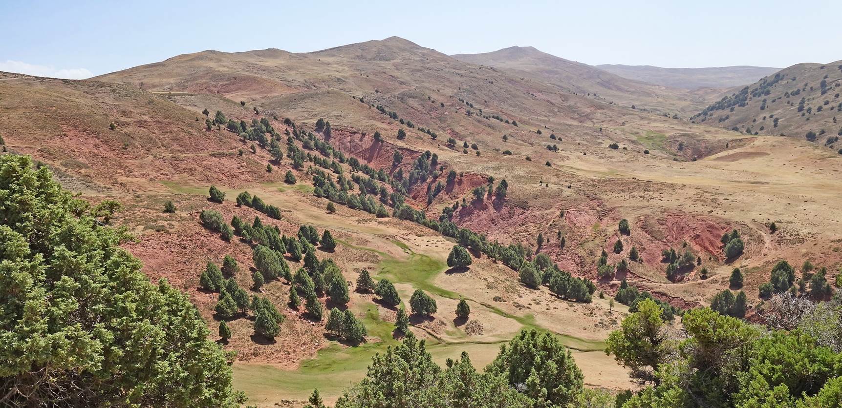
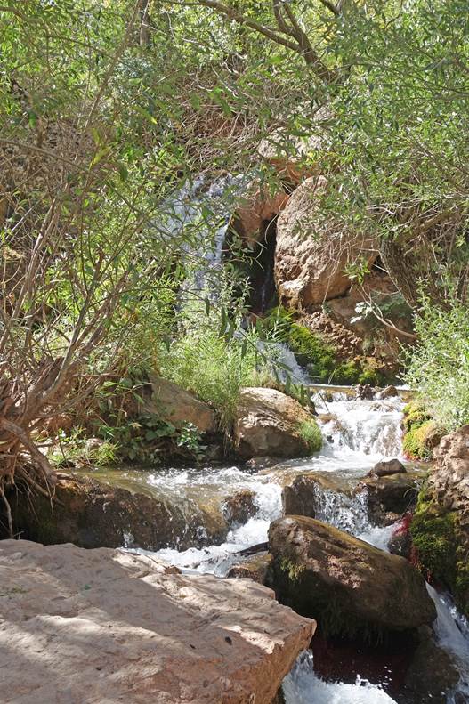
Diverse succession of landscapes during
the second half of the hike.
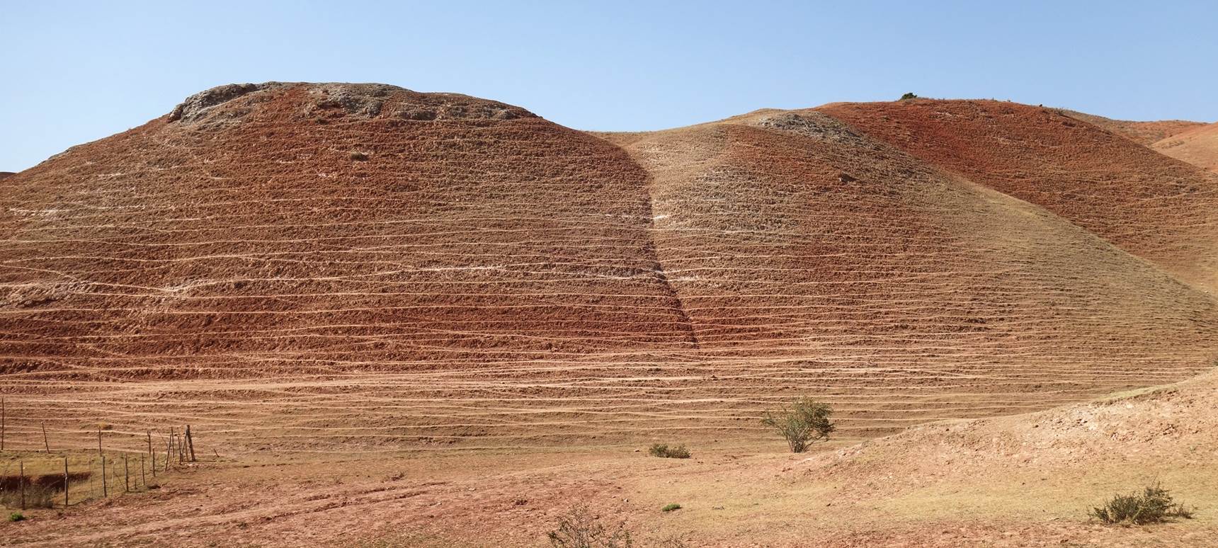
Hill
slopes striped by the repeated passages of herds of goats and sheep near
Zarmas.
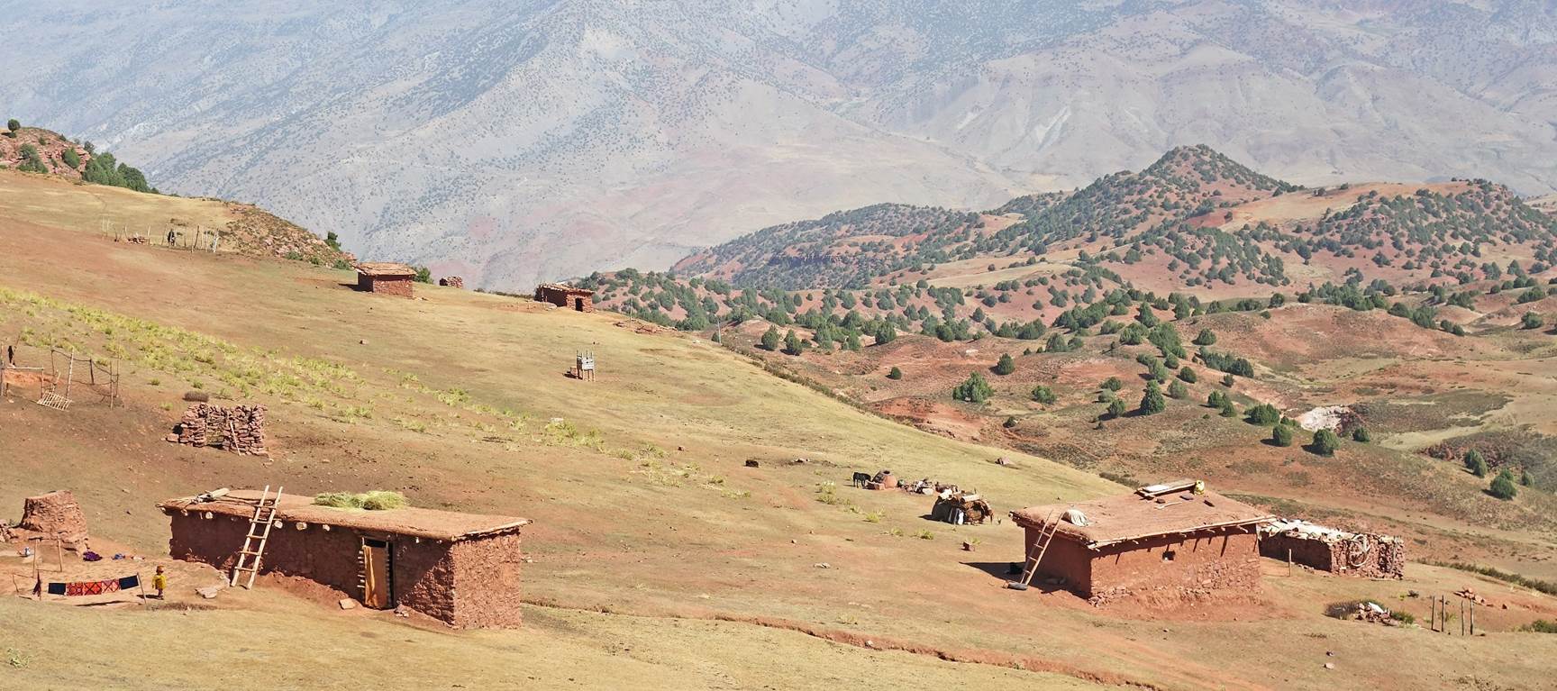
Reaching Zarmas.
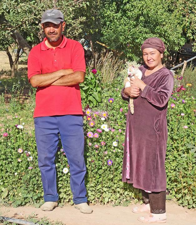
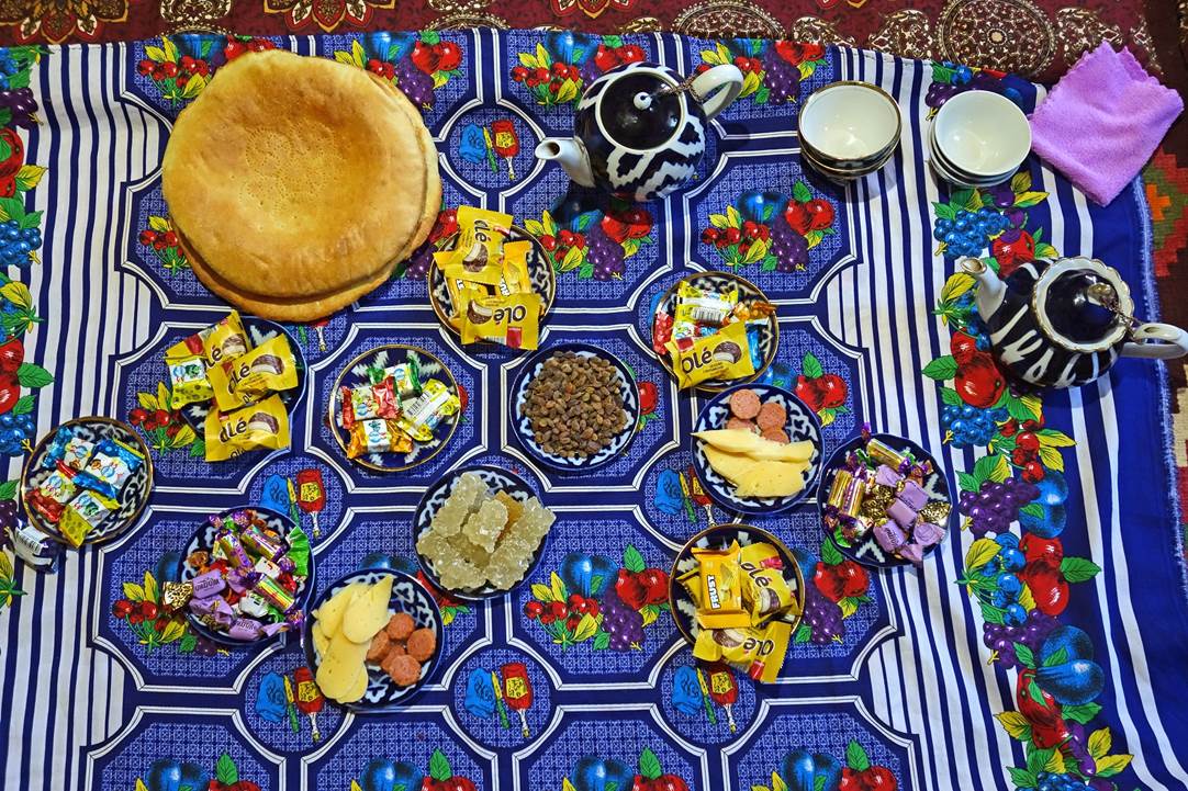
In Zarmas we spent the night in a
friendly family house. Left: Our hosts. Right: Late afternoon tea and snacks.
|
|
|
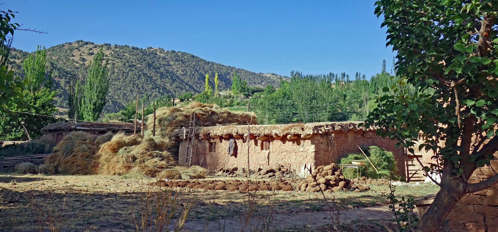
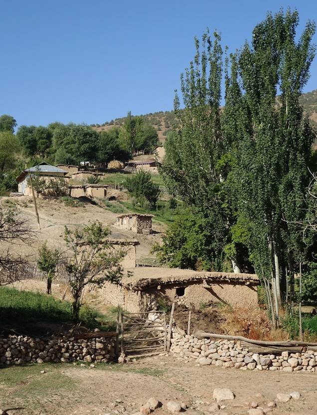
Houses in Zarmas.
|
|
|

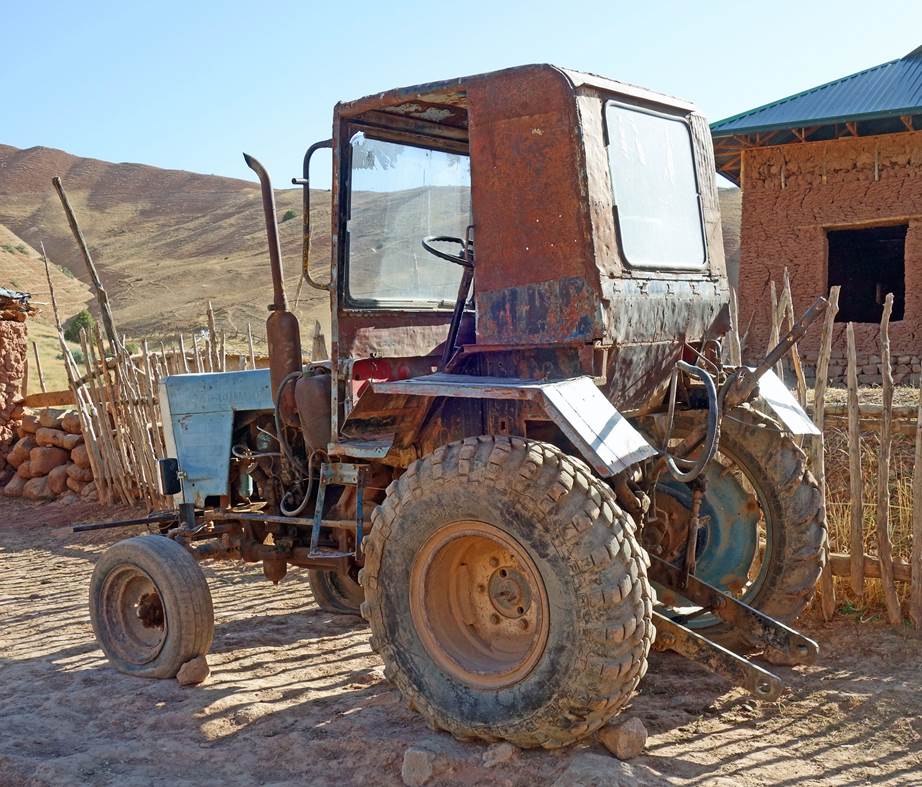
An old Soviet-era
tractor in Zarmas.
|
|
|

Last hiking day between Zarmas
and Tatar (waypoint 45):
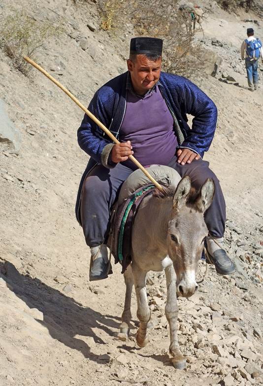
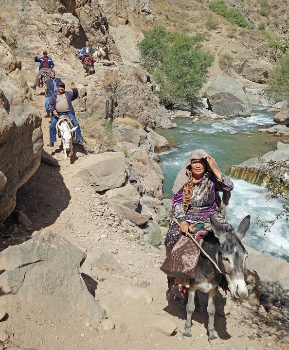
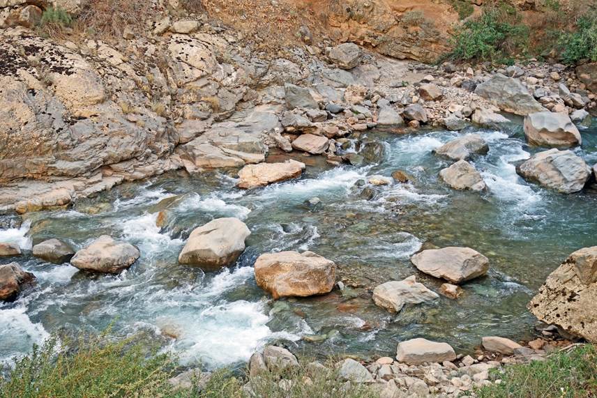
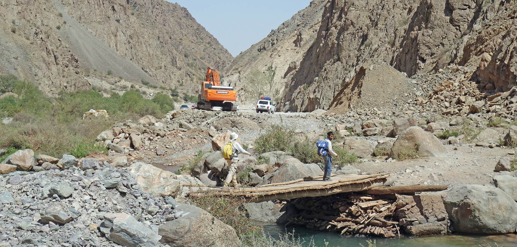
We followed the canyon
of the Kyzyldarya river. Compared to the previous hiking days, we encountered a
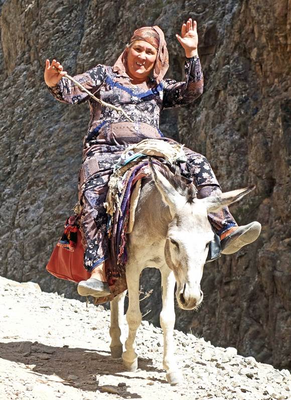
unusually large number of people.
|
|
|
|


|
|
|
[Note the old watch tower erected on an outcrop near
the bottom right corner of the right photo.]
|
|
|
|
|
|

|
|
|
|


|
|
|
|
|
|
|
|
|
|
|


|
|
|

Reaching waypoint 45 (place named
Tatar). Our driver had already arrived. He drove us to Shakhrisabz, 90 minutes
away.
![]()
Return to my
mountaineering/trekking/travel website | Return
to main Uzbekistan 2023 page