High Atlas of Morocco: From Arous to
Amniter (April
2013)
Section 1: Arous to Abachkou
![]()
Return
to main Atlas 2013 webpage | Go to sections: 1,
2,
3,
4,
5
On
the first morning, Oumar Oulaidi′s father kindly drove me to the start of
the trek from his gite (Gite Adesen) in Tabant. I started the trek at the end
of a dust road near the villages of Arous and Tighza (shown in the photo
below). During the first day, Mohamed took another path to Abachkou along Oued
Lakhdar, which was easier for the mule.
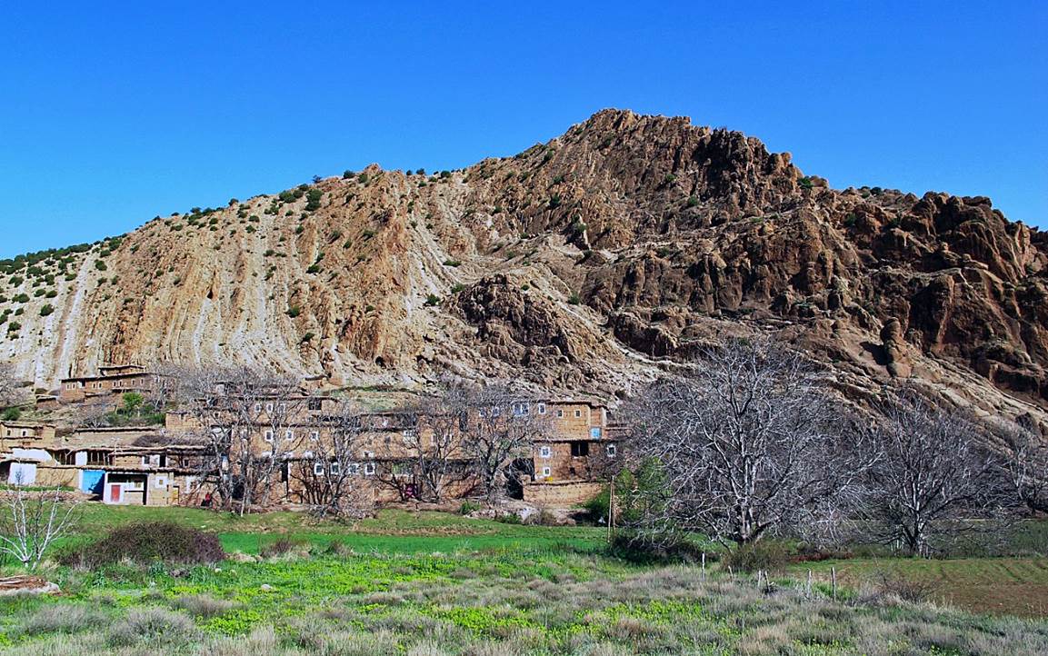
The valley of Assif
Arous, a small side valley of the Ait Bou-Guemez valley.
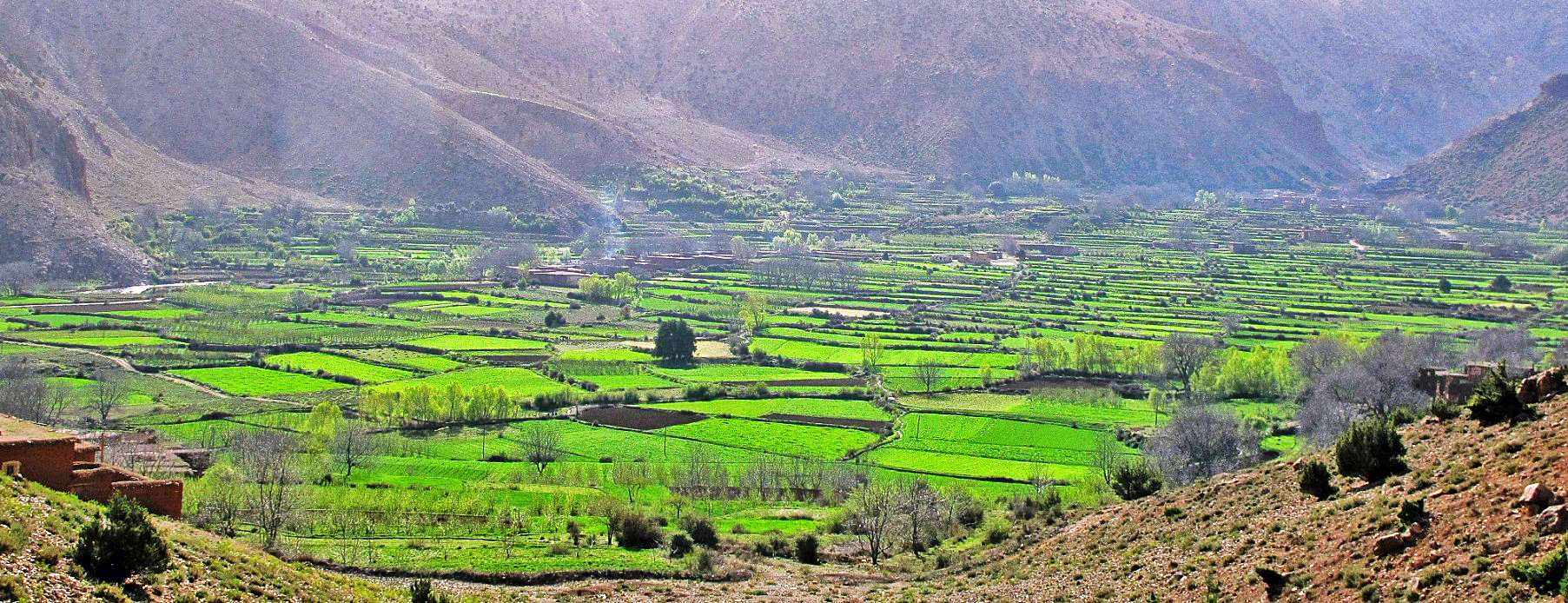
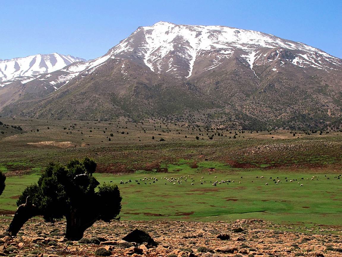
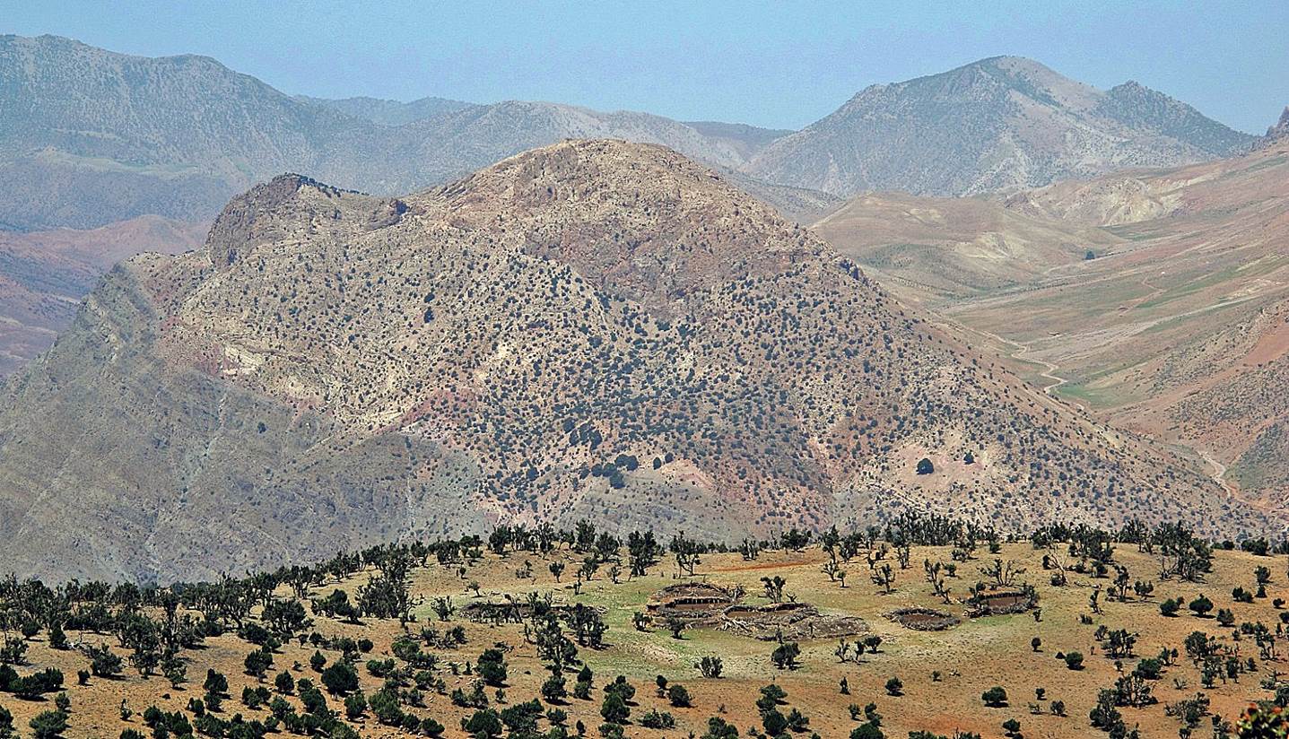
A view of the Ait
Bou-Guemez valley on a hazy morning, with Jebel Azourki (3677m) in the
background.
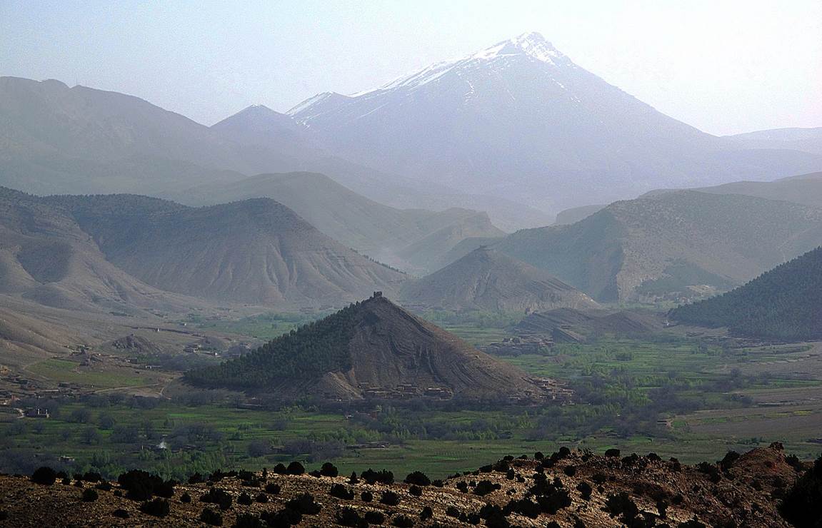
View of Jebel
Tadaghast.
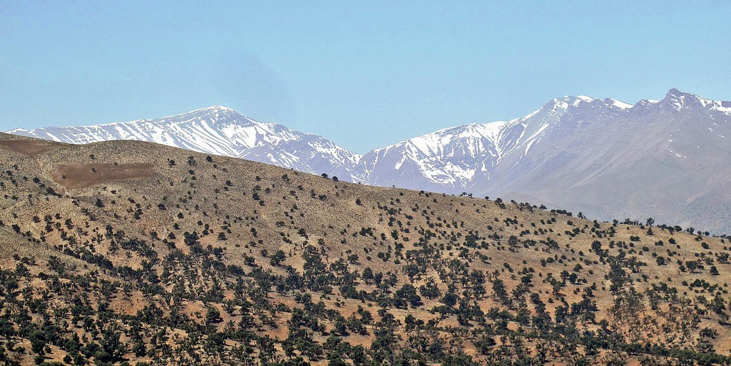
Jebel Tifdaniwine
(3449m) in the front and Jebel Tarkeddid in the back on the left.
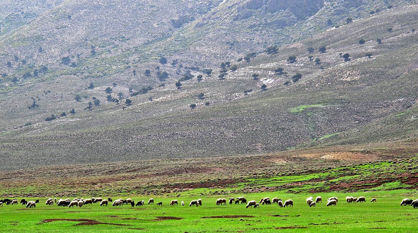
Sheep below Jebel
Tifdaniwine.
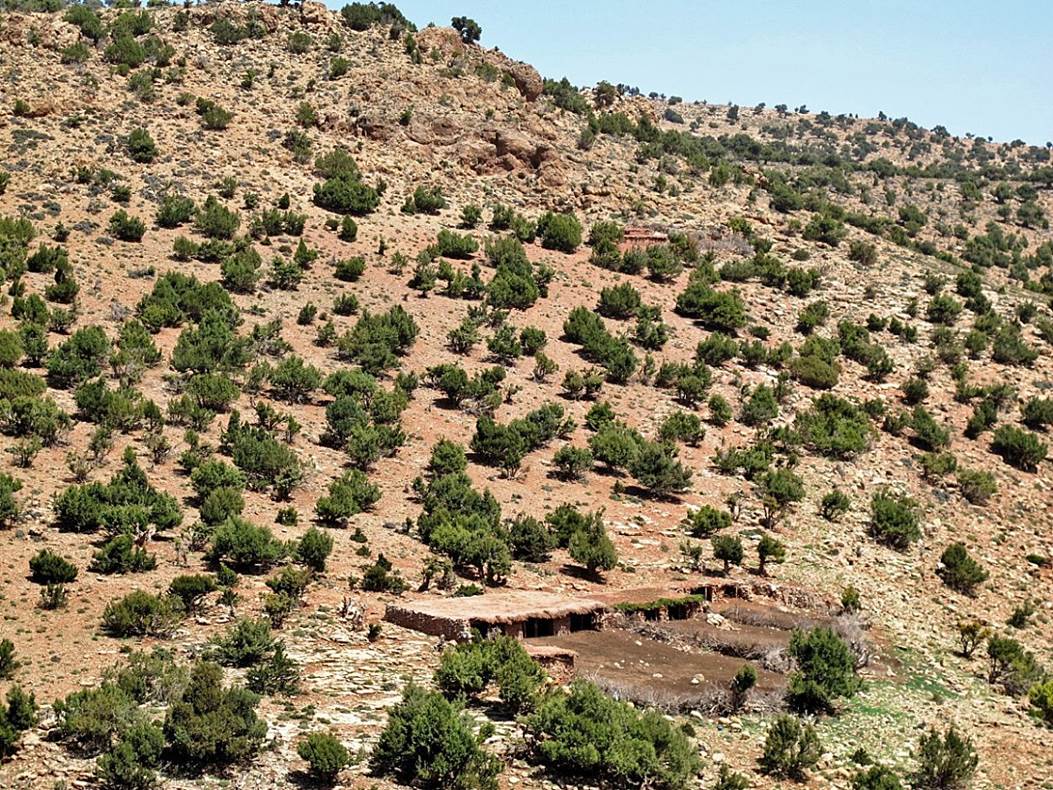
Small azib (shepherd
house) nearby.
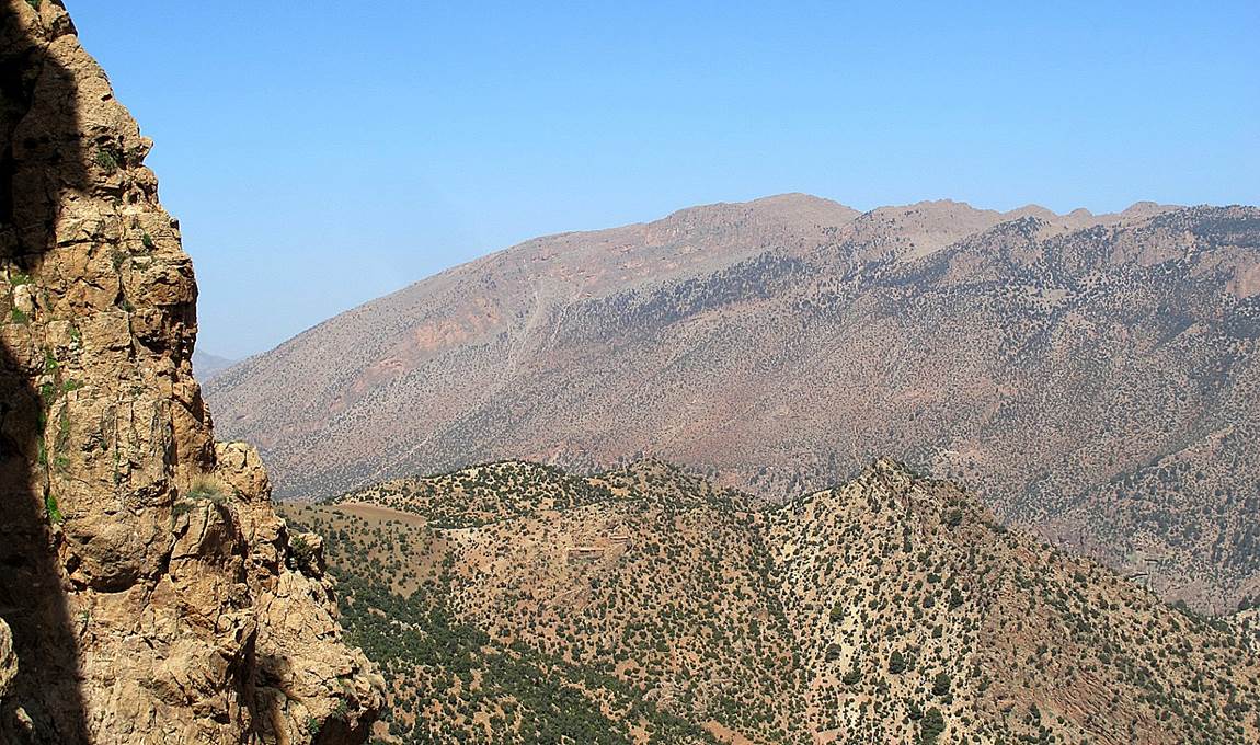
View of Jebel Rat
(3781m) on the right and Jebel Tignousti (3819m) on the left.
Looking toward the
west. The dust road visible in the valley on the right leads to Denmate.
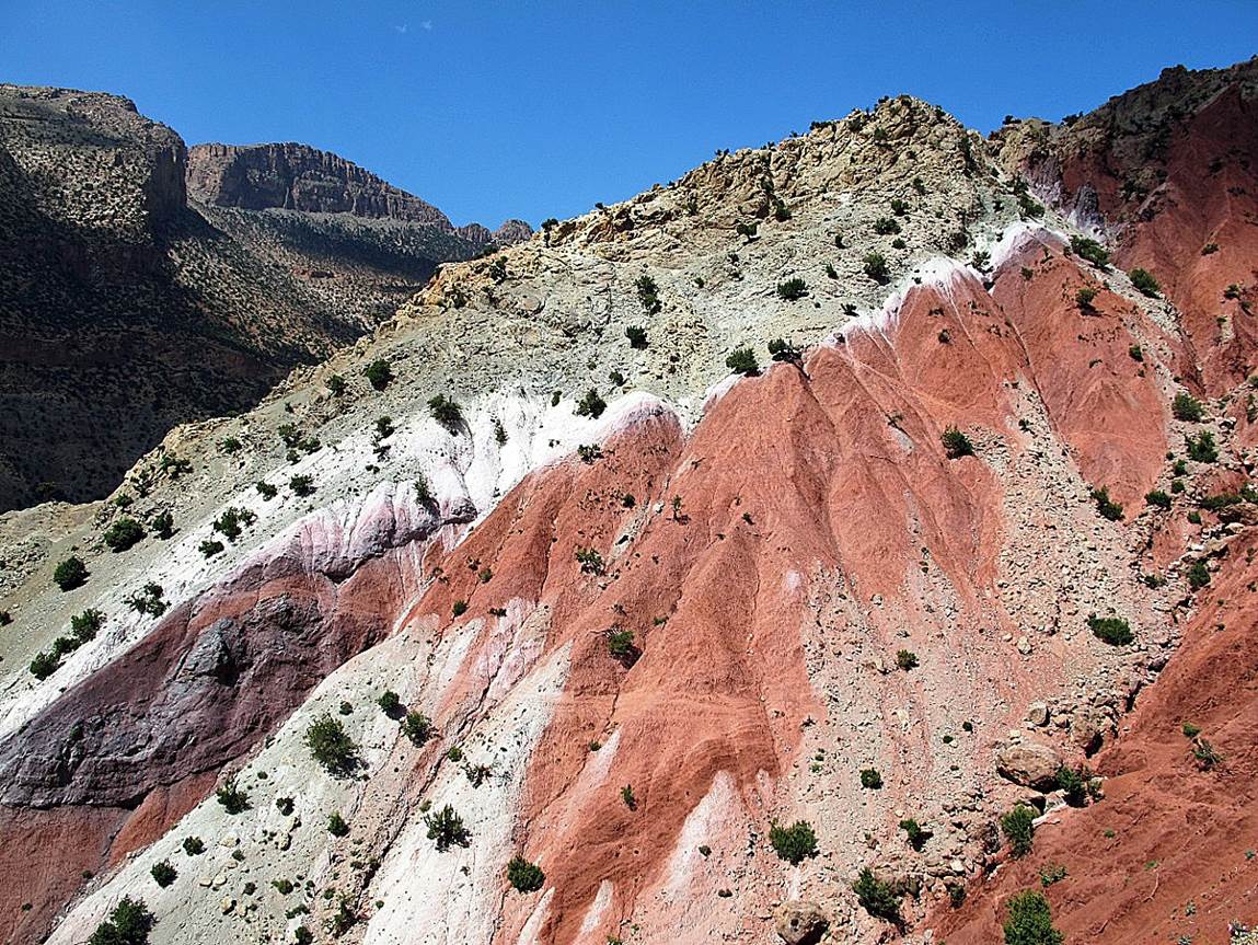
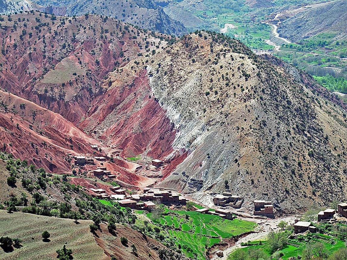
Colorful cliff above
the village of Taghia.
Village of Taghia
seen from above and from below (next photo).
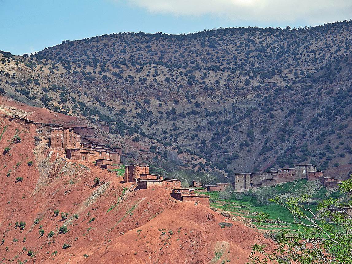
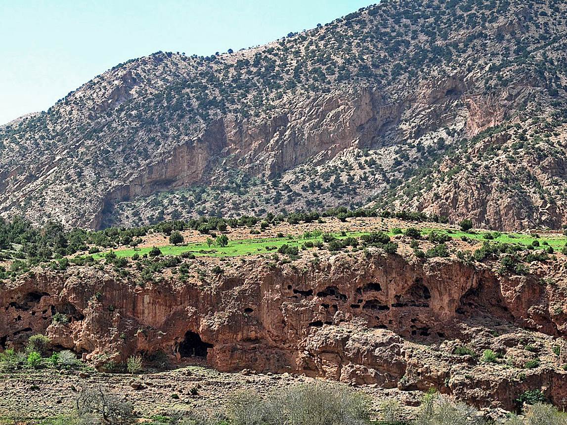
Caves in the cliff
facing Taghia across Oued Lakhdar.
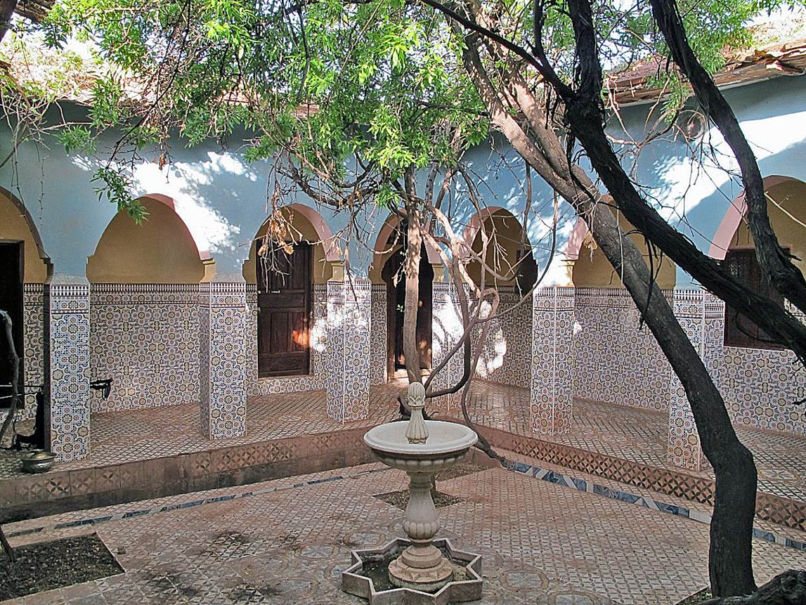
Beautiful patio
inside the gite Le Noyer (The Walnut Tree) in Abachkou.
|
|
Return
to main Atlas 2013 webpage | Go to sections: 1,
2,
3,
4,
5