High Atlas of Morocco: From Arous to Amniter (April
2013)
Section 2: Abachkou
to Tarbat-n-Tirsal
![]()
Return
to main Atlas 2013 webpage | Go to sections: 1,
2,
3,
4,
5
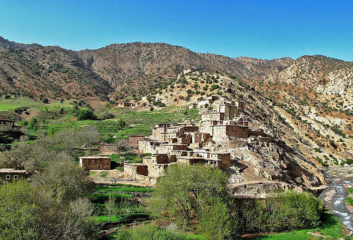
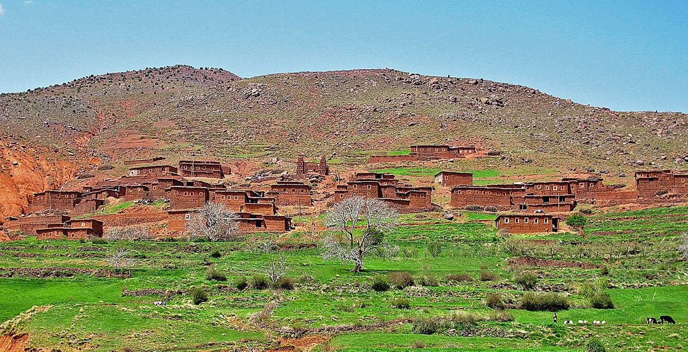
Small
village after Abachkou.
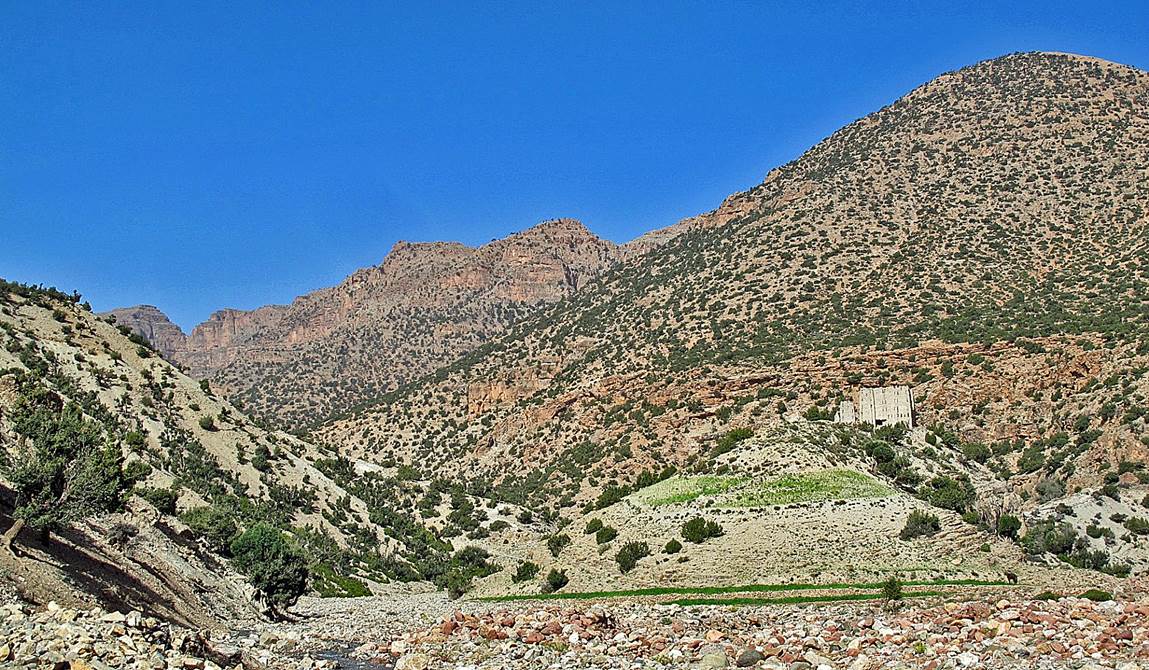
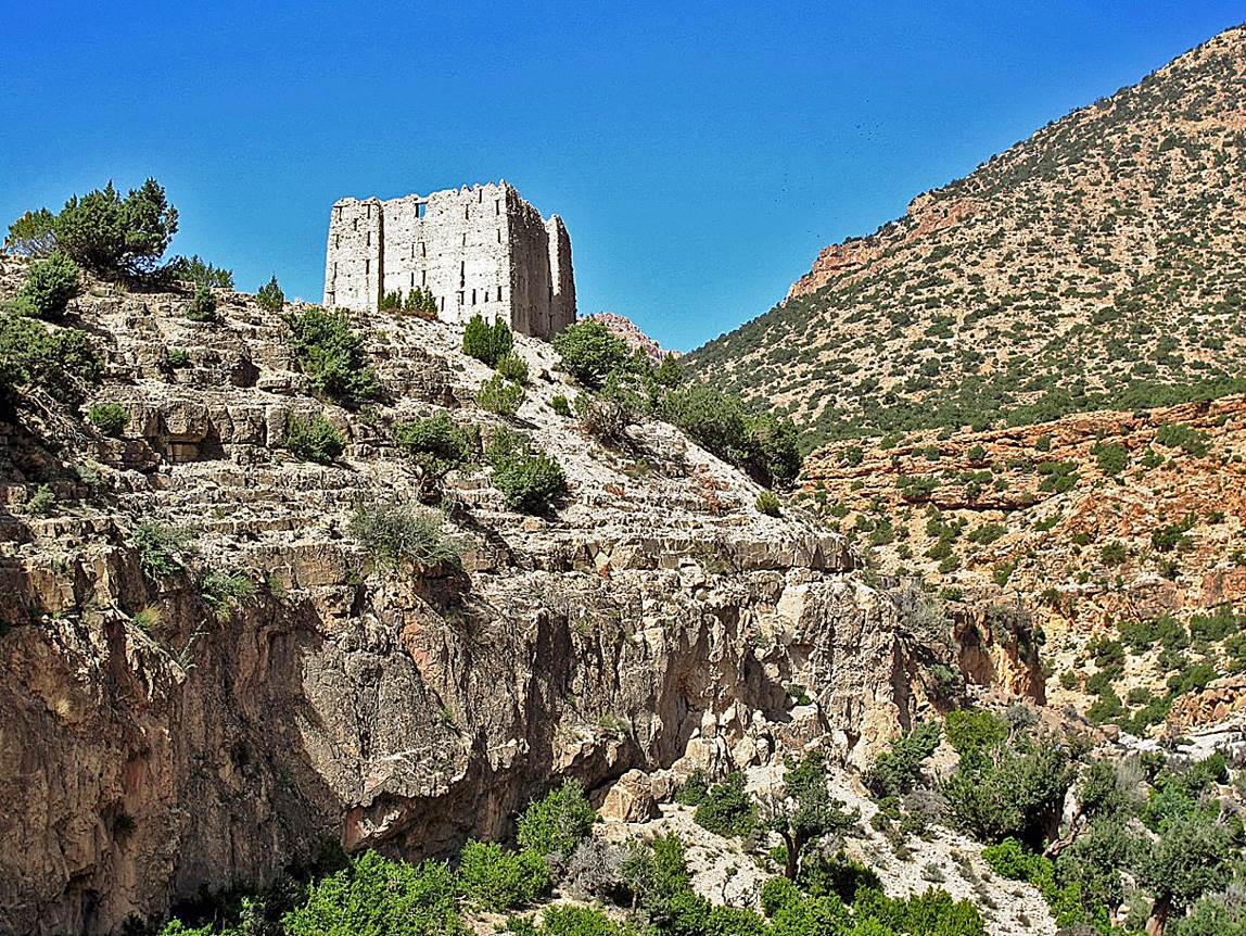
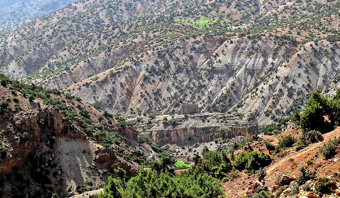
Isolated Kasbah
further up toward Tizi n-Tighist.
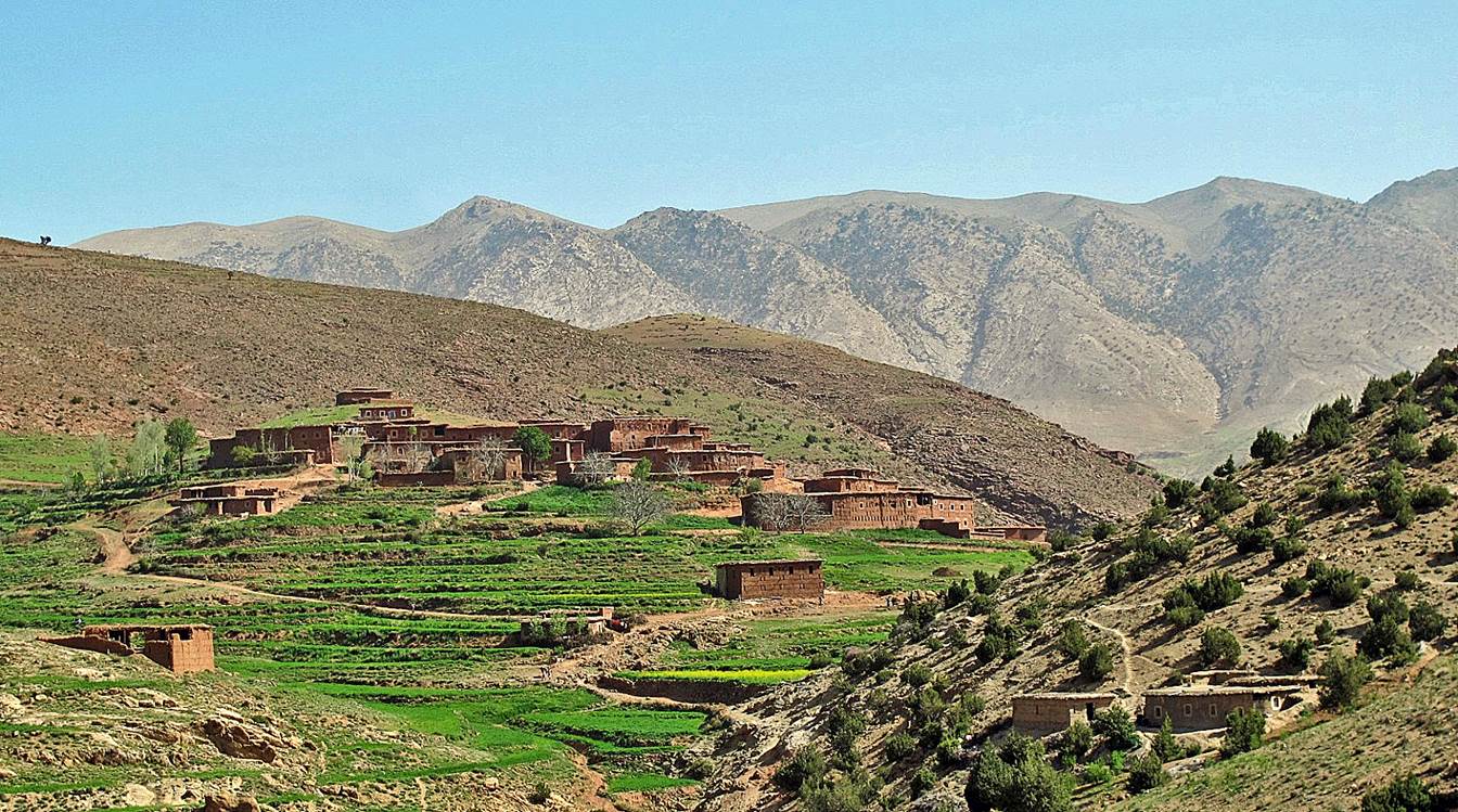
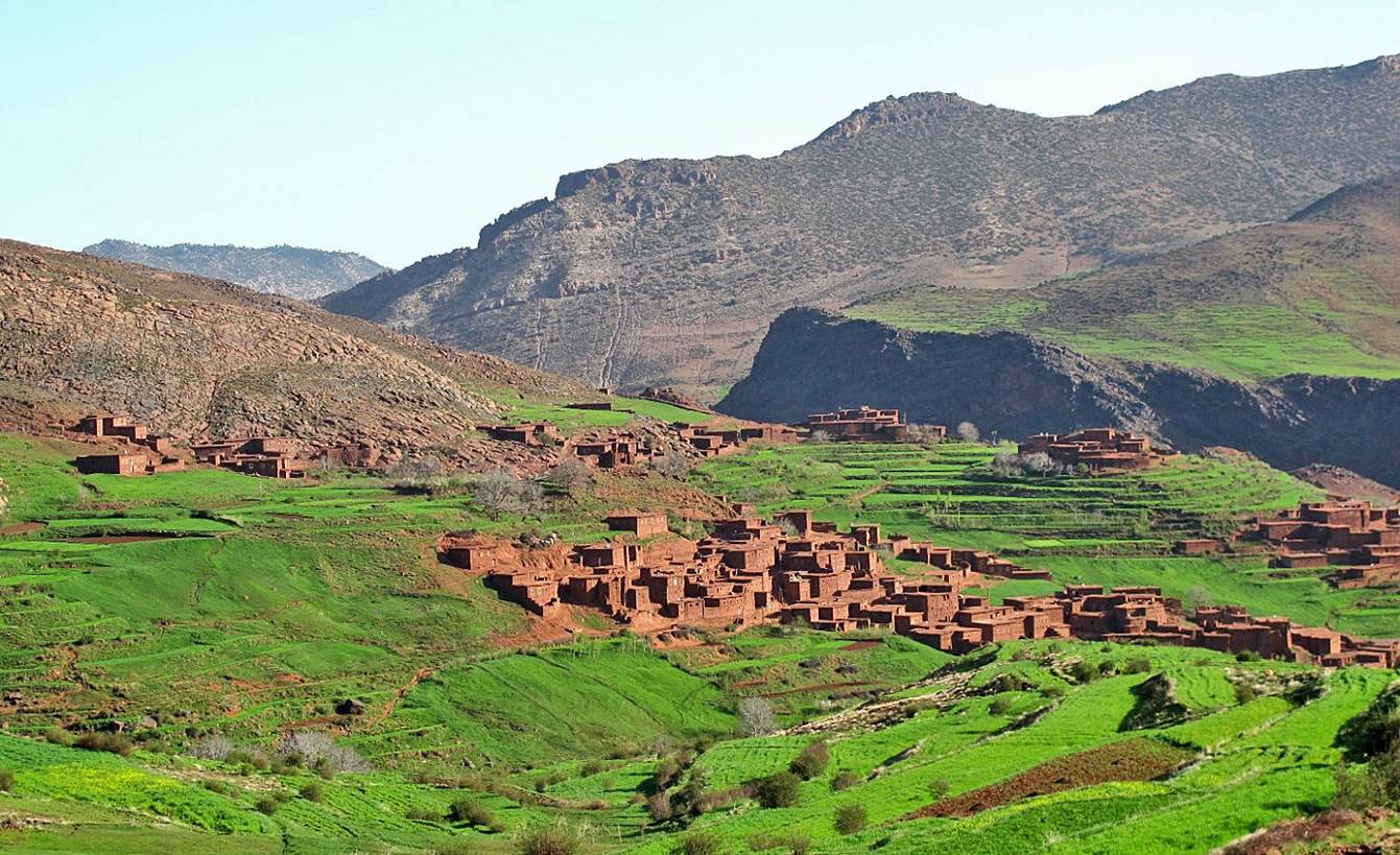
Village of Ighboula, with Jebel Tadaghast in
the background
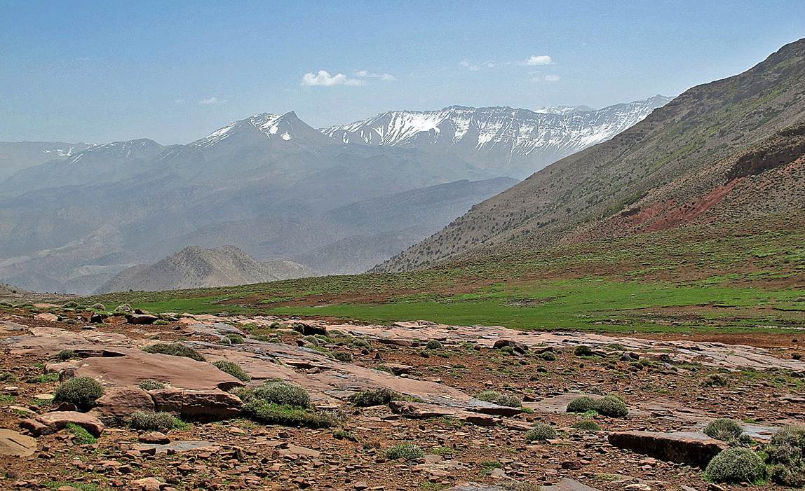
Tizi n-Tighist (2399m), looking eastward.
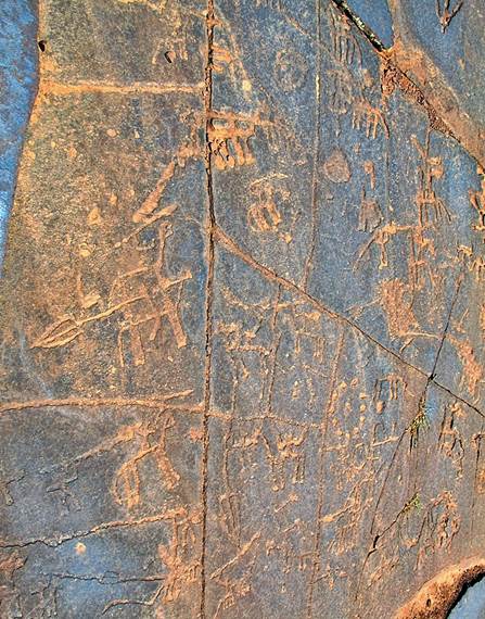
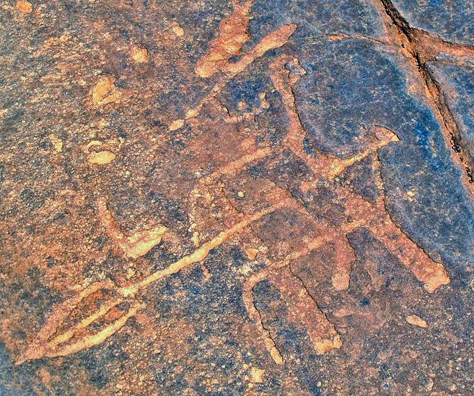
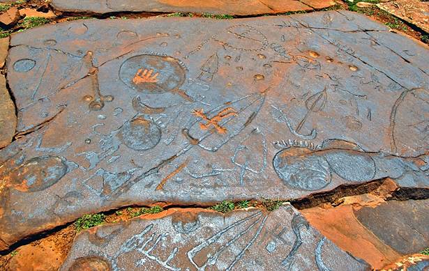
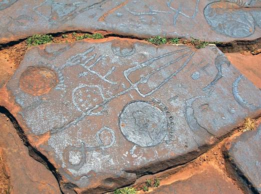
Petroglyphs
on slabs of pink sandstone at Tizi-n-Tighist. These
engravings are said to be several thousand years (3000?) old. Some represent
battle scenes with horses, carriages, spears, shields (circular shapes), ...
|
|
|
|
|
|
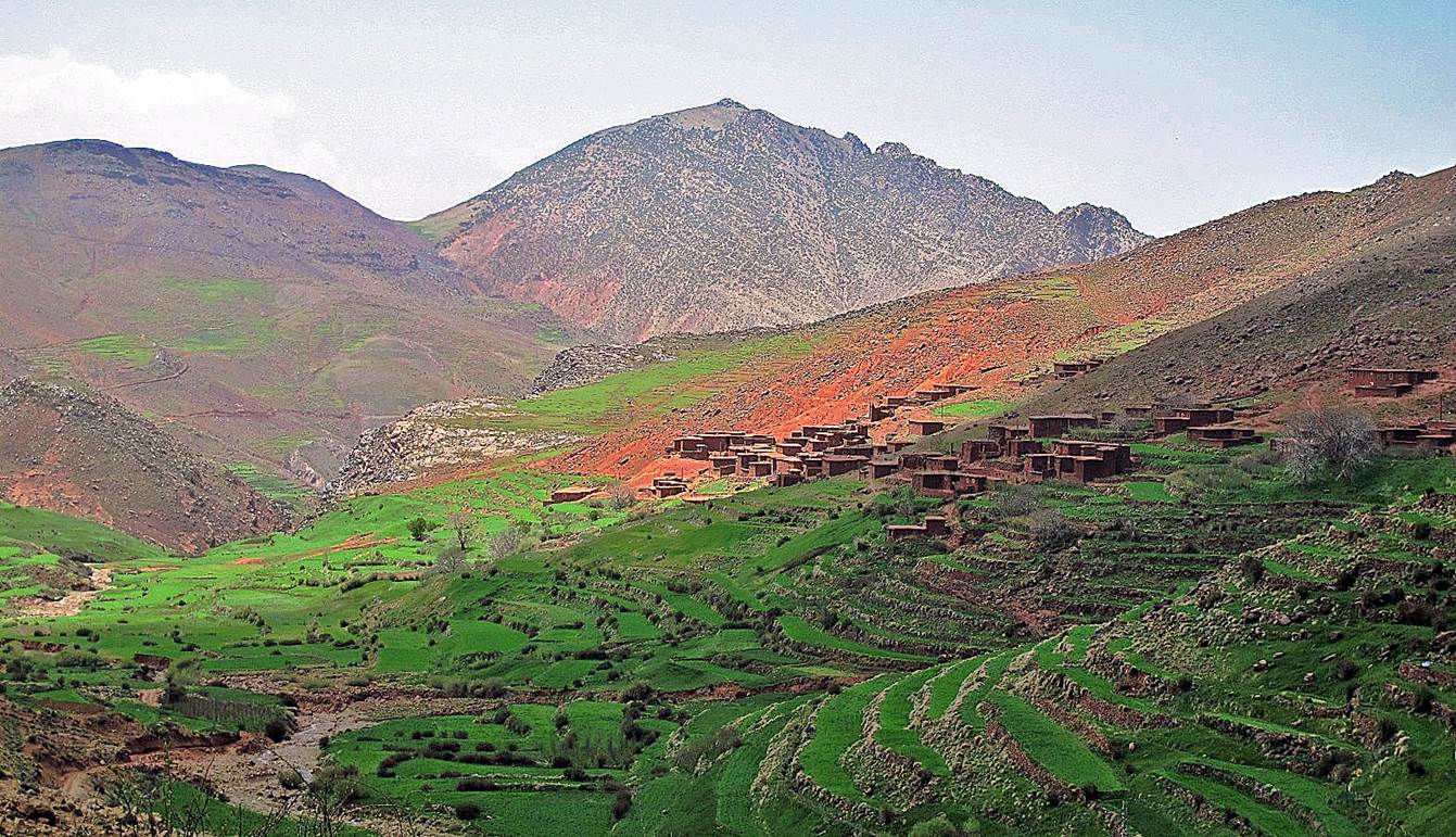
Village of Iskad below Tizi-n-Tighist.
Village of Tagassalt further down in the same valley.
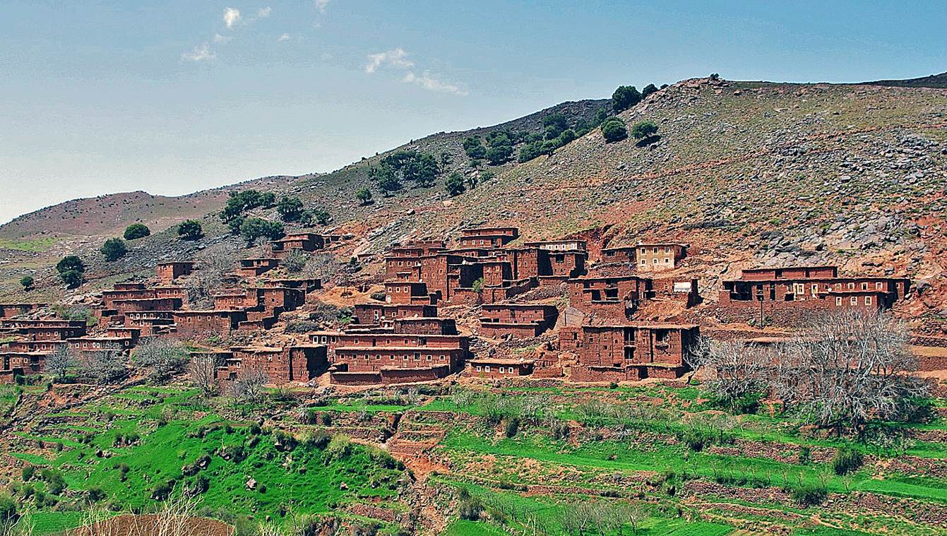
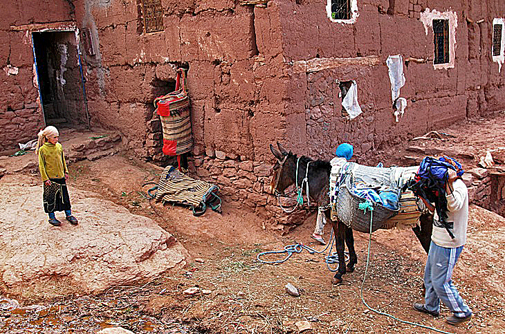
Village of Tarbat-n-Tirsal. It consists of
several groups of houses.
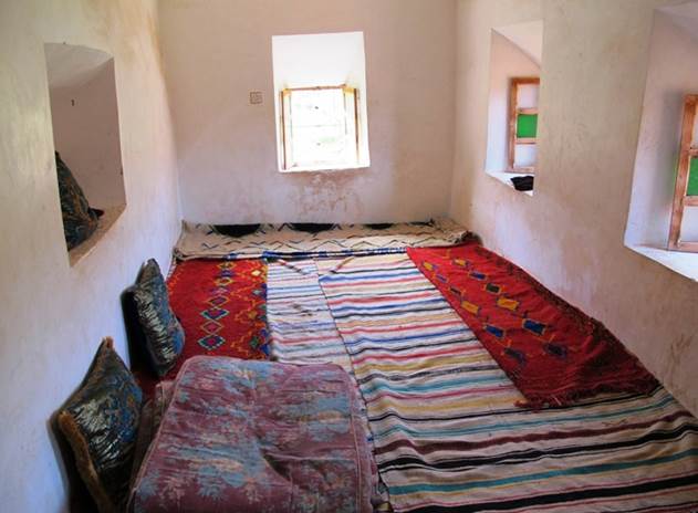
We spent two
nights in Tarbat-n-Tirsal
in a local house.
|
|
|
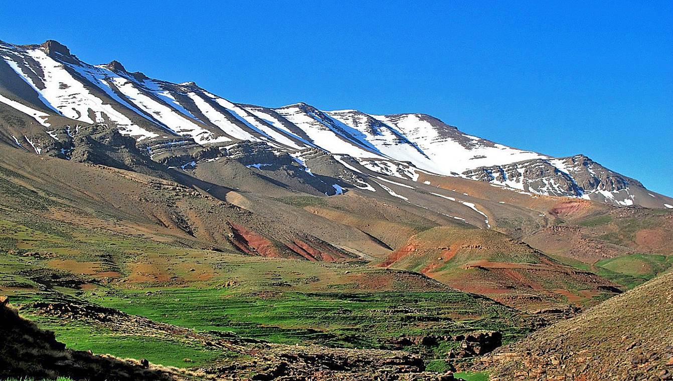
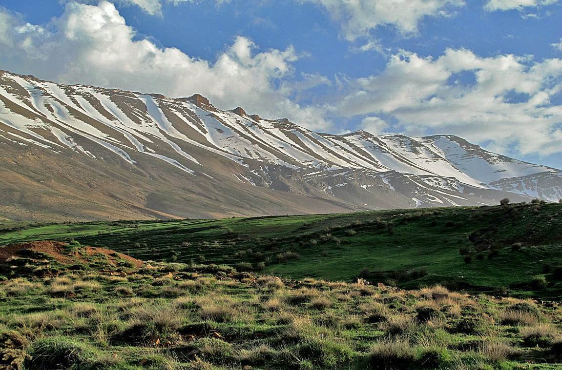
The Jebel Rat
ridge seen from Tarbat-n-Tirsal. Its highest point (3781m)
is hidden by the rightmost summit in these two pictures.
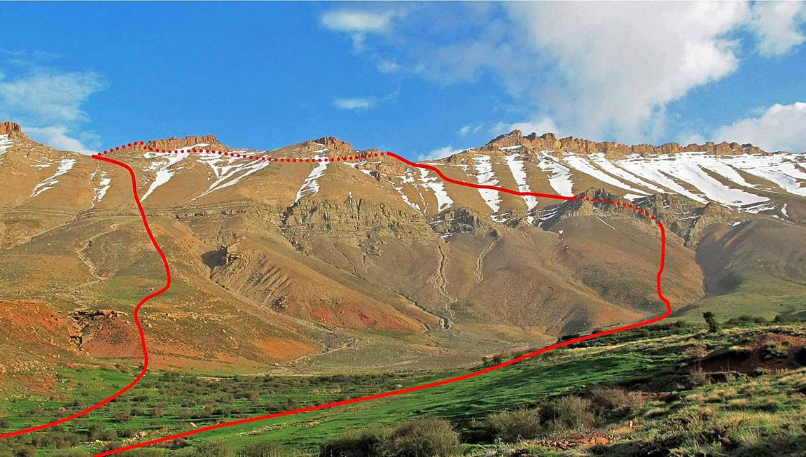
After the
first night in Tarbat-n-Tirsal, I
climbed to the ridge of Jebel Rat with Majid, my friendly host in Tarbat-n-Tirsal.
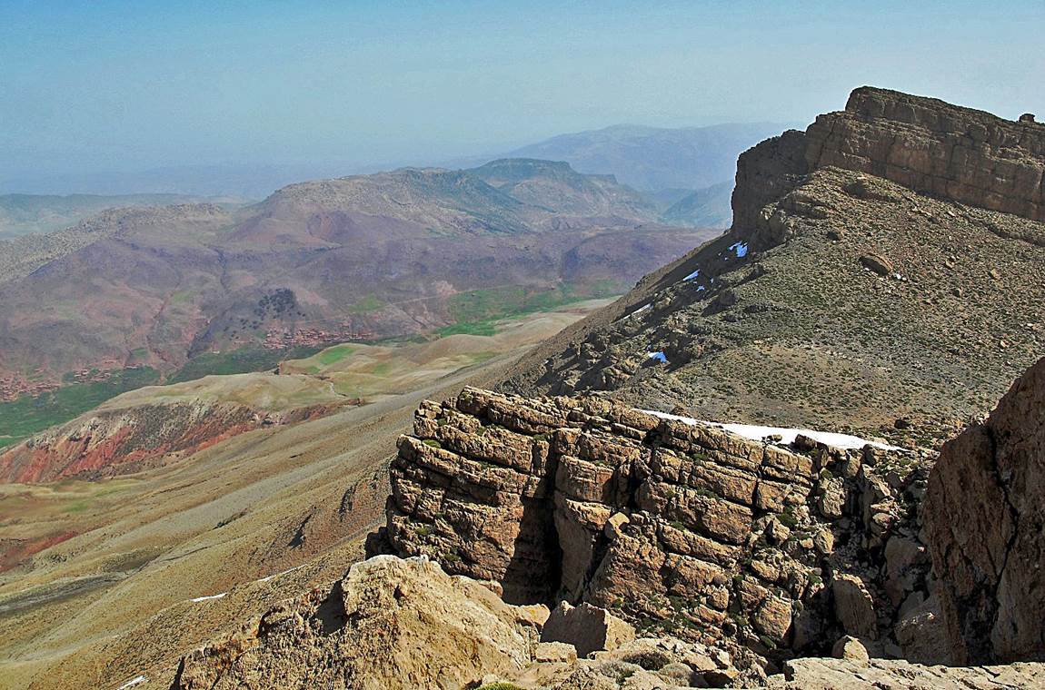
Underneath
the rock band.
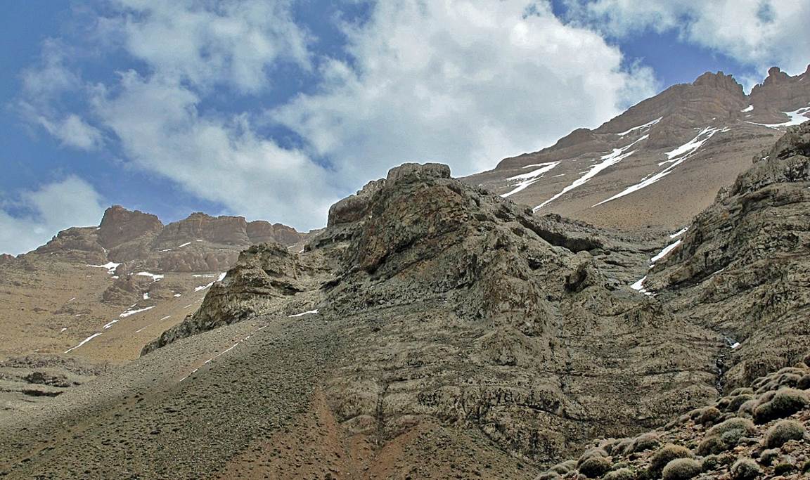
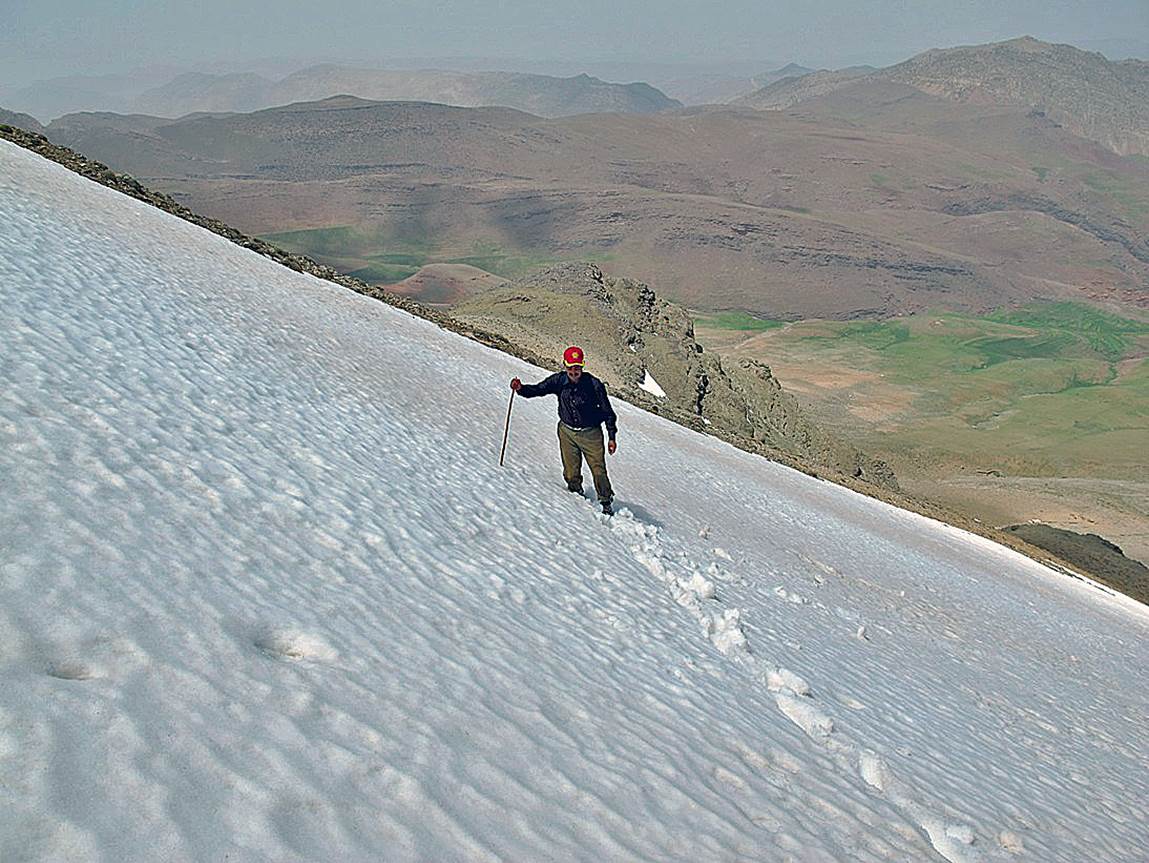
Majid
crossing a snow patch.
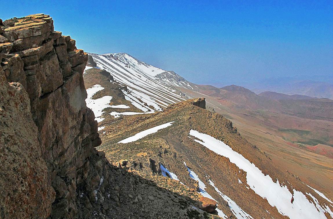
On the ridge.
(The villages of Iskad and Tagassalt
are visible in the first photo.)
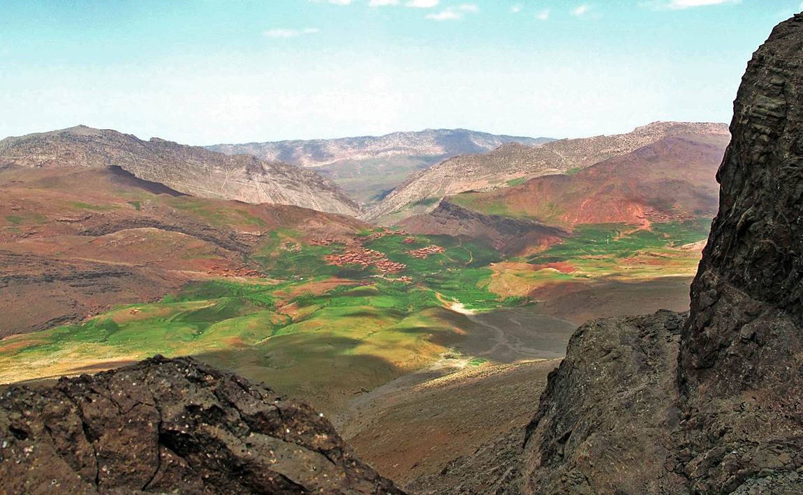
View over Tarbat-n-Tirsal from the ridge.
|
|
Return
to main Atlas 2013 webpage| Go to sections: 1,
2,
3,
4,
5