Ethiopia (April-May 2012): Mekele-to-Lalibela-to-Debark
trek (page 6 of 8)
|
|
Return to main Ethiopia 2012 webpage | Go to
pages: 1
| 2
| 3
| 4
| 5
| 6
| 7
| 8
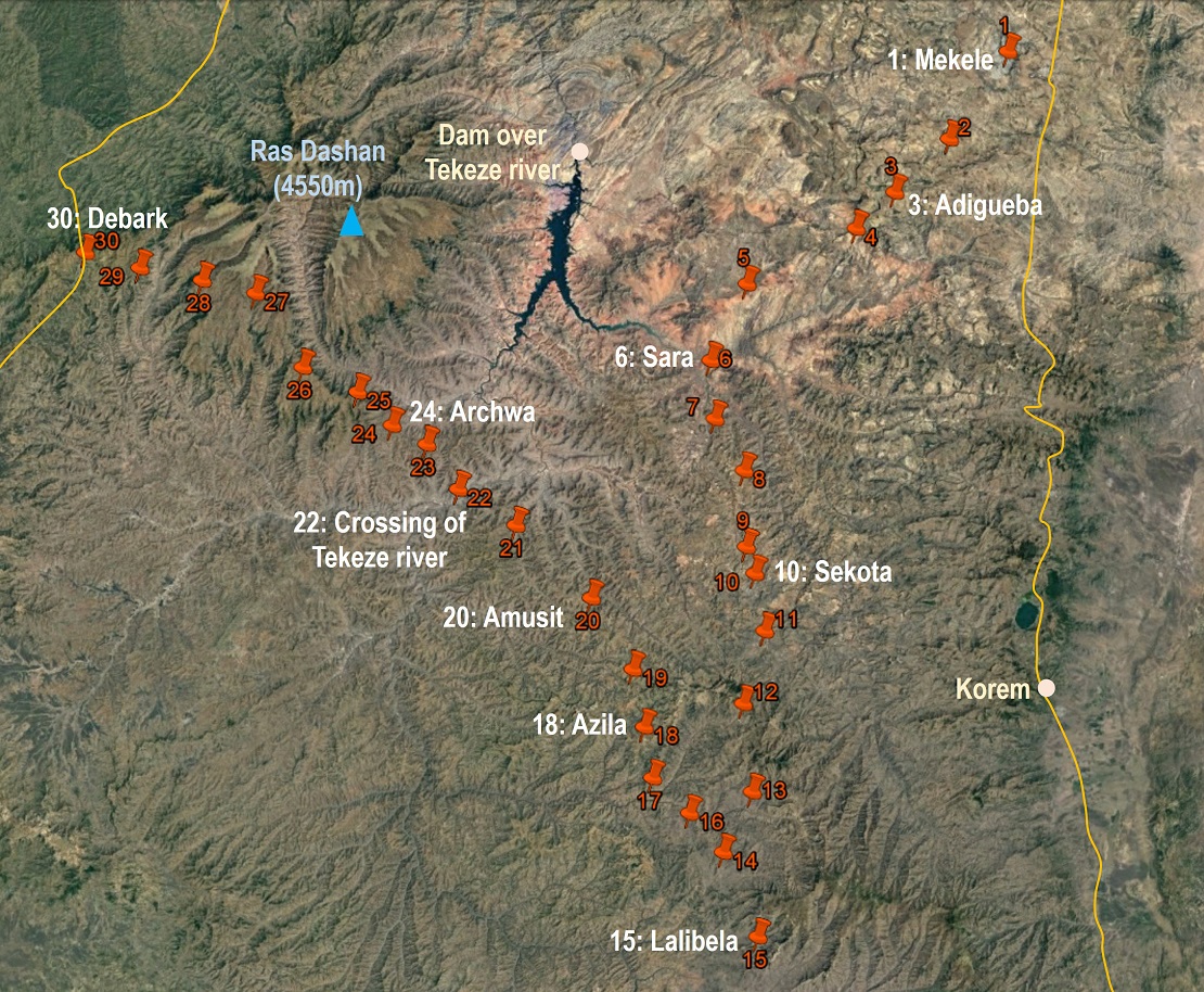
Map. (Click here to access the waypoints in Google Earth. Click
on the map to get a better-resolution picture of it.)
|
|
|
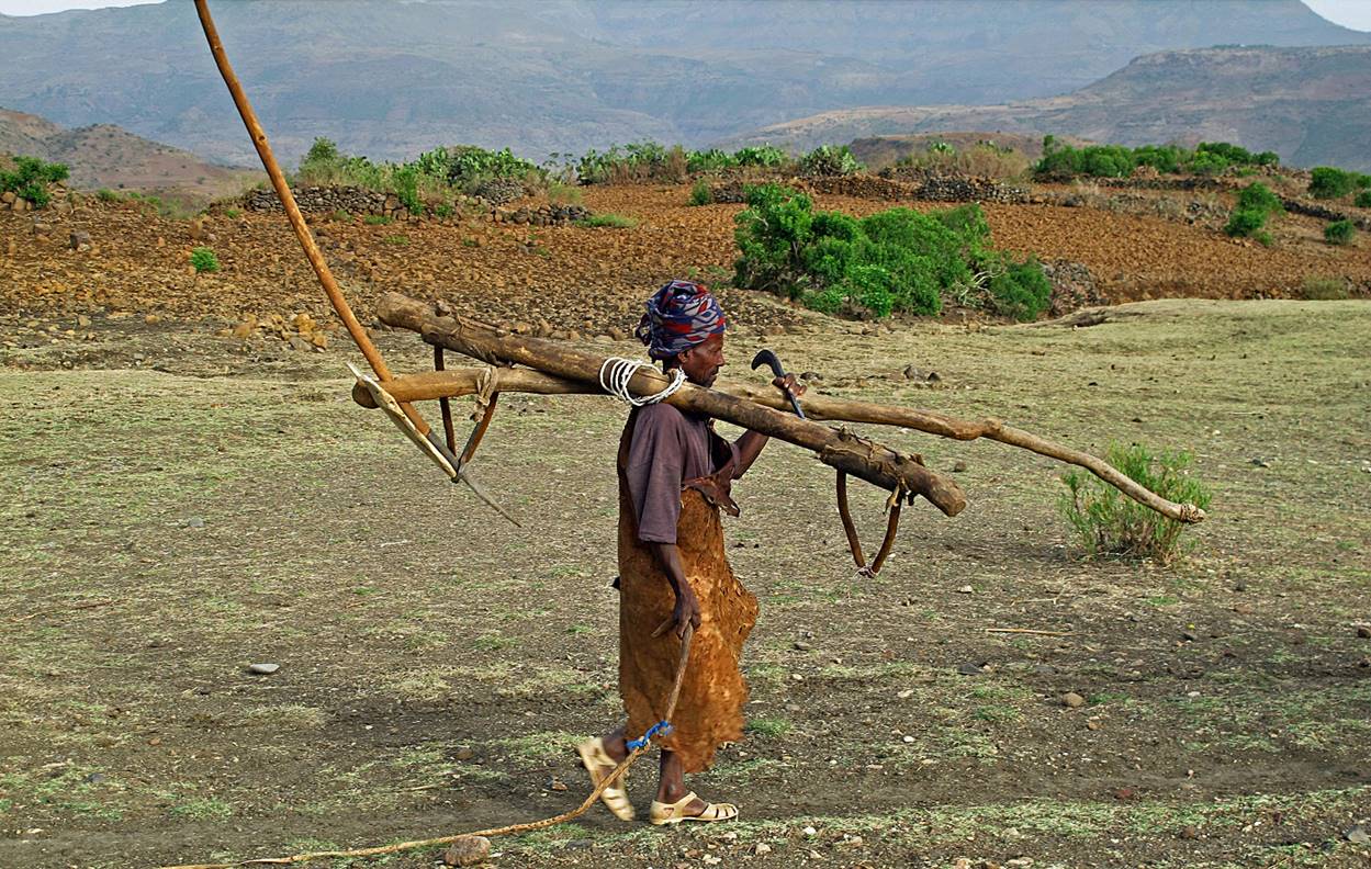
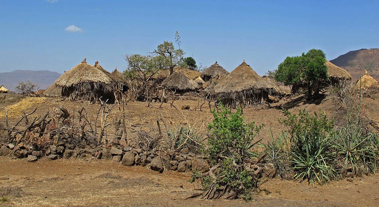
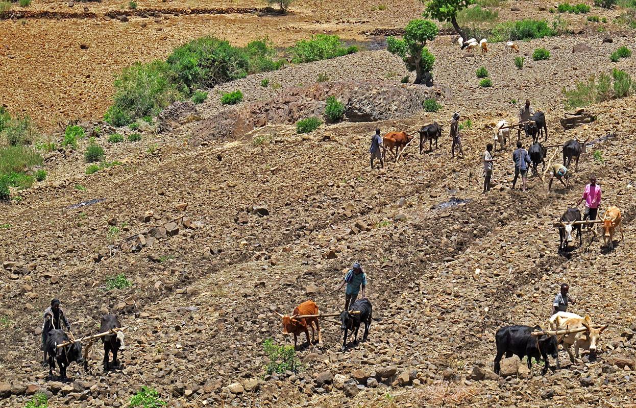
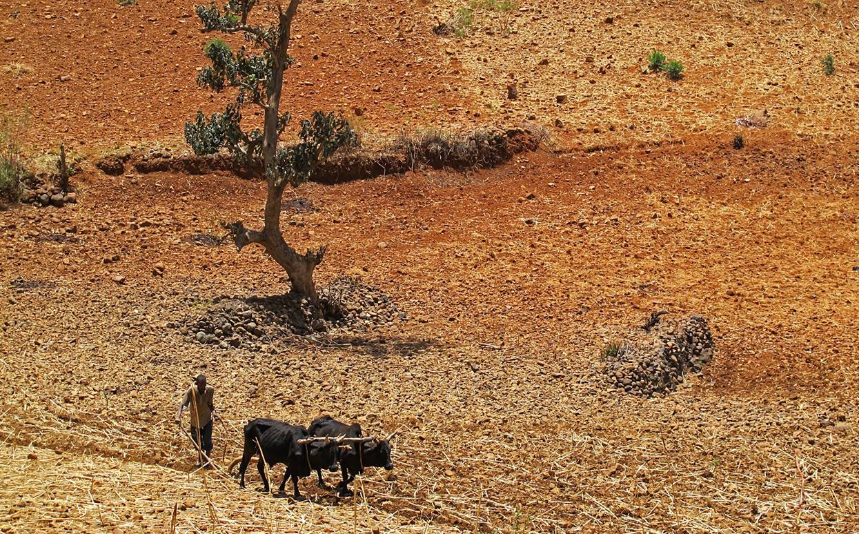
Men leaving Azila (WP #18)
for a day of field plowing.
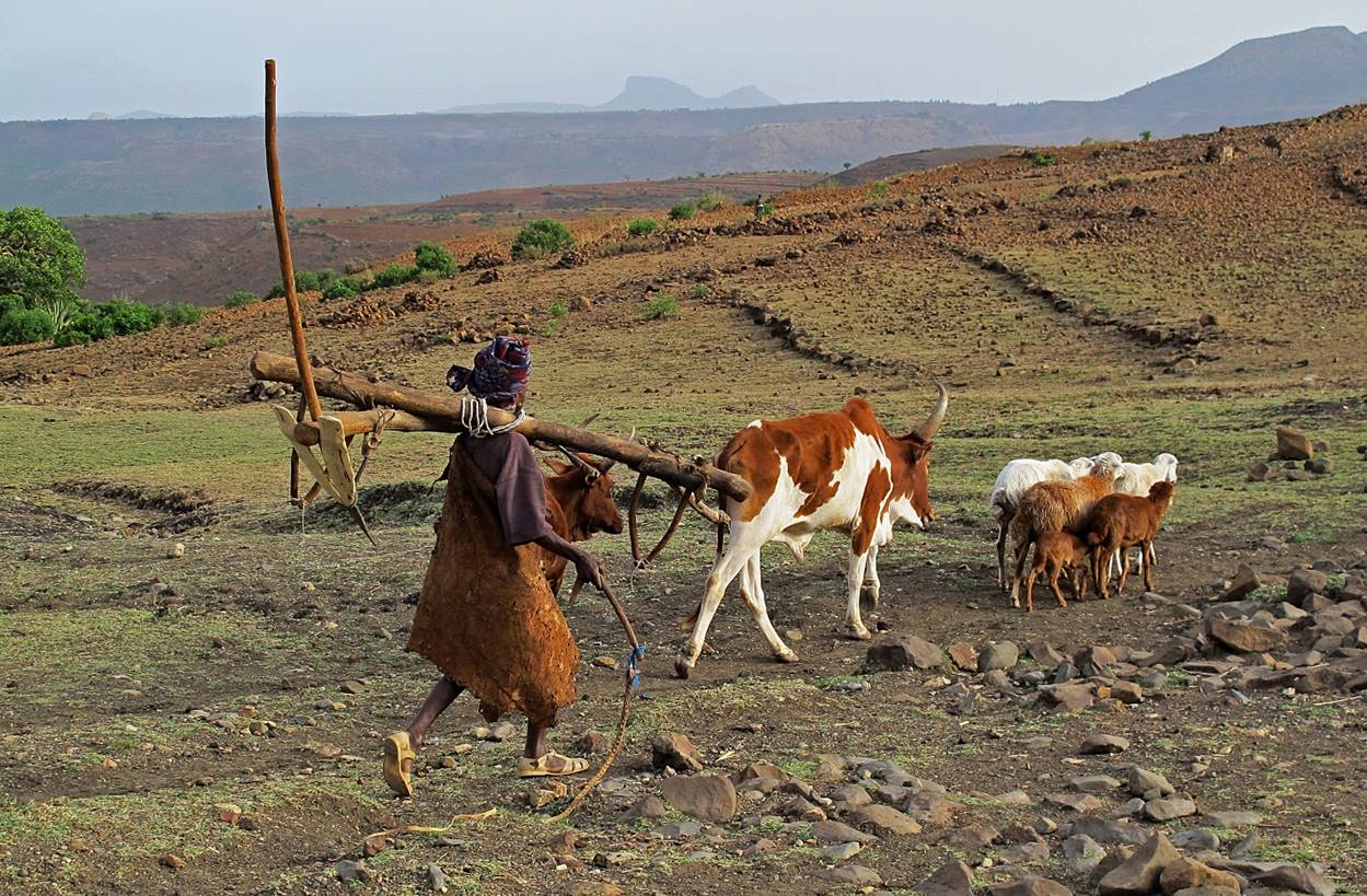
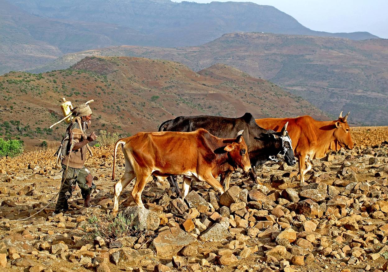
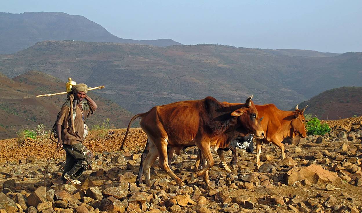
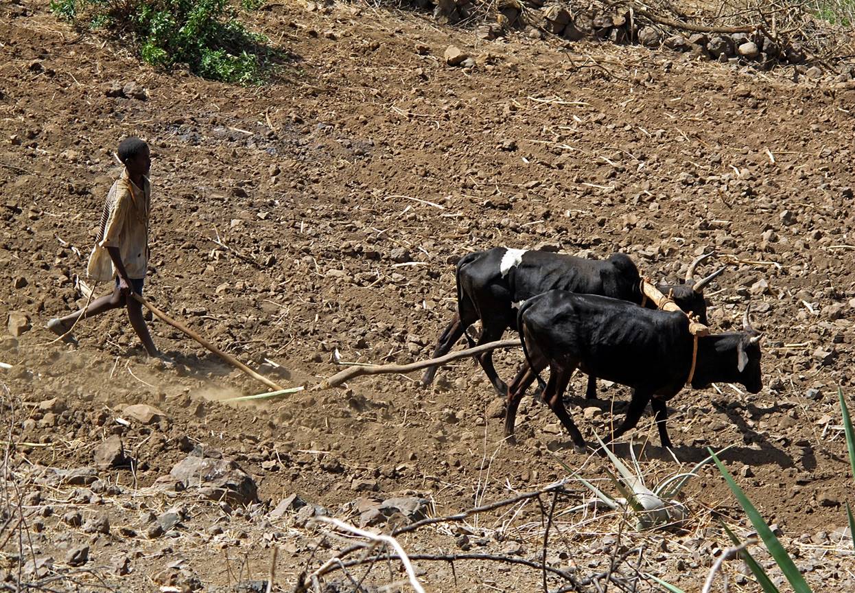
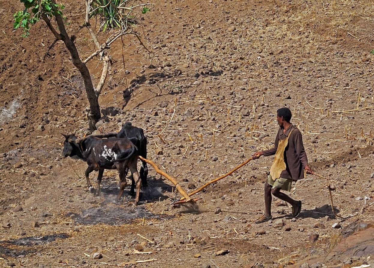
Field plowing with oxen.

Between WP #18 and WP #19.


Prenuptial groom parade through
the main street of Chilla, a rather big village
before reaching WP #19.
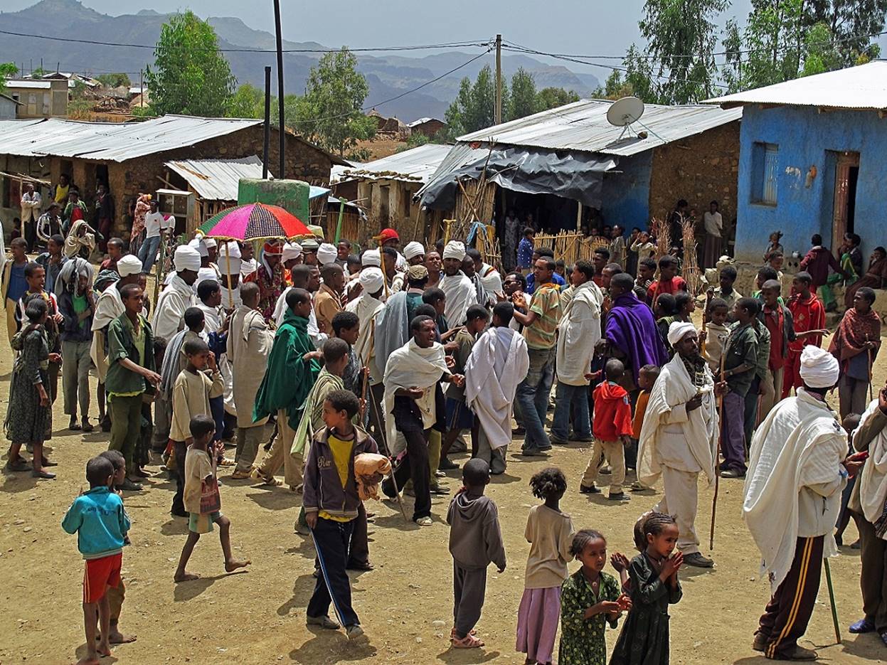
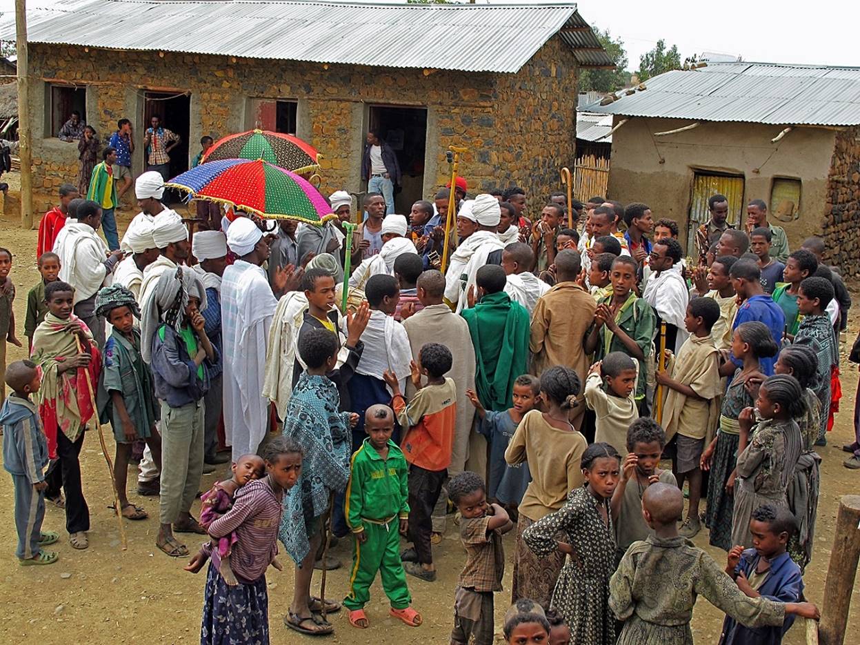
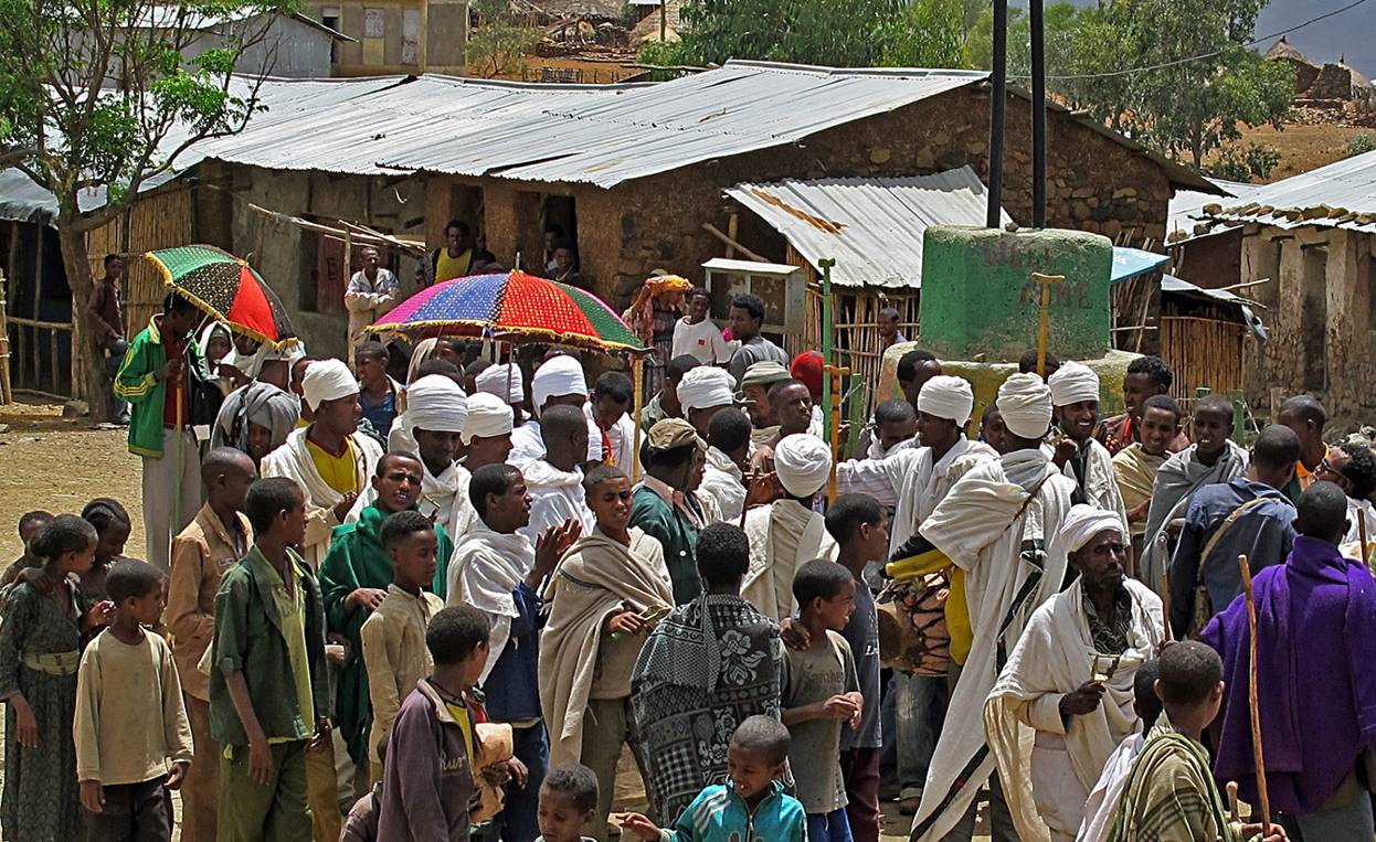
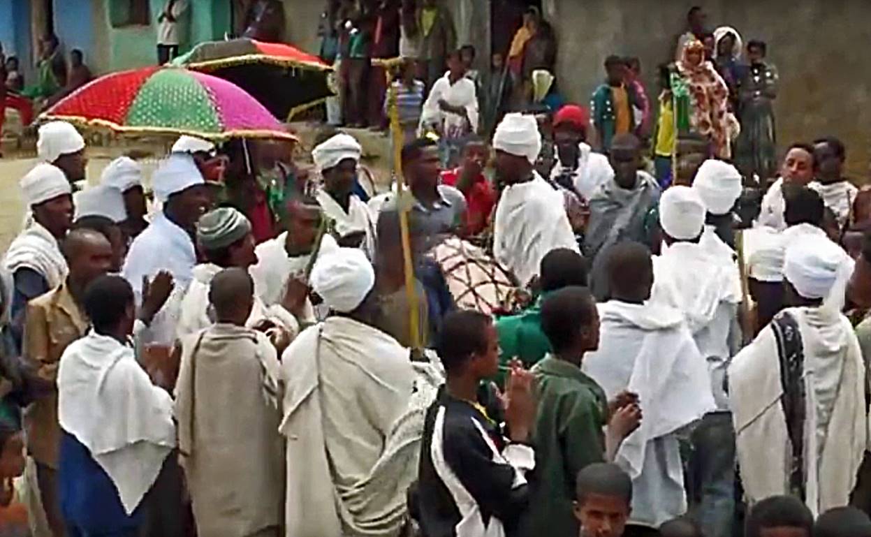
Click on the photo below to see a short movie of the parade.
Women
enjoying the parade.

Our
campsite at WP #19.

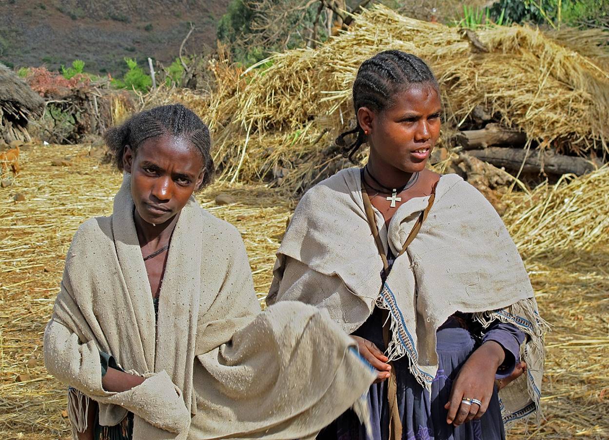
Women
at WP #19.
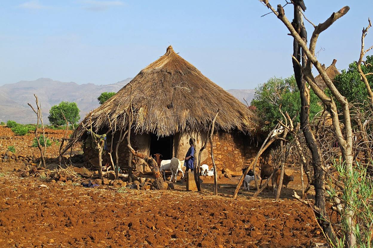
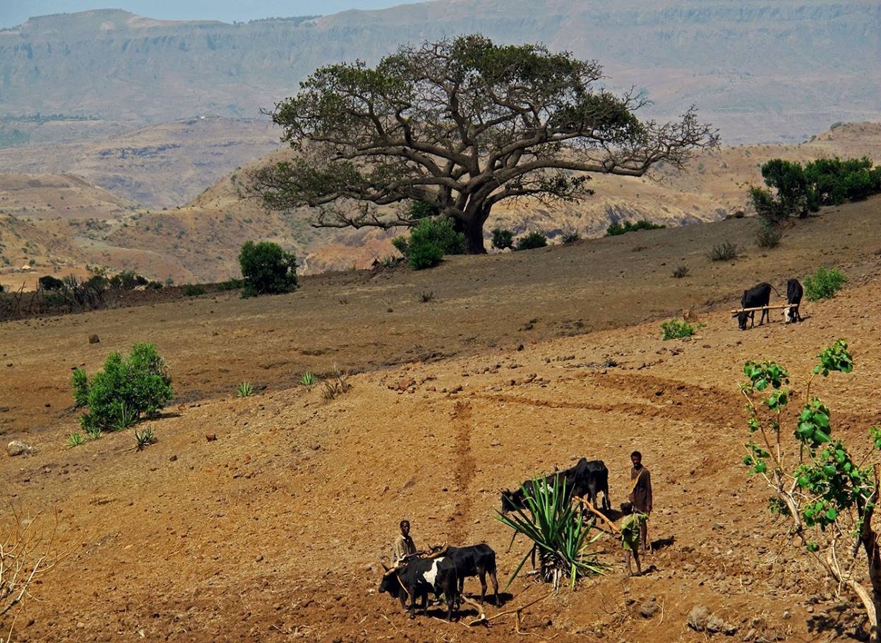
Between WP #19 and WP #20.


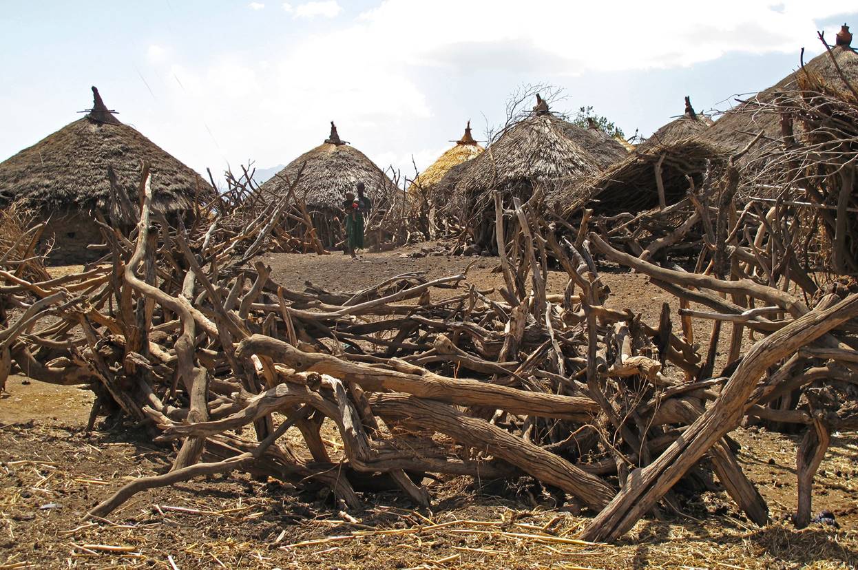

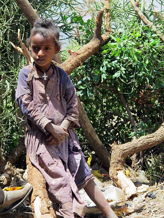
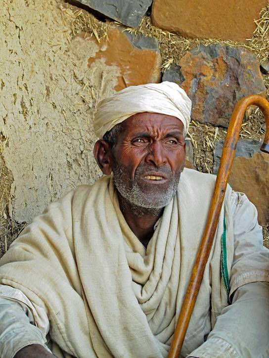
Girl and old man in a small village between WP #19
and #20 where we stopped for lunch.
|
|
|
|

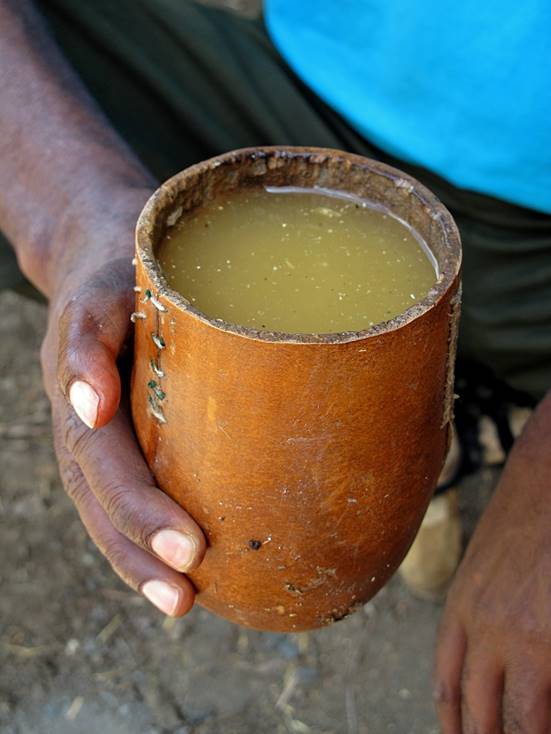
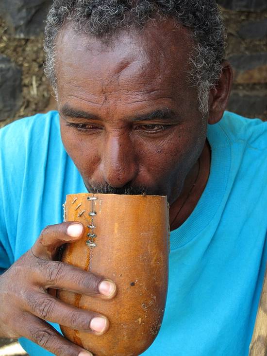
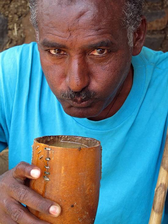
Gebru enjoying tella
in that same village. Tella is a
typical home-brewed beer made from teff (the
cereal used to make injera) or barley
|
|
|
|
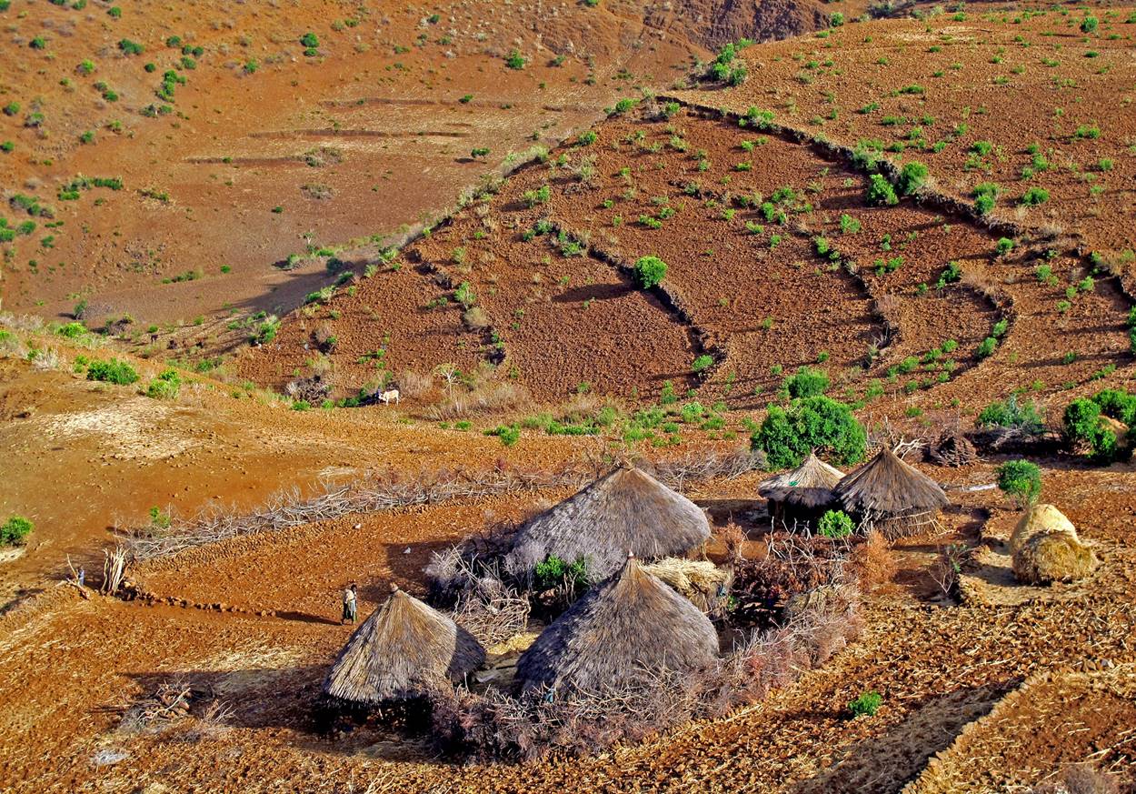
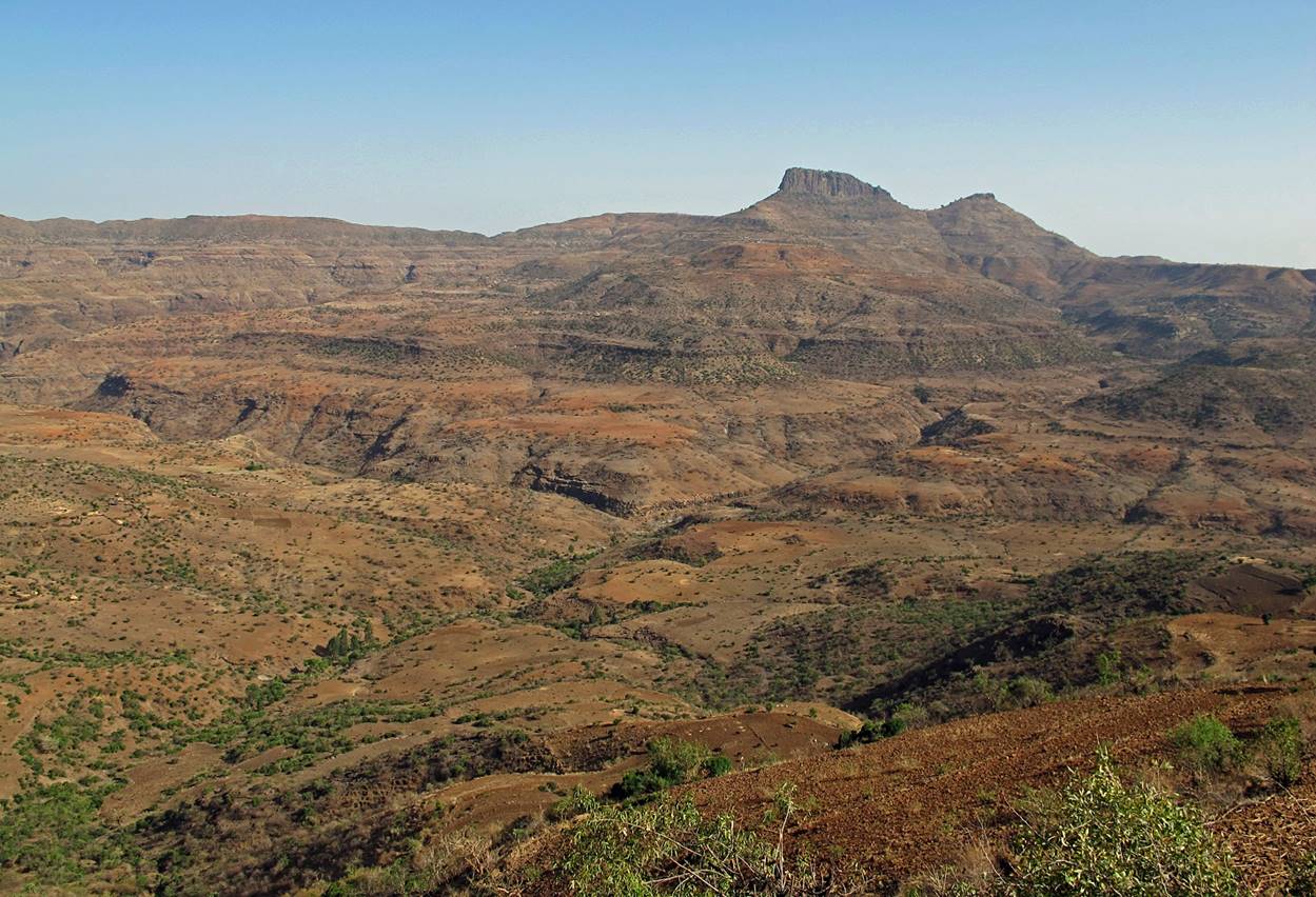
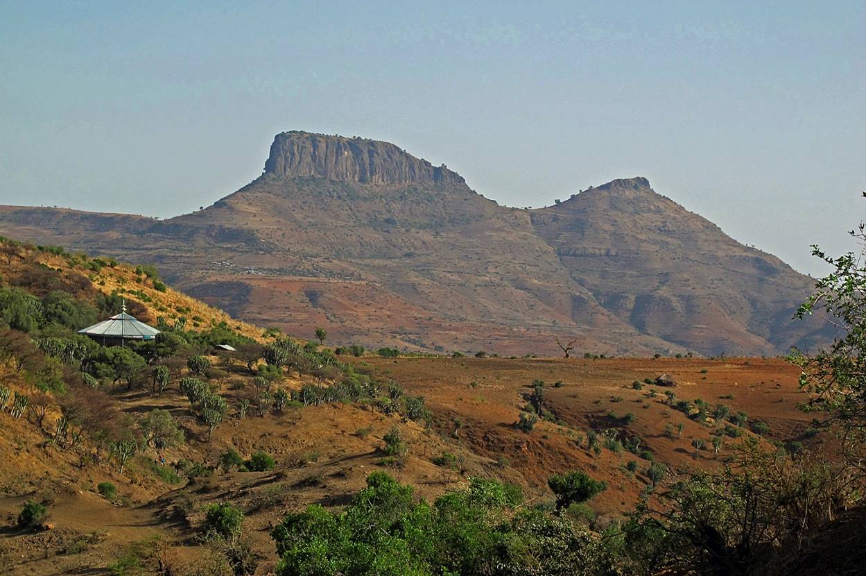
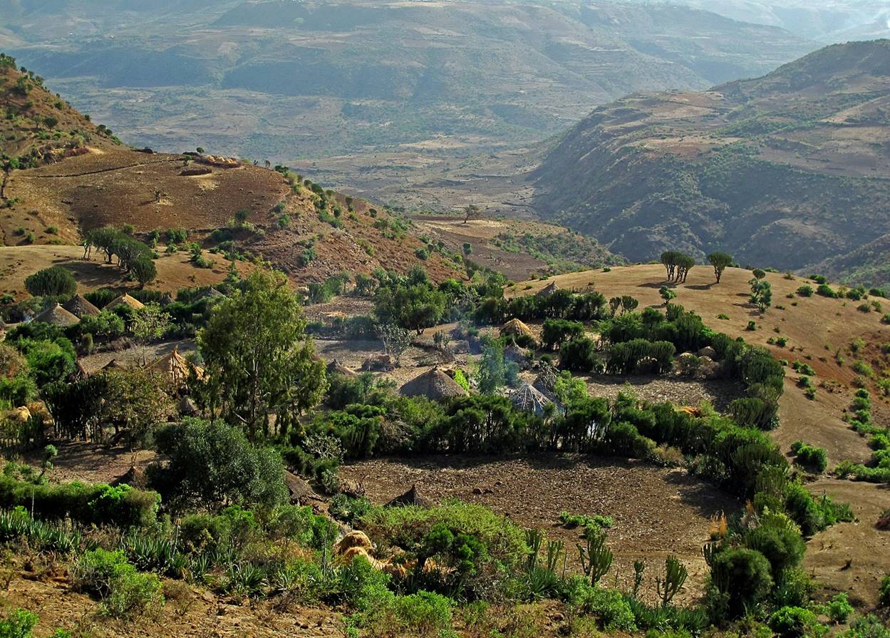
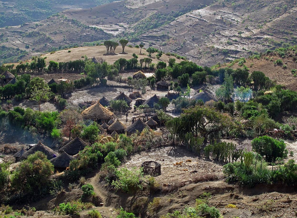
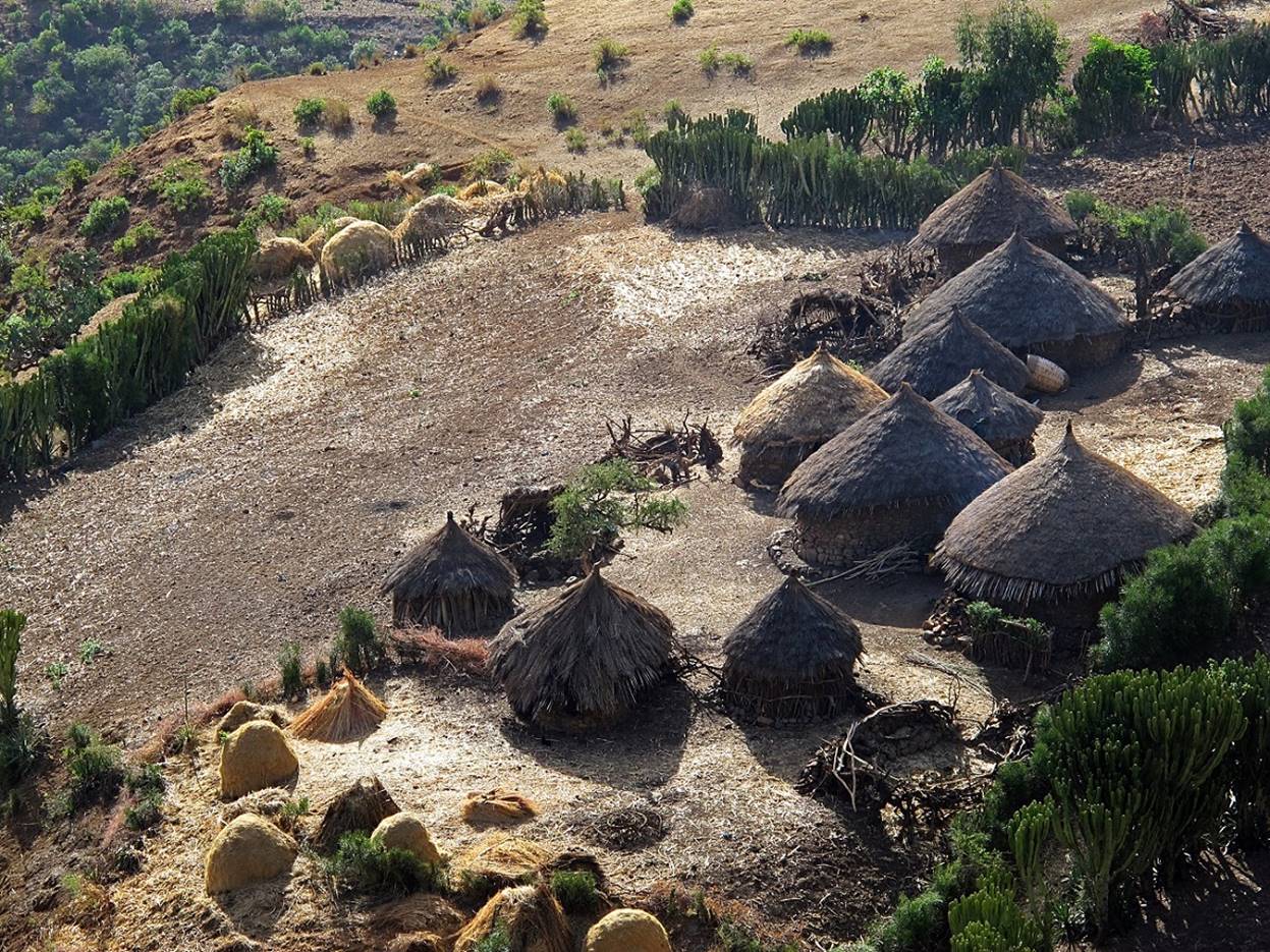
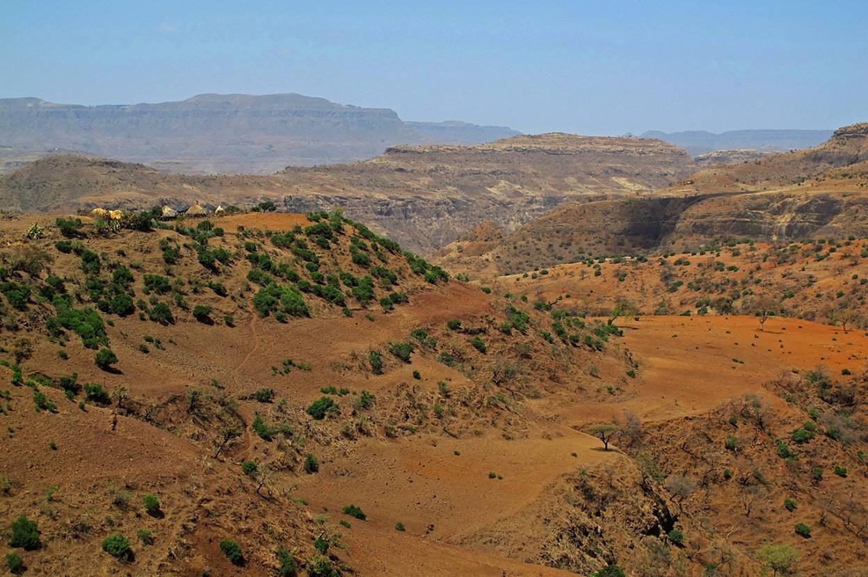
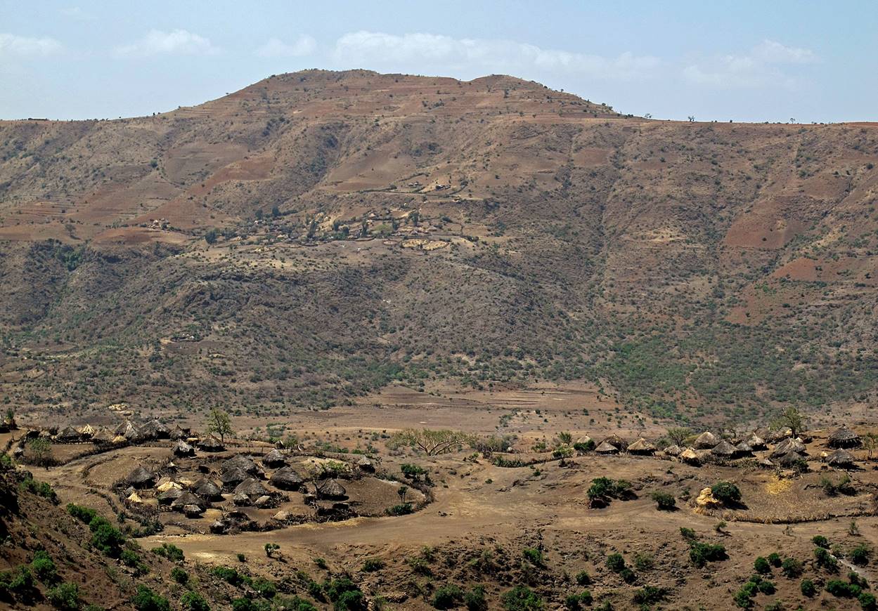
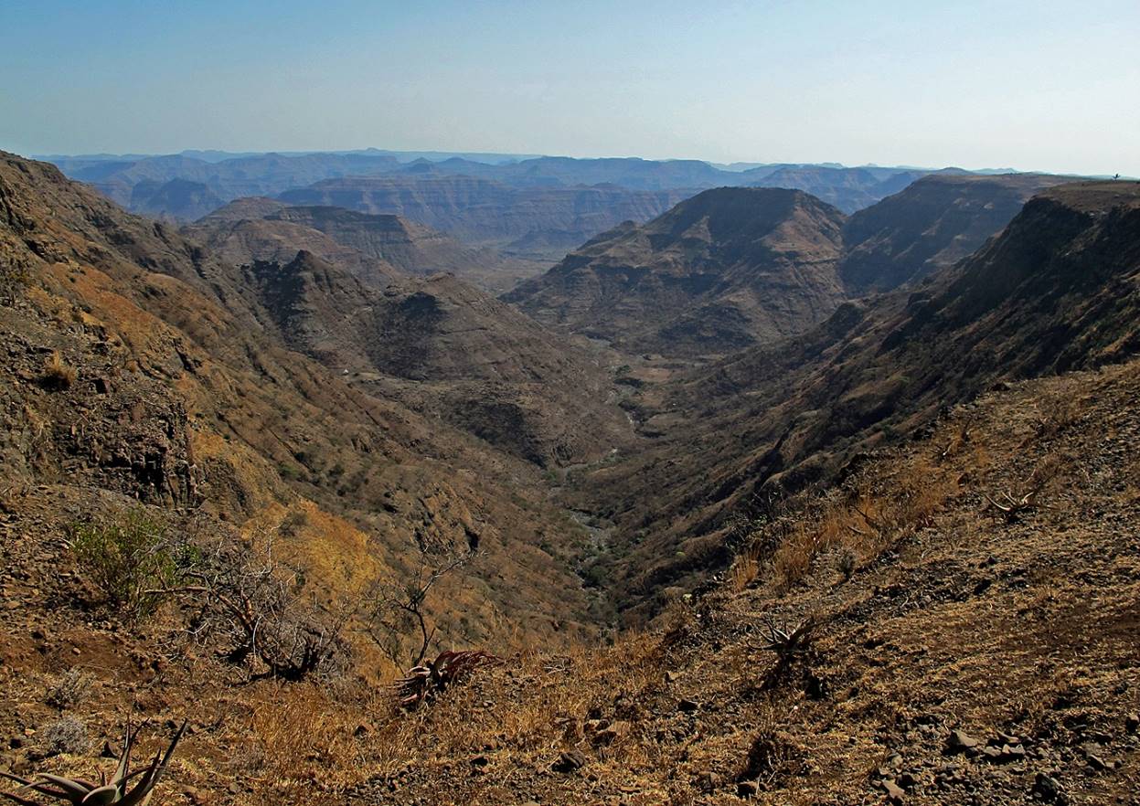
More
views between WP #19 and WP #20.
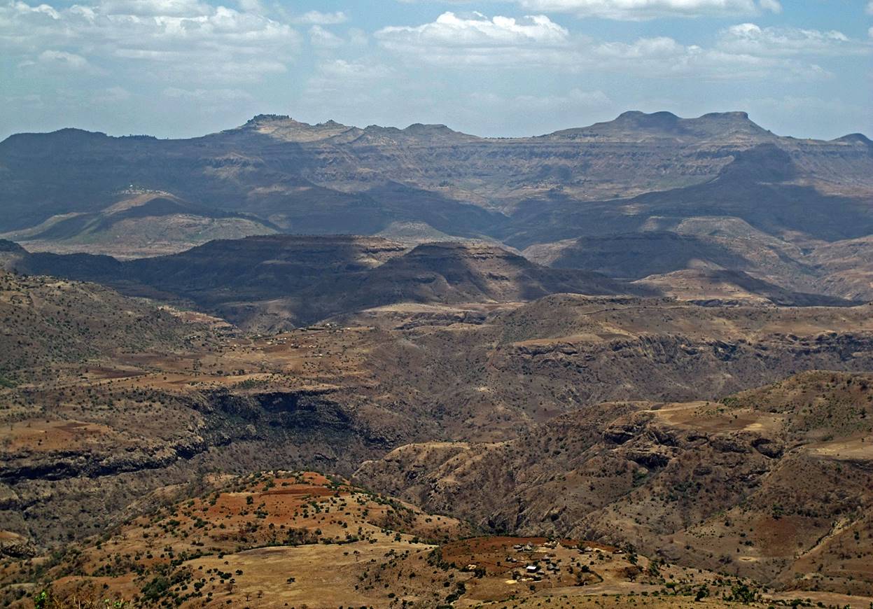
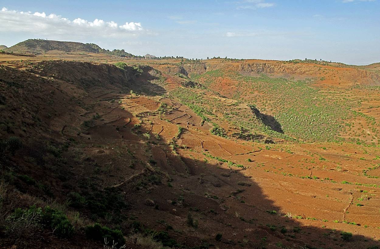
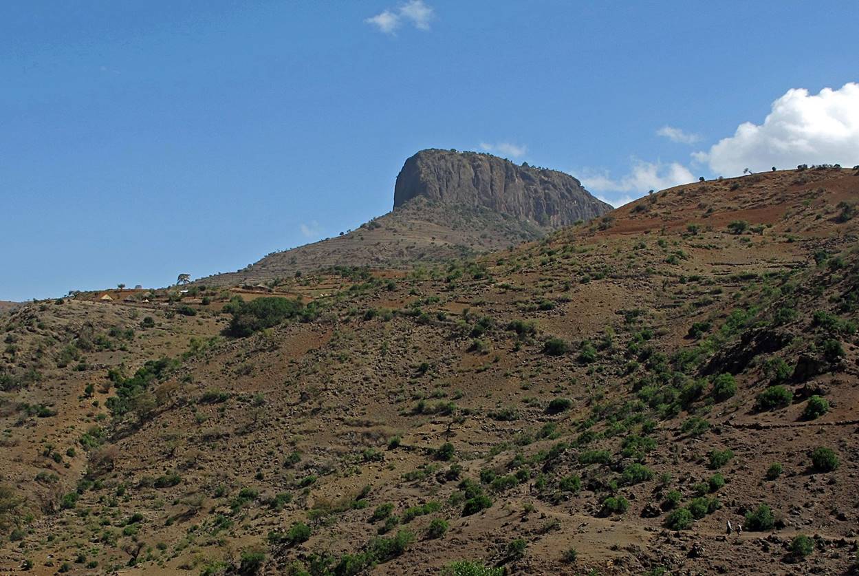
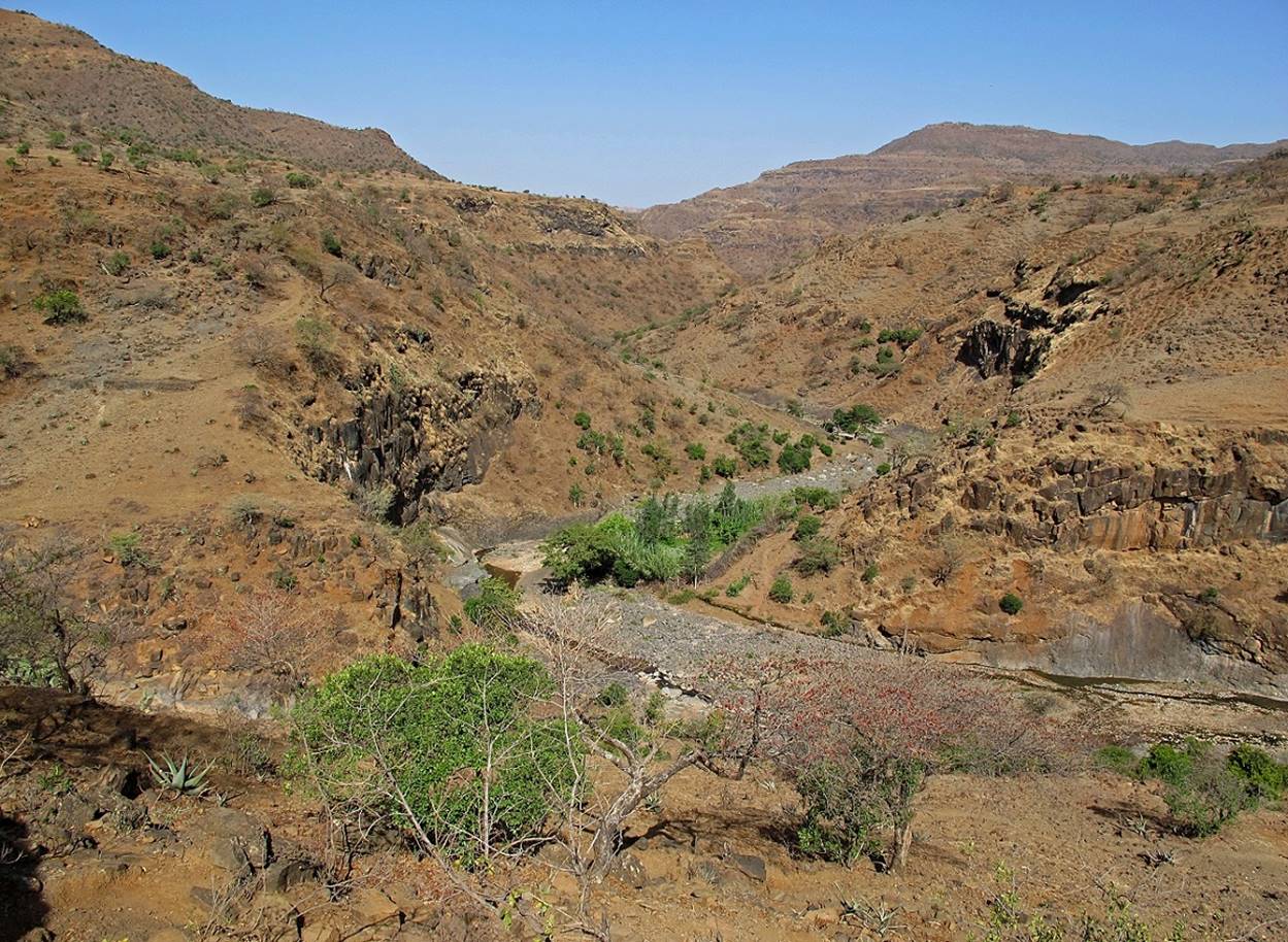
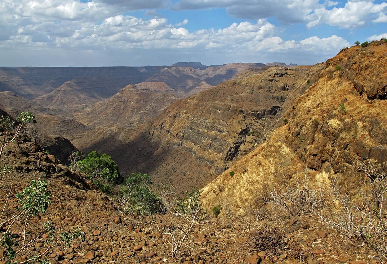
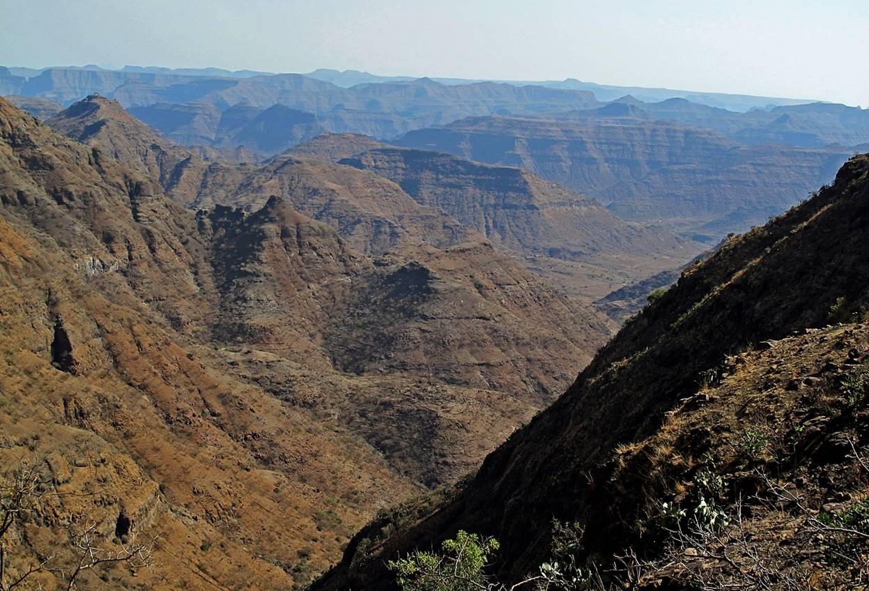
Canyons
before reaching the village of Amusit (WP #20).
![]()
Return to main Ethiopia 2012 webpage | Go to
pages: 1
| 2
| 3
| 4
| 5
| 6
| 7
| 8