Taplejung to Jiri via Lumba Samba Pass, Sherpani and West Cols, and Amphu
Lapsta (October-November 2012):
6. Yangla Kharka
to Sherpani Col High Camp (4 days)
![]()
|
From Yangla Kharka (3560m) we started our ascent toward Sherpani Col (6146m). Since the crossing of Sherpani Col leads to a high-elevation area where we
planned to put two camps and from which there is no easy escape to quickly
lose elevation in case one of us would suffer from altitude sickness, we
decided to acclimatize further by taking 4 days to reach the Sherpani Col high camp at 5700m. We put successive camps
at 4400m, 4850m (Makalu BC), 5150m and 5700m. In the spring of 2001 I had
already traveled from Yangla Kharka
to Makalu BC and beyond in an unsuccessful attempt to climb Makalu via Makalu
La (see here). |
|
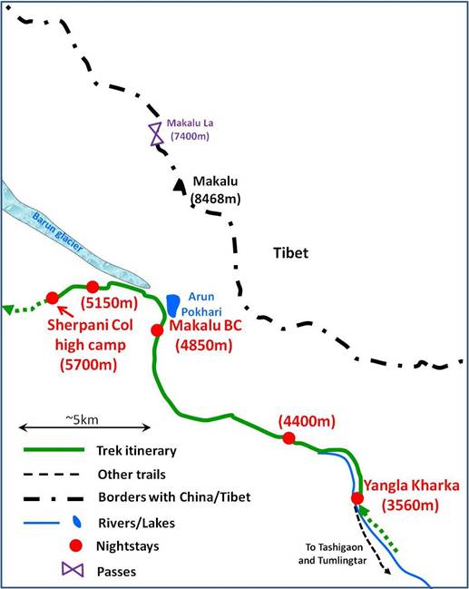
Big walls
above Yangla Kharha.
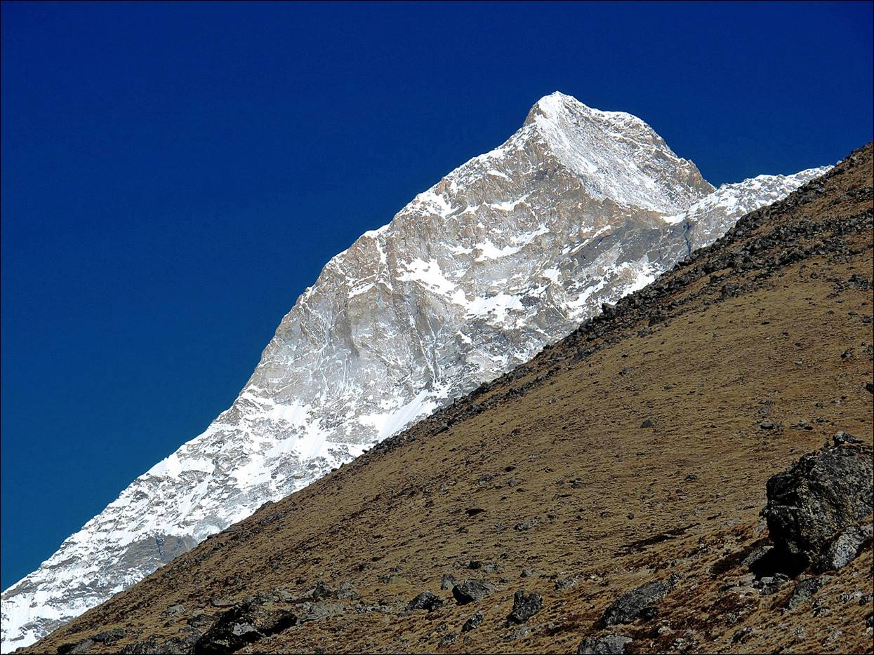
First sight of
Makalu along this trail.
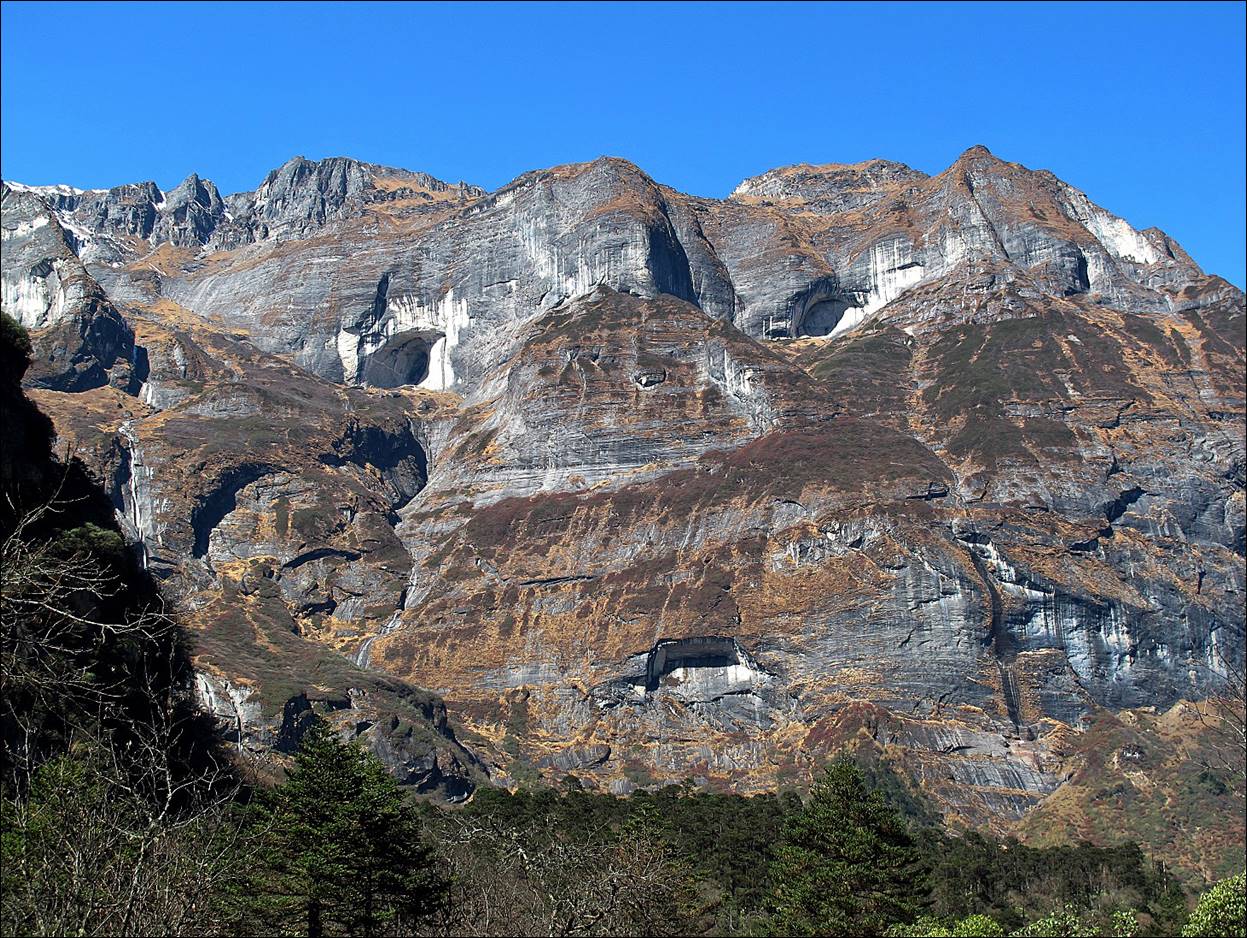
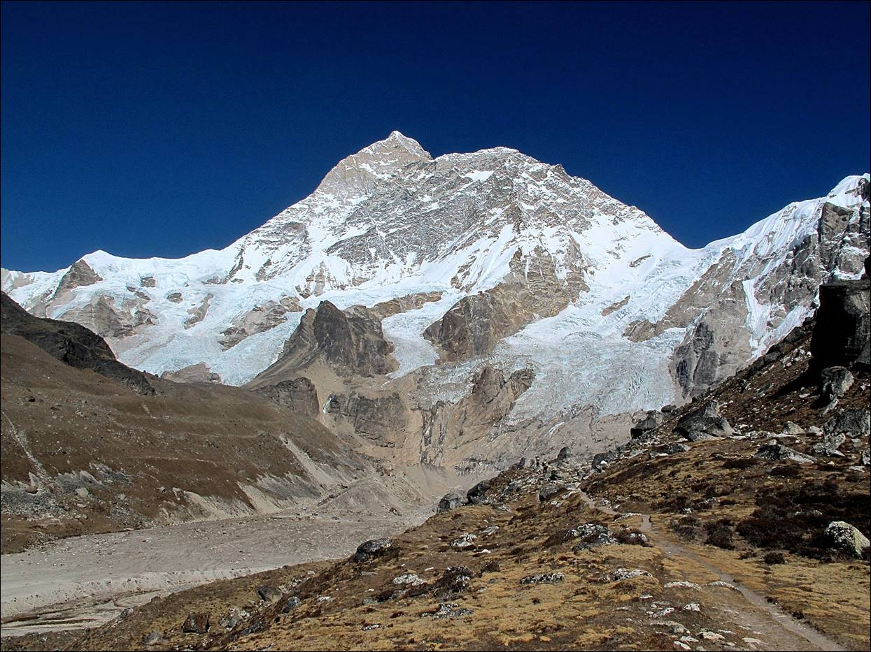
Views of
Makalu...
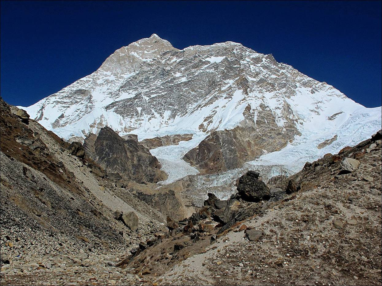
...before
reaching Makalu BC
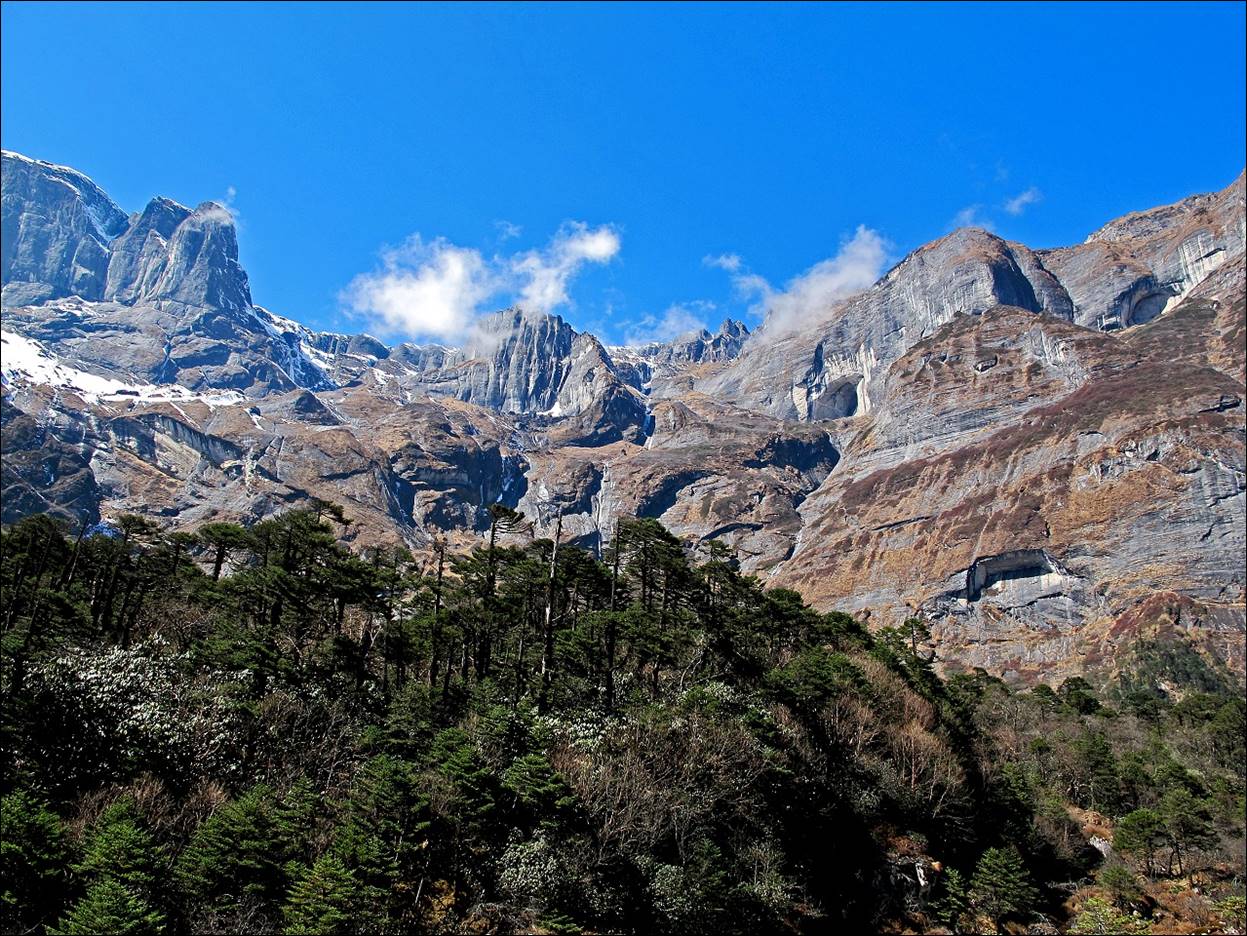
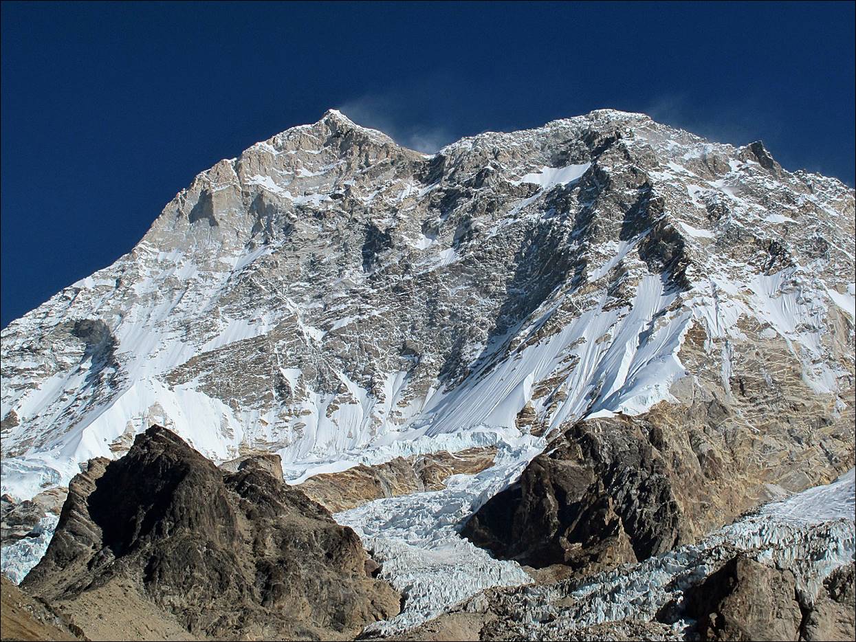
...from Makalu
BC.
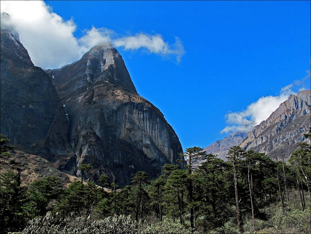
...from the
moraine above Makalu BC.
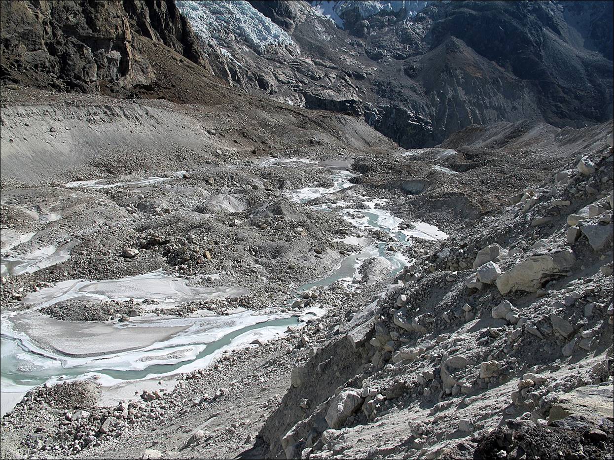
View of the
lower section of the Barun glacier from the moraine
heading toward Sherpani Col.
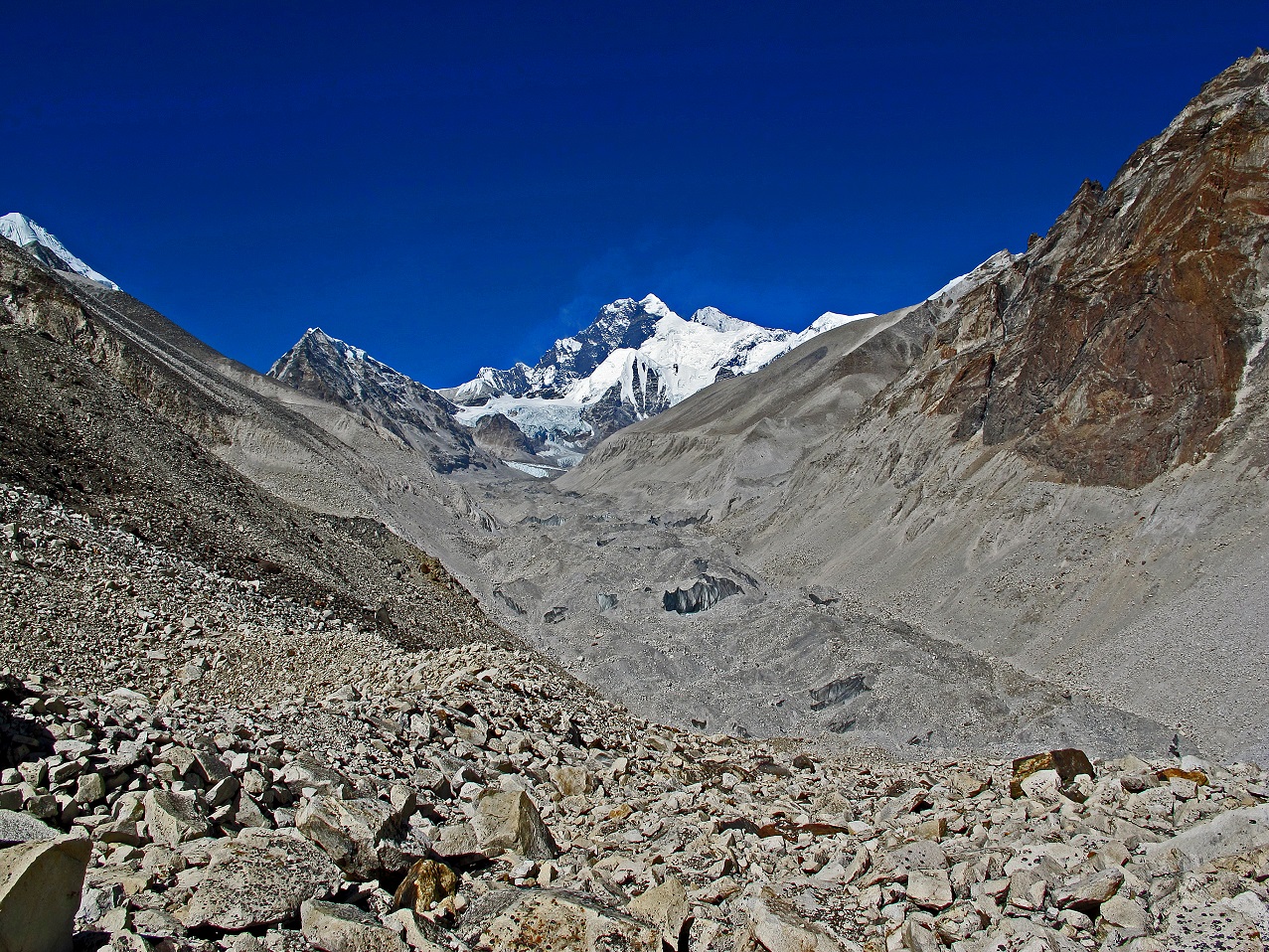
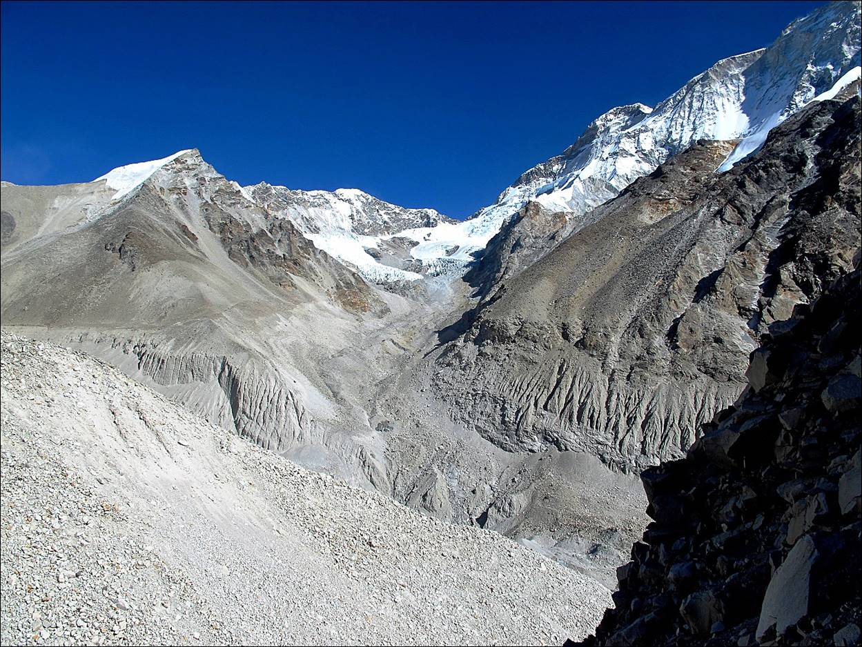
The upper
section of the Barun glacier, with Lhotse and Everest
in the background.
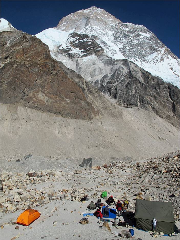
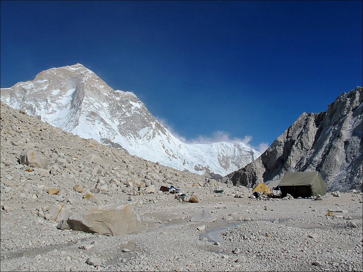
Our camp at
5150m.
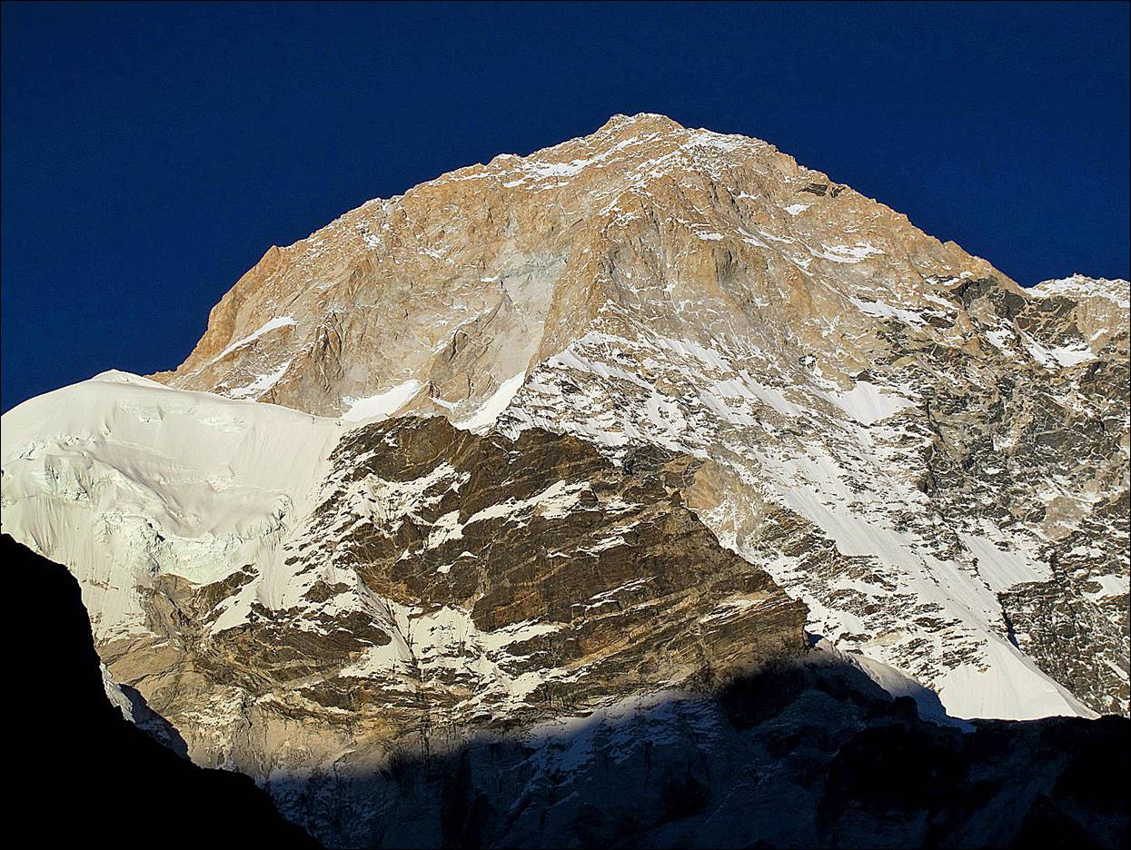
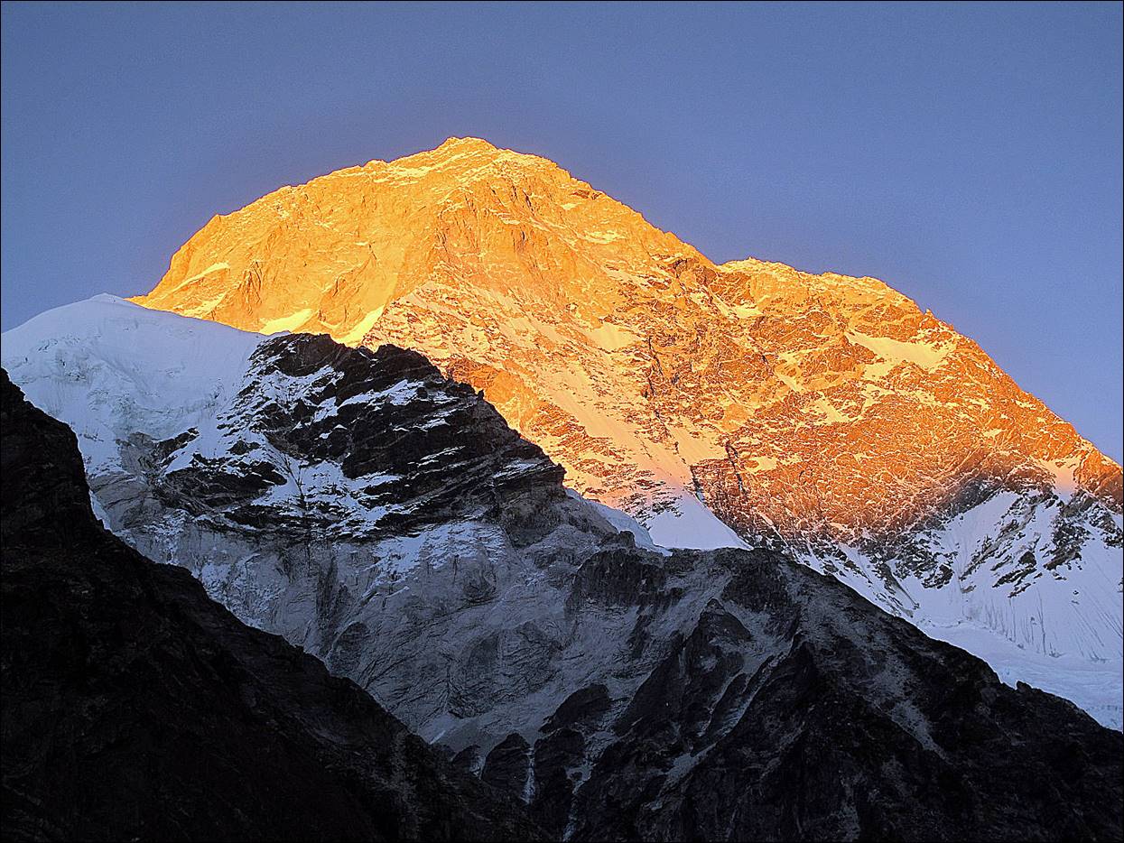
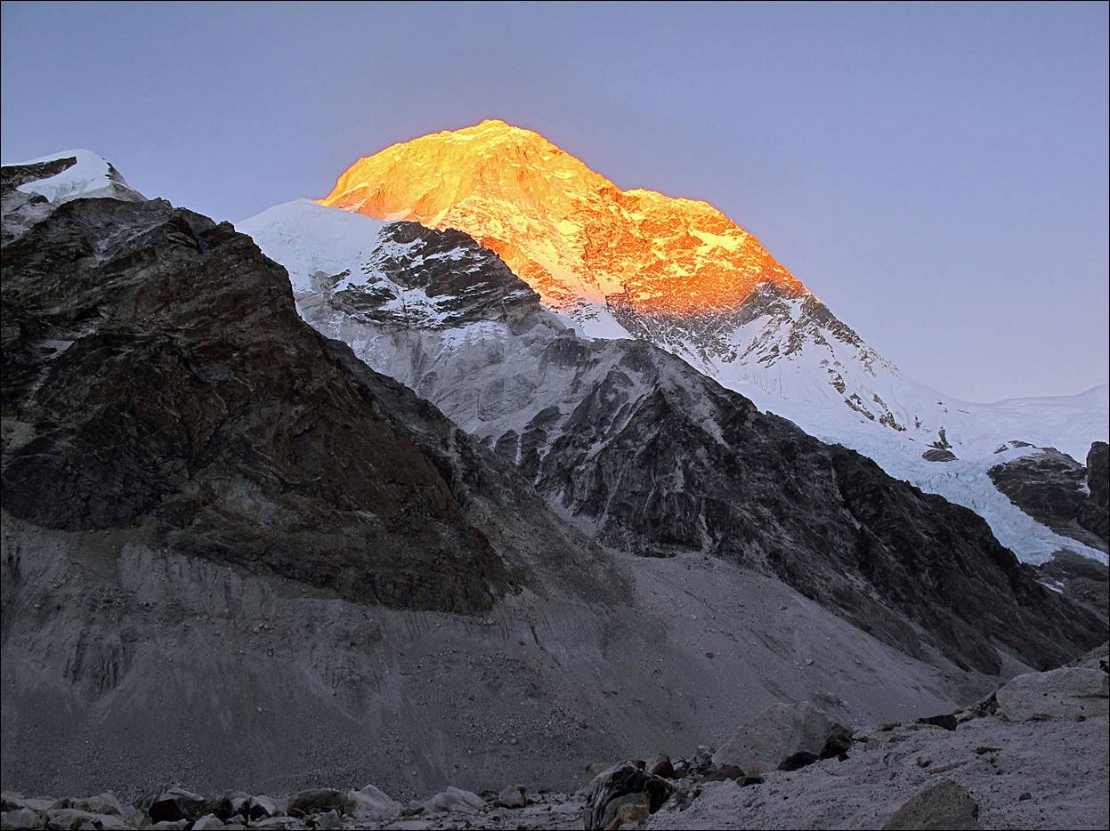
Three
successive evening views of Makalu from my tent at the 5150m camp.
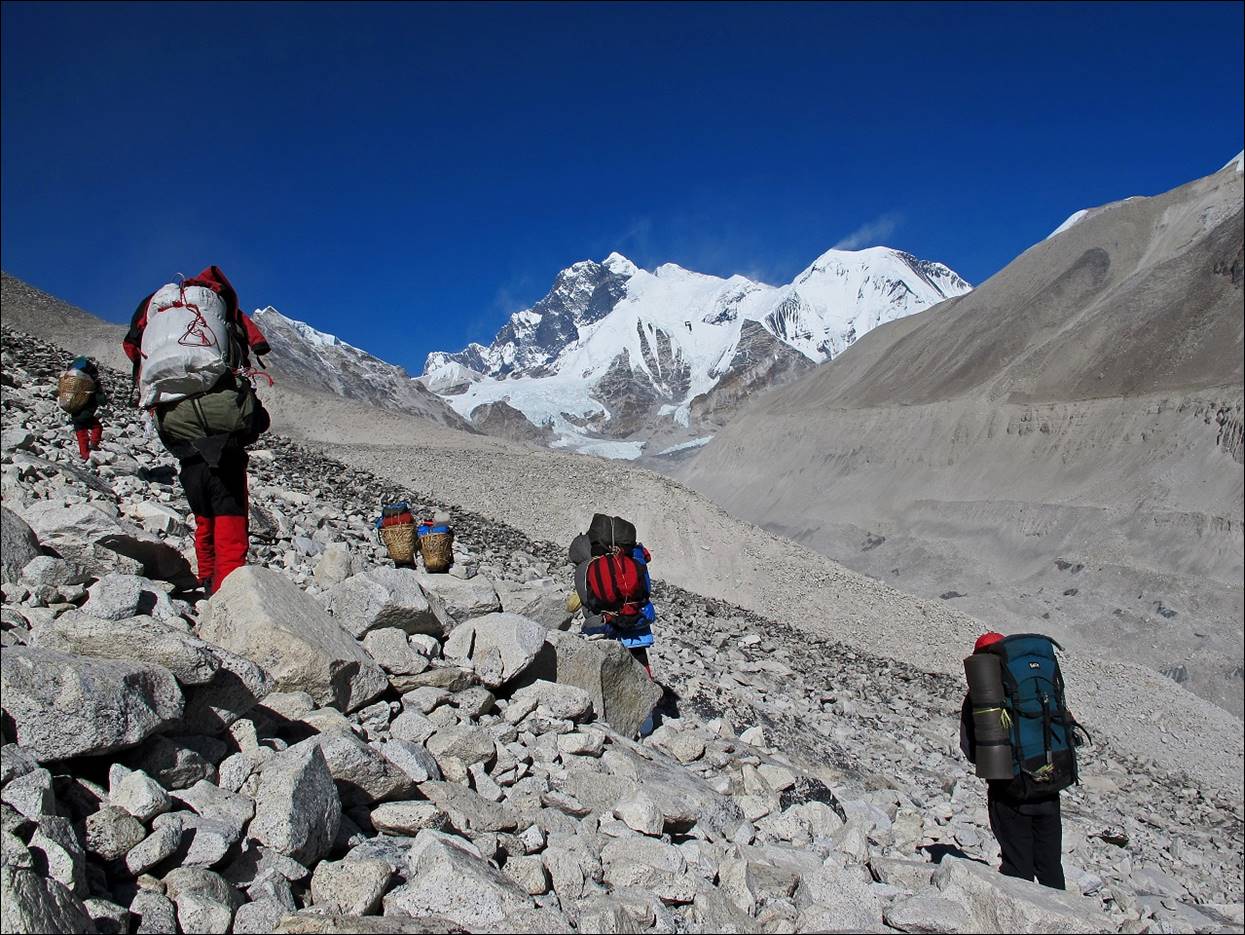
Continuing our
ascent on the next morning, with Lhotse and Everest in the background.
View of the
valley on the opposite site of the Barun glacier,
which I had climbed in 2001 to reach another Makalu BC below Makalu La (see here).
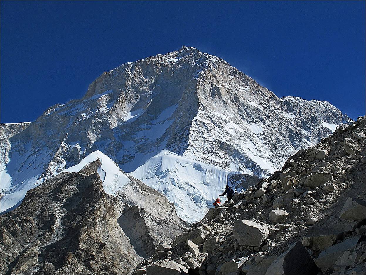
Yet another
view of Makalu, with Ang Karma (red jacket) and Nyima Gyaltshen (blue jacket) on
the front ridge.
The Sherpani Col high camp at 5700m.
![]()
Links to all sections of
the trek:
1.
Taplejung to Olangchun Gola
(4 days)
2. Olangchun Gola (1 day)
3. Crossing
Lumba Samba pass (3 days)
4. Tudham to Hongon (3 days)
5. Hongon to Yangla Kharka (5 days)
6. Yangla Kharka to Sherpani Col High Camp (4 days)
7. Crossing
of Sherpani and West Cols (1 day)
8. Hongu basin to Namche across Amphu Lapsta (3 days)
9. Namche to Jiri (5 days)
![]()