High Atlas of Morocco: From Arous to Anmiter (April
2013)
Section 5: Tagoukht
to Anmiter
![]()
Return
to main Atlas 2013 webpage | Go to sections: 1,
2,
3,
4,
5
Soon
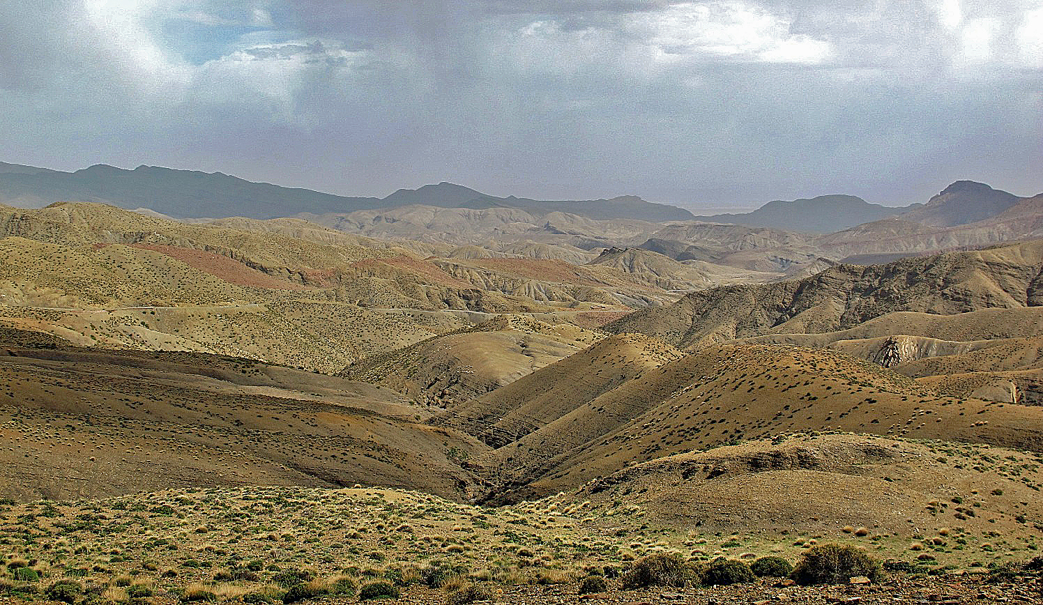
after passing Tagoukht the scenery became even drier
and more desolate.
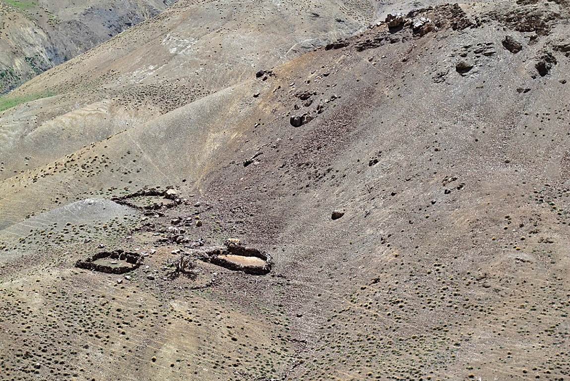
Azibs
above Tagoukht.
At the small pass
between Tagoukht and Assif Tizi-n-Fedghast
(with Jebel Anghomar on the left) .
We descended slightly
from this pass and followed a level trail to reach Tizi-n-Fedghast.
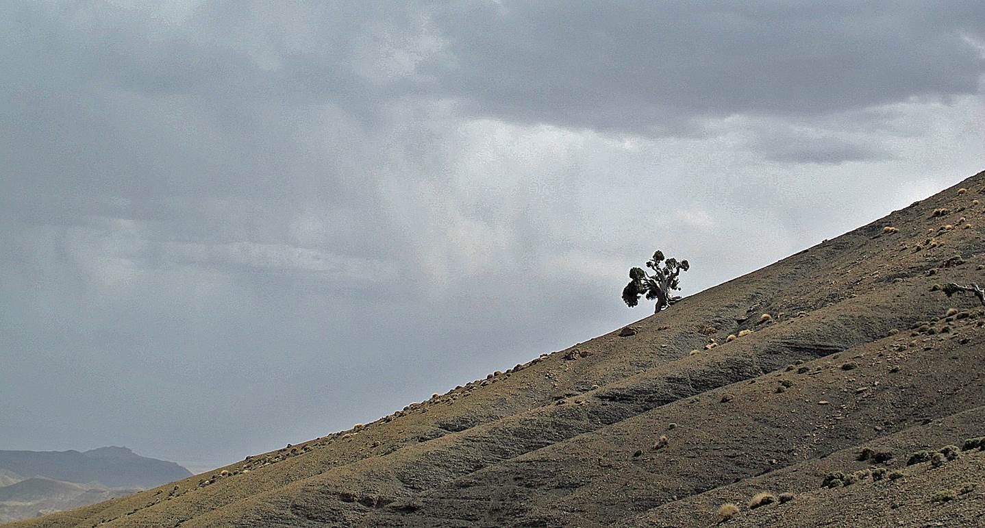
View toward the south
from Tizi-n-Fedghast (2181m).
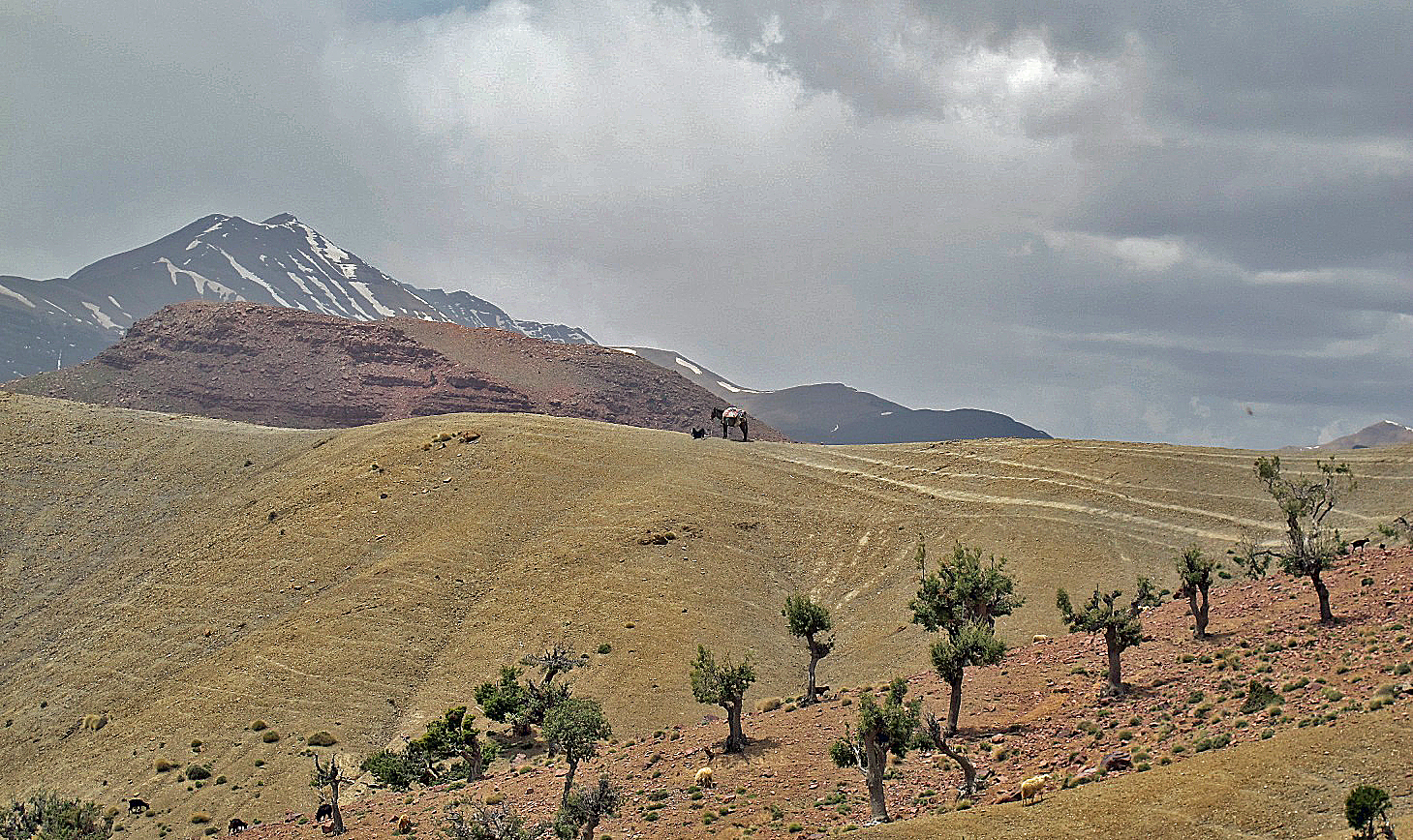
This tree may feel a
bit lonely.
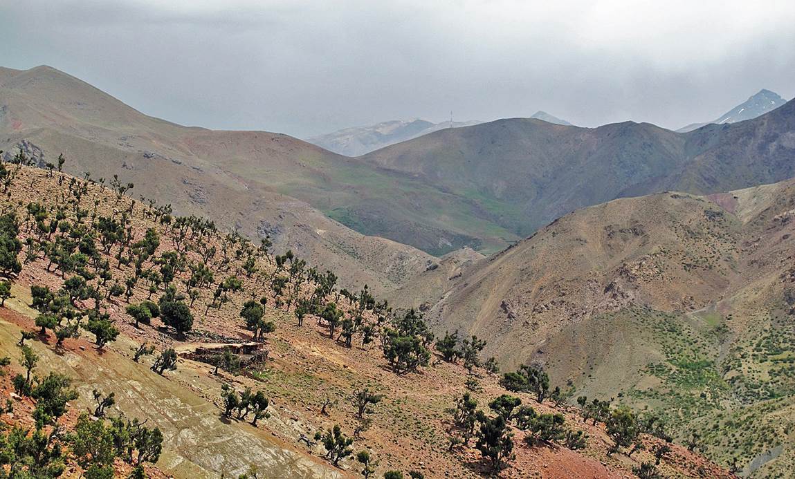
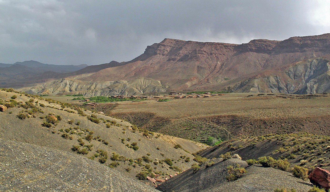
Village
of Tamzrit, where we spent a night.
Climbing toward
Tizi-n-Taghaghayt (2838m) below the huge eastern
cliffs of Jebel Anghomer.
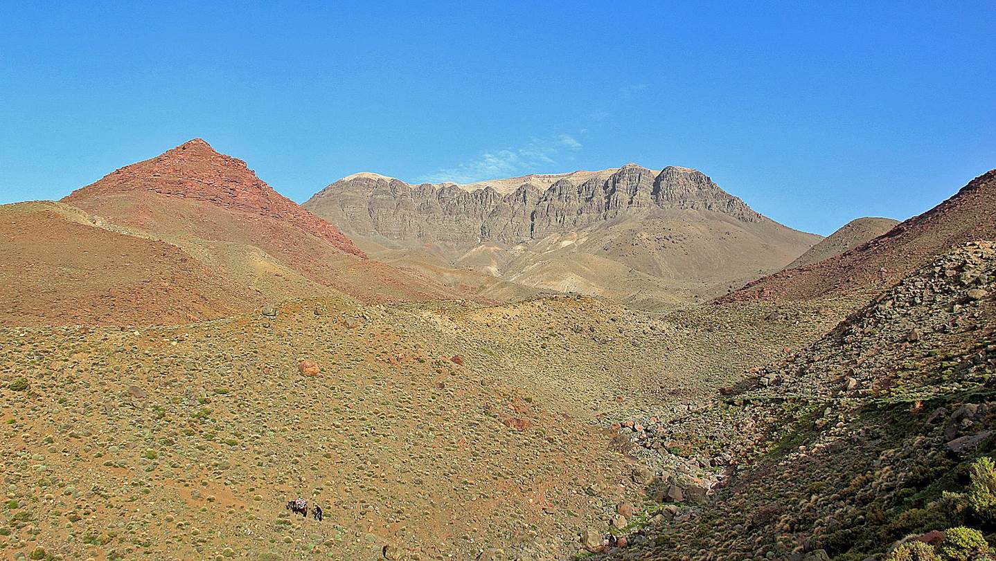
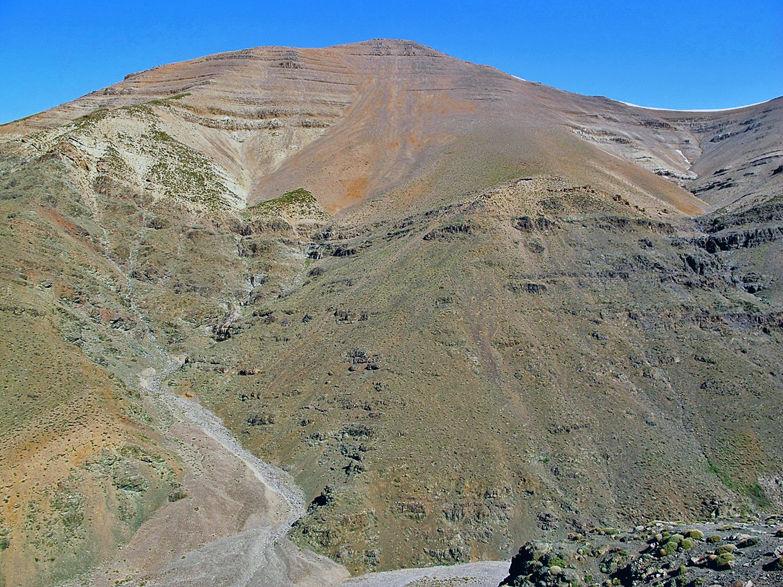
The highest point of
Jebel Anghomer (3610m) seen from Tizi-n-Taghaghayt.
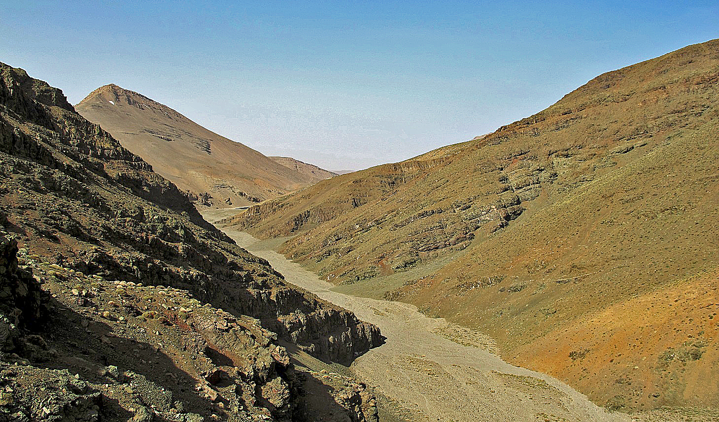
The dry oued below Jebel Anghomer leading
to Tamda-n-Ounghmar.
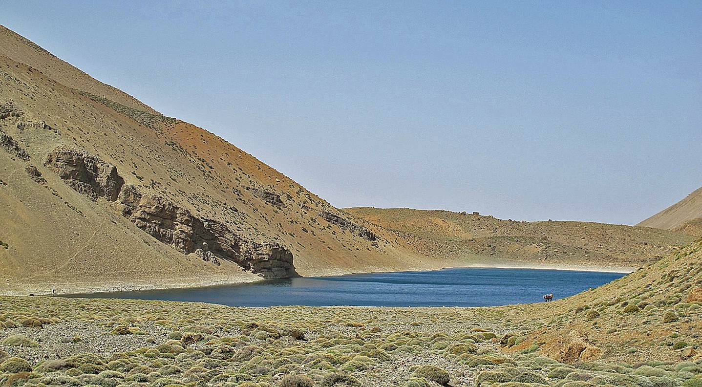
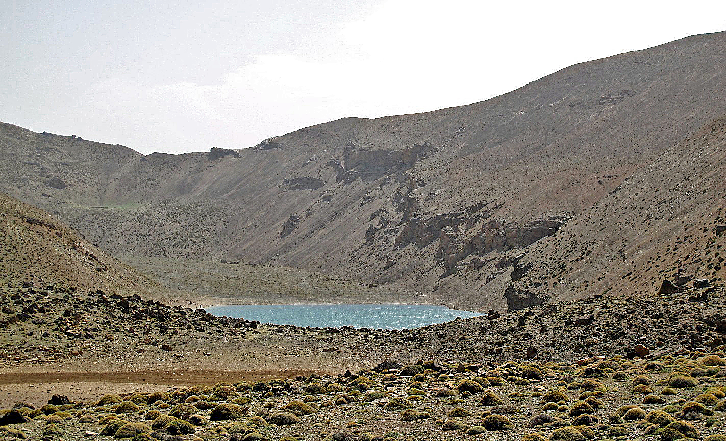
Tamda-n-Ounghmar. This lake is famous for its trouts.
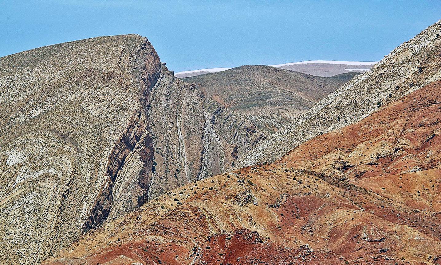
Colorful geological
formation below the western end of Jebel Anghomer.
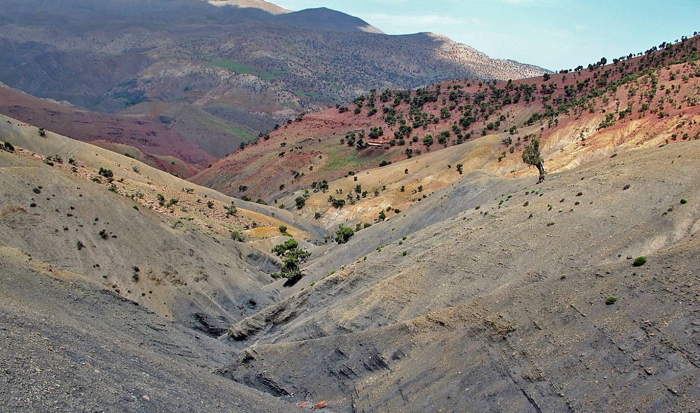
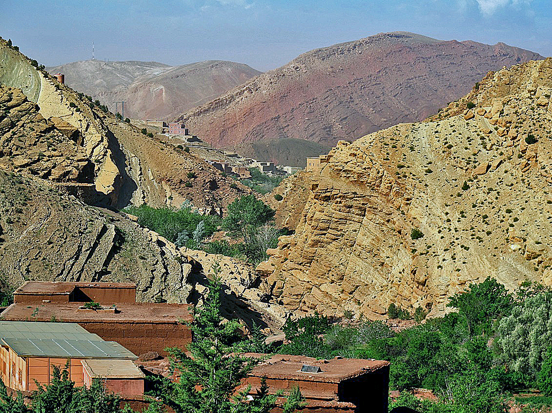
The valley of Assif Wounila between Tighza and Anmiter.
![]()
Return
to main Atlas 2013 webpage | Go to sections: 1,
2,
3,
4,
5