Trek south
of Pangong Tso, Ladakh, India (August-September 2022):
(2/3)
Crossing of Steansi La
|
|
Return
to main India 2022 travel page | Return to my mountaineering/trekking/travel webpage
Map of the trek. (Click
on the map to see it at a better resolution.)
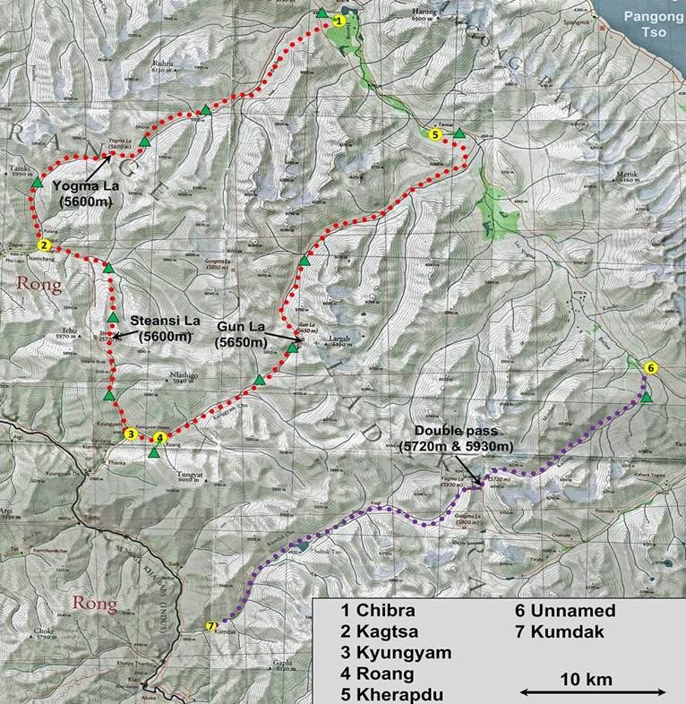
[Green triangles indicate the locations
of our successive campsites.]
This page shows photos
taken during days 4 to 7 of the trek. The photos appear in chronological order.
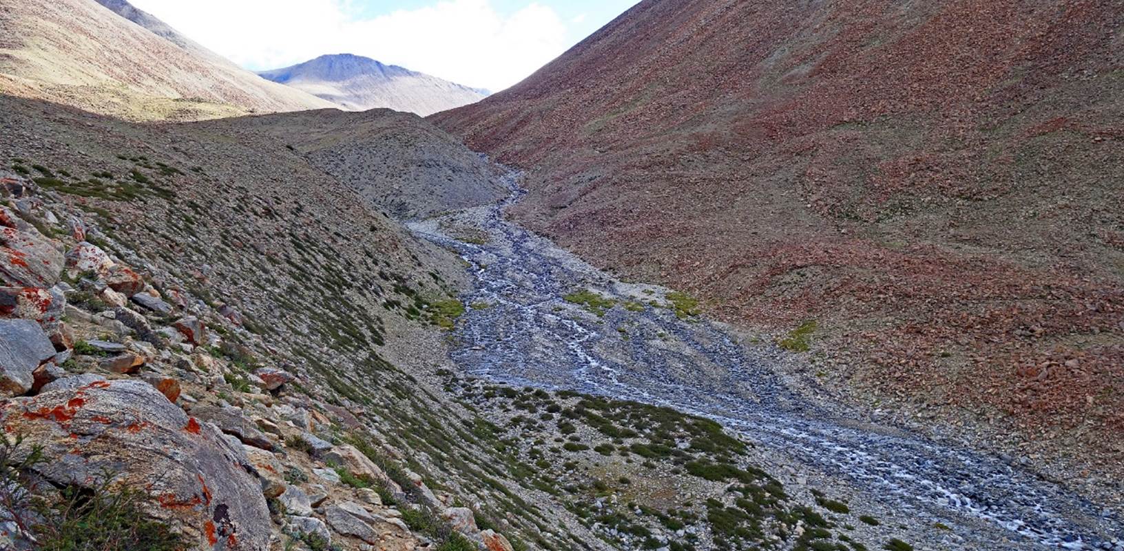
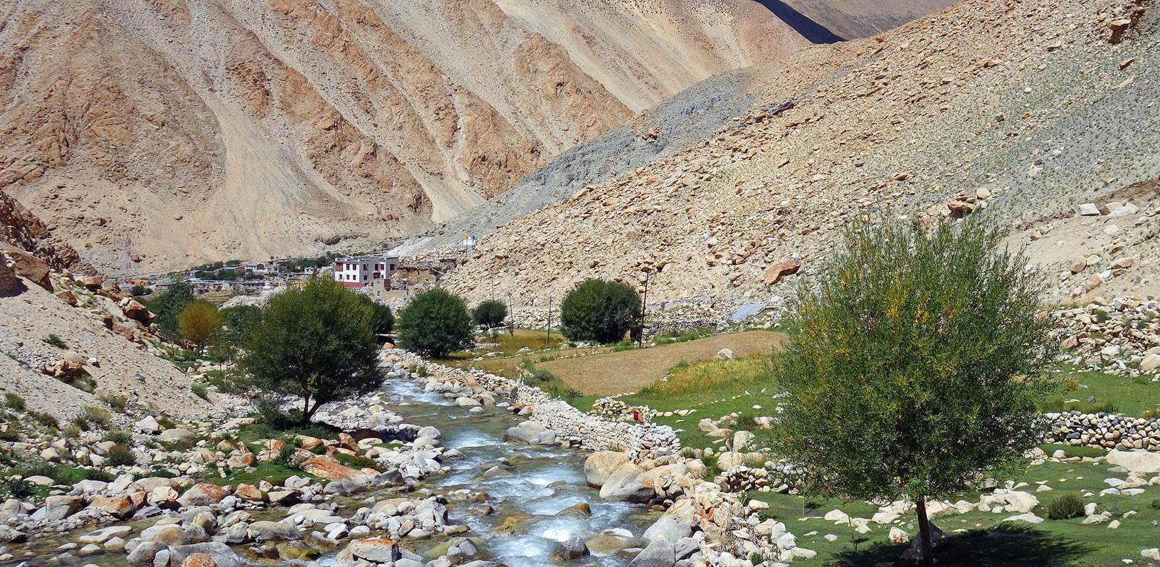
Day 4 of trek:
River flowing below our
4th campsite.
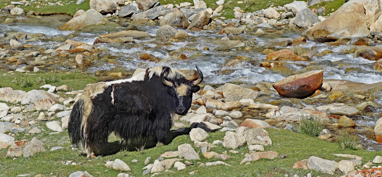
Imposing yak soon before
reaching the hamlet of Kagtsa.
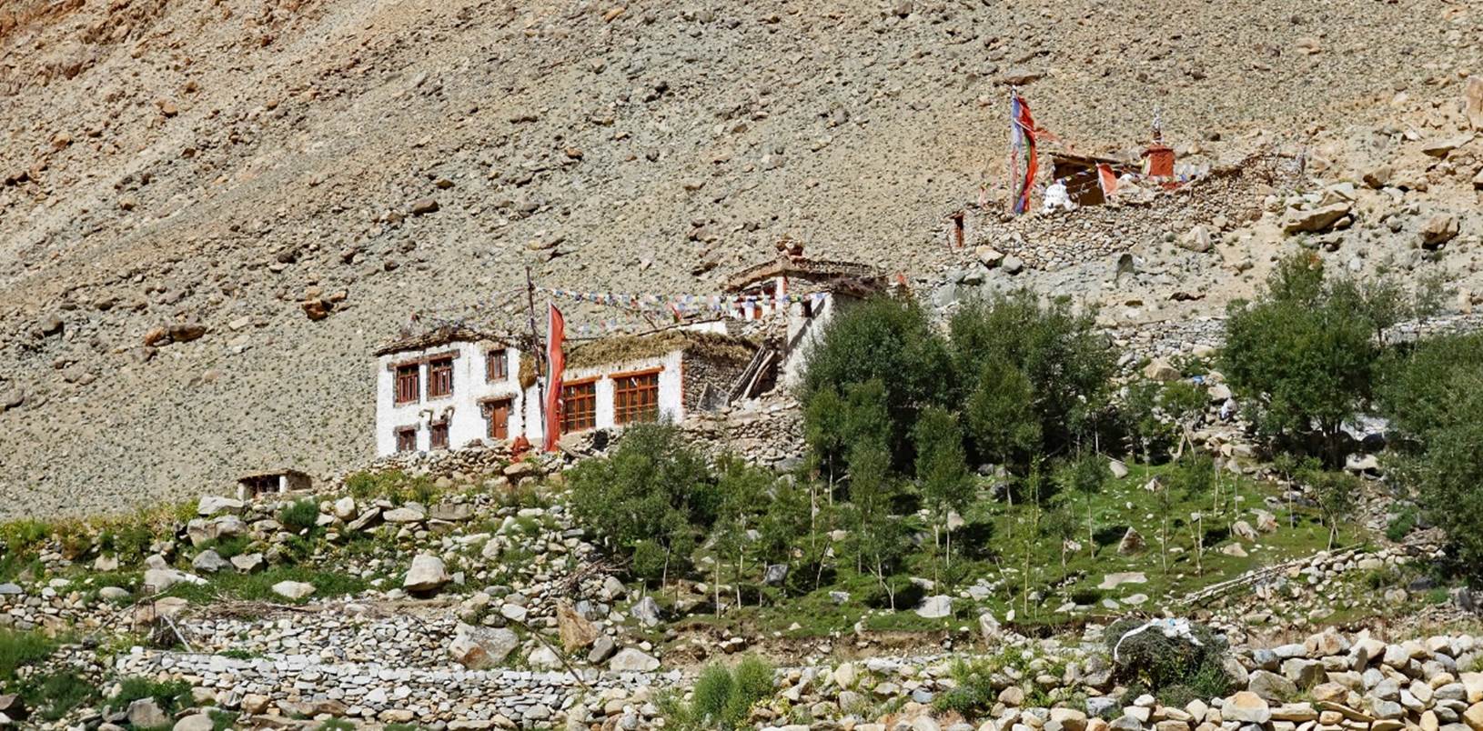
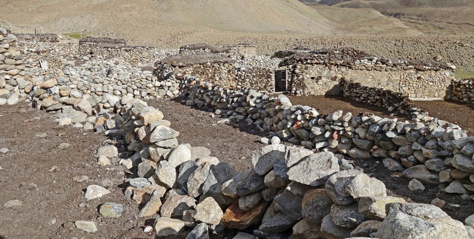
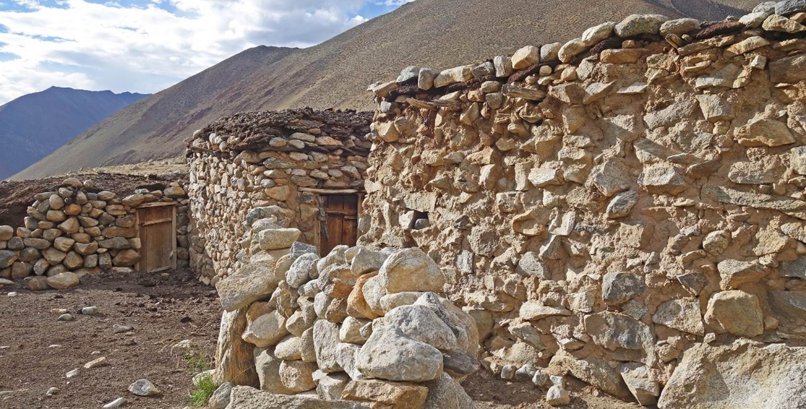
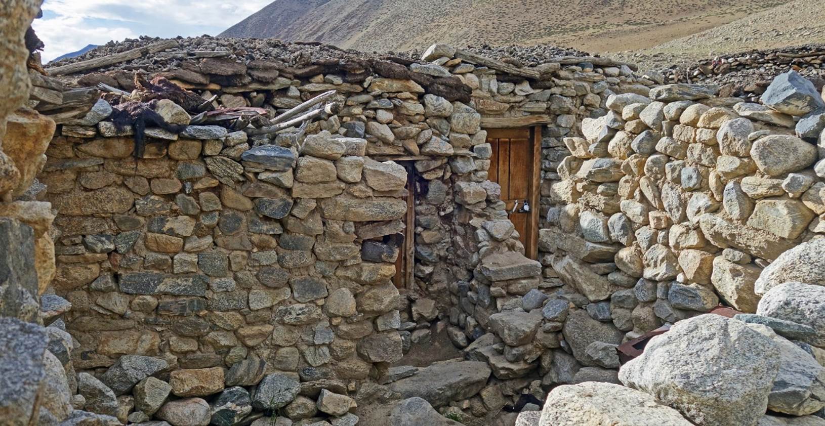
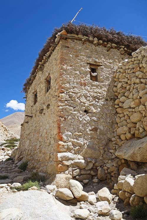
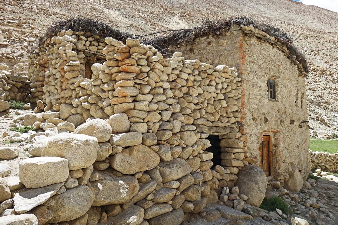
One of the few houses in
Kagtsa.
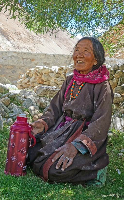
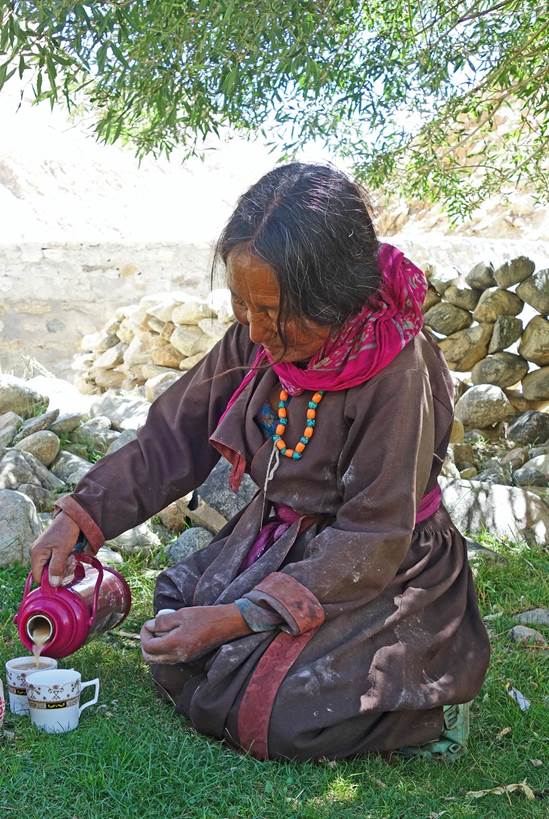
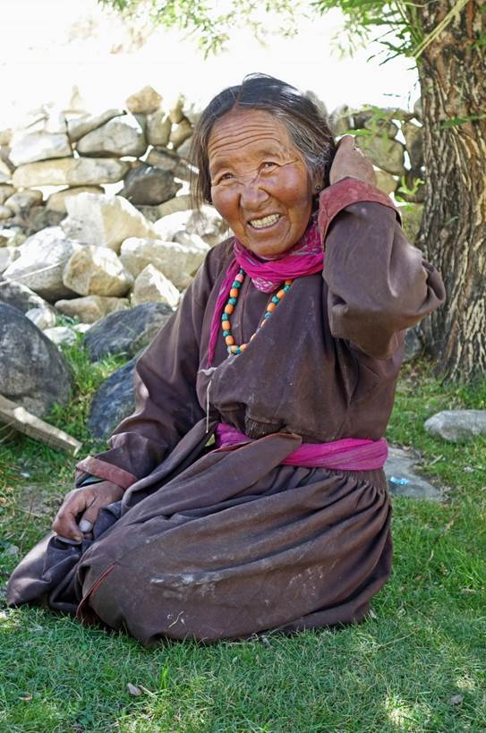
Friendly women offering
milk tea to Tundup and me in Kagsta. (As on most mornings, Nurbo, Tashi, Kenup,
and the horses were still far behind, catching up later during the day.)
|
|
|
|
|
|
|
|
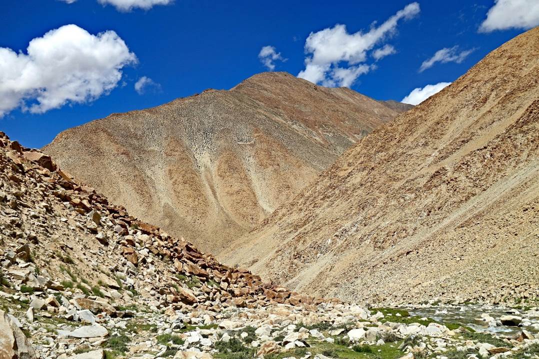
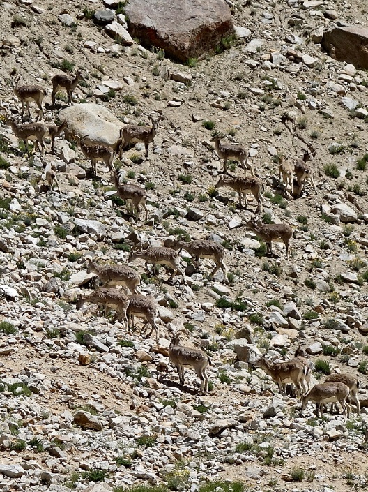
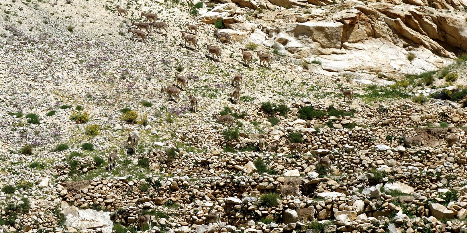
Left: In the valley
beyond Kagsta. Right: Blue sheep in this valley.
|
|
|
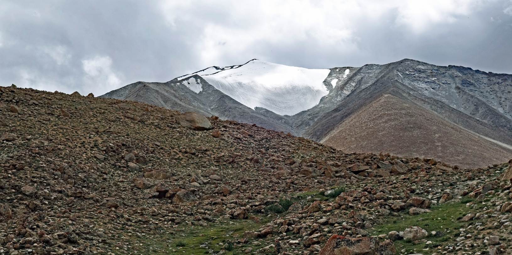
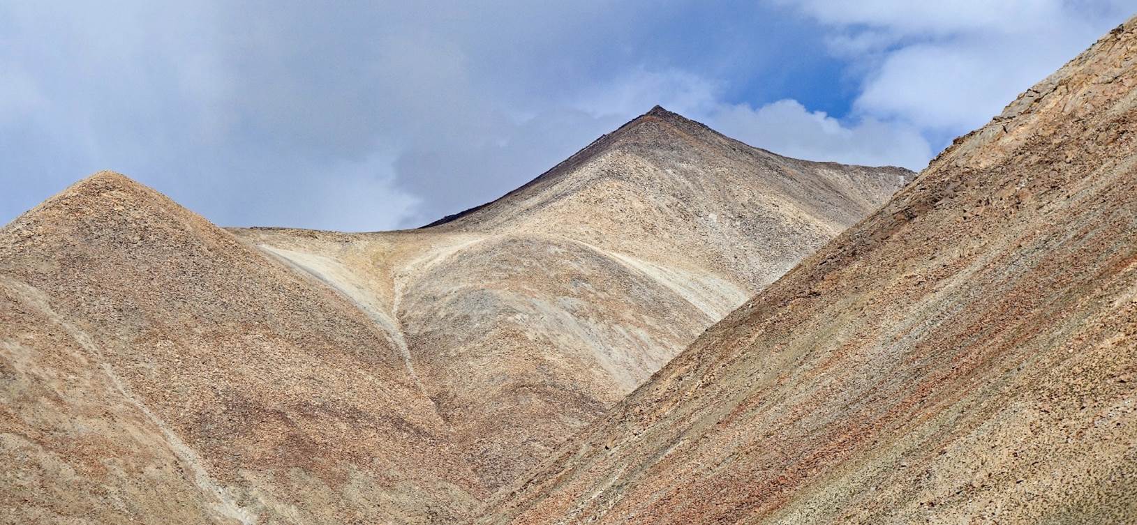
Snowy peaks near Ichu
(the 5970m peak next to Steansi La).
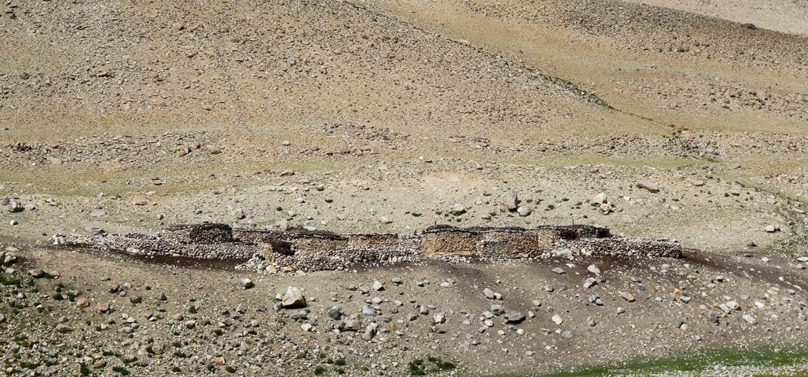
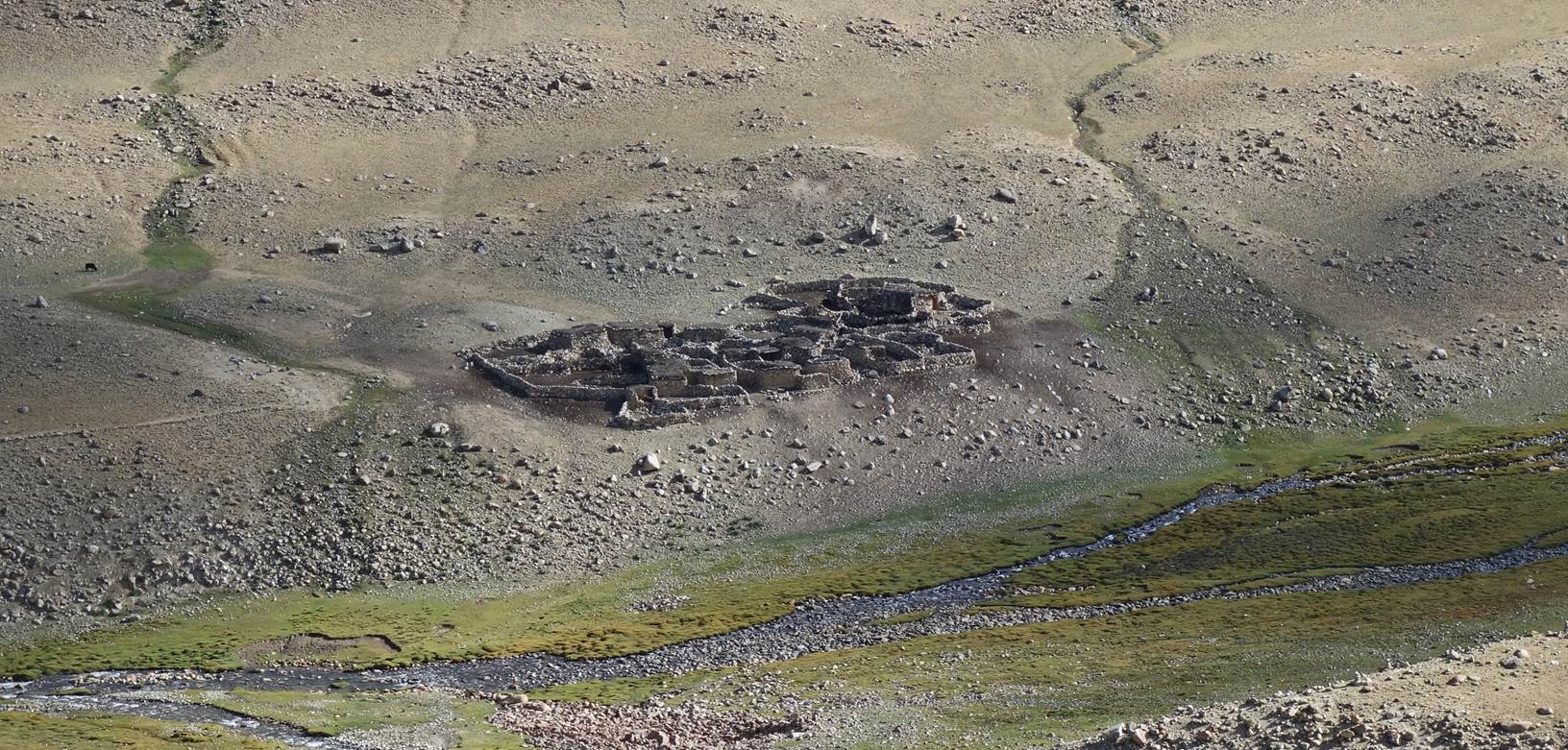
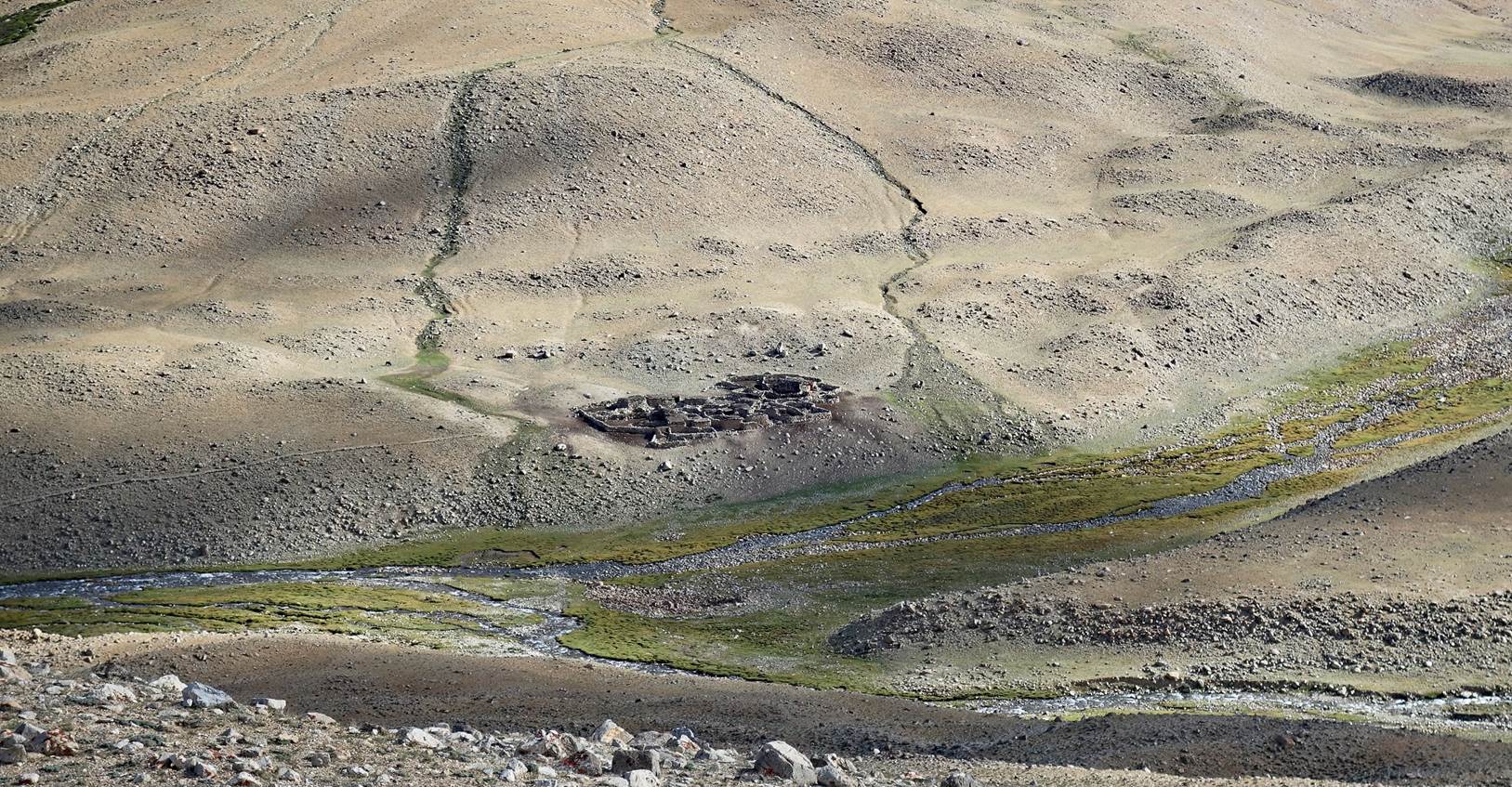
The site of our 5th camp
at 4714m (GPS recording), below a large sheepfold.
Views of the sheepfold.
Only two shepherds from Kagsta were staying there.
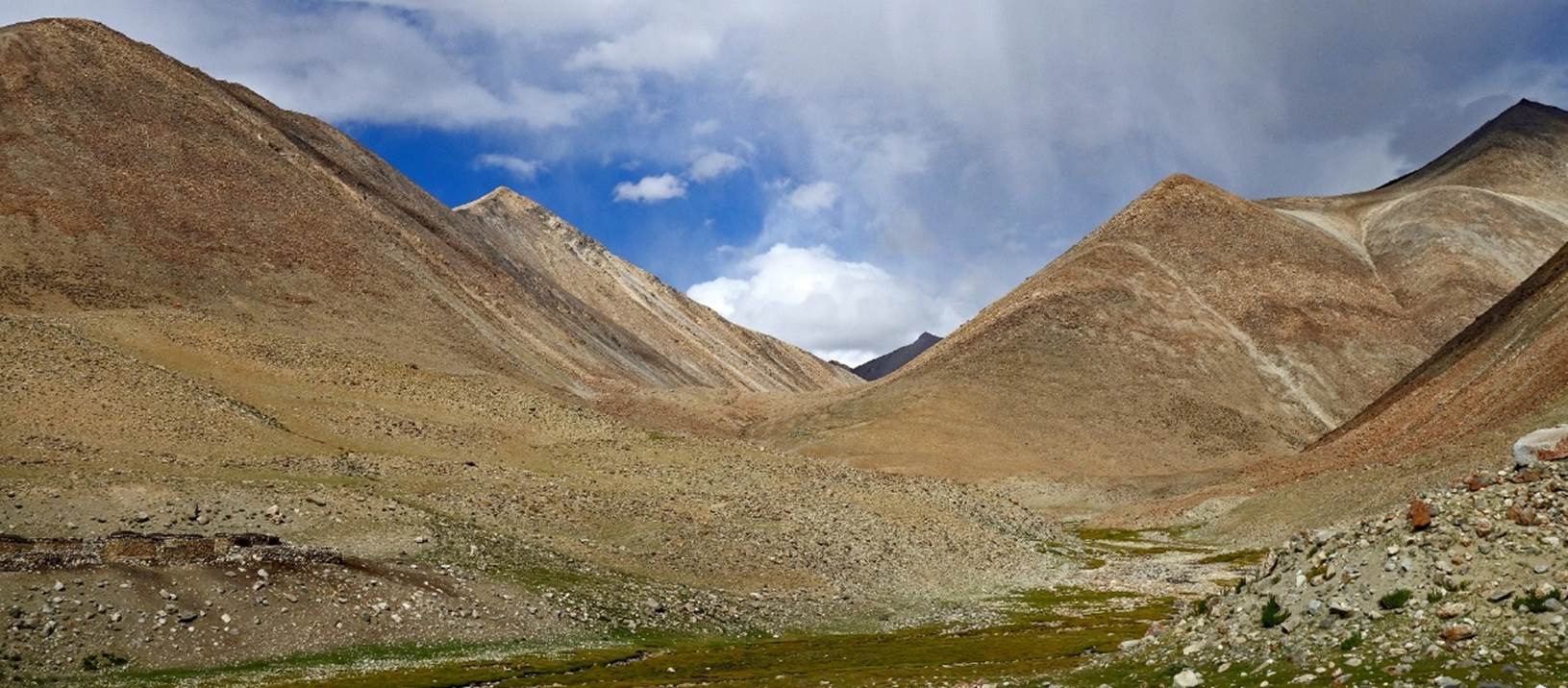
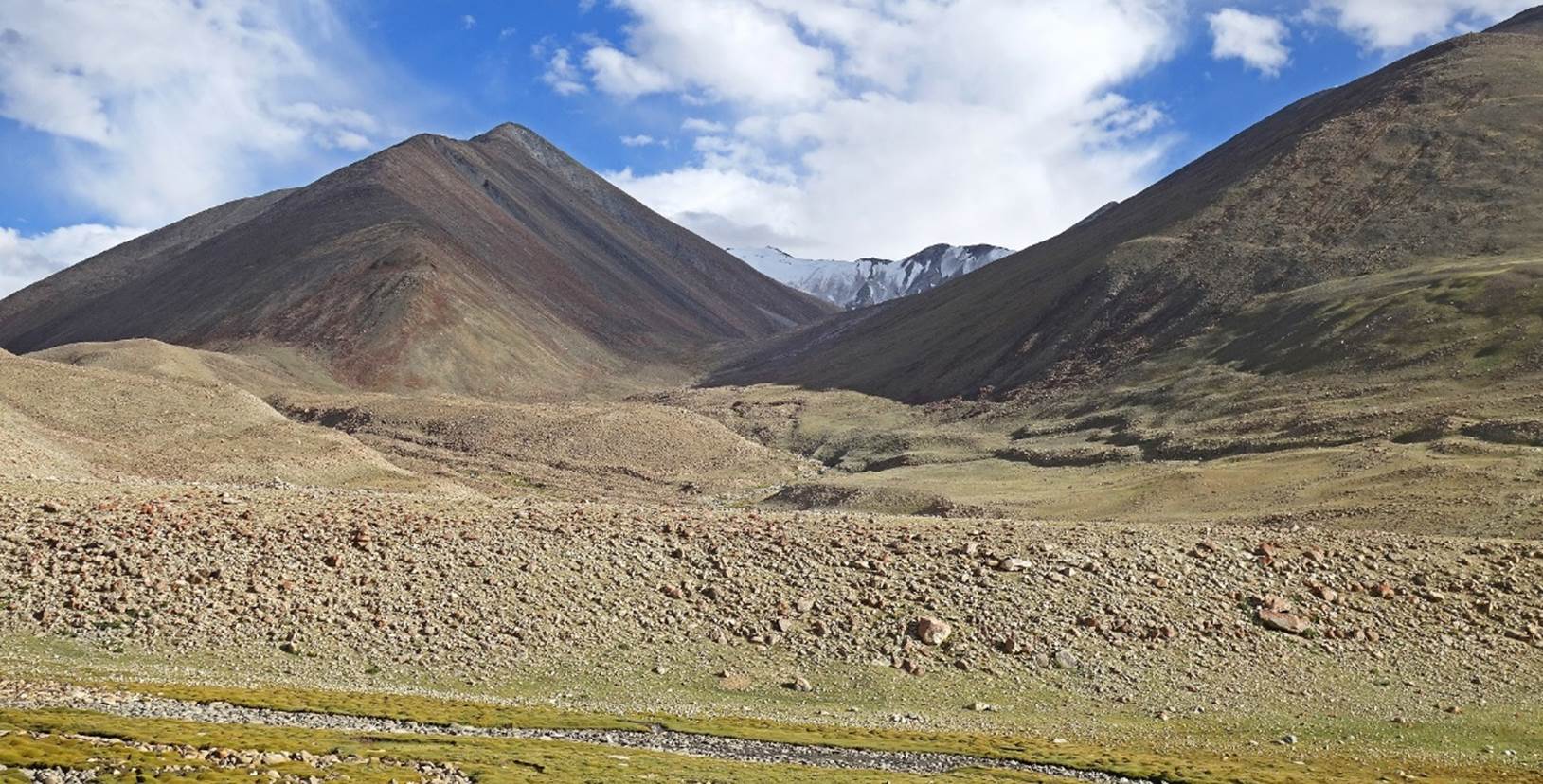
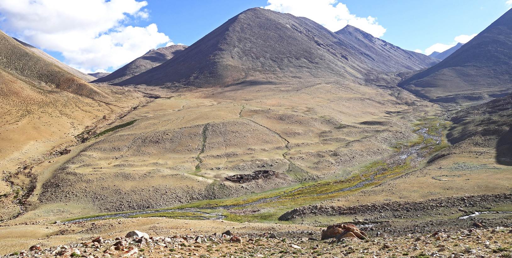
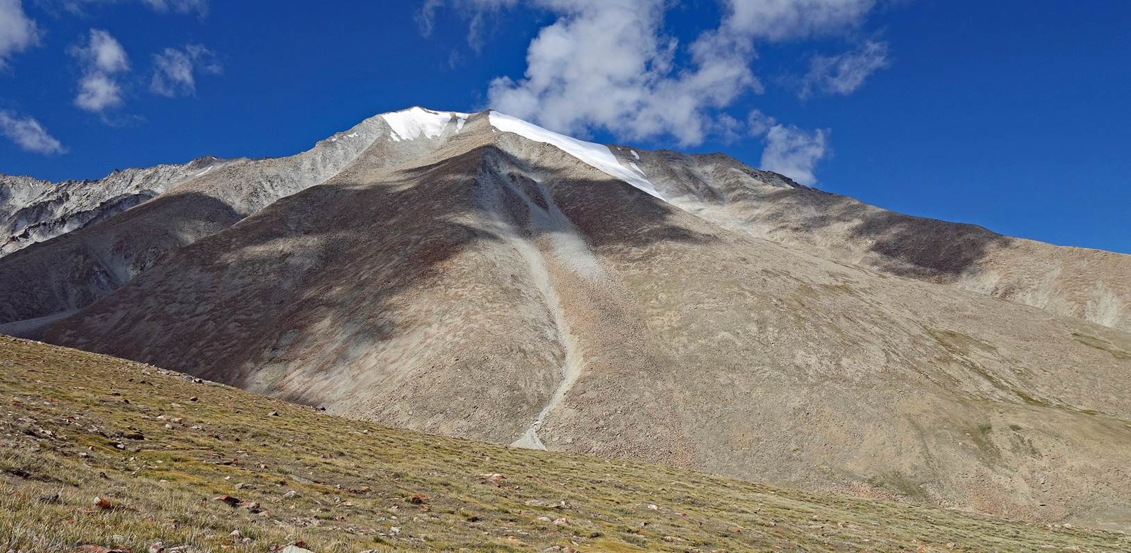
Barren summit seen from
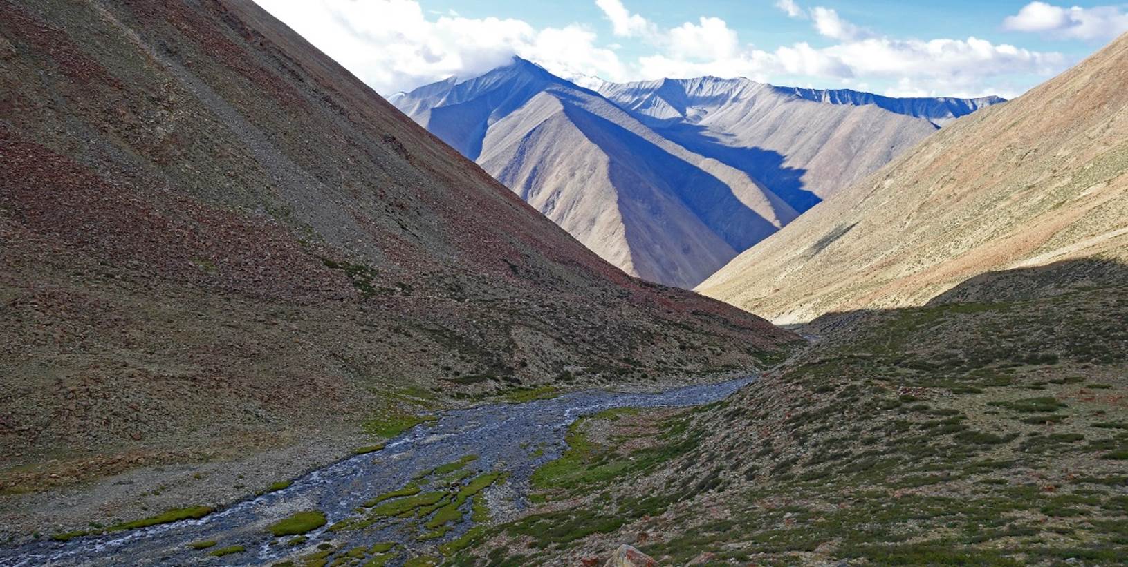
our 5th camp.
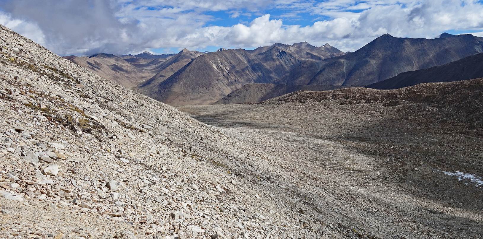
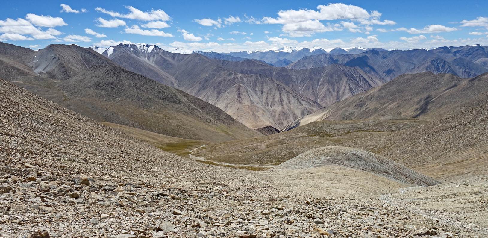
View toward the south
from the 5th camp. Steansi La is located behind the ridge on the right of the
photo.
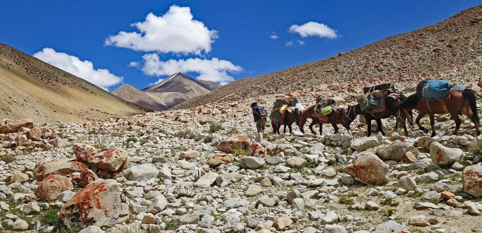
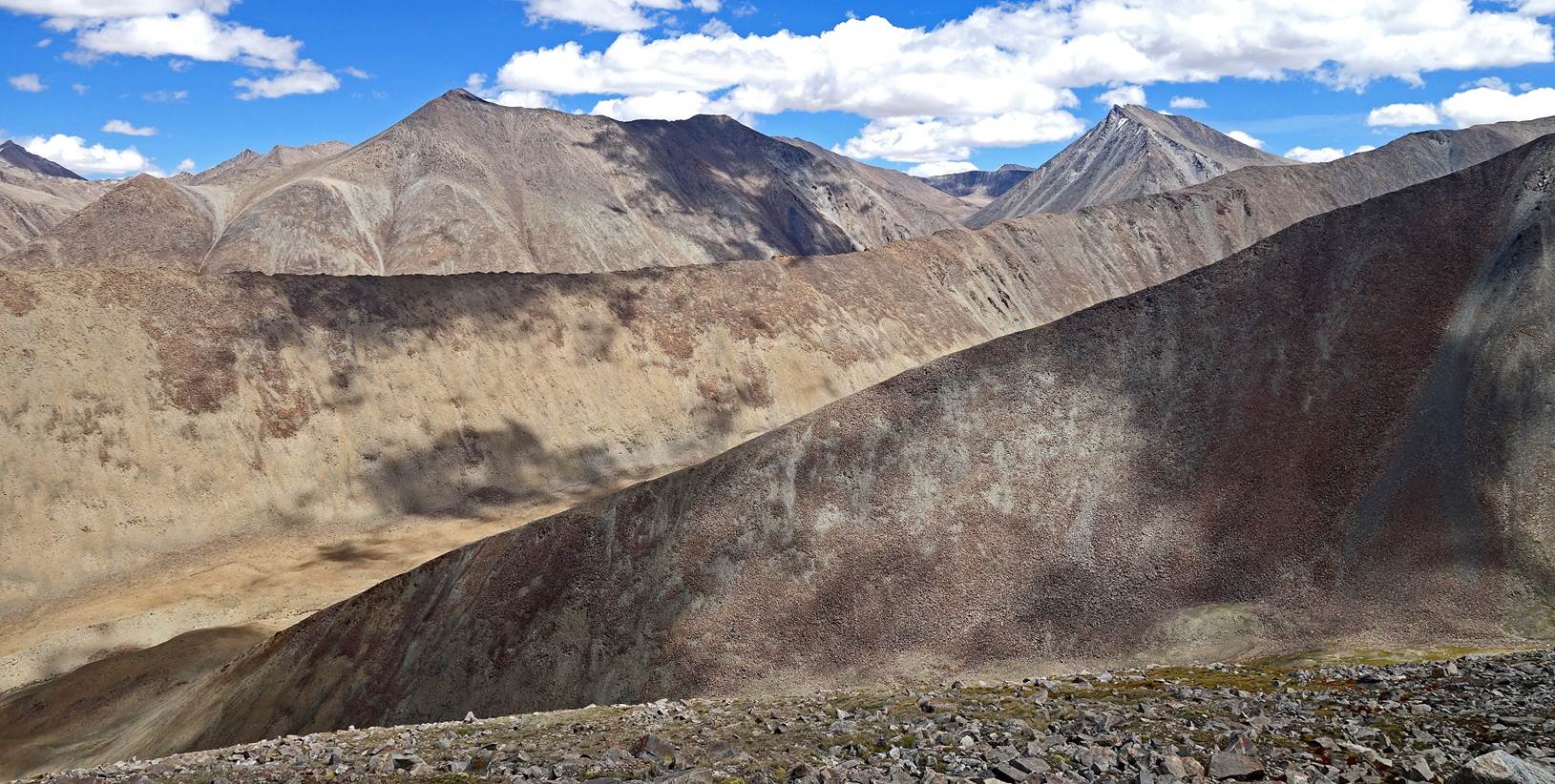
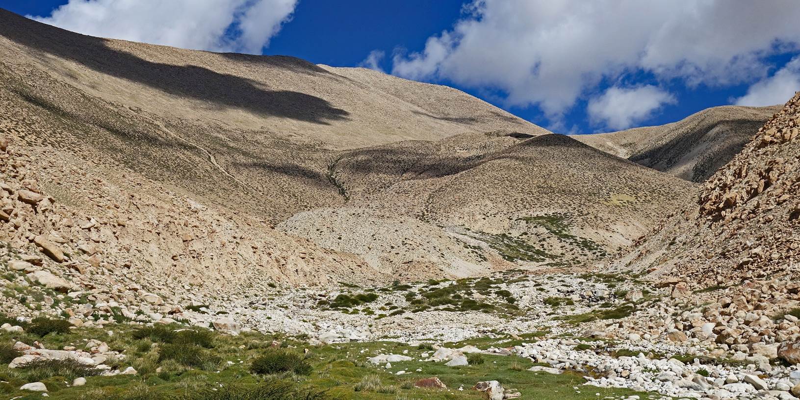
From the 5th campsite our way up to Steansi La differed from the trail
marked on the Olizane map. Rather than following this trail, we climbed along
the ridge to its east, which locals of Kagsta had informed us would be easier
for our horses.
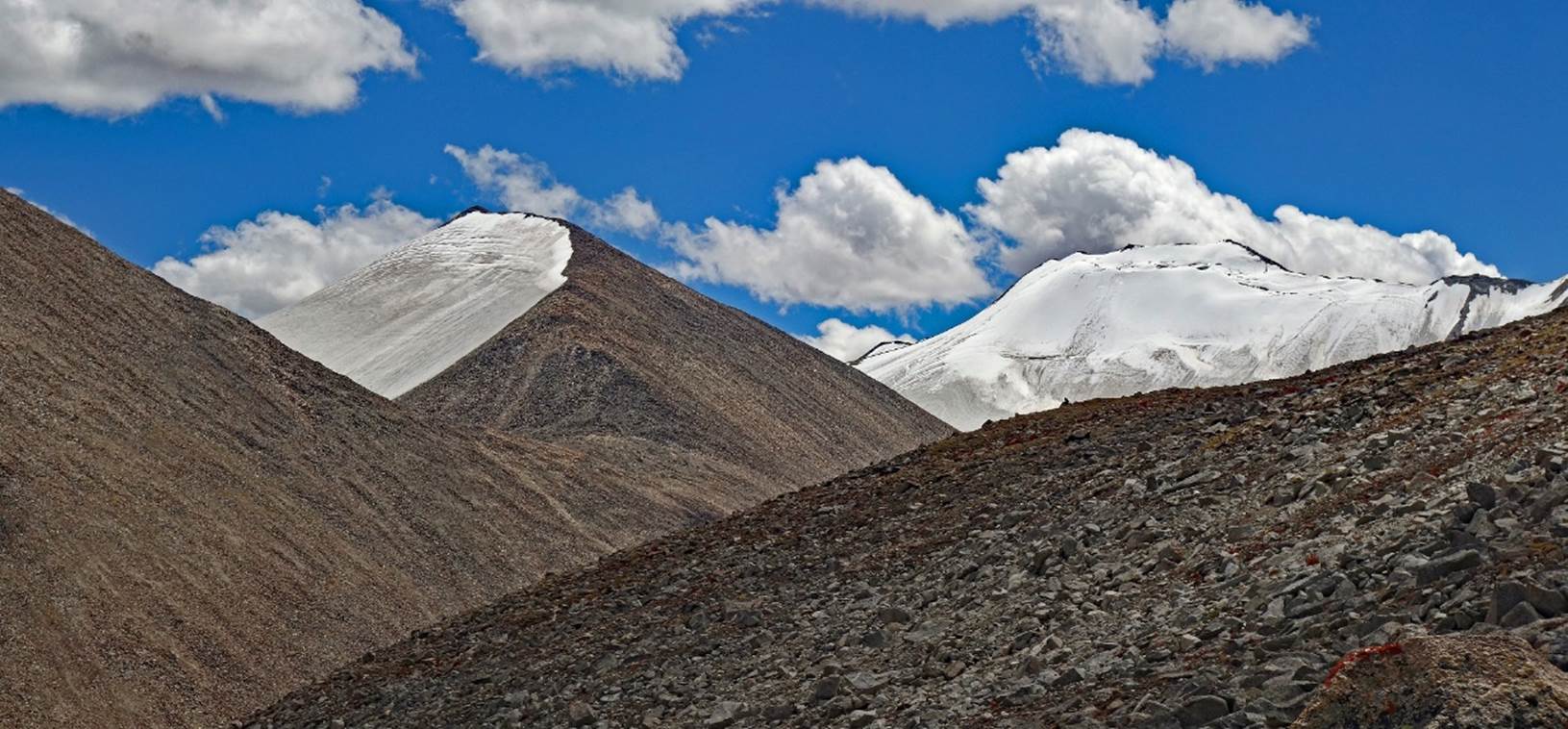
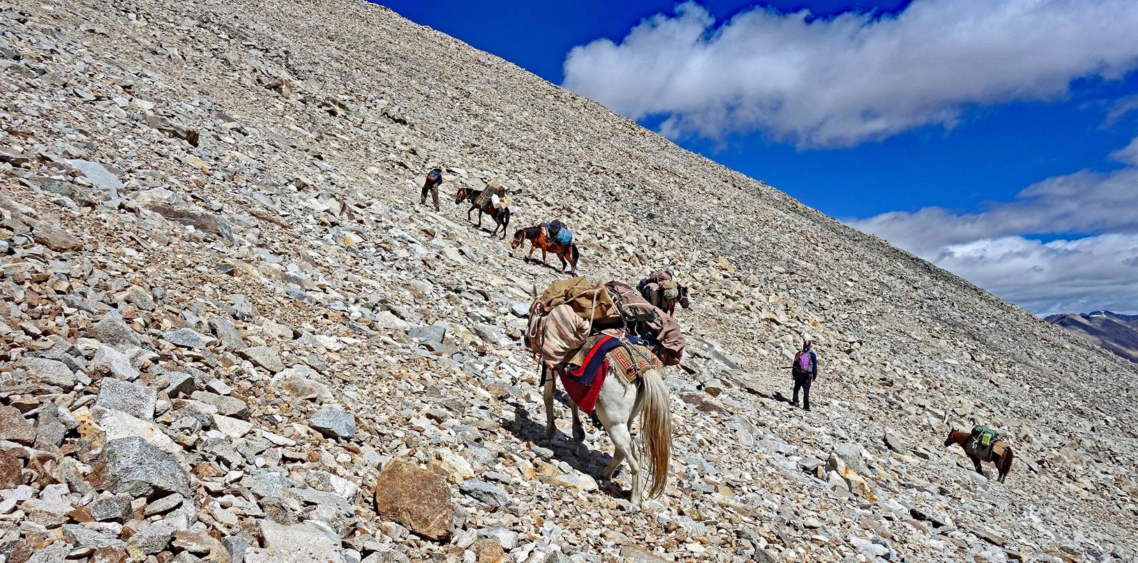
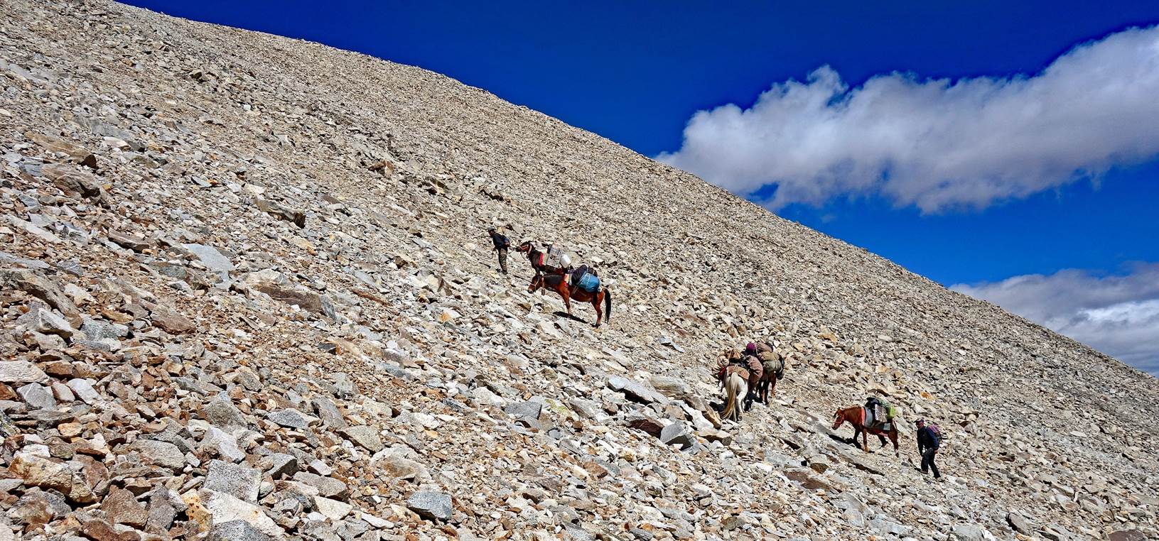
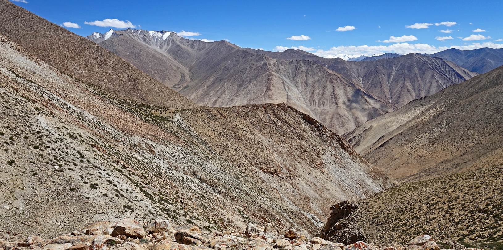
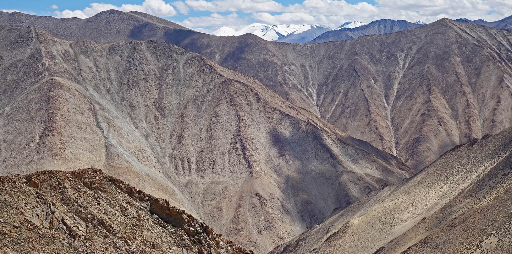
Views at the start of the ascent of the ridge.
Further up on the ridge.
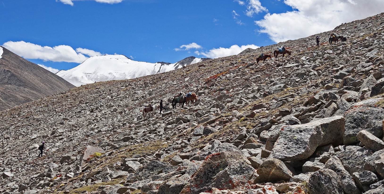
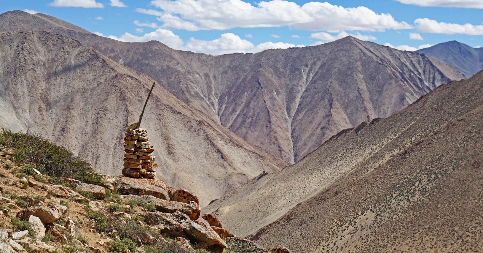
We eventually set up our
6th camp at 5400m (GPS recording).
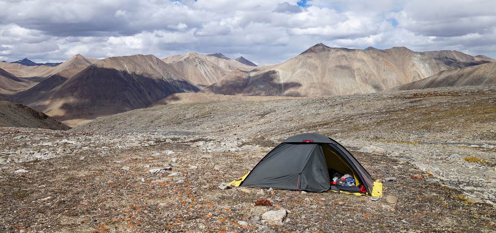
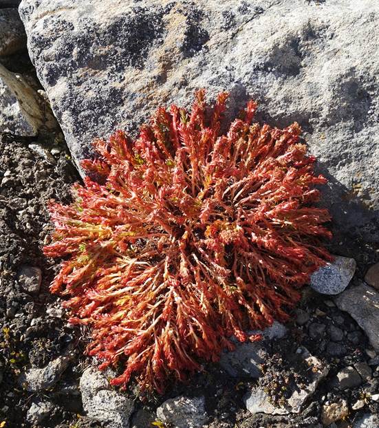
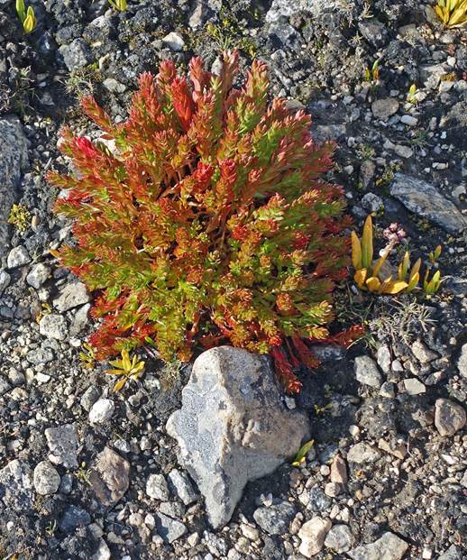
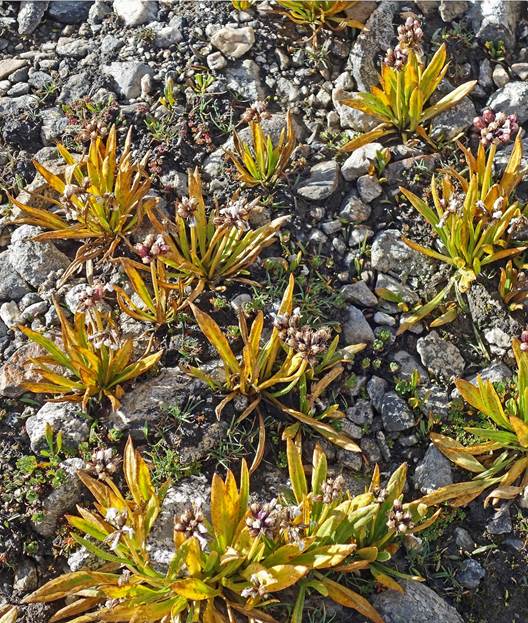
Although the vegetation
at this elevation was sparse, there were some interesting plants not seen
before.
|
|
|
|
Day 6 of trek:
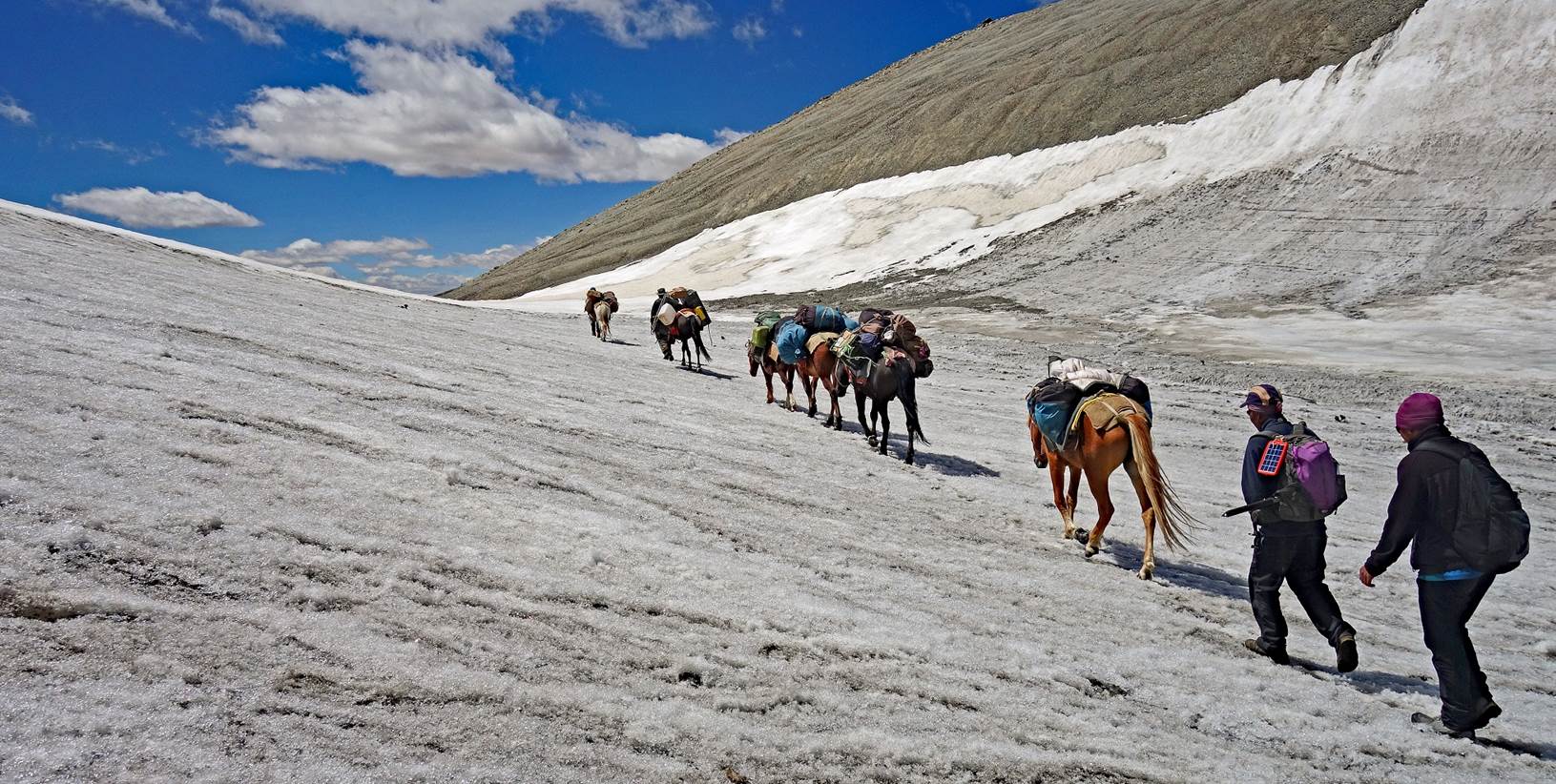
We continued our ascent toward
Steansi La. The terrain was steeper and rockier than the day before.
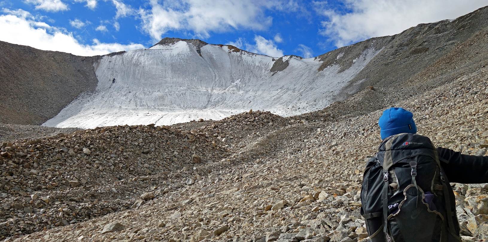
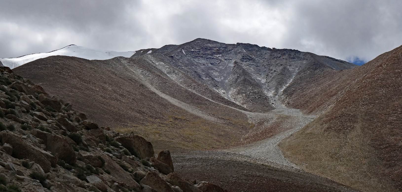
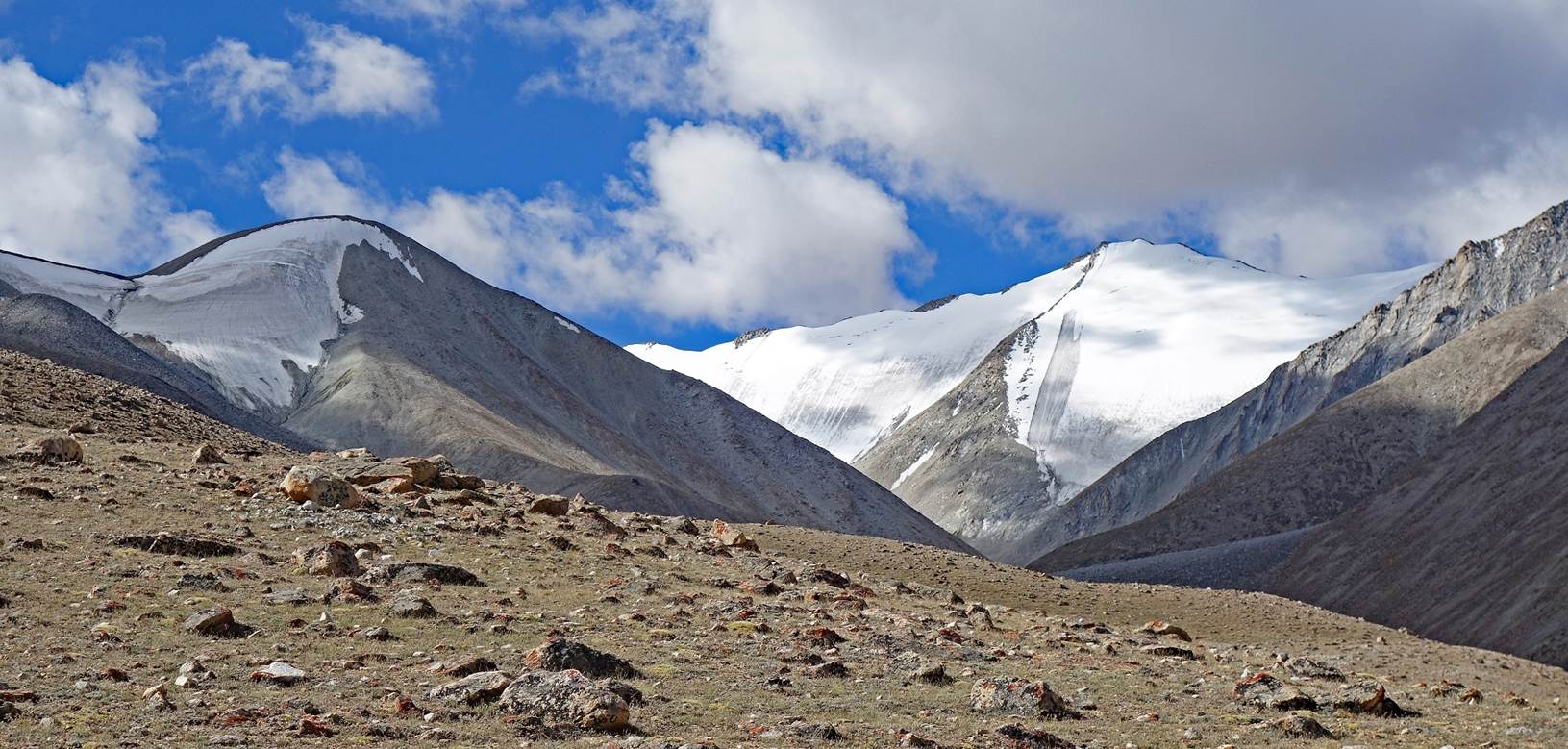
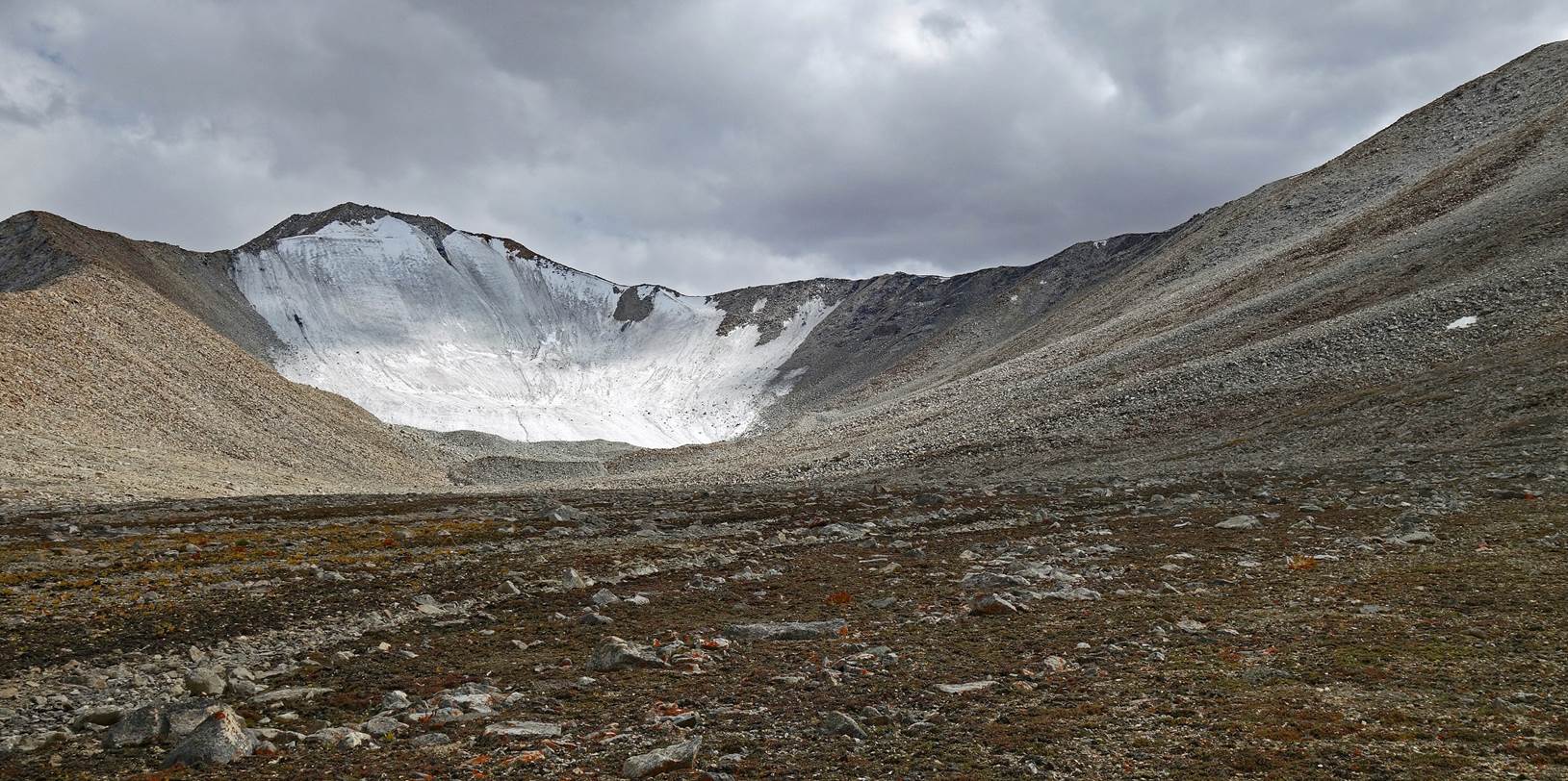
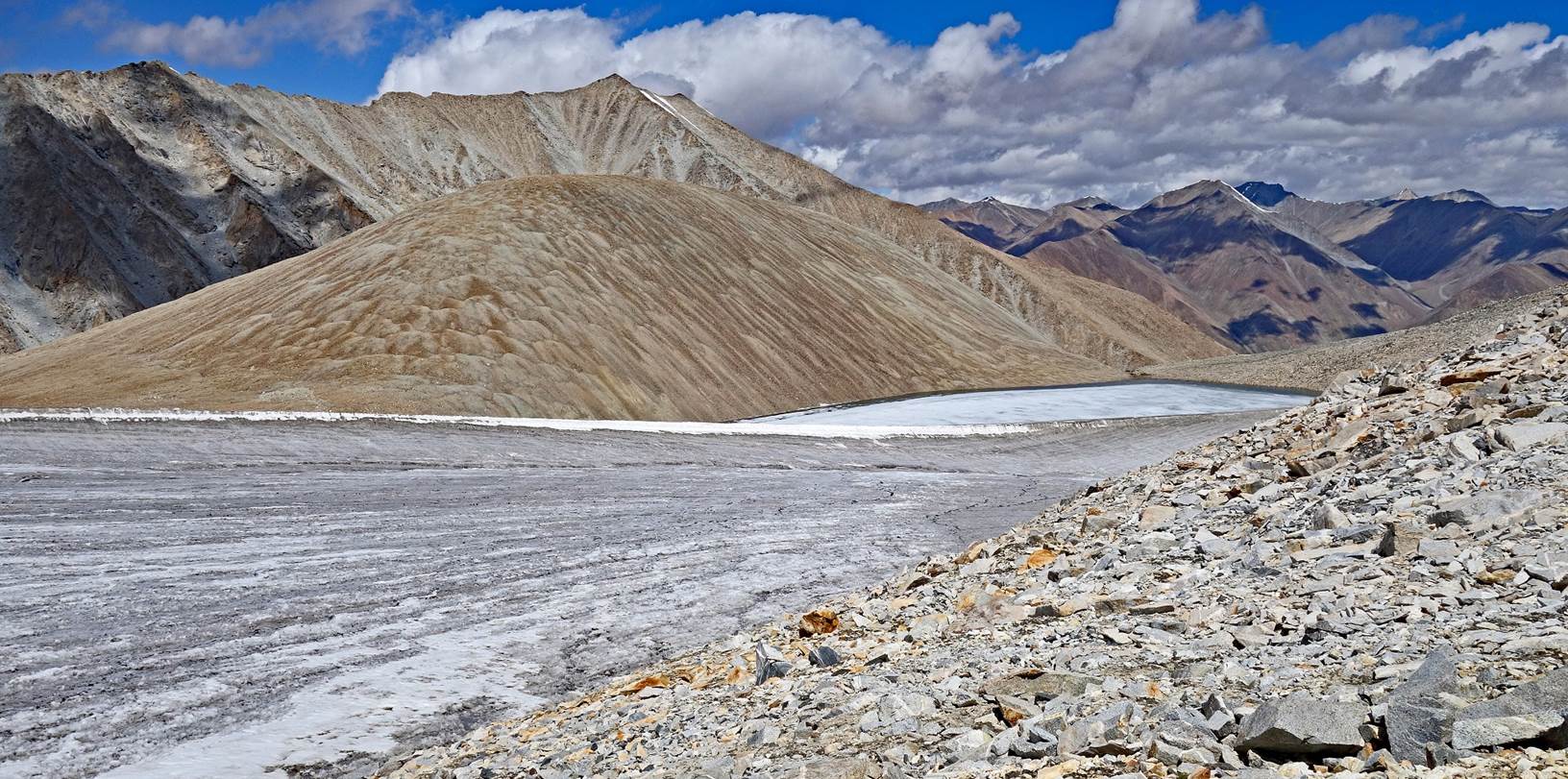
Reaching the glacier below
Steansi La. The summit on the right is Ichu (5970m). We ended up crossing the
pass visible on the very left of the picture. Its GPS recorded elevation was
5600m, neatly lower than the 5770m indicated on the Olizane map, and its
position was also slightly off to the east. So, the actual ˝Steansi
La˝ marked on the Olizane map may have been located a little further,
hidden behind the small hill on the left side of the photo.
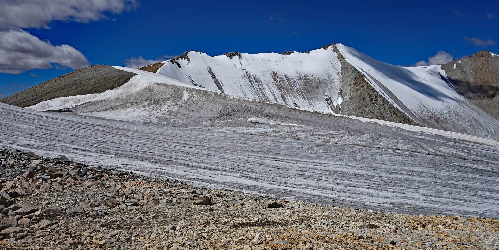
Small glacier on the north side of the pass.
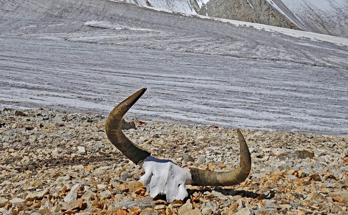
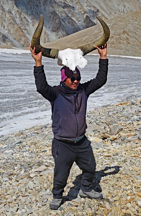
Skull and horns of a wild yak, with
Tashi demonstrating his strength. Wild yaks are among the largest extant bovid
species, weighing 500 to 1,400kg and standing 1.6 to over 2m at the shoulder.
They are significantly bigger than the domesticated yaks.
|
|
|
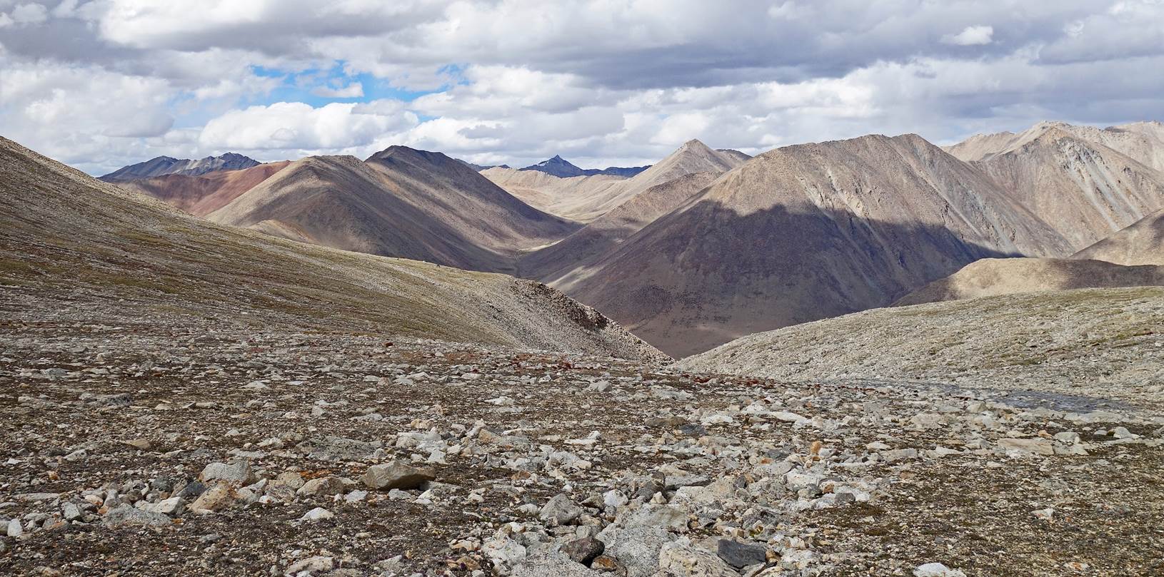
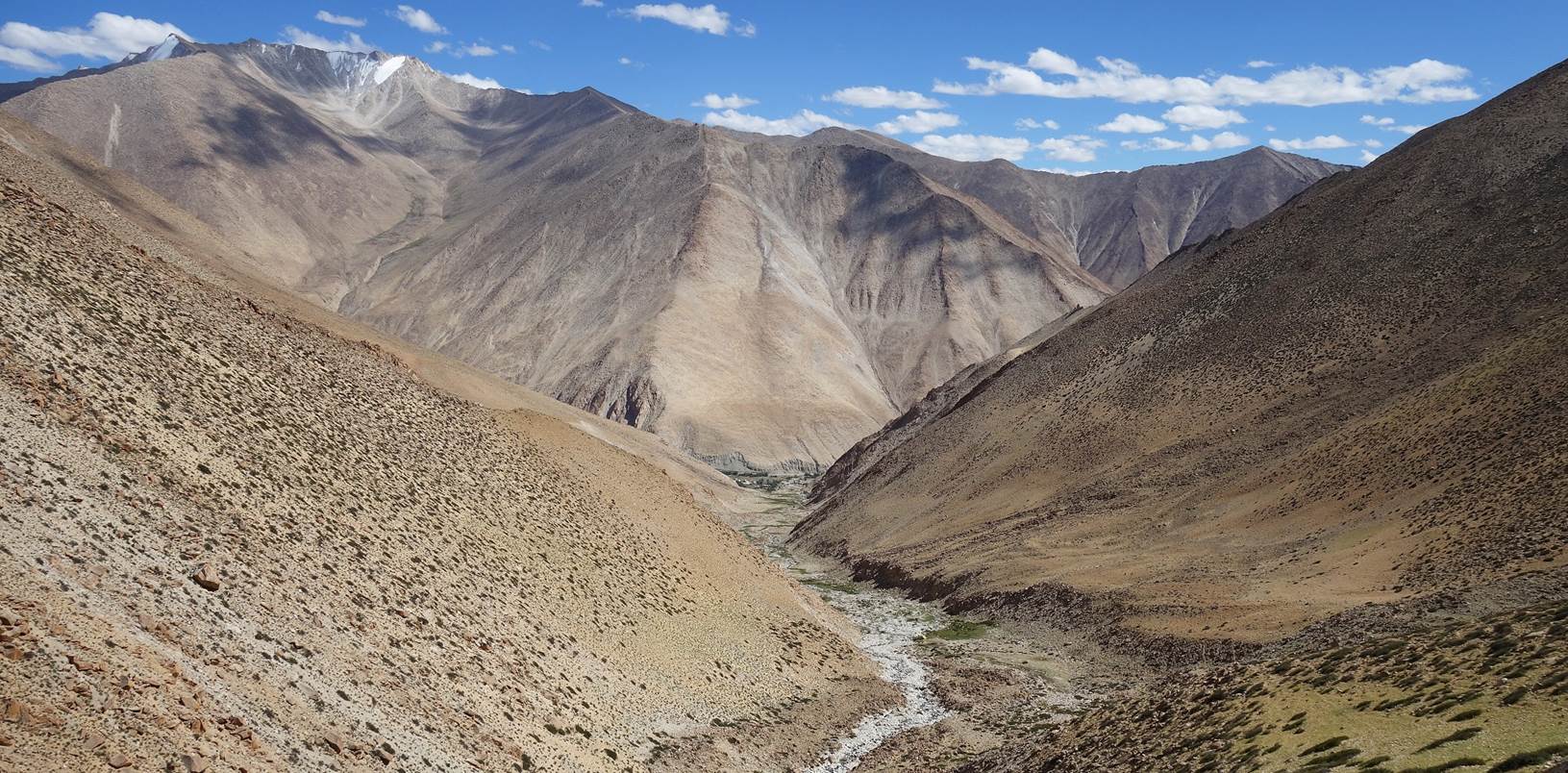
Crossing the pass.
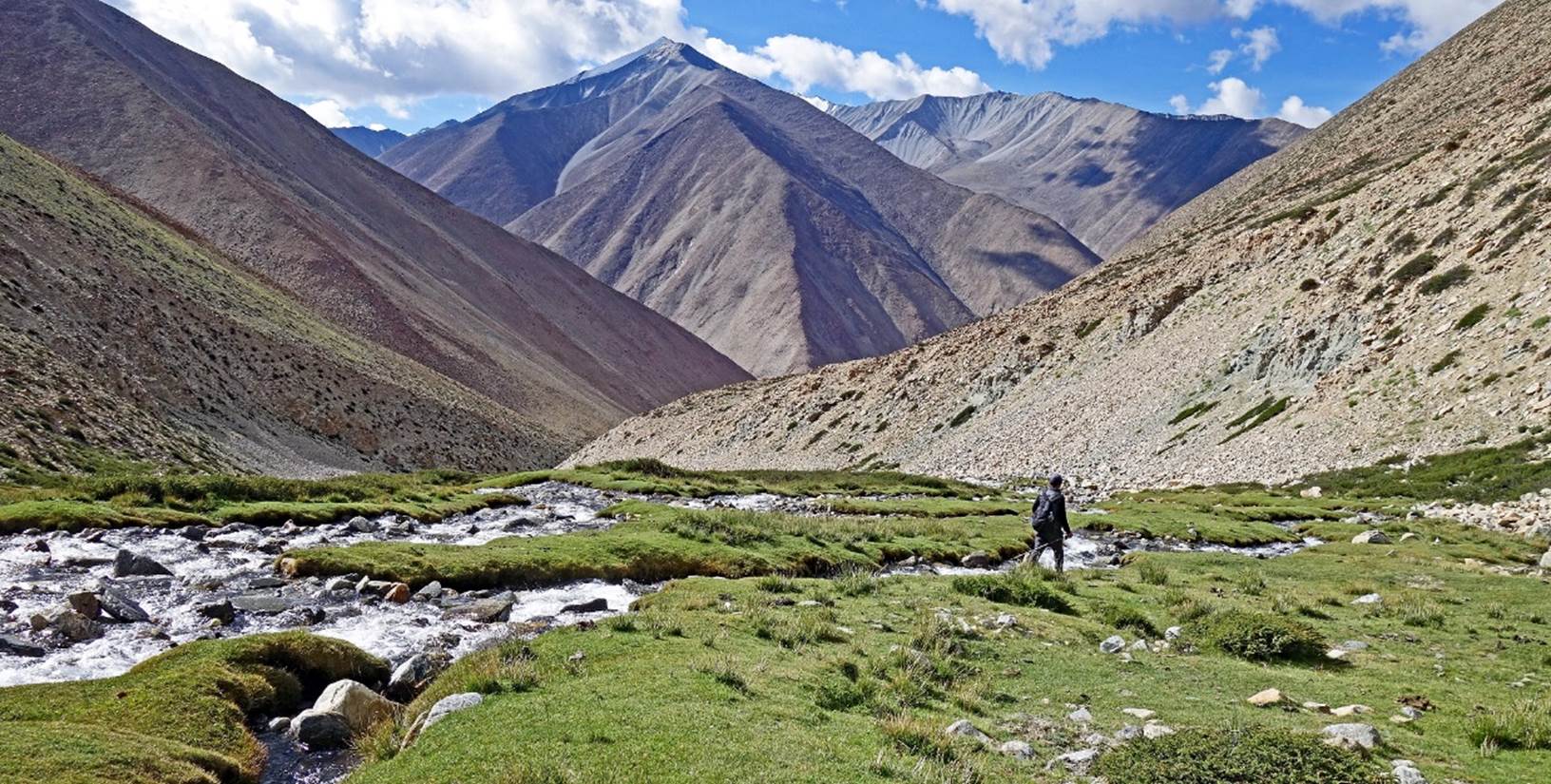
View from the pass toward the south.
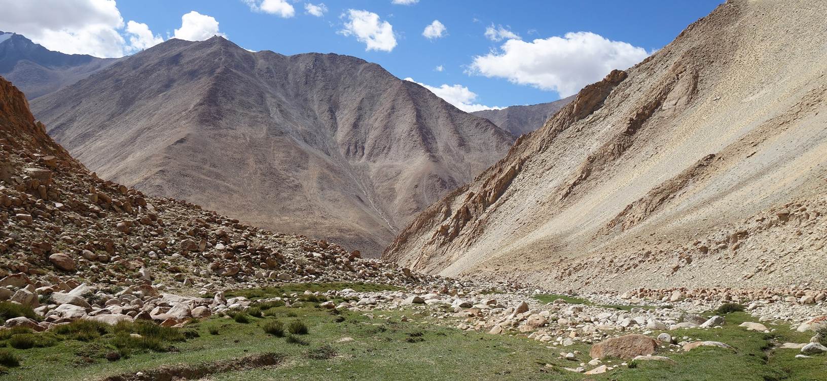
The canyon below the pass quickly became narrower, offering some
spectacular views.
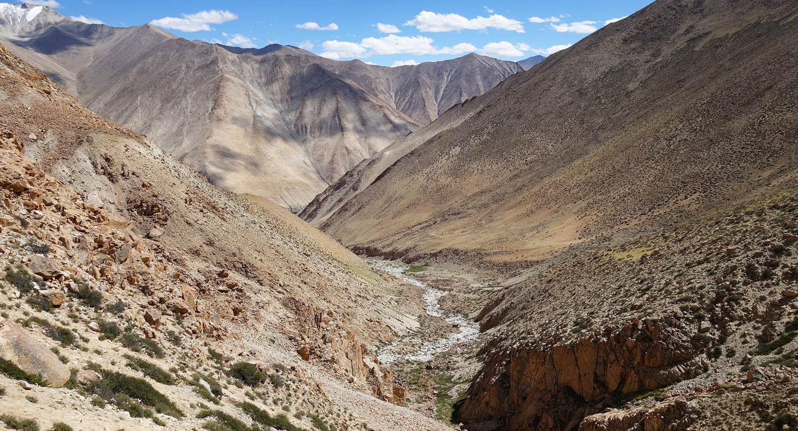
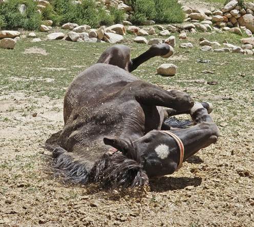
We set up our 7th camp on a nice
˝lawn˝ at 4571m (GPS recording), a short distance from the village of
Kyungyam (located at the very end of the canyon).
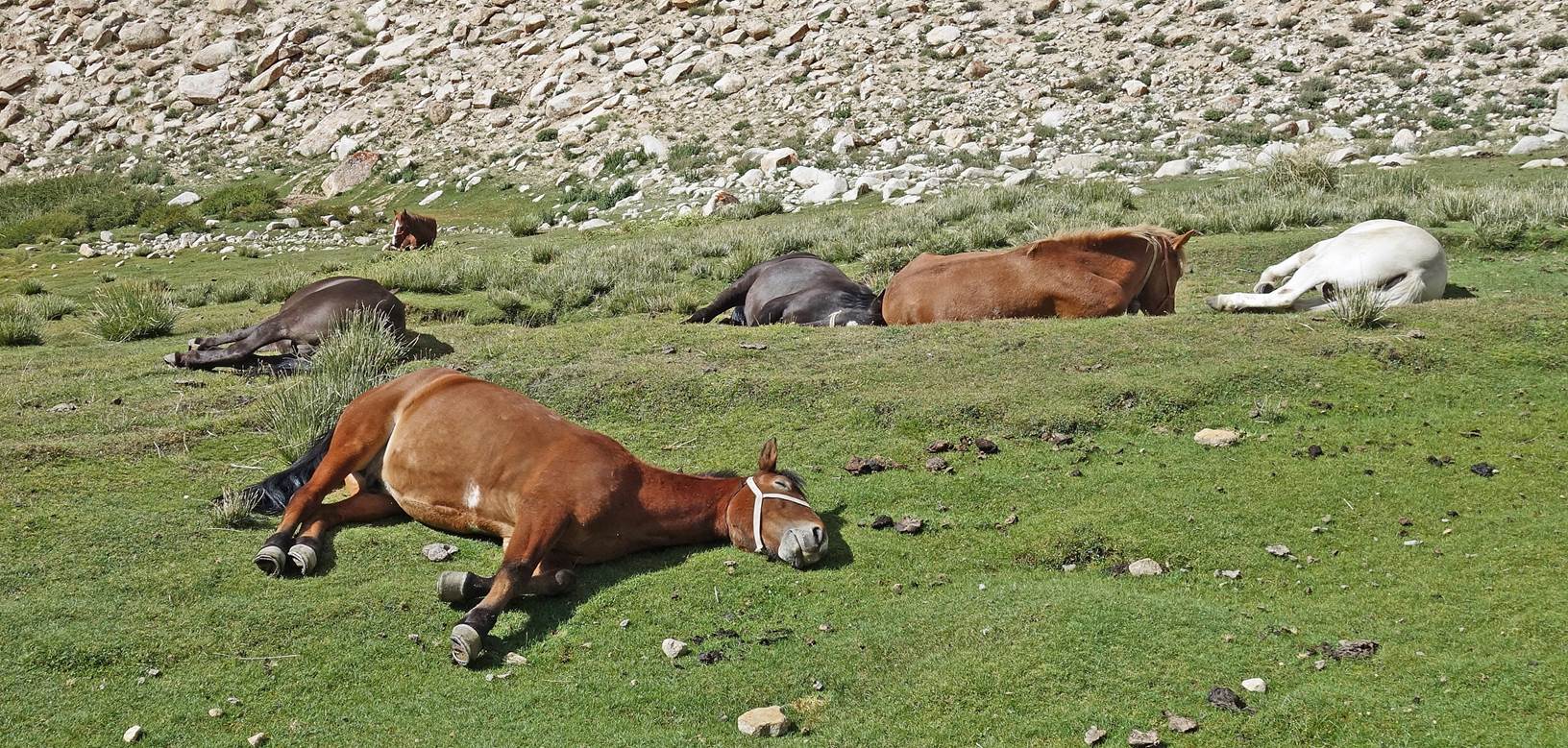
After being unloaded, our horses took a good rest on the grass. It looks
like they really needed it!
Day 7 of trek:
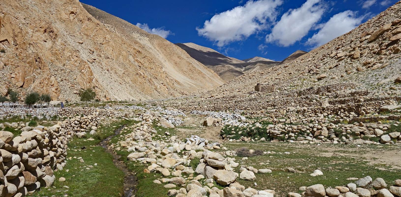
Lower part of the canyon above Kyungyam.
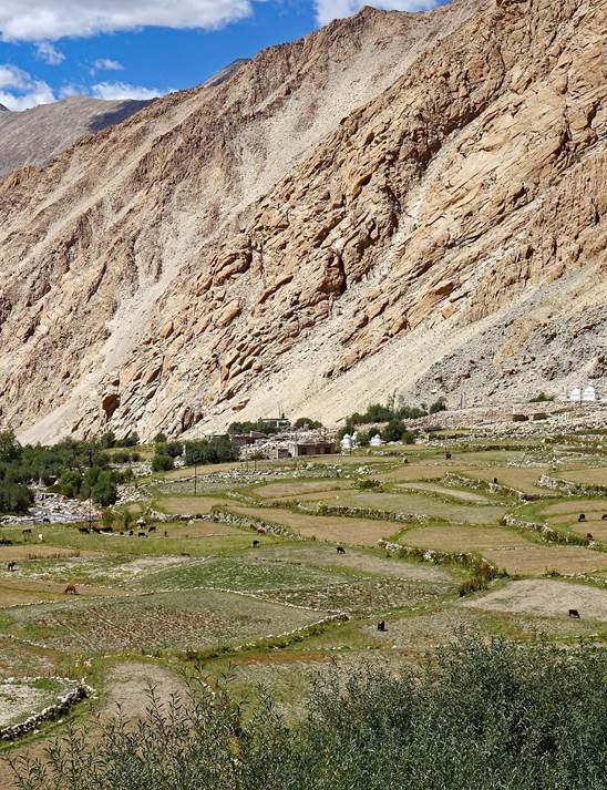
Terraces upon
reaching Kyungyam.
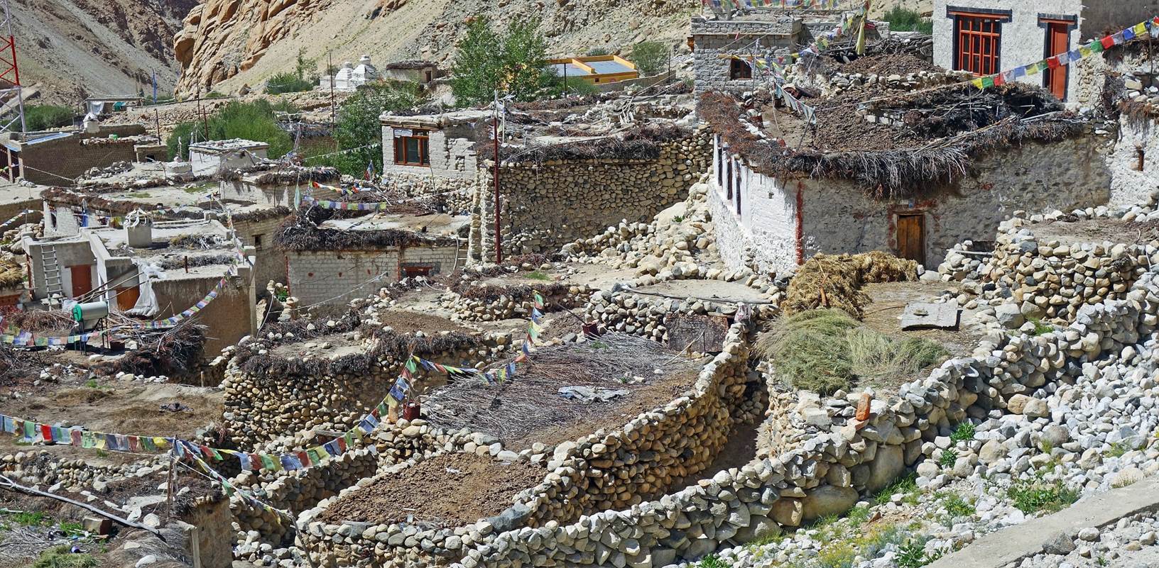
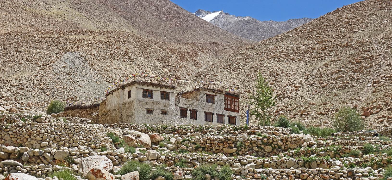
View of Kyungyam,
the only real village crossed during the trek.
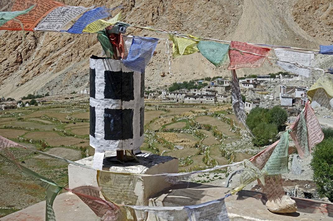
Left: Kyungyam seen from its gompa.
Right: Terraced fields below the village.
|
|
|
Leaving Kyungyam.
Blue sheep seen along the way.
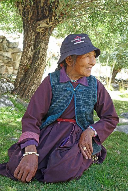
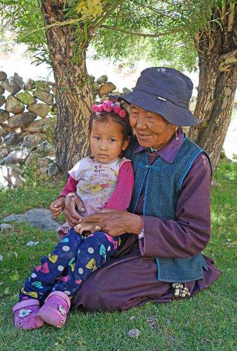
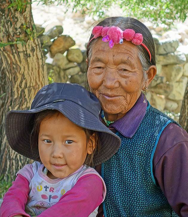
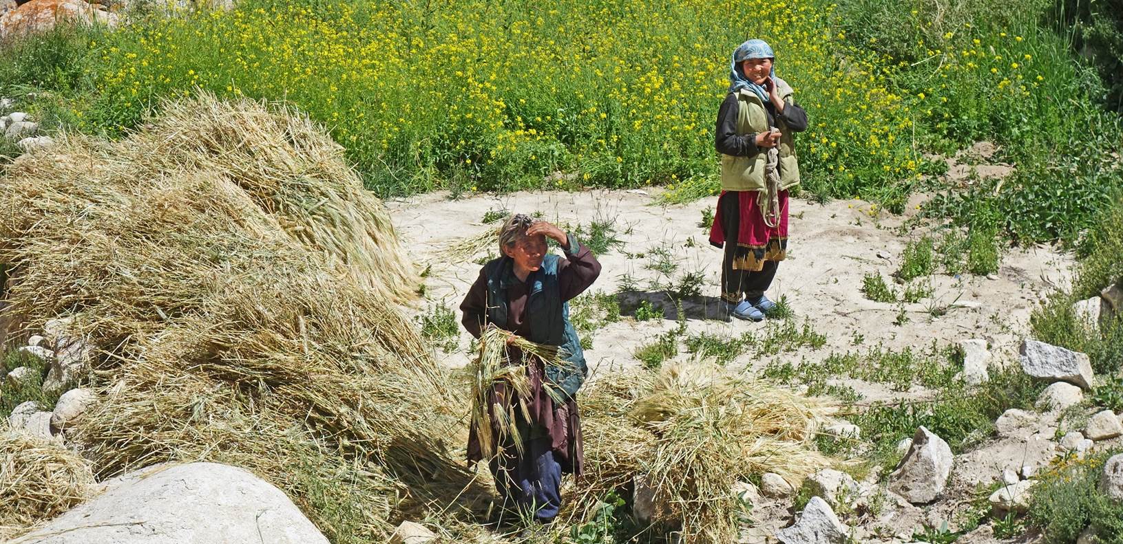
Women working in a field below the
hamlet of Roang.
Houses in Roang.
|
|
|
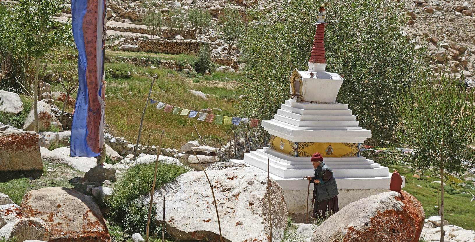
Old woman circumnavigating a stupa.
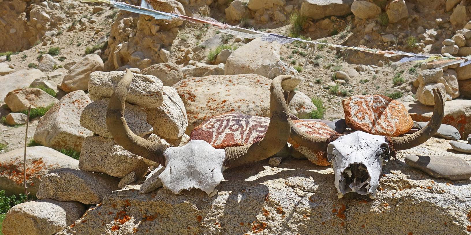
Mani stones and yak skulls.
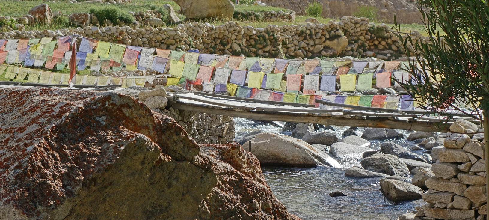
Bridge with many prayer flags in Roang.
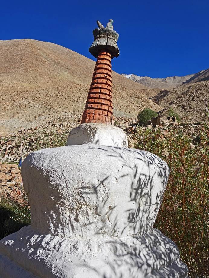
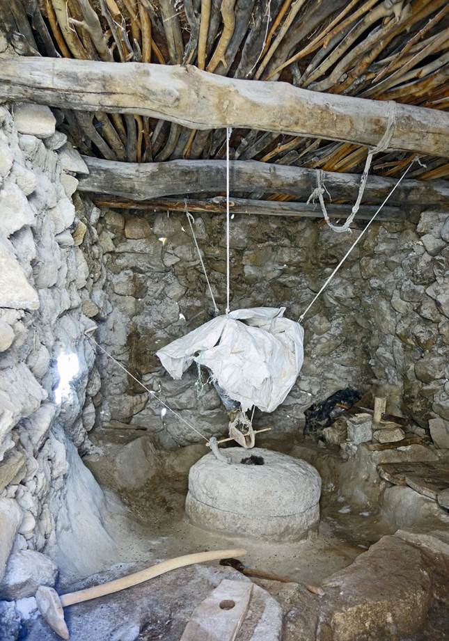
Small stupa and traditional
water-propelled flour mill.
|
|
|
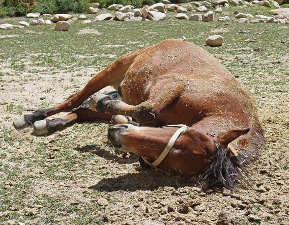
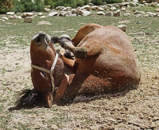
We established our 8th
camp a short distance above Roang at 4296m (GPS recording). Here, our horses had
more remaining energy than at the previous camp. They enjoyed a vigorous
˝dust bath˝ to remove bugs and dry their skins.
|
|
|
|
Click on the following
links to directly access the other photos of the trek:
![]()
Return
to main India 2022 travel page | Return to my mountaineering/trekking/travel webpage