Trek south
of Pangong Tso, Ladakh, India (August-September 2022):
(1/3)
Crossing of Yogma La
|
|
Return
to main India 2022 travel page | Return to my mountaineering/trekking/travel webpage
Map of the trek. (Click
on the map to see it at a better resolution.)
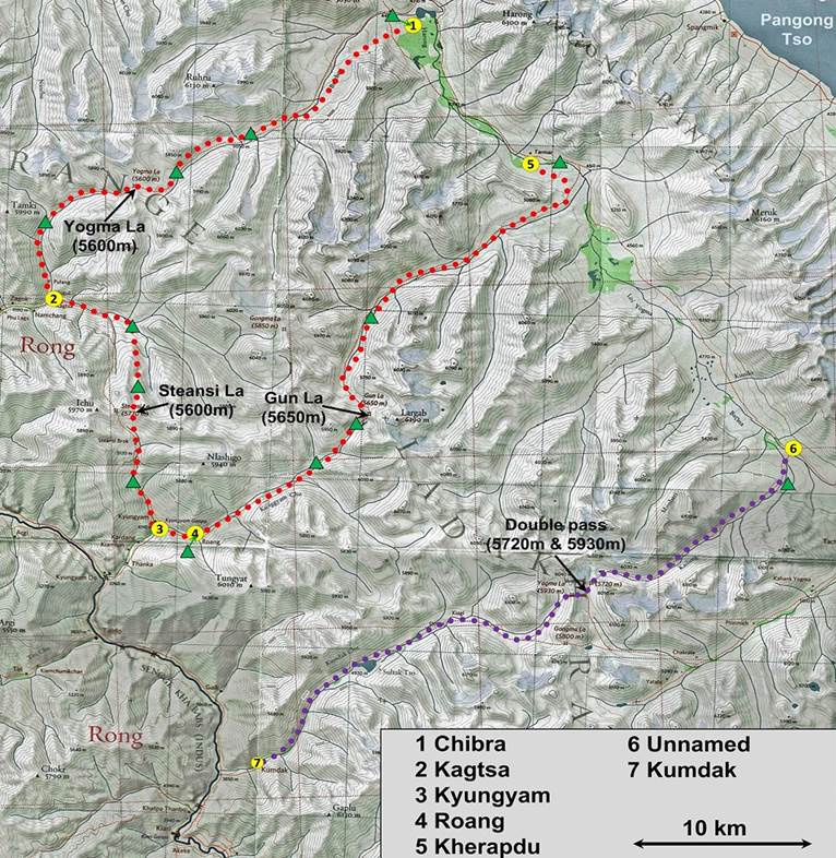
[Green triangles indicate the locations
of our successive campsites.]
Located at an elevation
of 4225m in the eastern part of Ladakh, Pangong Tso (lake) is divided between
India and Tibet. On its southern side, the lake is separated from the Indus
valley by two parallel ranges of mountains: first, the Pangong Range, a
relatively small, but steep, range that rises abruptly above the lake; then,
the larger Ladakh Range, whose arc extends across a large section of Ladakh.
This 11-day trek lies entirely in a portion of the Ladakh Range south of
Pangong Tso. It starts in the hamlet of Chibra and ends in the village of Kerapdu, after crossing three high passes (Yogma La,
Steansi La, and Gun La). Chibra and Kerapdu are both located in a valley
between the Pangong and Ladakh Ranges. Due to the border dispute between India
and China around Pangong Tso, this valley is traversed by a surprisingly good
road of military strategic value. Nevertheless, the area is rarely visited by
trekkers. During my trek I saw none.
The area is home to the
Changpa, formerly a nomadic pastoralist people who used to roam freely between
Tibet and Ladakh. But both the closure of the Tibetan border by the Chinese
government and modern socio-economical developments have brought many changes
to their lifestyle and culture. Most Changpa encountered during this trek live
in hamlets that serve as their bases and move their livestock (sheep, goats,
and yaks) over relatively small areas. Increasingly, they also grow vegetables
throughout the year, thanks to recently built polycarbonate greenhouses
subsidized by the Indian government. The absence of livestock traces and recentBuddhist signs, such as prayer flags, at the high
passes crossed during the trek suggests that local people now rarely use these
passes.
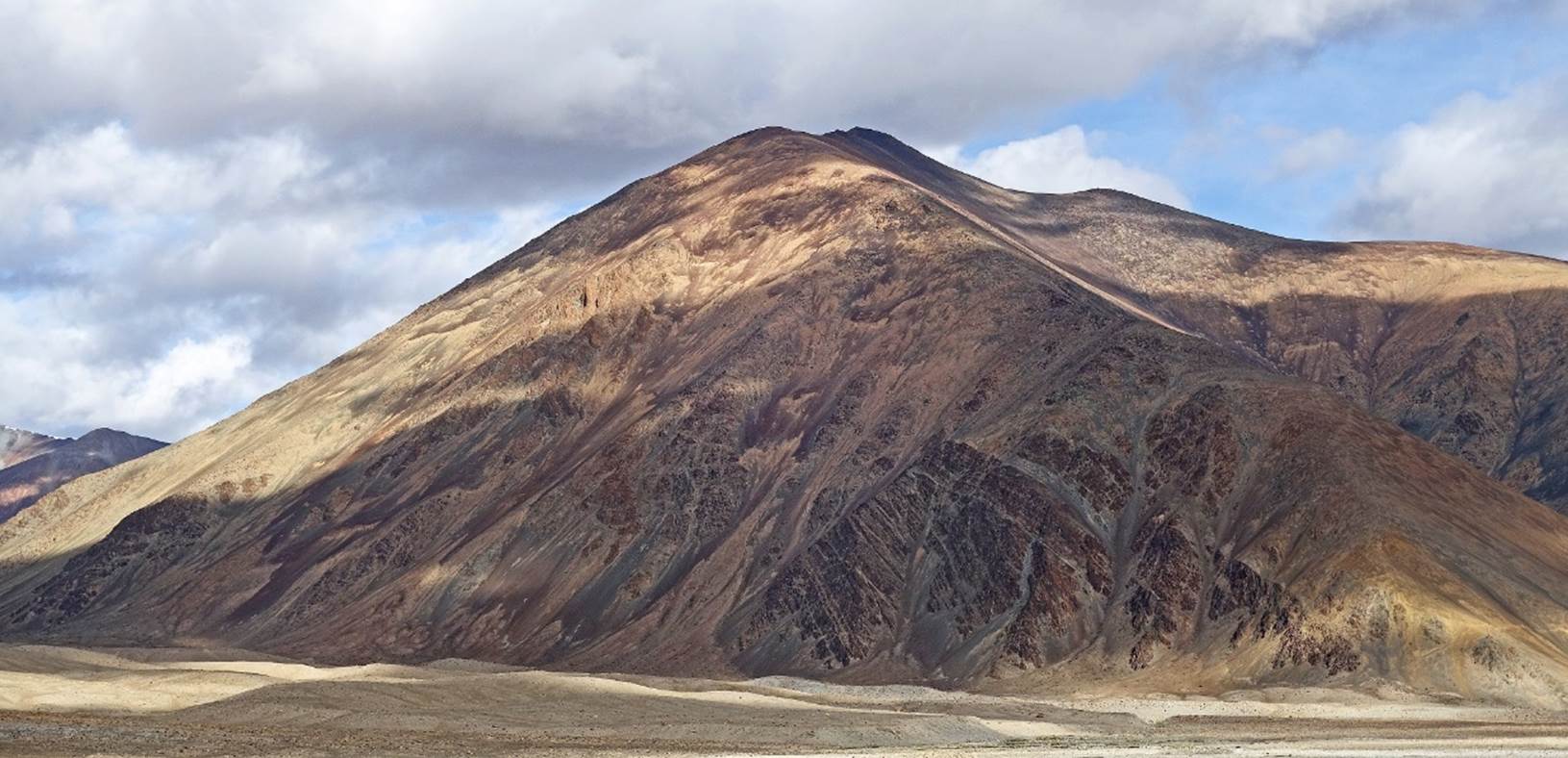
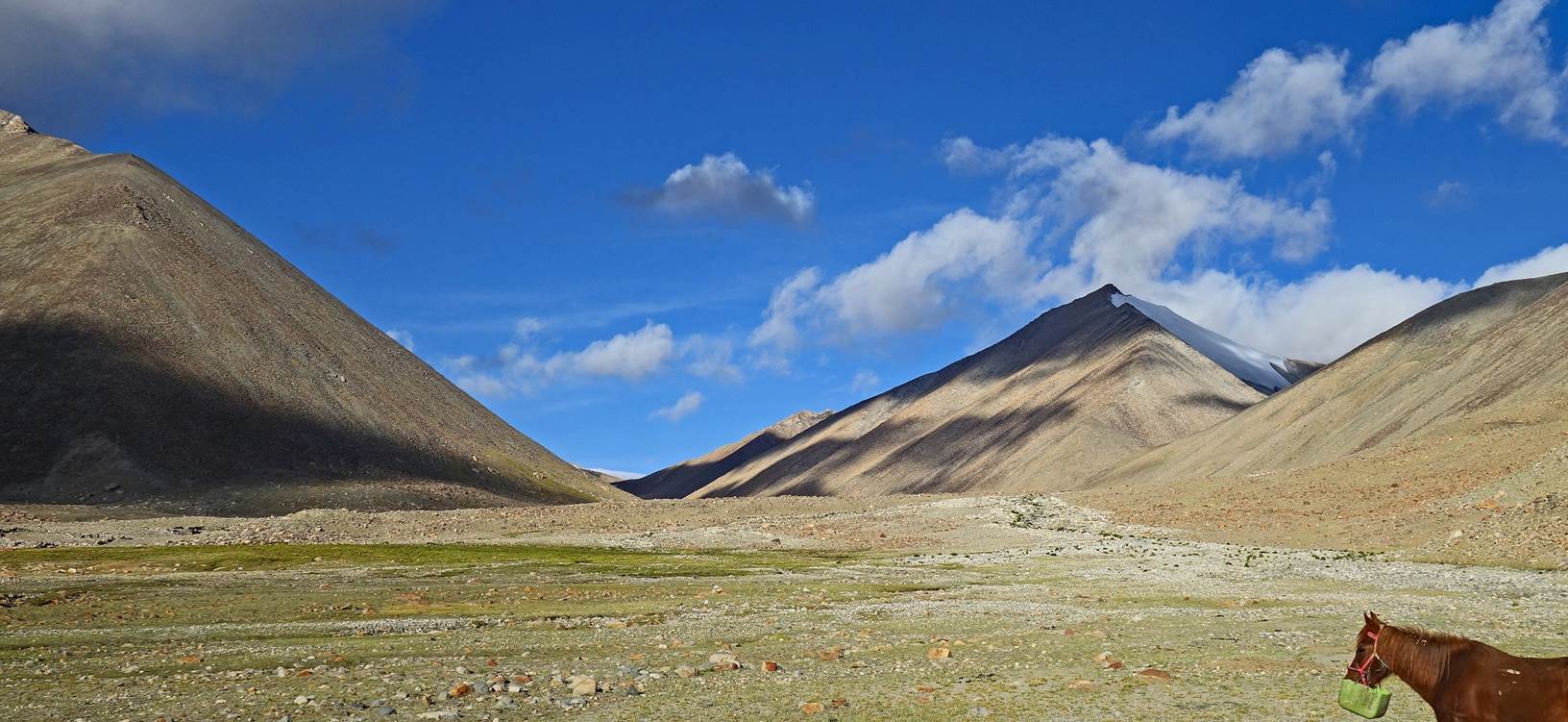
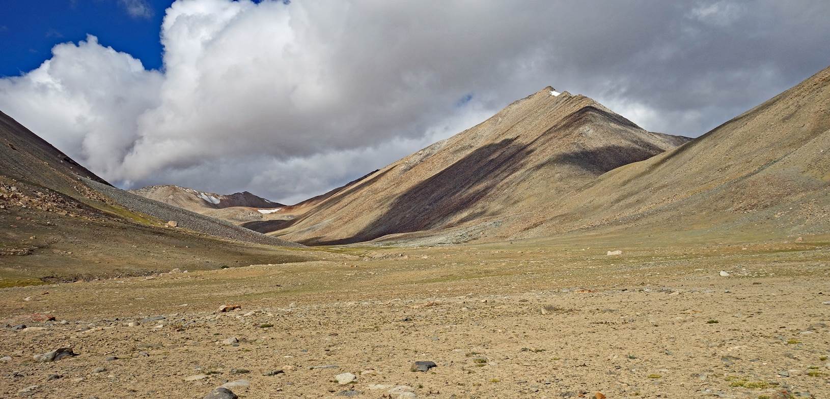
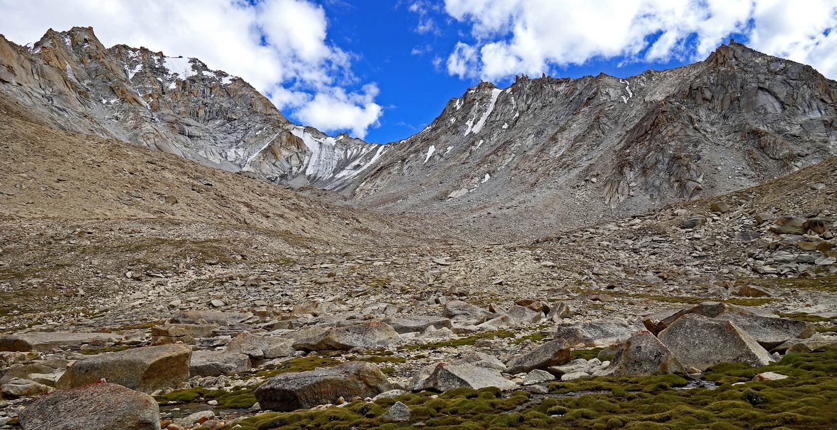
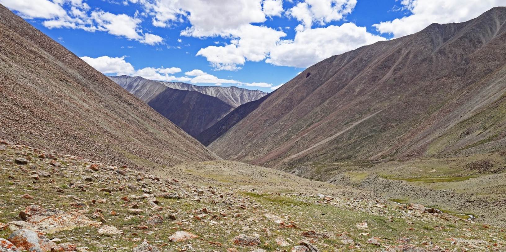
Most of this trek is in
open terrain with no trails, near or above 5000m, and surrounded by summits
exceeding 6000m. However, unlike other parts of Ladakh, the general landscape
is not one of steep and dramatic peaks and rocky cliffs. Instead, it is one of
relatively gentle (although very high) hills separated by wide valleys. This is
the kind of landscape one would expect to see in a nomadic high-altitude
Central Asian land.
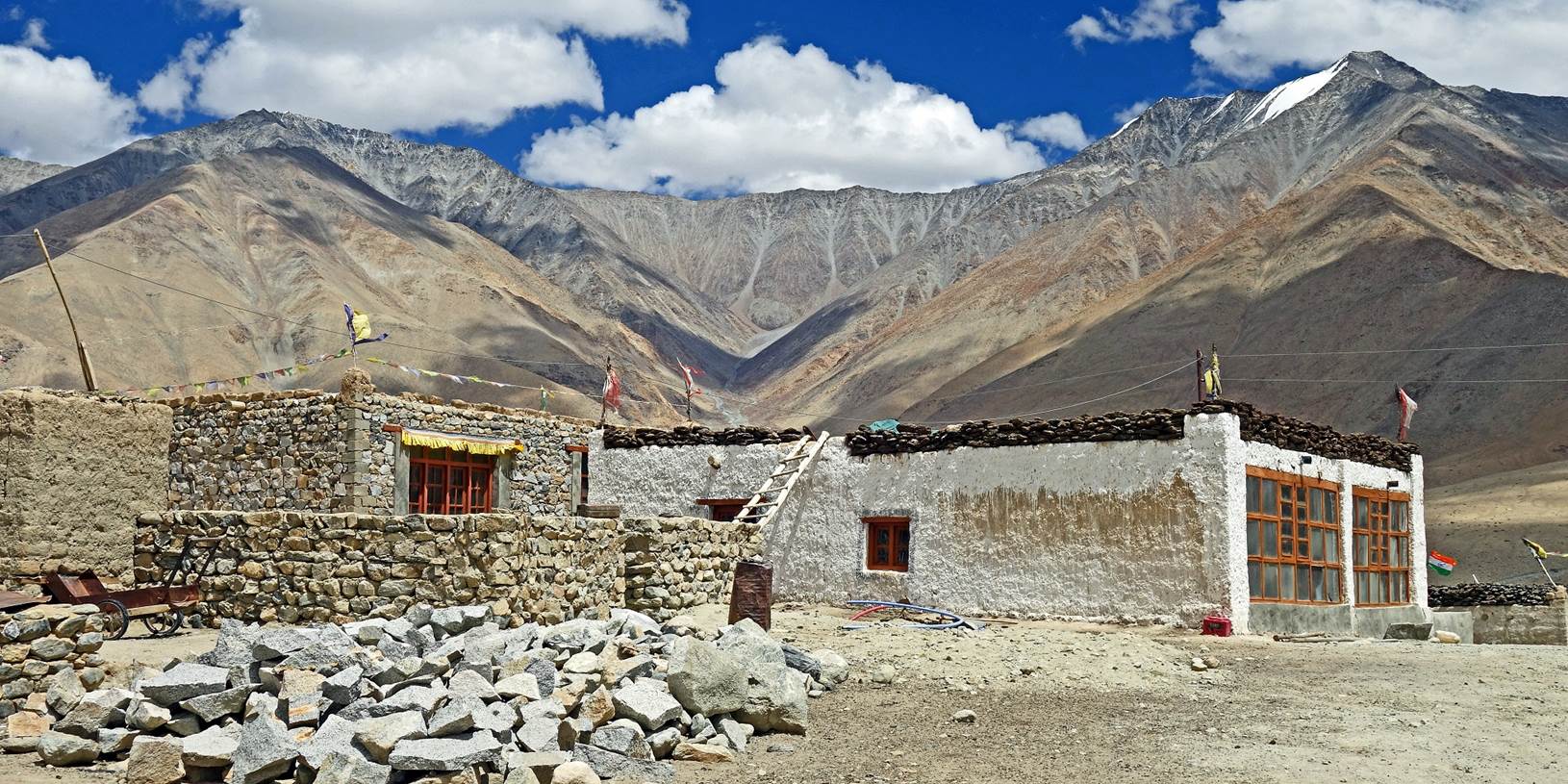
The hamlet of Chibra seen
from the road behind its small lake. (Note the statue on the right side of the
village.)
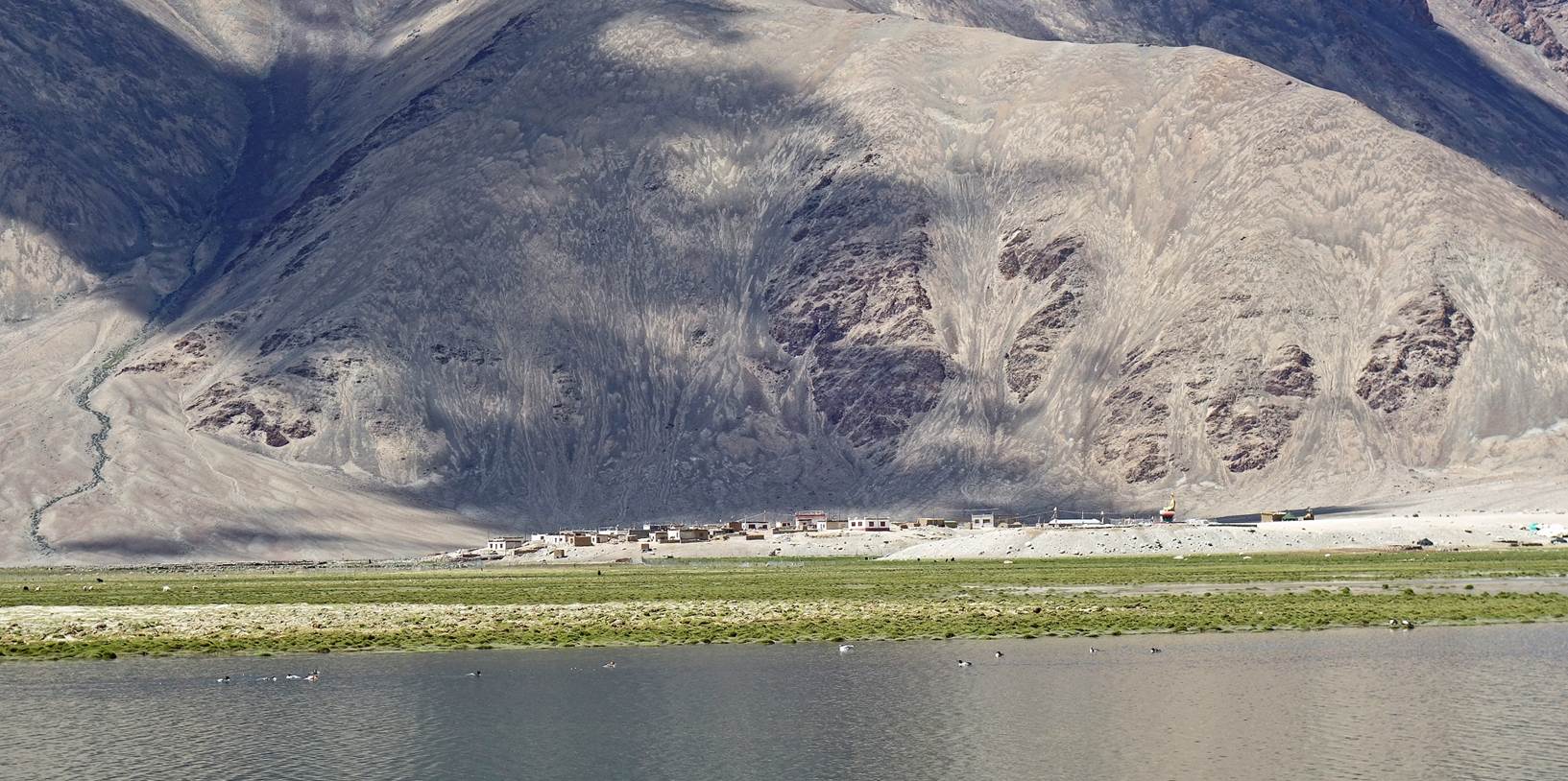
Valleys south of Chibra.
The trek will take the valley on the left.
Houses in Chibra.
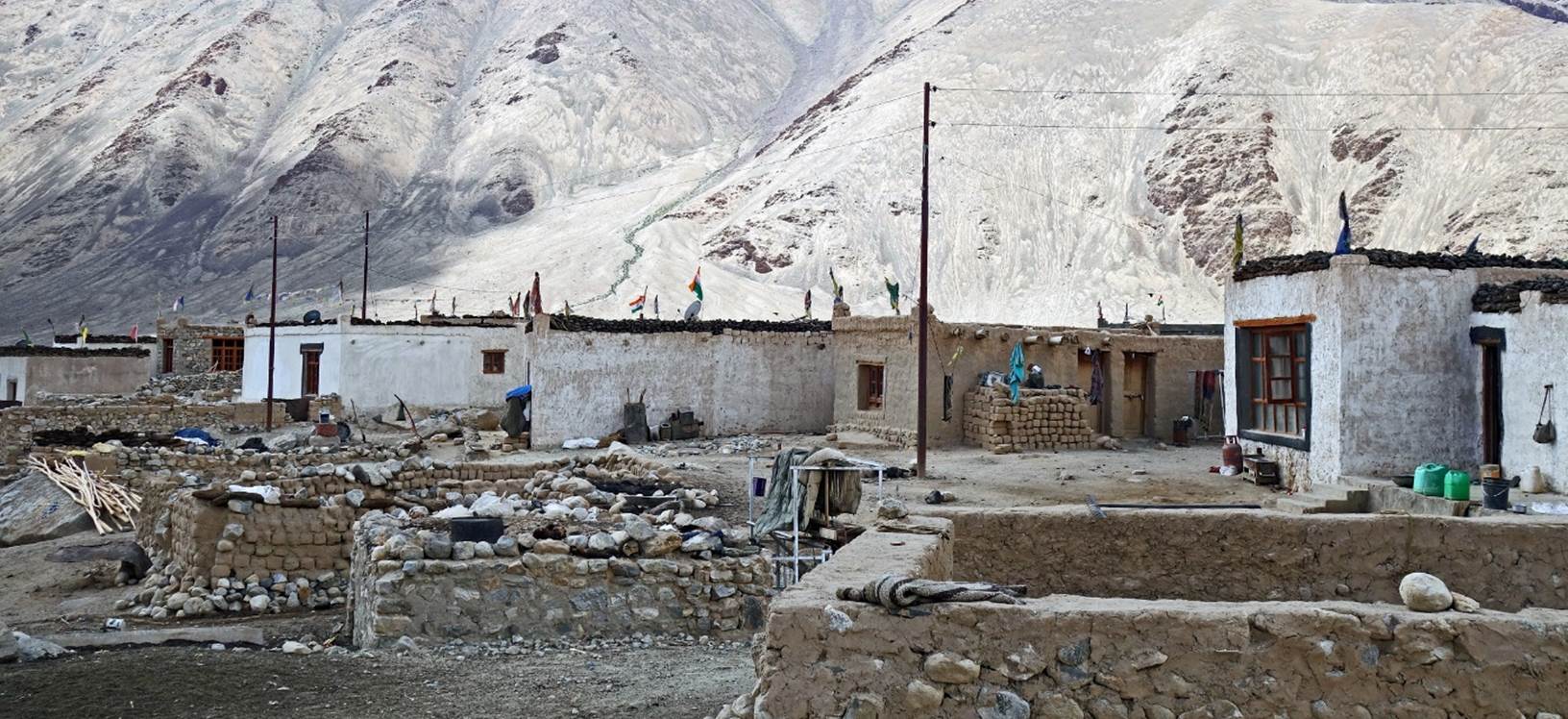
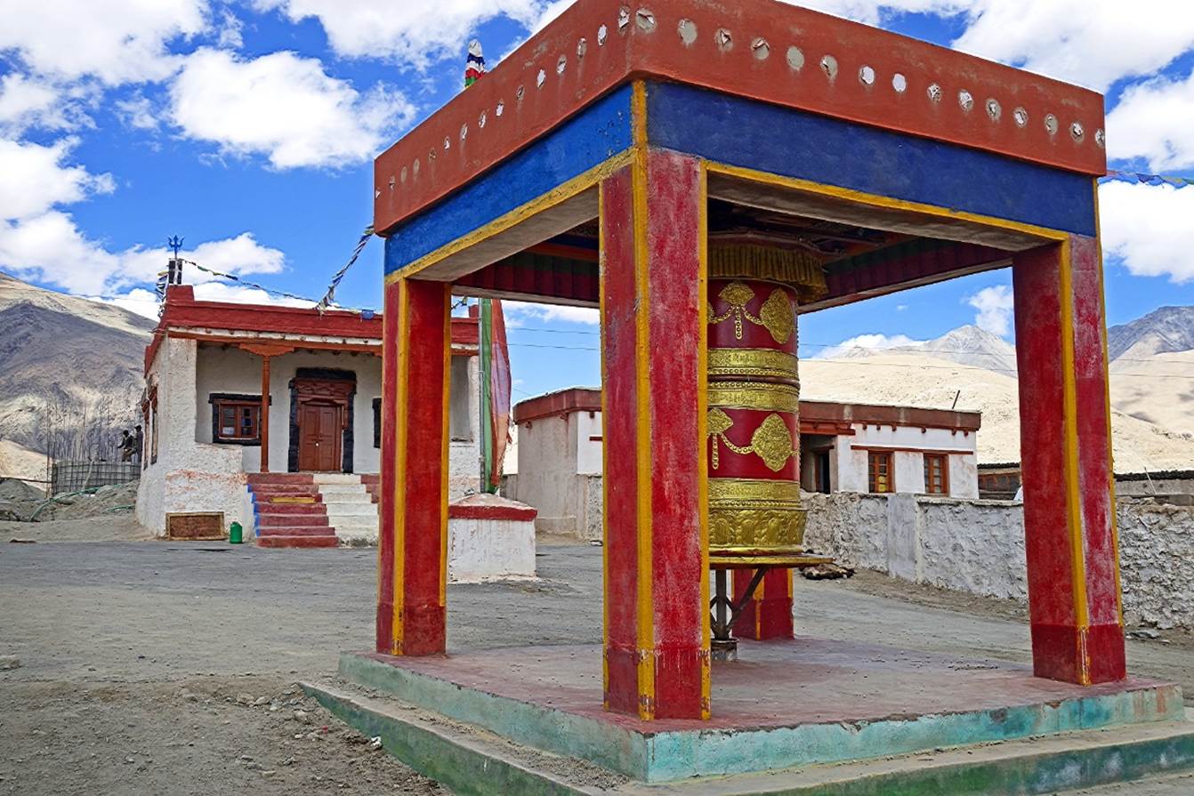
The hamlet's gompa
(center-left) and its prayer wheel.
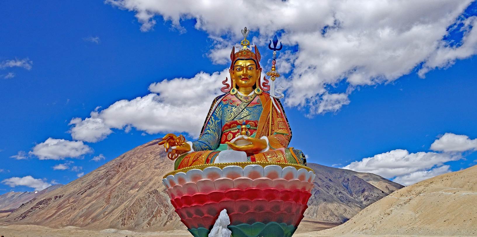
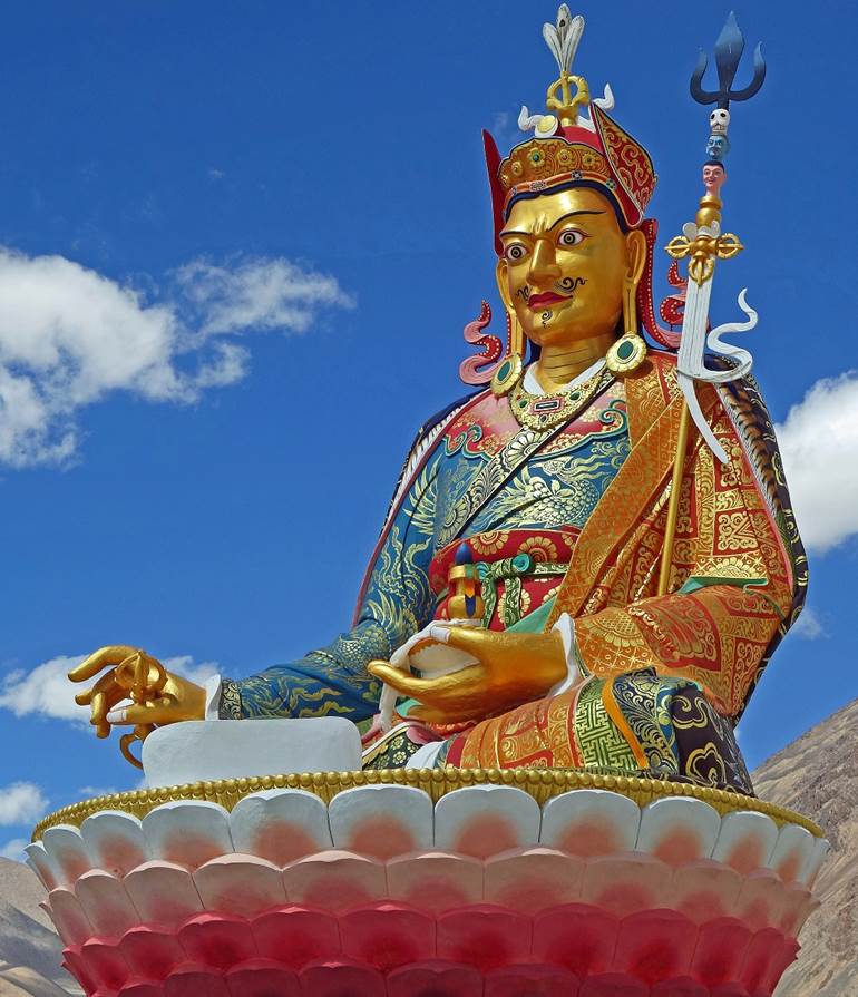
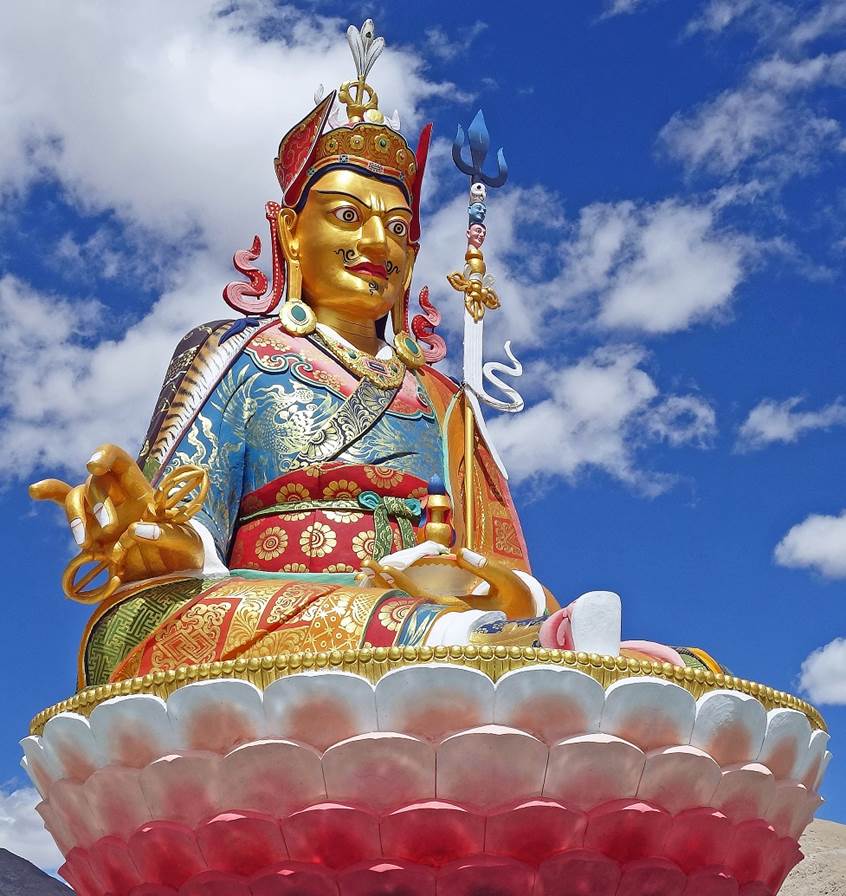
Statue of Padmasambhava,
a central figure (8th-9th centuries) in the transmission of Buddhism to Tibet.
This recently built bright statue seems totally out of place next to the
hamlet. Perhaps its purpose is to serve as a cultural rallying point for the
dispersed community of Changpa living in eastern Ladakh. (Padmasambhava means
˝Born from a Lotus˝. So, he is often represented sitting above a
lotus flower, itself surrounded by a small water pool.)
|
|
|
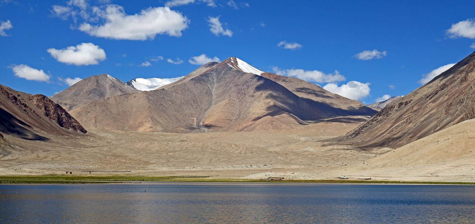
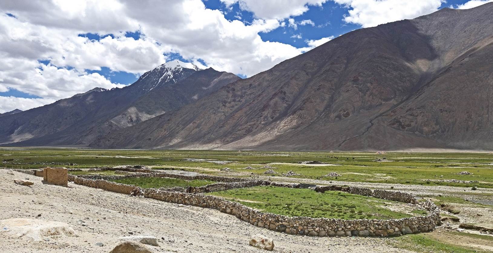
Pasture next to Chibra,
where we set our first camp at 4389m (GPS recording).
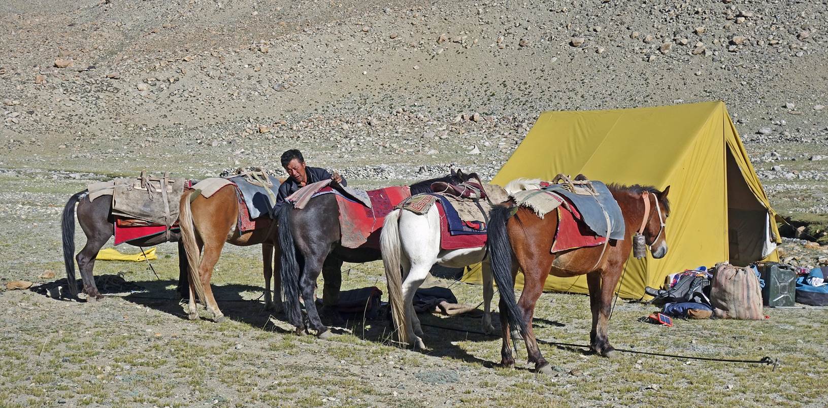
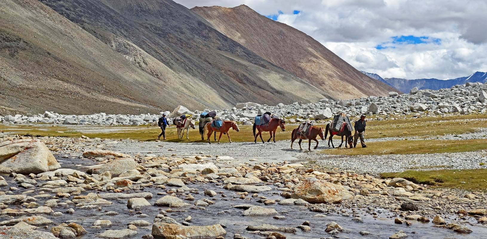
My support team for the
trek in our big tent at this camp, from left to right:
- Tundup, who had been my
guide on three previous treks in Ladakh in 2016,
2018,
and 2019.
- Tashi, a very strong
and helpful companion.
- Kenup, the horseman. He
is a Tibetan refugee, who crossed into Ladakh as a child with his mother in the
early 1960s, soon after the invasion of Tibet by the Chinese army. He now owns
6 horses that he treats very well.
- Tacul, the driver
between Leh and the start/finish of the trek. He also drove me to various
gompas around Leh after the trek. He did not come on the trek.
- Nurbo,
who like Tundup was with me (as a cook) on previous
treks in Ladakh.
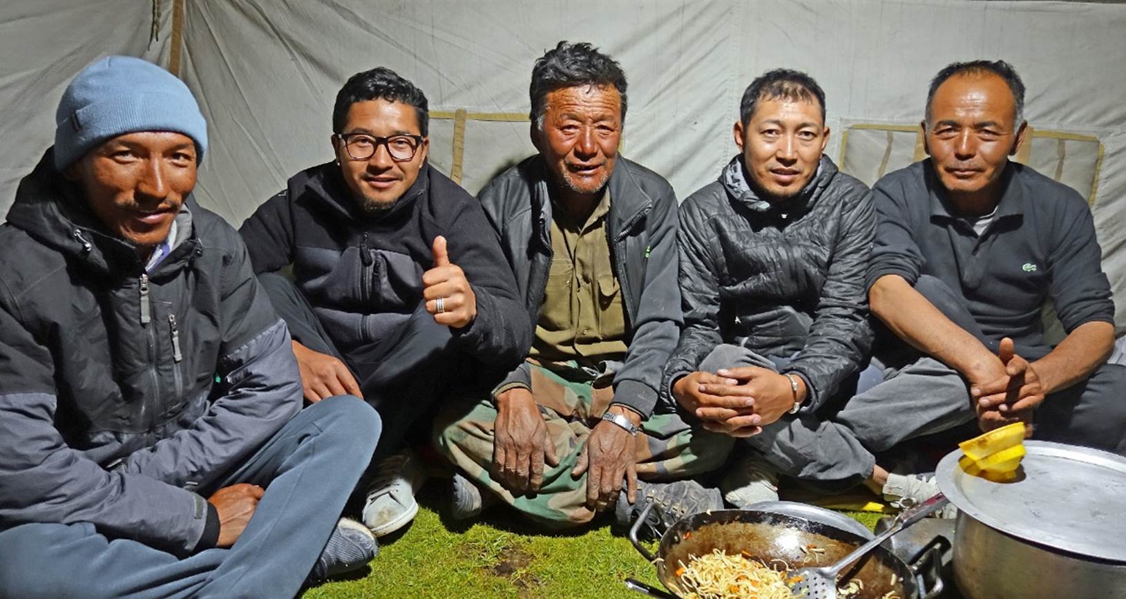
None of the four members
of my support team had done this trek before. In September 2018, starting from
Chibra, Tundup had planned to cross Yogma La with a group of French trekkers,
but a snowstorm forced them to give up after the first night.
The rest of this page
shows photos taken during the first three days of the trek. The photos appear
in chronological order.
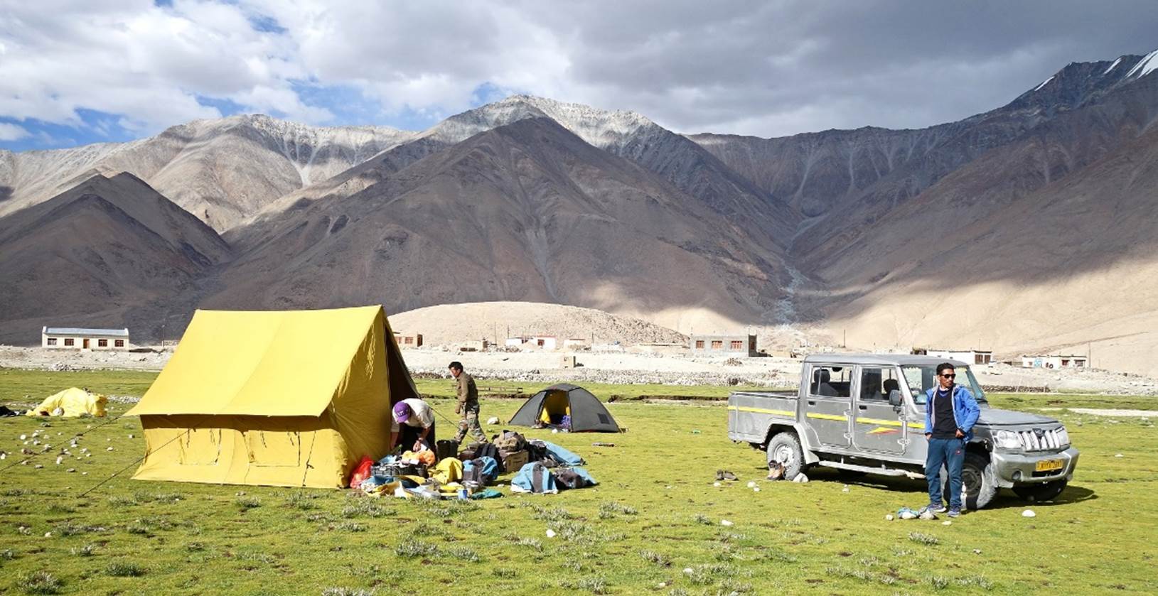
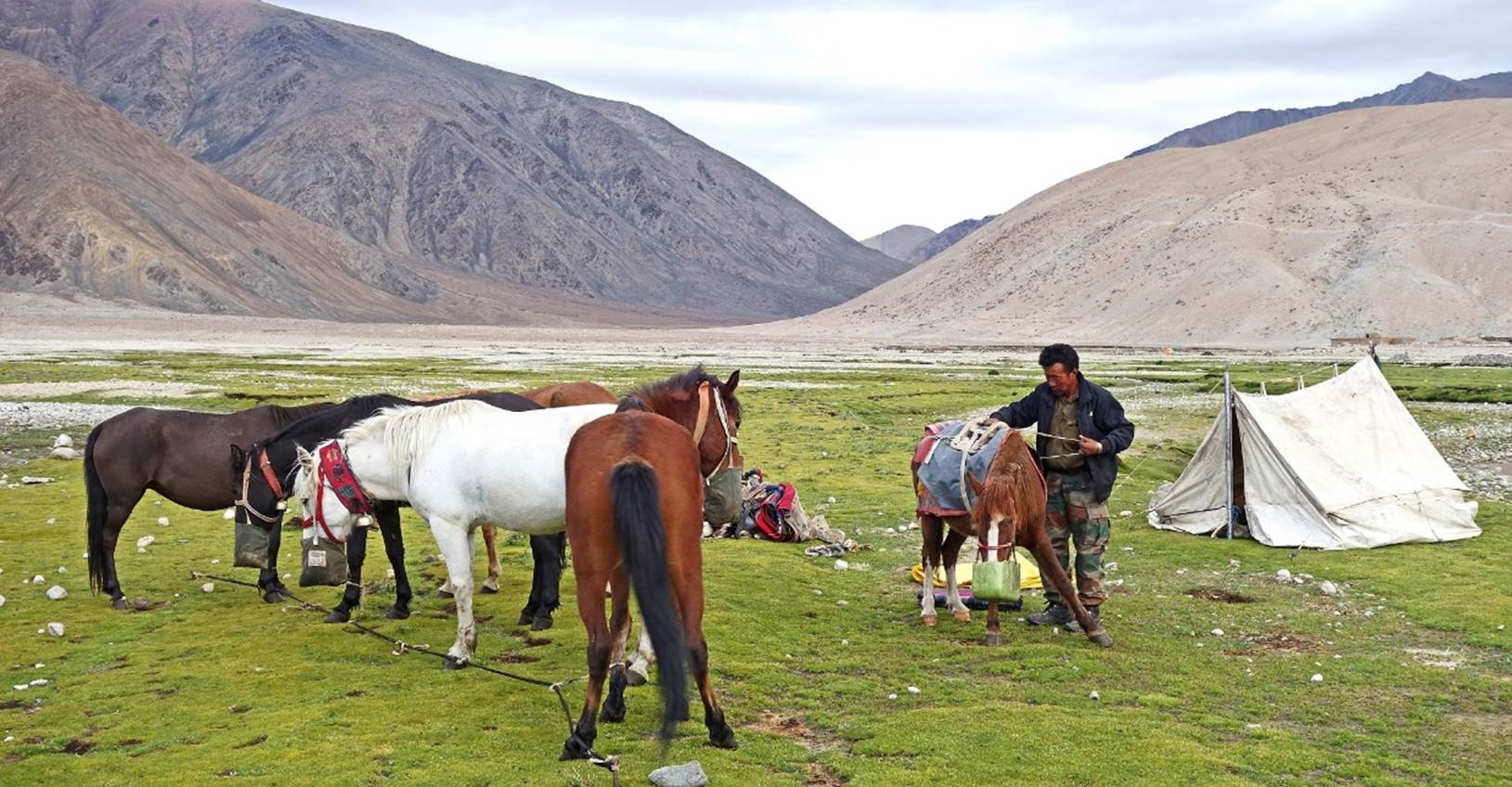
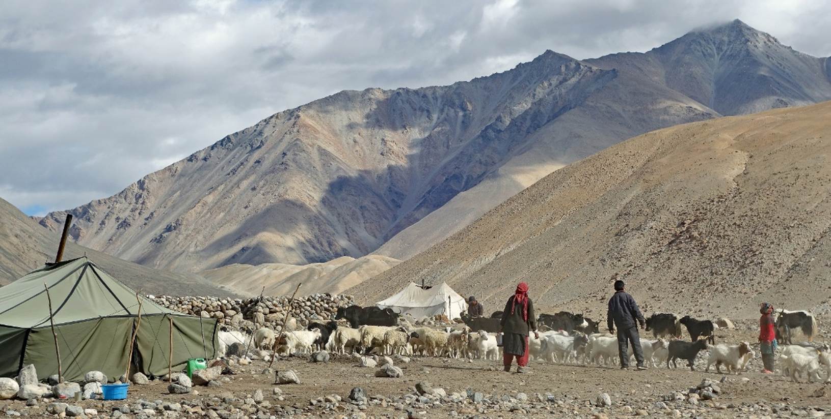
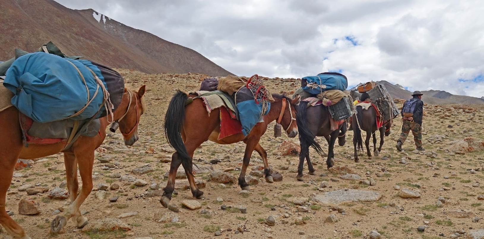
Kenup gathering, feeding, and preparing his horses for the first day of
trek.
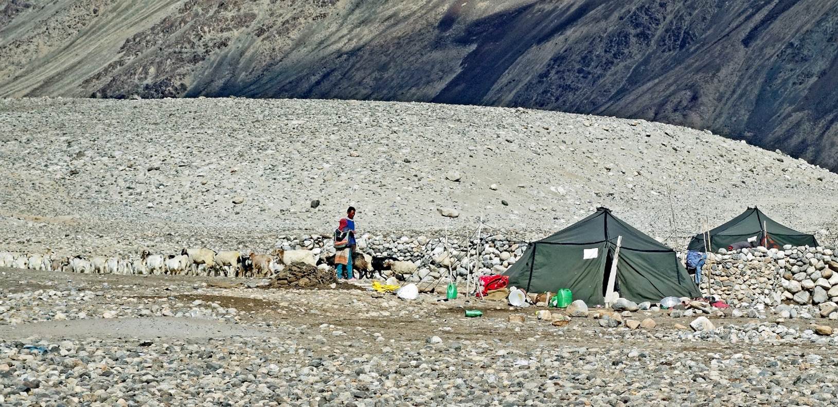
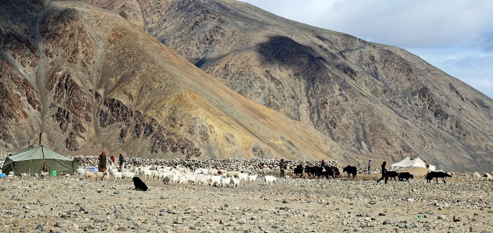
Changpa shepherd camps seen soon after leaving
Chibra.
Looking back toward
Chibra (green area), with the Pangong Range in the background.
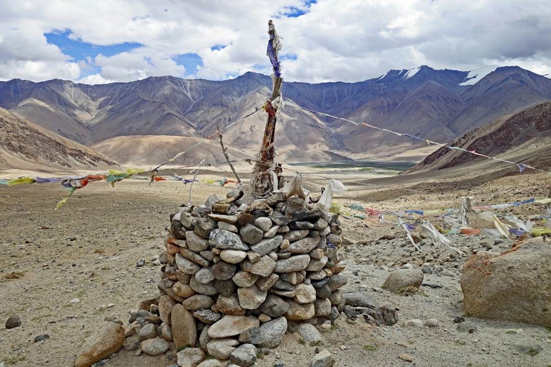
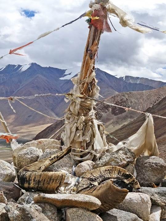
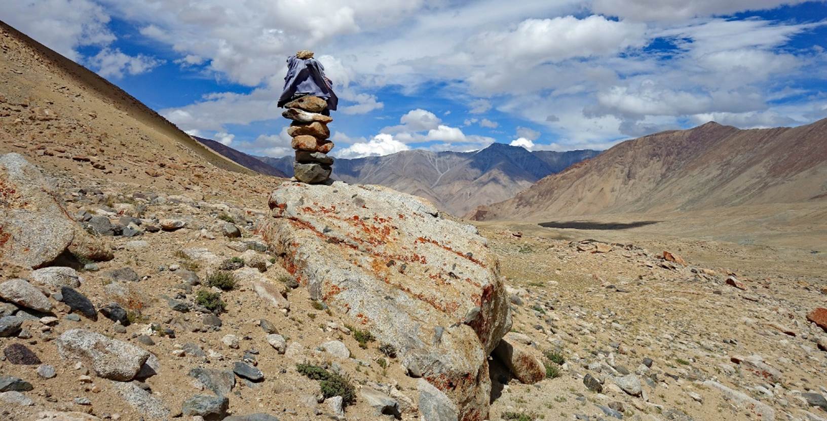
Buddhist markers at the
top of a ridge (a kind of false pass). Note the blue sheep horns on the stack
of rocks.
|
|
|
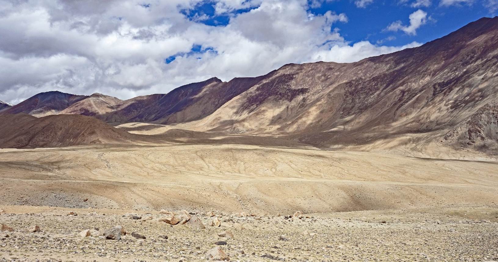
Dry landscape behind the
ridge.
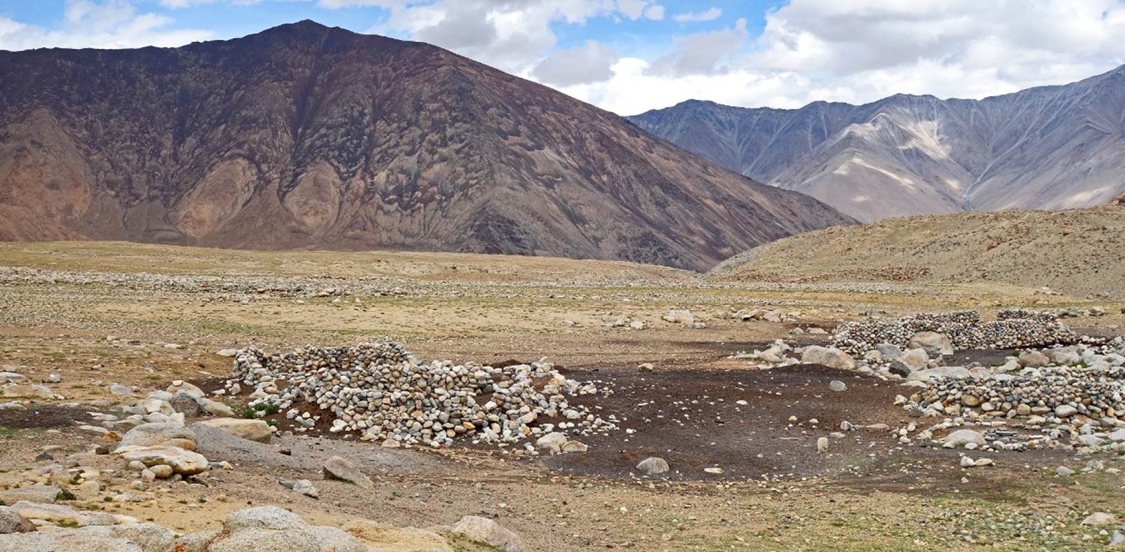
Empty pens for sheep and
goats.
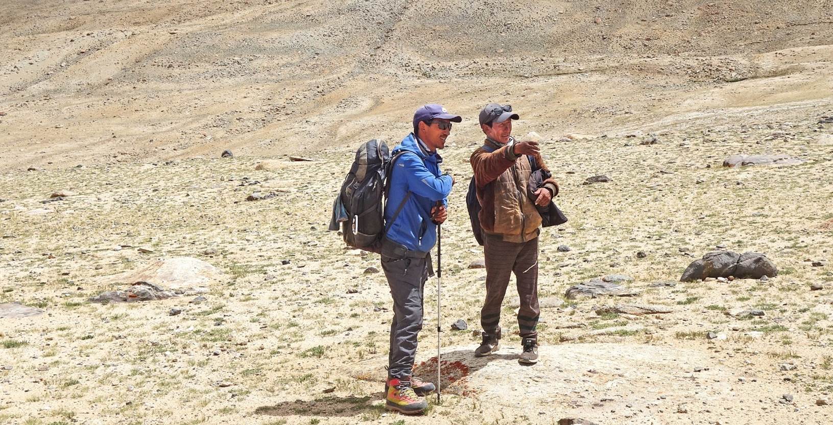
Tundup getting directions
from a shepherd.
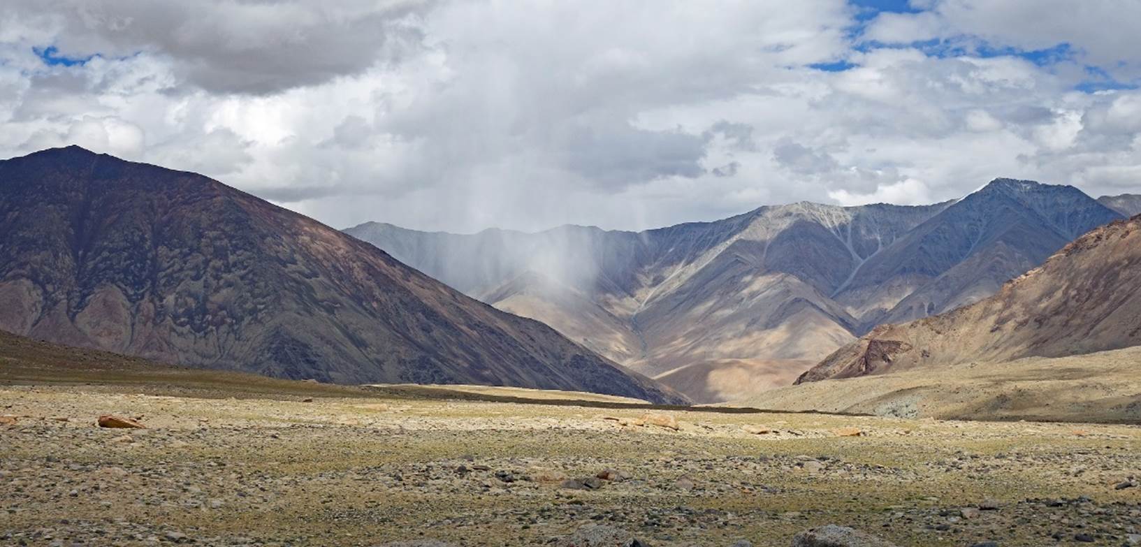
Looking back toward
Chibra. The weather was a bit unstable, with occasional localized rainfalls.
Shepherd marker along the
way.
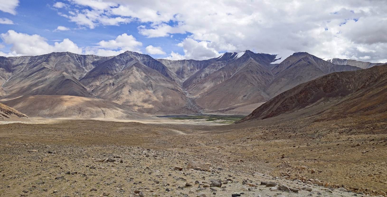
The green area where we
established our second camp at 5001m (GPS recording).
Day 2 of trek:
Kenup preparing the
horses for the second trekking day.
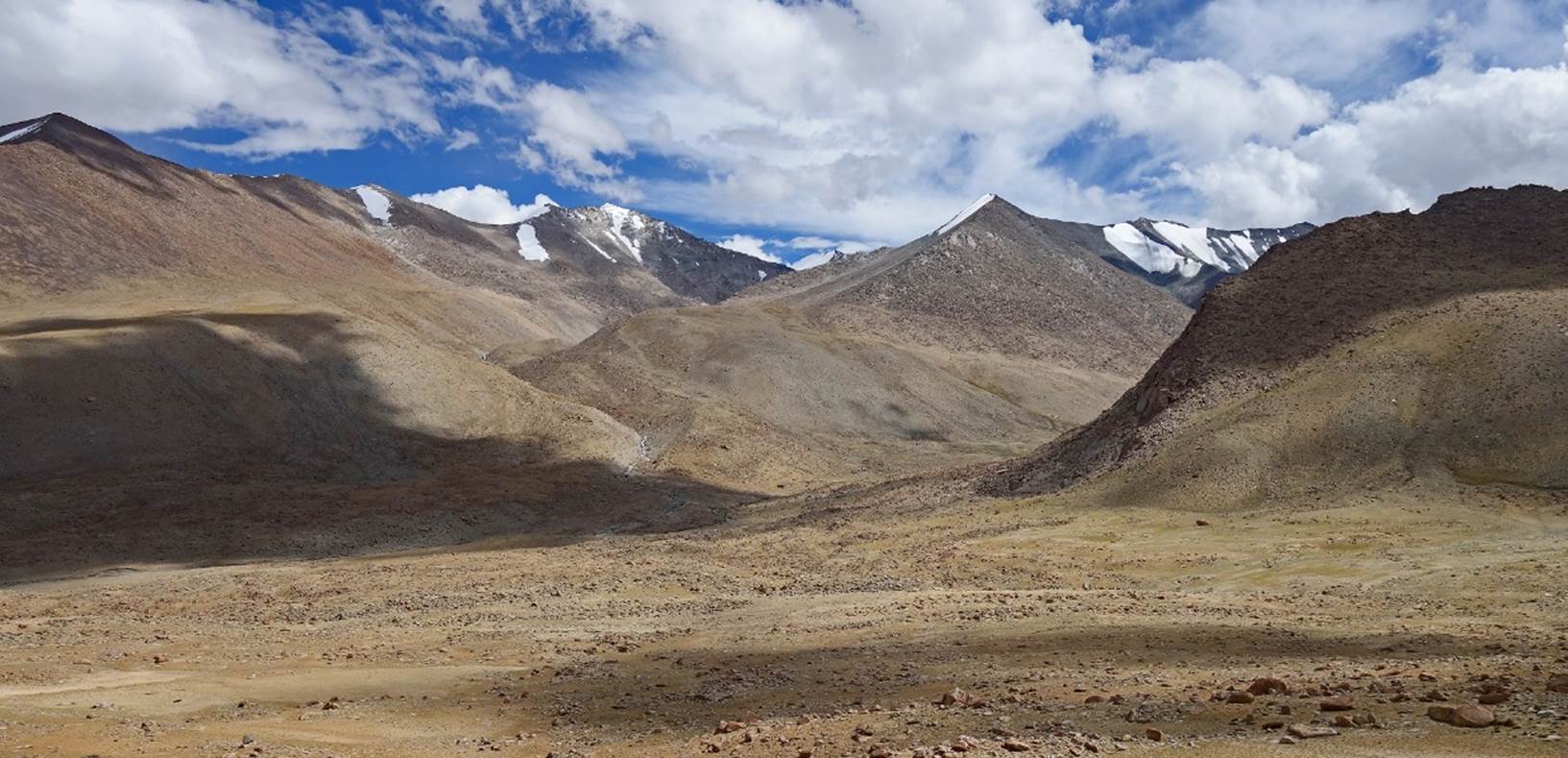
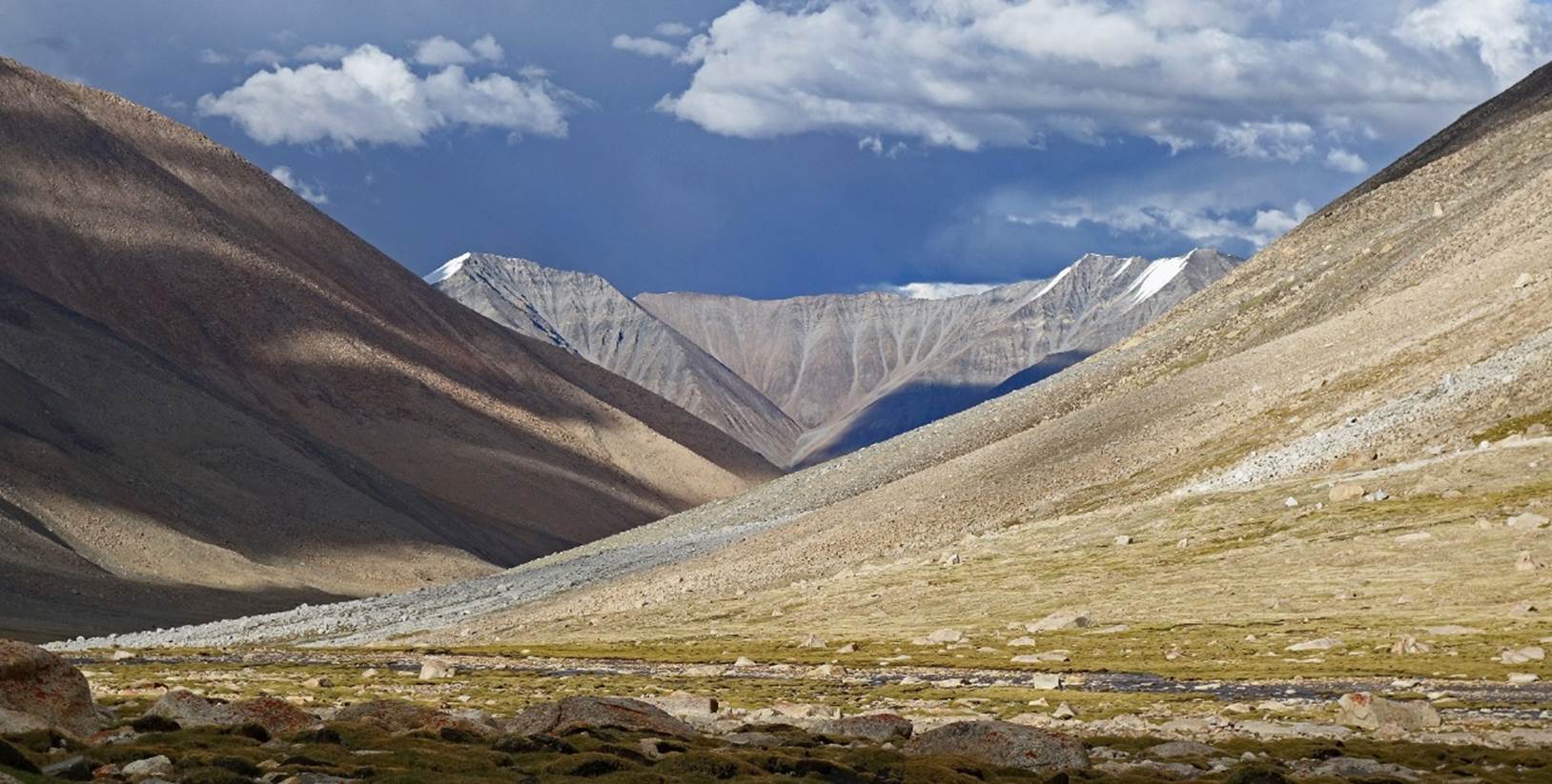
Looking toward Yogma La
(hidden) on the center-left of the photo. I quickly realized that, in this kind
of wide-open space, distances are often much underestimated.
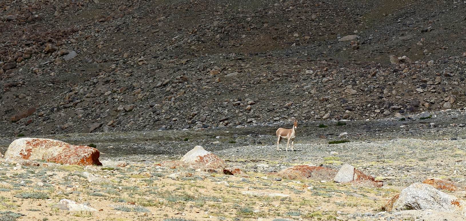
Lonely kiang (Tibetan
wild ass).
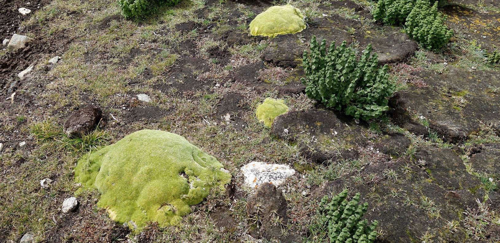
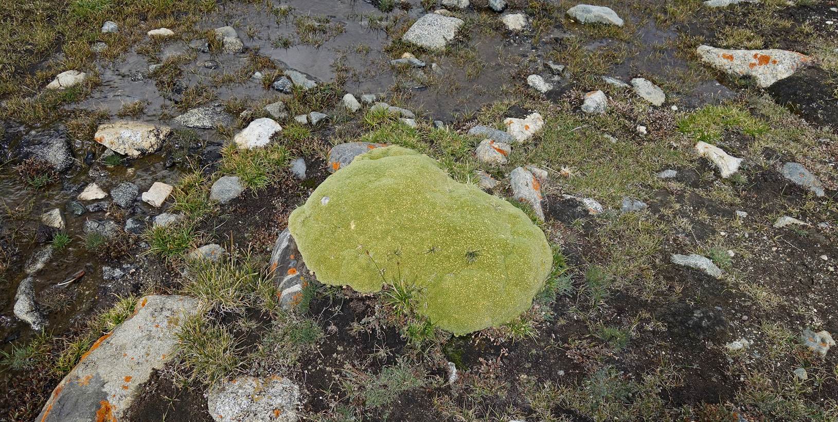
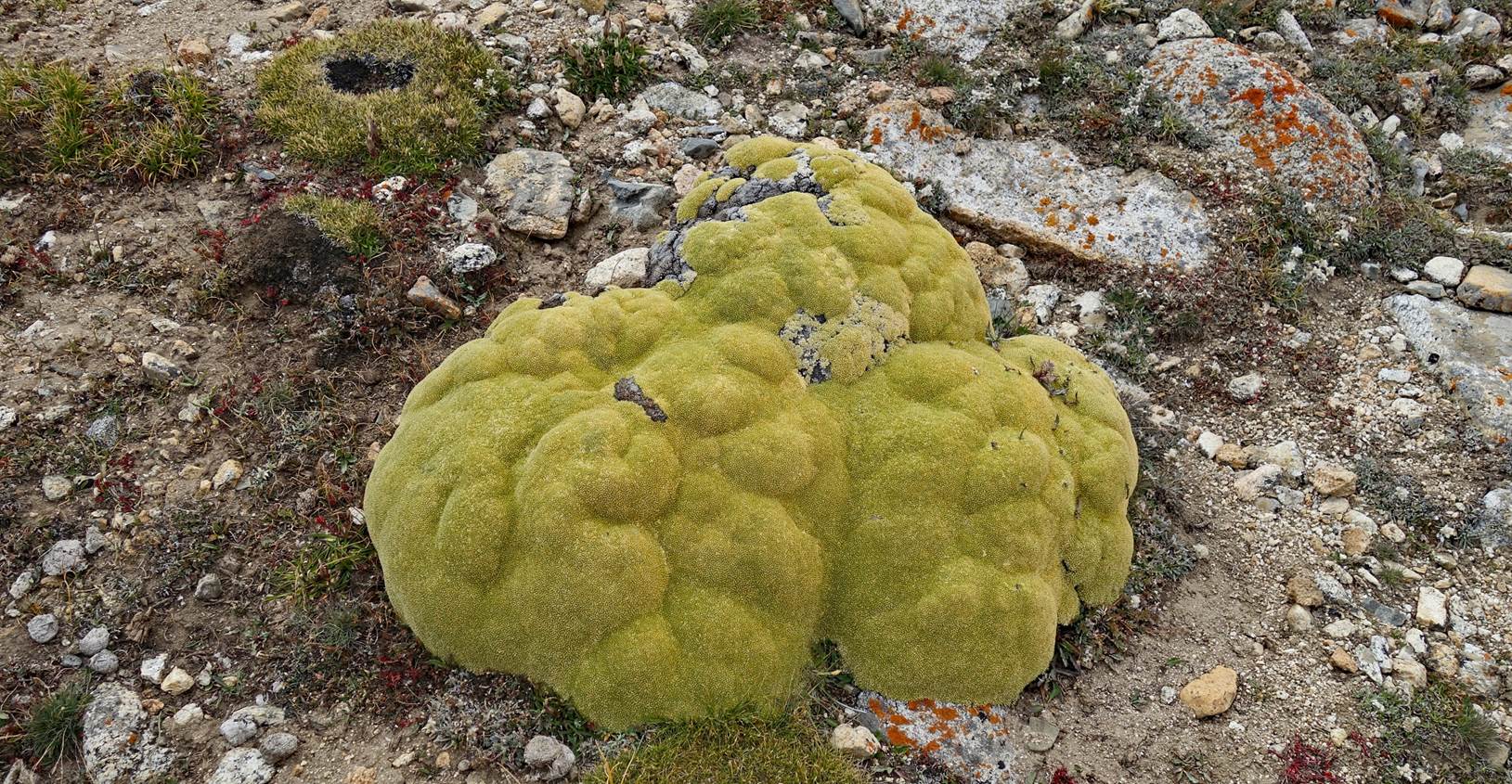
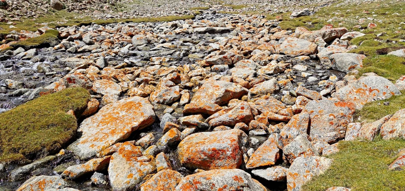
LLaretas, a slow growing
cushion plant often encountered at high altitudes in regions of Chile, Bolivia,
and Peru. Here, the terrain may not we as well adapted, and they are generally
smaller than in South America.
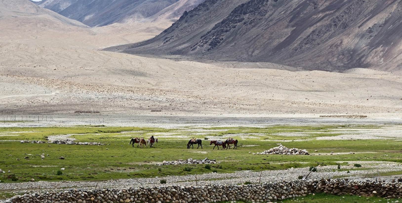
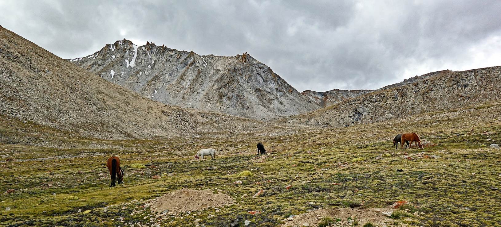
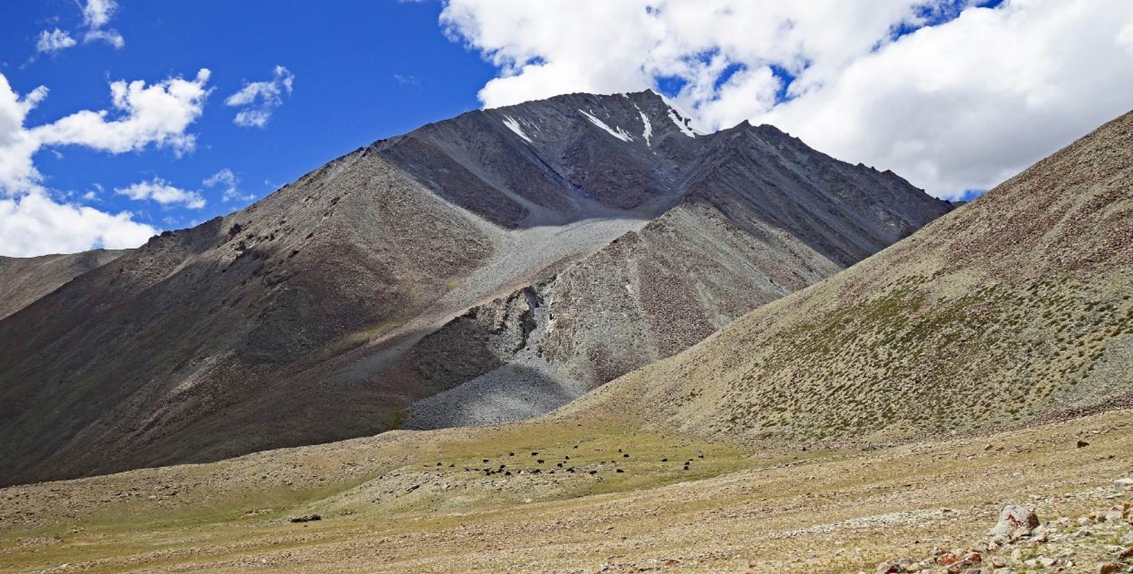
Yaks and horses.
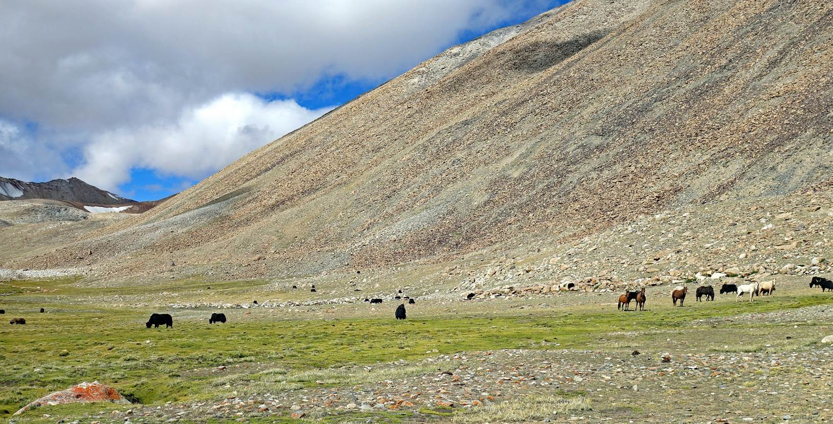
We set up our third camp at
5264m (GPS recording) below a rare steep rocky ridge.
Beautiful llareta near
our campsite.
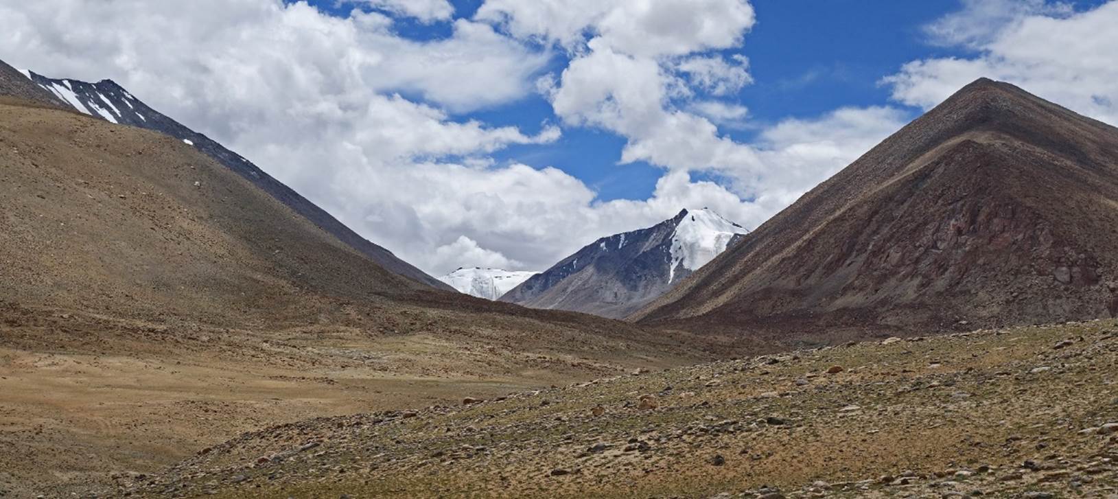
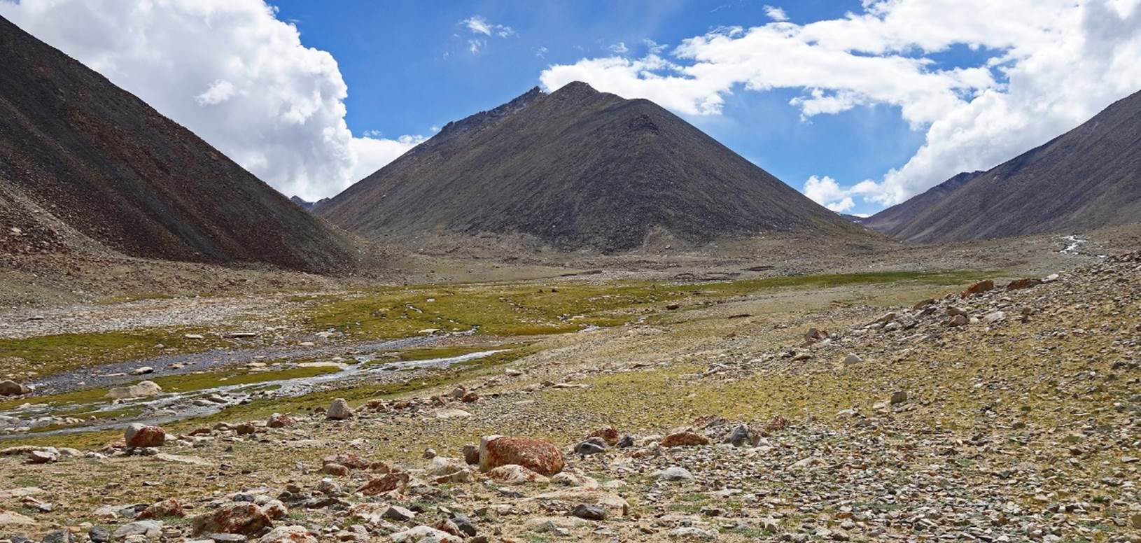
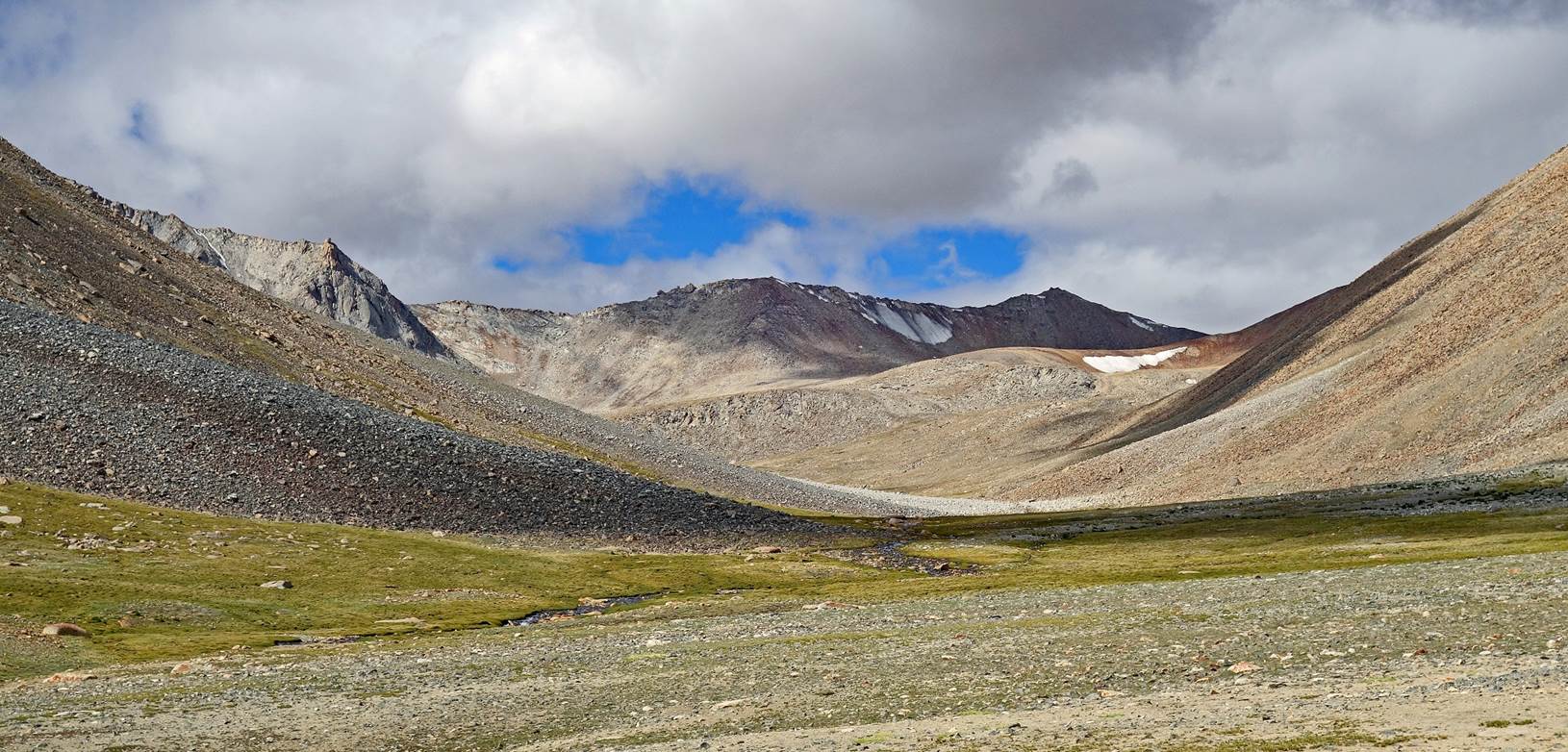
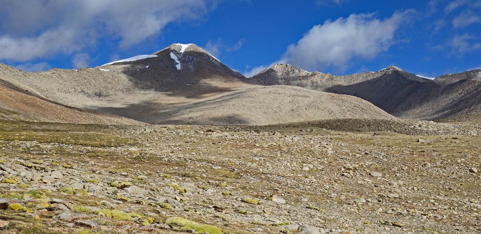
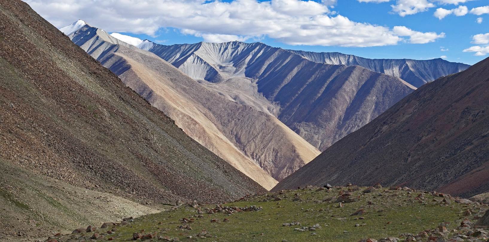
Views from our campsite.
Day 3 of trek:
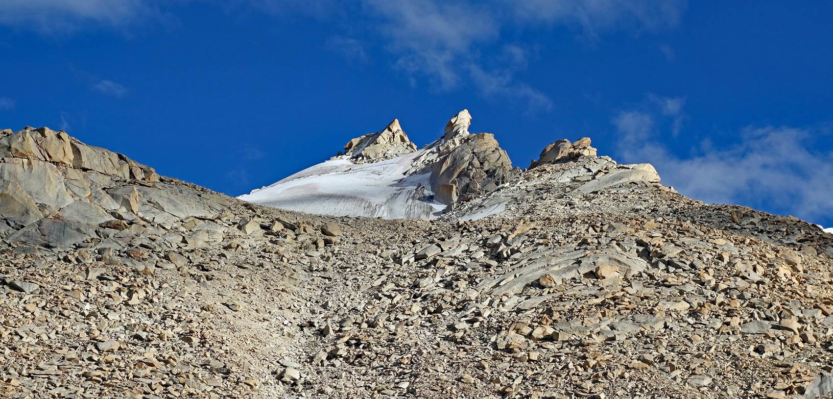
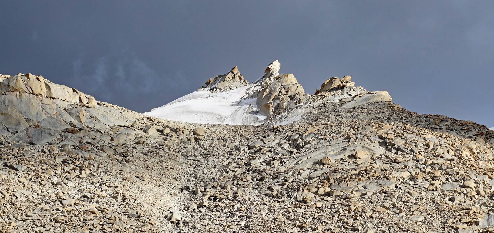
The rocky ridge above our
camp lit by the morning sun.
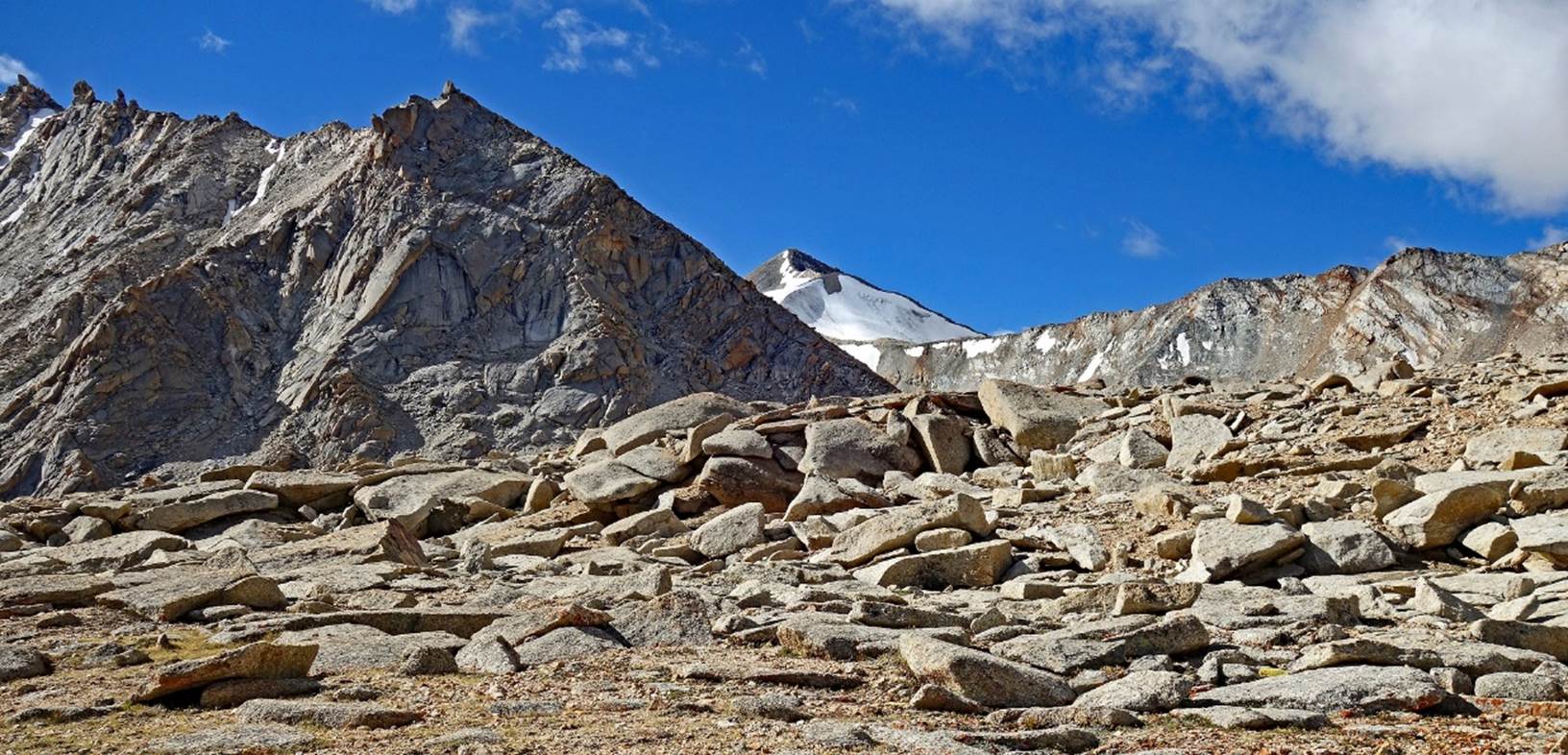
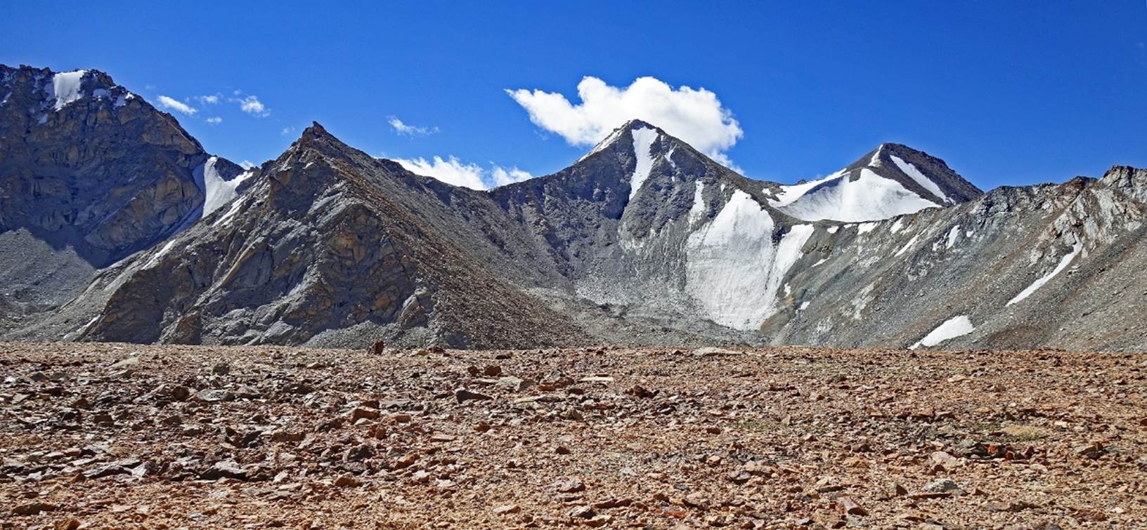
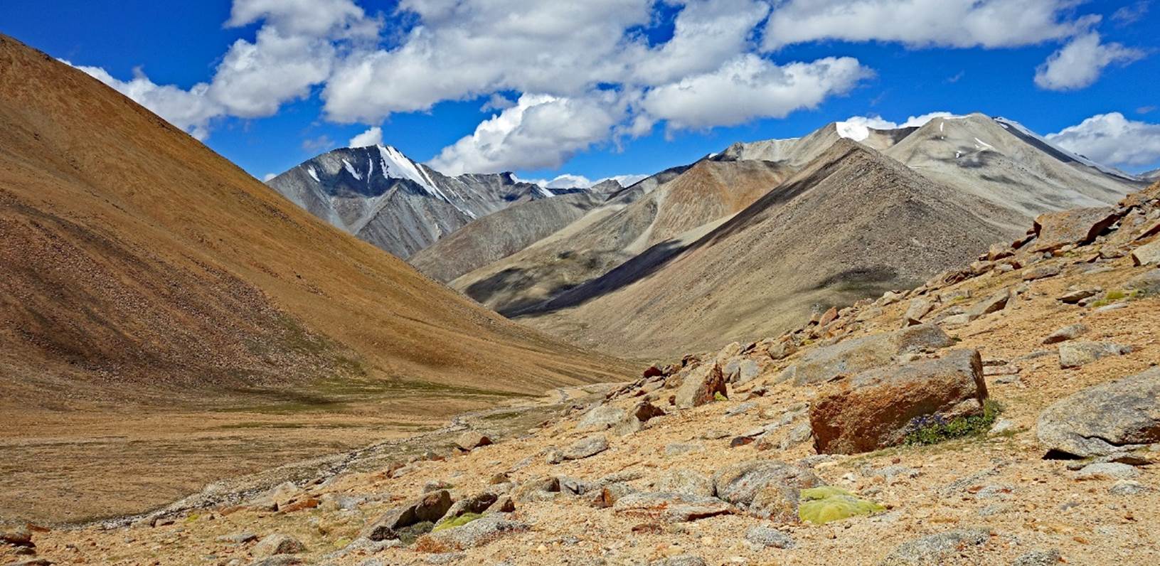
Successive views during
the ascent of Yogma La.
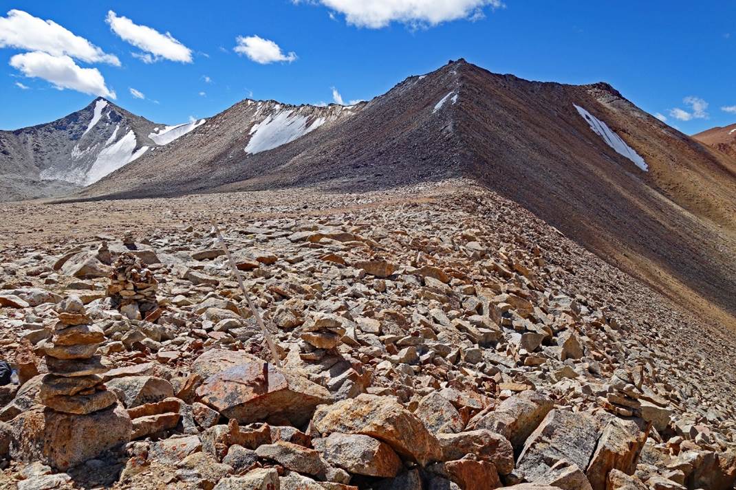
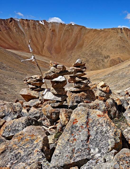
Reaching Yogma La, a very
gentle pass.
Stacks of stones at the
pass. The altitude measured on my GPS (5629m) was very close to that given on
the Olizarne map (5600m).
|
|
|
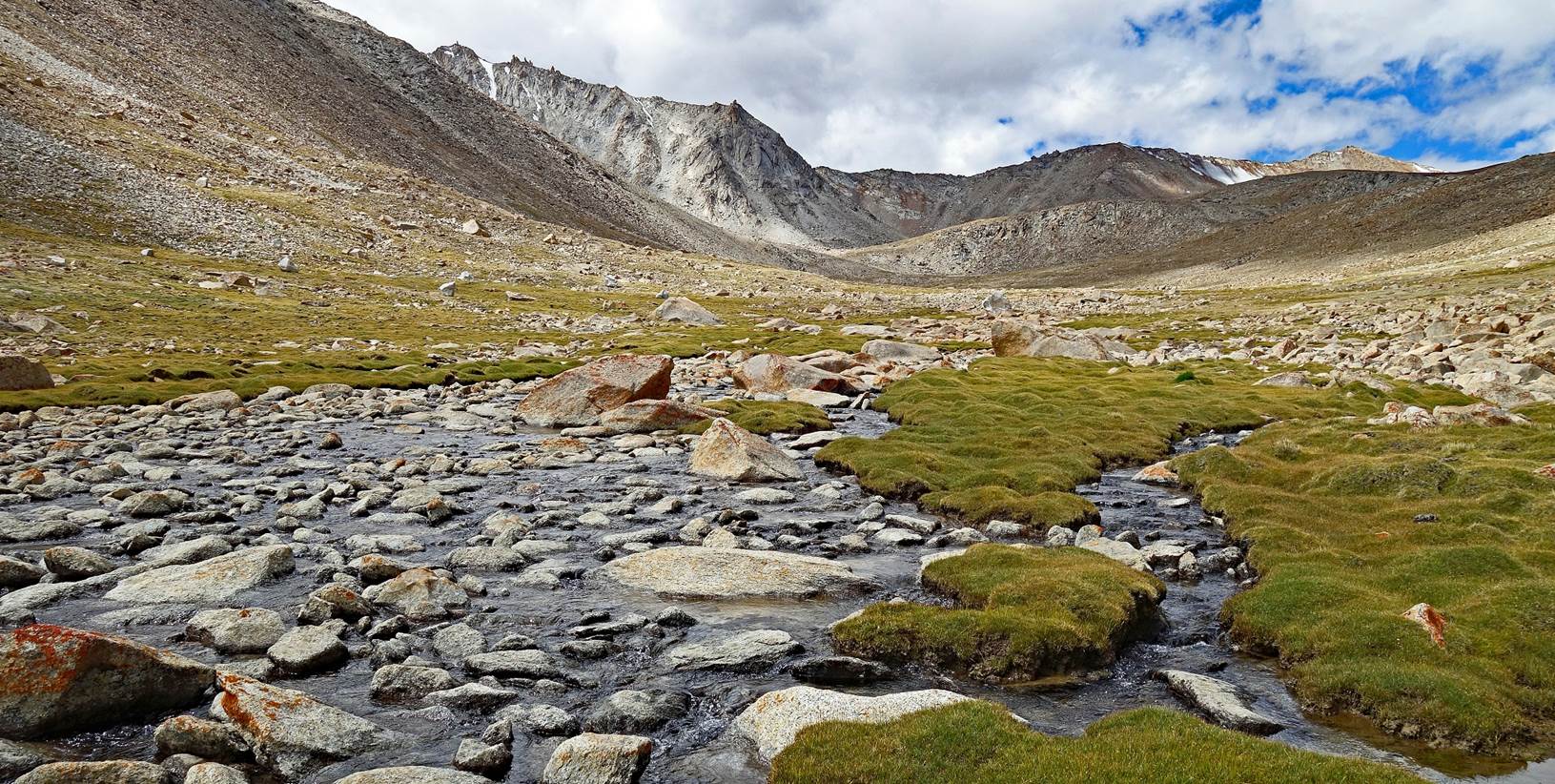
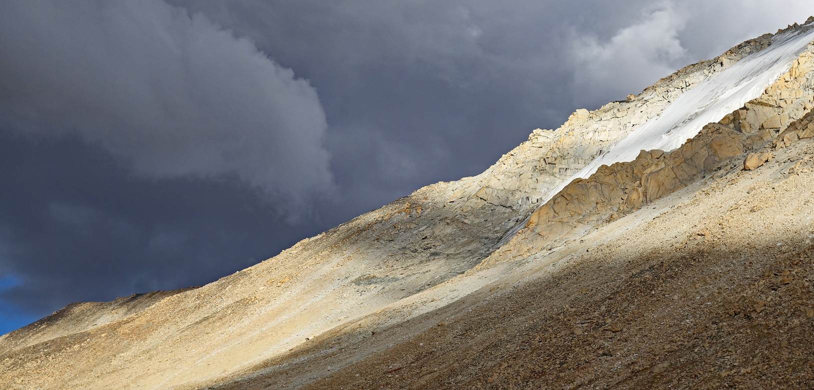
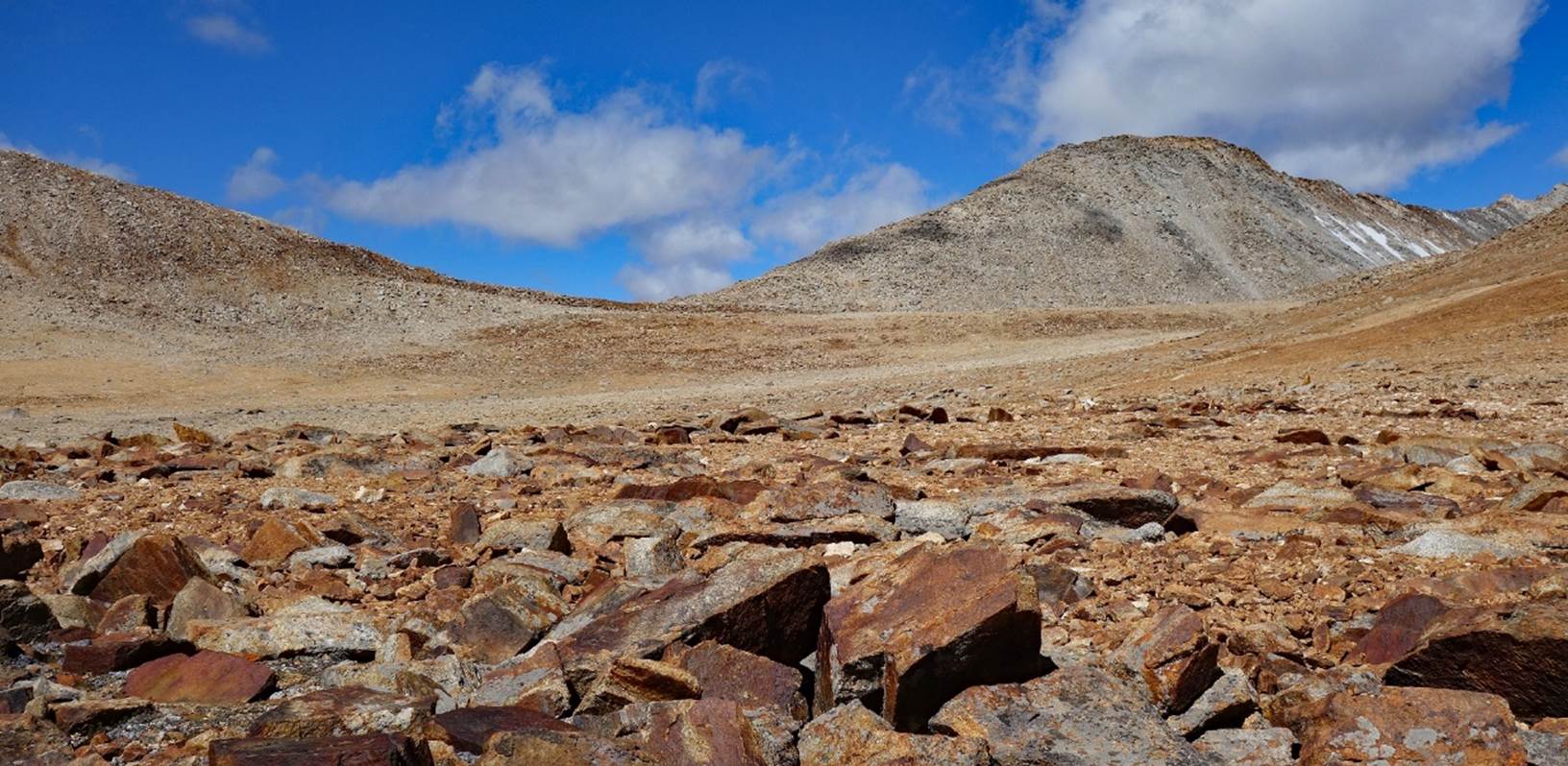
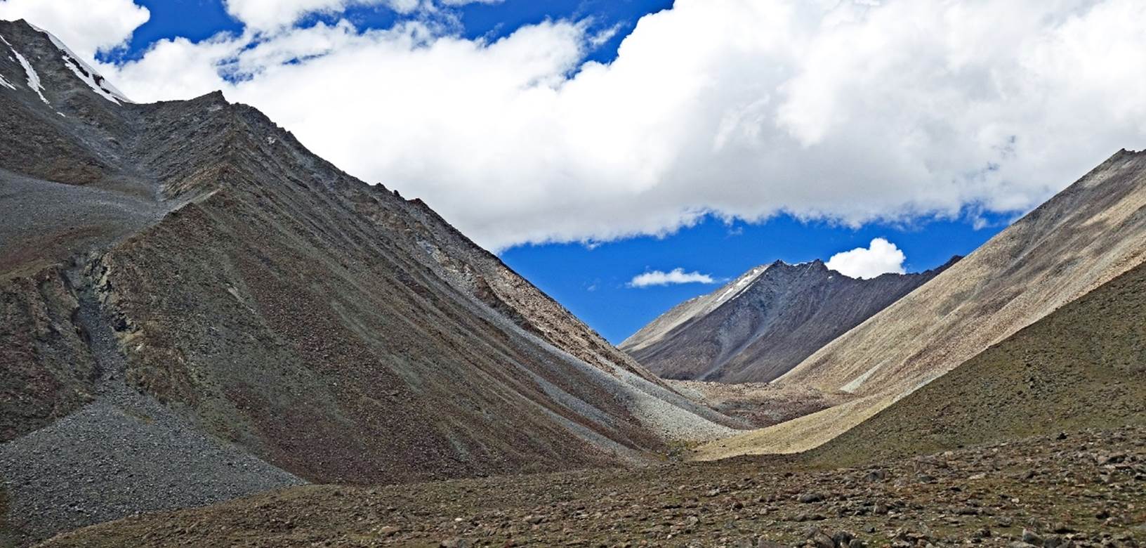
The other side of the
pass.
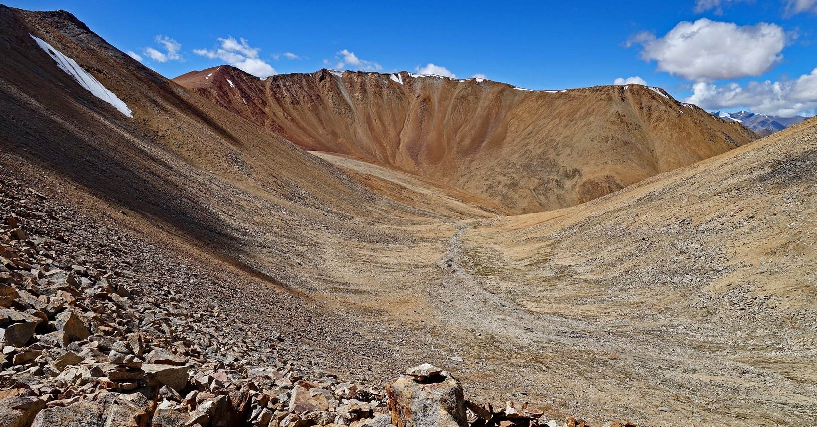
Looking back at the pass
during the early part of the descent.
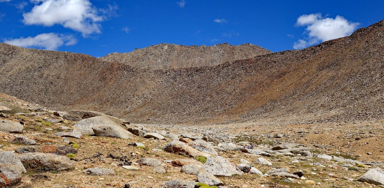
Further down.
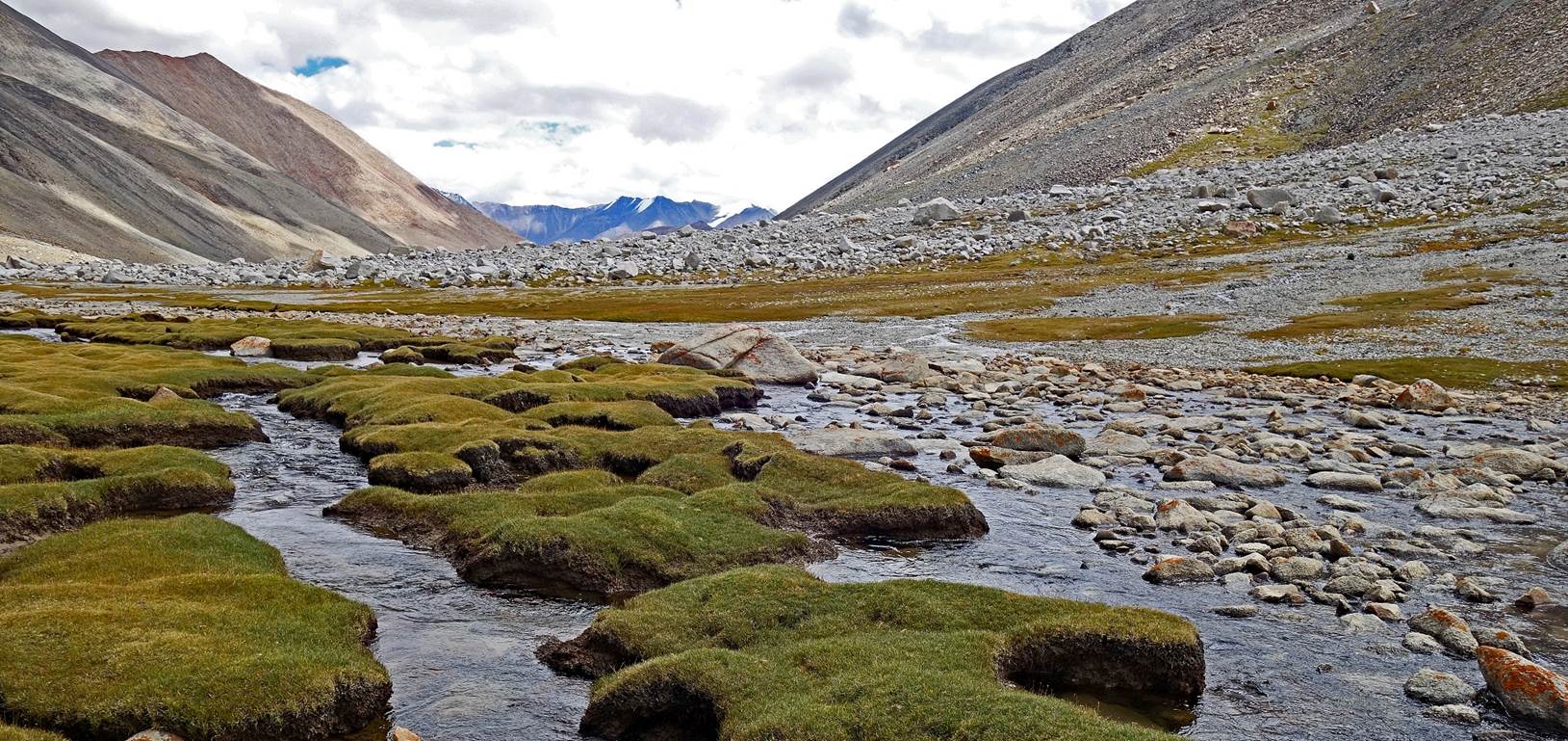
We established our 4th
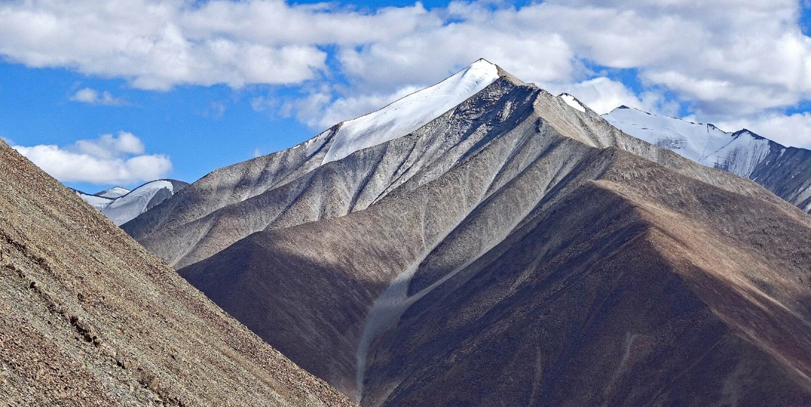
camp at 4956m (GPS recording) on the grass-covered patches seen in this photo.
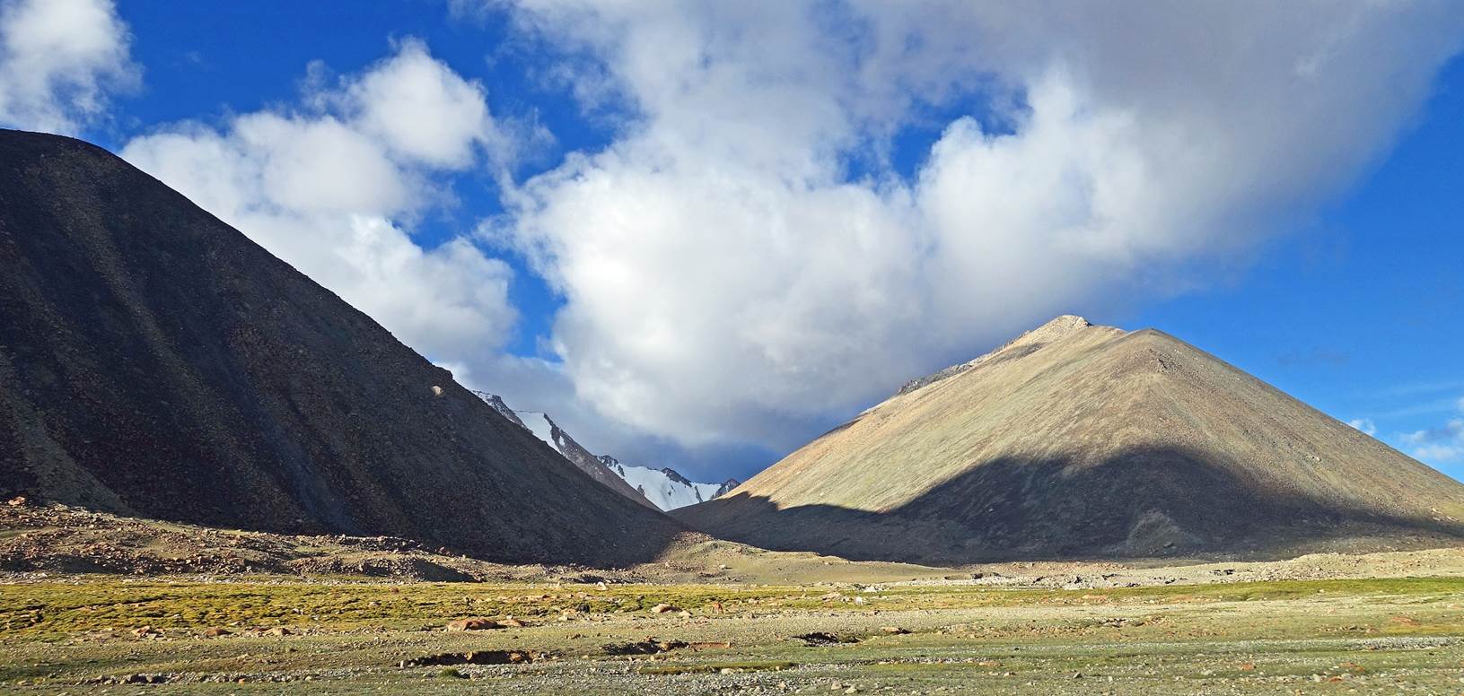
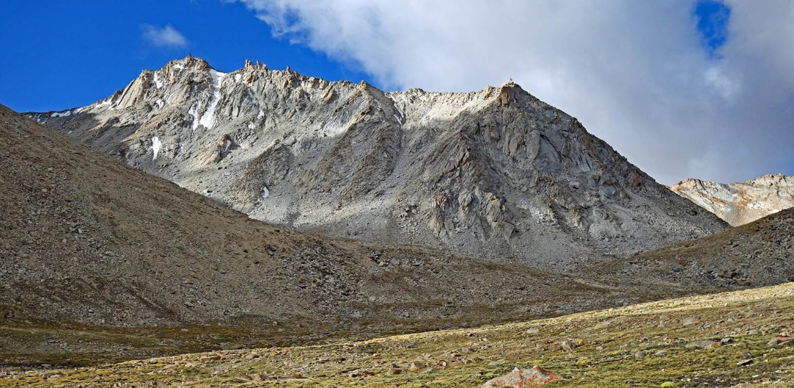
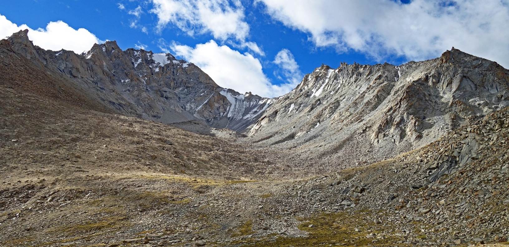
Views from around the
camp. The second photo below is an attempt to take a look
at Steansi La (our next pass), on the left side of the photo.
Click on the following
links to directly access the other two sections of the trek:
![]()
Return
to main India 2022 travel page | Return to my mountaineering/trekking/travel webpage