Trek south
of Pangong Tso, Ladakh, India (August-September 2022):
(3/3)
Crossing of Gun La
|
|
Return
to main India 2022 travel page | Return to my mountaineering/trekking/travel webpage
Map of the trek. (Click
on the map to see it at a better resolution.)
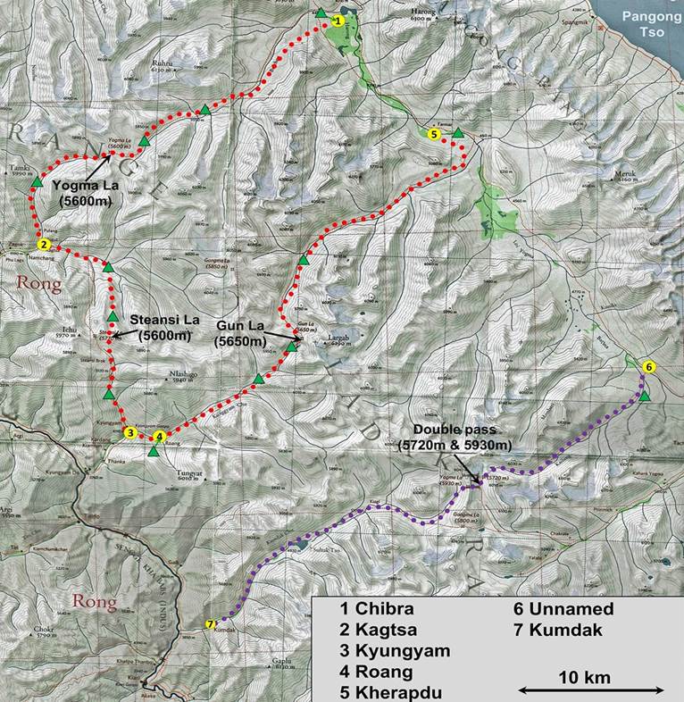
[Green triangles indicate the locations
of our successive campsites.]
This page shows photos
taken during days 8 to 11 of the trek. The photos appear in chronological
order.
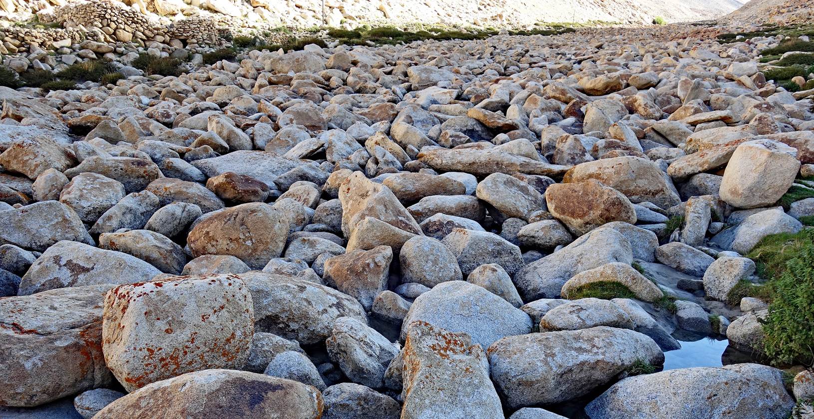
Above Roang we followed the Kyungyam Chu (river). Its spectacular bed was
packed with large stones. Water was barely visible but flowing between the
stones.
Terraces above the the
Kyungyam Chu.
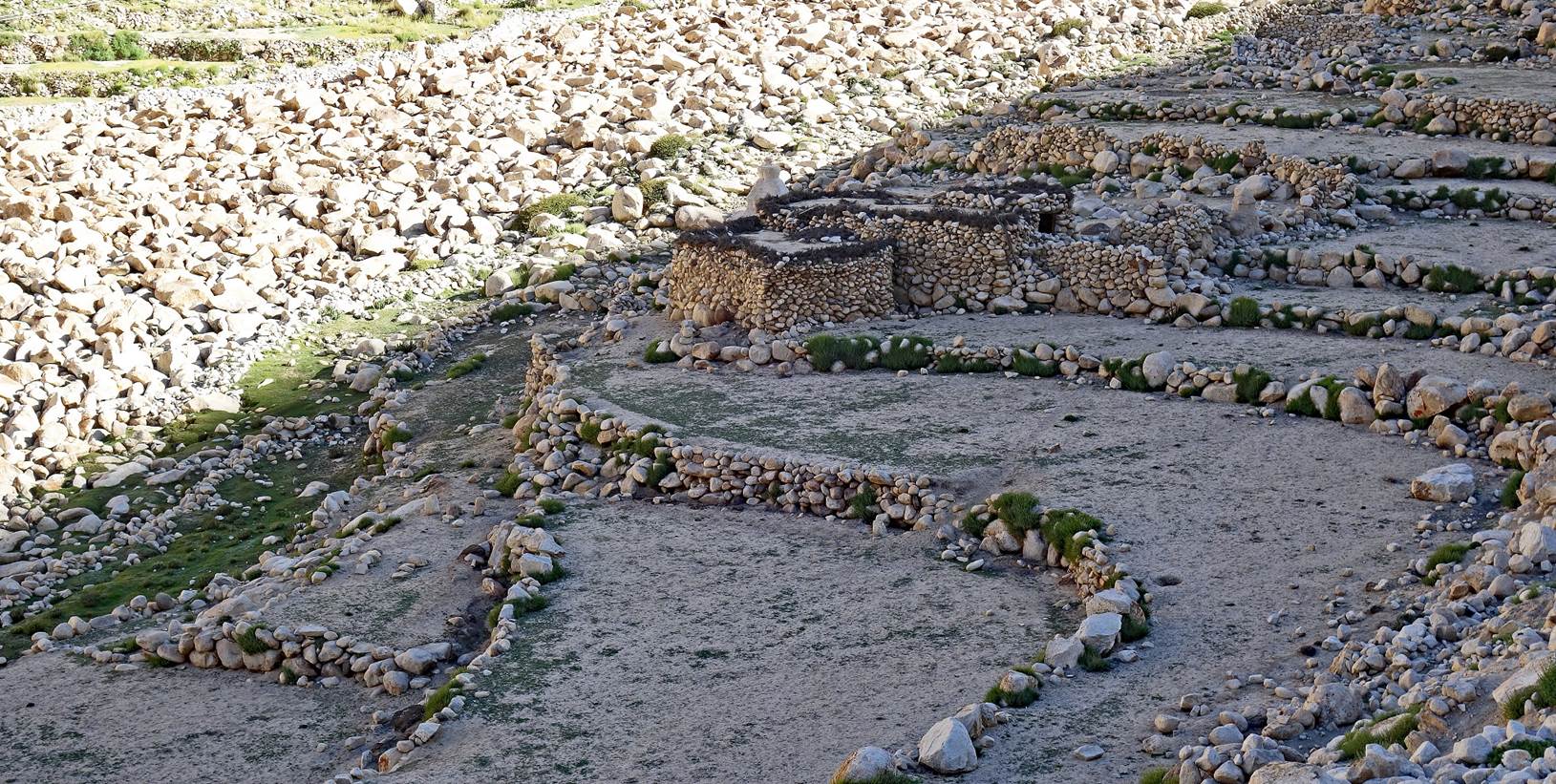
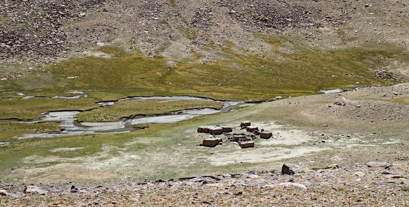
Stone houses and terraces
in a stone landscape. Difficult to distinguish them, especially under the
bright sunl.
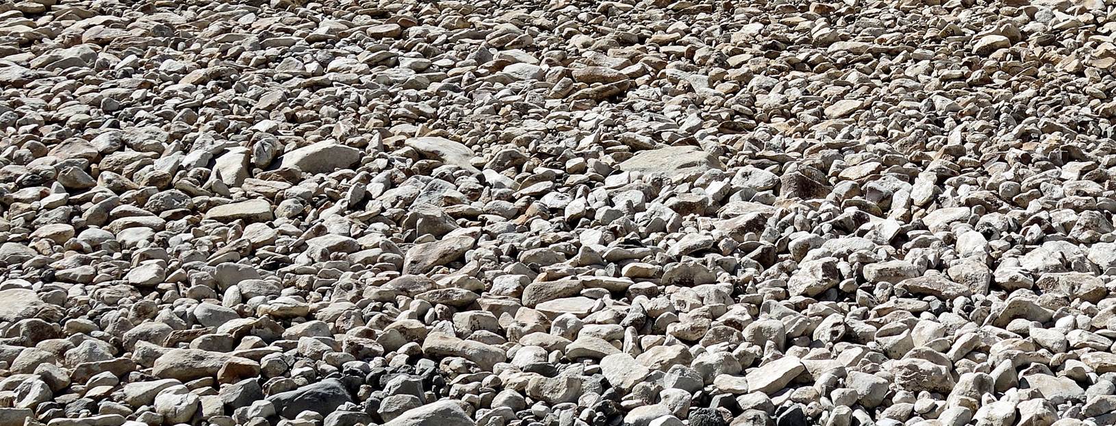
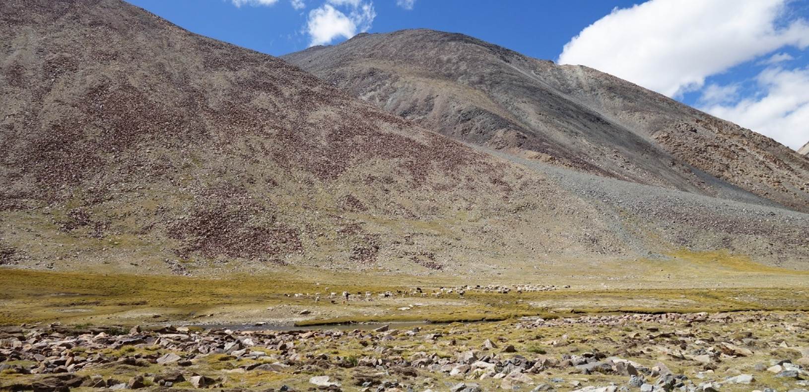
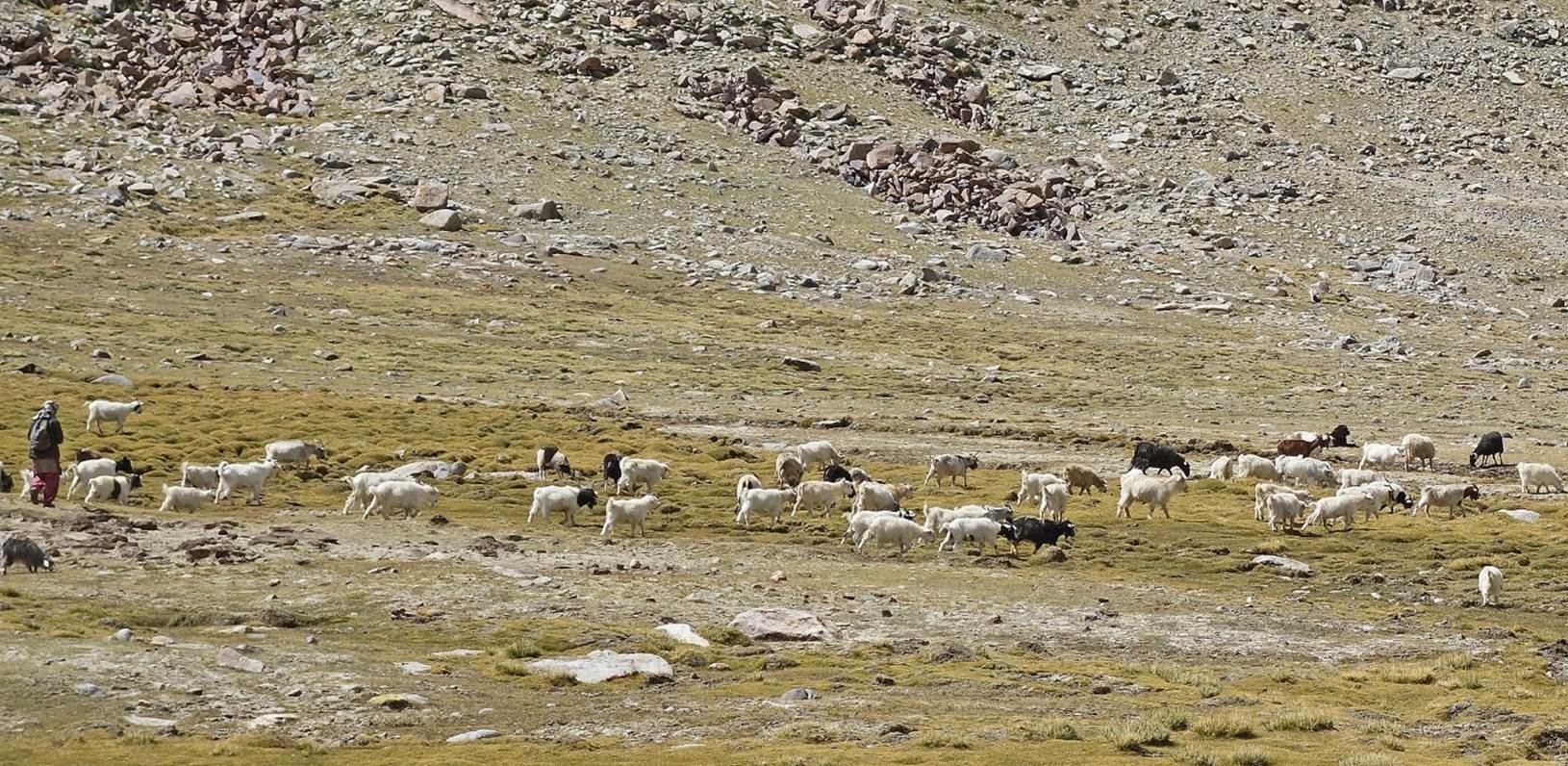
Further up along the
Kyungyam Chu.
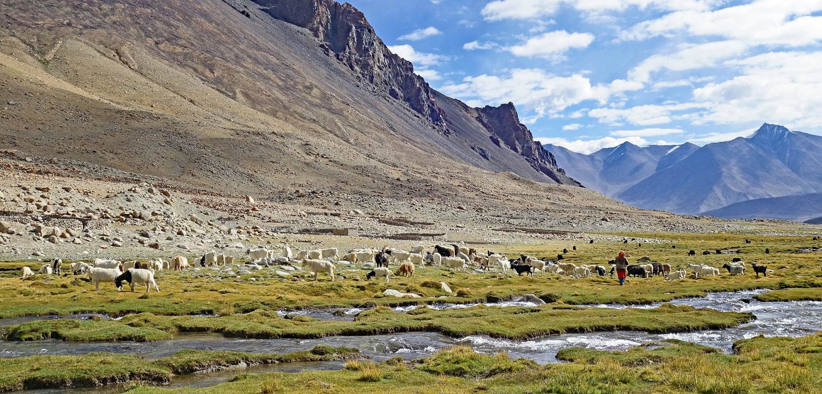
Summer shepherd
settlement.
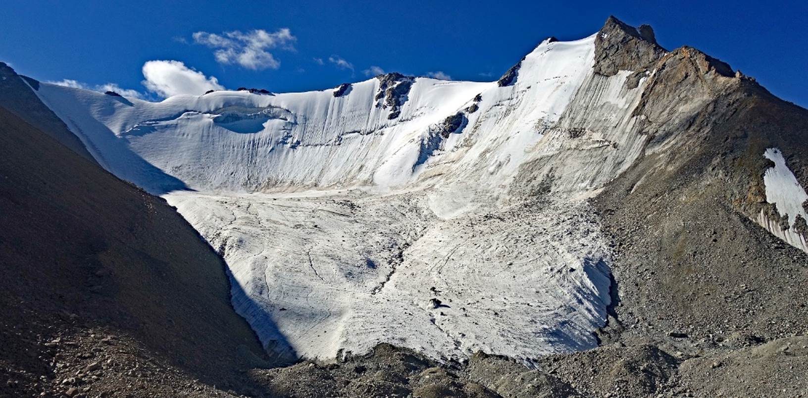
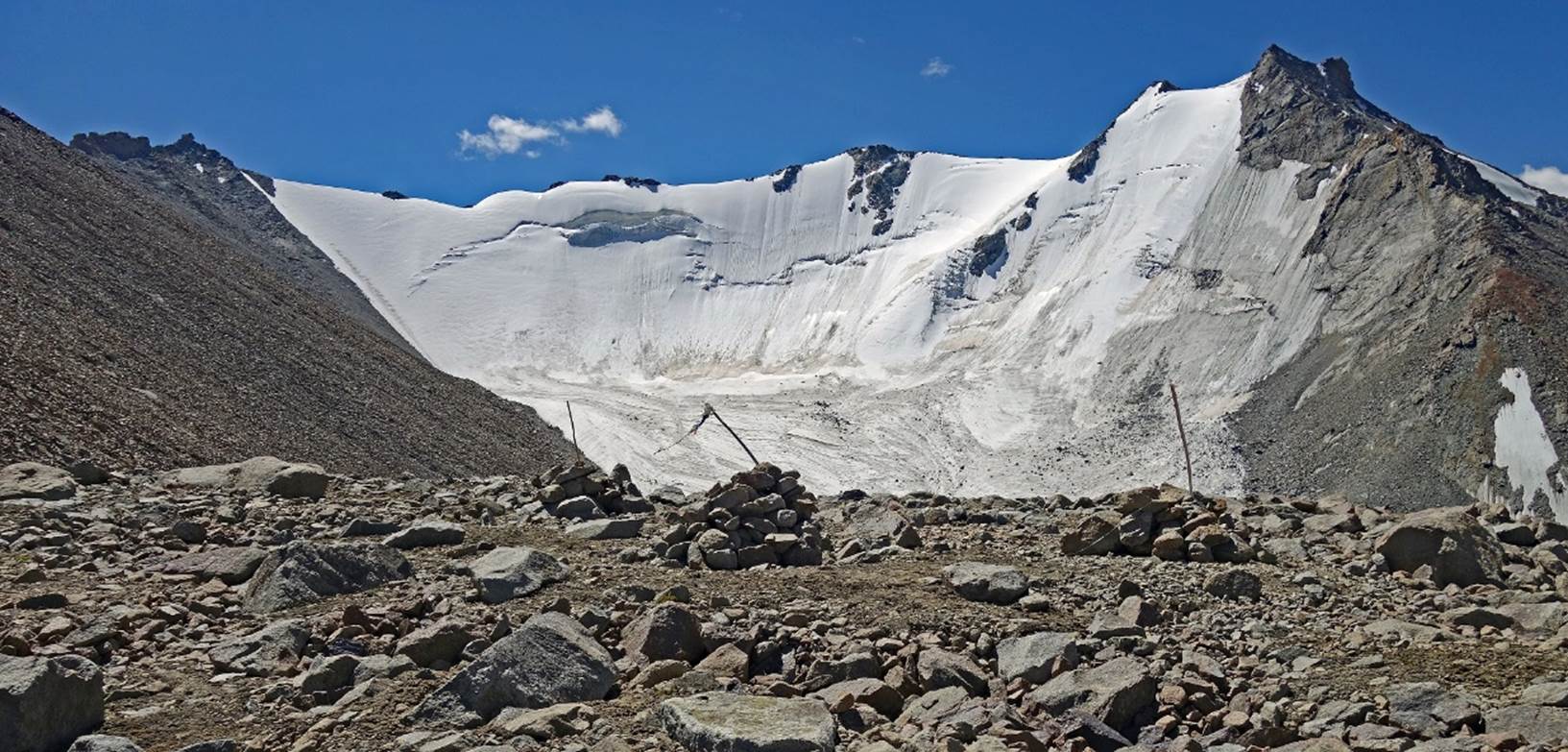
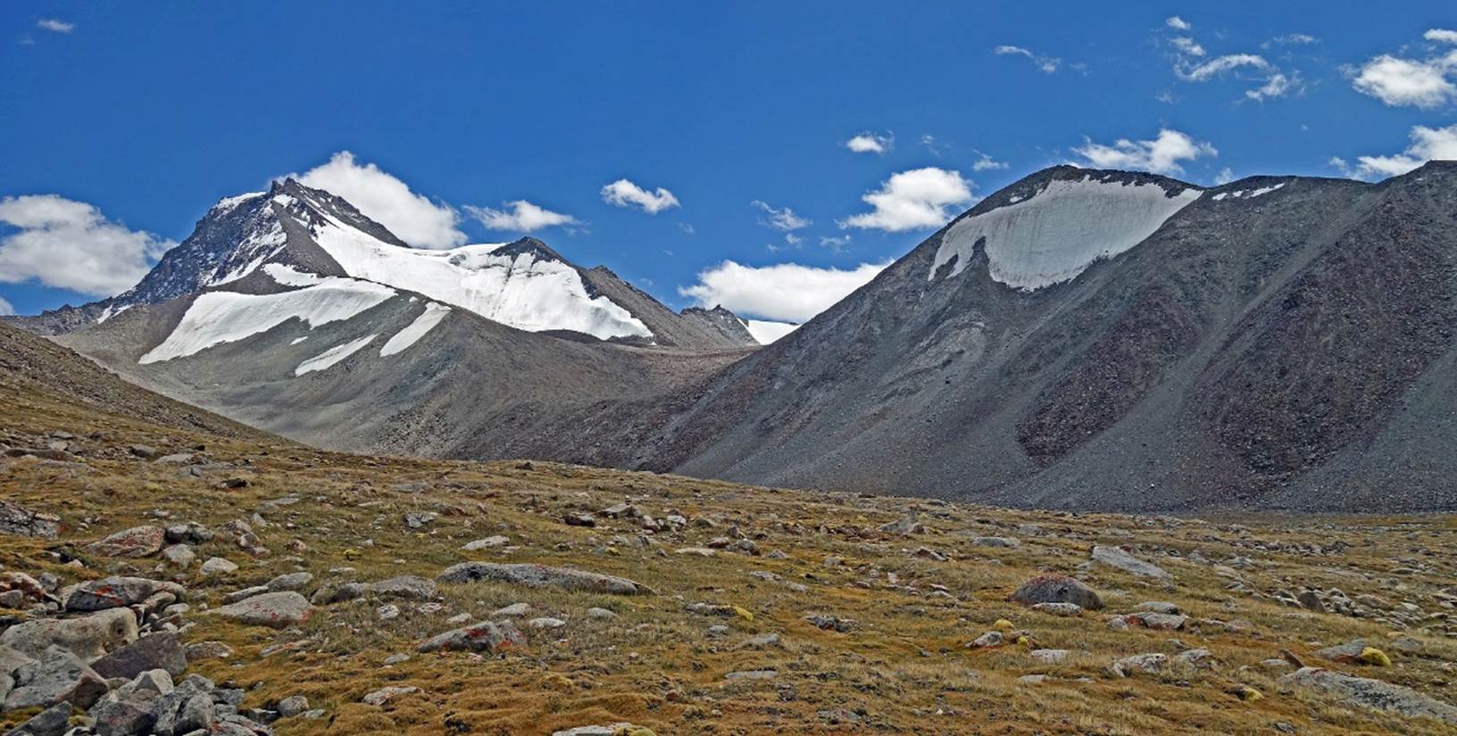
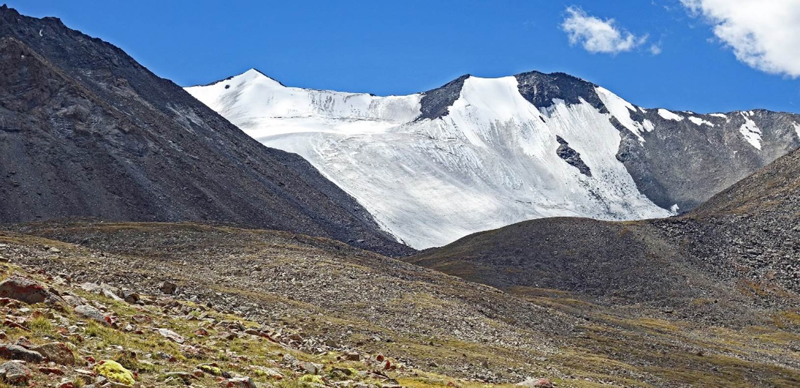
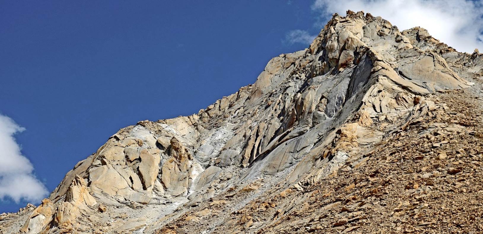
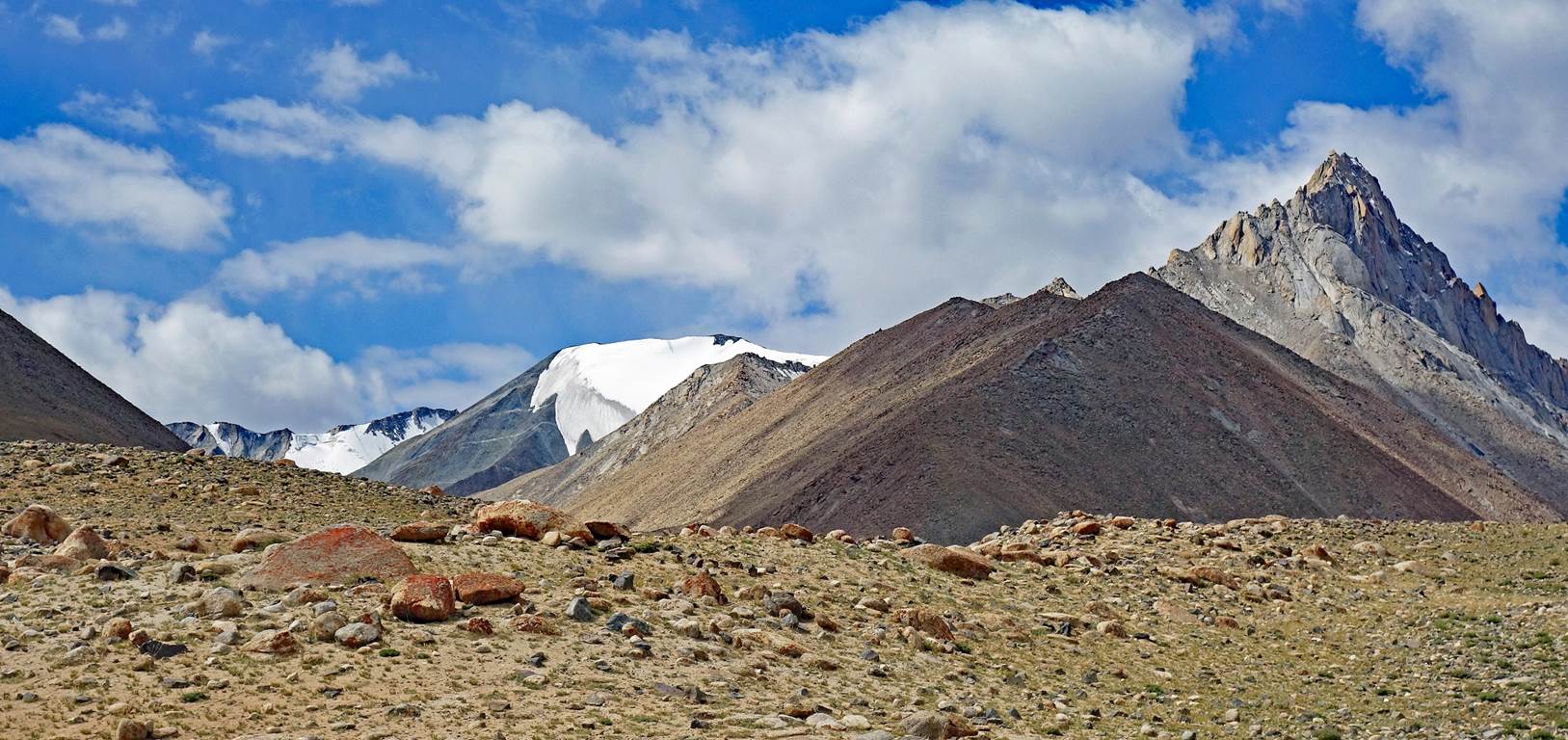
Precariously hanging
glacier.
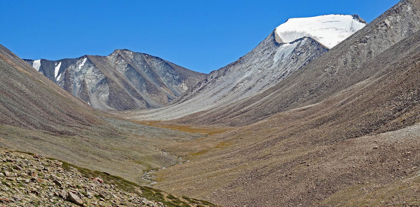
We established our 9th
camp at this spot at 5104m (GPS recording).
View from my tent at
twilight.
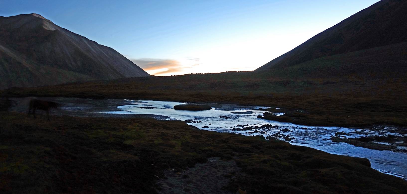
Day 9:
Another view from my tent
in the early morning.
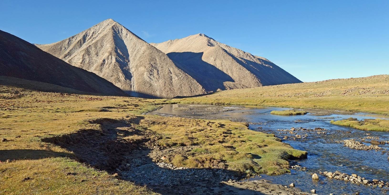
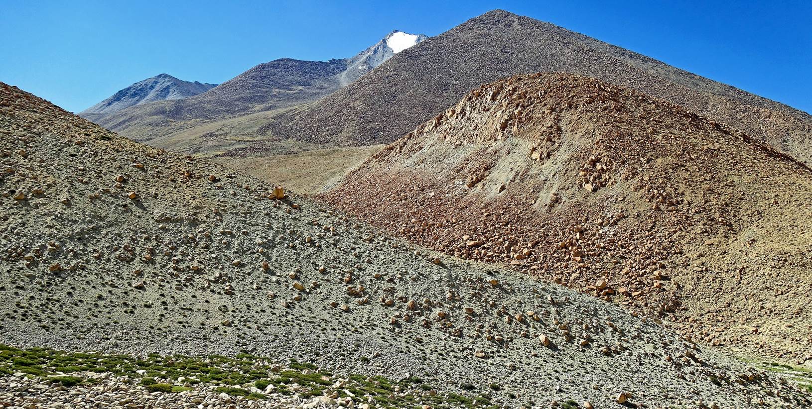
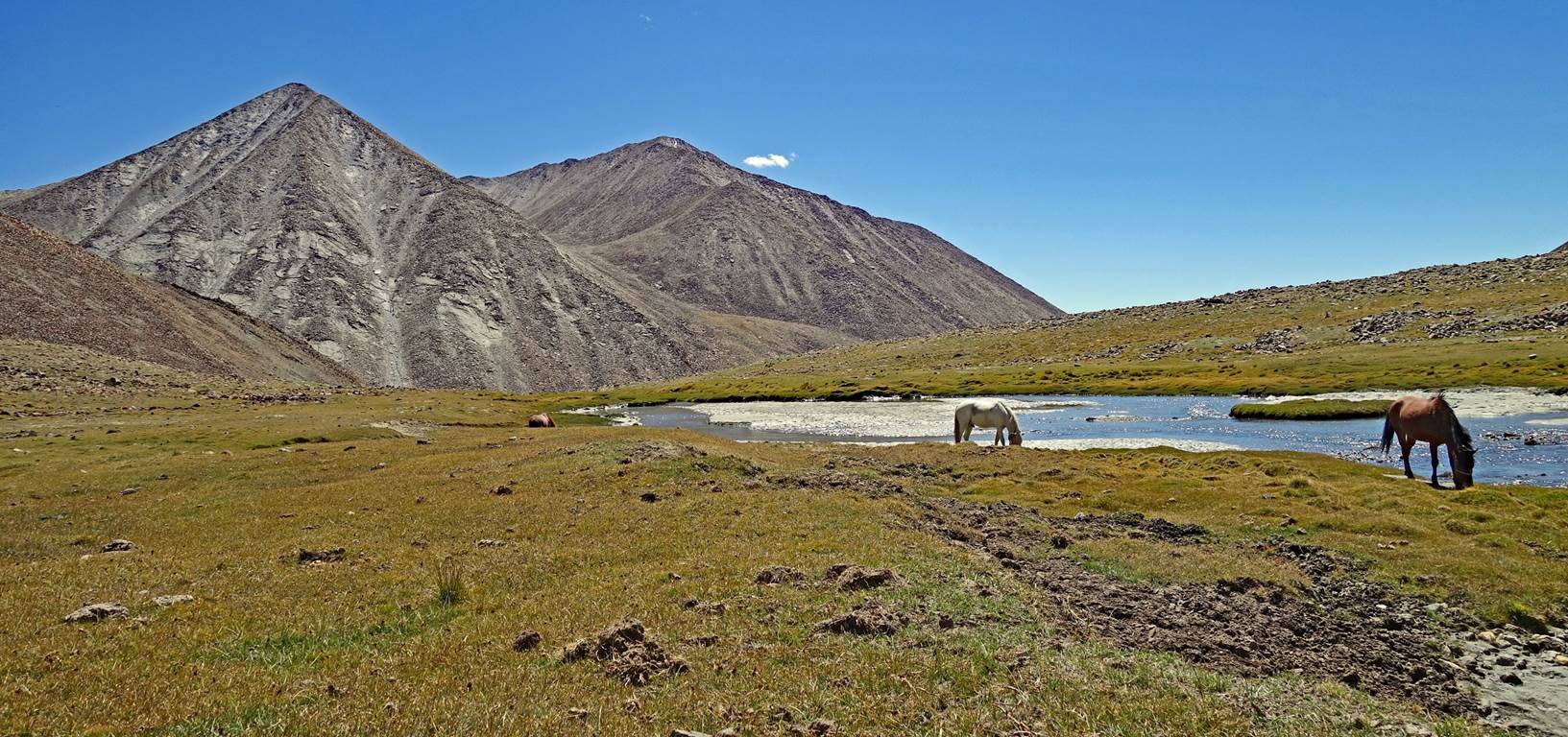
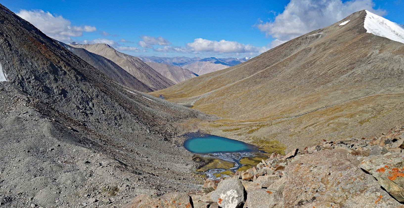
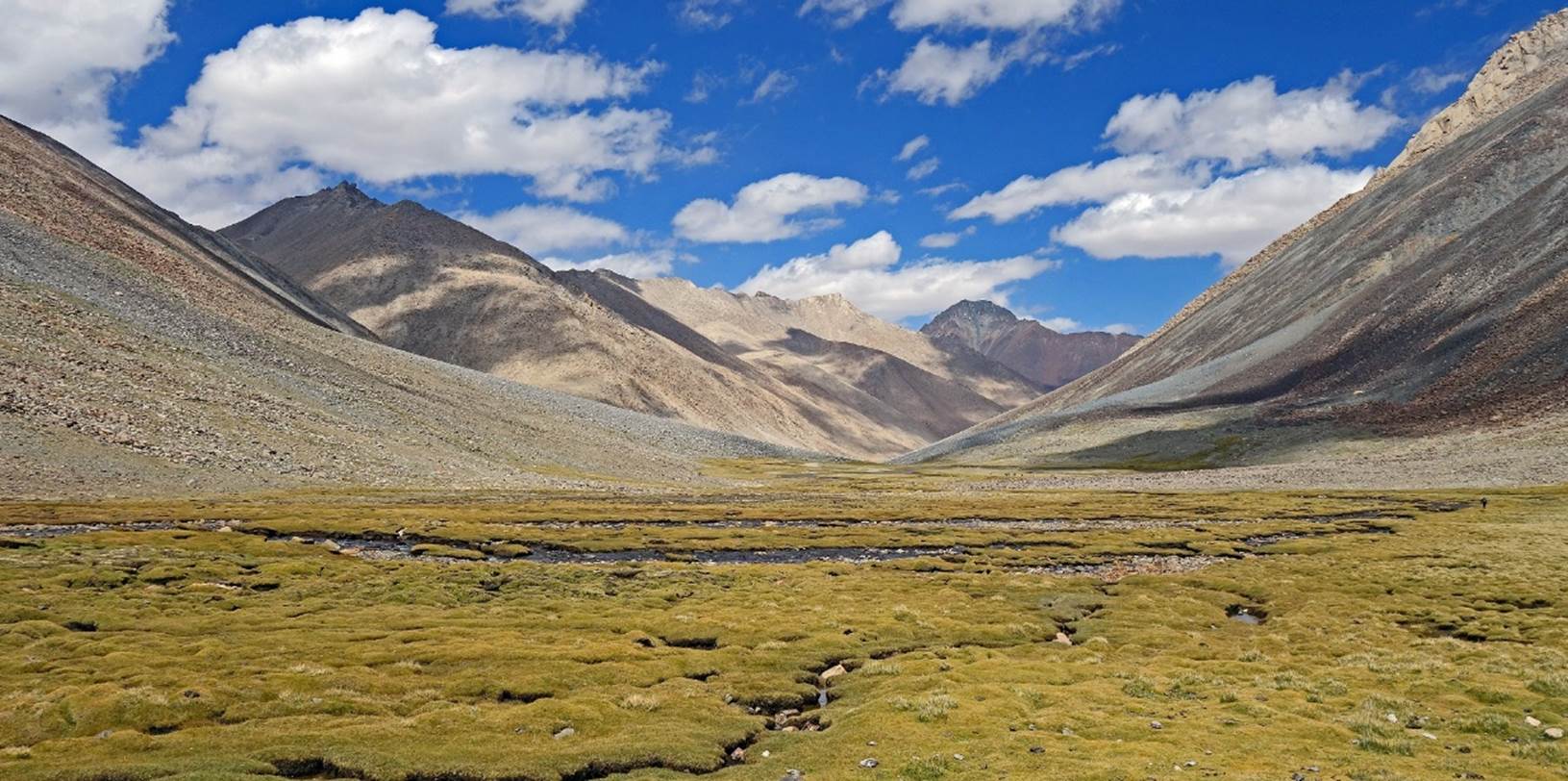
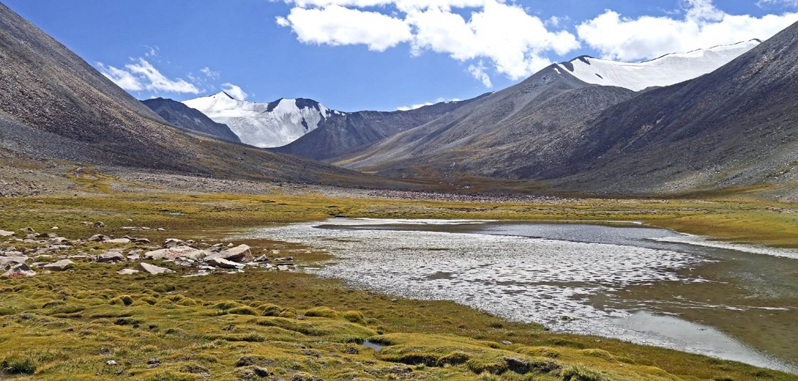
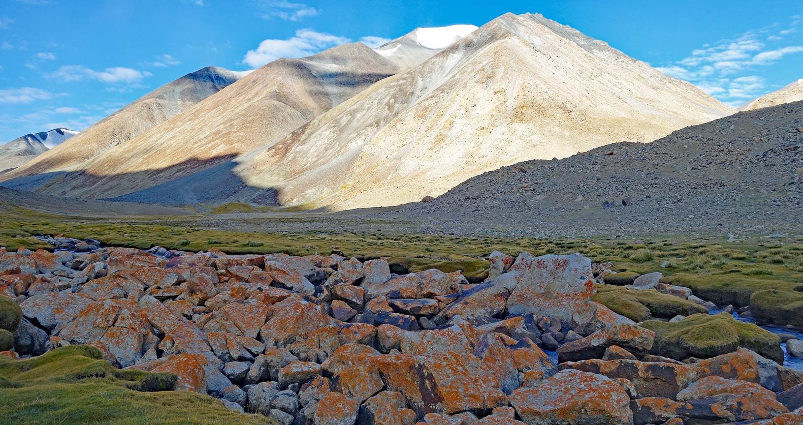
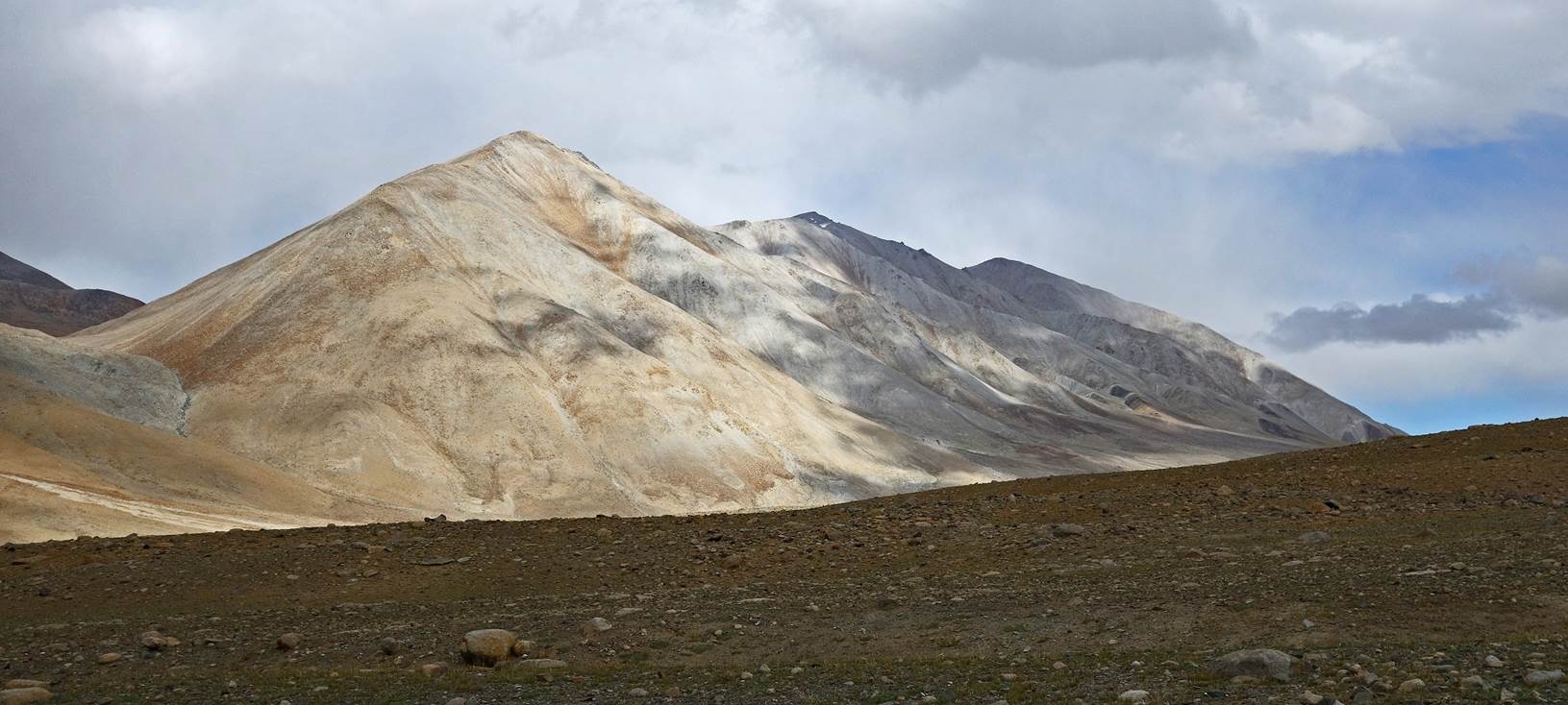
On that day I misread the
Olizarne map and the information provided by my GPS. This led us to take a
wrong turn above the small lake in the photo below. We reached a pass (that was
very close to the actual Gun La, as we found out on the next day). But the
descent from it was far too steep for our horses, and probably even for us as
well. As a result, we had to backtrack, and we ended up establishing our 10th
camp by the lake in the photo below at 5506m (GPS recording). The correct route
to Gun La ascends the light gray slope in the middle of this photo, before
turning left into the darker gray terrain (made up of bigger rocks).
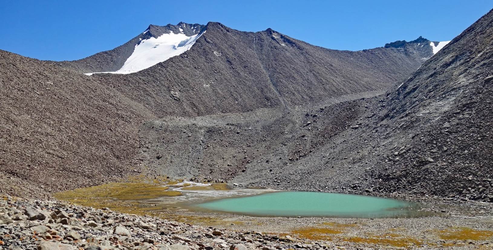
Two photos taken on our
way to the wrong pass.
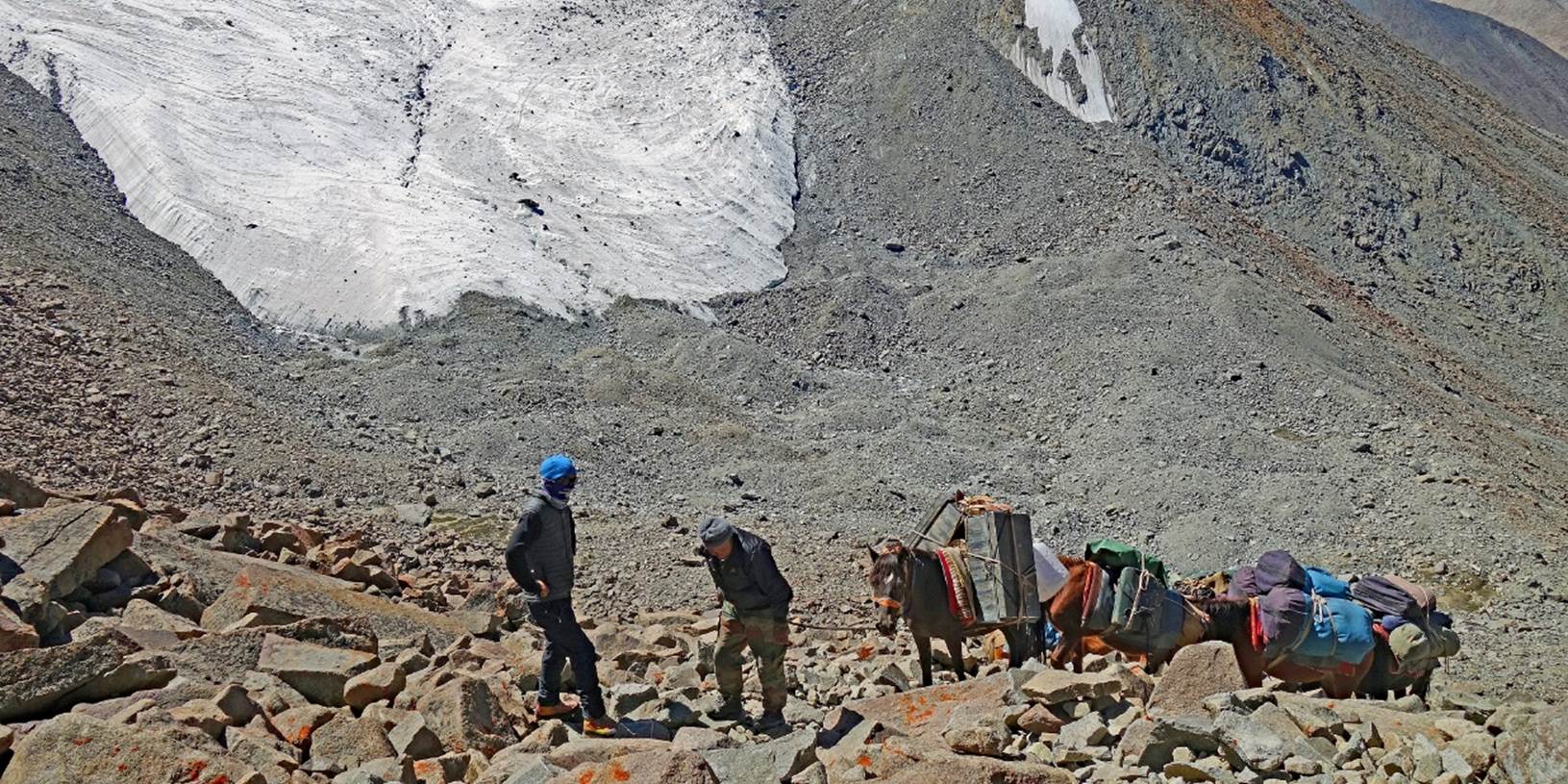
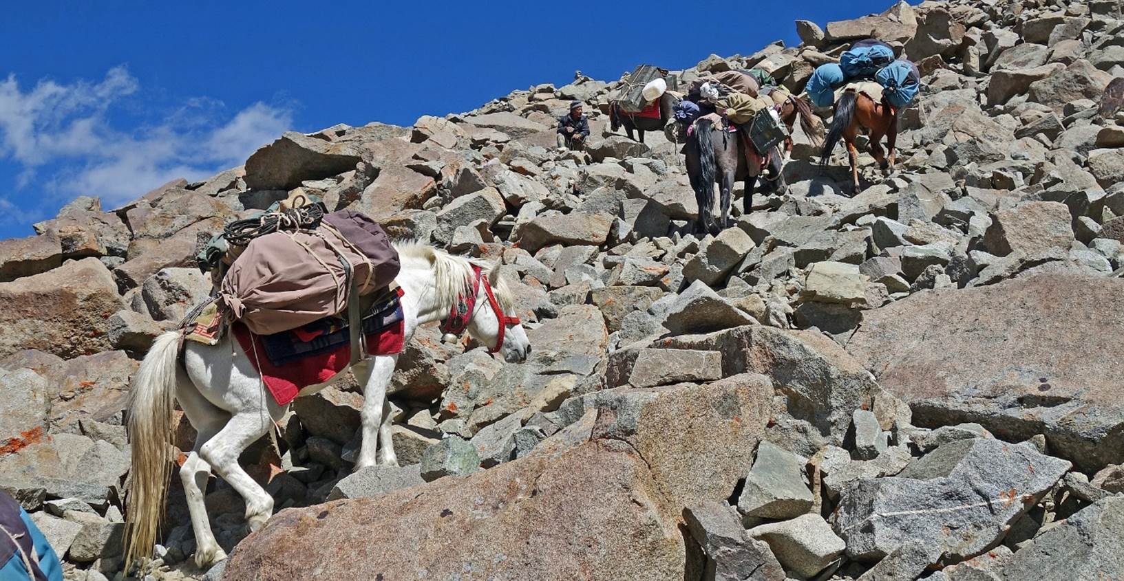
Day 10:
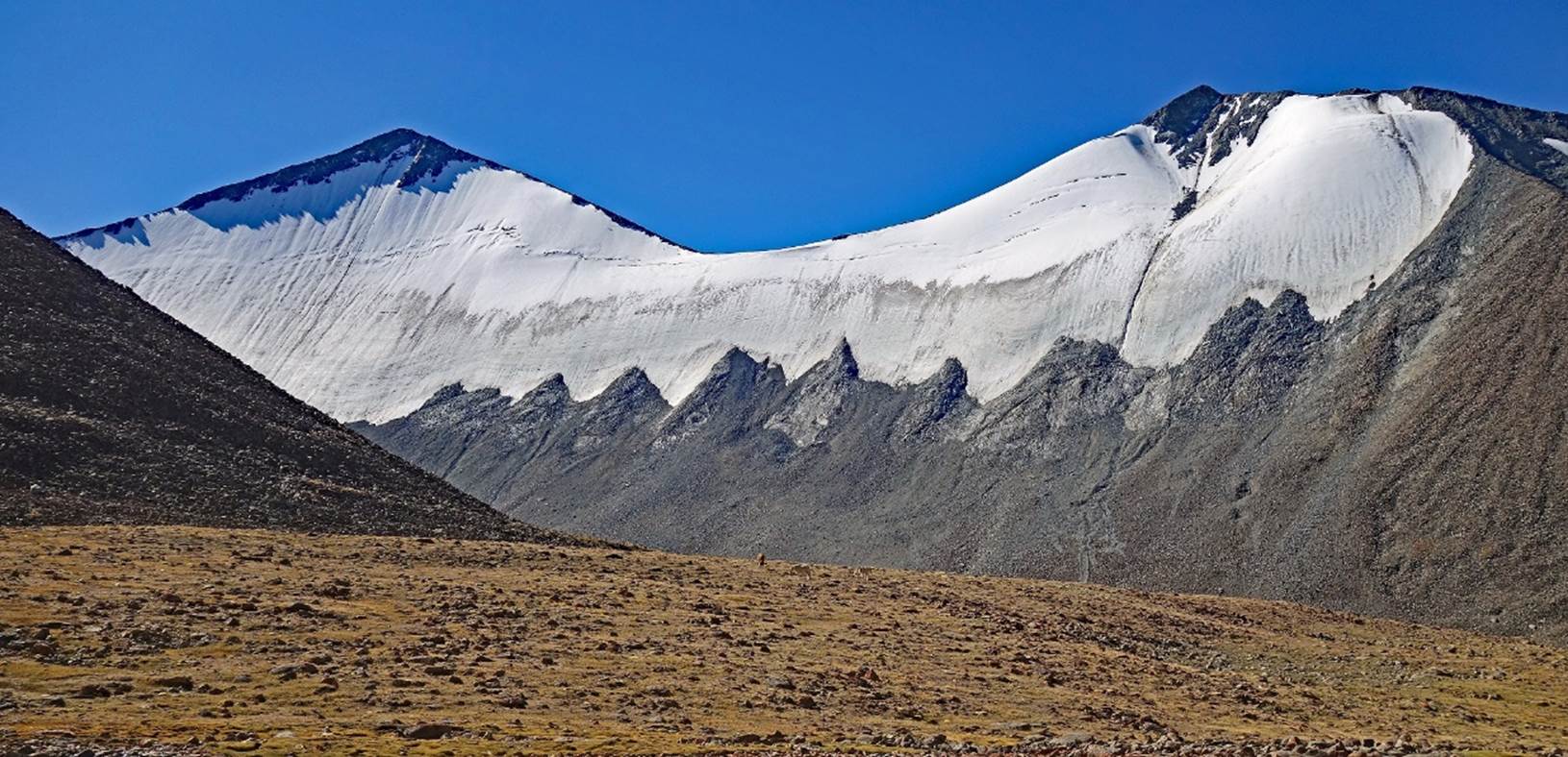
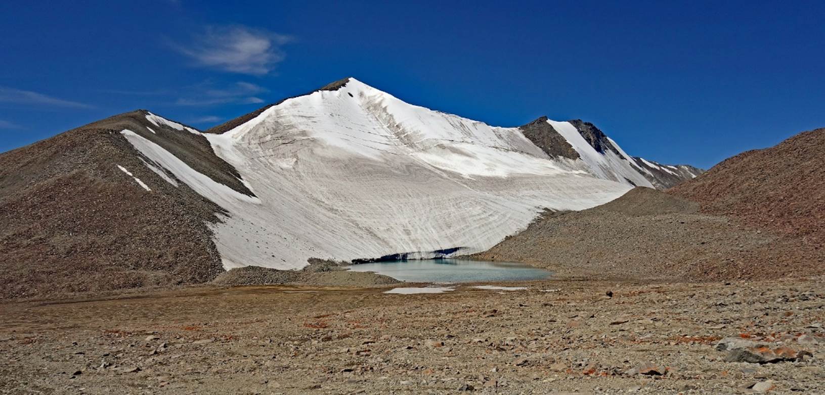
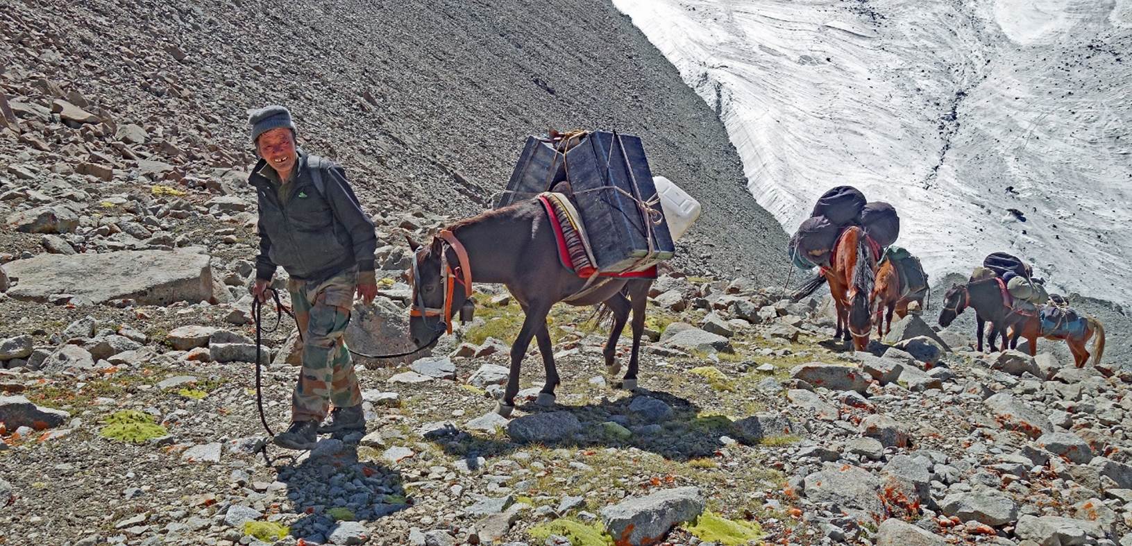
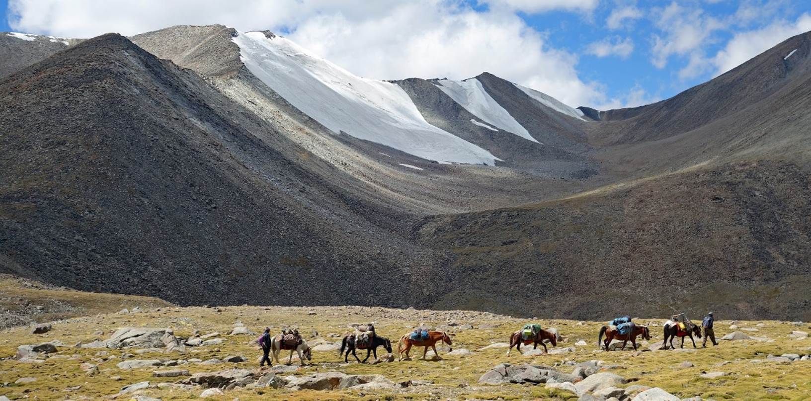
Successive photos taken during
the ascent of Gun La. The upper part of the ascent, made up of big rocks, was
quite difficult for our horses.
Kenup smiling as he
reaches the pass with his horses.
At the pass. The
elevation measured by my GPS was 5532m, lower than the 5650m given by the
Olizarne map.
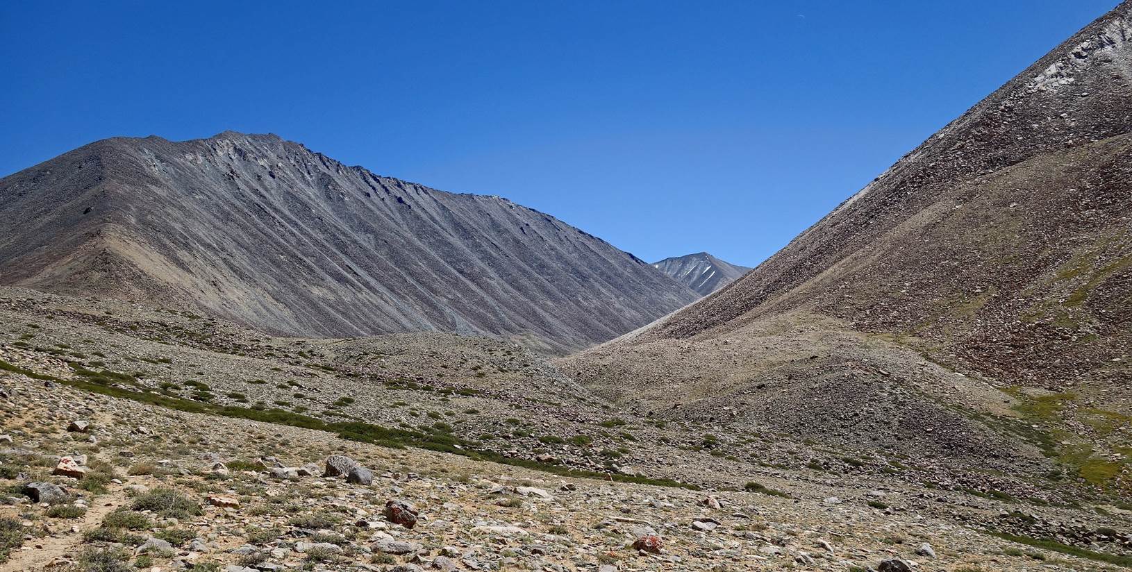
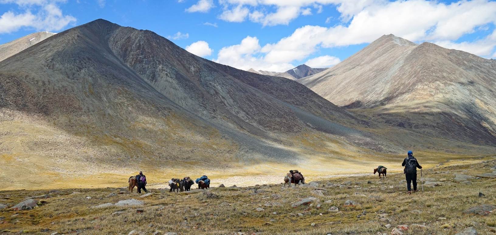
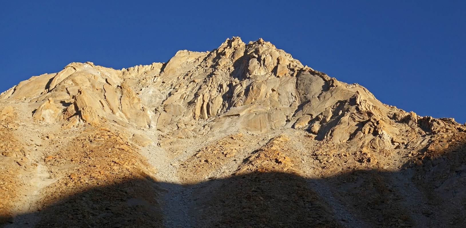
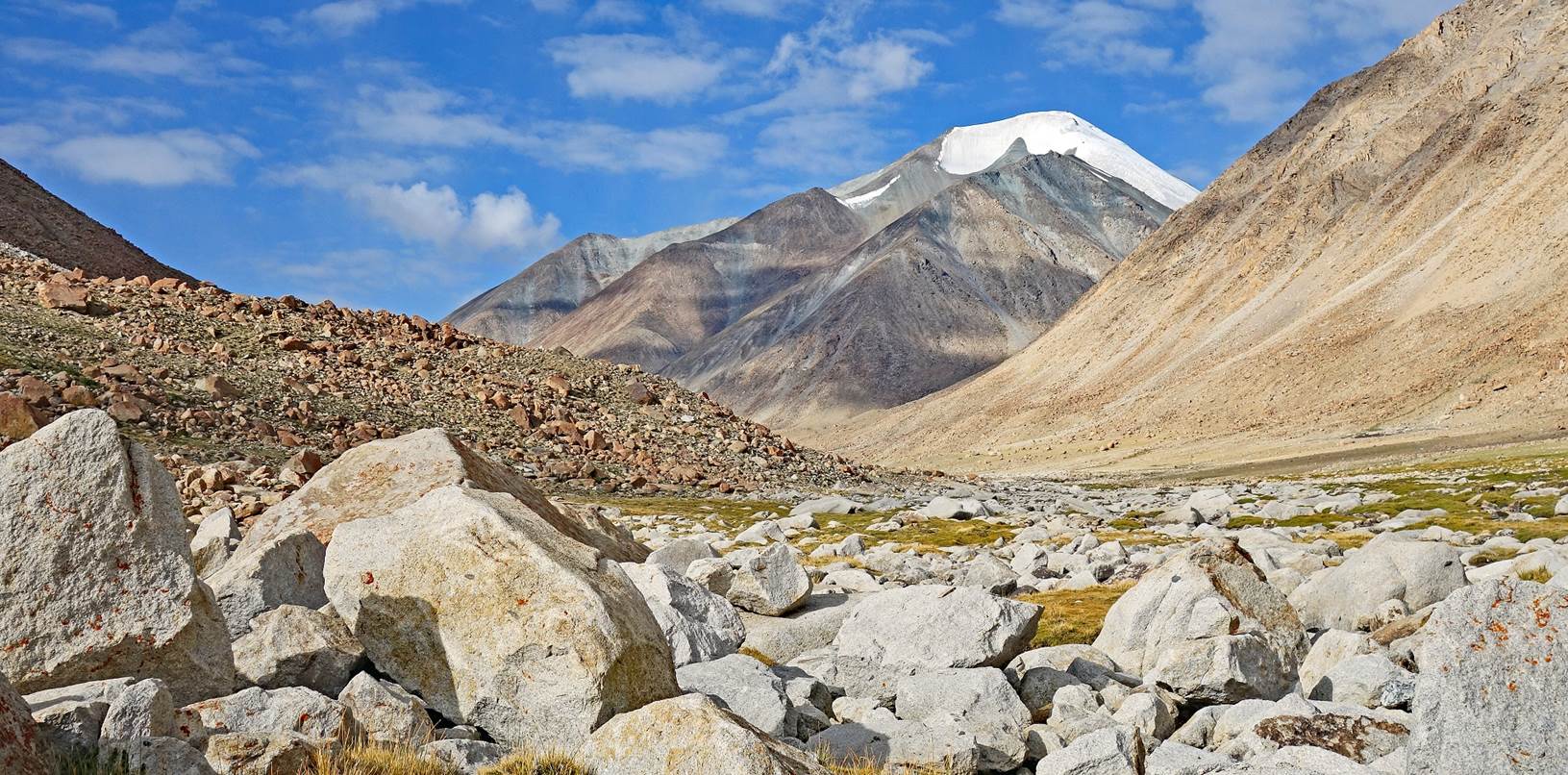
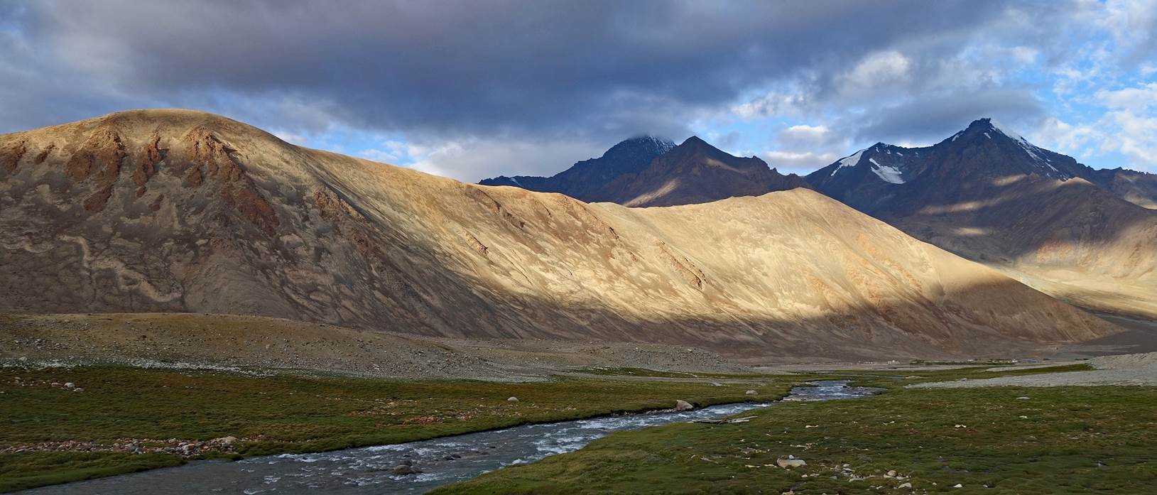
Starting the descent from
the pass.
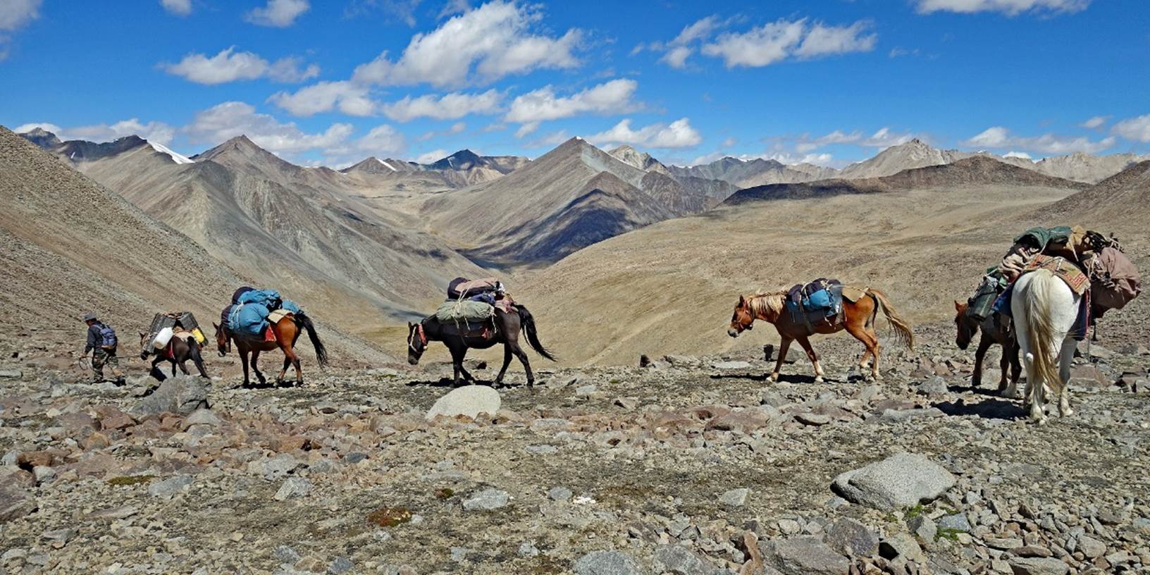
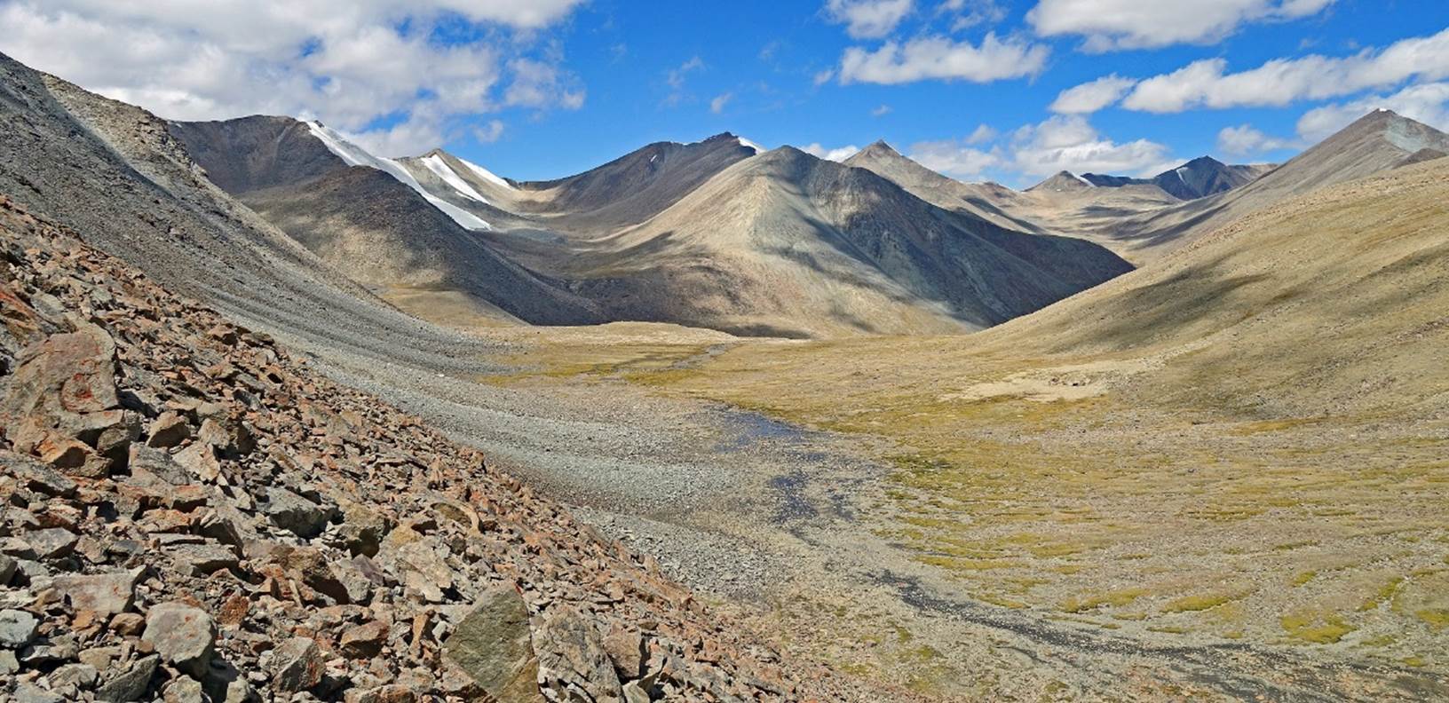
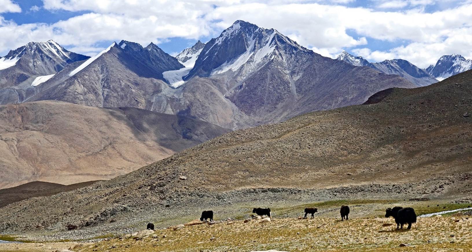
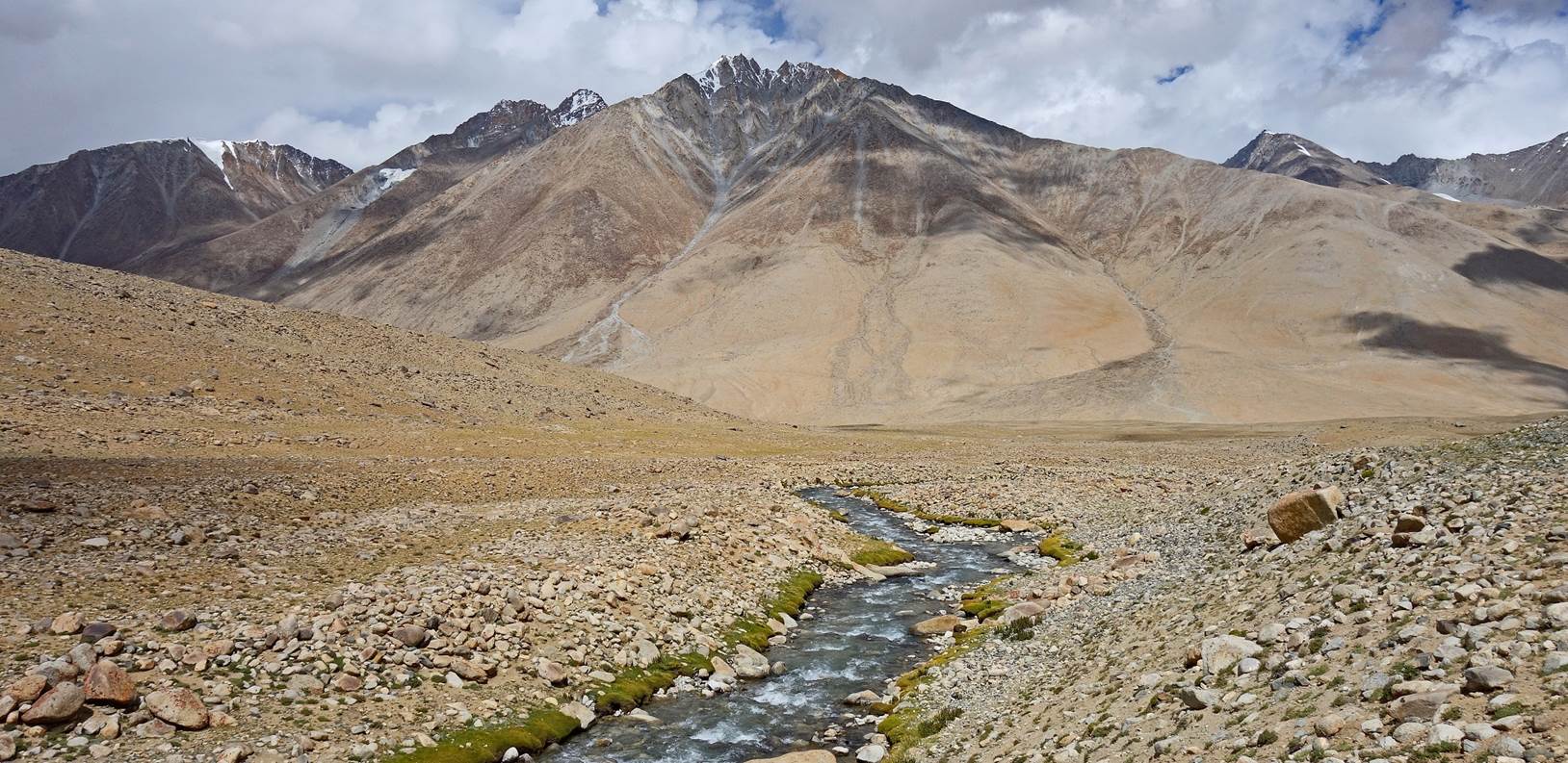
View over the valley
below the pass.
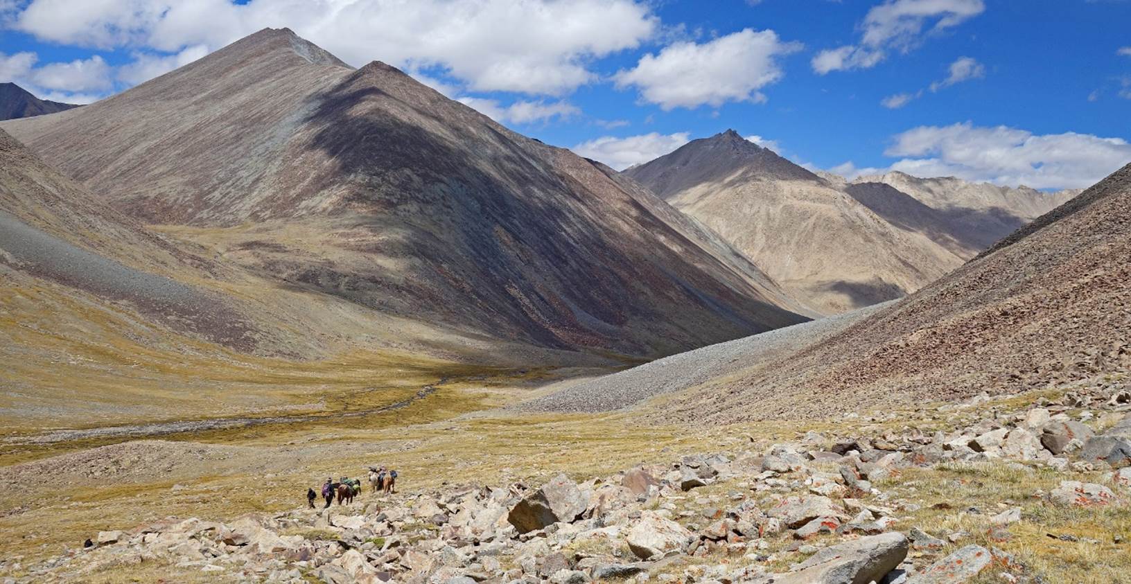
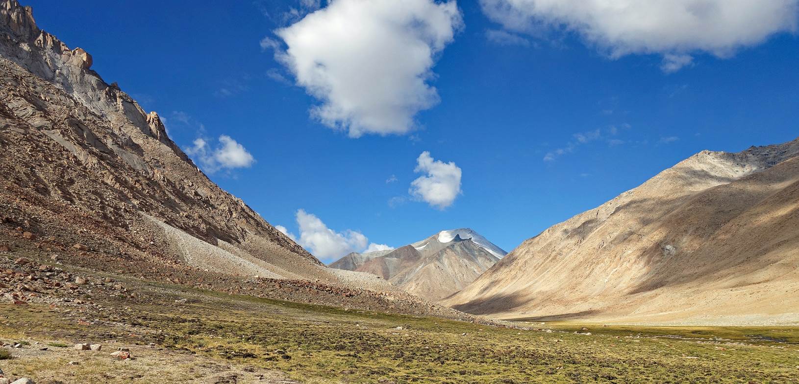
Further down, looking
back at Gun La (at the center of the photo). The slopes on the right form the
backside of the ˝pass˝ that we had climbed on the previous day.
A short rest for the
horses.
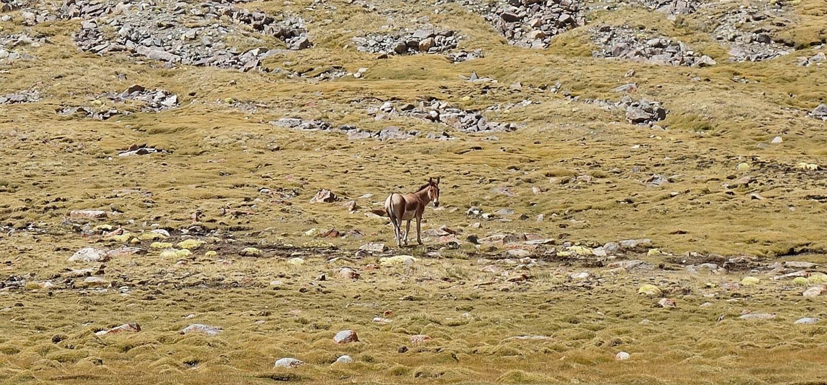
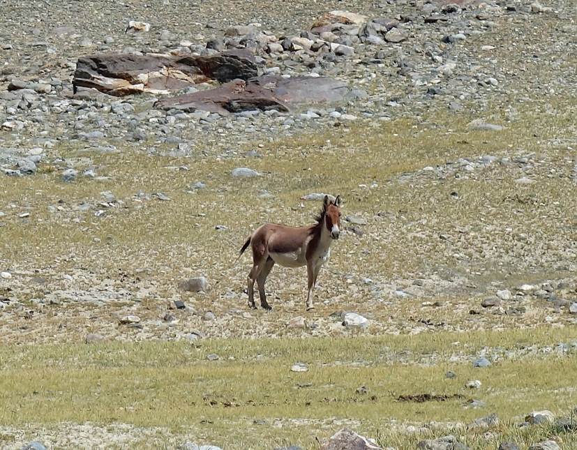
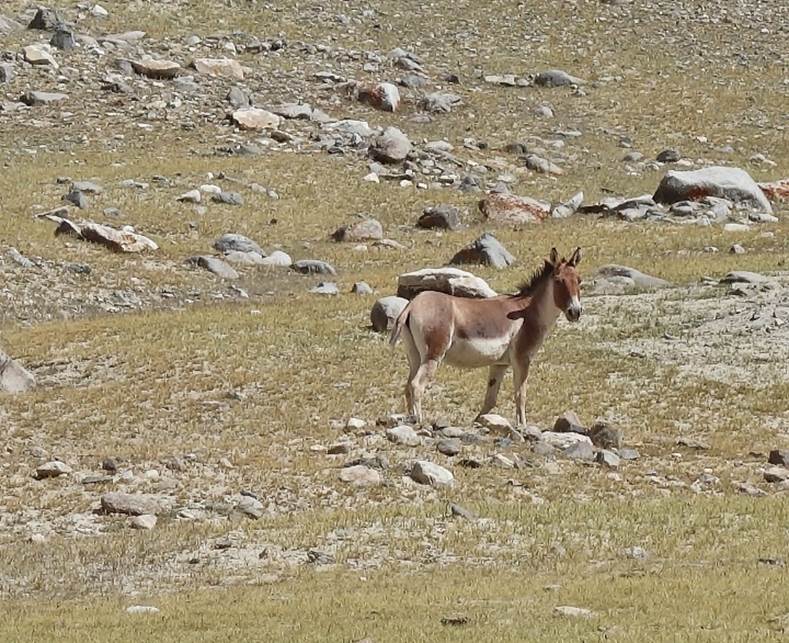
Kiangs.
|
|
|
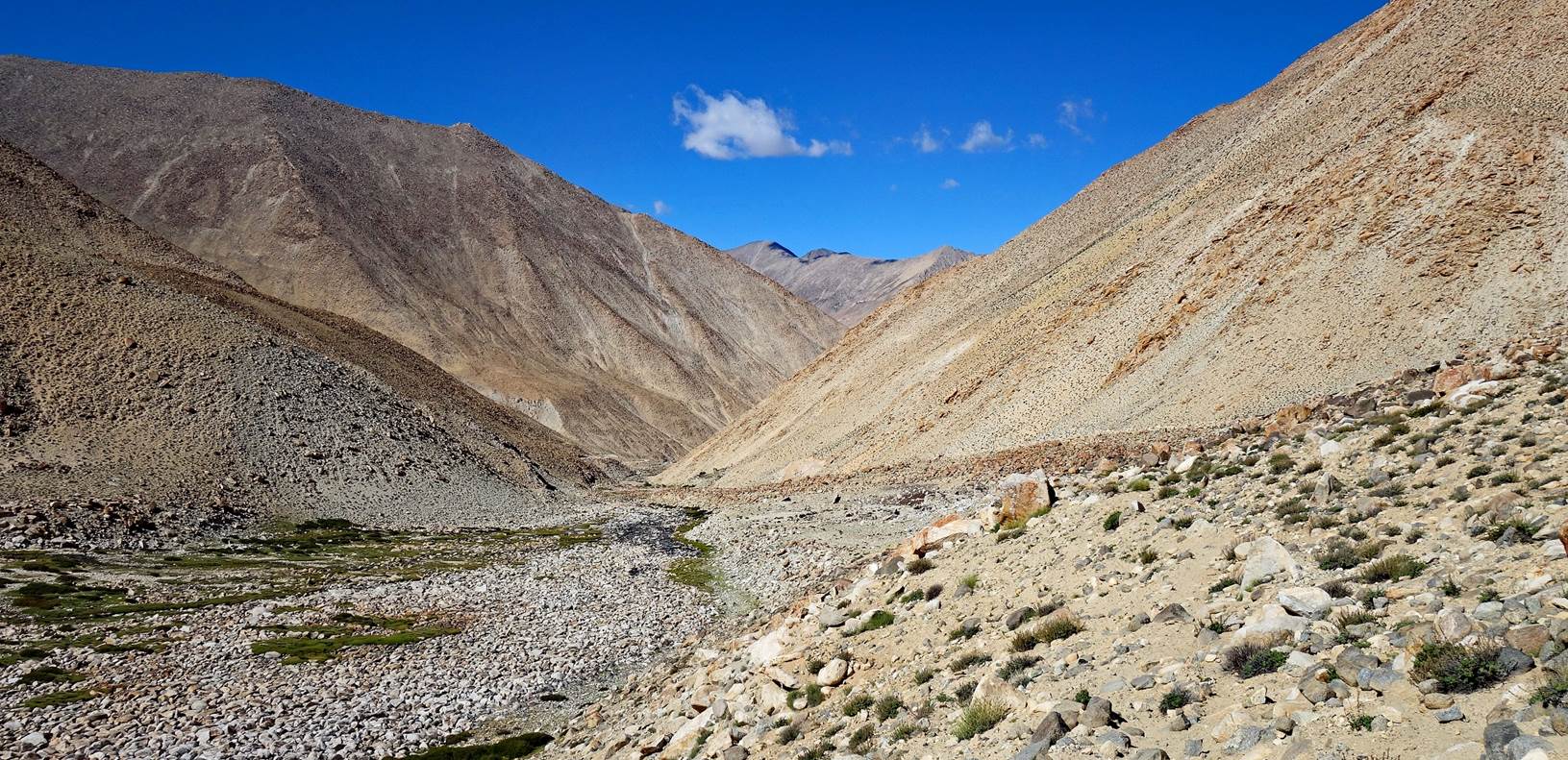
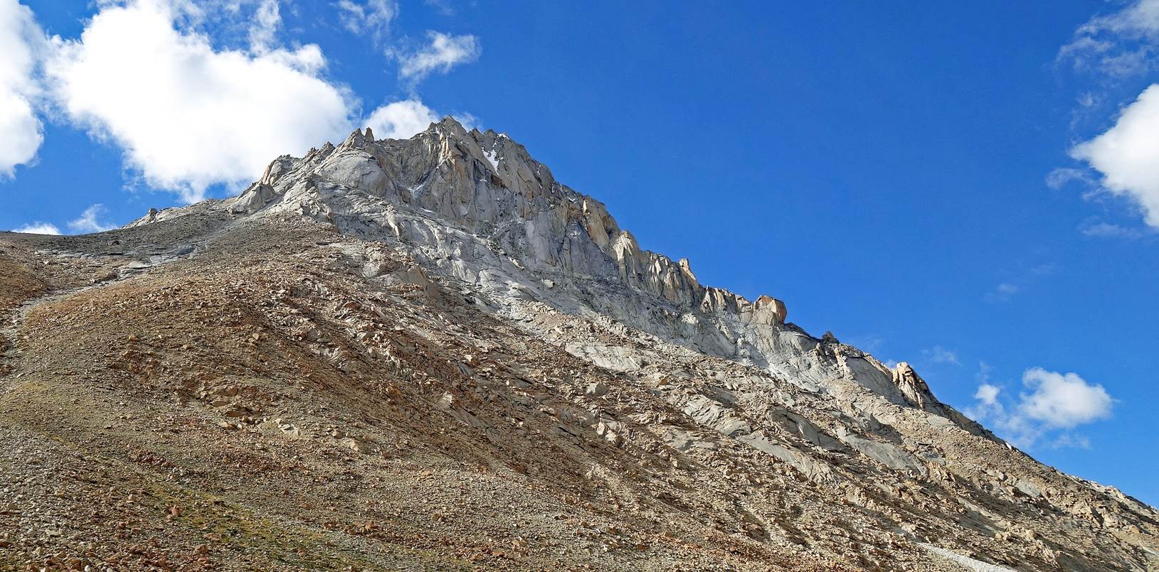
We set our 11th camp
beneath this beautiful rocky cliff at 4995m (GPS recording).
Day 11:
On that day we continued the descent of the same
valley, down to the village of Kherapdu.
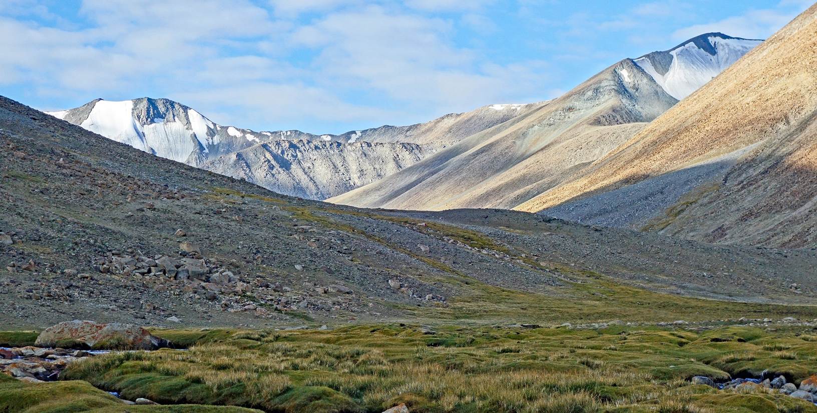
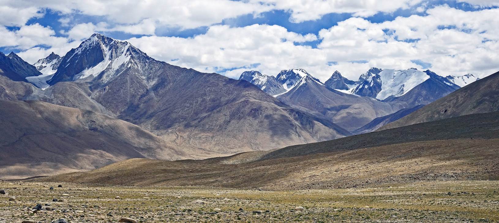
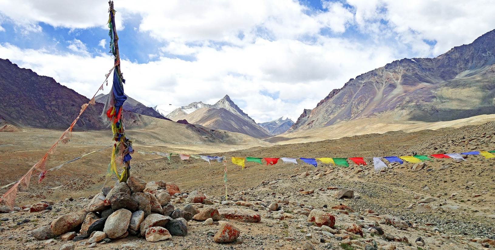
Views of the Pangong
range as we approached the entrance of the valley.
Prayer flags marking the
entrance of the valley.
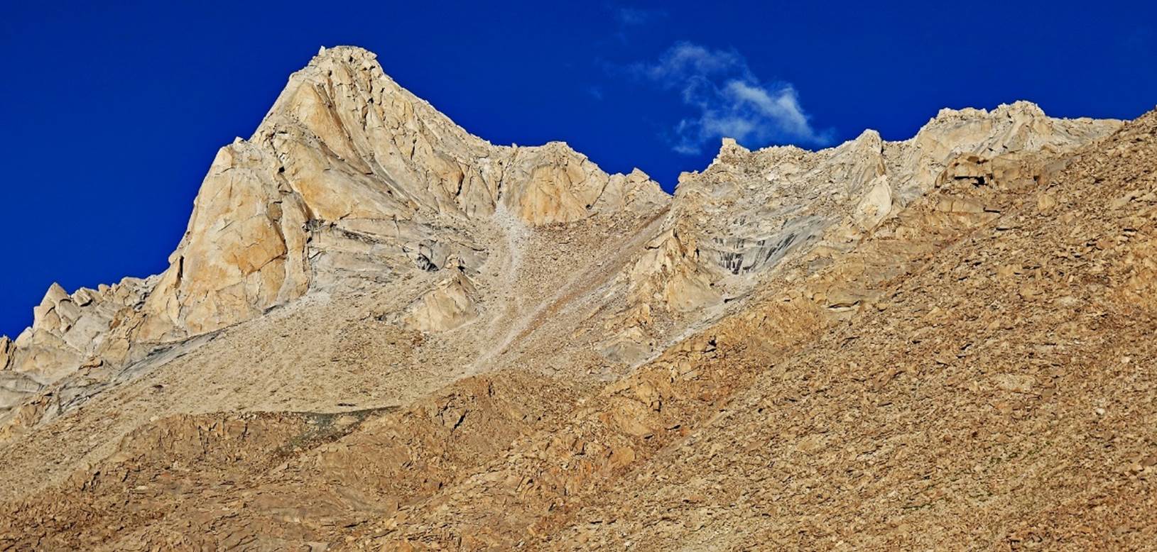
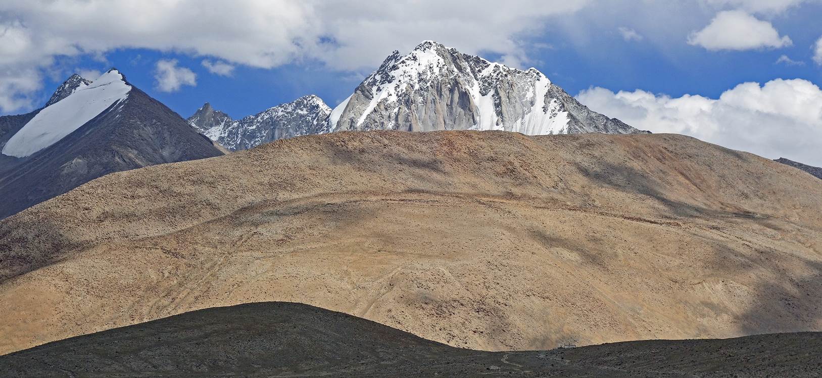
High peak in the Pangong
Range, seen from a location near Kherapdu.
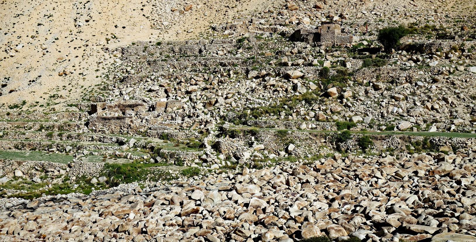
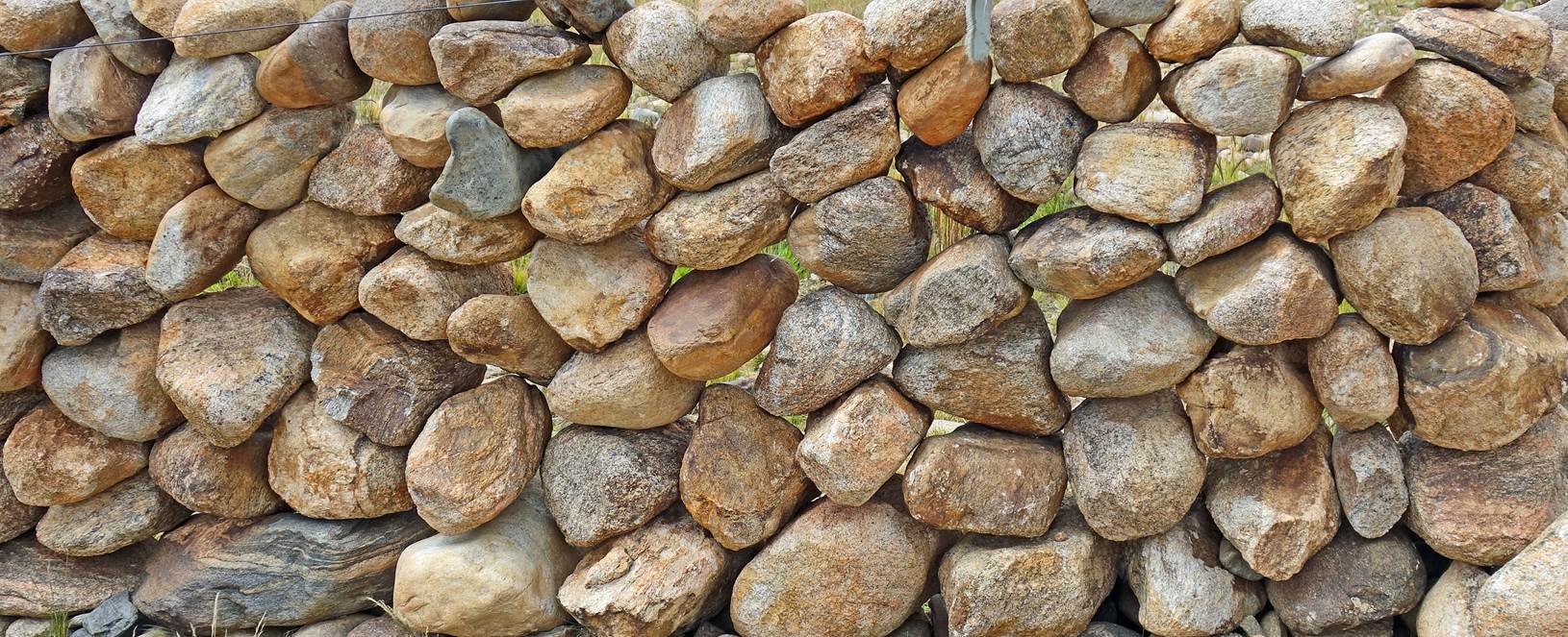
The village of Kherapdu
features spectacular long walls built up with round stones, probably the only
ones that can be found in the local rivers. Although each stone seems to be in
precarious balance, the walls are very stable and strong. I marveled at the
skill of the villagers who are able to erect them.
End of the trek:
In Kherapdu we (Tundup
and I) met with Tacul, who had just driven from Leh to bring us fresh food for
the second section of the trek. Together we drove to an area slightly east of
the village, where we were joined by Kenup, Nurbo and Tachi and set up our 12th
camp.
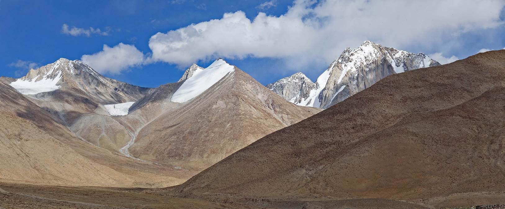
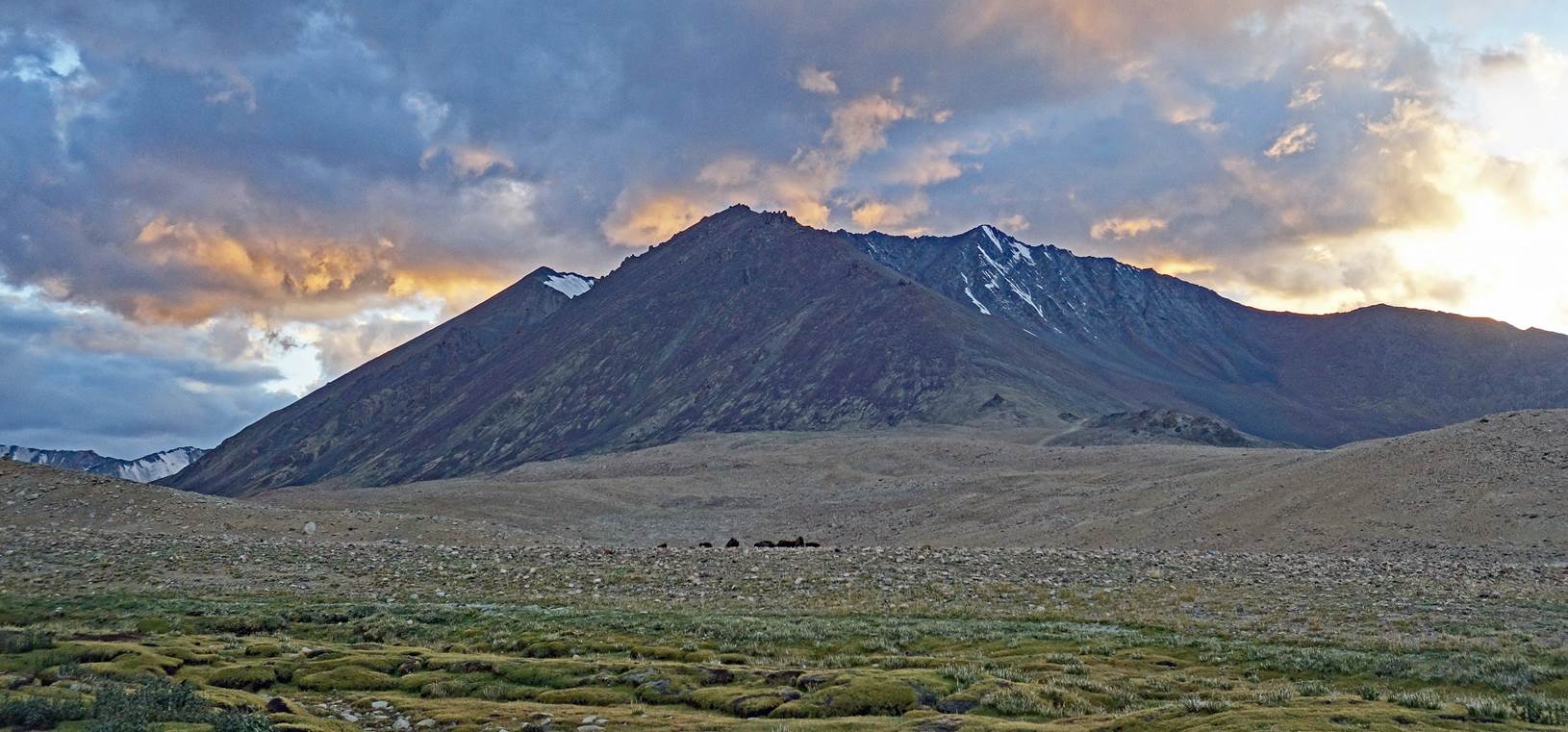
More snowy peaks in the
Pangong Range seen from our 12th camp.
Another view from our
12th camp, here at sunrise on the next morning. The white houses of Kherapdu
are visible on the right of the photo.
On that day, we (all of
us, except Kenup) drove to the intended start of the second section of the
trek. We set up a 13th camp at 5954m (GPS recording) near the end of a
side-road leading to a sheepfold (south of the point marked 6 in the map).
Meanwhile, as had been planned, Kenup and the horses traveled on foot and
reached the camp in the afternoon.
Hills and peaks of the
Ladakh Range seen from the 13th camp.
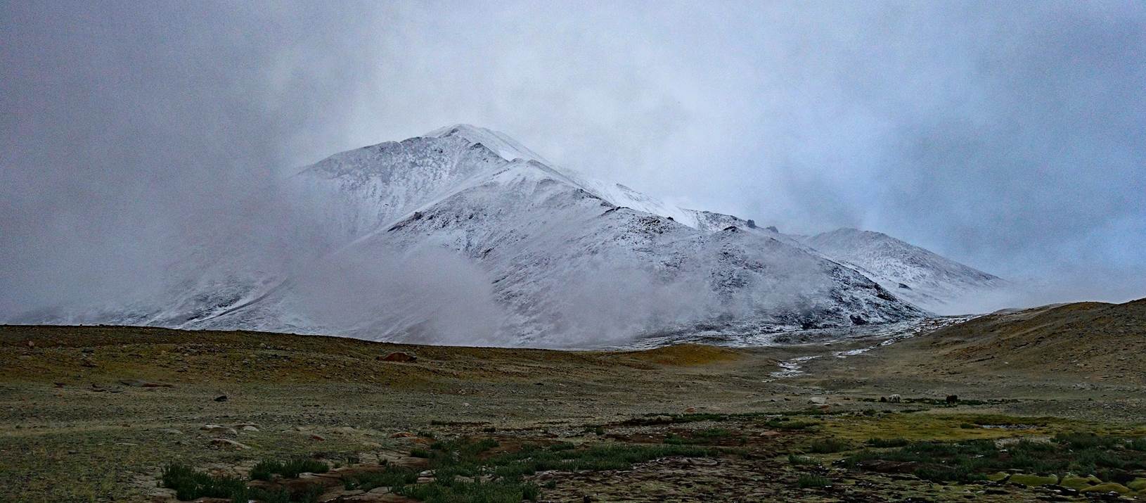
It started snowing early
in the night. The snow kept falling all night and throughout the next morning.
Although it was melting on the ground around our camp, we were concerned by the
potentially large amount of snow and the lack of visibility at higher
elevation, especially at the double pass that we would have to cross.
View from my tent in the
morning.
After much consideration,
we decided to cancel the second section the trek. Though disappointing, it was
probably the right decision, as bad weather lingered for a few days over this
region of Ladakh. On the positive side, it gave me the opportunity to make an
unexpected trip to Srinagar.
Click on the following
links to directly access the other photos of the trek:
![]()
Return
to main India 2022 travel page | Return to my mountaineering/trekking/travel webpage