Uzbekistan (August 2023):
Six-Day Hike
between Bakhcha and Tatar
(Part 1)
![]()
Return to my
mountaineering/trekking/travel website | Return
to main Uzbekistan 2023 page
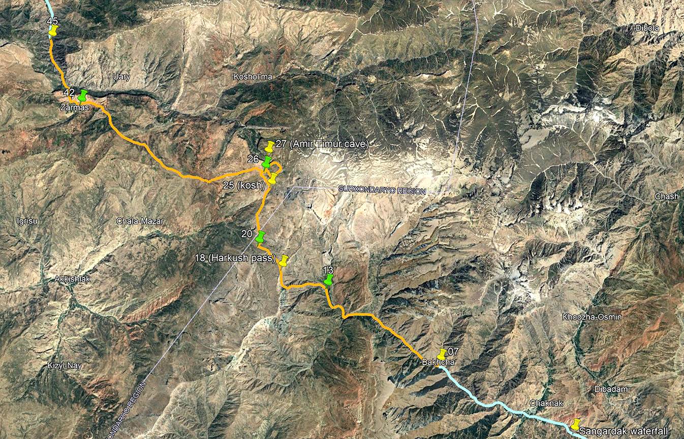
From Bakhcha
to kosh at waypoint 13:
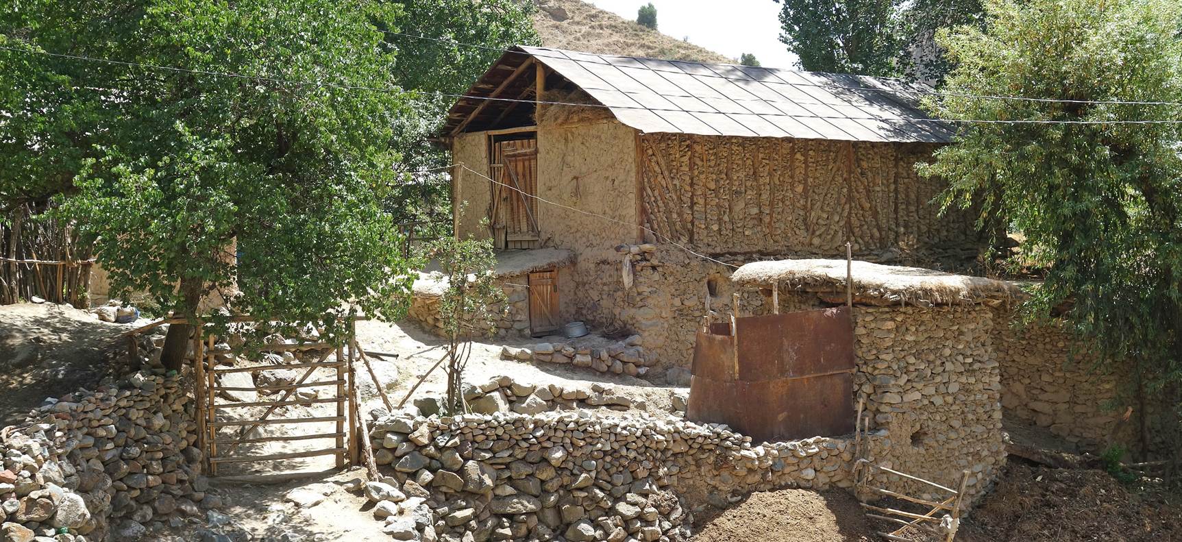
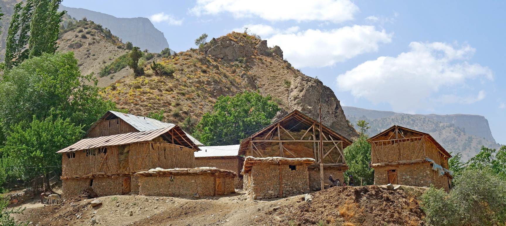
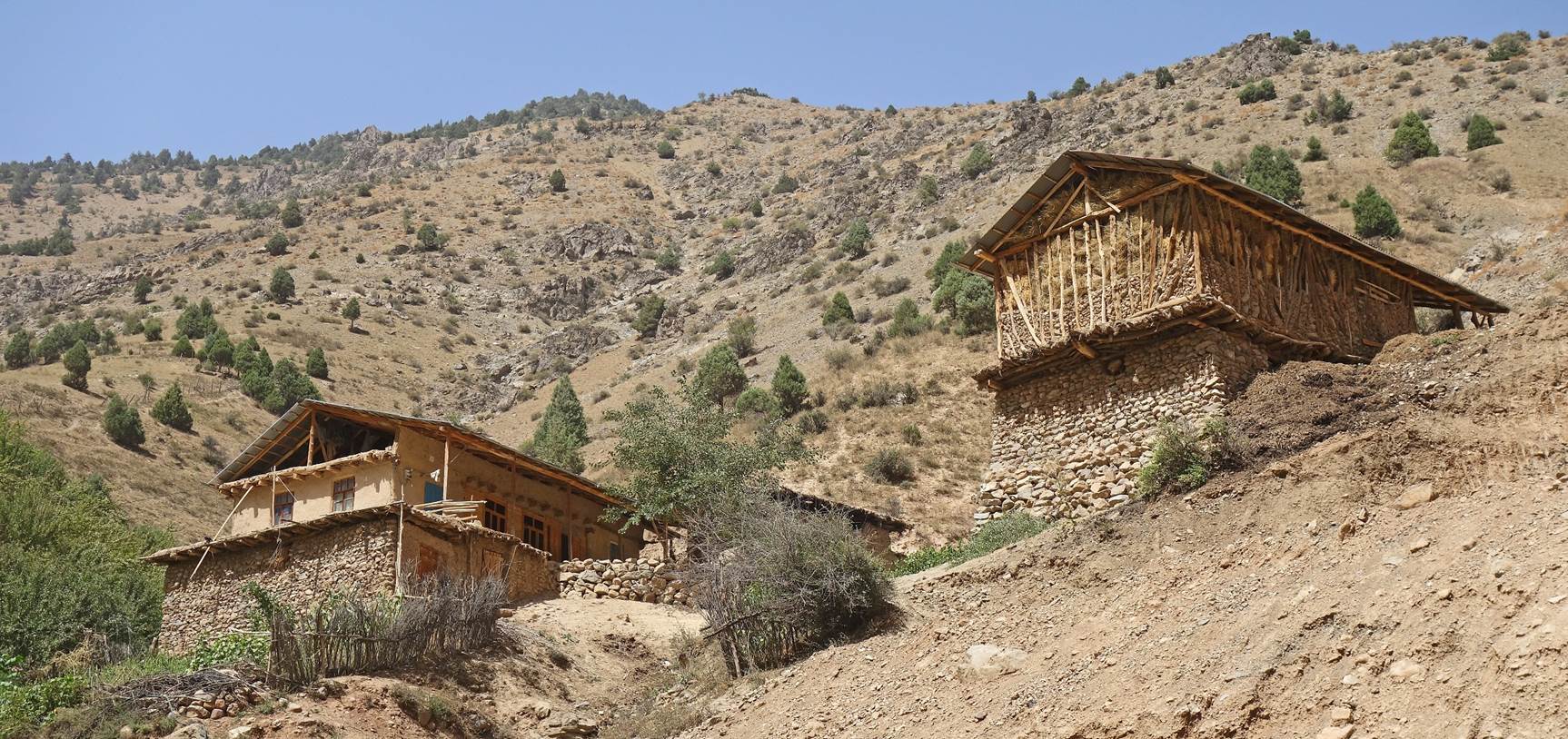
Houses in mountain villages near Bakhcha.
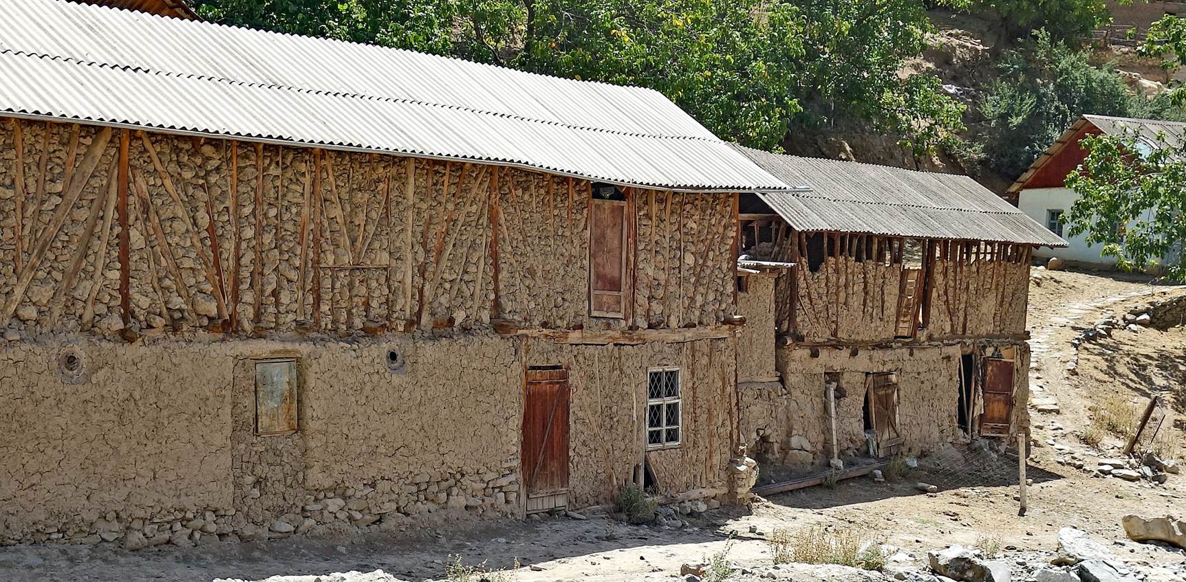
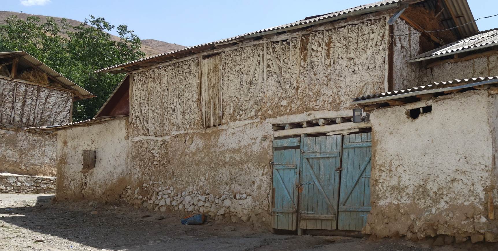
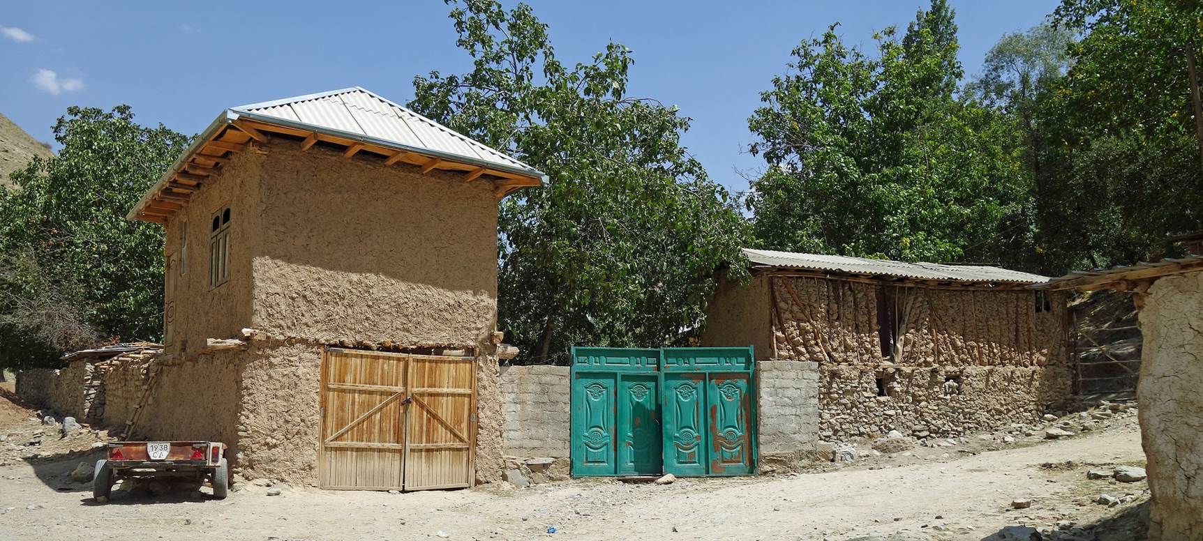
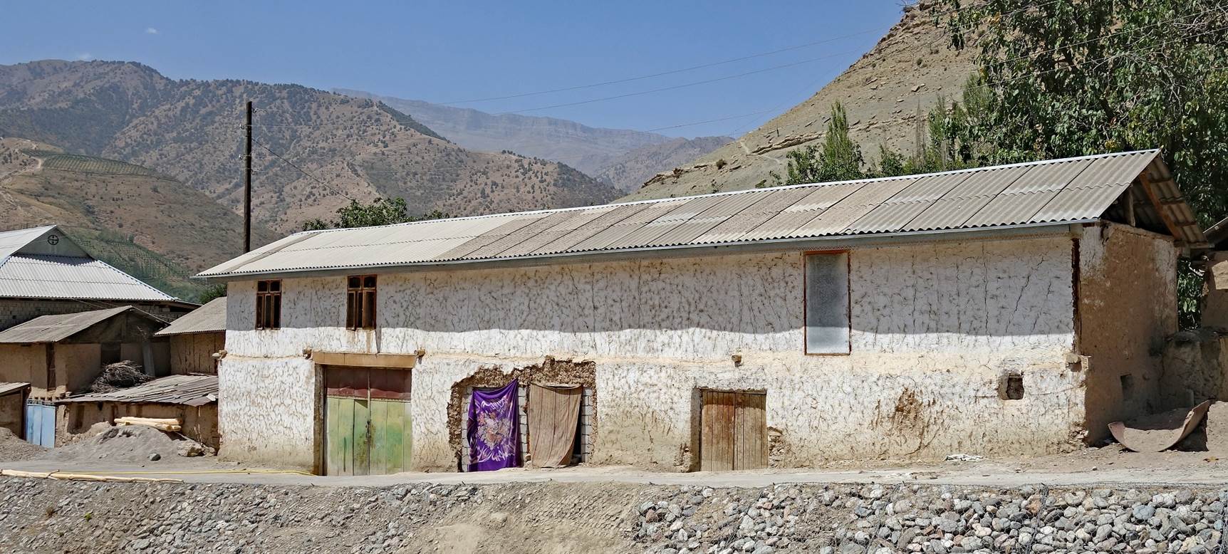
Houses in
Bakhcha (elevation: 1477m).
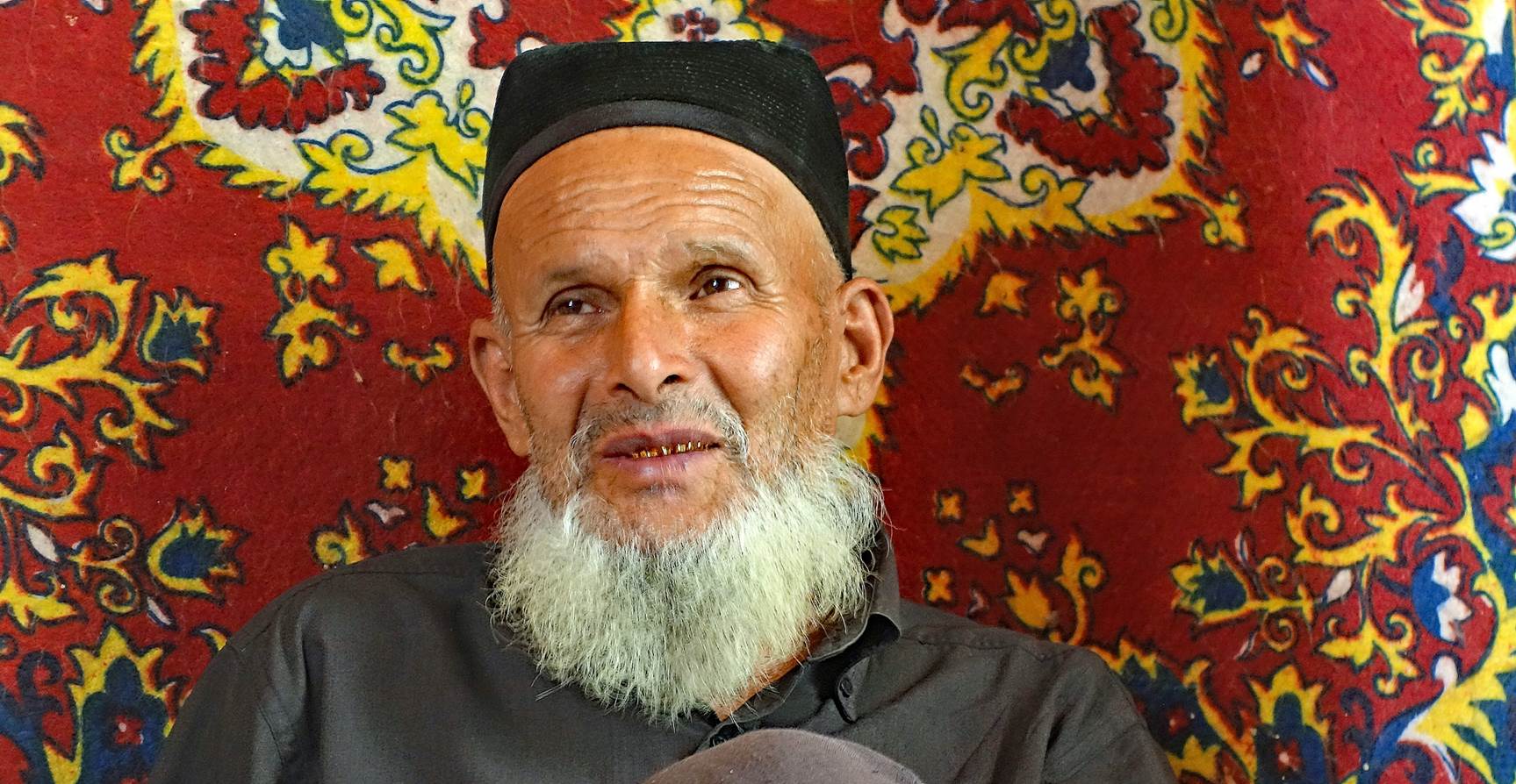
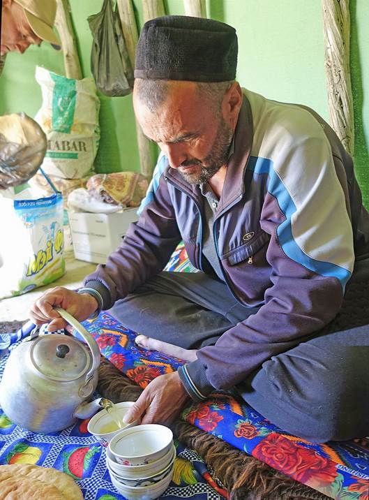
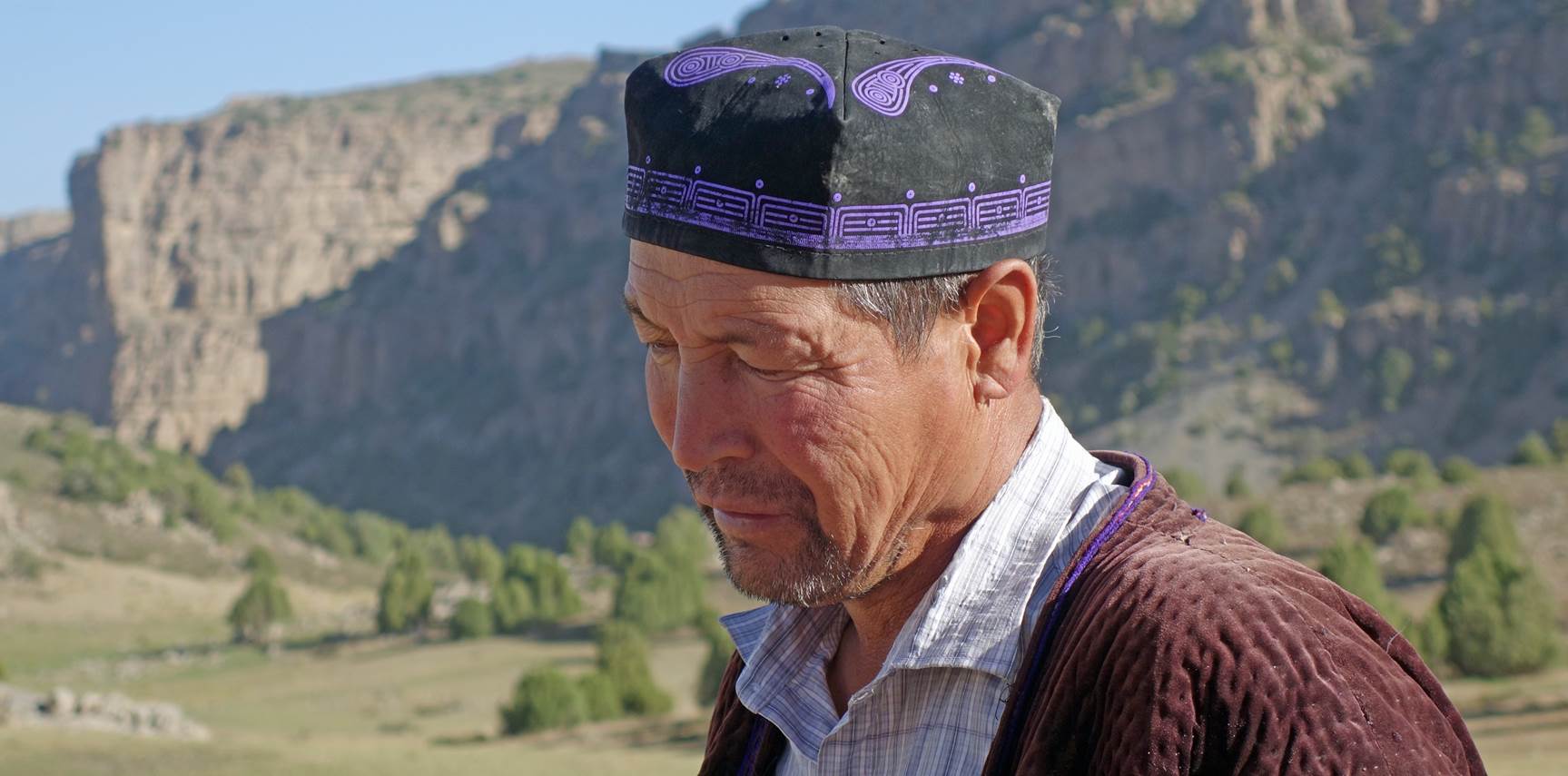
Man in
Bakhcha. He was the family head who provided us with donkeys for the first two
days of hike.
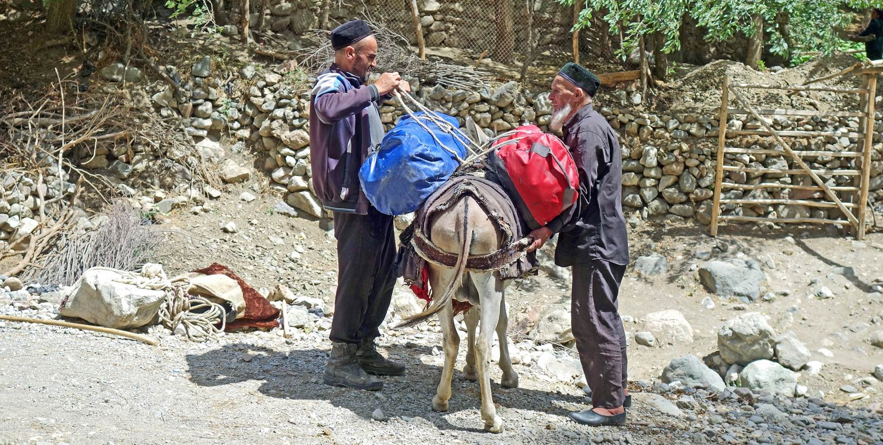
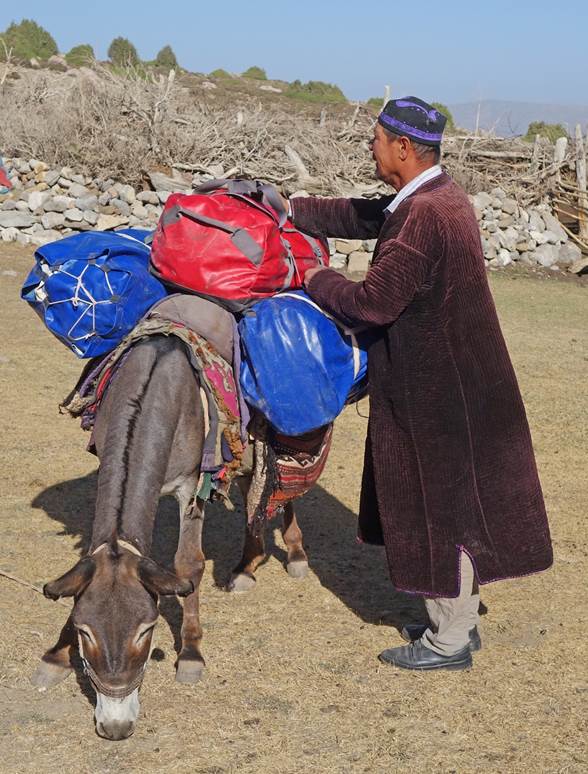
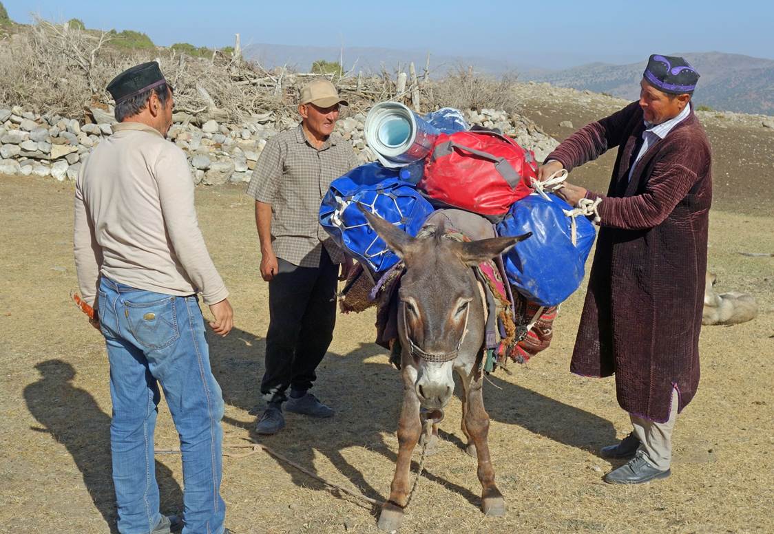
The same man
(right) and his son (left) loading a donkey. His son will be with us for the
first two days of the hike.
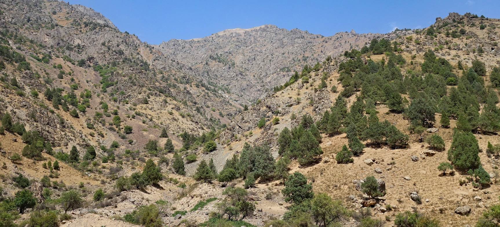
Leaving
Bakhcha.
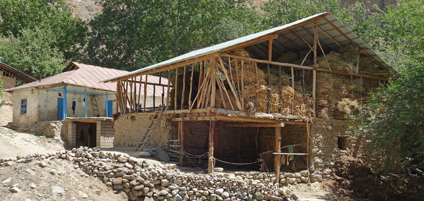
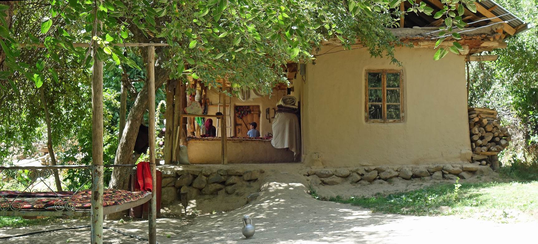
More houses
along the way.
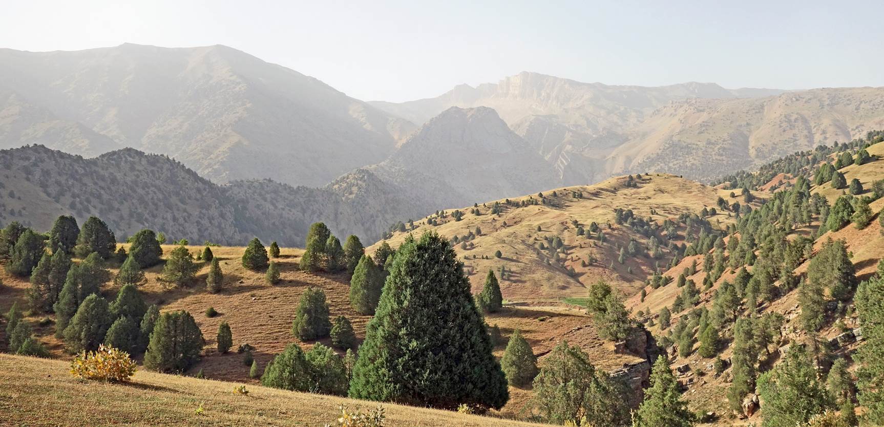
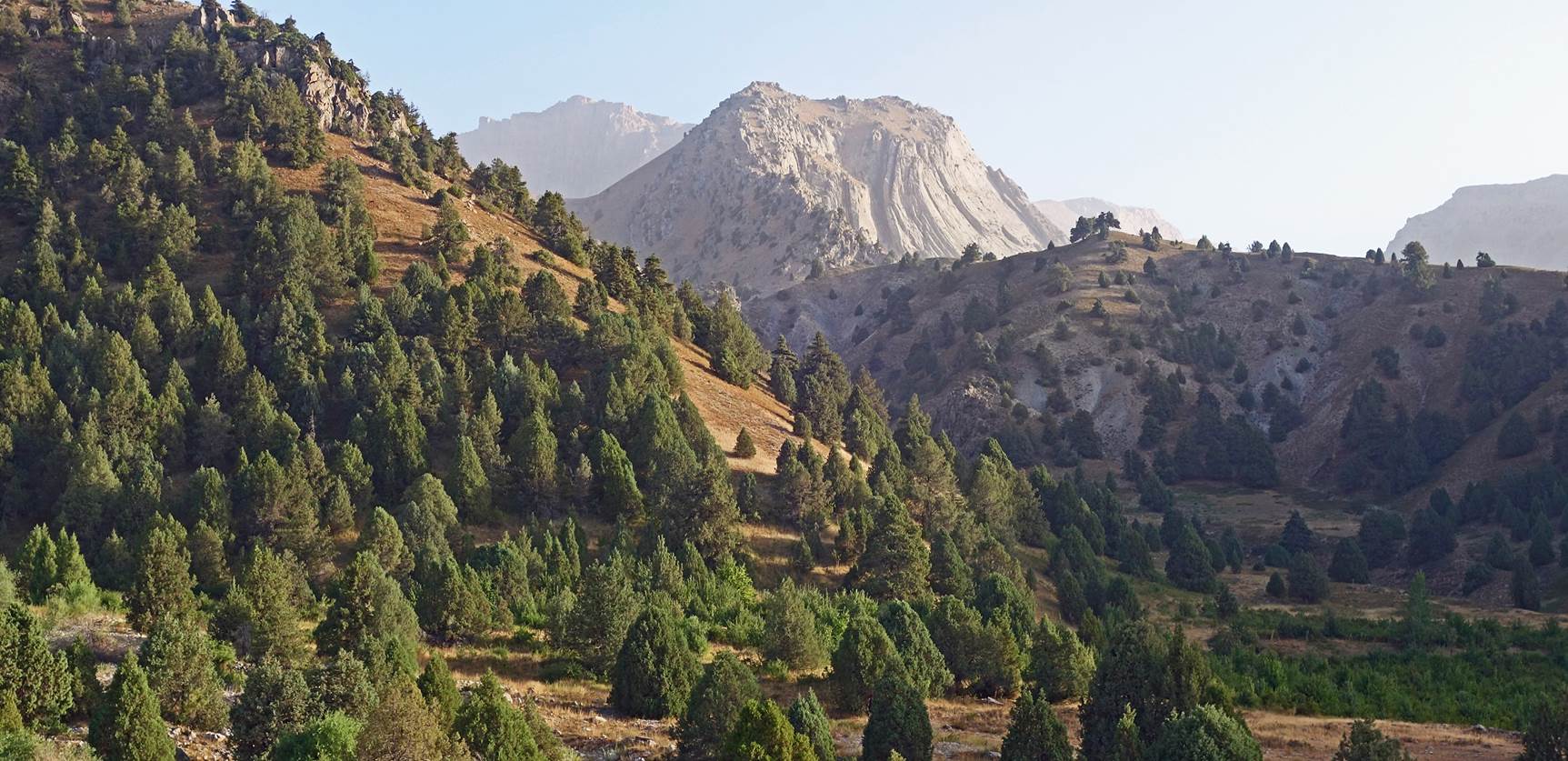
Further up in
the mountain.
|
|
|
|
|
|
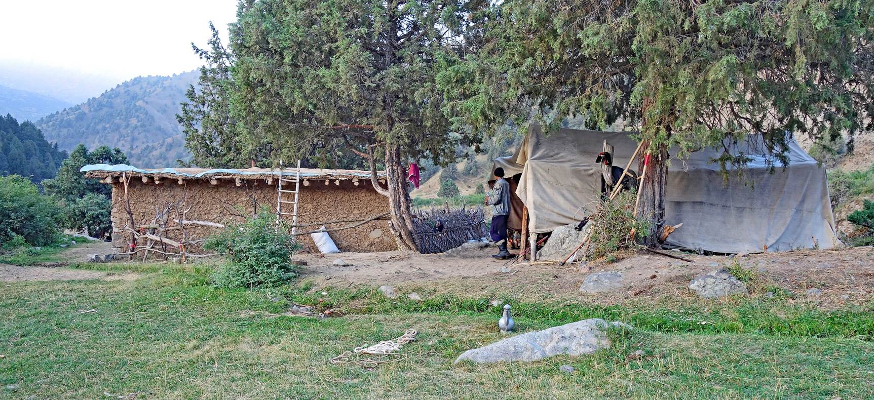
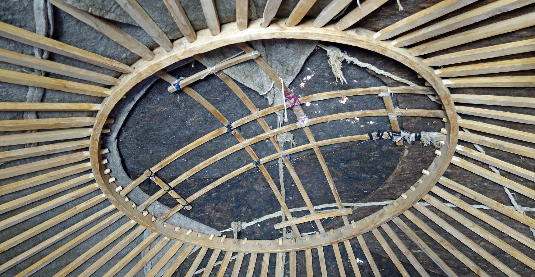
Kosh (summer shepherd
camp) at waypoint 13, where we spent the first night (elevation: 2025m). The
kosh belongs to people of Bakhcha.
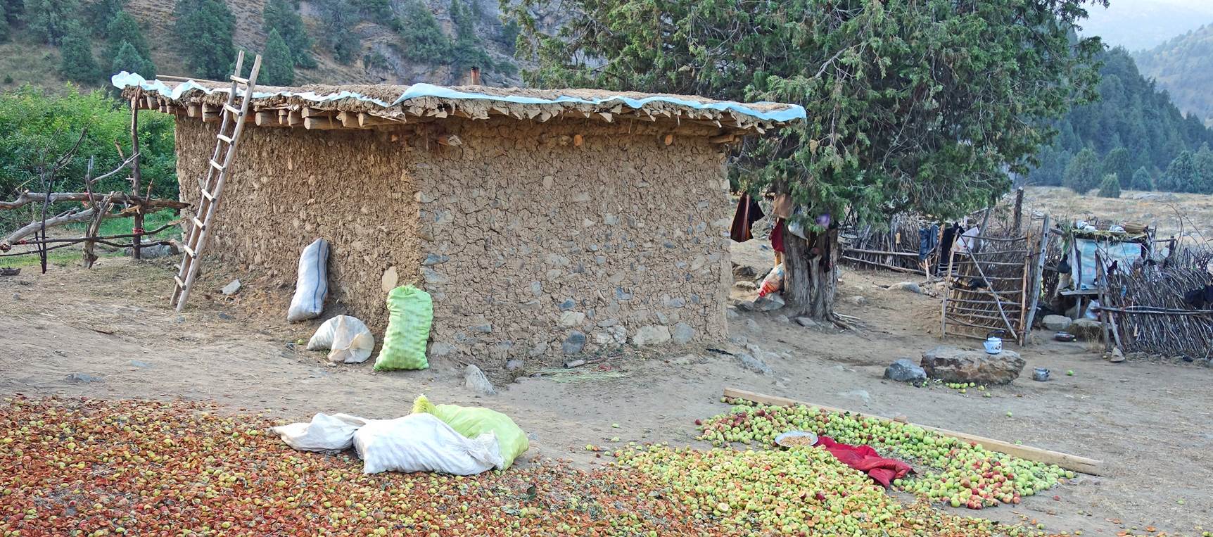
Drying apples on the ground.
Dried apples are then used both for food and for sale. Apples that rot before
drying are fed to livestock.
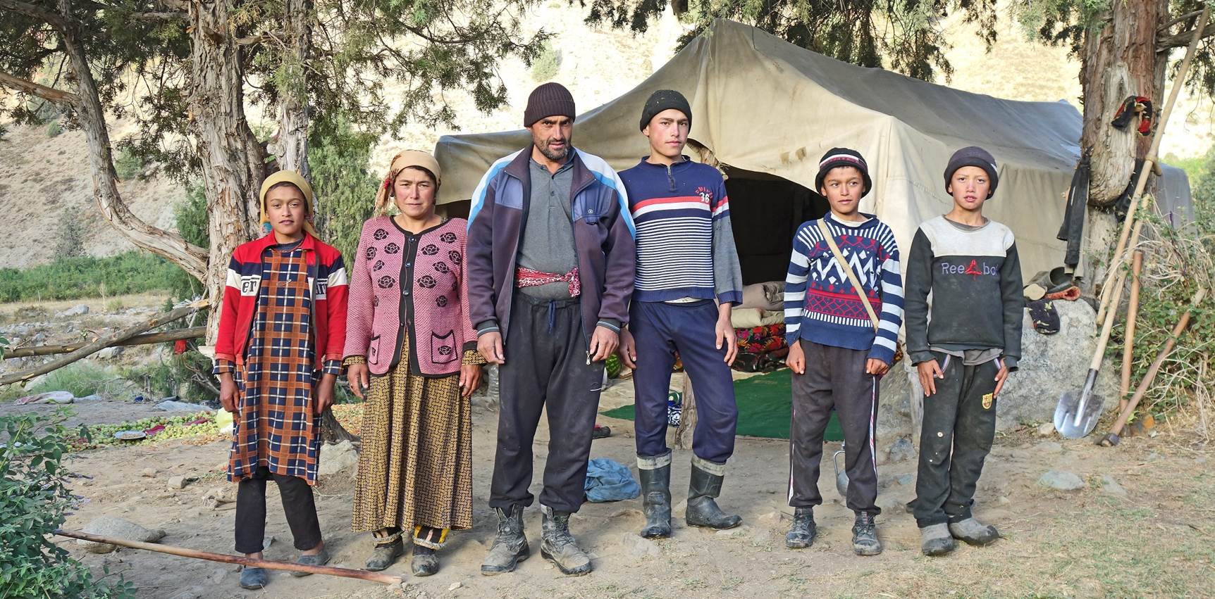
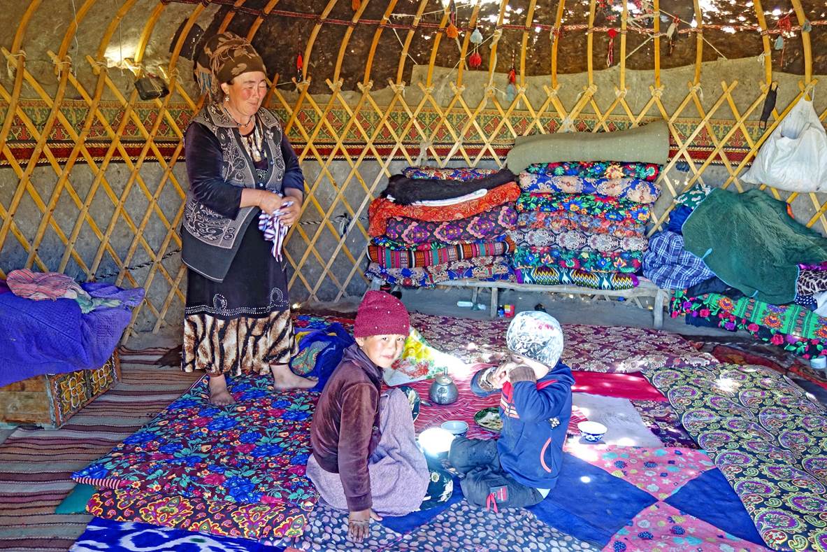
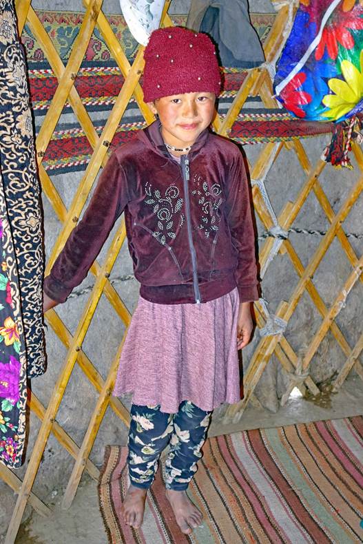
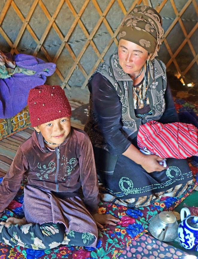
The family of the man
who came with us from Bakhcha.
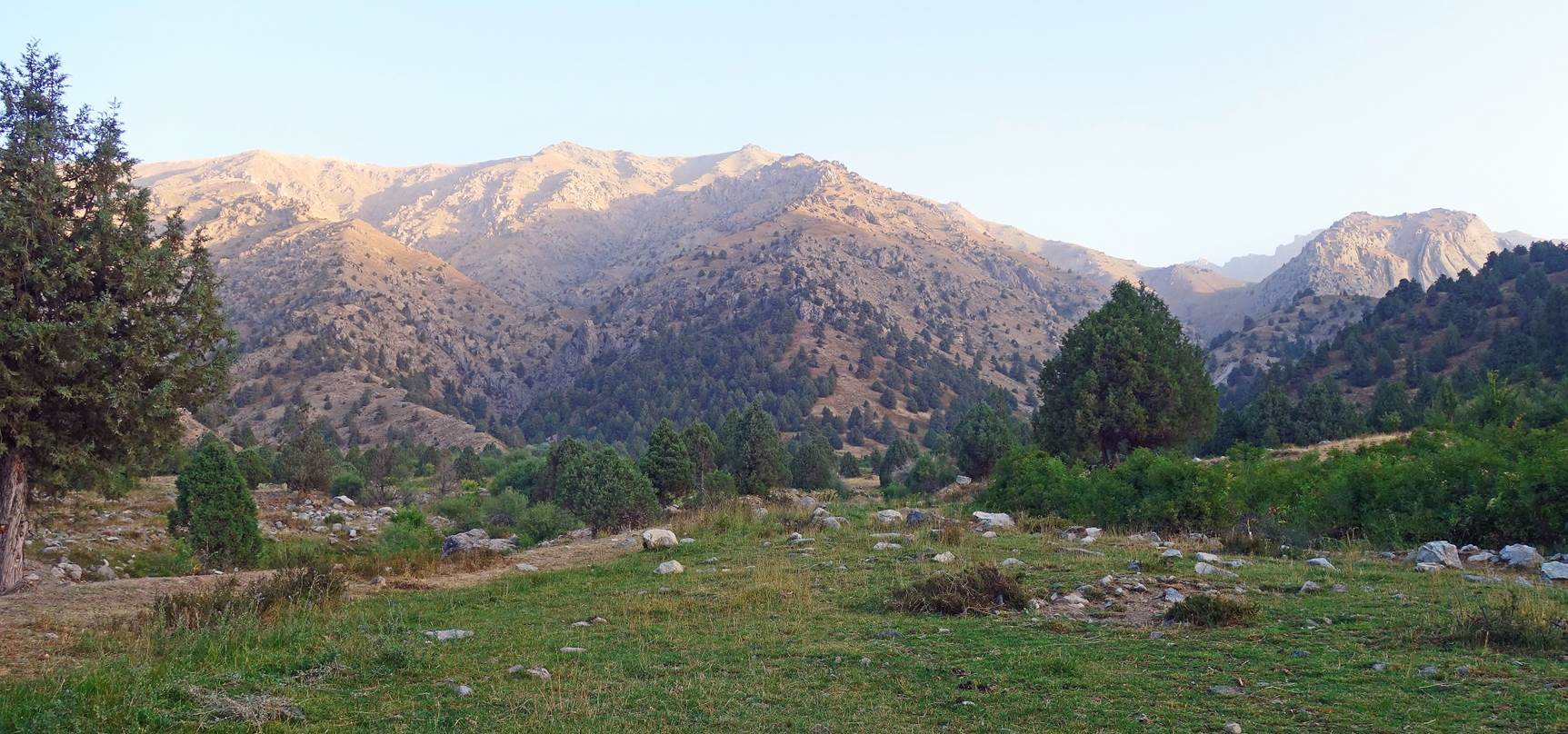
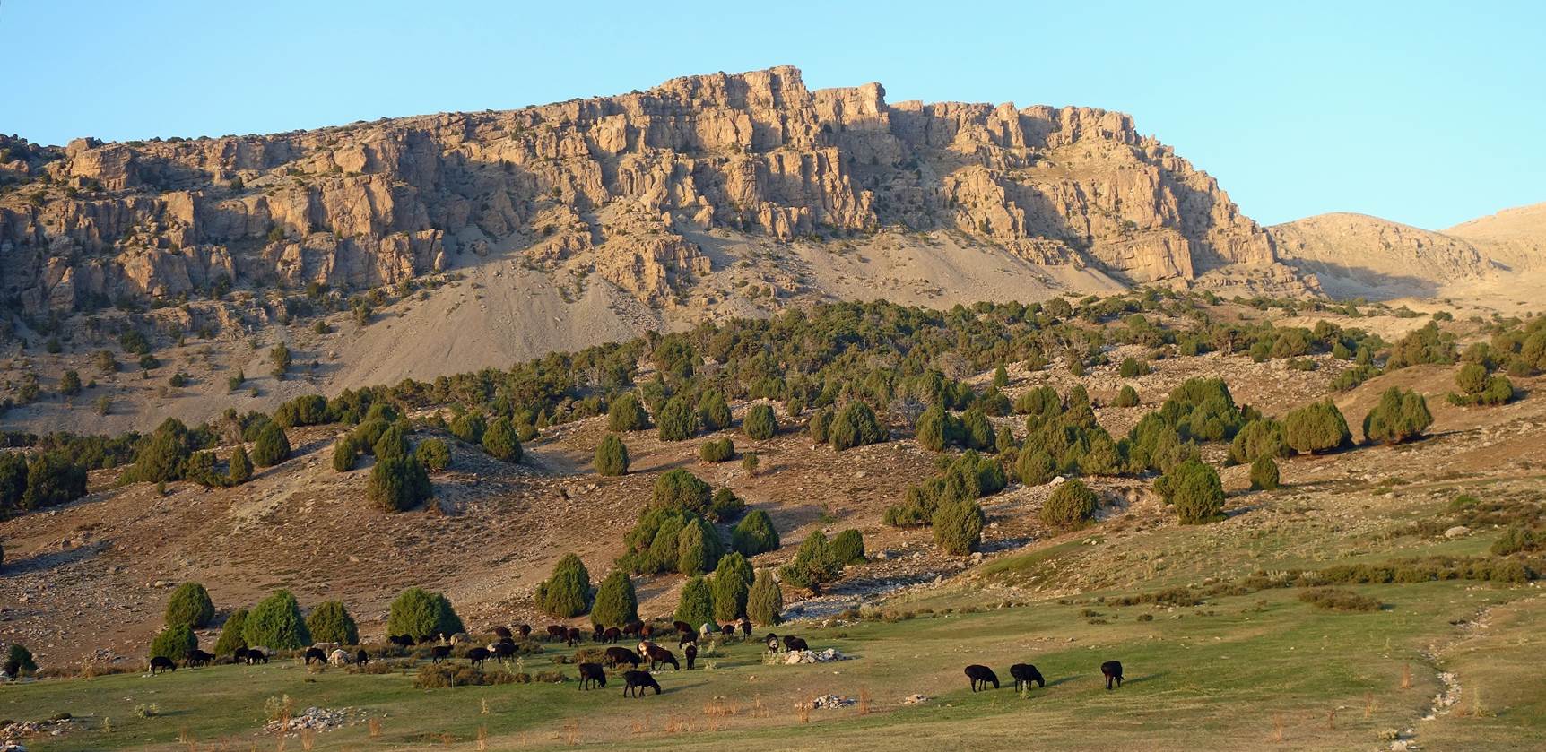
Views from the kosh at
sunrise on the next morning.
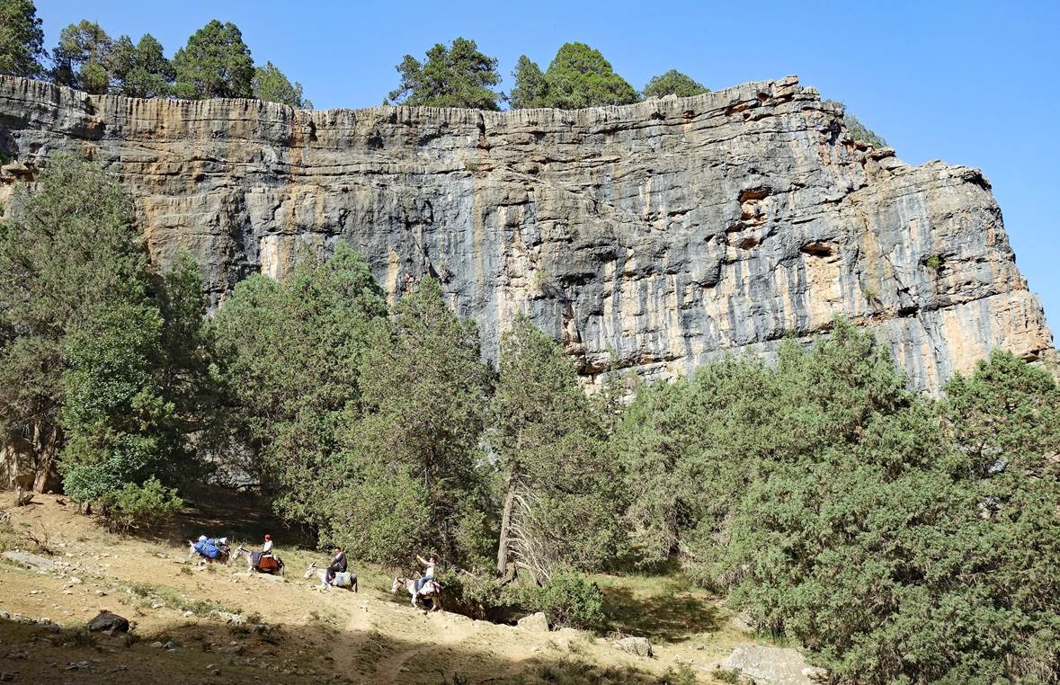
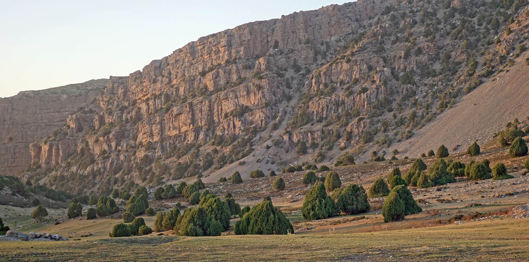
Between two koshs: From
waypoint 13 to waypoint 20:
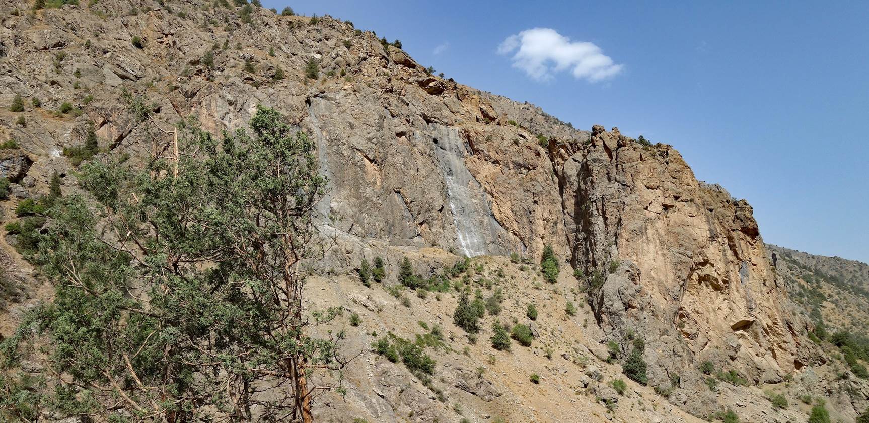
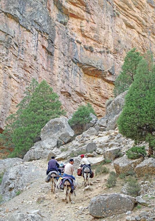
Starting the long
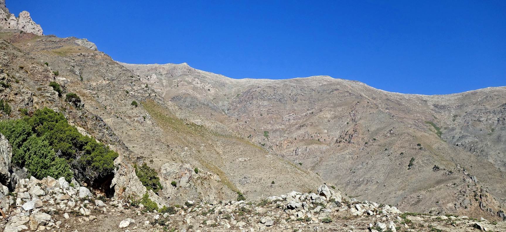
ascent from waypoint 13 to Harkush pass (3111m).
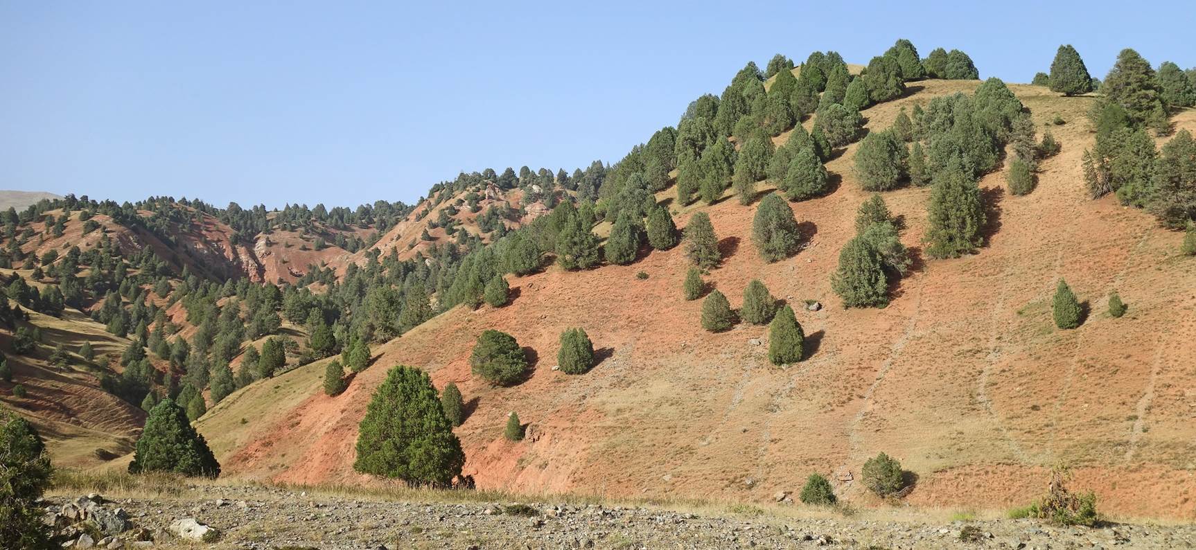
Successive views during
the ascent.
|
|
|
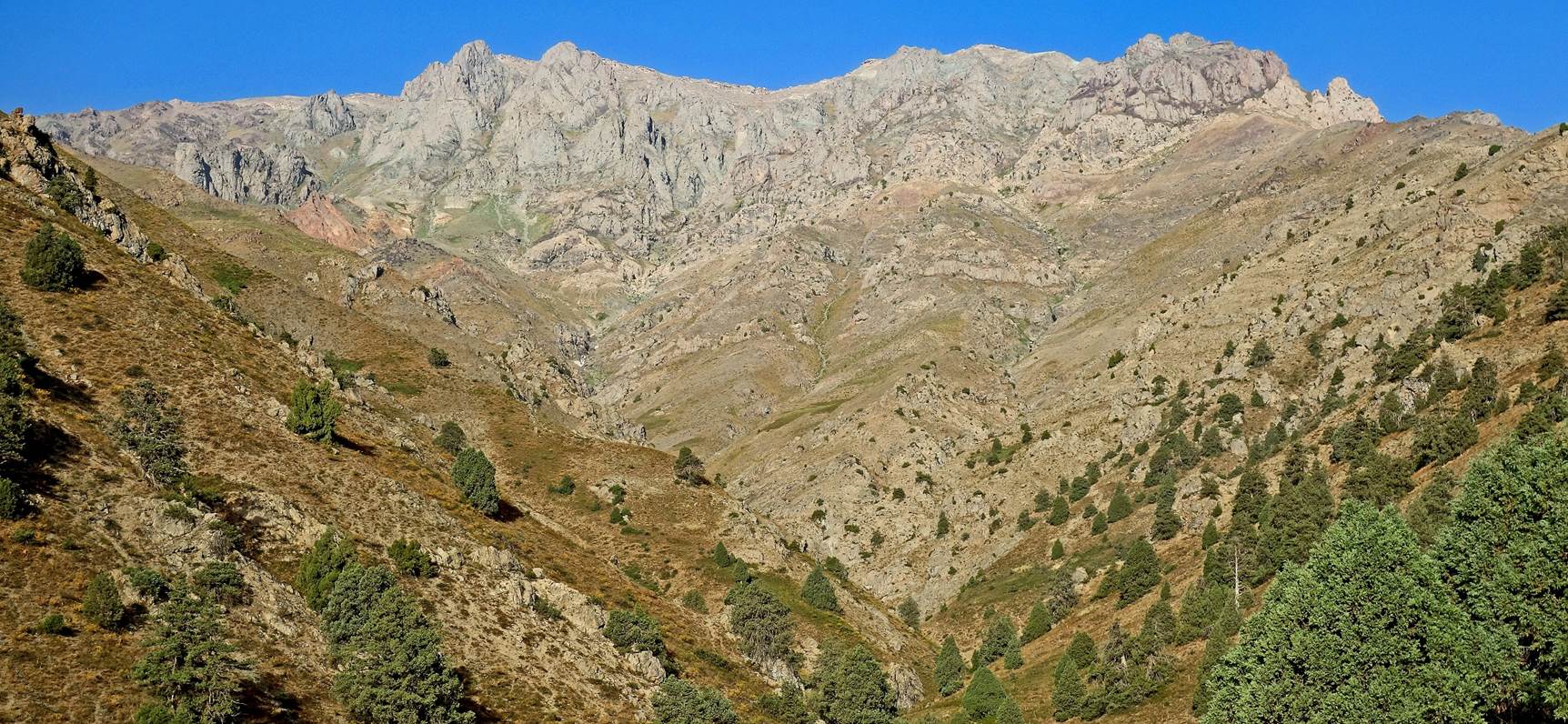
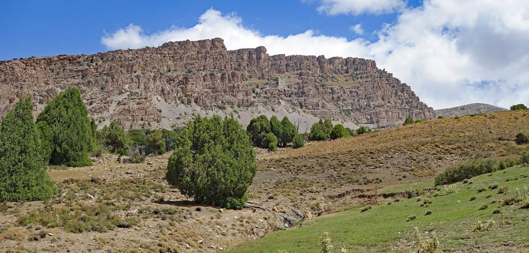
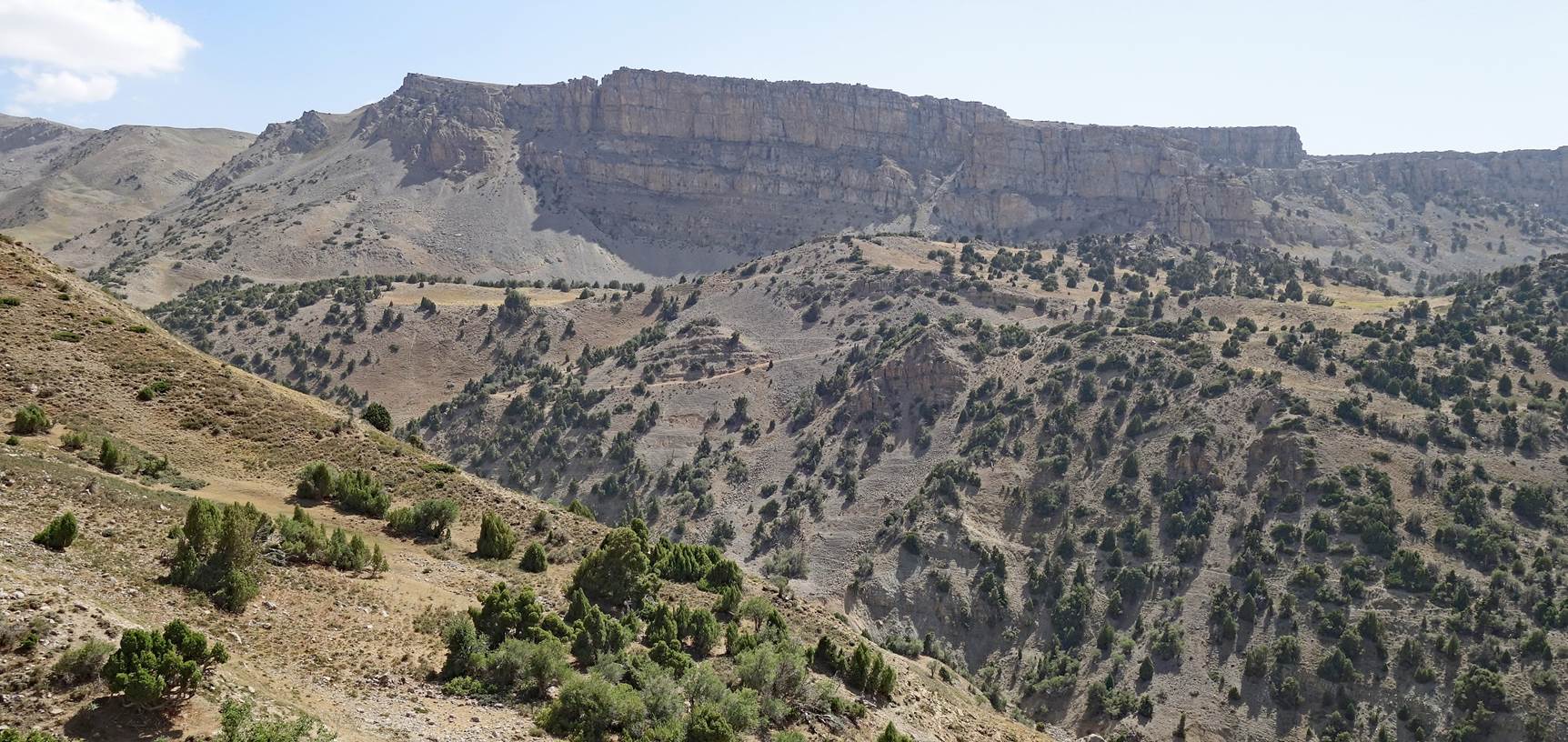
View of Harkush ridge.
|
|
|
Boris at Harkush pass
(waypoint 18). This pass (3111m on my GPS) and the Harkush ridge lie on the
border between two regions of Uzbekistan: Surkhandarya (right) and Kashkadarya
(left).
Looking down toward
where we came from.
Looking down toward
where we are heading to.
View over the kosh area
(green patches) where we will spend the second night of this hike.
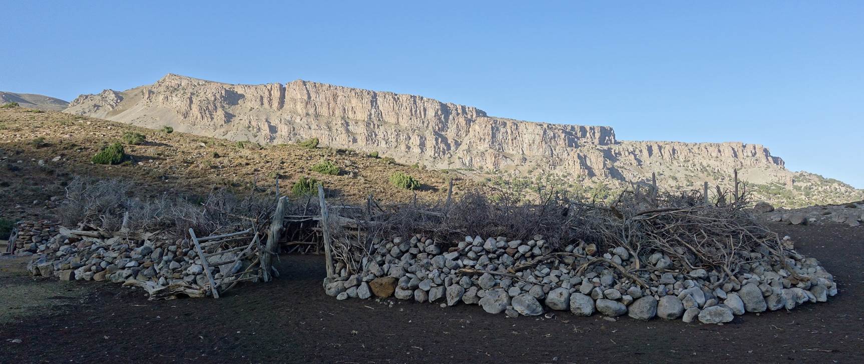
Reaching the kosh (summer
shepherd camp) where we spent our second night (waypoint 20).
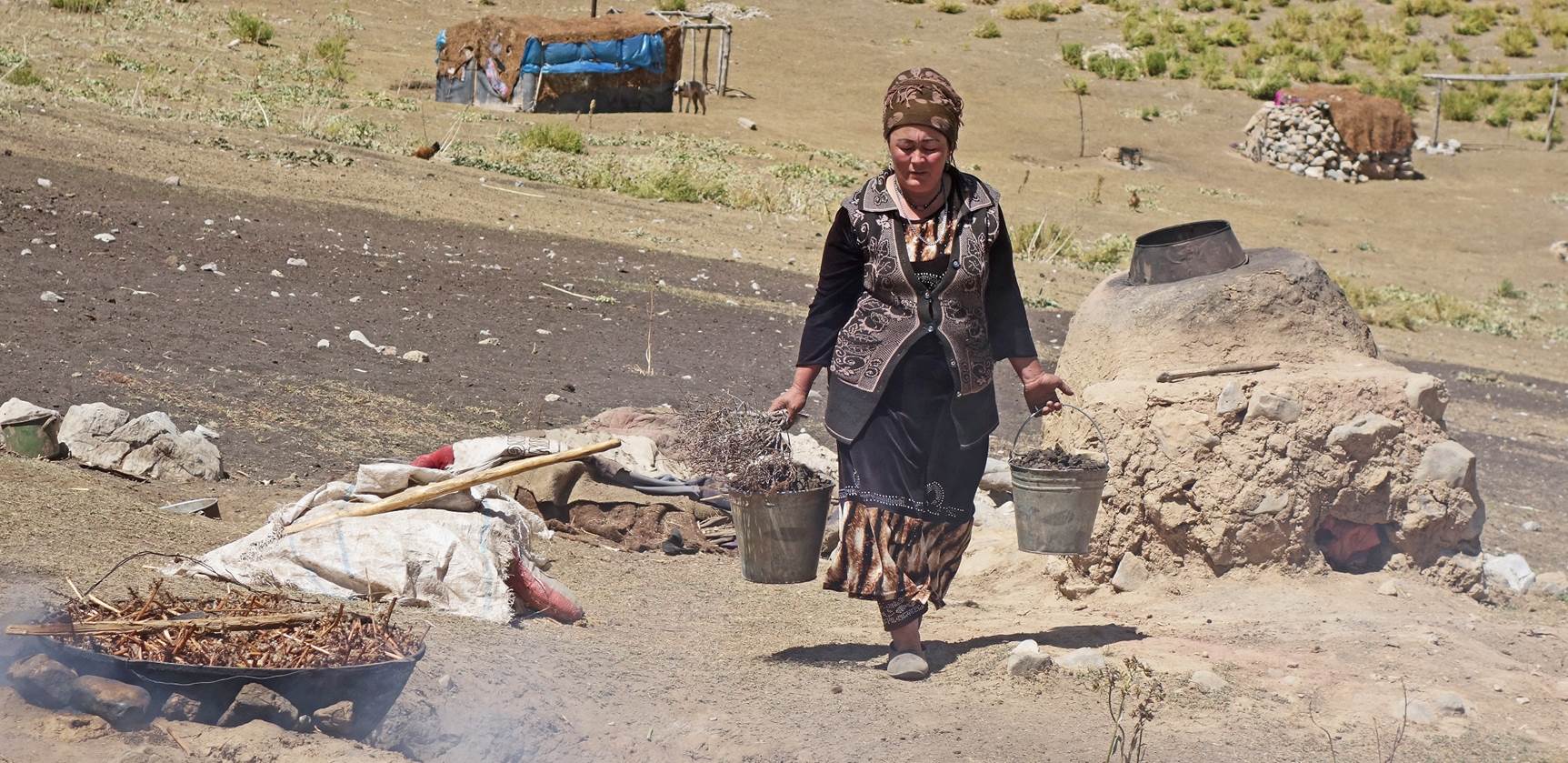
Pictures taken around
the kosh.
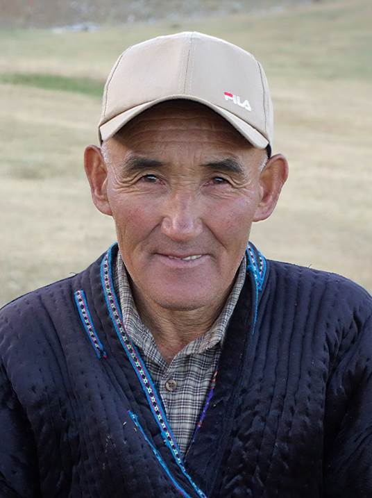
Left: Man who came with
us from Bakhcha (he will soon return to his kosh with his donkeys). Center and
right: Shepherds at the new kosh.
|
|
|
|
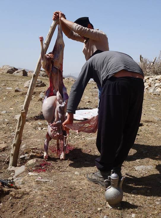
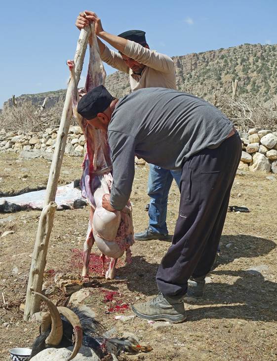
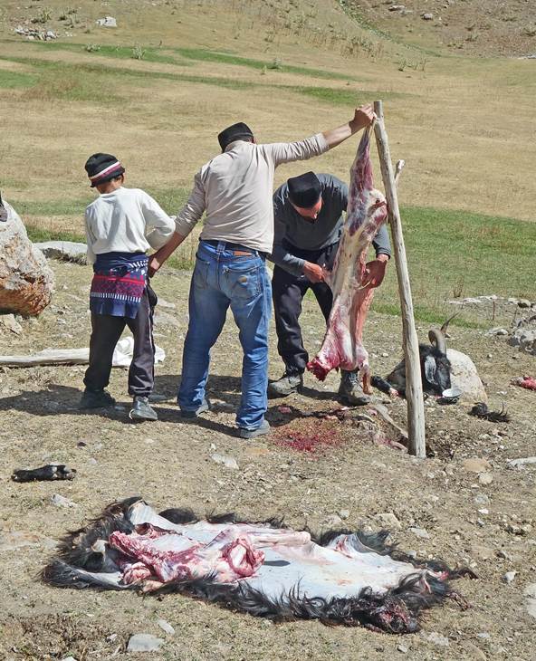
Skinning and cutting of
a sheep at the kosh.
|
|
|
|
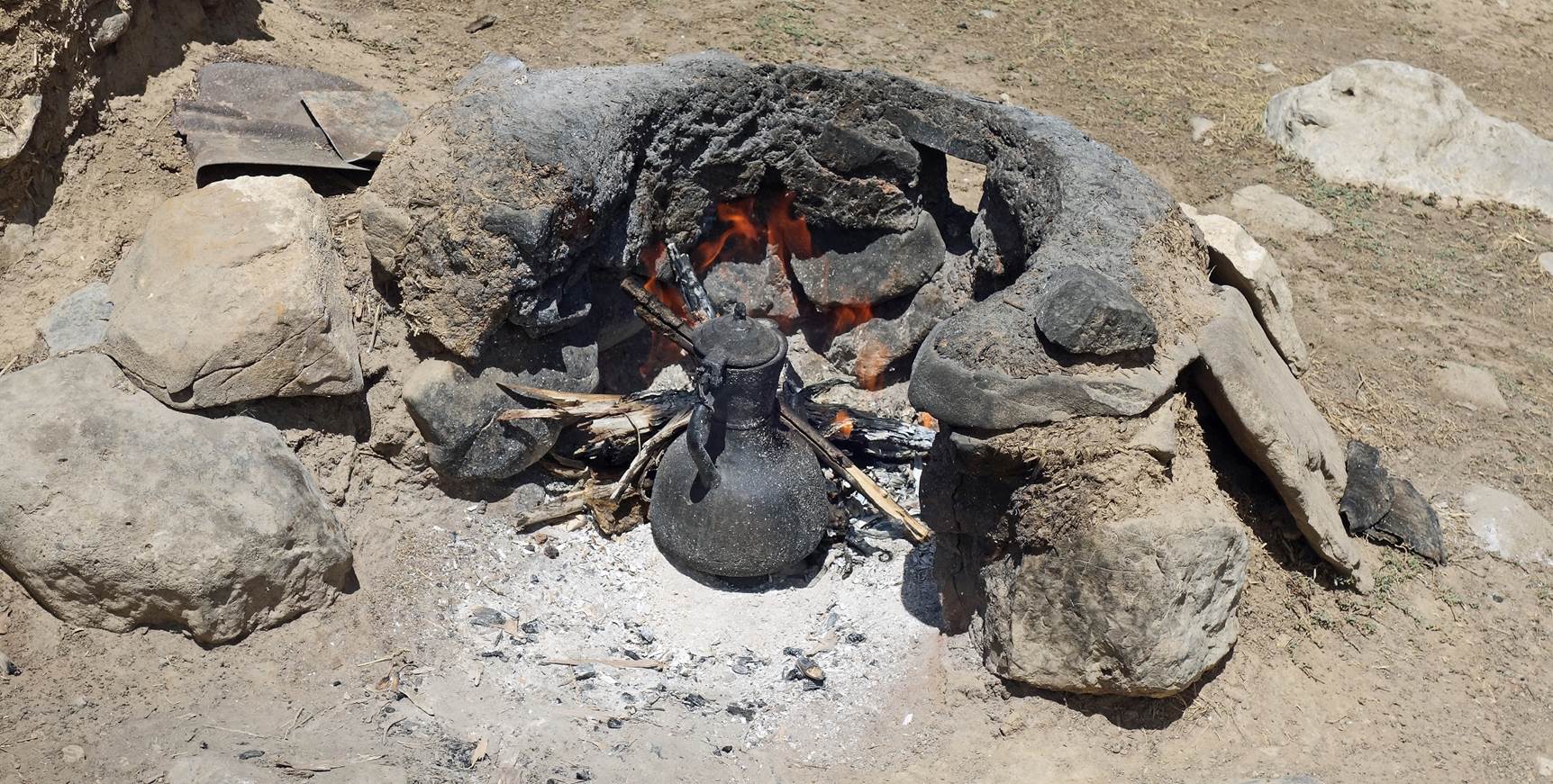
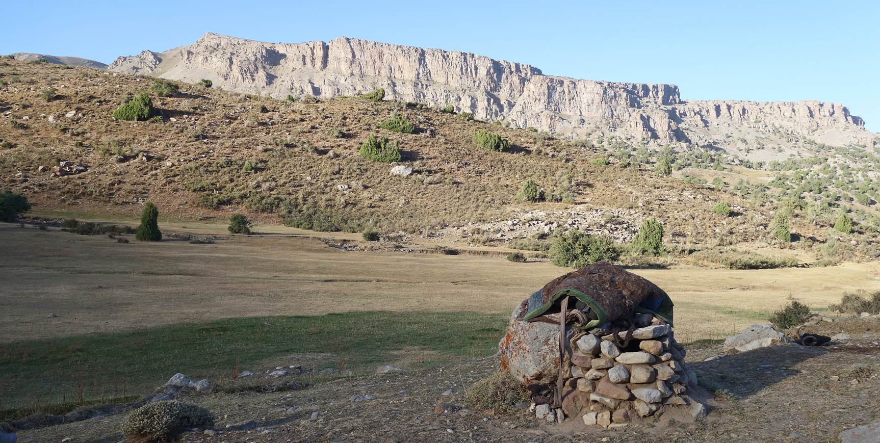
Outside fireplace.
Pictures from around
the kosh at sunset.
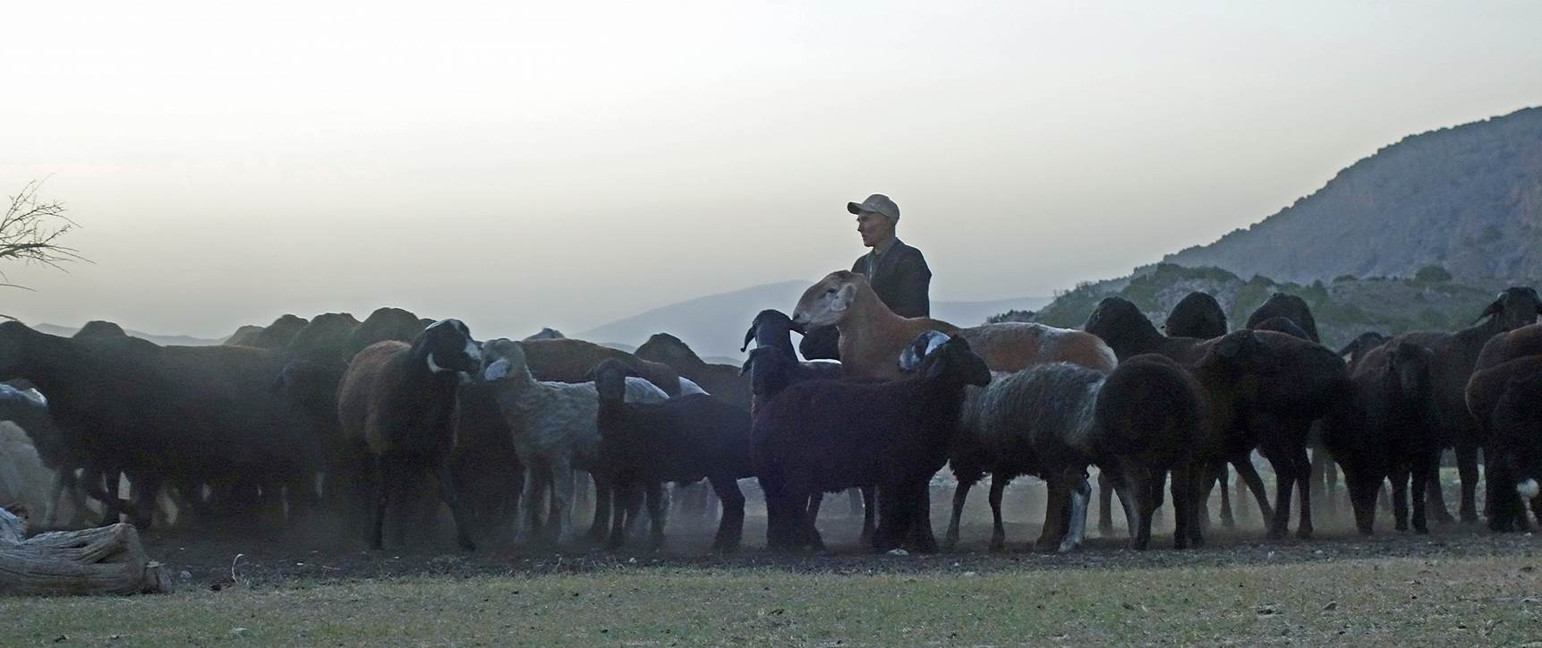
Sheep returning to the
kosh in the evening.
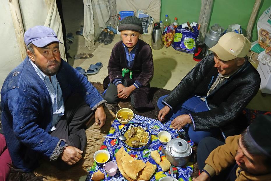
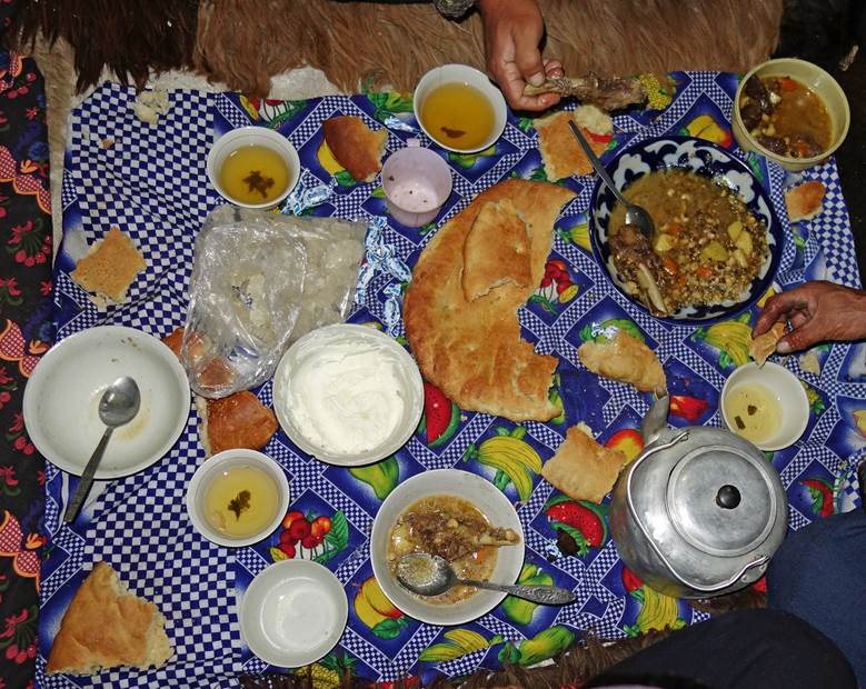
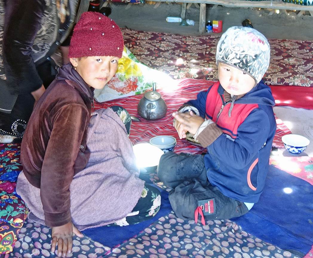
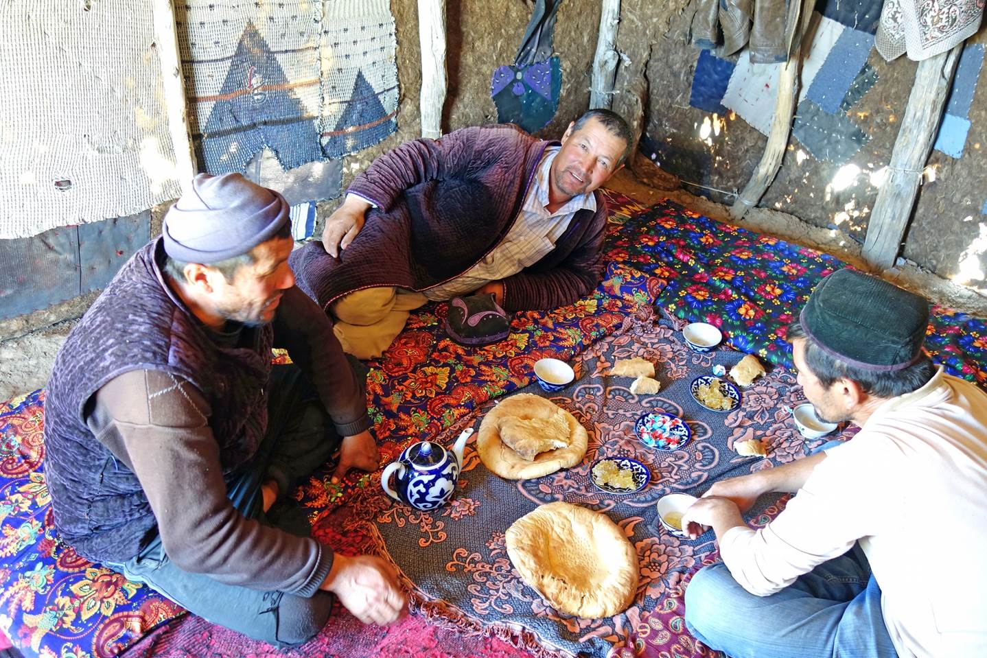
Dinner in the kosh
tent.
|
|
|
Views around the kosh on the next
morning.
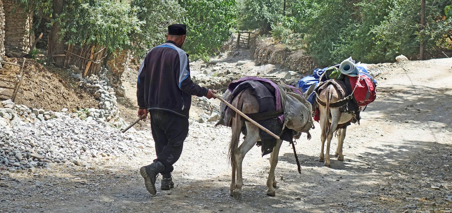
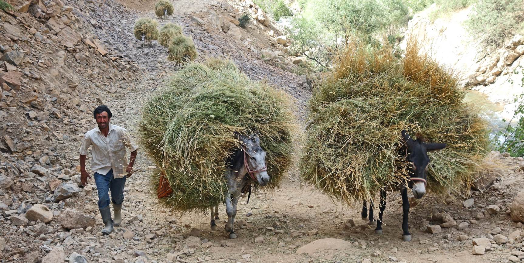
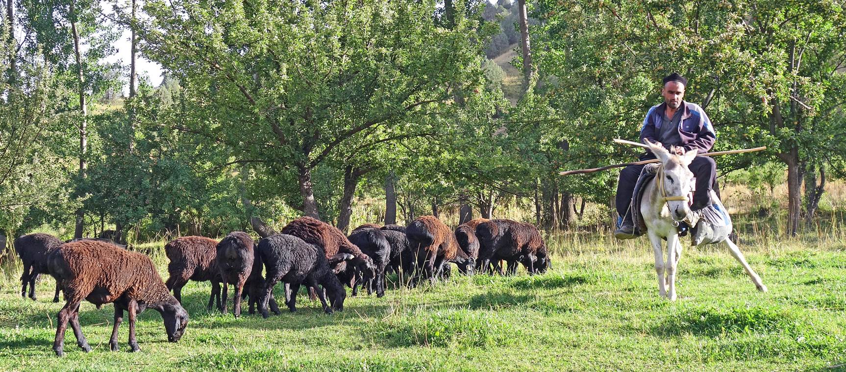
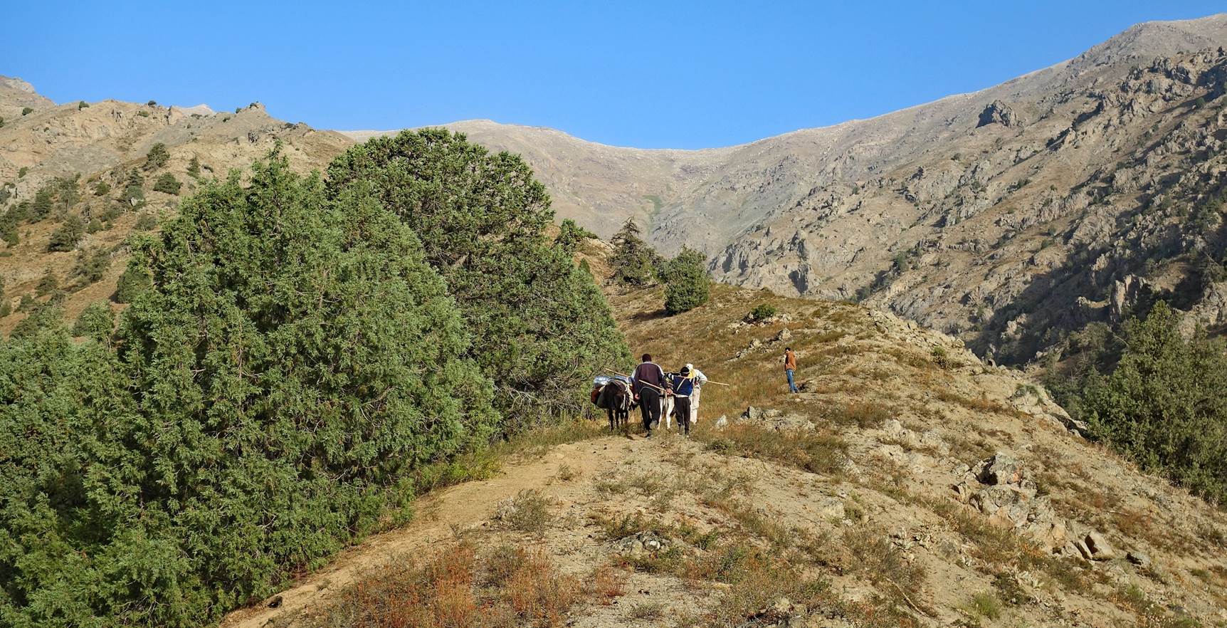
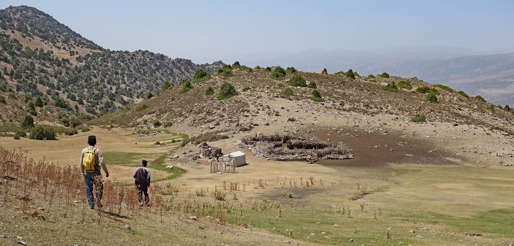
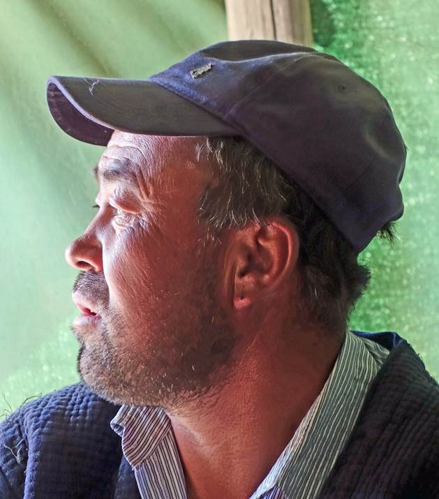
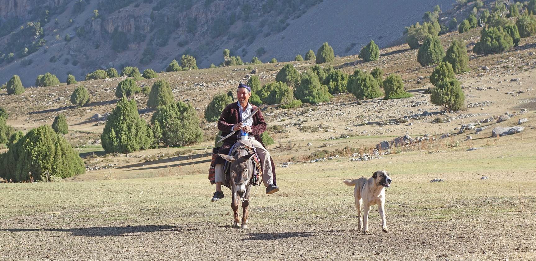
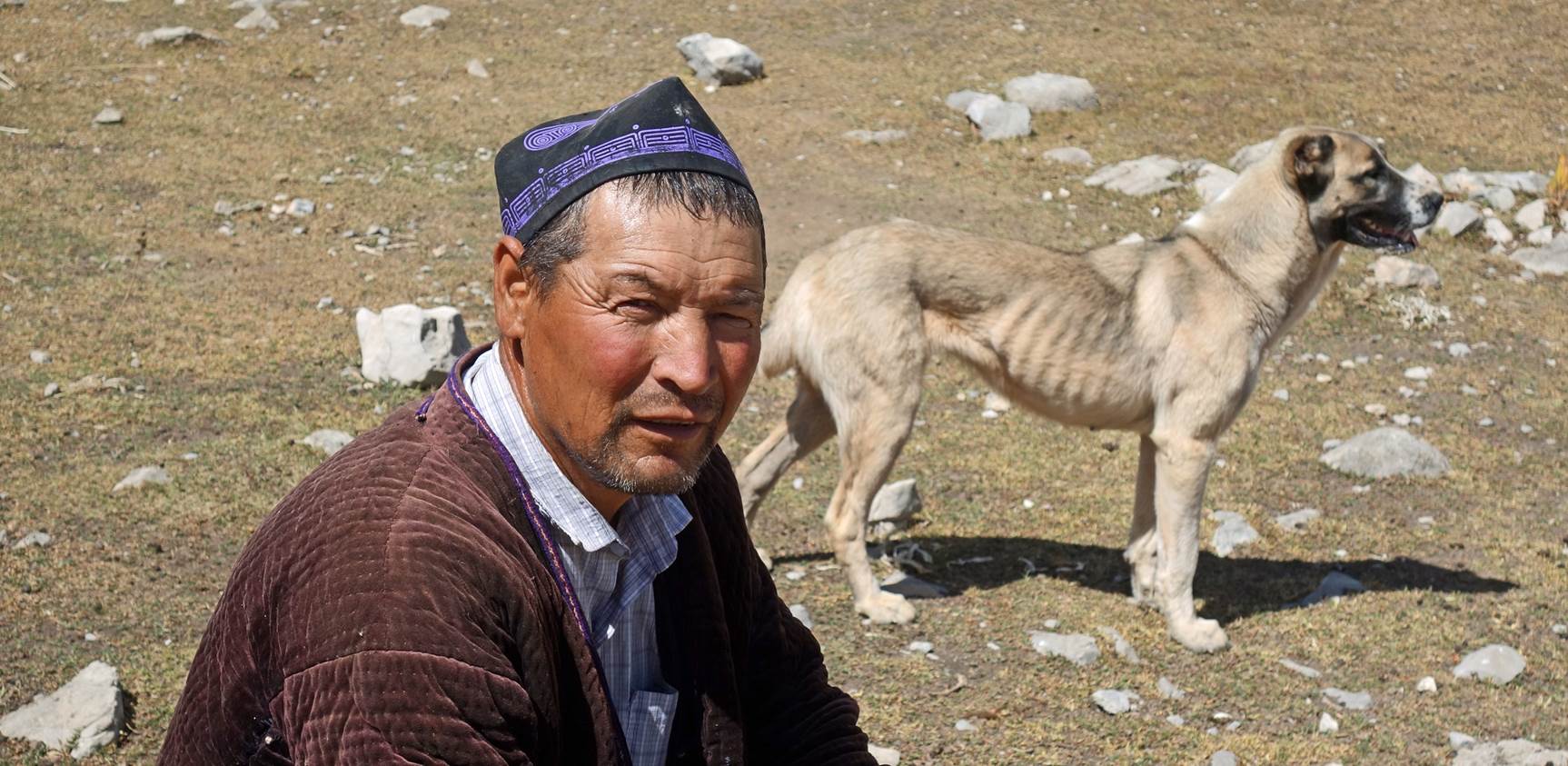
Man arriving at the kosh with his donkey
and dog. His donkey will carry our loads to the next camp (waypoint 26).
|
|
|
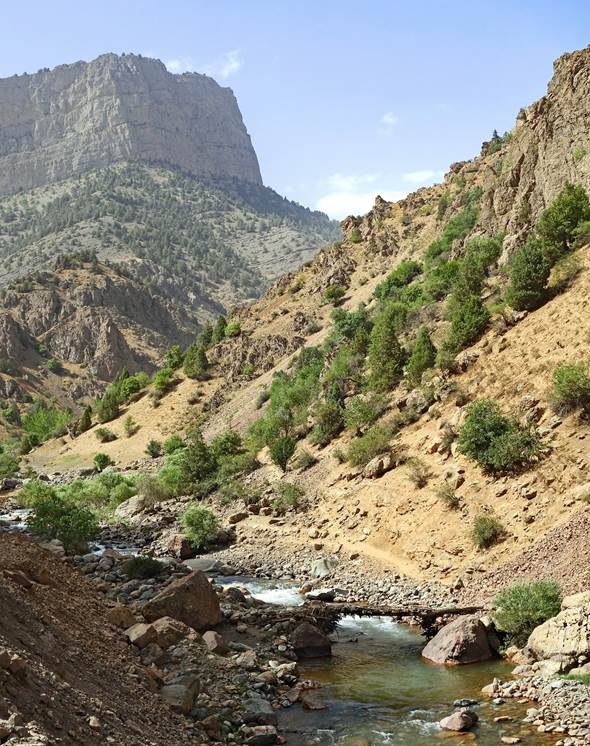
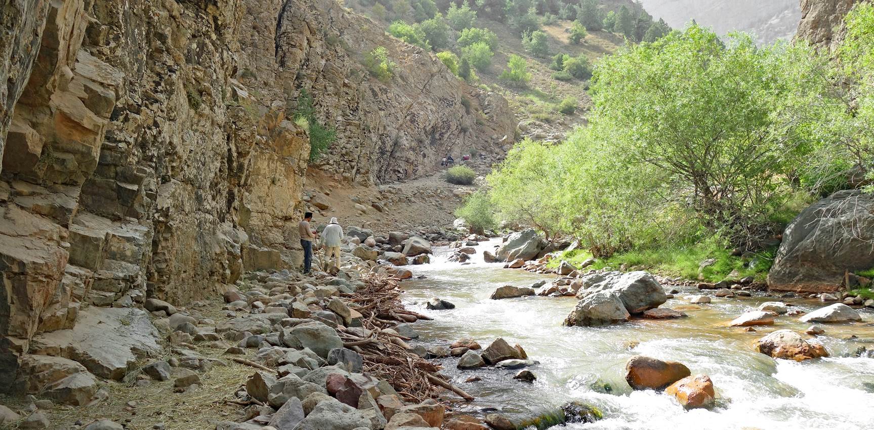
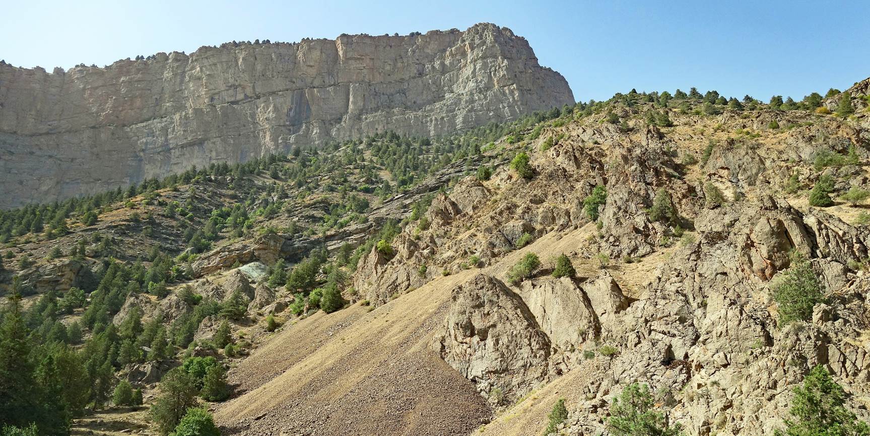
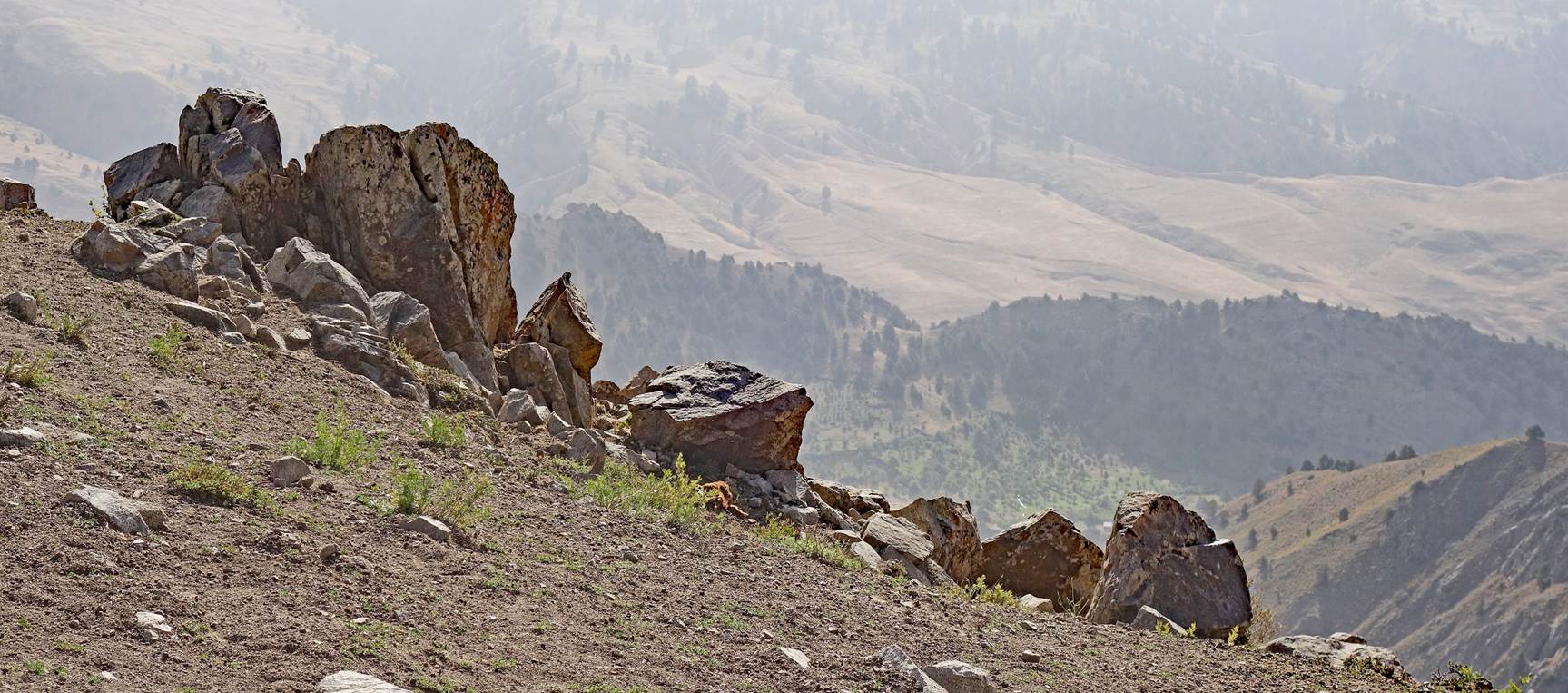
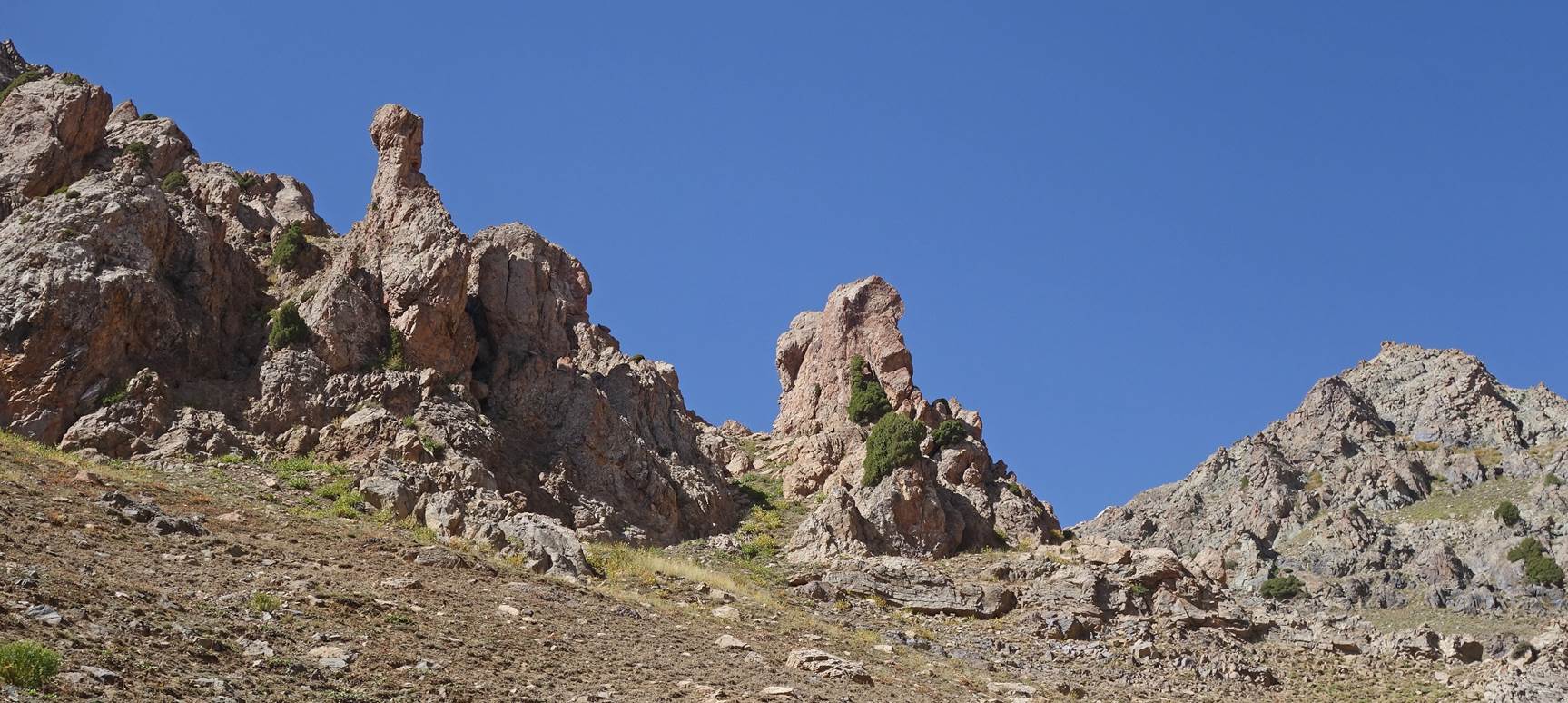
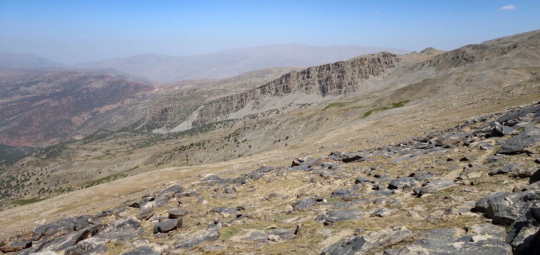
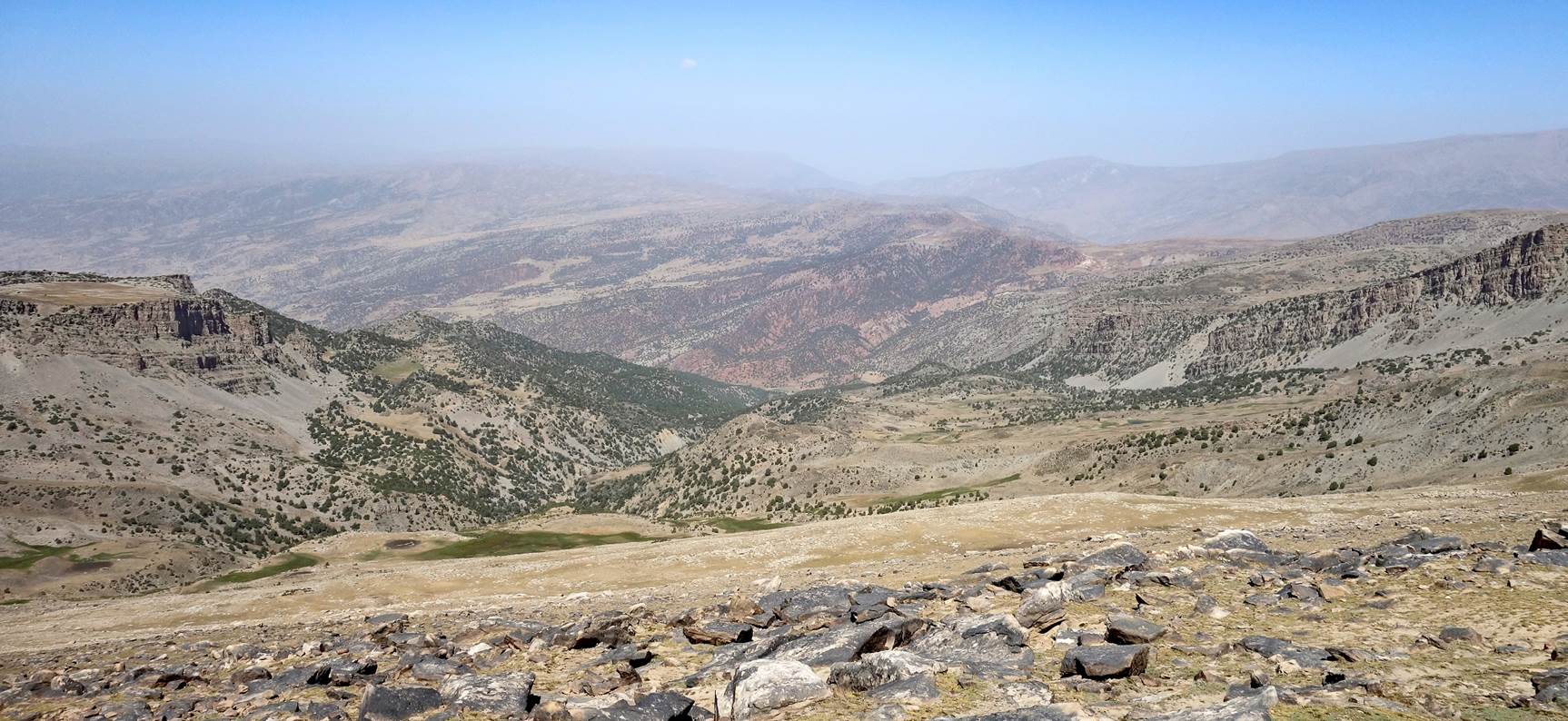
Third hiking day to waypoint 26 (our next camp):
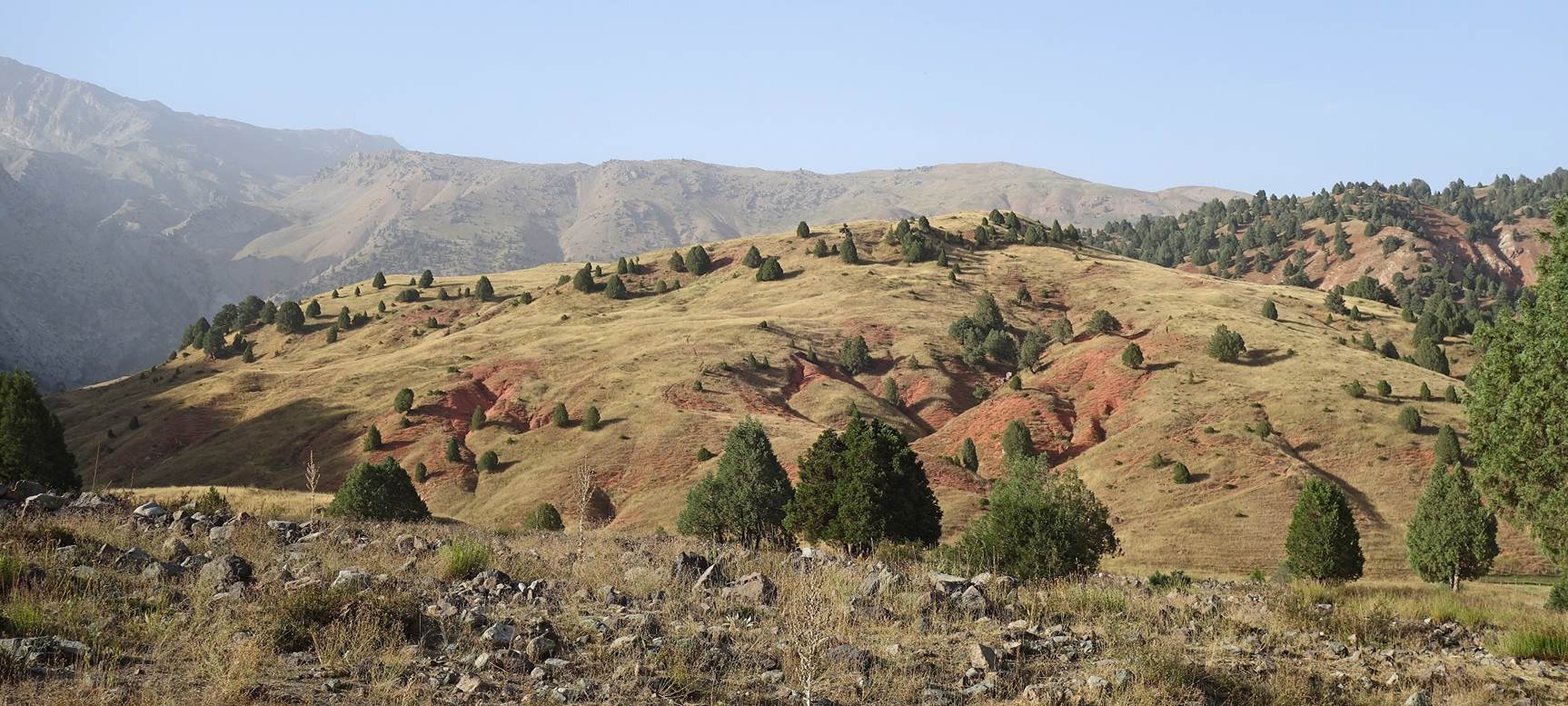
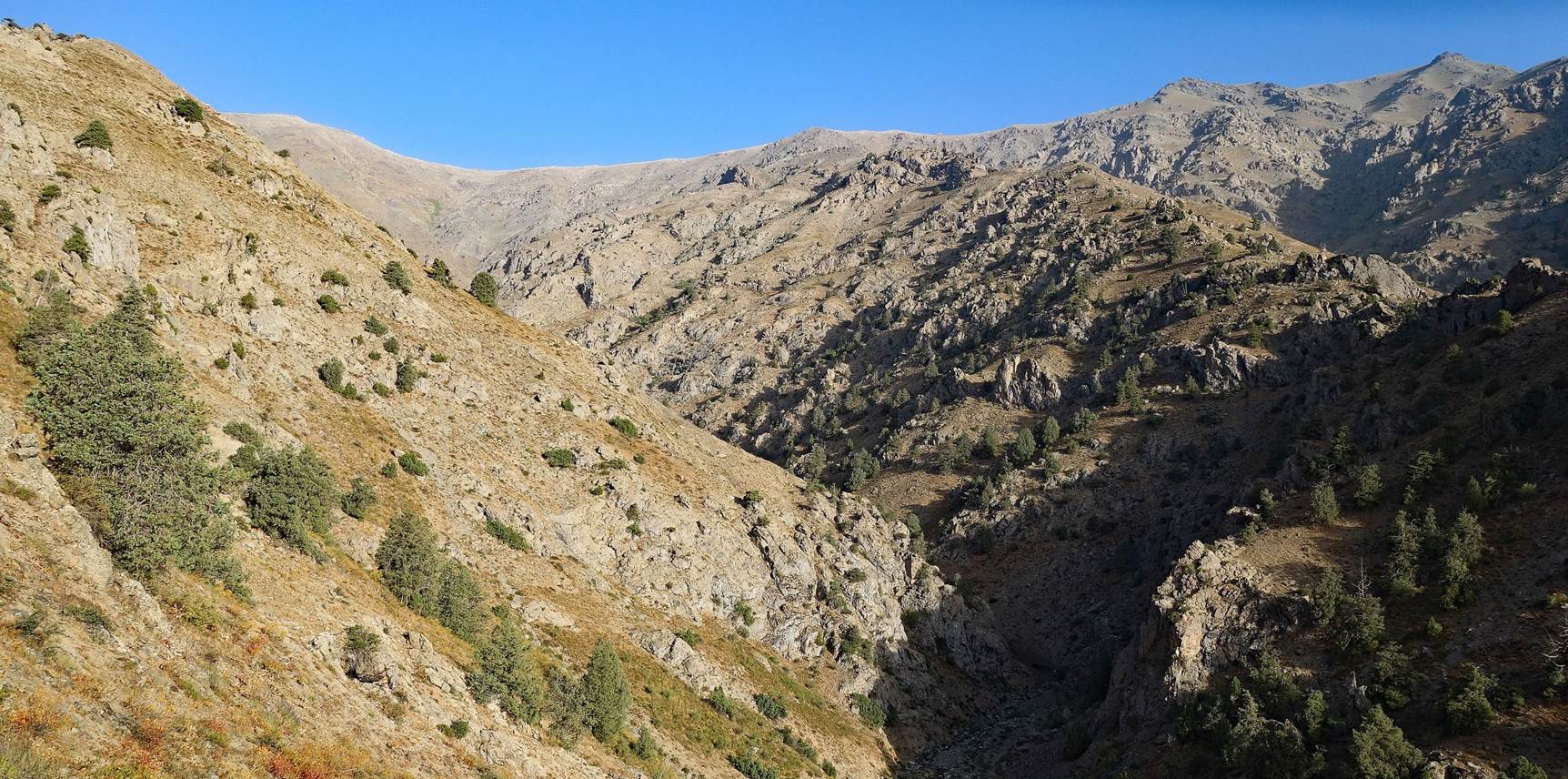
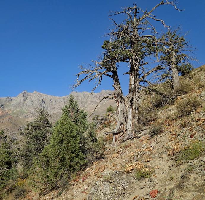
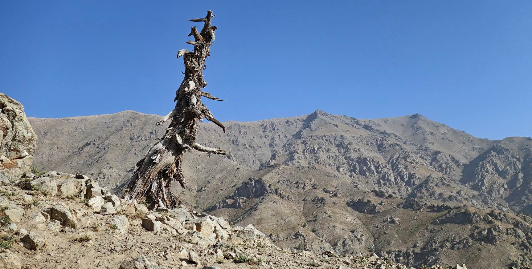
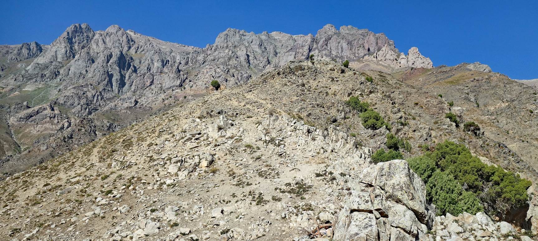
Landscapes along the way.
|
|
|
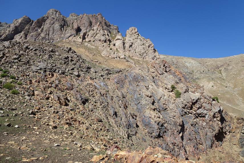
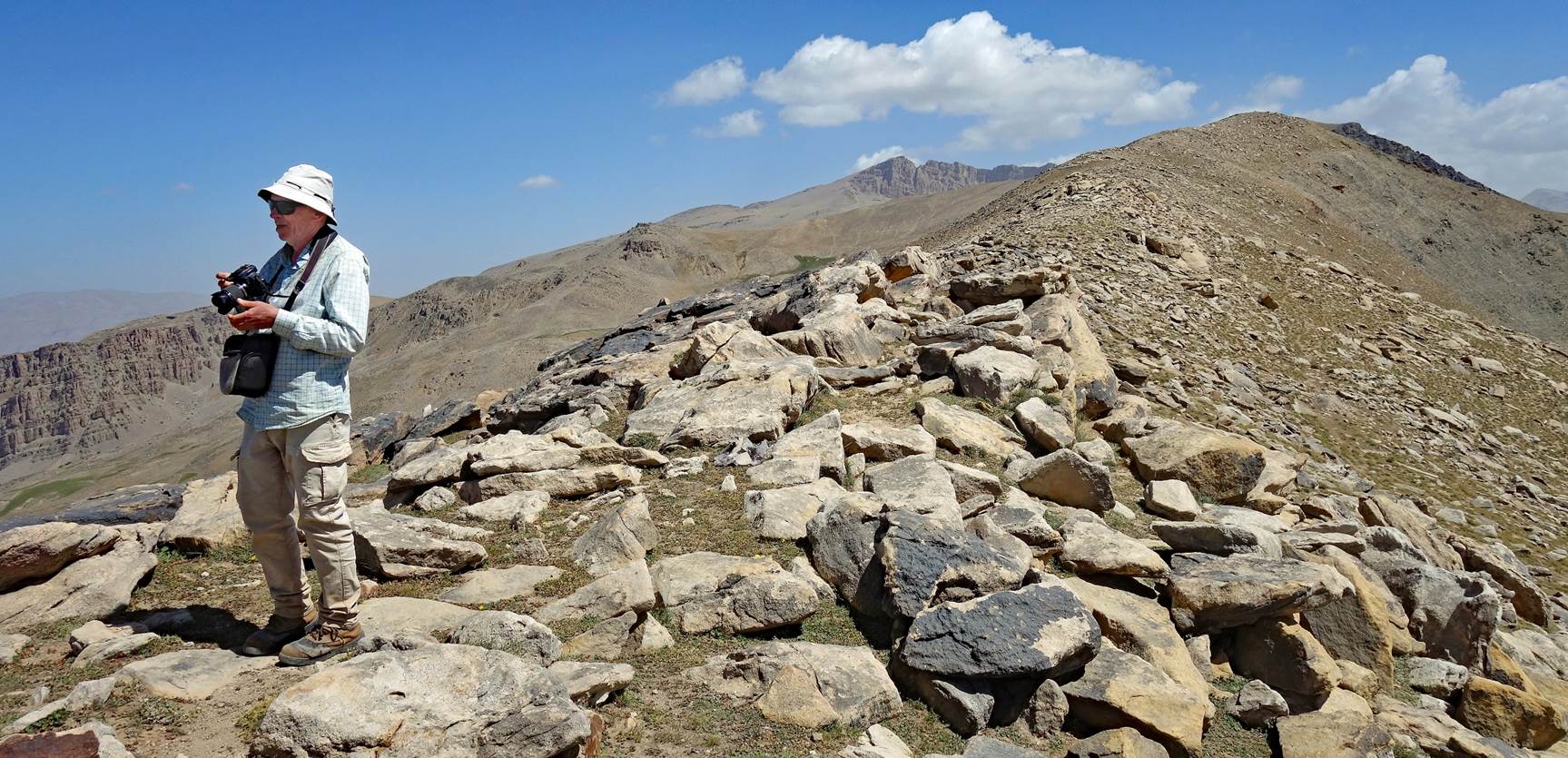
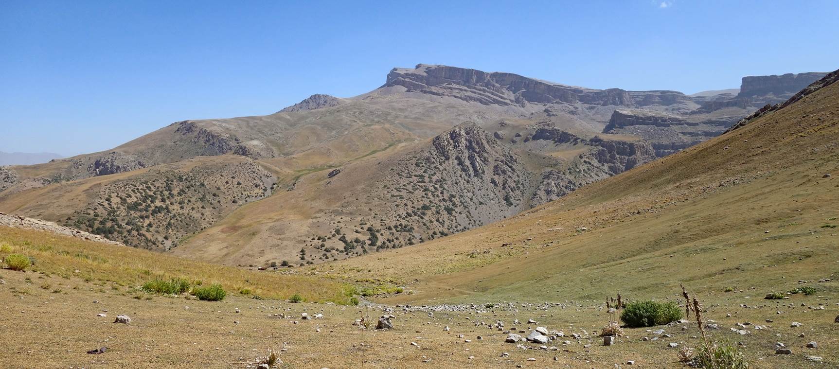
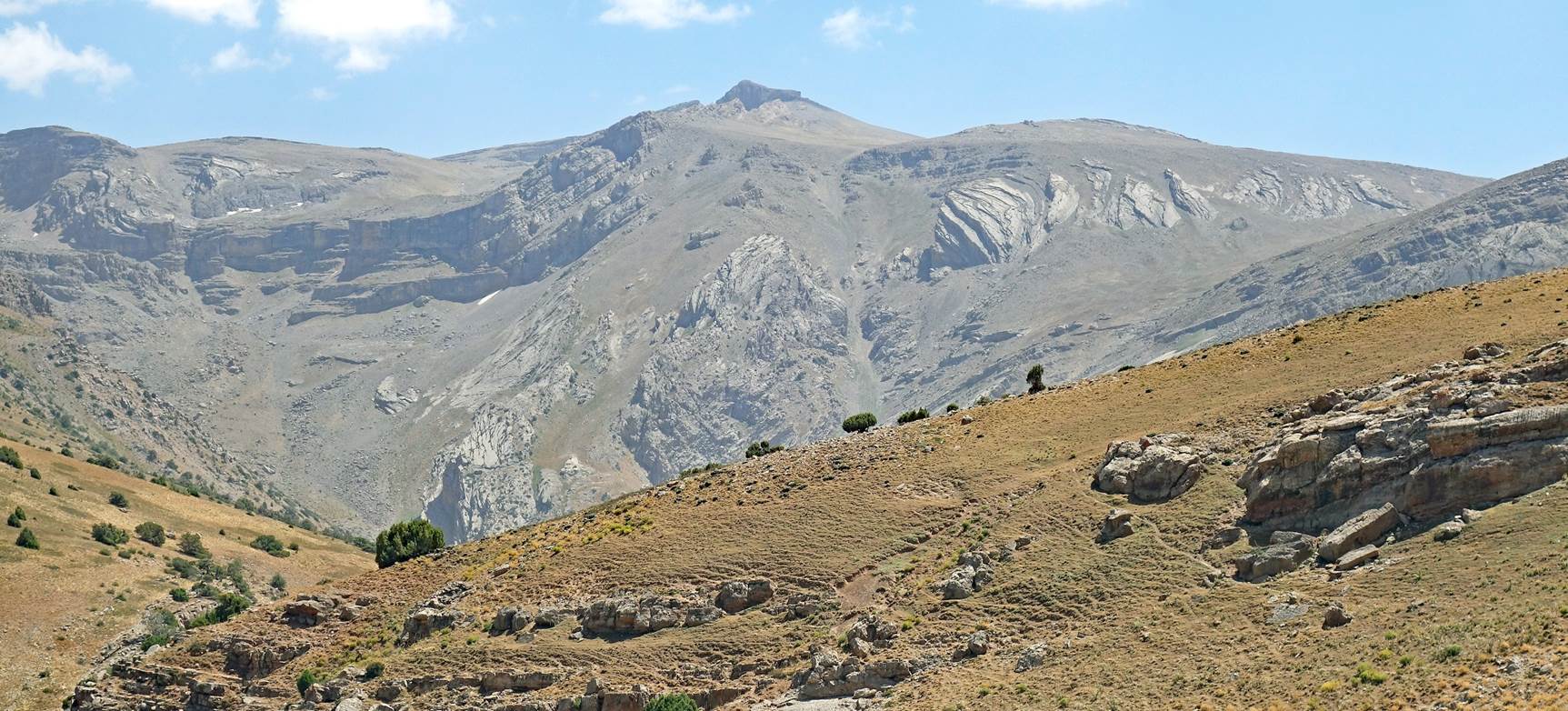
At the Koragoz
pass (waypoint 24), with Mt. Khoja-Akhcha-Burun (3855m) in the background.
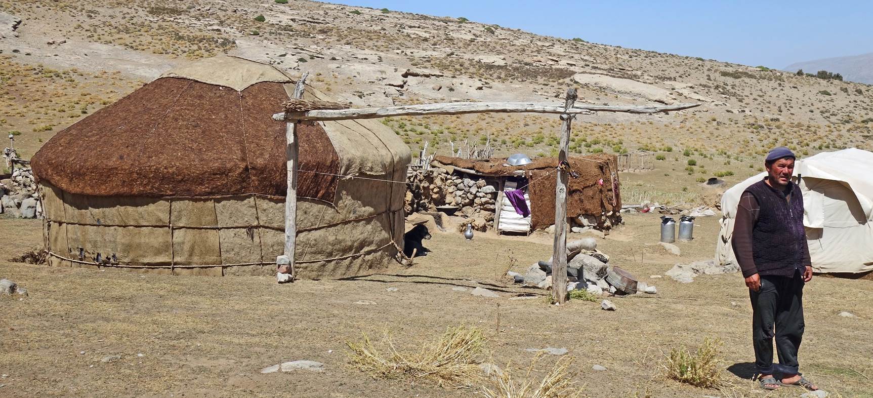
At another kosh
(waypoint 25) below the pass.
|
|
|
|
|
|
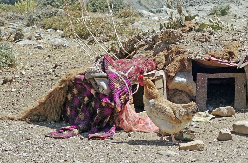
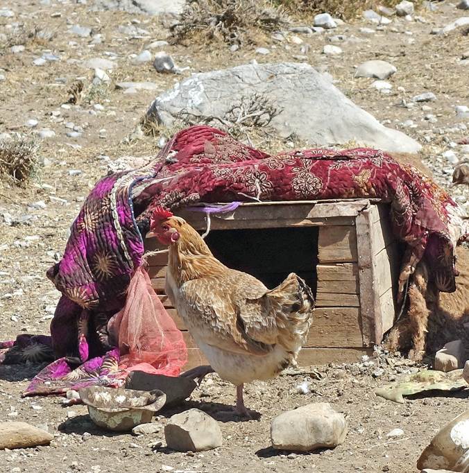
Small chicken coop at the kosh.
|
|
|
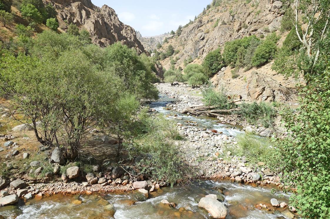
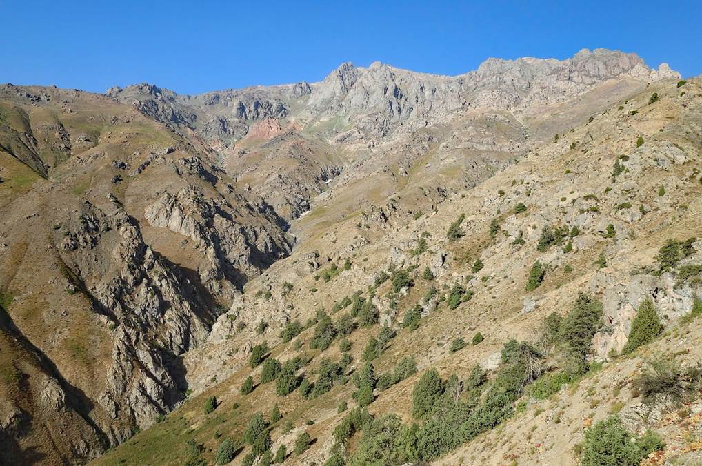
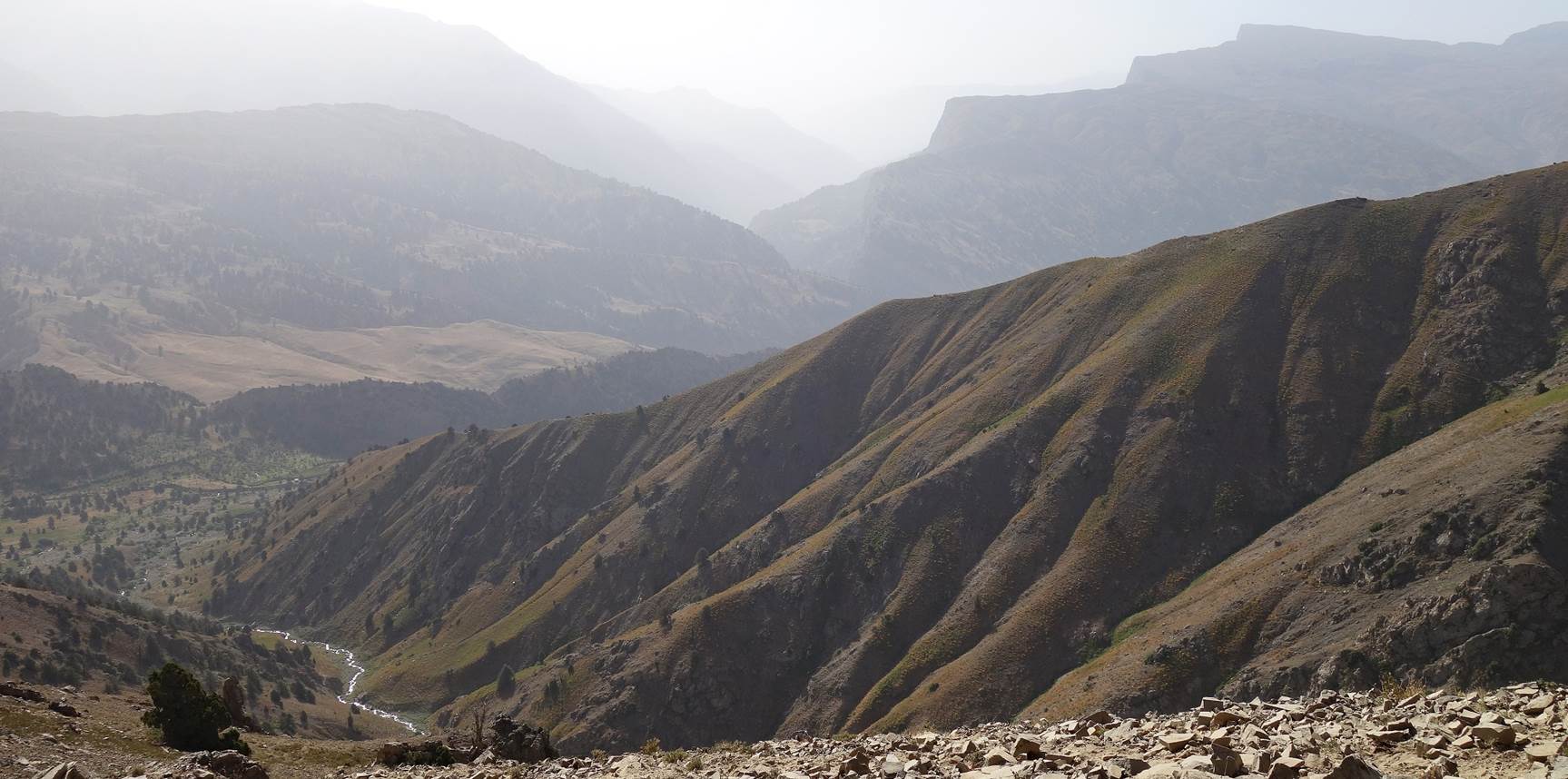
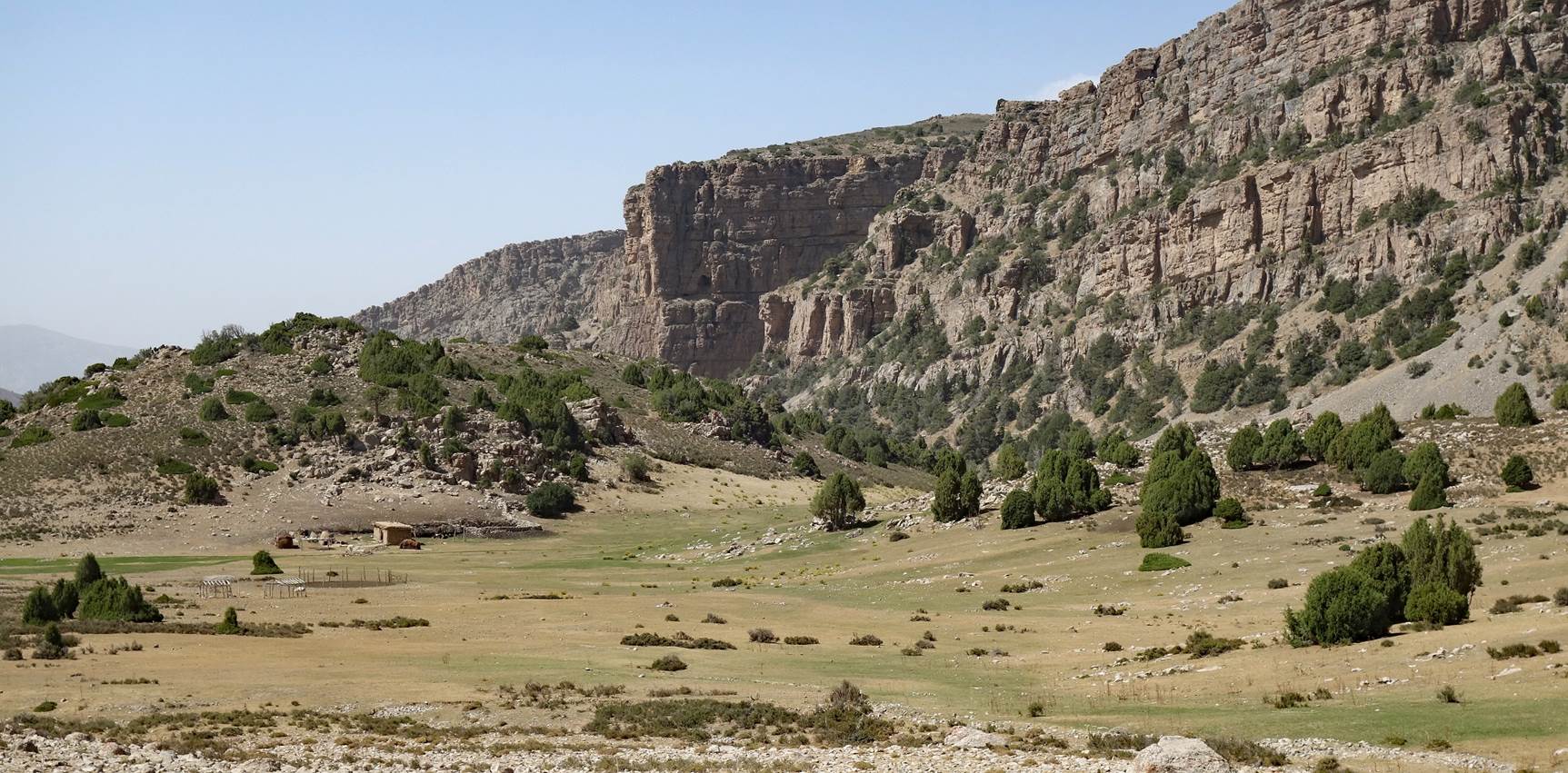
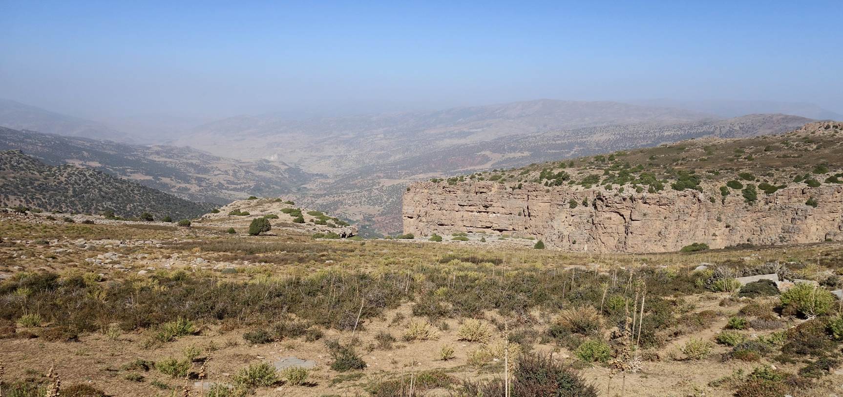
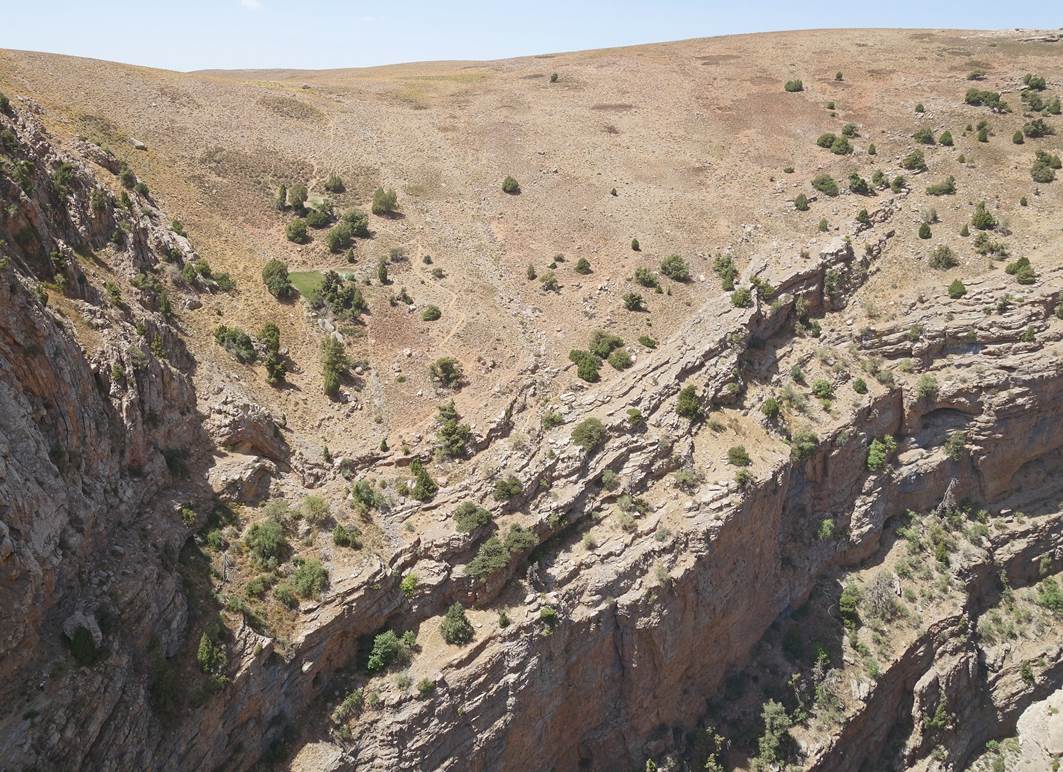
From this kosh we headed north toward our
next camp at waypoint 26. Until the very end, we stayed on the edge of the
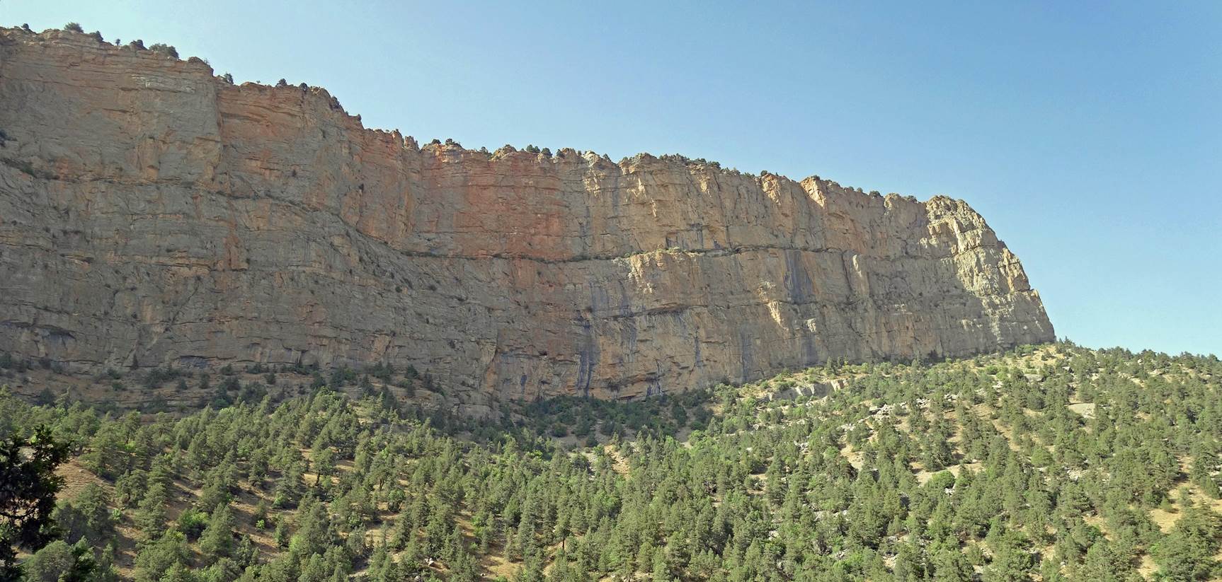
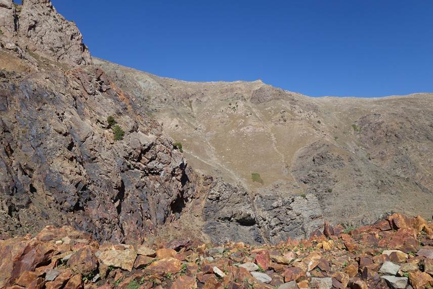
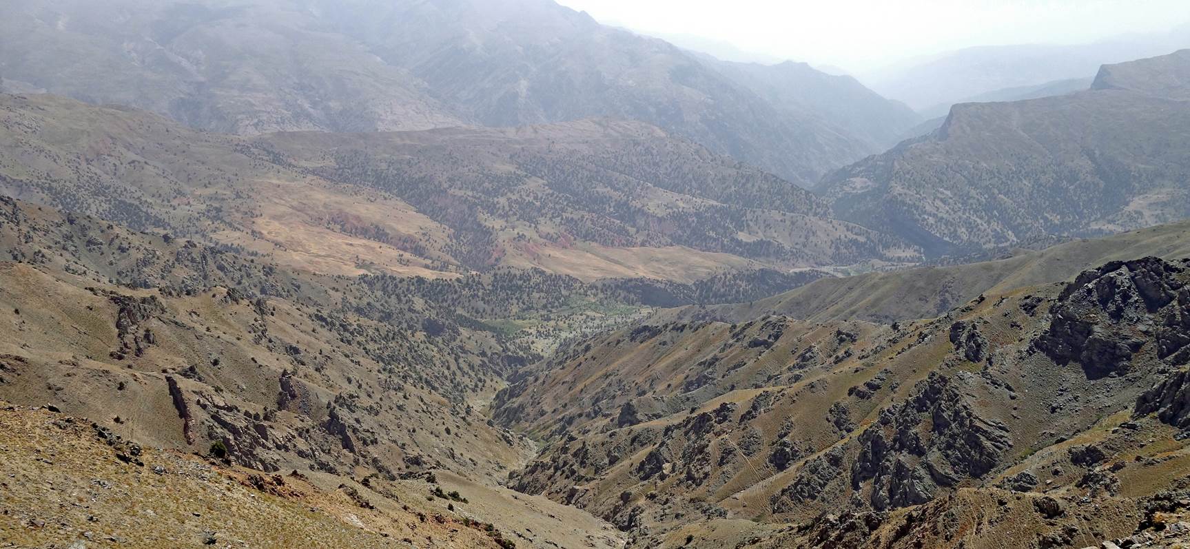
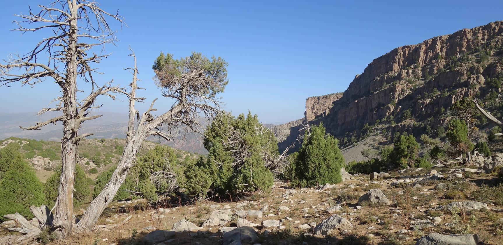
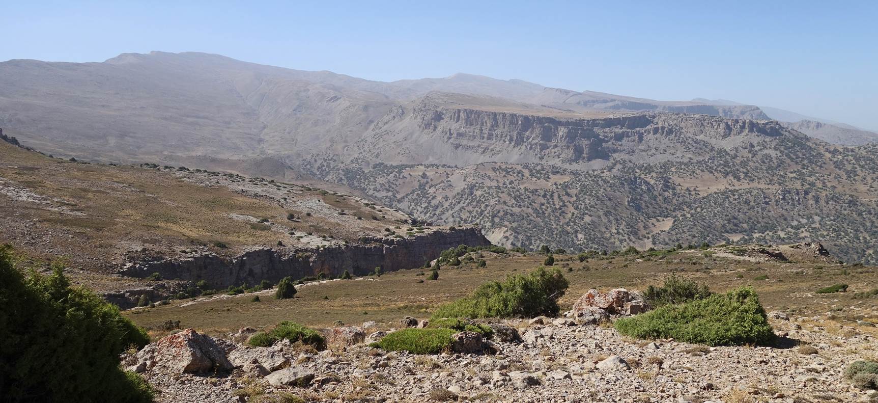
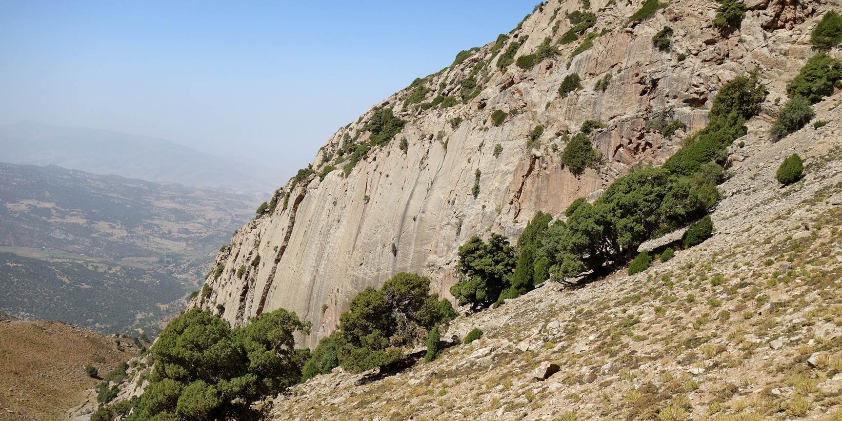
plateau with the upper canyon of the Kolasoy river to our right (east).
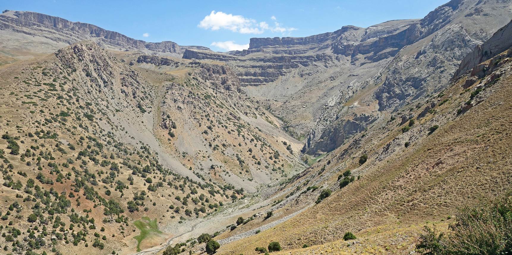
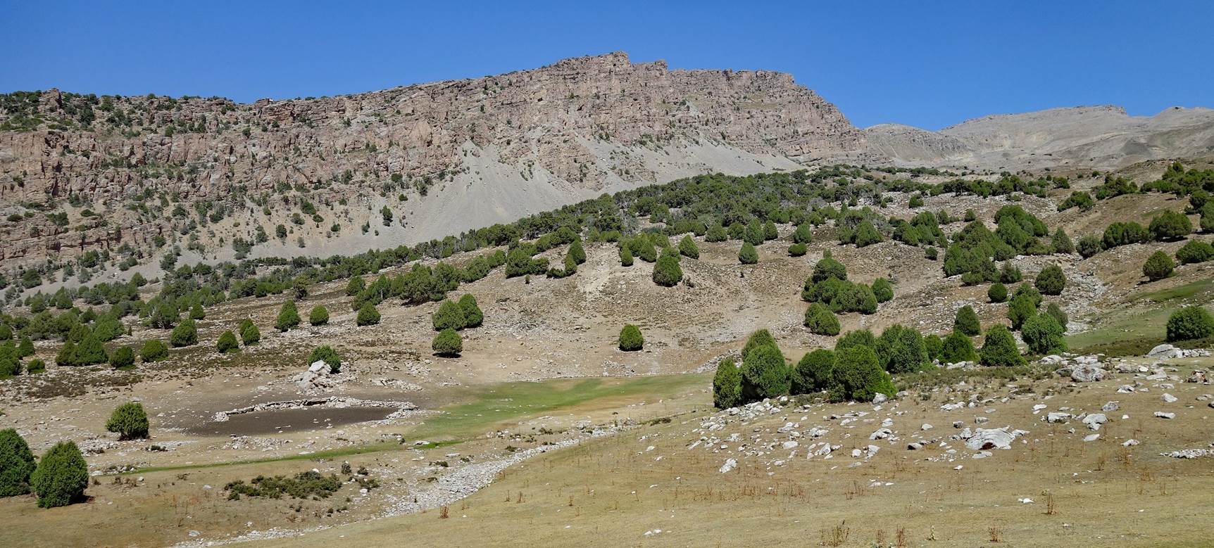
View of Mt. Chimbay (3798m).
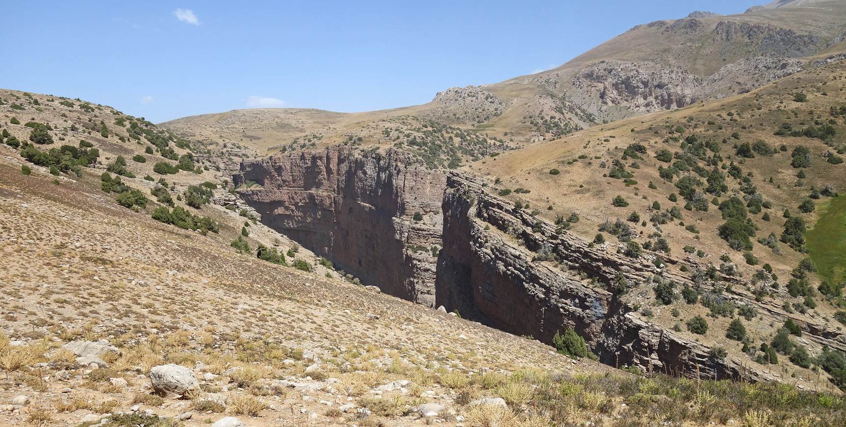
View of the canyon of the Kolasoy river.
View of Mt.
Khoja-Akhcha-Burun (3855m), on the left of the photo.
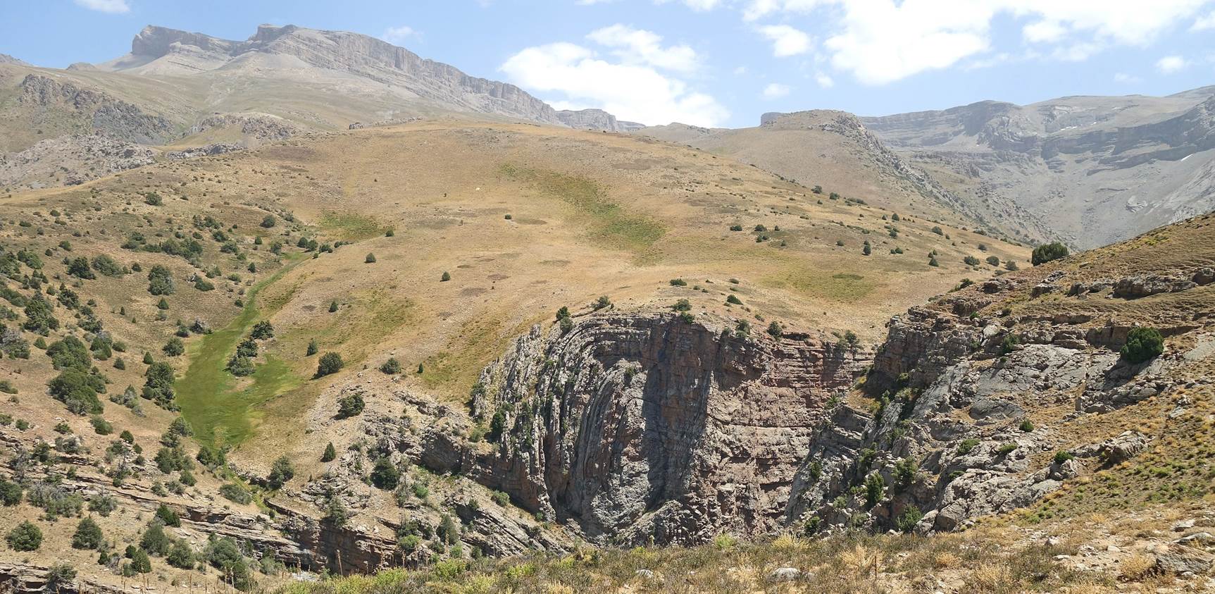
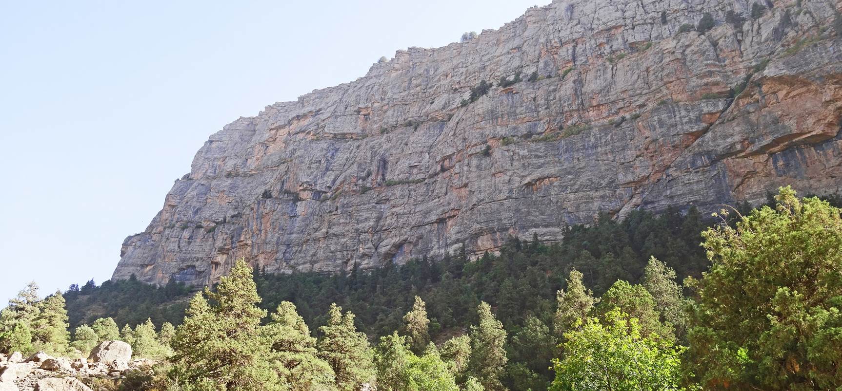
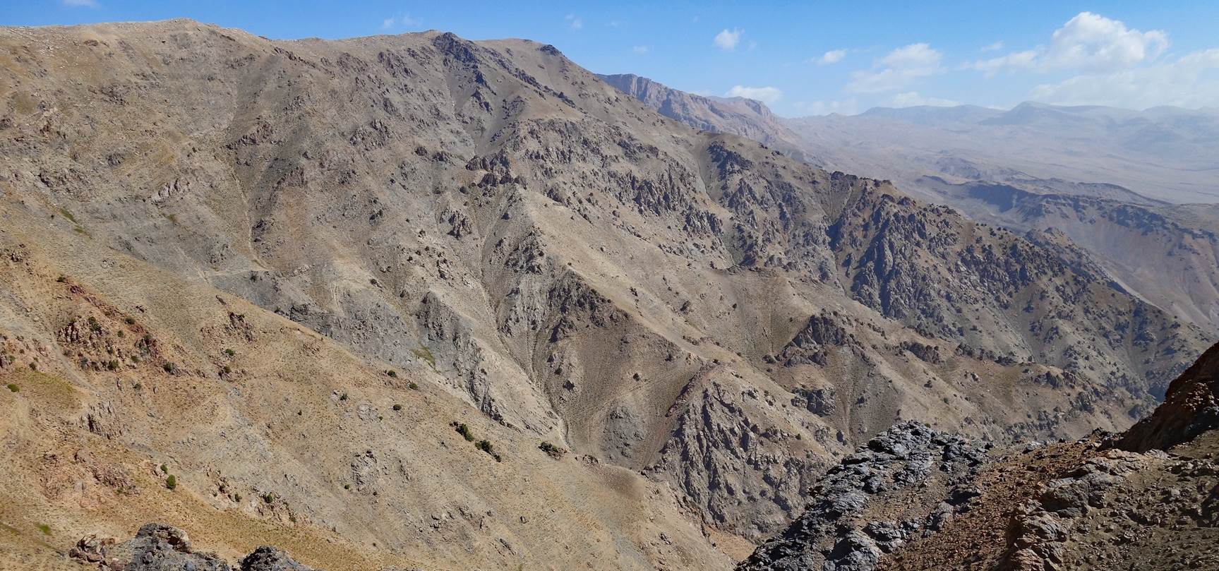
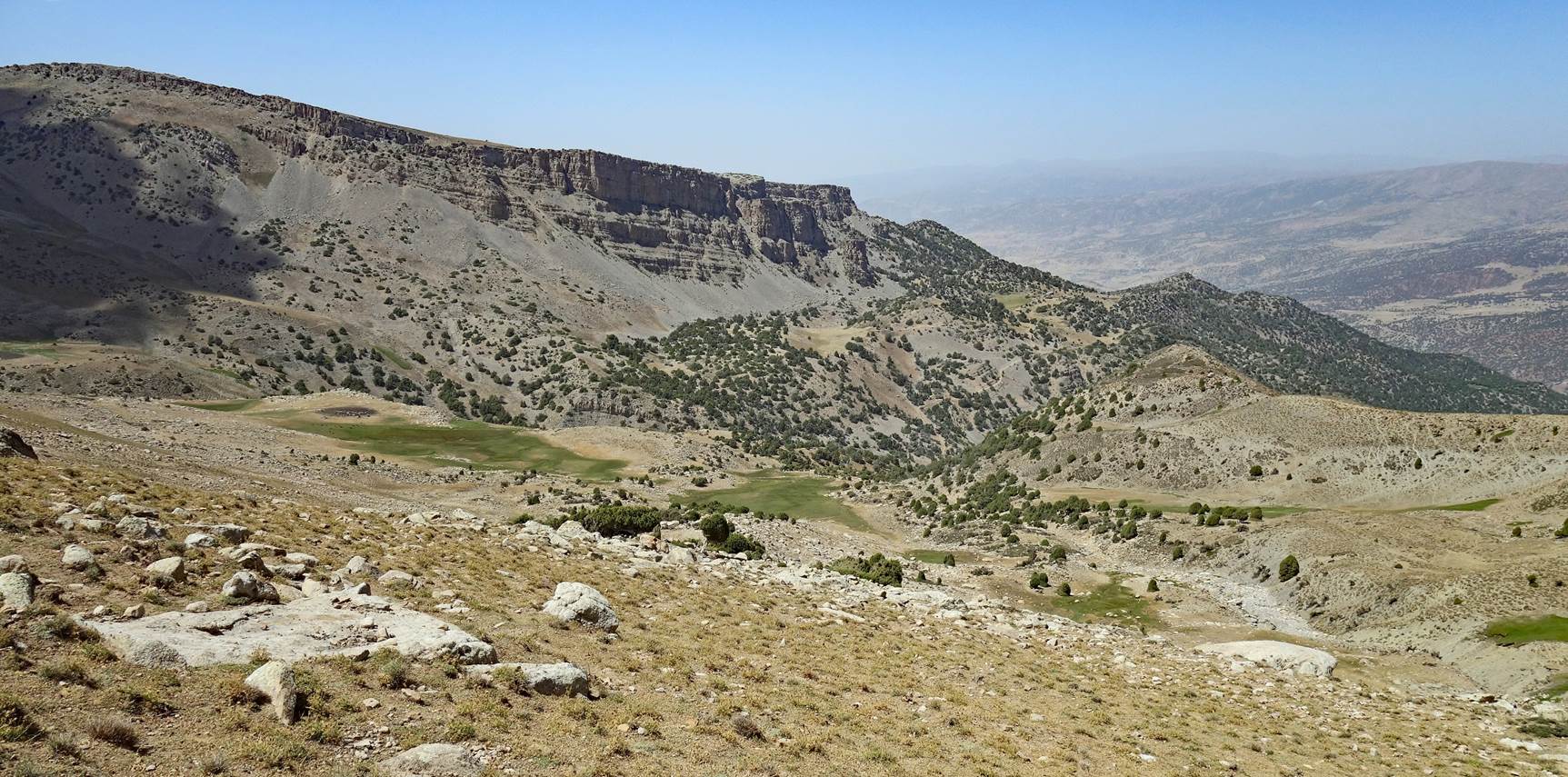
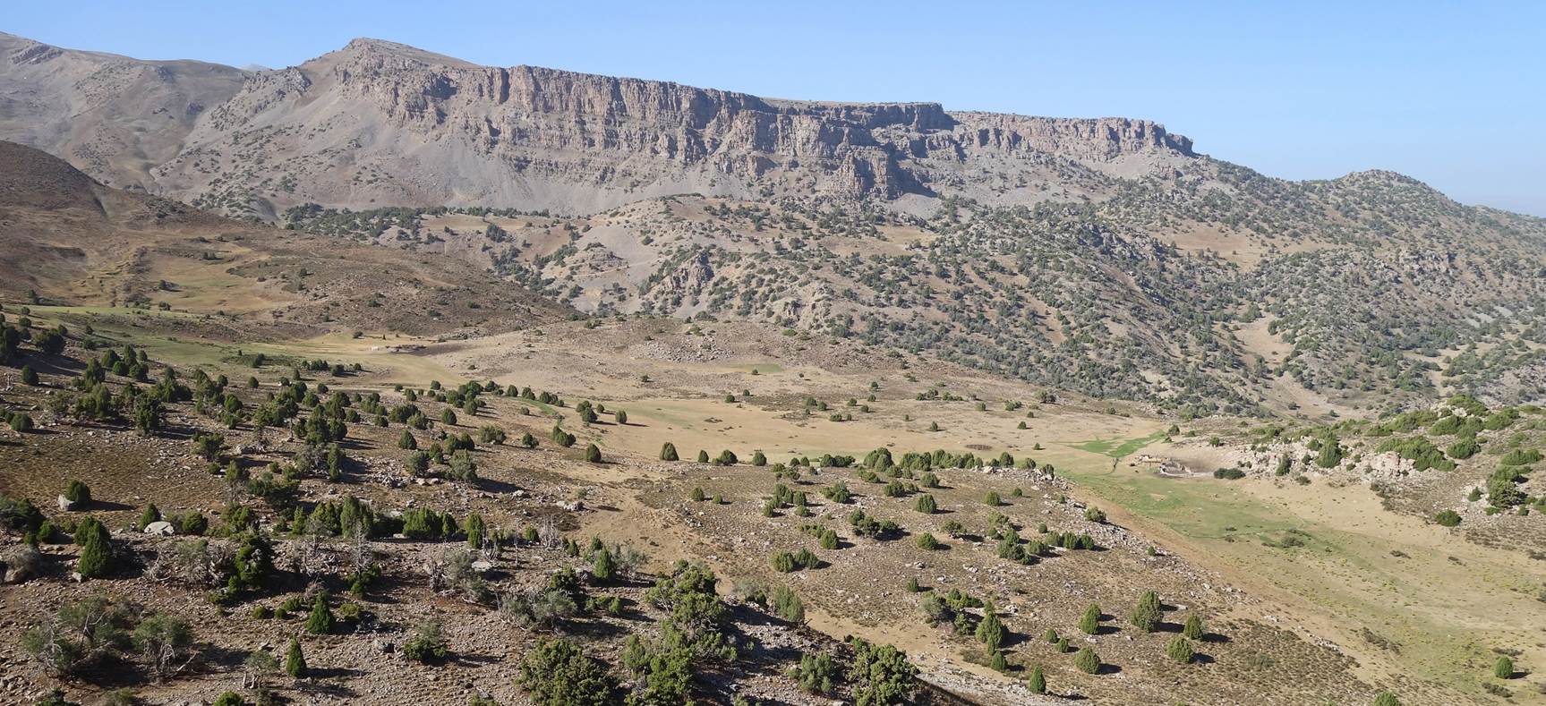
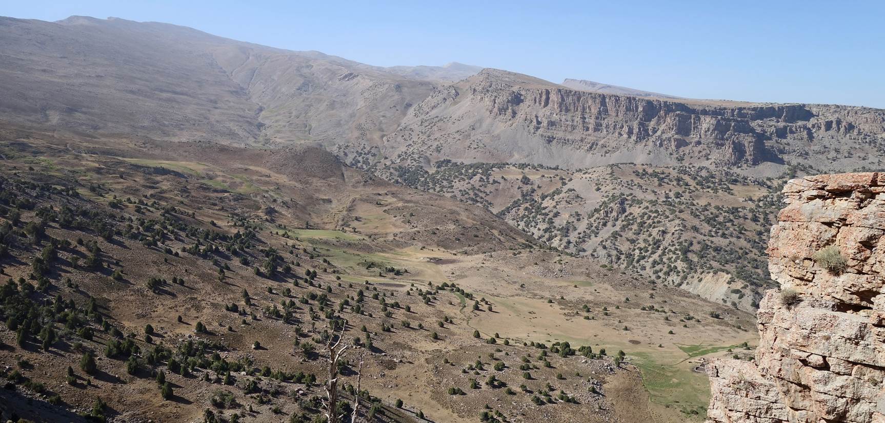
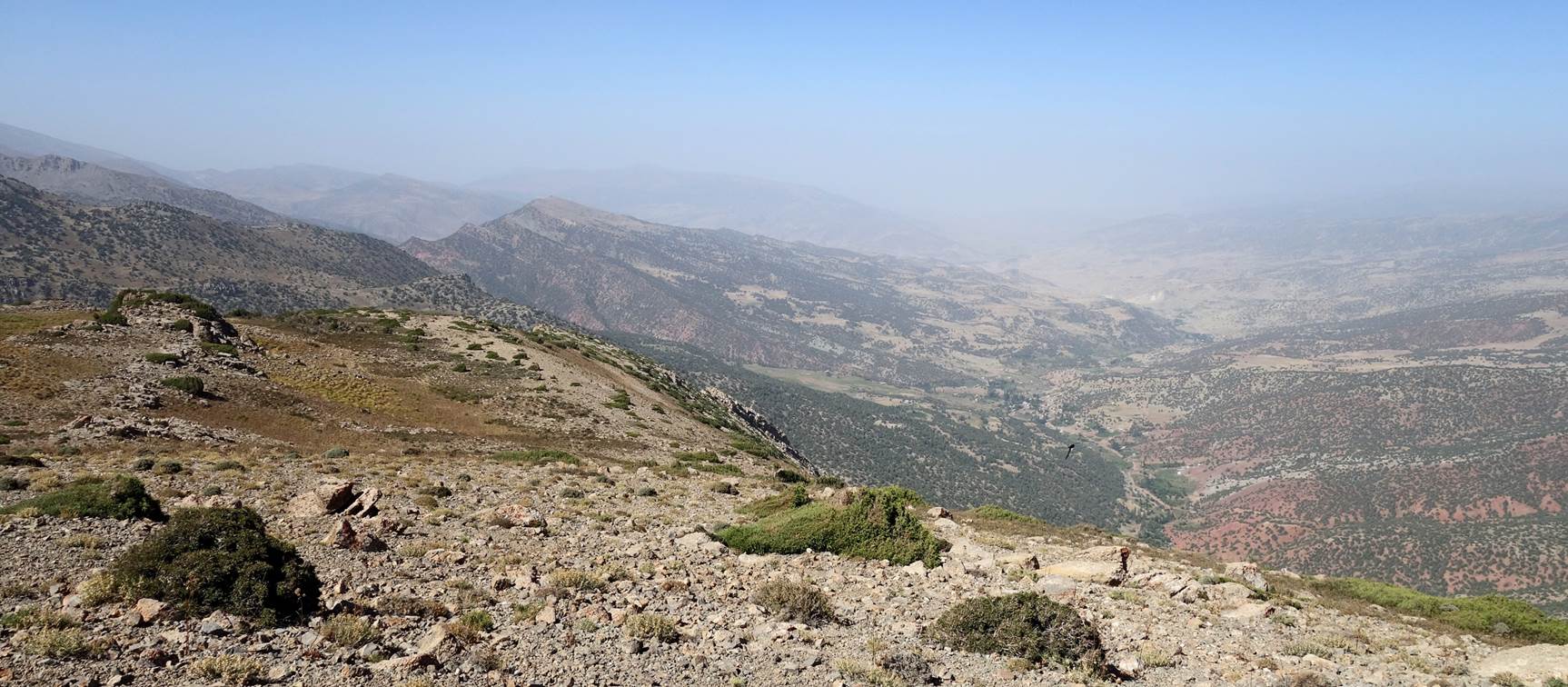
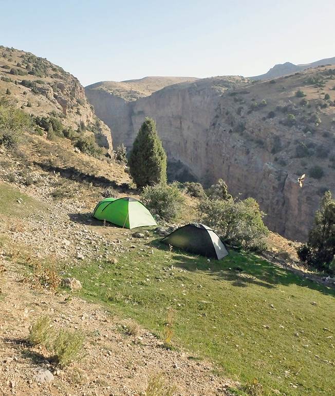
We eventually started the descent into
the canyon of the Kolasoy river. We set up our camp at waypoint 26, midway
between the plateau and the bottom of the canyon, on a rare grass patch. This
grass patch is visible in the upper-left quarter of the right photo below
(taken on the next day). We spent two consecutive nights at this camp.
|
|
|
To access the second part of the six-day
hike between Bakhcha and Tatar, click here.
![]()
Return to my
mountaineering/trekking/travel website | Return
to main Uzbekistan 2023 page