Ethiopia: Across
northeastern Oromia, from Sheikh Hussein to Harar (January 2017)
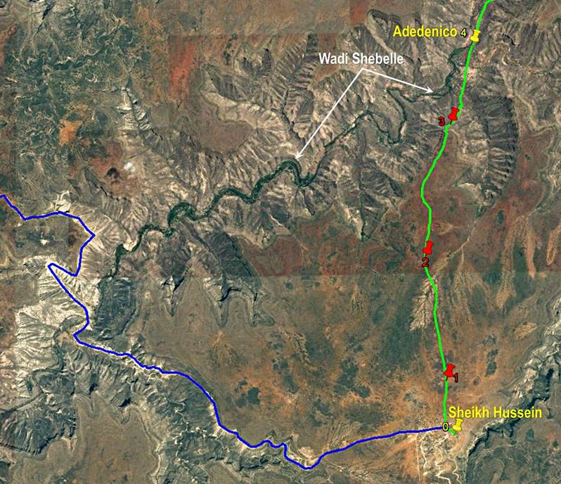
1. Days 1 to 3: Sheikh
Hussein (WP 0) to Adedenico (WP 4)
![]()
Return to main Ethiopia January 2017 webpage
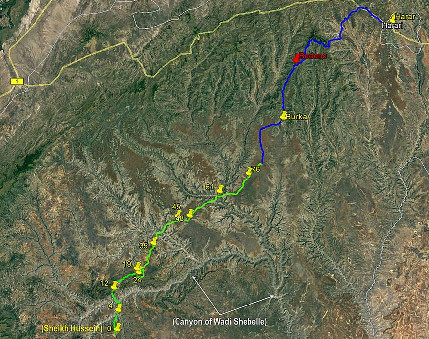
Maps:
- From Addis Ababa to
Sheikh Hussein.
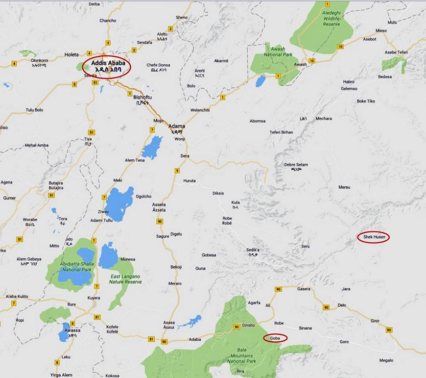
|
- Between Sheikh
Hussein and Harar. |
- Between Sheikh Hussein and Adedenico. |
|
|
|
|
Click here (.kmz file) to access the waypoints and the paths in Google
Earth. |
The blue line is the
access road to Sheikh Hussein. |
January 11: Addis Ababa to Goba
I arrived in Addis
Ababa early morning on an Ethiopian Airlines flight coming from Washington D.C.
Solomon and Gebru were waiting for me at the airport.
We immediately started driving together toward Sheikh Hussein. We passed by the
town of Dodola, which had been the start of one of my
previous treks in Ethiopia in March 2013 (Bale
mountains), and we reached the town of Goba on
the eastern side of the Bale mountains (see first map at the top of this page).
We spent the night in a hotel set amidst a nice garden a couple of kilometers
out of Goba.
January 12: Goba to Sheikh Hussein (WP
0, elevation: 1360m)
We drove about 180km
on an unpaved road from Goba to the village of Sheikh
Hussein (also spelled Shek Husen
and also known as Annajina), which we reached late in
the morning. There we met our two Oromo companions for the rest of the trip, Numan and Mahmood, and discussed trip details with them. In
the afternoon Solomon started driving back to Addis Ababa, leaving me with Gebru, Numan and Mahmood. I
visited the pilgrimage site of Sheikh Hussein. Gebru
and I spent the night in a kind of guesthouse (WP 0 in the Google Earth maps
above).
The village of Sheikh
Hussein is named after a 13th-century holy man buried in this village who is
credited for having introduced Islam to the Sidamo
people living in the region at the time. For several centuries, it has been the
destination of a major pilgrimage. As the kind of Islam that has developed in
the region is mixed with pre-dating African beliefs and traditions, many
Christians and animists also venerate Sheikh Hussein and make the pilgrimage,
which therefore plays an important role in bringing together people from
diverse ethnic and religious groups from all regions of Ethiopia and from other
countries, in particular Kenya, Somalia, Djibouti, and Eritrea.
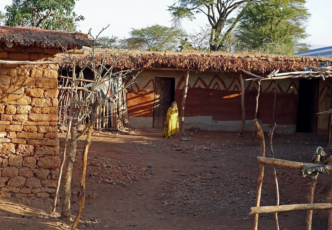
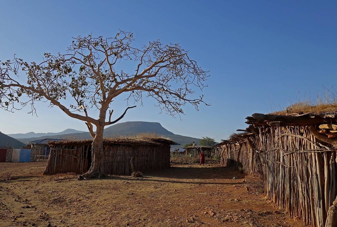
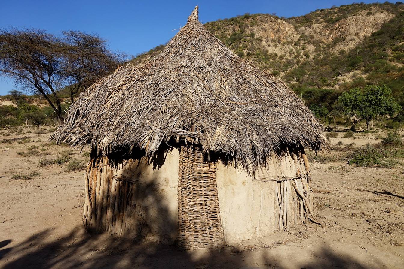
The village itself is
not especially interesting. It consists of scattered houses, some with nicely
decorated walls.
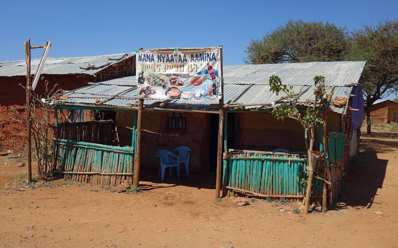
The
village has only one restaurant, which offers tasty injera dishes.
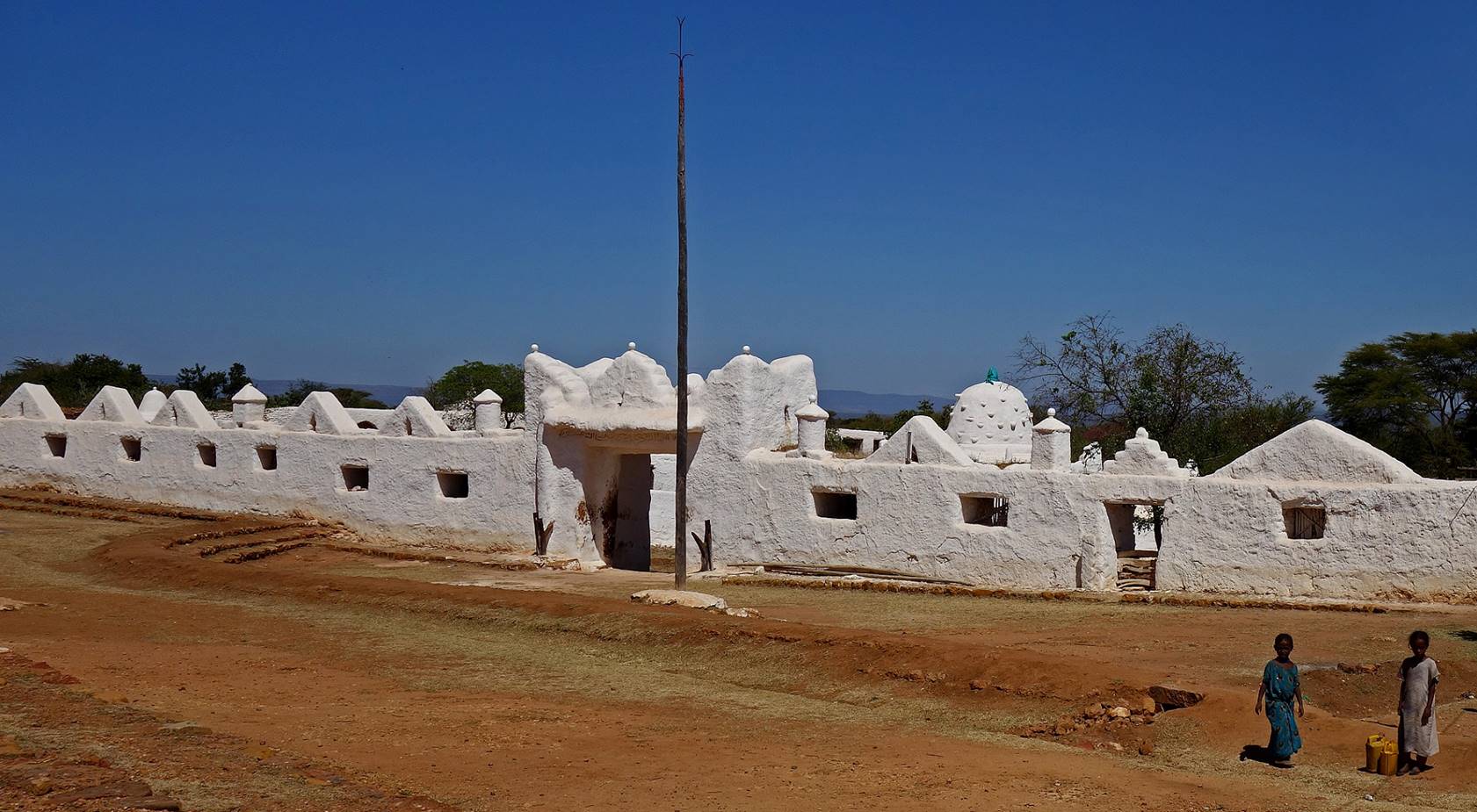
As expected, the main
attraction is the sanctuary
of Sheikh Hussein. Visiting this place was a unique experience.
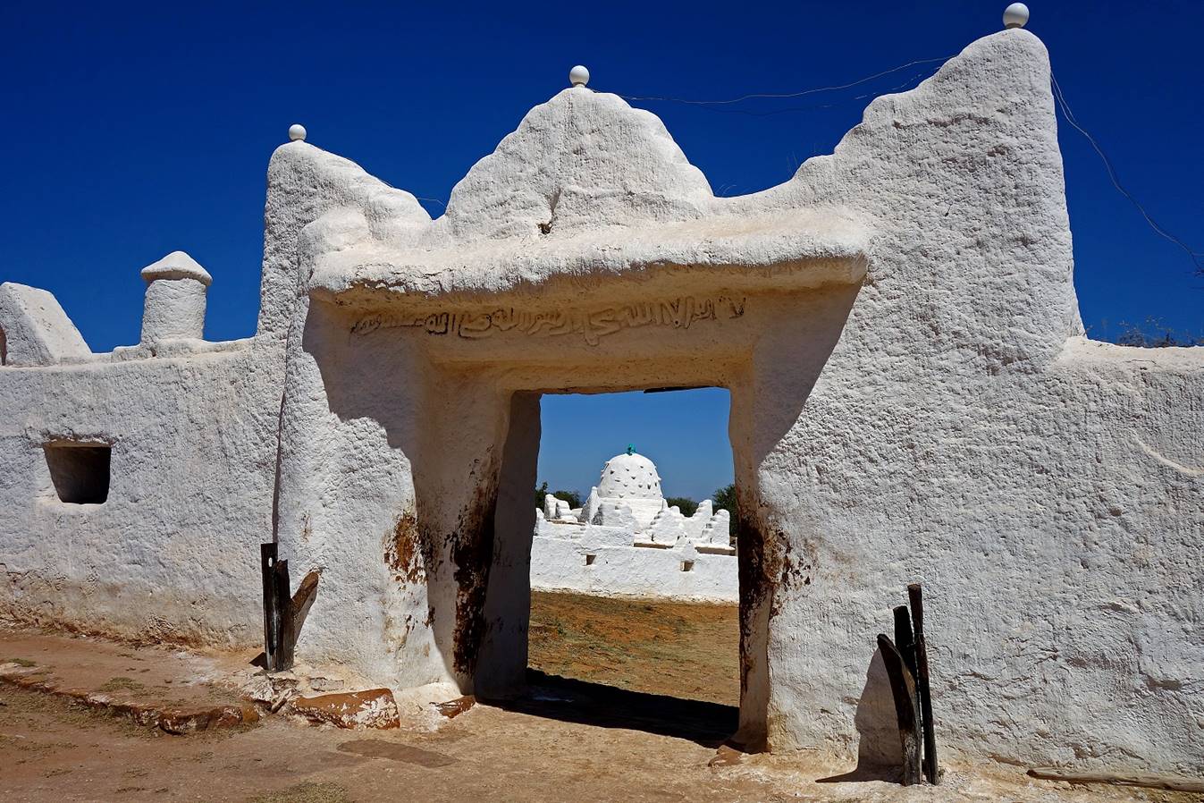
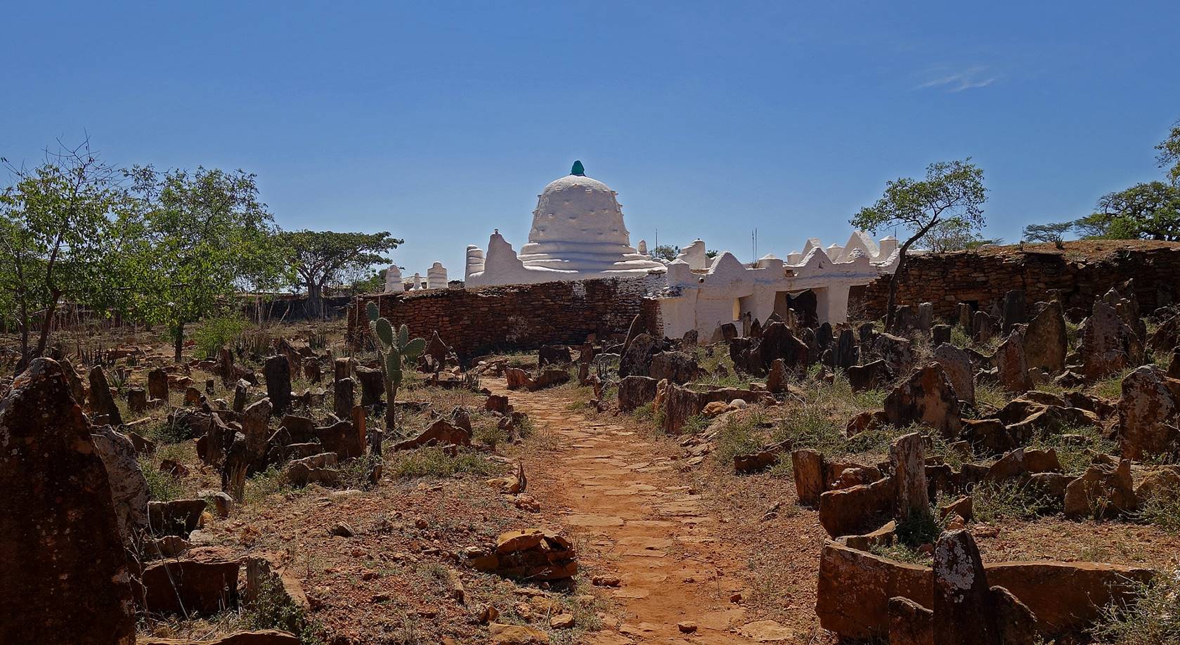
Entrance of the
sanctuary on the eastern side of the village. The sanctuary comprises several
structures built from local sandstone, limestone, and wood, and whitewashed
once a year.
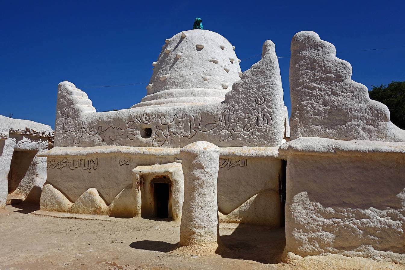
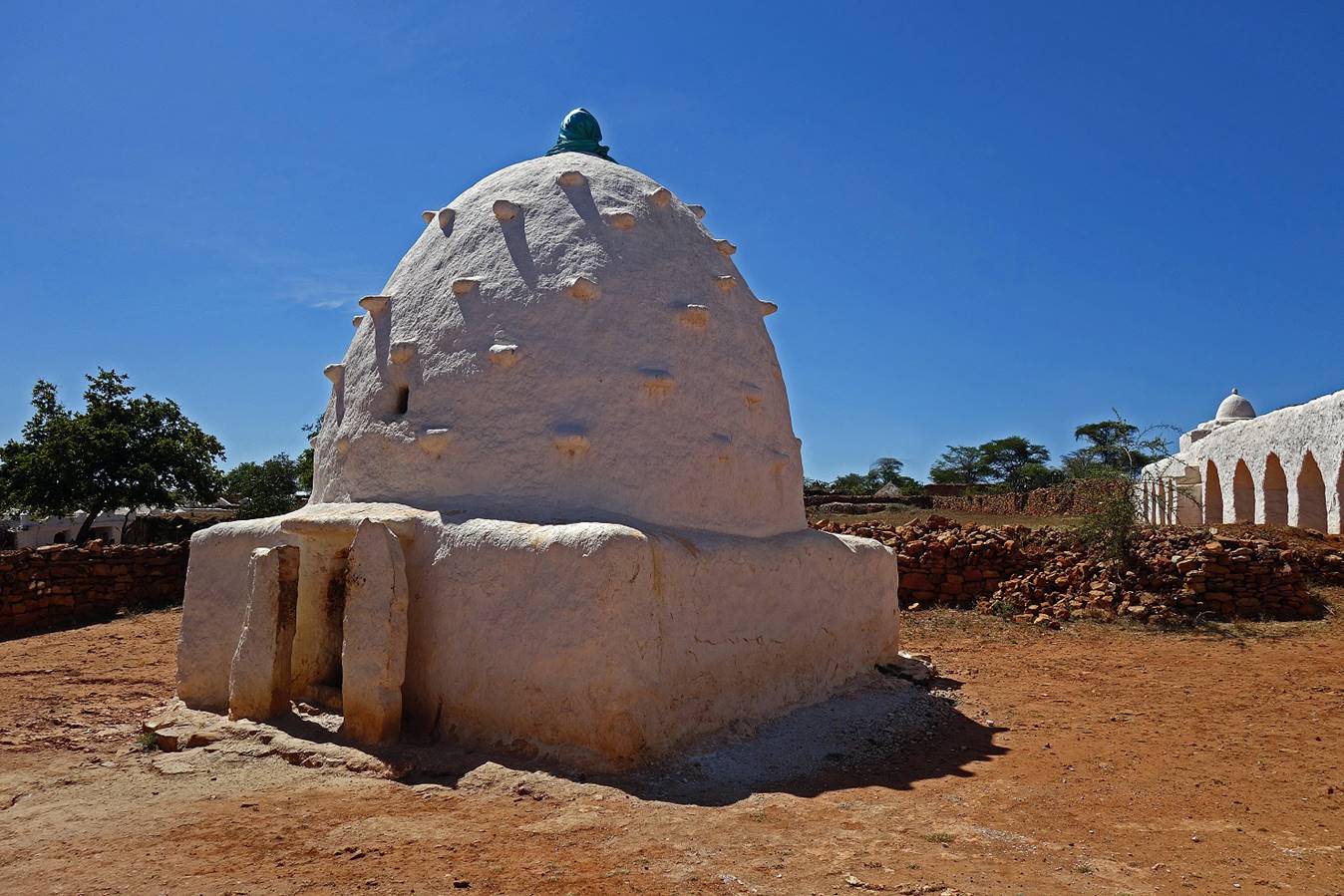
The most important
structure in the sanctuary is the mausoleum of Sheikh Hussein that contains his
tomb (under the dome) and other tombs of members of his family. It is
surrounded by a large cemetery.
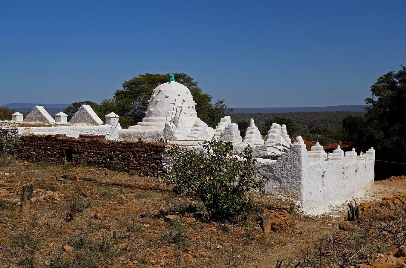
View of the mausoleum
from the south-east.
The mausoleum
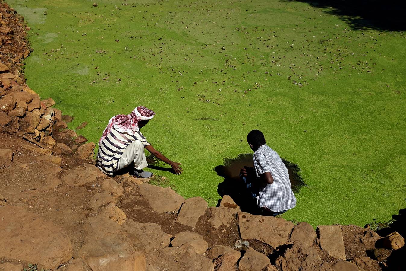
entrance is located on its eastern side, with the pond of Dinkiro
(following photos) located on its right.
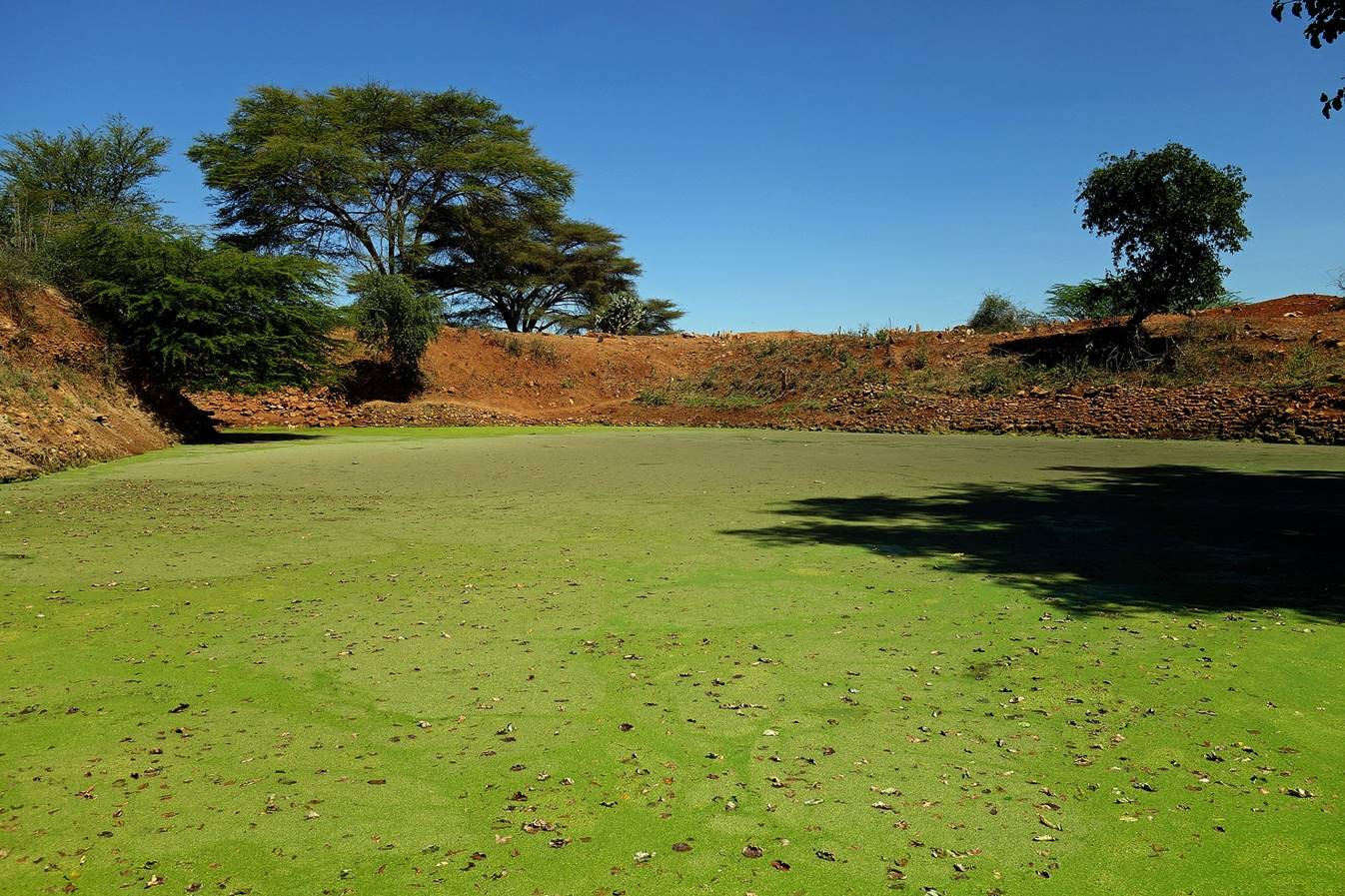
The water of the pond
of Dinkiro is considered miraculous. It is covered by
a green layer of duckweed.
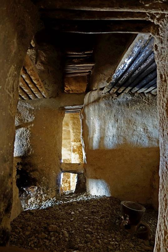
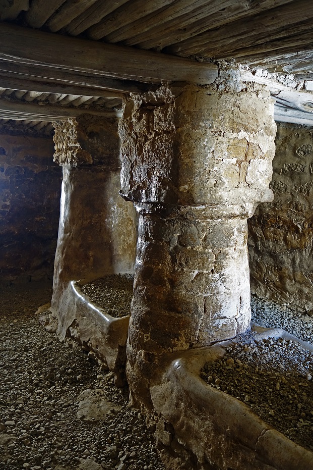
Tomb of Sheikh
Hussein in the mausoleum.
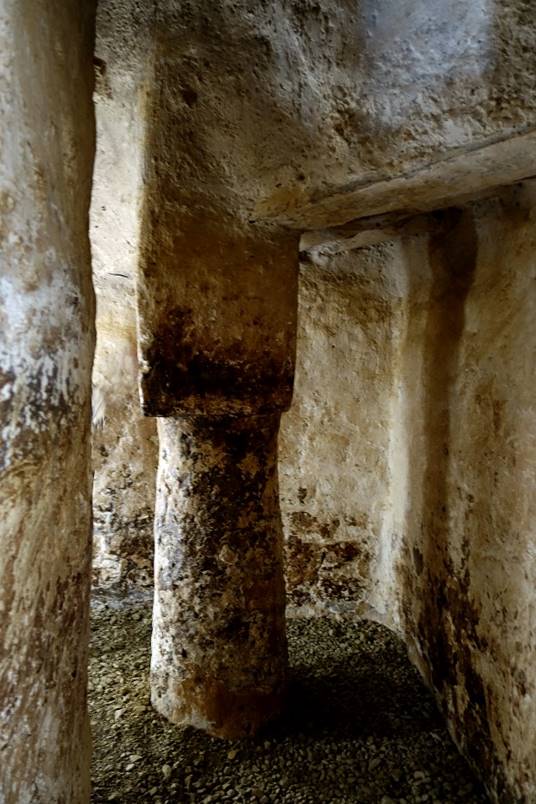
The inside of the
tomb is a 50sq.m room that consists of an ambulatory around the grave of Sheikh
Hussein. Left: the modest grave in the middle of the room. Center: portion of
the ambulatory and pillars supporting the roof of the building. Right: the
believers who enter the building kiss the walls and the ground, cover their
faces with dust collected from the ground, and even swallow some of this dust.
|
|
|
|

Inside another tomb of
the mausoleum (described to me as that of Sheikh Hussein‛ son).
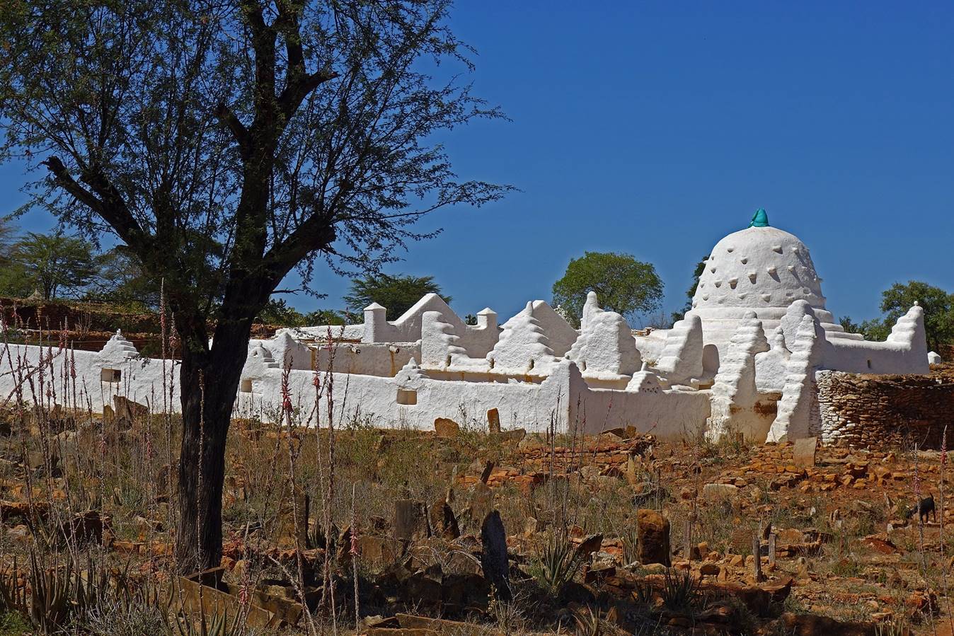
The mausoleum and the
surrounding cemetery seen from the northern part of the sanctuary.
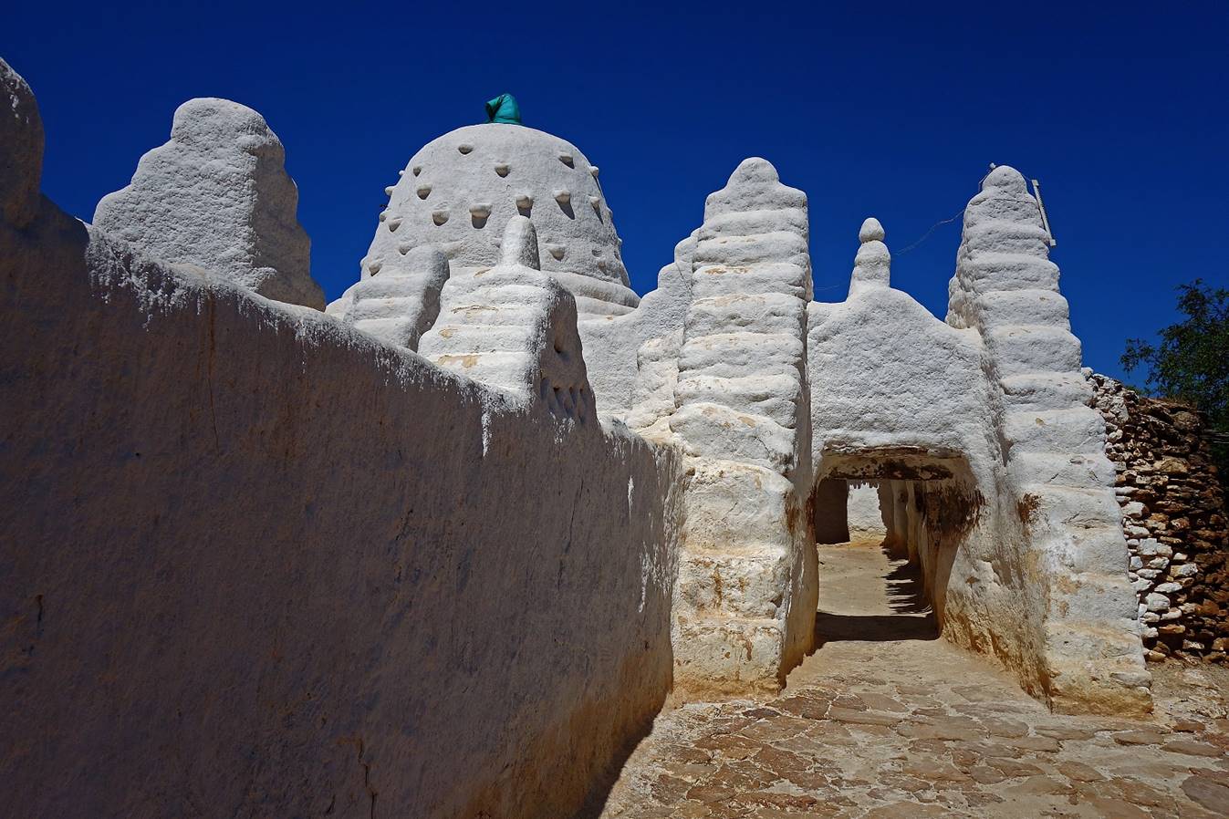
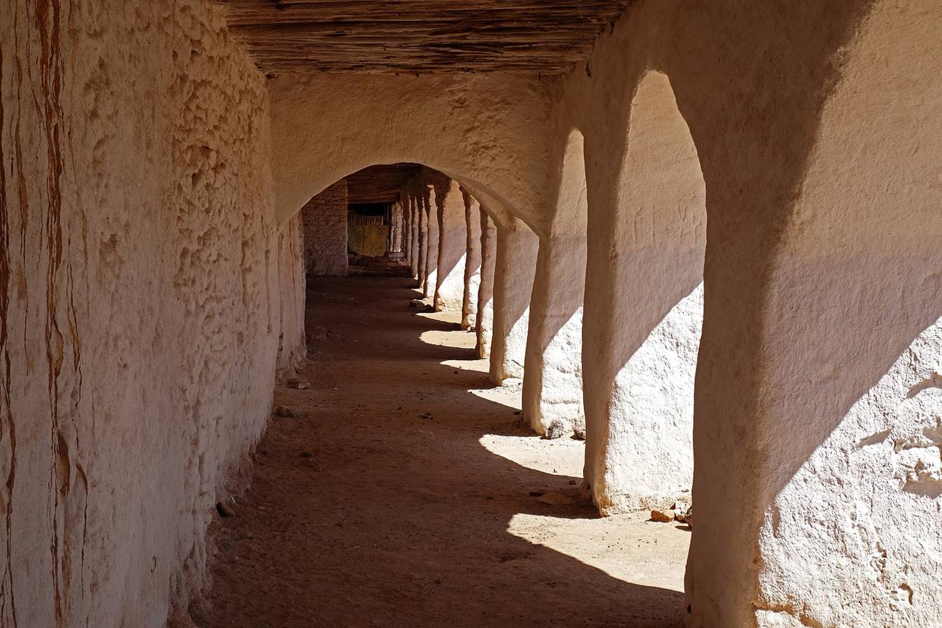
Northern arcade in
the sanctuary and cupola-shaped shrine built in honor of Abd
al-Qadir alJilani (a saint man from Baghdad who
visited Sheikh Hussein sanctuary).
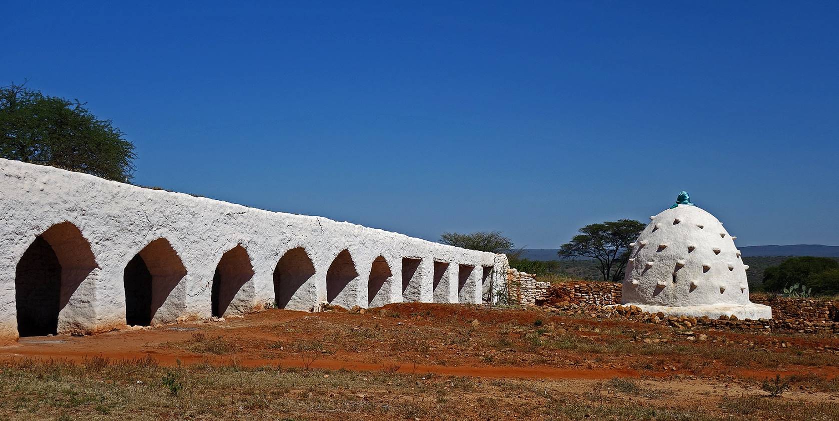
Another view of the
shrine of Abd al-Qadir alJilani.
Inside the arcade.
During pilgrimage periods people gather here to eat and drink tea.
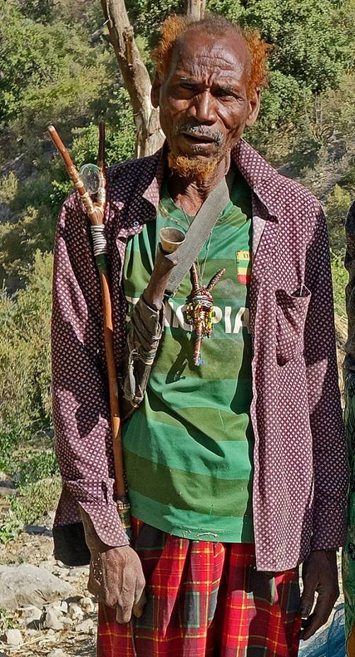
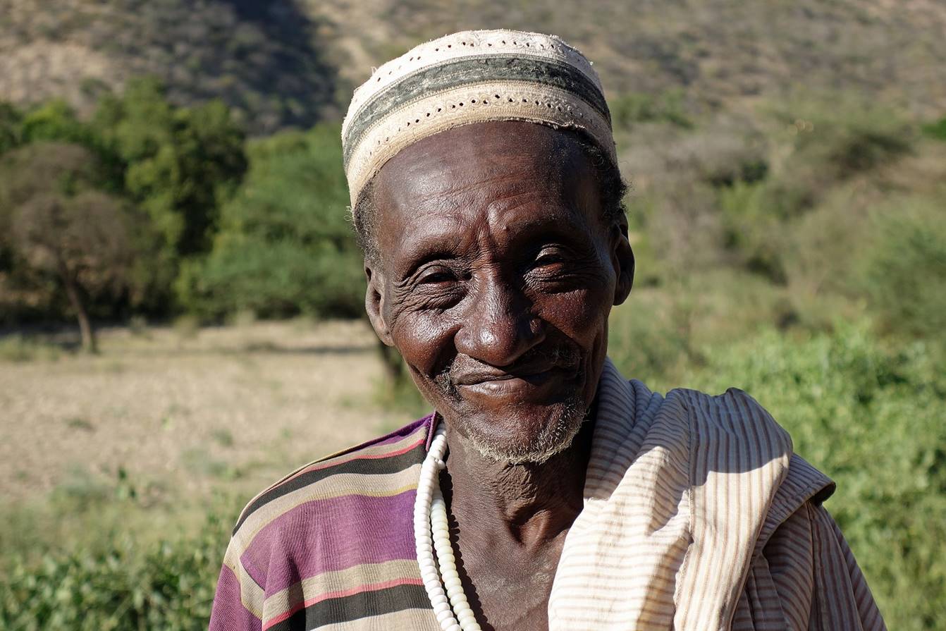
Man holding a cleft
stick, called ″dhanqee″, traditionally
carried by pilgrims to the sanctuary of Sheikh Hussein. Such sticks, which are
too short to serve any practical purpose, are believed to protect their owners.
They draw their roots from a non-Islamist African culture. (I took this photo
two days later in a village along the Wadi Shebelle.)
January 13: Sheikh Hussein to Adedenico
(WP 4, elevation: 882m)
On this first trekking
day we hiked from the village of Sheikh Hussein to a place named Adedenico (WP 4) in the beautiful canyon of the Wadi Shebelle (river).
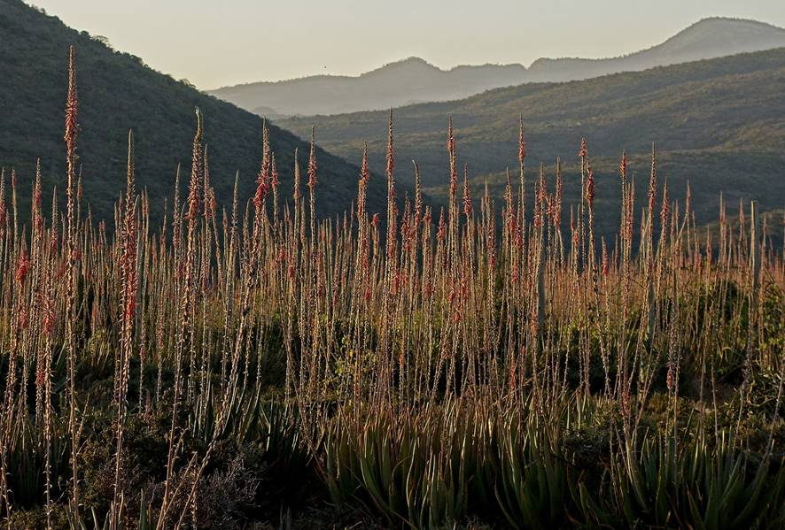
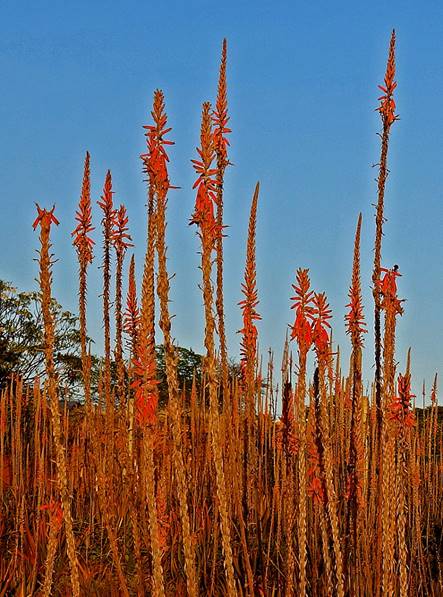
Blossoming aloe
plants in the early morning sun at the ″guesthouse″ of Sheikh
Hussein.
|
|
|
For the first three
trekking days my group included a militia man (supposed to protect us) and a
muleteer with his mule. These two additional people were not needed. I assume
that they had been included to bring more money to the village of Sheikh
Hussein. The muleteer never stopped complaining that the trail was too
difficult and that his mule was tired. Fortunately, they returned to Sheikh
Hussein as planned after three days. We then bought a donkey, and Gebru, Numan, Mahmood, and I
continued our trip without additional people.
From left to right:
Mahmood, the militia man, Numan, and the muleteer
loading the mule.
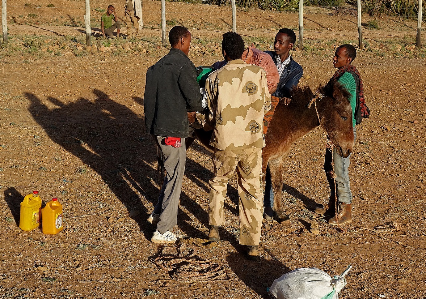
Leaving Sheikh
Hussein, with from left to right: Numan, Gebru, Mahmood, the militia man, and the muleteer (hidden
by his mule).
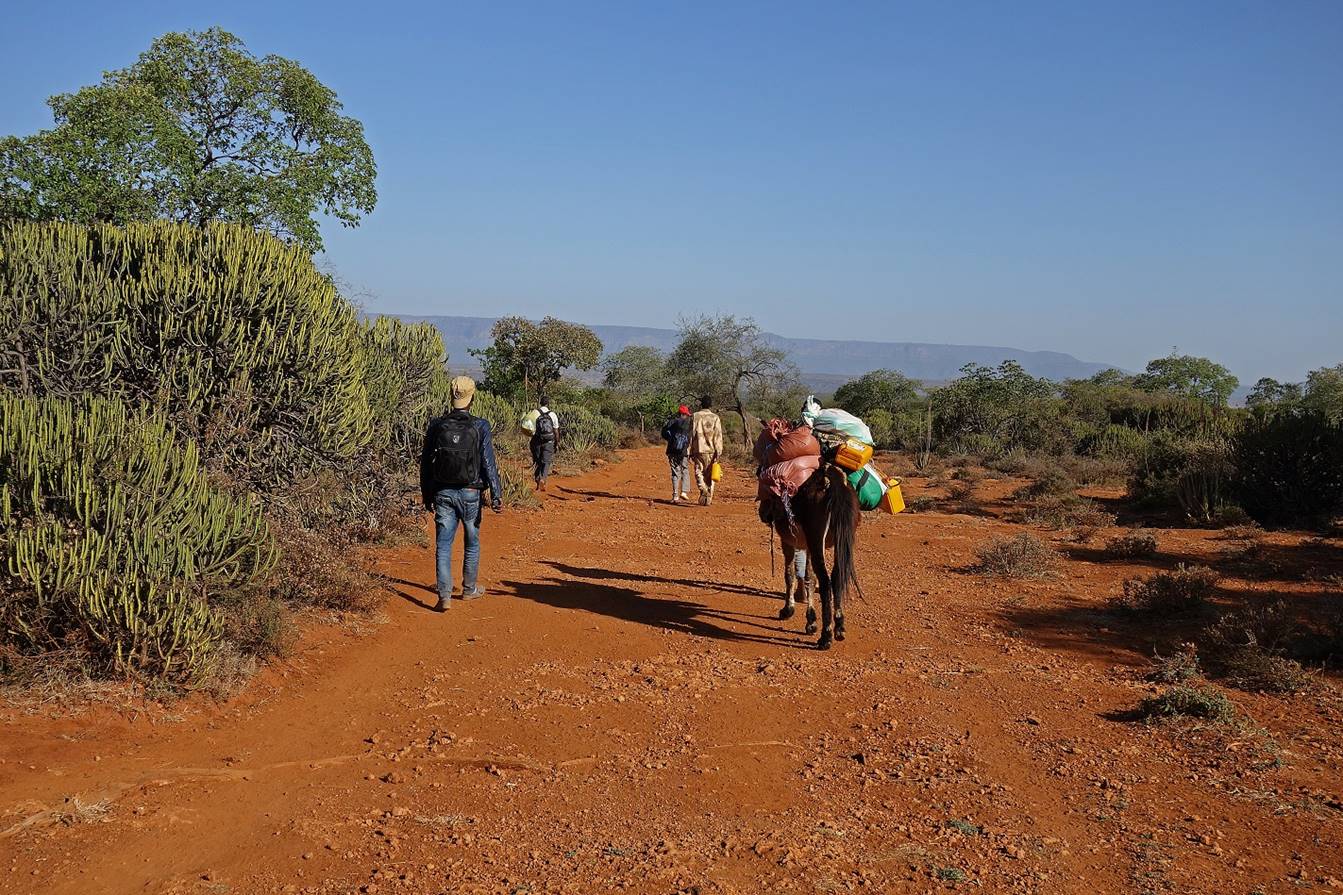
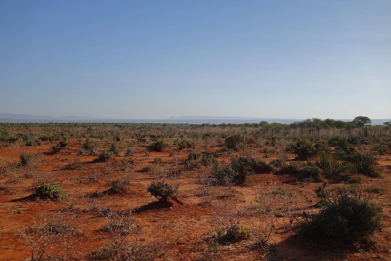
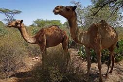
For about 8km we
followed a wide trail (created by herds of cows and camels) on flat terrain.
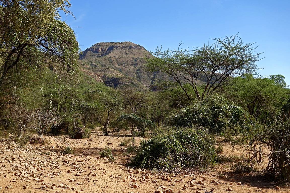
We then reached the
rim of the canyon of the Wadi Shebelle and started
our descent into the canyon (WP 3).
View of the canyon
toward the southwest.

Views of the canyon
toward the northeast, first from the ridge, then from a lower elevation.
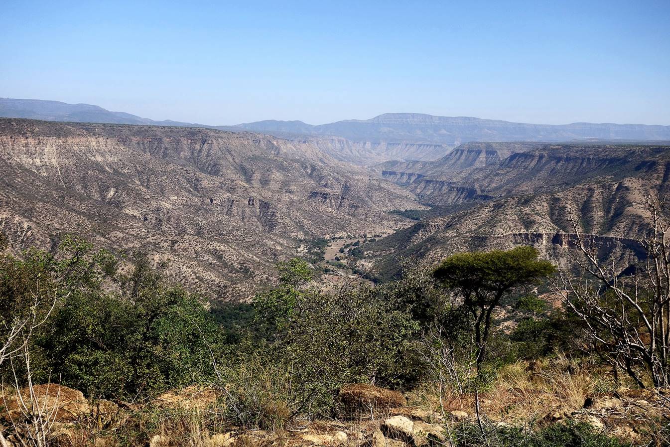
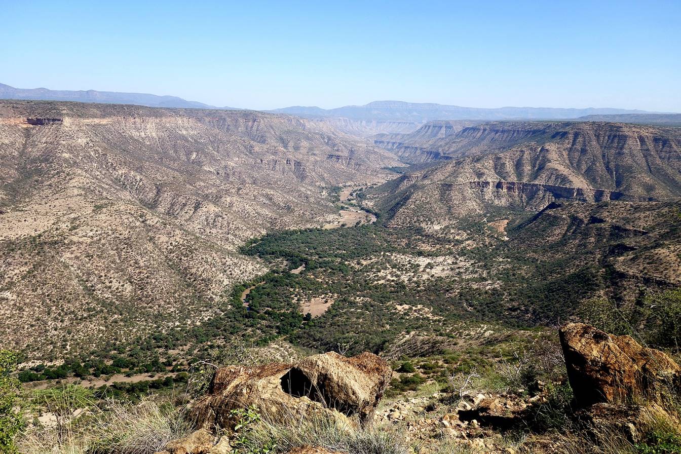
At the bottom of the
canyon, with a view of the slope that we had just descended in the photo on the
left.
|
|
|
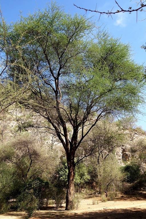
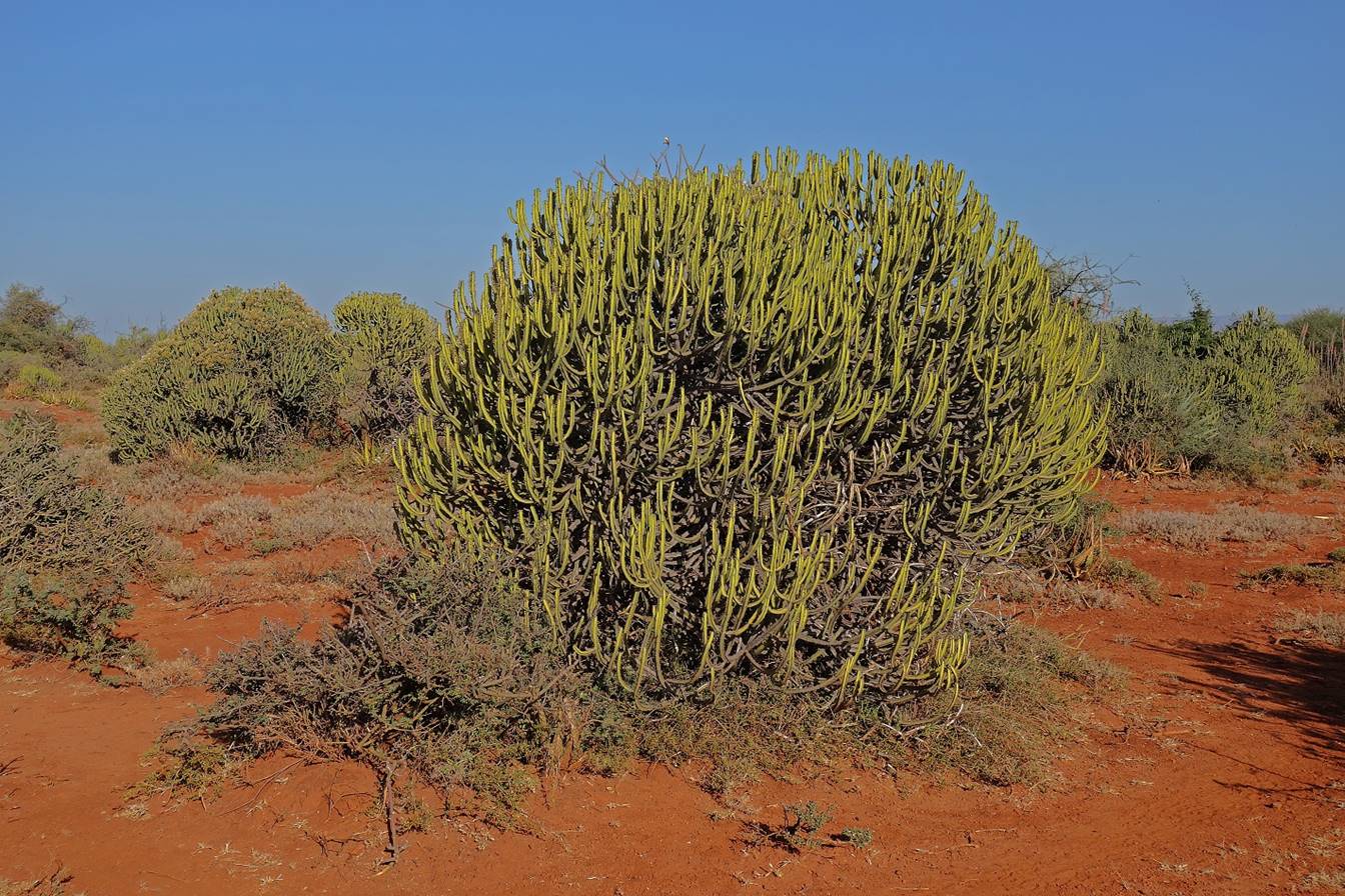
Thorny acacia horrida.

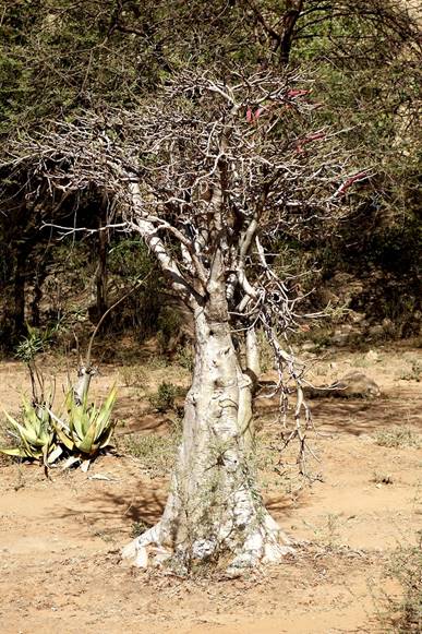
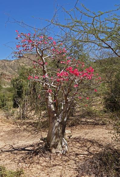
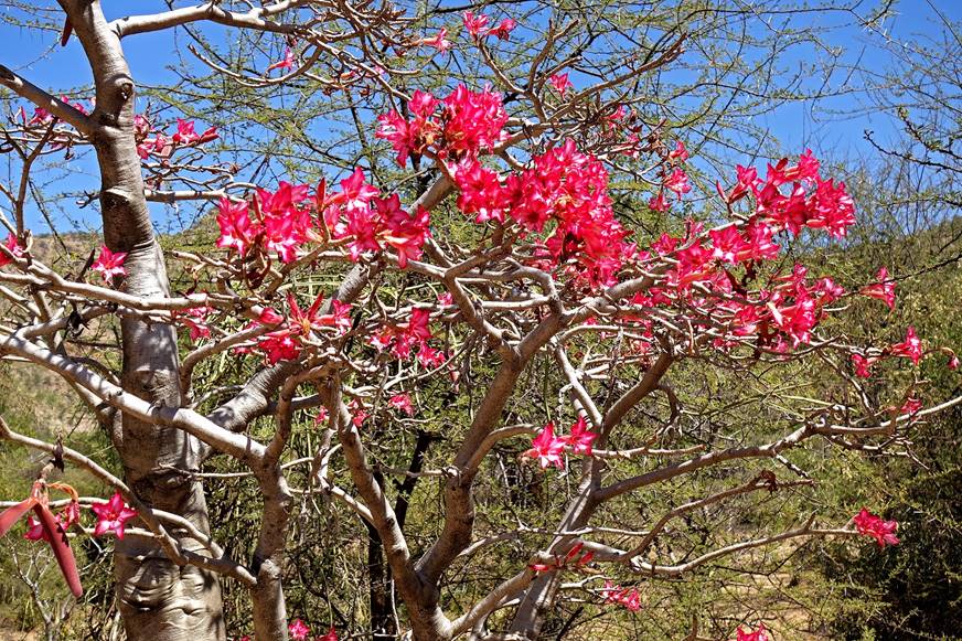
Desert rose trees (adenium obesum).
|
|
|
|
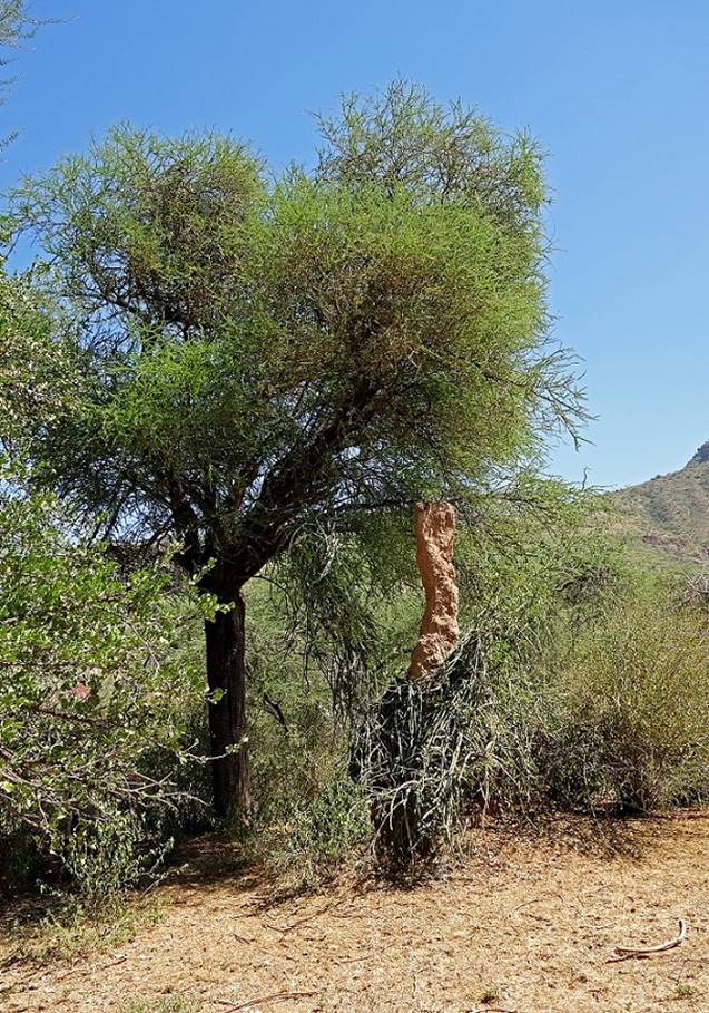
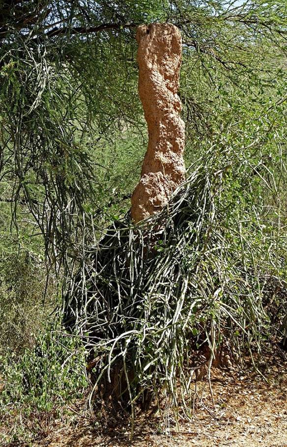
A thin, but tall termite mound.
|
|
|
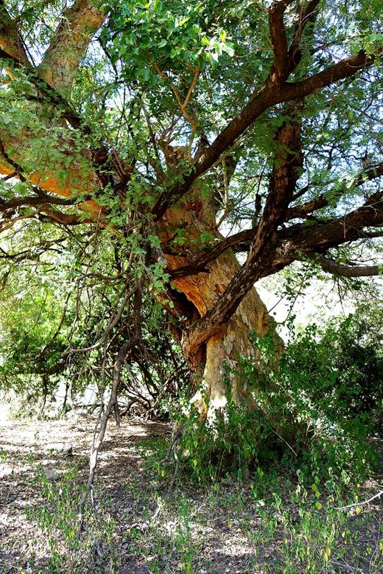
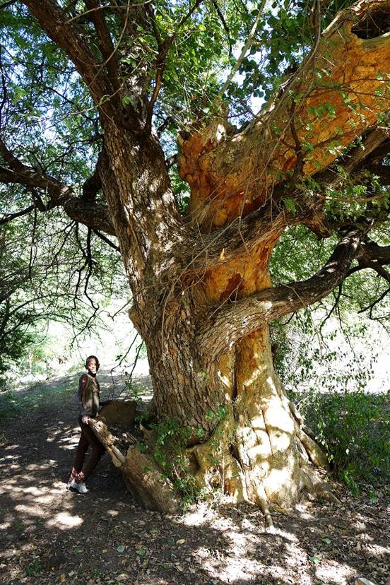
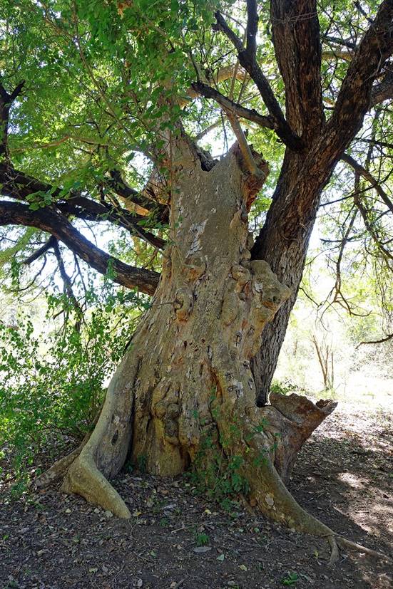
Two entwined trees.
|
|
|
|
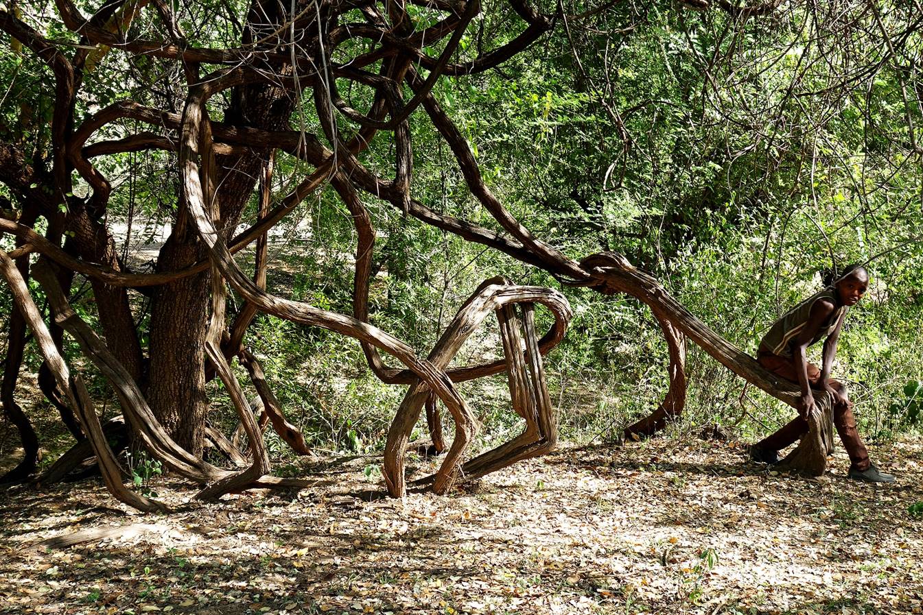
Liana.
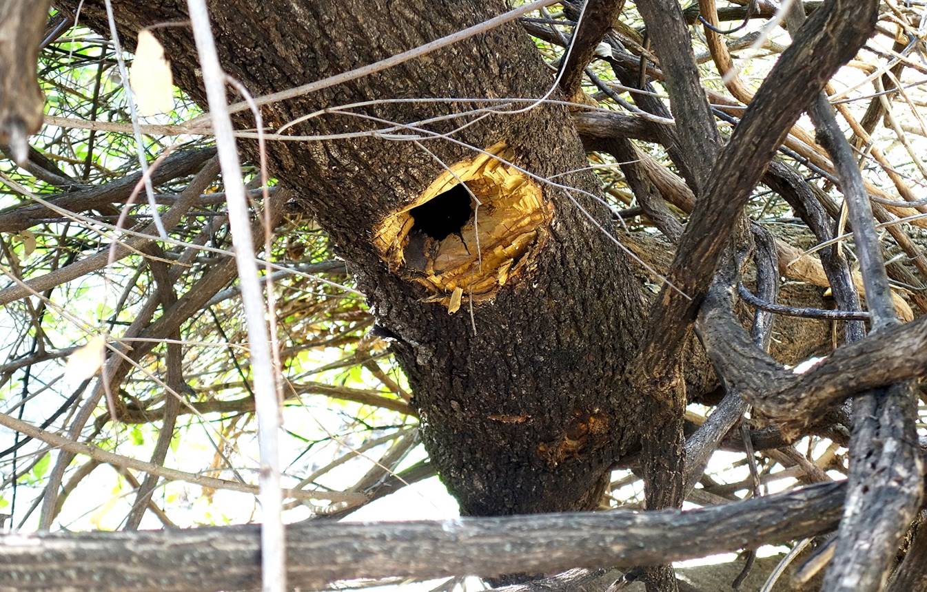
Honeybees had
installed their beehive in a tree trunk. Then local people harvested the honey
by chopping out a bigger hole.
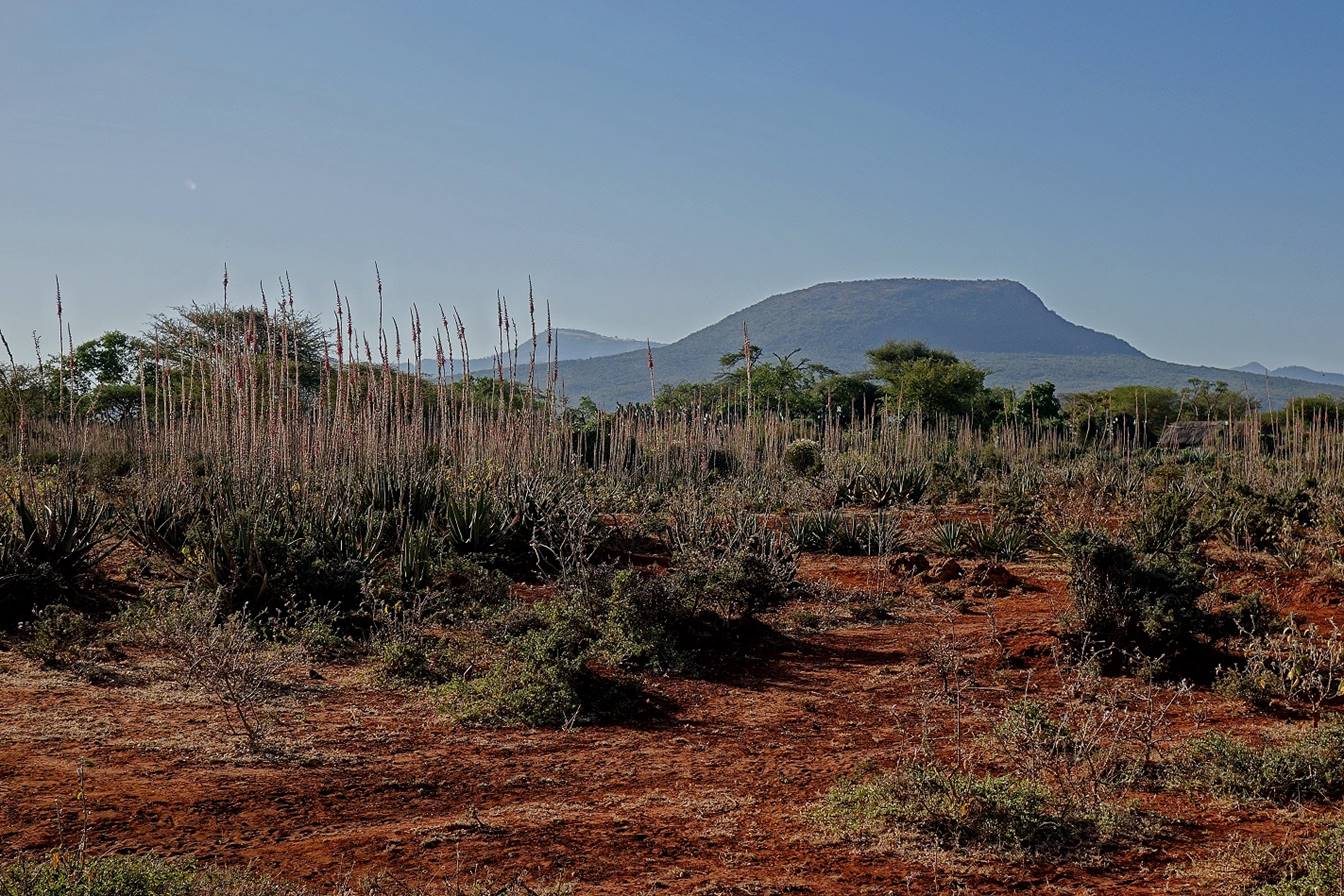
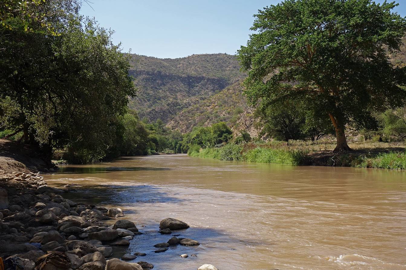
Reaching the Wadi
Shebelle. This large river has its source on the northern slopes of the
Bale mountains. After heading northeast, it makes a
90dg turn toward the southeast and eventually flows
into Somalia towards Mogadishu. During most years, it dries up
near the Indian Ocean coast.
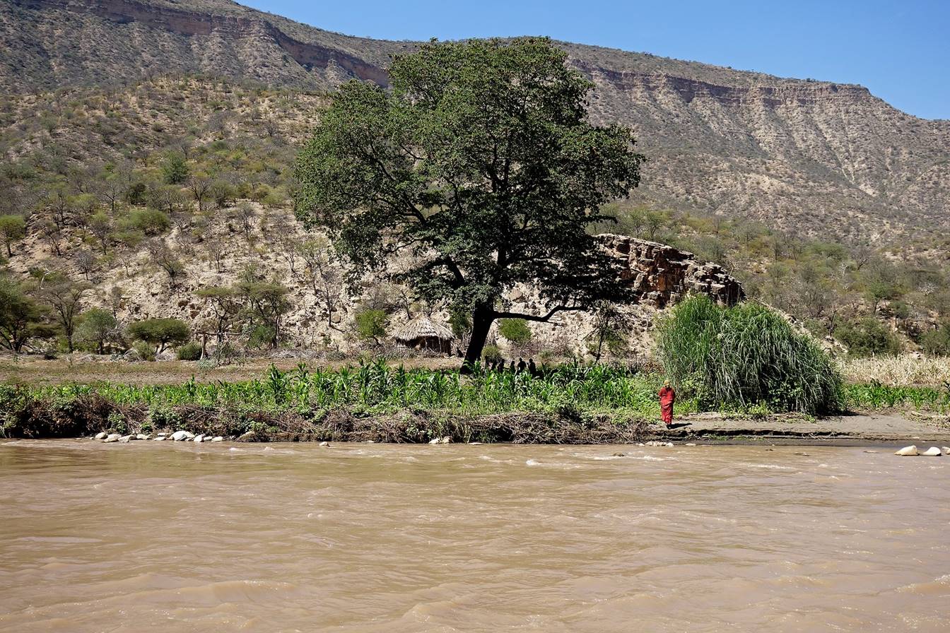
This area of the Wadi Shebelle is populated by a Somali-related tribe called
the Waradoube (spelling?), whose members speak a
language different from the Oromo language. However, herders from Sheikh
Hussein have the right to use a portion of the canyon and the river to feed and
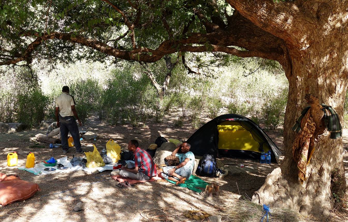
water their livestock. We set our camp near the northern limit of this portion
(WP 4), at a place called Adedenico, within a short
distance from the river, which was our source of water at this camp.
In the afternoon the
herders bring their cattle to the river for drinking.
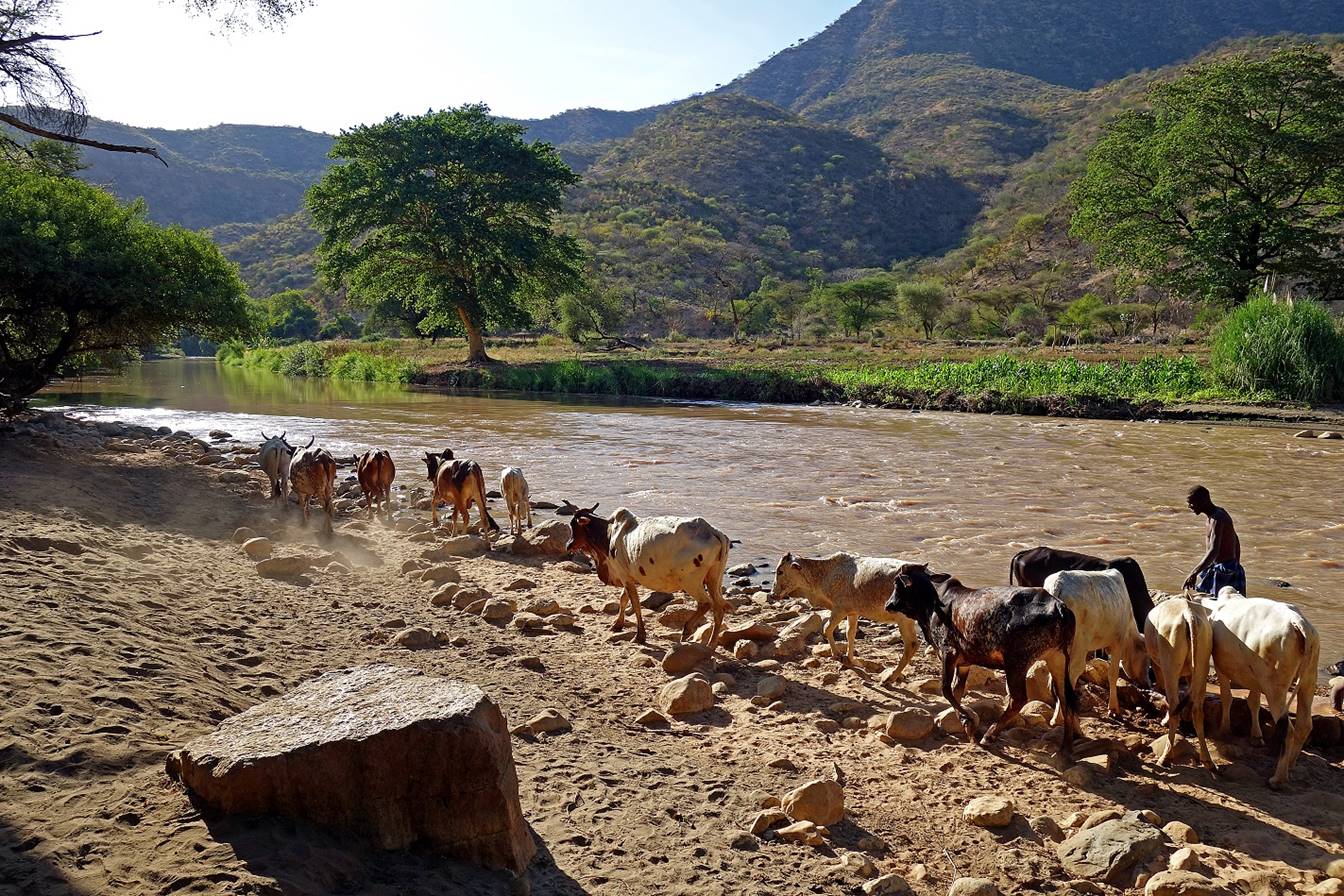

The animals do not
drink directly from the river, but from a watering basin built with clay
extracted from the river. The mixing of the water with clay in the basin
increases its salt content, which helps the animals maintain appetite and body
weight.
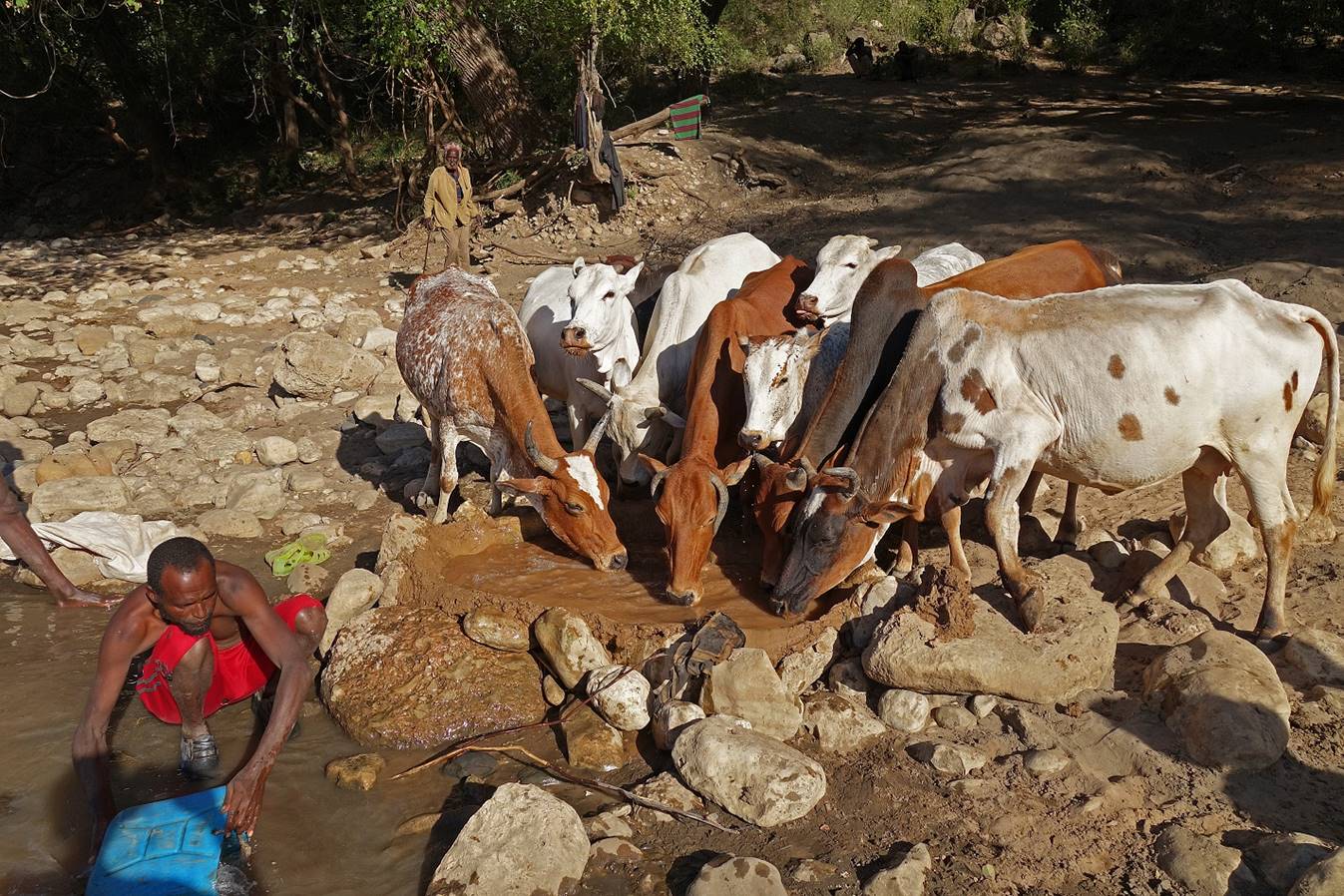
Not all sections of
the river are as hospitable, however. This crocodile, which sunbathed on the
bank of the river only 100m upstream, suggested some caution.

Later in the
afternoon, after setting my tent, I went with Numan
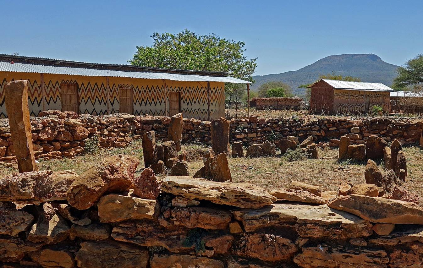
and Mahmood to a small Waradoube village located
downstream less than a kilometer away, near WP 5. The village was quiet and
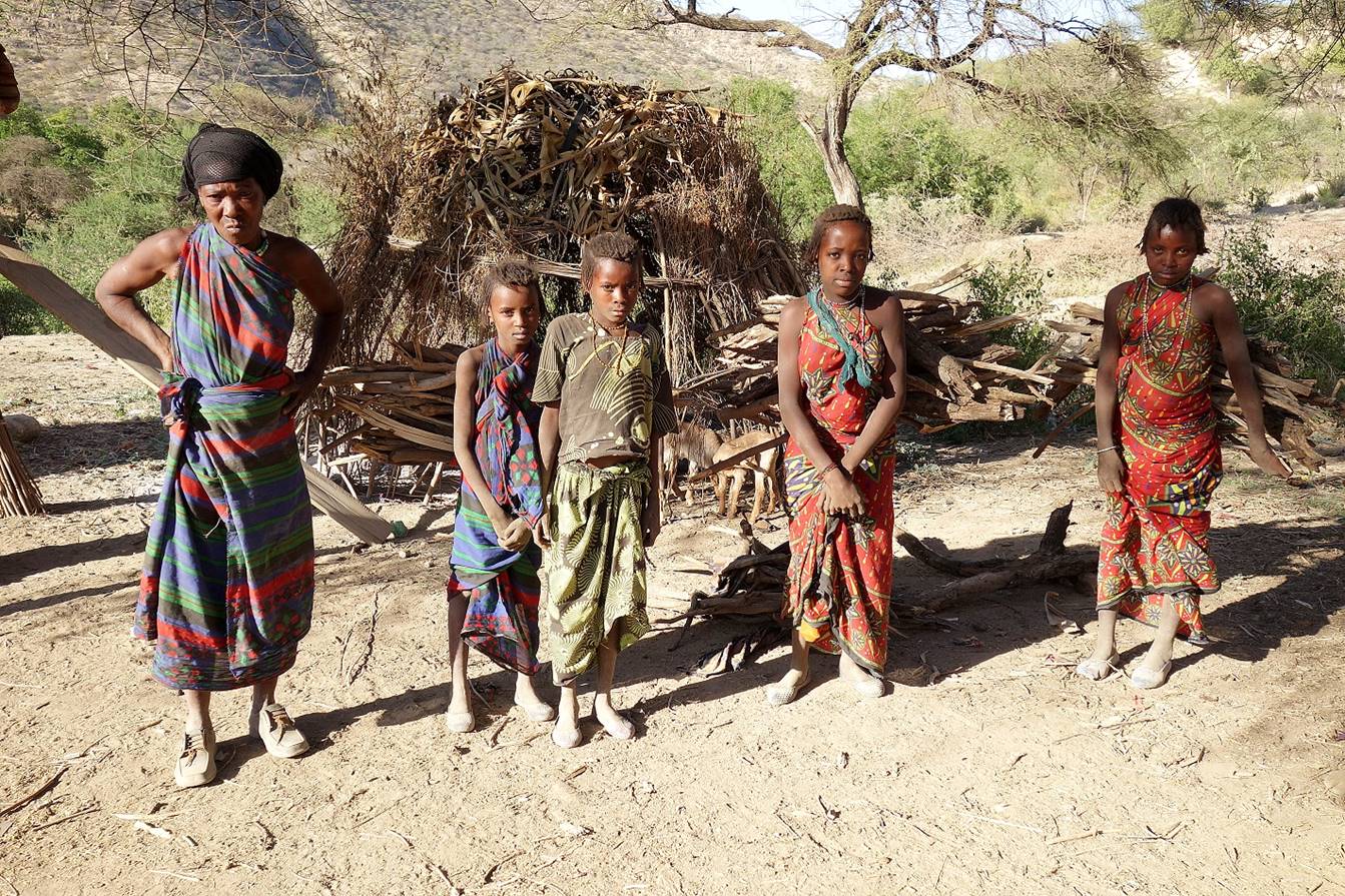
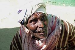
welcoming.
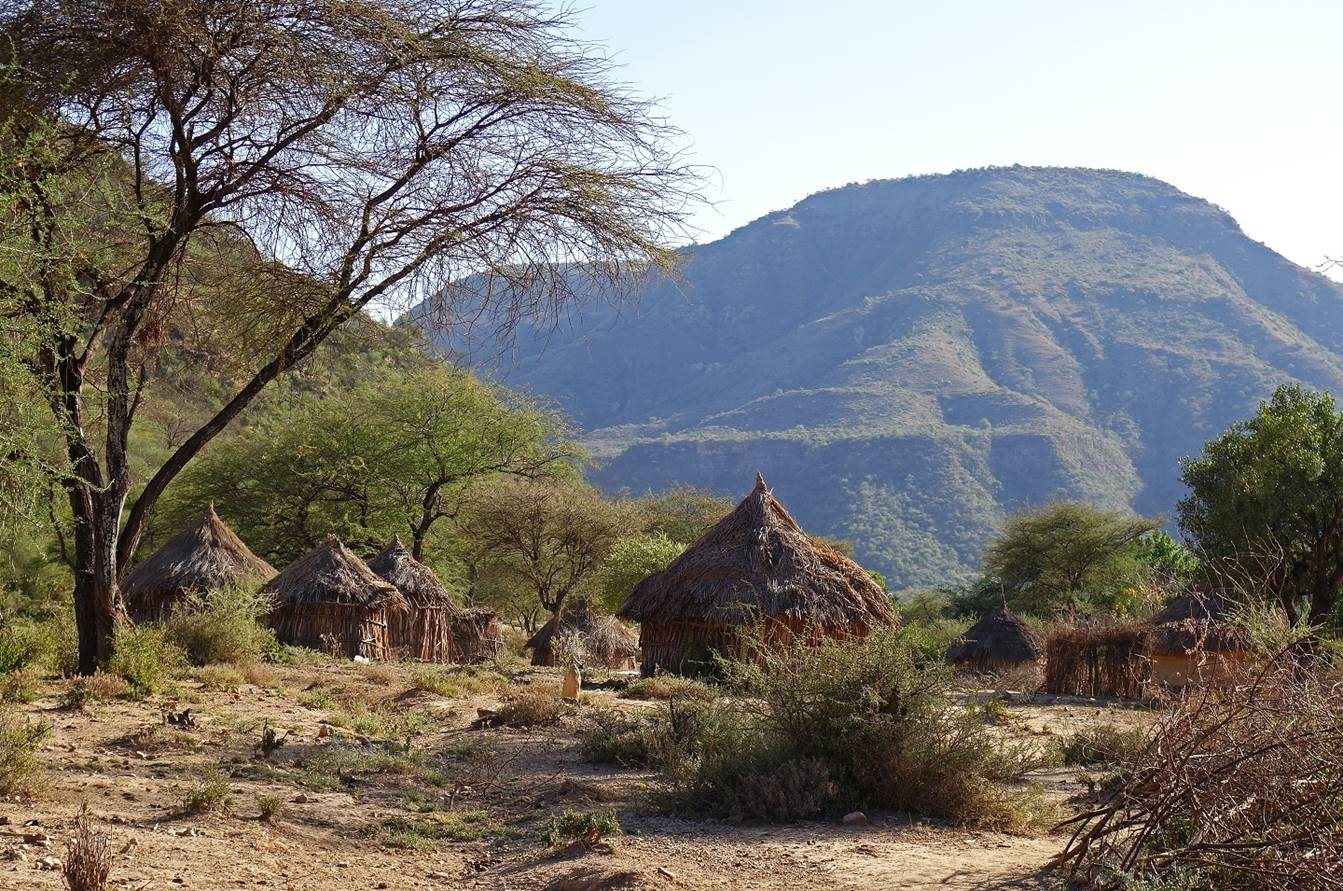
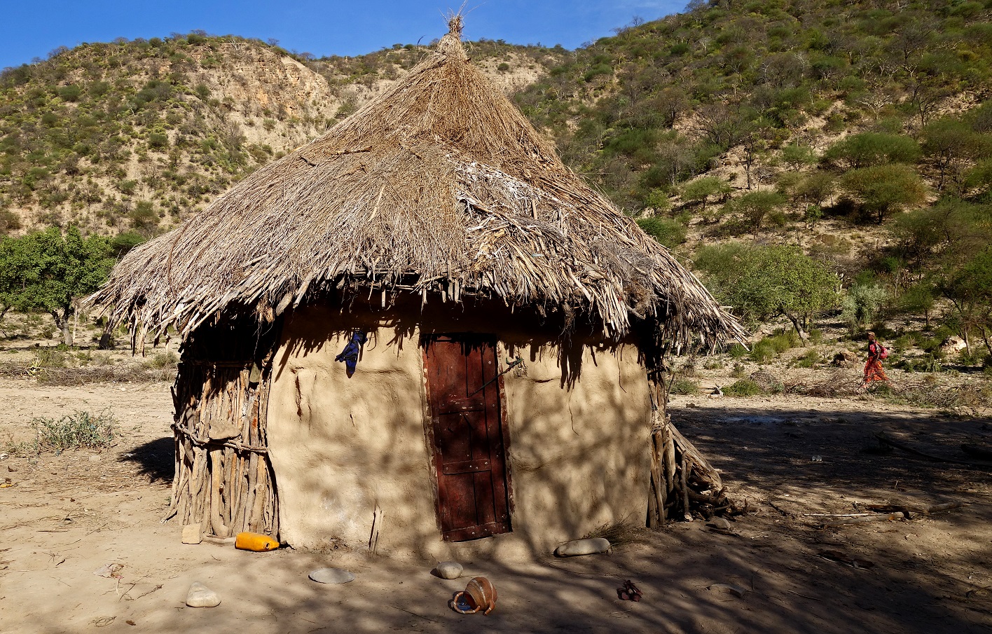
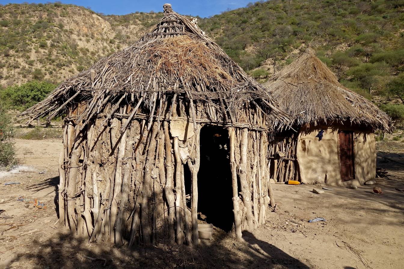
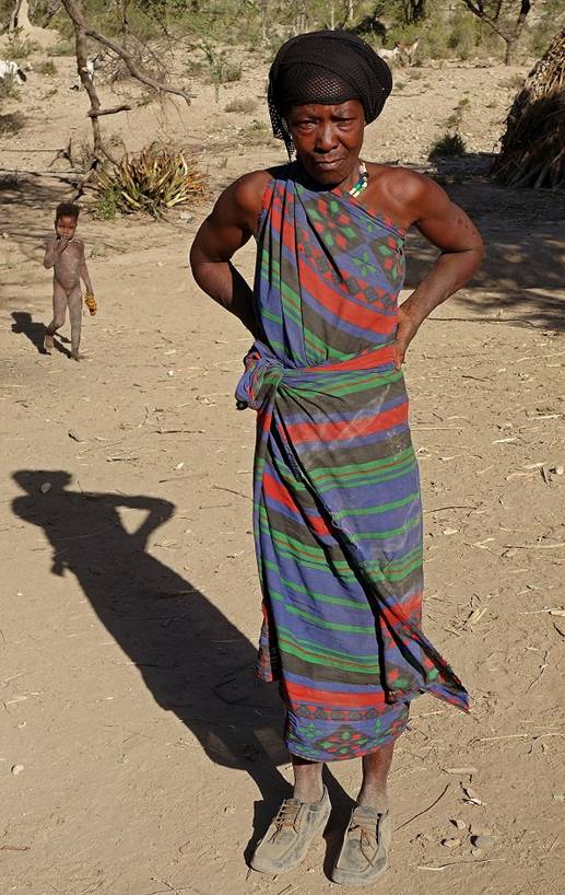
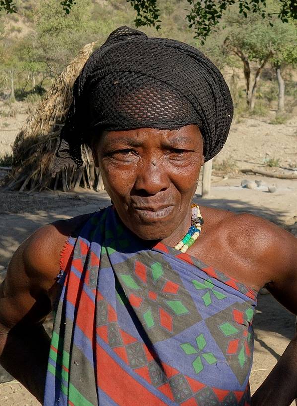
Waradoube people in the
village.
|
|
|
|
On the following day
(January 14), I will pass by other small Waradoube
villages along the Wadi Shebelle. Their people were
the friendliest I encountered during this entire trip. They were interested in
seeing me, but they were gentle, quiet and restrained, unlike in most other
remote (and less remote) parts of Ethiopia. Waradoube
people are hard-working people who raise cattle and cultivate vegetables,
maize, and fruits (mangos, bananas...) on the fertile banks of the Wadi Shebelle. In comparison, in a large region around Harar, which is also blessed with good agricultural lands
and reasonable amount of water, the main culture (almost a monoculture) is chat
(also called khat and qat),
a mild stimulant that has long-term negative health and economic effects. The Waradoube people seem to be almost self-sufficient. They
nevertheless trade products in markets on the highlands around the Wadi Shebelle, including in Sheikh Hussein. Meeting these
people was one of the highlights of this trip.
![]()
Links
to the various sections of the trip:
|
|
|
|
|
|
|

![]()