Ethiopia (January 2017): Across northeastern Oromia, from Sheikh Hussein to Harar
2. Days 4 to 6: Adedenico (WP 4) to Bilika (WP
24)
![]()
Return to main Ethiopia January 2017 webpage
Maps:
|
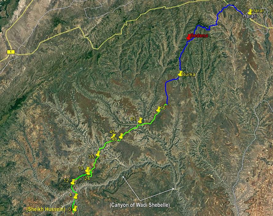
- Between Sheikh
Hussein and Harar. |
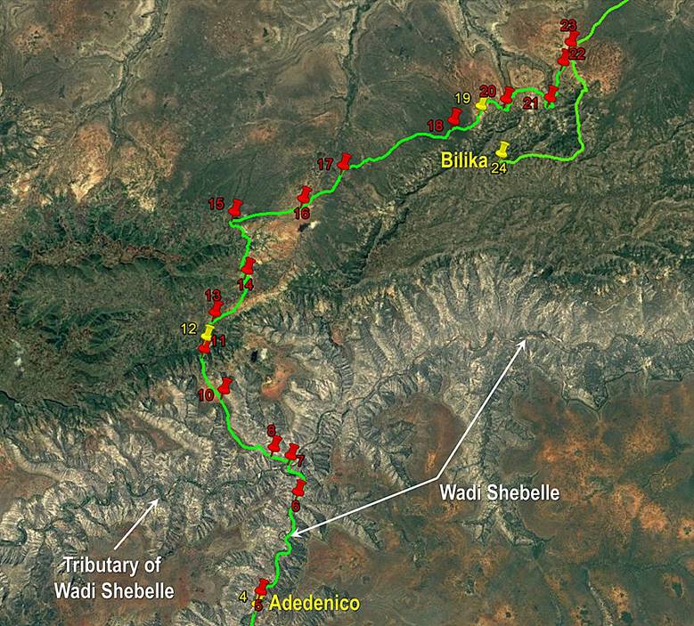
- Between Adedenico and Bilika. |
|
|
|
|
Click here (.kmz file) to access the waypoints and the paths in Google
Earth. |
|
January 14: Adedenico (WP 4) to WP 12
(elevation: 1600m)
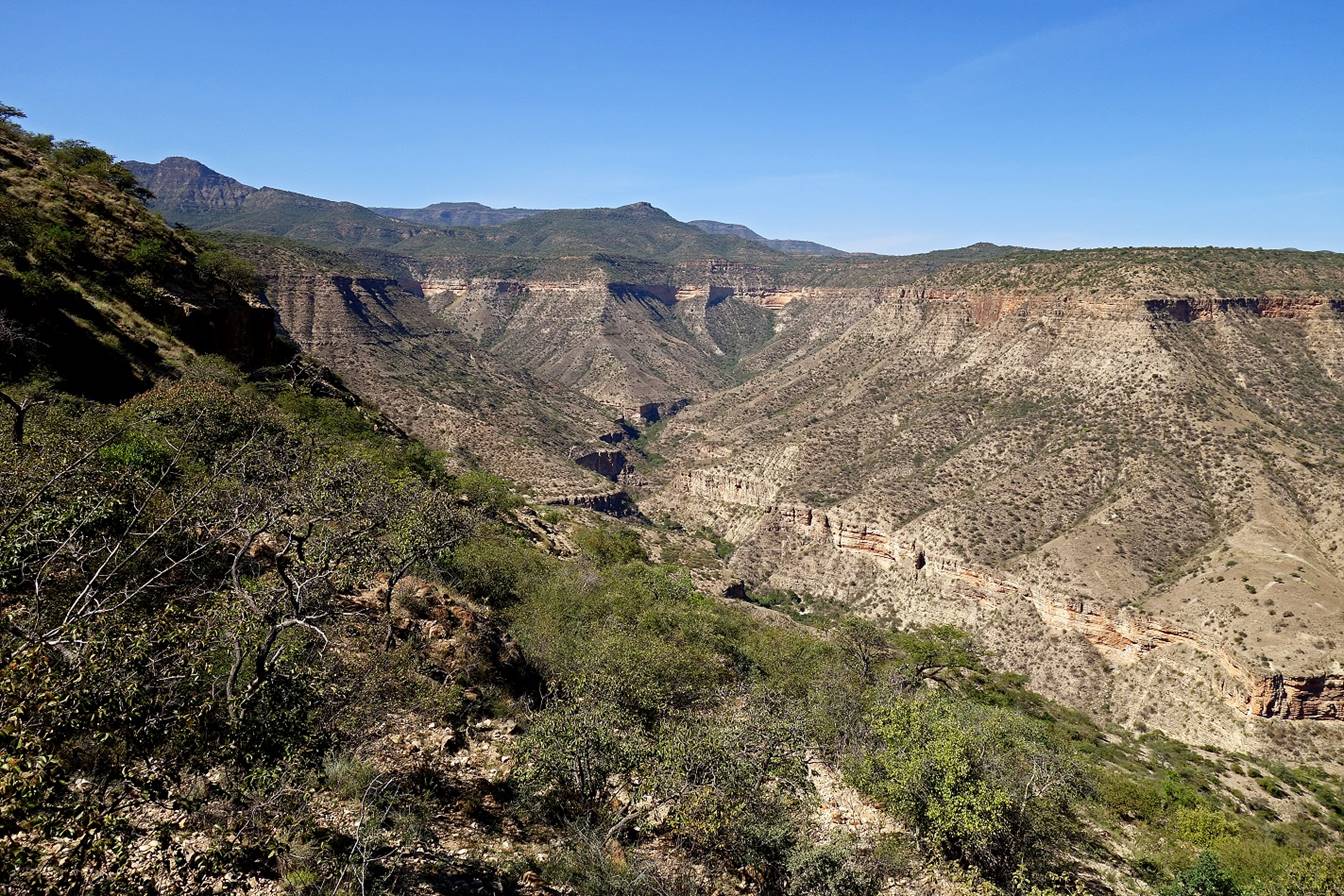
In the morning we
followed the Wadi Shebelle downstream on its right
bank. We passed by several Waradoube villages.
Mid-day we forded the Wadi Shebelle (WP 7) and after
lunch we climbed onto the plateau on the northern side of the Wadi Shebelle. We set our camp near a small pond (WP 12).
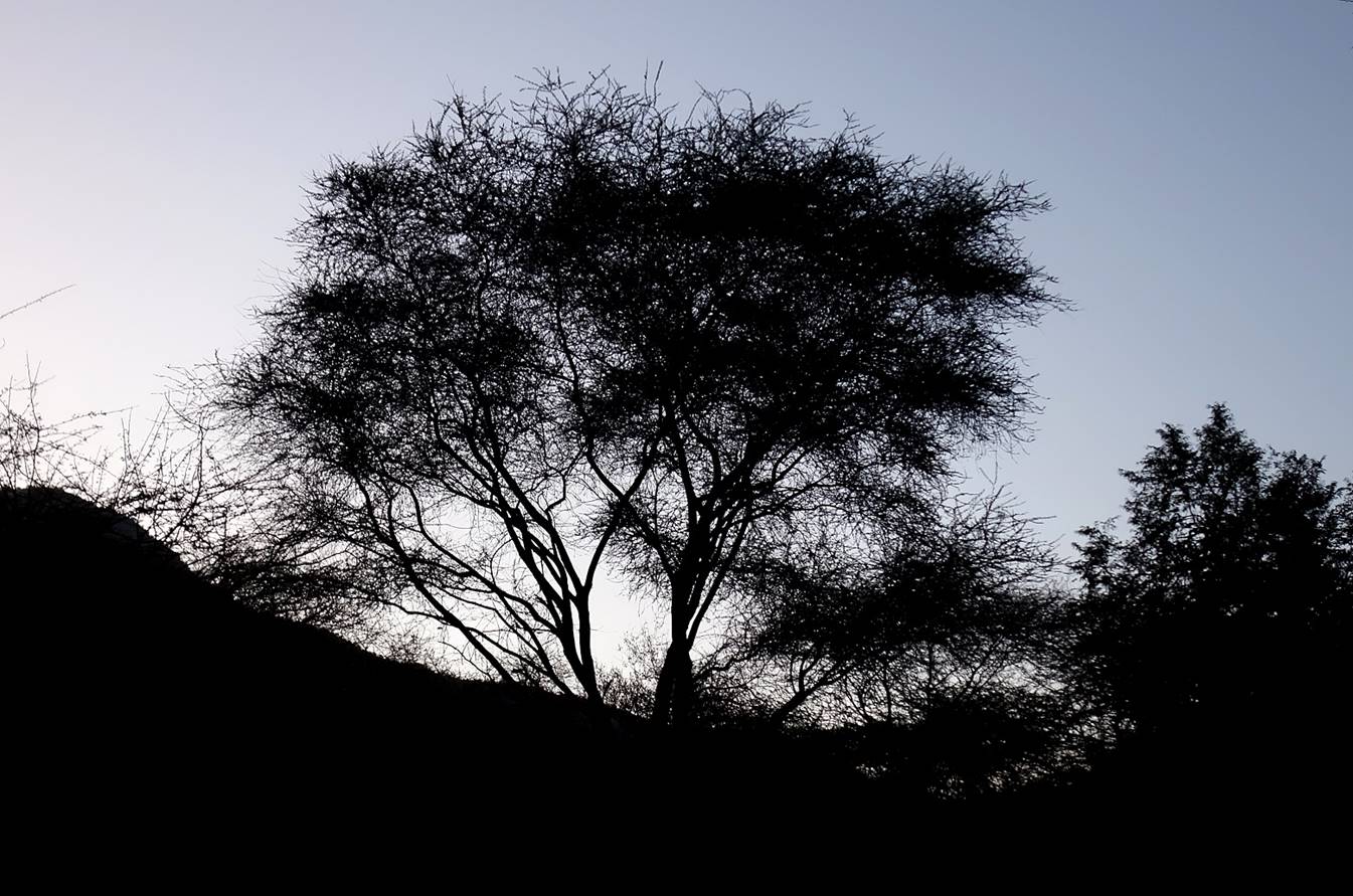
Photos taken near our
WP 4 camp in the early morning.
|
|
|

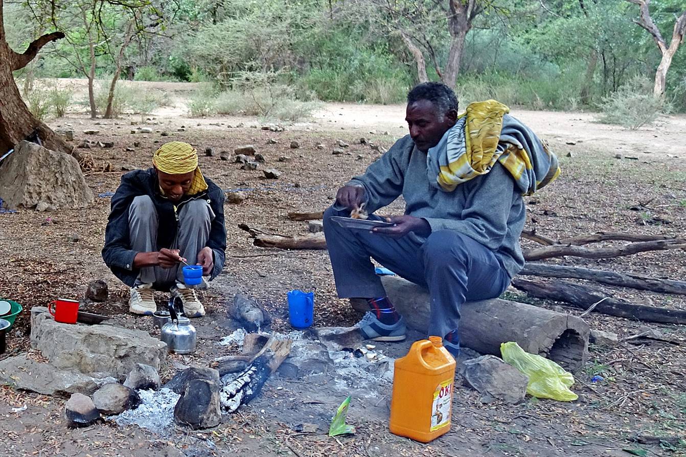
Mahmood (left) and Gebru (right) eating breakfast.
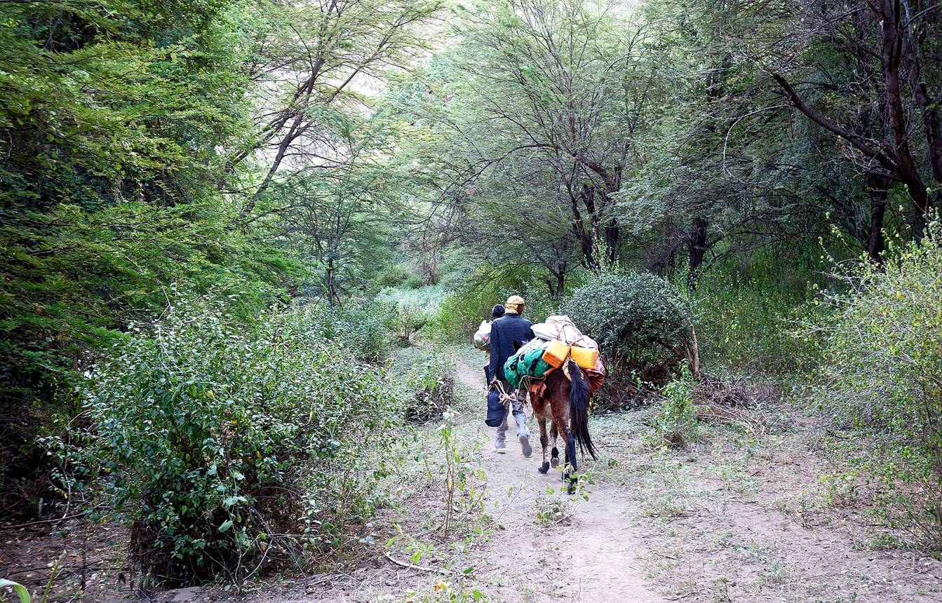
Leaving our camp
along the Wadi Shebelle toward the northeast
(downstream).
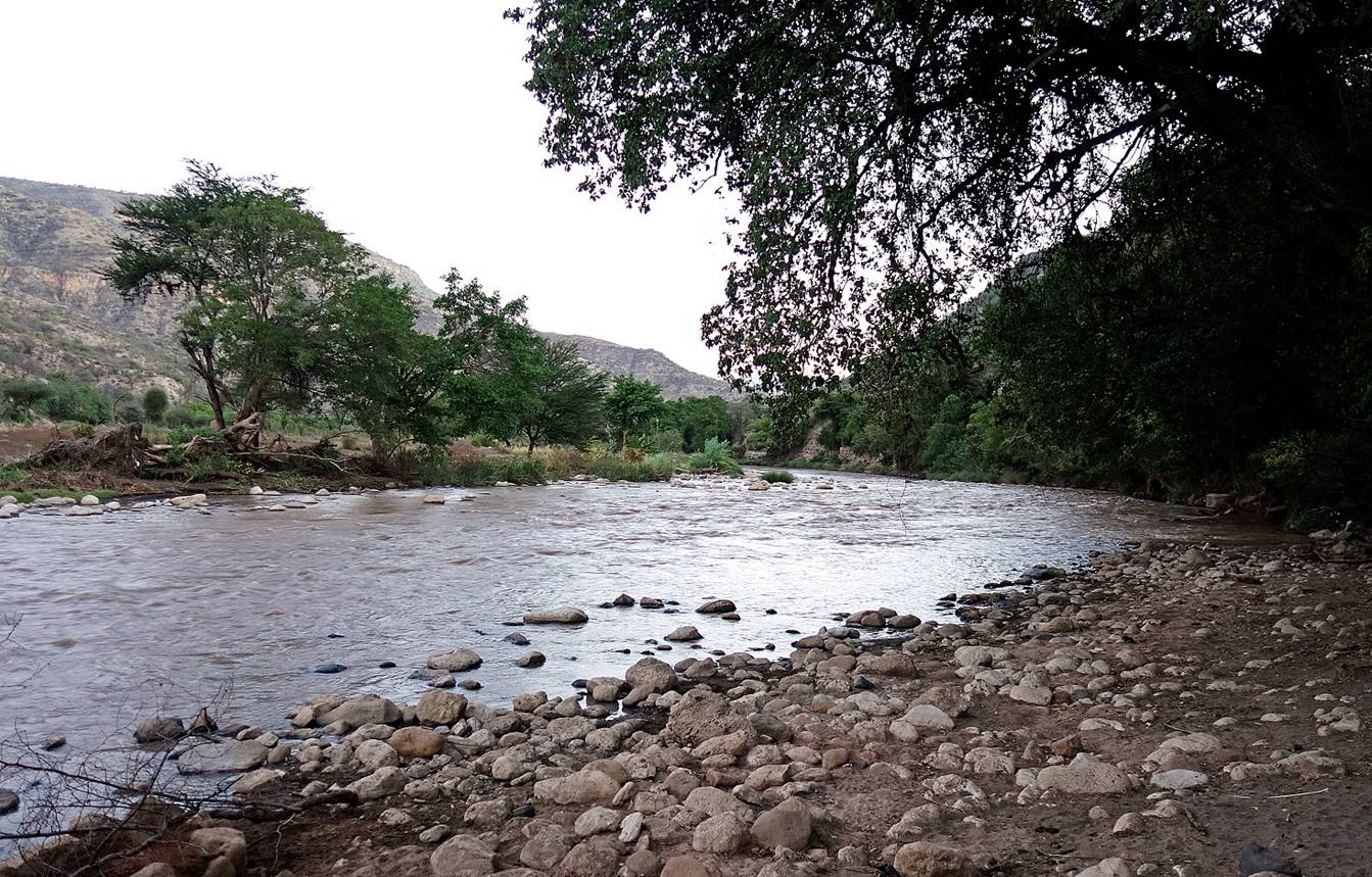
One of the bends of
the Wadi Shebelle.

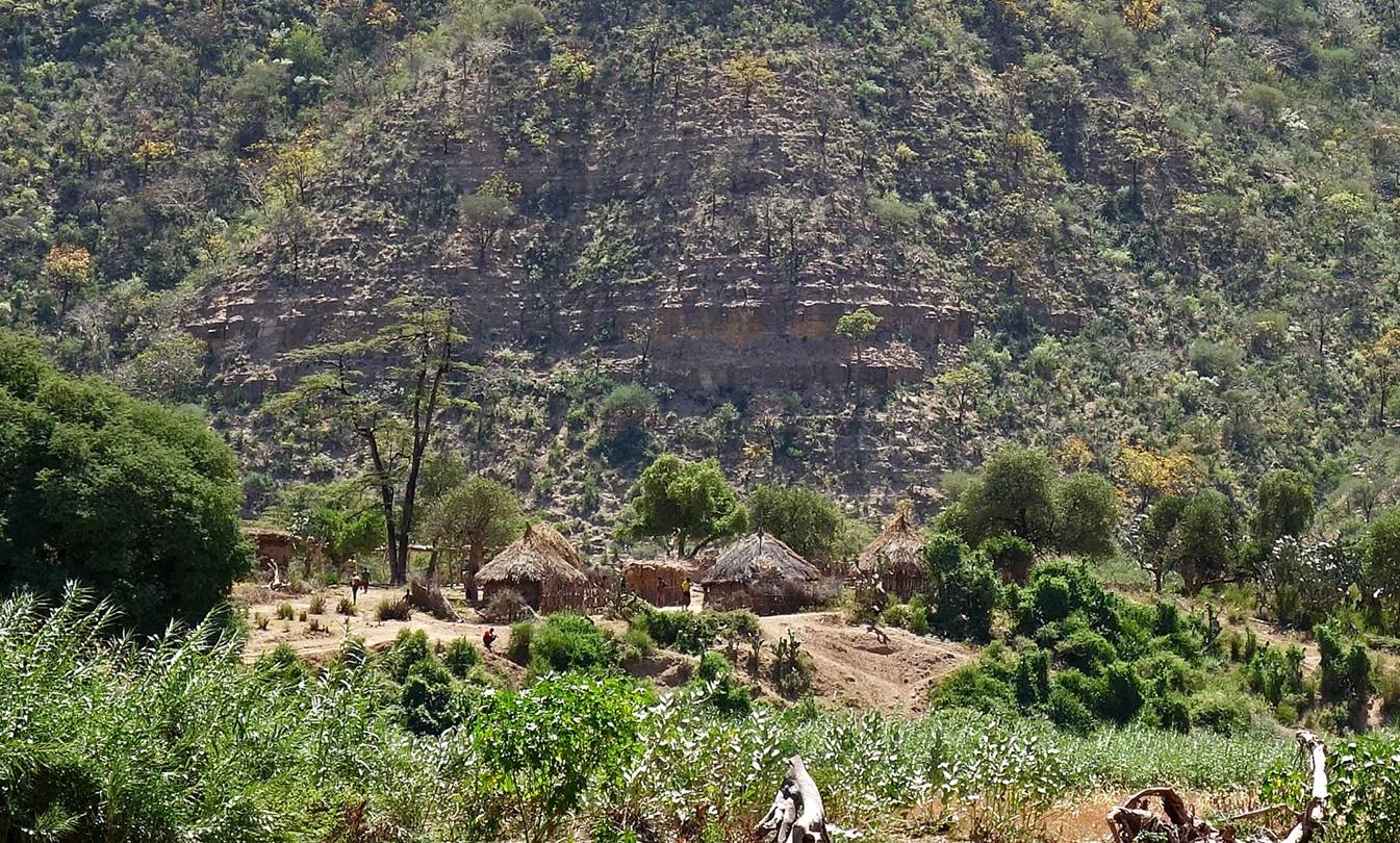
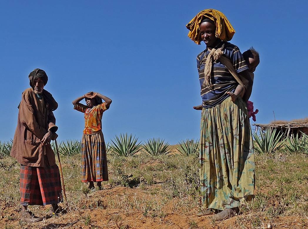
Successive Waradoube villages along the river.
|
|
|

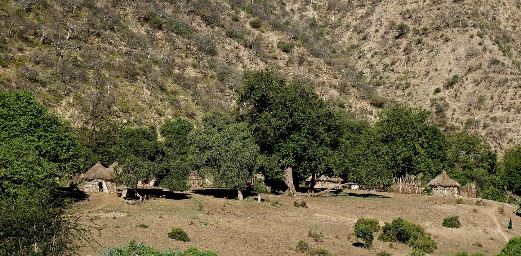
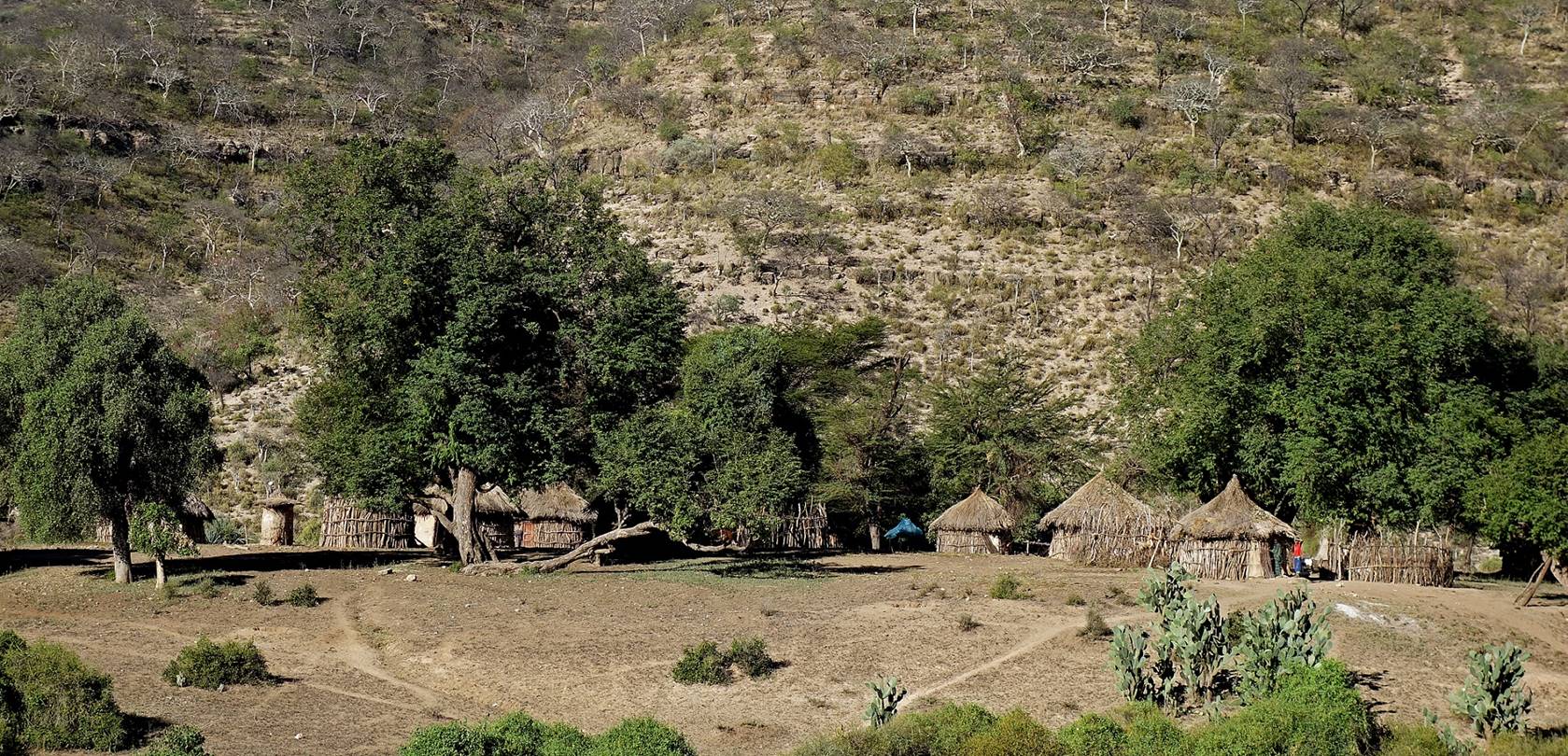
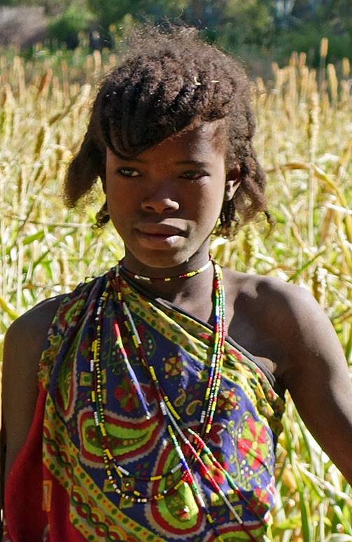
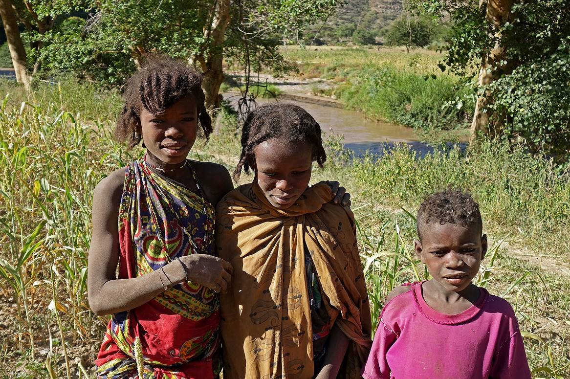
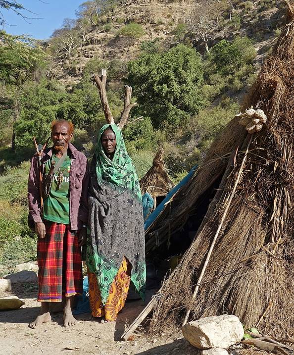
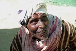
Some Waradoube people encountered along the way.
|
|
|

|
|
|
|
|
|
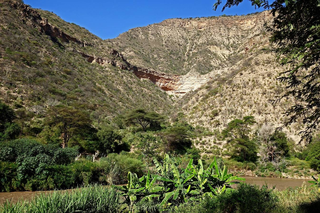
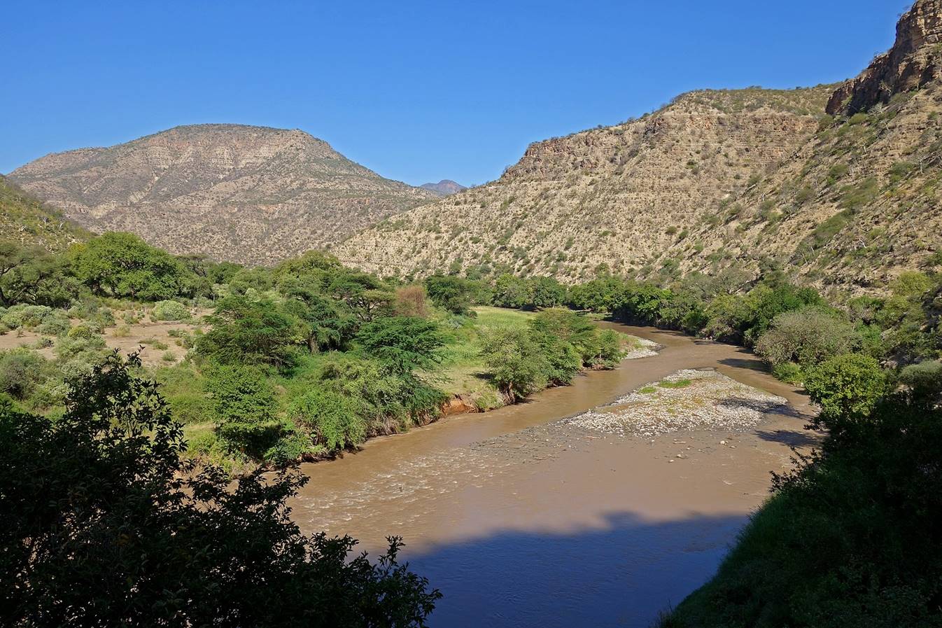
More views along the Wadi Shebelle.
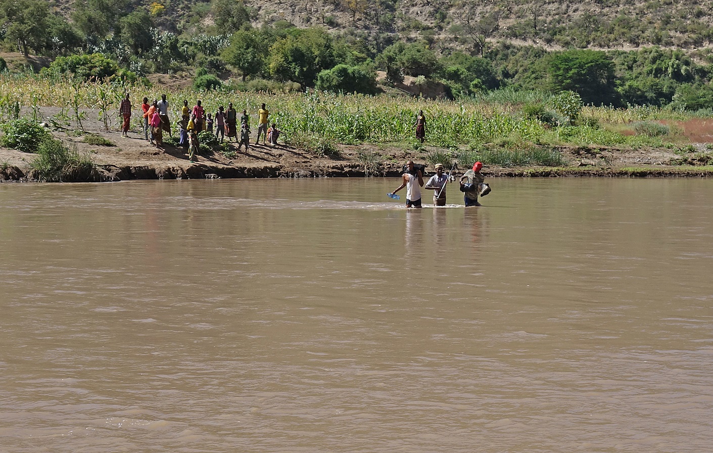
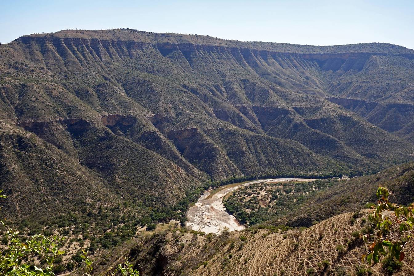
We eventually reached
this village, where we forded the Wadi Shebelle.
Fording the Wadi Shebelle (WP 7). The village chief (a strong man in
his 40s) nicely helped me cross the river, while another man (with the white
T-shirt in the two photos below) carried my backpack.
Gebru reaching the left
bank of the river.

Immediately after
crossing the river we stopped to eat lunch and drink tea, surrounded by most of
the people from the village. Then we started our ascent to the plateau above
the river. At that stage I did not realize that later I would deeply regret not
having spent more time among the friendly Waradoube
people. In retrospect, I think we should have continued following the Wadi Shebelle much further before heading toward the
northeast in the direction of Harar. But I had no
detailed map and I did not know what to expect in any direction. I had only my
GPS to get a sense of direction.
Successive views
during the ascent over:
- The Wadi Shebelle.
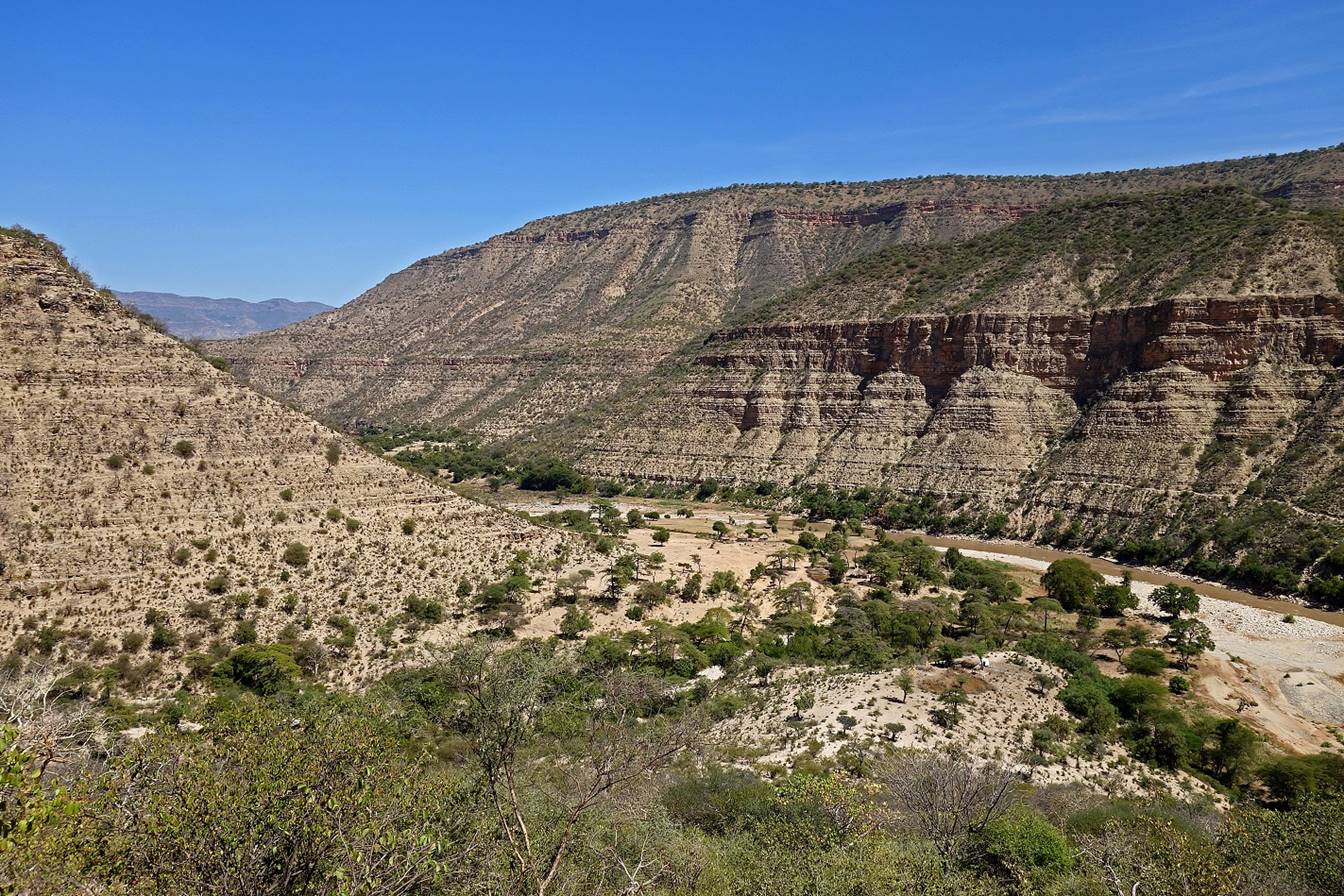
- A side-canyon on
the east of the ascent path.
- The same
side-canyon (looking toward the north).
- The Wadi Shebelle again.

- A tributary that
flows into the Wadi Shebelle a short distance above
the place (WP 7) where we had crossed the river.
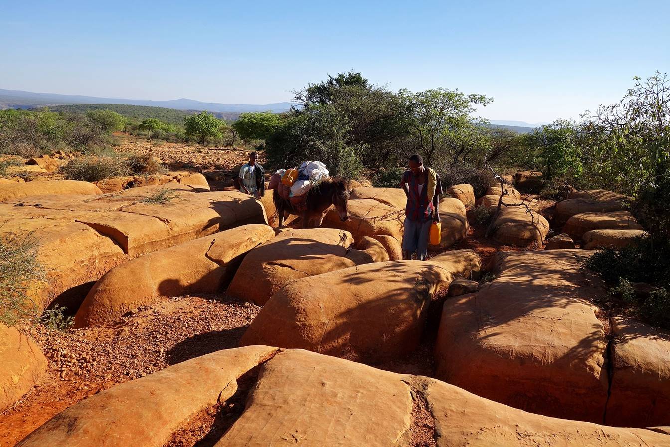
On the plateau large
limestone slabs form a natural, but unusual ″avenue″.
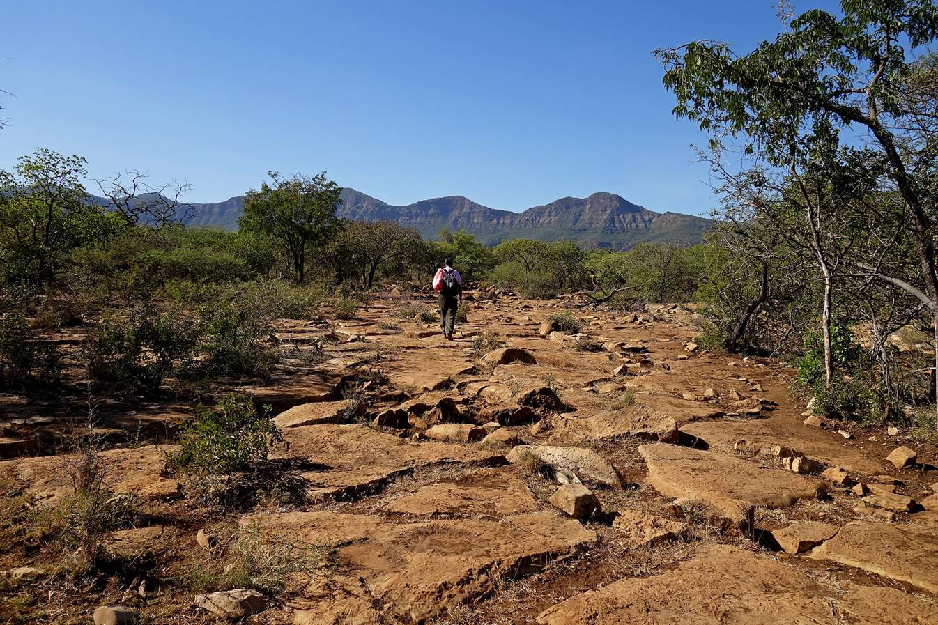
Later
the slabs become more rounded, with deeper trenches between them.

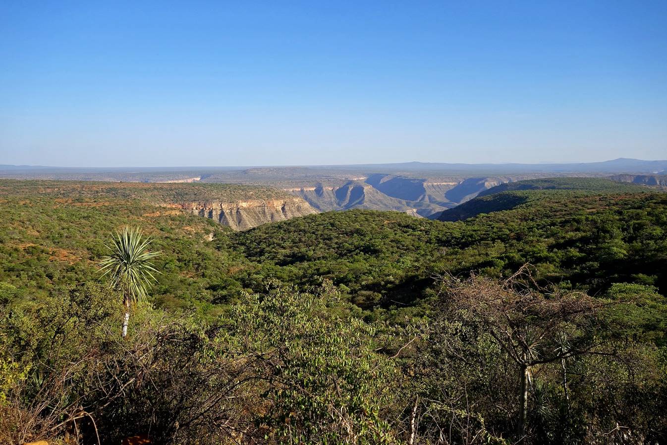
View toward the south
with the canyon of the Wadi Shebelle (and side
canyons) visible in the background. The limestone slab ″avenue″ is
also visible on the right of the photo.
The trail below our
camp.
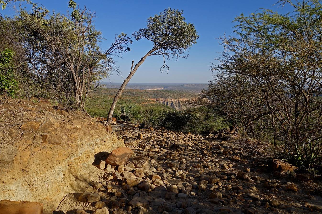
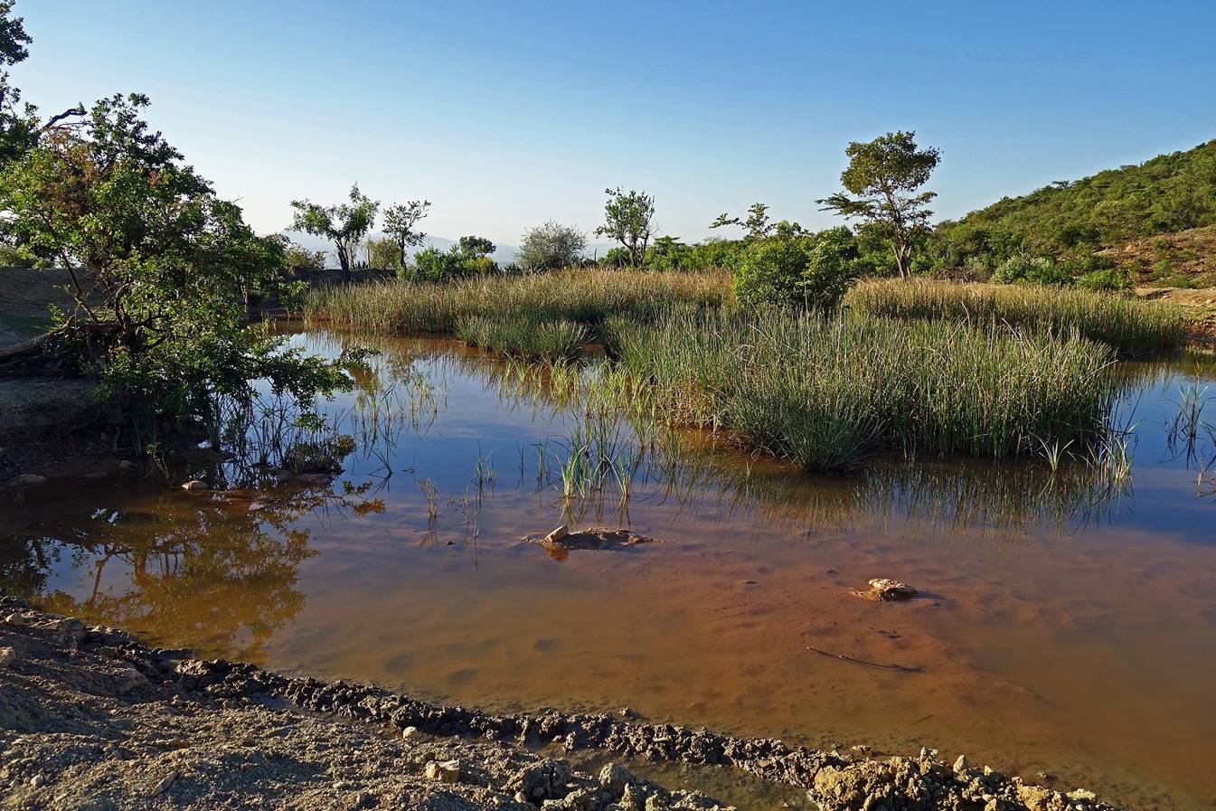
We set our camp (WP
12) near this pond, which was the only available water in the area.
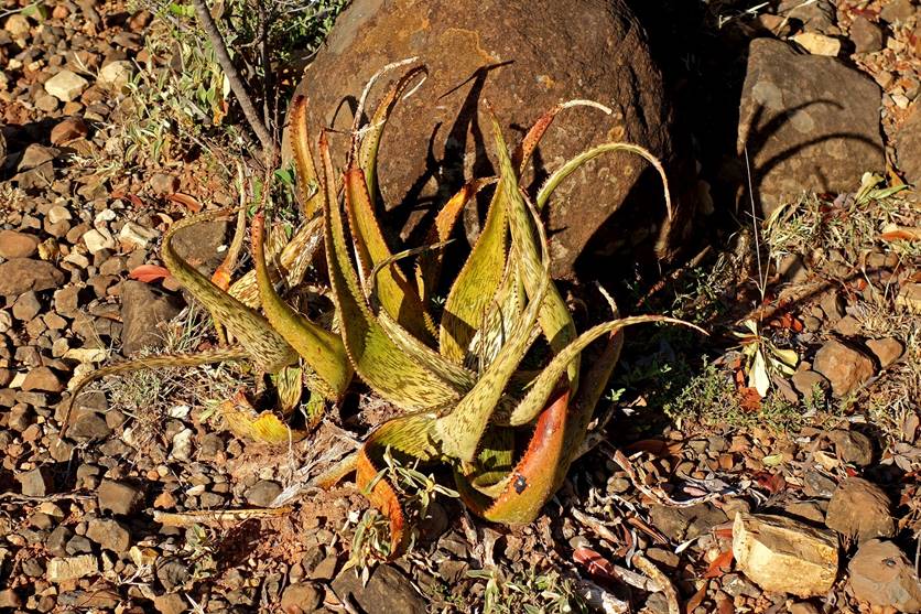
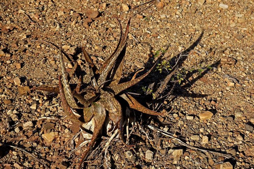
Aloe pirottae at our campsite.
|
|
|
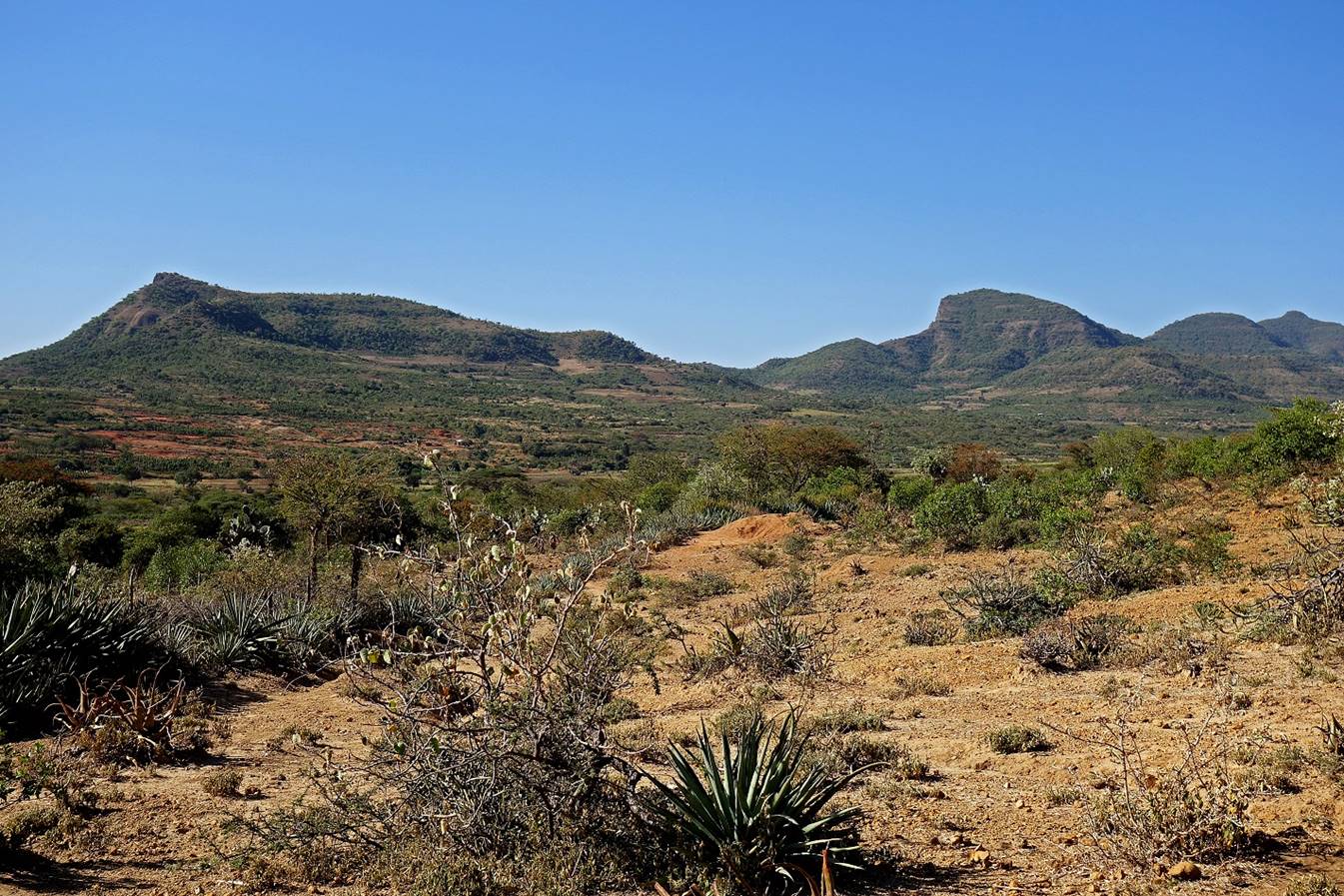
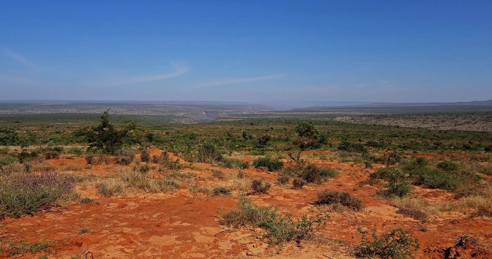
January 15: WP 12 to WP 19 (elevation: 1580m)
This day was much less
exciting than the previous two. We stayed on the plateau, with only small ups
and downs, and the scenery was rather monotonous. At the end of the day we set
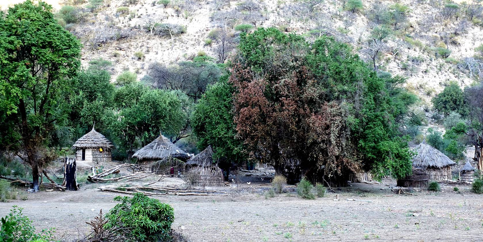
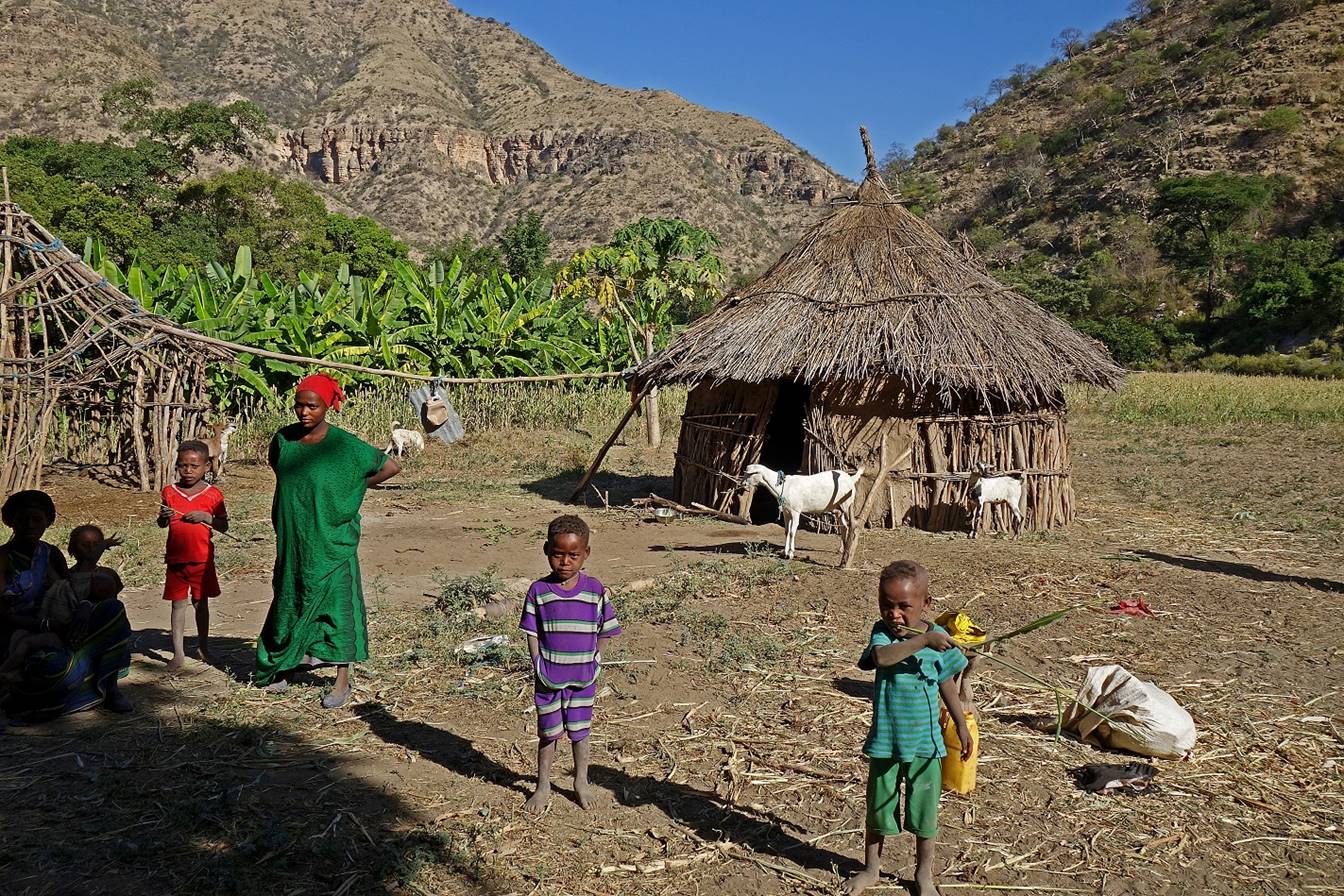
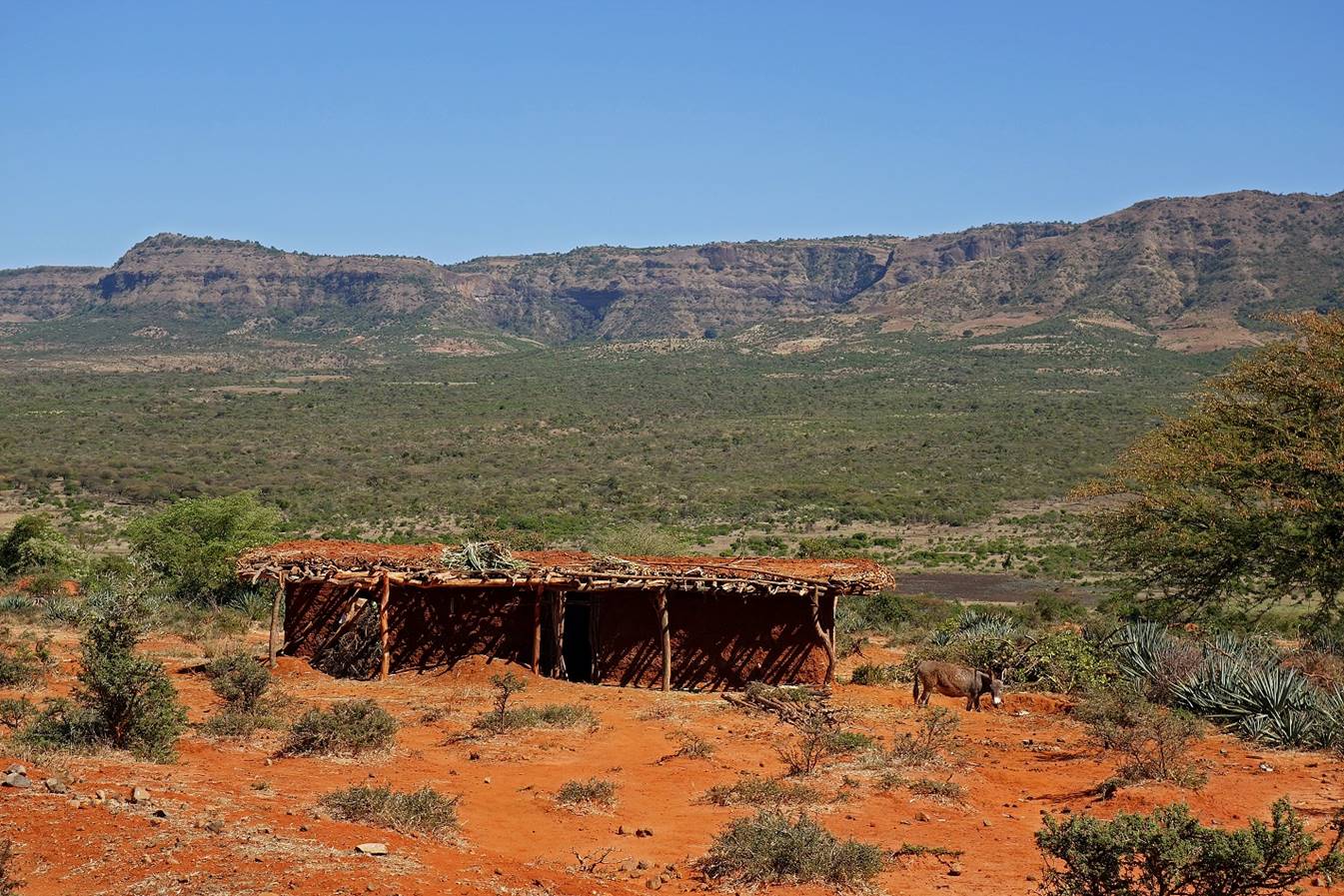
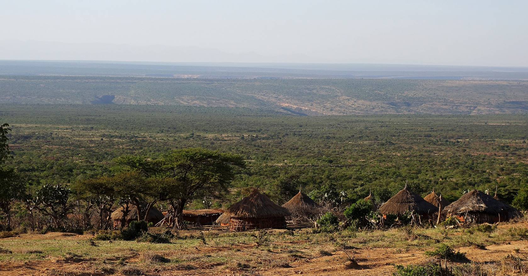
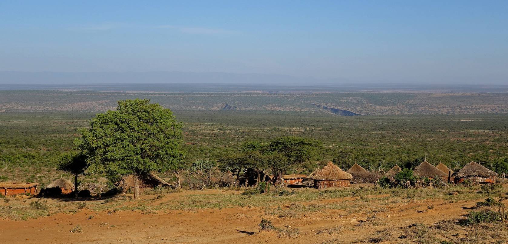
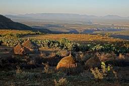
our camp (WP 19) near a small traditional Oromo village.
Our WP 12 camp was
just below a small pass. Crossing this pass led us into a wide green valley.
Obviously this side of the pass receives more water than its southern side.
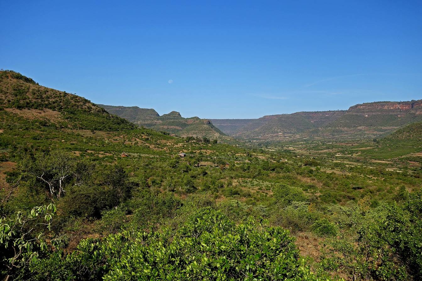

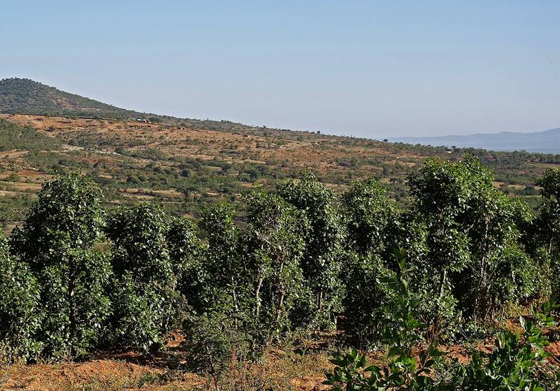
The main culture in
the valley seemed to be chat. These are small chat plantations.
|
|
|
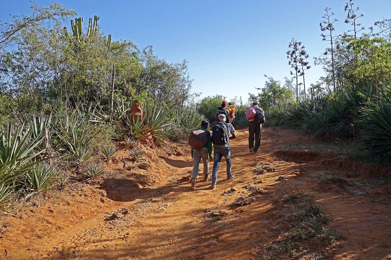
Along the trail.
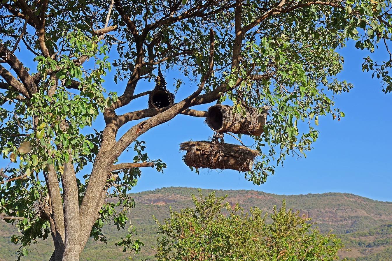
Typical beehives
hanged in a tree.
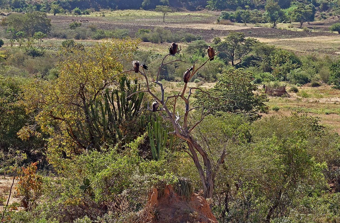
Raptors.
Looking
back toward the south. The low point in the middle of the background is the
pass above our WP 12 camp that we had crossed a couple of hours earlier.
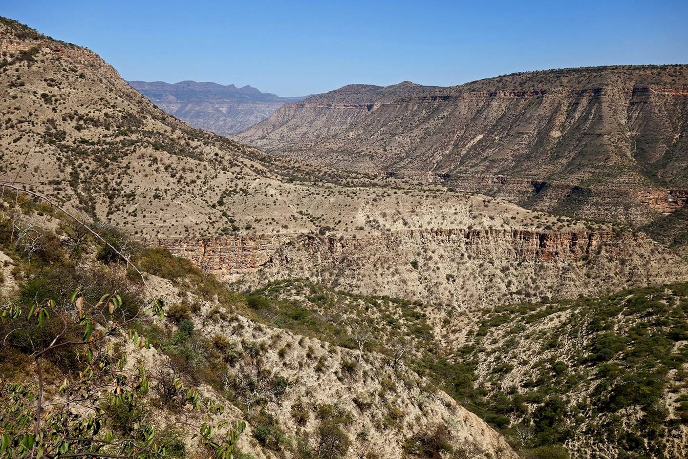
From there (roughly
WP 14) the terrain got increasingly dryer.
View toward the north
from WP 15, not a very exciting one.

Farms between WP‛s
15 and 18.
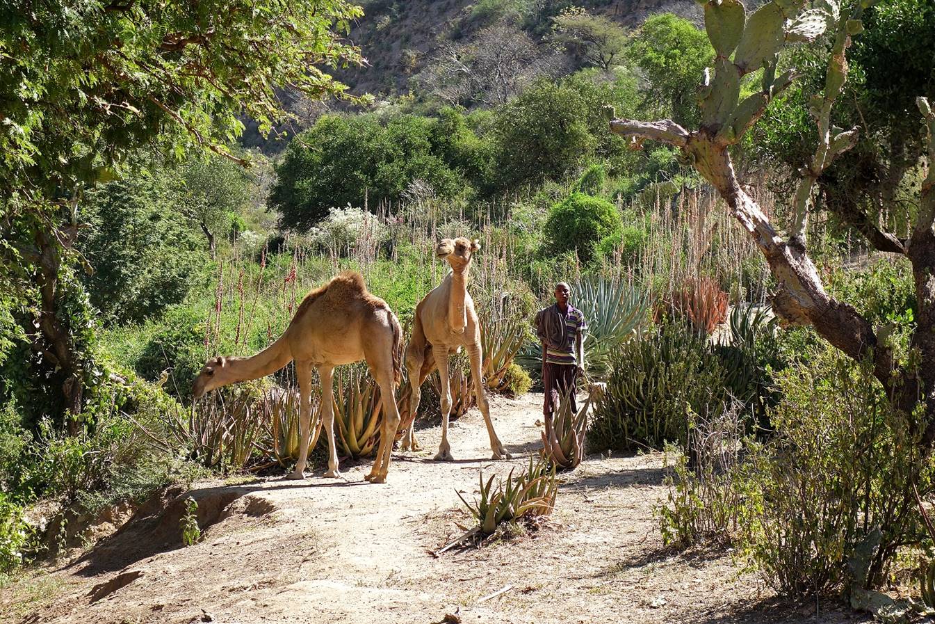
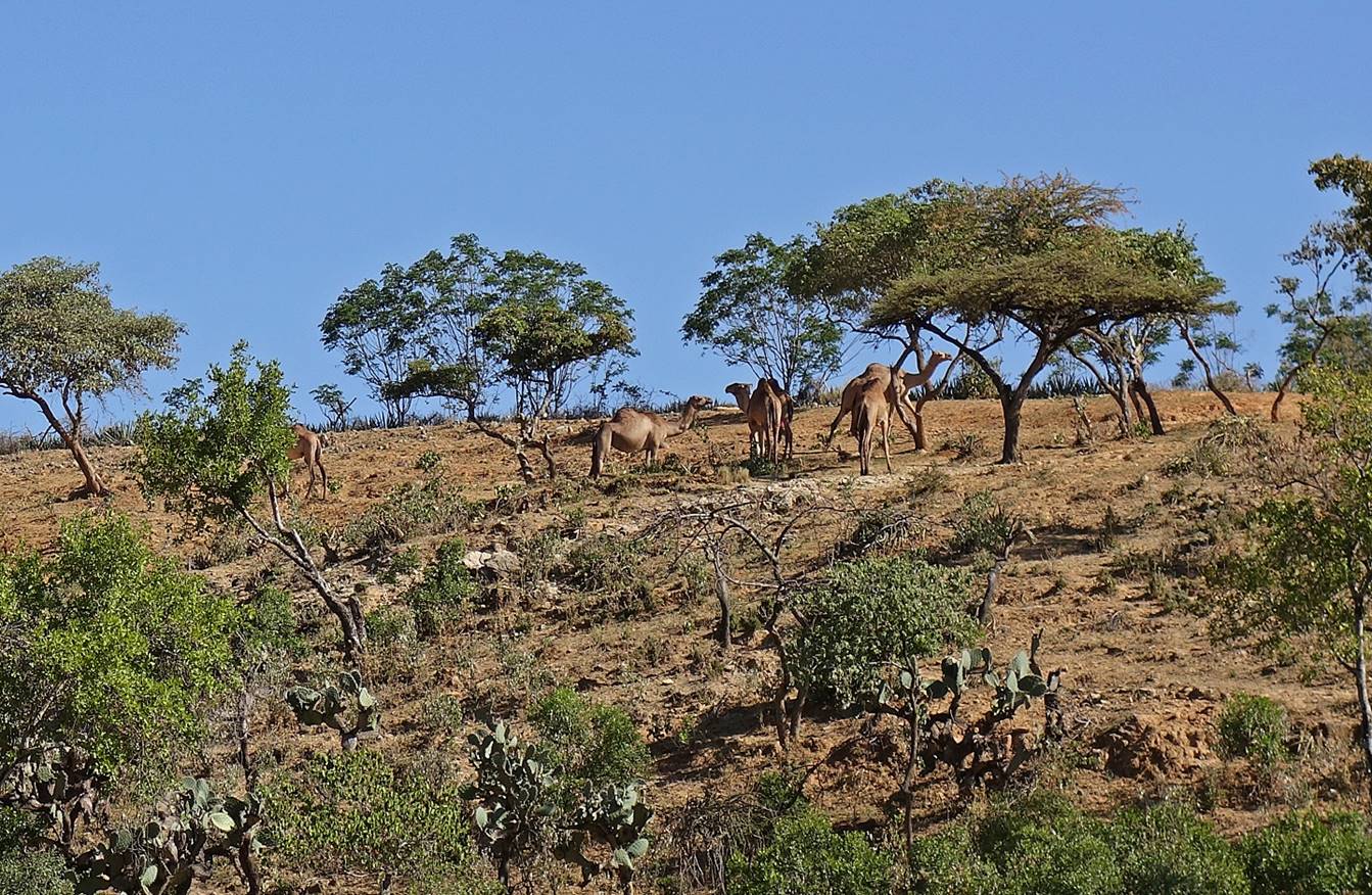
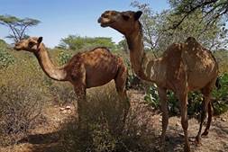
Cactus pads are rich
in nutrients and minerals. Camels like them.

Oromo farmer trying
to make sense of my presence.
|
|
|
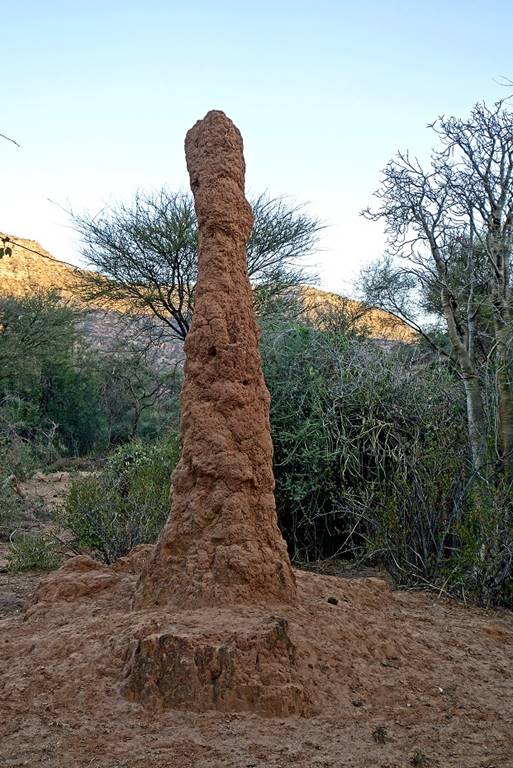
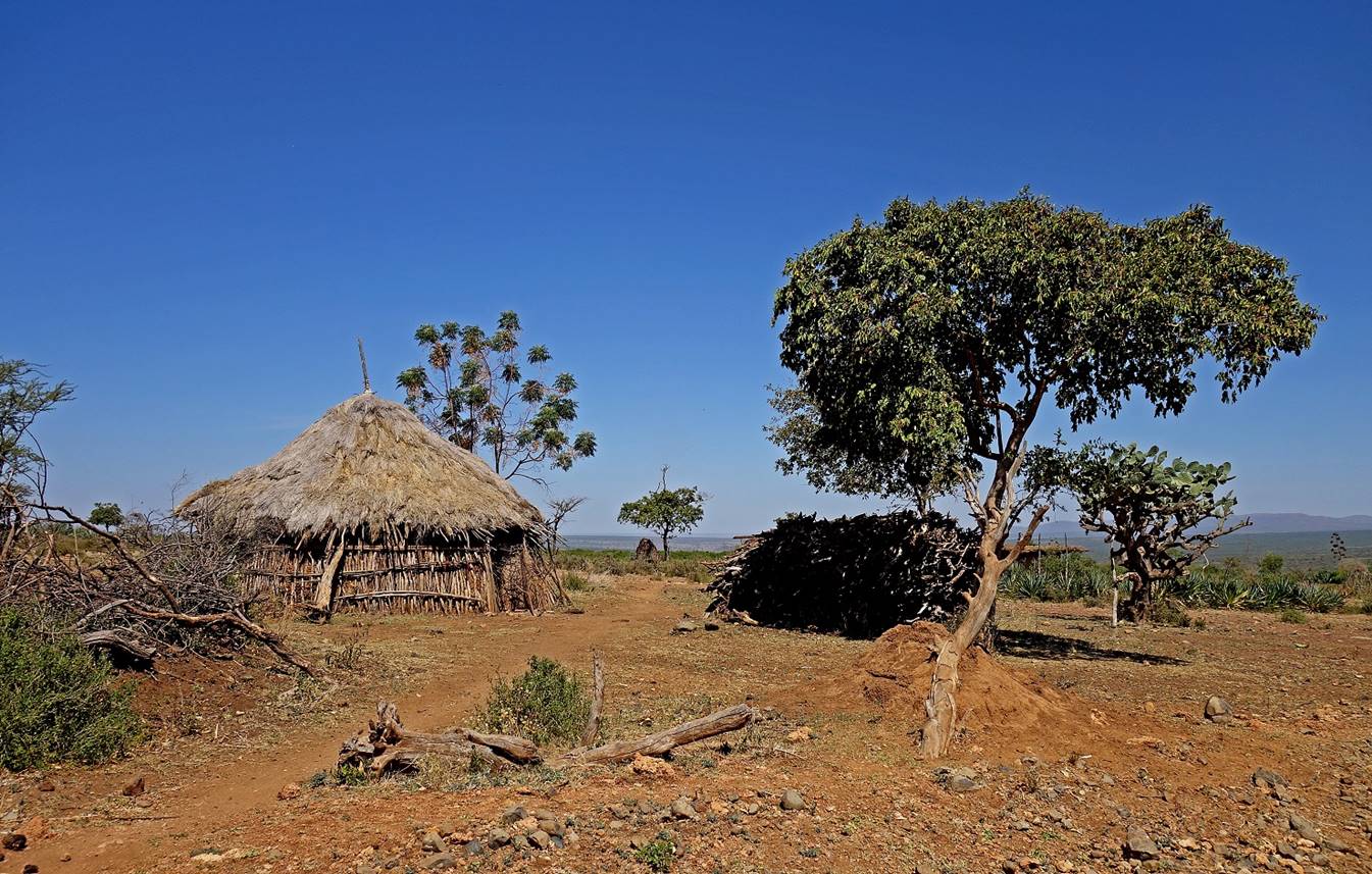
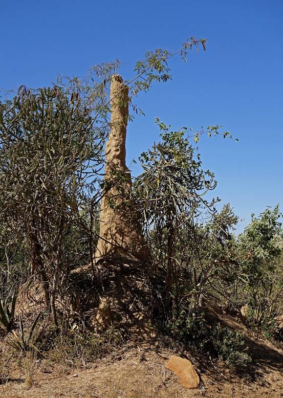
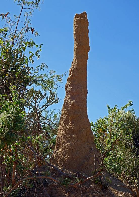
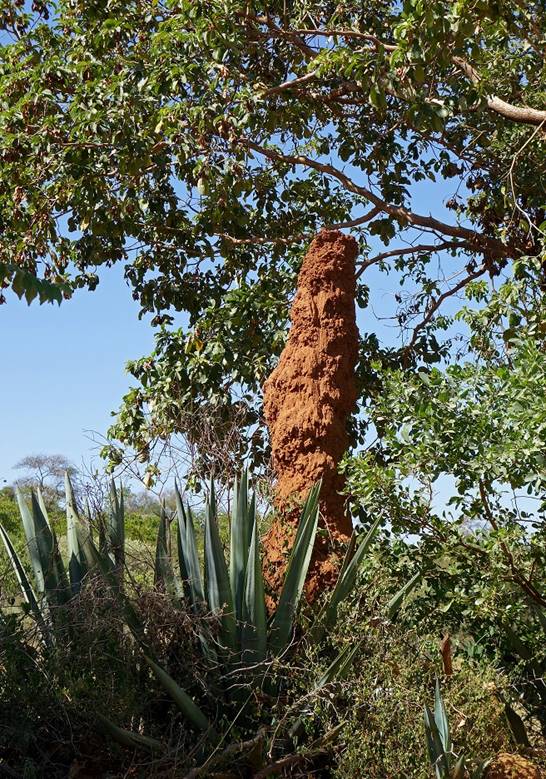
Termite mounds.
|
|
|
|
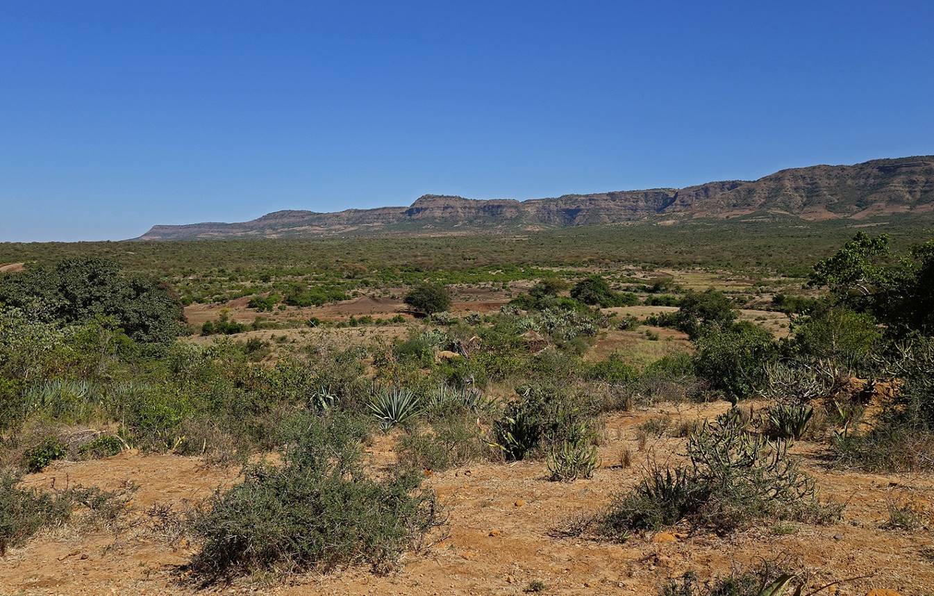
Landscapes between WP‛s
15 and 18.
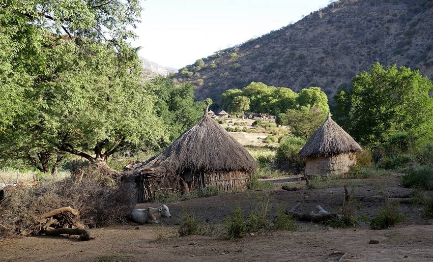
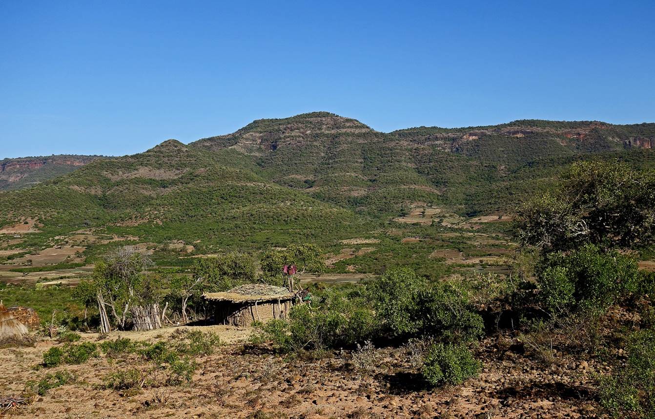
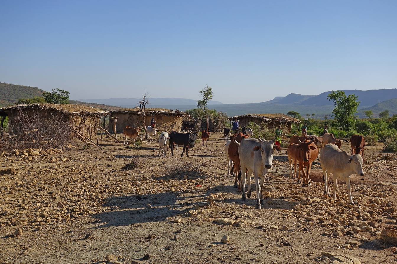
The small village
near which we set of camp (WP 19). The second photo below was taken on the
following morning.
Views around the
village.
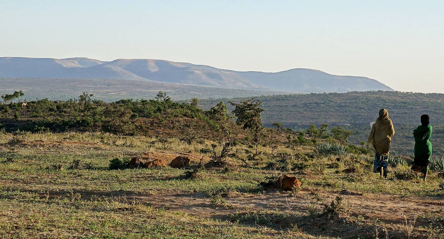

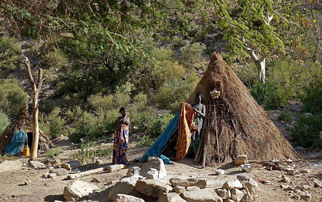
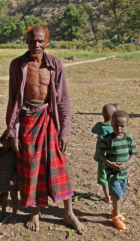
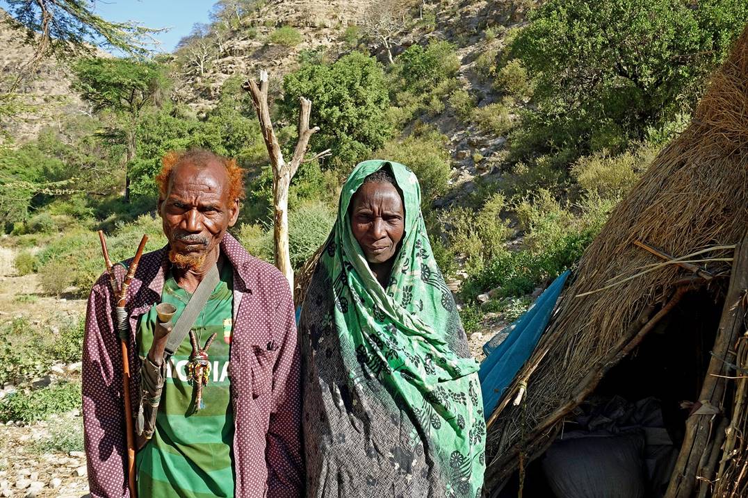
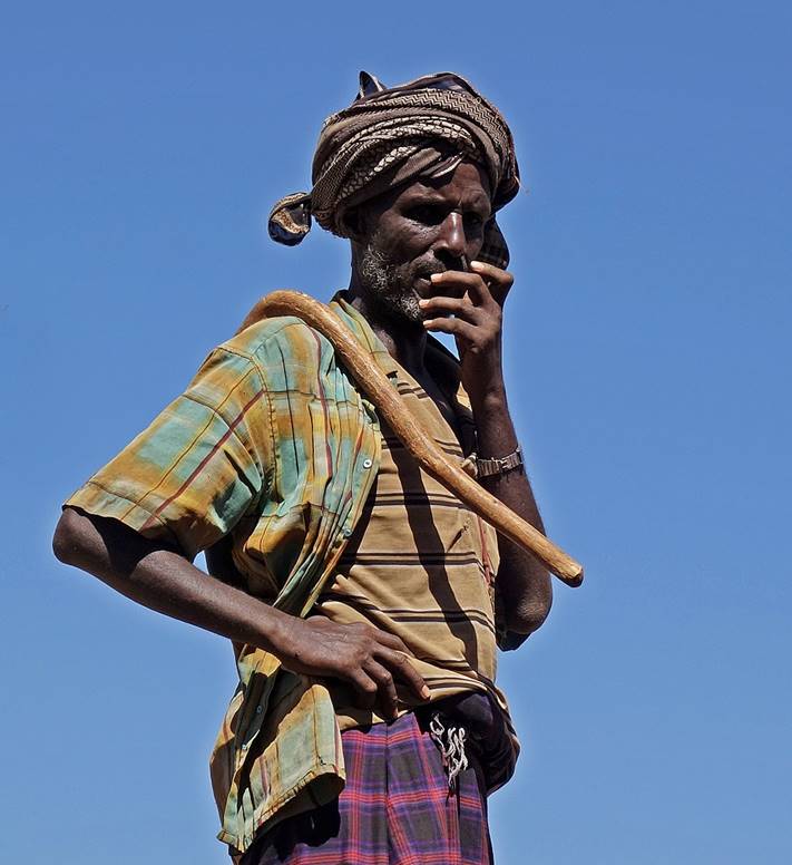
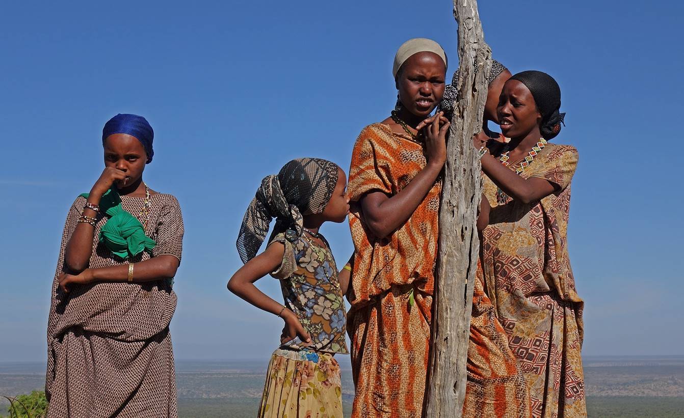
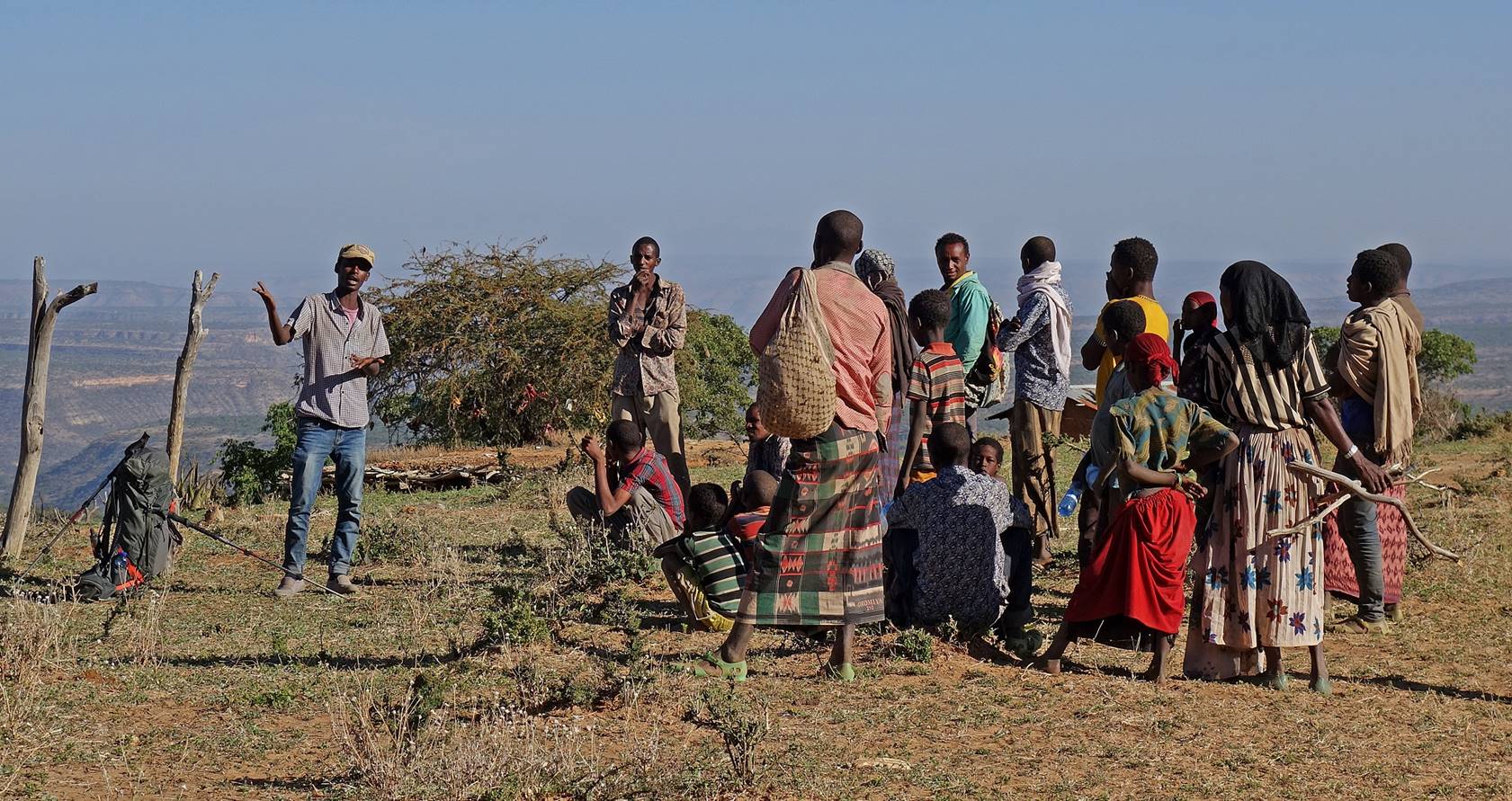
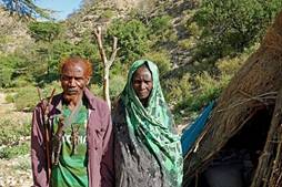
Some people from the
village. They were neither friendly, nor hostile. The faces express both
curiosity and fear, wondering who I was and what I was doing here.
|
|
|

Numan talking to a group
of people. I guess he was explaining what we were trying to do: going from
Sheikh Hussein to Harar mostly on foot. I am not sure
that they understood or that he convinced them.
January 16: WP 19 to Bilika (WP 24,
elevation: 1800m)
The muleteer and the
militia man left us and returned to Sheikh Hussein as expected. So, we bought a
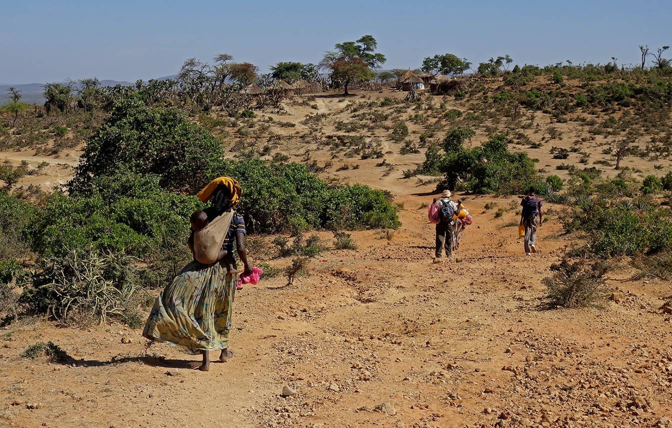
donkey (for 3,250 Ethiopian Birrs, approximately US$145) and we (Gebru, Numan, Mahmood, and me)
continued our journey with this donkey. Our goal was to reach a village called Furdo some 20km to the northeast. But things turned out
differently and we ended up sleeping in the police station of Bilika.
Buying the donkey
took us some time and we left the village toward the east rather late, around
10am.
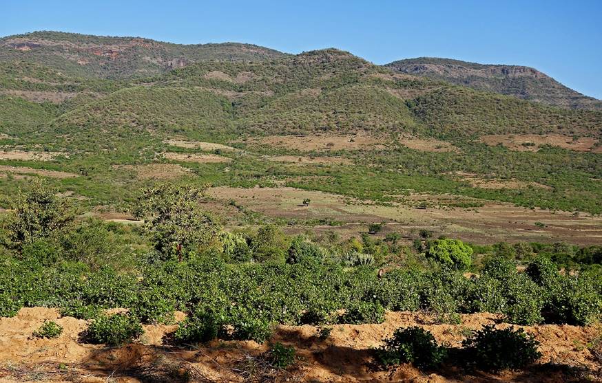
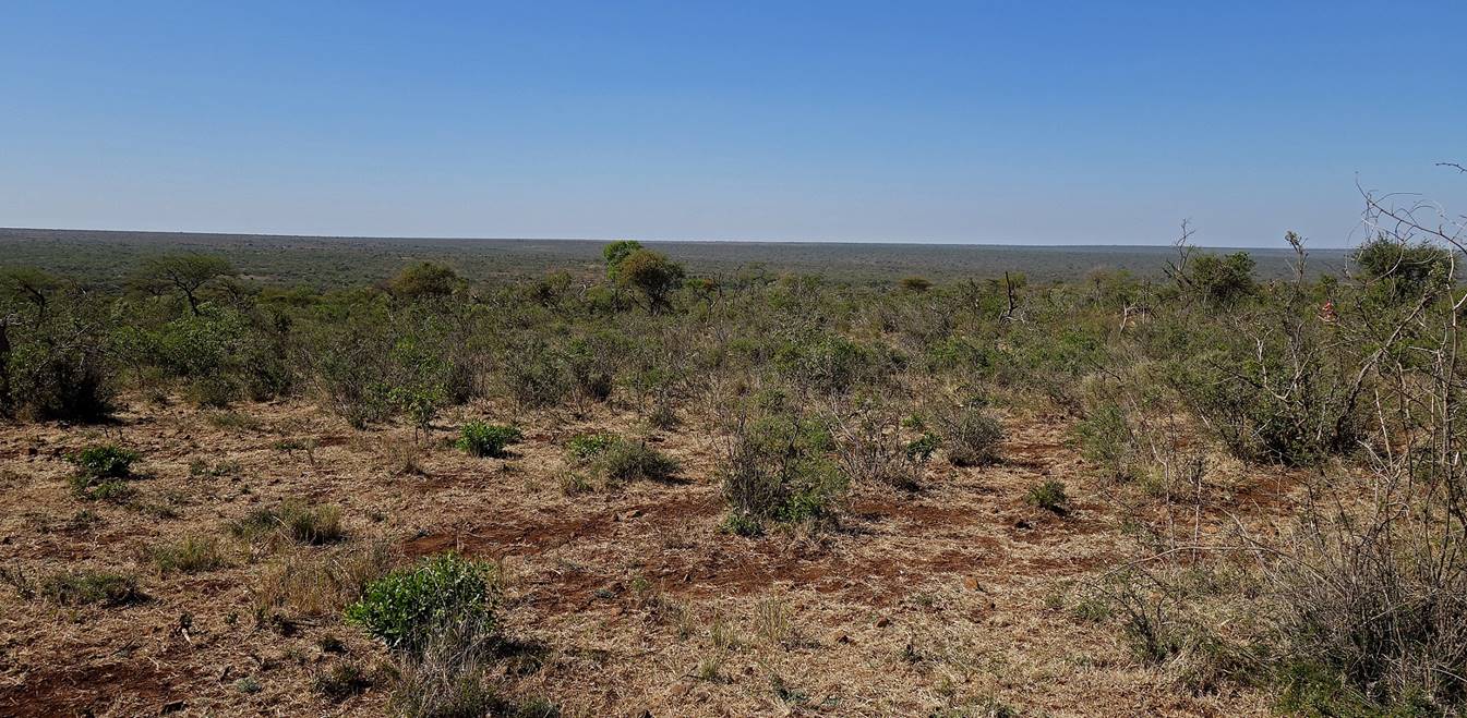
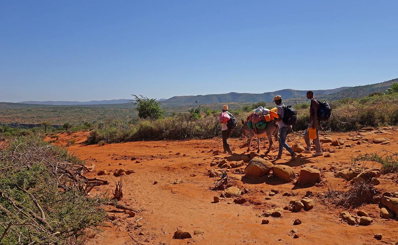
The landscape
remained flat, except for some small hills to the south and some distant
canyons to the north.
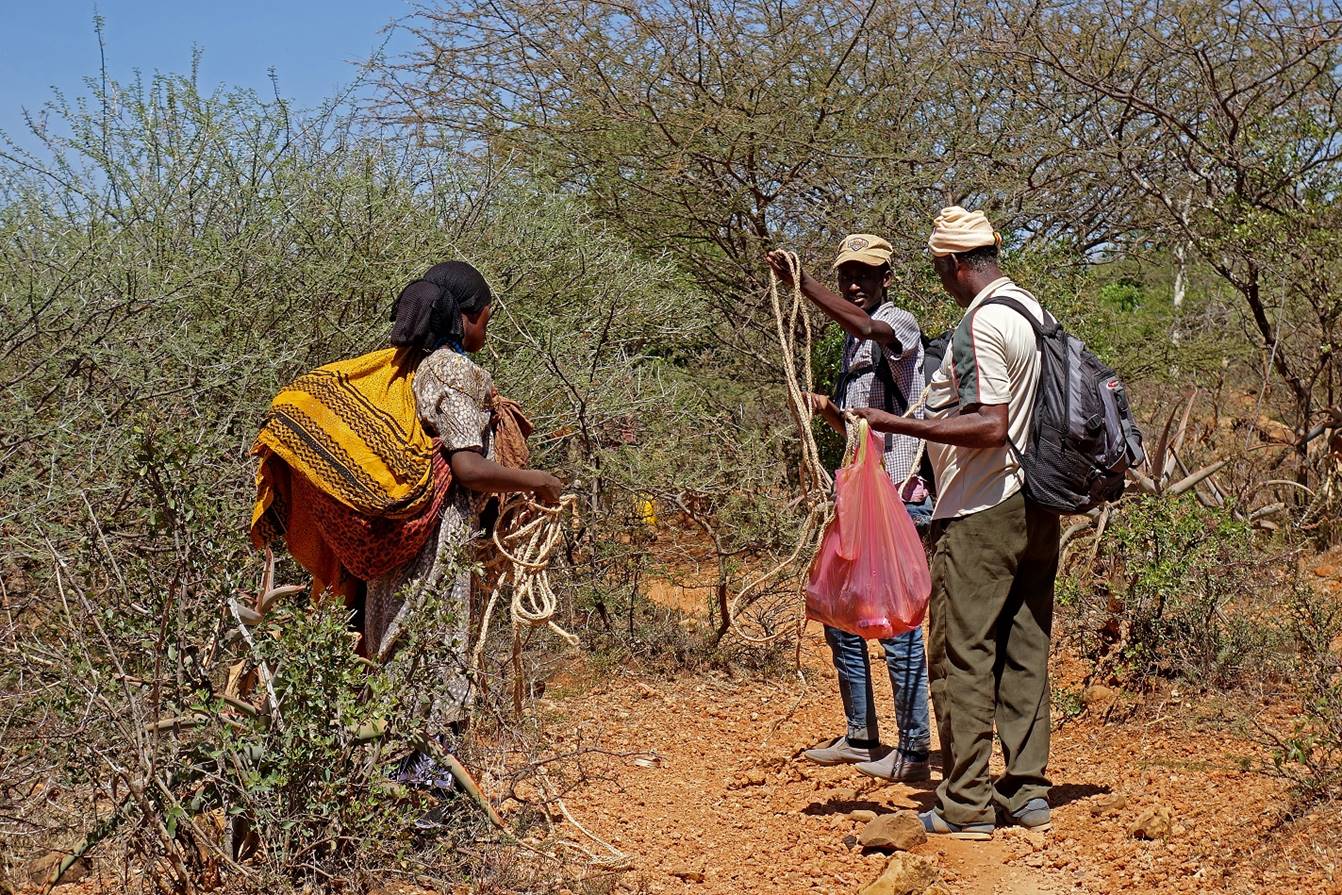
Gebru and Numan buying locally made ropes for our donkey from a woman
encountered on the trail.
Mid-day we reached a
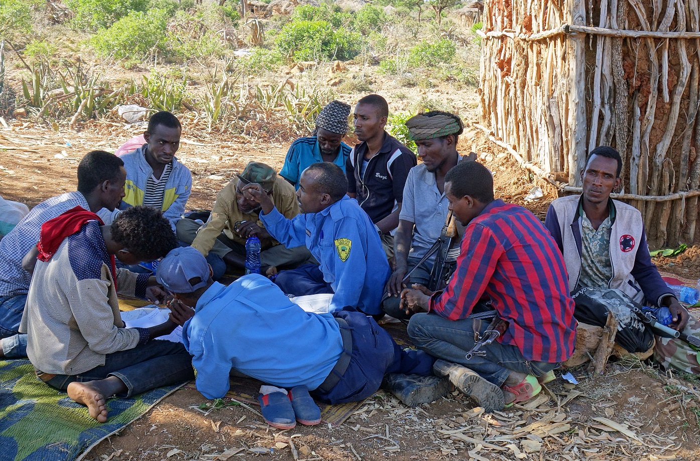
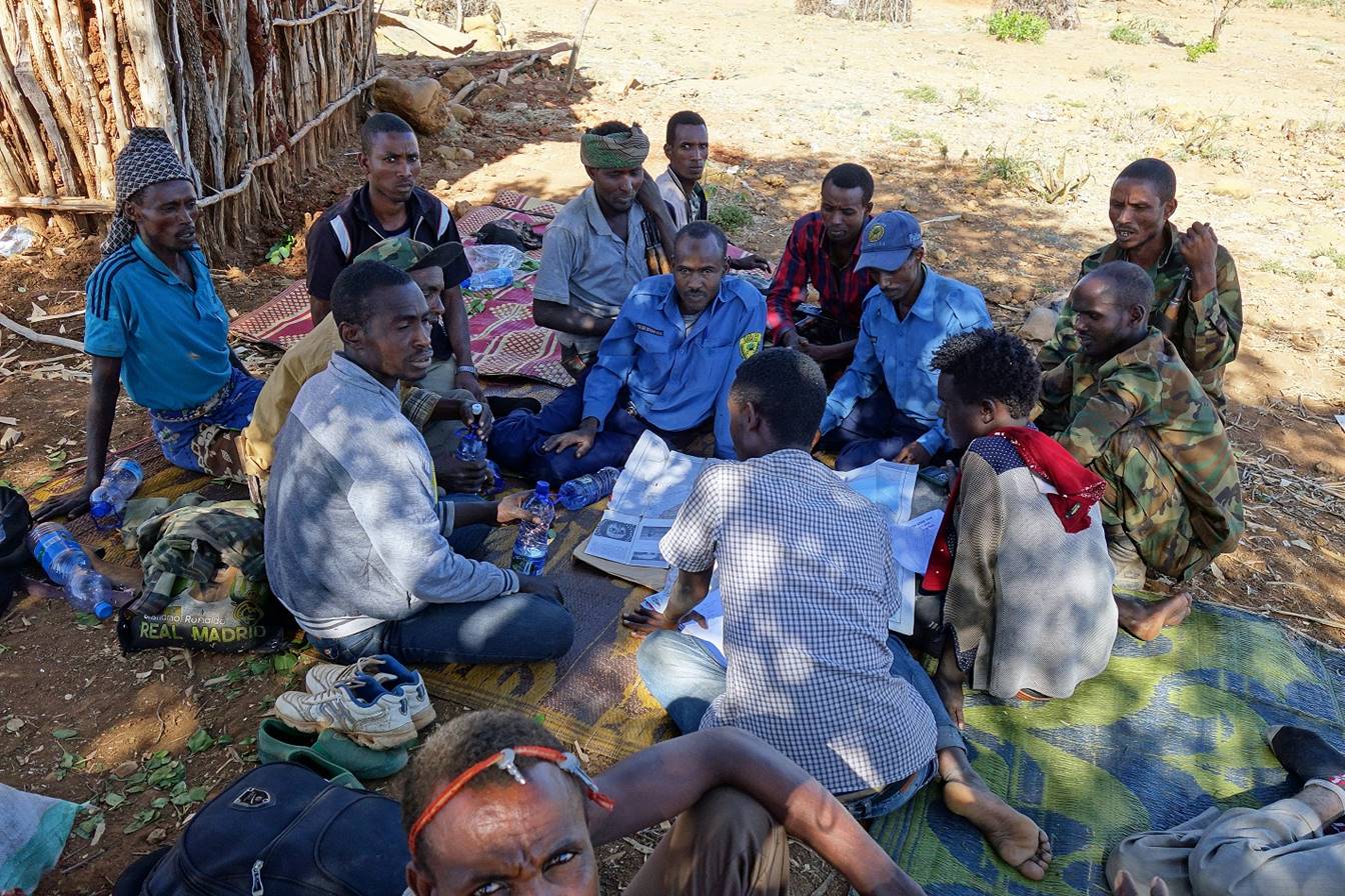
tiny village (WP 23) where we stopped for lunch. This is where a group of seven
armed policemen and militia men from the village of Bilika
(WP 24, 7km away) arrived on foot. They were aggressive and declared that my
presence here was illegal (that was Numan‛s
translation). I believe that they had been informed by people from the village
where we spent the previous night. The situation was quite volatile, with no
one seeming to know what to do and one policeman and one militia man shouting
at us. While Numan was showing our permits and trying
to explain what we were doing on a map (photos below), Gebru
was able to call Solomon in Addis Ababa (fortunately, there was a transmission
tower in Bilika providing cell phone coverage). Much
later, Solomon told us that he had informed some high-ranking people of our
problems and that the order to let us go will eventually reach the policemen,
but it could take time. The policemen and the militia men spent the entire
afternoon chewing chat and nothing happened.
In
the evening I decided to set up my tent and sleep, since I thought that we
would all spend the night here. However, around 9pm, two additional policemen
came and asked me to undo my tent and re-pack my stuff. The entire group
(policemen, militia men, Gebru, Numan, Mahmood, me, and my donkey) hiked in the
dark to a stony road where the police chief of Bilika was waiting with an open
truck and more armed policemen. They had decided to take us to their station in
Bilika. There was no space on the truck for the donkey, so Numan paid a local
man to bring it to Bilika. Around 10:30pm the truck stopped to let the police
chief take a phone call. The commander of the zone was calling to telling him
that I was not illegal and that he should let me continue my journey. Thanks
Solomon! Since we were in the middle of nowhere with no water, the truck drove
us to Bilika. There, we set our tents in the police coumpound (WP 24). On the
next morning we left Bilika early without seeing any policeman.
Thanks
to Solomon, the commanders of the two zones that our trek was traversing were
now informed of our presence, and we had their phone numbers. Having these numbers
will be useful again on at least two occasions.
![]()
Links
to the various sections of the trip:
|
|
|
|
|
|
|
![]()