Ethiopia (January 2017): Across northeastern Oromia, from Sheikh Hussein to Harar
4. Days 10 to 13: Daffe (WP48) to Harar
![]()
Return to main Ethiopia January 2017 webpage
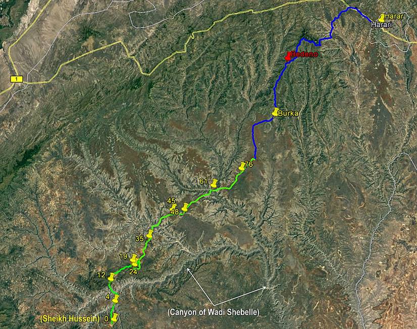
Maps:
|
- Between Sheikh
Hussein and Harar. |
- Between Daffe and WP
78 (end of trek). |
|
|
|
|
Click here (.kmz file) to access the waypoints and the paths in Google
Earth. |
|

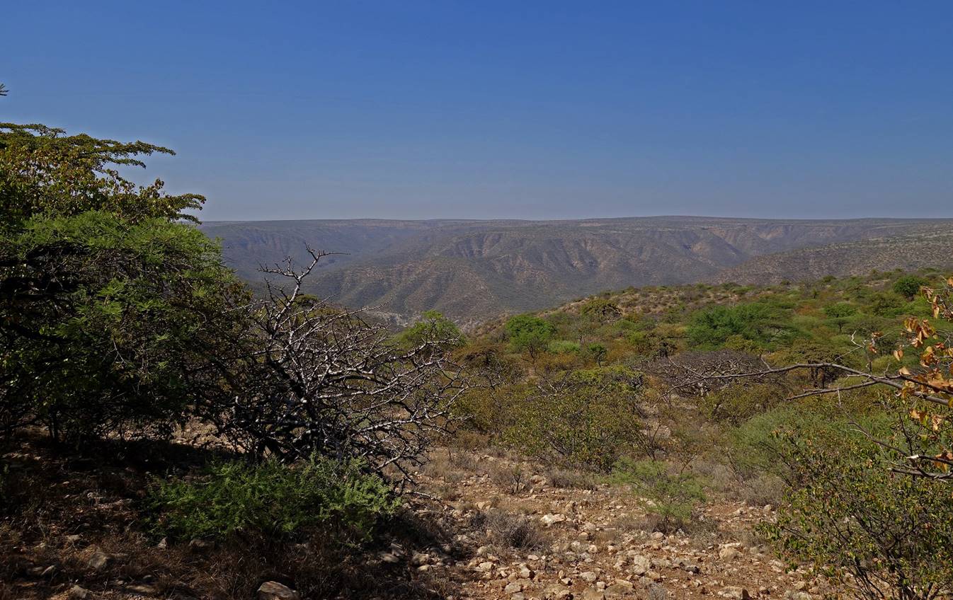
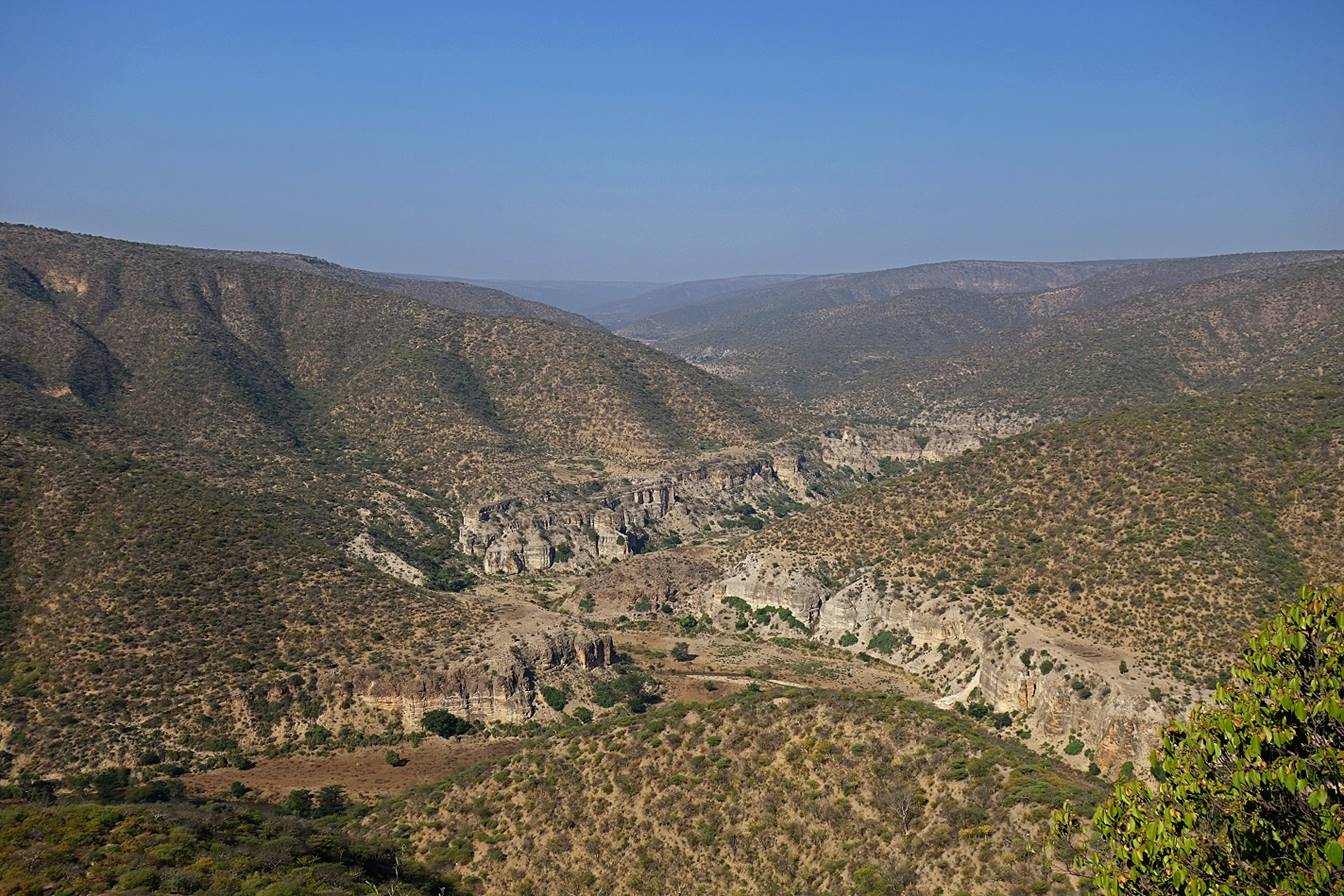
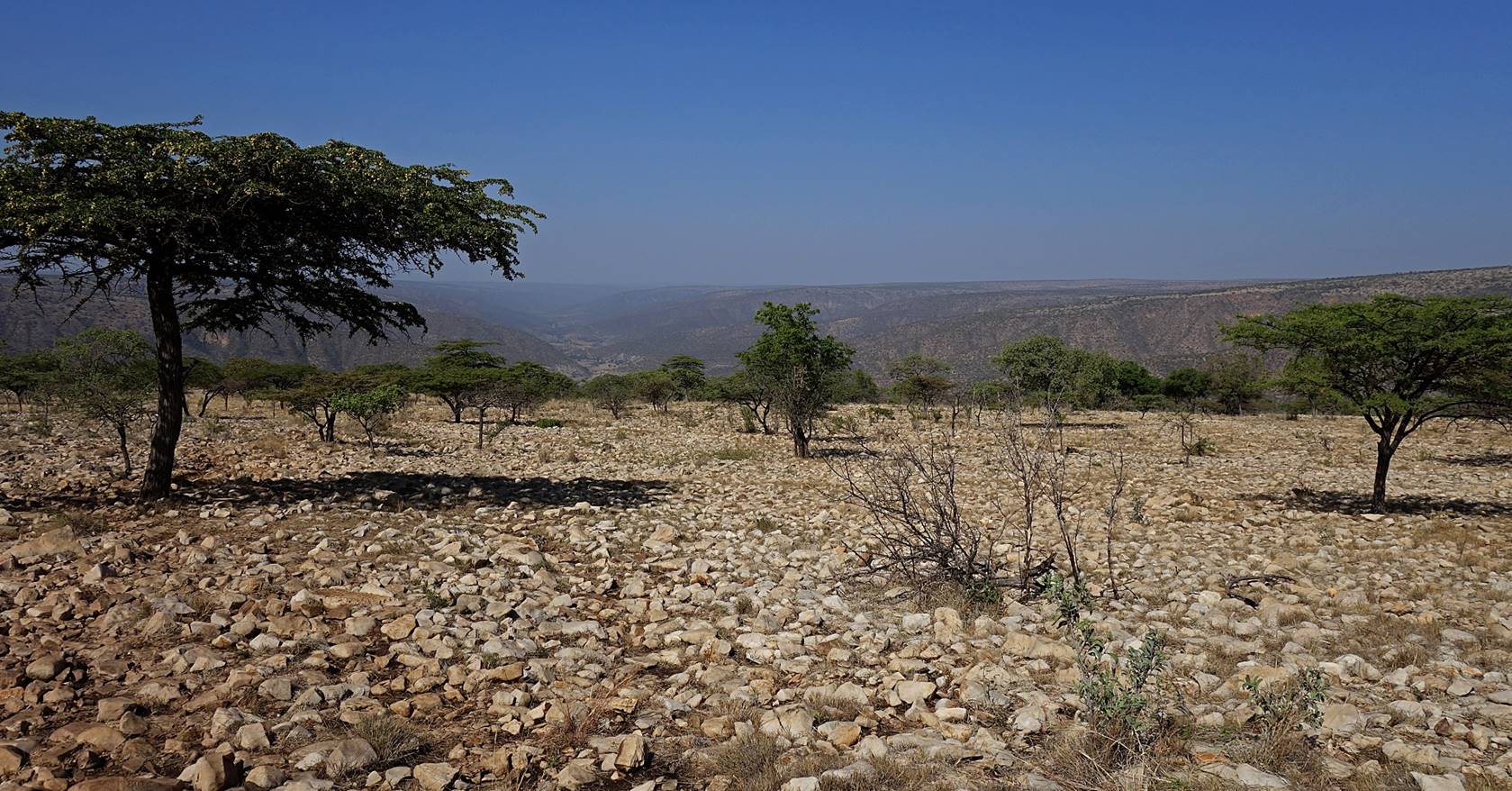
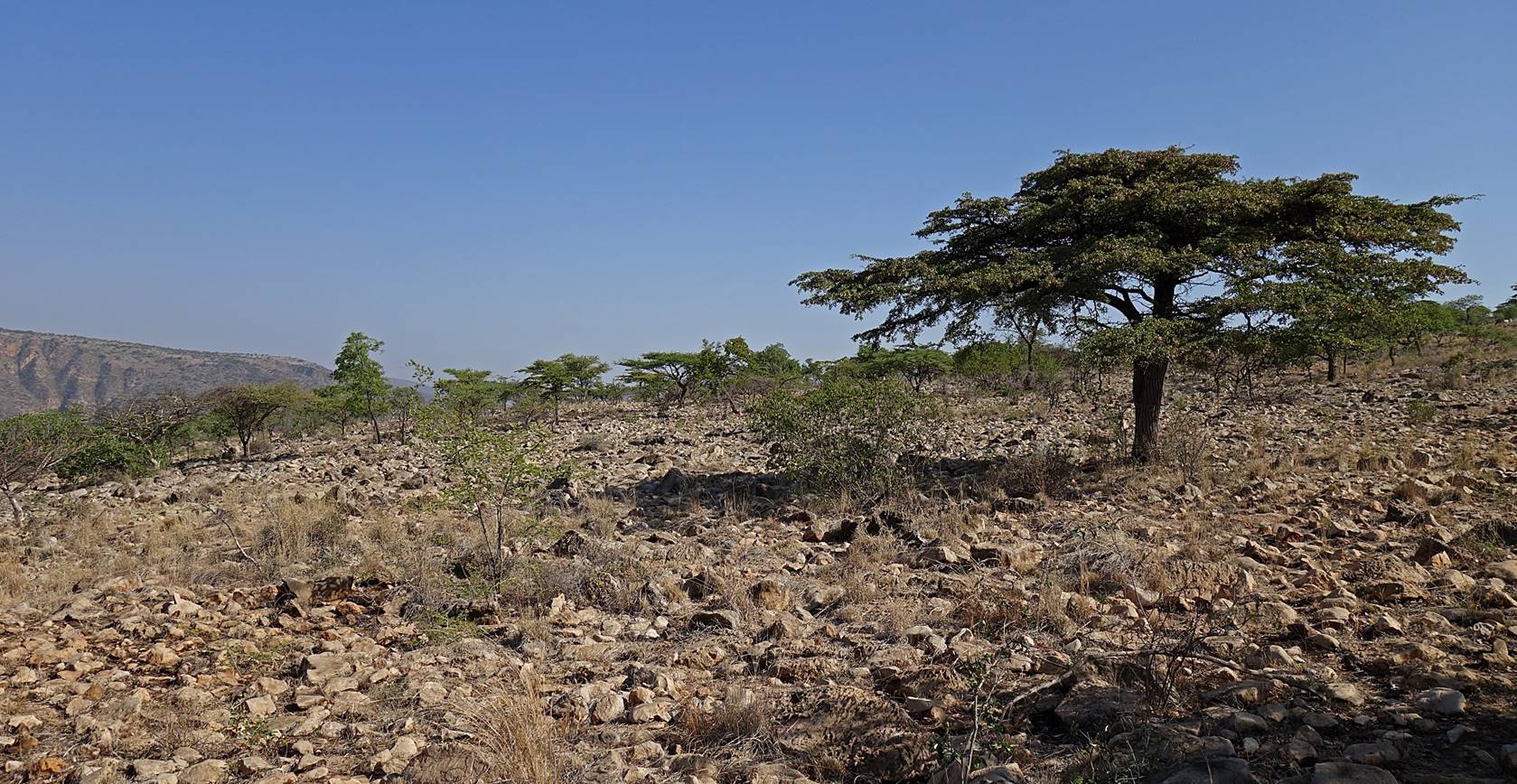
January 20: Daffe (WP 48) to Goto (WP 61, elevation: 860m)
We left Daffe early enough in the morning to avoid any big crowd.
We hiked on the plateau for half of the day before descending into another
beautiful canyon (Sakata river) where we established
our camp.
View over the flat
plateau soon after leaving Daffe.
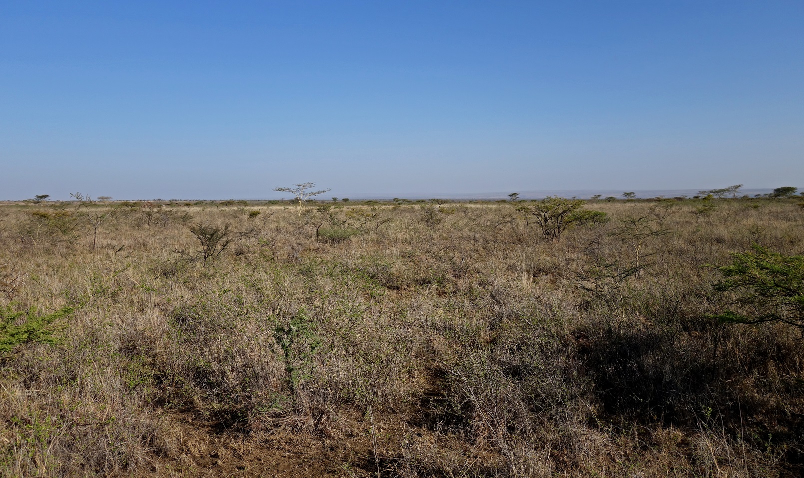
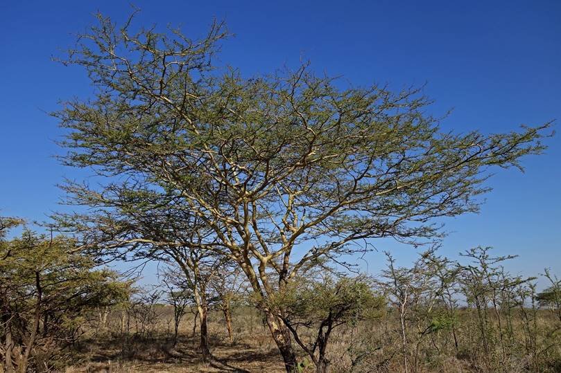
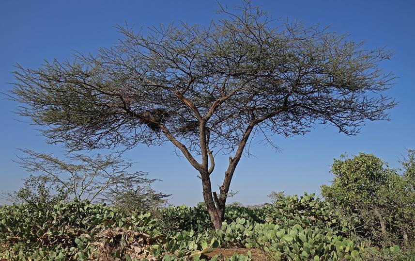
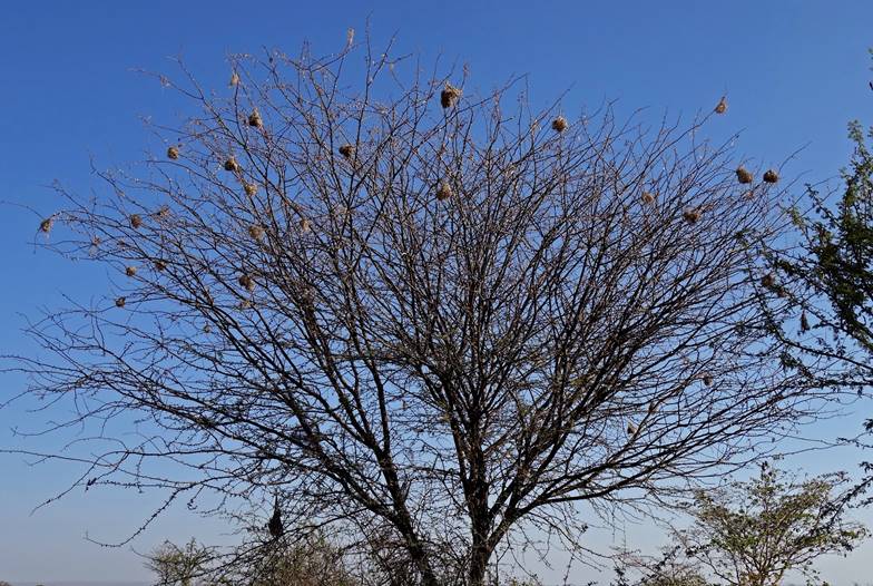
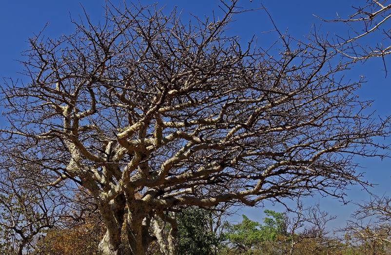
The tallest features
were acacia trees.
|
|
|
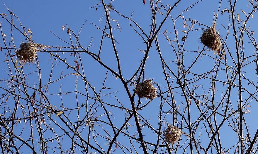
Tree with many bird
nests.
|
|
|
Farm with field of
chat.

Other farms along the
way.


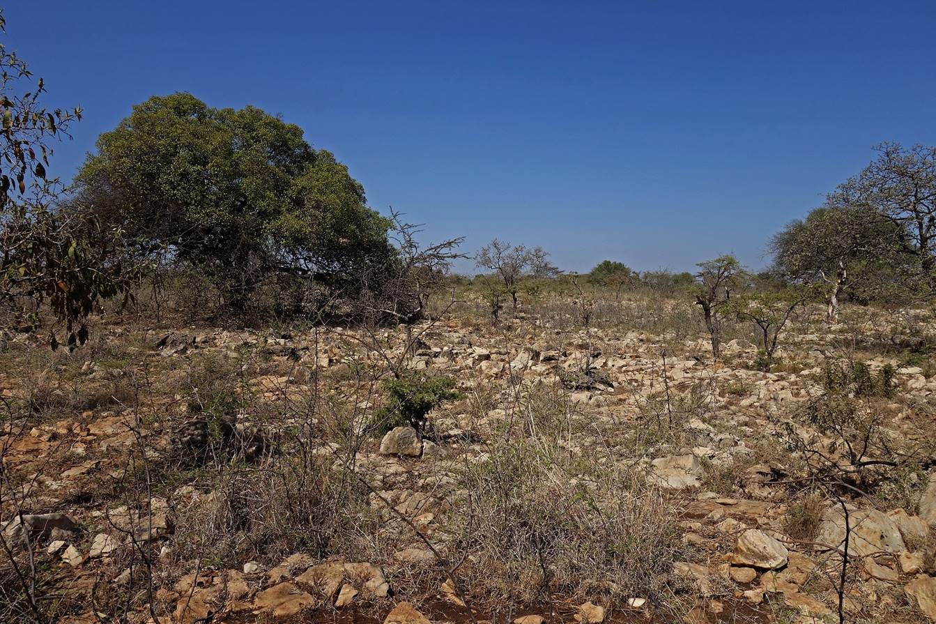
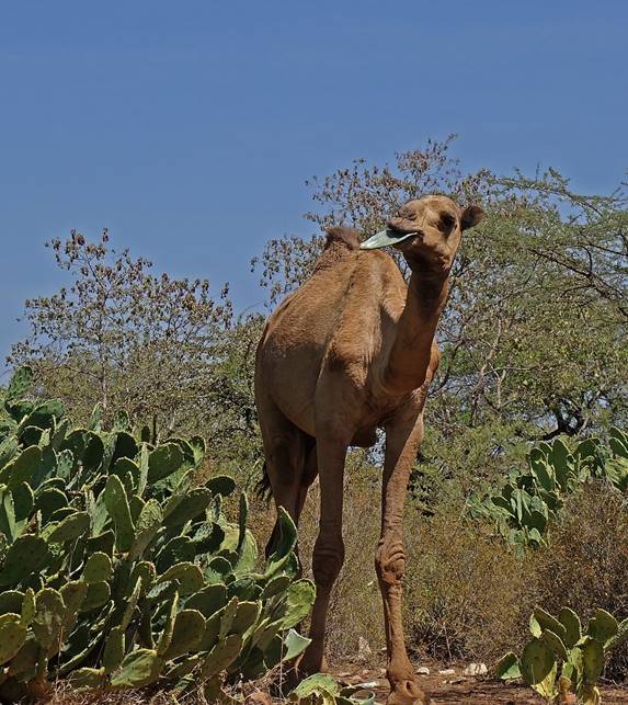
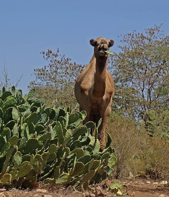
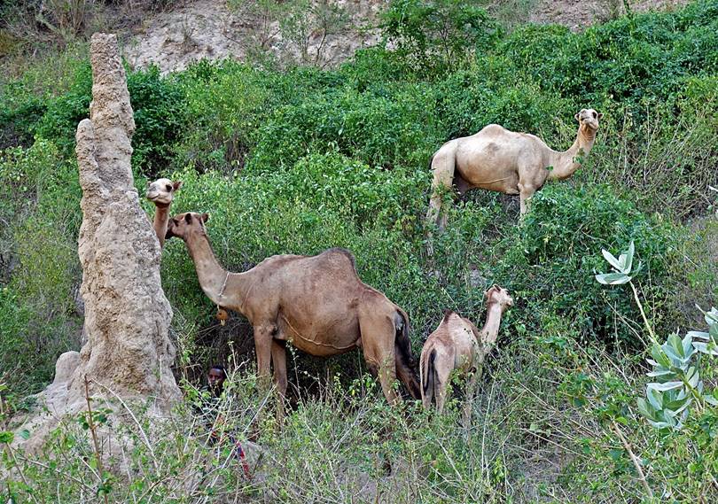
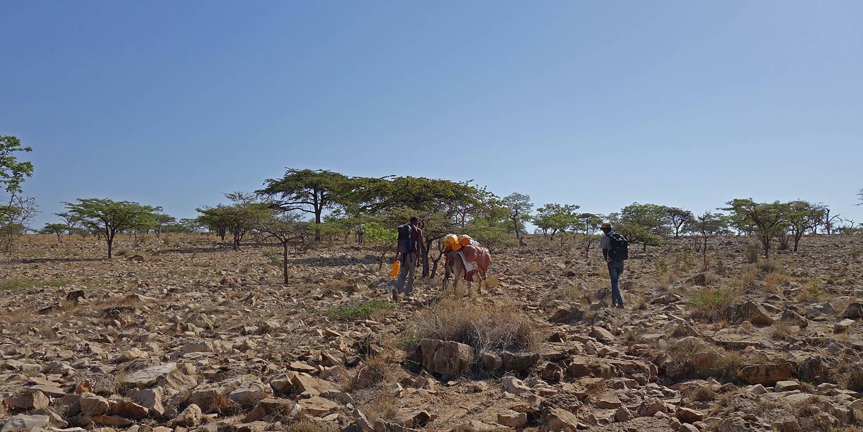
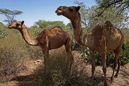
Later the terrain
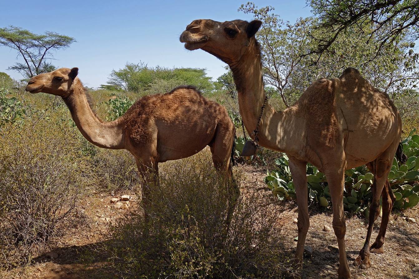
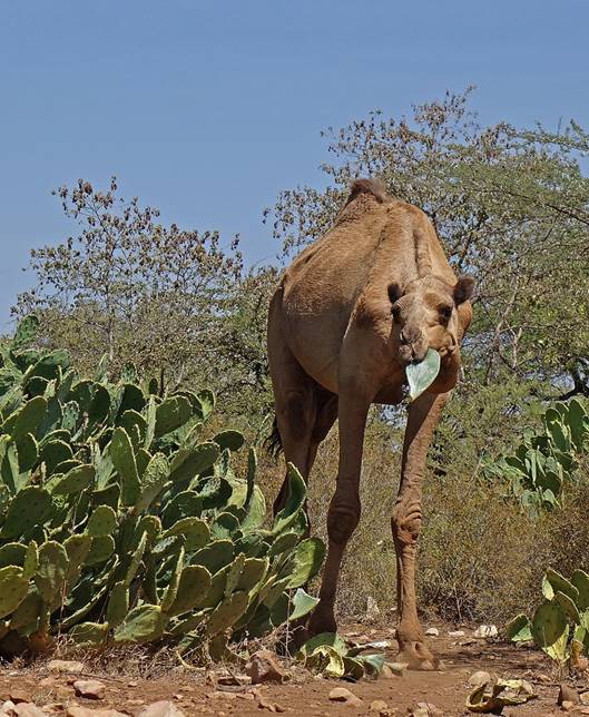
became stony, with herds of camels, instead of farms.
|
|
|
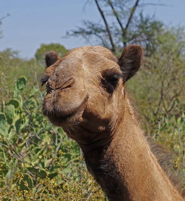
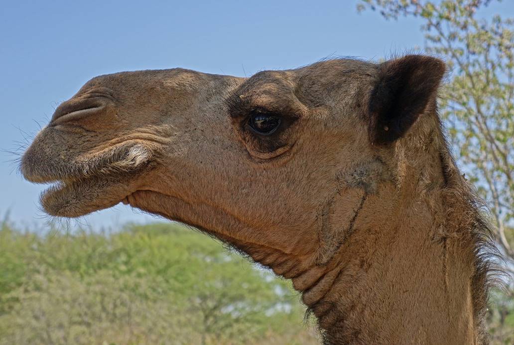
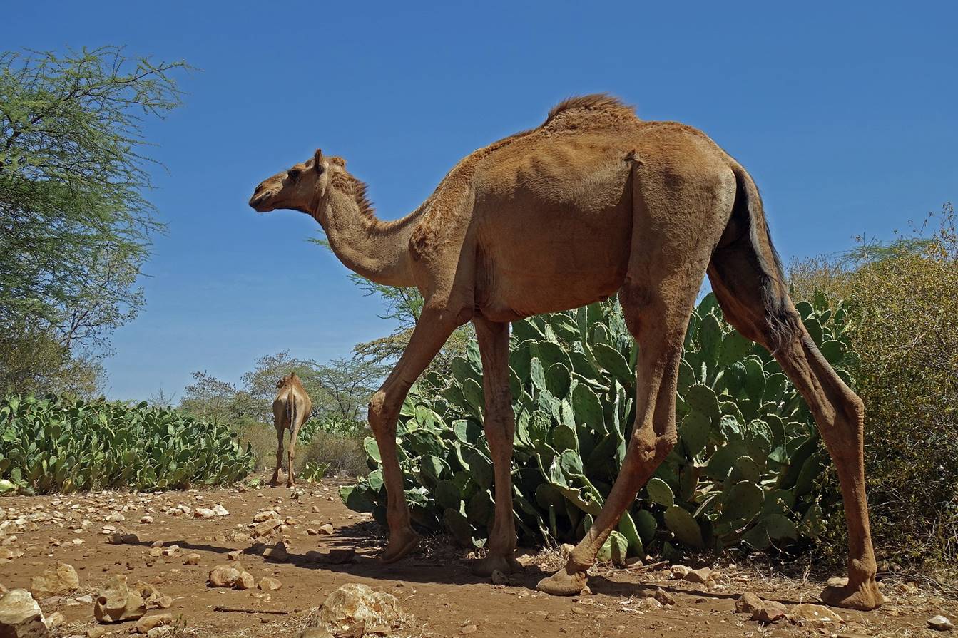
Camels love cactus
pads. Fortunately, there are plenty of these plants around.
|
|
|
|
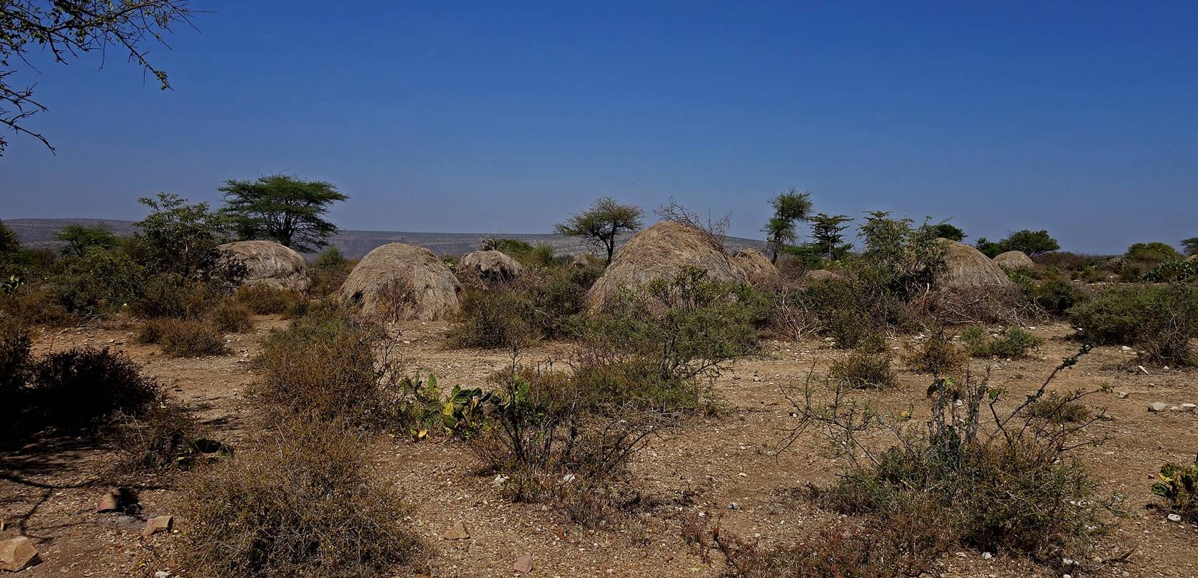
Camp of nomad
herders.
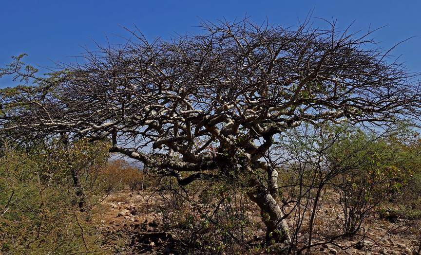
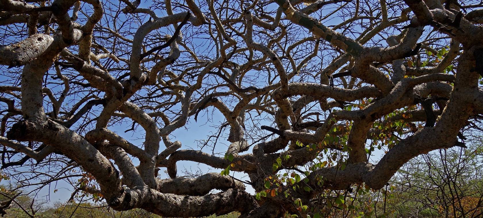
Trees with strangely
shaped branches making many 90dg twists.
|
|
|
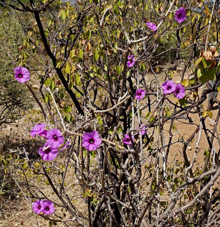
Rare flowers in this
dry, unhospitable landscape.
|
|
|

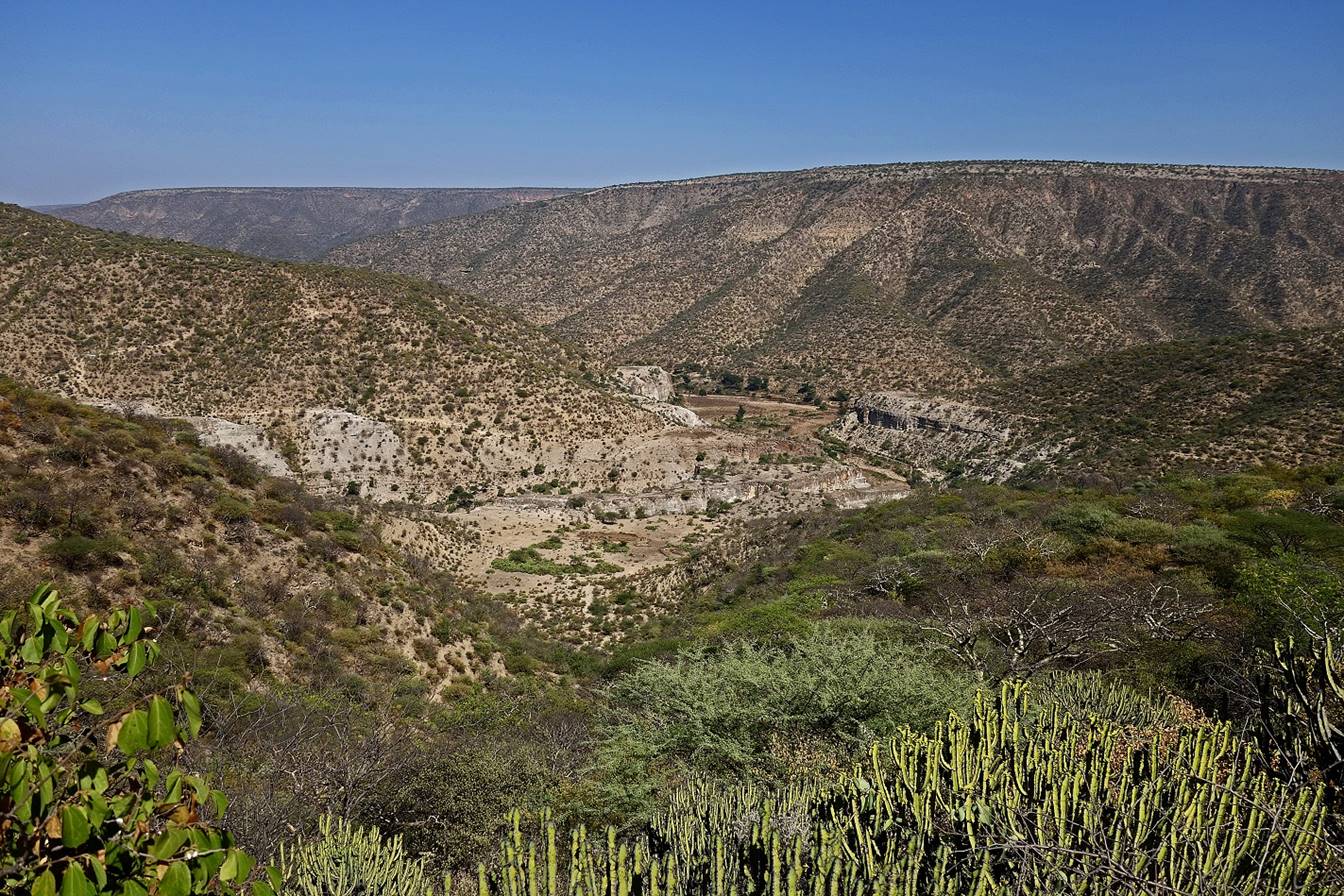
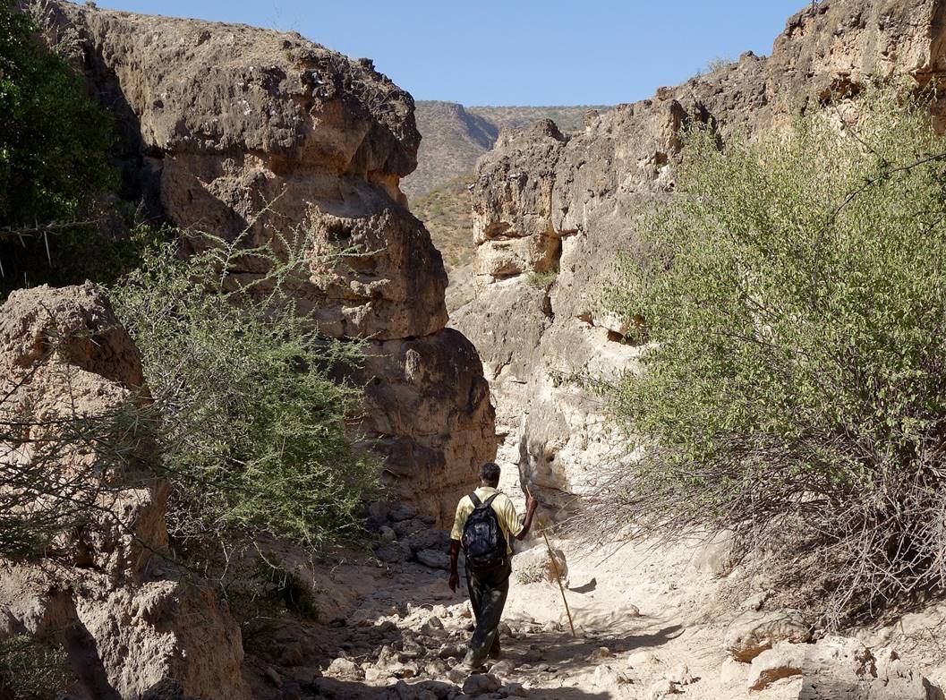
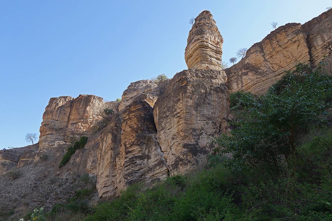
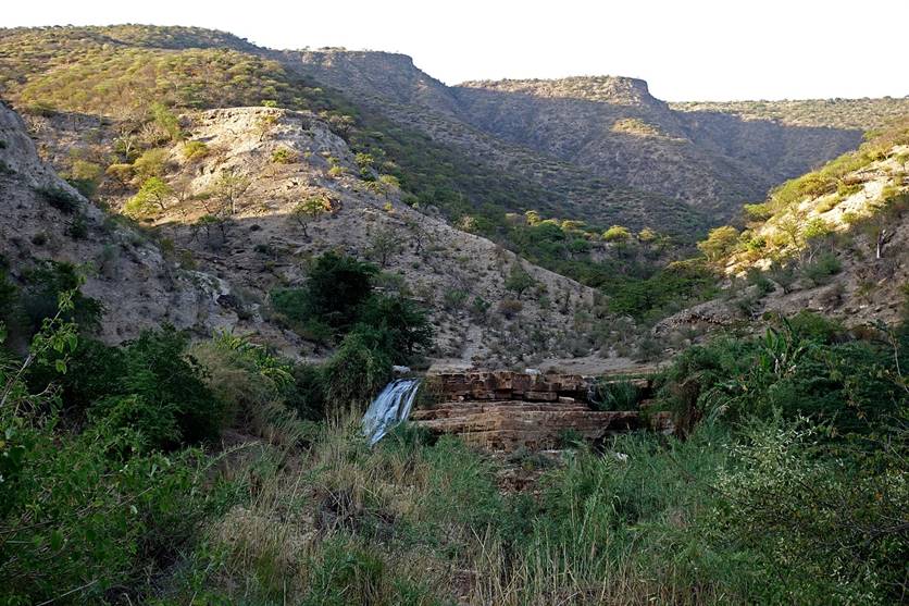
Beginning of our
descent into the canyon of the Sakata river.
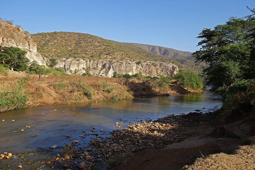
View from midway down
into the canyon toward the merging of the Sakata (front) and Ramis (left) rivers into the Goto
river (right), a tributary of the Wadi Shebelle.
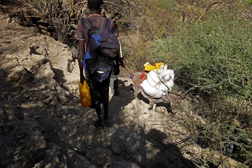
Steep section for our
donkey during the descent.
|
|
|

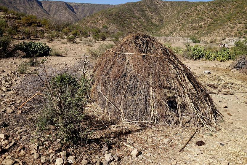
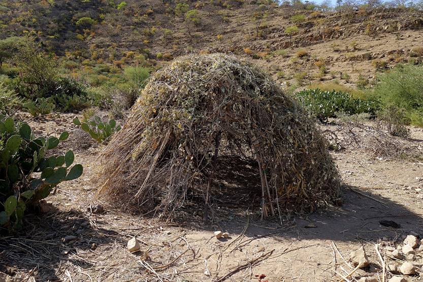
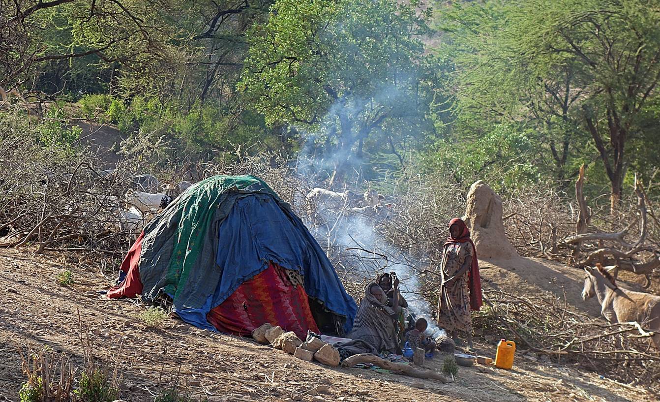
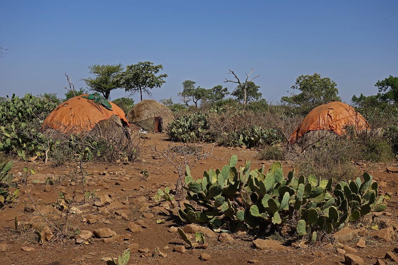
Shelters of local
herders.
|
|
|
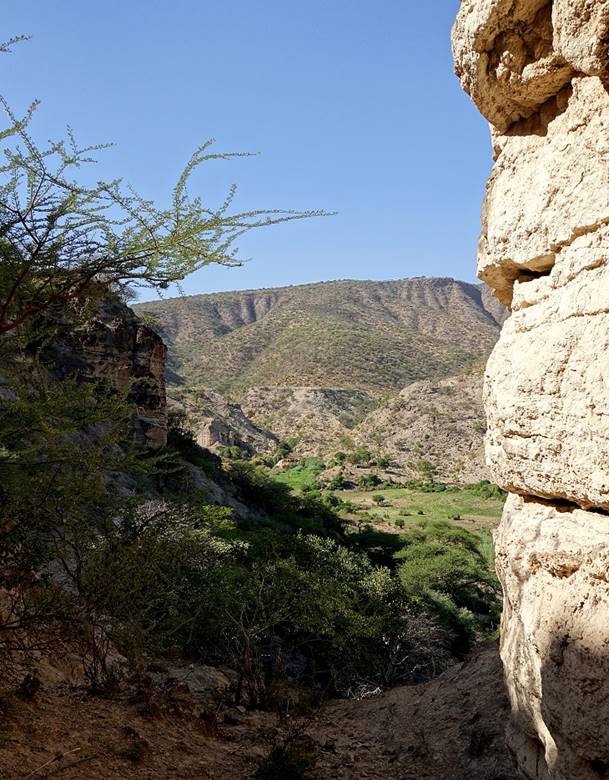
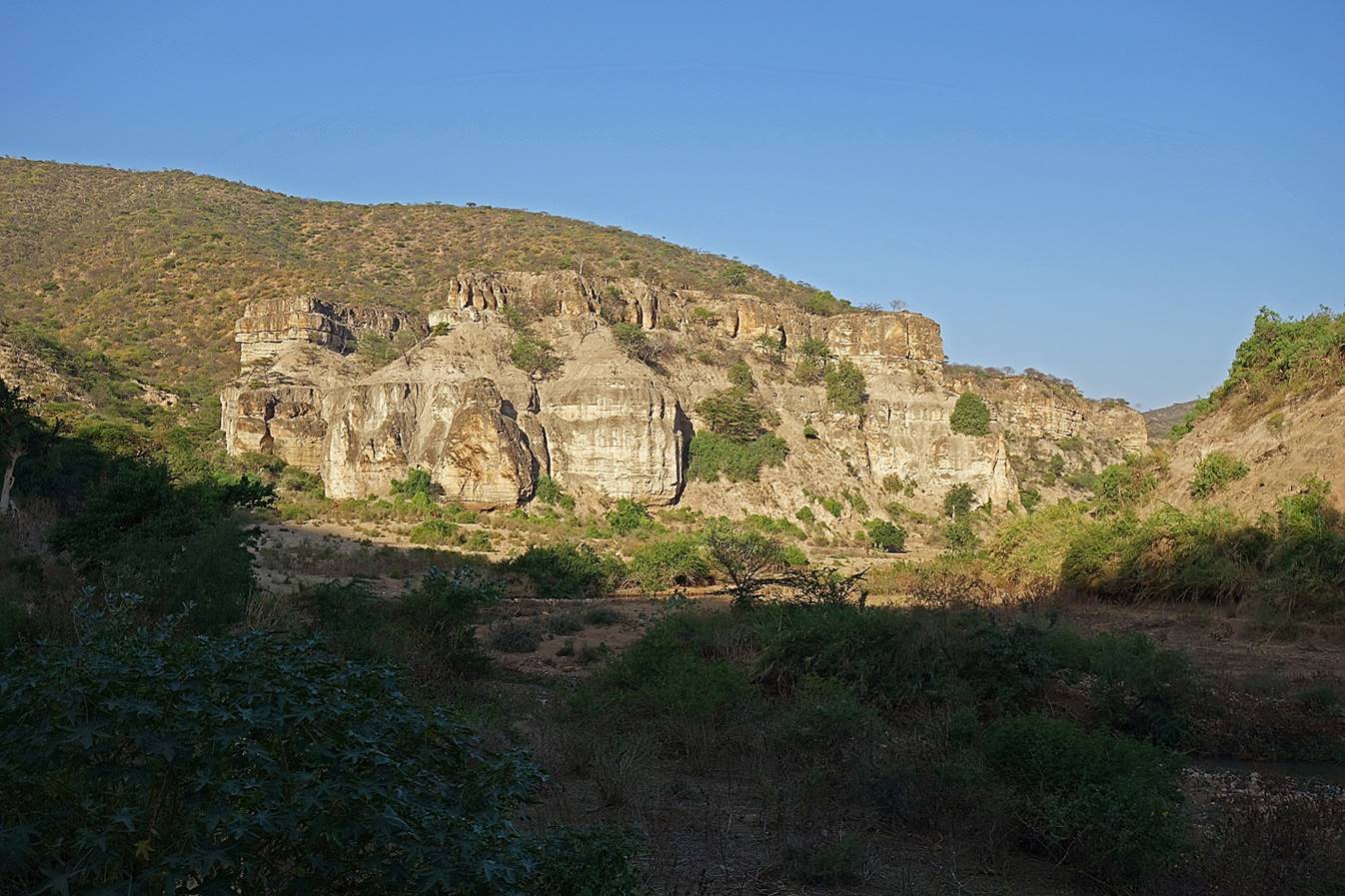
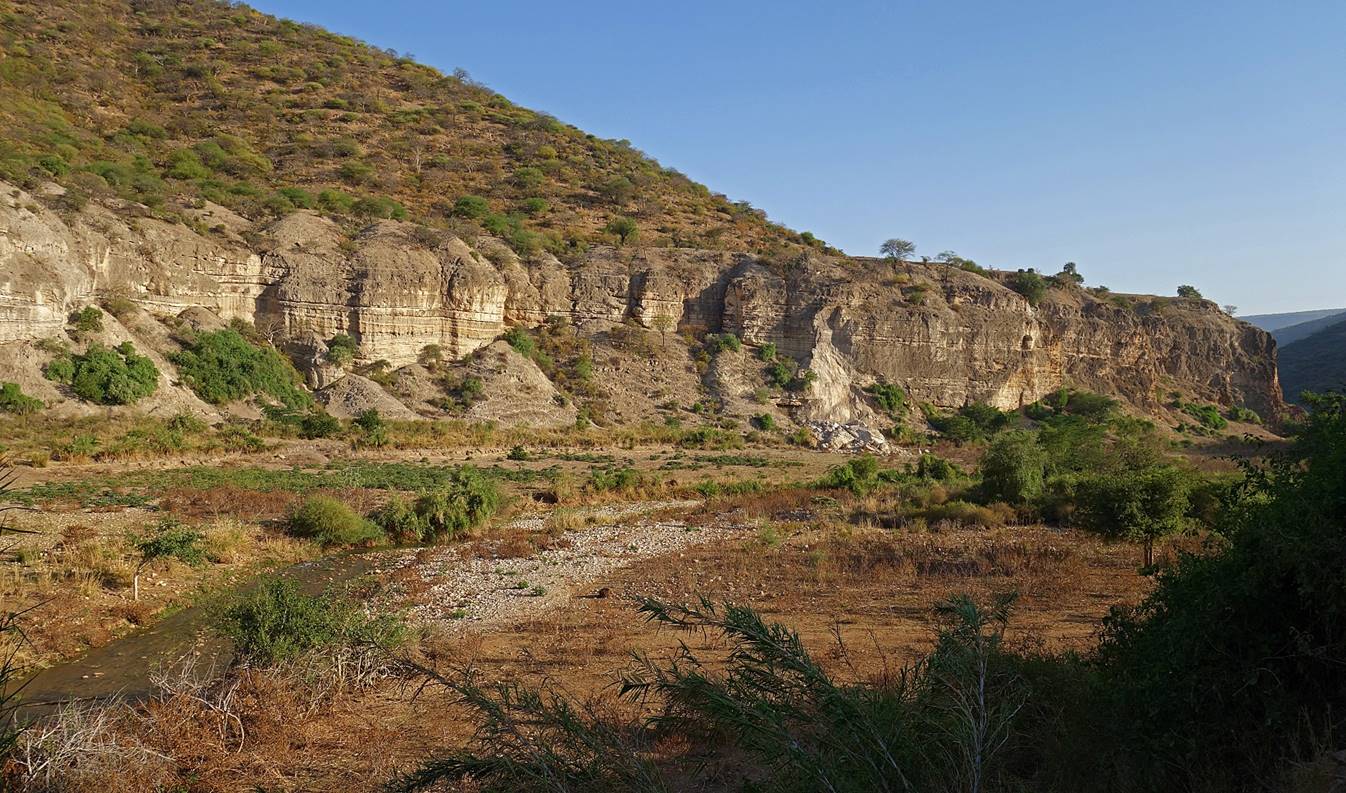
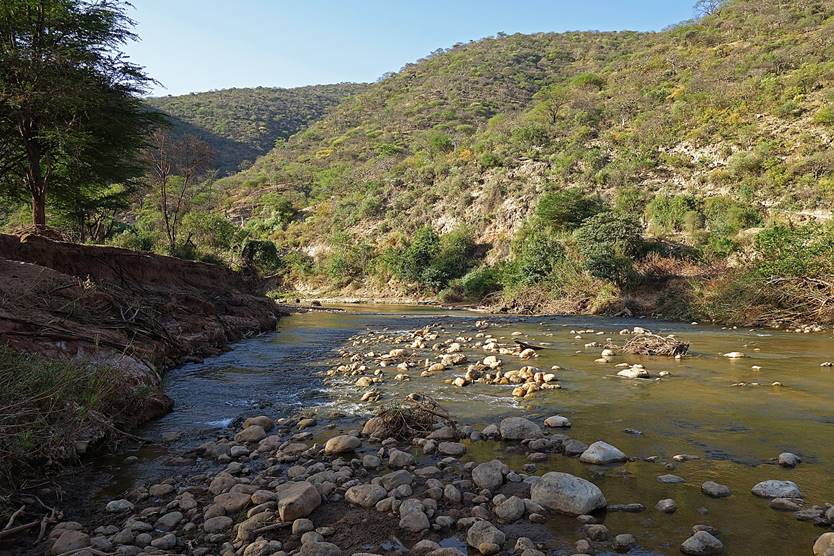
Reaching the valley
of the Sakata river dominated by high cliffs.
|
|
|
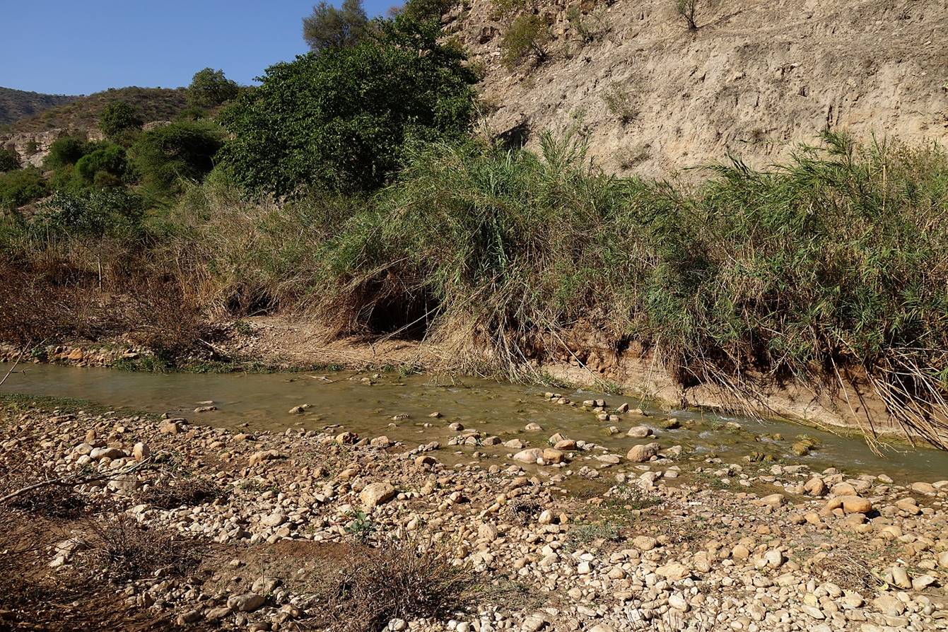
The almost clear
water of the Sakata river was the best we had seen
since the start of the trek!
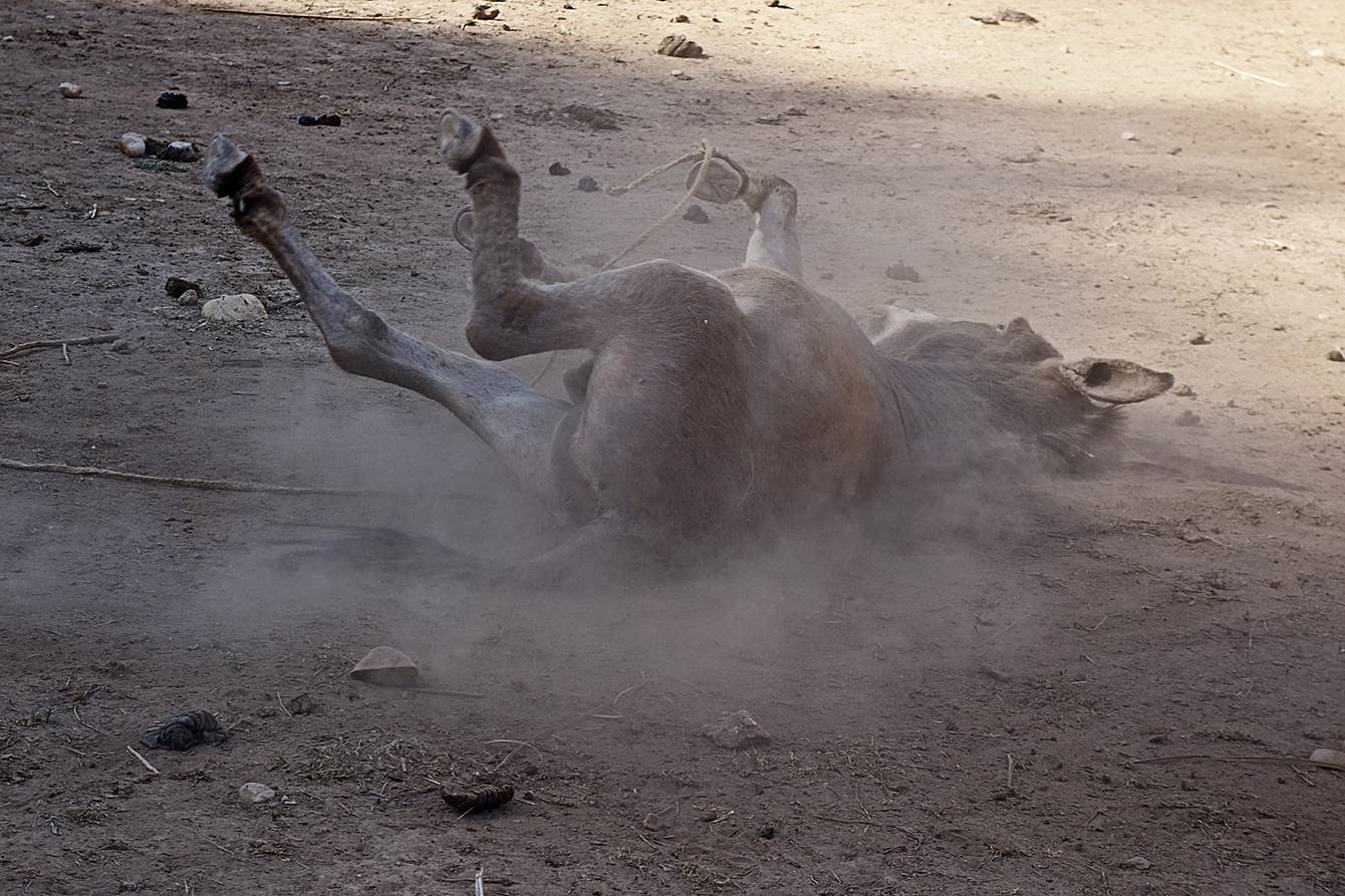
Our donkey taking a ″dust bath″ after being unloaded.
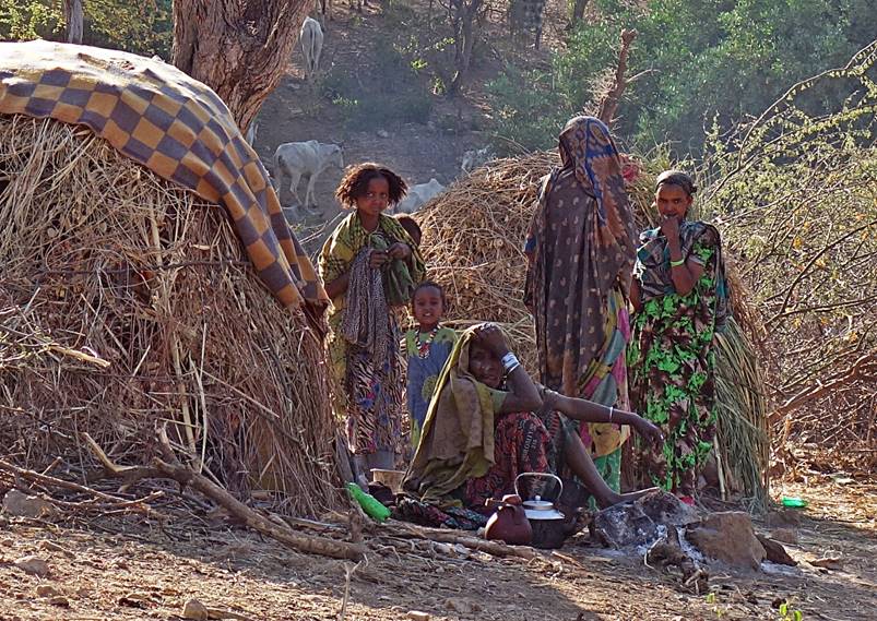
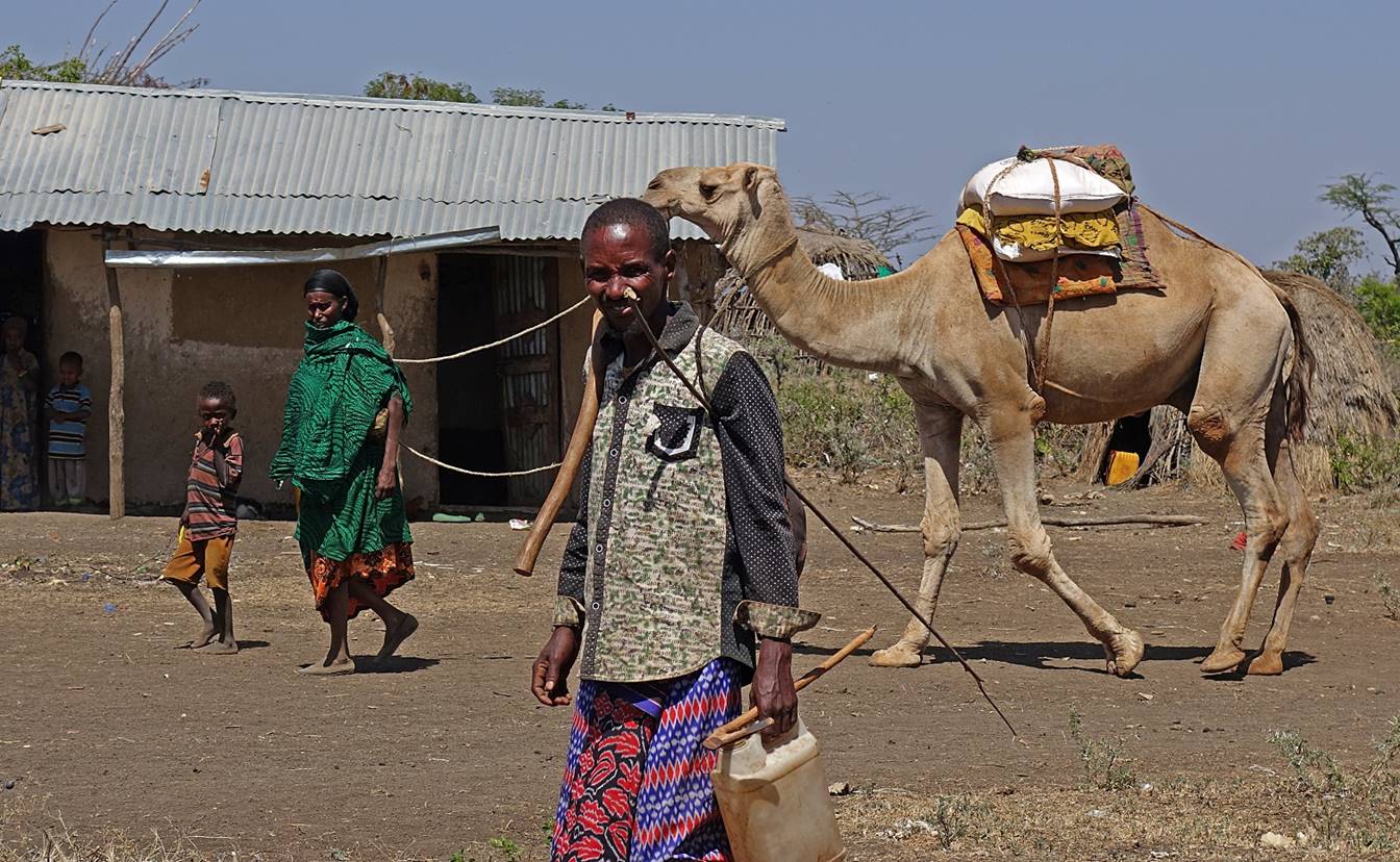
The valley is
populated by a small number of Oromo people who live from agriculture (maize)
and breeding (cows and camels). Despite the relative abundance of water I did
not see any crop of chat. Initially these people were suspicious and not very
welcoming. However, they quickly realized that they had nothing to fear from us
and became quite friendly. They offered us camel milk and stayed near our camp
for a long time chatting with Numan and Mahmood.
Maize fields in the
valley.
|
|
|


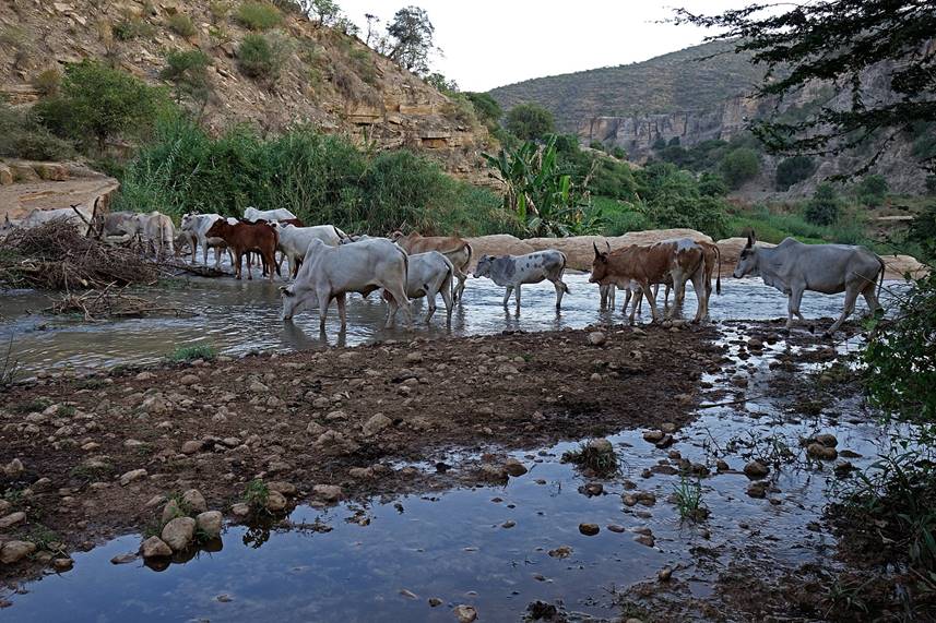
Cattle and camels.
|
|
|
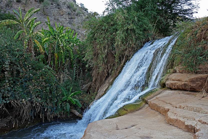
Waterfall located
less than a kilometer from our camp.
|
|
|
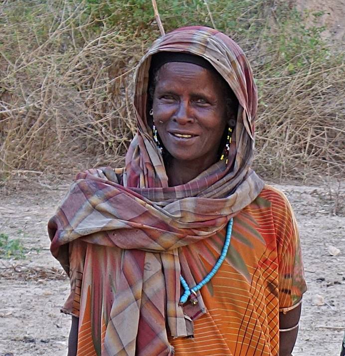
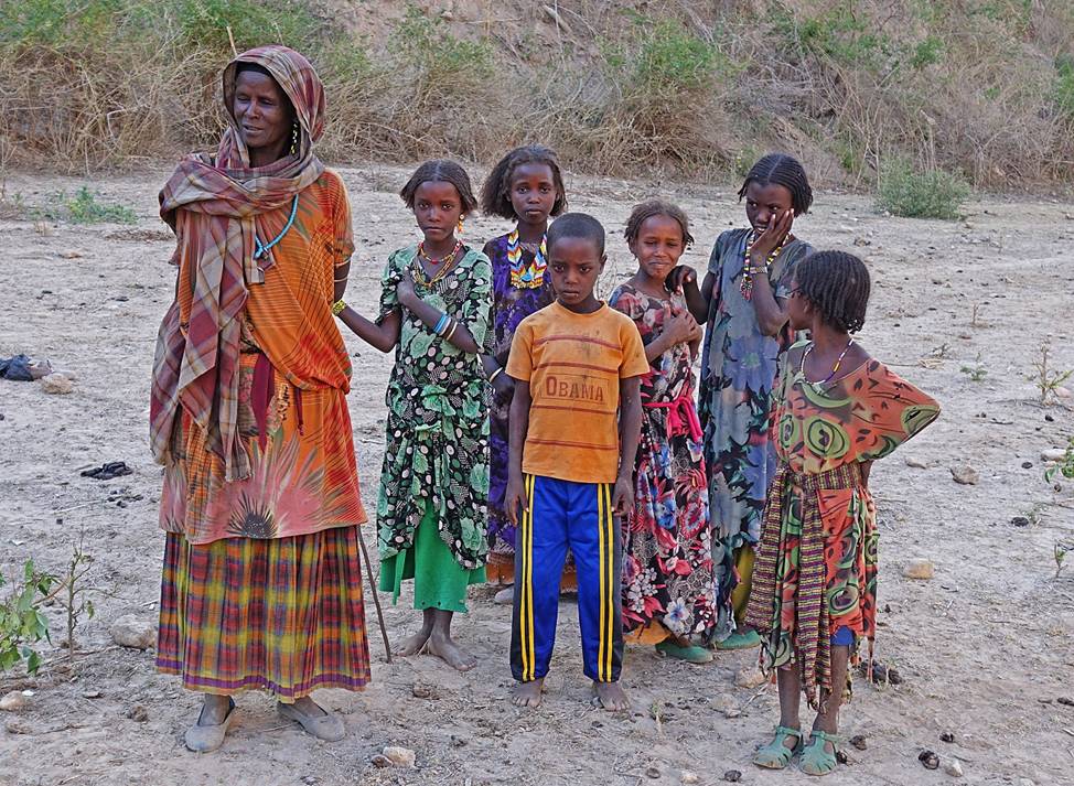
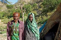
Man, woman, and
children at our campsite.
|
|
|
|
|
|
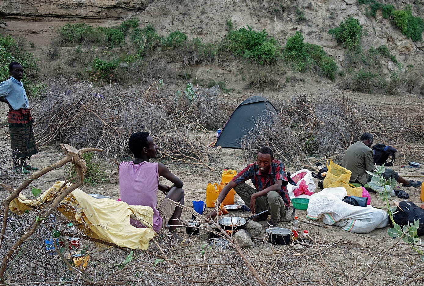
Numan, Mahmood and Gebru preparing dinner at our campsite.
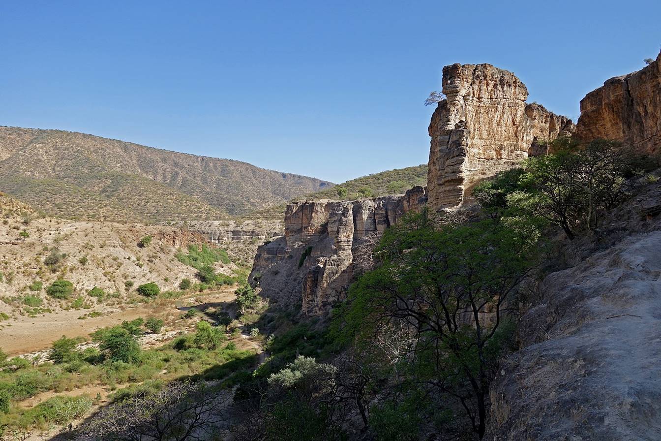
Our campsite was
located on the right bank of the Sakata river, near the place where the Sakata
and Ramis river merge to form the Goto
river (see map at the top of this page). The entire area around this junction
is called Goto by the locals. The Goto
river flows into Wadi Shebelle where Wadi Shebelle makes a 90dg turn toward the southeast (and
Somalia). Except for the village of Furdo (January
17), I usually found the canyons more interesting and more welcoming than the
surrounding plateaus. In retrospect (looking at the Google Earth images), I
think that a better itinerary for the trek would have been to follow the Wadi Shebelle from WP 4 (our camp on January 13) down to
its intersection with the Goto river and then the Goto and Ramis rivers upstream.
Following the Ramis river
upstream might have allowed us to end the trek much closer to the town of Bedeno than we did. Despite their low elevation (between
800 and 900m) and relative abundance of water, the canyons were free of
mosquitoes during our trip.
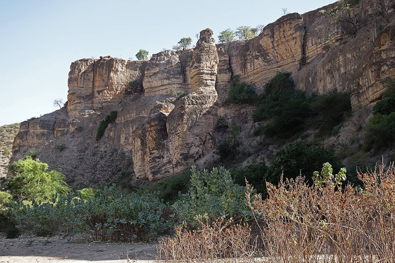
January 21: Goto (WP 61) to Copimiawa (WP 76, elevation: 1400m)
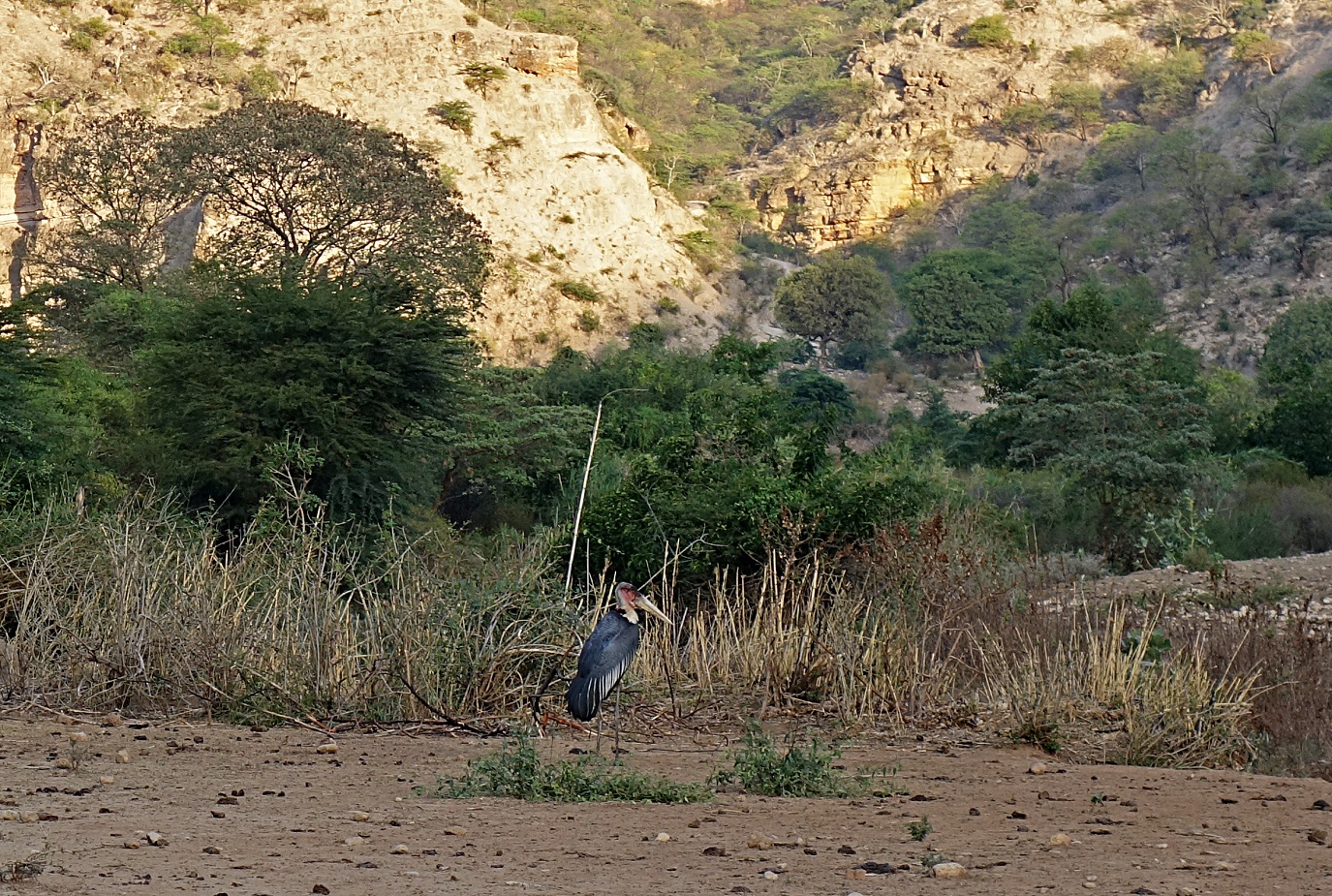
Marabout stork
venturing near our camp in the morning.
Lower part of the
Sakata valley before it merges with the Ramis river..
Gebru crossing the Goto river (WP 62).
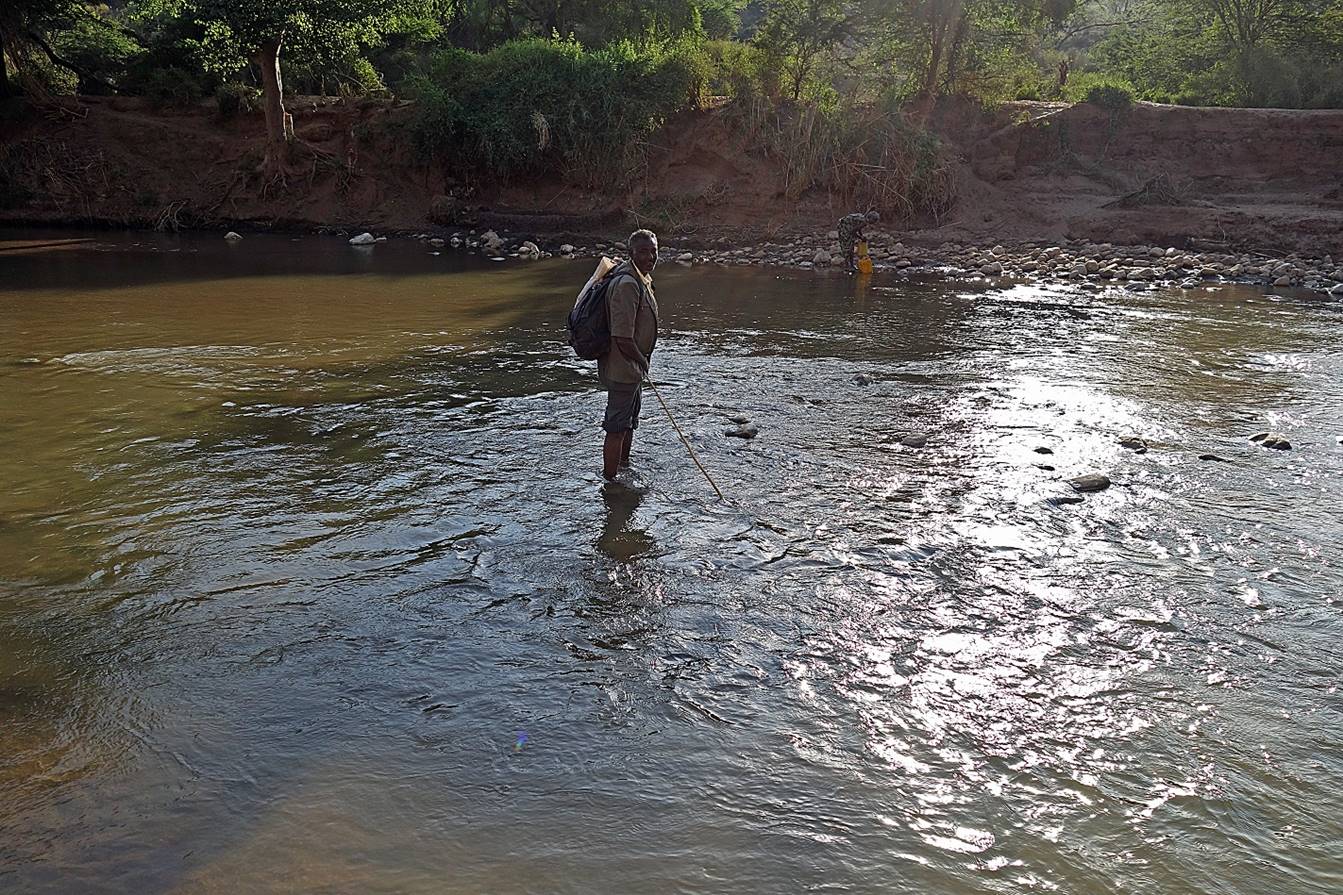
Views of the Goto river (left: downstream, right: upstream).
|
|
|
Immediately after
crossing the Goto river, we started
climbing to reach the next plateau.
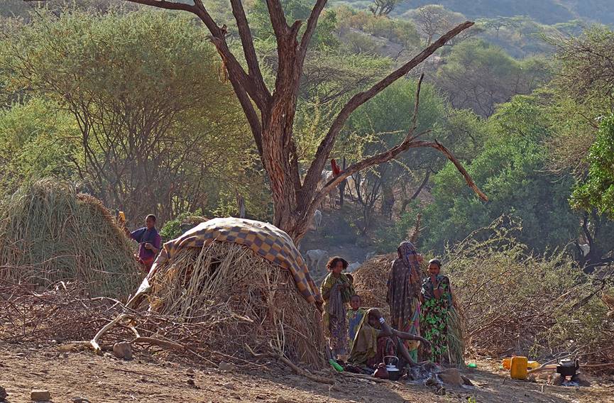
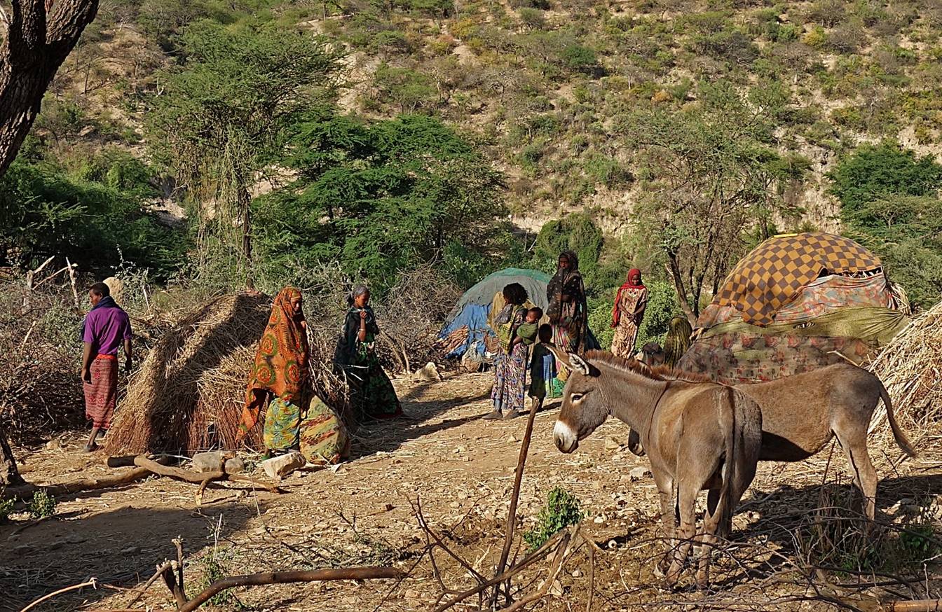
Herder camp at the
beginning of the ascent.
|
|
|
View over the
intersection of the valleys of the three rivers: Goto
(left), Sakata (center back), and Ramis (right).
As we reached the
plateau, the terrain became more stony.
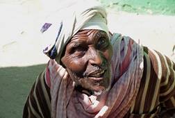
Woman returning to Goto from a nearby village. She looked a bit scared when
she saw me.


Another camp of
herders on the plateau.
In the small village
of Tuluqi.
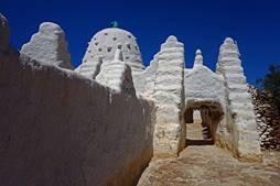
The
mosque of Tuluqi and its unpretentious minaret.
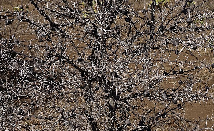
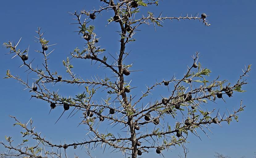
Between Tuluqi and Copimiawa, the terrain
was dry, flat, and rather uninteresting. The main plants along the way were
thorny shrubs.
|
|
|
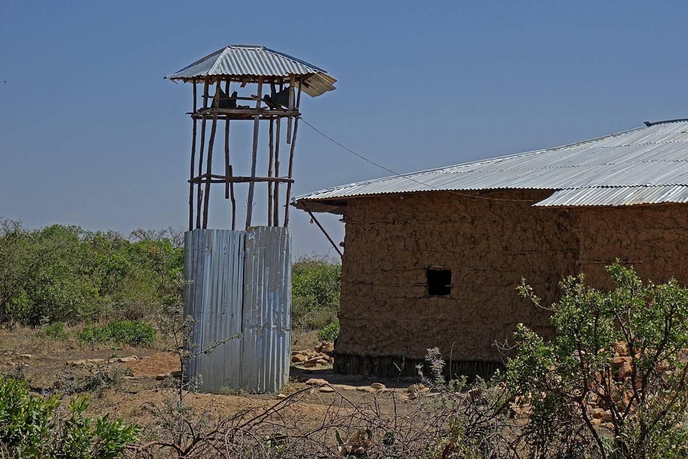
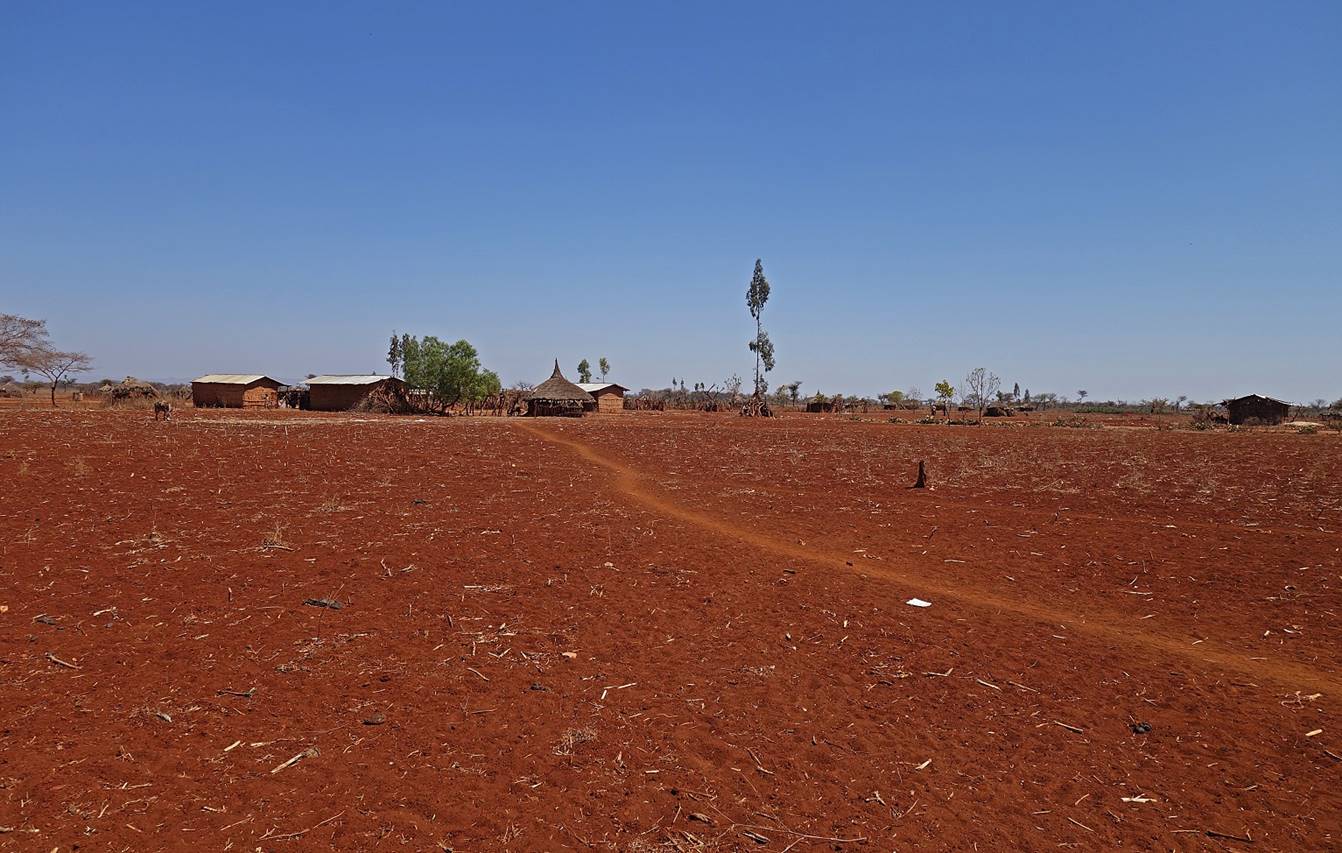
We arrived in the
nondescript village of Copimiawa late in the
afternoon. We set up our camp 300m outside the village. Very soon the entire
population came and surrounded us. Someone (probably the head of the village)
asked for our permits. We also gave him the phone number of the zone commander,
whom he called. Everything sounded fine, but this person did not tell us that
he had nevertheless contacted the police stationed in another village 20 to
30km away. A police truck came to our camp around midnight. Fortunately, the
policemen had been informed of our presence in the area by the zone commander.
They looked at our papers, verified that our names were those given by the
commander, and left. In Addis Ababa, after our unpleasant experience of Day 4,
Solomon had made a fantastic job to make sure that all the zone commanders
along our path had been ordered to let us go on with our journey.
January 22: Copimiawa (WP 76) to Burka
The region after
leaving Copimiawa was more densely populated than
anywhere before during this trek. We followed a dust road and passed by several
small villages. Noisy groups of people were following us (actually, I should
say me) from villages to villages. We eventually reached a slightly more
important gravel road leading to the town of Burka some 30km to the northeast.
I decided to end the trek there and wait for some transportation to reach
Burka. We sold our donkey to a local man (for only 1,000 Ethiopian Birrs, less
than a third of the price we had paid for it, but we were not in a good
bargaining position). Late in the afternoon, we saw the first vehicle, a water
tank truck. It picked us up and drove us to Burka.
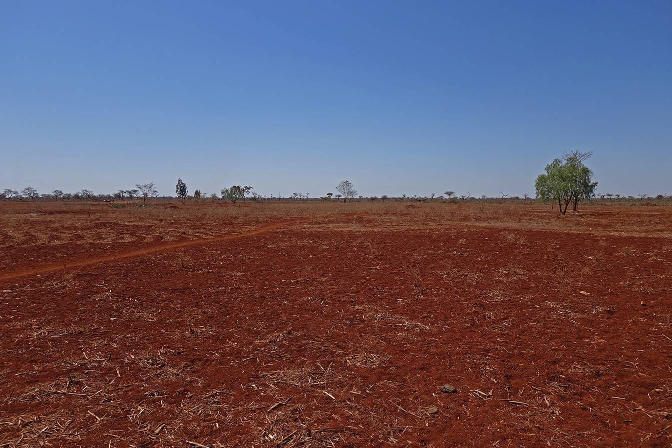
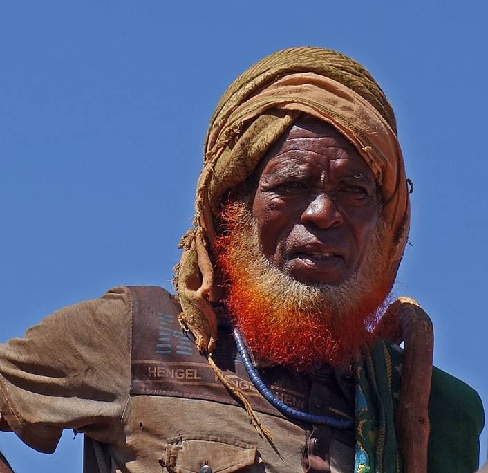
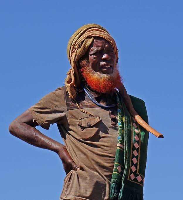
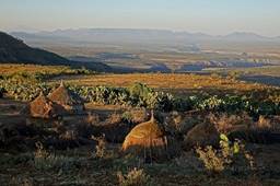
Scenery at the place
where we ended trekking.
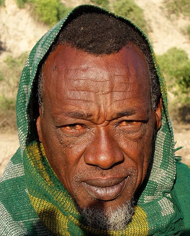
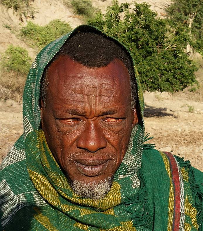
Man with an awesome
beard at this location.
|
|
|
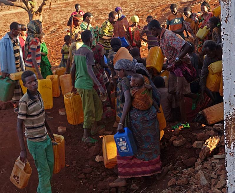
The region was
experiencing a severe drought and the water tanker truck was distributing water
along the road from Burka to a village 60km further south. Each day this truck
leaves Burka with a full tank. On one day the water is distributed on the first
half of the road starting from Burka; on the next day, the truck drives first
to the end of the road and the water is distributed on the way back along the
second half of the road. This afternoon the truck was returning from the end of
the road and the distribution was not over yet.
To get water people cluster
into small groups along the road with their jerricans.
The truck stops at each one of these groups. A plastic sheet is laid down on
the ground to avoid losing water during the distribution. The three people
managing the distribution (including the truck driver and a soldier) were
making sure that the distribution was fair and benefited every family. I was
impressed by how well they were doing their work.
People in front of
the truck rushing to form the next cluster.
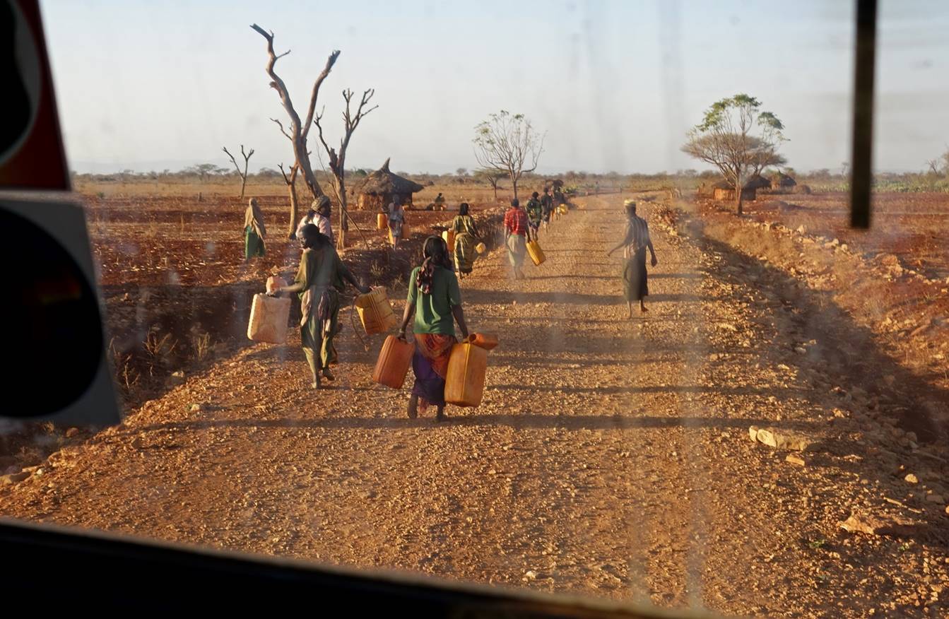
Water distribution at
one of the clusters.
|
|
|

We reached Burka, yet
another shanty town, late at night. The truck left us at a ″hotel″ (a small building made of corrugated
metallic sheets) that was also a restaurant, a kind of night-club, and a few
other things. Despite the noise, I slept quite well.
January 23: Burka to Harar
View of the street in
Burka from the ″hotel″.

Around 8am we took a
bus headed to Harar, which we reached at 4pm.
Although there were at least three times more people in the bus than seats, we
were all happy to reach Harar. Ironically, I, the faranji, was the only one in my group who had previously
been in Harar.
![]()
Links
to the various sections of the trip:
|
|
|
|
|
|
|
![]()