Ethiopia (January 2017): Across northeastern Oromia, from Sheikh Hussein to Harar
3. Days 7 to 9: Bilika (WP 24) to Daffe (WP48)
![]()
Return to main Ethiopia January 2017 webpage
Maps:
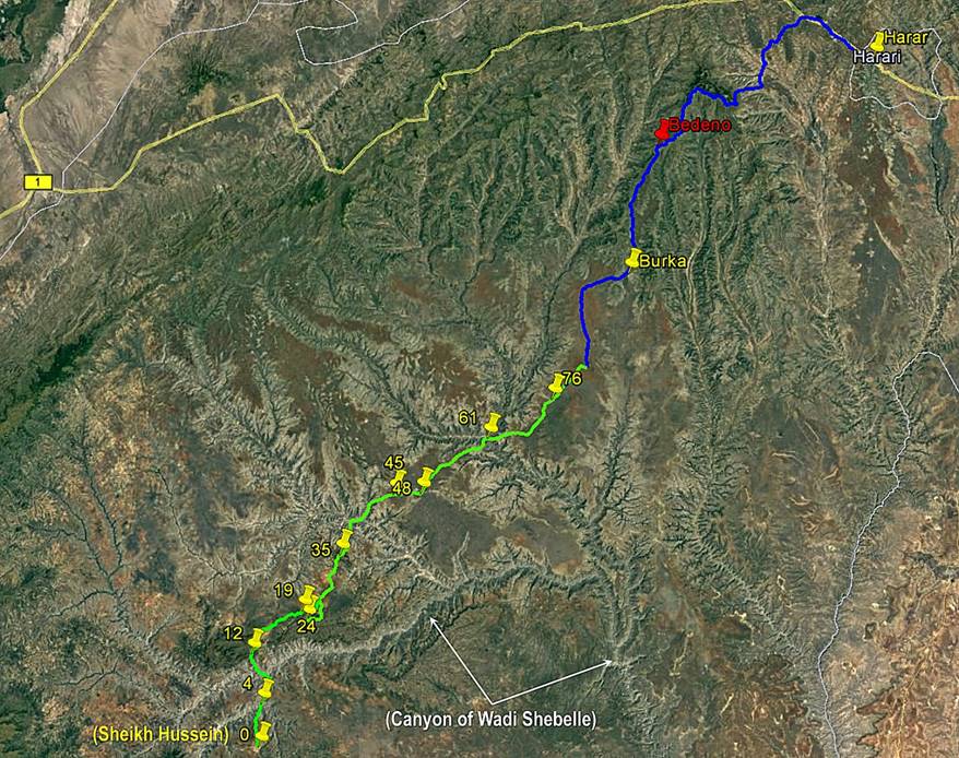
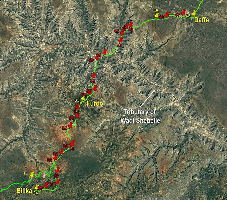
|
- Between Sheikh
Hussein and Harar. |
- Between Bilika and Daffe. |
|
|
|
|
Click here (.kmz file) to access the waypoints and the paths in Google
Earth. |
|
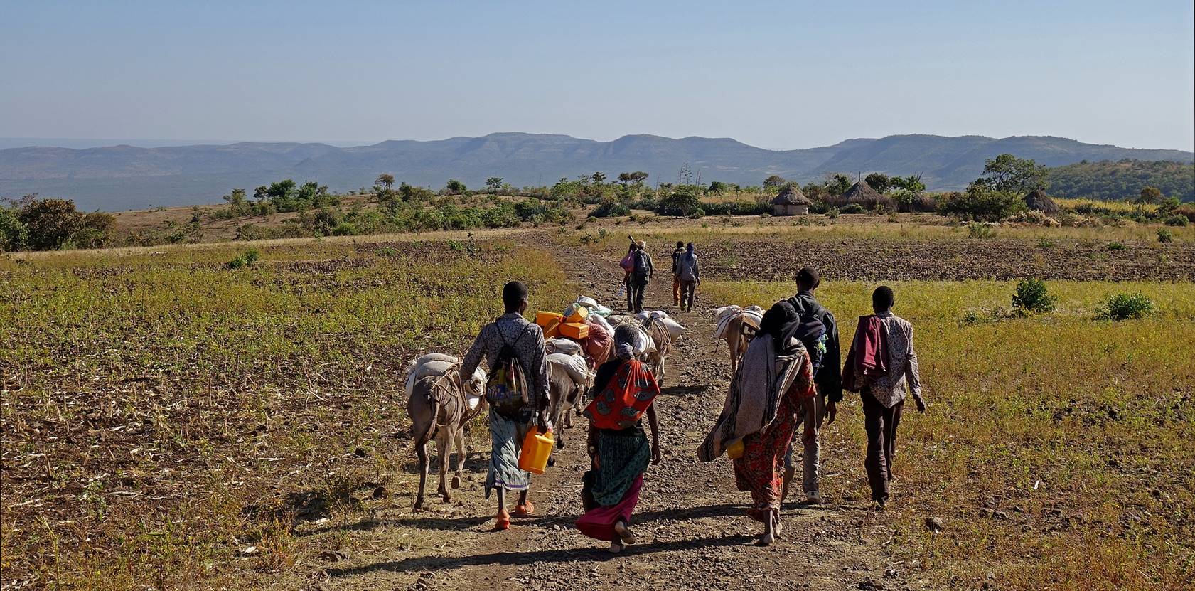
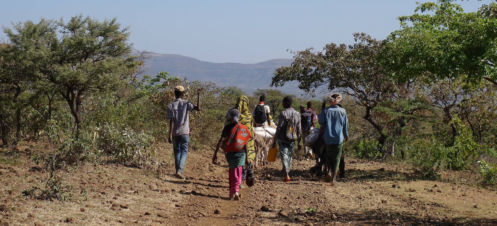
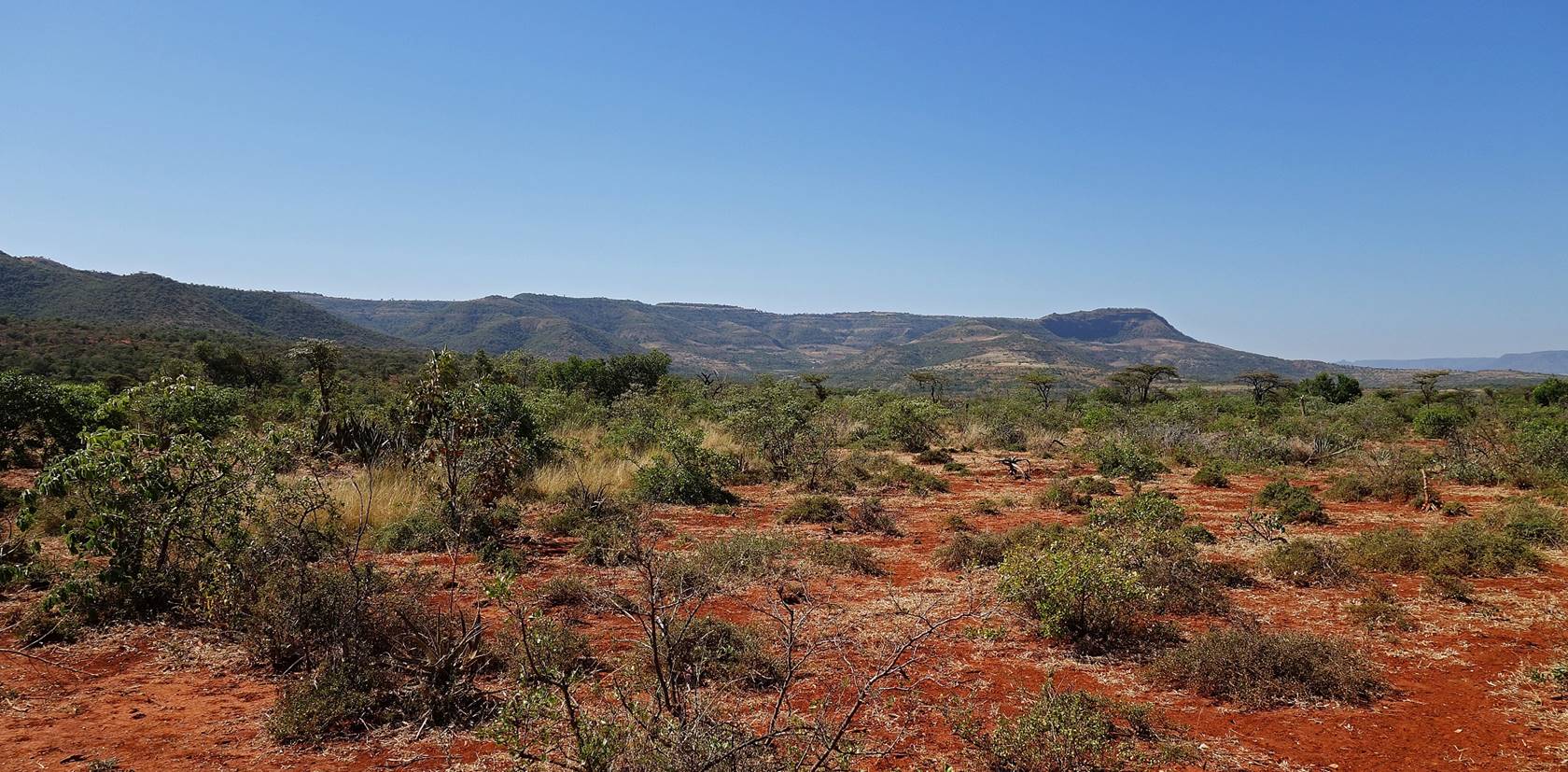
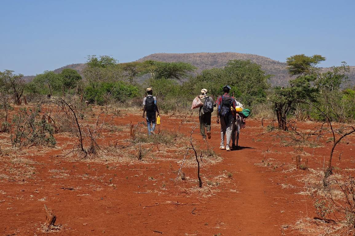
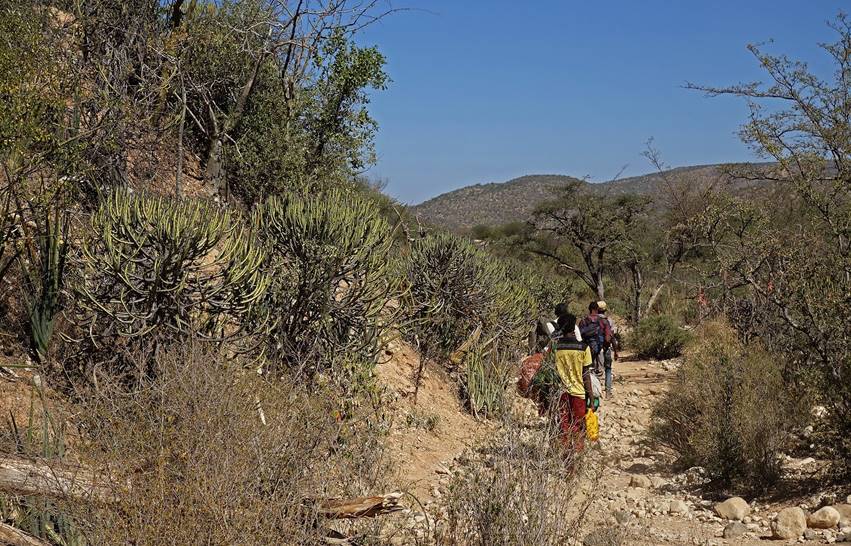
January 17: Bilika (WP 24) to Furdo (WP 35, elevation: 1800m)
We left Bilika early in the morning. We did not want to give a
chance to the local police to change their mind. Fortunately, our donkey had
been returned to us late during the night. Our goal was again to reach the
village of Furdo.
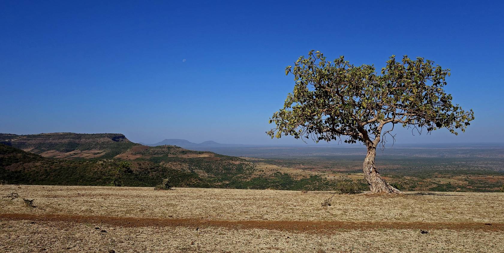
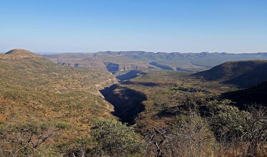
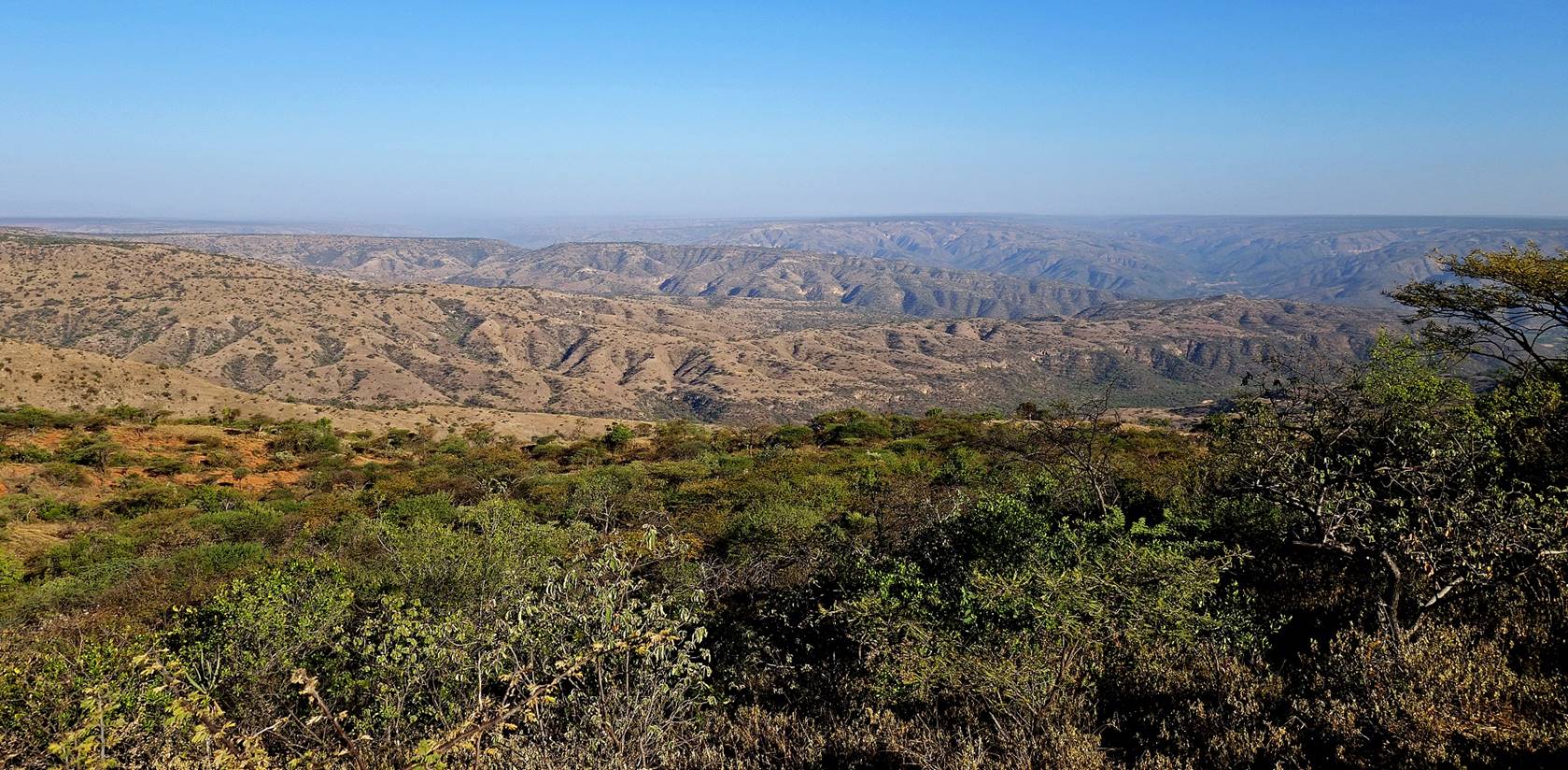
Bilika is located on a flat
mountain top, from which we could see both WP 23, the place where we had been
stopped by the police on the previous day (approximately at the center of the
picture below) and the mountain in which Furdo is
located (in the left to center background). Instead of going straight toward Furdo (a rather steep descent), we followed the curved
mountain top on the right of the photo.
House of Bilika on the edge of the mountain top.
It had been market
day in Bilika on the previous day. Some people who came
to the market and had stayed there for the night joined us for a while.
Small village along
the way.

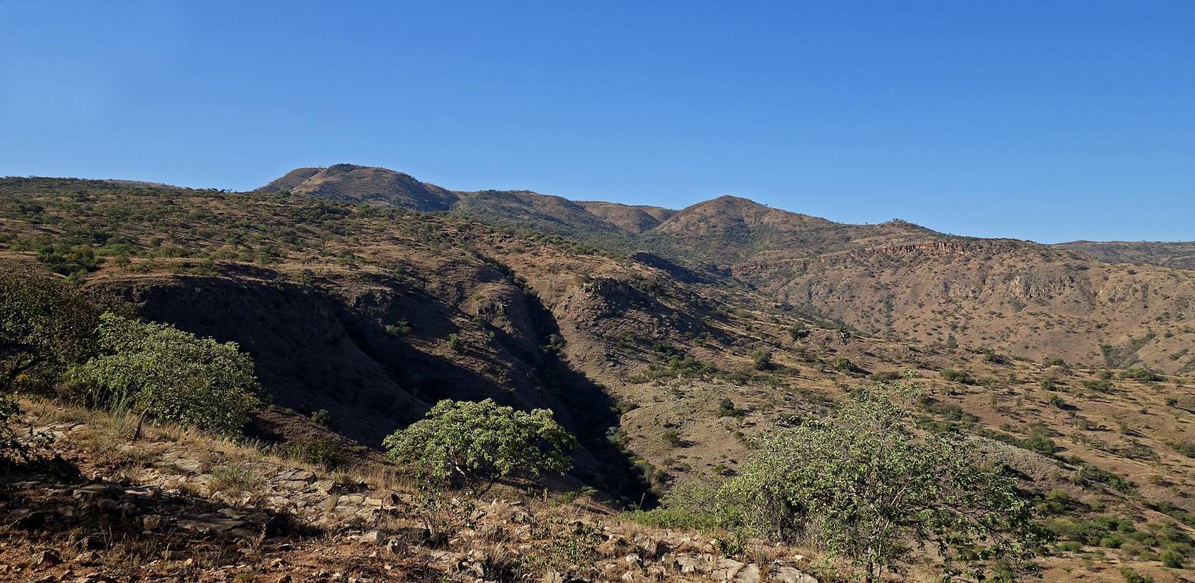
View from WP 27 near
the end of the mountain top before the descent toward WP‛s 23/28. Bilika is located on the mountain top on the left of the
picture.
During the descent.
Looking
back to the route that we had followed since Bilika. Bilika is located on the flat mountain top near the
center-right of the picture and the route trail that we had followed is on the
left of the picture.
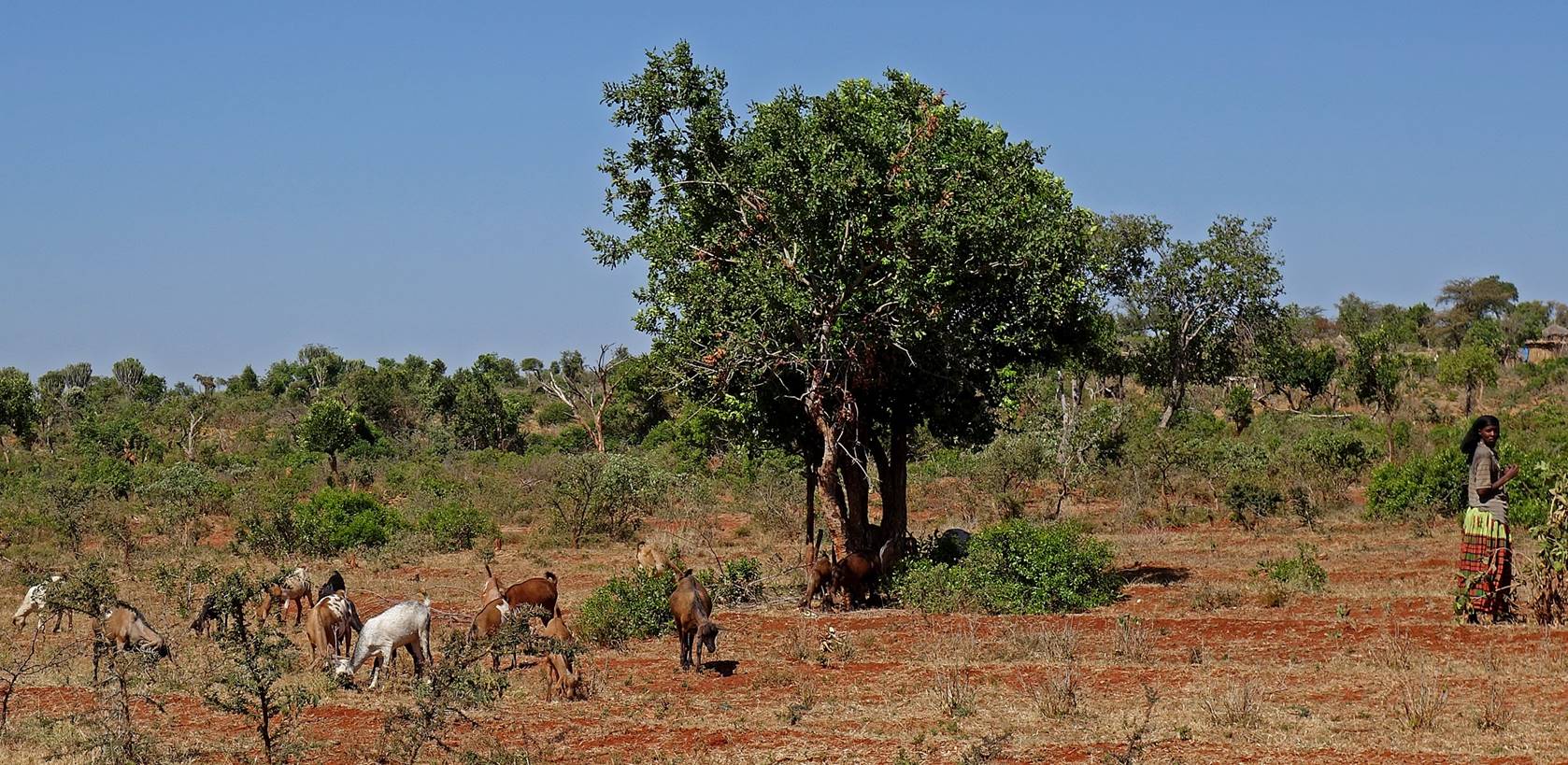
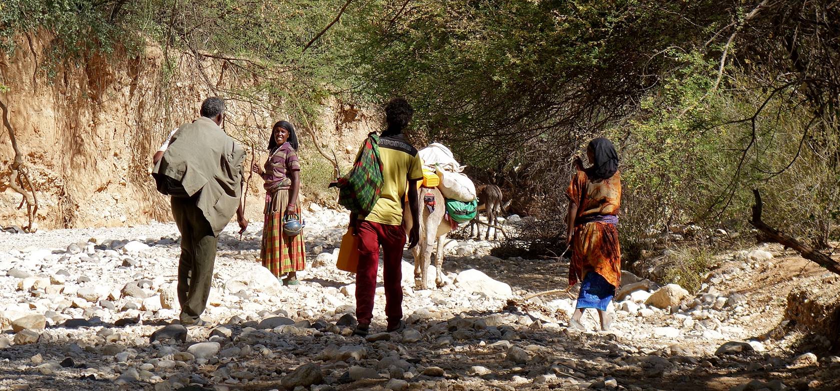
Woman and
goats at WP 28.
We
continued hiking to reach another village (WP 31) where we stopped for lunch.
Nice people brought us roasted maize and a small jar of hot coffee.
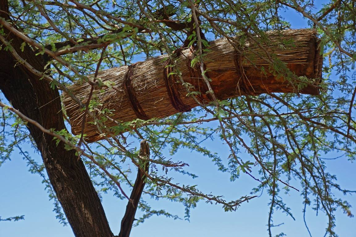
Hanging
beehives outside the village.
|
|
|

Past
this village the terrain became extremely dry and hot. There was no visible
human foot path, but instead many crisscrossing cattle trails. Surprisingly,
the preloaded map in my Garmin GPS included the position of Furdo
(and it was correct!). This helped us a lot.
|
|
|
We
eventually reached the base of the mountain in which Furdo
is located. We climbed toward Furdo along a ridge
giving views over canyons on both sides.
|
|
|
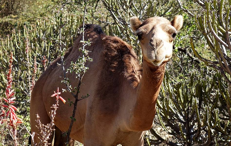
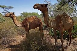
This camel
was the first to greet us when we reached Furdo.

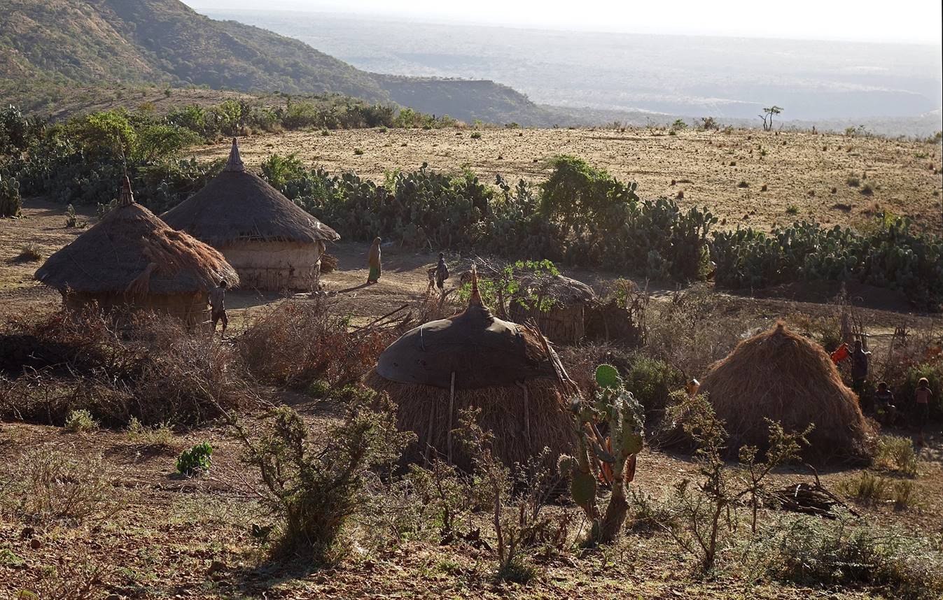
Furdo
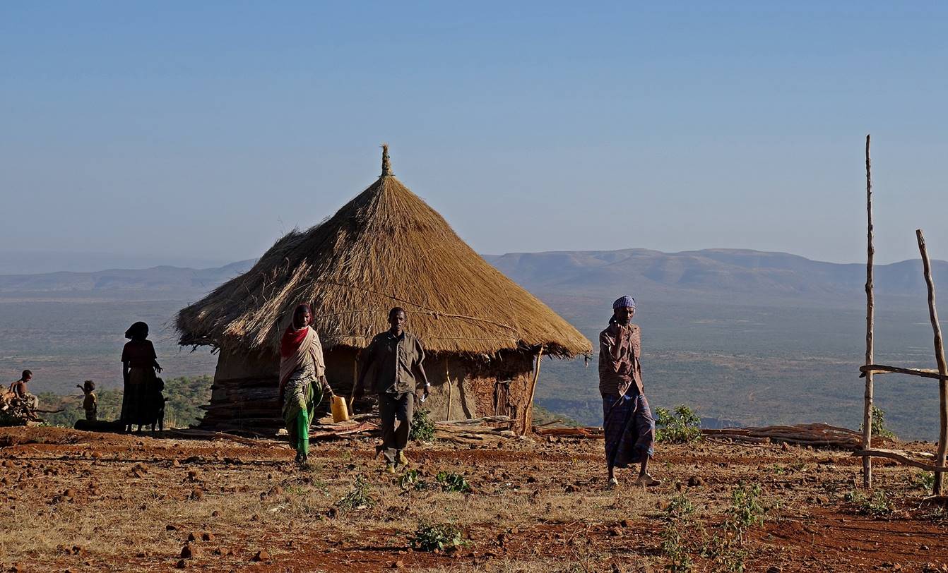
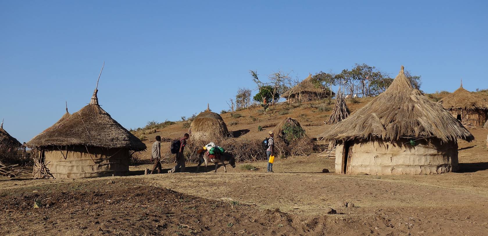
is located near the top of the mountain range, on its western side. It is a
pretty village made of round thatched roof huts. Its people were curious to see
us, but restrained and friendly. They invited us to set our camp in an
enclosure around the hut at the top of the hill in the photo below. This space
(as well as the entire village) was quite clean. They immediately provided us
with water that they had brought from a rather distant pond. This warm welcome
was a big change from our unpleasant ″adventures″ of the
previous day.
Views
over the village.
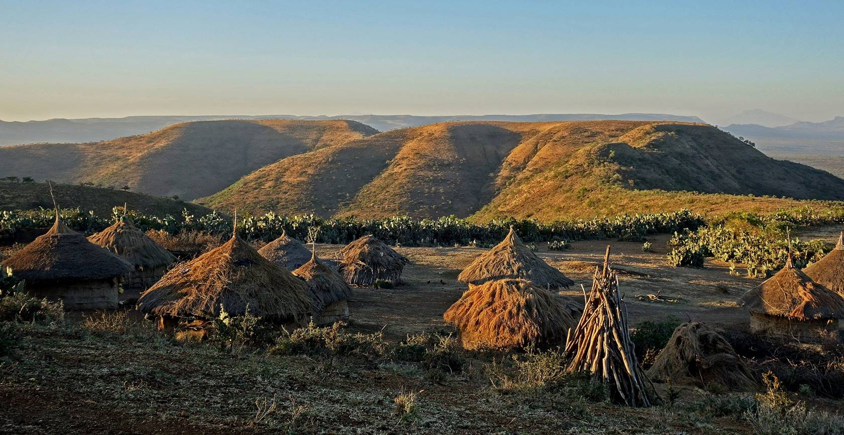
January 18: Furdo (WP 35) to WP 45
(elevation: 1510m)
This was a long and
hot hiking day. From Furdo we descended toward the
north-east into a maze of dried canyons (elevation: 890m), before climbing back
again on an opposite plateau. We set our camp in the first village on this
plateau. The canyons were the domain of camel herders. A friendly young man
from Furdo came with us to show us the way.
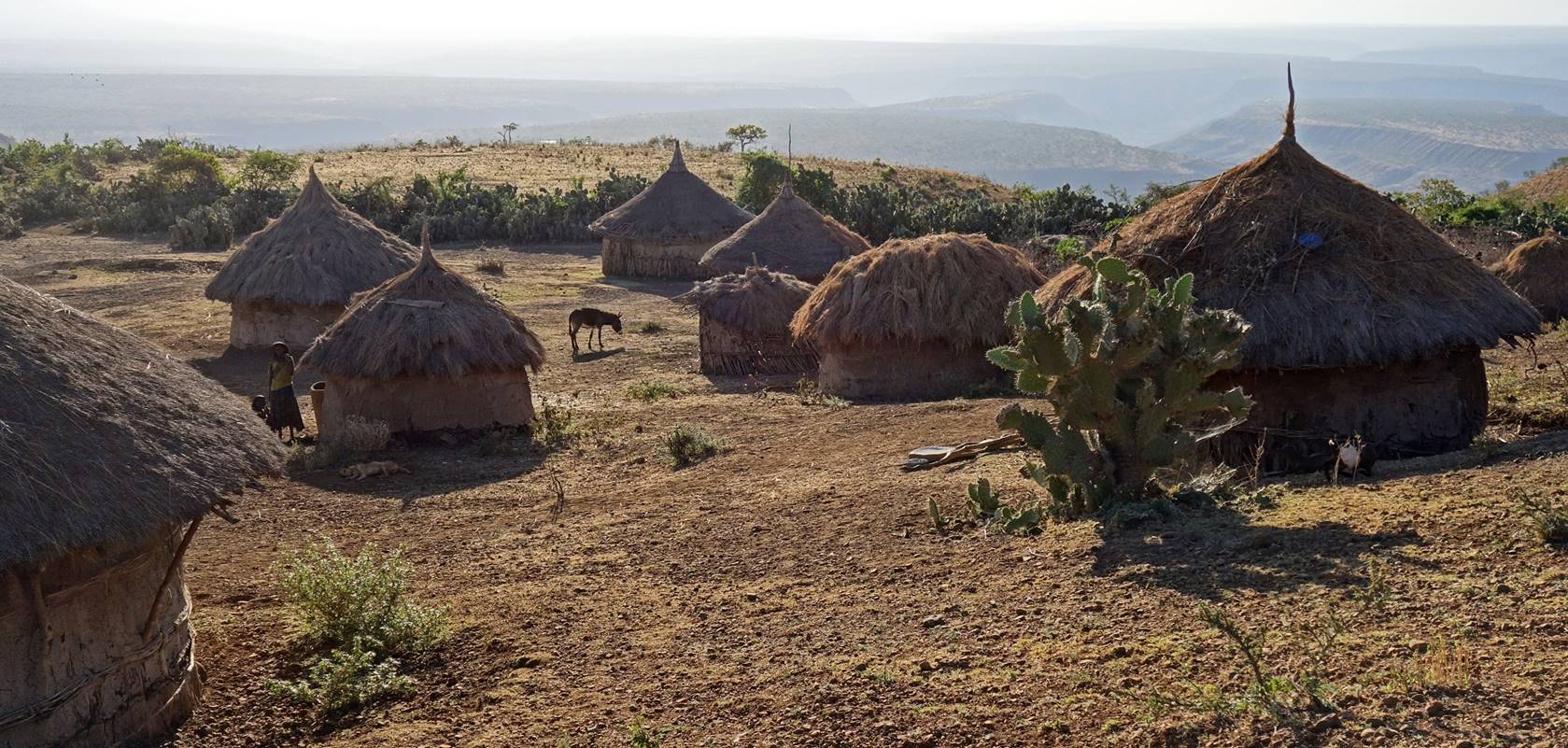
Photos of Furdo taken at sunrise.

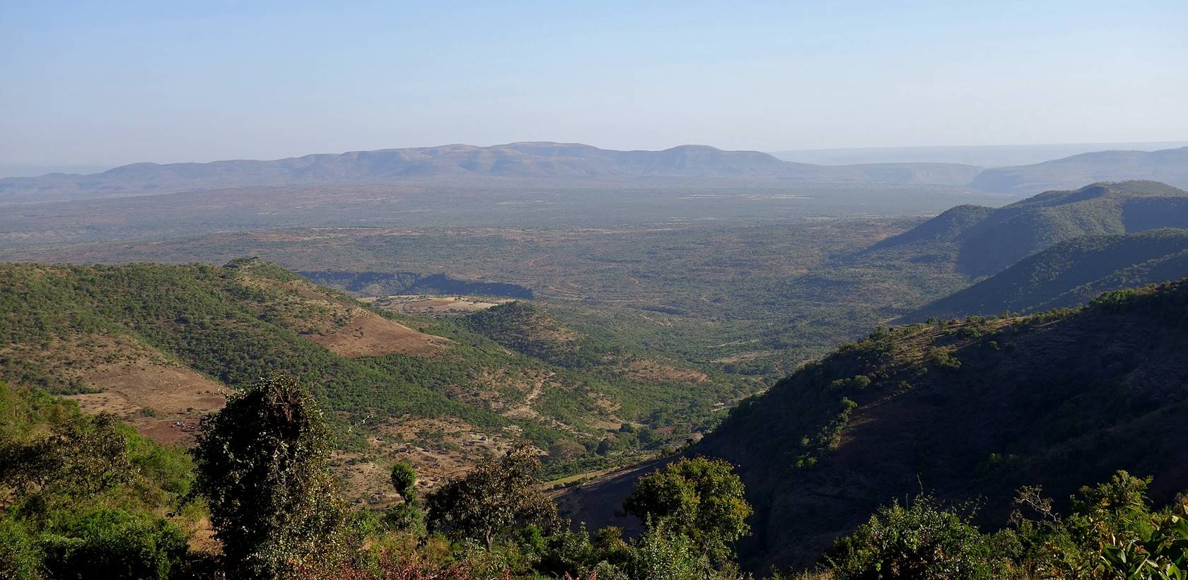
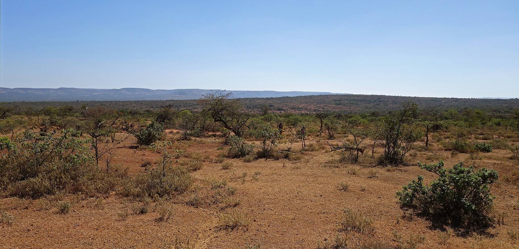
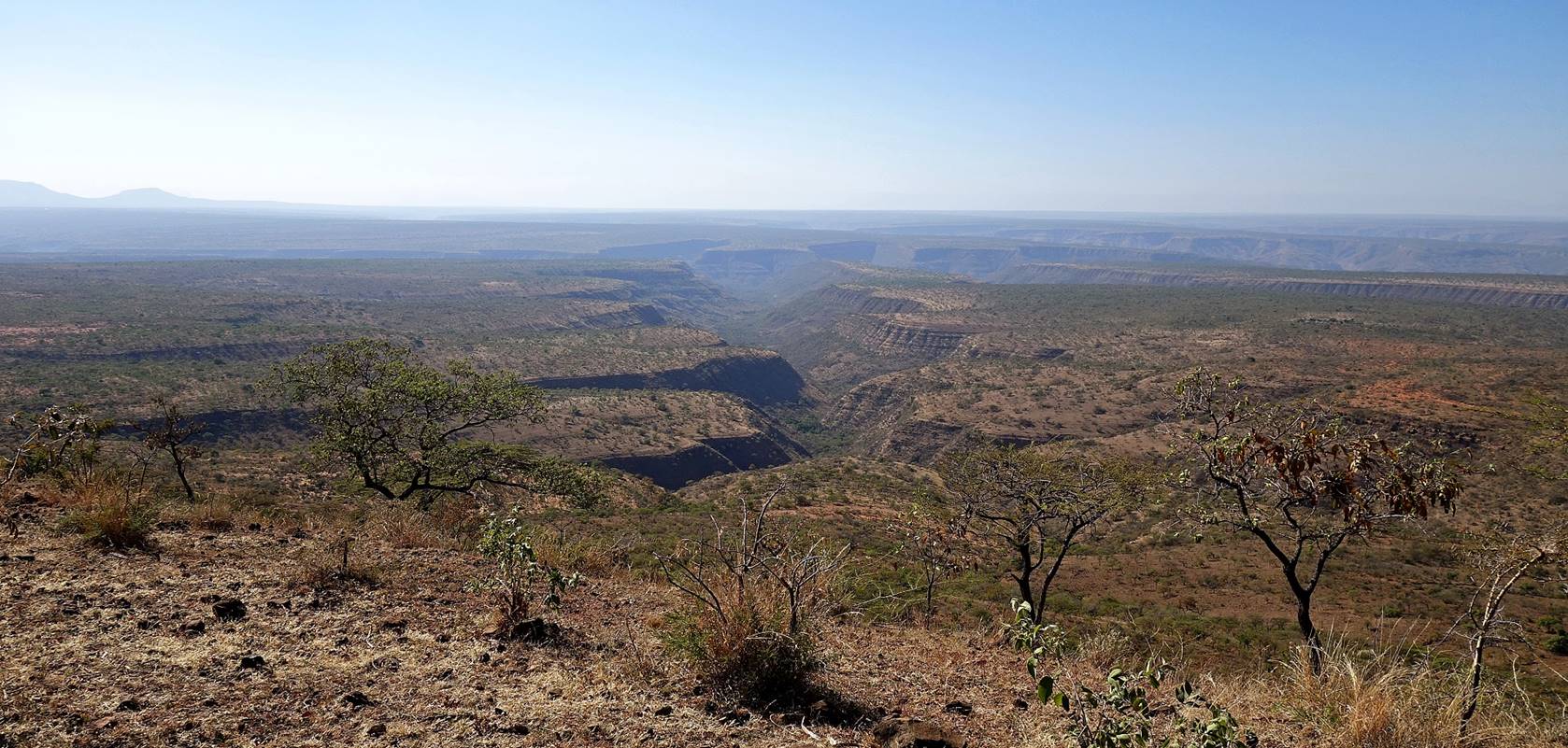
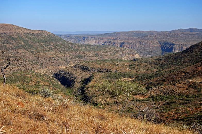
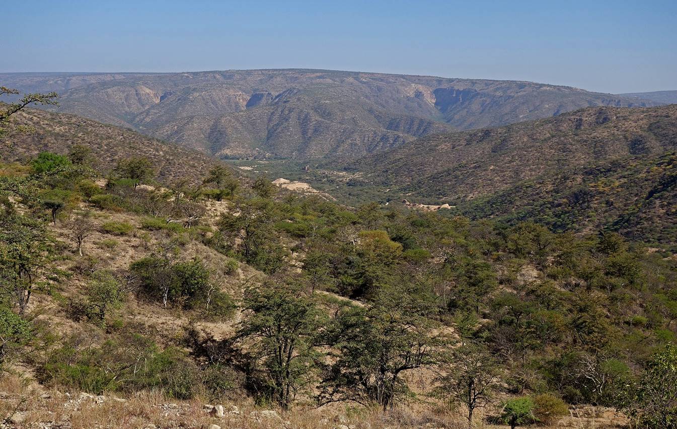
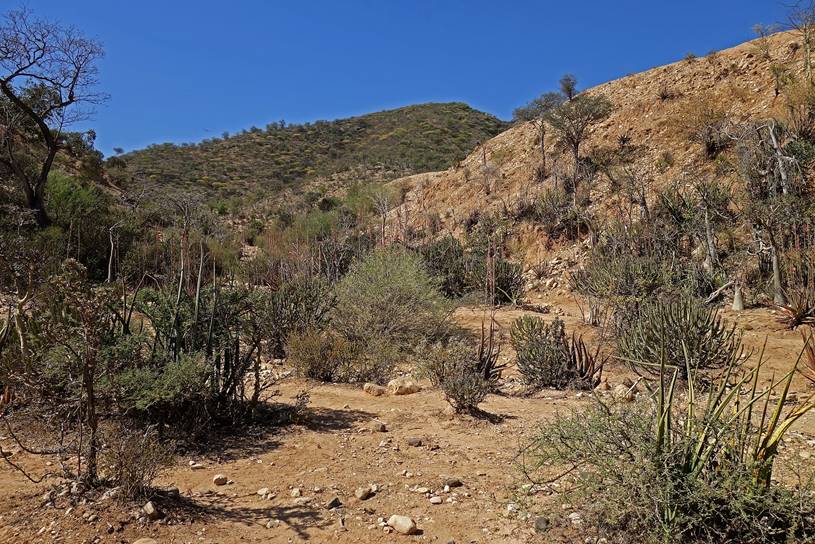
Views over the maze
of canyons northeast of Furdo. These canyons
eventually merge into a single canyon that runs toward the southeast into the Wadi Shebelle canyon.
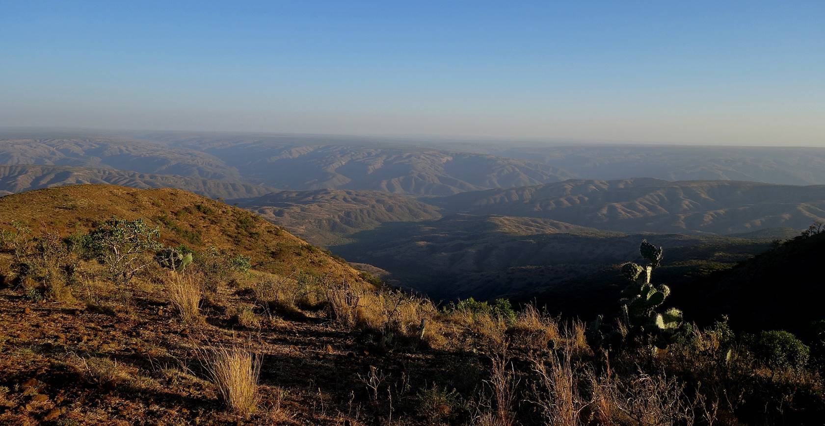
Looking back toward Furdo during the descent. Furdo
is located just behind the skyline at the center of the photo.
Reaching the bottom
of the canyons. (The man with the red pants and the yellow shirt was our local
guide from Furdo.)
|
|
|
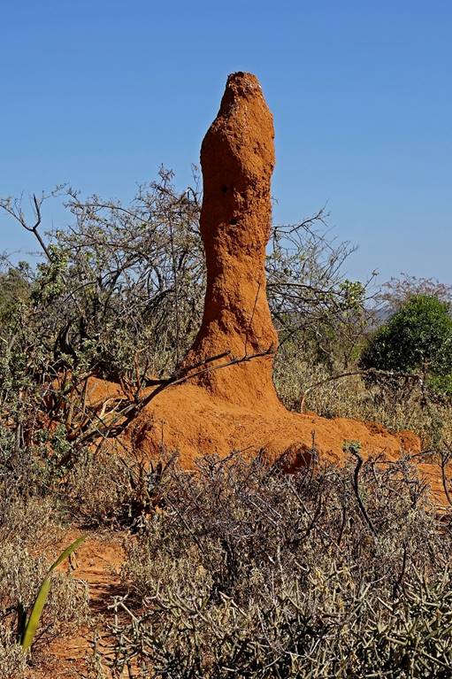
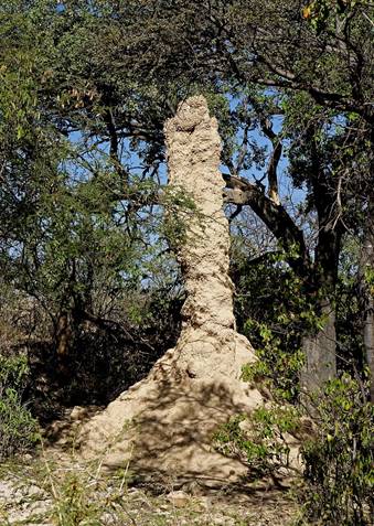
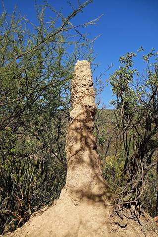
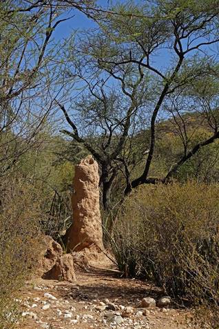
Termite mounds along the way.
|
|
|
|
|
|


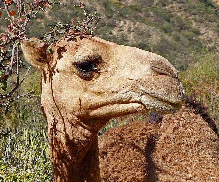
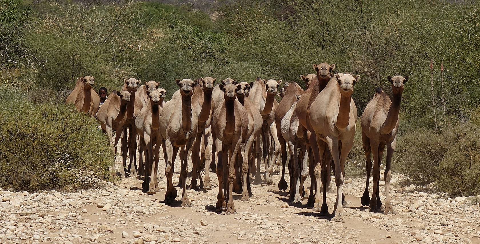
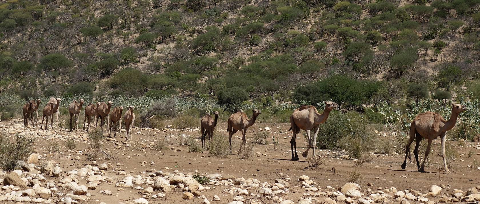
Camels looking at us,
curious intruders.

|
|
|
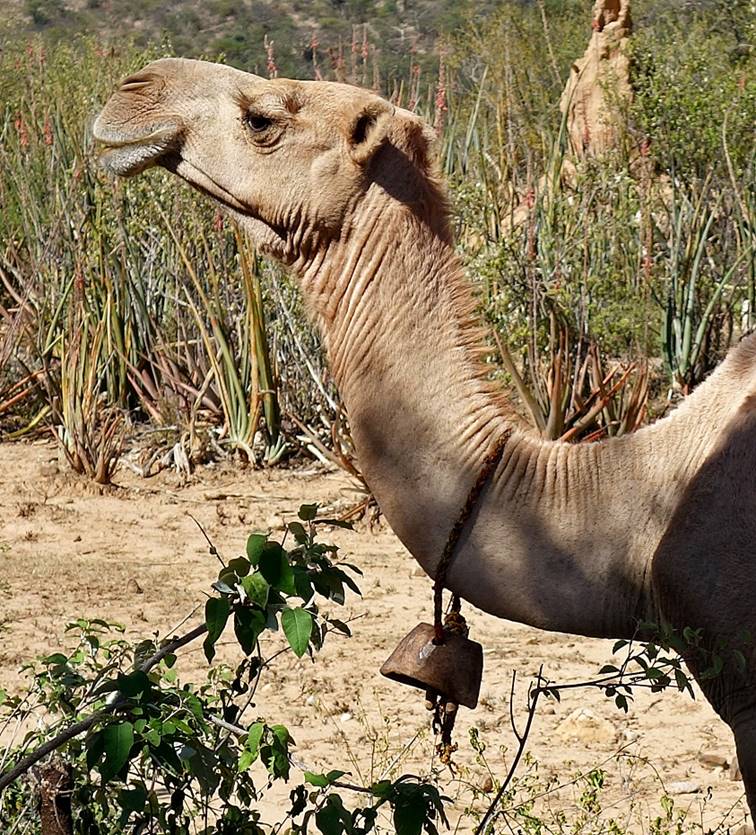
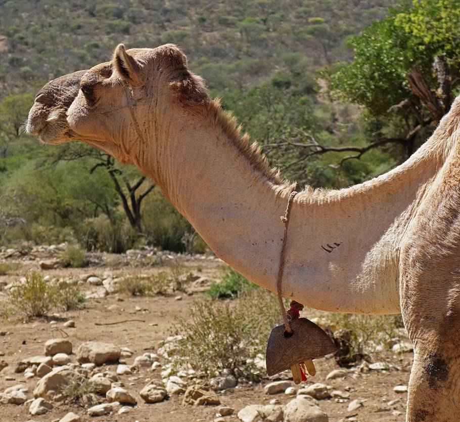
Camels with
traditional carved wooden bells.
|
|
|
We met a few herders
along the way. Usually, they were resting in shady areas.
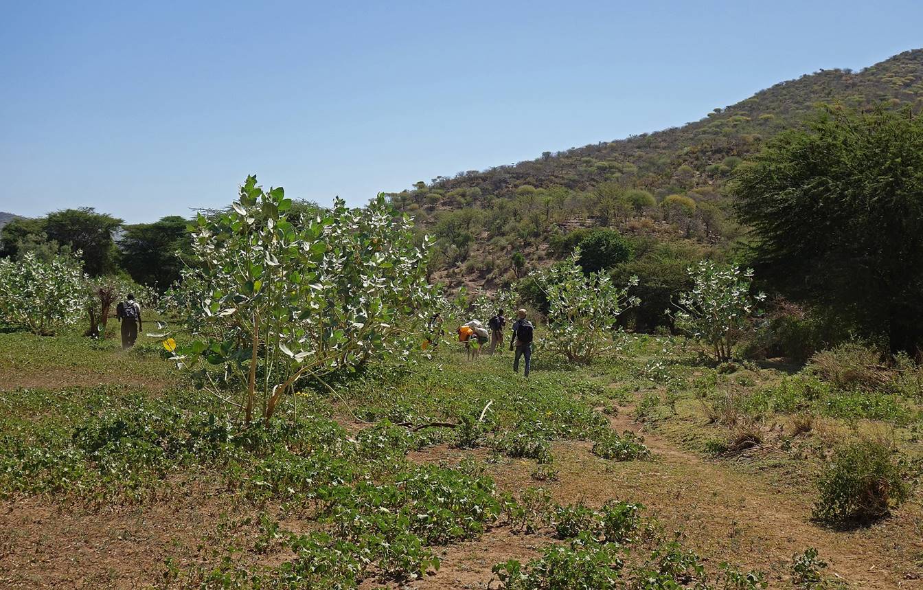
At some point we
reached a greener area suggesting that some water might be near.
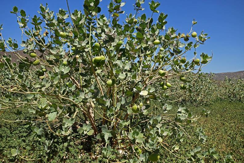
Closer to the
riverbed, the area was covered with curious shrubs that produce green
fruit-looking globes. These globes, which are mainly filled with air, only
contain small seeds and some white fibers. When pressed or hit they explode
with a puff. The shrub is called calotropis
procera and the globes are named ″apples of Sodom″. The skin of the globes contains a
toxic milky sap.
|
|
|

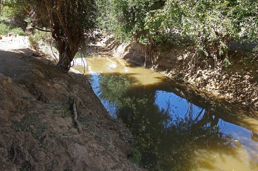
When we reached the
riverbed we only found old pockets of stagnant water. It was so filthy that I
decided not to use any, even after filtering, iodine treatment, and boiling,
despite the fact that my reserve of drinkable water was getting low. During
seasons of sufficient rainfall this river is a tributary of the Wadi Shebelle.
|
|
|
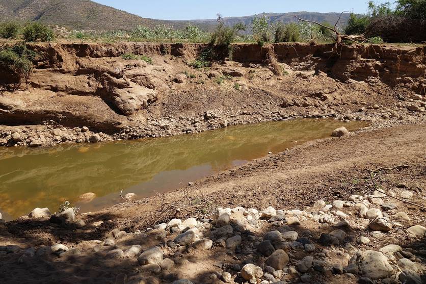
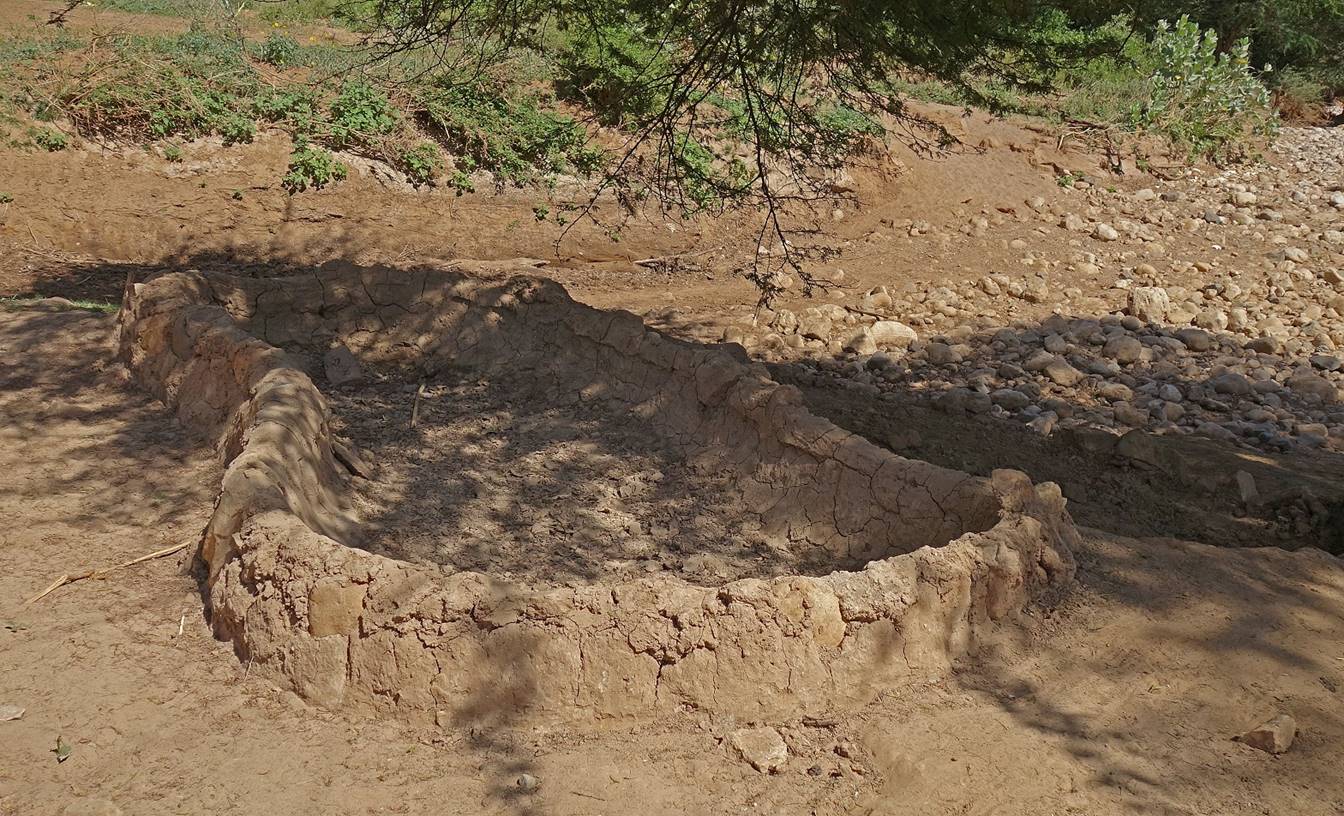
Dried water basins
for animals built above the river indicate that much more water is flowing at
other times.
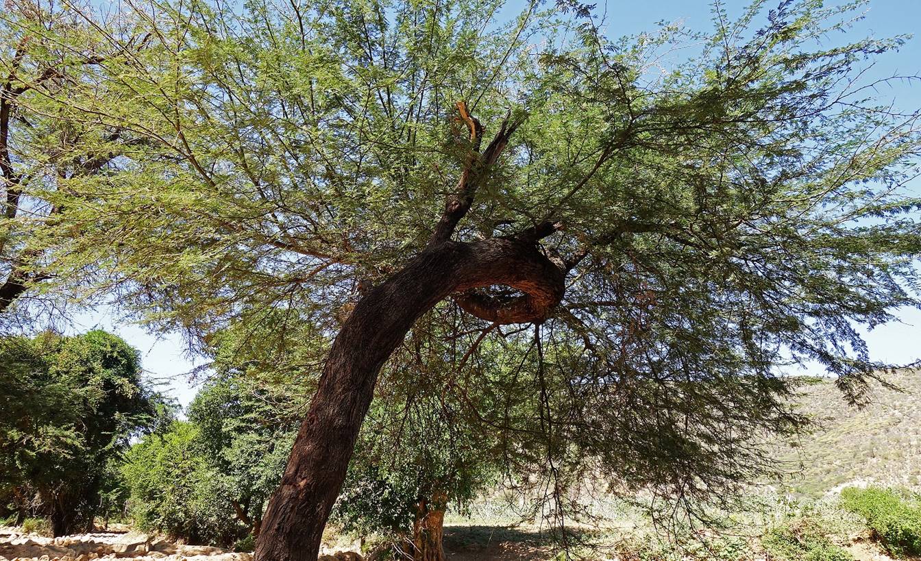
We nevertheless
stopped there for a lunch rest (WP 40). I found this nicely umbrella-shaped
tree and took a nap in its shade.
In the afternoon we
switched into an even dryer canyon and started our ascent onto the next
plateau.
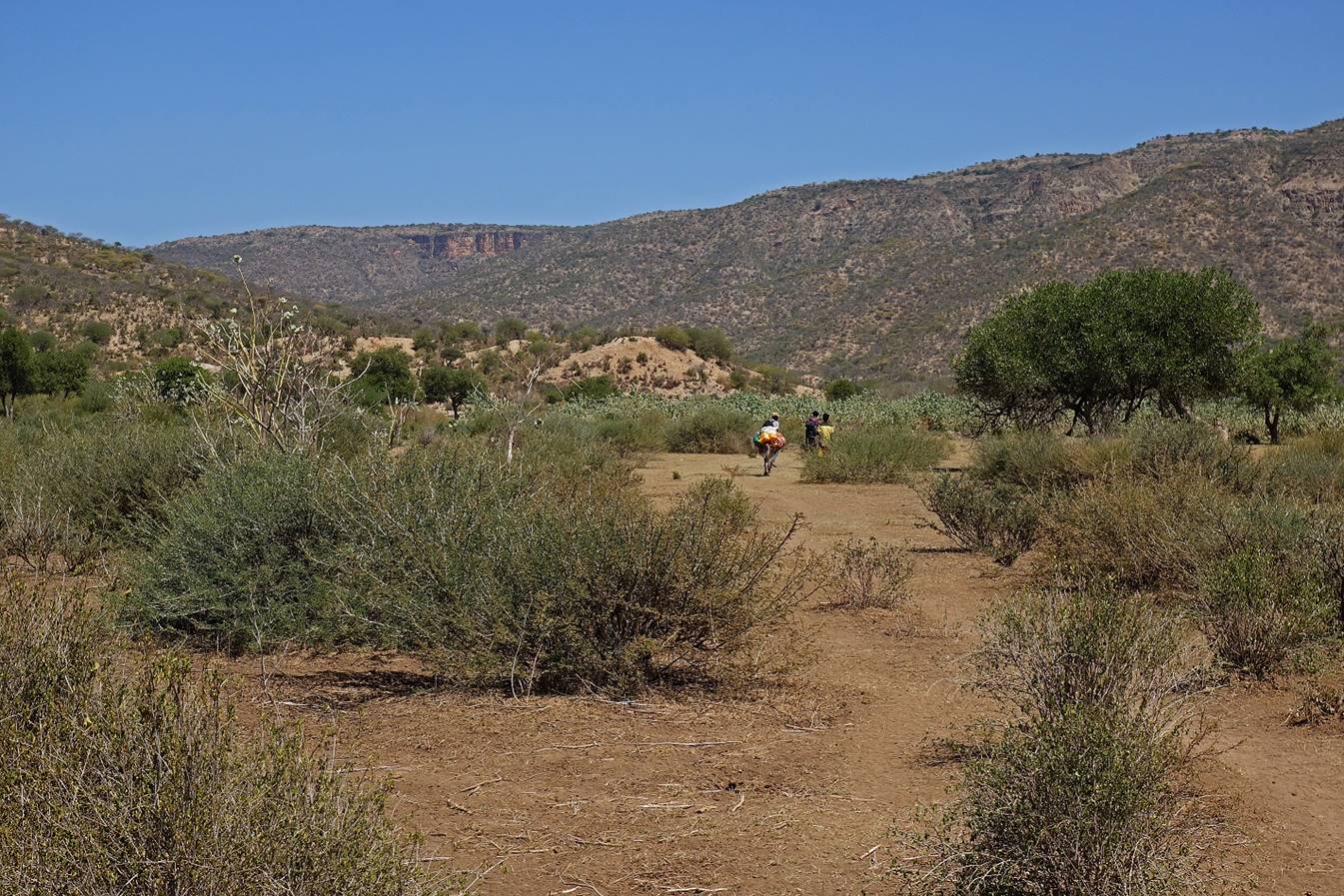

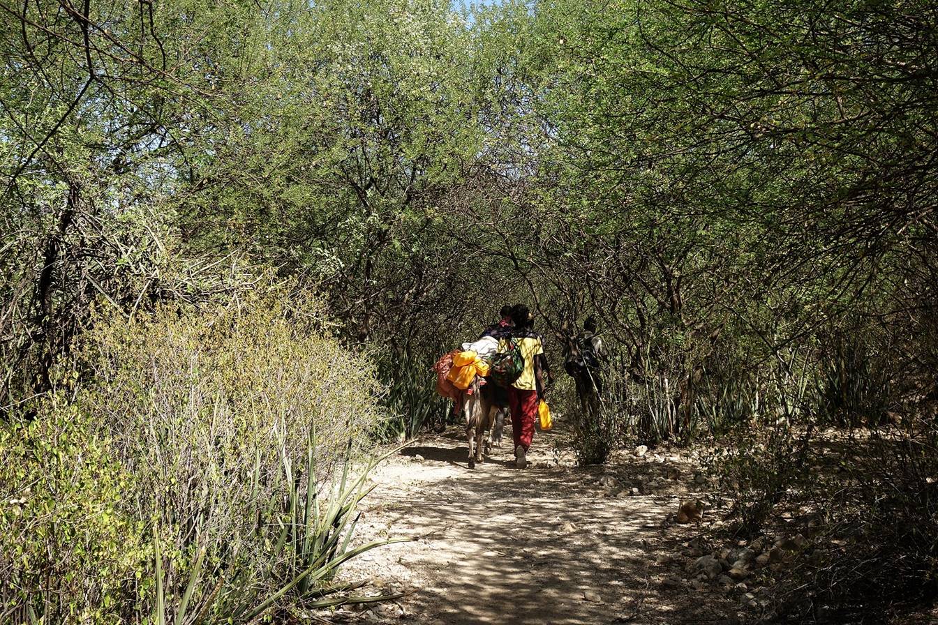
We passed by
settlements of camel herders...

...and again saw many
camels.
The heat combined
with the climbing effort led me to drink most of my remaining water. I switched
into ″survival mode″, stopped taking photos, and used my
remaining water as wisely as possible. We eventually reached the plateau and
set our camp near the first village (WP 45), where I filtered and treated
water, and was able to rehydrate myself.
January 19: WP 45 to Daffe (WP 48,
elevation: 1580m)
January 19 is Timkat (baptism of Jesus), a major holiday for the members
of the Ethiopian Orthodox church. Although we were in a predominantly Muslim
region of Ethiopia, we learned that there was an Orthodox church in the
relatively large village of Daffe, some 7km away. Gebru, who is Ethiopian Orthodox, wished to celebrate Timkat by attending ceremonies at this church. We decided
to move our camp to Daffe and stay there for the day.
So, this was a very short hiking day.
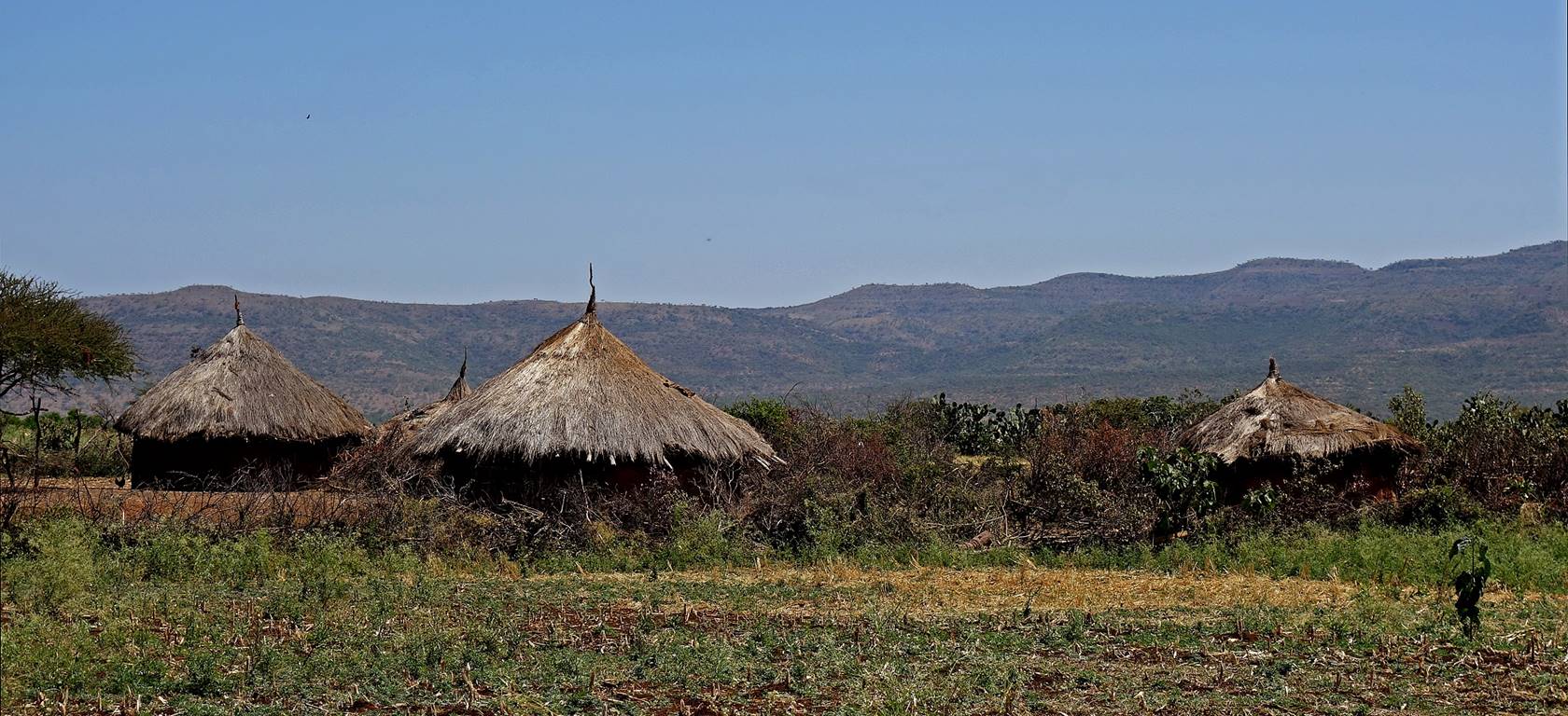
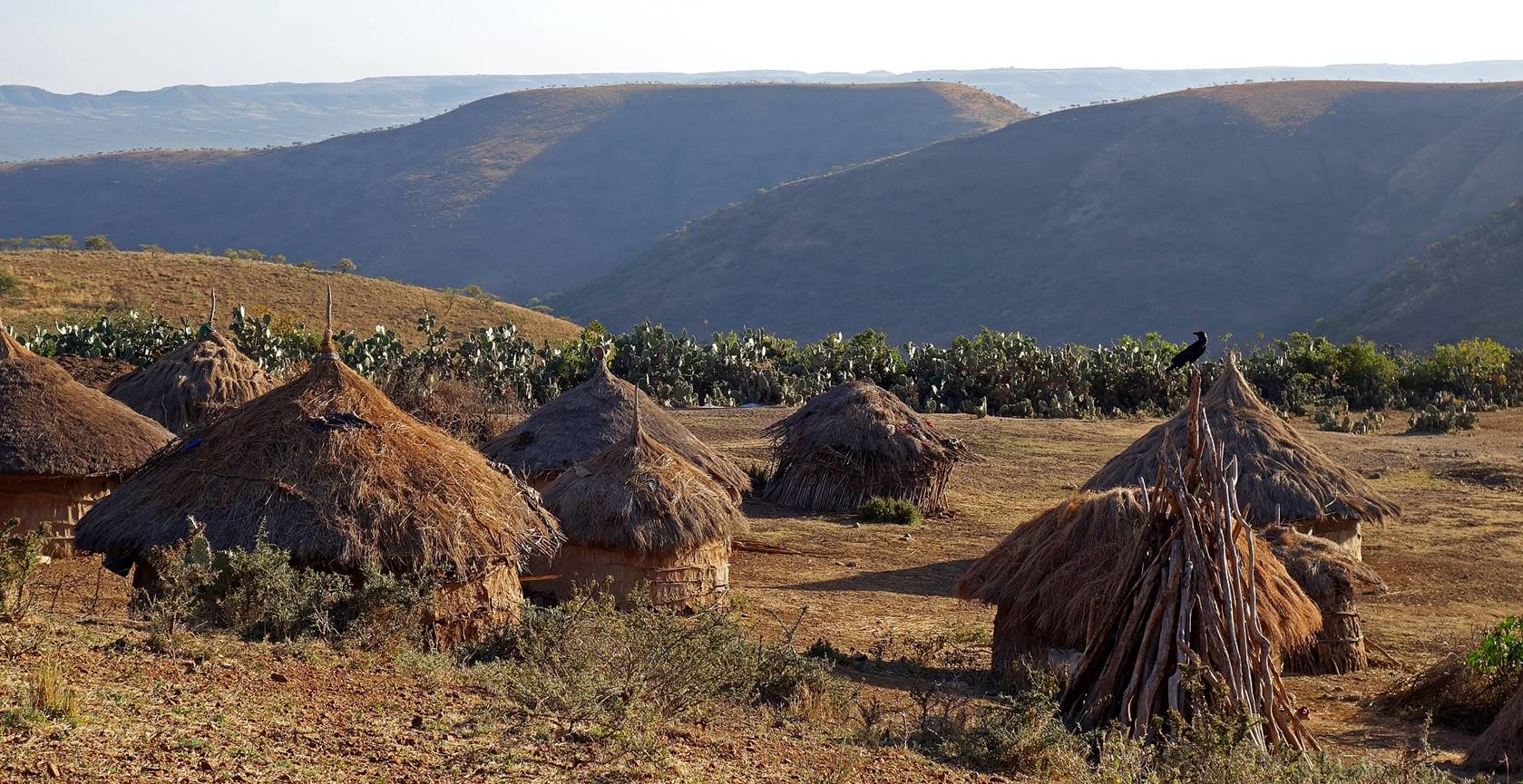
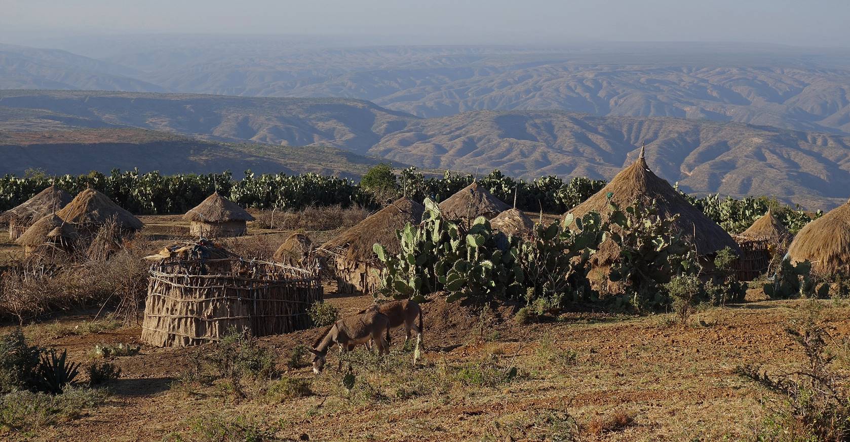
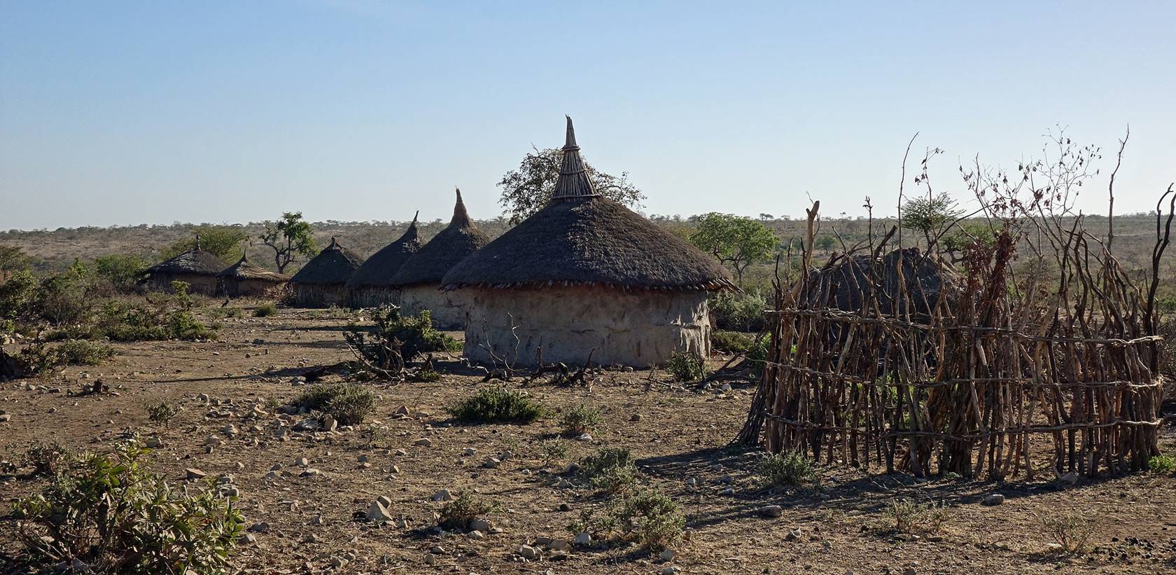
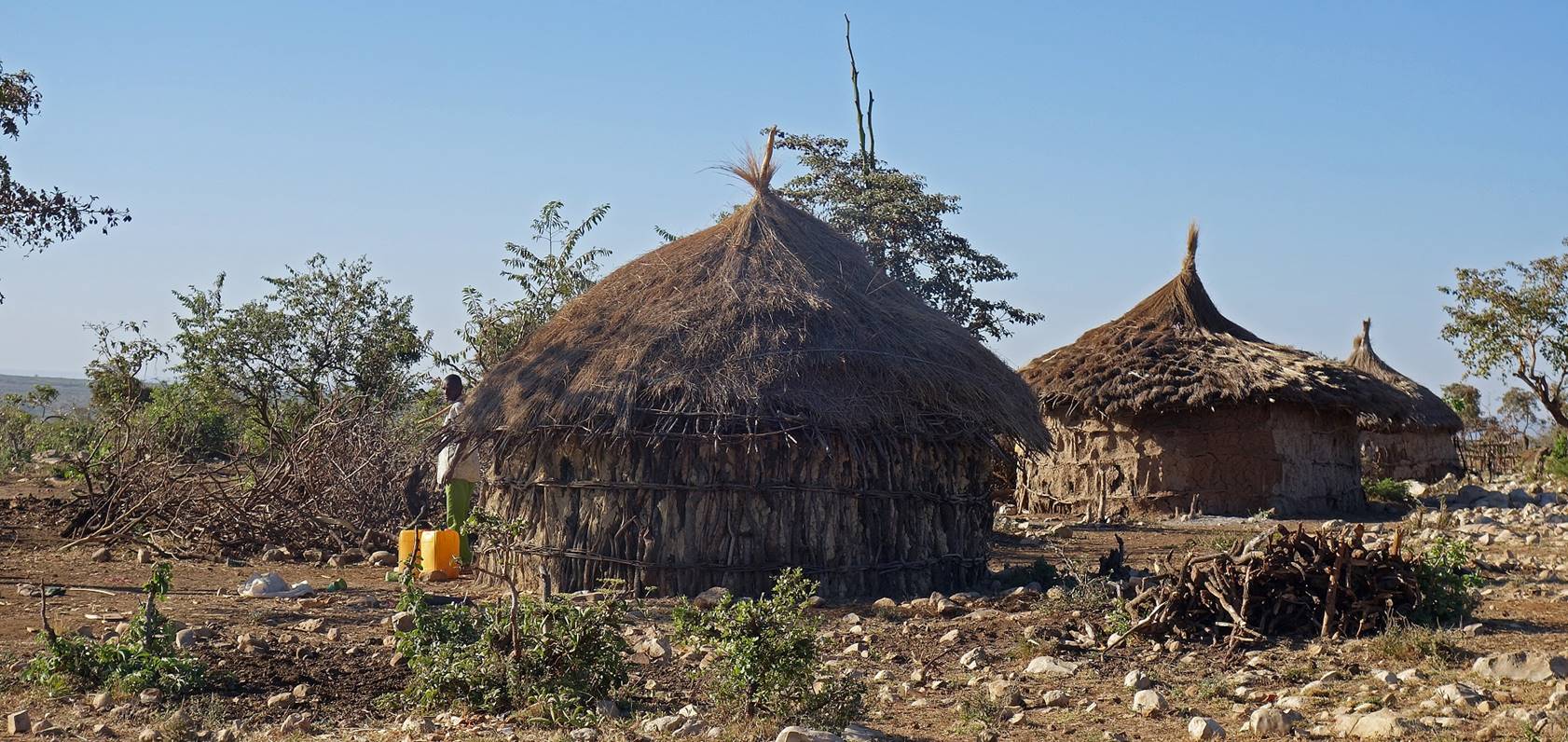
Circular huts between
our two camps.
We knew that there
was a police station in Daffe. To avoid looking too
suspicious, we had decided to ask permission from the police to set our camp in
their compound. In any case, as the zone commander was informed of our presence
in the area, we knew that we could stay out of trouble by contacting him. So,
when we arrived in Daffe, we traversed the village
and went directly to the police station. The village was by far the largest we
crossed during the entire trek. It was also one of the ugliest I had ever seen
in Ethiopia, basically a shanty village with trash everywhere. There were many
people in the street. Initially, they were surprised to see us and remained
reasonably restrained, but their initial fear gradually faded away and they
started following us. ″Faranji″ hysteria had begun. The policemen were
not too welcoming initially (I could understand them, as we were bringing
trouble), but they allowed us to camp in their compound and were eventually
quite friendly. They looked at our permits suspiciously, but we called the zone
commander who told them that we were legal. For the entire afternoon and late
in the evening, a large crowd of shouting (but non-hostile) people surrounded
the police compound. Several times the police had to act vigorously with long
wood sticks to chase people trying to penetrate into the compound and maintain them
at a safe distance. I marveled the skills of these policemen (6 or 7 in total)
who, for many hours, were able to control a crowd of several hundred people.
Overall, this was a rather boring day, but Gebru, who
had traveled from far away (Adwa in Tigray) to accompany me on this trip, was
happy. At the church he even met a relative from Adwa, who was working in Daffe to construct a new road. I also met an
Ethiopian-looking 17-year-old boy who was born in Ethiopia from Oromo parents,
but had lived 16 years in Minneapolis. It was his first visit to Ethiopia to
meet aunts and uncles. He told me ″Ethiopia is as foreign to me as to you″.
Perhaps, but there was no doubt that for the surrounding crowd I was more
foreign (faranji) than him.
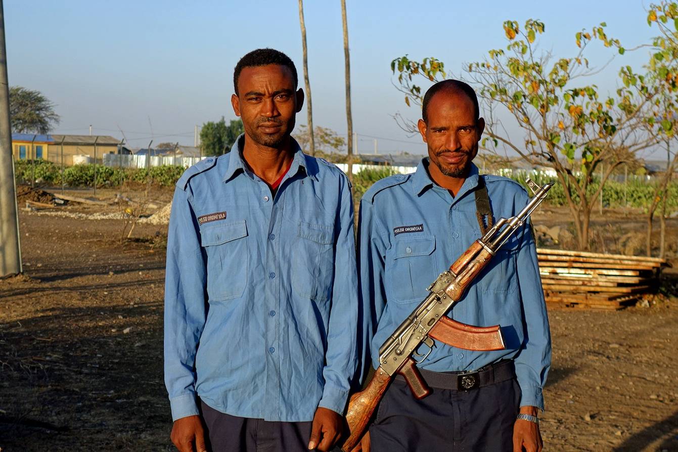
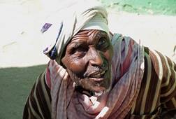
Two of the policemen (photo
taken on the following morning). They look a bit tired, as they had been
guarding our camp for the entire night.
![]()
Links
to the various sections of the trip:
|
|
|
|
|
|
|

![]()