Traverse of Turkestan range ― South-West Kyrgyzstan (2011)
Leg 2: From Sary-Kyngoy valley to Aksu valley (July 13-17)
![]()
The car that we found below Sarkant pass took us to the upper Sary-Kyngoy
valley, below Abdivishar pass (marked 1.10.7 on the
map below). This was an interesting ride, as the car′s engine was
constantly heating up and we had to add water every few minutes.
We first hiked up toward Abdivishar pass (3810m), but again
we had problems crossing it: the pass is very steep and made of rotten rock;
the only way to cross it would have been to ascend a very long, fastidious
scree on its side. Instead, we decided to return to the Sary-Kingoy
river. We hiked down along this river and crossed Bel-Kuduk pass (1.10.10, 2650m) followed by another pass (not
labeled on the map). From there, a long and sometimes strenuous descent
(without trail most of the way) took us to Laylar-Mazar
river. We hiked this river upward (westward), then Uram
river. We crossed Uram pass
(1.1.59, 3760m) to reach Aksu valley, below Aksu peak.
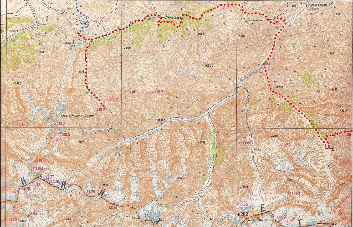
Topographic map for leg 2. Click here to see the map at better resolution. (Black vertical lines in
the map are distant by 9.5 km.)
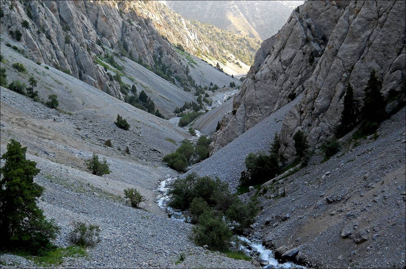
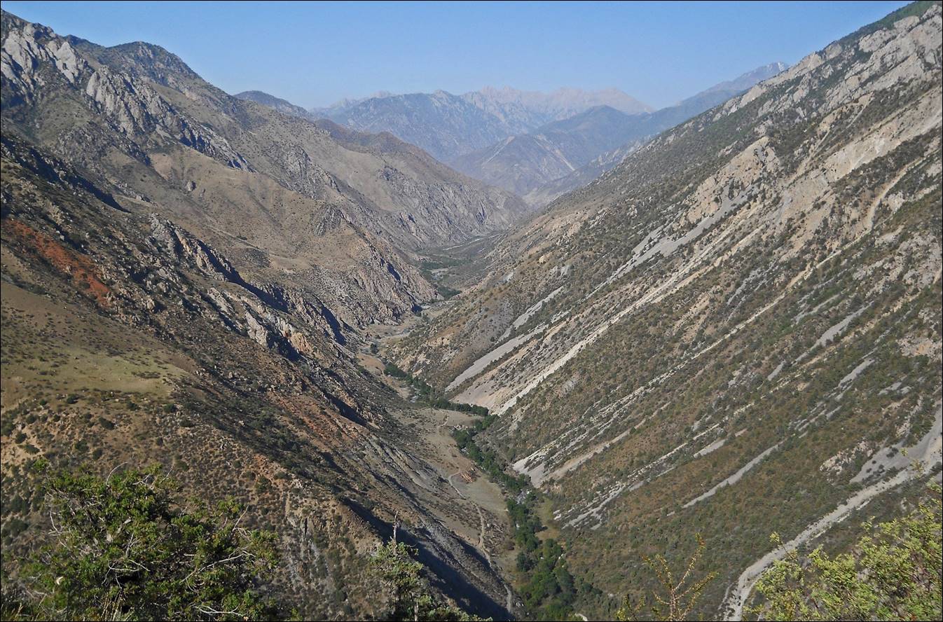
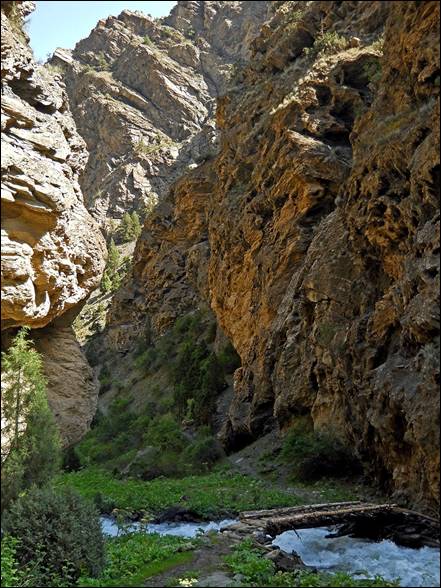
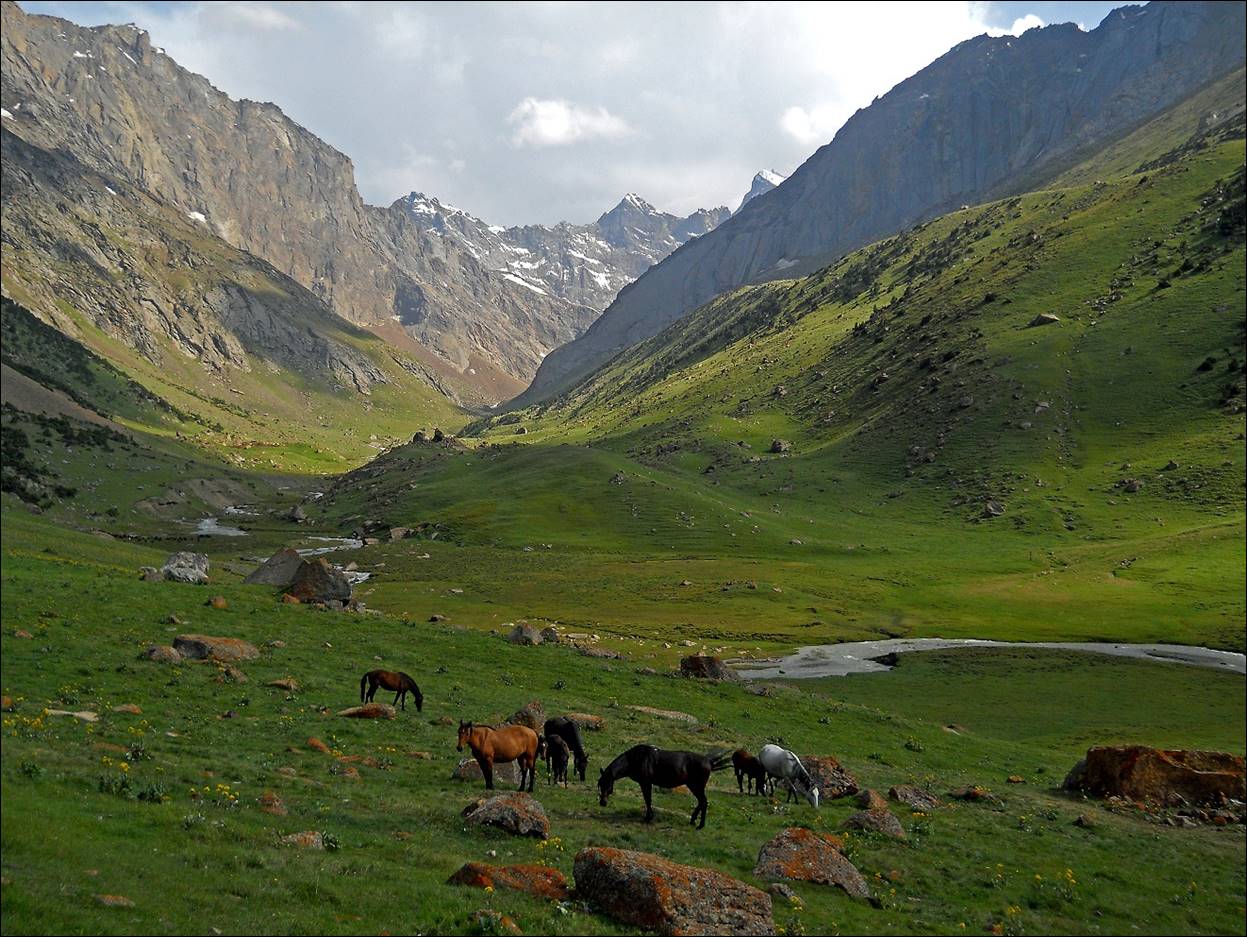
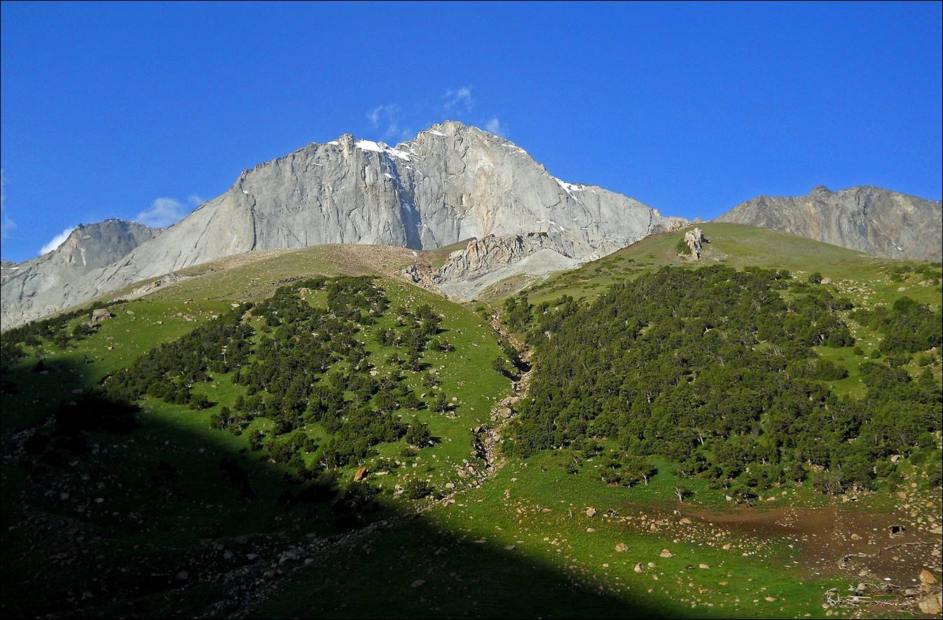
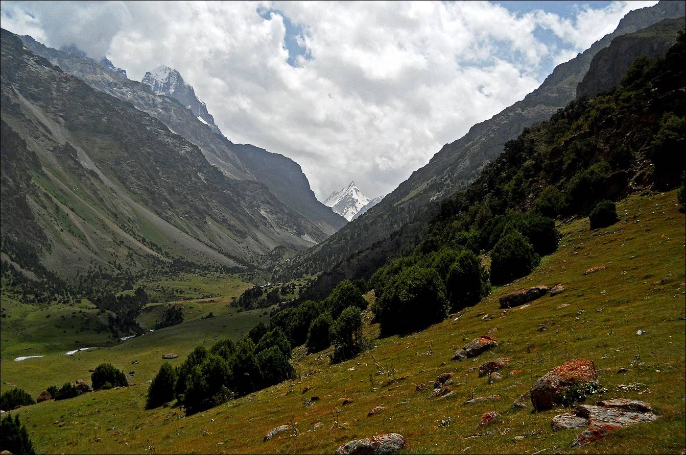
The canyon above Sary-Kyngoy
valley, below Abdivishar pass.
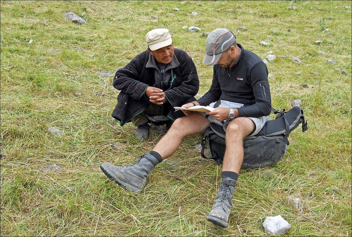
Maksim with a shepherd, looking at the
map below Abdivishar pass.
The shepherd‛s tent, sheep, and
goats.

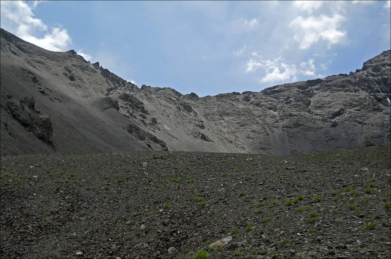
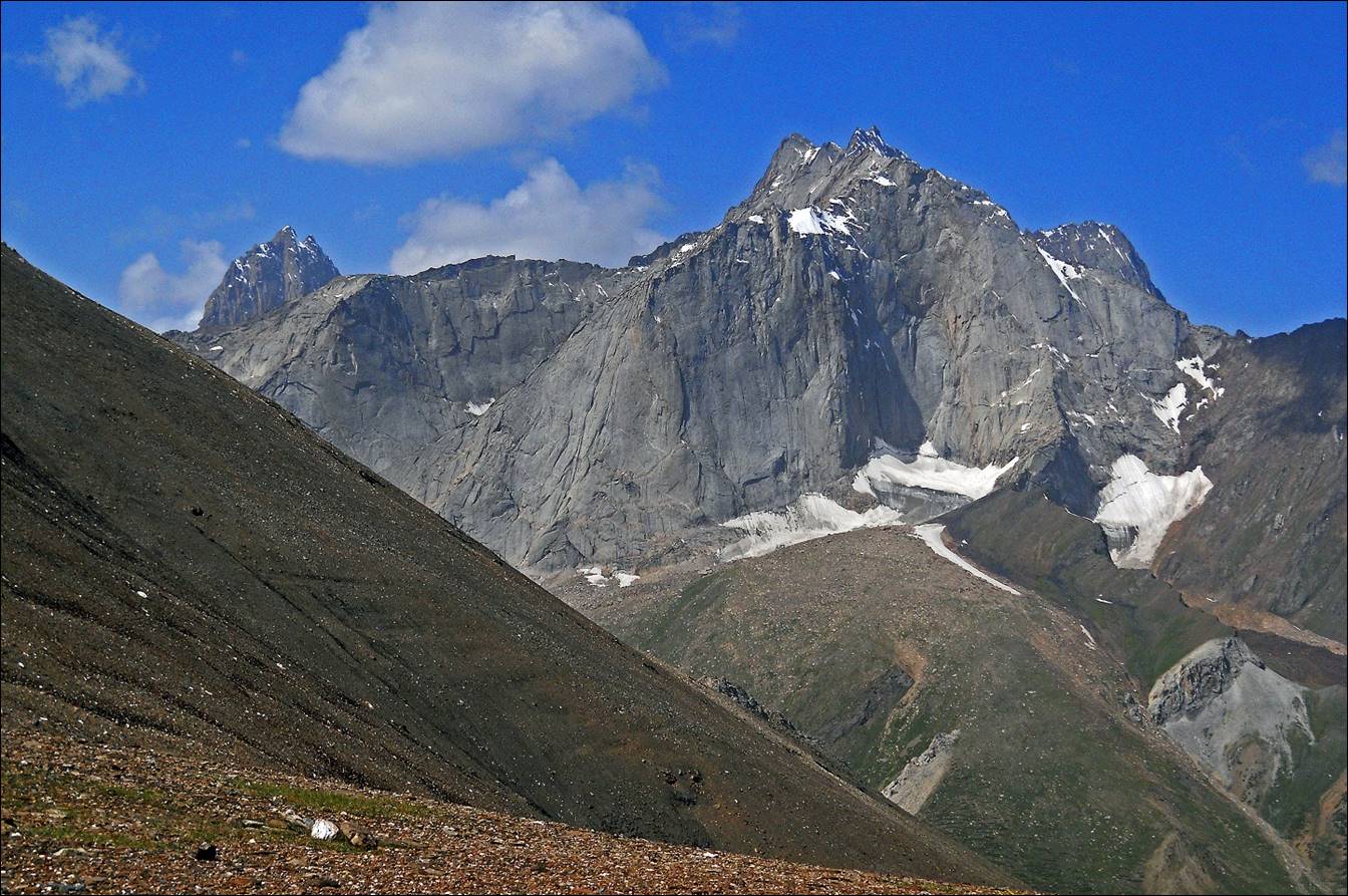
Abdivishar pass (3810m).
Kosh along Sary-Kyngoy river.
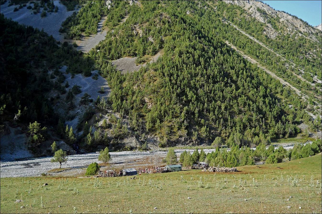

Entry of a cemetery near the kosh.
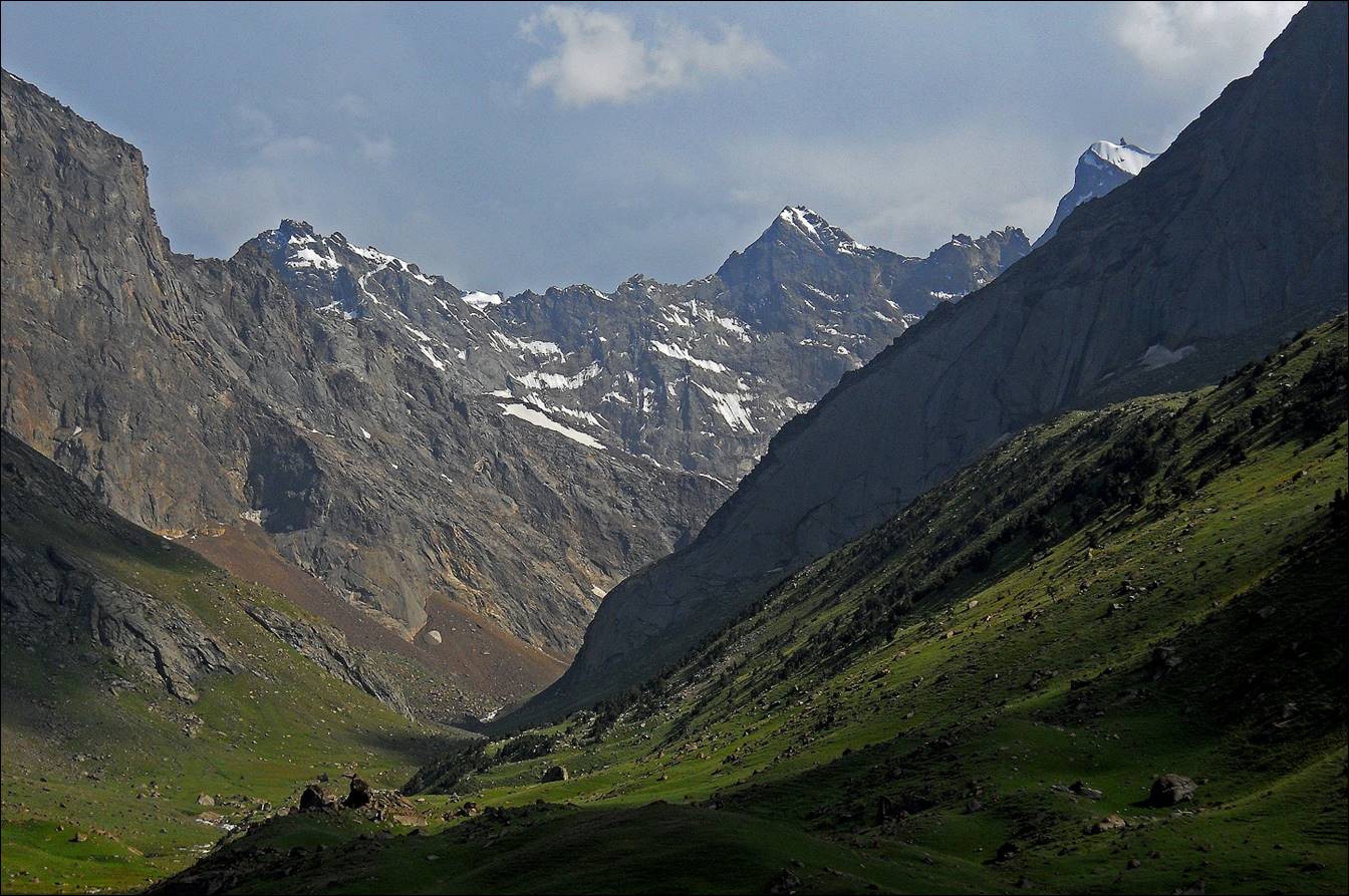
Canyon of Sary-Kyngoy
river turning 90dg toward the north, seen during the
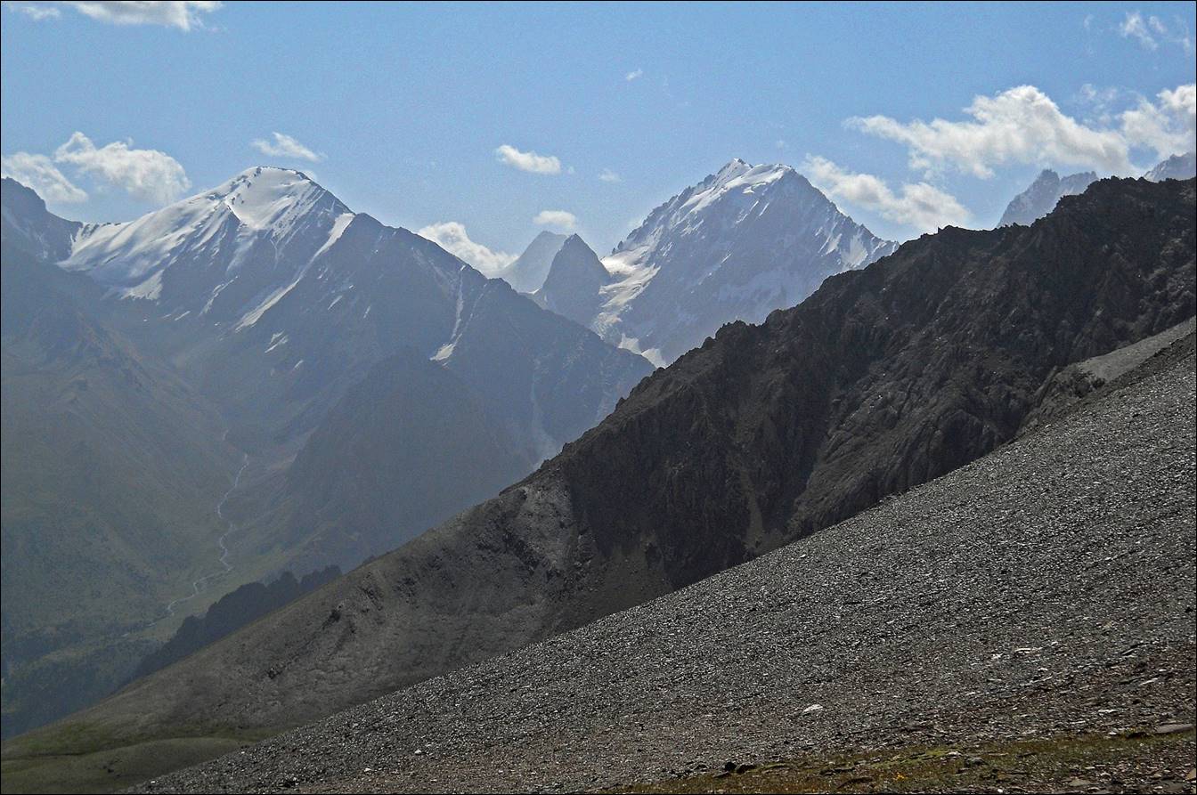
ascent of Bel-Kuduk pass.

View near Bel-Kuduk
pass.
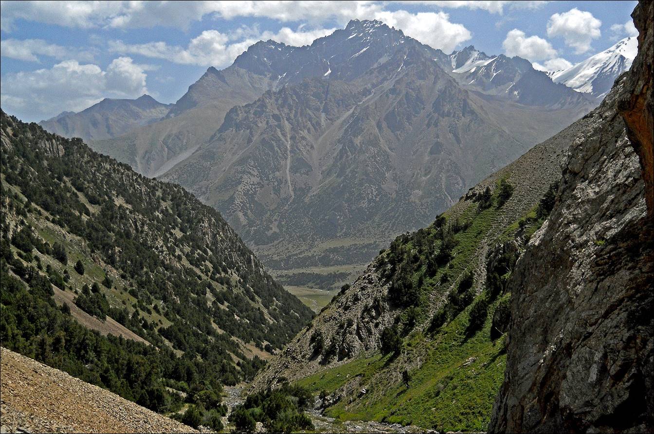
Lower valley of Layly-Mazar river, as seen during the strenuous
descent from the un-named pass after Bel-Kuduk pass.
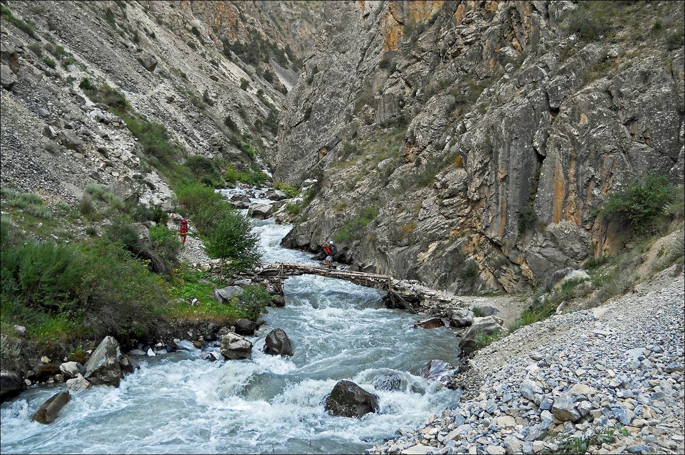
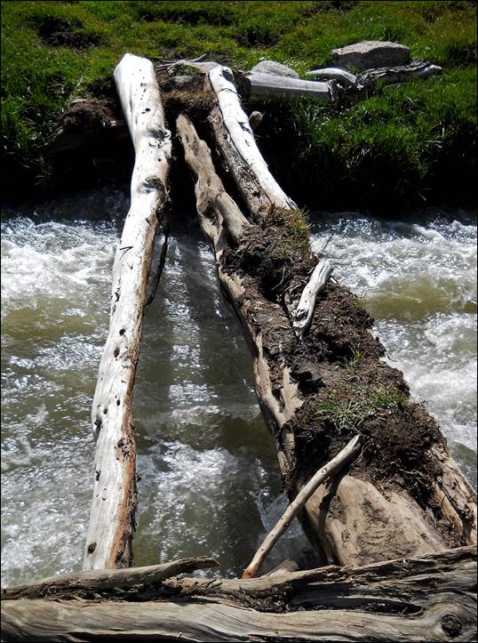
Bridge on the Layly-Mazar
river.
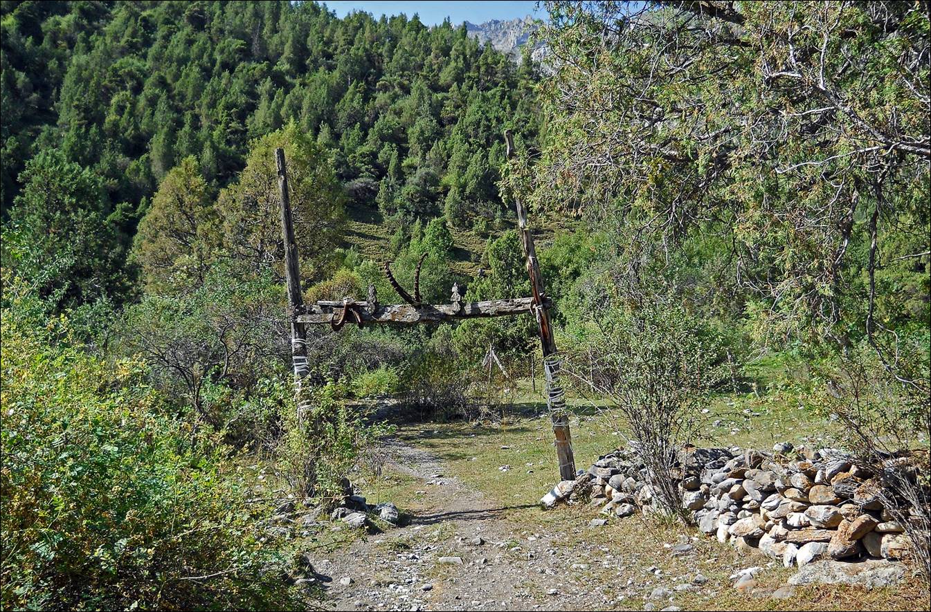
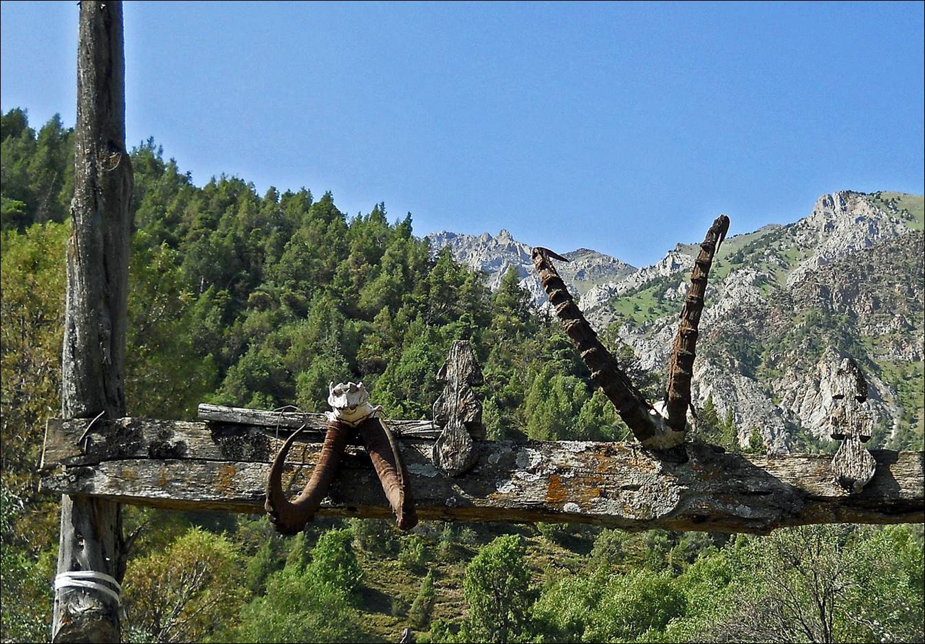
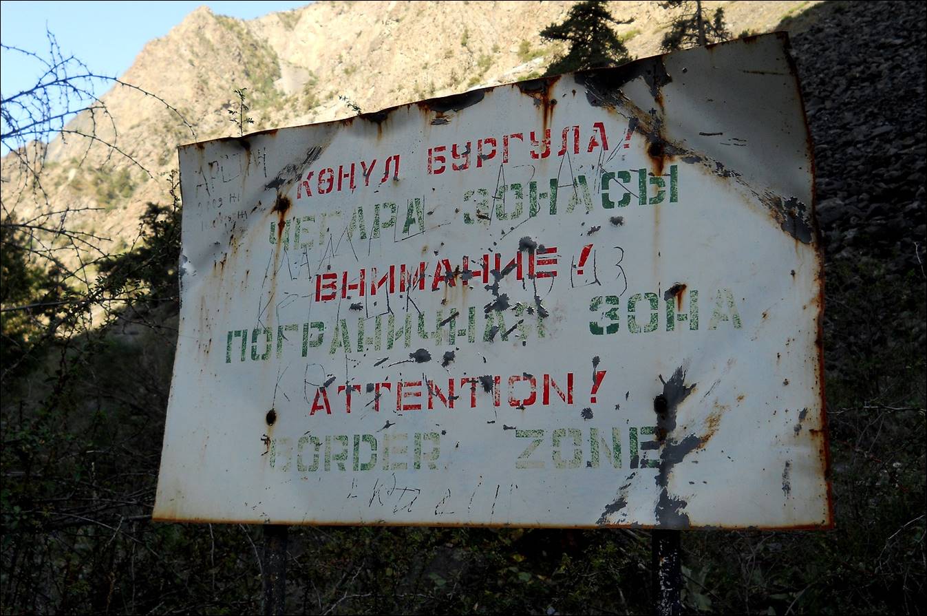
Sign posted along Layly-Mazar
river.
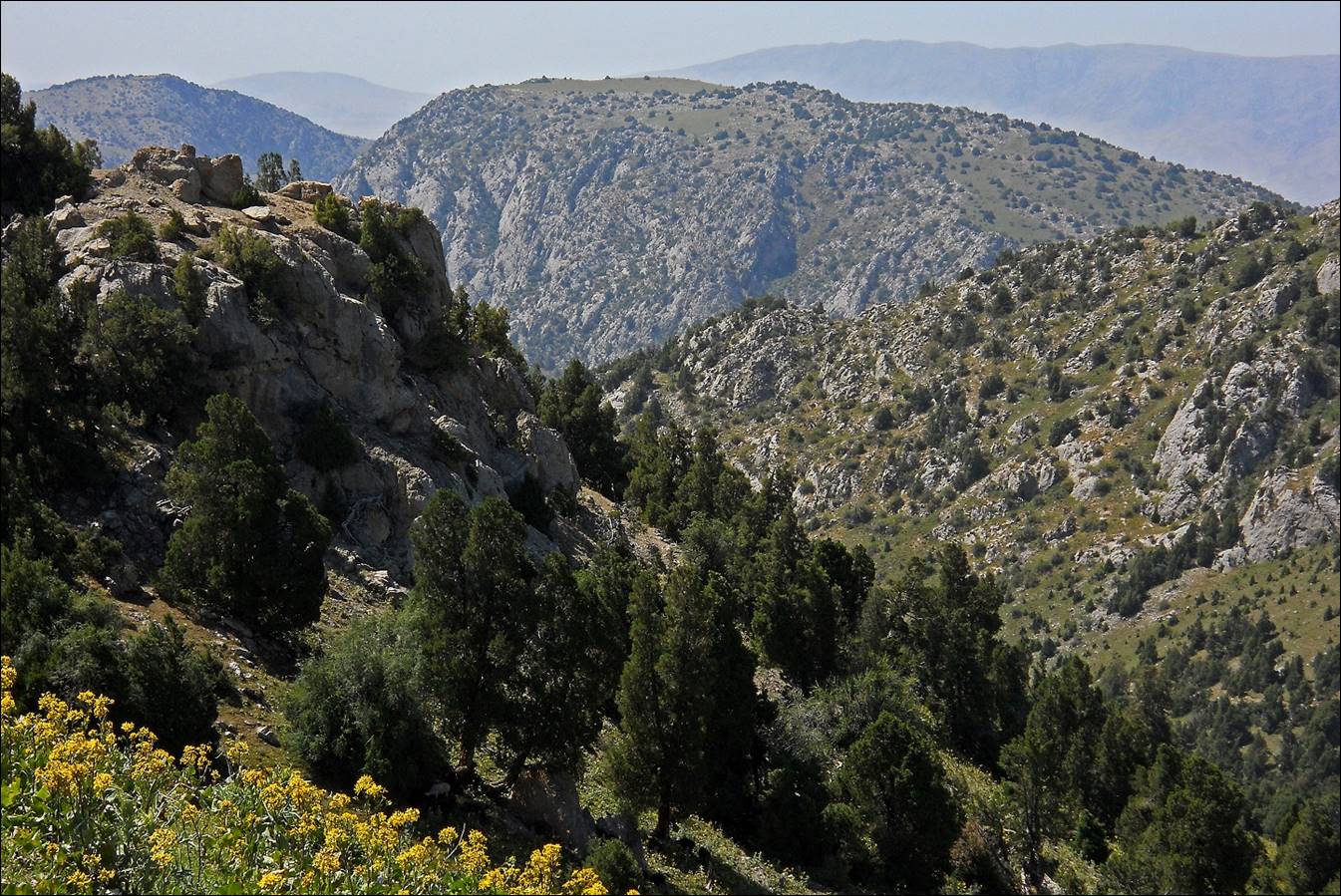
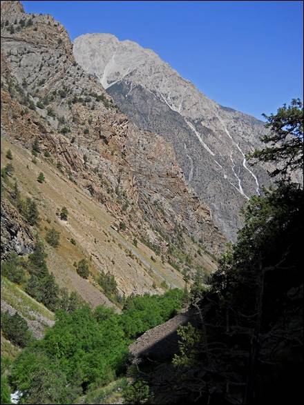
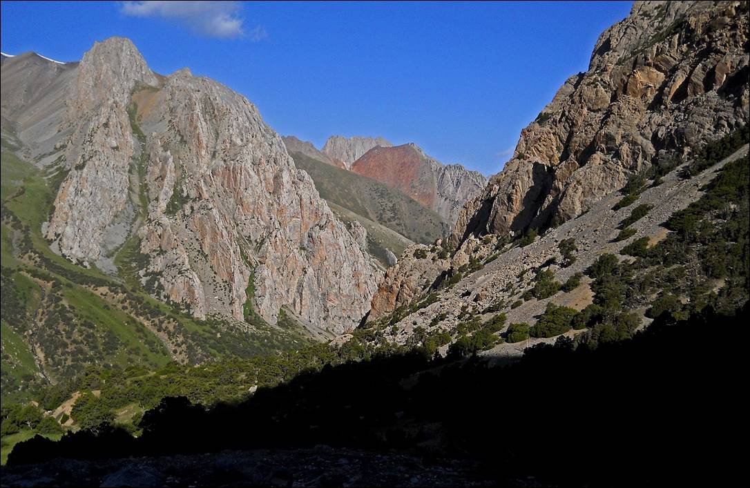
In the canyon of Uram
river.

|
|
|
|
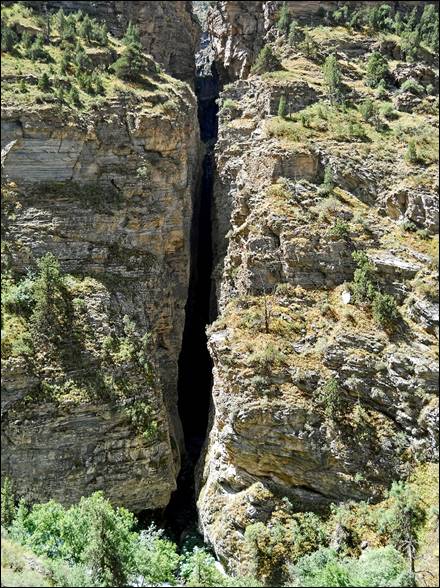
The canyon of Uram river seen from above.

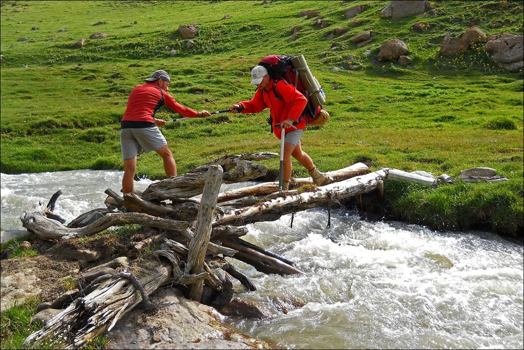
Maksim helping Slava
to cross a slippery bridge over Uram river.
|
|
|
Views of the upper Uram
valley.

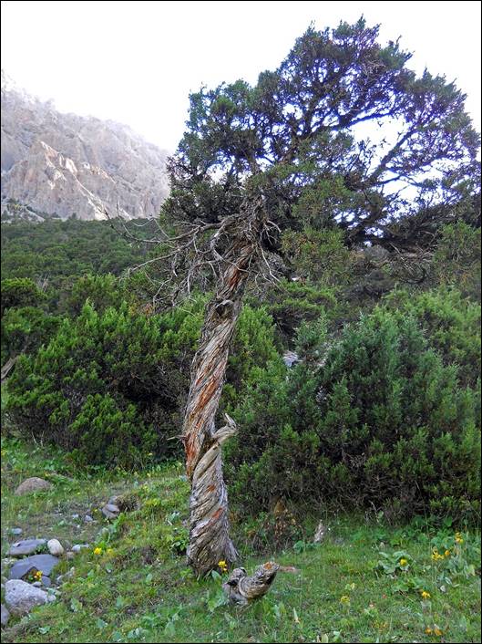
Left: another view of Uram canyon while ascending Uram
pass. Right: A twisted tree along the way.
|
|
|
View toward the west while ascending Uram pass and from the pass (second photo below).
View toward the east from Uram pass.
Reaching Aksu valley.
![]()