Traverse of Turkestan range ― South-West Kyrgyzstan (2011)
Leg 7: From Kshemish valley to Kan village (July 29-31)
![]()
We left Kshemish
river after the second food delivery to ascend Dvoynoy pass (marked 1.3.6 on the map below, 4090m). This
is a double pass that leads to Karakul Katta lake,
which means ″big black″ lake. Then we
crossed Kurdaktyr pass (1.3.9, 3280m) and descended
into the valley of the Kalay Mahmud river. We followed this river until Daugman
village. We then hiked to Zardaly village after
crossing Zardaly pass (1.2.19, 2850m). Our initial
plan here was to continue hiking for at least a week to reach Abramov glacier
further to the east. However, the chief of Korgon
military camp (located near Zardaly village) did not
give us permission to go further for security reasons. Apparently, he was
concerned about possible infiltrators coming from the south. In fact, there had
been several kidnappings in this area during the past decade (link1, link2). Slava himself had been abducted in 1999 by a group of Uzbek
rebels near Abramov glacier. So, instead, we traced back our steps and went to
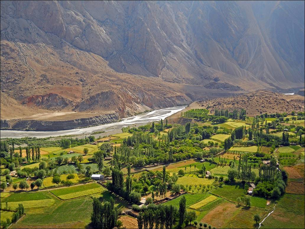
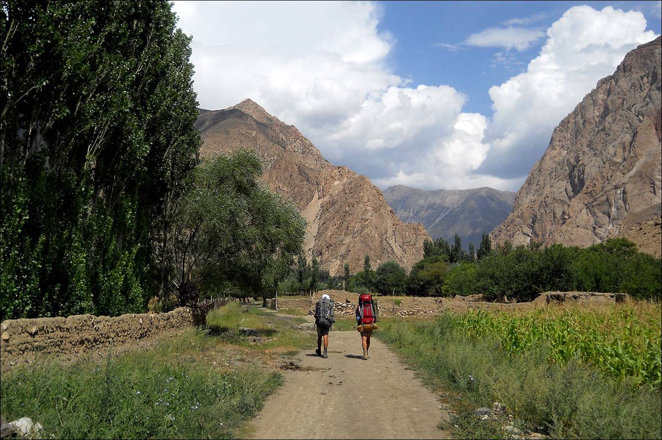
Kan village by following the Sokh river.
From Kan, we took a car to Batkent and the next day
to Bishkek. Since I had a few more days to spend in Kyrgyzstan, we then decided
to go to the city of Karakol and hike in the Tersey Ala-Too range (see here).
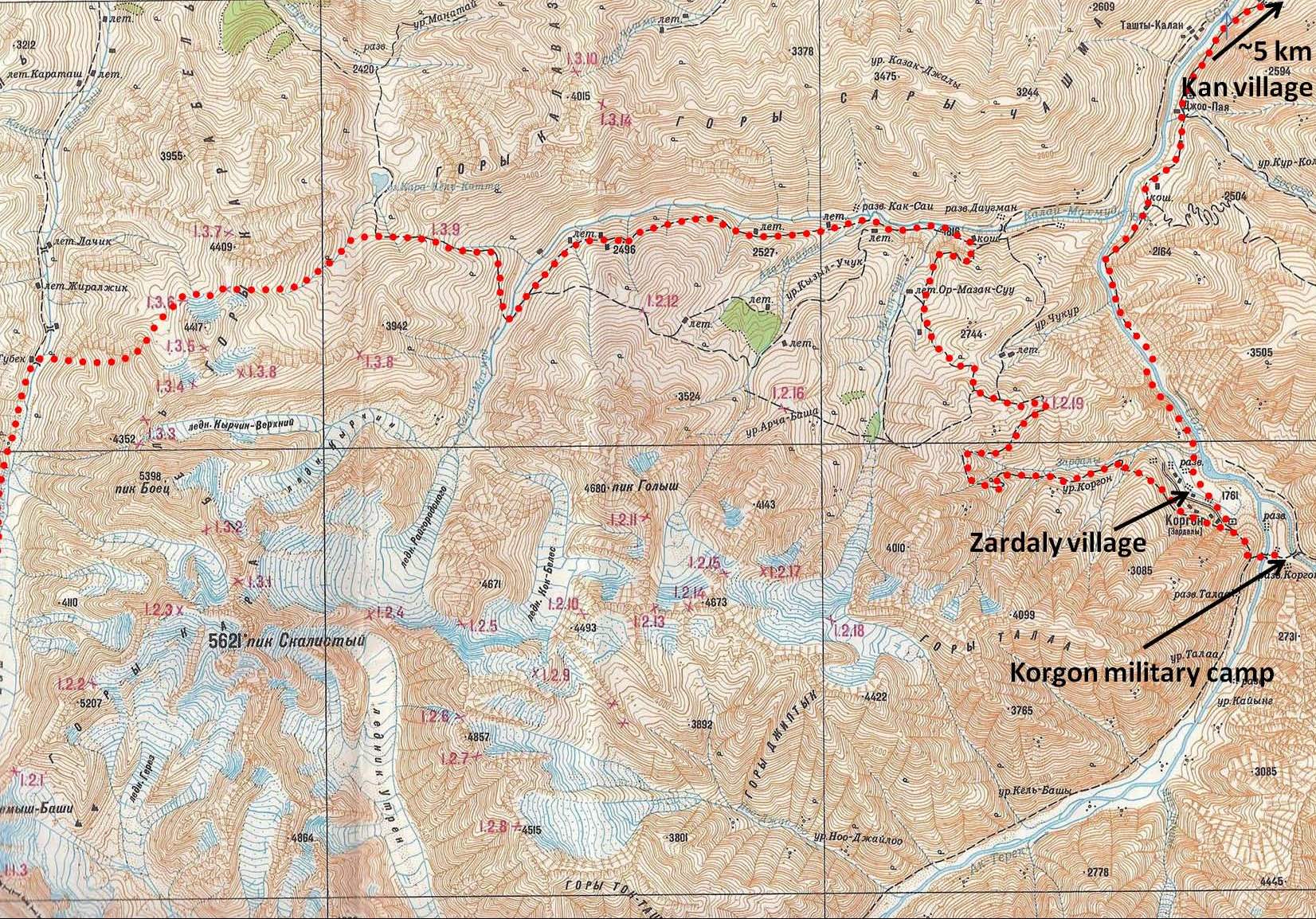
Topographic map for leg 7. Click here
to see the map at better resolution. (Black vertical lines in the map are distant by
9.5 km.)

Views of the west side of Kshemish river during the ascent
of Dvoynoy pass.
|
|
|
|
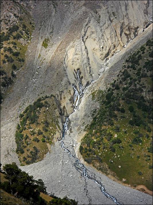
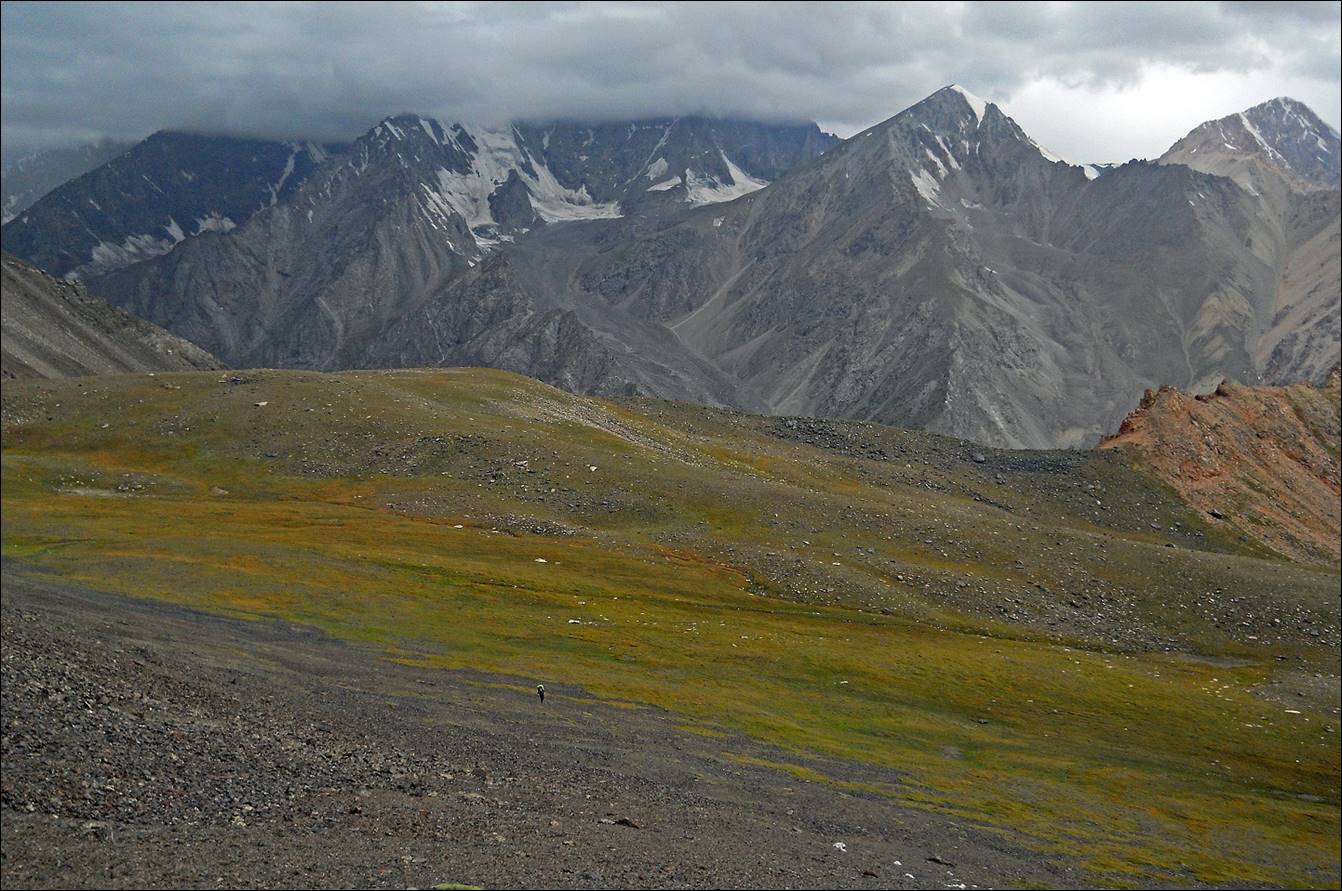
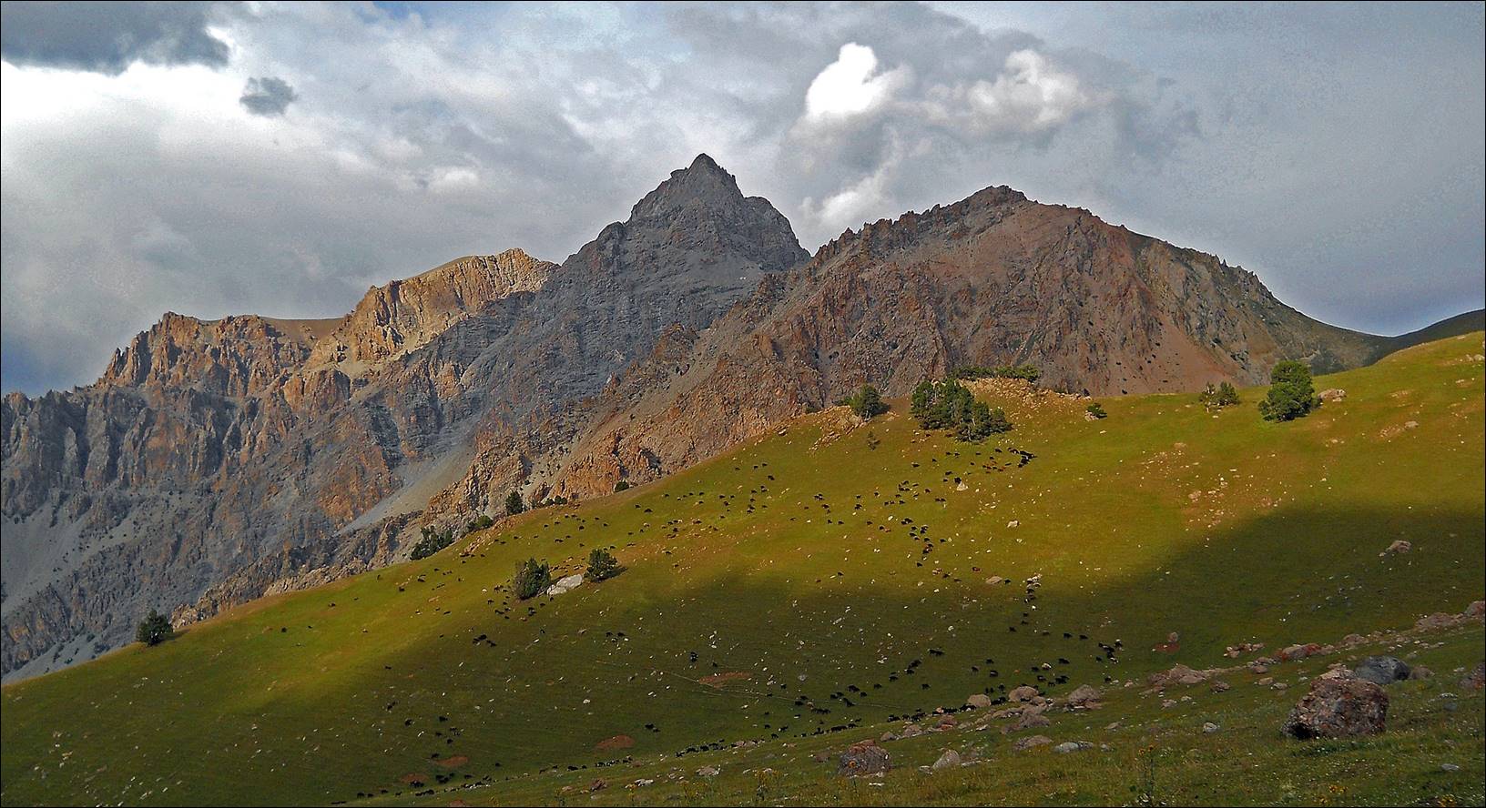
Peaks above Kshemish
river. Peak Kshemish Bashi is visible on the left.
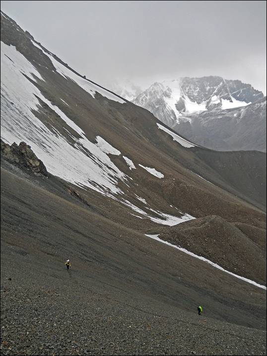
Between the two parts of Dvoynoy pass.
Ascending the second part of Dvoynoy pass in loose thin scree. The scenery between the
two parts was particularly grim.
|
|
|

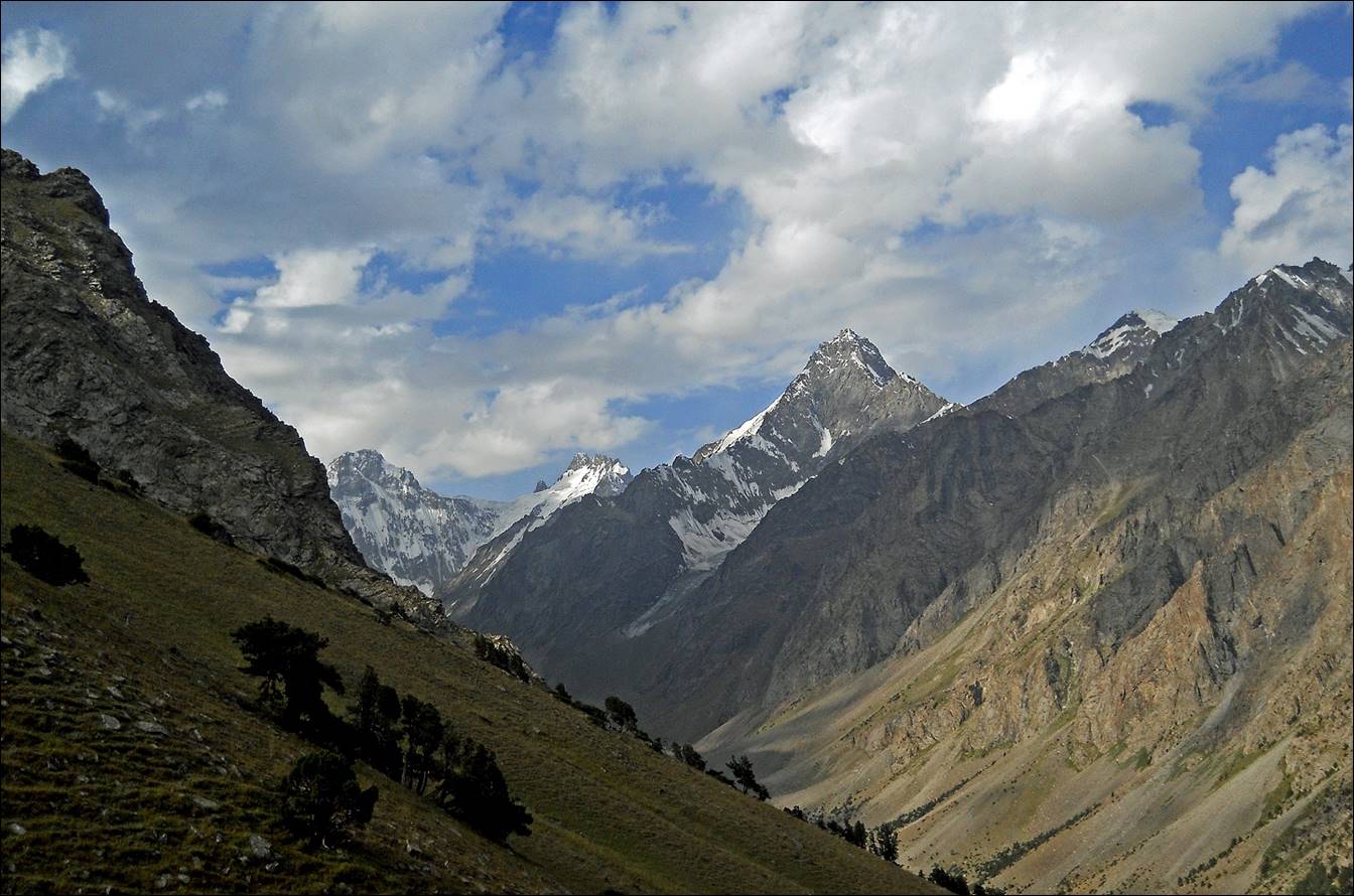
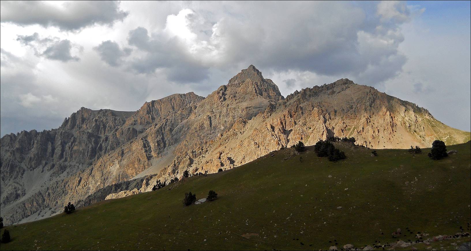
View toward the east from the second
part of Dvoynoy pass.
Looking back toward Dvonoy pass from a location near Karakul Katta lake.
Karakul Katta
lake.

Light changes upon the ridge above
Karakul Katta lake.
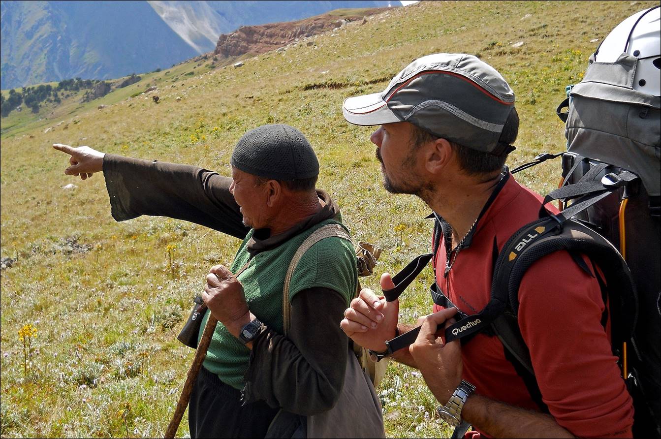
Maksim and a local shepherd during the
descent from Kurdaktyr pass.
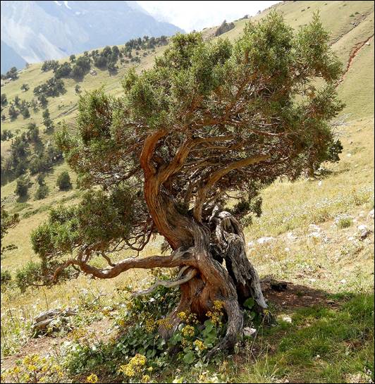
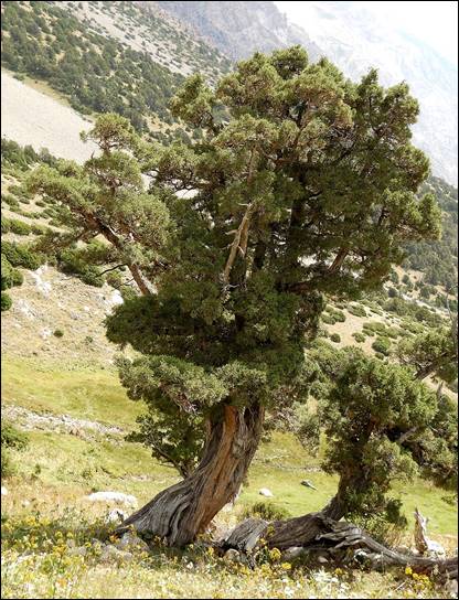
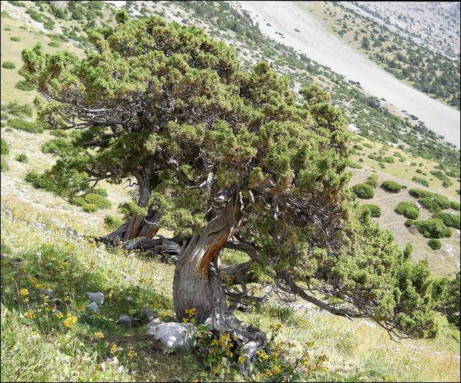
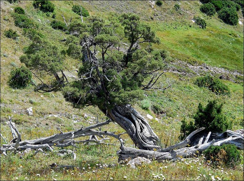
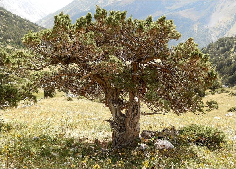
Large bonsai-shaped trees below Kurdaktyr pass.
|
|
|
|
|
|
|
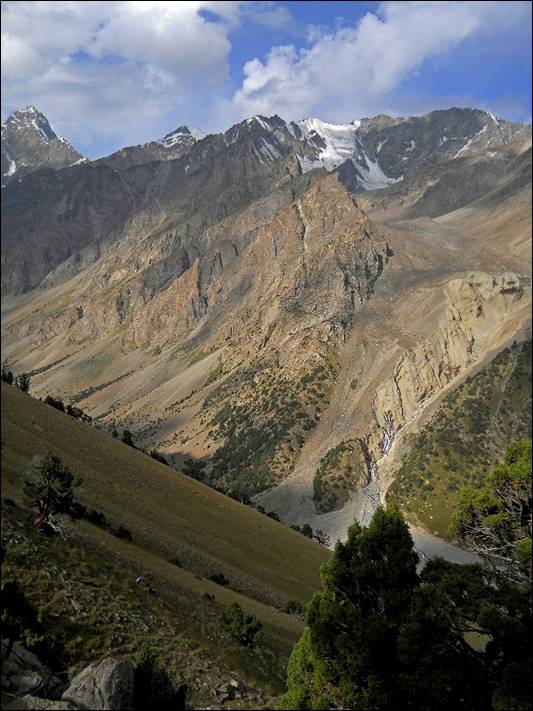
Raigorodsky glacier.

Kosh above Kalay Mahmud river.
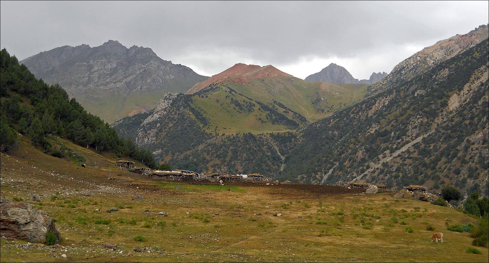
Scenery along Kalay
Mahmud river, near Daugman
village.
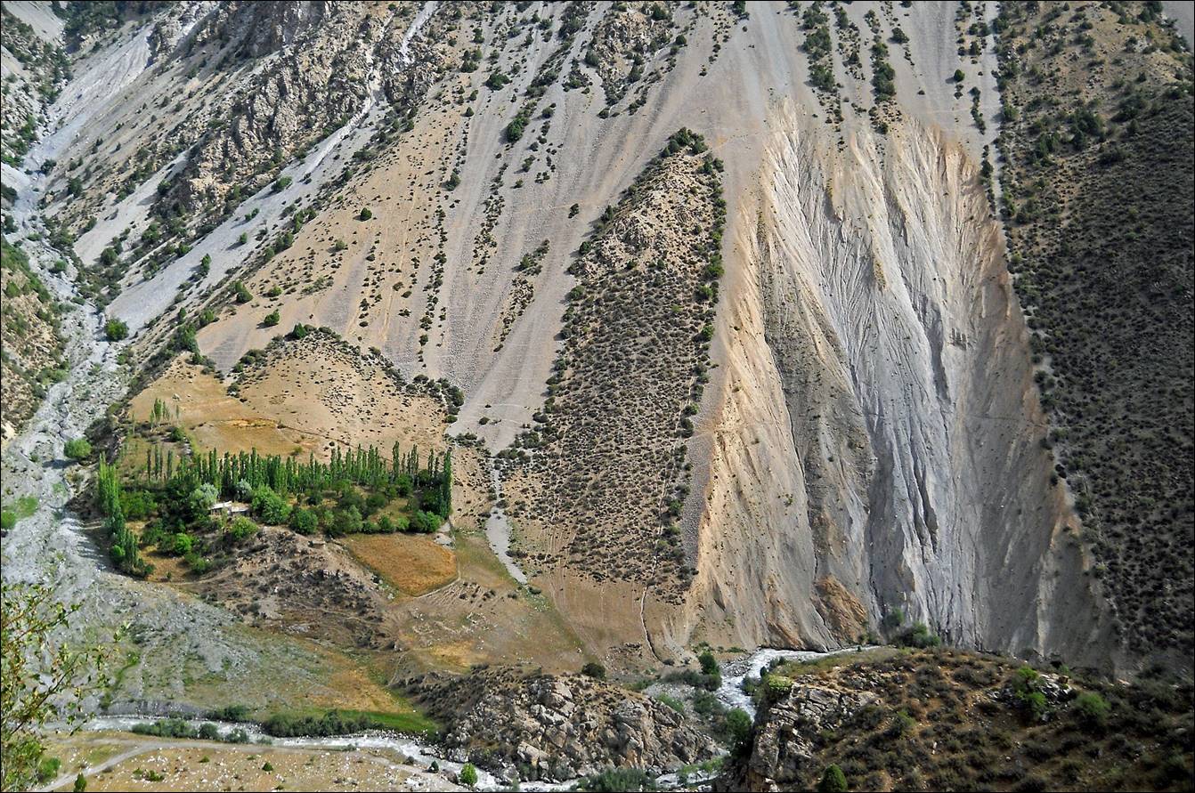
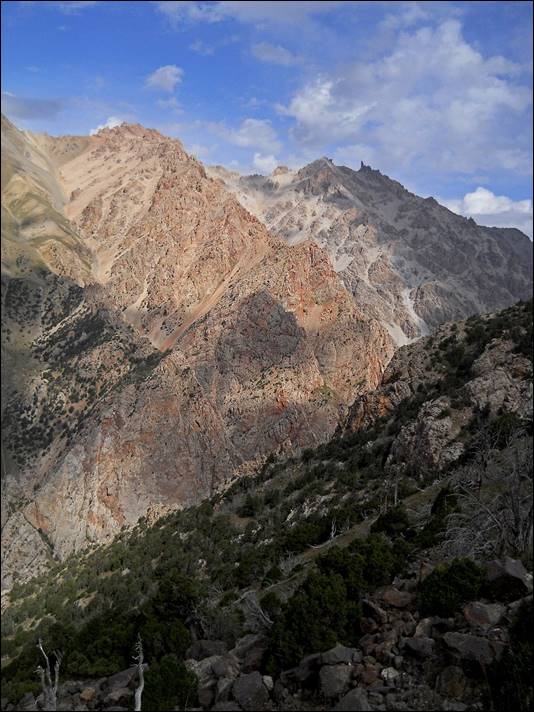
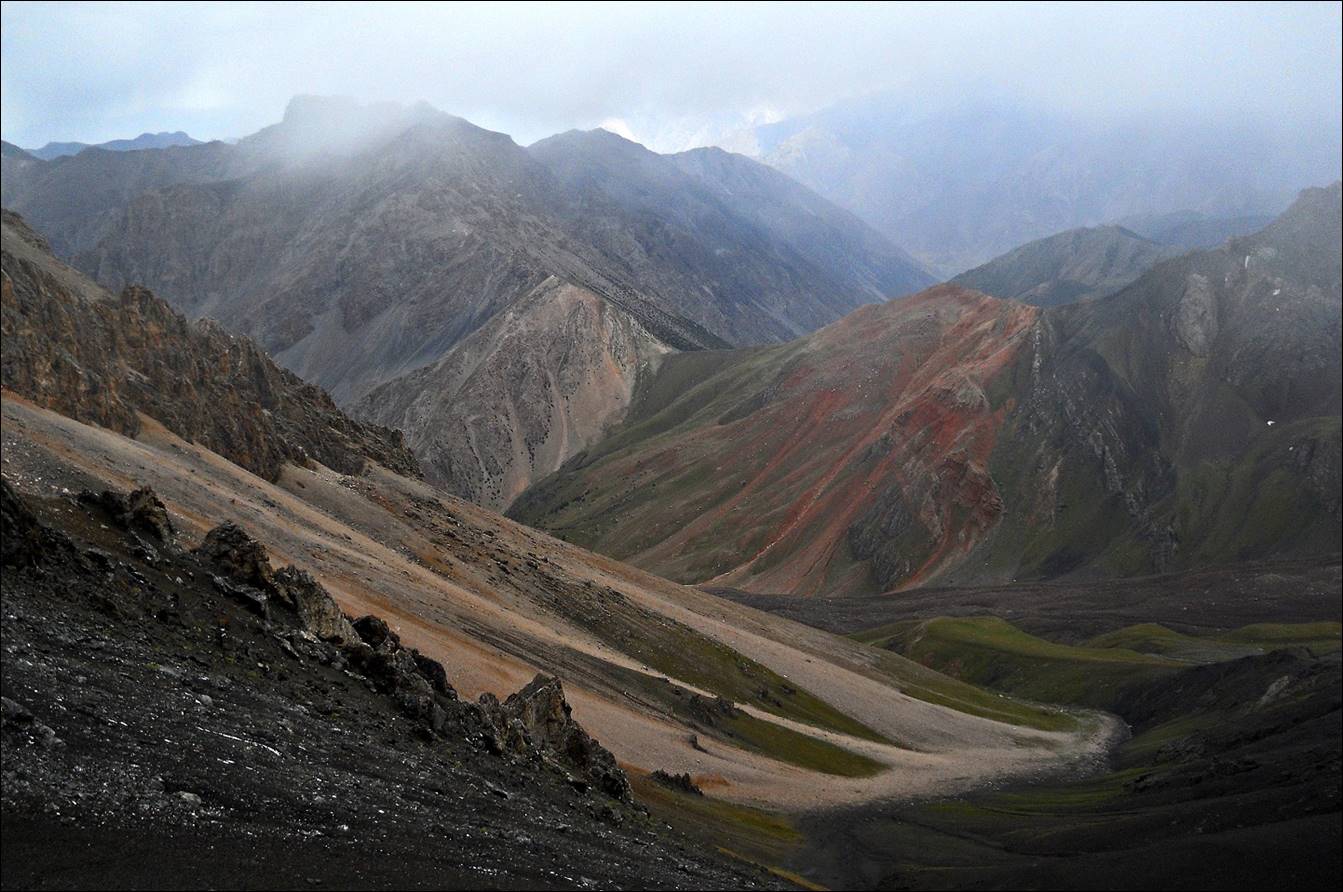
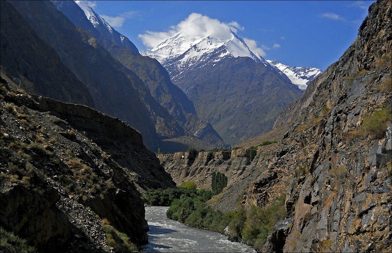
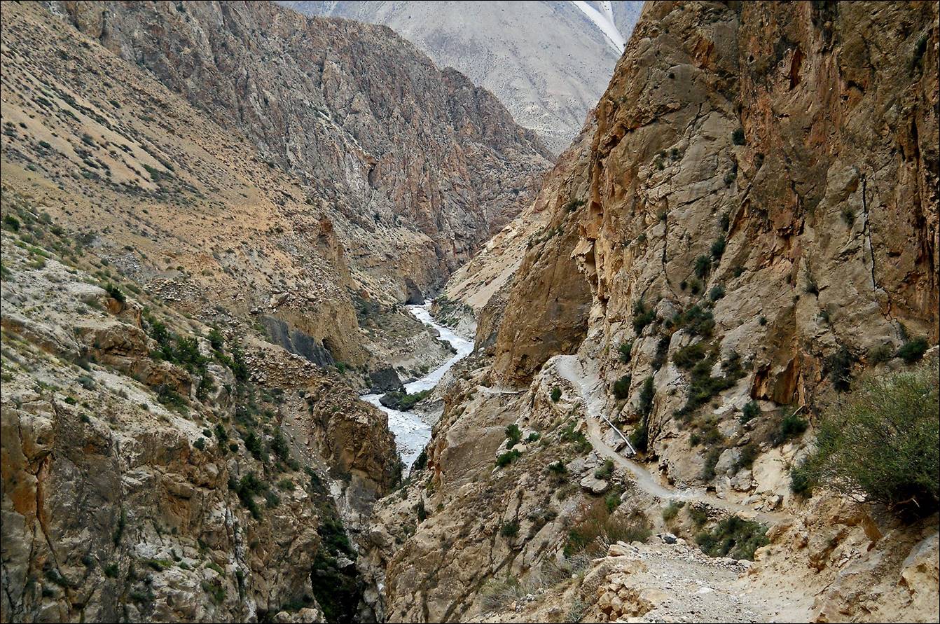
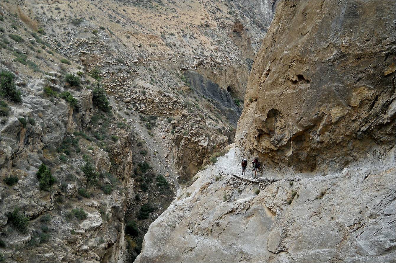
Gorge of the Sokh
river seen from the trail across Zardaly
pass.
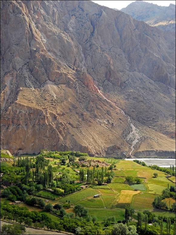
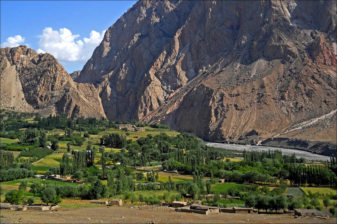
Beautiful Zardaly
settlement nested between high cliffs.
|
|
|
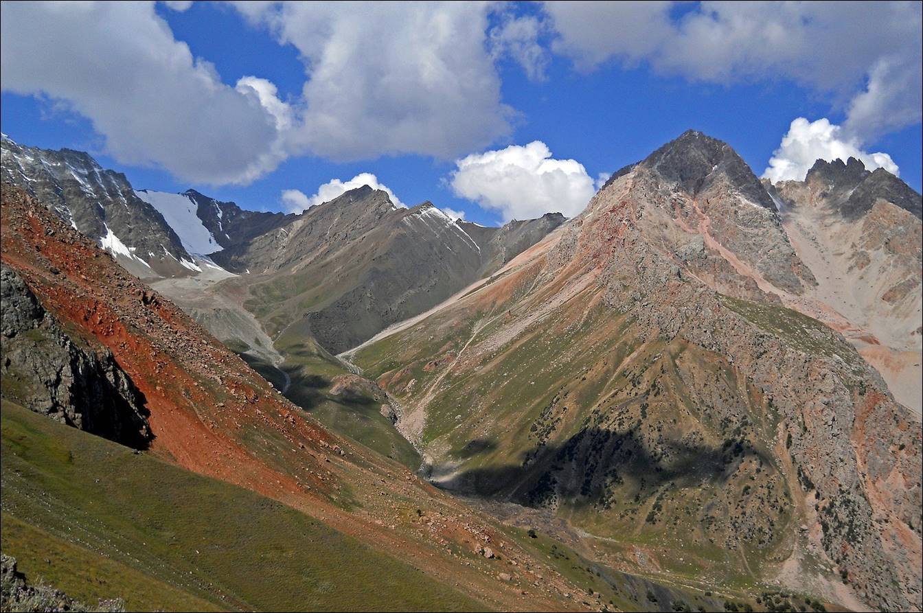
Sokh river, with peak Korgon (5170m) in
the background, This photo was taken from the bridge separating Zardaly from the military camp where we had to turn back.
Returning to Zardaly.
Typical traditional house near Zardaly.
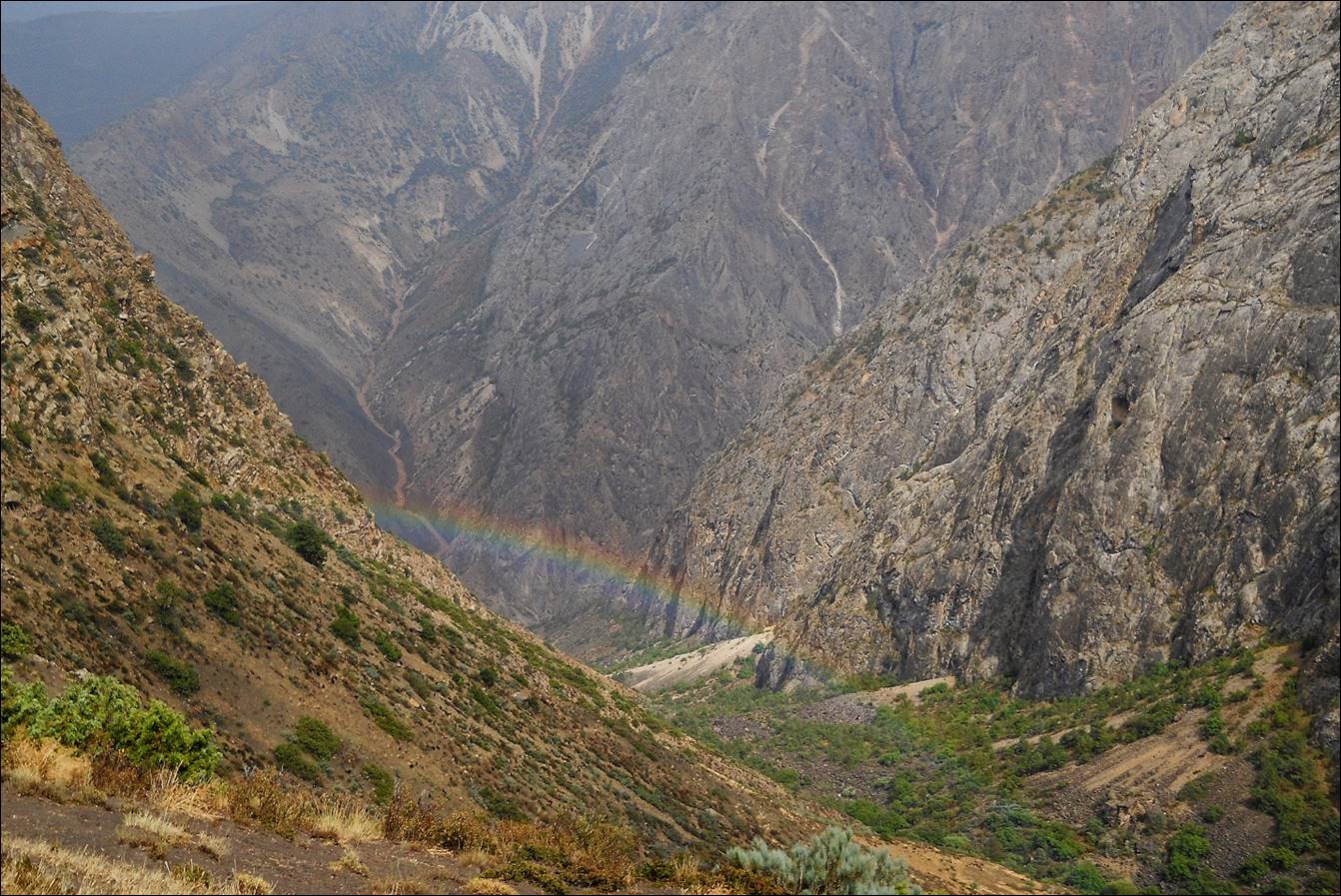
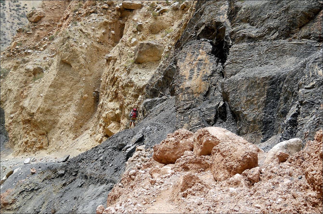
In the gorge of Sokh
river on our way to Kan village.

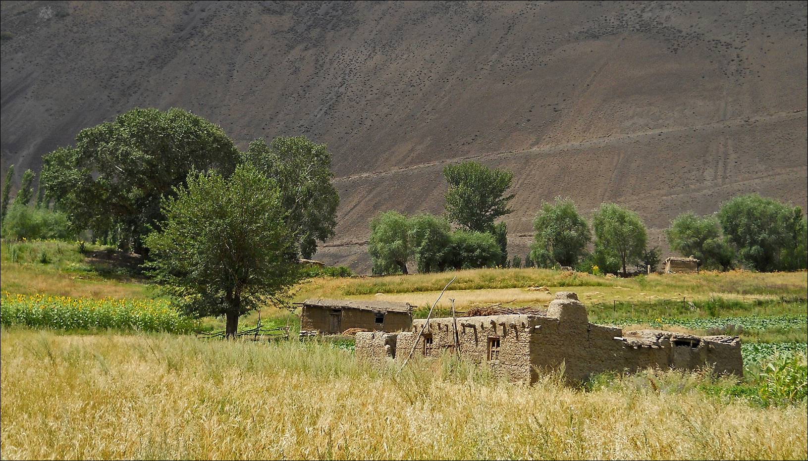
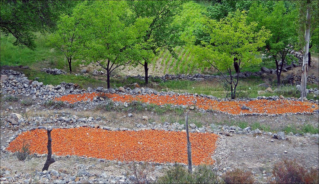
Apricots drying near Kan village. (Southern Kyrgyzstan has some of the best
apricots one can find anywhere in the world.)
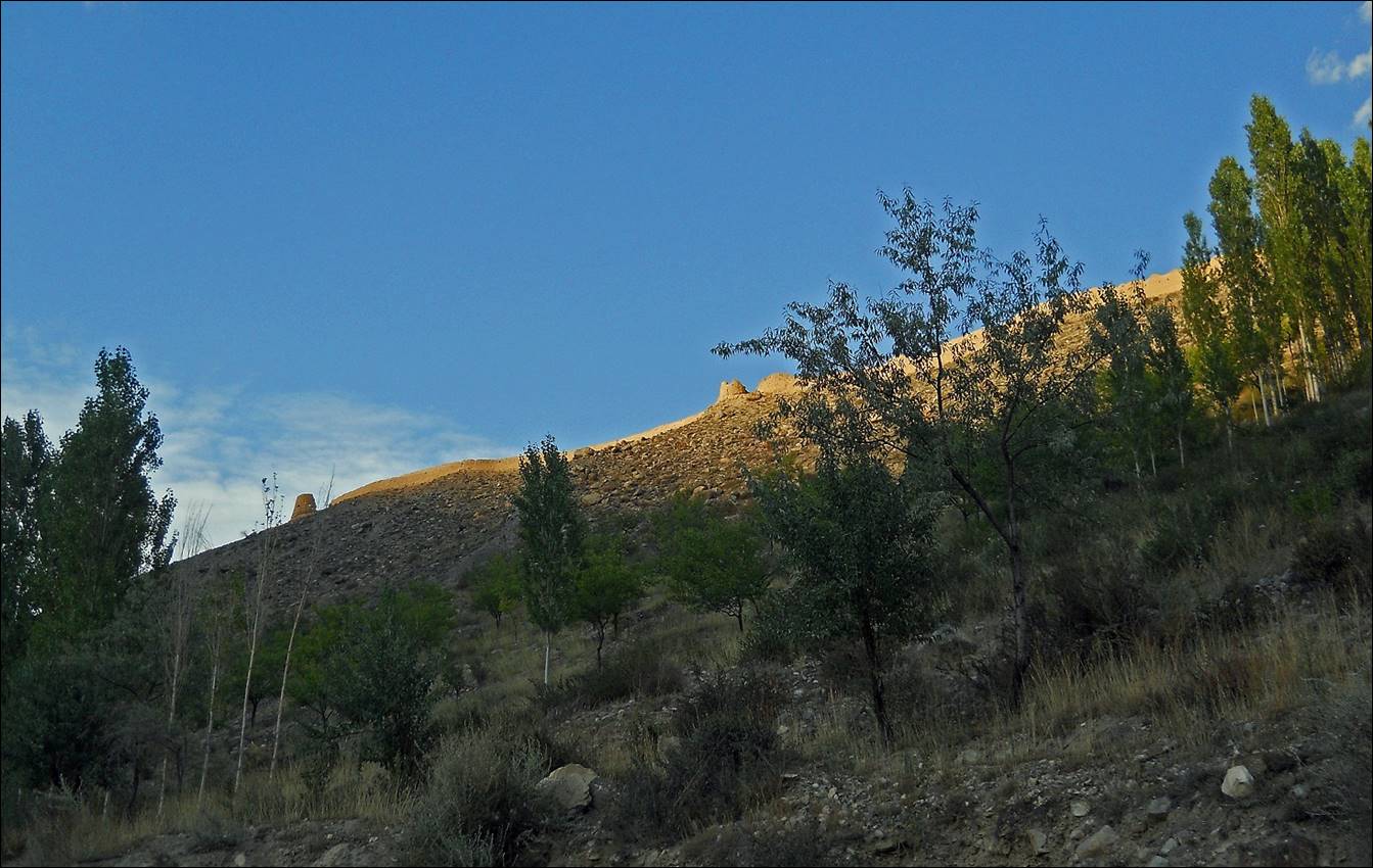
Remains of the 19th century fortress
of Kan. It was built under Khudoyar Khan,
the last ruler of the Kokand Khanate. (Kokand is now a city in Fergana valley
in Uzbekistan.)
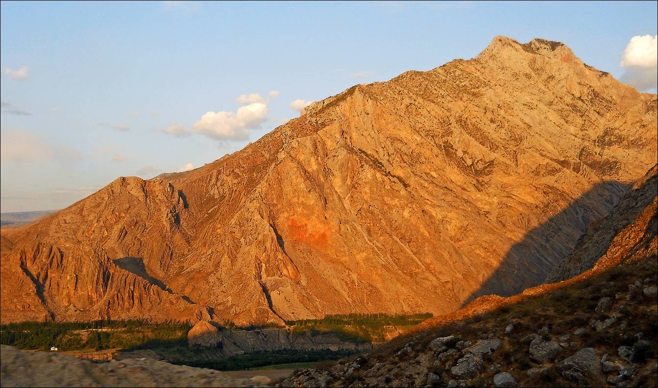
Reaching (by car) the valley below Kan village, near the Sokh
enclave, on a late afternoon.
![]()